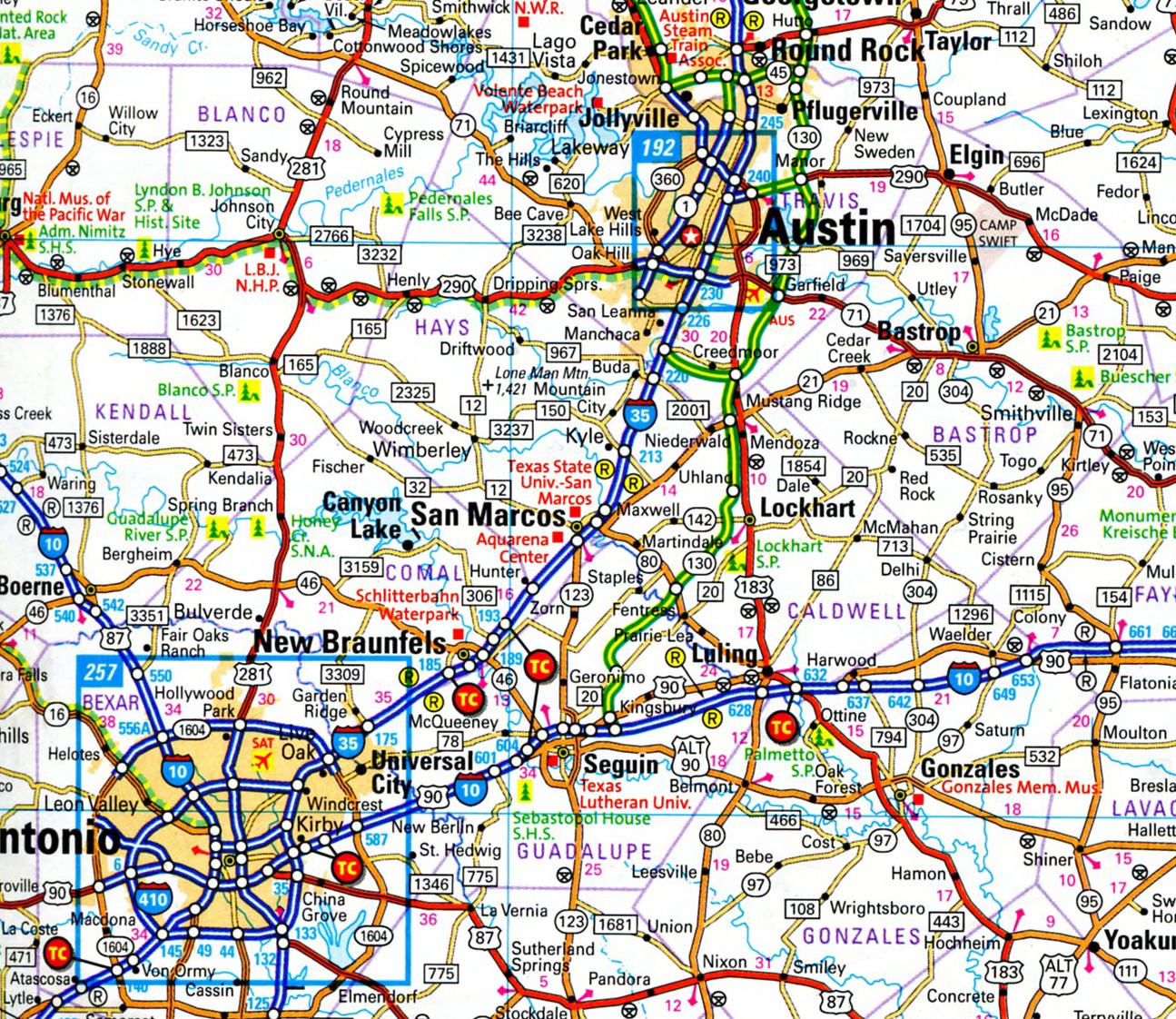
Here’s another map of considerable usefulness and aesthetic value. This is a detail from the Michelin 2015 North America Road Atlas.
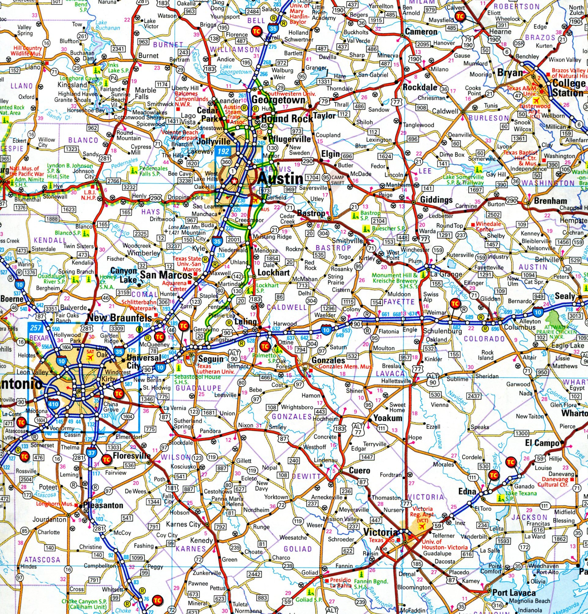 I bought the 2003 edition back when it was new, but by last year it was worn out, so I replaced it. Instead of providing a map or two for each state, as the larger Rand McNally does, Michelin divides North America into a grid of squares. Central Texas above happens to be on square 61. The system takes some getting used to, but on the whole it works.
I also still buy Rand McNally most years. Some things on those maps won’t be on Michelin and vice-versa, though since Rand McNally is 15¼ inches x 10¾ inches, and Michelin is 8 x 11, the former has more room for detail. Yet Michelin packs an amazing amount of detail, as good maps should.
 Then there are state highway maps. In whatever state I pass through, I try to pick up one. They were always easy to find in Texas — every rest stop with bathrooms used to have them, and maybe still do. The lesson is, you can’t have too many maps.
Without maps around the house, how could you browse? Looking at the Texas 61 map just now, I notice towns I’ve never heard of — at some distance from San Antonio, where I know most of the surrounding burgs — including the likes of Bleiblerville, Blue, Concrete, Ding Dong, Gay Hill, North Zulch, Oxford, Snook, and Sublime. All real Texas town names, according to Michelin.