Ironwood Public Art, Except For the World’s Tallest Indian

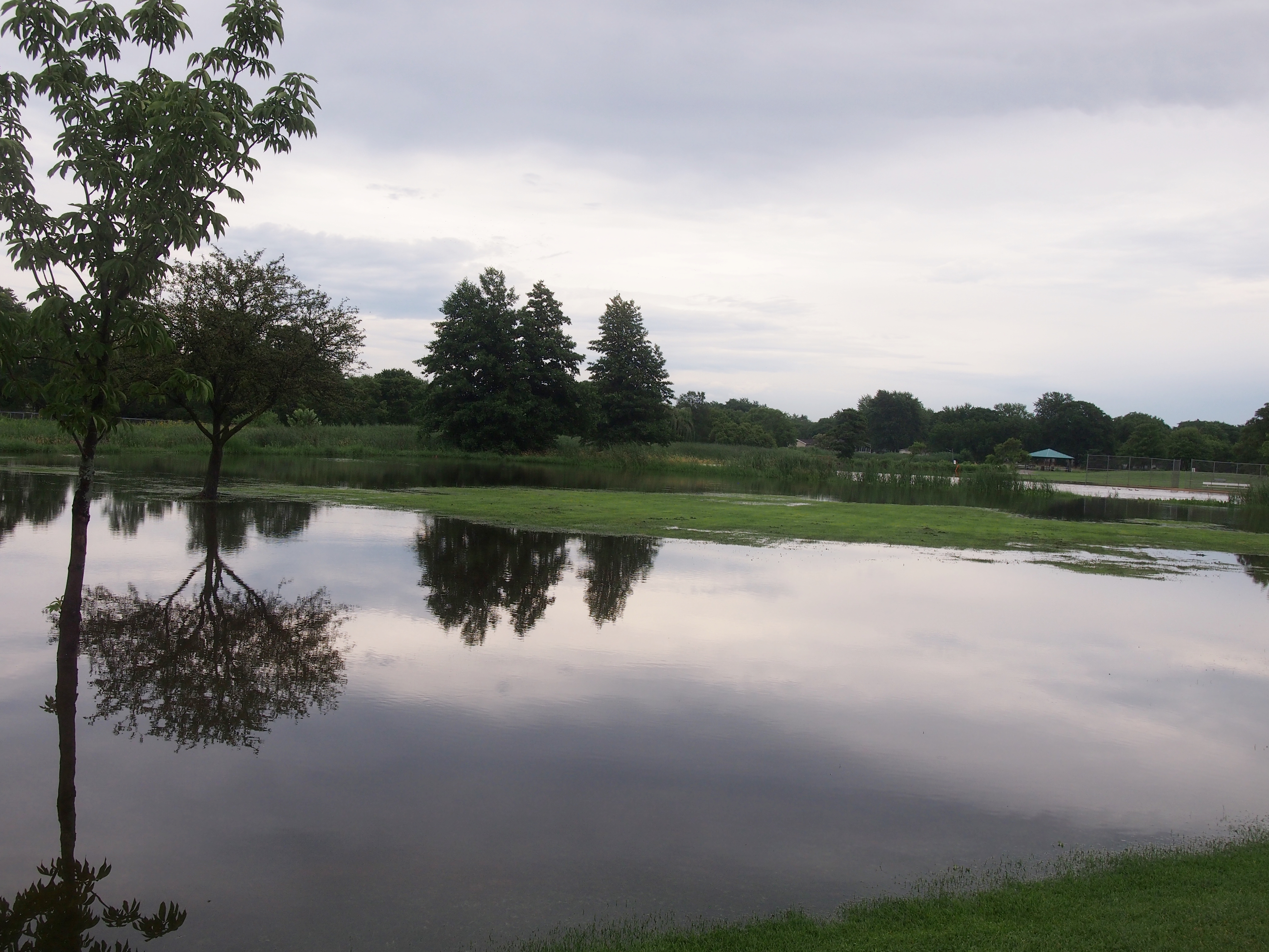
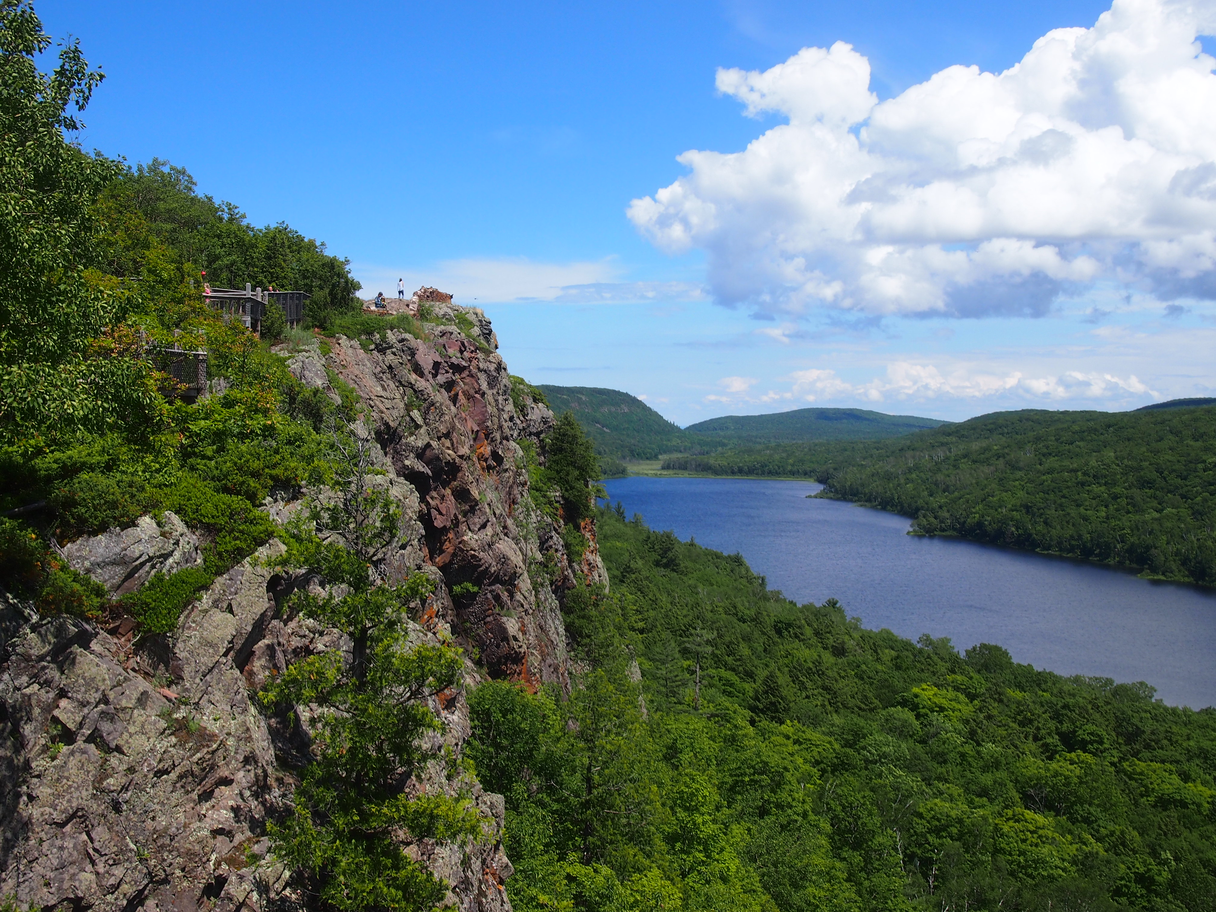
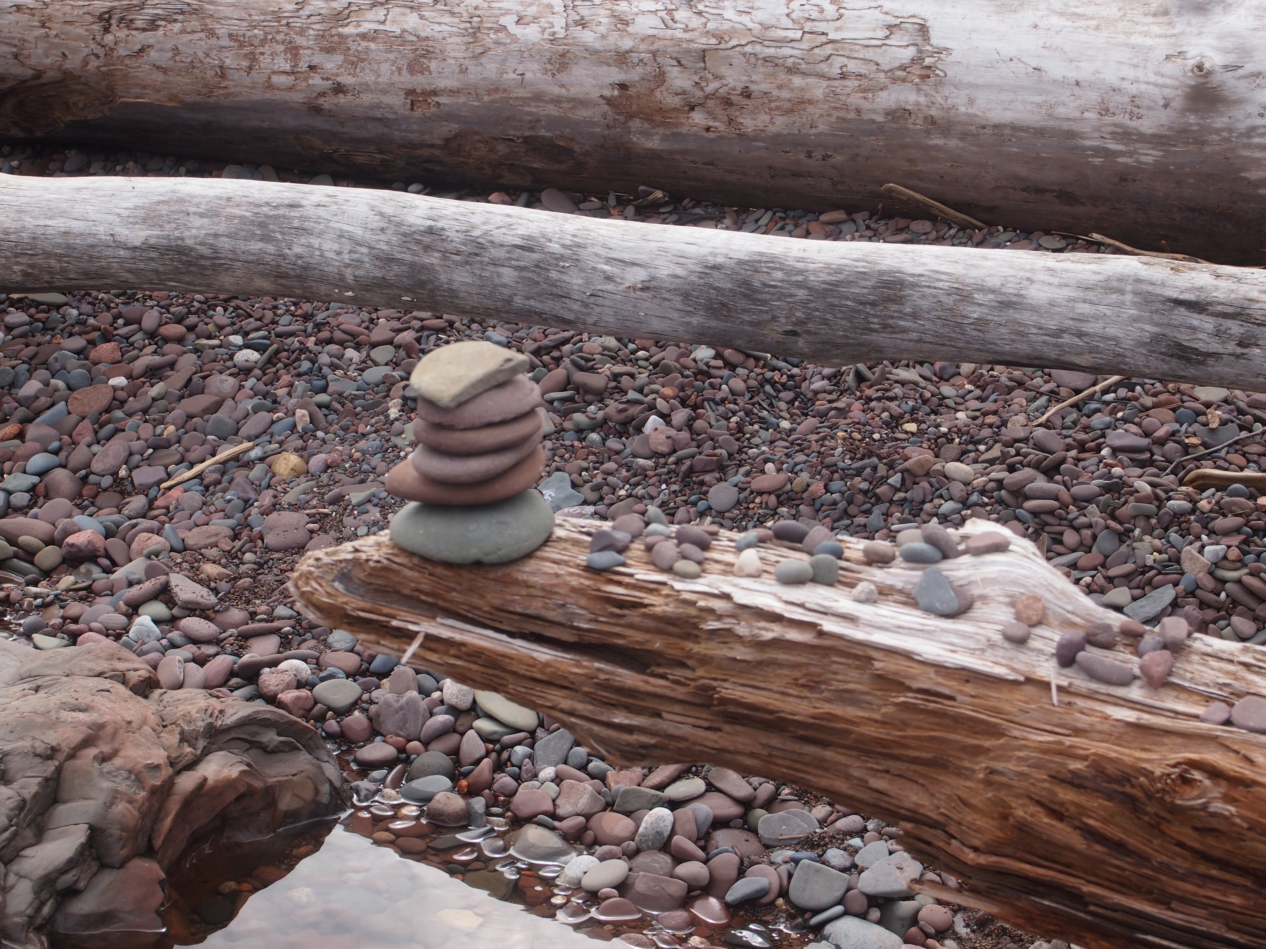
Yesterday, the Space Weather Prediction Center, a branch of NOAA, had this to say: “A watch has been issued for likely G2 (Moderate) geomagnetic storm conditions on 16 Jul and early on 17 Jul.” Thus the Aurora Borealis might thus just be visible at my latitude, according to the map. So at about 11:45 pm on July 16, I went outside and looked north. No dice.

But I’m glad the Space Weather Prediction Center is a real thing. It’s something we (humankind) should have in the 21st century.

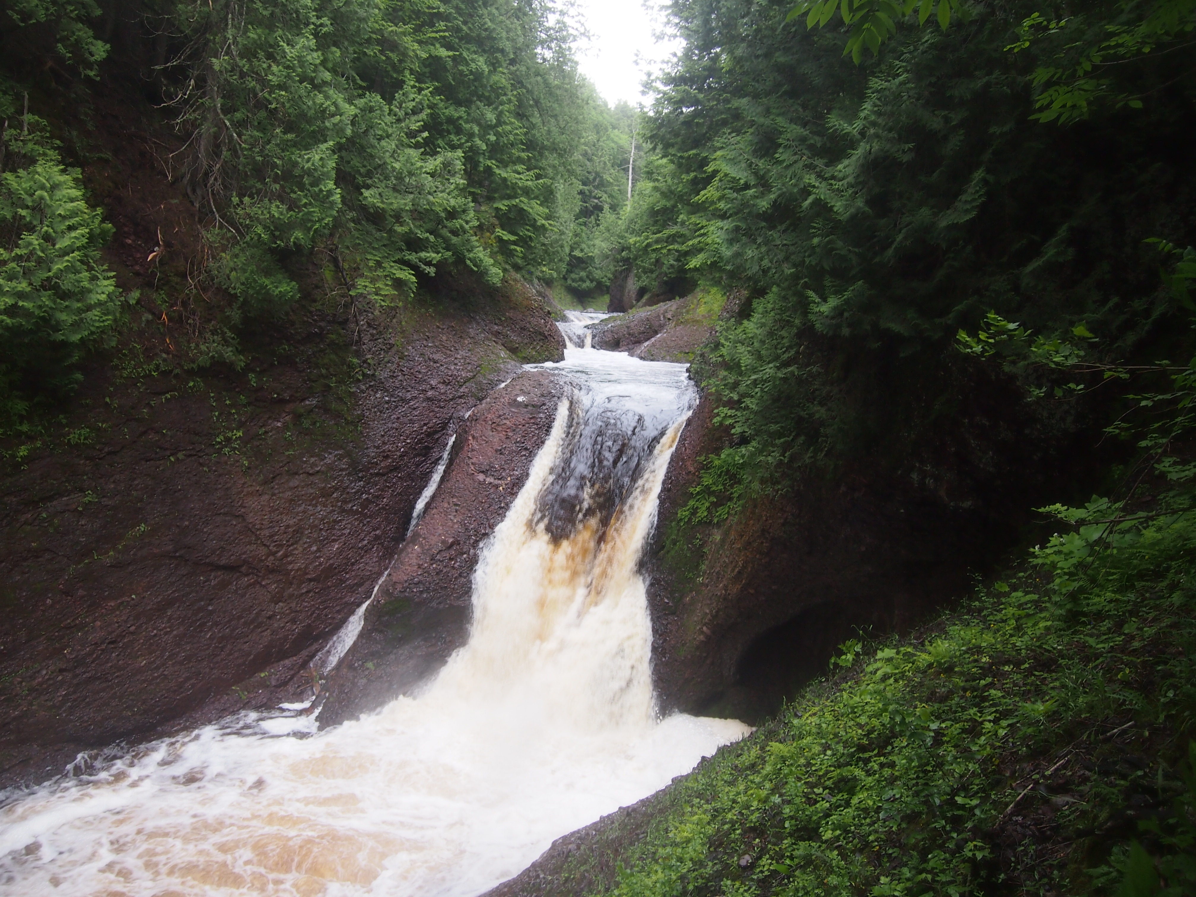
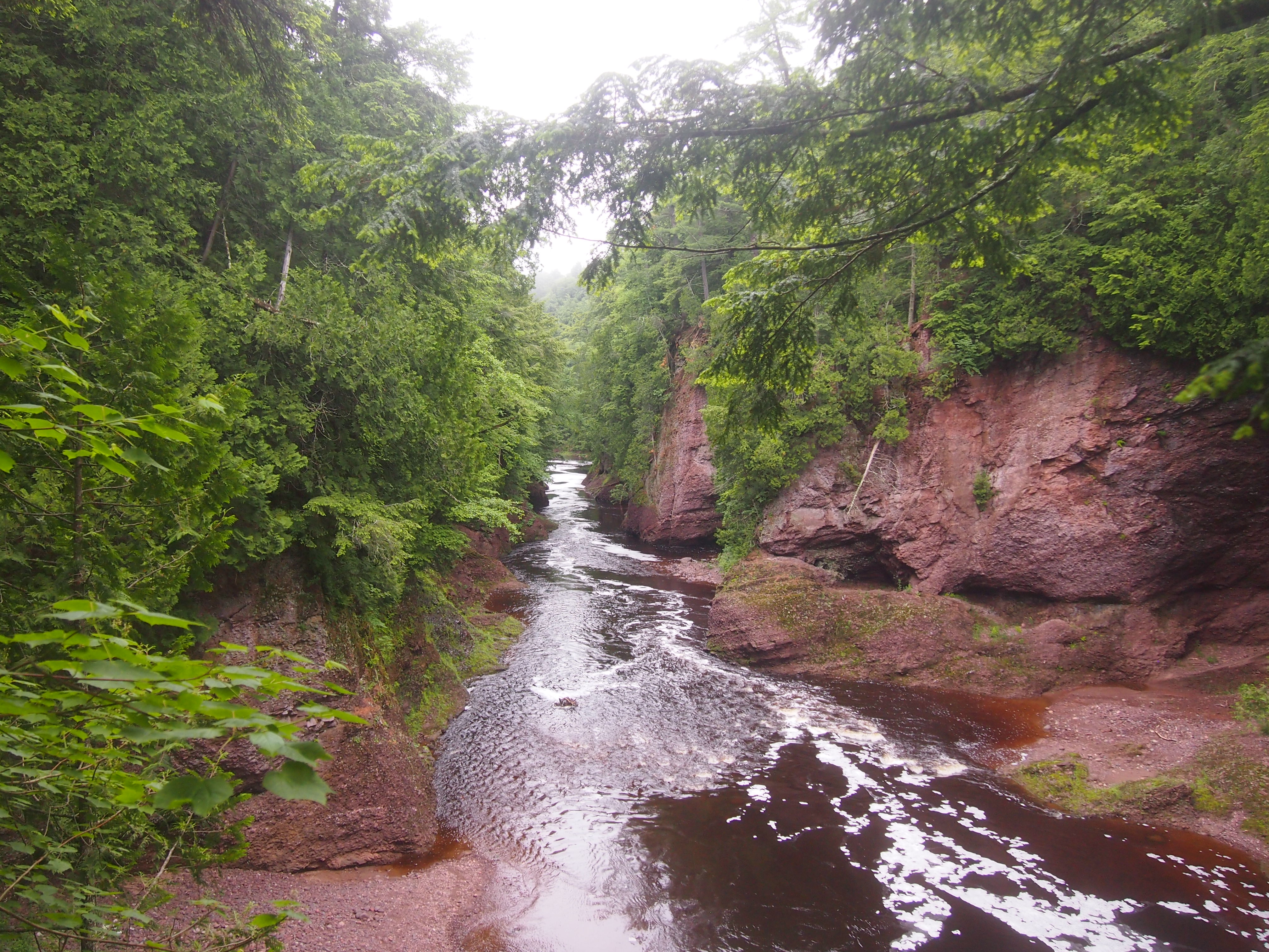
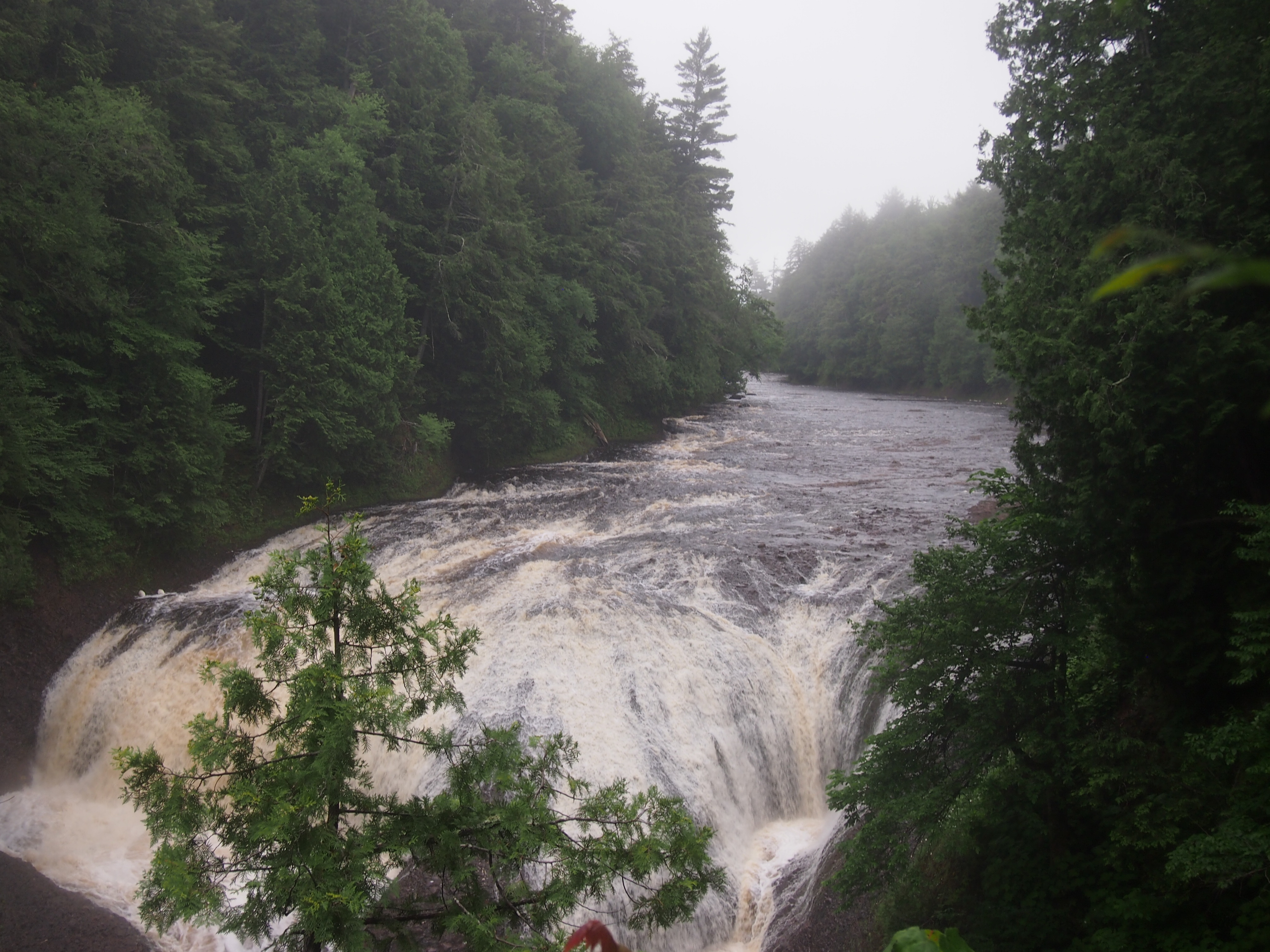
Ironwood, pop. somewhat less than 6,000, is Michigan’s westernmost town, on the east bank of the Montreal River, which flows into Lake Superior not far away and is the border with Wisconsin. On the morning of Sunday, July 2, we stopped there to look for coffee for Yuriko.

We were unsuccessful in that, but we had a few moments to look around. Unfortunately, we didn’t see the World’s Tallest Indian. That’s what I get for not looking up what’s to see in a town before I go.

I did see the Ironwood Area Historical Society and the Historic Depot Museum. Being Sunday morning, it was closed, but it looked like a fine old depot, dating from the 1890s.
Ironwood, Michigan Depot
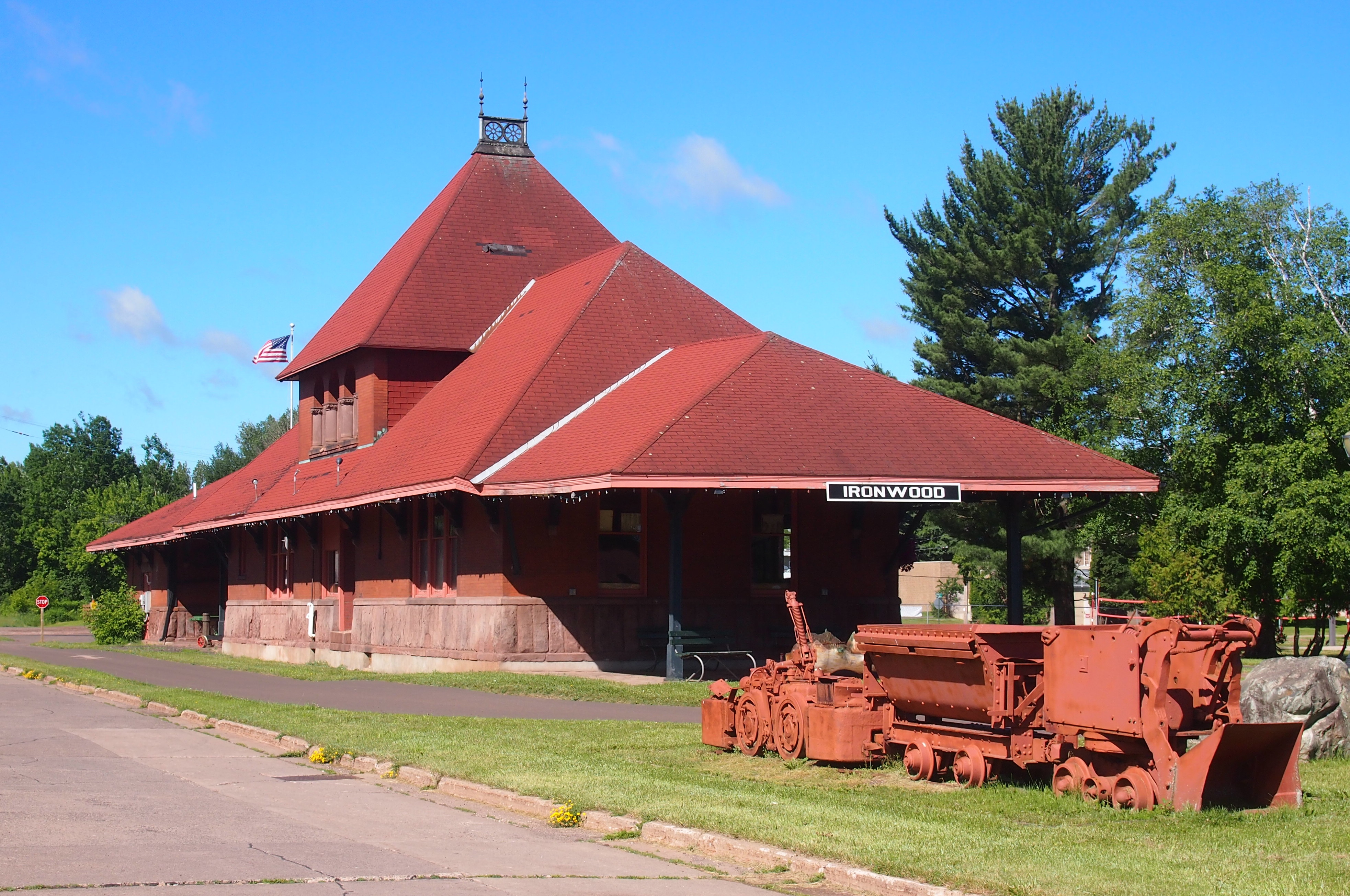
The Ironwood Area Historical Society says, “Its architecture is true to its Richardson Romaneque origins. The exterior is baked-red brick above and a heavy base of Lake Superior sandstone from the brownstone quarries located on the mainland and Apostle Islands near Bayfield in Northern Wisconsin. The Ironwood depot is a stunning structure with three tapering roof lines, including an unusual hipped, cross dormer and a signature finial cupola reflecting flanged rail wheels crowning the pinnacle.”

On the grounds is a statue — a carving, really, made from a tree trunk — of what appear to be three workingmen from the Ironwood past, one a miner, another a lumberman. Not sure about the third, but certainly some kind of hard 19th-century job.

Ironwood Depot Park tree carving

Ironwood Depot Park tree carving
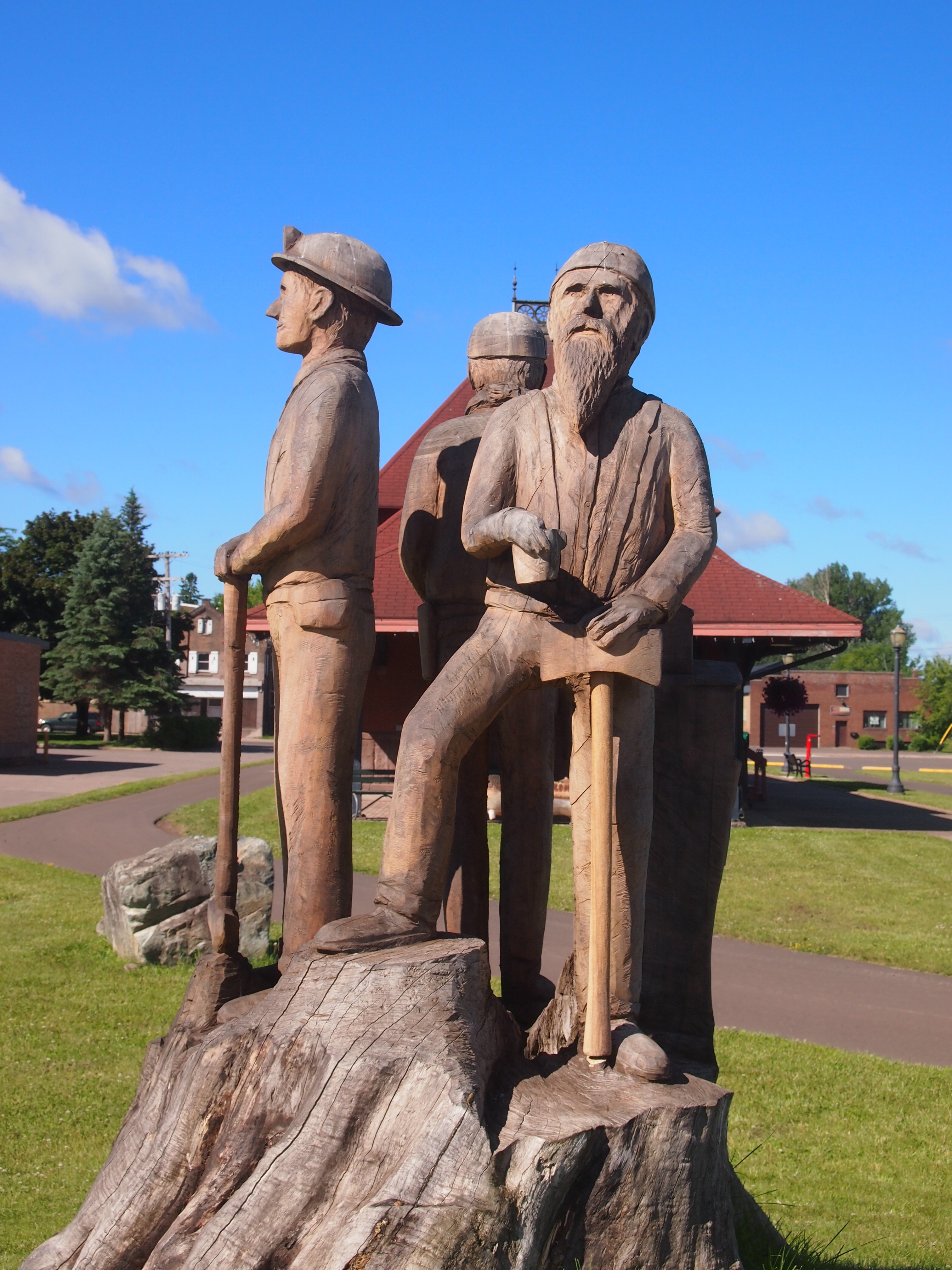
I didn’t see any information about who carved the thing, or whether it has a title. It wasn’t created from an old tree that grew on the site, even though it looks like that. I know because if you check Google StreetView for that short stretch of S. Suffolk St., there’s no tree at all there, nor a carving. Google came by in September 2008. Guess even information behemoths can’t be everywhere on a regular basis.

At the intersection of S. Suffolk and E. McLeod Ave., a few blocks from the depot and the wooden workers, there’s a small building. According to Google’s nine-year-old information, its wall facing McLeod is long and painted white.

Not any more.
Miners Mural, Ironwood, MichiganA remarkable mural. I was thoughtless not to take a longer look at it. A mural of Ironwood miners, back when Ironwood miners dug into the earth looking for iron. A detail:
Miners Mural, Ironwood, Michigan
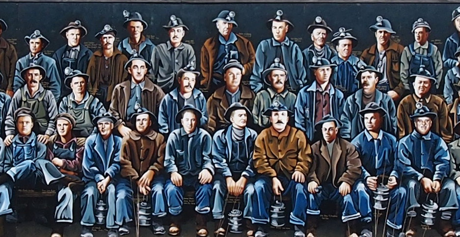
Roadside America says: “Artists Kelly Meredith and Sue Martinsen spent over four years researching and painting the mural, which depicts over 100 real miners. It was unveiled on June 16, 2012, and proved so popular as a photo-op that in 2013 the city created a car-free zone in front of the mural. A booklet available in Ironwood provides biographies of each of the miners.”

Sixth St., Calumet, Michigan

From Houghton-Hancock and the Quincy Mine, the town of Calumet isn’t far north on the Keweenaw Peninsula. I was half-expecting something like Houghton, mainly because I didn’t do much research beforehand. None, really. But I’ve owned a postcard depicting the Calumet Theater for a long time, and I knew I wanted to see that.

So we did. It’s a fine old building. Wish it had been open for a look-see inside.

Calumet Theater, Michigan

Copper fortunes built the Calumet. A local architect named Charles K. Shand designed it. The historical marker next to it says, in part: “One of the first municipal theaters in America, the Calumet opened on March 20, 1900, ‘the greatest social event ever known in copperdom’s metropolis.’ The theater contained a magnificent stage and elegant interior decorations, including an electrified copper chandelier.”

The theater’s web site says: “The Theatre opened… with a touring Broadway production of Reginald DeKoven’s The Highwaymen. In the ensuing years, the Theatre’s marquee read like a Who’s Who of American Theatre: Madame Helena Modjeska, Lillian Russell, John Phillip Sousa, Sarah Bernhardt, Douglas Fairbanks, Sr., Lon Chaney, Sr., Jason Robards, Sr., James O’Neill, William S. Hart, Frank Morgan, Wallace and Noah Beery.

“With the decline of copper mining and the local economy, and the advent of motion pictures, stage productions became less common in the late 1920s. From the depression through the late 1950s, it was almost exclusively a movie theatre…

“The auditorium was renovated for the village’s centennial in 1975, and the exterior was restored in 1988-89. The technical and code improvements and backstage reconstruction have just been completed.” These days, the theater holds 50 to 60 events a year, including plays, movies and concerts.

The theater is on Sixth St. in Calumet. The street hasn’t evolved into a day-trippers shopping district, but it does have some other interesting buildings, dating from copper times, from the looks of them.

Calumet, MichiganCalumet, Michigan Sixth StreetCalumet, Michigan Sixth Street

The buildings of Sixth St. also sport a few ghost signs.Ghost Sign, Calumet MichiganVertin’s Department Store (since 1885, headquarters for Lee overalls, union made). The store turns out to have been located in the building pictured above, between the Sixth St. streetscape and the Michigan House Cafe & Red Jacket Brewing Co. This is an example of the kind of thing I learn from a trip after I’ve gotten home. I didn’t know what I was looking at when I stood across the street from the former Vertin’s on the afternoon of July 1. Now I do.

The Vertins were Slovenian immigrants to copper country in the 1870s, and rather than mine themselves, they enterprisingly sold goods to miners and their families. Remarkably, the store endured until the 1980s. More about them is in this article in Copper Country Explorer.

This ghost sign has advertised, through many UP summers and hard winters, for a widely available product: Pillsbury Best flour.

Calumet, Michigan Ghost Sign Pillsbury

Slute’s Saloon has been a saloon, though not under that name, and as the sign says, since 1890. Curiously enough, a descendant of the Vertins is one of the partners in the business, at least according to this 2010 article. A look inside is here.

After I got home, I learned that George Gipp was from nearby Larium, Mich. — where you can find the George Gipp Recreation Area & Ice Arena — and is buried in Calumet. Dang. That would have been something to know beforehand, but you can never really prepare for going somewhere new. Still, I’d have looked for the Gipper’s grave had I known. It isn’t everyone who can inspire motivational speeches down the decades.

Houghton & The Quincy Mine, Keweenaw

Who could look at a map of the Upper Peninsula, taking a solid gaze at the UP’s UP, namely the Keweenaw Peninsula, and not think I want to go there. Probably a lot of people would not think that. But I do.

So on July 1, unfortunately a bit late in the afternoon, we approached Keweenaw via M-26 (a part of the Lake Superior Circle Tour). Aside from a gas station in South Range, first stop was Houghton, a town with a pleasant main street — Shelden Street — that tries to capture the tourist trade, but isn’t a full-blown, Gatlinburg-class tourist trap. Yet it is an old street formerly given over to ordinary commerce, then repurposed over time to feature restaurants, gift shops, boutiques and so on.

Shelden Street isn’t the most frenetic example of that kind of street that I’ve seen — that might be in Banff Ave. in Banff in July — but it was busy enough. Red brick and red sandstone structures line the street, including the handsome Douglass House Hotel, which is an apartment building these days.

Across the street and down a block or so, tucked away in a pedestrian passage leading to parking off Shelden Street, was a wonderful mural map of the Keweenaw Peninsula. I can’t find an image of it online, but whoever did it was a first-rate map muralist. The artist managed to straddle the line between creating an actuate map with too much detail and a map illustrated by small images (like in a tourist brochure), which often doesn’t have enough detail.

Houghton is separated from the town of Hancock by Portage Lake, which is part of the canal cutting through the peninsula. The Portage Lift Bridge, with its unusual look, connects the towns. It’s the fourth bridge on the site.

“This… bridge would have double decks with the upper deck carrying four lanes of traffic while its lower deck supported rail traffic,” Keweenaw Free Guide says. “Its lift section – the largest and heaviest in the world – could be raised 32 feet to allow the passage of modern ore carriers below it. Construction on the new bridge began in 1959 and was finished by the following summer. The old steel bridge was demolished.”

We crossed the bridge — driving, though walking across would have been an excellent thing to do — and went into Hancock, whose traffic was bollixed by road construction. As we drove slowly along, however, I was able to see the campus of Finlandia University.

Founded in 1896 as Suomi College, “Finlandia is one of 26 U.S. colleges and universities affiliated with the Evangelical Lutheran Church in America, and the only private institution of higher learning in Michigan’s Upper Peninsula,” the school’s web site says. “It is the only remaining university in North America founded by Finnish immigrants.”

Note also that the web site is honest enough to depict students in the snow. The University of Hawaii, it’s not.

Just north of Hancock is the Quincy Mine. Driving by on US 41, you can’t really miss it.
Quincy Mine, MichiganThat’s only the largest of the complex’s surface structures. There are other buildings.
Quincy Mine, MichiganAs well as picturesque ruins.

Quincy Mine, MichiganQuincy Mine, MichiganQuincy Mine, MichiganEngines, probably for ore-hauling trains. Or maybe they brought coal to power the mine. Or both.
These days, the relics are part of the Keweenaw National Historical Park. Once upon a time, Quincy Mine was the most successful copper mine on the peninsula, which is saying something, since Keweenaw was the site of a copper rush beginning in the 1840s and had a lot of active mines for a while (unsurprisingly, Indians dug for copper there for centuries before that).

The National Park Service says: “1840. Douglass Houghton, state geologist of Michigan, publishes a report on the geology of the Upper Peninsula and describes the Keweenaw’s copper deposits. Despite his appeal for caution, a land rush would soon start as investors, miners and entrepreneurs attempt to acquire copper-rich real estate.

“1856. The Quincy Mining Company begins work on the profitable Pewabic lode. Quincy soon becomes an important copper mine, and earns the nickname ‘Old Reliable’ for its nearly constant profits.

“1861: Demand for brass buttons, copper canteens and munitions increases. Despite the need, copper production at many older and profitable mines in the region actually decreases as new, speculative mines open, causing labor shortages.”

Later, telephones and electric wiring spurred more demand for copper, and the Quincy Mine remained in production until the Depression, despite competition from mines in Montana and elsewhere. Quincy’s last gasp as a mining concern was World War II. Remember, copper was in such short supply then that pennies were made of steel in 1943.

Now Quincy is a tourist attraction. You can take a tour down in the mine, at least at the levels that aren’t flooded. We didn’t get there in time to do that, but we were able to look around the ruins and the small museum inside one of the intact buildings. If I come this way again, I’ll time things to see the depths of the Quincy Mine.

The Rains of July 12, 2017

Around 7 this morning I wasn’t entirely awake, but a loud clap of thunder decided I should be. It was the first of several. Rain seems to have fallen earlier, in the wee hours, but around then it started pouring with gusto.

That didn’t last too long. But a few hours later, it happened again. And a while after that, one more time. A lot of rain had fallen by midday, though not as much as some unfortunate places north of here, such as Mundelein, Ill., in Lake County. Many of the flood pictures in this Daily Herald item are out that way.

Our streets were passable, the lower level of our houses dry. For us, it wasn’t quite the Inundation of 2008. Still, at about 2, returning from an errand, I noticed a neighborhood park, about a mile from my house, that was largely underwater. I happened to have my camera.

July 12, 2017 rain

July 12, 2017 rainJuly 12, 2017 rainAll of the water in the pictures is not normally there. A small creek runs through the park, and while I’ve seen it expand with rain, I’ve never seen it go Incredible Hulk on the rest of the park.

Porcupine Mountain Wilderness State Park (The Waterfalls)

Yesterday I wondered why people travel distances and spend money to see good vistas. I’m included in such people. Today, why do we do the same to see waterfalls? Why is Niagara the attraction that it is (was)? It can’t be on the strength of “Shuffle Off to Buffalo” alone.

Rugged and well-watered, both Porcupine Mountain Wilderness State Park and the surrounding Ottawa National Forest feature a lot of waterfalls. Not long after arriving near the park, on the afternoon of the 30th, we sought out Gorge Falls and Potawatomi Falls on the Black River, which flows through Gogebic County and into Lake Superior. From a parking lot off Black River Road — a National Forest Scenic Byway, and justly so — a looping trail of about a third of a mile takes you to both.

Gorge Falls.
Gorge Falls, MichiganThe Black River above Gorge Falls.
Black River, UP MichiganPotawatomi Falls.
Potawatomi Falls, UP MichiganAnn was determined that we walk further upstream from Potawatomi Falls, saying that “I’ve been in a car all day.” True enough. It was a good path. I made sure that she knew that a blue diamond, or sometimes a rectangle, marks a trail.

Porcupine Mountains Wilderness State ParkPorcupine Mountains Wilderness State ParkThe next morning we drove to up M-519 to a parking lot on the west bank of Presque Isle River. Go down a fair number steps on a boardwalk and you soon come to a wooden suspension bridge across the river.
Presque Isle River bridgeThe other side of the bridge is described as an island, but it looks like a peninsula on the maps. Whatever its geographic classification, it was pleasantly wooded on the approach to Lake Superior.
Presque Isle River islandLake Superior at Presque Isle RiverBack across the suspension bridge, the trail on the west bank of Presque Isle River leads to Manhabezo Falls.
Manhabezo FallsThe trail at that point is also part of the North Country Trail, which we’d happened across a number of years ago in Manistee National Forest, in that other part of Michigan. The trail goes all the way from upstate New York to central North Dakota, or vice versa, some 4,600 miles, with a fair chunk of it through the UP.

We’d planned to take the trail to another parking lot along the road, and then walk on the road the short distance back to the parking lot where we’d left our car. A bridge crossing a small gully allows you to do that, except when it’s been hit by a falling tree.
Trail near Manhabezo FallsNot sure when that had happened, but it couldn’t have been too long before. So we scurried down the side of the gully and back up again, crossing a stream small enough to step over, and encountering a lot of mud on the way. At one point the sticky mud was so thick it pulled Ann’s shoes off. What’s a hike, even a short one, if you don’t get a little (or a lot) of mud on you?

Porcupine Mountains Wilderness State Park (The Vistas)

What is it about vistas that people like? Assuming we can agree that vista refers to an aesthetically pleasing view from a high position. People drive distances, climb stairs, take elevators, pay money and sometimes even take risks for a good vista. I do those things, though the risks are never that great. I like a good vista, but I can’t quite say why.

That question triggers others. Did Petrarch really climb Ventoux for the view? Or is vista-awe actually a more recent invention, maybe a sprig of the Romantic movement or a Victorian fixation? These questions aren’t so burning that I’m going to do much research, but I do wonder. I suspect the feeling is fairly modern, and probably not universally shared even now, any more than a taste for coffee or soccer or rock and roll.

And it doesn’t just apply to views from mountains. Now that manmade towers are so plentiful, so are those vistas. At Porcupine Mountains Wilderness State Park in the UP on July 1, we enjoyed one vista of each kind: a tower top, though that was atop a high hill reached mostly by walking, and a view from a the bluff of a high hill, though we reached that mostly by driving.

The park has a lot of hiking trails through a lot of wilderness, about 59,000 acres with a Lake Superior coastline. The mountains of the name aren’t really much in the way of mountains, but it is rugged terrain: dense old-growth forests, never logged because of its inaccessible ruggedness. I read some years ago that the area was to have been a national park, but the federal government was too distracted in the early 1940s to get around to it, so the state of Michigan went ahead and created a state park in 1945.

I can’t pretend we did any serious hiking in the Porkies. The time and energy weren’t there. But we did some excellent short hikes. Off the South Boundary Road, a side road plunges into the park and ends at a parking lot for the Summit Peak Tower Trail. It’s only half a mile to a lookout tower atop a high hill.

Summit Peak Tower TrailThe trail rose gradually for a time. Except for muddy spots, no difficulties.
Summit Peak Tower TrailEventually, the grade increased and sometimes there were boardwalks and steps.
Summit Peak Tower TrailI had to rest for a minute or two a number of times — and my family kept getting further ahead of me — but before long even I’d made it to the tower. A sign at the base warns: Keep Off During Thunderstorms. Well, yes.
Summit Peak Tower TrailMore steps to the vista we’d come to see. It was worth the effort, even if it’s romantic moonshine invented by the Romantic poets. I’m all in.

Porcupine Mountains State ParkPorcupine Mountains State ParkThe other vista we decided to see is in the north end of the park, easily accessible by road: the Lake of the Clouds. A sign outside the park along M-107 pointed the way.
M-107 SignAs for the End of the Earth, it didn’t look like anything special. Talk about anticlimactic.

From the the Lake of the Clouds parking lot, a trail only a fifth of a mile leads to the first of two grand vistas.
Lake of the Clouds, MichiganNote the people somewhat higher. The trail continues to that level, which is a rocky surface behind a short wall, overlooking for one of the fine vistas of the UP.
Lake of the Clouds, MichiganPorcupine Mountains State Park Lake of the CloudsIt’s a wow. The Lake of the Clouds view reminded me of some of the exceptional Canadian vistas we saw in ’06, though those were among mighty mountains, rather than picturesque hills.
Lake of the Clouds, MichiganAnn pointed out that in the fall, the view would be entirely different, and I think entirely worth the risk of running into early-season UP snow to see its multicolors.

UP ’17

For someone who grew up in Texas, I’m unaccountably fond of the Upper Peninsula. A little, probably, since I first saw as a lad its fine ragged outline on a map, and a lot more since my first visit, solo, in 1989. Maybe my appreciation came into full flower on H-13, a two-lane road through Hiawatha National Forest, as I drove north a little faster than strictly necessary, my cassette player playing a little louder than usual, zipping between walls of pines. It was a Be Here Now moment.

Also, I’ve never grown tired of gazing out into the vastness of Lake Superior, as I first did that year and most recently on July 1 at the mouth of Presque Isle River.

Lake Superior, Presque Isle RiverThe shore was rocky at that point, with smooth white driftwood beached on the shore. Not only that, people had built small cairns there, mostly on the wood, something I didn’t notice until I did. Then I started seeing them all around. I built one too, though not this one.
Lake Superior, Presque Isle River
We left the northwest Chicago suburbs late in the afternoon on June 29, spending the first night in Madison. From there, it’s a straight shot north through central Wisconsin, for much of the way on I-39 and then the slower but more interesting US 51. On the last day of June, we made our way north to the western reaches of the UP.

As I wrote 14 years ago: “At the northern end of I-39, which runs like a spine through most of central Wisconsin, US 51 takes over, though for a time it’s a divided highway of four lanes, and thus exactly like the Interstate. Just north of the wee resort town of Tomahawk… the road narrows. By this time, the driving visuals were compelling anyway, and all the narrowing of the road did was bring the scenery that much closer.”

Near Hurley, Wis., US 51 meets US 2. Unlike the 2003 trip, this time we headed east on US 2 into Michigan, into new territory for all of us — me, Yuriko and Ann. Staying at a modest but charming non-chain hotel in Wakefield, Mich., on the nights of the 30th and the 1st, the focus of the 2017 trip was the western UP, especially the Porcupine Mountains Wilderness State Park. We also visited the Keweenaw Peninsula, but time didn’t allow a fuller look at Keweenaw.

Evenings were cool and days in the 70s F. and partly cloudy most of the time. Weather forecasts had spoken of rain, but the closer we got to the trip, such forecasts were revised, downplaying the chance of rain. In the event, only a little fell on us on July 1 as we drove back toward Wakefield in the late afternoon. On the evening before, just before sunset, patches of thick fog clung to the Black River Road near Potawatomi and Gorge waterfalls. Ann commented on its eerieness.

Walking was an important part of the trip. Essential, as far as I’m concerned. On the first day of July, Yuriko thought to check the app on her phone that counts steps. We took over 14,000 steps that day. Many of the steps were on forest paths like this.

Porcupine Mountains Wilderness State Park

Or this.

Porcupine Mountains Wilderness State Park

A lot of the steps looked like this.

Porcupine Mountains Wilderness State Park

I felt my age. I usually brought up the rear, and took more breaks than I might have 10 or 20 years ago, but I got through.

Since time was short and distances, while not great, did involve miles to cover, driving was important, too. Also an essential experience on the trip, in my opinion. Tracing a course around the southern edge of the state park, the utilitarian-named South Boundary Road snaked through the intense summertime UP greenery, made all the more flush by a rainy spring, up and over hills, encountering few other cars. Light traffic on a two-lane road like that is the difference between an enjoyable time and constant white-knuckle dread. It was car-commercial driving. I got a kick out of that road.

Other roads in that part of the UP, routes through Ottawa National Forest and up into Keweenaw, were more developed and traveled, but had their attractions as drives and for their roadside sites. Though I know they represent a backstory of hardship — the UP must be a difficult place to make a living for a fair number of people — the area’s abandoned buildings were strangely fascinating. Such as a derelict store with gas pumps near (in?) Silver City.

Silver City, Michigan 2017

Detroit has no monopoly on abandoned Michigan structures. I suspect no root beer has been served at this former Wakefield drive-in in some time.

Family Root Beer Drive In, Wakefield, Mich 2017

In Wakefield, I made a point of taking a picture of a couple of Lake Superior Circle Tour signs.
Lake Superior Circle Tour signs, Wakefield, MichThe Circle Tours are networks of roads that, as the name implies, go all the way around each Great Lake, and in this case Superior. The idea was obviously hatched to promote tourism, and not that long ago, in the 1980s. To that I say, so what? The signs sit there quietly, but make a grand suggestion to passersby all the same.

I saw Lake Michigan Circle Tour signs in the late ’80s, as far south as Illinois, and on a sunny September day in ’89, on M-28 headed west to Marquette, I first saw a Lake Superior Circle Tour sign, which I hadn’t known existed. To me, the sign said — still says — Drop Everything and Drive Around the Lake. I’ve managed to drive around Lake Michigan, clockwise and counterclockwise. Lake Superior, no.