Around Lake Superior

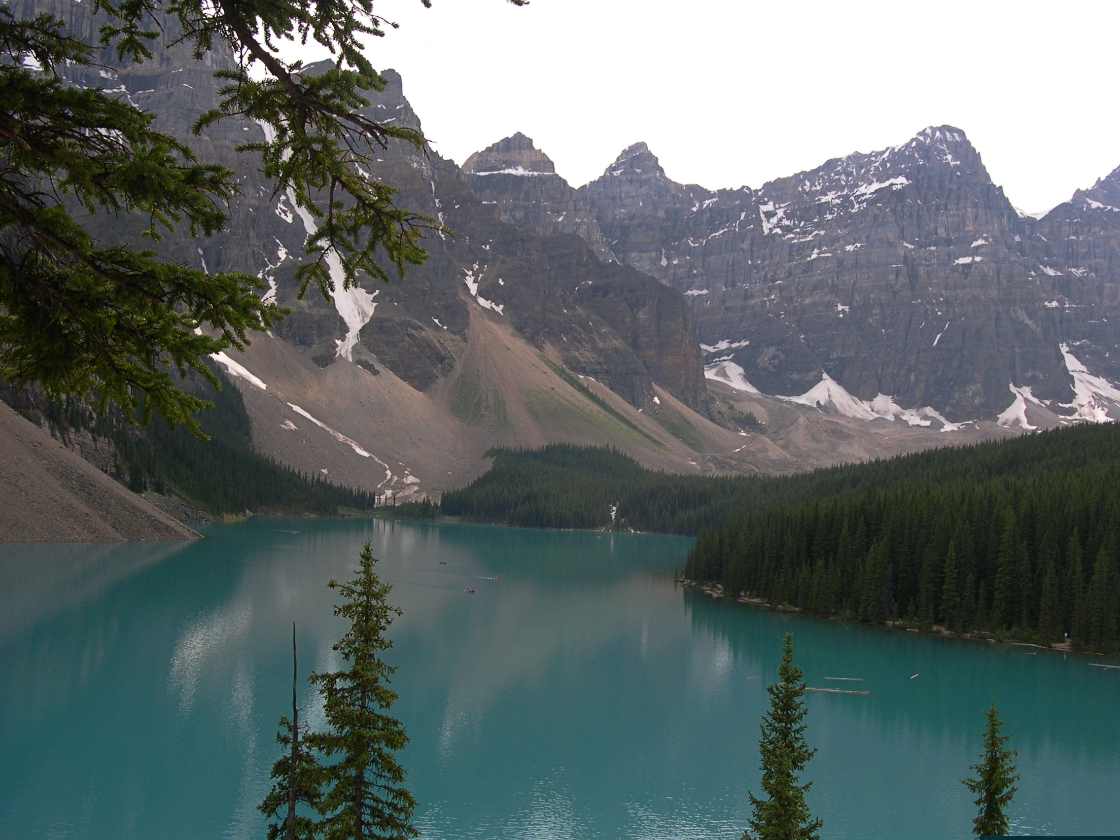
Long stretches of the Trans-Canada Highway along or not far from Lake Superior are lightly traveled, even in summer. Driving the road isn’t exactly solitary, but traffic-free enough to allow your mind to wander. And by your mind, I mean mine, a few days ago.

Dear Mr. Prime Minister, I thought.

There must be a correct way to address the prime minister of Canada in a formal letter. Who writes formal letters to politicians any more? Still, the formal must exist, and I could look it up. Never mind, on with the letter.

Your Excellency,

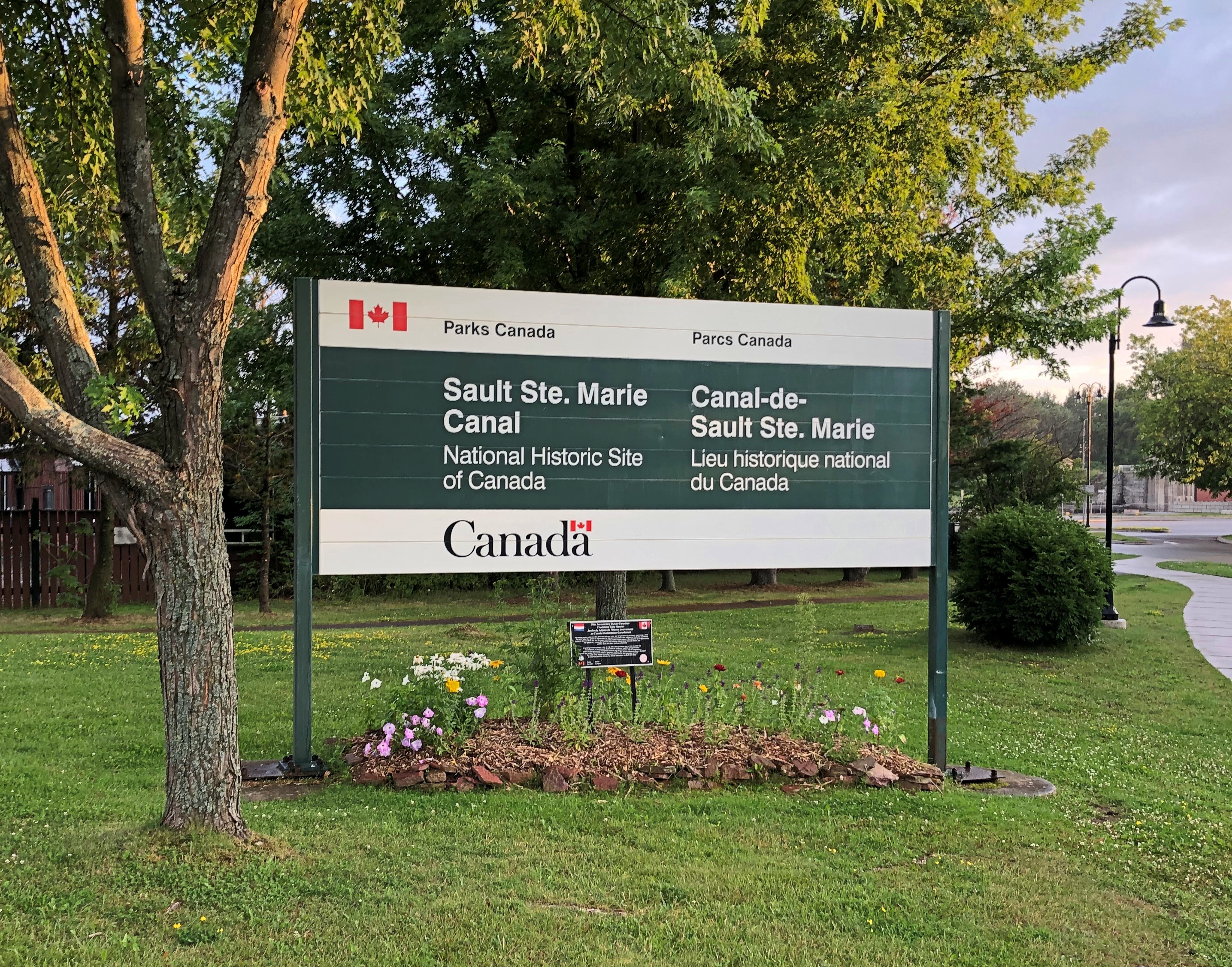
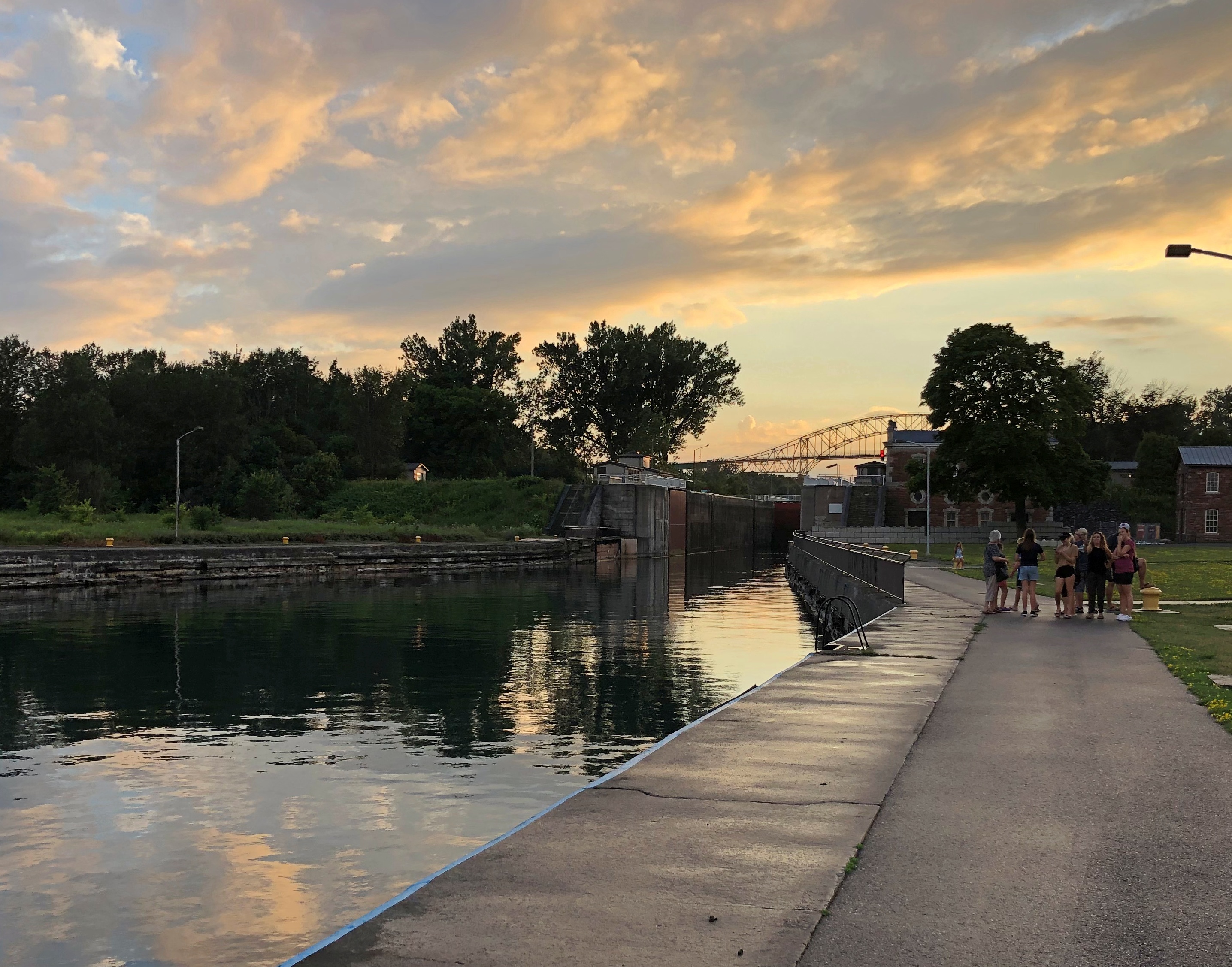
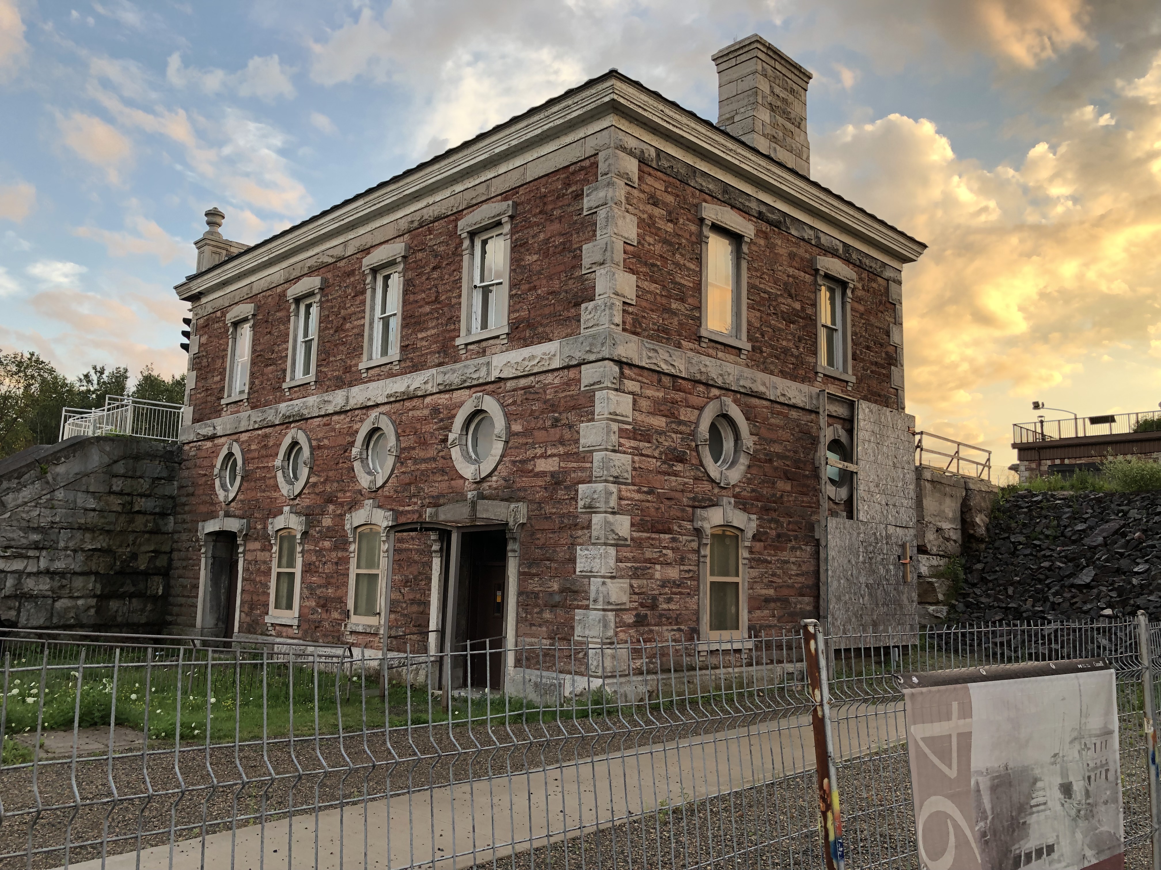
I’m about mid-way through an enjoyable six days in your country, traveling from the port of entry at Grand Portage to an exit at the grand international bridge connecting the two Sault Ste. Maries.

I have noticed that very few places in Canada sell postcards, even tourist shops, and especially Parks Canada units. I had to struggle to find cards to send to my friends back in the United States, which is a minor hobby of mine.

Market forces, you might say. An erosion of Canadian heritage is what I’d call it, and I am writing to urge that your government do something to reverse the loss, against the day when – fully dismayed by electronic media — people return to physical media.

I leave the details to you and your Minister of Canadian Heritage (cc’d on this letter). Certainly Parks Canada can be persuaded to stock them again. For private shops, perhaps tax incentives to produce Canadian-content postcards and to stock them, and a public service campaign to encourage their purchase and use.

It might not be Canada’s most pressing challenge, but it is certain worth a little of your government’s time.

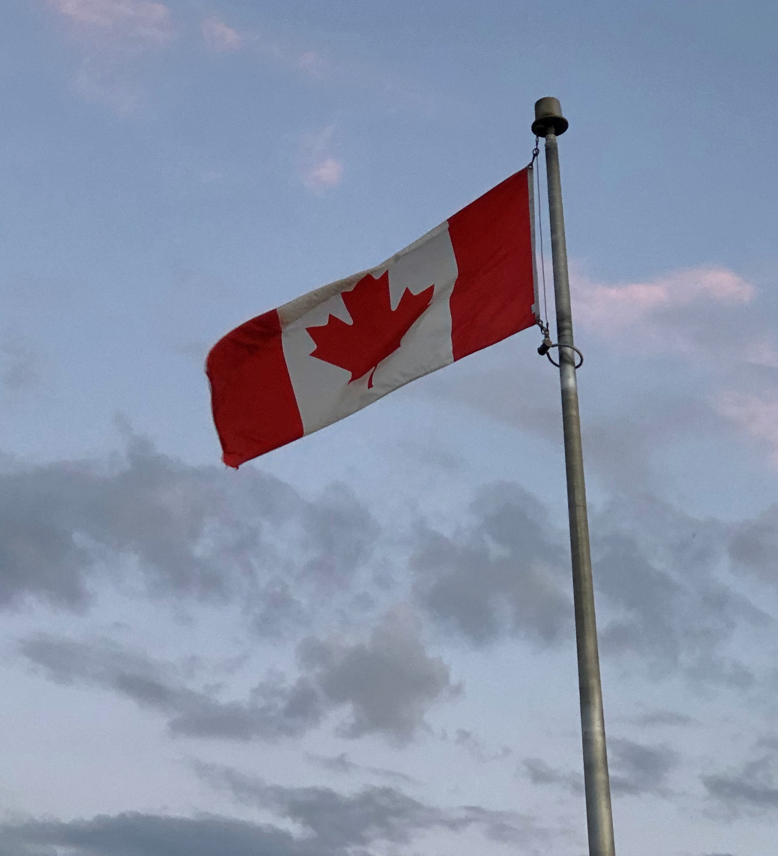
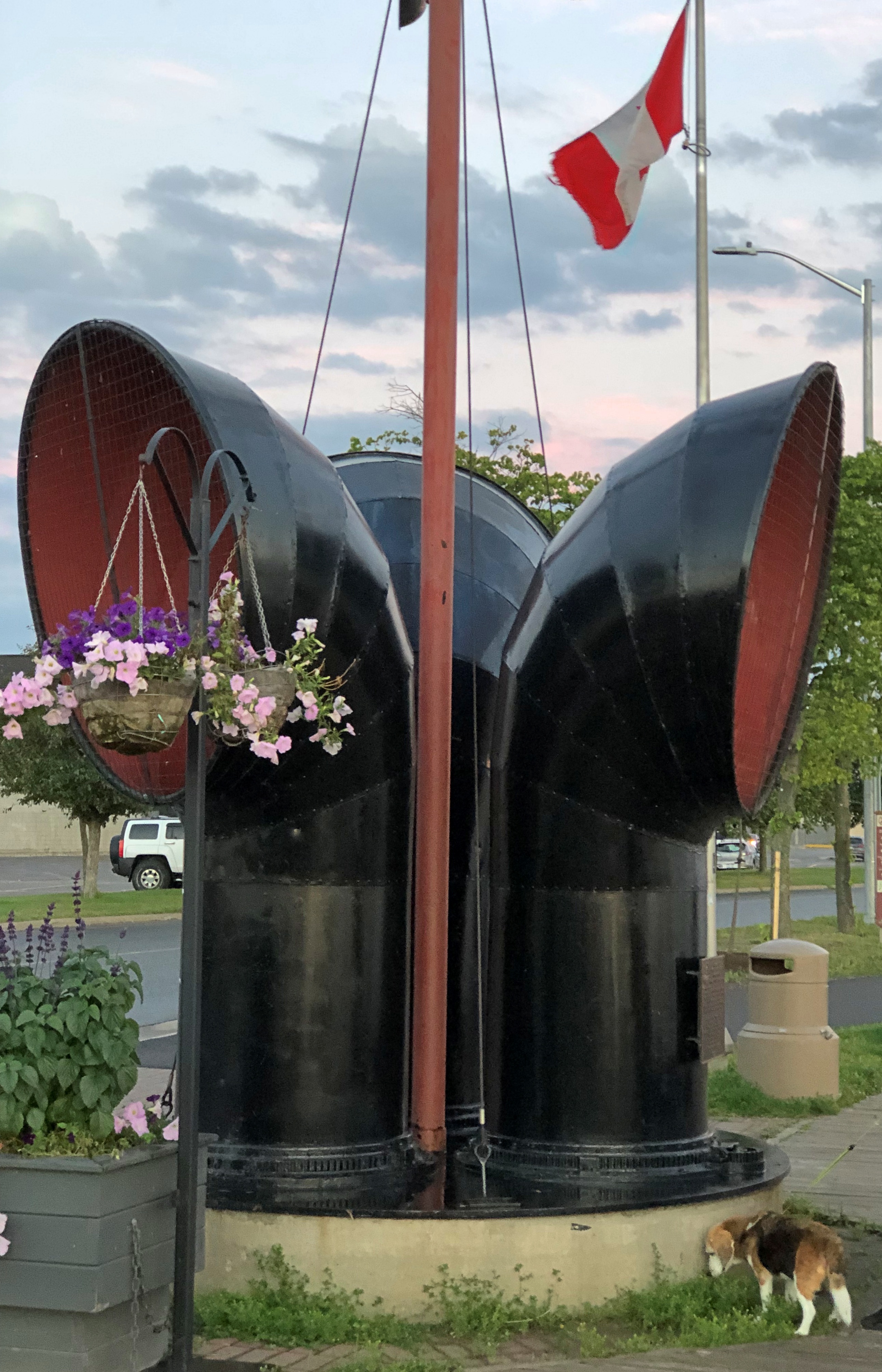
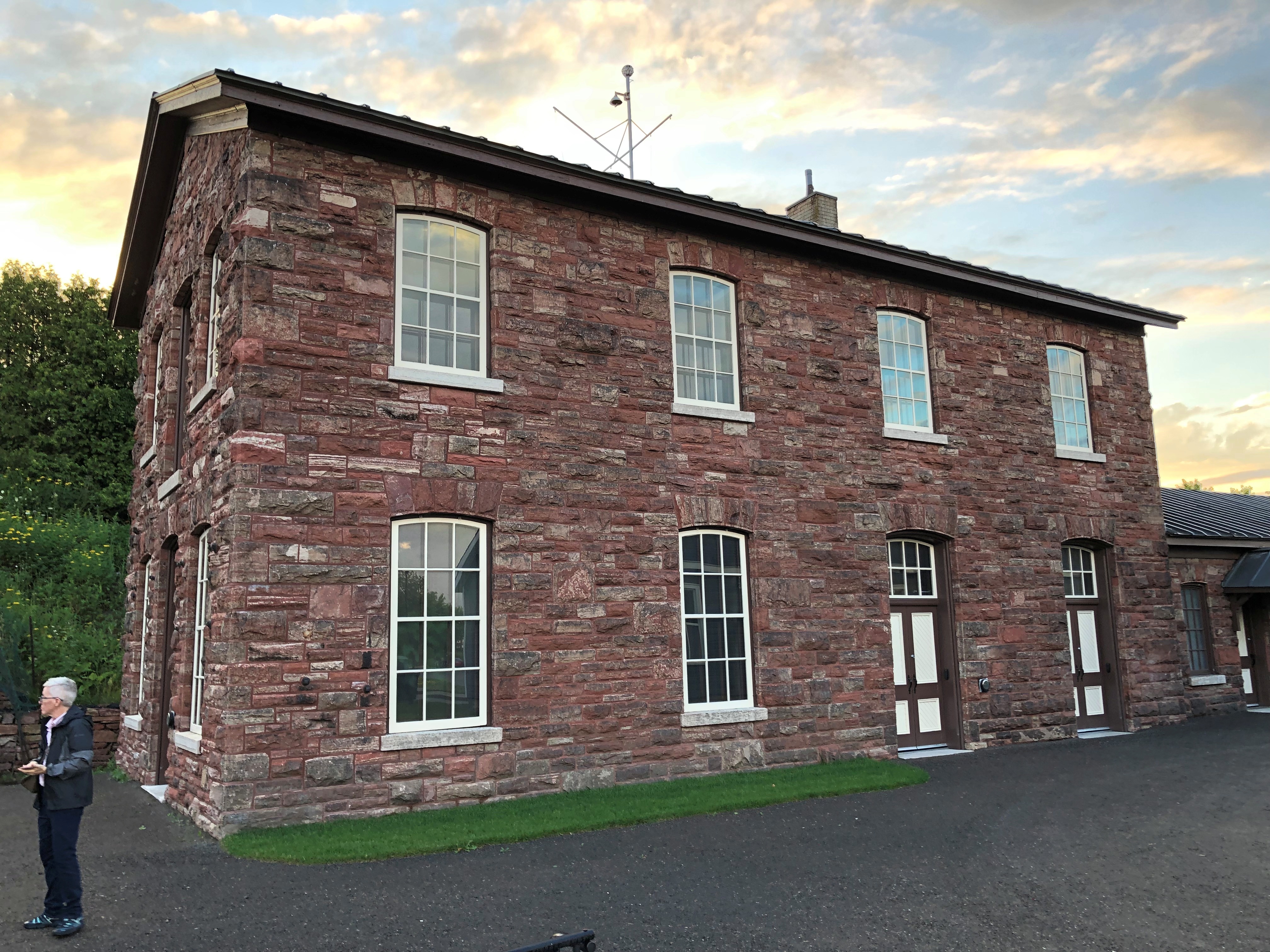
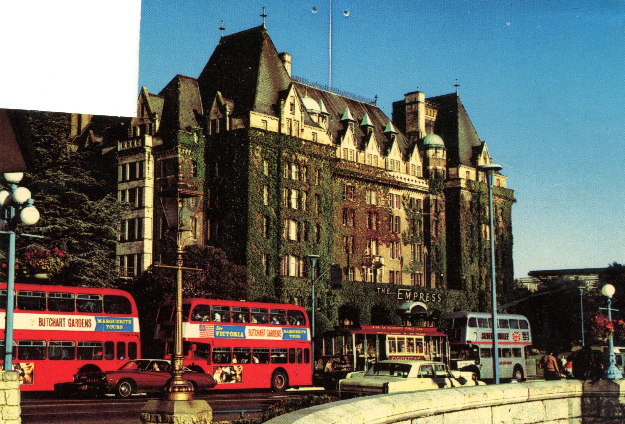
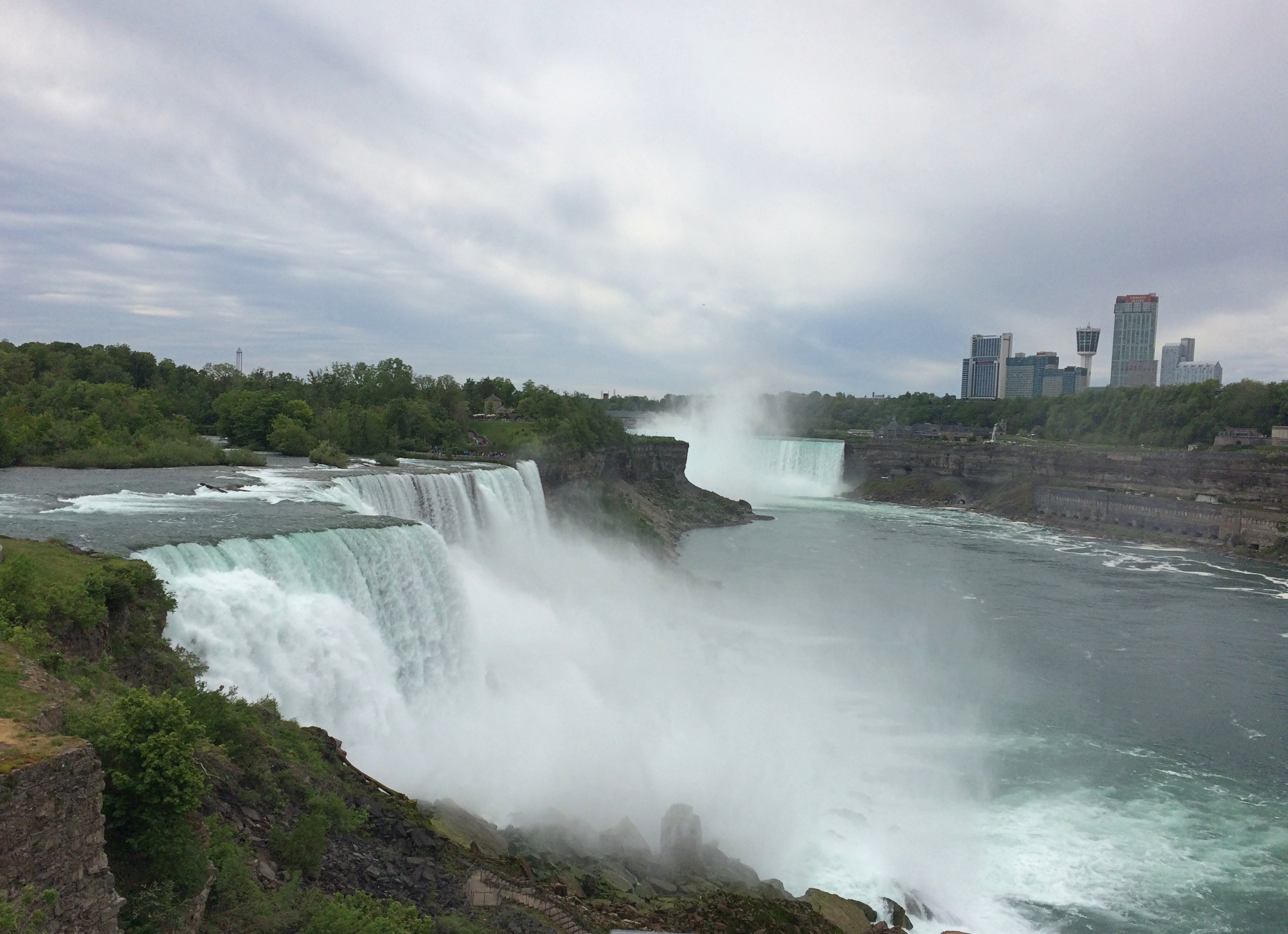
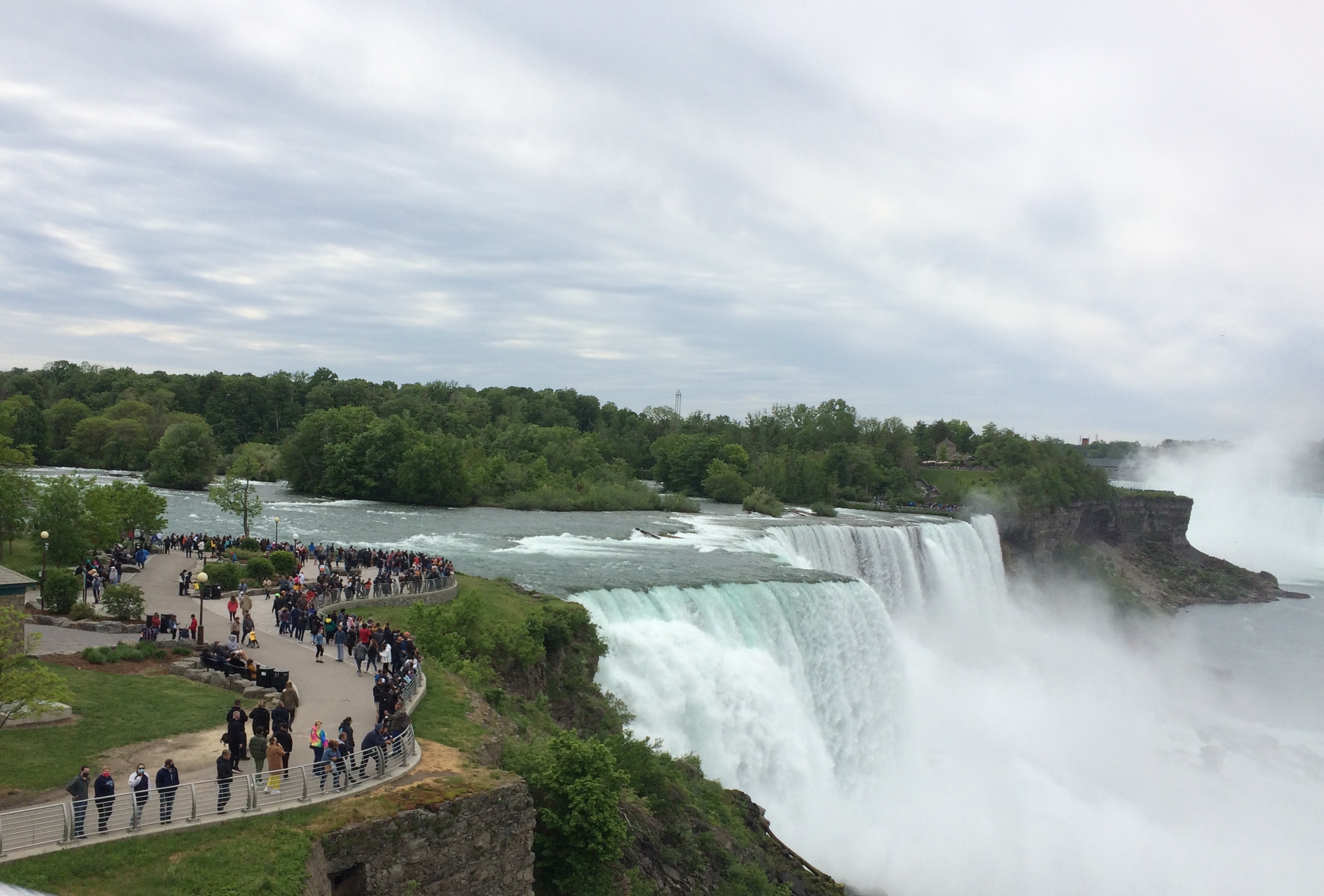
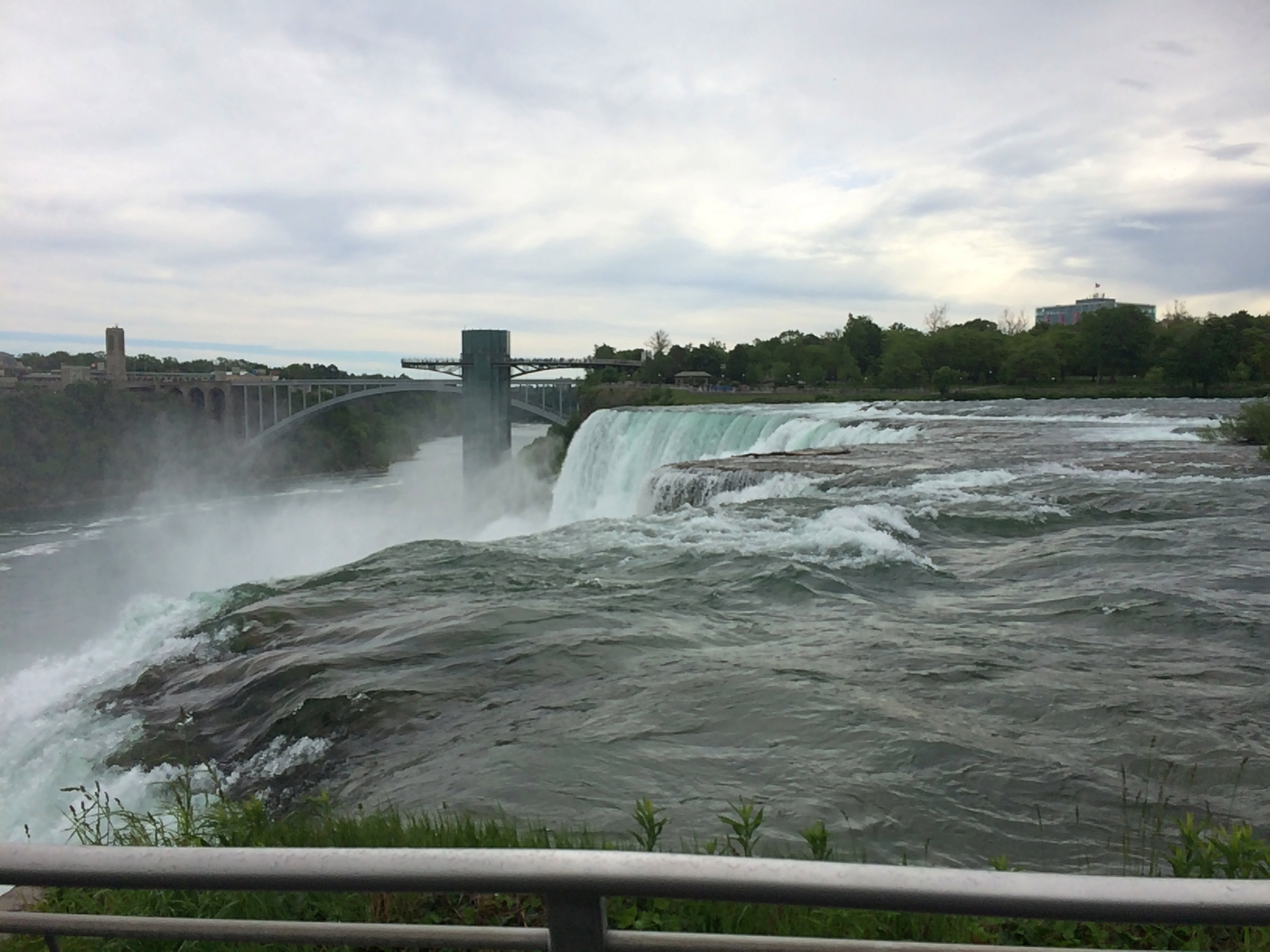
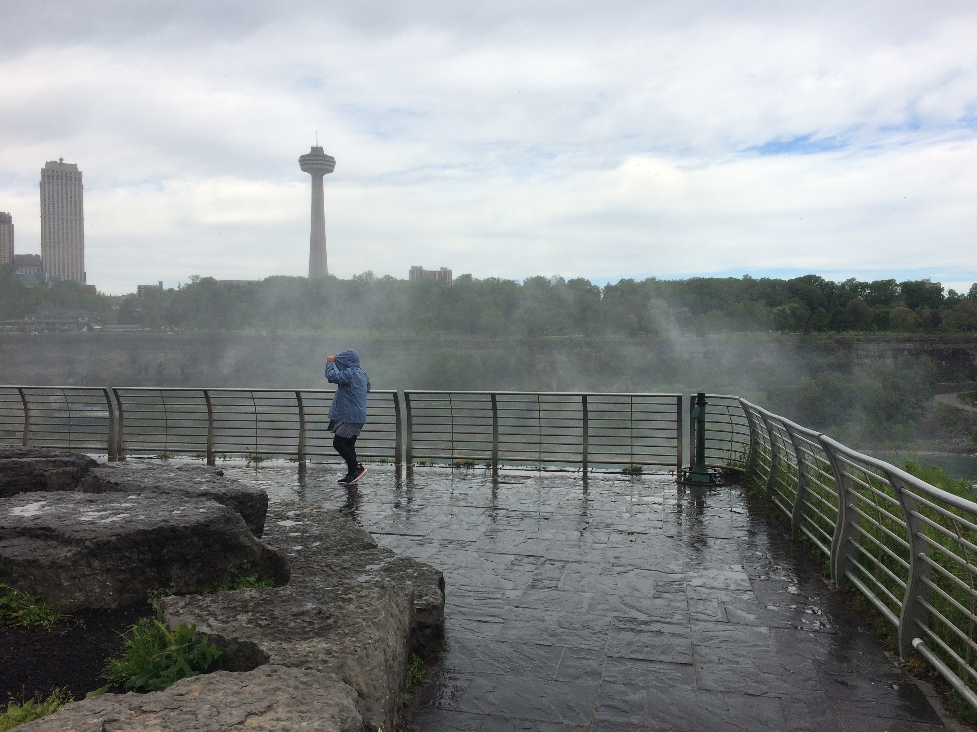
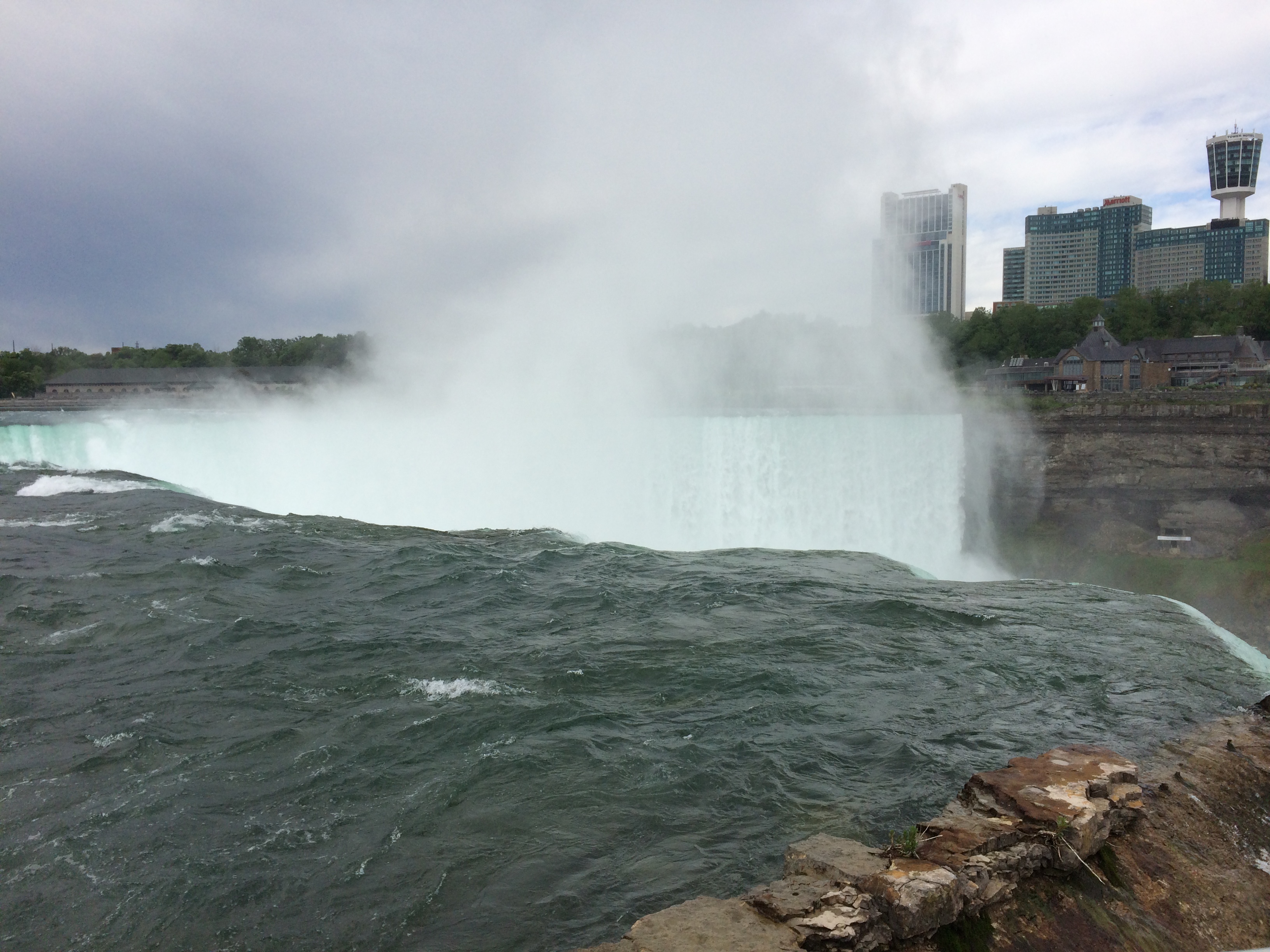
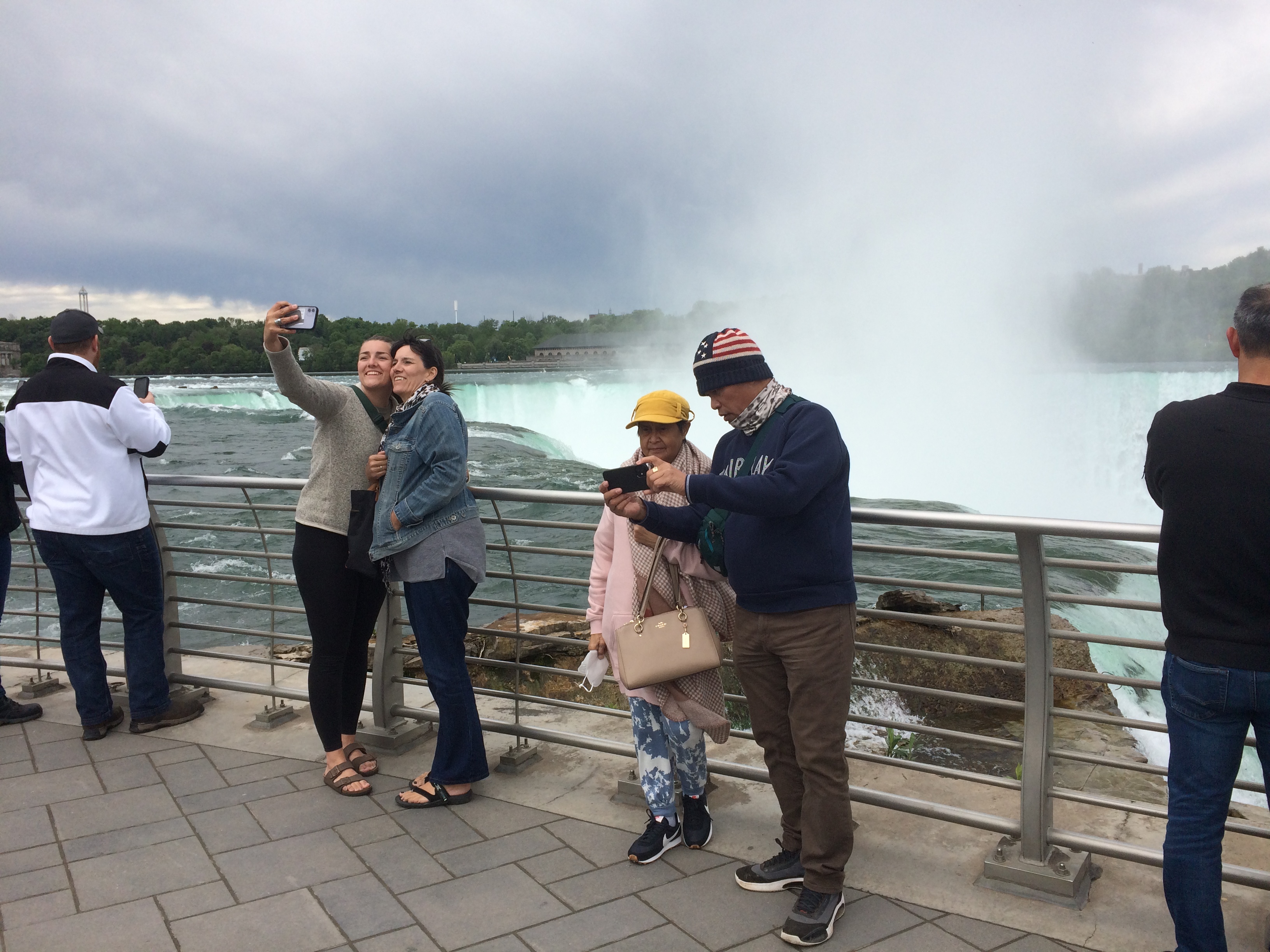
Despite the minor postcard annoyance, it was nice to be back in Canada.

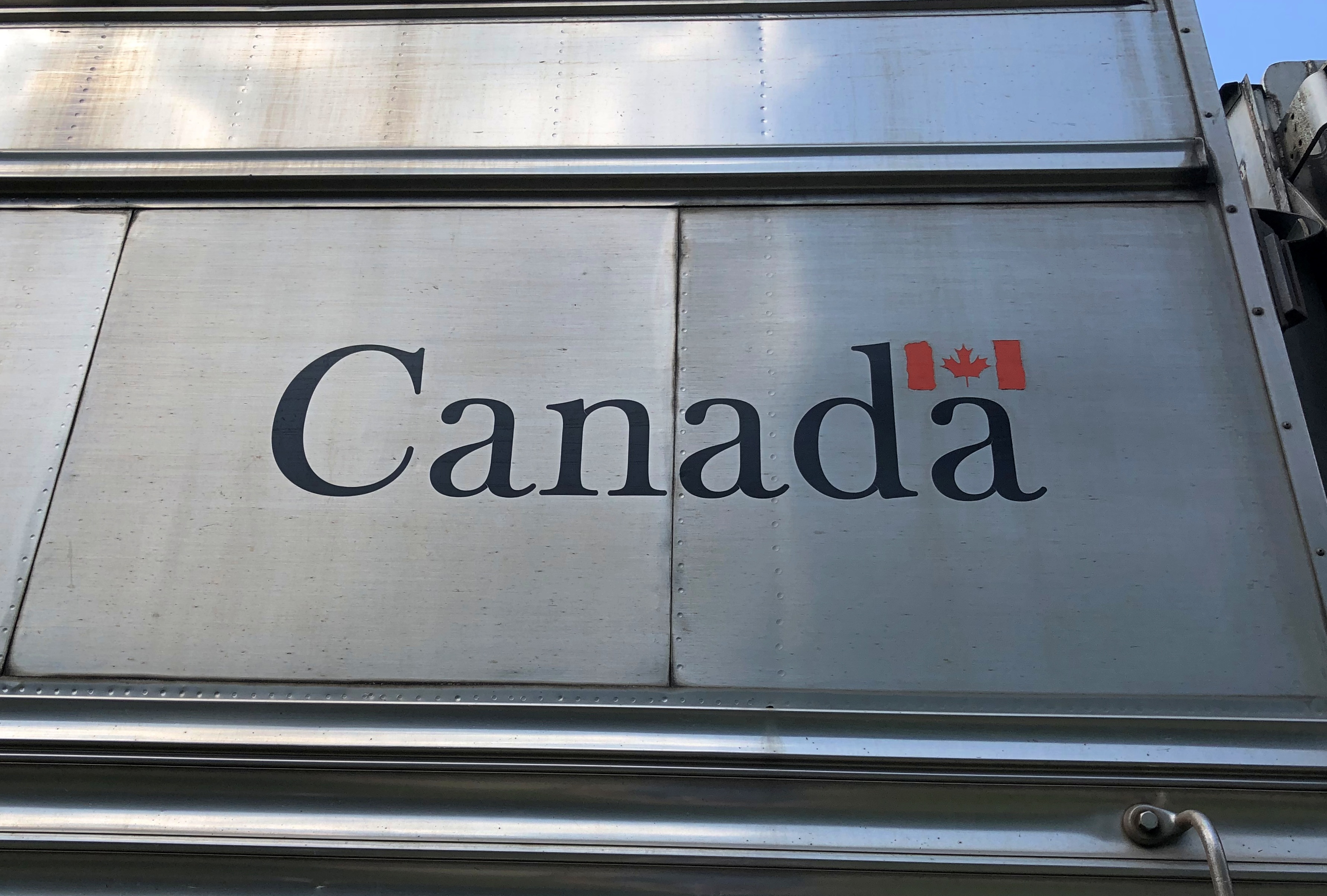
Every bit as scenic as the U.S., but a lot cheaper. The current judgment of the currency markets is that the U.S. dollar is strong against its Canadian counterpart (unlike in 2006).

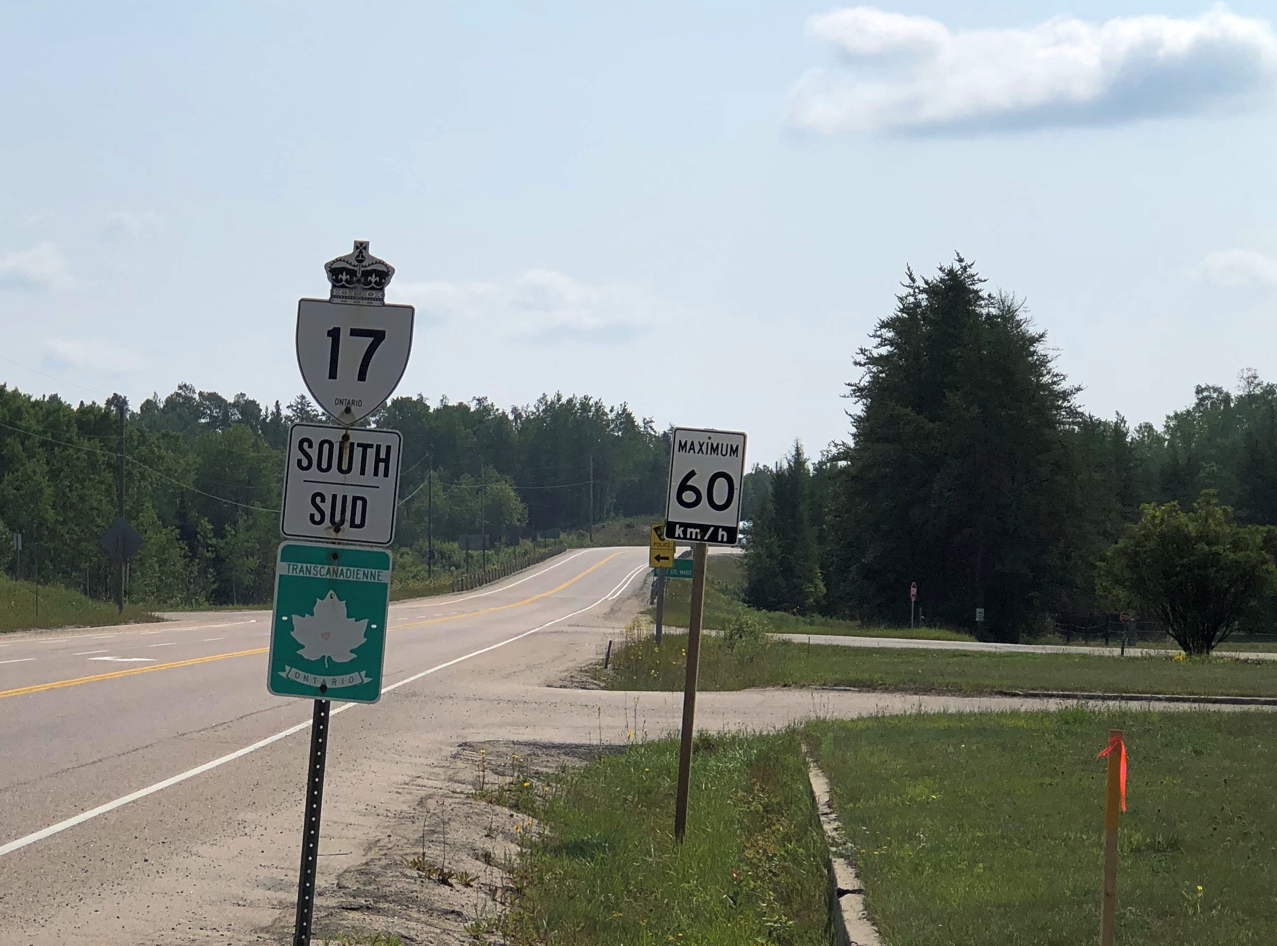
Canada wasn’t the entire trip. Leaving on July 28, I drove from northern Illinois northwestward through Wisconsin, then to the shore of Lake Superior in Minnesota, reaching the border on the afternoon of the 30th. I left Canada yesterday, August 5, proceeding home through the UP and then southwestward back through Wisconsin, arriving home today.

In effect, I went clockwise around Lake Superior: 1,937 miles all together, though some fraction of that was measured in kilometers.

This particular drive has been in the back of my mind for years. Years and years. In September 1989, I drove to the UP and went camping. One day I headed north from my campsite to Munising for breakfast, and then on to Marquette. Somewhere along the way, around the time I first saw Lake Superior, I also saw a sign like this (except not Ontario).

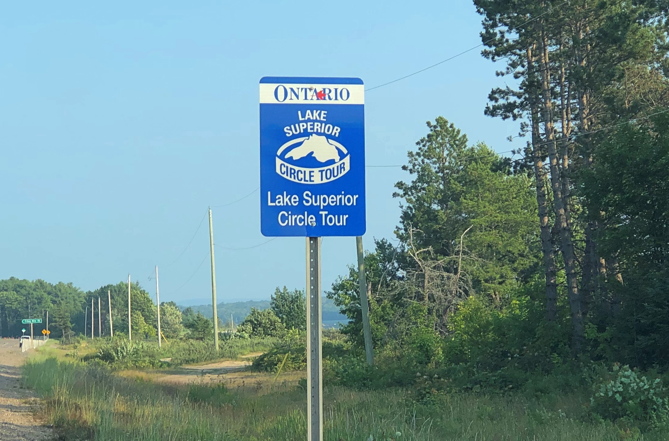
I’d seen Lake Michigan Circle Tour signs in Illinois and Wisconsin. Those were brand new in those days, created to encourage tourism in the Great Lakes region, and if you asked me a brilliant bit of design. Drive around the lake, the sign says. You will be well rewarded.

I agreed: The ’89 trip itself was around Lake Michigan, though I’m sure I would have done it without the signs.

I’d never seen a Lake Superior Circle Tour sign before, but I liked the idea immediately.

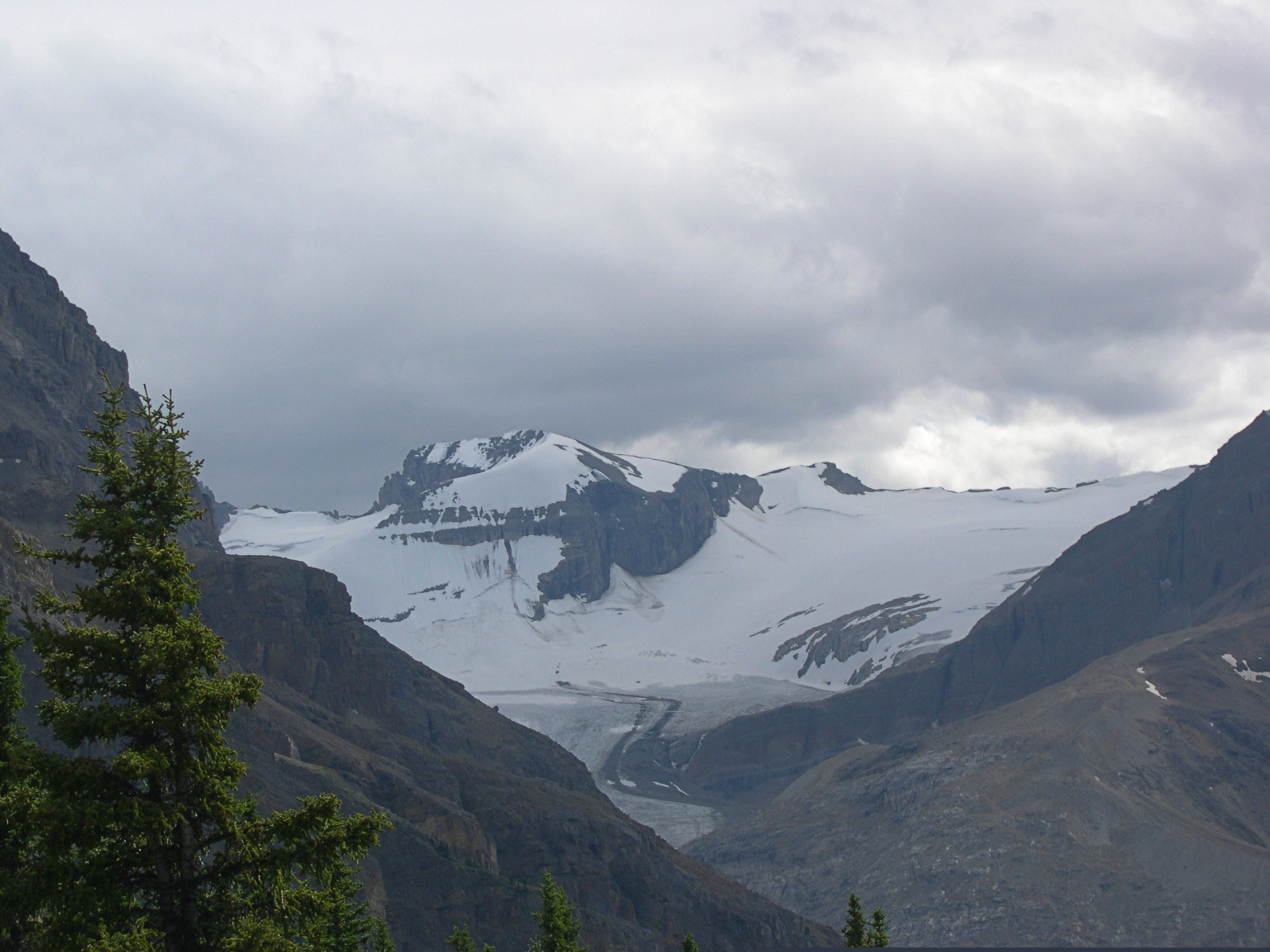
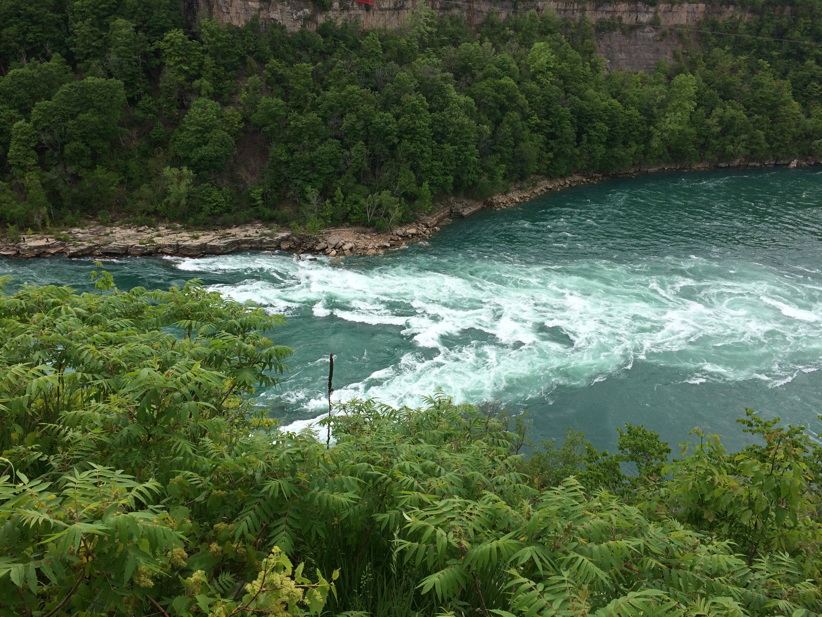
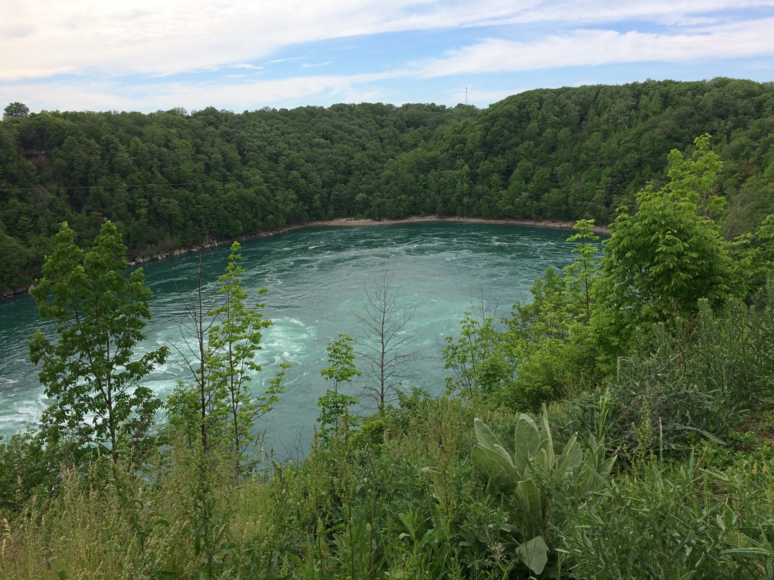
The prospect intoxicated: around Superior would be mean driving to Minnesota, through that remote part of Ontario, and the back through the UP. Or vice versa. What was up that way? Exotic boreal territory; small towns; few services; moose? At the time, my experience with Canada was limited to a rewarding but short stay on Vancouver Island.

The actual Circle Tour follows a specific set of roads around, and during this trip I followed them on the whole, mostly because that was often the only option, but in some places I took other roads, usually since they were more convenient. So I can’t claim to be Circle Tour purist.

Even so, now that I’m done, driving around Lake Huron seems like a good idea too – either by way of the Bruce Peninsula and Manitouline Island, or the long way around Georgian Bay. I don’t expect to have another 34 years to get around to that, so it will be have to be sooner, if at all.

Weed Man

Spring is here, which means lawn care circulars in the suburbs. Paper ads through the U.S. mail that is, which somehow doesn’t seem to be obsolete. Sure, I’ve edged into pre-dotage, but it can’t just be old people who still respond to advertising postcards.

Weed Man (registered trademark) promises weed control (I’d hope so), but also core aeration, lawn fertilization and all manner of other control: crabgrass control, grub control, and mosquito control, and I guess for all the other bugs not covered in those categories, insect control. Also, “landscape bed control,” which I can’t quite visualize.

This is the first time I’ve ever seen an ad from Weed Man, or ever heard of it, but I am woefully ignorant of the world of organized lawn care. The card has a professionally produced aspect, so I suspected that it is a large operation. So it is. Franchised.

Weed Man’s web site says (sic): “The first Weed Man turf grass Professional was Desmond Rice, who established his business in 1970 in Mississauga, Ontario. In 1976, he decided to grow the business through franchising. Today, there are more than 300 Weed Man franchises providing Professional horticultural services across Canada, the USA, and in the United Kingdom.”

Ah, Mississauga. Few other places in the world do I have such fond memories of a water treatment plant.

Sad to say, Des Rice, founder of the Weed Man empire, passed from this world of lawns back in 2011.

“He was 100 percent business. Every ounce of energy and every hour he was awake, he was thinking about business and about Weed Man,” his right-hand man Mike Kernaghan told Lawn & Landscape soon after his death.

For $30 + tax, a Weed Man tech will show up to assess my lawn’s potential for de-weedification. Probably they do fine work, but I must pass. They call them weeds. I call it biodiversity.

Still, the name Weed Man is inspired. It could have been the title of cheaply made flick for drive-ins and low-budget movie houses of the Eisenhower era. The name inspired me to go to a random AI generative site and ask the robot brain to paint me a picture.

“Weed Man” seemed a little too slender as a prompt, so I made it, “Weed Man emerging from the forest.”

Not bad. You know, I think I’ve seen him before. Well, Conifer Man anyway.

The Demise of Nabih Berri the Ficus

Below is the text of a paper letter I sent from Arlington, Massachusetts, in September 1995, to a friend in Texas. Most of the letters I sent that year are trapped on a disk readable by an ancient world processing machine that’s in our laundry room, but ones from September through November (for some reason) were written using another machine, copies of whose documents are more accessible.

The last time I fired up that ancient machine — some years ago — it worked, but retrieving the text would either mean printing every page, or taking pictures of the screen for every page. Either would be time-consuming, so it’s possible that that correspondence will be as lost as the Amber Room, except that no one cares.

Got your e-note this morning when I got in. We’ve got a correspondence going! Reason enough to like the new medium, no matter what the neo-Luddites think. But I won’t quit letter or postcards. As you can see.

Sorry to hear about your current difficulties. What happened to your car? Thought it was up & running. Maybe your can learn to live without a TV, though.

No need to replace Nabih Berri the Ficus. Sic transit gloria mundi. (Sic transit gloria fici?). Gone, but not forgotten. A plant among plants, it was.

My friends Matt and Jill from Australia have come and gone. Fine people, but exhausting. They’re out to see America between beers. Did get to try a pretty good Mexican restaurant near Harvard Square during their visit. The place has Lone Star Beer. Hm.

Want to get away, before it’s absolutely freezing, to Montreal. Don’t know when yet, but of course you will be informed by postcard. I’ve bought some maps and a guide to the city at my company’s expense, because we do genuinely need them for research, besides the fact that I might use them myself. We have an account at Globe Corner Bookstore on Boylston Street, and all I have to do is sign my name. Now that’s an expense account.

Cold (for September) (high 50s) and miserable outside. Gotta go home through it anyway. More anon.

I had just started using email that summer, as mentioned. I’m not sure anymore what his “current difficulties” were, but it sounds like car repairs and a burned out TV.

As for Nabih Berri the Ficus, that was a twisted ficus of mine that died that year. As for why I called it that, call it youthful whimsy. I think he was in the news when I originally got the plant. I was surprised to learn today that he original Nabih Berri is still alive.
As for Montreal, we didn’t make it that year. It had to wait till 2002.

Pop Up to Canada

When planning our recent trip, I suggested a visit to Sault Ste. Marie, mainly to see the locks that connect the higher-level Lake Superior with the lower-level Lake Huron (and Lake Michigan, for that matter). Engineering marvel and all that.

The idea of crossing from Sault Ste. Marie, Michigan, to Sault Ste. Marie, Ontario, didn’t really register with me. Maybe because I’m blasé about visiting Canada, having done so a number of times.

Or maybe because I dreaded whatever rigmarole Covid-addled Canada would force upon us to cross the border. After all, it was only about a year earlier that I’d seen the near-empty Rainbow Bridge between Niagara Falls, New York and its counterpart in Ontario, bereft of its tourist traffic.

Someday, I knew I’d want to go to the Canadian Sault St. Marie, because it’s the jumping off point to take the Agawa Canyon Tour Train and see other sights northeast of Lake Superior, but all that would take more time than we wanted to spend on this trip.

My friends had other ideas about visiting Canada. Namely, they wanted to. Just a pop across the border on August 3 and spend the night in Ontario, returning to the UP the next day. Two of them had never been to Canada, a slightly flabbergasting notion, and the third had only visited Vancouver Island on a long-ago organized bus trip in high school. They were keen to go, if only for a brief sojourn.

I didn’t object, and we went across the international bridge that afternoon. The rigmarole turned out to be fairly modest, uploading our Covid vaccination cards and passport numbers and a few other details the day before at a web site called ArriveCan, which generated a QR code on our phones that I was sure the guard would want to see, along with our passports.

She did not. Just the passports, and she asked a few perfunctory questions to make sure we weren’t degenerates trying to sneak into Canada, and we went through.

Our visit to the Great White North was short, but sweet. We had dinner — the best of the trip, I thought — at Uncle Gino’s Cafe & Ristorante. I had the penne alforno. The food was delicious, not too expensive (helped by the relative strength of the U.S. dollar), and the waitress was a peach.

Sault Ste. Marie is a small industrial town, including steel and paper products, and more recently hydroelectric and wind power. We drove around town a bit, and soon took a riverside stroll.Sault Ste. Marie, Ontario Sault Ste. Marie, Ontario Sault Ste. Marie, Ontario

Wind chimes inside funnels along the boardwalk, the likes of which I’d never seen. Makes a pleasant tune, though.Sault Ste. Marie, Ontario

We made it as far as the historic Sault Ste. Marie Canal, which includes smaller locks than on the American side. Reminded me a bit of the Erie Canal.Sault Ste. Marie, Ontario Sault Ste. Marie, Ontario Sault Ste. Marie, Ontario

The canal’s historic structures were closed for renovation, but nice to look at.Sault Ste. Marie, Ontario Sault Ste. Marie, Ontario

So were the clouds.
Sault Ste. Marie, Ontario

We spent the evening at our rented house, drinking wine, conversing and watching videos each of us selected in turn. I suggested a few Caro Emerald videos, and she was a big hit, as was Tammi Savoy, a delight I only discovered myself in January.

We left in the next morning and I forgot to suggest we visit the local Tim Horton’s. Damn. My friends missed an essential Canadian experience. They probably would have liked the coffee and I know they’d have liked the doughnuts. Guess they’ll have to visit the country again sometime.

As for me, I came to consider my visit to Sault Ste. Marie as a scouting expedition. One of these days, I need to come back to explore the region more thoroughly — take that Canadian train and see those U.S. locks.

Around Lake Michigan ’22

A little more than a week ago, I took a pretty good picture of three dear friends, two of whom I’ve known for over 45 years. From left to right, Tom, Catherine and Jae.

We were on the second day of our drive around Lake Michigan, counterclockwise, which took us from metro Chicago through northern Indiana, Grand Rapids and parts of western Michigan, Petoskey and environs, Mackinac Island, both Sault Ste. Maries, parts of the eastern Upper Peninsula, greater Green Bay and other parts of eastern Wisconsin, and back to metro Chicago.

Leaving on July 30 from our starting point at my house, we drove my car on crowded and less crowded Interstates, state and county highways, and a host of smaller roads, including National Forest roads cutting through lush boreal territory. Returning yesterday to my house, my friends flew back to Austin today; they had arrived from Austin two days ahead of the trip.

We’d planned the trip via email and Zoom, beginning back in early spring. I was the informal guide, making suggestions and offering bits of information I knew from previous visits to Michigan, upper and lower. But my friends were hardly passive in the course of our travels, digging up information via cell and making their own suggestions based on their own familiarity with some of the territory. Catherine had overseen arranging our accommodations, and everybody drove at one time or another.

We stayed in five different peer-to-peer rental accommodations along way, all entire houses that could provide us enough bedrooms, bathrooms, food prep and dining areas, and, in most cases, space to sit outdoors, once with a view of the waters of Green Bay.

Enjoying the outdoors was one of the main goals of the trip. For me, certainly, but especially for them, escaping the high heat of central Texas. They often remarked on the cool air and reveled in it, checking periodically to learn the temps at home. Three digits in Austin wasn’t usual. I don’t think got higher than 85 F. where we were. Standard night temps in both Michigans generally came in the 60s F.

Two meals a day was the norm: a mid- to late-morning breakfast and a late afternoon dinner, or a very late breakfast and a late dinner, at least as these things are reckoned in North America. So on many days, our meal schedule was more like that of Mexico City.

Food variety has trickled down to the lakeside and inland burgs of the upper Upper Midwest, though perhaps not quite as much as in large metros. Whitefish, the star of a lot of UP menus, had top billing in some of our meals, but we also enjoyed hamburgers and other meat — including one tasty UP pasty — pizza, pasta, breakfast fare, bar food, Italian and Asian, plus chocolates and fruit, such as Michigan cherries and UP jam. We prepared our own meals sometimes, did takeout a few times.

Coffee by morning, wine by night, though I only participated in the latter. Familiar wines were available in every grocery store we visited, and my friends sought out coffee ground as locally as possible: one bag from Sault Ste. Marie, for instance.

Meals and wine drinking were a source of convivial times, but hardly the only one. We talked and conversed and bantered at the table, as we headed along roads and as we walked trails. Shared personal histories were revisited, stories of our long periods apart were relayed, and opinions shared. Odd facts were floated. There was punnery, especially on the part of Tom, a born punster.

We visited one city of any size, Grand Rapids, and many smaller places, a few museums, a sculpture garden, some riverfronts, shopping streets and resort areas, a grand hotel, an historic fort, churches, a Hindu temple, a wooded cemetery, two lighthouses, forests, clearings and beaches, a massive sand dune, waterfalls, rapids and the clearest pond I’ve ever seen. The three Great Lakes we saw stretched to empty horizons — except when Canada or the opposite shore of Green Bay were visible. We crossed the Mackinac Bridge once and the international bridge between the Sault Ste Maries twice.

We walked near the shores of Lakes Superior, Huron and Michigan. The northern woods and the beach ecosystems were fully flush here in late summer. Jae, who knows a good deal about flora, shared some knowledge about the flowers, trees and fungi we saw in profusion.

Though we caught a few showers in daytime, and the last day was mostly rainy, most of the storms rumbled through at night, adding to the restfulness of whatever sleep we each had. None of the storms were lightning-and-thunder dramas, but some were impressive in their downpour. My friends expressed their satisfaction with the cool light winds that often blow in corners of the UP.

There were a number of travel firsts, mostly for my friends. This was the first time any of them had been to the UP, and the first time they had seen Lake Superior, whose aspect I’m so fond of, and their first visit to the northern part of the Lower Peninsula. The trip included Tom’s first known visit to a national park, though later we determined that it was probably his second park. Also, it was the first time two of them had ever been to Canada, since we popped across the border for one night in Sault Ste. Marie, Ontario.

For me, a mix of new and places I saw long enough ago that they were almost like new.

When I dropped off my friends at O’Hare earlier today, we agreed that they trip had met expectations. And more.

Jack London Square

Not too many authors have their names attached to places, but Jack London does, at least until someone points out loudly enough that he was an enthusiastic supporter of eugenics. But for now, if you cross under I-980/I-880 from downtown Oakland — part of whose underside is an informal neighborhood —Oakland shanty town

— you will arrive before long at Jack London Square, which is part of the larger Jack London District. Formerly a warehouse and port district, the rise of container vessels mostly made the area obsolete as an industrial zone. Various rehab projects began in the late 20th century, but I understand that adaptive reuse really got underway around 2000, with residential redevelopment especially pushed by former mayor Jerry Brown.

The sign on site says JACK LONDON SQ.Jack London Square

I understand the area was a good deal rougher when Jack London himself lived around there, but these days it’s an entertainment district, with shops, restaurants, hotels and a movie theater, as well as a marina where you can catch a ferry to San Francisco.Jack London Square Jack London Square
Jack London Square Jack London Square

There’s also London in bronze by Cedric Wentworth, a Bay Area artist.Jack London Square

Not far away is a non-bronze, “Golden Stomper,” by one Jeff Meadows. It’s an Oakland A’s thing, and I can’t get that excited about it.Jack London Square

London lived in a cabin in the Klondike during his gold-seeking period. On the North Fork of Henderson Creek, to be more specific. Much later (1968) half of the cabin was brought to Oakland and a replica created using those and newer materials at the behest of a wealthy Jack London enthusiast. The other half went to Dawson City, where another replica was created. So now there are two London cabins, one much easier to reach than the other.Jack London Square

And what would a Jack London cabin be without a nearby bronze of White Fang?
Jack London Square

Or maybe that’s supposed to be the dog in The Call of the Wild. No sign is attached to say which. I couldn’t hazard a guess, since I never did get around to reading either of those books, though I did read the Classics Illustrated version of The Call of the Wild.

Most of an Empress Hotel Postcard

Postcards are sometimes educational, if you let them be. Another of the cards that I dug up this weekend depicts the Empress Hotel in Victoria, BC.Empress Hotel

I picked it up during my only visit to that city (1985), though to judge by the image, the picture might have been taken ca. 1970. I filled the card with correspondence, even to the point of stamping it, but I never sent it. At some point I removed the stamp for other usage.

Curious about the property, vintage 1908, I looked it up and thus learned about an entire class of hotels — namely, Canada’s grand railway hotels, mostly built by Canadian railway companies in a style that evokes French châteaux: Canadian National Railway, Canadian Pacific Railway and Grand Trunk Railway.

Some of the properties don’t exist anymore, but many do, such as the recently mentioned Banff Springs Hotel. That there are such palatial hotels is a good thing to know about Canada, I think.

Alberta 2006

It’s been a year of getting near Canada — Buffalo and Detroit so far — without crossing the line, since the border remains stubbornly closed even now.

That wasn’t the case 15 years ago this month, when we drove from Illinois to Alberta by way of the Dakotas and other places. At the time I wrote: “So, to sum up: very long drives, a lousy exchange rate, high fuel costs. Was it worth it? Was it ever.”

What is it about mountains? Pre-modern generations considered them obstacles to their forward motion. Now that we have mountain roads and tunnels, we admire the view. Do people who live close to mountains take trips to see flatlands? That makes me think of busloads of Swiss out admiring Kansas, but I don’t think it works that way.

Anyway, it was a trip of wide horizons, long roads, lofty mountains, mighty waters (liquid and frozen), endless forests, vivid wildflowers, sweeping Canadian farms, campsites, elk and bears and bison, clouds of mosquitos, national parks, vistas and towns of the tourist and non-tourist variety.

Moraine Lake and the Valley of the Ten Peaks. Too good a vista not to post again.

Moraine Lake and the Valley of the Ten Peaks

This looks like a view from some remote spot, but actually I was standing in back of the Banff Springs Hotel in Banff, which was a sight all its own.

Banff Springs Hotel back view

This view, on the other hand, is roadside on the Icefields Parkway, which remains one of the great drives of my life. A place called Moose Meadows.

Moose Meadows, Alberta

More Alberta views.Alberta

I told Ed Henderson (d. 2016) I’d take the cap he sent me various places. I haven’t lately, but I did for a while.

The girls had a good trip.

Even if they don’t remember much, in the case of Lilly, or anything at all, in the case of Ann.

Along the Niagara Gorge

What’s within walking distance of Niagara Falls State Park if you want a (relatively) inexpensive lunch? There’s a food court in an ugly building, but also Zaika Indian Cuisine, Taste of Nepal and Punjabi Hut on streets near the park, all of which speak to fairly recent immigration in this corner of western NY. When honeymooners visited Niagara in the early 20th century, or even most of the rest of the century, those were surely not options. We had the buffet on Saturday at Punjabi Hut, which was pretty good.

Afterwards, we spent a little more time at the park riding the Niagara Scenic Trolley, whose route was shortened during the pandemic, and then headed north by car on the Niagara Scenic Parkway. The road is fairly short — 18 miles or so — and goes from the town of Niagara Falls to Lake Ontario, but it is definitely scenic, except for the section that passes by the New York Power Authority plant on the river. Just north of the falls the parkway follows the river fairly closely.

The road was known as the Robert Moses Scenic Parkway until about five years ago. Looks like Confederate memorials aren’t the only ones getting the boot these days. So are those honoring urban planners with a taste for neighborhood-impinging expressways. (And what’s to become of this state park on Long Island? Time will tell.)

North of the town of Lewiston, the parkway still follows the river, but at a remove of a mile or so. It’s pretty enough, but I understand that the Niagara Parkway on the Canadian side, which follows the river quite closely, is the prettier drive. But one goes where one can go.

First stop: Whirlpool State Park. The intense current of the Niagara River rushes to this point and forms a enormous whirlpool at a bend. Been quite a while since I’ve had a good look at a natural whirlpool which, despite the name, looks like a choppy patch of water rather than the thing you see in a drain.

The view upriver. In the distance is the Rainbow Bridge. As I’ve said, nothing is very far from anything else in this part of New York state.Niagara Gorge

The flow into the whirlpool.
Niagara Gorge

The whirlpool.
Niagara Gorge Whirlpool

It doesn’t look like a particularly safe place for boats, but that doesn’t keep tourists from venturing there under the command of “highly skilled captains.” I’d hope so. I don’t know whether the jetboats are running now. We didn’t see any. The cable car that dangles over the whirlpool, the Whirlpool Aero Car, and which launches from the Canadian side, looked immobile, still shut for the pandemic.

Then there’s the story of Capt. Joel Robinson, skipper of the Maid of the Mist in 1861, who shot the Niagara rapids and whirlpool. Niagara Falls Info tells the story:

“In 1861, due to a financial crisis and the American Civil War, the Maid of the Mist was sold at public auction to a Canadian company. The deal would go through if the boat could be delivered to Lake Ontario. To get to Lake Ontario, the Maid of the Mist had to be navigated through the Great Gorge Rapids, the Whirlpool, and the Lower Rapids.

“On June 6th 1861, 53-year-old Captain Joel Robinson undertook this risky mission along with two deck hands…[McIntyre and Jones]. With both shores lined with onlookers, Captain Robinson and crew rode the Maid of the Mist into one of the world’s most wild and dangerous whitewater rapids.

“The first giant wave that struck the boat threw Robinson and McIntyre to the floor of the wheel house. It also tore the smoke stack from the boat and Jones was thrown to the floor of the engine room. The tiny boat was now at the mercy of the massive waves crashing against it. The boat was carried at approximately 63 km/h through the rock strewn rapids. Soon the Maid of the Mist was propelled into the Whirlpool where Captain Robinson was able to regain control of the boat.

“Captain Robinson had great difficulty maneuvering the Maid of the Mist from the grip of the Whirlpool… The 5 kilometre journey through the rapids and the Whirlpool was well executed, although they lost the smoke stack. Captain Robinson was the first person to accomplish the impossible [obviously not, just difficult] task of taking a boat through the dangerous waters.

“The frightening experience of this journey caused Captain Robinson to give up a career that he loved. He retired into near seclusion and died two years later at the age of 55.”

In modern terms, sounds like he suffered from PTSD. In 19th-century terms, I figure people said he was spooked by the ordeal. No mention of the aftermath for the deck hands.

Not long after visiting Whirlpool State Park, we spend a while in the pleasant town of Lewiston, New York, whose equally pleasant riverfront isn’t at the top of a gorge, but at river level. Not far from the river is the Freedom Crossing Monument, an ensemble of bronzes by Susan Geissler commemorating those escaped slaves who crossed into Canada.Lewiston, NY
Elsewhere in Lewiston is the variously named Earl W. Brydges Artpark State Park, or Earl W. Brydges State Artpark, or simply the Artpark, a venue for summertime musical entertainment. It also includes some other standard features of a park, such as playground equipment and picnic tables, as well as an Indian mound. I expect there haven’t been any events there in more than a year, but maybe that will pick up soon.

All very interesting, but what struck me was the parking lot. It’s large and undistinguished except for the paintings on its surface. When I pulled into the lot, I took them for children’s chalk drawings, maybe left over from a kids’ event, but soon I noticed they were paintings, and extensive in scope across the lot.Lewiston, NY Artpark parking lot art

More parking lots such be decorated like this.Lewiston, NY Artpark parking lot art Lewiston, NY Artpark parking lot art Lewiston, NY Artpark parking lot artThe end of the line for the Niagara Scenic Parkway is near Old Fort Niagara State Historic Site, which overlooks the mouth of the river on Lake Ontario. The fort itself, which is ringed by an iron fence, was closed by the time we got there. But the rest of the grounds were open. While Yuriko napped in the car, I looked around.

The Old Fort Niagara lighthouse.
Old Fort Niagara lighthouseThis particular light dates from 1871, but the fort had more primitive lights much earlier than that, ca. 1781, which count as the first lights on the Great Lakes.

The old fort also has an old cemetery.Old Fort Niagara cemetery Old Fort Niagara cemetery Old Fort Niagara cemeterySmall, but a dignified spot for those who died during here the War of 1812. The fort was scene of a bloody bit of business during that dimly remembered war. Good to see that the stones were ready for Decoration Day.Old Fort Niagara cemeteryErected to the memory of unknown soldiers and sailors of the United States killed in action or dying of wounds in this vicinity during the War of 1812.

Niagara Falls State Park

Something I didn’t know until I visited there on Saturday: Niagara Falls State Park in New York is considered the oldest state park in the nation, established in 1885 as the Niagara Reservation. Creation of the park was an early success for Progressivism, spearheaded by Frederick Law Olmsted. Him again. The wonder is that he isn’t more widely known for his terrific landscape artistry, which anyone can see.Niagara Falls State Park

A victory for the Progressive movement because, as I’ve read, before that private landowners around the falls monopolized access. You’d think that wouldn’t be much of an issue in the 19th century, but the falls have been a tourist attraction for a long time. In the park we saw a sign that noted that on his grand tour of the U.S. in 1825, Lafayette came to see the falls. But the real tourism boom began after the falls became a public place with easy access.

We arrived on Saturday around 9 a.m. and found a place to park right away in lot no. 1. Good thing, too, since later in the day we noticed a long line of cars waiting to park. Even that early there were a fair number of people in the park, but by early afternoon the place was mobbed.

It didn’t matter once you’d ditched your car. The park holds crowds well because it’s large, encompassing a long stretch of shore along the Niagara River upriver and downriver from the falls, and the islands that divide the falls into three: the relatively small Bridal Falls, the mid-sized American Falls, and the mighty Horseshoe Falls, most of which is Canadian.Niagara Falls

Created at the end of the last ice age 12,000 years ago or so, the falls have an estimated existence span of another 50,000 years. So we’re witnessing a geological blip. How many countless mighty cataracts of this kind have come into being only to erode away over the billions of years of liquid water on Earth? And what about crashing falls on other worlds?

From the U.S. side, your first view is of the American falls, looking to the south. The buildings in the background are part of the town of Niagara Falls, Ontario. This is a shot with the tourist infrastructure edited out.Niagara Falls State Park

Left in.
Niagara Falls State Park

Bridges cross from the shore upriver a bit to Goat Island, the main island in the channel. For a few moments, you can forget you’re surrounded by the intensity of the Niagara River.
Niagara Falls State Park Goat Island

But not for long. More views of the American Falls are easily found. Looking north over the drop, with the Rainbow International Bridge in the background, seeming not nearly as high as it is.Niagara Falls State Park Goat Island

Spray. It wouldn’t be the last time.
Niagara Falls State Park Goat Island

A curiosity on Goat Island: a statue of Tesla.
Niagara Falls State Park Goat Island

“Gift of Yugoslavia to the United States, 1976,” the Tesla Memorial Society of New York says. “Nikola Tesla designed the first hydroelectric power plant in Niagara Falls. This was the final victory of Tesla’s Alternating Current over Edison’s Direct Current. The monument was the work of Croatian sculptor Frane Krsinic.”

A standing Tesla was installed on the Canadian side more recently, in 2006, according to the society. More about Tesla and Niagara is here.

Go far enough on Goat Island and you’ll reach Terrapin Point, which offers a view of Horseshoe Falls, which is what most people think of when they think of Niagara Falls. It’s wider than the other falls combined, and drops more water, as much as 90% of the 100,000 or so cubic feet of water per second that flows over the three falls during the summer. The rate is controlled by engineering, and is lessened at night and during the spring and fall, when fewer tourists are around, so that more of the flow can be used to generate electricity at those times.

Niagara Falls State Park Goat Island

Naturally, lots of people were gathered to take a look. And pictures.Niagara Falls State Park Goat Island Niagara Falls State Park Goat Island Niagara Falls State Park Goat Island

There’s a good view of the Canadian side from there as well, when the mist doesn’t obscure it. Looks like there’s reconstruction going on over there, near the edge. I remember standing next to the Horseshoe Falls at that point 30 years ago, and it looks like that observation deck is missing for now.

The Canadian town looks more prosperous than the U.S. town from that vantage, and indeed it is for various reasons. Sad to say, beyond the tourist enclave, Niagara Falls, New York is another one of the small cities of the industrial North that has seen better times.
Niagara Falls State Park Goat Island

Canada, as it happens, was still mostly closed to visitors over Memorial Day weekend, which would be an ordinary weekend there. Later in the day, we saw the entrance to the Rainbow Bridge on the U.S. side, and only one lane for traffic was open, and no one was in it.

The bridge is visible from Terrapin Point, since it isn’t far downriver from the falls. A striking bit of work across a gorge.
Rainbow Bridge

After our Goat Island wander, we wanted to do the Maid of the Mist boat ride. That was something I skipped in ’91, and wasn’t expecting much more than a ride along the river with a nice view of the bottom of the falls, to complement the views of the tops. We waited in line about half an hour to get on one of the two boats, which made me think of waiting around for a ride at Disneyland. A thing that you do as a tourist. I grumbled a little about the price. I didn’t realize what was ahead.

This is one of the boats, the James V. Glynn. We rode on the other one, the Nikola Tesla. Him again. Mr. Glynn is a long-time Maid of the Mist chairman.Maid of the Mist 2021

Tourists have been riding Maid of the Mist boats since 1845, another indication of how long tourists have been coming to Niagara Falls, though intermittently until 1885 and every year since then. The boats were steam and then diesel powered and now, as the company is eager to point out, all-electric with no emissions, launched into service only last year. As people get on and off, the boats are recharged at the dock.

The company gives you bright blue thin plastic ponchos and off you go, for a 20 minute or so trip. It isn’t the quantity of the time aboard that counts, but the quality. First you pass by the American and Bridal Falls, which are impressive in their flow and in the huge boulders piled at the bottom.Maid of the Mist 2021
The ship then passes into the curve under Horseshoe Falls. I didn’t think it would get as close at it did. The roar is enormous. The spray is continuous. The curving walls of water, taller than walls of water should be, fill your senses. The place is enthralling. I haven’t been as captivated by a natural phenomenon (well, partly engineered) since I saw the total eclipse a few years ago.

No wonder people have been paying for over a century and a half for this little boat ride. It was worth the effort to get to Niagara Falls, all by itself, and all of the $25.25 each to be escorted under the spectacular cataract.

I wasn’t in the mood to take pictures during most intense moments, like during the eclipse. Except one.
Maid of the Mist 2021One of three or four selfies I’ve taken since that concept was popularized. Hit the nail on the head with that one.