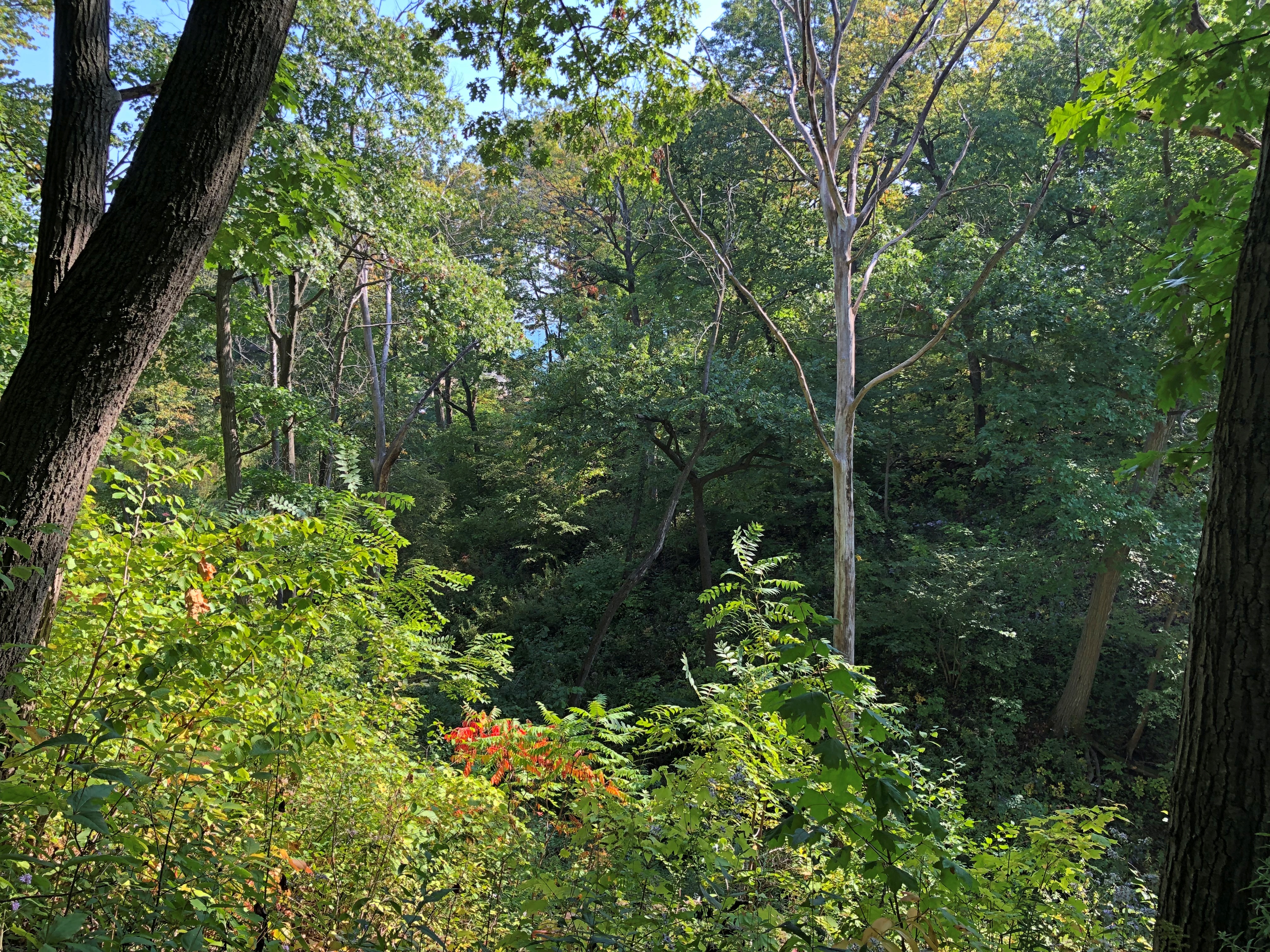
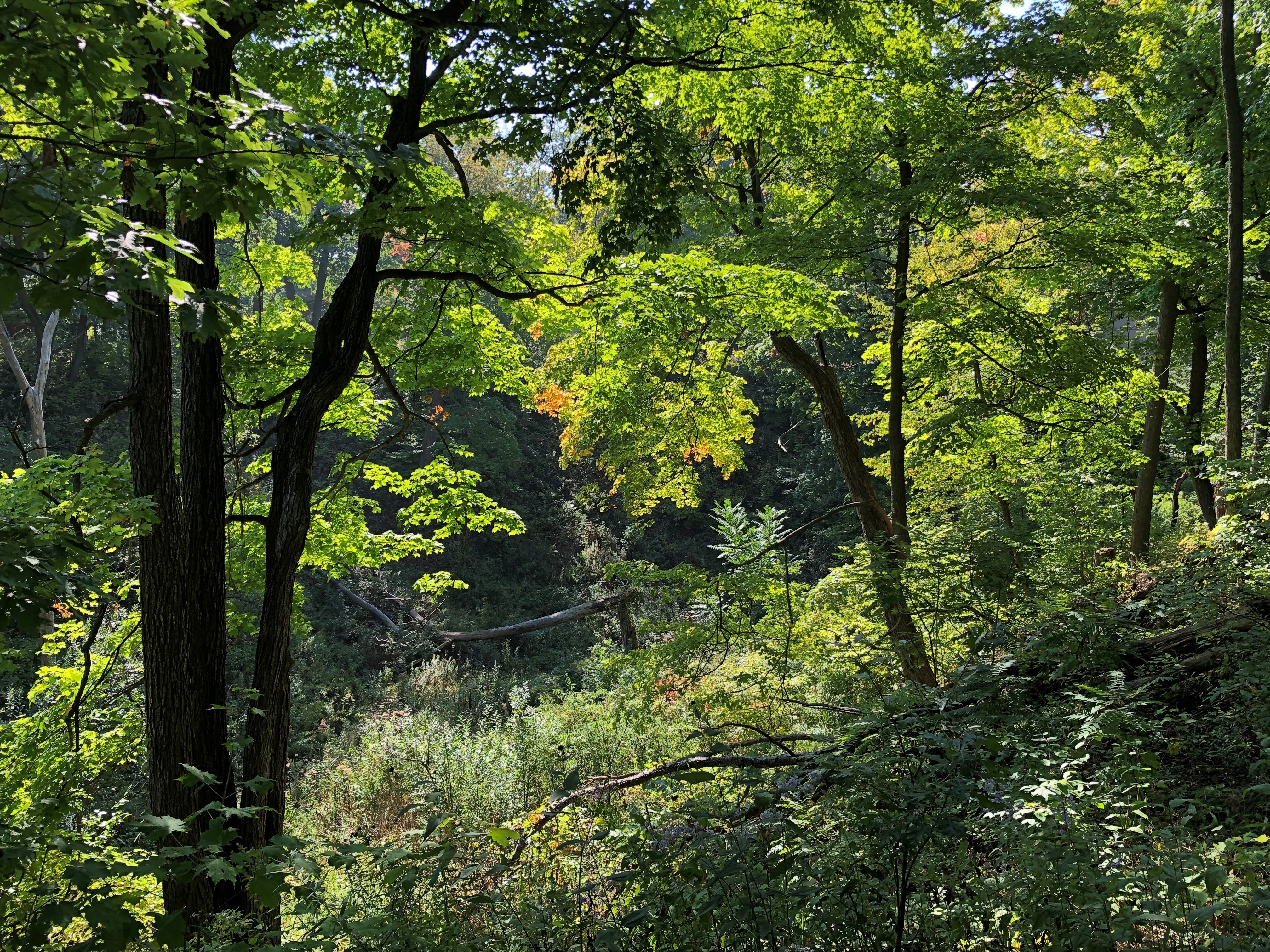
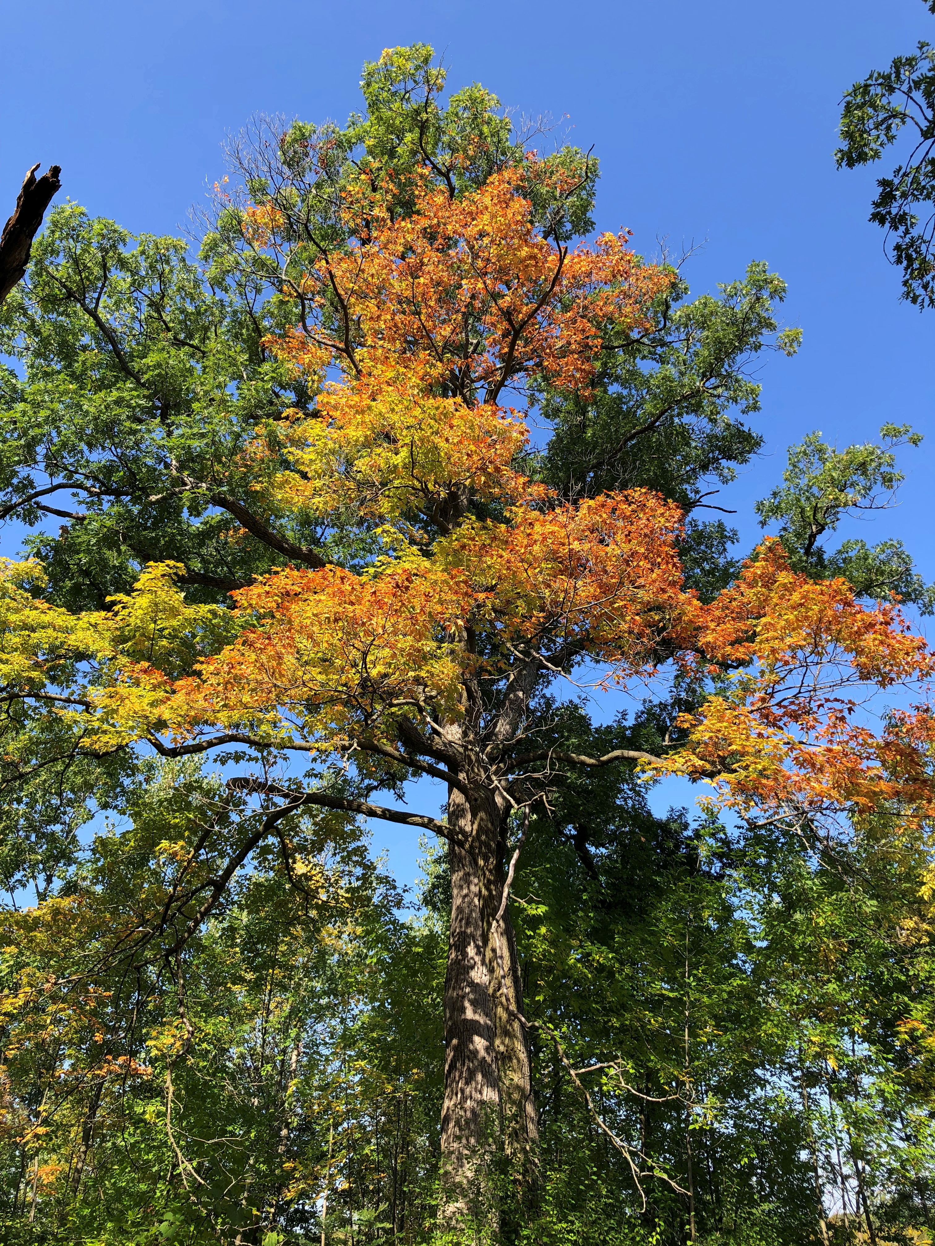
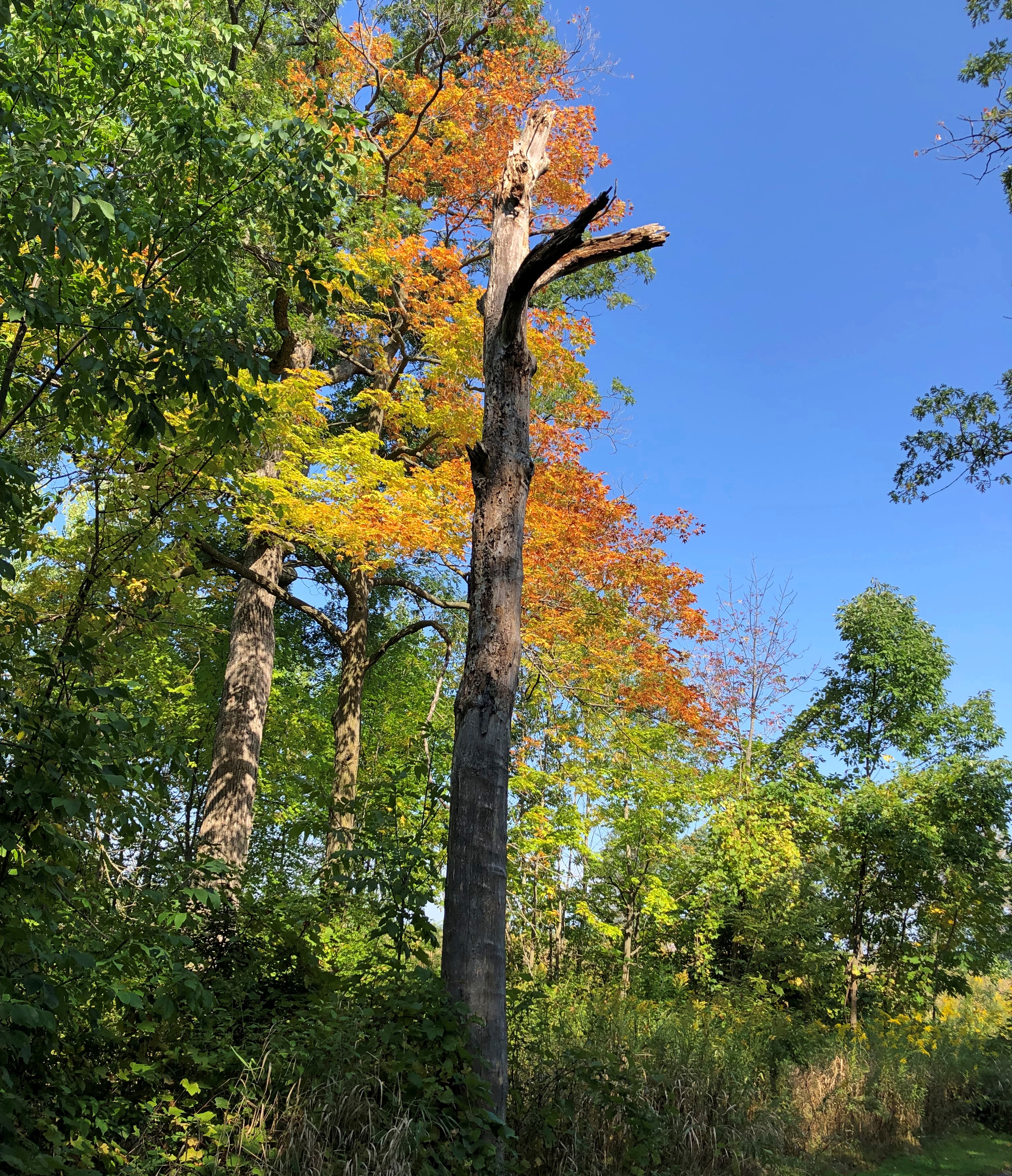
Bob Link Arboretum

Bob Link died just over 20 years ago, and I never met him. But I’ve walked in his arboretum.Bob Link Arboretum

Scant information about Bob Link is readily online: an obituary and a mention at a local history web site, the local in that case being Schaumburg Township. But I can surmise that he started planting woody plants on his family’s property in the township, as a hobby. Later the park district acquired the site, incorporating it into Spring Valley – off in a corner, near a major road, only accessible by footpath.

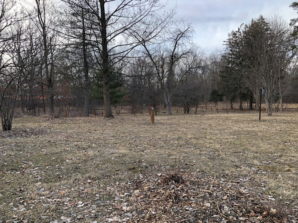
We arrived on Sunday afternoon. Not many other people were around, though there was a young woman in a bright blue coat who had climbed a sizable tree away from the arboretum and was resting where a large branch parted from the main trunk. Didn’t look that comfortable to me, but she looked relaxed, at least at a distance. She’s not in my pics.Bob Link Arboretum Bob Link Arboretum

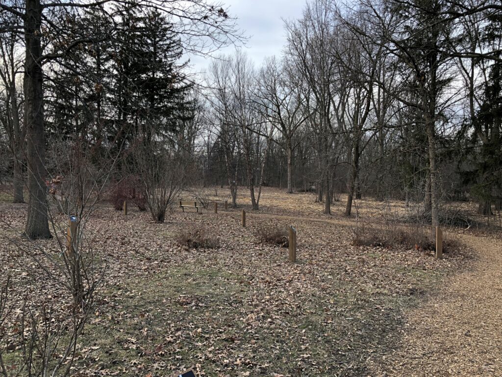
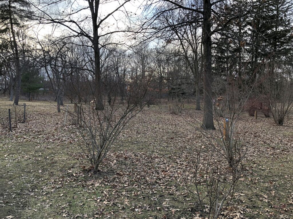
Most first-page search engine hits about the arboretum are limited to detailing its short trail and location in a corner of Spring Valley. An obscure place, and better for it. Winter, and not bad for that. A brown-gray-yellow mix, thick with plants who haven’t been fooled by faux spring this year. Signs identify species at Bob Link. A selection: Purple-leaved Sand Cherry, Dwarf Bush Honeysuckle, Hackberry, White Pine, Gingko, Wahoo.

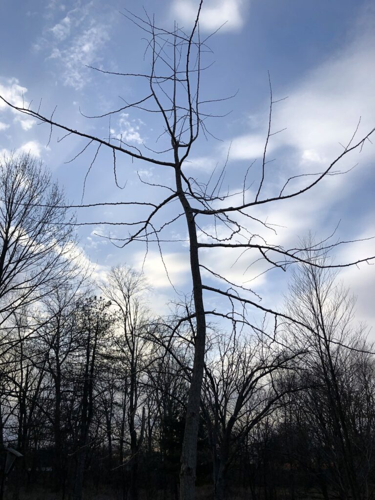
The gingko in silhouette.Bob Link Arboretum

The species has seen ’em, and seen ’em go, at least according to the sign. Fossil gingko leaves 150 million years old are known to science.

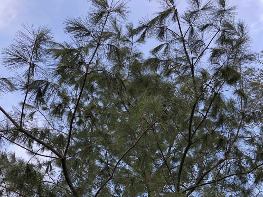
Evergreens.Bob Link Arboretum Bob Link Arboretum

The White Pine and Colorado Spruce, respectively. The spruce is native to Arizona, Colorado, Idaho, New Mexico, Utah and Wyoming, notes Wiki, and has wider fame as Christmas trees. My impulse was to put a few decorations on this tree, but not cut it down or anything. No go. I hadn’t brought any Christmas ornaments with me for some reason.

Thursday Rolls Around Again

Lilly’s been in town for a few days. We’re glad to see her, as always. We’re glad to eat sushi with her, as always.

Another big thing this week is that I got a new phone. Today. With a new carrier. Apparently my old phone was old indeed, since I bought it so I could take it to Mexico City. Soon after that, I discovered the highest and best use for a mobile phone: pulling up Google Maps.

Lately the old phone had been showing its mechanical senility by disconnecting at inconvenient times. This happened more and more often, until it was completely unreliable. One of the last messages that got through, yesterday, was the modern version of the Emergency Broadcast System: The National Wireless Emergency Alert System.

Or Sistema Nacional de Altera Inalambrica de Emergencia.

The sound was jarring, as I expect it’s supposed to be. I wonder how cacophonous a big room full of phones was — say a classroom that doesn’t make its students turn off their devices.

A presidential alert, no less. I like to think that FEMA technicians brought a suitcase to the Oval Office, opened it up, and President Biden pushed a button inside to set off the alert. Maybe a blue button, since a red button might be on the nuclear football, and set off something else all together.

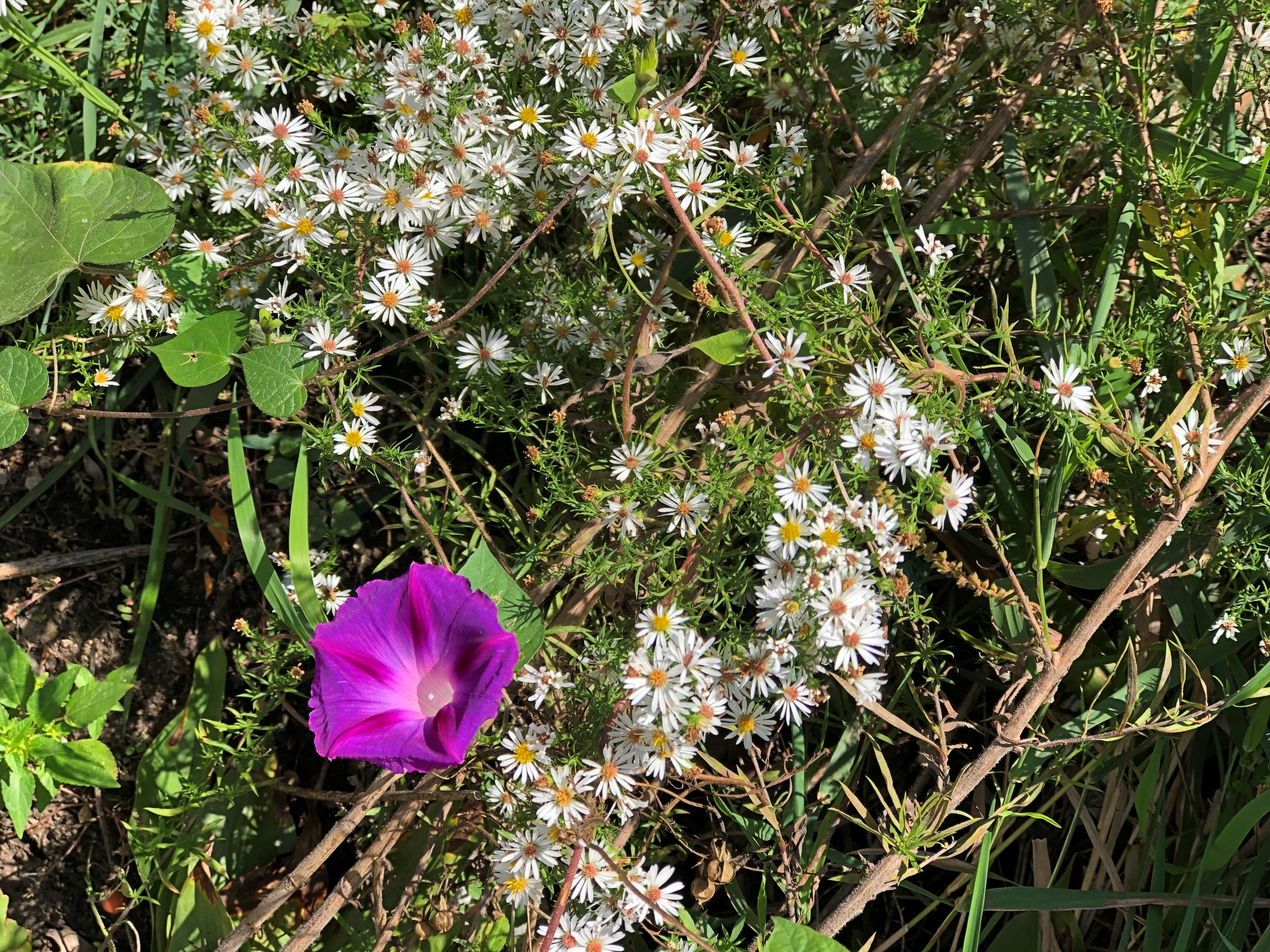
Temps cooled down today after overnight rain. No freezes yet, so we still have flowers in the back yard.back yard flowers back yard flowers back yard flowers

The Flowers of October. That has to be the title of something.

Fort Sheridan Forest Preserve

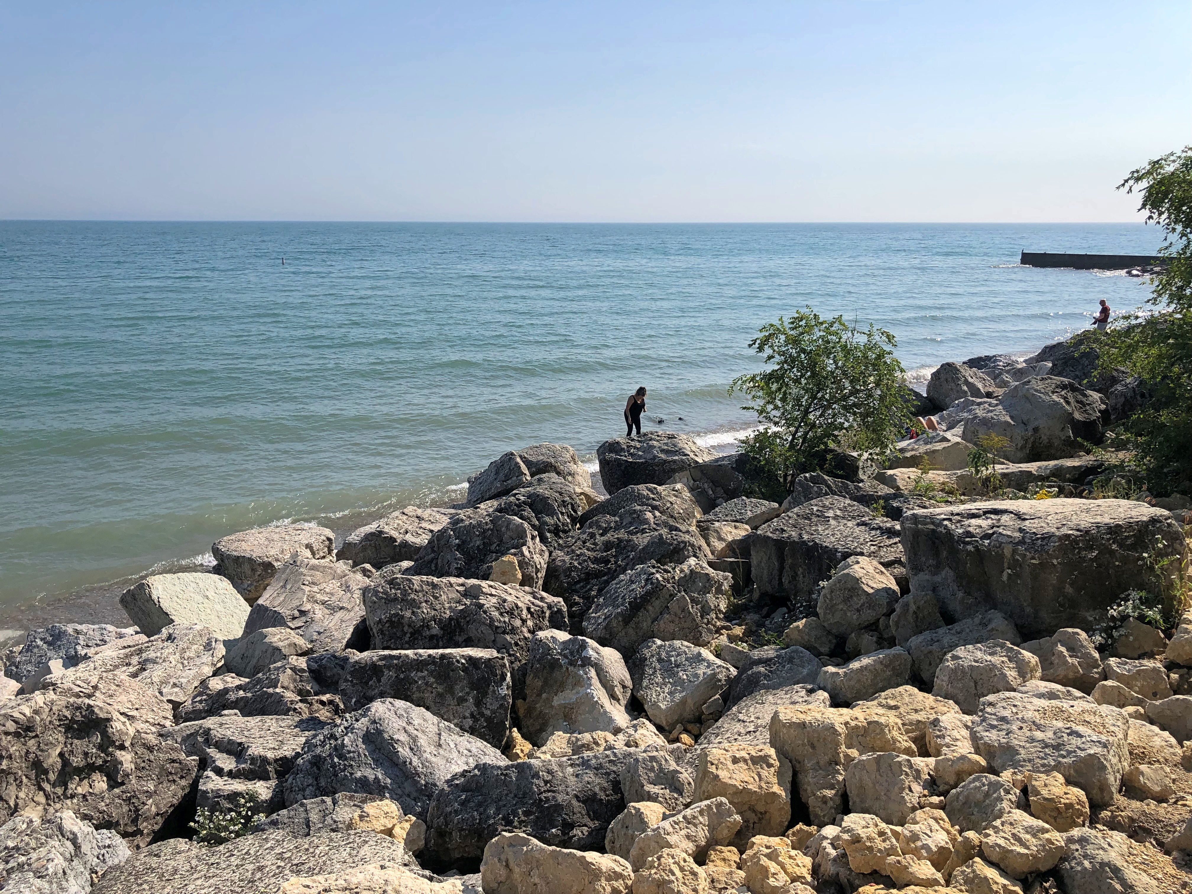
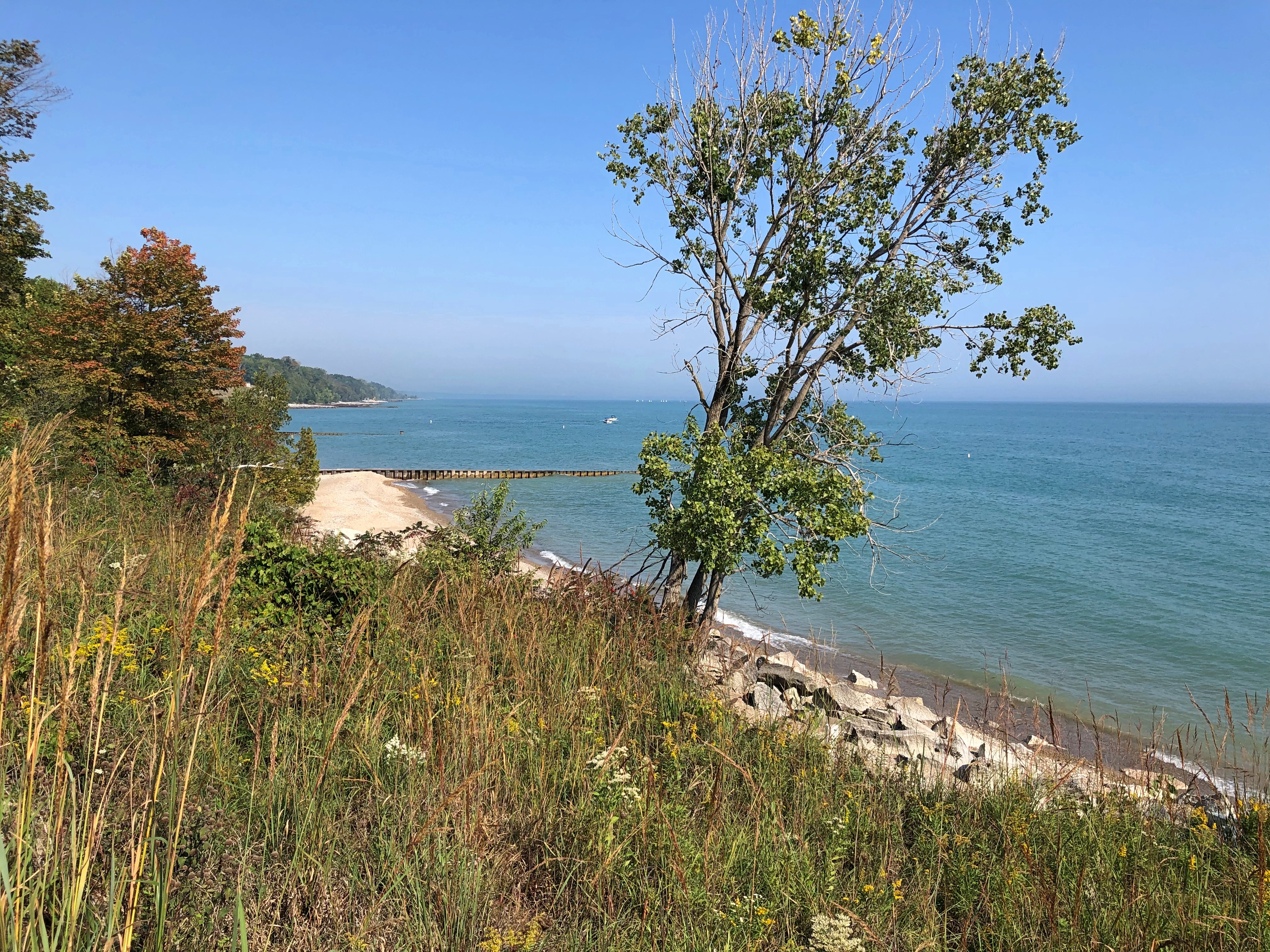
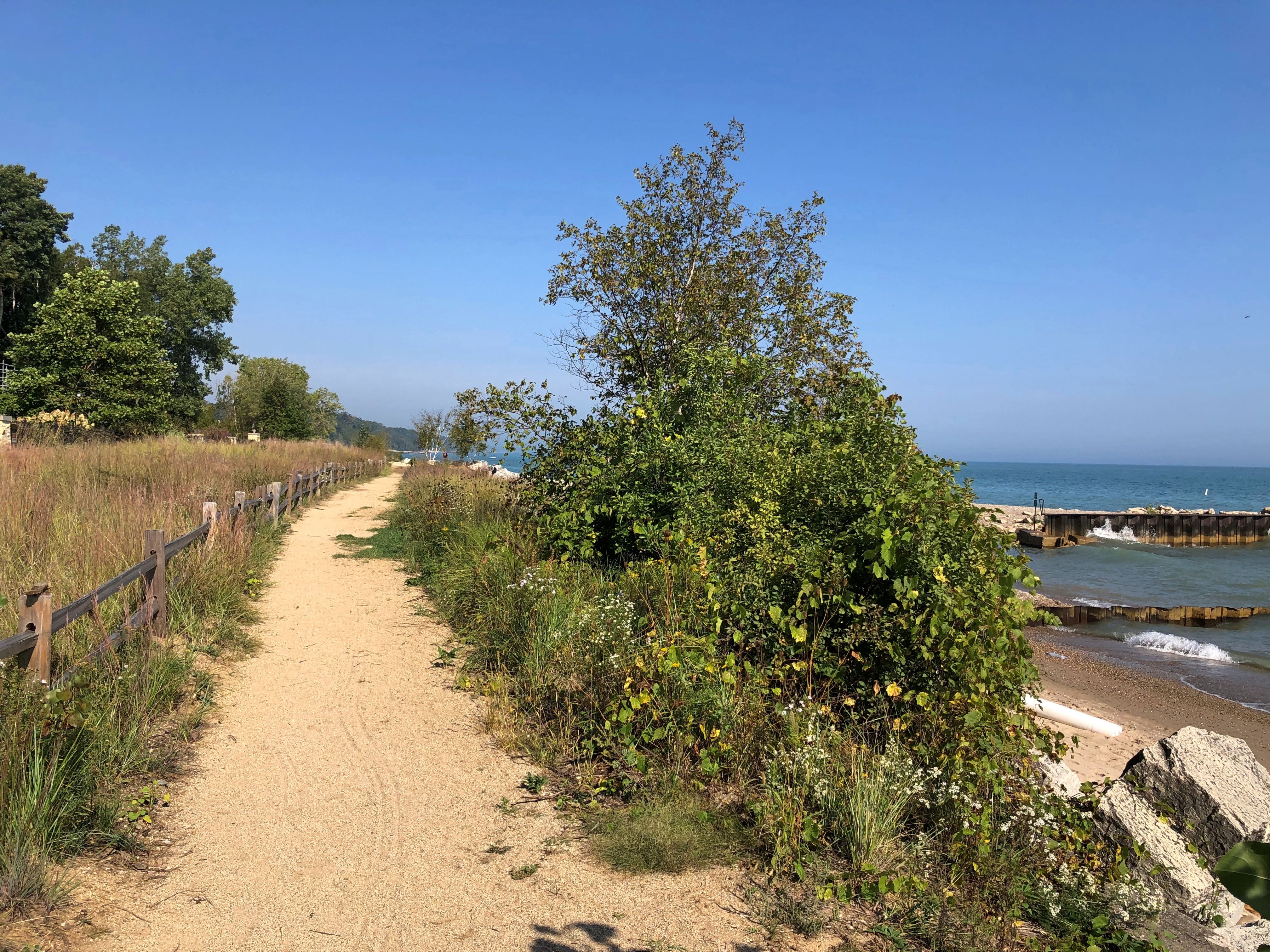
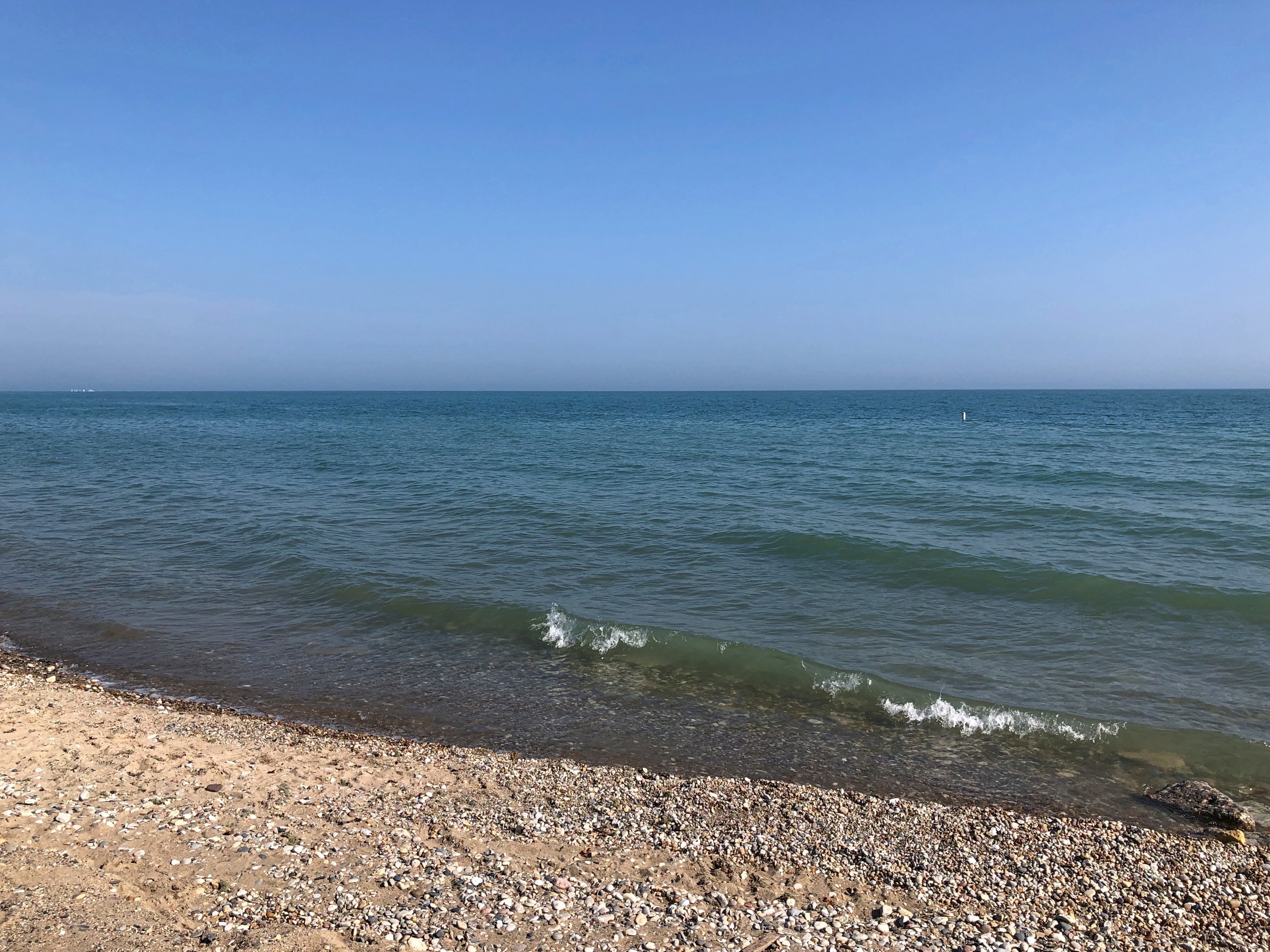
On Saturday, we made our way to the edge of Lake Michigan.Fort Sheridan Forest Preserve Fort Sheridan Forest Preserve Fort Sheridan Forest Preserve Fort Sheridan Forest Preserve

We’d come on the sunny last day of September to Fort Sheridan Forest Preserve, a unit of the Lake County Forest Preserve District. For a little more than a century, the U.S. Army maintained a presence at Fort Sheridan and in surrounding acreage for a shifting variety of uses, until base closure turned the site mostly over the private development, with a relatively small slice added to the forest preserve system.

The decommissioning was in the 1990s. I remember writing about the redevelopment, but after I quit much local reporting about the Chicago area ca. 2005, I tucked whatever I knew about Fort Sheridan in a remote filing cabinet in my memory. That is, I forgot it until not long ago, when I noticed the forest preserve on a map – a paper map – and determined to go, since we were due for lunch with Wendy and Ted later in the day in Evanston anyway.

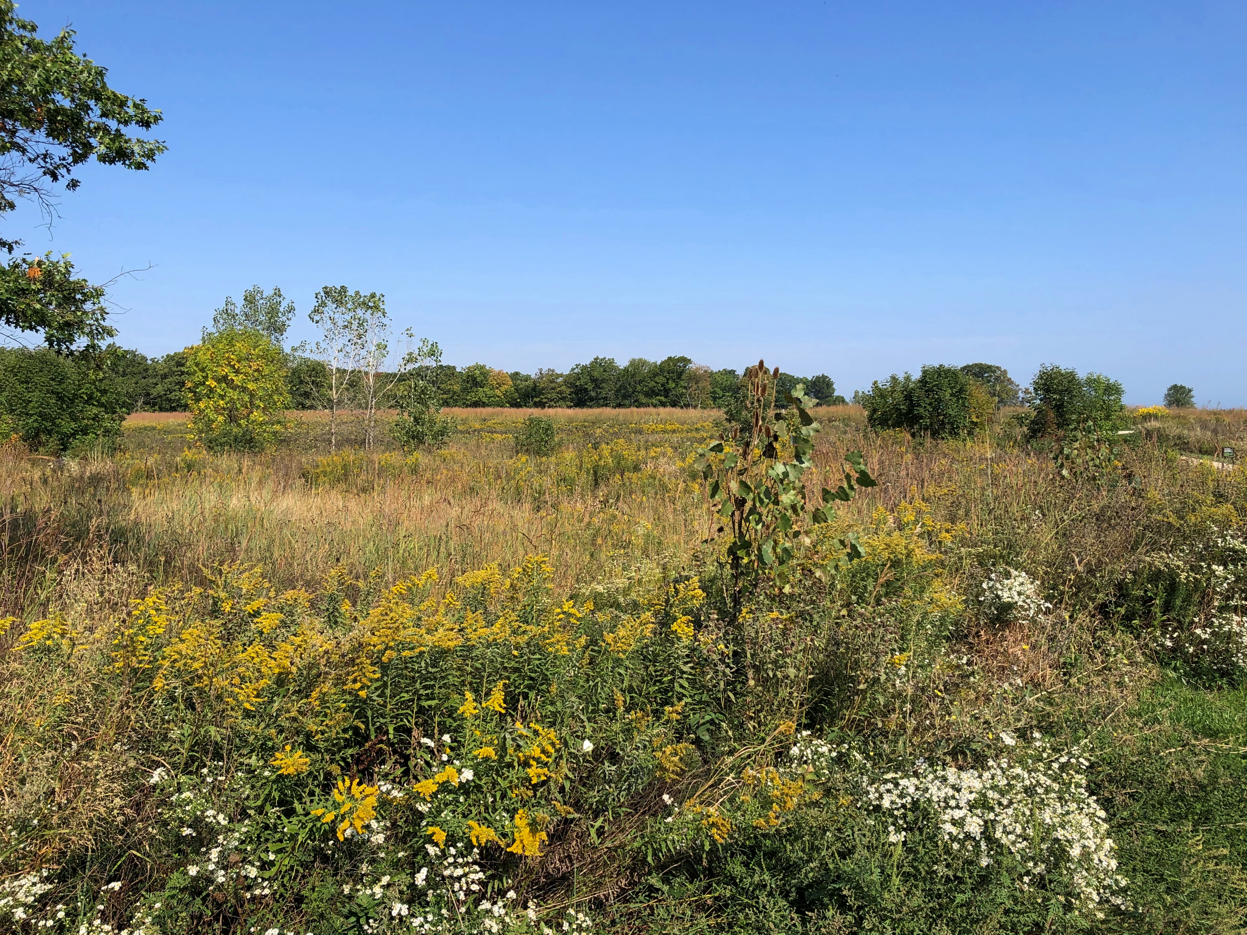
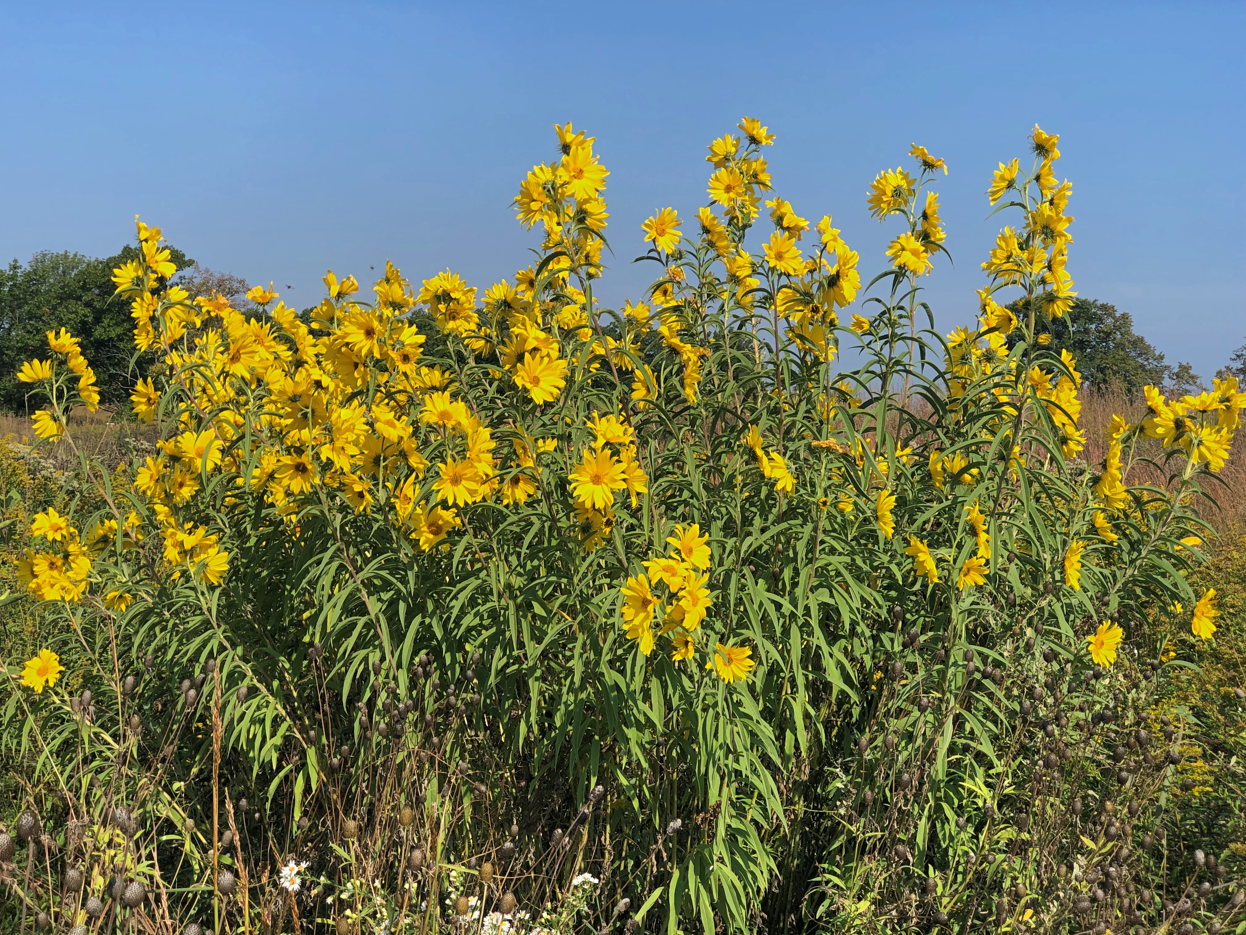
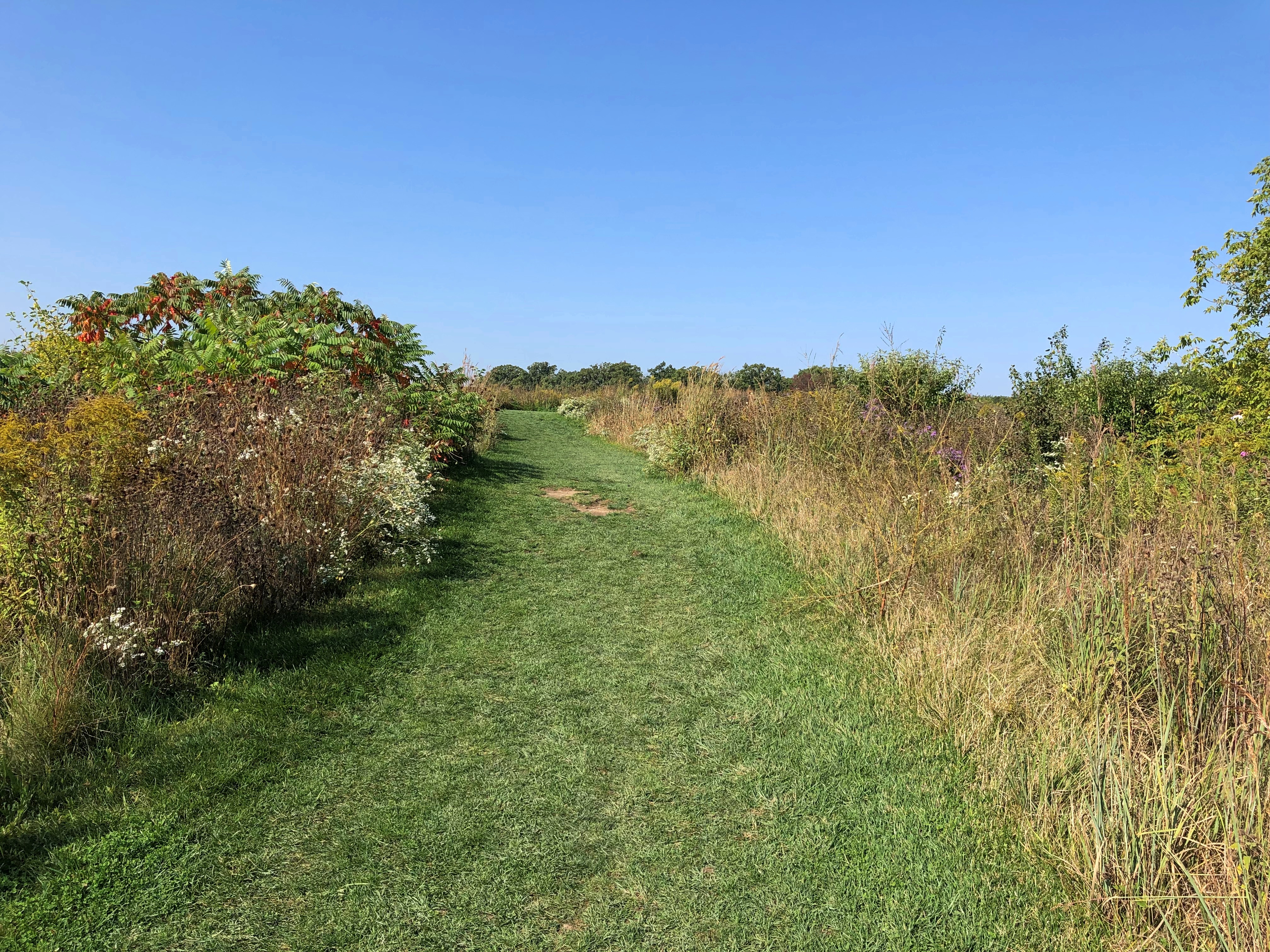
This forest preserve is only partly forest. We took short trails through prairie. Much is prairie. Much is prairie. Much is prairie. Much is prairie.

A ravine runs through it.Fort Sheridan Forest Preserve Fort Sheridan Forest Preserve

Coloration has started. Fort Sheridan Forest Preserve Fort Sheridan Forest Preserve

Barely but vividly.

Mid-September Sights

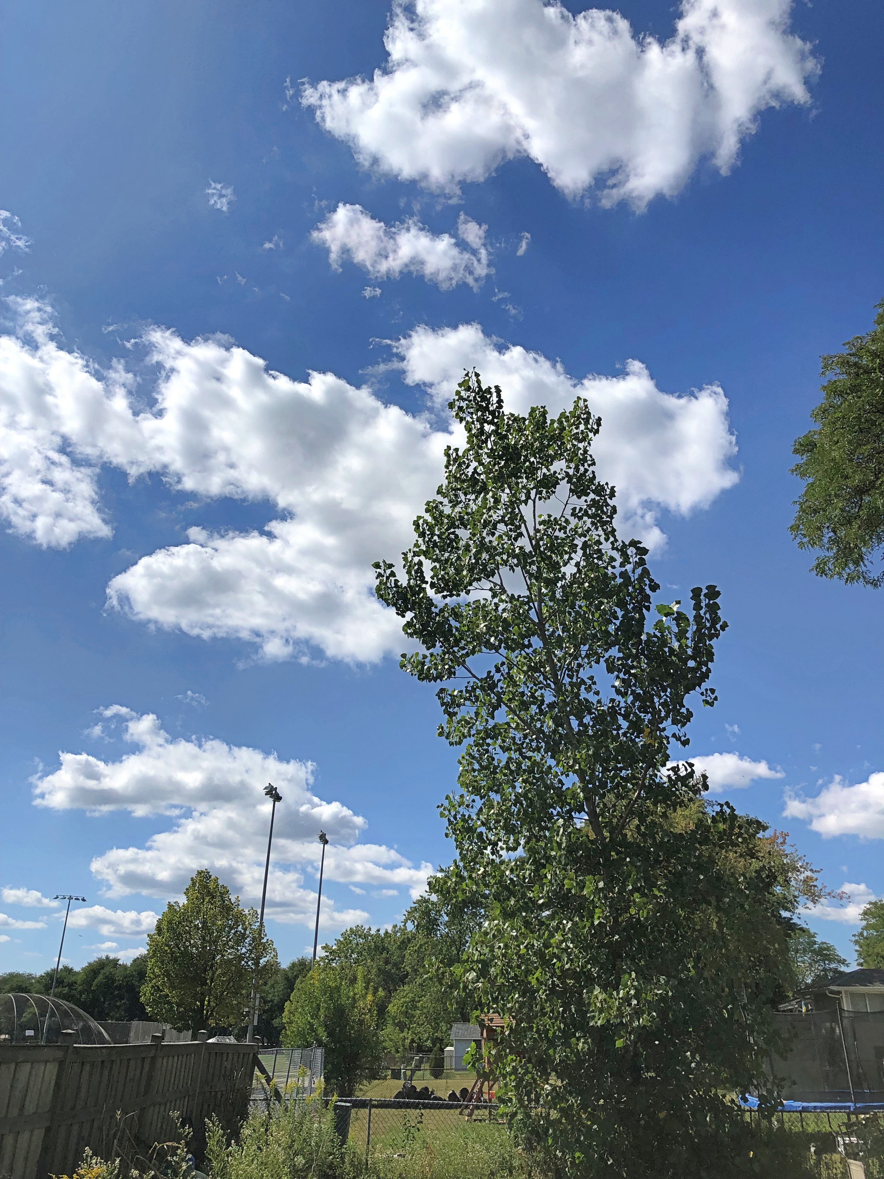
Chilly nights, warm days. Such are conditions here in Illinois not long before the fall equinox. The trees are still holding on to their leaves, including our quaking aspen.

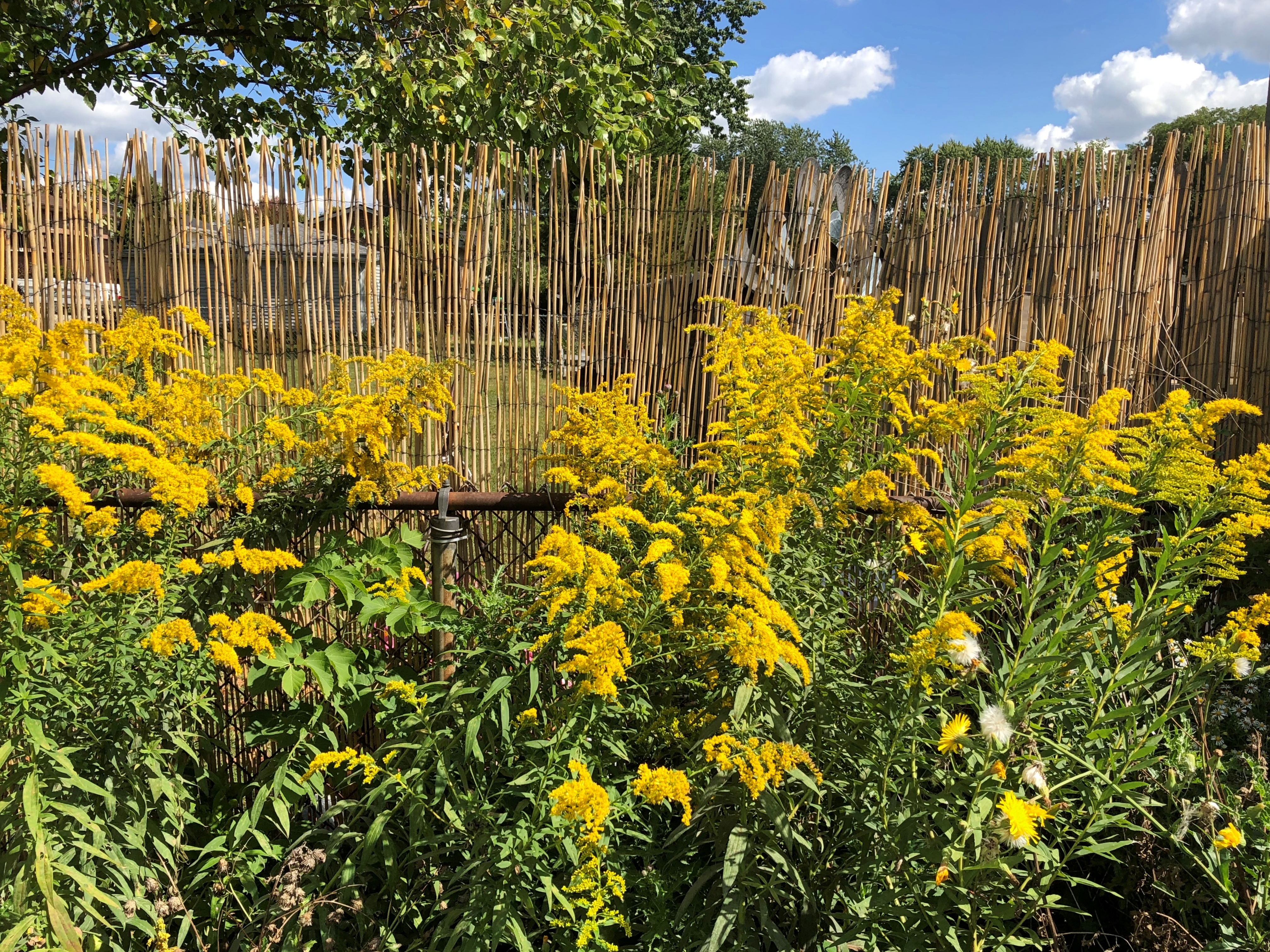
Goldenrod, seen here in the back 40 of my yard – that is, the back 40 square feet or so, and how is it farmers had back 40s? Something to do with a quarter of a quarter section, which would be 40 acres, though I expect the metaphorical sense long ago superseded the literal one.

Out on a northwest suburban street.

It isn’t until Saturday, but some local motorists have been ready for Mexican Independence Day since last weekend.

Thunder Bay to Marathon, Ontario

On the first day of August, I made the acquaintance of Terry Fox. In bronze, anyway, and perhaps in spirit, since he’d been dead for over 42 years. Died very young; he’d be 65 now, had cancer not taken him away. A contemporary.

Apparently every Canadian knows who he was. Ignorant as I am, I didn’t, but I learned some remarkable things about him after seeing his memorial, which is just off the Trans-Canada Highway not far east of Thunder Bay.

It was a foggy morning in northwest Ontario. The memorial features Fox as a runner, which he was. But not just any runner.
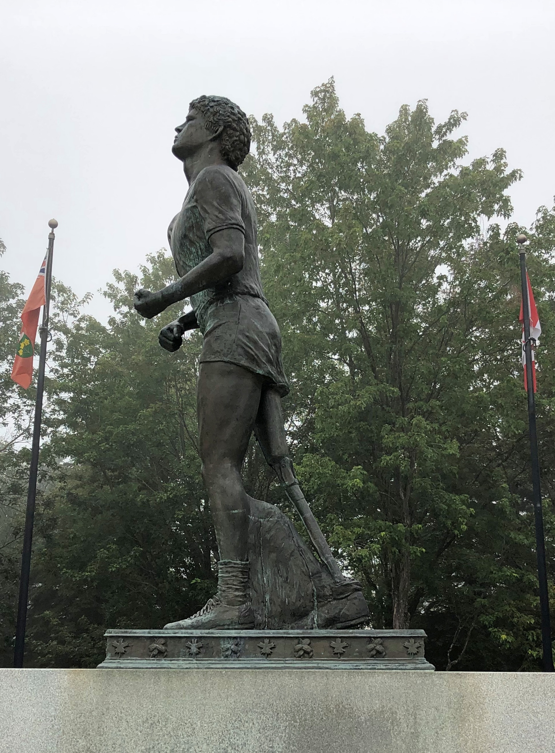
He had only one leg, the other amputated to prevent the spread of osteogenic sarcoma, bone cancer, from his knee.

“In the fall of 1979, 21-year-old Terry Fox began his quest to run across Canada,” the CBC says. “He had lost most of his right leg to cancer two years before.

“[He] hatched a plan to raise money for cancer research by running across Canada. His goal: $1 for every Canadian. Fox’s plan was to start in St. John’s, Newfoundland on April 12, 1980 and to finish on the west coast of Vancouver Island on September 10. With more than 3,000 miles (5,000 km) of running under his belt, he was ready.”

So he ran almost every day early that year, gathering attention as he went. By the time he got to Toronto, the nation was watching. But he didn’t make it all the way to the West Coast.

“As Fox headed towards Georgian Bay, his health changed. He would wake up tired, sometimes asking for time alone in the van just to cry… On August 31, before running into Thunder Bay, Fox said he felt as if he’d caught a cold. The next day, he started to cough more and felt pains in his chest and neck but he kept running because people were out cheering him on. Eighteen miles out of the city, he stopped. Fox went to a hospital, and after examination, doctors told him that the cancer had invaded his lungs… He had run 3,339 miles (5,376 km).

“Terry Fox died, with his family beside him, on June 28, 1981… Terry Fox Runs are held yearly in 60 countries now and more than $360 million have been raised for cancer research.”

My goal that day was much easier: drive to the town of Marathon, Ontario, from Thunder Bay, about 300 km as things are measured locally. I actually like having road distances measured in kilometers on lightly traveled Canadian roads, since they seem to go by quickly. For example, 50 km to go? Ah, that’s only 30 miles. The conversion is easy to do in your head – half + 10%.

Though I have to stress that kilometers should have no place in measuring U.S. roads. Miles to go before I sleep; You can hear the whistle blow 100 miles; I’d walk a mile for a Camel. There’s no poetry to the metric system.

(The conversion of U.S. to Canadian dollars is pretty easy these days too: 75%, or half + 25%. That way a $20 meal magically costs only $15.)

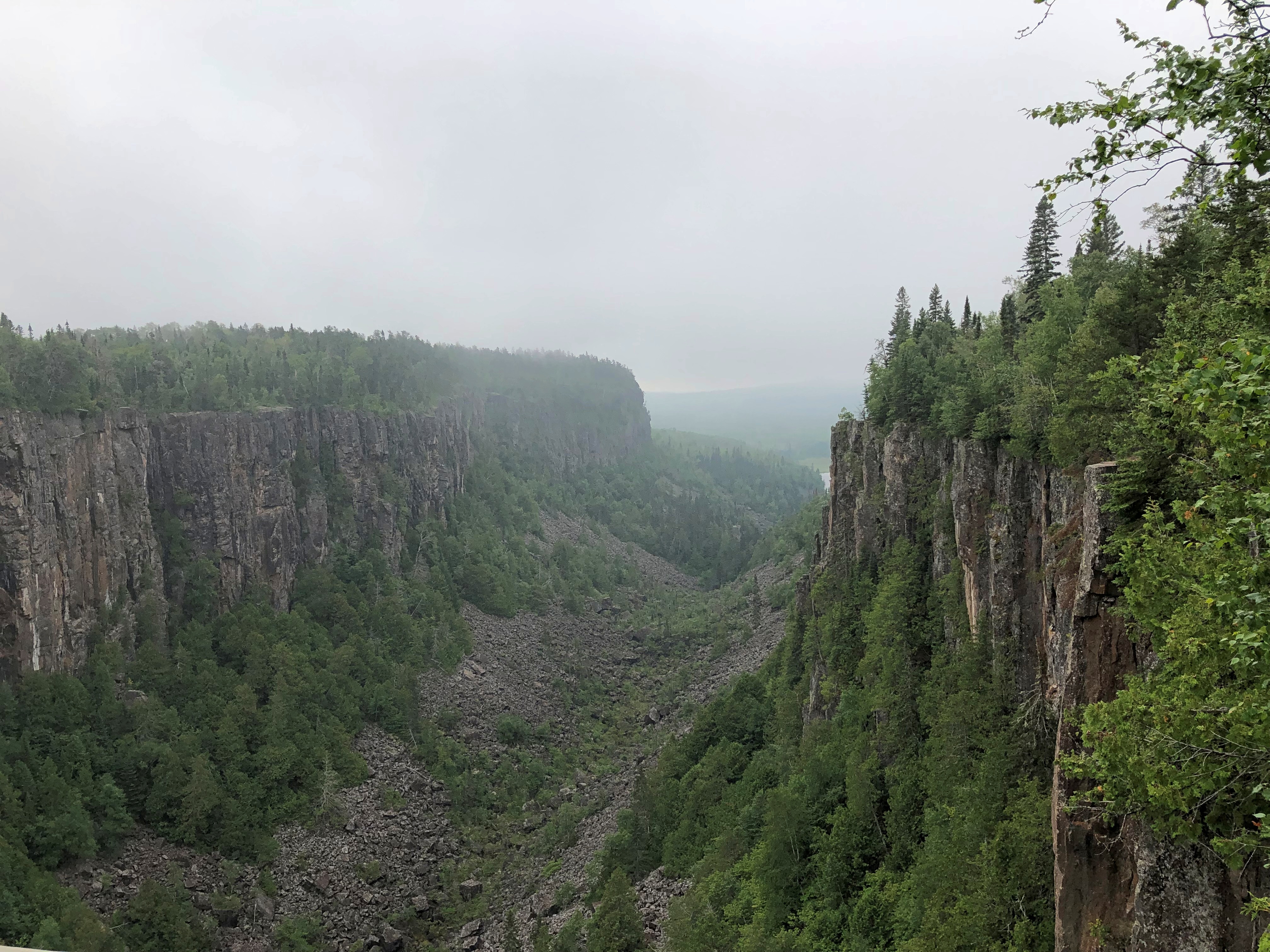
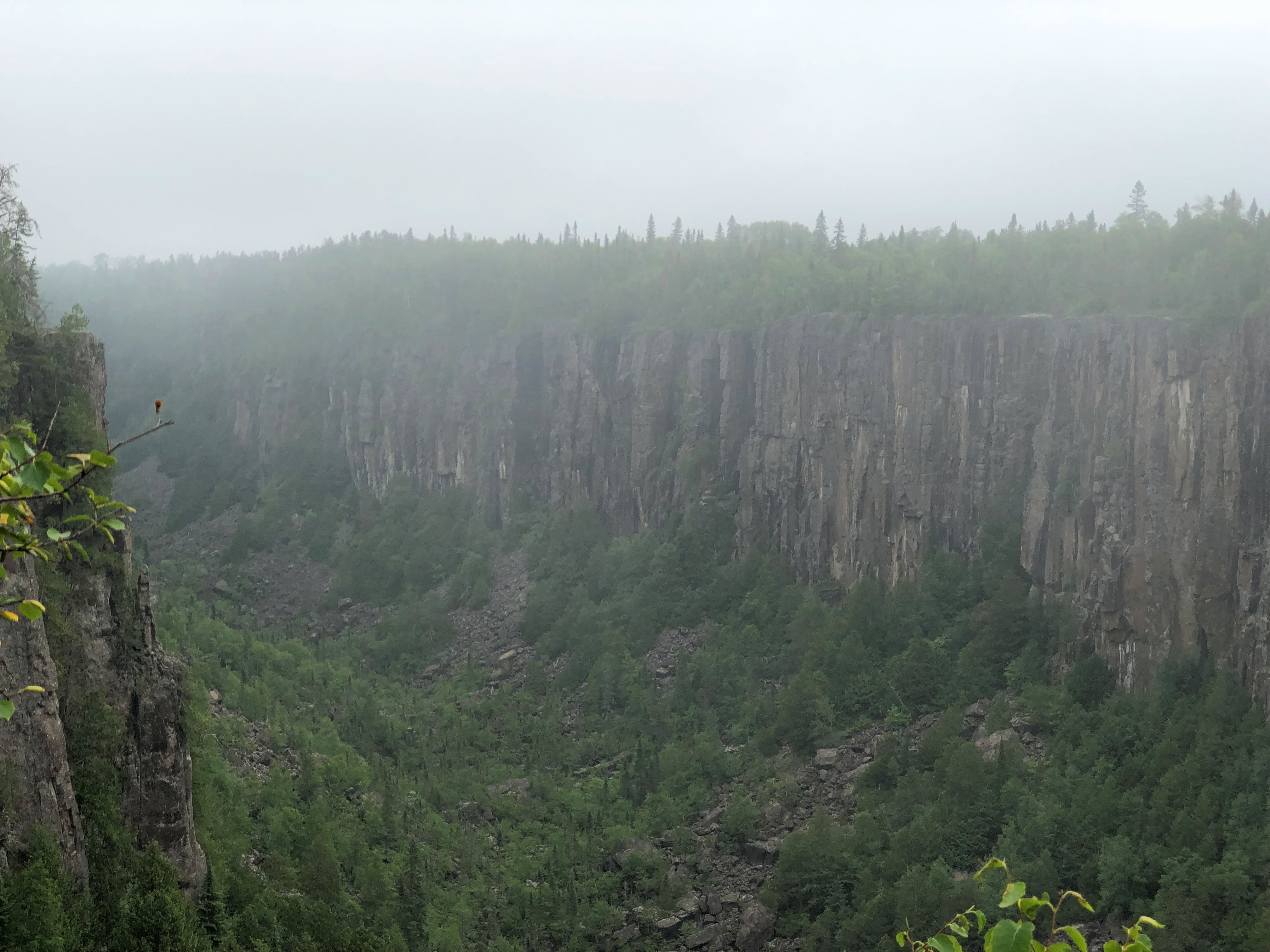
East from the Terry Fox memorial is Ouimet Canyon Provincial Park, which I visited as an alternative to Sleeping Giant Provincial Park, which is highly visible from Thunder Bay but which looks like an all-day sort of place. I preferred to spend the day on the road, stopping where the mood struck.Ouimet Canyon

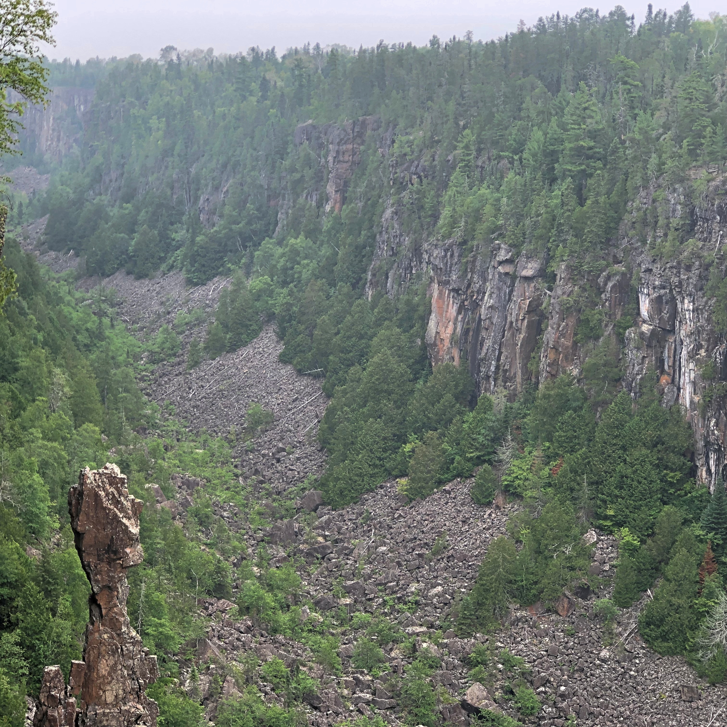
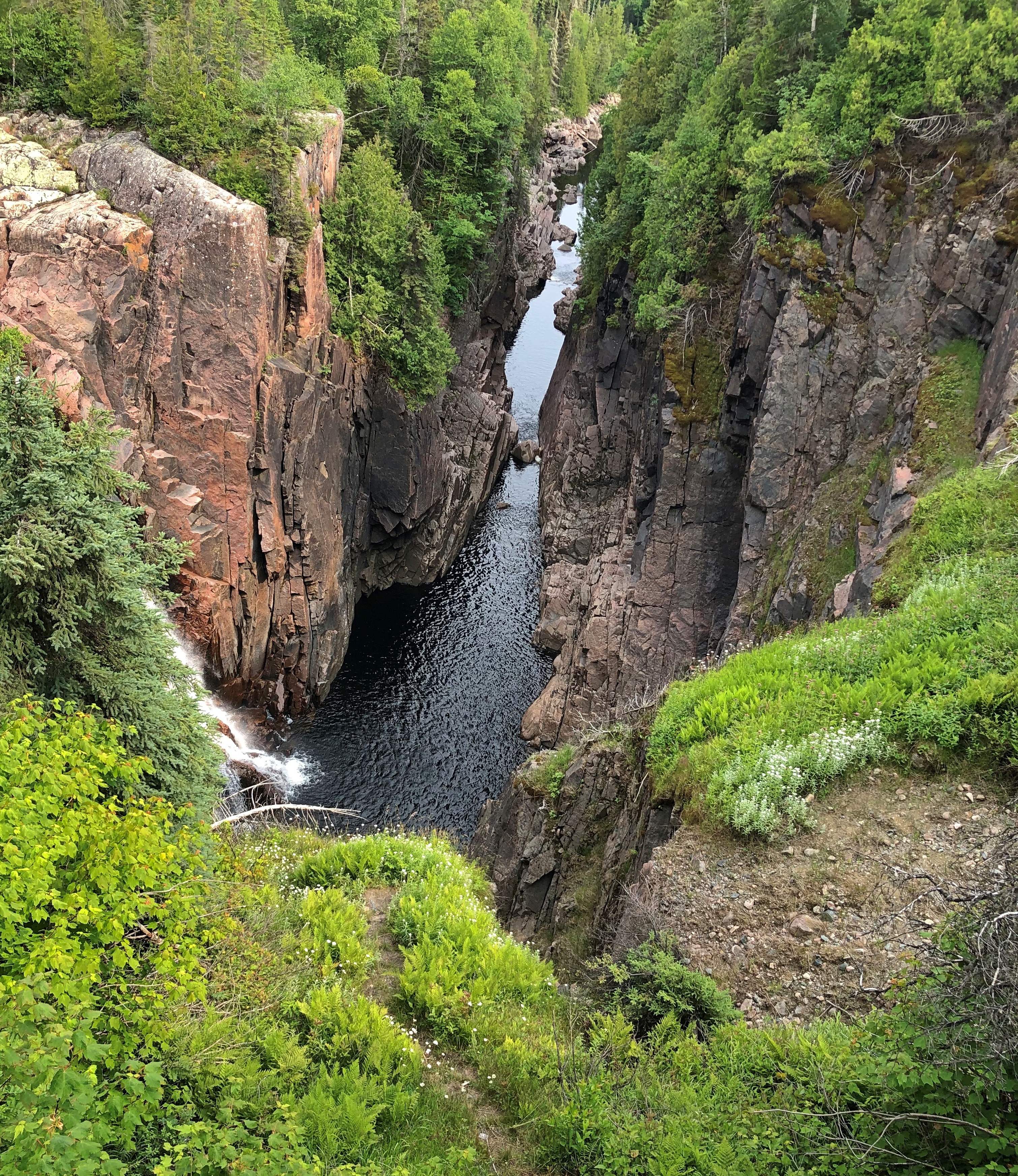
Ouimet Canyon is striking. A easy walk of 15 minutes or so takes you to the canyon’s edge. Foggy that morning but worth the stop.Ouimet Canyon Ouimet Canyon Ouimet Canyon
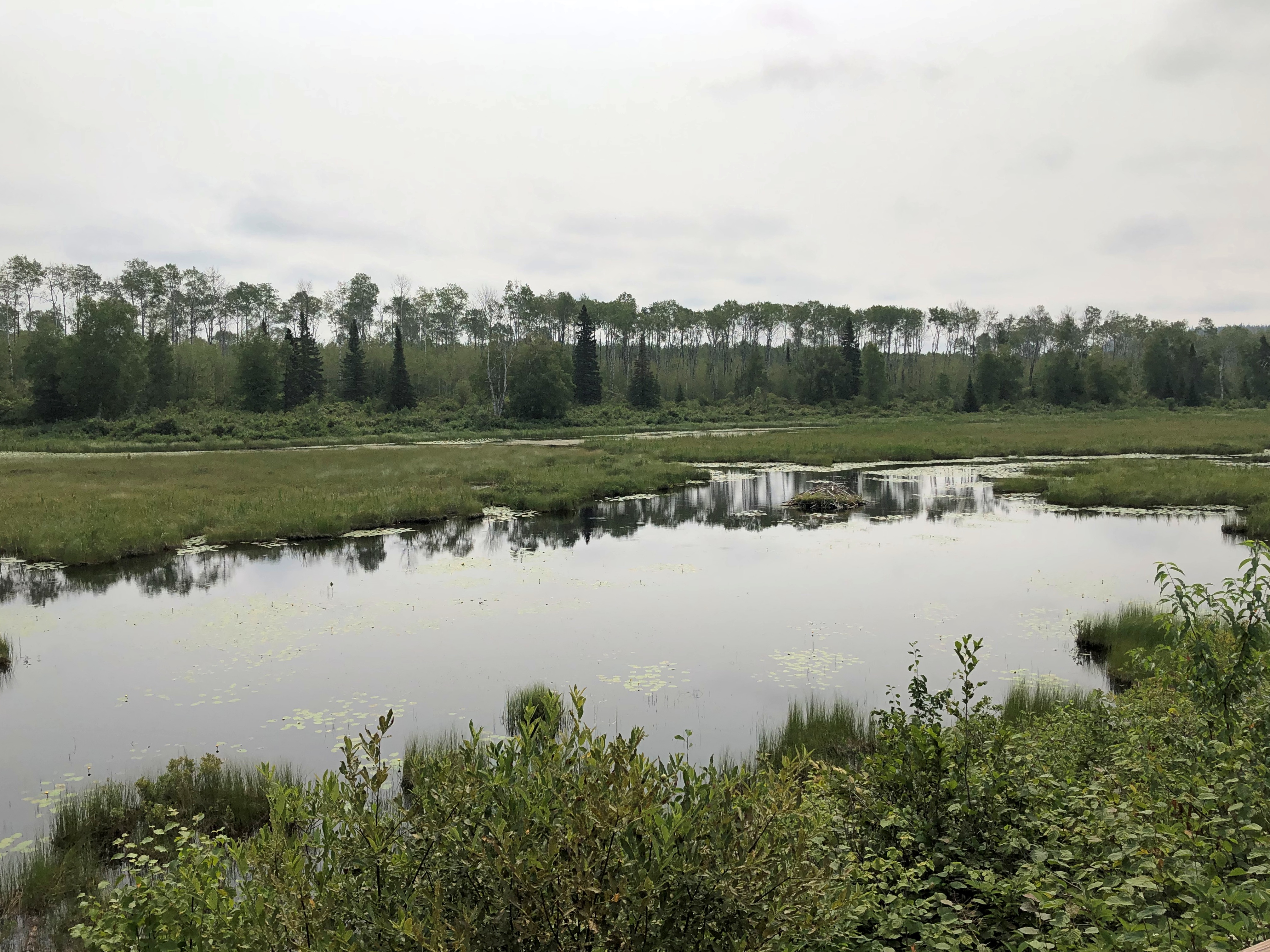
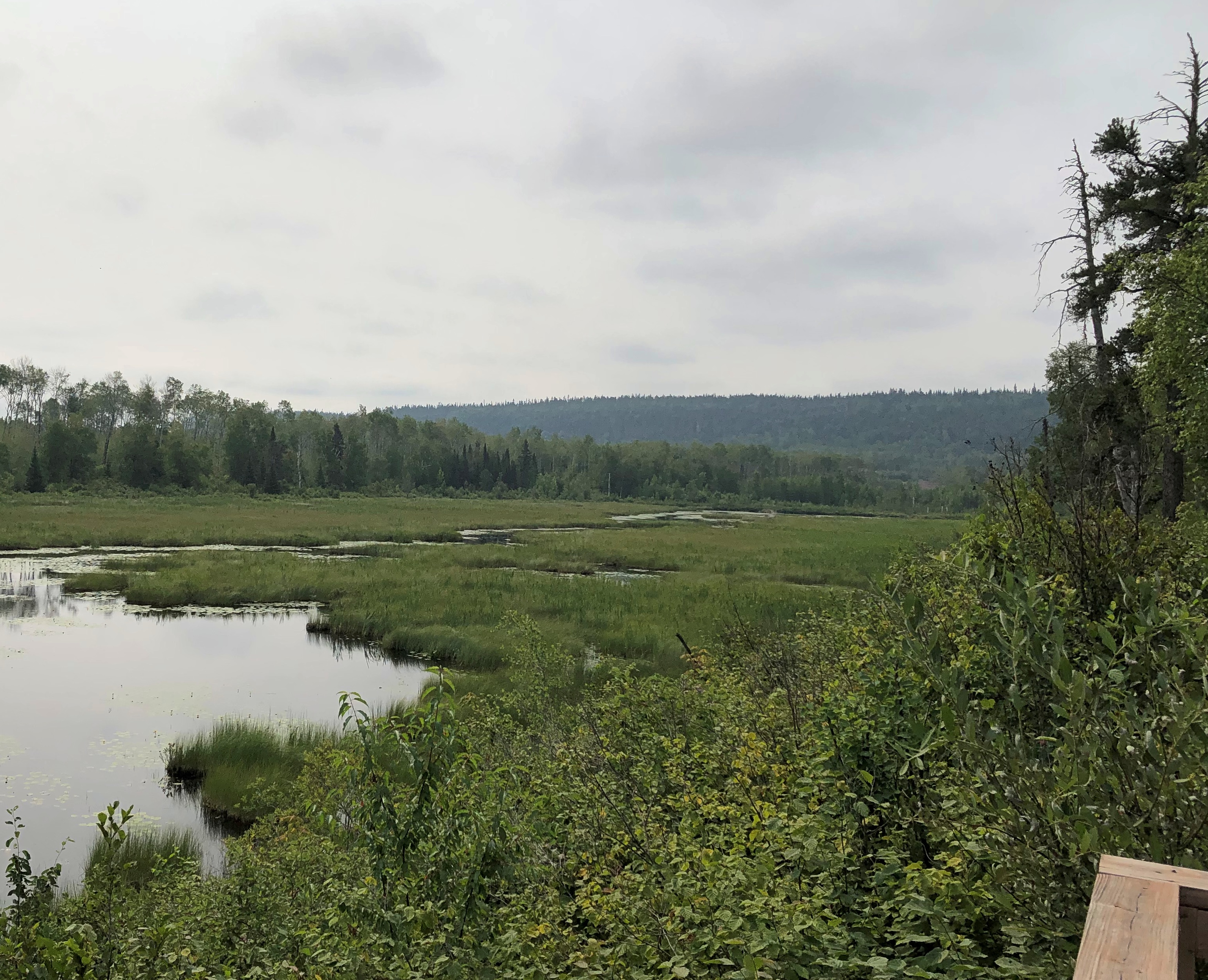
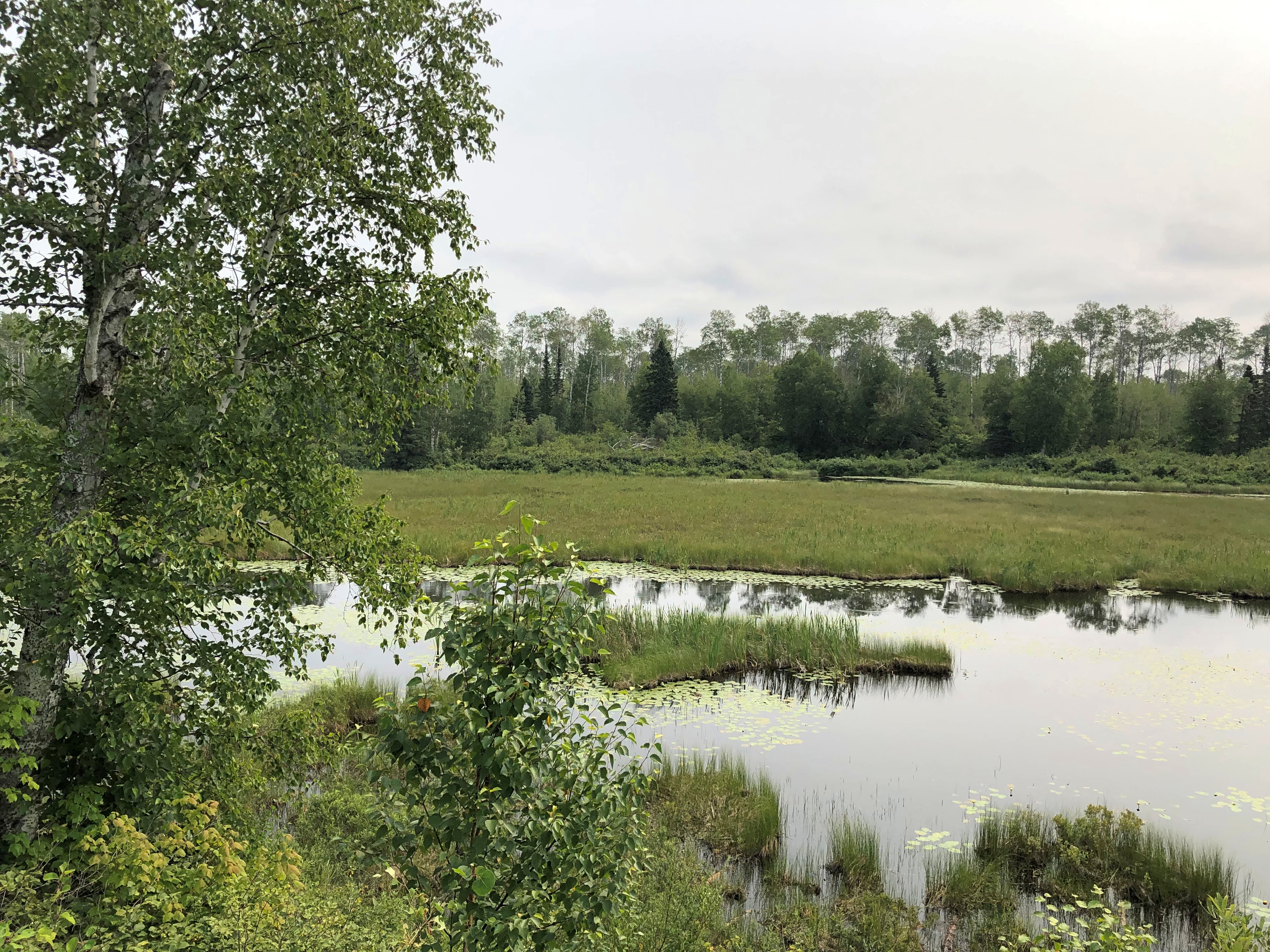
There was another place to stop in the park: a pleasant river view seen from a bench not far from the road, but tucked away behind some greenery, so that the road seemed far away. There was virtually no traffic anyway. I sat a while and watched the world go by not very fast. Or at all. I had to listen carefully to realize just how quiet the place is.

Also, the fog had started to burn off. Temps were very pleasant, whether Celsius or Fahrenheit.Ouimet Canyon Ouimet Canyon Ouimet Canyon
The Trans-Canada is King’s Highway 11 and 17 at this stretch. Highway 11 eventually splits off and goes way around to Toronto, including Yonge Street, while highway 17 hews closer to Lake Superior, and is the longest highway in the province. It is the one I eventually drove all the way to Sault Ste. Marie.

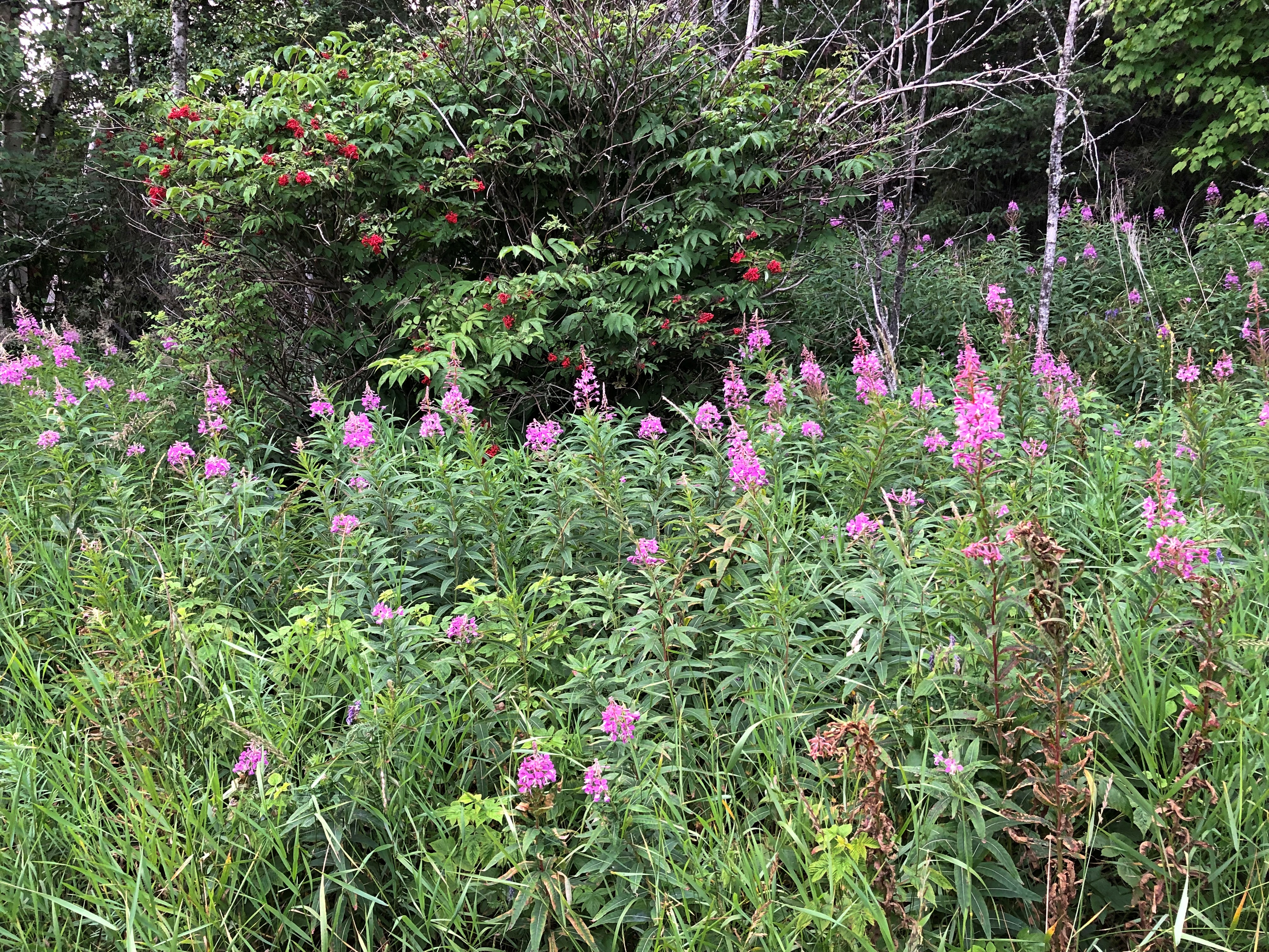
Much of the roadside is uncultivated flora. I took this to be fireweed, which meant I was far enough north to see it. I saw it in a lot of places in this part of Ontario.Highway 17 Ontario
But sometimes fauna, of the non-wild sort.

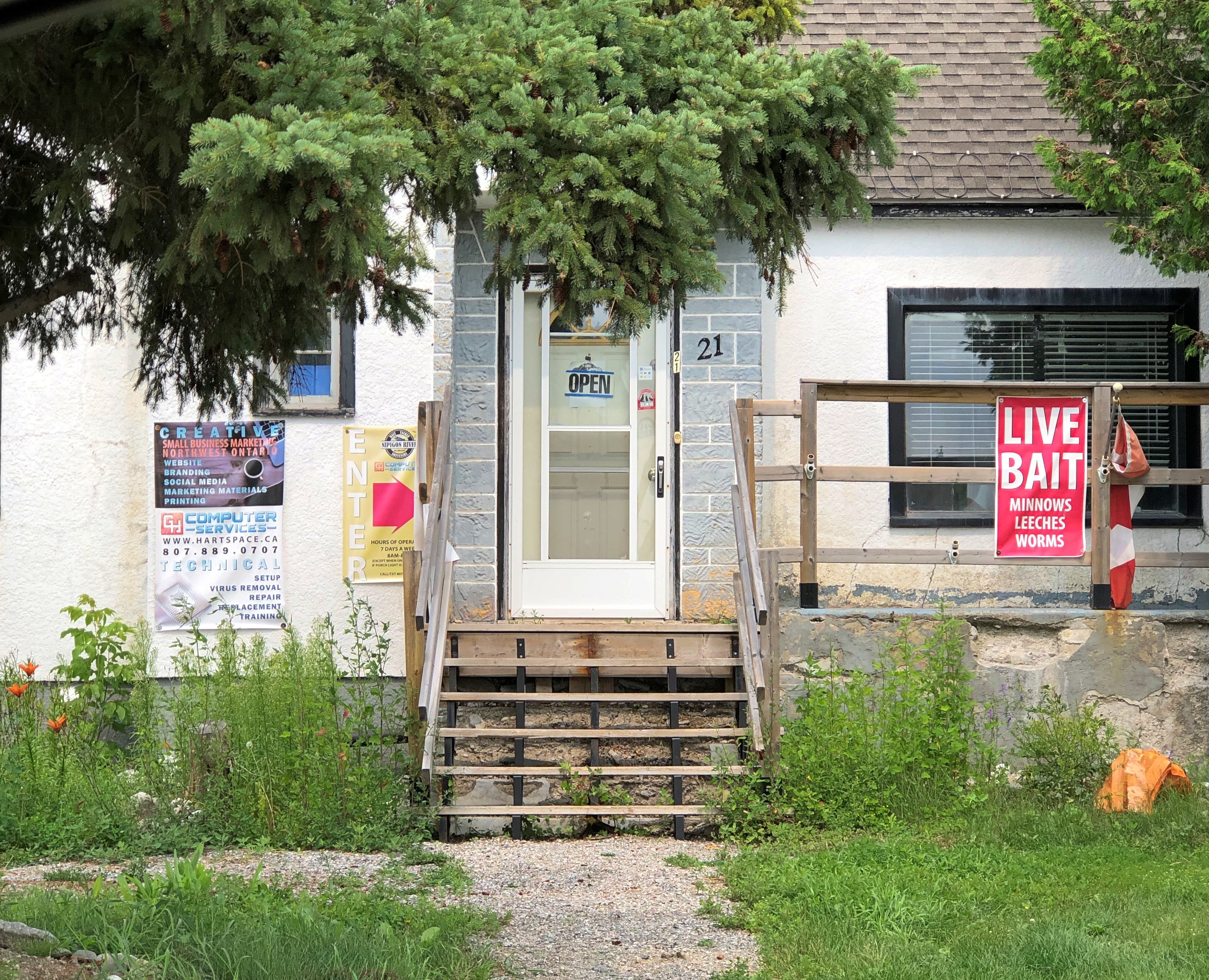
I found lunch in Nipigon, pop. less than 1,500. I could have had my laptop repaired, if it had needed work, or bought worms and leeches, if I were in the mood to go fishing. I never am.Nipigon, Ontario
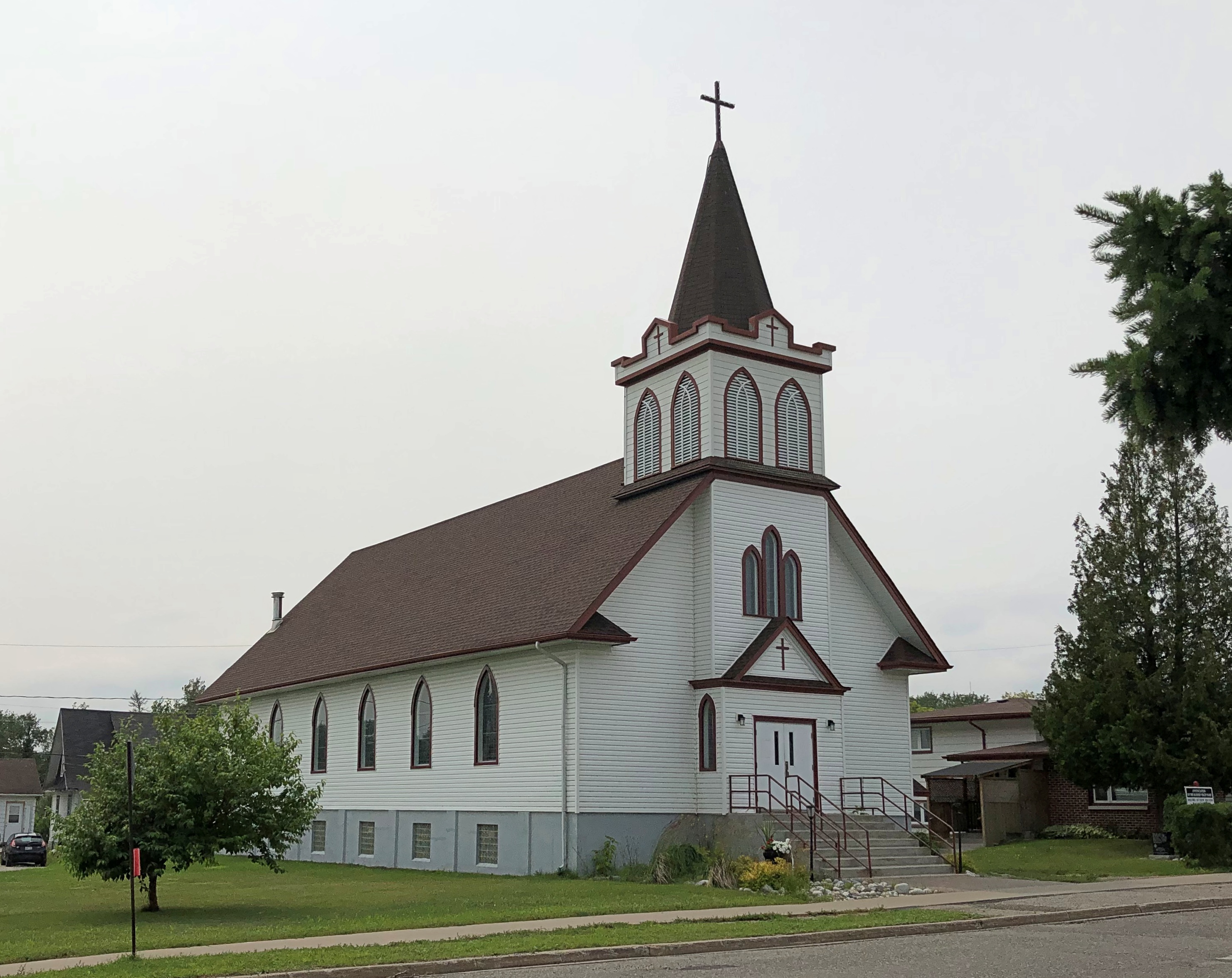
Nice church. The Annunciation of the Blessed Virgin Mary Roman Catholic Church. Closed, of course.Annunciation of the Blessed Virgin Mary,
Nipigon has an observation platform just off the highway, free and open to all, and completed only in 2018.Nipigon, Ontario
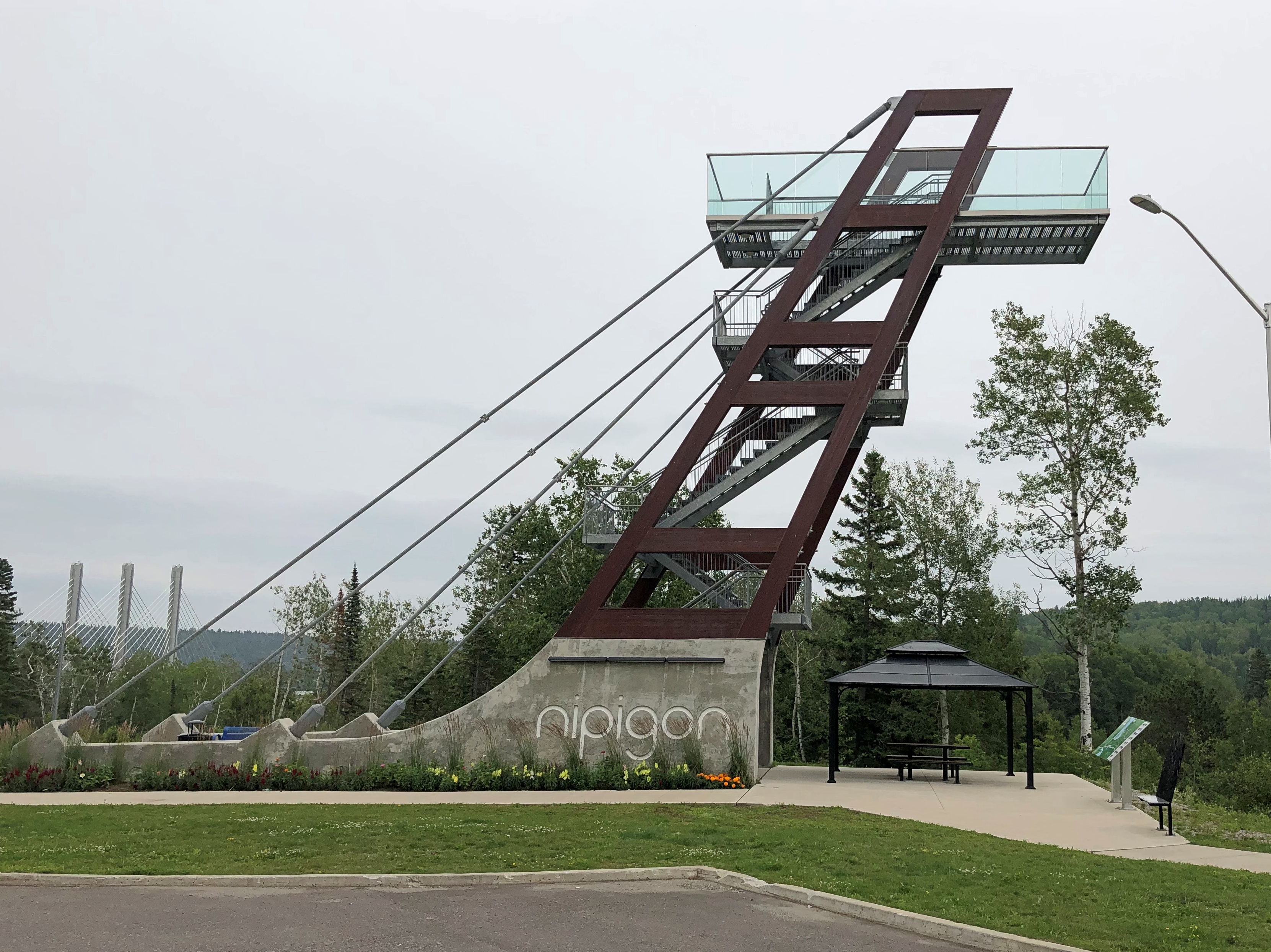
Naturally I climbed to the top for the vista. I need to do that kind of thing while I still can.Nipigon, Ontario
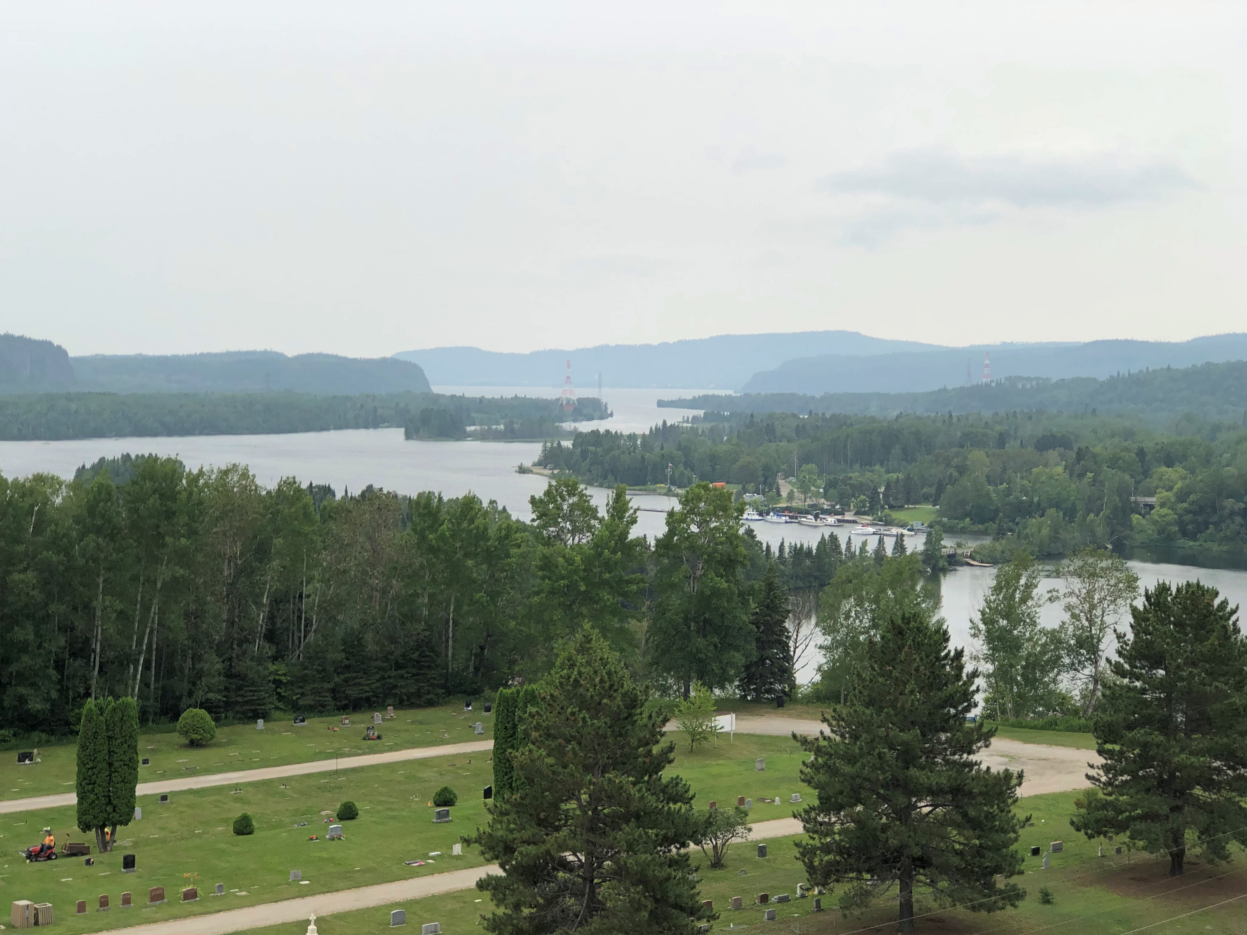
The Trans-Canada crossing the Nipigon River. Elegant, but with a troubled recent history.

The bridge was also completed in 2018. Or rather, it was reopened that year.

“[The reopening] comes nearly three years after the bridge, described as the first cable-stayed bridge in Ontario, failed in January 2016, just weeks after it opened,” notes the CBC. Oops. Apparently no one died as a result, so there’s that.

“Engineering reports found that a combination of design and installation deficiencies caused the failure, which effectively severed the Trans-Canada Highway. Improperly tightened bolts on one part of the bridge snapped, causing the decking to lift about 60 centimetres.”

Further to the east: Rainbow Falls Provincial Park. Another short walk to a nice vista. Another thing to like about this part of Canada.Rainbow Falls, Ontario Rainbow Falls, Ontario

All together, it was a leisurely drive, but even so I arrived in Marathon, pop. 3,270 or so, before dark – long summer days are a boon up north – and took in a few local cultural sights.Marathon, Ontario
Marathon, Ontario

Just the exterior of the curling club. Wok With Chow, on the other hand, provided me dinner that evening, inside and at a table. Good enough chow, and demonstrating just how deeply ingrained Chinese food is in North America.
Dublin, Barcelona, Then Venice

After a mostly dry June here in northern Illinois, early July saw some rain, but not quite enough to end the dry spell. Out beyond the grass and gardens of the suburbs, it’s a “stressful time for corn and soybeans.”

June 25, mid-day, at a cornfield in southern Wisconsin, which is suffering a drought as well. Moderate drought for the county that includes this field, at least as of the end of June.

The field looked healthy to my untrained eye, but for all I know that’s what a stressed crop looks like a few weeks into a drought. I might be up that way again next weekend or the next, and I’ll stop by for a look at the same field if so.

I had the opportunity to spend most of a weekend in Los Angeles in early June, so naturally I did. To visit some of the places that I considered but didn’t have time for in pre-pandemic 2020, because that’s how I think, though I didn’t make it to La Brea Tar Pits this time or earlier. Like the Cloisters on the other coast, it’s a place that still eludes me.

On the other hand, I made a point of going to the Los Angeles neighborhood of Venice this time.

Though named for the place in Italy,  Venice has a distinctly American history, invented as it was ex nihilo by a real estate developer looking to reference the Old World in the newest part of the New World, namely California. Not just any developer, but one Abbot Kinney, whose career was circuitous and strange, the way business men could be in the late 19th and early 20th centuries.

Not only that, the arc of history in Venice is very much American: an initial flowering, subsequent decline, much demolition and disfigurement in the name of modernization, years of scraping along the bottom, an effort to save its meager remnants, gentrification and insane property values – all within the span of about a century, specifically within the 20th, though spilling into the 21st. Which is an affluent time for Venice of America.Venice, California 2023

“When it opened on July 4, 1905, Venice of America boasted seven distinct canals arranged in an irregular grid pattern, as seen… in Kinney’s master plan for the community,” KCET says. “Totaling nearly two miles and dredged out of former saltwater marshlands, the canals encircled four islands, including the tiny triangular United States Island. The widest of them, appropriately named Grand Canal, terminated at a large saltwater lagoon. Three of the smaller canals referred to celestial bodies: Aldebaran, Venus, and Altair.

“Soon, a second set of canals appeared just south of Kinney’s. Linking up with the existing network through the Grand Canal, these Short Line canals (named after the interurban Venice Short Line) were apparently built to capitalize on the success of Kinney’s development. Their origins are uncertain, but work started soon after Venice of America’s 1905 grand opening, and by 1910 real estate promoters Strong & Dickinson and Robert Marsh were selling lots in what they named the Venice Canal Subdivision. Built almost as an afterthought, these six watercourses are the only Venice canals that survive today.”

The rest, the originals in their irregular grid and with their celestial names, were long ago filled in and paved over – that would be the demolition and disfigurement.

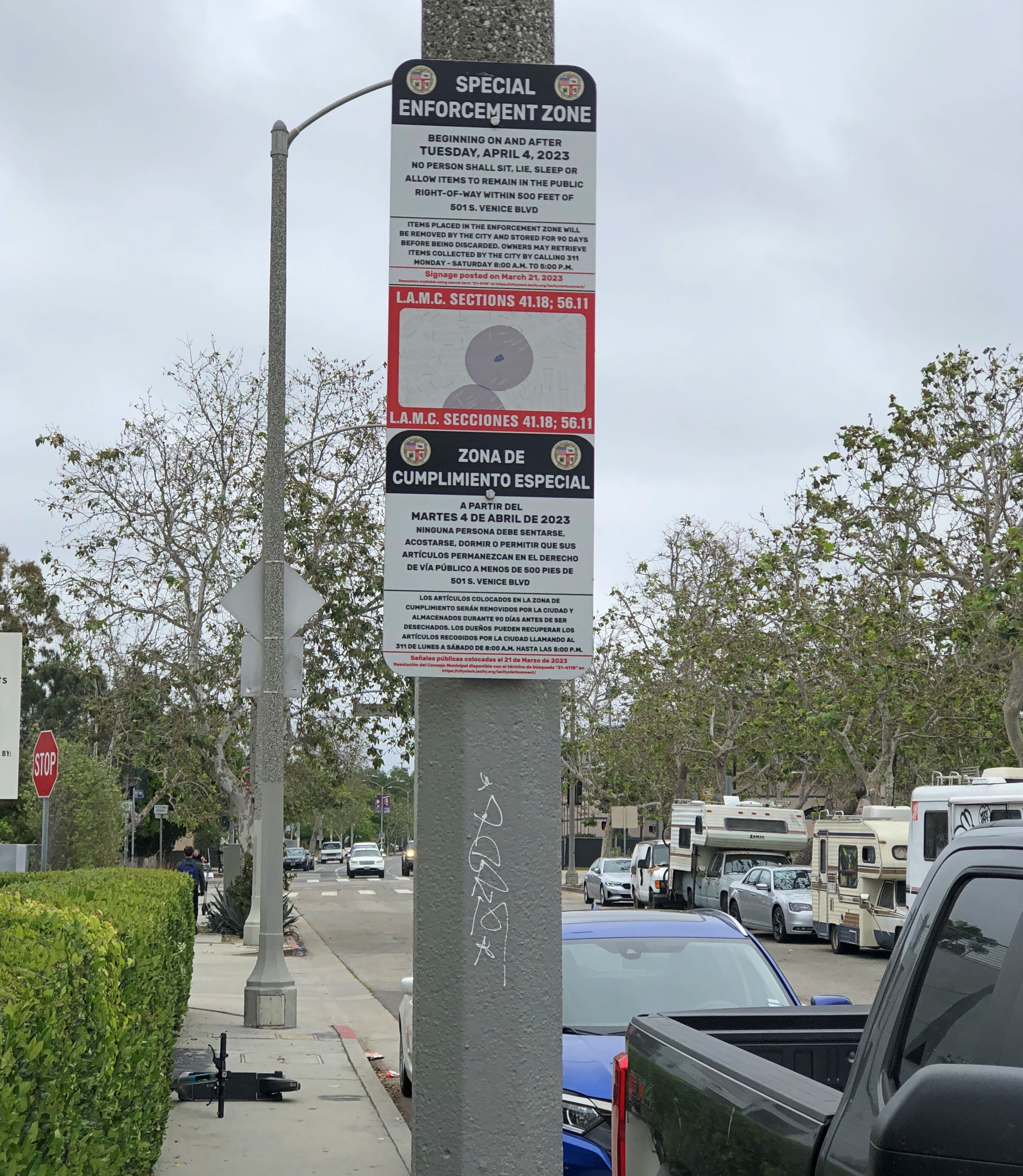
I arrived in the neighborhood fairly early in the morning, early enough – I realized later – to park on Venice Blvd. within walking distance of both the canals and the beach, which is more difficult later in the day. Venice Blvd., near the ocean at least, also happens to be the locus of a handful of residents living in parked RVs and, for those who can’t swing that, tents in the boulevard median.

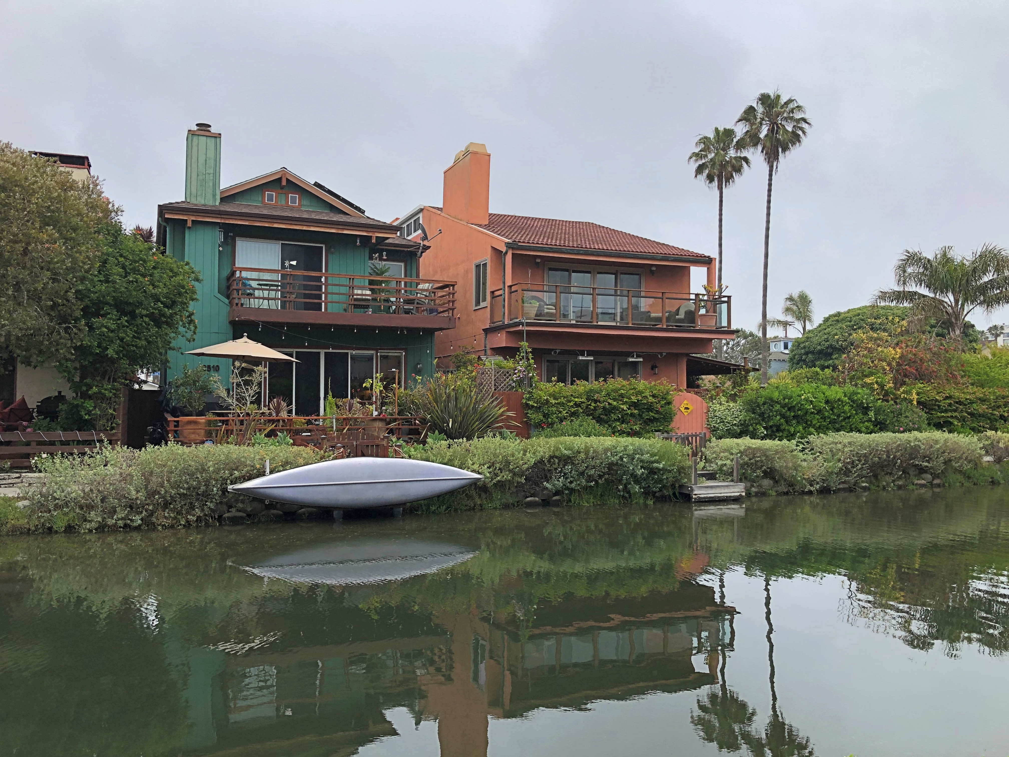
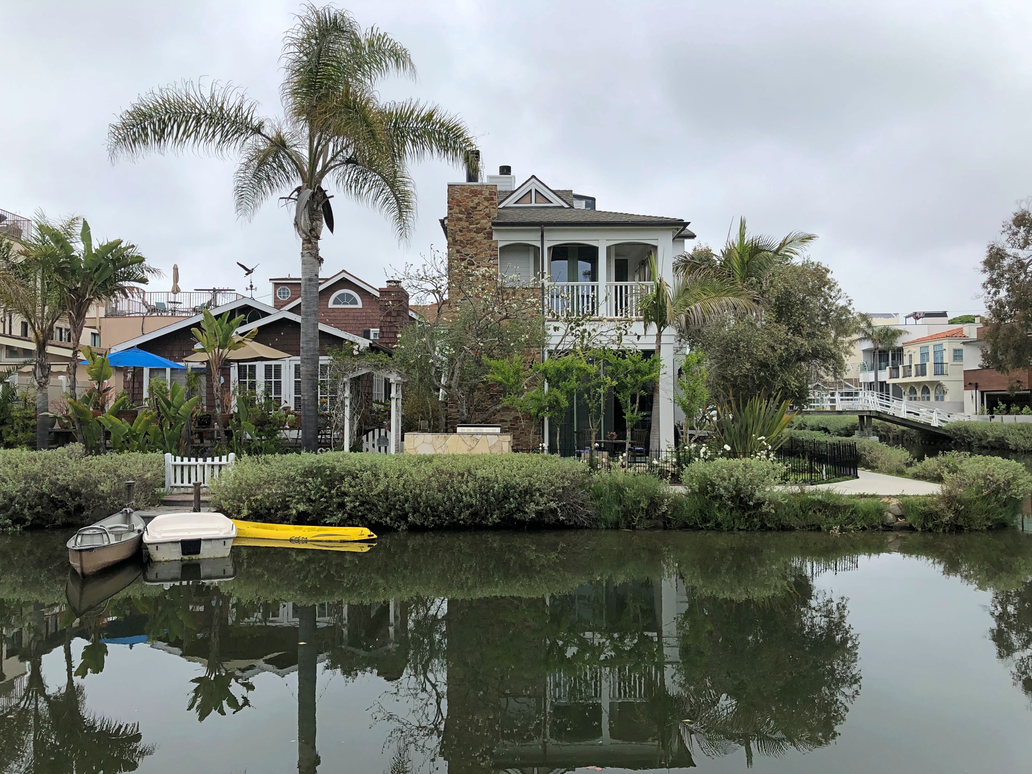
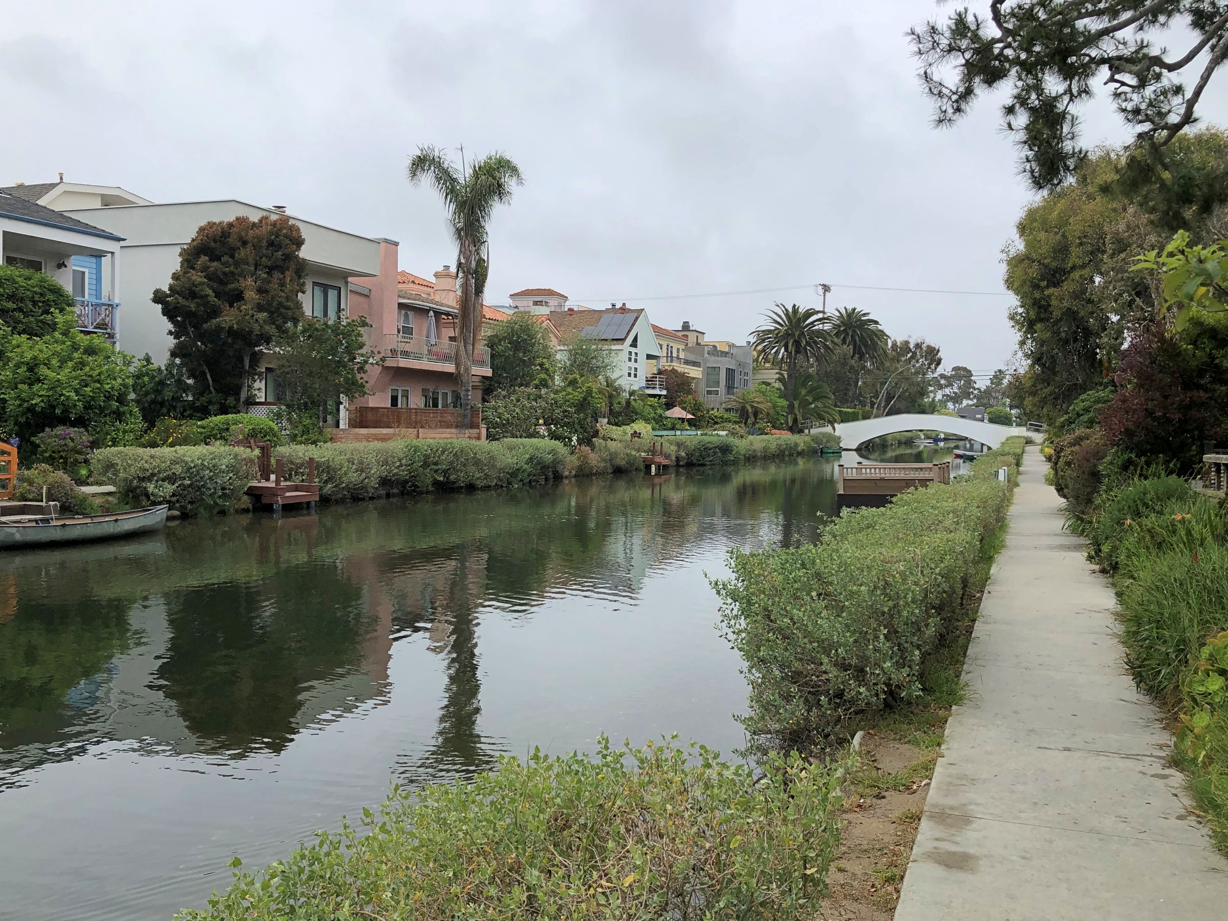
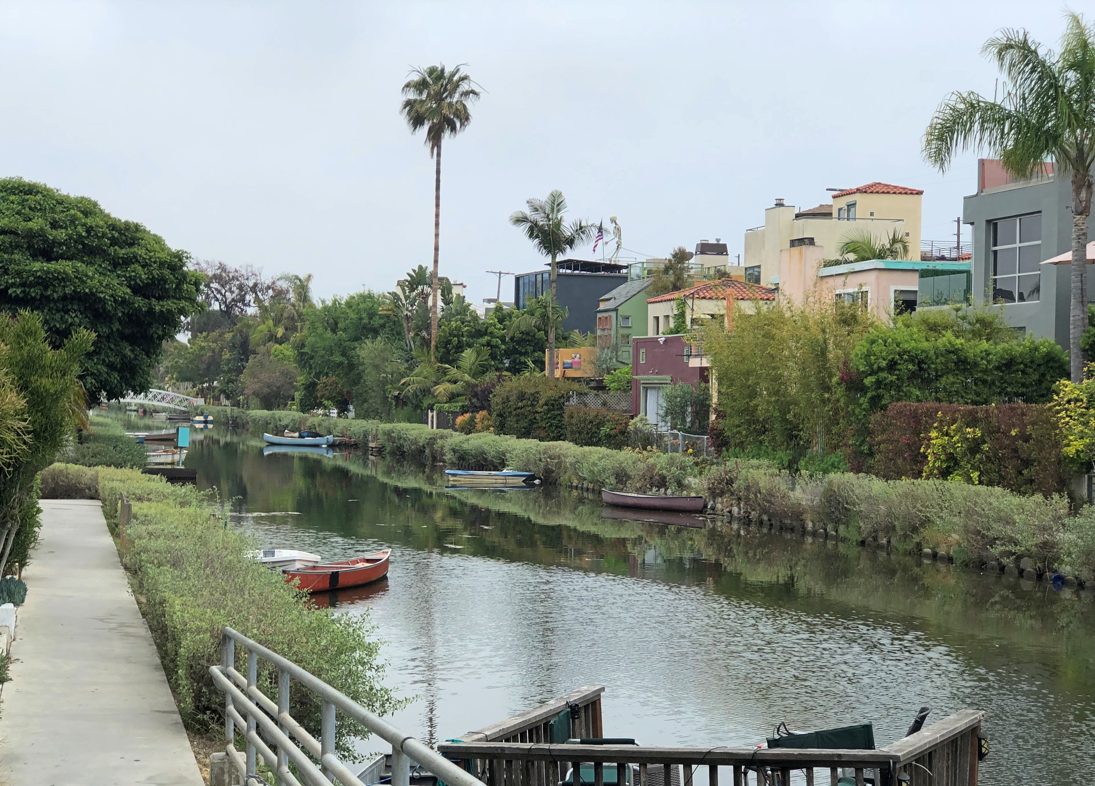
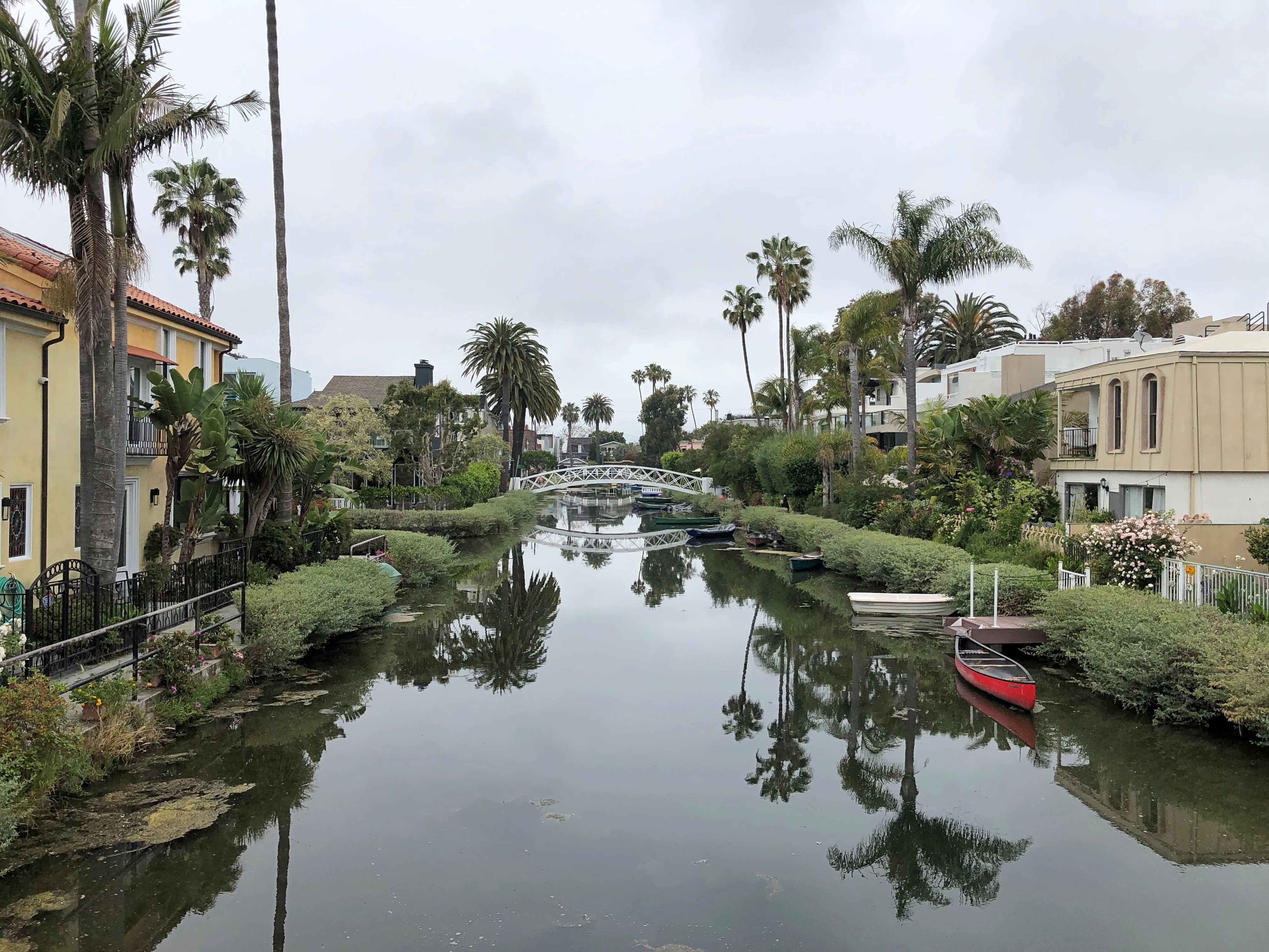
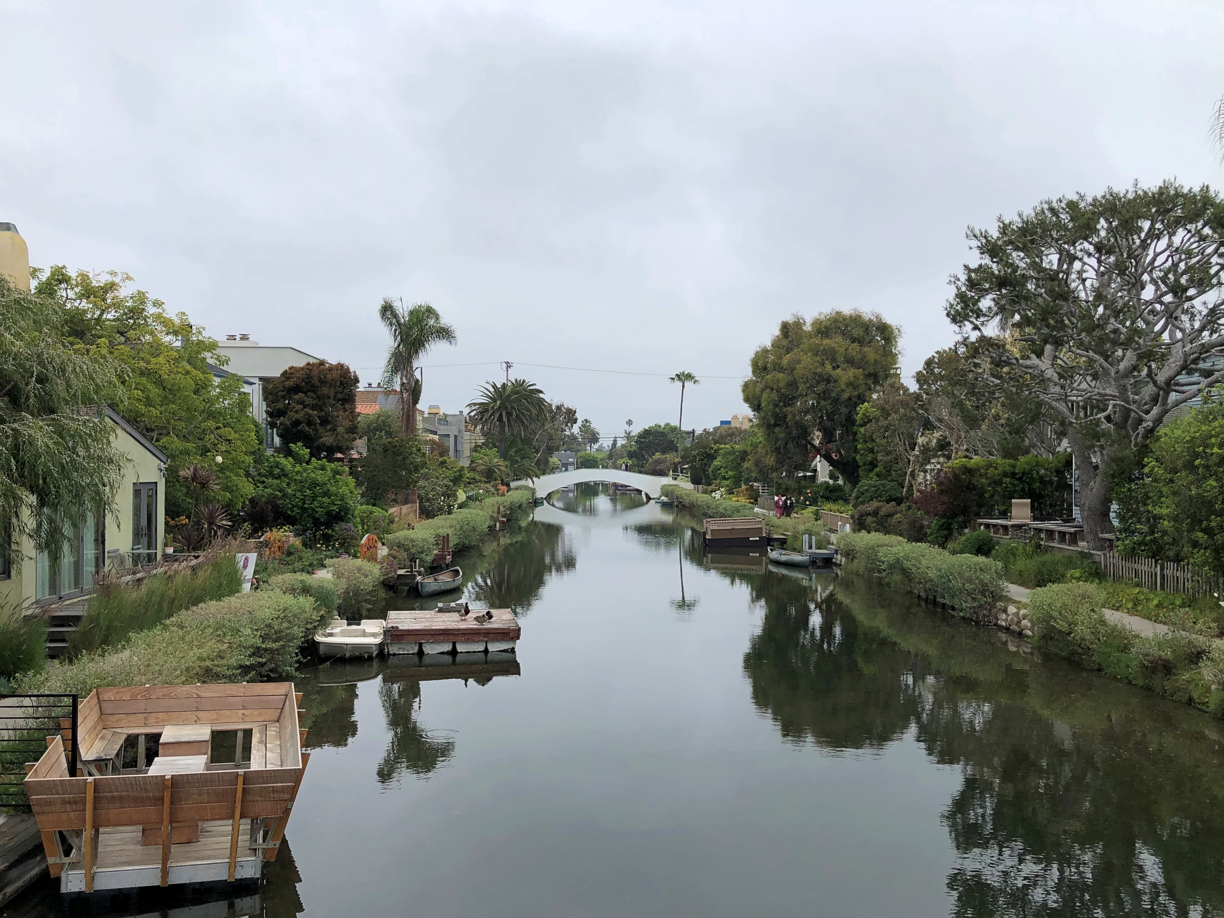
The canals form a neighborhood unlike any I’ve seen and, I have to say, flat-out gorgeous in our time.Venice California 2023 Venice California 2023 Venice California 2023 Venice California 2023

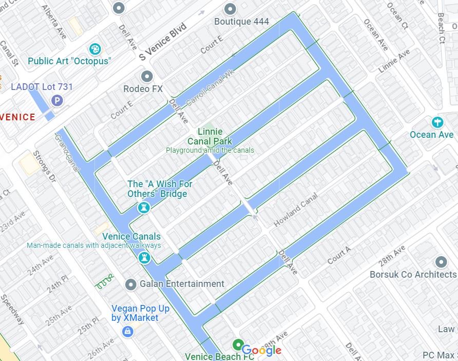
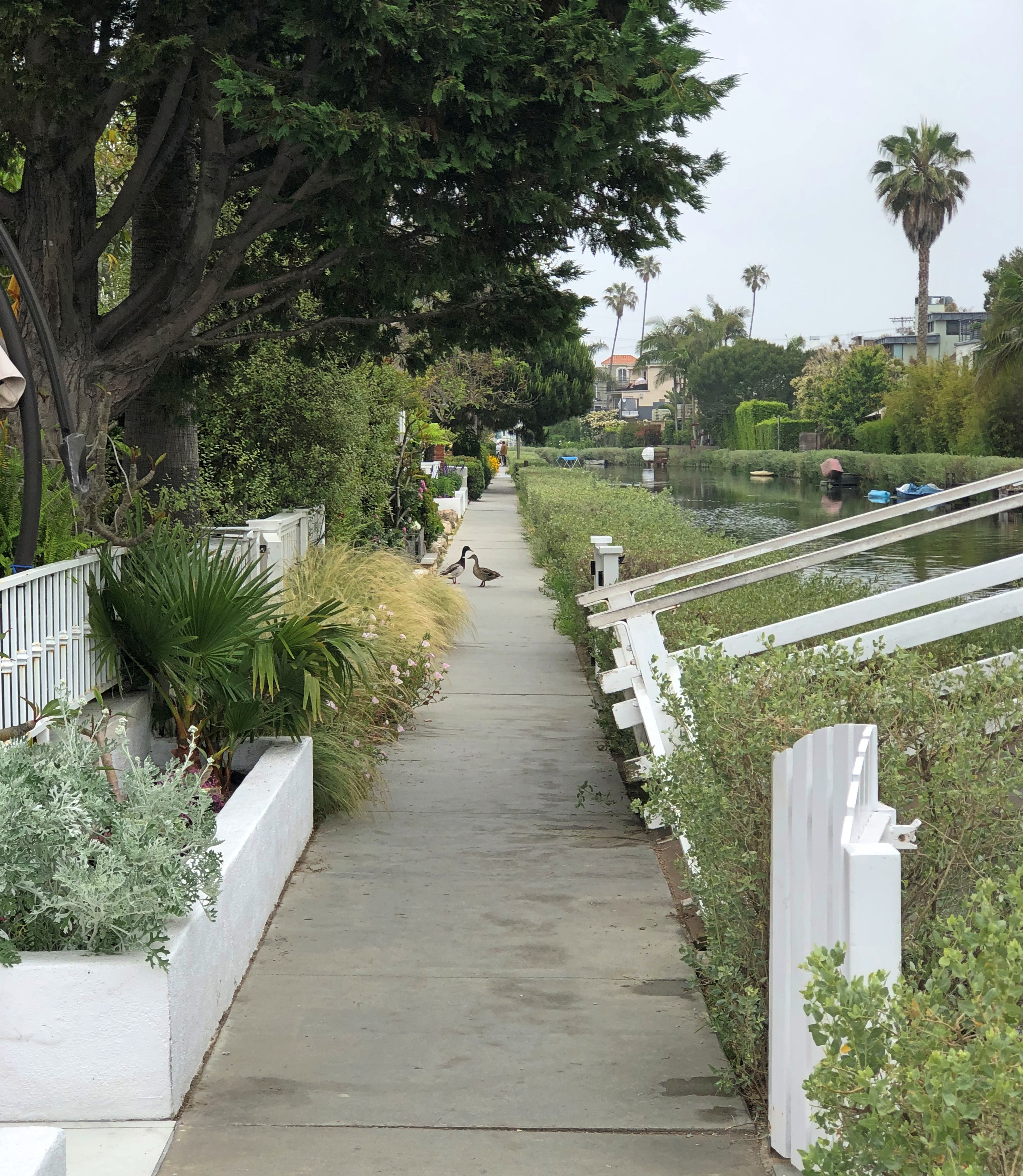
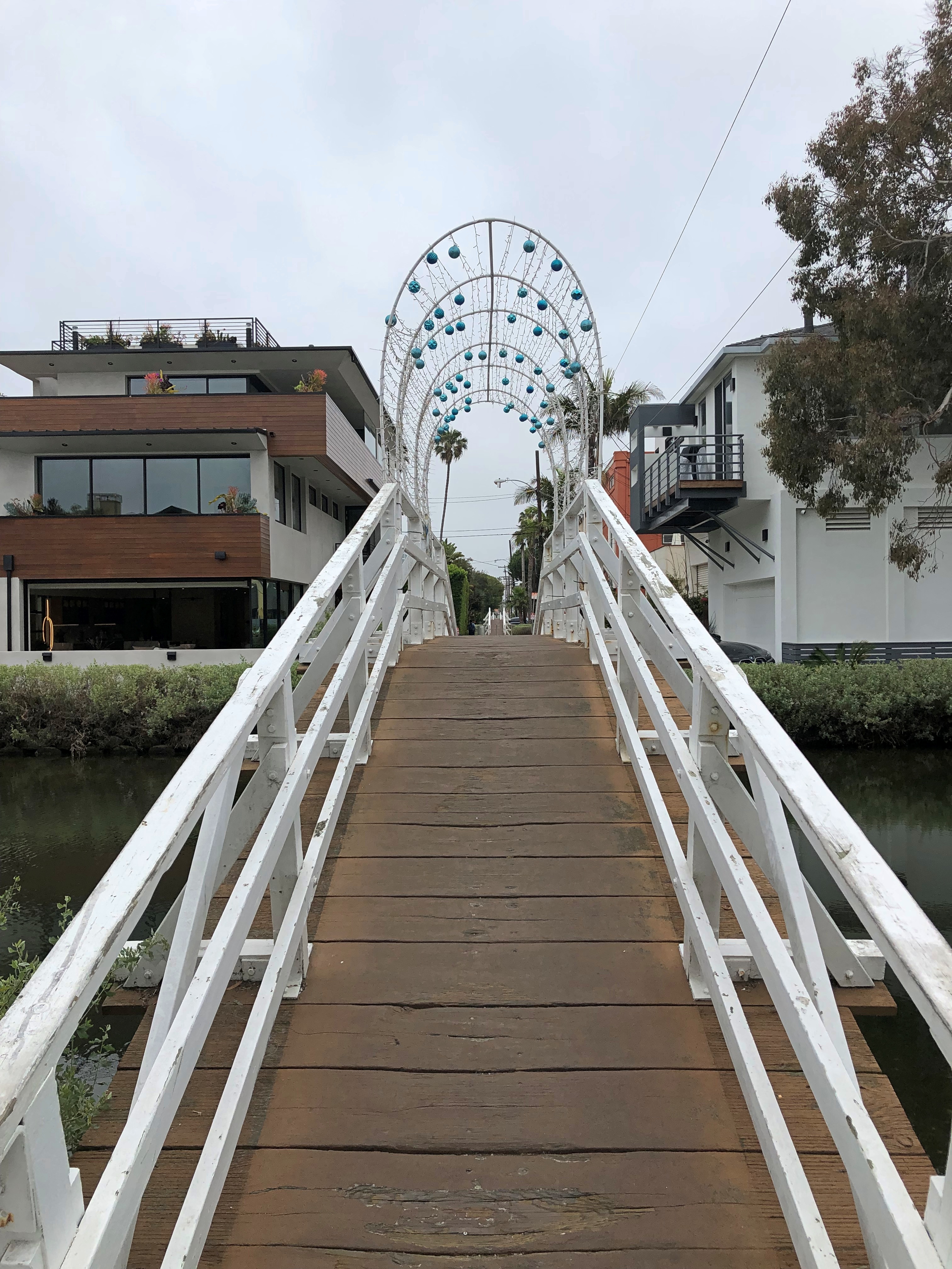
Public sidewalks run between front yards and the canals, with occasional footbridges crossing the canals. This arrangement, I’ve read, is the result of renovation that occurred in the early 1990s. The only vehicular street running through the neighborhood is Dell Ave., which connects with alleys behind the houses with the wide expanse of LA streets. The way residents drive in and out of the area, that is.Venice California 2023 Venice California 2023

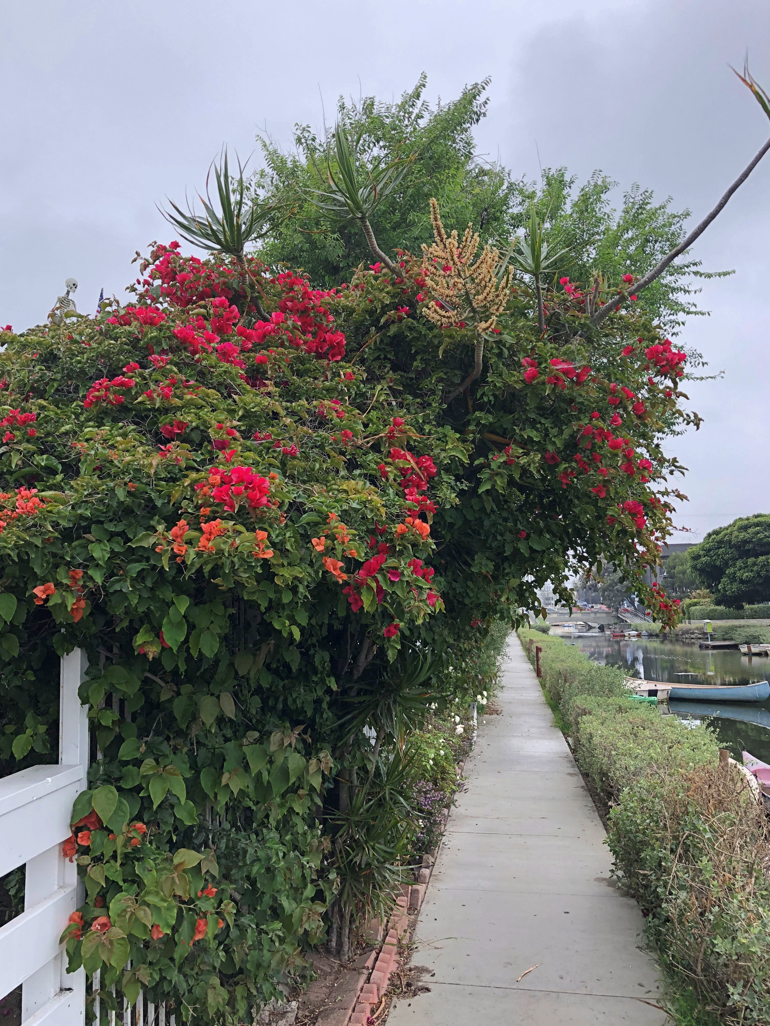
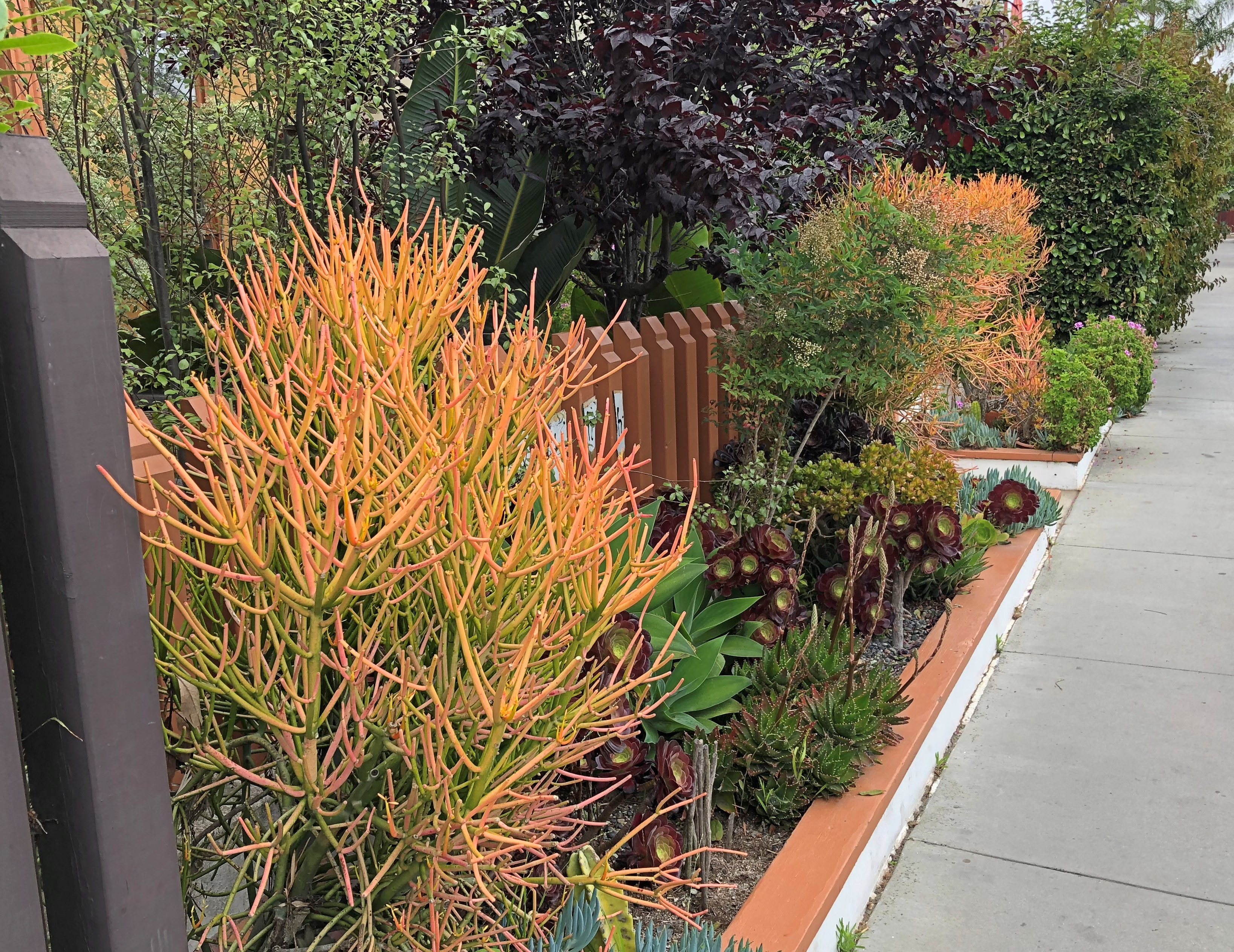
The yards are lush, at least they were in June. Temps weren’t that warm the day I visited, and the skies fully overcast and sometimes drizzly, since southern California seems to be in some kind of weird weather bubble these days. Made for a good walking environment, though.Venice California 2023 Venice California 2023 Venice California 2023 Venice California 2023

Hard to believe the area spent much of the 20th century as a slum; a quick look at Zillow’s estimates puts no property along the canals at much less than $2 million, and many a good deal more, with a scattering of new houses under way as well. Such is real estate across the decades.

Barcelona Scraps

One of these days, we might have a string of holidays and quasi-holidays from Juneteenth to July 4, the warm equivalent of Christmas to New Year’s Day. Anyway, back on July 9 or so.

Not as much smoke today, though it is still an air pollution action day, according to the NWS. Curious term. You’d think it would be an inaction day, at least as far as outdoors activity is concerned.

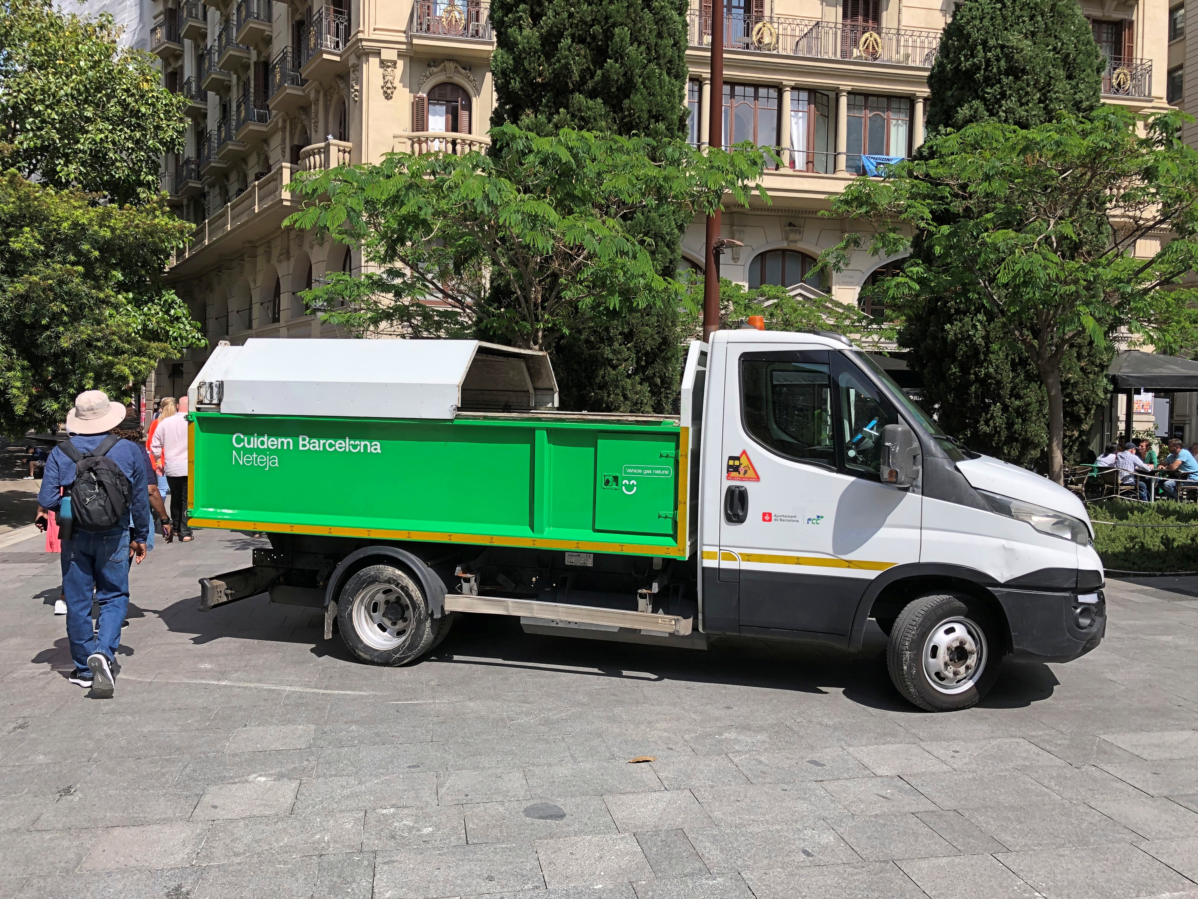
Barcelona city trucks. Specifically, neteja (cleaning).Barcelona cleaning truck Barcelona cleaning truck

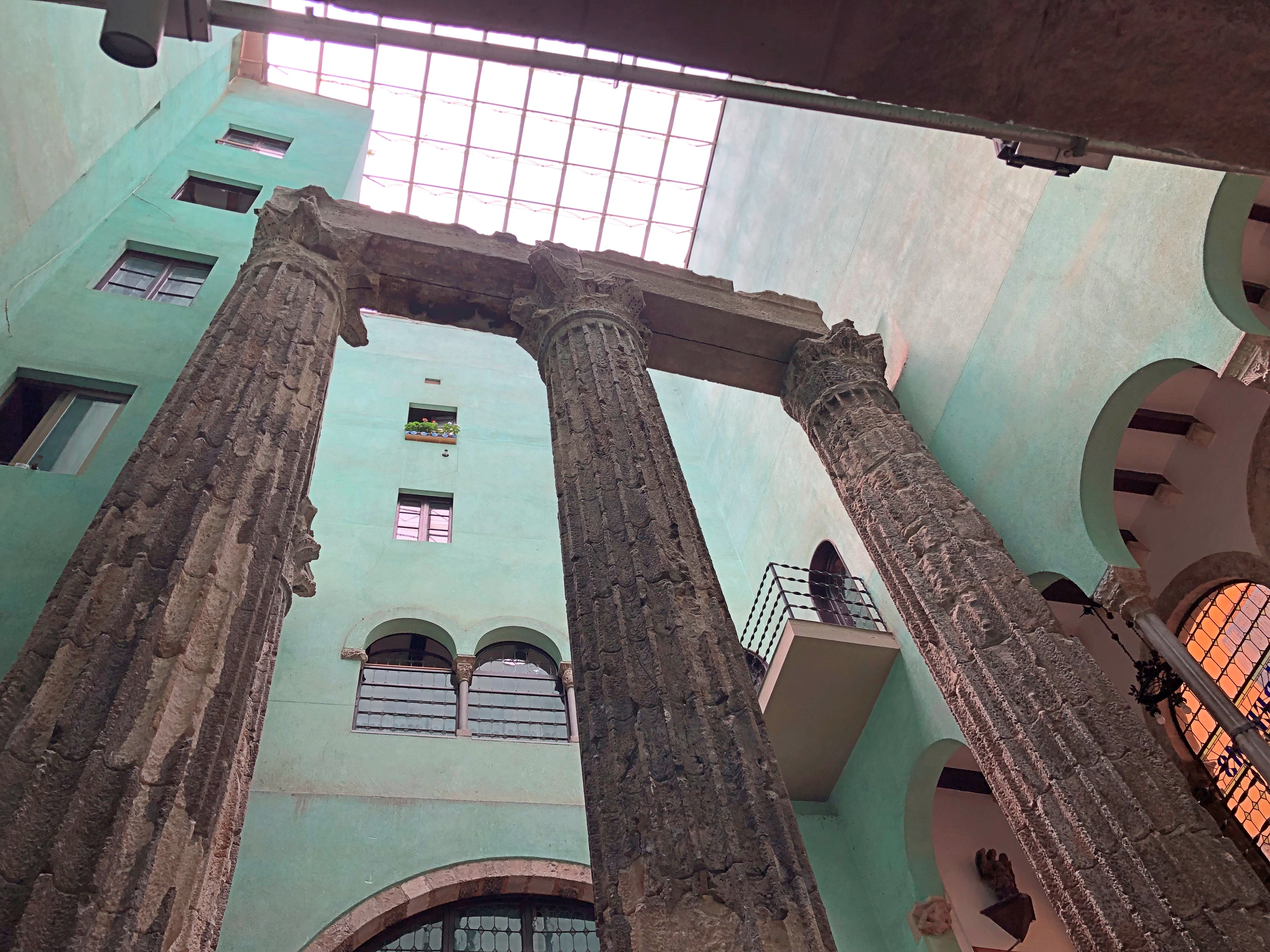
The Temple d’August, which is tucked away on a narrow street in the Gothic Quarter. Barcelona

The only Roman ruins we saw on the trip. Toyed with the idea of going to Tarragona to visit its extensive ruins, but that didn’t happen.

“The uniform columns of the Temple of Augustus inside are 9 metres tall and comprise an imposing relic of one of the temples from Barcelona’s Forum, which stood on a corner site at the rear,” Visit Barcelona says. “The temple was built in the 1st century BC and, as its name suggests, it was dedicated to the worship of Emperor Augustus…. The temple was reconstructed by the architect Puig i Cadafalch in the early 20th century.”

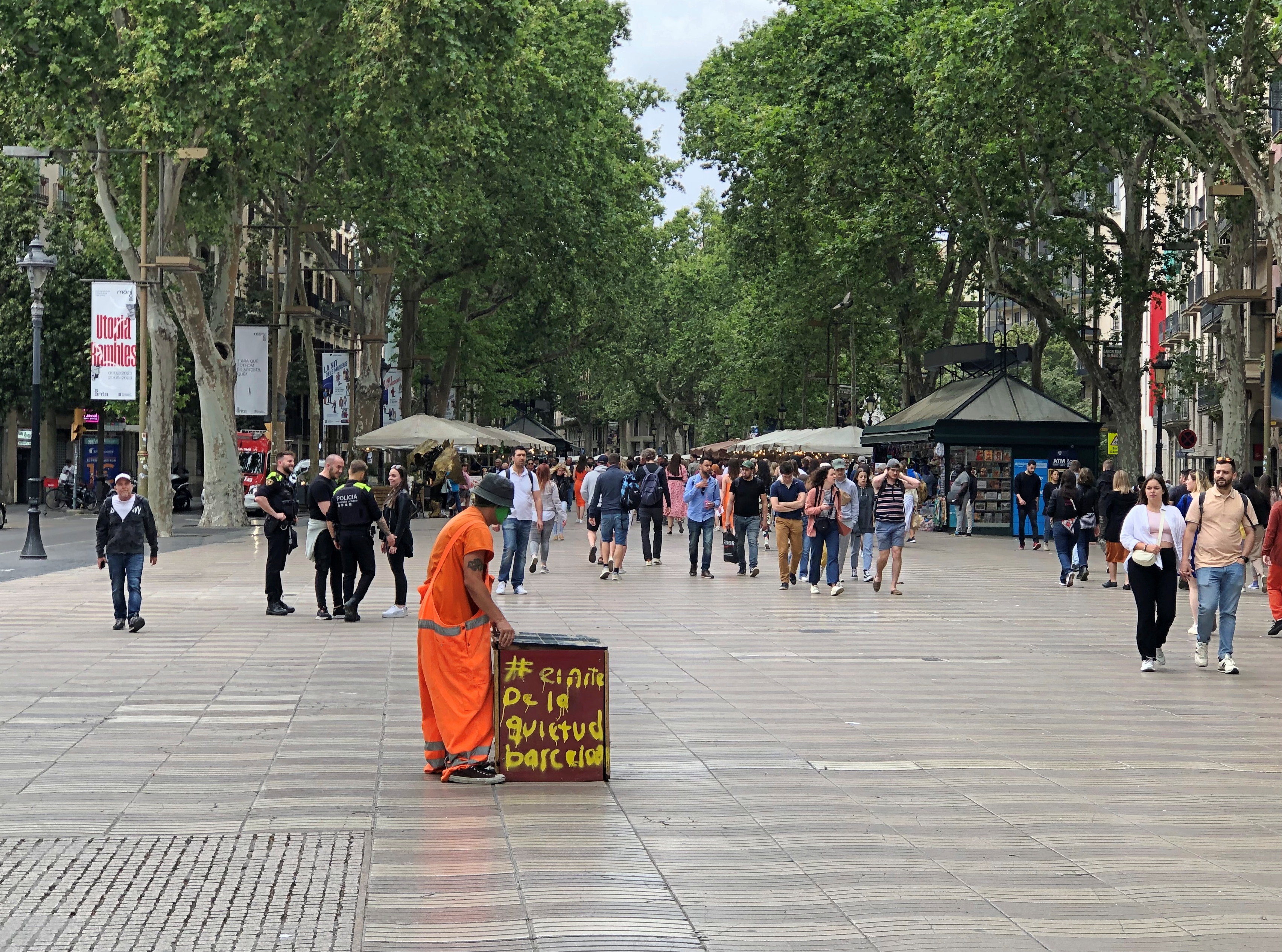
La Rambla, near one end. The end near the ocean.La Rambla

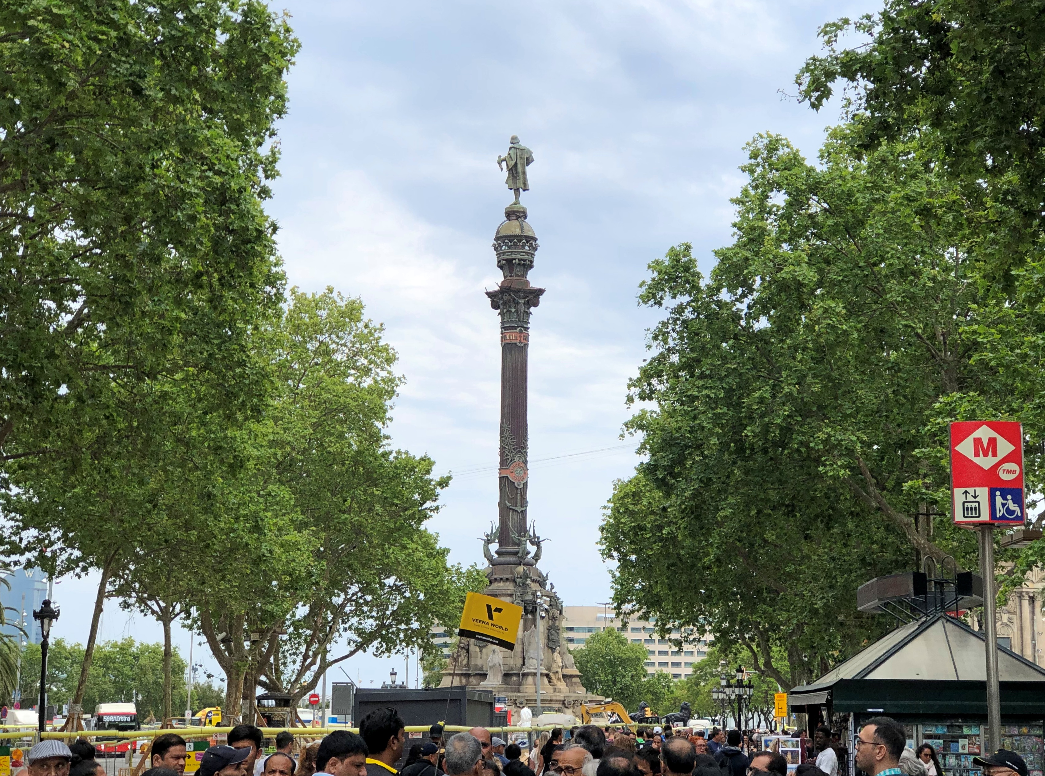
Columbus still looks out to sea at that point, as he has done since 1888. Monument a Colom, the maps call it, and efforts to take it down have been unsuccessful so far.La Rambla

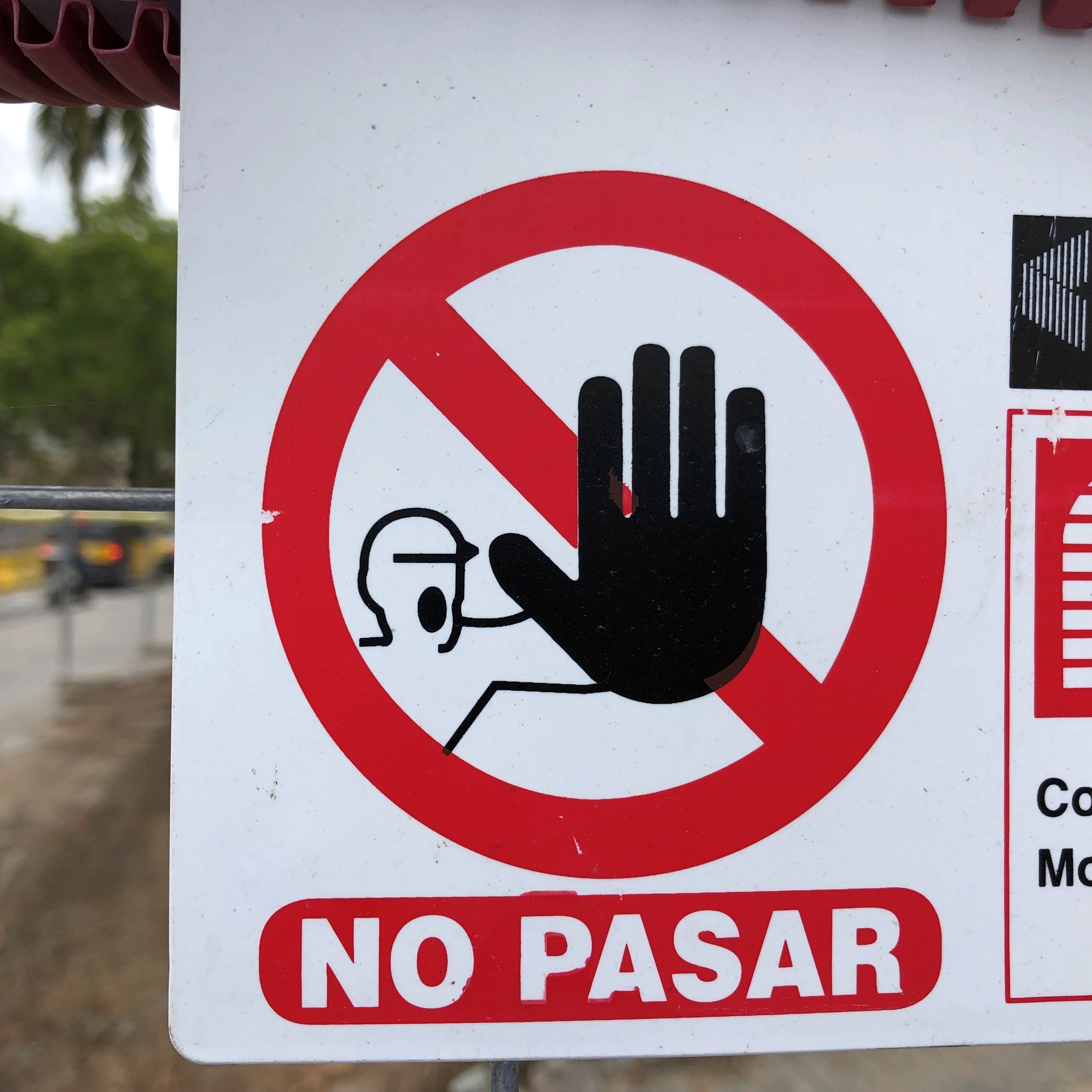
There was also a lot of construction in the area, with blocked off sections. I can’t see a sign like that in Spain and not be reminded of no pasarán!

The context is just a little different in this case, however. “Do not pass,” the dictionaries tell me, as opposed the more emphatic will not pass!

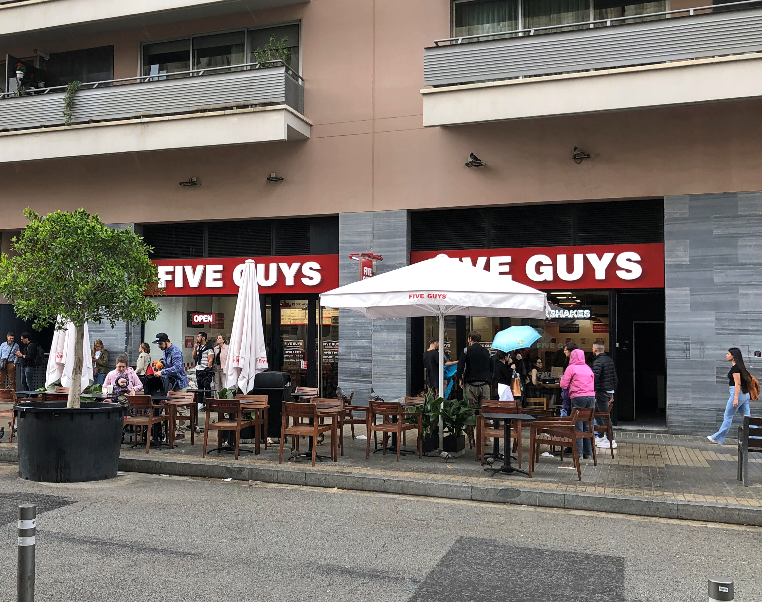
I expected to see fast food in Barcelona, but Five Guys was nevertheless a surprise, across the street from Sagrada Familia. Five Guys’ web site tells me that there are currently seven locations in the city, and 28 in Spain all together, with 13 of those in greater Madrid.Barcelona Five Guys

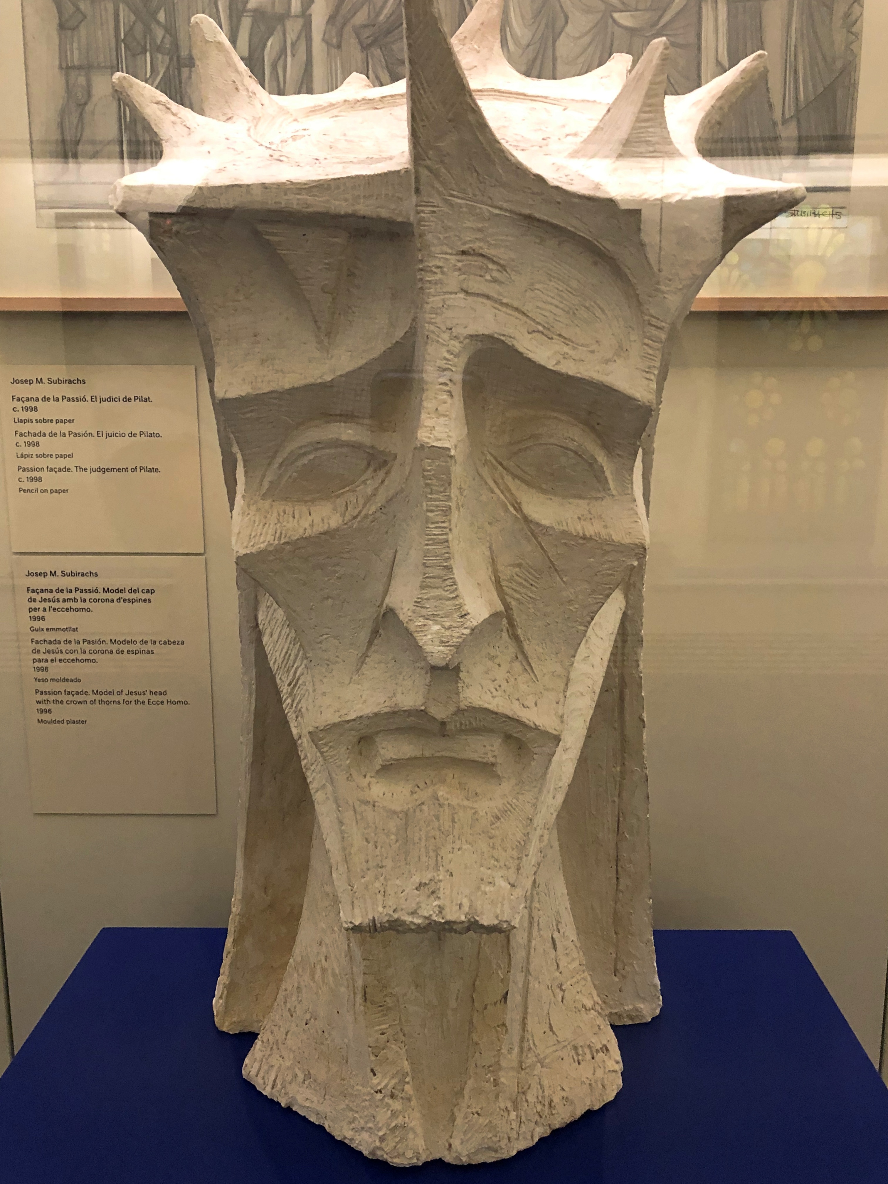
Model of Jesus’ head, on display in the small museum in the basement of Sagrada Família.Sagrada Familia

Cava sangria.

“This variation of sangria called Sangria de Cava in Spanish is made with the sparkling wine Cava, which can be white or rosé,” says Allrecipes. “The name Cava is a protected designation of origin in the European Union, which means that only sparkling wine produced in certain areas of Spain may be sold under that name. To make Cava Sangria, you can use another sparkling white wine instead. The rest of the ingredients is pretty similar to sangria. Cava Sangria often includes orange liqueur.”

Stickers on a wall in Barcelona. A common thing to see. No Buc-ee’s sticker. Not yet.

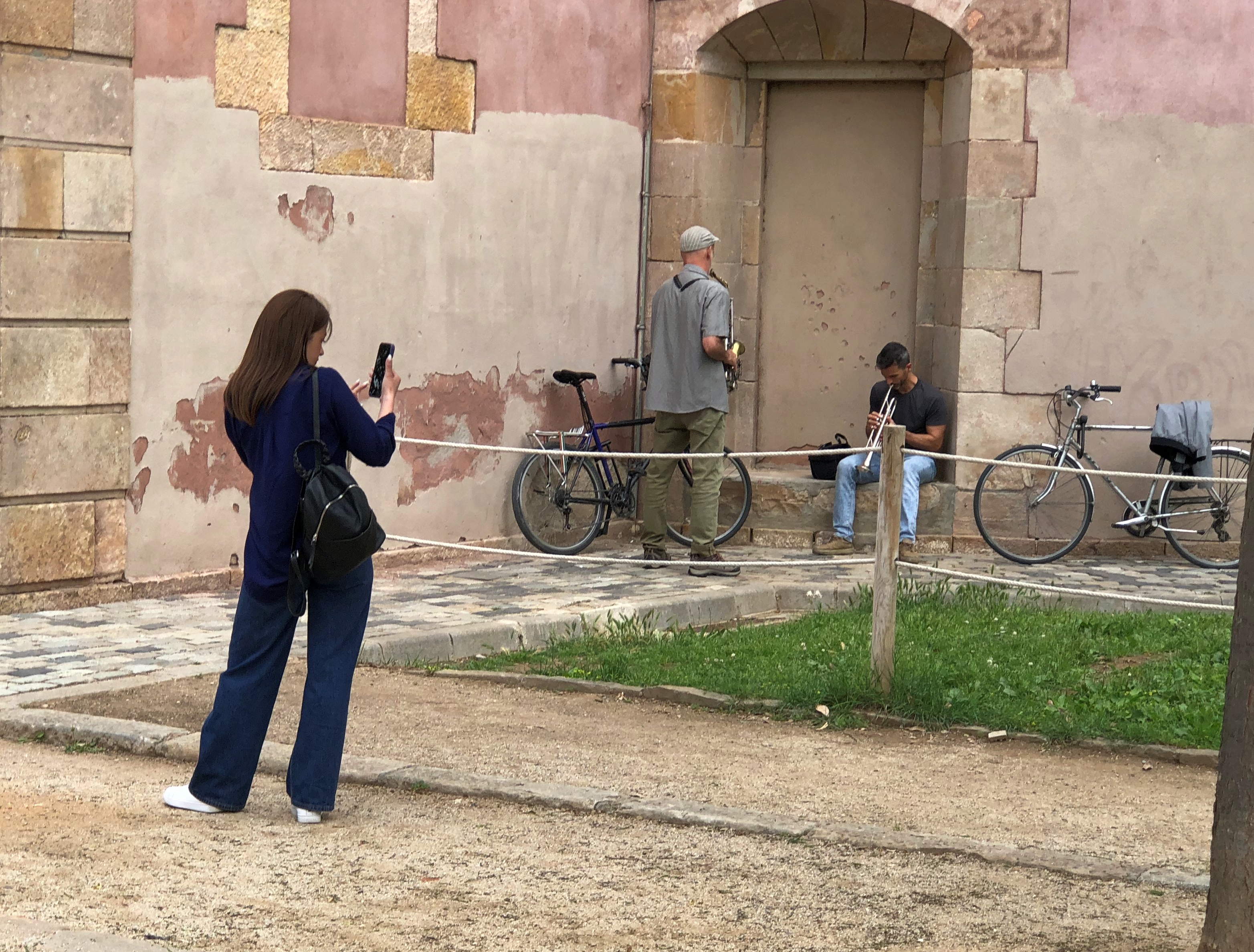
I took a picture of someone taking a picture of seemingly uninterested musicians, in Parc de la Ciutadella.Barcelona

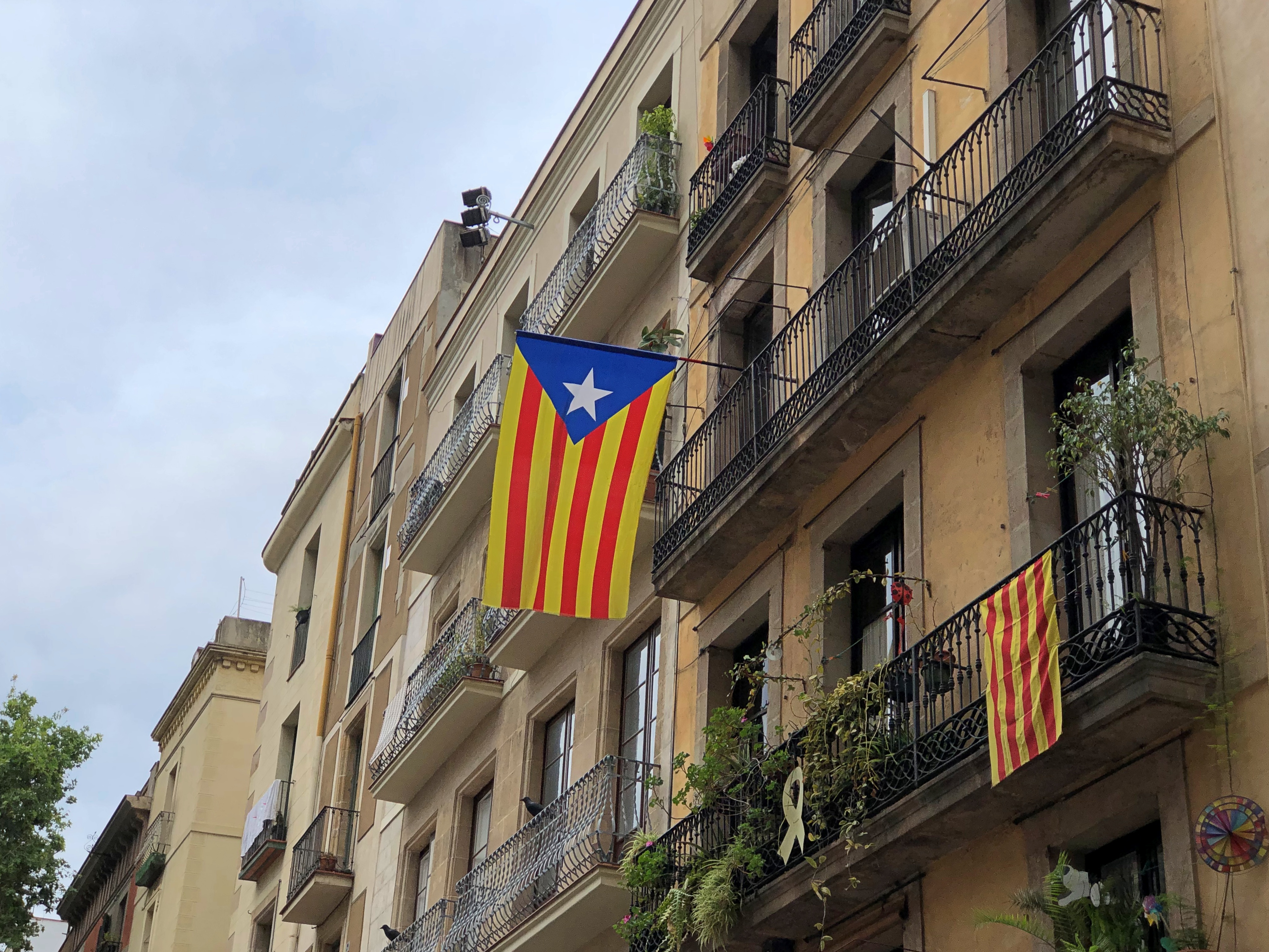
Sometimes you’d see the independence flag. Not that often, however. The latest effort at independence fizzled, after all.Catalonia flag

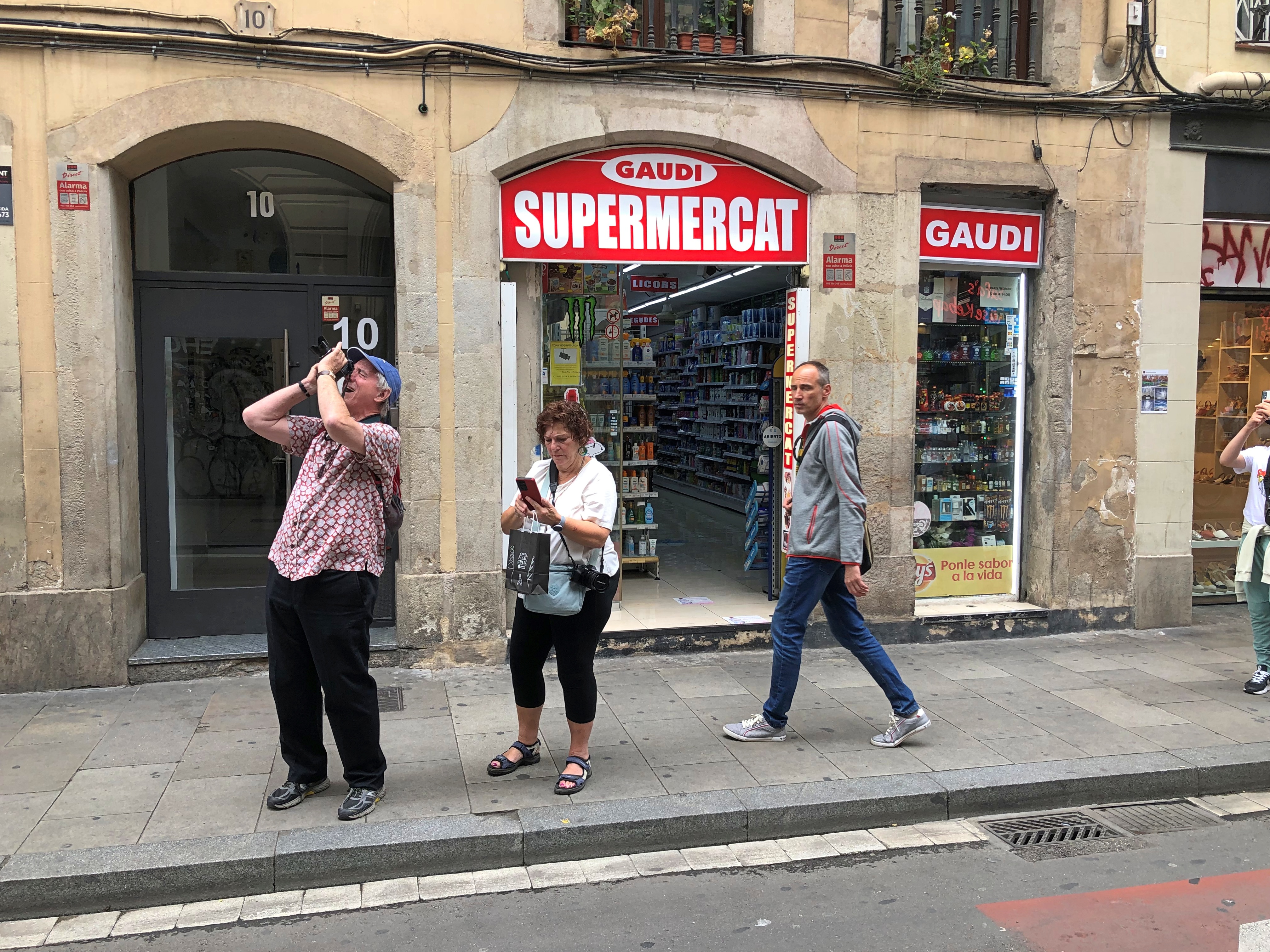
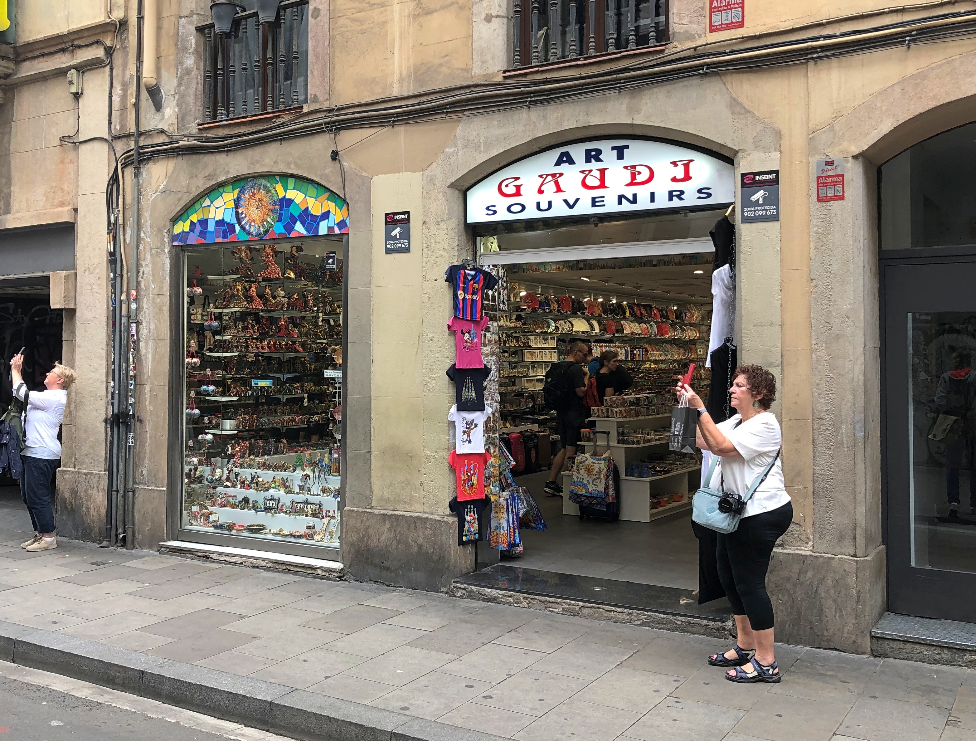
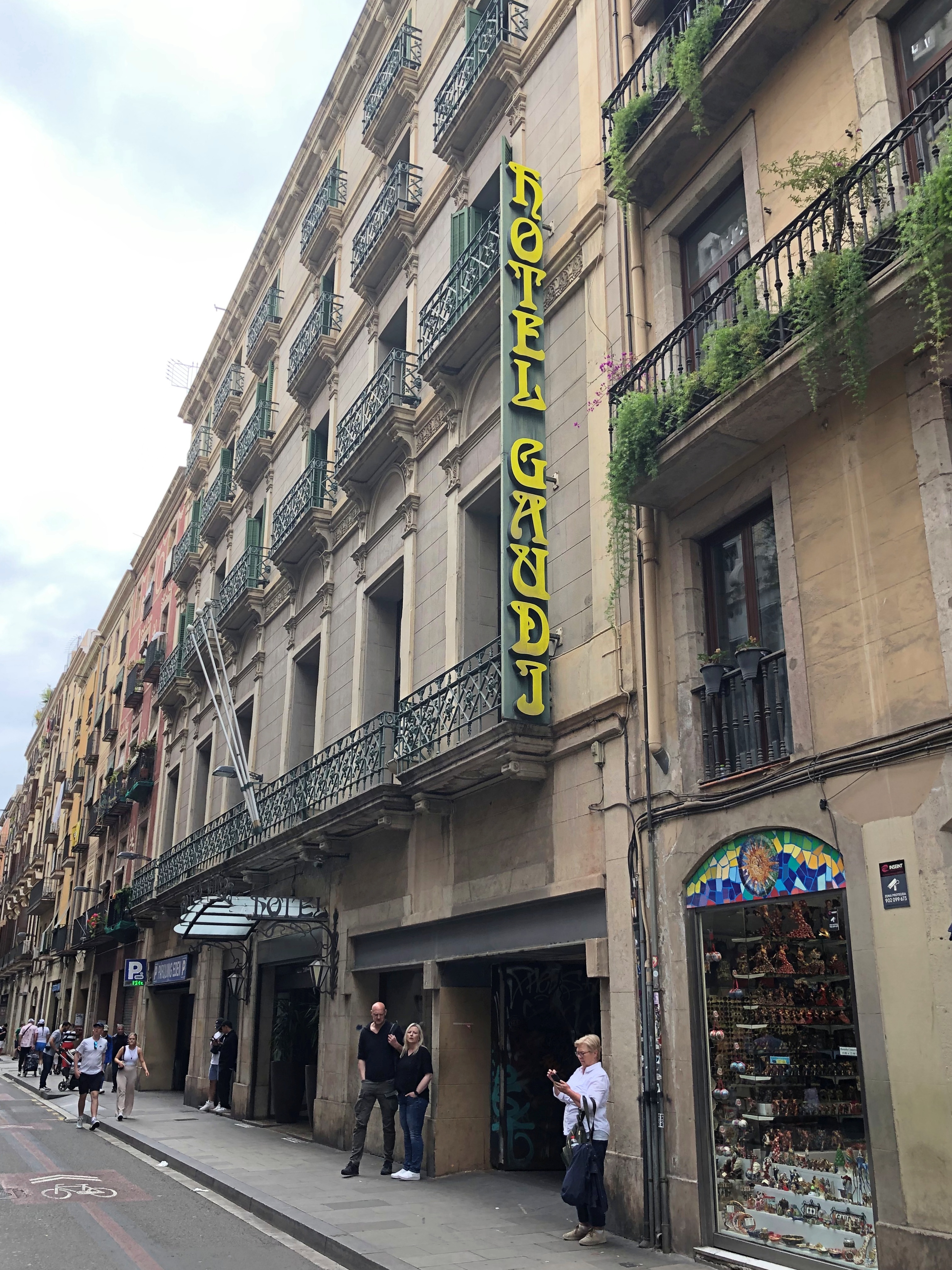
Near Palau Güell, you can find the Gaudi Supermercat, Art Gaudi Souvenirs, and the Hotel Gaudi.Barcelona Barcelona 2023 Barcelona 2023

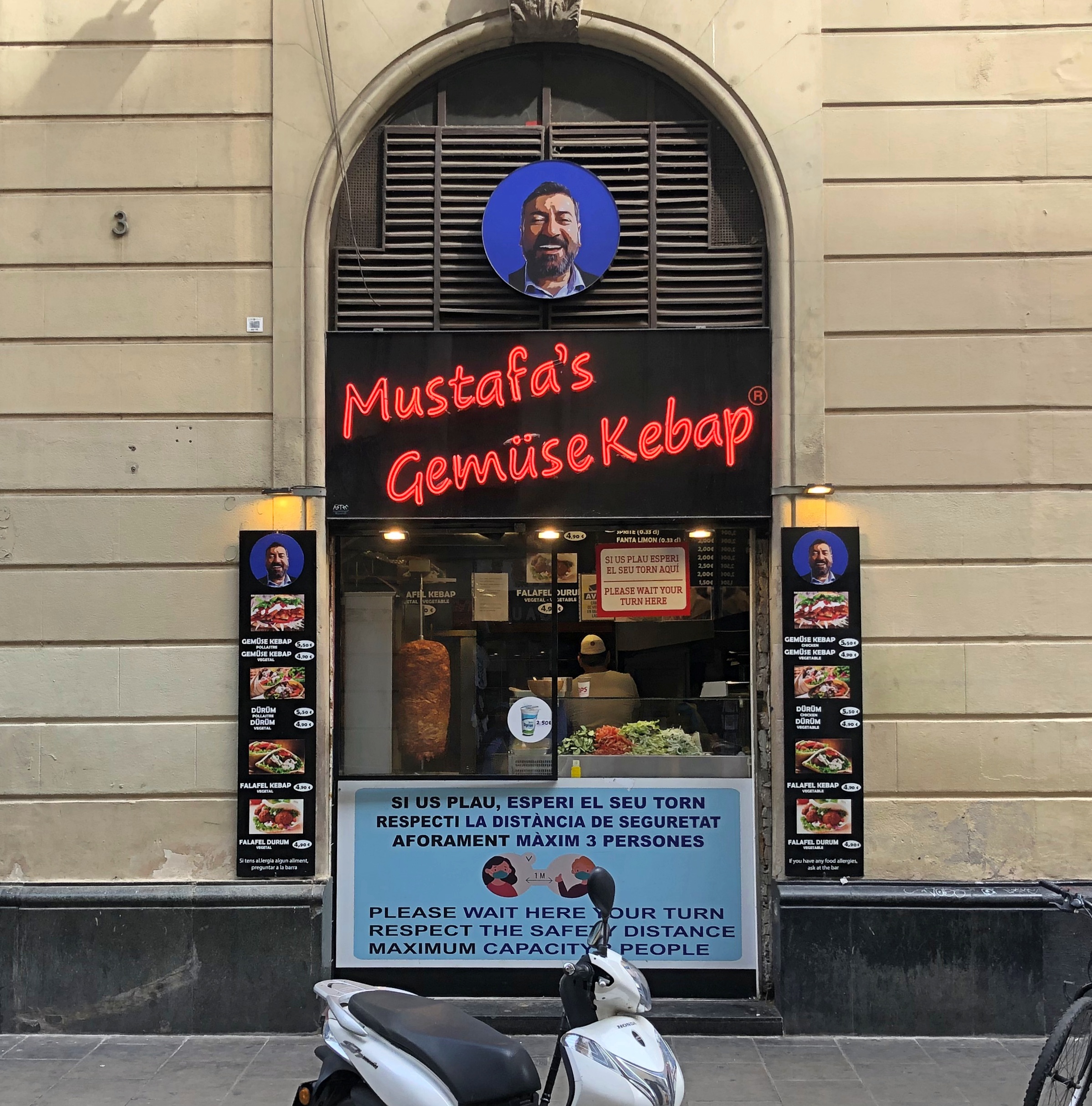
Not everything in the area had Gaudi’s name slapped on it. If we’d been hungry, we might have bought kebabs from this fellow.Barcelona 2023

Elsewhere, more Barcelona flowers.Barcelona 2023 Barcelona 2023

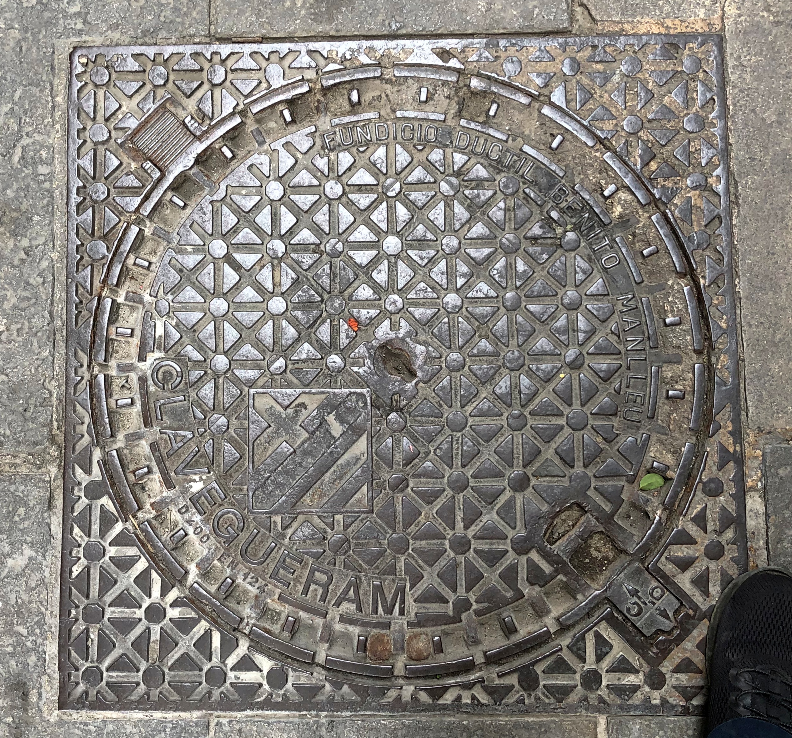
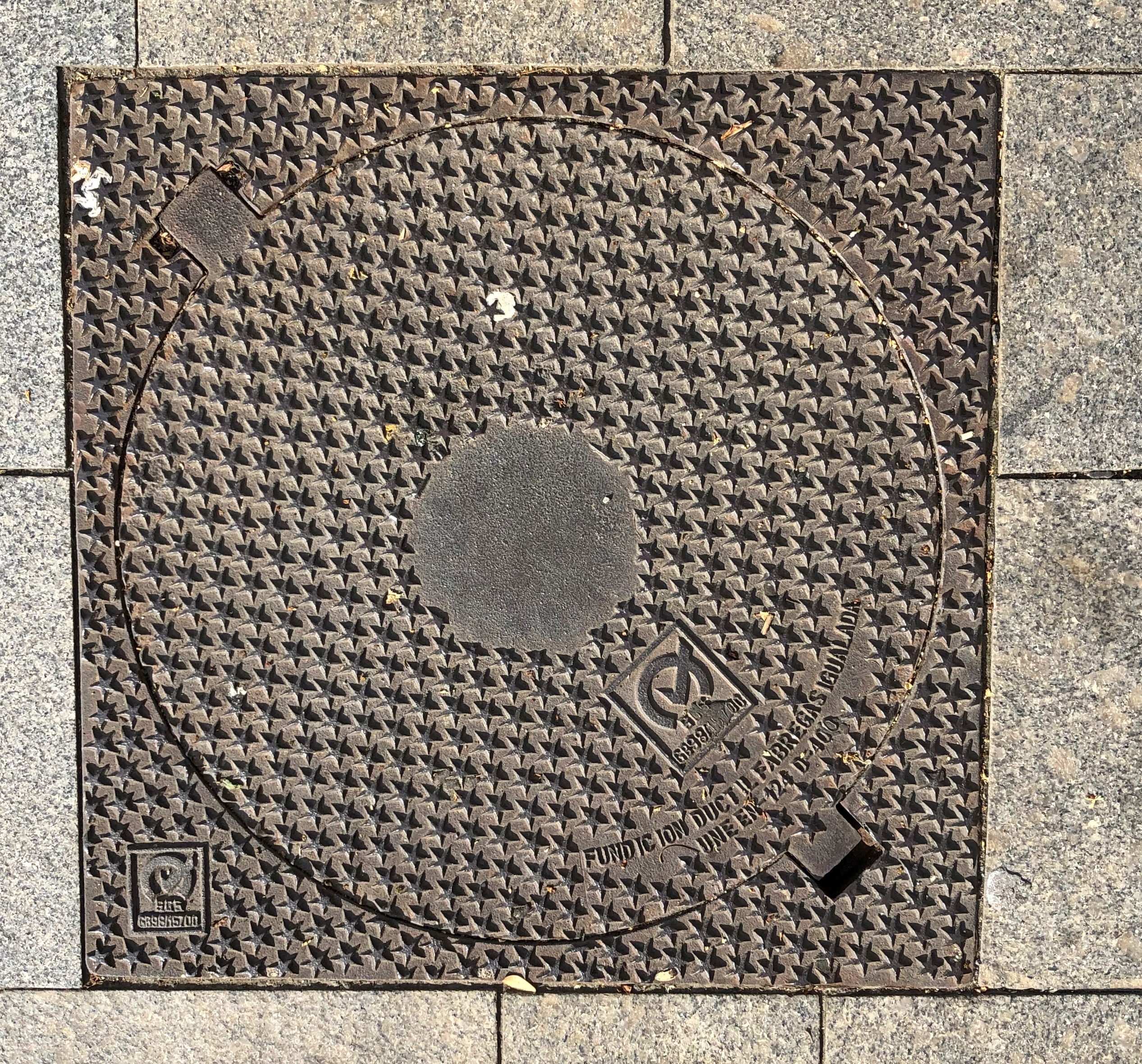
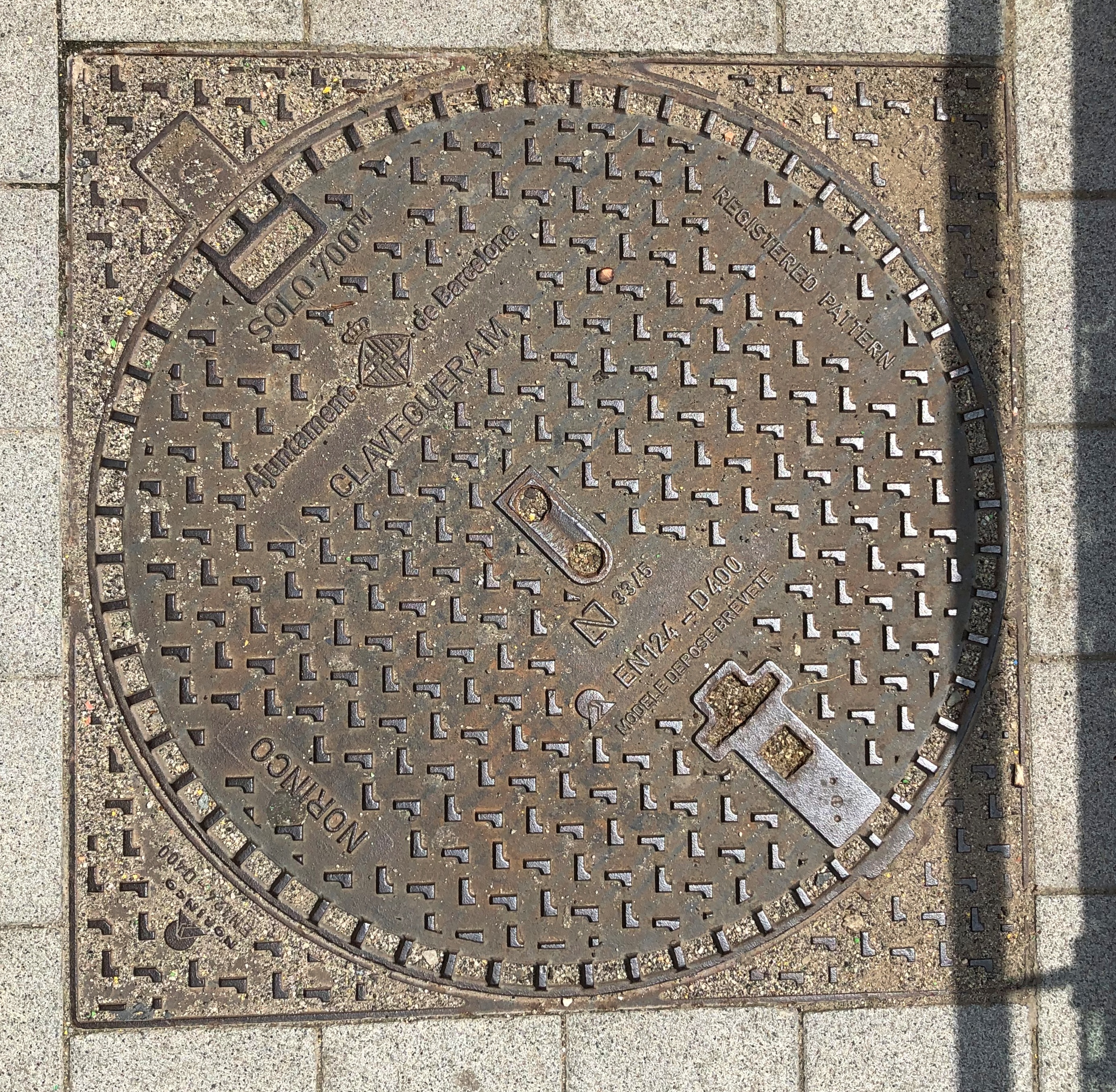
Finally, manhole covers. Like Dublin, Barcelona had some good manhole covers.Barcelona manhole cover 2023 Barcelona manhole cover 2023 Barcelona manhole cover 2023 Barcelona manhole cover 2023

Which is tapa de clavegueram in Catalan, at least according to automated online translation. Now you know.

Parc Güell

It has happened to me in a lot of places over the years, and I can’t quite account for it. In various parts of the United States, but also in Europe and Australia – anywhere I might blend in with a crowd, including places where I don’t speak the language. What happens: a stranger asks me directions. It happened in Barcelona, too, during our return from Parc Güell (Güell Park), down a fairly steep slope in the Gràcia district.

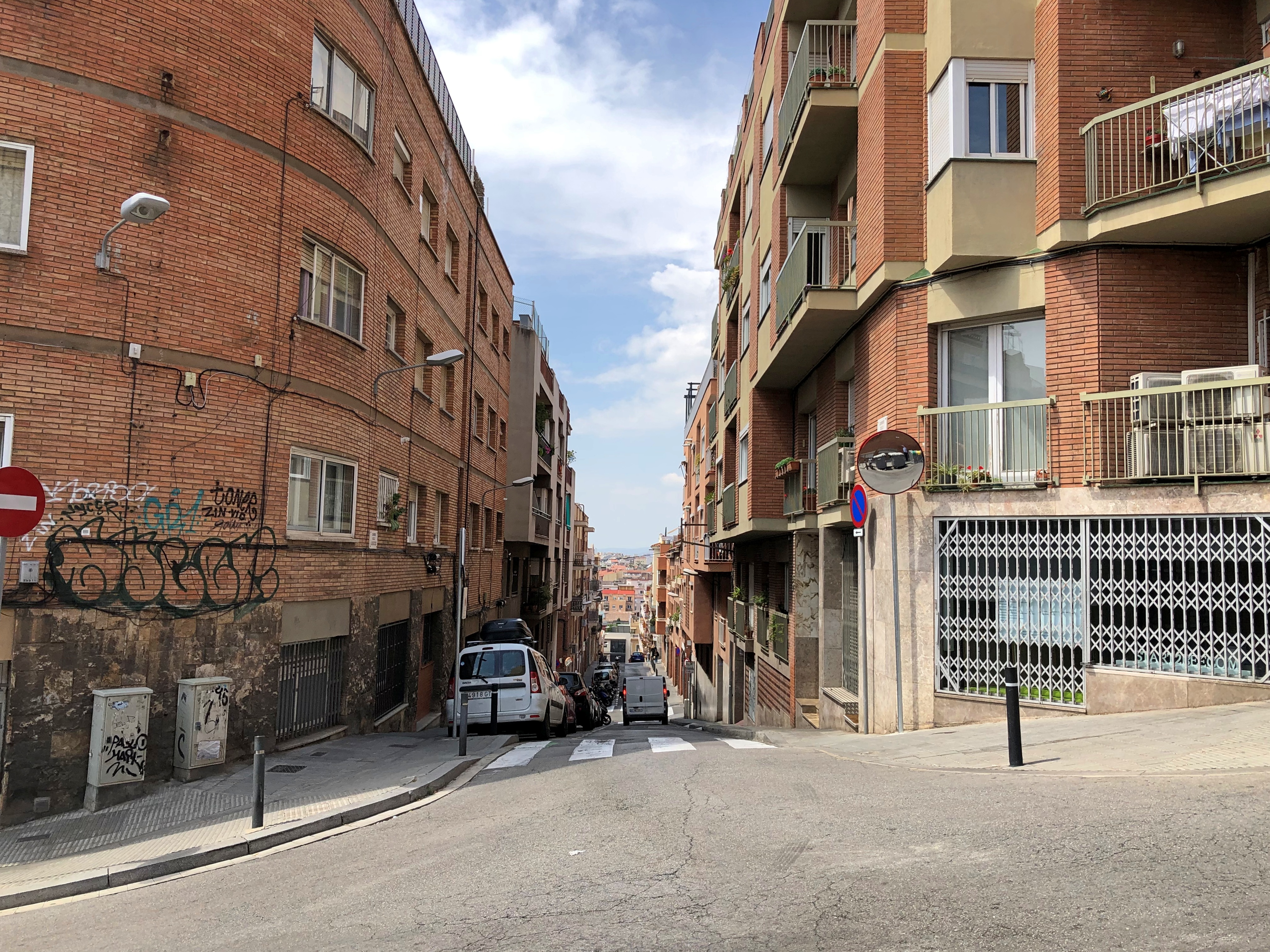
This street wasn’t our actual path, but branches off from it and gives some idea of the hill you need to climb – partly assisted by an outdoor escalator at one point – to reach the park.Barcelona 2023

It was a neighborhood of political graffiti as well. A whiff of old Barcelona, I guess. Much of it in English for some reason.Barcelona 2023 Barcelona 2023

While coming down the slope, Yuriko had gotten somewhat ahead of me, so I was walking alone for a few moments. A woman with some small children in tow asked me directions to the park in Catalan (or Spanish). I was able to point in the direction I’d come and say “park,” which conveniently is the same in all the relevant languages. She seemed happy to hear it, and I was certain I’d given her some correct information.

Parc Güell is a large place, though only a section of it includes architectural elements by Antoni Gaudí. The city has charged admission to that section for the last 10 years or so.

“[Industrialist and Gaudí friend] Eusebi Güell entrusted Gaudí with the project of making an urbanization [sic, neighborhood] for wealthy families on a large estate he had acquired in the area popularly known as Muntanya Pelada,” the park’s web site (machine translated) says. “Its situation was unbeatable, in a healthy environment and with splendid views over the sea and the Plan de Barcelona.

“In October 1900, the land began to be leveled and the works went at a good pace. On January 4, 1903, a description published in the Yearbook of the Association of Architects stated that the two pavilions at the entrance, the main staircase, the shelter or waiting area, the external fence, the viaducts and part of the large esplanade, as well as the water evacuation system [sic, were complete? Under way?]”

In any case, only two houses were ever sold, so as a new neighborhood, the place was a failure. Eventually Güell’s heirs sold the would-be development to the city. The common-area work that Gaudí did remained, to great acclaim in future years.

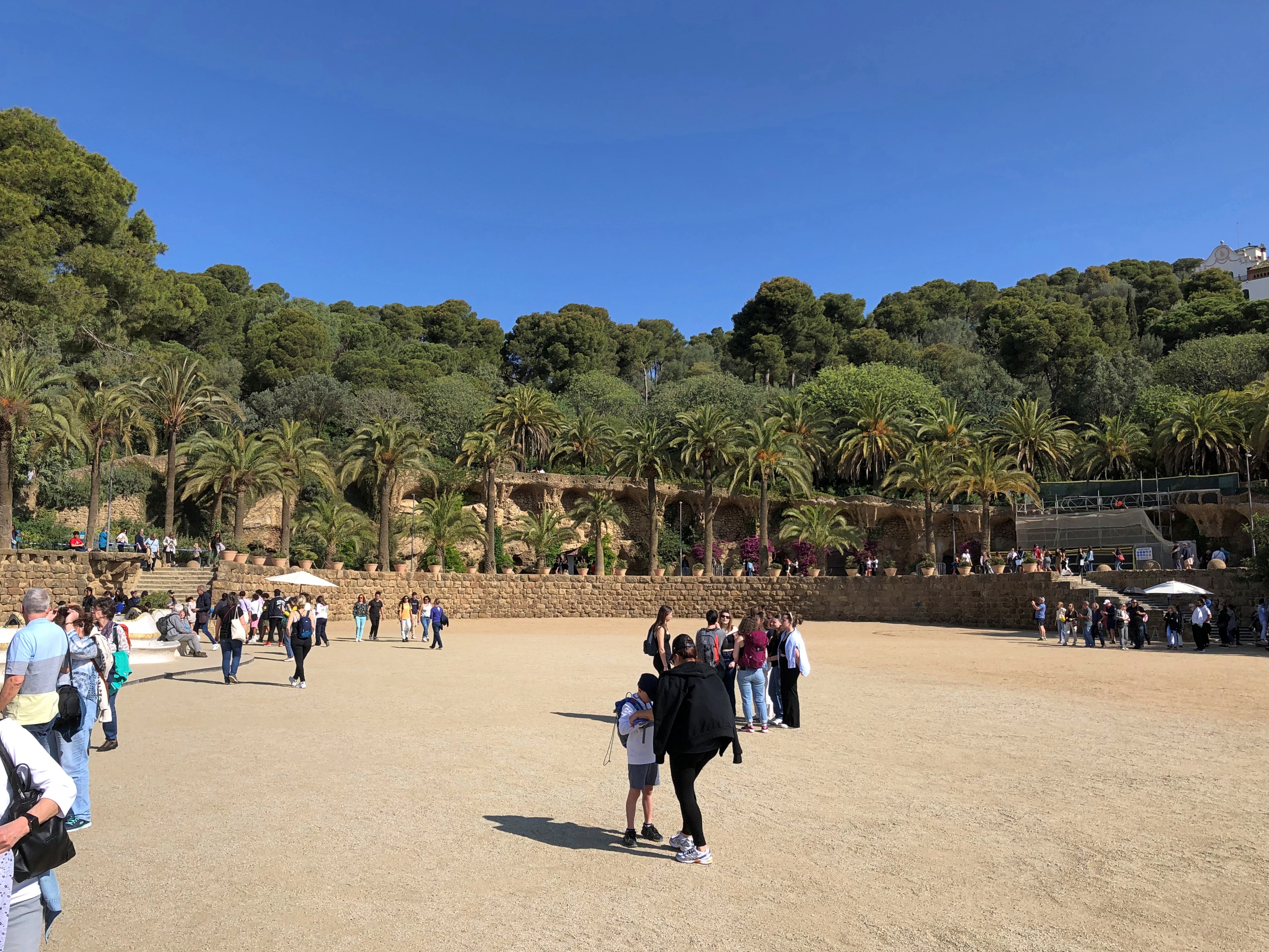
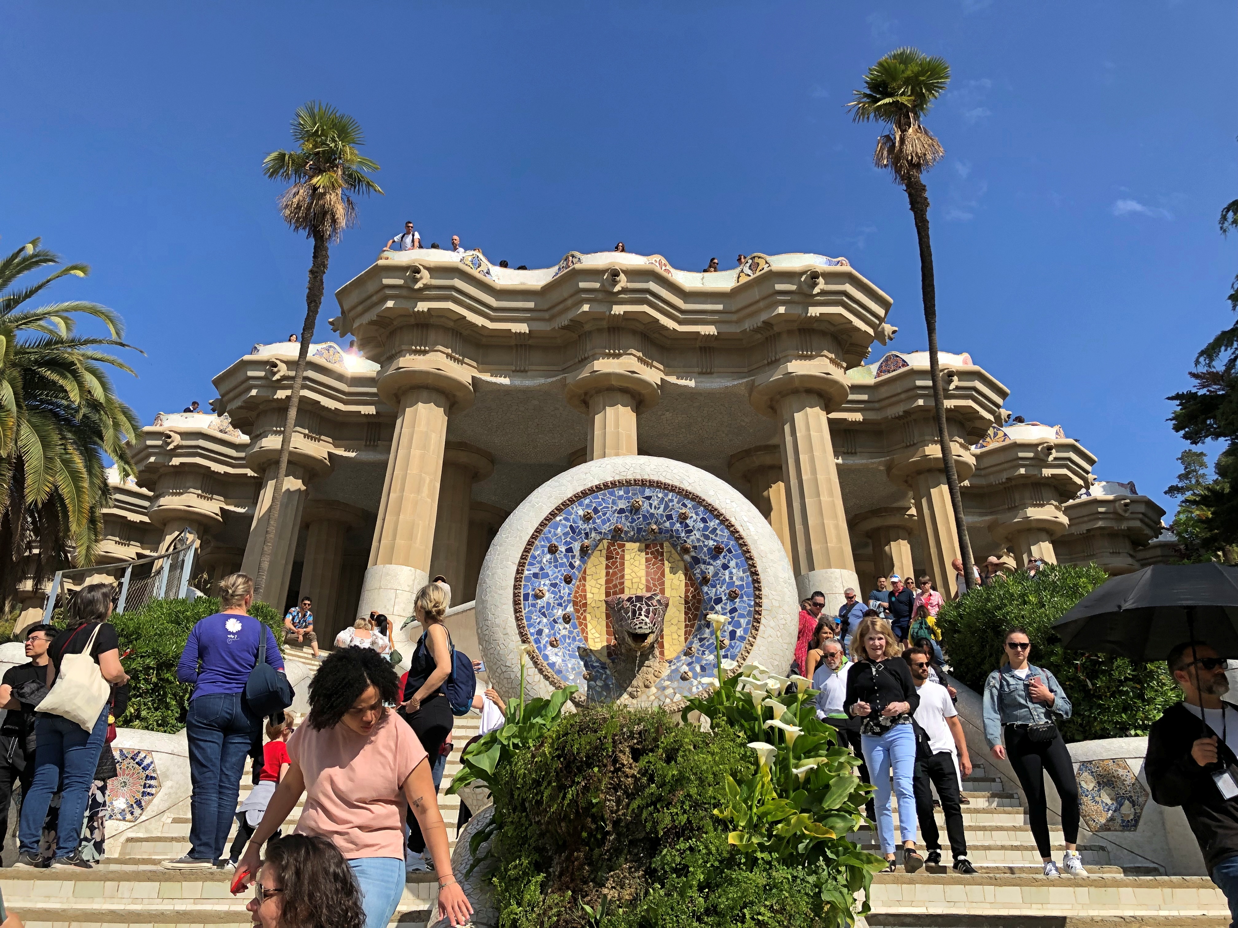
A path from the entrance leads to a large esplanade, or perhaps best called a terrace, originally planned as a place for outdoor shows.Parc Güell

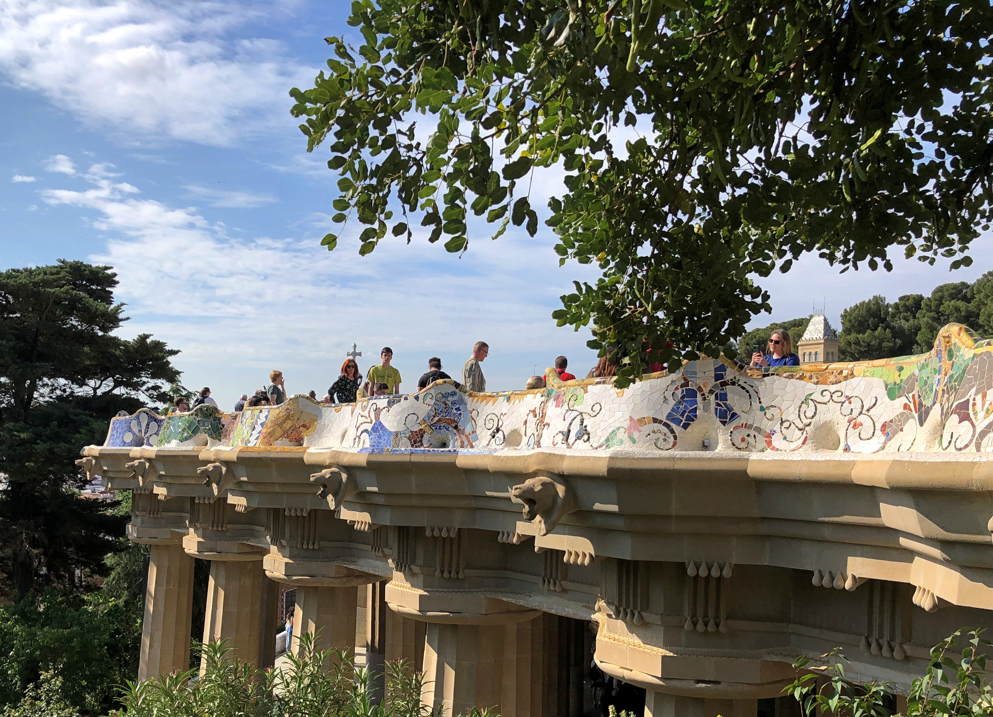
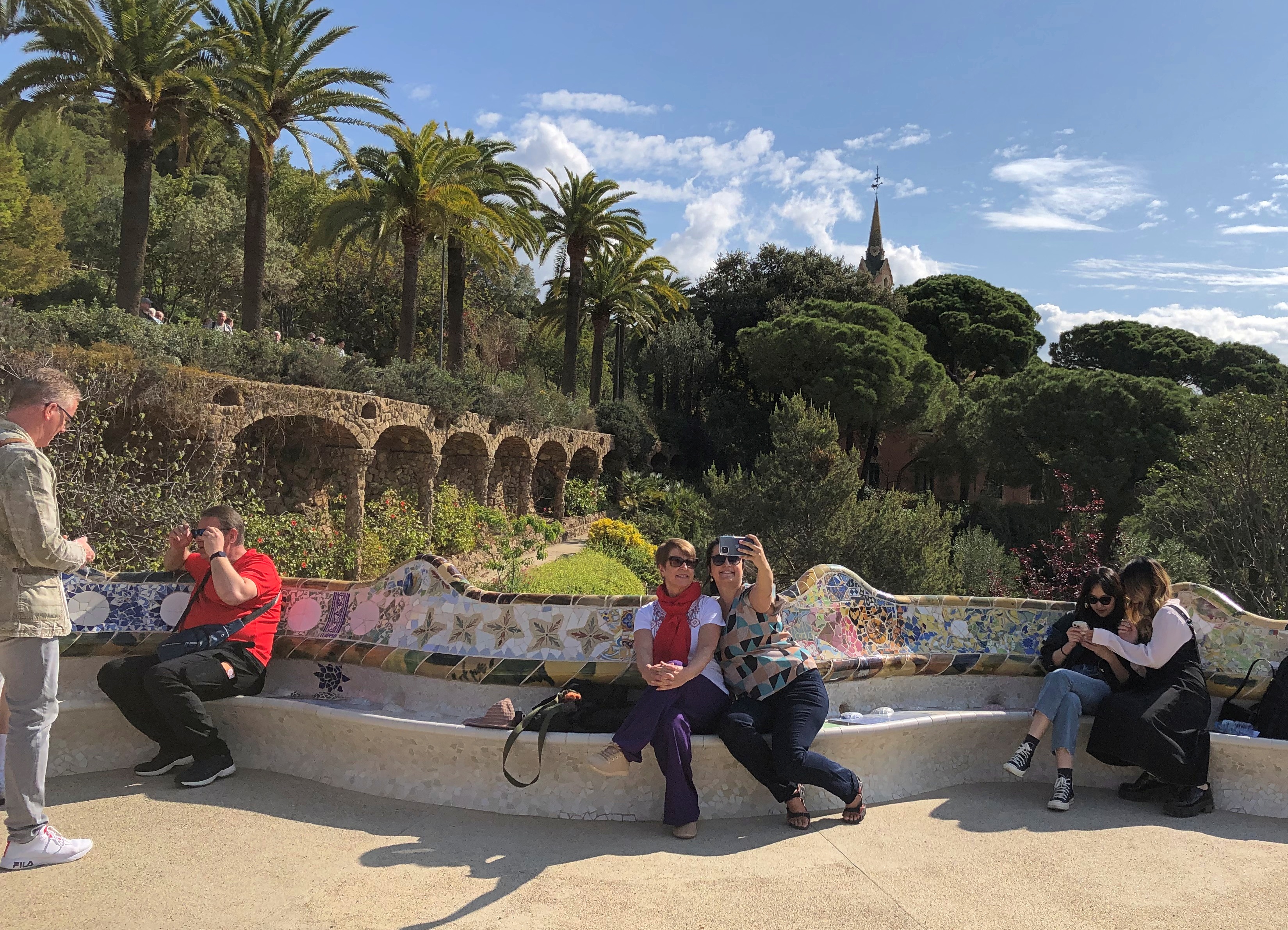
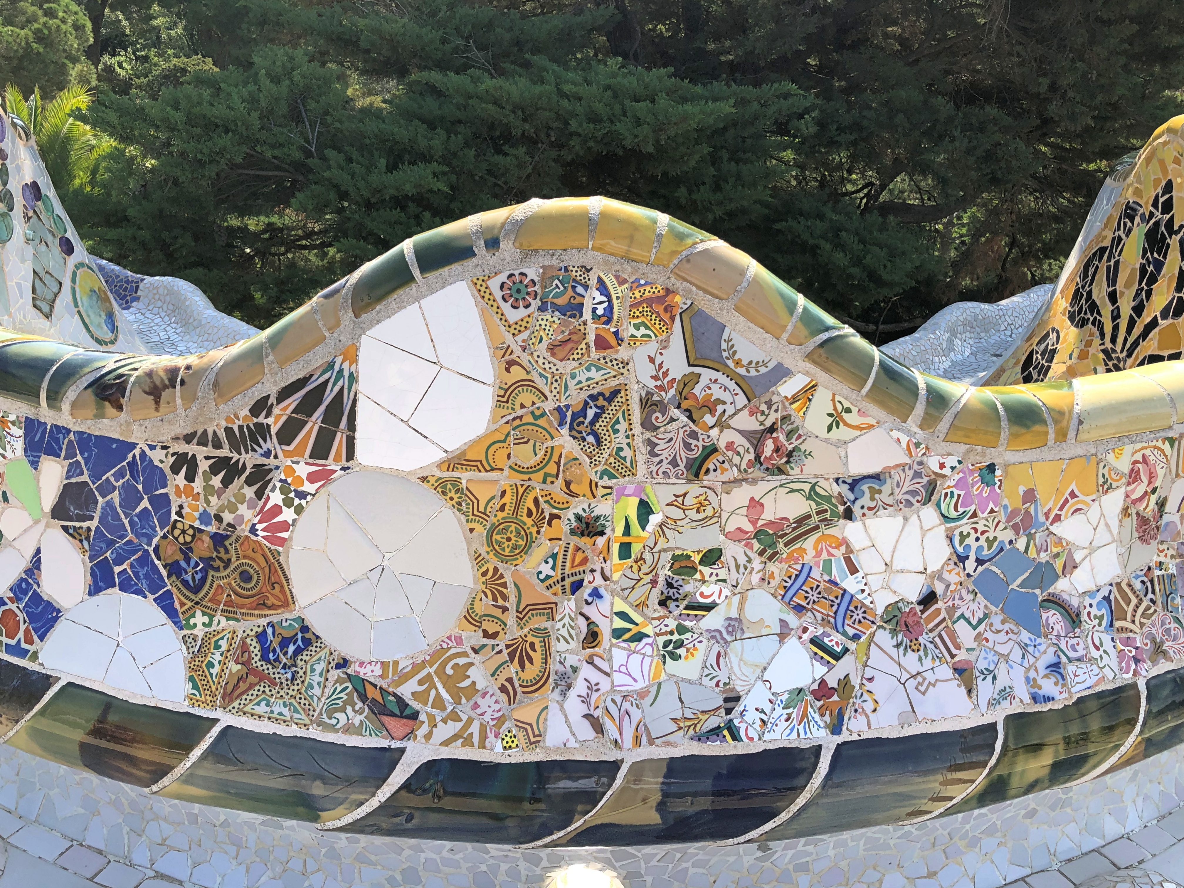
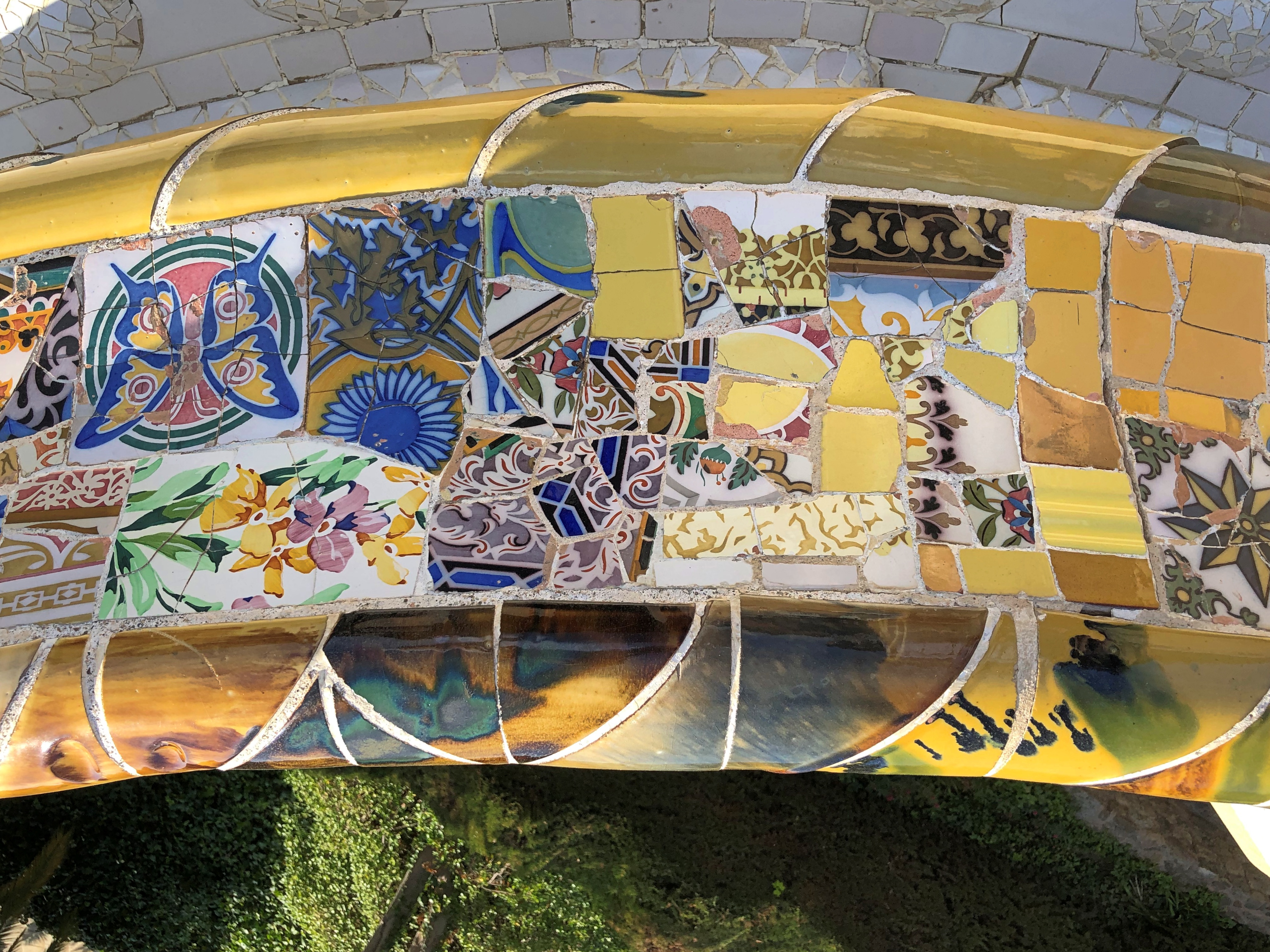
An undulating bench marks the edge of the esplanade.Parc Güell Parc Güell

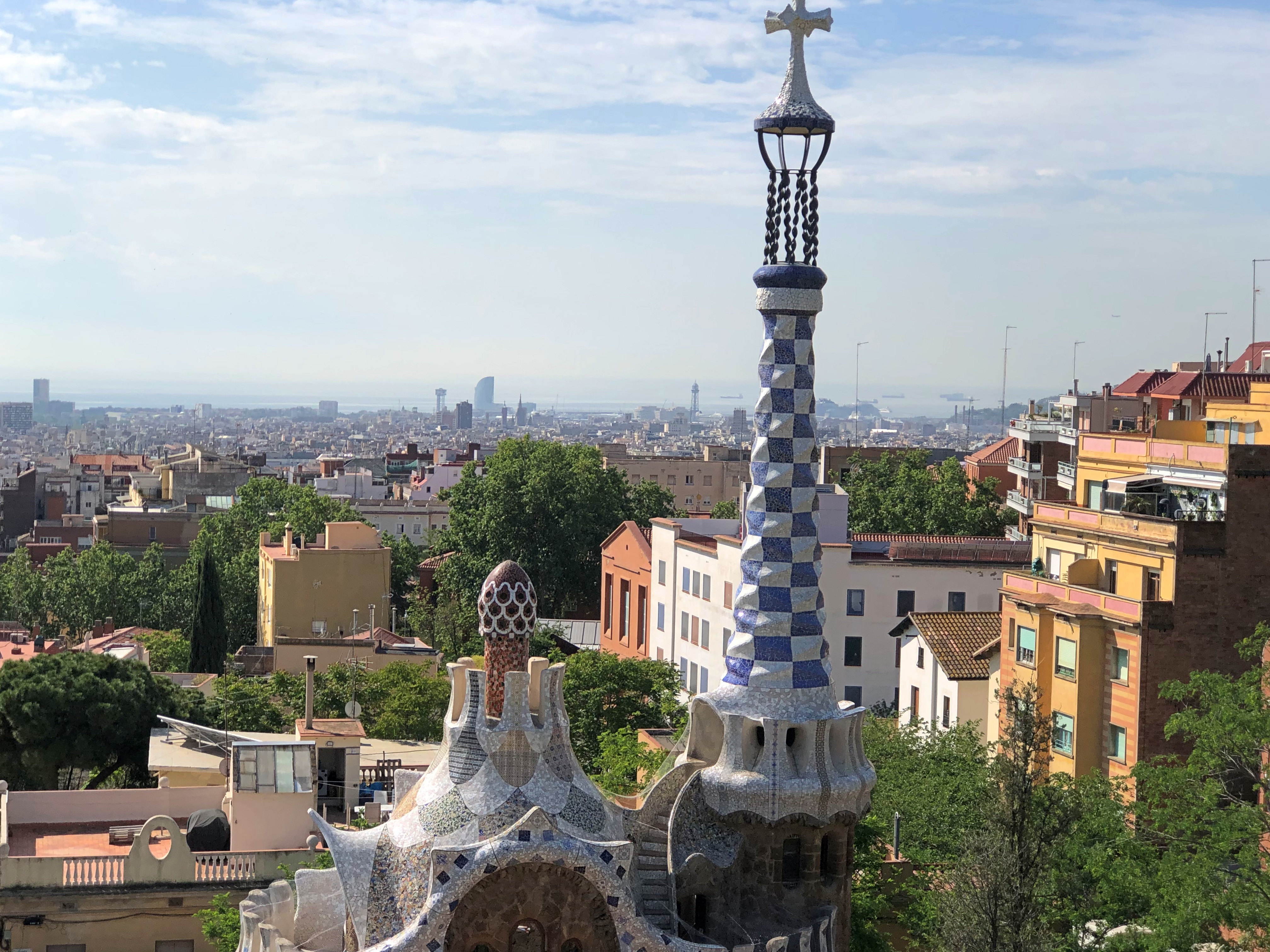
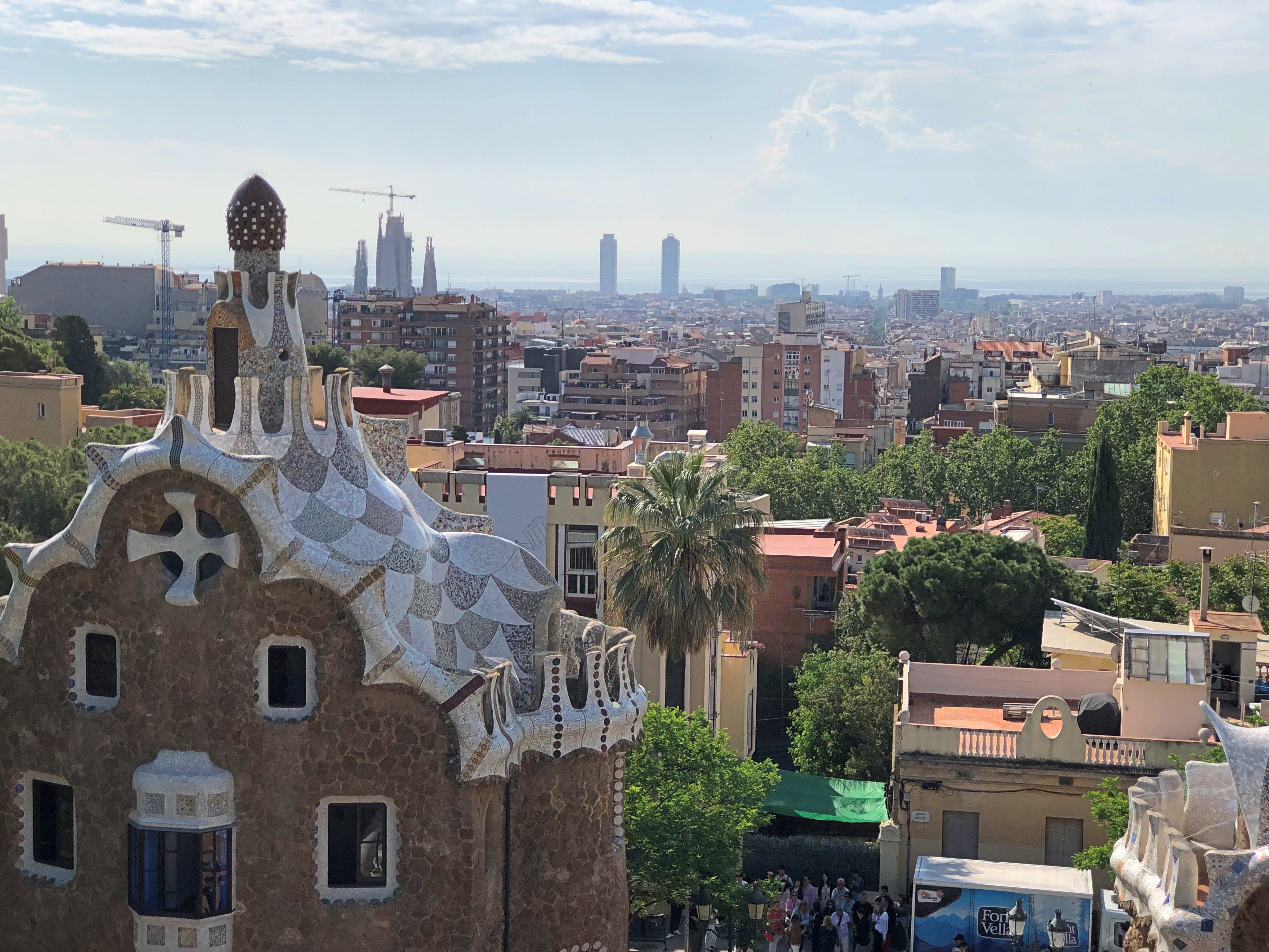
It offers a sweeping view of Barcelona, plus other Gaudí structures in the park.Parc Güell Parc Güell

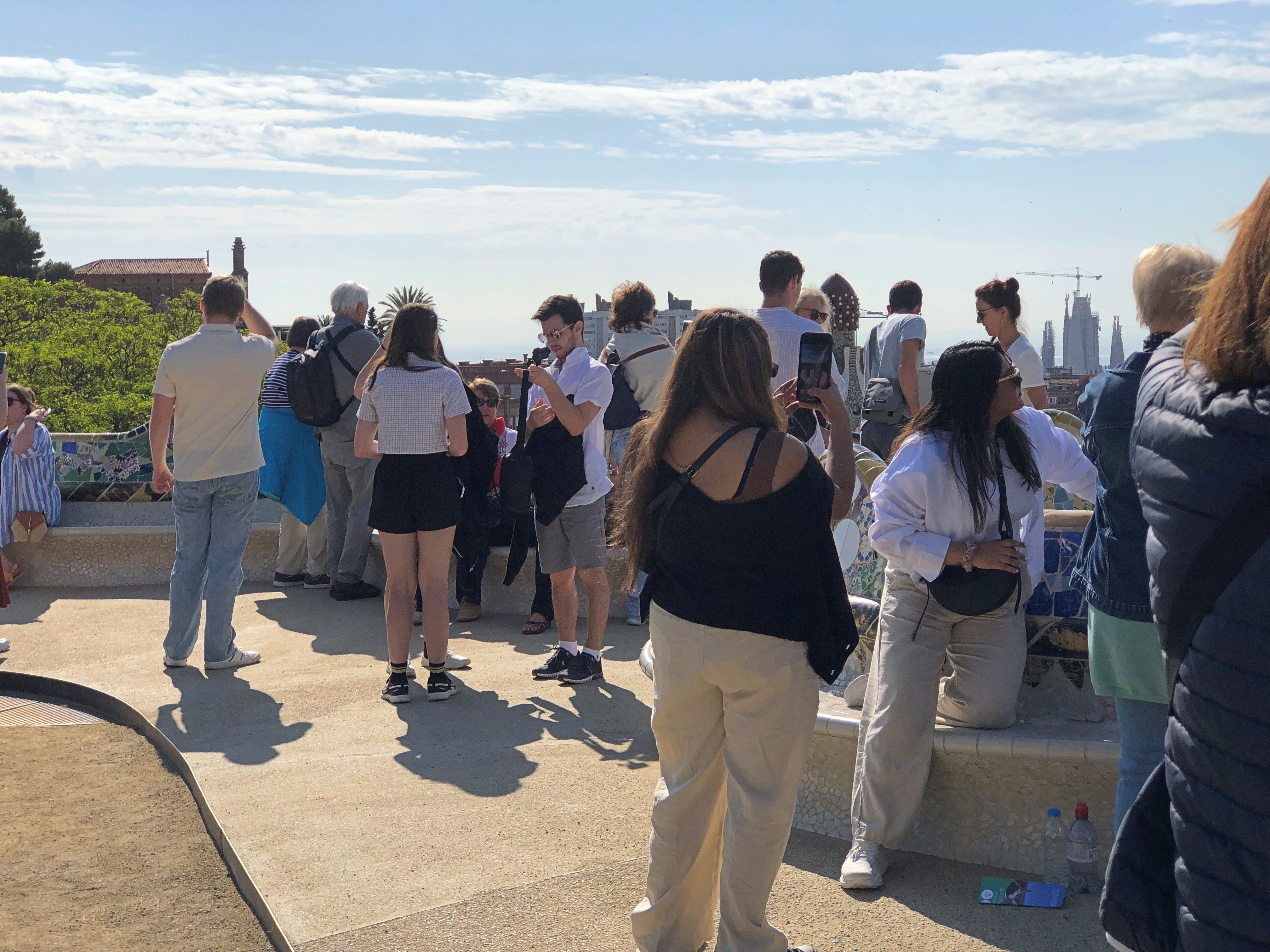
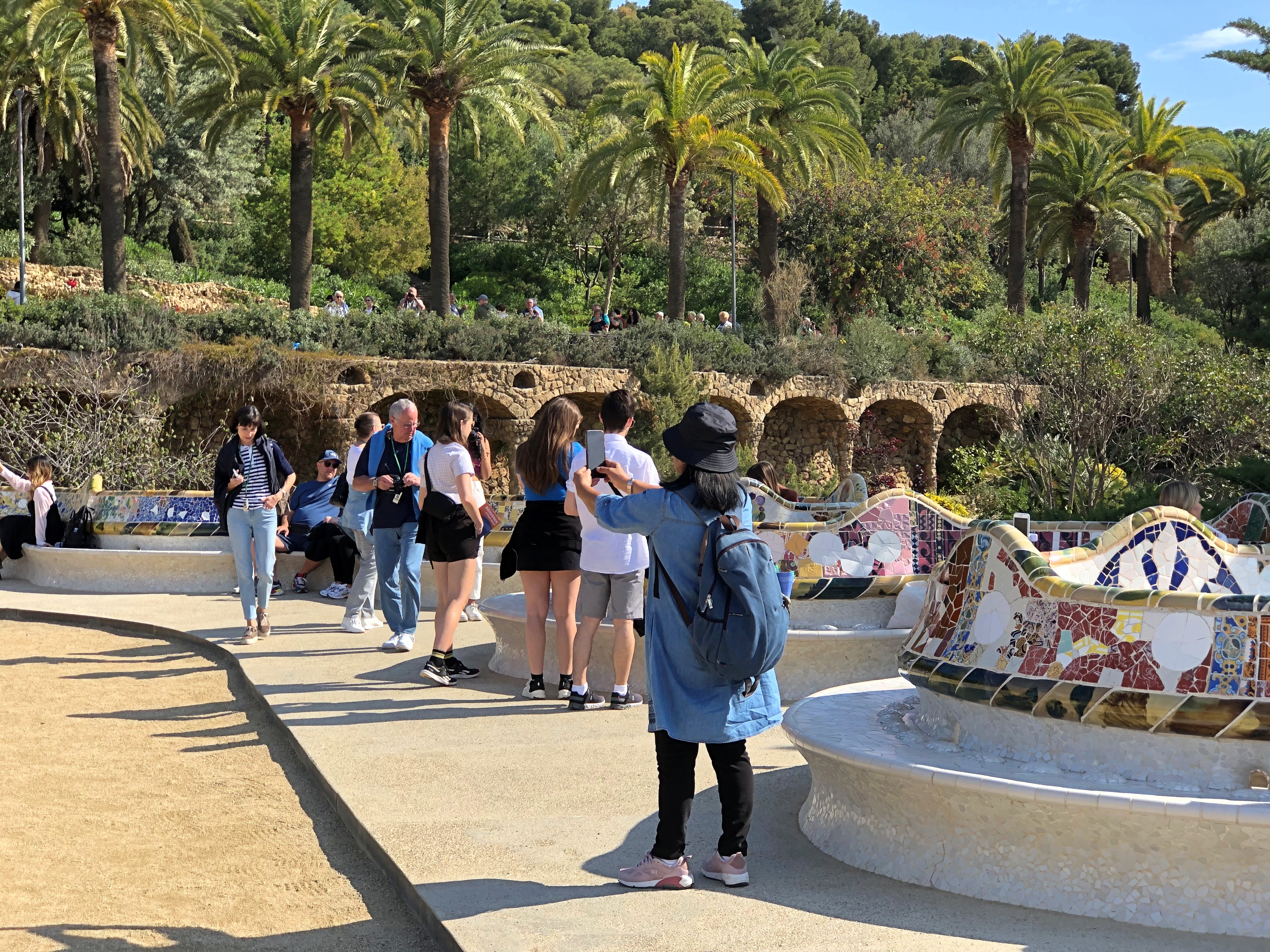
It’s a popular place.Parc Güell Parc Güell Parc Güell

Gaudí collaborator Josep M. Jujol did the bench mosaics.Parc Güell Parc Güell

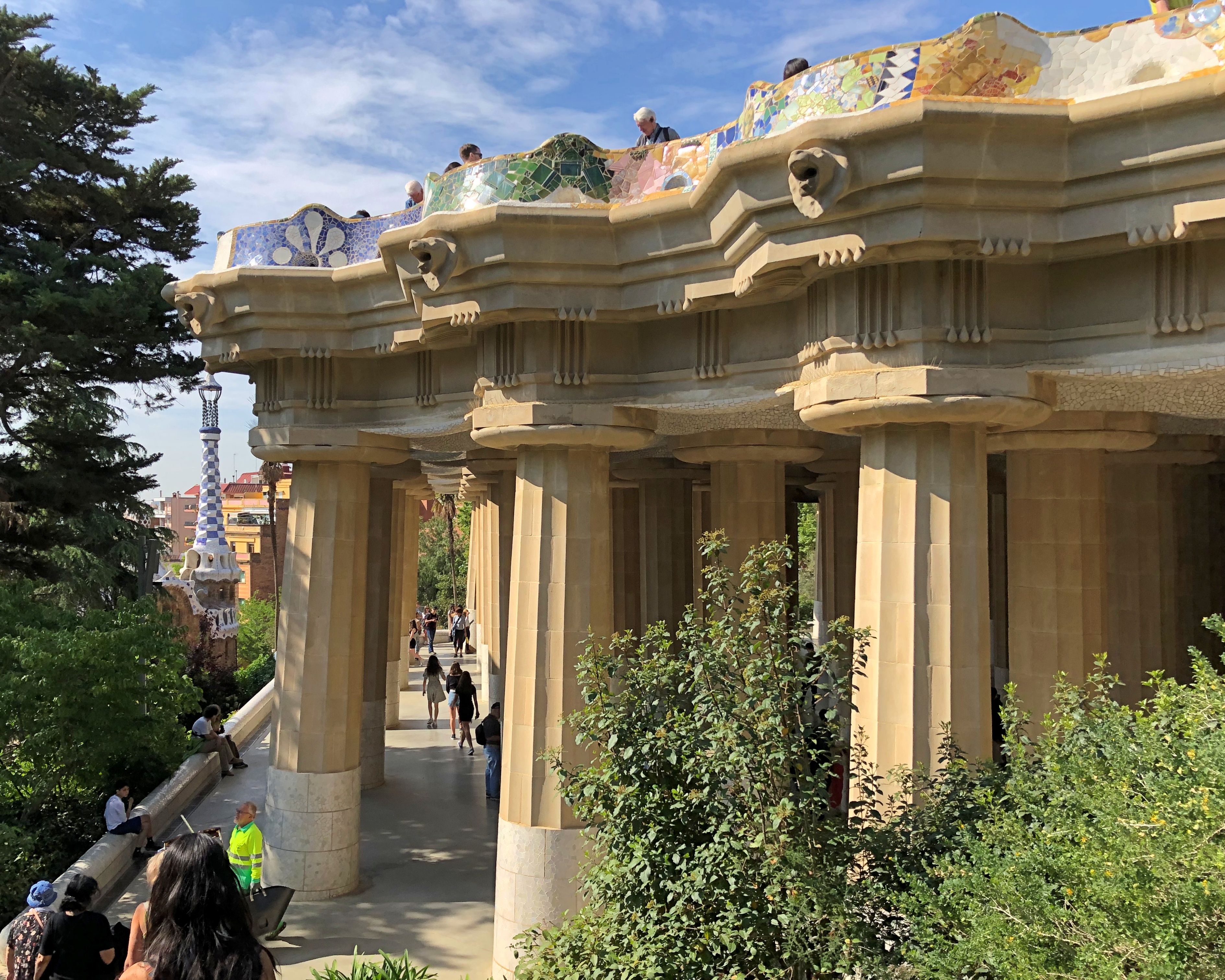
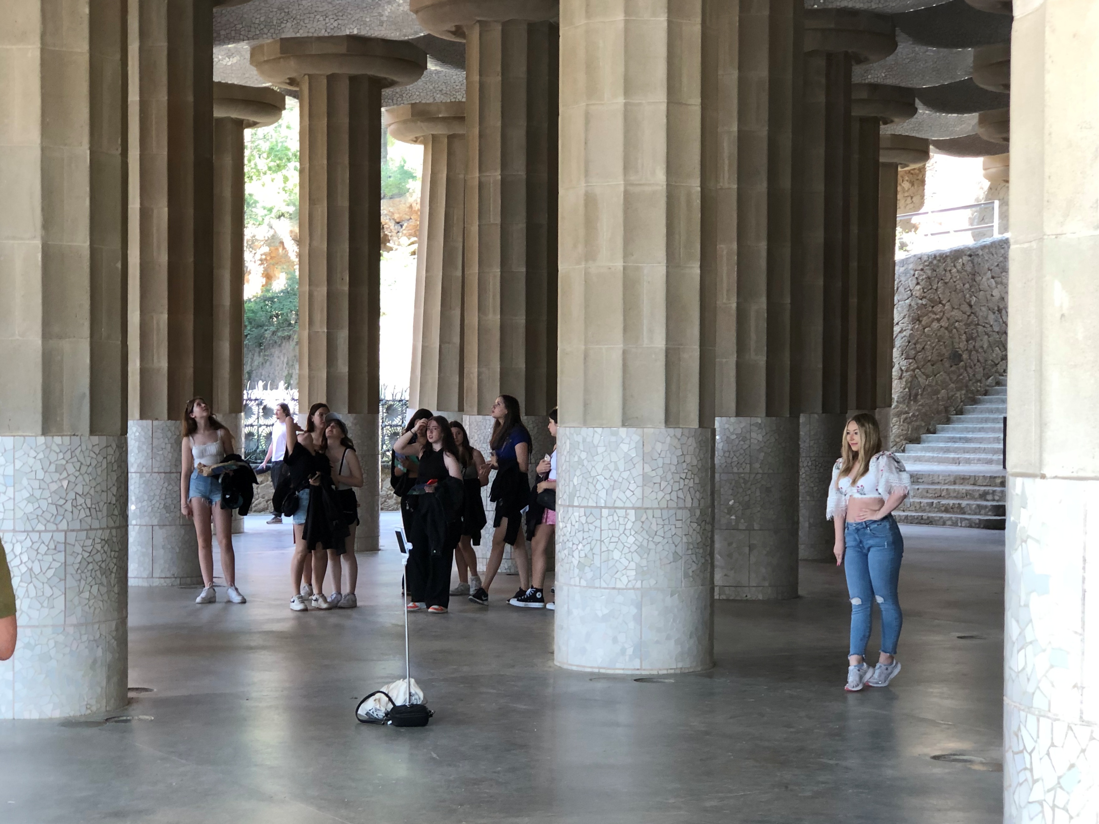
Stairs lead down from the esplanade, which is supported by 86 columns that form the Hypostyle Hall. It was supposed to have been a sheltered marketplace.Parc Güell Parc Güell

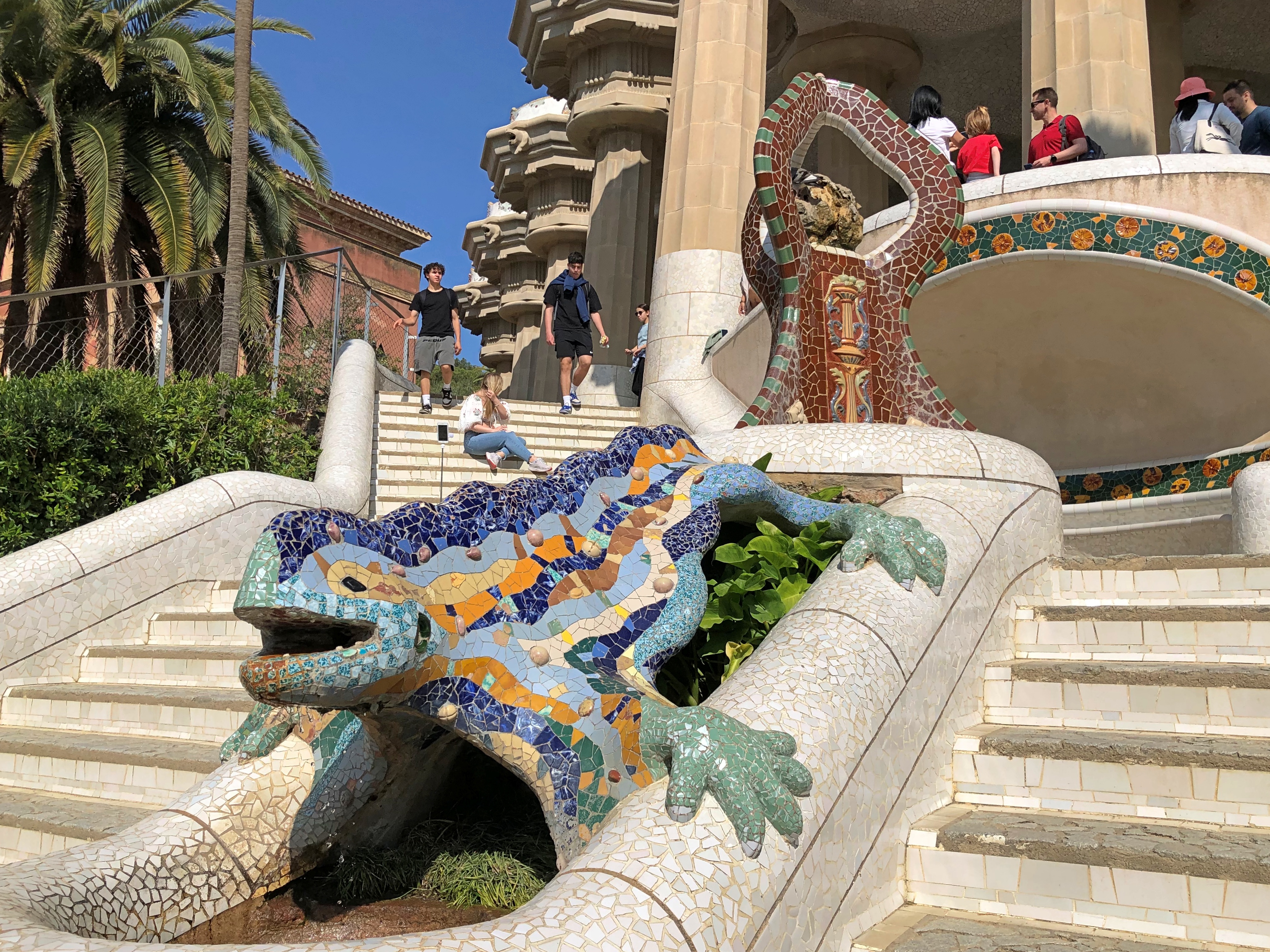
From there, the Dragon Stairs. The figure is actually a salamander, I’ve read.Parc Güell Parc Güell

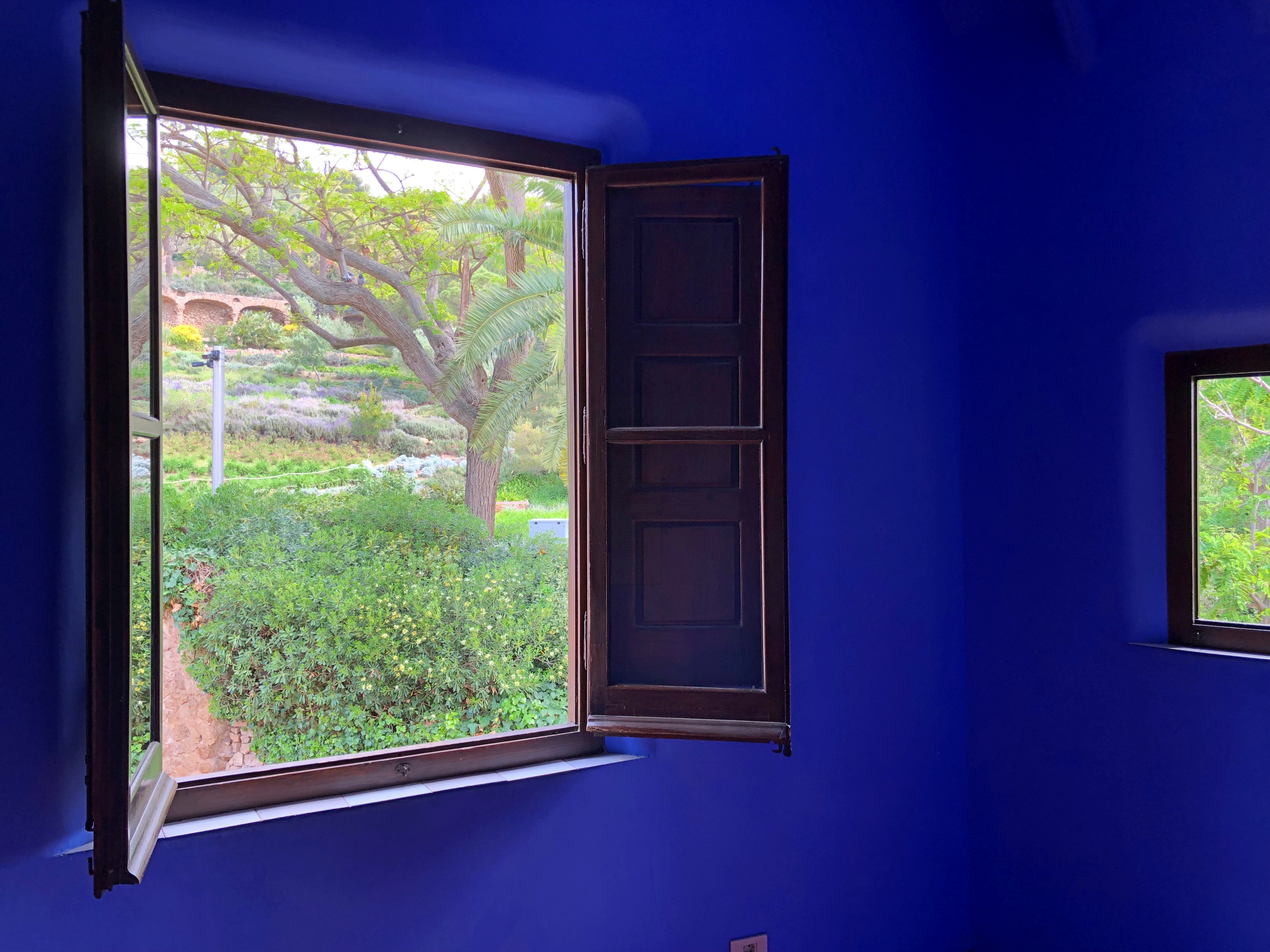
At the base of the stairs is the Porter’s Lodge, which houses exhibits about the 19th- and 20th-century history of Barcelona. Its interior walls are bright colors.Parc Güell

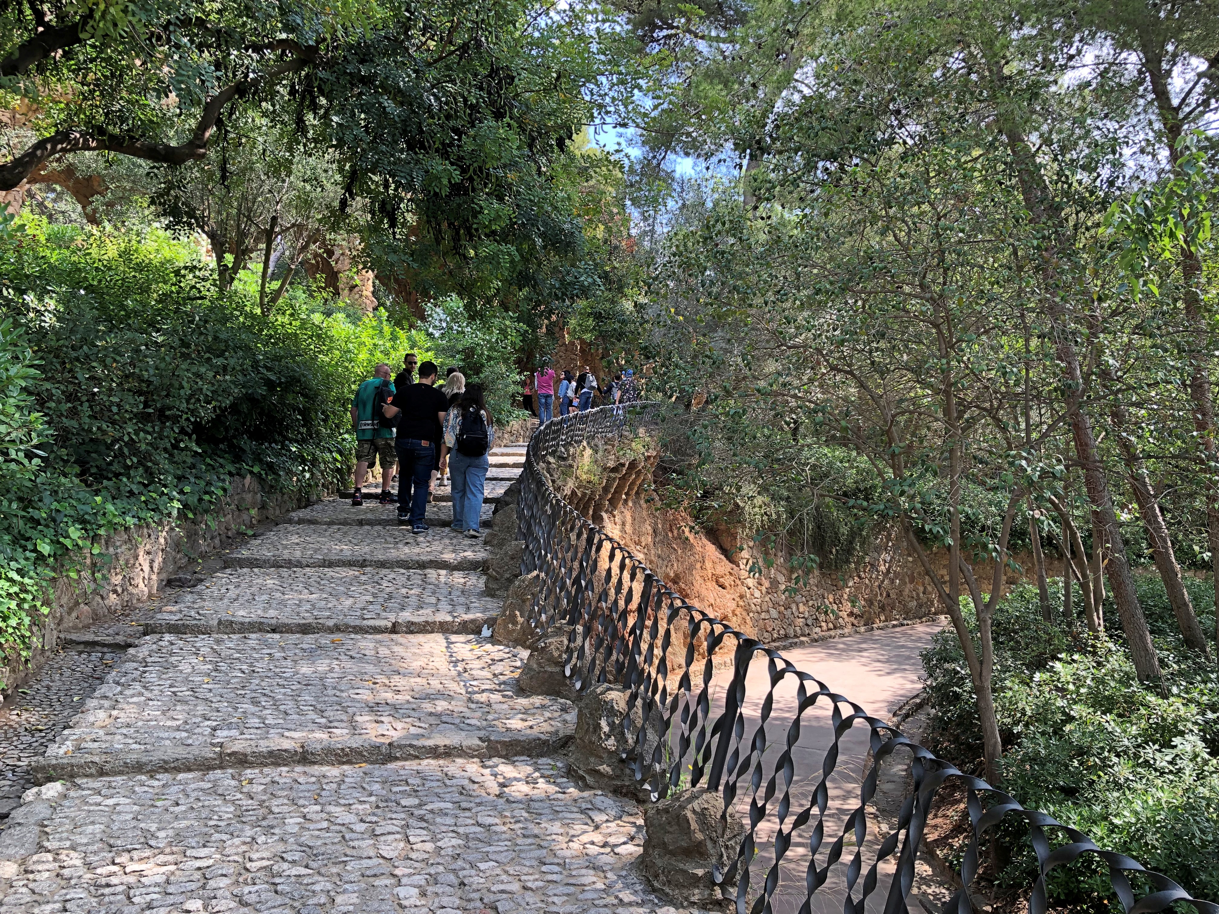
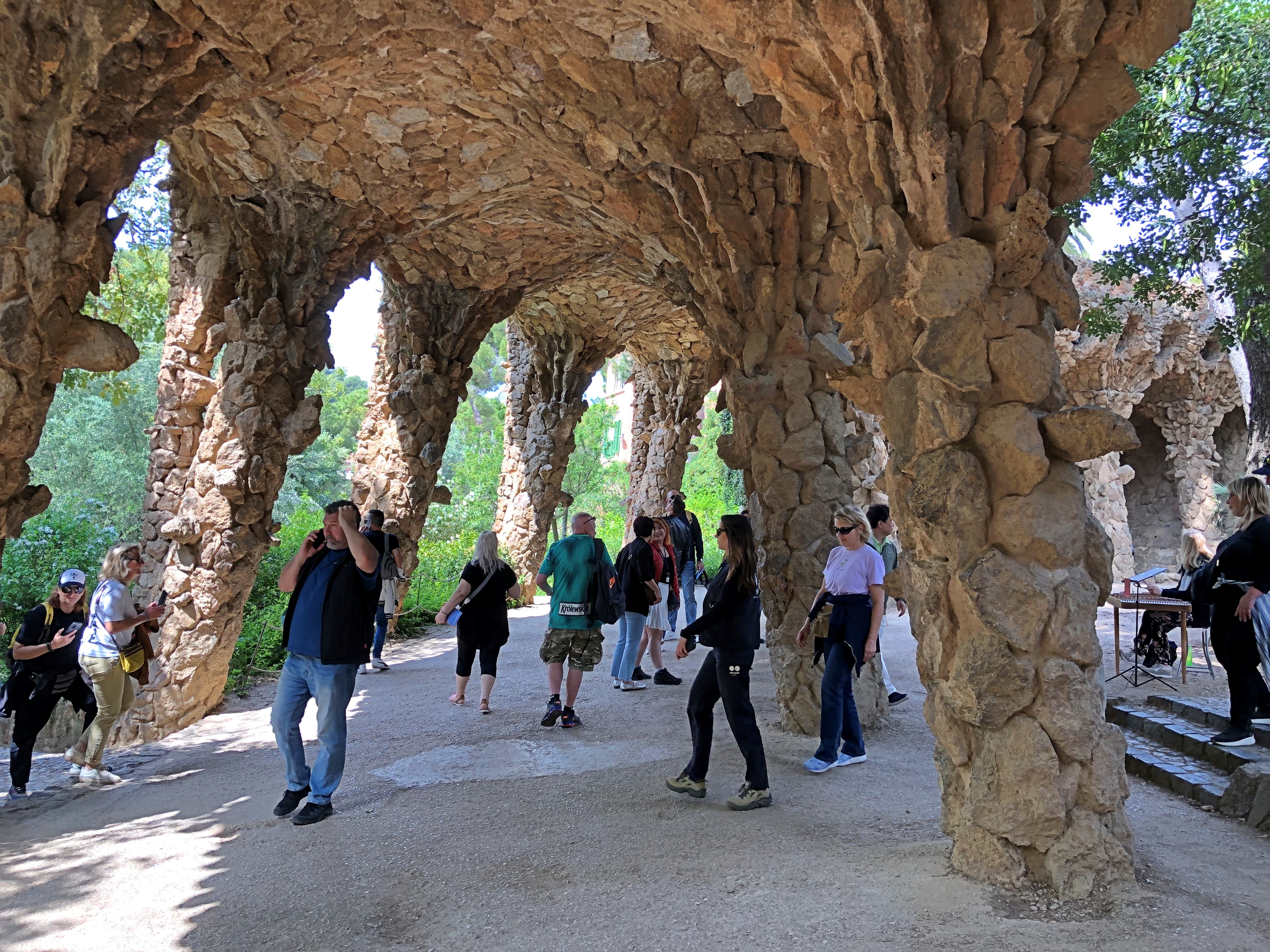
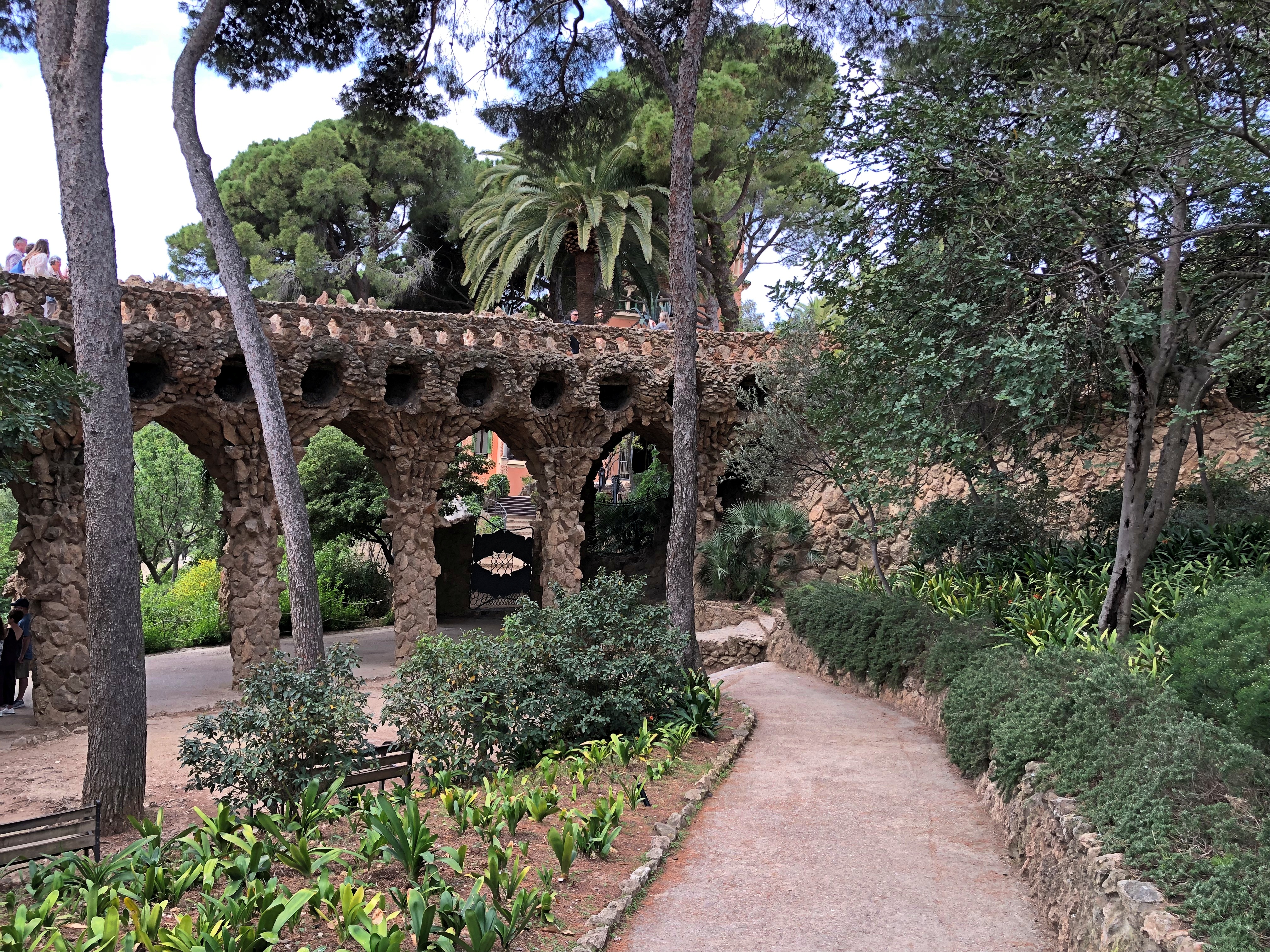
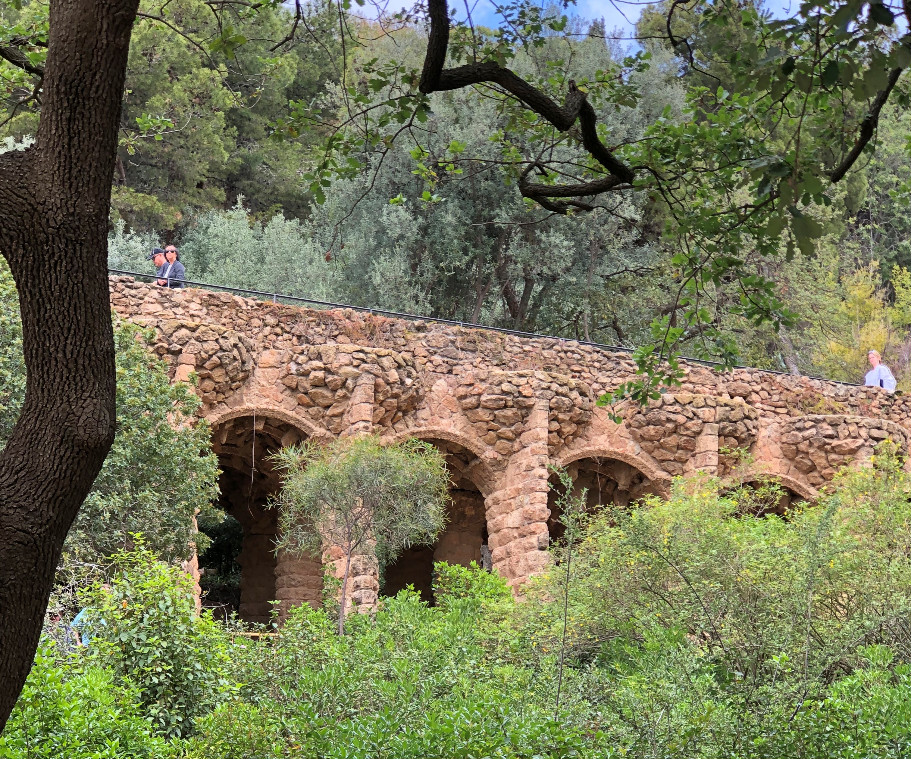
Other parts of the park include the paths and viaducts that Gaudí designed. We did some wandering.Parc Güell Parc Güell

I was reminded a bit of Brackenridge Park in San Antonio, but the similarities aren’t really that deep.Parc Güell Parc Güell

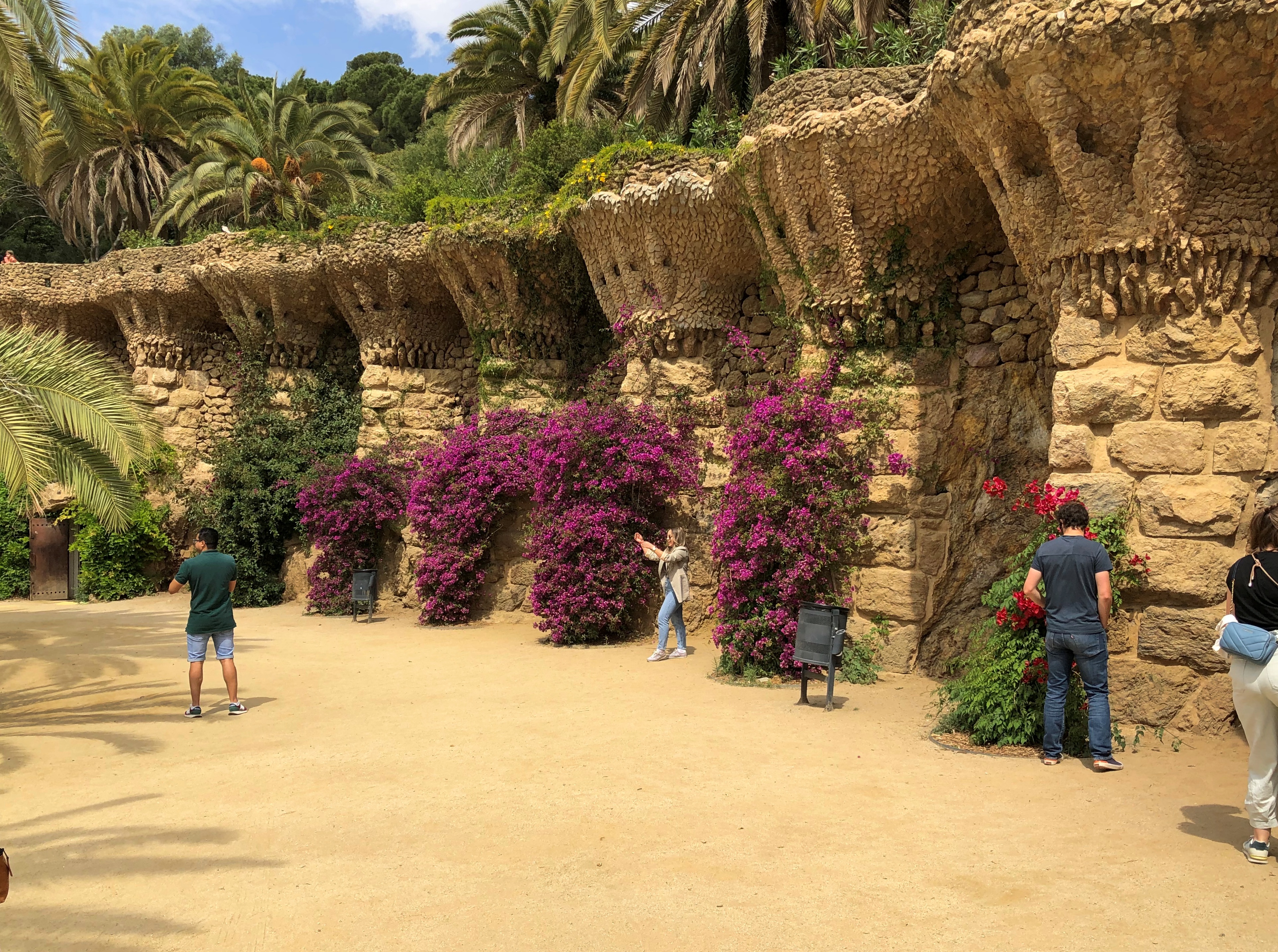
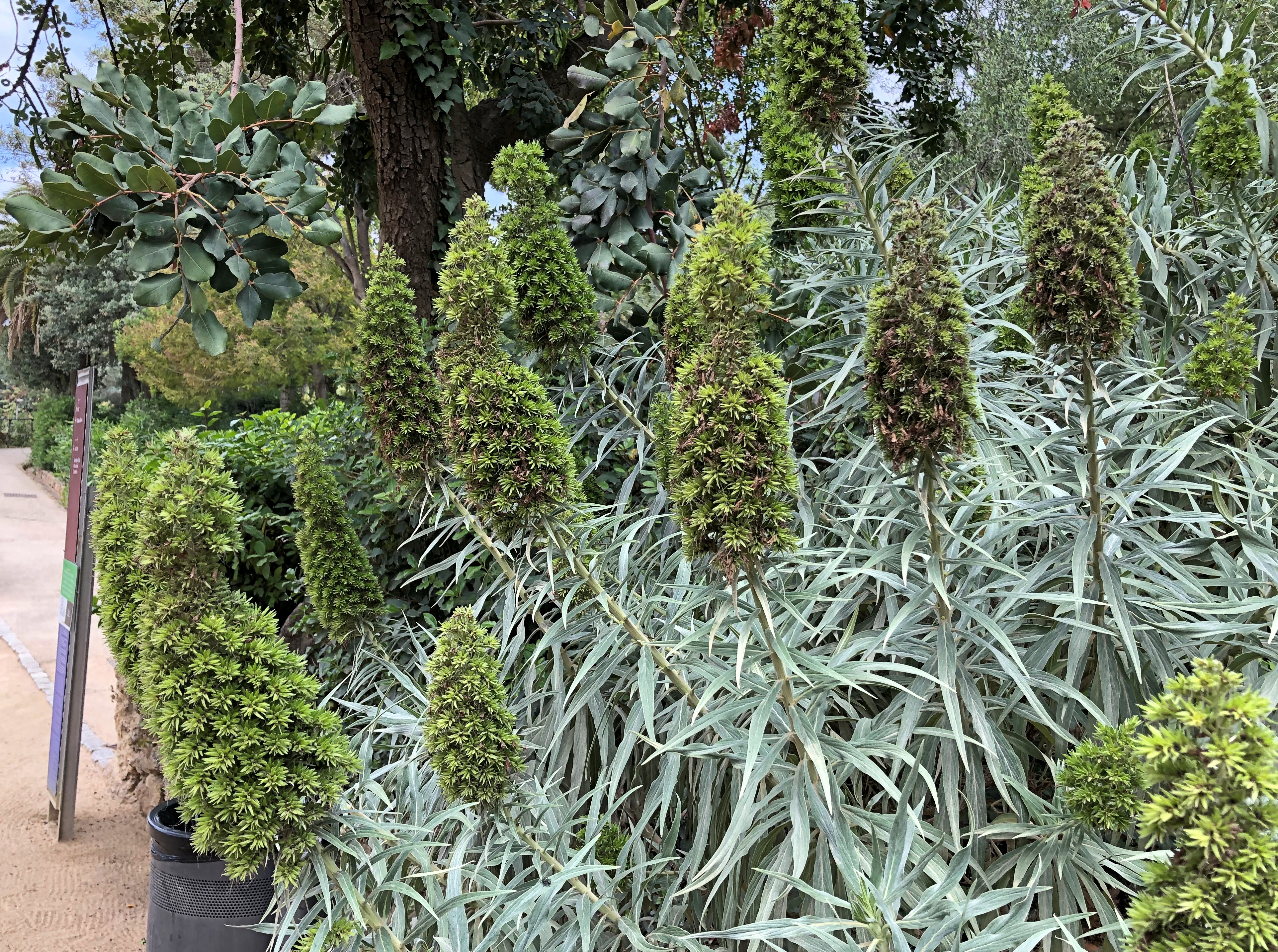
Lush bursts of flowers adorn parts of the park.Parc Güell Parc Güell Parc Güell

Springtime in Barcelona. There’s a romcom in there somewhere. Probably not a very good one, but how many are?

Irish Greens

Our hotel in Dublin was on a street of Georgian townhouses, and as far as I could tell it was created from an amalgam of at least two such structures. One of the city’s two tram lines runs down the street, with a stop a two-minute walk away from where we stayed.

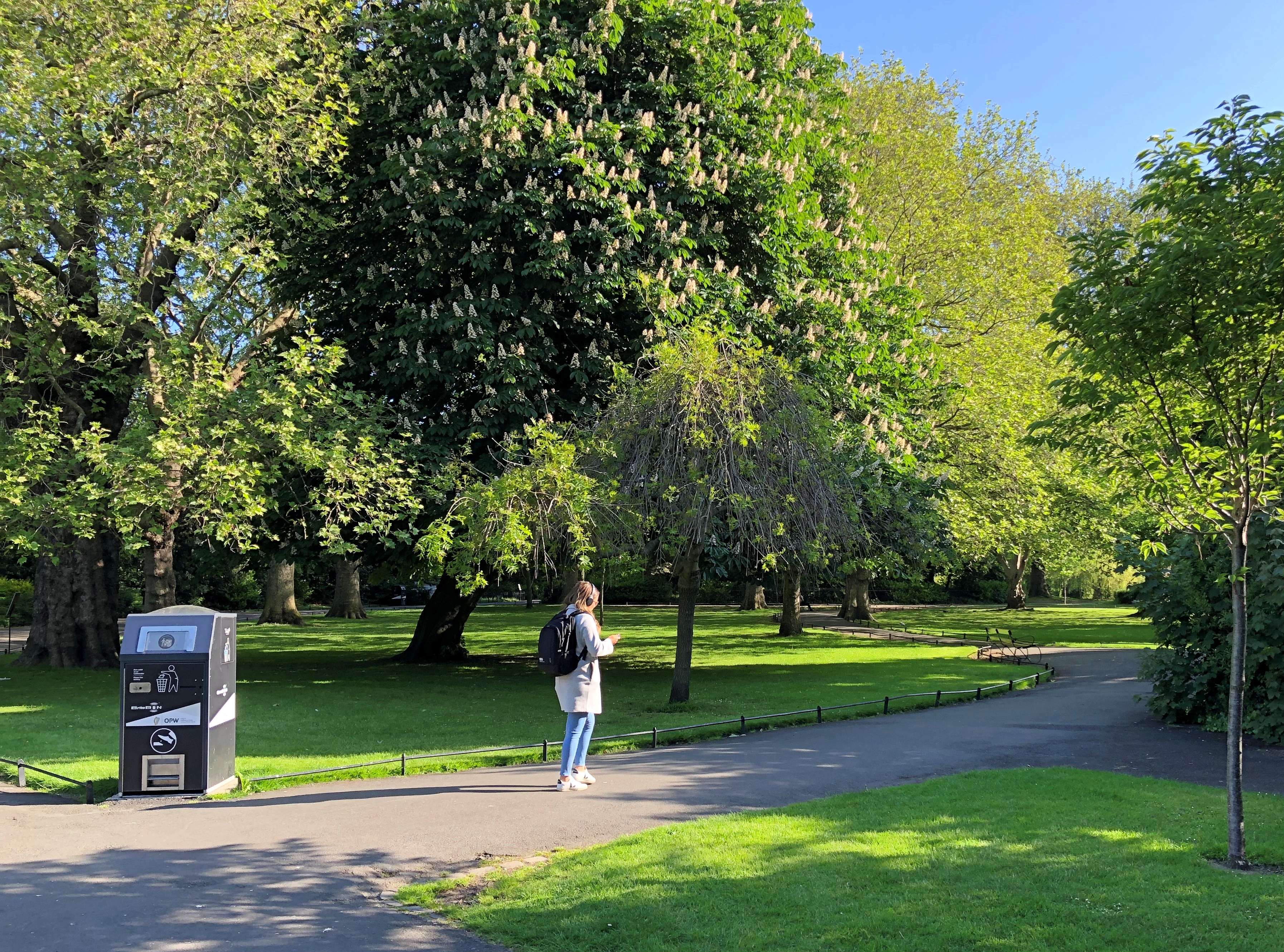
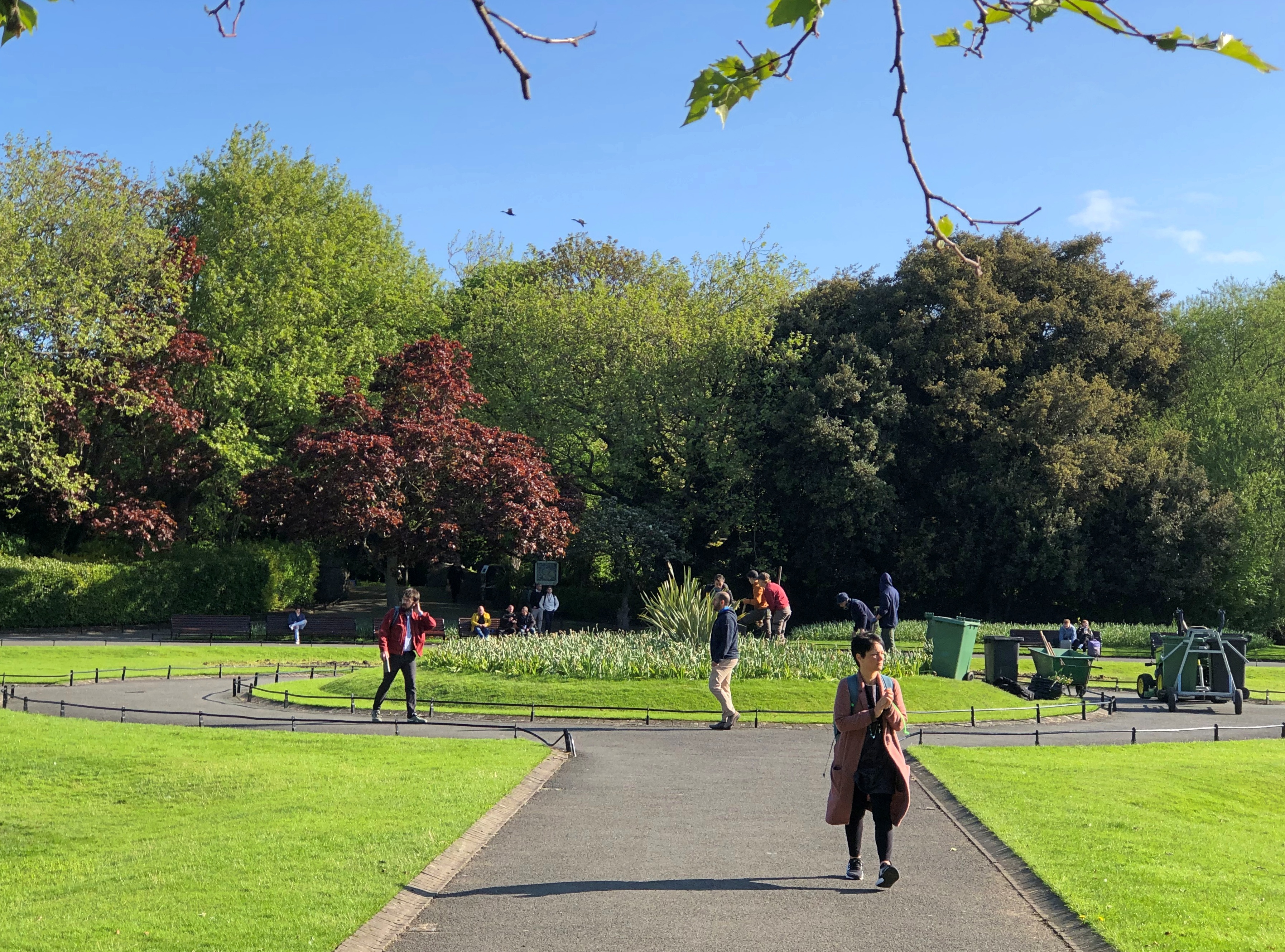
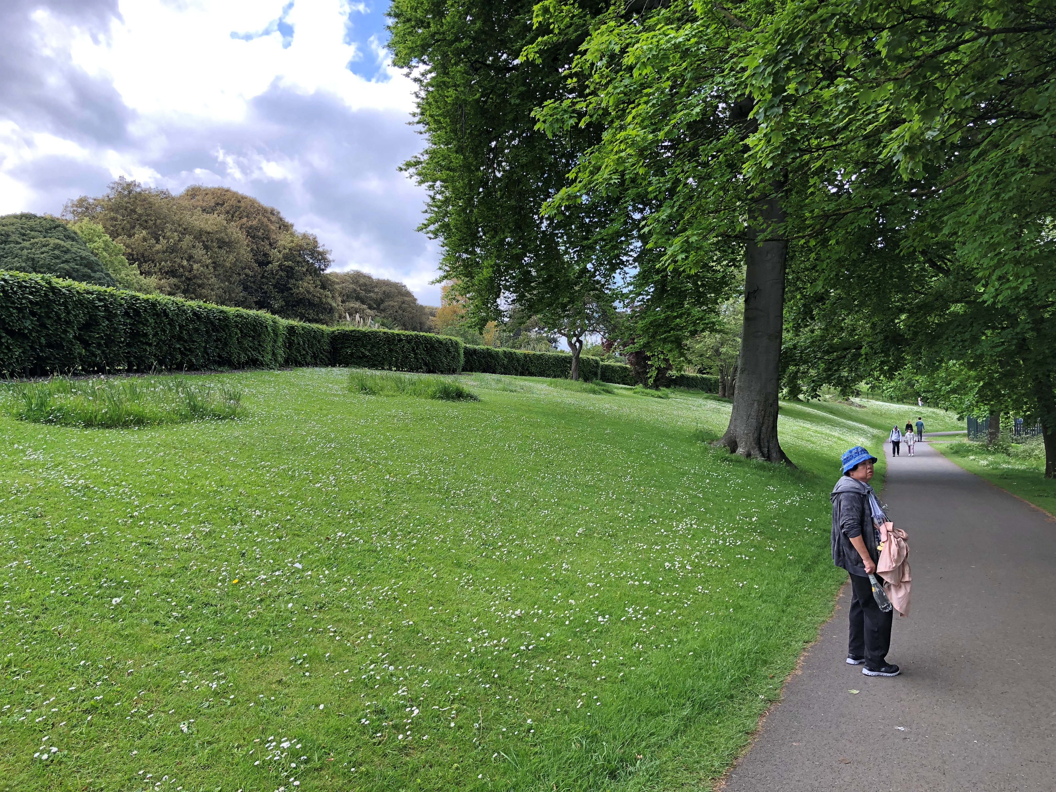
St. Stephen’s Green was about five minutes away on foot in the other direction. Often enough we’d forgo part of the tram ride for a stroll through the greens of the park on cool and bright May mornings.St Stephen's Green St Stephen's Green

“This nine hectare/22-acre park, in Dublin City Centre, has been maintained in the original Victorian layout with 750 trees, extensive shrub planting with spring and summer Victorian flower bedding,” says Visit Dublin.

A Victorian-era creation. Of course. The site had been open land long before that, such as a marshy commons for centuries, then essentially a private green as its perimeter developed. In the 1870s, Baron Ardilaun acquired the land and donated it to the Dublin Corporation (the city). I had to look him up and the baron turned out to be – yet another Guinness, Arthur Edward, son of the renovator of St. Patrick’s Cathedral. Another good use for beer money.

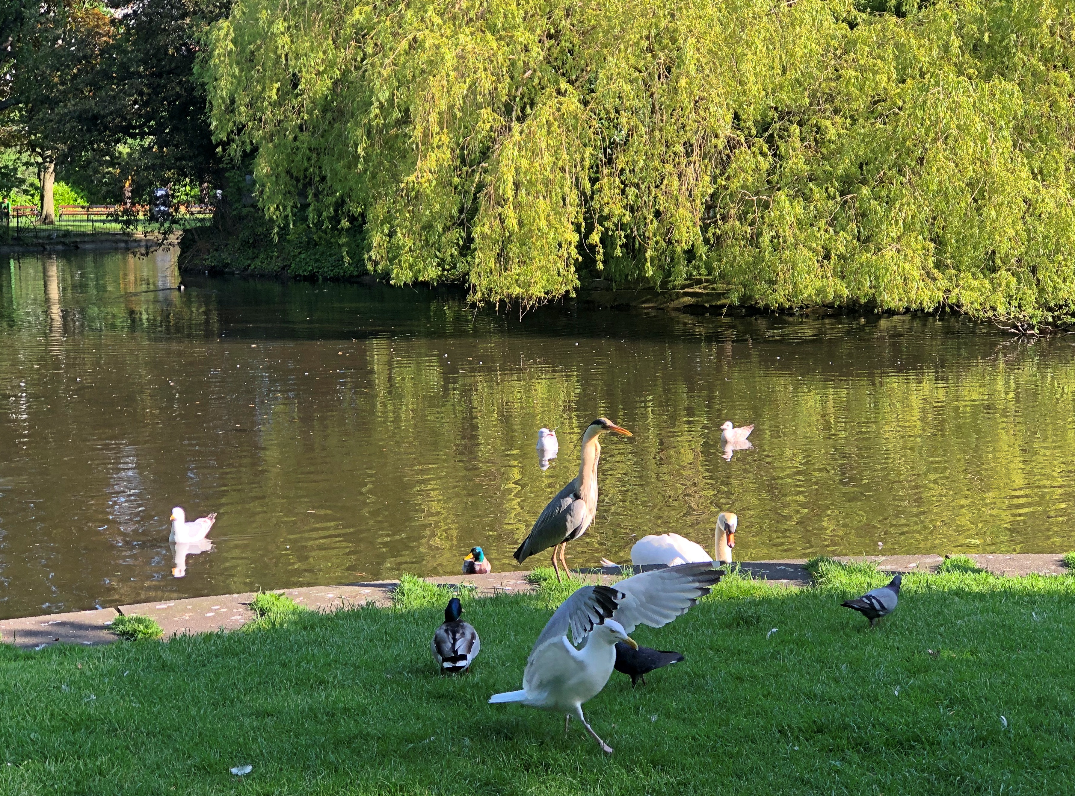
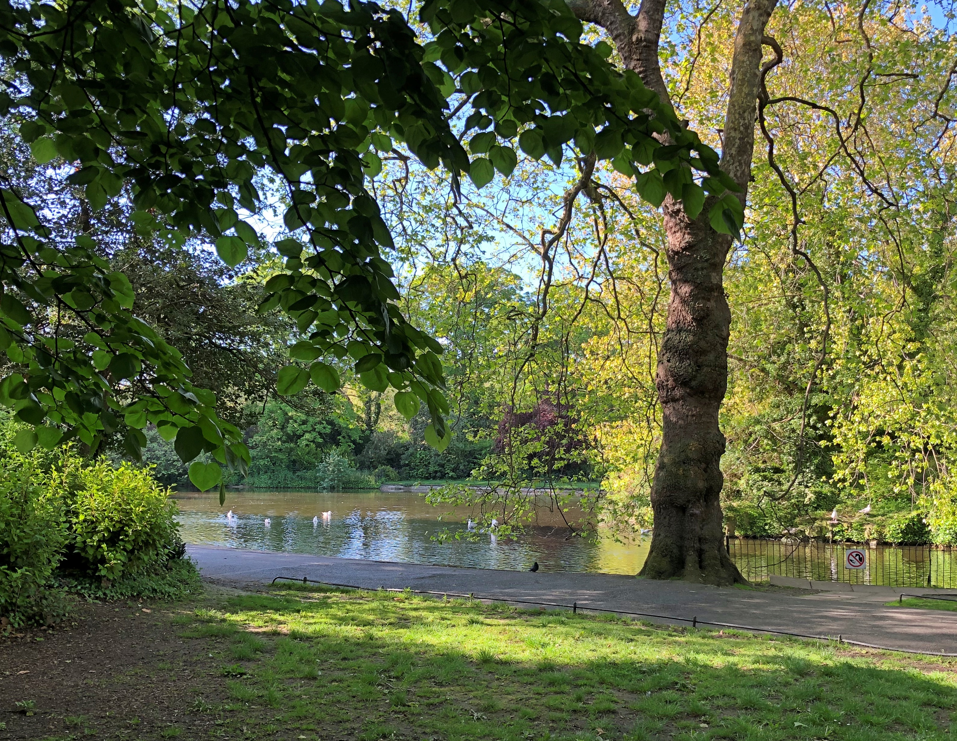
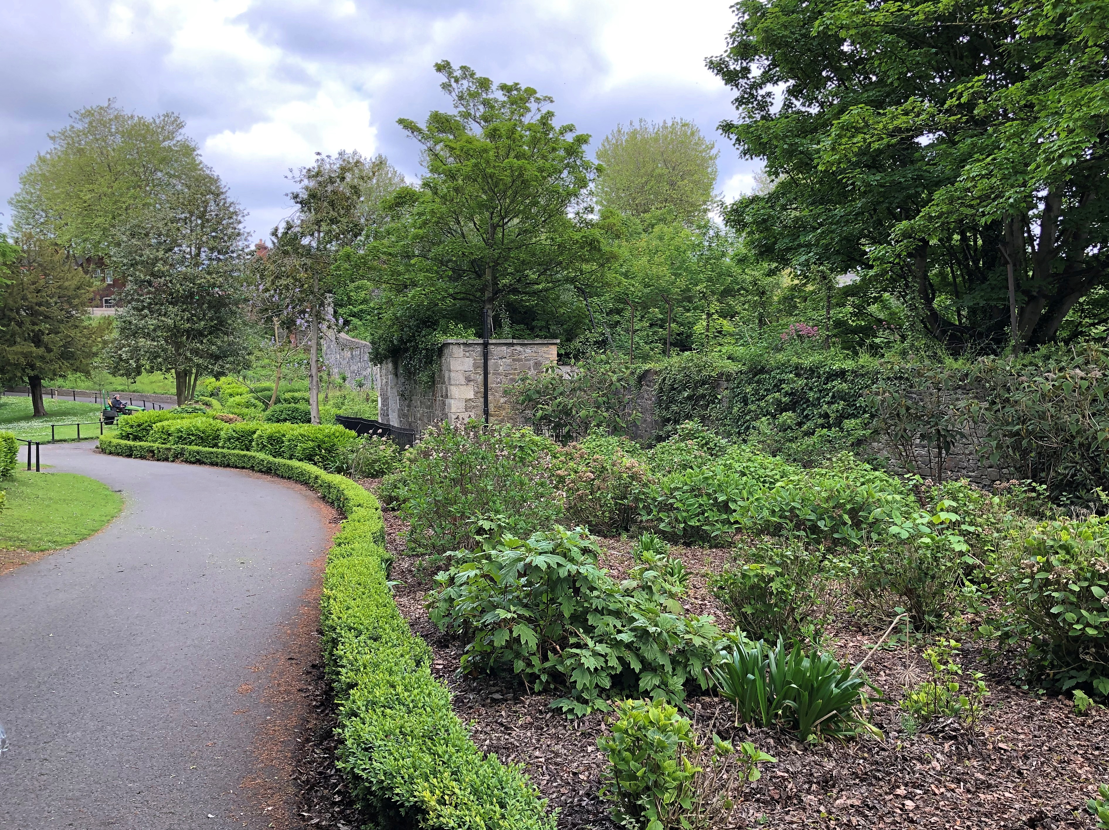
Part of the landscaping includes water features.St Stephen's Green St Stephen's Green

History wasn’t done with St. Stephen’s Green after it became a city park. In 1916, the green figured in the Easter Rising.

“The rebels dug trenches, probably at the four entranceways and other places – the written sources aren’t very specific about where they were,” University of Bristol reader in archaeology Joanna Brück told Irish Central.

“There has been debate over whether it was a strategically good location to take over or not,” she said, but in any case their presence at the green wasn’t any more successful than anywhere else that week for the rebels.

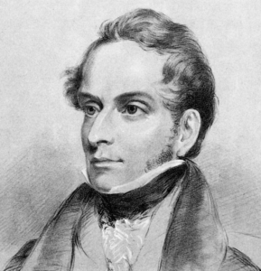
Decimus Burton

Decimus Burton

Toward the end of our visit, we made our way to another Dublin greenspace, one much larger (707 hectares/1,750 acres) in the western reaches of the city: Phoenix Park.

Though as a distinct tract of land, the park has a long history – site of an abbey that Henry VIII squelched, a royal hunting park – it took its modern form during the Victorian era (I’m sensing a pattern here). None other than Decimus Burton gave the park its current form.

I’d call him the Frederick Law Olmstead of the British Isles for his many parks, but actually Burton was a little earlier, and designed many structures as well. Still, as landscape designers, they’re clearly in the same league.Phoenix Park, Dublin Phoenix Park, Dublin Phoenix Park, Dublin

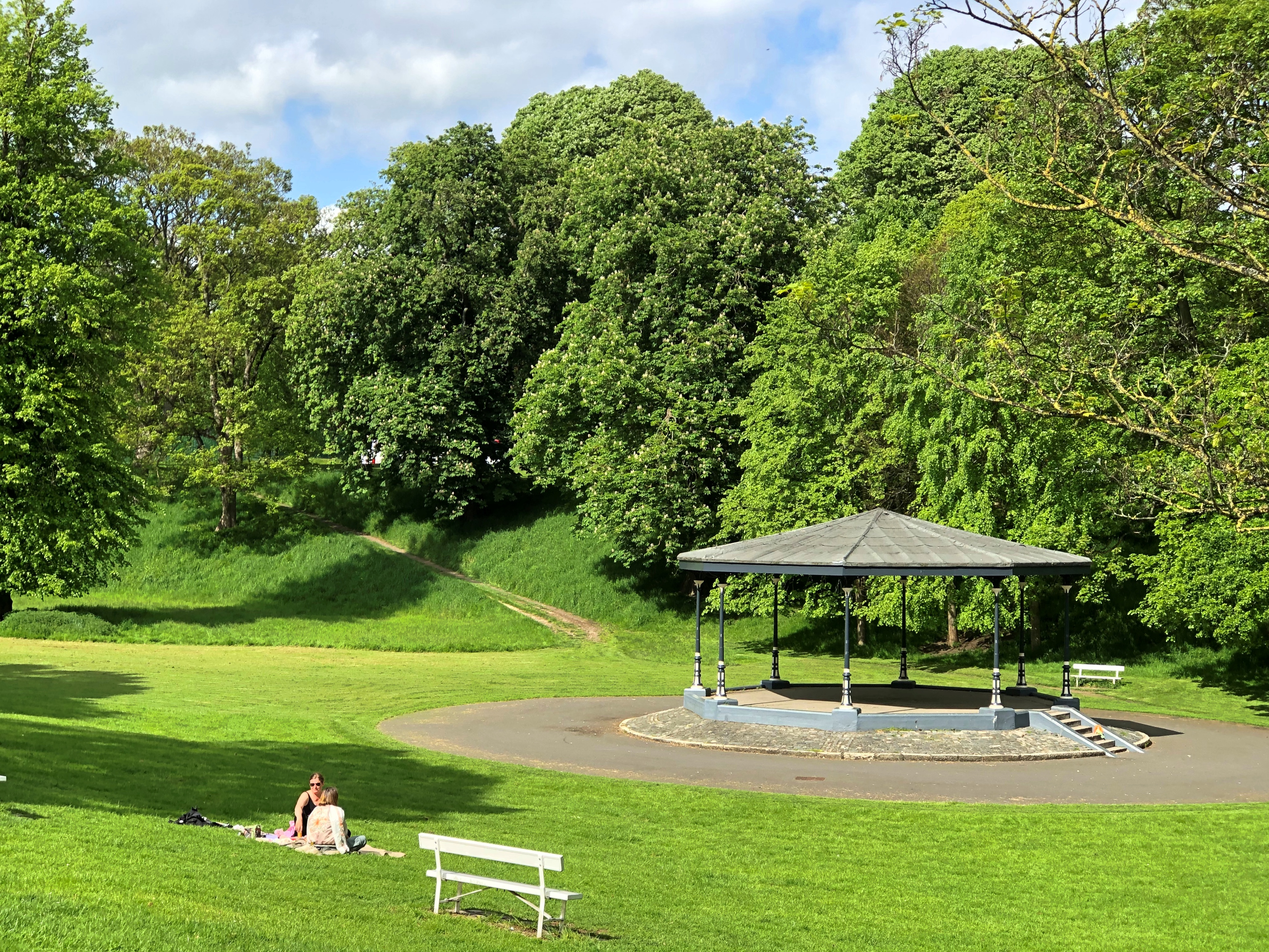
That afternoon also happened to be the warmest one during our visit, which added to the pleasure of the walk. We didn’t get that far, considering how large Phoenix Park is, but we made it to the gazebo near the zoo. An Irish gazebo, which are distinctive since independence for not having sides. Go ahead, look it up.Phoenix Park, Dublin

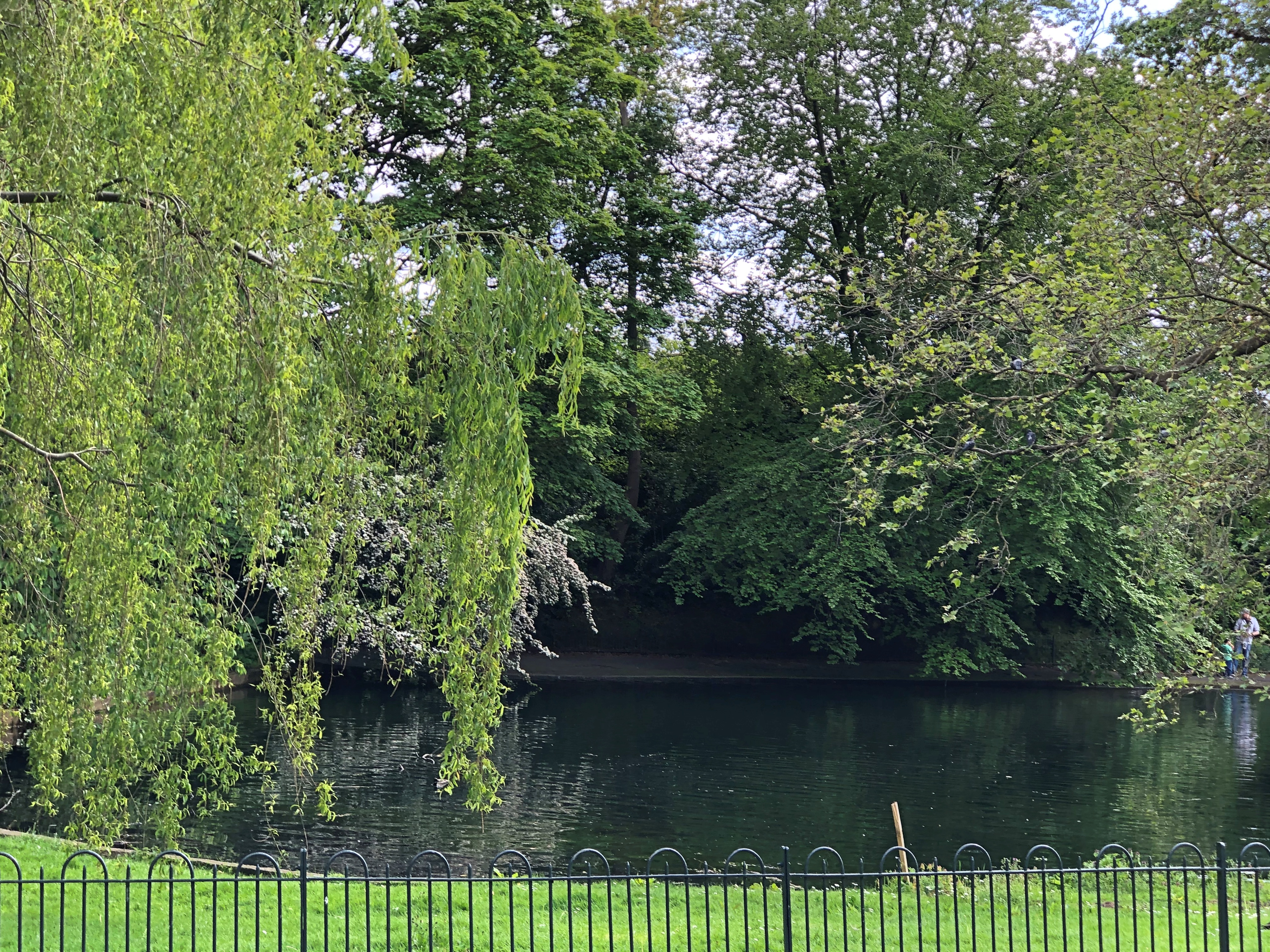
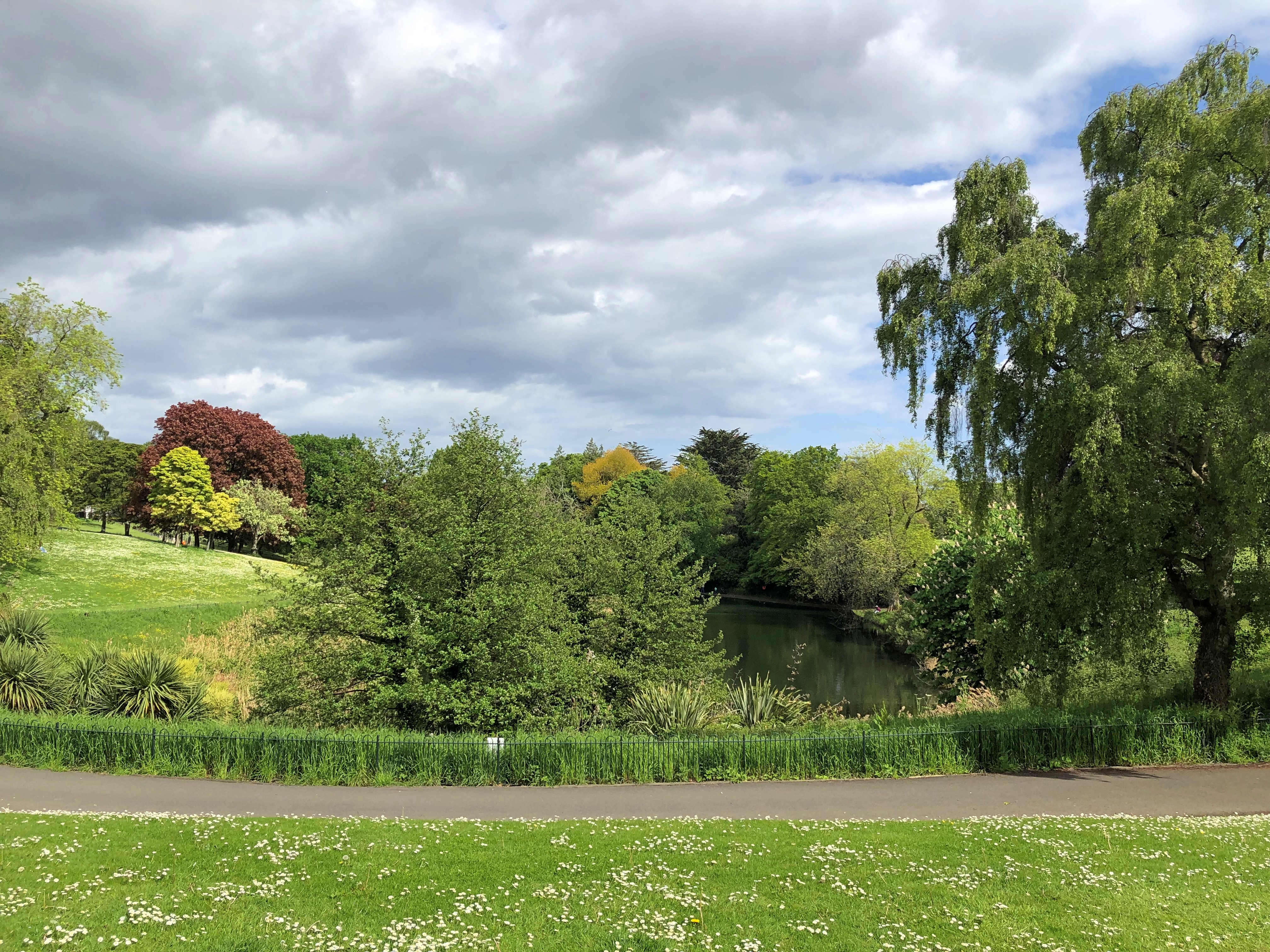
A picturesque water feature, with trees and bushes and birds to go with.Phoenix Park, Dublin Phoenix Park, Dublin Phoenix Park, Dublin

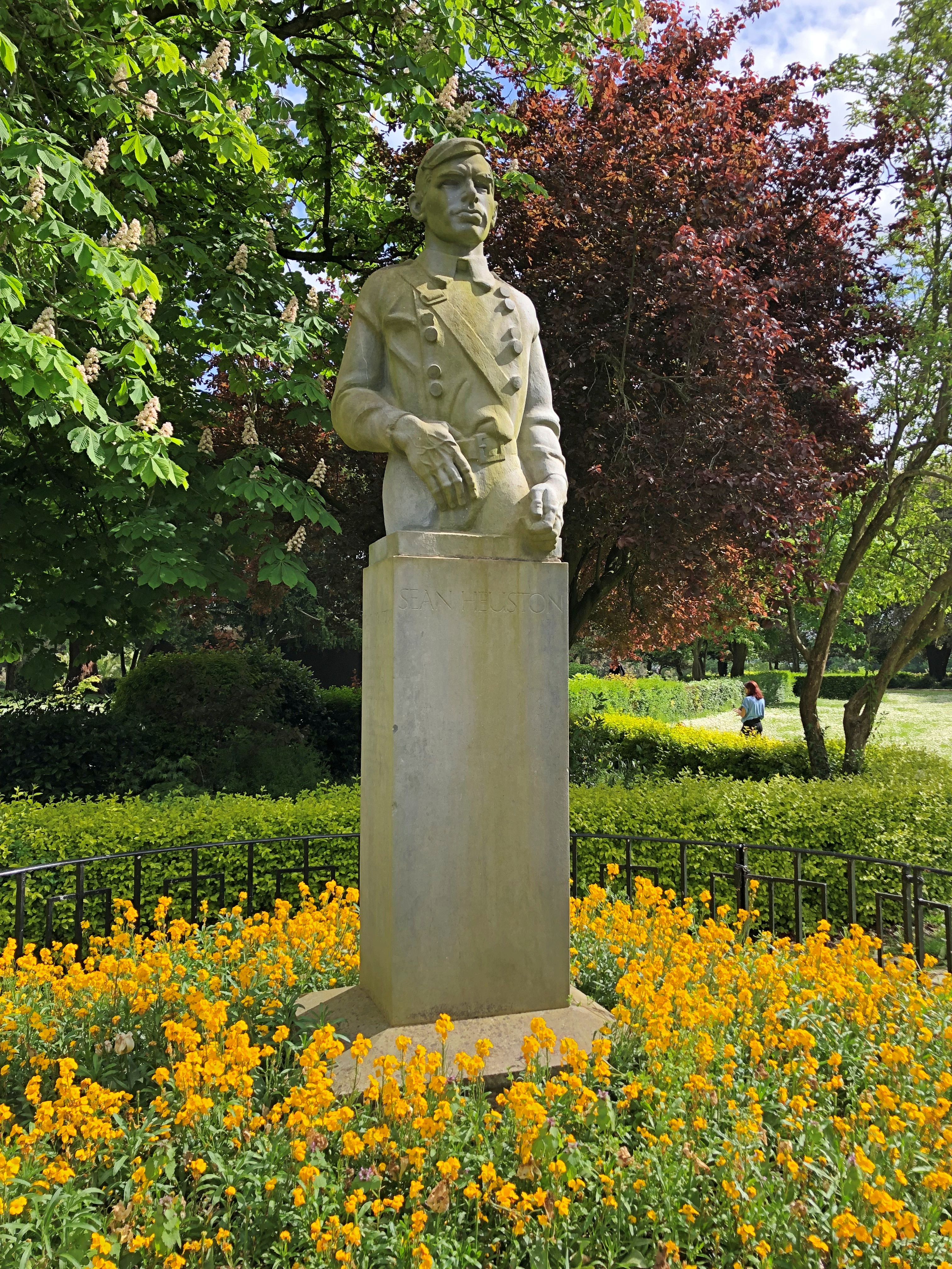
A scattering of memorials, such as that of Seán Heuston.Phoenix Park, Dublin

I didn’t know who he was, though I noticed that his name is attached to a nearby tram stop as well. I figured he died for independence. Yes, indeed. Led men in 1916 and met his end at Kilmainham Gaol not long after.

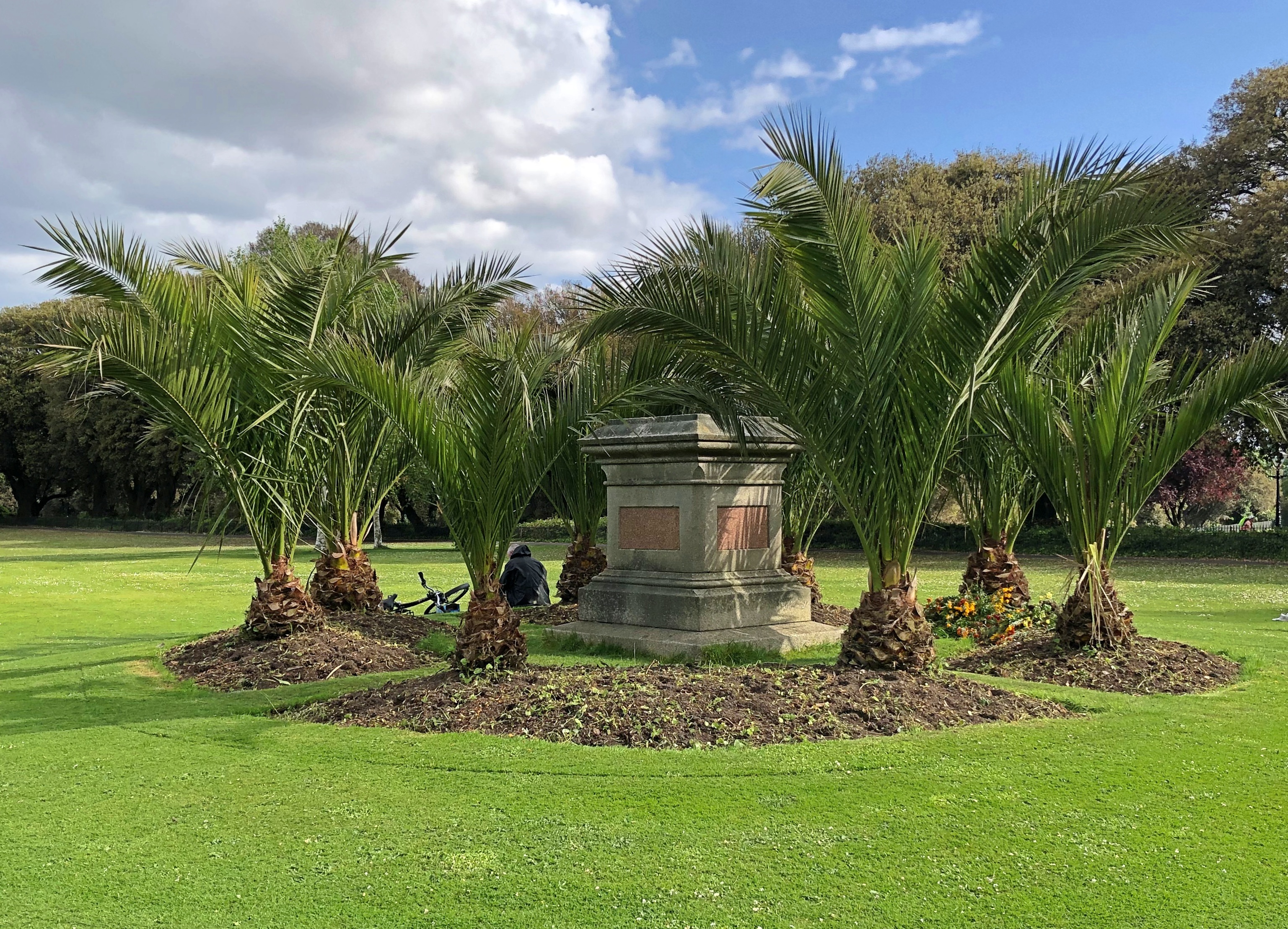
Not far away from Heuston is an example of de-memorialization.Phoenix Park, Dublin

The plinth remains, surrounded by trees that were obviously planted for the purpose of obscuring the site. There is still carving on the plinth, however, which is only partly readable, but I figured it out. Once upon a time (1870-1956), a statue of George William Frederick Howard, 7th Earl of Carlisle, stood there. He was Palmerston’s Lord Lieutenant of Ireland for a couple of stints in the mid-19th century, and his statue wasn’t a relic of the Victorian era that at least some Irish cared to keep. It was bombed.

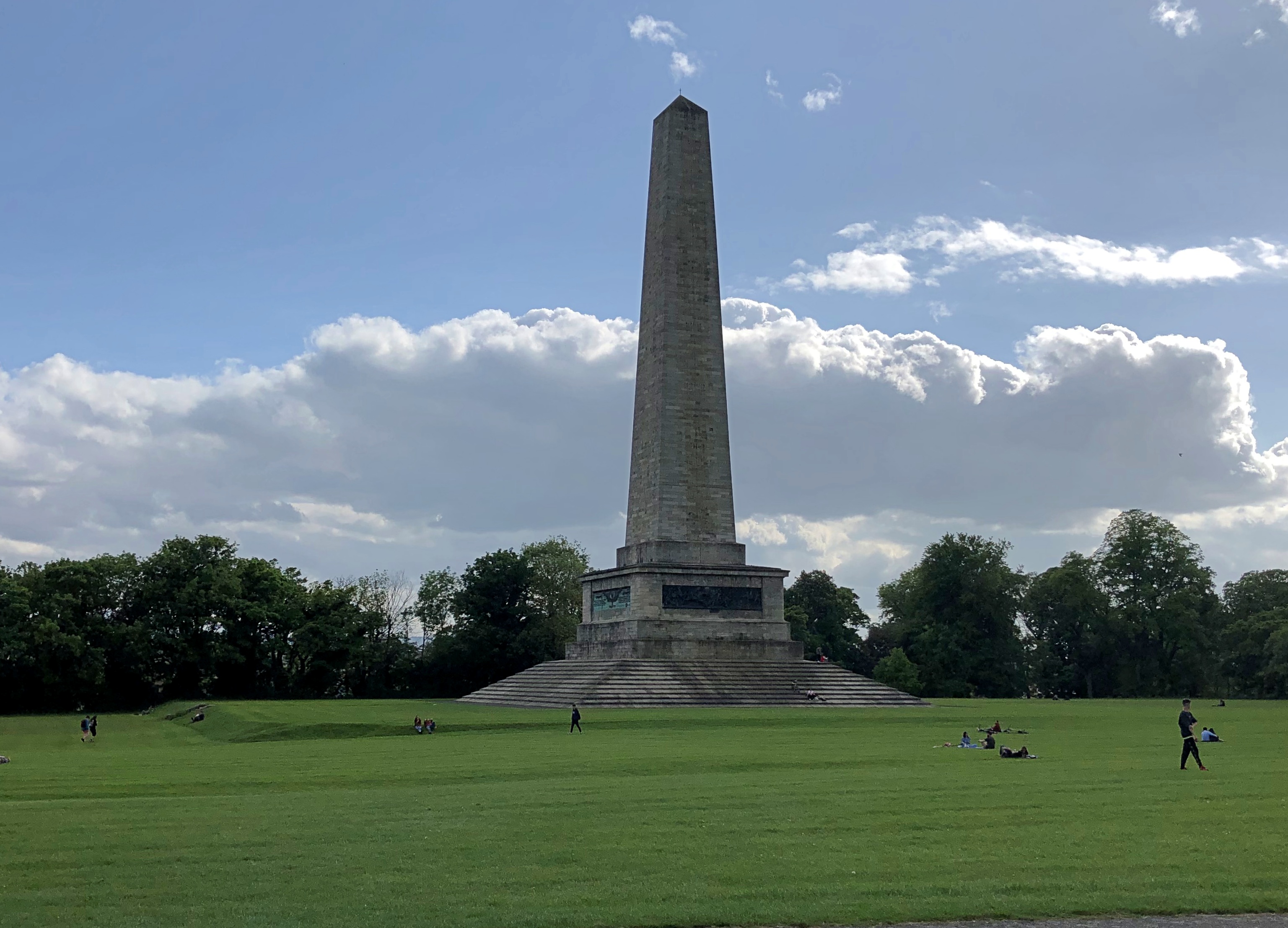
The obelisk honoring Arthur Wellesley, 1st Duke of Wellington, on the other hand, still stands tall in Phoenix Park, despite him being born into the Protestant Ascendancy.Phoenix Park, Dublin

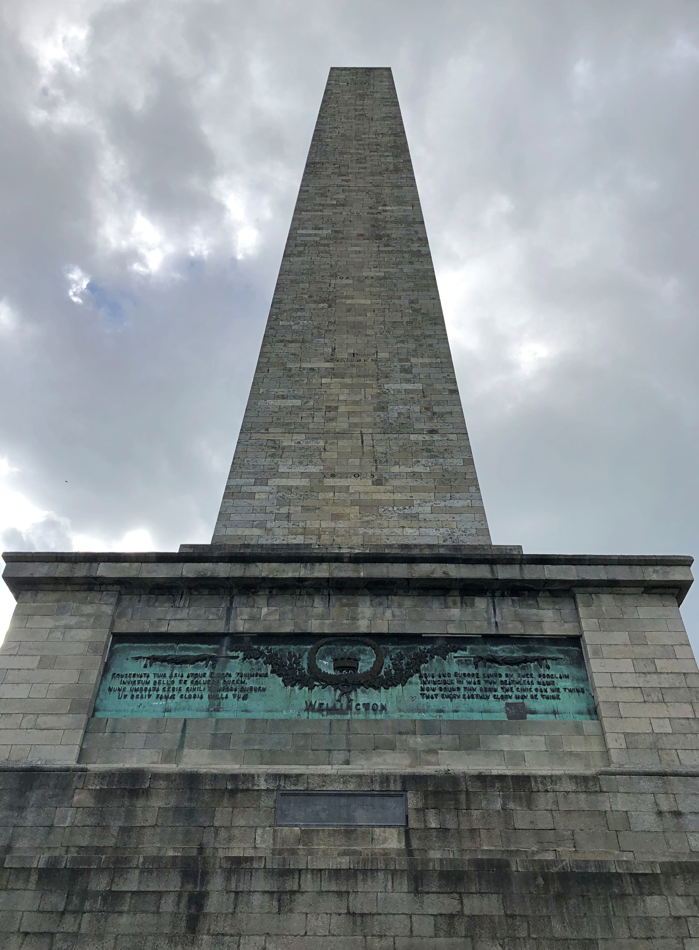
After all, Wellington was a Dubliner who gave Napoleon his final bum’s rush from the world stage, and supported Catholic Emancipation besides.Phoenix Park, Dublin

The bronze used for the plaques, on all four sides, is from cannons captured at Waterloo.

One reason I wanted to visit Phoenix Park was that I’ve known about it for so long, since ca. 1980. One day at the Vanderbilt Library, I discovered a microfilm collection of decades of The Times of London, which maybe went all the way back to the paper’s founding in the 1780s. Flipping through it more-or-less at random provided a fascinating pastime for me, because that’s the kind of interest in history I have (not a disciplined one of a scholar).
Completely by chance I came across a flood of column inches for days and days in the spring of 1882 about what would be called the Phoenix Park Murders. I had to look up the location of Phoenix Park, and more about the murders, and never forgot.

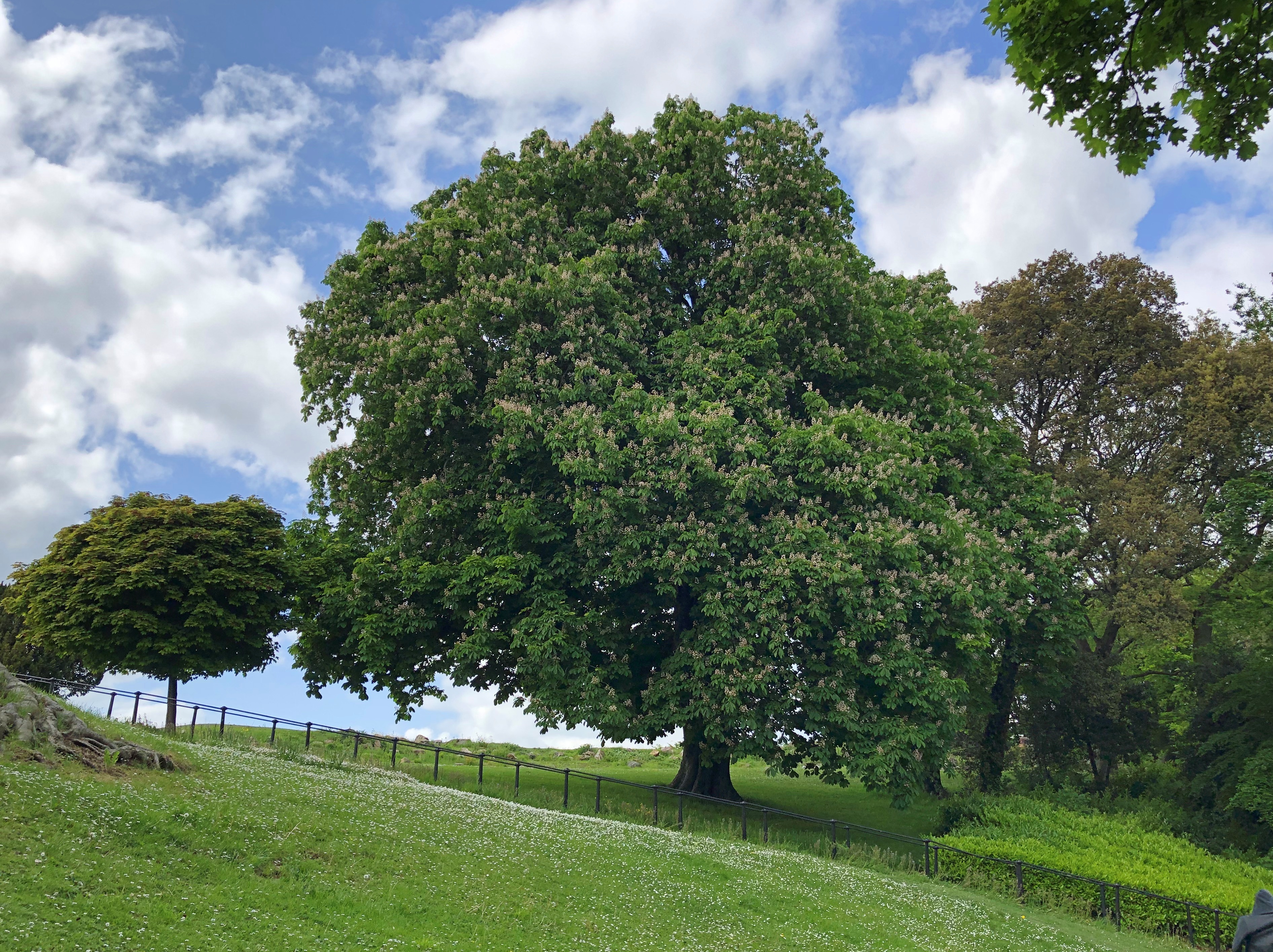
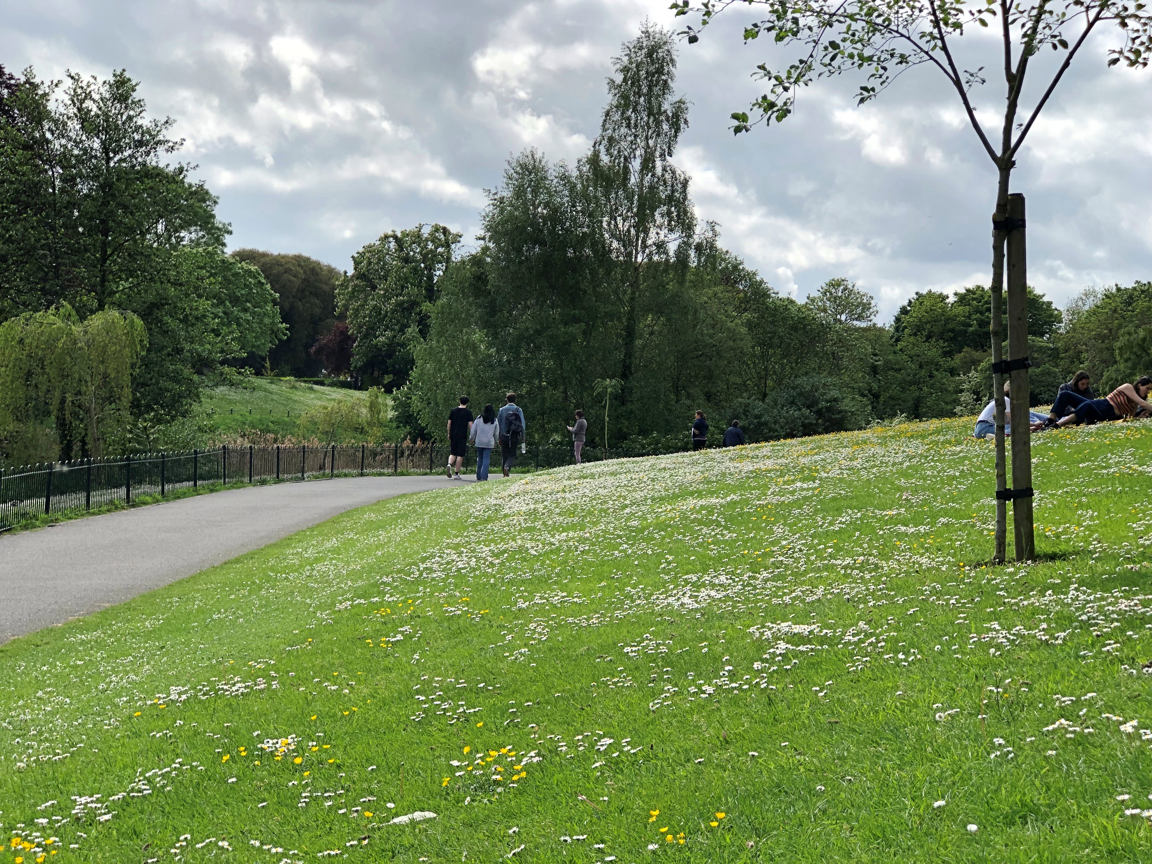
Our afternoon walk in the park was long, interspersed with rests on benches, of which there are too few, and sometimes by reclining on the ground. Such as on this daisy-covered slope.St Stephen's Green St Stephen's Green

Better, it occurred me on that sunny day in Ireland, to be pushing down the daisies than pushing them up.

April Flowers

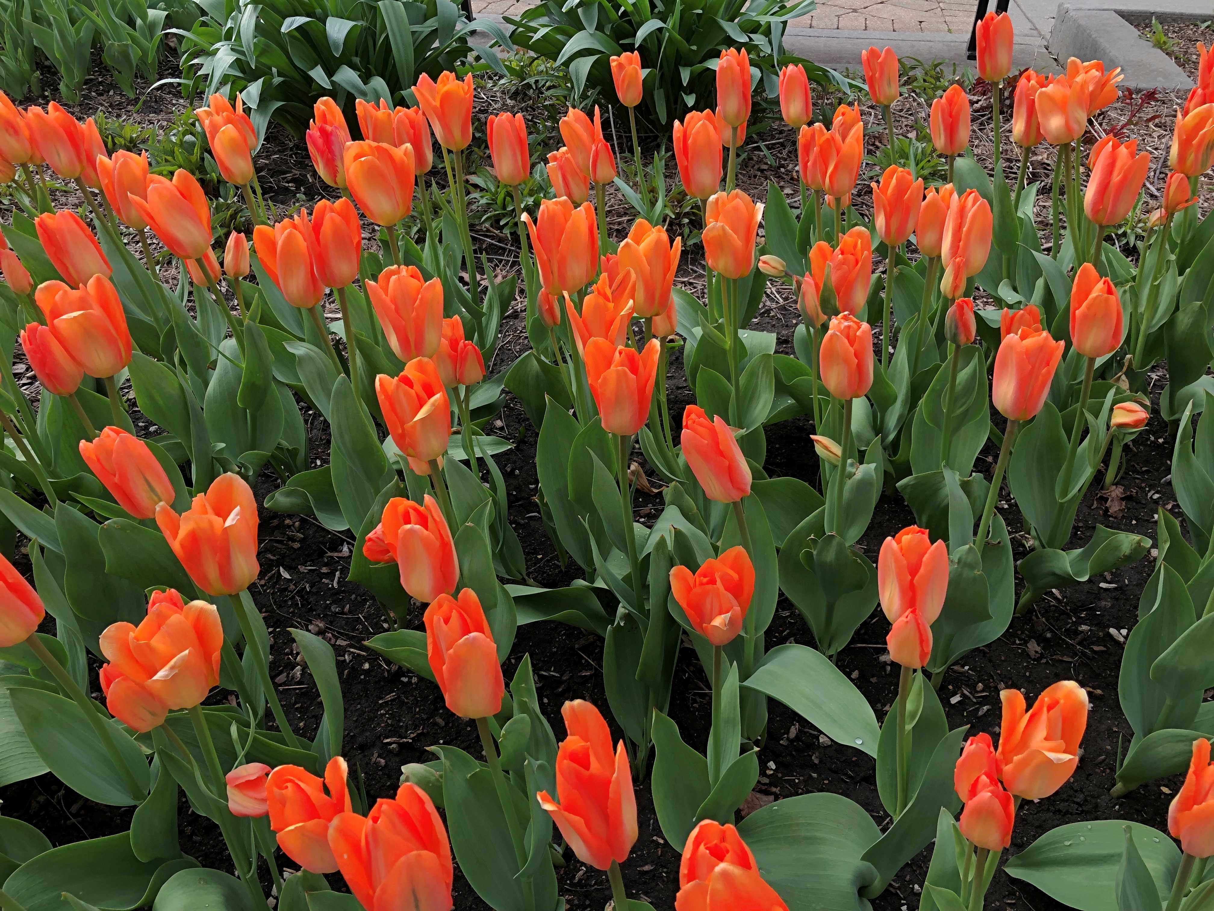
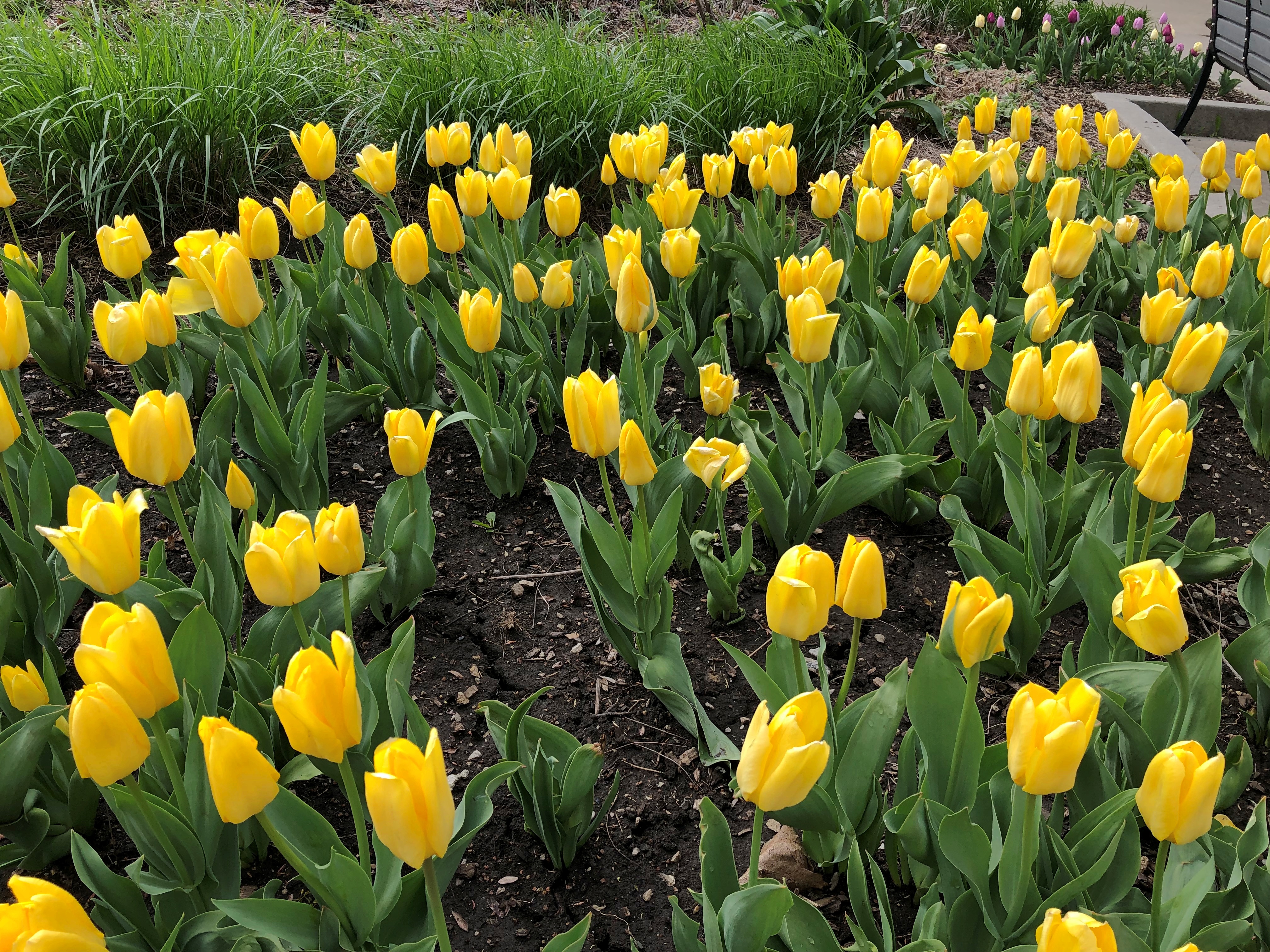
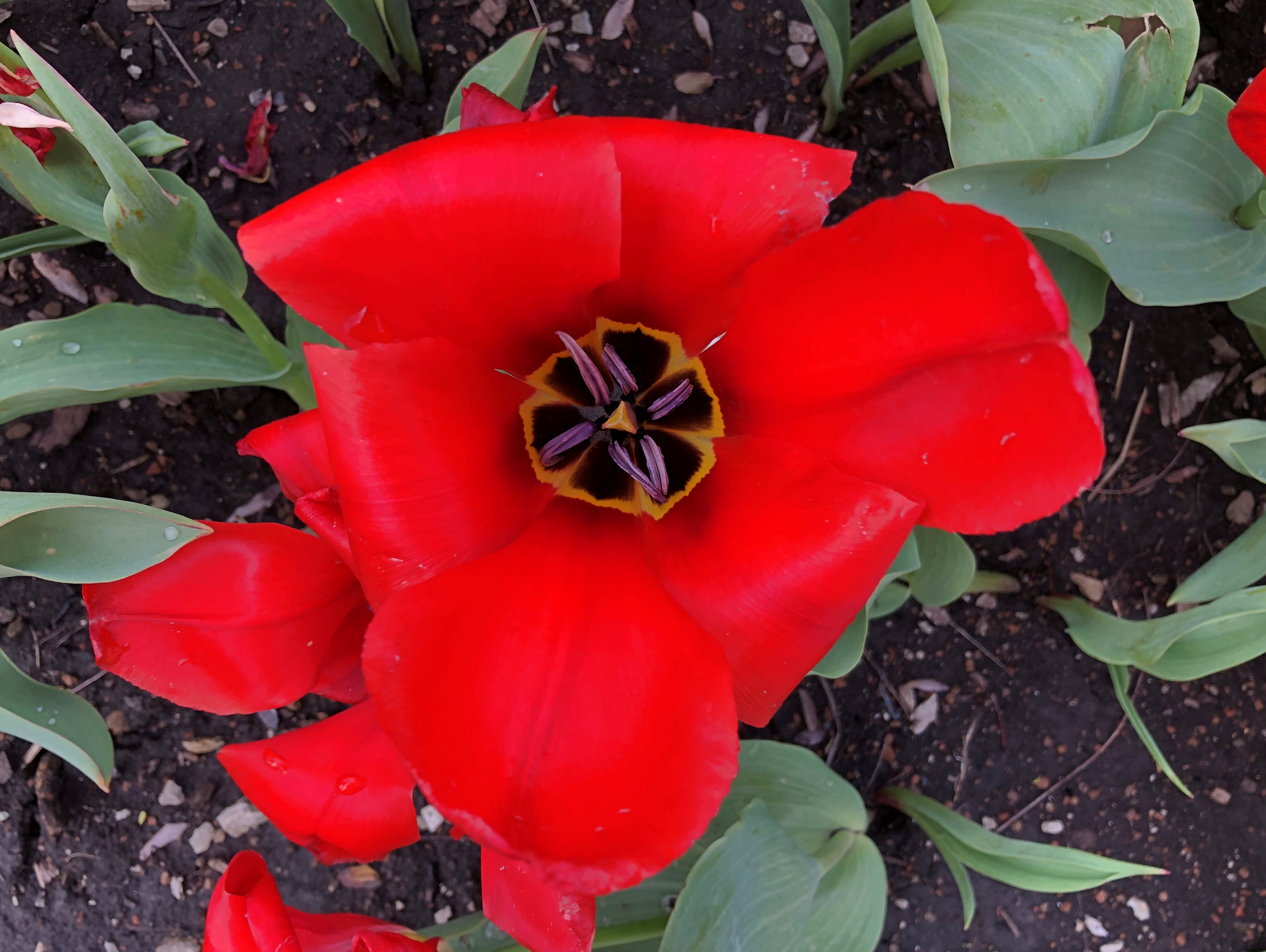
Temps are expected to dip down to freezing tonight. Bah. But I expect our local April flowers are hardy enough to take it, unlike (say) July flowers that would wilt at a whiff of air below about 50° F.

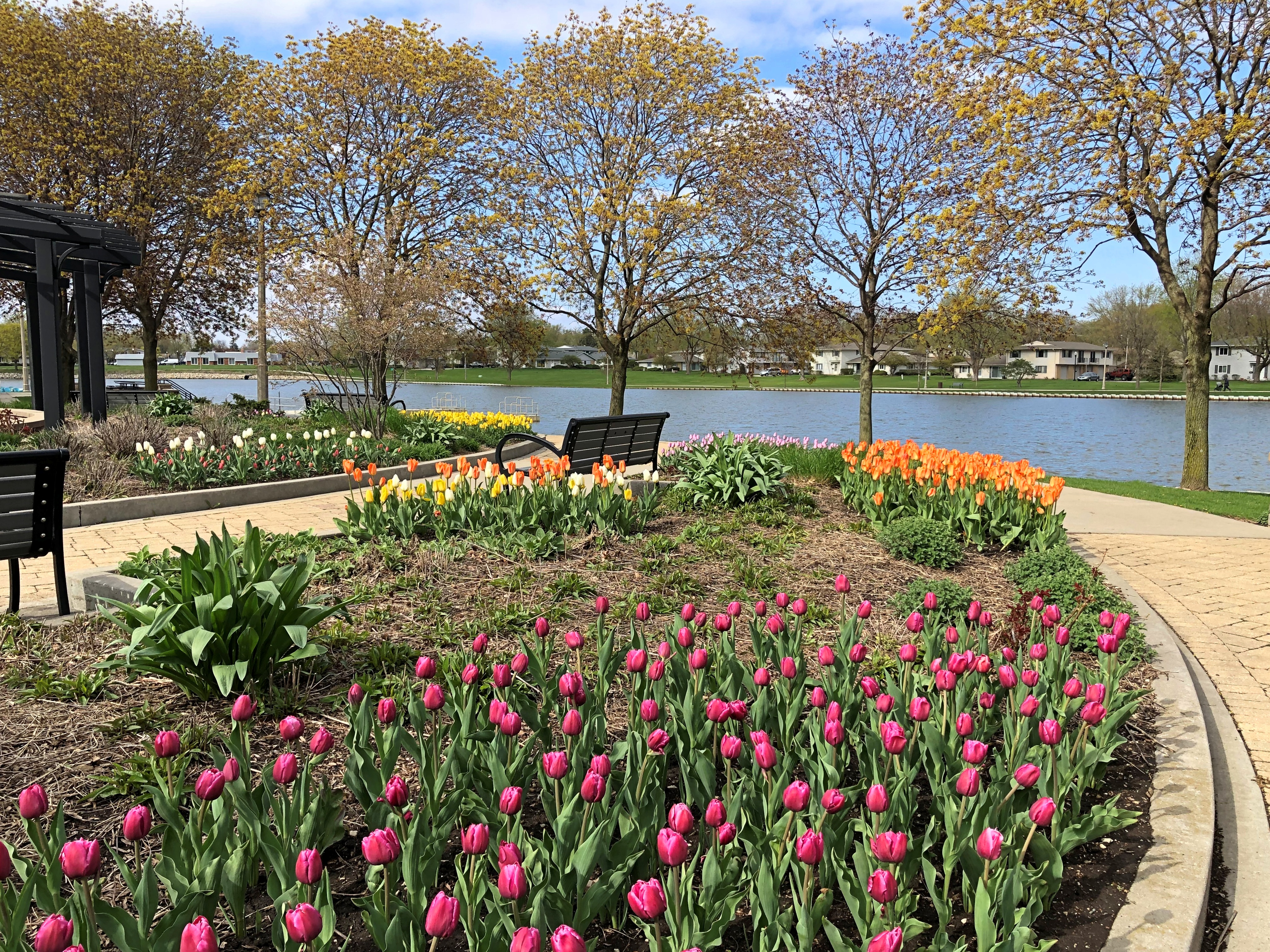
April flowers at a park not far from where we live.

A lovely scene. Just needed a bit more atmospheric warmth to make an idyllic scene. 

Just carping about the temps, as I do. Even Solomon in all his glory was not arrayed like one of these.

Among the new life of spring, a reminder of mortality.

A plaque I hadn’t noticed before. Because it’s all too new.

This young man, emphasis on young. Enough to set one’s teeth on edge, seeing that one of your children’s generation died so young. RIP, Jake.