Grand Canyon National Park, North Rim

There is one way to drive on paved roads from Page, Arizona, to the North Rim of Grand Canyon National Park, at least without going way out of your way. Go south from Page on U.S. 89, then north on U.S. 89A, then south on Arizona 67. If that sounds a little roundabout, it is, but the drive is worth every minute you spend. It takes two to two-and-a-half hours if you don’t stop much.

Eventually, you end up at the park, famed the world over.Grand Canyon National Park

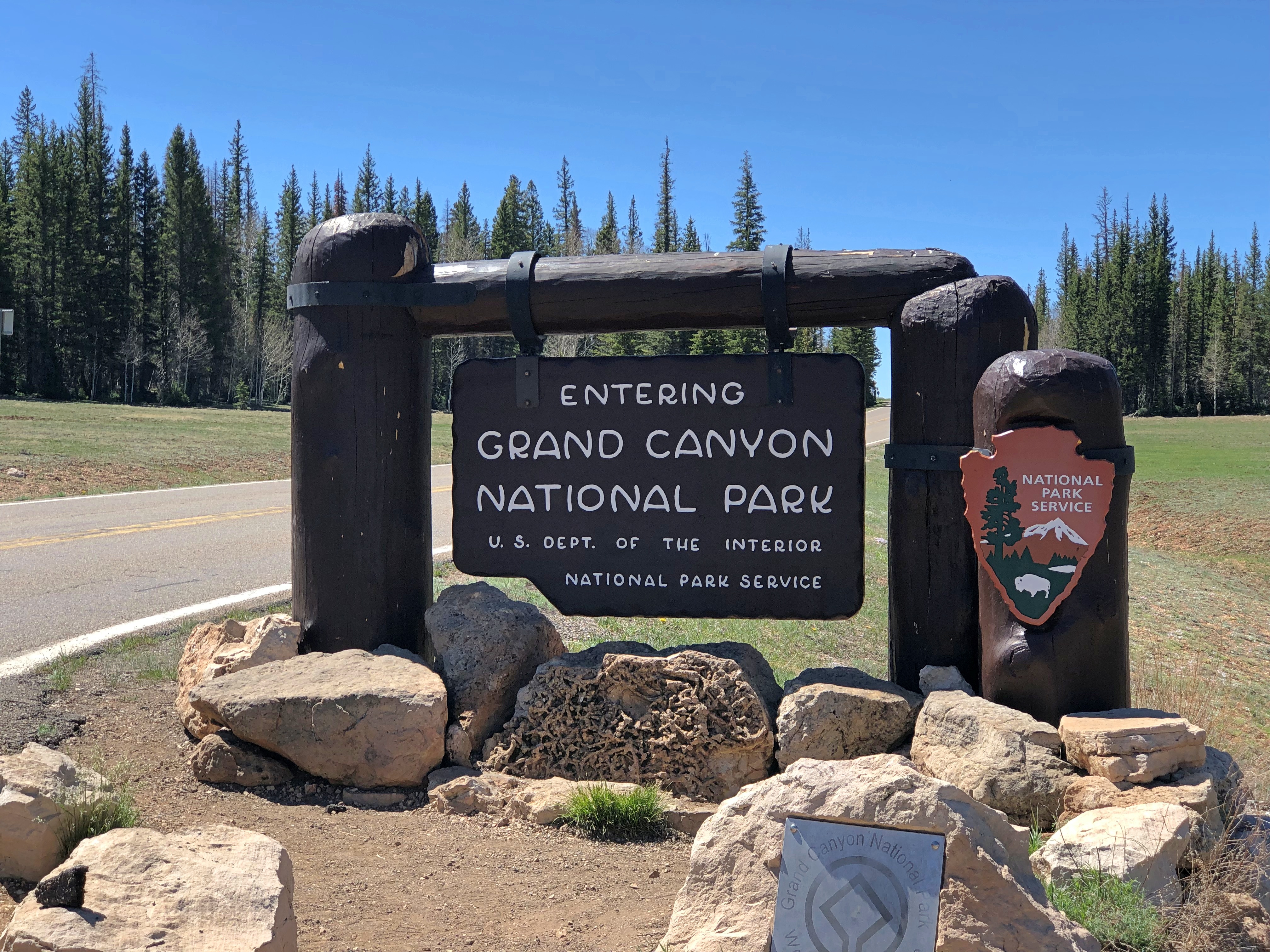
As the raven flies, and we saw a fair number of them soaring on the air currents around the canyon, it is about 10 miles from the North Rim to the South Rim. Driving from the North Rim to the South involves more than 200 roundabout miles.

The South Rim has fairly close access to a large metro area — Phoenix — and the sizable town of Flagstaff as a closer jumping off point. That’s what we did in 1997. It occurs to me that we visited the canyon this time two days short of exactly 25 years after the first time.

The nearest town to the North Rim is Page, reached as I’ve described. Not exactly remote, but certainly out of the way. In 2021, about 221,000 visitors came through the North Rim entrance when it was open May through mid-October, according to NPS stats. (The road is snowed in much of the year.) So for every one visitor to the north last year, there were 10 to the south, with about 2.2 million visitors coming to the South Rim during 2021.

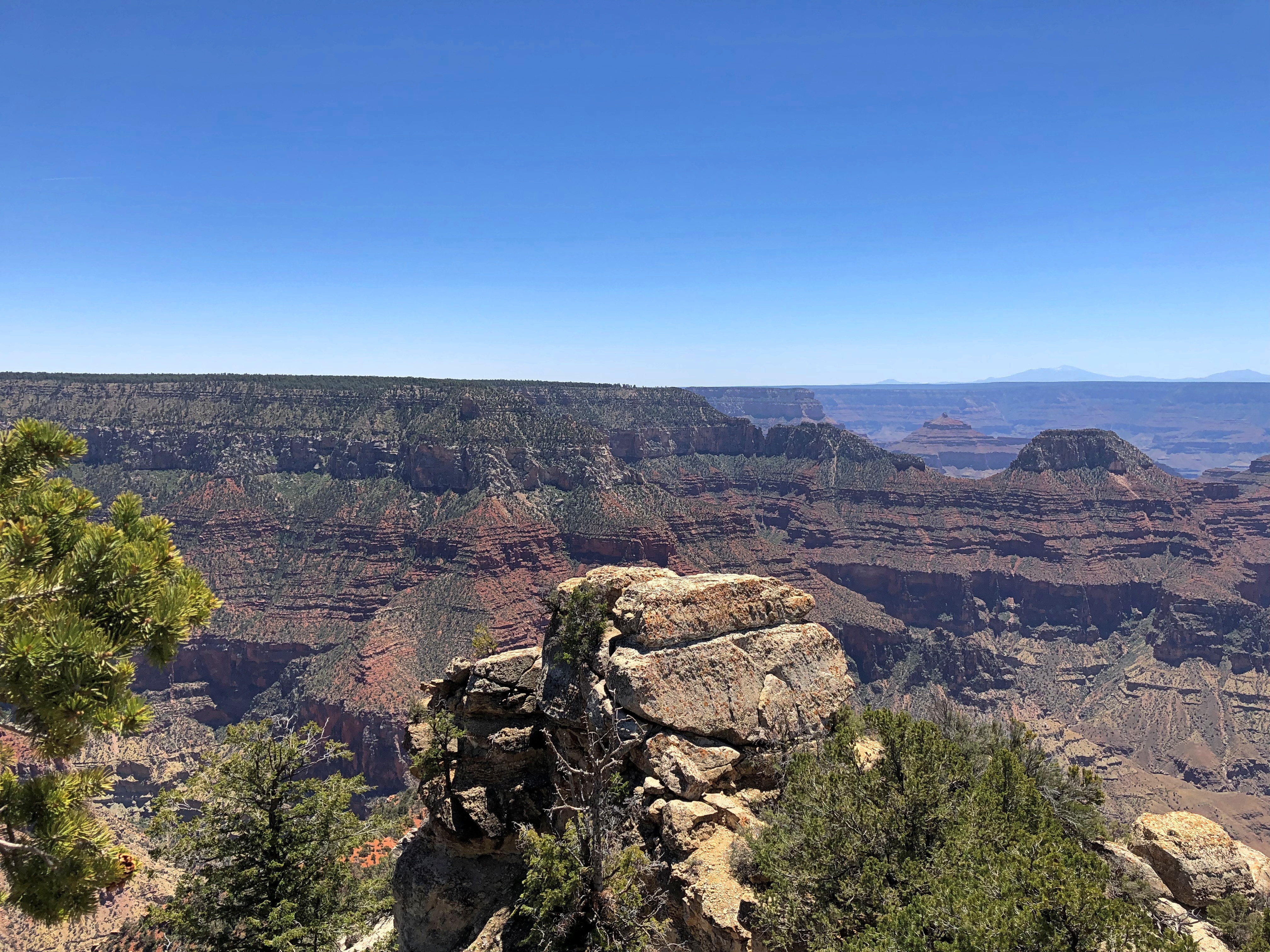
When we got to the North Rim last Tuesday morning, the place was popular enough, but not overrun. Even mere feet away from the Grand Canyon Lodge North Rim parking lot, which is where the road into the park ends, the view doesn’t disappoint.Grand Canyon National Park

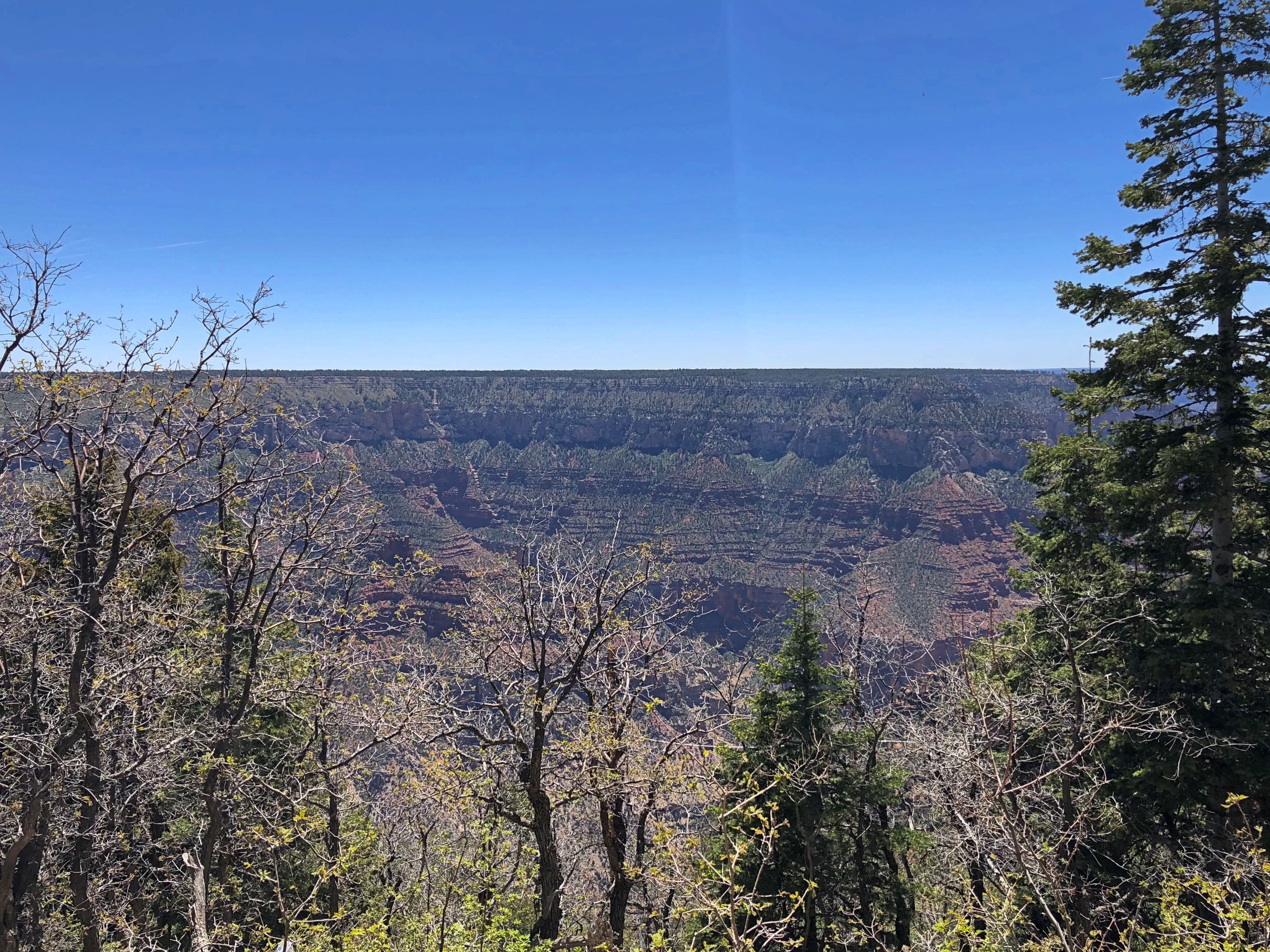
The lodge itself, just opened for the season two days earlier, is perched on the rim, and built from native stone and timber, especially Kaibab limestone from the nearby cliff at Bright Angel Point.Grand Canyon National Park

People were perched on the lodge viewpoints.
Grand Canyon National Park

Through a subsidiary, the Union Pacific Railroad originally developed the lodge in the 1920s, though the first structure burned down after only a few years, and was rebuilt  somewhat differently in the ’30s. Design by Gilbert Stanley Underwood, who specialized in lodges and railroad stations. He also designed 140 cabins surrounding the main lodge by 1928.

“Erected in 1927-28, this is the most intact rustic hotel development remaining in the National Parks from the era when railroads, in this case the Union Pacific, fostered construction of ‘destination resorts,’ ” says the National Historic Landmarks listing for the building.

“The main lodge building was rebuilt in 1936 following a devastating fire, but its most important interior spaces retained their scale, materials and flavor, and the deluxe cabins and standard cabins of log and stone construction also kept their fabric, layout and ambiance.”

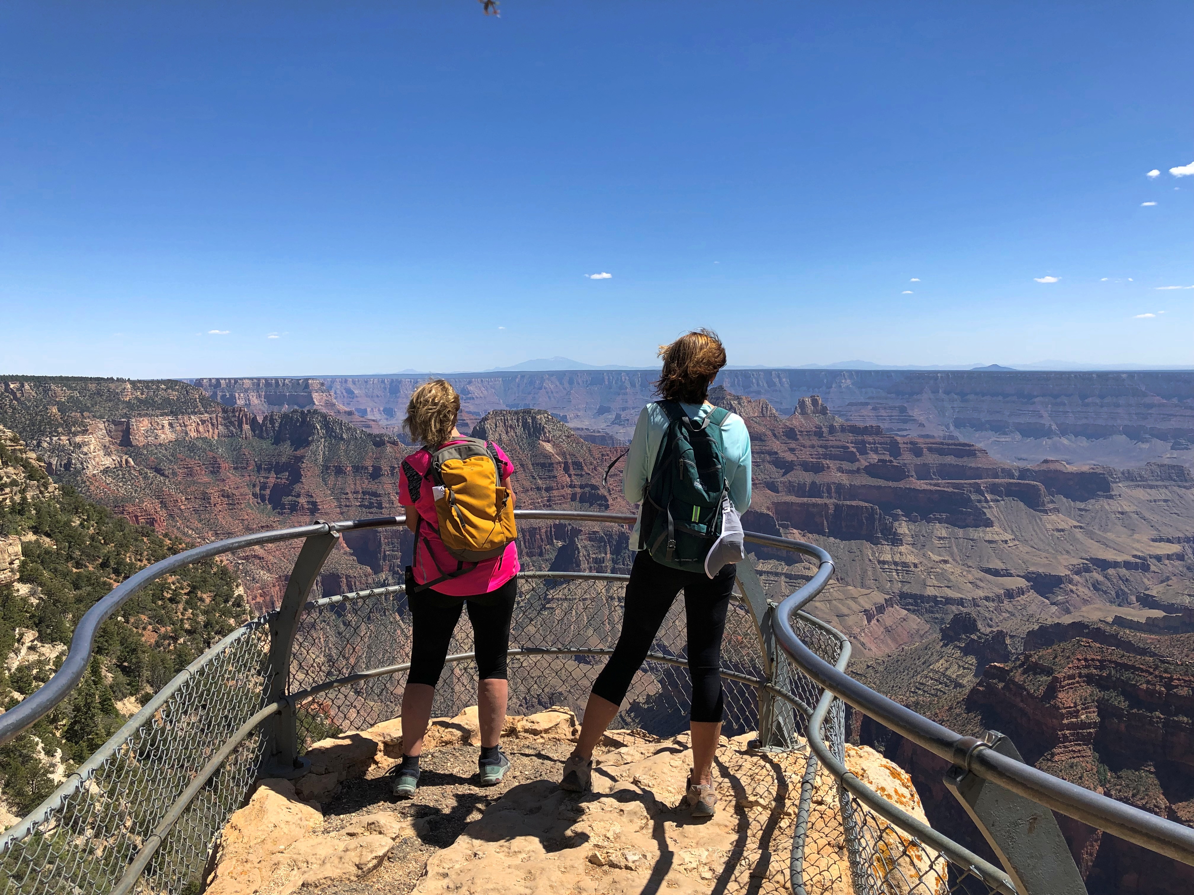
From the lodge, Bright Angel Point is a 10-minute walk along a trail created by — no need to guess very hard — CCC workers. Those lads need to be honored with a bronze on the grounds somewhere, though I might have missed it.Grand Canyon National Park Grand Canyon National Park Bright Angel Point Grand Canyon National Park Bright Angel Point

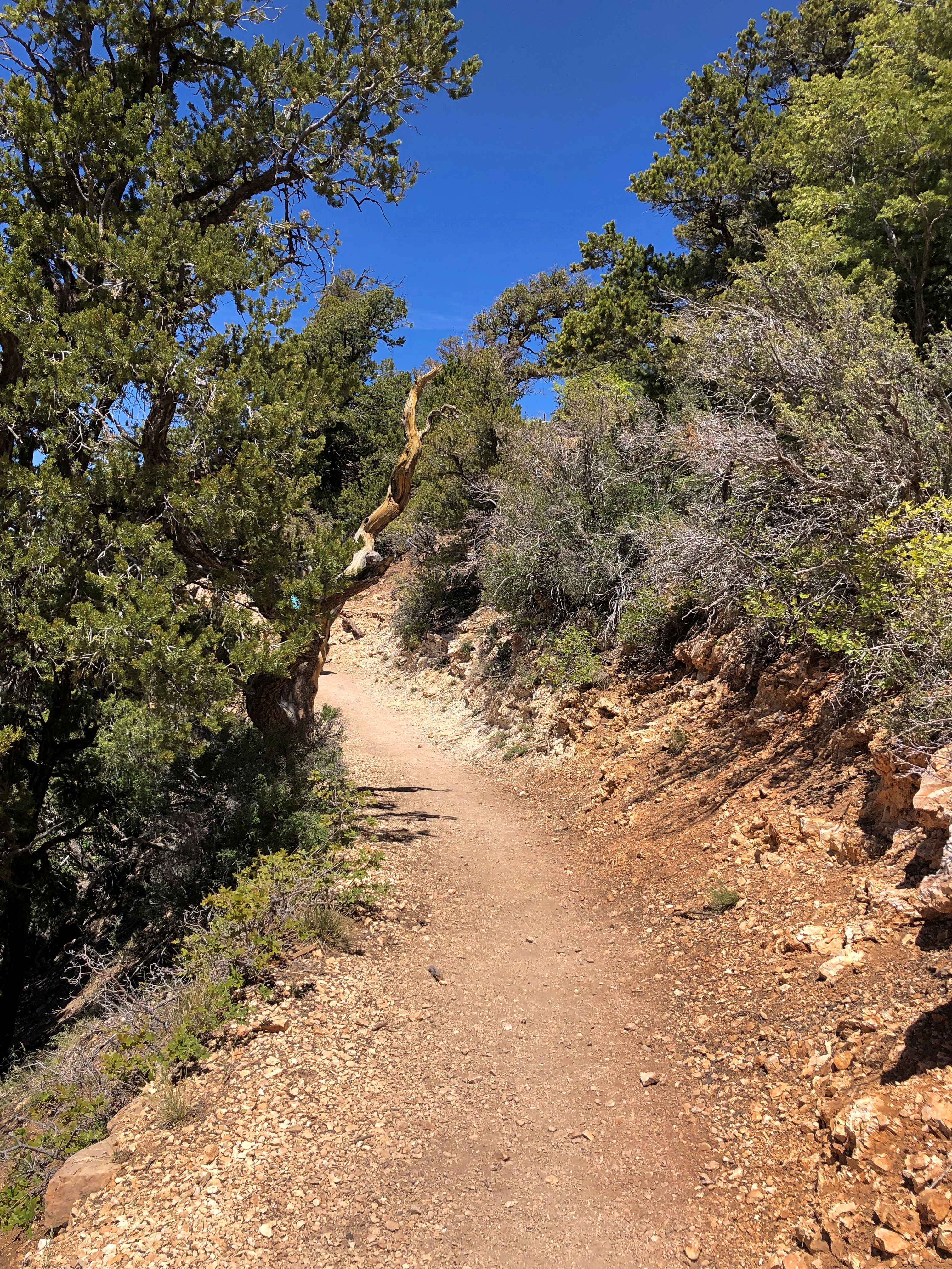
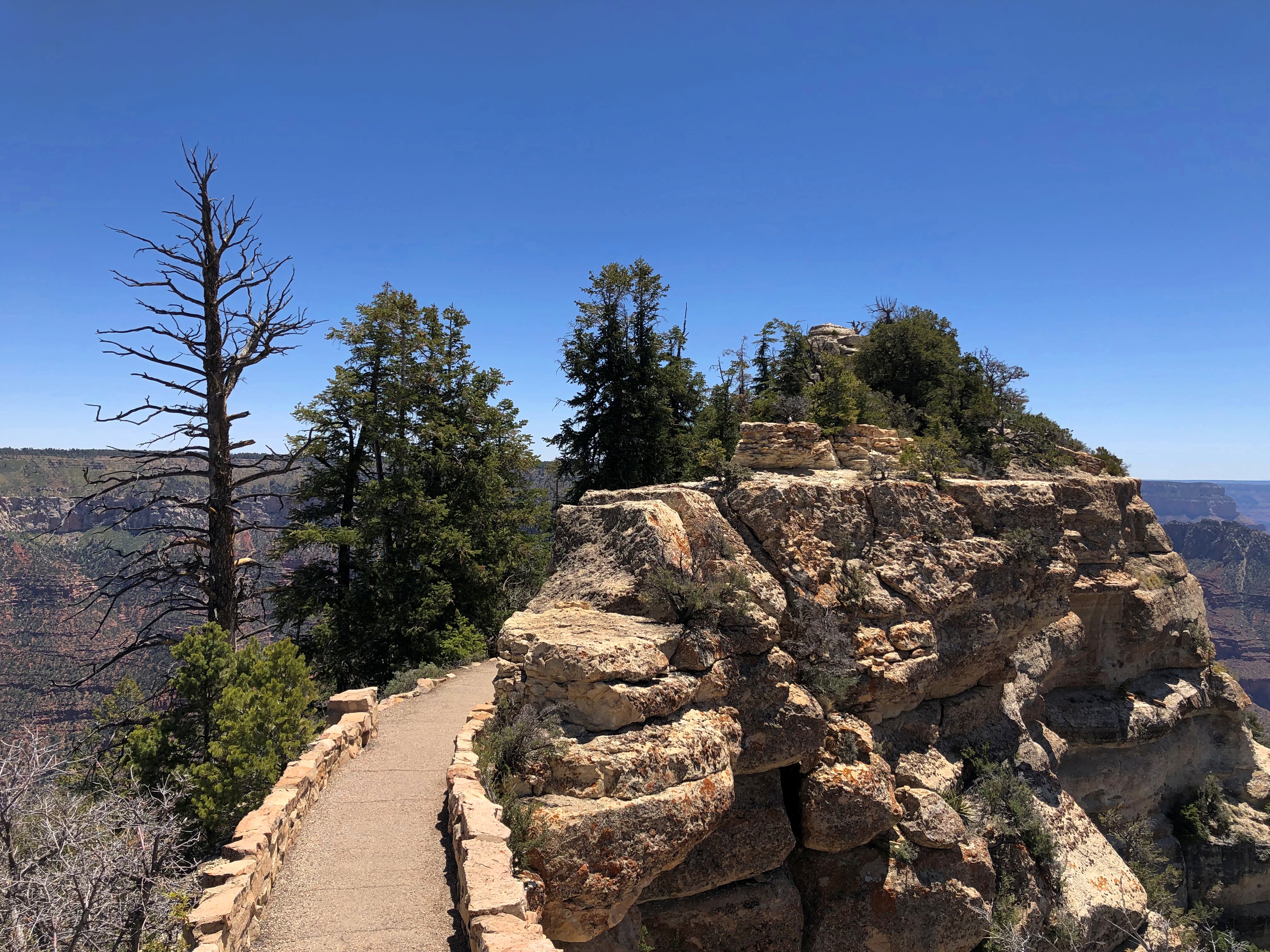
Out at Bright Angel Point. Let’s just say there were impressive views. And an impressive wind whipping by.Grand Canyon National Park Bright Angel Point Grand Canyon National Park Bright Angel Point Grand Canyon National Park Bright Angel Point

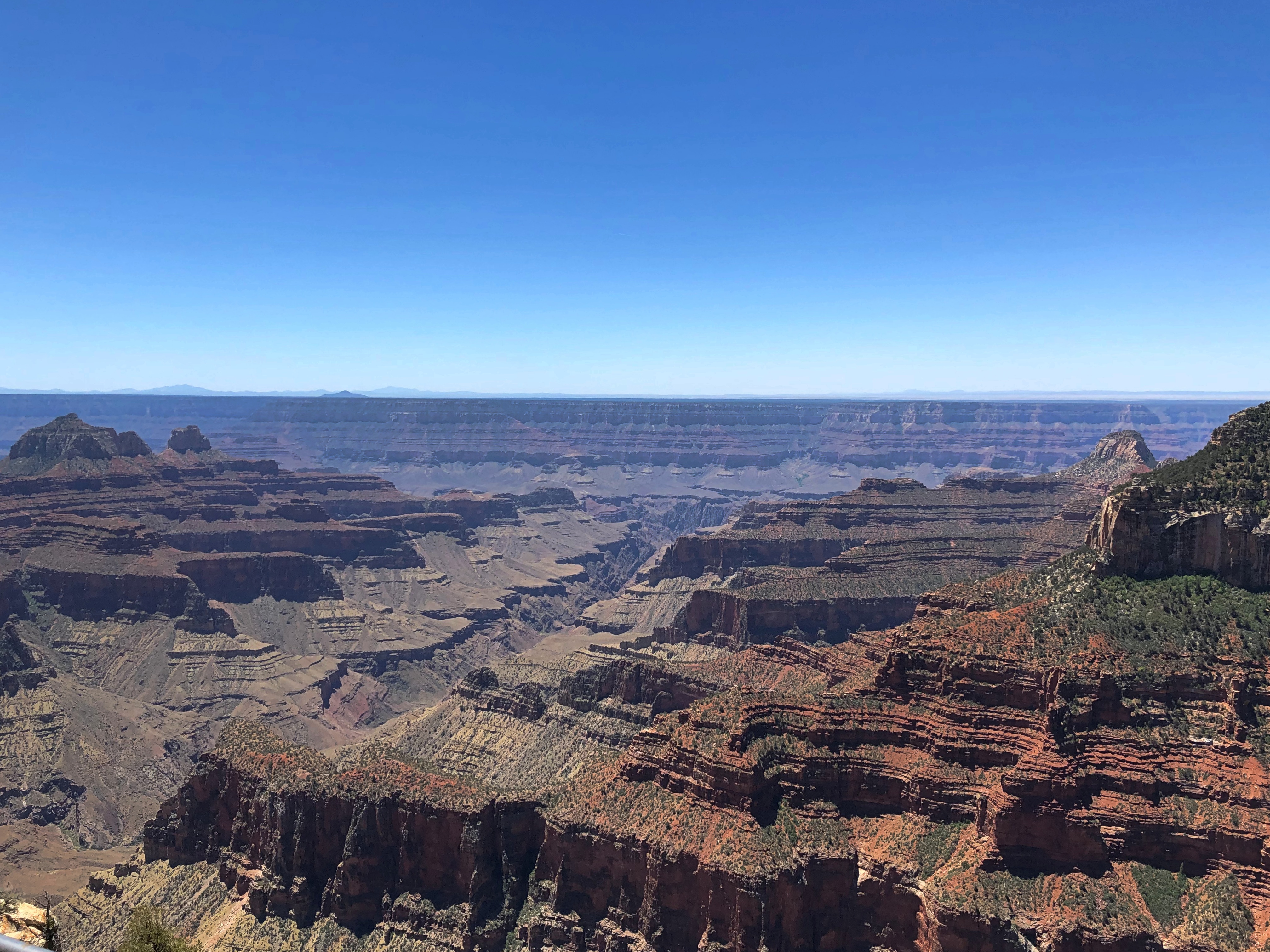
We didn’t have the place to ourselves, but sometimes, almost.
Grand Canyon National Park Bright Angel Point

We had lunch in the lodge restaurant, an enormous space with high ceilings, dark woods and towering windows to bring the view of the canyon into room. The food: decent. The view: magnificent.

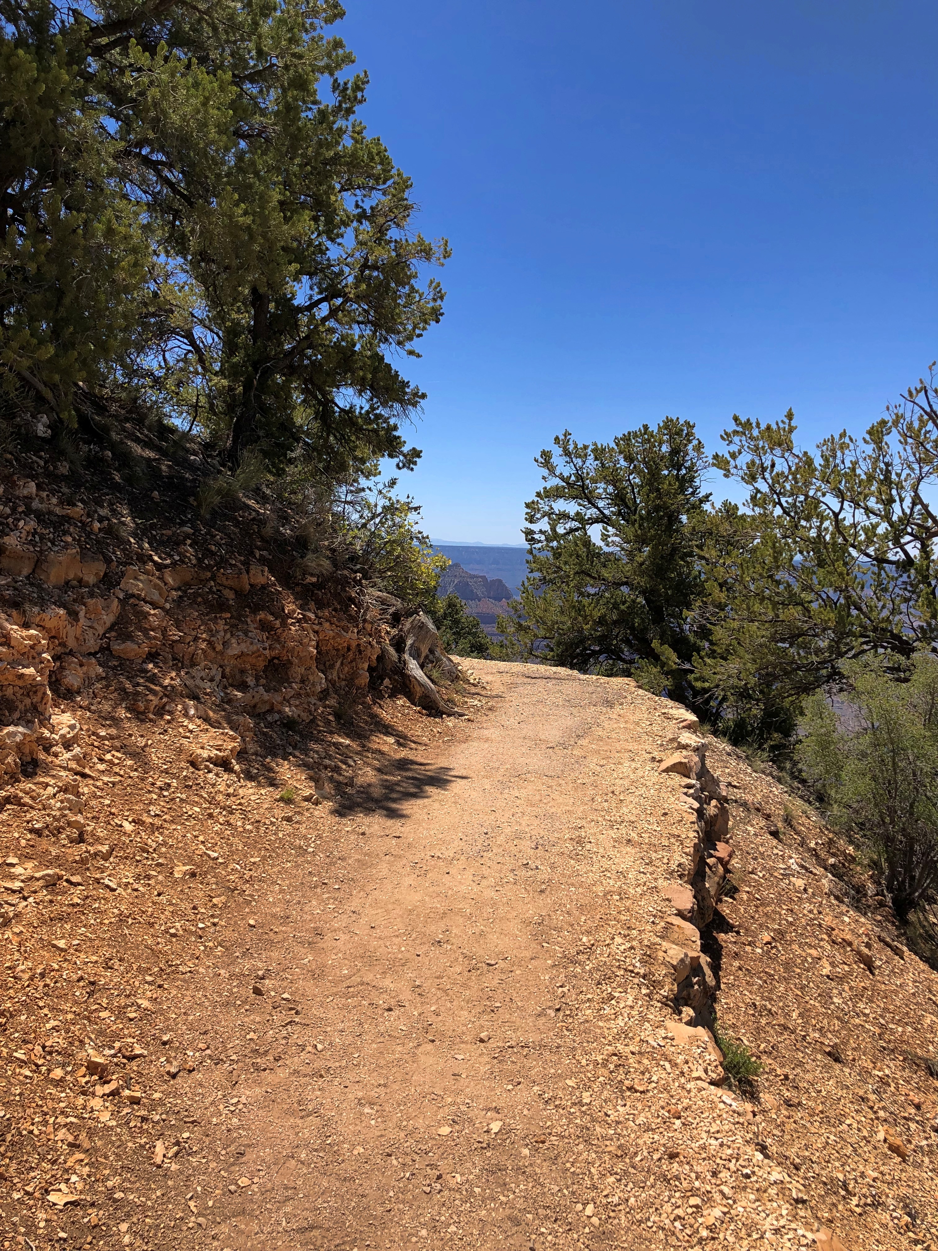
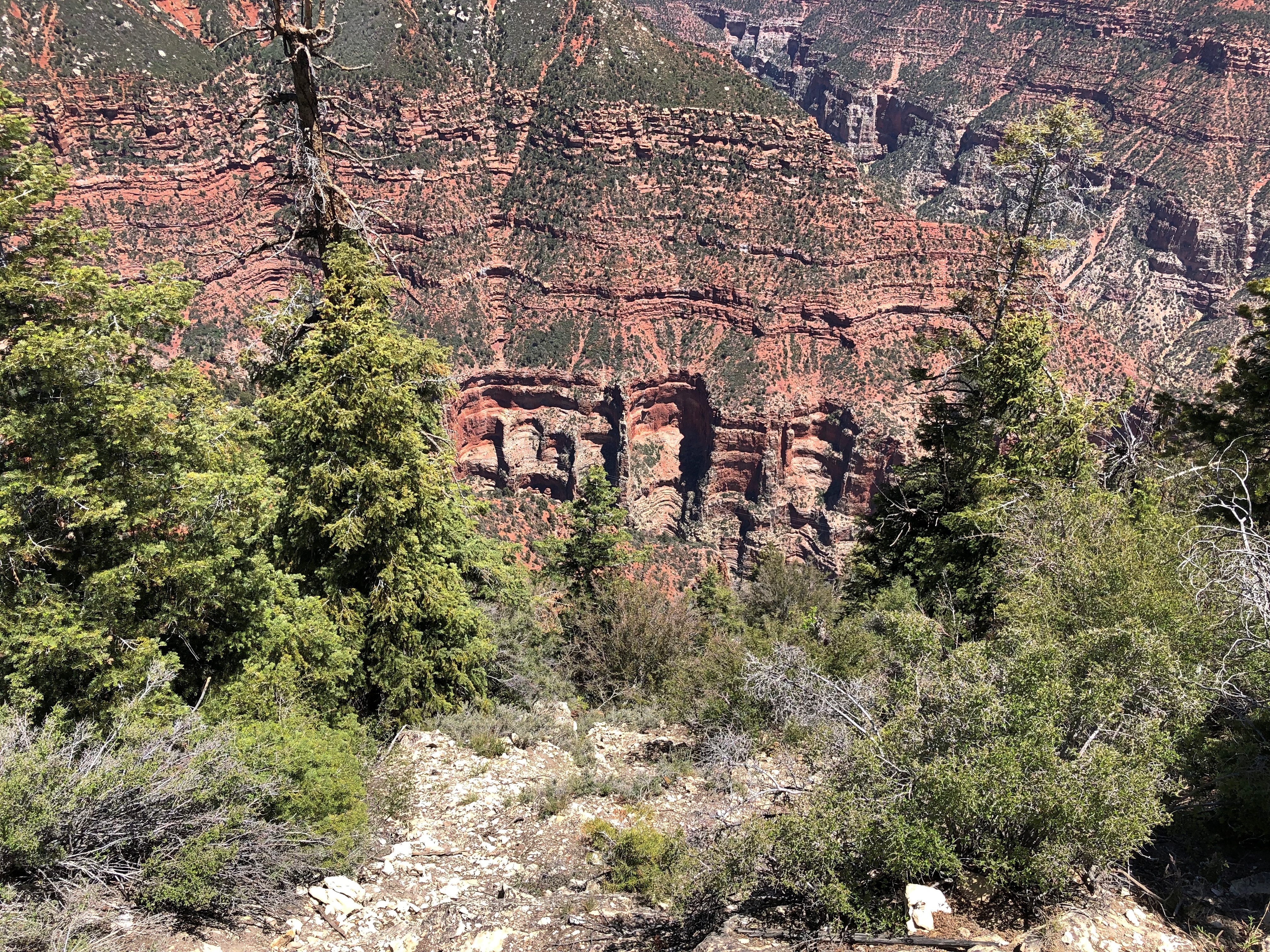
A separate trail leads away from the lodge and heads toward the campgrounds, a few miles away. We walked part of that trail, which generally follows the rim.Grand Canyon National Park North Rim

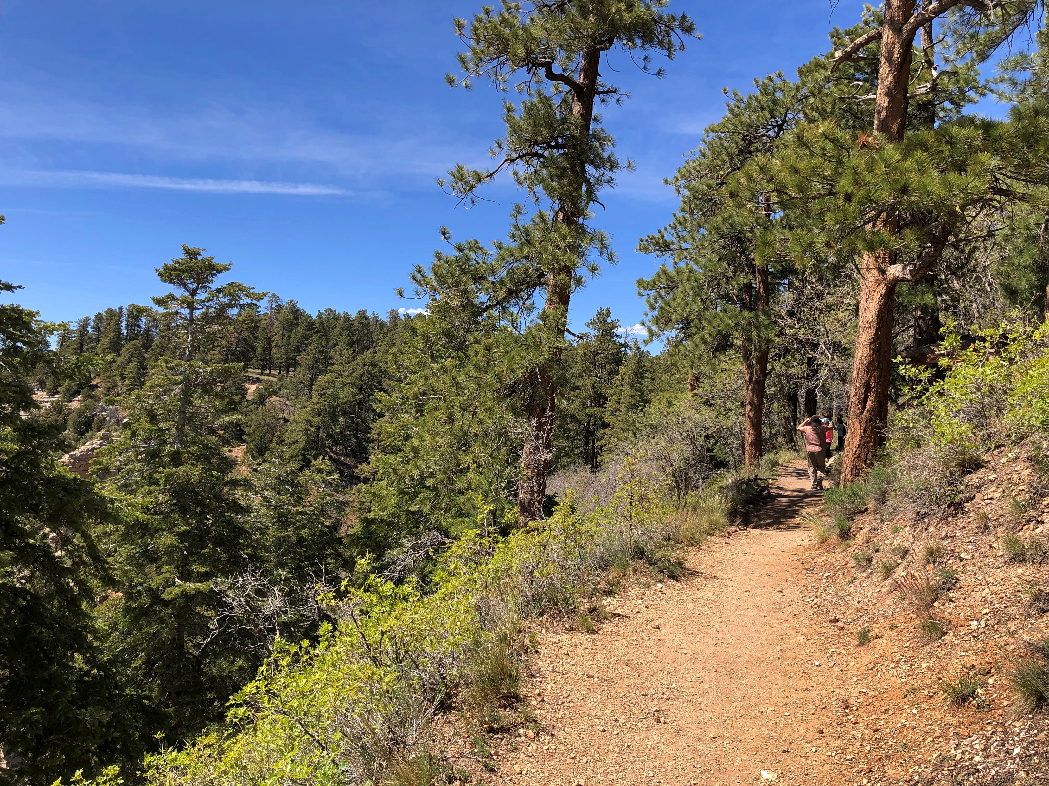
Offering its own views.Grand Canyon National Park North Rim

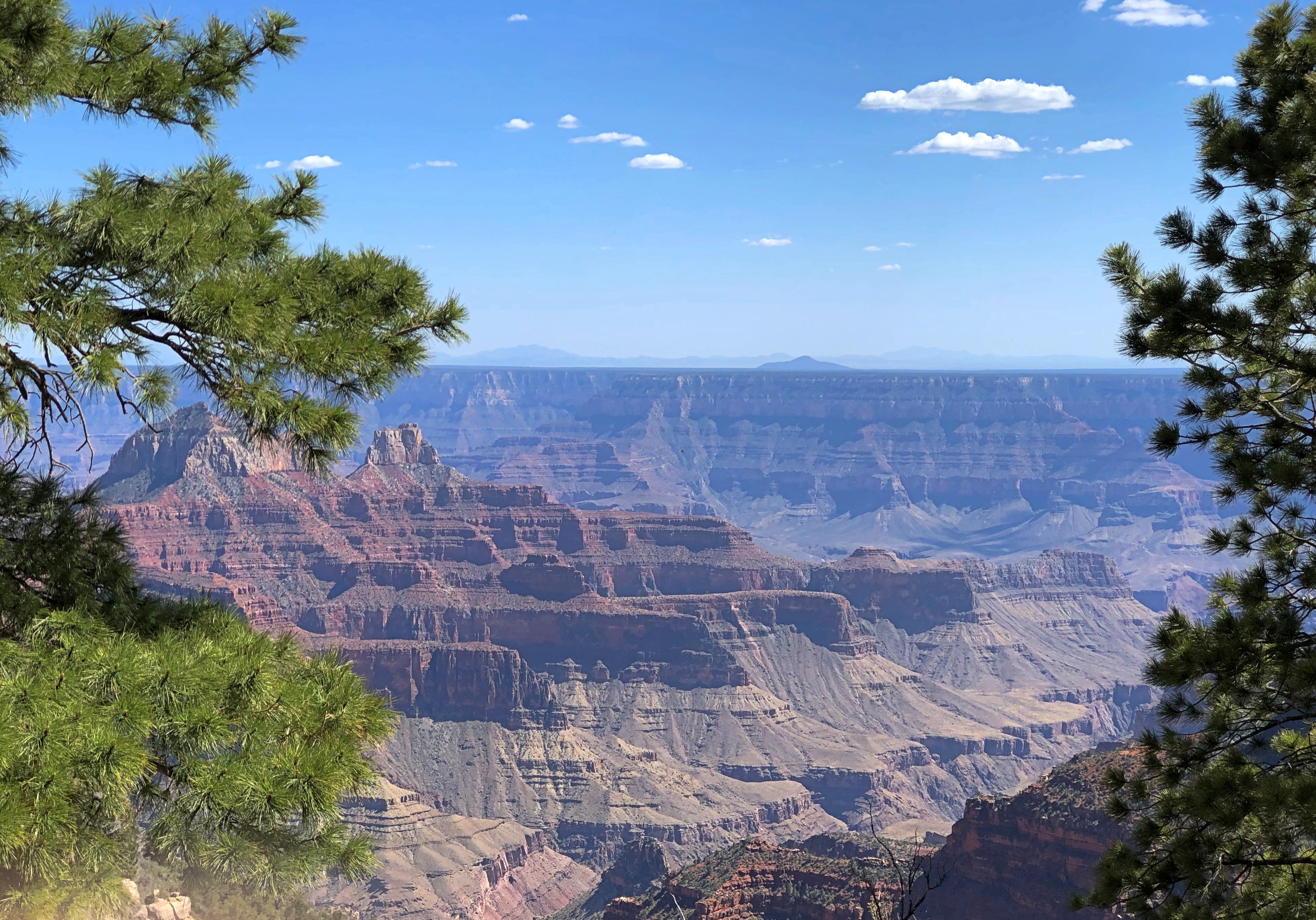
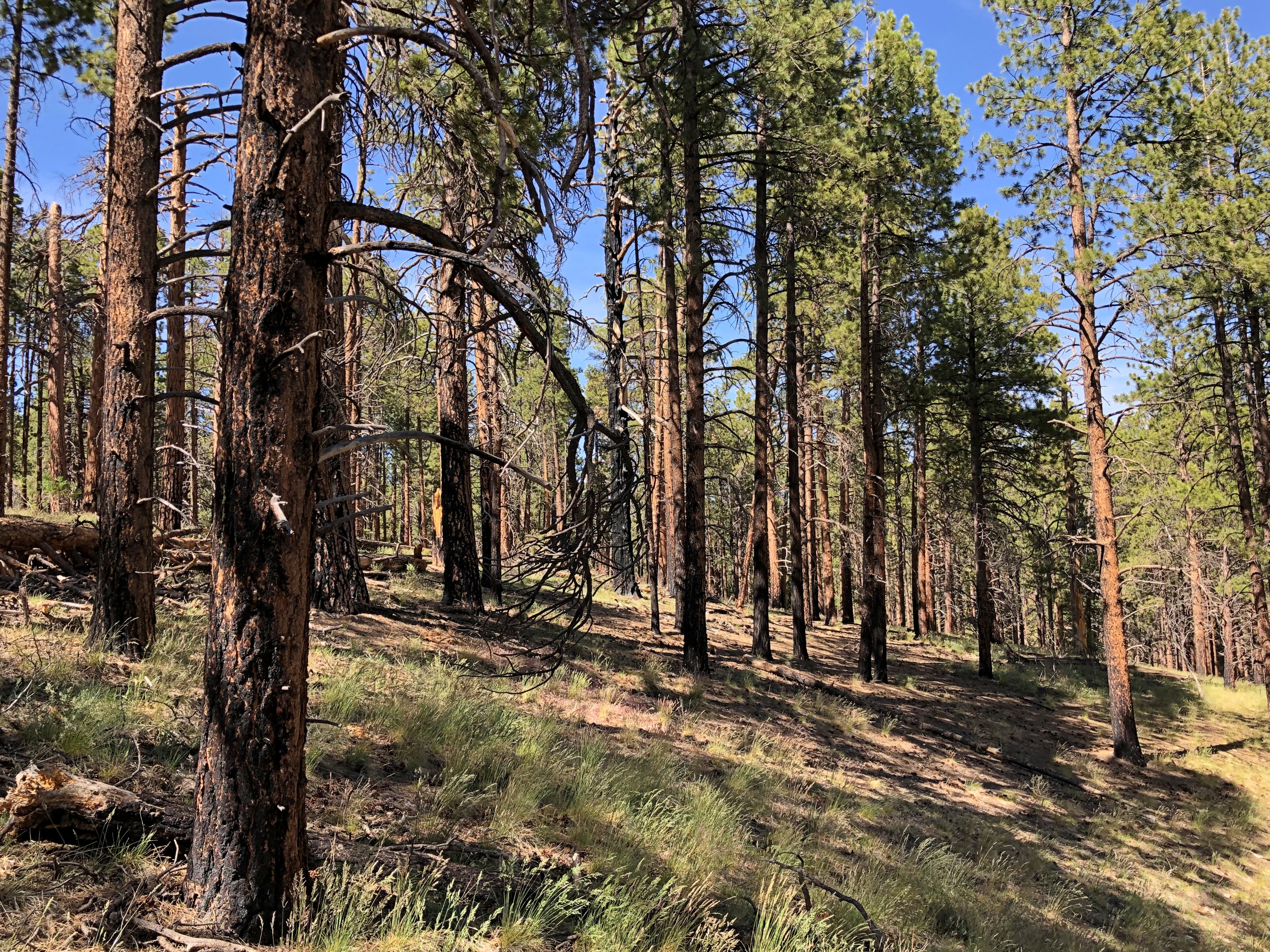
A return trail cuts through a pine forest, with no notion of the yawning canyon a short distance away.Grand Canyon National Park North Rim Grand Canyon National Park North Rim

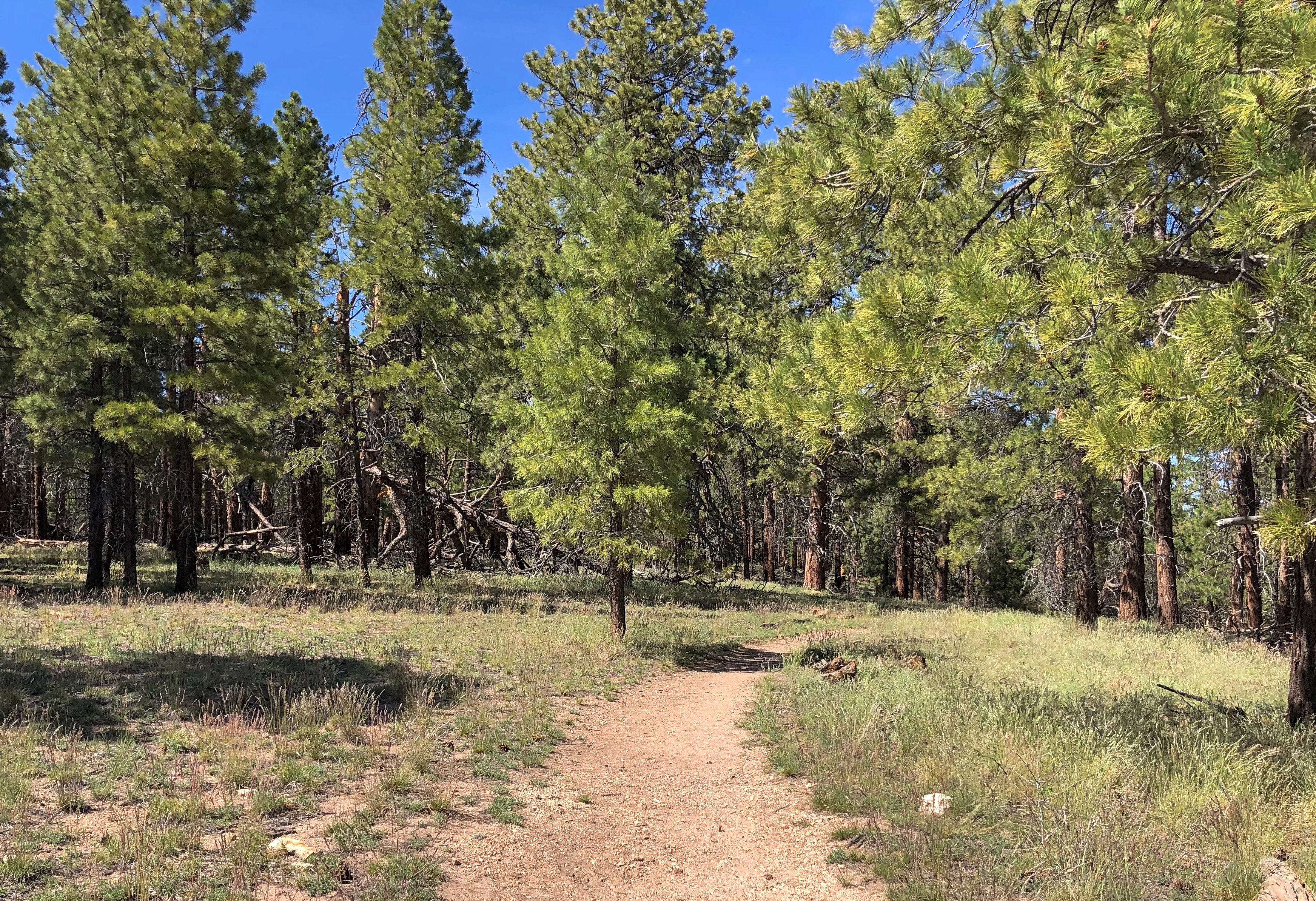
Sometimes, we had to go around the trees lying across the trail.Grand Canyon National Park North Rim

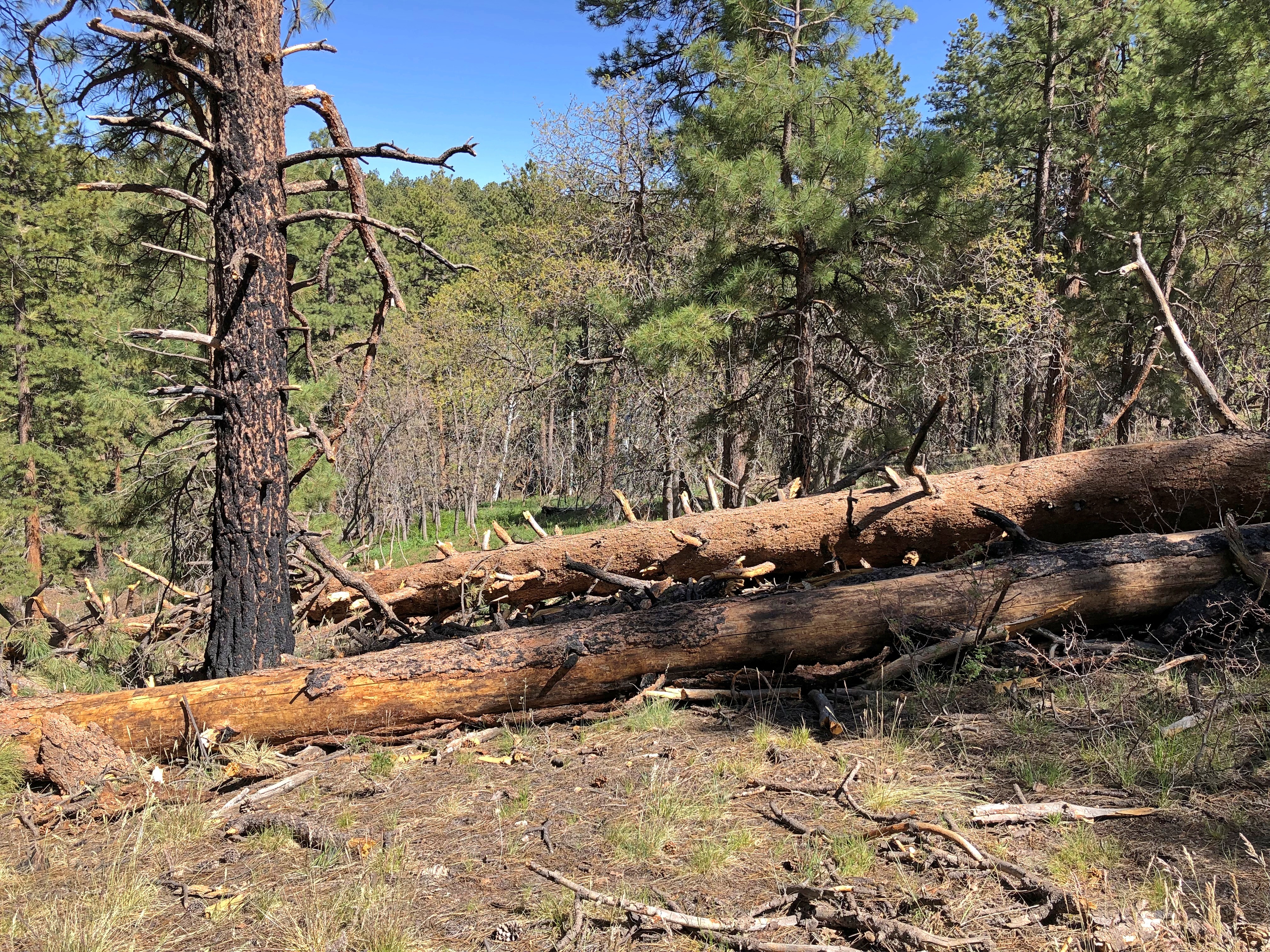
There’s a life metaphor in that somewhere, but on the other hand, a walk in the woods is sometimes just a good ramble.

Evergreen Memorial Cemetery, Bloomington

Sometime in the late 1990s, I visited the David Davis House in Bloomington, Illinois. As Lincoln’s campaign manager in 1860 — and important in getting him nominated in the first place — Davis was a behind-the-scenes man at a critical turning point in U.S. history. Lincoln put him on the Supreme Court in ’62.

On Sunday, I took a quick look at the house. As handsome as I remember.
David Davis House BloomingtonBut that isn’t why I swung through Bloomington. I wanted to see the Evergreen Memorial Cemetery. An impressive array of stones among the still-bare trees and brown grass.

Evergreen Memorial Cemetery, BloomingtonEvergreen Memorial Cemetery, BloomingtonEvergreen Memorial Cemetery, BloomingtonSome sizable memorials, too, befitting the prosperous place Bloomington was in the 19th century.

Evergreen Memorial Cemetery, BloomingtonEvergreen Memorial Cemetery, BloomingtonNot a huge amount of funerary art, but some.
Evergreen Memorial Cemetery, BloomingtonI’d come to visit the Stevensons. Here’s the Adlai Stevenson famed for being shellacked by Eisenhower but also for his denunciation of Soviet behavior on the world stage.

Evergreen Memorial Cemetery, Bloomington

This Adlai Stevenson was 23rd Vice President of the United States, from 1893 to 1897, during Cleveland’s second term.
Evergreen Memorial Cemetery, BloomingtonHad President Cleveland’s cancer in ’93 been more aggressive, or medical science not up to its extraction — a few years earlier, probably not — this is also the Stevenson who would have been president.

I didn’t know the Scotts also memorialized on the stone: Matthew and Julia Scott. Turns out Stevenson was married to Letitia, Julia’s sister. Also, Matthew T. Scott was a business partner of Adlai Stephenson, with a distinctly 19th-century CV: land speculation, newspaper publishing, a coal mine.

Just before I left, I took a look at something a little more unusual.
Evergreen Memorial Cemetery, BloomingtonAccording to a nearby plaque, the carving memorializes an airplane that crashed into the tree that used to stand there.

“On May 31, 1948, a group of citizens gathered at Evergreen Memorial Cemetery’s Civil War Veteran’s enclosure…” the plaque begins.

That must be here, very near the tree.

Evergreen Memorial Cemetery, Bloomington“… During the ceremony, a WWII trainer plane flown by James A. Tuley and passenger Chester H. Frahm was flying over Evergreen… to drop poppies over the grounds. The plane crashed into this tree, killing Frahm and severely injuring Tuley,” the plaque continues.

“In 2015 this tree had to come down and cemetery employees felt something more needed to be done with the wood from the tree… chainsaw artist Tim Gill was contacted and he accepted the challenge.”

The Pantagraph published a fuller version of the story.

LeRoy (Le Roy), Wausaneta and Simeon H. West

On Sunday afternoon, as I headed roughly northwest on U.S. 150 in McLean County, Illinois, I impulsively made a turn off the main road onto Center St., which goes directly to the town square of LeRoy. Or rather, the town sort-of-circle.

I came to be in that part of Illinois because earlier in the day, I’d taken Lilly back to UIUC at the end of her spring break. Usually the trip to Champaign involves popping down on I-57 and returning the same way. But the day wasn’t that cold — not like last time — and despite sometime drizzle, I wanted to make a slight detour and return home via Bloomington.

Champaign to Bloomington could mean a short drive on I-74. Or, if you want something different in March, you take U.S. 150, passing close to the still-unplanted fields and by hulking grain silos and through towns like Mahomet, Mansfield, Farmer City, and LeRoy (sometimes styled Le Roy). The road roughly parallels the Interstate. I took it.

When I got to the LeRoy square (circle), I noticed some memorials inside the circle, including a statue on a pillar. While I was still driving, I took it to be a memorial featuring a Union soldier. I parked nearby and got out for a closer look.

The formal name of the round-shaped green space in LeRoy is Kiwanis Park. Visitors are greeted on one side of the circle by a shoe-store mural.

A building labeled “Town and City Hall” is next to the Le Roy Performing Arts & Media Center, which has the look of a former church building, but I didn’t take a closer look.

Also around the circle are an undertaker, the American Legion Post 79, a clinic and some other buildings.

Kiwanis Park itself has a gazebo. I have to like a place that has a gazebo.

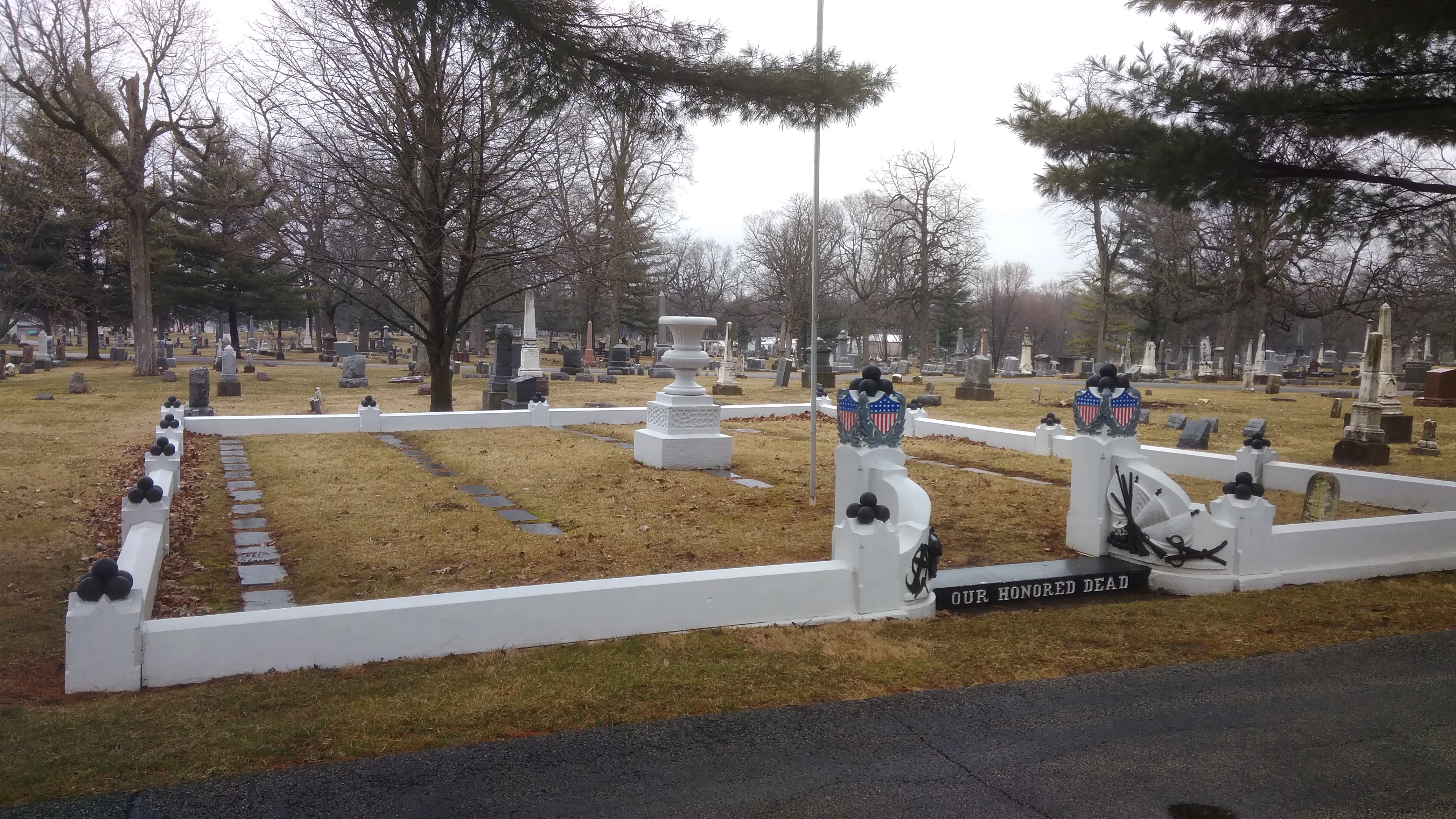
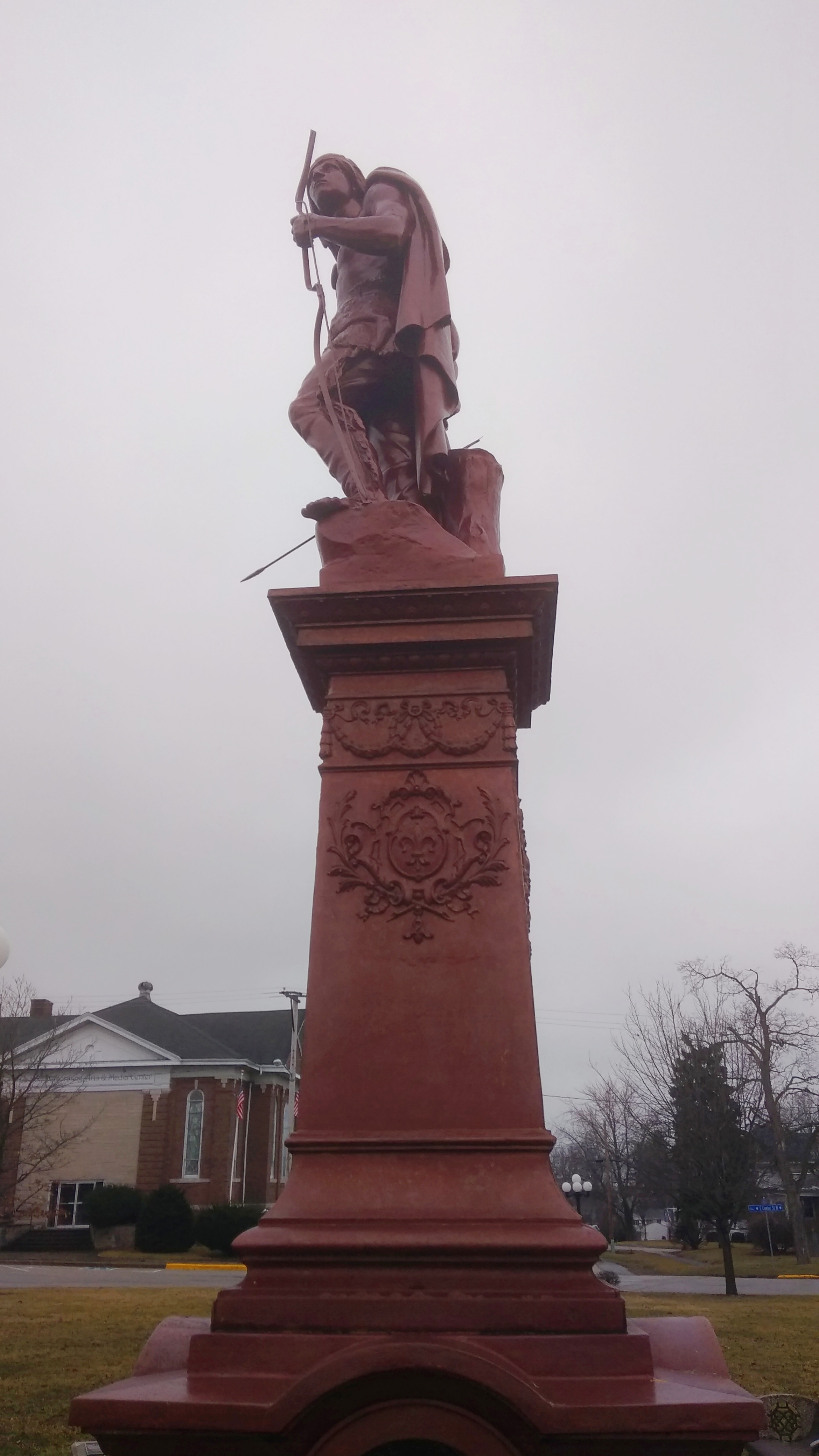
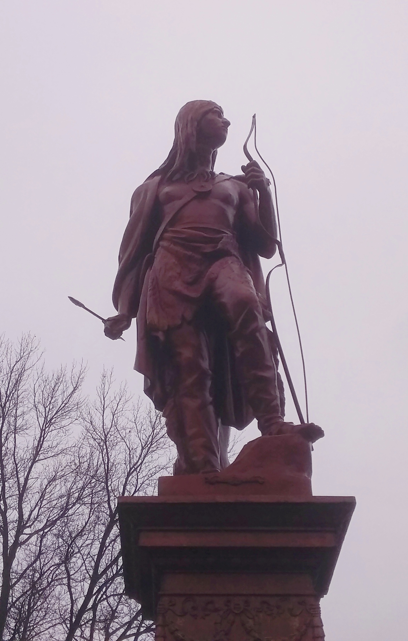
There are also smaller memorials, such as one to all U.S. service men and women, and one to honor Victor, LeRoy Police K-9 Officer from 2005 to 2012.

As I got closer to the main memorial, I realized that it was no Union soldier.
It was an Indian.
If anyone else had been with me — and absolutely no one else was anywhere nearby — I would have said, “How about that?” or “That’s odd” or some such.

An inscription on the base says WAUSANETA. The year carved on the base is 1911.

Also on the base: Cultivate love, peace and harmony; life is too short and time too valuable to waste in angry strife. Be slow to believe evil reports about your neighbors. Be diligent in searching for something good to say about others, and when you find it don’t wait until they are dead, but say it at once.

And more: West’s Precepts. Love and thank the supreme power. Control your temper. Try to keep cheerful. Do all the good you can. Be honest, truthful and temperate. Help the poor, needy and sick. Encourage the weak and timid. Make a specialty of trying to add to the happiness of someone to-day…. and all other days.

What on Earth is this? Why is it in LeRoy, Illinois, about as off the beaten path as you can be?

Last night when I got home, I looked it up. It didn’t take long. The wonderfully named Pantagraph newspaper published an article in 2011 about Wausaneta by McLean County Museum of History Archivist/Librarian Bill Kemp.

“Although few know it today, this statue embodies LeRoy’s longtime ties to spiritualism…” Kemp wrote.

“The idea for such a statue came from local resident and ardent spiritualist Simeon H. West, and he foot the bill to purchase, ship and install the pre-cast metal Native American and its elaborate pedestal. West claimed that on more than one occasion he communed with a deceased Kickapoo named Wausaneta, and he erected this statue as a tribute to the chief and his people.

“The Wausaneta statue gazes in a northeasterly direction toward a long-gone Kickapoo fort or stockade located seven or so miles out of town. In late November 1905, West oversaw the placement of a granite marker at this rich archaeological and historic site (now considered part of the Grand Village of the Kickapoo).

“In the midst of that day’s heavy snow and howling winds, West had an intense spiritualist encounter, later reporting that he had established a ‘rapport with the spirits of the people who lived there in the distant past.’

It was then that he supposedly learned from these spirits that a Kickapoo by the name of Wausaneta was ‘head chief’ during the fort’s construction. In a later seance, West heard from Wausaneta himself, and was told that the chief had died at the age of 75 and was buried north of the historic marker.”

“LeRoy’s Wausaneta was unveiled to the public on New Year’s Day 1912. West, in his typical new-agey grandiosity, dedicated his statue ‘to the lovers of the beautiful in every country and in every clime until time shall be no more.’ ”

That made my day. It’s exactly the kind of eccentric sight I enjoy finding on the road, especially when serendipity leads me to it.