When leaving Illinois via I-55 in mid-April, I considered stopping for a look at Cahokia Mounds State Historic Site, which is still in Illinois, but within sight of St. Louis. We stopped there in 2000, I think, when we spent time in St. Louis and Hannibal, Mo.
But we didn’t get far into the place that time — barely beyond the visitors center and museum. Mostly Cahokia is an outdoor attraction. Back in 2000, it was November, and the weather was crummy. We also had a three-year-old in tow.
So I’ve been meaning to stop again for a while. But in mid-April this year, the weather was as crummy as any November day, so I drove on. I figured I might catch it on the return about two weeks later, when the weather might be better.
So it was. On April 29 I stopped at Cahokia to wander around the grounds and try to imagine the long-gone inhabitants of a city so prominent in pre-Columbian North America that it’s now a World Heritage Site.
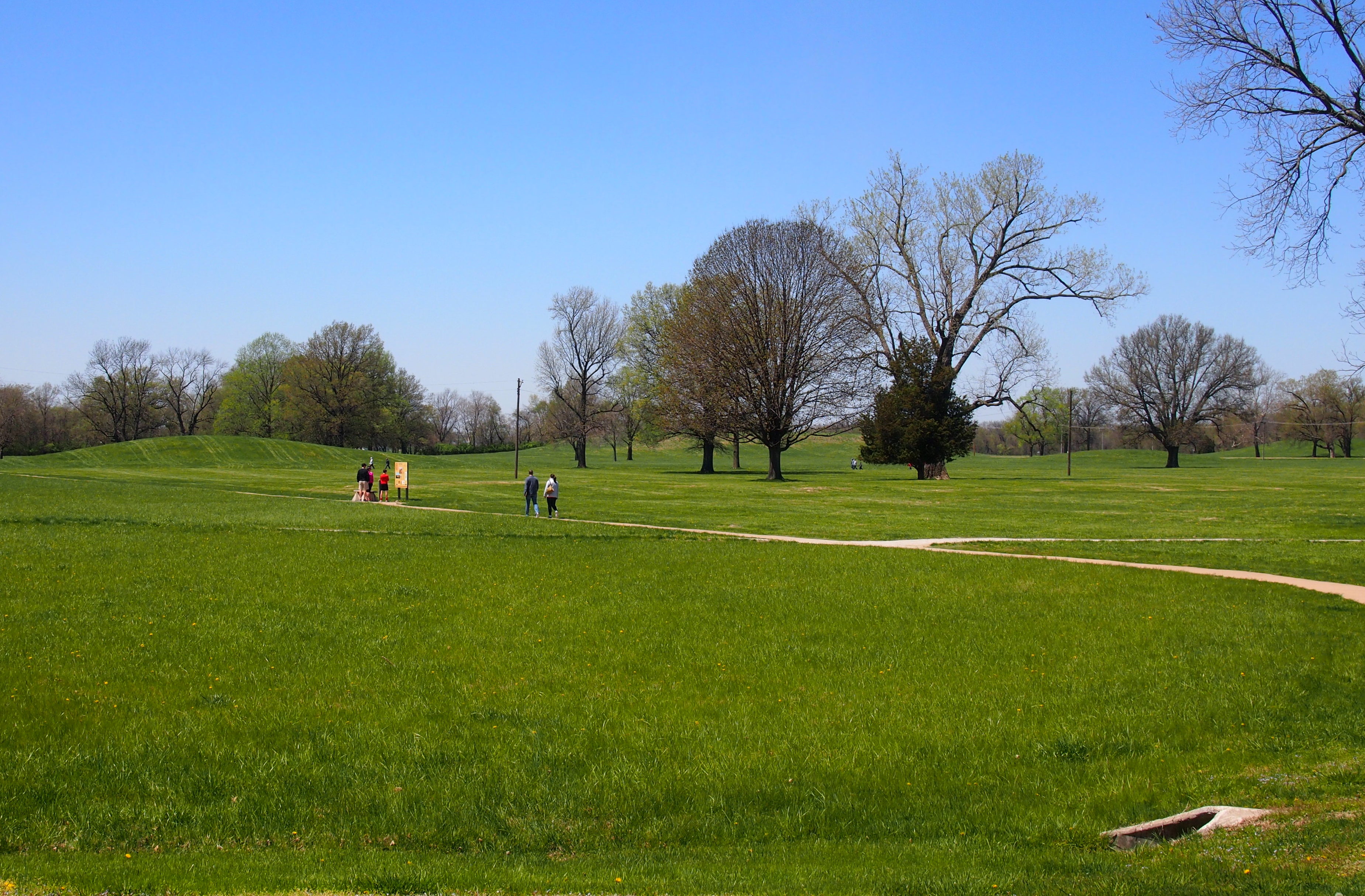
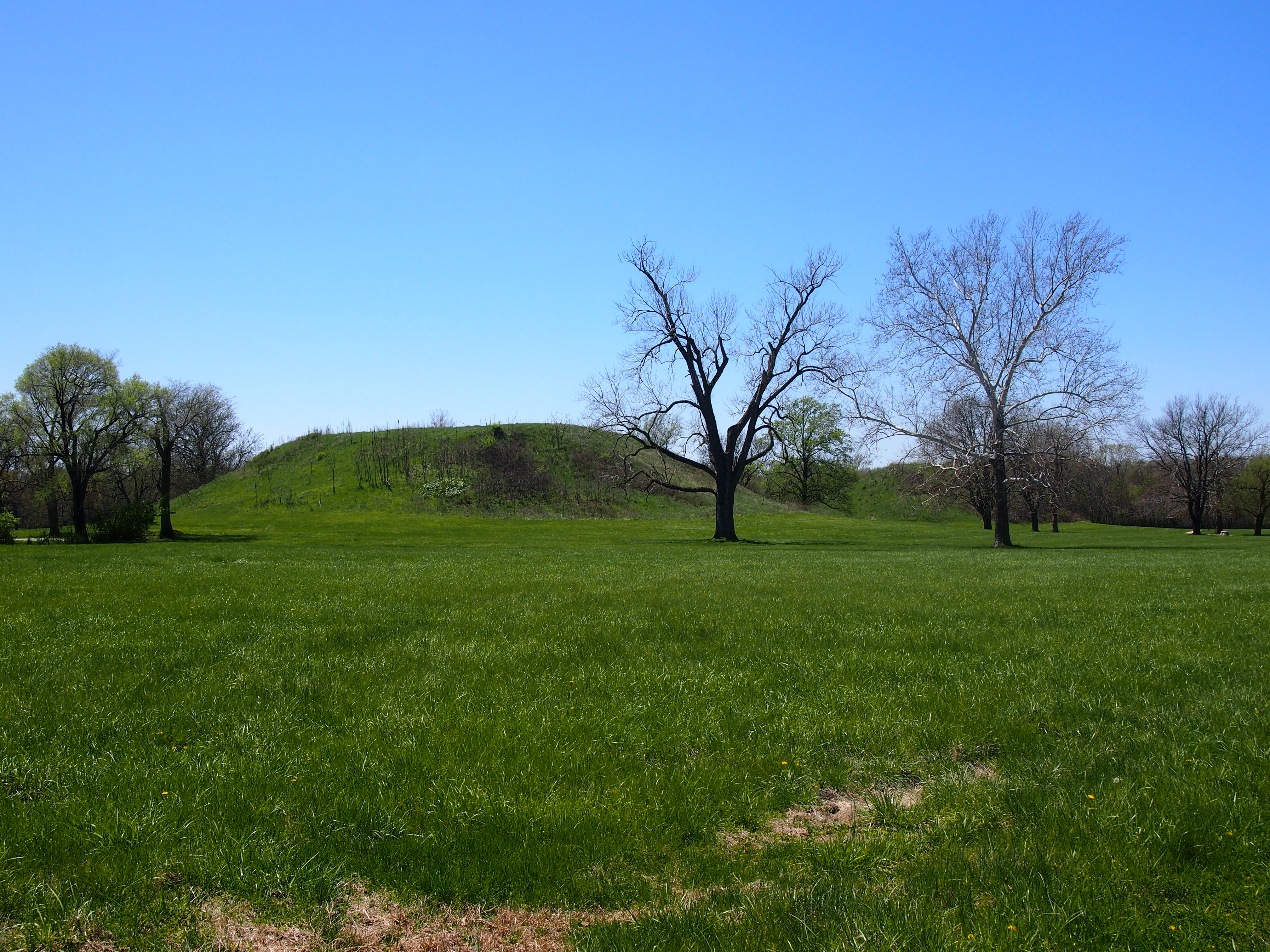
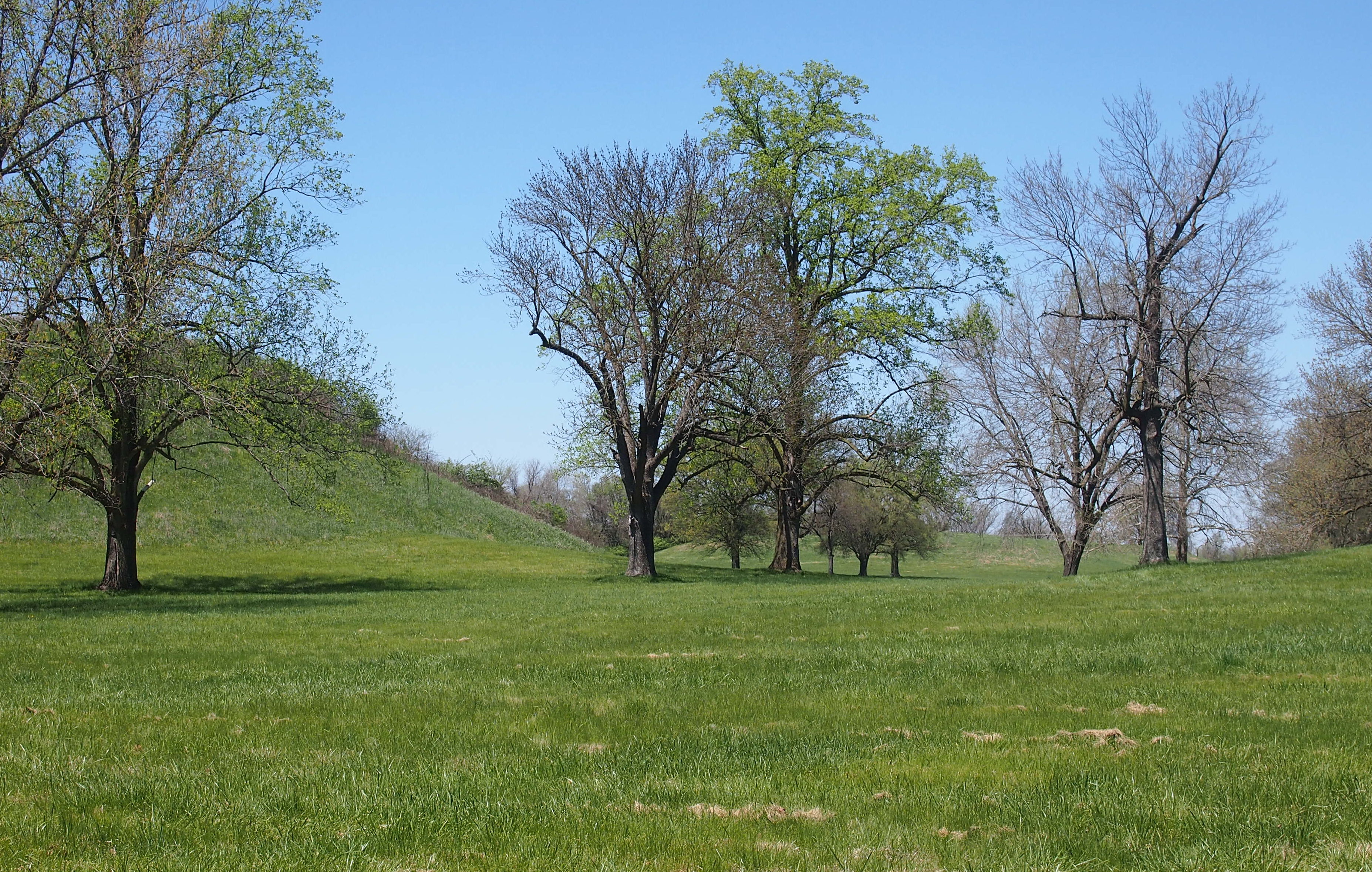
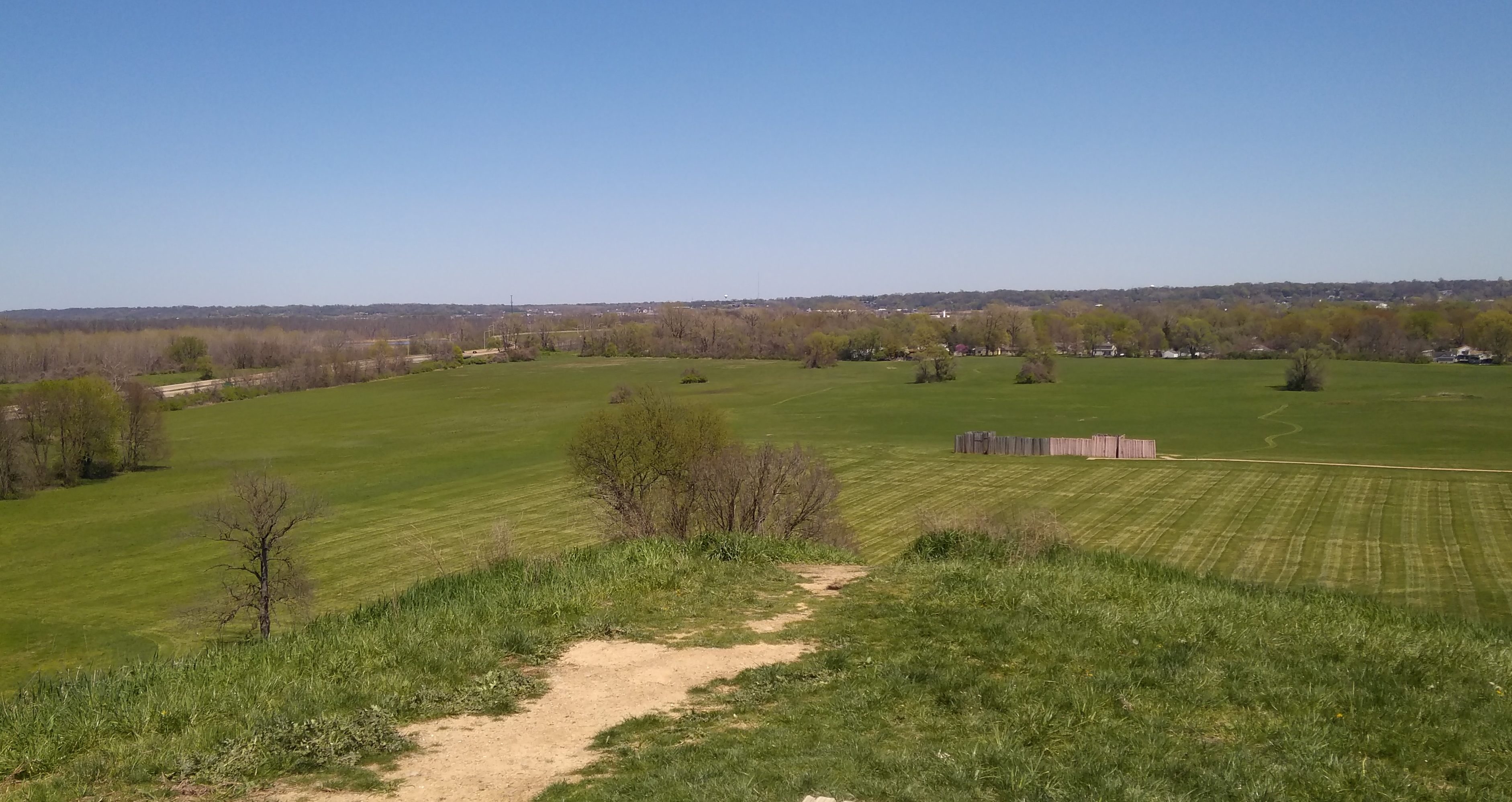
There isn’t much visible to go on. Fields, trees and non-natural mounds. Most of the importance of the site is invisible.
UNESCO says that Cahokia “was occupied primarily during the Mississippian period (800–1400), when it covered nearly 1,600 ha and included some 120 mounds. It is a striking example of a complex chiefdom society, with many satellite mound centres and numerous outlying hamlets and villages. This agricultural society may have had a population of 10–20,000 at its peak between 1050 and 1150.”
A road cuts through the site, and on the other side of the road from many of the mounds and the visitors center is the centerpiece of Cahokia: Monks Mound.
 At this distance, it’s hard to tell, but those are stairs with people climbing them. Monks Mound, at about 100 feet high, and 955 feet by 755 feet at the base, is the largest Pre-Columbian earthwork in the Americas, and the largest pyramid north of Mexico. Clearly the Mississippian-culture Indians were determined to build the thing, since they’re presumed to have built it over some centuries using baskets to move soil and clay.
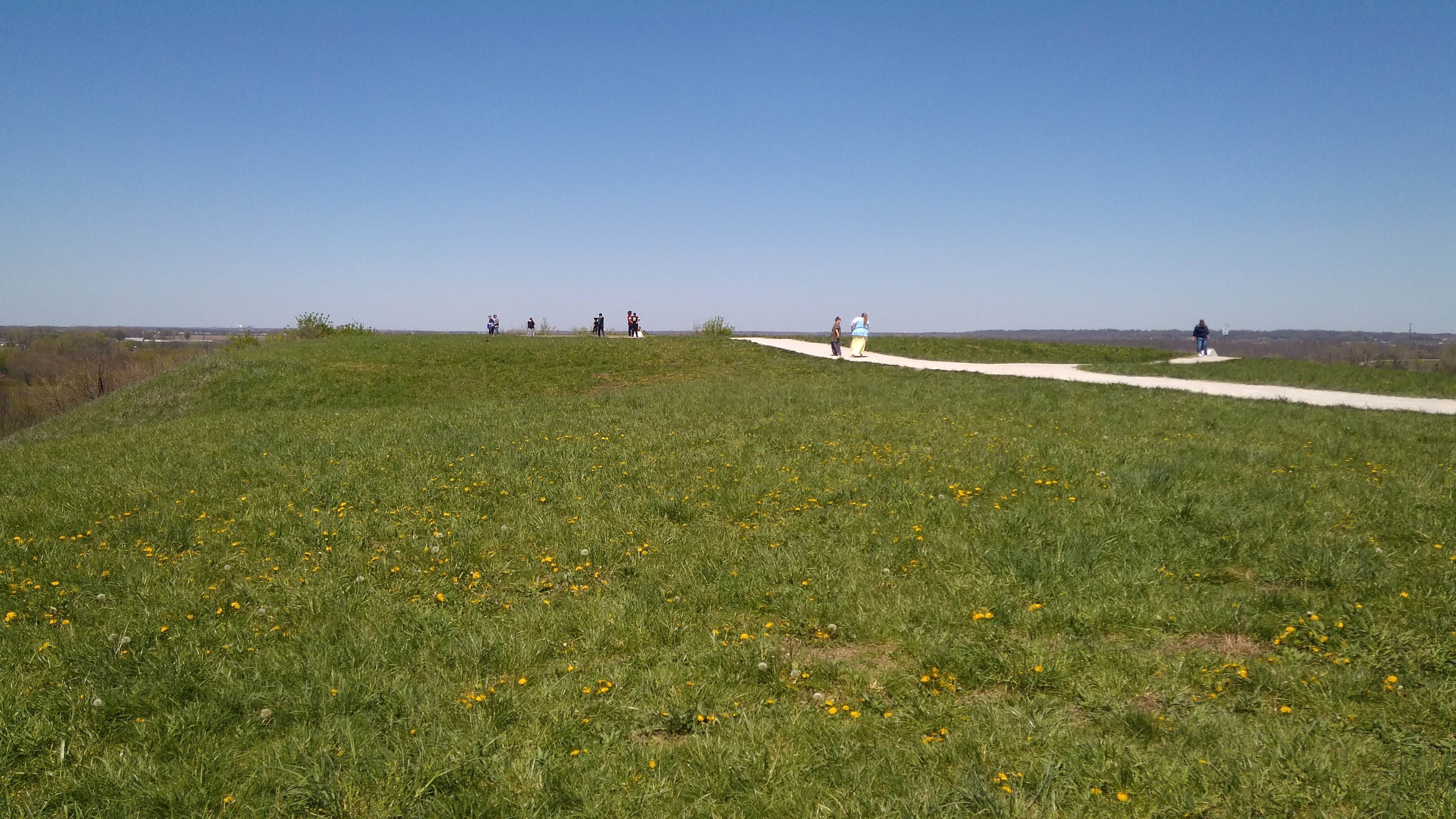
The least I could do was climb to the top. The view’s a good one. Note St. Louis off in the distance, including just-visible the Gateway Arch (which is more clearly visible with your eyes).
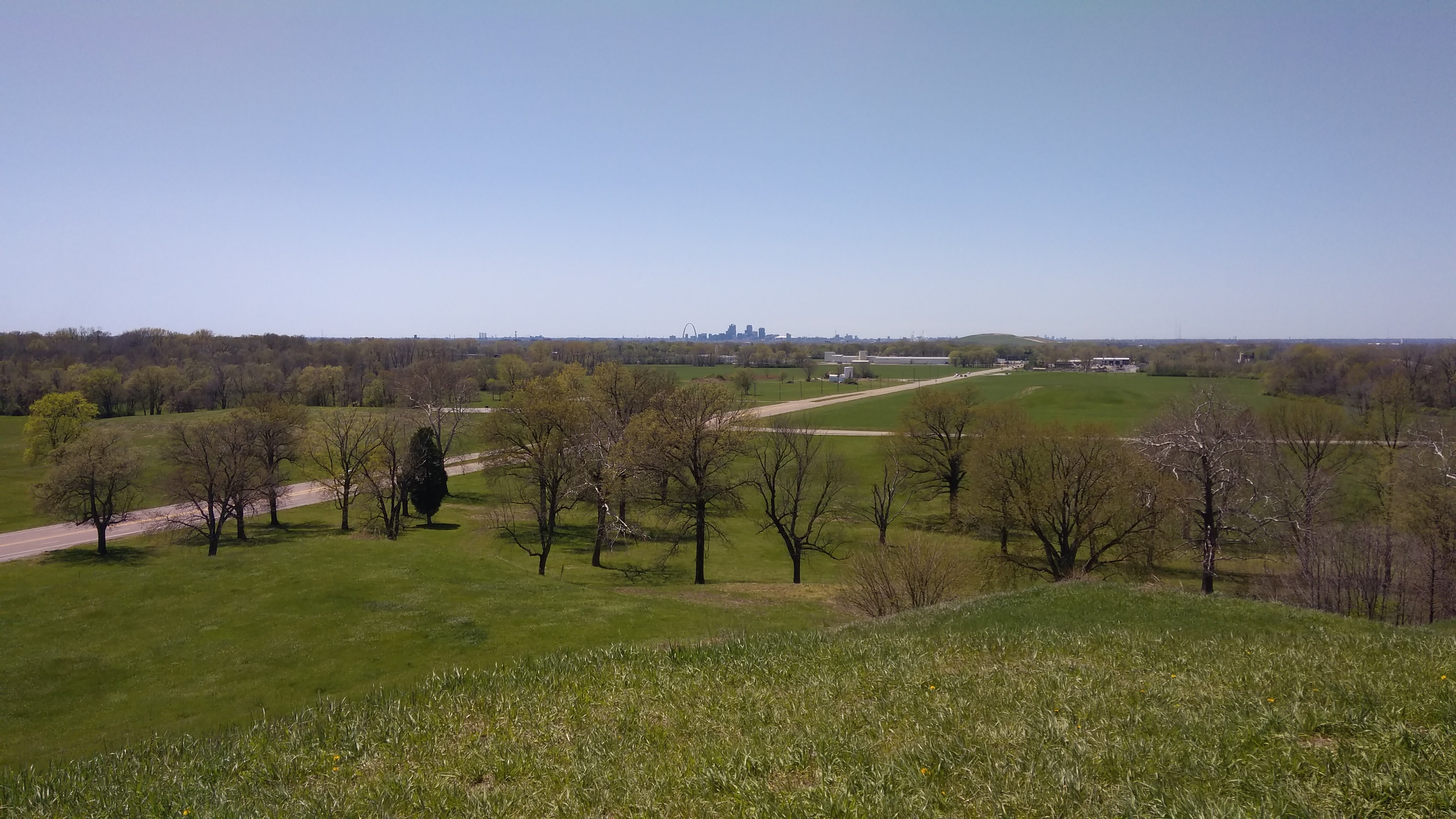 The opposite direction, into the flatness of Illinois.
 The top of the mound itself is fairly flat, though I understand the archaeologists have discovered a number of subtle gradations up there, and found evidence of a large building toward the back of the mound. That’s assumed to be a chiefly or priestly residence, which would be consistent with most human behavior in most places, but the Cahokians aren’t around to tell us.
Another mystery: why did they leave? Cahokia was abandoned long before Europeans came this way, or even European diseases, so it wasn’t that. Climate change? Their own plague? Other Native Americans driving them away? I believe archaeologists’ answers to the question boil down to, Dunno. Go figure.