When you Google huuuge (three u’s), you get this.
Four u’s, this.
That came to mind as I looked out my back door earlier today to see the results of the day’s near-unremitting rain. Huuuge puddles. Maybe even huuuuge.
Nelles Maps are, or at least were in the 1990s, beautiful to behold. While in Asia during that decade, I discovered that the company, which is based in Munich, offers excellent maps of certain Asian places, such as city maps of Hong Kong and Bangkok, and larger maps of Thailand and Malaysia and Bali.
I see from looking around that Nelles still makes those maps, plus a fair number of other places in Asia, Africa and the Americas. None of Europe unless you count Madeira, and none of the United States, except for no fewer than four Hawaiian maps: the Big Island, Honolulu & Oahu, Kauai, and a state of Hawaii map. (What, no Maui?) Guess the company’s specialties are places Germans are likely to consider exotic for machen Urlaub.
Here’s a detail of the Hong Kong map I probably picked up in 1990: Victoria Harbour, flanked by Hong Kong Island to the south and Tsim Sha Tsui, often known as TST, to the north.
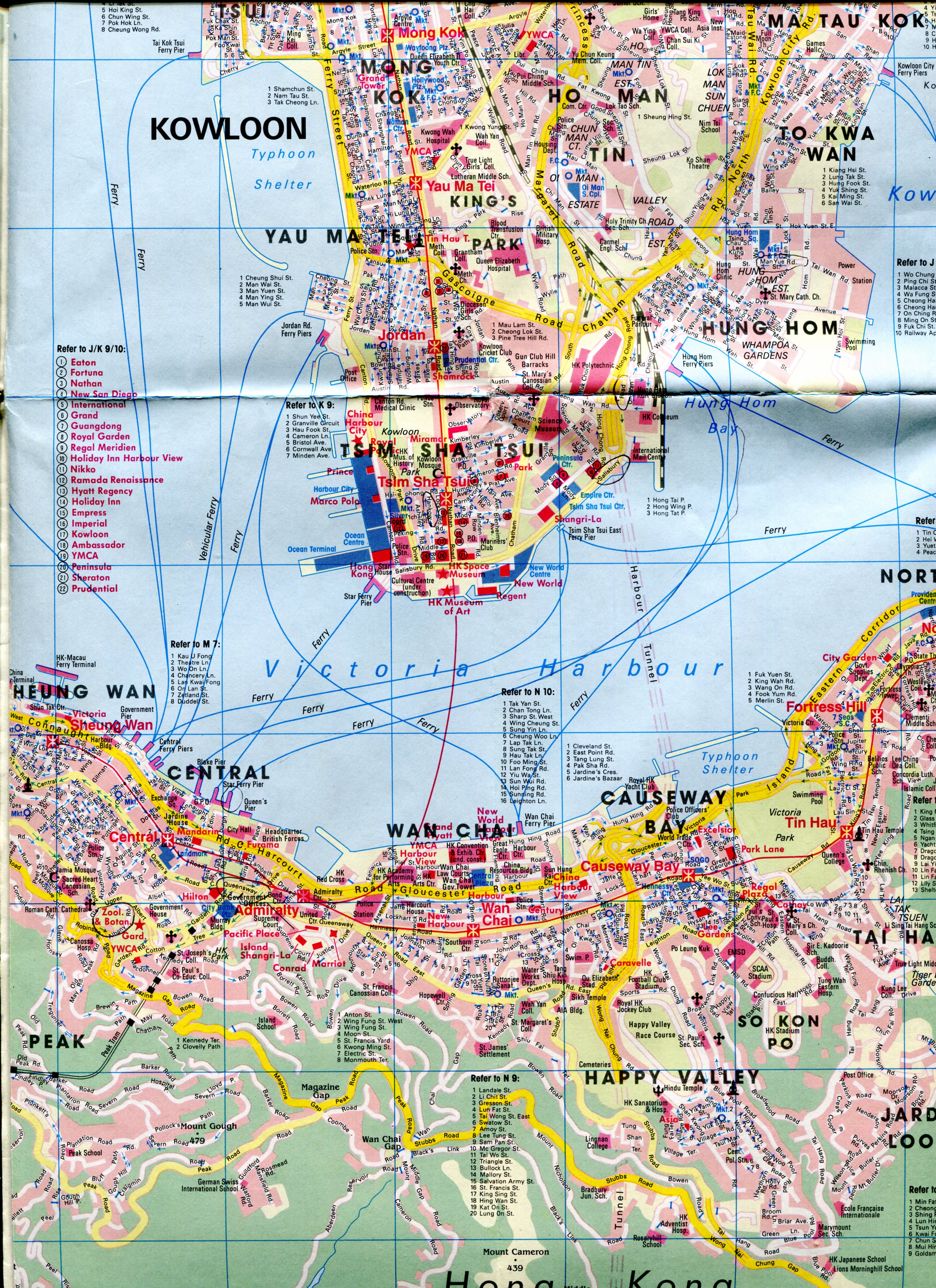 I suspect 1990 because the Cultural Centre in TST is marked as under construction. That would put the publication of the map in the late 1980s, since the center was completed in 1989, complete with a plaque unveiled by Charles and Diana.
A closeup of TST.
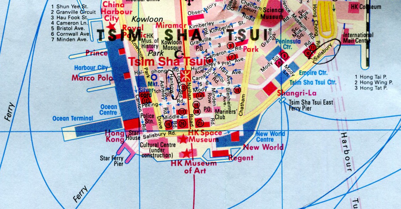 Even if I’d never been there before — and after over 20 years, it’s like that — I’d look at this map and think, how interesting. The Star Ferry Terminal. HK Space Museum. HK Museum of Art. The Mariners Club. Kowloon Mosque. Streets called Hankow, Haiphong, Hanoi, Humphrey, Cameron and of course Nathan Road.
One thing I missed in TST was the Avenue of the Stars, which is on the waterfront and celebrates the HK film industry. If you want to see a statue of Bruce Lee, apparently that’s your place. The reason I missed it was that it didn’t open until 2004. Shucks.