Another yellowing old map in my collection — accumulation — random stash — is one of Japan published by the Japan National Tourist Organization in 1988. I picked it up in 1990 during my early days in the country, and for a while it was thumbtacked to a wall in my flat.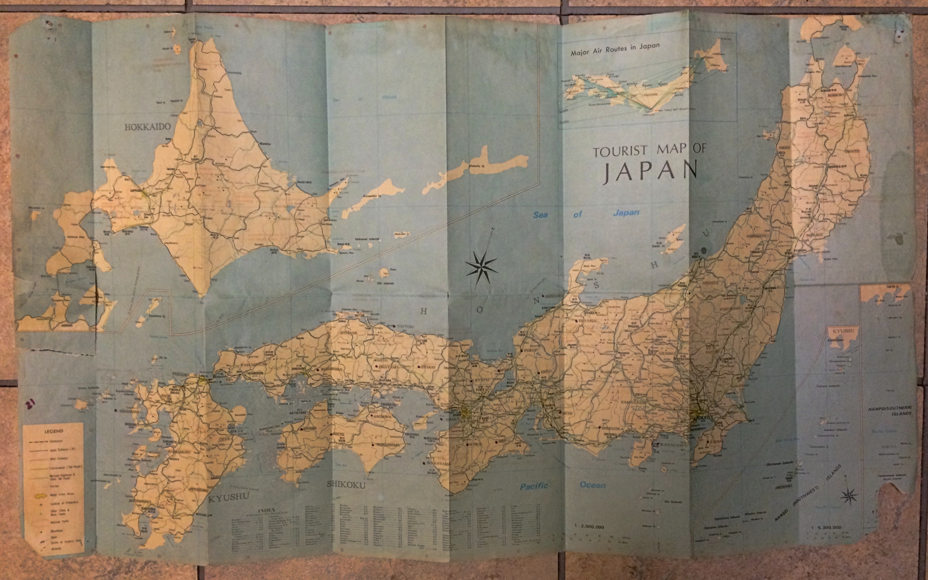 Look closely and you’ll see the thumbtack holes. Along with tears and other damage. Part of the front panel, not far from Tokyo-Yokohama, is missing for some reason.
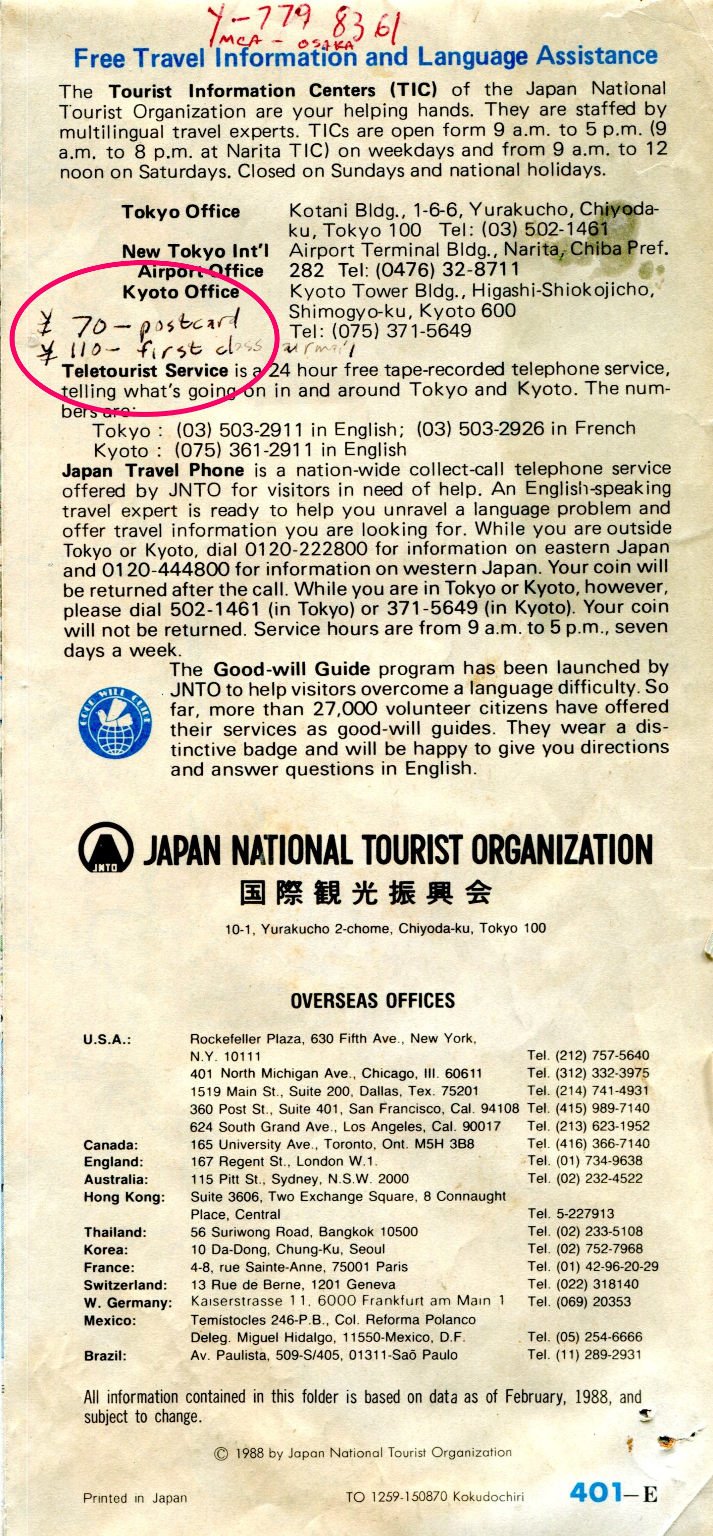
I also seem to have used it for note-taking, at least briefly. Something I learned very early on: the price of a postcard and a first-class letter to the U.S. (¥70 and ¥100, respectively). Not bad, $1 fetched about ¥130 during my first year there. I’m not sure what “Y-779 8361 MCA – Osaka” refers to.
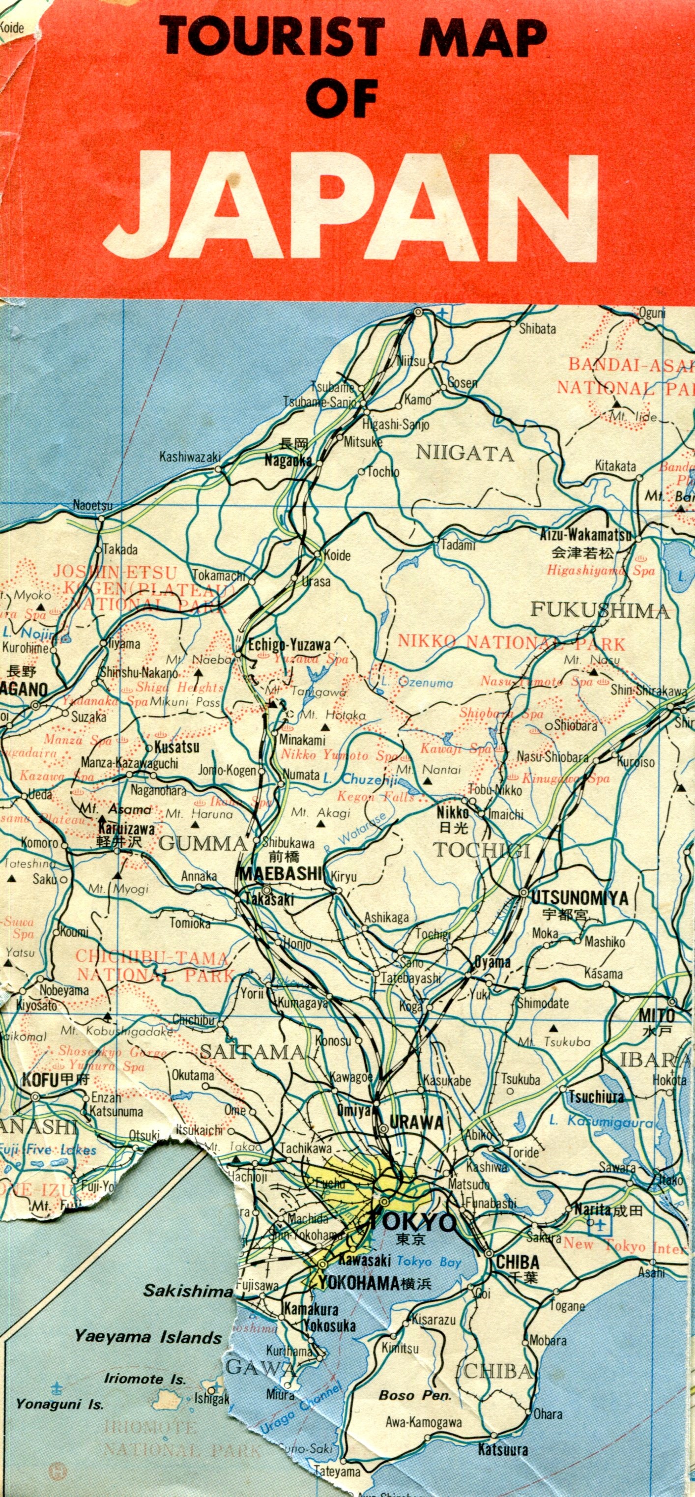
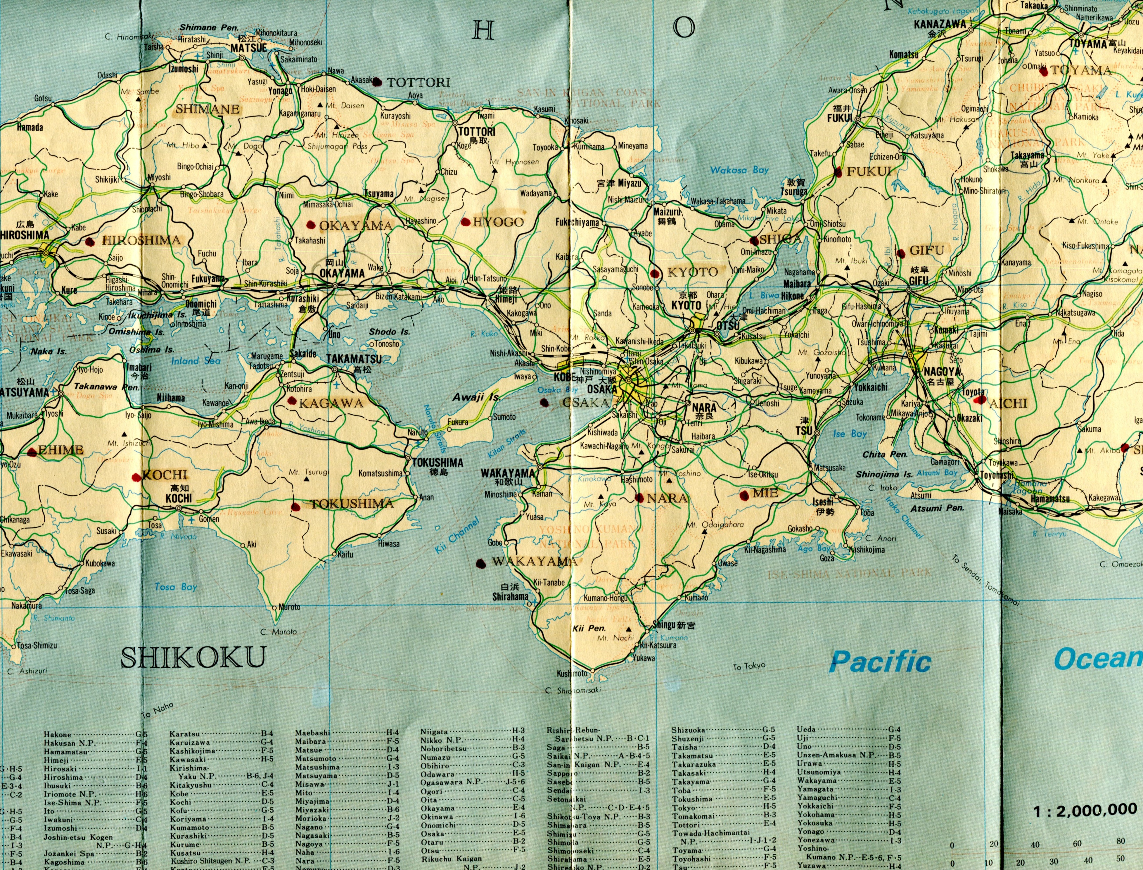
Featuring cities, towns, rail lines and roads, spas (very important in Japan; onsen (温泉), perhaps hot spring is a better translation), rivers, lakes, major mountains, national parks and prefecture names. The kanji for larger cities and towns is also included.
It wasn’t a map I carried around much, since the scale was too large (1:2,000,000 as it happens) to be useful as a guide. Still, it had a good run on my wall, helping inspire me to get out and about.