Gravel makes better roads when crossing land with underlying permafrost. That isn’t a new idea.
“The primary benefit to gravel roads is that they are relatively immune from frost heaving and have less of a tendency to thaw underlying permafrost,” an Alaskan scientist named Larry Gedney wrote in 1983. “Studies showed that on very poor foundation material, such as thawing permafrost, the patching, pothole filling and repaving required by paved roads resulted in maintenance costs more than twice that for a good gravel surface.”
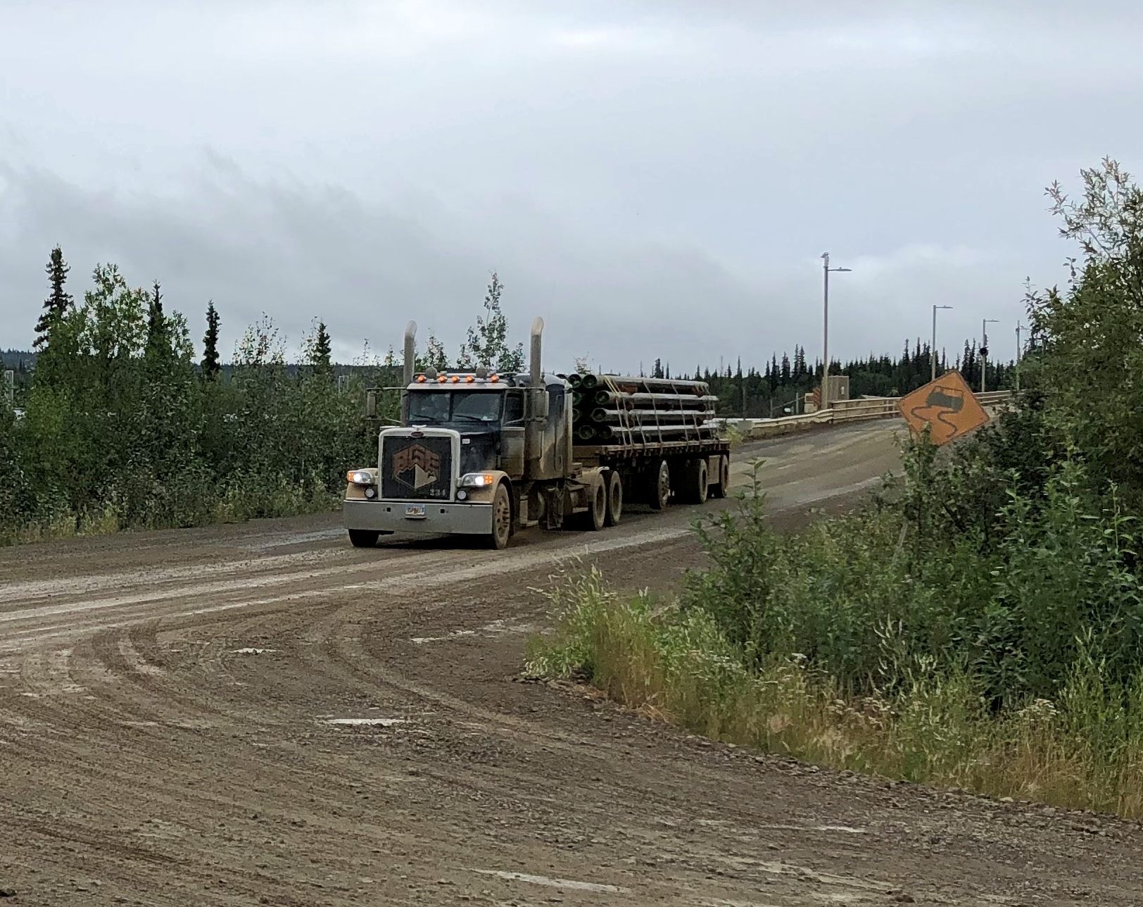
Thus most of the Dalton Highway, which runs for 414 miles, is gravel covered, though short stretches are paved, presumably not on top of permafrost. Making sure that no trucks were headed my way, I took some pictures standing in the gravel road. It makes a satisfying crunch under your shoes. The sound of somewhere remote, in this case.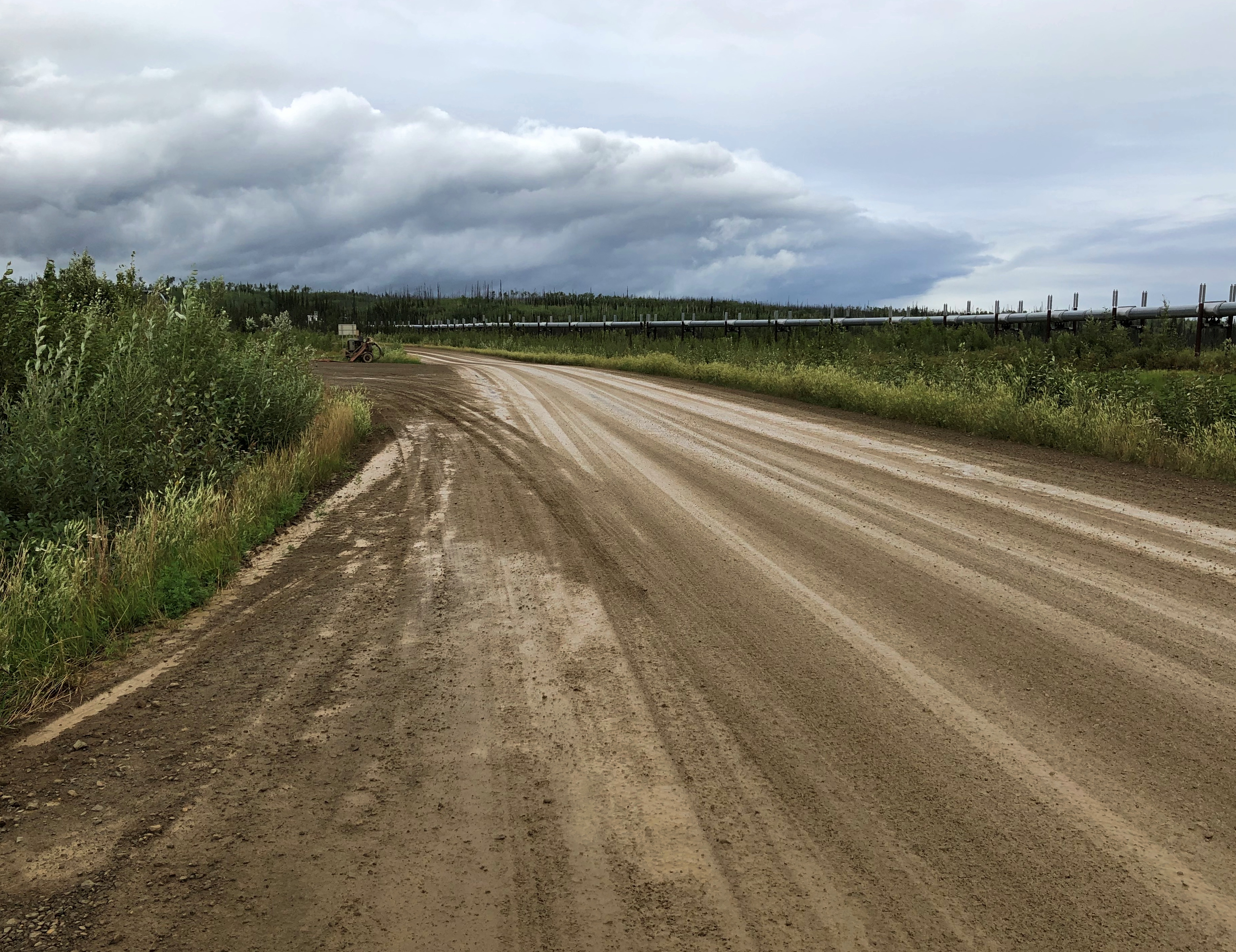
Trucks pass by with some regularity, though I understand winter is really the busy season.
We left Coldfoot, Alaska, last Tuesday in the afternoon on a small bus driven by a guide named Steve. His job was to drive us back south, but also to talk about the Alaskan wilderness, the Alaska Pipeline and the road itself, which he did with expert knowledge, as far as I could tell.
Not following things Alaskan in much detail, there was much that he said that I didn’t know, such as about the composition of boreal forests in this part of the world — only six kinds of trees, two of which are kinds of spruces, highly visible out my window and odd-looking in the case of pencil-thin-looking trees with clutches of cones on top.
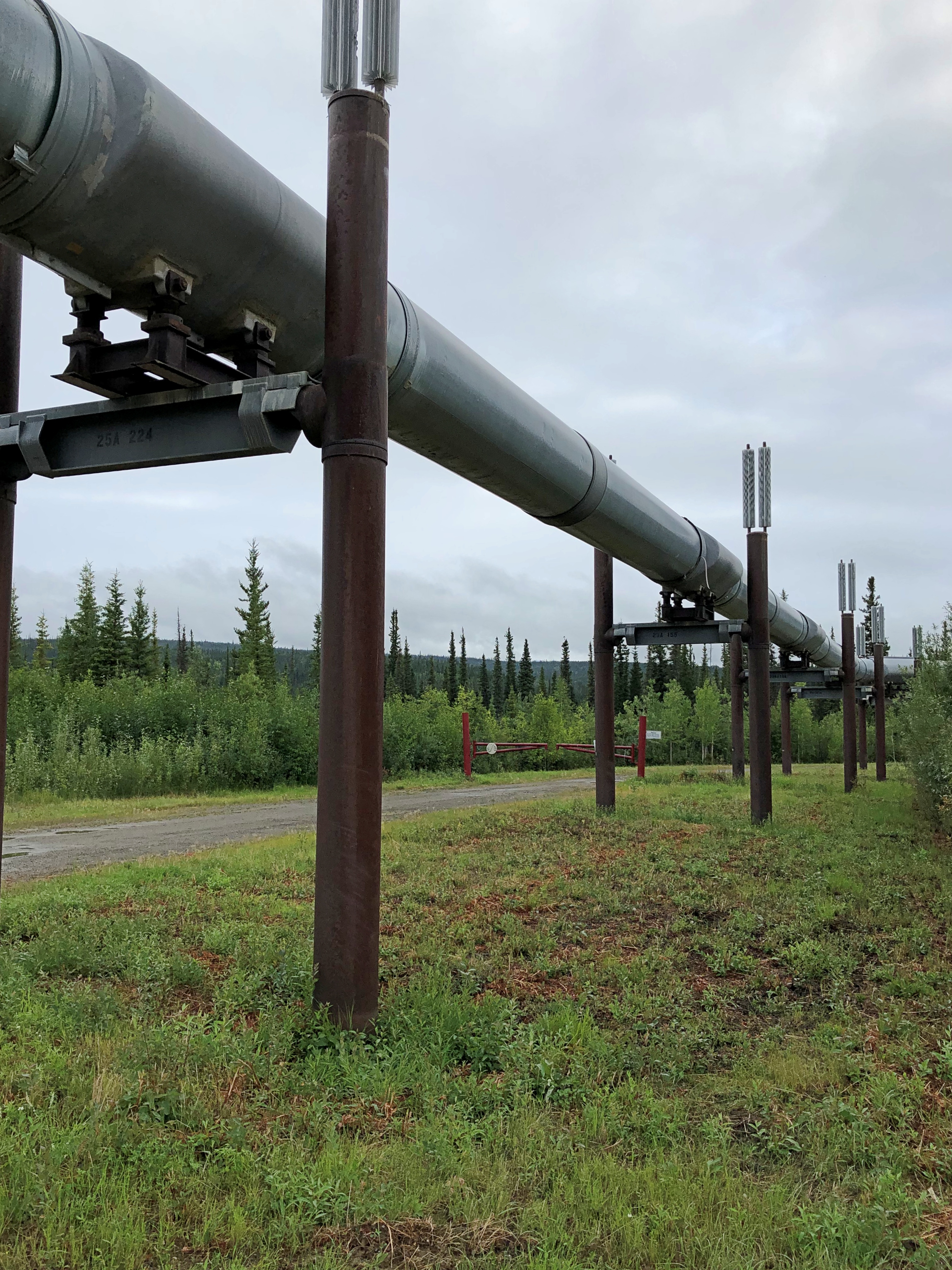
The tour stopped at a number of spots en route, either to use outhouses — one bank of which actually featured crescent moons in the door — or at points of interest. The first stop, still north of the Arctic Circle, was for a look at the Alaska Pipeline (formally the Trans-Alaska Pipeline System).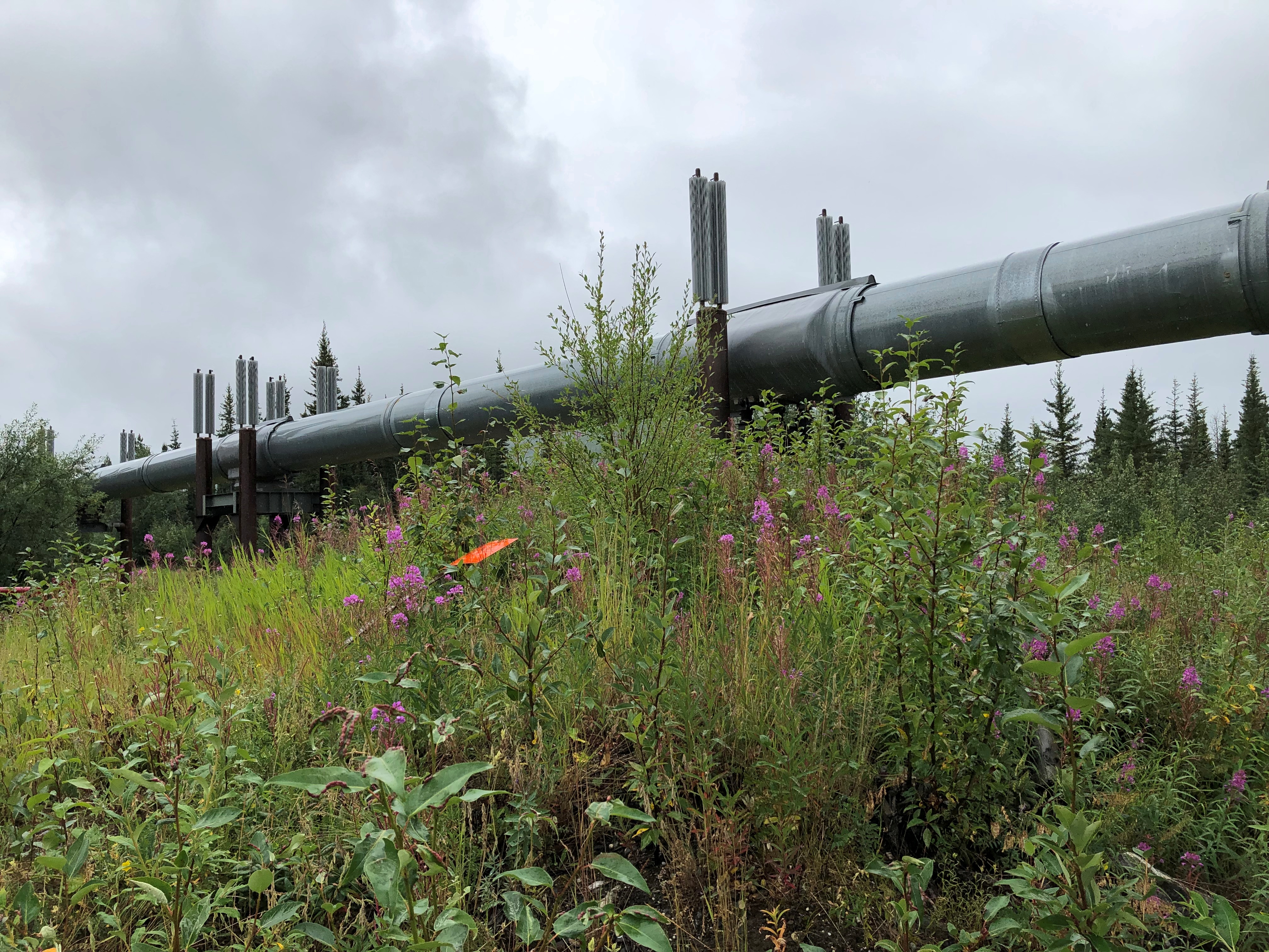
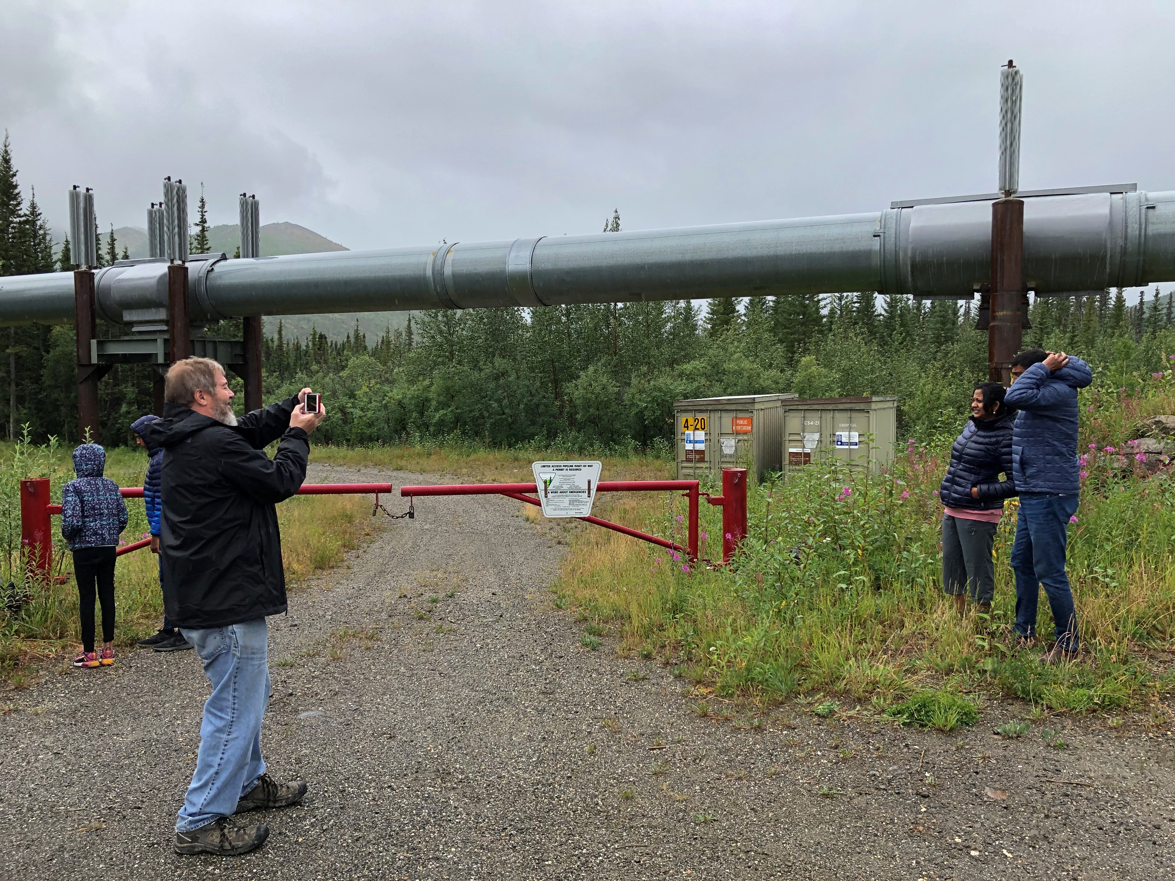
The pipeline wasn’t exactly a hidden presence. The road was built to service the pipeline, after all, which got its impetus from the energy panic of the 1970s. Long stretches of the pipeline were built above ground, because permafrost is a lousy place for underground pipes, and so the it was easy to see most of the time from the bus window as we rolled by, a thin white snake taut across the green backdrop.
Next stop, the Arctic Circle sign.
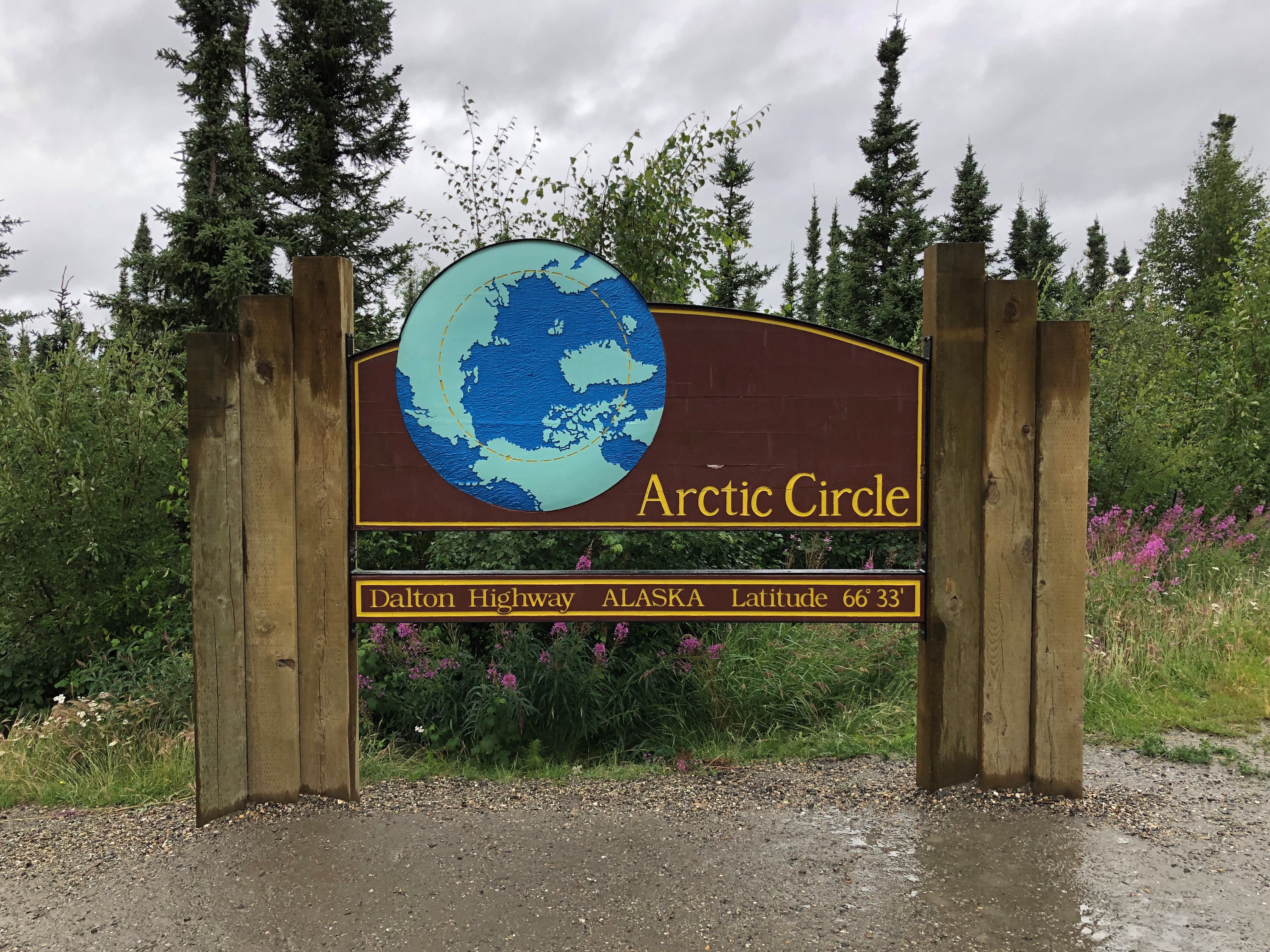
We weren’t the only ones there. Another bus pulled up, and so did a couple of private cars, including a small sedan I don’t believe I’d drive on the Dalton. Then again, it had some extra tires and gas cans lashed to the roof — at least I hope they were tied down — so maybe they were ready.
I happened to see the back of the sign. That side featured a number of stickers, including him again.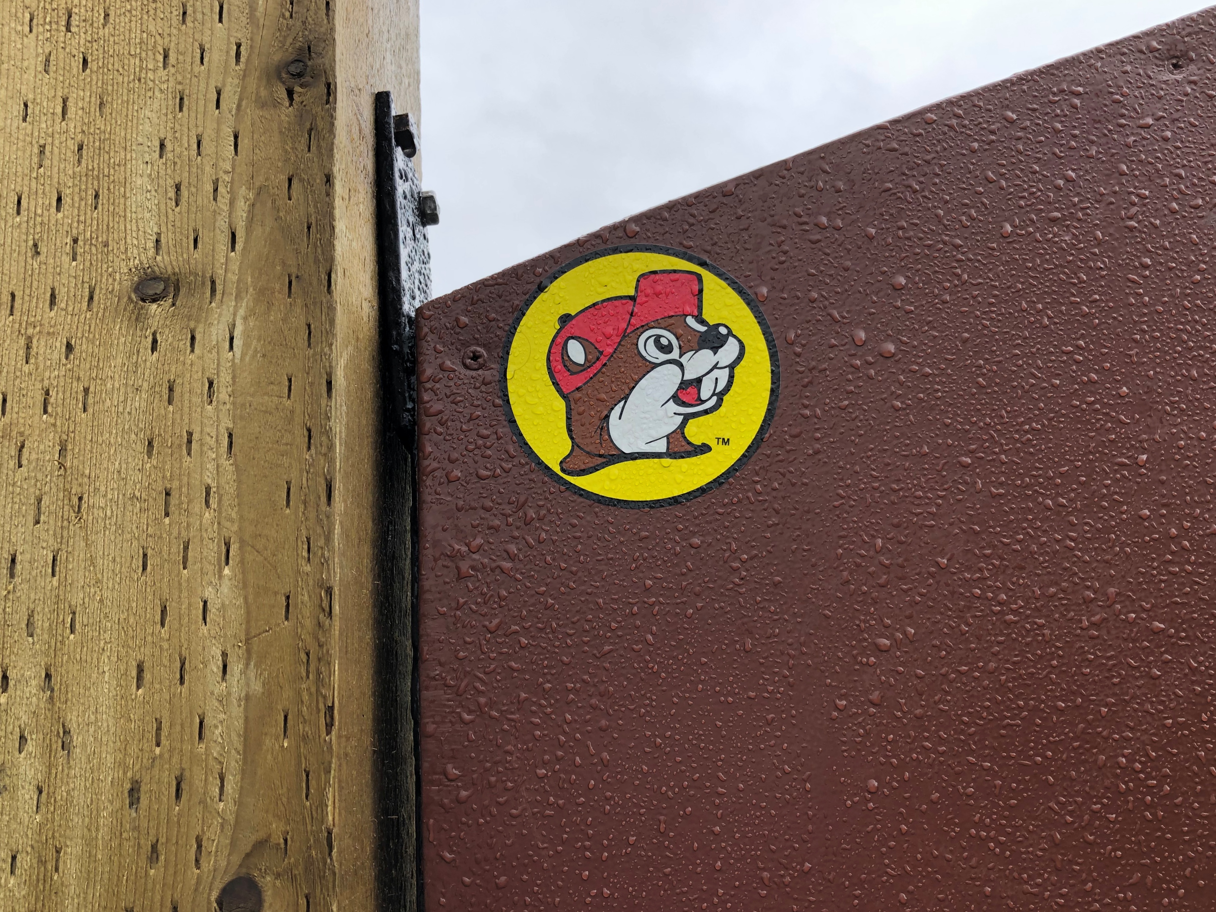
South from that point is Finger Mountain. Not actually a mountain, just a large hill with a granite tor off in the distance. We stopped long enough for us to scramble to the top of the hill, which is about 17 miles south of the Arctic Circle.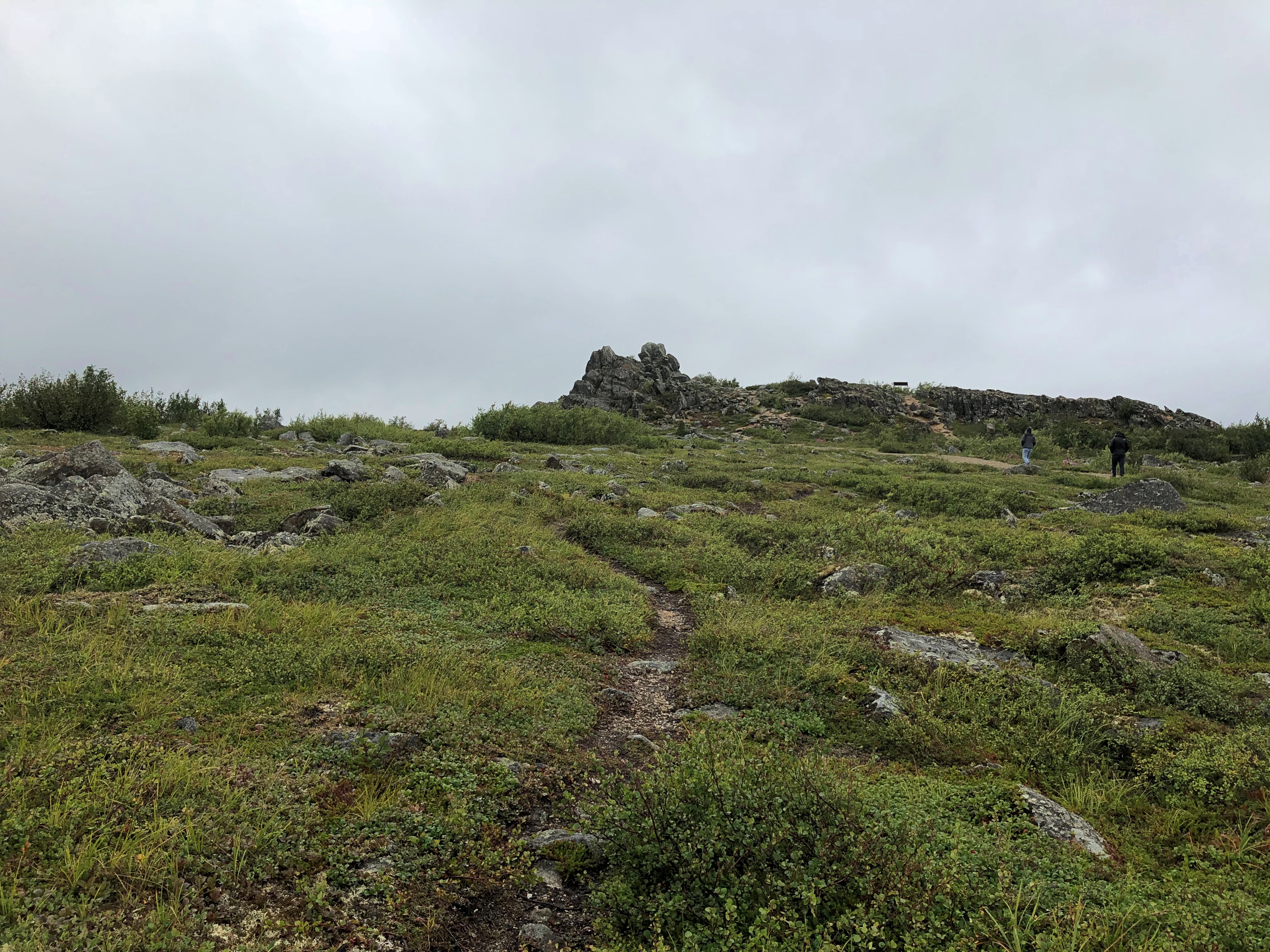
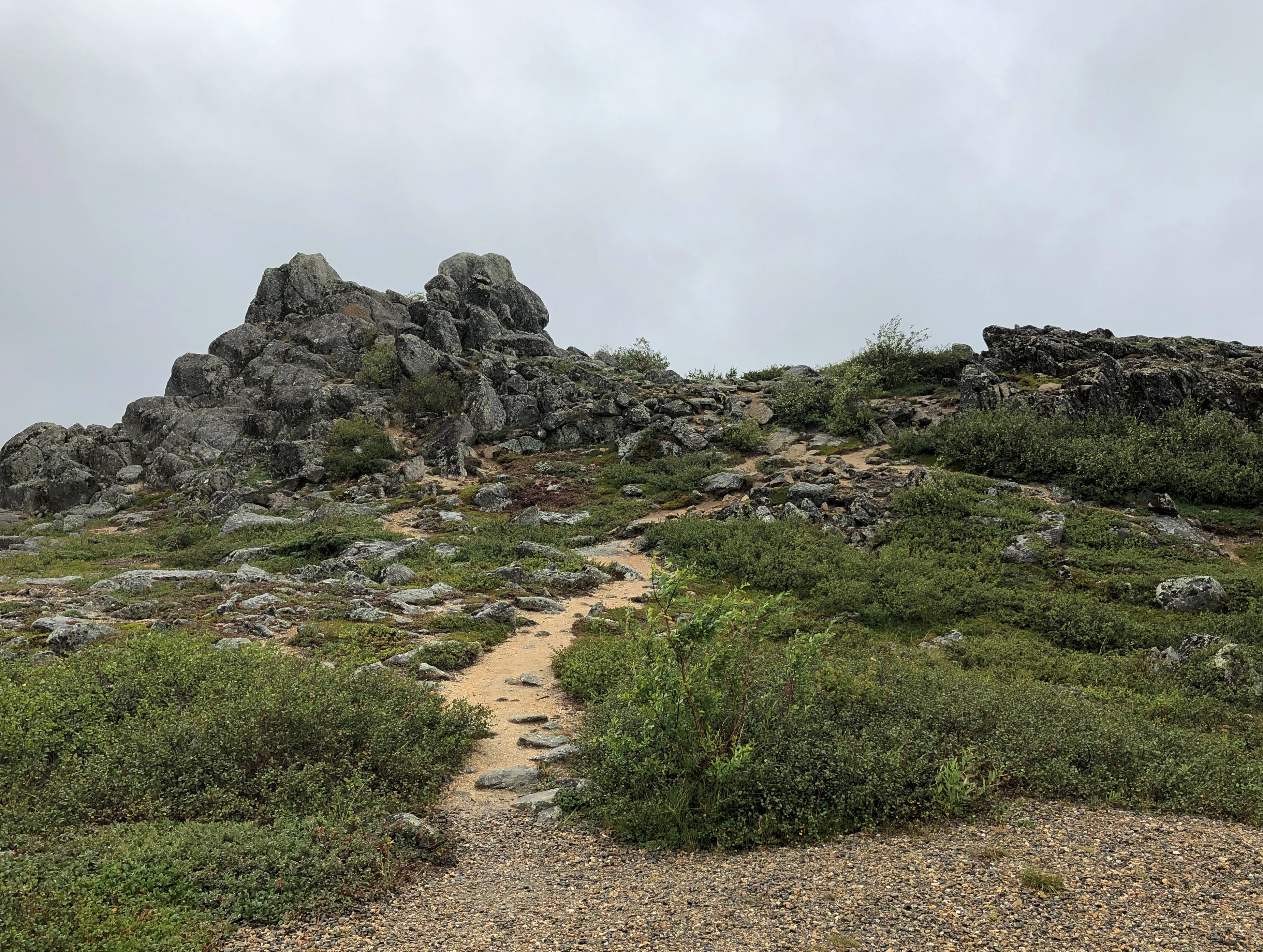
Distant fog obscured the distant mountains, but they were visible.
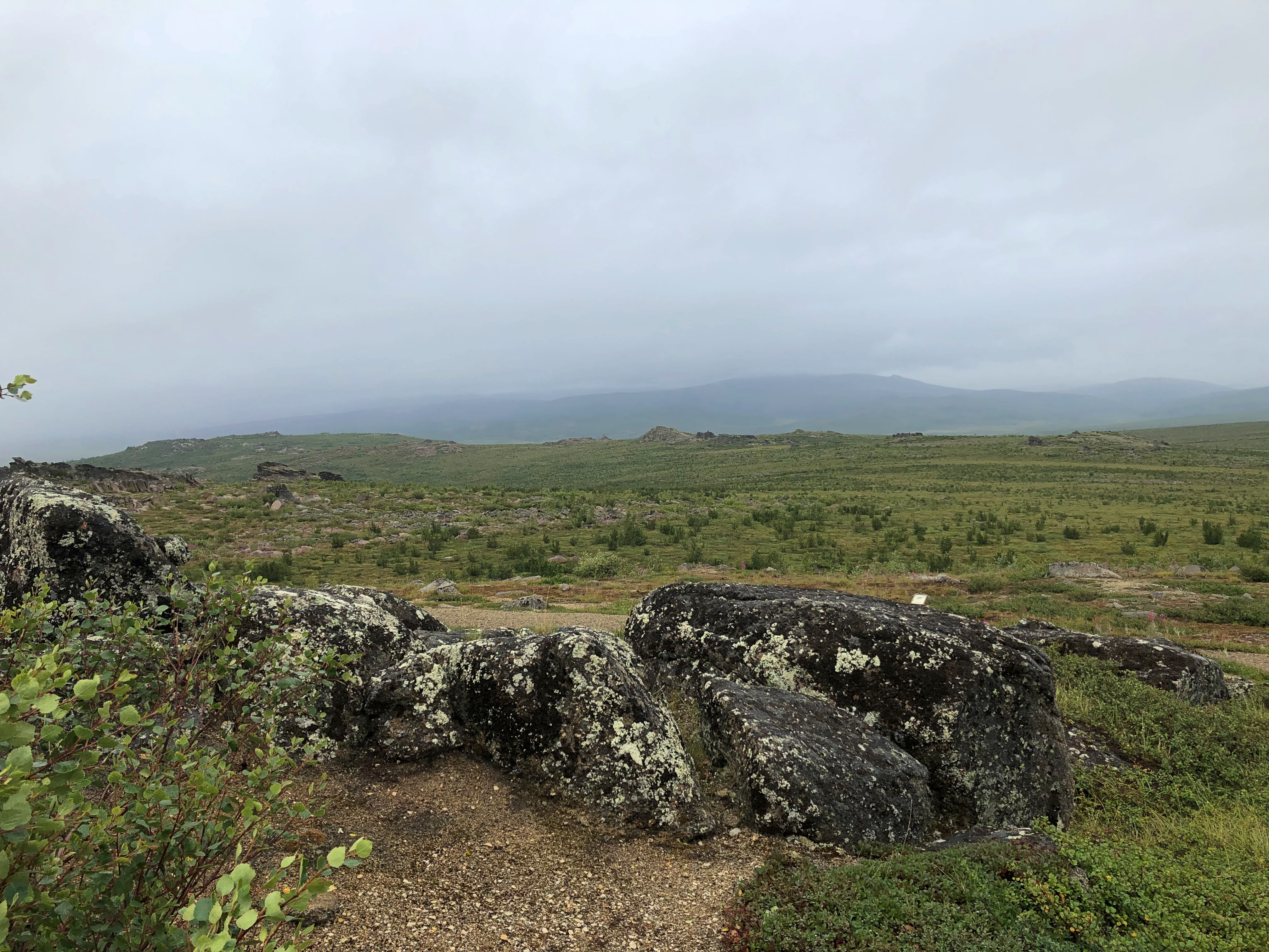
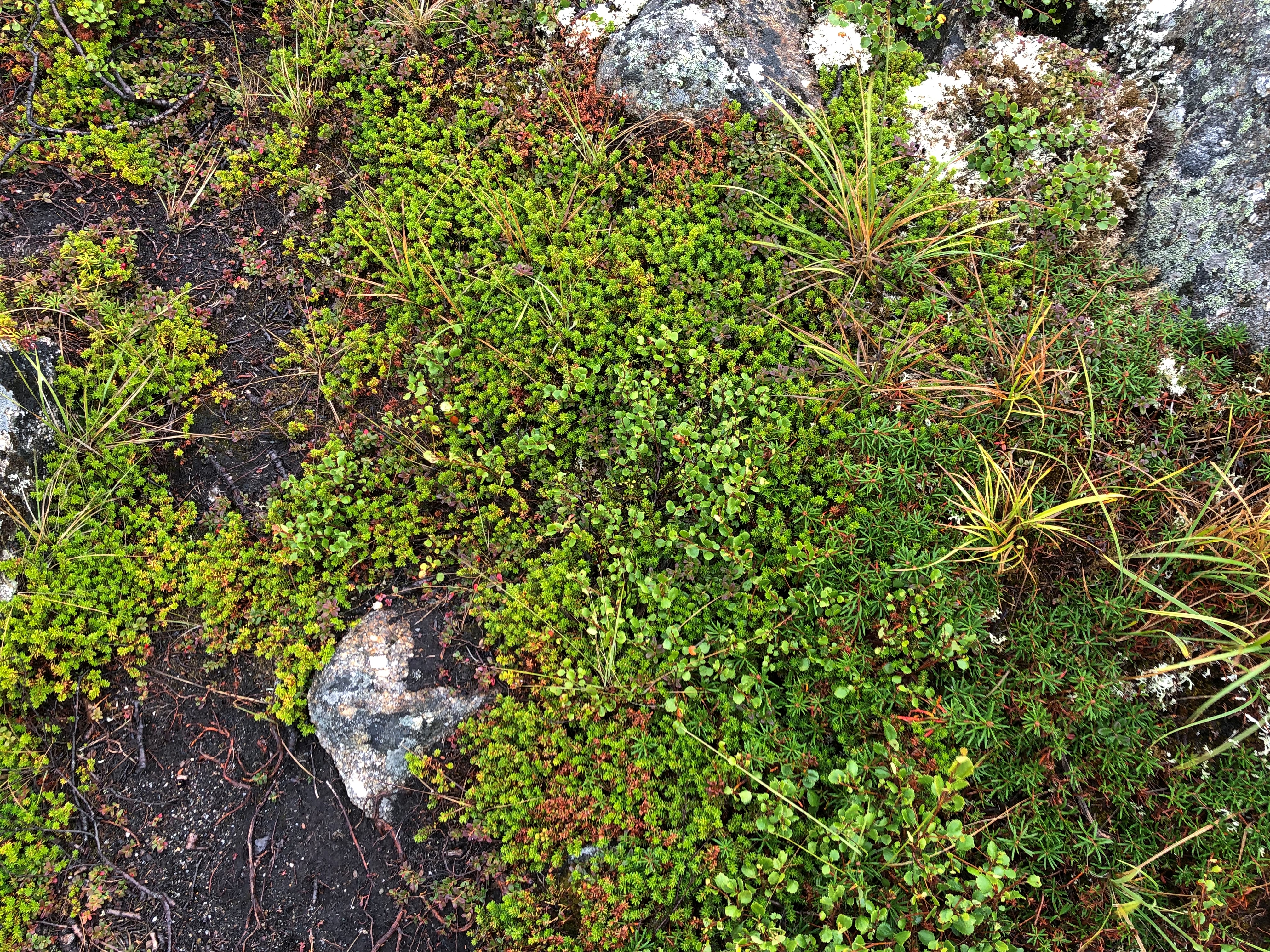
I was reminded of the alpine tundra I saw on the mountainsides of Alberta. Yes, this counts as alpine tundra, Steve the guide agreed.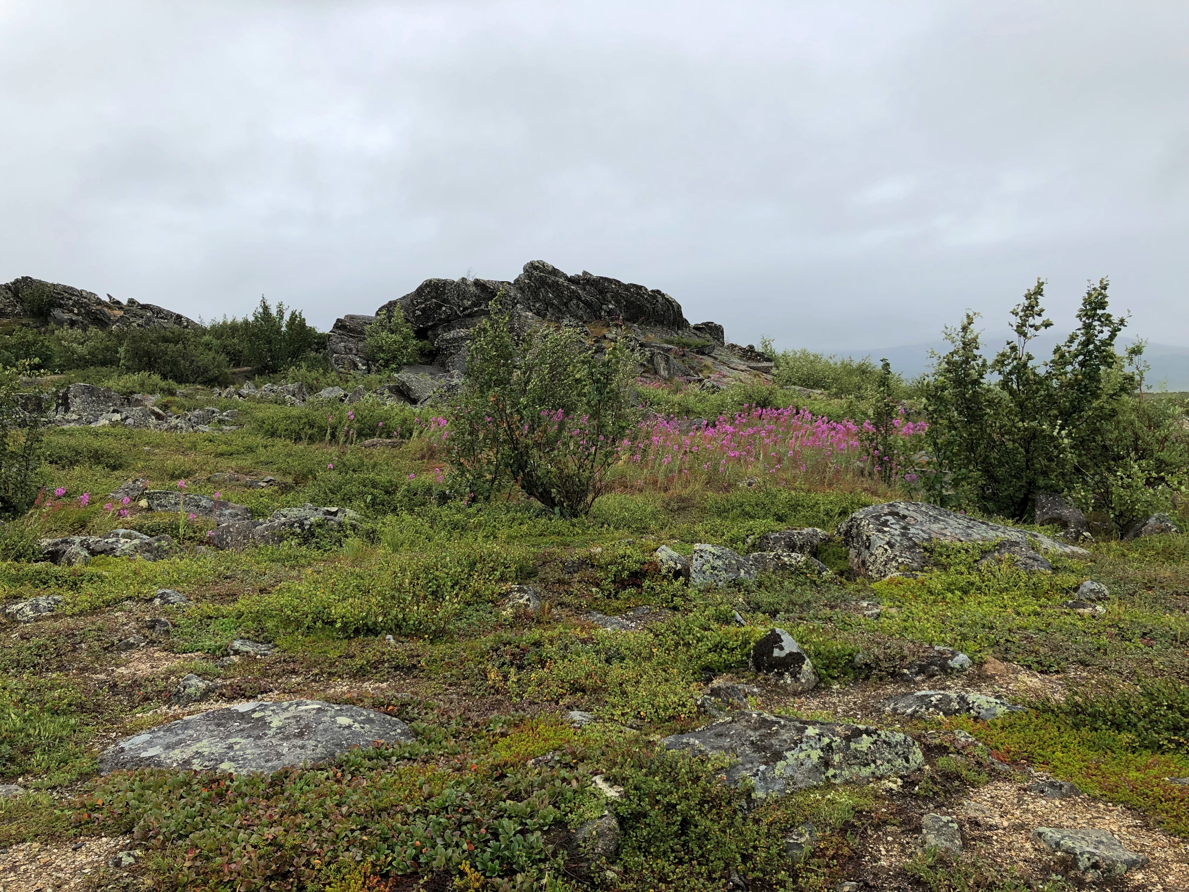
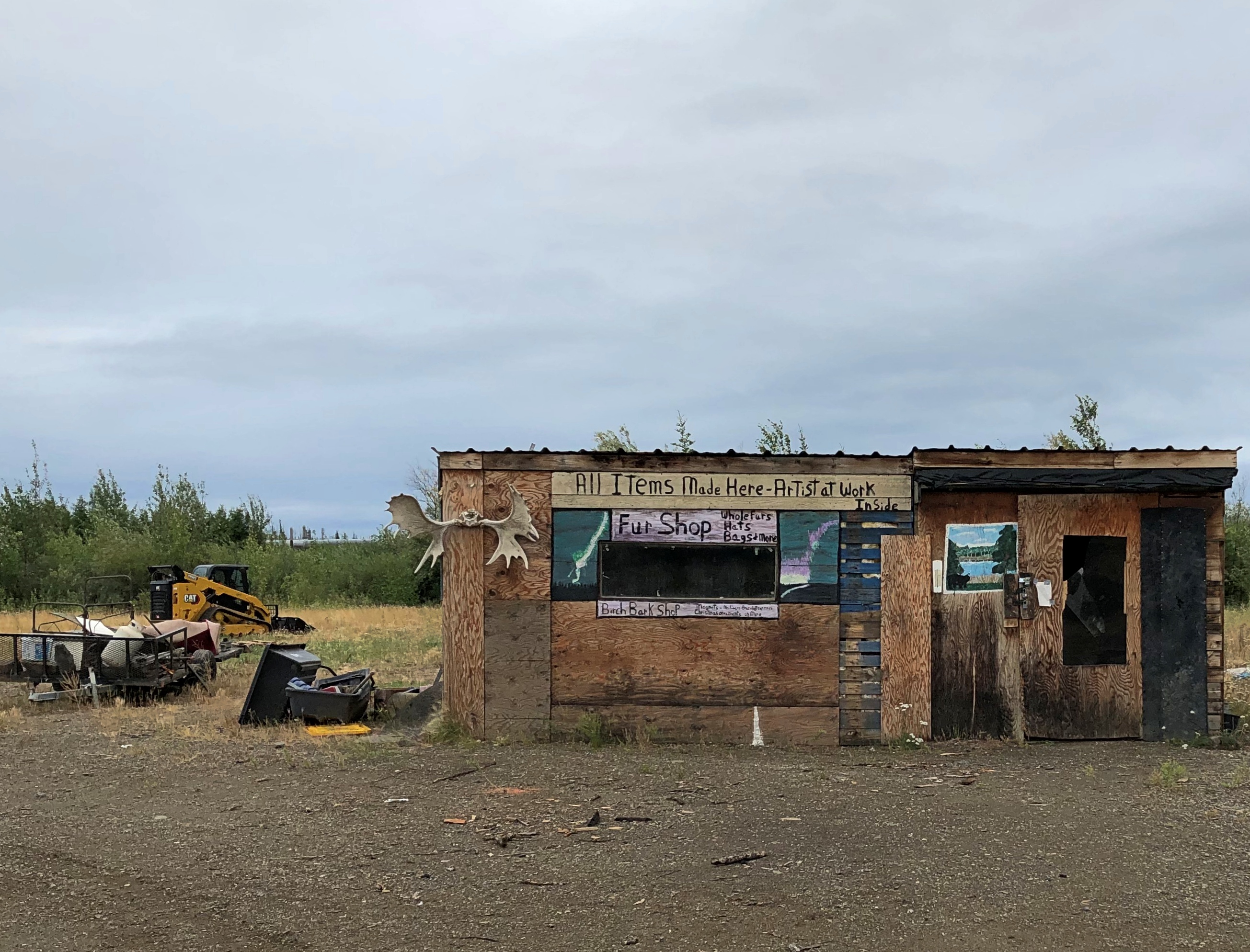
Further south we stopped at the Yukon River Camp.
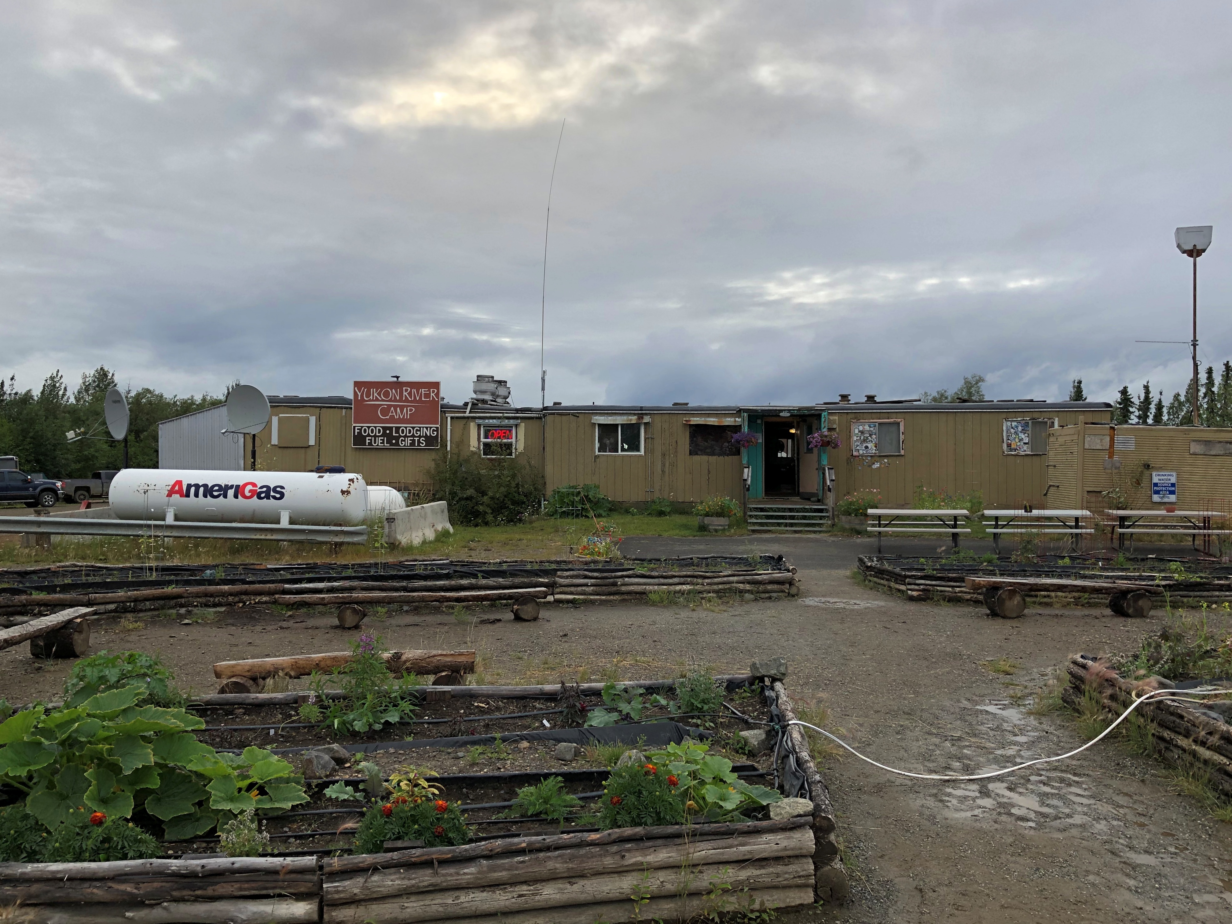
Some of its buildings had that abandoned look. Wonder when the last time there was an artist in residence here, across the parking lot from the camp’s main building, and nearer to the highway.
Not far from the buildings is the mighty Yukon River, third-longest in North America. It was good to stand on the banks of such a river.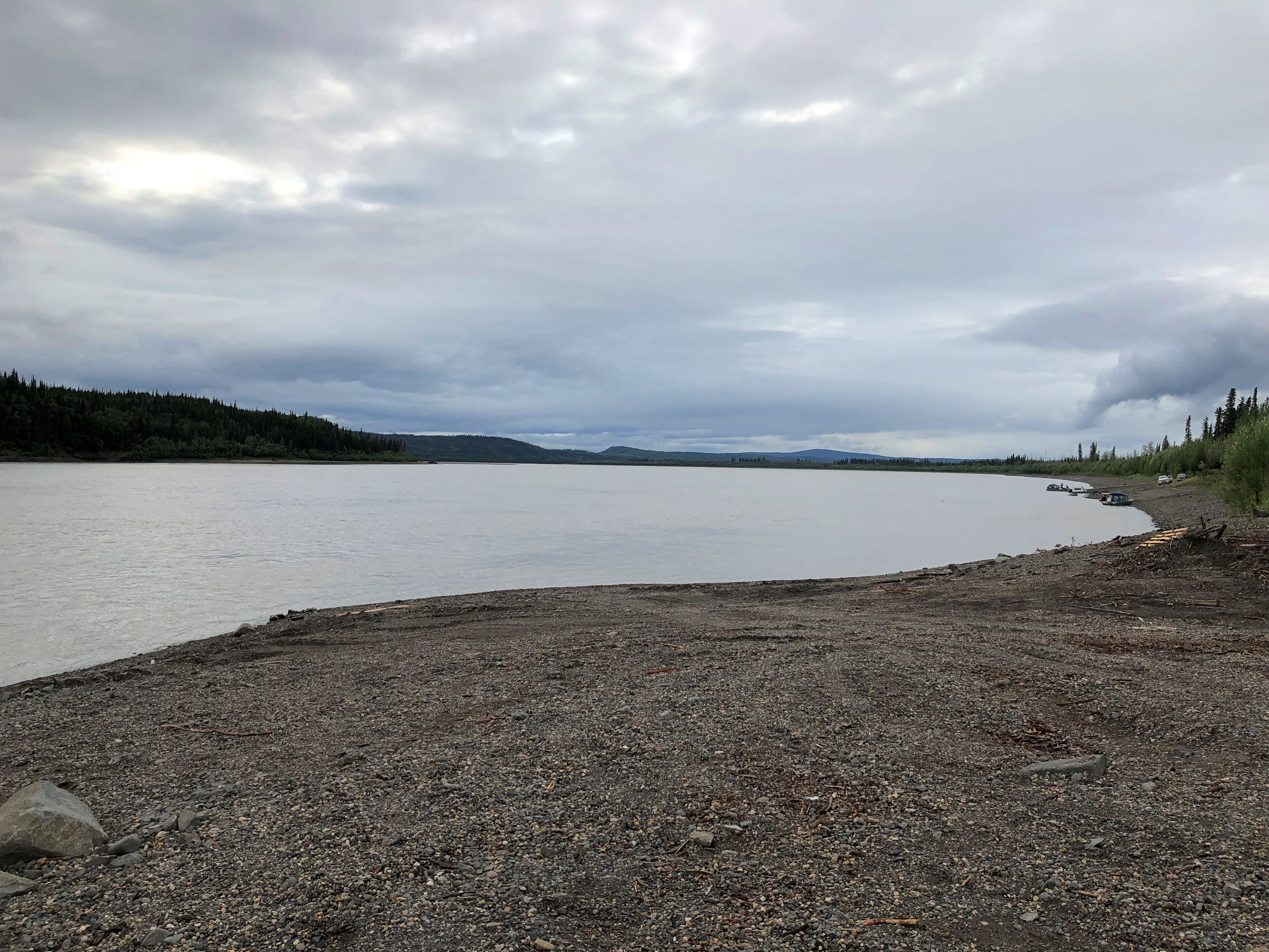
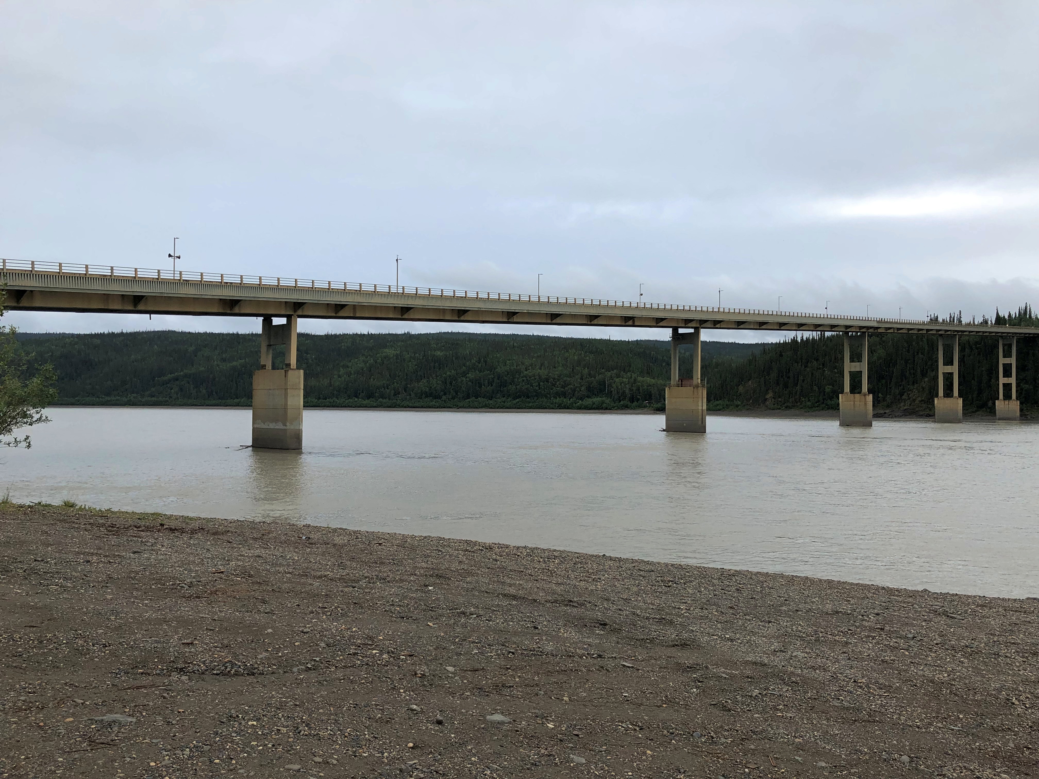
The 2,295-foot Yukon River Bridge, formally the E. L. Patton Bridge, carries the Dalton Highway, along with the Alaska Pipeline, across the river. It’s only one of four bridges on the Yukon, despite the river being nearly 3,200 miles long.
Near the bridge, I got a better look at the pipeline. I could stand under it.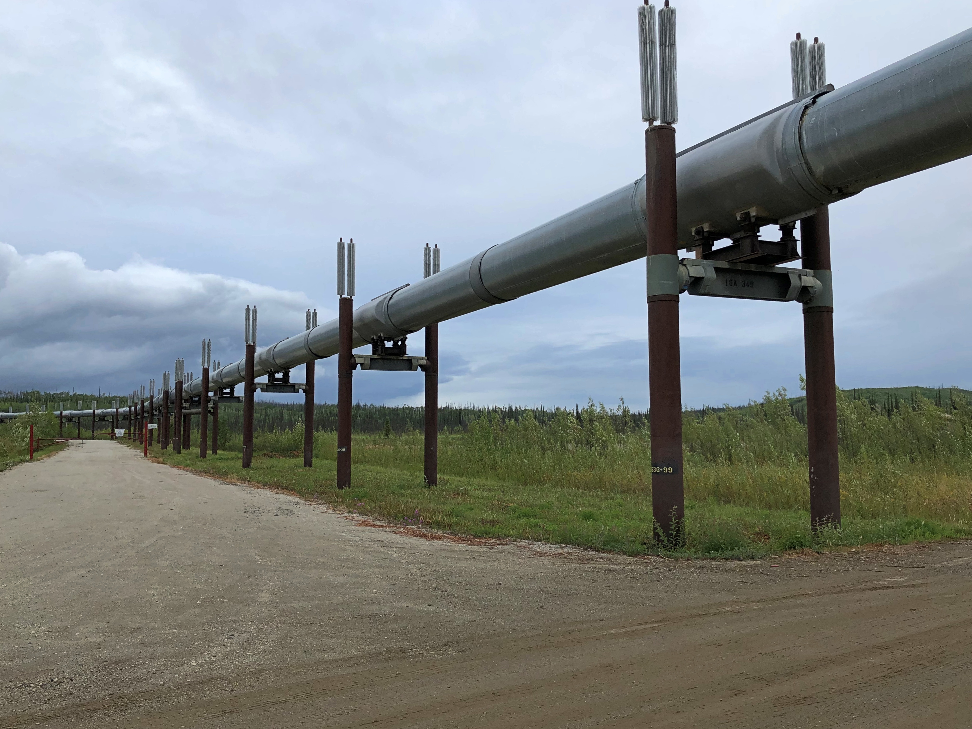
Though it wasn’t the end of our drive, the last stop (except for an outhouse break) was at the entrance to the Dalton Highway. A sign marks the spot.
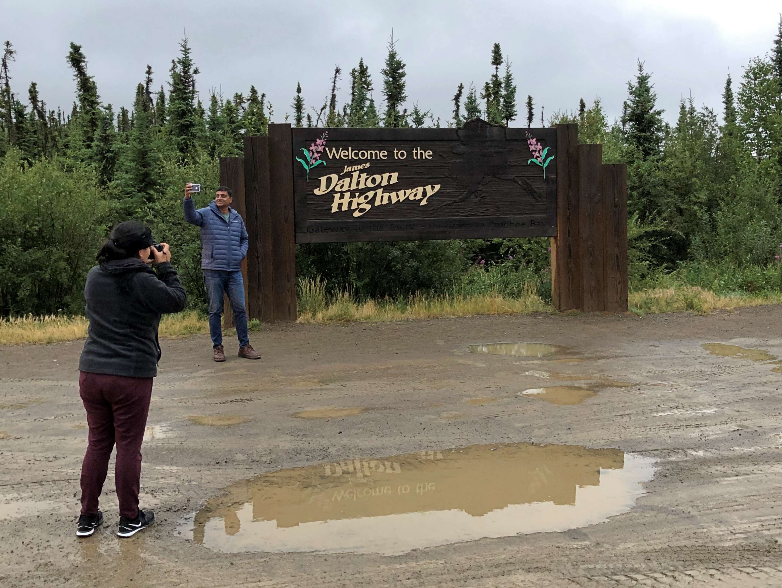
“At first, the highway was called the Haul Road because almost everything supporting oil development was ‘hauled’ on tractor-trailer rigs to its final destination,” notes the Bureau of Land Management. “In 1981, the State of Alaska named the highway after James B. Dalton, a lifelong Alaskan and expert in arctic engineering who was involved in early oil exploration efforts on the North Slope.
“The highway was open only to commercial traffic until 1981, when the state allowed public access to Disaster Creek at milepost 211. In 1994, public access was allowed all the way to Deadhorse for the first time.”