When I was busy doing one thing and another today, I got distracted by a short video that depicted a state-border-lines-only blank U.S. map, a short stock clip on a site I use sometimes. As the video played, the states were filled in, in various colors, as you see on maps. They were filling in by tiers nationwide, northern tiers down to southern tiers. Roughly. Very roughly.
So I wanted to create my own animation of the states filling in. That’s a novel reaction for me, supported by AI tech that just might be up to the task. Or is it? Jury’s still out on that, but only because the jury is lazy. Anyway, I would have the states color up in order of their accession to the union (and the Dakotas can both change at the same moment), or ratification of the Constitution in the earliest cases.
I’m also too lazy (at the moment) to check for such videos that already exist. I don’t need to check, I’m sure they are out there. I don’t want to see another one, I want to create one.
More than that, I want a twist: east should be up on the map. So the parade of state accessions would fill (very roughly) top to bottom, though of course there are certain exceptions to that, such as the West Coast states. Still, the growth of the U.S. would trend downward as the eye registers it. Why not? Think of it the original orientation, or maybe the Jerusalem tilt.
I imagined that at least drawing such a simple map wouldn’t vex the young, energetic AI programs loose in the world now. Why, I could do that with a simple natural language prompt. Or at least that’s what I thought.
Prompt:
blank map of united states, no words, tipped so that east is facing up.
Some results were perfectly acceptable maps, or a little flawed, but still with east to the right. As usual.
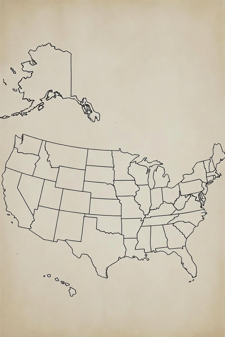
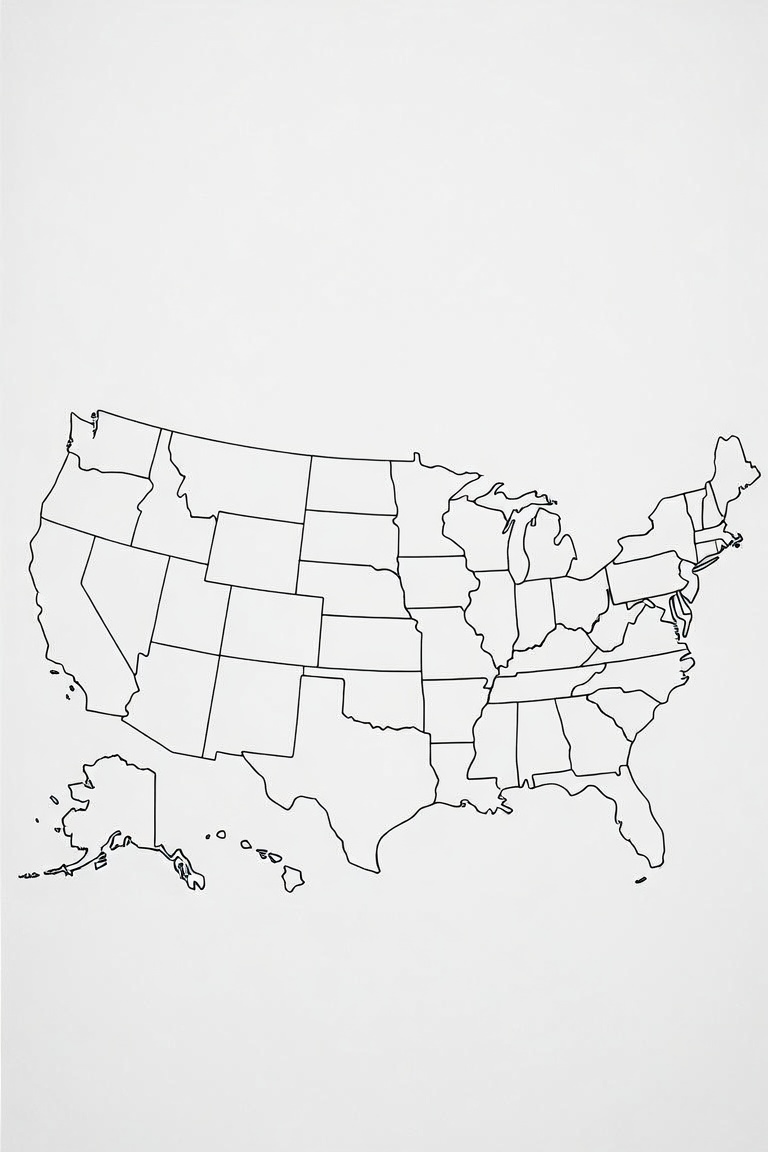
Note that the aspect ratio is narrow. I figured that would give the map room to expand in an east top/west bottom direction, rather than have a conventional north top/south bottom squeezed into the frame. Oh, well.
Other generated images inexplicably closeups of west or east.
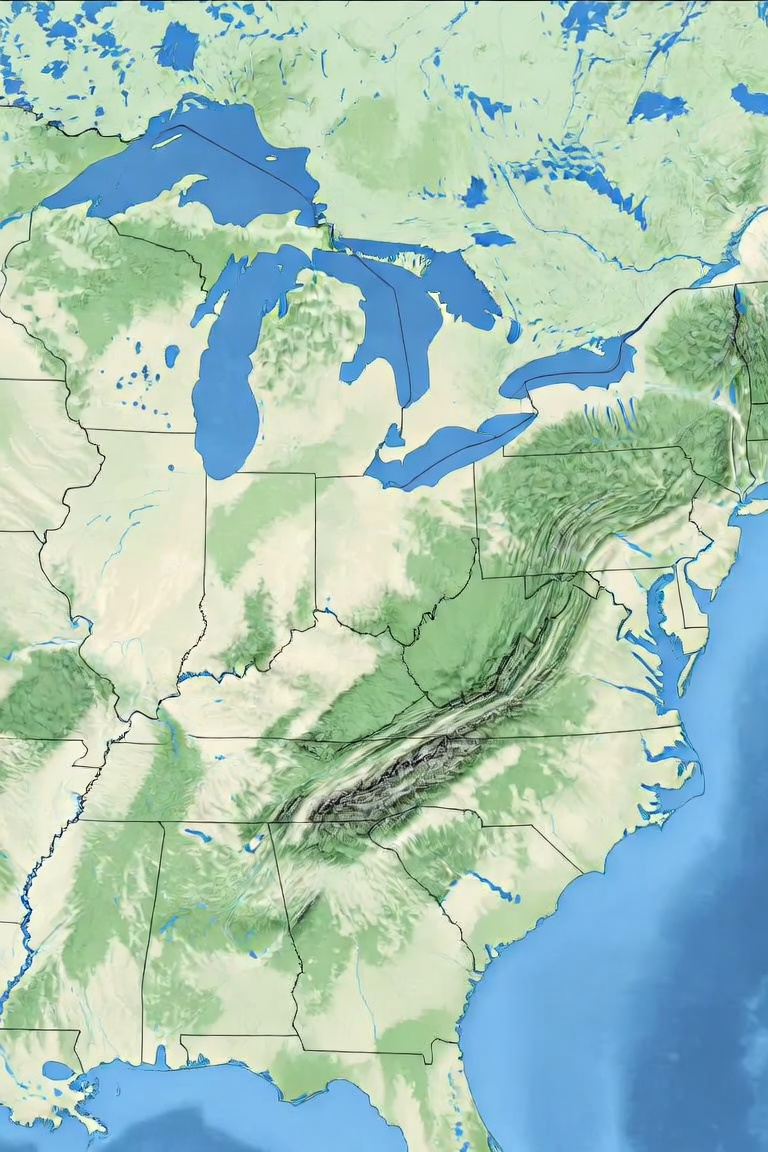
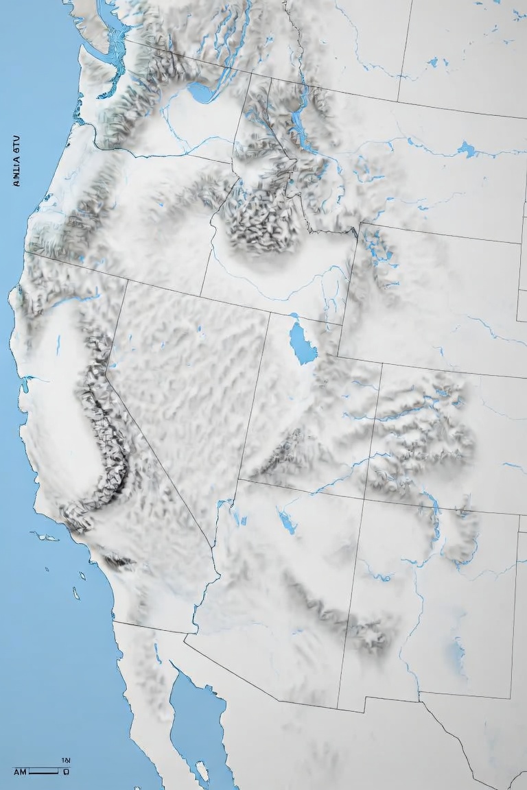
With geographic features. Because I didn’t specify all of the United States? Because I didn’t specify no geographic features, though I’d think, using natural language like I do, that “blank” covers that pretty well. And, come to think of it, United States pretty much means the whole thing, unless otherwise specified. This is the sort of nuance that, so far, eludes AI, making image generation a sometime crap shoot.
This one — what to say?
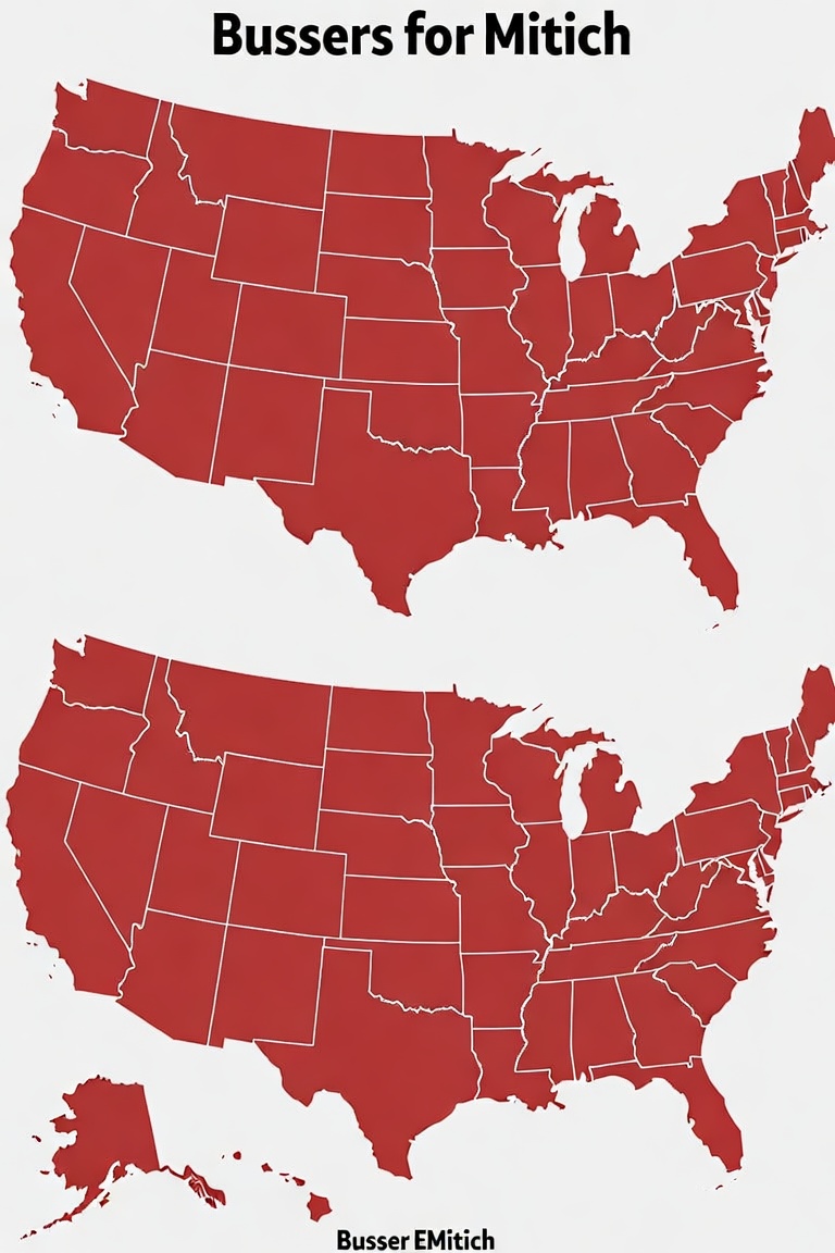
I ran that phrase through a couple of search engines (manually) in case it was something I missed, since I miss things all the time. But it doesn’t seem to be, which means my imagination can run with Bussers for Mitich. Could it be that a class of sentient robot servants — nicknamed Bussers from one of their first jobs and proudly calling themselves that — finally won the right to vote, and are supporting Mitich in the 2076 elections?
Back to the maps I wanted to be oriented with east up. These below were giving it the old electoral college try, with east clearly trying to point upward, but no go.
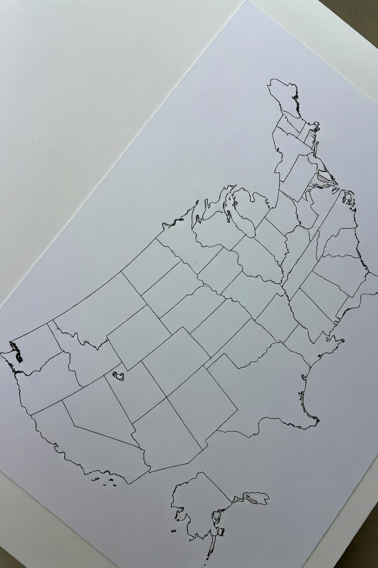
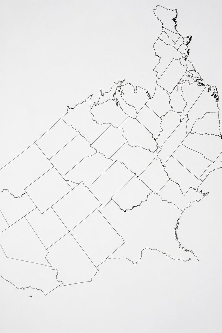
They kept getting stranger. Or rather, to be completely accurate, the odd maps were mixed in seemingly at random.
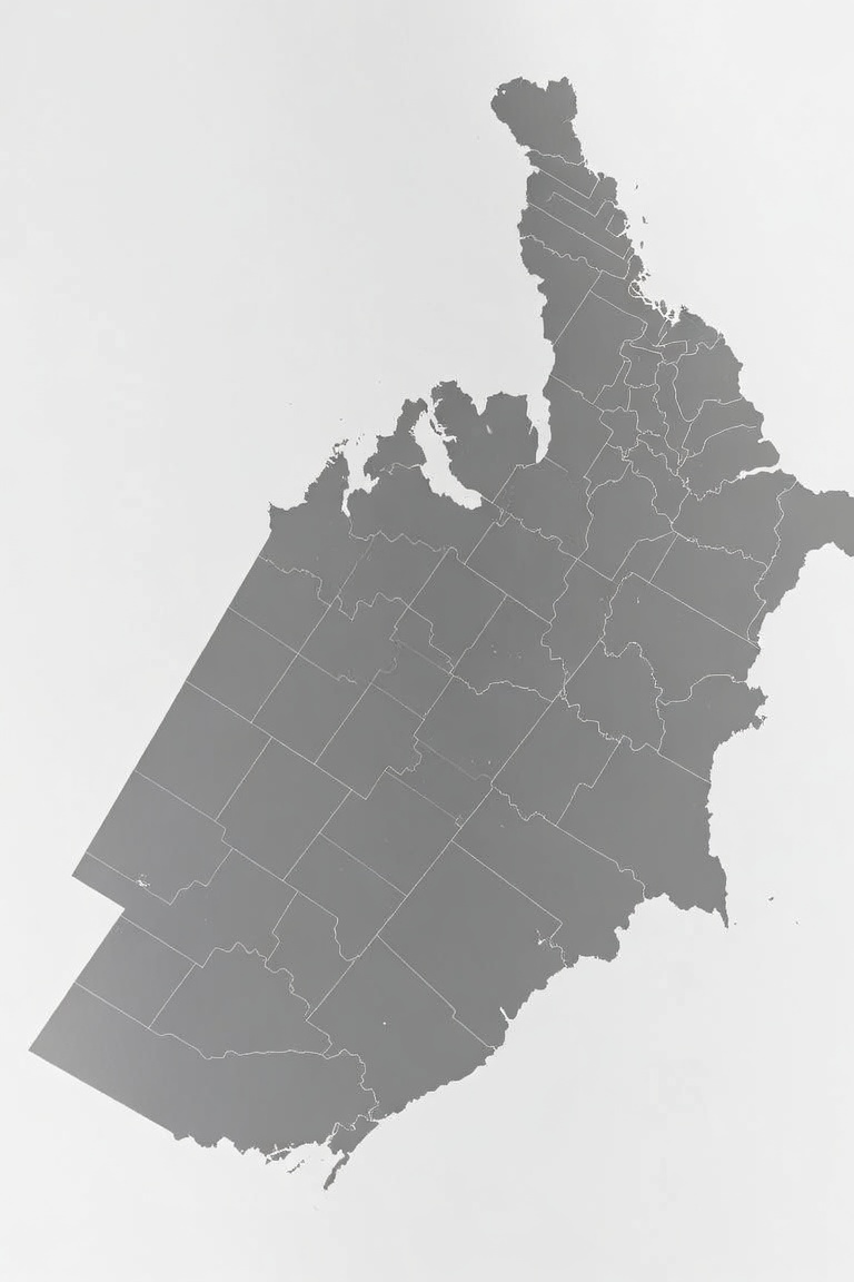
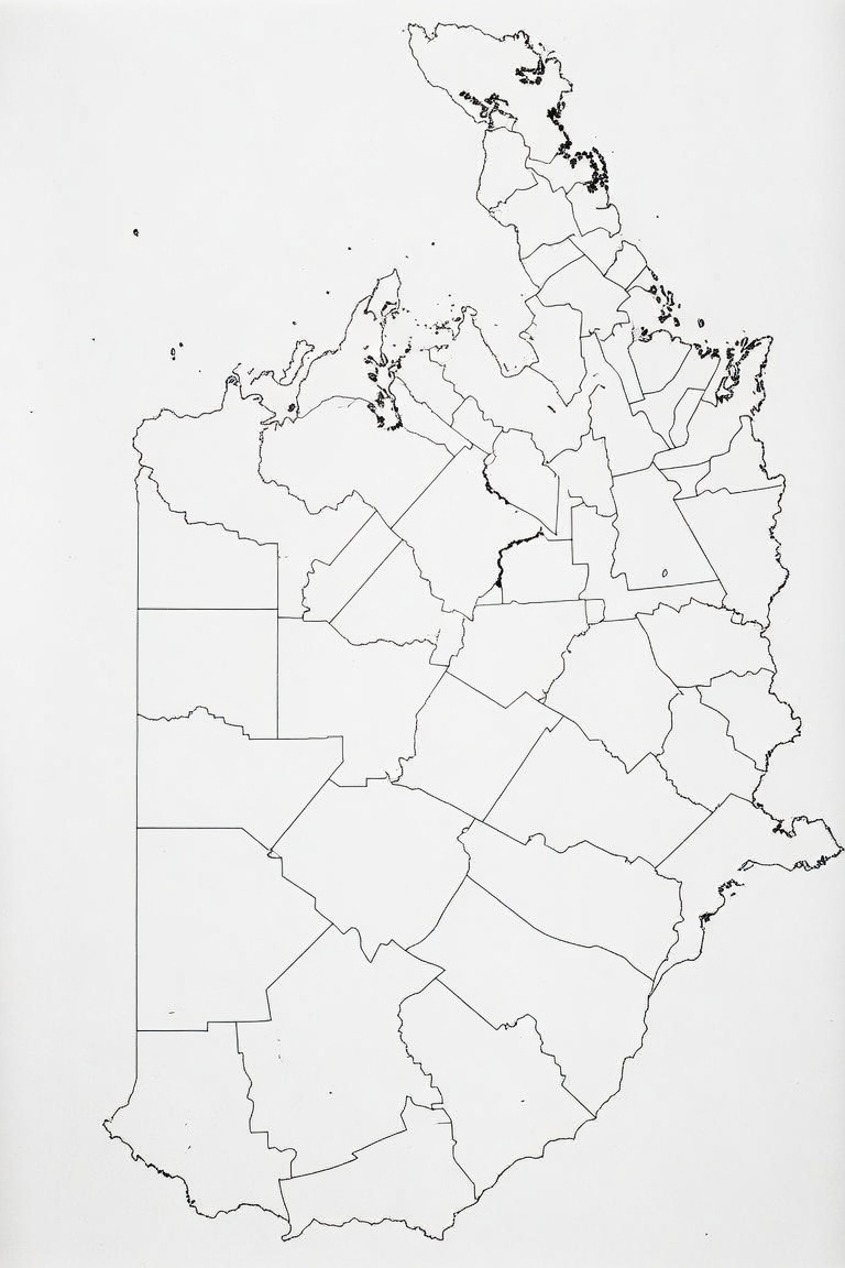
At least that one is east/up. I think. But it isn’t a map of the United States. Some united states, maybe, but in some other reality.
Then there were the smash maps, I call them.
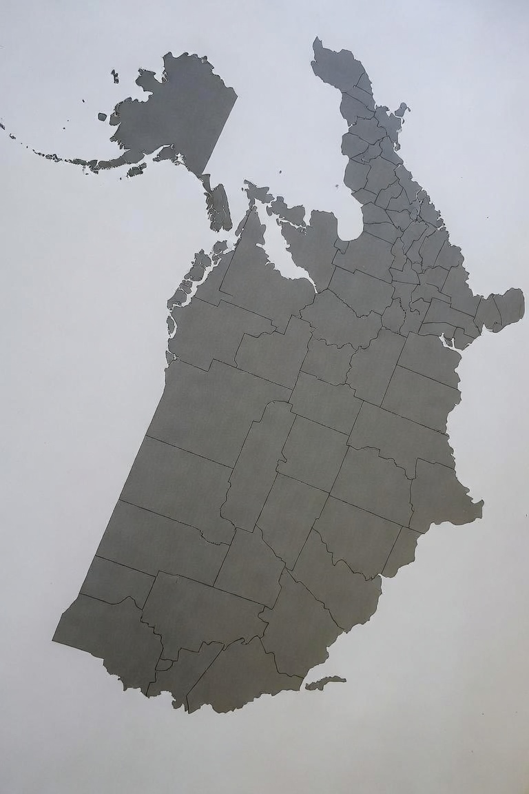
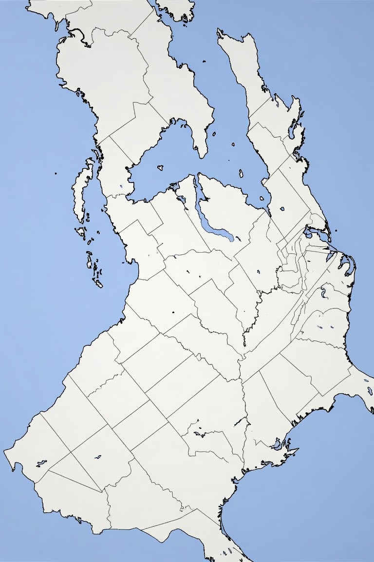
Which have their own interests. You can imagine they were the result of a different North American map created by the last ice age. Or you can image some alternate universe United States. Man, Virginia really got dismembered by the war in that last map, didn’t it?
This is just part one of my efforts to create a map with an east orientation. From here, I’ll try modifying the less eccentric maps. Or I’ll make one myself by tilting a pre-drawn map with my basic image editing program, and then see if AI can handle filling in the states in historic order. This will have to wait, though. I have a life to live this weekend.