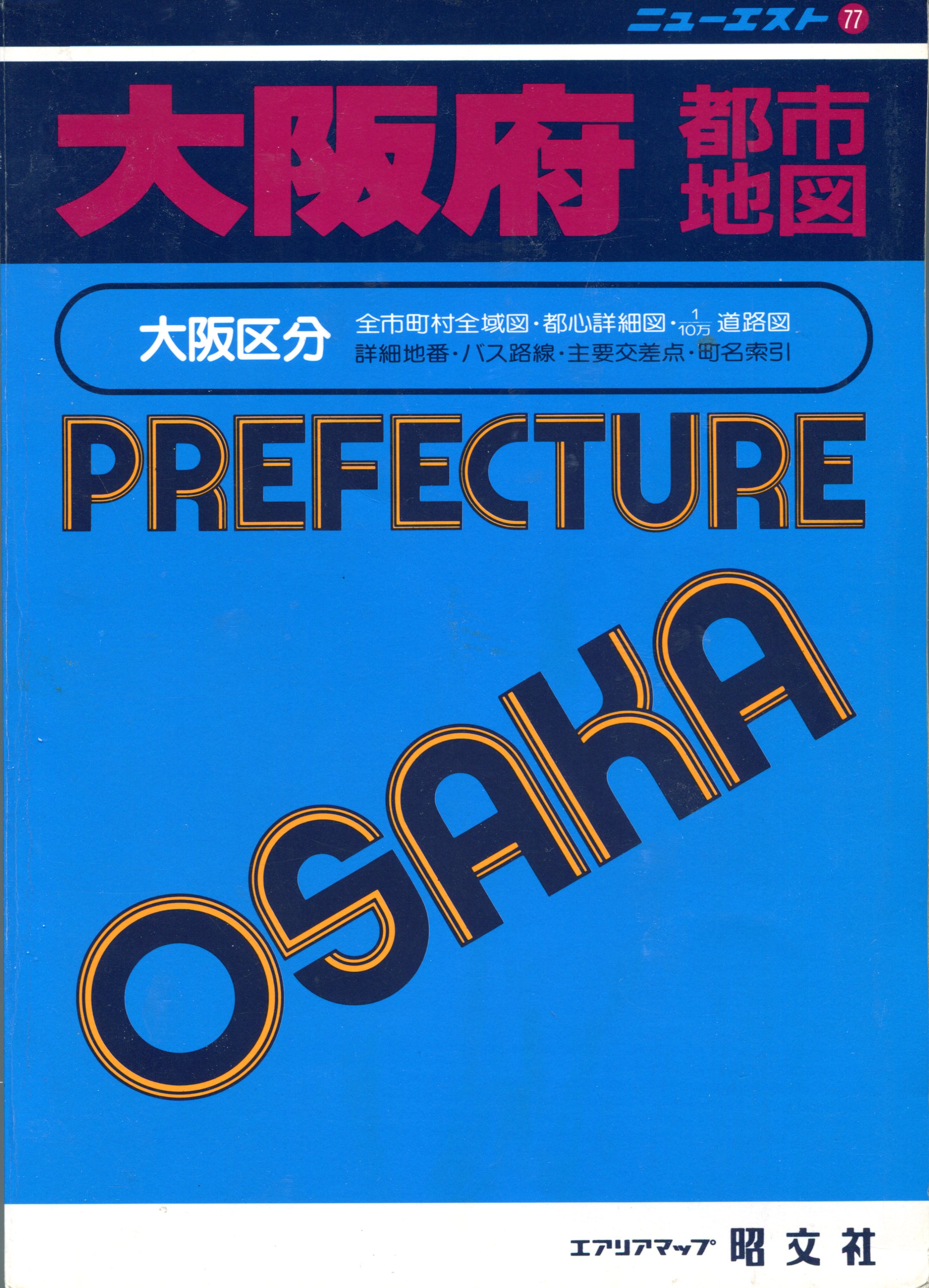
 Twenty-five years ago this week, primed by a young man’s sense of adventure, I moved to Japan. Eventually I learned my way around, literally and figuratively, without the assistance of the Internet, since it wasn’t in common use. One of my better investments along those lines — literally getting around, that is — was a paper atlas called Prefecture Osaka.
At least, those were the roman-letter words on the cover. In fact, those were the only roman letters in the entire book. Extracting useful information sometimes took a while but — in that great eventually again — I learned my way around the book, too.
Sometimes I would stare at it, just because I enjoyed looking at it. The lines, the tints, the utterly foreign script — it’s a beautiful group of maps. This is one of the pages. As it happens, the northern part of Sumiyoshi Ward, which is where I lived. My block’s nearly in the fold, so it isn’t displayed here. But a lot of familiar places are.
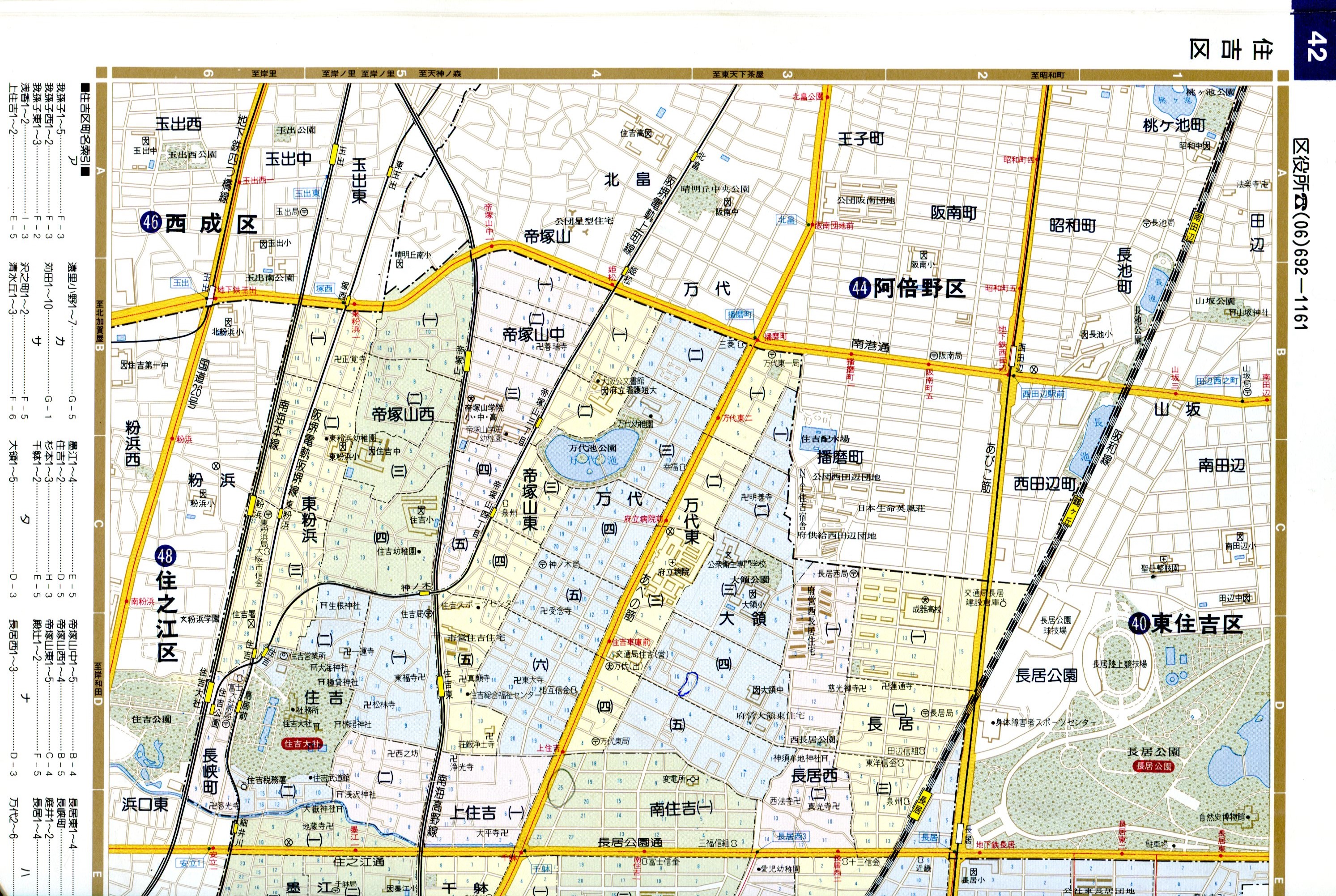 The whole-page scan doesn’t really do it justice, though. Even the close-up doesn’t, but imagine a crisp paper version of this image, because digital will never capture the aesthetics of paper.
 The bright yellow rectangle is the JR Nagai station (these tracks). The white rectangle is the Nagai subway station on the Midosuji Line. I rarely used JR, but I went to the Nagai subway station just about every day. Urban Japan, as our urban planners say, has high walkability.
The ward was further divided, as marked by different tints on the map. My area was called Nagai-Nishi: West Nagai. That was further subdivided — twice. The smallest divisions are the blocks marked by the small blue numbers. The green space on this map is green space: Nagai Park (Nagai Koen, 長居公園 ). Literally, Long Park.