For someone who grew up in Texas, I’m unaccountably fond of the Upper Peninsula. A little, probably, since I first saw as a lad its fine ragged outline on a map, and a lot more since my first visit, solo, in 1989. Maybe my appreciation came into full flower on H-13, a two-lane road through Hiawatha National Forest, as I drove north a little faster than strictly necessary, my cassette player playing a little louder than usual, zipping between walls of pines. It was a Be Here Now moment.
Also, I’ve never grown tired of gazing out into the vastness of Lake Superior, as I first did that year and most recently on July 1 at the mouth of Presque Isle River.
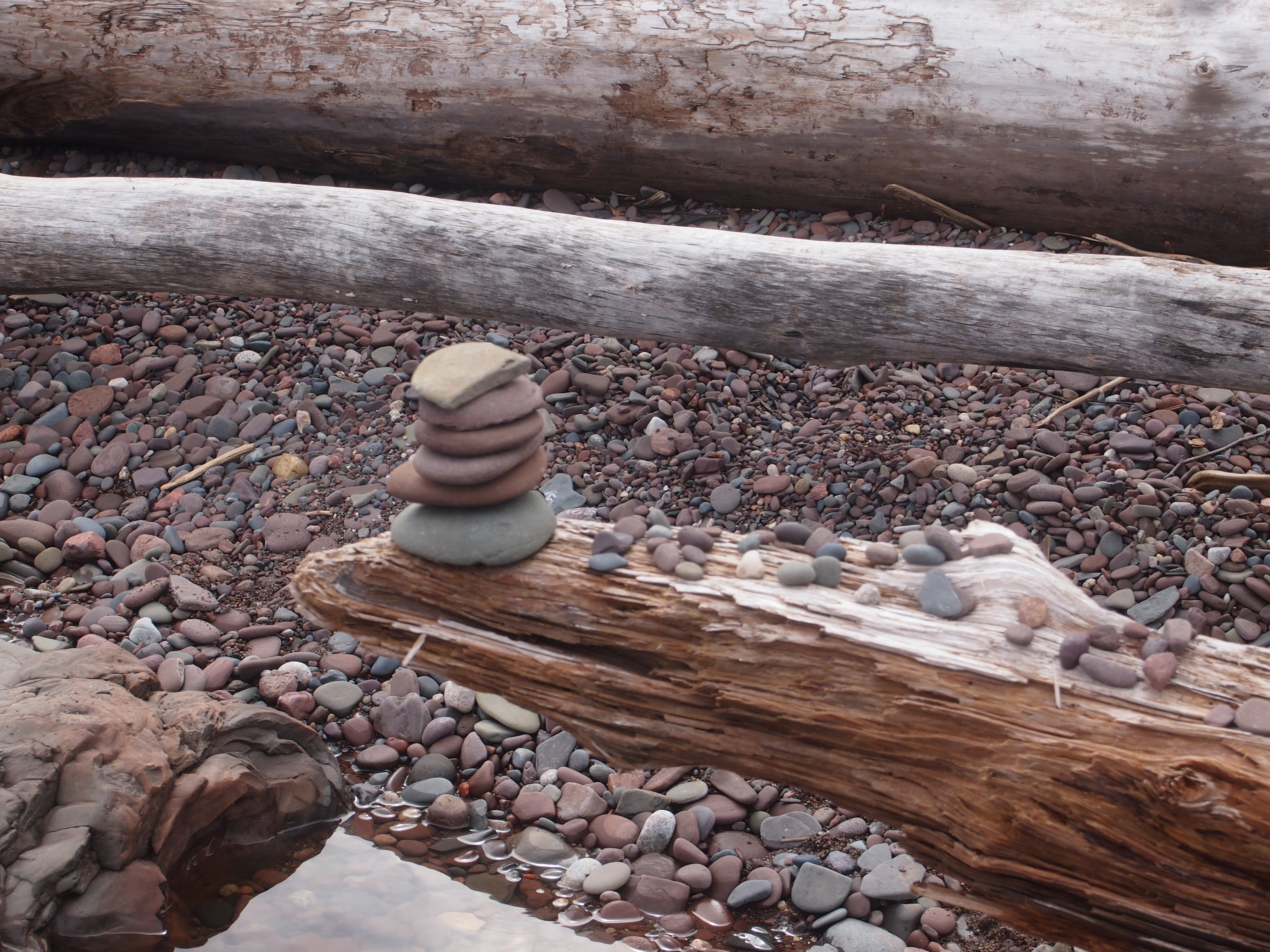
 The shore was rocky at that point, with smooth white driftwood beached on the shore. Not only that, people had built small cairns there, mostly on the wood, something I didn’t notice until I did. Then I started seeing them all around. I built one too, though not this one.
 We left the northwest Chicago suburbs late in the afternoon on June 29, spending the first night in Madison. From there, it’s a straight shot north through central Wisconsin, for much of the way on I-39 and then the slower but more interesting US 51. On the last day of June, we made our way north to the western reaches of the UP.
As I wrote 14 years ago: “At the northern end of I-39, which runs like a spine through most of central Wisconsin, US 51 takes over, though for a time it’s a divided highway of four lanes, and thus exactly like the Interstate. Just north of the wee resort town of Tomahawk… the road narrows. By this time, the driving visuals were compelling anyway, and all the narrowing of the road did was bring the scenery that much closer.”
Near Hurley, Wis., US 51 meets US 2. Unlike the 2003 trip, this time we headed east on US 2 into Michigan, into new territory for all of us — me, Yuriko and Ann. Staying at a modest but charming non-chain hotel in Wakefield, Mich., on the nights of the 30th and the 1st, the focus of the 2017 trip was the western UP, especially the Porcupine Mountains Wilderness State Park. We also visited the Keweenaw Peninsula, but time didn’t allow a fuller look at Keweenaw.
Evenings were cool and days in the 70s F. and partly cloudy most of the time. Weather forecasts had spoken of rain, but the closer we got to the trip, such forecasts were revised, downplaying the chance of rain. In the event, only a little fell on us on July 1 as we drove back toward Wakefield in the late afternoon. On the evening before, just before sunset, patches of thick fog clung to the Black River Road near Potawatomi and Gorge waterfalls. Ann commented on its eerieness.
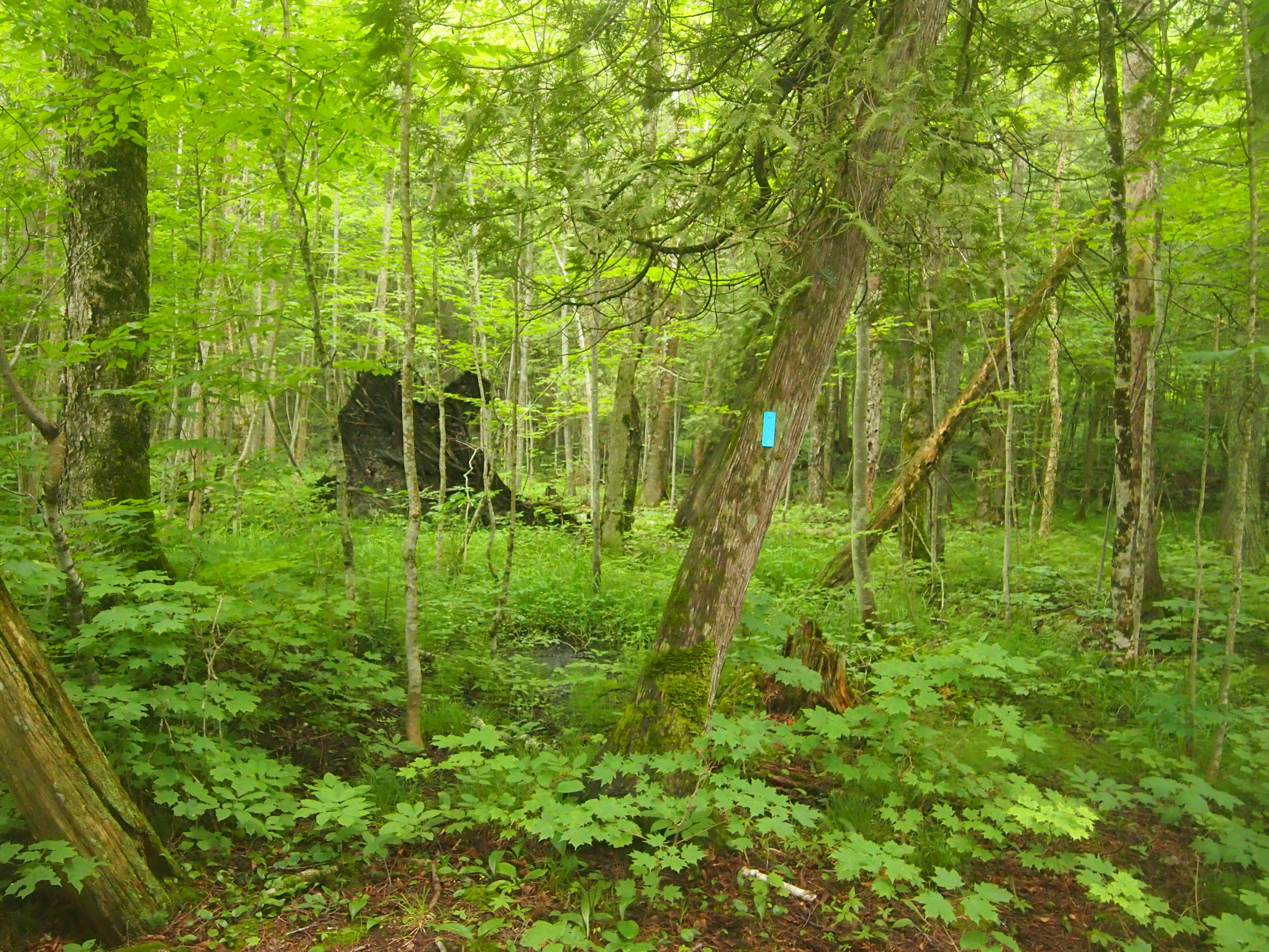
Walking was an important part of the trip. Essential, as far as I’m concerned. On the first day of July, Yuriko thought to check the app on her phone that counts steps. We took over 14,000 steps that day. Many of the steps were on forest paths like this.
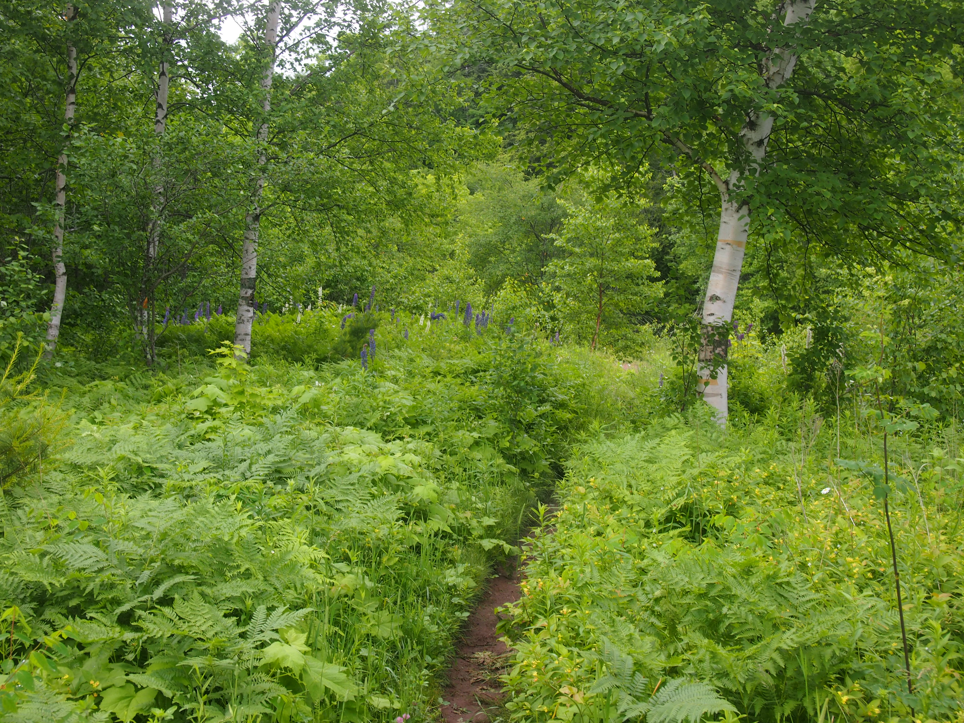
Or this.
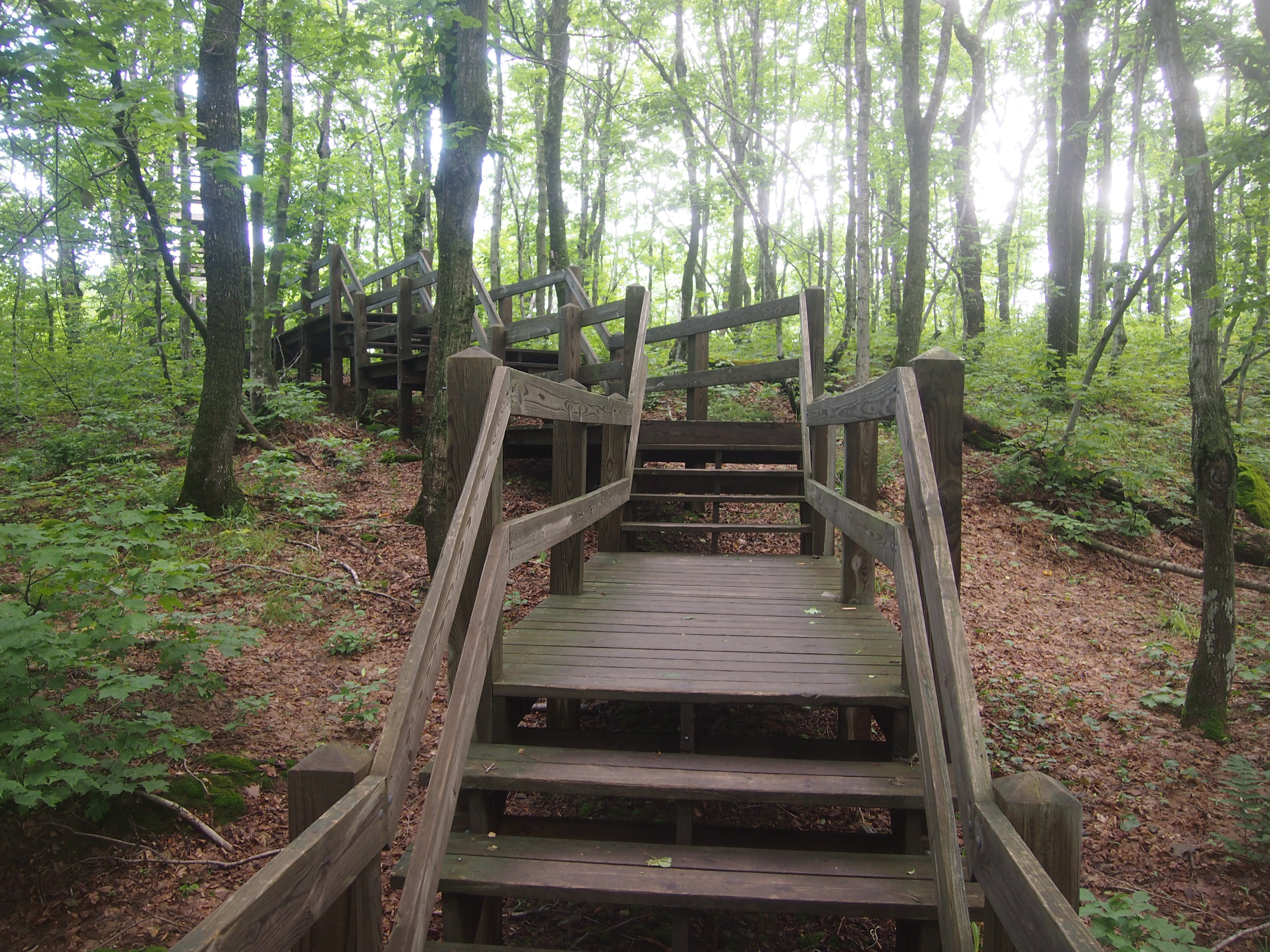
A lot of the steps looked like this.
I felt my age. I usually brought up the rear, and took more breaks than I might have 10 or 20 years ago, but I got through.
Since time was short and distances, while not great, did involve miles to cover, driving was important, too. Also an essential experience on the trip, in my opinion. Tracing a course around the southern edge of the state park, the utilitarian-named South Boundary Road snaked through the intense summertime UP greenery, made all the more flush by a rainy spring, up and over hills, encountering few other cars. Light traffic on a two-lane road like that is the difference between an enjoyable time and constant white-knuckle dread. It was car-commercial driving. I got a kick out of that road.
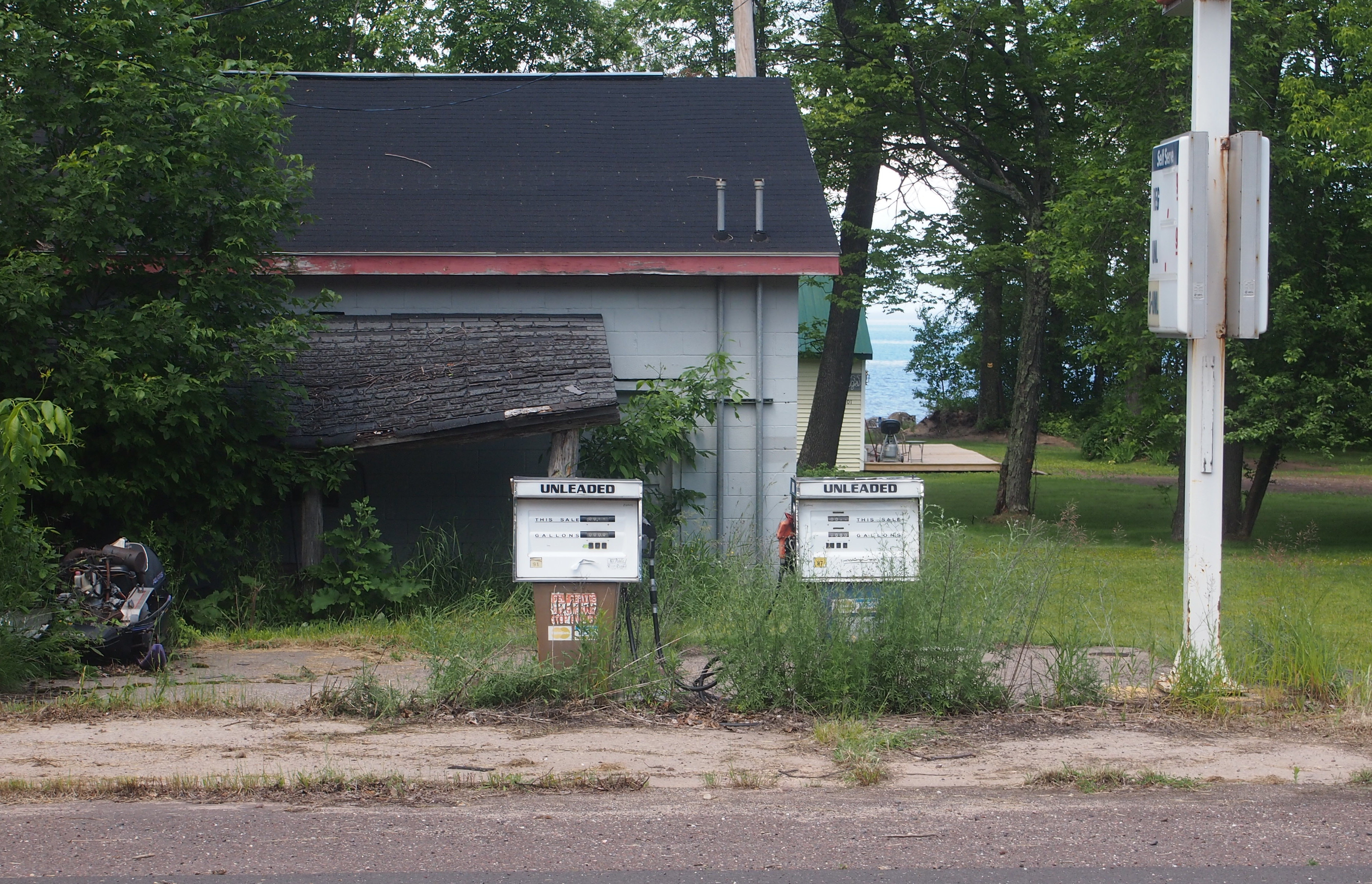
Other roads in that part of the UP, routes through Ottawa National Forest and up into Keweenaw, were more developed and traveled, but had their attractions as drives and for their roadside sites. Though I know they represent a backstory of hardship — the UP must be a difficult place to make a living for a fair number of people — the area’s abandoned buildings were strangely fascinating. Such as a derelict store with gas pumps near (in?) Silver City.
Detroit has no monopoly on abandoned Michigan structures. I suspect no root beer has been served at this former Wakefield drive-in in some time.
In Wakefield, I made a point of taking a picture of a couple of Lake Superior Circle Tour signs.
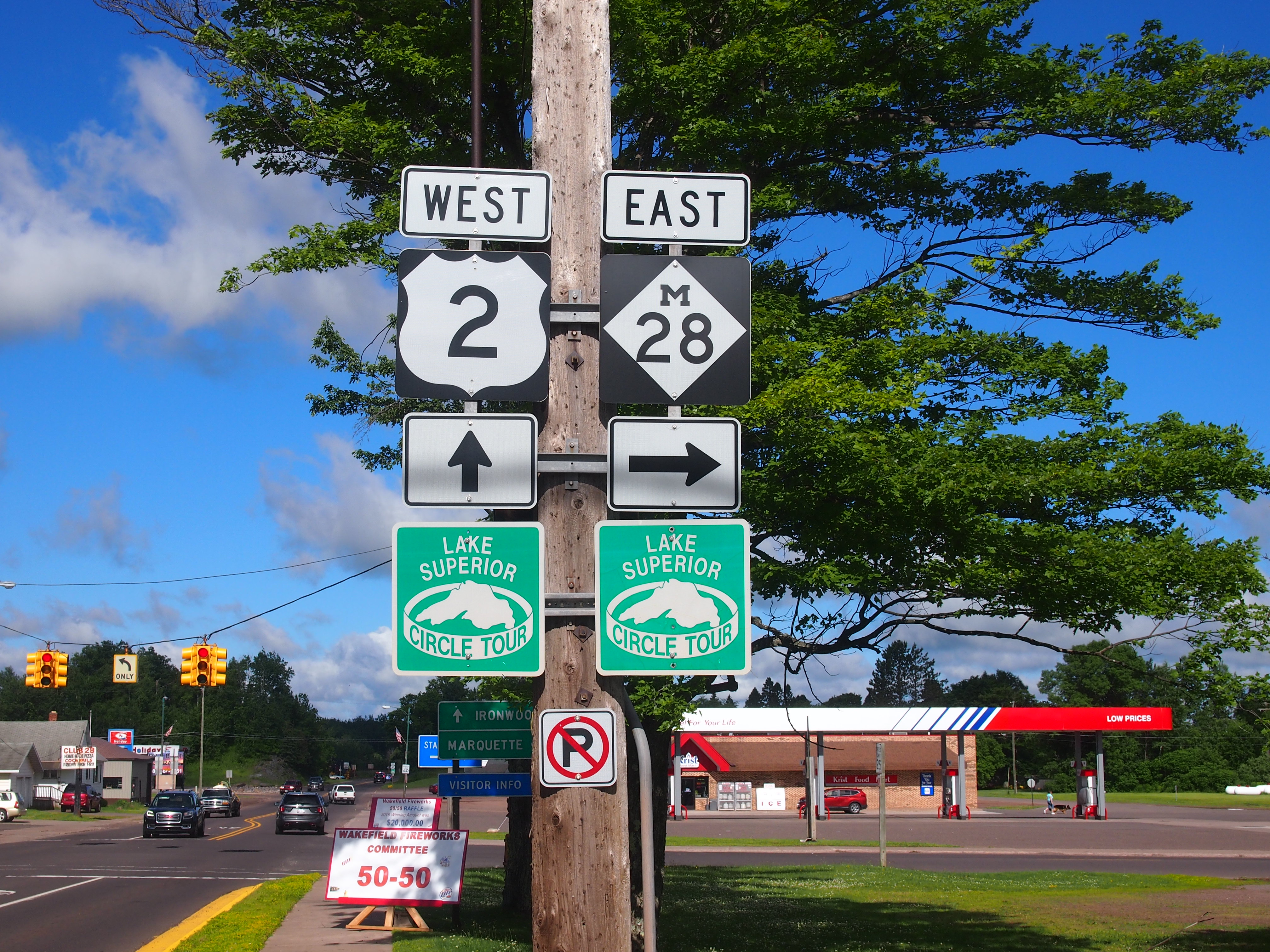 The Circle Tours are networks of roads that, as the name implies, go all the way around each Great Lake, and in this case Superior. The idea was obviously hatched to promote tourism, and not that long ago, in the 1980s. To that I say, so what? The signs sit there quietly, but make a grand suggestion to passersby all the same.
I saw Lake Michigan Circle Tour signs in the late ’80s, as far south as Illinois, and on a sunny September day in ’89, on M-28 headed west to Marquette, I first saw a Lake Superior Circle Tour sign, which I hadn’t known existed. To me, the sign said — still says — Drop Everything and Drive Around the Lake. I’ve managed to drive around Lake Michigan, clockwise and counterclockwise. Lake Superior, no.
