Pine Barrens Disorientation

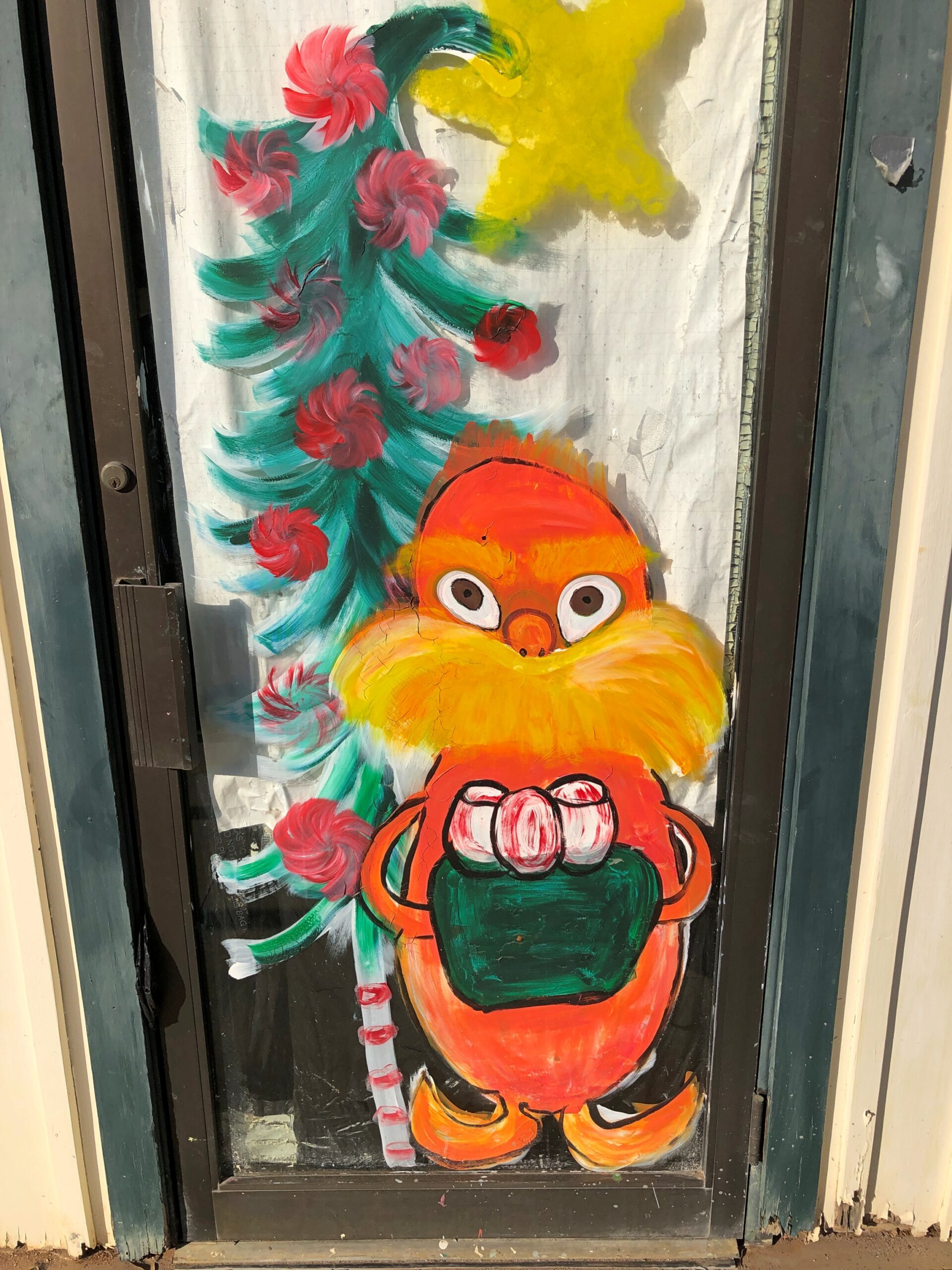
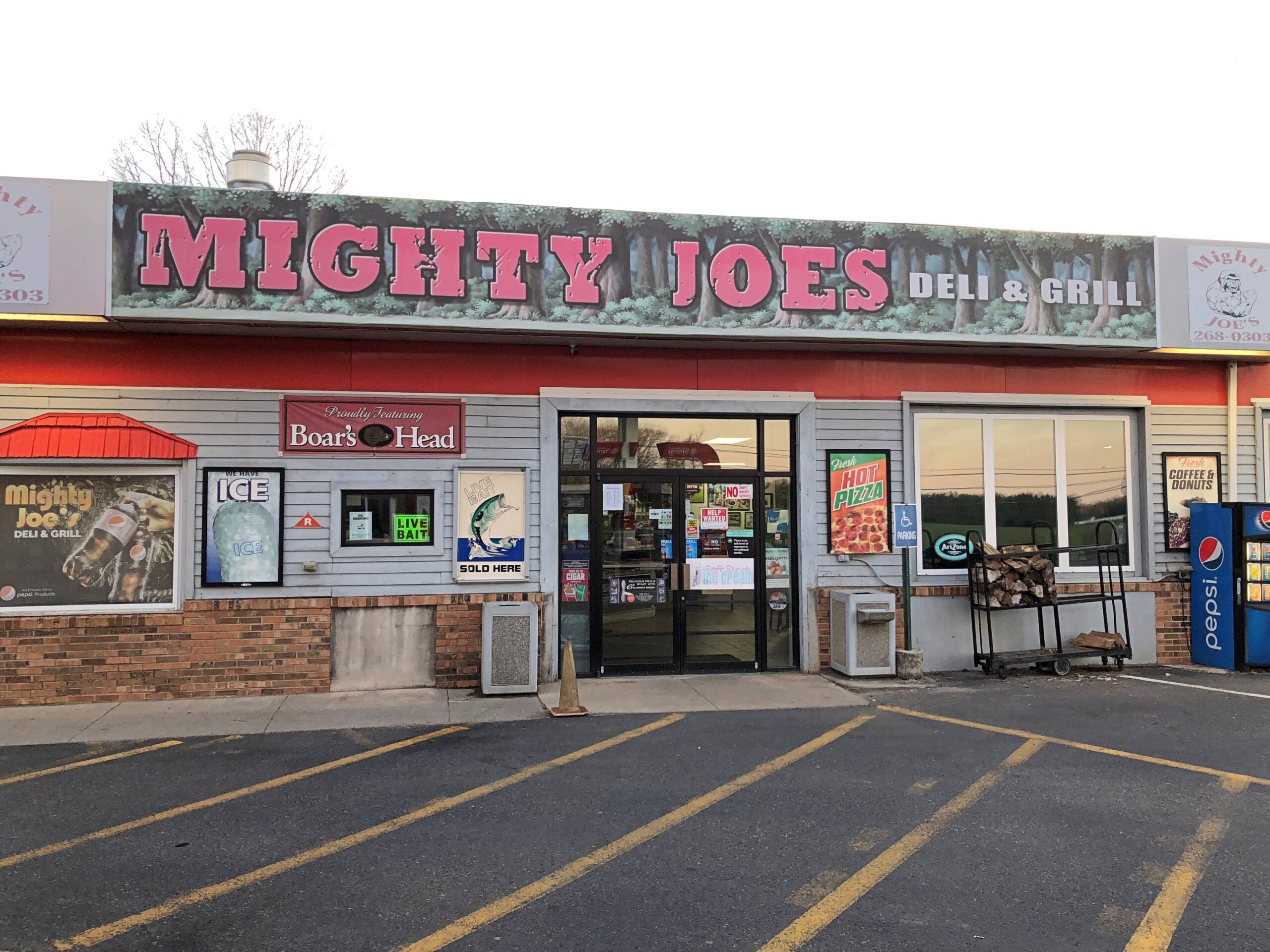
Down in South Jersey earlier this month, I didn’t see the Jersey Devil. I did see Mighty Joe.

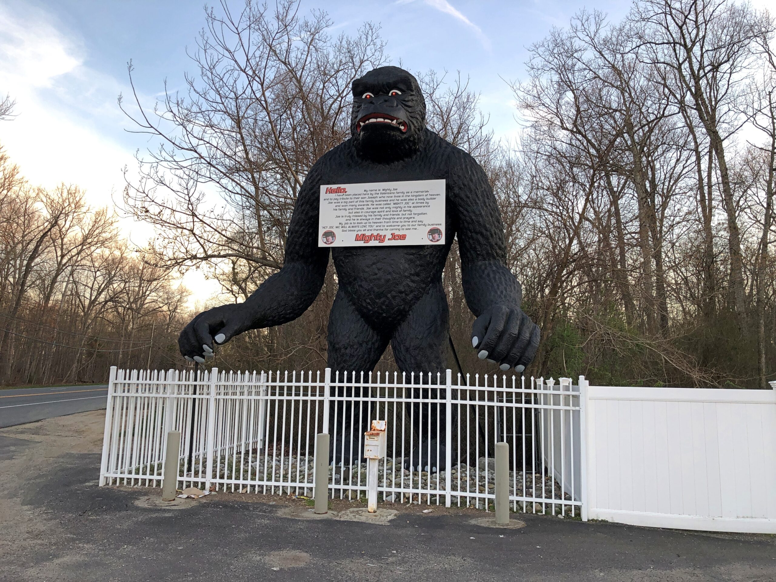
He counted as my introduction to the Pine Barrens, standing at a convenience store on US 206 in Indian Mills, Shamong Township, New Jersey. His story, which Roadside America tells well, began in Spain – really? – though immigrant Mighty Joe apparently has spent most of his existence in New Jersey as a commercial mascot of one kind or another. He’s still that, but also a memorial to the son of the store’s owner, Larry Valenzano, according to the sign on the gorilla’s chest. The younger Valenzano, a body builder nicknamed Mighty Joe, died of cancer in 1999.

I didn’t stop for Joe heading south on US 206. Can’t stop for everything. I figured I wouldn’t see him on my return to Trenton either, since I was planning to return on smaller roads through the heart of the Pine Barrens, after visiting Atlantic City. All went according to plan, until I actually got into the heart of the Pine Barrens fairly late in the afternoon of April 9.

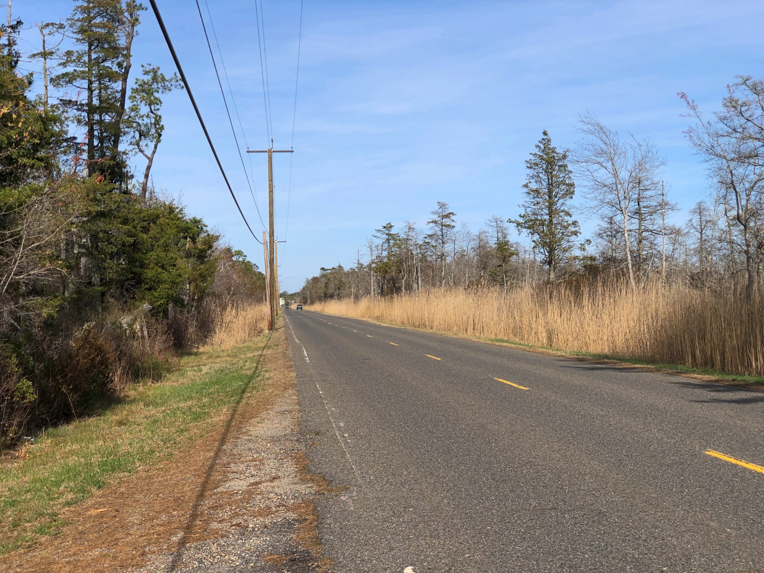
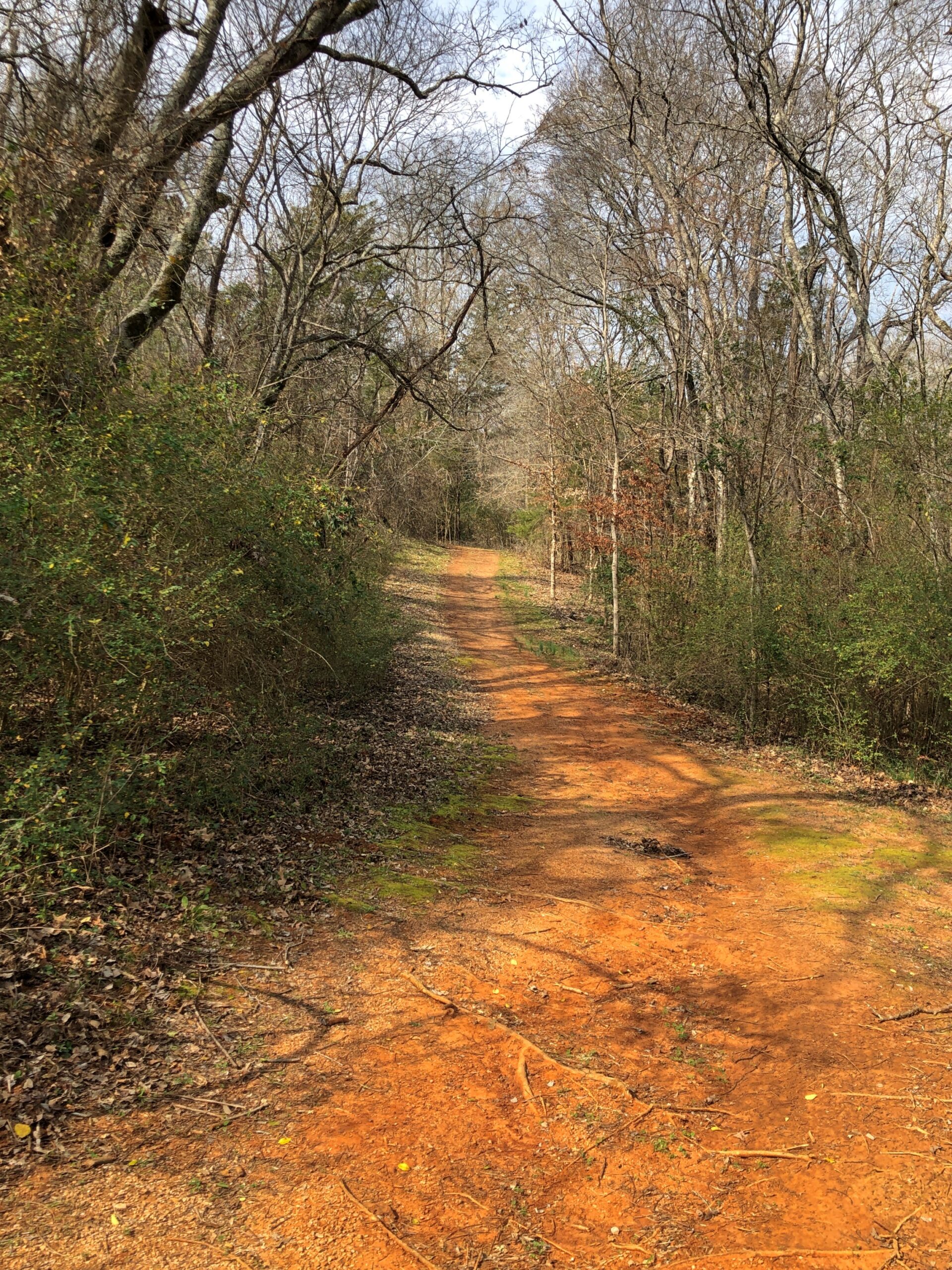
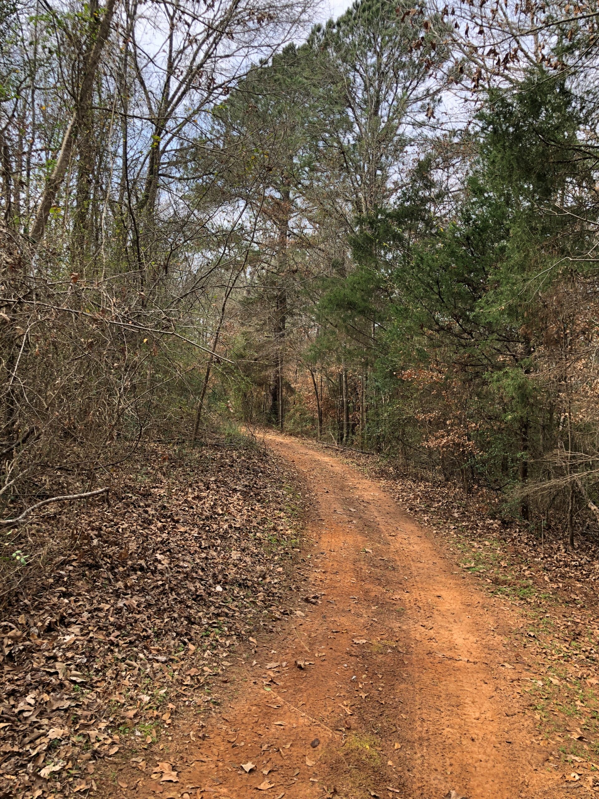
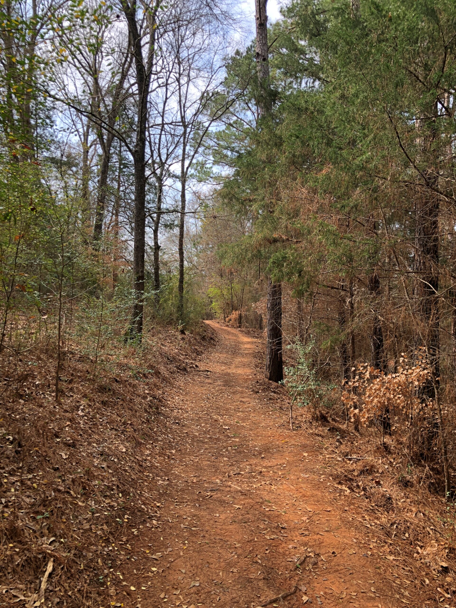
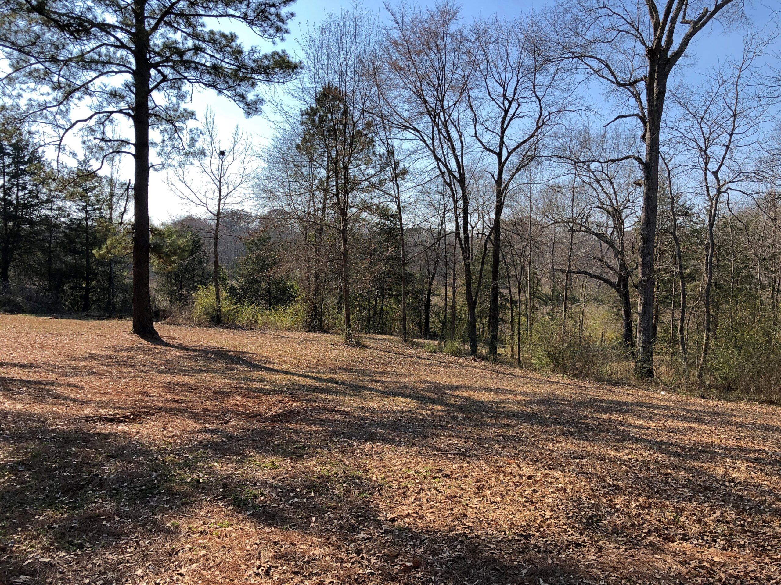
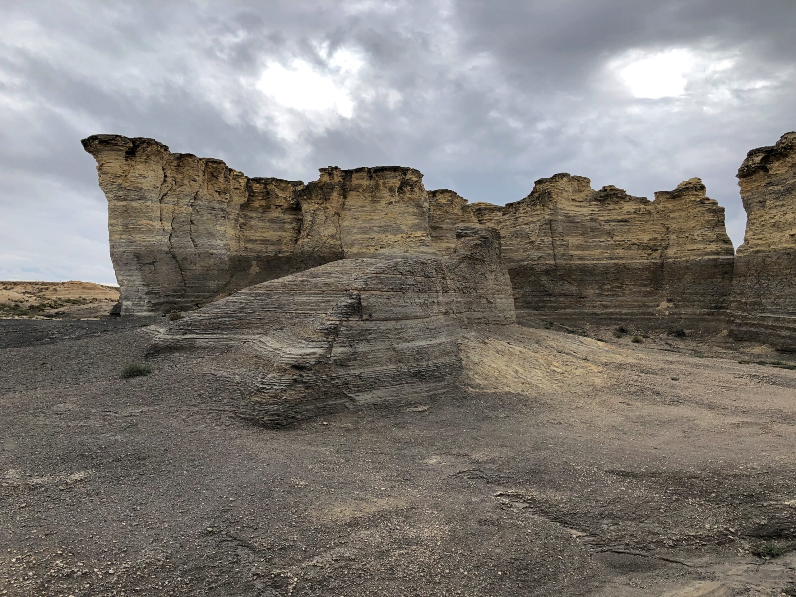
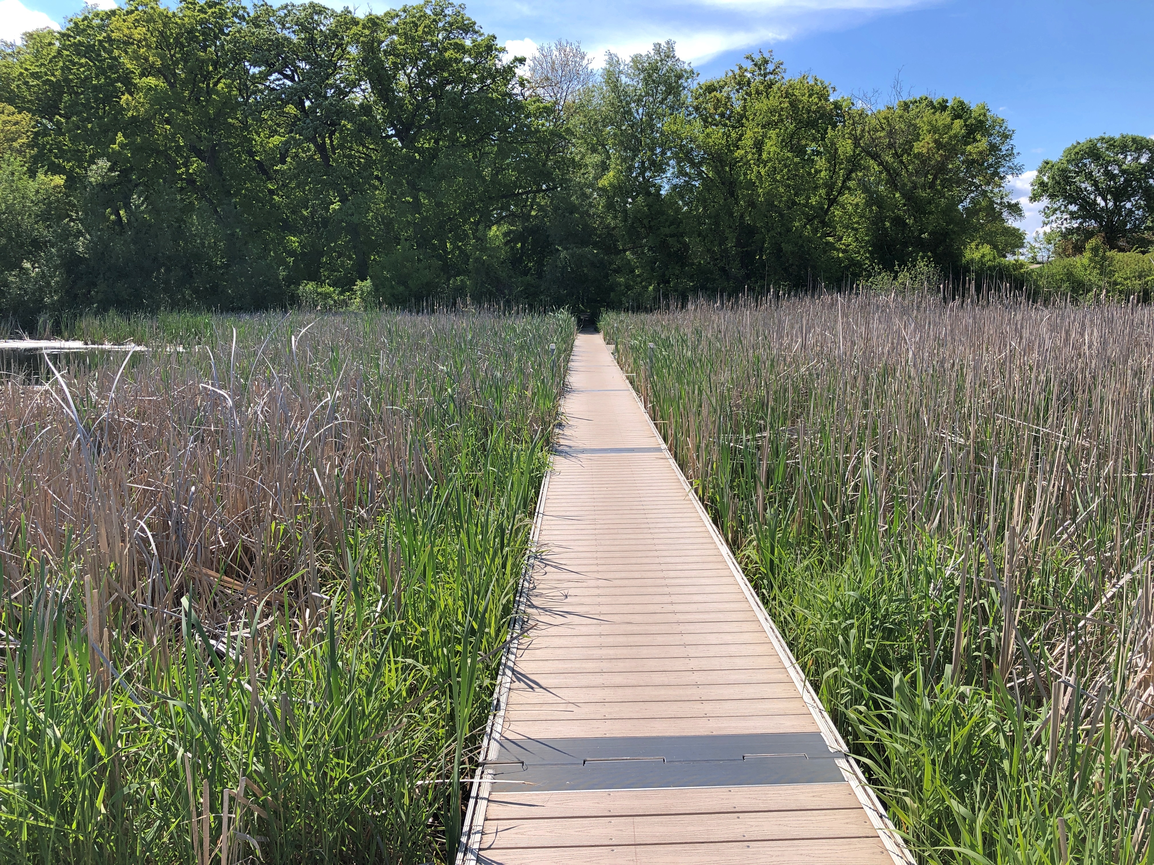
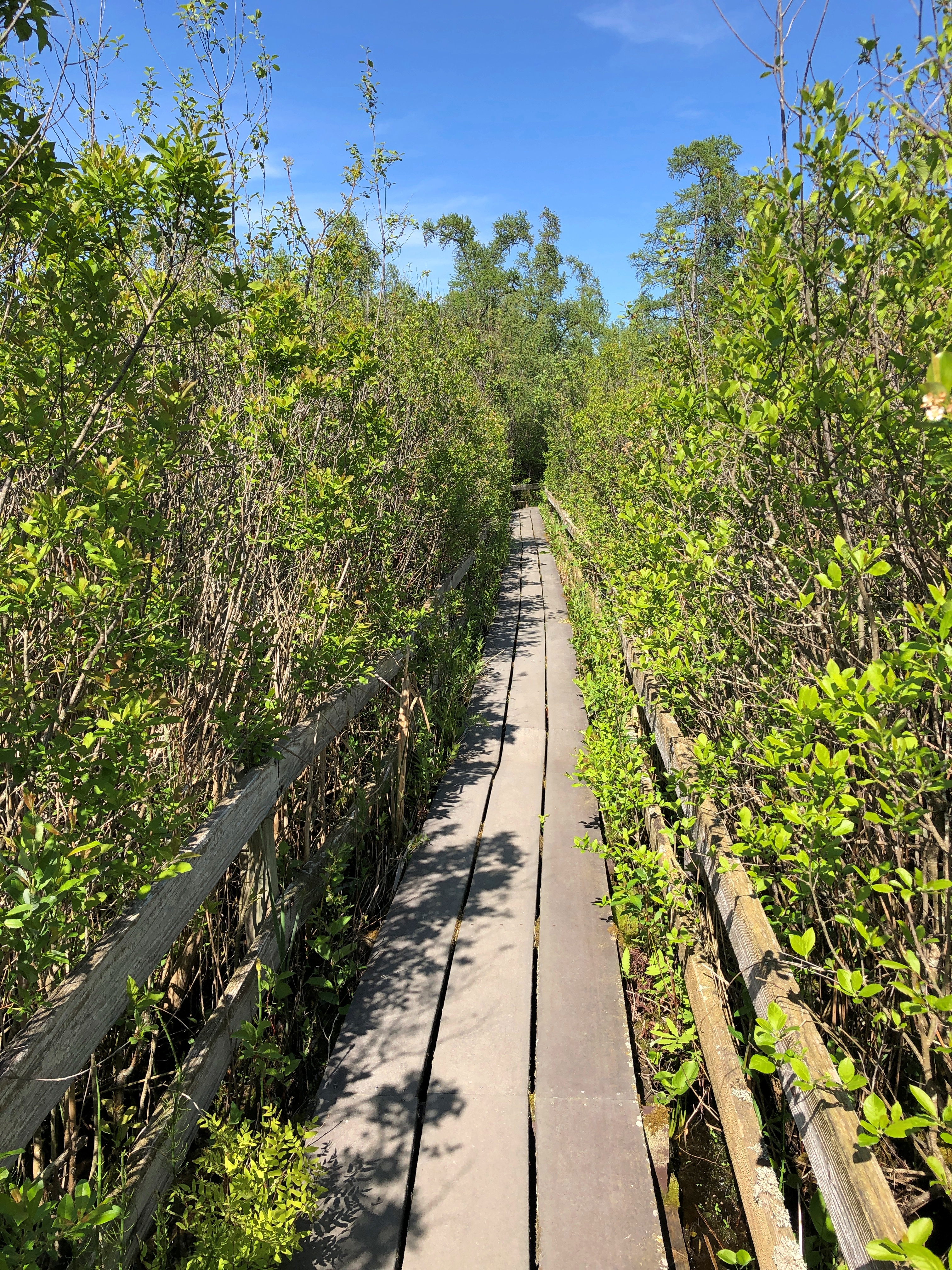
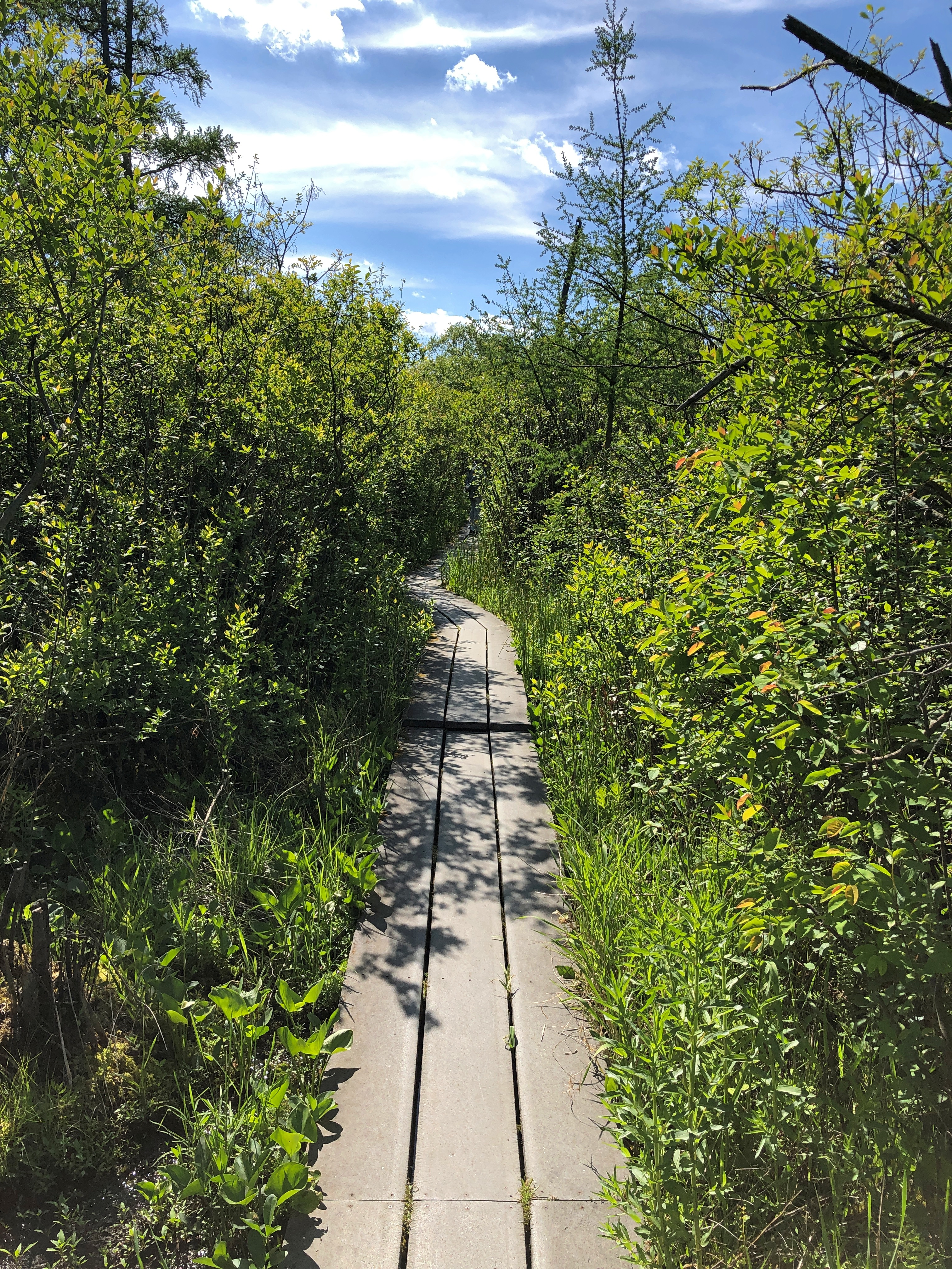
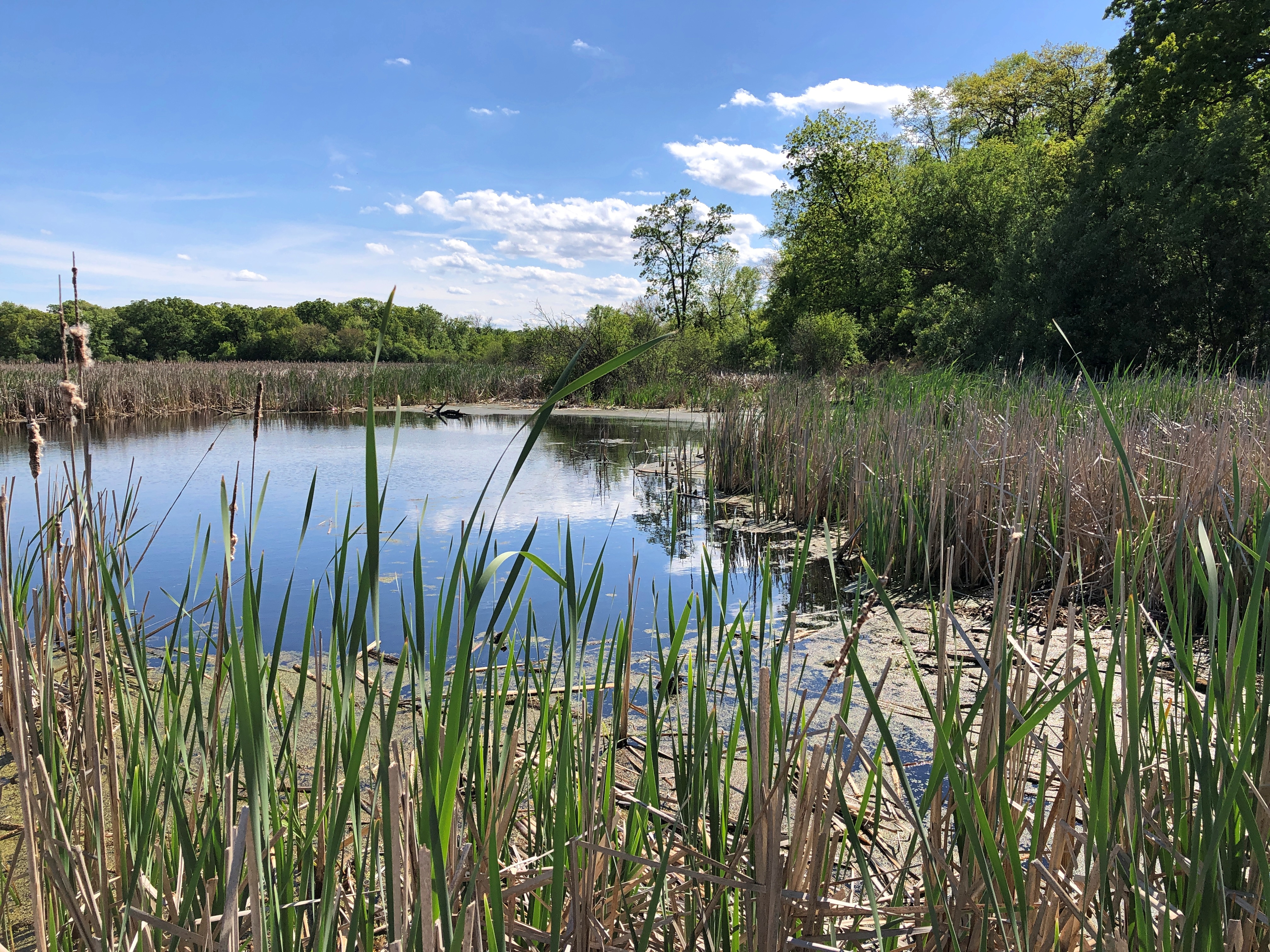
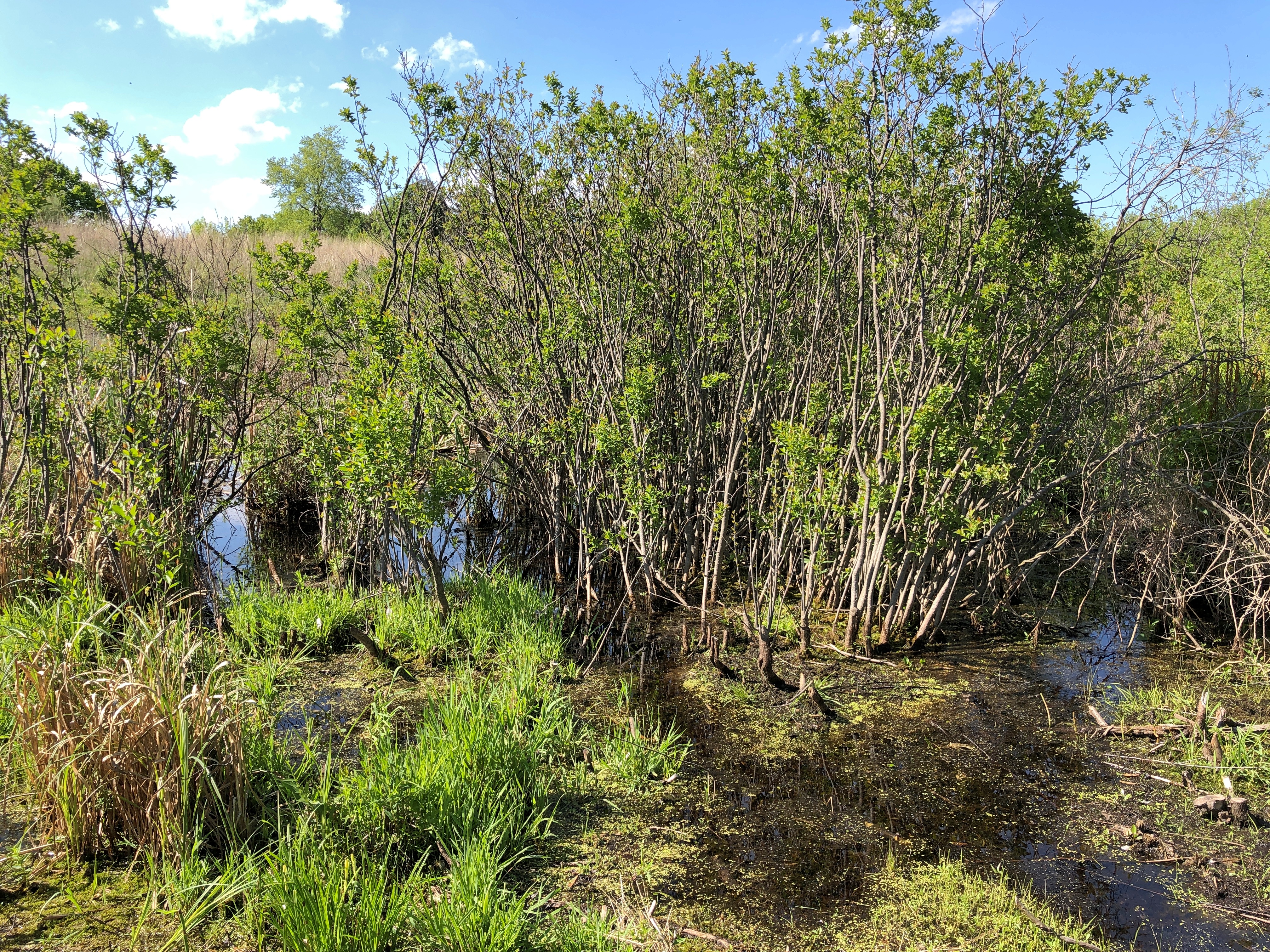
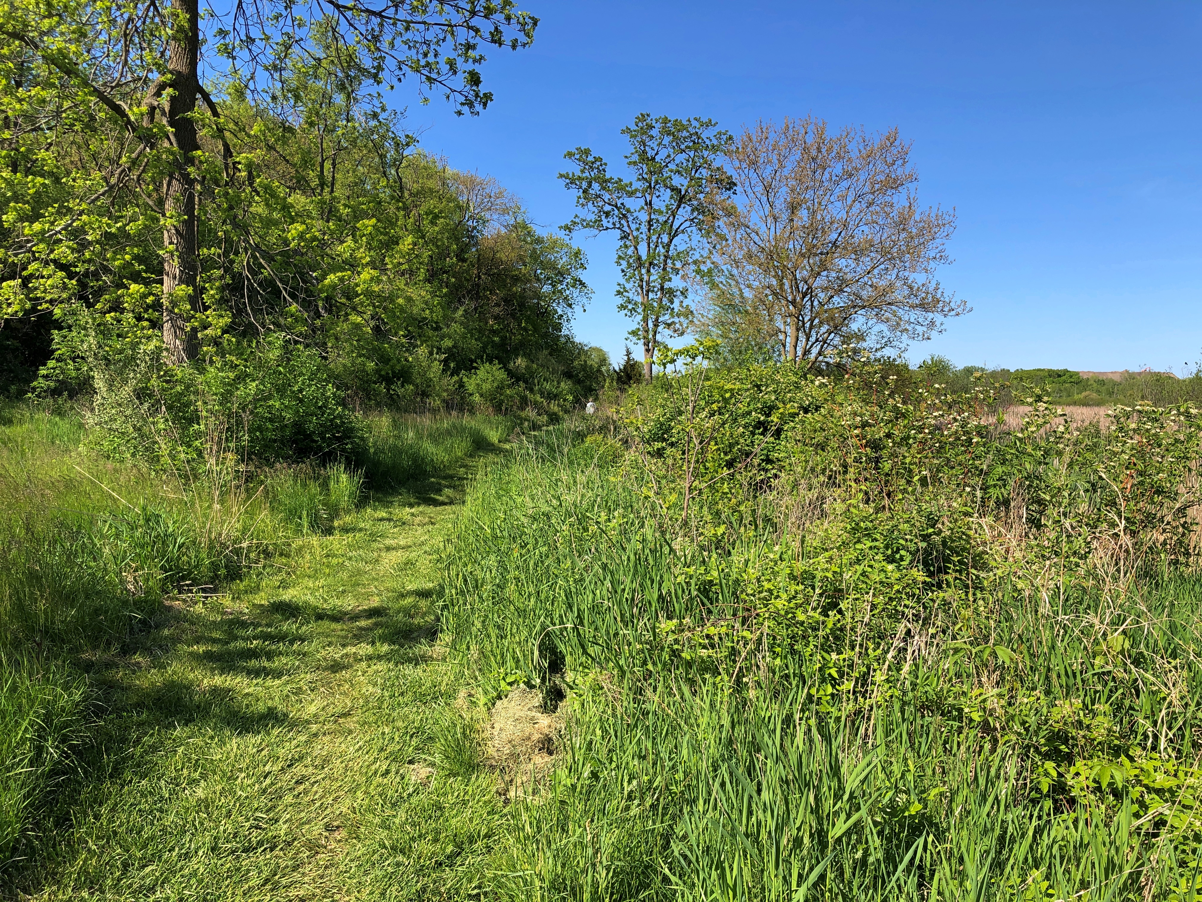
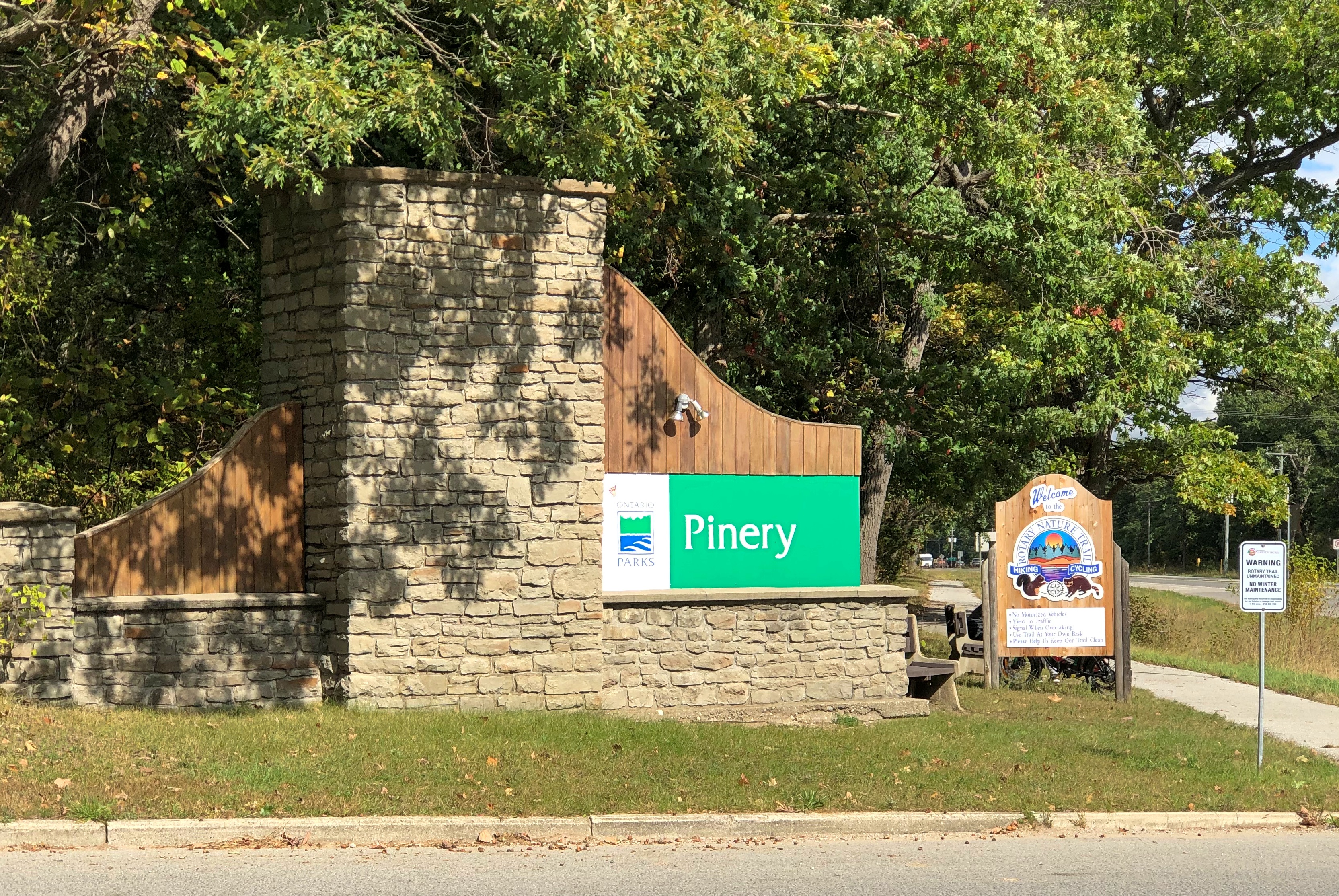
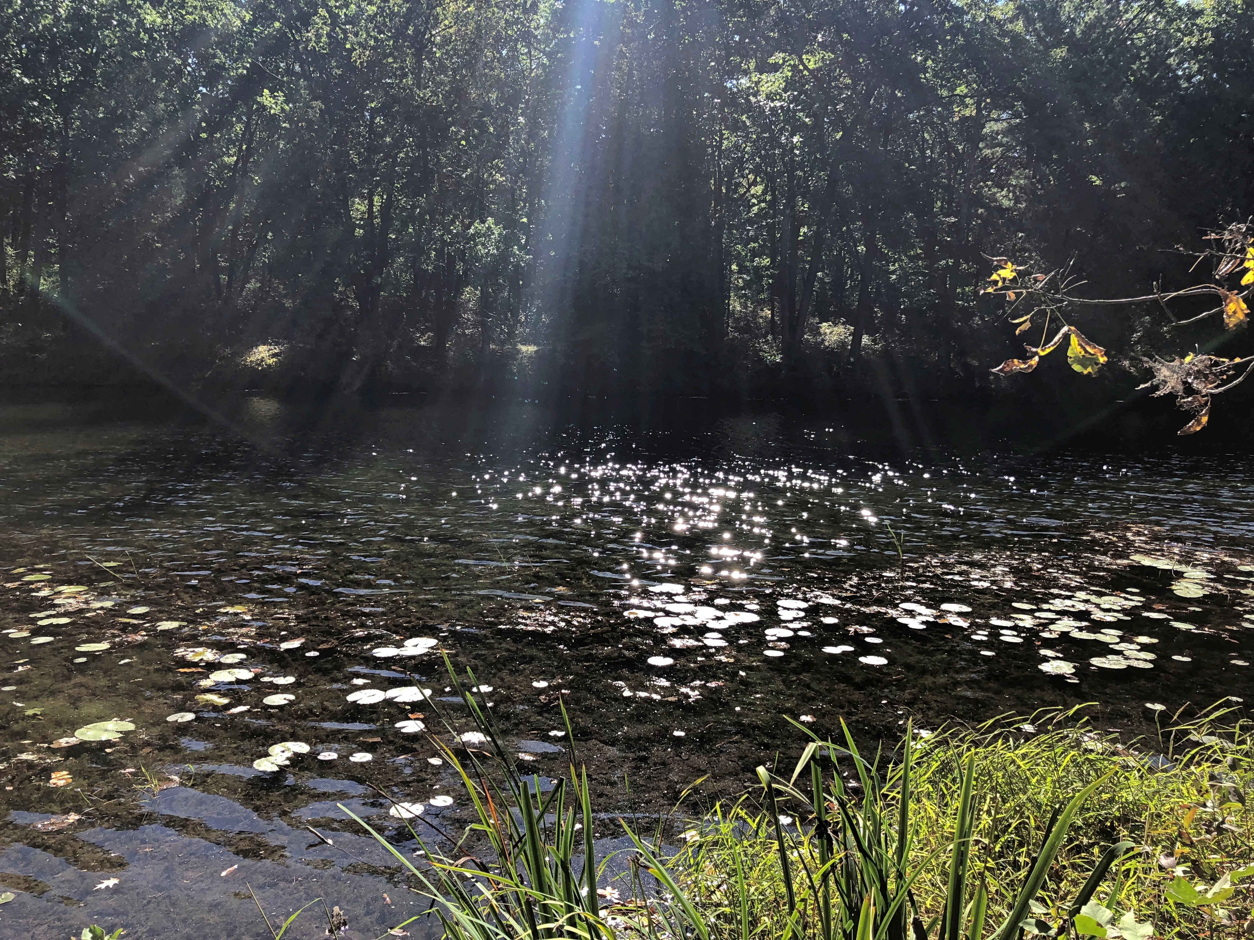
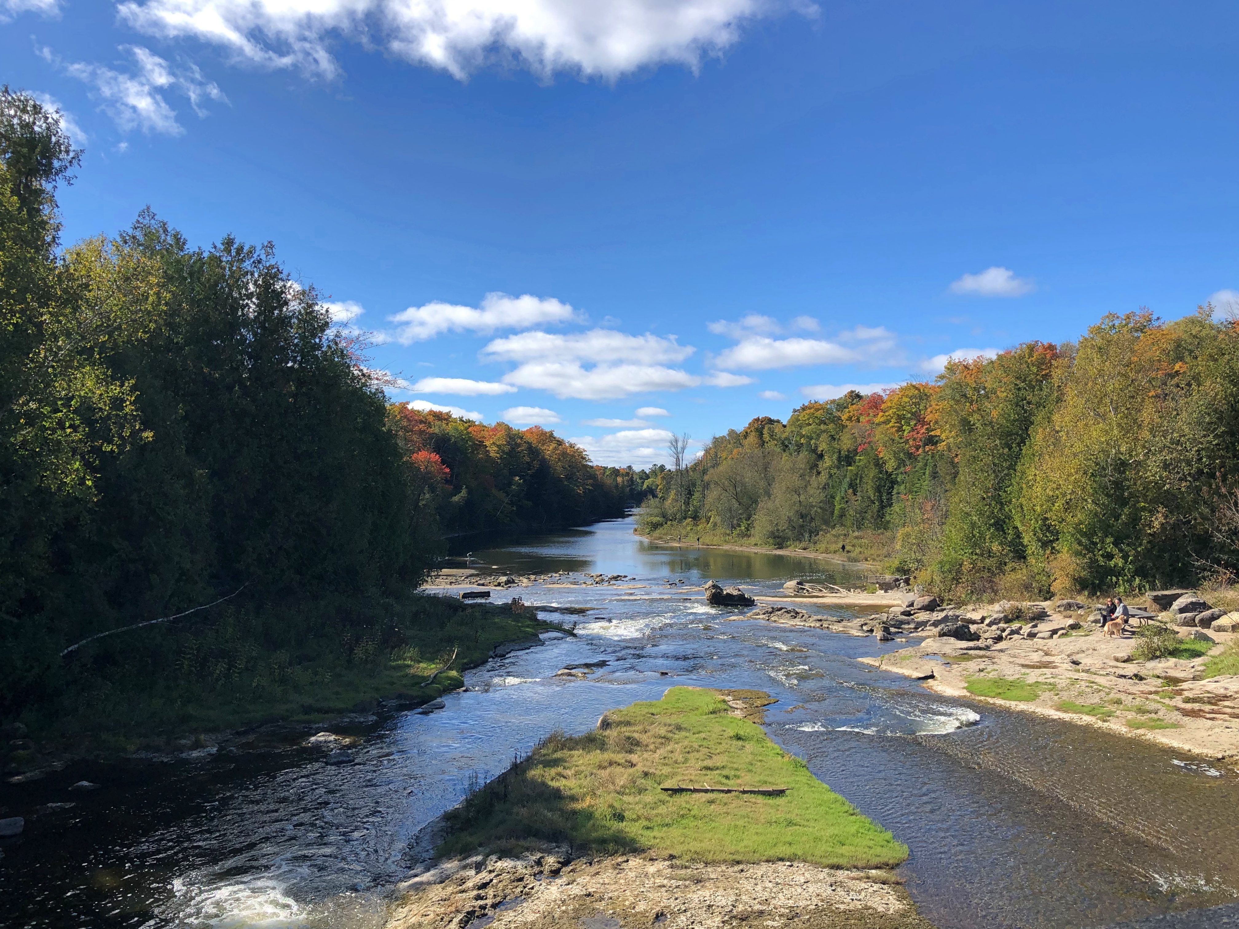
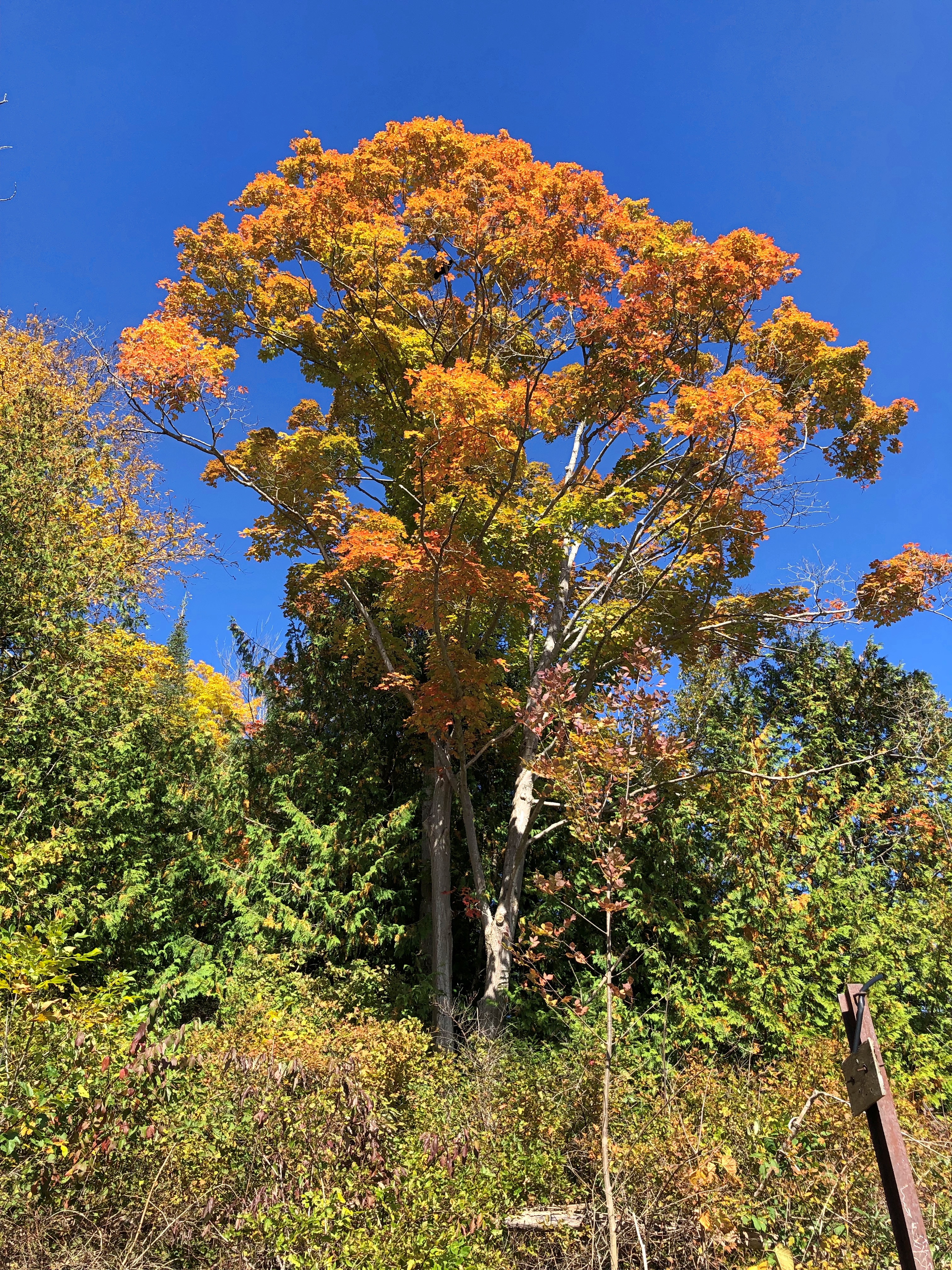
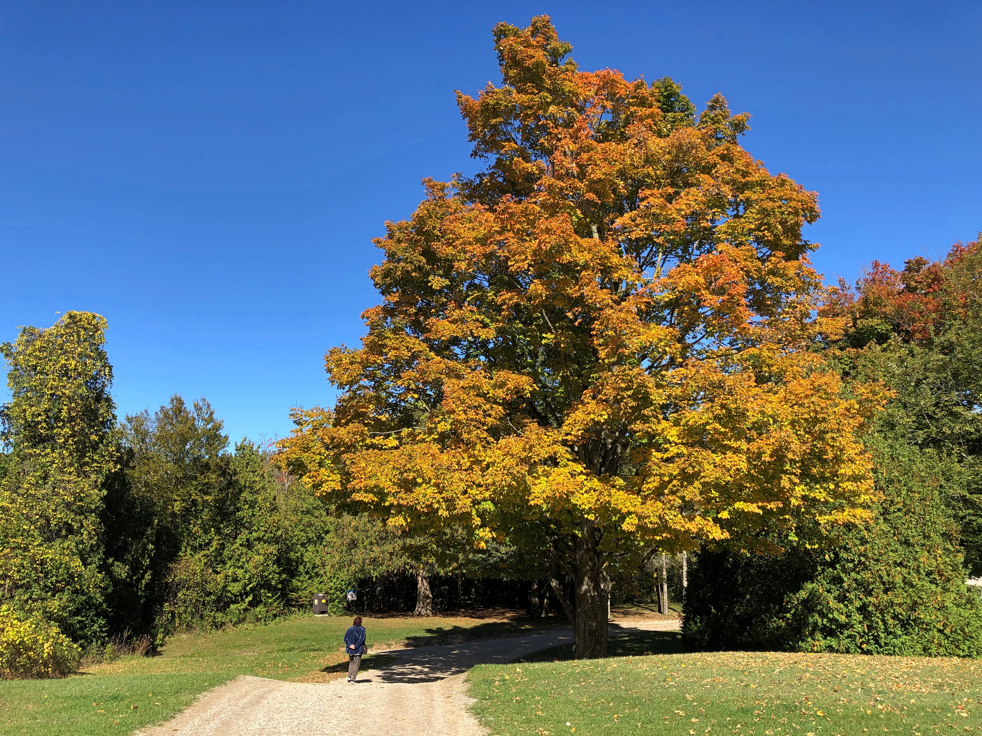
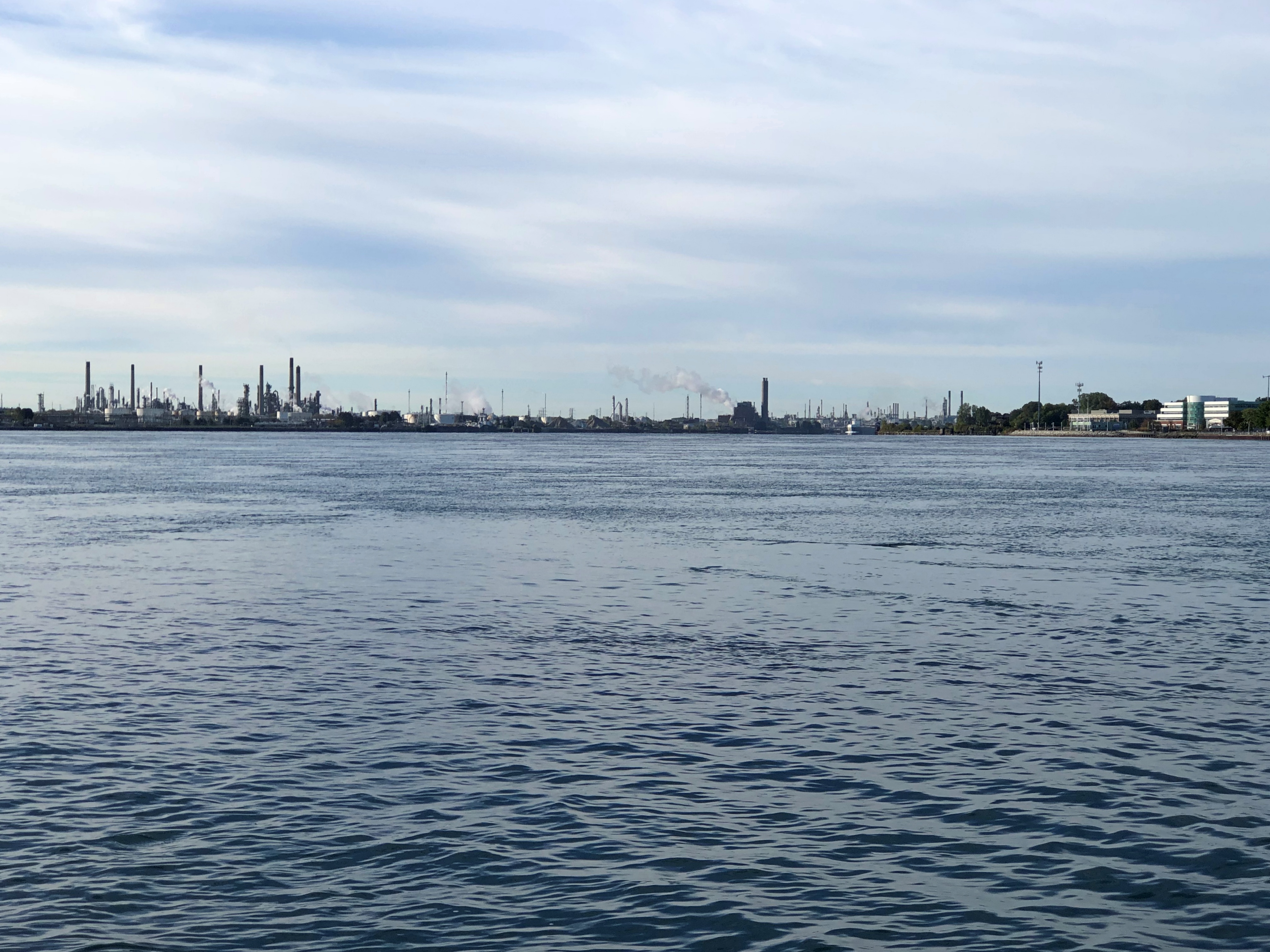
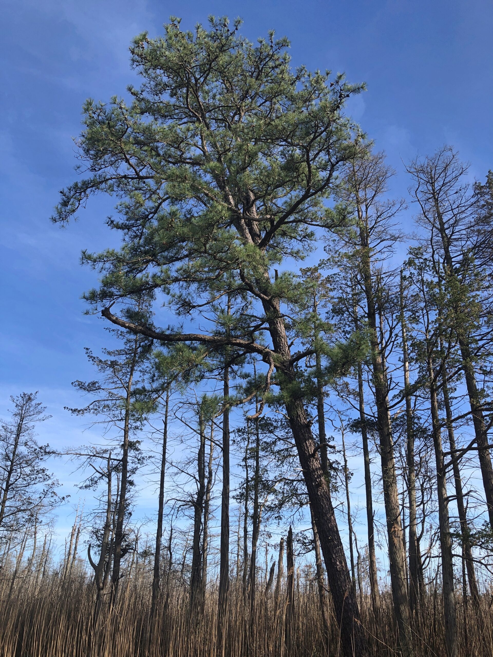
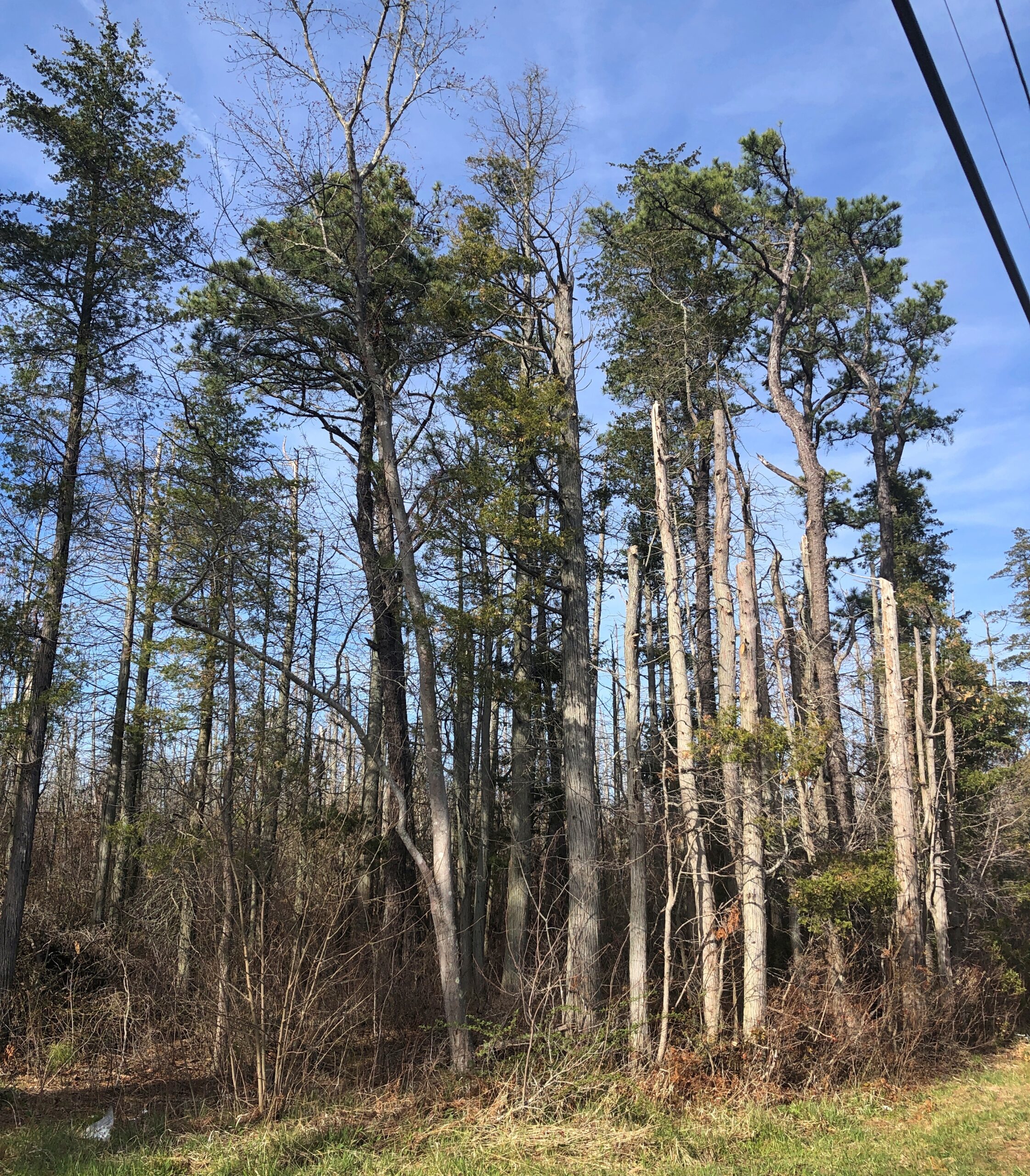
Considering how close you are to Philadelphia and New York, it’s remarkable how remote the Pine Barrens feel. The region, I understand, is the largest surviving forest on the Eastern Seaboard south of Maine’s North Woods, totaling over 800,000 acres.

The region is also called the Pinelands. It certainly fits.

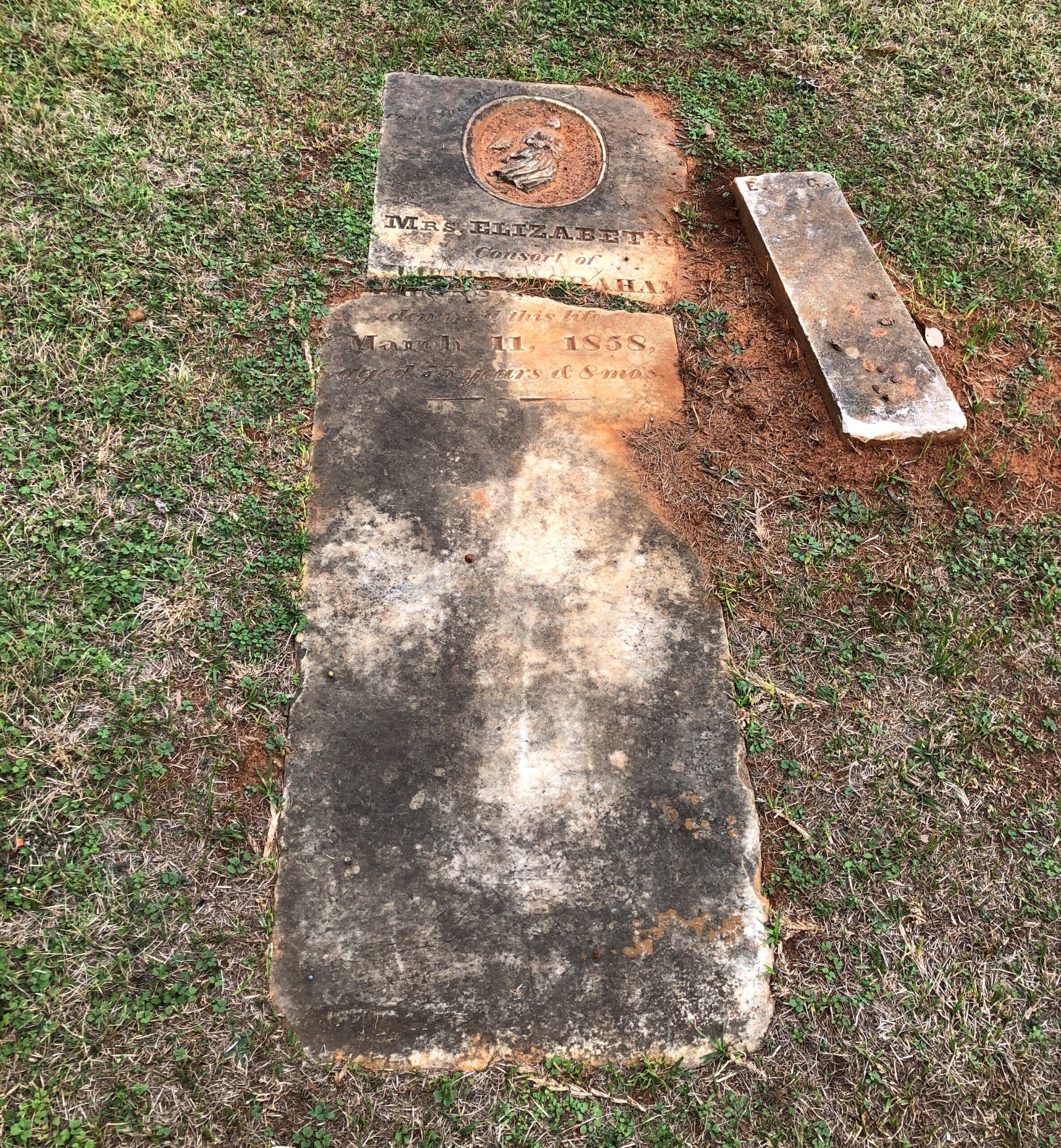
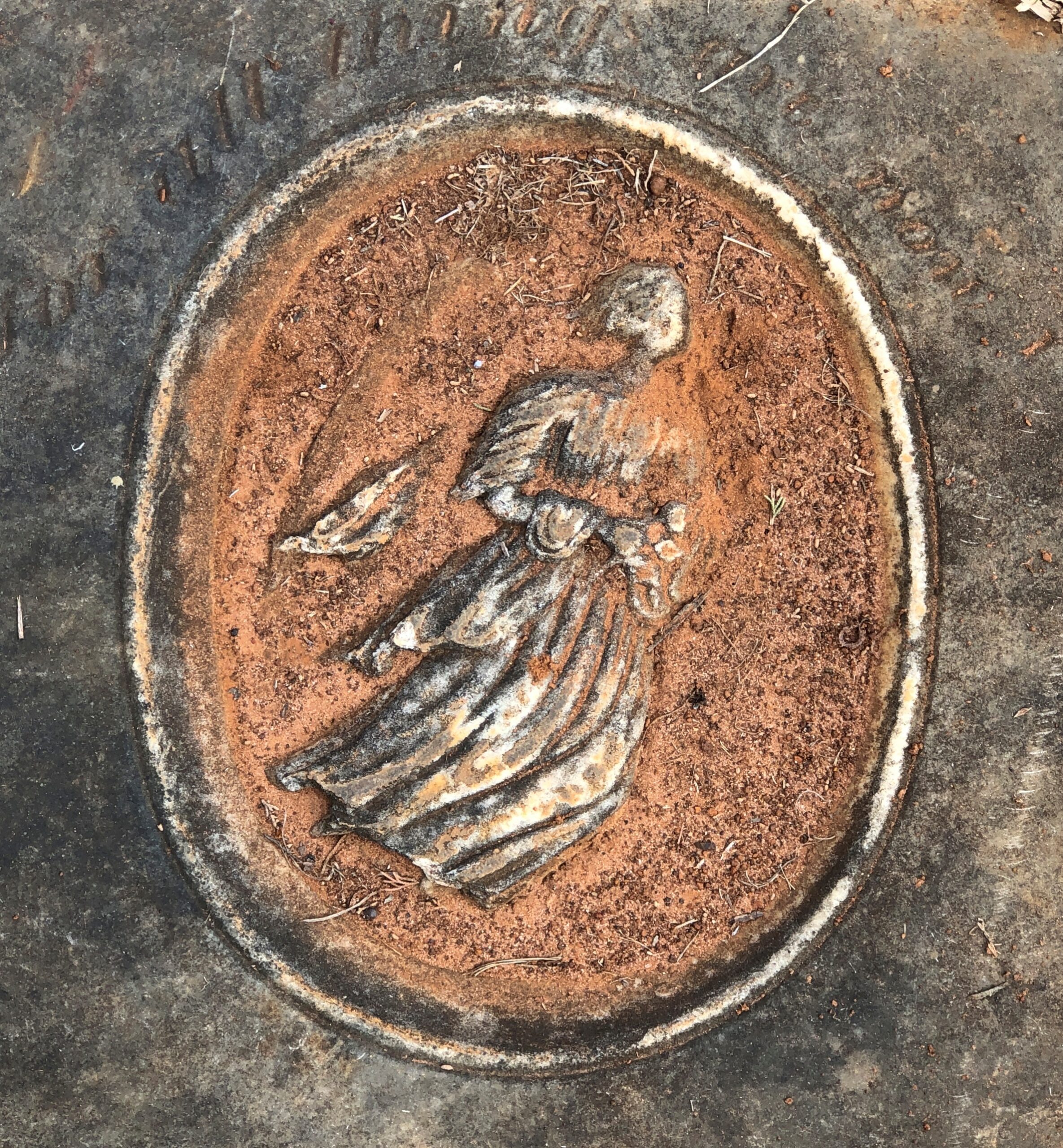
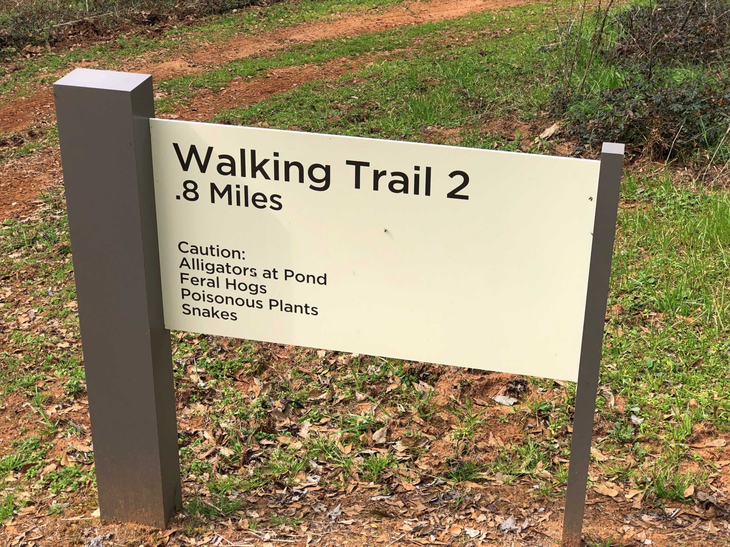
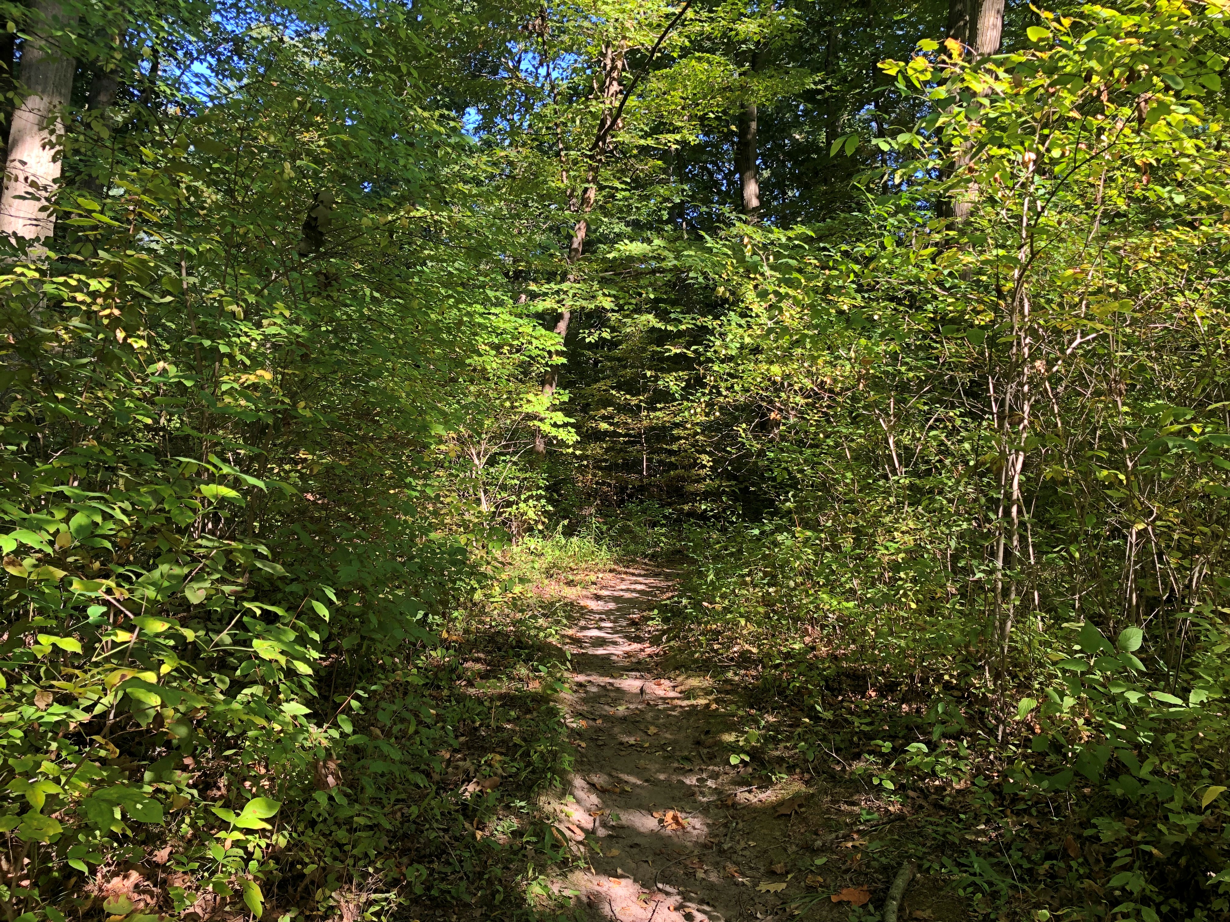
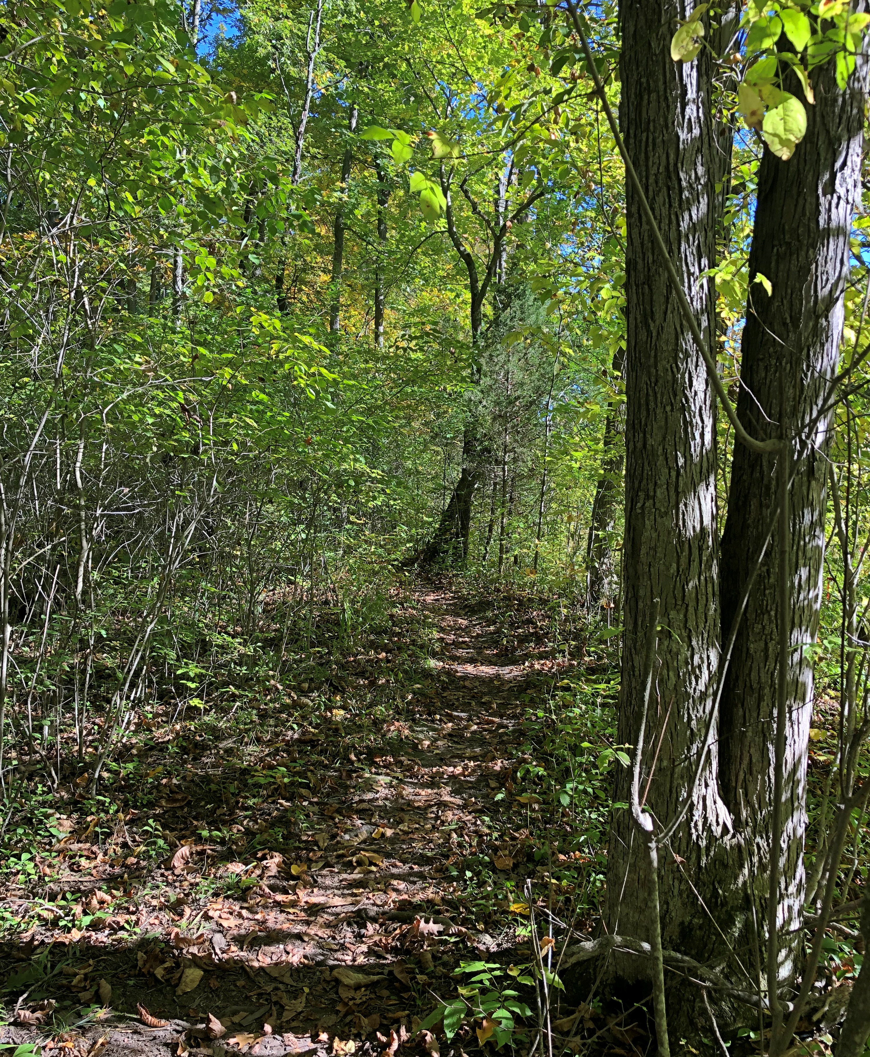
Remote, maybe, but still plenty of signs of human habitation, past and present. I stopped to take my bearings at a wide place in the road, and noticed gravestones.

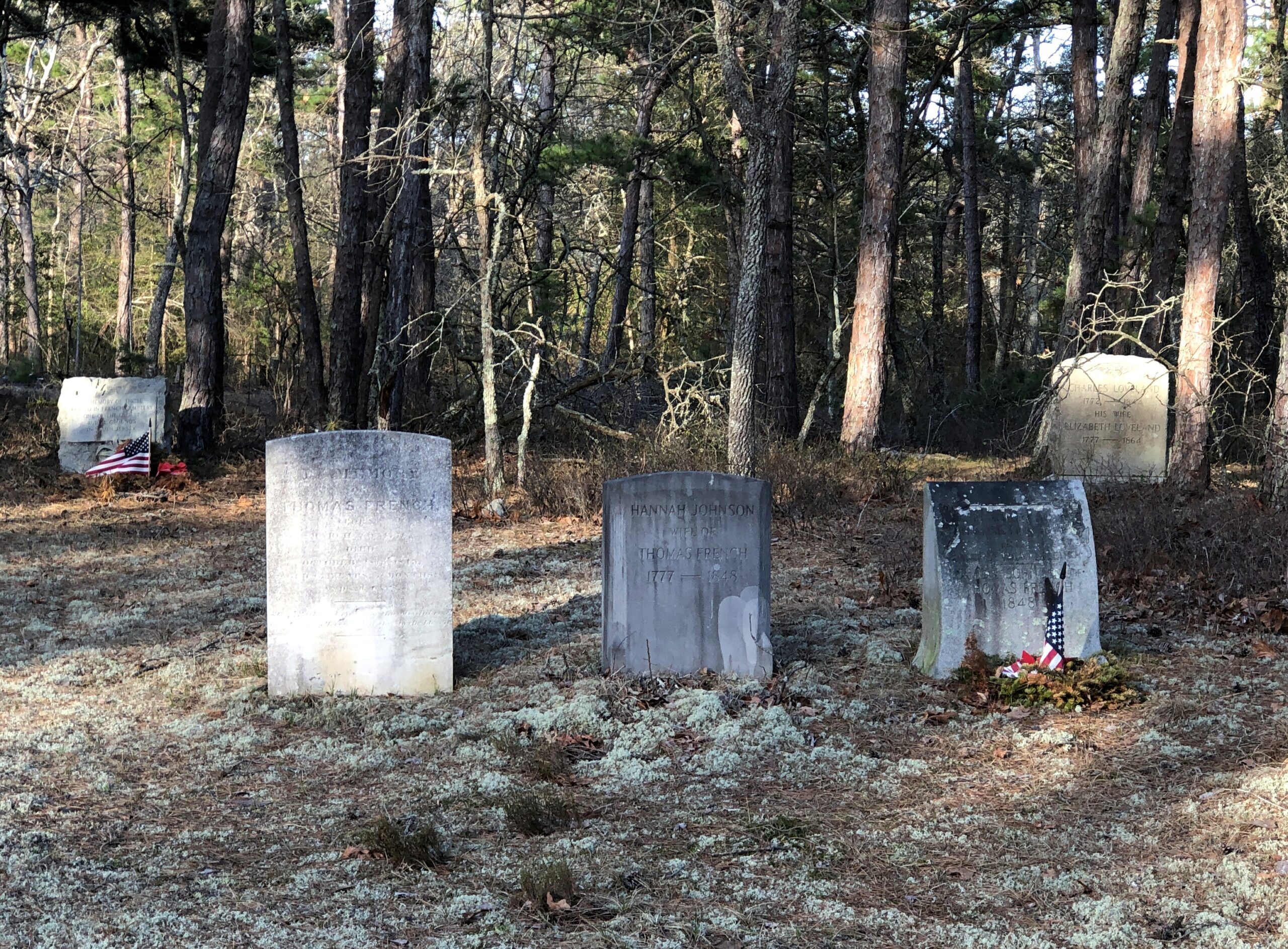
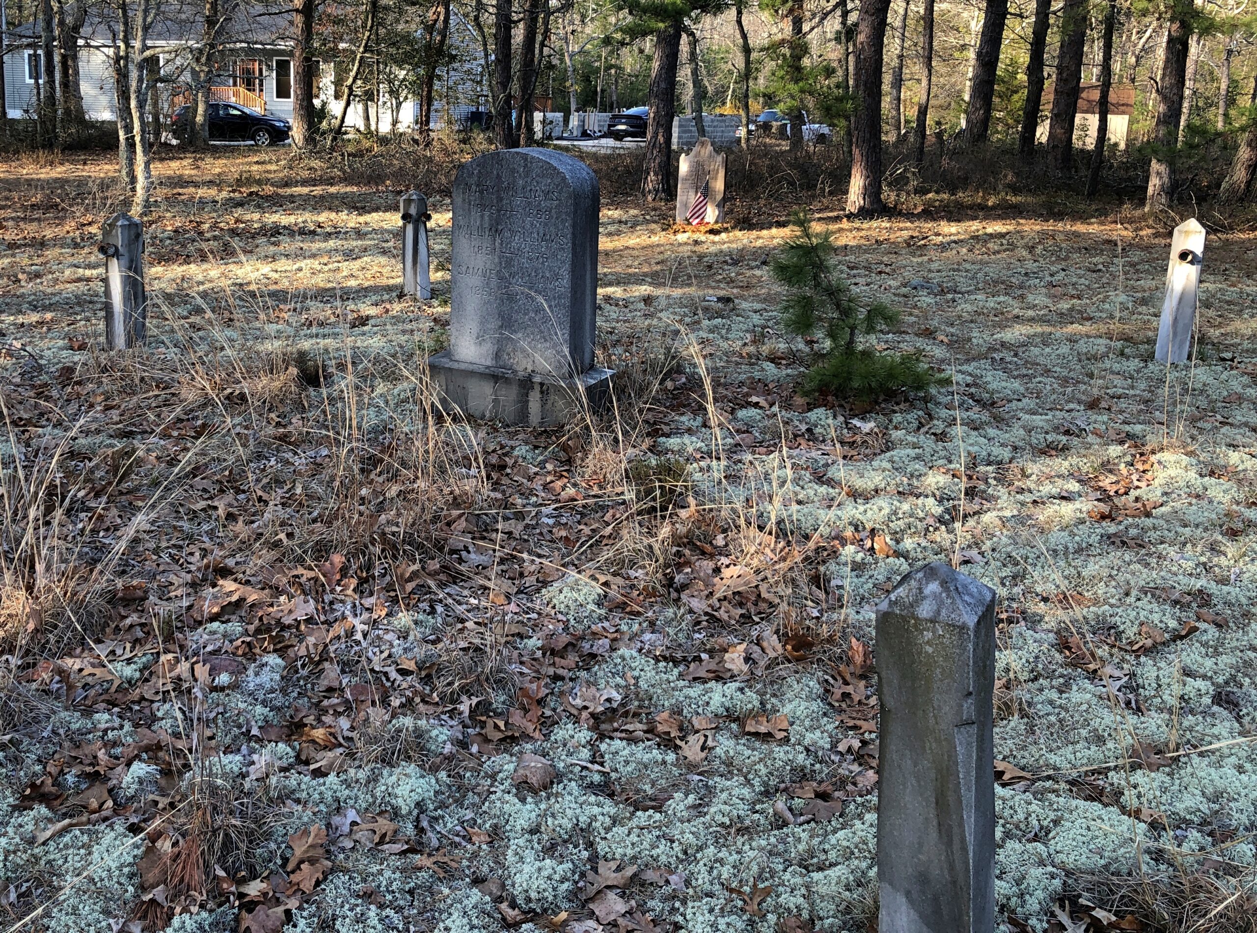
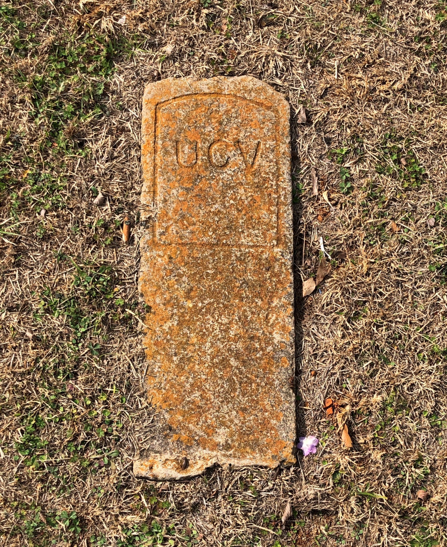
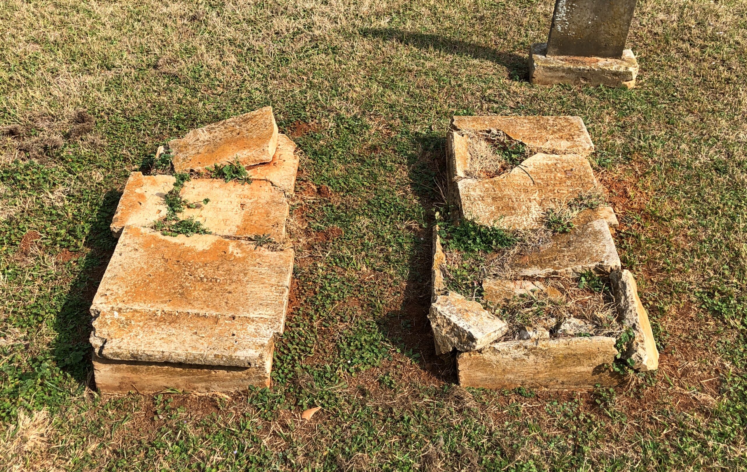
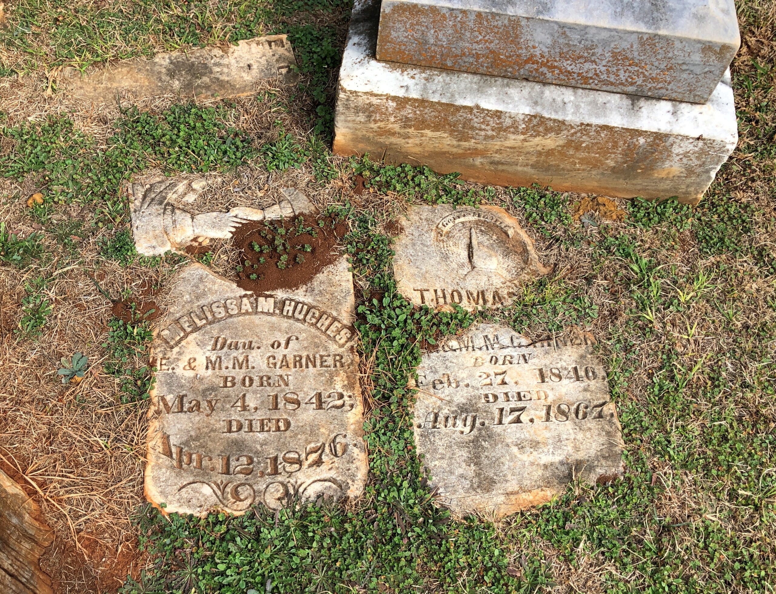
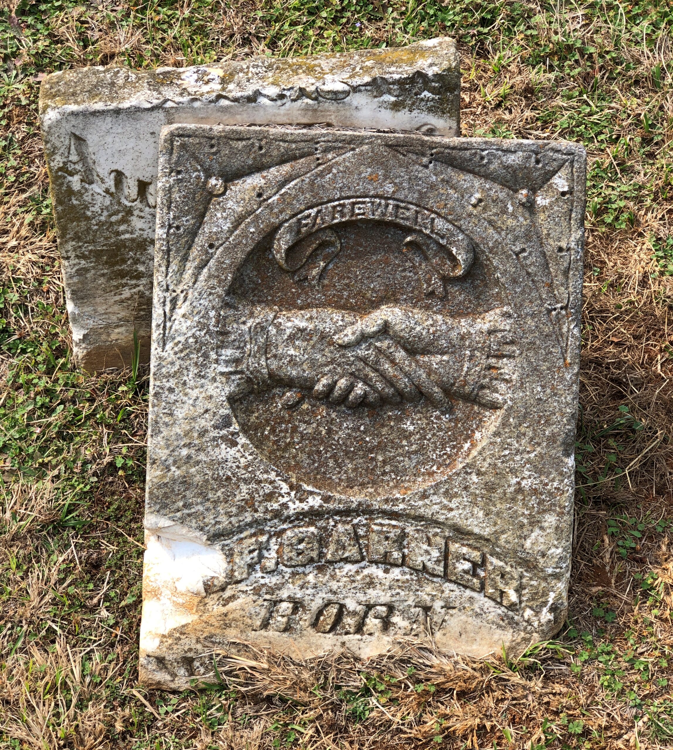
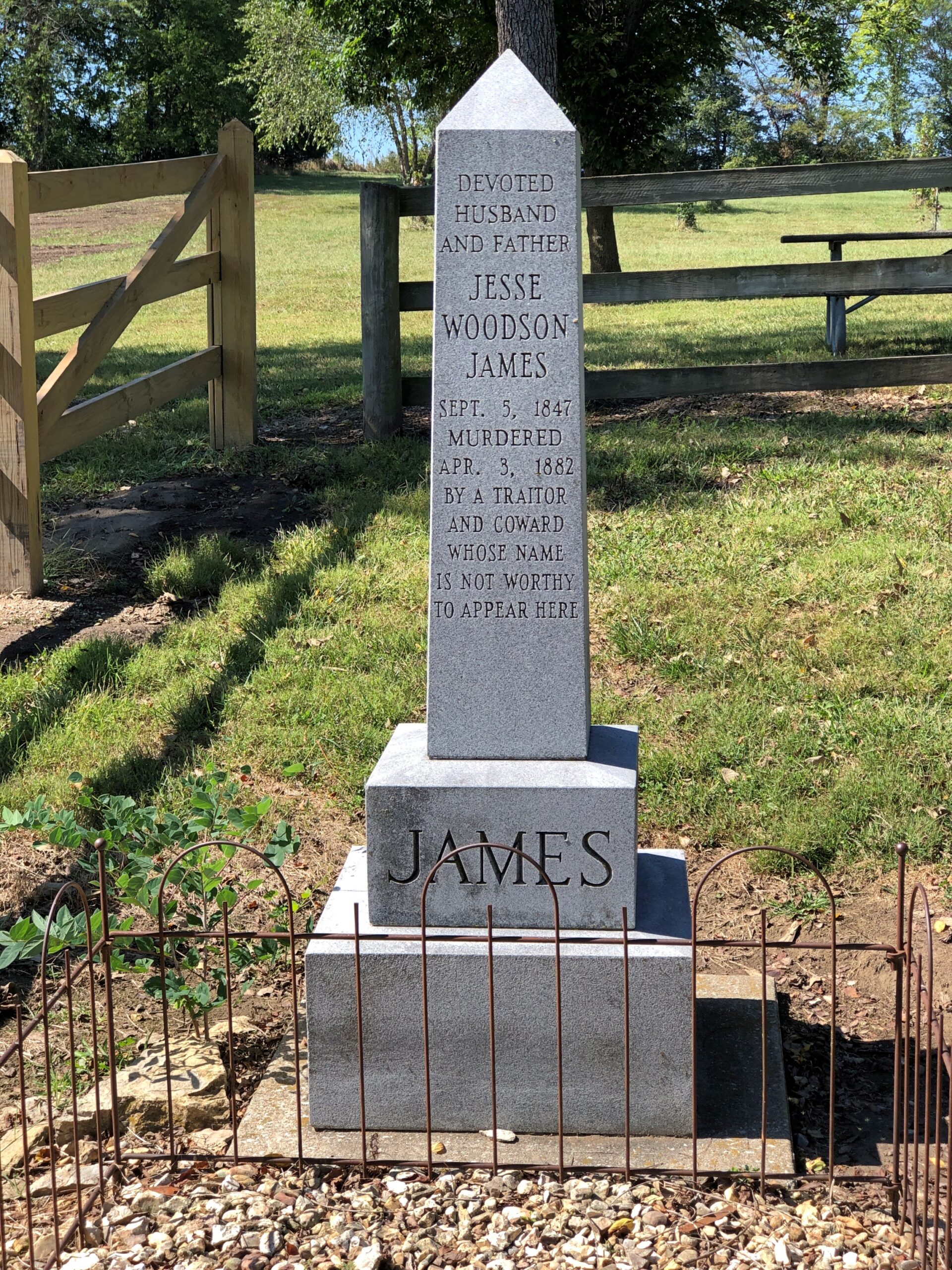
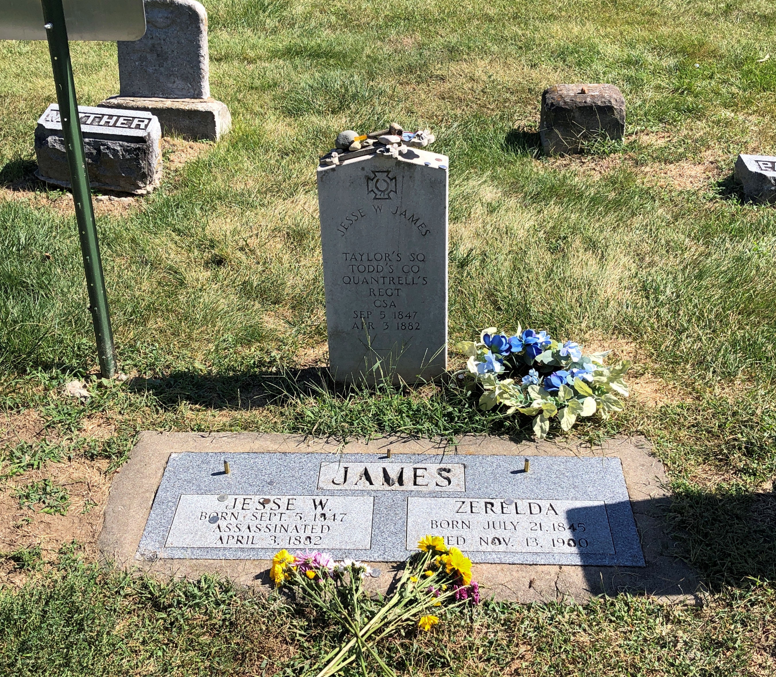
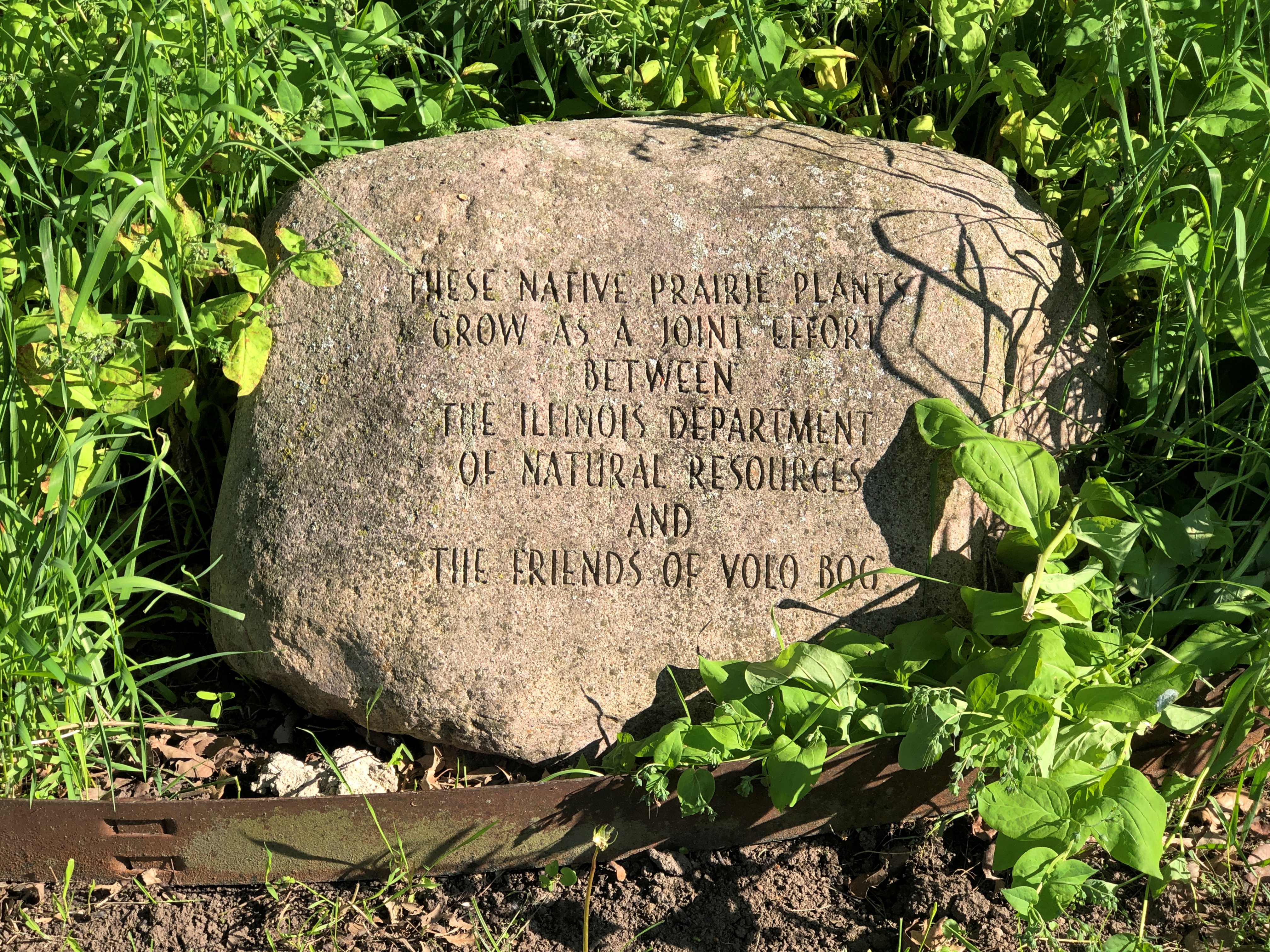
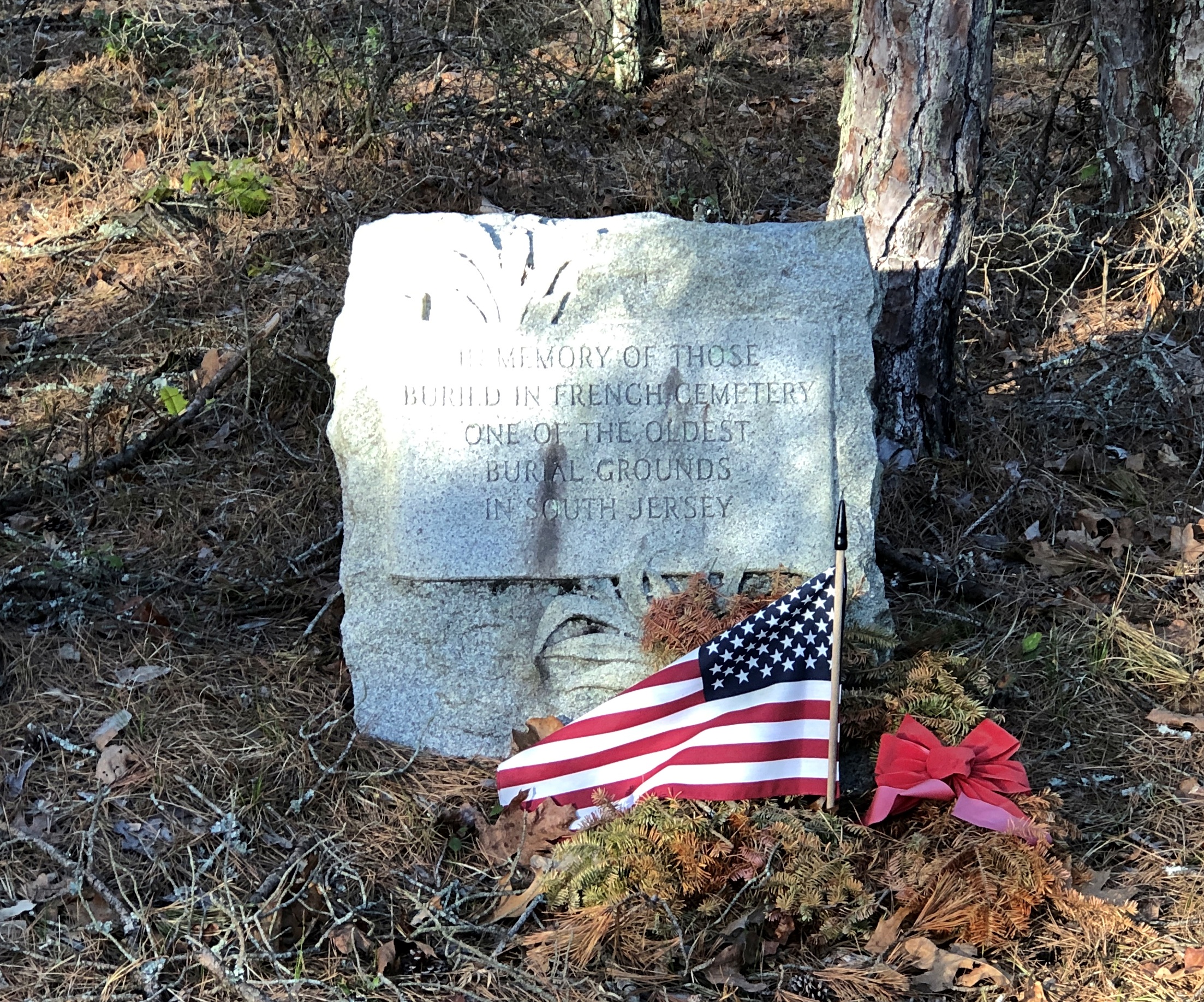
French Cemetery, named for a number of people buried named French, not for their nationality. “One of the oldest burial grounds in South Jersey,” the stone asserts. Could be, but I have no way to check that.

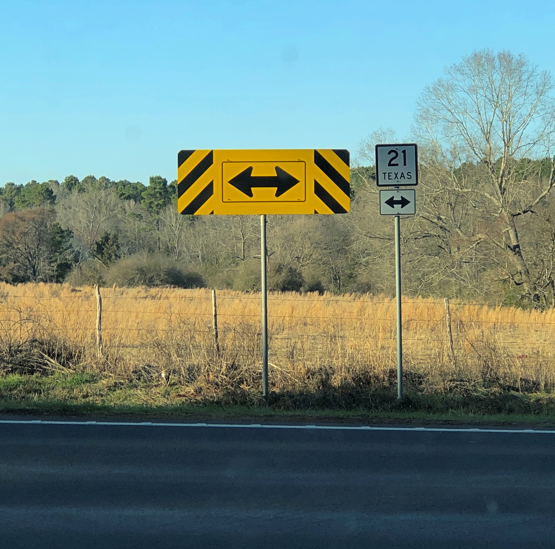
Interesting little spot anyway, northeast from Egg Harbor City and past the Mullica River and near the Wading River. Or was that the actual location? I was traveling on marked county roads, but pretty soon I started seeing county road signs covered with black plastic bags, next to newer signs. I can only guess, but I think that meant a recent change in the numbering of the county roads.

That further meant that both my paper and electronic maps were wrong – in as much detail as they had anyway, which wasn’t a lot. “Lost” is too strong a word, but I’d say I was disoriented in a web of meandering, ill-marked roads. I stopped more than once among the pines of the Pinelands to try to figure out a better course.

Then it occurred to me: I remembered seeing some of the exit numbers on highways near Trenton had been changed, too. I’m speculating, but I think that had something to do with my GPS going just a little funny in the head the night before. Damn it, New Jersey.

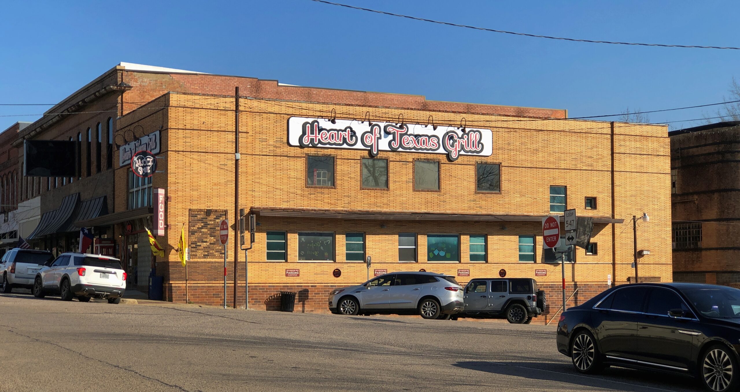
Eventually I worked my way back toward Egg Harbor City, a sizable town on US 30, which connects with US 280, which goes straight back to Trenton; the way I’d come. That’s how I was able to stop to see Mighty Joe.

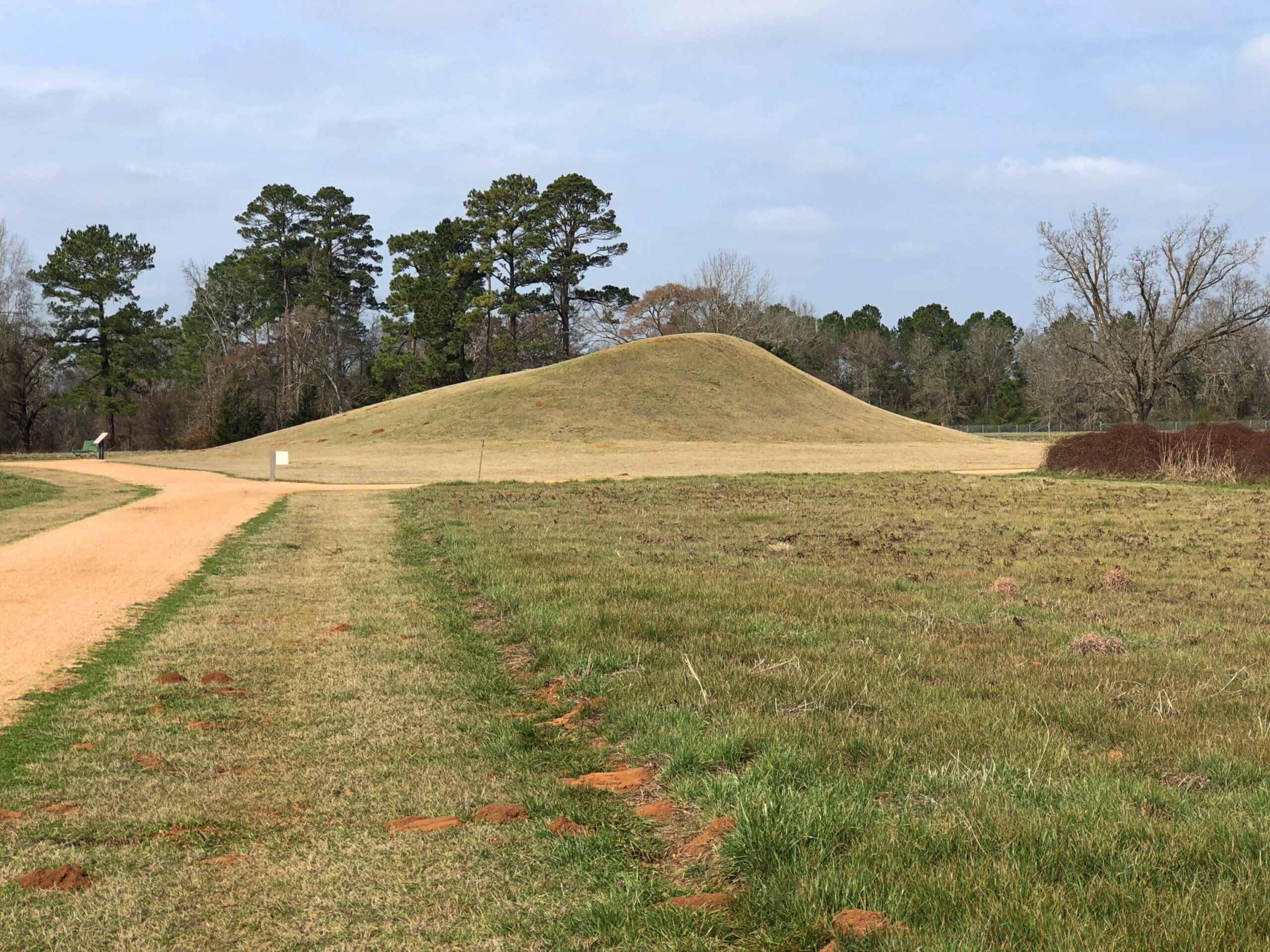
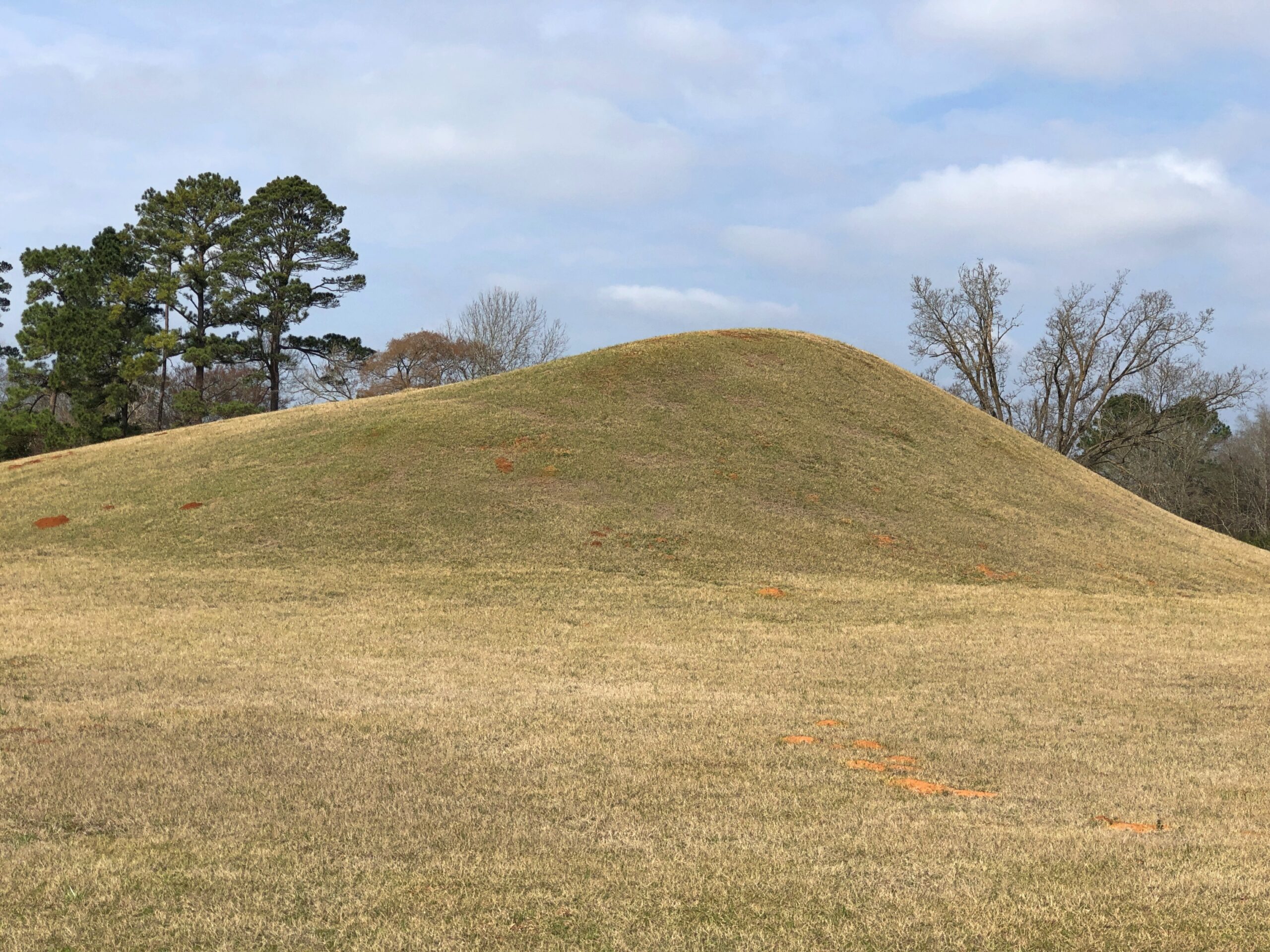
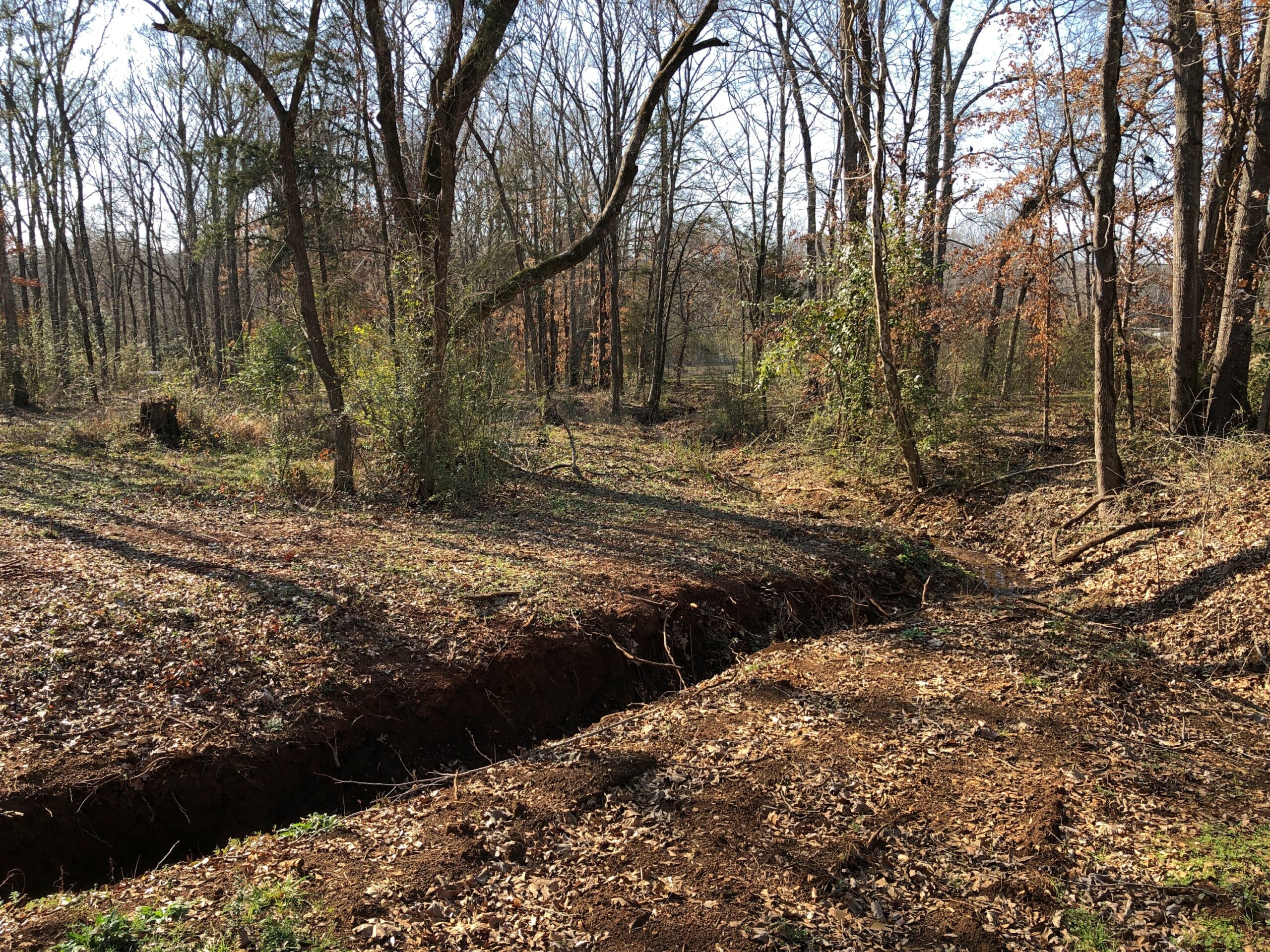
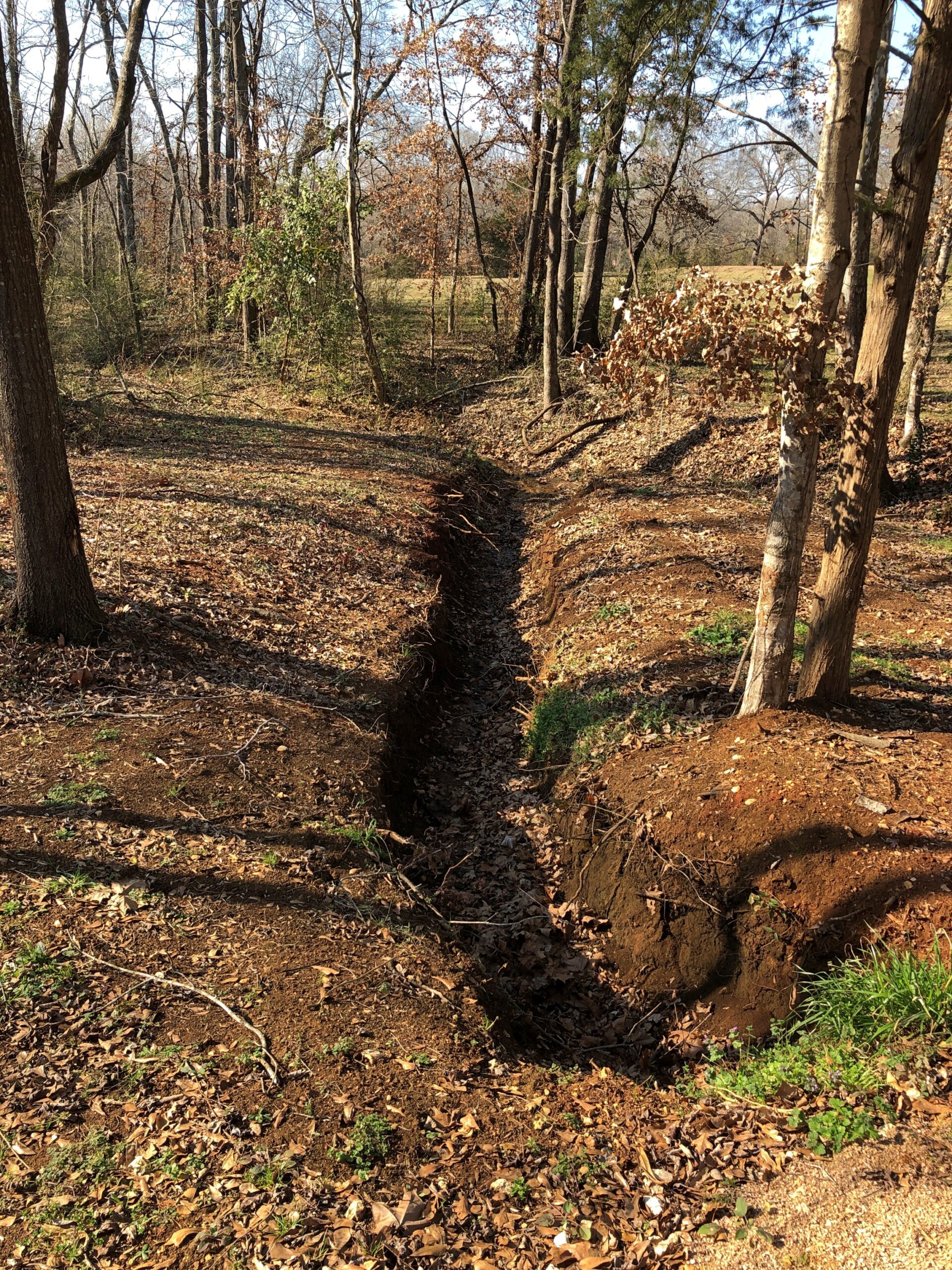
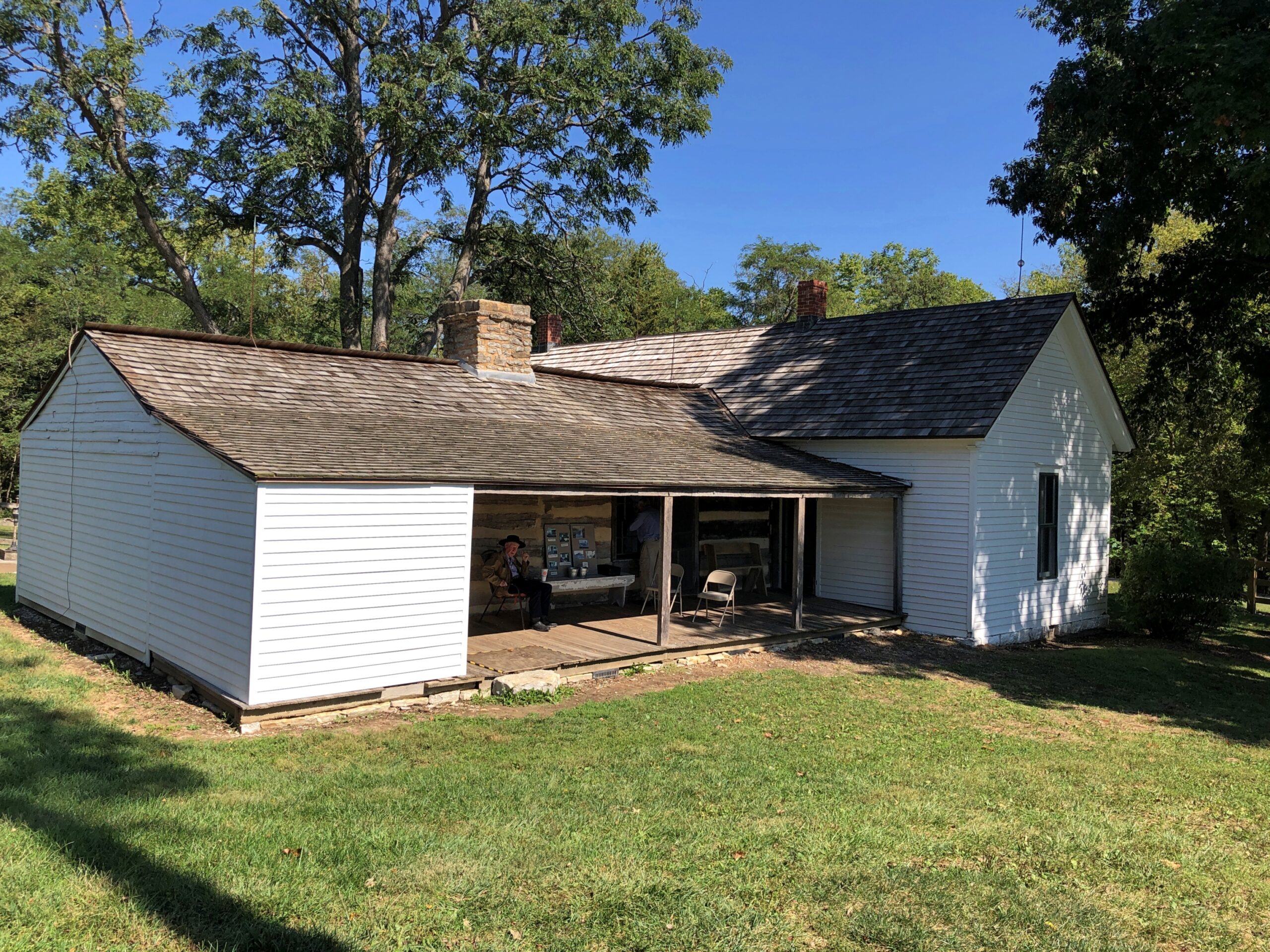
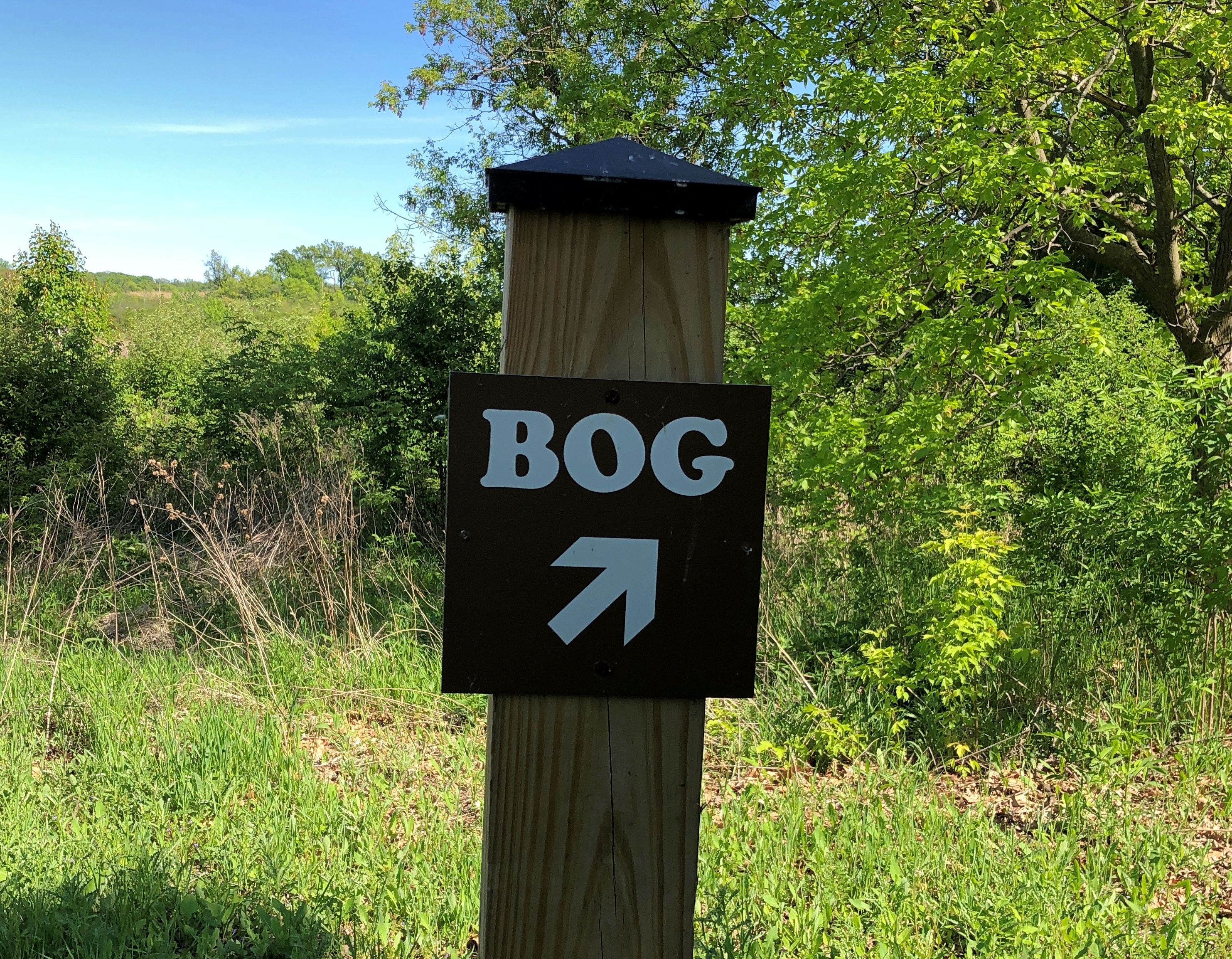
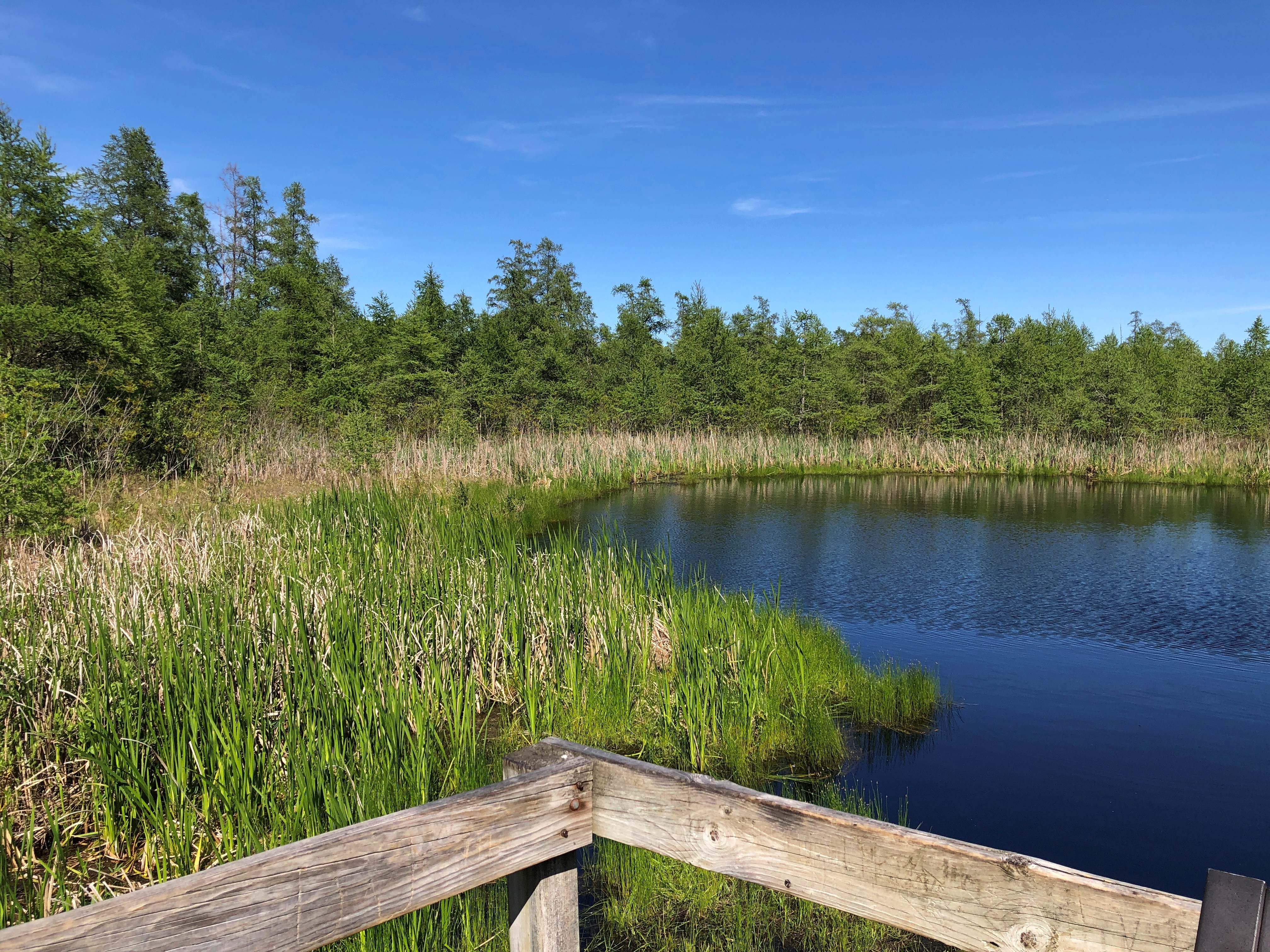
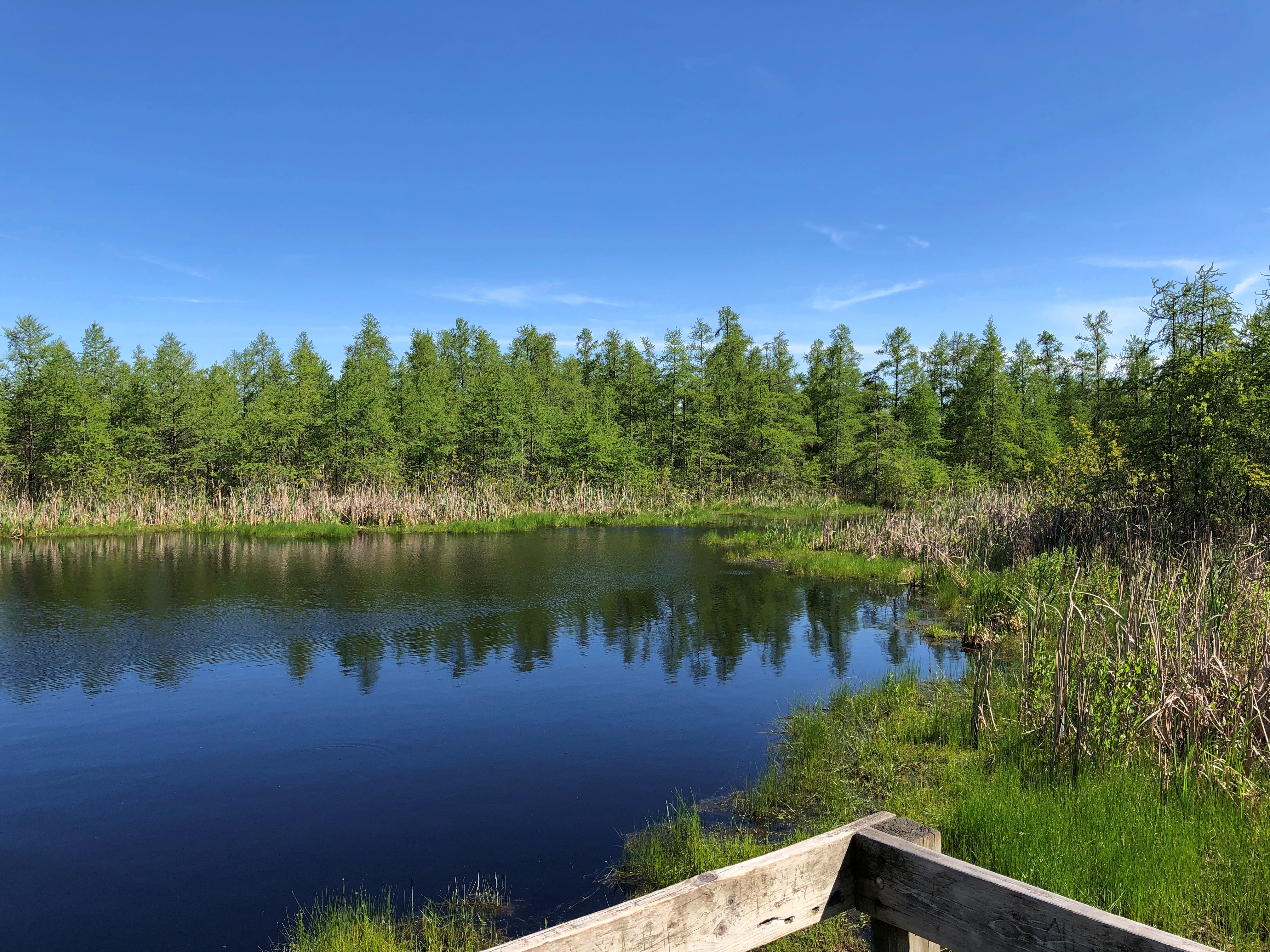
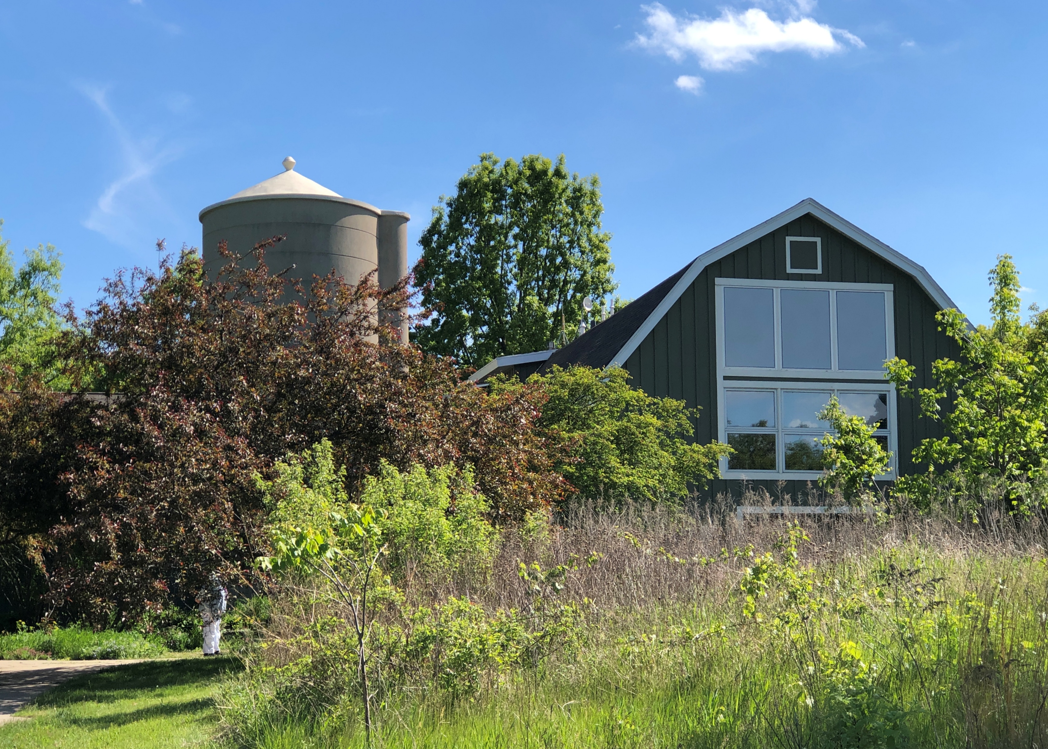
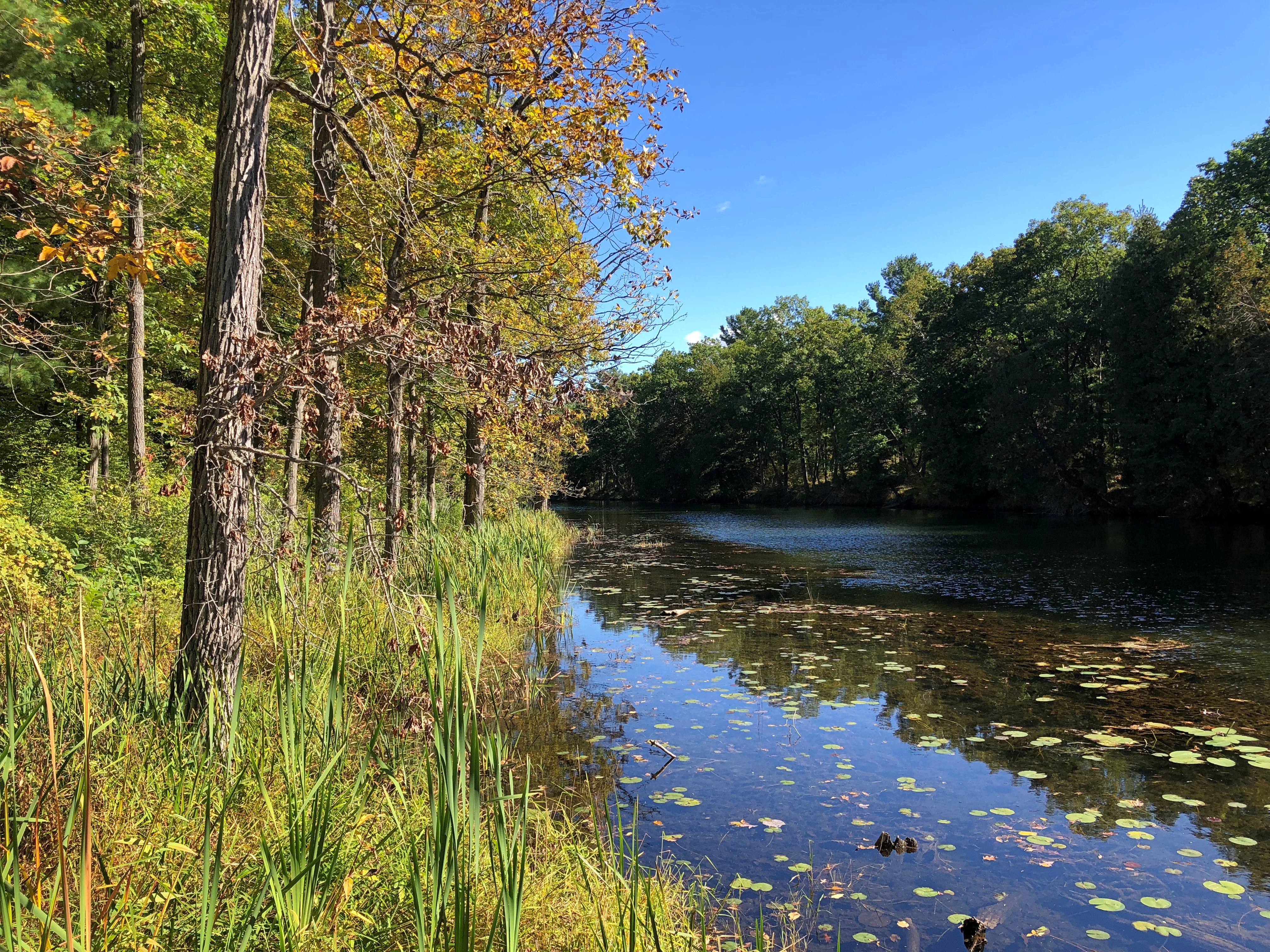
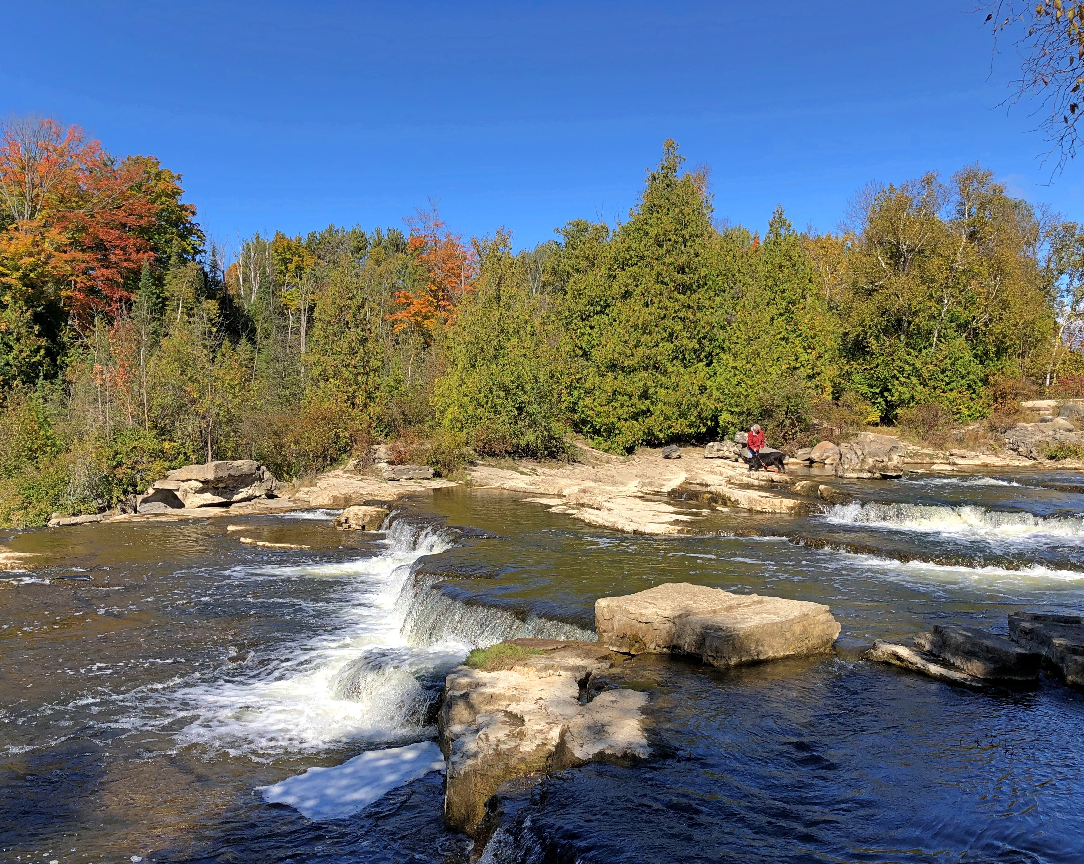
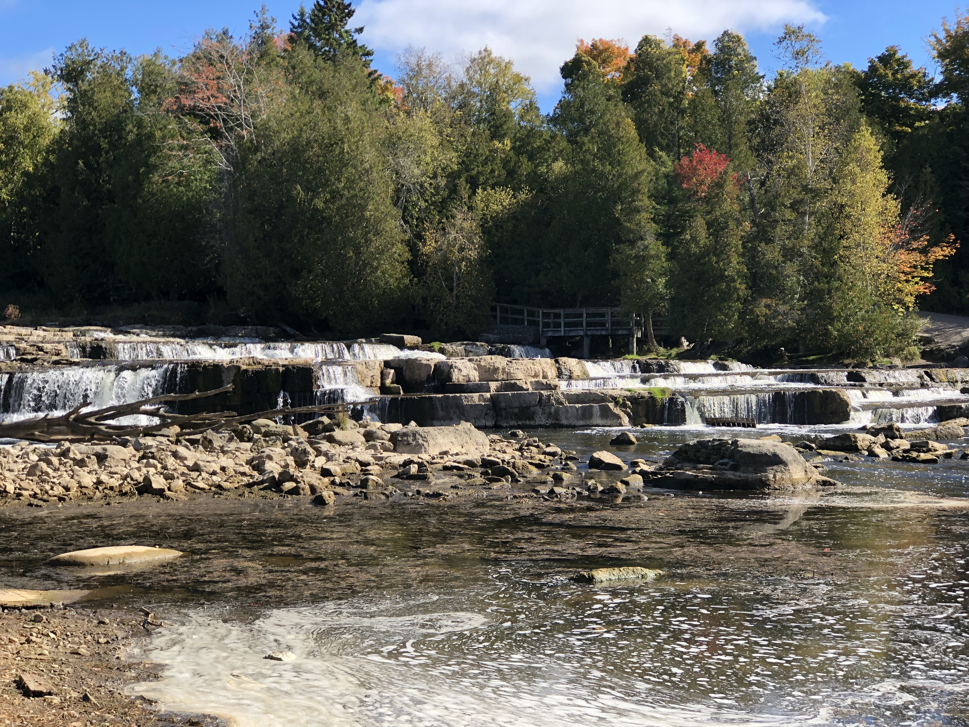
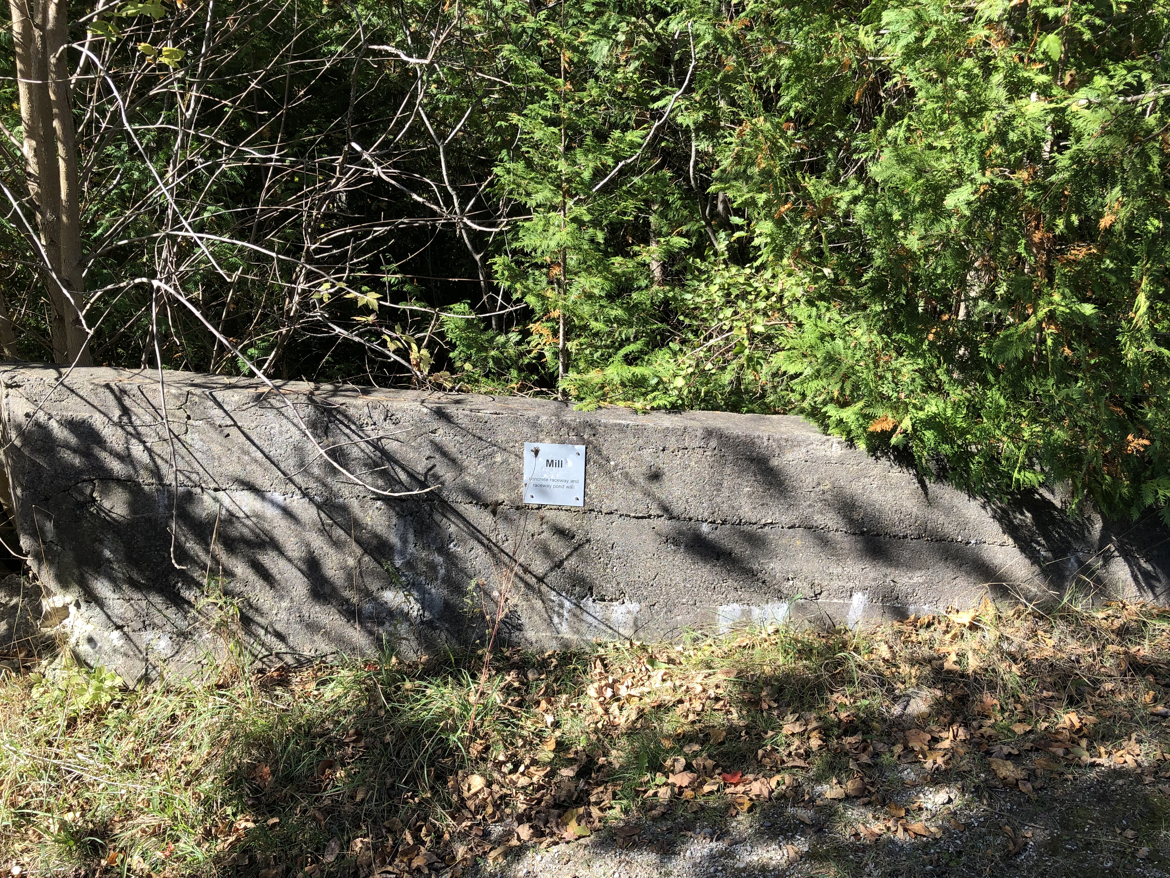
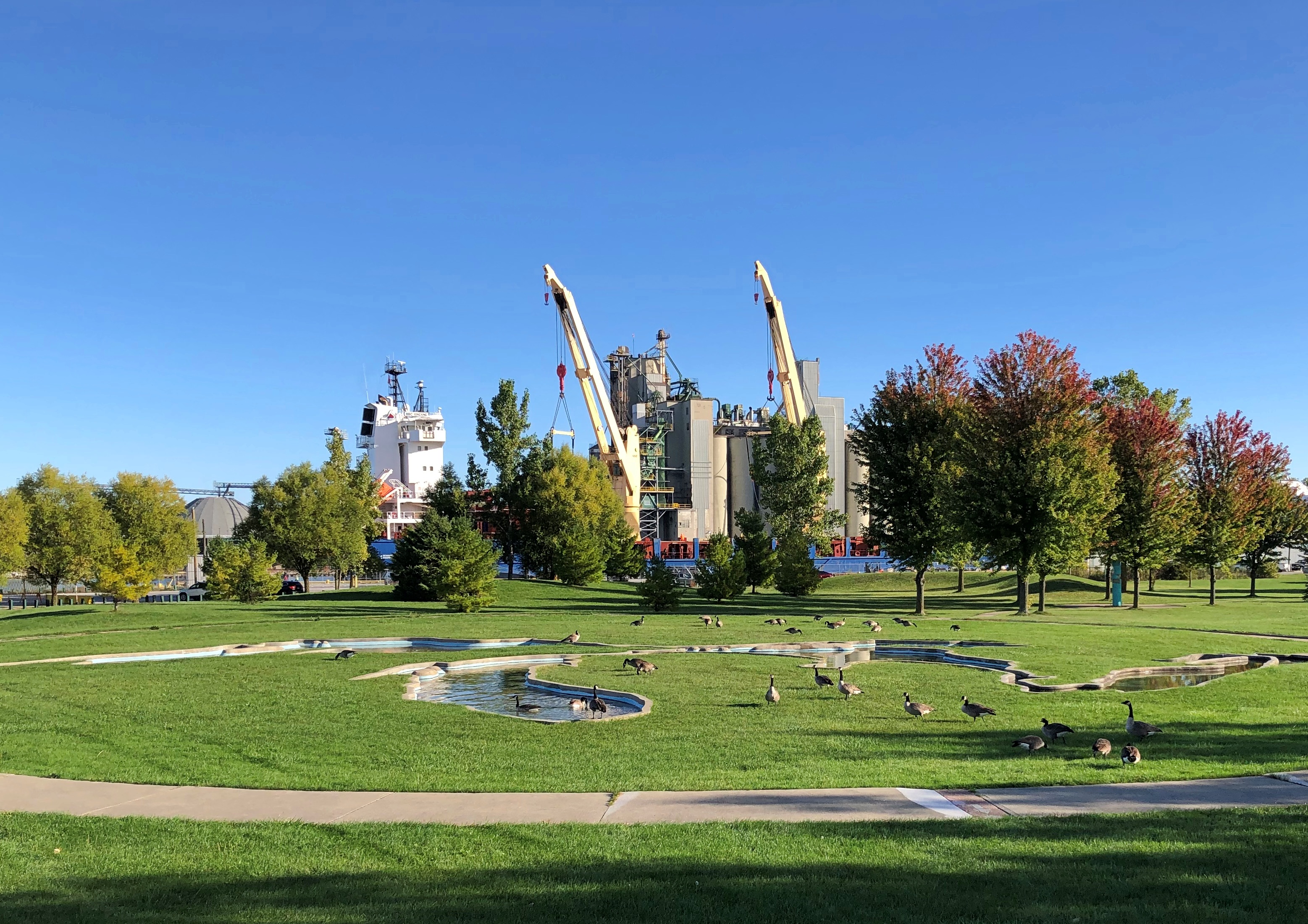
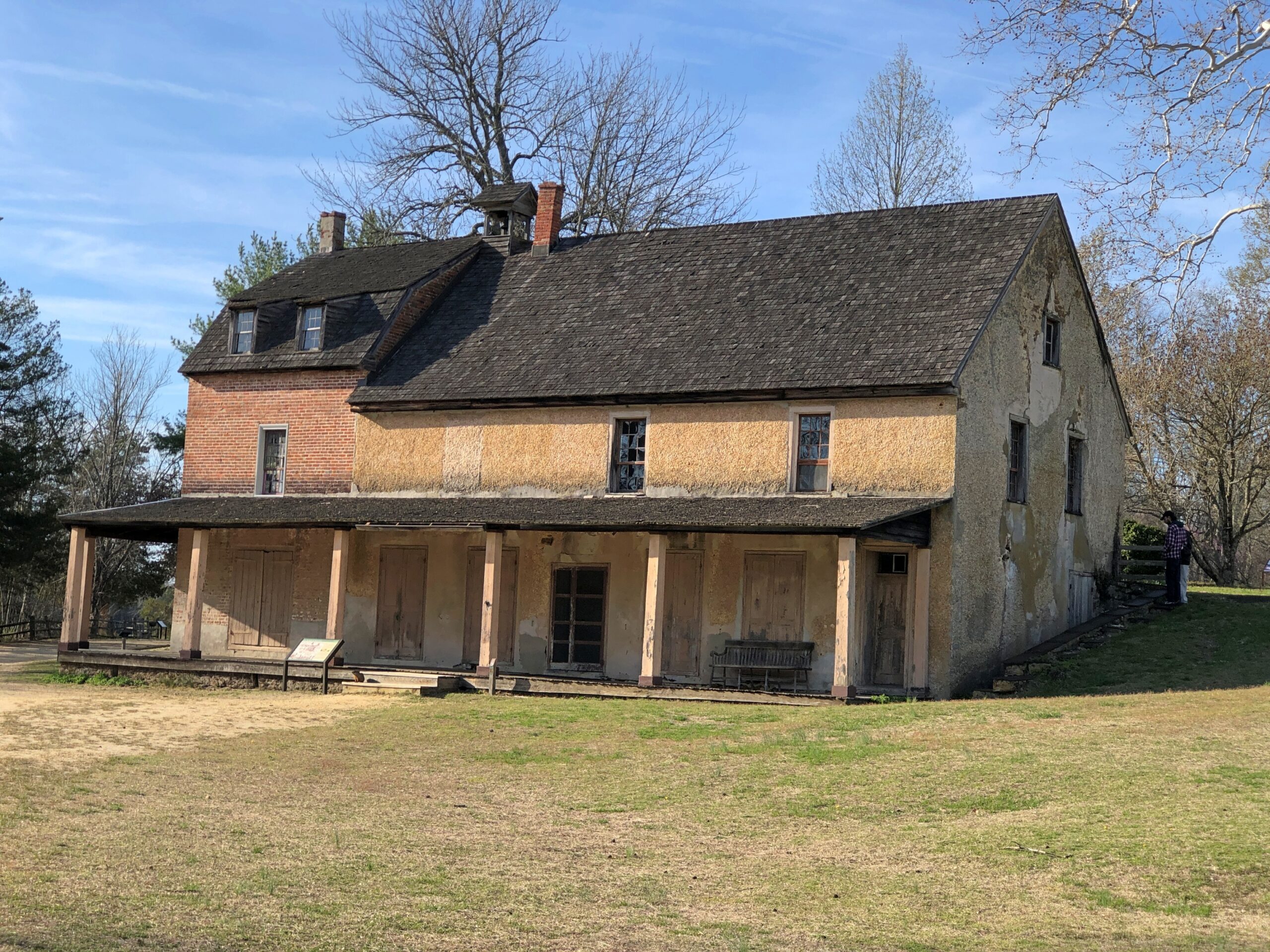
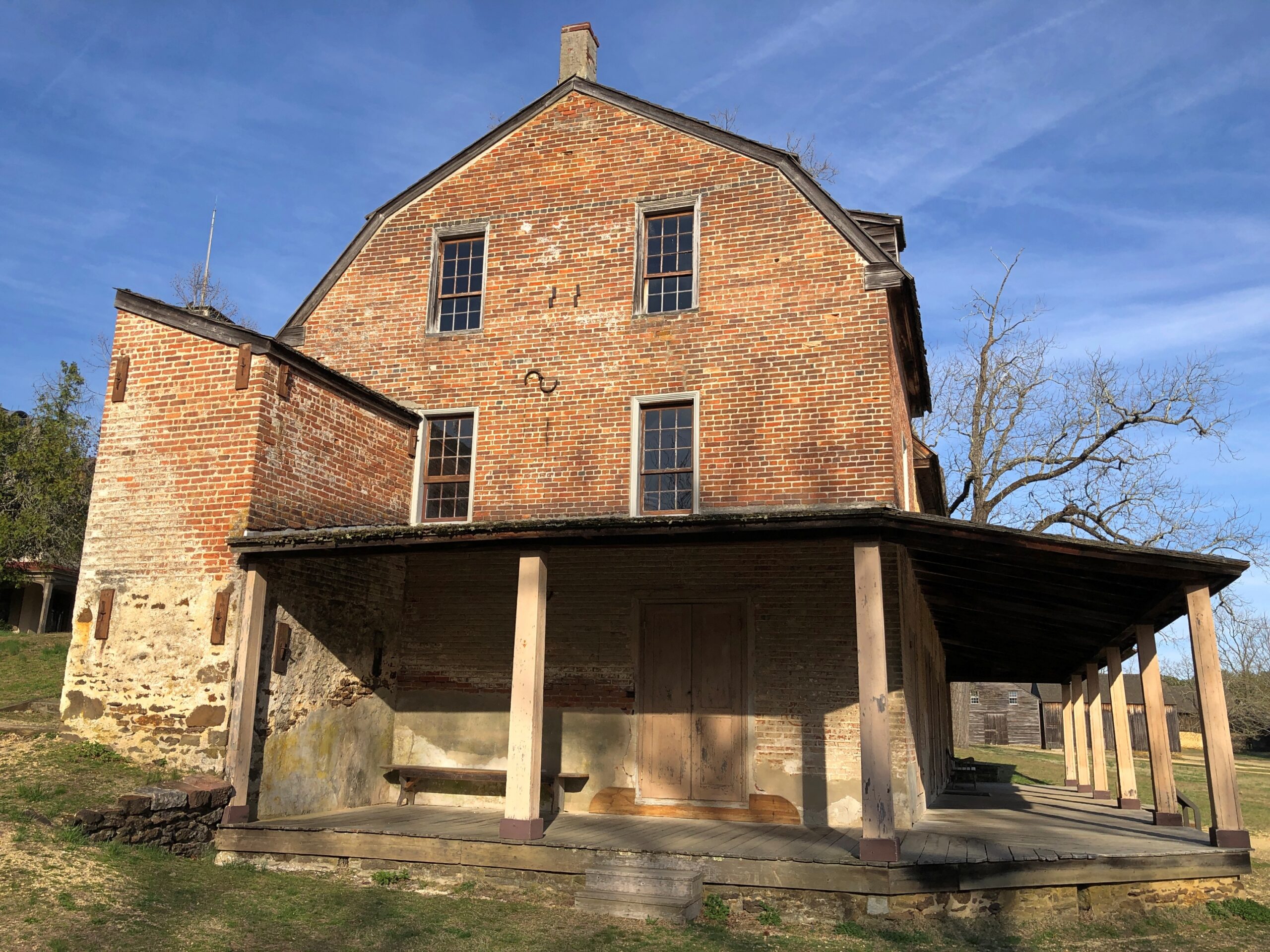
Even so, I happened across a few places in the Pinelands to stop, especially Batsto Village, site of the former Batsto Iron Works.

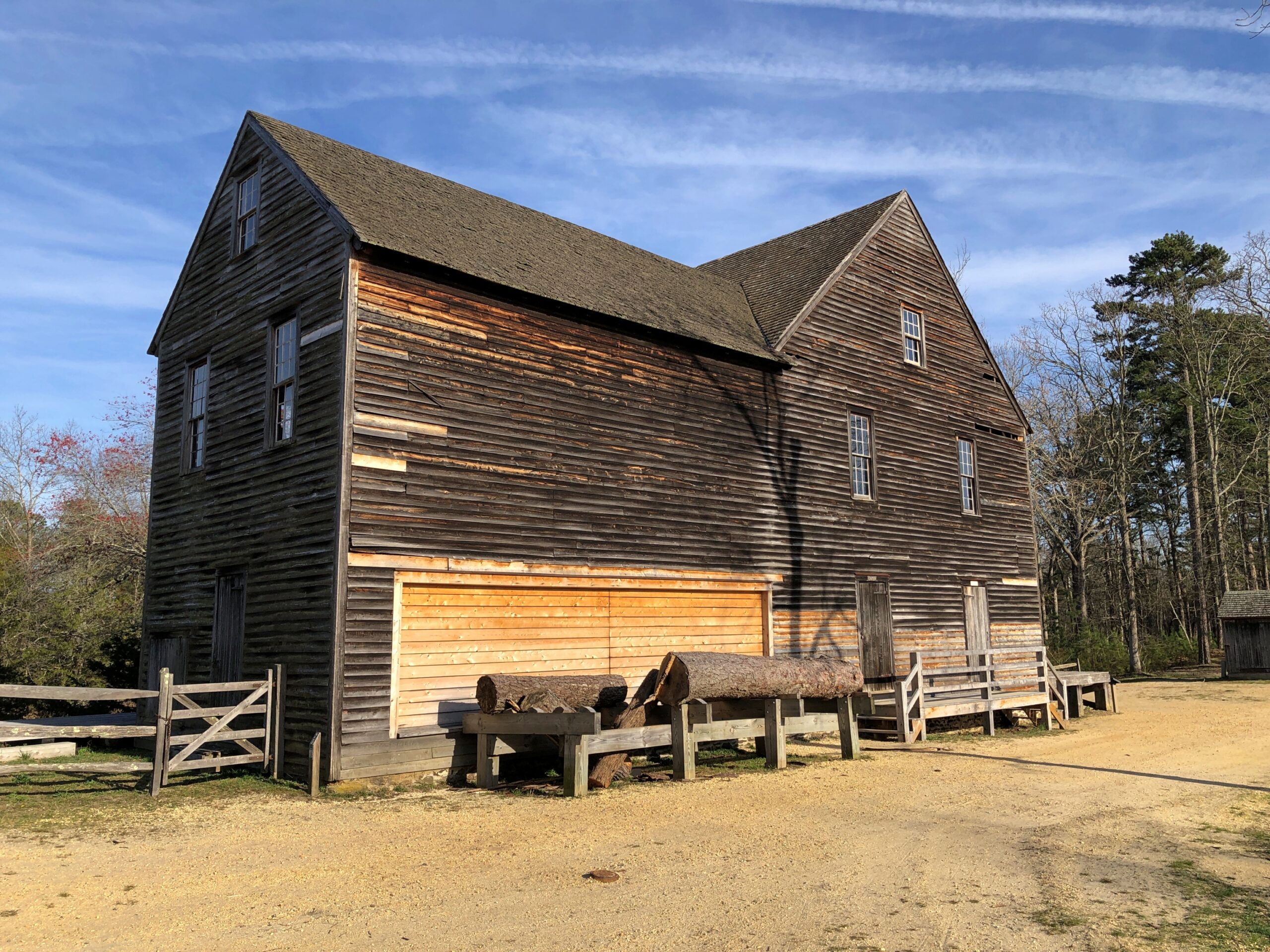
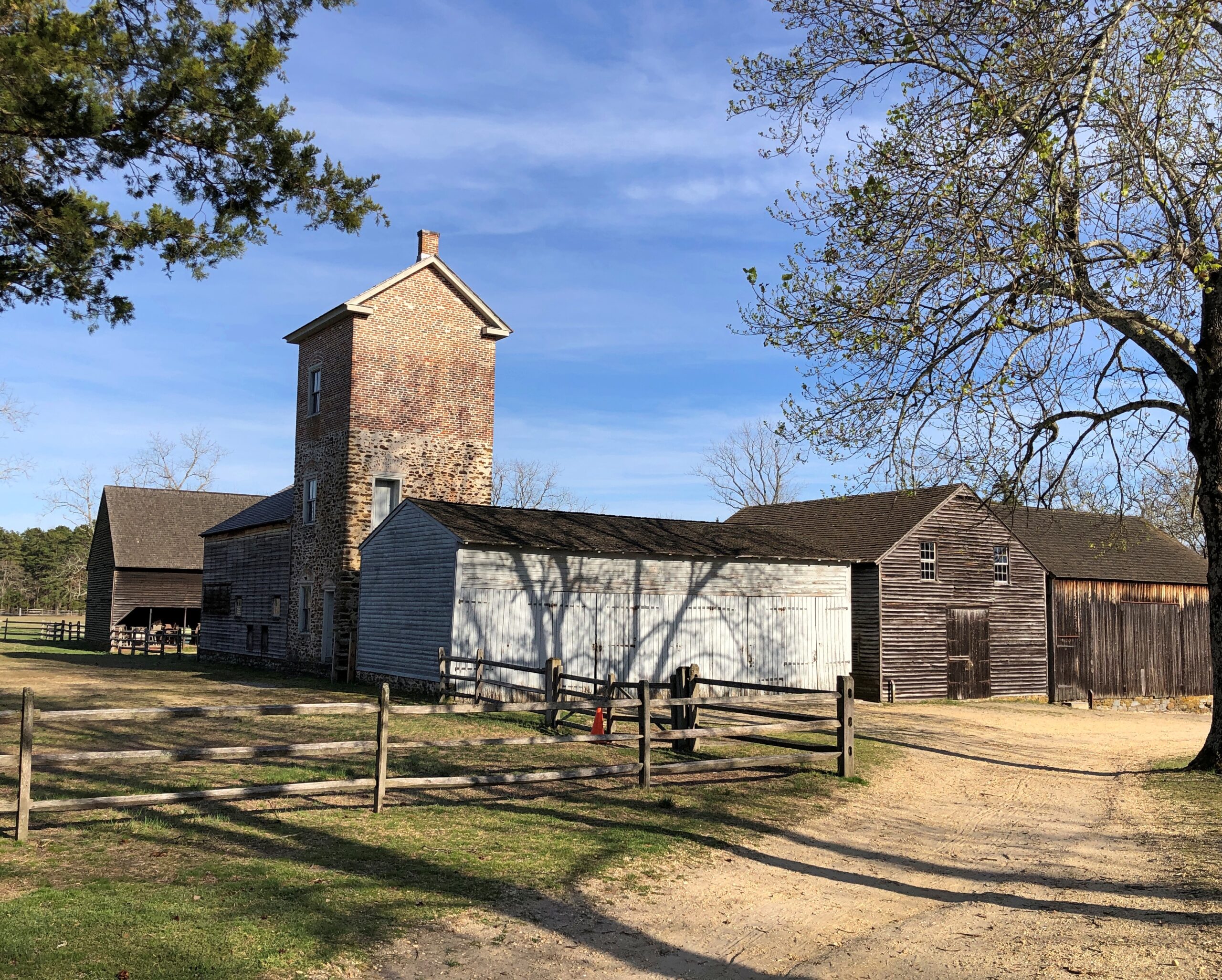
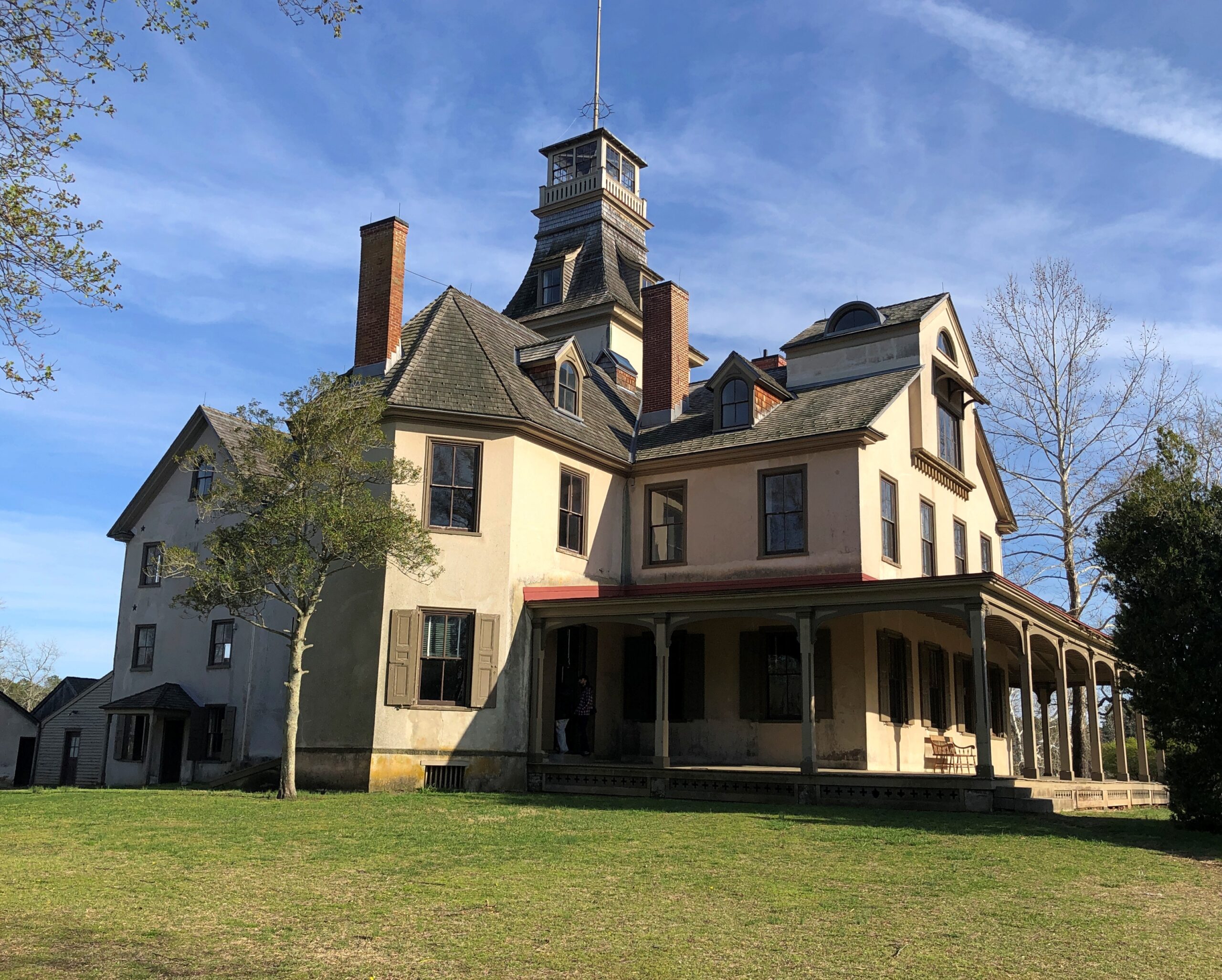
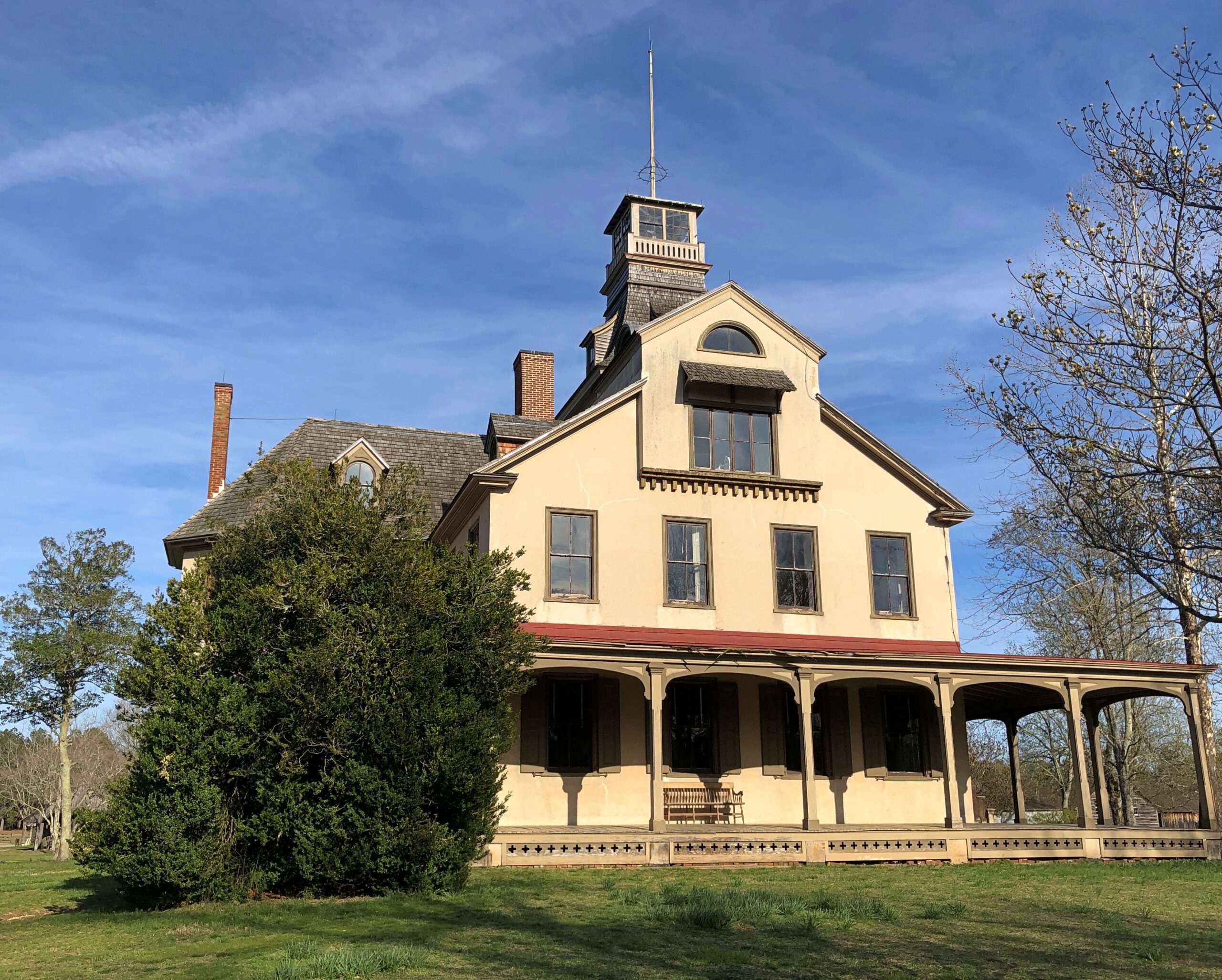
Most of the open-air museum buildings are 19th century, but the Batsto Iron Works had roots that went back to Colonial times. Some enterprising early NJ settlers found bog iron in the area. By the 19th century, the iron smelting was doing well enough to support a company town, including of course the boss’s house.

The company store.

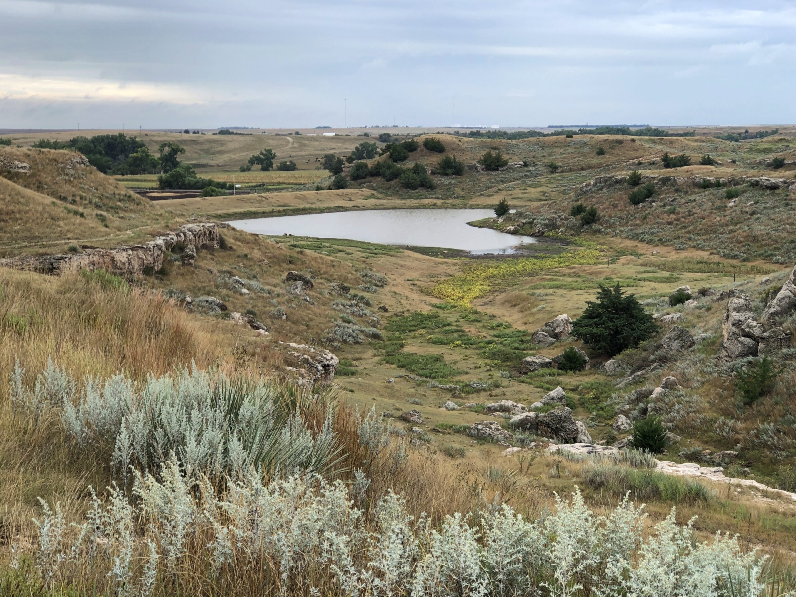
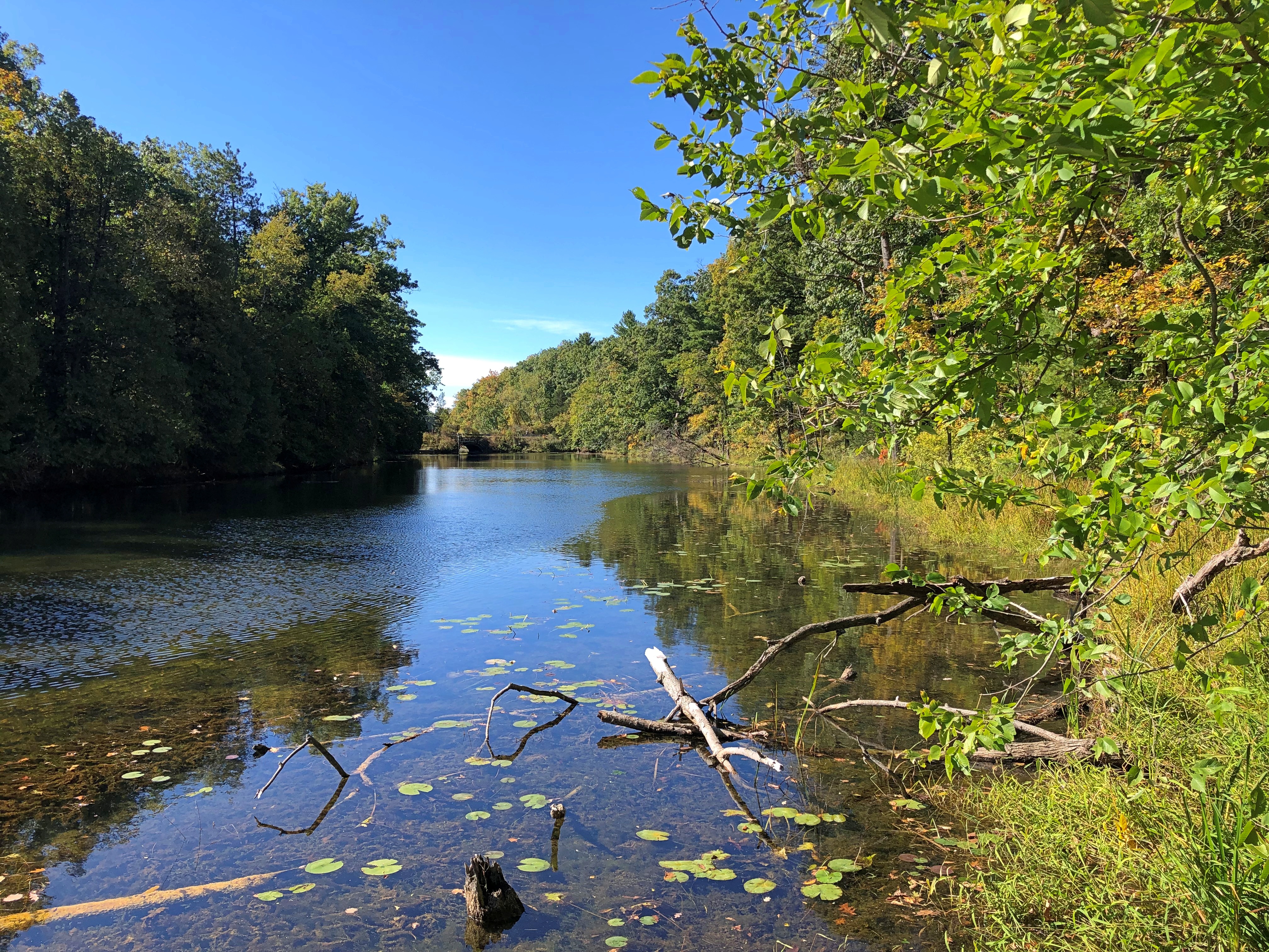
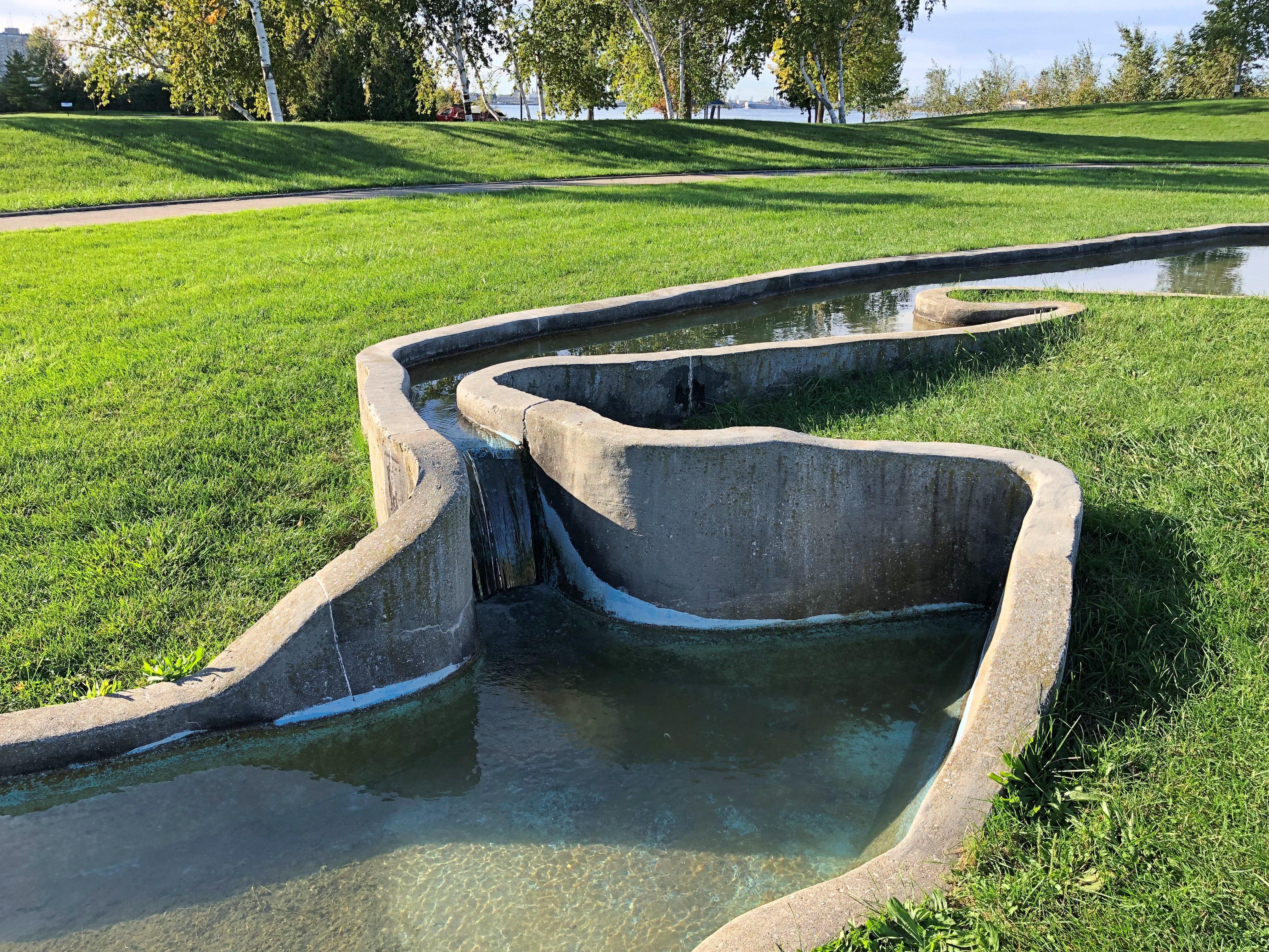
The company paid in script until the workers were organized enough to demand legal tender for their labor. Unlike at Fayette Historic State Park in Michigan, the actual industrial facility, the 19th-century blast furnace, is long gone. The place has a good-looking lake, however. Created by a small dam on Batsto River to harness the water for the sawmill.

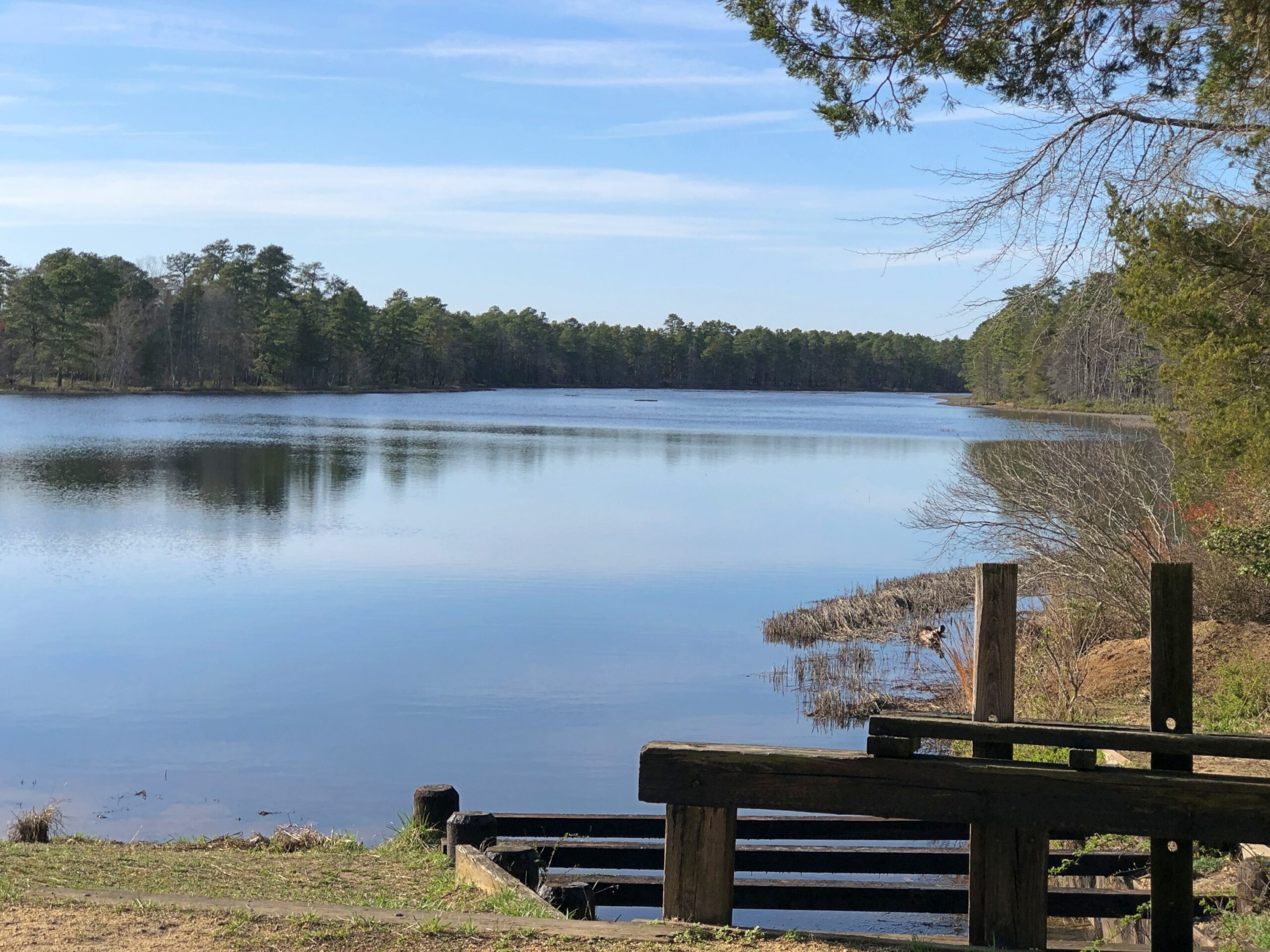
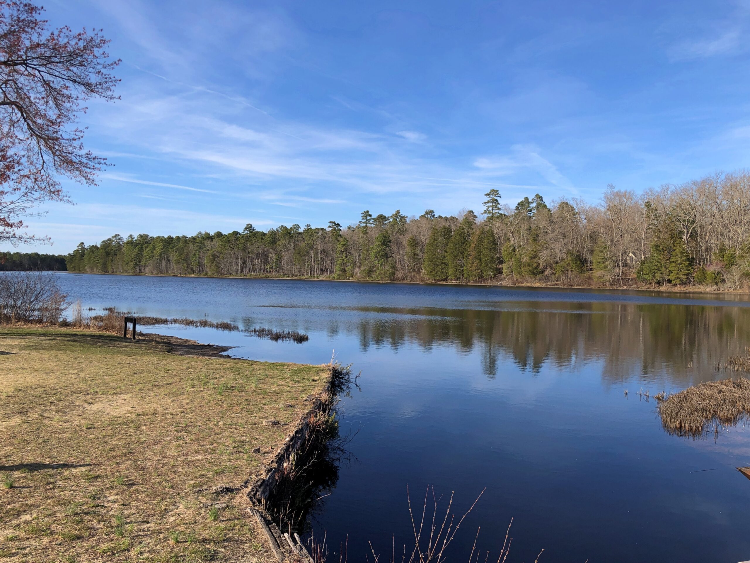
A vista that says New Jersey? Yes, but not the New Jersey of song and story.

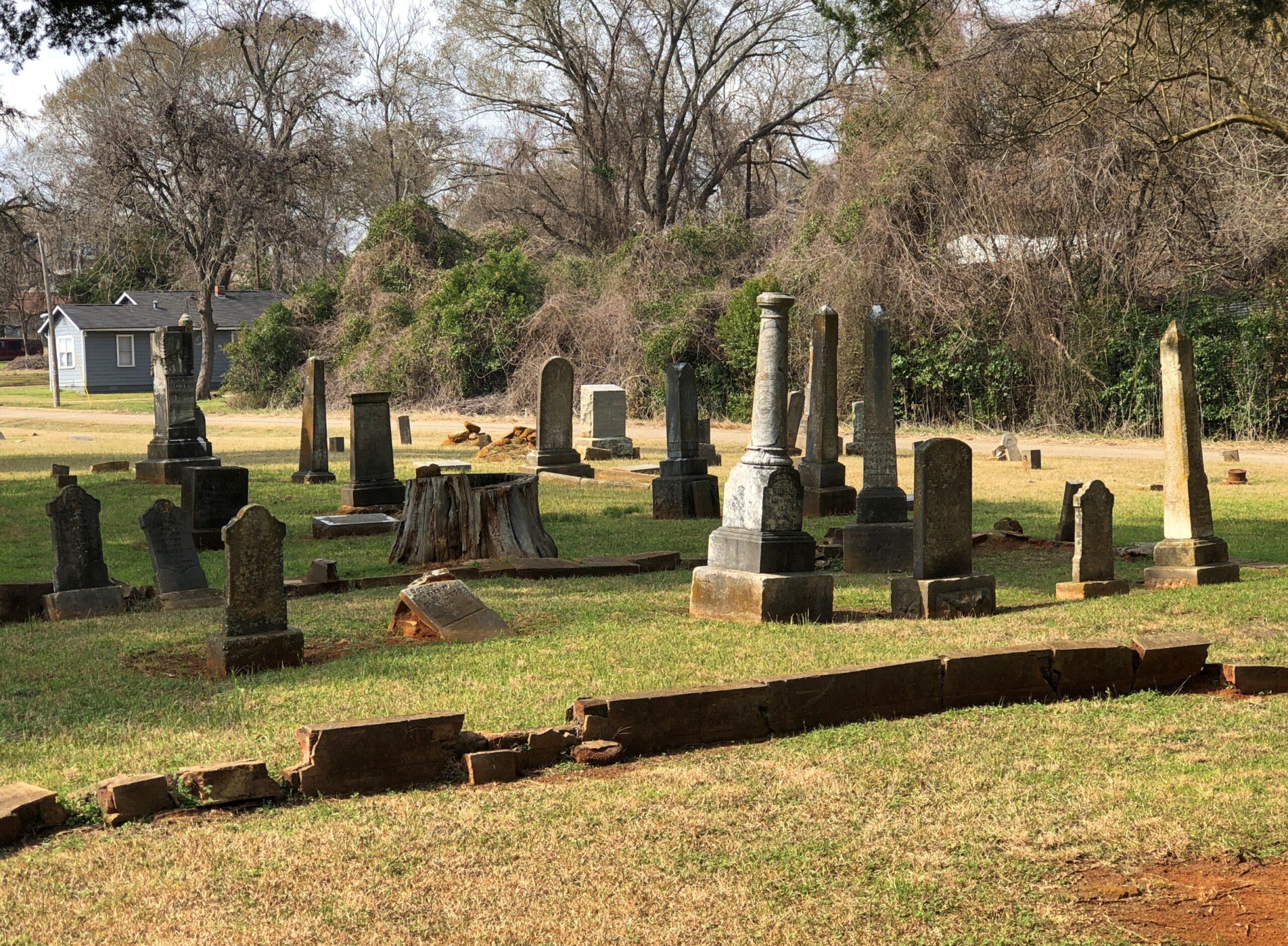
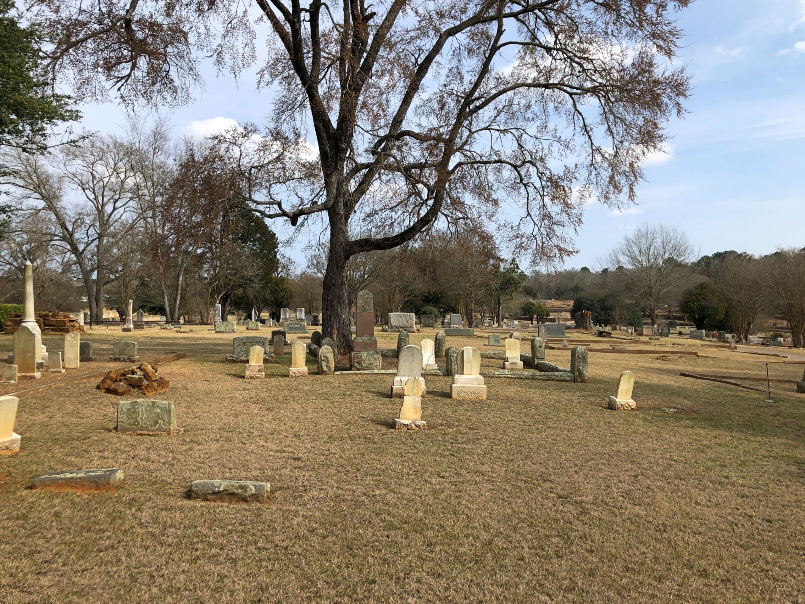
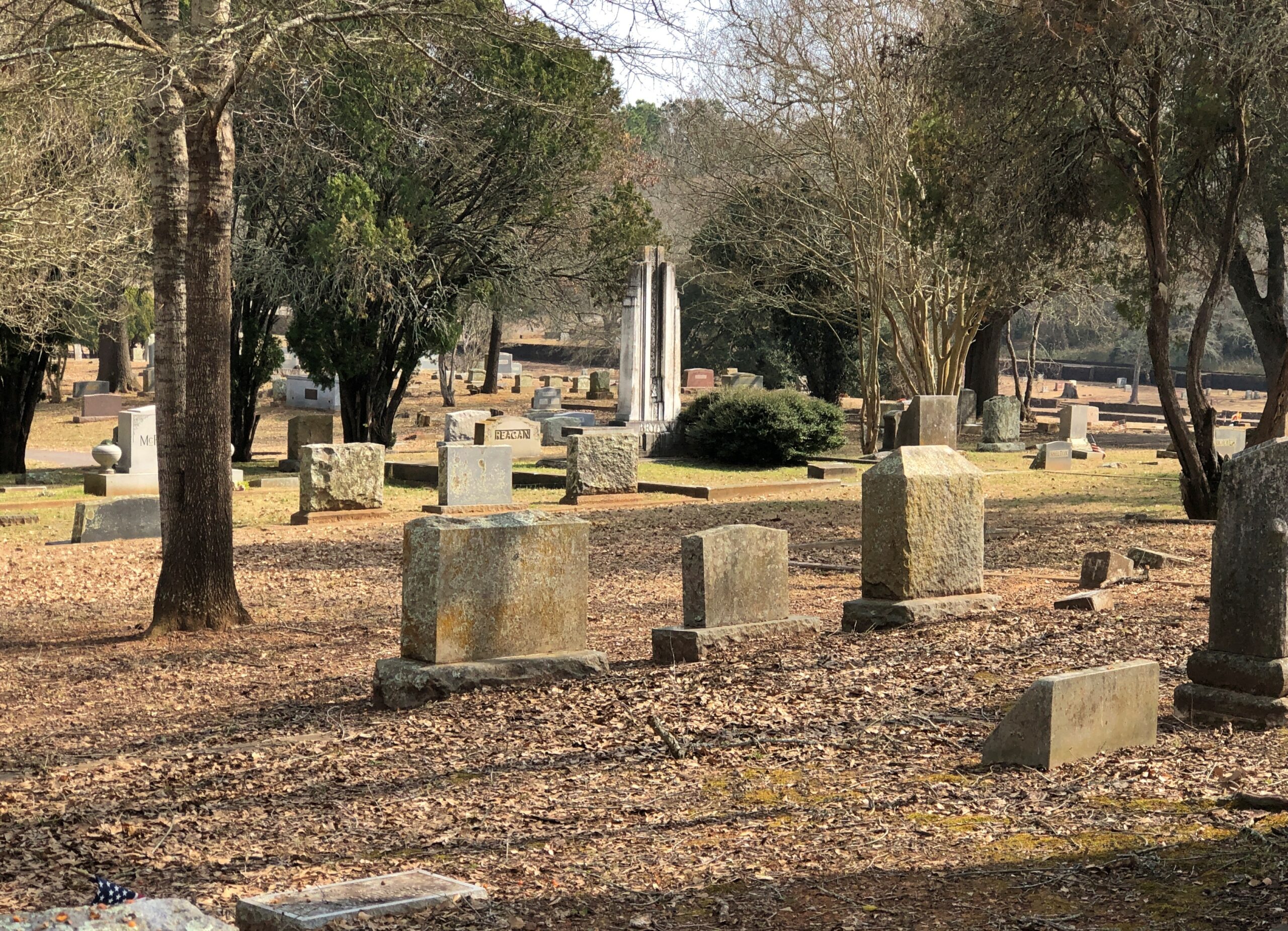
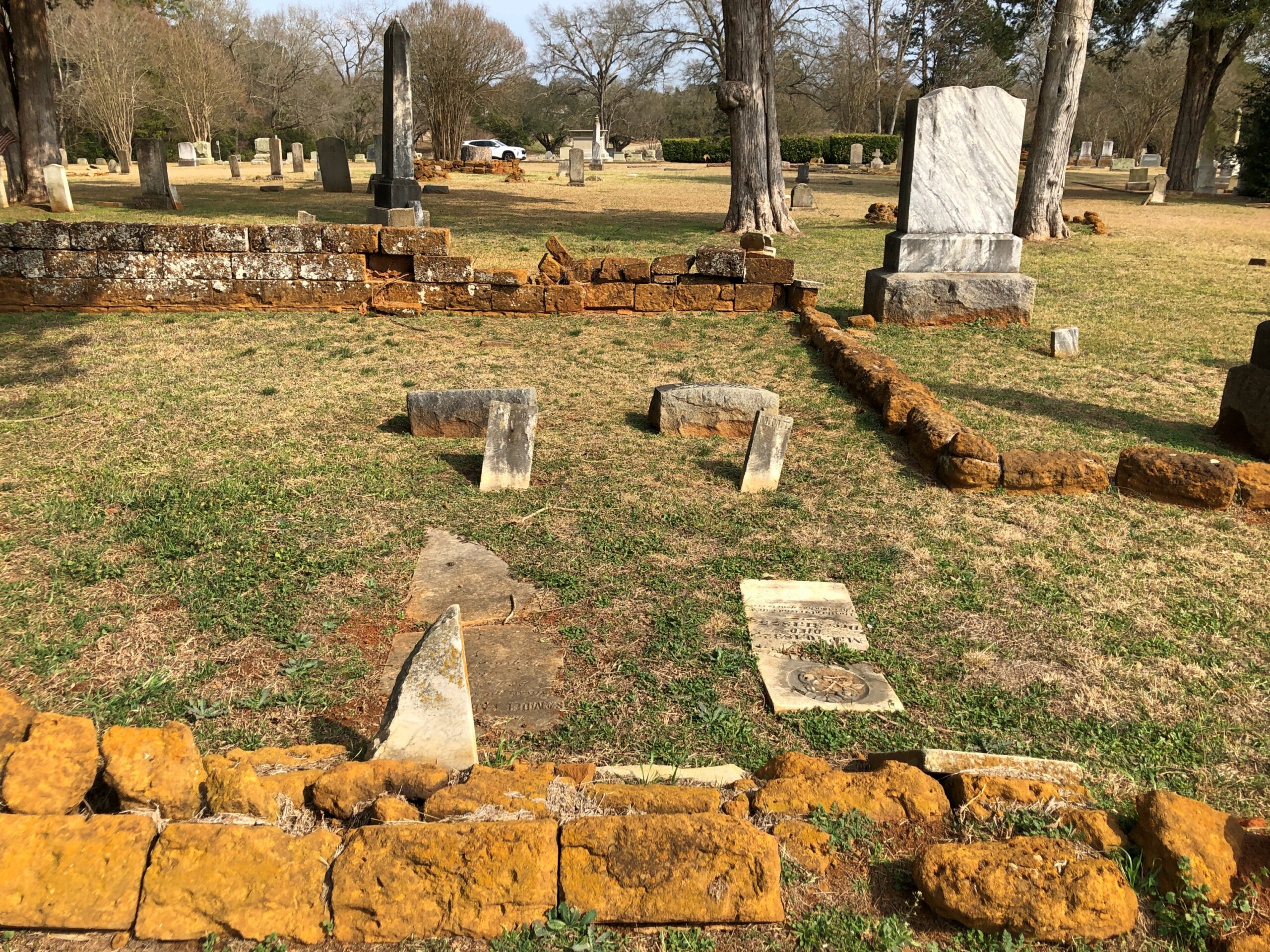
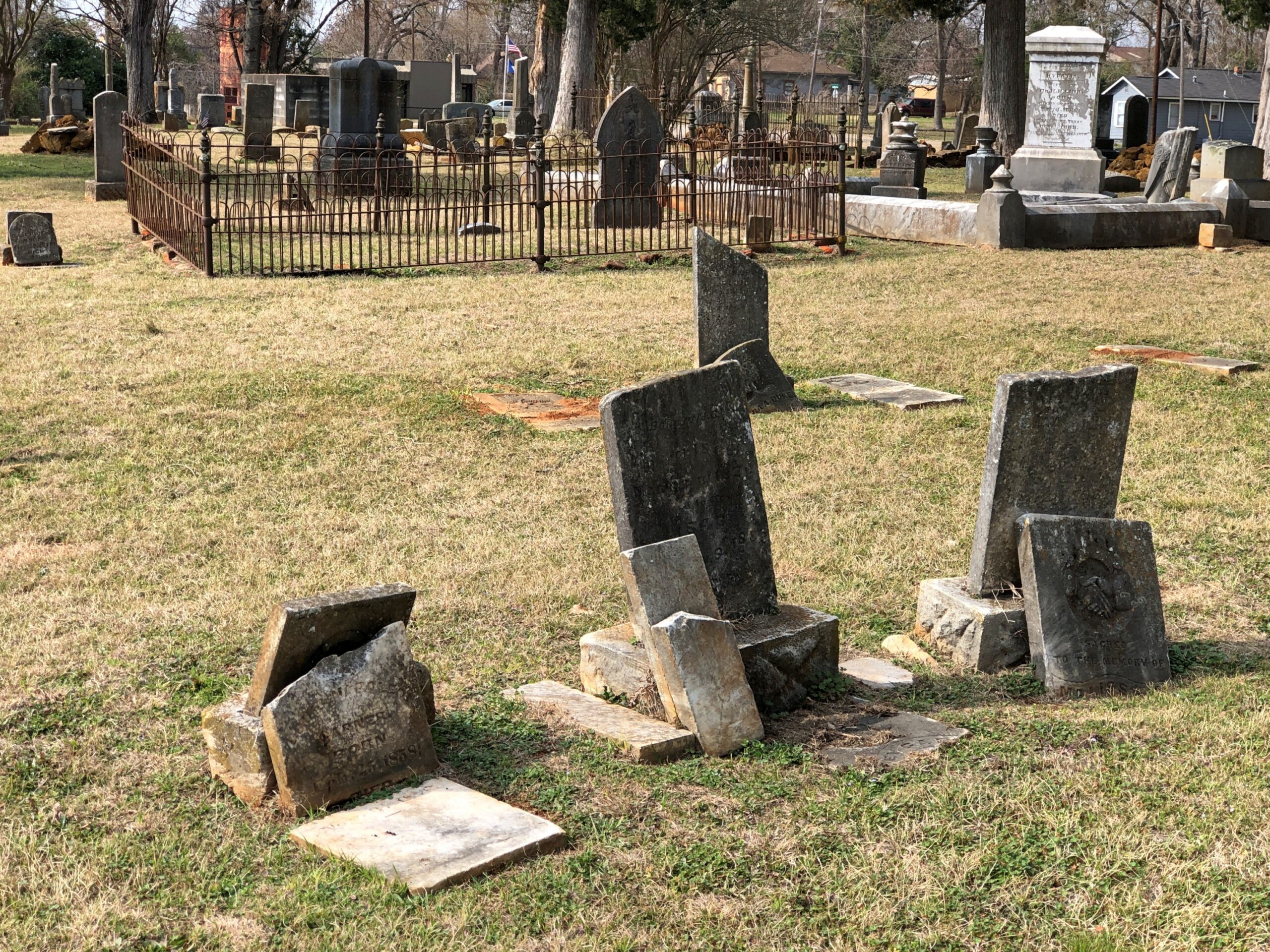
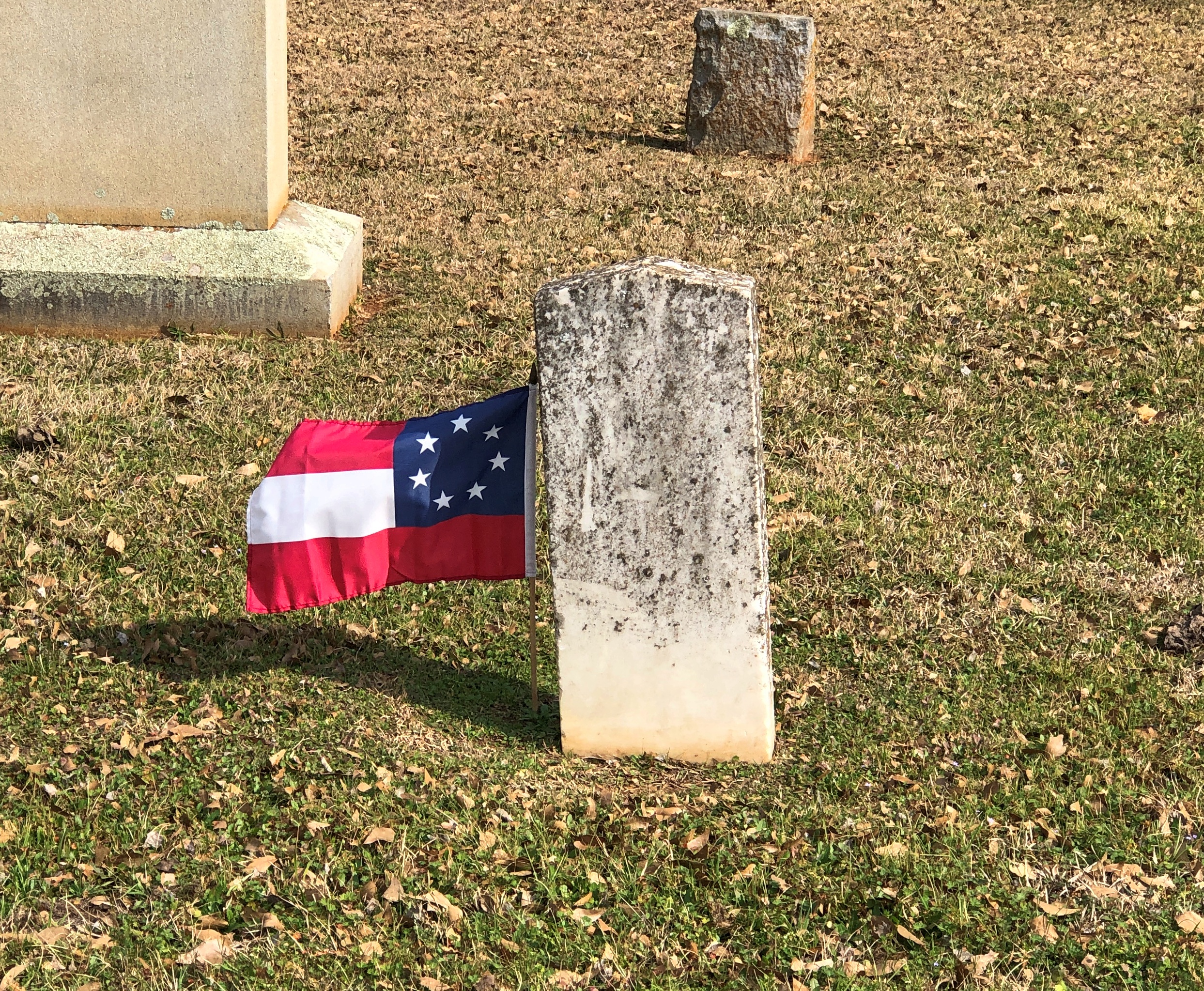
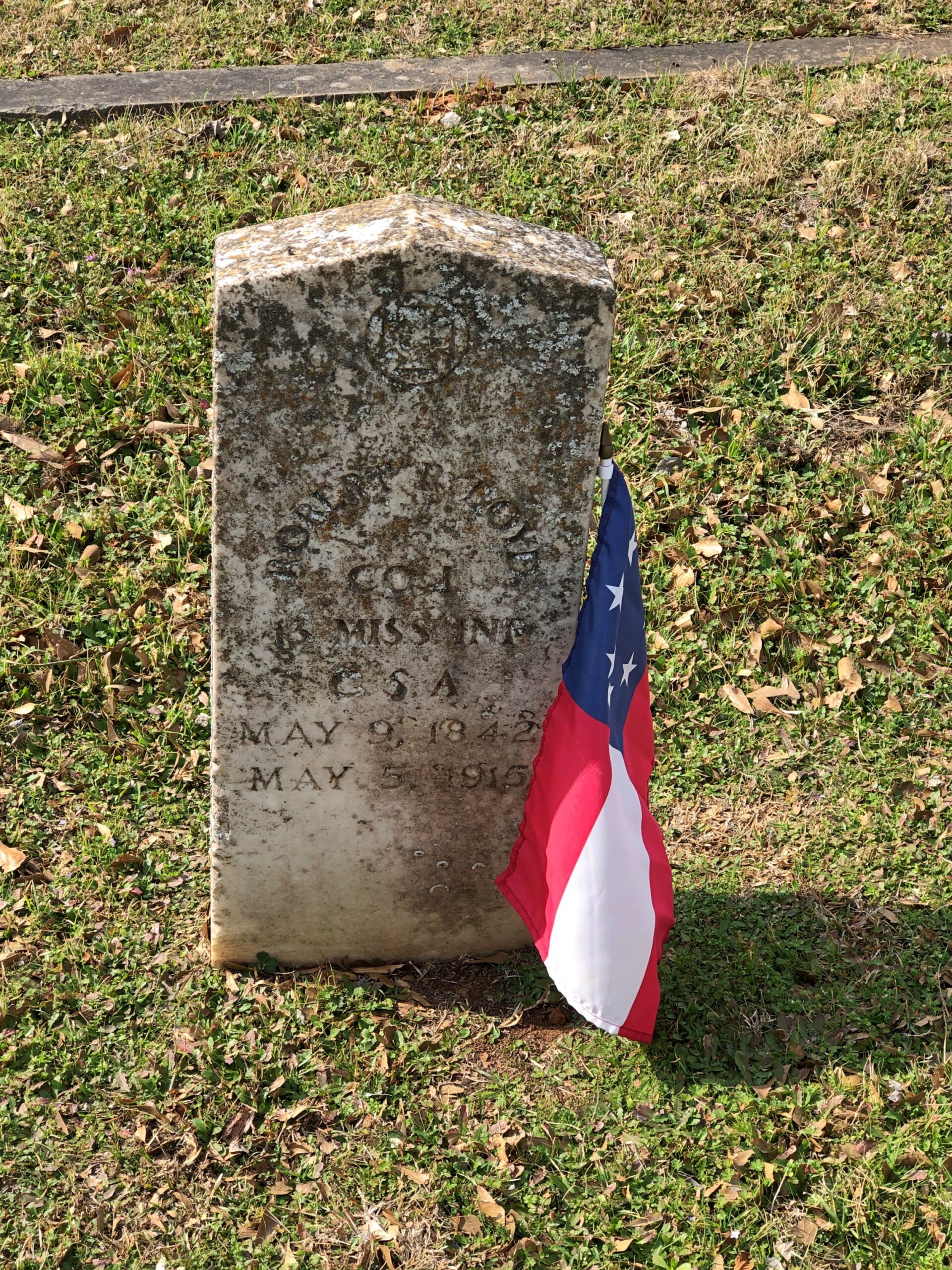
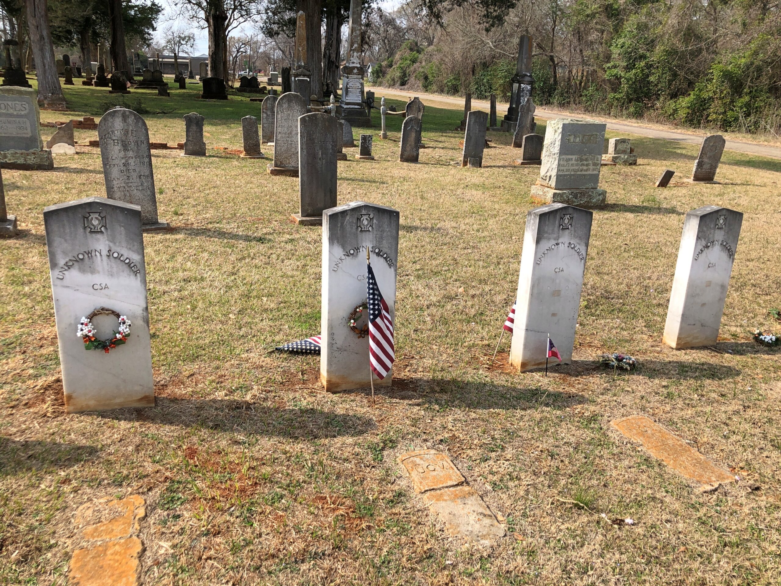
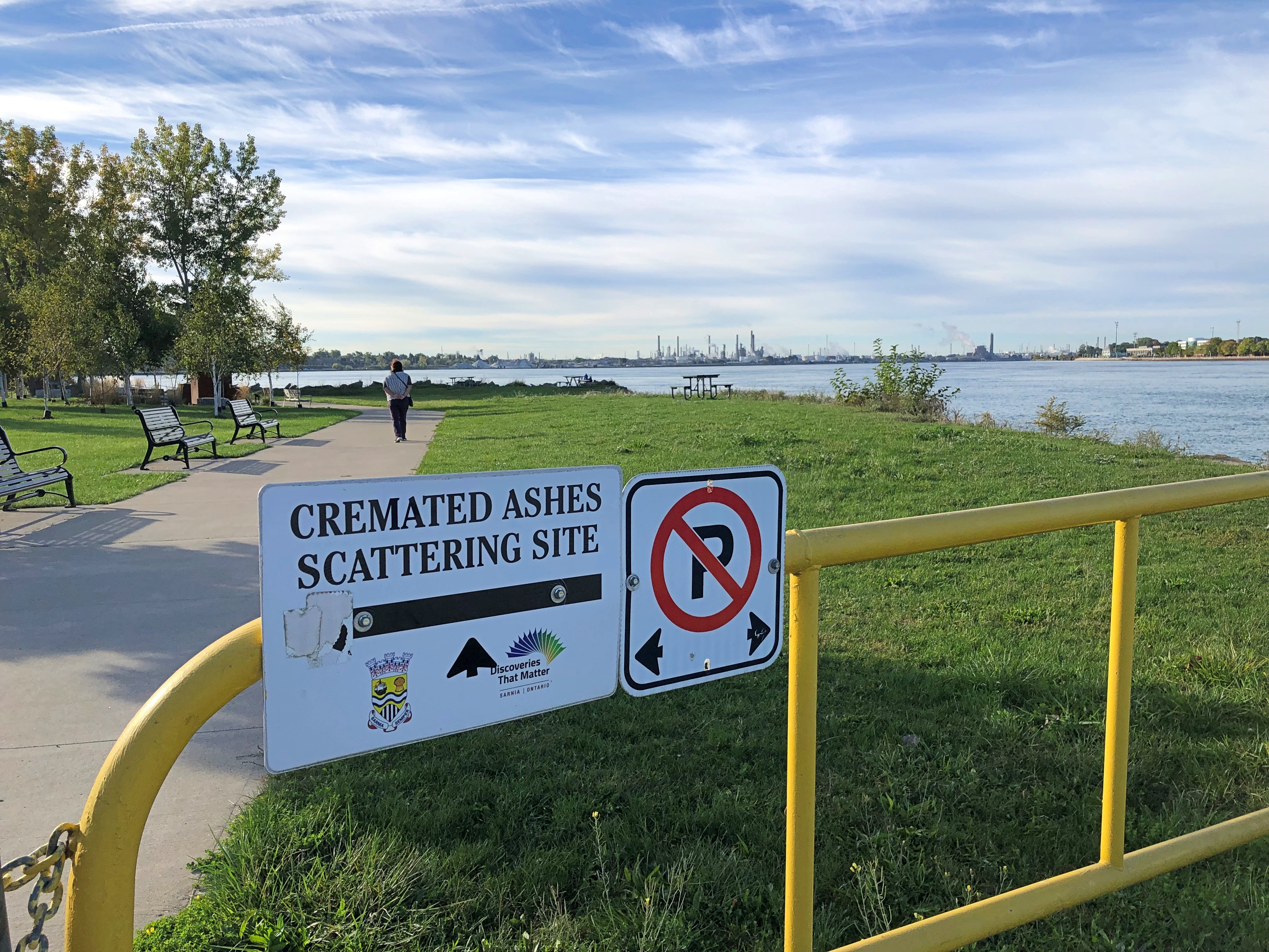
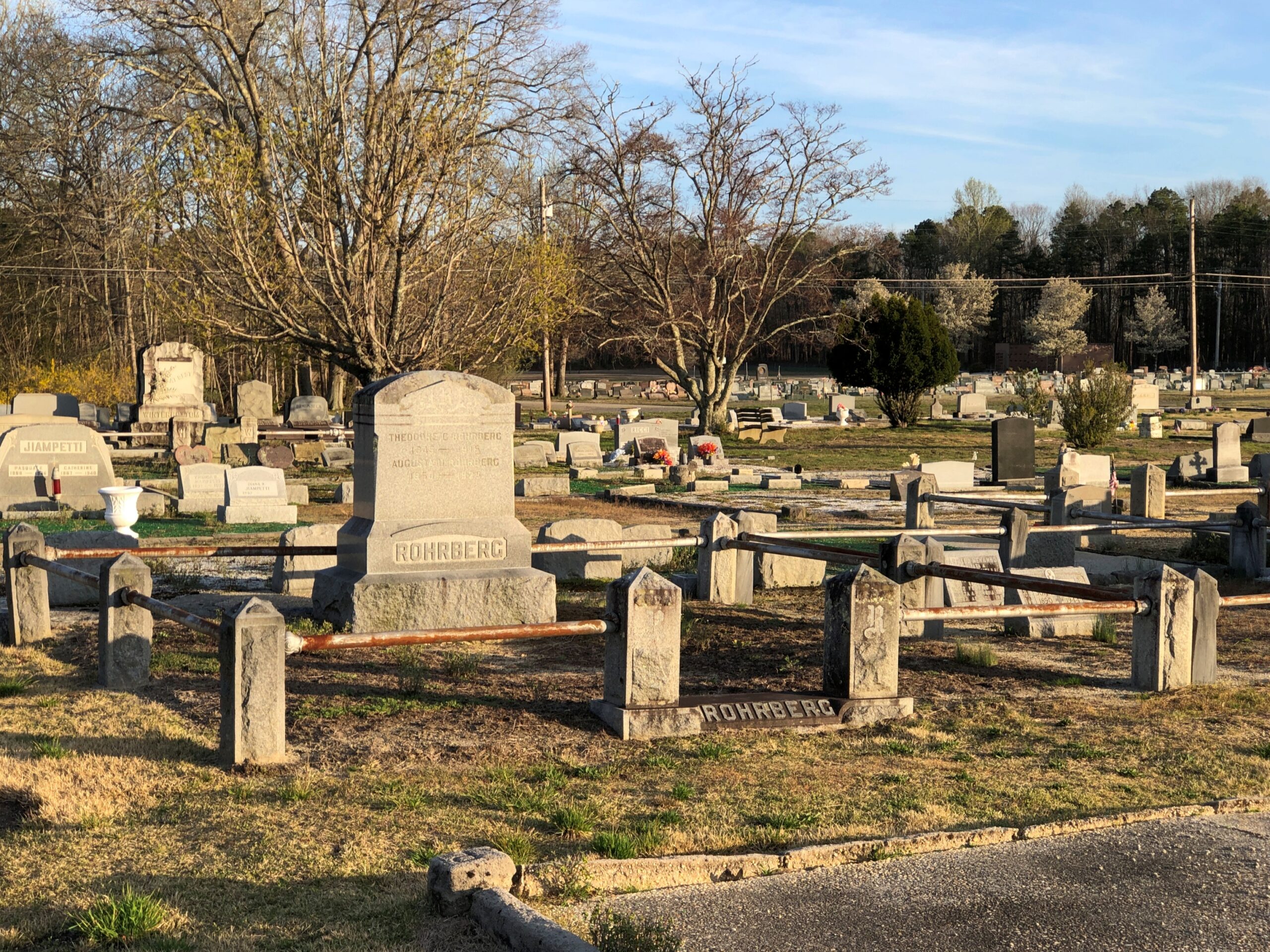
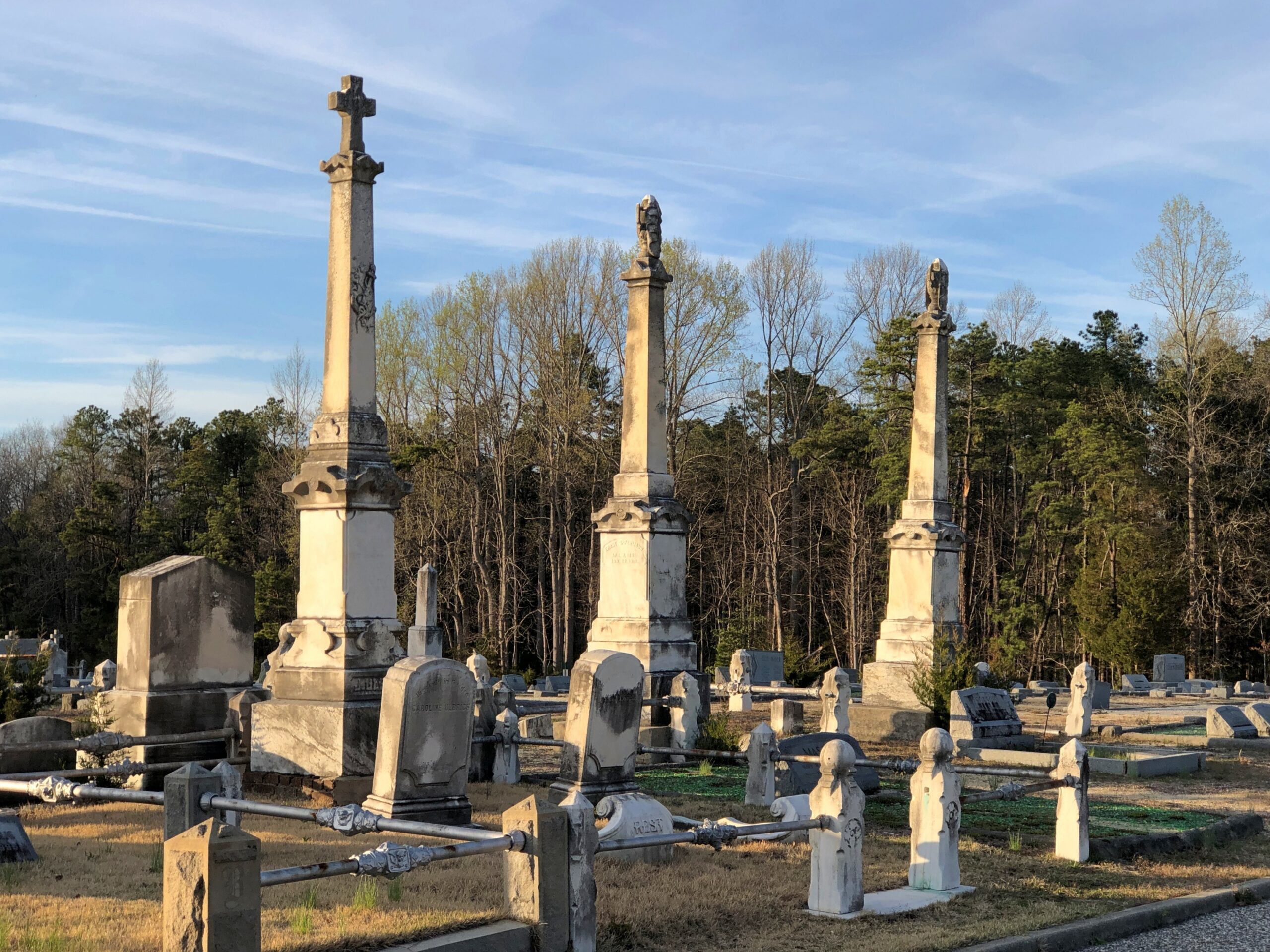
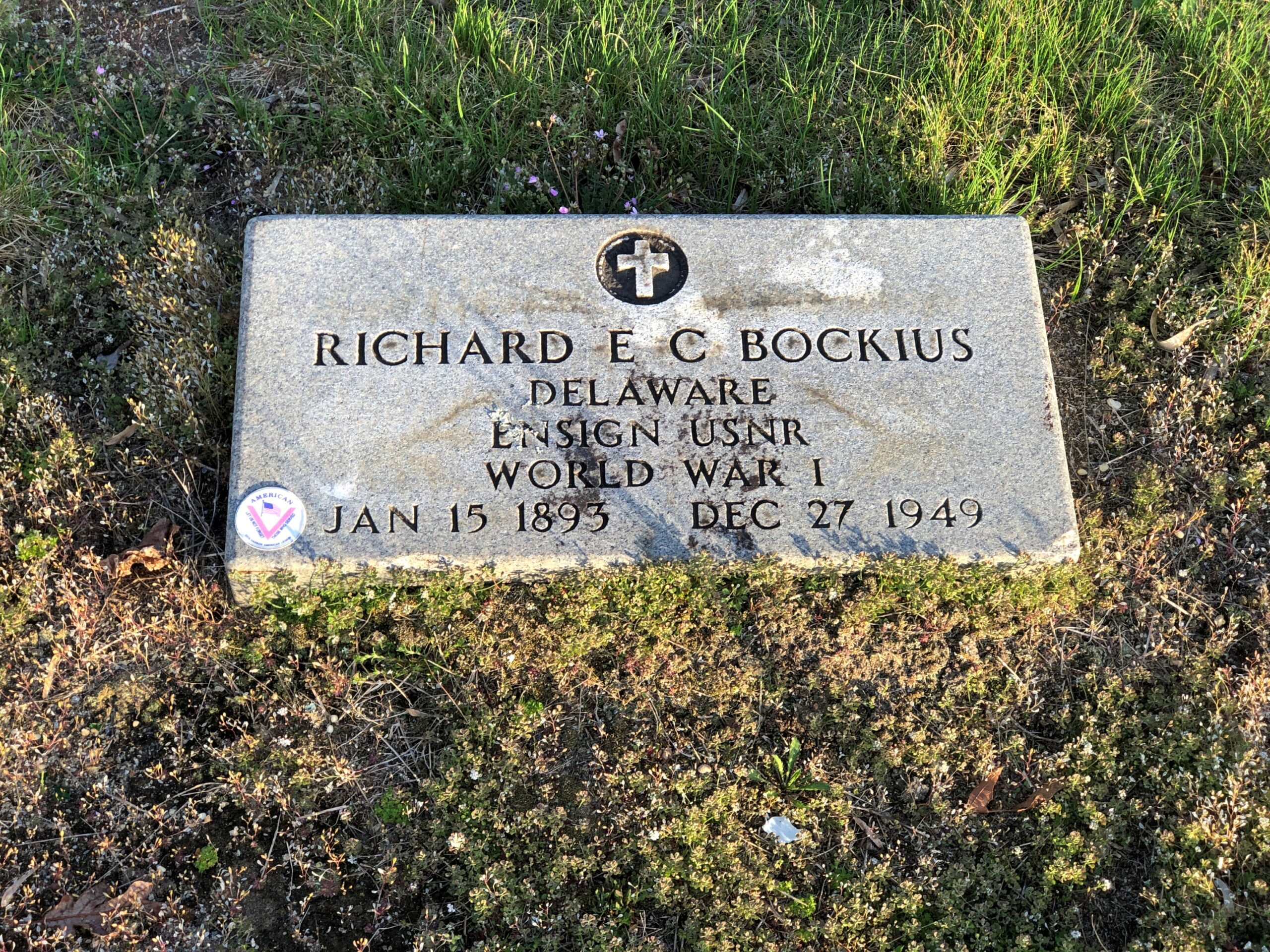
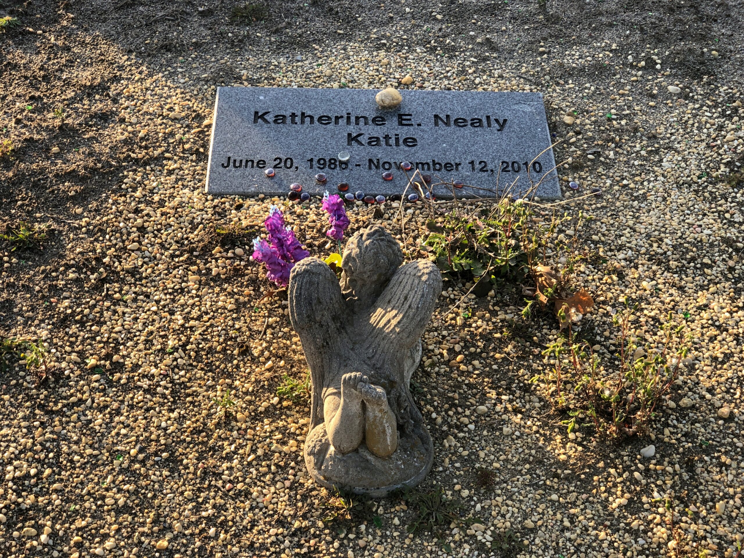
Back in Egg Harbor City (pop. 4,442), I chanced across the Egg Harbor City Cemetery – another reason to leave the GPS inactive most of the time. If the box tells you where to go, you’ll miss minor misdirections that take you to unexpected places.

I’ve come up with my next approach to traversing the Pine Barrens. There will be a next time, provided my health holds out. That’s always a contingency these days, but anyway the approach can’t be as rational as trying to plot oneself on a map, or even follow the directions from a machine.

The region isn’t that large. That is, provided your car is gassed and in good running condition, since walking out of the Pine Barrels, even following surfaced roads, seems like a bad idea unless you’ve prepared yourself to do so. Assuming you drive, pick a direction – say east, toward the morning sun – and head that way, hewing to the direction as much as possible. It won’t be too long before you come to a reliably numbered state or US highway. Or in that case, the Garden State Parkway.

Sounds doable. Unless you encounter the Jersey Devil.

Palestine, Texas

Terrific lightning storm rolled by to the south last night at about 11. Little rain but a prodigious amount of cloud-to-cloud lightning, unlike anything I’ve seen in years. The last time might have been when we were under such a near-rainless storm in North Dakota nearly 20 years ago. After watching in fascination from the back door, I got my phone and recorded about 30 seconds of the spectacle.

As usual, video only conveys a fraction of the visual power of the moment. But, in spite of the channel it’s on, it isn’t AI.

I was curious today which volume of the Encyclopedia Brown books — whose protagonist is a sharp grade-school boy who solves crimes and mysteries — mentioned the town of Palestine, Texas. Even though I grew up in Texas, I’d never heard of the place until I read an EB story in the early ’70s that mentioned a string of places that some international jewel thief was traveling to: Moscow, Odessa, London, Paris, Palestine and Athens. The boy detective determined that the criminal would be in Texas, since those are all places in that state, and especially because “Palestine” is called “Israel” now, as he said.

You might wonder (I do now, anyway) what business an international jewel thief would have in a place like Moscow, Texas (pop. 170) or London, Texas (pop. 180), but never mind. It didn’t take long for me to find a YouTube review of Encyclopedia Brown Keeps the Peace (Book 6, originally published 1969), including the case that mentions the Texas towns. The reviewer takes the book to task, asking “can grade-schoolers be expected to know this information?” No, of course not. They can be expected to learn it, however.

Now I know exactly where I learned about Palestine (Pal-es-TEEN) more than 50 years ago. I didn’t arrive in Palestine in person until this February, on my way to Dallas from Nacogdoches. During my visit, I made the acquaintance of this fellow.

The sculpture is called “Chuggin’ ” (2020), created by Dewane Hughes, a sculpture professor at the University of Texas in Tyler. Railroads are important in the history of Palestine, so much so that one terminus of the Texas State Railroad – a linear state park along a former short line RR – is in the town. The other terminus is in Rusk, about 25 miles away. Not running in February, unfortunately.

“Chuggin’ is near the town’s visitor center, a former RR depot.

Also nearby is “Forging History” (2014) by Dale Montagne, with the base made of three actual rail car wheels.

Parking was easy to find in downtown Palestine, traffic light. Parallel parking was available right across from the splendid Sacred Heart Catholic Church, as it happened, an 1890s creation by Nicholas Clayton, who was most active in Galveston before the hurricane. Originally many of the congregation were workers on the International-Great Northern Railroad Co., which had a major presence in Palestine.

Palestine still has a sizable rail yard south of downtown.

Took a walk around downtown. Like most large towns, or small cities, there is a mixture of ongoing businesses –

— with vacancies.

Got some buildings with really good bones, as it’s been said in the real estate biz.

The Palestine City Cemetery is to the east of downtown, but not very far. Nowhere is that far in town.

City Cemetery, Palestine Texas

The crumble is on.

Something you don’t see that often. Not just the Stars and Bars, but the very first version with seven stars. In the fullness of not much time, six more stars were added.

Unknown CSA soldiers.

I assume United Confederate Veterans, the Southern equivalent of the GAR, placed this stone and those like it.

The cemetery has an impressive number of worn, broken stones, soldiering on through the elements.

Victorian sentiment in stone, said with due respect.

Would that kind of soft decay, the romanticism of stones worn by time and the elements, have appealed to Victorian sensibilities? Could be.

Caddo Mounds State Historic Site

Underfoot, ants went about their business in the red soil.

Fire ants? An expert might know, not me. Could be, considering these ant colonies tunnel under the the grounds of Caddo Mounds State Historic Site in Cherokee County, Texas, not far from Nacogdoches.

People, being proportionally bigger, make larger mounds, but for what we assume are entirely human reasons.

“The Caddo selected this site for a permanent settlement about A.D. 800,” says the Texas Historical Commision. “The alluvial prairie possessed ideal qualities for the establishment of a village and ceremonial center: good sandy loam soil for agriculture, abundant natural food resources in the surrounding forest, and a permanent water source of springs that flowed into the nearby Neches River. From here, the Caddo influenced life in the region for approximately 500 years.”

The historic site is large enough to include a winding trail. On a warm, dry day, a most enjoyable walk.

I can’t say I wasn’t warned, but I blithely ignored the warnings and took my walk. Nothing bad happened. A fair amount of life is like that.

Yarn bombing? Here? Why? It might as well have been done by the ancient Caddos, for all I’m going to get an answer to that.

Of course, that tree is gnarly, literally and in the way Jeff Spicoli used the word. So maybe a good candidate for some yarn.

My drive from the historic site to Palestine, Texas, took me on some ill-marked back roads, but we’re not talking the Sahara, so signed roads eventually appear to alleviate any navigational uncertainty. Near the site on Farm to Market 2907 – walking distance, really – is Weeping Mary, Texas, a hamlet that has gotten more attention that one would think, at least considering its small size (pop. 40). “The community was probably first settled soon after the Civil War by freed slaves from neighboring plantations,” the Texas State Historical Association says.

In our time, Weeping Mary is a small agglomeration of standard and manufactured houses and satellite dishes and cars scattered among tall pines, with the church in there somewhere, and it takes all of half a minute to drive through.

San Augustine & Mission Dolores State Historic Site

From Nacogdoches east to San Augustine, there in the thick of East Texas, is about 20 miles along the highway Texas 21. An excellent drive.

Gary the Builder

Approach San Augustine (pop. 1,920) from the west on the Texas 21, as I did, and you’re certain to notice an unusual wooden structure, as I did.

Roadside America calls it “Major Fun,” and I will say it was a major surprise, since I went to San Augustine knowing very little about the place. RA says: “Gary Brewer, a carpenter, has been adding multi-story decks and spiky wooden things to the outside of his house since 2006. The town has tried to stop him, but the woodwork is all code-compliant. Gary views his house an attraction, and wants people to visit it.”

The tower is at one corner of the county courthouse square. So maybe Mr. Brewer could file the paperwork for his construction by walking across the street. Do you suppose Mr. Brewer the carpenter has a friend named Carpenter who’s a brewer? Possibly.

The rest of the town square shows that many town squares aren’t what they used to be — sporting more than a few vacant storefronts — for all the usual reasons, such as big box retail elsewhere in the county. But businesses cling to life in the courthouse square even so.

Not pictured is the San Augustine Drug Co., a pharmacy near the square, a sizable place that’s more clothes and gift shop than drug store. You can buy ice cream at a counter near one wall. Not quite a classic drug store lunch counter, but distinctive. As I was looking around the store, one of the employees asked if this was my first visit. I told her it was, and she said that first-time visitors receive a cold drink from the counter, no charge. So I sat at the counter and drank a complementary lemon squash, as lemony and delightful as could be.

A Stripling Might Say My Name is the Alternate

A number of the vacant spaces had been recently used as Christmas stores. Even in February, seasonal décor lingered, because why not?

This space wasn’t vacant, exactly, but it was unmarked and its use a little hard to sus. Art space perhaps. The view reminded me of “Texas Sun” for obvious reasons.

There were ghost signs, which isn’t unusual. More unusual is Stripling’s on a building. I have to take an interest in that, an alternate of my name.

“The original town well was dug by slaves on this site in 1860, and a saloon was built over it in 1891,”says the Society of Architectural Historians. “The First National Bank acquired the property, filled in the well, and commissioned this building. Raif Stripling purchased the building several years later and reopened the well as a tourist attraction. In 2003, the San Augustine Historical Foundation bought the property, which is now operated as a gift shop. The entrance canopy’s curious pediment with miniature triglyphs was added to his father’s building by Raiford Stripling.”

You never know what a building has to say.

The Spanish Brought Horses & Frisbee Golf

Not far away from the courthouse, half a mile or so south on US 96, is Mission Delores State Historic Site. Once upon a time, but not for that long, Mission Nuestra Señora De Los Dolores De Los Ais was there.

Mission Dolores has a name that evokes the stone relics of a backwater from the Spanish conquest of the Americas, but I’ve got bad news: the mission seems to have been built of wood, a material not known for durability across the centuries. Modern wooden poles ring part of the site, but otherwise you’ve got to bring a lot of historical imagination to the place.

The actual site wasn’t known until late 20th century archaeology confirmed the location, part of which was destroyed by the building of the highway. The modern state historic site grounds extend far enough to offer a pleasant walk, provided the weather is pleasant, as it was that day.

Gashes in the earth run through the wooded grounds.

They’re something like the ghost signs – ghost trails, you might call them, carved by horses and wagons and Indians and Spaniards and, remarkably, not yet lost to time.

Also part of the park: a Frisbee golf course.

An homage to the fact that the Spanish brought the sport to the Americas as surely as smallpox and horses. If you tell people that with some conviction, wonder how many would believe it?

Bastrop, Texas

Consider Philip Hendrik Nering Bögel, an 18th-century Dutchman who at one point in his career was collector general of taxes for the province of Friesland. The Texas State Historical Association takes up his story: “In 1793 he was accused of embezzlement of tax funds and fled the country before he could be brought to trial. After the Court of Justice of Leeuwarden offered a reward of 1,000 gold ducats to anyone who brought him back, Bögel adopted the title Baron de Bastrop.”

Those were the days, no Interpol butting into your business. No one ever collected those gold ducats, because the self-titled Baron de Bastrop spent the rest of his days in the New World, doing well for himself in New Spain and then Mexico, dying in 1827.

“One of his most significant contributions to Texas was his intercession with Governor Antonio María Martínez on behalf of Moses Austin in 1820,” TSHS continues. “Because of Bastrop, Martínez reconsidered and approved Austin’s project to establish an Anglo-American colony in Texas… Although his pretensions to nobility were not universally accepted at face value even in his own lifetime, [Bastrop] earned respect as a diplomat and legislator. Bastrop, Texas, and Bastrop, Louisiana, as well as Bastrop County, Texas, were named in his honor.”

Reminds me of the psychologically astute moment (one of a number) in Mad Men, when Bert brushed off Pete’s accusation that Don had stolen another man’s identity – which happened to be true – with, “Mr. Campbell, who cares?” Bert also quoted a supposed Japanese saying, “A man is whatever room he is in.” Give credit to the scriptwriter for inventing a saying that could well be Japanese, but apparently is not.

Bastrop’s location was an important spot, once upon a time, where the Old San Antonio Road met the Colorado River.

These days, Bastrop (pop. 9,600 or so) is only a short hop by modern vehicle from Austin or San Antonio. Day-trip material from those metros, that is. That was probably true the last time I visited Bastrop, sometime in the late ’80s, but maybe not with the same retail intensity you find near the intersection of Main and Chestnut in 2026.

This part of town has a good stock of late 19th- and early 20th-century buildings. Pleases the eye, pleases the day-trippers.

Around Main and Chestnut, you’ll see Paw Paws Catfish House, Simply Sweet Cupcakes, Bastrop Beer Company, flower designer Greenleaf Gatherings, Urban Beauty Bastrop, the Hobby Hub trading card store, another trading card store called Game Time Cards, DivineLites Soap Shop, Lost Pines Art Bazaar rug store, In The Sticks–Eclectic Gifts and More, Rhinestone Rattler Boutique, Monarch Art Gallery and Main Street Yoga Bastrop. A partial list. The town seems to be doing OK.

Looks like a newer building. The architect did a good job of blending it into its surroundings.

Plenty of these.

Advertising.

Not far from Main St. and next to the aforepictured Bastrop County courthouse is the old county jail.

In 1979, nearby Bastrop State Park, not the town itself, was the scene of Pine Cone Wars, Midnight Backgammon and our slightly older “chaperons” who holed up in a separate tent much of the time to make the beast with two backs. The youthful antics of two successive camping trips with high school friends that spring are something of a blur now, but a pleasant one.

Three Missouri Museums Along the Way

At least a foot of snow covers the ground outside, so it’s good to be inside. Winter has fully returned, but at least the early part, when the holidays are yet to come, and not the post-New Year grind of January or the interminable days of February, the alleged shortest month.

Thanksgiving was low key. I expect that’s actually true for most people, however many anecdotes there are about fractious Thanksgivings. Low key doesn’t get into sitcoms or in real or made-up tales on a Thanksgivingishell subreddit.

Back to posting after Christmas, maybe the first Sunday after. Got a lot to do before then.

One more note about Kansas City in September. Besides the World War I Museum and Memorial, there was one more place I wanted to be during my visit: Arthur Byrant’s, for the barbecue I remembered so fondly from the late 1990s. Good ‘cue has sustained AB long after the pitmaster of that name died in 1982.

Kansas City

I’d go again.

After I left KC, I headed not too far northeast to the Jesse James Birthplace Museum.

The birthplace museum, like the house, isn’t a large place, but it does convey some of the life and times of the famed outlaw, with some good artifacts and reading. Posters, too. I hadn’t realized that Jesse James was a character in the very last Three Stooges theatrical release, The Outlaws is Coming (1965), but there was the poster, along with ones advertising better-known biopics or Jesse James-adjacent movies. Somehow I missed that Stooges picture on TV as an impressionable kid, though I saw the likes of The Three Stooges Meet Hercules.

Jesse used to be buried at the homestead.

But at some point he was moved to Mount Olivet Cemetery in nearby Kearney, Missouri. Jesse receives rocks and flowers and coins from visitors 140+ years after his assassination by the Coward Robert Ford (“coward” capitalized, because the word is welded to his name in popular memory). As for Jesse, not a bad posthumous haul for a train robber.

Just as an example, do the Newton Boys get that kind of attention? No, they do not.

“The Newton boys were a criminal gang composed of brothers Willis, Joe, Jess and Wylie (Doc), who operated mostly in Texas during the 1920s,” says Texas State Historical Association. “Willis ‘Skinny’ Newton robbed over eighty banks and six trains from Texas to Canada with his brothers and other outlaws, including the single biggest train robbery in United States history. By the time they were captured, they may have stolen more money than all other outlaws at that time combined.”

I liked Mount Olivet. Got some stones of yore.

Aunt Duck had to have been a character.

Further east, along U.S. 36 in Hamilton, Missouri, is the two-roomed JC Penney Library and Museum. The town library is in one room, the museum in the other. Most of the Penney artifacts are under glass. A wax JC Penney stands in front of a portrait of the department store mogul.

In Laclede, Missouri, is the Gen. John J. Pershing Boyhood Home State Historic Site. A fine museum about the General of the Armies, including an exhibit on something unknown to me, the Twenty-Fifth Infantry Bicycle Corps — the Iron Riders. The Army tested long-distance bicycling in 1897 as a strategy for troop movement, with the corps riding from Missoula, Montana to St. Louis. Pershing wasn’t involved in that effort, but it did happen during his time in the military. Quite a story. Deserves to be better known.

One the last day of my driving, I didn’t want to stop for much, but I did spend a while in Nauvoo, Illinois.

There’s a LDS temple there now. It wasn’t the last time I came this way, in 1997. I couldn’t go in, of course. For that you’d have to join the club.

Kansas Mud (Or, Three Places in Kansas I Had Practically to Myself)

I returned home from Colorado via Kansas, heading eastward from Colorado Springs on September 22. I took this is a sign that day that I had, in fact, reached the western border of Kansas, created at the time of statehood in 1861.

An 1855 map of “Kanzas” and Nebraska.

It would be cool if the spelling Kanzas had caught on. As it stands, “z” is used only once in all the state names, in Arizona.

The current Colorado-Kansas border is fairly close to 102 degrees West of the prime meridian, but actually follows 25 degrees West of the meridian that once cut through the Old Naval Observatory in Washington, DC, as fixed in 1850, assuming the initial surveys out in remote Kansas-Nebraska were accurate. Until later in the 19th century, and not officially until 1912, it seems the U.S. wasn’t having that limey prime meridian; or the froggy one through Paris. (And I was amused to read that for a long time the French referred to Greenwich Mean Time as “Paris mean time, retarded by 9 minutes and 21 seconds.”)

I spent my first full day in Kansas seeking out obscure sights. In western Kansas, there really aren’t any other kind.

Site of the Battle of Punished Woman’s Fork (Battle Canyon)

Serendipity on the road is your friend, if you let it be. That is, pay attention to signs. Driving north on the 23rd from Scott City, Kansas, on the highway US 83 – on which you could drive to Brownsville, Texas, if you had a mind to – I saw a small sign directing me to a battlefield of the Indian Wars, in this case the last skirmish between Natives and the U.S. Army within the borders of Kansas: the Battle of Punished Woman’s Fork.

This isn’t the sign I saw, but rather another one at a fork in the road, pointing the way to the battlefield, down an unpaved road.

Battle Canyon, Kansas

Unhappy at being forced to live in Oklahoma, 350 or so Cheyenne headed north toward Montana in 1878. The U.S. Army gave pursuit and the two sides fought inconclusively at a lonely spot in Scott County. Lonely then, lonely now.

Battle Canyon, Kansas

But not so remote that there isn’t a monument, with exposition.

Battle Canyon, Kansas

The Cheyenne acquitted themselves well in the skirmish, and while they lost horses and food, were able to escape northward. Eventually some of the group – but not all – did indeed make it to Montana, and were able to stay. The incident is known as the Northern Cheyenne Exodus.

El Cuartelejo

I quote the following at length, because it’s well written, and also happens to be public domain material, published by the National Park Service. Read it while it’s still posted.

[El Cuartelejo] is one of the key sites indicating the far-reaching expansion of Spain beyond New Mexico and her interest in the Great Plains. It consists of the ruins of a seven-room, stone Puebloan structure, probably built by a group of Picuris Indians who in 1696 emigrated from New Mexico to live with the Cuartelejo Apaches. As early as the 1660s, friction between the Pueblo Indians of New Mexico and the Spanish rulers and priests had caused groups of Indians to migrate to El Cuartelejo.

Spanish expeditions under Archuleta (pre-1680 Pueblo Revolt) and Ulibarri (1706) probably came to El Cuartelejo to return groups of Indians to New Mexico. In 1719, Governor Valverde led an expedition northeast from Santa Fe, visited the Cuartelejo Apaches, and learned from them of French penetration into the Plains. As a result, in 1720, the Spanish sent out the Villasur expedition, which passed through El Cuartelejo but was destroyed later by the Pawnees in Nebraska.

Archeological excavation of the site has produced only a few artifacts of Southwestern origin. The pueblo ruin and its typically Southwestern appurtenances — slab-lined hearths, grinding trough, oven, and the like — were directly associated with a material culture complex that was almost entirely Plains Apache. Either the Puebloans stayed in the area only a short time, or they readily adapted themselves to the everyday implements and utensils of the local residents.

I didn’t know all that detail when I decided to go to El Cuartelego. Just that it was the northern- and eastern-most pueblo, which was enough.

El Cuartelejo, Kansas

The site is within Lake Scott State Park, where I had considered camping the night before. My earlier camping experience on the trip, in Nebraska, while not terrible, was exhausting enough to put me off the idea. No more camping, I think, where I have to do absolutely everything myself. In any case, it was a good decision, since on the night of the 22nd, a sizable rainstorm blew through Scott County. I listened to the storm with some satisfaction in my rented room in Scott City.

The ruins.

El Cuartelejo, Kansas

More exposition.

El Cuartelejo, Kansas

Like at the battlefield, I had the place to myself.

Monument Rocks

During the planning for the trip, which naturally meant quality time with maps, I spotted a point-of-interest for Monument Rocks in western Kansas. Sounded interesting, and on September 23 I made the trip, again on unpaved roads. The rain the night before made the driving surface a little dodgy, but the roads, layered with gravel, were generally up to the task. I was rewarded with the sight of rocks that are, in fact, pretty monumental.

Monument Rocks, Kansas

I didn’t quite have the place to myself. When I arrived, another car was there, occupied by an older couple. They left, and soon after that, two young men appeared in an SUV. But that was all.

Washburn U. in Topeka tells us: West of Castle Rock area in Gove County, Kansas, erosion has carved these chalk pyramids from what was once the floor of a vast inland sea. Also called Monument Rocks, this site is the first natural landmark chosen by the US Dept. of the Interior as a National Natural Landmark. This landmark in on private land. The owners are generous to share this site with the public. Treat it with respect.

This limestone was once the floor of a great inland sea, existing some 80 million years ago. The sea dried away over time and the rock was carved by elements of nature to create these formations, which now stretch up to 70 feet in height.

The rain the night before had also made mud all around the rocks. I should have taken the time to put on my better shoes for a walk near the rocks, but no. While making my way through the muck, I lost traction, and down I went, on my butt. Luckily, the soft mud cushioned the fall, which was more of a slide anyway, so I wasn’t even bruised.

The back of my pants were, however, coated with sticky, yellowish Kansas mud. So standing outside my car, I changed my pants. The two other visitors were in another part of the site by that time, so no one was around for the unwelcome spectacle. My shoes were covered with mud too, so much so that even a good soaking when I got home didn’t get it all off. When I wear those shoes now, I take a bit of Kansas with me.

Volo Bog State Natural Area

Not a sign that you see very often.Volo Bog

Unless you visit Volo Bog State Natural Area often. It is “the only open-water quaking bog in Illinois,” according to the Illinois DNR, and I’m inclined to believe it, though sad to say my grasp of the scientific difference between a bog, marsh and a swamp is weak. Still, as a pleasant spring day, we figured Sunday was a good time to re-visit the bog, up northwest, about a 45-minute drive.Volo Bog

It had been a while. But I can say that the trail still wobbles a bit, which still takes a few minutes’ getting used to.Volo Bog Volo Bog Volo Bog

” ‘It’s moving,’ I heard either Lilly or Rachel say ahead of me, since they were first to reach the trail, which is a boardwalk over the bog,” I wrote in May 2010. “The boardwalk’s wobble is a little unnerving at first, but before long you get used to it. For anyone over about three years old, anyone who is sober anyway, the danger of pitching into the bog is pretty low.”

It’s moist down there. I’d expect no less of a bog. I know that much, anyway.Volo Bog Volo Bog Volo Bog

Formed in an ancient glacial kettle hole lake, Volo Bog features a floating mat of sphagnum moss, cattails and sedges surrounding the open pool of water in the center of the bog,” the DNR says. “Further from the open water, the mat thickens enough to even support floating trees!”

The open pool. exuberant  exuberant

The public land at Volo Bog includes more than just the bog. A path loops around the property in parts that are a little less sloshy underfoot.Volo Bog State Natural Area

It takes a while, but when the full flush of spring comes to the North, it’s exuberant.Volo Bog State Natural Area

A modest but elegant building, a barn homage, houses the visitor center. Closed.Volo Bog State Natural Area Volo Bog State Natural Area

Bird apartments. Or maybe bats.Volo Bog State Natural Area

Tip of the hat (if I had a hat) to the Nature Conservancy, whose actions in the late ’50s preserved the bog. The organization has done the same for 119 million acres of land over six decades, E&E News reports, citing the organization itself.

Pinery & Sauble Falls Provincial Parks

One provincial park on the way north last Tuesday, one more on the way south a two days later: Pinery and Sauble Falls, respectively.

Pinery Provincial Park hugs the shore of Lake Huron far south of the Bruce Peninsula and includes wooded areas with trails and a wide beach.Pinery PP

Park literature says the woodlands are an oak savanna, the largest remaining patch in Ontario. Still mostly green when we passed thorough, with touches of fall.Pinery PP Pinery PP Pinery PP

The woodland trails pass by the Old Ausable Channel. Still and punctuated by lily pads and green algae.Pinery PP Pinery PP Pinery PP

The Ausable River once ran here, and then on into Lake Huron, but irrigation and other civil engineering projects, back when this part of Canada was being developed for agriculture, changed the course of the river, isolating this stretch. As its recreational value became apparent by the time the park was created in the 1950s, further engineering adjustments were made to ensure it doesn’t dry up all together.

The beach was easy to reach and nearly (but not quite) empty. That’s October for you, but if you asked me, that’s a good time to visit a beach.Pinery PP Pinery PP Pinery PP

Ah.Pinery PP

Soon we notice ladybugs everywhere on the beach.Pinery PP

As insect hordes go, that’s a pretty agreeable one. Still, I’ve been on a lot of beaches and never encountered that. Though not cold, it wasn’t exactly warm, and the bugs barely moved, preferring to cluster together. Later, at the visitor center, I mentioned the bug horde (not using that word) to one of the workers, who had never heard of such a thing either. So maybe it’s just a freak at Pinery, not the beginning of a movement of coccinellidae famed among entomologists, or something.

Much further north, in fact at the southern edge of the Bruce Peninsula, is Sauble Falls Provincial Park.Sauble Falls PP

It wasn’t busy, mostly occupied by a few retiree fishermen looking for a catch in the Sauble River below the falls. The trails in the park are short, mostly providing views of the low falls.Sauble Falls PP

Once upon a time, the river supported a lumber mill, and a small town grew around it. Only small traces of any of that remain, such as part of a concrete raceway.Sauble Falls PP

I expected a little more color on the Bruce Peninsula, but we were a little ahead of peak. At Sauble Falls, peak was closer.Sauble Falls PP Sauble Falls PP Sauble Falls PP

You’d think that fall colors would get old. We see it every year. But it never does.

Sarnia to Tobermory

Fairly early on the morning of October 8, this sign got my attention.Sarnia

It’s hard to know whether that’s a gracious gesture on the part of the City of Sarnia, Ontario, or a mild example of Northern nanny state-ism — the difference between you’re welcome to scatter here vs. you can only scatter in permitted places. But it was also good to know that we had the option, if we happened to have any ashes with us.

For all I know, people are scattered here often, and it certainty would be harmless compared to a lot of chemicals that have gone into the St. Clair River around Sarnia over the years. After all, this the home of the Sarnia Blob, an example of industrial pollution so epic that it has its own name.

That morning, after a modest breakfast and checking out of our room only a few blocks away, we went to take a look at Point Lands, a Sarnia municipal park on the St. Clair. Beyond the cremation sign is a view of Port Huron, Michigan, U.S. industrial twin of the Canadian industrial town of Sarnia.Sarnia

Almost 40 years ago, Dow Chemical managed to spill over 2,900 gallons of perchlorethylene, a dry-cleaning solvent, with more than 520 gallons of that oozing into the St. Clair. That combined with God knows what else to form a massive a tar blob. The river at this point is home to much of Canada’s chemical and petrochemical industry, and let’s say the attitude about chemicals in the water in most decades of the 20th century was a mite lax.

The dark mass settled, submerged on the riverbed. Before long it was found by divers, and eventually its high toxicity became a major environmental news story. Something like the burning of the Cuyahoga River, though with Canadian reserve compared to the brashness of the American fire. They say since then the St. Clair, like the Cuyahoga, has been remediated, but I’m not taking a dip.

If word of the chemical waste blob got to me in far-off Nashville in 1985, I’ve long forgotten. Later Dow Chemical bugged out of Sarna, but not before commissioning a model of the Great Lakes in concrete in this park.Sarnia Sarnia Sarnia

Including a model of Niagara Falls.Sarnia

Up the coast from Sarnia, we bought gasoline from the Kettle & Stony Point Gas & Convenience, which I assume is owned and operated by members of the Kettle & Stony Point First Nation. It was a full-service gas station, with a fellow asking how much I wanted and then pumping it in (fill ‘er up). I couldn’t tell you the last time I ran across that, but it’s been decades. Also, its prices were about 10 cents a liter cheaper than other stations around there, making for an all-around good retail experience.

Near the station, the tribal water tower.Ontario 21

At this point we were traveling on highway King’s Highway 21 (Ontario 21, as far as I’m concerned), a two-lane blacktop that mostly follows the Lake Huron shore. On that shore is Pinery Provincial Park, a 6,260-acre stretch of beach and oak savanna. For us, it meant easy hiking in the forest and walking on the beach, so we spent a few hours there.

That kind of exercise inspired a quest for a latish lunch, which we found at the Out of the Blue Seafood Market in the town of Bayfield, feasting on Lake Huron whitefish fish & chips in the nondescript shop. The road food ideal: delicious, local, inexpensive and found completely by chance.

Ontario 21 was often a pleasant drive, though passing through well-populated areas meant slow going sometimes. The road wasn’t exactly crowded, but busy enough to be a little tiring. Only a little. Mostly we crossed farmland. Grain fields, the likes of barley, sorghum and oats, I understand, eventually gave way to cattle fields and woods and wetlands.

The wind had kicked into high gear by later in the afternoon, when we got to Kincardine. Formerly illuminating the harbor is a lighthouse, a late 19th-century creation.Kincardine. Kincardine.

Another story I learned, facing the lake at Kincardine: one about a Canadian member of the First Special Service Force.1st Special Service Force 1st Special Service Force

Later, we connected with Ontario 6, which is quite the road, and took it north on the Bruce Peninsula proper to Tobermony. Settlement got sparser and sparser the further north we went.

The northern section of Ontario 6 is connected to the southern section by a large ferry  docking at Tobermory; we saw it loading the next morning, which naturally led to musings. On to Manitoulin Island? Up from there to connect on the mainland with the Trans-Canada Highway into Sault St. Marie?

Not this time. But you know how it goes: distant roads are calling me. Except that they’re not actually that distant.