How I Learned Michael Landon Didn’t Look Much Like Charles Ingalls

Because of our drive through southern Missouri on April 6, first on Missouri 32, then U.S. 63 and U.S. 60, generally trending west but also somewhat south, I’ve learned a few things.

One, there’s a crater on Venus named after Laura Ingalls Wilder, which is mentioned in passing here and confirmed by the USGS.

All features on that planet are named after females, real or fictional. Specifically, according to the IAU, craters are named for “women who have made outstanding or fundamental contributions to their field (over 20 km); common female first names (under 20 km).” I assume the measurements refer to diameter.

This page on planetary nomenclature is fascinating stuff, as far as I’m concerned. Dig down a little deeper, and you’ll find 900 Venusian crater names, from Abigail (the name) and Abington (actress Francis Abington) to Zurka (gypsy first name) and Zbereva (aviator Lidiya Zvereva, d. 1916). With a death date like that, I’d assume a flying accident, but no: typhoid fever.

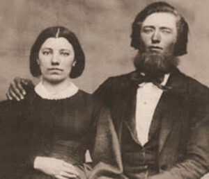
Also, I learned that Michael Landon, who portrayed Laura Ingalls Wilder’s father on TV, doesn’t look much like the man, Charles Ingalls. I can see that for myself, as he’s pictured with his wife Caroline here.

If it had been up to me, Landon would have at least sported a beard like Chas. Ingalls’. I don’t know whether that would have made Little House on the Prairie a better show, but it couldn’t have hurt.

The drive wasn’t quite car commercial driving. There was some traffic, and while the spring green woods and flowering patches of Mark Twain National Forest and the farms and businesses and churches and small-town buildings of southern Missouri offered pleasant enough scenery (and a favorite town name: Cabool), it wasn’t a Class A two-lane drive, as we would experience later, in Arkansas.

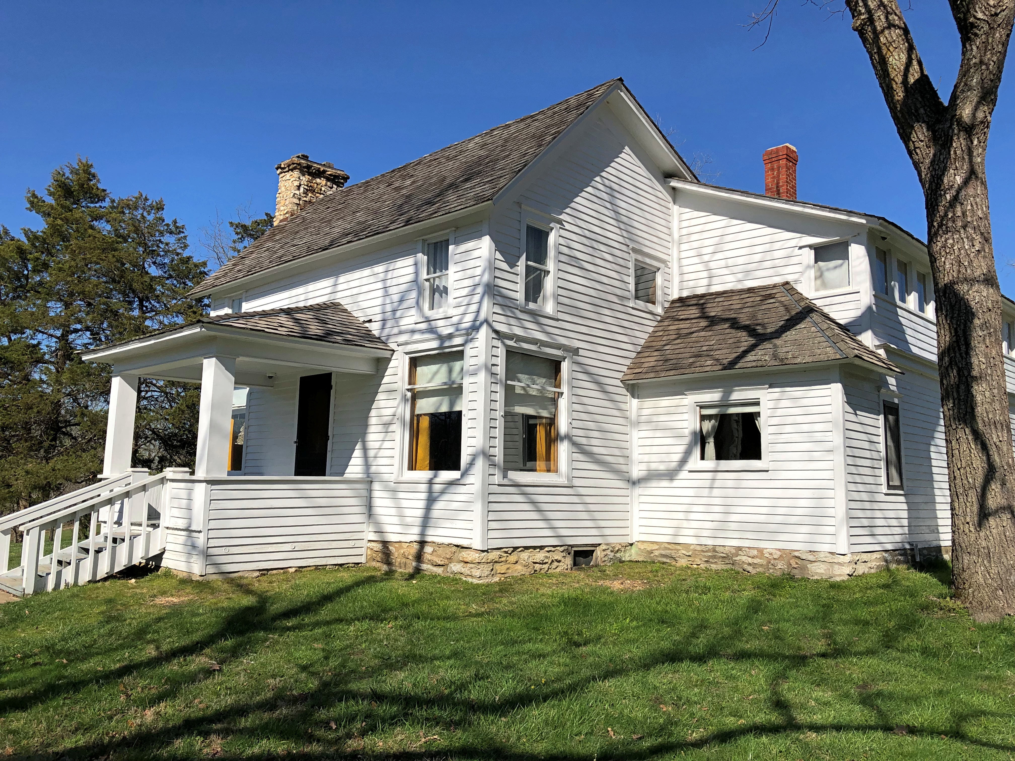
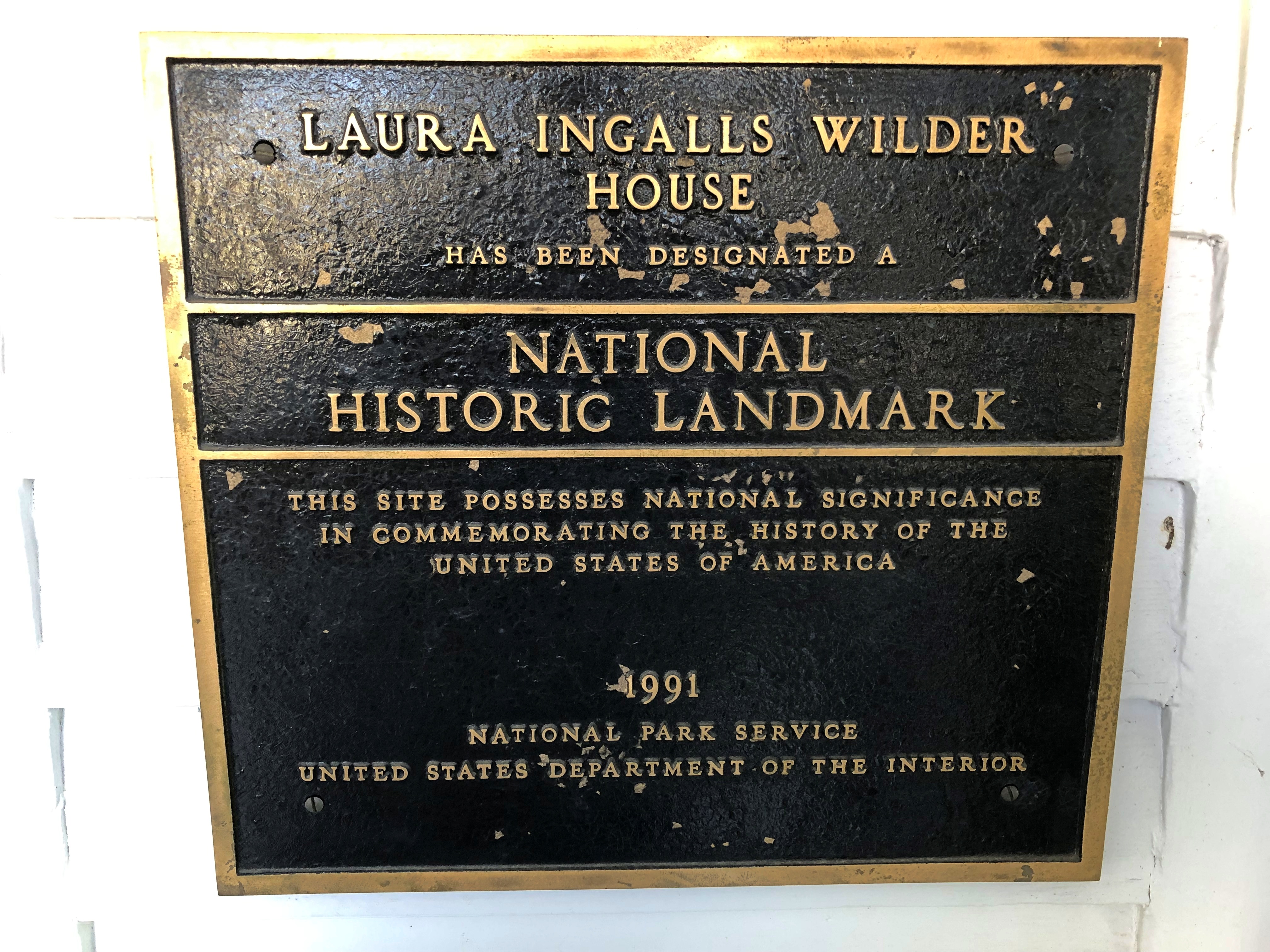
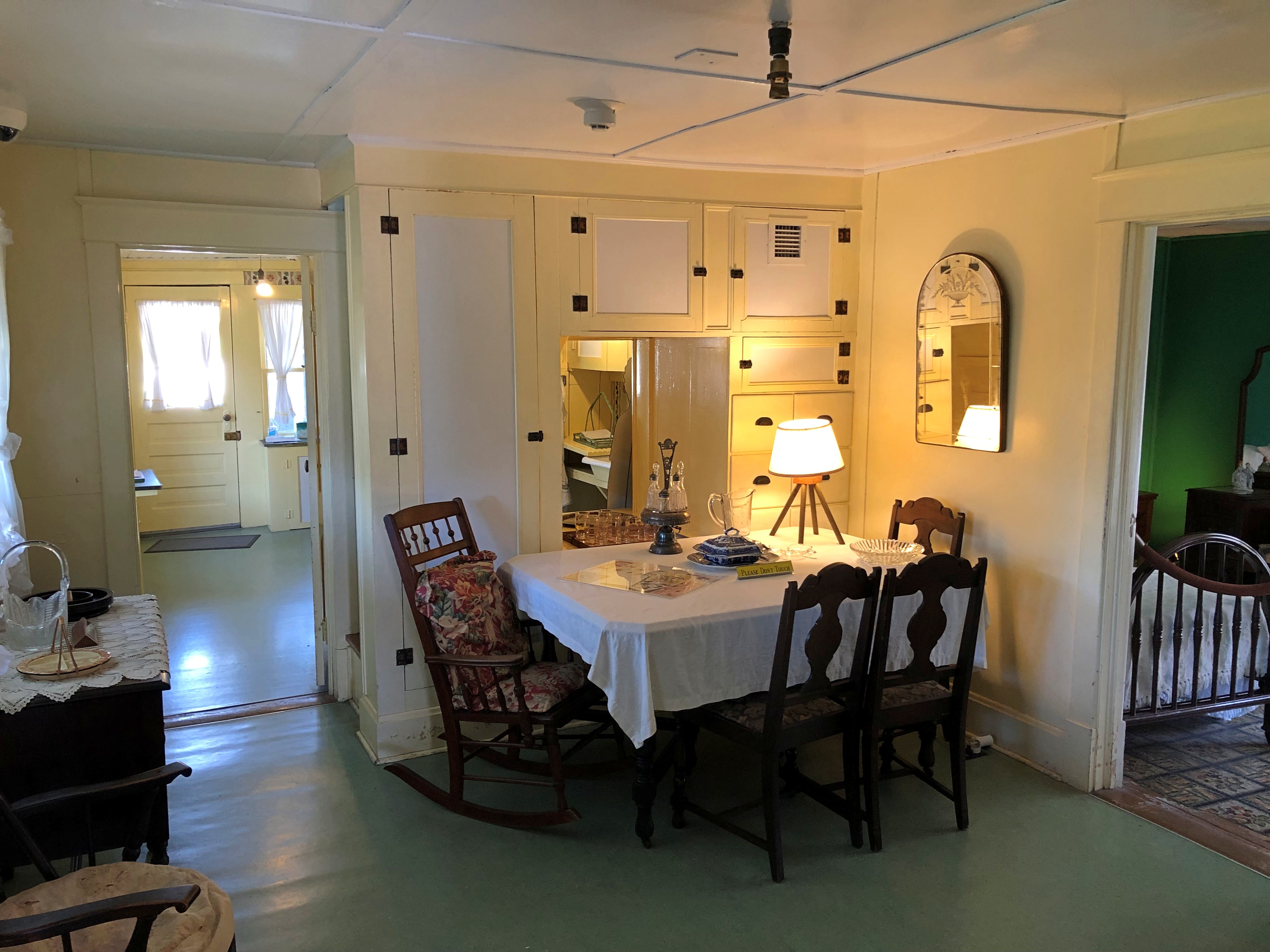
Late in the afternoon, we came to the Laura Ingalls Wilder Historic Home and Museum, near U.S. 60 as it passes through Mansfield, Mo., and we were just in time to catch the last tour of the day. That’s what ultimately turned my attention to Venusian craters, 19th-century beards, etc.Laura Ingalls Wilder home Laura Ingalls Wilder home

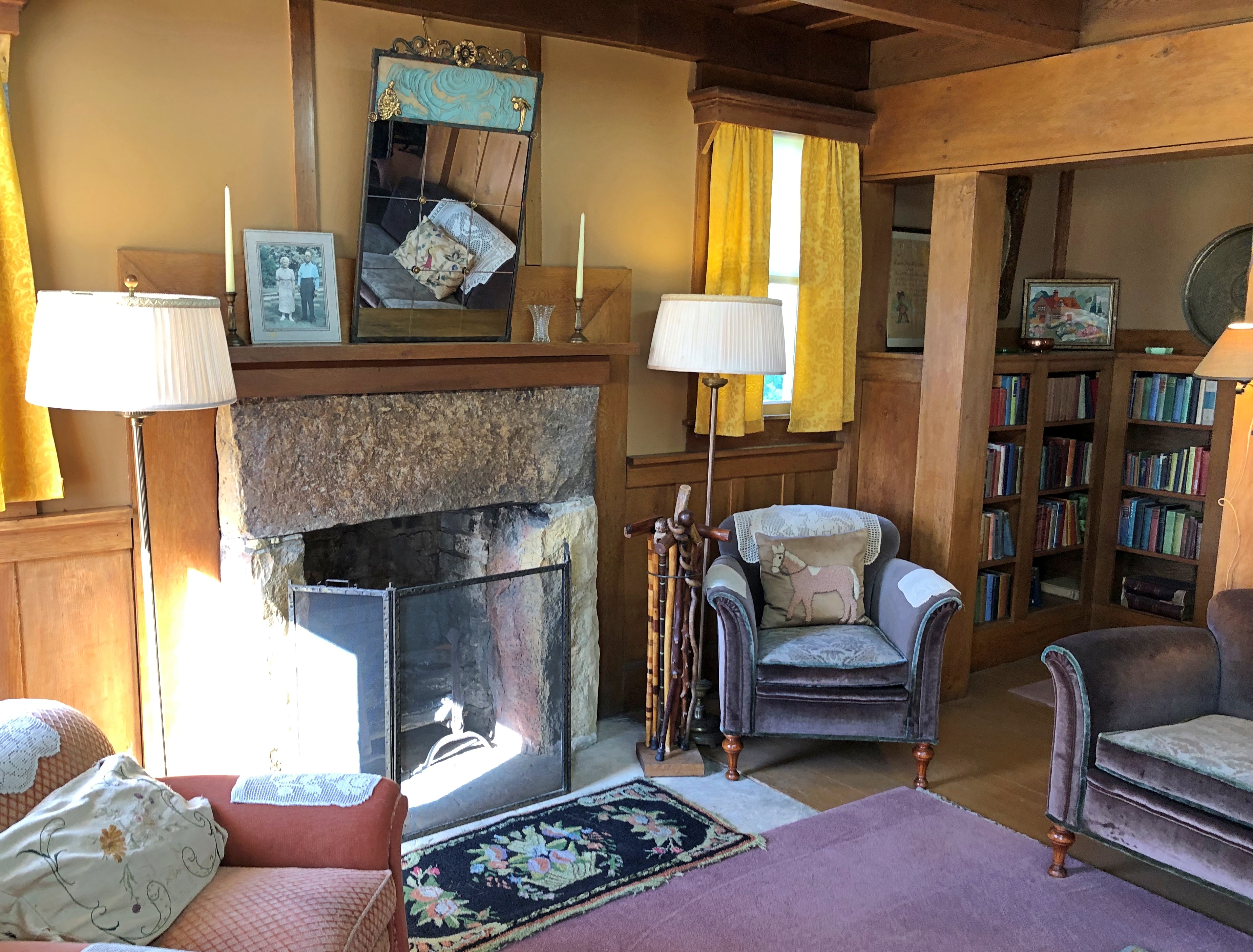
Not bad for an essentially self-built house – mostly by Wilder’s husband, Almanzo Wilder. She lived until 1957, for many years at this house, and could afford comfortable furnishings later in life.Laura Ingalls Wilder home Laura Ingalls Wilder home

Though the colors and styles were different, the living room nevertheless reminded me of my grandparents’ home in San Antonio. It had a similar old-folks-in-mid-century feeling somehow.

Elephant Rocks State Park

When planning our not-quite-direct drive to Dallas, I figured we’d have time for one Missouri state park on the morning of April 6, before heading west and south slightly into Arkansas for the night. But which one in SE Mo.?

Such excellent names: Taum Sauk Mountain State Park, Johnson’s Shut-Ins State Park and Elephant Rocks State Park. In the end, we went with Elephant Rocks, and on a Saturday, the place was popular but not overrun. Mostly, I figure, day-trippers from St. Louis out with their small children and dogs, all of whom need walking (as I can attest from experience). The park also offered the open-air pleasures of picnicking, especially on a warm spring day ahead of full-blown mosquito season, in which we ourselves partook.

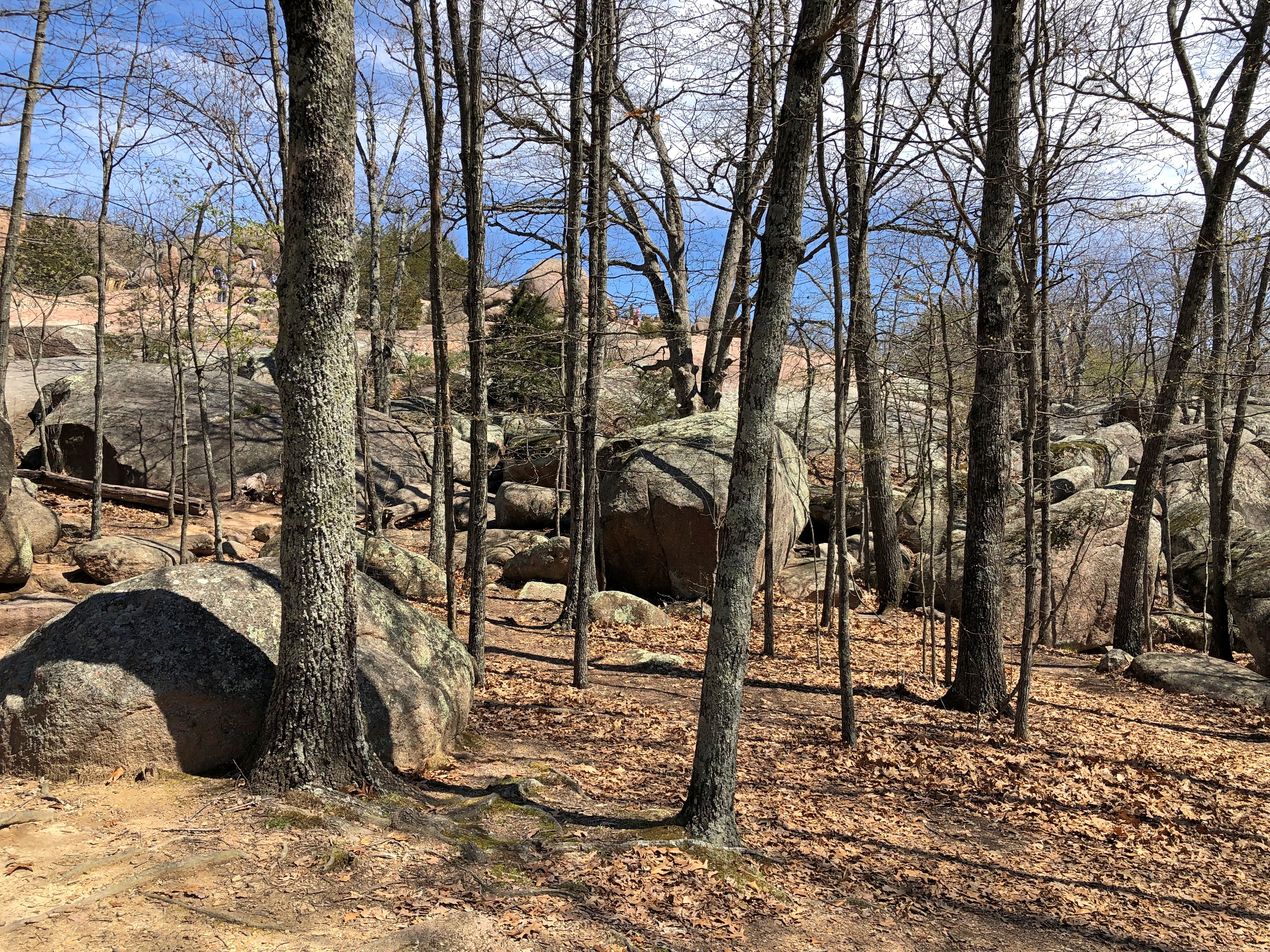
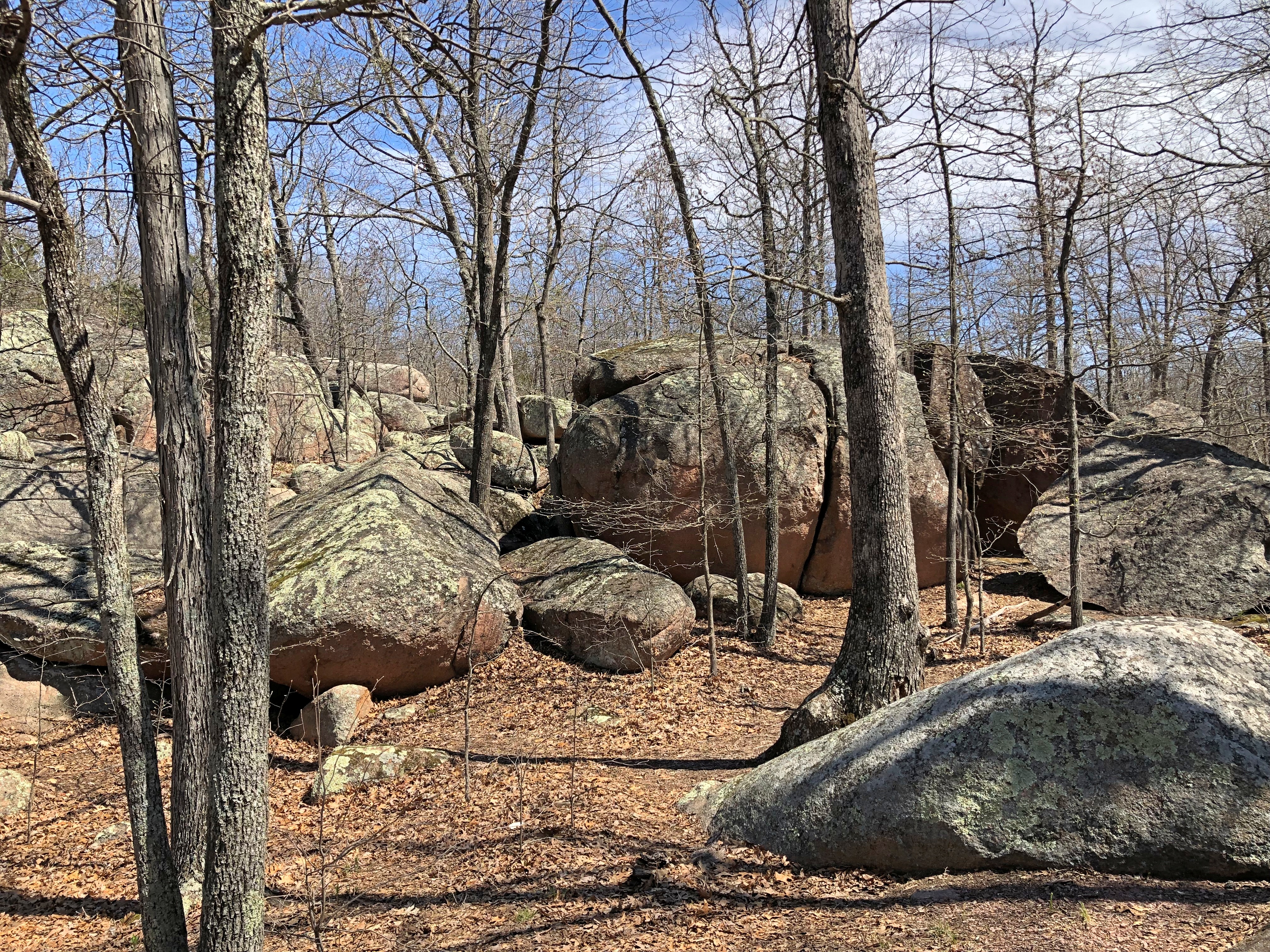
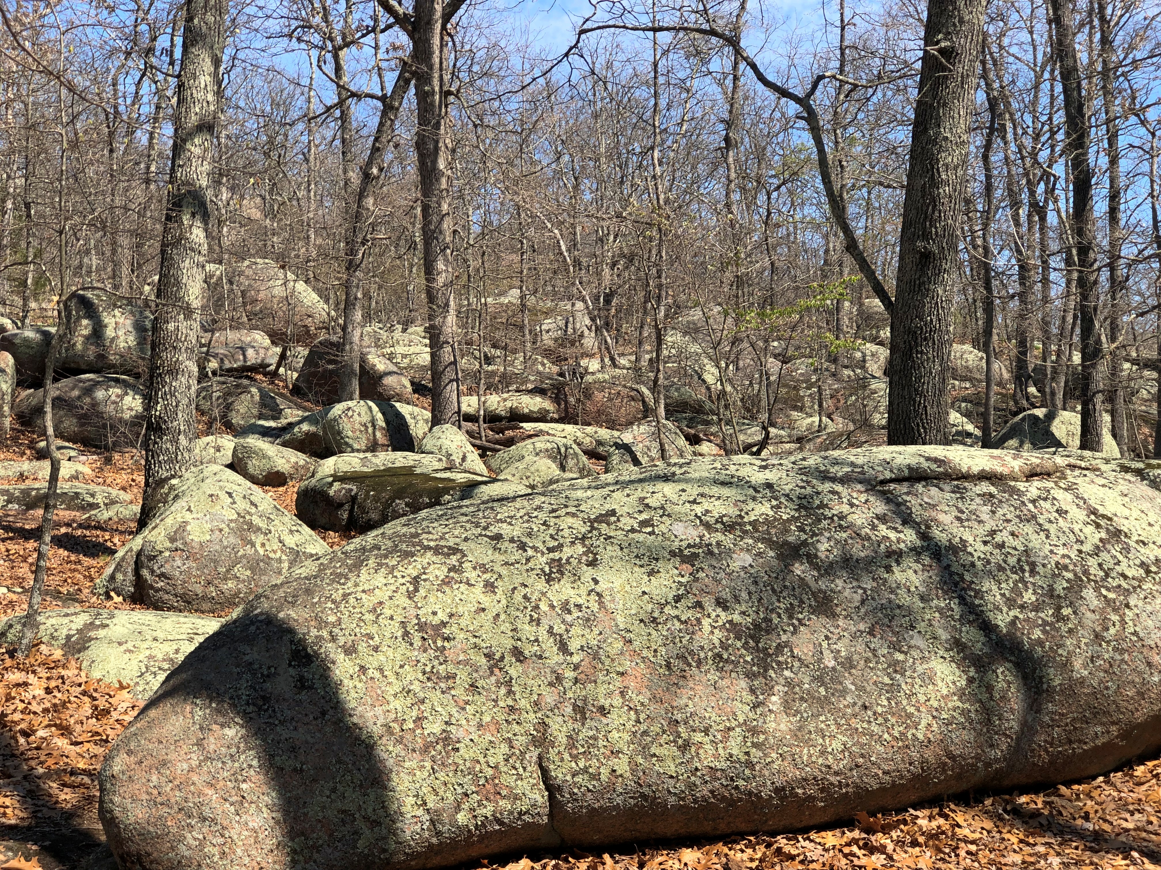
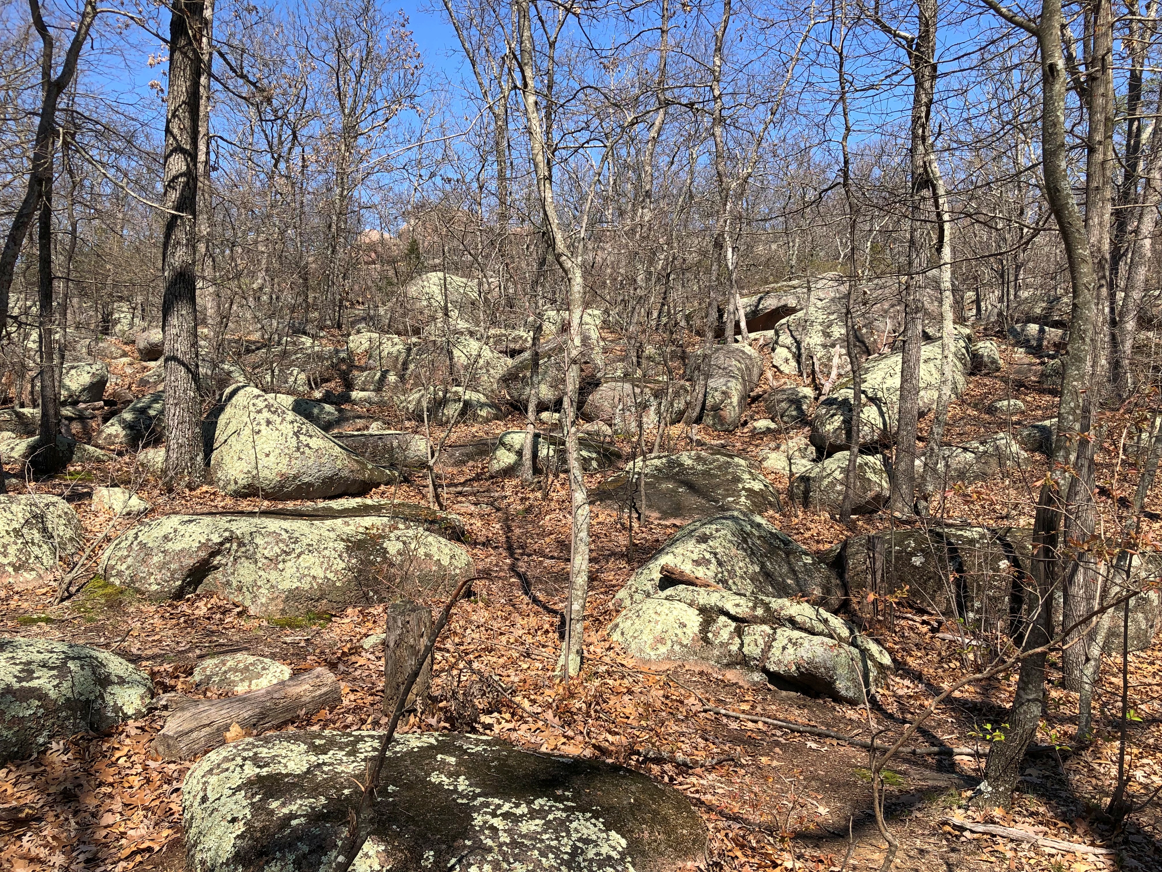
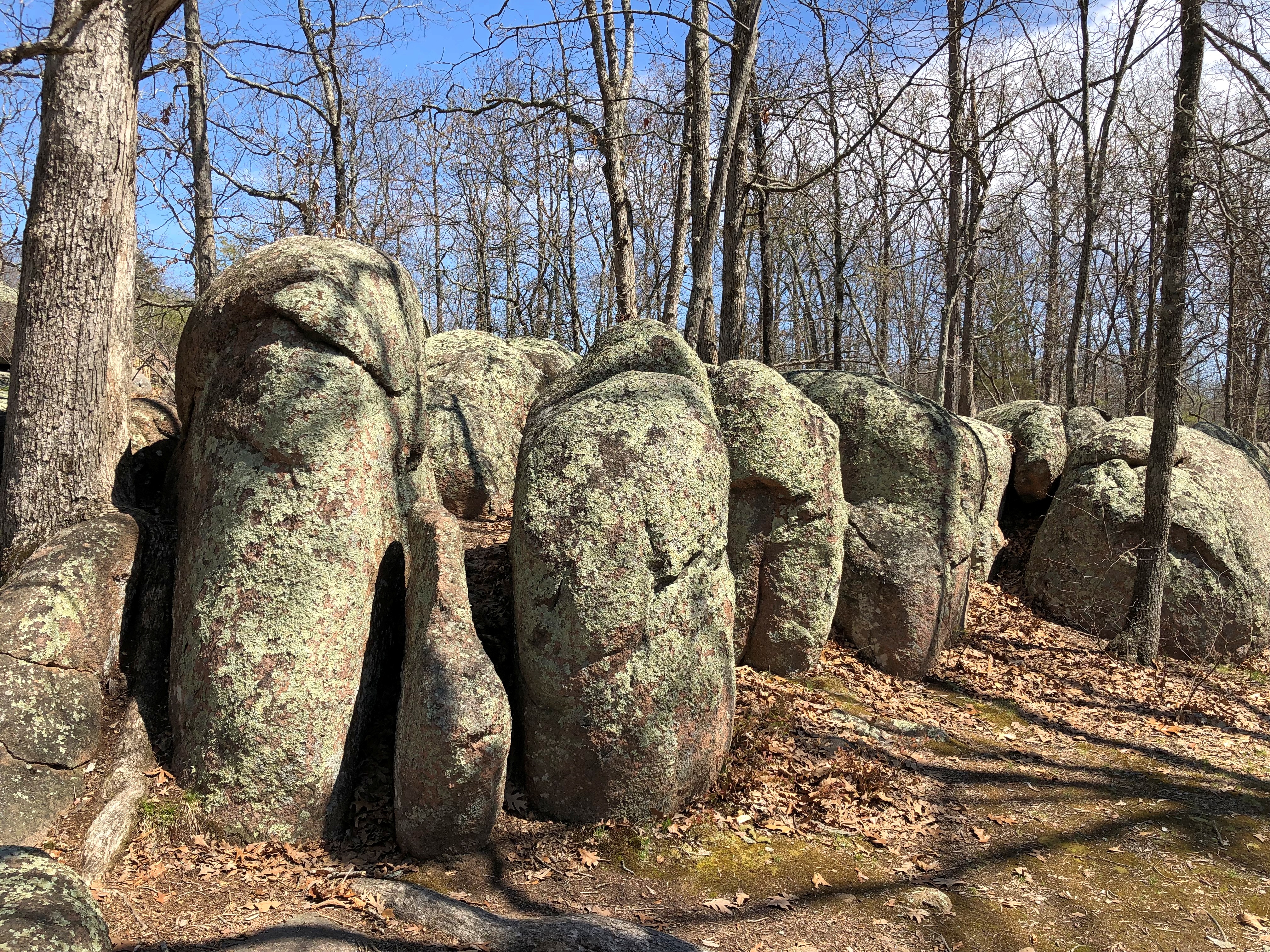
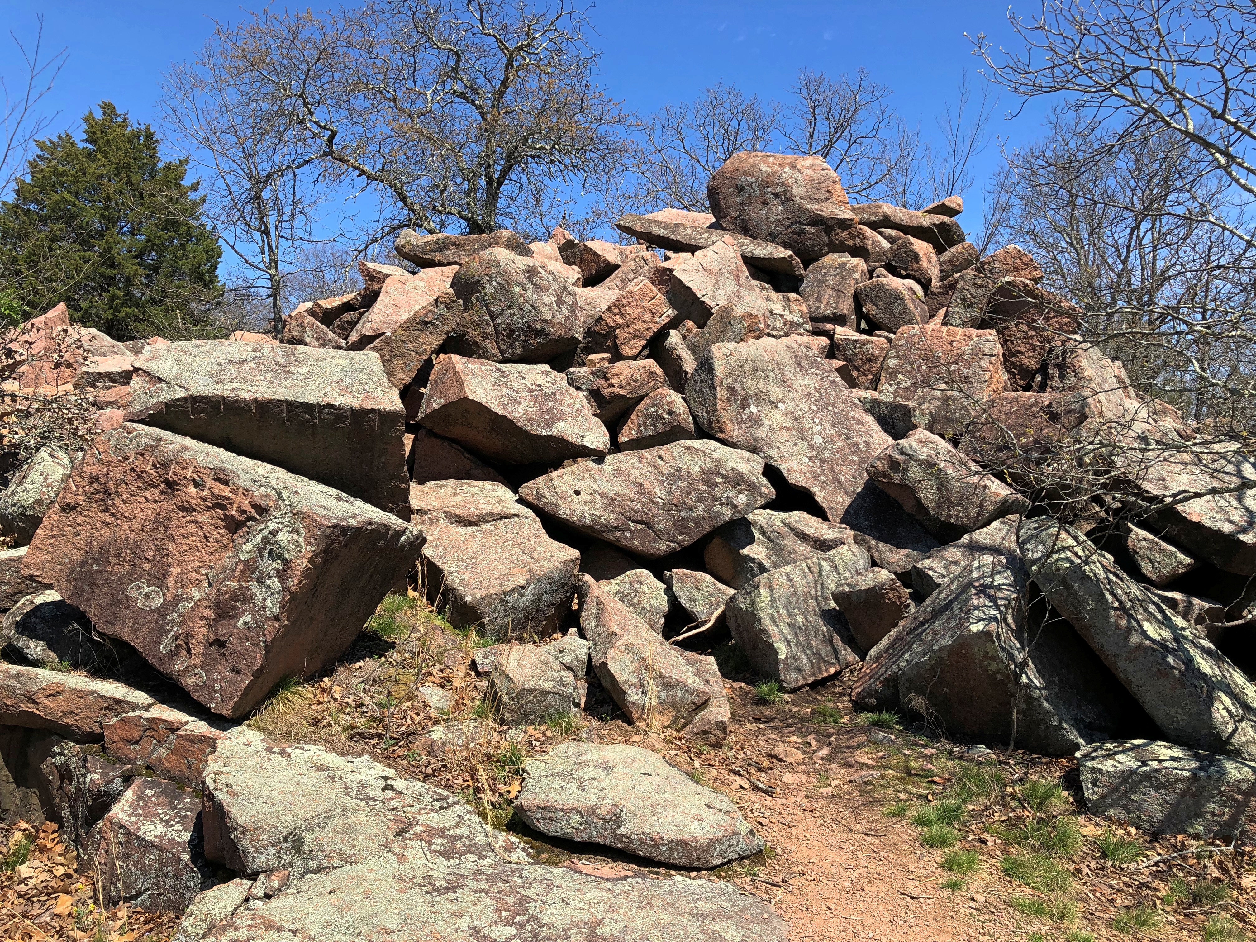
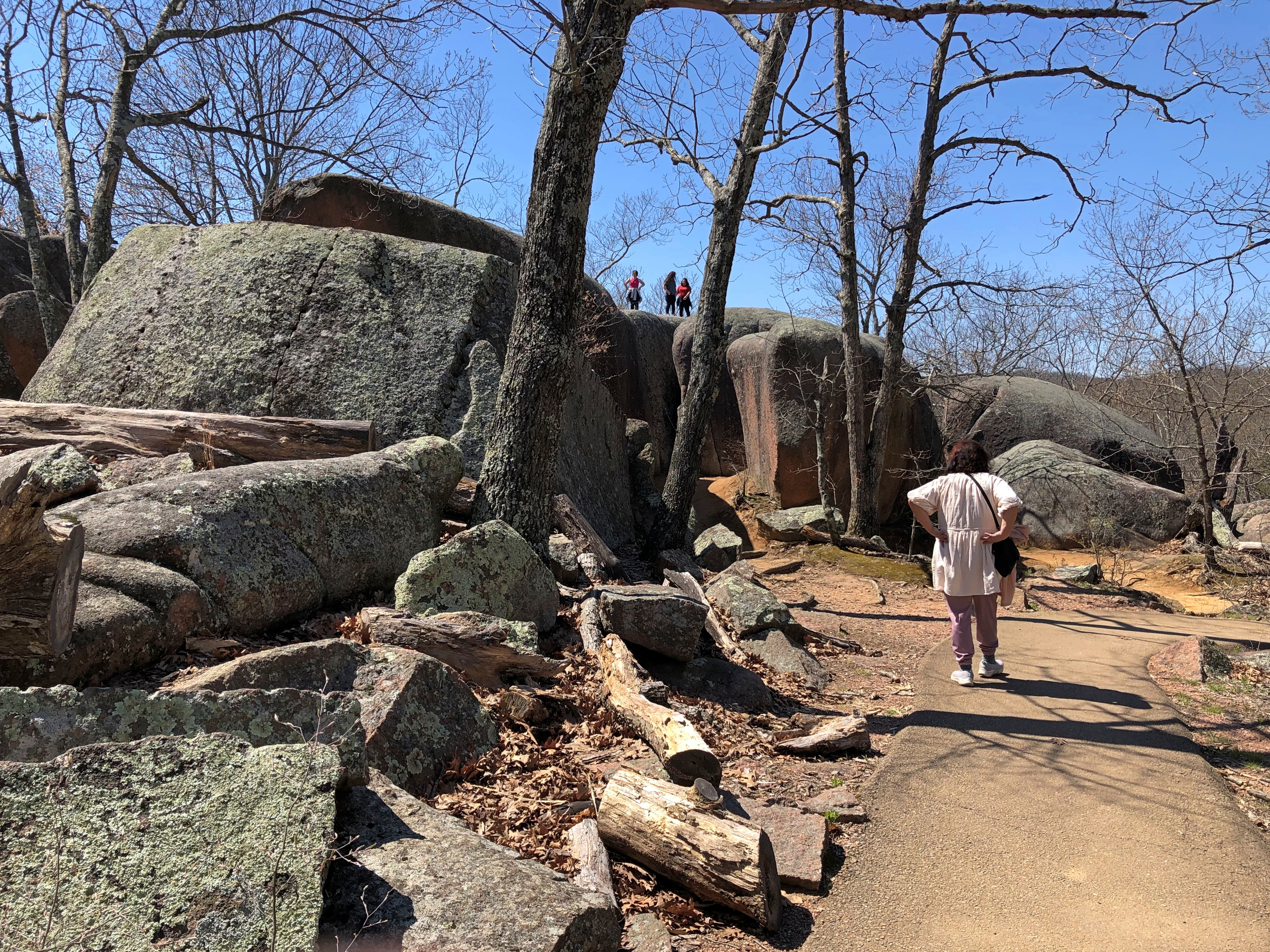
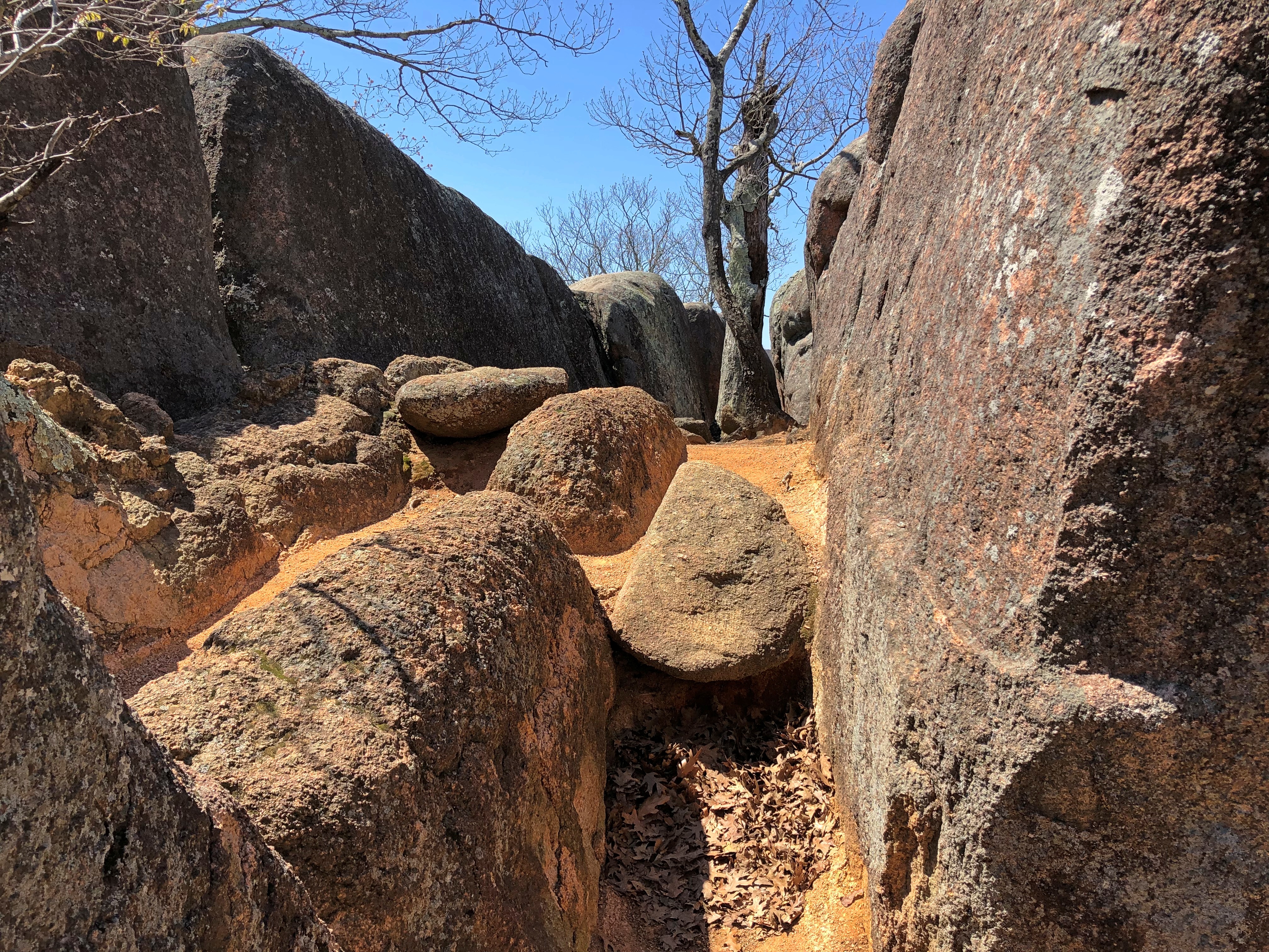
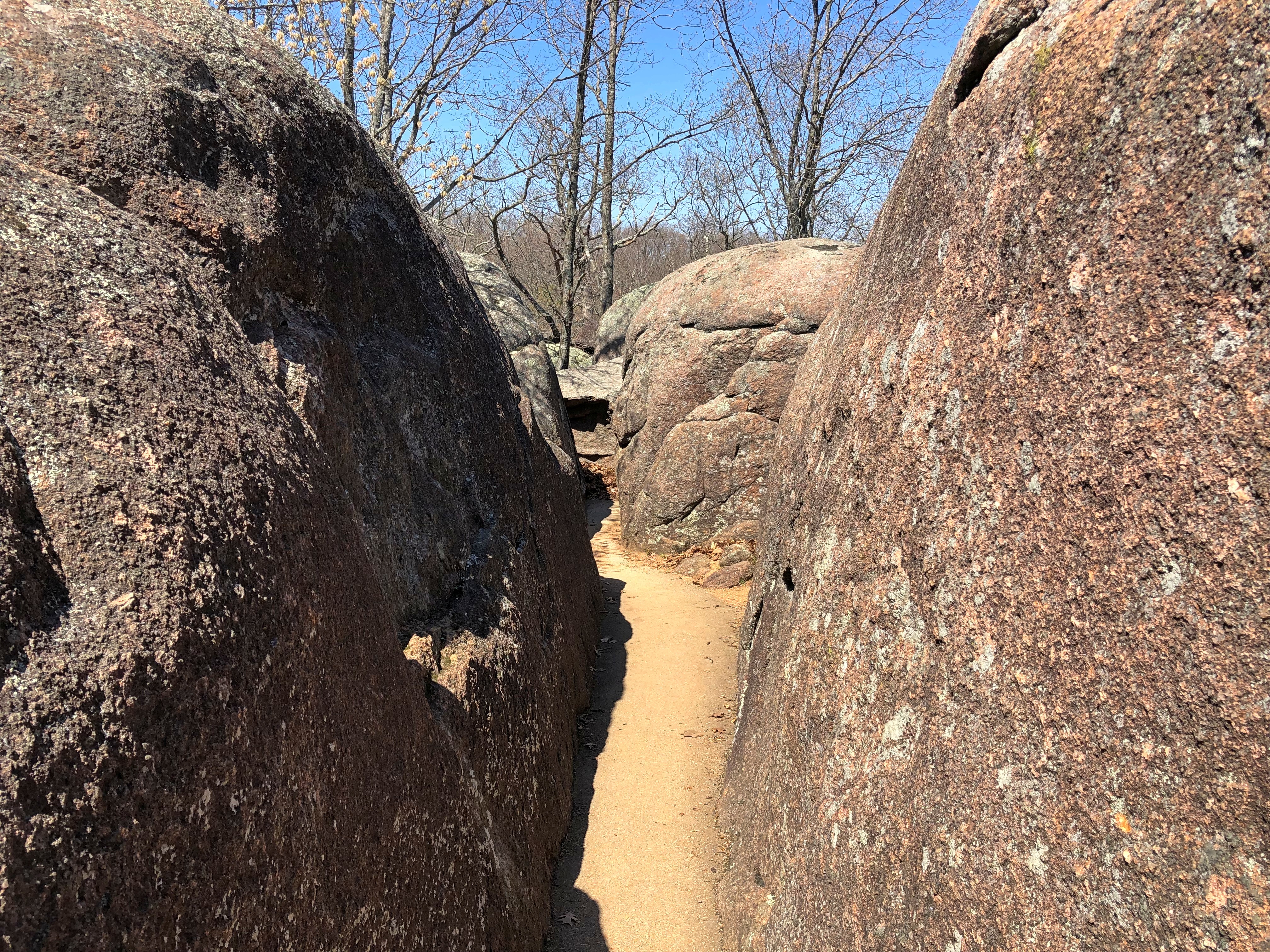
A mile’s worth of paved path snakes among ancient granite boulders. At only about 133 acres, the park is small. Even so, out in the field of boulders, the park didn’t seem so crowded.Elephant Rocks State Park Elephant Rocks State Park Elephant Rocks State Park Elephant Rocks State Park

Time, geologic uplift and millions of years of erosion produced the boulders, and — I learned — the area counts as a tor.

“The landform is called a ‘tor,’ a stack or pile of spheroidally weathered residual granite rock boulders sitting atop a bedrock mass of the same rock,” says an excellent brochure produced by Missouri State Parks that provides brief but informative descriptions of the park and its history.

“While tors exist elsewhere in the United States and worldwide, they are not abundant anywhere. Elephant Rocks is Missouri’s finest tor and one of the best examples in the Midwest.”

That just makes my day, finding out that I visited a fine tor. Seriously. I didn’t even know there was a geologic definition. Big, rocky hill is how I’d have defined it. I’ve known about tors since the moment I slapped my head upon realizing I could have visited Glastonbury Tor, but didn’t.

People go on about sunsets and views of the ocean and mountain vistas, but human beings are also pretty fond of impressive rocks. Some of us travel a good ways to see them. Elephant Rocks State Park Elephant Rocks State Park

Some fat man’s misery paths.Elephant Rocks State Park Elephant Rocks State Park

“Just outside the park is the oldest recorded commercial granite quarry in the state, producing fine red granite called ‘Missouri Red,’ the brochure says. This quarry, opened in 1869, furnished facing stone for the Eads Bridge piers standing on the Mississippi River levee in St. Louis.”

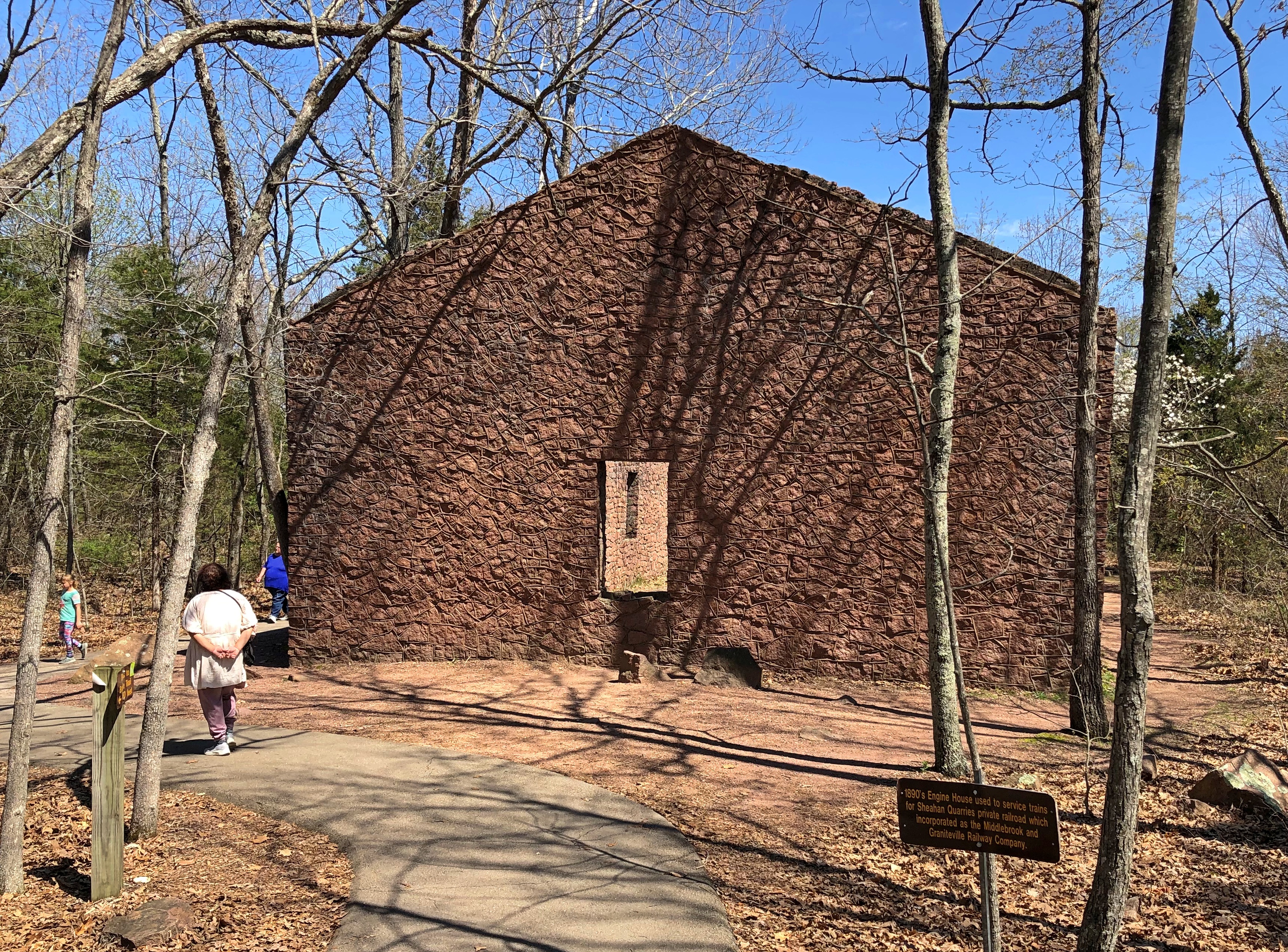
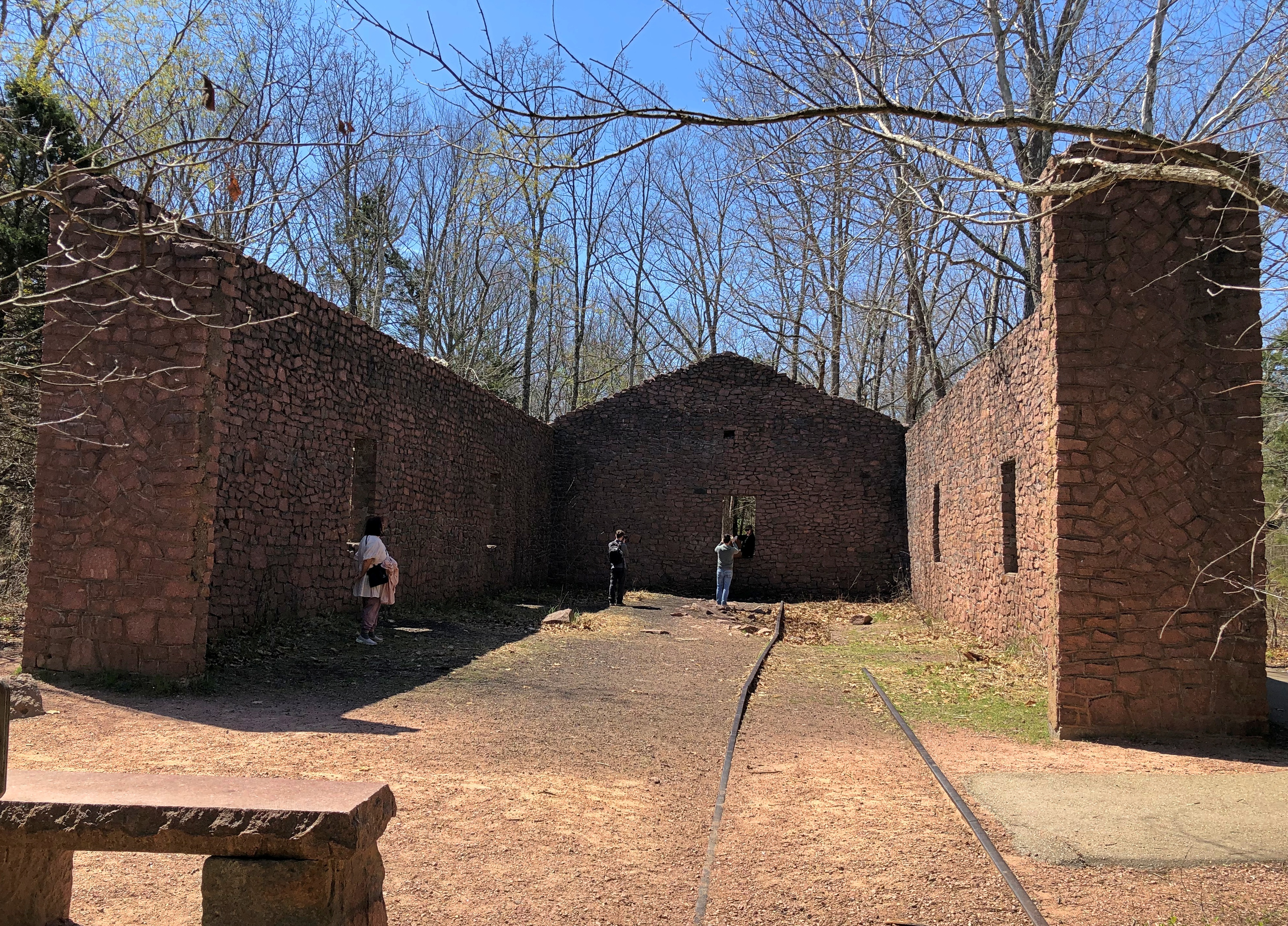
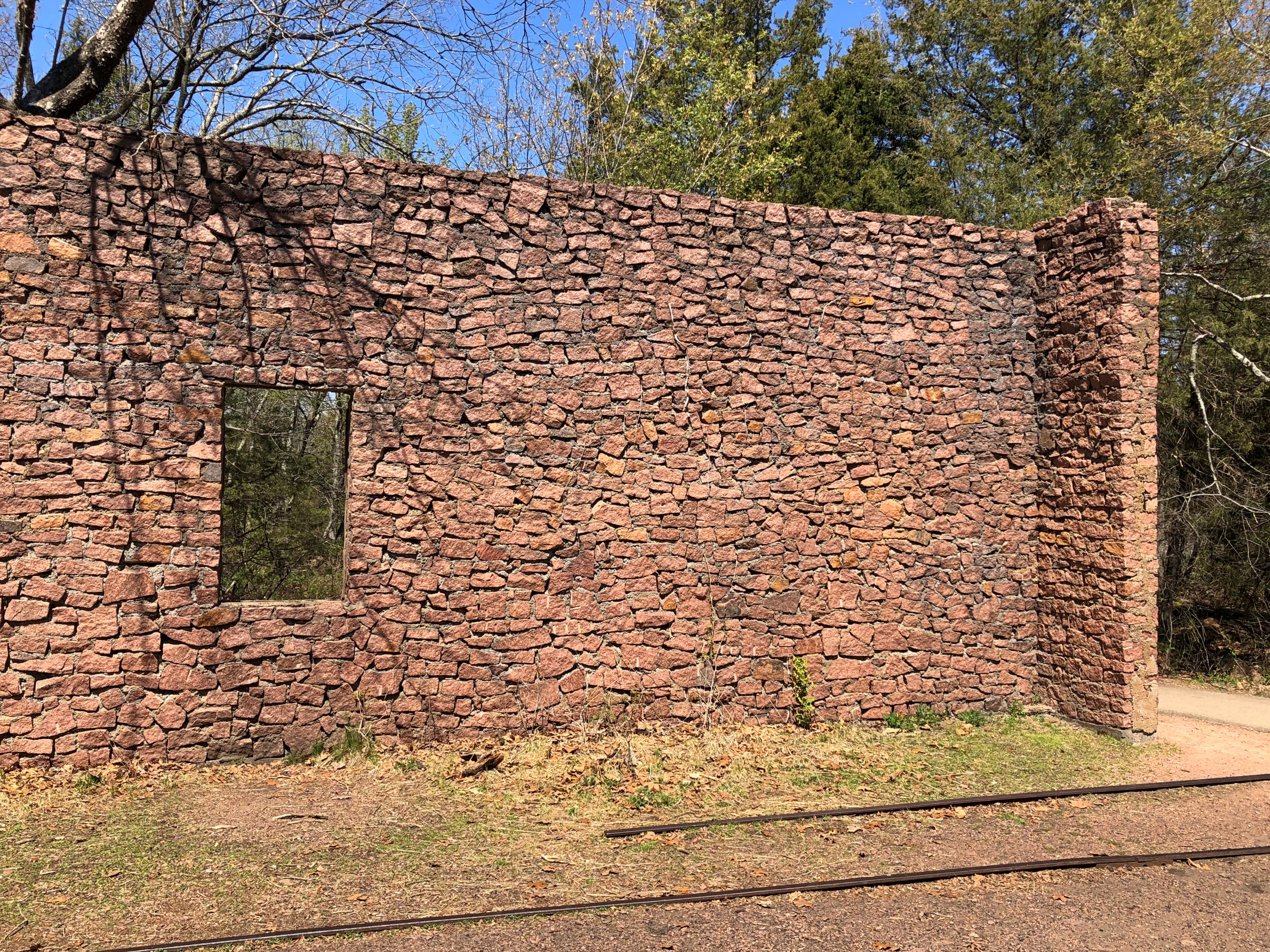
Cool. A quarry needed a railroad spur, and even a small railroad needed a building for locomotive maintenance. The ruin of such a building stands in the park.Elephant Rocks State Park Elephant Rocks State Park Elephant Rocks State Park

It’s had the benefit of some reconstruction, would be my guess. It certainly looked sturdy enough that I didn’t think that rock was going to tumble on my head.Elephant Rocks State Park

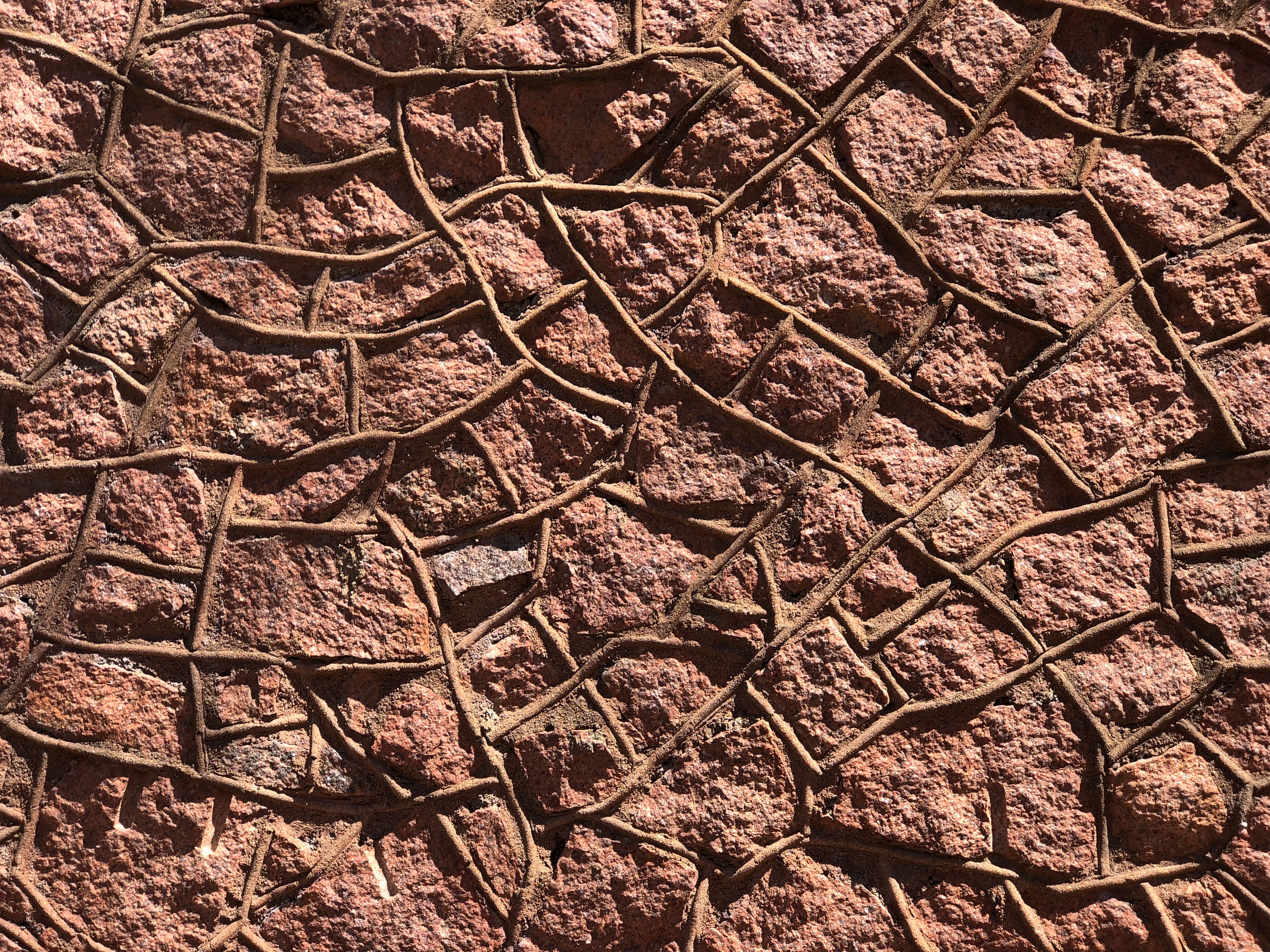
Must be Missouri Red. Why wouldn’t you built it using the stone you had at hand? Good old Missouri Red, which sounds like a dime novel character or a strain of cannabis.

Potosi, Missouri

Sometime in late 18th century, Frenchmen came to a spot in the wilds of North America, which in later years would be southeastern Missouri, and began digging for lead in a place they called Mine Au Breton – Mine of the Breton, for Brittany native Francis Azor, who pioneered the effort in the area to extract the element. The name didn’t last, however. Since early U.S. sovereignty, it’s been Potosi, Missouri.

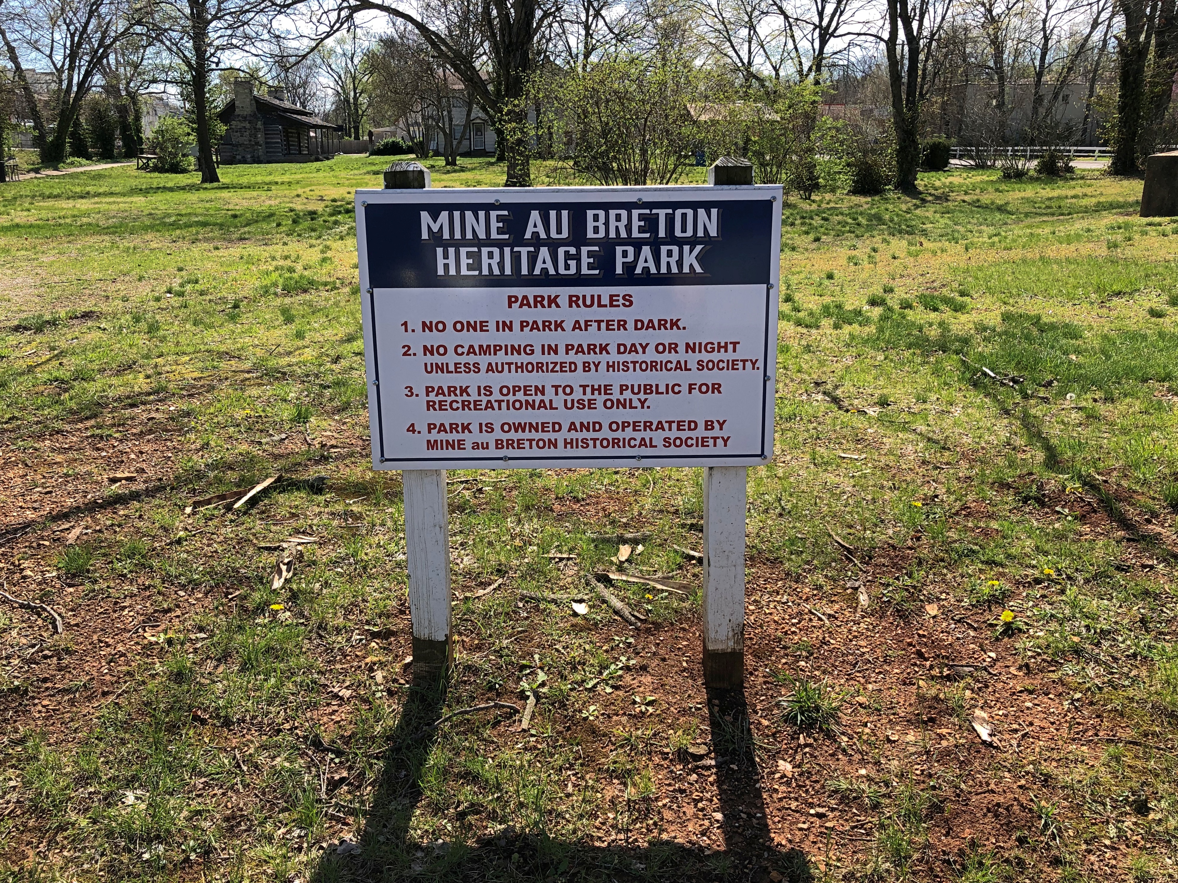
Still, the earlier name lingers in a small park in Potosi, which we visited on the morning of April 6 after leaving where we’d spent the night, Farmington.Mine Au Breton Heritage Park, Potosi, Mo.

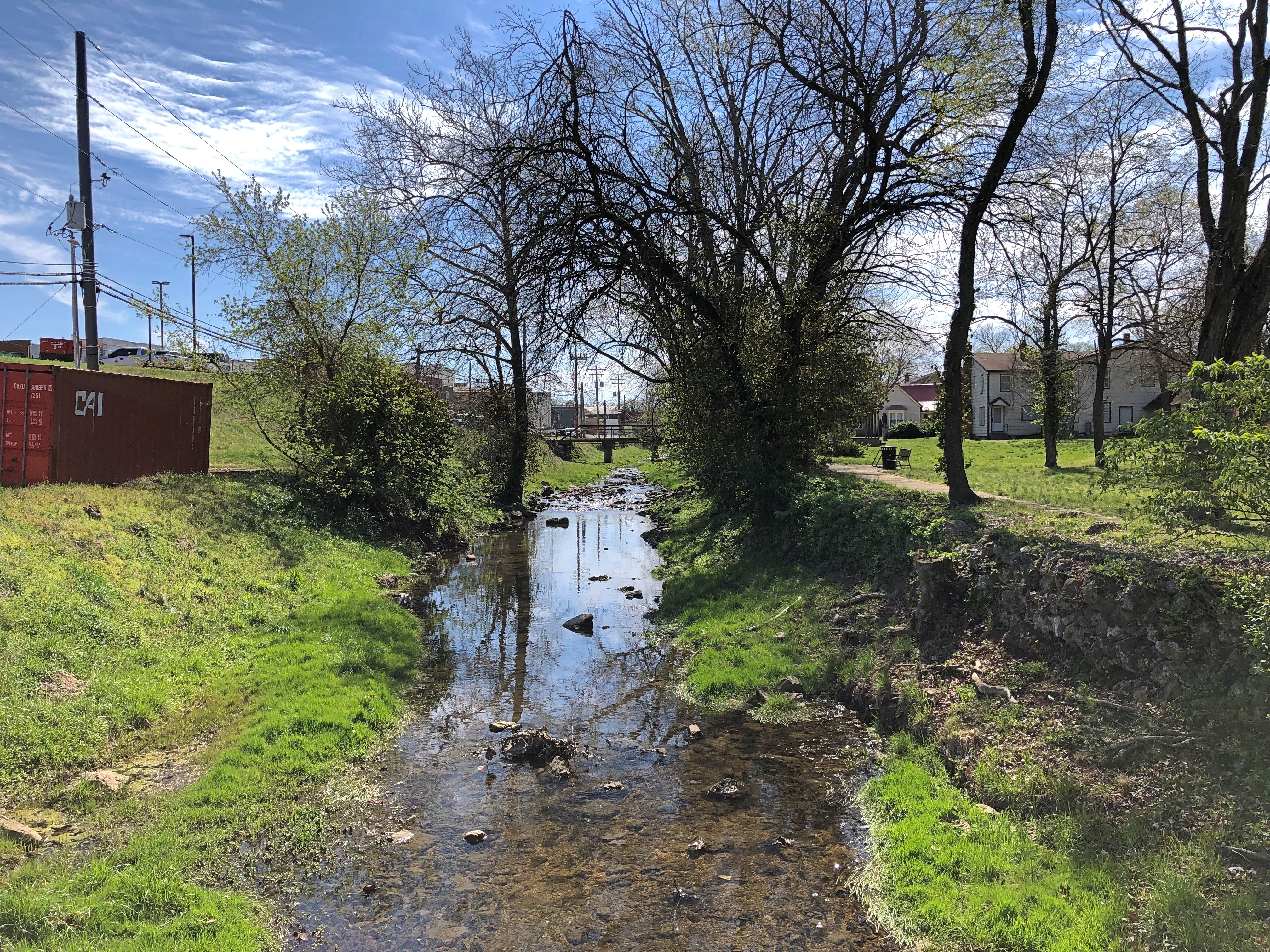
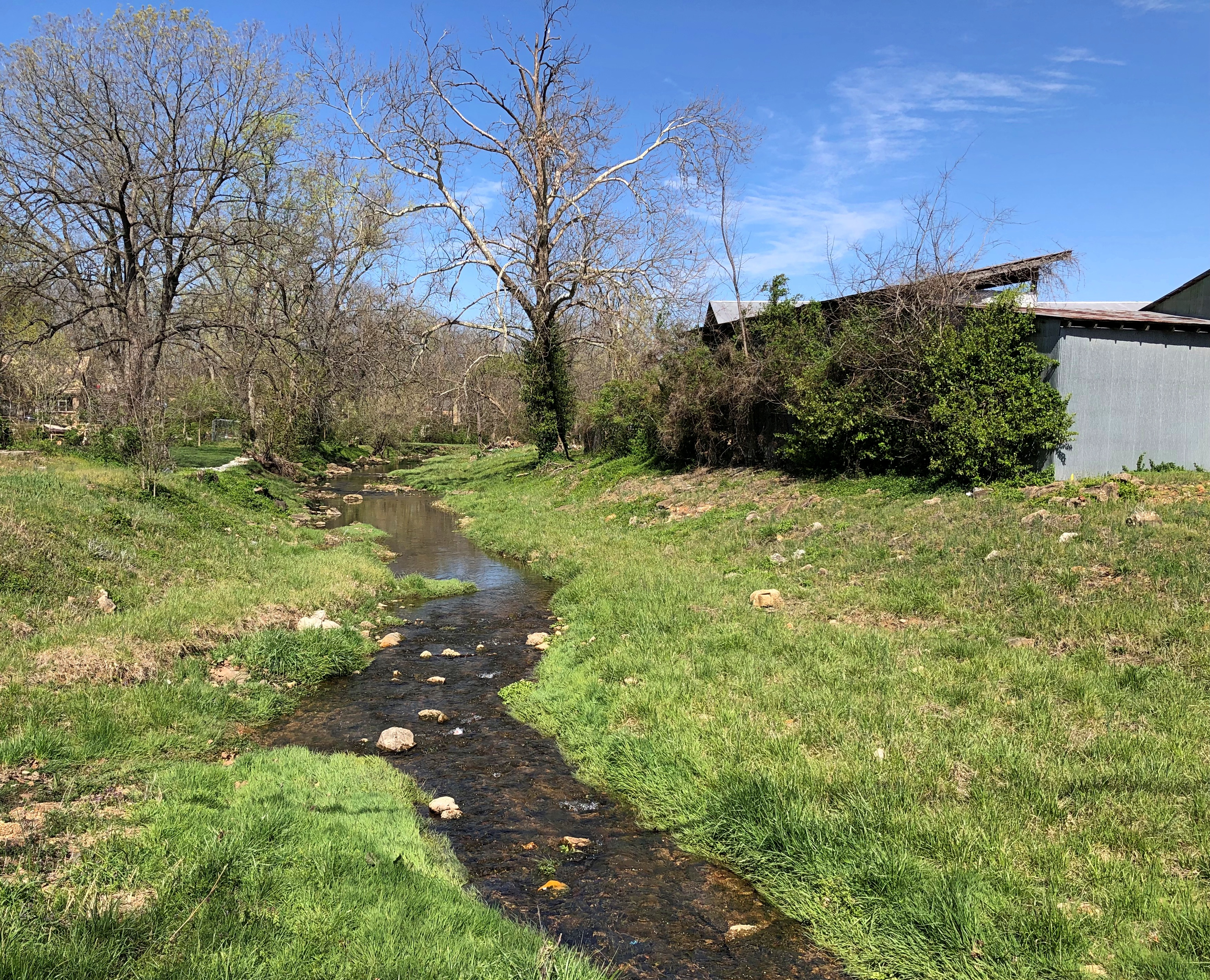
A nice little park, a block from the town’s main thoroughfare, High Street. Mine a Breton Creek runs through it.Mine Au Breton Heritage Park, Potosi, Mo. Mine Au Breton Heritage Park, Potosi, Mo.

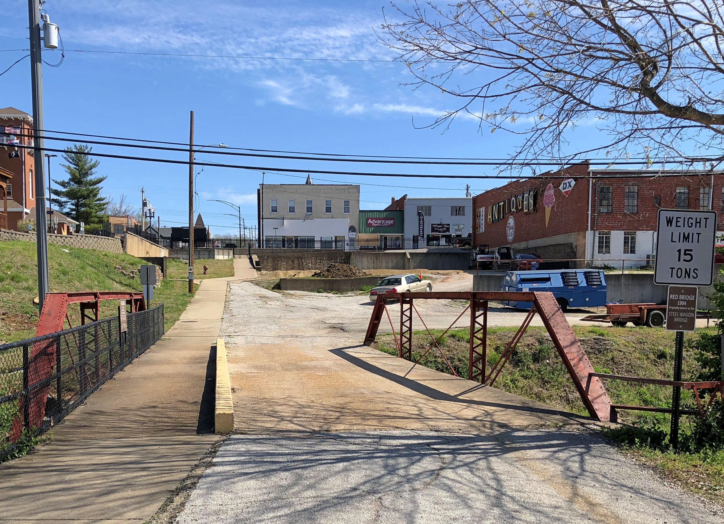
A small bridge crosses the creek at one point. You wouldn’t think such a bridge would merit a name, but the people of Potosi (pop. 2,500) clearly disagree.Mine Au Breton Heritage Park, Potosi, Mo.

Red Bridge. It even has a former name: Steel Wagon Bridge. Maybe more minor bridges should have names. Adds a little character to localities. Of course, if that caught on, most of them would be named after minor local politicos.Mine Au Breton Heritage Park, Potosi, Mo.

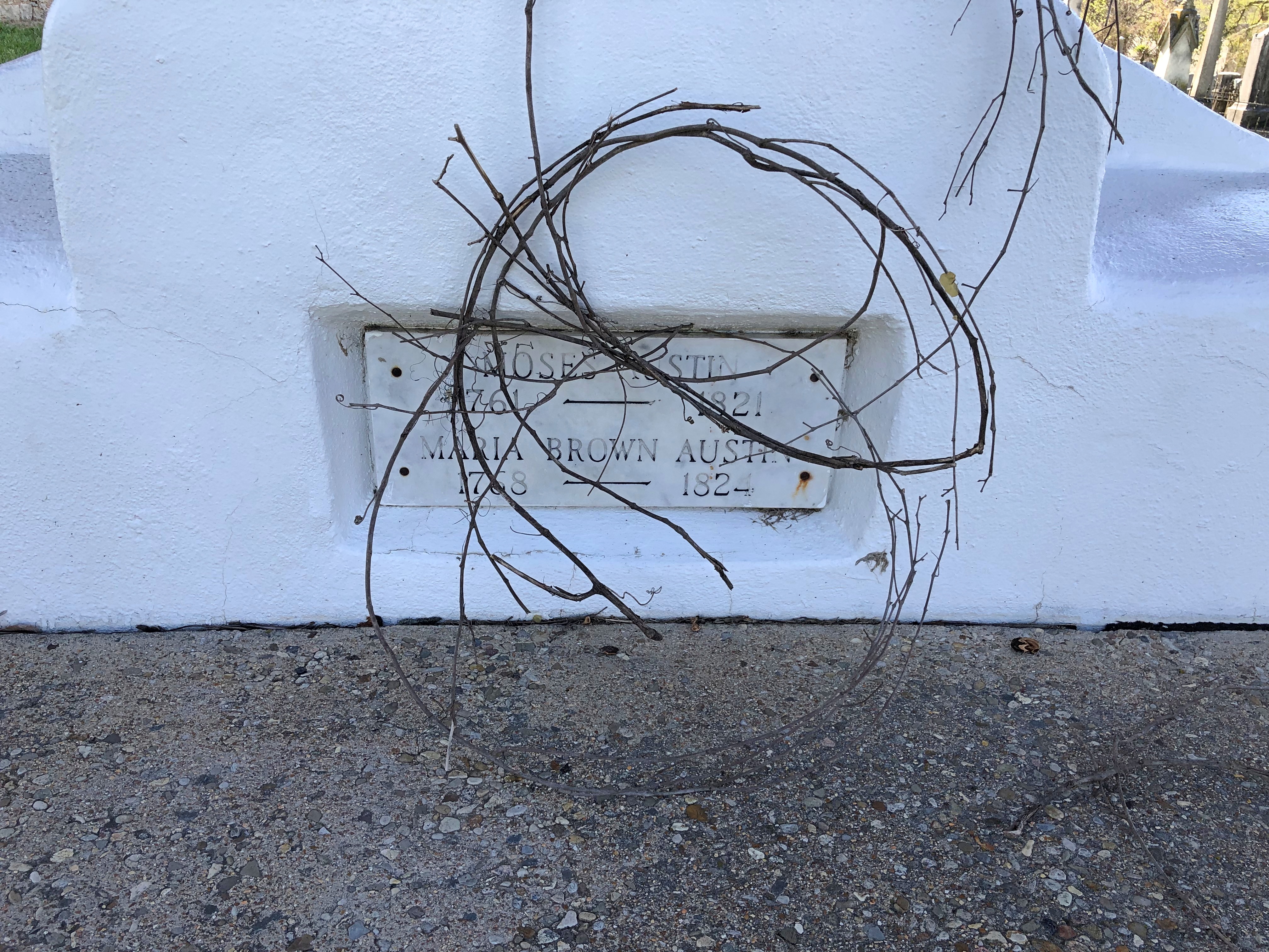
After the Louisiana Purchase was a done deal, Americans came to the area, but Moses Austin was already there, having cut a deal with the Spanish to mine there. Texas schoolchildren learn who he was, or at least they did 50+ years ago, when I was such a schoolchild. He’s the father of Stephen F. Austin, who was the Father of Texas. So maybe Moses is the Grandpa of Texas. My brother Jay suggested that we visit Potosi to see his grave, and since it was only a few miles out of the way, we did.

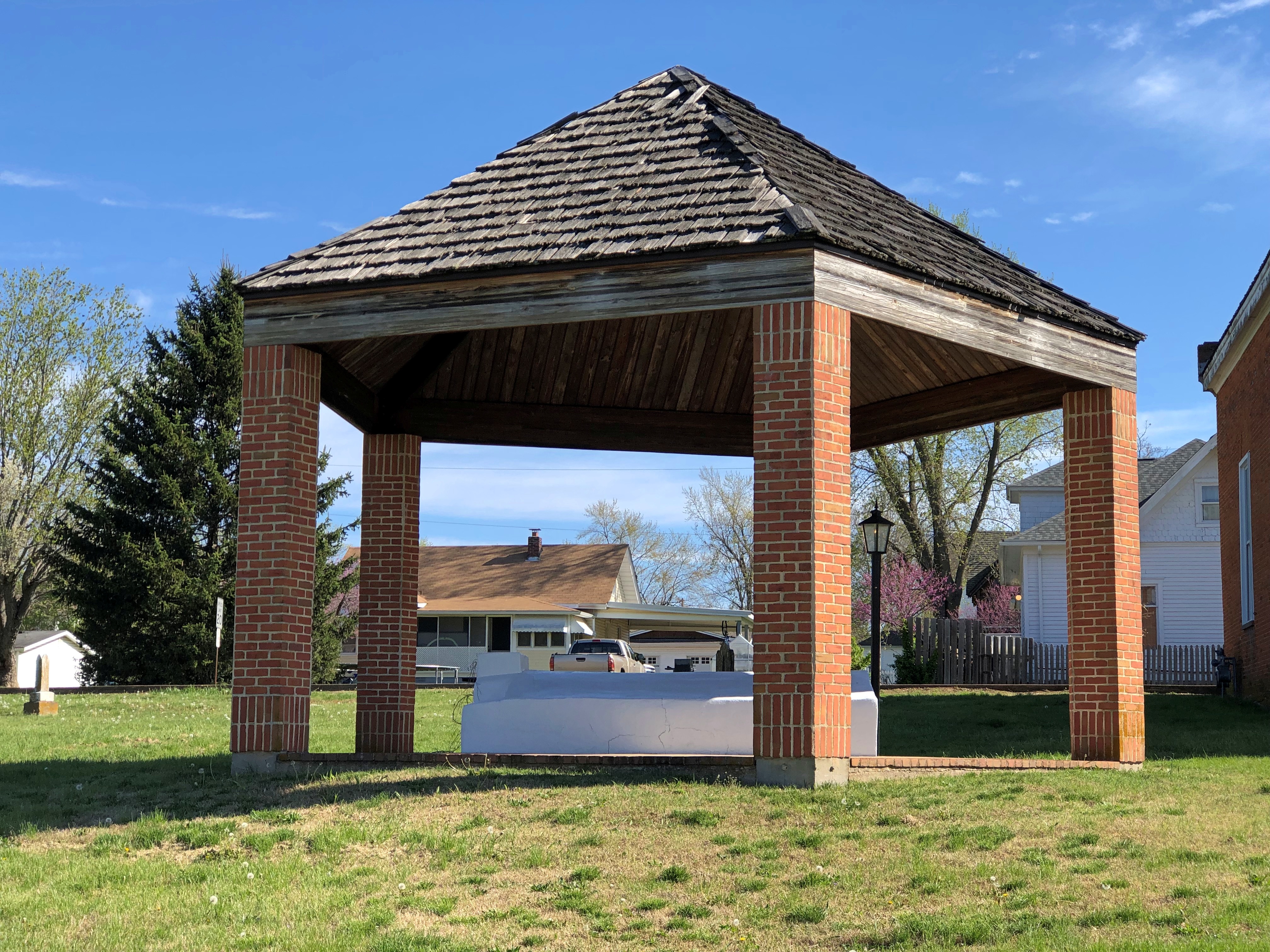
The grave itself isn’t one of the better-looking ones I’ve ever seen: a white, virtually unadorned slab under an uninspired protective shelter.Grave of Moses Austin, Presbyterian Cemetery, Potosi, Mo. Grave of Moses Austin, Presbyterian Cemetery, Potosi, Mo.

His wife Mary Brown Austin, daughter of an iron mine owner and mother of Stephen F., is there as well. We didn’t hear that much about her in school.

Moses Austin came to the area to mine lead – and escape debt back in Virginia — and apparently had a good go of it in the 1810s, though I suspect life wasn’t as good for the slaves that did the actual digging. Austin is credited with renaming the town Potosi, after the place in Bolivia, a silver mining center known as the location Spanish colonial mint, producer of countless Spanish dollars. Educated miners like Austin would have known it, anyway, and maybe he was thinking big. As in, dreams of silver. But lead would have to do.

Quite the go-getter, Moses Austin. “He & his 40 to 50 slaves & employees built bridges, roads, a store, a blacksmith shop, a flour mill, a saw mill, a shot tower, and turned out the first sheet lead & cannonballs made in Missouri,” the informative Carroll’s Corner posted.

Austin suffered reversals and ultimately lost his fortune in the Panic of 1819, and so schemed to take settlers to the underpopulated wilds of Texas, then part of New Spain — to escape his debts, among other things. He received a land grant from the Spanish Crown (that’s quite a story), and was set to go when death came calling, leaving the task to his son – who had to deal with newly independent Mexico for his grant. That’s another story, one far from modern Potosi.

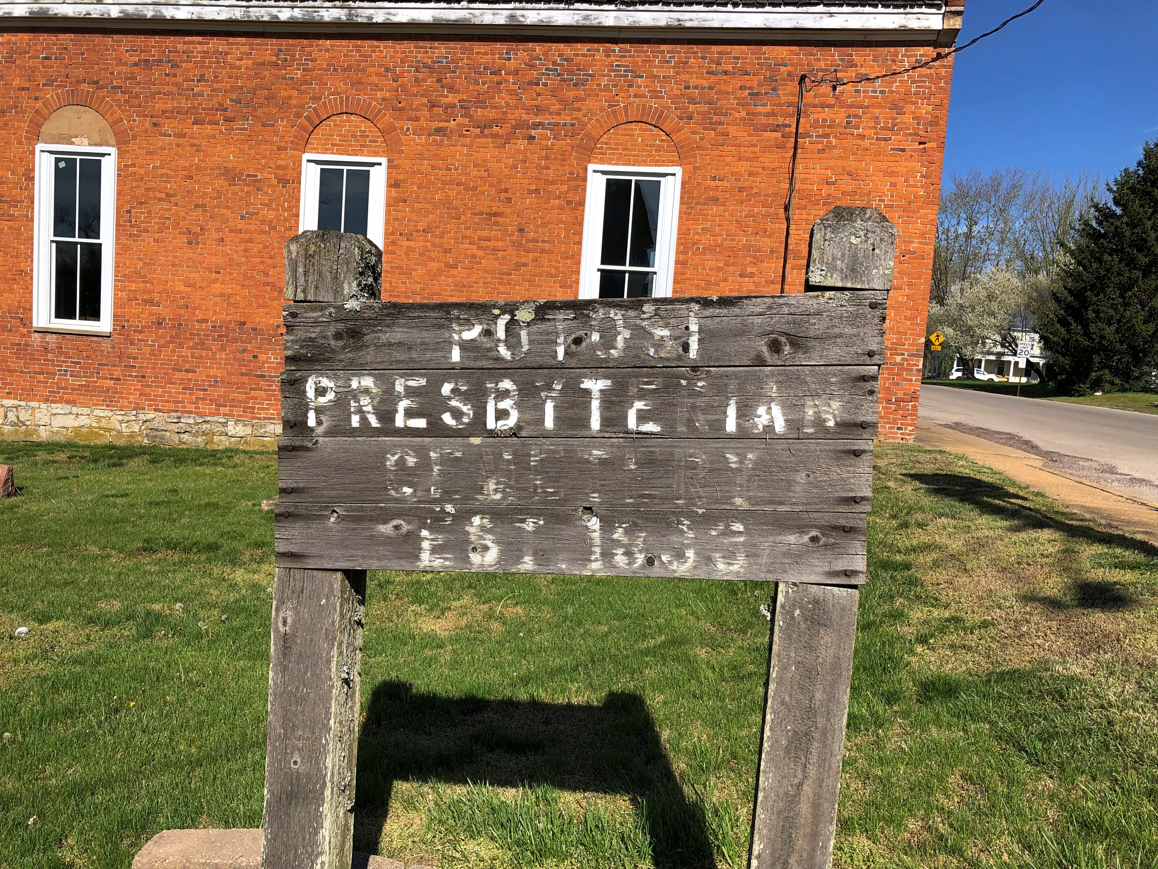
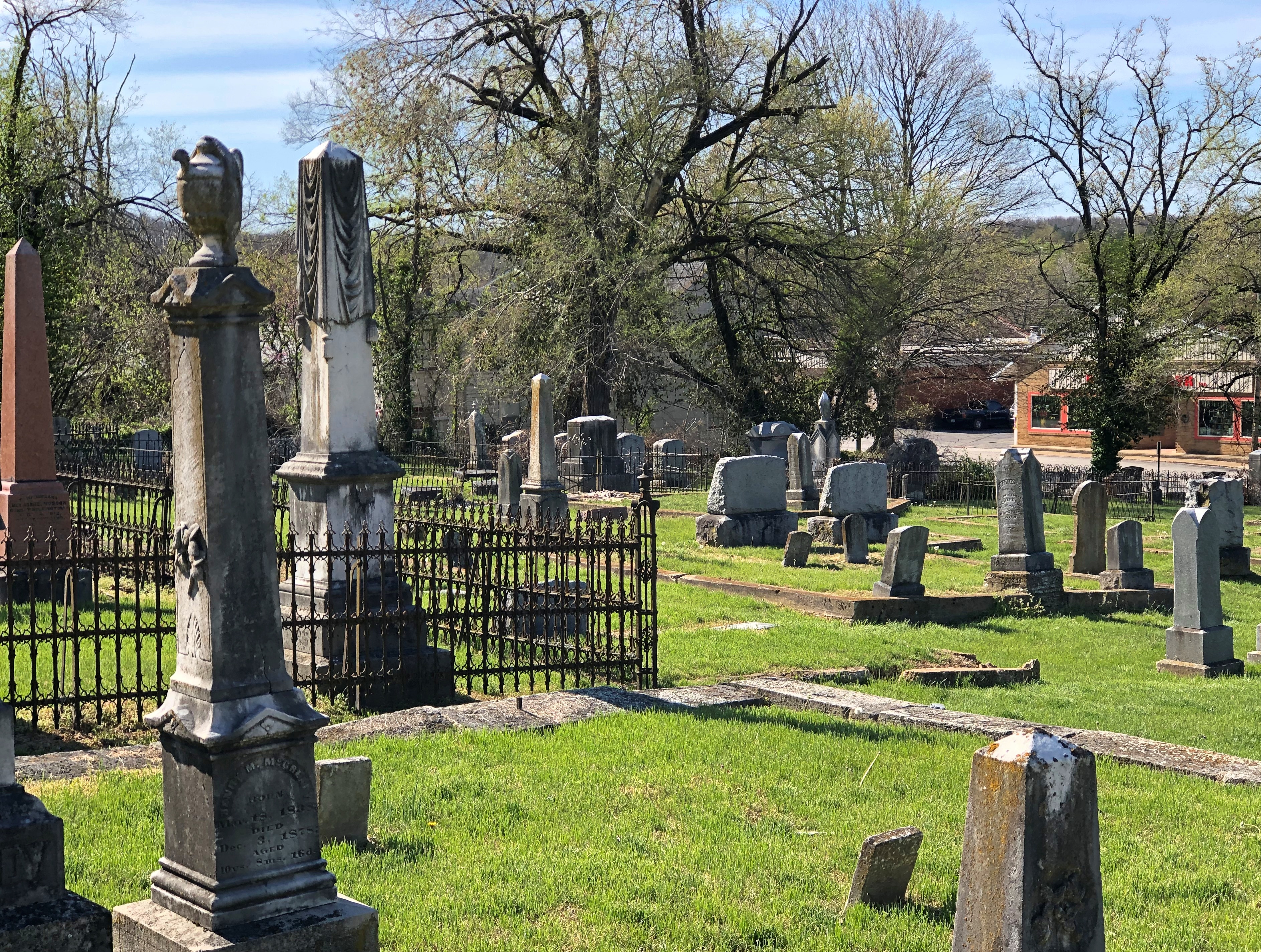
Google Maps calls the cemetery along High Street, with the Austins’ grave, City Cemetery. A sign at the site says: Potosi Presbyterian Cemetery, Est. 1833.Presbyterian Cemetery, Potosi, Mo.

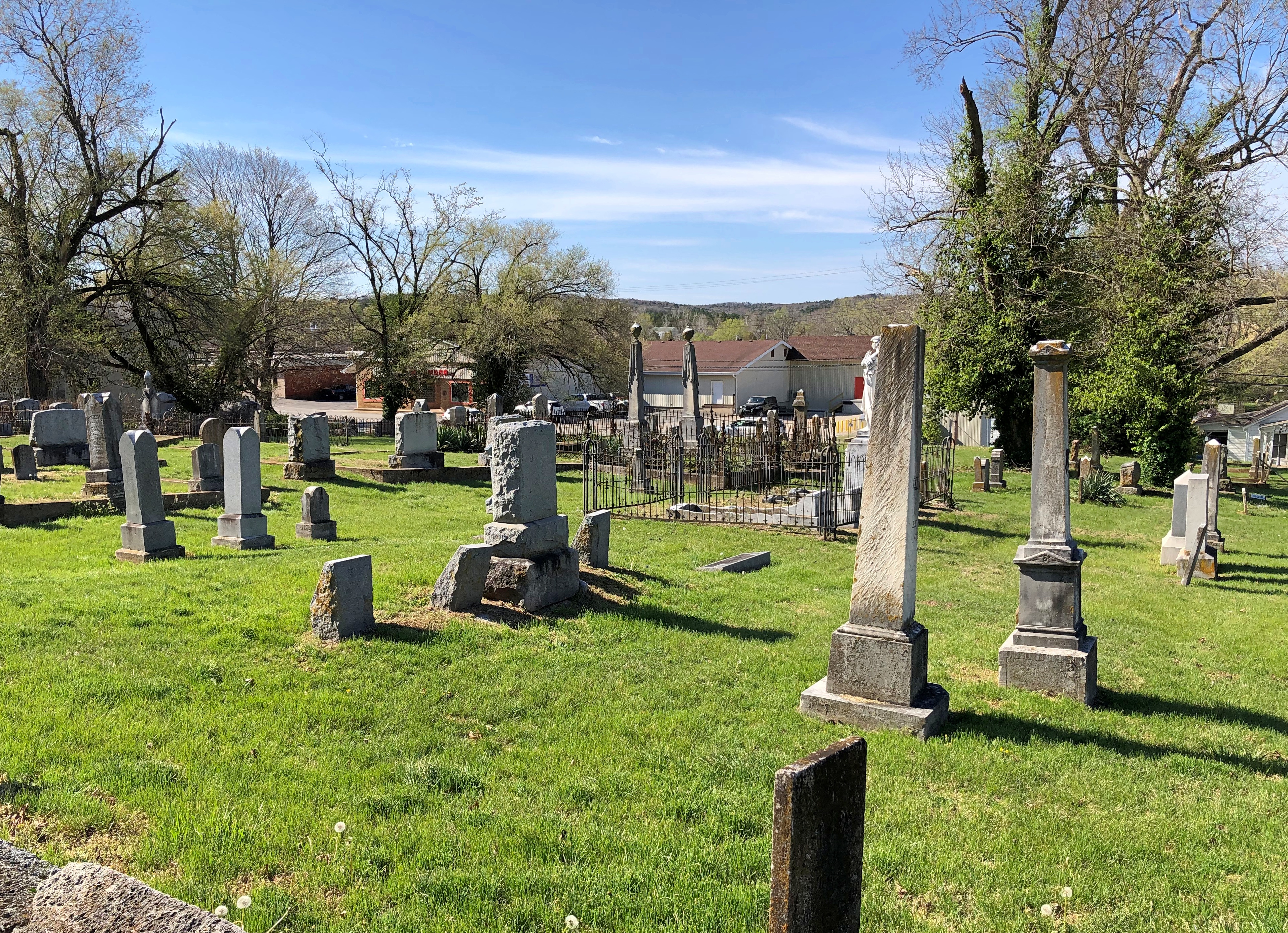
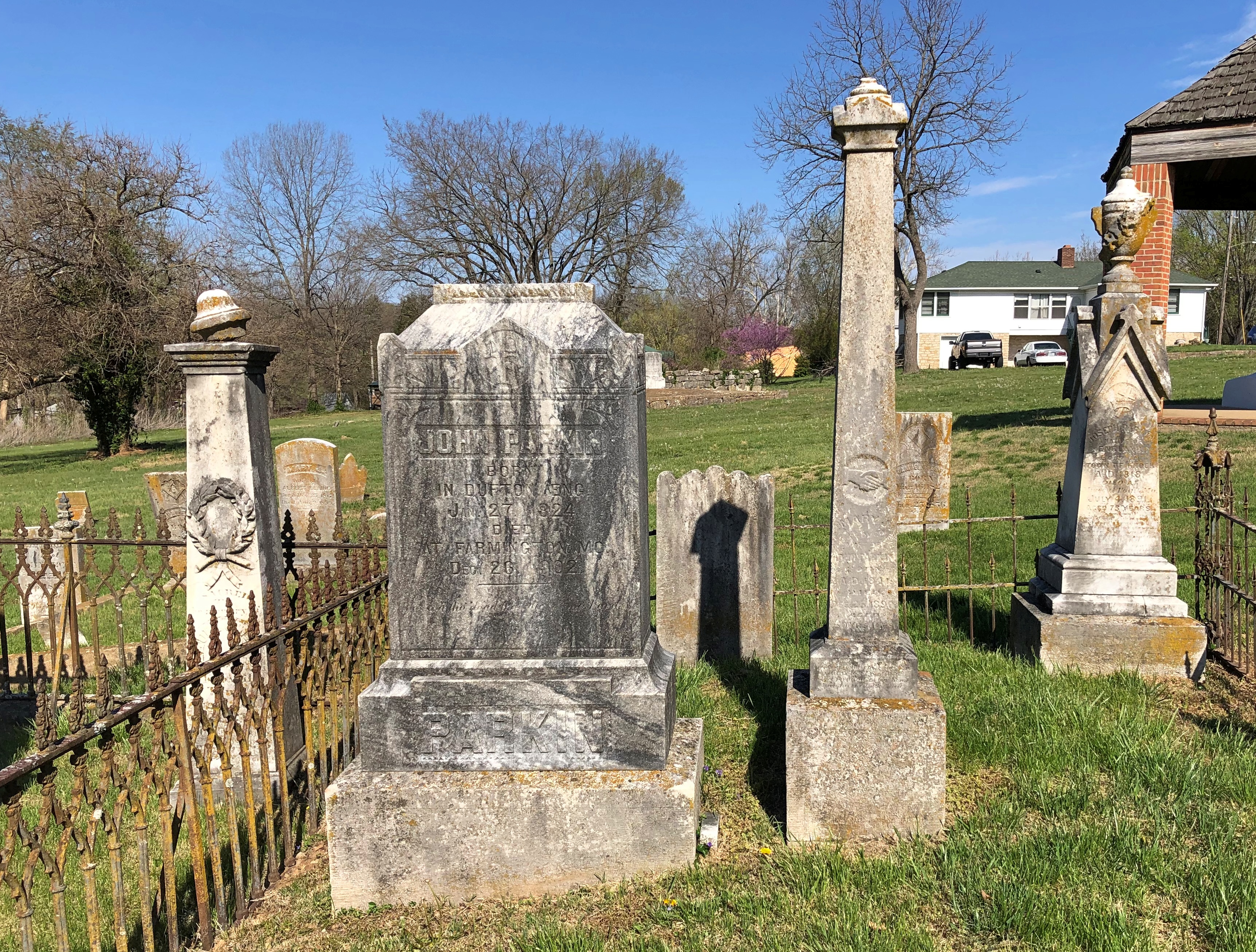
It’s a mid-sized, old-style cemetery with some charm.Presbyterian Cemetery, Potosi, Mo. Presbyterian Cemetery, Potosi, Mo.
Presbyterian Cemetery, Potosi, Mo.

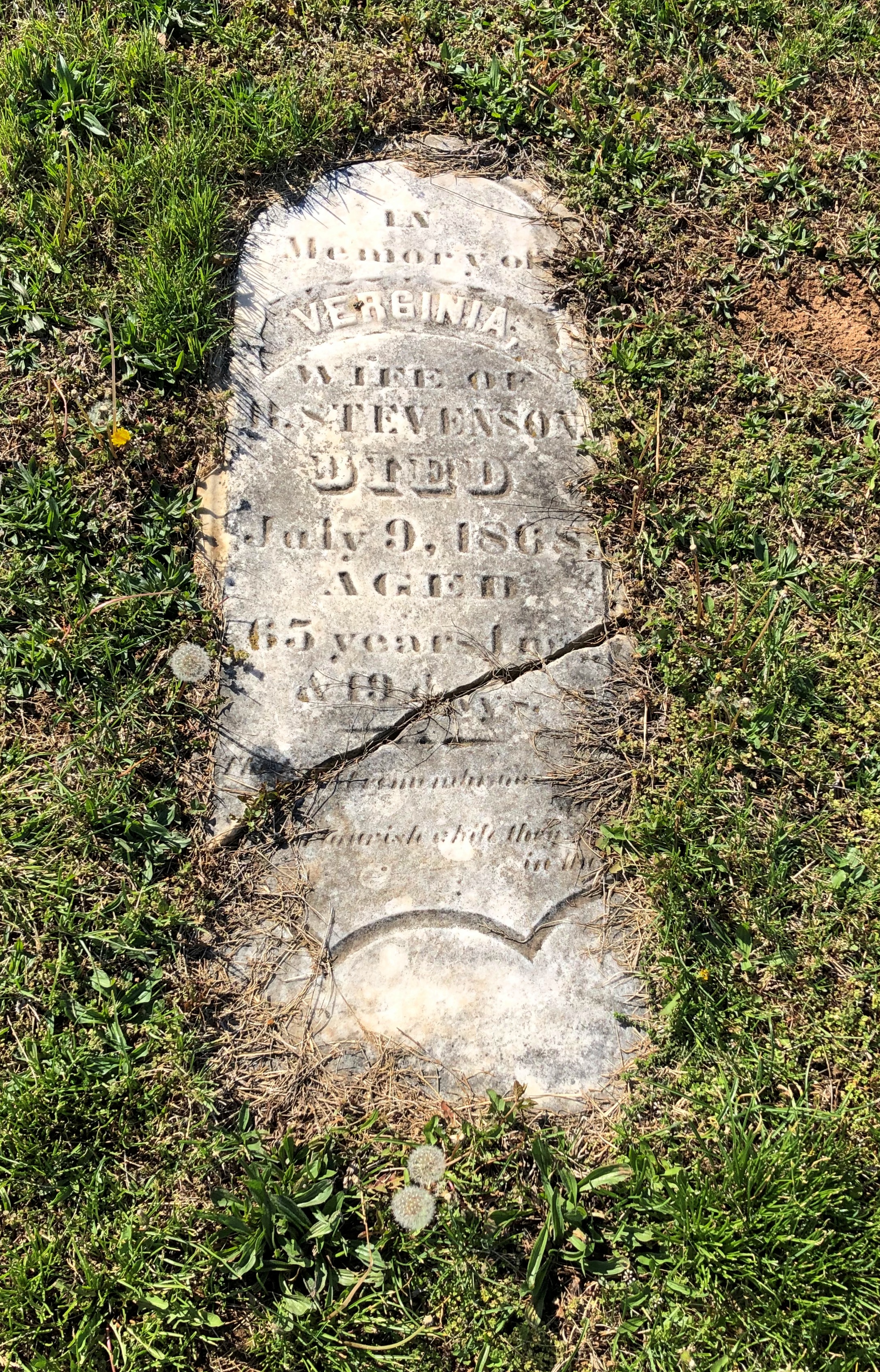
With memorials broken and worn.Presbyterian Cemetery, Potosi, Mo.

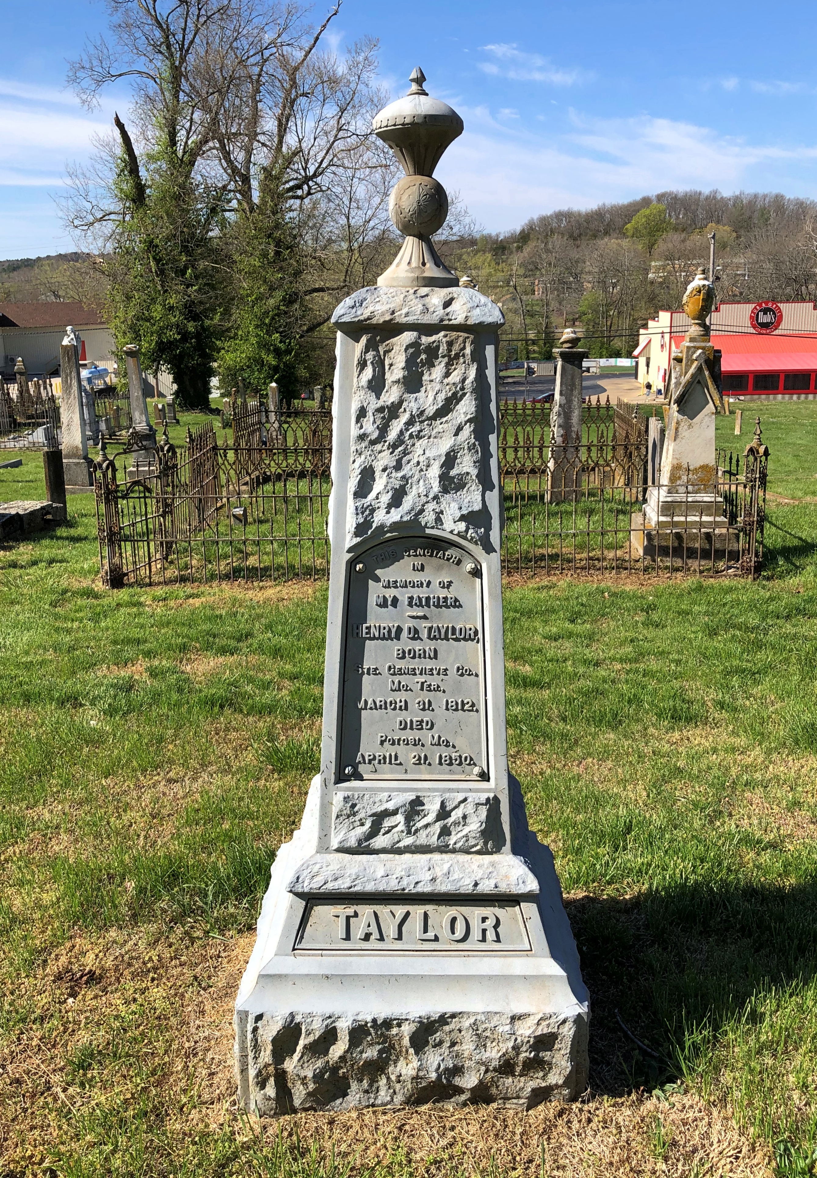
And others still waiting for that wear to happen. It will.Presbyterian Cemetery, Potosi, Mo.

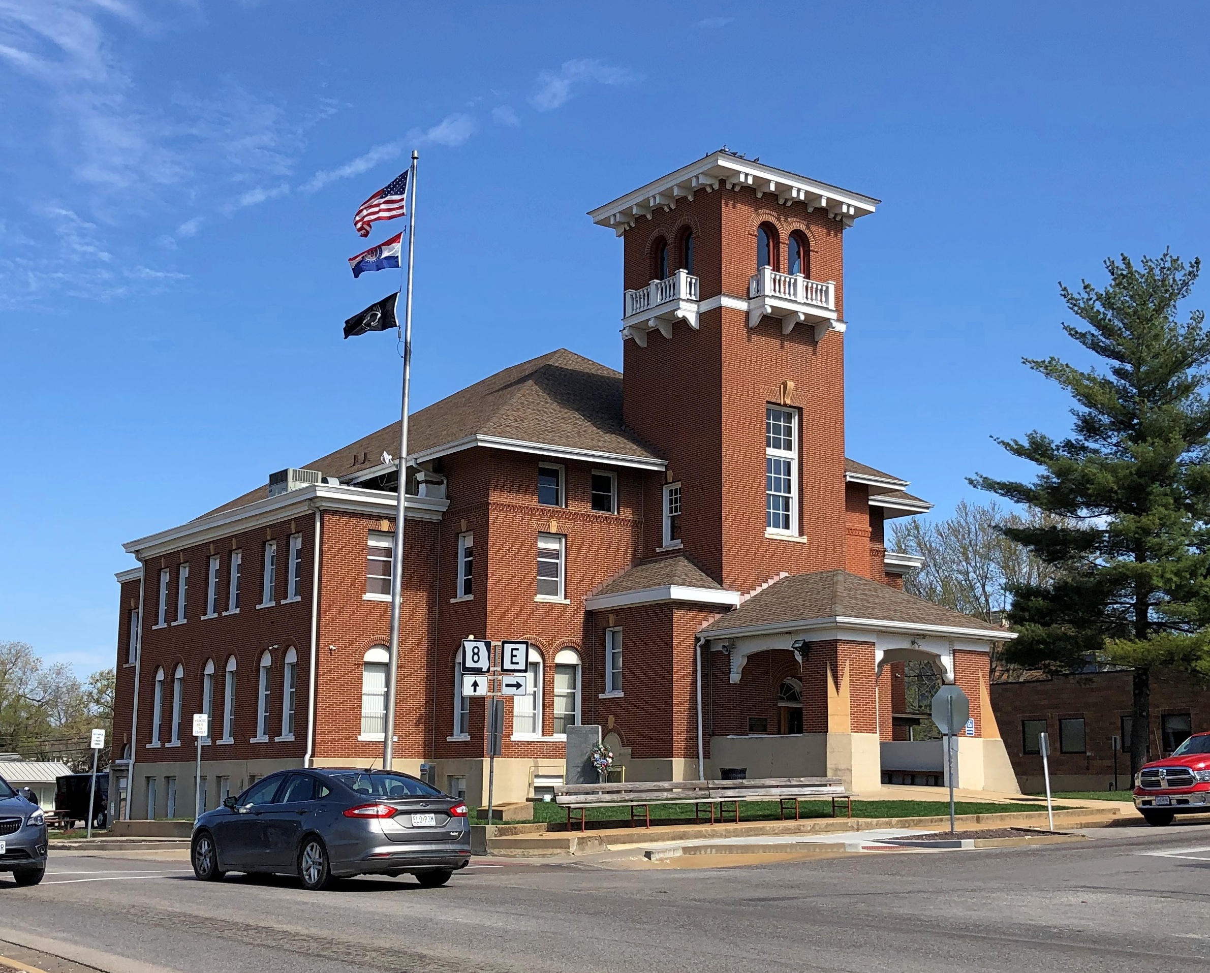
High Street is the location of a handsome county courthouse (Washington County), the third on the site and a 1908 design by one Henry Hohenschild, a Missouri architect who did a number of public buildings. Remarkably, the same document tells us that Moses Austin (probably) designed the county’s first courthouse. Moses was one busy guy.Washington County Courthouse, Potosi, Mo.

There are a number of antique stores on High Street, and while Yuriko was off exploring them, I was buttonholed by two Jehovah’s Witnesses sitting with their material across the road from the courthouse. Or rather, I allowed myself to be buttonholed, so I could talk a little religion. Just like I did in Salt Lake City. Or religion-adjacent. I think the ladies, Mary and Kay I believe it was, were surprised that I knew about the sale of the JW HQ property in Brooklyn some years ago.

Missouri Mines State Historic Site

Funniest thing I’ve heard in a while, at least in the category of unintentional comedy. The narrator of a video about The Wire that I watched today – just finished the third season, watching once a week or so – broke narrative for a commercial.

“If Omar is coming for you, you’ll need the perfect shoe to get away,” he said, holding up a pair of some running shoes.

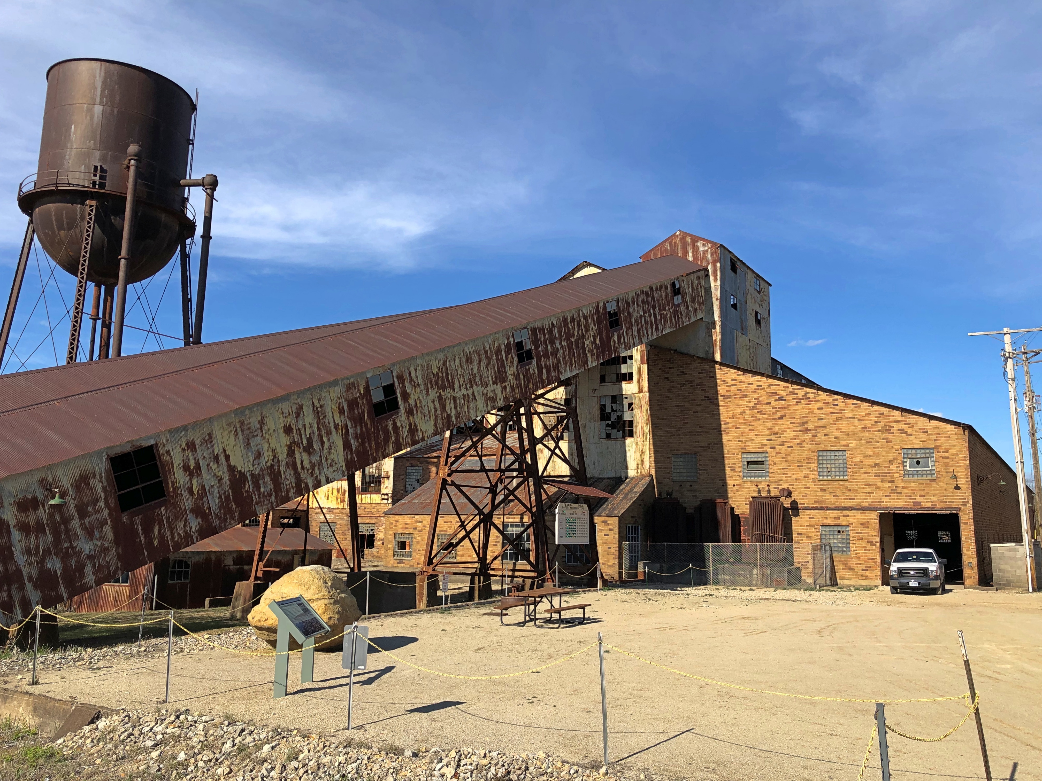
Drive about six hours from metro Chicago, south past St. Louis on the state of Missouri side of the Mississippi River, go almost as far as Farmington, Mo. (pop. 18,200) and leave the main road, but only a short distance down a side road, and you’ll find a place to ruminate on time and decay and poisoning. If you’re the ruminating sort.Missouri Mines State Historic Site Missouri Mines State Historic Site

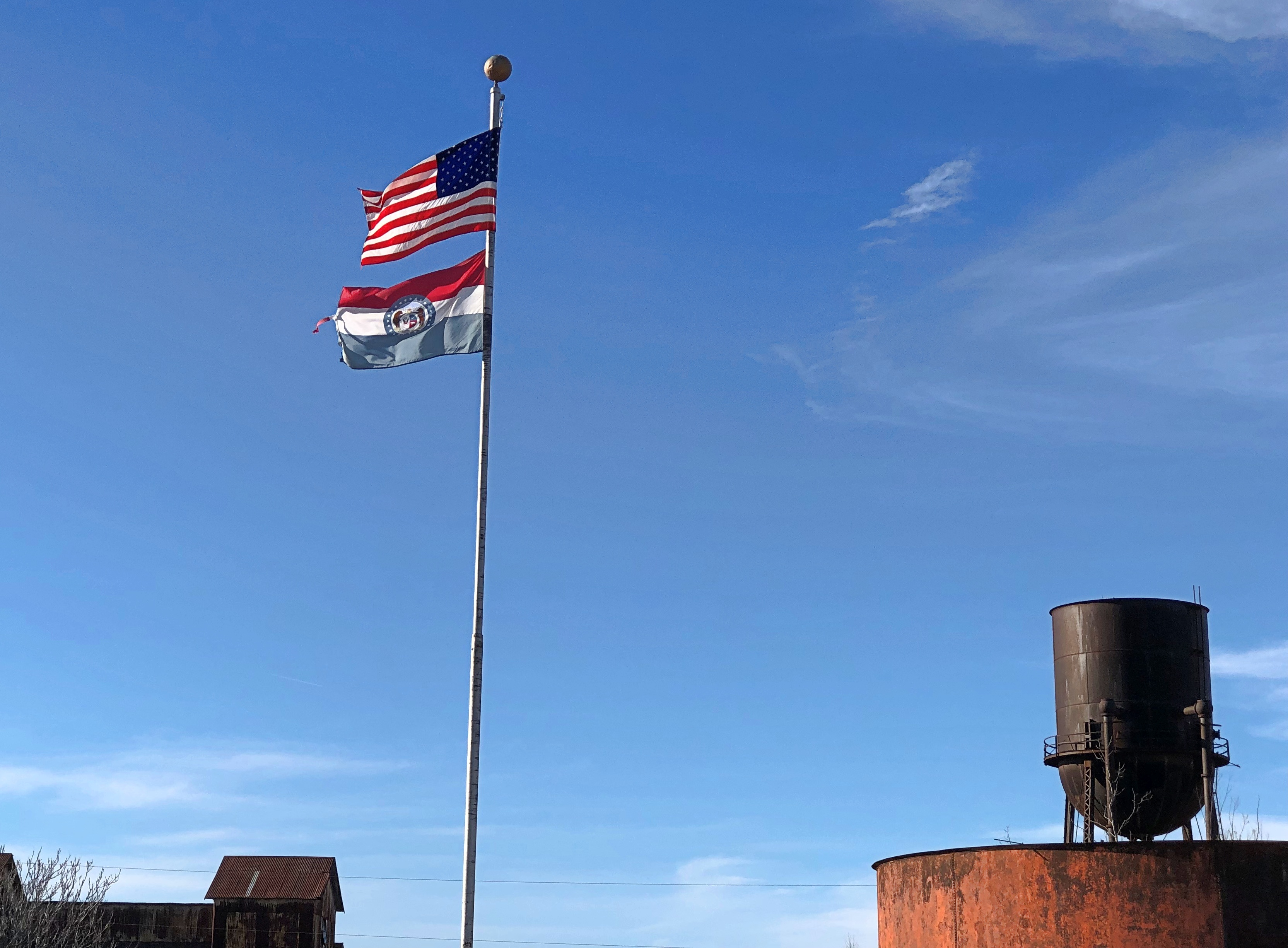
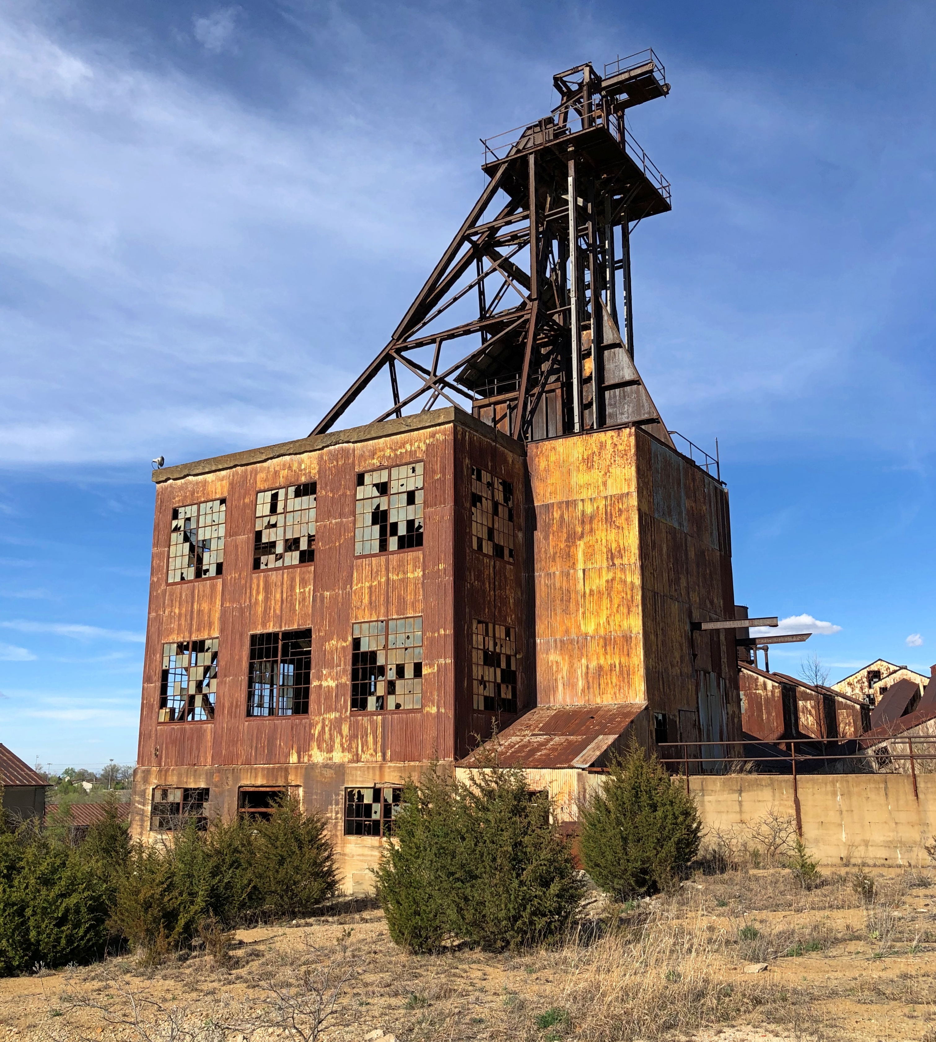
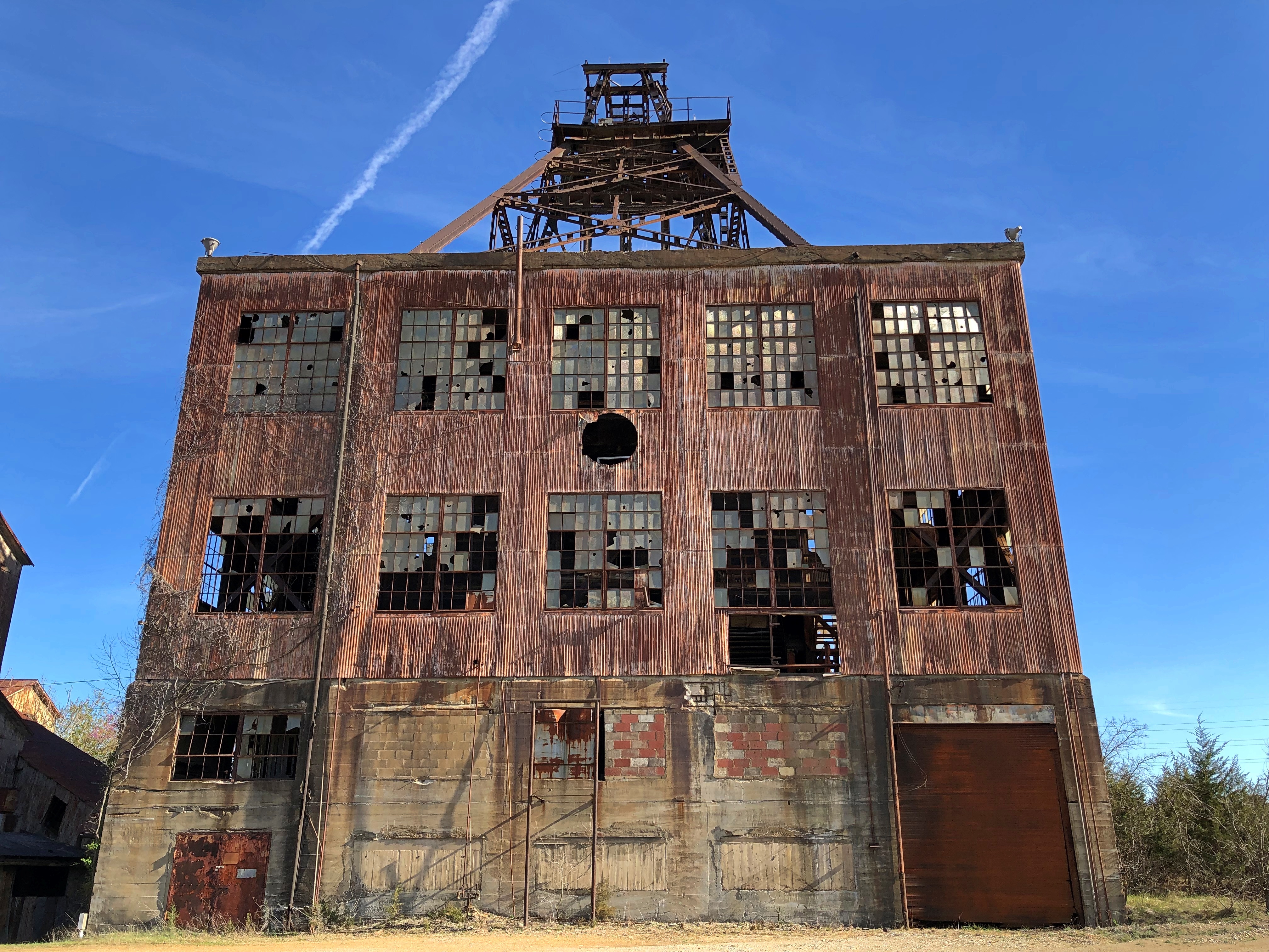
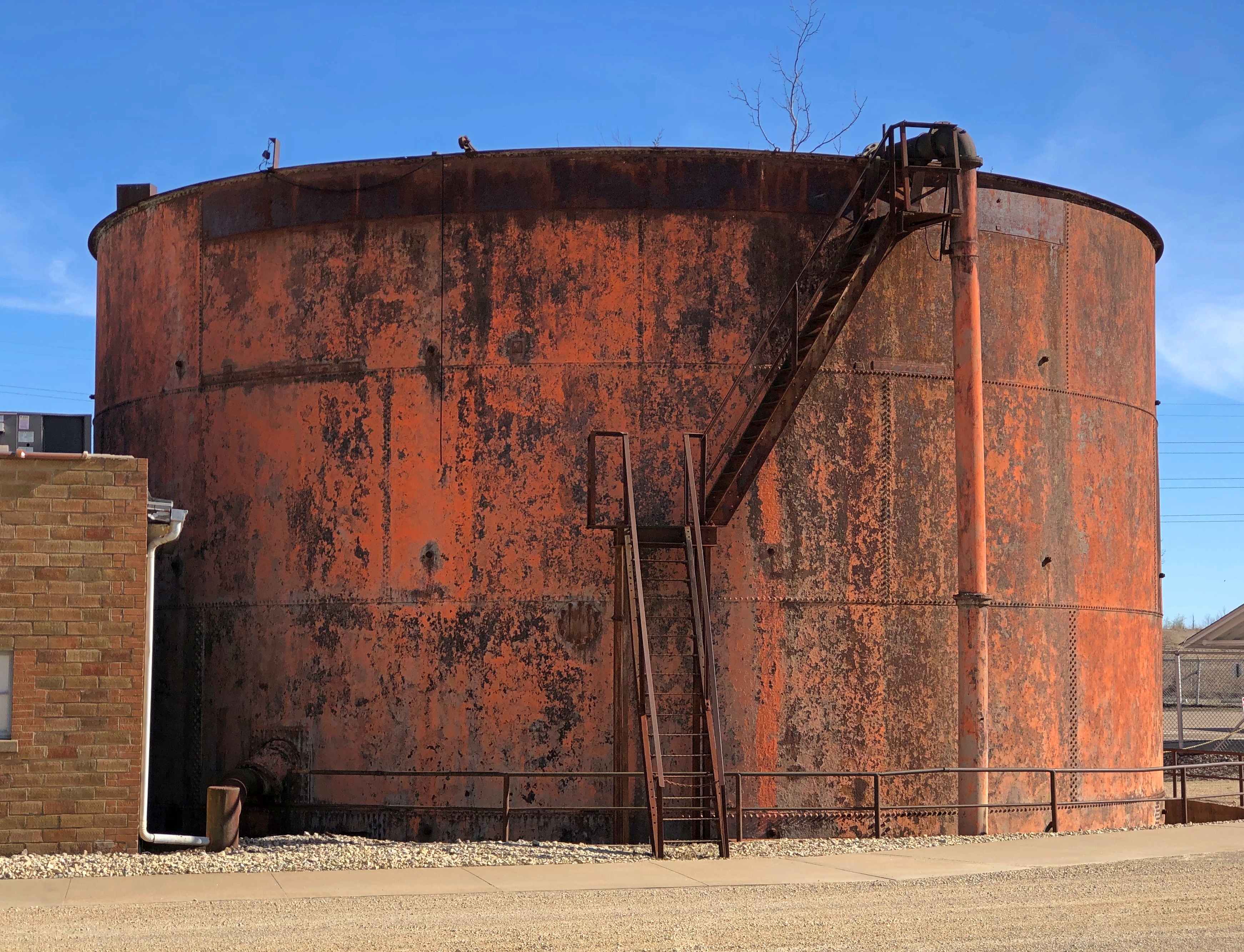
Another day, another day exposed to the elements for the former industrial structures at Federal Mill No. 3, which processed zinc and lead ore from 1906 to 1972 and became property of the state shortly after its closure. It’s now Missouri Mines State Historic Site. Smelting does what it does, leaves slag and moves on. The weathered, rusty structures should count as a kind of slag, but one you can look up at in some awe.Missouri Mines State Historic Site Missouri Mines State Historic Site Missouri Mines State Historic Site Missouri Mines State Historic Site

We’d arrived about an hour before the grounds closed on the afternoon of April 5. Except for one state park service employee, no one else was around, though there were signs advertising an upcoming eclipse event, since this part of Missouri was in the path of totality. Bet the place was overrun for that.

Before coming to the Lead Belt of Missouri, I’d vaguely thought that lead mining was only an historic phenomenon, something like the copper mining in the UP that left behind relics. Missouri Mines didn’t do anything to correct that impression, at least at first. Later I found out was wrong.

“Lead and fur were the most important exports from Missouri during its early years as a Spanish, French, and then United States territory (Burford, 1978),” wrote Cheryl M. Seeger in a monograph called, “History of Mining in the Southeast Missouri Lead District and Description of Mine Processes, Regulatory Controls, Environmental Effects, and Mine Facilities in the Viburnum Trend Subdistrict” (2008).

“Southeastern Missouri, with the largest known concentration of galena (lead sulfide) in the world, was the site of the first prolonged mining in the state and has produced lead almost continuously since 1721,” Seeger notes. Largest in the world? Who knew? (Besides Cheryl Seeger, that is.)

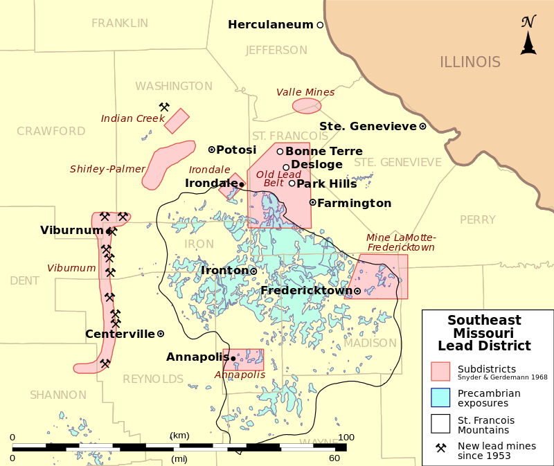
Wiki published a map to illustrate the point, posted by one Kbh3rd, who is duly acknowledged here under the terms of Creative Commons 3.0.

Looks like all the mining action migrated to the west, but not far west, in the 20th century. In the monograph, I also learned that Moses Austin was a lead miner in the region – more about him later.

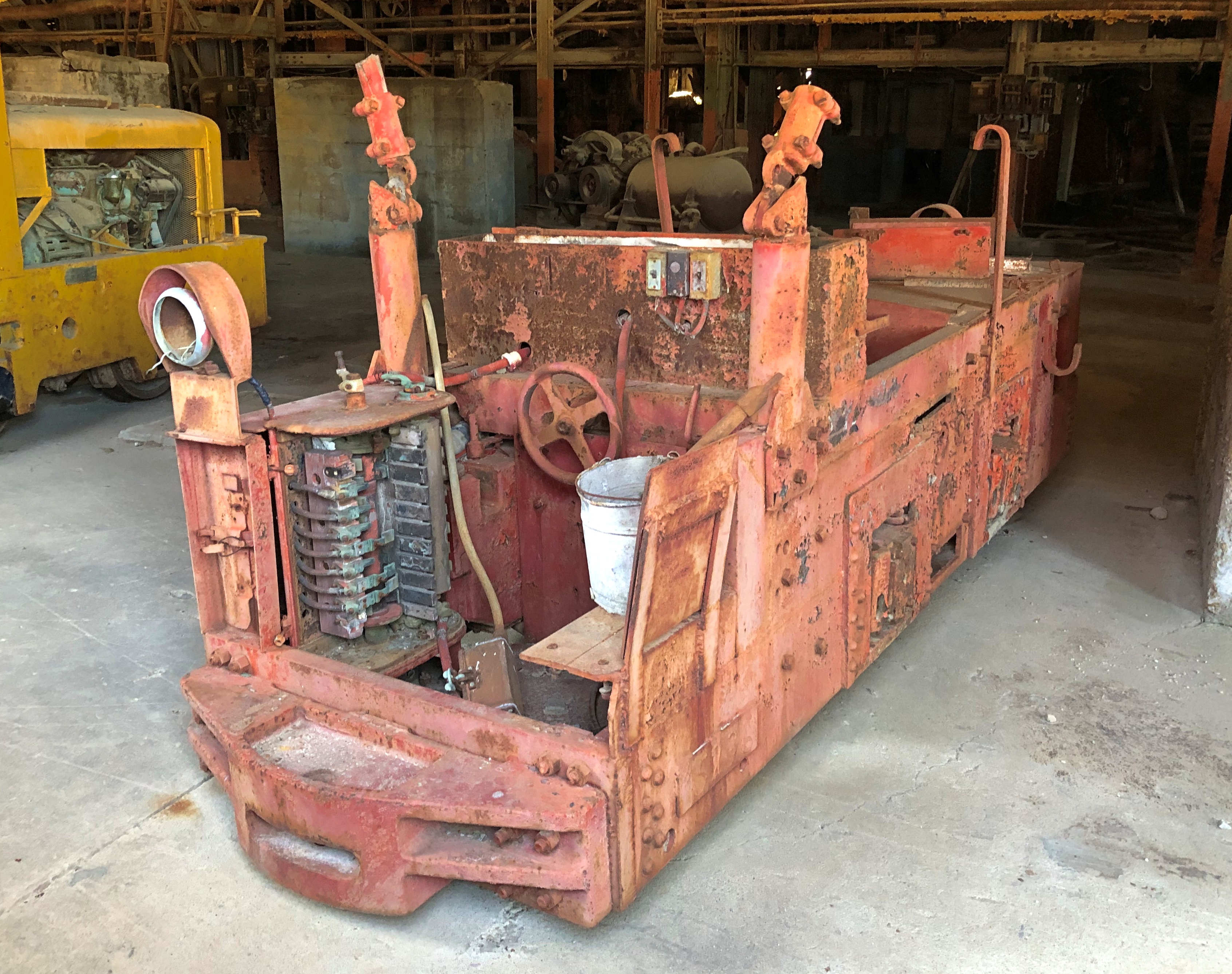
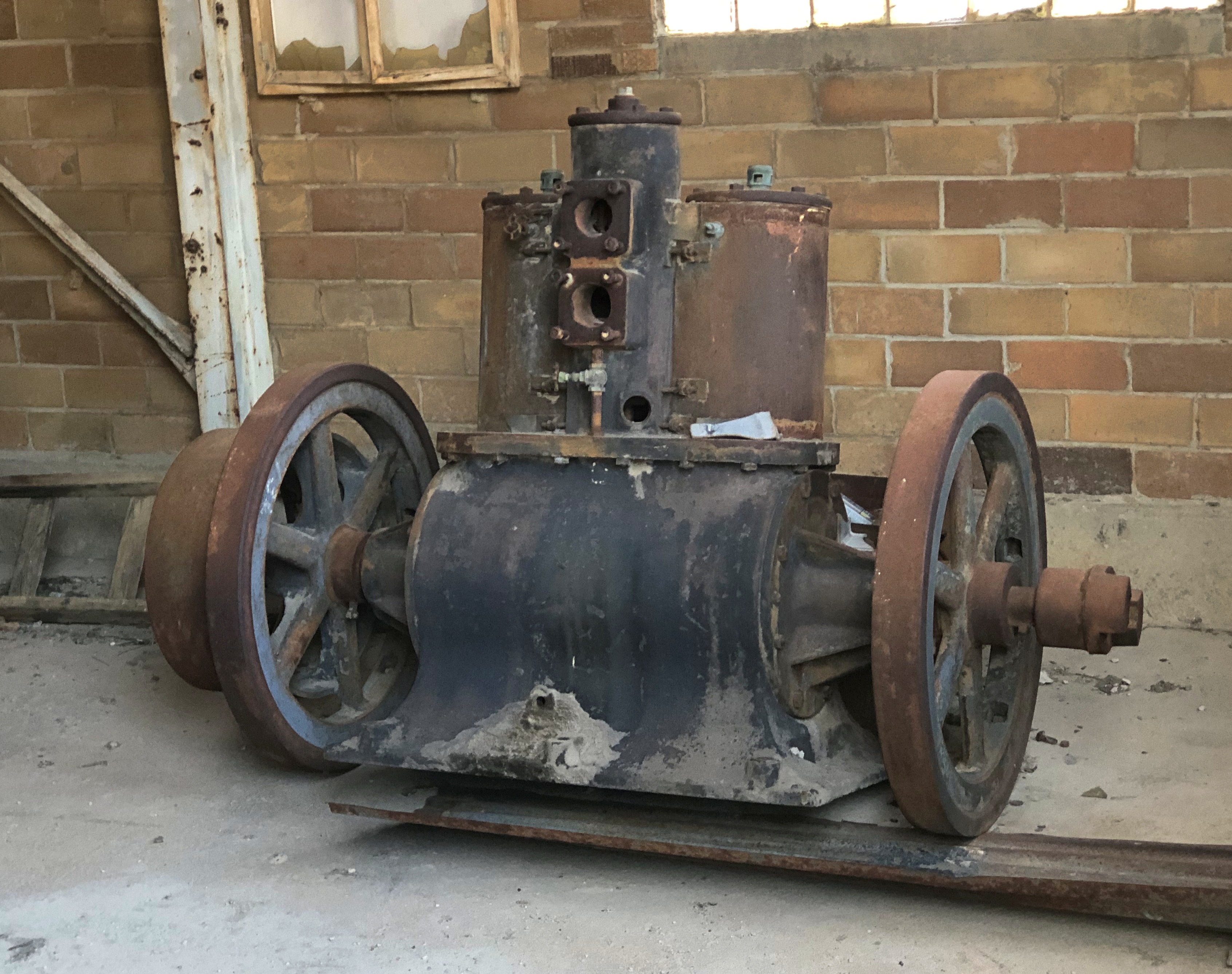
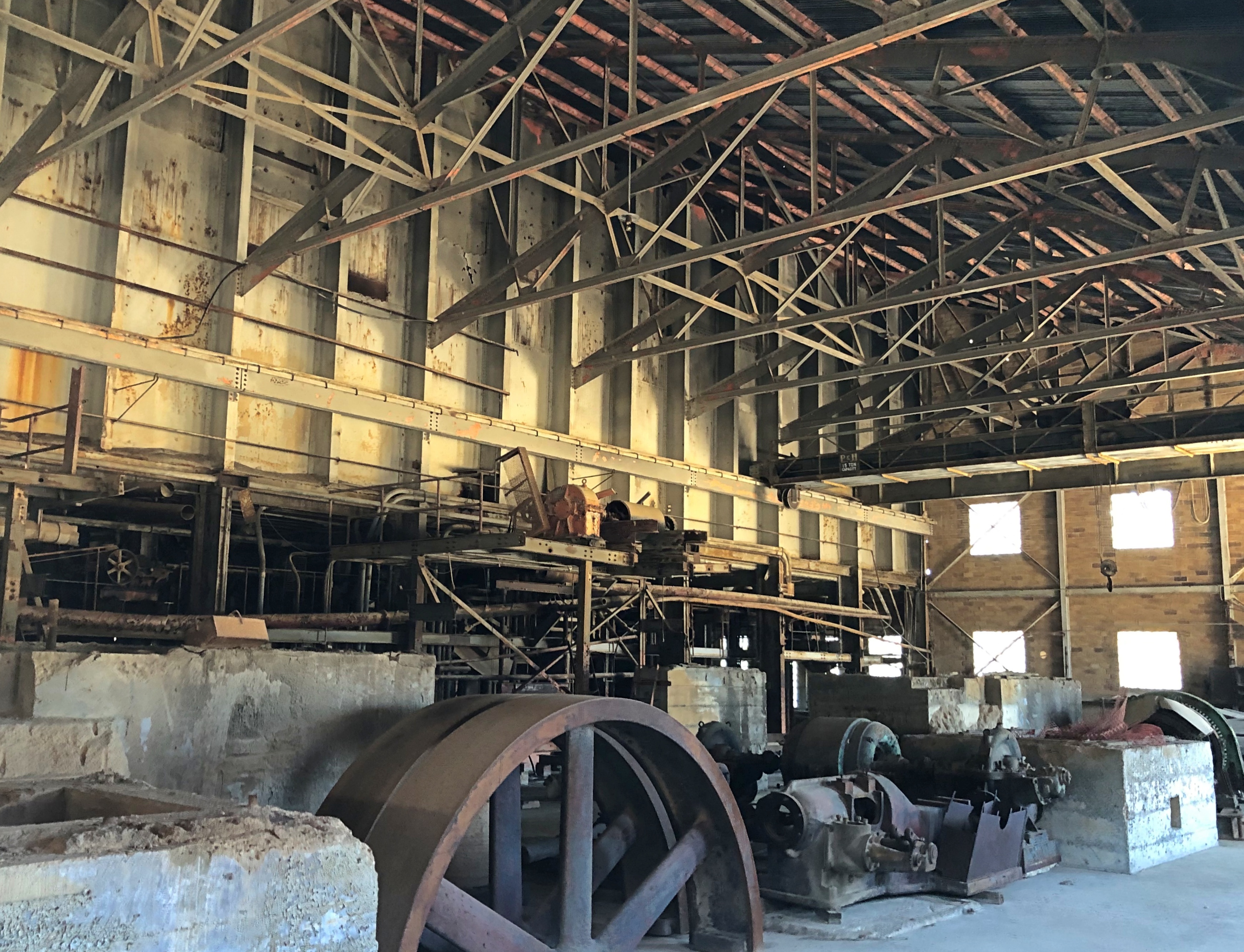
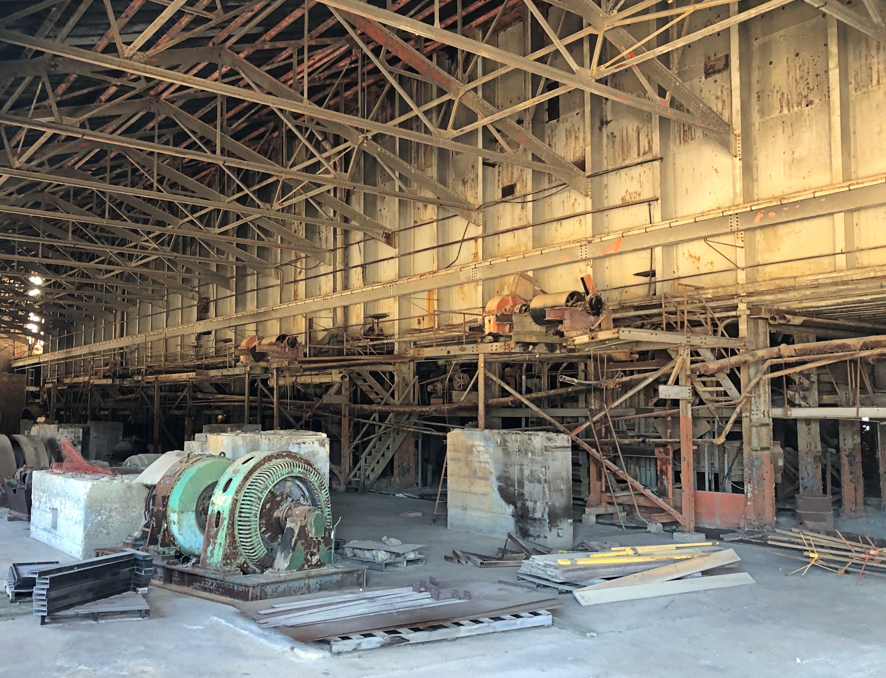
Most of the buildings at Missouri Mines SHS were roped off, and probably for good reason. But large windows were open, allowing a look inside the largest of them.Missouri Mines State Historic Site Missouri Mines State Historic Site Missouri Mines State Historic Site

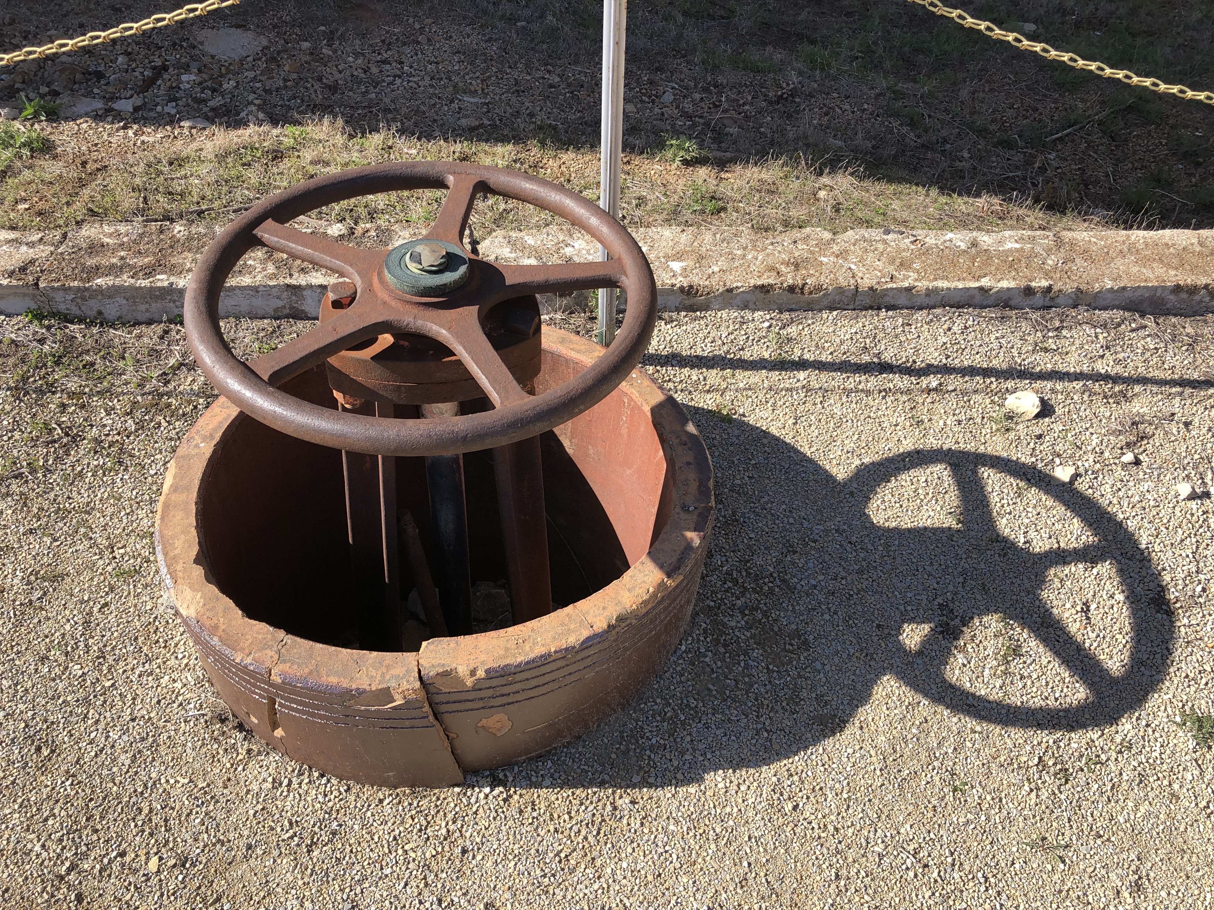
Mighty ruins are one thing, but I also like the smaller pieces.Missouri Mines State Historic Site Missouri Mines State Historic Site Missouri Mines State Historic Site

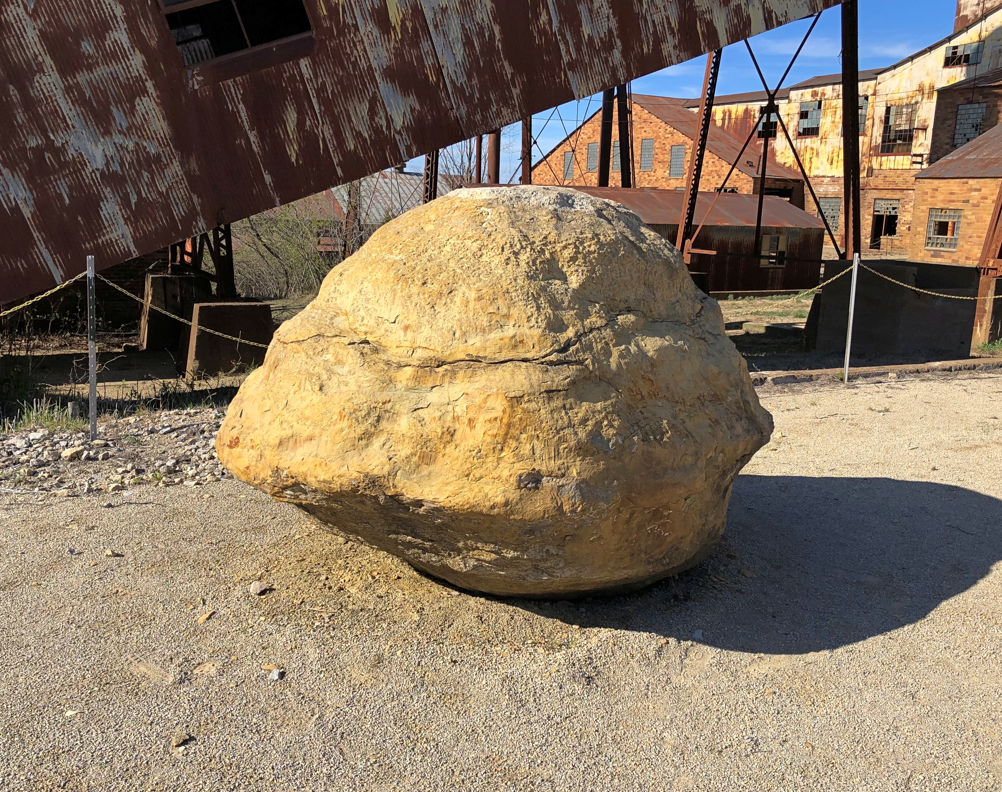
An oddity, but one dug up nearby.Missouri Mines State Historic Site

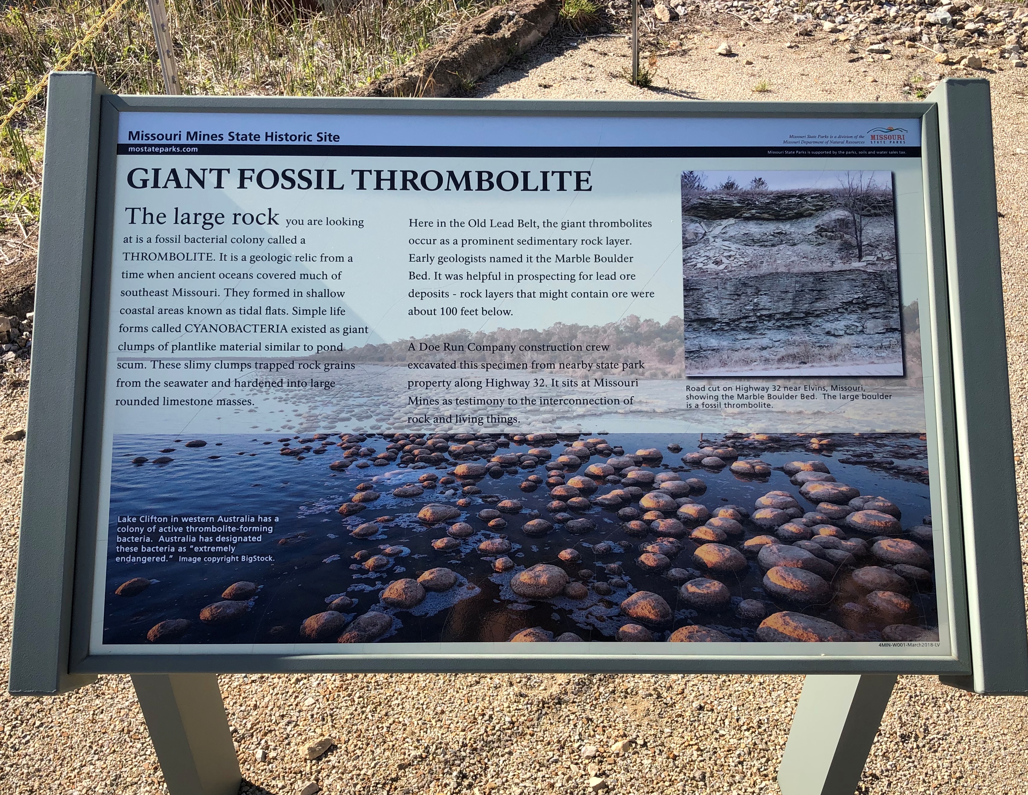
A giant fossil thrombolite, a nearby sign said. Fossilized creatures, if you can call them that, from a billion years ago.Missouri Mines State Historic Site

Next to the state historic site is St. Joe State Park, with a path leading into that park. The day was warm, but not too warm for a walk. It was then we realized the thing we’d forgotten for the trip, because there’s always something: hats. But we managed.

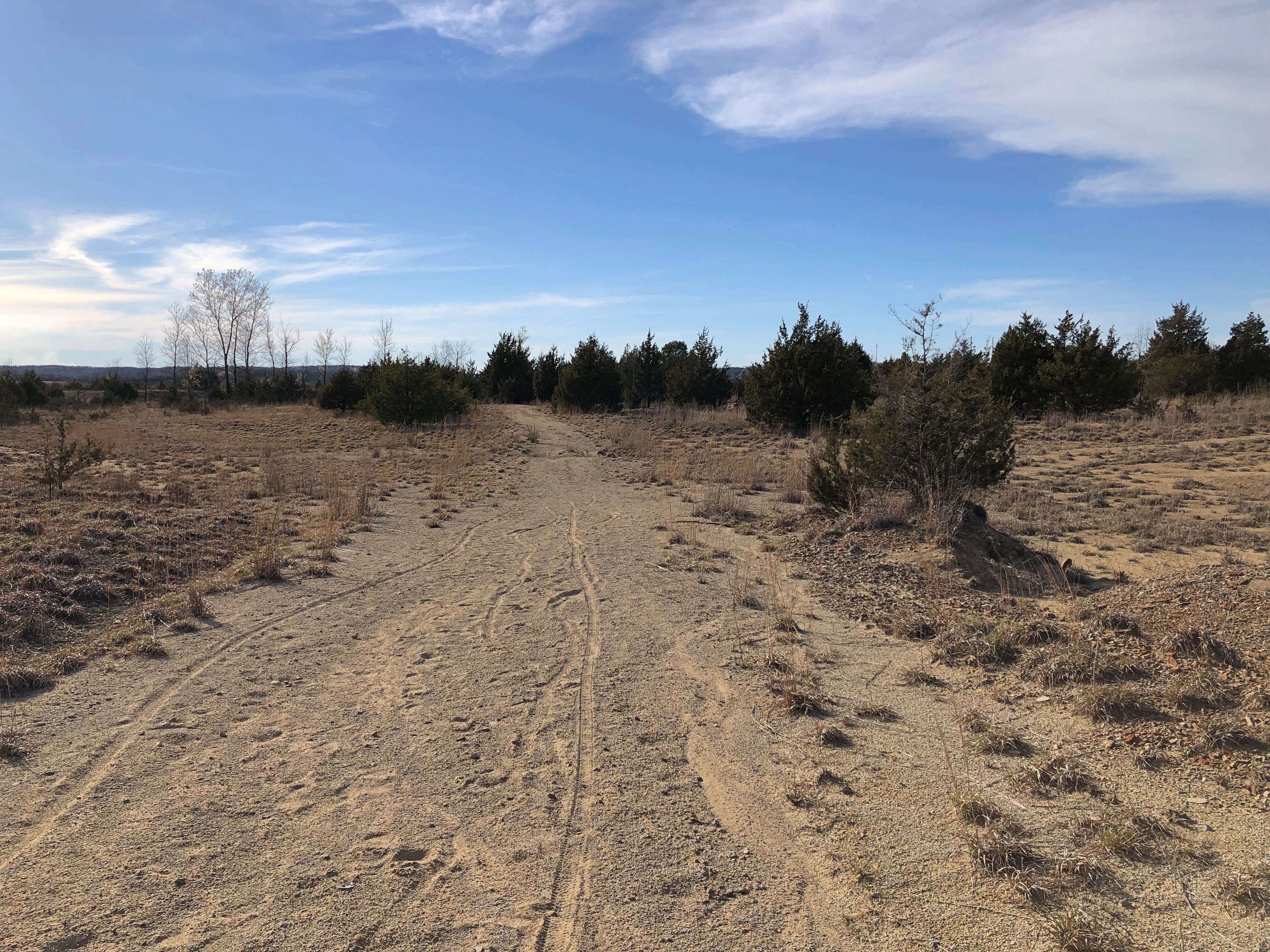
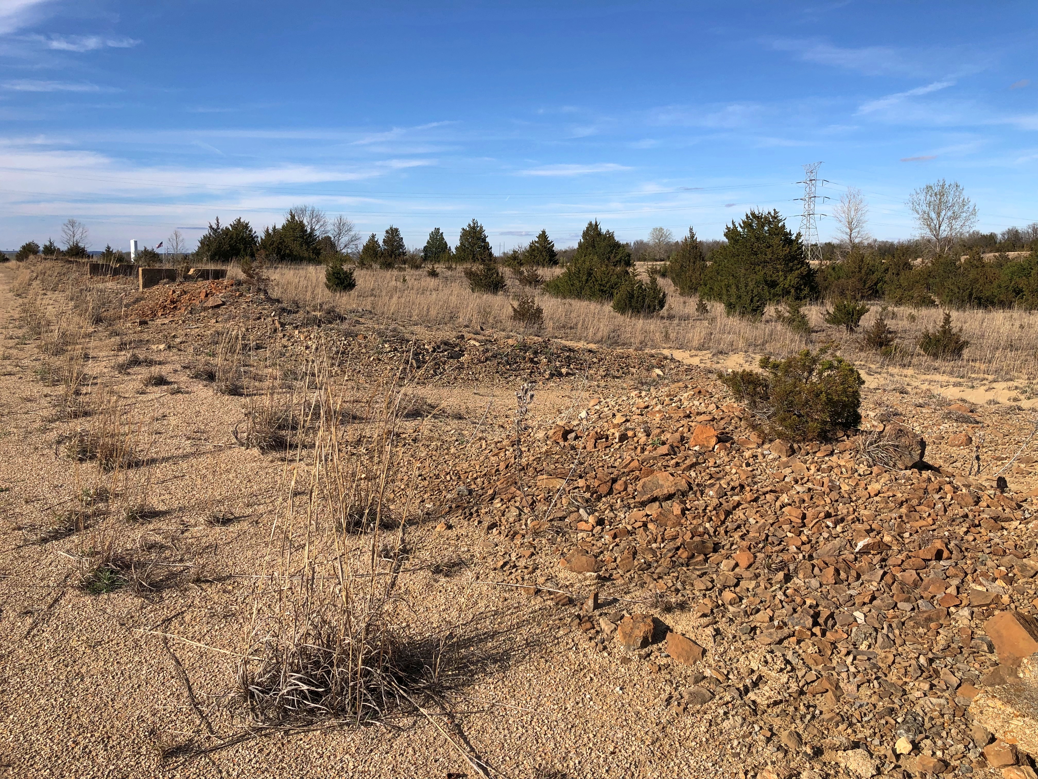
It was like walking straight into one of the more desolate parts of the West instead of lush, springtime Missouri.St Joe State Park St Joe State Park St Joe State Park

Another legacy of lead mining: ruined land, considered fit only for off-road vehicle tracks these days. Look at enough maps of the Lead Belt, and you’ll find the Superfund maps, too – which cover most of the area.

Is there Superfund site tourism? There must be. No? Now there’s an opportunity for some gritty tours, believe me.

Or maybe infrastructure tourism.

Sign me up for that one.

Southern Loop ’21 Scraps

Near-summer weather to a tee visited northern Illinois over the weekend — next week will be chillier, I read — with cloud puffs ambling along the completely pleasant warm air, except maybe for persistent strong gusts of wind, a mild sirocco. Those gusts didn’t keep us from walking the dog or me from idling on our deck, reading or resting my eyeballs, but they did put the kibosh on taking any meals as a family out there.

My stop in New Madrid, Missouri, on April 10 was brief, but long enough to get a look at the handsome county courthouse.
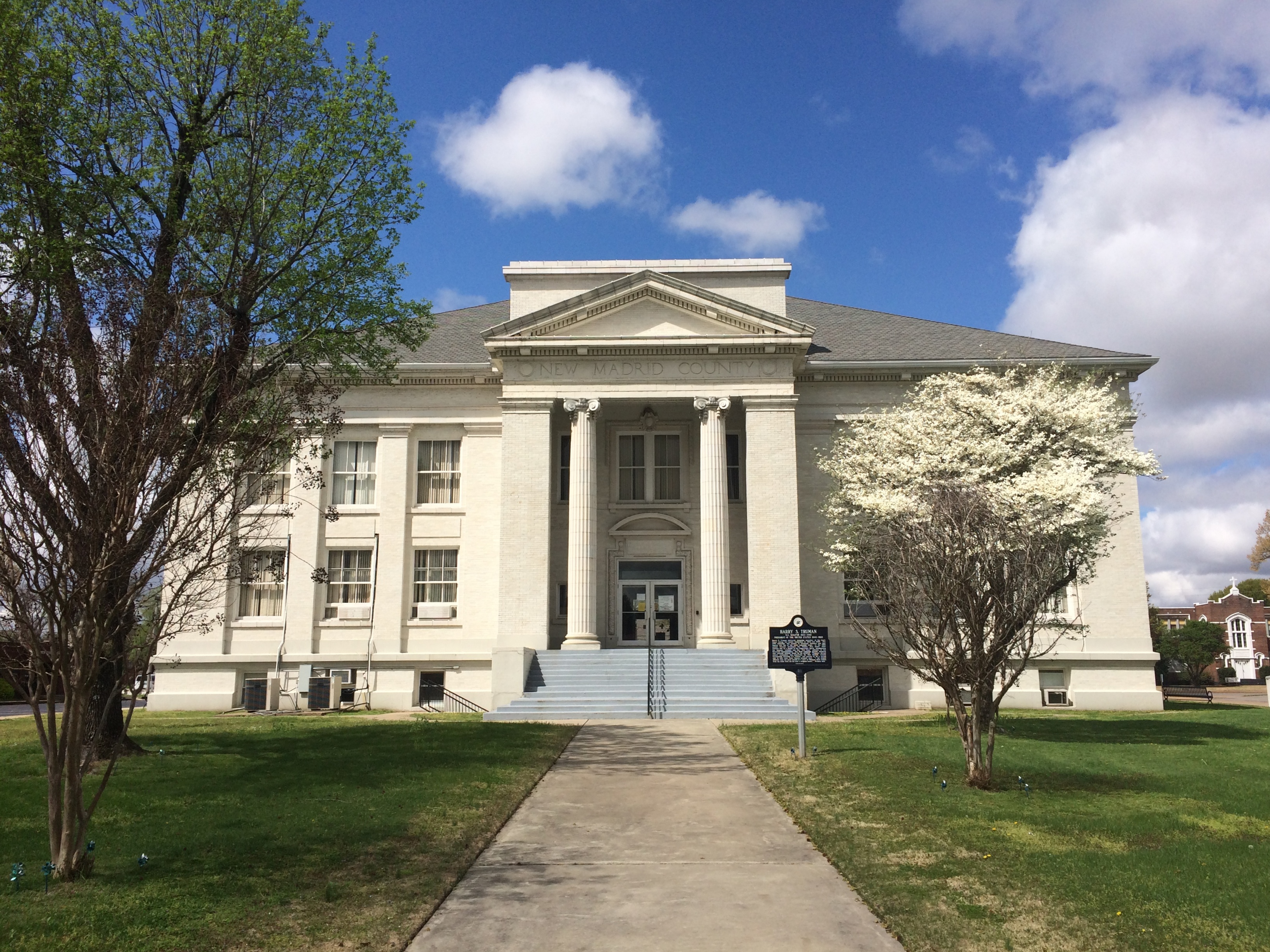
New Madrid County Courthouse

“Cornerstone ceremonies were July 4, 1915, for the Classical Greek Revival style building of white sandstone and porcelain brick with a copper box laid in the northeast corner containing copies of all New Madrid County and St. Louis newspapers and carefully prepared historical events, including the names of the citizens who contributed the $20,000, names of all county officers, etc.,” says the courthouse web site. Sounds like a dull time capsule, but never mind.

“Additional funds for finishing the courthouse and jail were authorized early in 1917, but no bids were received… Finally, W. W. Taylor, a master builder from Cape Girardeau, superintended final interior work, which included marble stairways with cast iron railings and a large rotunda with a stained glass window in the ceiling that was completed in January 1919.”

Closed on Sunday. Maybe closed for the pandemic, anyway, so the marble and stained glass and more weren’t visible to me. Hope the courthouse was built to resist seismic events (as much as possible 100 years ago), or refit in more recent years.

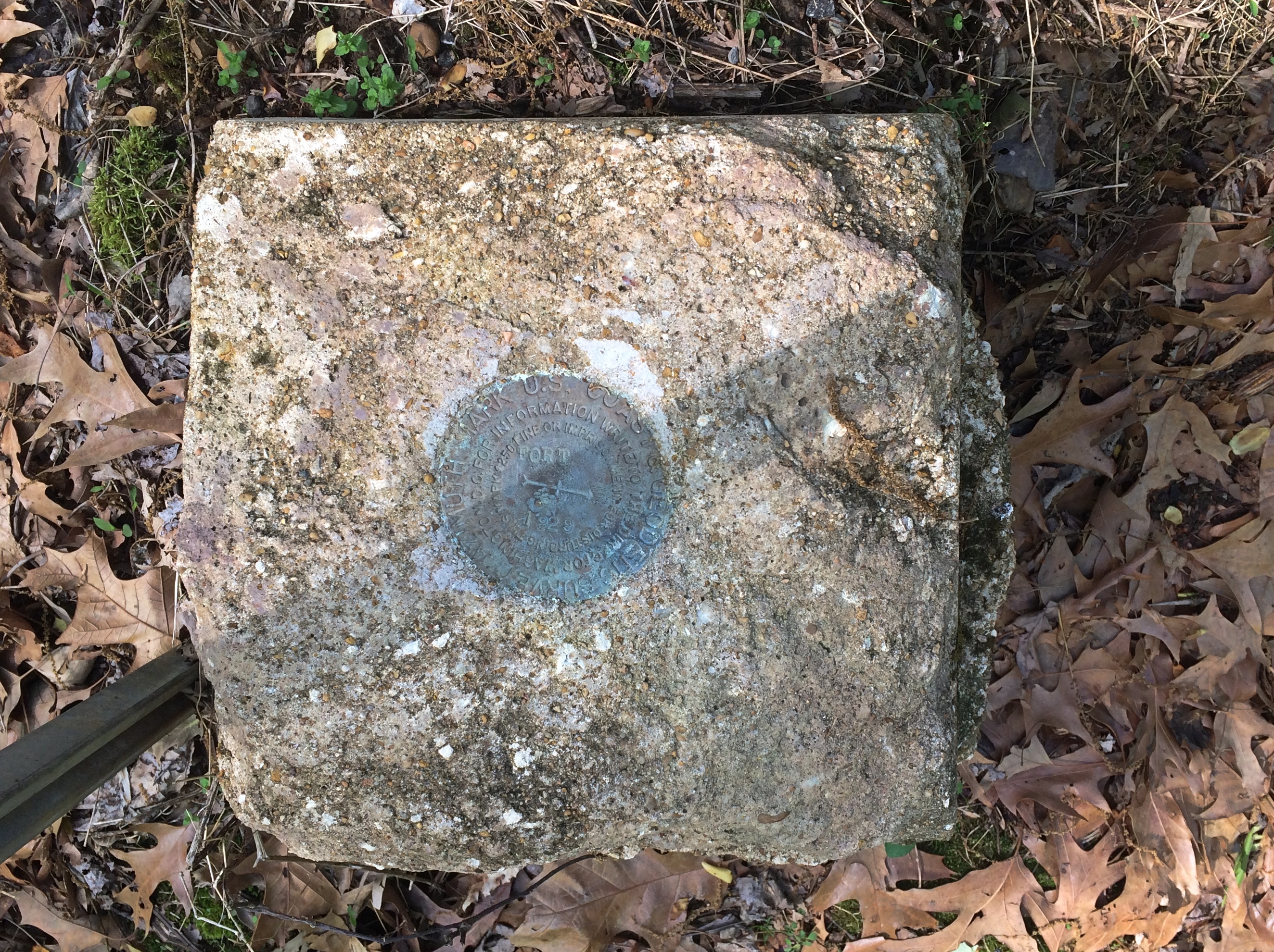
A survey marker at Fort Pillow State Historic Site, Tennessee. Always interesting to run across one.
A view of the Mississippi at Fort Pillow.
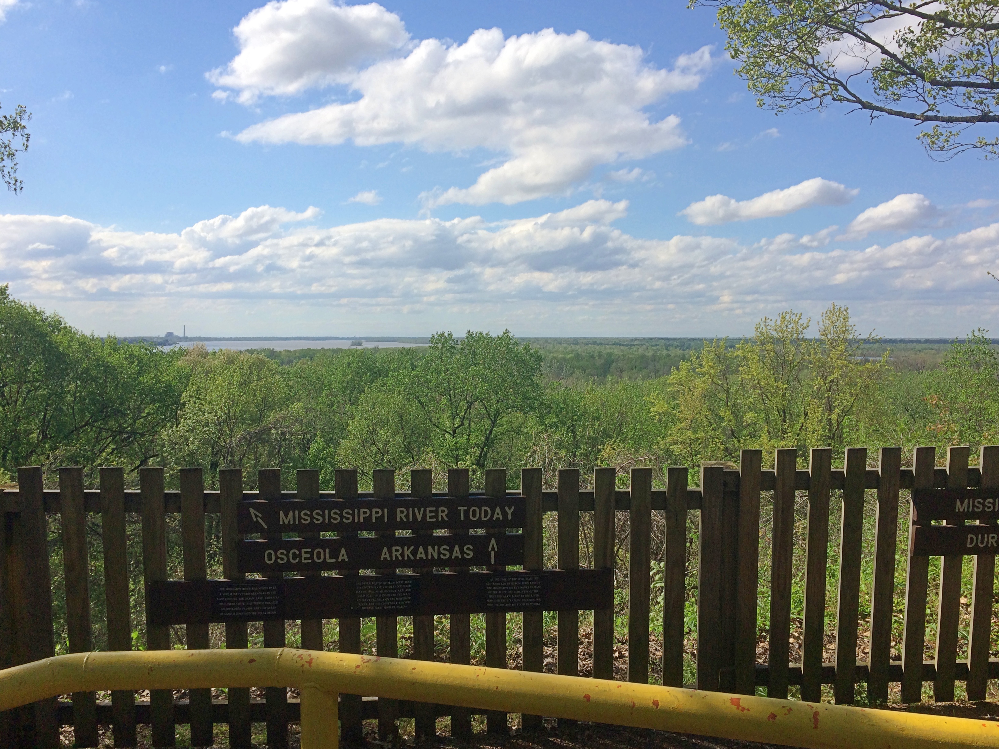
Fort Pillow

A retail scene from Clarksdale, Mississippi. Something Amazon cannot replace.
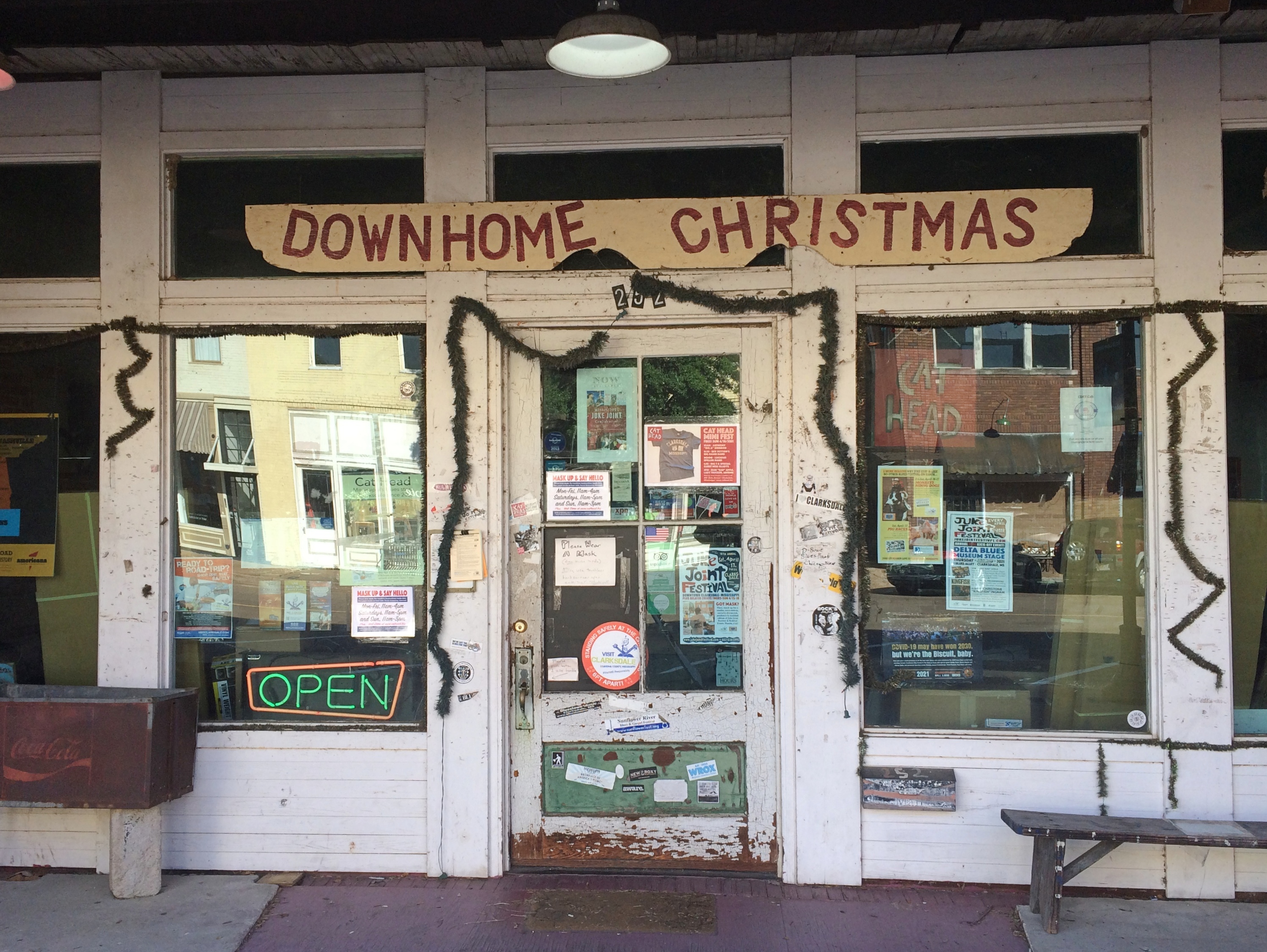
Clarksdale Mississippi
Despite the glowing neon, the shop — called Cat Head — wasn’t open on a Sunday morning.
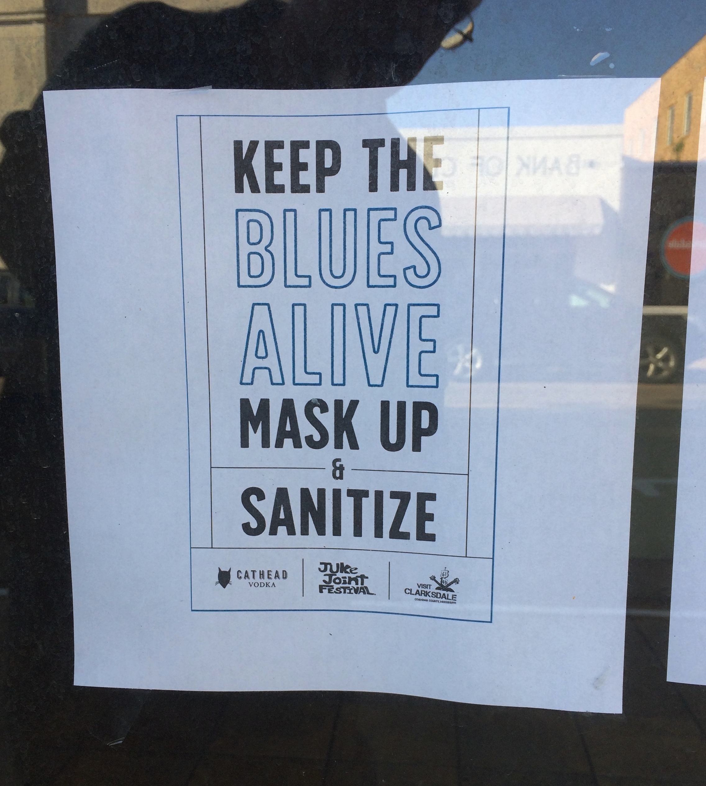
Keep the Blues Alive

A scene from rural Mississippi, where perhaps the landowner recognizes no political authority.
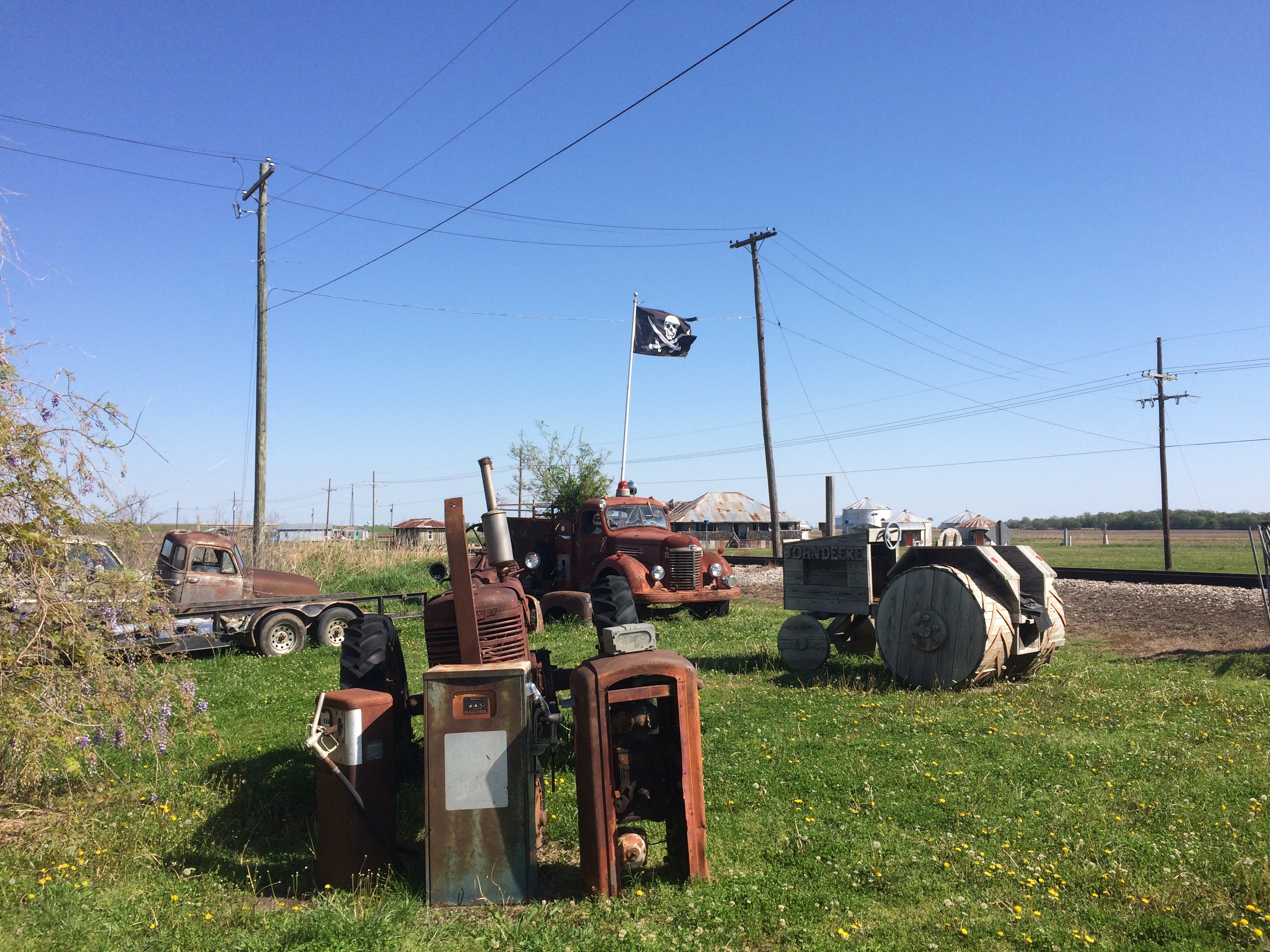
Jolly Roger Mississippi

Even in small-town Mississippi, you’ll see these.
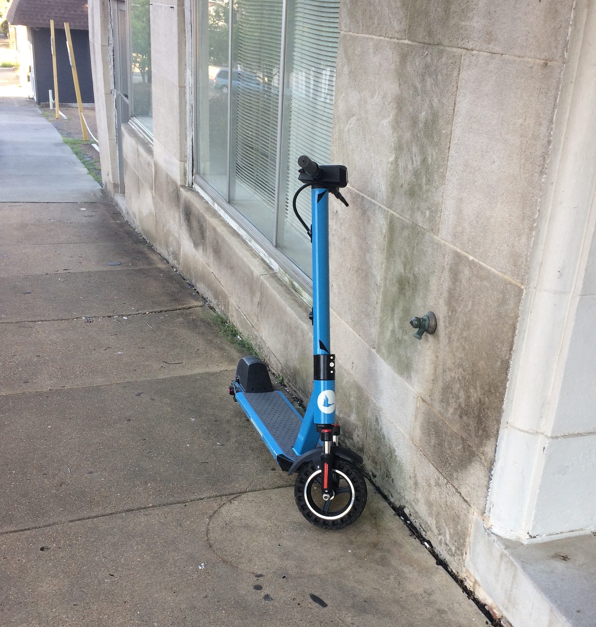
Vicksburg scooter

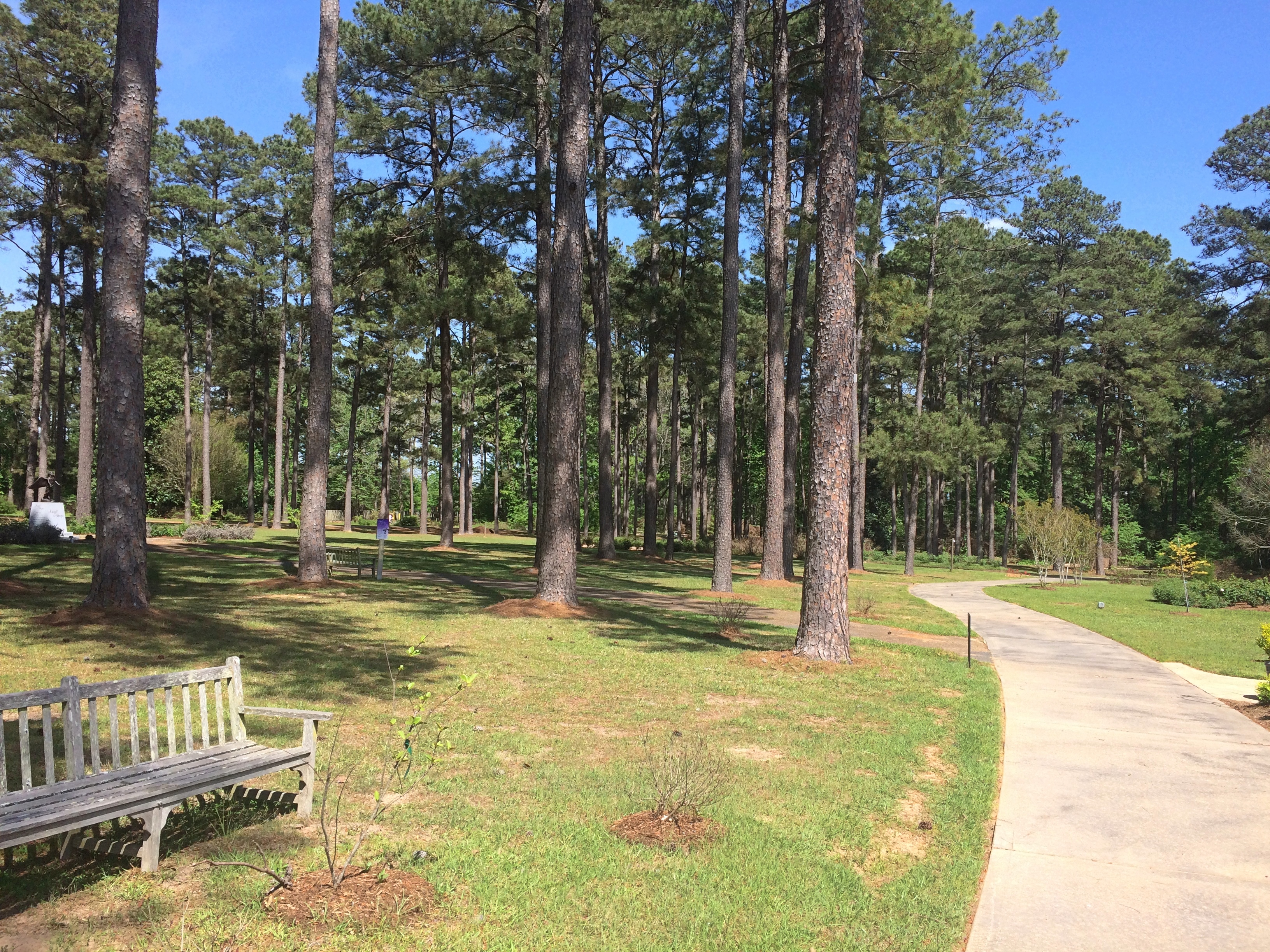
The American Rose Center is a 118-acre wooded spot just west of Shreveport, and home to the national headquarters of the American Rose Society.
American Rose Center

I was a few weeks too early. A few roses were in bloom, but not many. Mostly still buds, and a lot of them. Even so, lovely grounds.American Rose Center
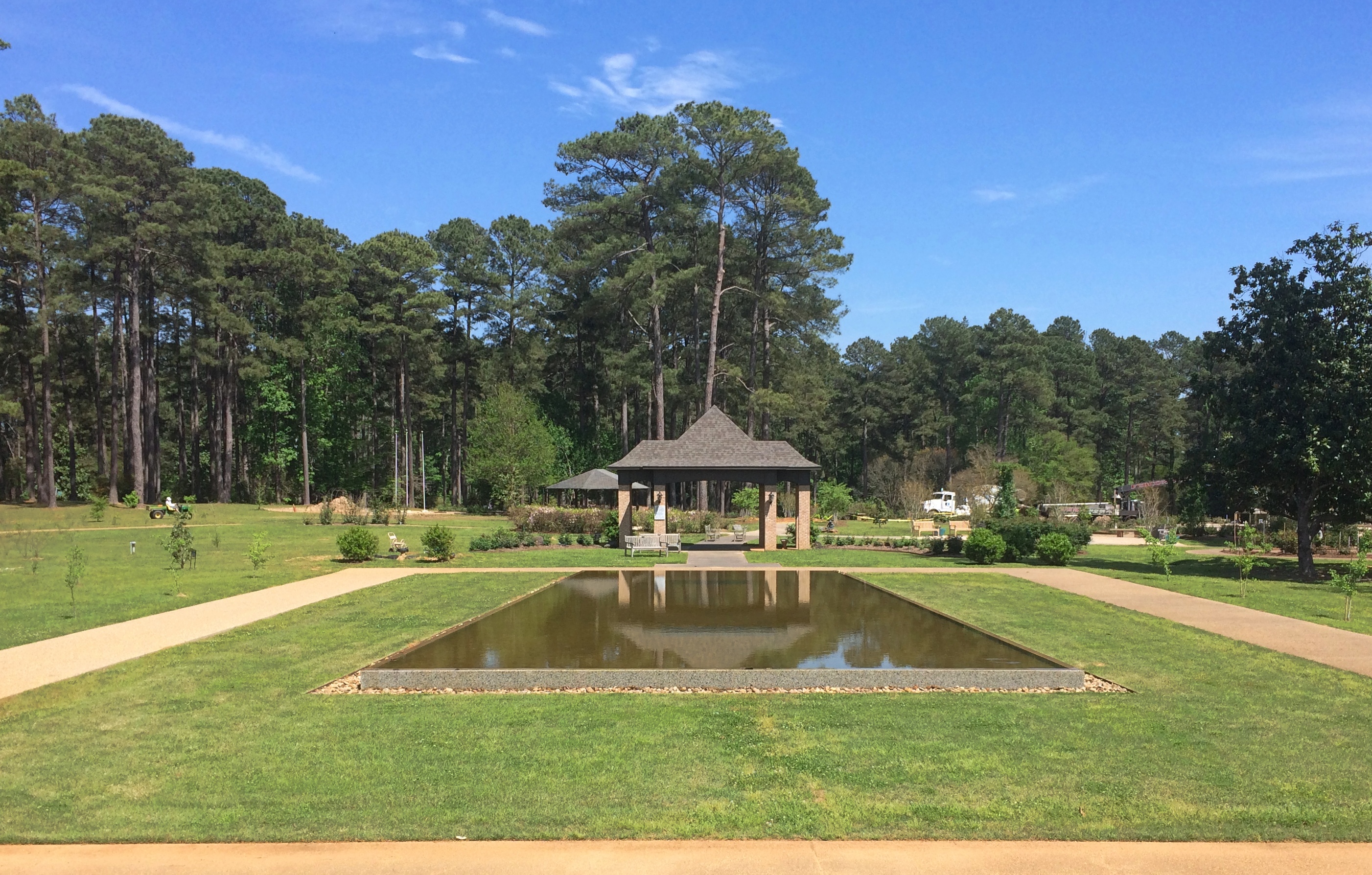
American Rose Center
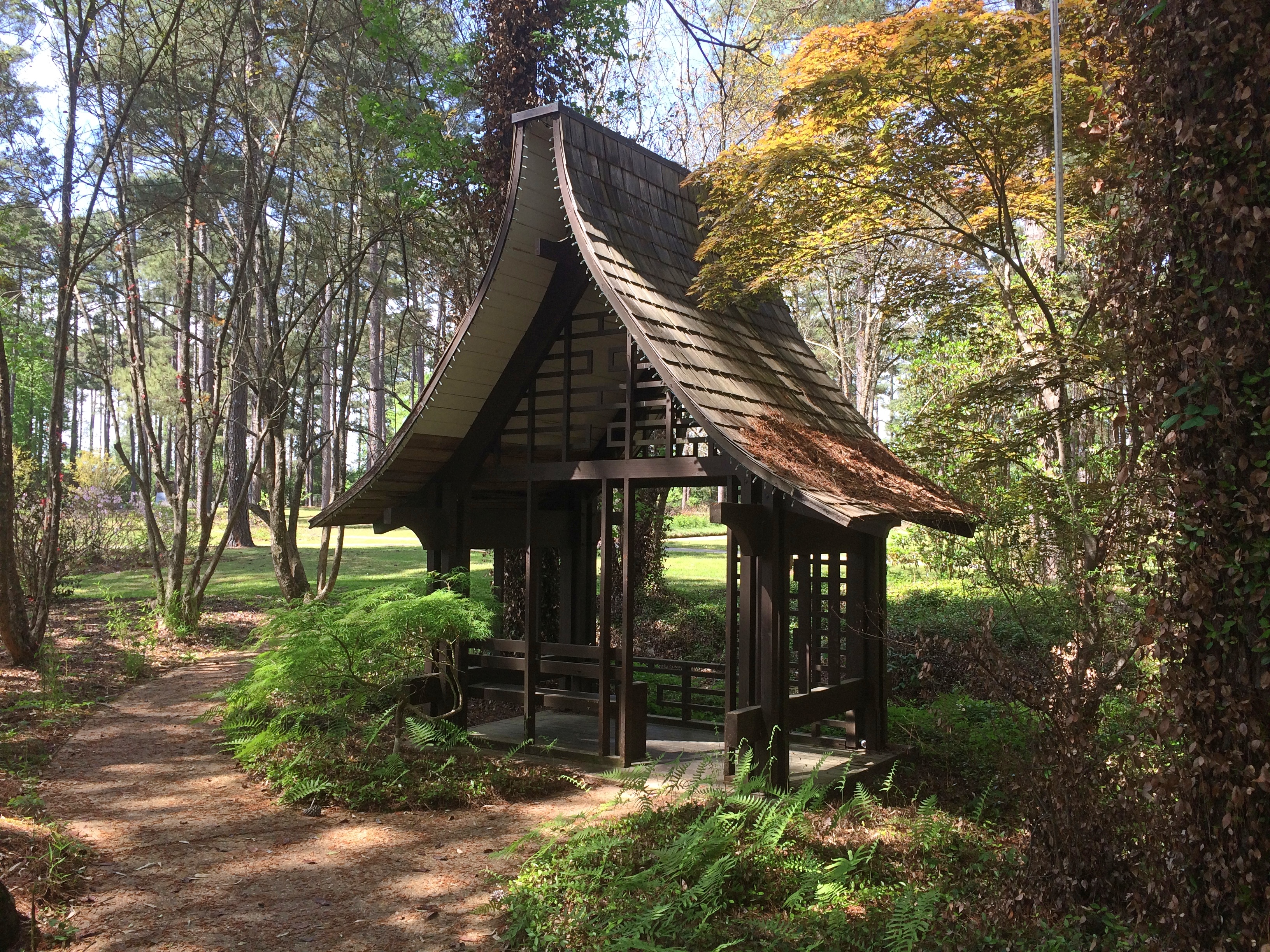
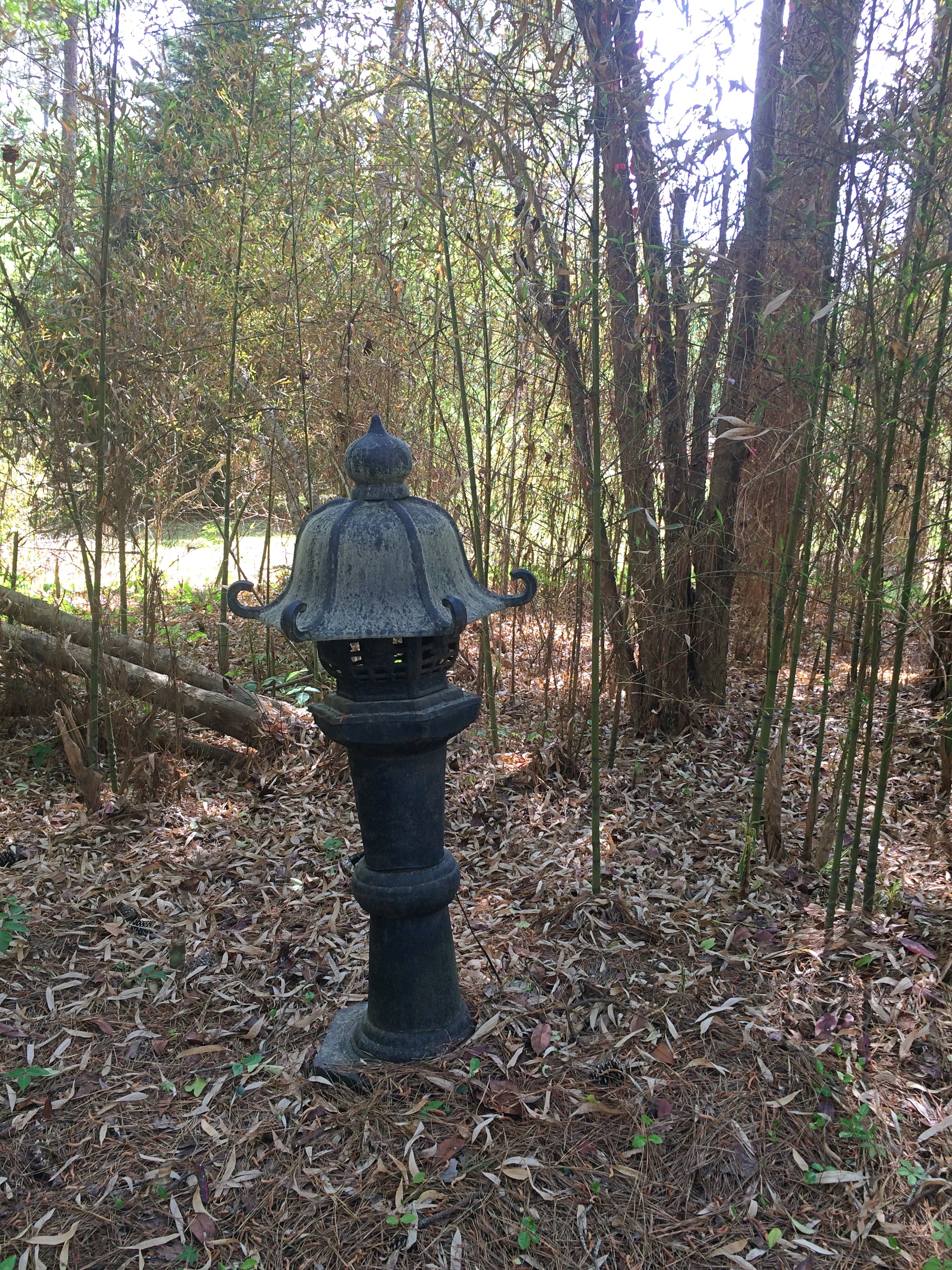
Including a Japanese-style pavilion.
American Rose Center

American Rose Center
As I said, a few blooms.

American Rose Center

American Rose Center
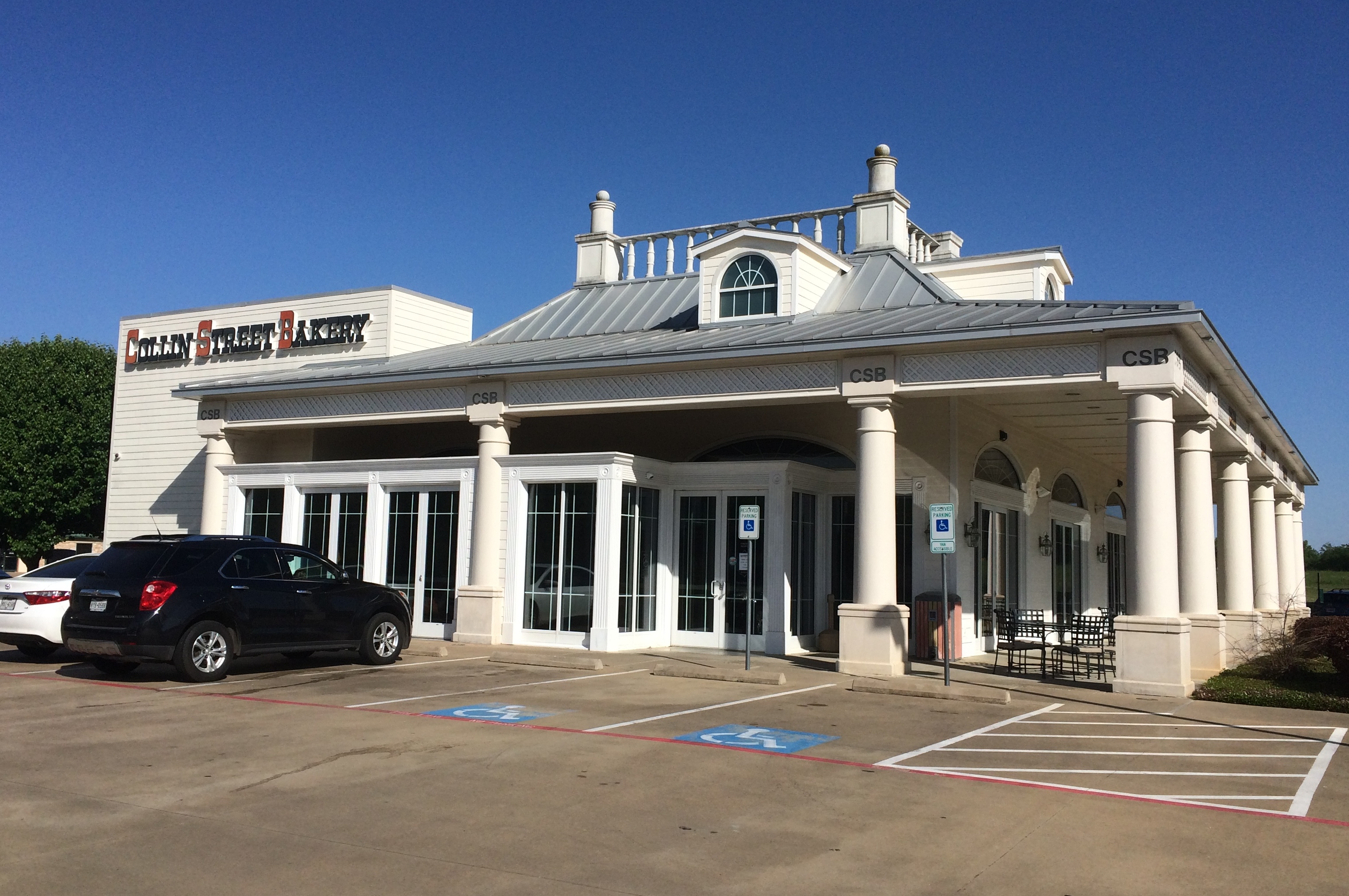
You don’t have to go all the way to Corsicana, Texas, to buy a fruitcake at the Collins Street Bakery. There’s a store just off I-20 in Lindale, Texas, with a cafe and a towering sign. I stopped and bought a big fruitcake, which is mostly gone now, eaten a bit at a time by me, Jay, Yuriko and Ann.Collins Street Bakery Lindale
Collins Street Bakery Lindale

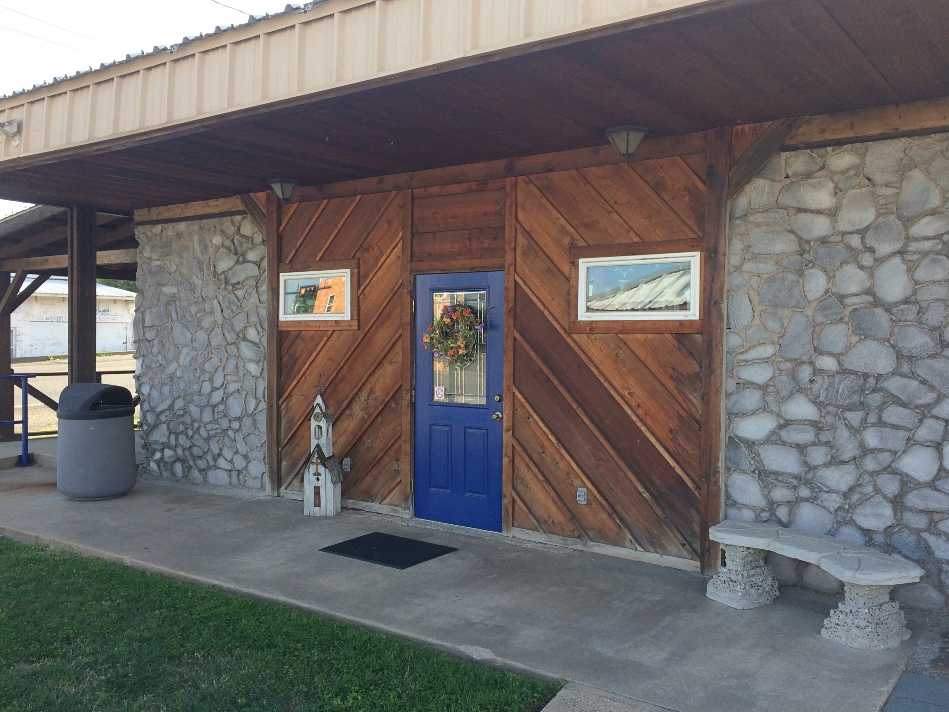
In Grand Saline, Texas, a town that salt built, is a structure called the Salt Palace Museum and Visitors Center, which is on Main Street.
Salt Palace Museum and Visitors Center
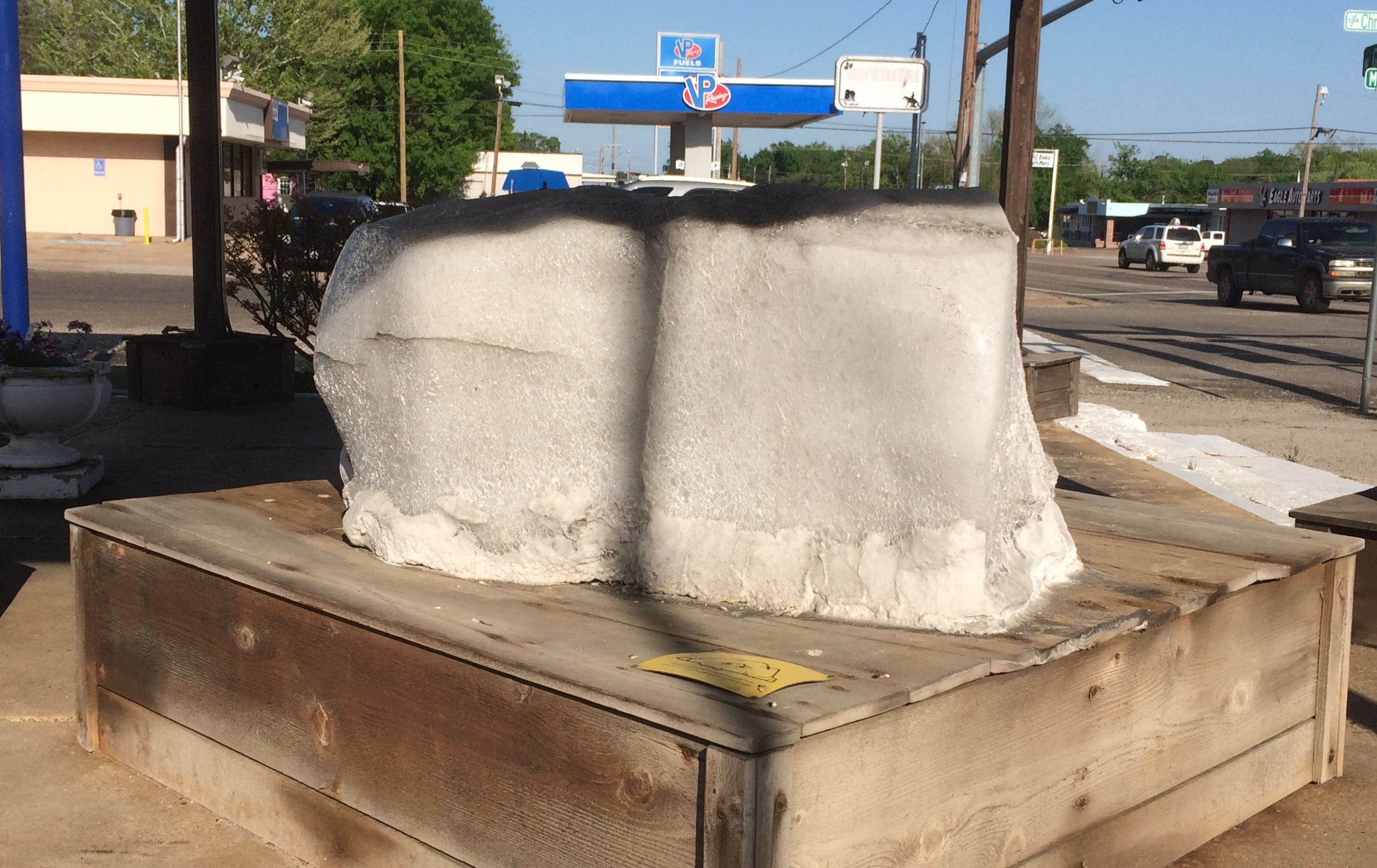
Palace it is not, though it is built partly of salt, and there’s a big block of salt to examine out front.
Salt Palace Museum and Visitors Center

When in Paris, Texas, what does one naturally go to see? The Paris, Texas, Eiffel Tower, of course. Despite the rain.
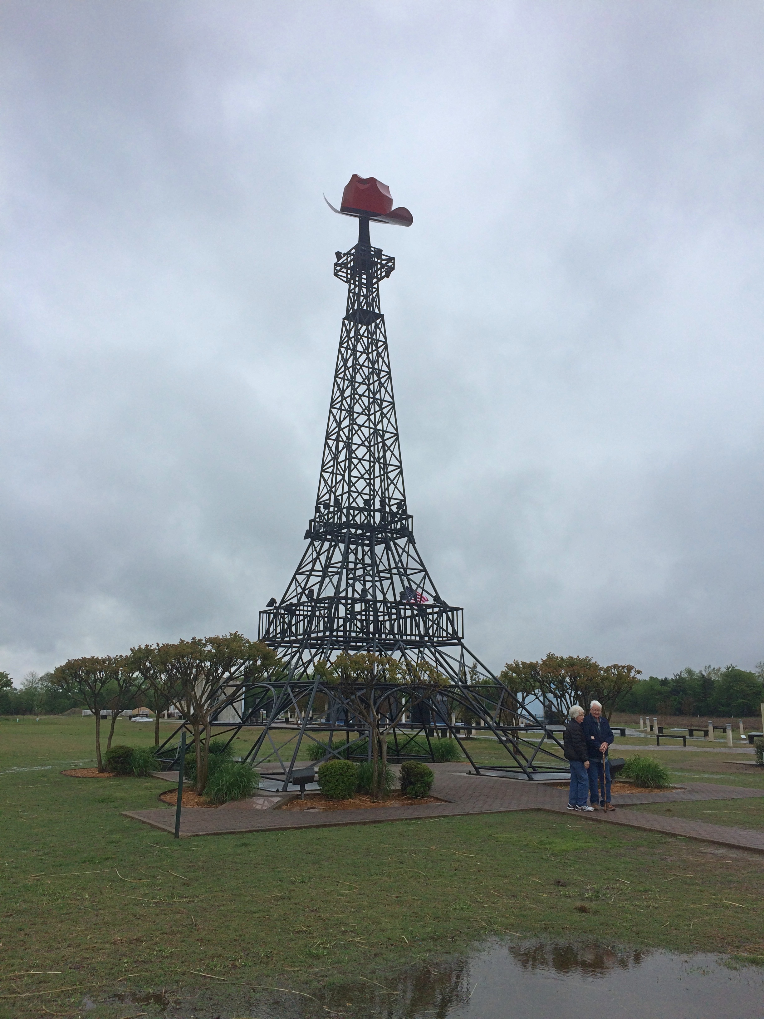
Paris Texas Eiffel Tower

Less well known is a memorial to the Paris Tornado of 1982. It killed 10 people, injured many more, and did a lot of property damage.Paris Tornado 1982 Memorial
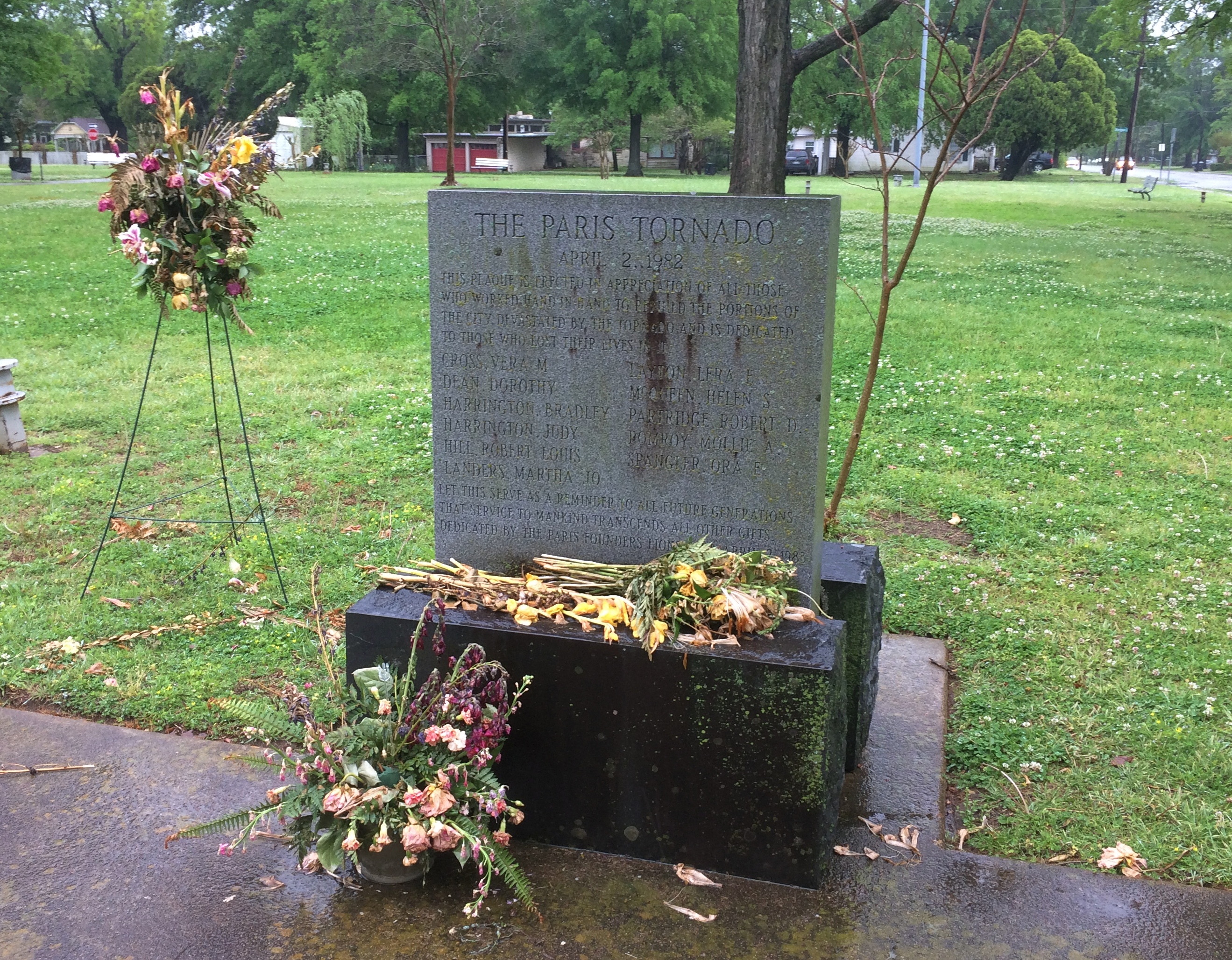
It’s in the same park as this sad-looking memorial.
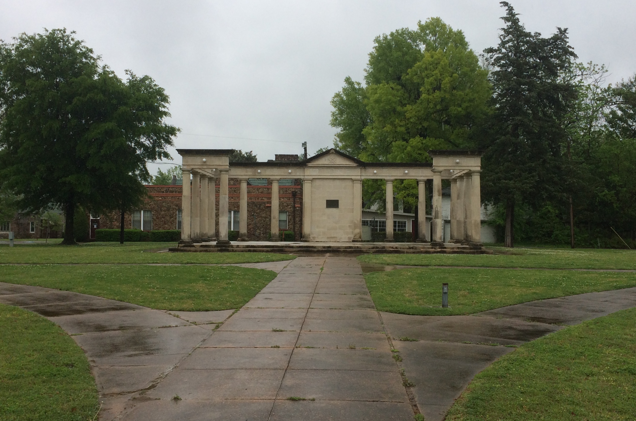
Bywaters Park Memorial

That’s the Bywaters Park Memorial, with a plaque that says: In grateful memory of J.K. Bywaters, who gave this park to the people of the city he loved so well. 1916.

In Fort Smith, Arkansas, I spotted this mural.
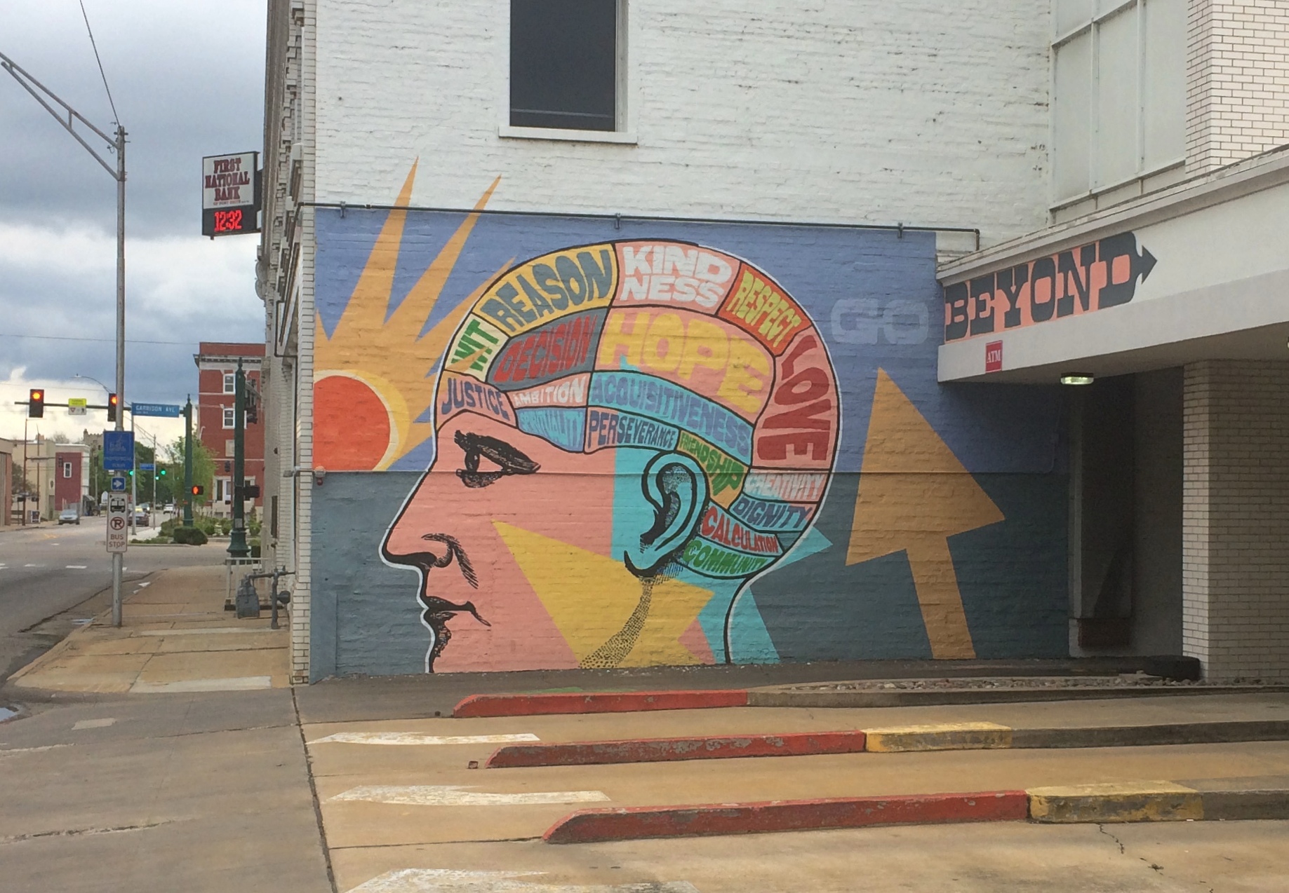
First National Bank Fort Smith Brain mural

Which is on the backside of this building — First National Bank — next to the bank’s drive-through lanes.
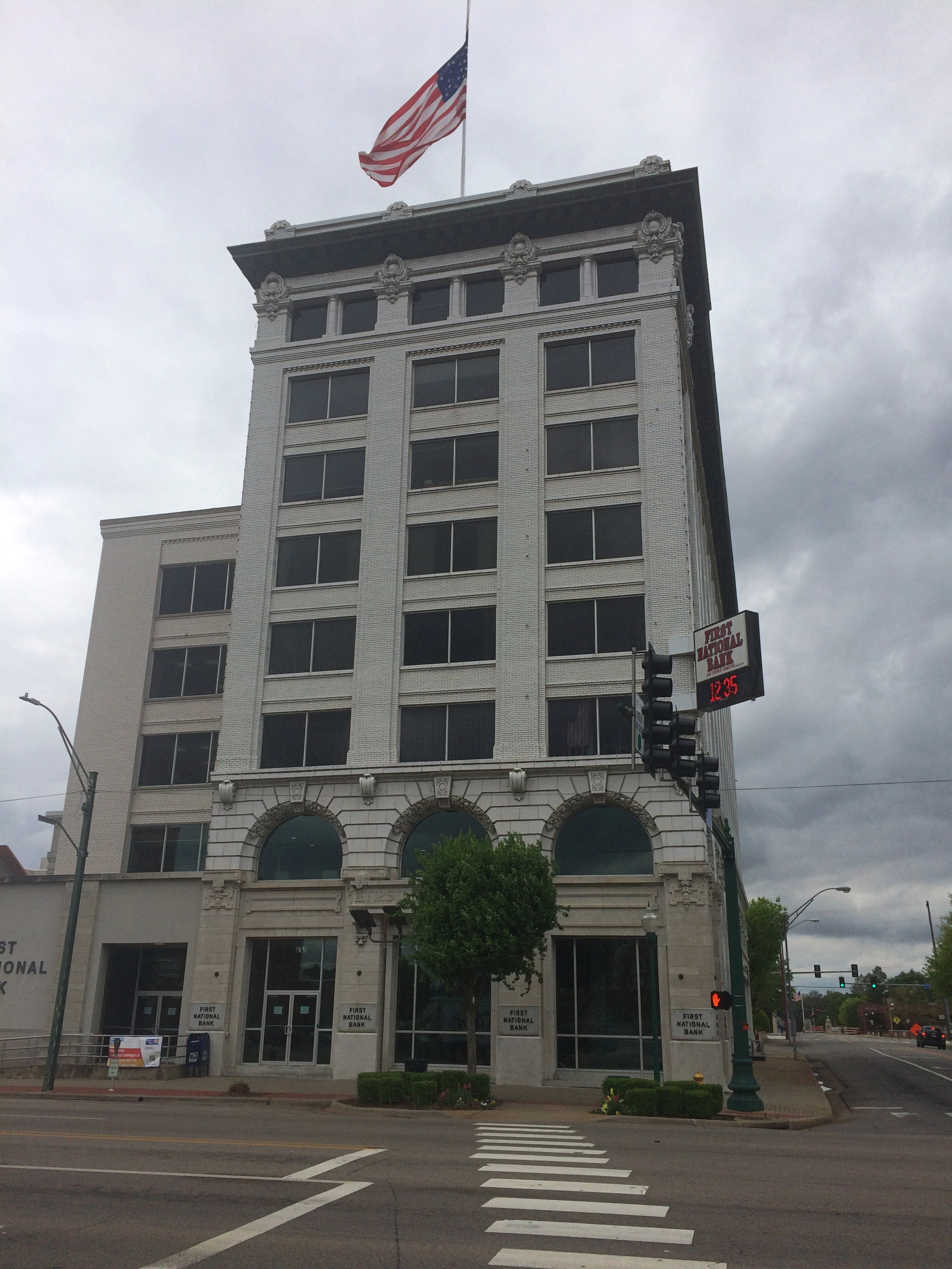
First National Bank Fort Smith Brain mural

In Bella Vista, Arkansas, which is in the extreme northwest part of the state just south of the Missouri line, is the Mildred B. Cooper Memorial Chapel, a structure dating from 1988, designed by designed by E. Fay Jones and Maurice Jennings. Jones is best known for the Thorncrown Chapel, also in Arkansas.
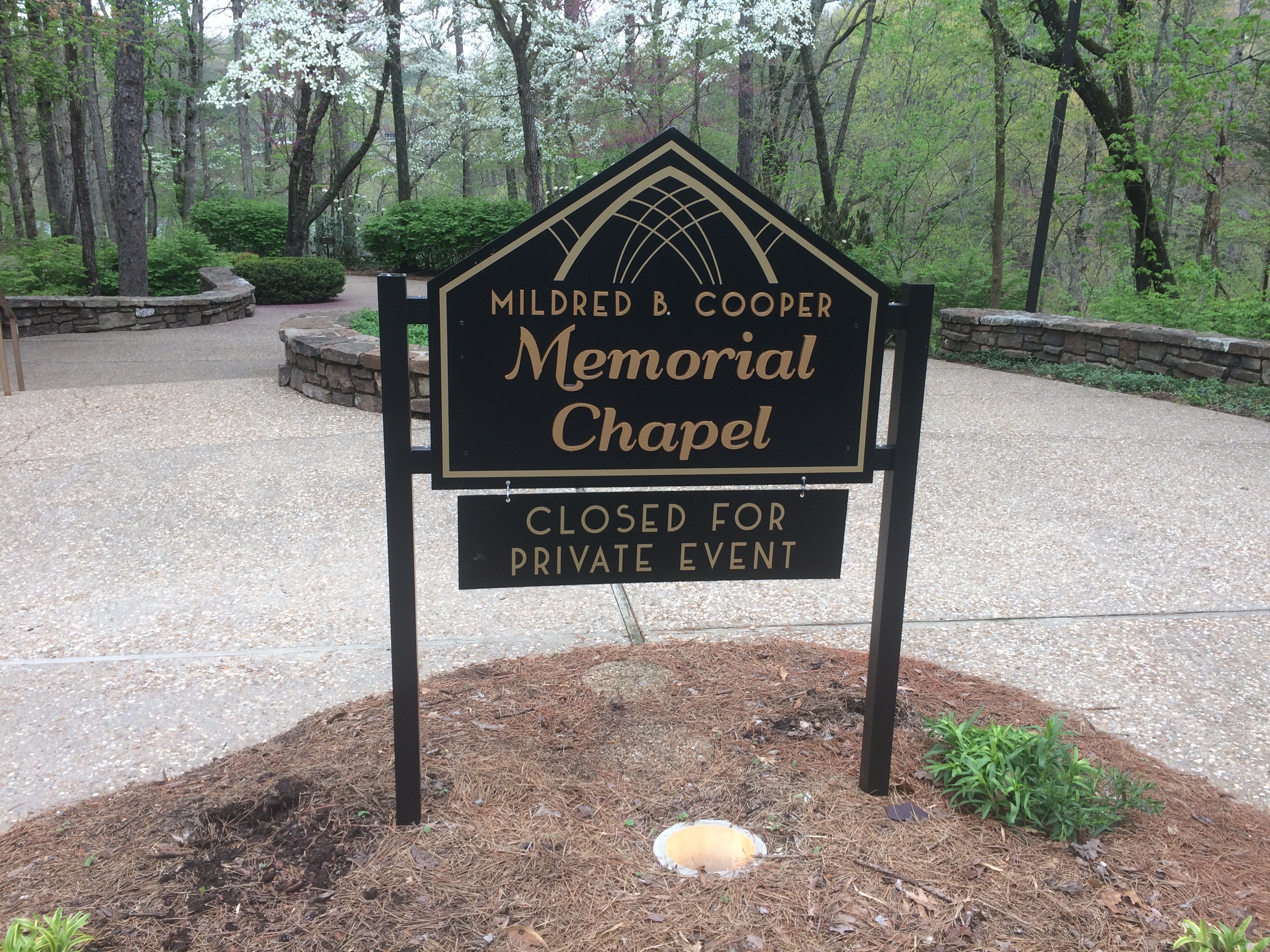
Mildred Cooper Chapel
Sure, the sign said an event was in progress. A wedding, of course, since my visit was on a Saturday. But I saw people clearly dressed for a wedding pouring into the parking lot as I arrived, so I figured I might have caught the place between weddings.

No. People were still inside, with some kind of event going on, so I figure as soon as one wedding ceremony is over on a warm spring Saturday at Mildred B. Cooper, another gets underway. I took a good look at the exterior, anyway. Understated elegance.
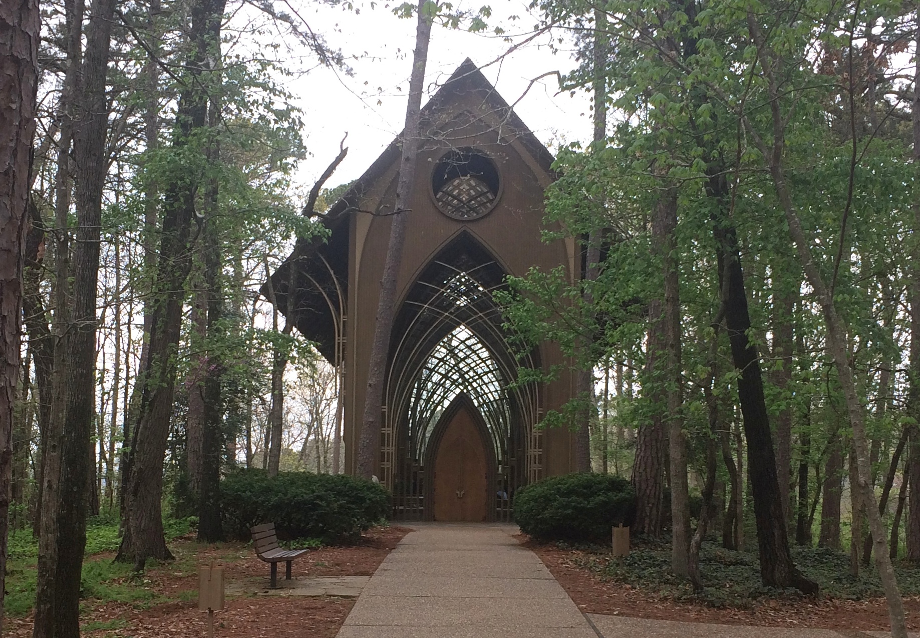
Mildred Cooper Chapel

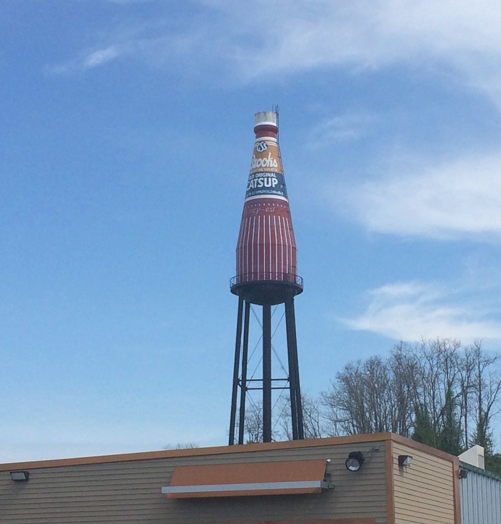
In Collinsville, Illinois, you can see the “world’s largest catsup bottle.”
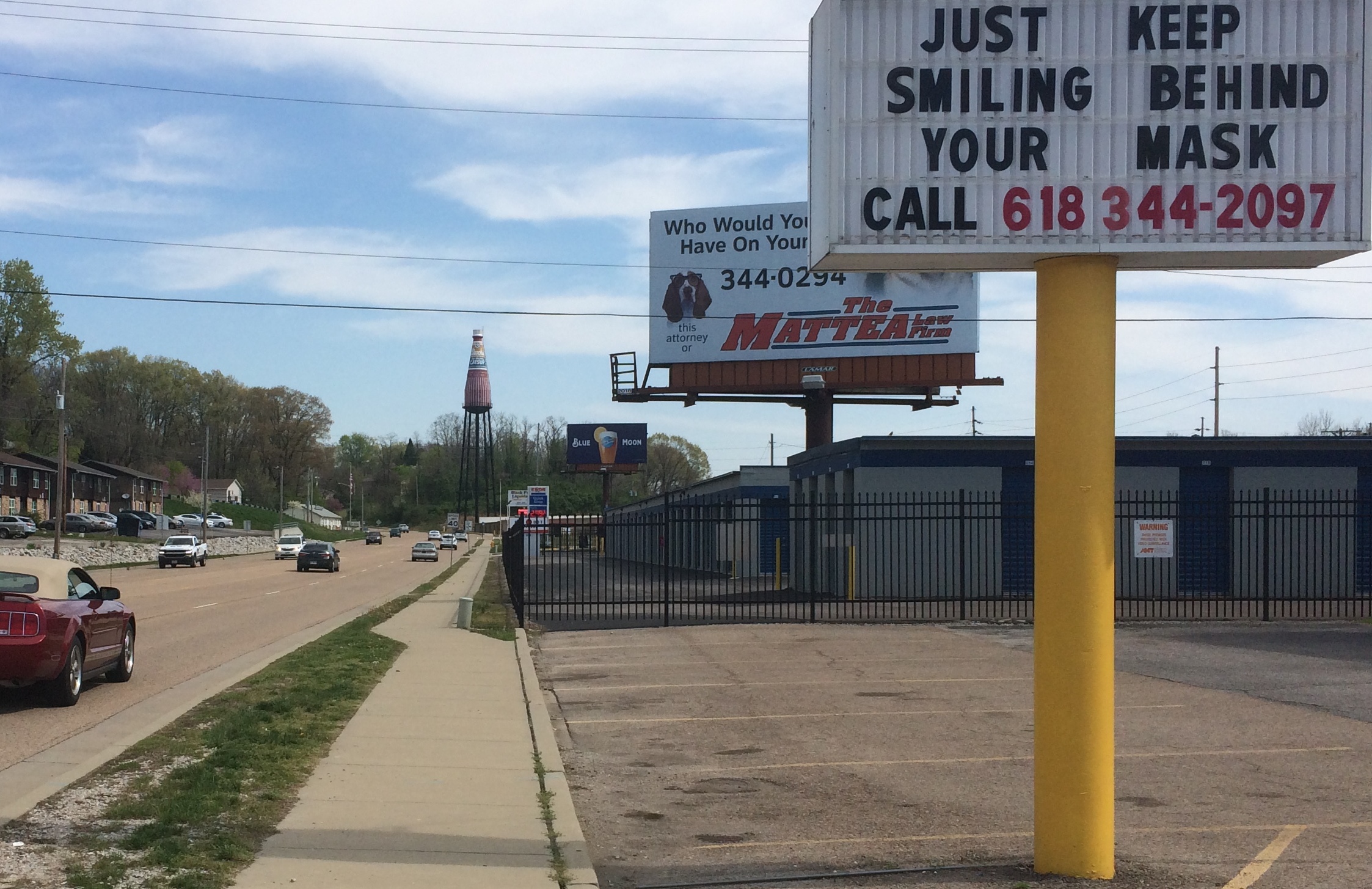
Collinsville catsup bottle

Collinsville catsup bottle

It has its own fan club and web site.

“This unique 170 ft. tall water tower was built in 1949 by the W.E. Caldwell Company for the G.S. Suppiger catsup bottling plant — bottlers of Brooks old original rich & tangy catsup,” the site says.

Philistines almost had it torn down. “In 1995, due to the efforts of the Catsup Bottle Preservation Group, this landmark roadside attraction was saved from demolition and beautifully restored to its original appearance,” the site continues.

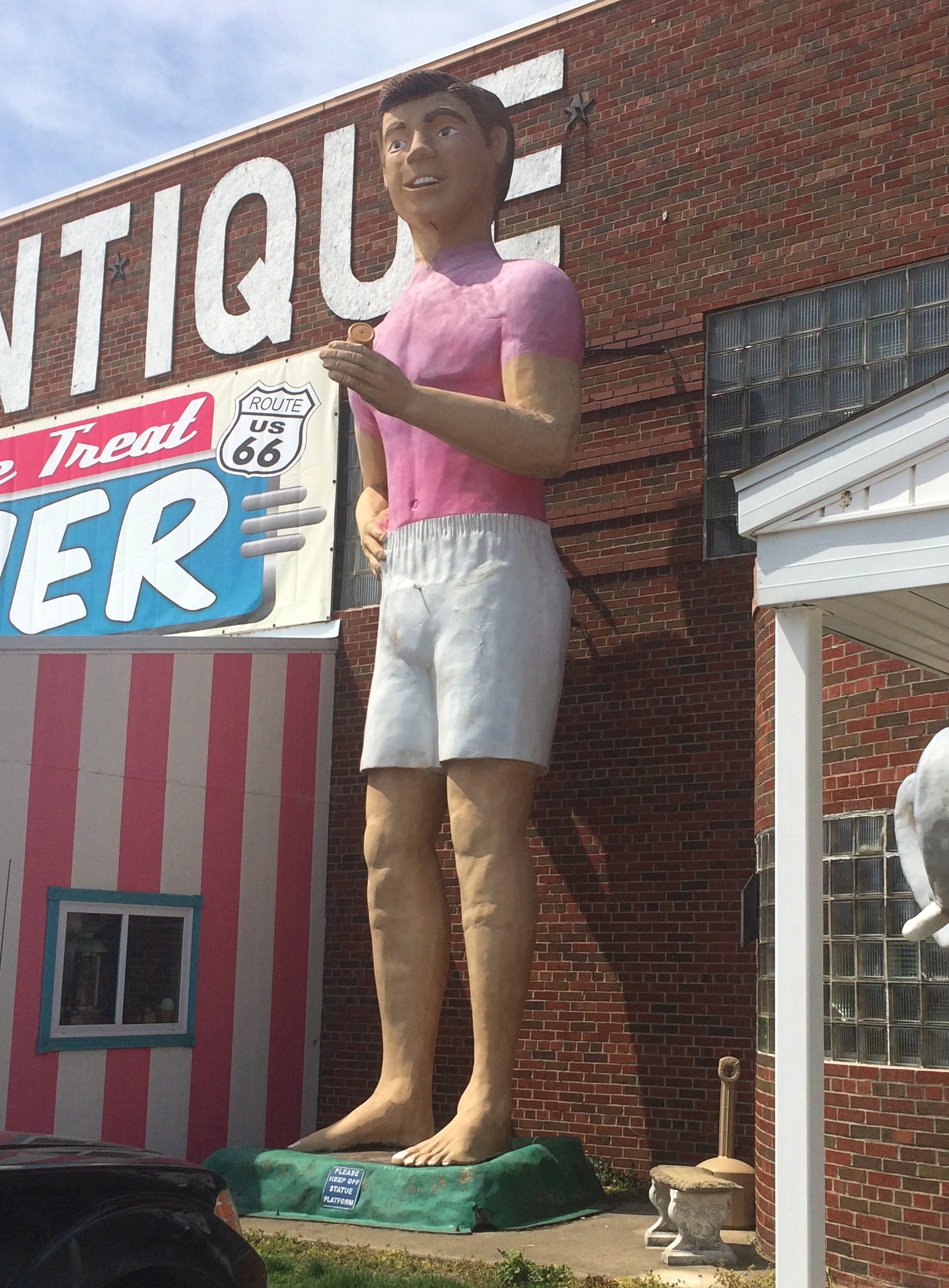
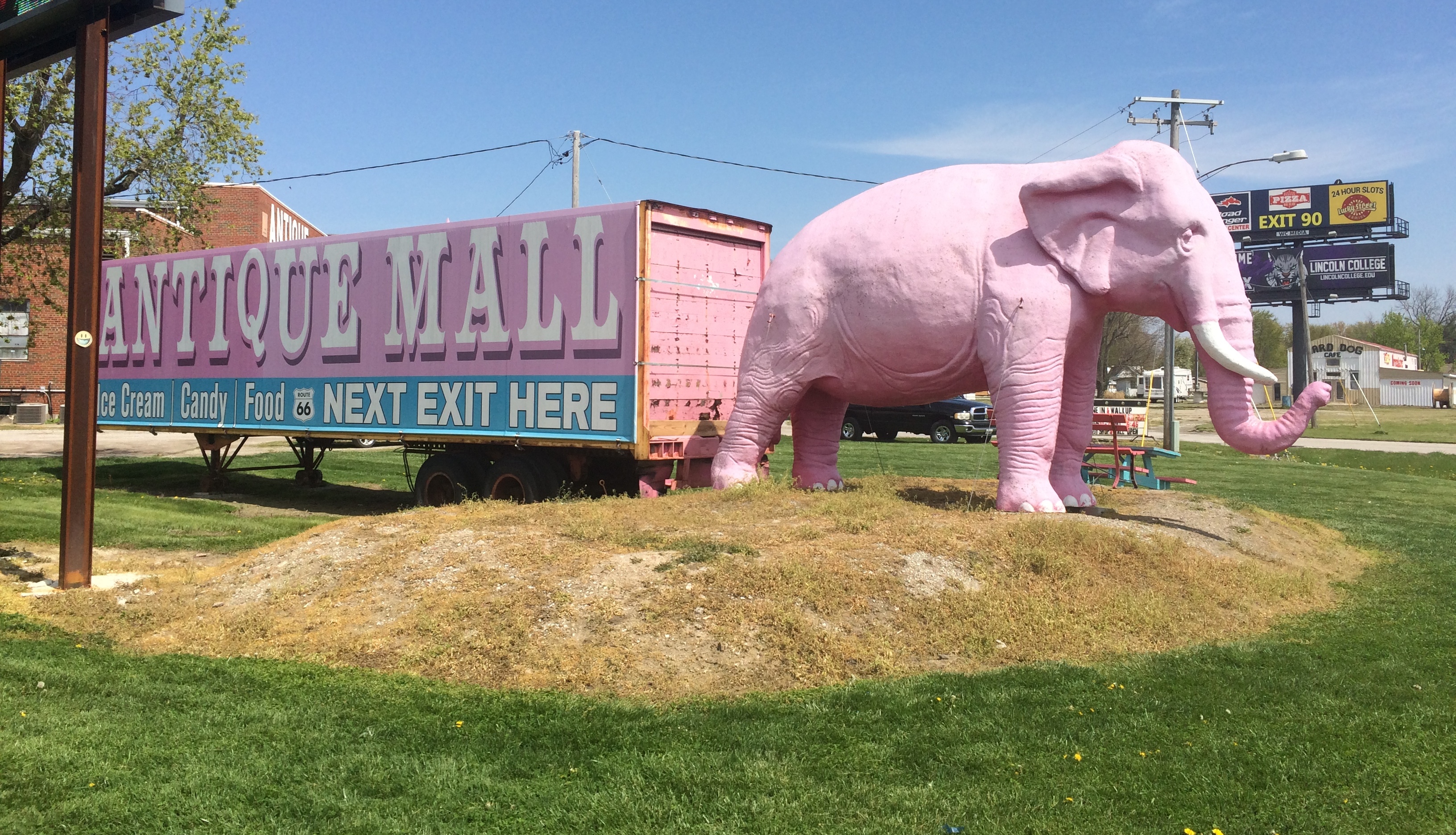
The Pink Elephant Antique Mall in Livingston, Illinois, not far northeast of St. Louis, has a big pink elephant in front, as I’ve posted. But that’s not all. Not by a long shot.

This is the mall — a complex of buildings stuffed with antiques, collectibles and other junk. There’s a diner, too.
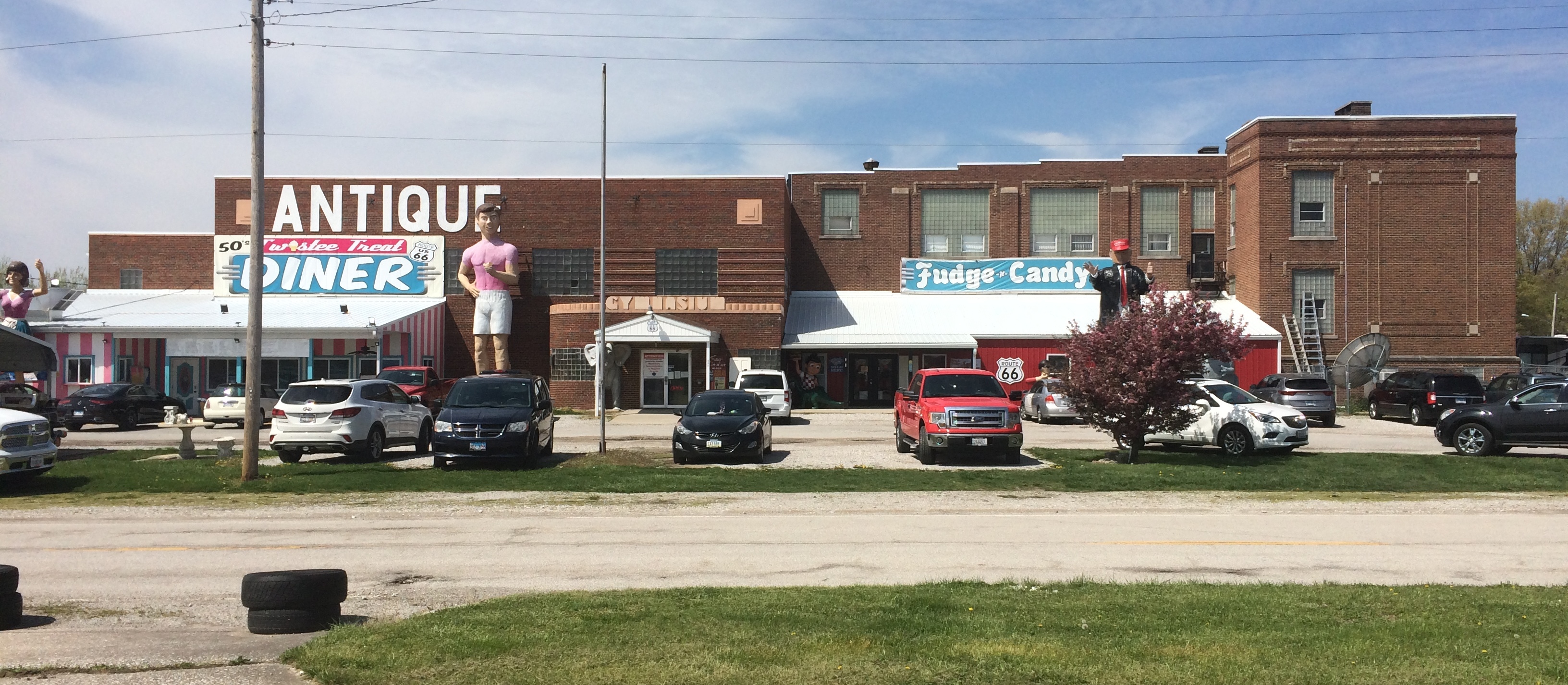
Pink Elephant Antique Mall

I didn’t inspect them closely, but I take the statues out front to be made of fiberglass (maybe cast in Wisconsin).
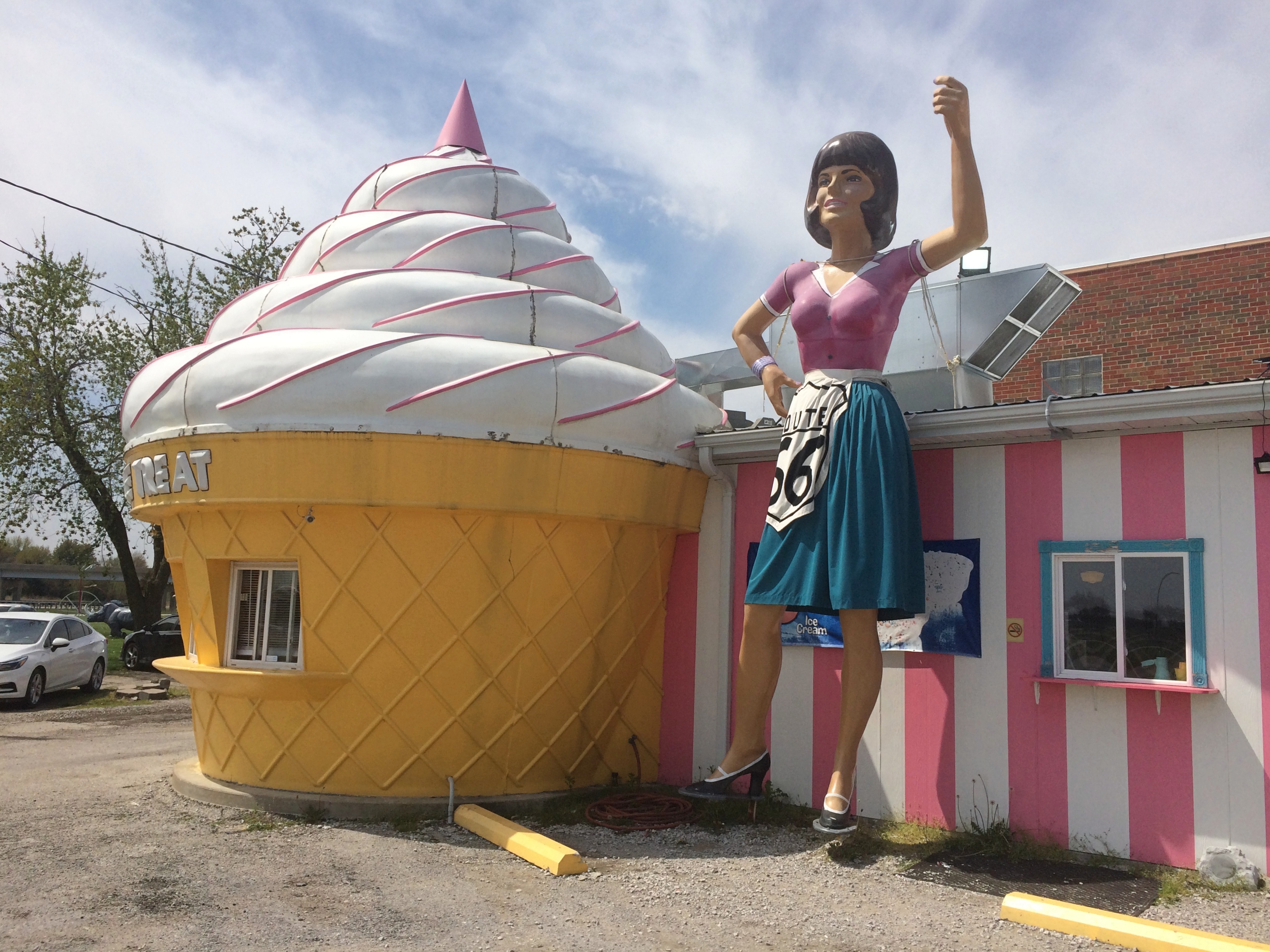
Pink Elephant Antique Mall

Pink Elephant Antique Mall

Pink Elephant Antique Mall

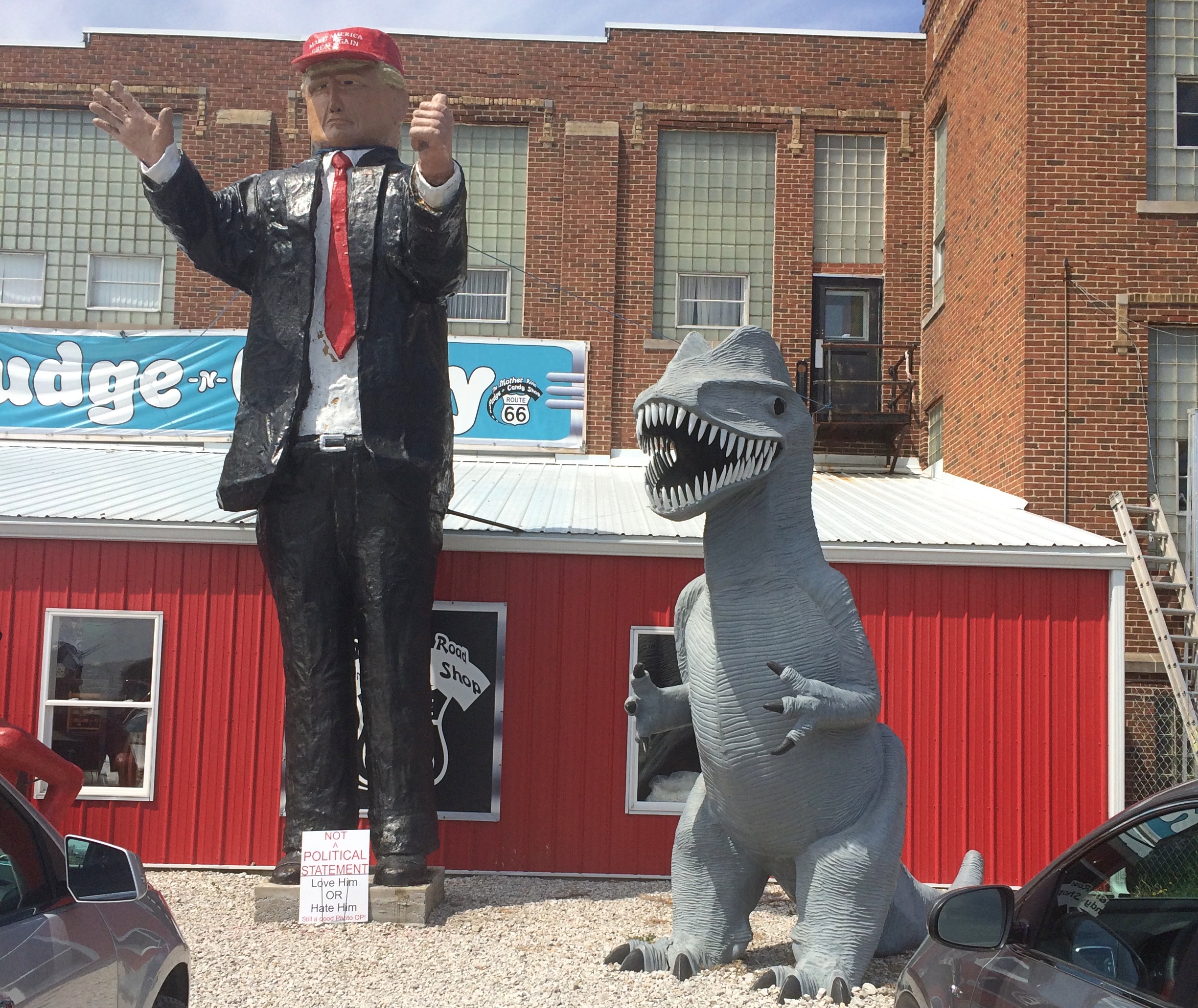
A sign under that fellow wearing the MAGA hat — now, what was his name again? — said NOT A POLITICAL STATEMENT. LOVE HIM OR HATE HIM.

Finally, the grounds included something I’ve long wanted to see, but never had gotten around to, a Futuro House.Pink Elephant Antique Mall
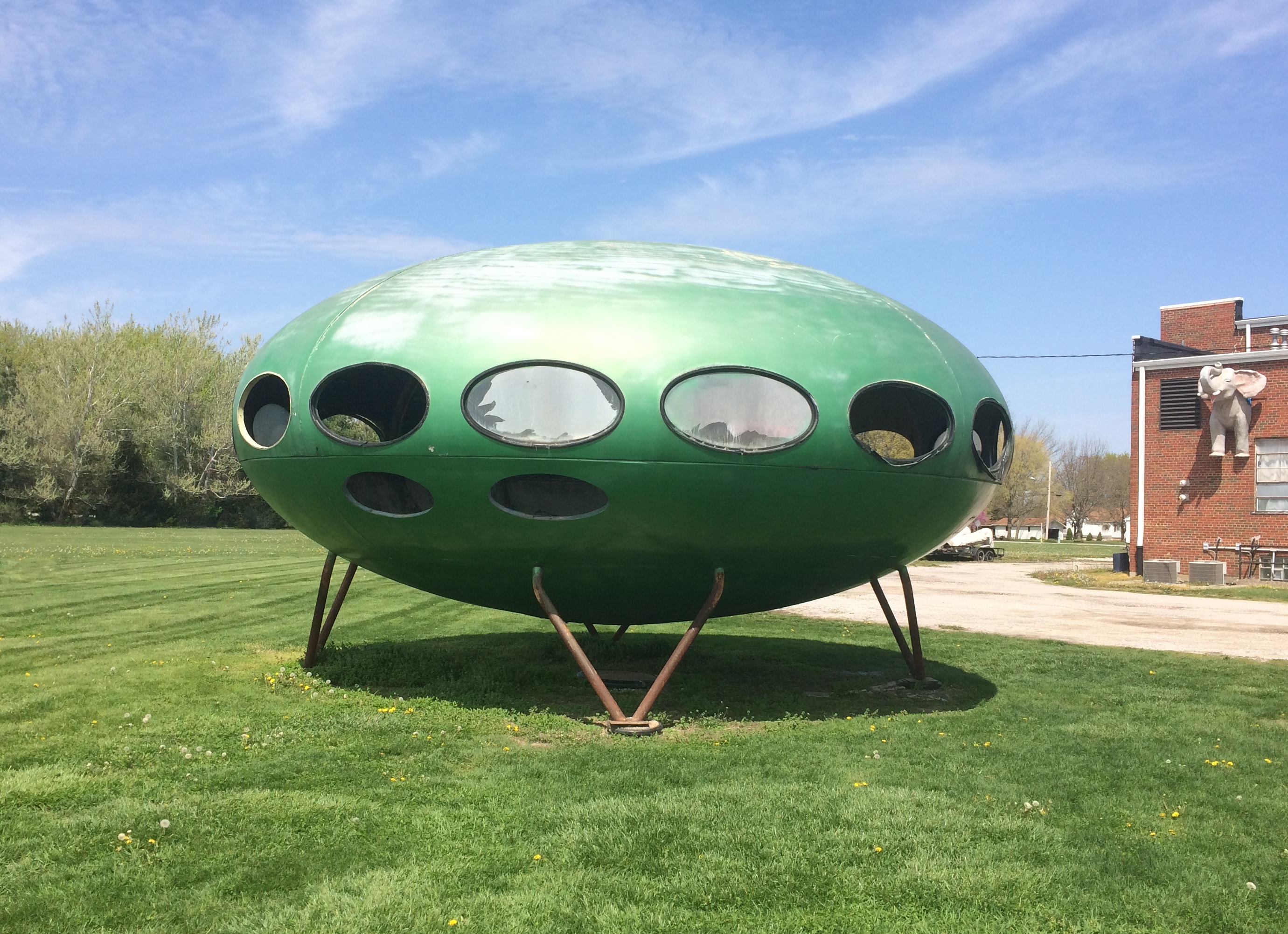
The windows, some completely open, were at about eye level for me. Ever wonder what’s in a Futuro House?
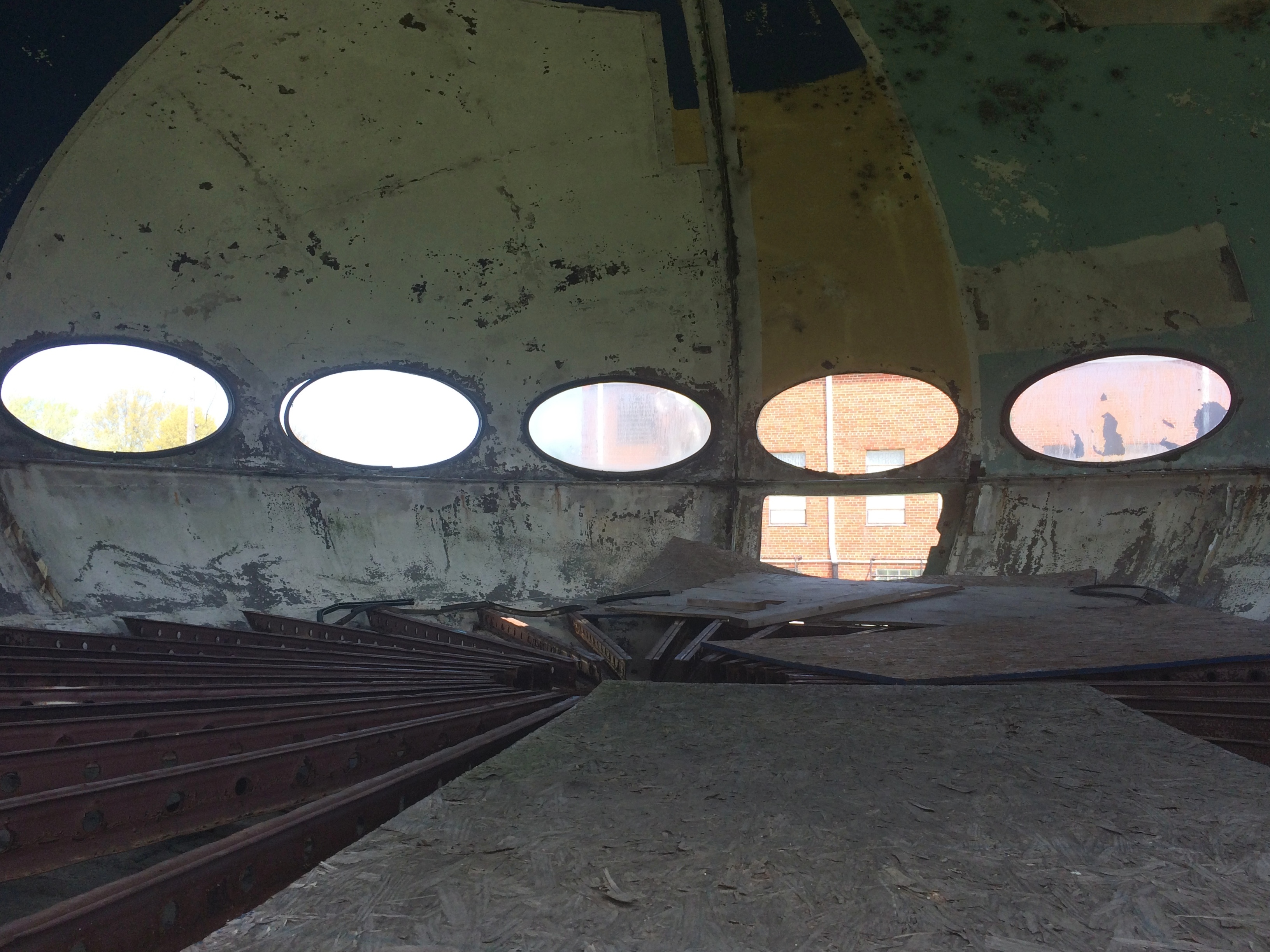
Pink Elephant Antique Mall
Not much, at least this one.

Southern Loop ’21

Just returned today from a series of long drives totaling 2,610 miles that took me down the length of Illinois and through parts of Missouri, Tennessee, Mississippi, Arkansas, Louisiana and Texas. Dallas was the prime destination, where I visited Jay for the first time in well over a year.

I drove on crowded Interstates, nearly empty Interstates, U.S. highways, state and county roads, and urban streets, and logged a lot of miles on roads through farmland, forests and small towns. I crossed the Mississippi more than once, including on a bridge that felt so narrow that moving the slightest bit out of your lane would crash you into the side of the bridge or oncoming traffic. Rain poured sometimes, drizzle was common and there was plenty of evidence of a wet spring in the ubiquitous puddles and the lush greenery of the South.

On I-20 east of Shreveport, I spotted a small truck carrying mattresses that had stopped on the right shoulder ahead of me. Then I spotted the mattress he’d dropped in the middle of the road, a few seconds ahead of me. The truck was 50 feet or so further than the mattress; he’d probably stopped to pick it up, but fortunately hadn’t got out of his truck yet. To my left another car was just behind me, so I threaded the needle to the right of the mattress and left of the truck, missing both.

I left metro Chicago mid-morning on April 9, making my way to Carbondale in southern Illinois, and took a short afternoon hike to the Pomona Natural Bridge in Shawnee National Forest. Overnight an enormous thunderstorm passed over that part of the state, and intermittent rain continued the next day as I drove through the southernmost tip of Illinois, a slice of Missouri, the length of West Tennessee and into Mississippi, arriving in Clarksdale after dark.

En route I’d stopped for a couple of hours at Fort Pillow State Park and about half that long in downtown Memphis. Dinner that night was Chinese food from a Clarksdale takeout joint called Rice Bowl.

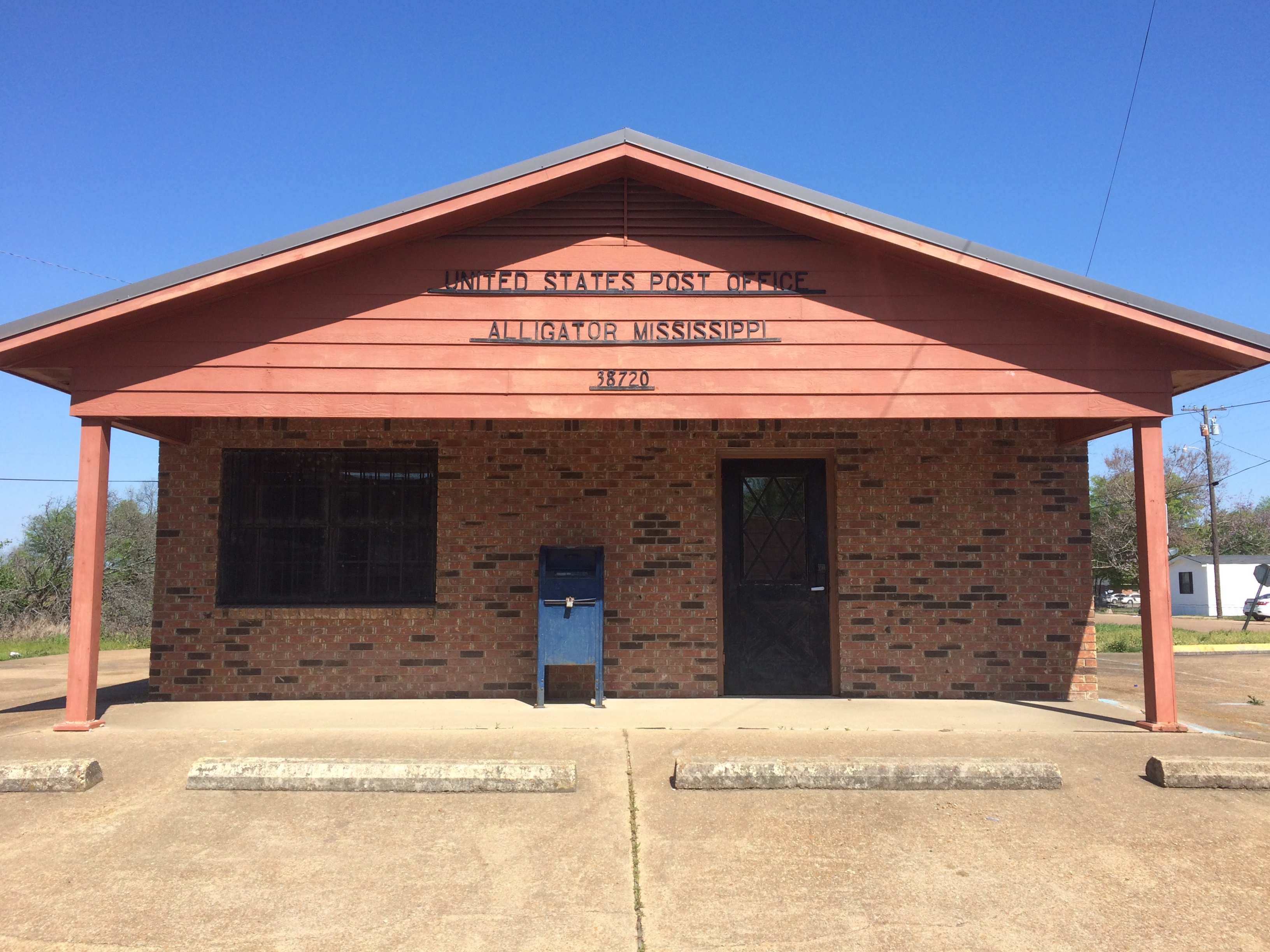
On the morning of April 11, I took a walk in downtown Clarksdale, then drove south — stopping to mail postcards in Alligator, Mississippi — and spent most of the afternoon at Vicksburg National Military Park.
Alligator, Mississippi

As the afternoon grew late, I walked around downtown Vicksburg and one of its historic cemeteries. The next day I headed west across the Mississippi River into Louisiana, where I stopped at Poverty Point World Heritage Site, locale of an ancient Indian settlement much older than Cahokia, or the pyramids outside Mexico City for that matter.

I stayed in Dallas from the evening of April 12 to the morning of the 16th, mostly at Jay’s house, though I did visit my nephew Sam and his family, meeting their delightful two-year-old daughter, my grandniece, for the first time.

On the 16th I drove north from Dallas, spending a little time in Paris, Texas. In Oklahoma I headed on small roads to the Talimena Scenic Drive through Winding Stair Mountain National Recreation Area, where I followed its winding (as the name says), up and down two-lane path through near-mountainous terrain. In a thick fog. That was excitement enough for one day, but that didn’t stop me from visiting Heavener Runestone Park toward the end of the afternoon. I spent the night just outside Fort Smith, Arkansas.

The next morning I headed toward Fort Smith and chanced across the picturesque Main Street of Van Buren, a large suburb of Fort Smith, or maybe its mate in a small twin cities. I also looked around the Crawford County Courthouse before crossing the Arkansas River to Fort Smith proper, spending an hour or so at Fort Smith National Historic Site. From there a long and tiring drive took me to Belleville, Illinois for the last night of the trip, stopping only for gas, food and a quick look at the Mildred B. Cooper Memorial Chapel.

The place I stayed in Belleville last night was an inexpensive motel at the end of the town’s downtown shopping and restaurant street. Up earlier than usual this morning, around 7, I took a walk in area’s handsome, near-empty streets and sidewalks. Before leaving town I stopped at the Cathedral of Saint Peter, and a few miles away, Our Lady of the Snows shrine.

That ought to be enough for any trip, I thought, till I saw that the world’s largest catsup bottle in nearby Collinsville as a point of interest on my paper map (I now use both paper and electronic, which complement each other). So I went to see that. Later heading north on I-55, I thought, that ought to be enough for any trip, till I saw the pink elephant. Pink Elephant

That is, the Pink Elephant Antique Mall northeast of St. Louis, which I’ve driven by many times over the years, but never stopped at. This time I did and it became the cherry on the sundae of the trip.

Yakov

Though not particularly warm today, we took a mile or so walk beginning at about 5:30 this afternoon. Just an afternoon stroll. There’s still traffic on our suburb roads, of course, but in volume it was more like a Sunday afternoon than a weekday rush hour.

One more item from the early 2000s. I didn’t realize it until today, but everything this week has been from that period, except for Sunday. An unconscious choice, probably, signifying — like all that sound and fury — nothing.

The first time we ever passed through Branson, in 2001 as a short detour on the way to Dallas, I picked up a Yakov ad pamphlet. Probably at the restaurant we ate lunch, which was the only thing we did in town.

Why? We weren’t planning to see the show. I think I’d heard of him, maybe even seen him on television by chance, such as his beer commercial, though I didn’t watch much TV during his heyday.

I’m sure I picked up the pamphlet because of the billboards we’d seen between Springfield, Mo., and Branson, which amused me. There were a lot of them advertising his Branson show, which he did from 1993 to 2015. The billboards looked a lot like the pamphlet, if I remember right. A big Yakov face promising a wacky Soviet — that is, Russian — comedian.

For the record, Yakov Naumovich Pokhis — his stage name taken from the vodka, apparently — was actually from the Ukraine. He’s still touring, or presumably was until recently, and probably will be again sometime.

The Branson Scenic Railway

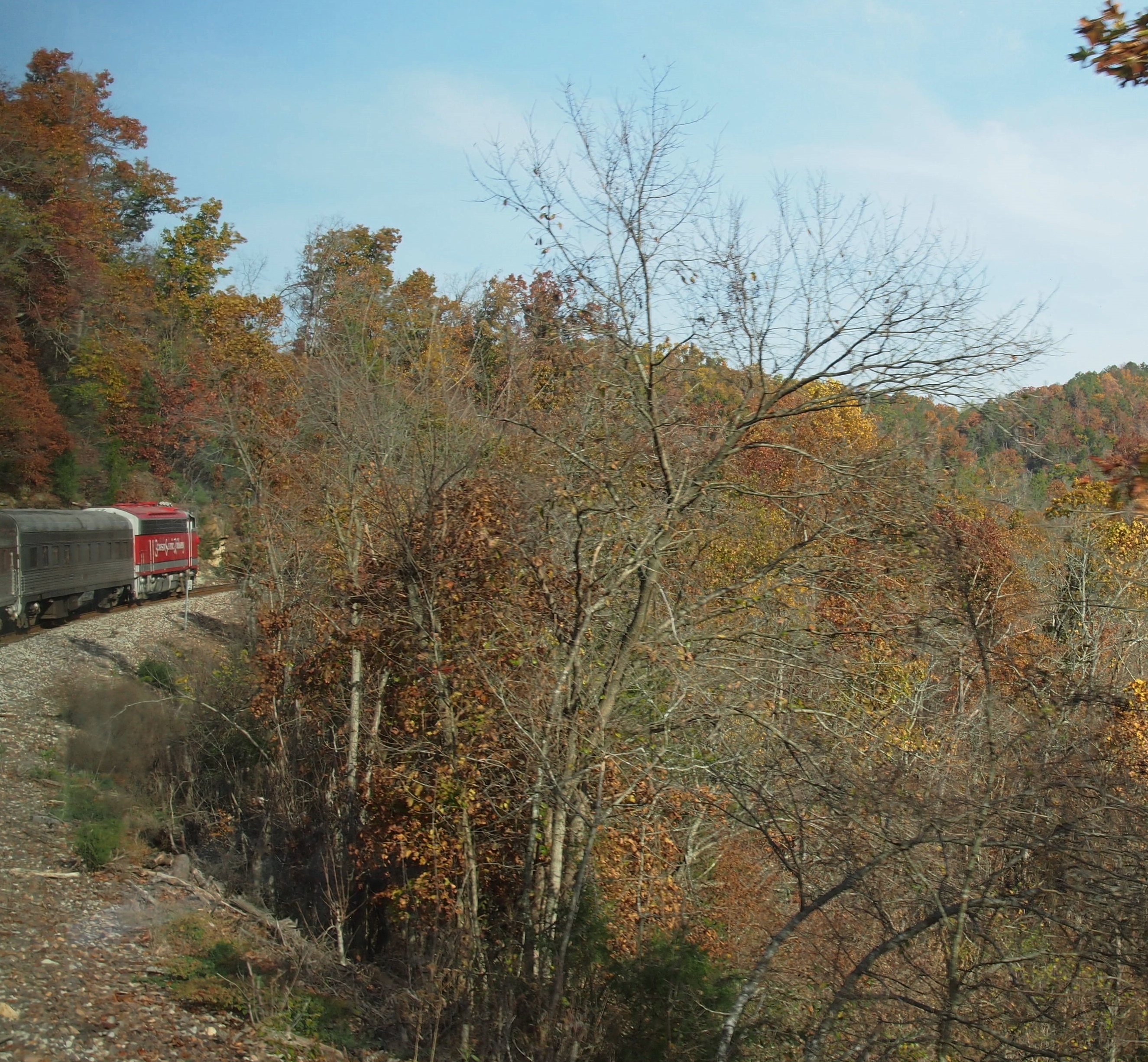
During my visit to Branson in November 2012, I took an excursion on the Branson Scenic Railway. Nothing like hopping aboard a pleasure train pulled by mid-century locomotives.
Branson Scenic RailwaySpecifically, according to the railroad’s web site, “BSRX 98, Locomotive, 1951 EMD F9PH, rebuilt 1981, has HEP (Formerly B&O, then MARC #83).” I looked up HEP, at least: head-end power. Nice to know that the locomotive has hep.

The web site further explains: “Traveling on a working commercial railroad line, the train’s direction of travel… is determined by the Missouri and Northern Arkansas Railroad just prior to departure. At that time, the train will go either north or south. The northern route goes as far as Galena, Missouri, to the James River Valley; and the southern route extends into Arkansas to the Barren Fork Trestle.”
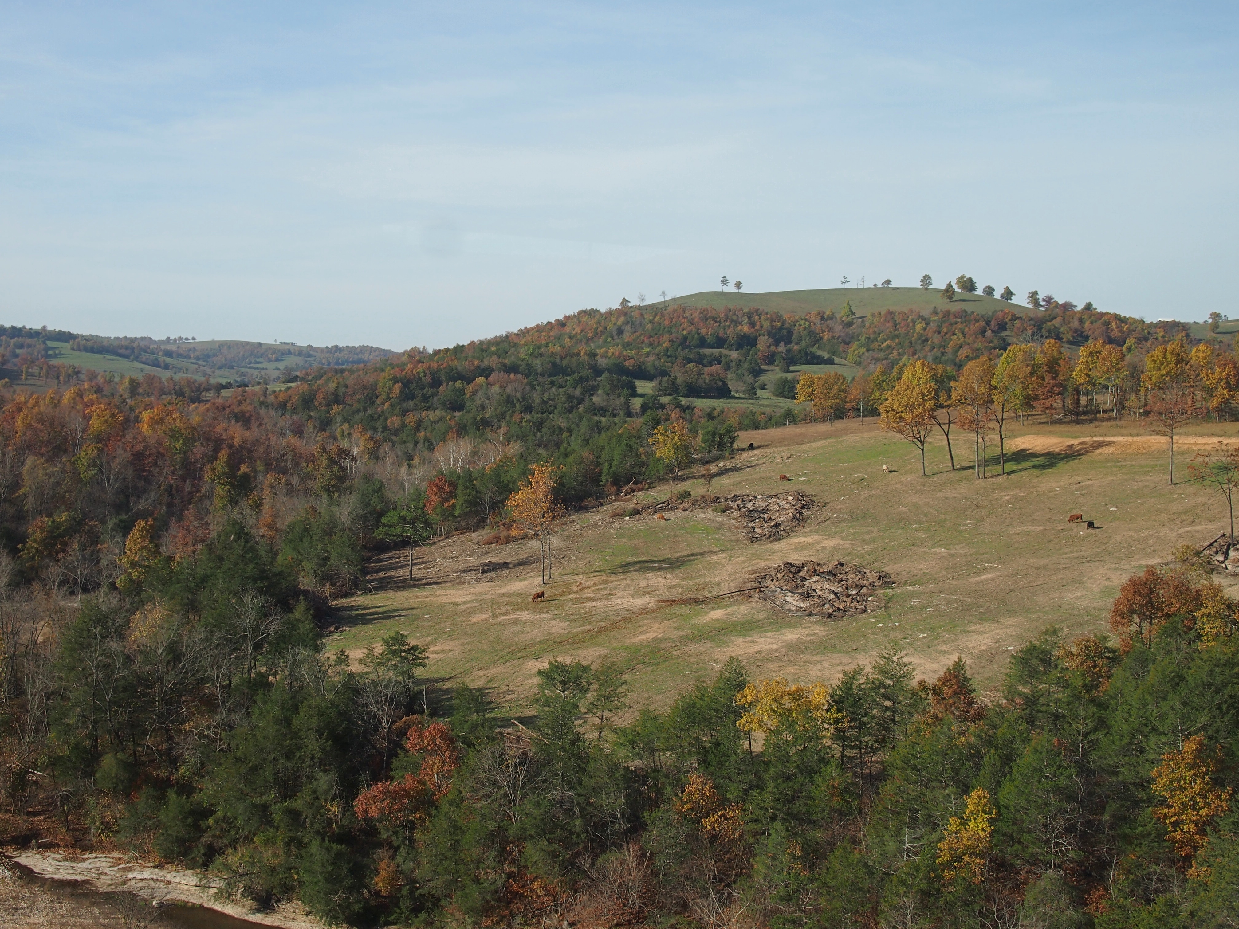
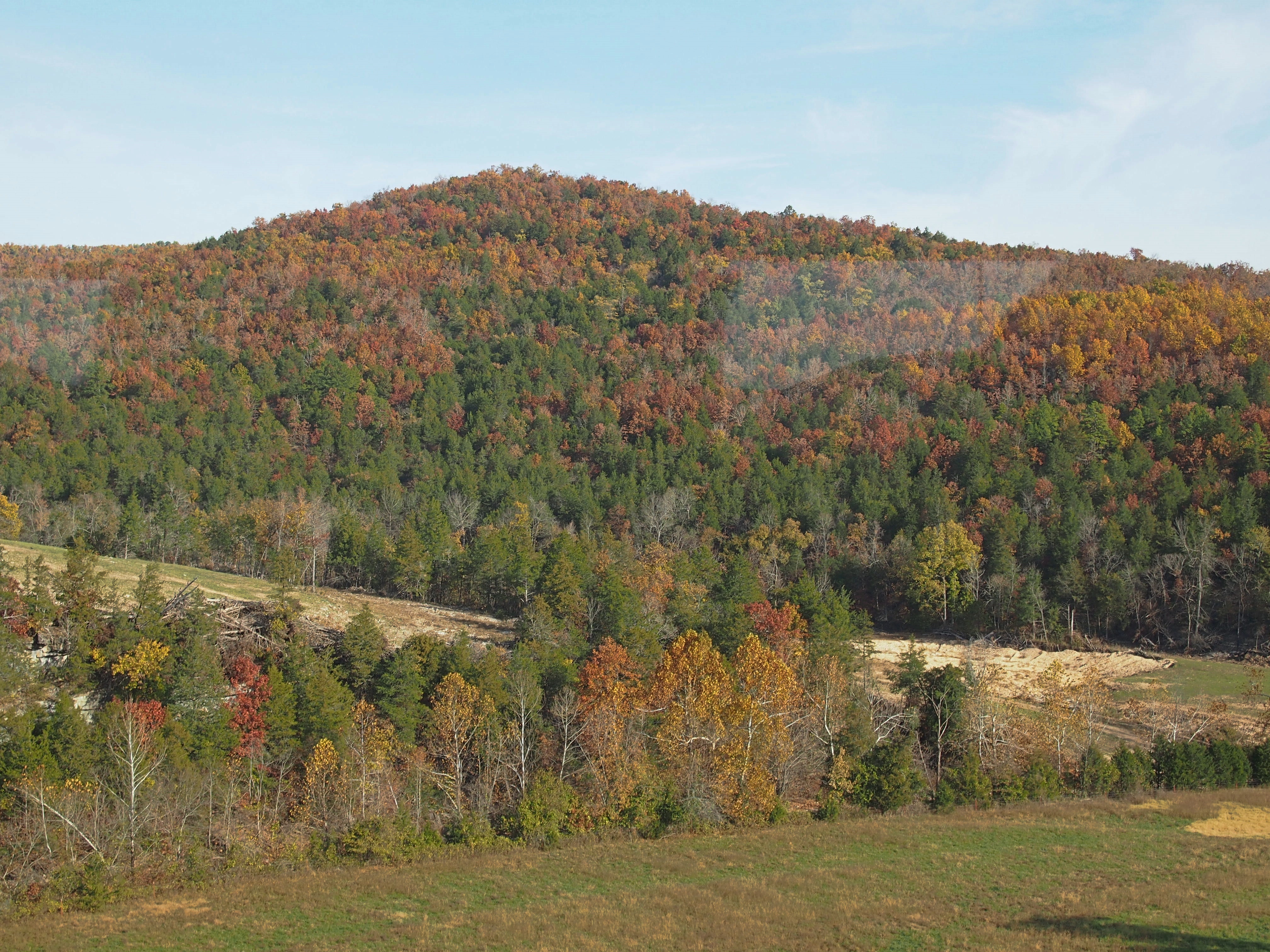
We went south into Arkansas, which isn’t actually that far from Branson, across water and through hills and woods and tunnels, just as the leaves were turning nicely.Near Branson Mo

Near Branson MoNear Branson MoNear Branson Mo“The construction of the White River Railway in the early 1900s made the area accessible for tourists and is largely responsible for the development of Branson and the Ozarks as a tourism destination… The route crosses the White River in Branson, now Lake Taneycomo, and then runs along side of it after taking a fifty-mile short cut over the Ozark Mountains.

“This was part of the Missouri Pacific Railroad between Kansas City, Missouri, and Little Rock, Arkansas. It became a part of the Union Pacific after the UP bought the MOPAC. The Missouri and Northern Arkansas Railroad now operates the line.
“In 1993, the Branson Scenic Railway was formed, and through a lease arrangement with the MNA, runs excursions through this historic route March through December.”

A train through the Alps it isn’t, but it’s scenic all the same.
Life Jackets on the Titanic

Got an unexpected press release today from a place I visited a while ago, the Titanic Museum Attraction.

Branson, Mo. Feb 5. 2019 – For the first and only time, the largest assemblage of remaining RMS Titanic life jackets will be on exclusive display March through June 15 at the Titanic Museum Attraction in Branson, Missouri. A new dimension in “Living Titanic Exhibits” will showcase seven of only 12 known Titanic life jackets beginning March 1 in Branson.

One detail: Branson ought to stand alone in datelines. Just my opinion. AP, the arbiter of such style points, disagrees. The list of cities that take no state in datelines is fairly short, according to the AP.

Besides Branson, I’d definitely add Orlando to that list, along with Austin, Birmingham, Buffalo, El Paso, Fort Lauderdale, Nashville, and some others.

“This is a stunning, world exclusive exhibit that we’re extremely proud to bring to Branson and to millions of our Titanic followers,” said Mary Kellogg, president, COO and co-owner of Titanic Museum Attractions. “There are only 12 KNOWN Titanic life jackets left in the world. For the first time, seven of these priceless artifacts will be at Branson’s Titanic Museum Attraction.”

All-caps KNOWN in the original. True, it is a fact that I didn’t know until now, but the emphasis is too much.

Wonder where the other five are. Private collections, including at least one held by an eccentric Japanese billionaire? The Greenwich Maritime Museum? The Maritime History Archive in St. John’s, Newfoundland? Someplace even more obscure?

The release also offered some quotable facts about the sad state of emergency preparedness on that doomed steamer, specifically about its life jackets.

There were enough life jackets to protect the 2,208 passenger/crew on board Titanic… but not enough lifeboats to save them all.

Life jackets were made of hard cork and canvas, proving dangerous for many forced to jump into the water.

So not only did a lack of lifeboats fail the passengers and crew, so did relatively primitive materials science. Guess cork was the best available material in 1912. It floats, after all.

I wish the Titanic Museum Attraction well with its life jacket exhibit, though I probably won’t make it to Branson to see them. But I might go if the museum promised an exhibit of surviving deck chairs from the Titanic. You know, those that were famously re-arranged.

One Cadillac Ranch & Two Stonehenges

Driving out of Amarillo toward the west I got the impression that the city comes to an end at Soncy Road, a major north-south street. City to the east, open fields to the west. Looking at the city on Google maps, I see that impression isn’t absolutely accurate, but it’s pretty close.

I was going that way to see the Cadillac Ranch. Because that’s a thing you see while passing through Amarillo, like you might mosey over to the Eiffel Tower while visiting Paris for the first time. Google Maps simply calls it the Cadillac Ranch, as does my Michelin atlas. Curiously, my Rand McNally atlas calls it Stanley Marsh’s Cadillac Ranch.

The Cadillac Ranch isn’t far out of town, just south of one of the I-40 feeder roads, which is the former U.S. 66 at the point, so it counts as a Route 66 site for enthusiasts of that road. You can park off the feeder and see the installation from that vantage.

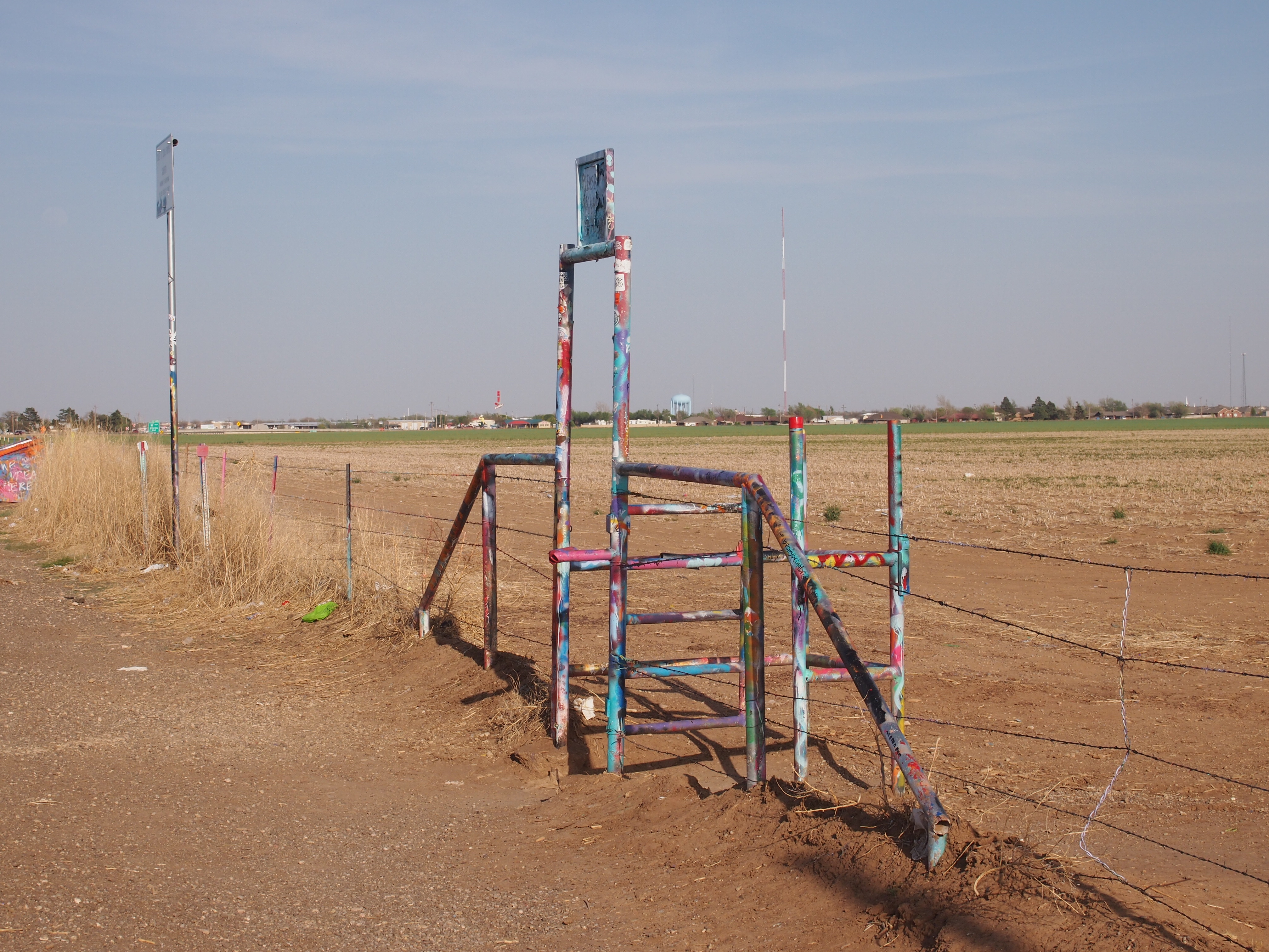
The Cadillac Ranch field is fenced with barbed wire, but not to worry. Visitors can go through a graffiti’d gate.

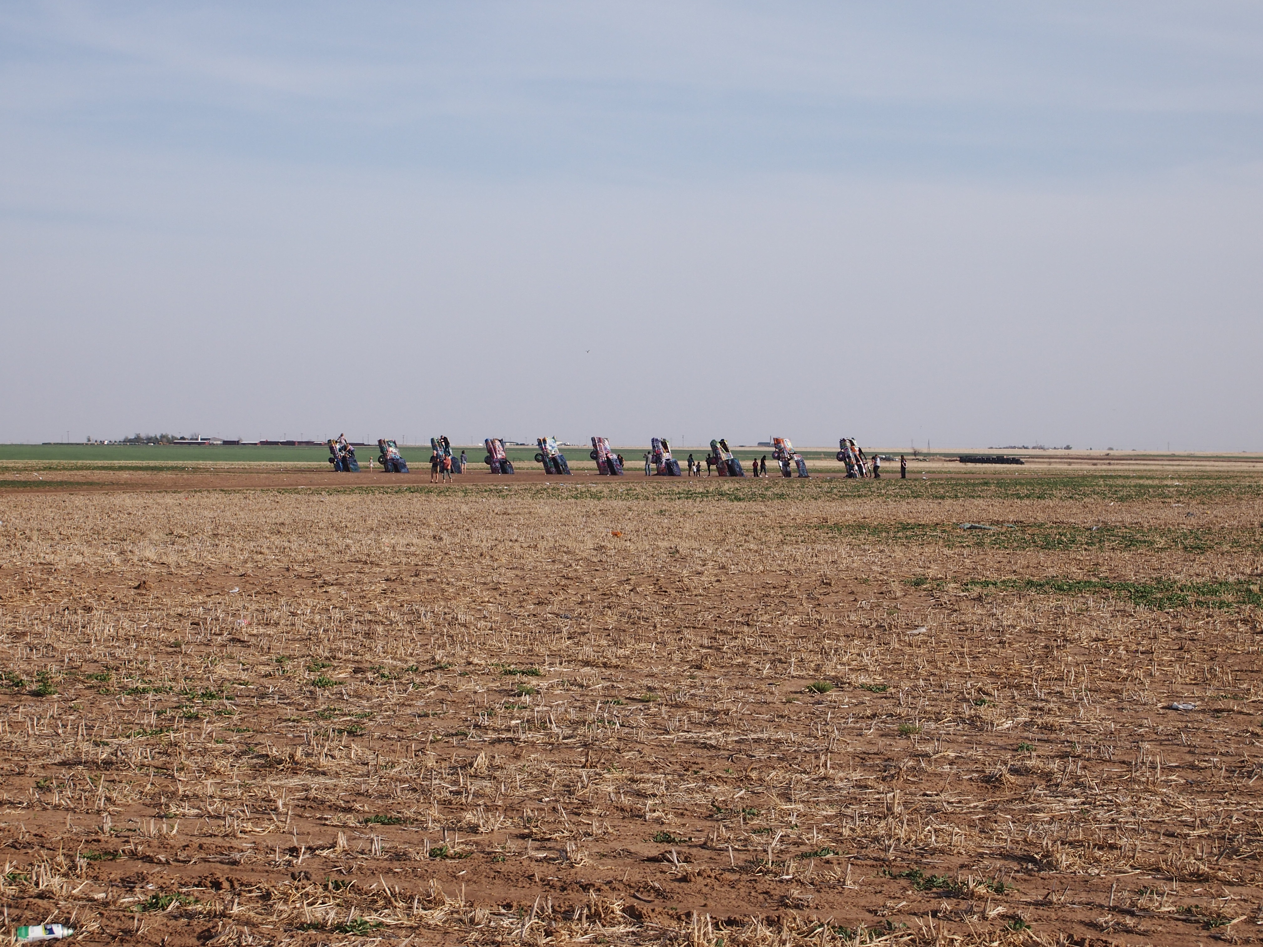
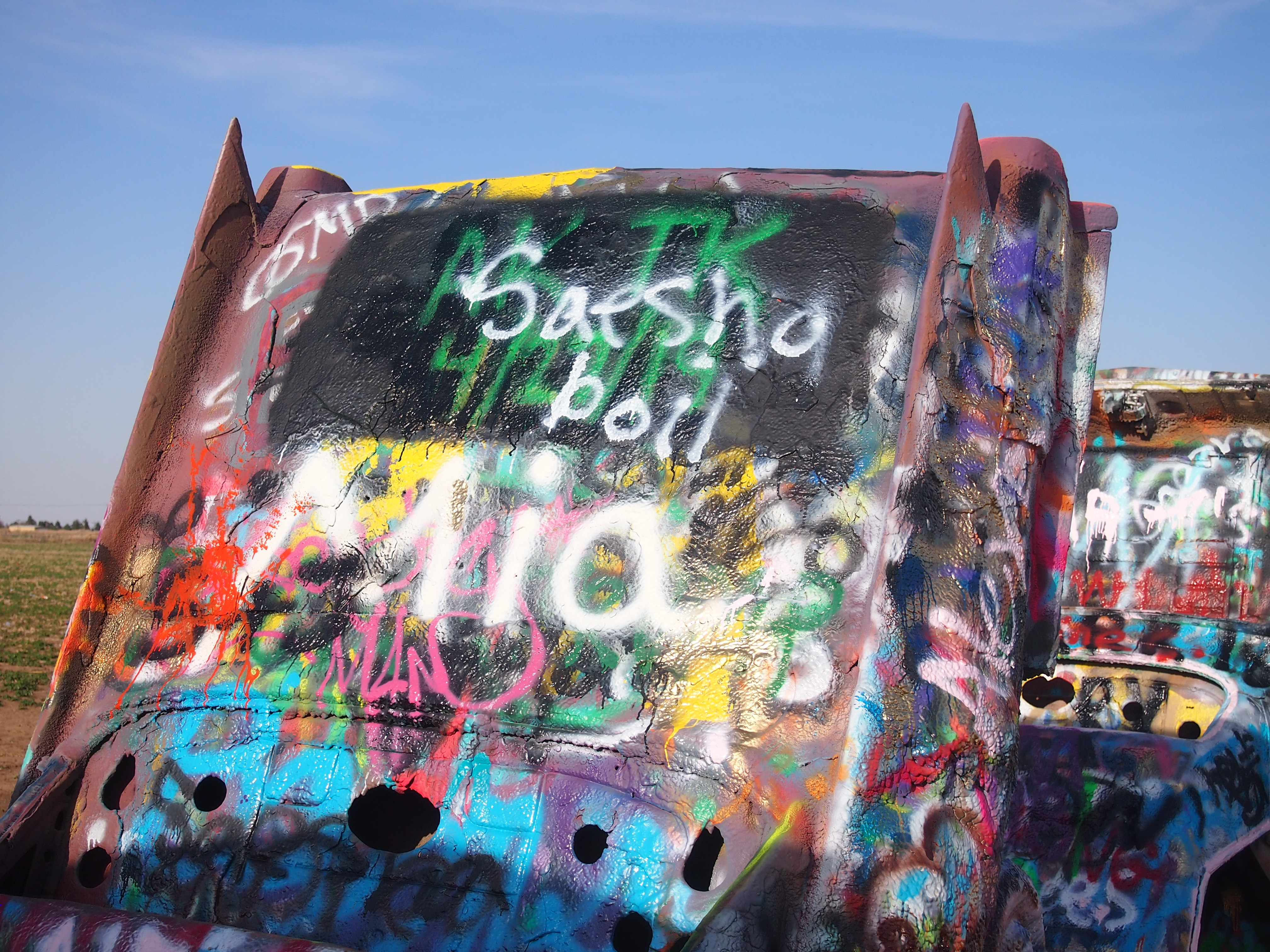
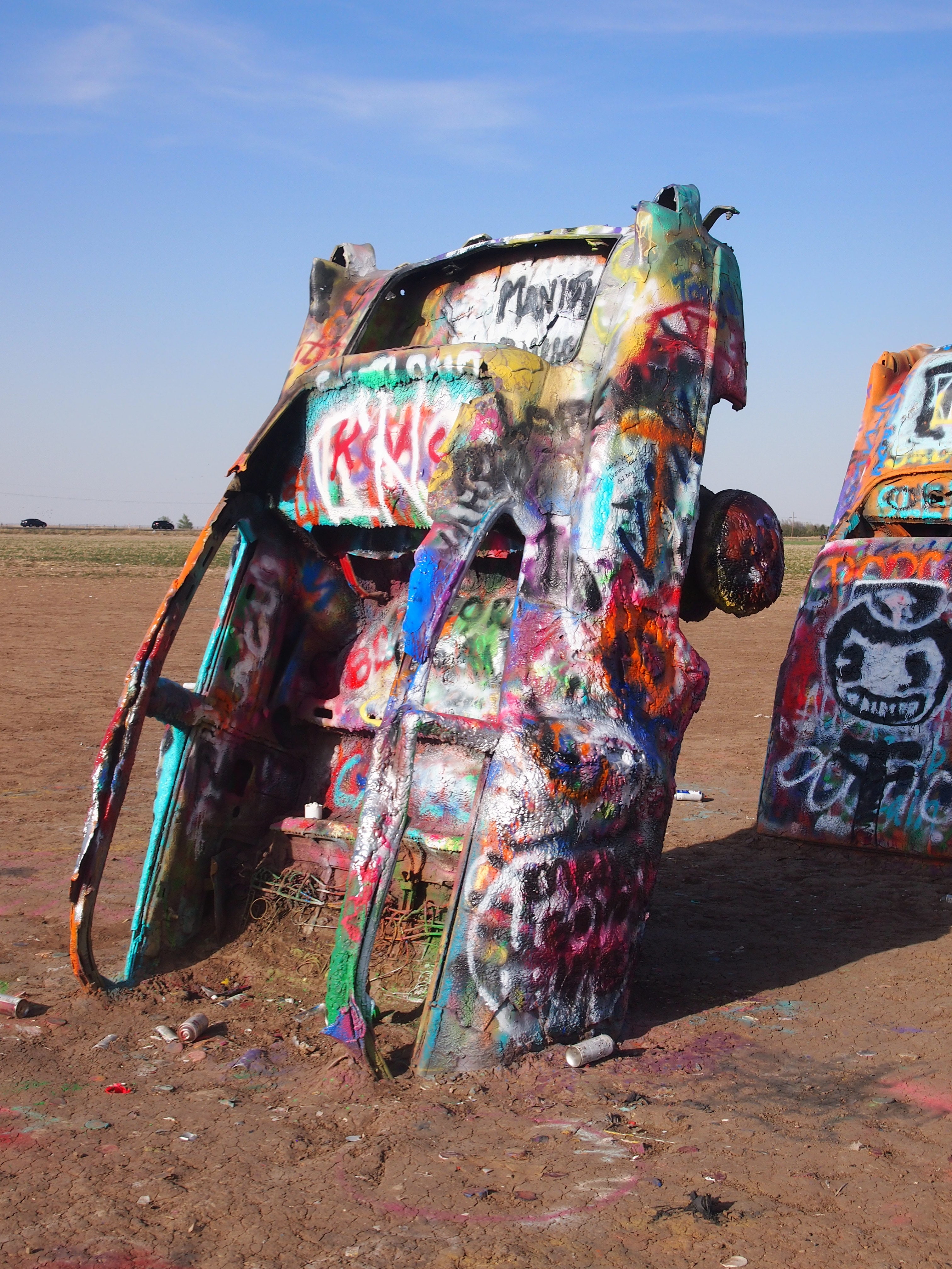
You walk right up to the 10 cars buried at an angle in the Panhandle soil and join everyone else looking at them or spray painting them.
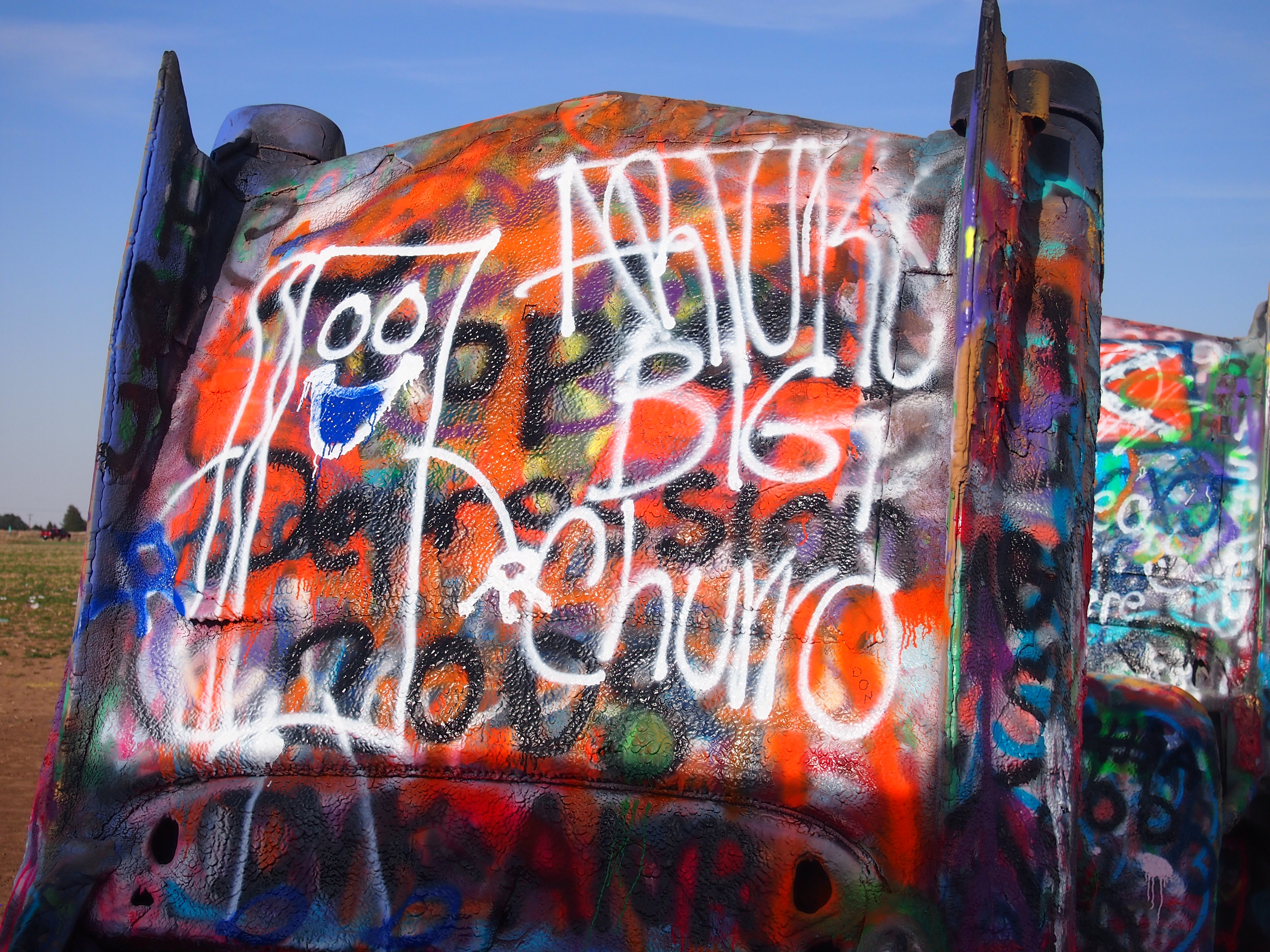
Roadside America, the authority on attractions of this kind, says that “Cadillac Ranch was invented and built by a group of art-hippies imported from San Francisco. They called themselves The Ant Farm, and their silent partner was Amarillo billionaire Stanley Marsh 3. He wanted a piece of public art that would baffle the locals, and the hippies came up with a tribute to the evolution of the Cadillac tail fin.

“Ten Caddies were driven into one of Stanley Marsh 3’s fields, then half-buried, nose-down, in the dirt (supposedly at the same angle as the Great Pyramid of Giza). They faced west in a line, from the 1949 Club Sedan to the 1963 Sedan de Ville, their tail fins held high for all to see on the empty Texas panhandle. That was in 1974….”

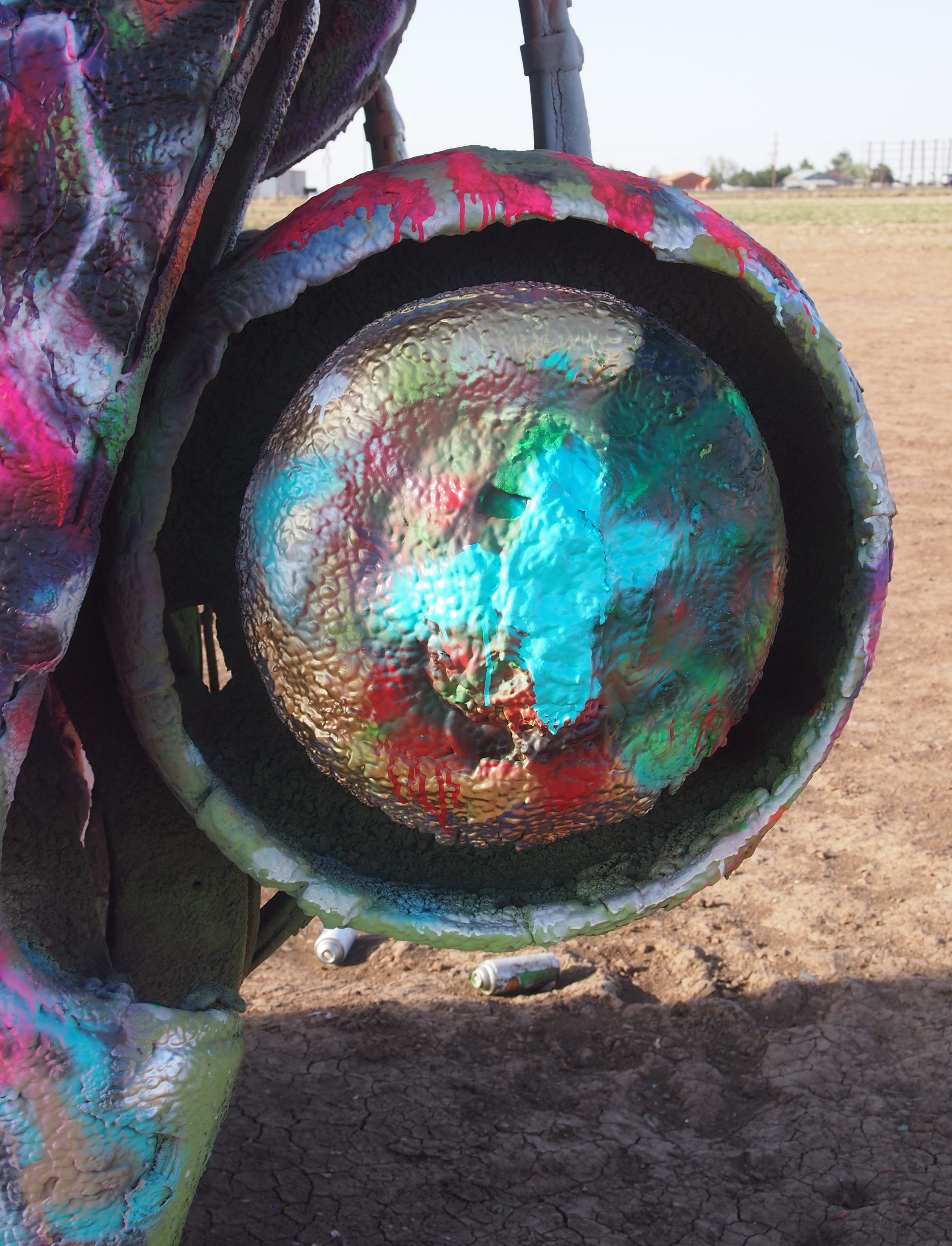
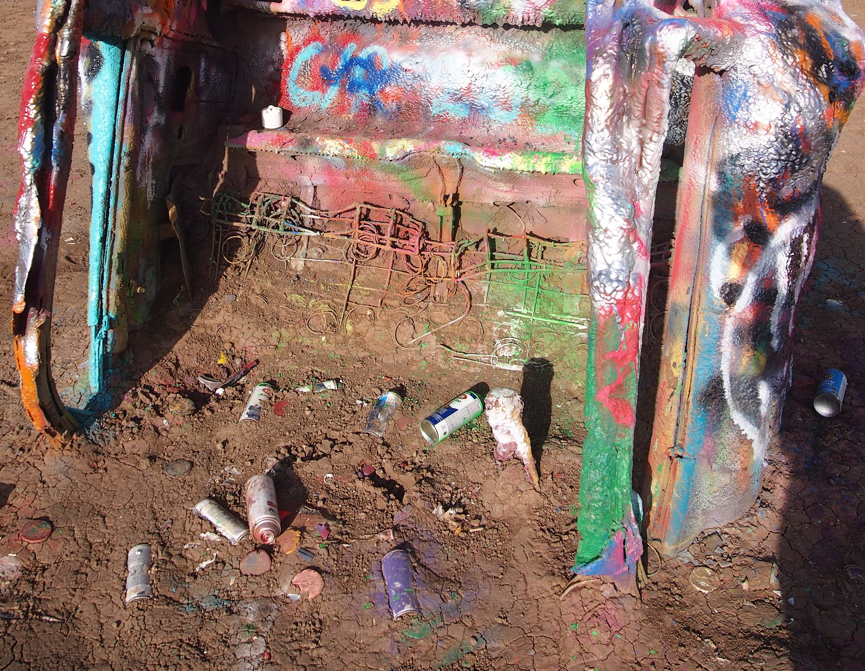
Since then, the cars have been falling apart, but more importantly covered and re-covered ad infinitum with spray paint. The images I took on the afternoon of April 27, 2018 depict how it looked then — a look that I figure is almost as fleeting as cloud formations.

Note also that plenty of people don’t bother taking their spray cans with them when they leave.

The cars weren’t the only surface on which people paint.
Besides being a roadside oddity, I liked the Cadillac Ranch because there’s nothing else to go with it — no visitors center, no gift shop, no exposition signs, not even anything to tell you what the place is called or who created it.

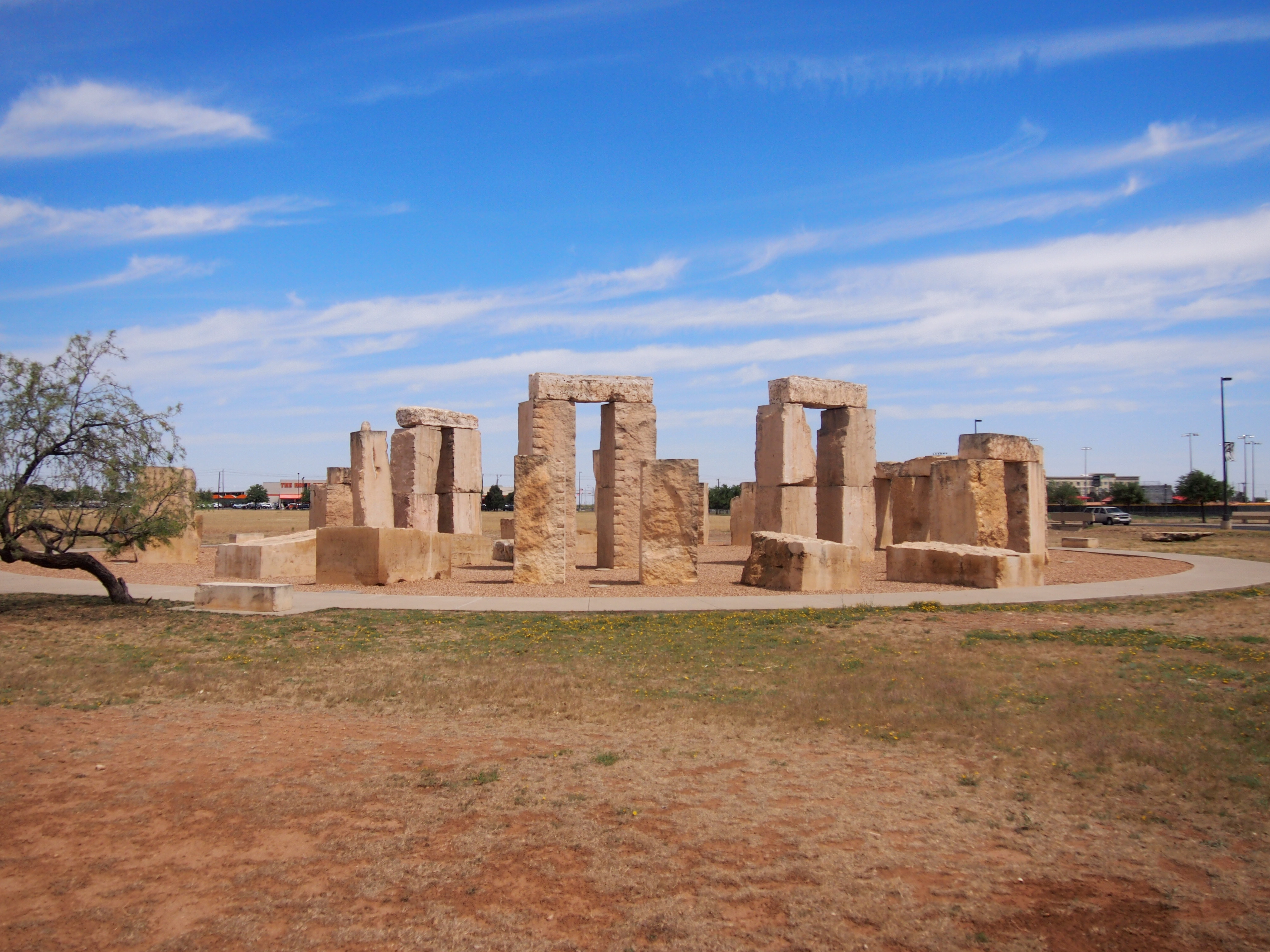
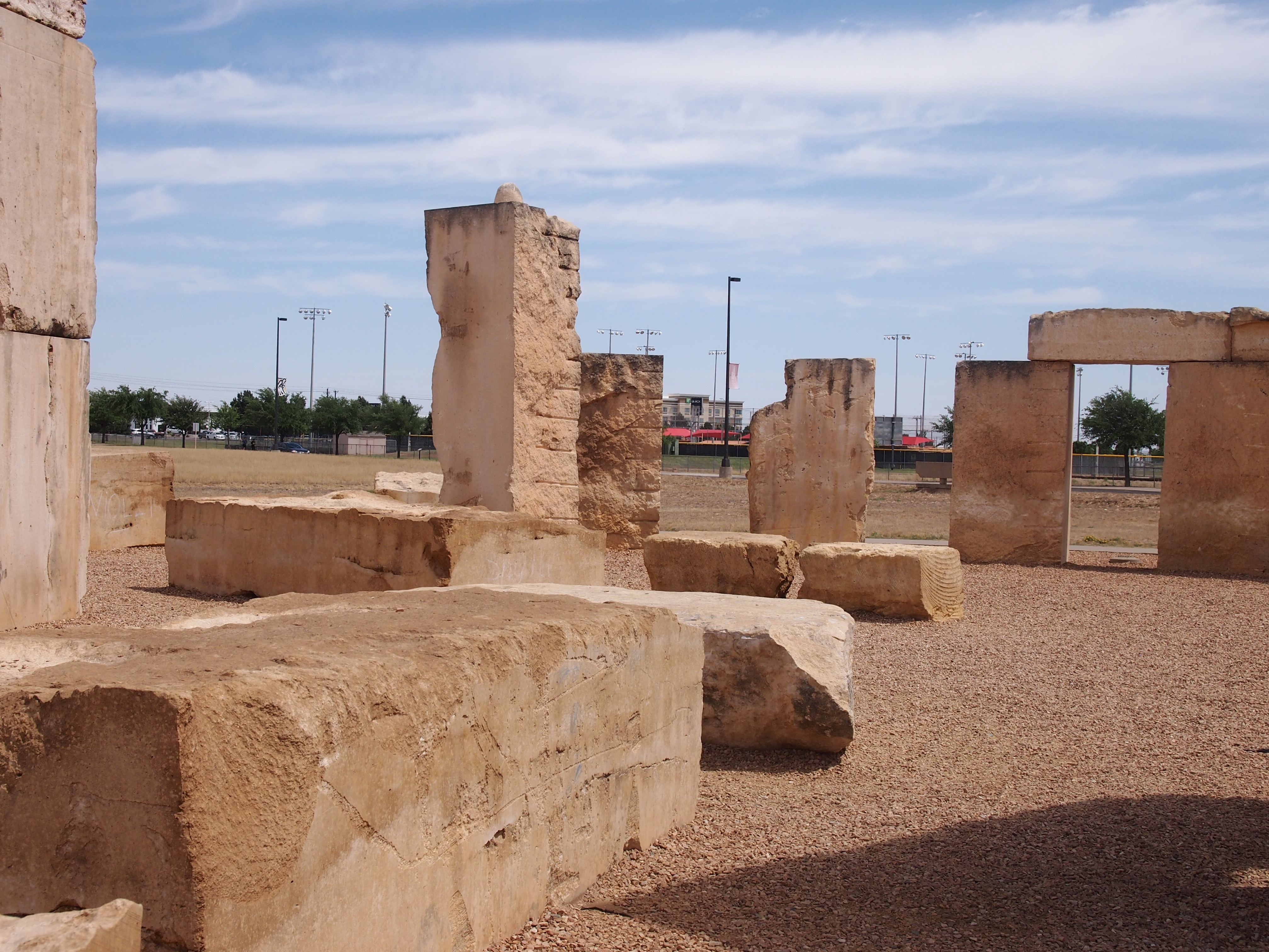
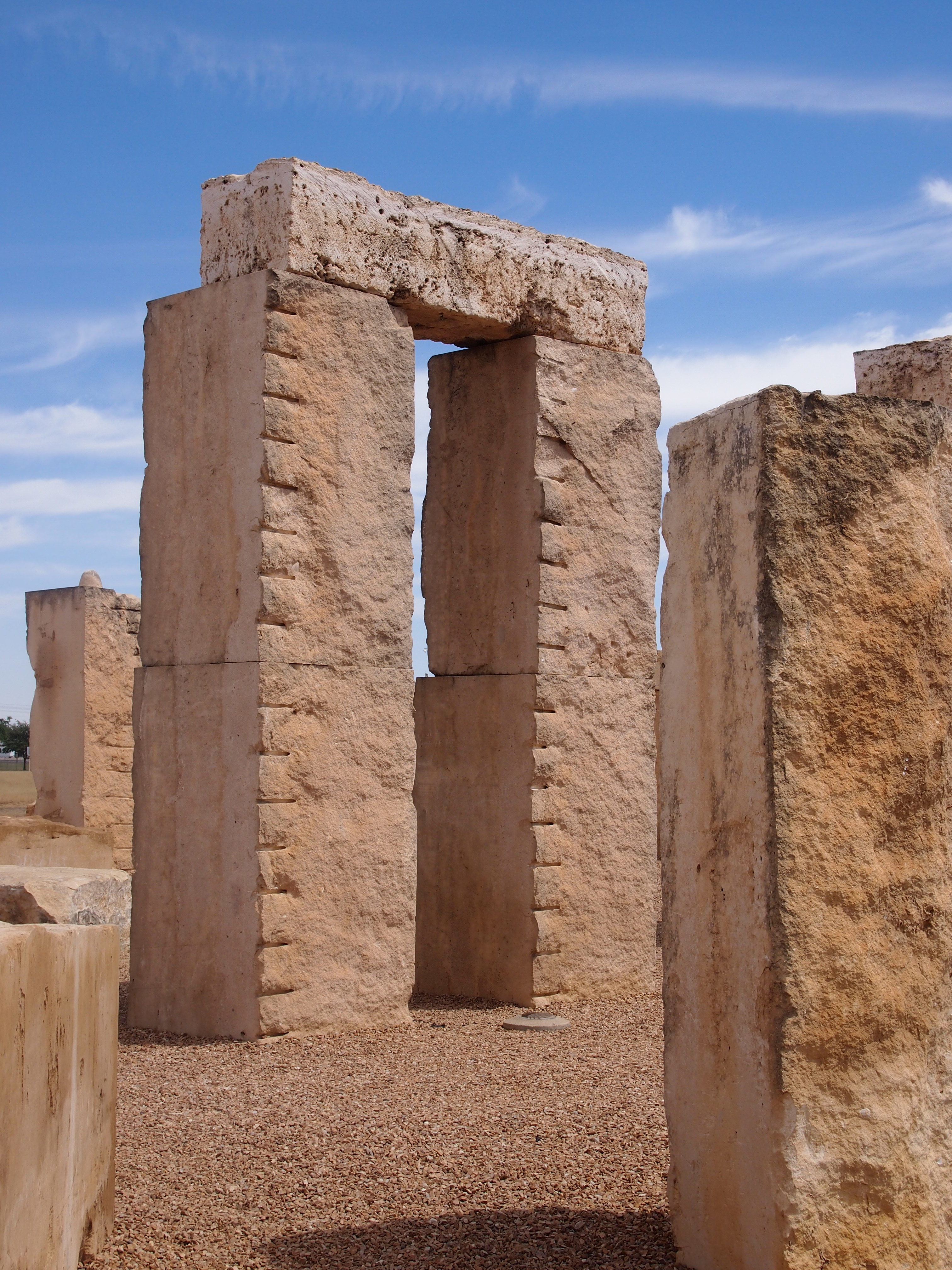
My recent peregrinations also took me to two other places with upright objects installed in the ground, both Stonehenge replicas that I spent a few minutes looking at. One, completed in 2004, was at the University of Texas of the Permian Basin in Odessa.

Unlike the original, visitors are free to get as close as they like to the Permian Basin Stonehenge and even touch the stones. Spray painting would probably be discouraged as rank vandalism, however.

Roadside America again: “Made of limestone slabs up to 19 feet tall and 20 tons apiece, Permian Basin Stonehenge is slightly shorter than the original, but it’s exact in horizontal size and astronomically accurate. Although a plaque in front of the ‘henge claims that the replica is ‘as it appears today in England,’ that’s not exactly true.

“The slabs are blocky leftovers donated by a quarry, so they’re approximations, not duplicates; the Stonehenge stands in a circle of reddish Texas gravel, not the green Salisbury Plain; and the Heel Stone, which marks the summer solstice, had to be stuck in the ground across a street.”

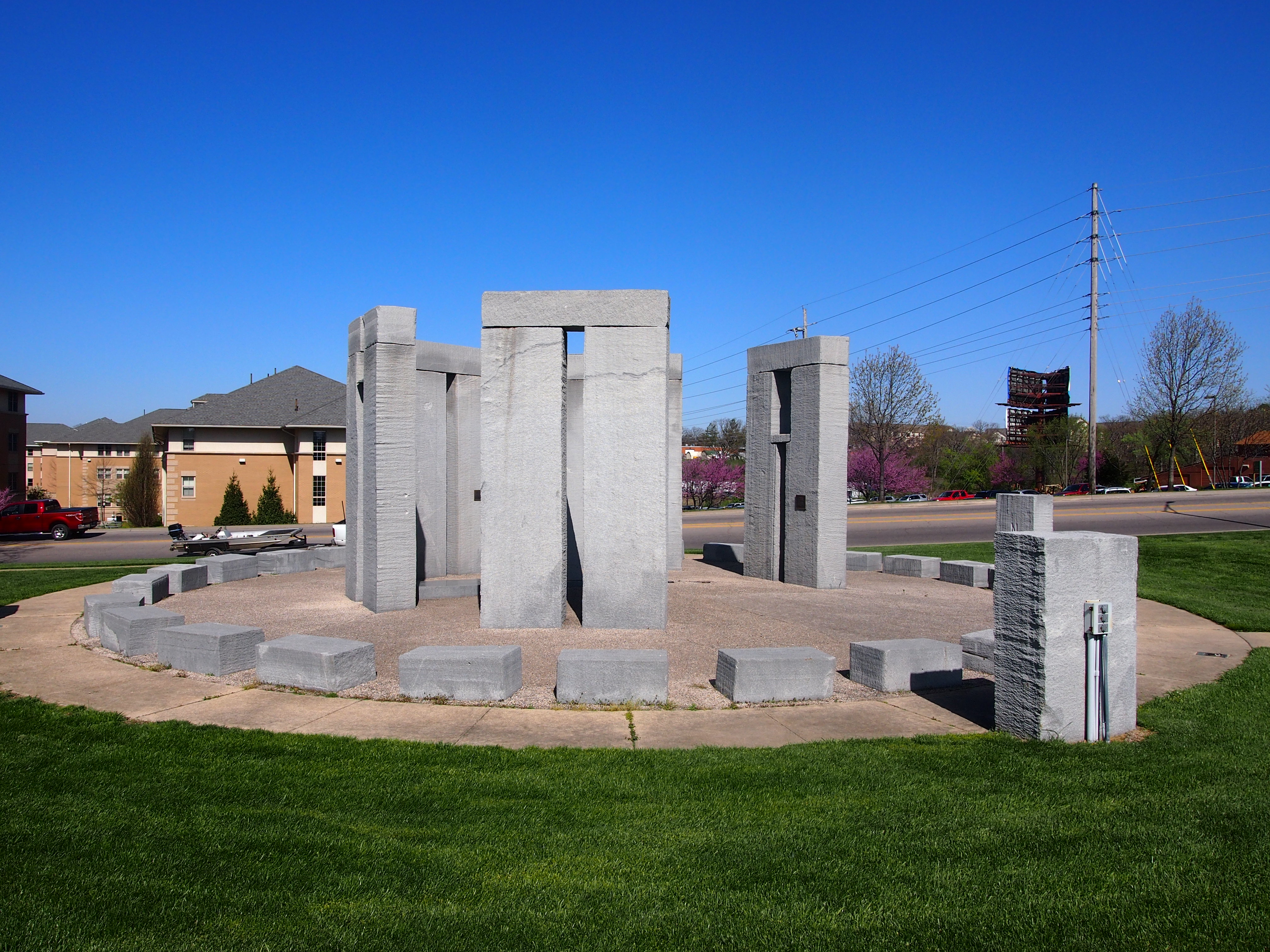
On the last day of my trip, I stopped briefly in Rolla, Missouri, and got a breakfast sandwich at Hardee’s. Not far away was the Missouri University of Science and Technology’s Stonehenge replica. What better place to sit and eat your breakfast sandwich?

It’s a half-sized granite replica. Not a commanding presence, but worth a look. Once more to the Roadside America well, which says the replica was built in the 1980s to “showcase the stone carving capabilities of [the school’s] High Pressure Water Jet Lab.”