Every now and then someone reads something here and sends me a message via the comments. On the September 18 posting, I got a surprise message. As follows, though spaced into paragraphs by me:
Hi Dees,
RE Bashful Bob, Robert George Wombacher Jr, from Proctor MN near Duluth, my father, yes his rates in ’99 were probably $29/suite!
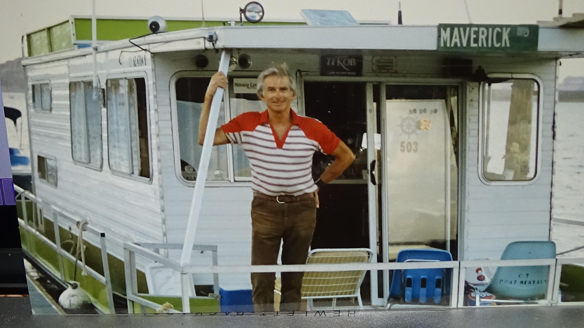
He refused my pleas to raise them. He liked to give people a good deal and was generous and giving to a fault! He was very creative, musical, fun-loving, sharp as a tack (longtime Mensa member), a walking/talking joke encyclical (if there is such a thing lol). He spent most of the year on his houseboat, The Maverick.
Thank you for you nice article,
John Wombacher, Liberty NY and on behalf of my brother Robert George Wombacher lll, Madison WI
PS if you give me an email address I would be happy to send you a few candid pics of my Dad
Wow. I posted about Bashful Bob’s Motel in Page, Arizona, more than two years ago.
It has a special place among the many, many places I’ve stayed, as a tourist court sort of place in a world that doesn’t have very many of those any more. Even nearly 30 years ago that was true. A place with hands-on ownership: namely the personable Bob Wombacher. I don’t remember what I paid in 1997, but it must have been a pretty good deal, which of course is an essential part of the tourist court experience. I thought of the place in ’22, when we stayed at the former Bashful Bob’s. It was a nice enough acommodations, renovated and all, but not the same sort of experience.
So I sent John Wombacher an email message, and he replied in short order. With images of Bashful Bob himself.
Dees,
Bashful Bob’s in Page came into existence during the mid- to late-eighties… he had owned a motel in Redstone CO, prior to that for about 8 years, Crystal Valley Motel, I think it was called.
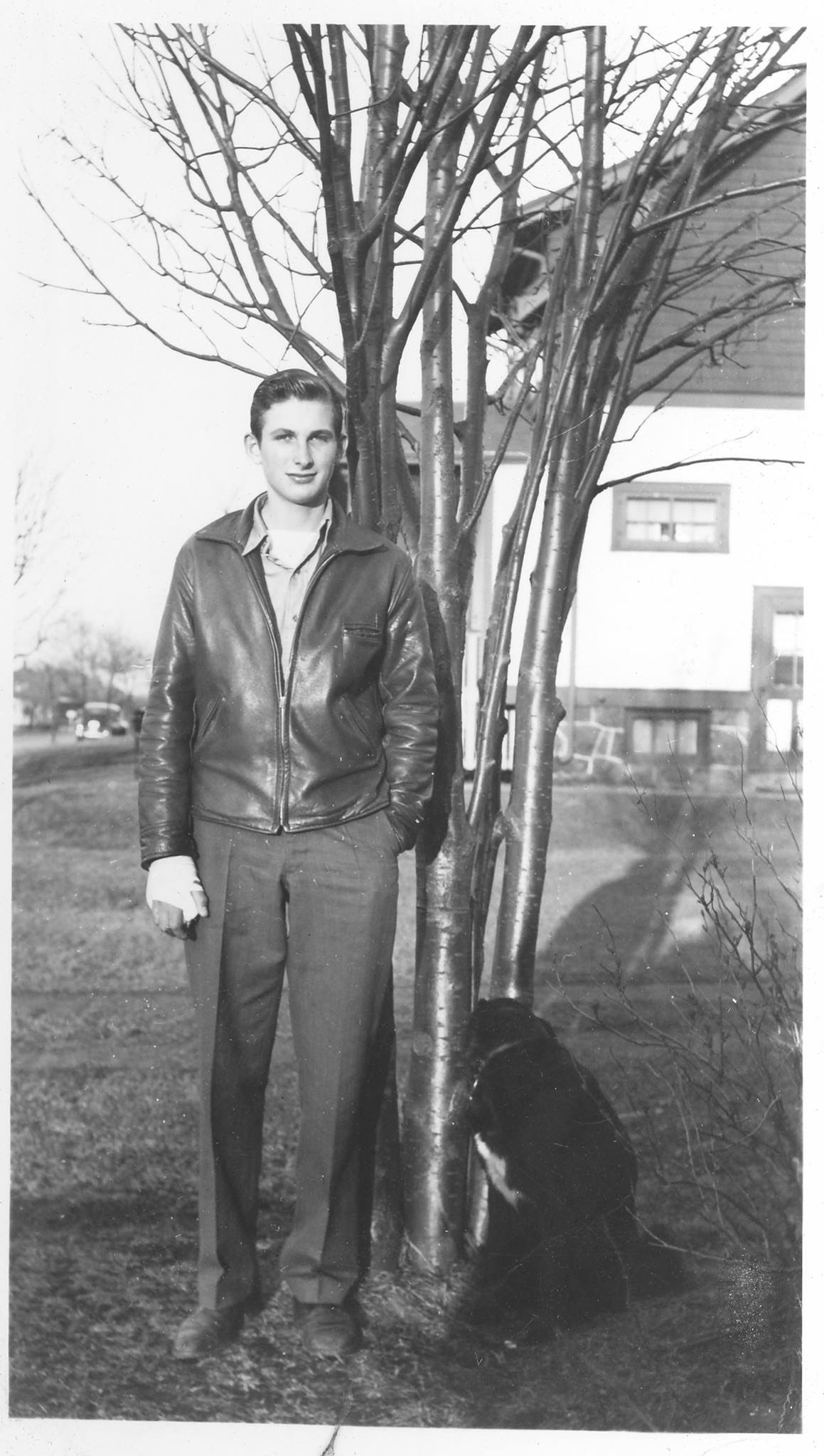
Robert George Wombacher Jr. Image courtesy John Wombacher
Oddly enough in the late 60s he owned and operated a drive-in hamburger joint outside of Madison WI where I grew up (I was his chief cook and bottle washer, all 10 or 12 years of me). The name of that joint was… drum roll please… Bashful Bob’s!!!
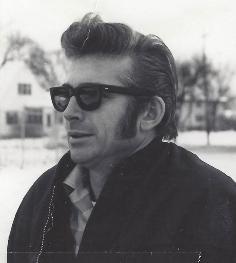
Robert George Wombacher Jr. Image courtesy John Wombacher
Wish I had some photos. I lived later in Albuquerque and would venture out to Page frequently, also worked at the Glen Canyon Dam for one year around 1980.
Robert George Wombacher Jr. Image courtesy John Wombacher
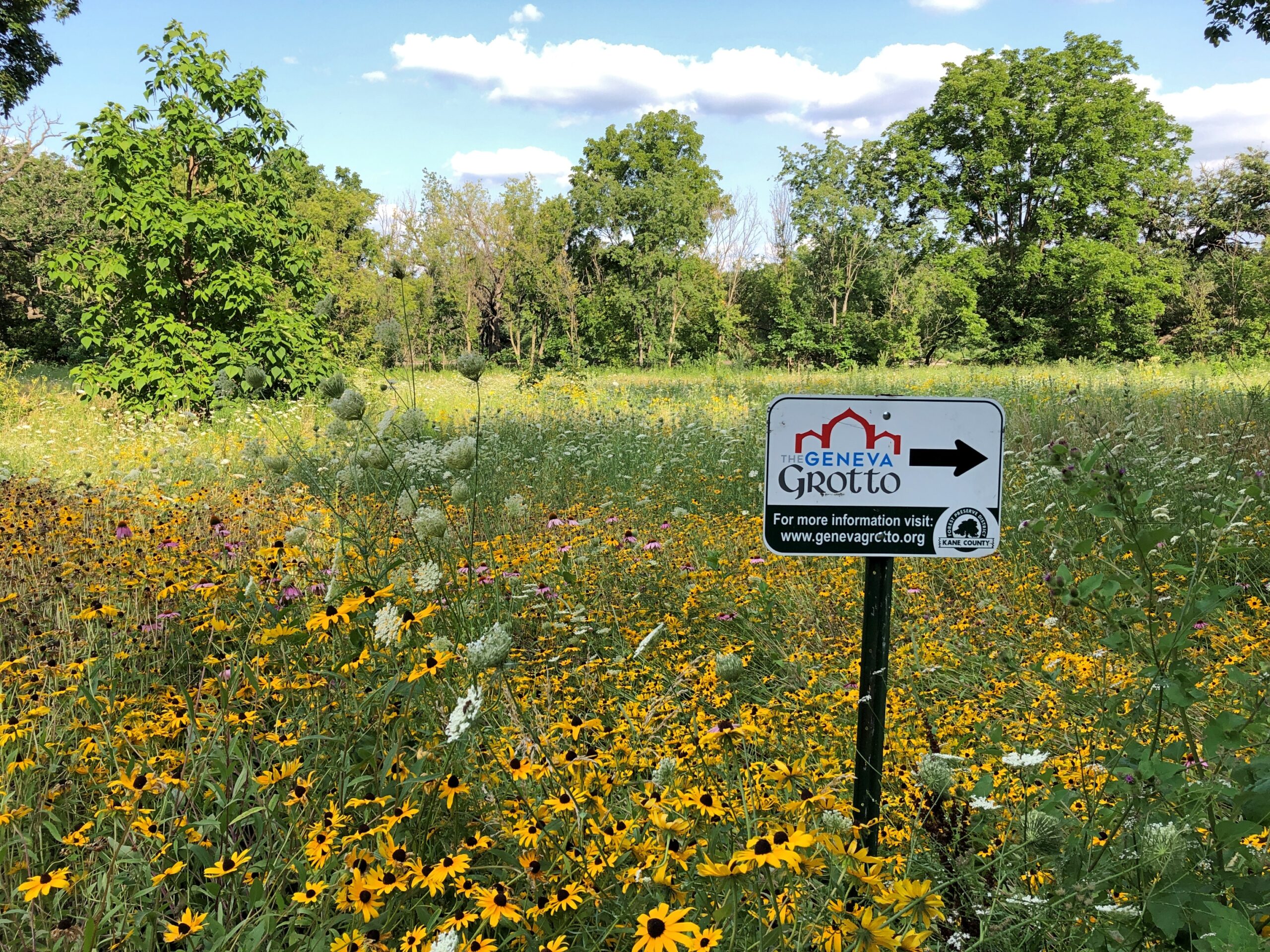
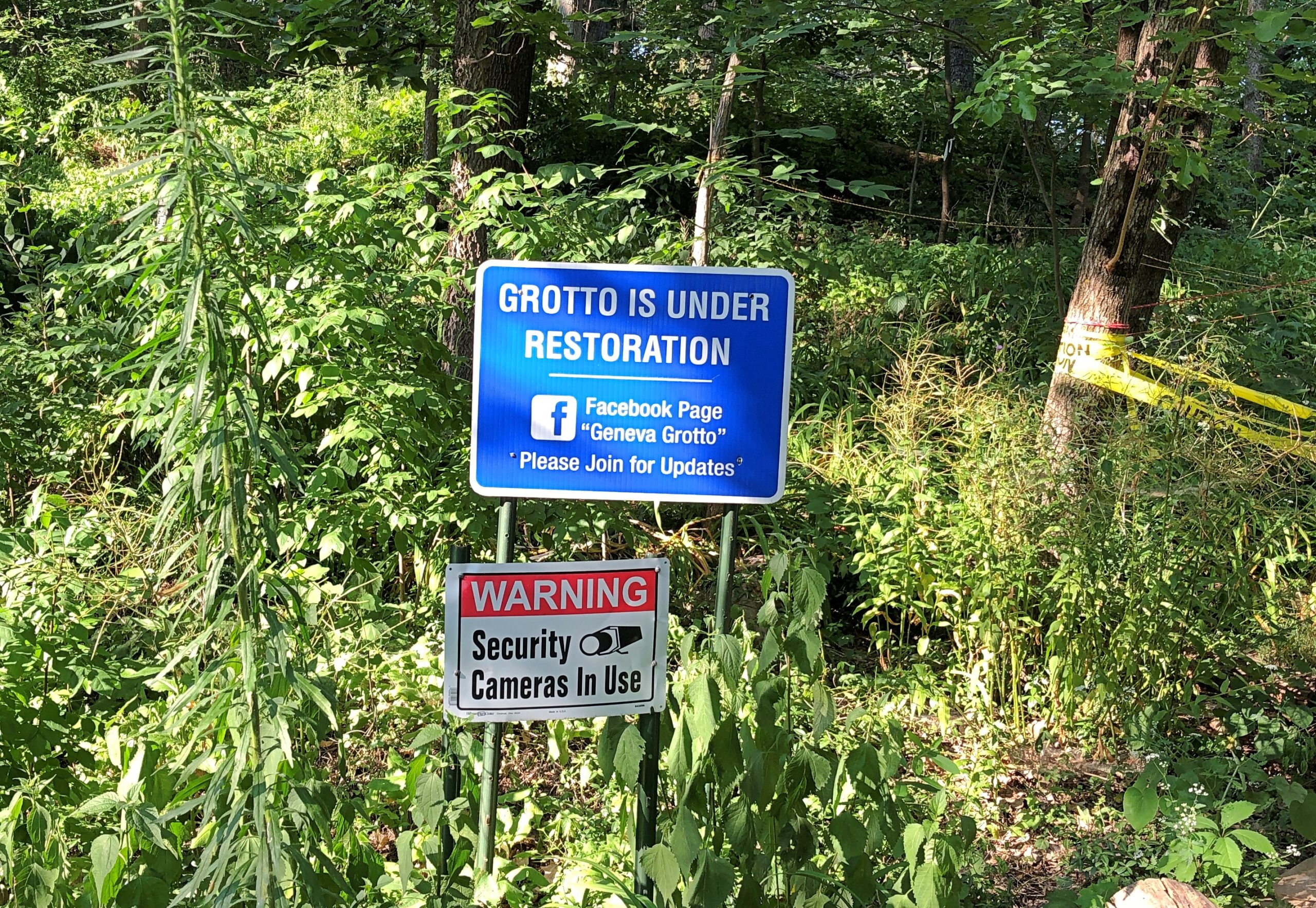
I don’t know about anyone else, but when I see something like this, I’m intrigued. The Geneva Grotto, you say?
Barring an obvious hazard – and there weren’t any, unless you count the possibility of mosquitoes carrying some disease yet unknown to science – that’s the kind of thing that bears further investigation. So toward the end of our most recent visit to Geneva, Illinois, we followed the sign, which is next to a parking lot in the Gunnar Anderson Forest Preserve on the Fox River, behind the Kane County Government Center.
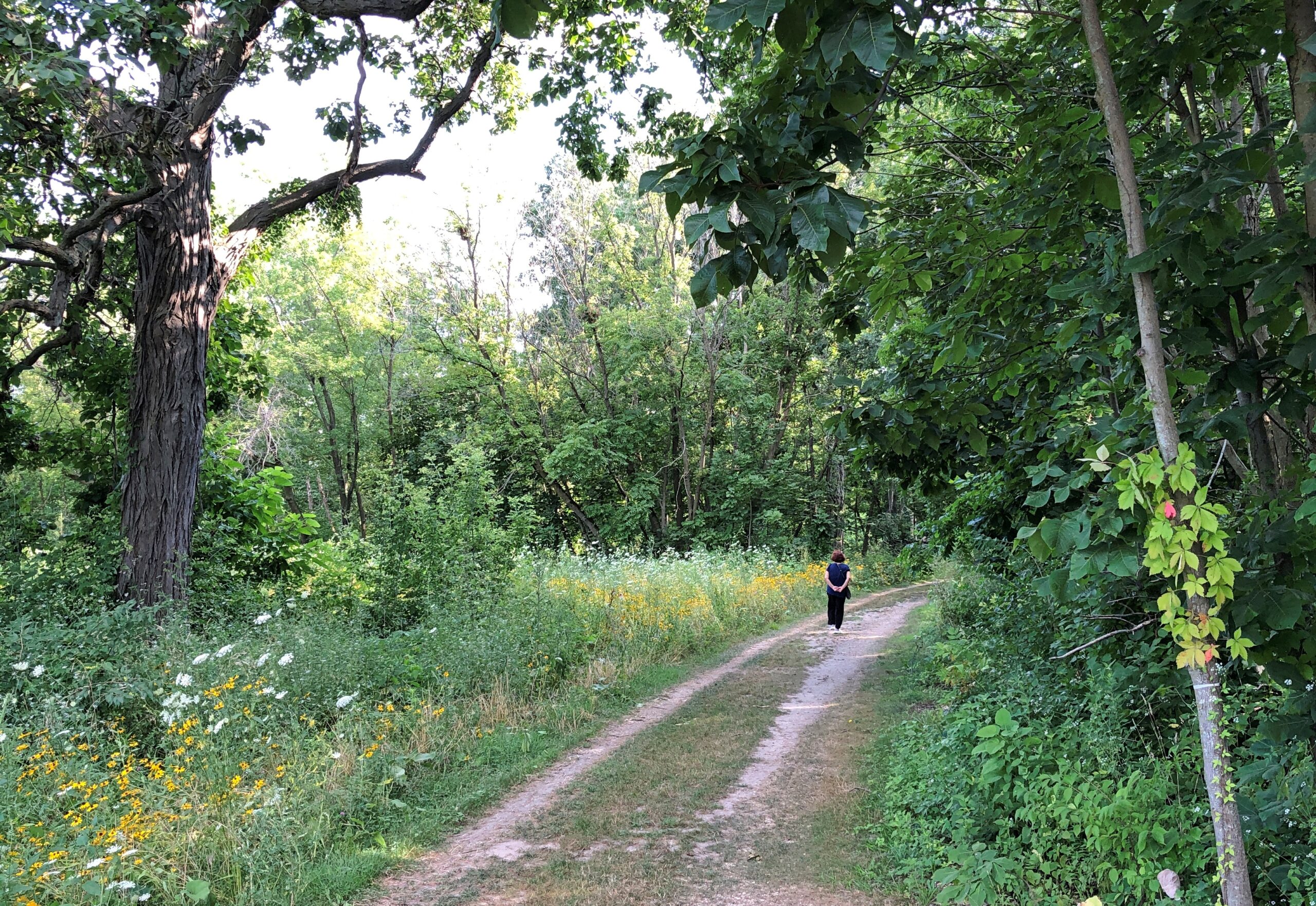
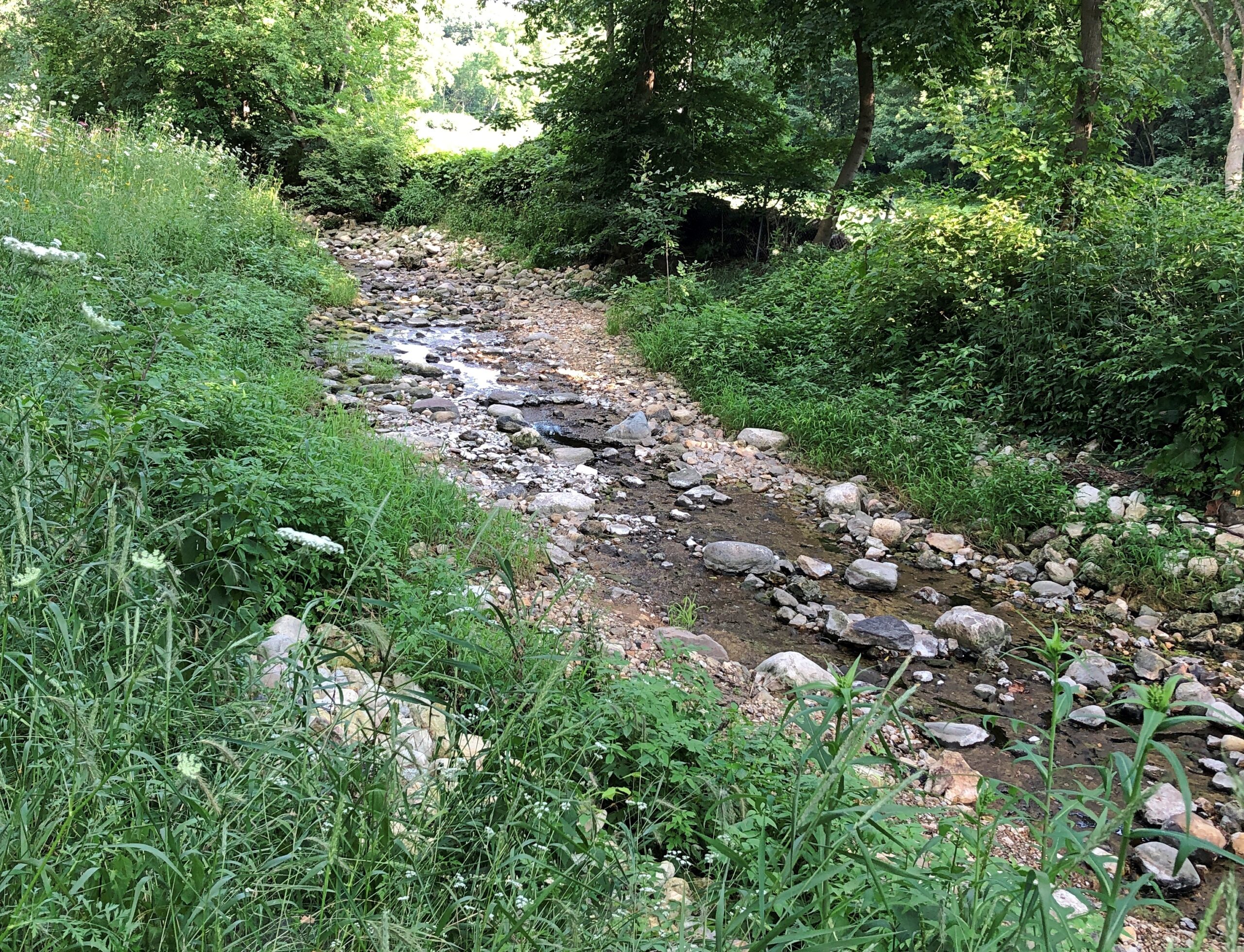
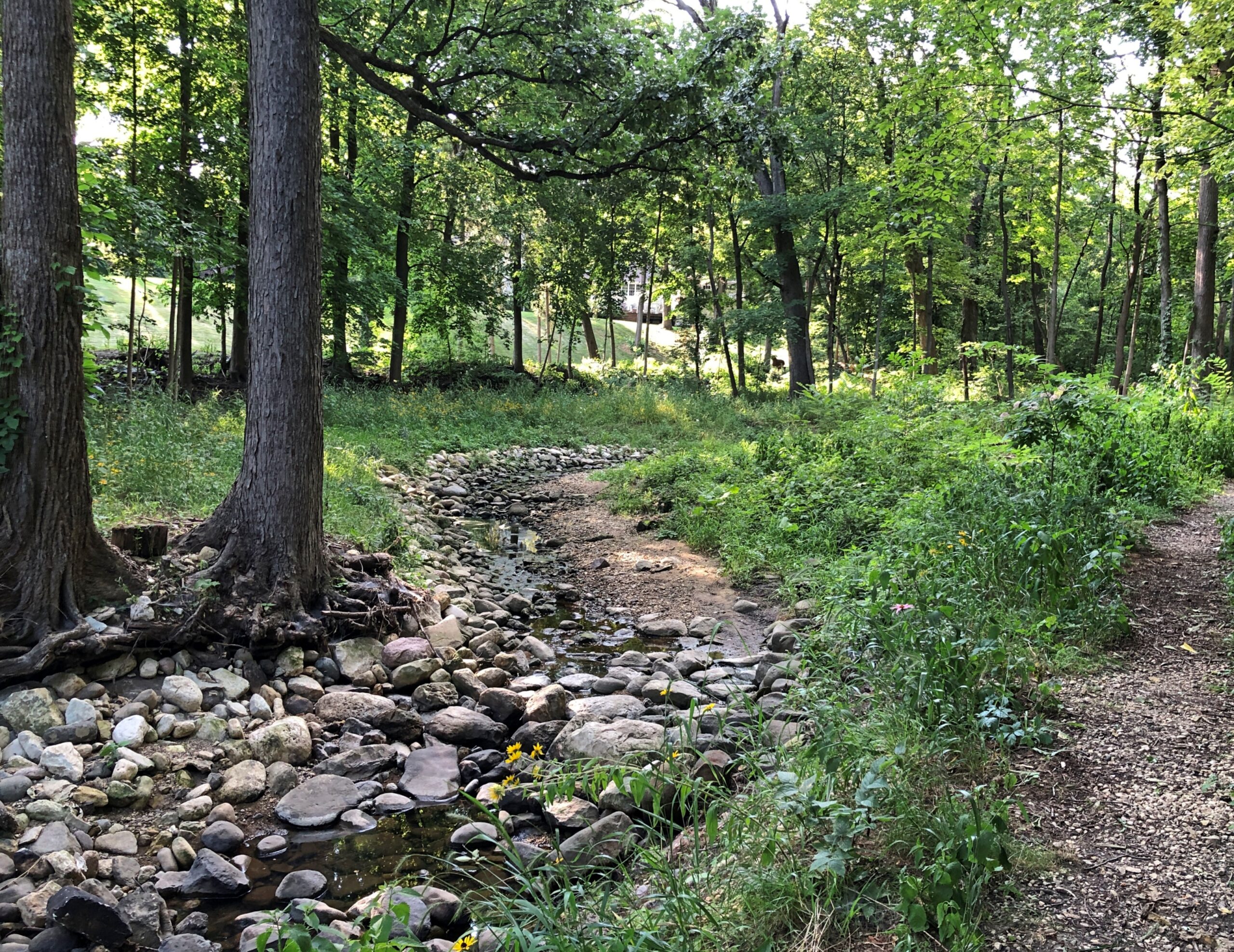
The tracks lead to a smaller trail into the forest, along a small, rocky creek that feeds into the Fox.
So small it isn’t acknowledged on Google Maps. The place felt a little remote, but of course it isn’t. At various points along the way, houses just outside the forest preserve are visible. Also, it doesn’t take long to get to the promised destination: less than five minutes. Bold exploration, this was not. More like seeking out the obscure, which I have a certain knack for.
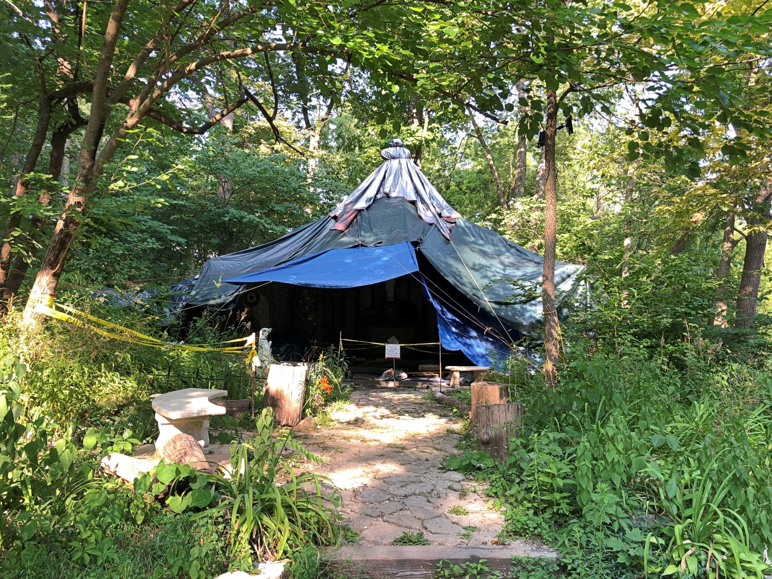
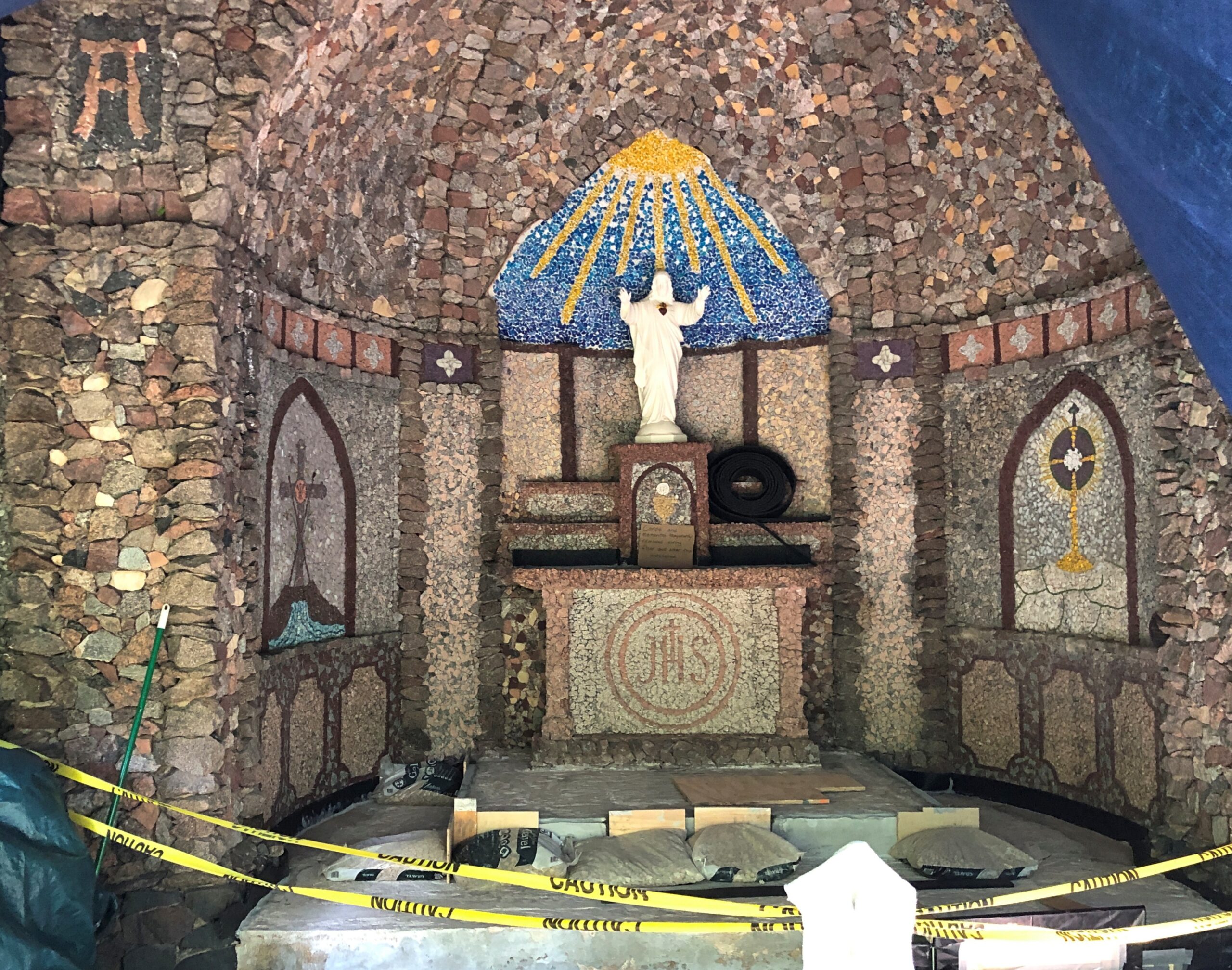
When we arrived, the grotto stood in the forest, and under a tarp.
Restoration is under way. Wanker vandals damaged the place in recent decades, I understand, so a camera now watches.
When I see that kind of setup, I’m reminded I’m reminded of the opening lines of “Soldier of Plenty” by Jackson Browne (1986).
God is great, God is good He guards your neighborhood Though it’s generally understood Not quite the way you would
So while the grotto might be obscure, it isn’t unknown. In fact, it has its own web site. Or rather, the volunteers overseeing the restoration do.
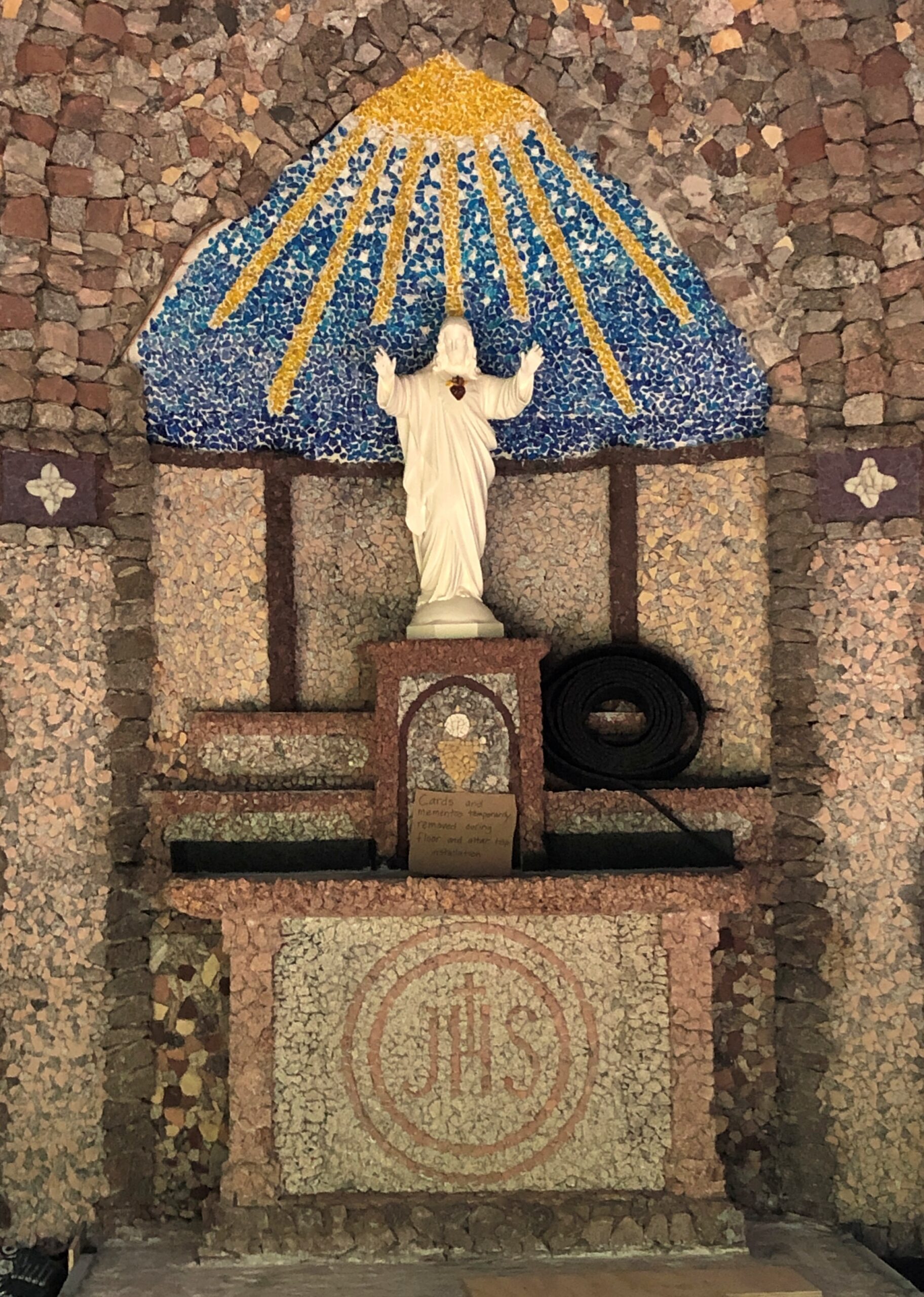
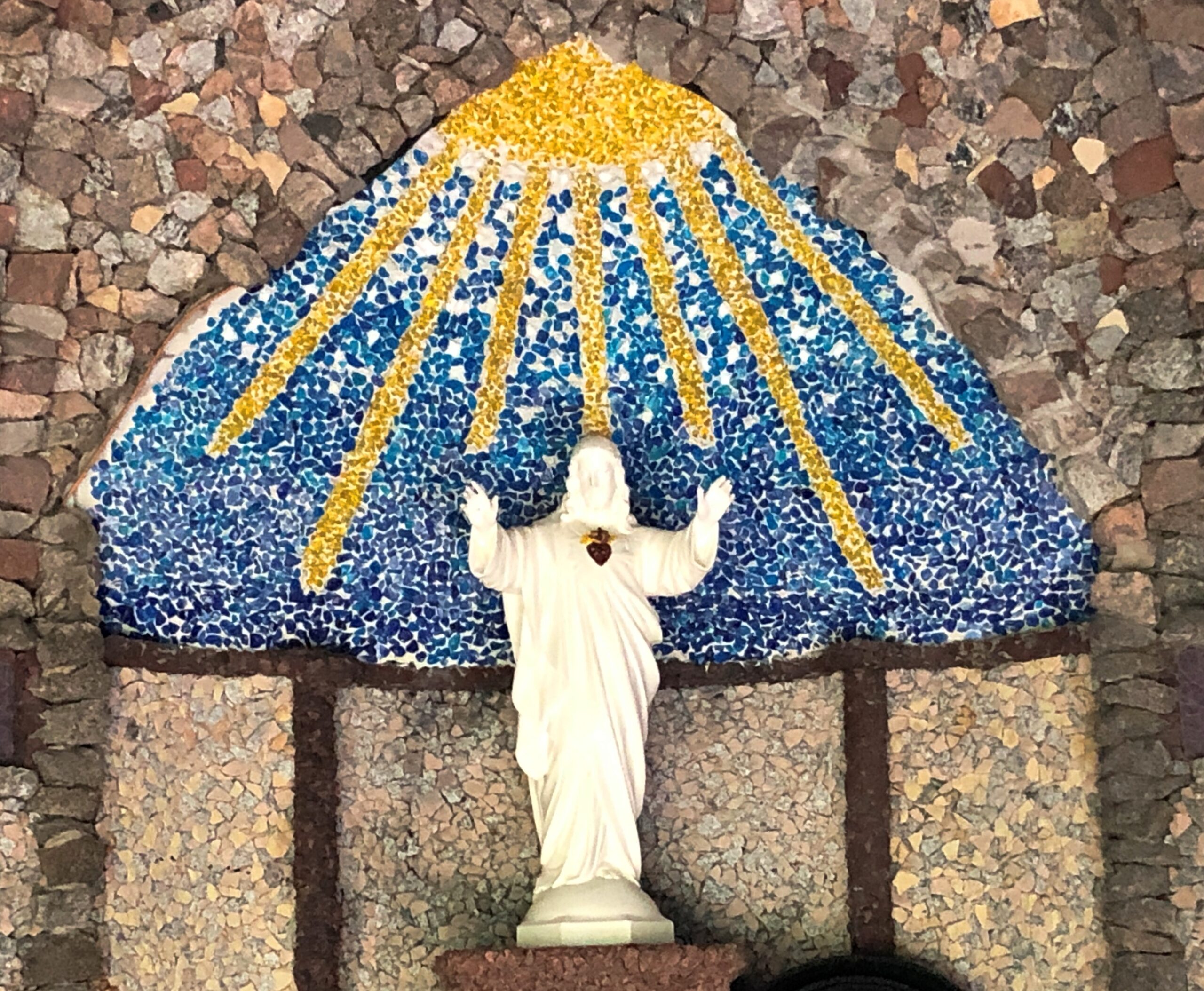
“Built in the 1930s when the property was owned by the Missionaries of the Sacred Heart [MSC], the outdoor chapel is an imposing stone structure,” the site says. “A German priest [Bro. Driesch] built the shrine, using rocks and colored glass from the local river beds to create the small chapel-like structure.”
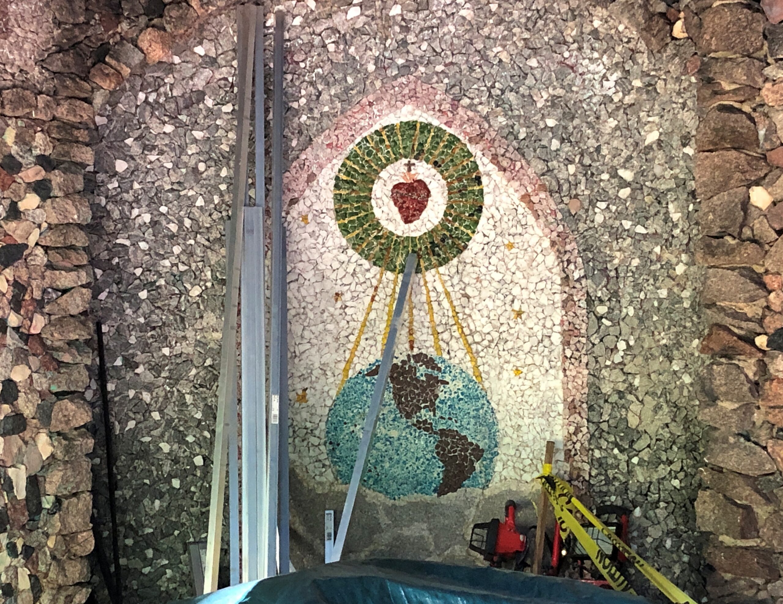
We got as close as we could without stepping on the stone floor of the grotto, since a sign further warned us that that would hinder the restoration. Close enough that some of the interior mosaics were visible.
The land ultimately proved so valuable that the MSCs sold it in the early ’70s and moved on. But the grotto, with the help of restoration, endures.
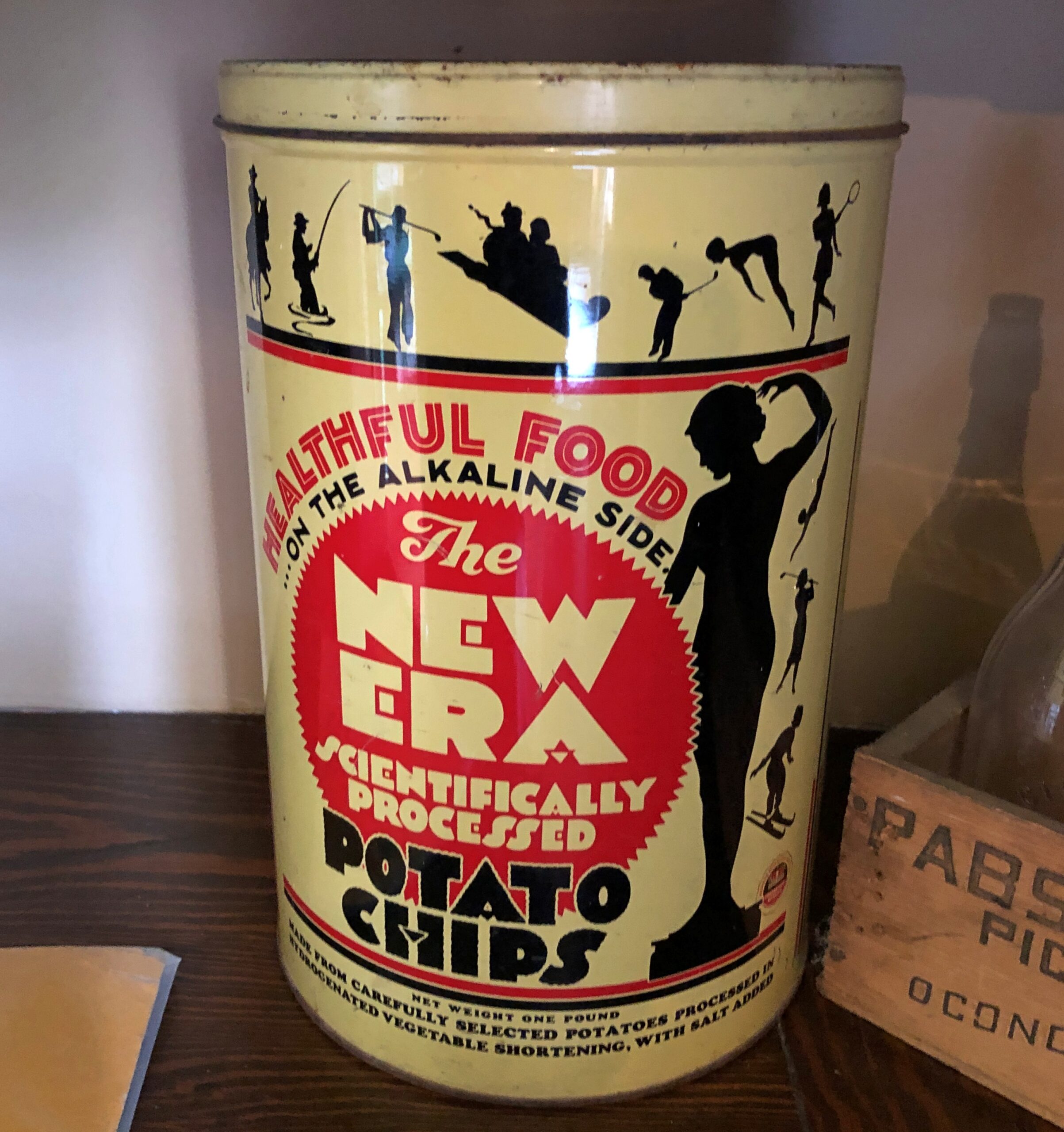
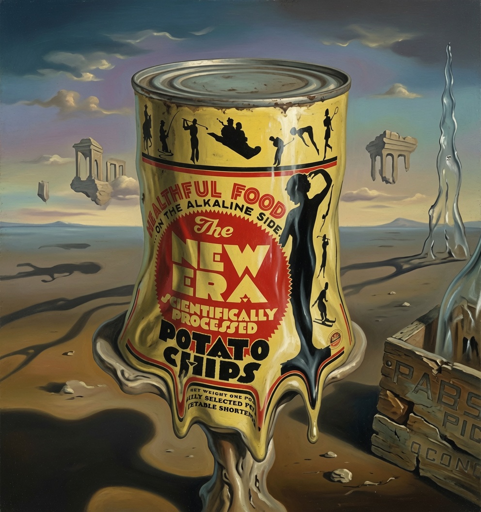
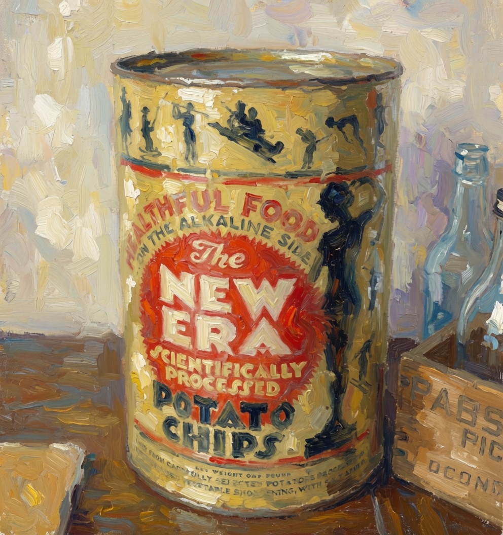
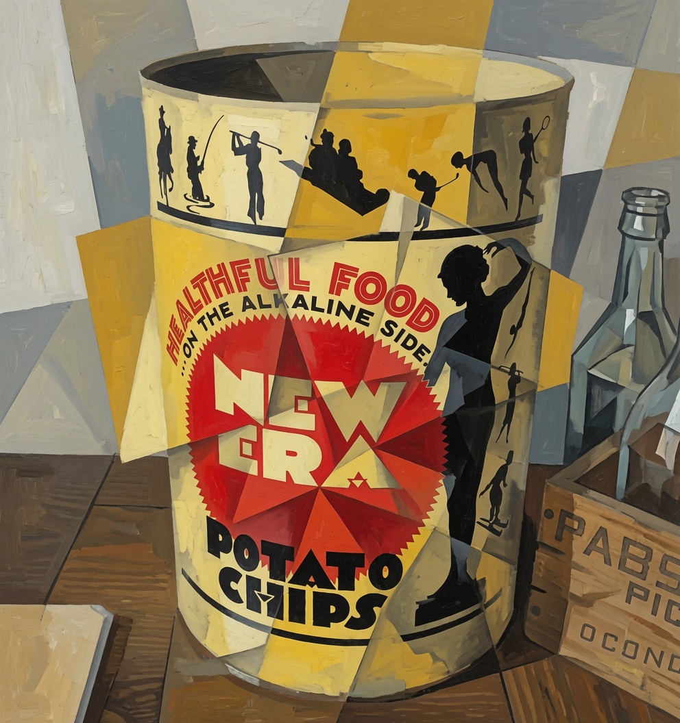
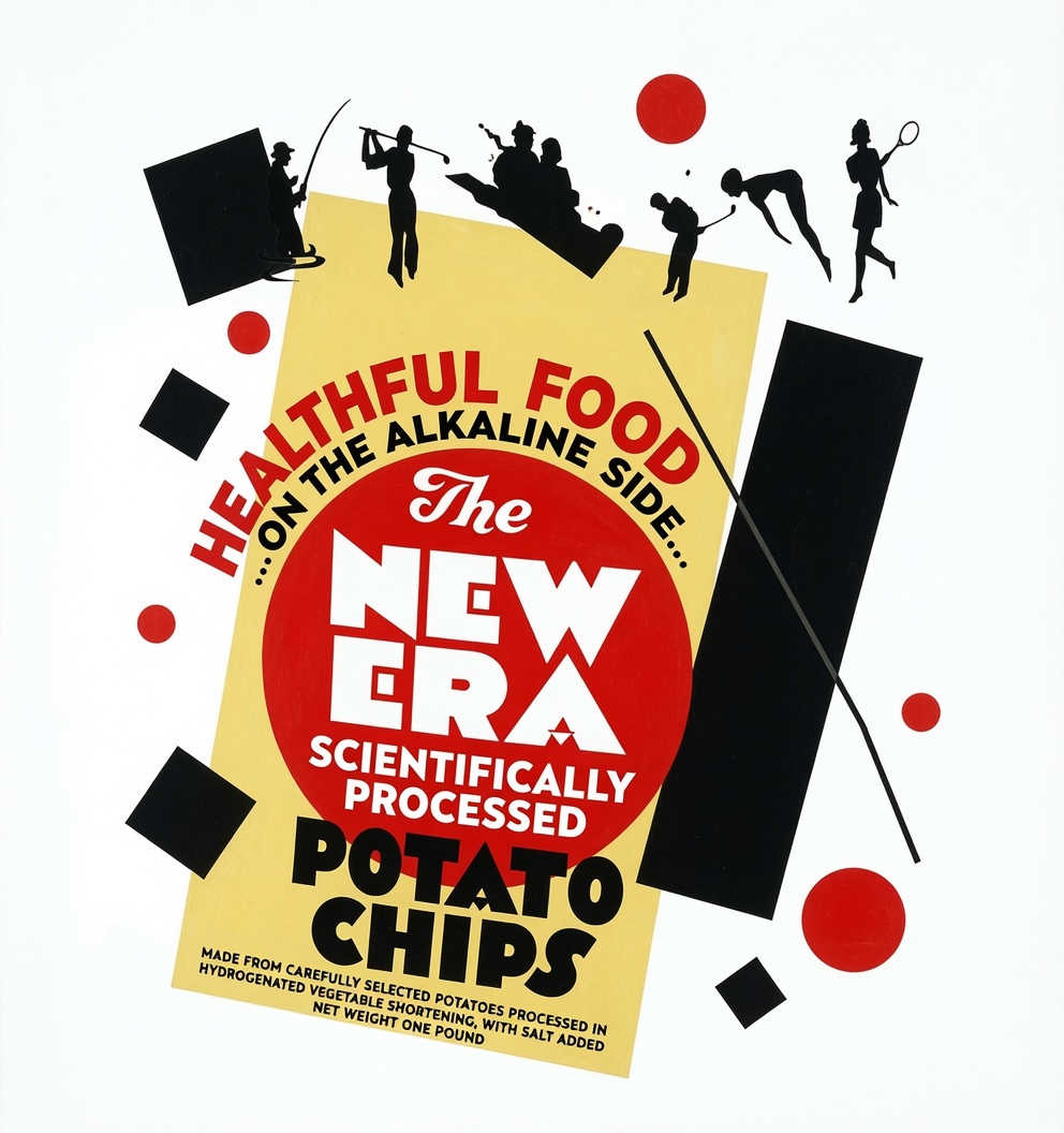
On my way to writing some regular number of words, my attention was shanghaied by an AI image generating service. What, I wondered, could the New Era Potato Chip can become, in the hands of an LLM, or I suppose Large Image Model? This can, also posted yesterday.
I’m glad for a lot of reasons that I lived in Japan in the early ’90s and not later. One reason: pre-Google and (more importantly) pre-Google Maps, you navigated by your own wits, aided by not-always-detailed paper maps, wayfaring signs in Japanese and sometimes English, directions from other foreigners – part of the mass of gaijin lore we all tapped into – and helpful Osakans.
It was doable. One time I bought a used bicycle from a colleague who lived in a fairly far corner of metro Osaka, far from me anyway, on the condition that I come take it away. Meaning about a 20-mile ride through the heart of greater Osaka, a ride I broke into two segments by locking the bike after the first day’s pedaling at a subway station and going home that way. Good thing Japanese streets are more or less suitable for bicycling, but less so for wayfinding, since the urban texture tended to be a rinse-and-repeat cycle of narrows streets, concrete apartment blocks, and small shops shoehorned into even narrower lanes.
Six- or eight-lane boulevards crisscrossed the region, and so did small and larger rivers. One time a helpful Osakan directed me to an elevator door tucked away in a grey wall of odd shapes and angles – a door that had been accidentally camouflaged by its utilitarian surroundings. The unmarked elevator took pedestrians and bicyclists down to the entrance of a spare, well-lit underground tunnel under a major river at a spot that had no bridge.
But I need to say that the rinse-and-repeat was only superficial. Like other places, most other places I’d say, with a little time and observation, details come into focus. In the case of Osaka, a shrine tucked into wall or a weedy embankment near a canalized creek that was home to a couple of gnarled, flowering trees, or sometime as incongruous as a speedboat parked in a spot for a car. Or an unusual handmade retail sign, clearly made by pop for the front of a mom-and-pop (or maybe by mom, who wouldn’t be accorded credit for it, and maybe not inclined to take credit).
There’s a Flickr collection, or even a coffee table book, in the unlimited variety of limited-edition retail signs, handmade or made by advertisers. A worldwide selection. They’re more sporadic in the Chicago suburbs, generally clustering on main shopping streets – of which there are a fair number, tucked away and locally focused. So far this summer we’ve made our way to a handful of suburban shopping streets.
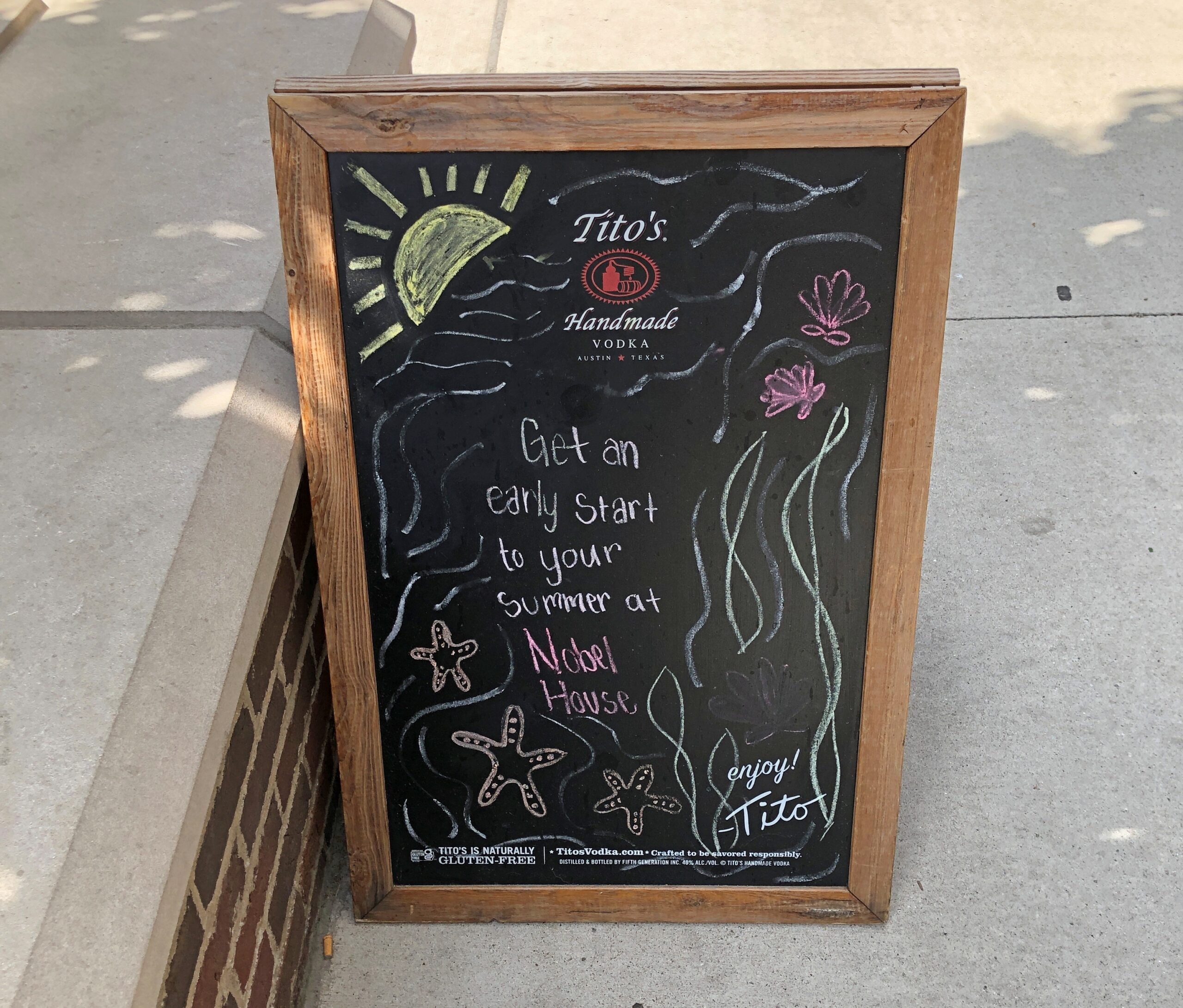
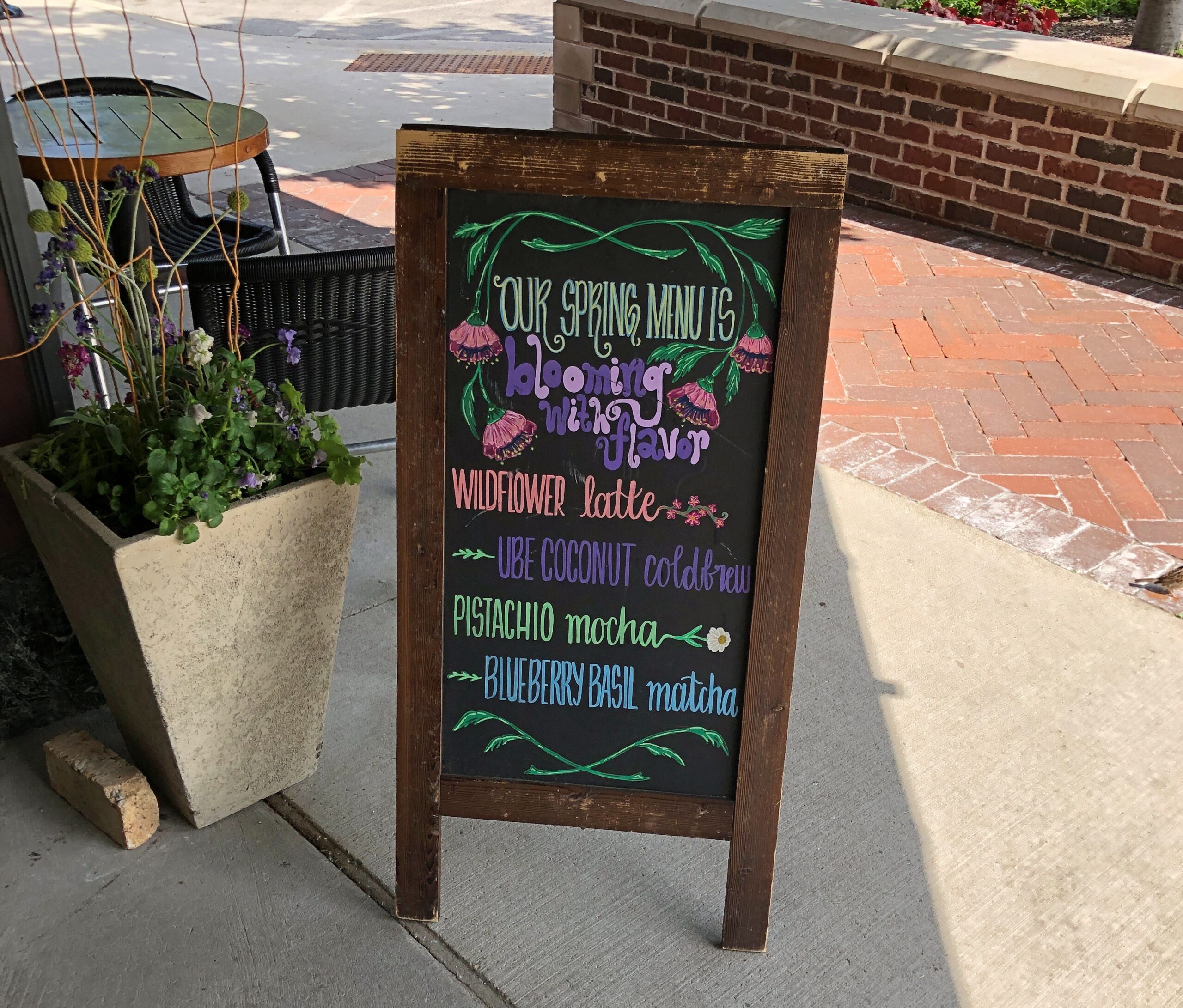
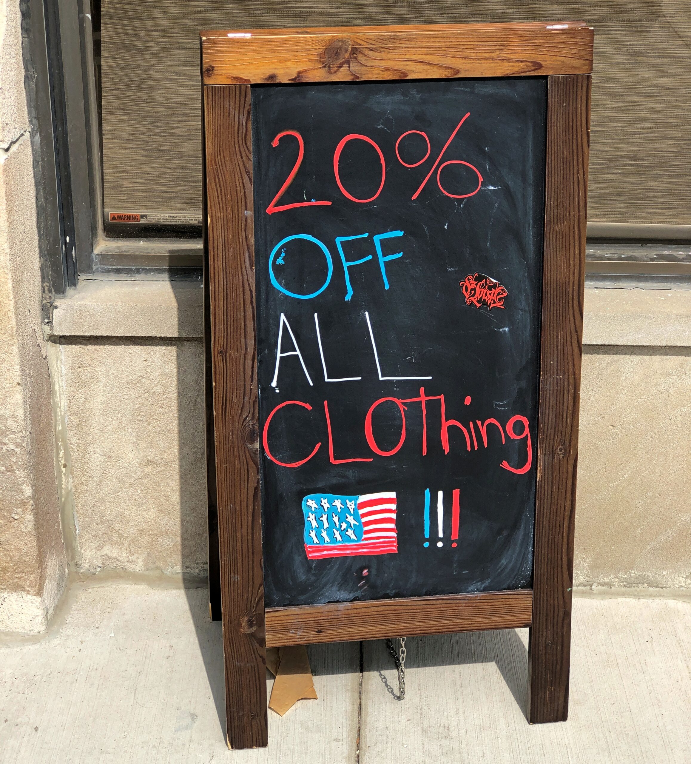
Starting with the imprimatur of Tito, Alamo Heights High School Class of ’79.
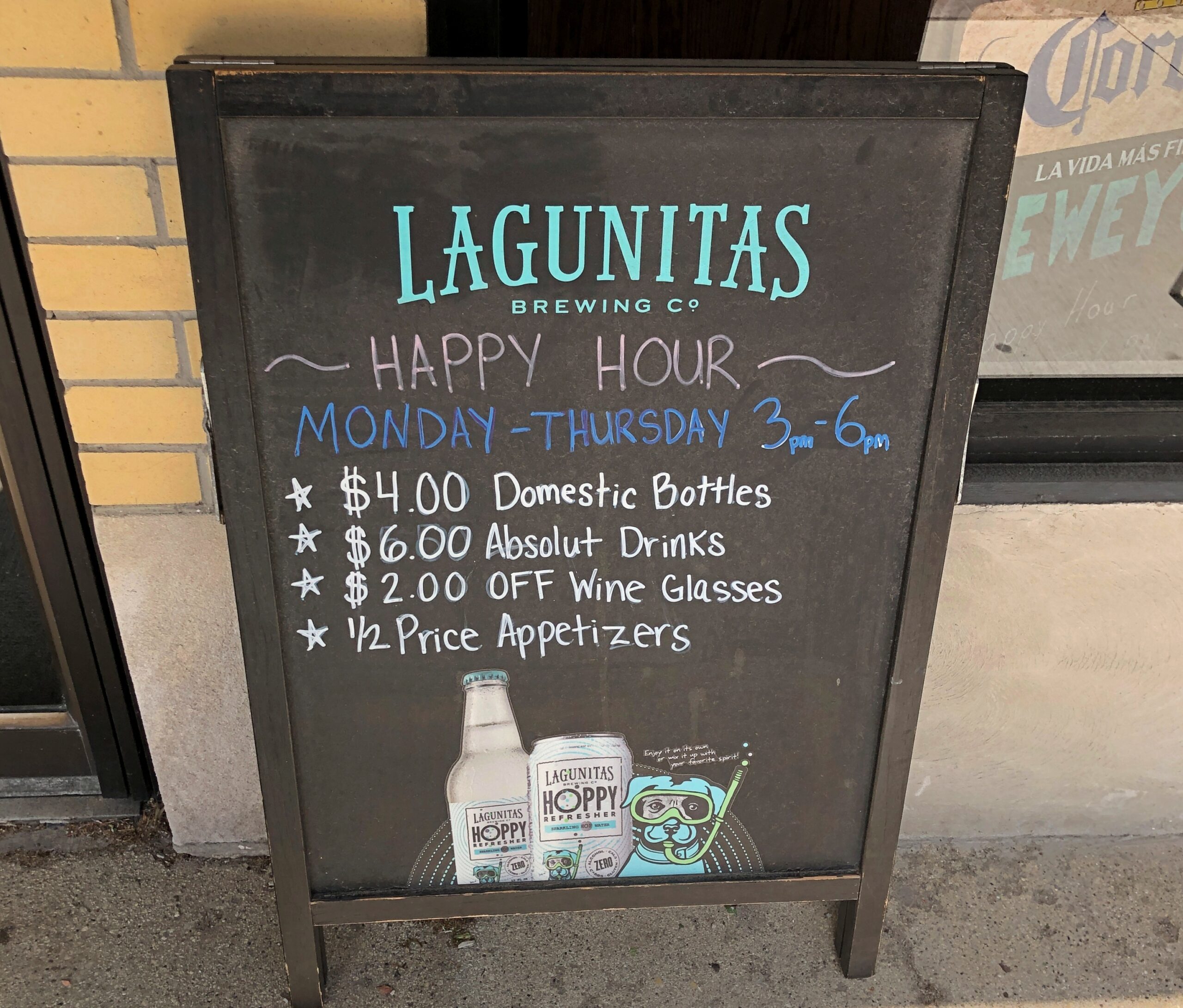
Straightforward, gets the signing job done.
For those who aren’t into that whole neurotoxin thing.
“We need something out there now, we’re about to open.”
How could this not be a favorite?
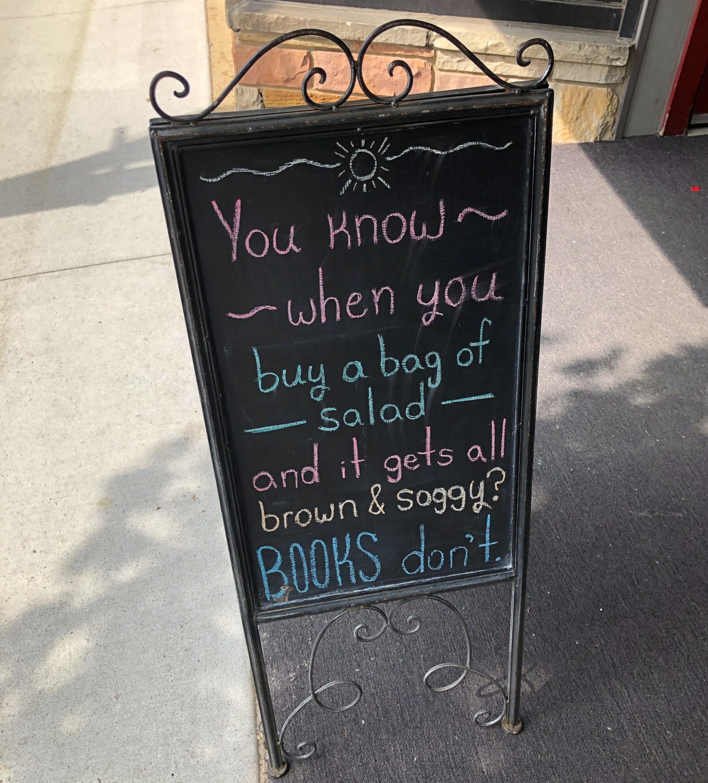
True, not brown and soggy. Brown and crumbly, with enough time.
The run of days from Juneteenth to July 4 at least, and even better to Nunavut Day (July 9), would be a fine time to slow down, like between Christmas and New Year’s Day, only warmer and without the mad runup to December 25. Back to posting around July 6.
Thousands of impressions flitter by on the road, most instantly forgotten when literally on the road – driving, you need to be in the moment, or else – or quickly forgotten, when “on the road” means you’re out and about somewhere that isn’t home. Still, a handful of details stick, even without photos. But photos help.
Maine
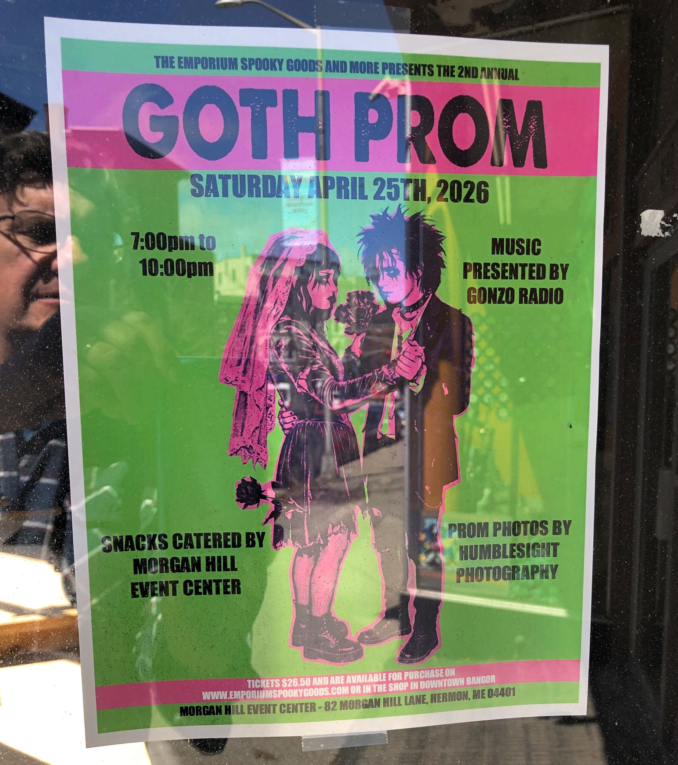
I call it “Self-portrait with Goth Prom.” Poster spotted in downtown Bangor.
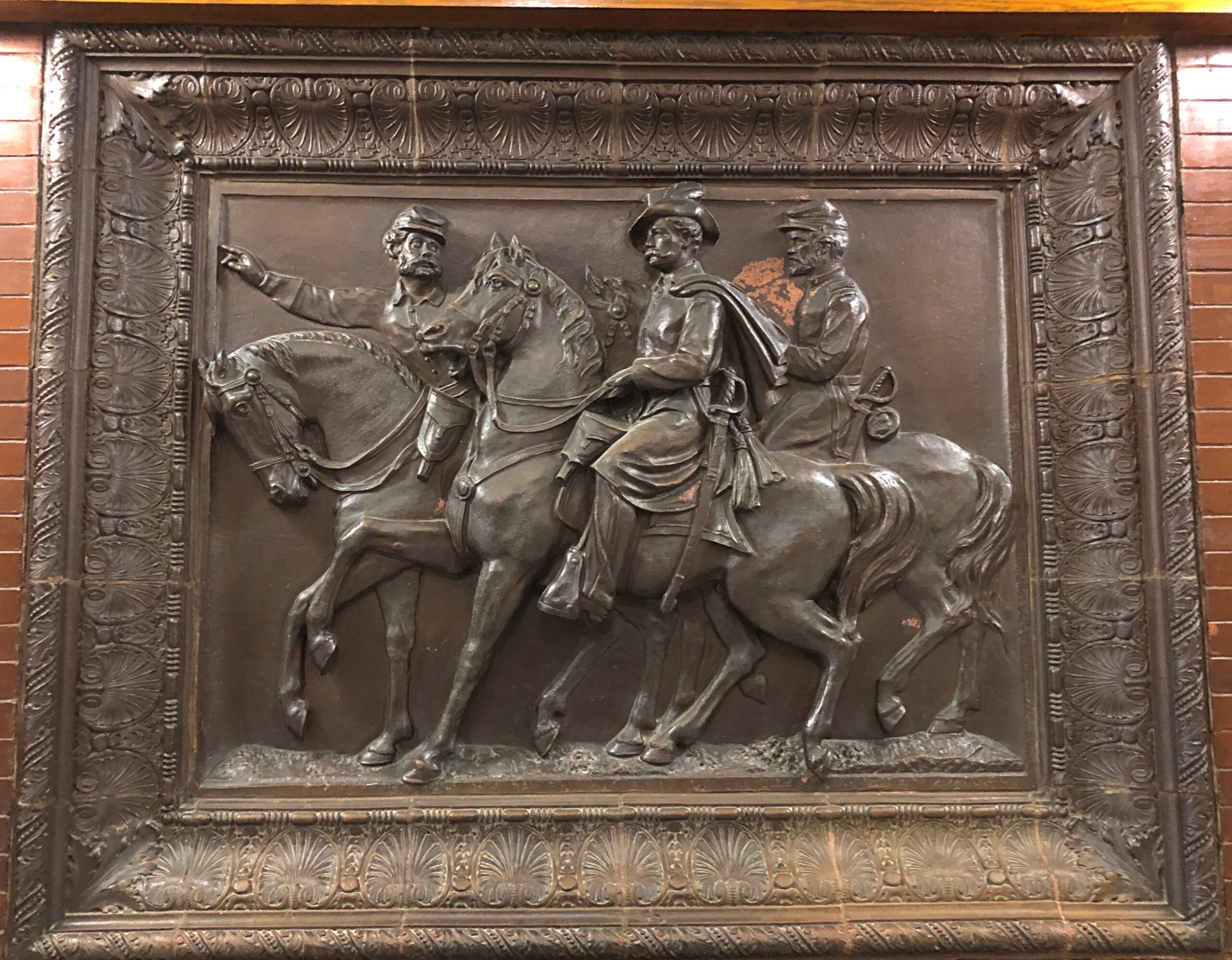
In the Maine Statehouse, a flat-ish object of a different kind.
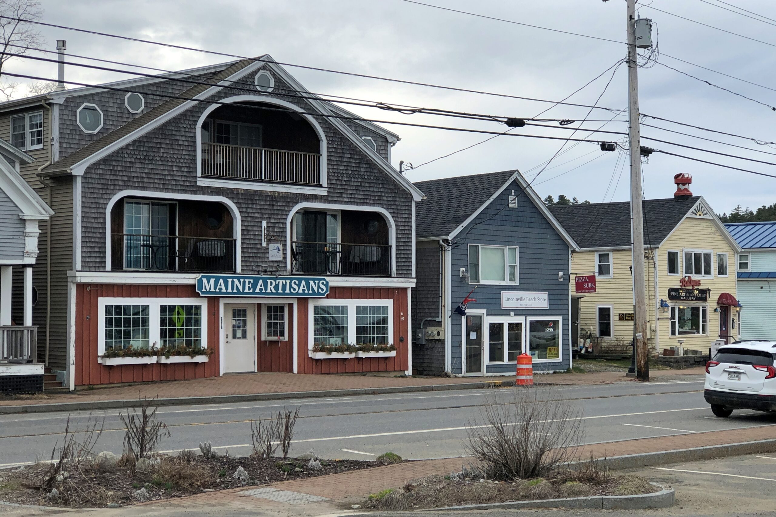
Lincolnville, on the coast of not far from Belfast.
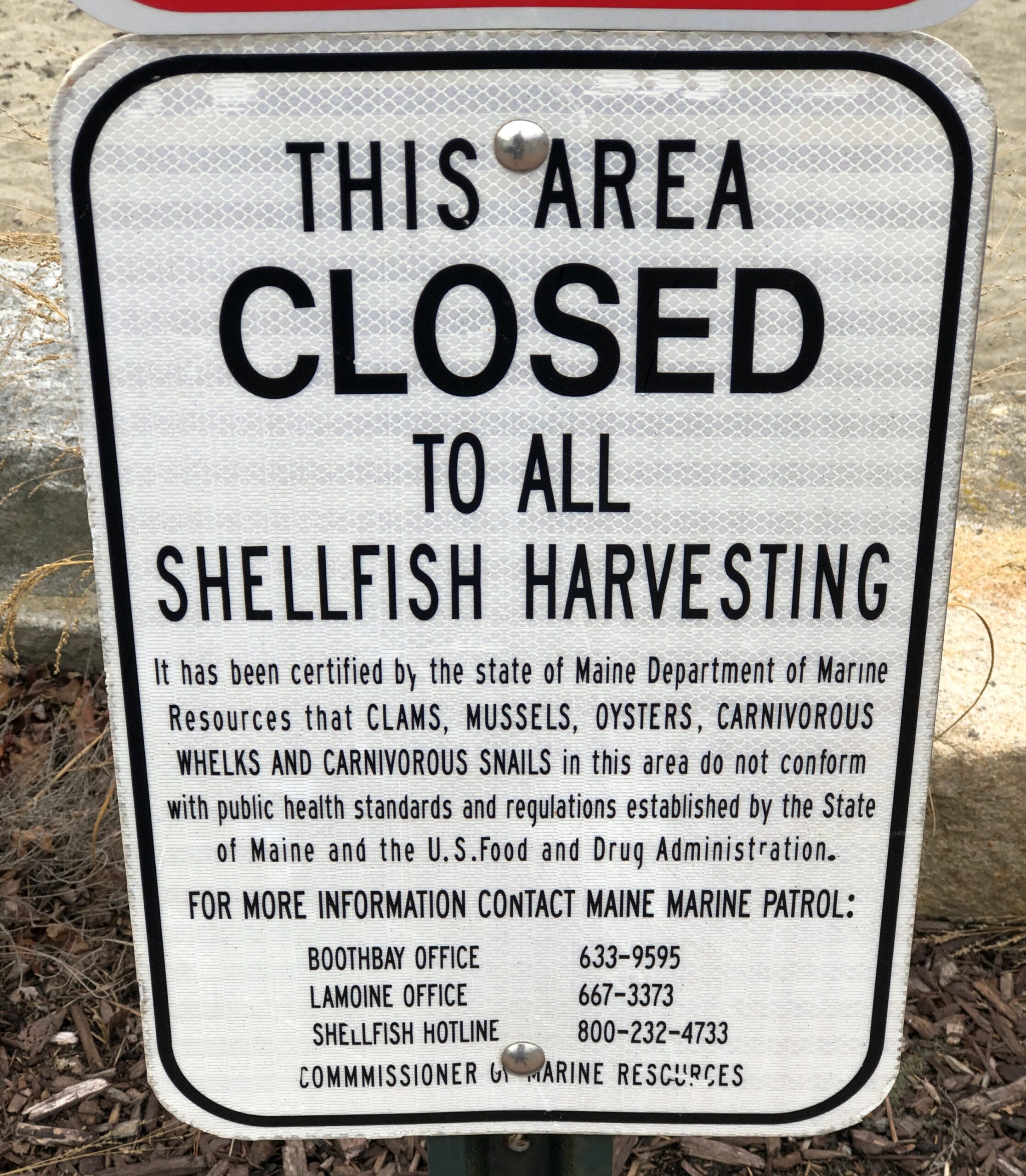
Carnivorous whelks. I was frankly ignorant about carnivorous whelks, and glad to learn a little about them. Because what a great name for a snail.
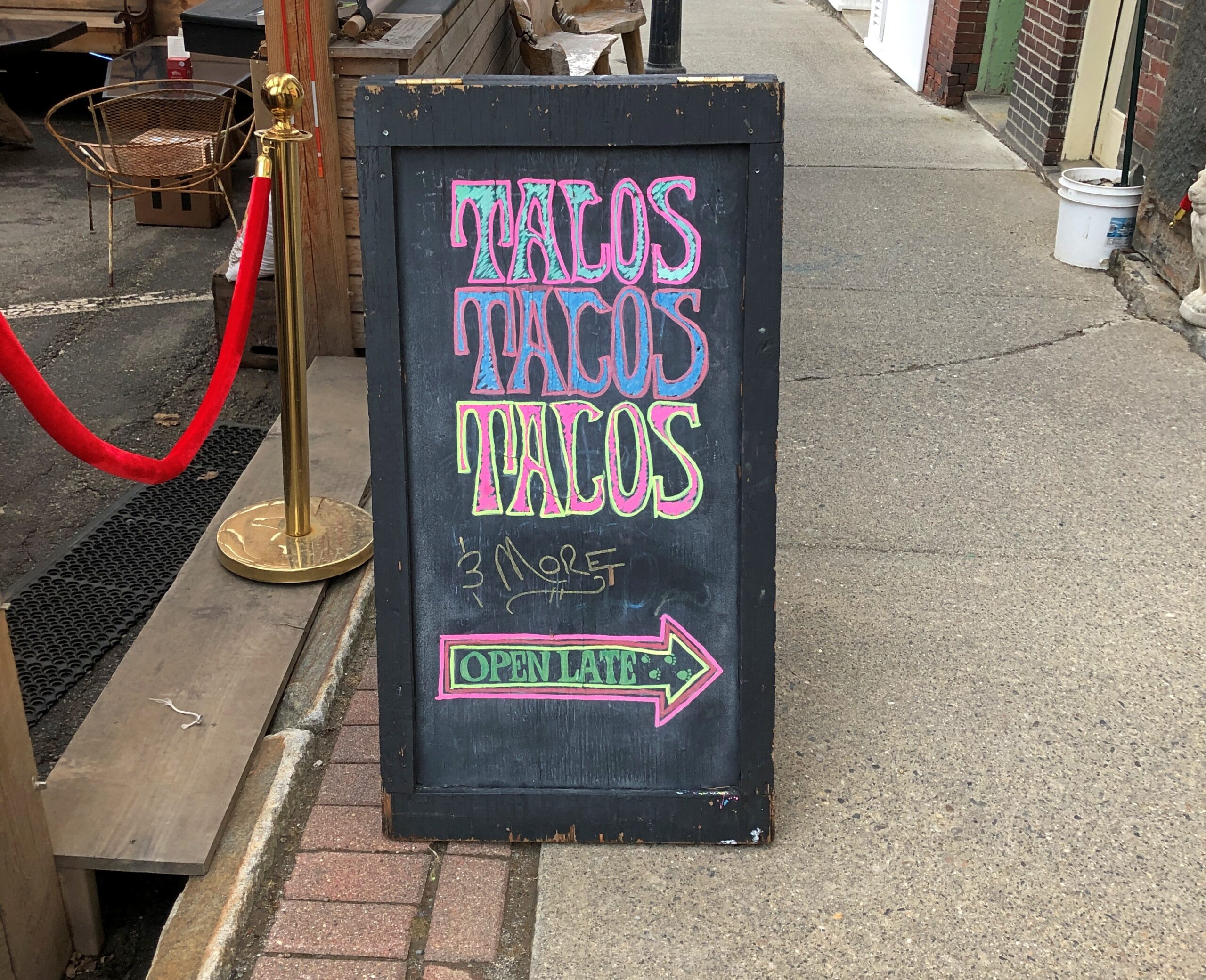
Too bad I wasn’t hungry in Belfast. I’d have had tacos.
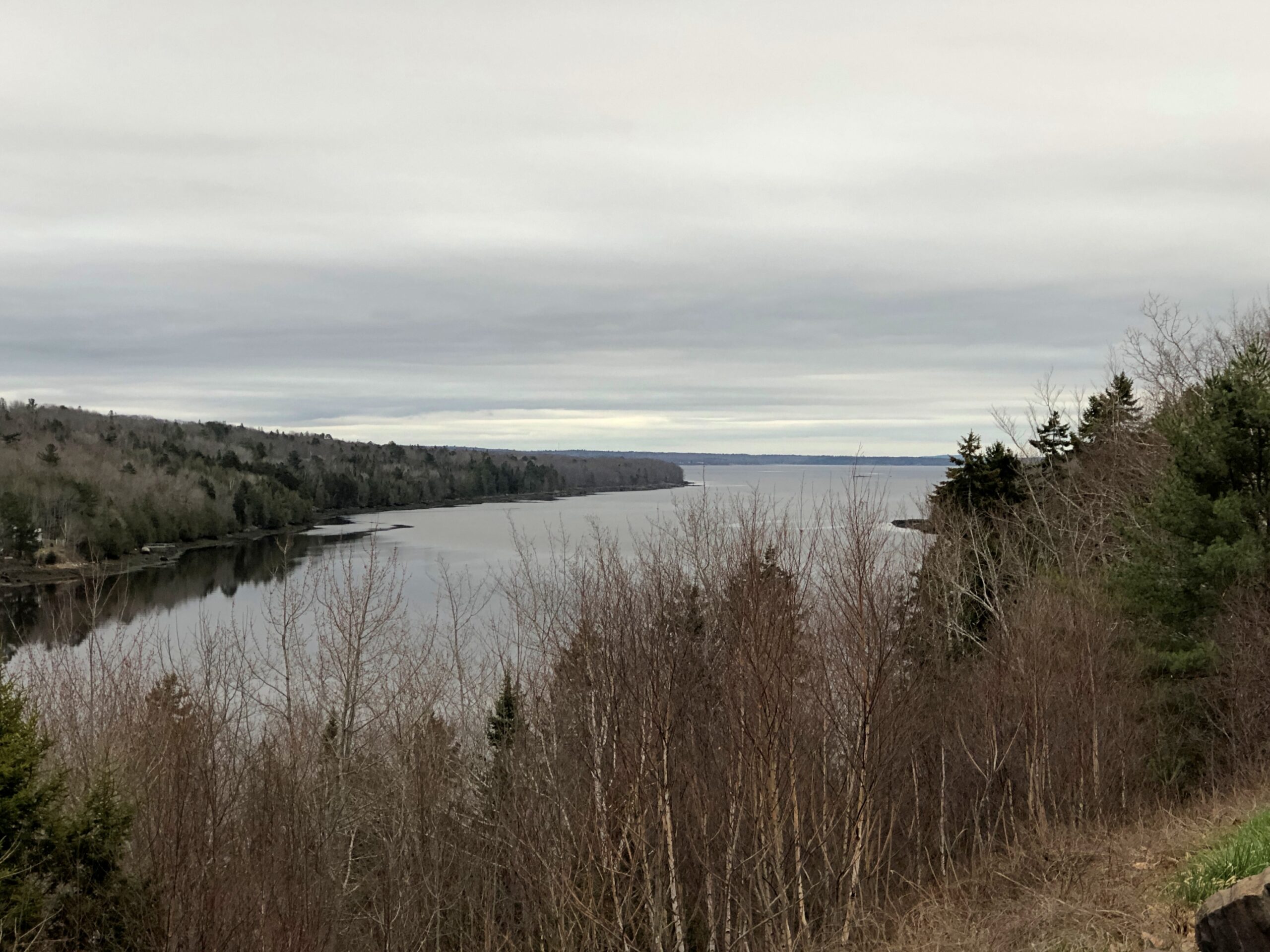
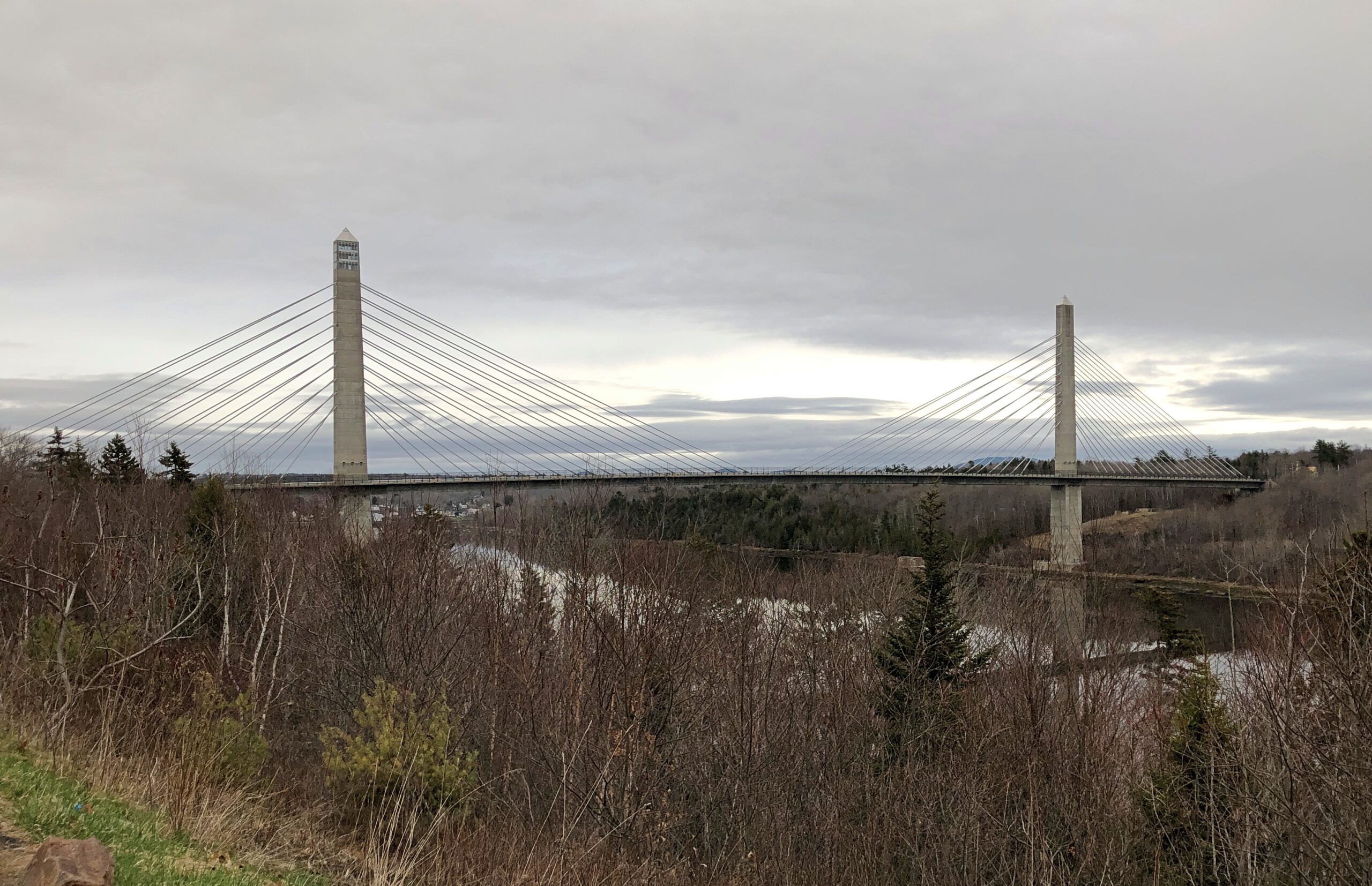
The Penobscot River and the Penobscot Narrows Bridge. A literal and scenic highpoint on that part of US 1 as it winds through near-coastal Maine. The bridge includes an observatory, unfortunately not open in April. Driving over the bridge itself was another pleasure of coastal Maine.
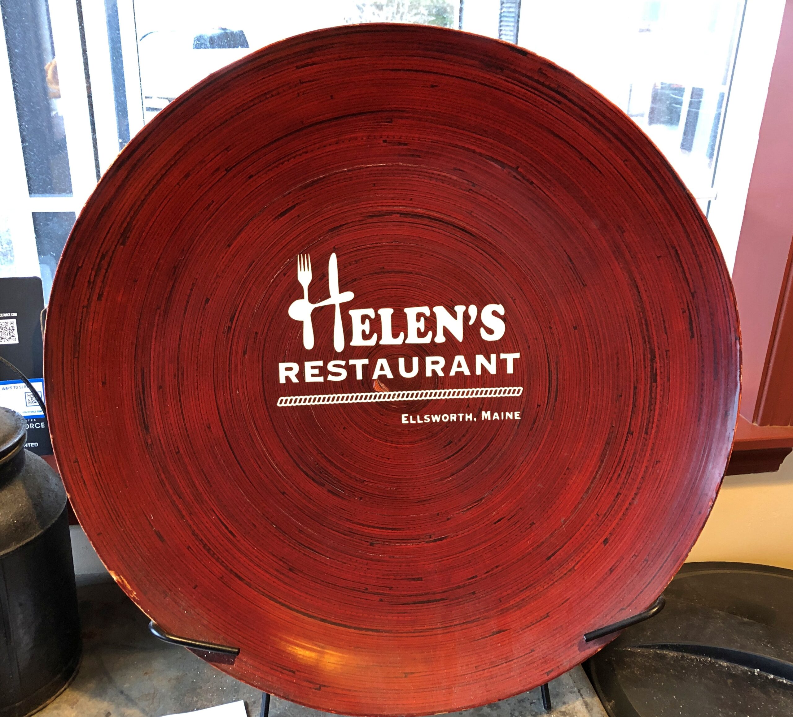
Helen’s Restaurant in Ellsworth. Tasty fish and chips. Haddock, specifically. What do you take for a haddock? “Well, sometimes I take-a aspirin, sometimes I take-a calomel.” It was some years before I learned that calomel was something I’d never take in a million years.
Massachusetts
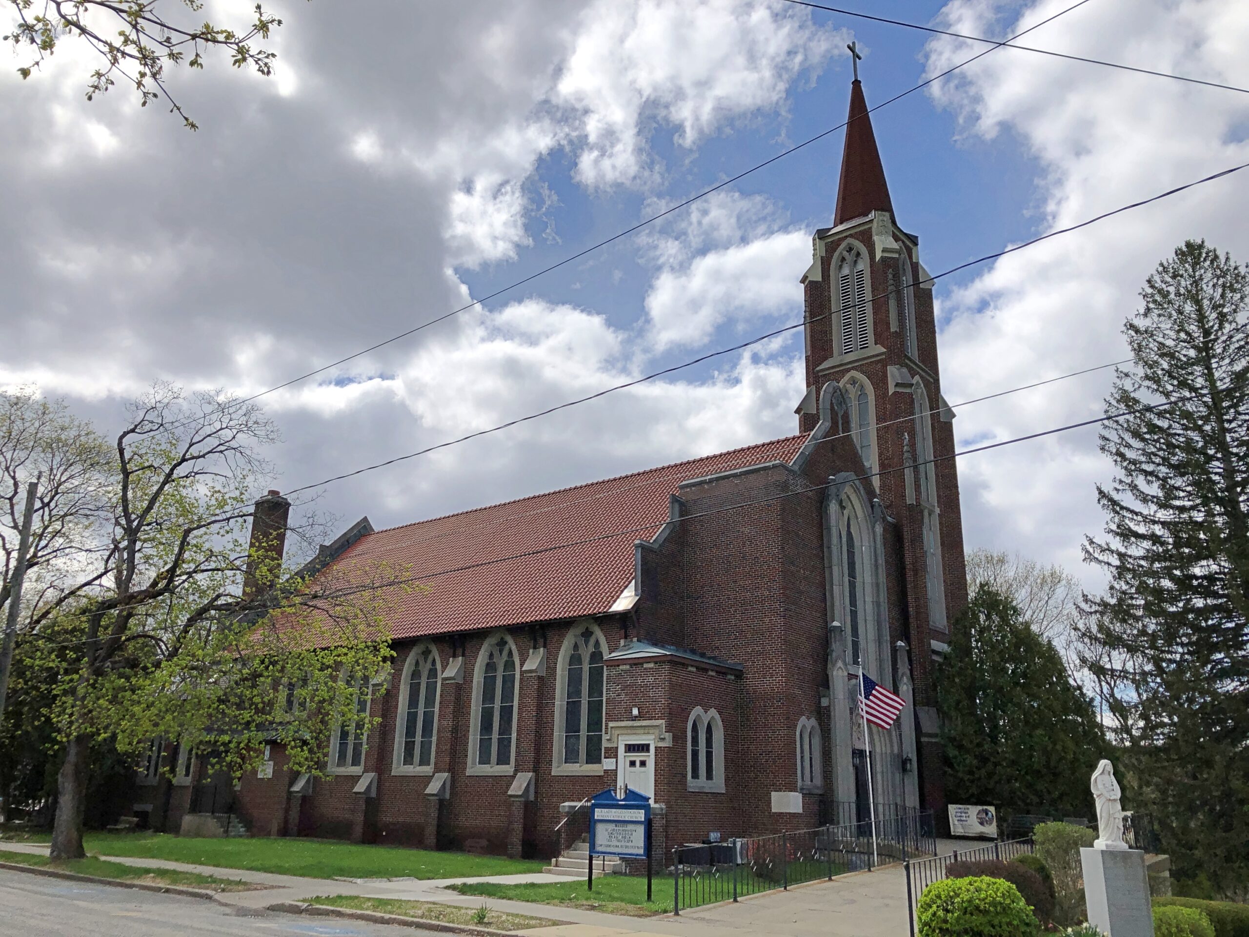
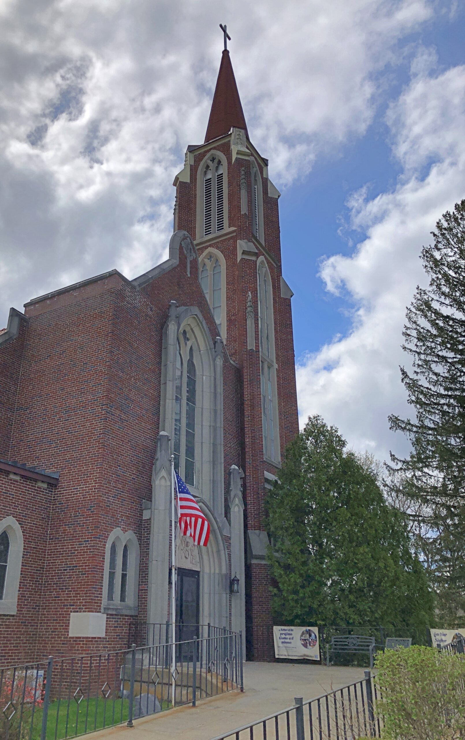
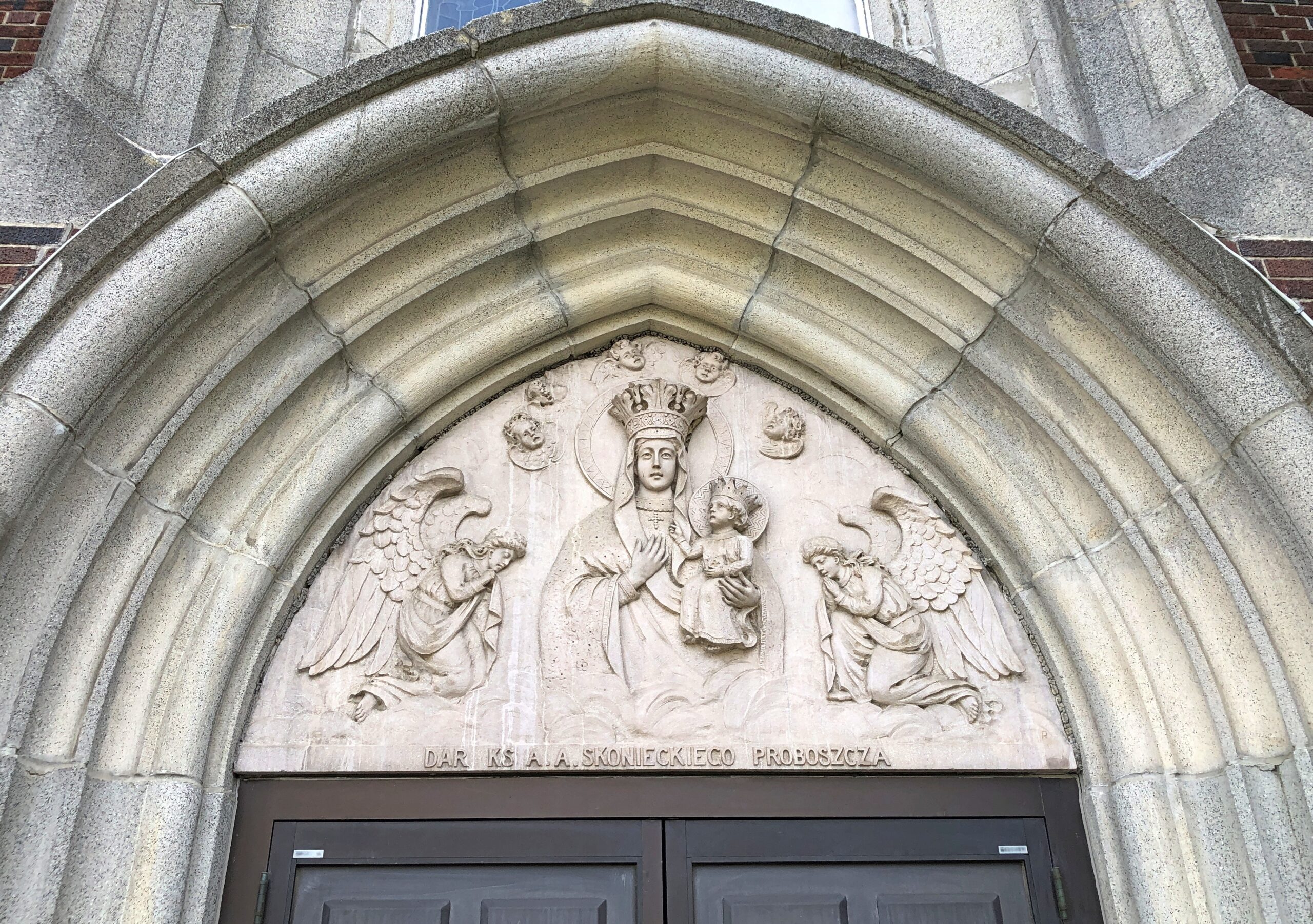
Our Lady of Czestochowa Parish, Turners Falls.
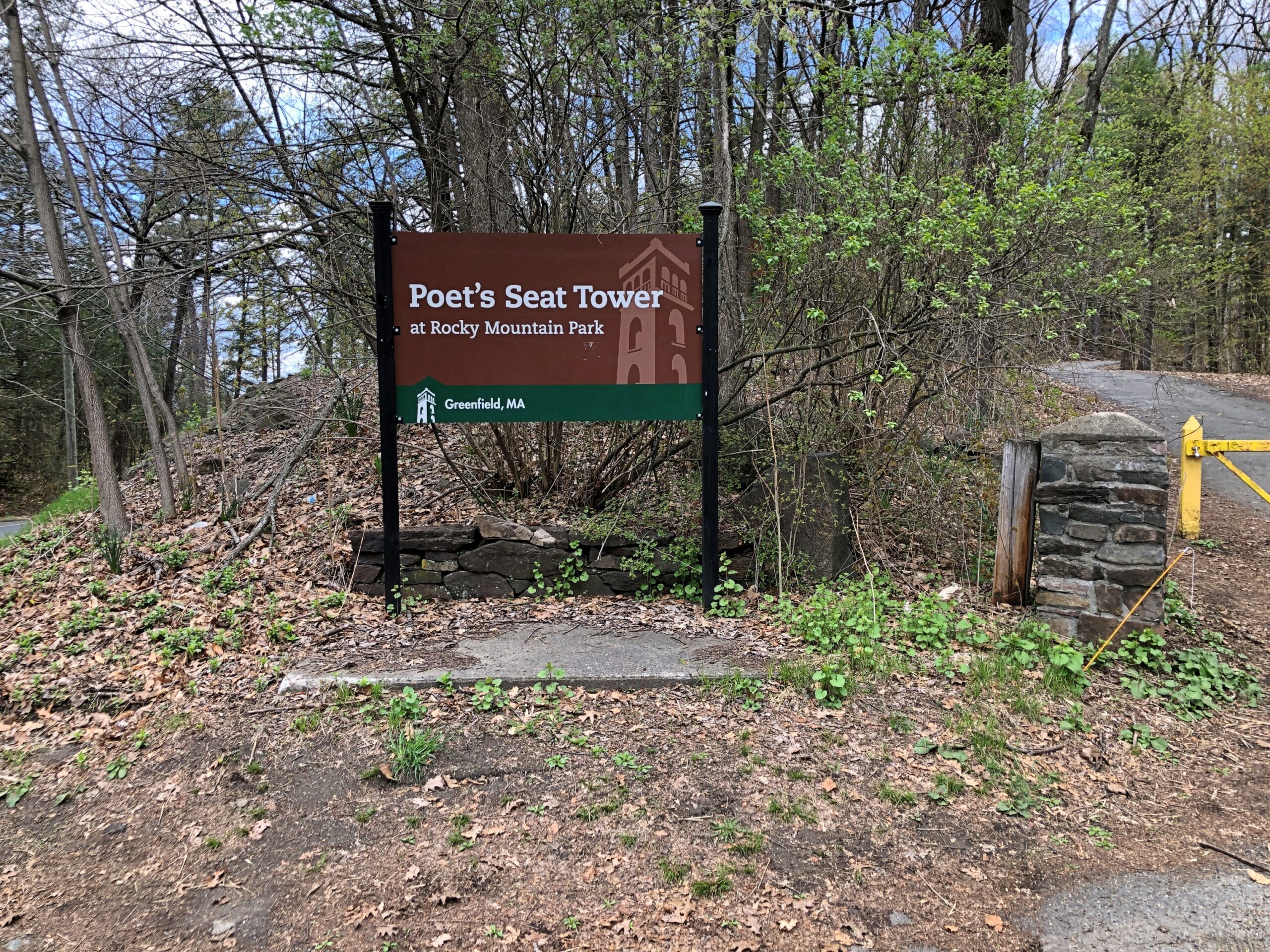
The church was closed. So was Poet’s Seat Tower.
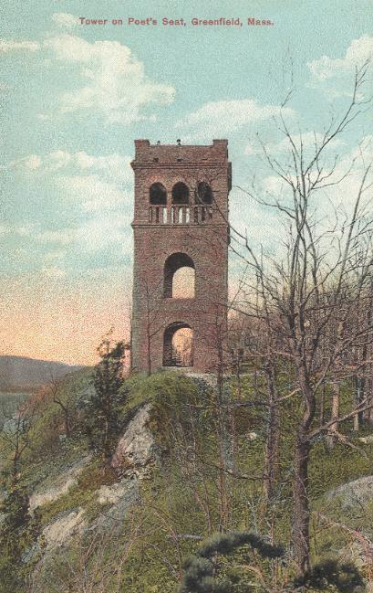
As the tower appeared more than 100 years ago.
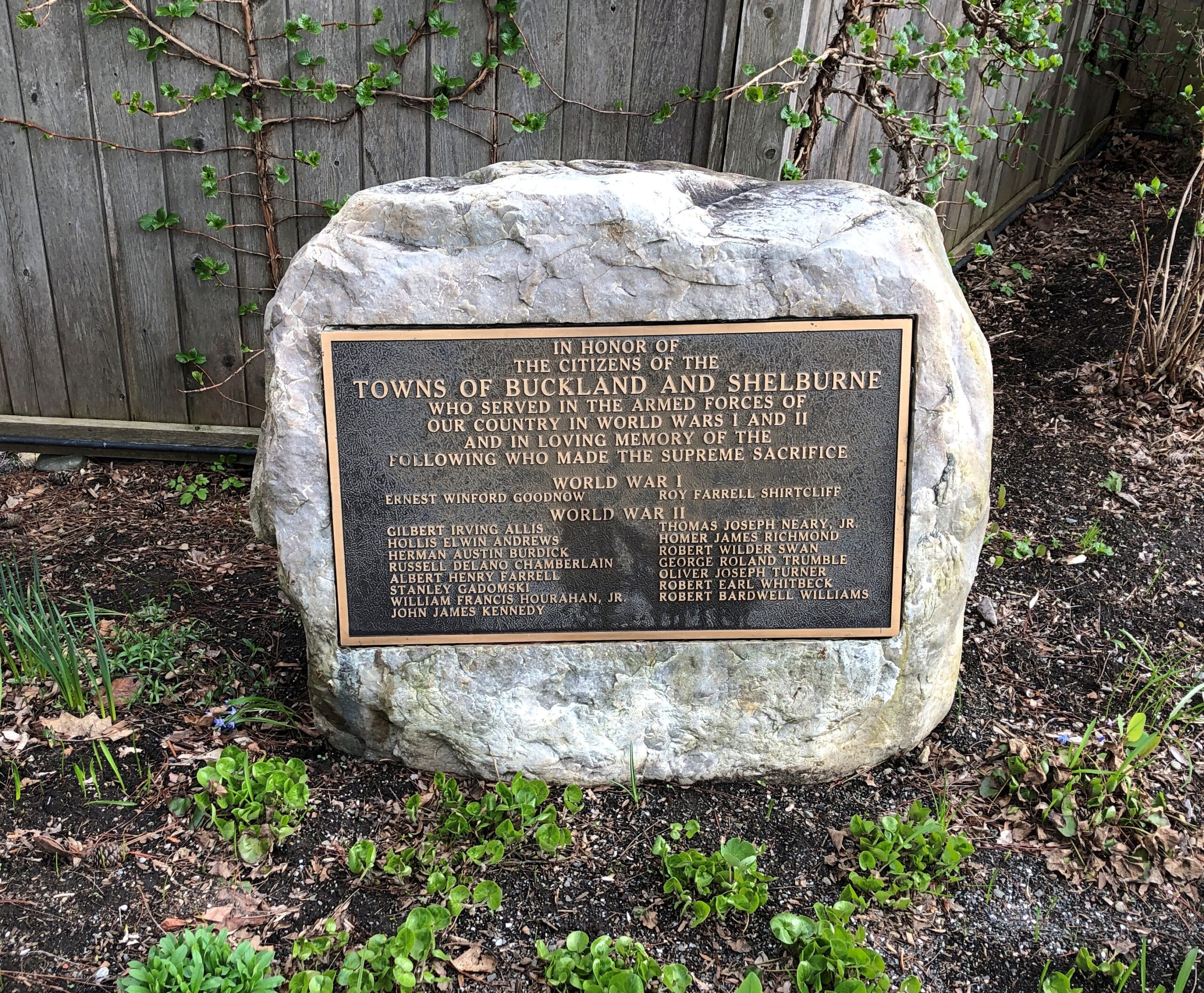
Shelburne.
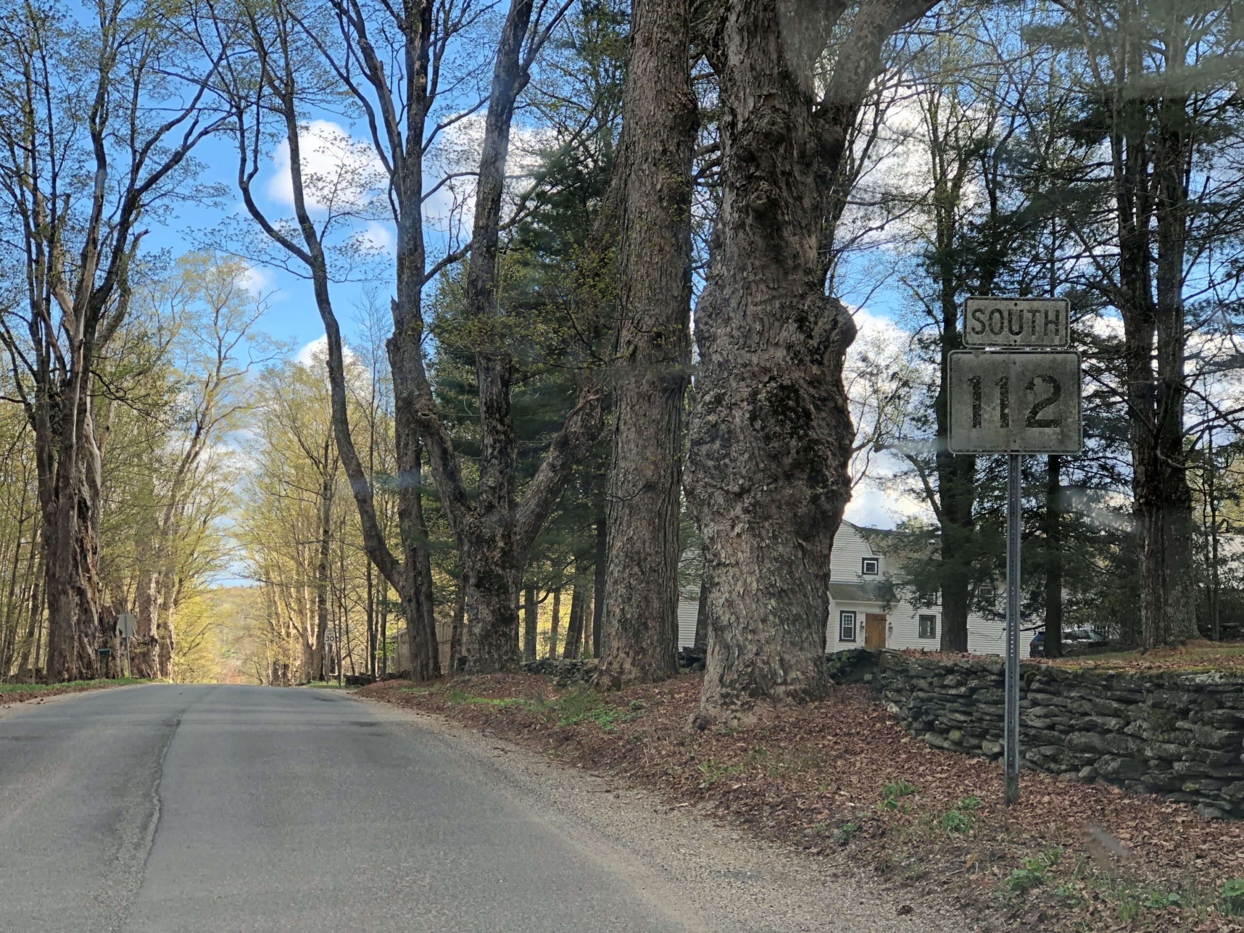
Massachusetts 112 (Route 112) in Hamilton County. Car commercial driving.
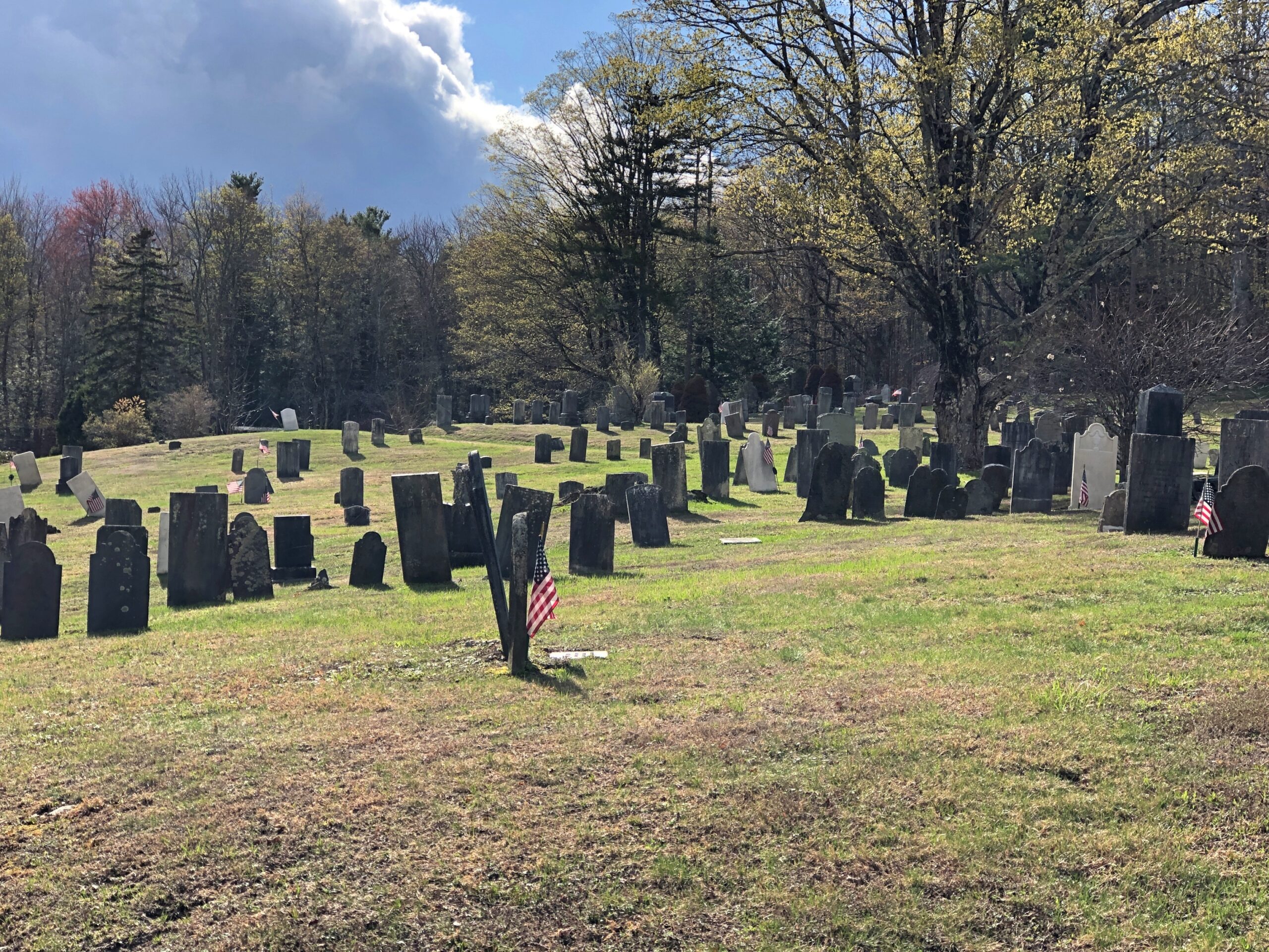
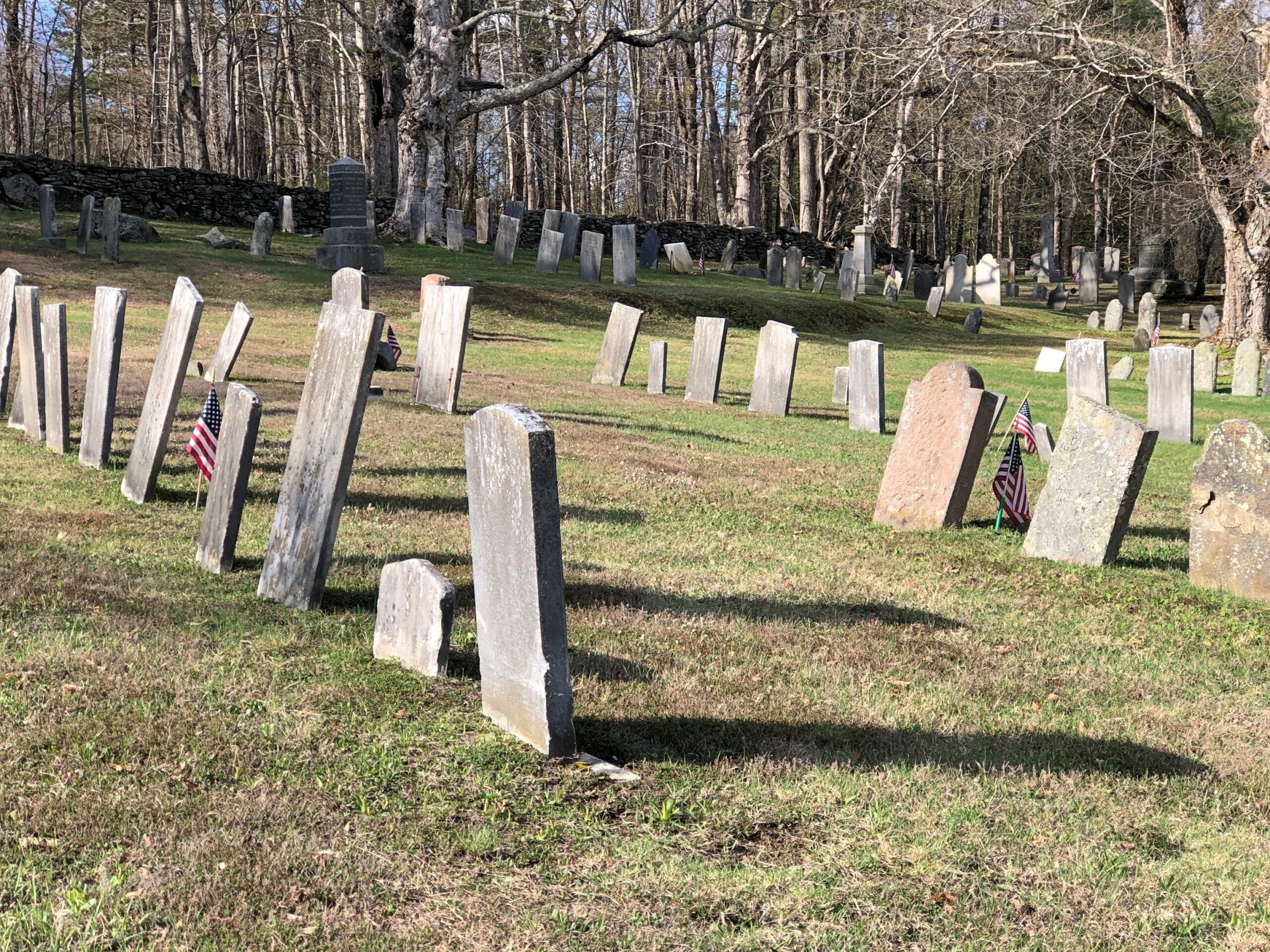
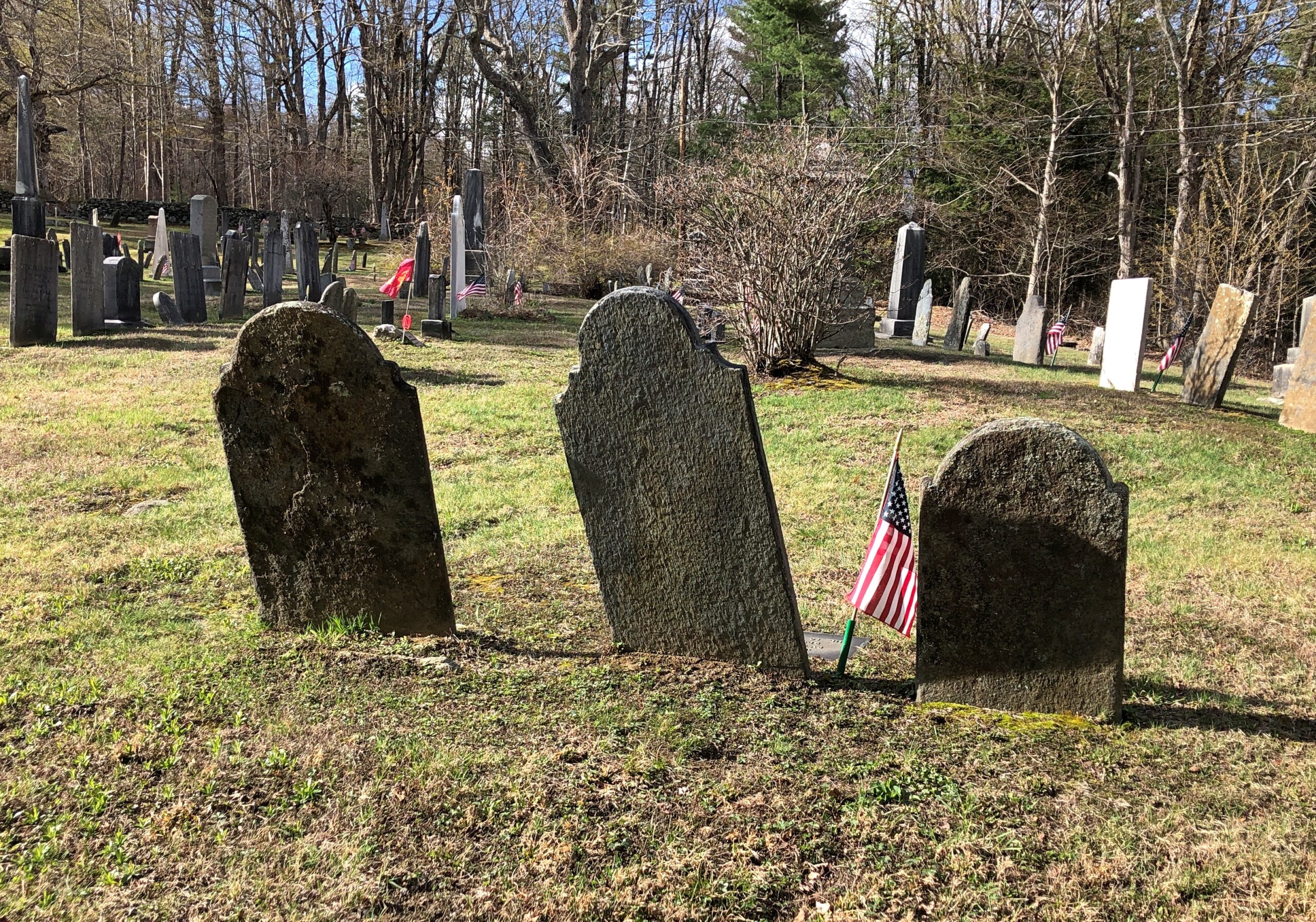
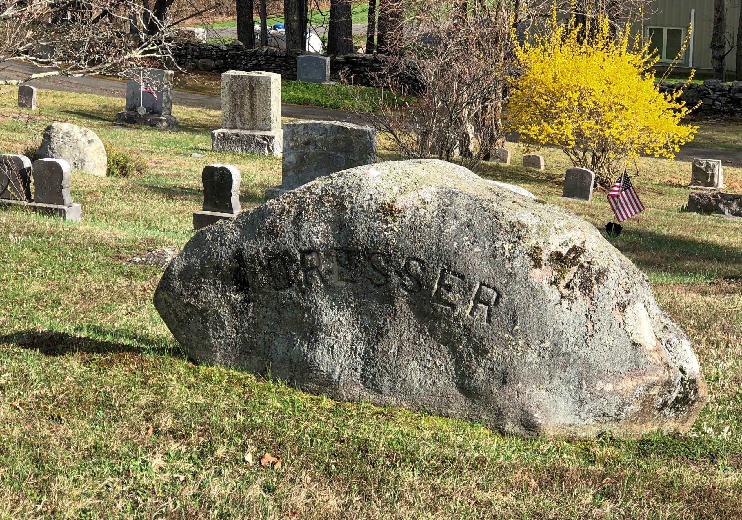
Goshen Cemetery, just off Route 112.
Ohio
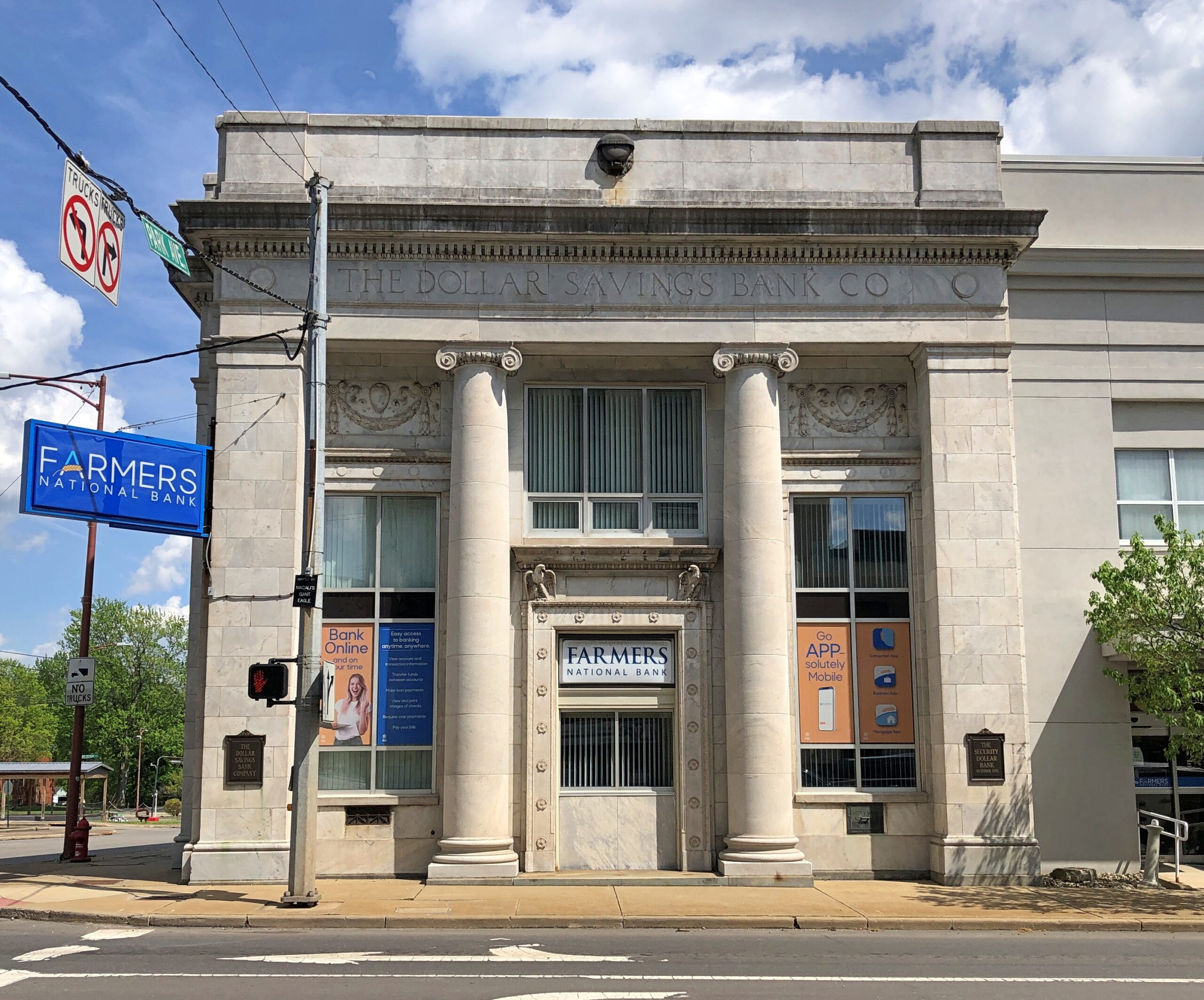
A solid bank building in Niles, across the street from where William McKinley was born. The Dollar Savings Bank Co. sounds like the kind of place that George Babbitt would mention, but distain in favor of a bank with longstanding ties to the best business men in Zenith.
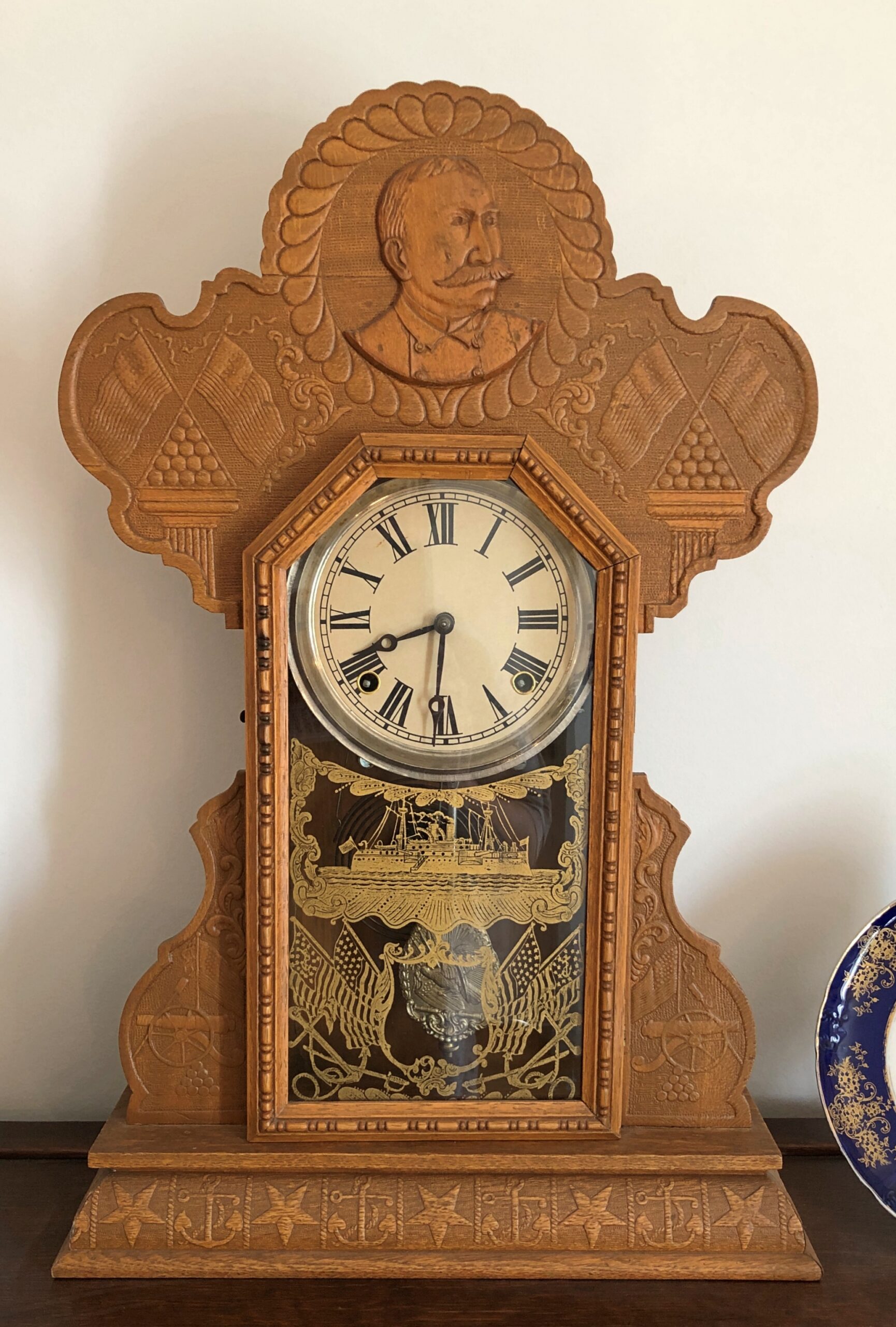
An Admiral Dewey clock at the McKinley Birthplace Museum. A textbook case, that Dewey, of how fleeting fame usually is.
Passing through northeast Ohio intrigued me greatly about that part of the state. Akron, Canton, Youngstown, Austintown — all places I can imagine going, and enjoying the visits. See ’em before the reverse migration really gets underway.
Further west, the drive on the Lincoln Highway (US 30) was a pleasure: mostly four lanes, rarely crowded. The flat farmlands don’t qualify as conventionally scenic, but the budding springtime fecundity has a lot to recommend it, even as a strictly visual pleasure: the bright greens of new leaves, the brown and grays of the fields recently plowed, small roads heading off usually at right angles to the main road, a run between Upper Sandusky and I-75 near Lima with few buildings of any kind, except distant farm structures.
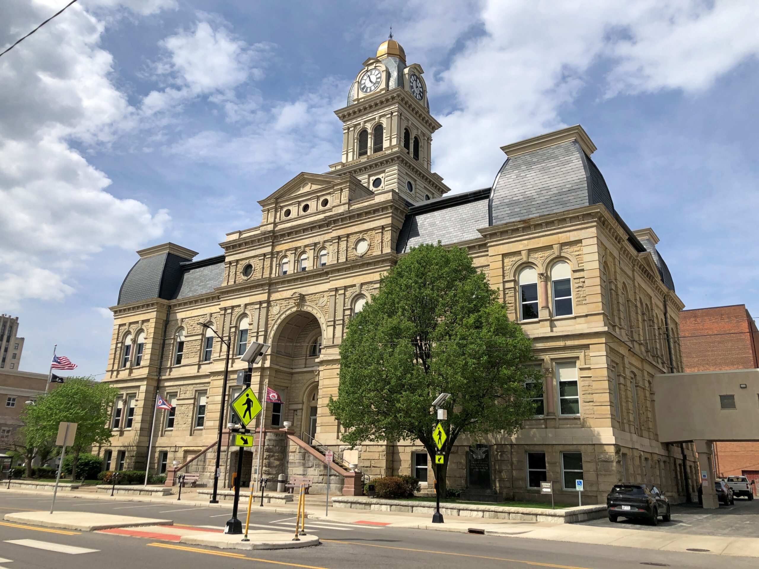
Downtown Lima: the Allen County courthouse, seen from North St.
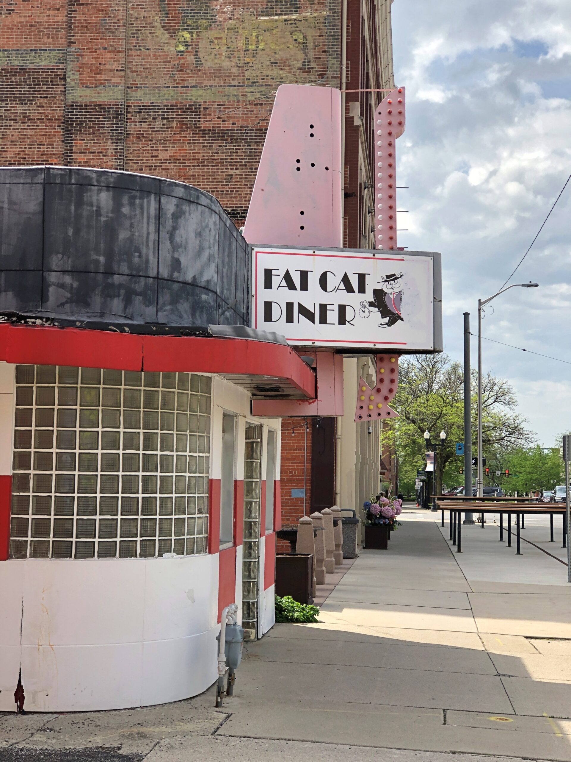
Looks like my kind of breakfast place. Closed on Sunday anyway.
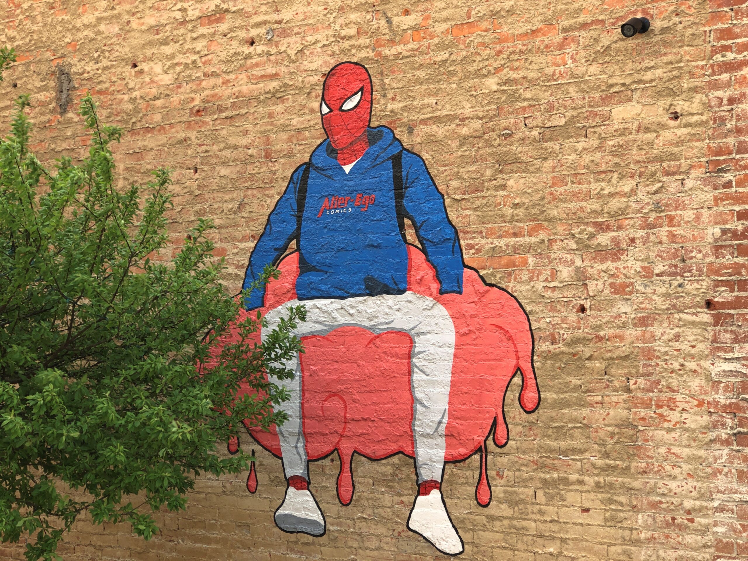
Another North St. detail. Spiderman sitting on — something. A large scoop of strawberry ice cream?
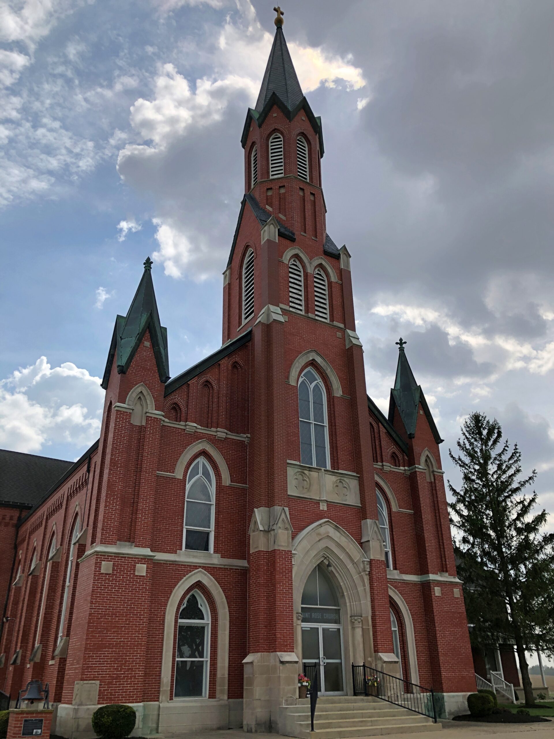
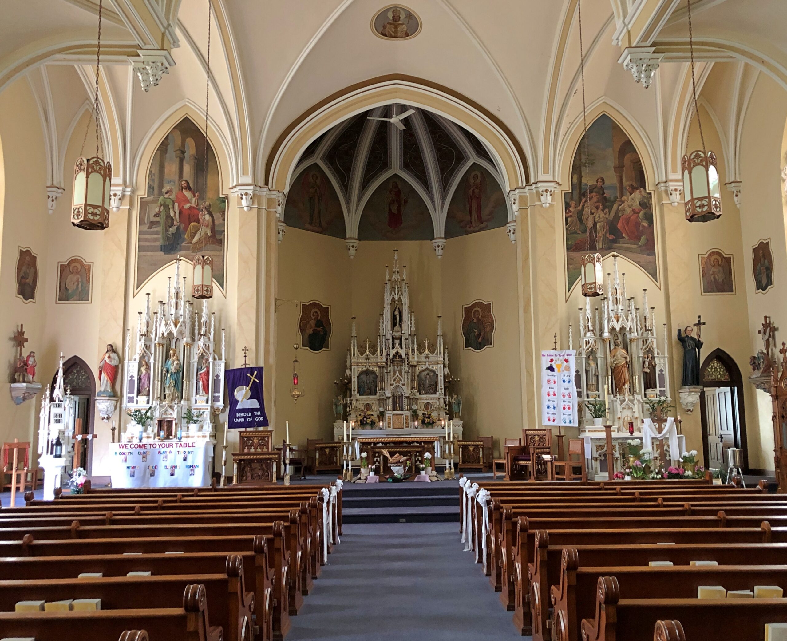
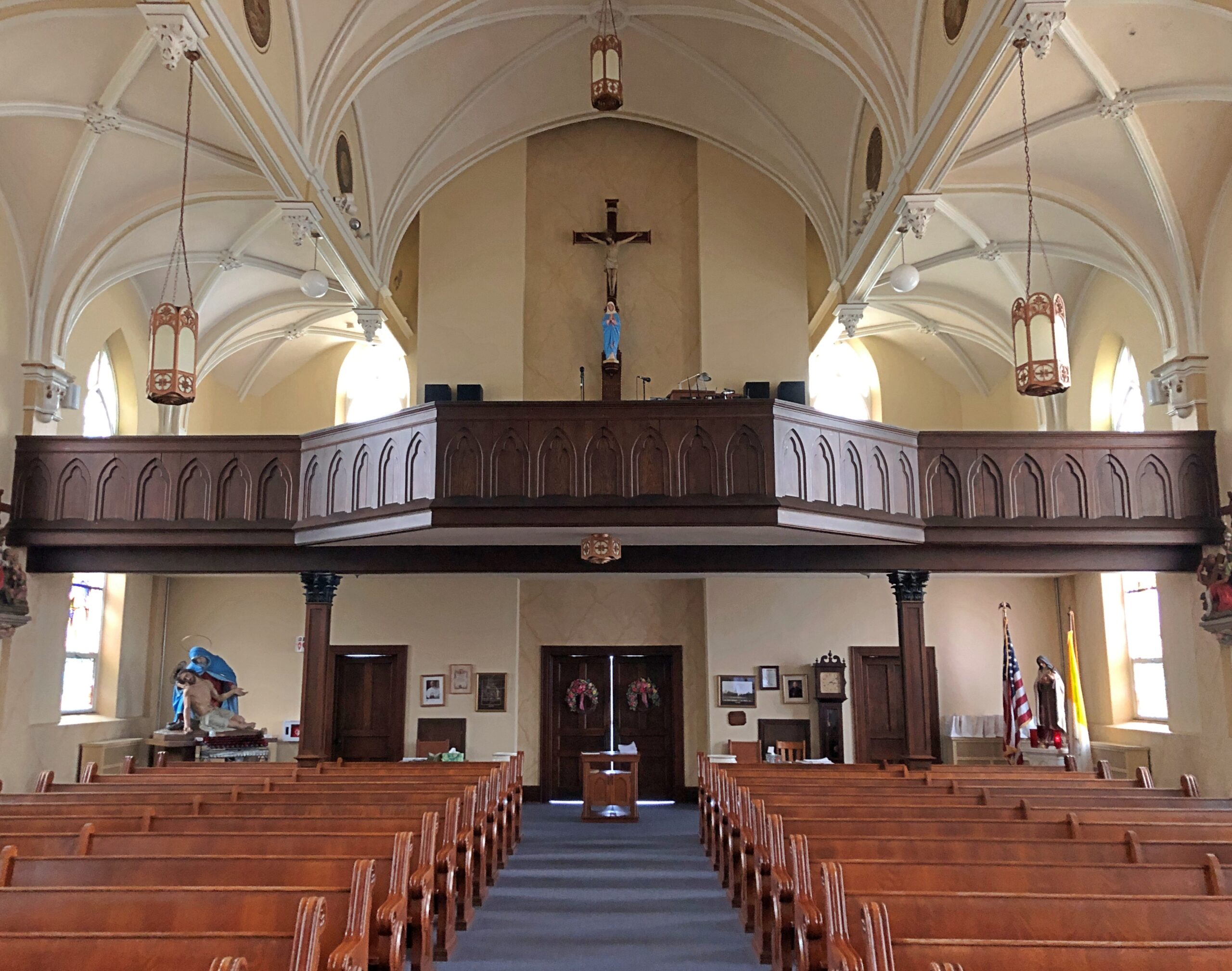
Saint Rose Church in the hamlet of Saint Rose, not far east of the Ohio-Indiana line. A Cross-Tipped Church.
Pennsylvania
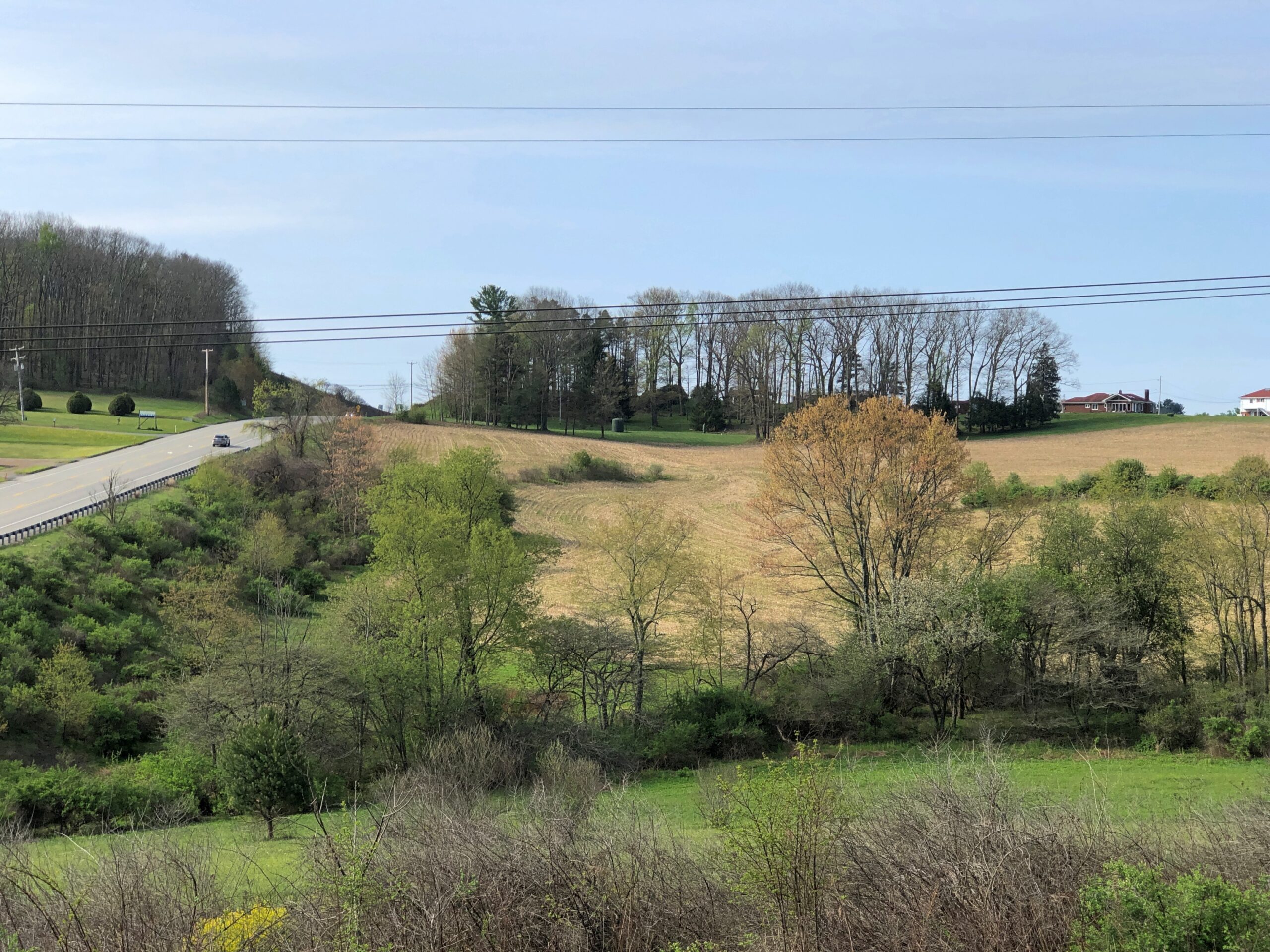
The hills at the edge of Punxsutanwney.
The drive west across Pennsylvania began across the Delaware River from Port Jervis, NY, taking US 209 southwest through part of Delaware Water Gap National Recreation Area. Bet the straight-ish, two-lane road is busier in peak recreation season in the Recreation Area, but in April, I booked along without encountering much in the way of traffic. Trees were still budding, but it wouldn’t be long before some stretches of the highway would pass through green tunnels. The sunlight was already casting green leaf shadows on the road.
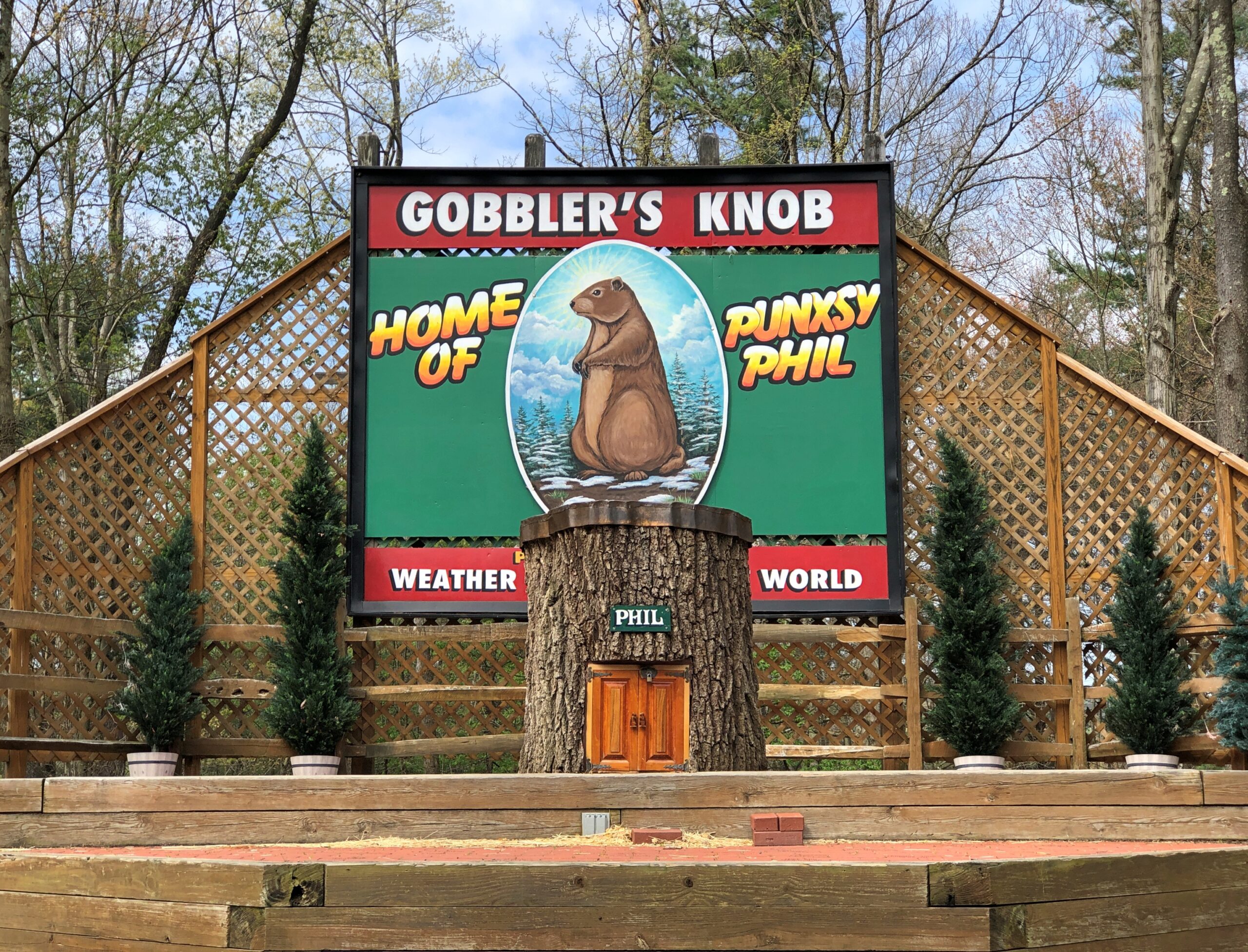
Watch Groundhog Day, and the impression is that the festivities are held in the center of town — which they are, in the Punxsutanwney stand-in of Woodstock, Illinois. Go to Punxsutanwney itself and learn that the February 2 fest is a few miles from town in a place called Gobbler’s Knob.
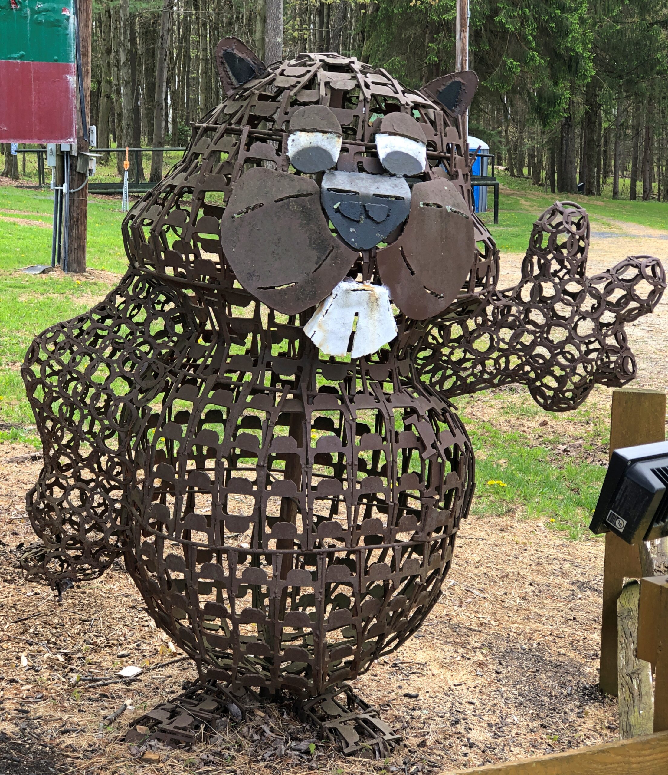
One more Phil. Iron Phil.
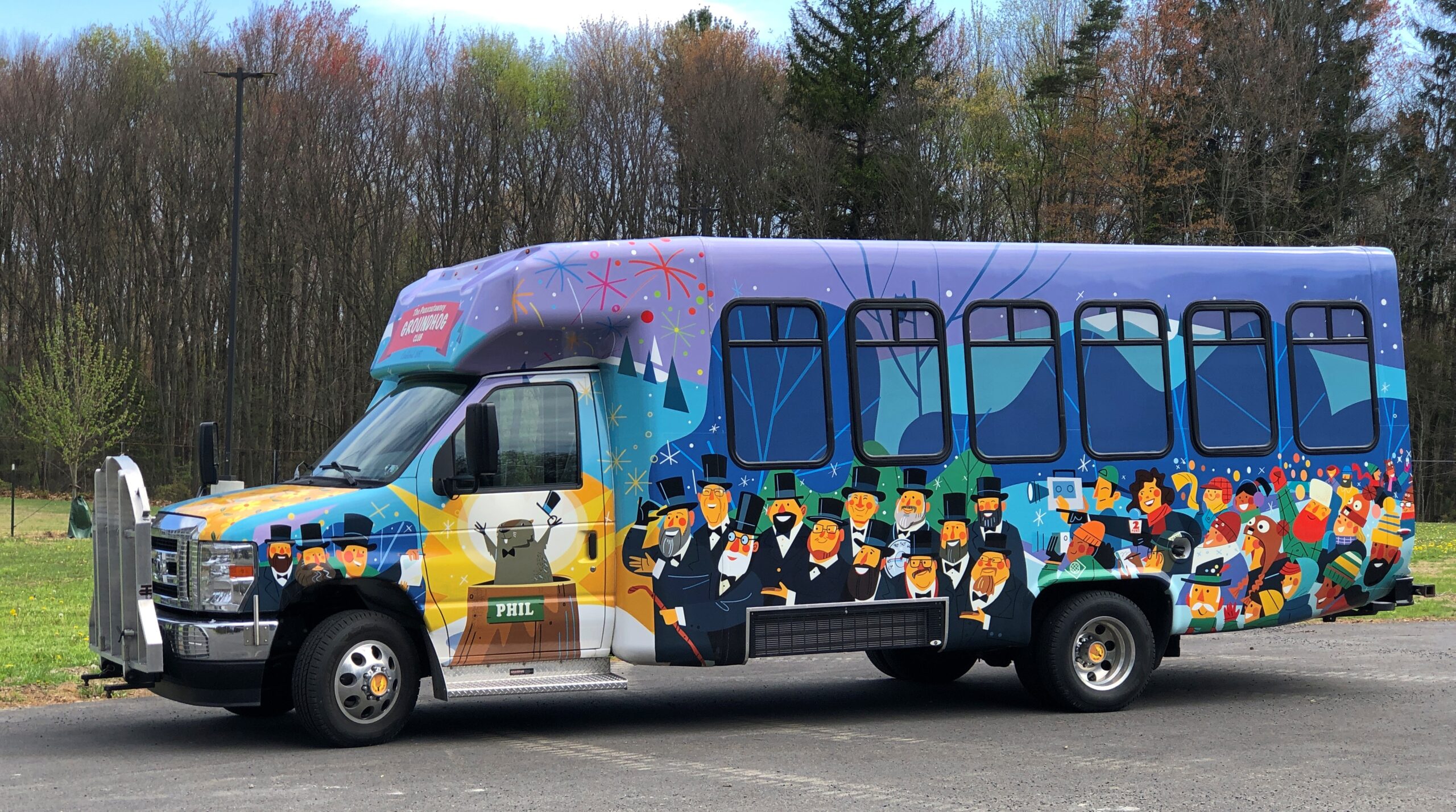
The clerk at the Gobbler’s Knob gift shop took pains to let me know that the site, and the festivities, were overseen by a nonprofit, not the commonwealth. Outside is the nonprofit’s bus, or at least I assume that, probably used to ferry people from town to GK and vice-versa, to help deal with the popularity of the event.
I like a good local festival as much as anyone, but February 2 is a deal-breaker. Can’t Phil come out again on August 2 to predict how much longer summer is going to last?
One More (Indiana)
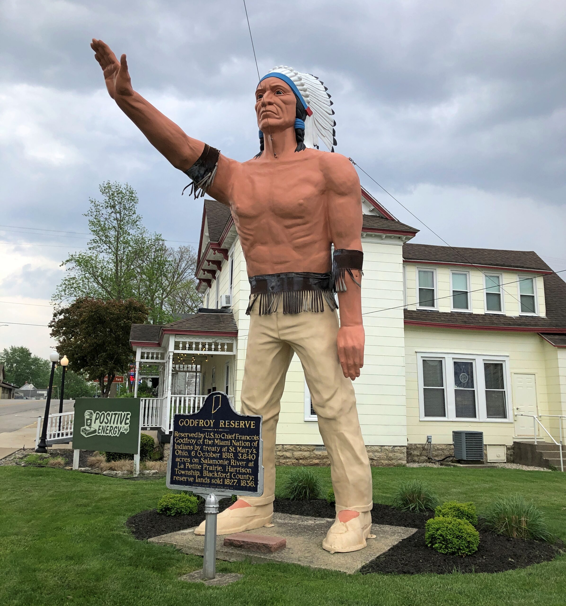
Miami Chief Francois Godfroy stands at the corner of Main Street and Huntington Street/Indiana 18 in Montpelier. Well, maybe it’s supposed to remind passersby of the chief more than actually depict him.
A Daughters of the American Revolution historical marker says: Reserved by U.S. to Chief Francois Godfroy of the Miami Nation of Indians by treaty at St. Mary’s, Ohio, 6 October 1818. 3,849 acres on Salamonie River at La Petite Prairie, Harrison Township, Blackford County: reserve lands sold 1827, 1836.
Waymarking says: “The statue was made in Venice, CA in 1960 for the Tom Wood Pontiac dealership in Indianapolis. Later it was in front of the Indian Museum at Eagle Creek Park In Indianapolis. After the museum closed, the statue (of more a plains Indian than a NE Indiana tribe) was obtained by Chief Larry Godfroy — a descendant who presented it to the City of Montpelier and they erected it as a monument in 1984.”
The strange thing about Groundhog Day, to me at least, isn’t its taproots in northern European folklore or even that weather forecasting based on mammal movements has been known for centuries if not millennia. Or that Germans brought its celebration to North America and that the event morphed in various ways, or that it became more widely known internationally because of a certain very good movie. Or even that the town of Punxsutanwney, Pennsylvania, has capitalized on Groundhog Day.
What mystifies me is why, among all the possible folkloric-flavored immigrant quasi-holidays, Groundhog Day has consistently been featured on calendars for longer than I can remember. It puzzled me as a kid, since I wasn’t sure I’d ever seen such a creature, and what I heard about the day involved some nonsensical thing in faraway Pennsylvania. That might have been childish provincialism at play, but even now it still strikes me as odd that so many Americans pay attention to the day, or at least have heard of it.
Just for grins – because I knew I wouldn’t get a compelling answer – I asked ChatGPT, “When did Groundhog Day start appearing on calendars?” I’ll boil the answer down for you: “Dunno. That’s just the way it’s been for years, Jack.” Maybe that’s how educators can get around AI cheating: assign essays on questions that don’t really have any answer. How many pancakes does it take to shingle a doghouse?* – that kind of thing. The learning isn’t in the finding an answer, but in the writing.
* Actually there is an answer: 42. Because oranges can’t fly, submarines have no doors and ice cream has no bones.
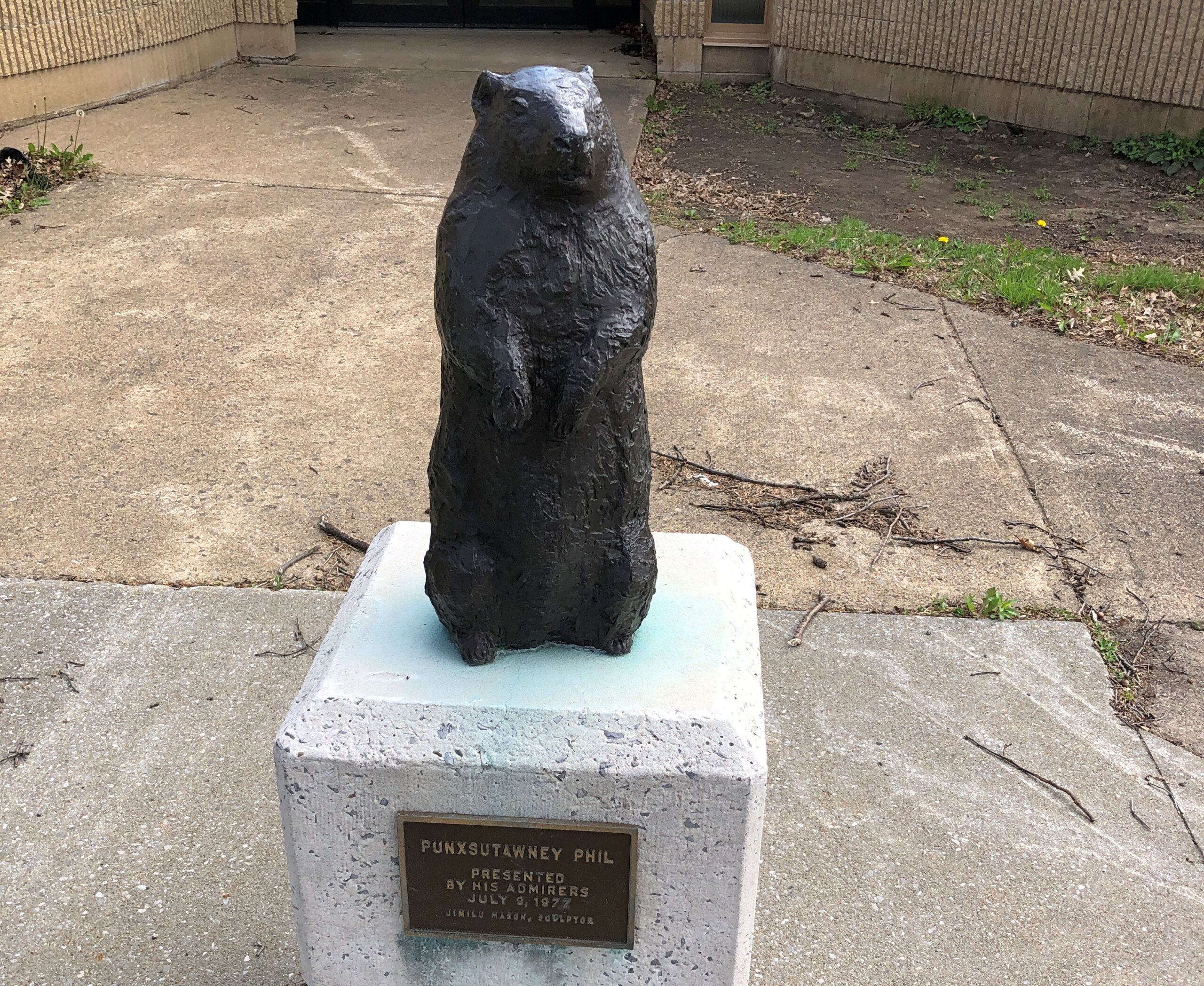
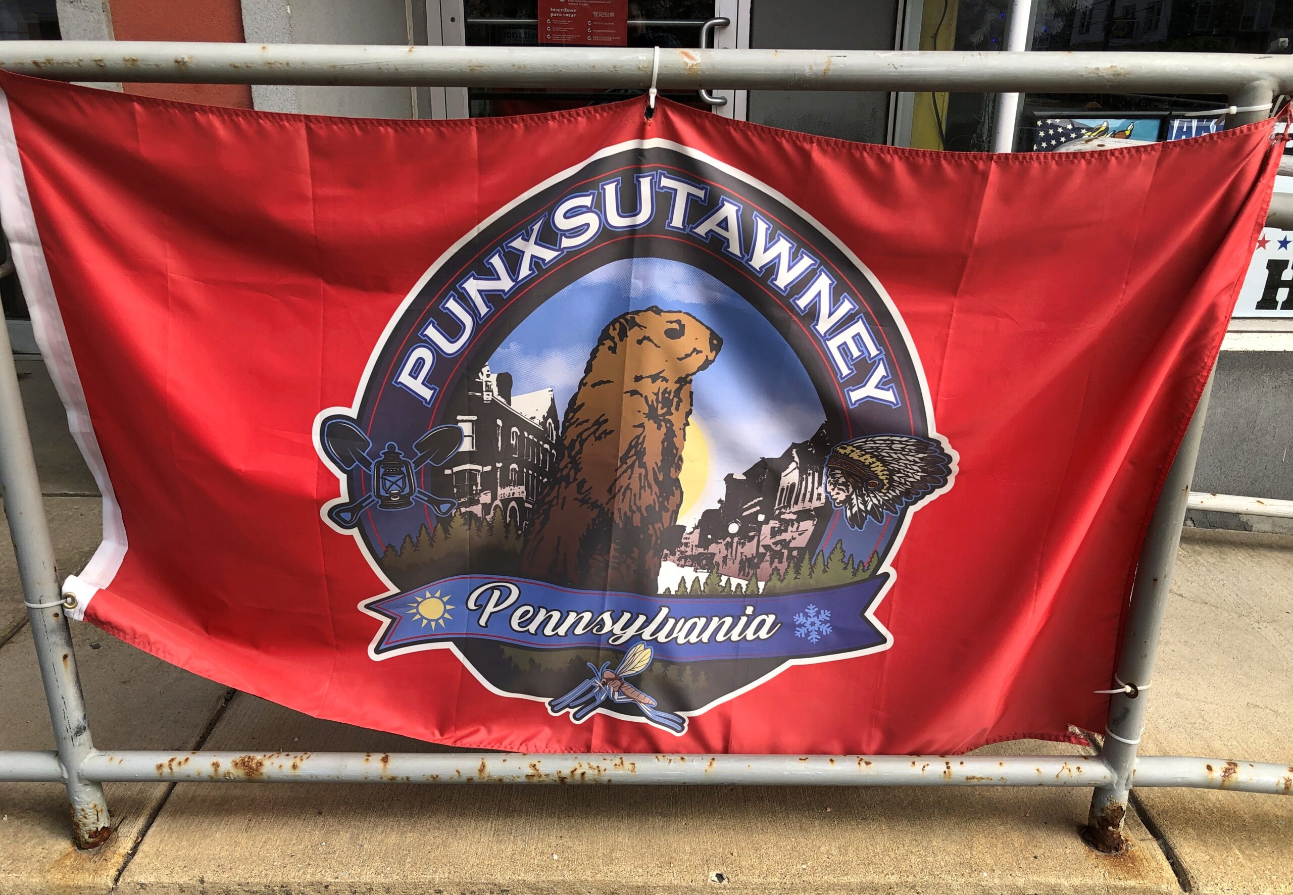
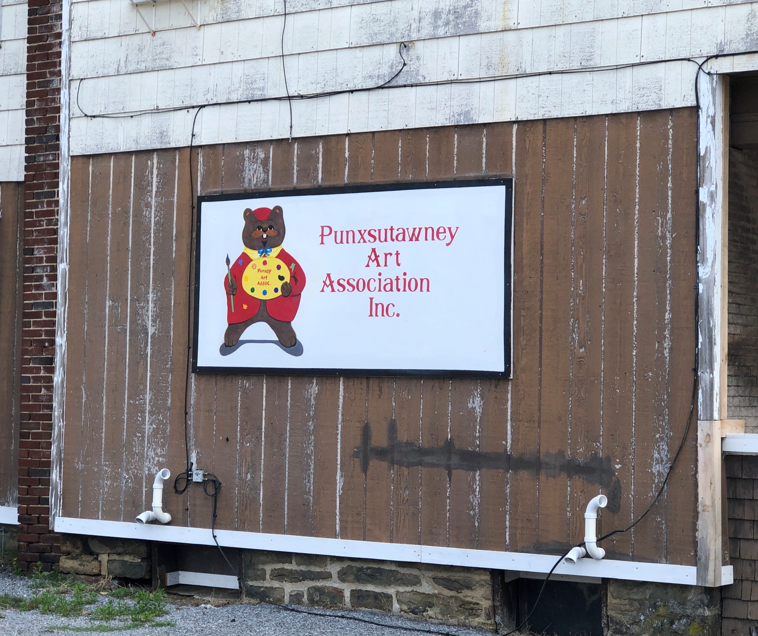
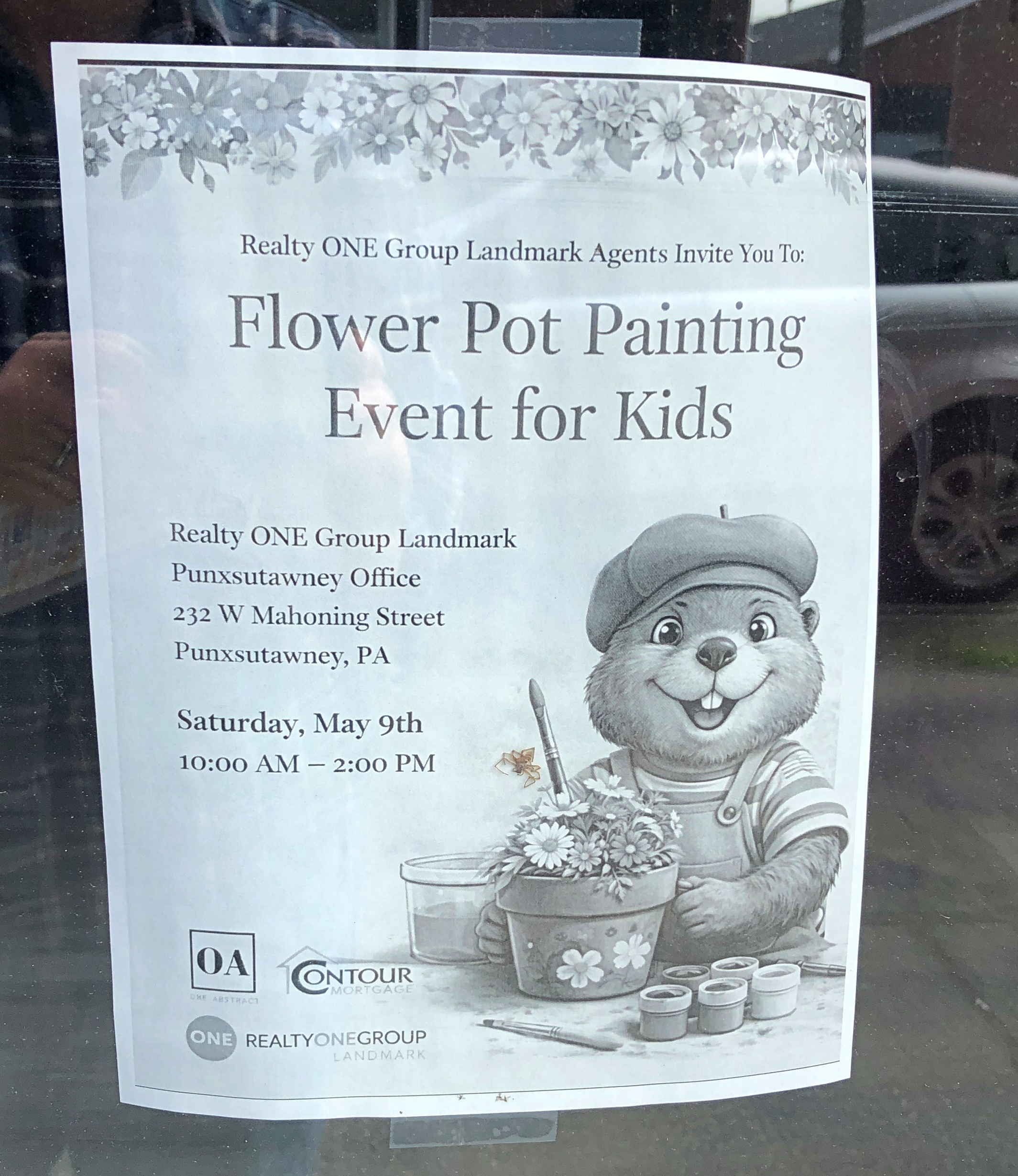
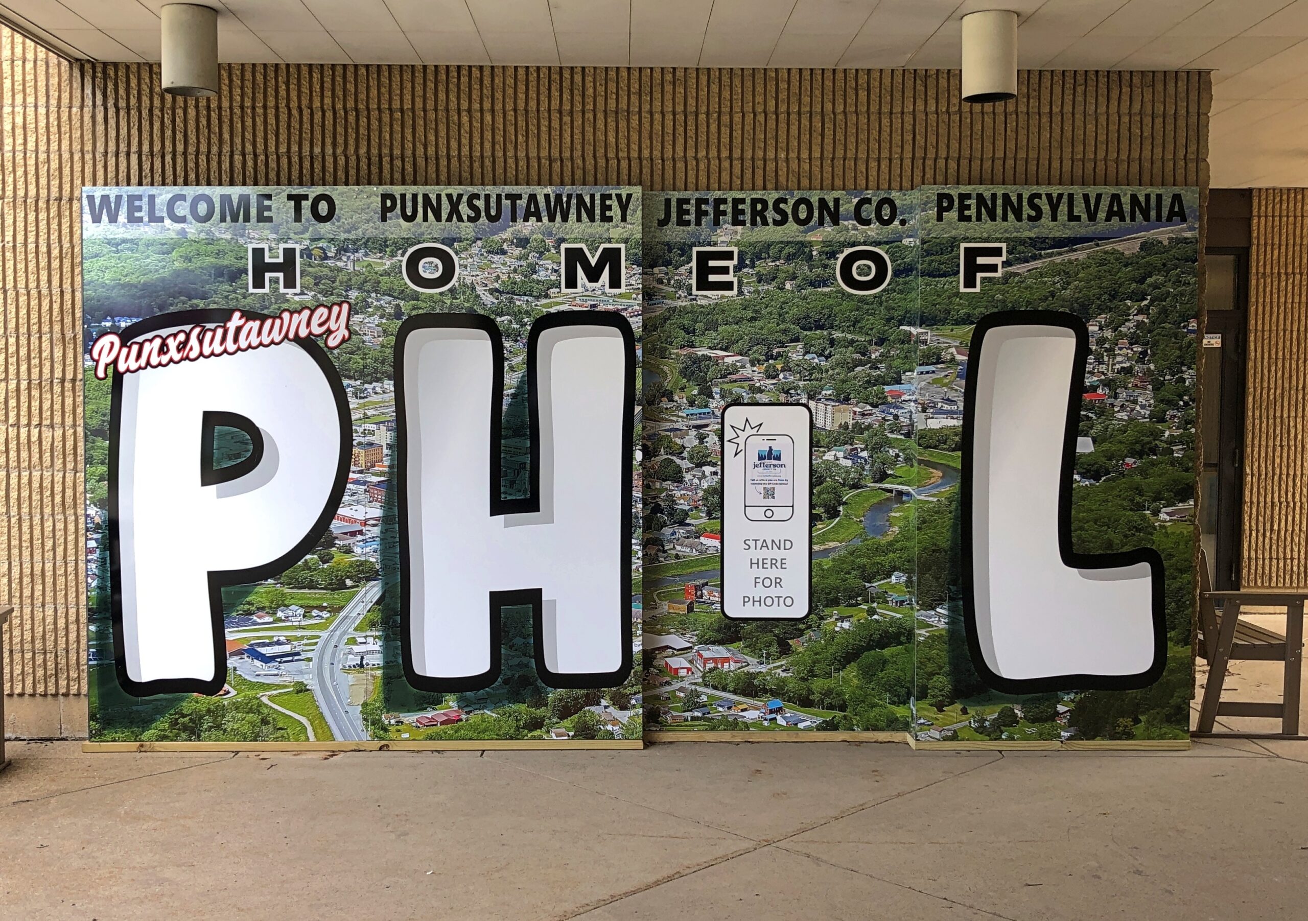
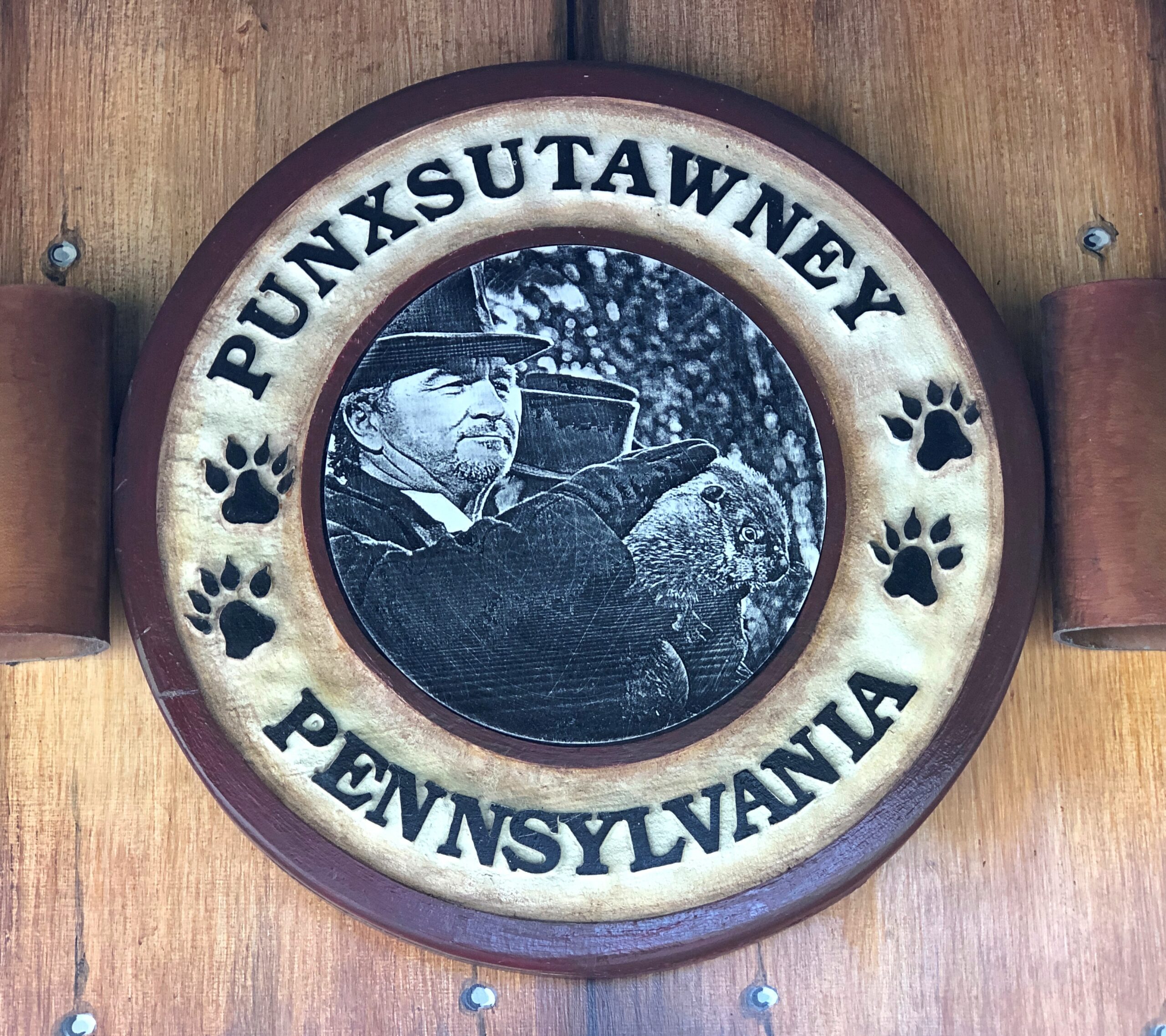
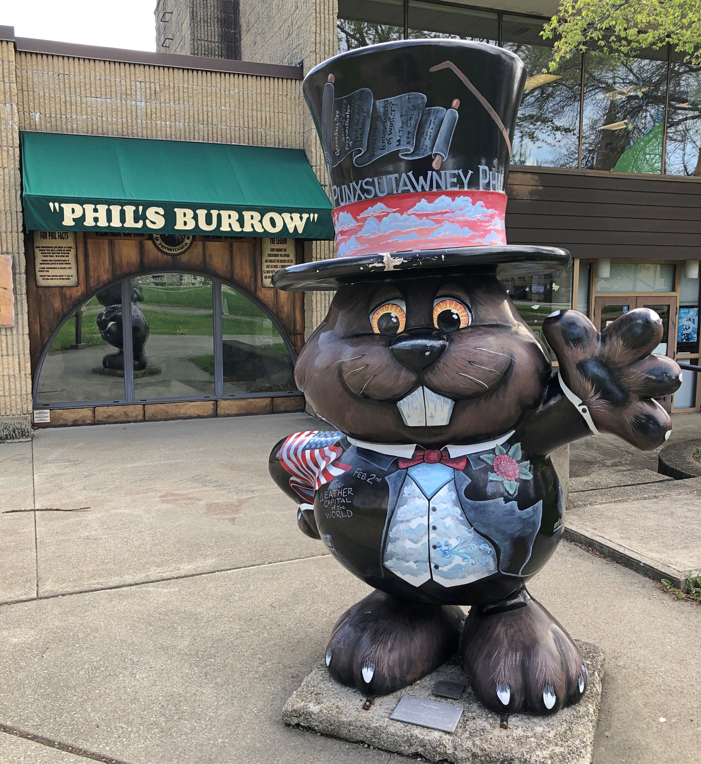
On the way home in late April, I spent the night in Punxsutanwney and had a gas the next morning looking for as many depictions of Punxsutanwney Phil as I could find. It’s an endless pursuit, something like looking for all the Lincolns in Springfield, Illinois.
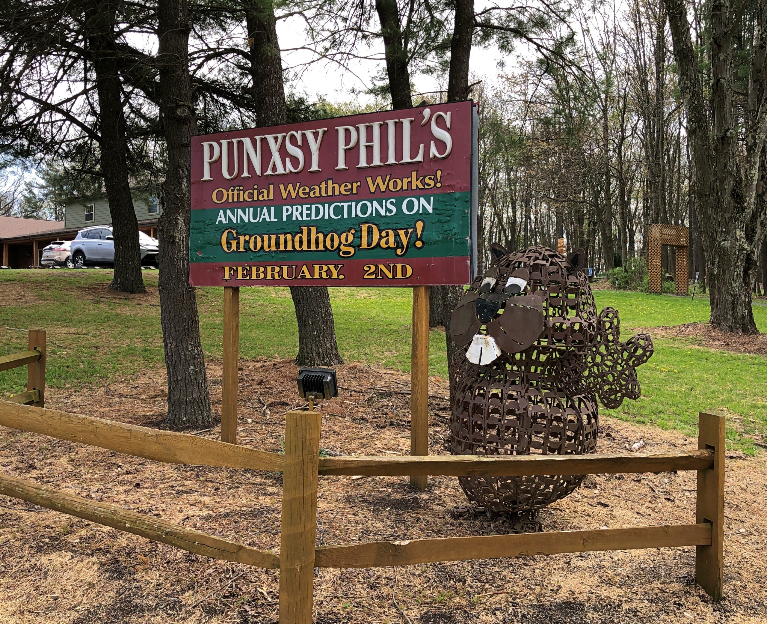
This one was the closest to my motel. It was at my motel.
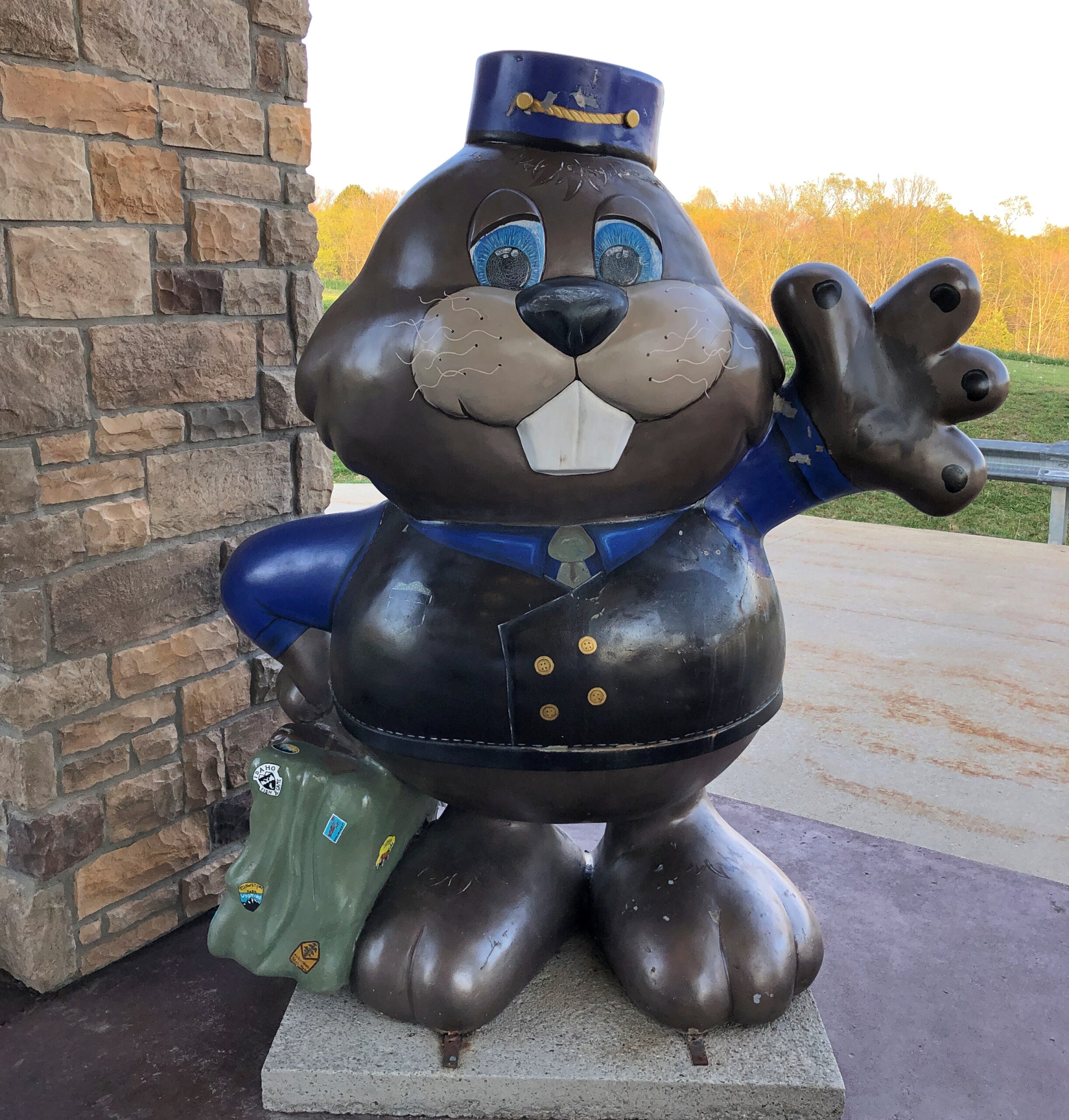
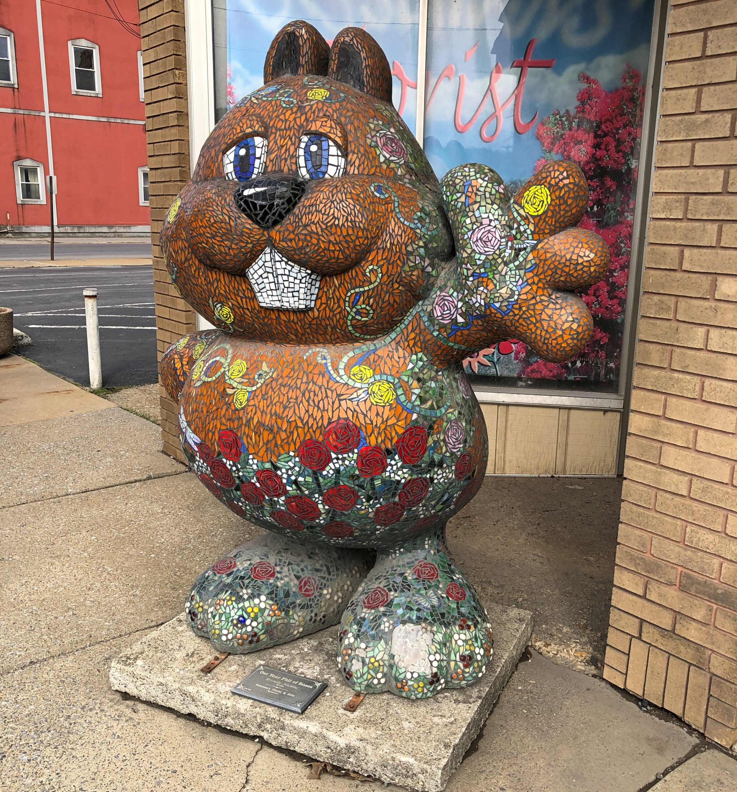
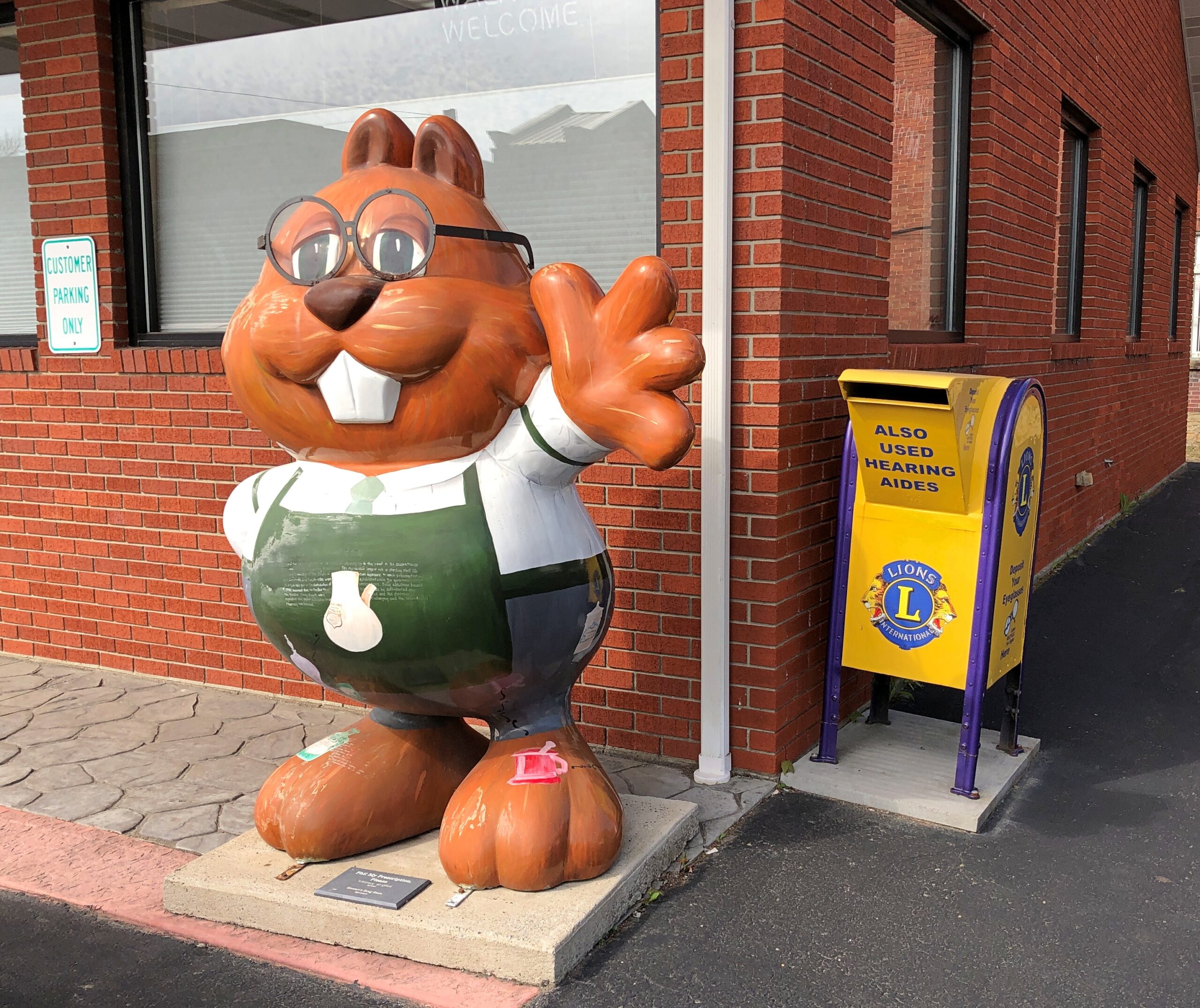
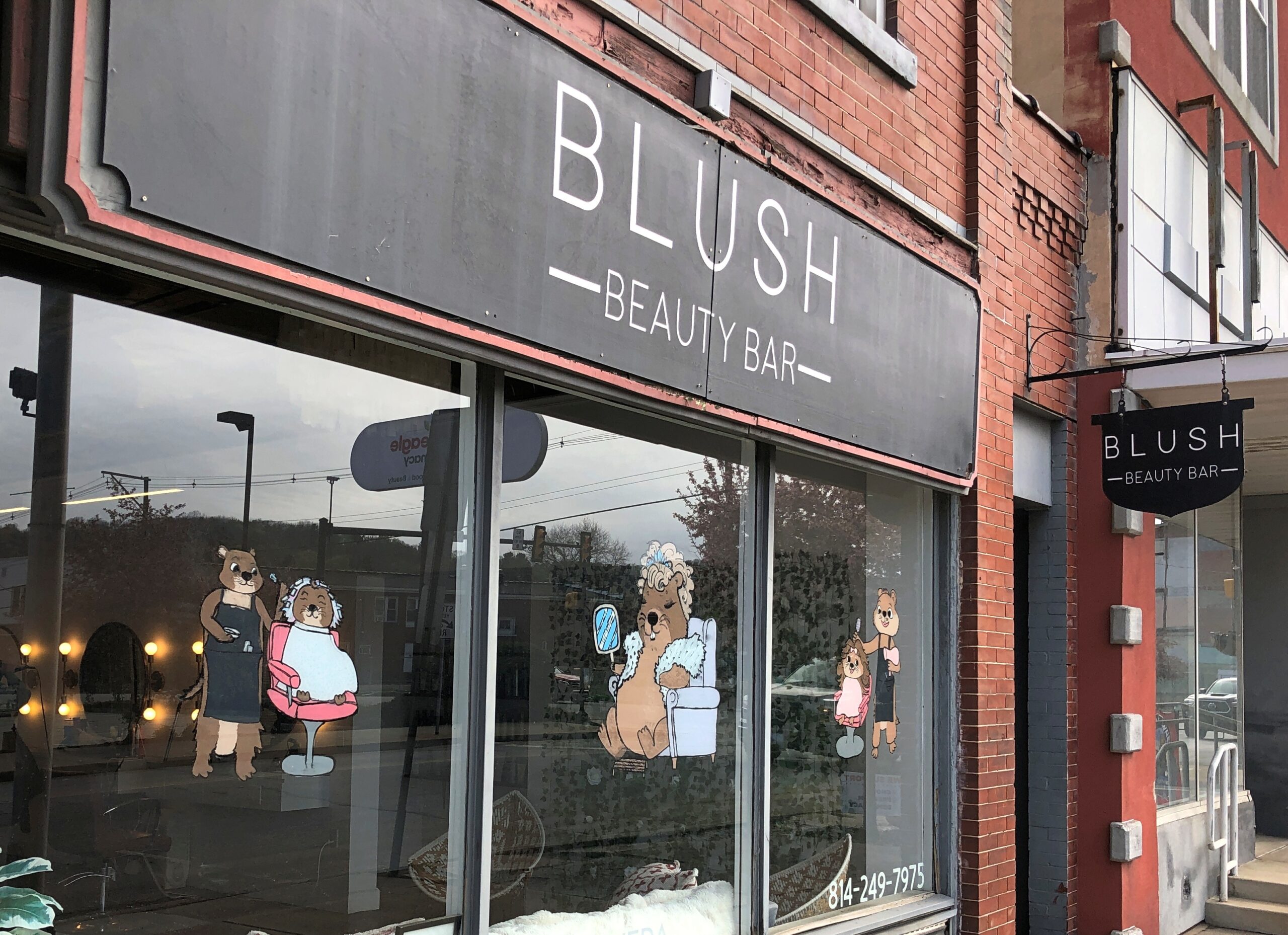
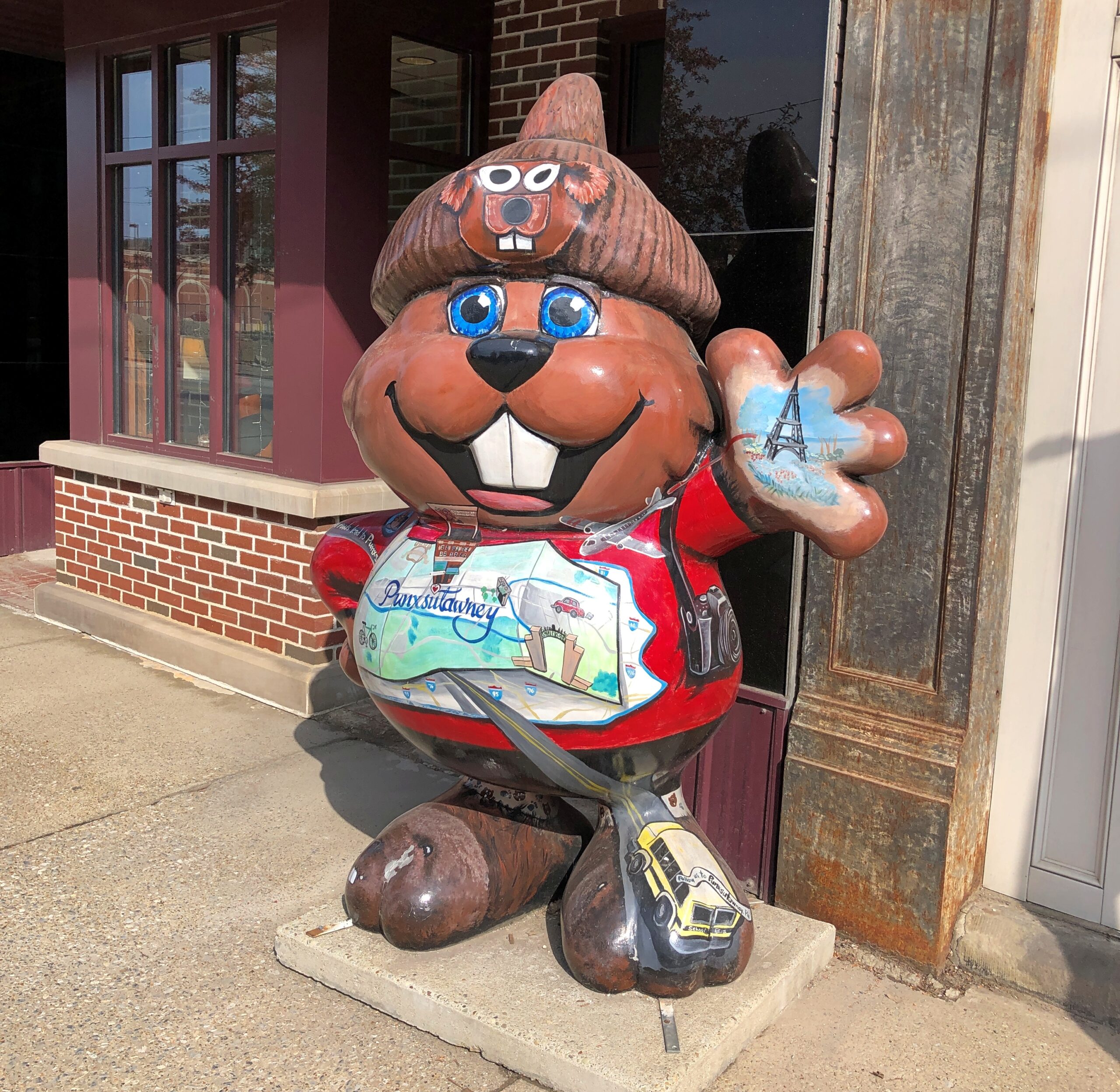
Downtown Phils, such as in front of a florist and an optometrist and a “beauty bar.”
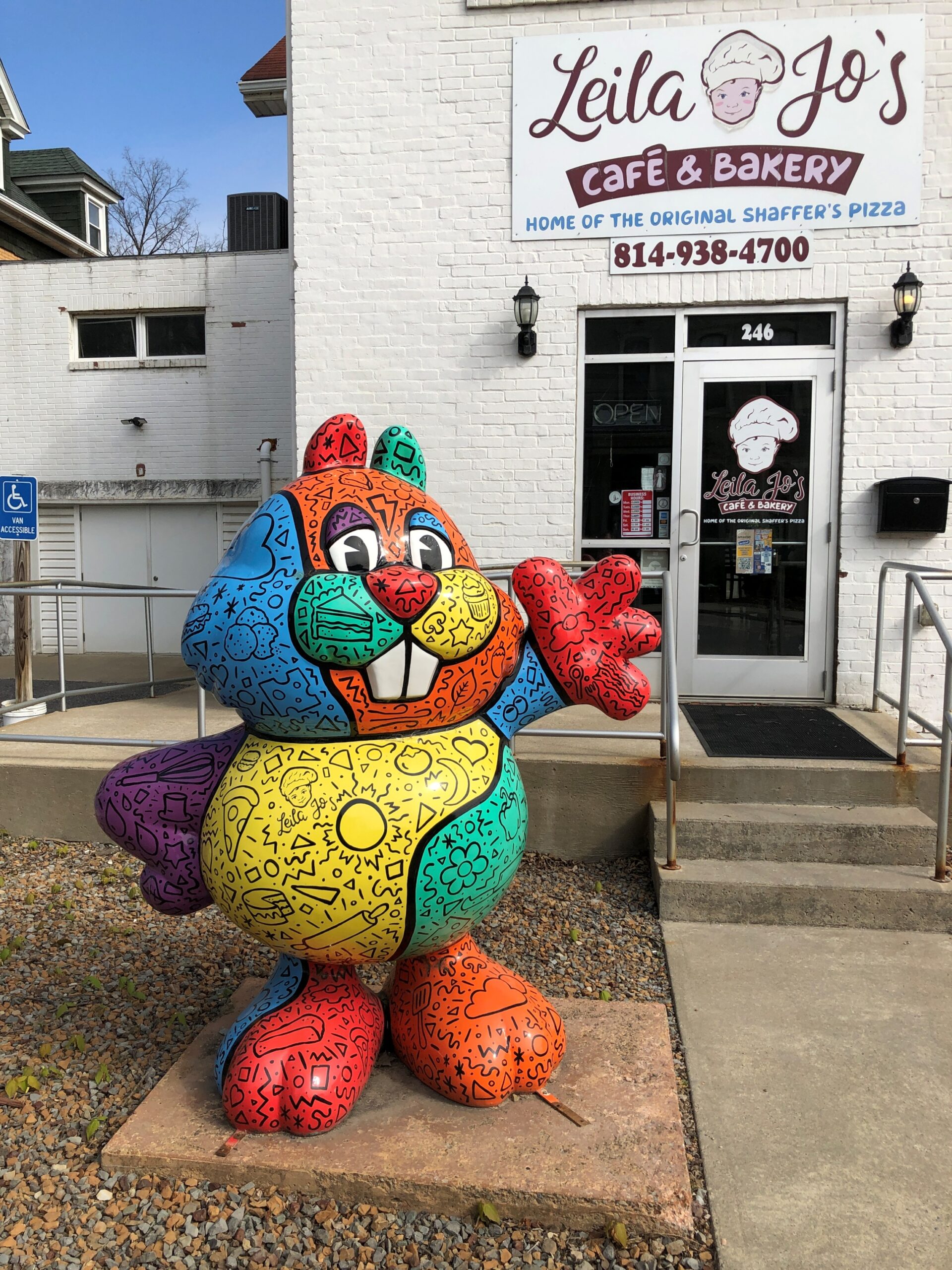
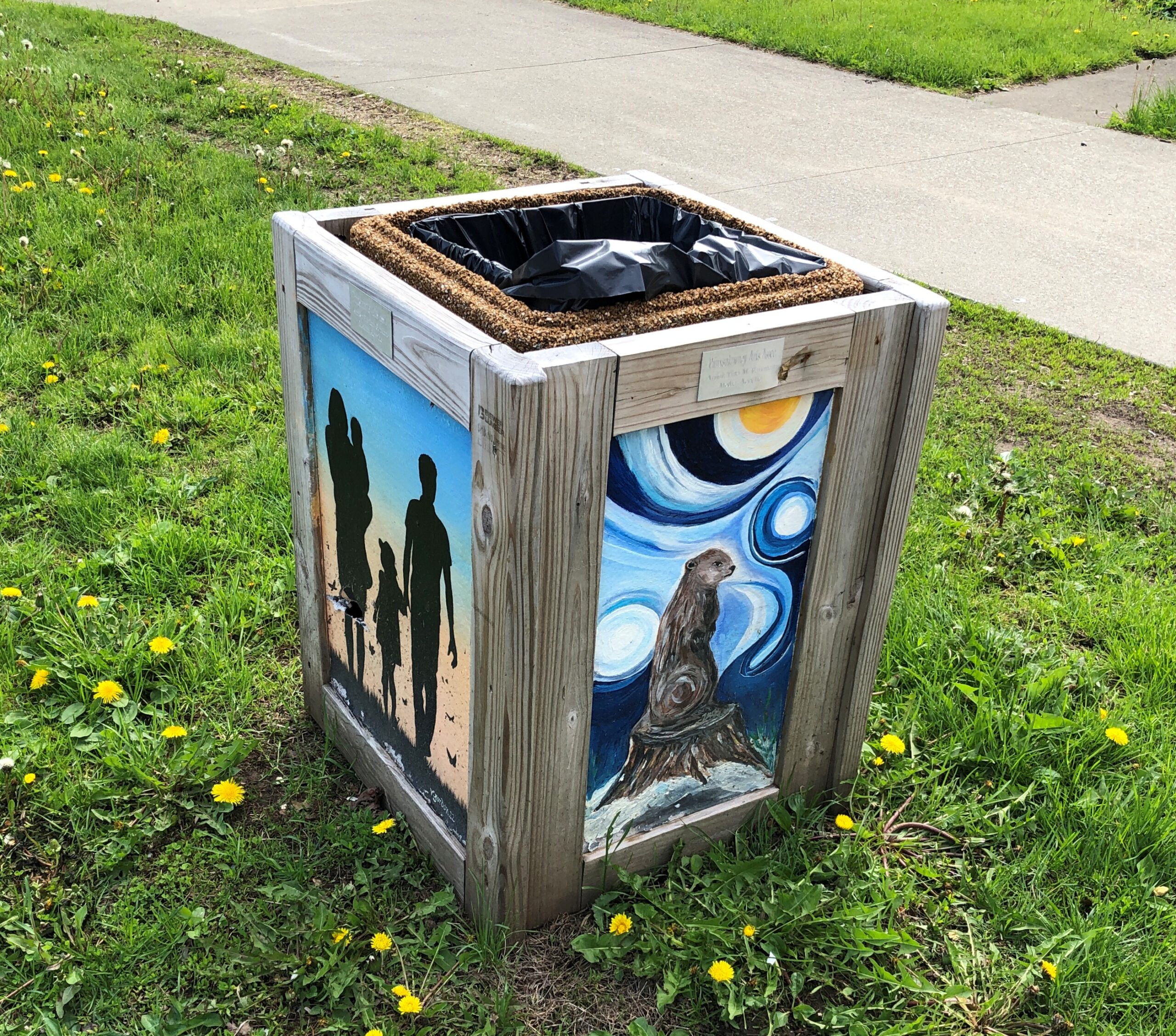
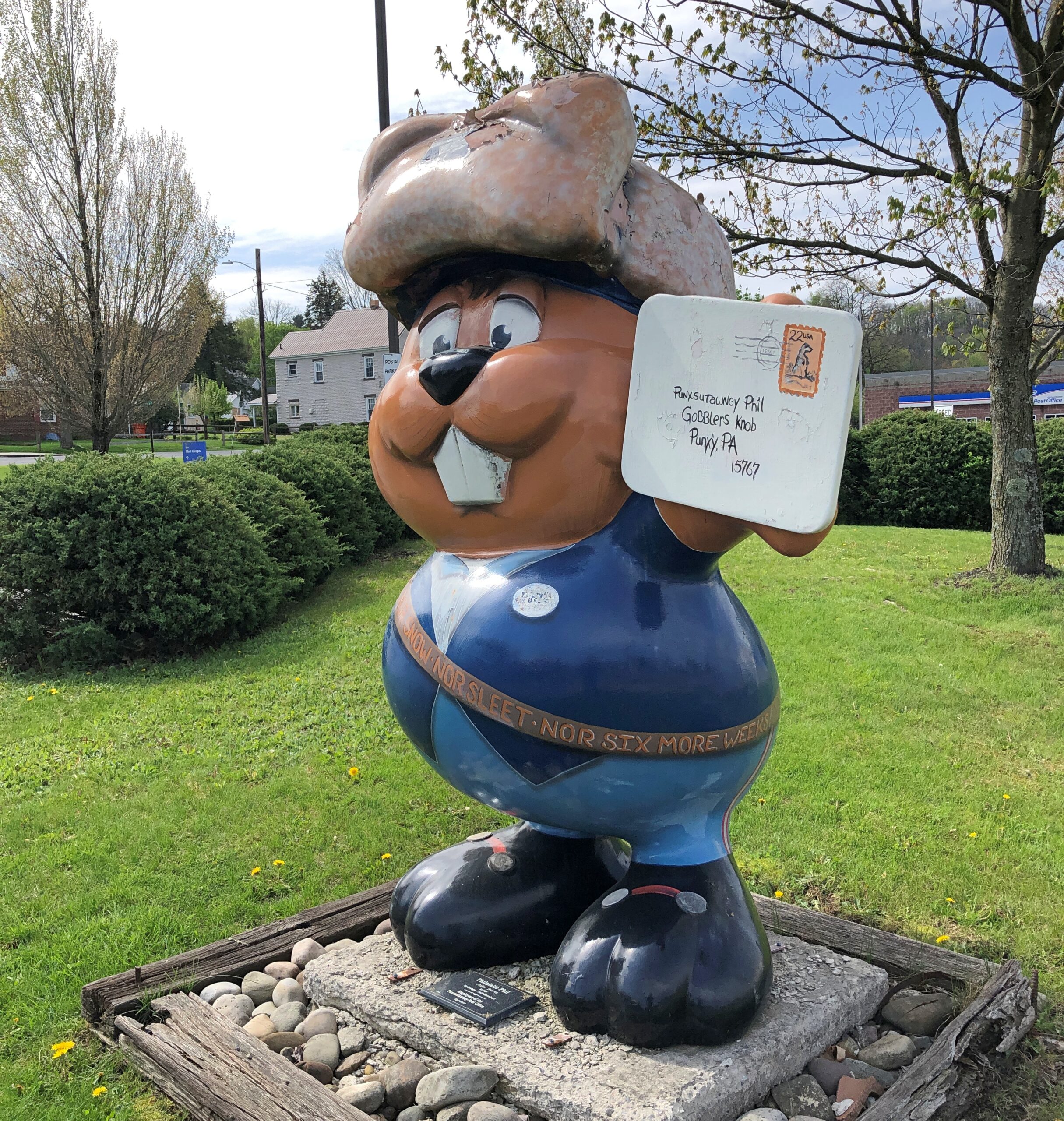
In front of a bakery and on a trash can and at the post office.
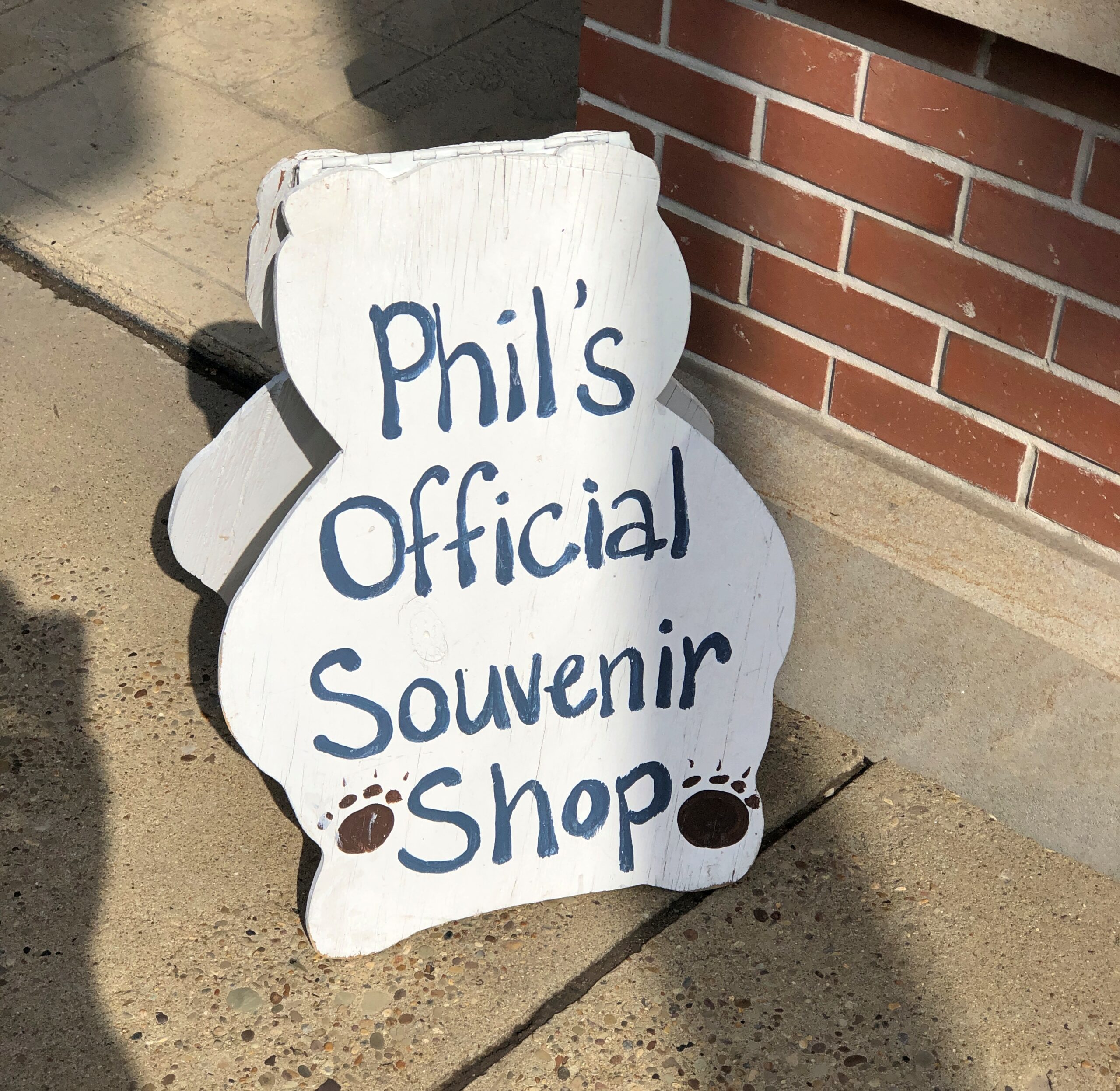
Of course he had his own shop. I bought postcards there.
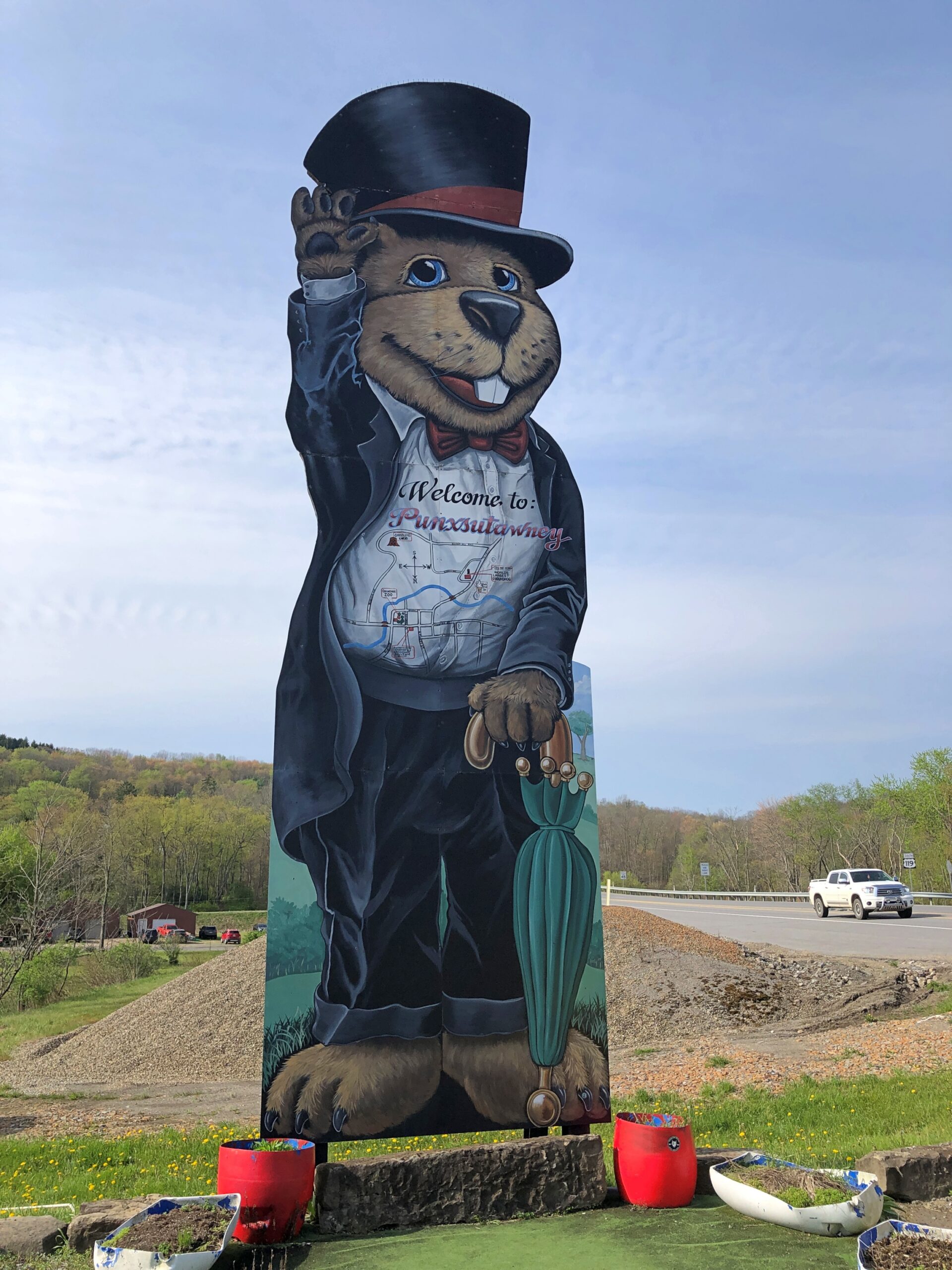
The tallest Phil, I think. I had to park the car to get a good look.
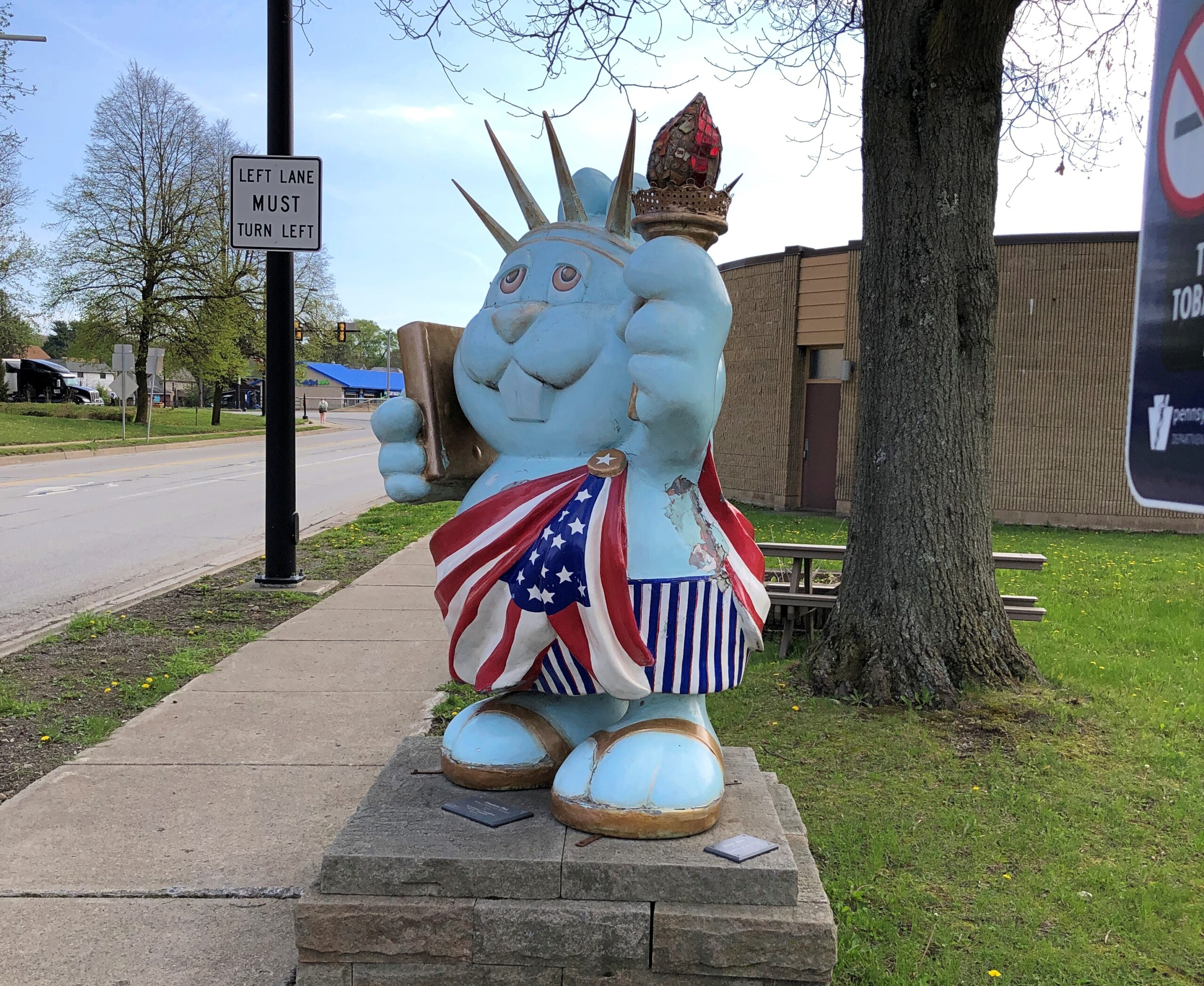
Patriotic Phil. We could do worse for the semiquincentennial.
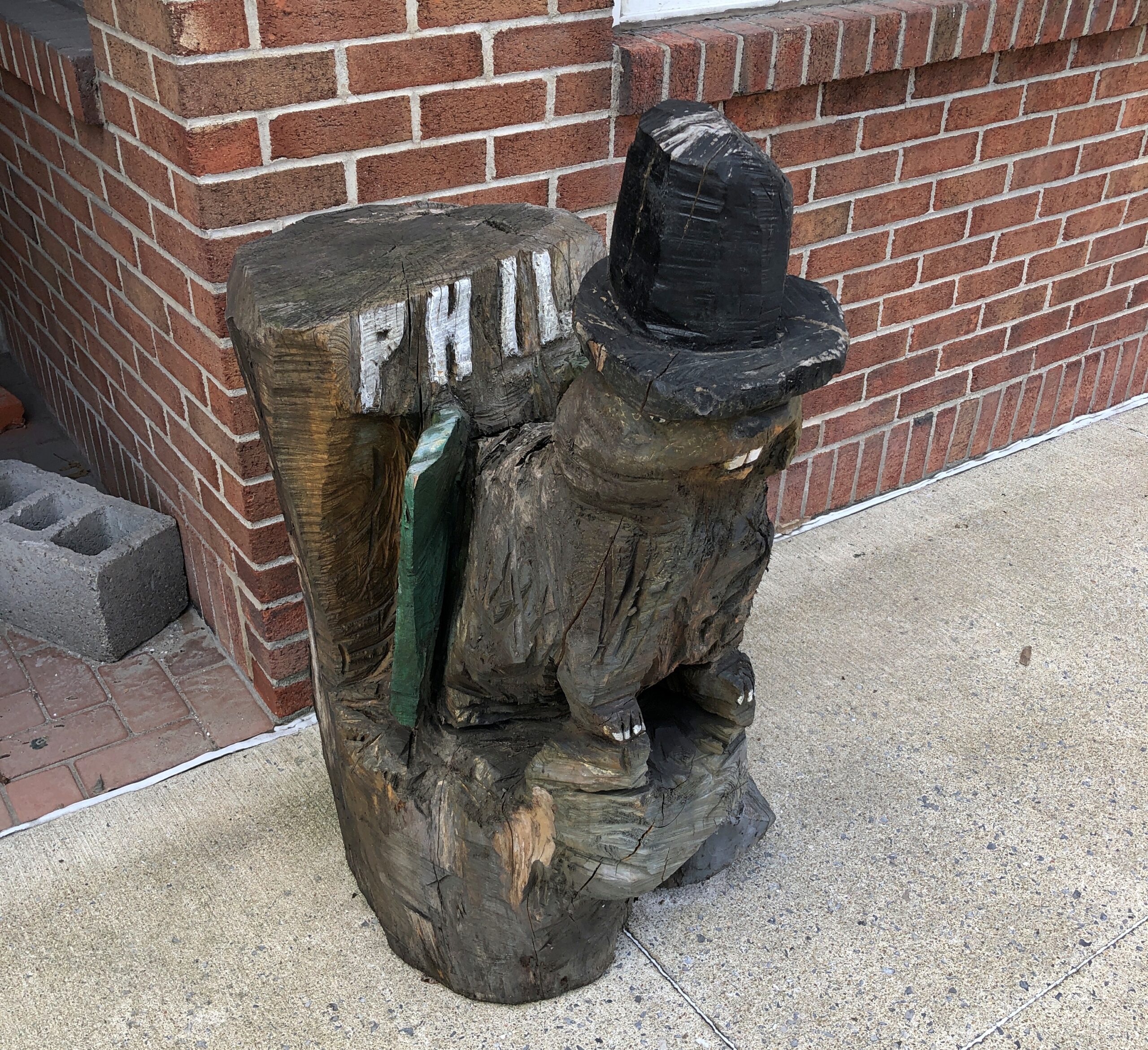
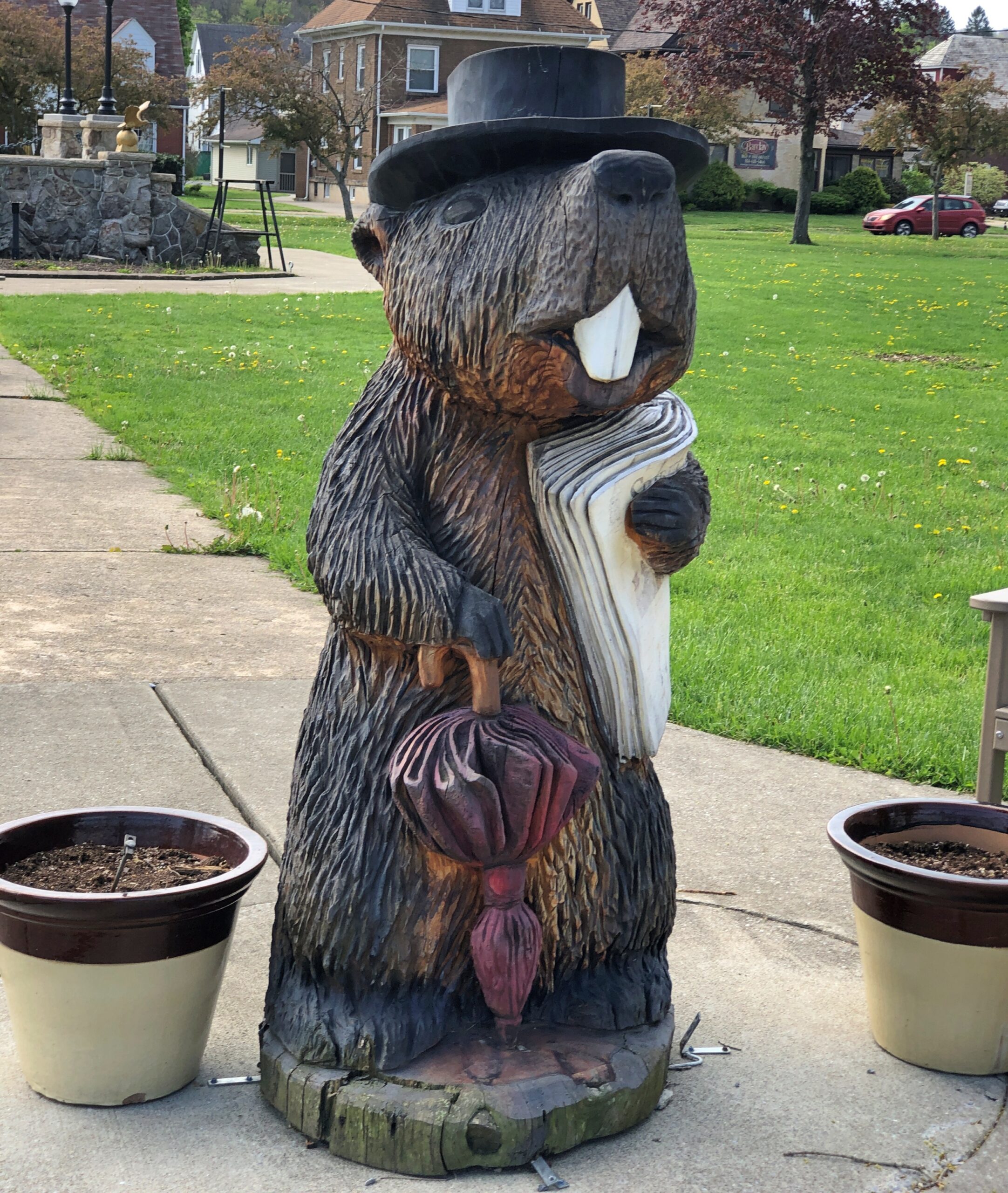
Phil carved from wood.
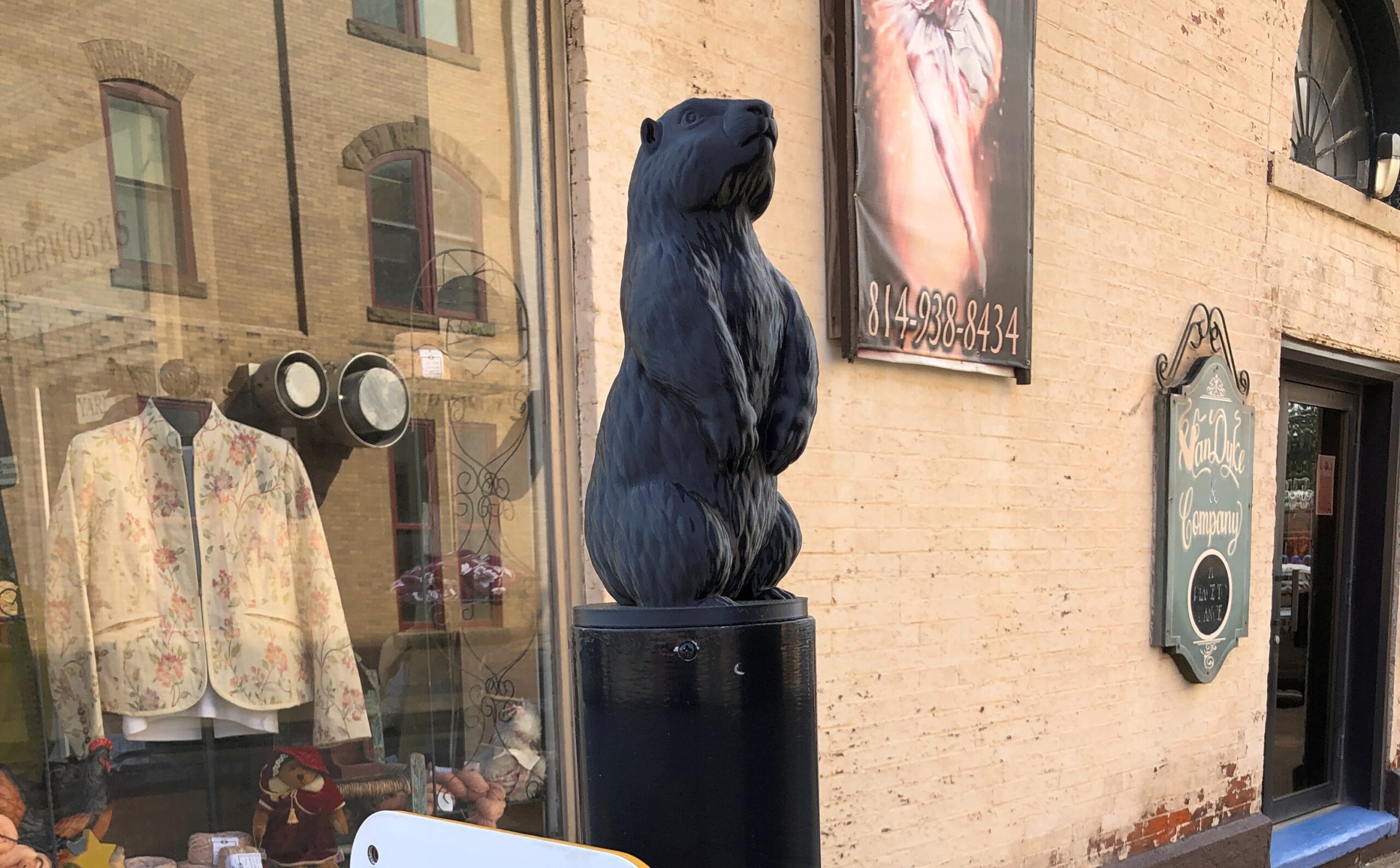
Metal Phil, one of four at some of the crosswalks that included a switch on the pole to let the lights know you were waiting.
Serious Phil.
The city flag.
Actually, this one looks more like a cartoon bear. But I’ll bet it’s Phil anyway.
He’s everywhere.
Then there’s official Phil. He and mate Phyllis live behind glass, in the “burrow.”
The groundhog clearly counts as Punxsutanwney’s spirit animal, a concept that seems to be elastic enough to include mascot and whatever else you care to pack in. More towns ought to have them.
Never cared much for the term snowbird, with its connotations of getting up every morning to play golf during winter in some arid place, or spending the evenings with members of your cohort in some gated community, maybe drinking but definitely grousing about the state of the world. Still, considering that in the winter of 25/26, I’ve spent two out of the last three months – the hard winter months, up Illinois way – in warmer places, it would be churlish to cast shade on fellow old people who happen to enjoy golf or grousing.
On the other hand, I’m not about to claim snowbird as descriptive for myself. I just happen to be able to take long trips during the cold months (along with my laptop, for work). In December, Florida. In February, Texas.
Back on February 3, I got on a plane and flew to Austin. I flew home from Dallas on March 3. In between, I spent time – and Yuriko joined me for a while – traversing the state of Texas, going so far west at one point that we ended up in New Mexico. By traversing, I mean long drives, in a rental car part of the time, and in my brother Jay’s car as well, a blue Subaru known as the Blubaru.
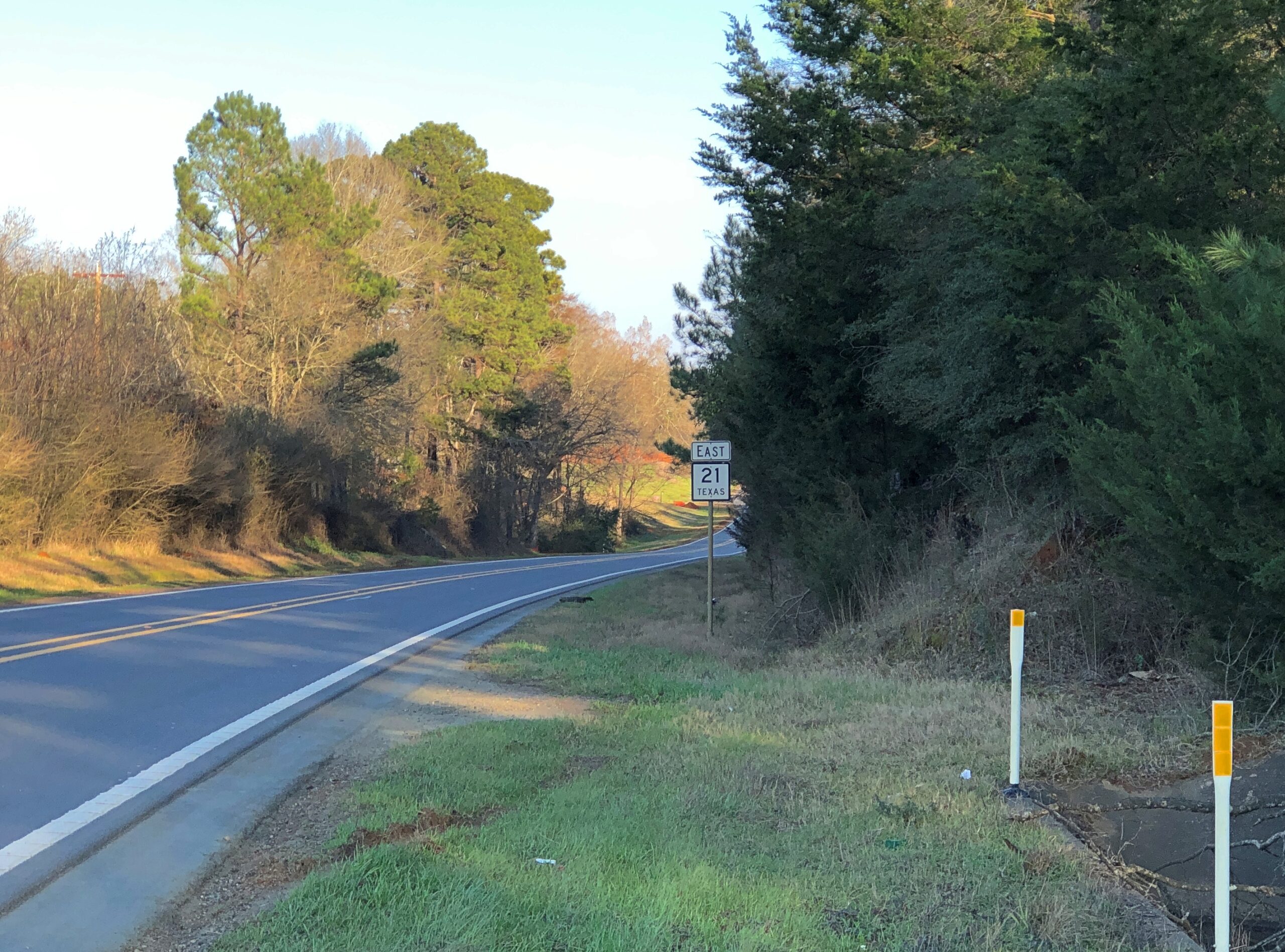
I drove from Austin east to Houston, mostly on US 290; from Houston to Nacogdoches, mostly on US 59; then to Dallas on various state highways, such as Texas 21 and 19; and from Dallas to San Angelo to Marathon, Texas, on US 67 and on the grandly remote US 385, which will also take you to the desert reaches of the Big Bend.
From Marathon, Texas, across to Carlsbad, NM, our route took us along US 90, then Texas 56, then US 62/180. Later, US 62/180 took us from Carlsbad part way back to Dallas — to Sweetwater, Texas — but mostly we went on the faster but less interesting I-20. Dallas to San Antonio was partly I-35, but also US 281, which takes you around the perma-gridlock that is Austin.
Of all those, the road between Nacogdoches and San Augustine on a day trip, Texas 21 heading east, winding through greenish (for February) rolling hills, was a favorite.
The towns listed above were just the places I spent the night, alone or with Yuriko or with my brothers. In between were such places as Bastrop, these days a day-trip from Austin, with the requisite boutiques and restaurants; Huntsville, home of Sam Houston and memorials to the first president of Texas; San Augustine, rival with Nacogdoches in claiming to be the oldest town in Texas; Stephenville and Ballinger, geographically about as deep in the heart of Texas as you can be; the West Texas art town of Marfa and the way station of Van Horn; a string of oil patch towns such as Hobbs, NM, and Seminole, Lamesa, Snyder, and Sweetwater, back in Texas. Later, traversing north to south and back again, I stopped in Hillsboro and Belton, along the I-35 axis; and Lockhart, which has claimed for itself barbecue capital of the state.
Along the way, oddities were encountered. Otherwise, why drive on smaller roads?
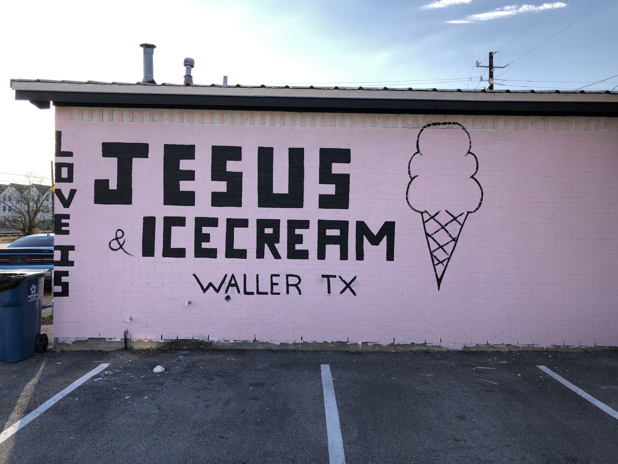
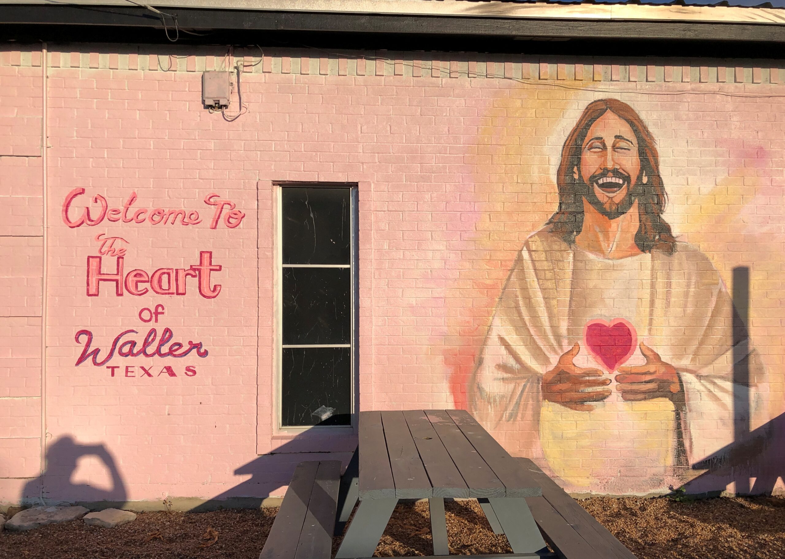
Such as an ice cream shop in Waller, Texas.
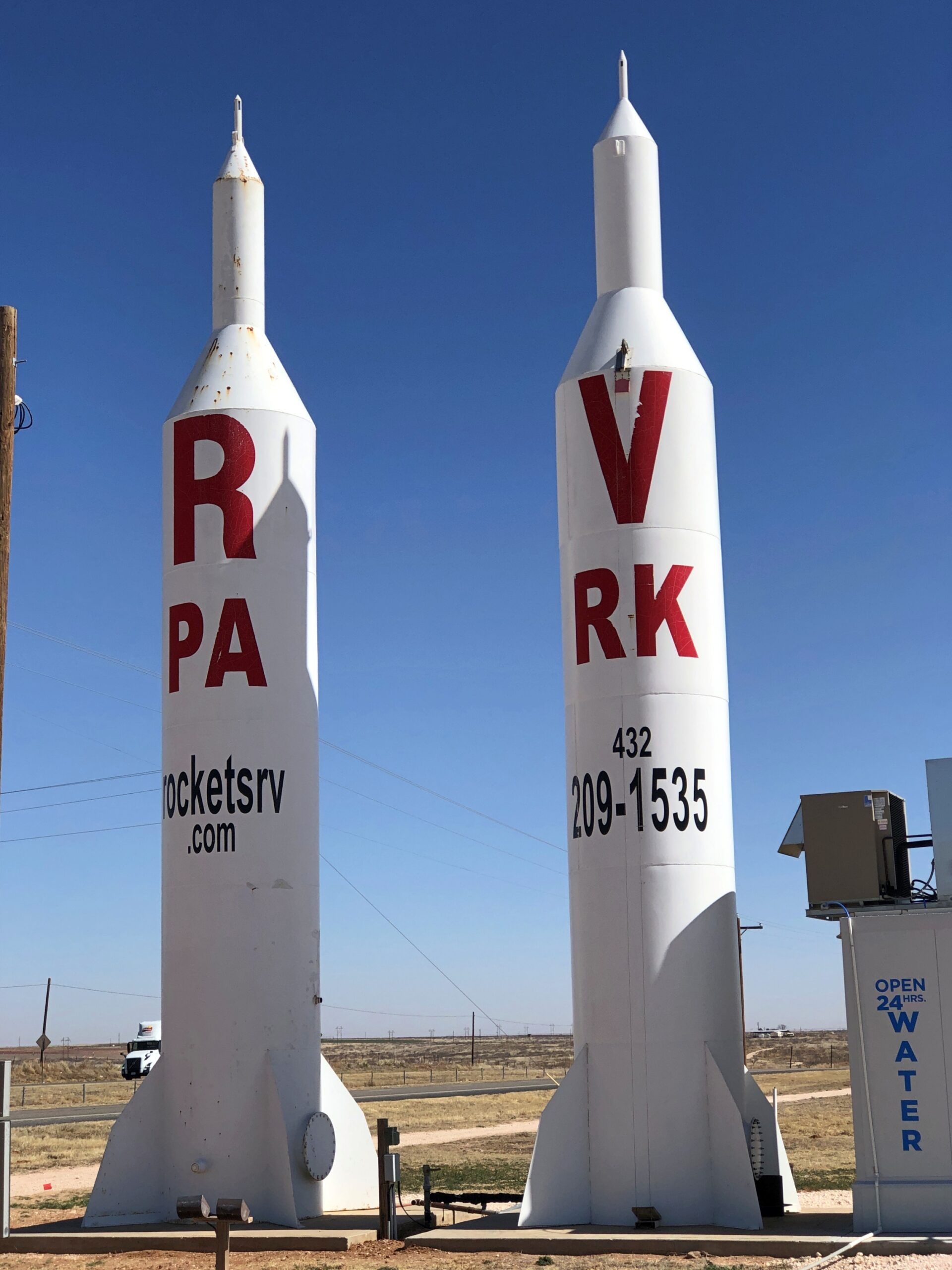
Or a highly visible ad for Rockets RV Park in Gaines County, Texas, not far east of the border with New Mexico.
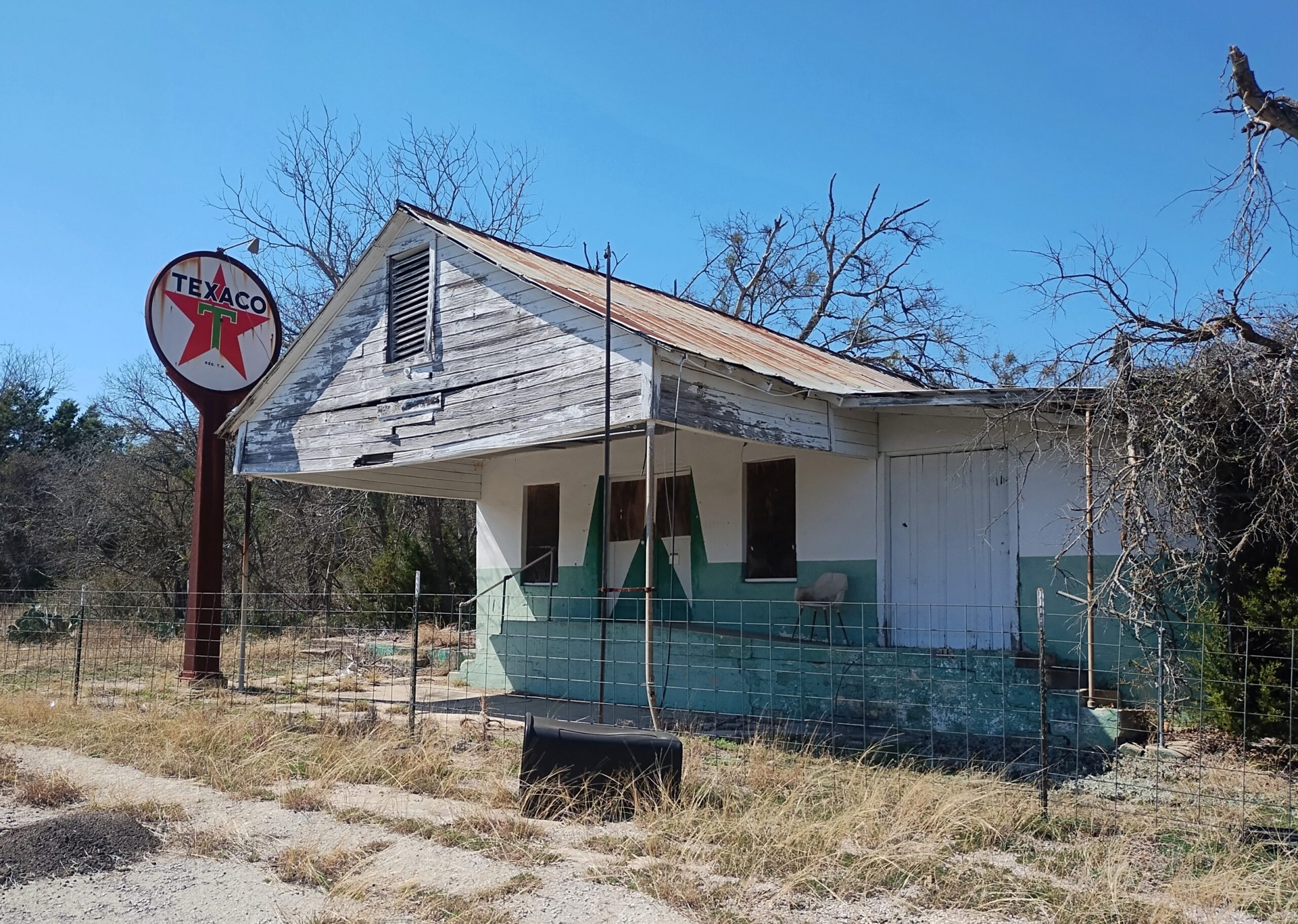
A former Texaco station on an obscure Texas highway (Farm-to-Market 1690).
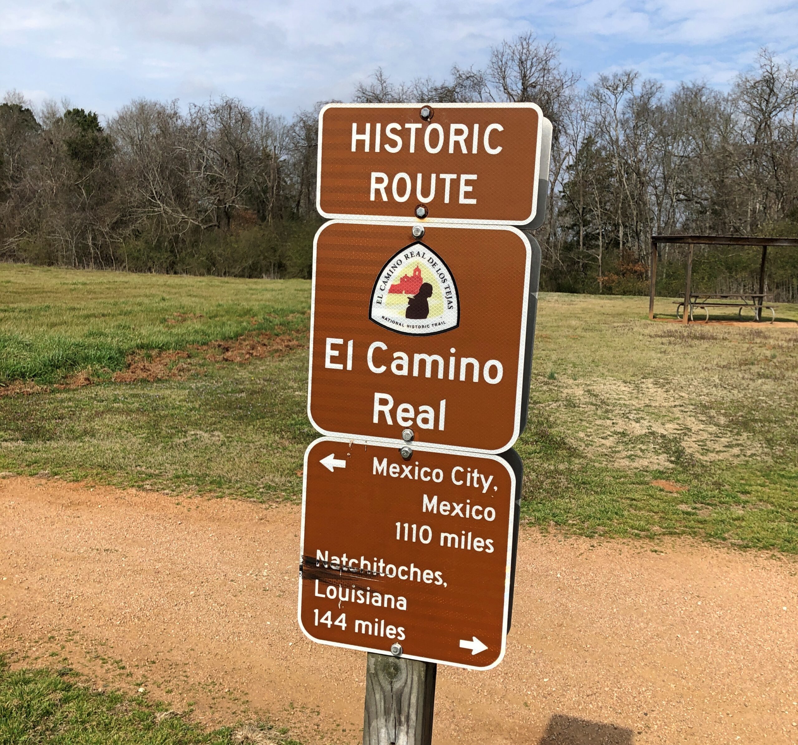
Had various encounters with the historic El Camino Real, whose various tendrils crossed a large slice of the future state of Texas, once upon a time.
Yuriko and I visited Big Bend National Park, Guadalupe Mountains National Park and Carlsbad Caverns National Park. I saw the National Museum of Funeral History in the city of Houston and the museum devoted to Houston (the man) in Huntsville. Also, Roadside America in Hillsboro, an eccentric collection of American commercial art, complete with a personal tour by the proprietor, and the outdoor art at the Chinati Foundation in Marfa, that is, brutalist concrete structures in the brutal desert environment. I became acquainted with the splendid Glenwood Cemetery in Houston and the smaller and more ragged, but no less interesting city cemeteries in Huntsville and Nacogdoches and Palestine. I stopped and looked at about a dozen county courthouses, of which Texas has many.
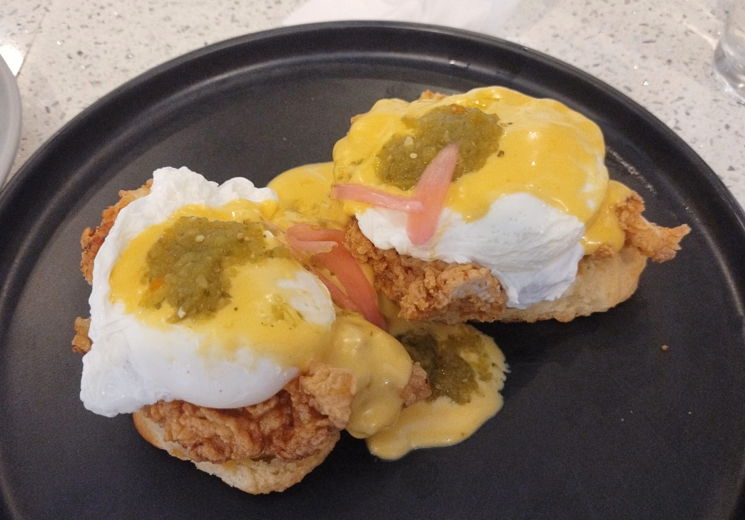
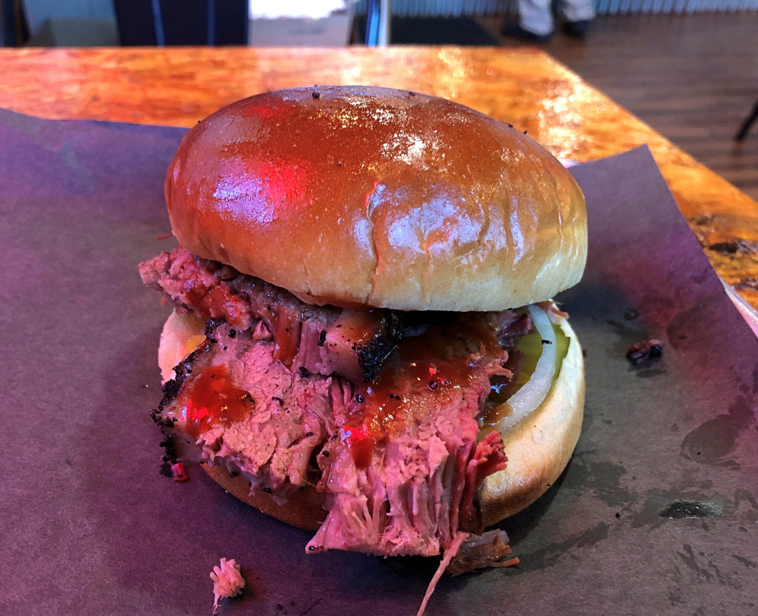
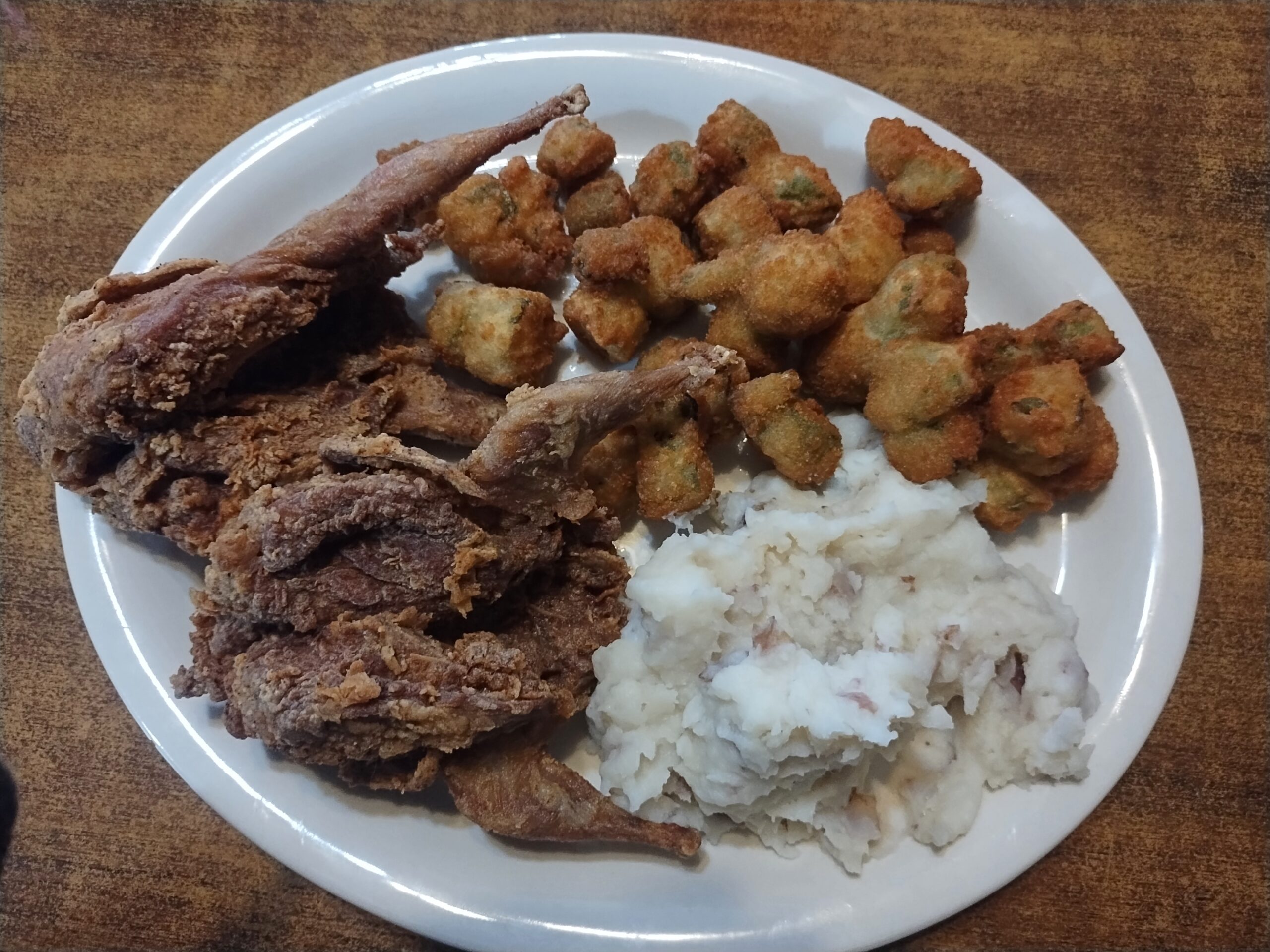
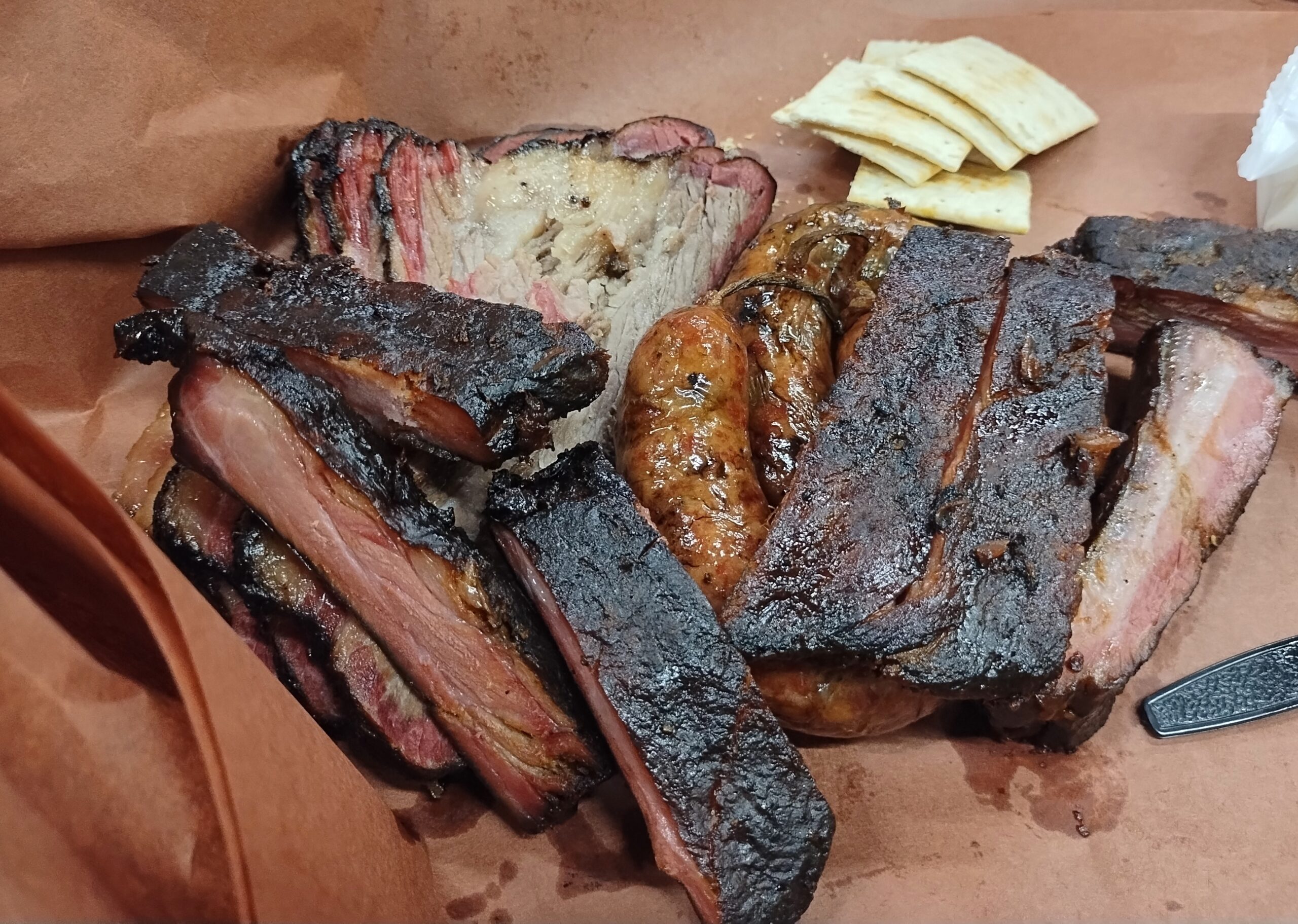
We ate a lot of meat along the way. As one does in Texas.
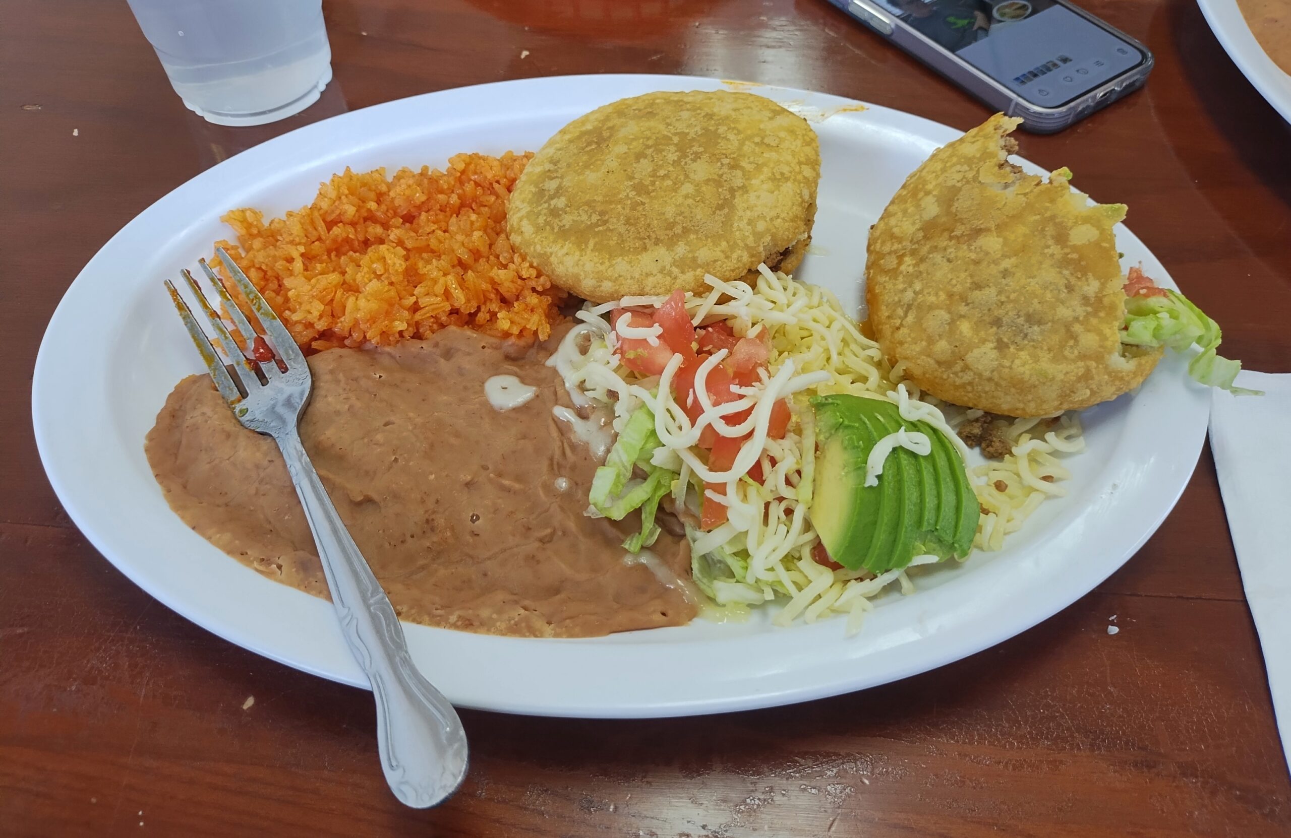
Also, Mexican food.
Eat like that and you’d better do some walking, and I did: various places in Austin and Houston and Dallas, in all three national parks, around downtowns and courthouse squares in a number of small towns, and a handful of local parks.
All that was good, but of course best of all, I had time to visit friends and relatives, of whom there are many in Texas: Tom and Nancy in Austin, Kirk and Lisa in Nacogdoches, another Tom and Steve and Ron and Greg and Judith in San Antonio, to list the friends; both brothers, two out of three nephews and their wives and all four of their children, to list relatives, along with the mother of one nephew’s wife (niece-in-law sounds peculiar, but that fits too). Also, I met for the first time two good friends of Tom’s in Austin, and one of Kirk and Lisa’s granddaughters.
I’d set out to do four long drives when I was 64, but this makes five. Guess I’m an overachiever about driving, anyway.
Time for another winter hiatus. Back in the first week of March, which is still winterish in northern Illinois, but at least the snow tends to melt after a few days. Snow was persistent in January this year, a refresh every few days, and temps too low to lose any of it.
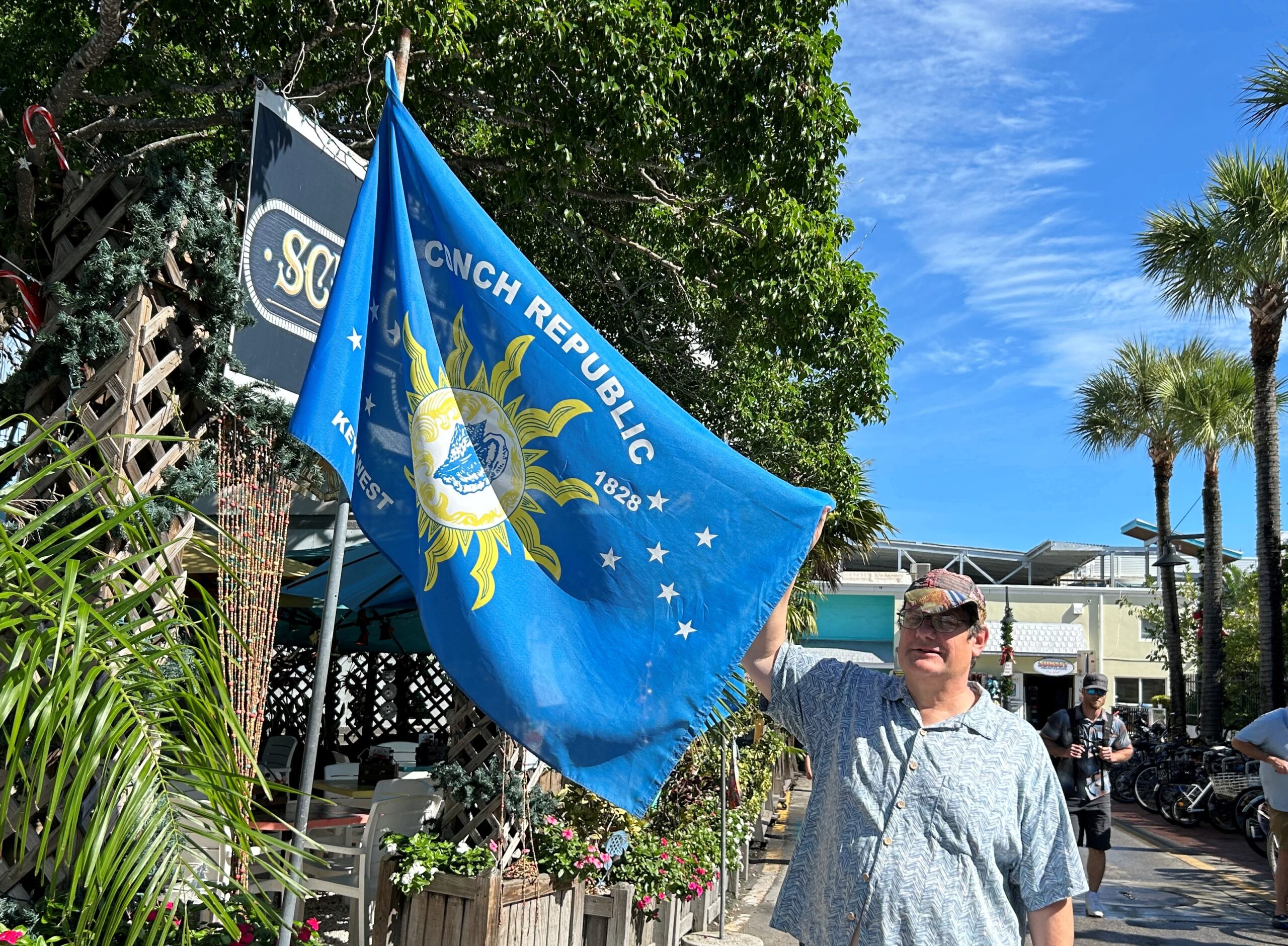
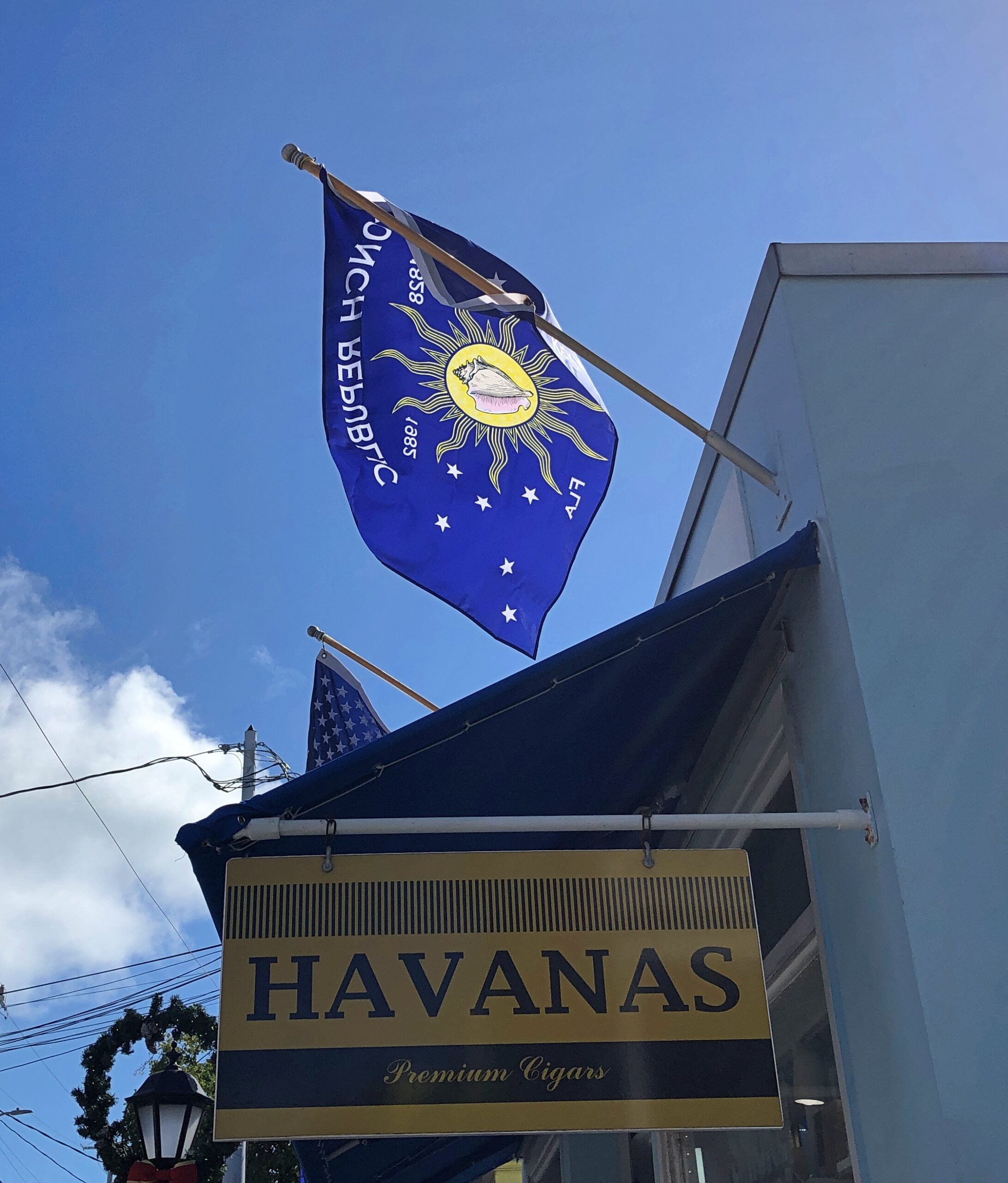
In Key West last month, we noticed the Conch Republic flag displayed in more than a few places.
More about the not-very-serious Conch Republic micronation, created in 1982, is in this Miami Take article. Curiously, the article doesn’t describe how the flag came to be, just that it was simultaneous with the declaration of the CR, which was a kind of protest against a surprise U.S. Border Patrol roadblock on US 1 at the entrance to the Keys. Still, the design works, and it’s something distinctively Key West.
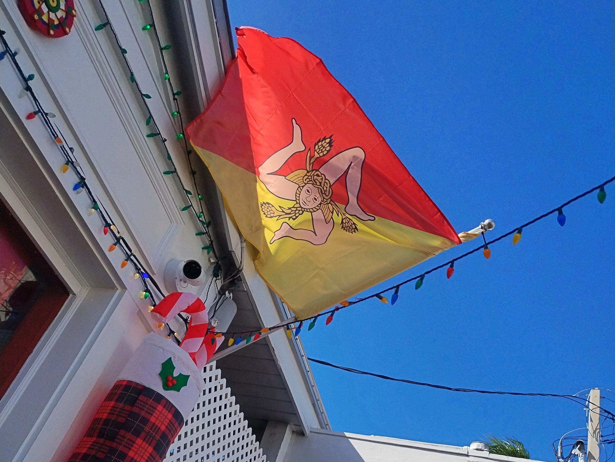
Saw the very distinctive Sicilian flag in Key West, too, just off Duval, over a joint that promised southern Italian food.
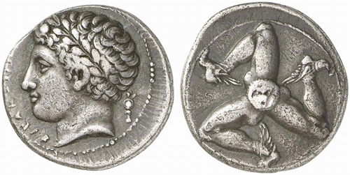
The design is not only distinctive, but ancient. This is a silver drachma from Sicily, ca. 300 BC.
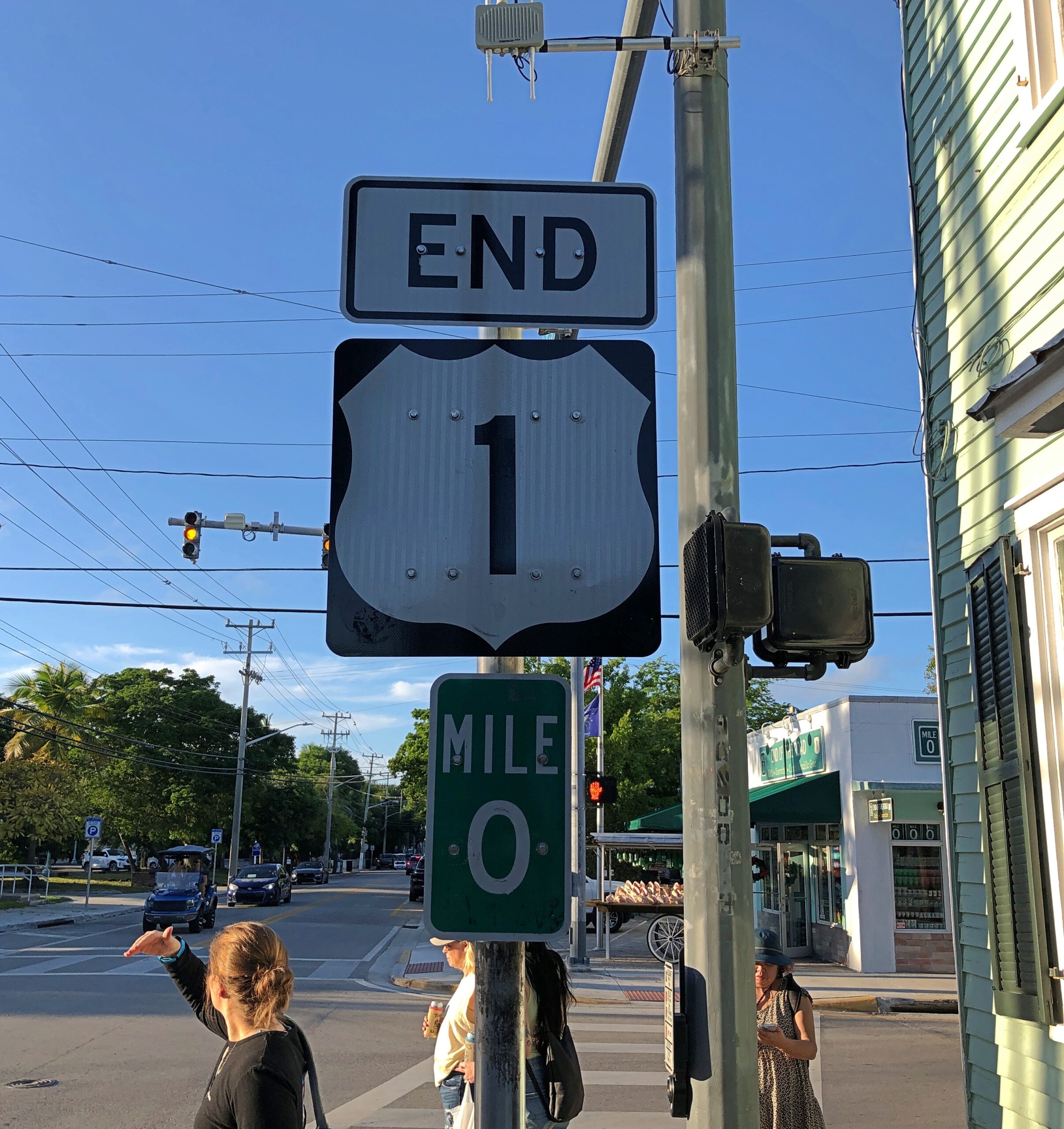
I digress. During one of our Key West walkabouts, we made a point of finding the southern terminus of highway US 1, which is at the intersection of Fleming and Whitehead streets.
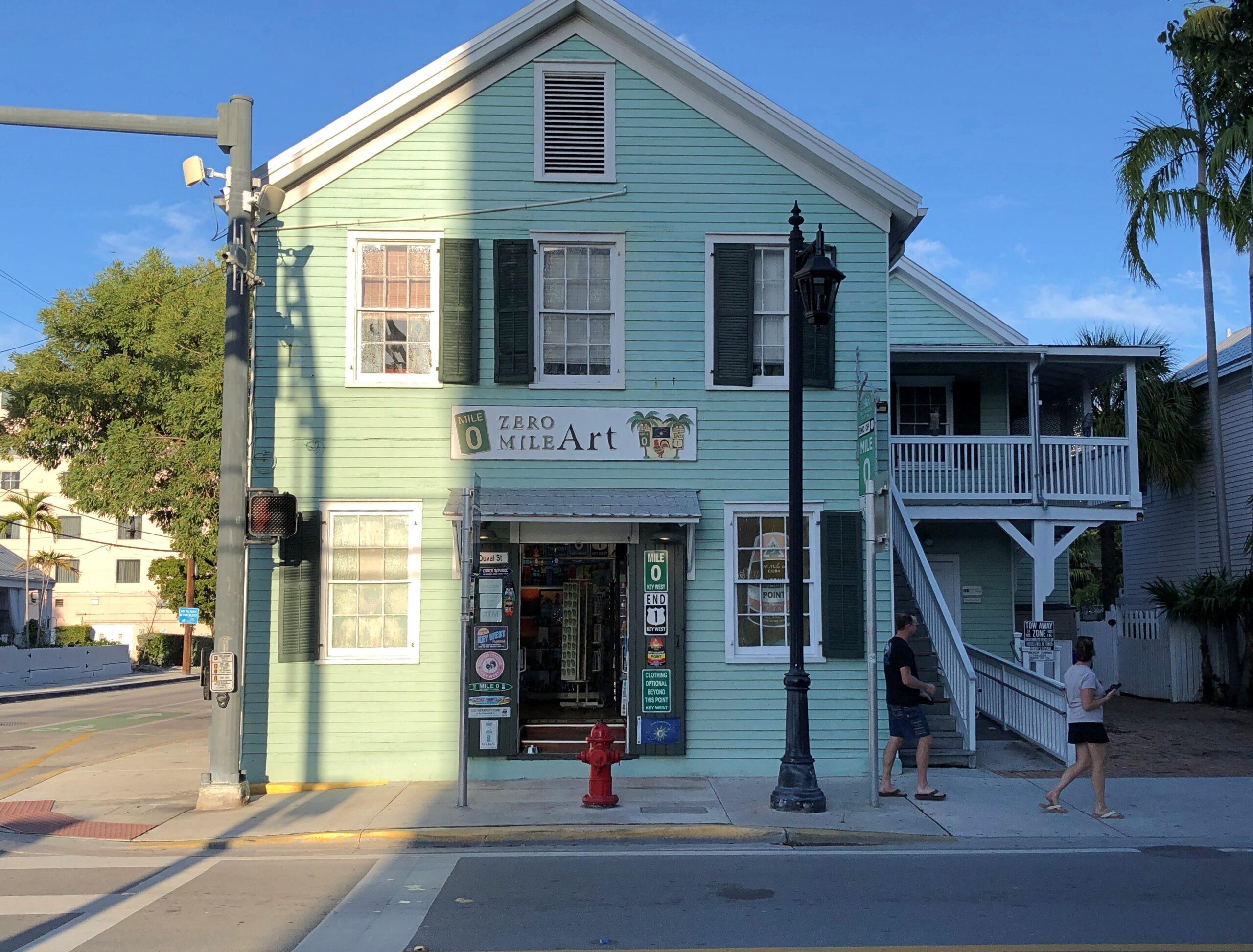
A business taking advantage of its unique location. Locational branding, they might say in marketing.
Now that I’ve now seen the southern terminus of US 1, that clearly means I have to see the northern terminus. That happens to be in Fort Kent, Maine, so perhaps a summertime visit. A real epic would be driving the entire 2,369 miles between Key West and Fort Kent on that highway. People drive all of the 2,448-mile Route 66, and it’s not even a real highway anymore. I’ve been gifted, or cursed, with the ability to think up more long trips that I can possibly do.
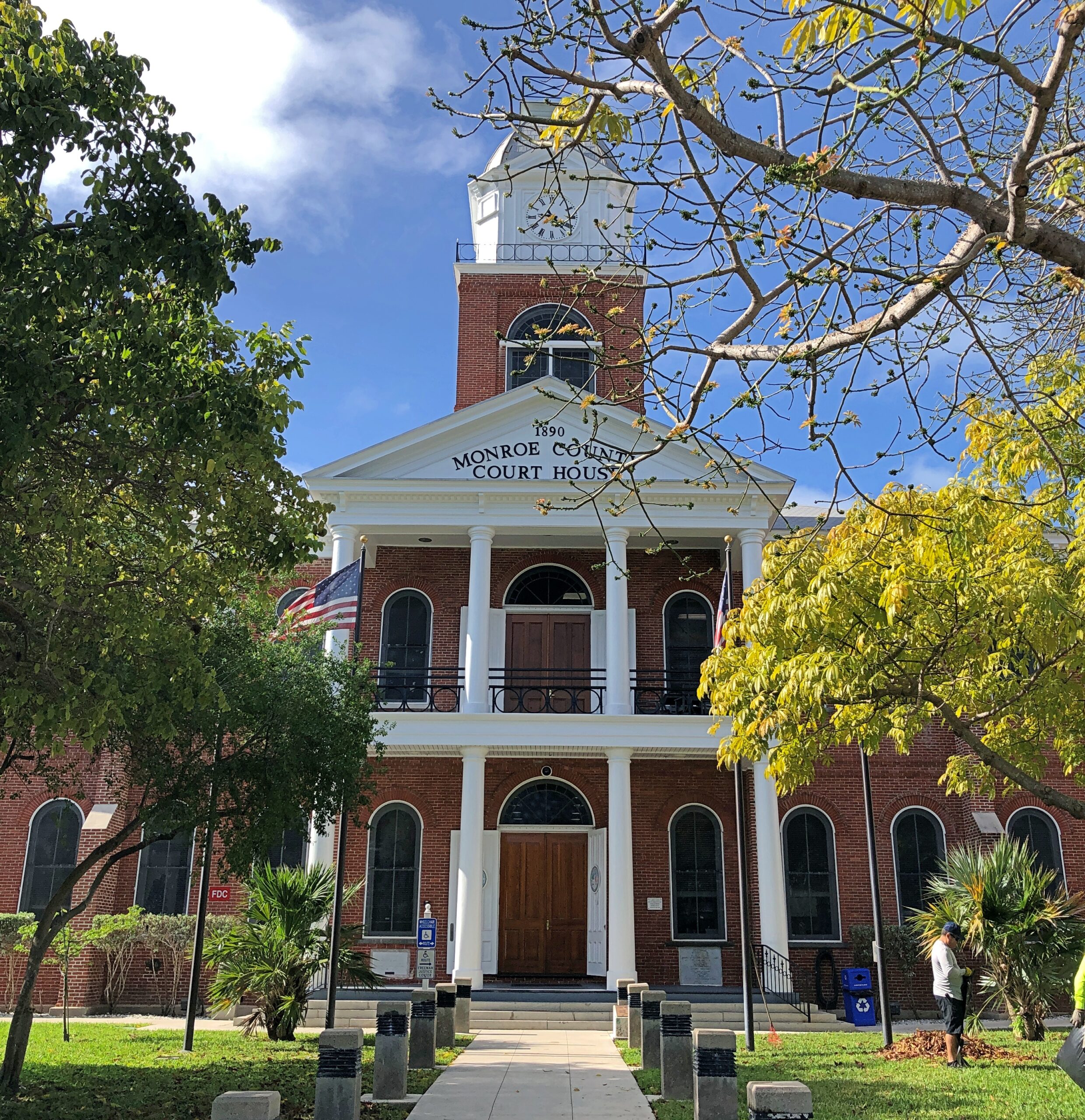
Half a block away from the beginning/end of US 1 is the Monroe County courthouse.
A nearby sign says: The original wooden courthouse was completed in 1823. The county occupied most of the Southern Florida Peninsula. The county seat in Key West currently covers the Florida Keys, and portions of the Everglades National Park. The present red brick courthouse, built in a traditional county courthouse style, was completed in 1890. It features a 100-foot tall clock tower and is an architectural feature that can be observed from almost any part of Key West.
A traditional county courthouse? In the Northeast, yes. Looks like someone used one of those building-moving transit beams in Rocky Horror to transport an entire New England courthouse down to the Keys.
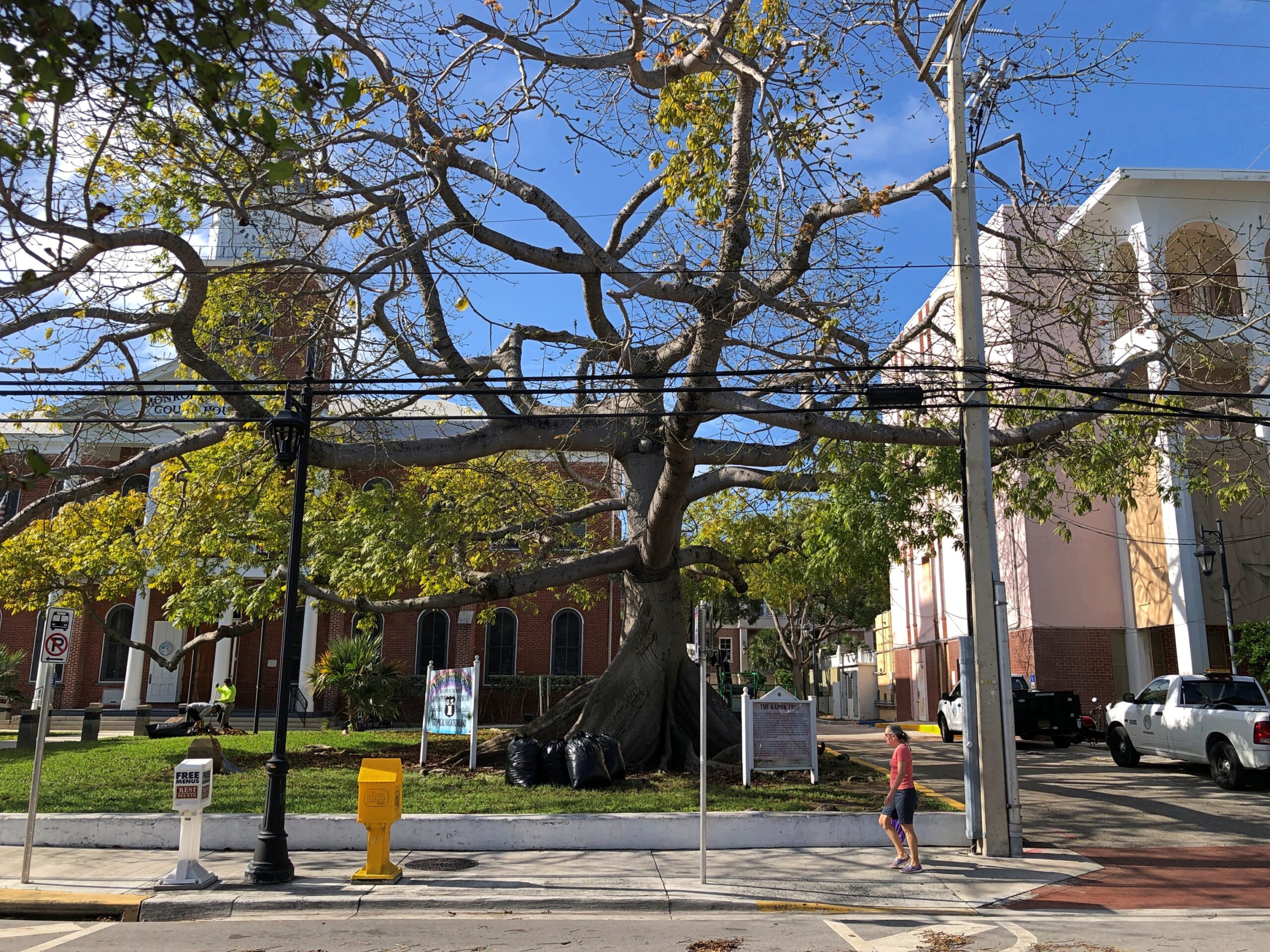
The courthouse grounds comes with this oddity.
At least, odd to me.
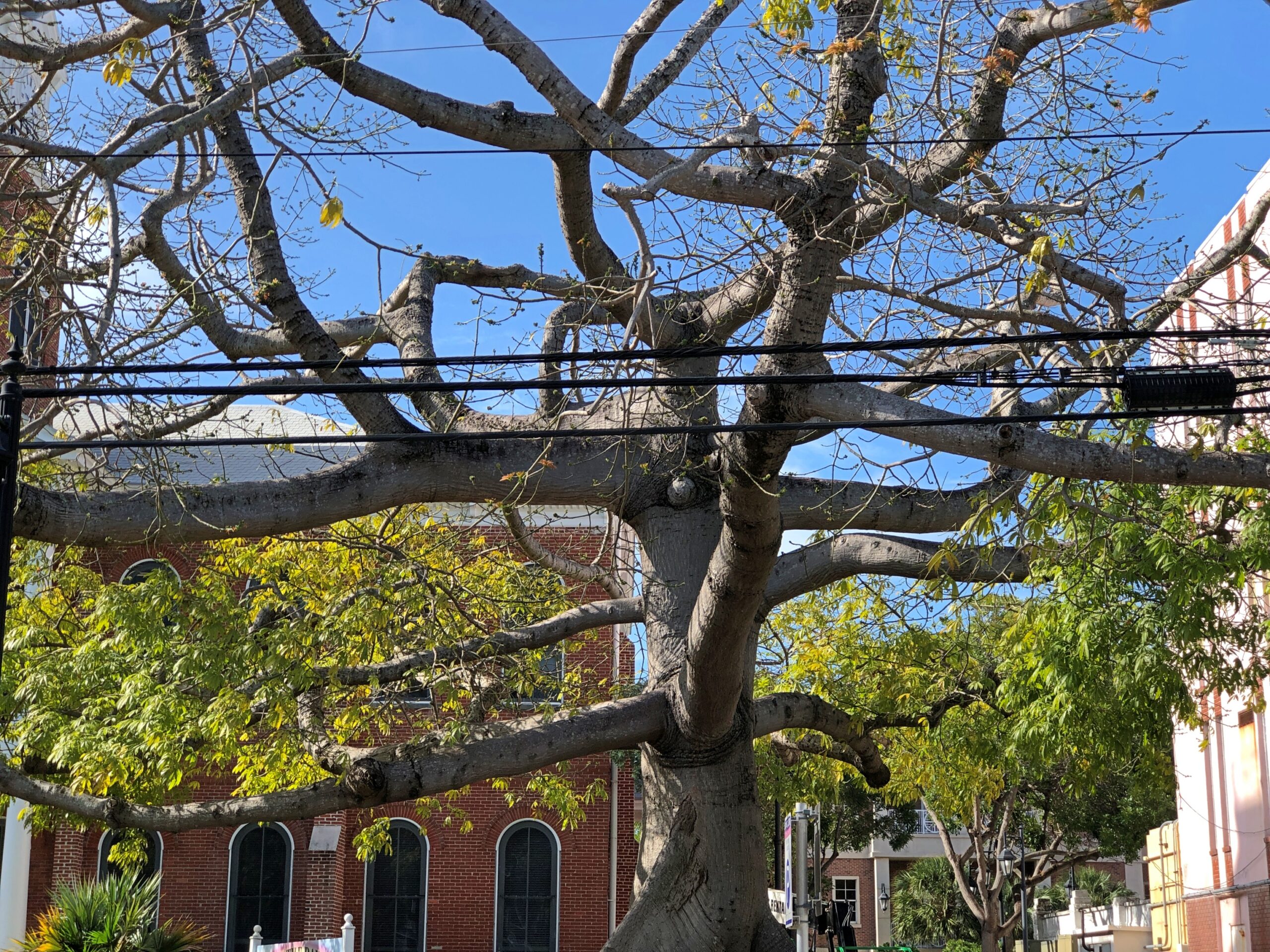
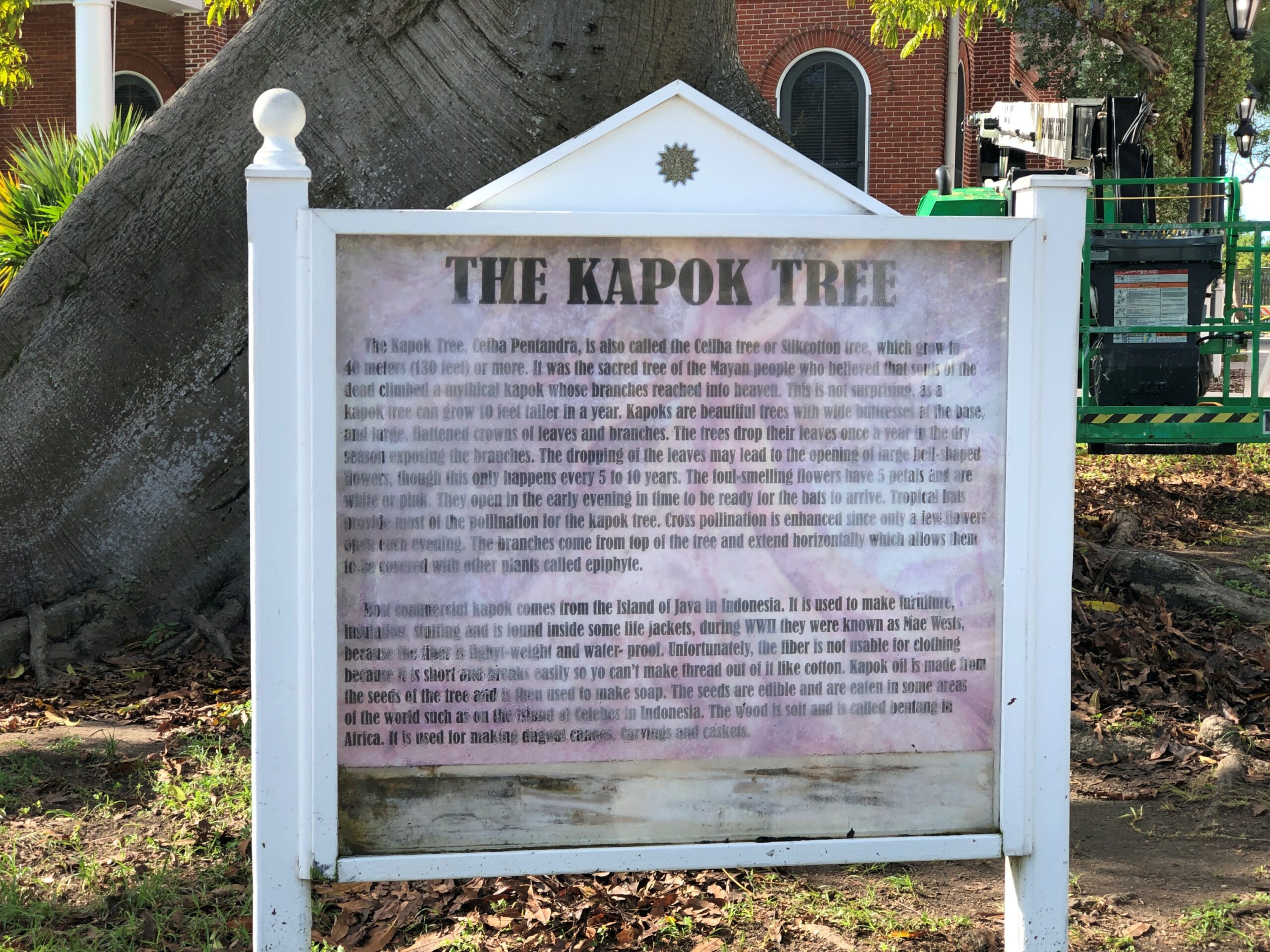
A kapok tree, ceiba pentandra. Odd to more than just me. Enough people that the city put a sign describing kapok trees, next to this example of one. The sign’s a bit worse for wear.
Java cotton is one name for its fiber, which surely evokes distant islands.
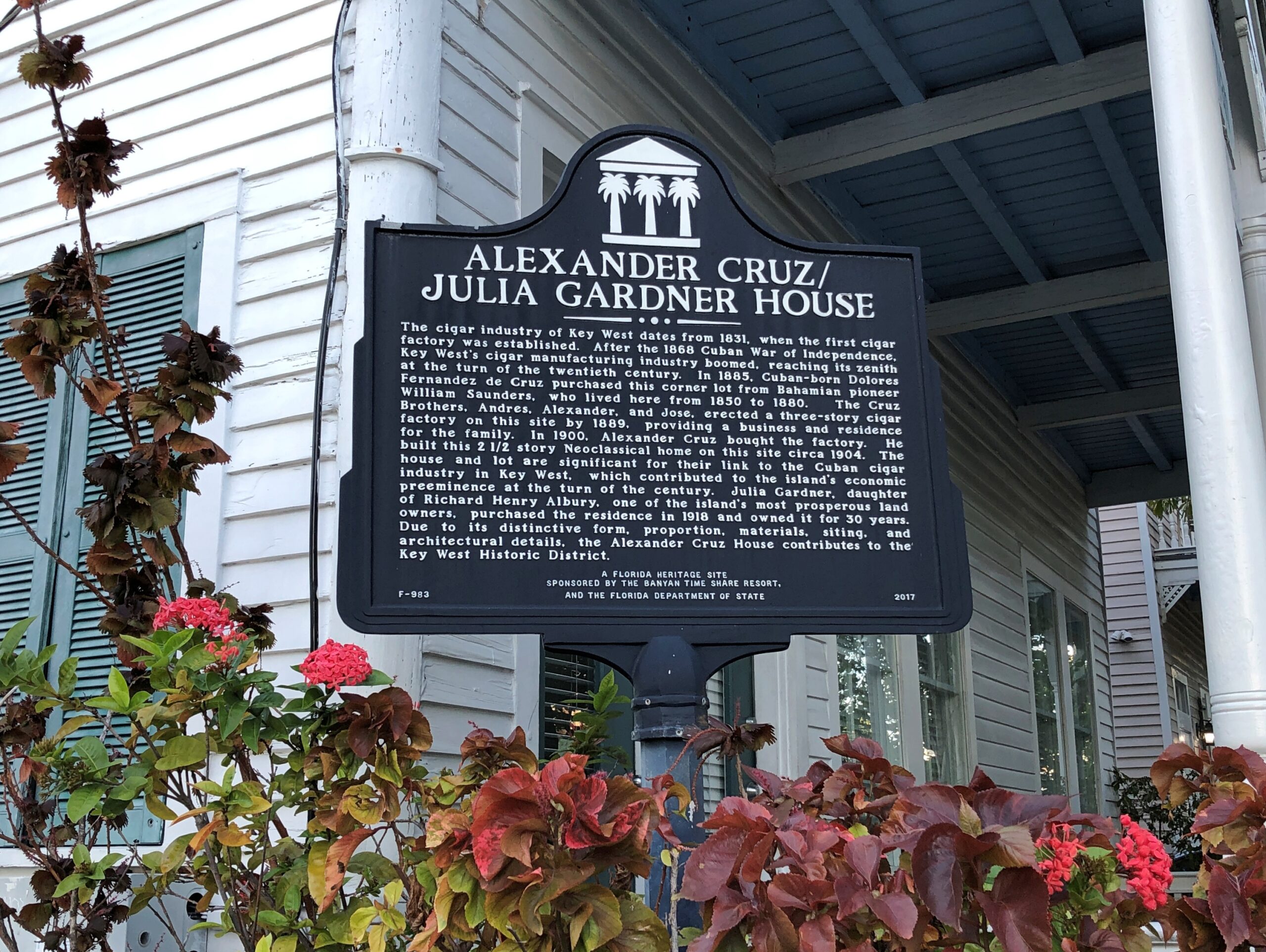
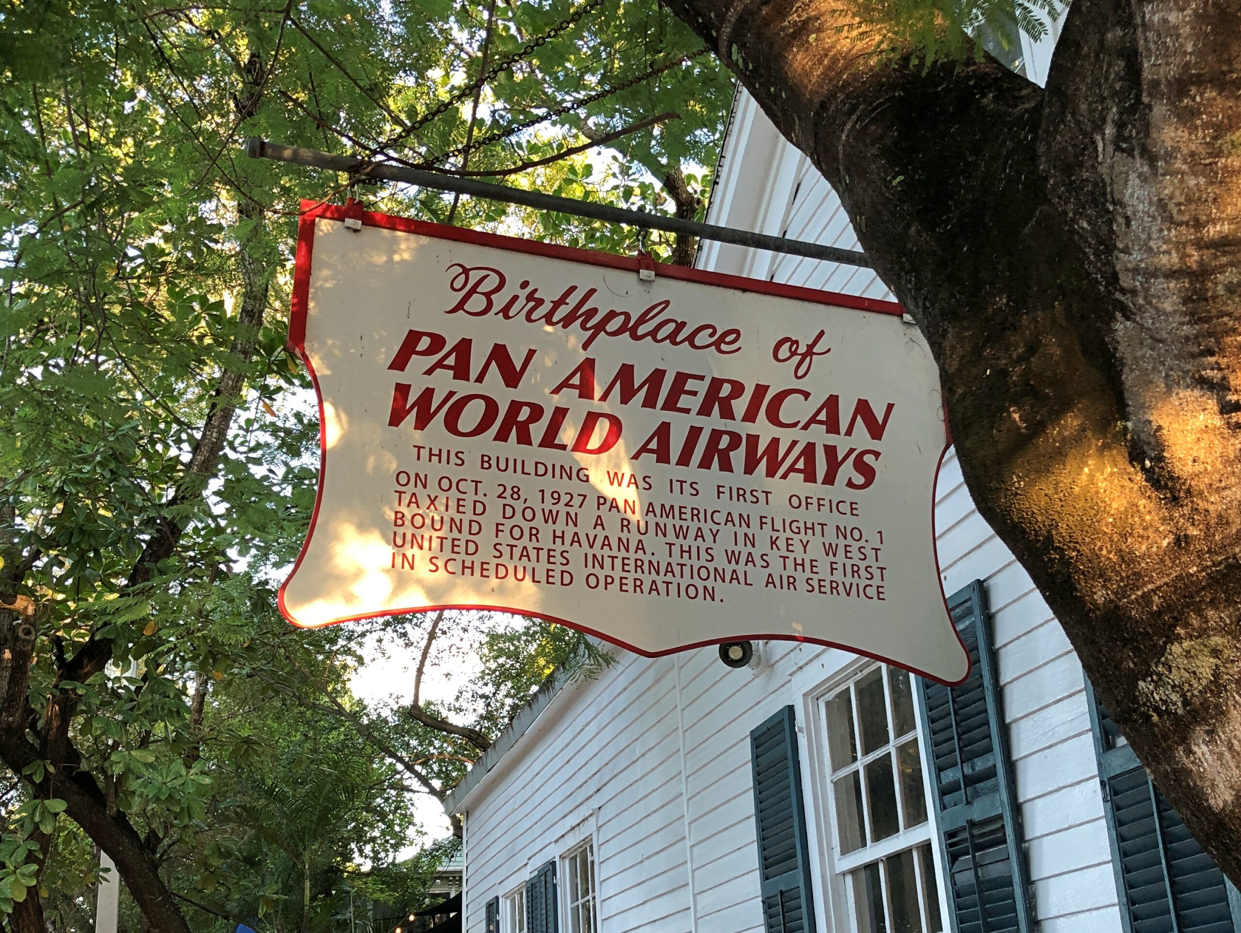
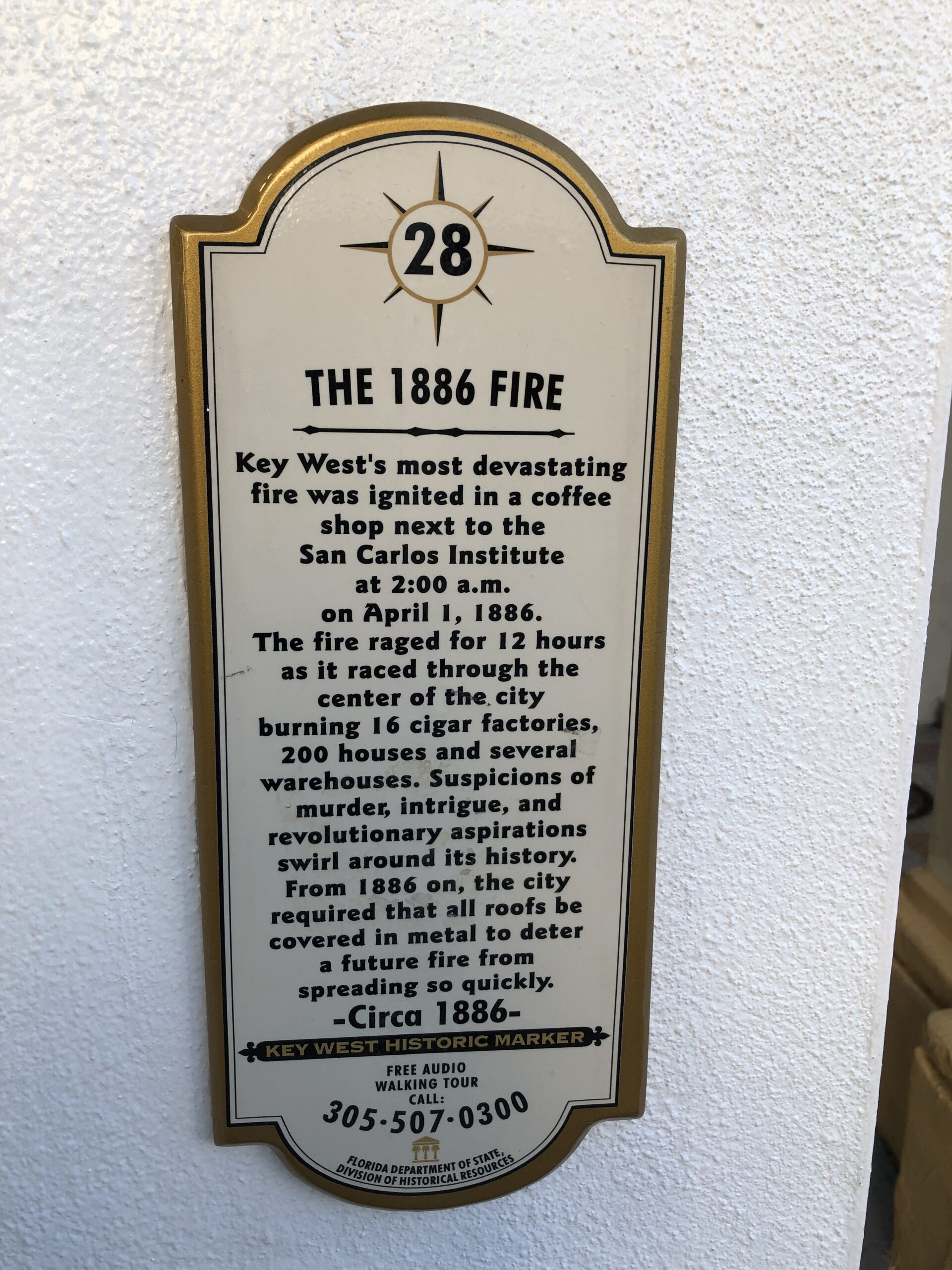
More Key West signs.
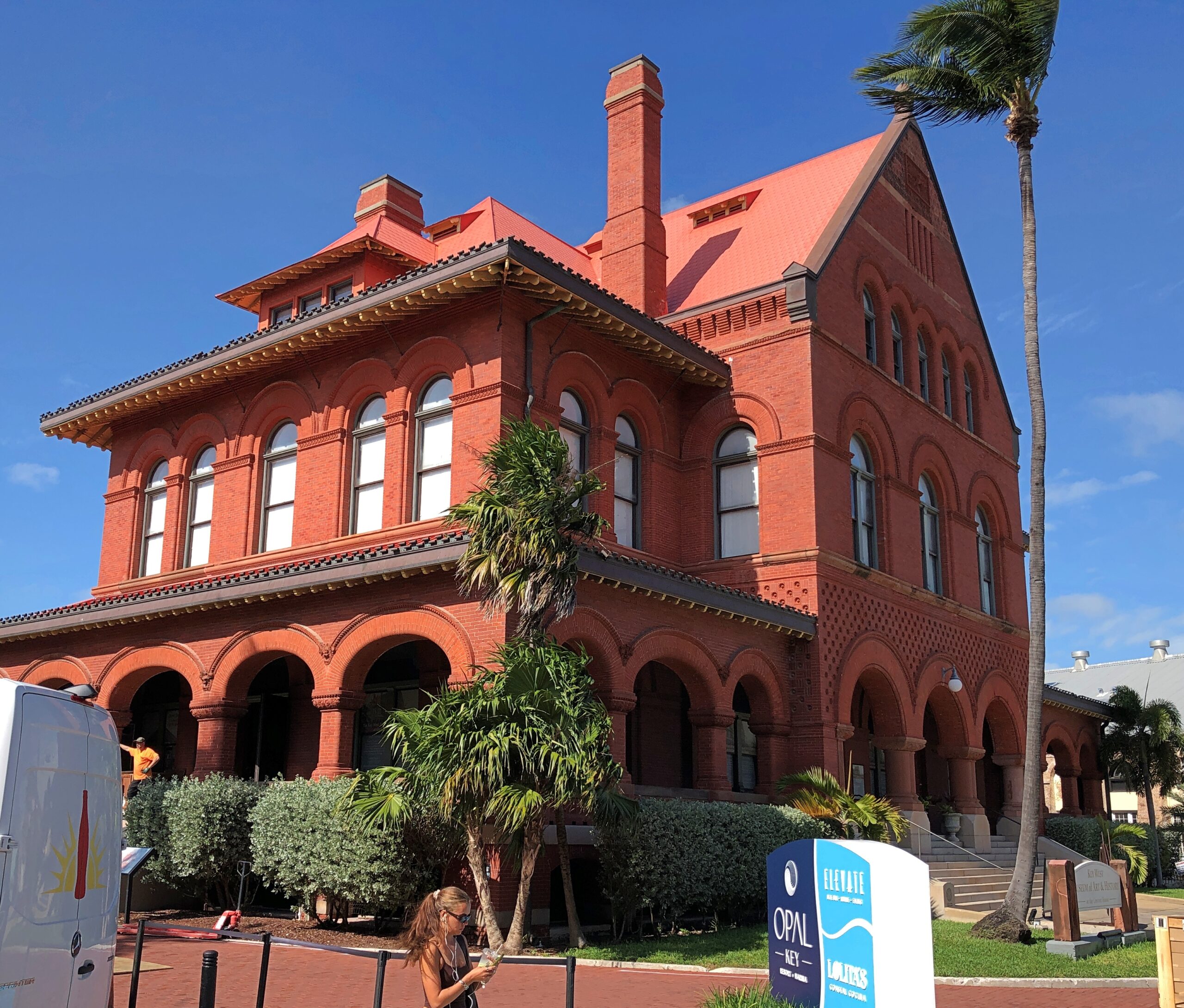
Is this not a handsome building? And looks solid enough to stand in any mere wind.
Formerly the island’s Custom House, Post Office, Federal Courthouse and 7th District Lighthouse Offices. Built – the early 1890s – when architectural beauty wasn’t considered in conflict with the practice of republican government. These days, it’s the Key West Museum of Art & History.
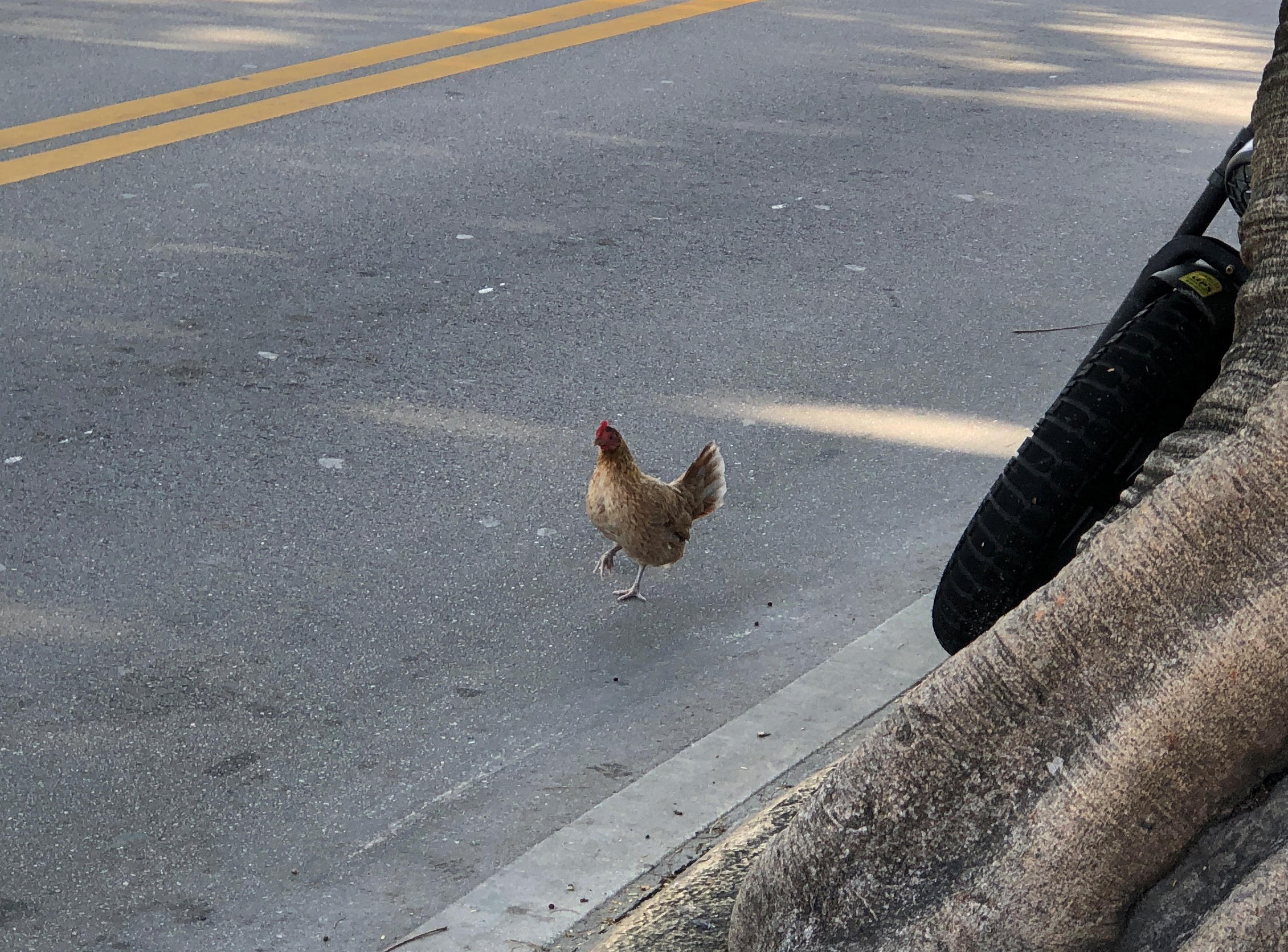
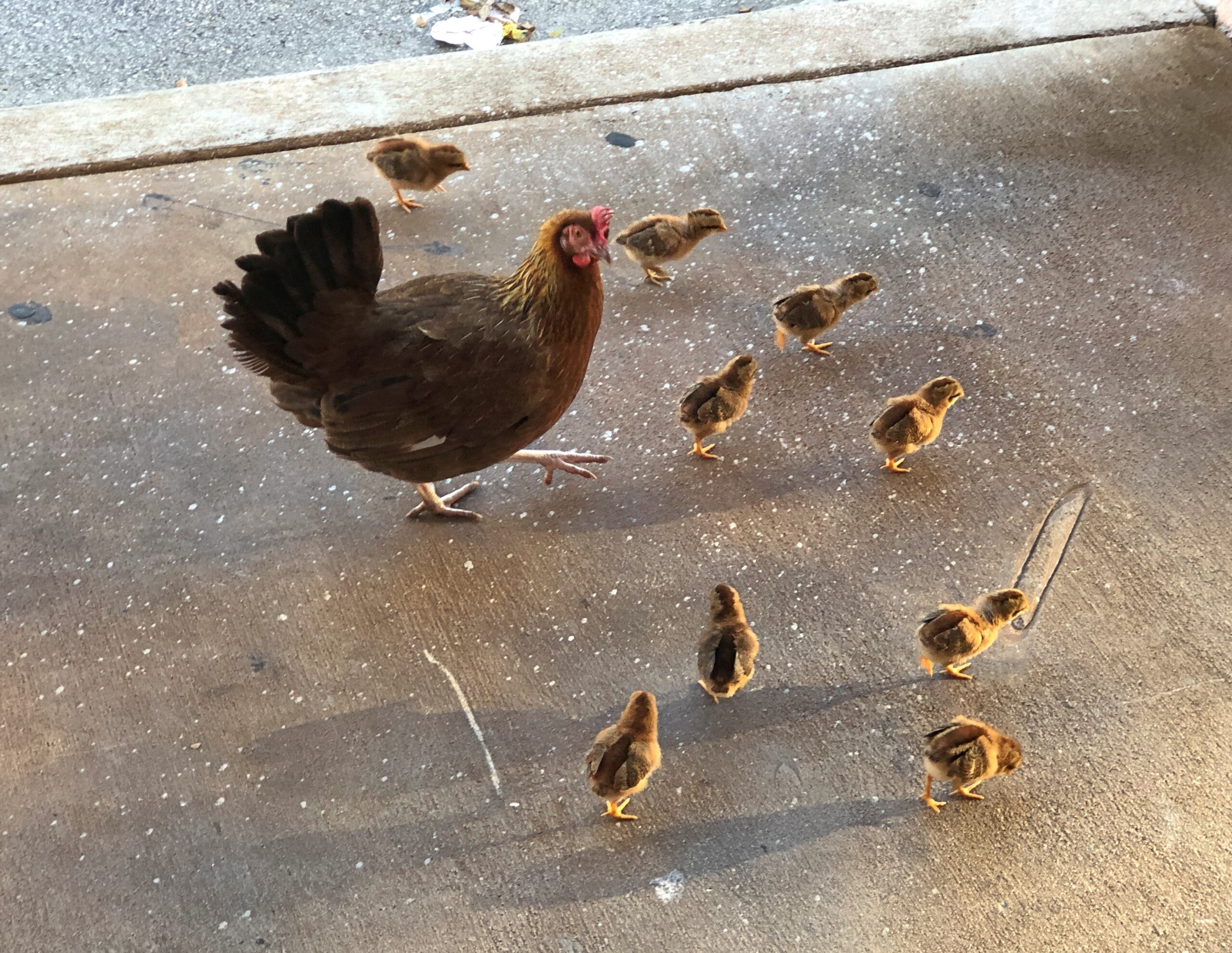
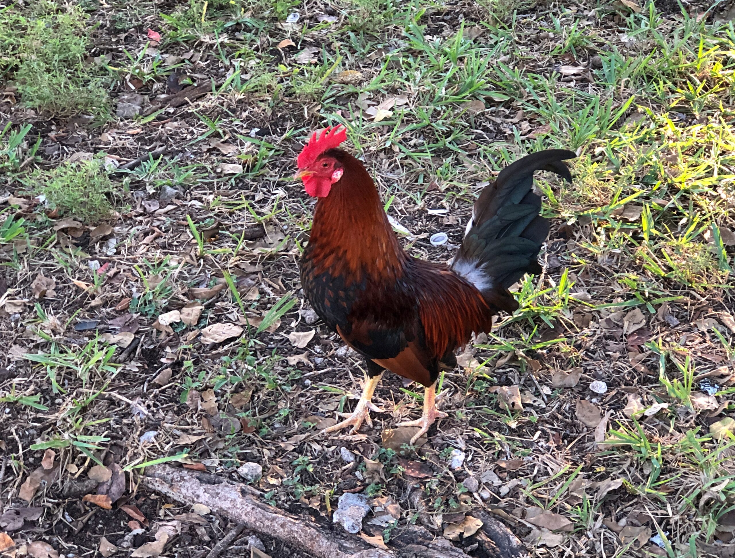
Sure, the chicken has been crossing the road for a long time now, but how often did you actually see it?
Pretty often in Key West, is the answer.
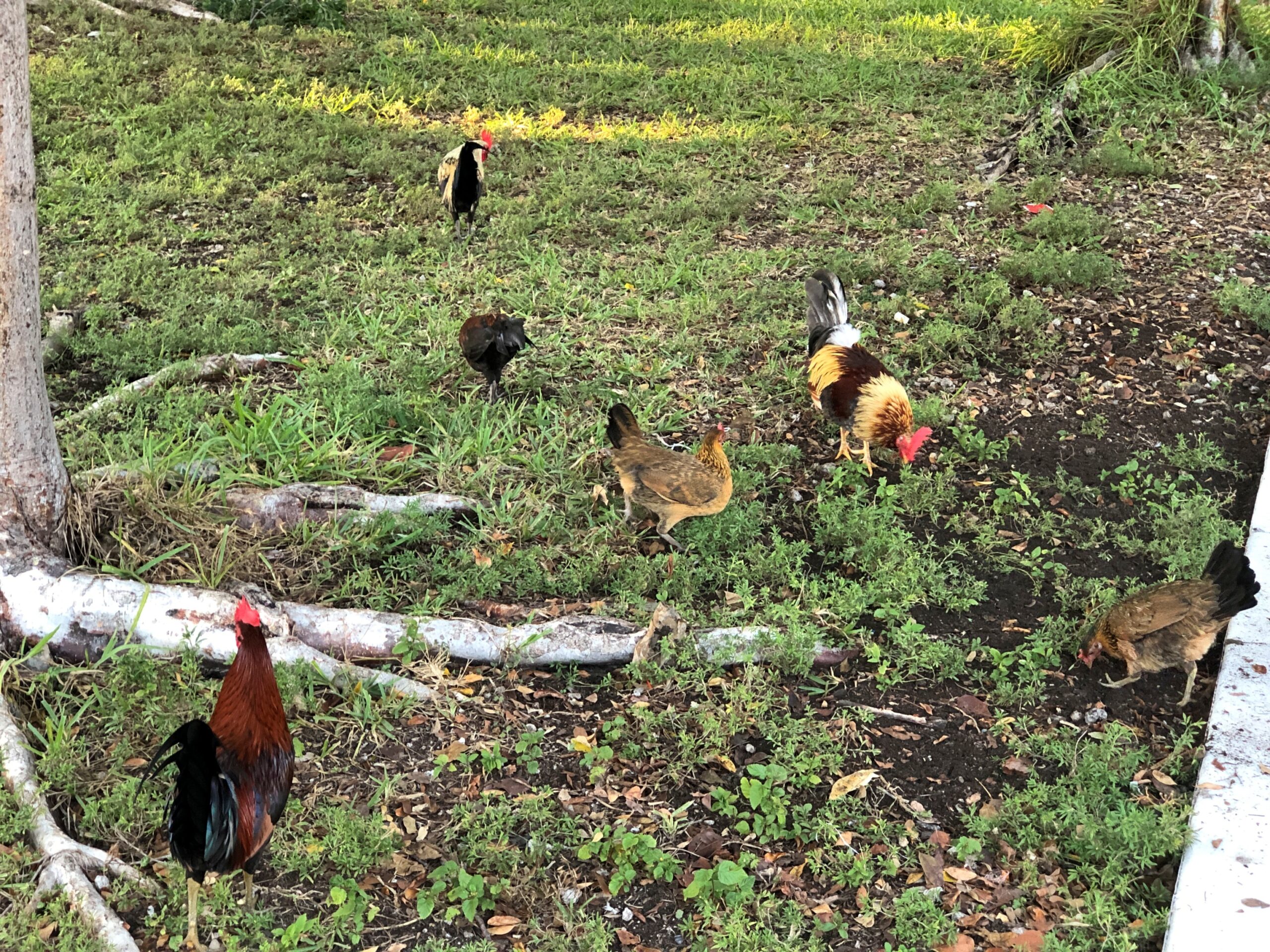
I’m hard pressed to think of any other North American town with footloose chickens. As in, on the streets and sidewalks. Not out in rural areas, but even there you don’t seem to see that many. Then again, the Conch Republic is only tangentially a North American town. North Caribbean is another way to describe it.
“When people stopped the laborious process of turning live chickens into Sunday dinner many decades ago, some backyard chickens gained their freedom,” notes Florida Rambler. “Other roosters were released when cock-fighting became illegal.”
So, for this rooster, his great- great- however many great-granddaddy was a champion cock, known to betting men from here to Savannah?
They’ve gone on to a career of being local color, these birds, with forays in behaving like pests in people’s yards. They are feral, after all, living in the lushness that is Key West. Was the chicken ever considered for the Conch Republic flag? Probably not; chickens don’t get a lot of respect from people, unless they’re dinner.
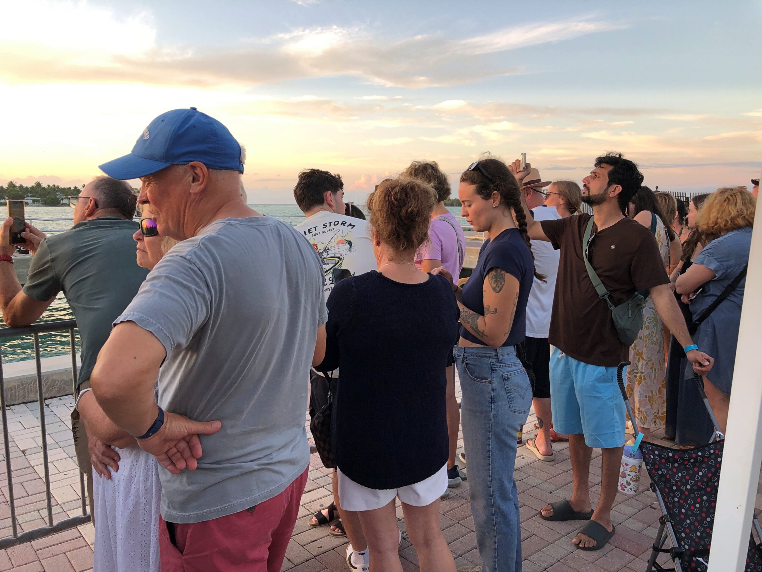
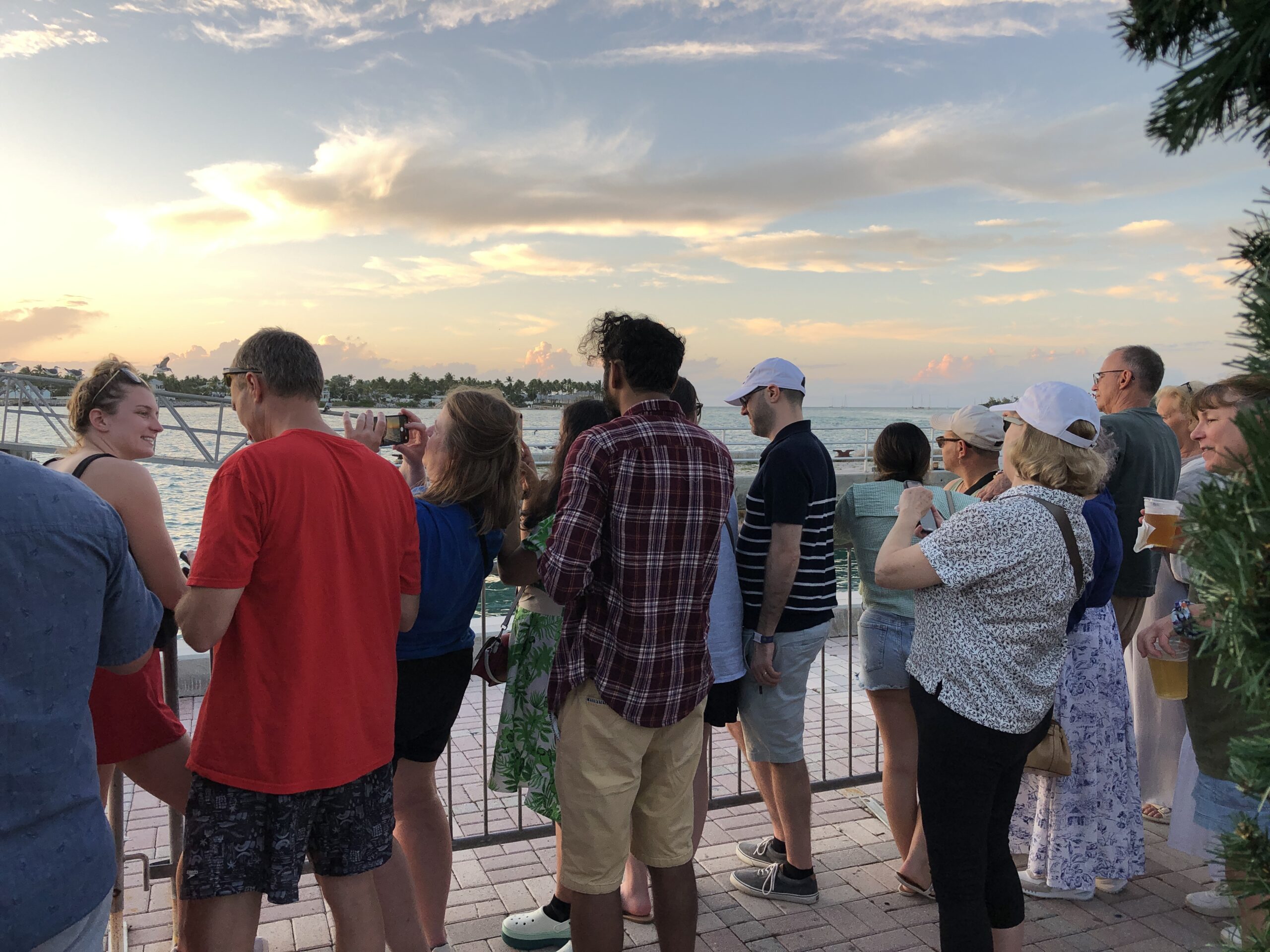
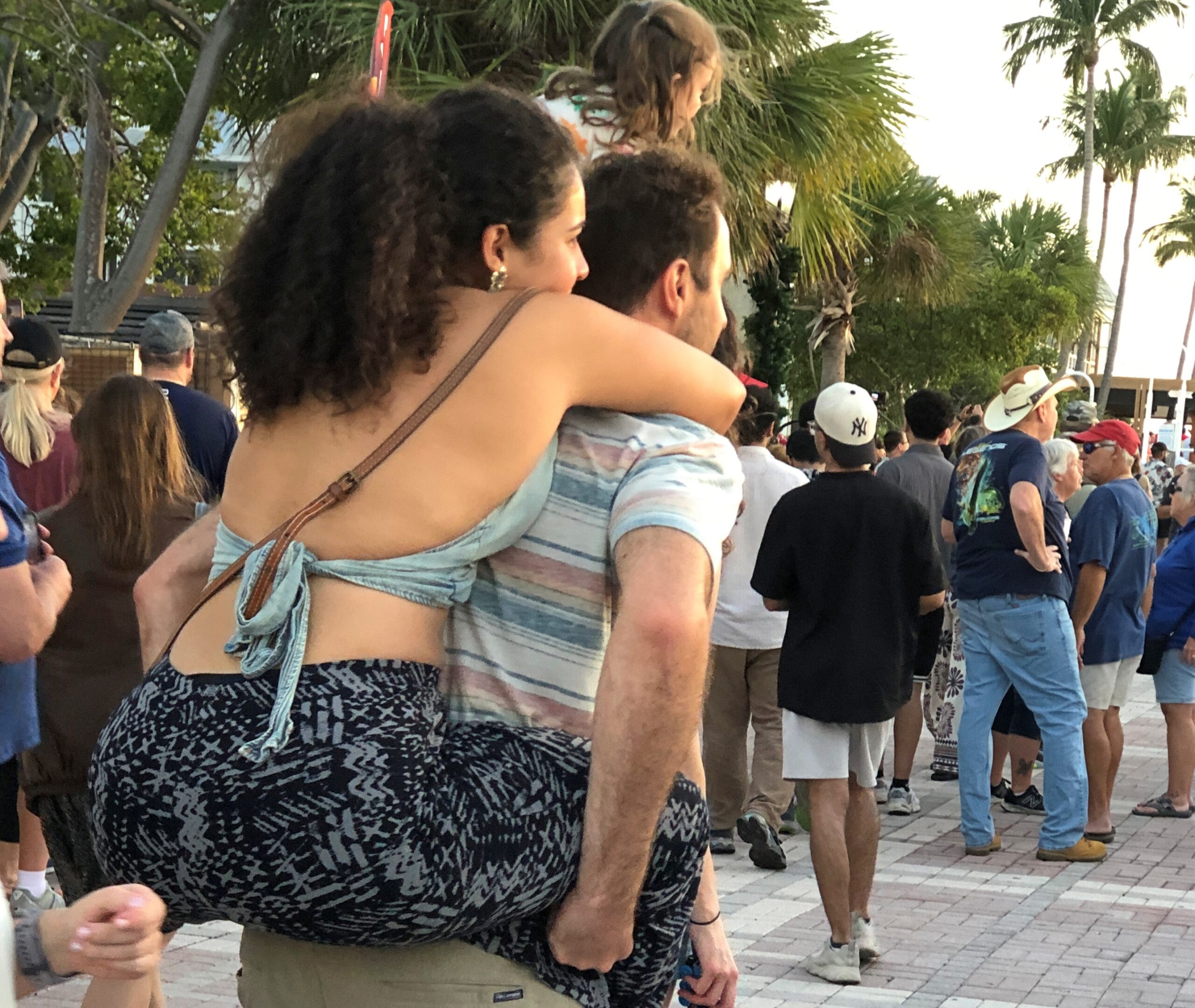
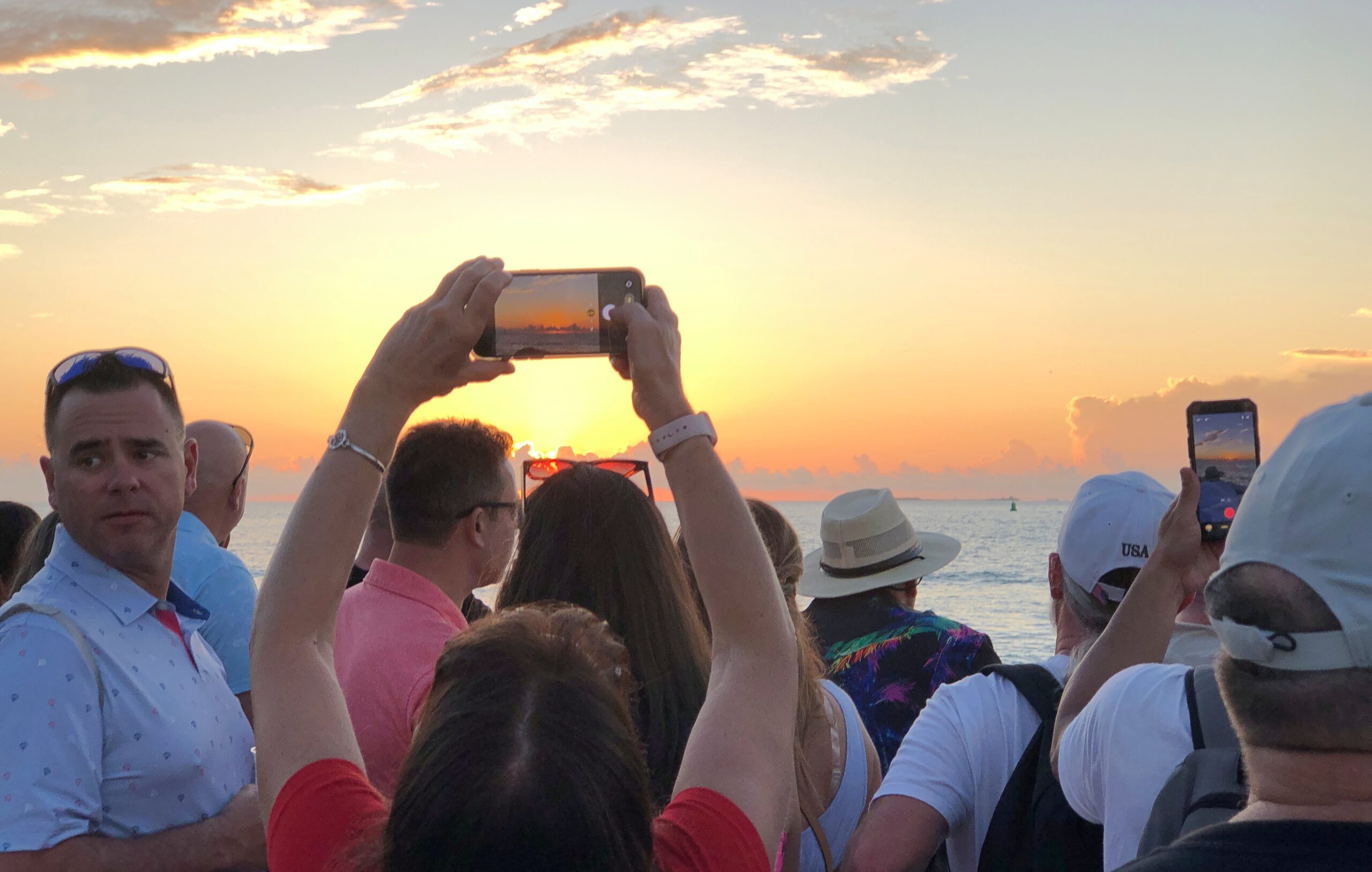
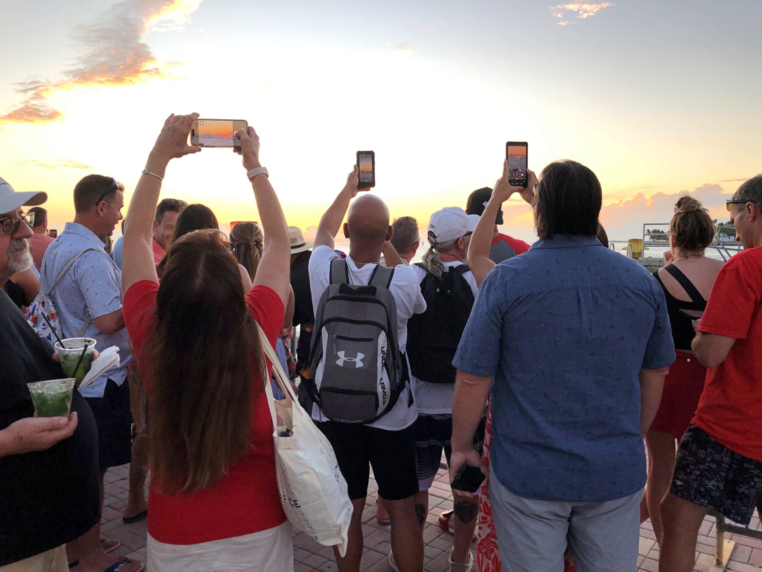
We joined the other Key West tourists, and who knows maybe a few locals, for an spontaneous sunset viewing party. I know if I lived around there, I’d be out at least occasionally, taking in something that never gets old. No organizer at all, just people collecting at the right place at the right time to see the disk of the sun transition from yellow to red and other colors, as it visibly creeps lower toward the horizon. Down the sun went, in its predictable splendor, and then — green.
I’m pretty sure what I saw was an inferior-mirage flash, to use a technical term I learned later. I checked later, finding that one characteristic of such a flash is an oval of light lasting no more than 2 seconds (I’d say it was no more than a single second, if that). They tend to happen when the surface is warmer than overlaying air, and close to sea level.
All that fits for the green flash — a variety of green intense and completely new to me — as the sun set our first day in Key West. The flash came exactly as the top edge of the disk of the sun dipped below the horizon. You have to, I believe, be looking straight at the exact right place at exactly the right moment to see it, as I was, by pure accident. I’d heard about green flashes for a long time, but I’d never seen one. A really long time: I remember them being mentioned during a planetarium show in San Antonio as a kid in the early ’70s.
We hadn’t come to Mallory Square to see a green flash or any other meteorological optical phenomena. We hadn’t even come to see the sun go down. We just happened to arrive at Mallory, a large public plaza near the north end of Duval St. and right at the water’s edge, just at the right time, after gadding about that part of Key West.
It’s a mildly festive place around sunset. Also, people are waiting. The sun was not to be hurried.
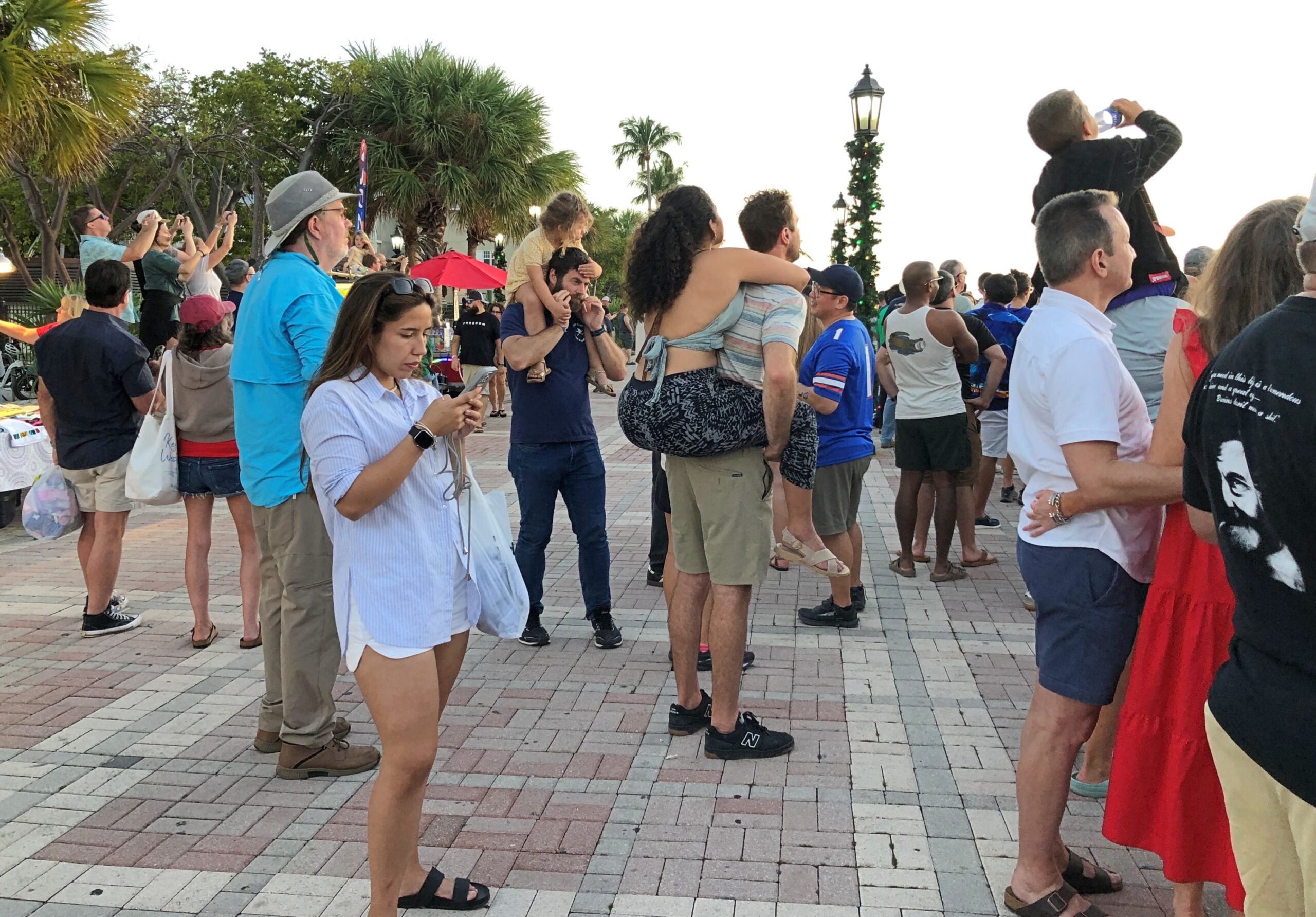
Lots of people around, not an overwhelming crowd, more of a happy milling of vacation-goers.
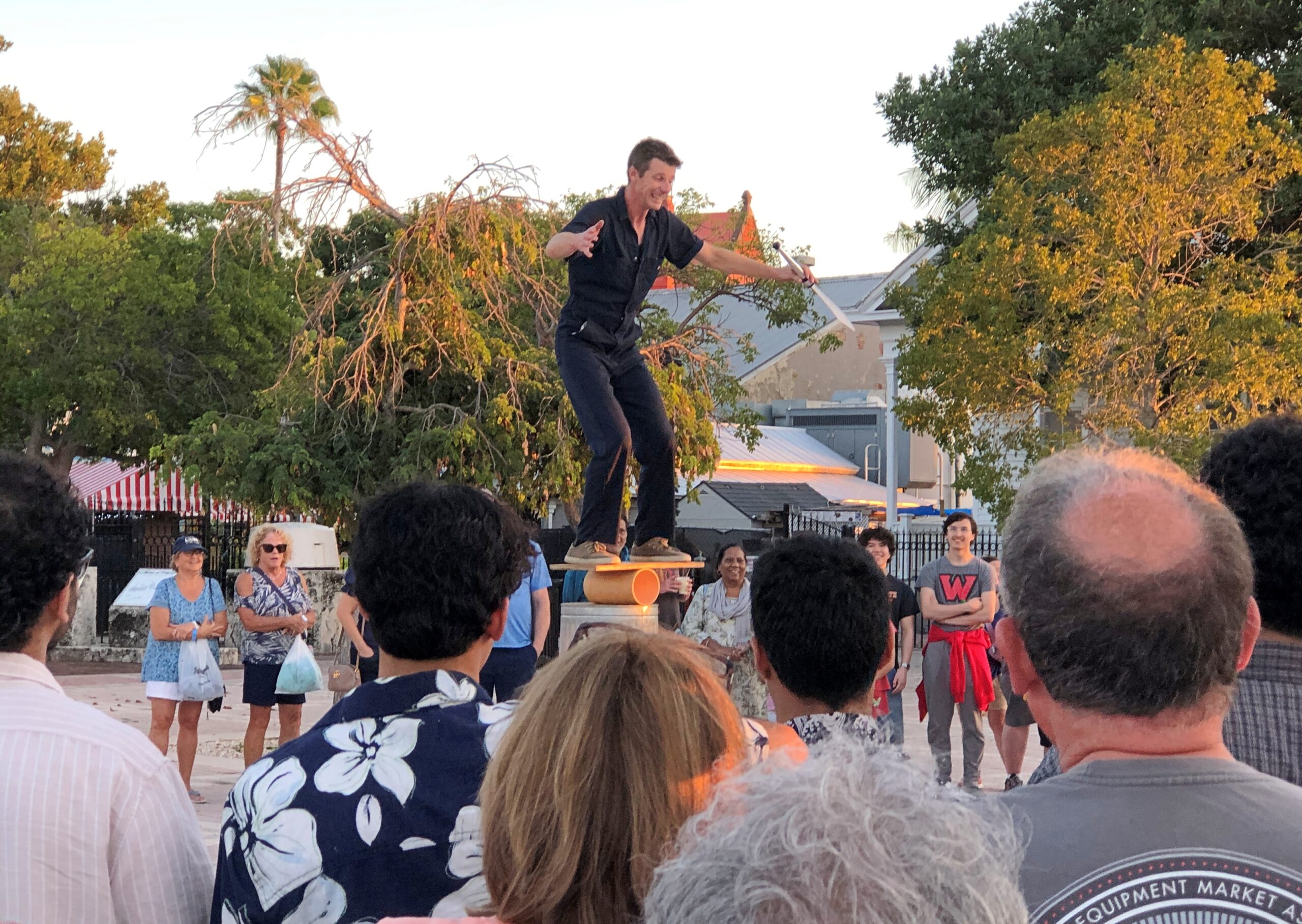
Live entertainment was on hand.
The star attraction, however – make that the solar attraction – was the sunset. Mallory Square has a fine view of the westward horizon, where sea and sky come together like a hazy kiss out on the ocean.
So now I’ve seen a green flash. A total solar eclipse (two, actually), lunar eclipses, the transit of Venus, double rainbows, ground-to-sky lightning, sun- and moondogs, meteors, planets through telescopes including the moons of Jupiter and Saturn, the impressive whisp of the Milky Way in a dark sky, the Southern Cross and the Magellanic Clouds – add a green flash to the list.
But what other cool things to see in the sky that so far have eluded me? The aurora, for one. Aurora borealis would be great, and certainly more doable than aurora australis, but wouldn’t seeing the Southern Lights be a kick? I think I first learned about it in a Carl Barks Scrooge McDuck comic, and never forgot.