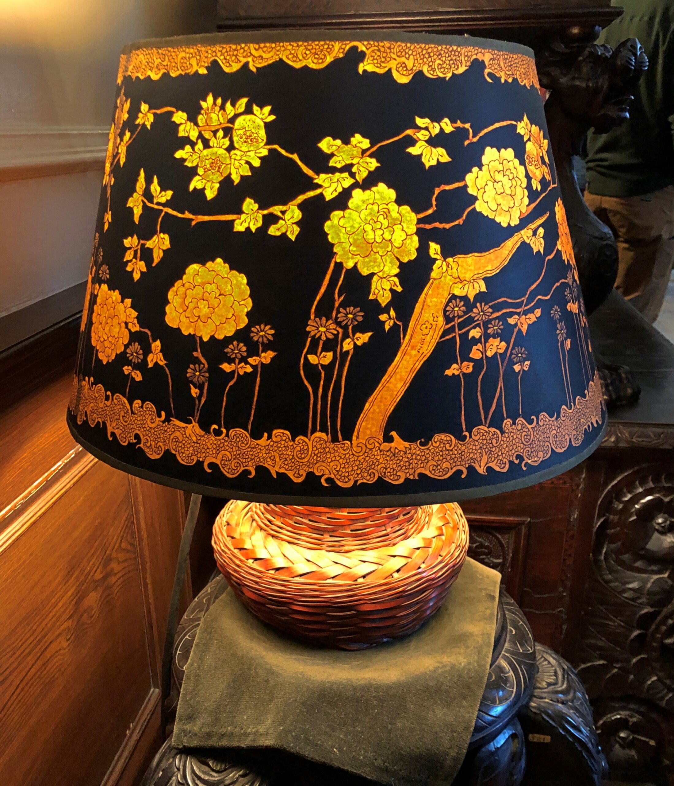
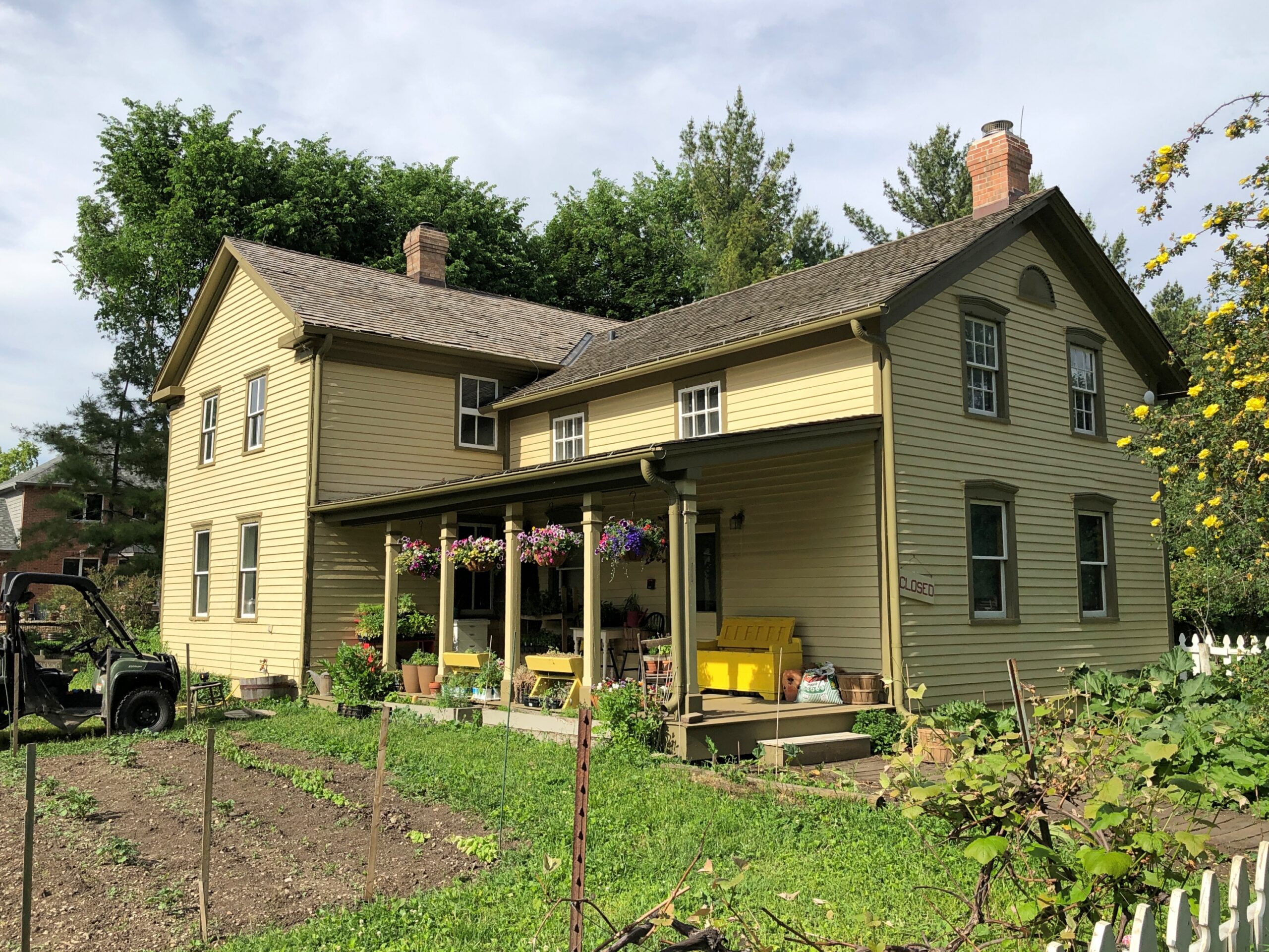
My backyard is as cluttered as my house, at least in summer, but with a living profusion of grass and leaves and insects and birds and small mammals, instead of papers, books, clothes, furniture, nicknacks, etc., etc. – inanimate all, so the comparison mostly fails. Still, profusion is the thing.
Outside, flower buds taking turns according to however it is that flowers “know” when to bloom. At the moment, coneflowers are opening.
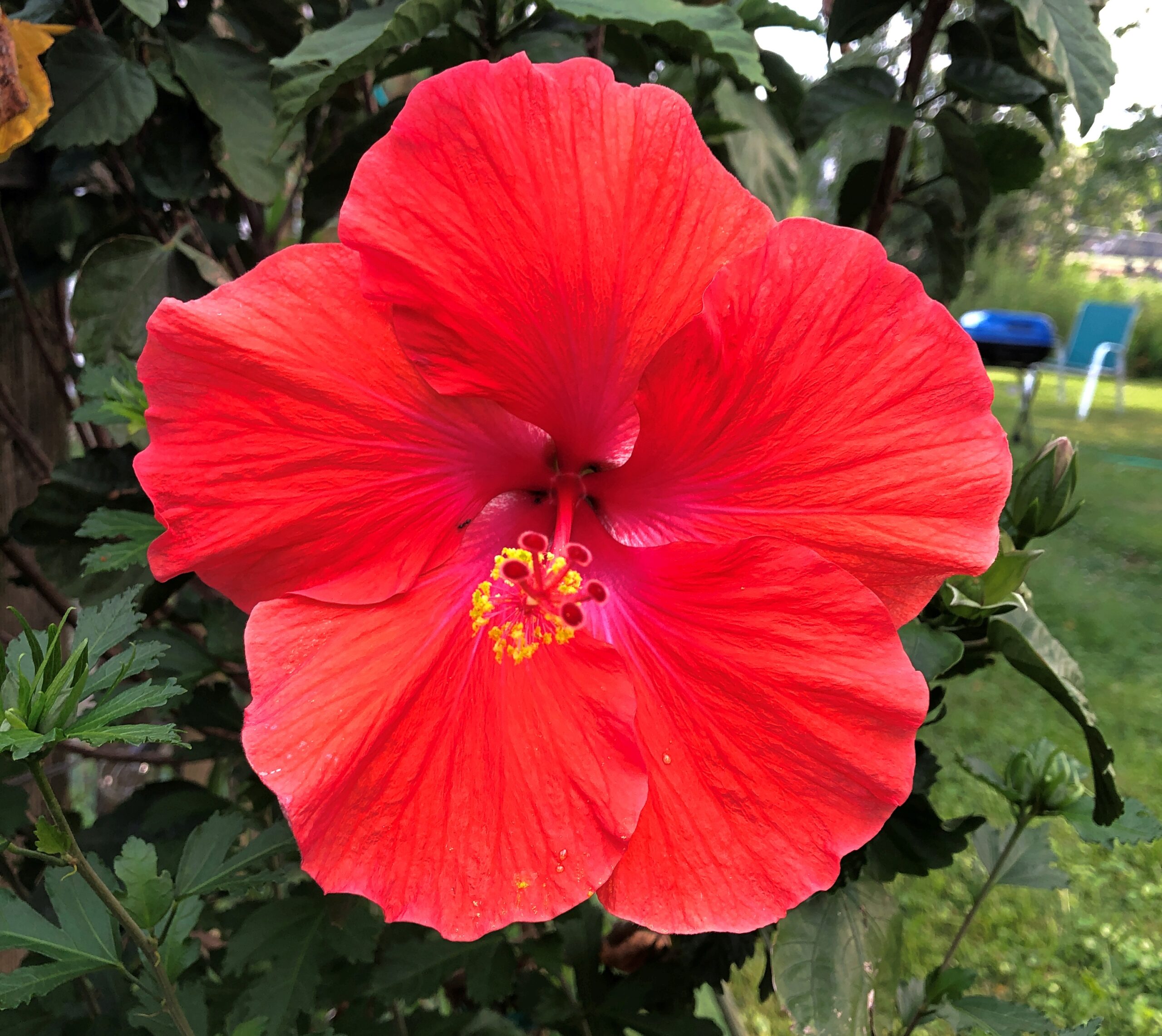
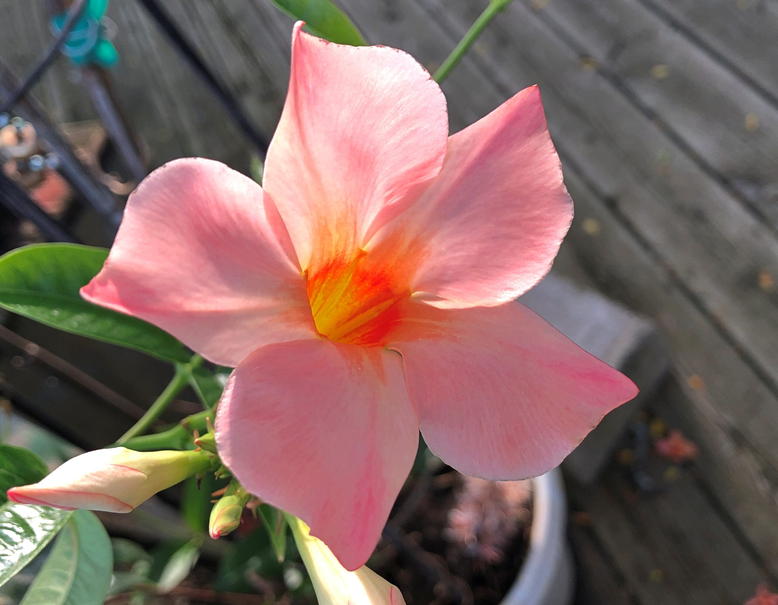
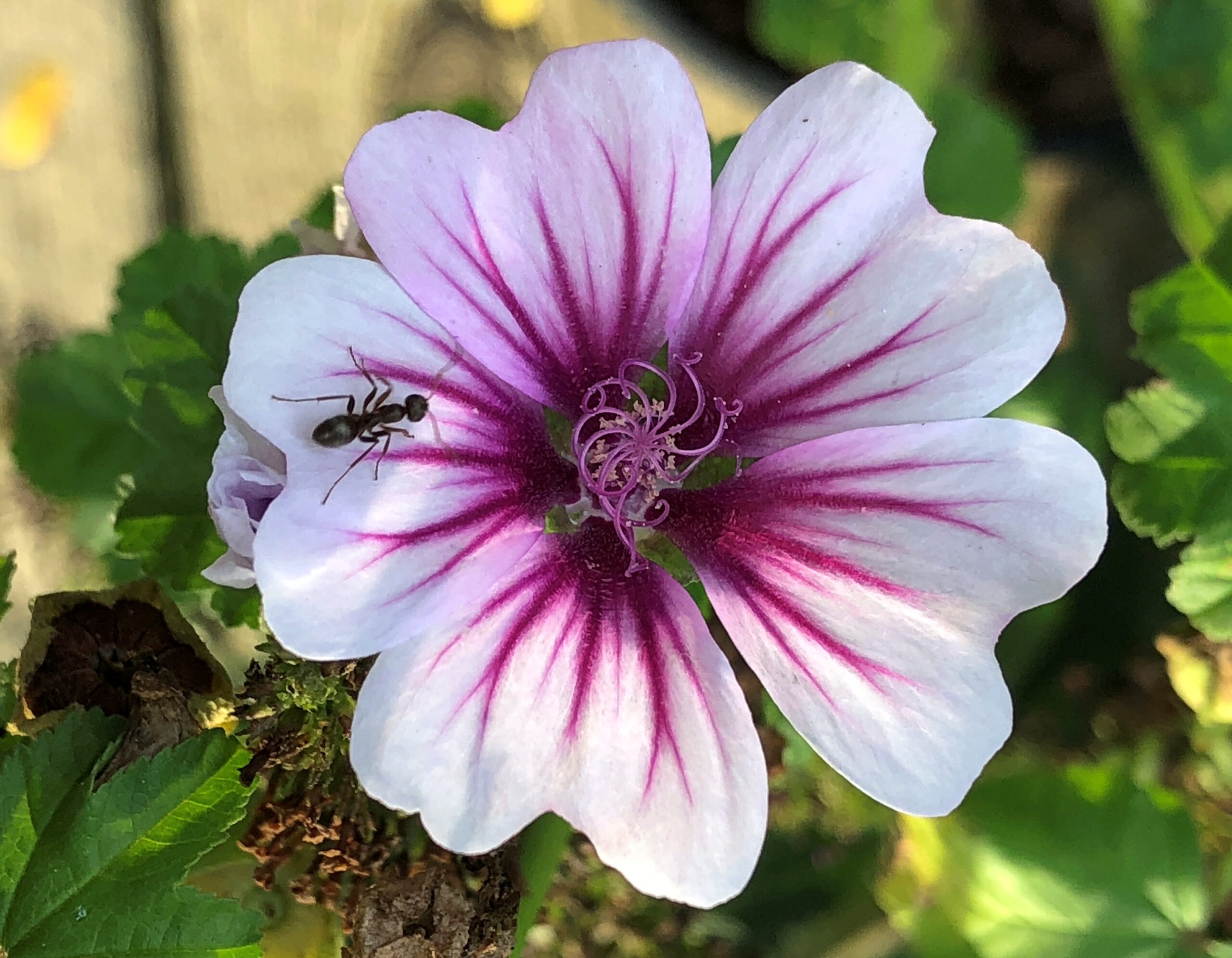
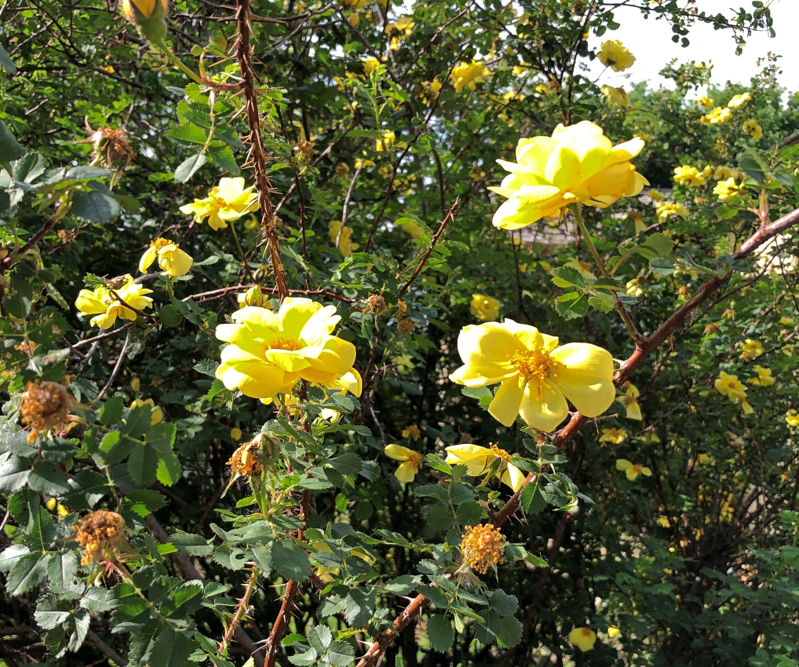
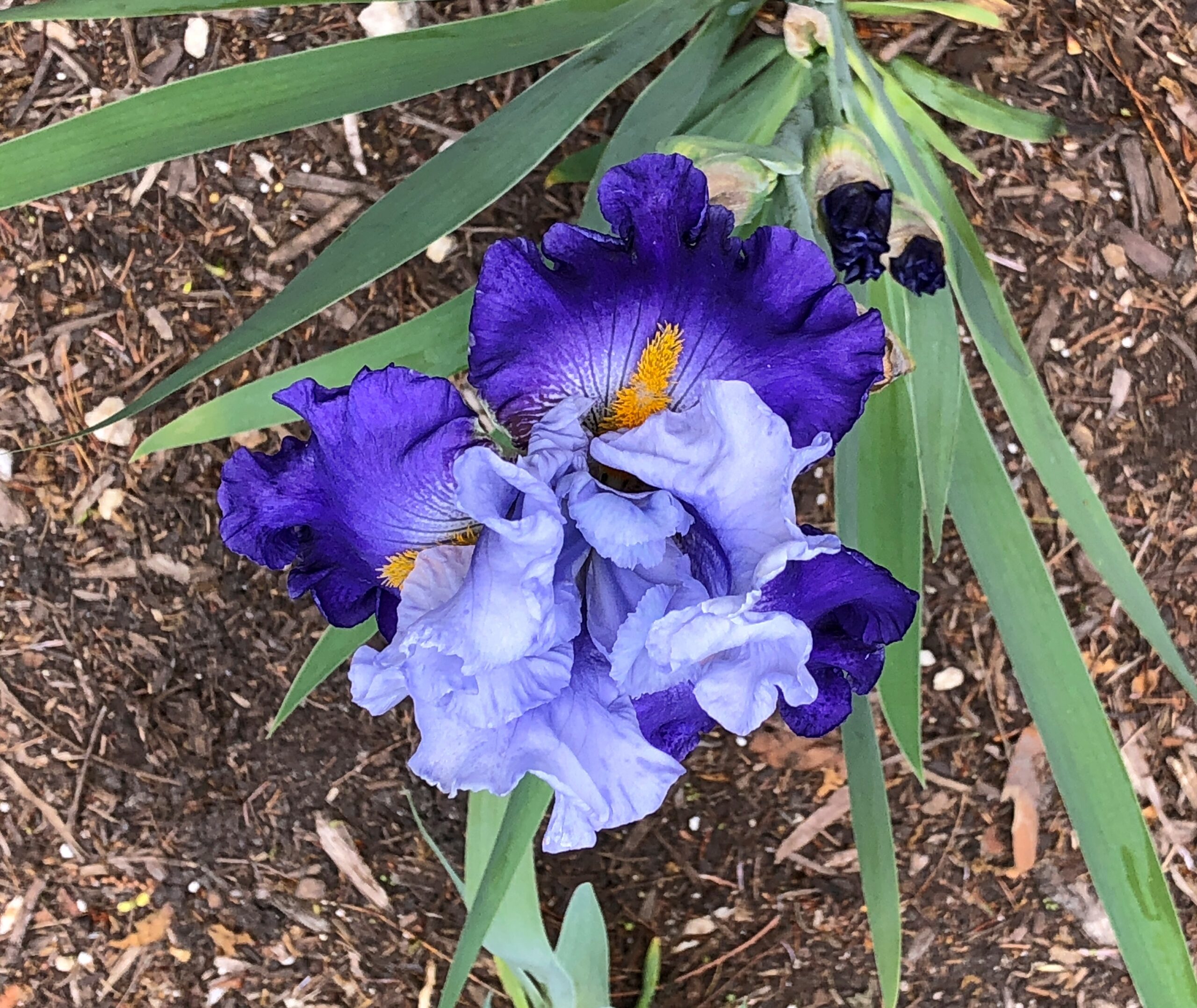
I was inspired to spend a little while this afternoon documenting other parts of the profusion. An exultation of color, this time of year.
Animals are out and about. Such as the ants that are vying to rule the world.
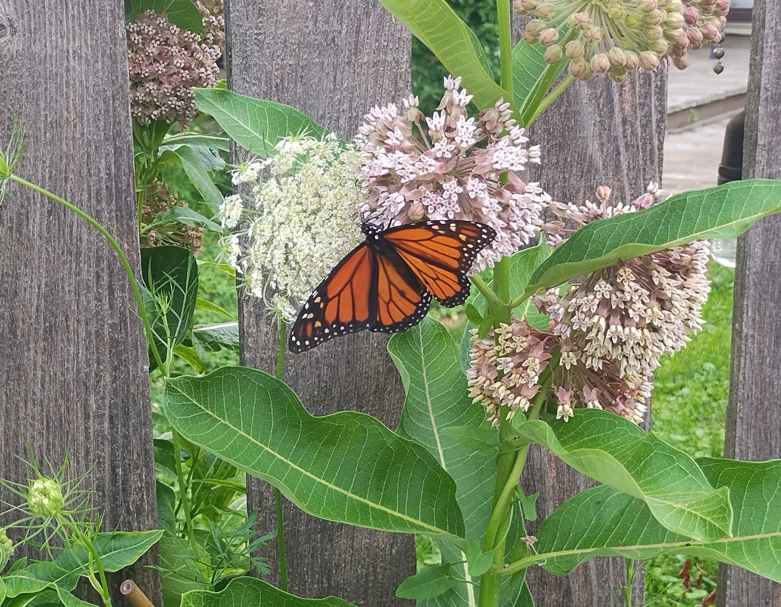
And monarch butterflies going about their business.
The odd thing isn’t that I saw one today, but that it was still long enough for me to successfully fiddle with my camera and take the shot.
The run of days from Juneteenth to July 4 at least, and even better to Nunavut Day (July 9), would be a fine time to slow down, like between Christmas and New Year’s Day, only warmer and without the mad runup to December 25. Back to posting around July 6.
Thousands of impressions flitter by on the road, most instantly forgotten when literally on the road – driving, you need to be in the moment, or else – or quickly forgotten, when “on the road” means you’re out and about somewhere that isn’t home. Still, a handful of details stick, even without photos. But photos help.
Maine
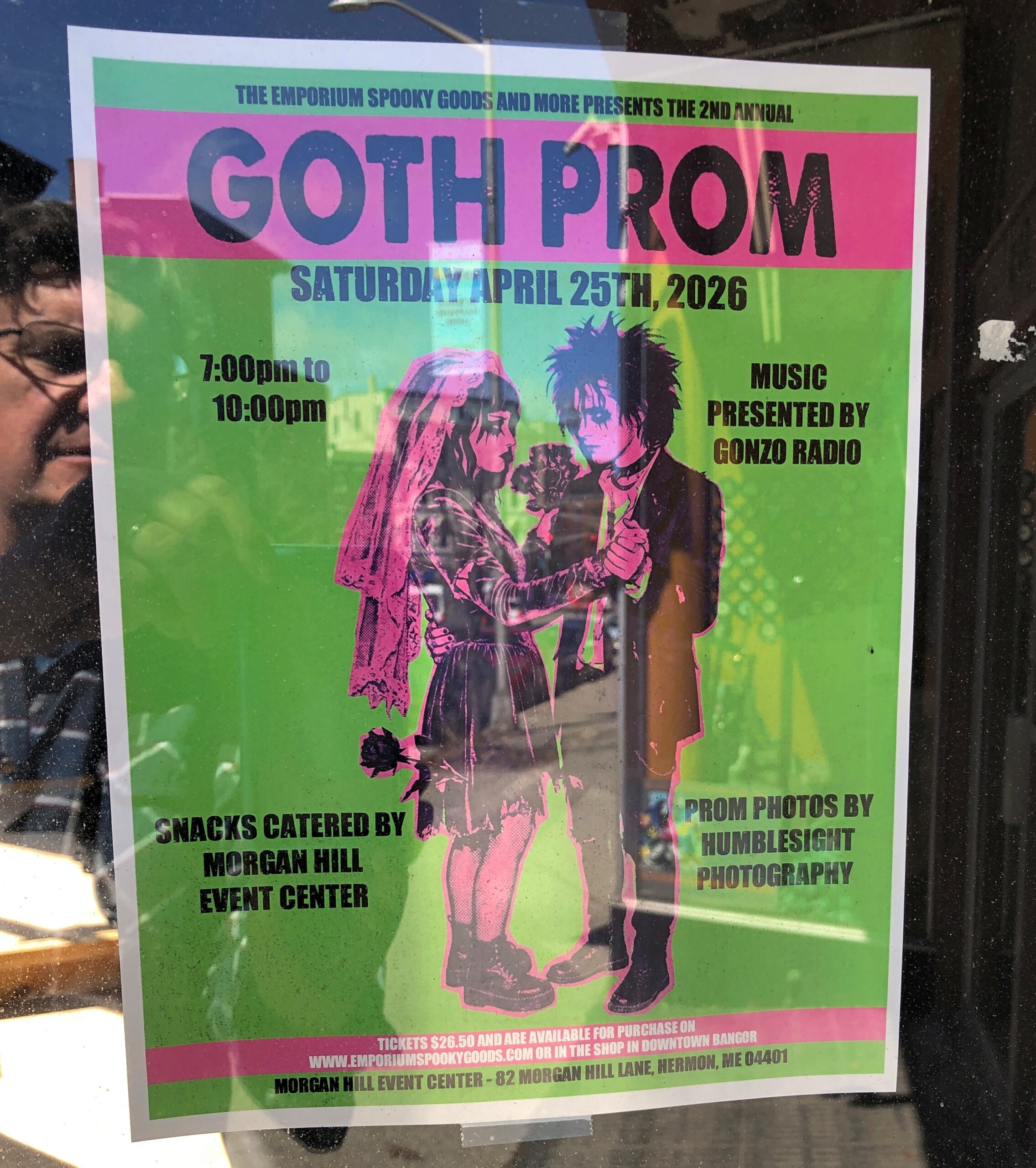
I call it “Self-portrait with Goth Prom.” Poster spotted in downtown Bangor.
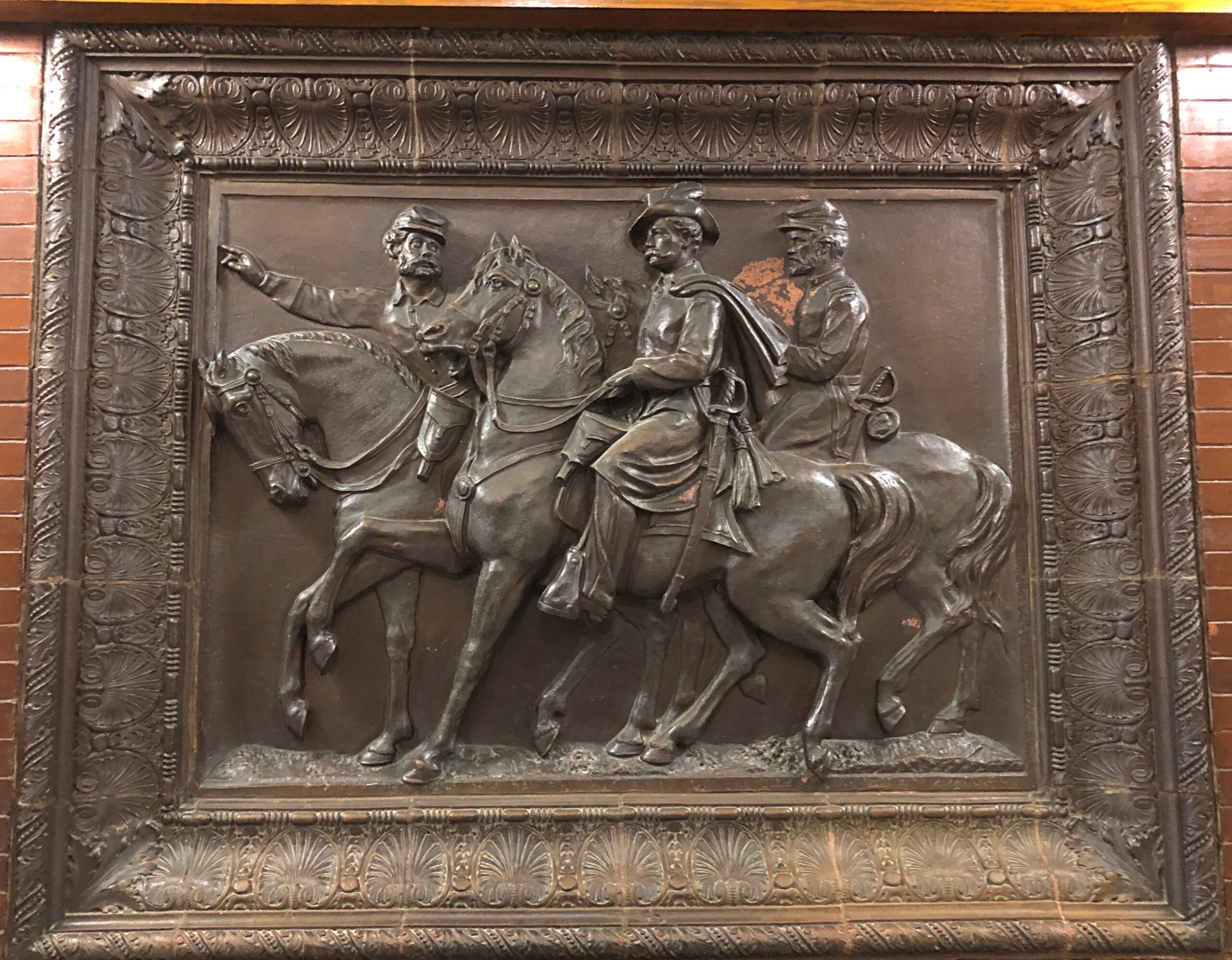
In the Maine Statehouse, a flat-ish object of a different kind.
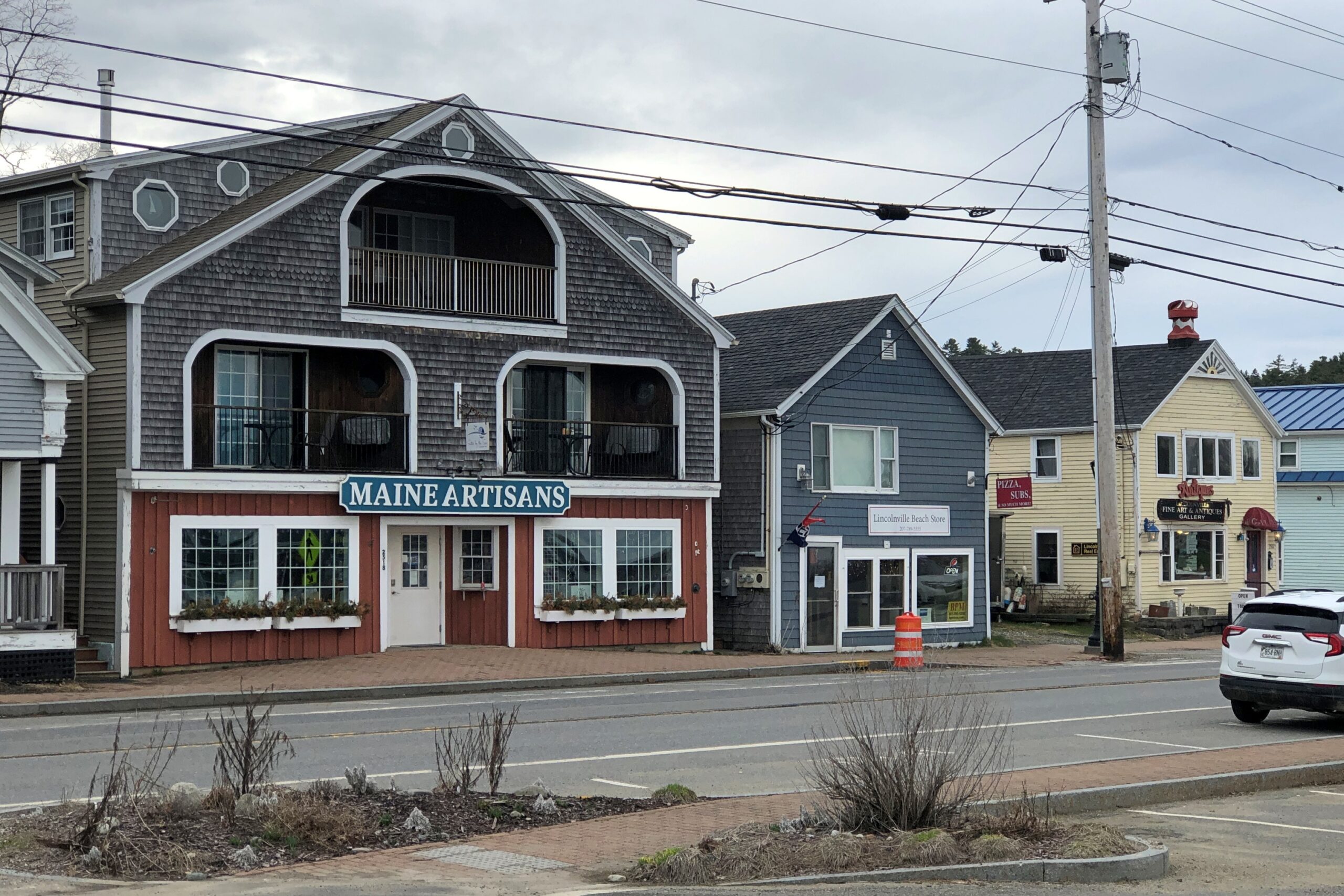
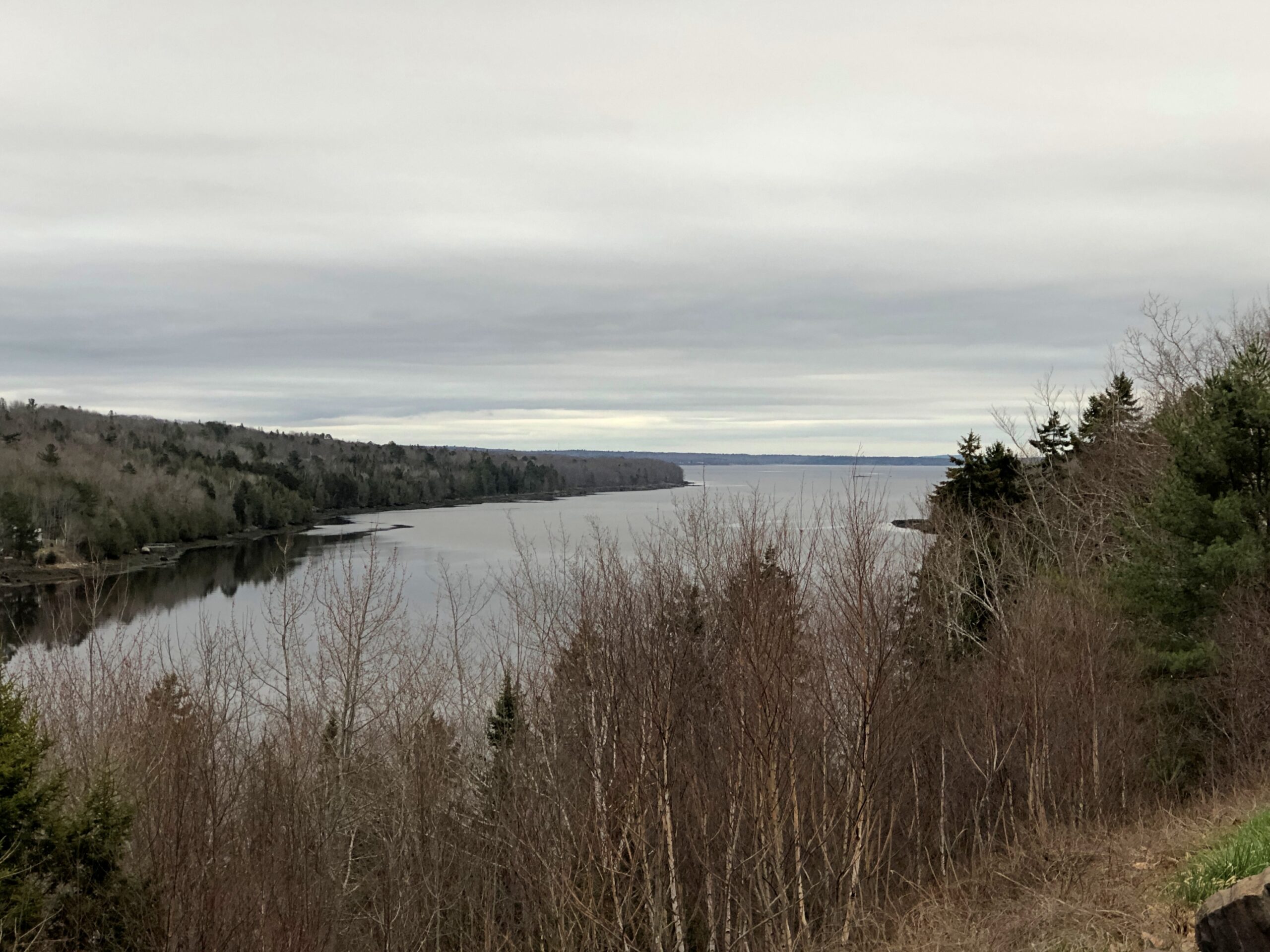
Lincolnville, on the coast of not far from Belfast.
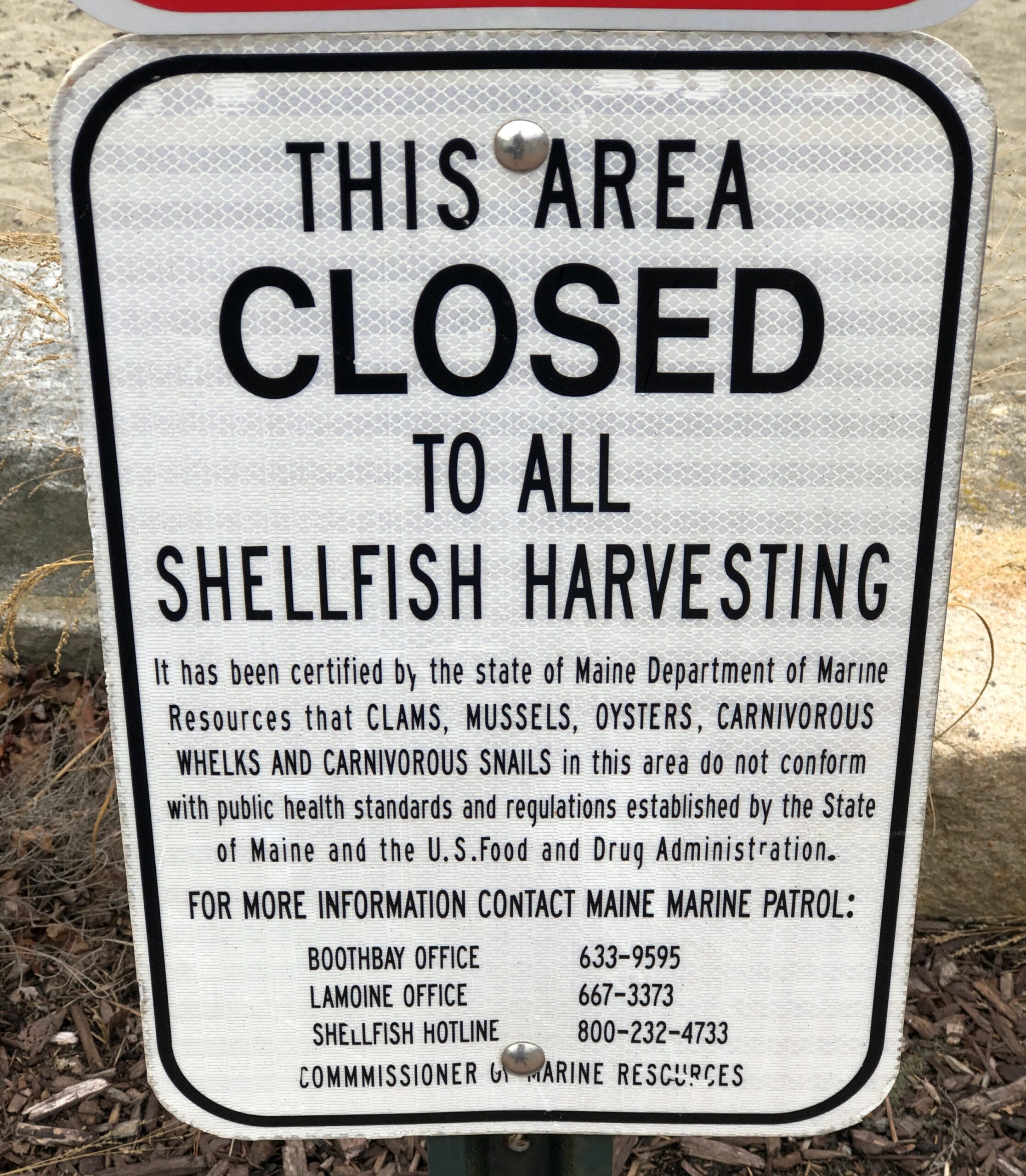
Carnivorous whelks. I was frankly ignorant about carnivorous whelks, and glad to learn a little about them. Because what a great name for a snail.
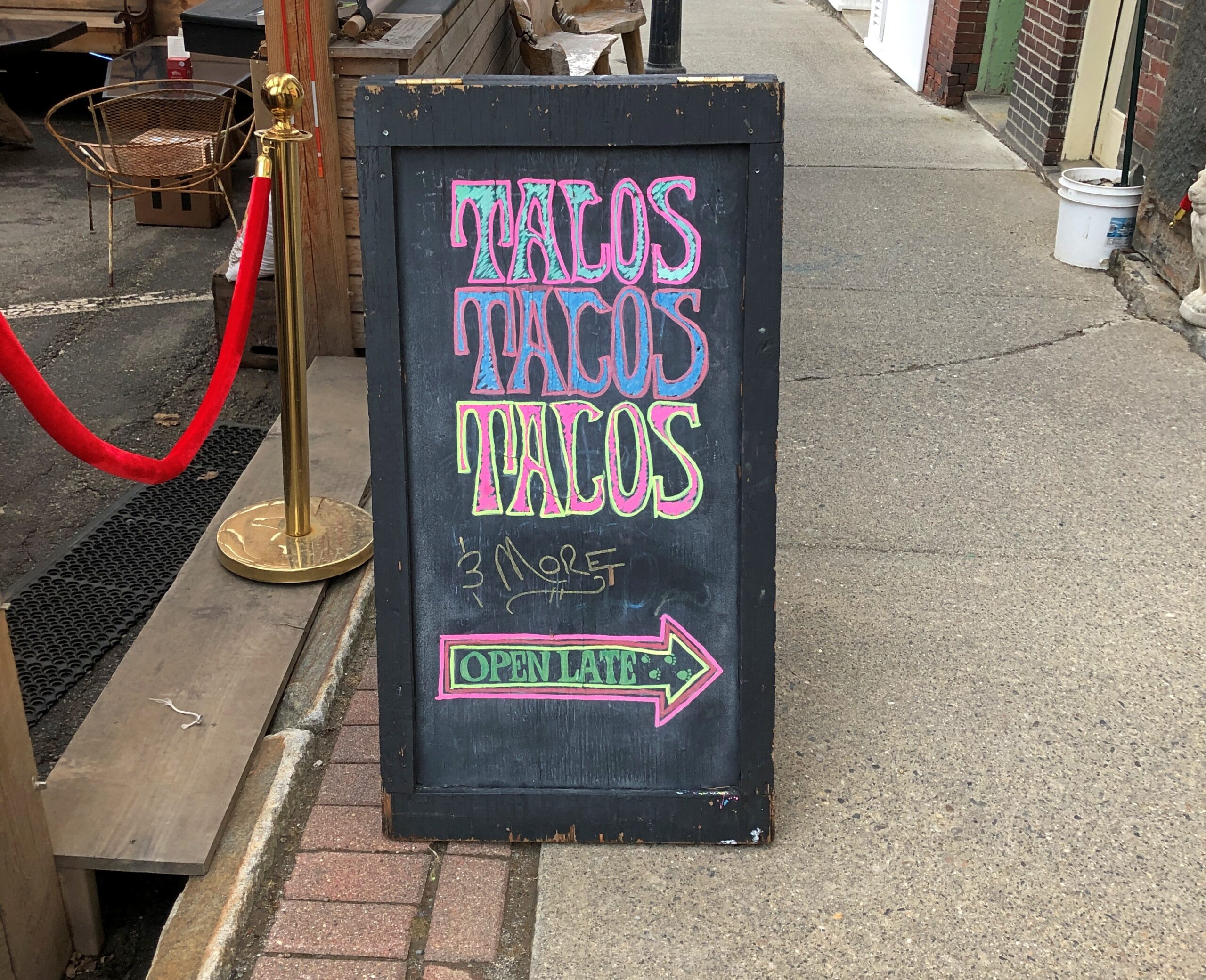
Too bad I wasn’t hungry in Belfast. I’d have had tacos.
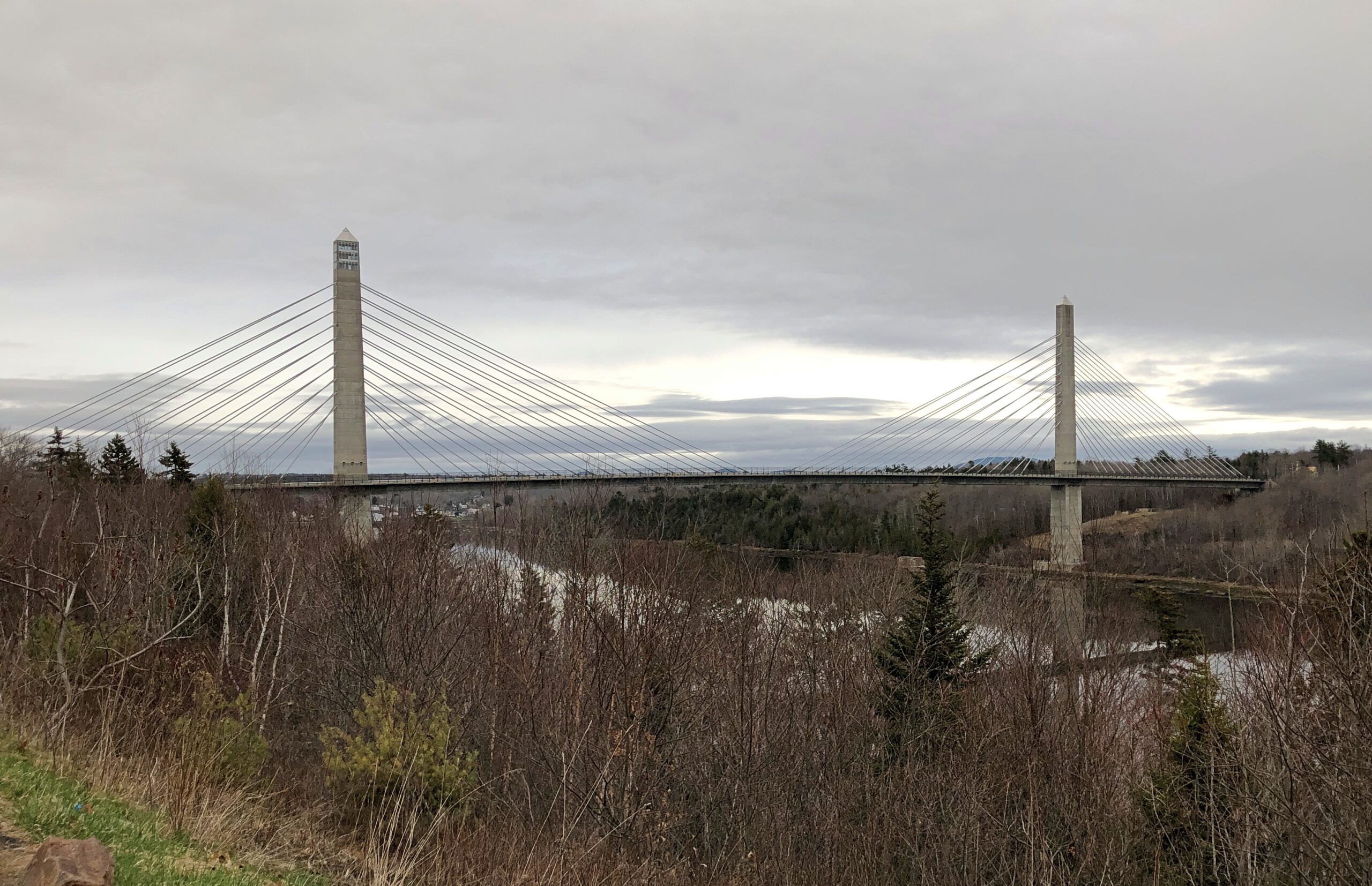
The Penobscot River and the Penobscot Narrows Bridge. A literal and scenic highpoint on that part of US 1 as it winds through near-coastal Maine. The bridge includes an observatory, unfortunately not open in April. Driving over the bridge itself was another pleasure of coastal Maine.
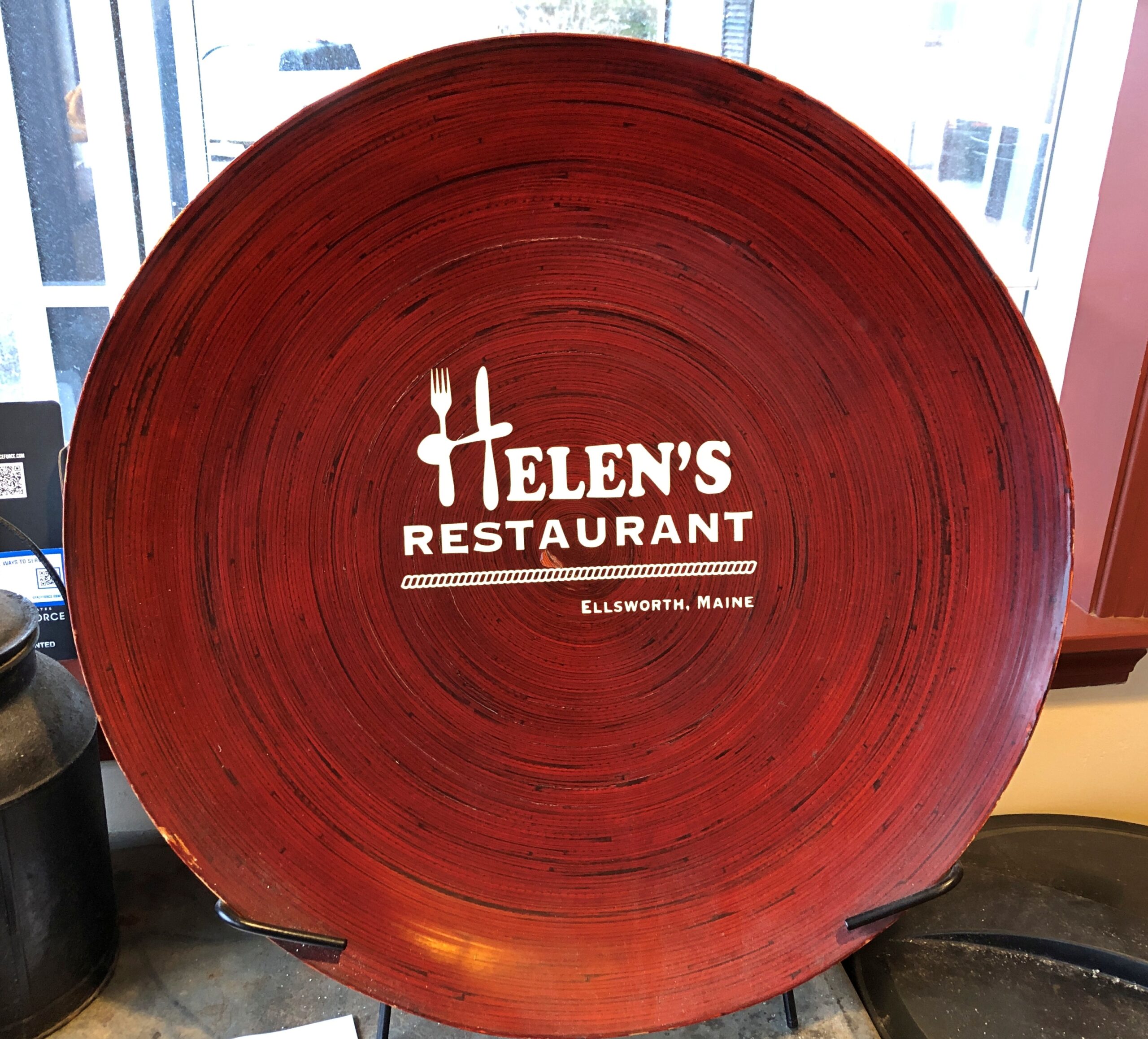
Helen’s Restaurant in Ellsworth. Tasty fish and chips. Haddock, specifically. What do you take for a haddock? “Well, sometimes I take-a aspirin, sometimes I take-a calomel.” It was some years before I learned that calomel was something I’d never take in a million years.
Massachusetts
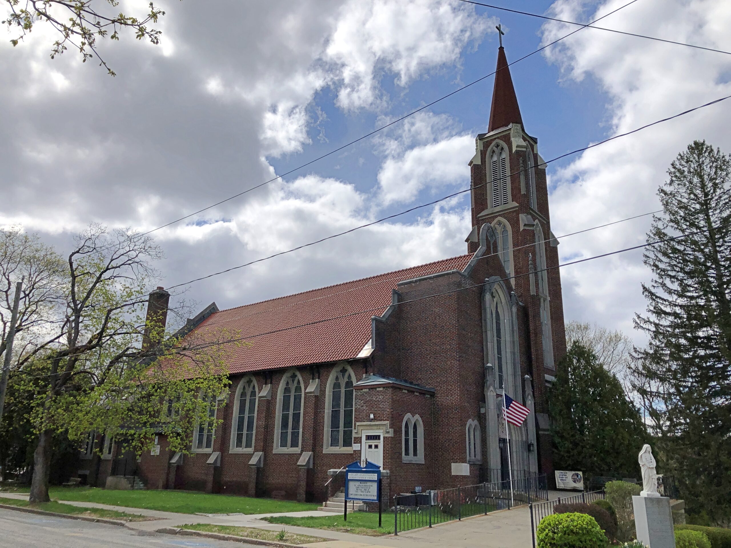
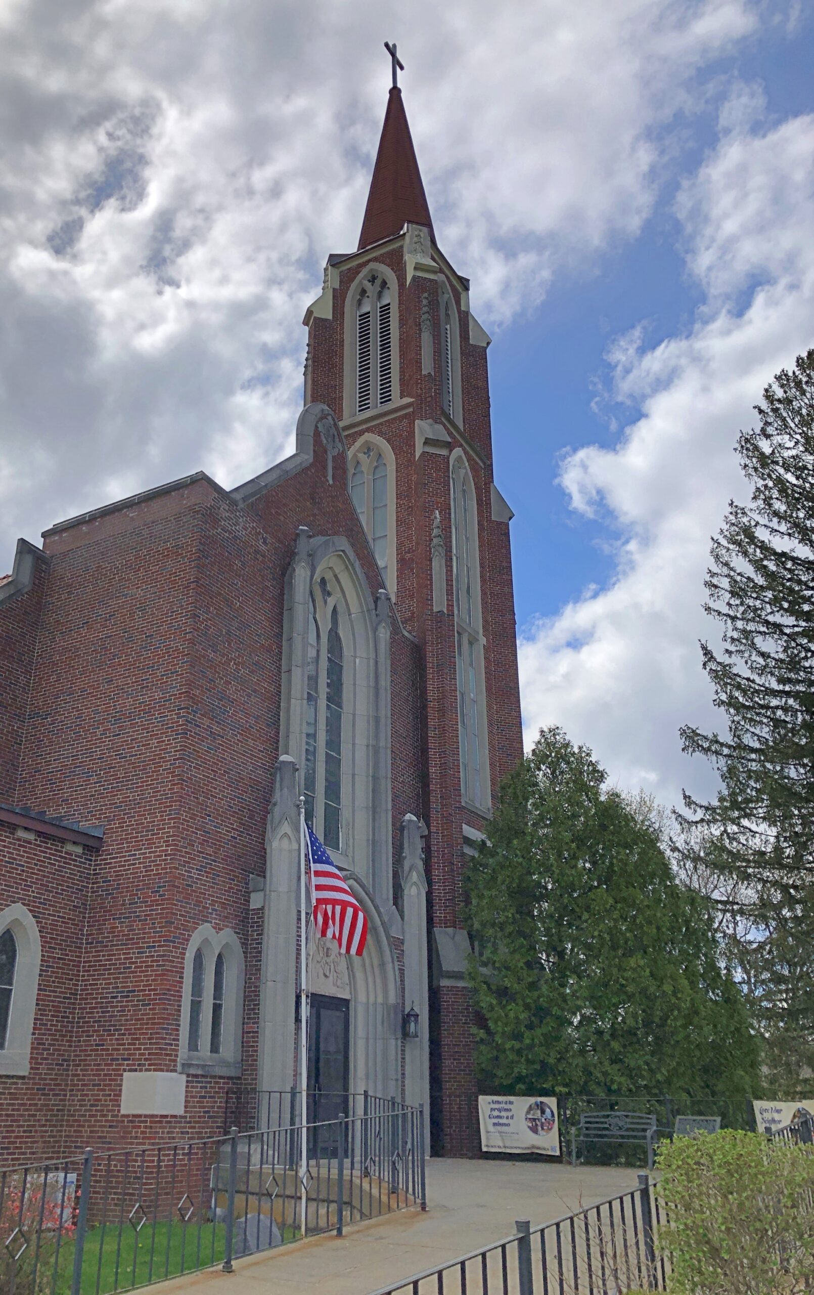
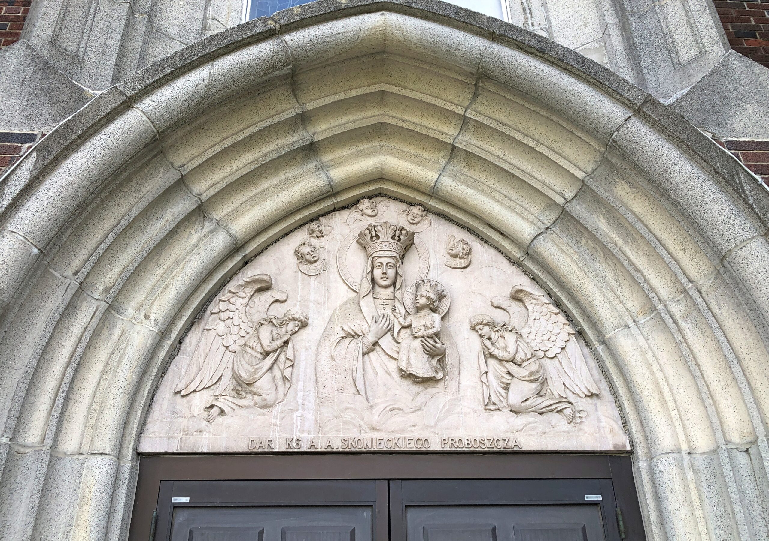
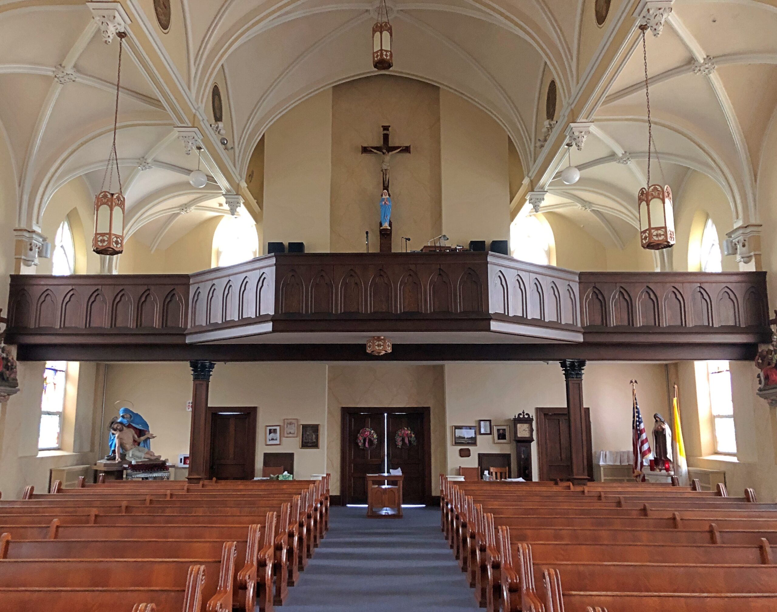
Our Lady of Czestochowa Parish, Turners Falls.
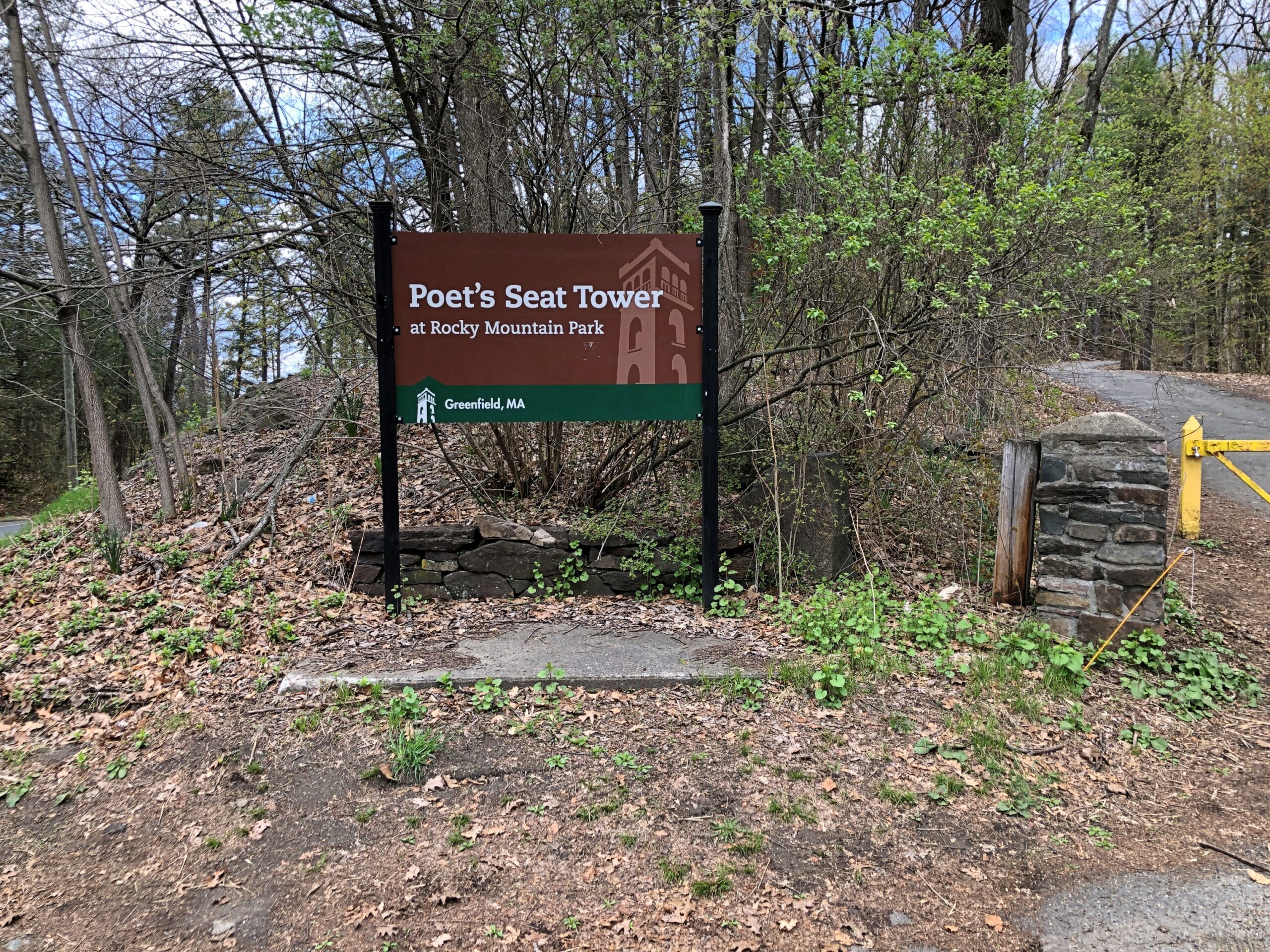
The church was closed. So was Poet’s Seat Tower.
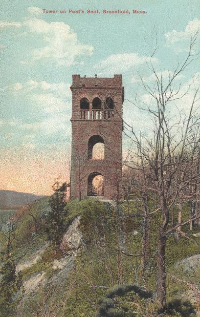
As the tower appeared more than 100 years ago.
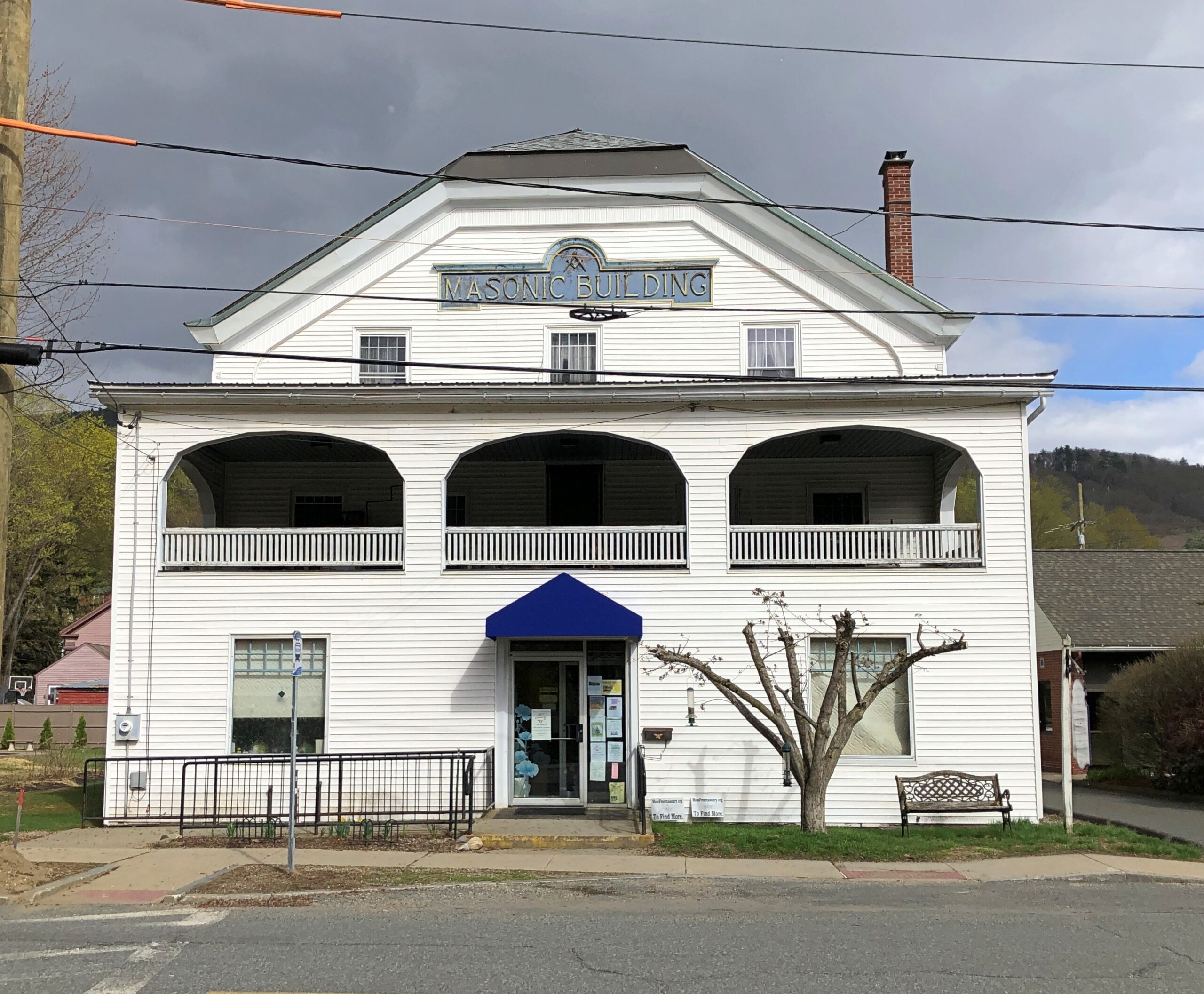
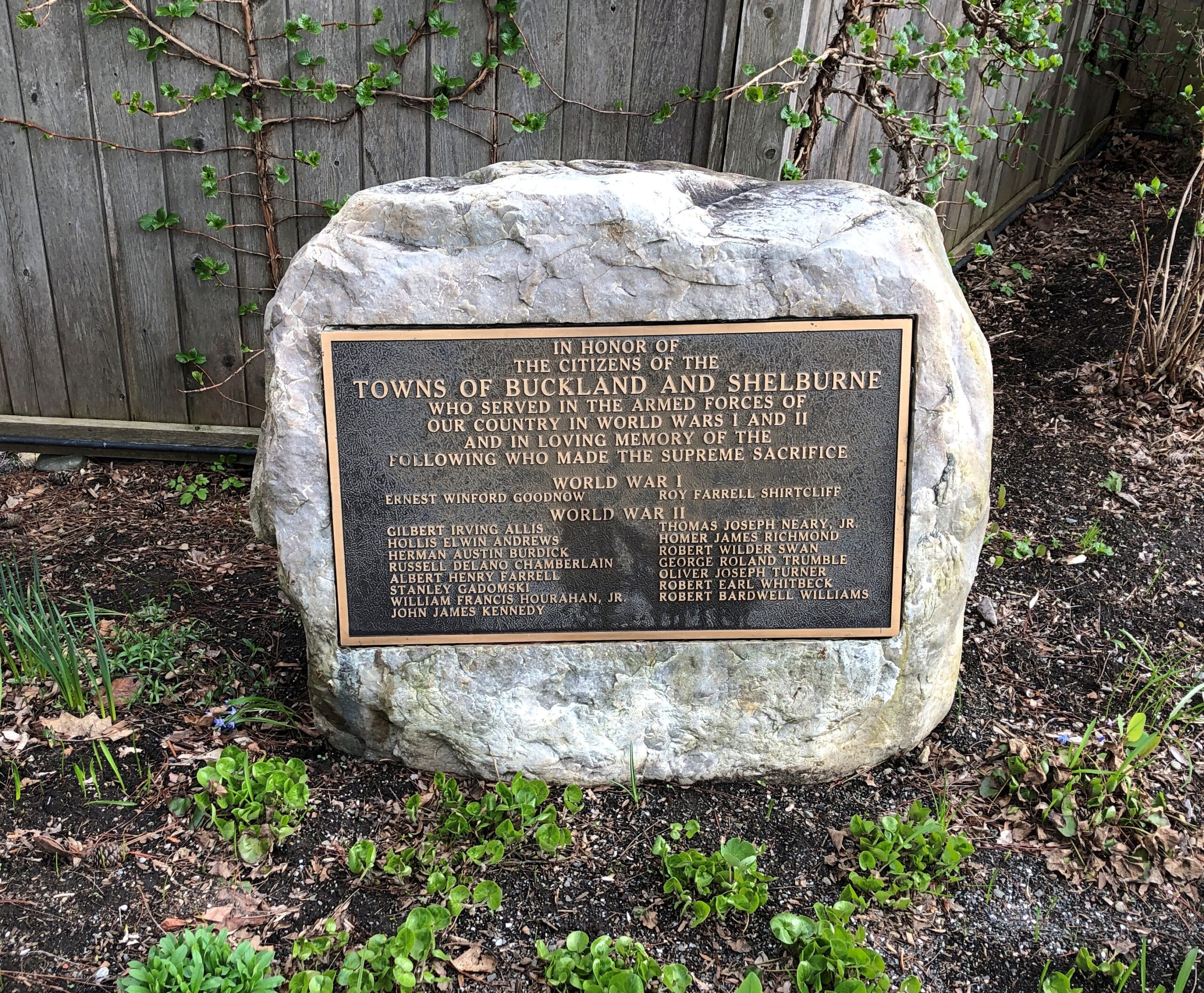
Shelburne.
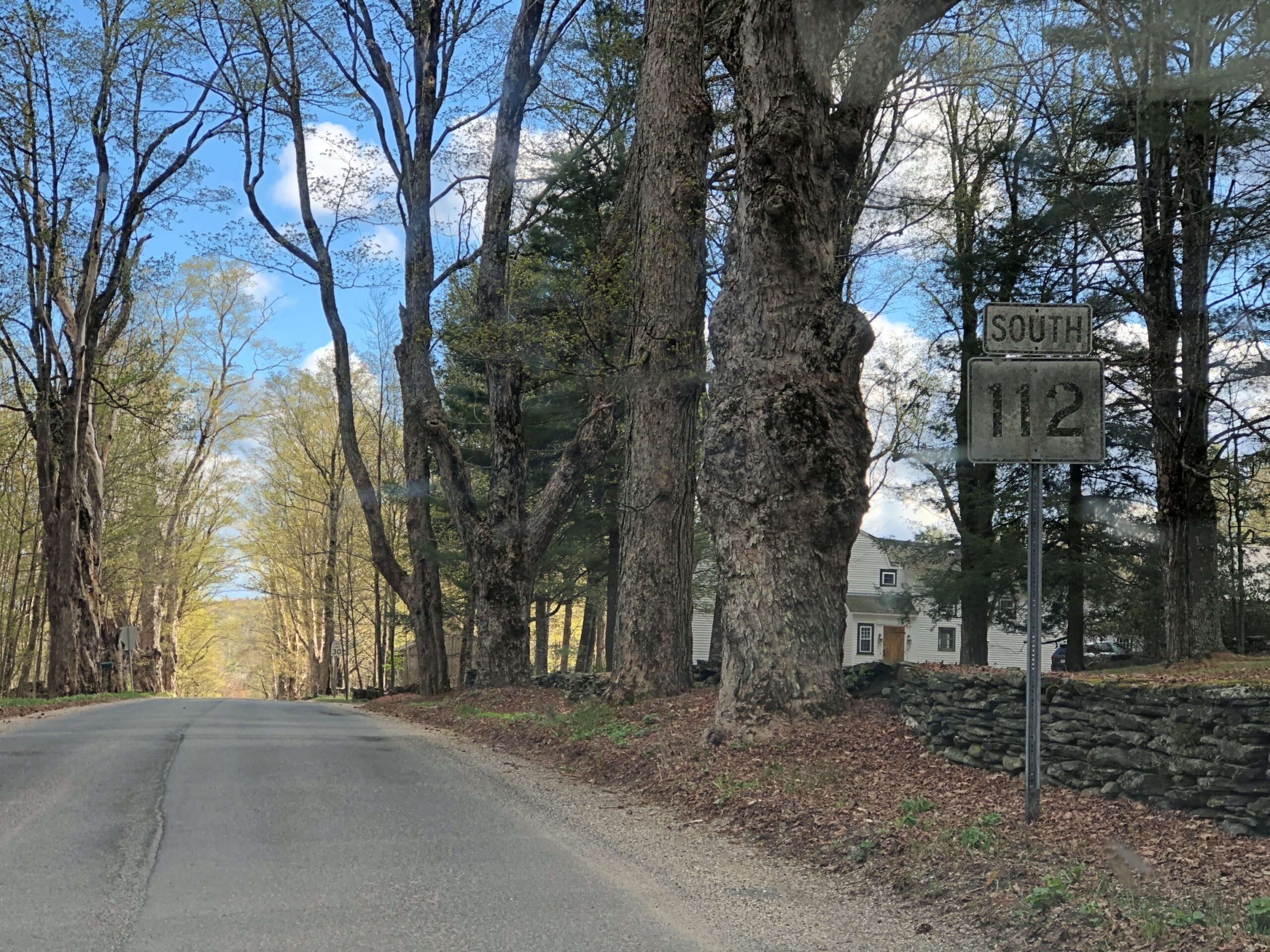
Massachusetts 112 (Route 112) in Hamilton County. Car commercial driving.
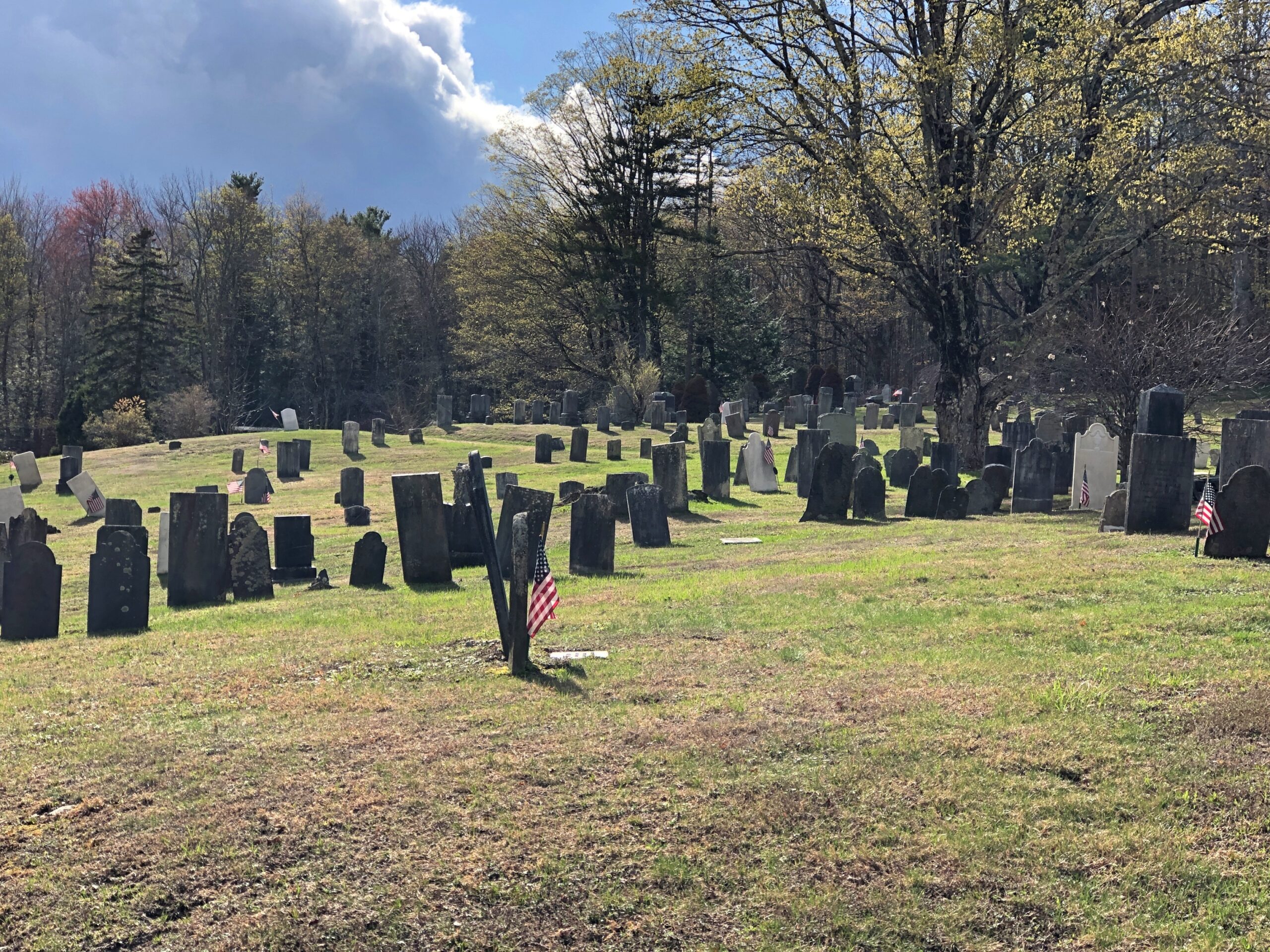
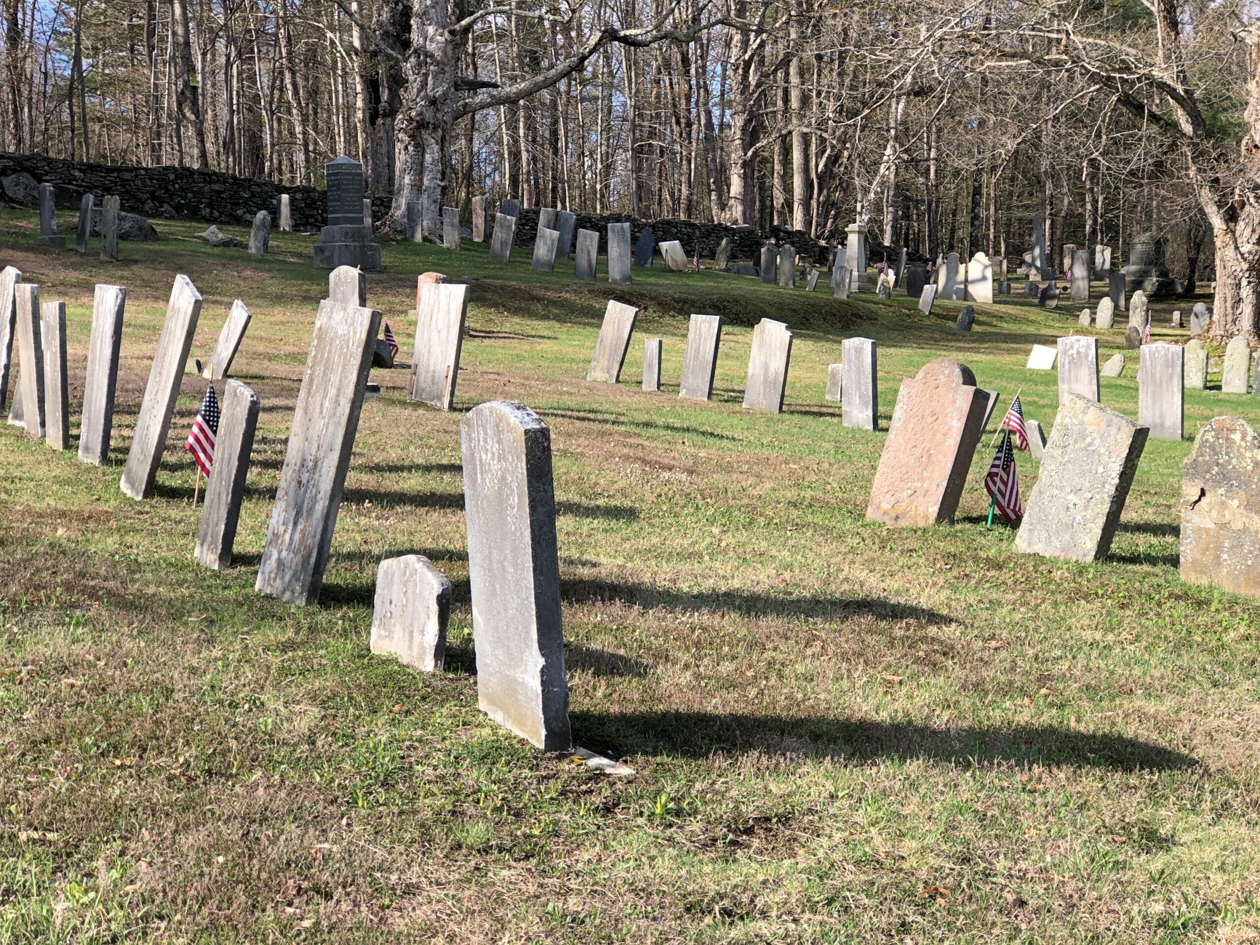
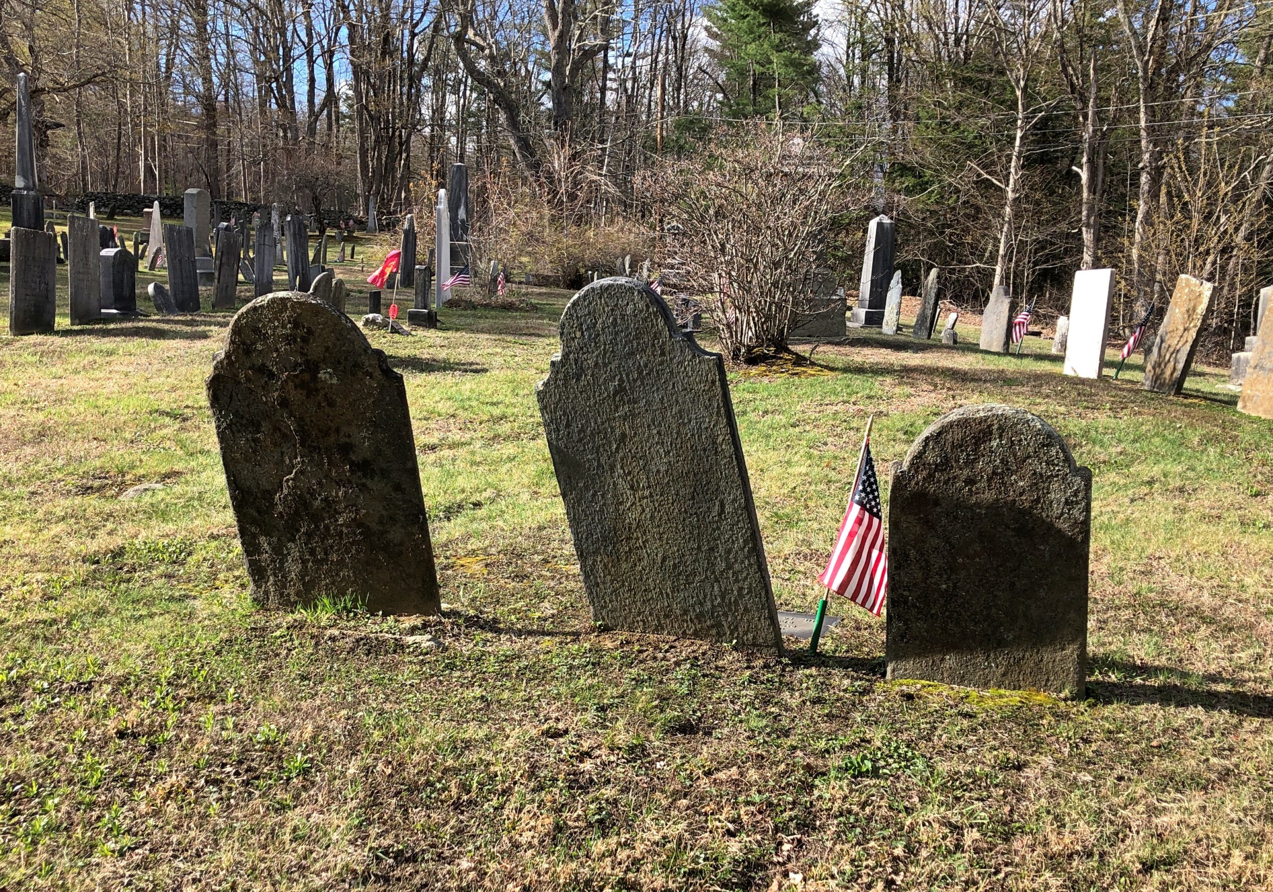
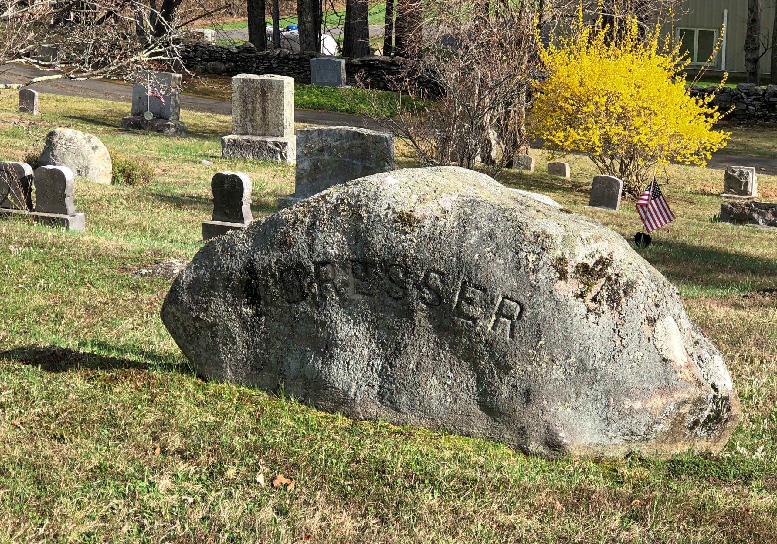
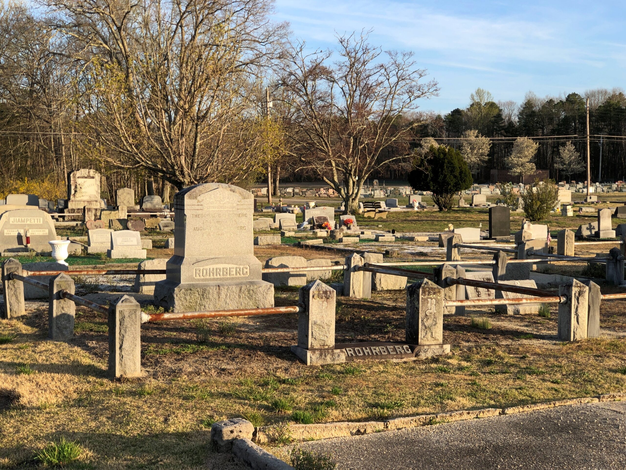
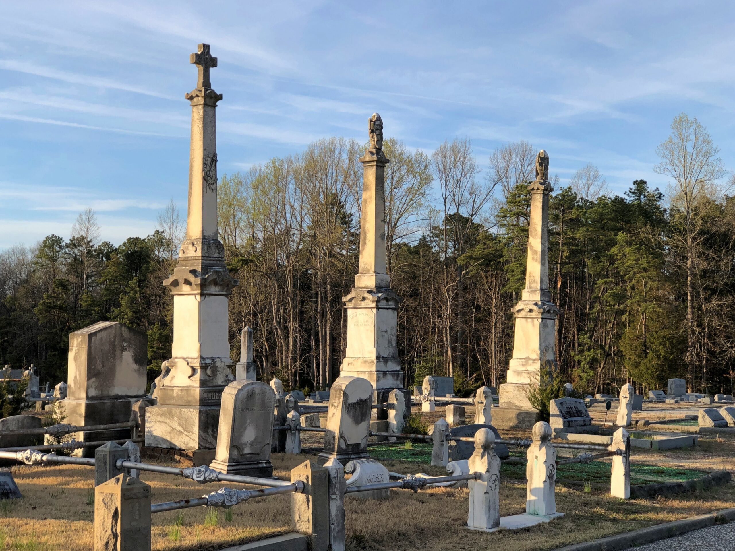
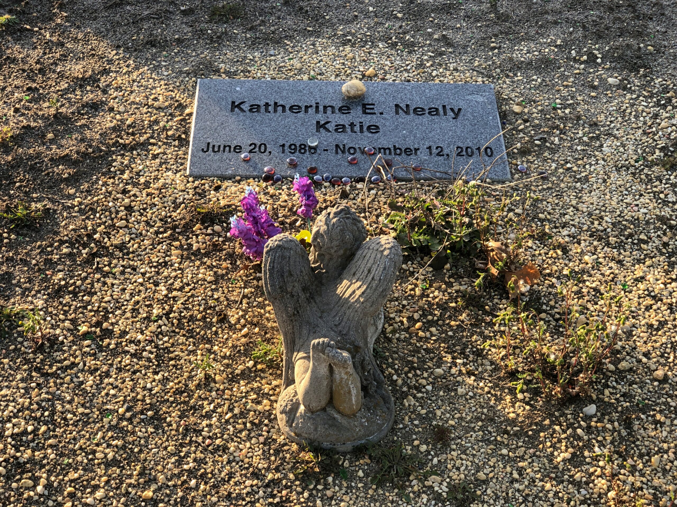
Goshen Cemetery, just off Route 112.
Ohio
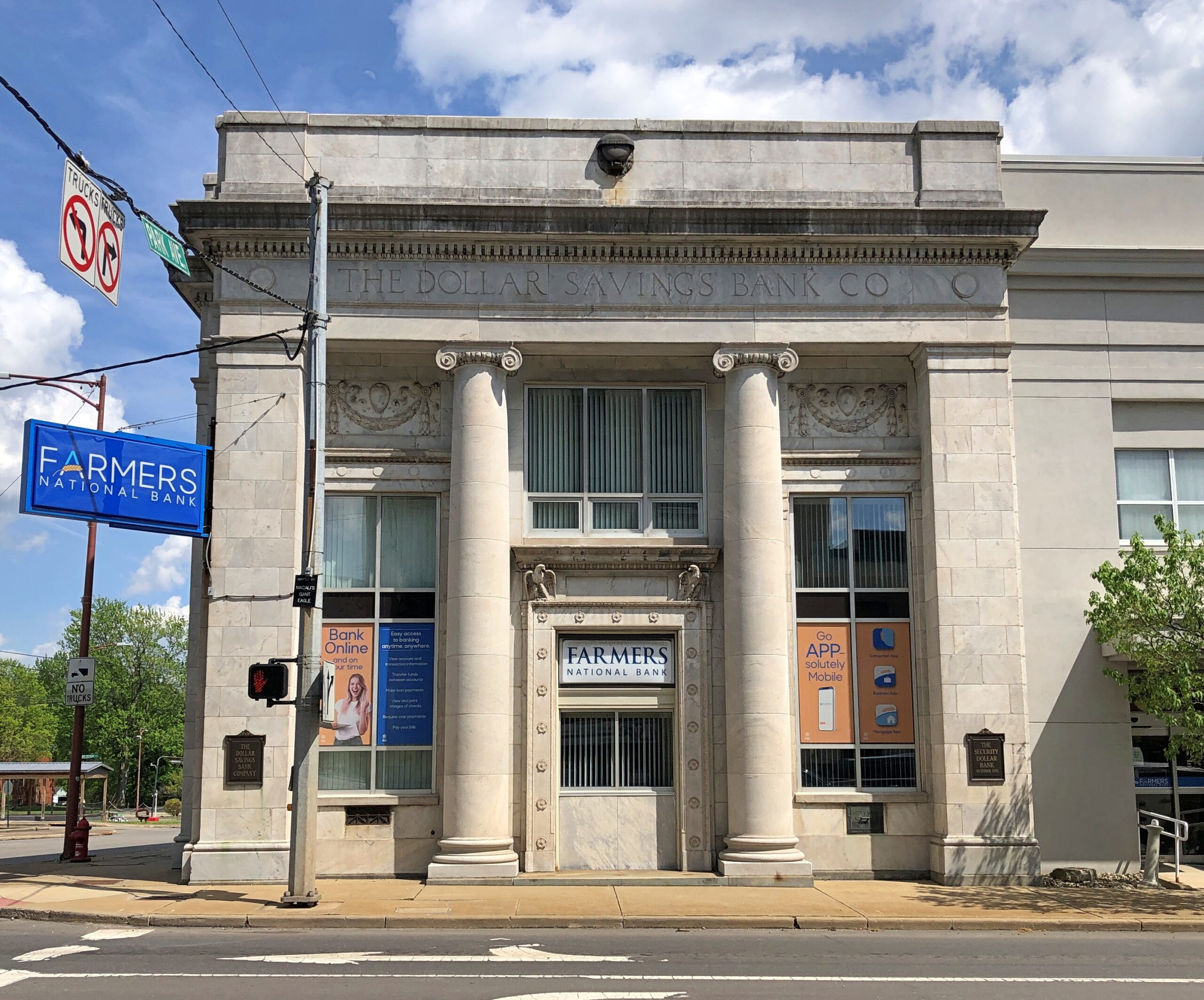
A solid bank building in Niles, across the street from where William McKinley was born. The Dollar Savings Bank Co. sounds like the kind of place that George Babbitt would mention, but distain in favor of a bank with longstanding ties to the best business men in Zenith.
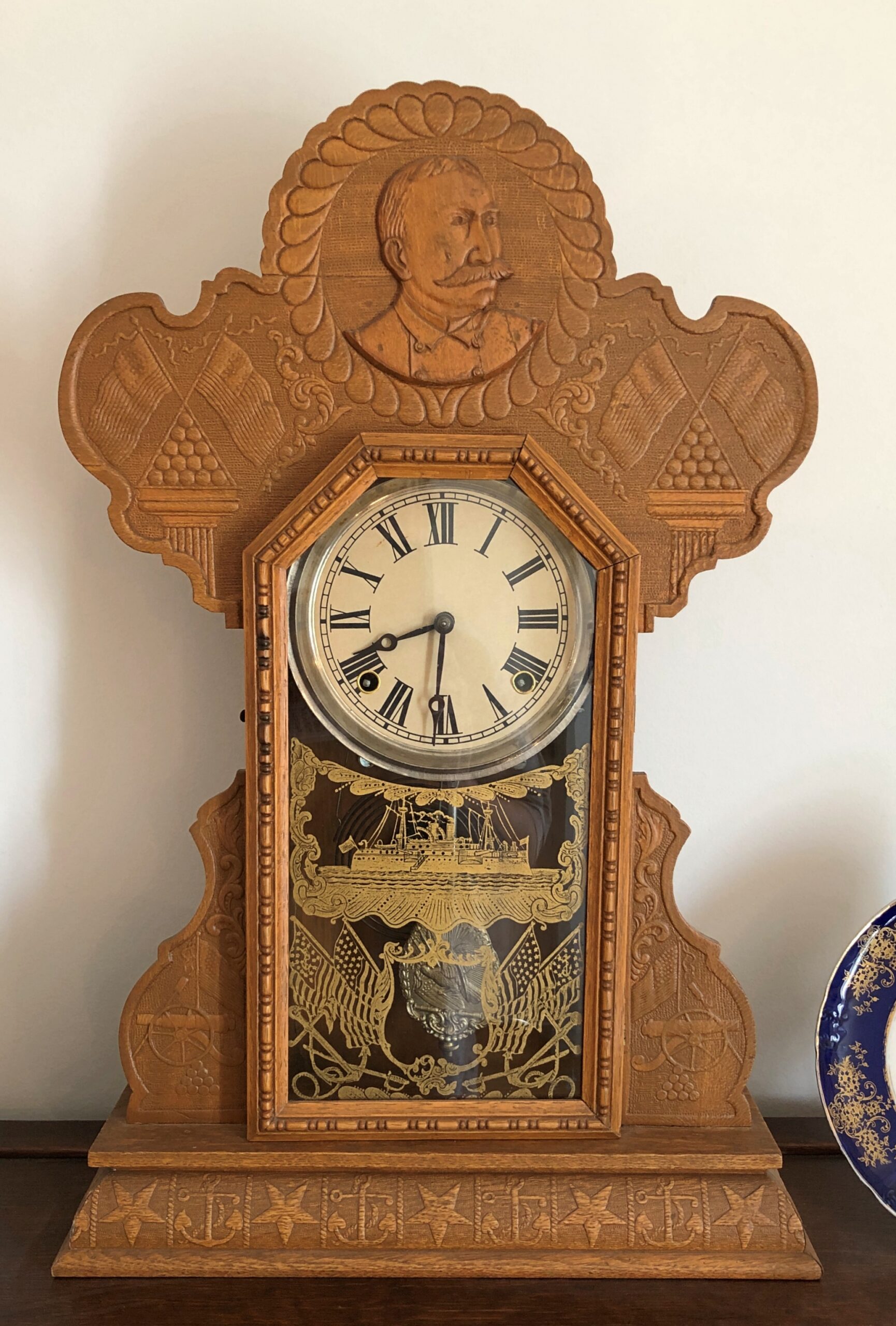
An Admiral Dewey clock at the McKinley Birthplace Museum. A textbook case, that Dewey, of how fleeting fame usually is.
Passing through northeast Ohio intrigued me greatly about that part of the state. Akron, Canton, Youngstown, Austintown — all places I can imagine going, and enjoying the visits. See ’em before the reverse migration really gets underway.
Further west, the drive on the Lincoln Highway (US 30) was a pleasure: mostly four lanes, rarely crowded. The flat farmlands don’t qualify as conventionally scenic, but the budding springtime fecundity has a lot to recommend it, even as a strictly visual pleasure: the bright greens of new leaves, the brown and grays of the fields recently plowed, small roads heading off usually at right angles to the main road, a run between Upper Sandusky and I-75 near Lima with few buildings of any kind, except distant farm structures.
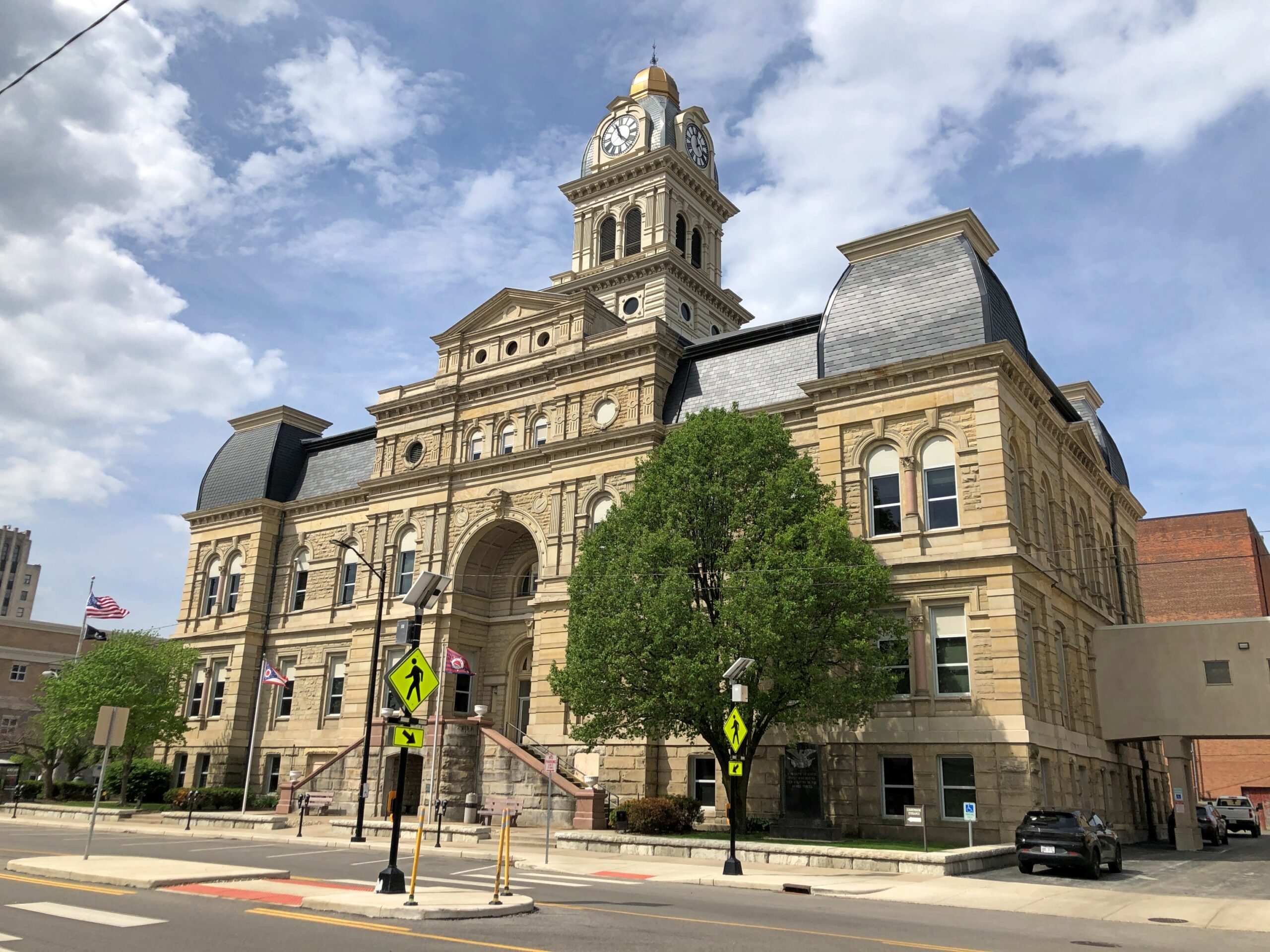
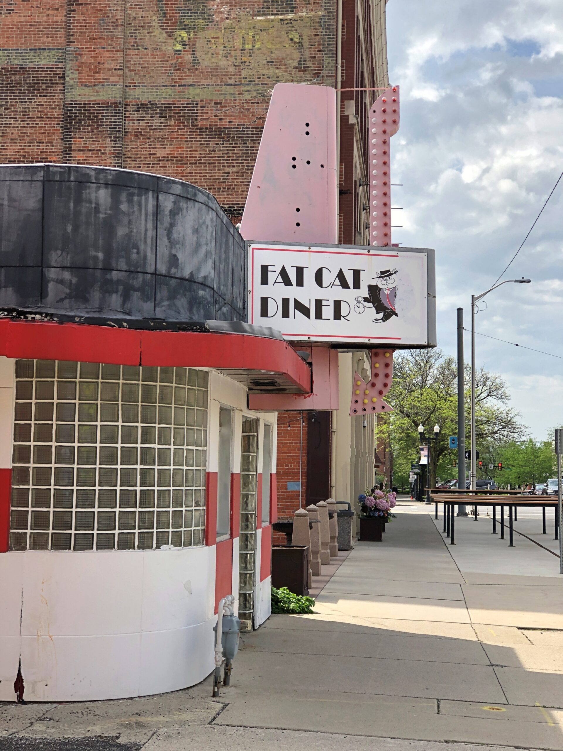
Downtown Lima: the Allen County courthouse, seen from North St.
Looks like my kind of breakfast place. Closed on Sunday anyway.
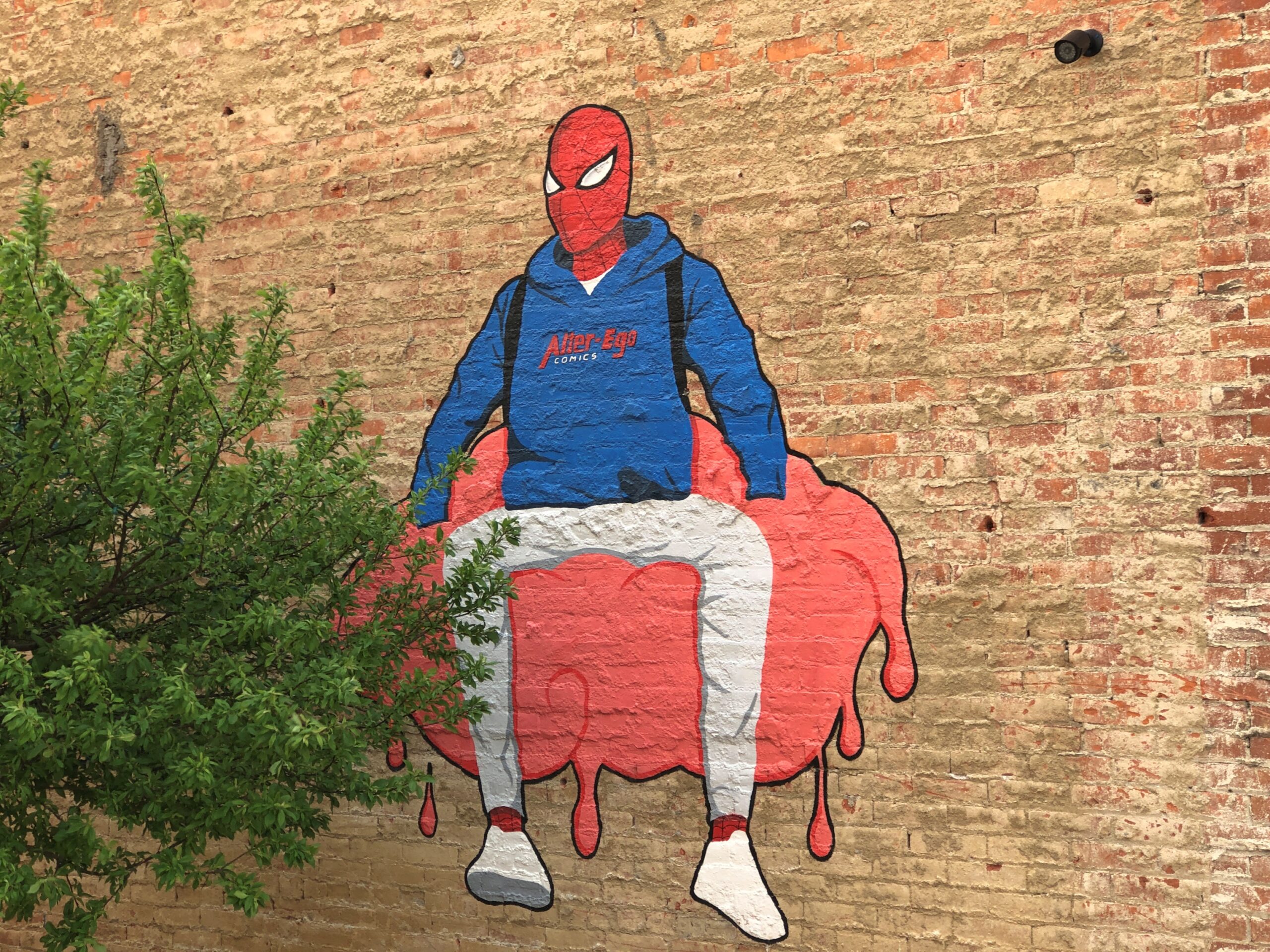
Another North St. detail. Spiderman sitting on — something. A large scoop of strawberry ice cream?
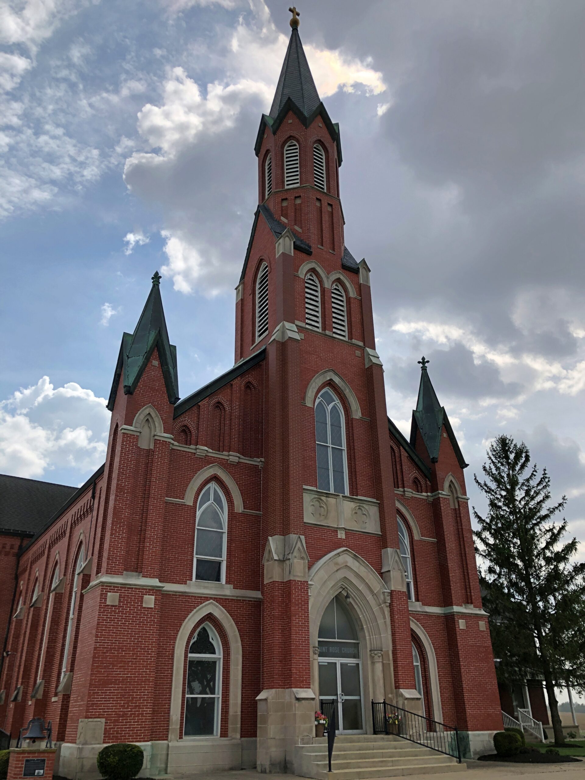
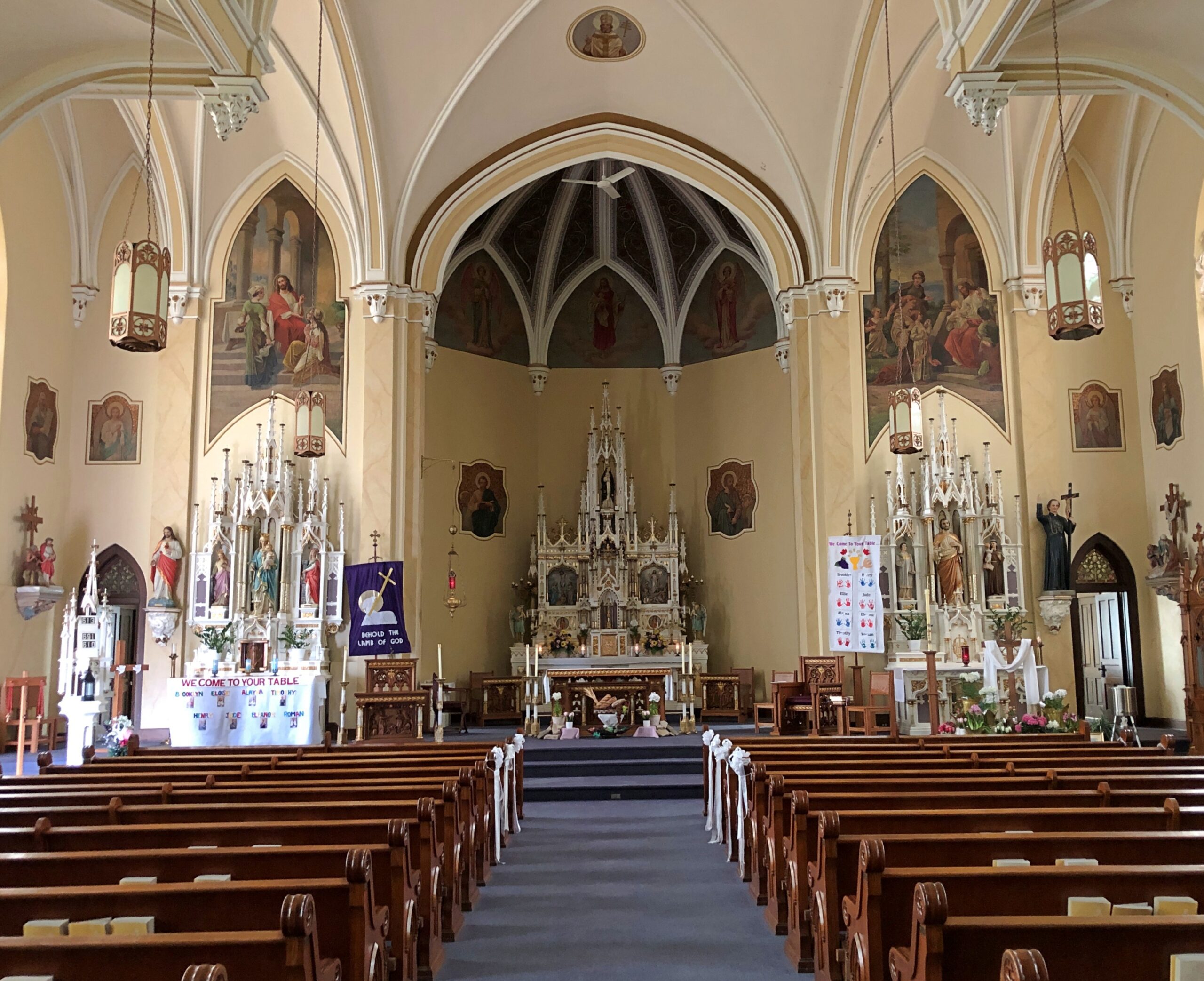
Saint Rose Church in the hamlet of Saint Rose, not far east of the Ohio-Indiana line. A Cross-Tipped Church.
Pennsylvania
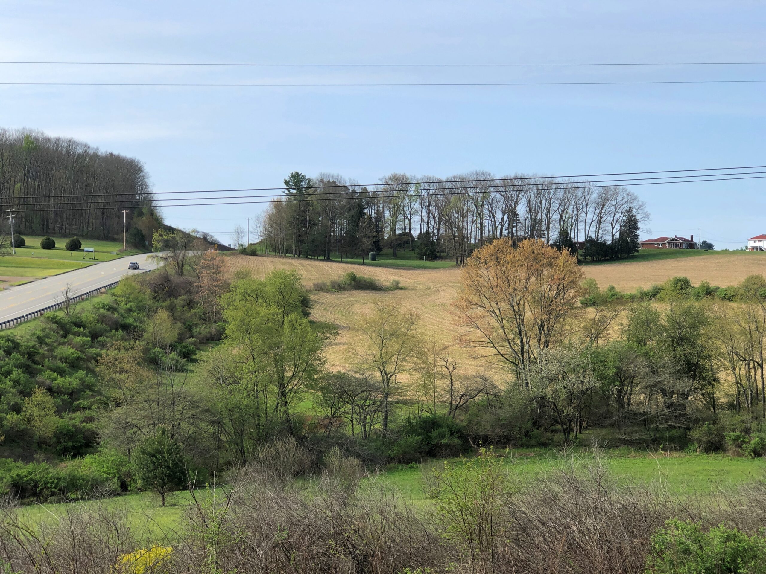
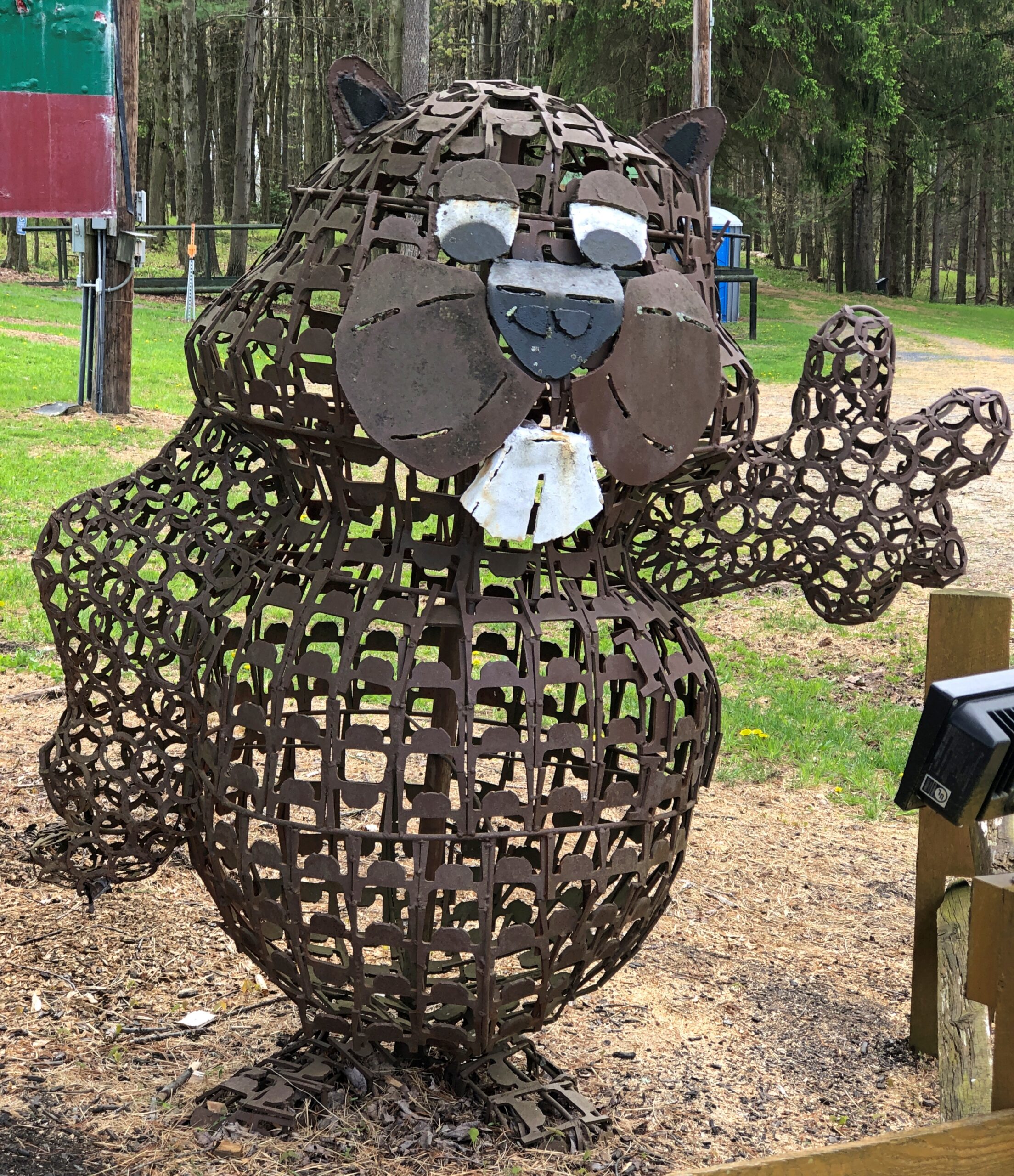
The hills at the edge of Punxsutanwney.
The drive west across Pennsylvania began across the Delaware River from Port Jervis, NY, taking US 209 southwest through part of Delaware Water Gap National Recreation Area. Bet the straight-ish, two-lane road is busier in peak recreation season in the Recreation Area, but in April, I booked along without encountering much in the way of traffic. Trees were still budding, but it wouldn’t be long before some stretches of the highway would pass through green tunnels. The sunlight was already casting green leaf shadows on the road.
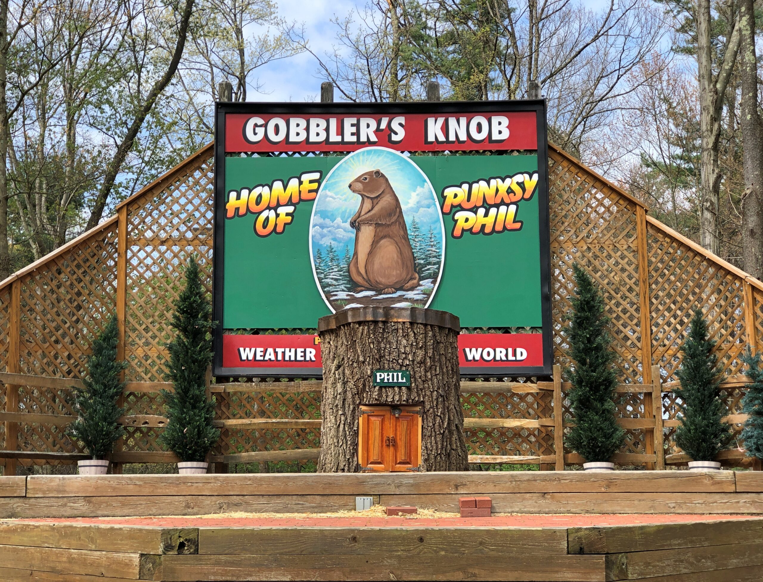
Watch Groundhog Day, and the impression is that the festivities are held in the center of town — which they are, in the Punxsutanwney stand-in of Woodstock, Illinois. Go to Punxsutanwney itself and learn that the February 2 fest is a few miles from town in a place called Gobbler’s Knob.
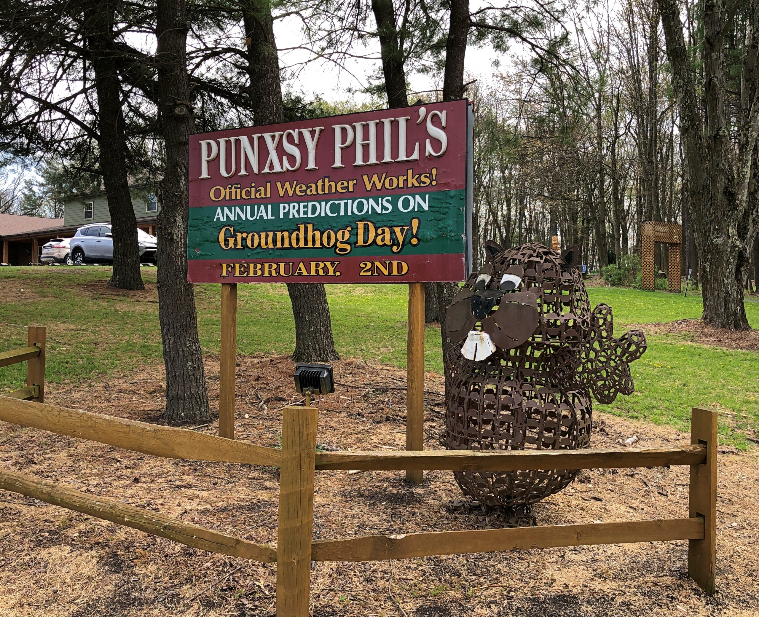
One more Phil. Iron Phil.
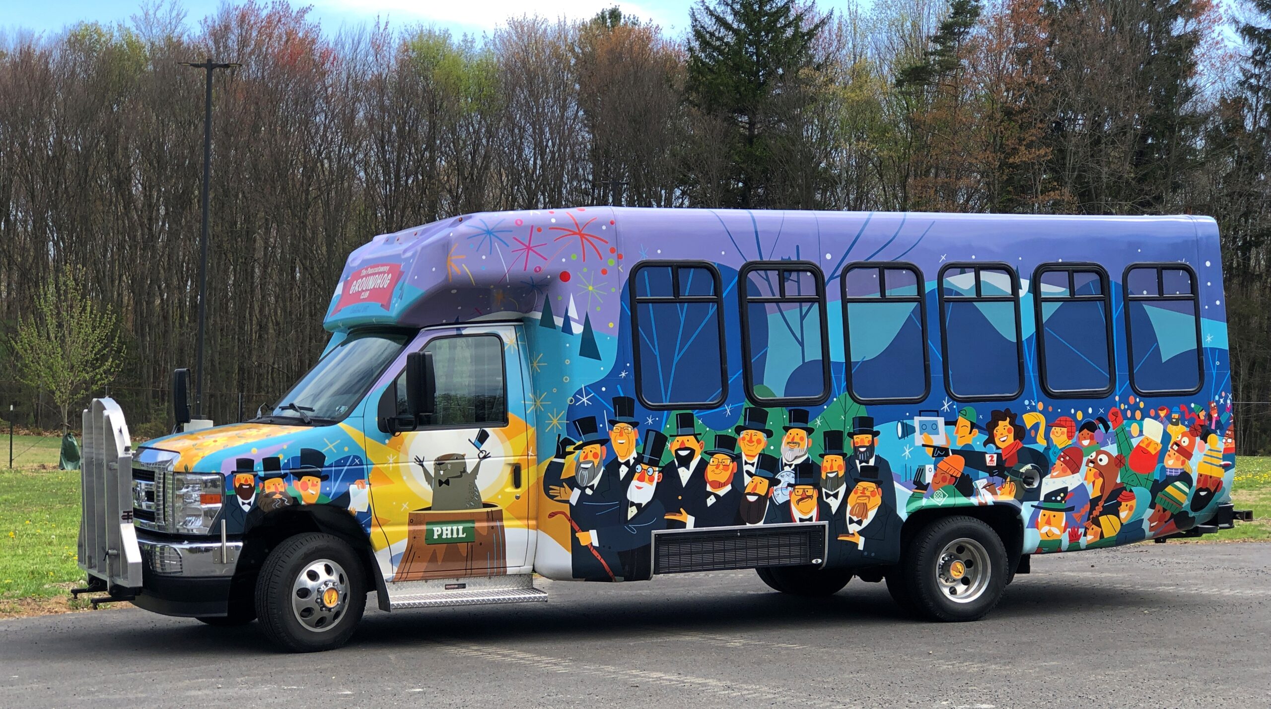
The clerk at the Gobbler’s Knob gift shop took pains to let me know that the site, and the festivities, were overseen by a nonprofit, not the commonwealth. Outside is the nonprofit’s bus, or at least I assume that, probably used to ferry people from town to GK and vice-versa, to help deal with the popularity of the event.
I like a good local festival as much as anyone, but February 2 is a deal-breaker. Can’t Phil come out again on August 2 to predict how much longer summer is going to last?
One More (Indiana)
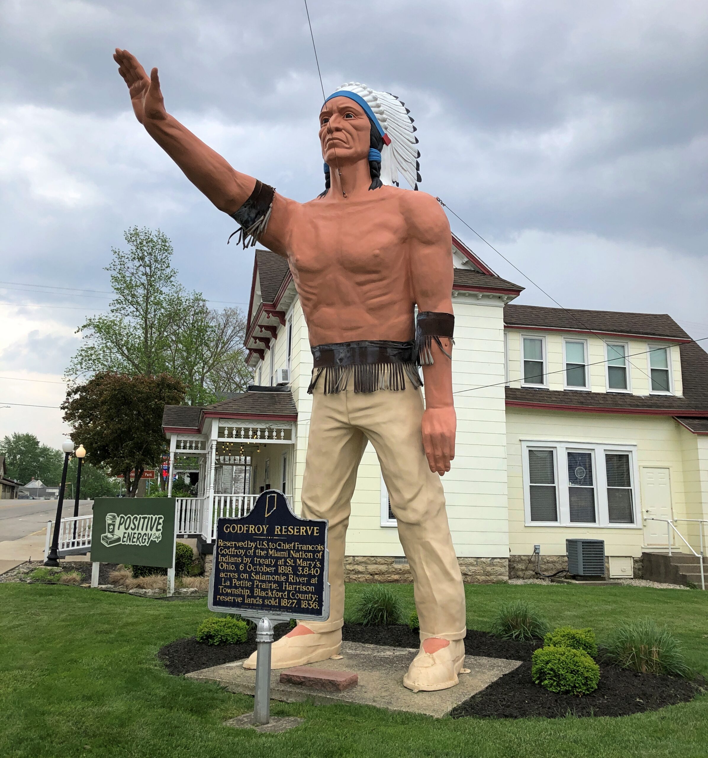
Miami Chief Francois Godfroy stands at the corner of Main Street and Huntington Street/Indiana 18 in Montpelier. Well, maybe it’s supposed to remind passersby of the chief more than actually depict him.
A Daughters of the American Revolution historical marker says: Reserved by U.S. to Chief Francois Godfroy of the Miami Nation of Indians by treaty at St. Mary’s, Ohio, 6 October 1818. 3,849 acres on Salamonie River at La Petite Prairie, Harrison Township, Blackford County: reserve lands sold 1827, 1836.
Waymarking says: “The statue was made in Venice, CA in 1960 for the Tom Wood Pontiac dealership in Indianapolis. Later it was in front of the Indian Museum at Eagle Creek Park In Indianapolis. After the museum closed, the statue (of more a plains Indian than a NE Indiana tribe) was obtained by Chief Larry Godfroy — a descendant who presented it to the City of Montpelier and they erected it as a monument in 1984.”
A lot of museum artifacts are behind glass. Some really old, brittle and famous items are encased in an atmosphere of nitrogen, the better to extend their existence, I understand (and nitrogen anoxia sounds like an unfortunate accidental way to die). That might have been the case with the underwhelming display of the overwhelmingly historic Book of Kells. But in any case, glass interferes with our right as iPhone-carrying tourists to take really good pictures with almost no effort.
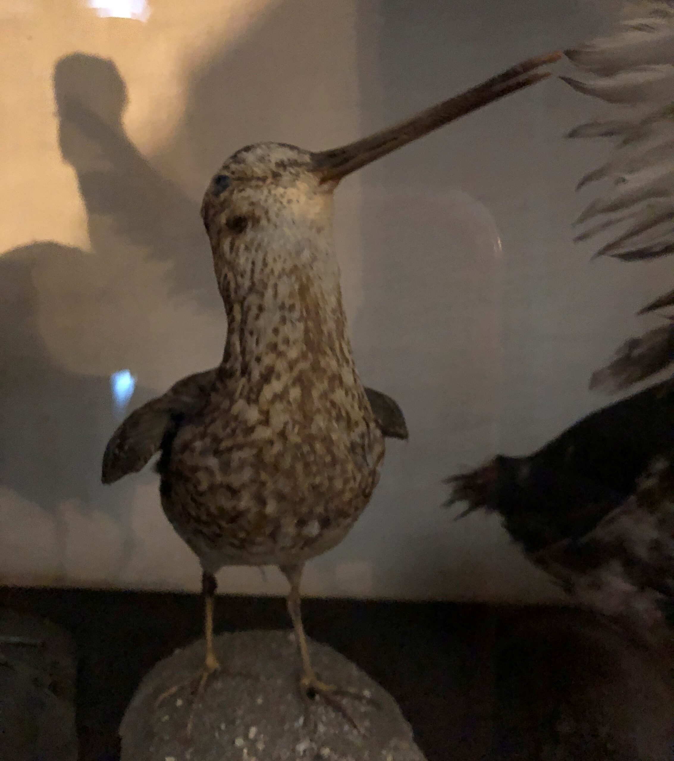
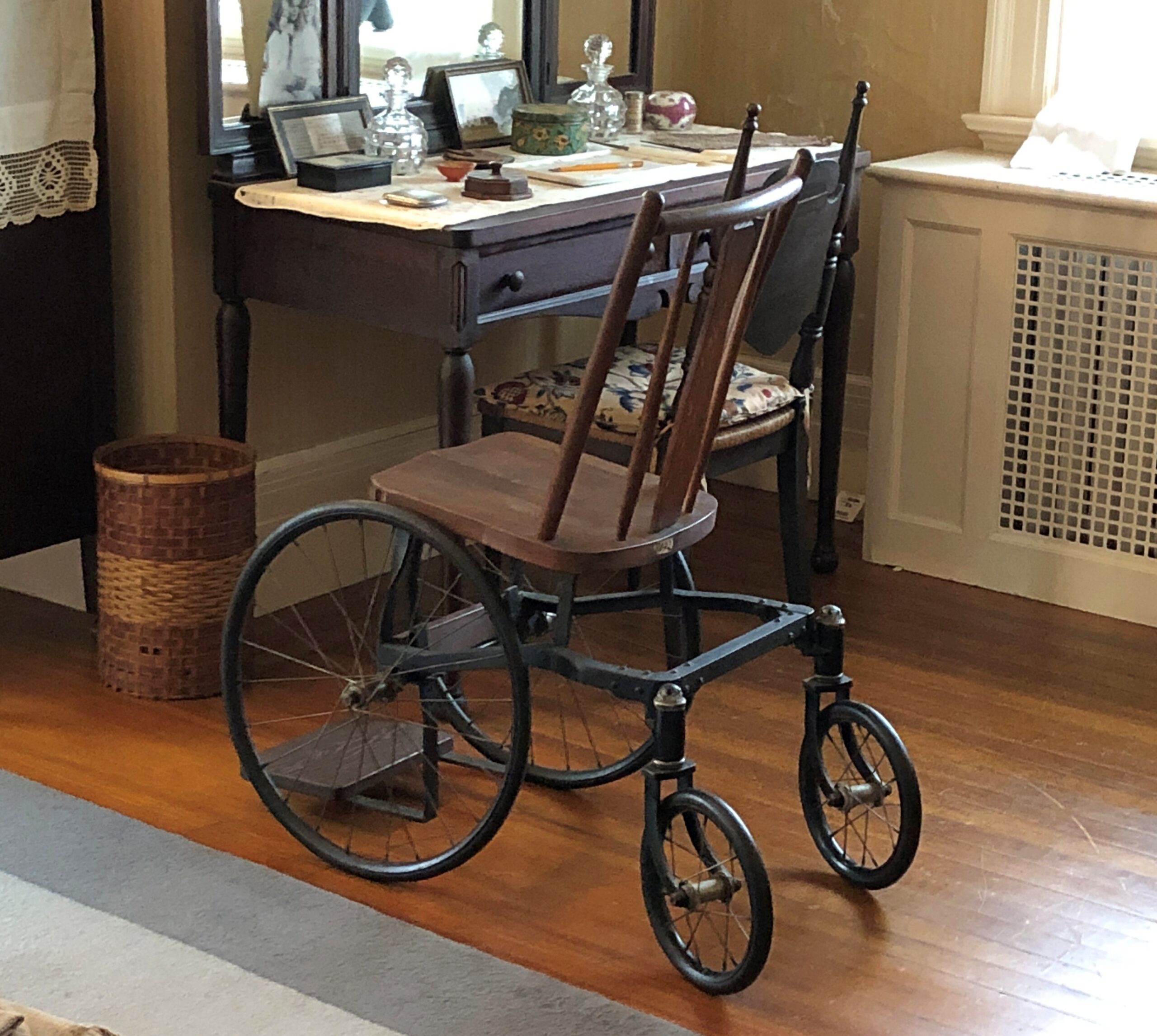
An example: a stuffed bird I saw in April.
The picture might be lousy due to the glass, but the artifact – and some other stuffed birds in the same case – did something a history museum ought to do: teach. I learned, looking there at a bird dead more than a century, that as a boy in the early 1890s Franklin Delano Roosevelt pursued a taxidermy hobby.
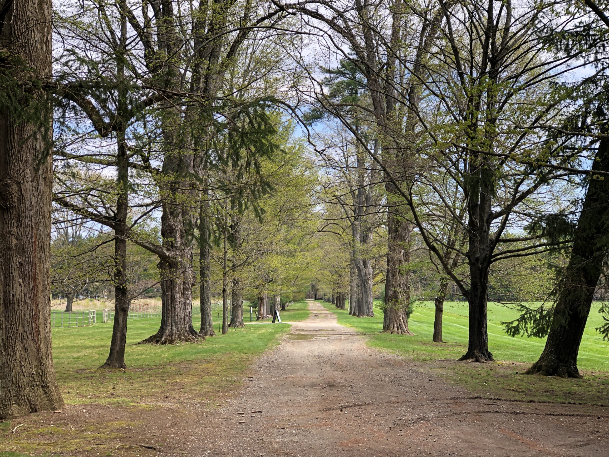
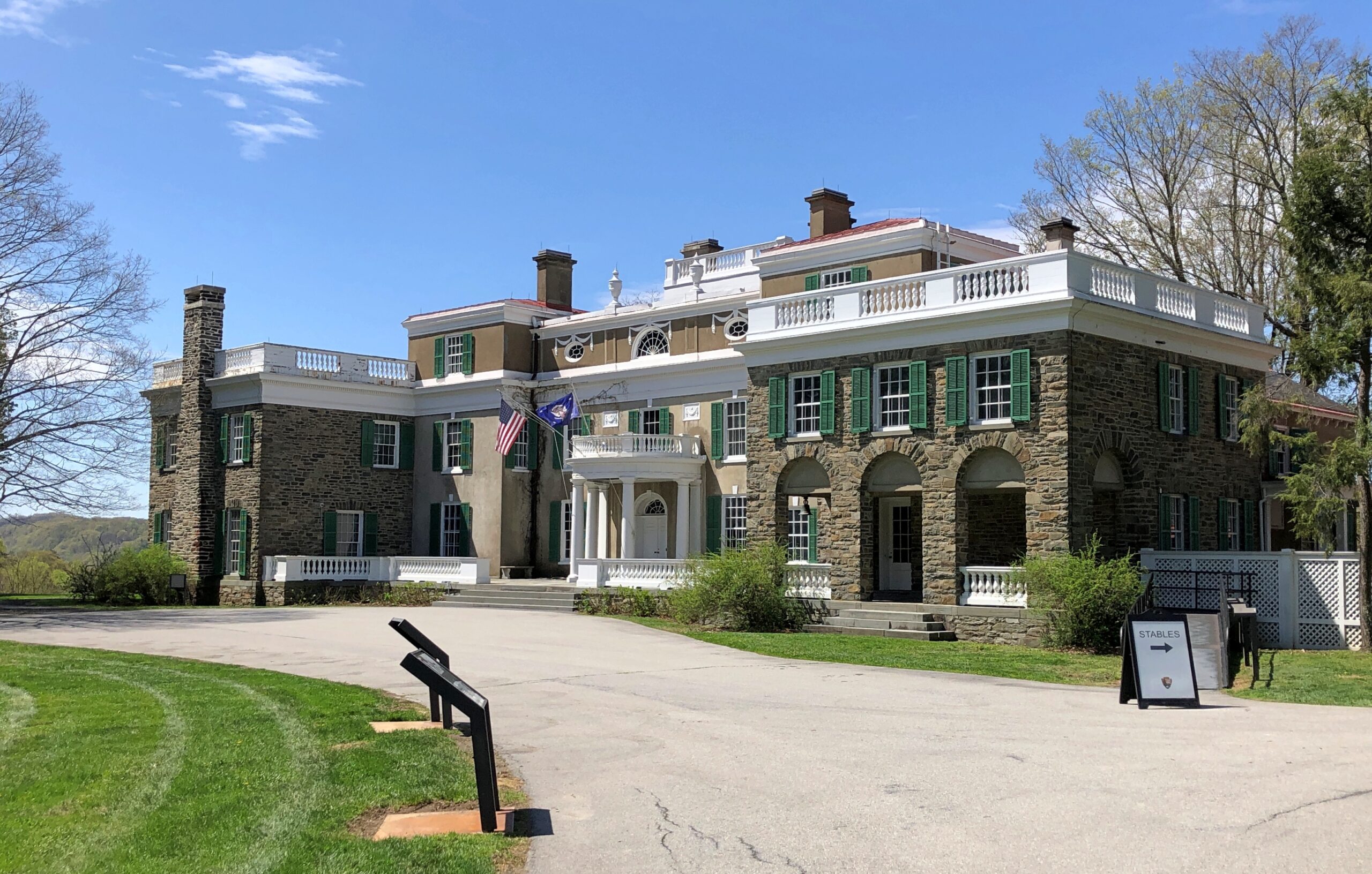
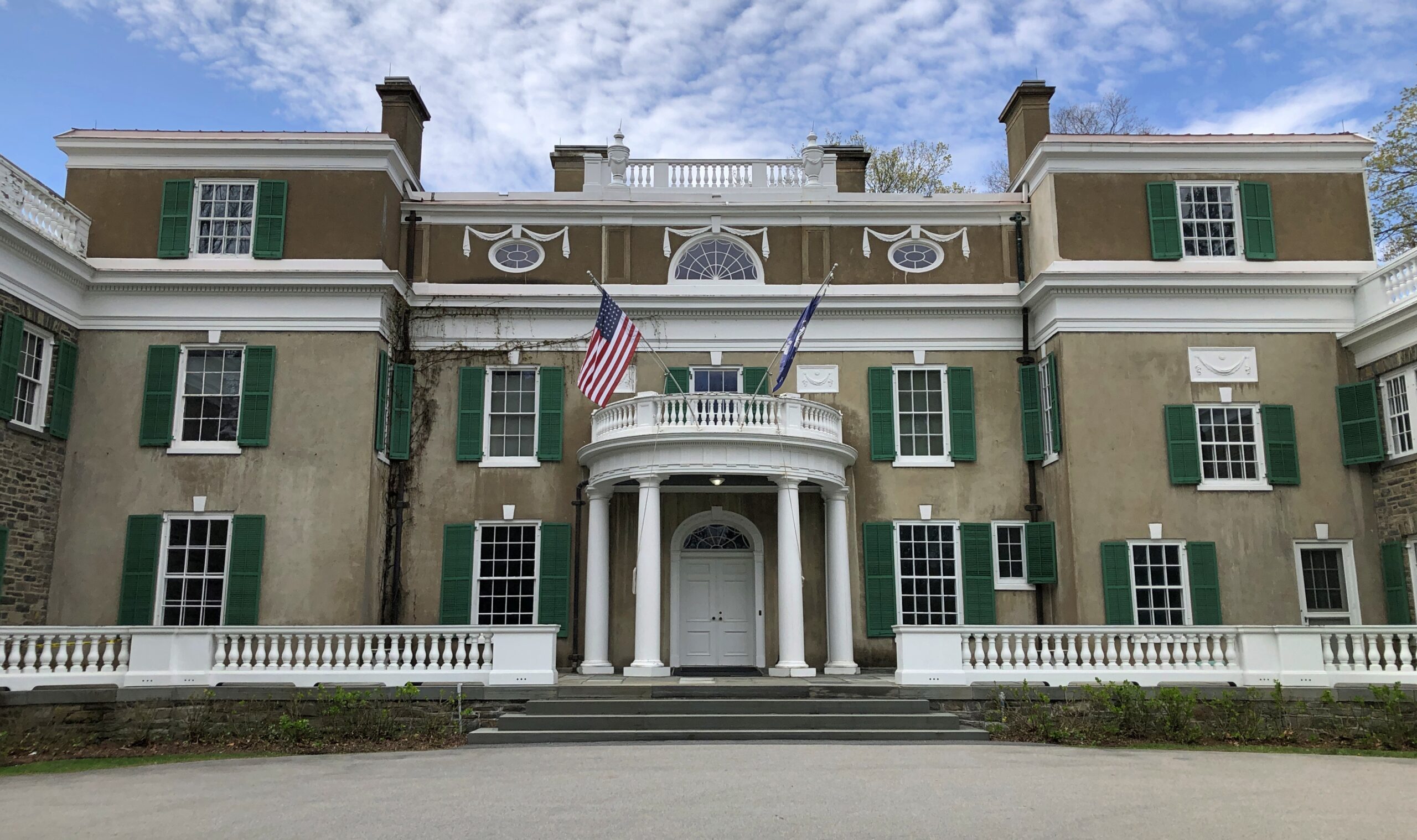
I’d come to Home of Franklin D. Roosevelt National Historic Site in Hyde Park, New York, the flush of spring, on my way home from the Northeast. I made time for the site because a visit had been impossible in October.
I understand that during FDR’s boyhood, the place wasn’t quite as wooded, but even so the trees (and thus birds) must have been plentiful. One of the paths on the grounds.
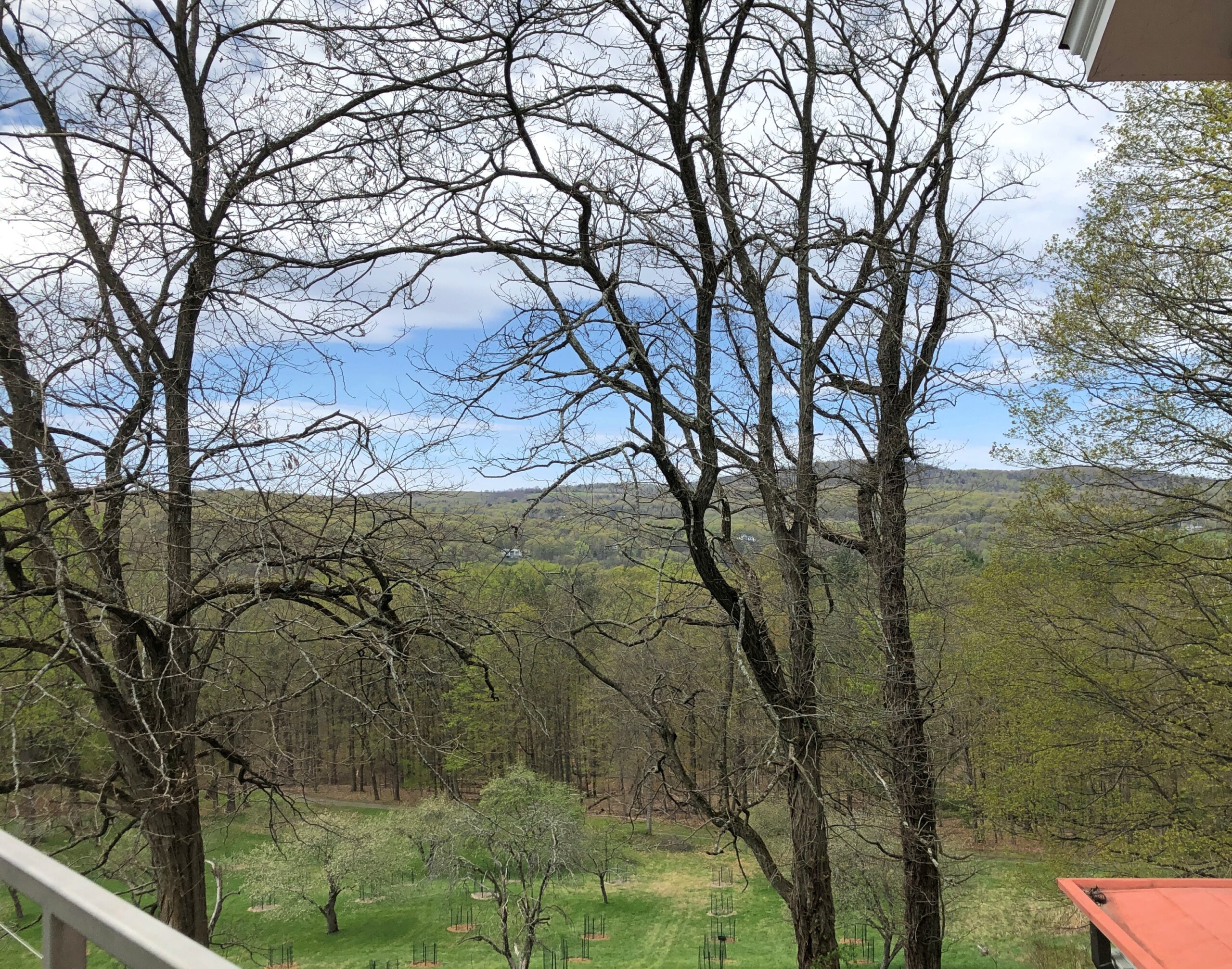
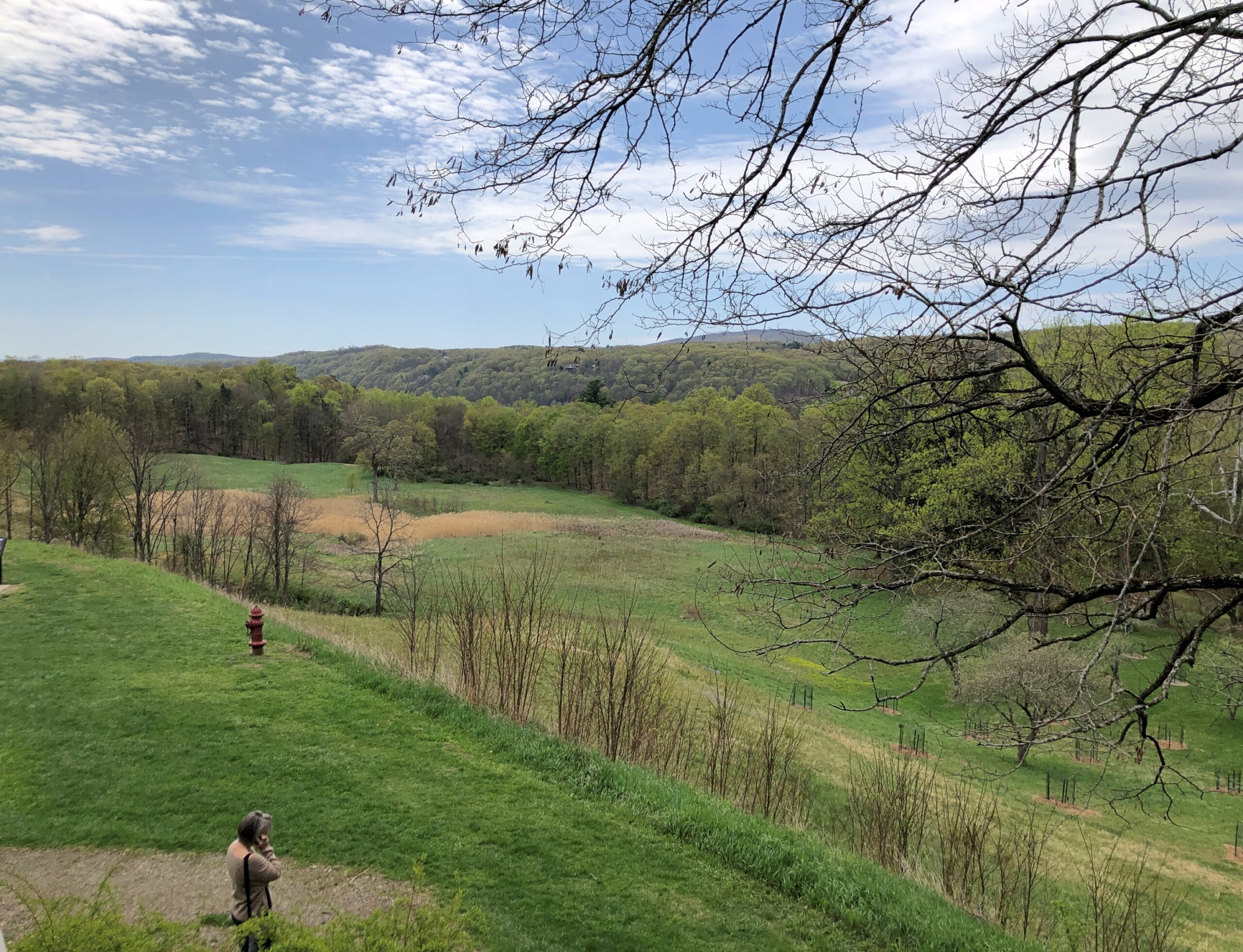
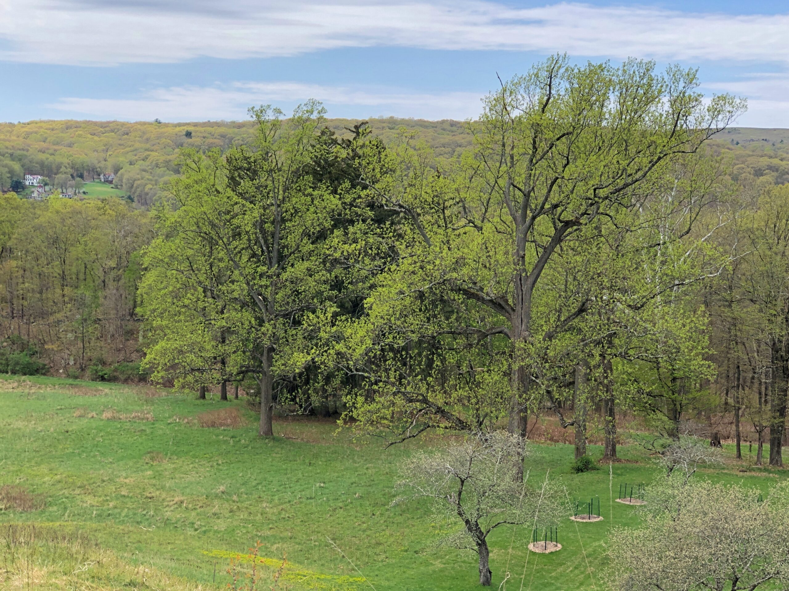
Views from the second story of the mansion.
Though the greenery obscures the splendid Hudson River, even a short look around gives you some idea why James and Sara Roosevelt thought building a residence here was a good idea, and why Franklin was deeply attached to the place all his life.
Is it important to know that boy FDR shot and stuffed birds (though he later had them stuffed professionally)? In and of itself, maybe not. I’ve heard about him all my life, read books about him and seen documentary films, and visited the FDR D.C. memorial, and somehow that detail never came up. Knowing about his short-lived taxidermy hobby doesn’t help me understand the New Deal or World War II any better, in as much as I know about those big-picture events.
Still, it’s a humanizing detail, and I believe that’s good to know about figures as famed and studied and lionized as FDR. It also allows for a bit of informed speculation about Franklin, a rich only child with an overbearing mother. By the time he was old enough to tote a gun, he probably needed to get away periodically from the mansion and its familial confines. Shooting birds out on the sprawling grounds of Hyde Park on the Hudson was just the ticket.
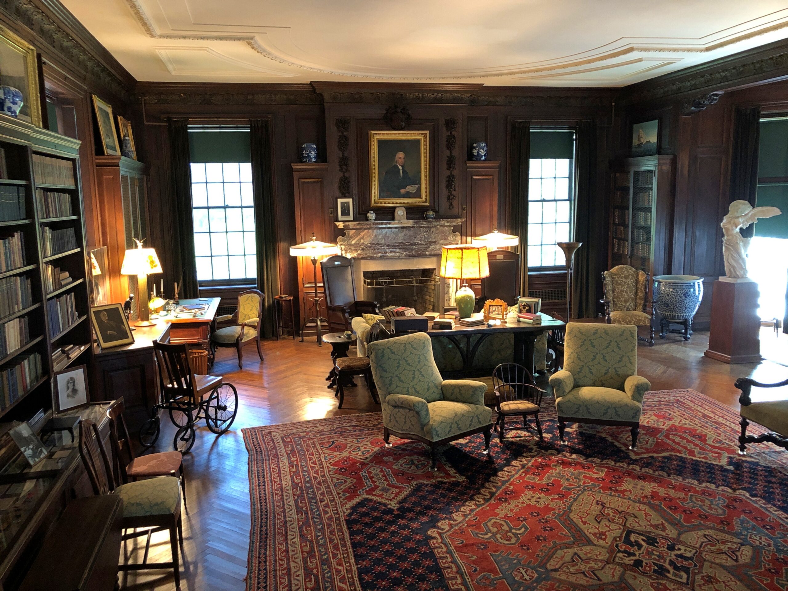
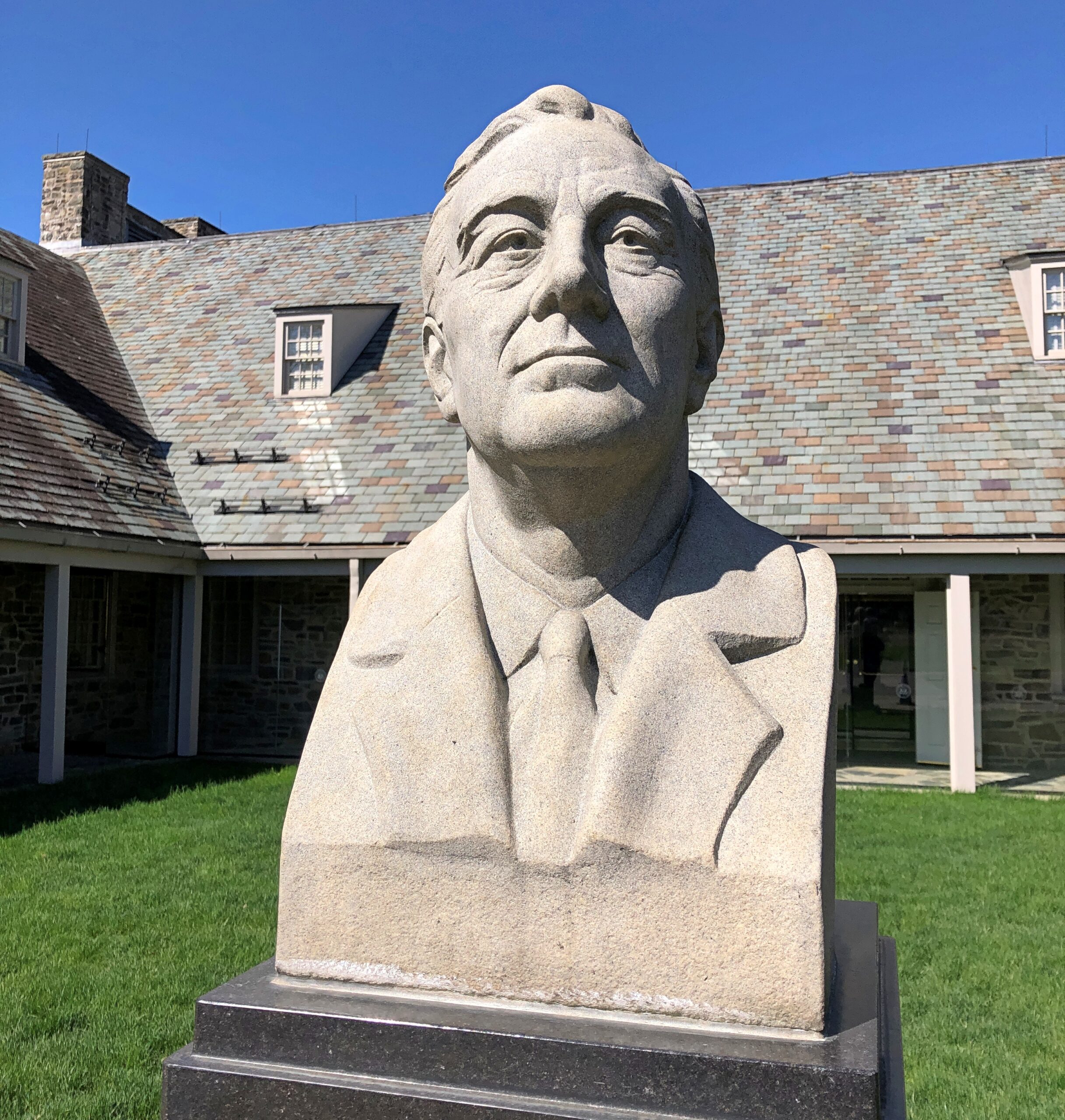
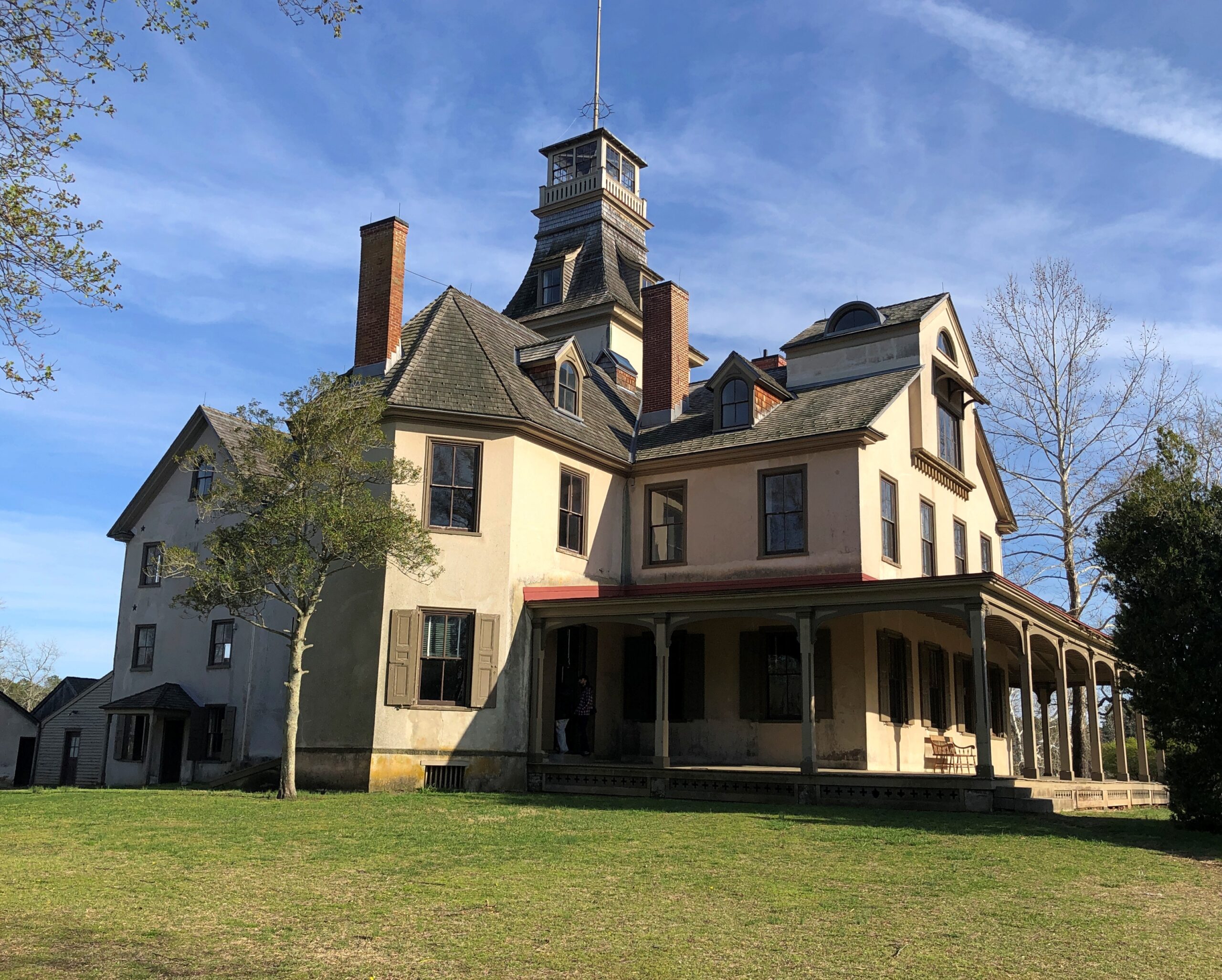
The Home of Franklin D. Roosevelt National Historic Site, which is the official National Park Service designation for the place, includes the mansion (Springwood, by name) and grounds, but also a presidential museum and library. The mansion is a mansion without being a Gilded Age exercise in ostentation.
It’s a big place, lots of rooms and some elegant décor (and stuffed birds), all original artifacts, so there’s no doubt it was a wealthy household. Still, even though it’s literally a museum in our time, in FDR’s time I doubt it felt like a museum at all, unlike some Gilded Age exercises in ostentation – and I’m thinking of the Vanderbilt mansion nearby, more about which later.
Best not to jump to too many conclusions based on the vibe of the mansion, but it does dovetail with the generally understood notion that FDR was self-assured and at ease in the upper class. No need for him to show off, any more than James and Sara did.
Speaking of James and Sara.
Note: the tour guide – you need to be on a tour to see the inside of Springwood – was perfectly forthcoming about the well-known fact (to historians) that the Delano fortune was built on opium.
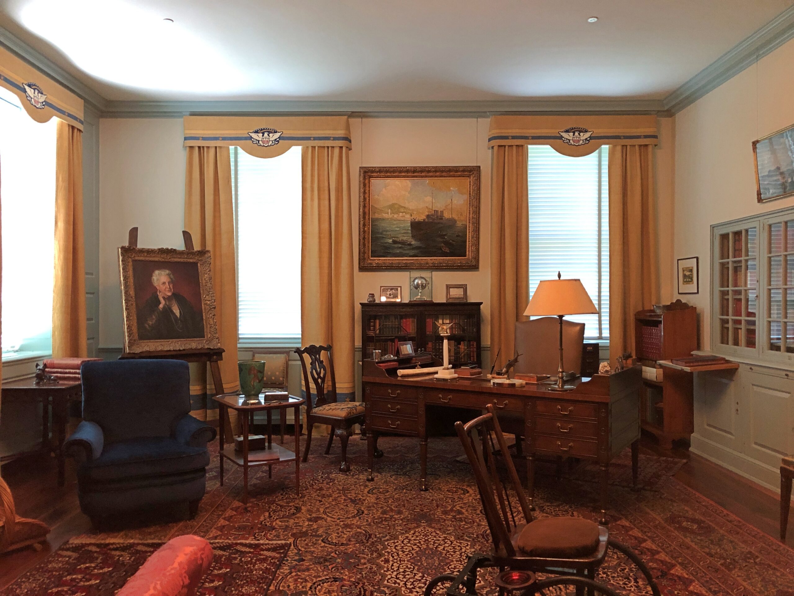
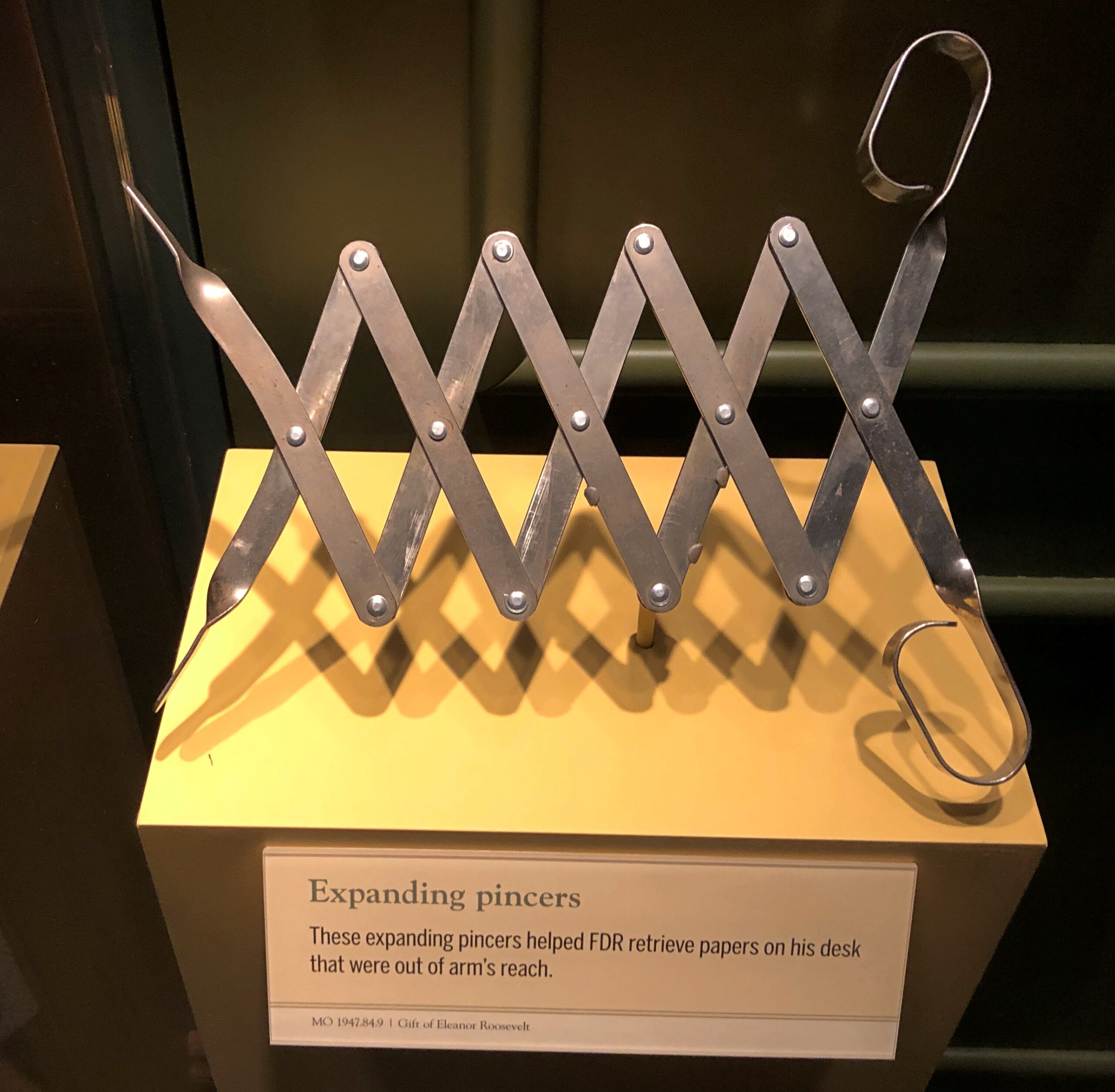
Other artifacts of note included some of the president’s coping mechanisms — literal mechanisms — for his handicap.
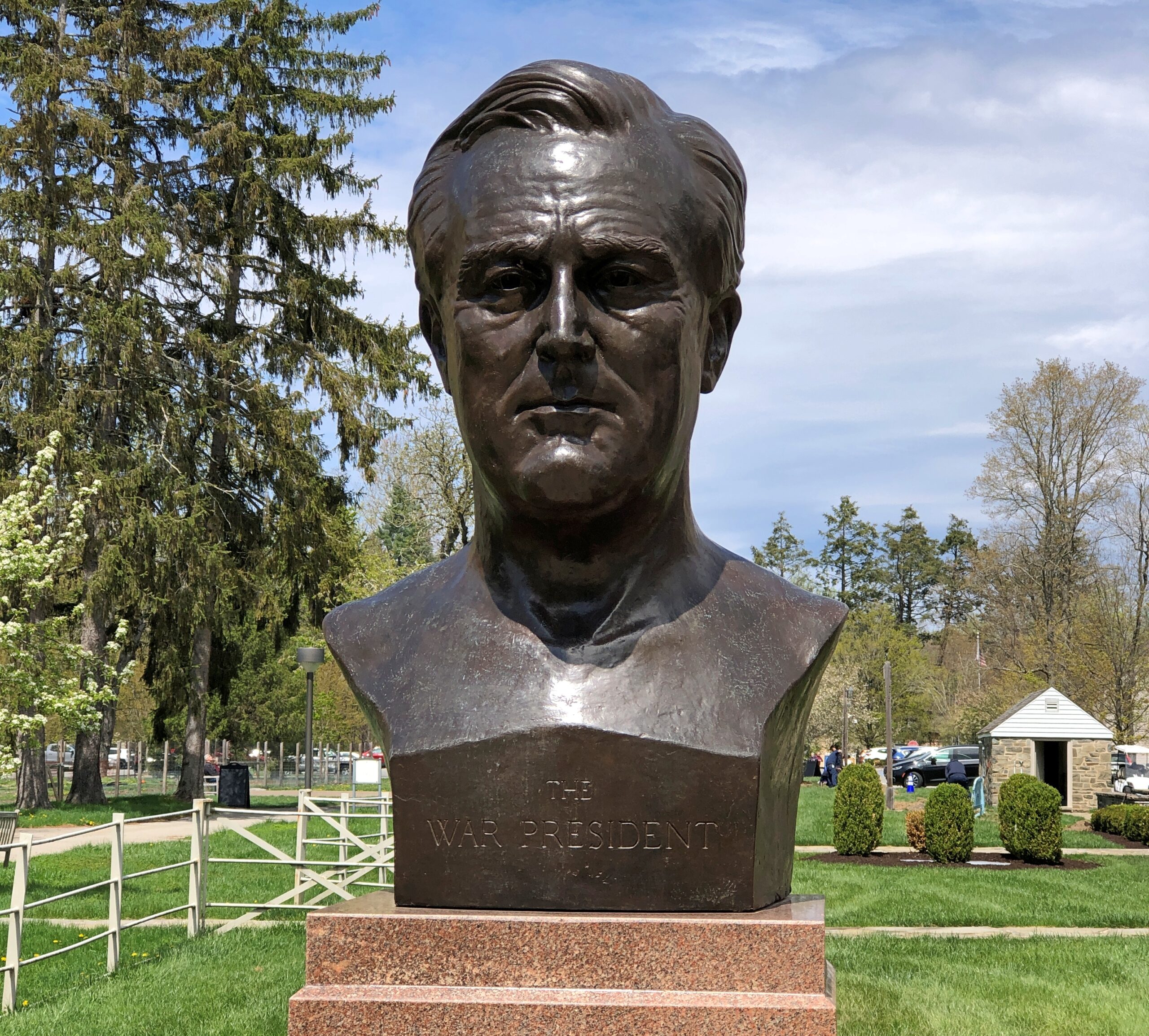
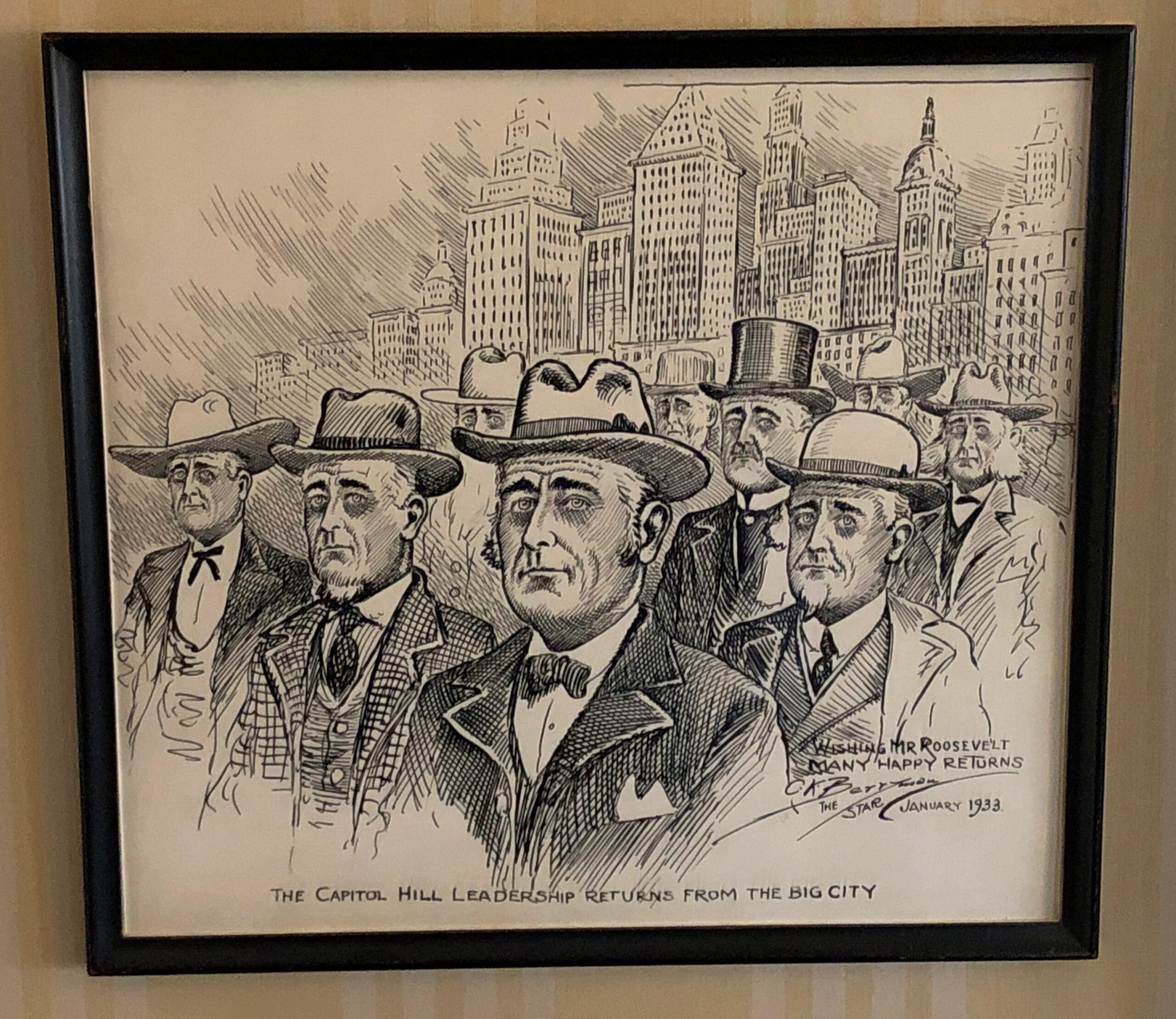
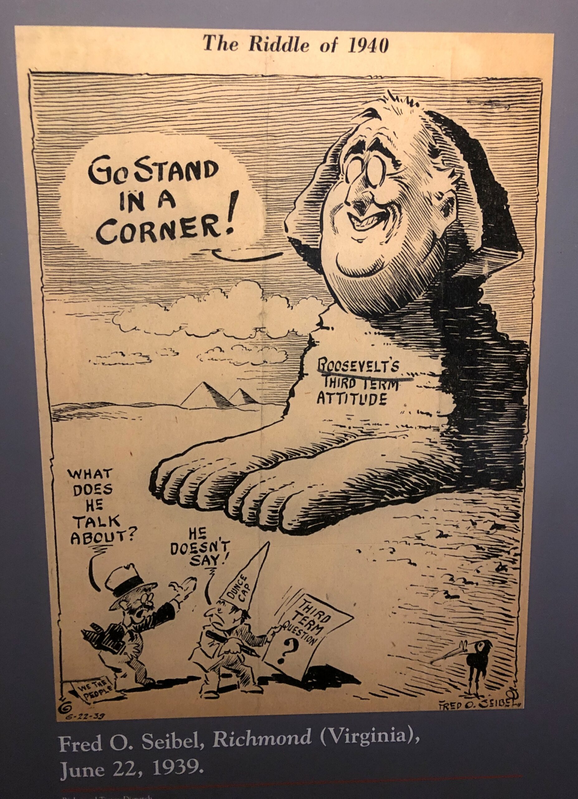
The historic site also includes many, many depictions of FDR, as one would expect. Such as Franklin and Eleanor in bronze. Or just Franklin in bronze, or other materials.
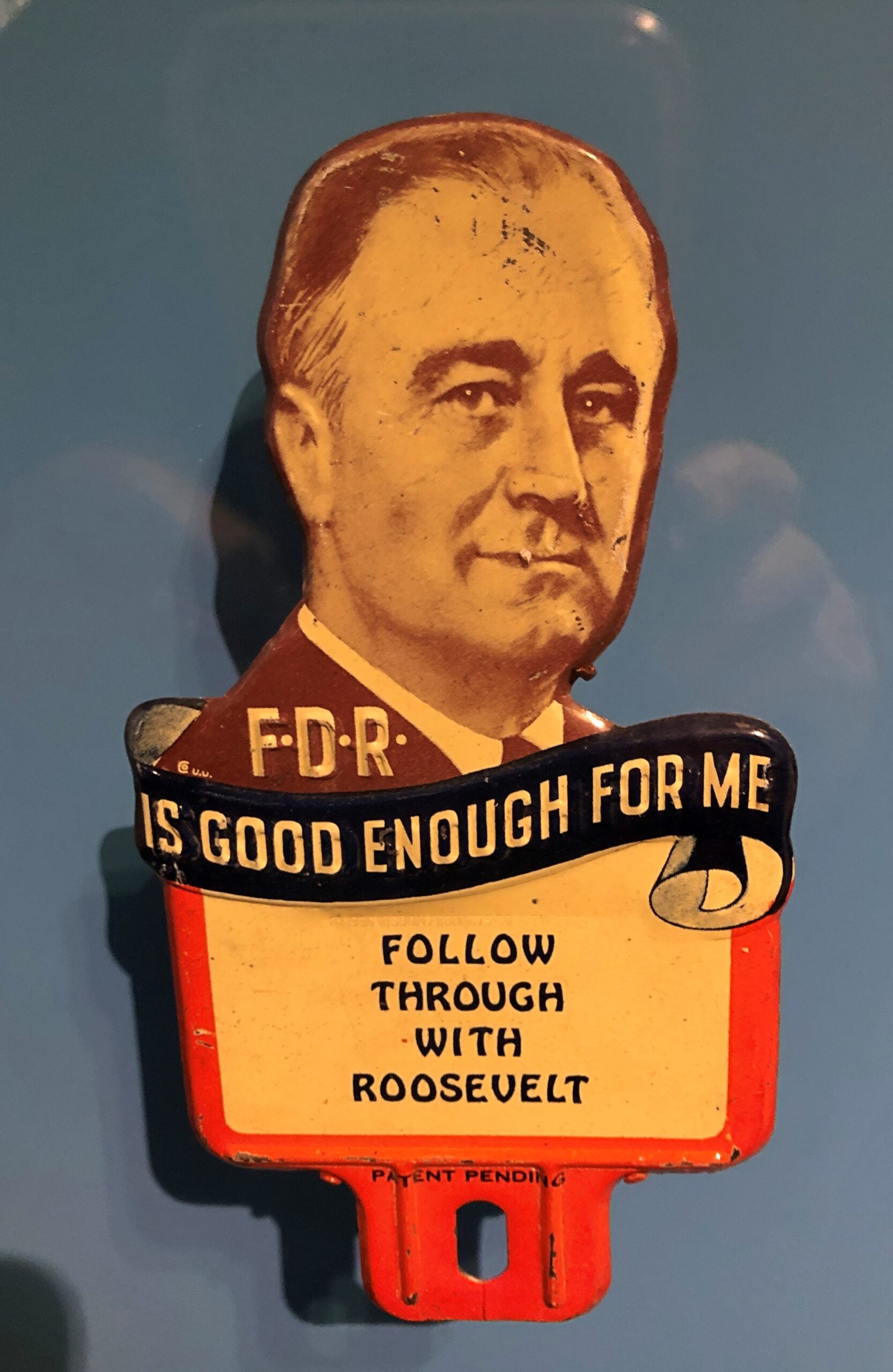
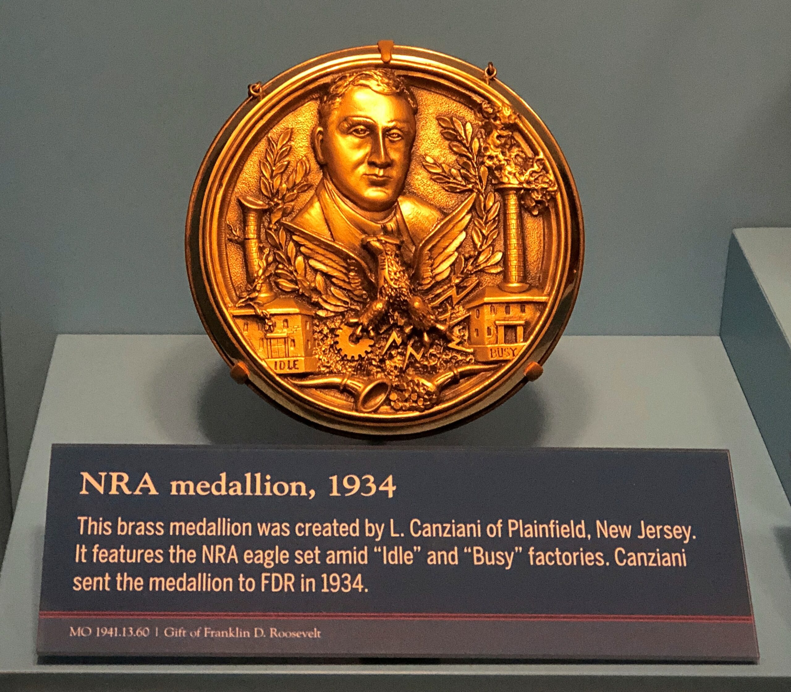
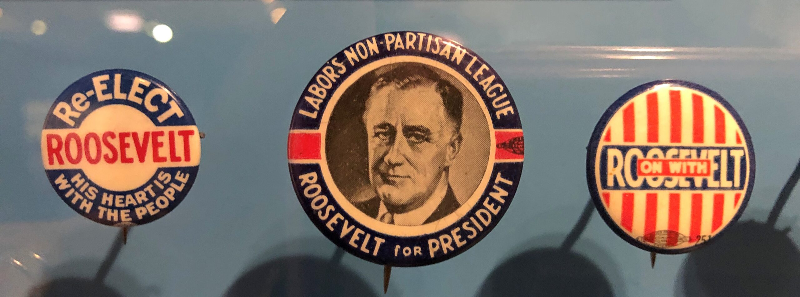
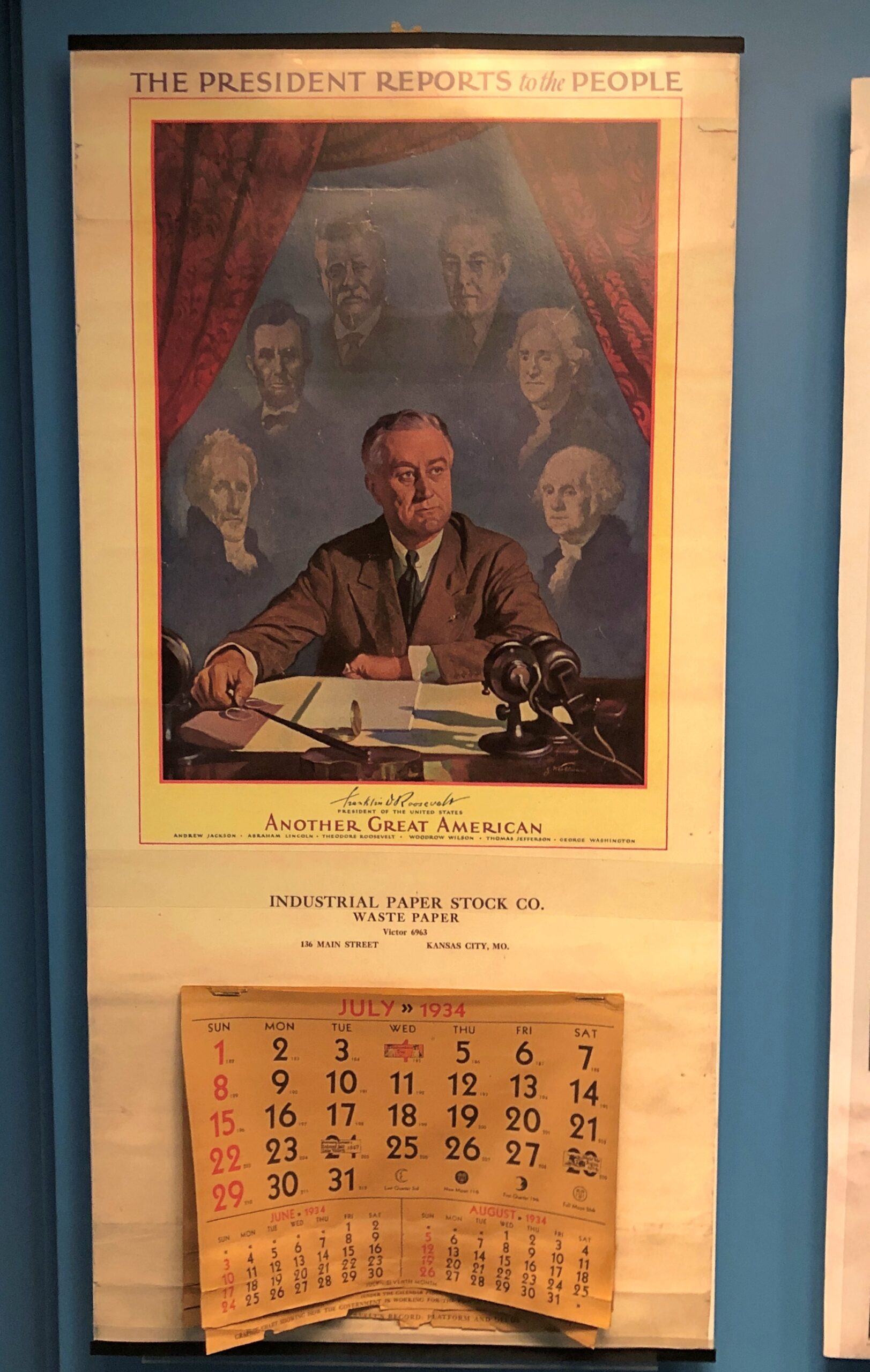
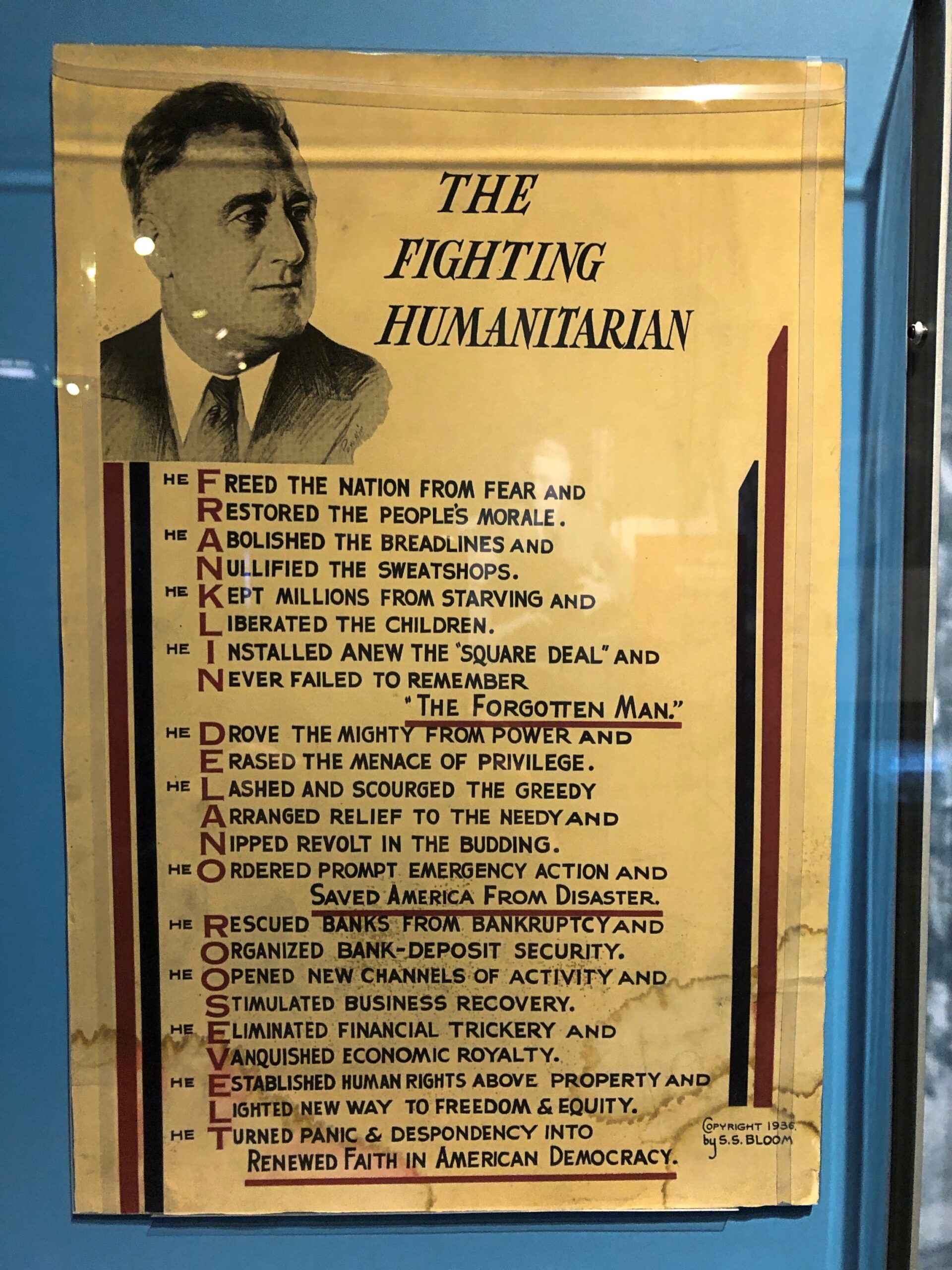
Campaign material and other laudatory items are well represented in the museum.
Editorial cartoons. The president as a sphinx was especially amusing.
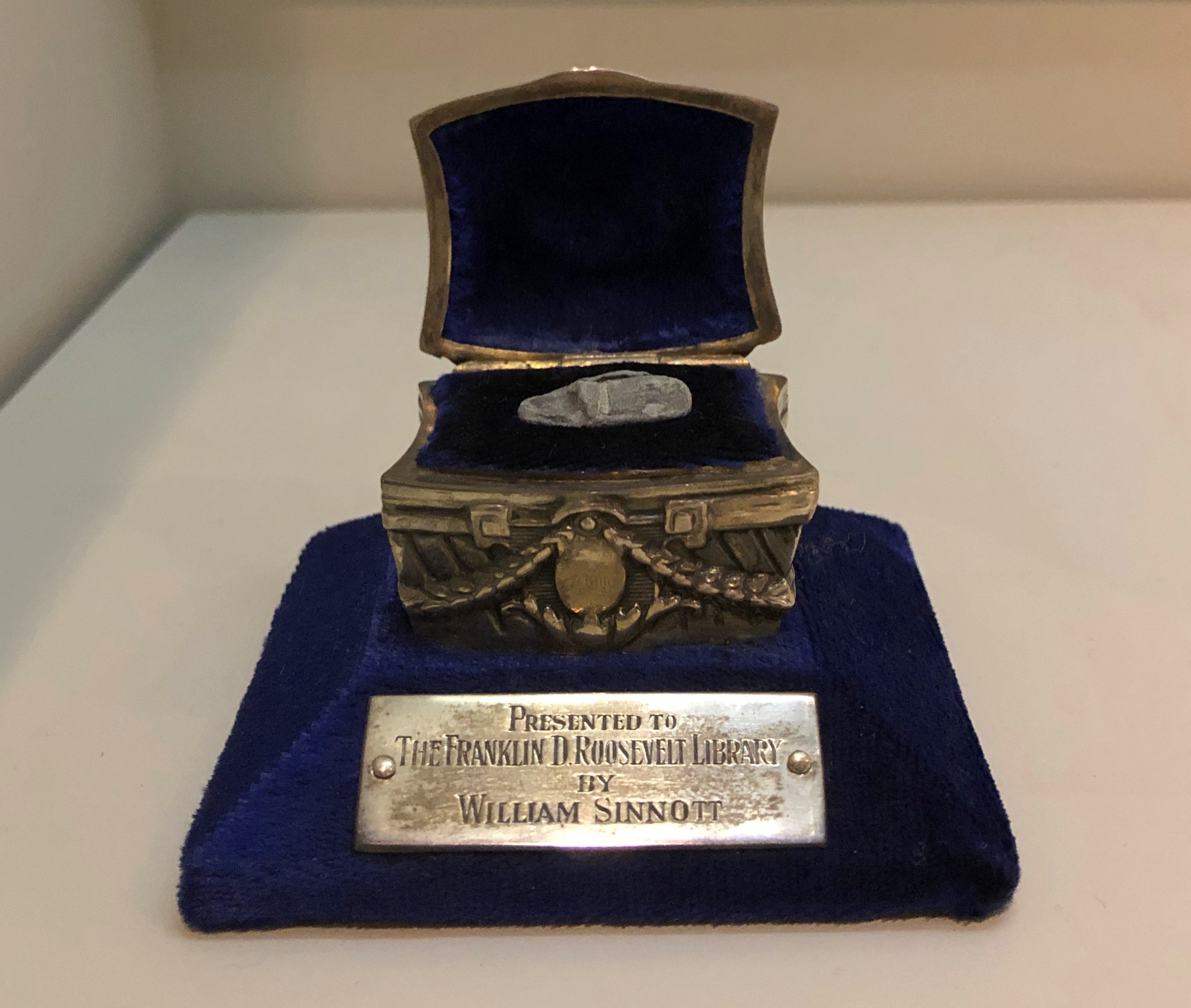
A chilling artifact: a fragment of a slug meant for FDR, fired at him on February 15, 1933 by Guiseppe Zangara.
“One of the wounded was William Sinnott, a detective who had frequently acted as Roosevelt’s bodyguard in New York City,” says In Roosevelt History. “Sinnott had just moved to Miami earlier that week when he was called to assist FDR’s security staff.
“The bullet fragment pictured above was removed from Mr. Sinnott’s wounded head. Ten other fragments from the bullet that struck him remained in his body. When visiting Sinnott in the hospital, FDR said, ‘You couldn’t hurt him, bullets just bounced off his skull.’ Mr. Sinnott was awarded the Congressional Gold Medal in 1940 in recognition of his service that day. In 1946, Mr. and Mrs. Sinnott donated the bullet fragment in this specially designed presentation case made by Lambert Brothers Jewelers to the FDR Library.”
Historians don’t generally adhere to the Great Man school of history any more, but it’s nevertheless a fertile source of speculation to imagine how different things might be for the nation and the world had it been Roosevelt and not Anton Cermak who died in 1933.
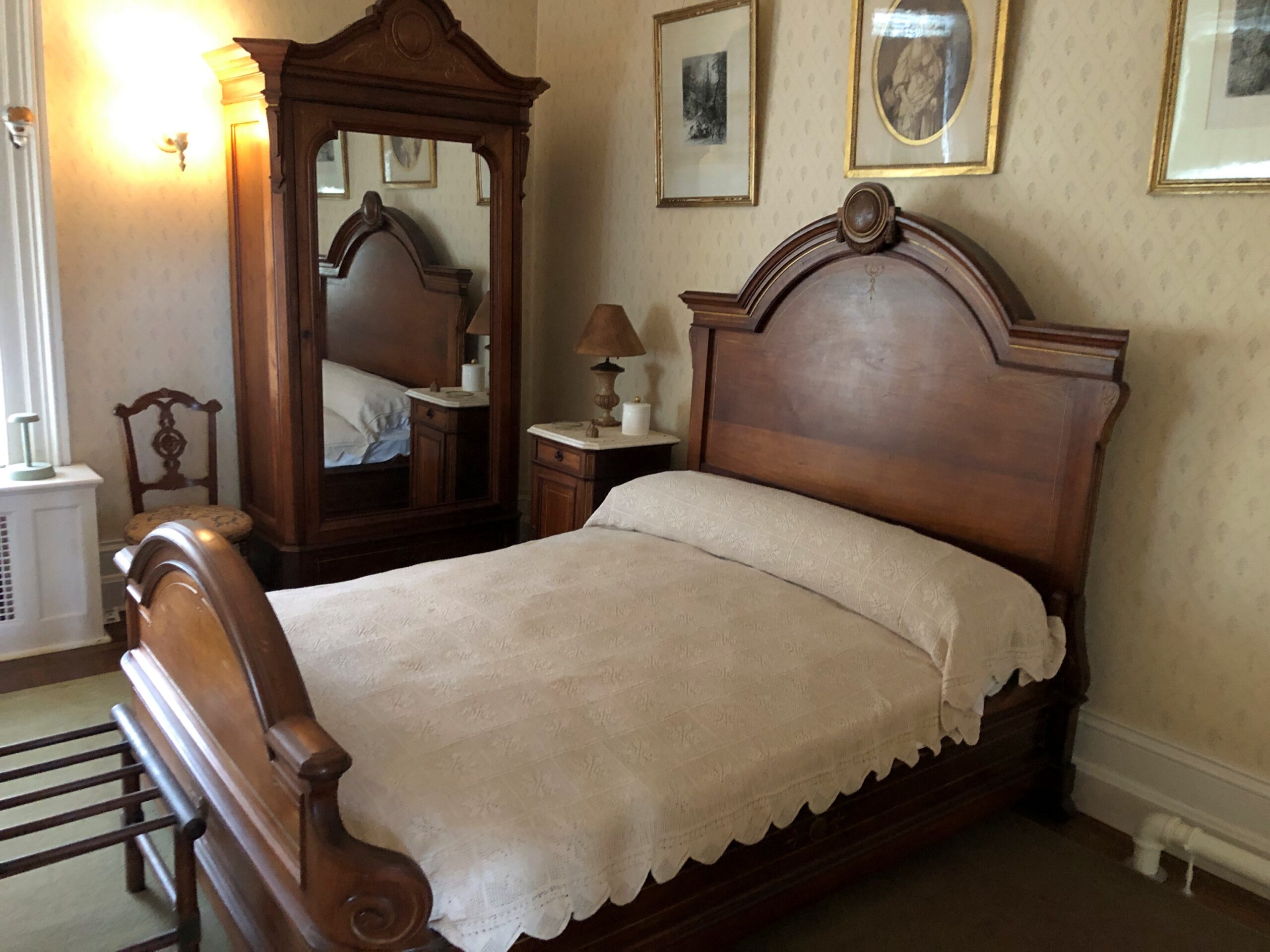
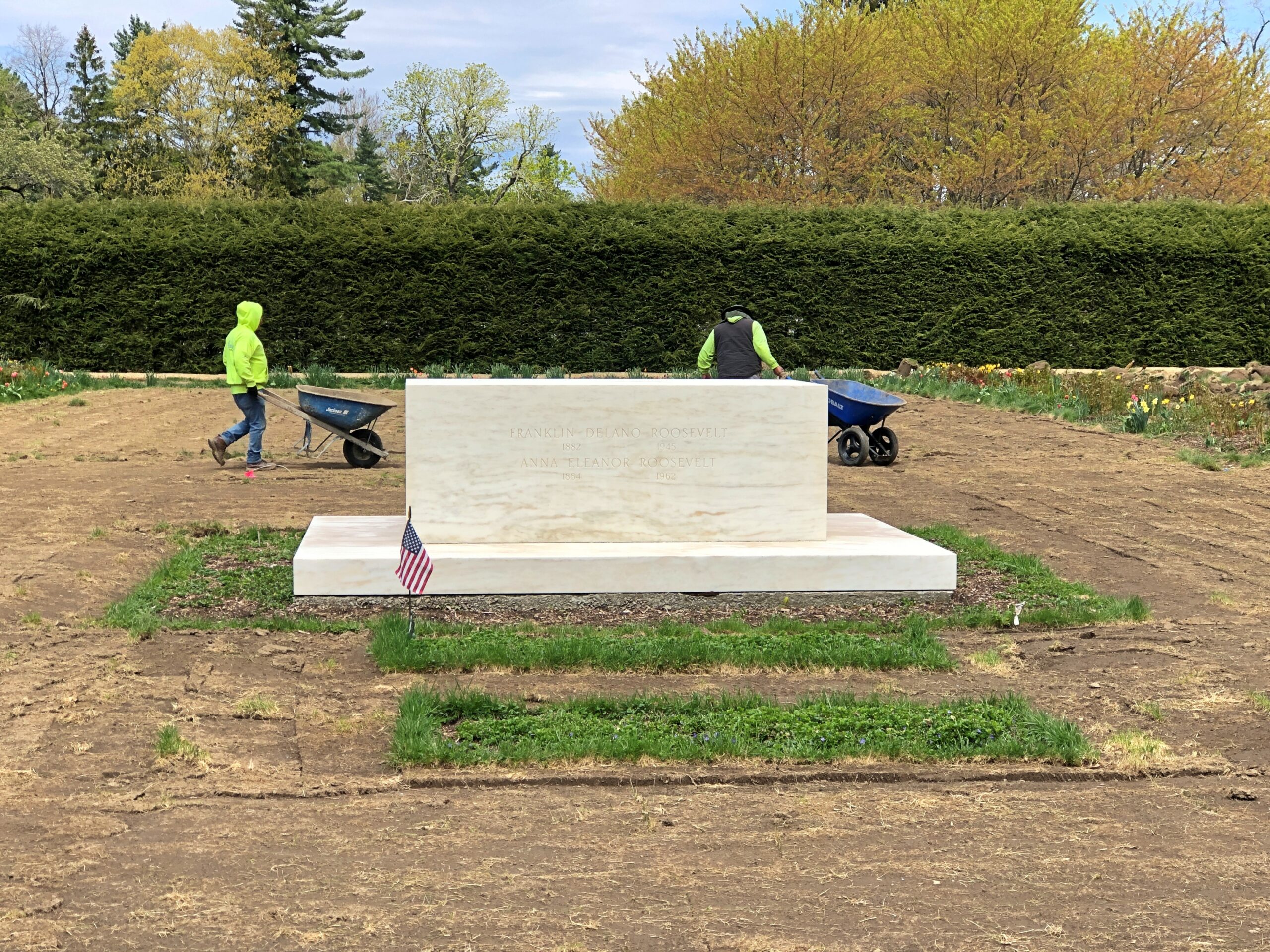
Though he eventually died away from home, in Georgia — ah, another presidential site I must see — FDR came full circle to Hyde Park. First, the bed in which he was born.
Ultimately, his final resting place is on the grounds, along with Eleanor. Gardening had just begun when I paid my respects.
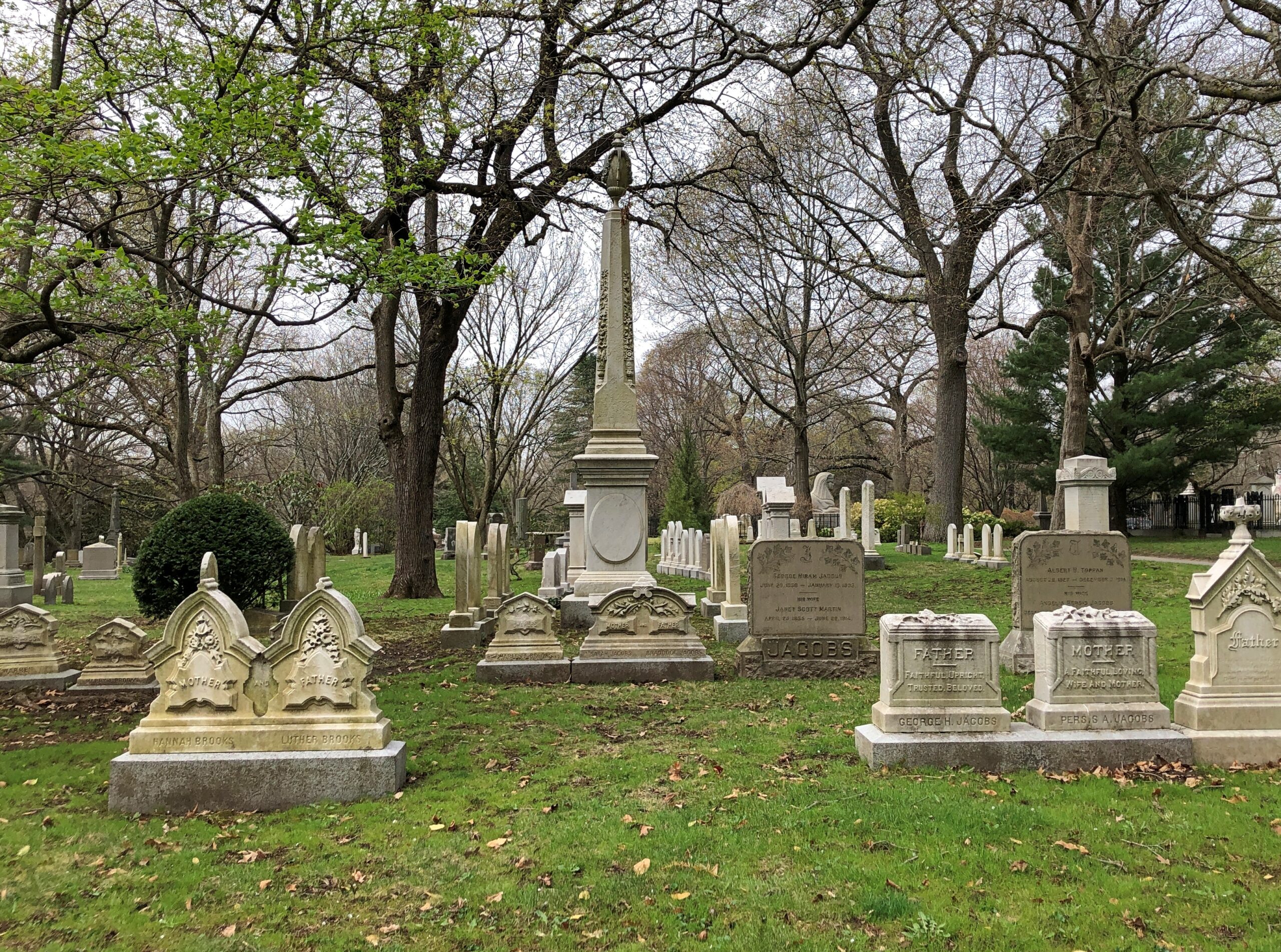
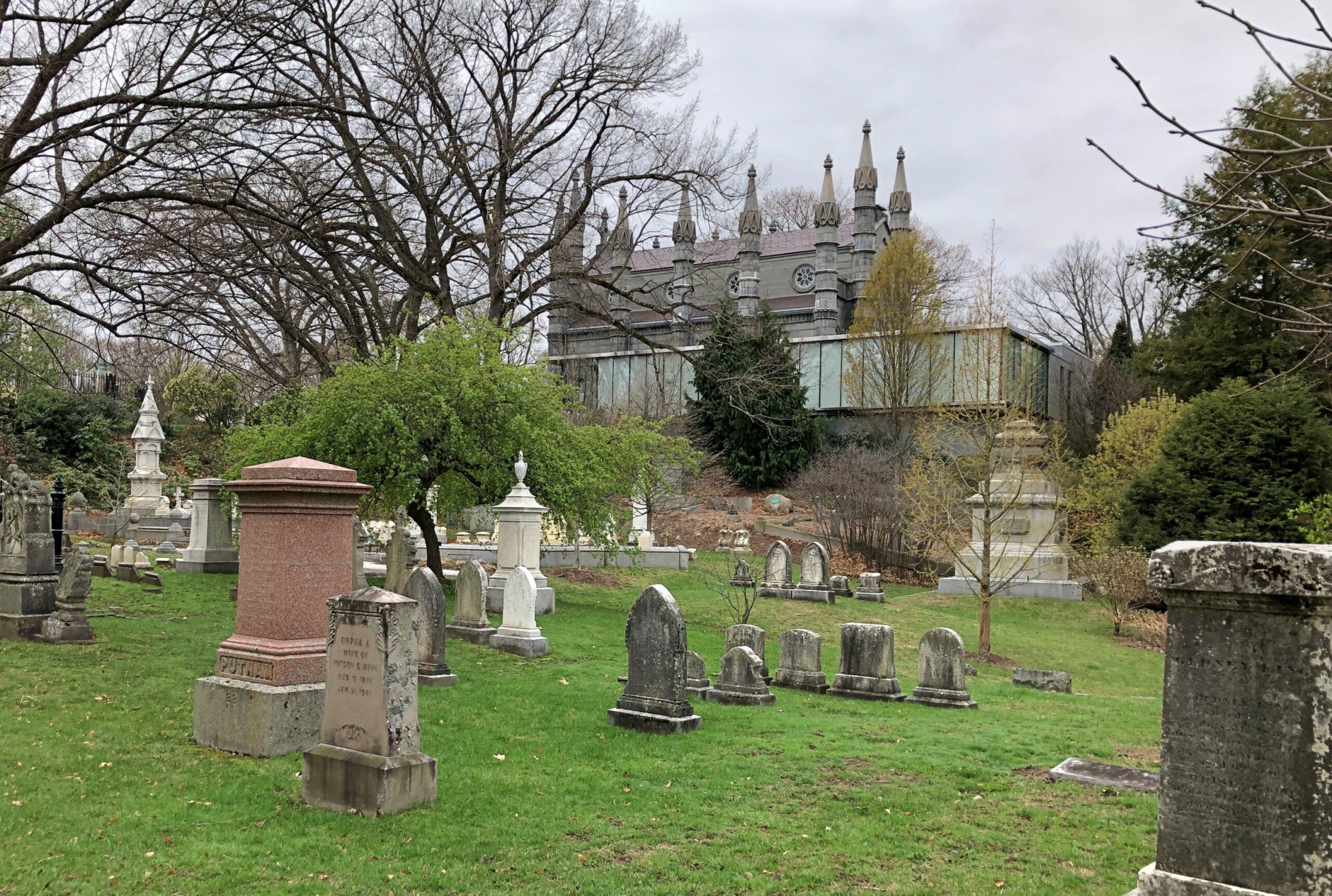
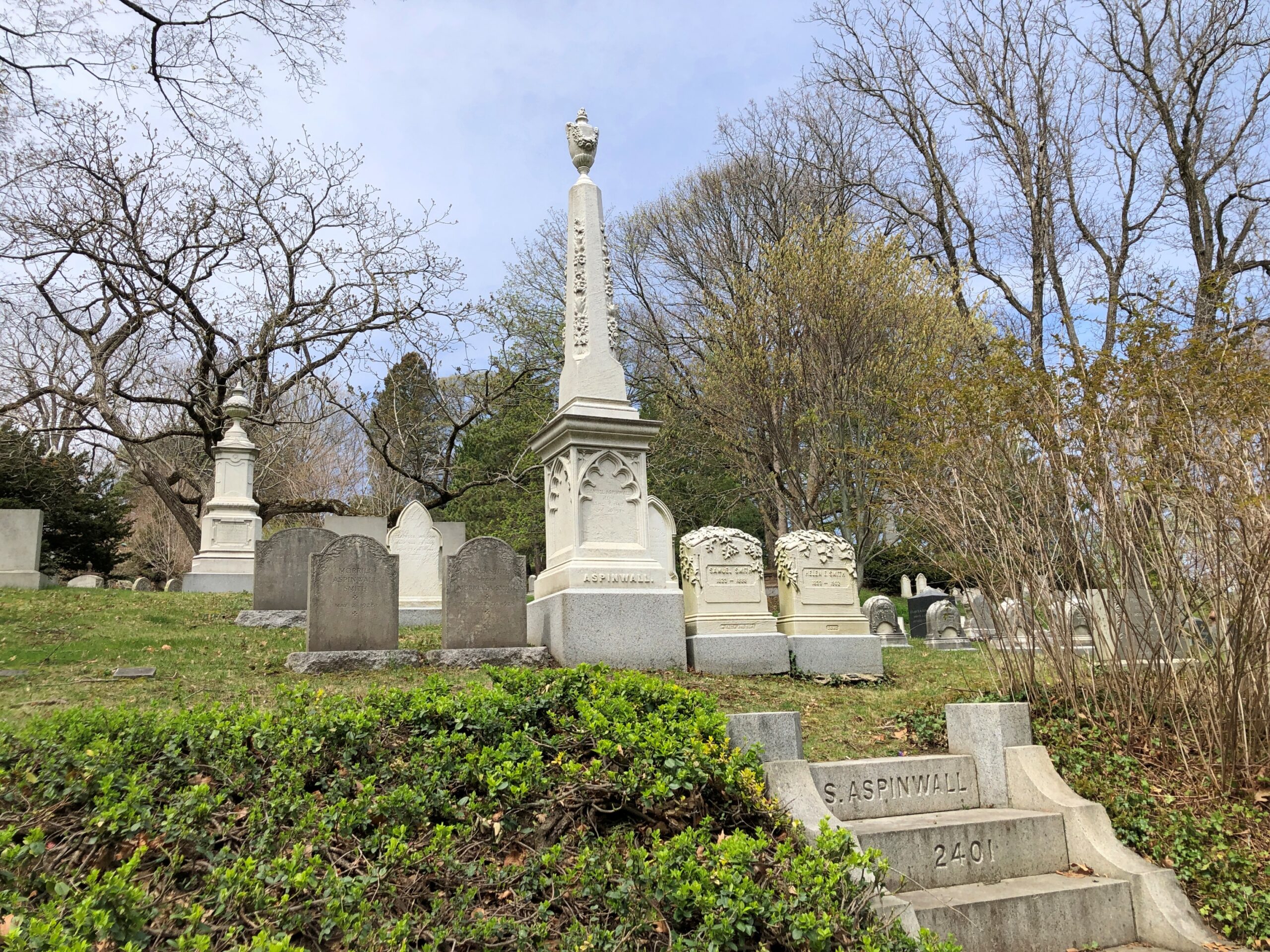
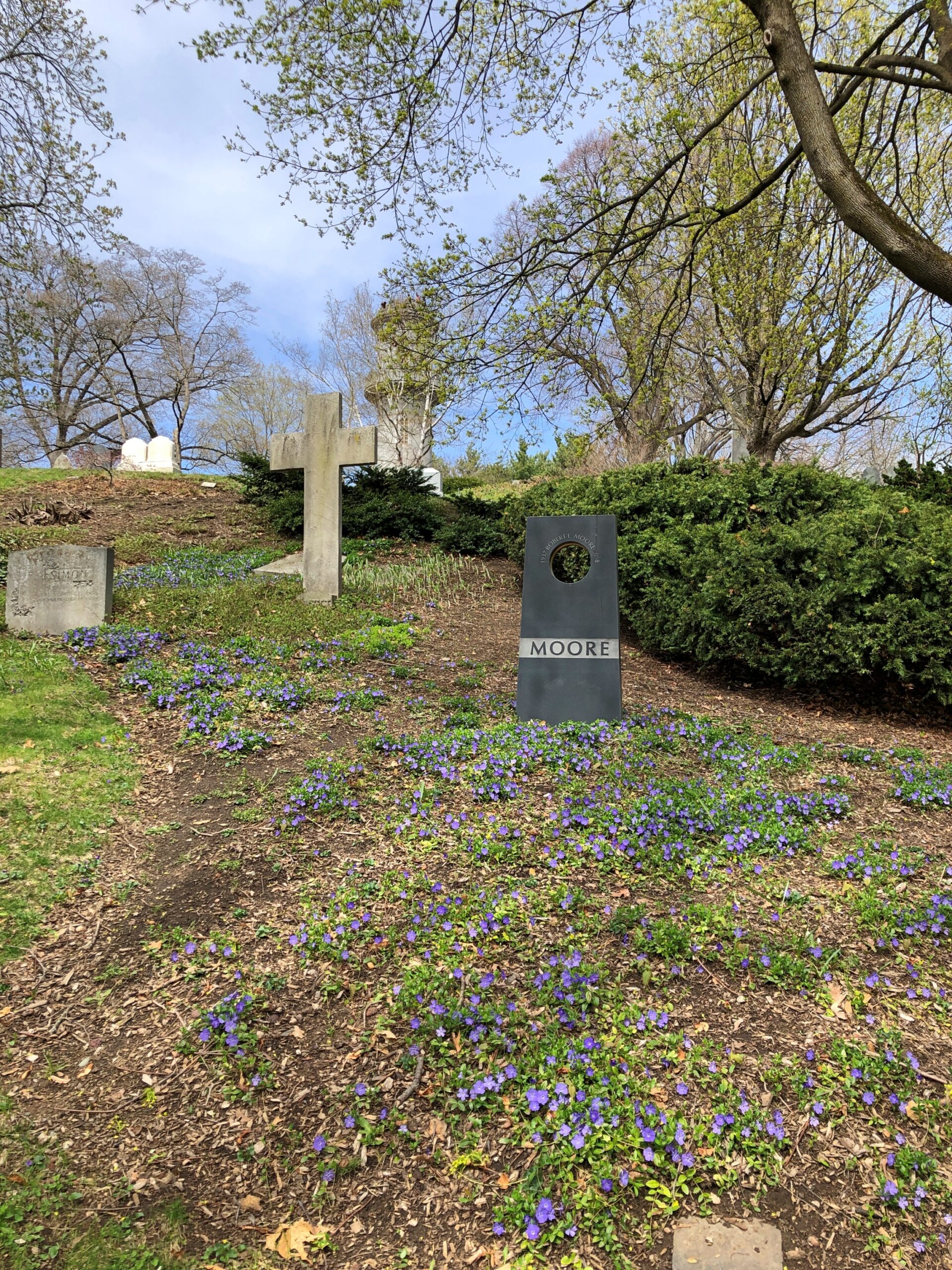
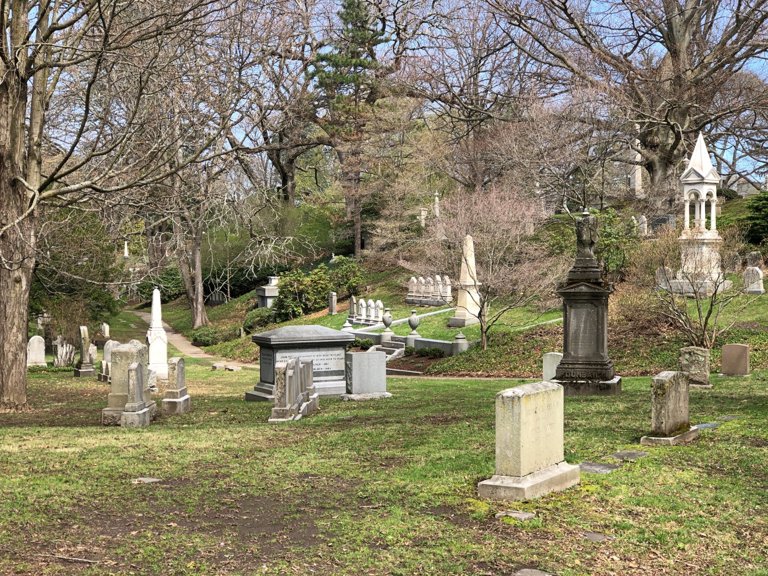
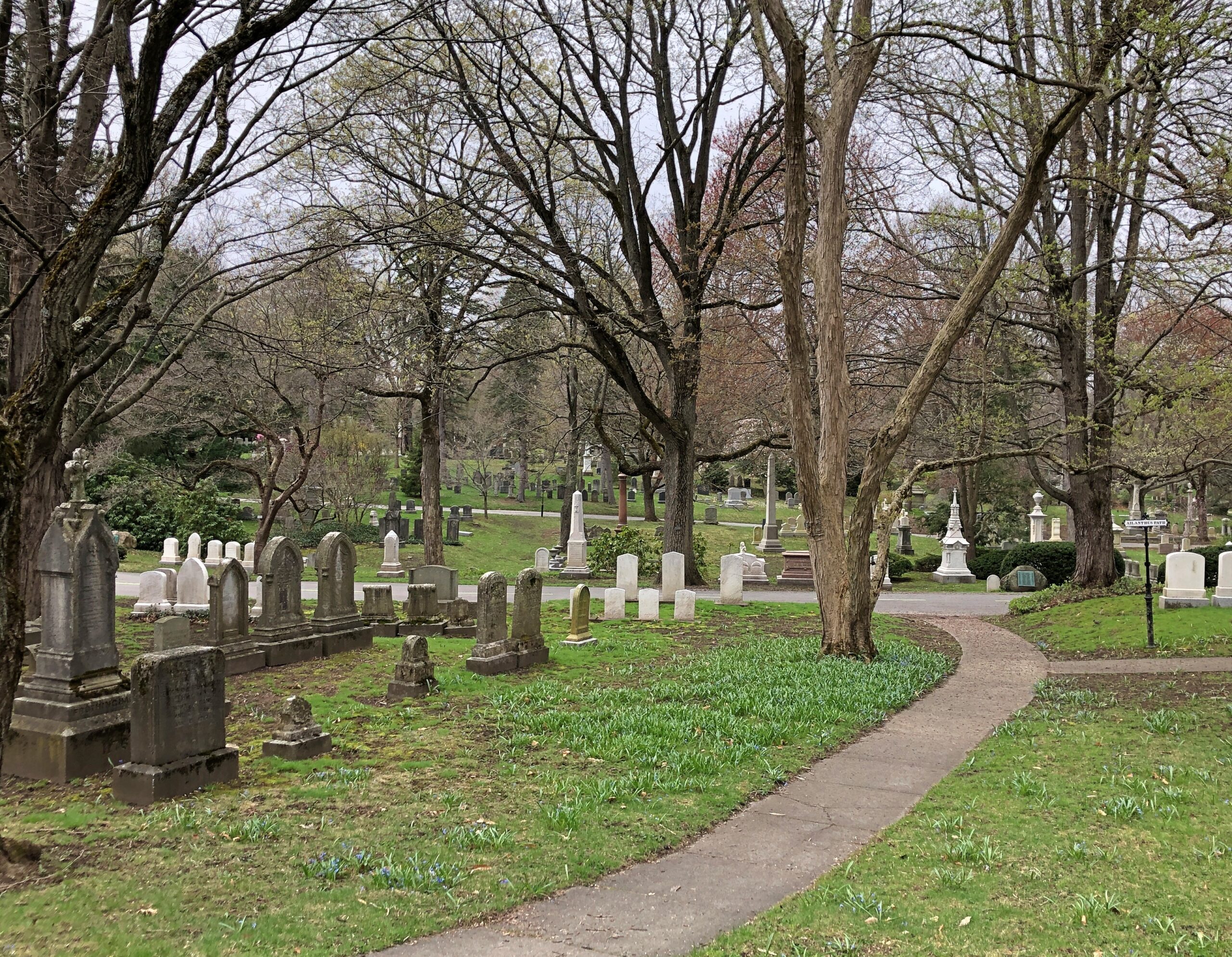
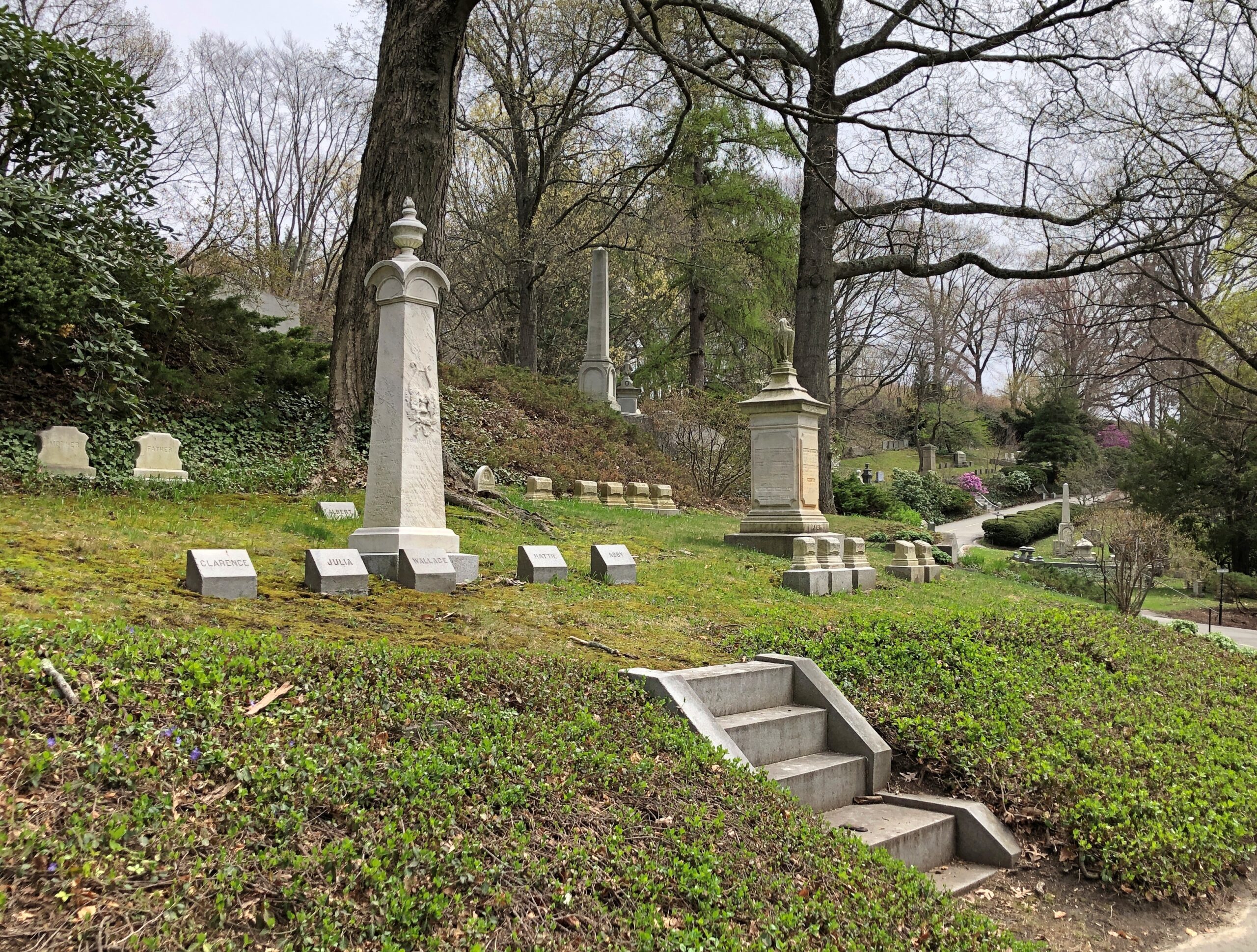
The weekend I spent with friends in Boston in April wasn’t actually in Boston most of the time, but its suburbs, and not with my friends quite all the time. On that Saturday, late morning to early afternoon, I passed some warm springtime moments by myself in the thrall of Mount Auburn Cemetery, mostly in Watertown, partly in Cambridge.
How is it that I’d never gotten around to visiting Mount Auburn Cemetery until 2026? What kind of cemetery tourist lets that one go for so long? This is the Ur of landscaped American rural cemeteries, acknowledged as the first one, established in 1831. Did I also mention that it’s drop-dead gorgeous? So to speak.
Mount Auburn is one of those rare cemeteries – like Arlington National outside DC or Saint Louis Cemetery No. 1 in New Orleans – that attracts visitors even in our time. Not a huge number, at least when I visited, but a healthy trickle. Spring, I suspect, is a popular season there.
Arlington National inspires feelings of patriotism from as deep an historical well in North America has to offer; New Orleans’ tombs are dressed in mystery and garlanded with voodoo. What does Mount Auburn have? Landscaping of the highest order. A pattern by which all the following garden cemeteries can be judged: stones of great variety, plants equally various, and an alternation of flat and hilly contour.
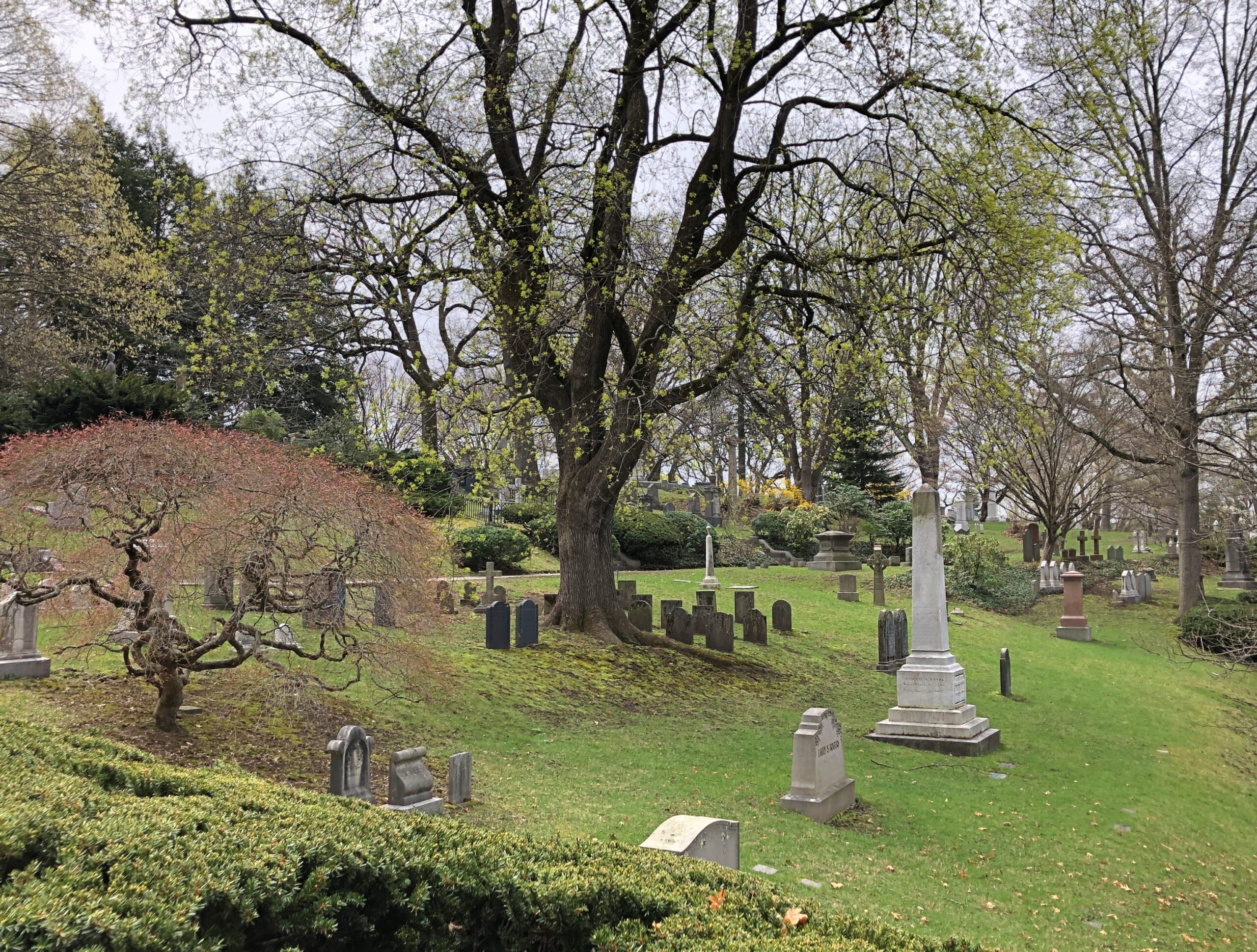
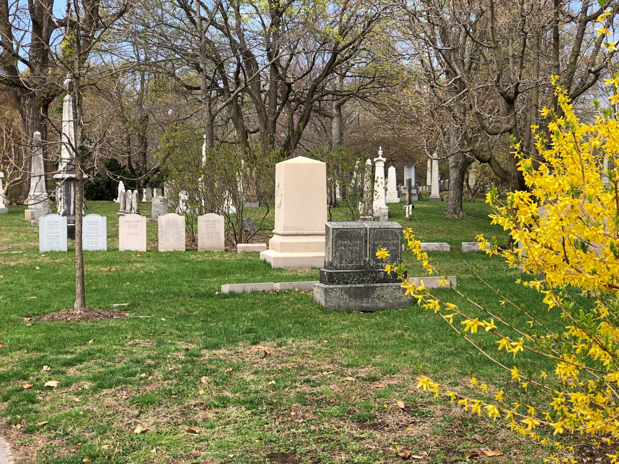
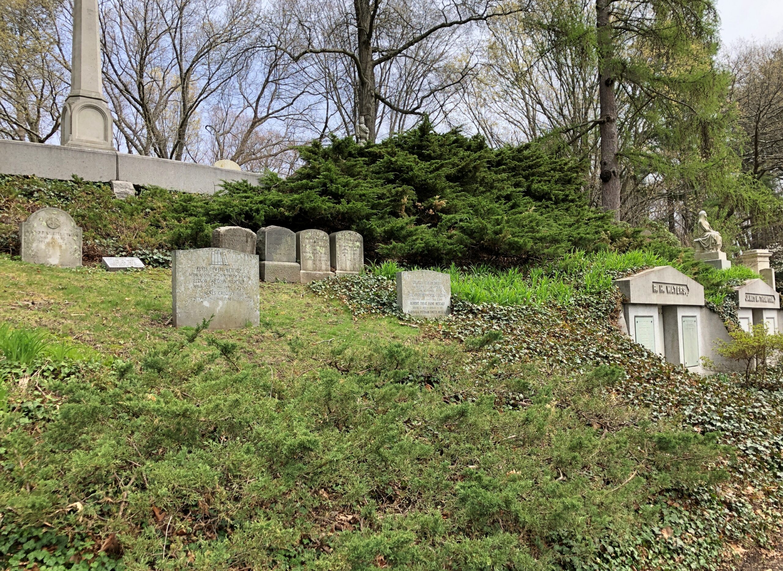
The Massachusetts Horticultural Society, itself a recent establishment by the 1830s, created Mount Auburn during a time of peace and expansion in Boston, with the violence of the Revolution barely in living memory and U.S. sectional friction deepening, but not to the strife it would become by the ’50s. The president of the society, Henry Dearborn (d. 1851), is credited with designing Mount Auburn.
The site, with its twists and minor vistas, turned out to be just the place for a revolution in burial practice. Dearborn must have had a gardener’s instinct for the reinventing the wooded hills, but he was much more than a gardener, and the cemetery is much more than a garden. And anyway, Dearborn just set the thing in motion nearly 200 years ago, in collaboration with landscape architect Alexander Wadsworth and botanist Jacob Bigelow. The cemetery, a place to recall lives that are over, is ongoing.
Since then, every stone, every planting, all the small decisions and actions that go into managing 174 acres with 100,000 or more permanent residents, have formed a national treasure.
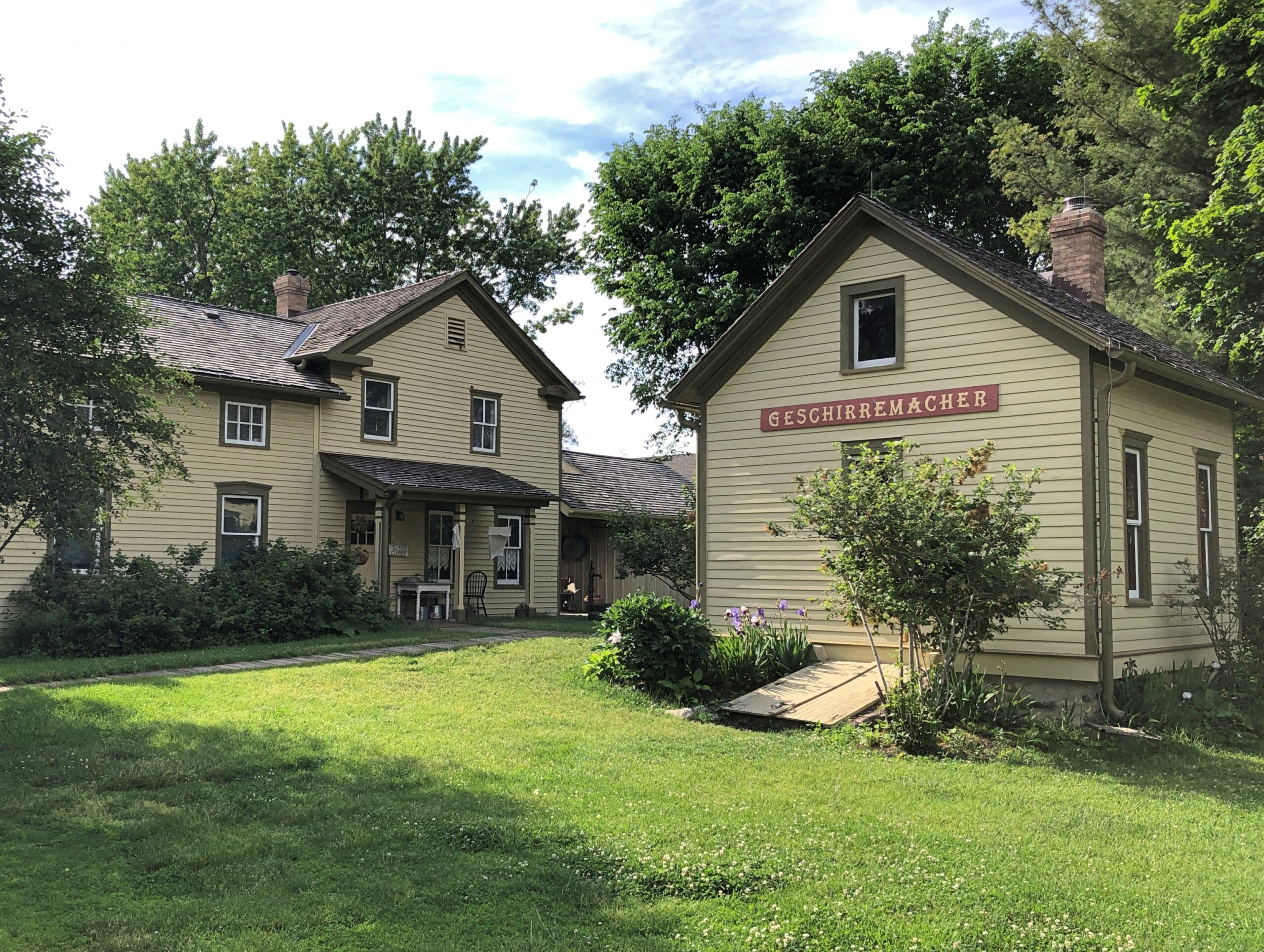
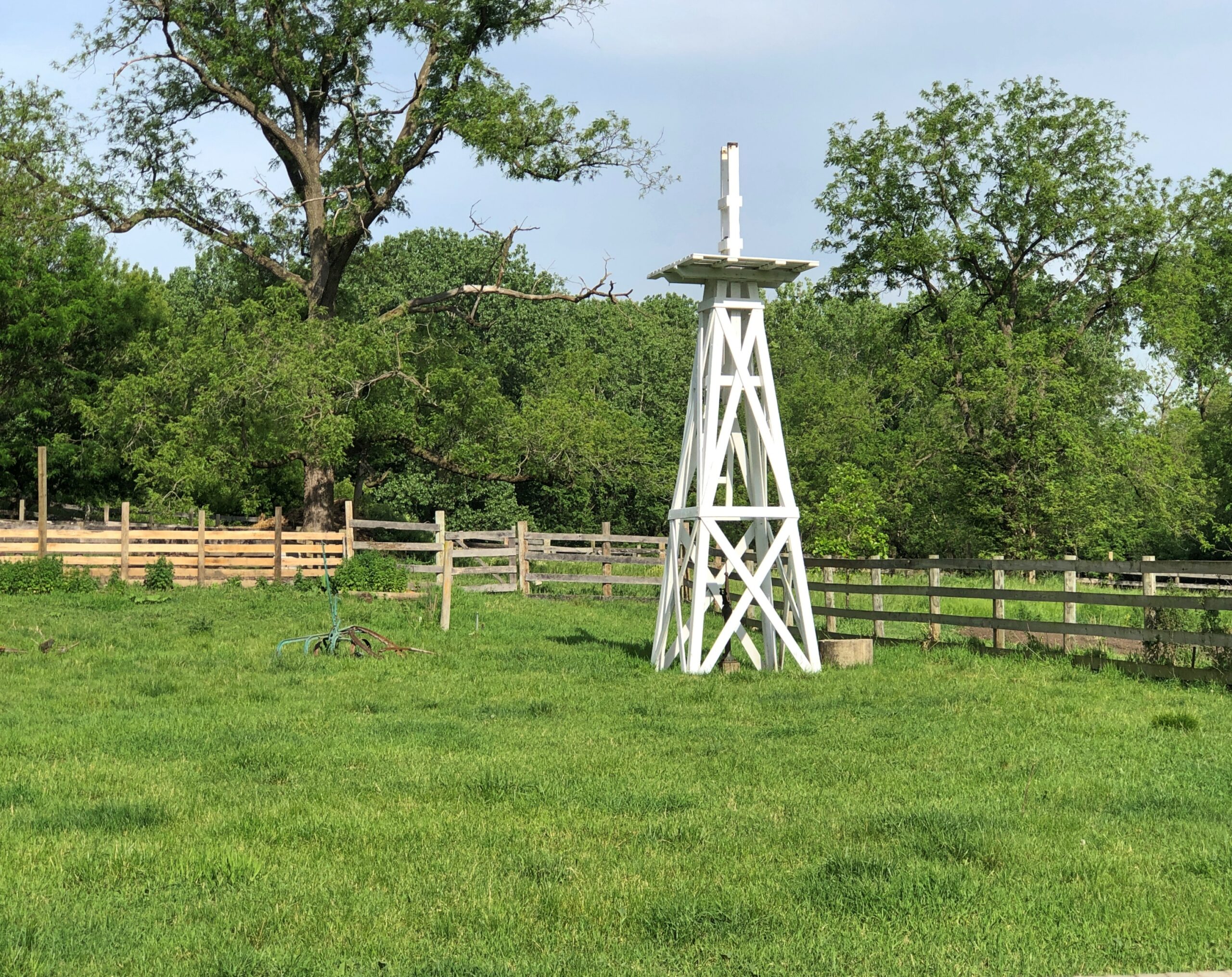
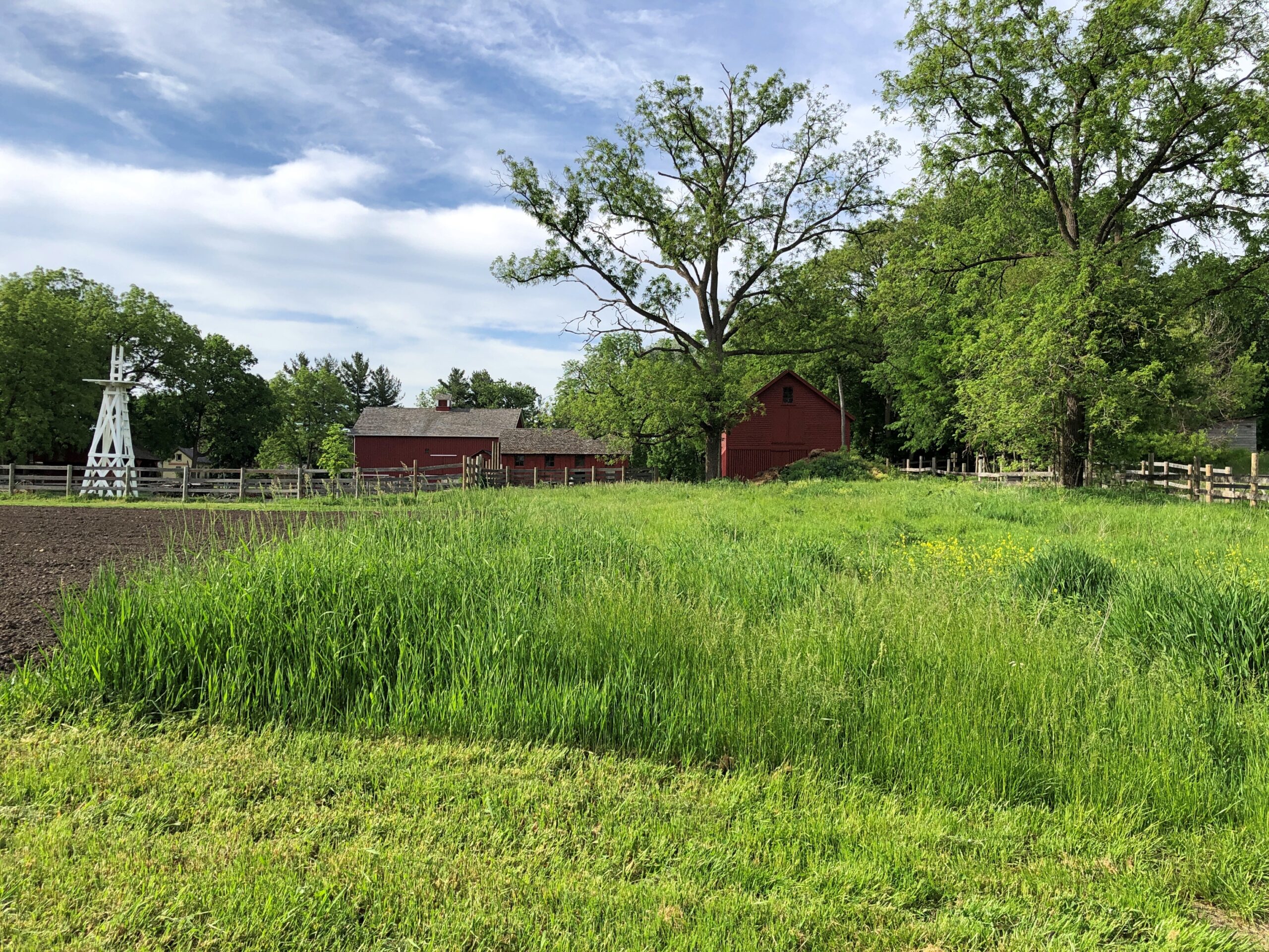
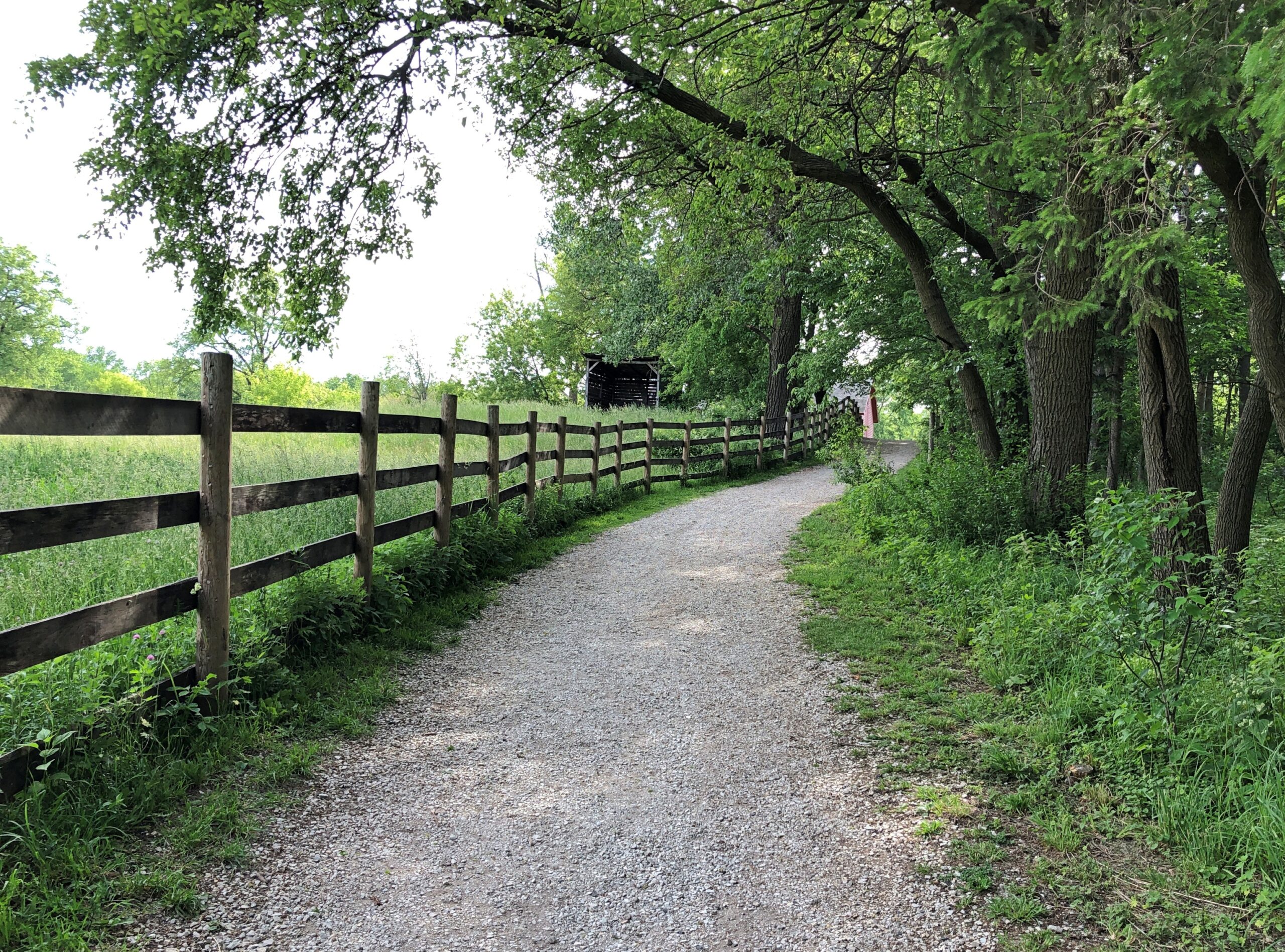
Consistent spring-like weather has arrived at last here in northern Illinois. So we took the opportunity late this afternoon to visit Volkening Heritage Farm, an open-air museum with structures dating from the 1880s. It’s part of the larger (135-acre) Spring Valley.
Spin the wheel of time back – not that long, really – and German immigrant farmers put this part of Illinois, the future northwestern suburbs, to prosperous use. The open-air museum of our time echoes that previous time. Not in each detail, but the facsimile is pretty good. There’s a vegetable and flower garden —
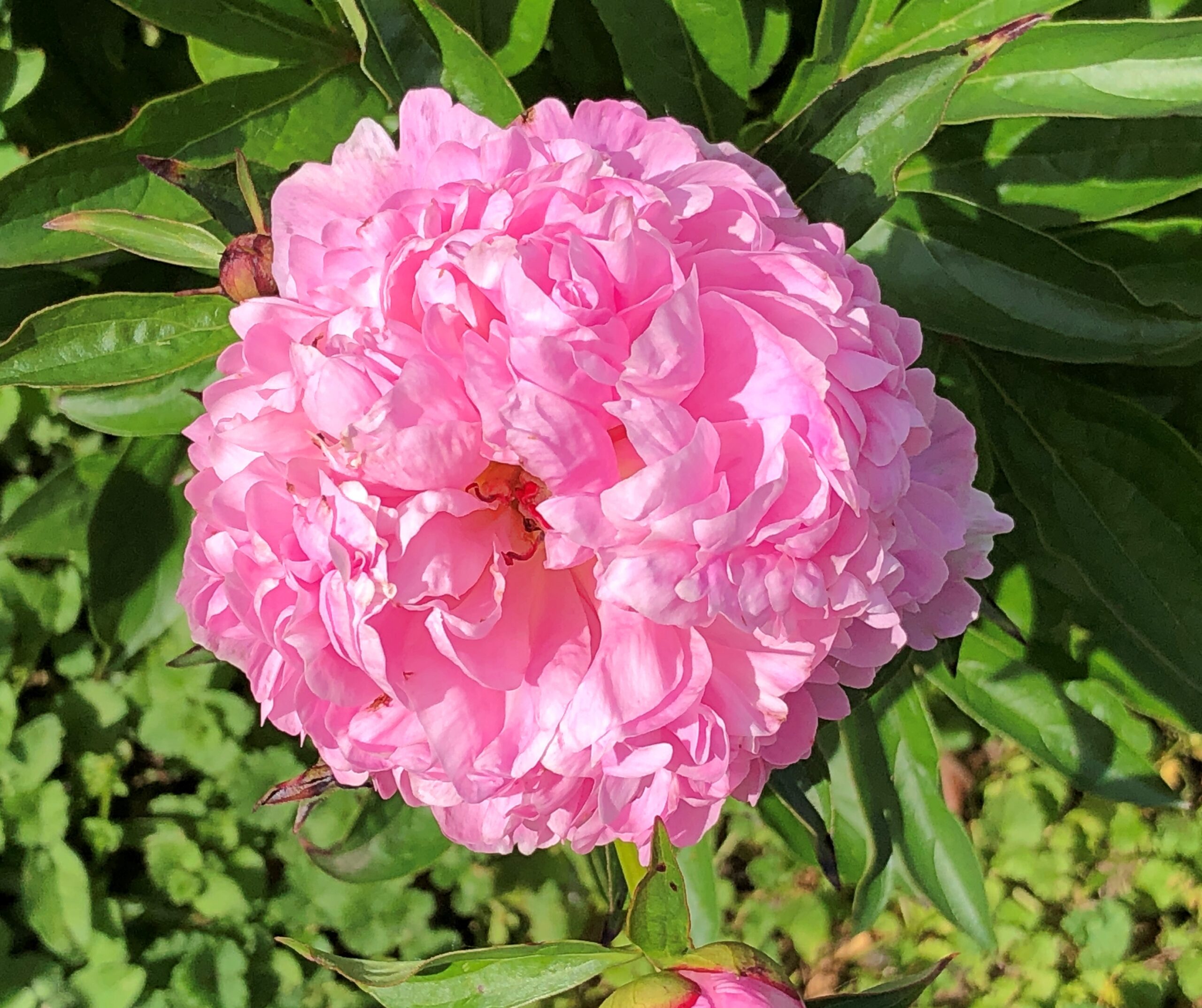
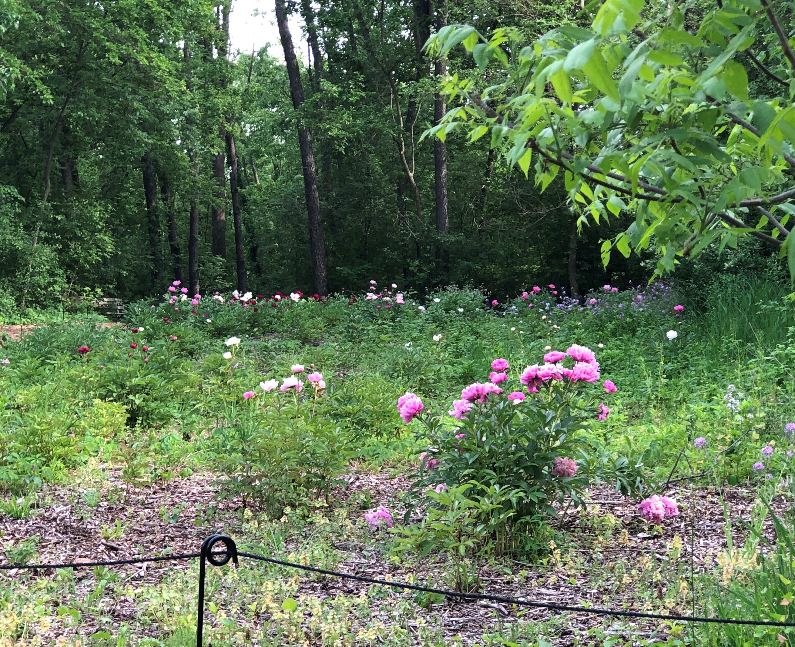
That meant that Spring Valley’s former peony farm, about a 10-minute walk from the former German farm, was abloom with peonies. Like cherry blossoms in other places and other contexts, they don’t last long. Some years we miss them all together, partly because the blooming isn’t quite fixed. One year, for instance, I visited on my early June birthday once and found an embarrassment of peonies. Other years, they are earlier. This is an early year.
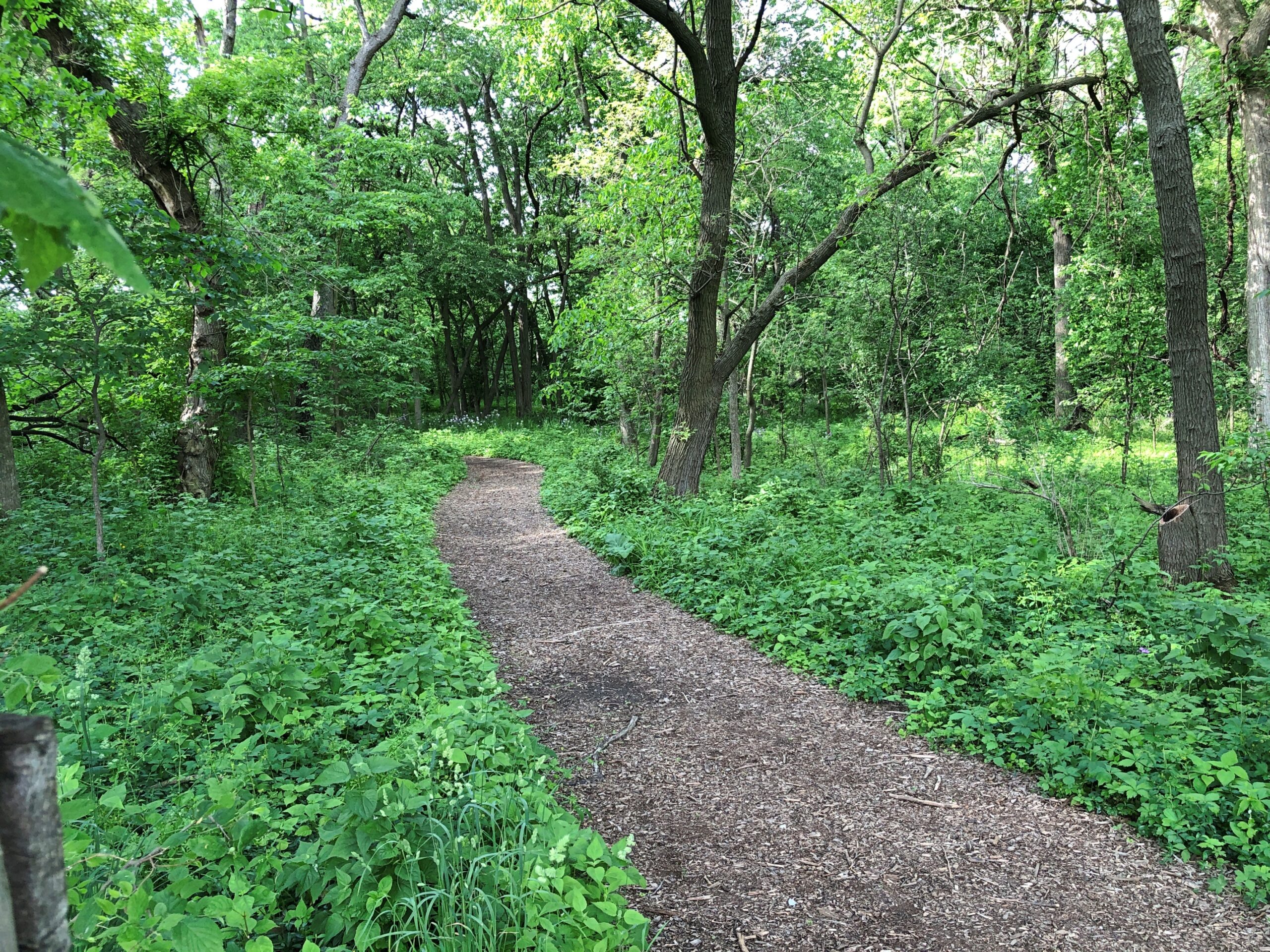
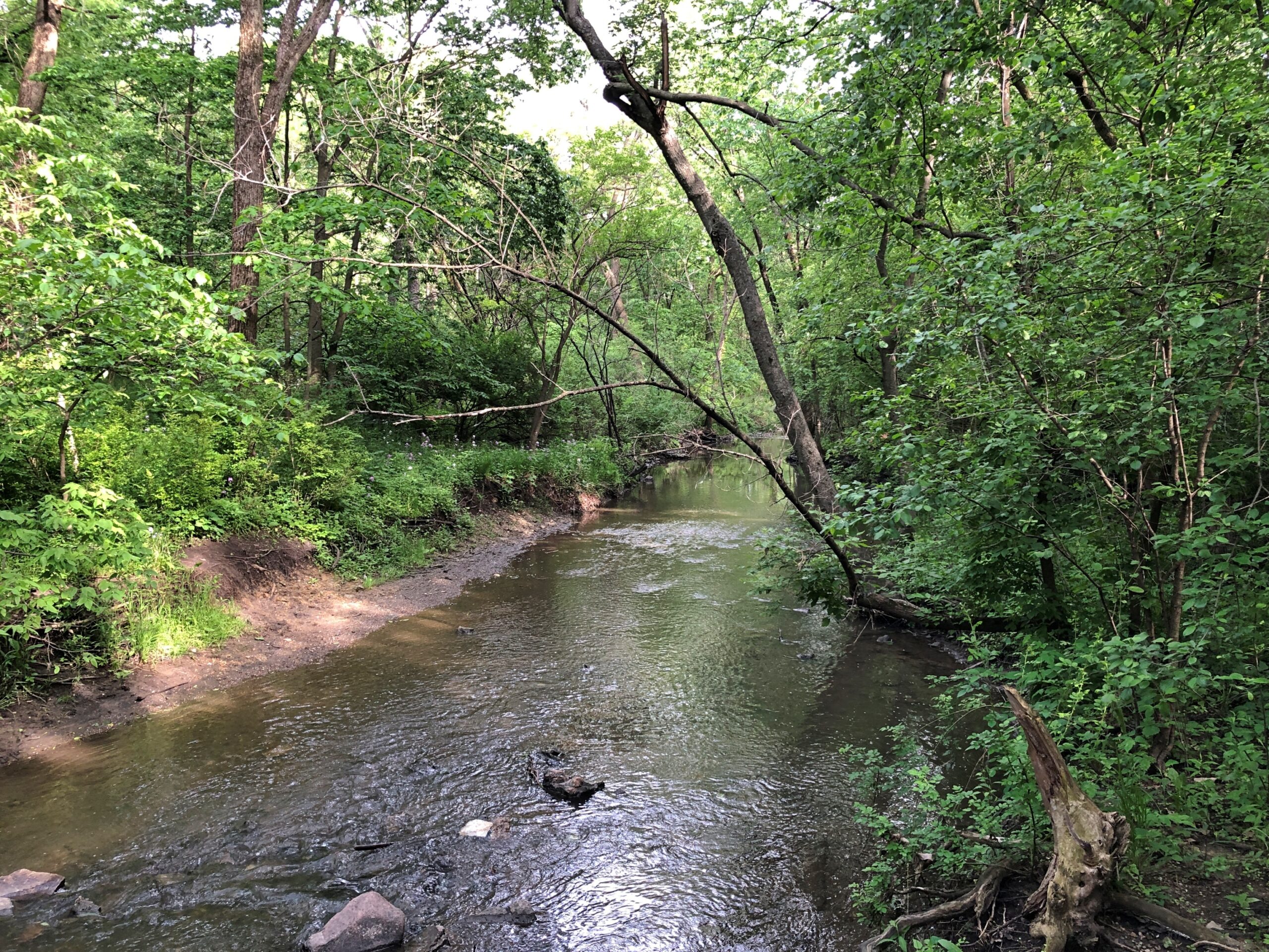
So we walked some of Spring Valley’s various trails, themselves flush with spring green, toward the peony field.
Across one of Spring Valley’s creeks, still vigorous from the heavy late-night rain a few days ago.
The peony field.
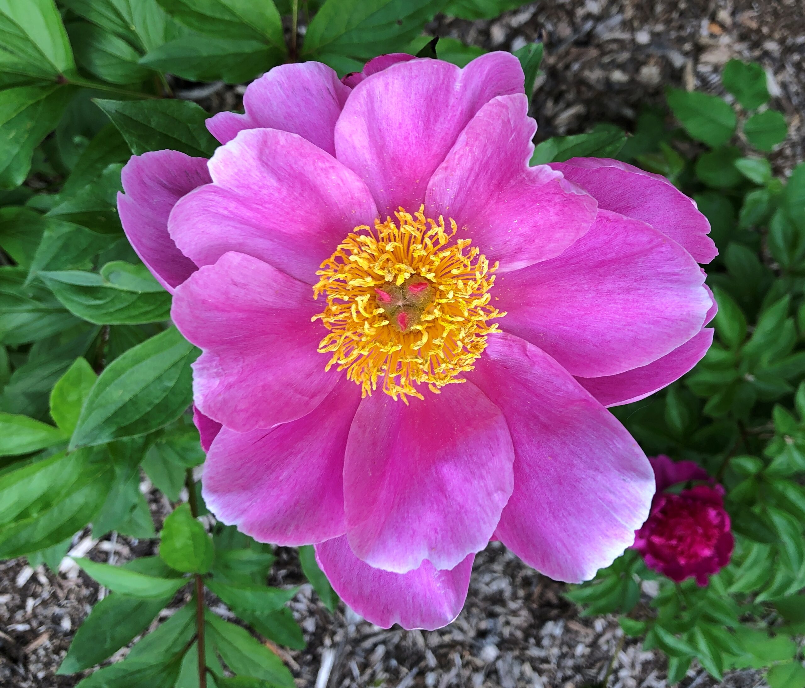
The blooms.
Digital cameras make astonishing images sometimes, but still pale compared to an eye view.
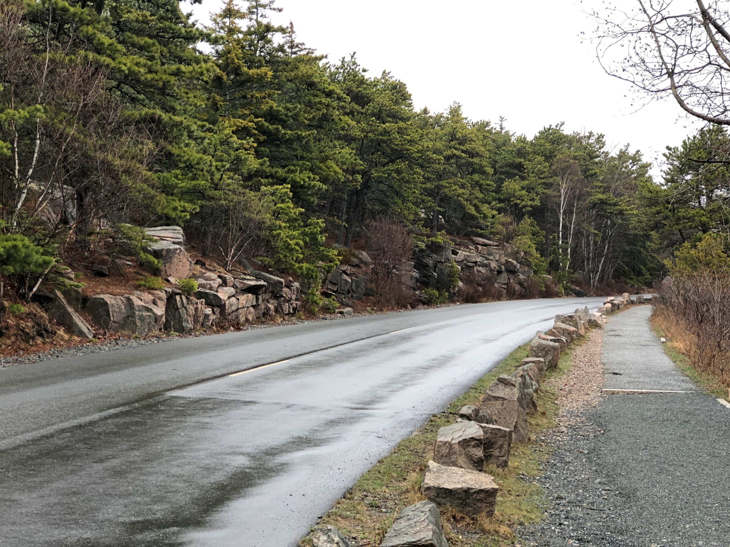
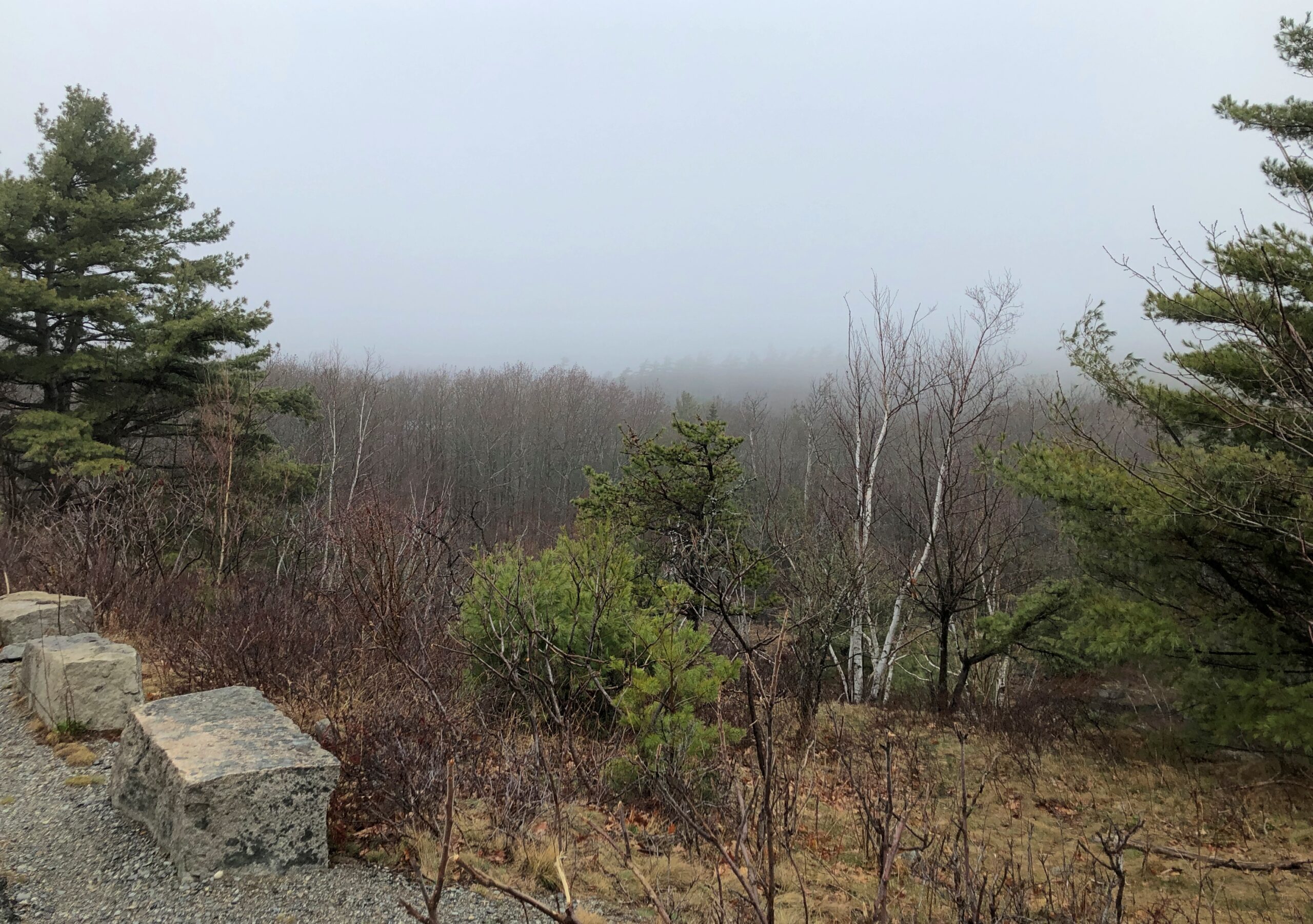
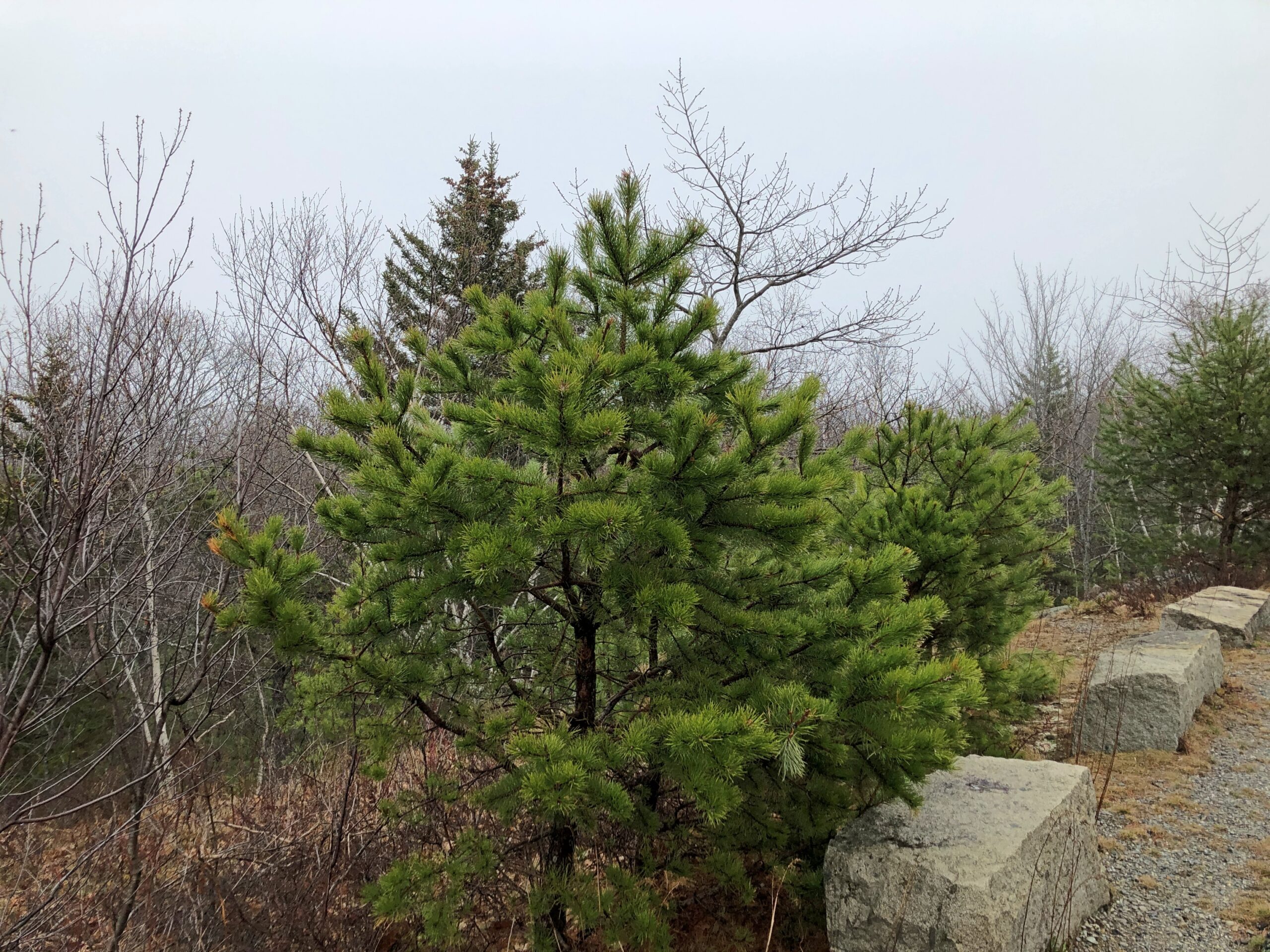
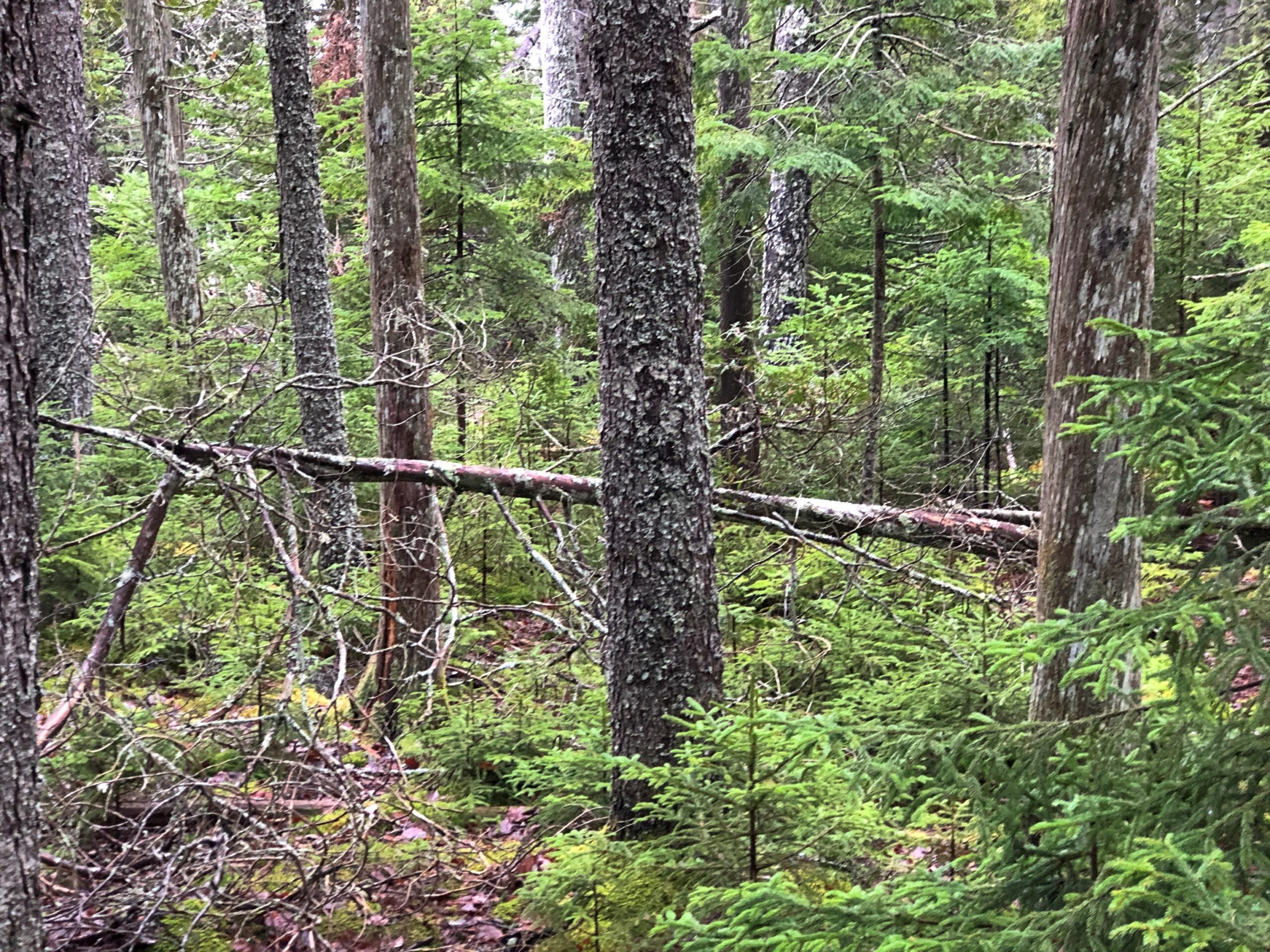
The Park Loop Road in Acadia NP is a fine drive (1) if there aren’t many other cars and (2) you take it easy around those curves. In that, it’s no different than a lot of rural roads. But there’s also the bonus of passing through thick Maine woods. There are brief views of the ocean from the road, but mostly you’re tooling through evergreens.
Through patches of deciduous trees as well.
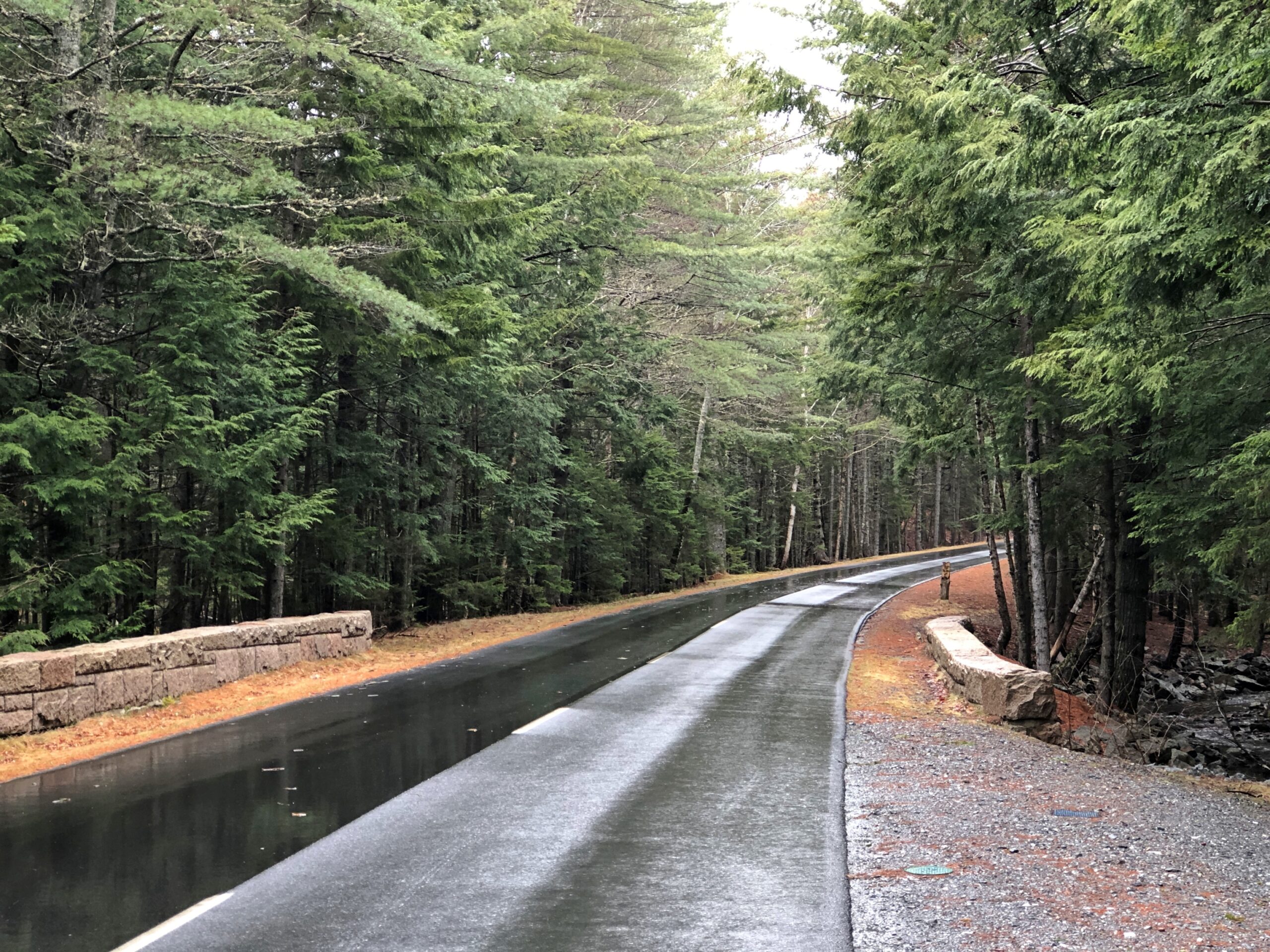
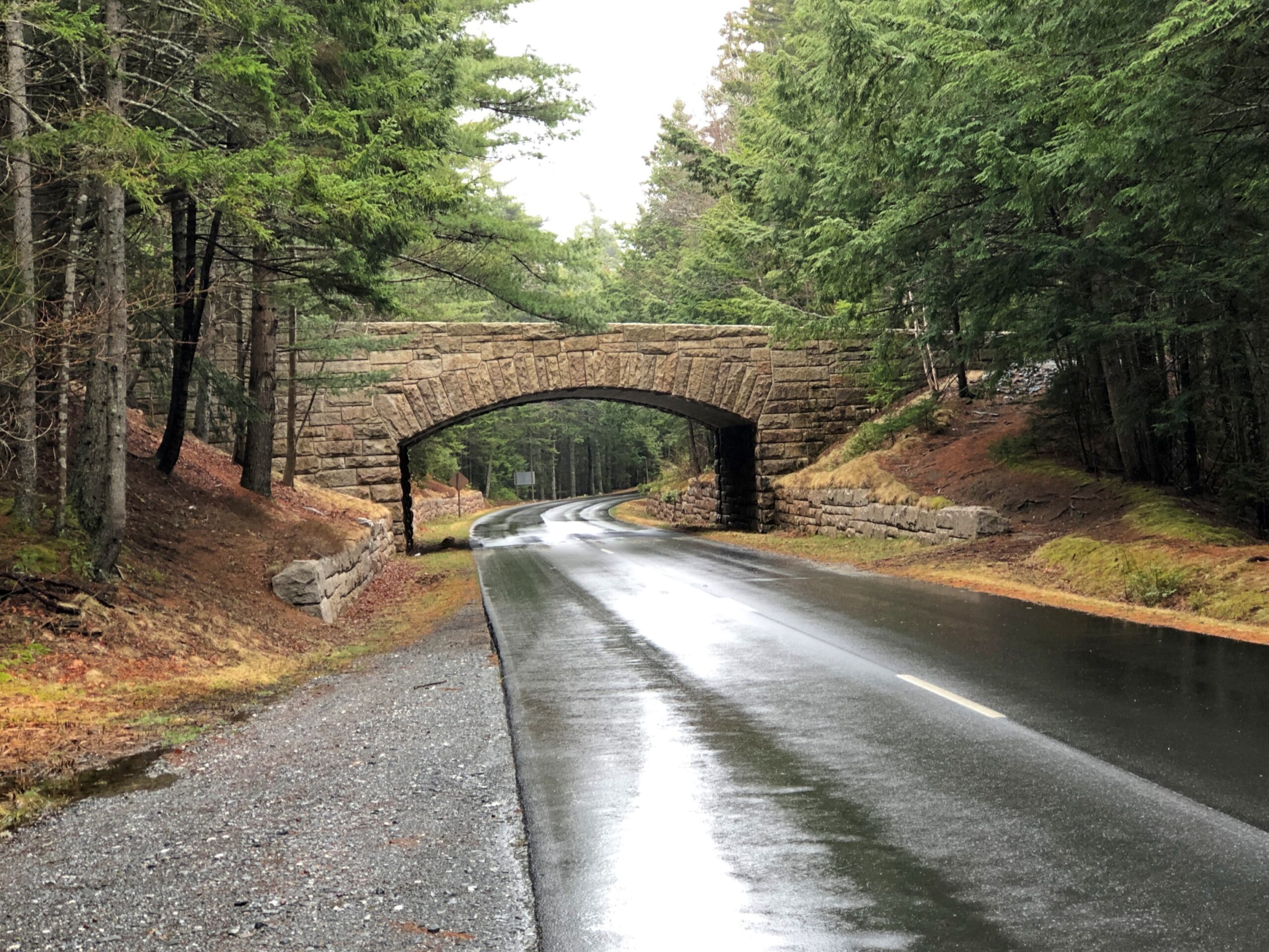
Periodically, the road crosses under handsome bridges.
This made me wonder: bridges for what? Soon I learned that the park not only has a hard-surface road snaking through, but also a network of carriage trails. A lot of them. The bridges are for them.
“Forty-five miles of rustic carriage roads, the gift of philanthropist John D. Rockefeller Jr. and family, weave around the mountains and valleys of Acadia National Park,” says the NPS. “Rockefeller, a skilled horseman, wanted to travel on motor-free byways via horse and carriage into the heart of Mount Desert Island. His construction efforts from 1913 to 1940 resulted in roads with sweeping vistas and close-up views of the landscape.”
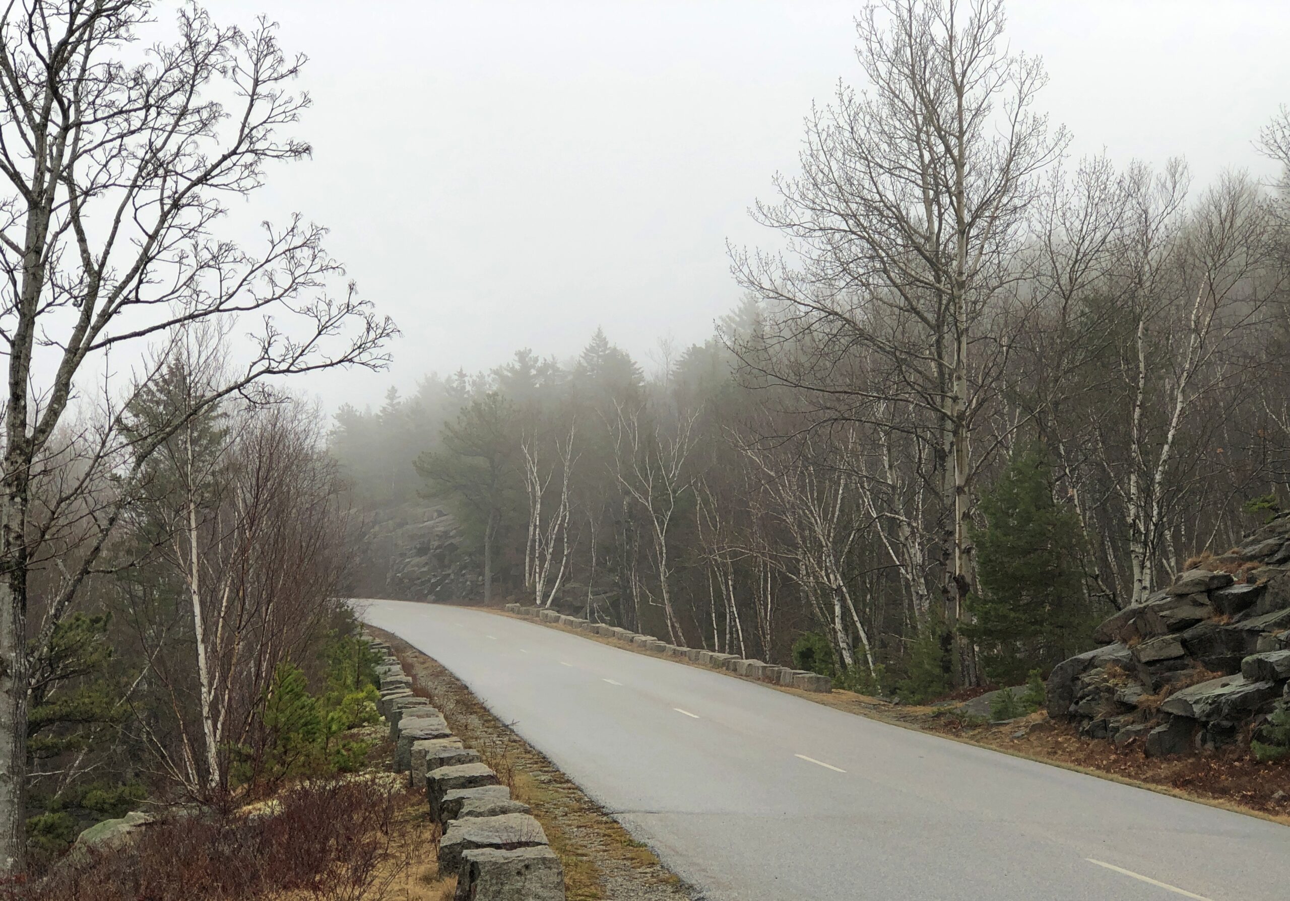
It was barely the season for the paved road, and I suspect few visitors were on the carriage roads either. I noticed that the entrance to the Wildwood Stables, a facility that supports carriage riding, and which can be glimpsed from the road, was still closed. A carriage ride through Arcadia NP might be an grand experience, but maybe not in April.
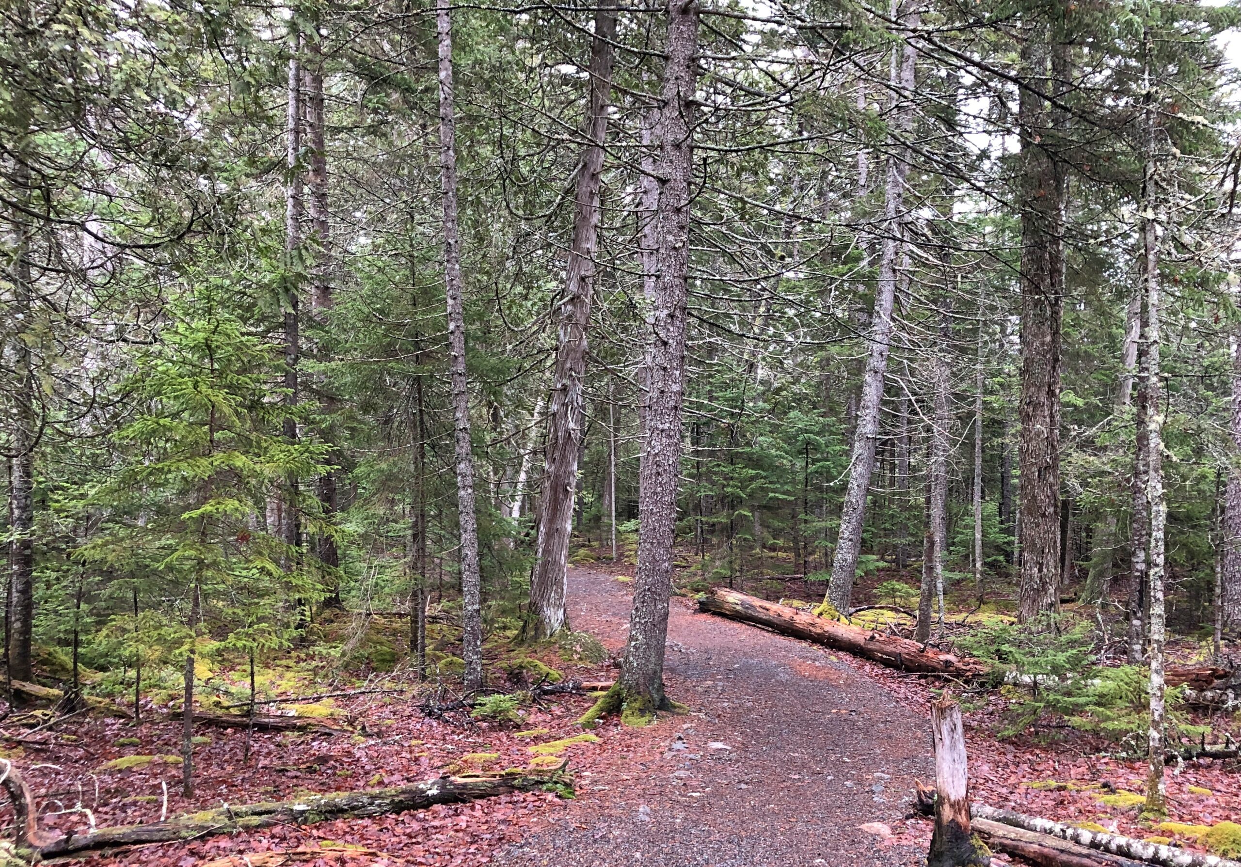
The woods alongside the road.
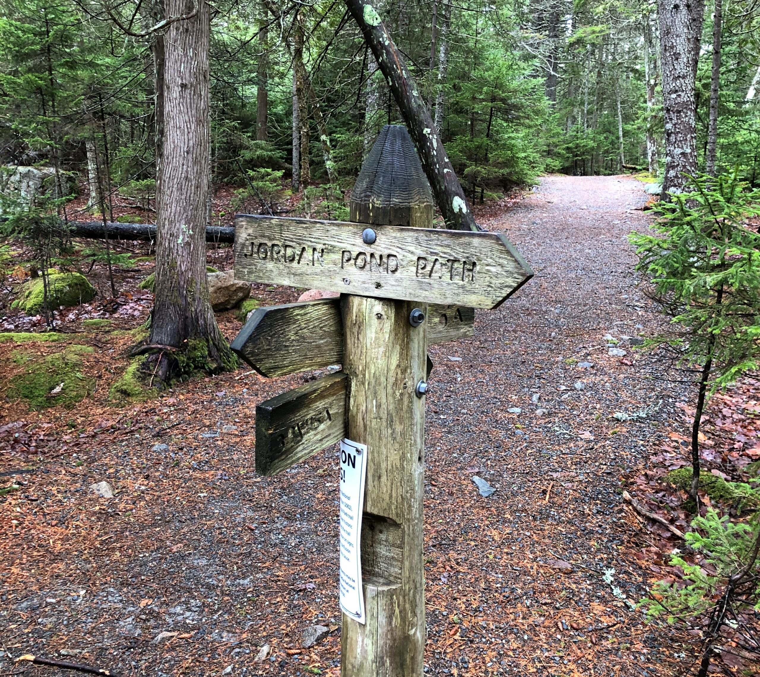
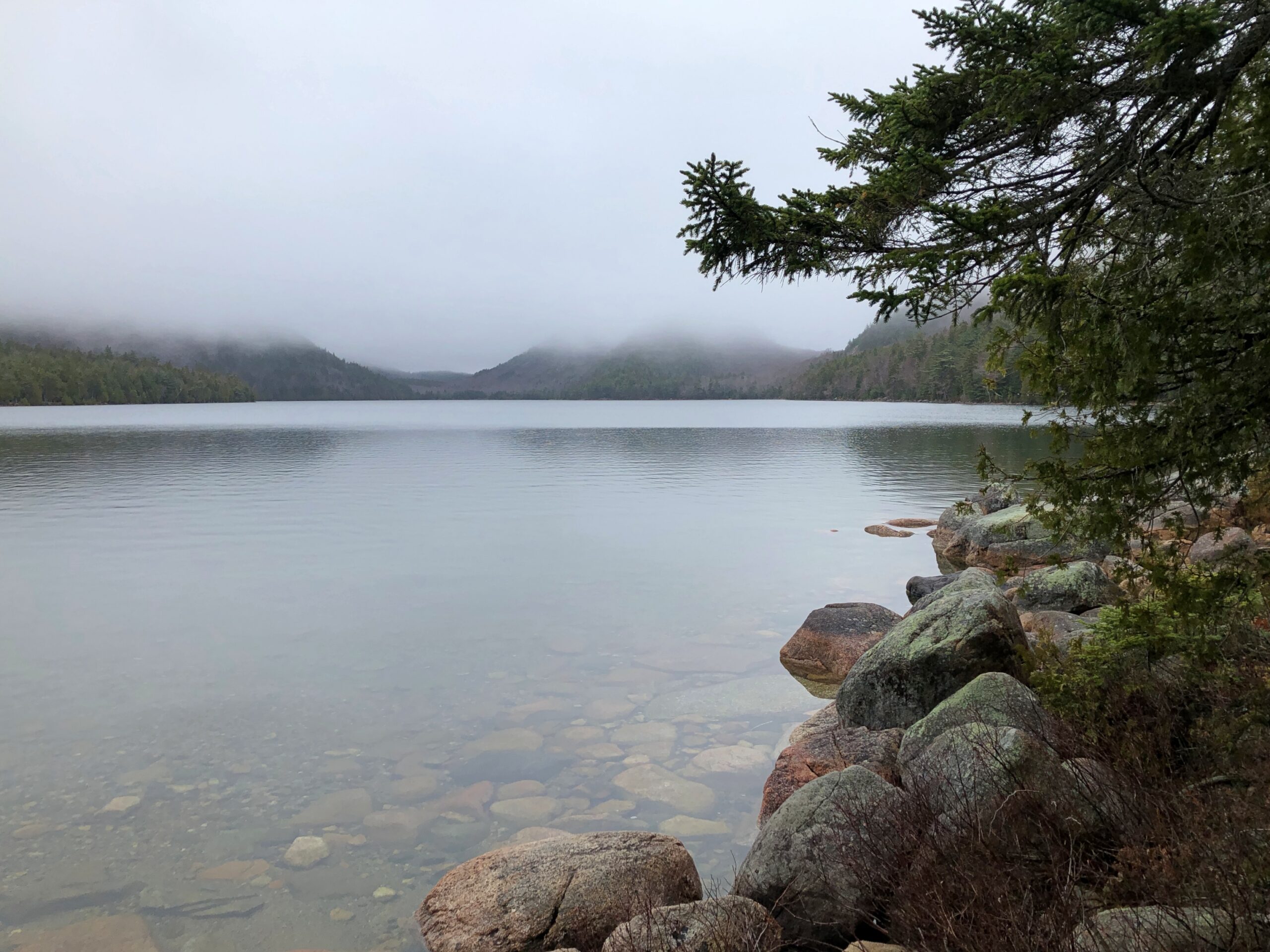
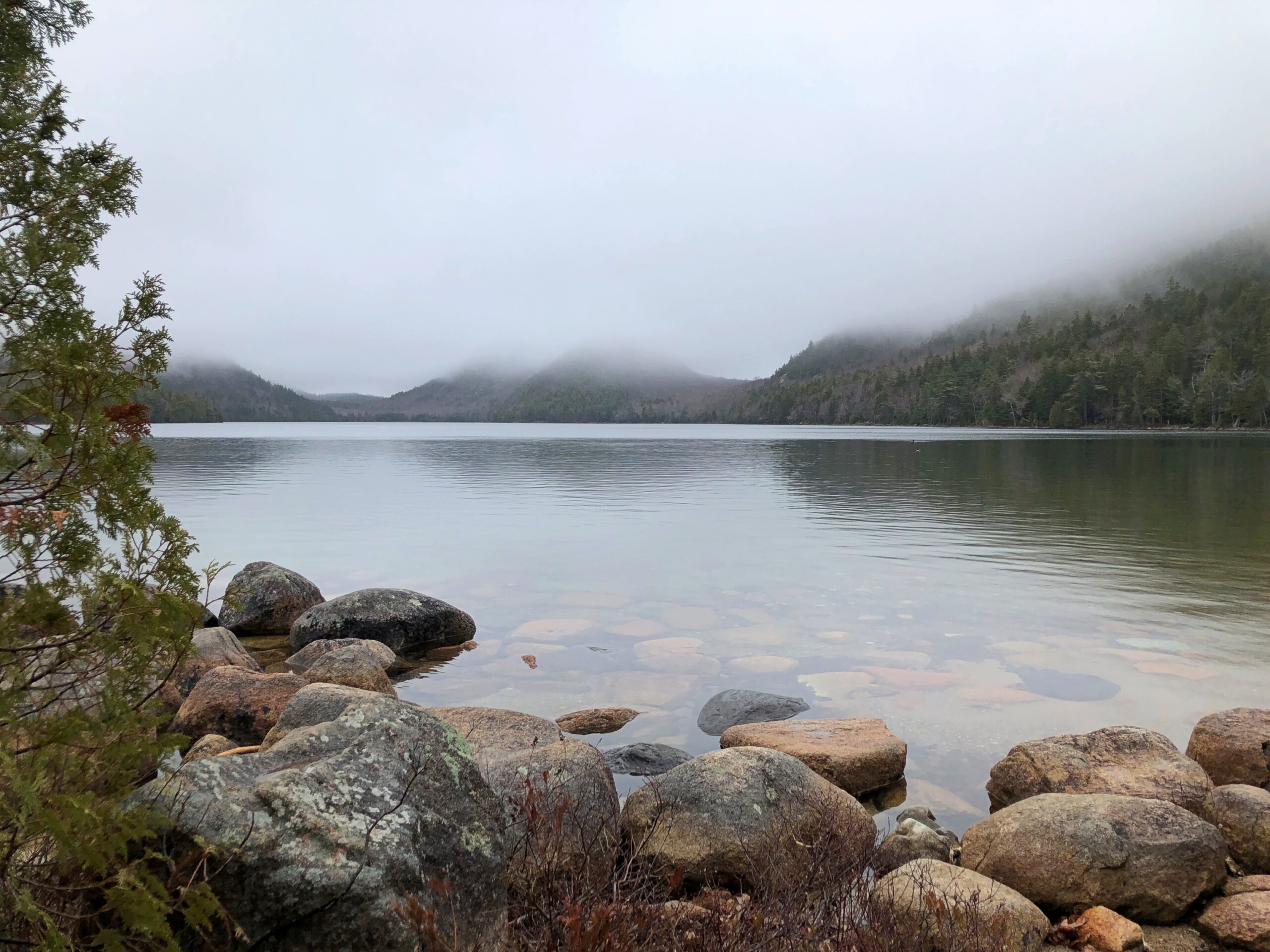
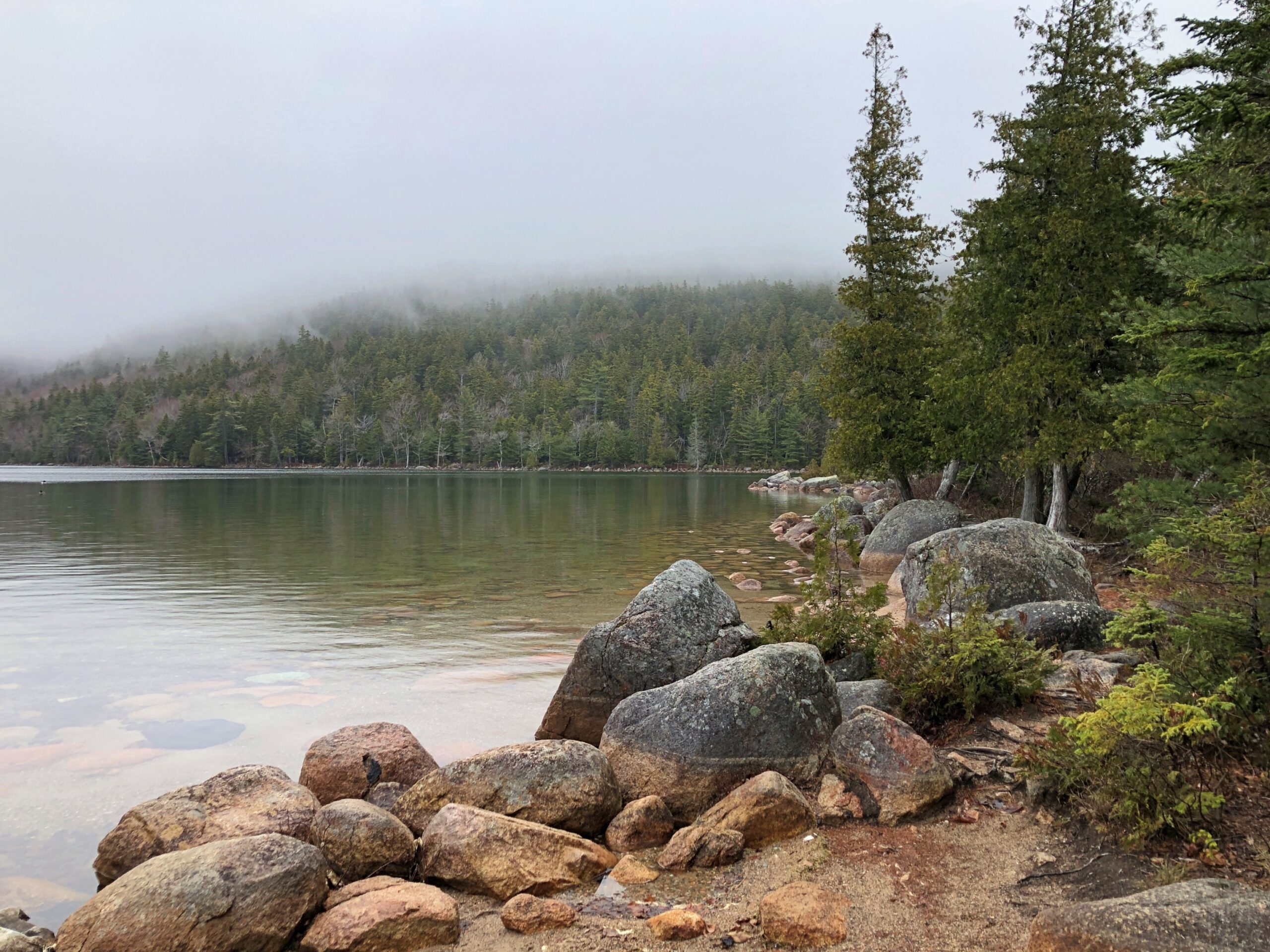
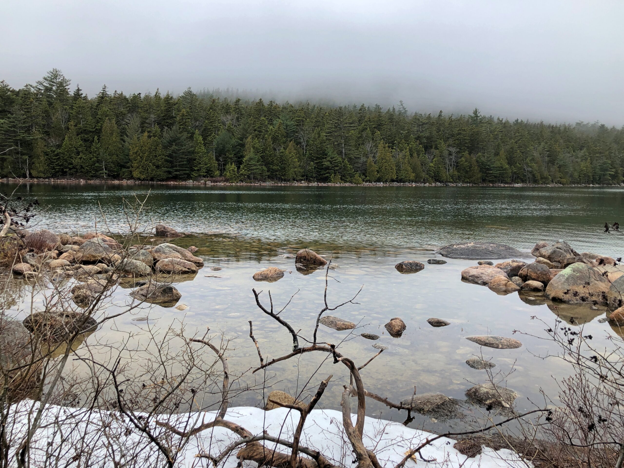
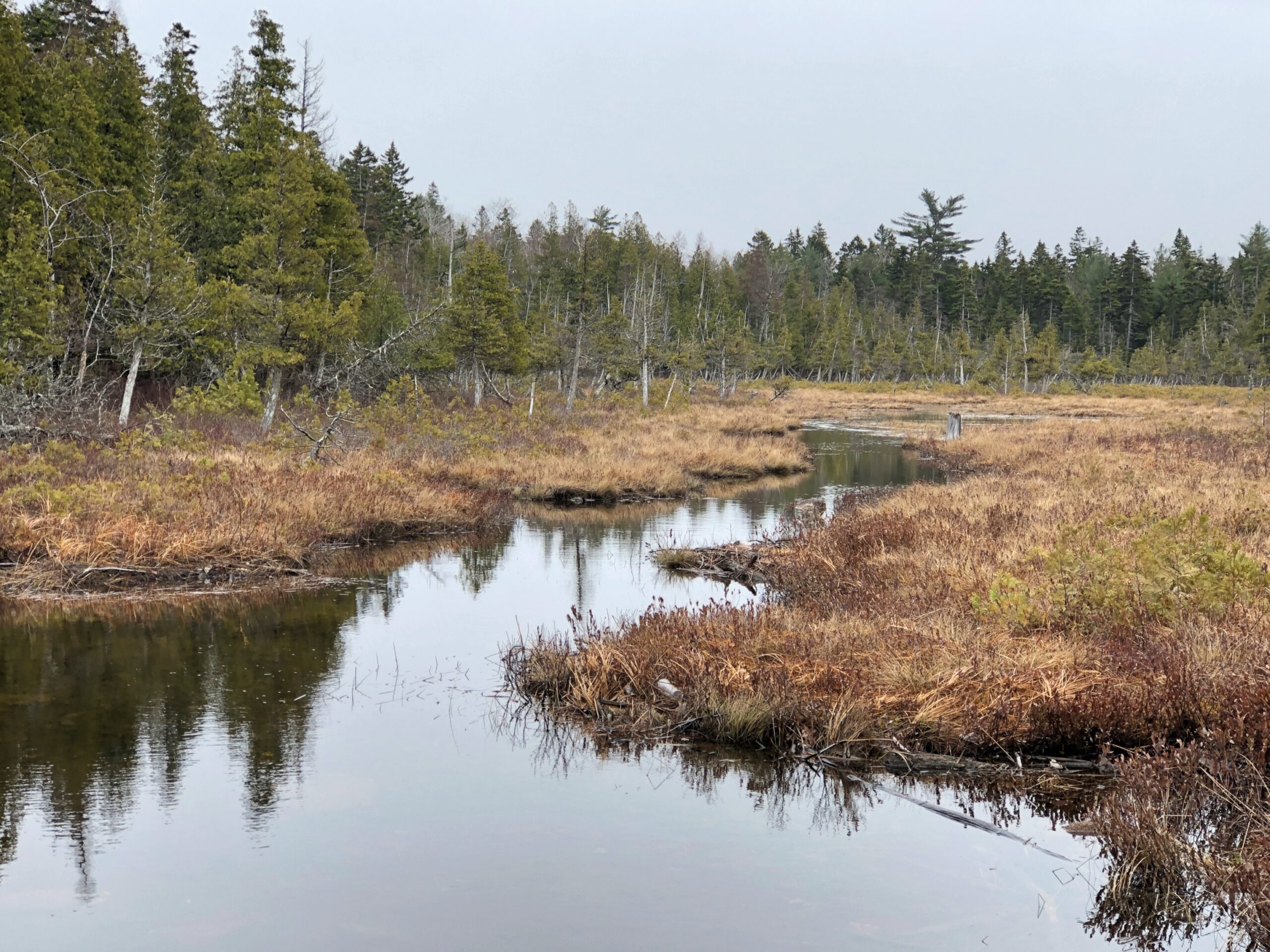
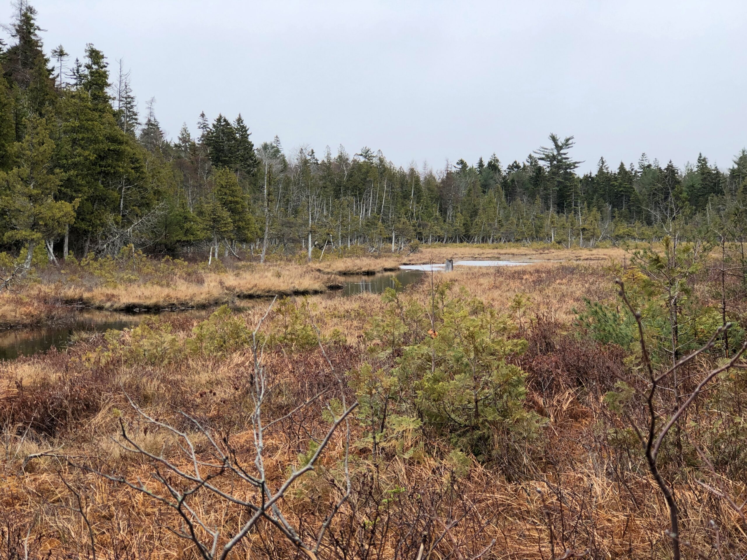
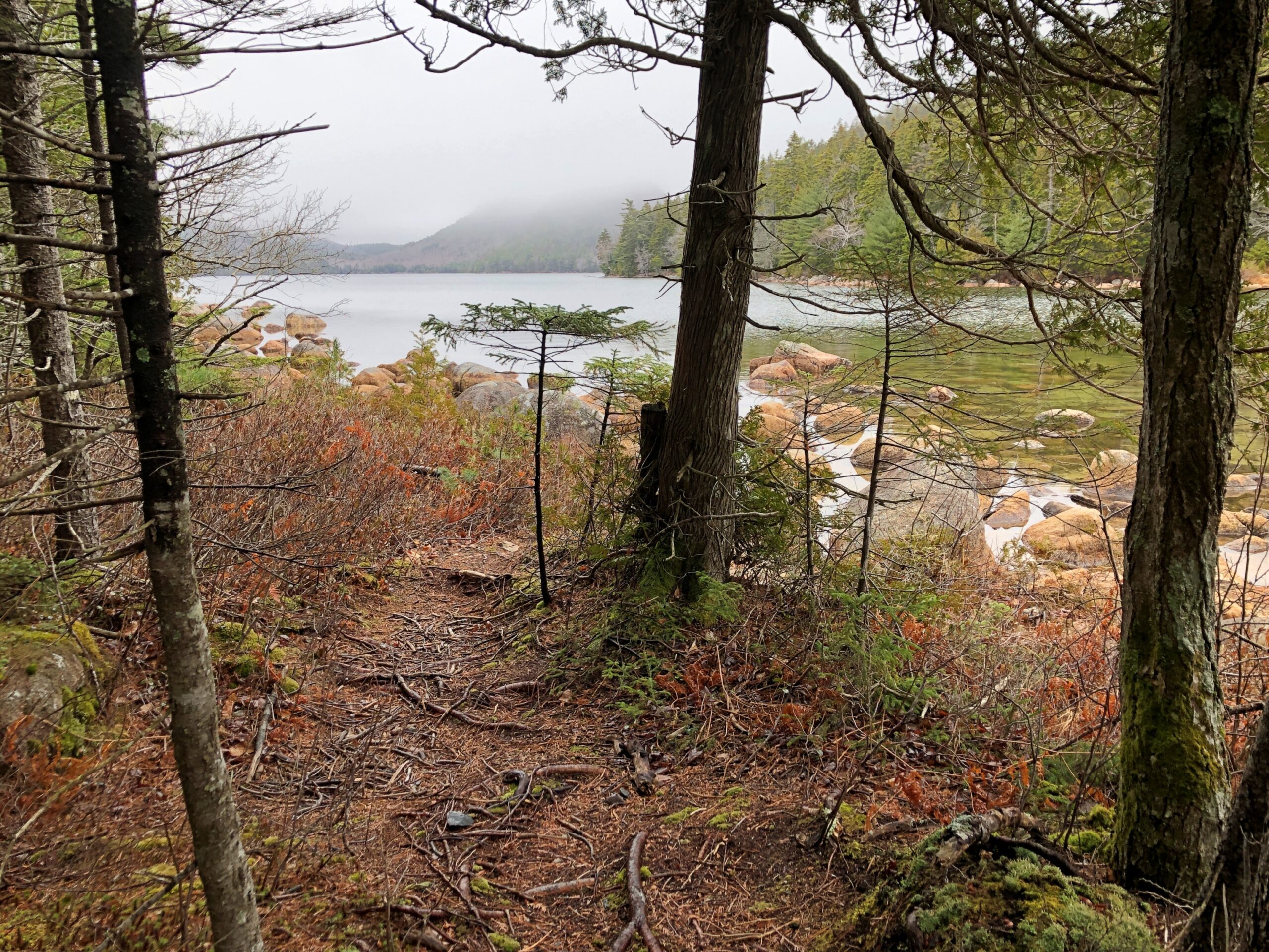
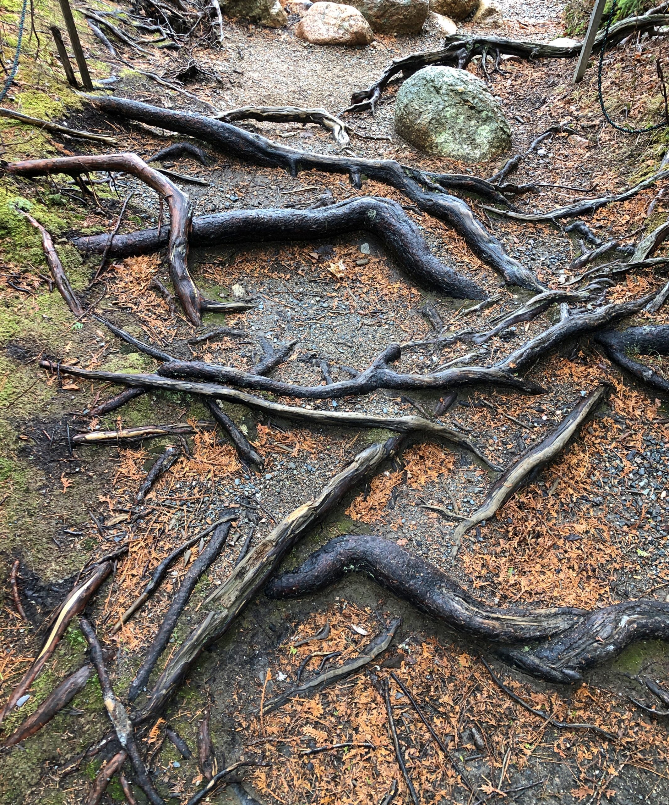
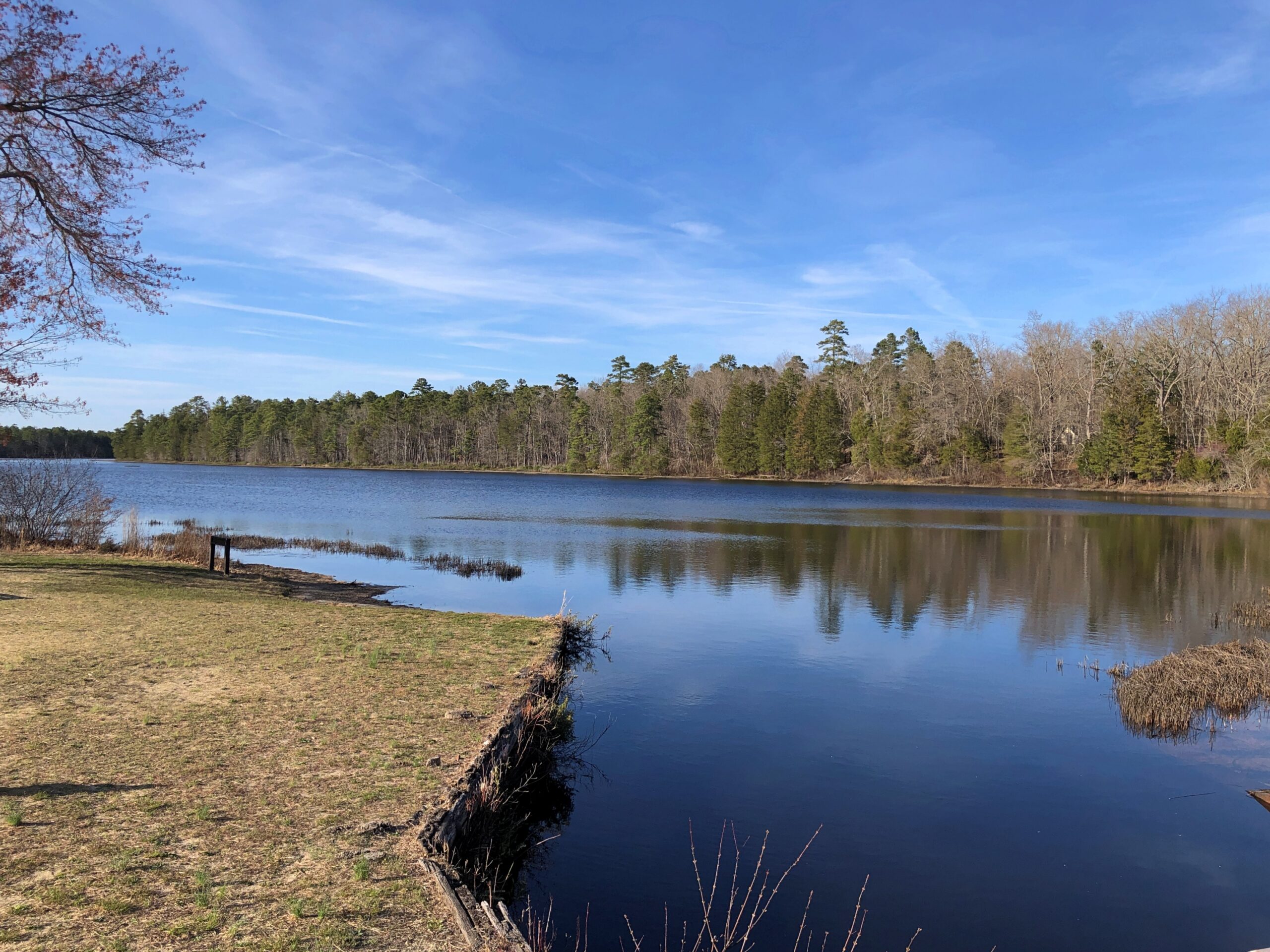
Driving is one thing, but I also wanted to walk. I found my way to Jordan Pond for that purpose.
“Oligotrophic lakes are most common in cold, sparsely developed regions that are underlain by crystalline igneous, granitic bedrock,” the entry says. “Due to their low algal production, these lakes consequently have very clear waters, with high drinking-water quality.”
No giardia in that lake? I didn’t want to find out. I carried my own drinking water as I walked the trails near the pond.
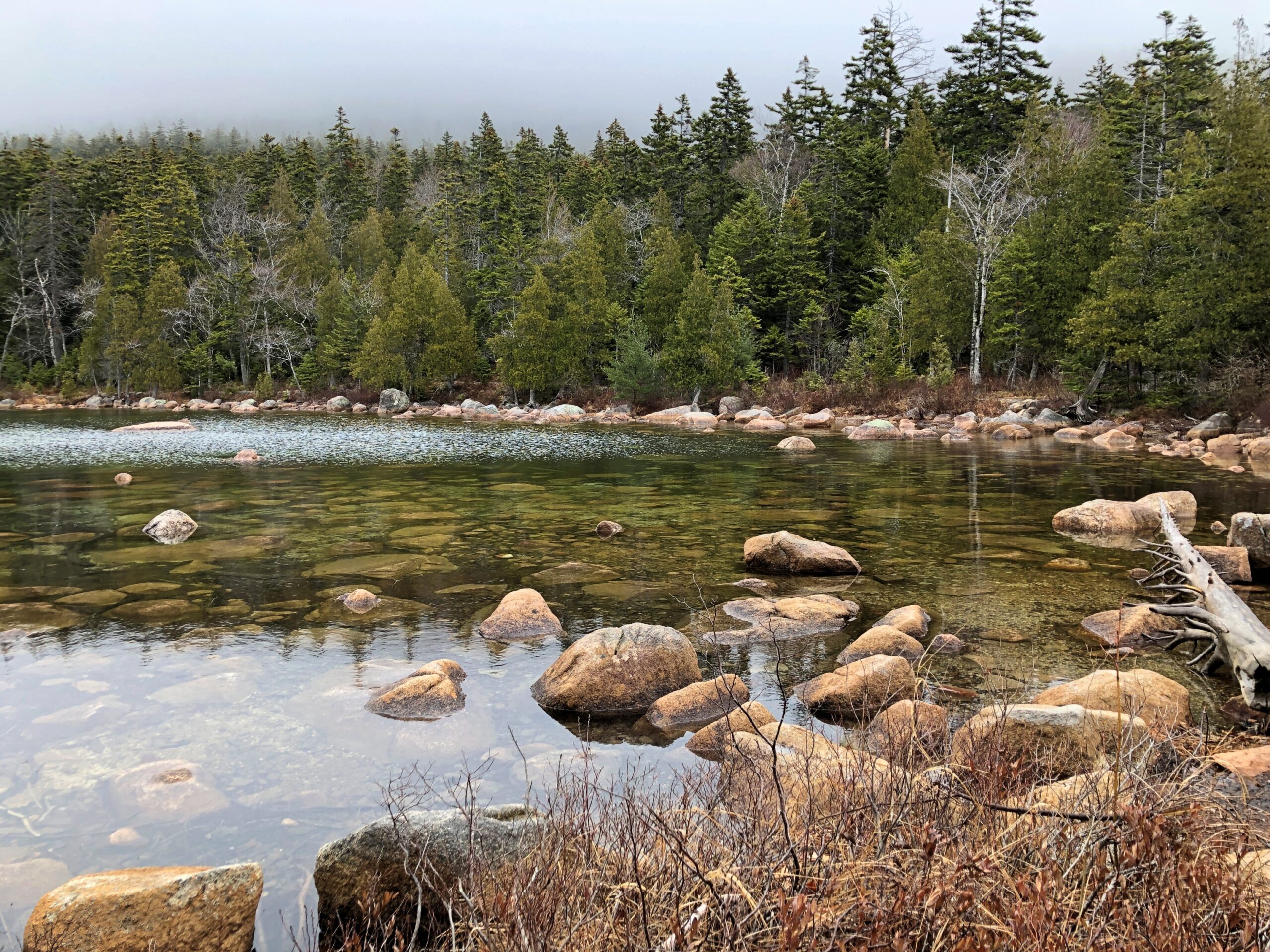
An easy trail. At one point, it crossed a creek feeding into the pond.
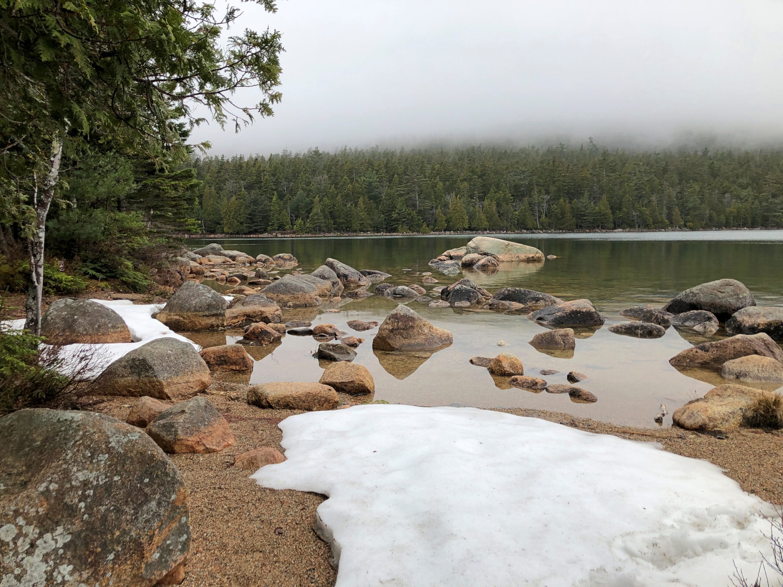
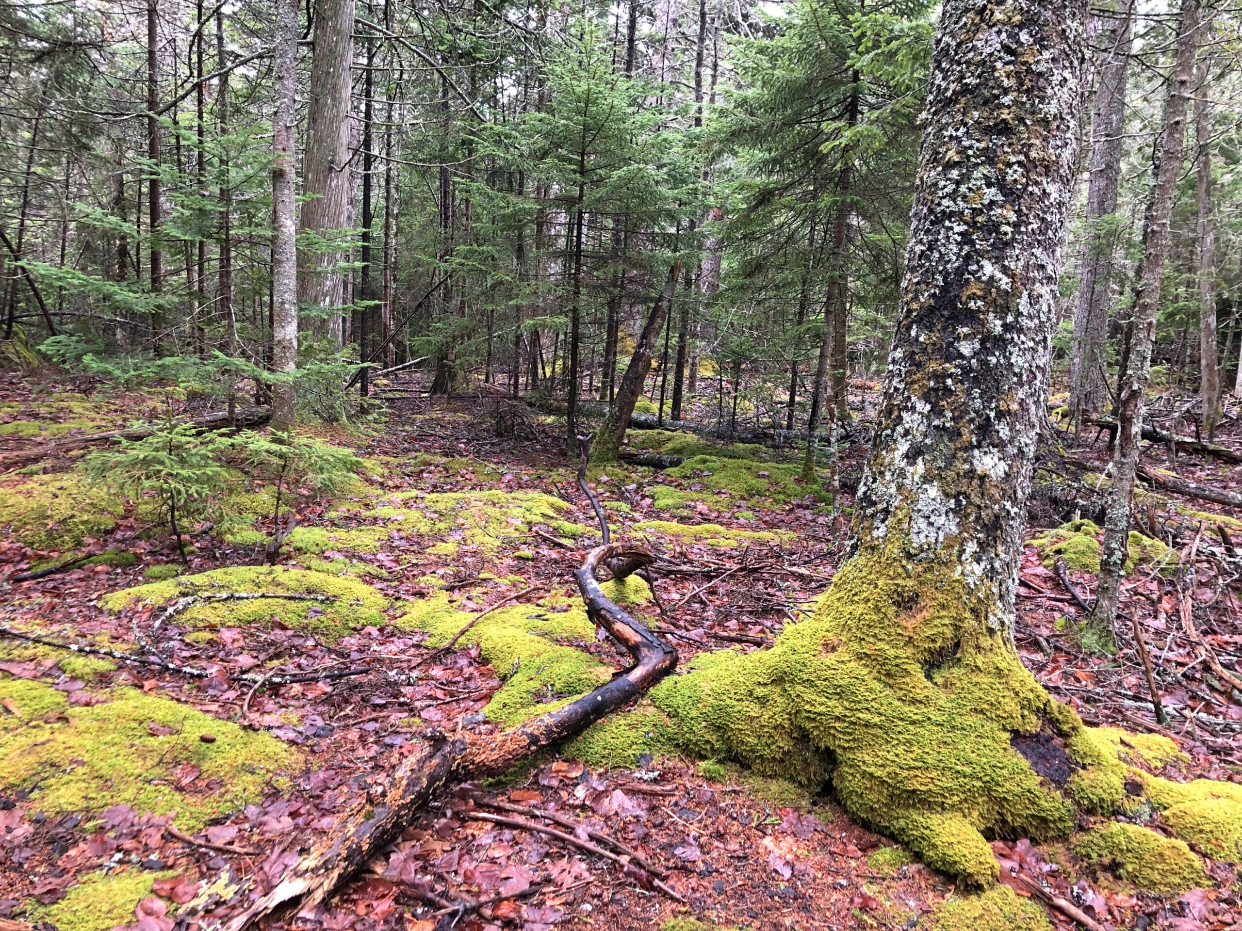
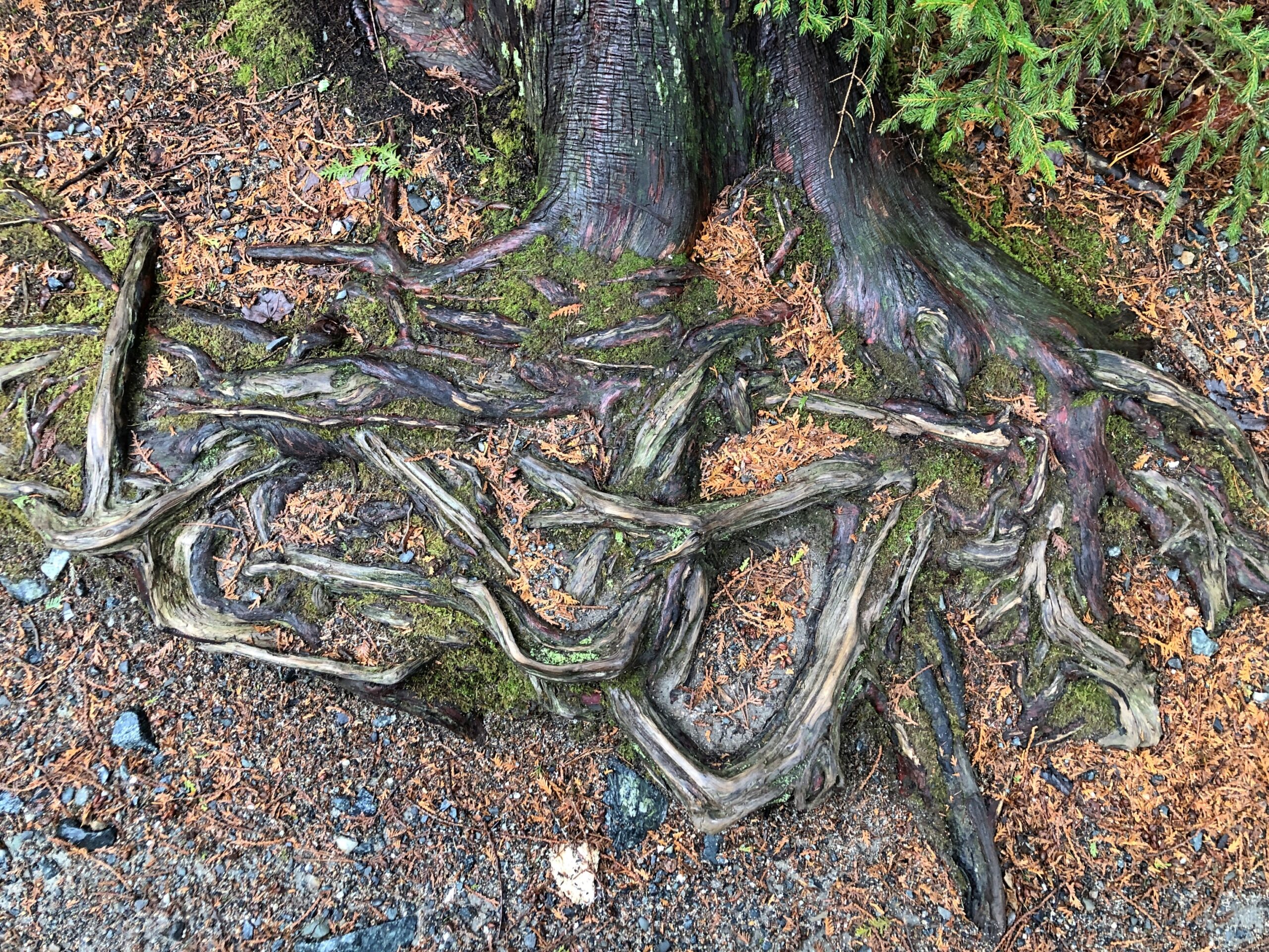
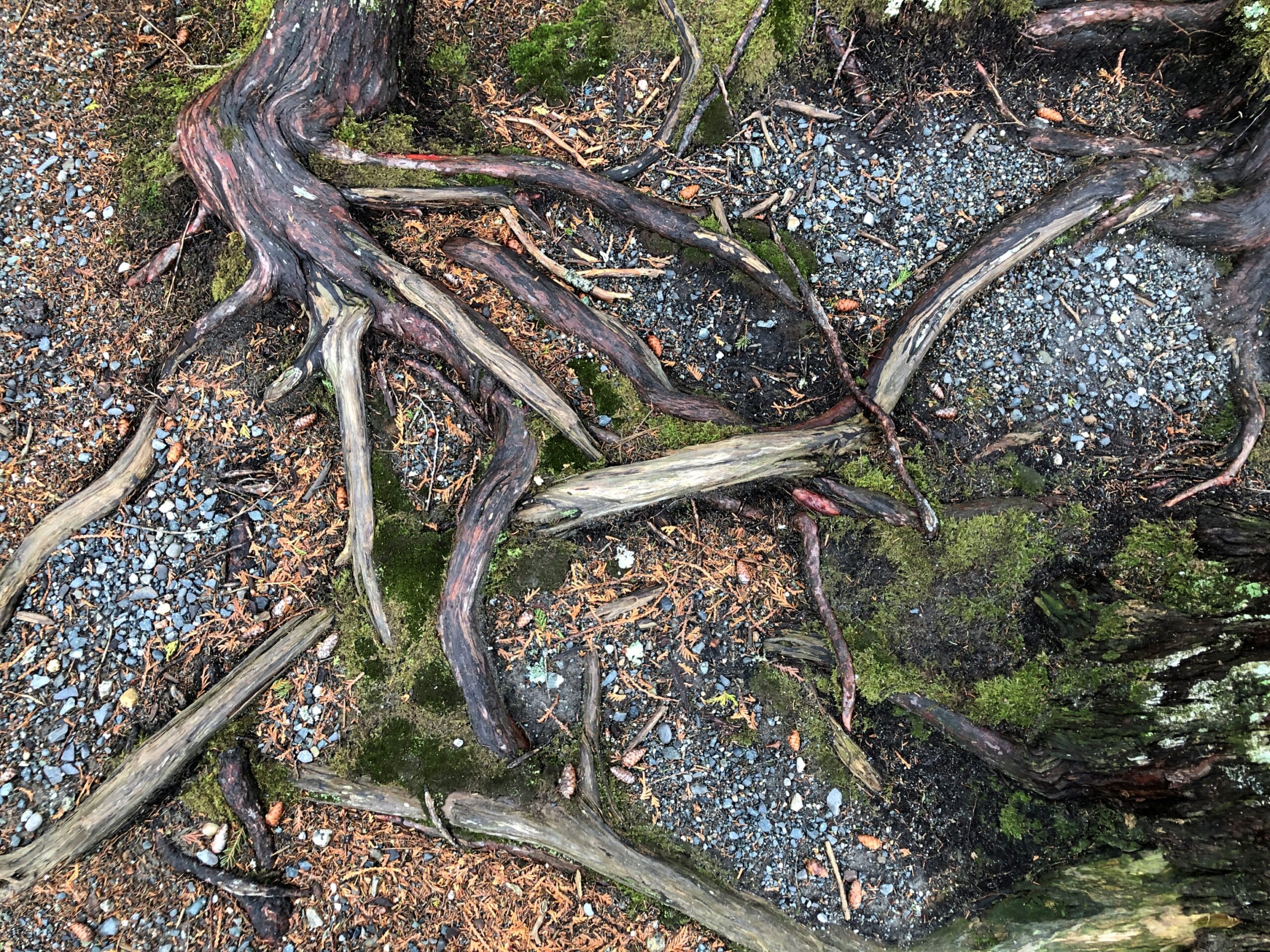
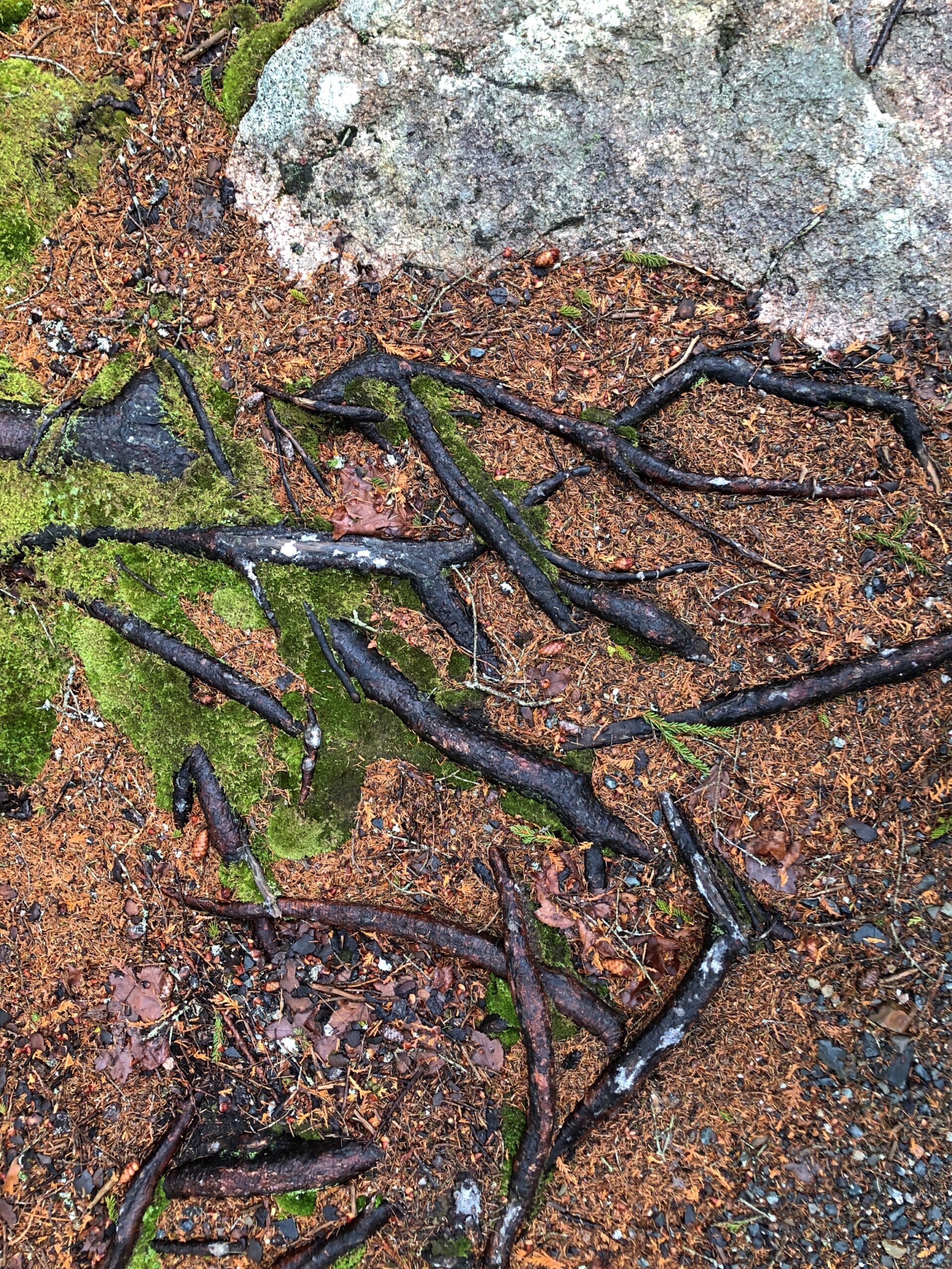
There were too many interesting tree roots to ignore them.
“Roots are typically at least half of a plant’s biomass, but you wouldn’t know it given how little scientific research has been devoted to these critical tendrils,” says the Smithsonian magazine. “Only recently have scientists given plant roots their day in the sun — in fields like collections research, climate science and microbiology.”
Or, in the case of the hardy trees of coastal Maine, their day in the fog.
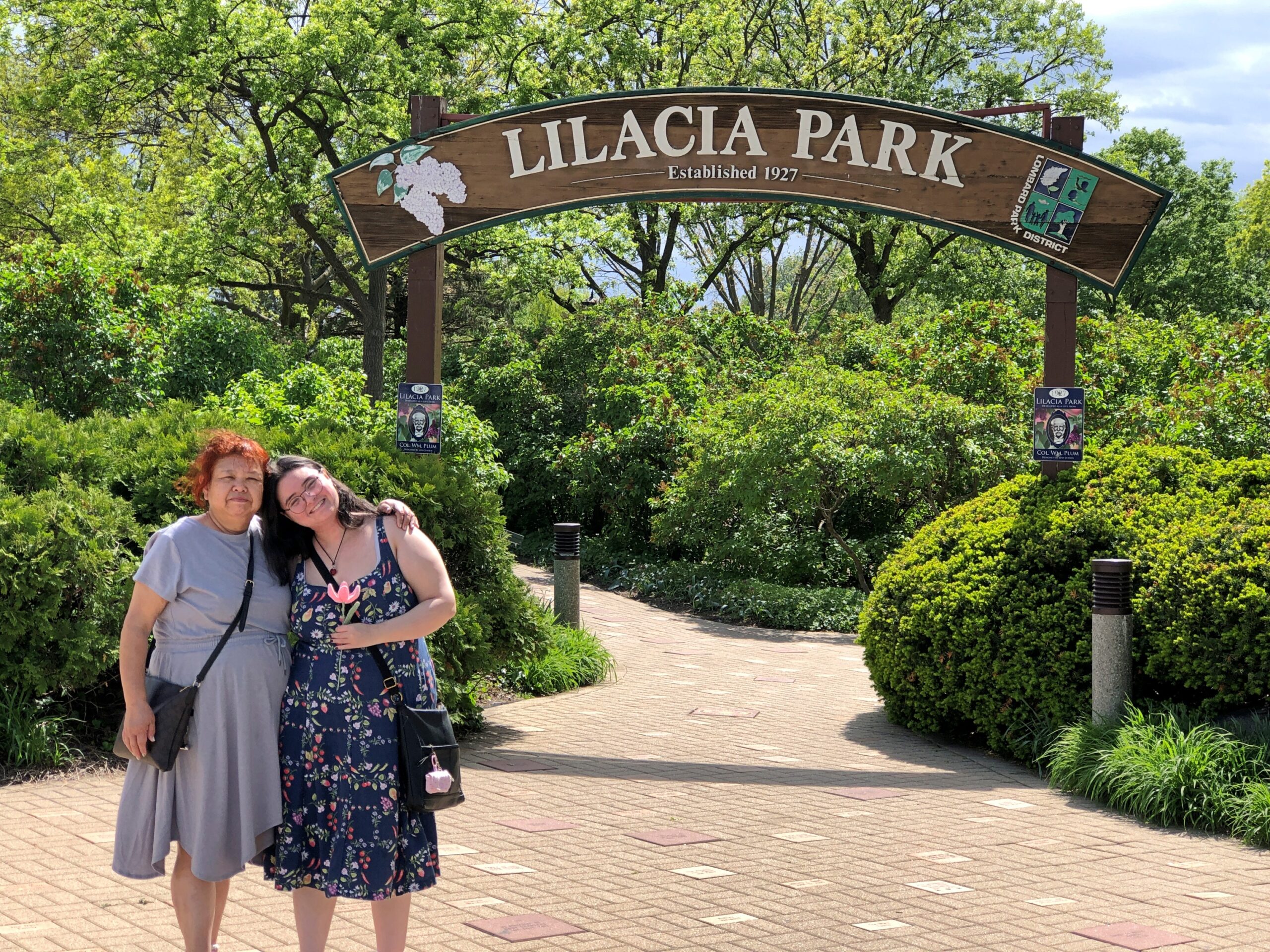
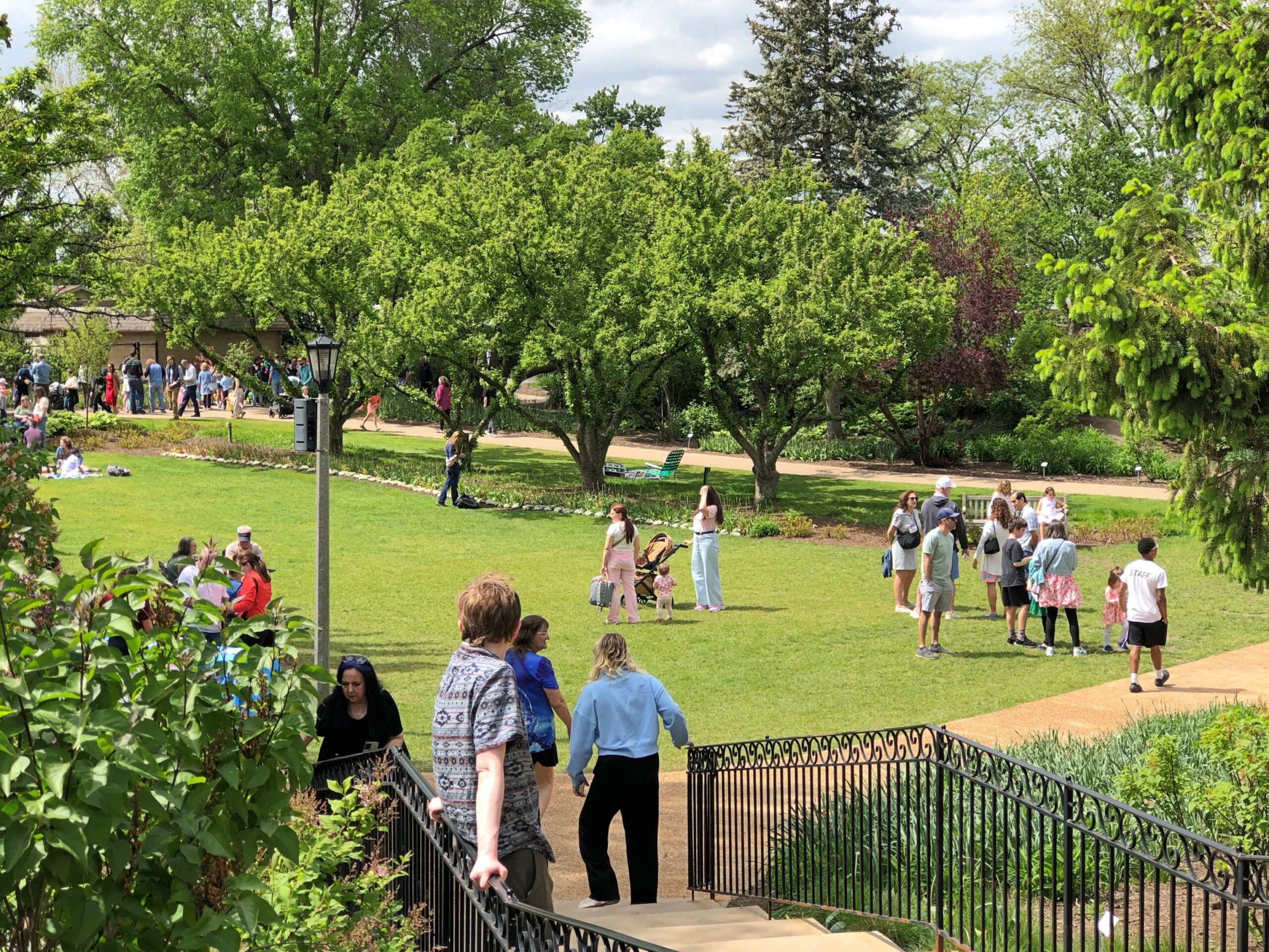
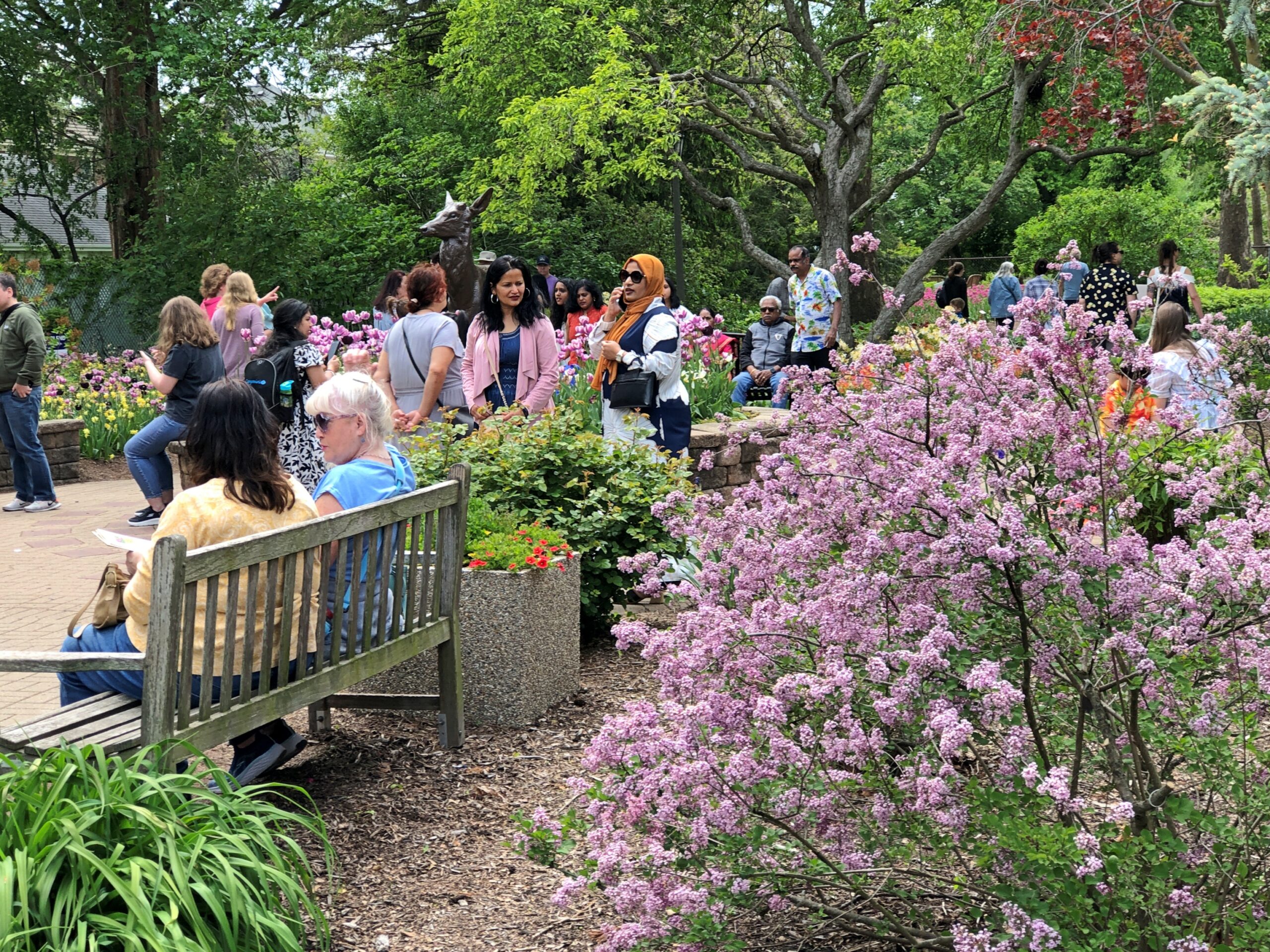
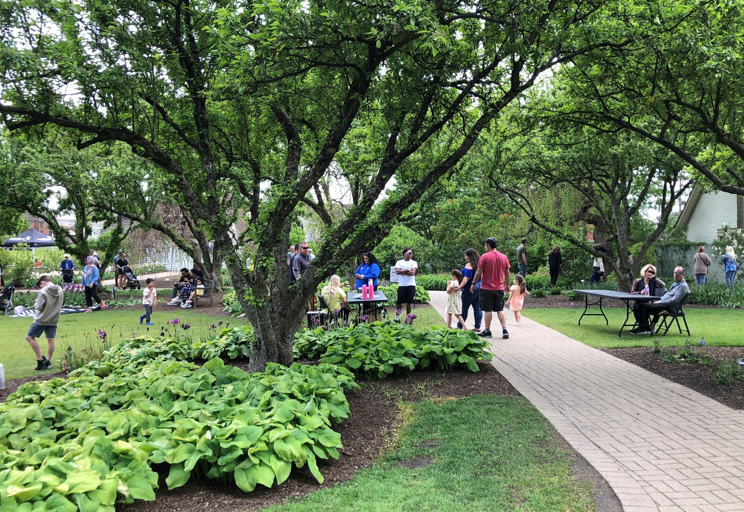
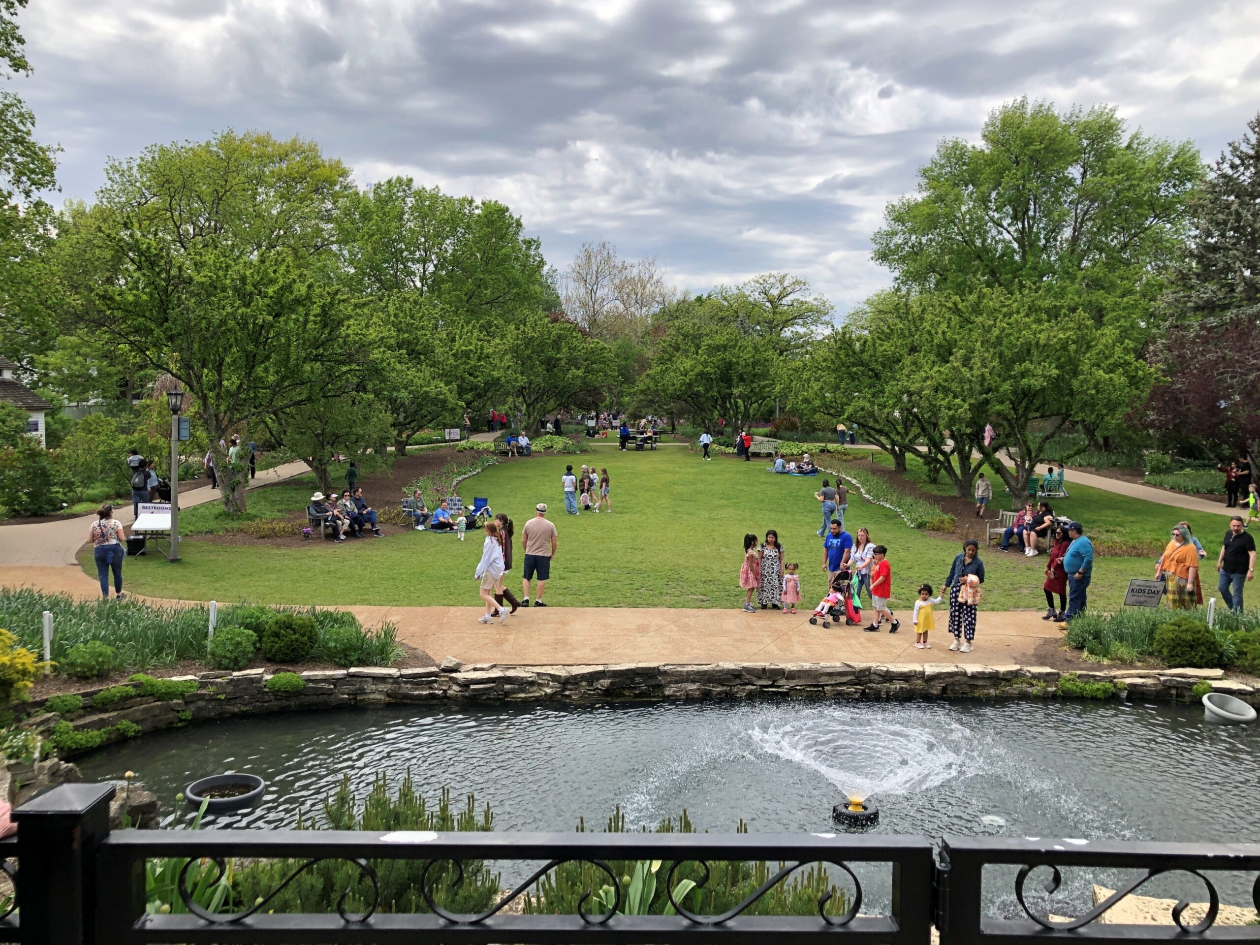
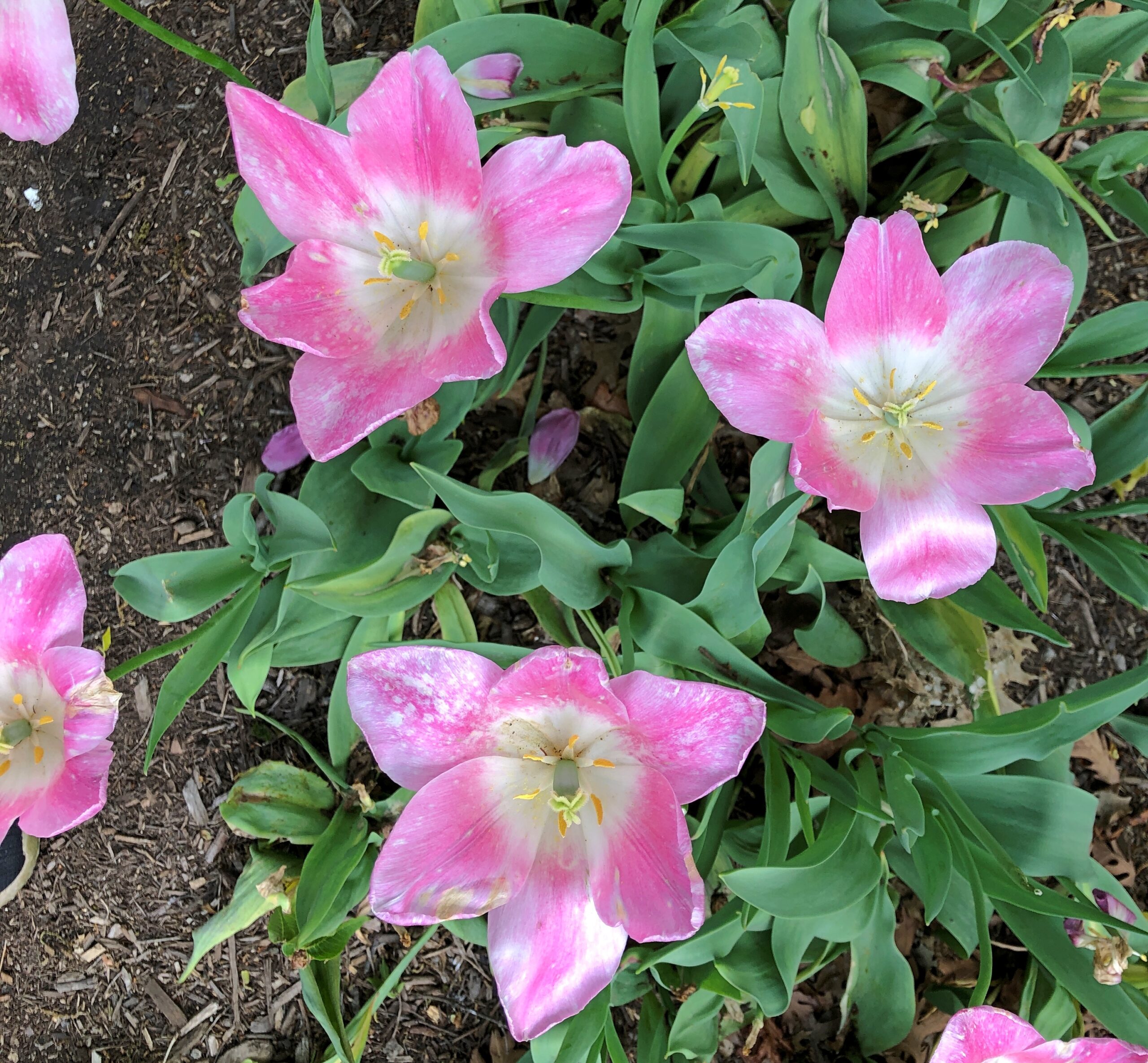
Finally a warm Saturday. Finally a warm day of any position on the calendar. They’ve been spotty lately. Warned that the day would be warm, we went to Lilacia Park in Lombard early in the afternoon, something we do every few years in mid-May, for nearly 20 years now.
Most of the tulips were gone, but true to the park name, lilacs are in bloom in profusion. Not just colorful to see, but put your nose close for a fragrant moment.
Lilaicia Park is a crown jewel of suburban parks, and yet not overcrowded on a pleasant Saturday during peak lilac bloom. Just busy.
One of these years, some fool influencer or two might make Lilacia an It Spot, and the crowds will show up in ridiculous numbers. Or considering its location in the thick of the suburbs – the sort of place where influencers might grow up, but never consider interesting enough to point their cameras – that isn’t very likely? I couldn’t say.
Good to make it back. We met Kevin there this time around, at our suggestion, who came from the fairly close other western suburb of Downers Grove. He’d never heard of the park, and so I was glad to introduce him to it.
Driving the entire length of US 1 is more logistics that I want to take on at the moment, or maybe ever, but I figure I get a little of the same satisfaction doing it in sections. US 1 from Trenton to Newark, which I drove the afternoon of April 10, isn’t what anyone would call a scenic road, but that I’d say it’s better than the New Jersey Turnpike, whose main scenery is tail lights of other cars.
US 1 in New Jersey is four or six lanes most of the way through, generally is a divided highway, passing large cross streets, retail agglomerations, railroad tracks paralleling for a time, car dealerships, sporadic stretches of forested or other undeveloped land, thick traffic through New Brunswick especially, more than a few Jersey lefts and an uptick in spaghetti interchanges the closer you are to Newark. Stops were for traffic lights, but not too much for simple congestion. Take that, New Jersey Turnpike.
During the drive, I chanced on a radio call-in show that asked callers for stories about crashing wedding receptions, sneaking into off-limits places or other common enough rule infractions, such as taking food into movie theaters. One man claimed to have crashed a reception with a couple of friends, none dressed for the occasion; the father of the bride took a cotton to them and made sure they were well fed and good and drunk before long. One woman claimed to take entire meals to the movies and eat them there, and never being asked to leave. Now this was local radio, a real New Jersey thing to talk about.
Jan had told him many times, “It was you to me who taught: In Jersey, anything’s legal as long as you don’t get caught.”
“Tweeter and the Monkey Man”, a group effort but clearly a Dylan song, is a brilliant example of a pseudo-ballad. A ballad tells a story, right? A pseudo-ballad seems to tell a story, but at some point near the end of the song, you wonder just what happened. Lyrically, not all of the pieces of the puzzle are available. “Crime and other weird behavior in New Jersey” is about a specific as you can get in this case.
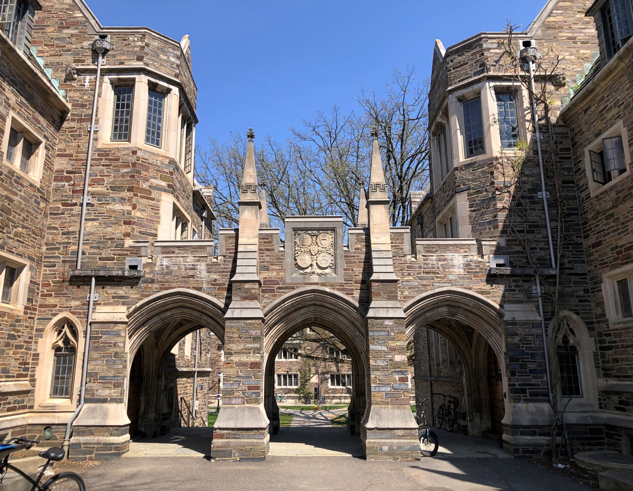
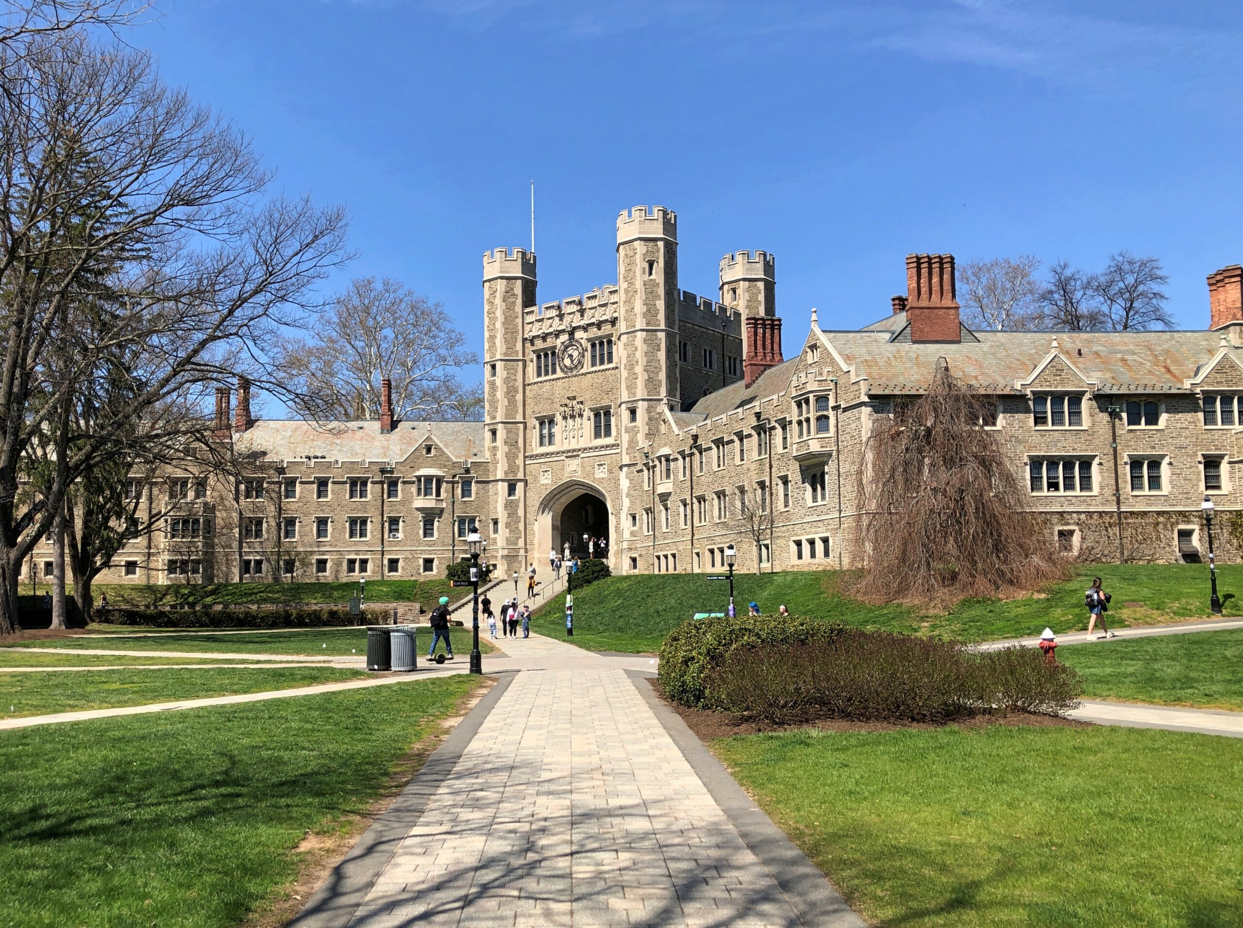
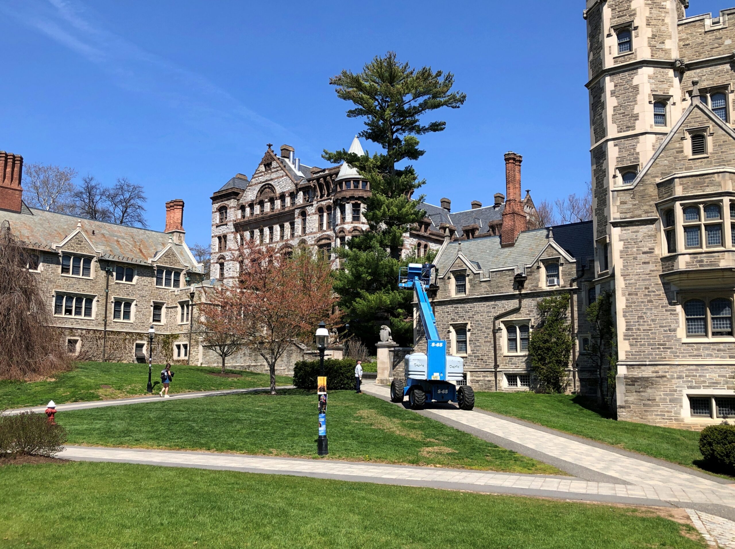
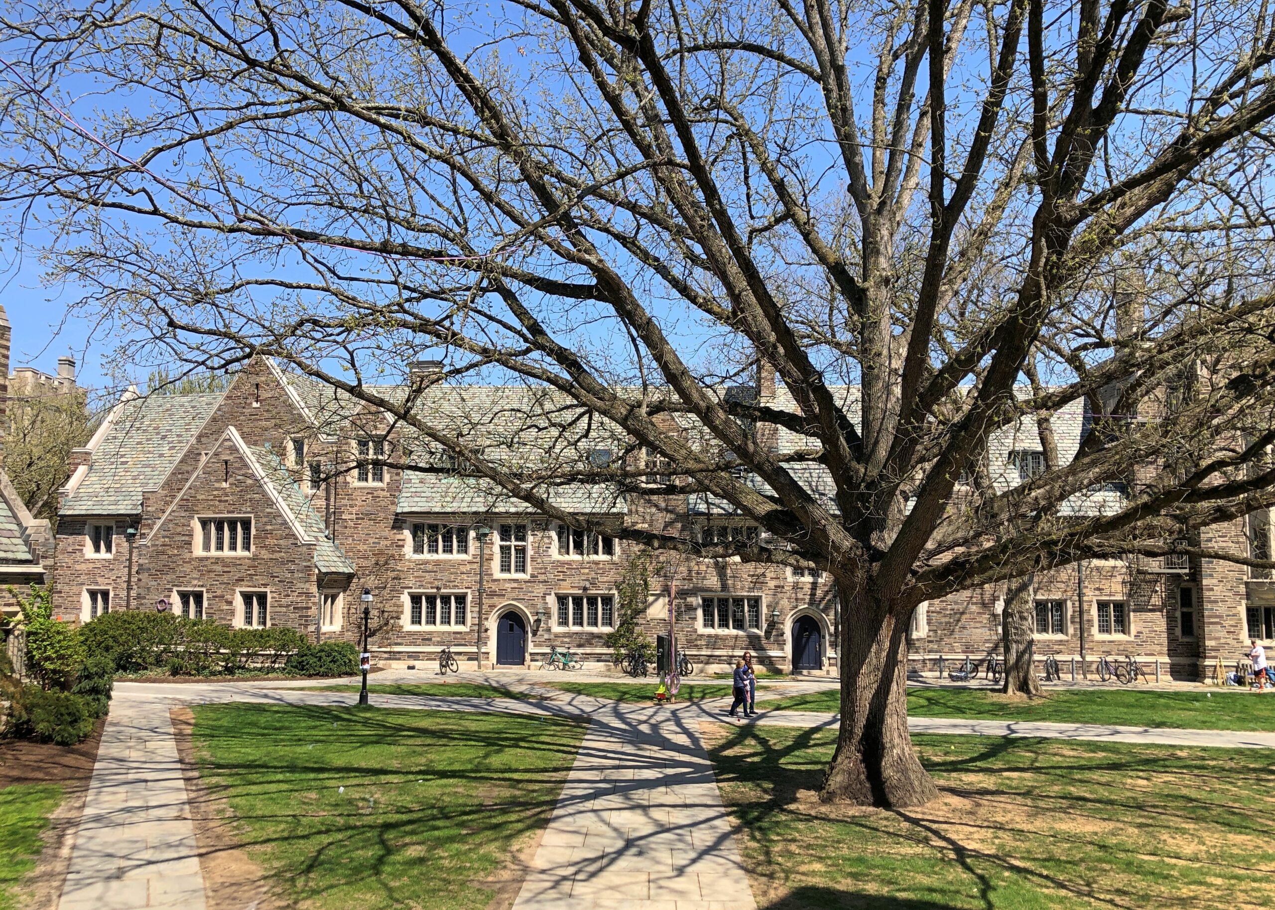
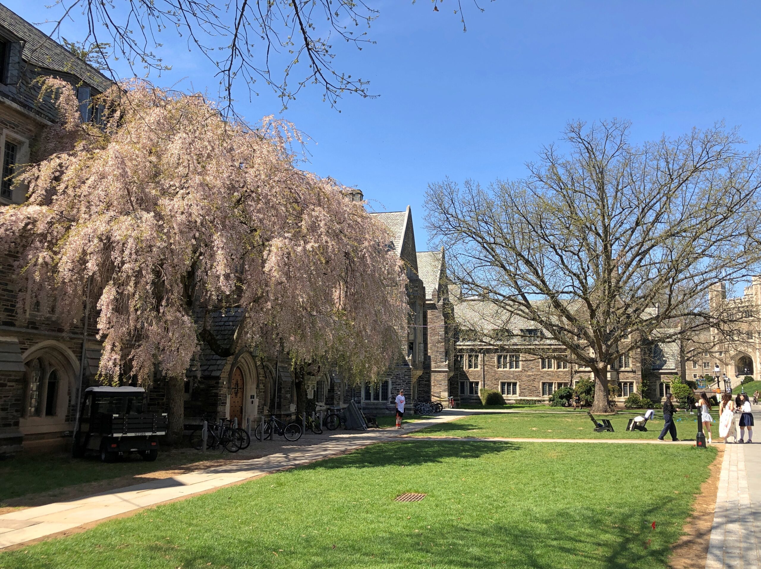
In October, I’d spent a few hours wandering Yale’s stately lawns and buildings and the nearby cemetery. So it only stands to reason – if I’m the one doing the reasoning – that I also visit Princeton, a short way off US 1 not far from Trenton.
Stately buildings.
Early spring on the stately lawns.
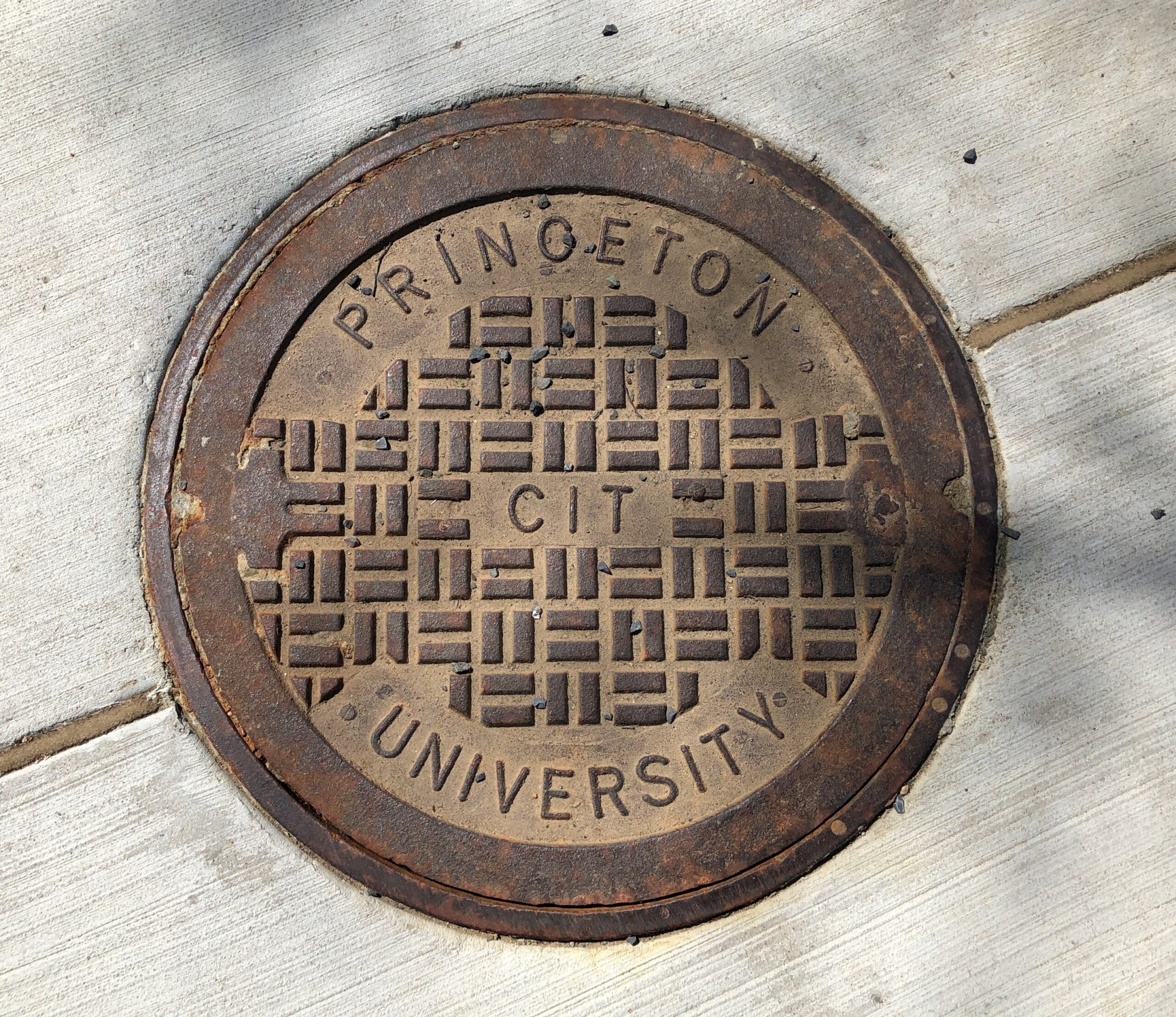
Not the best collegiate manhole cover I’ve seen – that would be at Olivet Nazarene University in Bourbonnais, Illinois – but not bad.
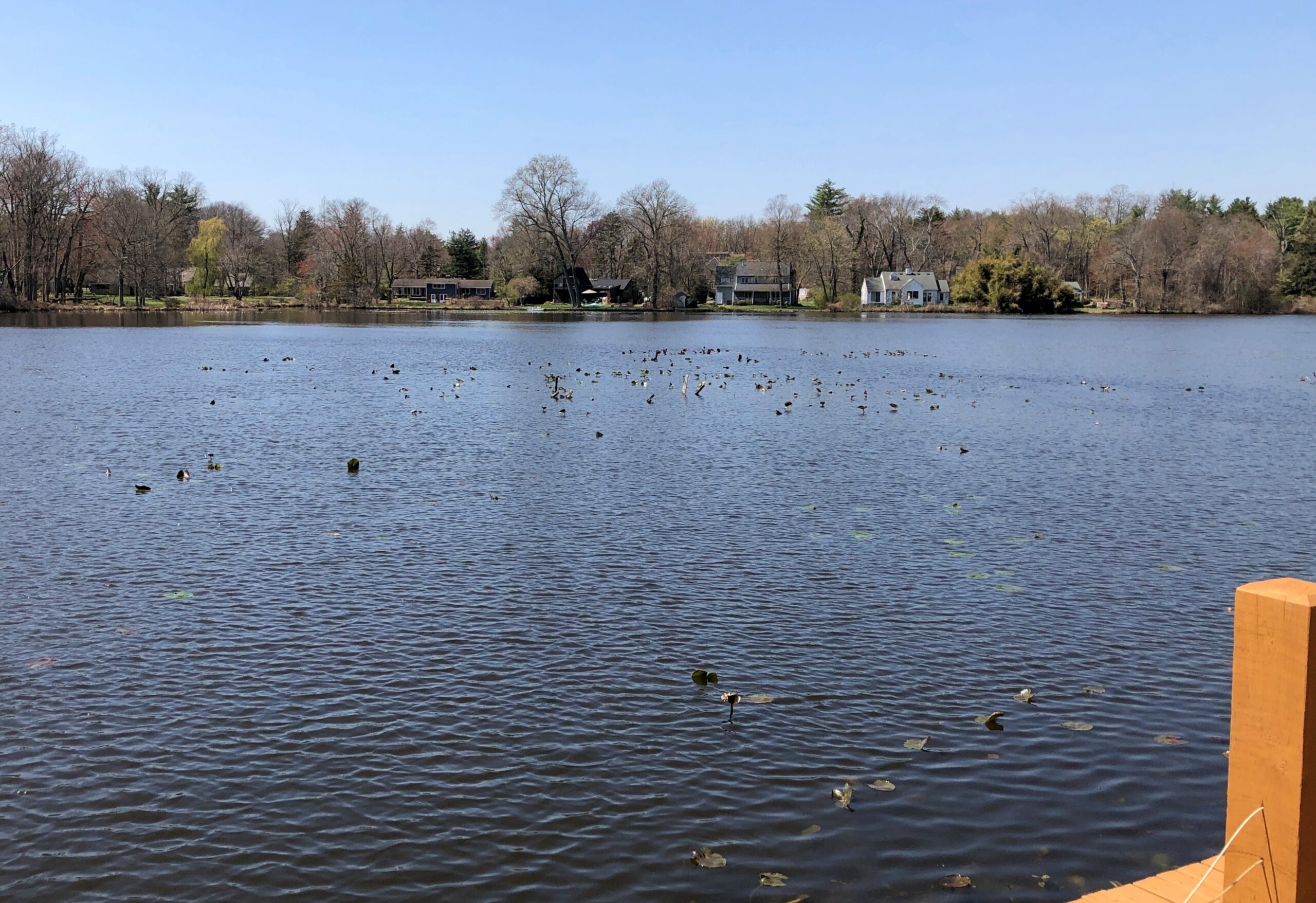
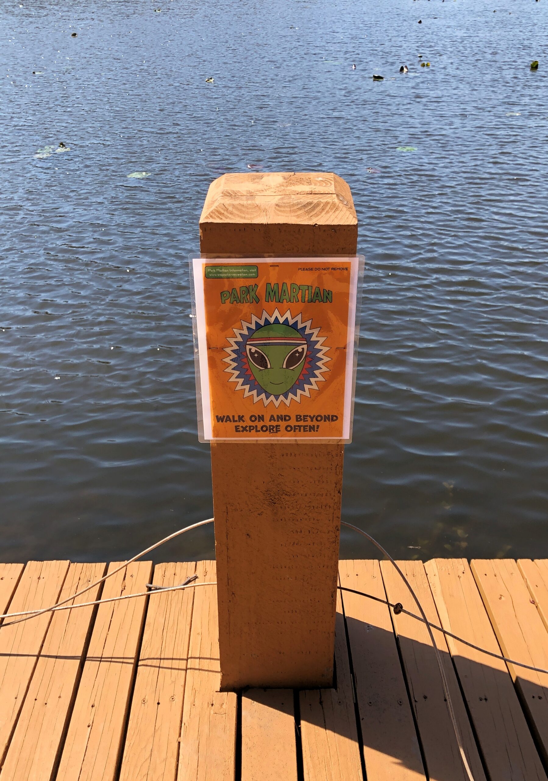
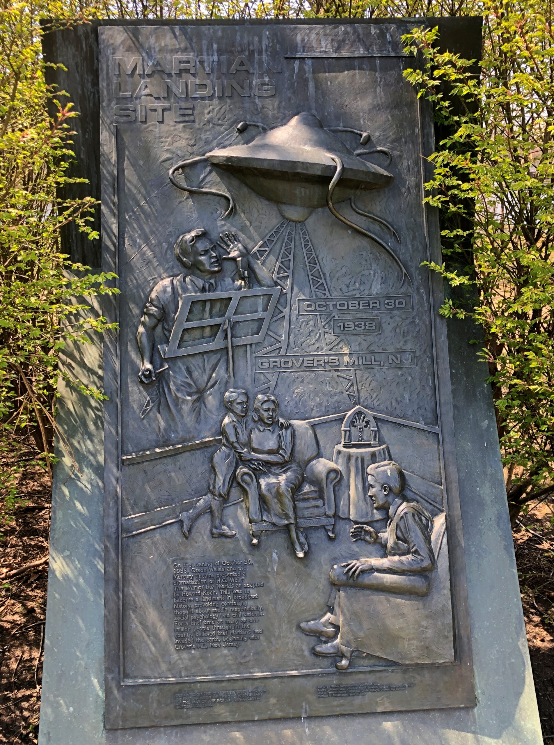
Princeton is west of US 1; Grovers Mill, New Jersey is to the east, also not far. I had to go there, too. Specifically, to a small park on a small lake in the unincorporated Grovers Mill. A short park trail includes information about Grovers Mills’ claim to fame: in Orson Welles’ version of War of the Worlds, it was the first place the Martians landed.
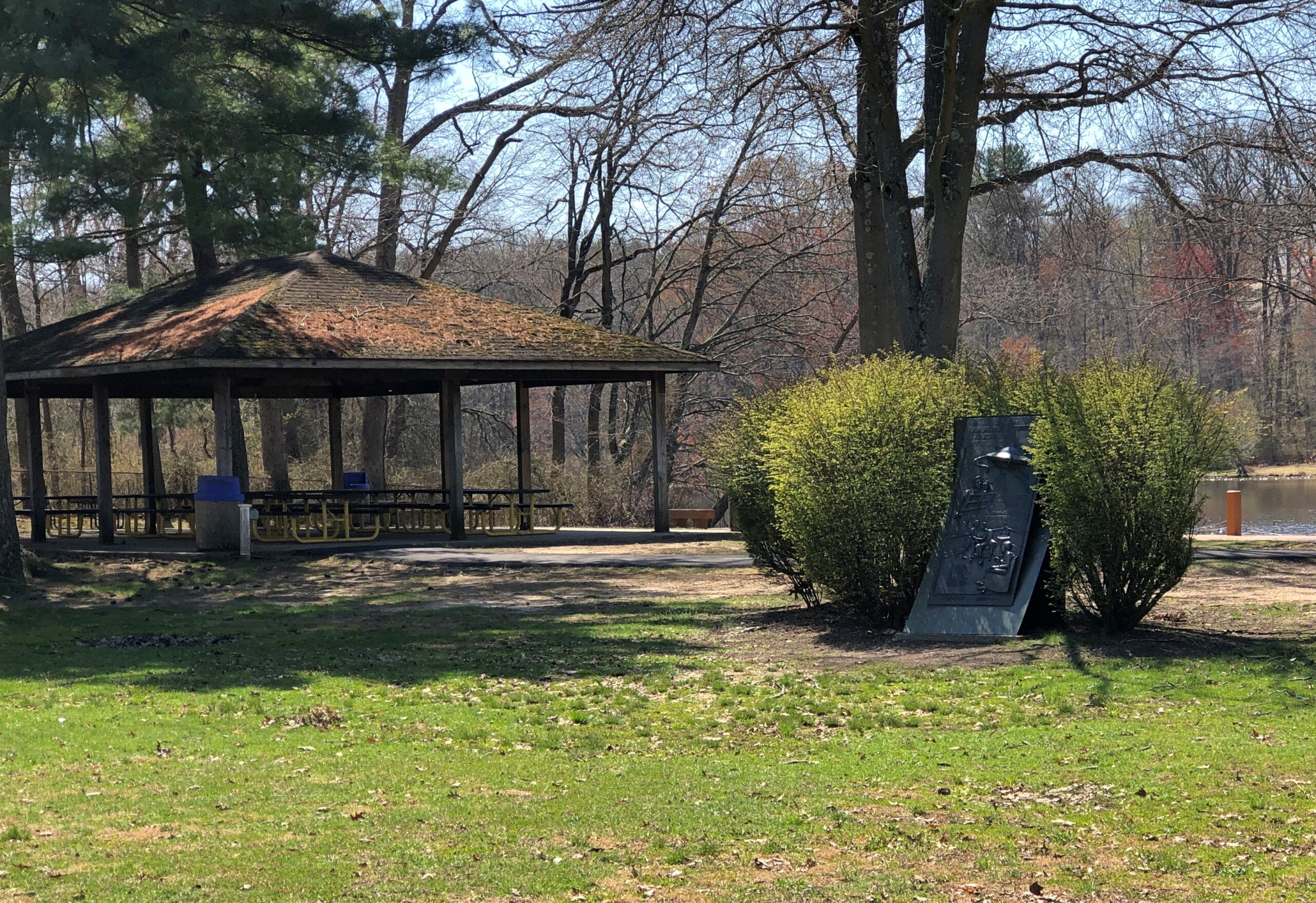
There’s a sizable plaque, a little bit hidden away, but I found it.
The township of West Windsor, in an unusual display of municipal imagination, erected the memorial in 1988, on the occasion of the 50th anniversary of the broadcast. Sculptor Thomas Jay Warren did the relief.
Ladies and gentlemen, I have a grave announcement to make. Incredible as it may seem, both the observations of science and the evidence of our eyes lead to the inescapable assumption that those strange beings who landed in the Jersey farmlands tonight are the vanguard of an invading army from the planet Mars. The battle which took place tonight at Grovers Mill has ended in one of the most startling defeats ever suffered by any army in modern times; seven thousand men armed with rifles and machine guns pitted against a single fighting machine of the invaders from Mars. One hundred and twenty known survivors. The rest strewn over the battle area from Grovers Mill to Plainsboro, crushed and trampled to death under the metal feet of the monster, or burned to cinders by its heat ray. The monster is now in control of the middle section of New Jersey.
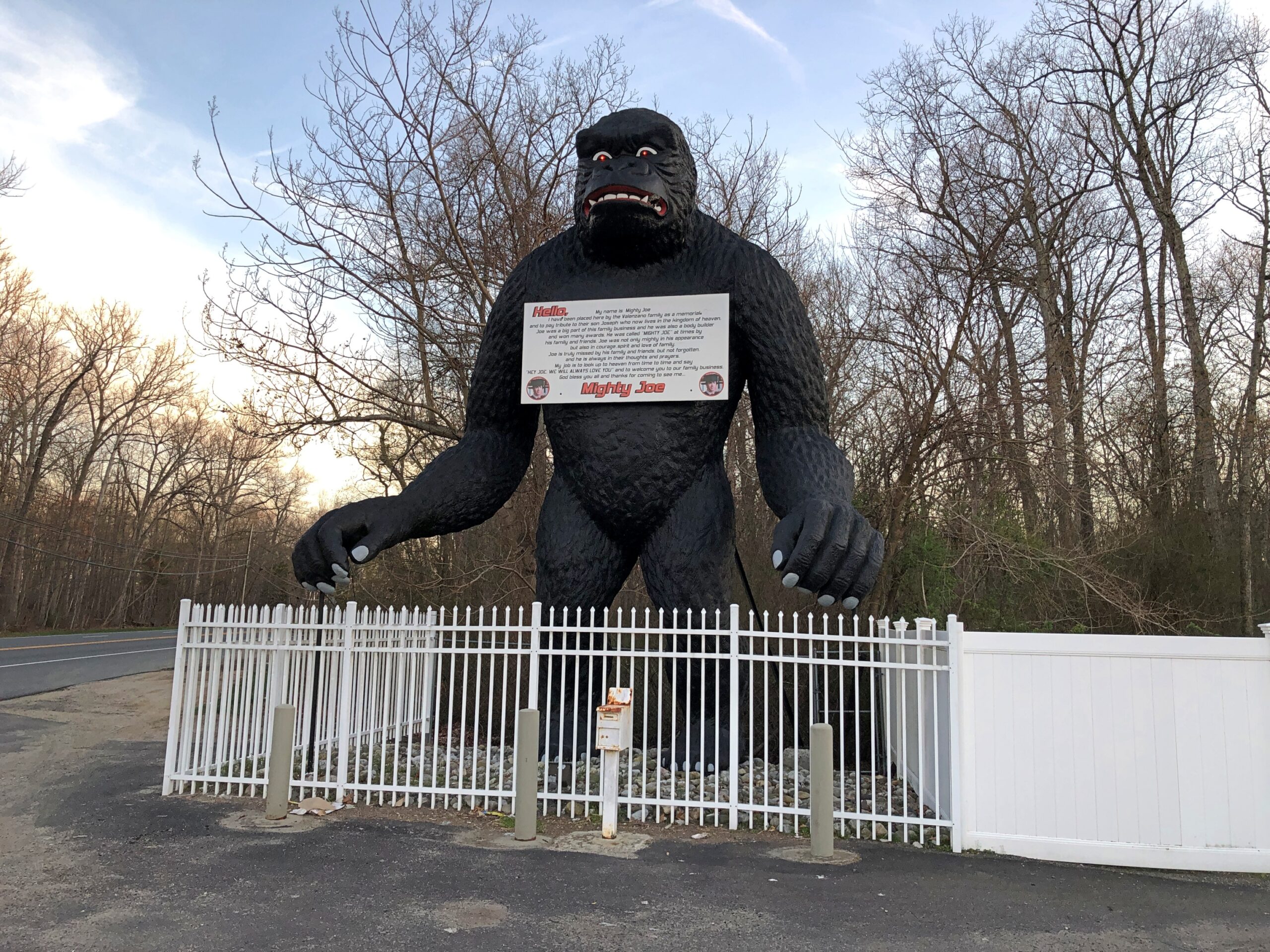
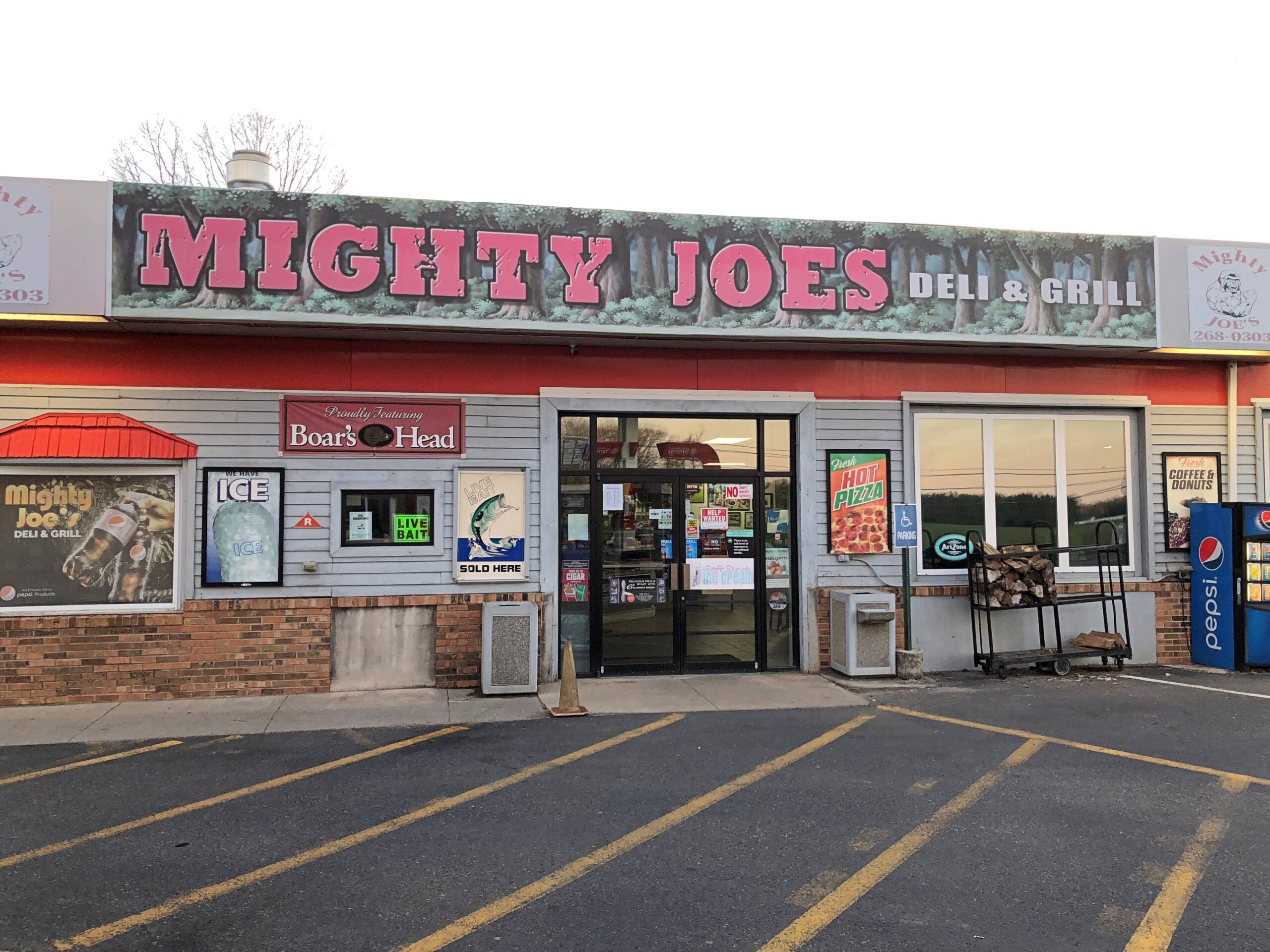
Down in South Jersey earlier this month, I didn’t see the Jersey Devil. I did see Mighty Joe.
He counted as my introduction to the Pine Barrens, standing at a convenience store on US 206 in Indian Mills, Shamong Township, New Jersey. His story, which Roadside America tells well, began in Spain – really? – though immigrant Mighty Joe apparently has spent most of his existence in New Jersey as a commercial mascot of one kind or another. He’s still that, but also a memorial to the son of the store’s owner, Larry Valenzano, according to the sign on the gorilla’s chest. The younger Valenzano, a body builder nicknamed Mighty Joe, died of cancer in 1999.
I didn’t stop for Joe heading south on US 206. Can’t stop for everything. I figured I wouldn’t see him on my return to Trenton either, since I was planning to return on smaller roads through the heart of the Pine Barrens, after visiting Atlantic City. All went according to plan, until I actually got into the heart of the Pine Barrens fairly late in the afternoon of April 9.
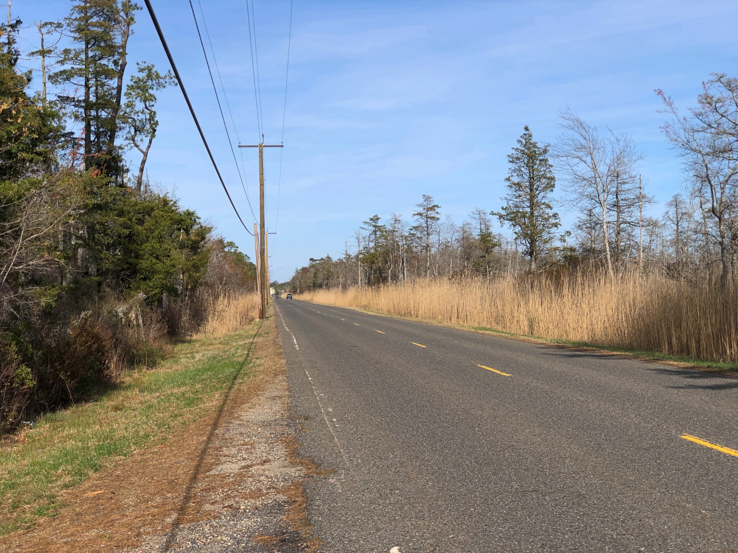
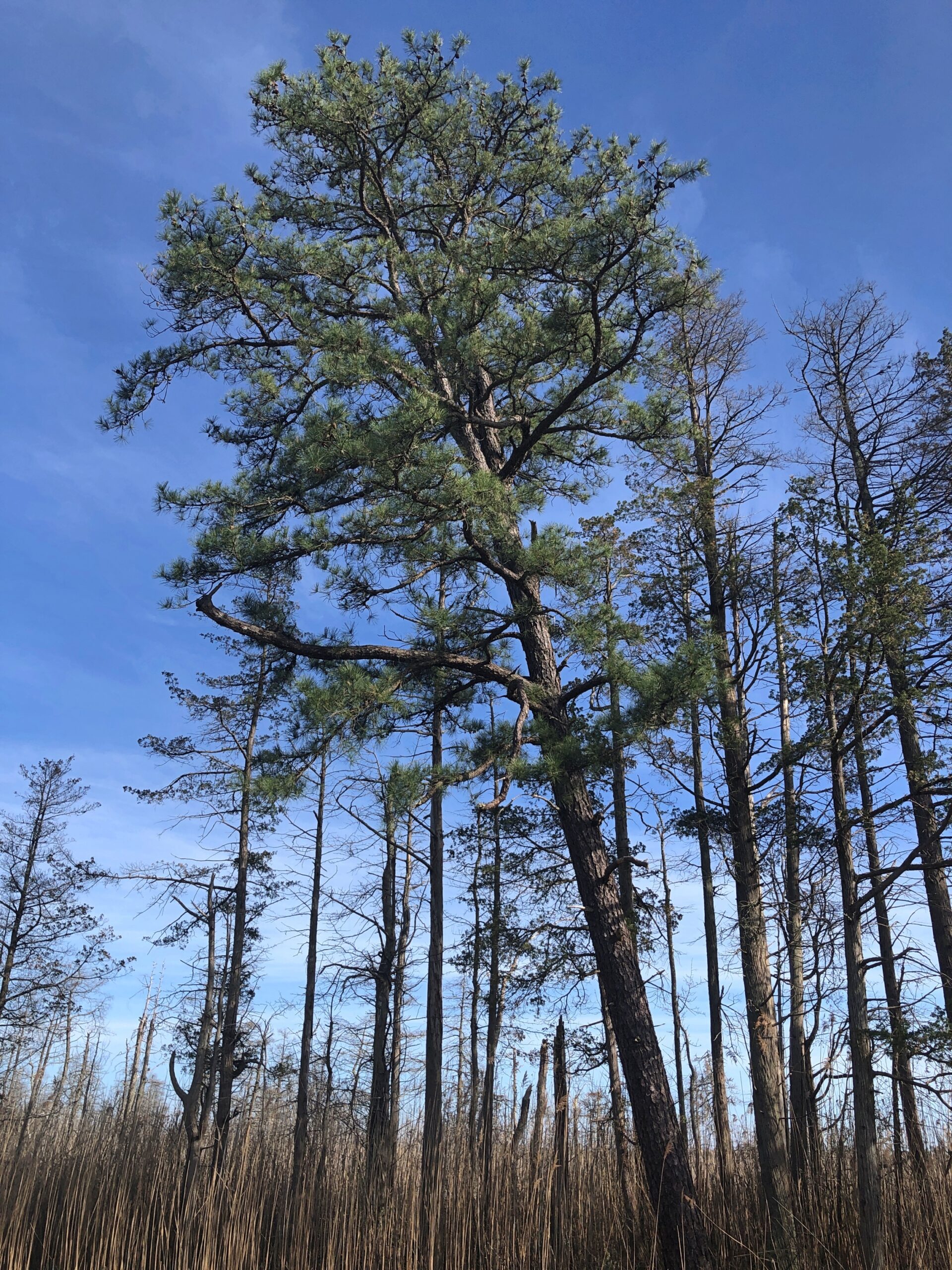
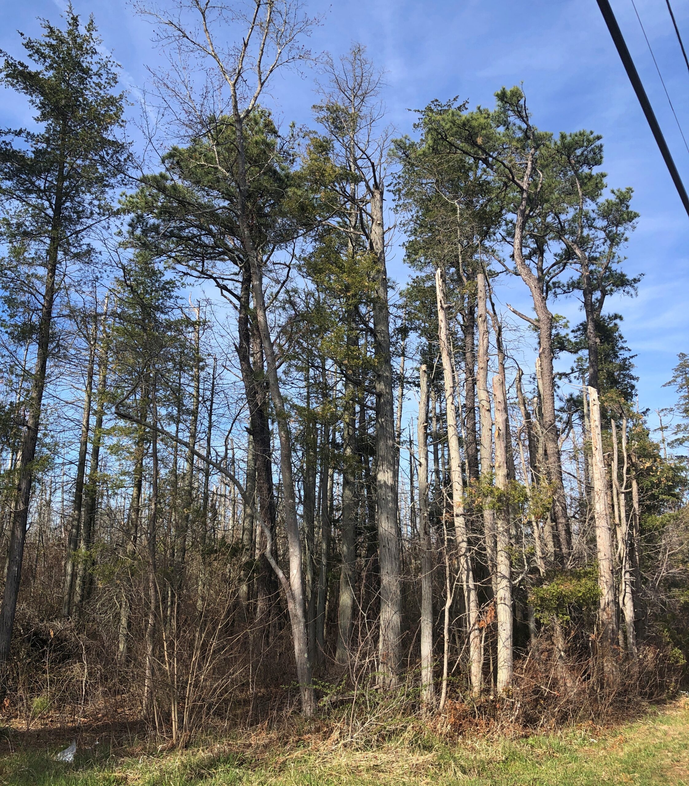
Considering how close you are to Philadelphia and New York, it’s remarkable how remote the Pine Barrens feel. The region, I understand, is the largest surviving forest on the Eastern Seaboard south of Maine’s North Woods, totaling over 800,000 acres.
The region is also called the Pinelands. It certainly fits.
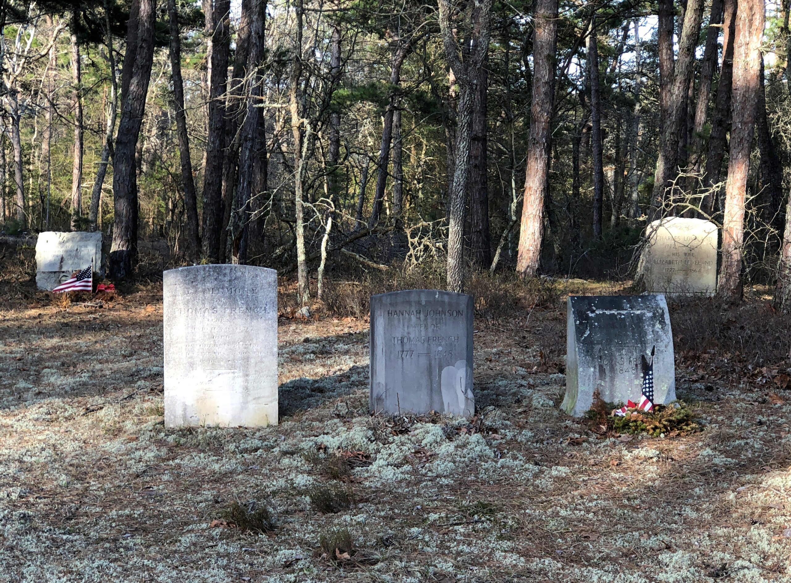
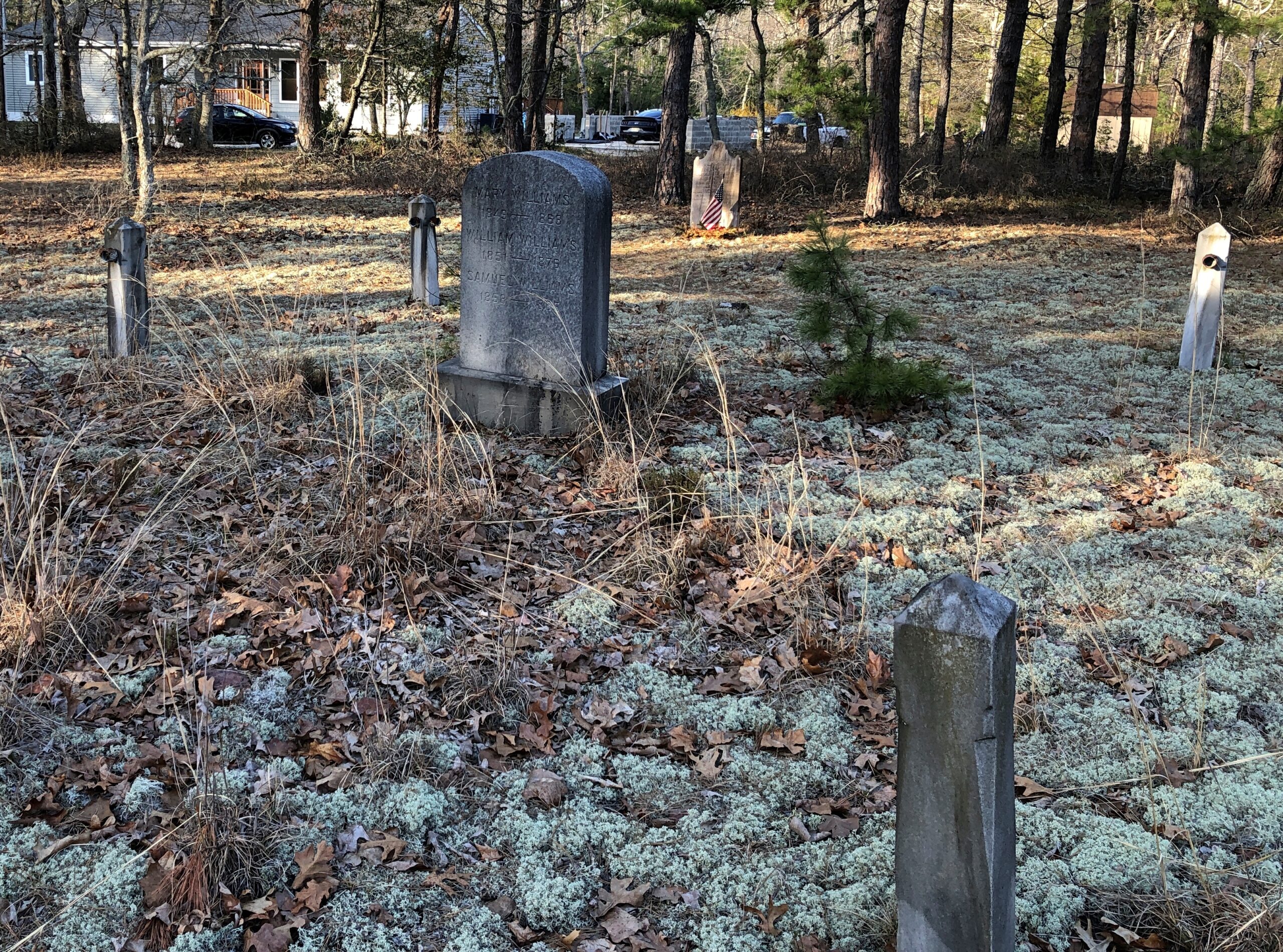
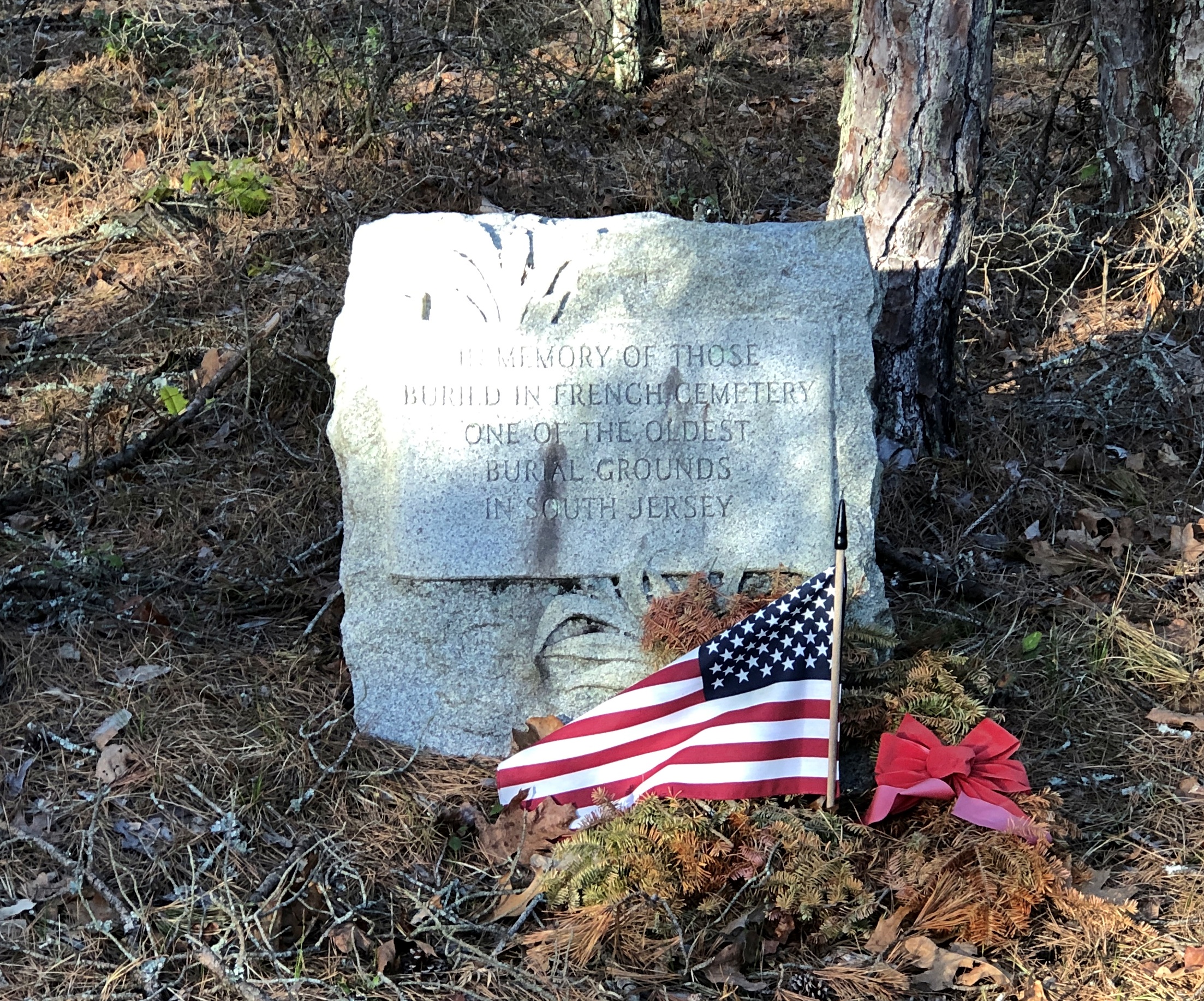
Remote, maybe, but still plenty of signs of human habitation, past and present. I stopped to take my bearings at a wide place in the road, and noticed gravestones.
French Cemetery, named for a number of people buried named French, not for their nationality. “One of the oldest burial grounds in South Jersey,” the stone asserts. Could be, but I have no way to check that.
Interesting little spot anyway, northeast from Egg Harbor City and past the Mullica River and near the Wading River. Or was that the actual location? I was traveling on marked county roads, but pretty soon I started seeing county road signs covered with black plastic bags, next to newer signs. I can only guess, but I think that meant a recent change in the numbering of the county roads.
That further meant that both my paper and electronic maps were wrong – in as much detail as they had anyway, which wasn’t a lot. “Lost” is too strong a word, but I’d say I was disoriented in a web of meandering, ill-marked roads. I stopped more than once among the pines of the Pinelands to try to figure out a better course.
Then it occurred to me: I remembered seeing some of the exit numbers on highways near Trenton had been changed, too. I’m speculating, but I think that had something to do with my GPS going just a little funny in the head the night before. Damn it, New Jersey.
Eventually I worked my way back toward Egg Harbor City, a sizable town on US 30, which connects with US 280, which goes straight back to Trenton; the way I’d come. That’s how I was able to stop to see Mighty Joe.
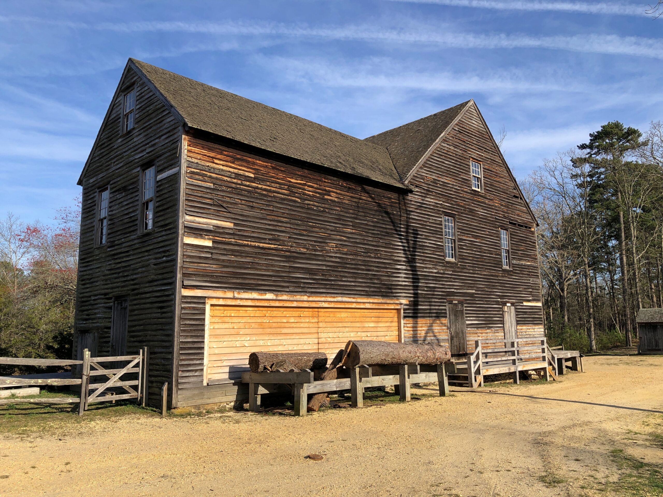
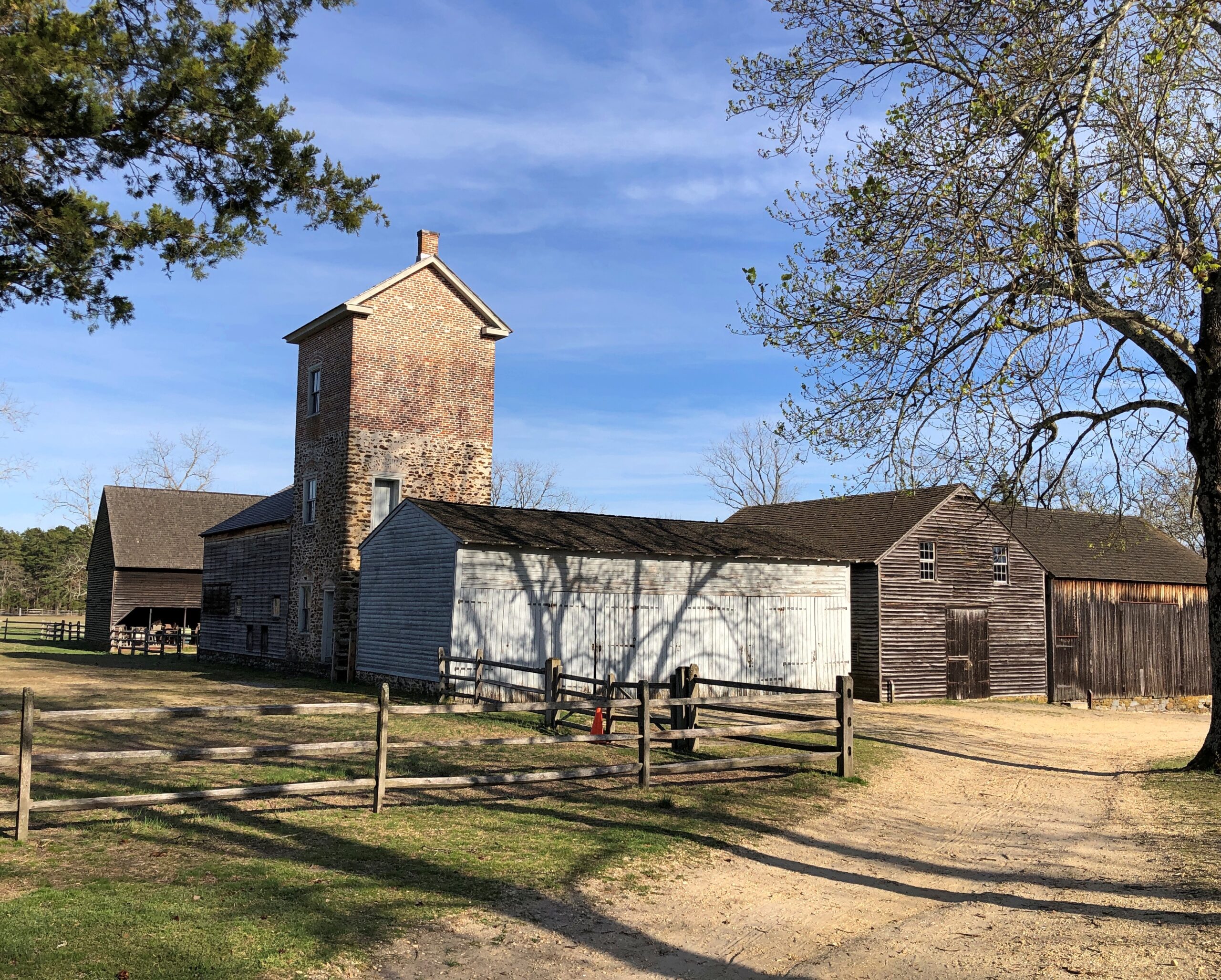
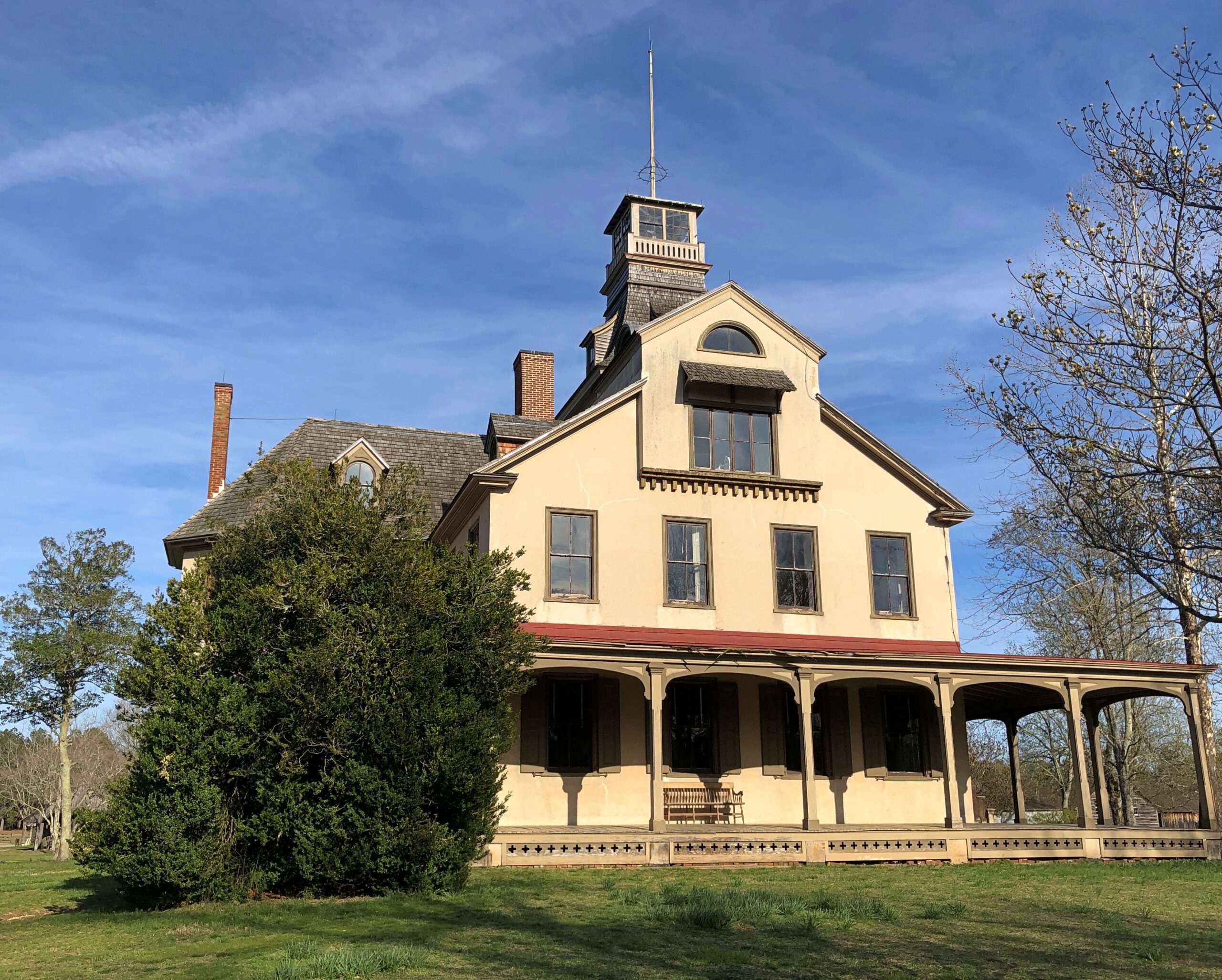
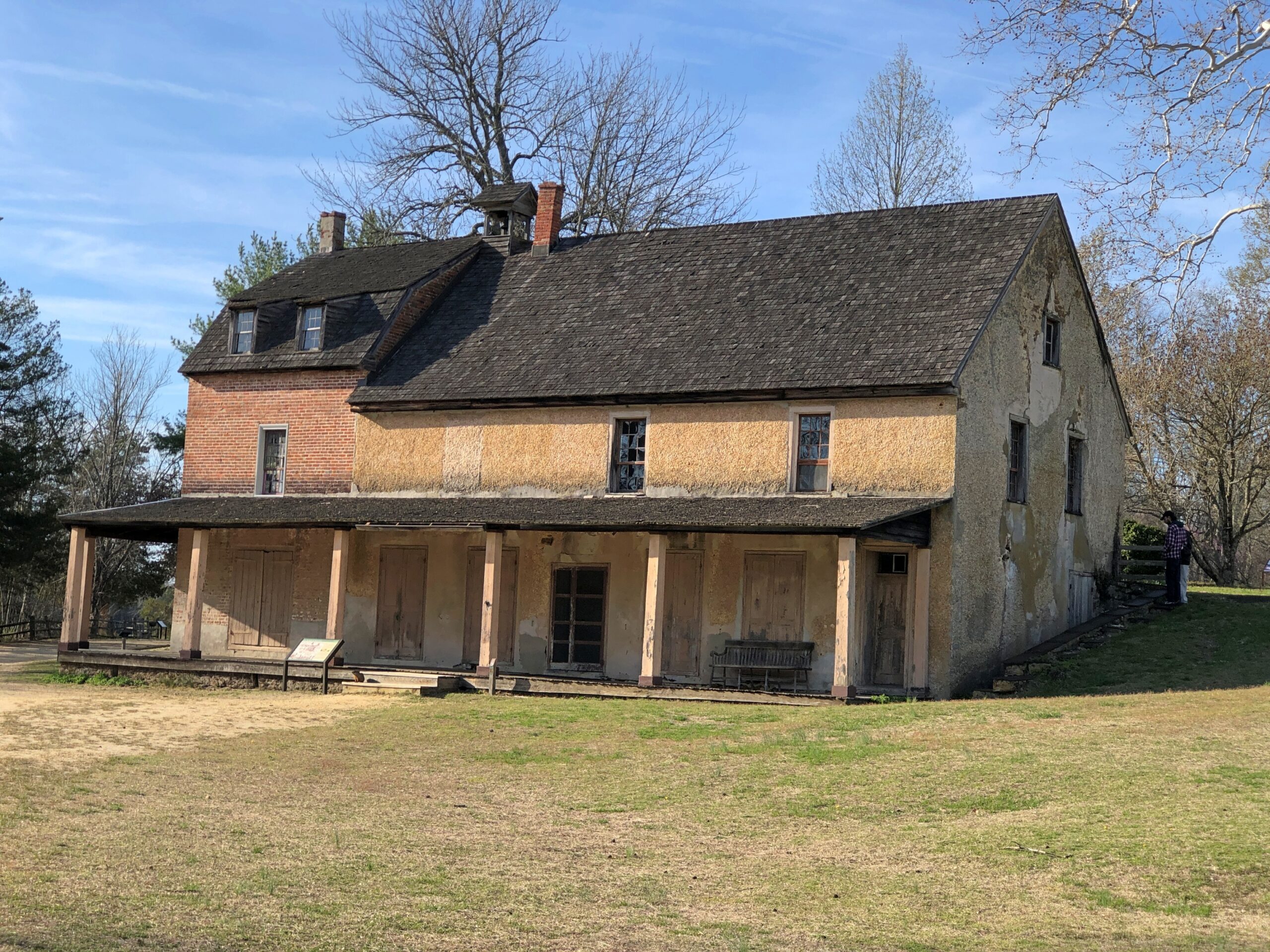
Even so, I happened across a few places in the Pinelands to stop, especially Batsto Village, site of the former Batsto Iron Works.
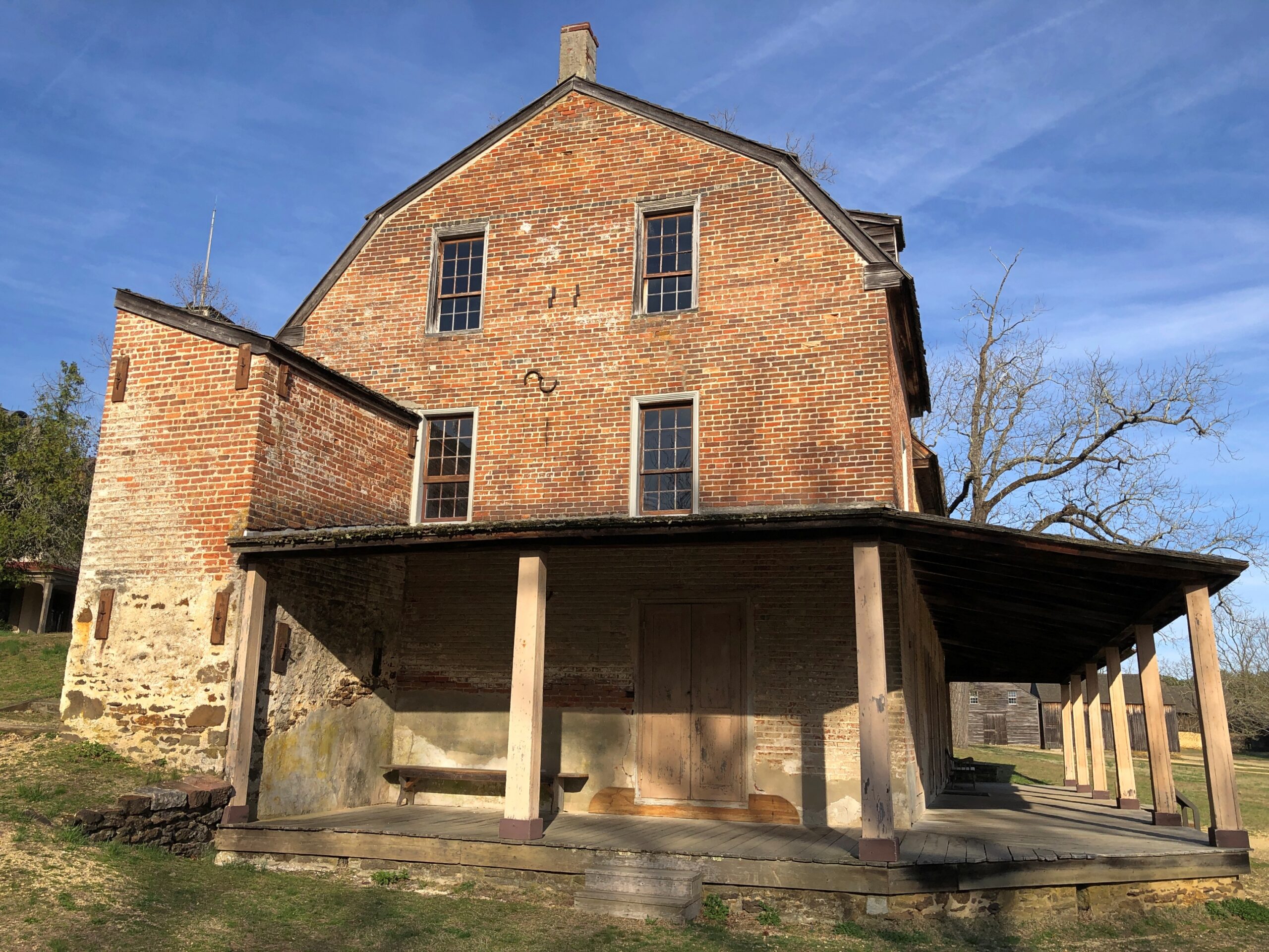
Most of the open-air museum buildings are 19th century, but the Batsto Iron Works had roots that went back to Colonial times. Some enterprising early NJ settlers found bog iron in the area. By the 19th century, the iron smelting was doing well enough to support a company town, including of course the boss’s house.
The company store.
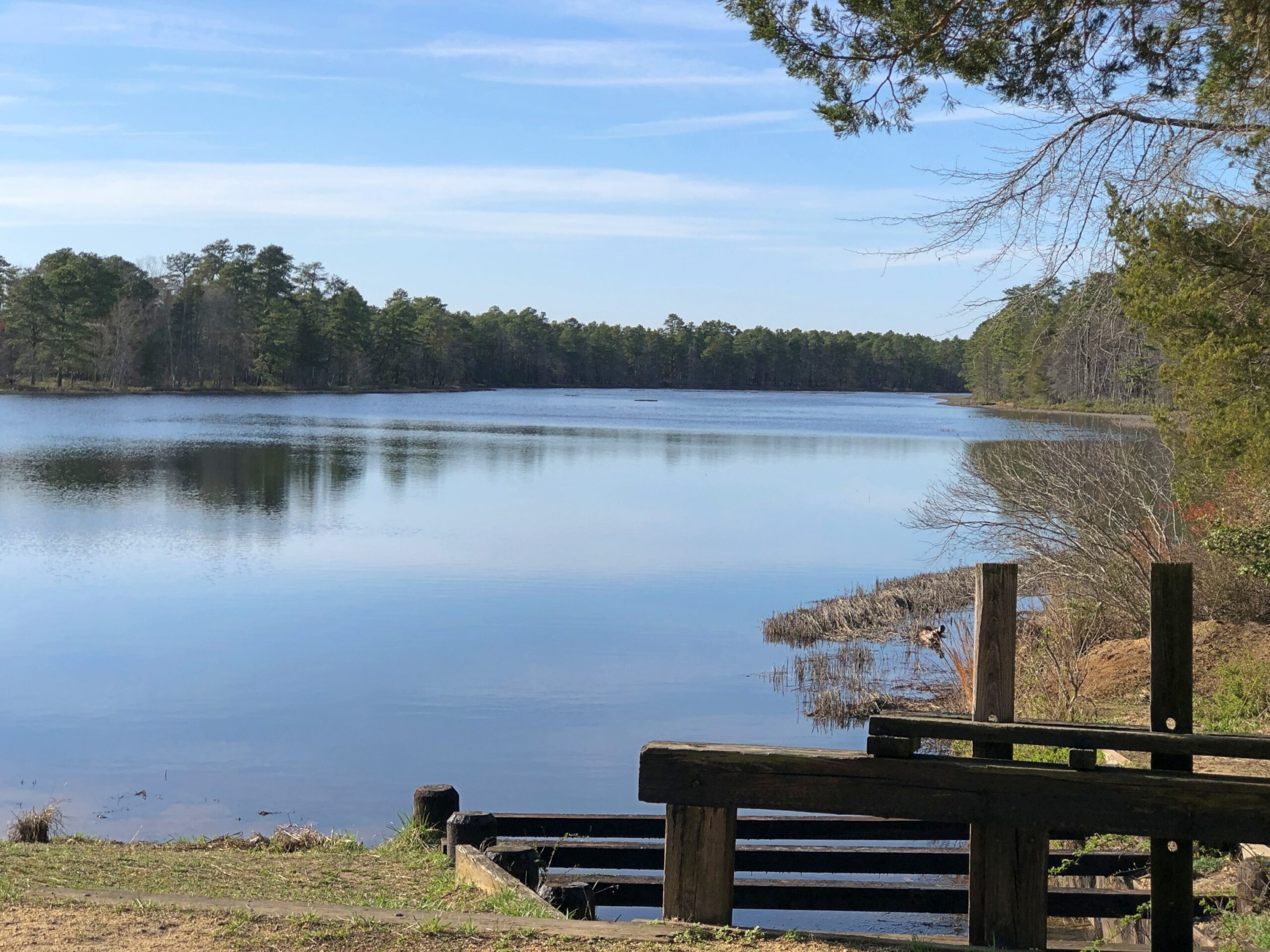
The company paid in script until the workers were organized enough to demand legal tender for their labor. Unlike at Fayette Historic State Park in Michigan, the actual industrial facility, the 19th-century blast furnace, is long gone. The place has a good-looking lake, however. Created by a small dam on Batsto River to harness the water for the sawmill.
A vista that says New Jersey? Yes, but not the New Jersey of song and story.
Back in Egg Harbor City (pop. 4,442), I chanced across the Egg Harbor City Cemetery – another reason to leave the GPS inactive most of the time. If the box tells you where to go, you’ll miss minor misdirections that take you to unexpected places.
I’ve come up with my next approach to traversing the Pine Barrens. There will be a next time, provided my health holds out. That’s always a contingency these days, but anyway the approach can’t be as rational as trying to plot oneself on a map, or even follow the directions from a machine.
The region isn’t that large. That is, provided your car is gassed and in good running condition, since walking out of the Pine Barrels, even following surfaced roads, seems like a bad idea unless you’ve prepared yourself to do so. Assuming you drive, pick a direction – say east, toward the morning sun – and head that way, hewing to the direction as much as possible. It won’t be too long before you come to a reliably numbered state or US highway. Or in that case, the Garden State Parkway.
Sounds doable. Unless you encounter the Jersey Devil.
My go-to data source for gas prices is AAA, which tells me that the national average today is $3.983/gal, and higher in Illinois, at $4.228/gal. As everyone knows, up markedly this month. People have long seemed to believe that the President of the United States has a magic button that made gas prices change. That was nonsense, of course, but now it looks like the administration has found such a button, except it might be stuck on “rise.”
Be that as it may, I’m glad my recent long drives, and long flights, aren’t scheduled for this year. The summer of ’26 could be a time to stay closer to home. Then again, prices north of $4/gal – in fatter 2008 dollars – didn’t keep us from driving to Great Smoky Mountains NP that year.
In Houston last month, I did a fair amount of driving, including in the airport-area industrial submarket. That is, among the warehouses and distribution centers that form part of the sizable metro Houston industrial market, which totals about 700 million square feet (for comparison, metro Chicago’s market is roughly 1 billion square feet). I’m probably one of the few tourists anywhere who gets a kick out of driving by behemoth industrial buildings, but there you have it.
I also drove the short distance from downtown Houston to Hermann Park, a legacy of the City Beautiful Movement and the landscape architectural talents of George Kessler (d. 1923). He was a younger version of Frederick Law Olmstead, it seems, busy in a lot of places, though more important in planning for Dallas than Houston.
Always thought “City Beautiful” is too far a reach. Like most people, I’d say City Pretty Nice or City Not Bad would be good enough, but that’s not the kind of movement name that inspires grand projects.
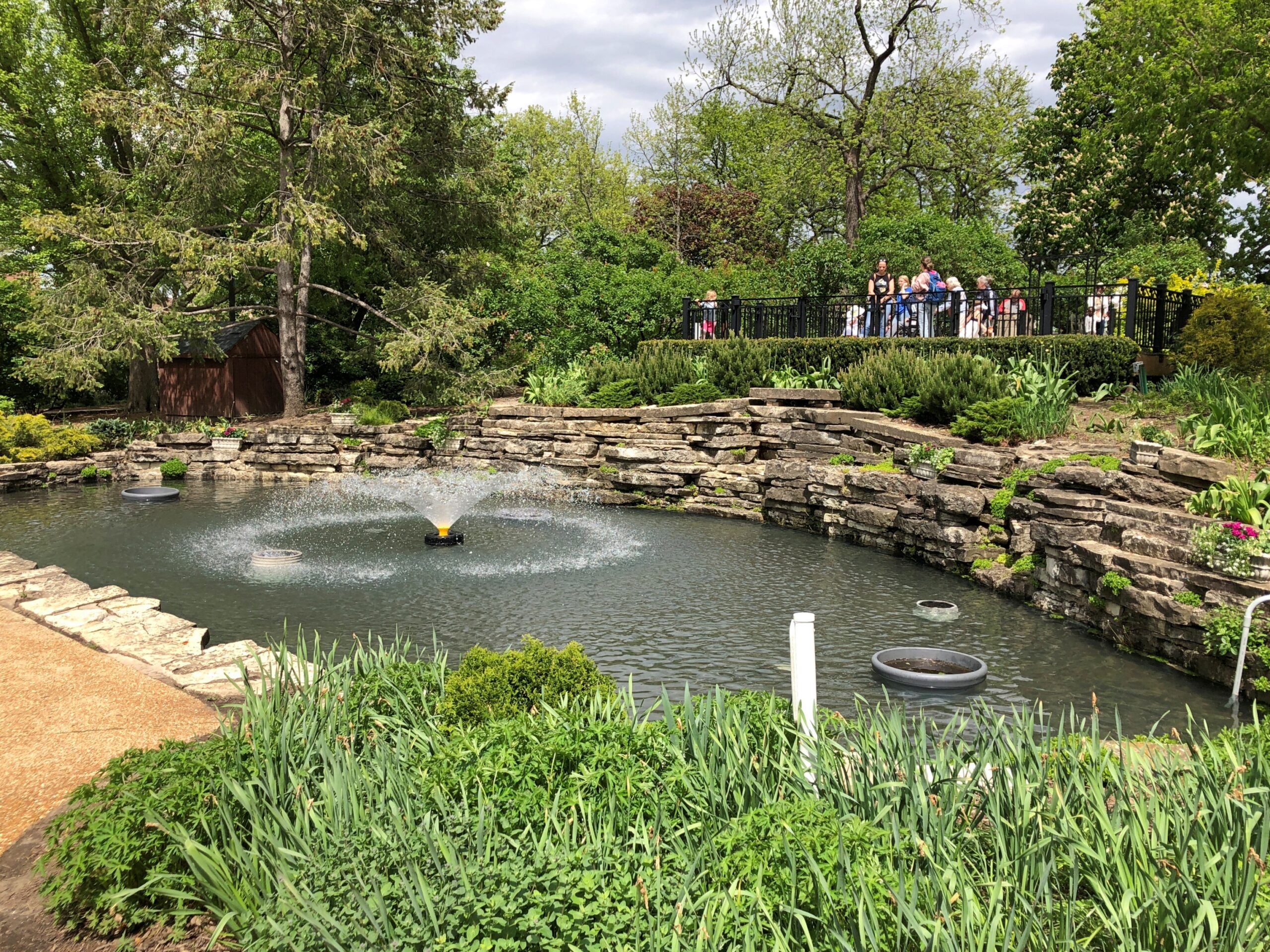
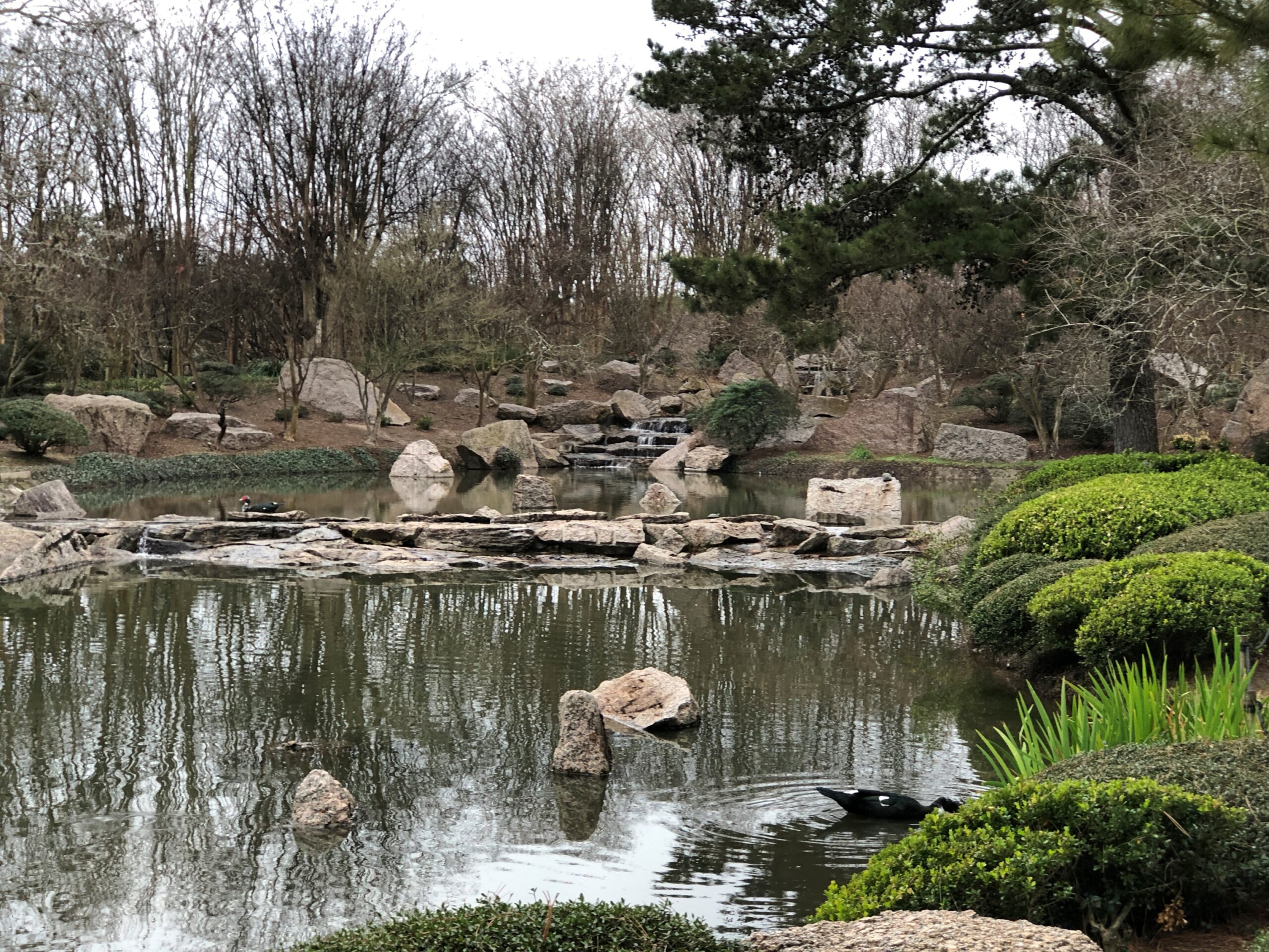
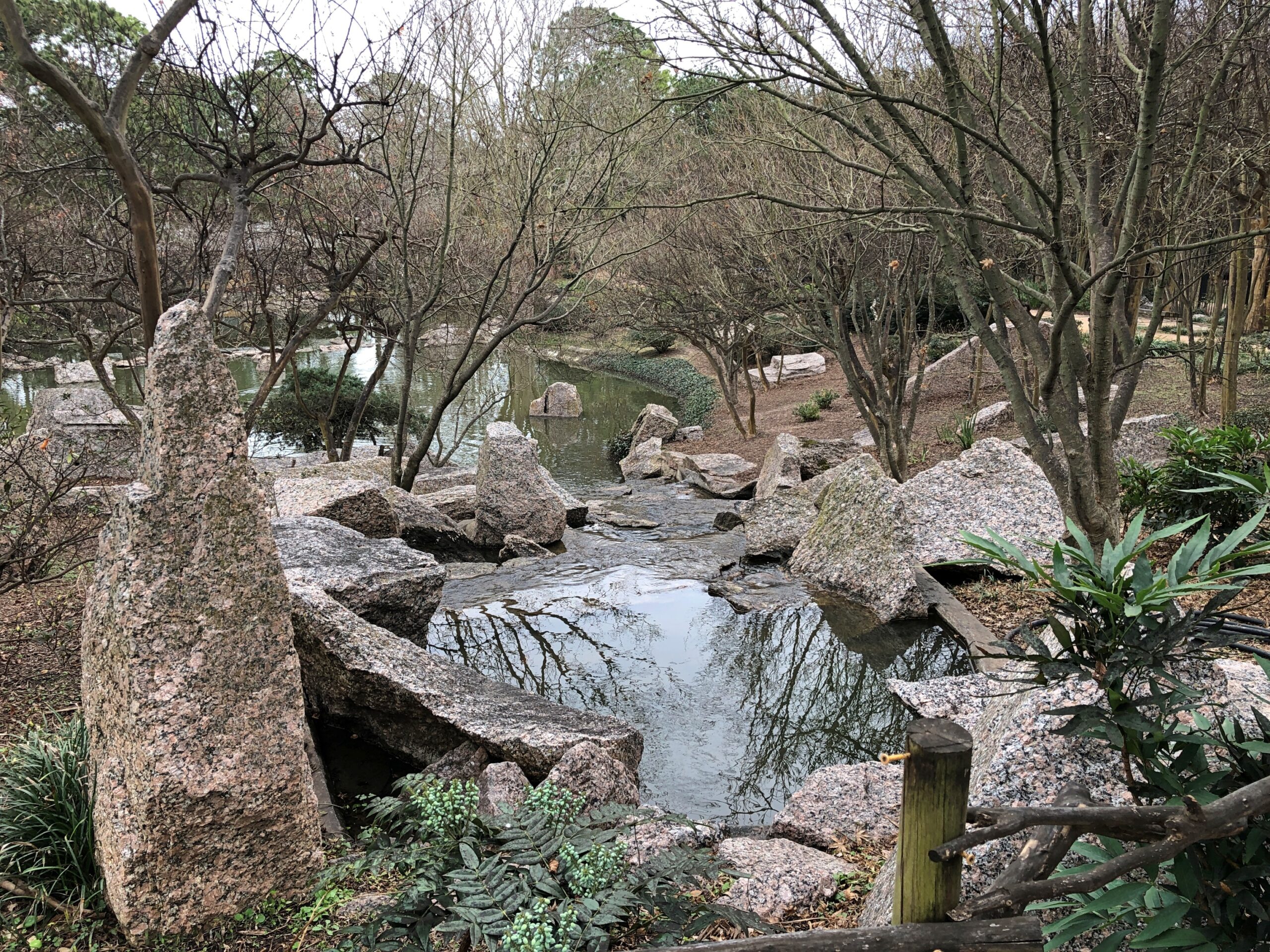
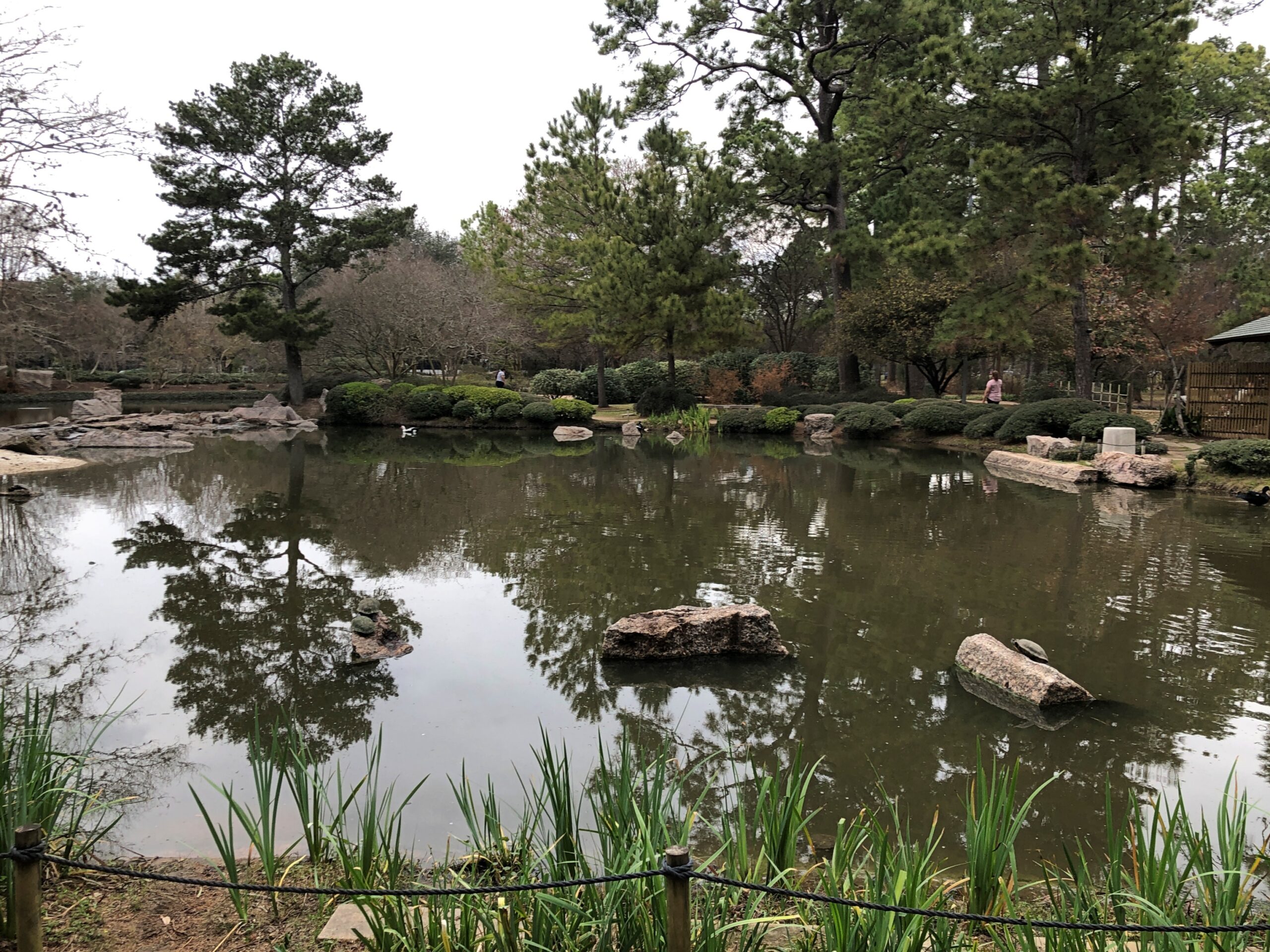
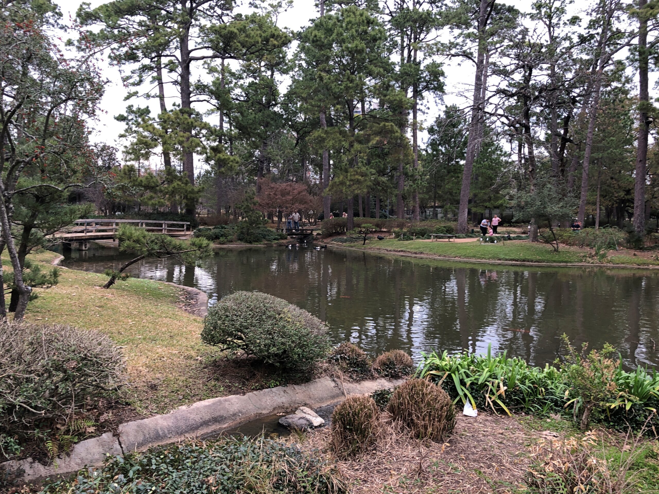
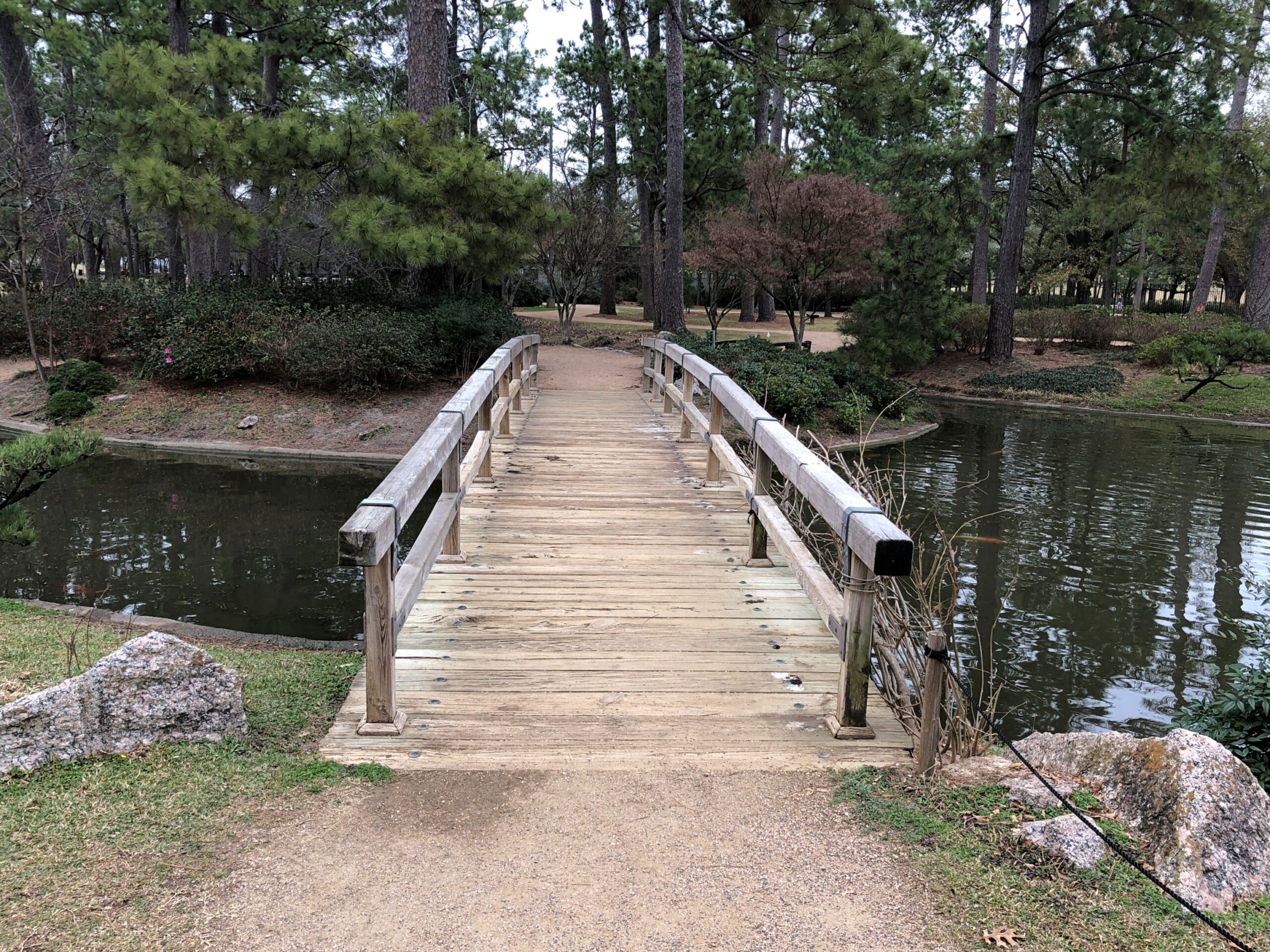
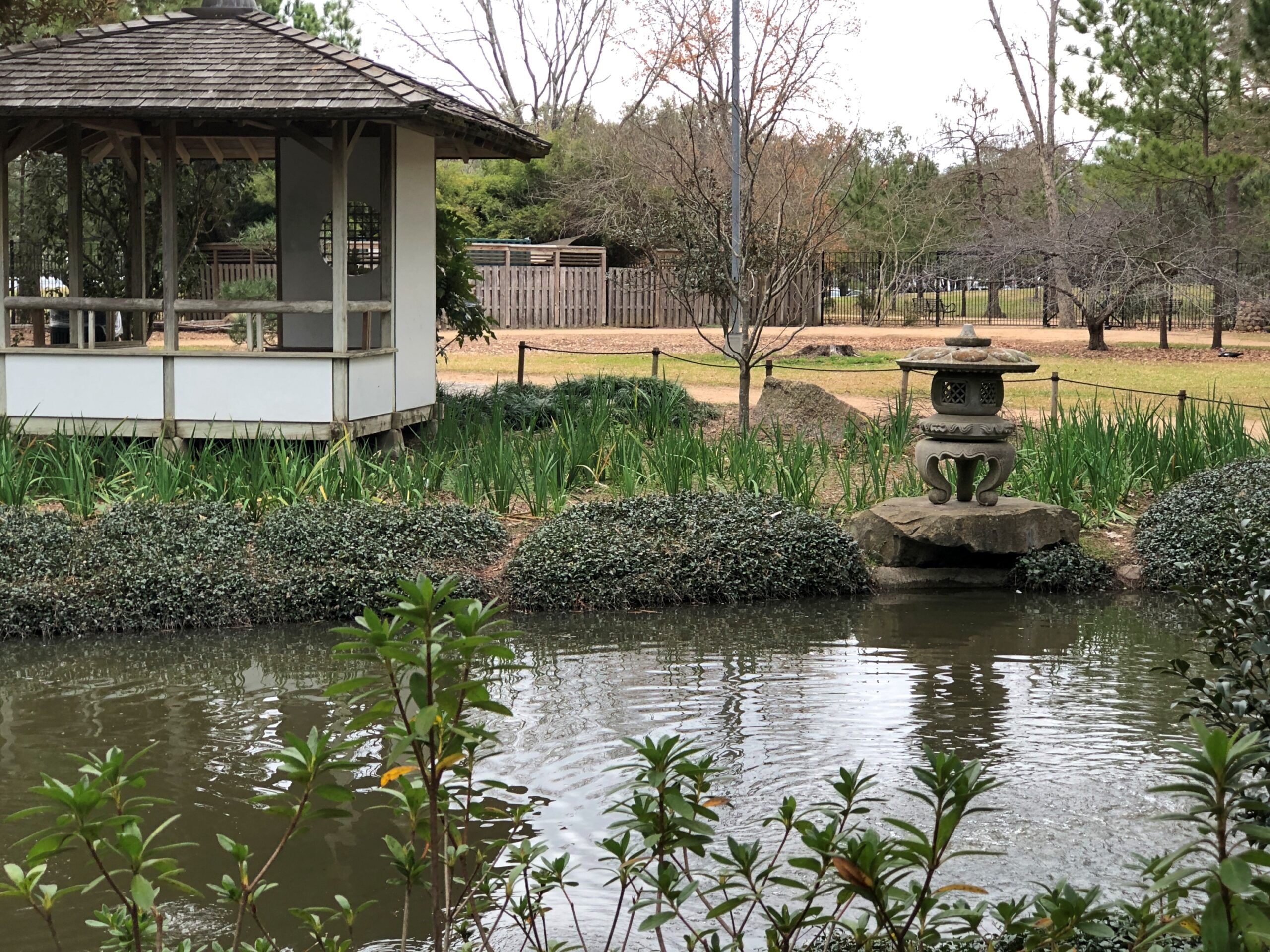
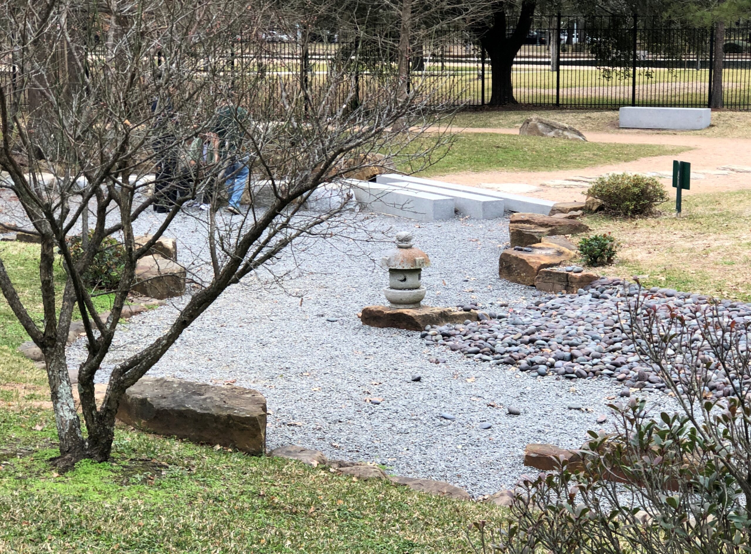
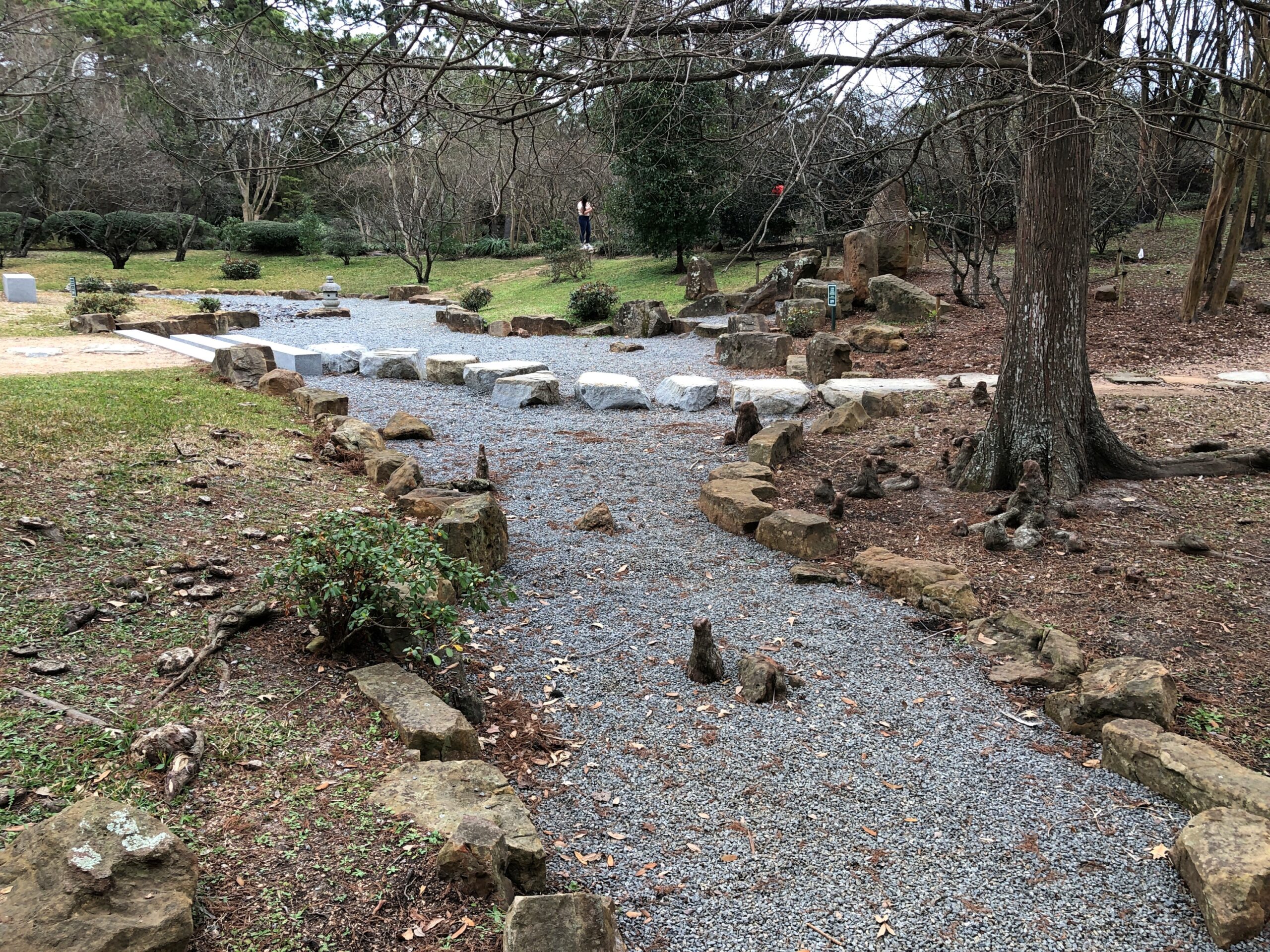
The Japanese Garden occupies part of Hermann Park. That seems to be the generic name. I made my way there. It’s a pretty place, even in February.
A mix of imported Japanese flora and the pines of East Texas. Hermann Park itself dates from the early 20th century. The Japanese Garden, the late 20th century, a prosperous time for Japan, and when that dustup between Nippon and the USA had mostly been put in the rear view mirror.
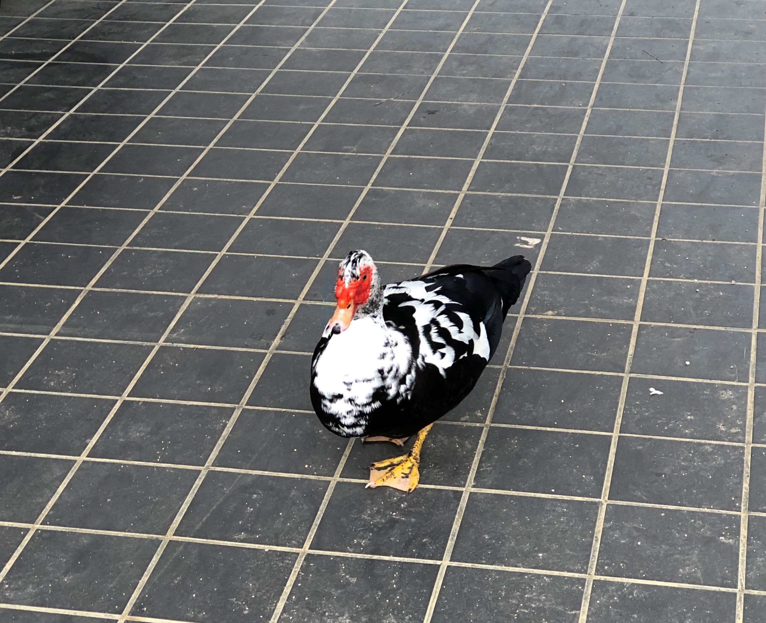
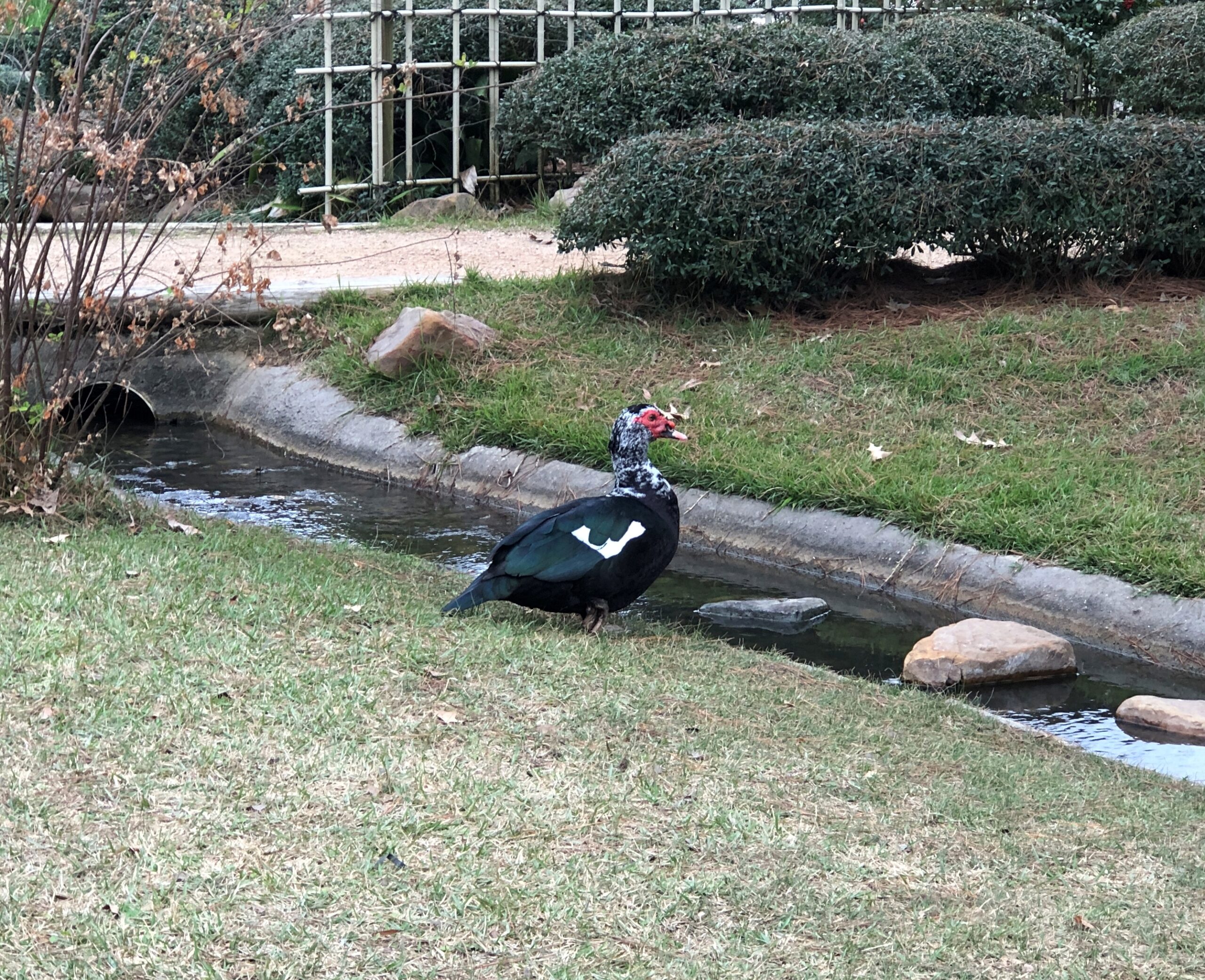
Where there is water, there is waterfowl.
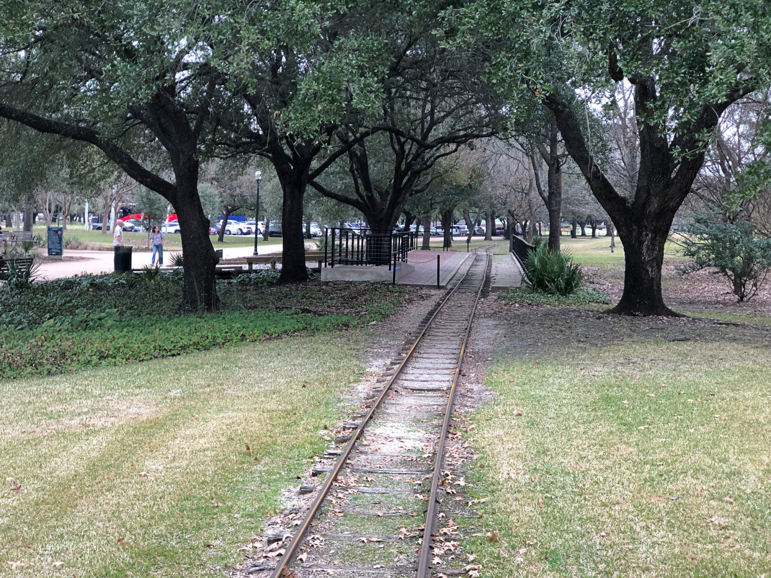
Just outside the Japanese Garden are tracks for the Hermann Park Railroad, a narrow-gauge line that makes a loop through the park. I didn’t ride it, but of course thought of the Brackenridge Park RR in San Antonio, the one by which all others are judged (by me).
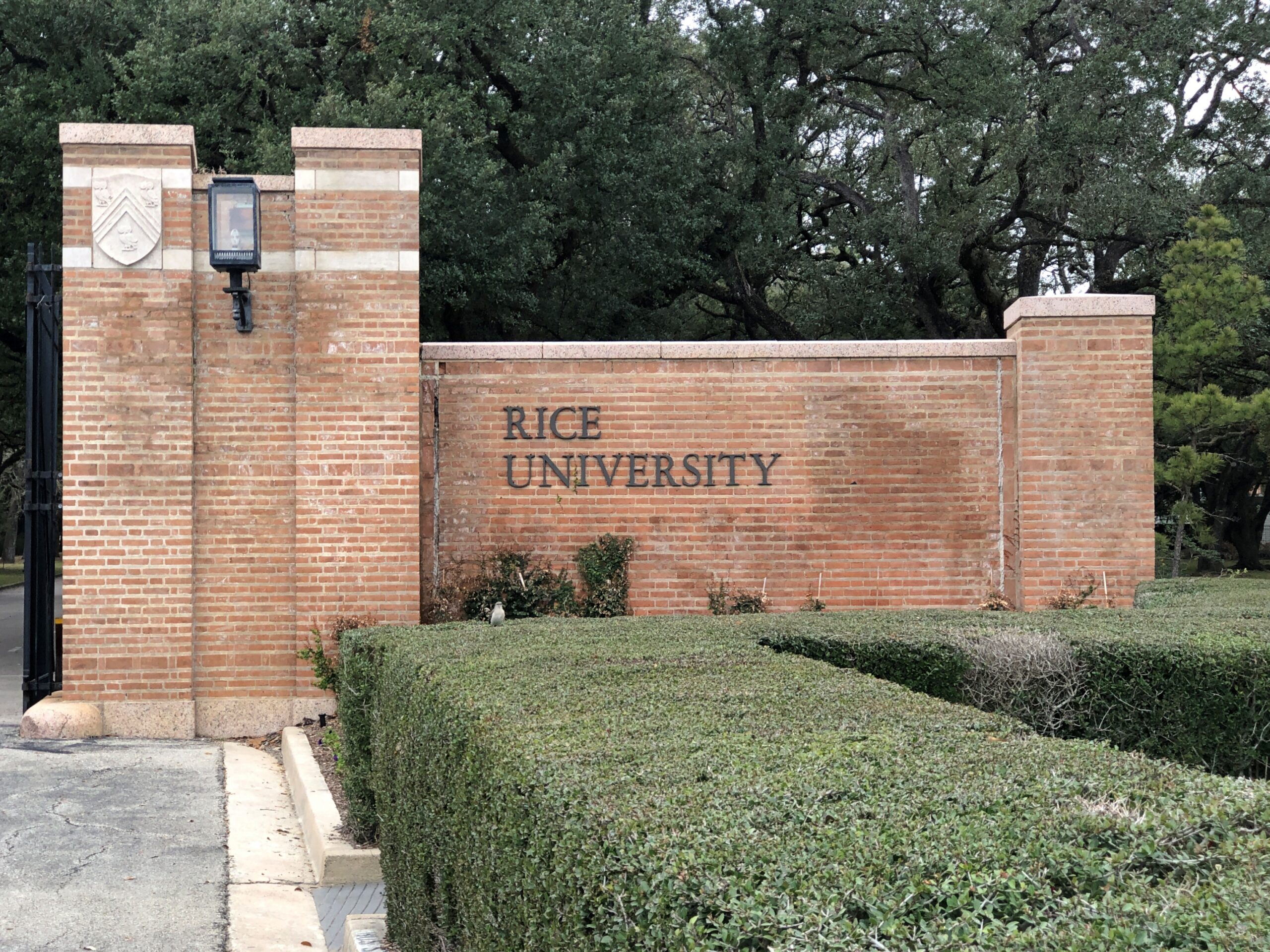
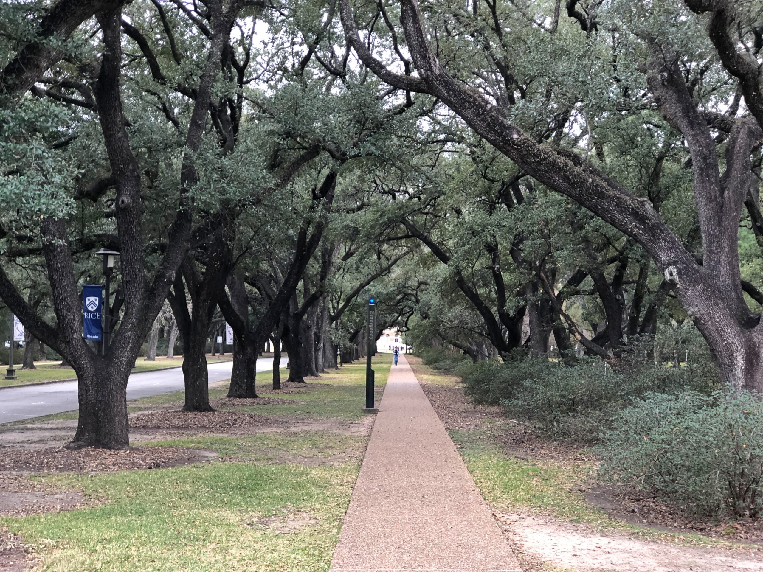
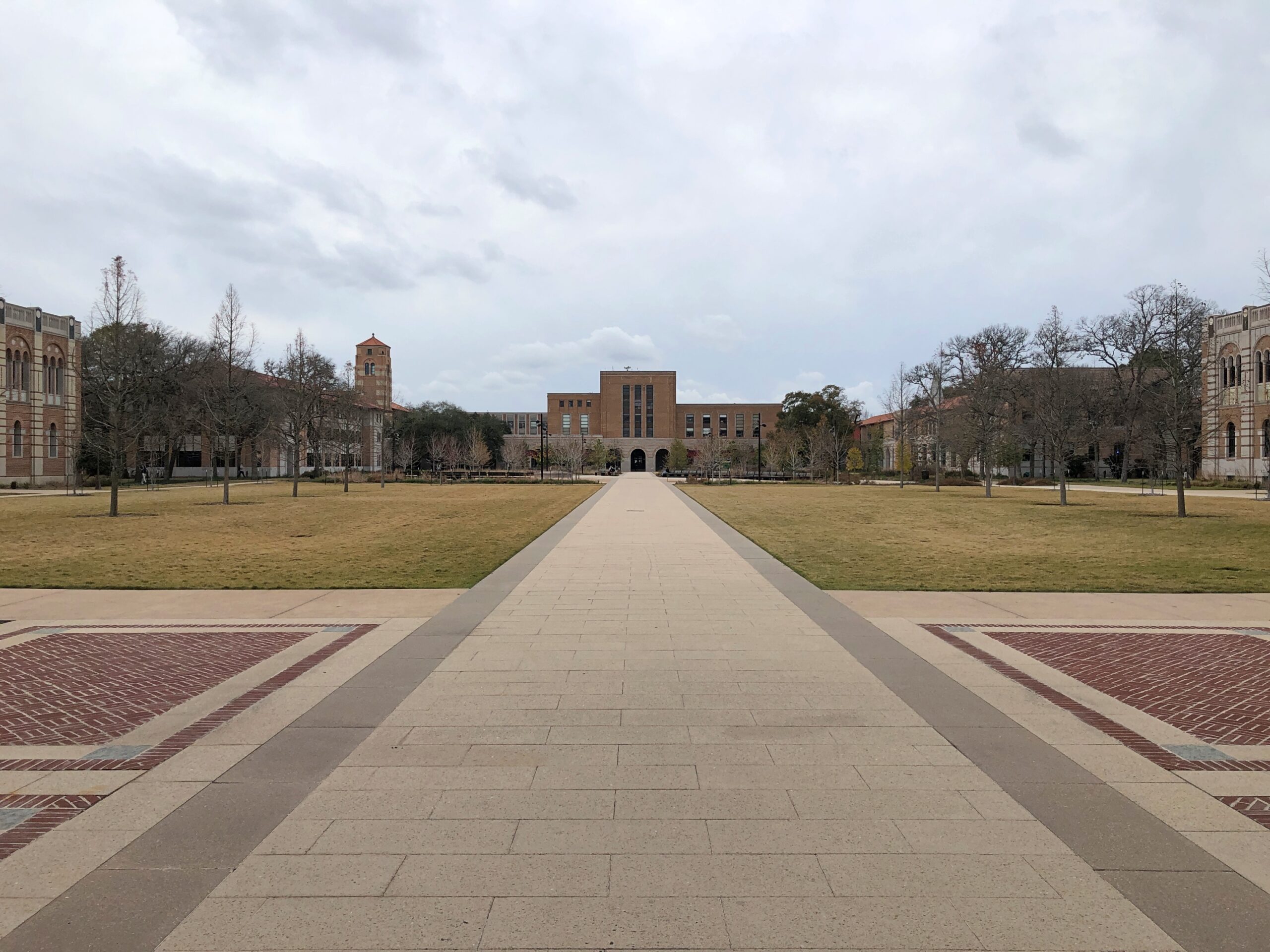
Just outside Hermann Park is Rice University. I considered Rice, but decided not to go — or I wasn’t admitted anyway, I don’t remember after all this time. As a result, my short stroll this February was my first visit to campus.
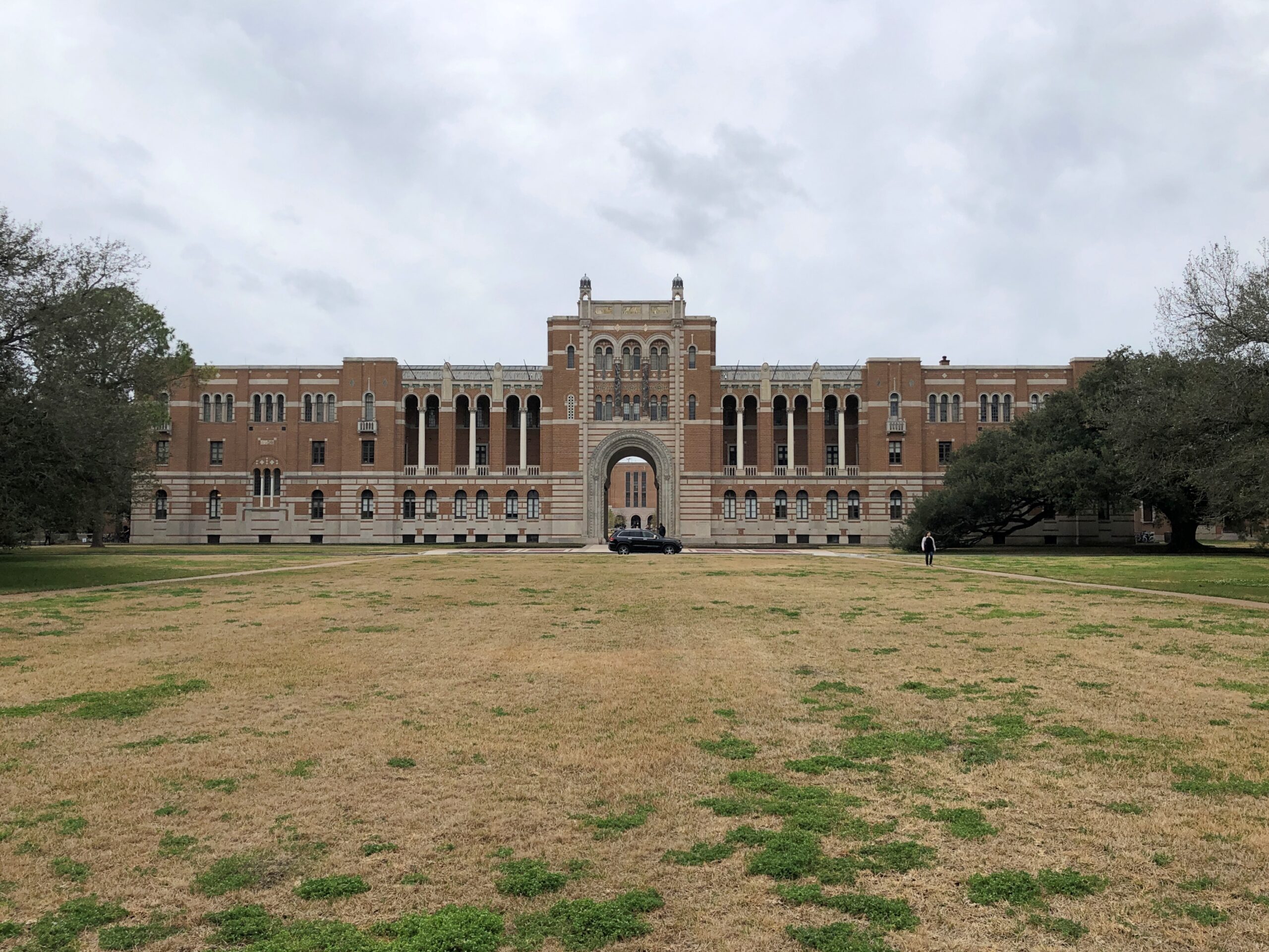
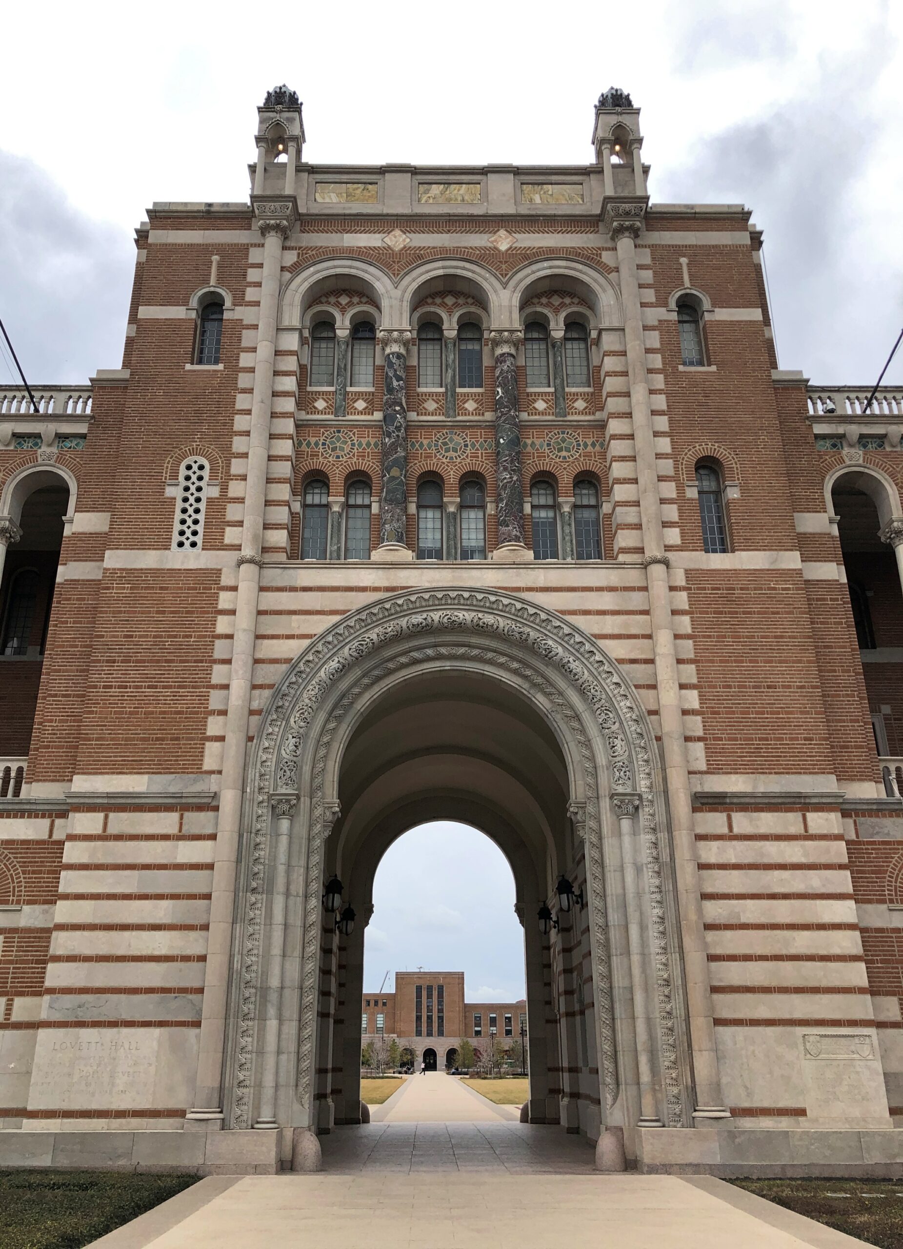
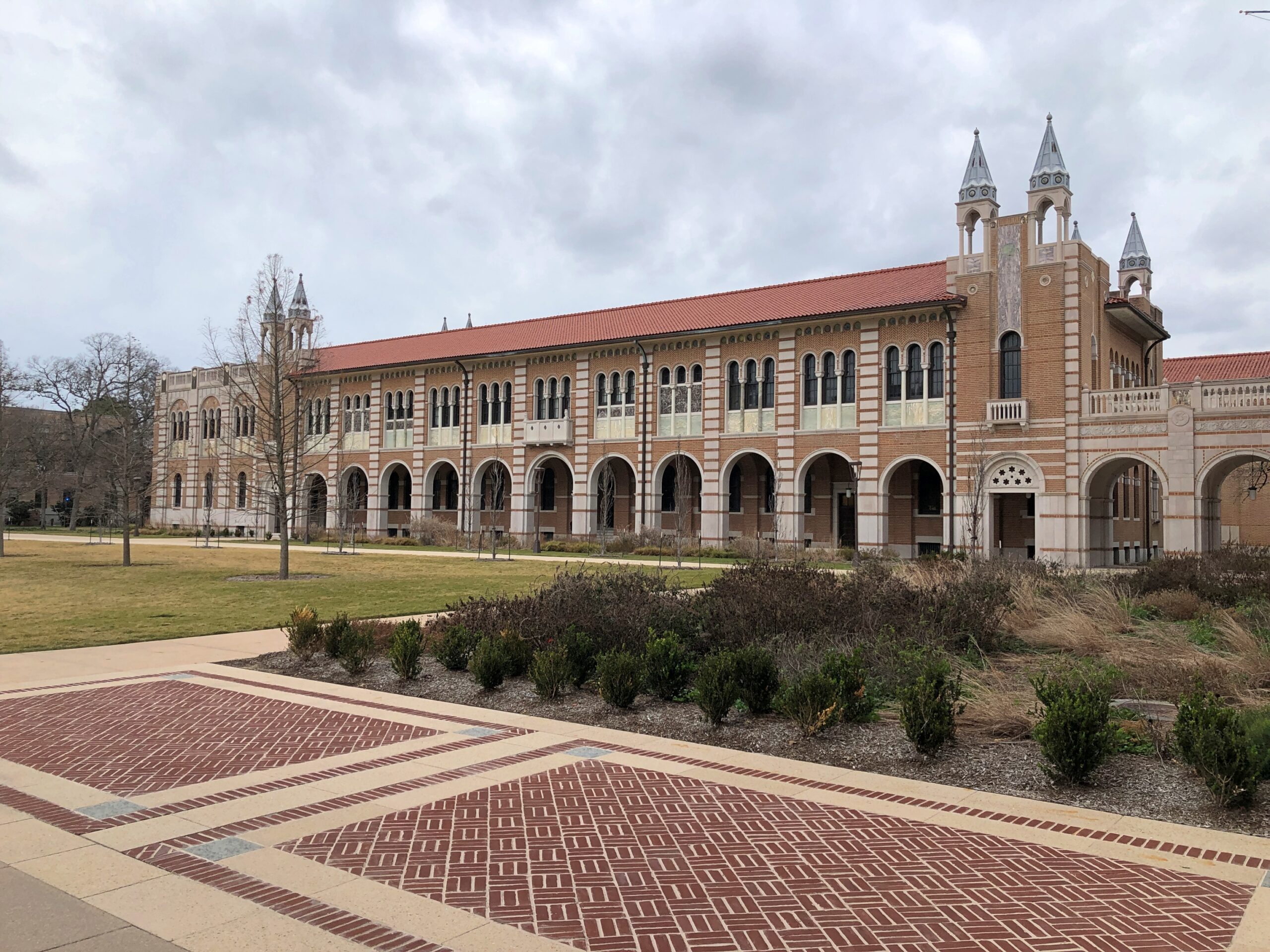
Not a very long visit. Rice has some fine buildings.
But also long sightlines. That make for long walks.
I’d already spent time walking around downtown Houston, and then the Japanese Garden. There’s only so much walking even indefatigable sightseers can do.