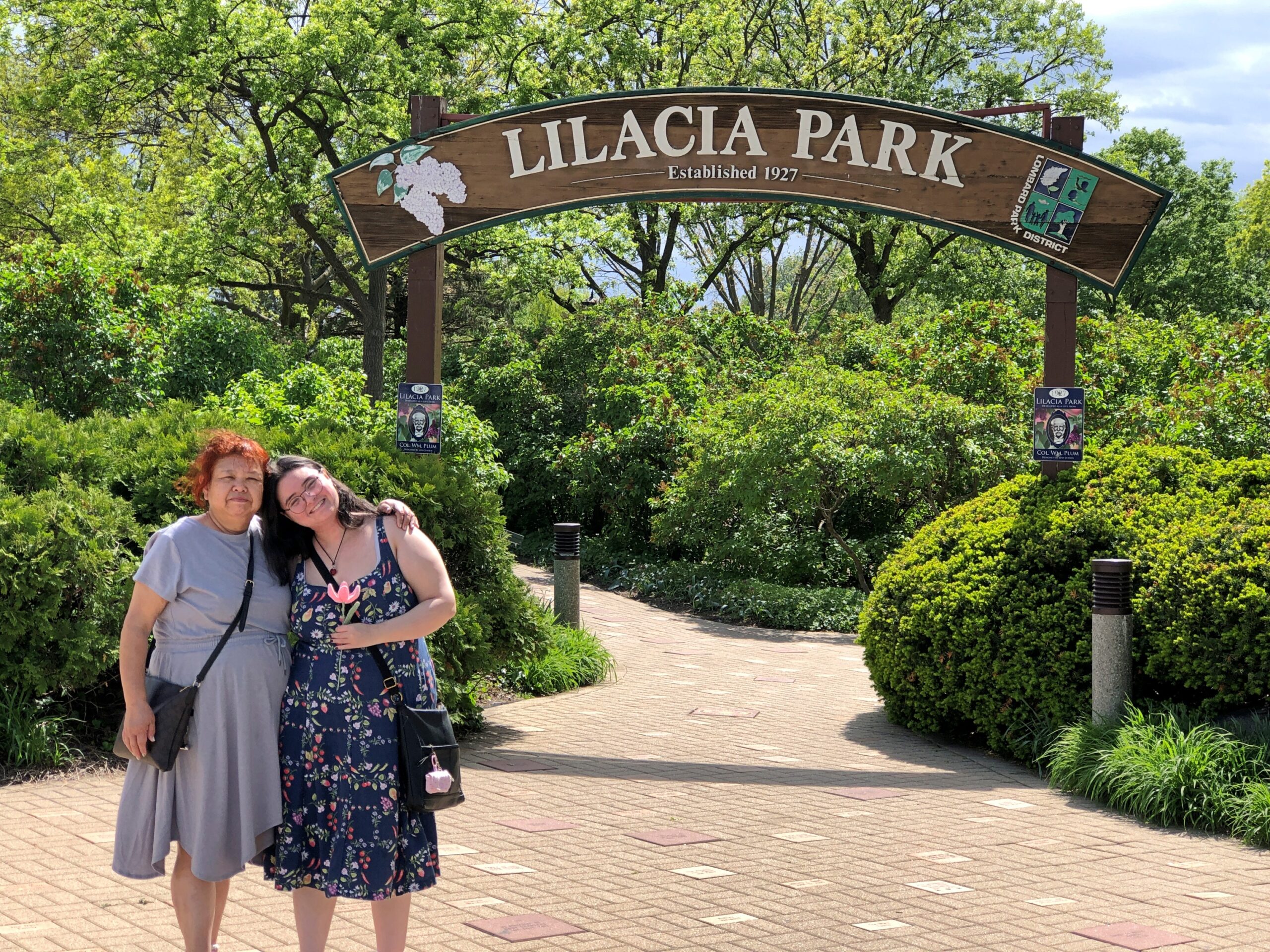
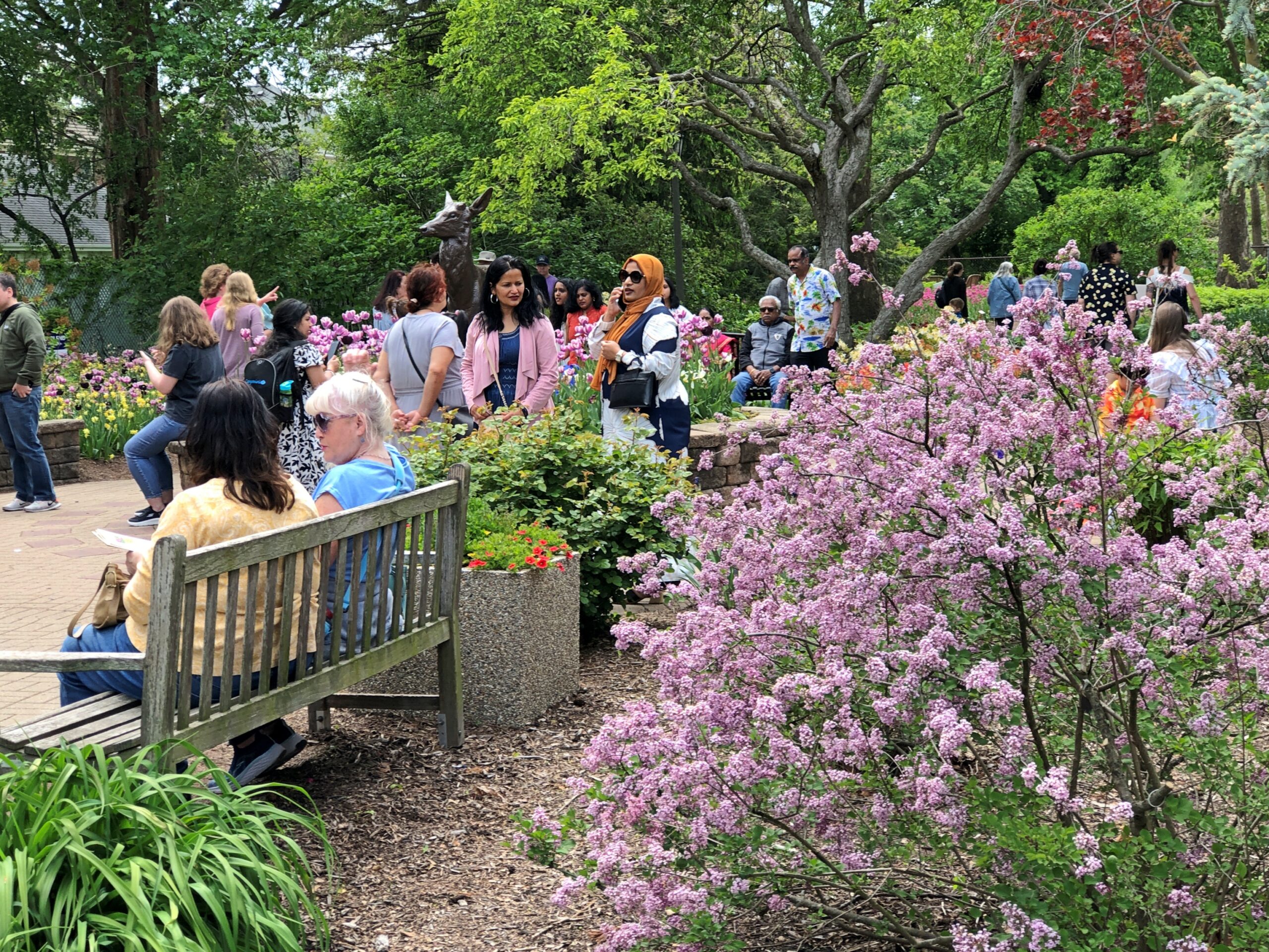
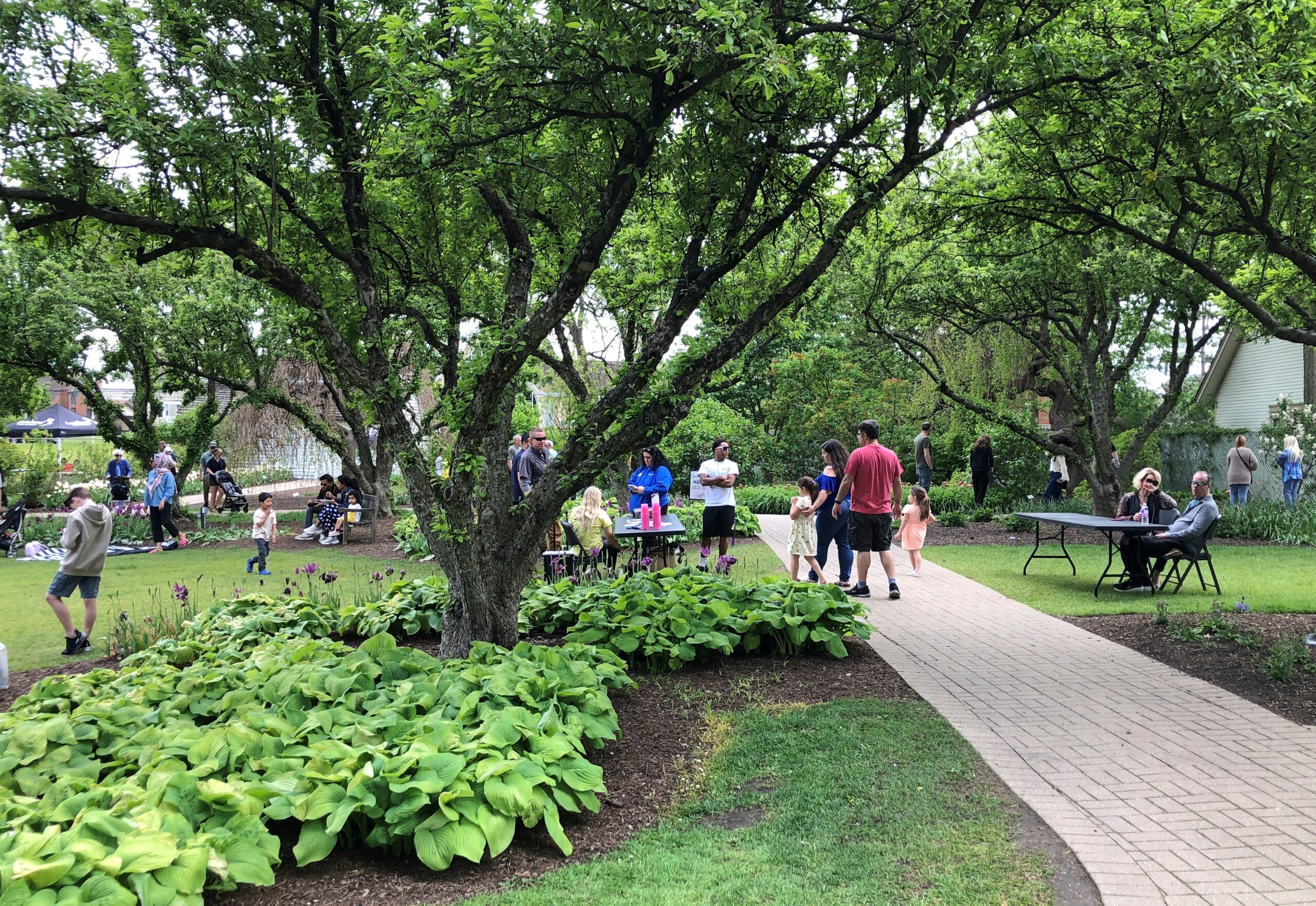
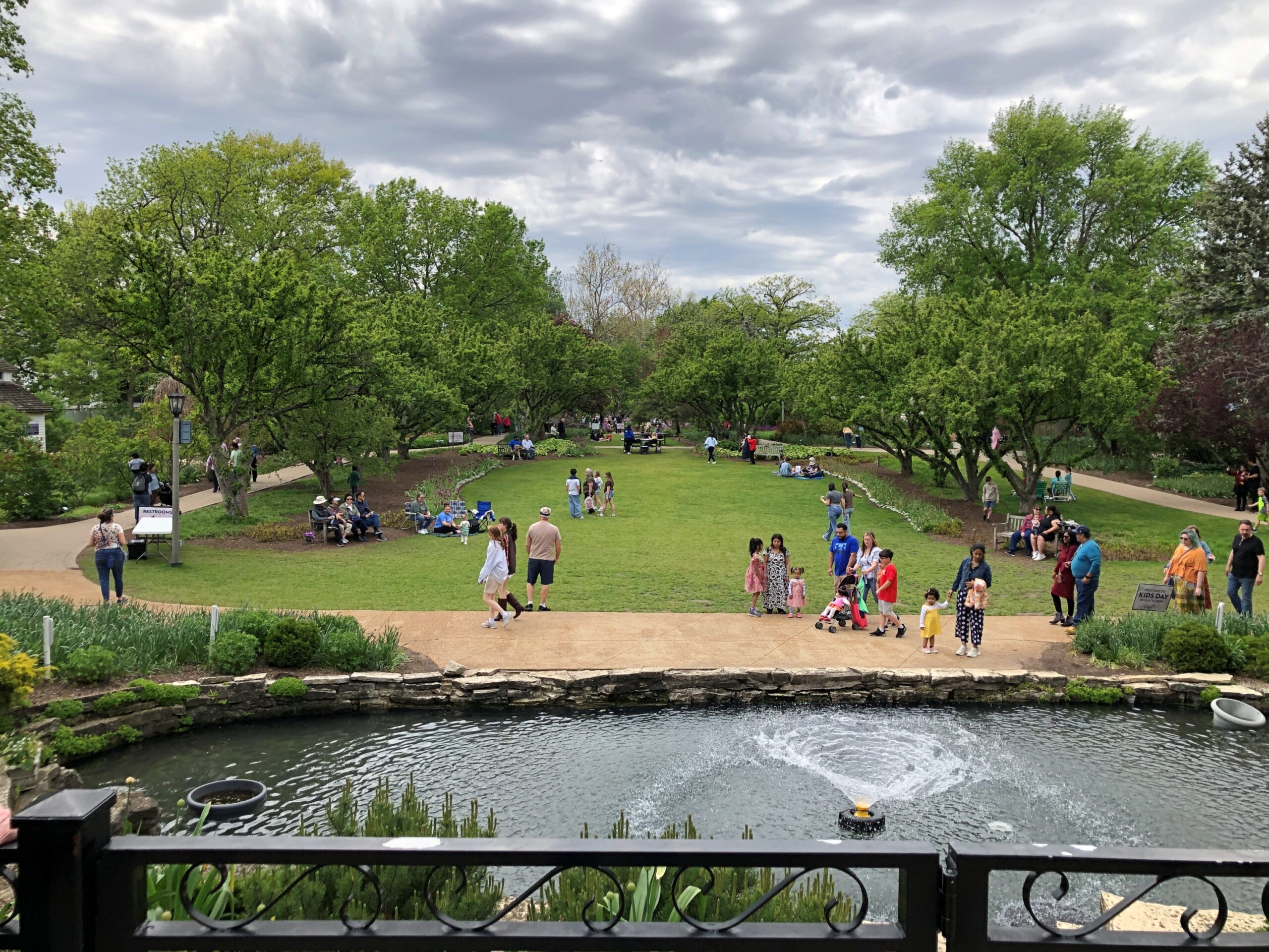
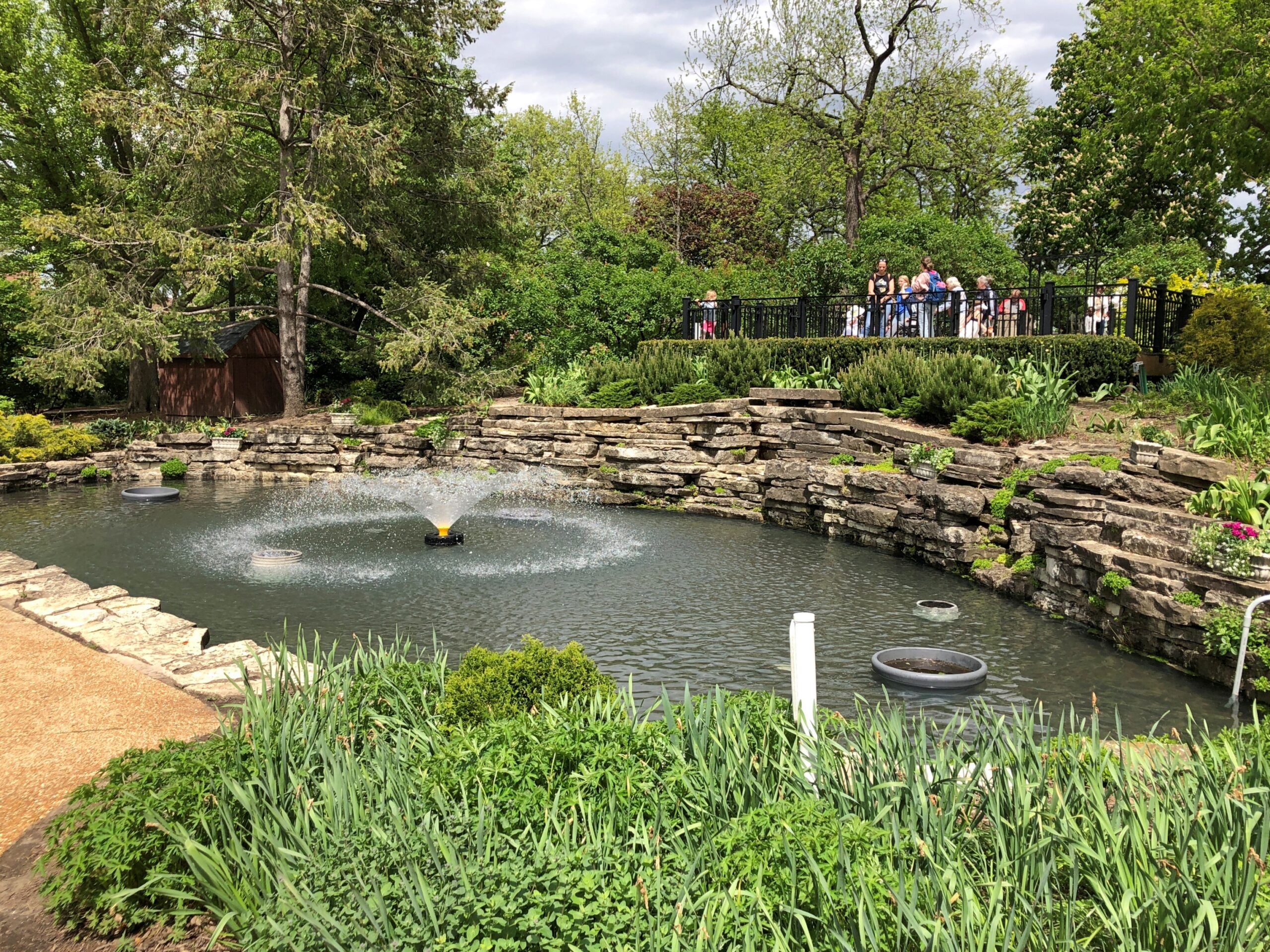
Finally a warm Saturday. Finally a warm day of any position on the calendar. They’ve been spotty lately. Warned that the day would be warm, we went to Lilacia Park in Lombard early in the afternoon, something we do every few years in mid-May, for nearly 20 years now.
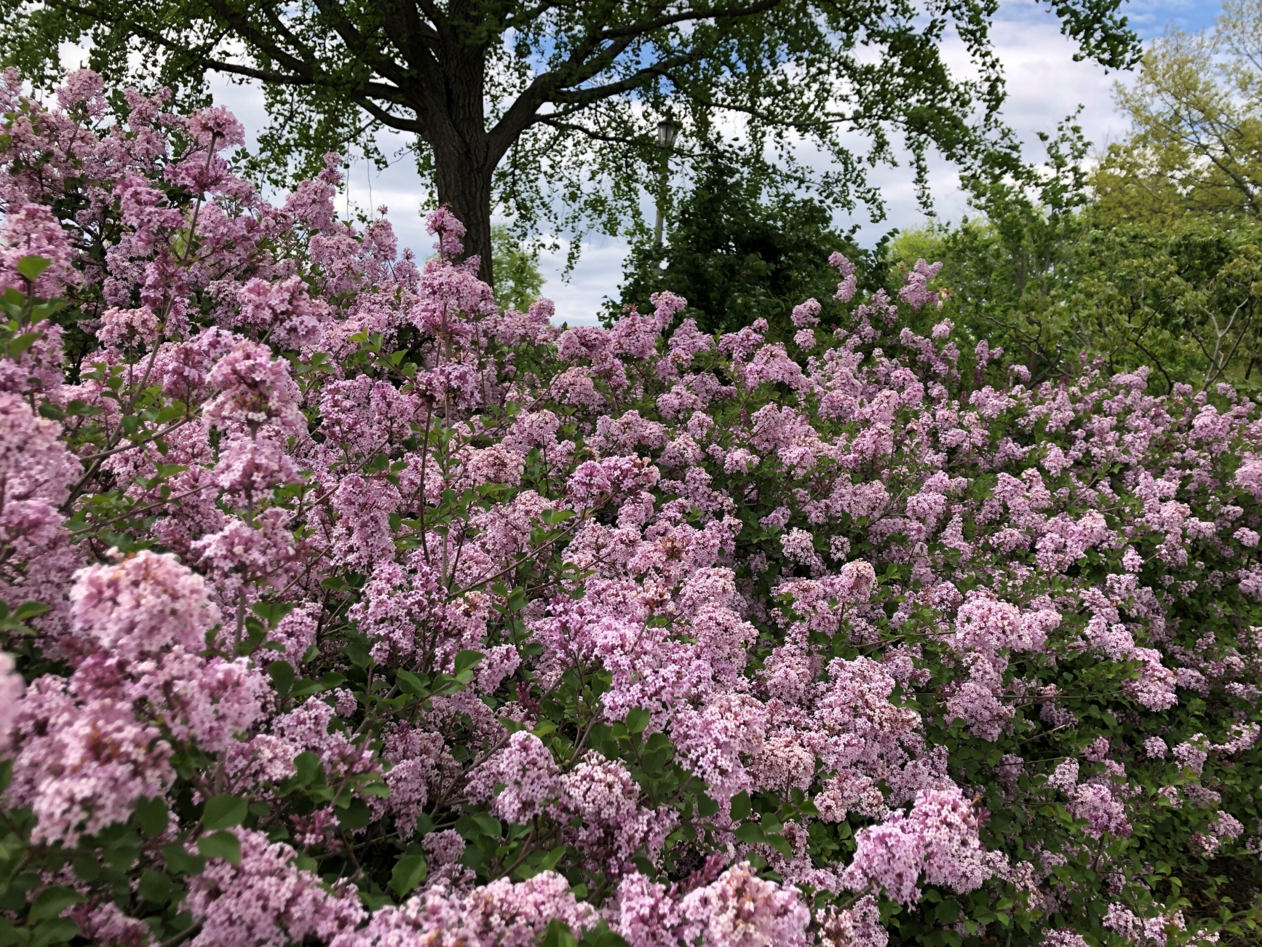
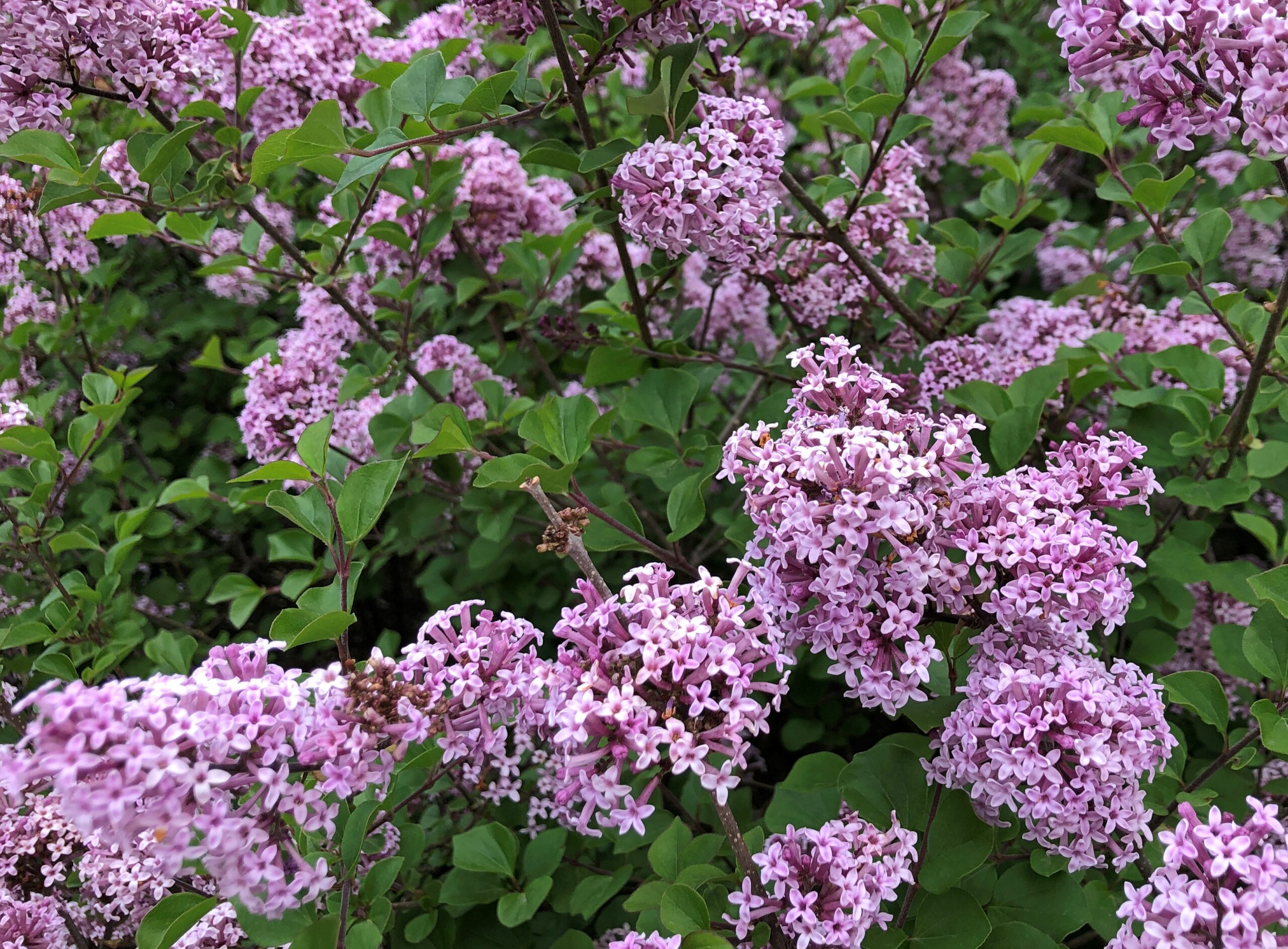
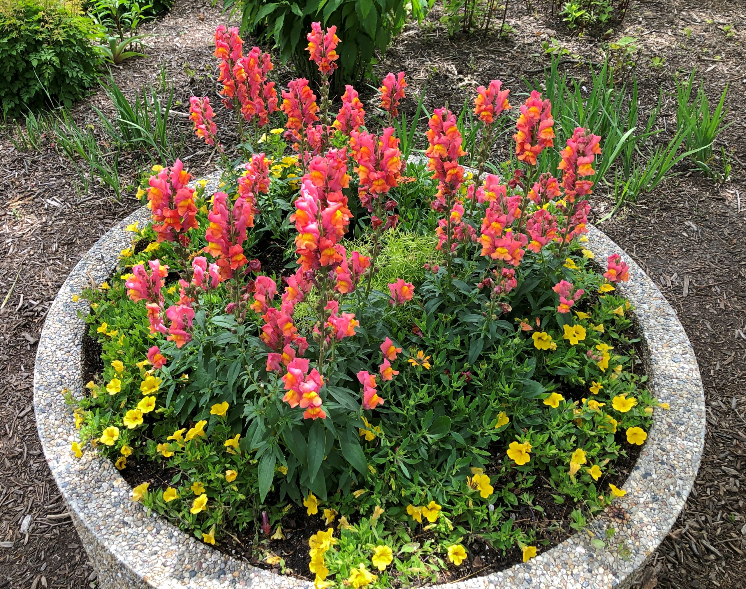
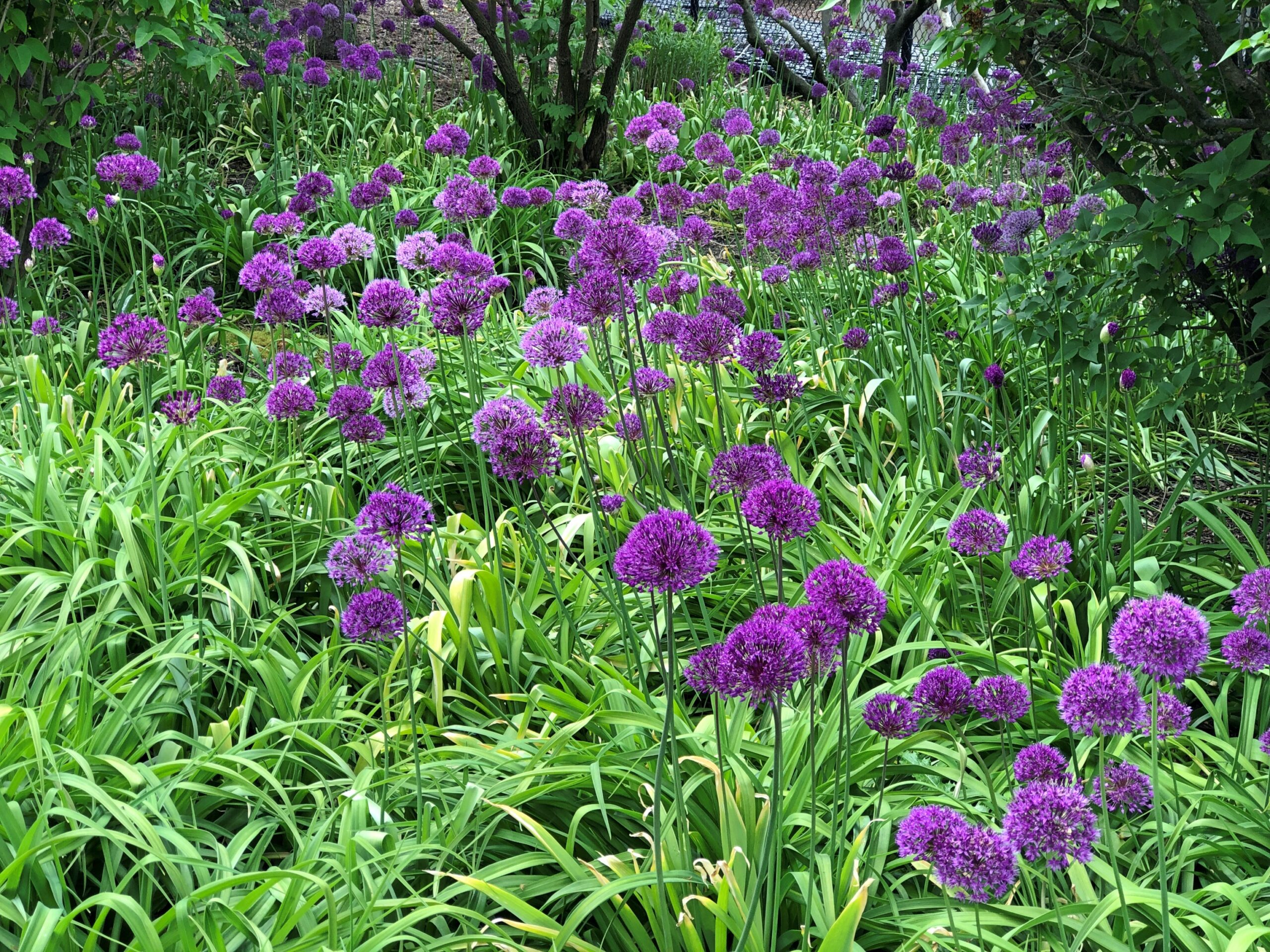
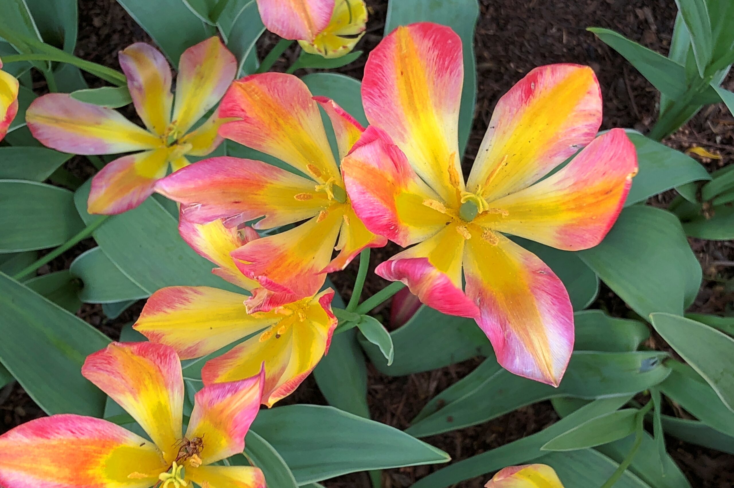
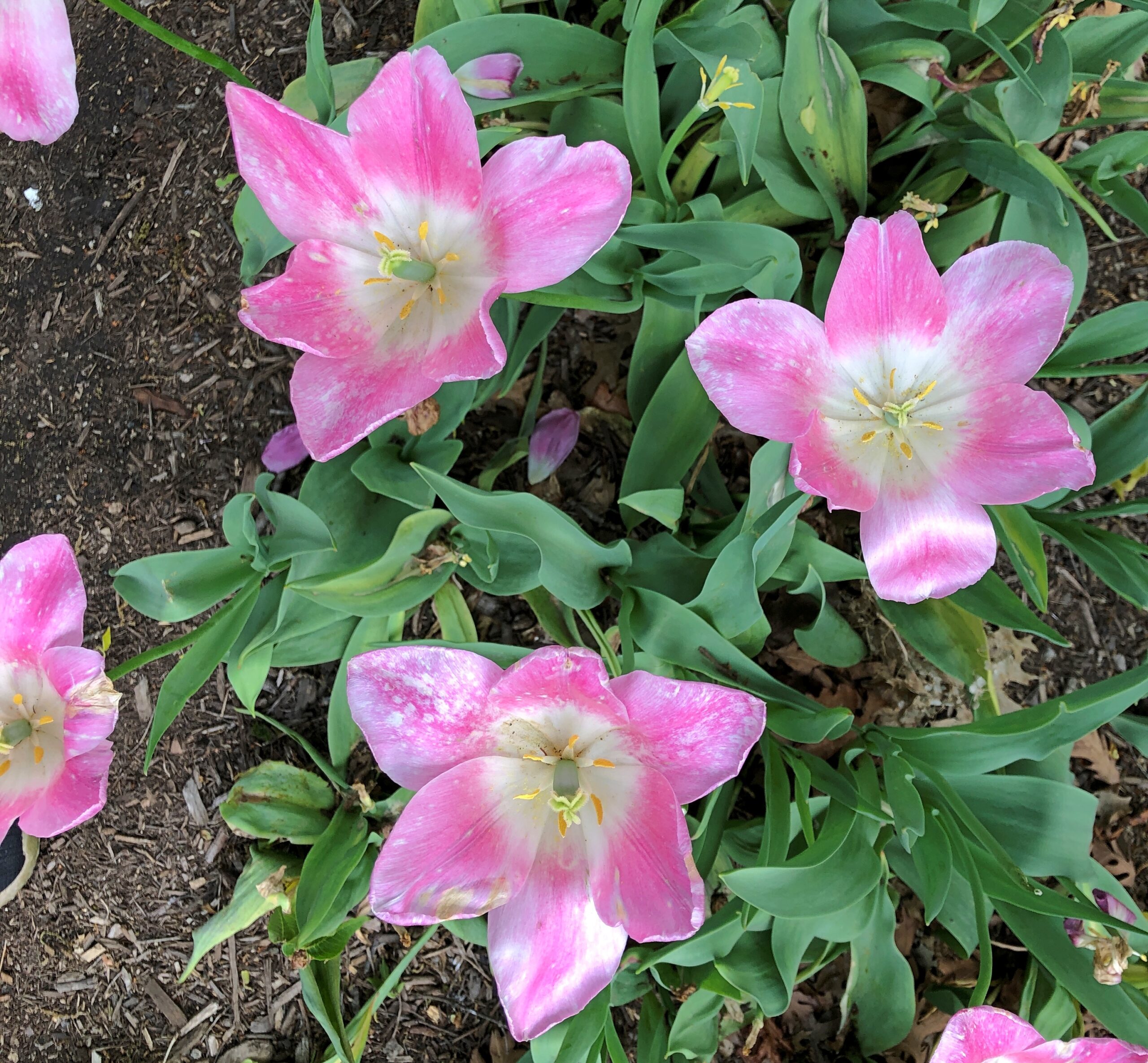
Most of the tulips were gone, but true to the park name, lilacs are in bloom in profusion. Not just colorful to see, but put your nose close for a fragrant moment.
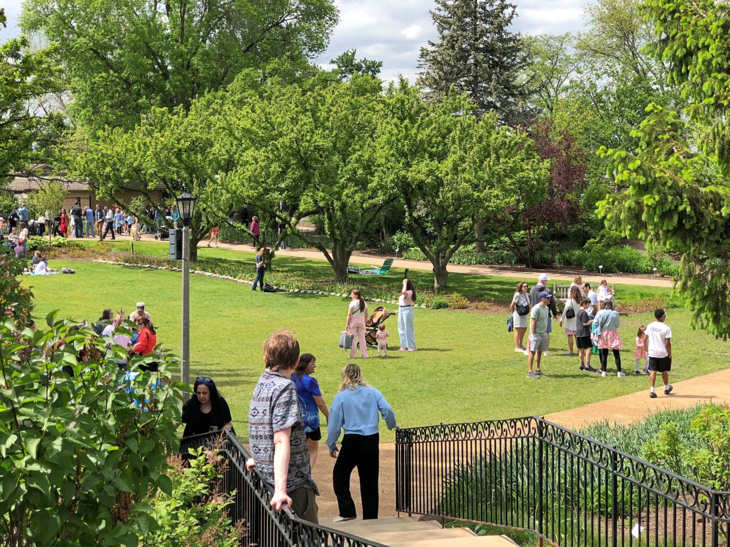
Lilaicia Park is a crown jewel of suburban parks, and yet not overcrowded on a pleasant Saturday during peak lilac bloom. Just busy.
One of these years, some fool influencer or two might make Lilacia an It Spot, and the crowds will show up in ridiculous numbers. Or considering its location in the thick of the suburbs – the sort of place where influencers might grow up, but never consider interesting enough to point their cameras – that isn’t very likely? I couldn’t say.
Good to make it back. We met Kevin there this time around, at our suggestion, who came from the fairly close other western suburb of Downers Grove. He’d never heard of the park, and so I was glad to introduce him to it.
Driving the entire length of US 1 is more logistics that I want to take on at the moment, or maybe ever, but I figure I get a little of the same satisfaction doing it in sections. US 1 from Trenton to Newark, which I drove the afternoon of April 10, isn’t what anyone would call a scenic road, but that I’d say it’s better than the New Jersey Turnpike, whose main scenery is tail lights of other cars.
US 1 in New Jersey is four or six lanes most of the way through, generally is a divided highway, passing large cross streets, retail agglomerations, railroad tracks paralleling for a time, car dealerships, sporadic stretches of forested or other undeveloped land, thick traffic through New Brunswick especially, more than a few Jersey lefts and an uptick in spaghetti interchanges the closer you are to Newark. Stops were for traffic lights, but not too much for simple congestion. Take that, New Jersey Turnpike.
During the drive, I chanced on a radio call-in show that asked callers for stories about crashing wedding receptions, sneaking into off-limits places or other common enough rule infractions, such as taking food into movie theaters. One man claimed to have crashed a reception with a couple of friends, none dressed for the occasion; the father of the bride took a cotton to them and made sure they were well fed and good and drunk before long. One woman claimed to take entire meals to the movies and eat them there, and never being asked to leave. Now this was local radio, a real New Jersey thing to talk about.
Jan had told him many times, “It was you to me who taught: In Jersey, anything’s legal as long as you don’t get caught.”
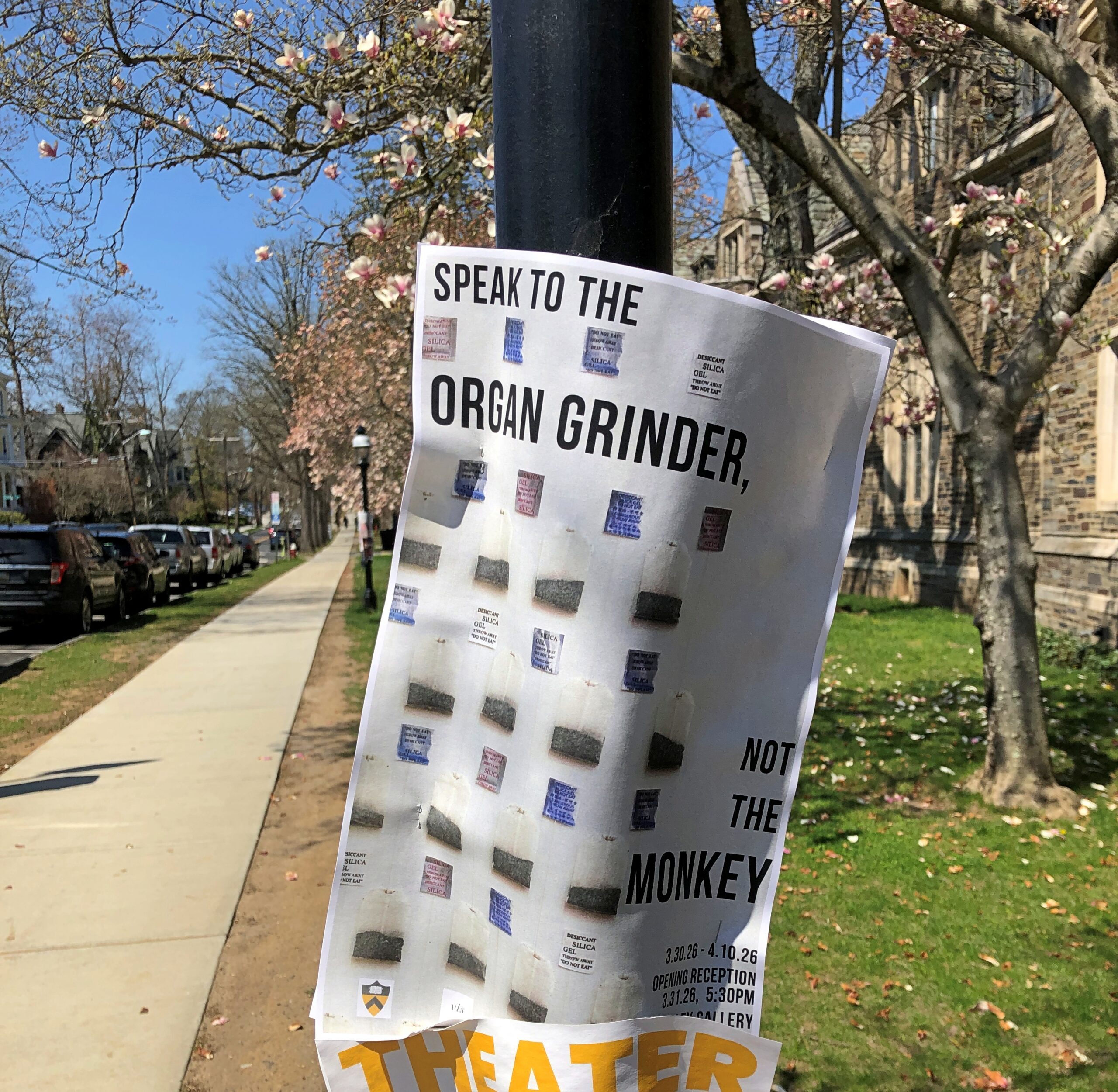
“Tweeter and the Monkey Man”, a group effort but clearly a Dylan song, is a brilliant example of a pseudo-ballad. A ballad tells a story, right? A pseudo-ballad seems to tell a story, but at some point near the end of the song, you wonder just what happened. Lyrically, not all of the pieces of the puzzle are available. “Crime and other weird behavior in New Jersey” is about a specific as you can get in this case.
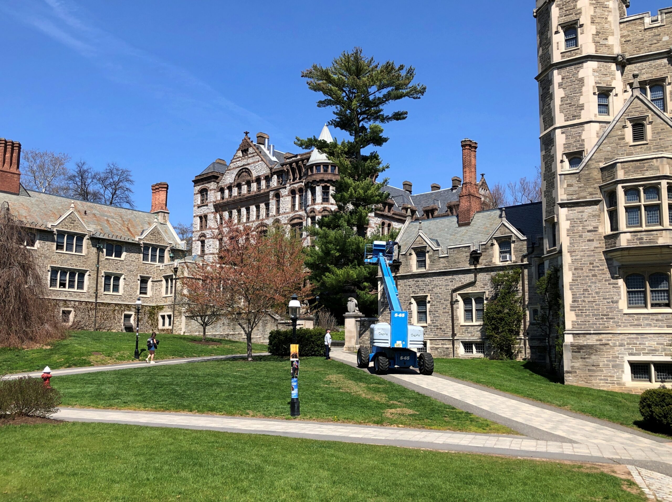
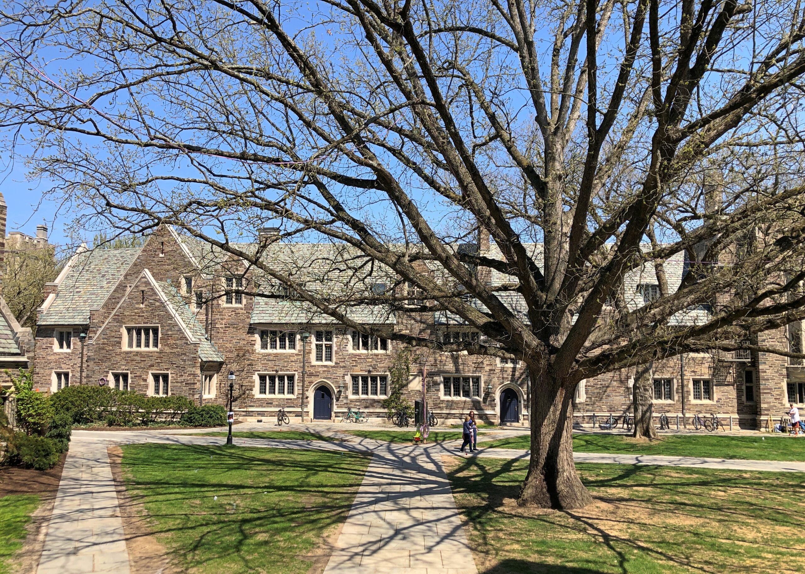
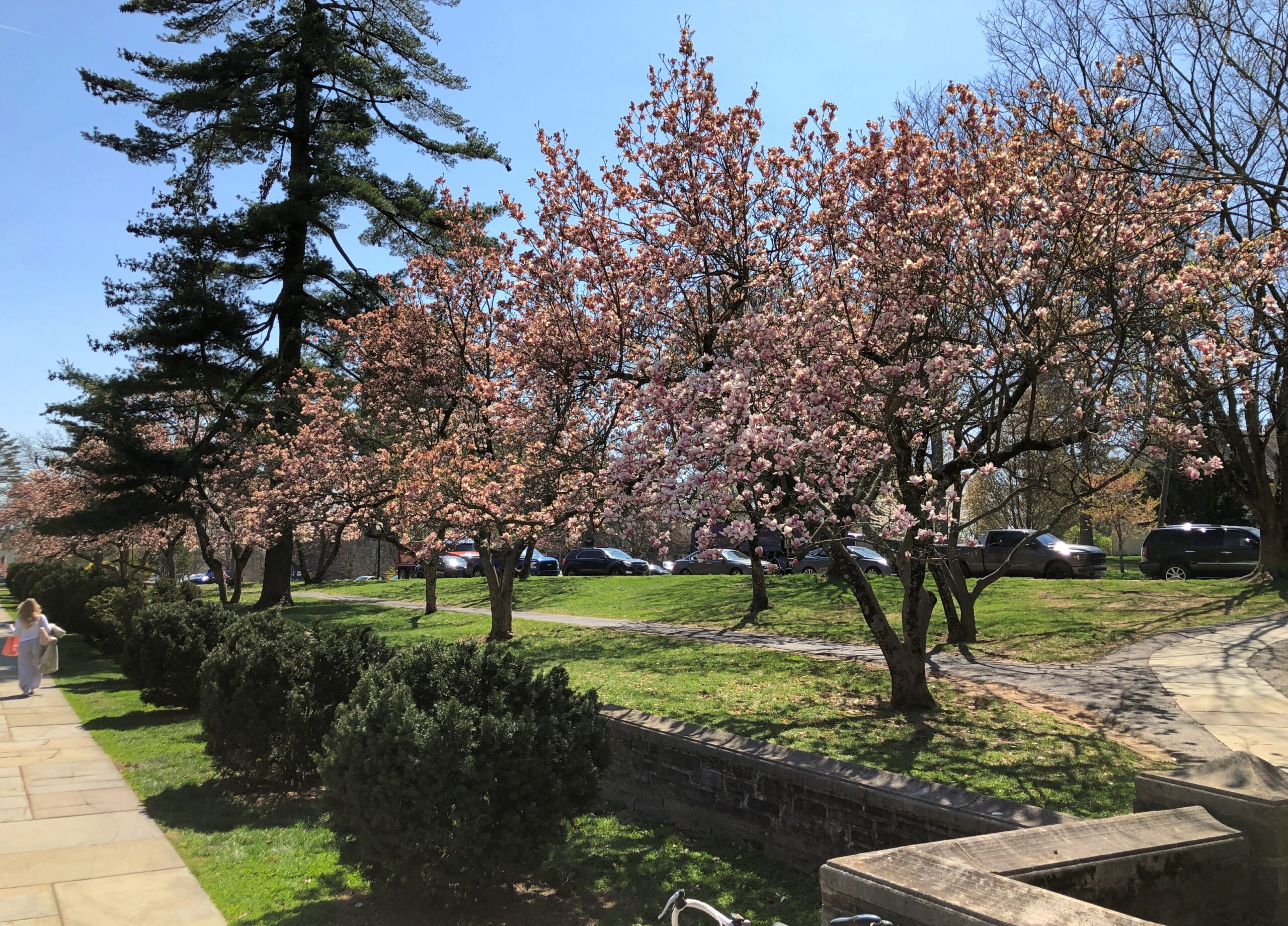
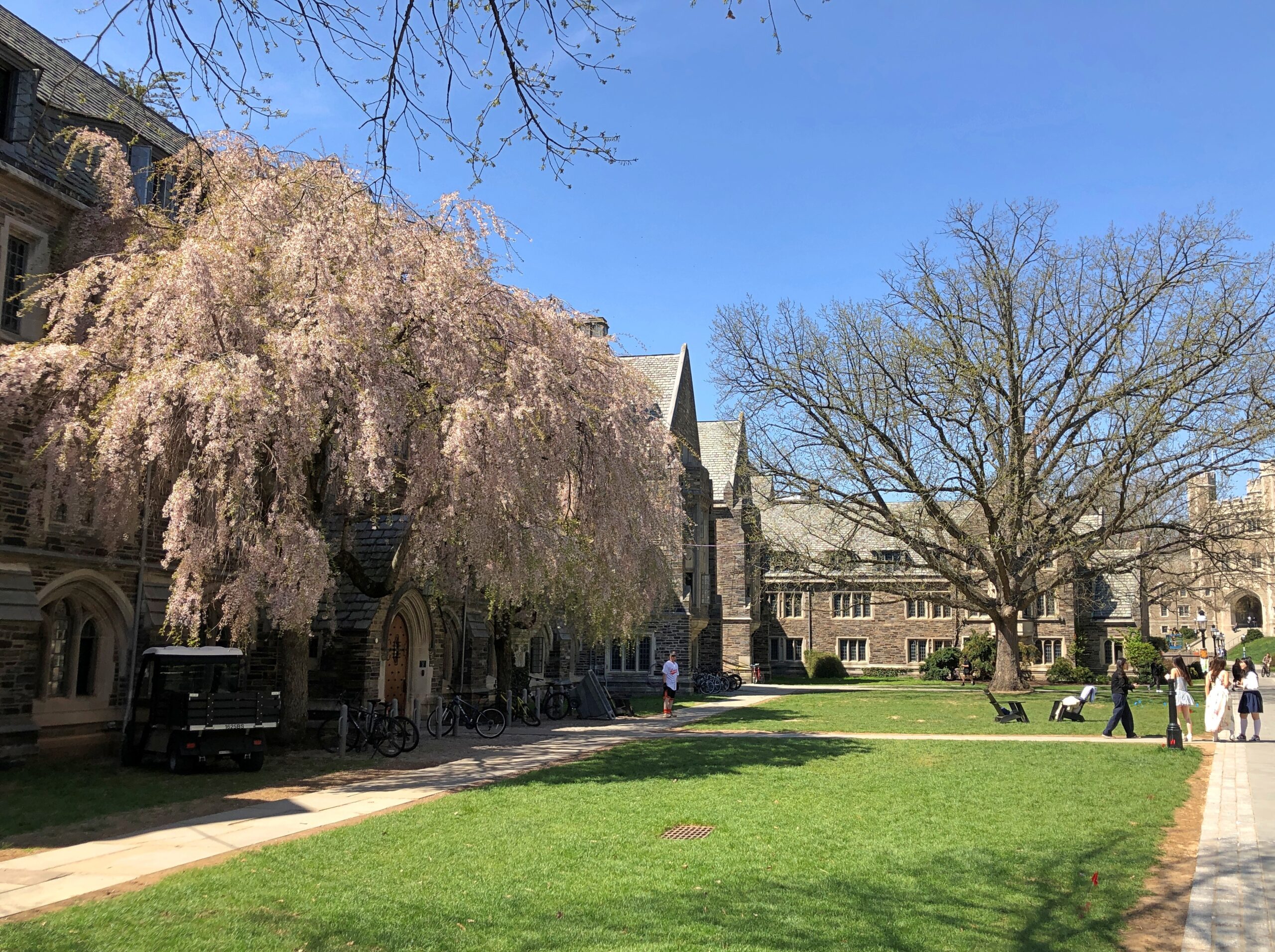
In October, I’d spent a few hours wandering Yale’s stately lawns and buildings and the nearby cemetery. So it only stands to reason – if I’m the one doing the reasoning – that I also visit Princeton, a short way off US 1 not far from Trenton.
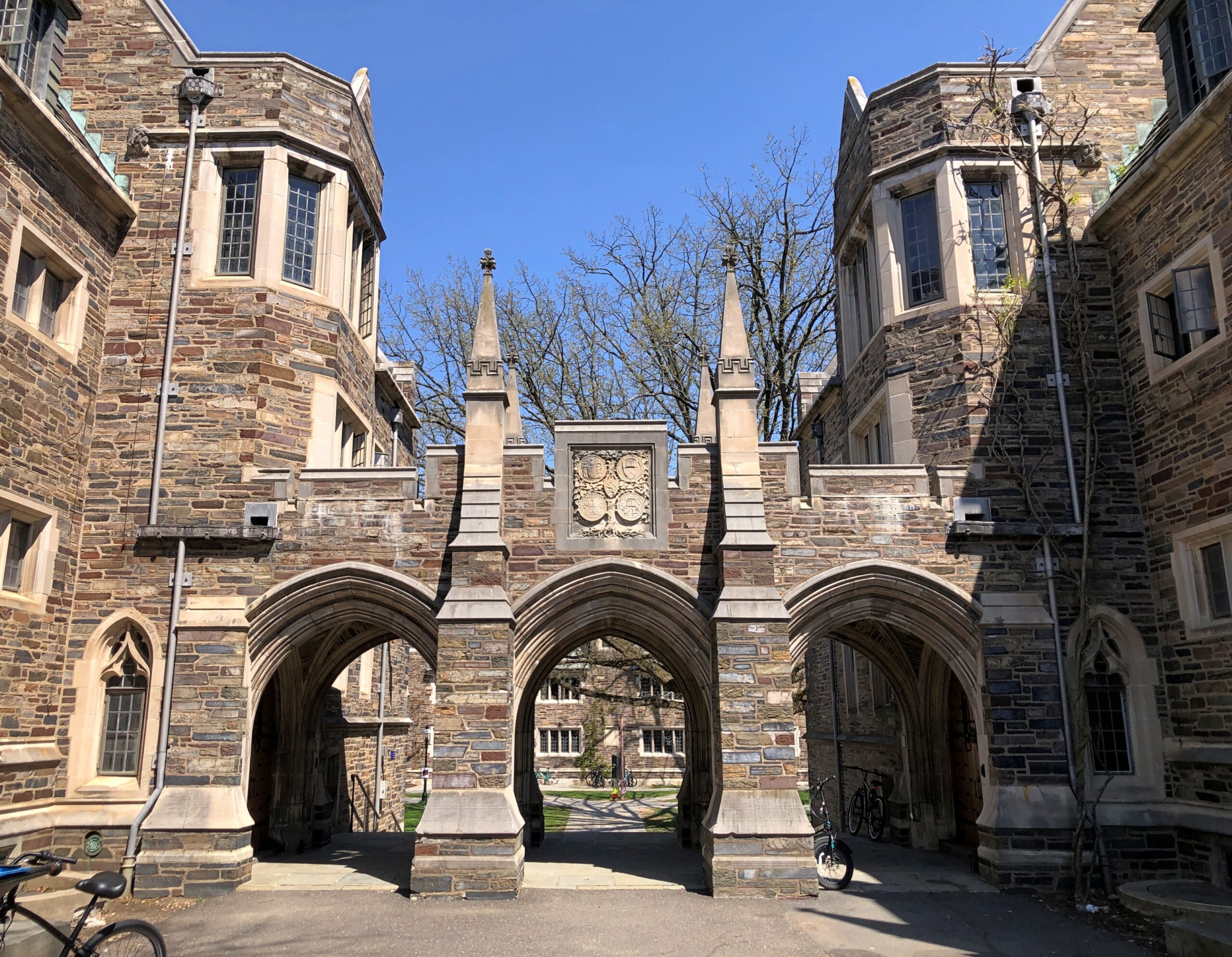
Stately buildings.
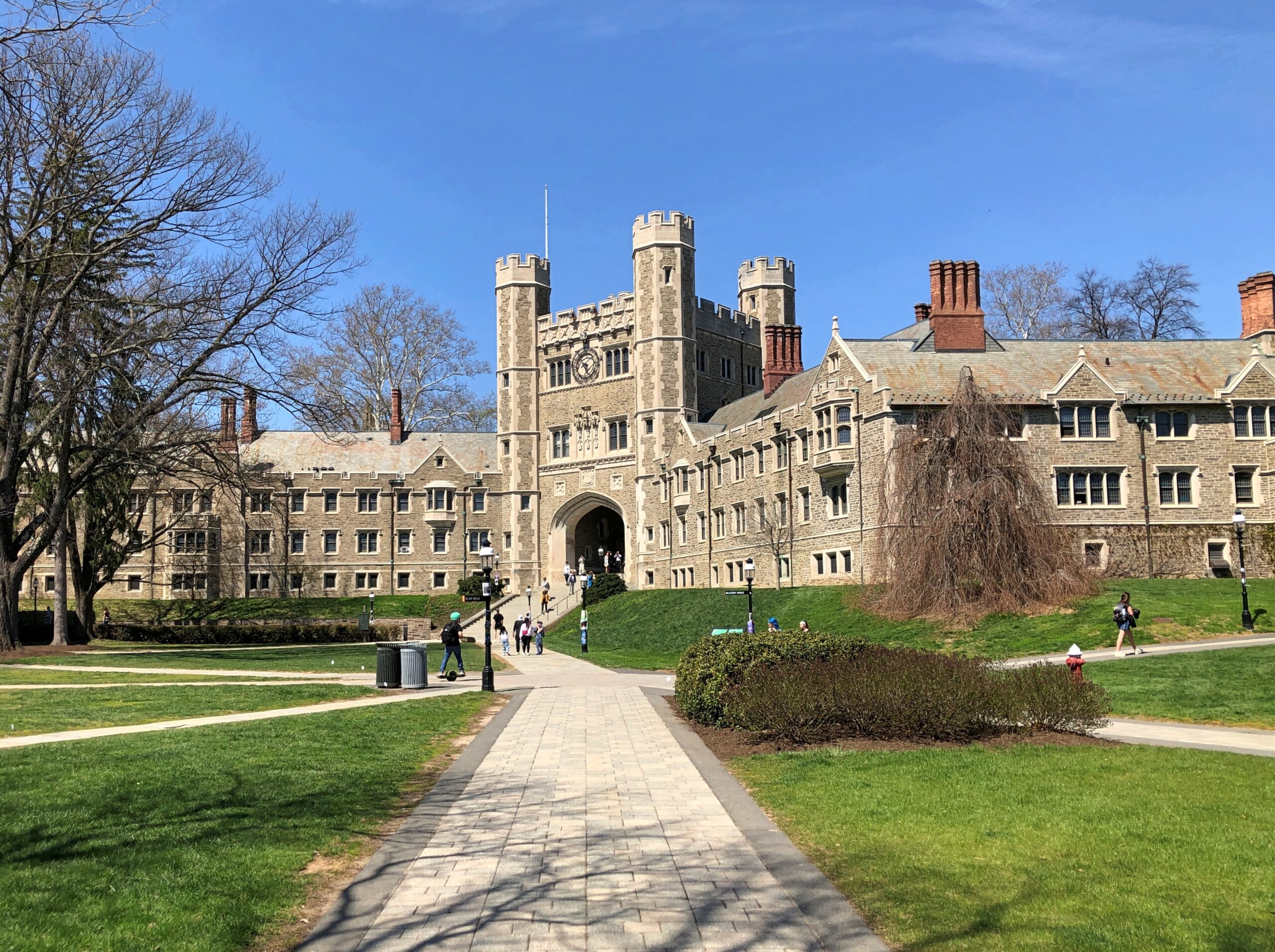
Early spring on the stately lawns.
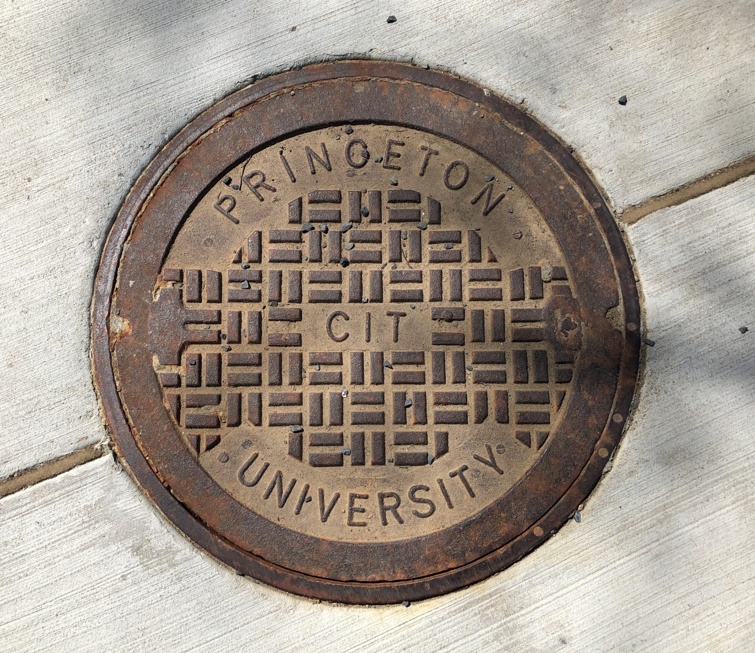
Not the best collegiate manhole cover I’ve seen – that would be at Olivet Nazarene University in Bourbonnais, Illinois – but not bad.
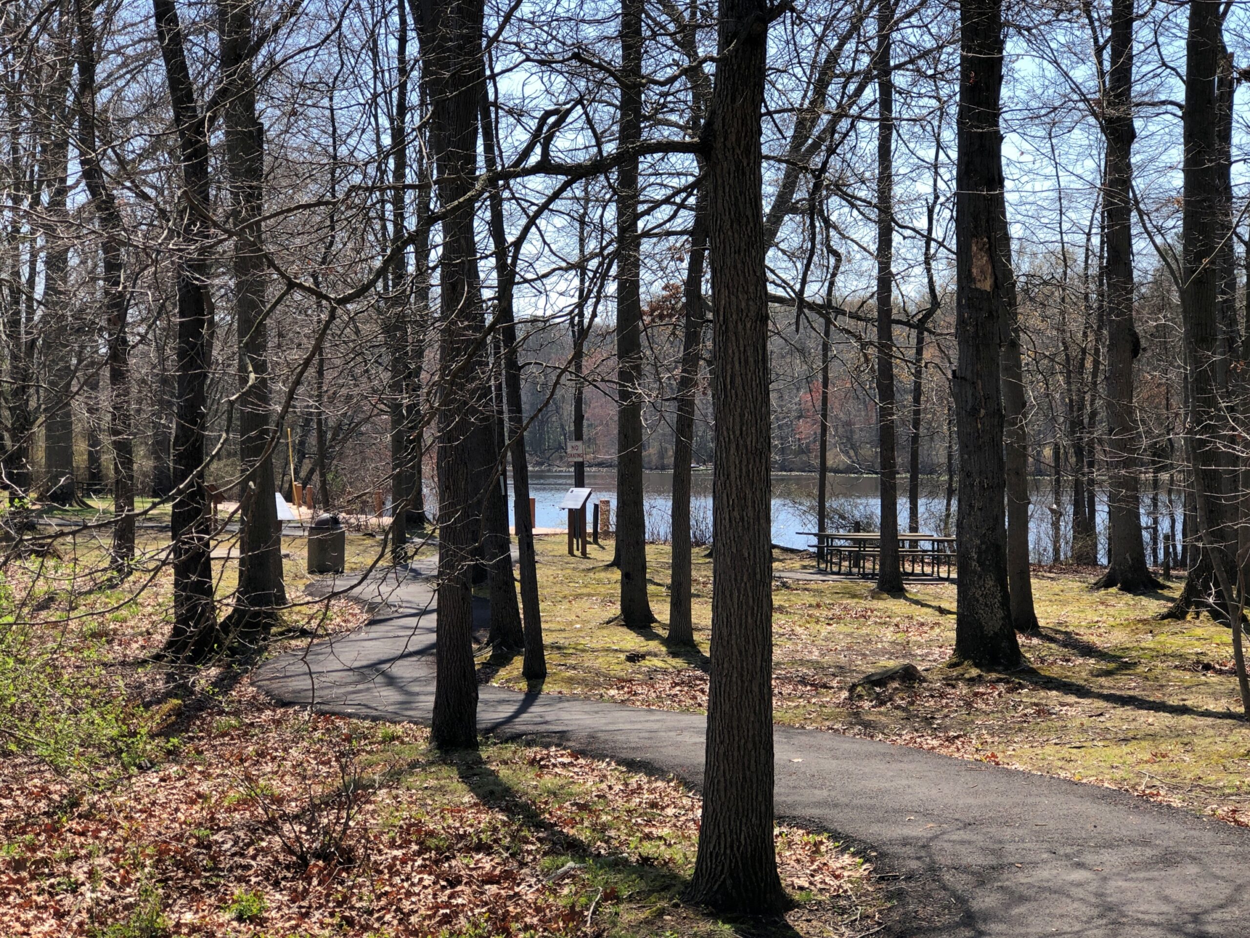
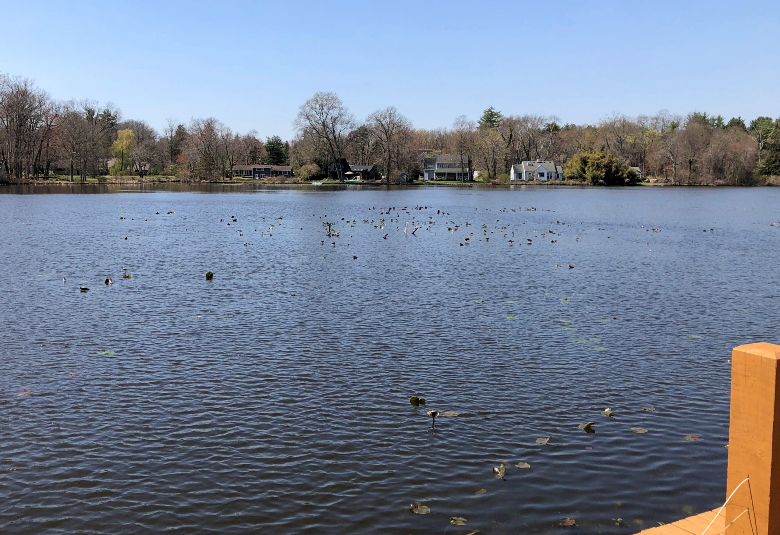
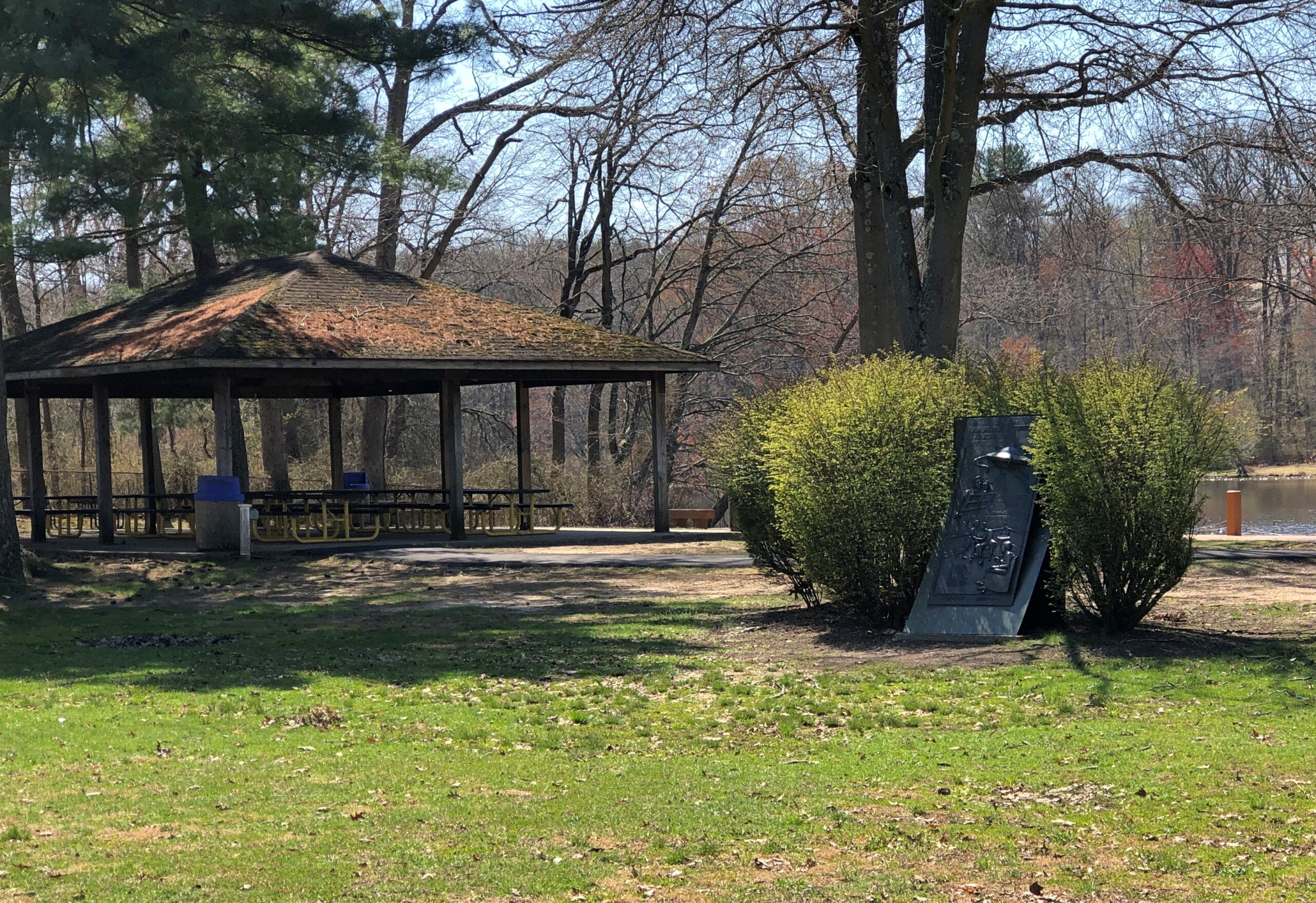
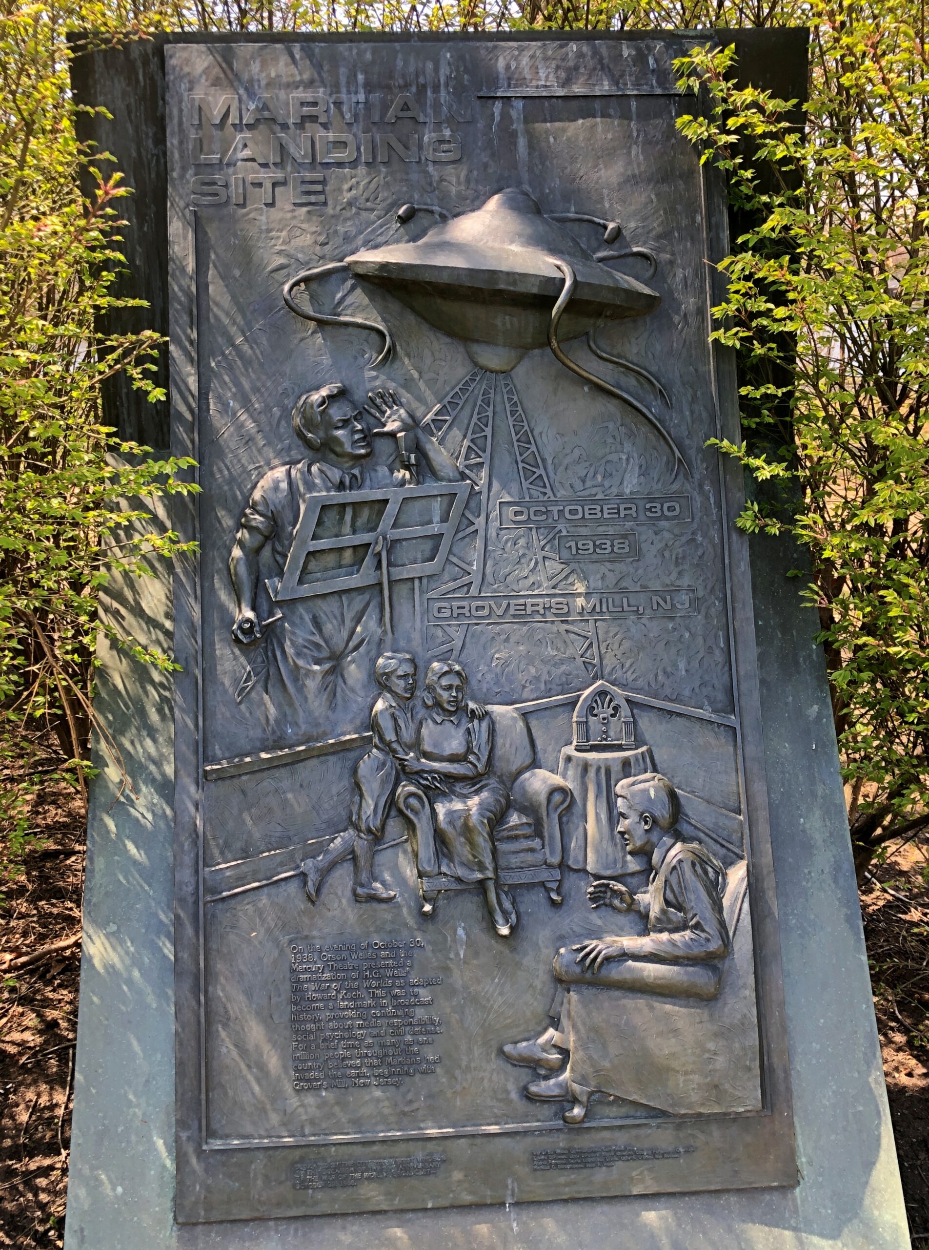
Princeton is west of US 1; Grovers Mill, New Jersey is to the east, also not far. I had to go there, too. Specifically, to a small park on a small lake in the unincorporated Grovers Mill. A short park trail includes information about Grovers Mills’ claim to fame: in Orson Welles’ version of War of the Worlds, it was the first place the Martians landed.
There’s a sizable plaque, a little bit hidden away, but I found it.
The township of West Windsor, in an unusual display of municipal imagination, erected the memorial in 1988, on the occasion of the 50th anniversary of the broadcast. Sculptor Thomas Jay Warren did the relief.
Ladies and gentlemen, I have a grave announcement to make. Incredible as it may seem, both the observations of science and the evidence of our eyes lead to the inescapable assumption that those strange beings who landed in the Jersey farmlands tonight are the vanguard of an invading army from the planet Mars. The battle which took place tonight at Grovers Mill has ended in one of the most startling defeats ever suffered by any army in modern times; seven thousand men armed with rifles and machine guns pitted against a single fighting machine of the invaders from Mars. One hundred and twenty known survivors. The rest strewn over the battle area from Grovers Mill to Plainsboro, crushed and trampled to death under the metal feet of the monster, or burned to cinders by its heat ray. The monster is now in control of the middle section of New Jersey.
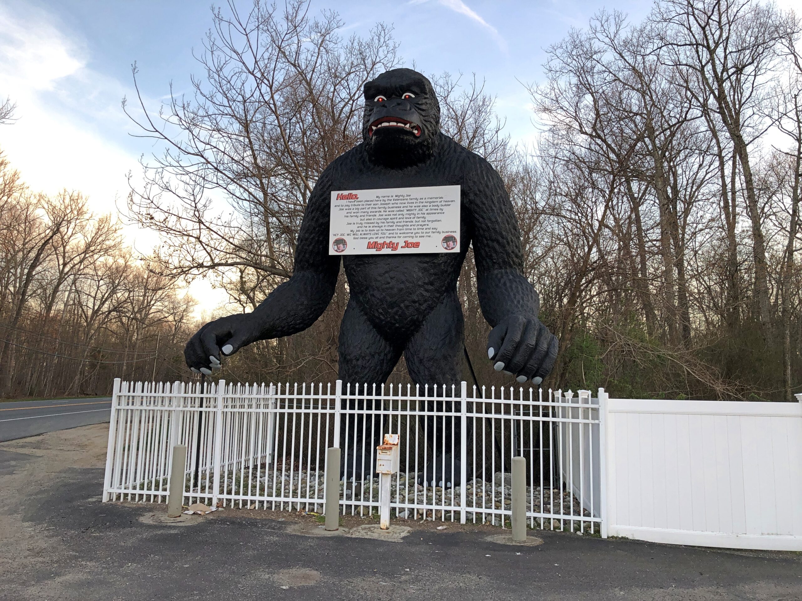
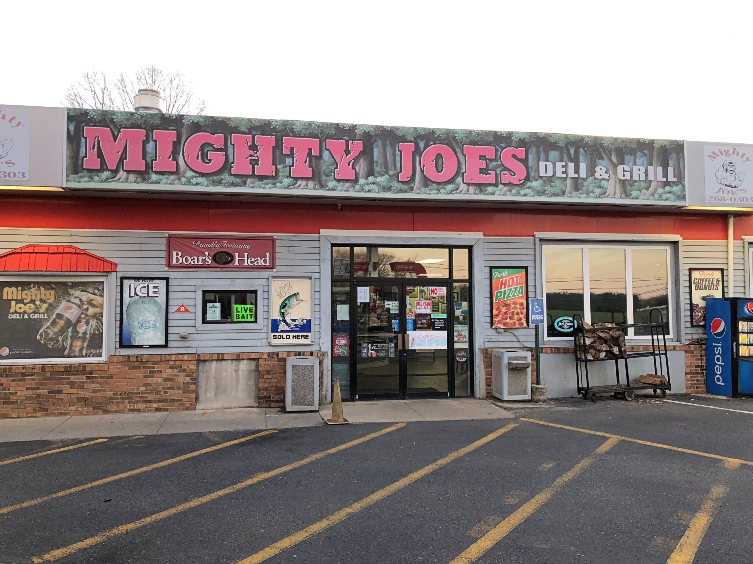
Down in South Jersey earlier this month, I didn’t see the Jersey Devil. I did see Mighty Joe.
He counted as my introduction to the Pine Barrens, standing at a convenience store on US 206 in Indian Mills, Shamong Township, New Jersey. His story, which Roadside America tells well, began in Spain – really? – though immigrant Mighty Joe apparently has spent most of his existence in New Jersey as a commercial mascot of one kind or another. He’s still that, but also a memorial to the son of the store’s owner, Larry Valenzano, according to the sign on the gorilla’s chest. The younger Valenzano, a body builder nicknamed Mighty Joe, died of cancer in 1999.
I didn’t stop for Joe heading south on US 206. Can’t stop for everything. I figured I wouldn’t see him on my return to Trenton either, since I was planning to return on smaller roads through the heart of the Pine Barrens, after visiting Atlantic City. All went according to plan, until I actually got into the heart of the Pine Barrens fairly late in the afternoon of April 9.
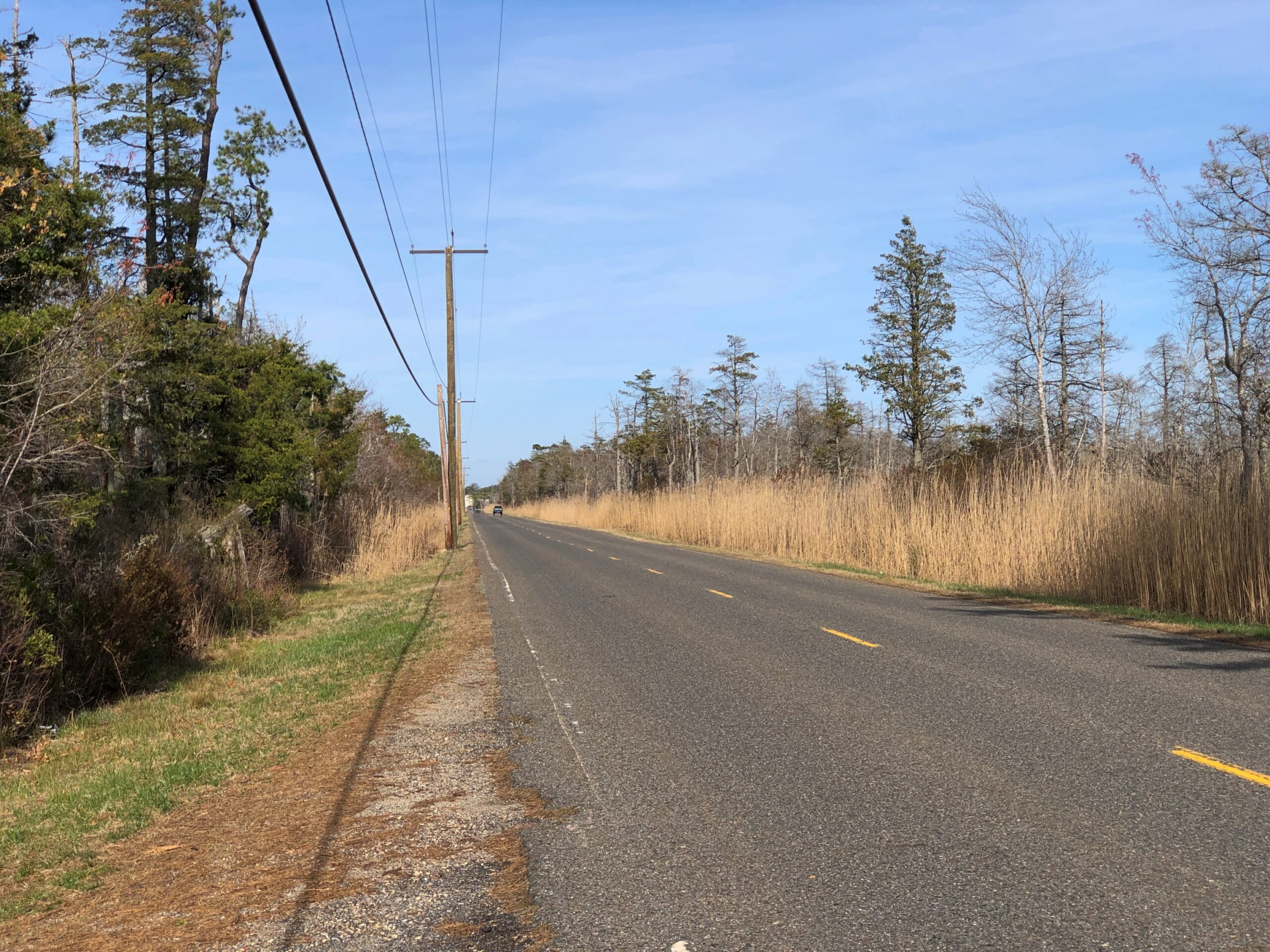
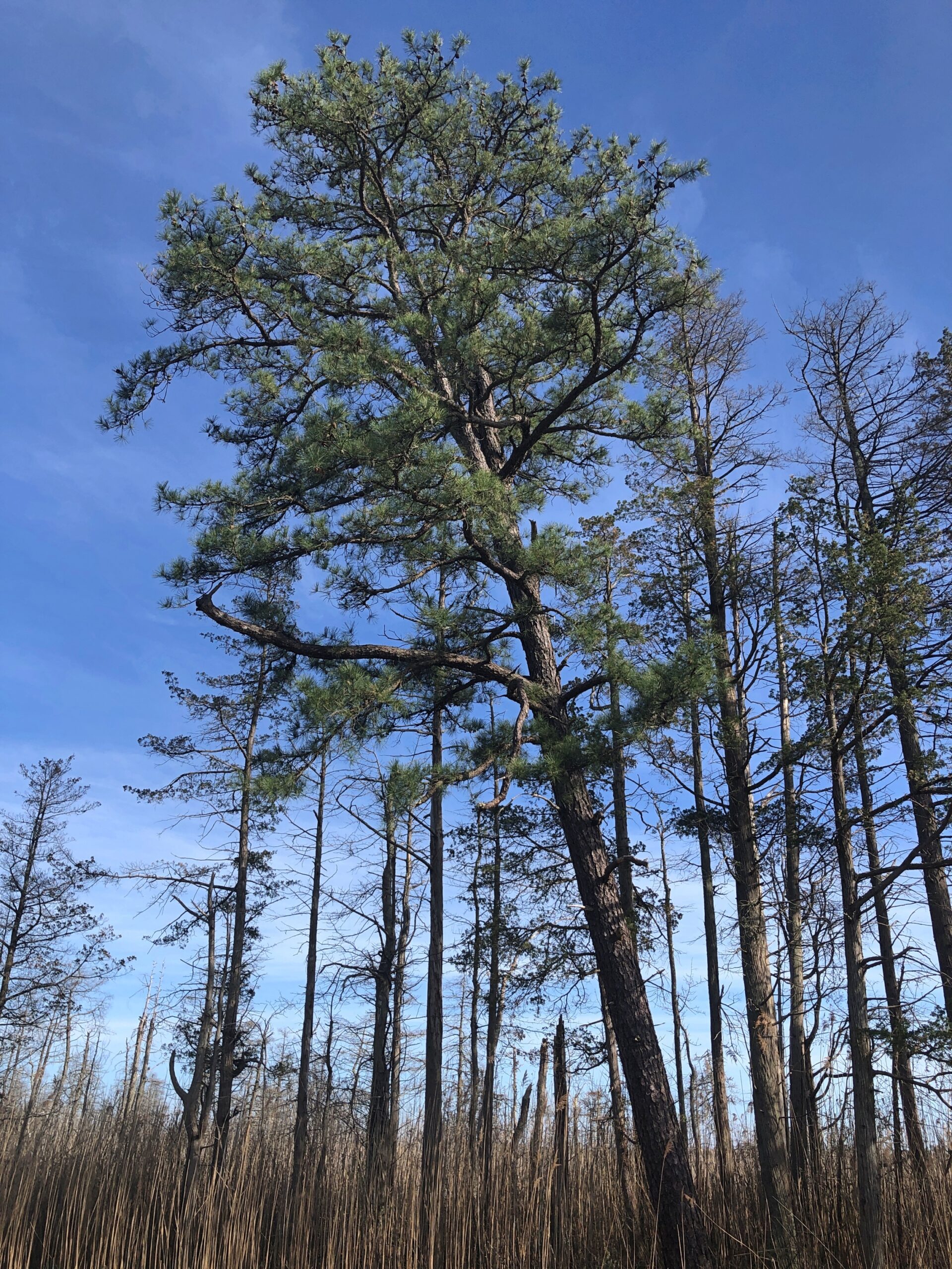
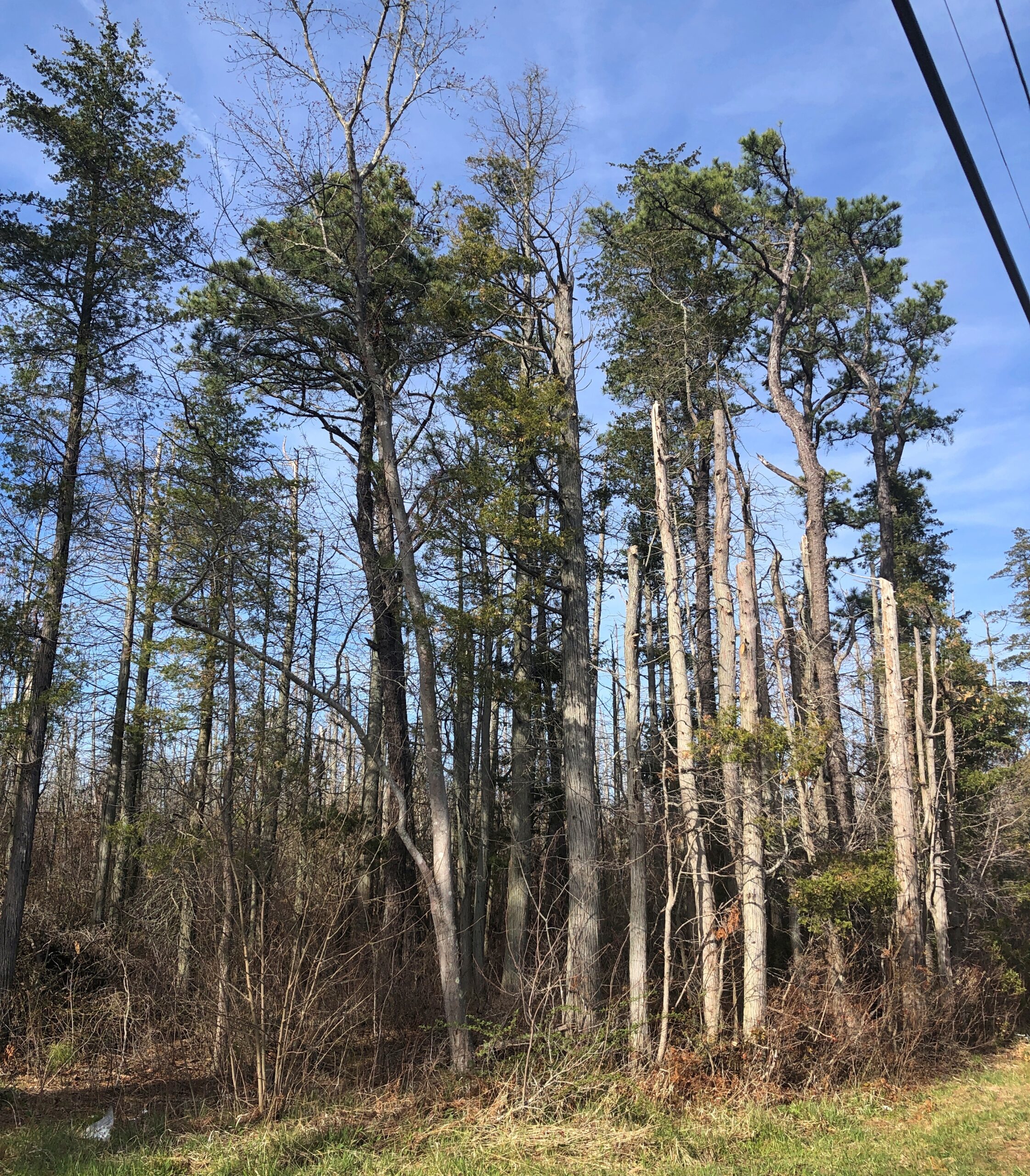
Considering how close you are to Philadelphia and New York, it’s remarkable how remote the Pine Barrens feel. The region, I understand, is the largest surviving forest on the Eastern Seaboard south of Maine’s North Woods, totaling over 800,000 acres.
The region is also called the Pinelands. It certainly fits.
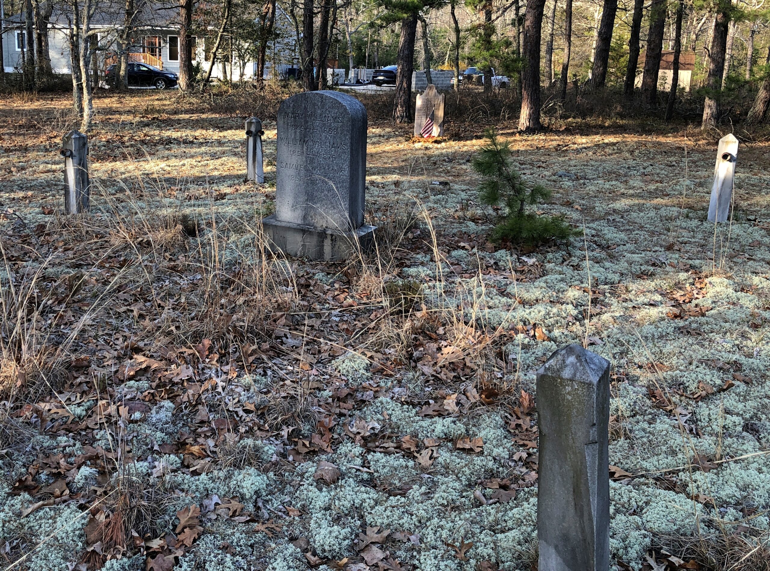
Remote, maybe, but still plenty of signs of human habitation, past and present. I stopped to take my bearings at a wide place in the road, and noticed gravestones.
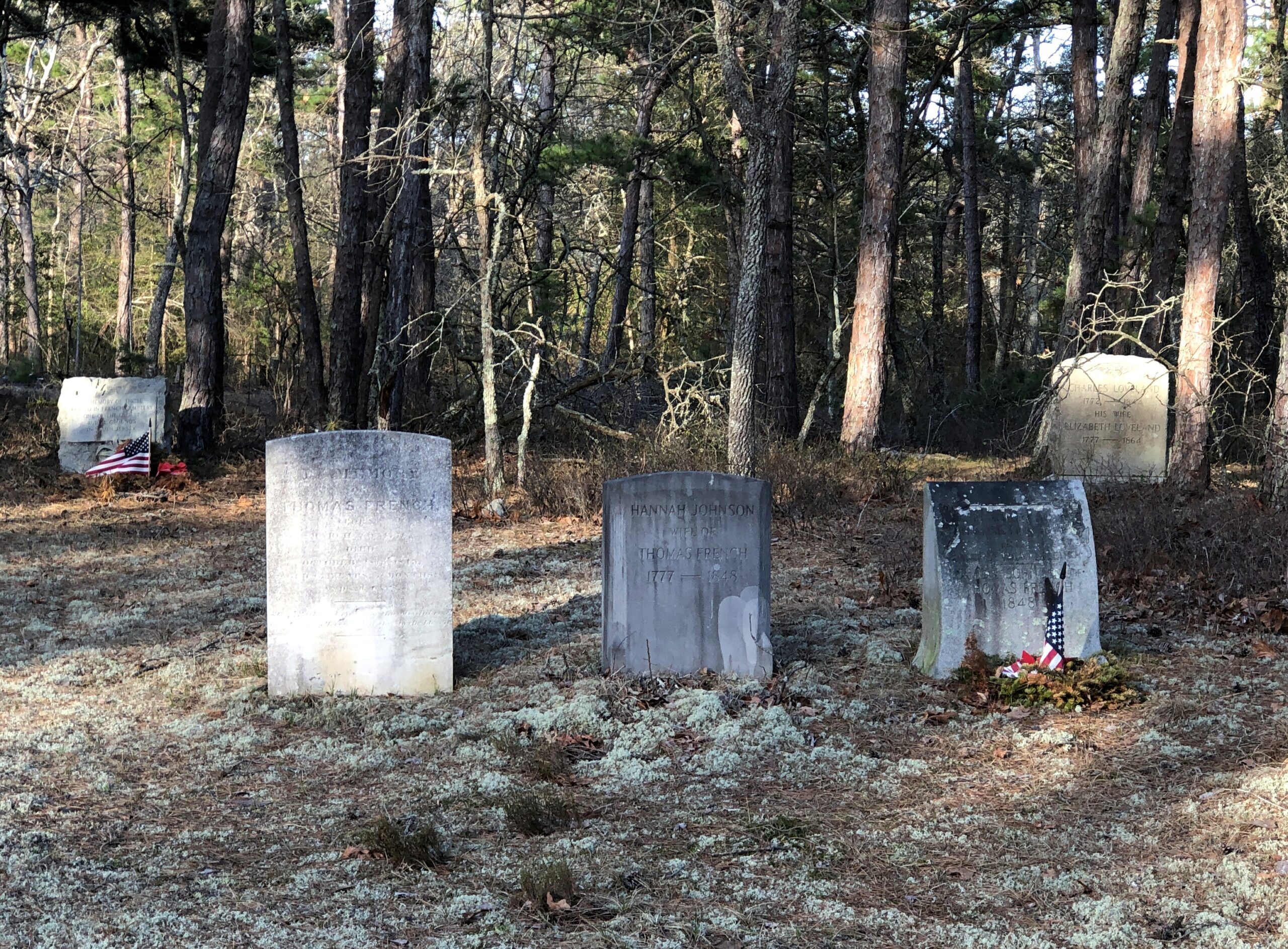
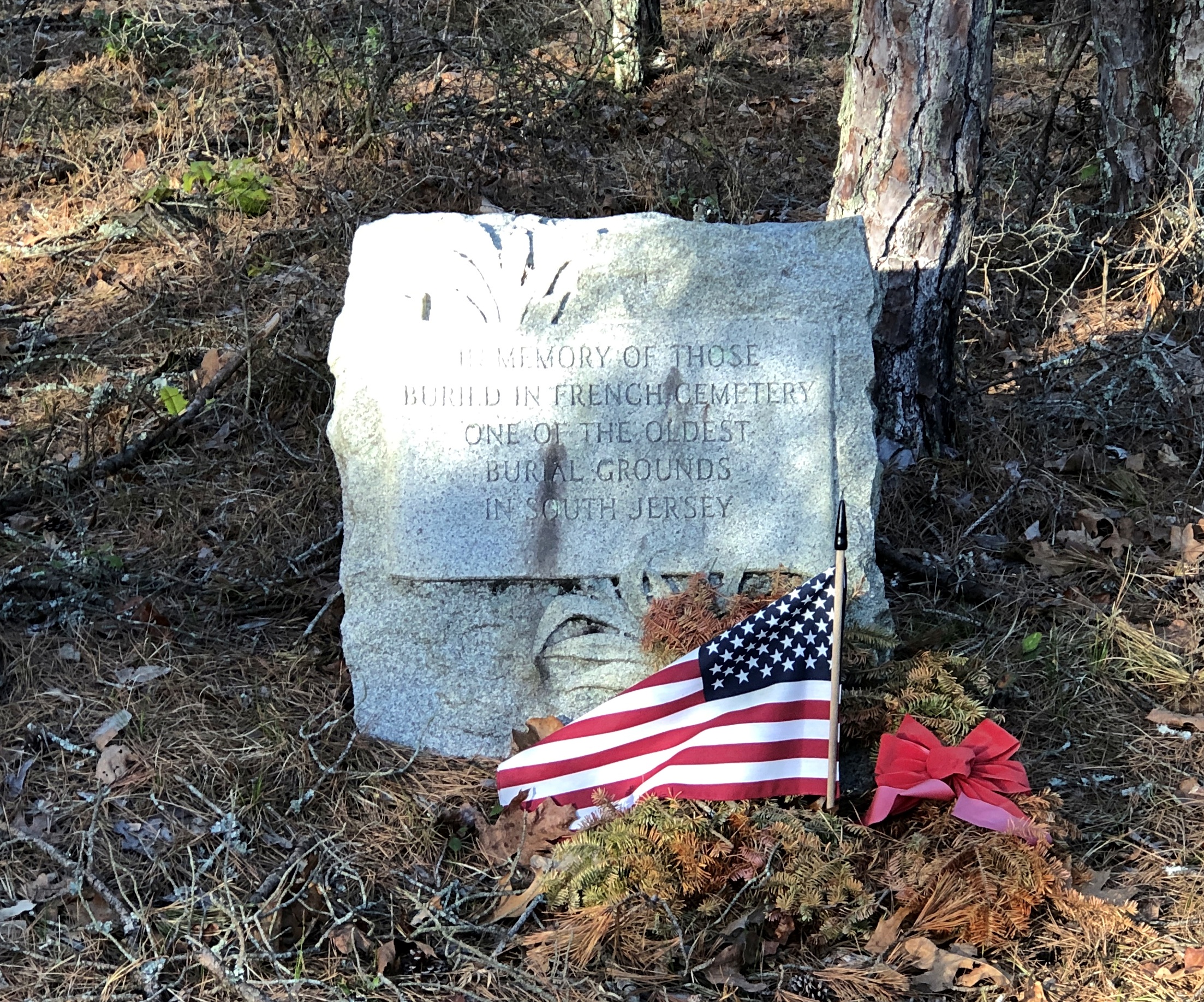
French Cemetery, named for a number of people buried named French, not for their nationality. “One of the oldest burial grounds in South Jersey,” the stone asserts. Could be, but I have no way to check that.
Interesting little spot anyway, northeast from Egg Harbor City and past the Mullica River and near the Wading River. Or was that the actual location? I was traveling on marked county roads, but pretty soon I started seeing county road signs covered with black plastic bags, next to newer signs. I can only guess, but I think that meant a recent change in the numbering of the county roads.
That further meant that both my paper and electronic maps were wrong – in as much detail as they had anyway, which wasn’t a lot. “Lost” is too strong a word, but I’d say I was disoriented in a web of meandering, ill-marked roads. I stopped more than once among the pines of the Pinelands to try to figure out a better course.
Then it occurred to me: I remembered seeing some of the exit numbers on highways near Trenton had been changed, too. I’m speculating, but I think that had something to do with my GPS going just a little funny in the head the night before. Damn it, New Jersey.
Eventually I worked my way back toward Egg Harbor City, a sizable town on US 30, which connects with US 280, which goes straight back to Trenton; the way I’d come. That’s how I was able to stop to see Mighty Joe.
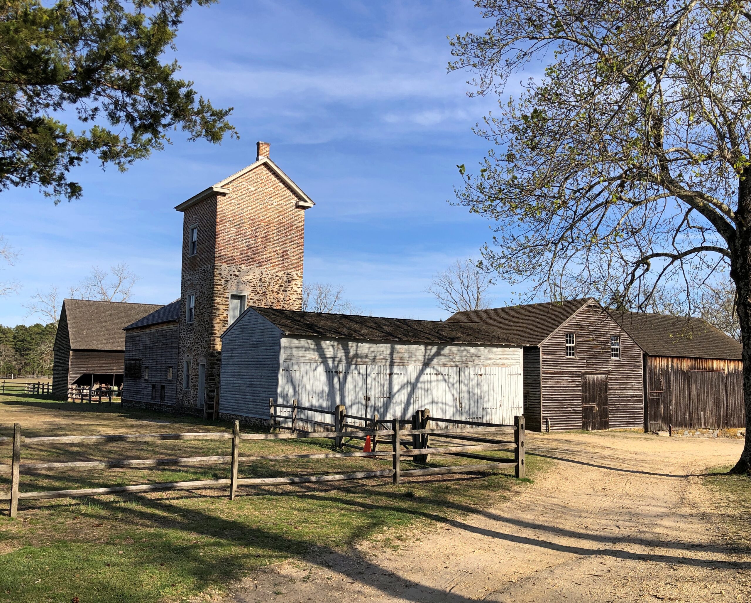
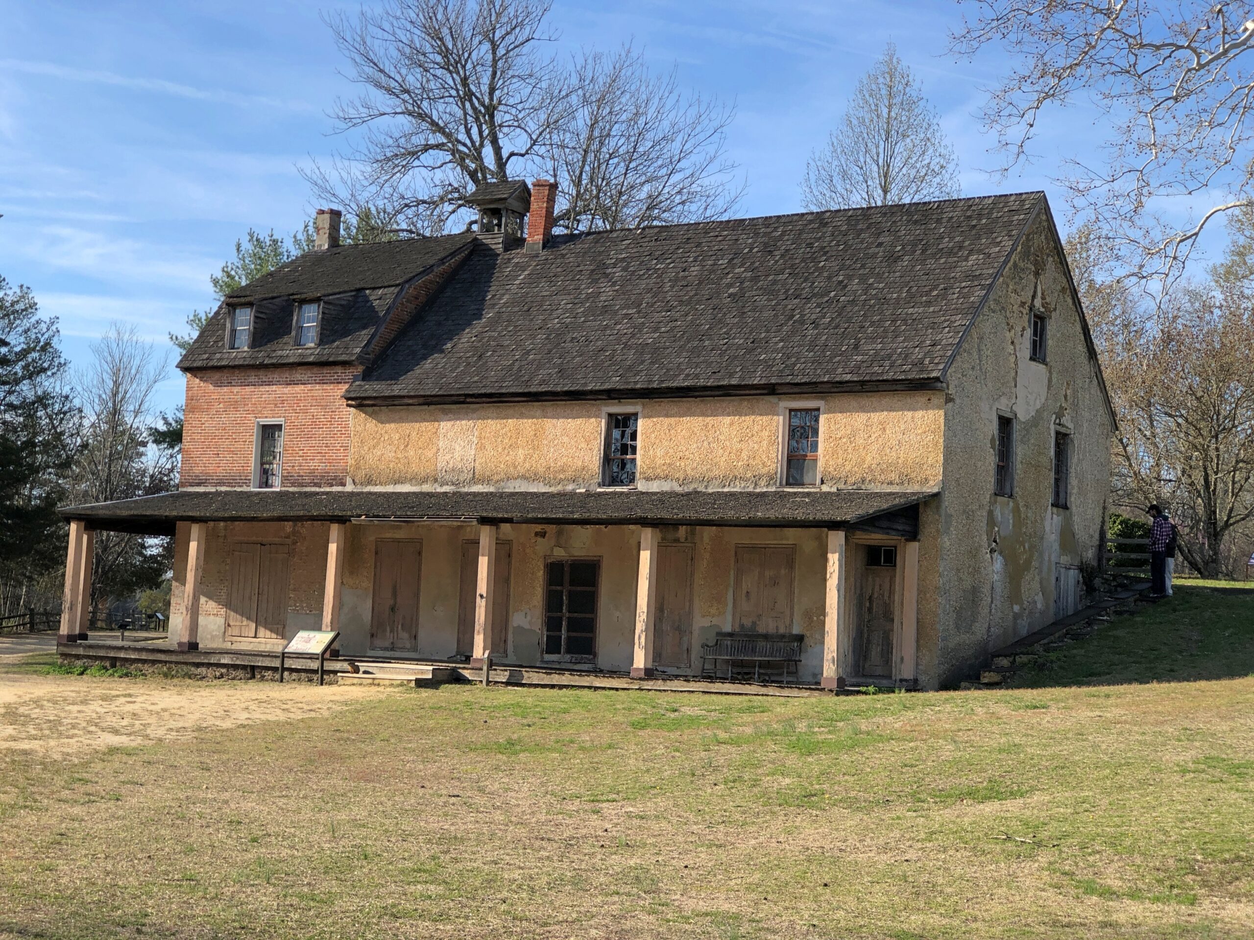
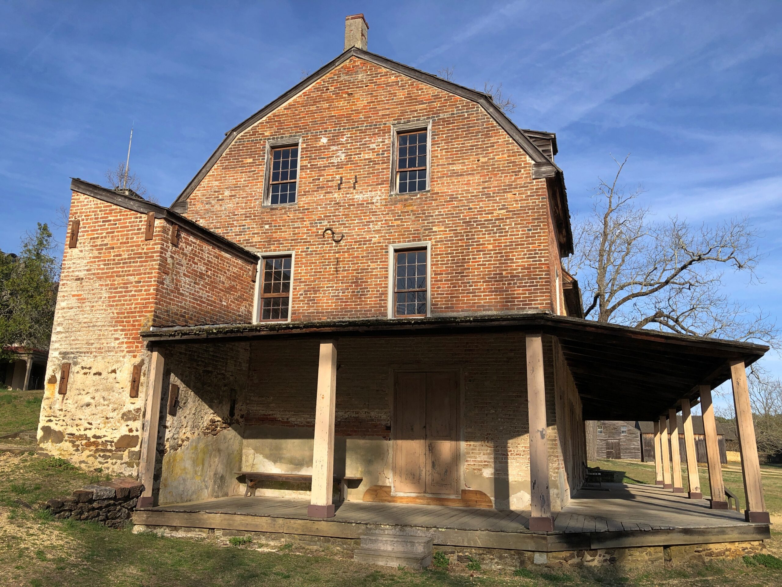
Even so, I happened across a few places in the Pinelands to stop, especially Batsto Village, site of the former Batsto Iron Works.
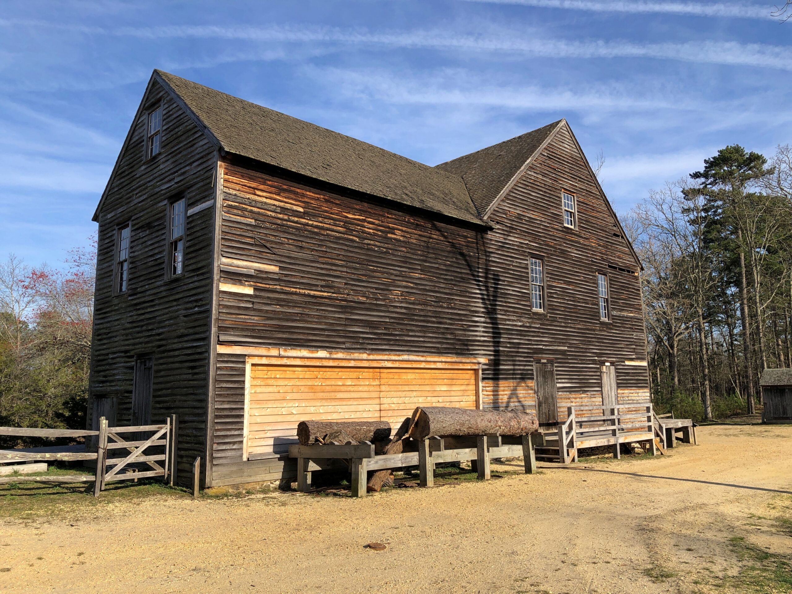
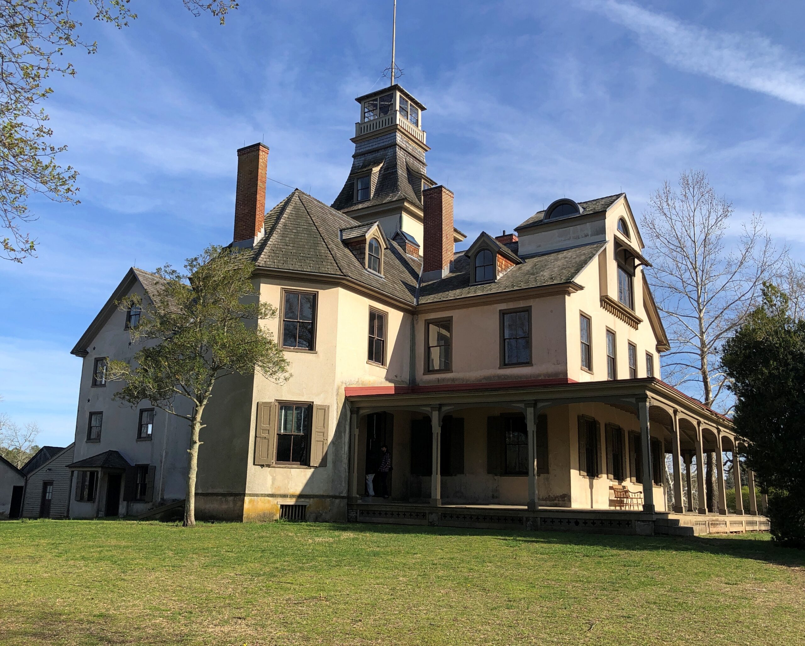
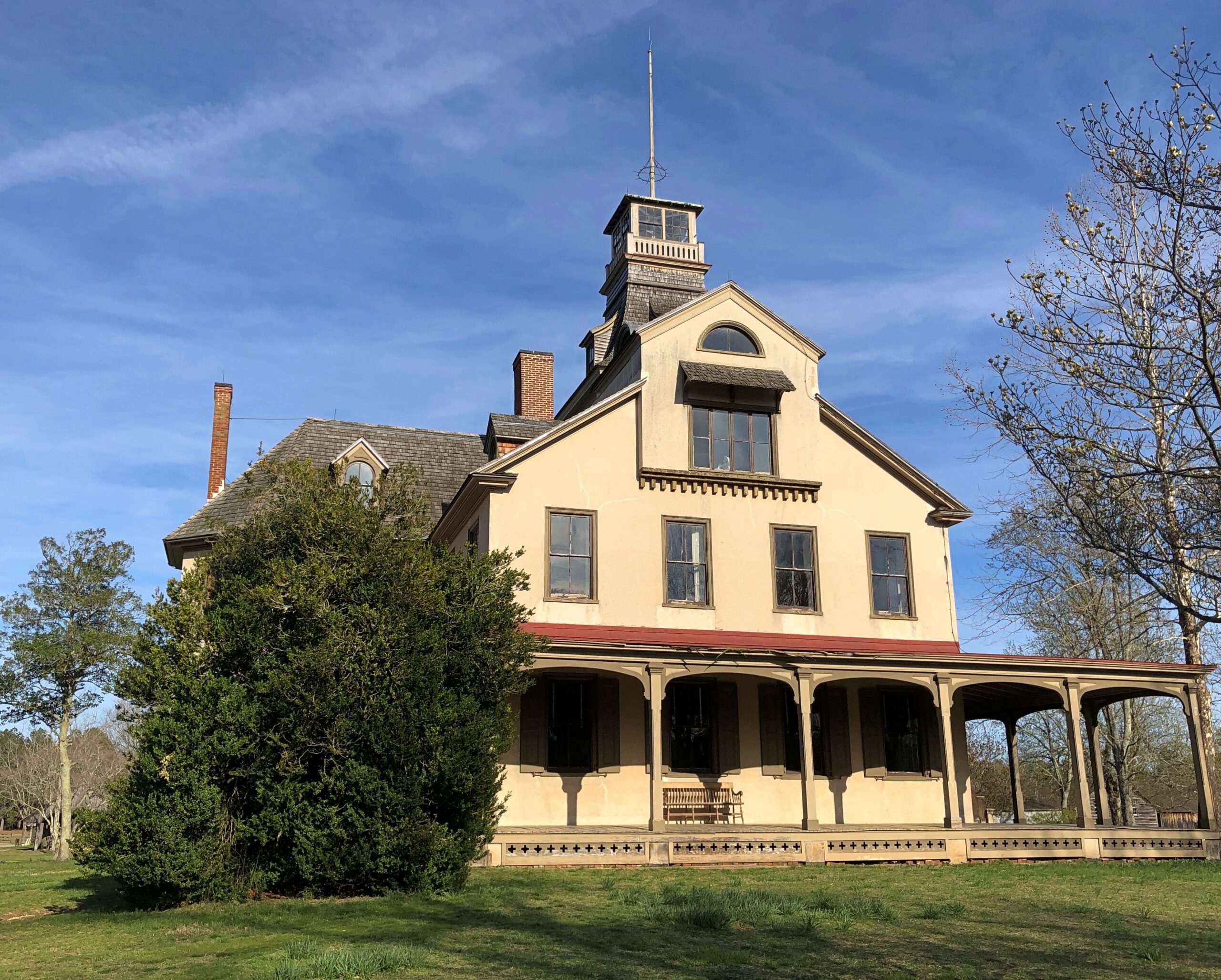
Most of the open-air museum buildings are 19th century, but the Batsto Iron Works had roots that went back to Colonial times. Some enterprising early NJ settlers found bog iron in the area. By the 19th century, the iron smelting was doing well enough to support a company town, including of course the boss’s house.
The company store.
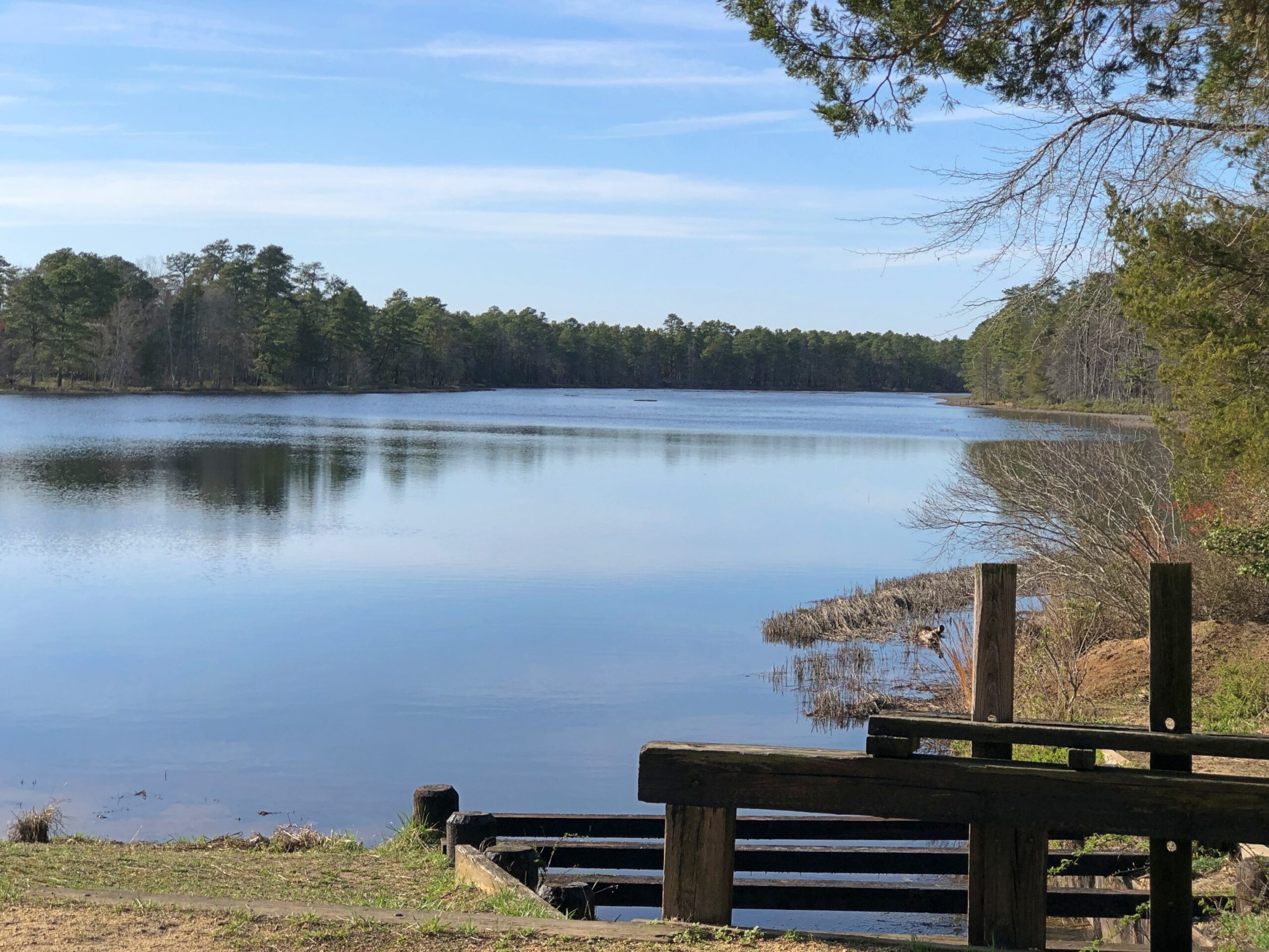
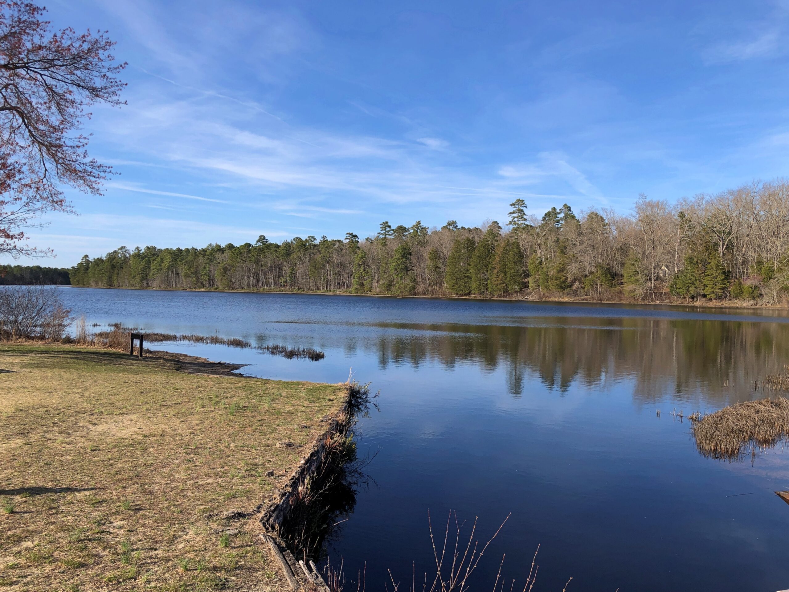
The company paid in script until the workers were organized enough to demand legal tender for their labor. Unlike at Fayette Historic State Park in Michigan, the actual industrial facility, the 19th-century blast furnace, is long gone. The place has a good-looking lake, however. Created by a small dam on Batsto River to harness the water for the sawmill.
A vista that says New Jersey? Yes, but not the New Jersey of song and story.
Back in Egg Harbor City (pop. 4,442), I chanced across the Egg Harbor City Cemetery – another reason to leave the GPS inactive most of the time. If the box tells you where to go, you’ll miss minor misdirections that take you to unexpected places.
I’ve come up with my next approach to traversing the Pine Barrens. There will be a next time, provided my health holds out. That’s always a contingency these days, but anyway the approach can’t be as rational as trying to plot oneself on a map, or even follow the directions from a machine.
The region isn’t that large. That is, provided your car is gassed and in good running condition, since walking out of the Pine Barrels, even following surfaced roads, seems like a bad idea unless you’ve prepared yourself to do so. Assuming you drive, pick a direction – say east, toward the morning sun – and head that way, hewing to the direction as much as possible. It won’t be too long before you come to a reliably numbered state or US highway. Or in that case, the Garden State Parkway.
Sounds doable. Unless you encounter the Jersey Devil.
My go-to data source for gas prices is AAA, which tells me that the national average today is $3.983/gal, and higher in Illinois, at $4.228/gal. As everyone knows, up markedly this month. People have long seemed to believe that the President of the United States has a magic button that made gas prices change. That was nonsense, of course, but now it looks like the administration has found such a button, except it might be stuck on “rise.”
Be that as it may, I’m glad my recent long drives, and long flights, aren’t scheduled for this year. The summer of ’26 could be a time to stay closer to home. Then again, prices north of $4/gal – in fatter 2008 dollars – didn’t keep us from driving to Great Smoky Mountains NP that year.
In Houston last month, I did a fair amount of driving, including in the airport-area industrial submarket. That is, among the warehouses and distribution centers that form part of the sizable metro Houston industrial market, which totals about 700 million square feet (for comparison, metro Chicago’s market is roughly 1 billion square feet). I’m probably one of the few tourists anywhere who gets a kick out of driving by behemoth industrial buildings, but there you have it.
I also drove the short distance from downtown Houston to Hermann Park, a legacy of the City Beautiful Movement and the landscape architectural talents of George Kessler (d. 1923). He was a younger version of Frederick Law Olmstead, it seems, busy in a lot of places, though more important in planning for Dallas than Houston.
Always thought “City Beautiful” is too far a reach. Like most people, I’d say City Pretty Nice or City Not Bad would be good enough, but that’s not the kind of movement name that inspires grand projects.
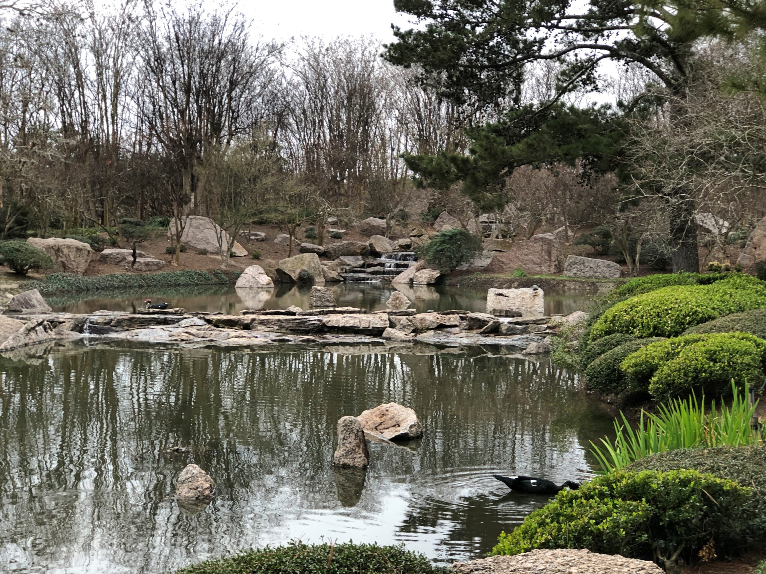
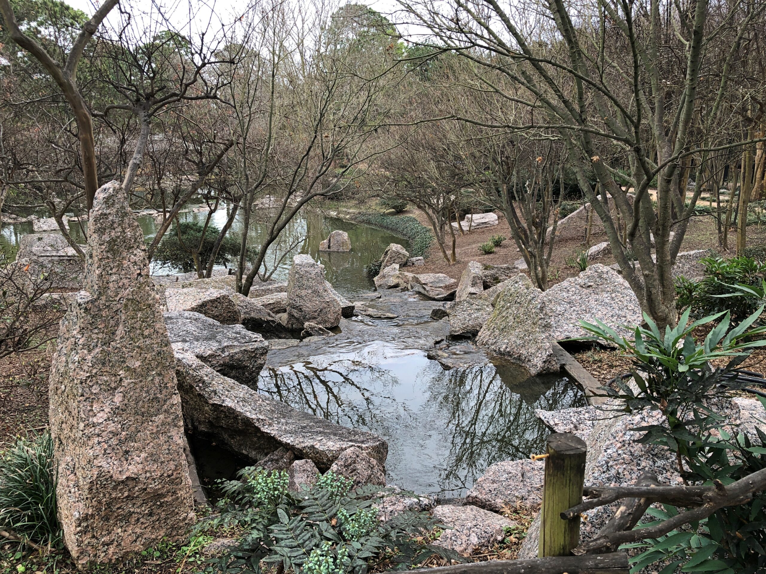
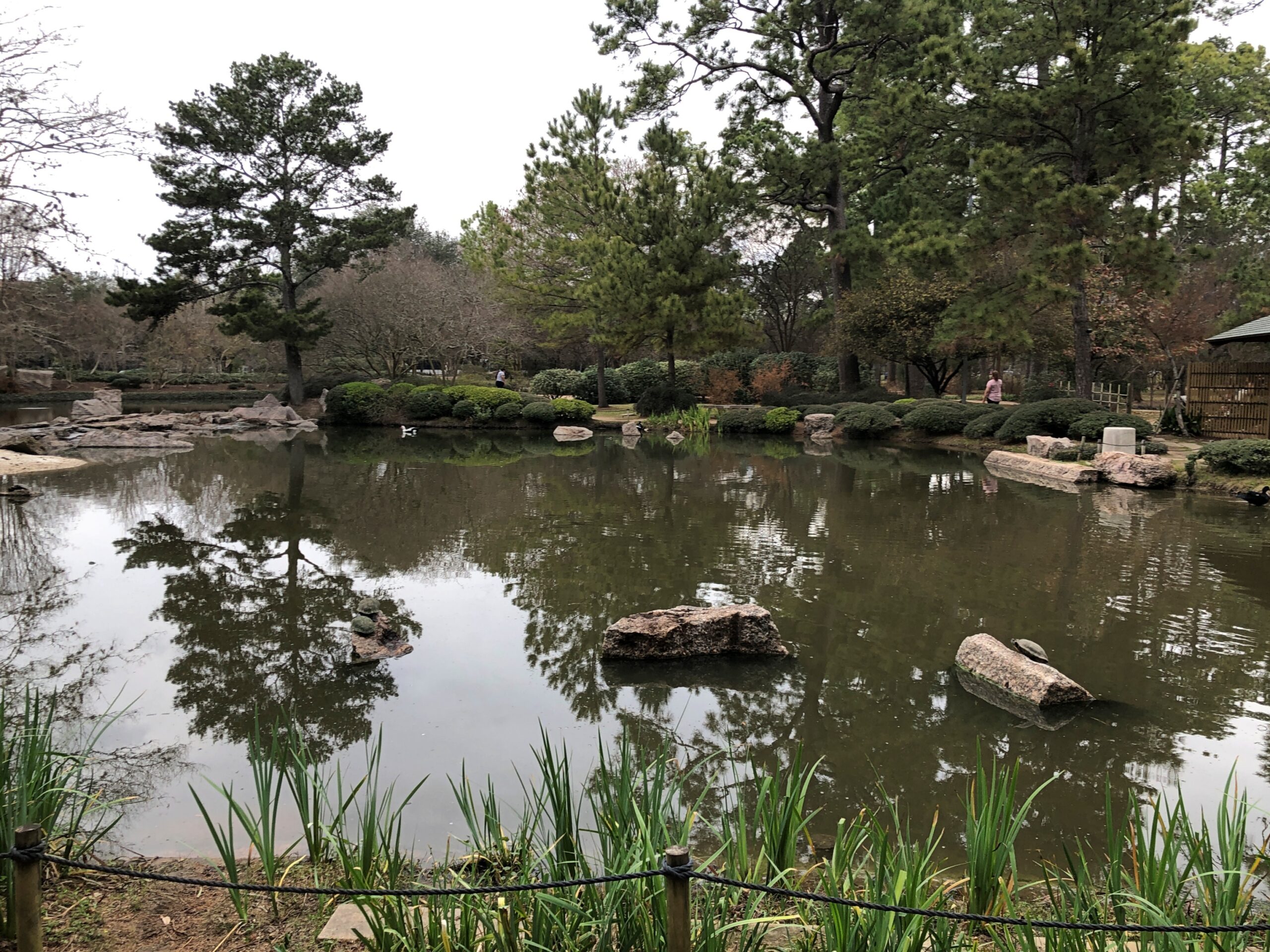
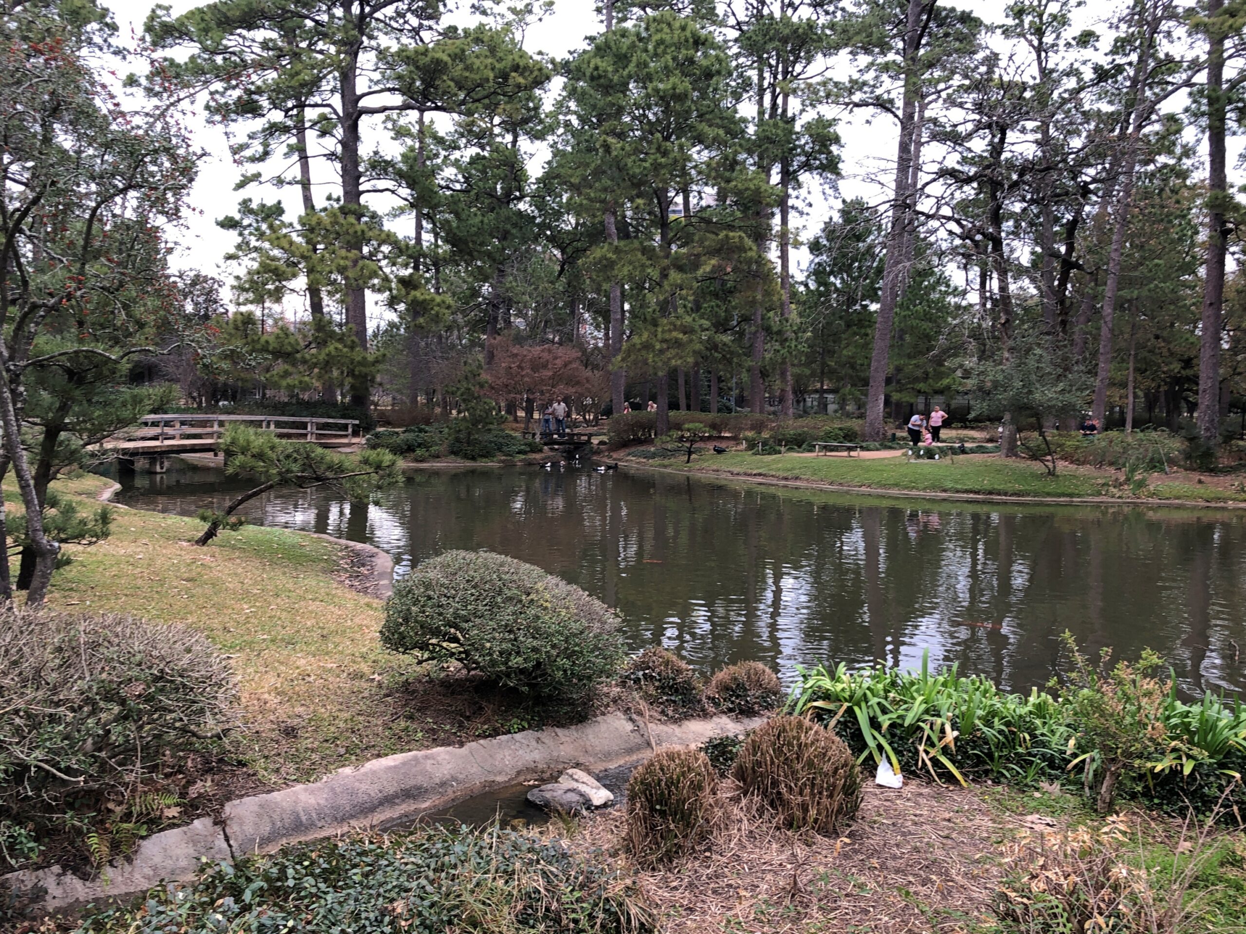
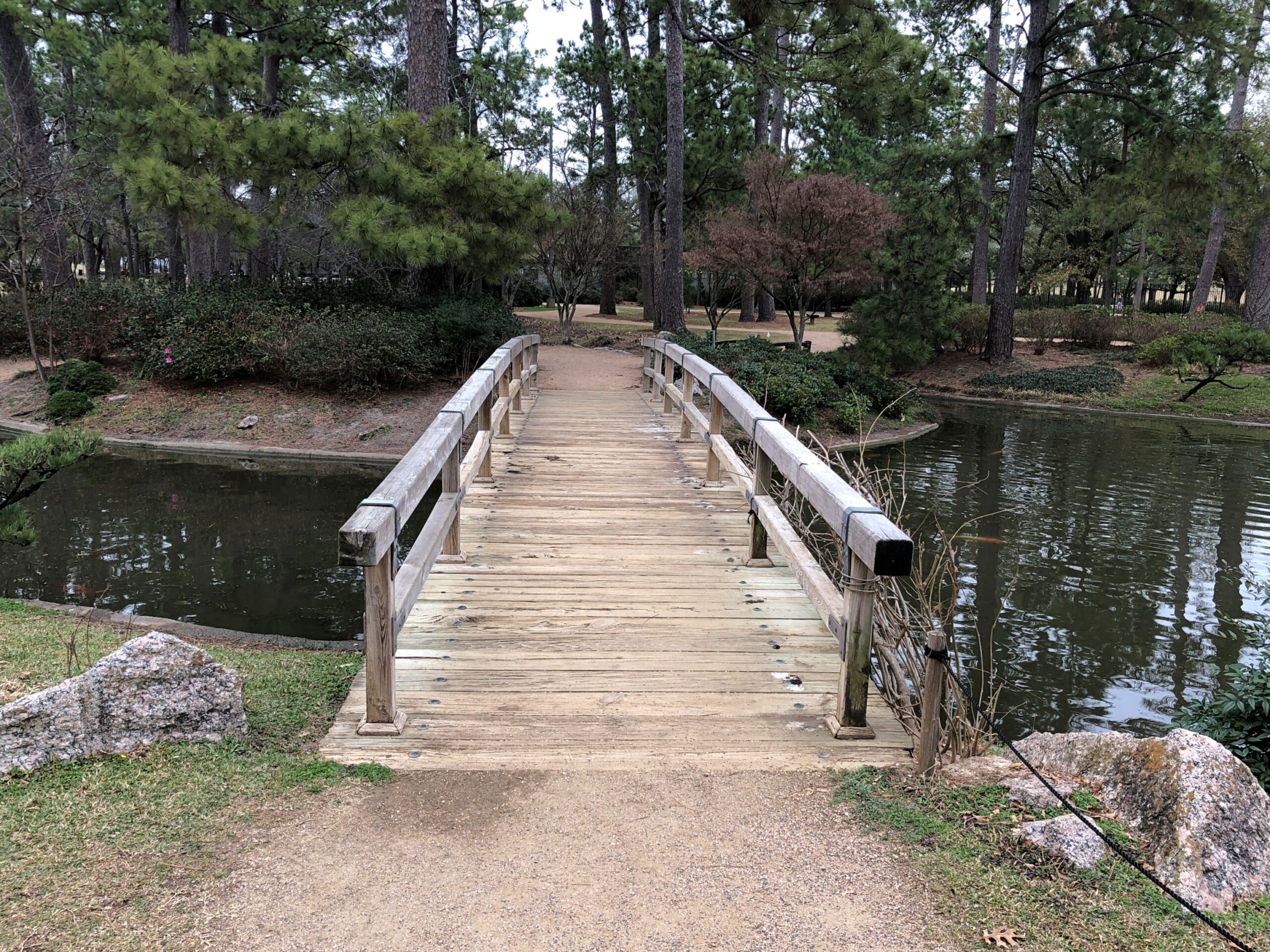
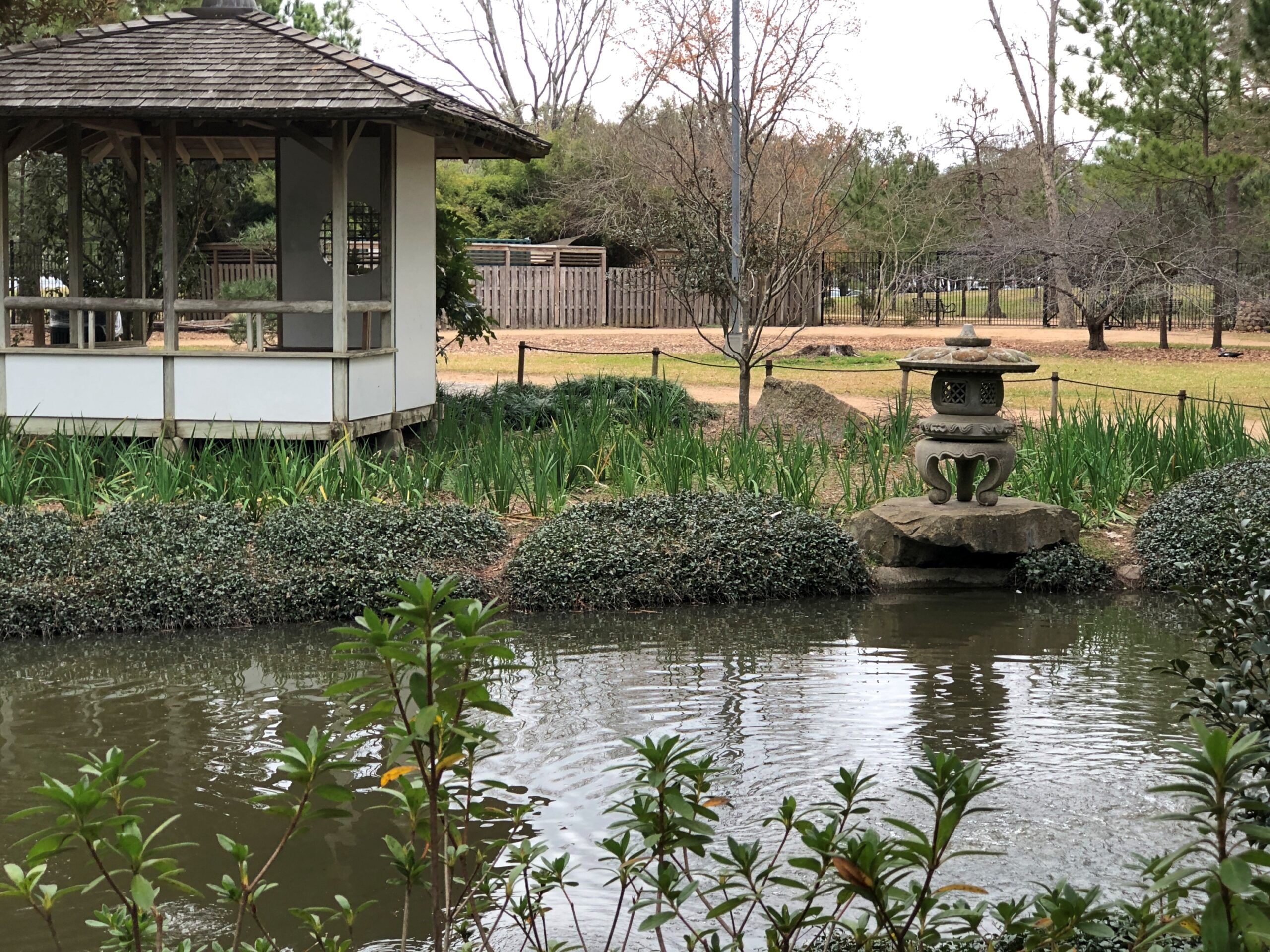
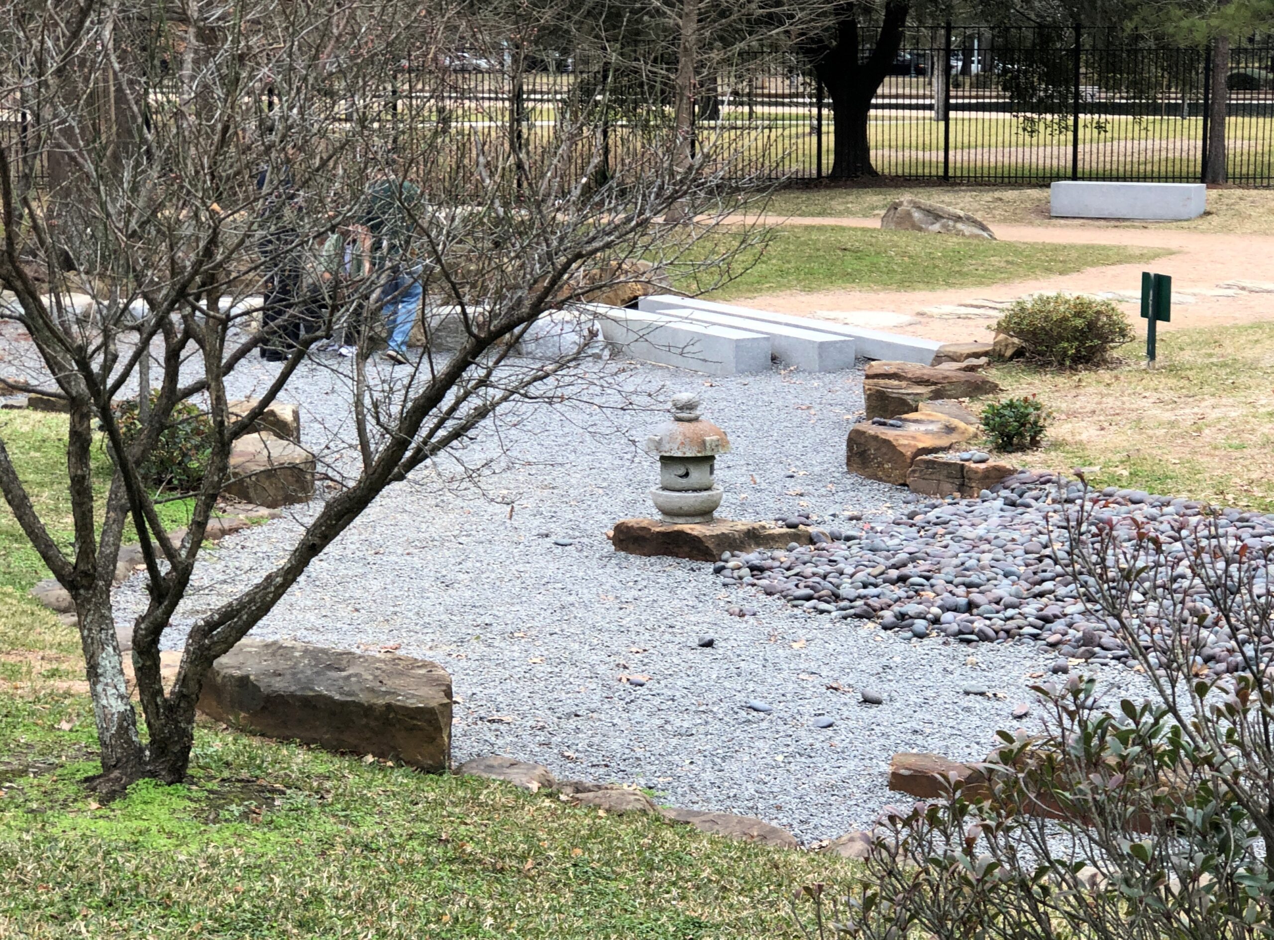
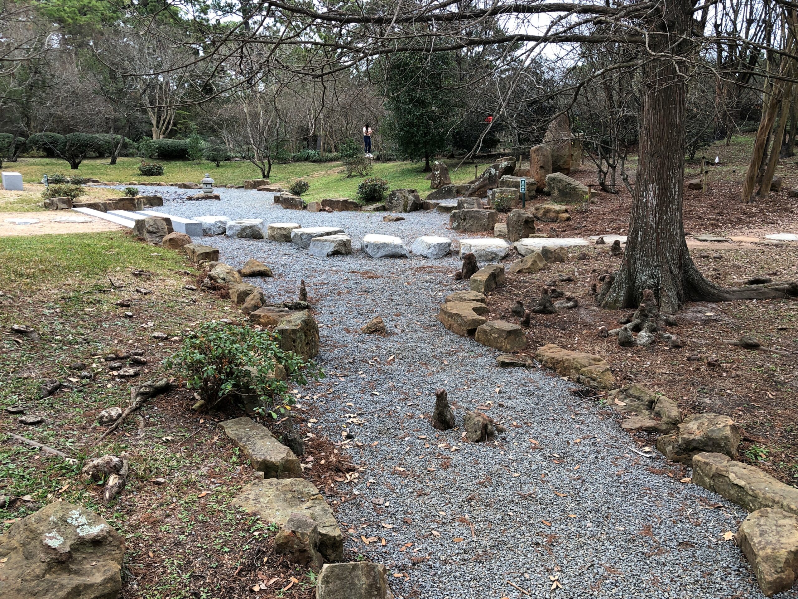
The Japanese Garden occupies part of Hermann Park. That seems to be the generic name. I made my way there. It’s a pretty place, even in February.
A mix of imported Japanese flora and the pines of East Texas. Hermann Park itself dates from the early 20th century. The Japanese Garden, the late 20th century, a prosperous time for Japan, and when that dustup between Nippon and the USA had mostly been put in the rear view mirror.
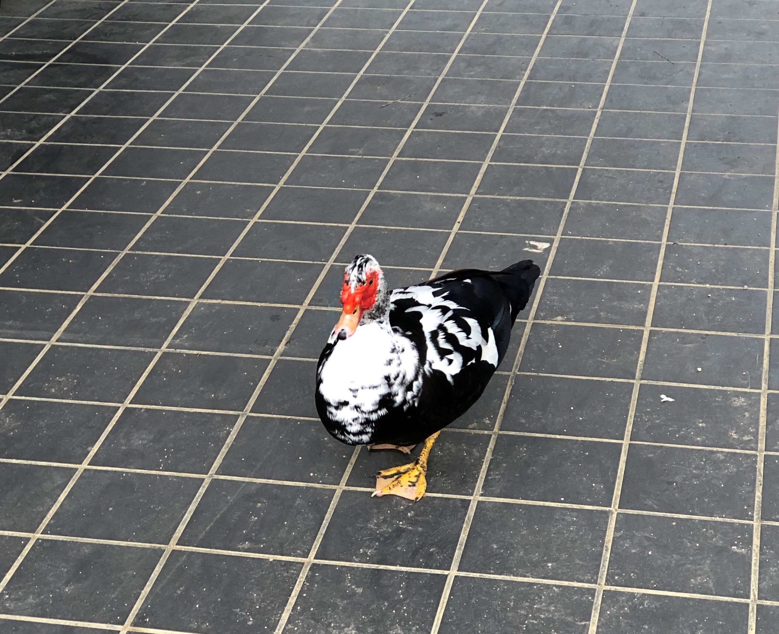
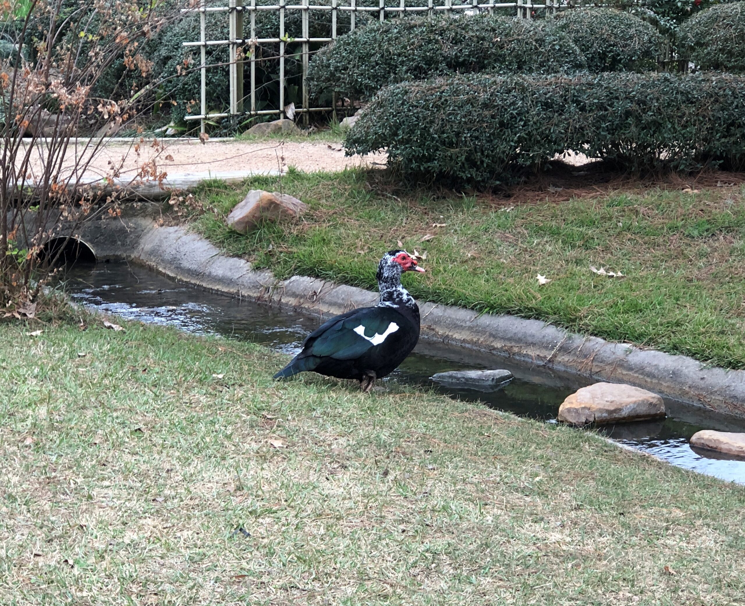
Where there is water, there is waterfowl.
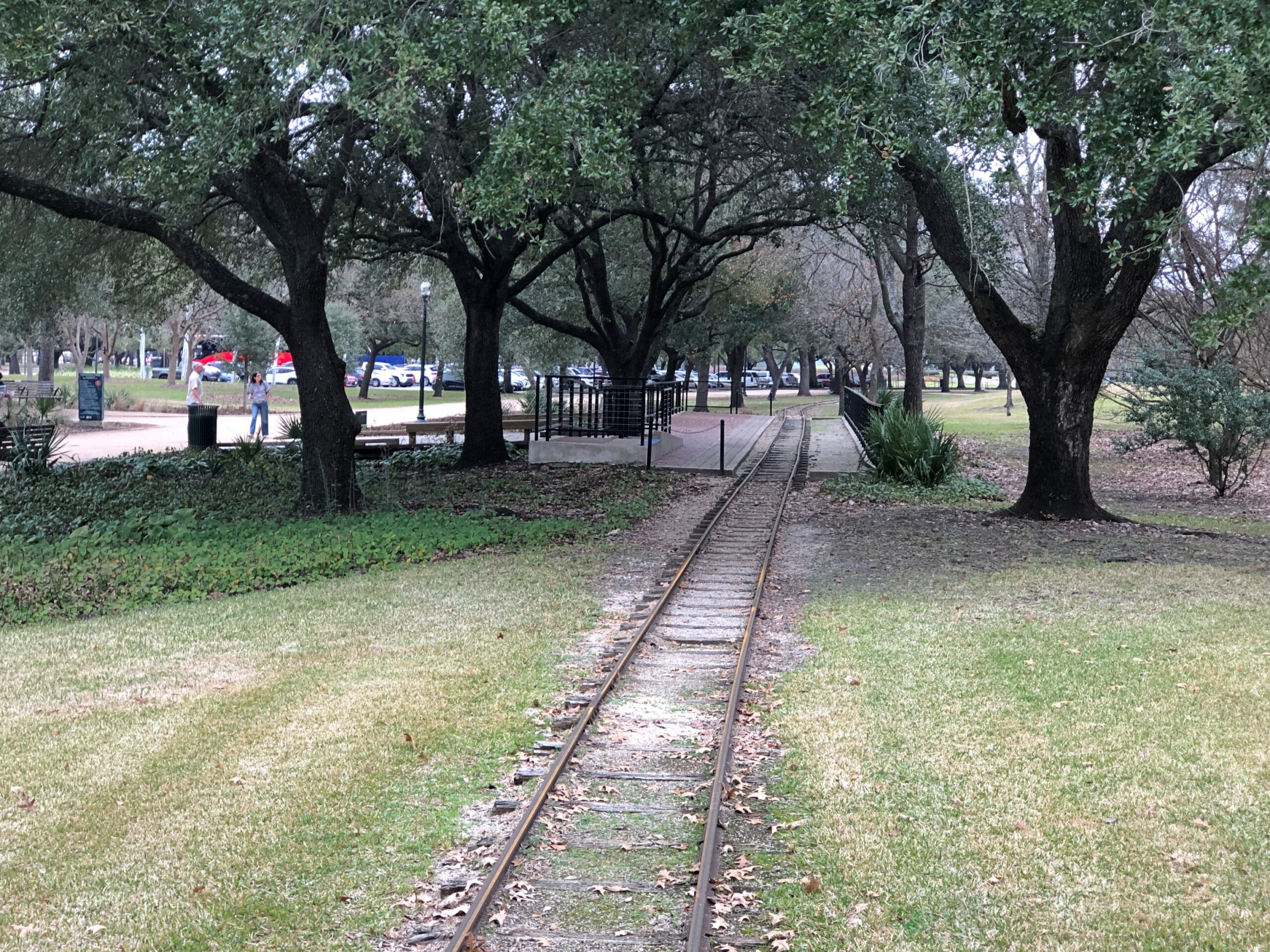
Just outside the Japanese Garden are tracks for the Hermann Park Railroad, a narrow-gauge line that makes a loop through the park. I didn’t ride it, but of course thought of the Brackenridge Park RR in San Antonio, the one by which all others are judged (by me).
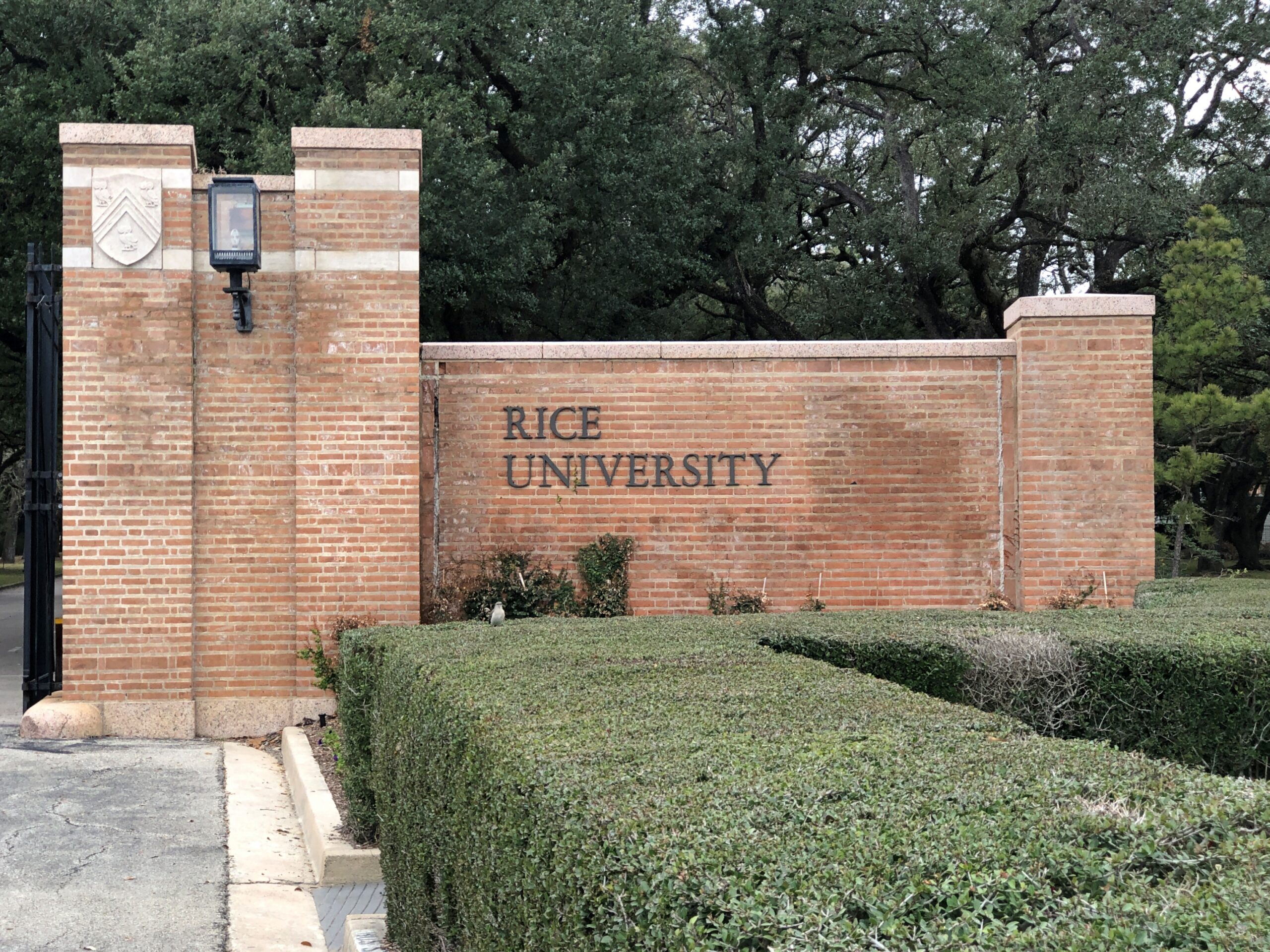
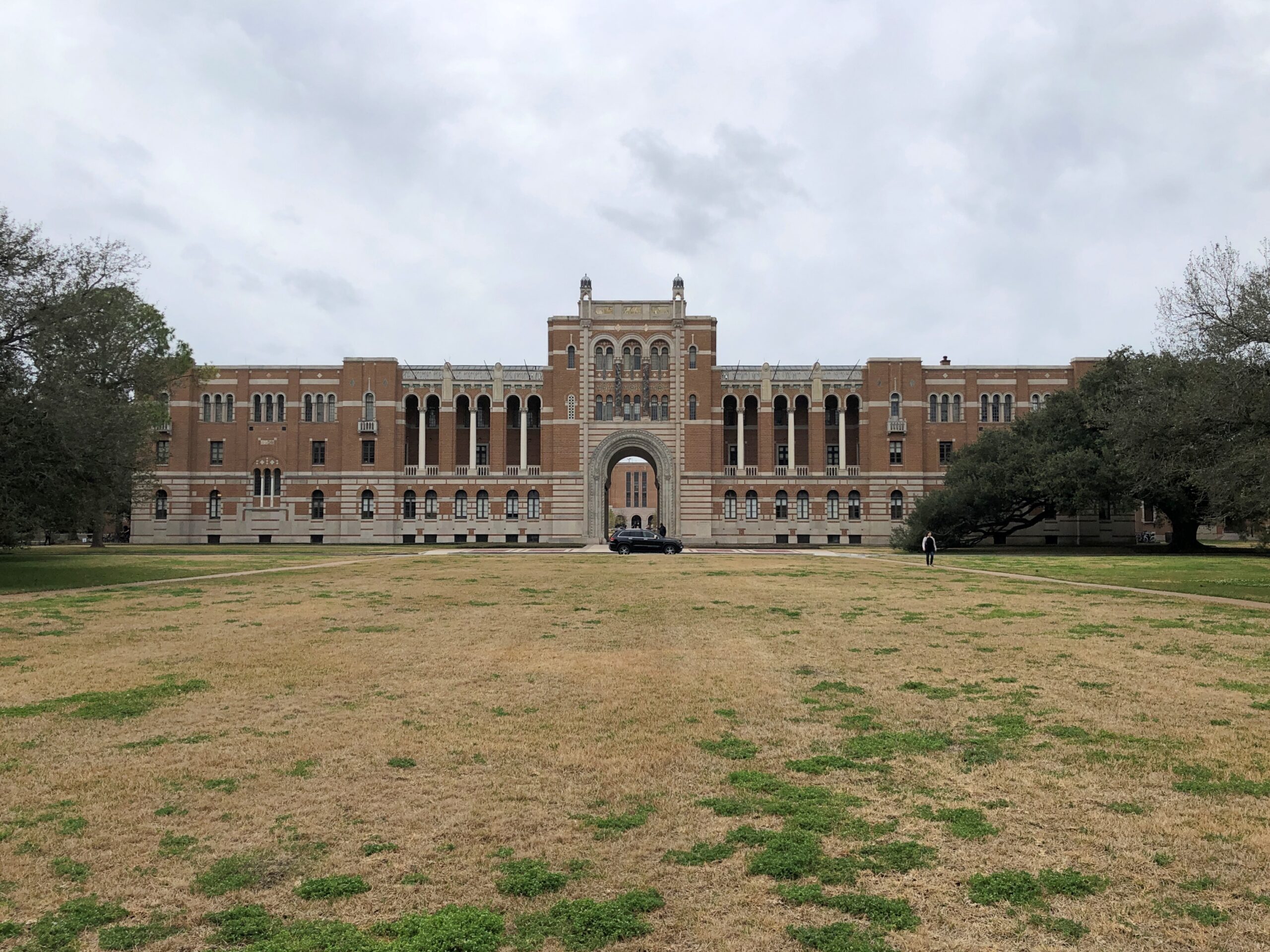
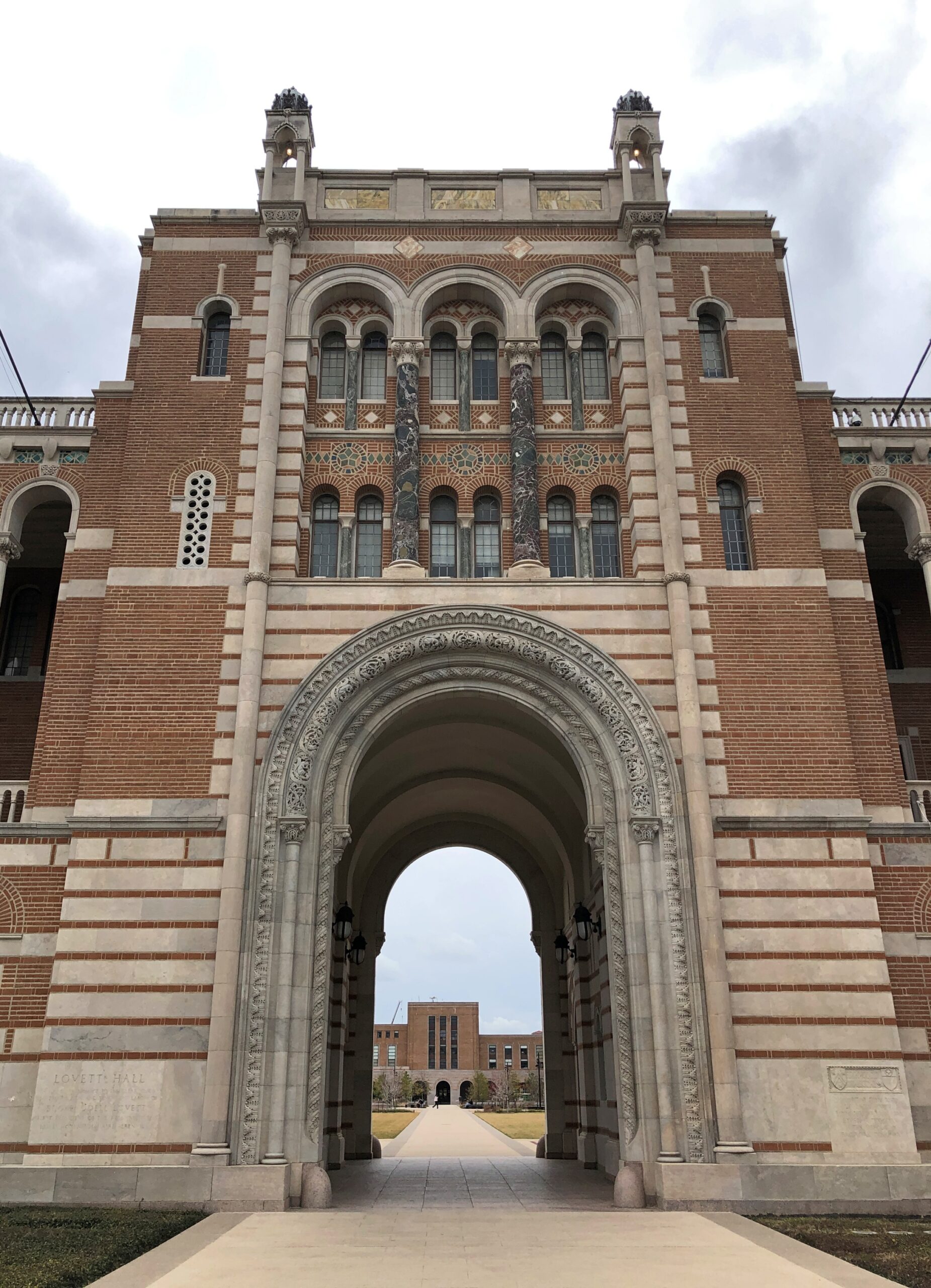
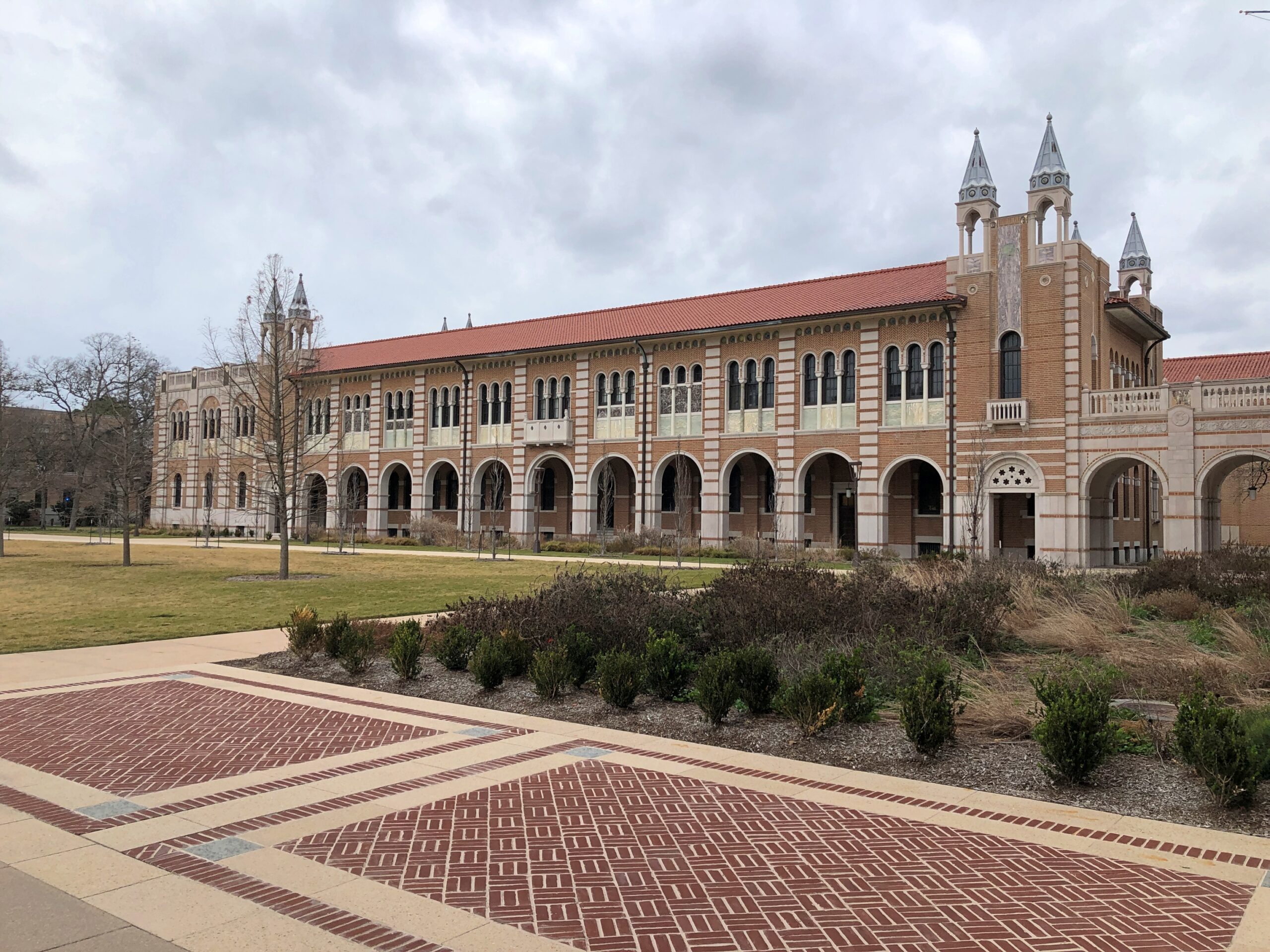
Just outside Hermann Park is Rice University. I considered Rice, but decided not to go — or I wasn’t admitted anyway, I don’t remember after all this time. As a result, my short stroll this February was my first visit to campus.
Not a very long visit. Rice has some fine buildings.
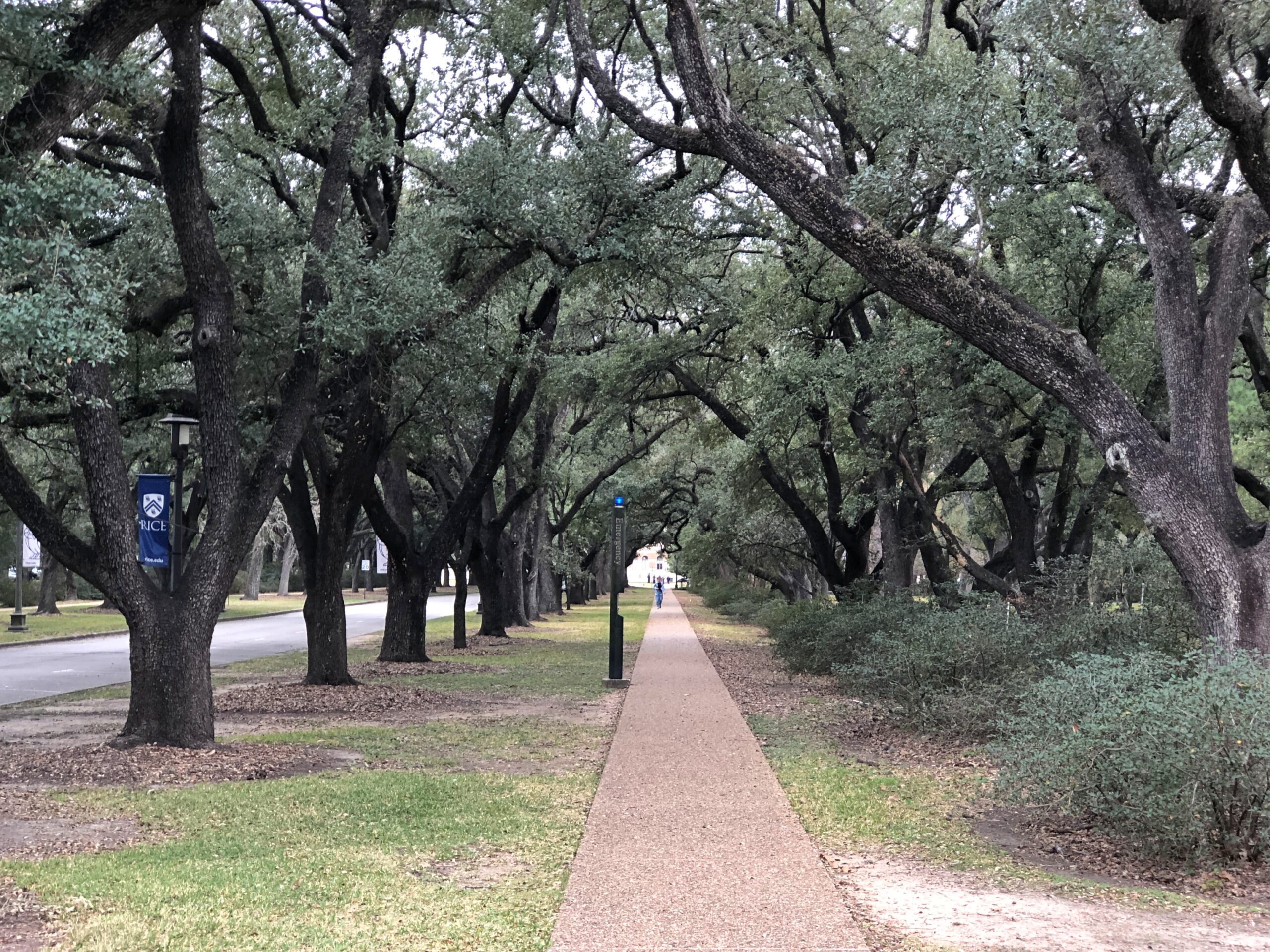
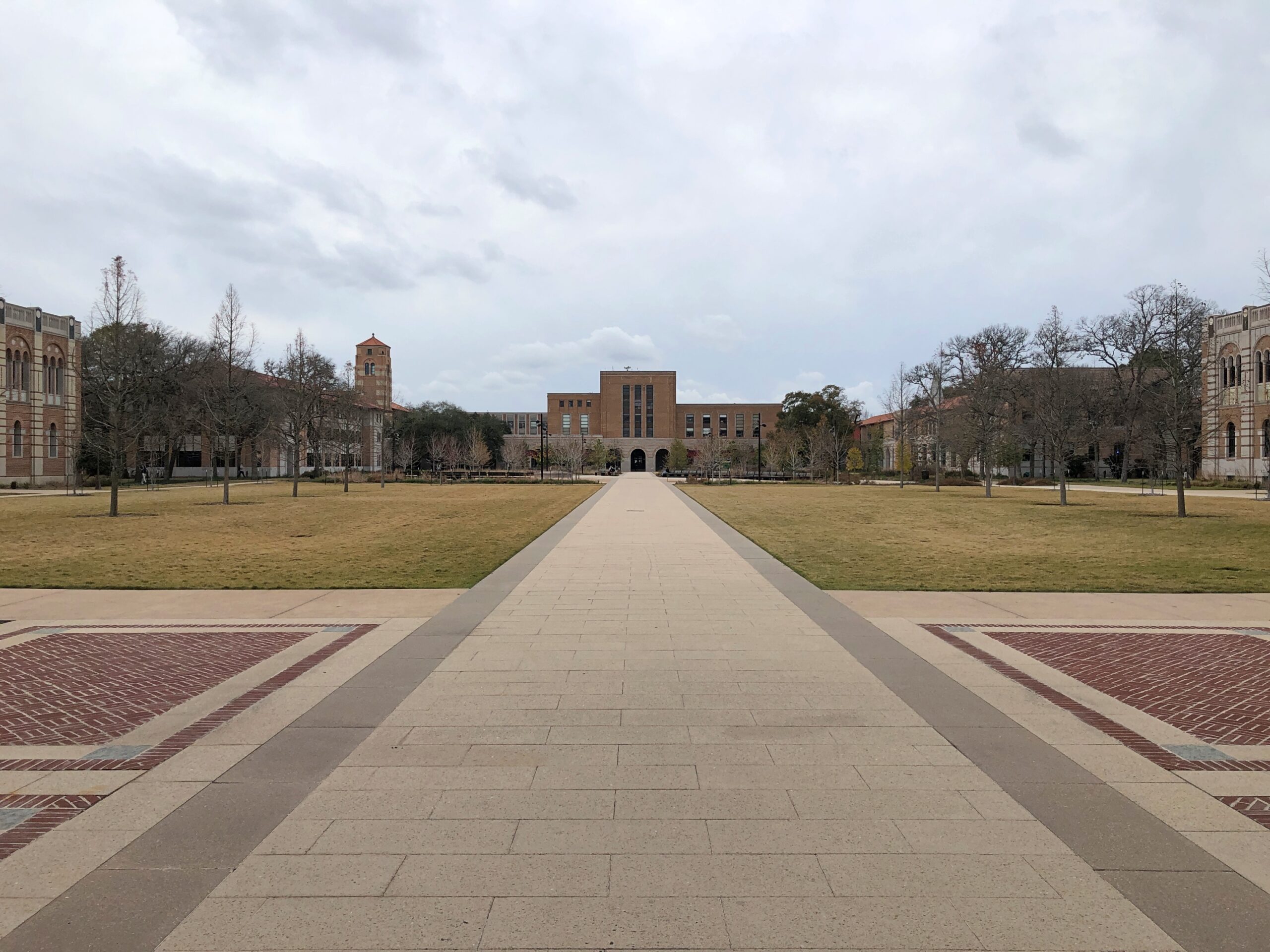
But also long sightlines. That make for long walks.
I’d already spent time walking around downtown Houston, and then the Japanese Garden. There’s only so much walking even indefatigable sightseers can do.
Rain. All the way from Illinois to Texas. We got mighty bouts of it that had died down ’round midnight. As if to remind me, about time I’m home. Huh?
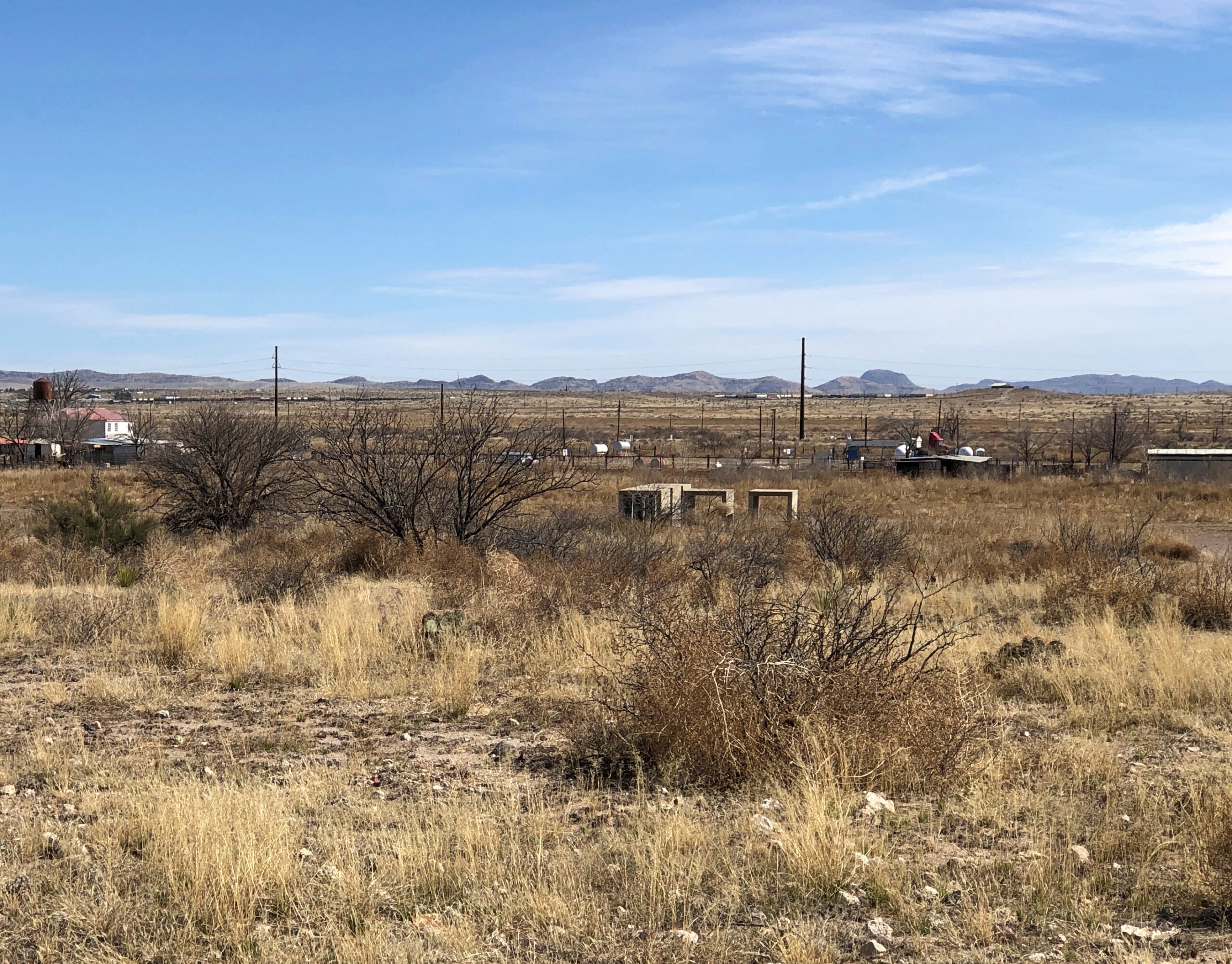
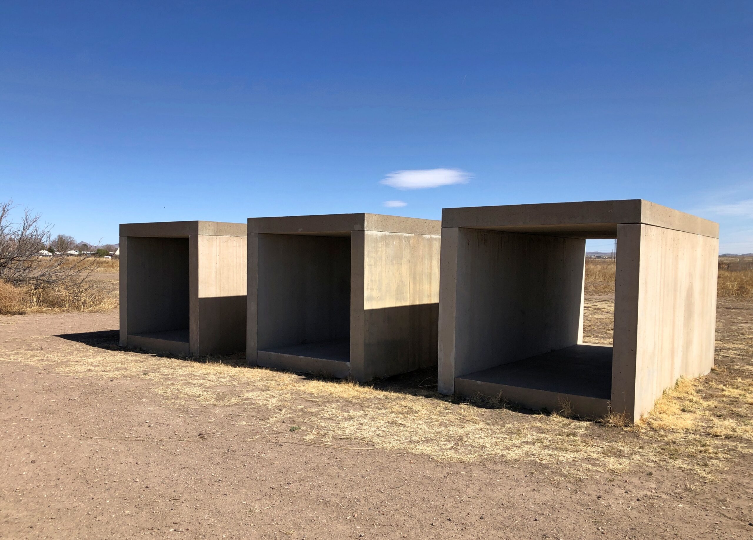
Come to Marfa for the West Texas art city vibe, stay for the concrete structures. Even if they are off in the distance, at least from the parking lot.
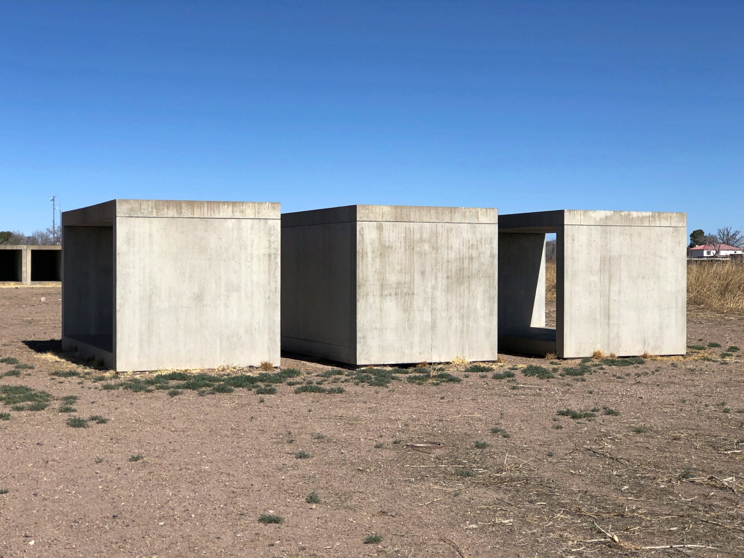
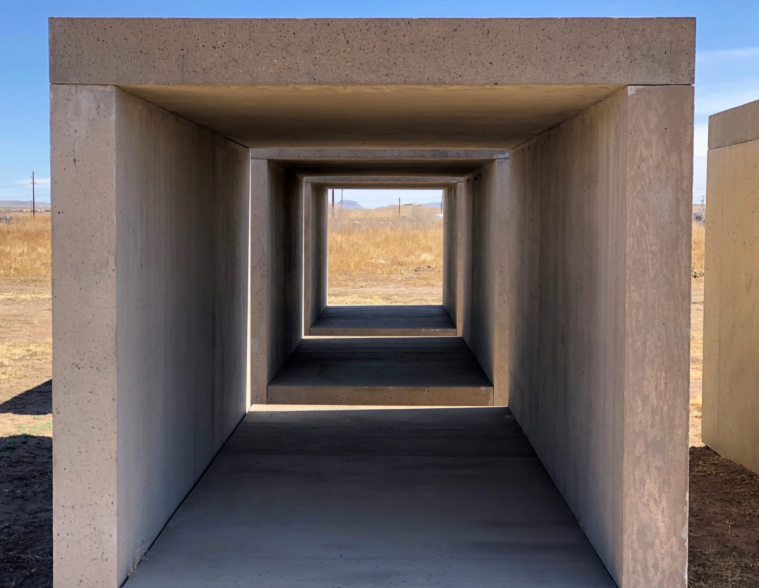
How to think of the untitled works by Donald Judd (d. 1994) on the grounds of the Chinati Foundation in Marfa? Brutalism in a brutal environment? Man’s – that is Humanity’s – longing for angular order in world of irregularity? The strange coprolite of giant angular creatures barely known to paleontology?
I could go on like that all day. Yuriko and I arrived at Chinati early in the warm afternoon of February 18. I can’t say we weren’t warned. The foundation’s web site says: “Our collection is installed across 21 buildings and two off-site locations; additionally, three works are site-specific, outdoor installations. Guided tours are the only way to see the majority of Chinati’s collection and grounds. Purchase your tickets in advance; tours often sell out.”
As we told a volunteer behind the desk, we didn’t have time for a tour. What to see on one’s on?
A long line of concrete structures in the West Texas scrub, that’s what. No tour guide, just a wander among the structures. But not inside them, according to instructions that we did follow.
After a little wandering, I came to think it isn’t just the structures, but the shadows too. What is it that the shadow knows? Right, the evil that lurks in the hearts of men.
I could turn on the art-speak spigot to describe Chinati (one of those infinite AI spigots, I figure), but no. I will note the tumbleweeds we saw.
A little less permanent than the Judd works, but only a little.
A few days ago, I sent the following email to the curator and historian at the Key West Art & Historical Society, Dr. Cori Convertito:
Dr. Convertito,
I recently visited Key West for another pleasant visit, and came away with a question I haven’t been able to answer, though perhaps I haven’t looked in the right places.
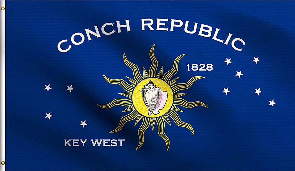
Who is credited with the creation of the Conch Republic flag? I understand that it appeared at the same time as the infamous roadblock and the “secession,” but detail on its creation is lacking. Do you happen to know that?
One reason to ask is that it’s a handsome design, though I’m not sure about the star pattern asterisms — is one or another supposed to be the Southern Cross?
Today she answered:
That’s a perceptive question, and a difficult one to answer definitively. The Conch Republic flag emerged alongside the 1982 ‘secession,’ but attribution is complicated by the fact that several individuals have, over the years, laid claim to the original iteration of the artwork, and reliable contemporary documentation is limited. As a result, it’s hard to credit a single creator with certainty.
What is clearer is the intent behind the design elements. In addition to the conch shell and sun, the star groupings are generally understood to represent two navigational asterisms: the Southern Cross and the Northern Cross (Cygnus). Their inclusion appears deliberate, reinforcing Key West’s maritime identity and its symbolic position between hemispheres.
I hope that helps clarify what is known, and what remains unresolved.
So the short answer is, like with a number of historical questions – even ones as recent as this – no one is sure. Good to know. Thanks, Dr. Convertito.
The Overseas Highway, from mainland Florida to Key West, or vice versa, is epic all around: an epic construction project once upon a time, and an epic drive in our time. Through the Upper Keys, the likes of Key Largo and Islamorada, the ocean isn’t usually visible, obscured behind thick development: commercial and residential buildings and omnipresent marinas. But it isn’t long before you’re skipping from key to key, some larger, some smaller, with water widely visible on both sides of the road.
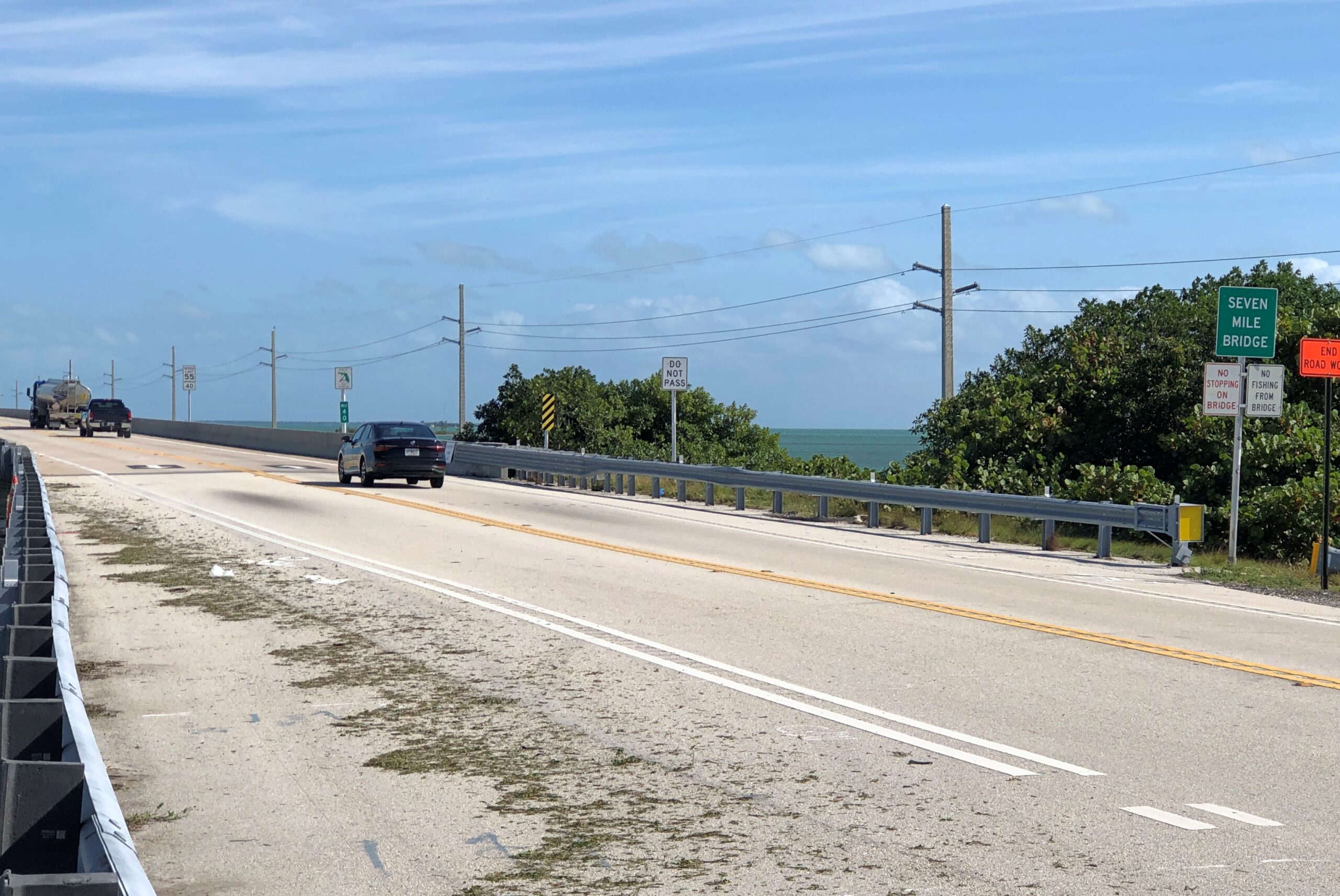
The most epic section of the crossing, as far as I’m concerned: Seven-Mile Bridge.
On an ordinary highway, seven miles isn’t much of a stretch at highway speeds. Listen to one song or another on the radio and you’re practically done with it. Those same minutes have a different quality over the wide water, glinting in the sun and spotted with boats and occasional small keys in the distance. There’s a sense of the mildly impossible. Of course it’s entirely possible, via a feat of 20th-century civil engineering, as is the 100-plus miles of the whole highway. I don’t believe my civil engineer grandfather ever drove the Overseas Highway, but I’ll bet he read about it with considerable satisfaction.
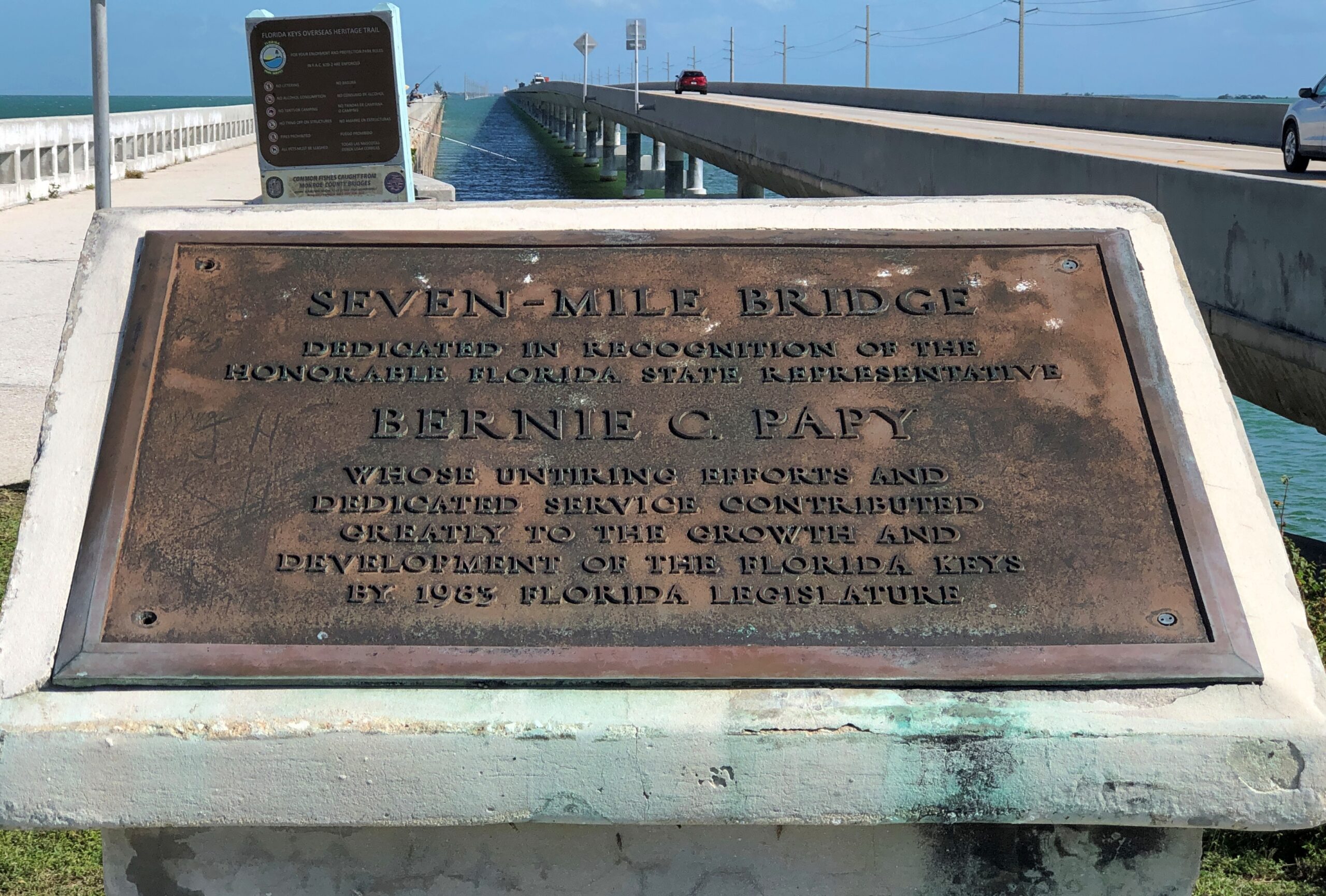
“The original 7 Mile Bridge, also known as the Knights Key-Pigeon Key-Moser Channel-Pacet Channel Bridge, was constructed in the early 1900s as part of Henry Flagler’s ambitious Overseas Railroad project,” notes the Key West Blog. “This railroad connected mainland Florida to Key West, revolutionizing transportation and trade in the region. However, after a devastating hurricane in 1935, the railroad was destroyed, and the bridge was converted into a highway.”
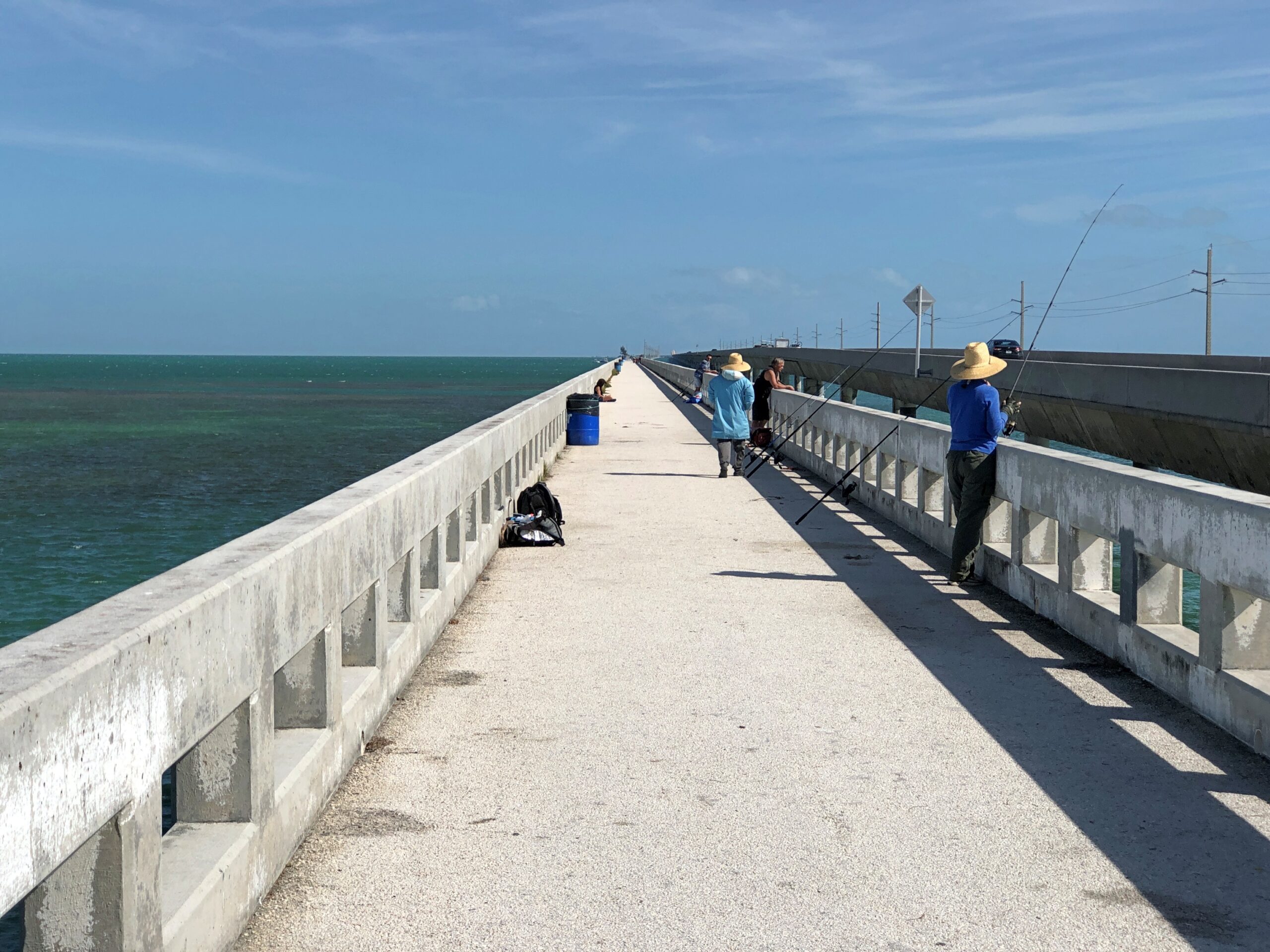
The history is a little more complicated than that, with the current bridge a 1980s work, leaving part of the original as a pedestrian and (especially) a fishing bridge. I’m no sport fisherman, but I understand tarpon, snook, snapper, grouper, bonefish and barracuda swim these waters.
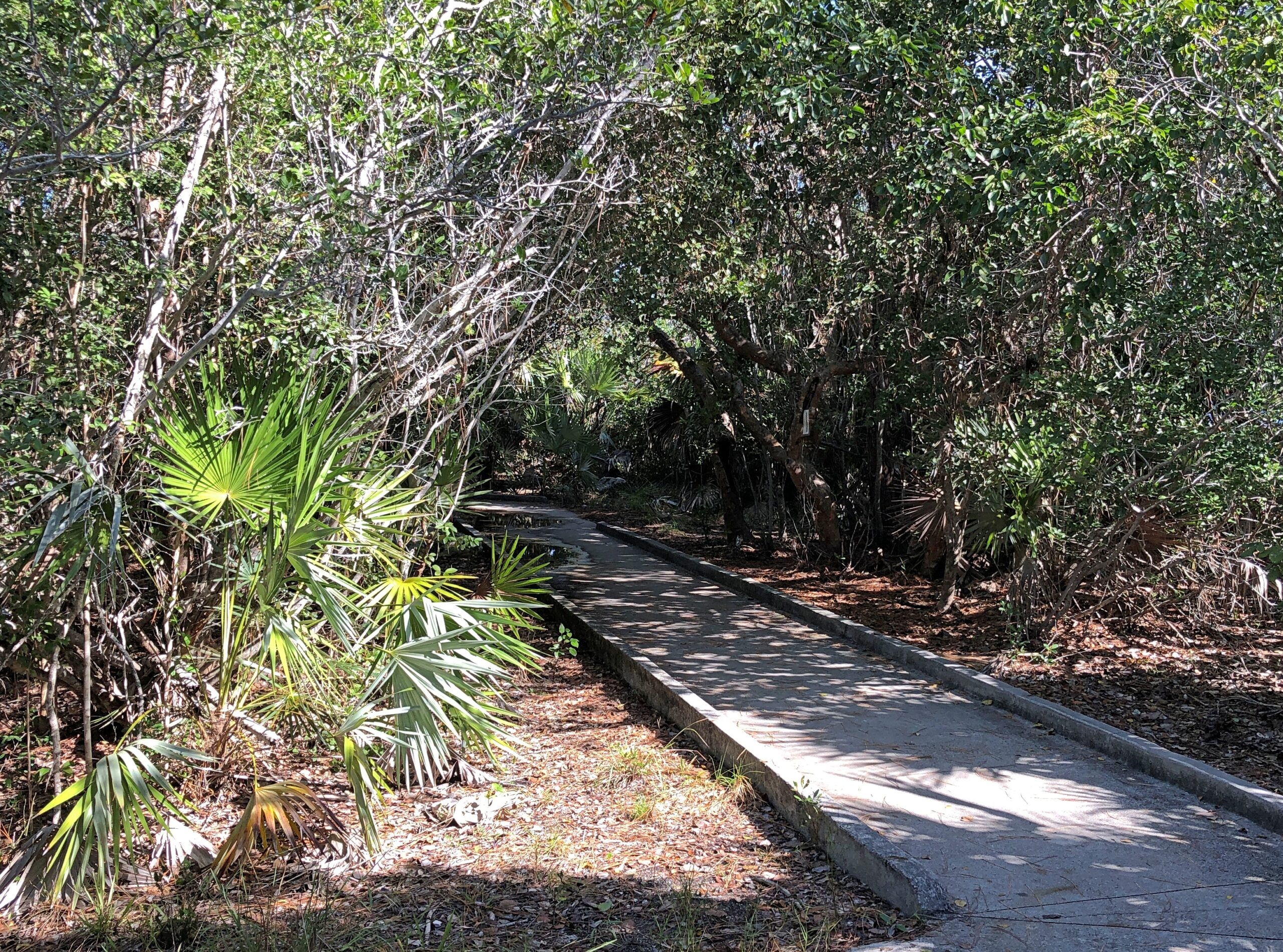
At Big Pine Key, we stopped for a visit to the National Key Deer Refuge, a place focused on giving key deer a place to live, as it says in the name. For human visitors, there is a trail.
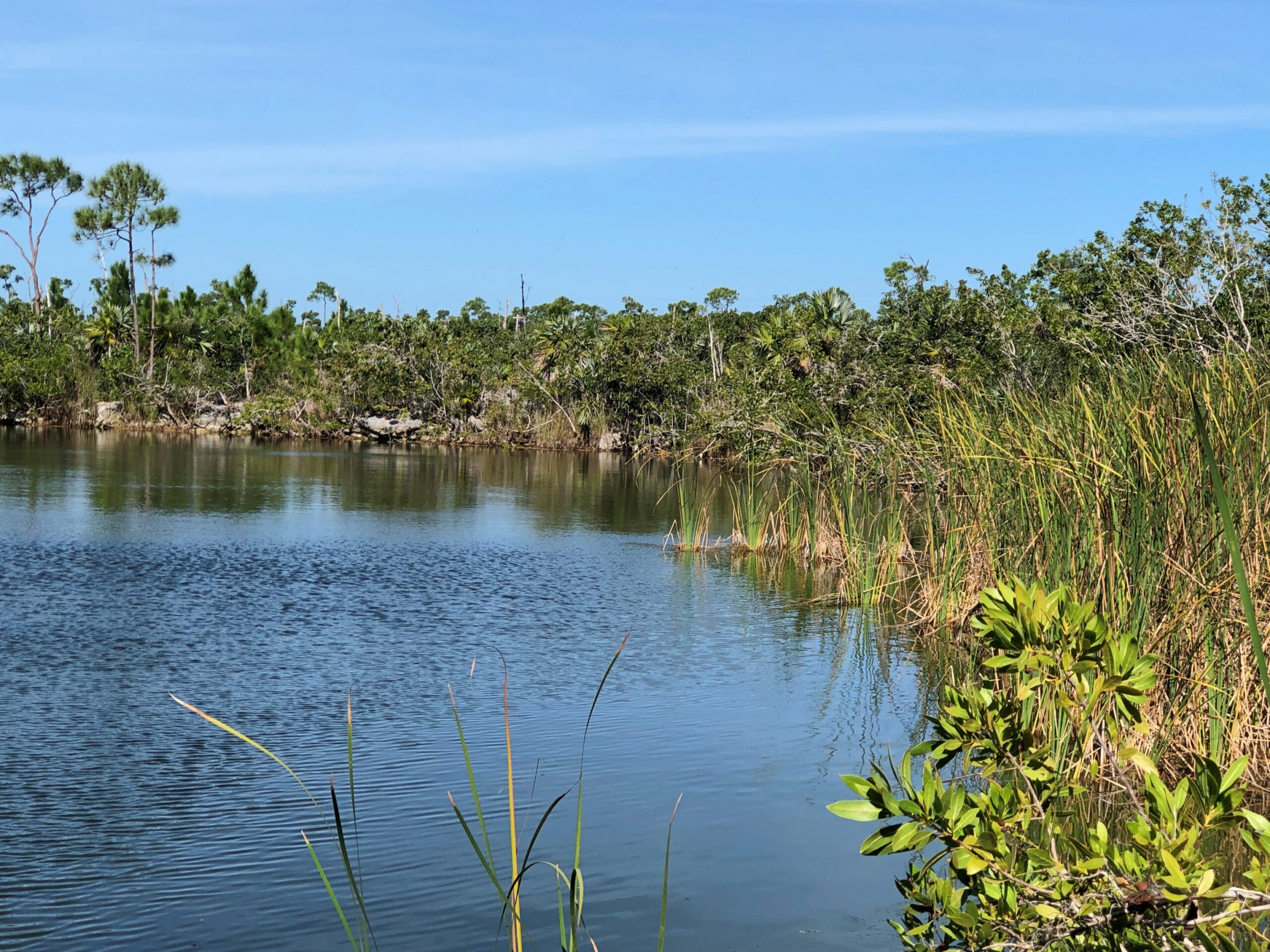
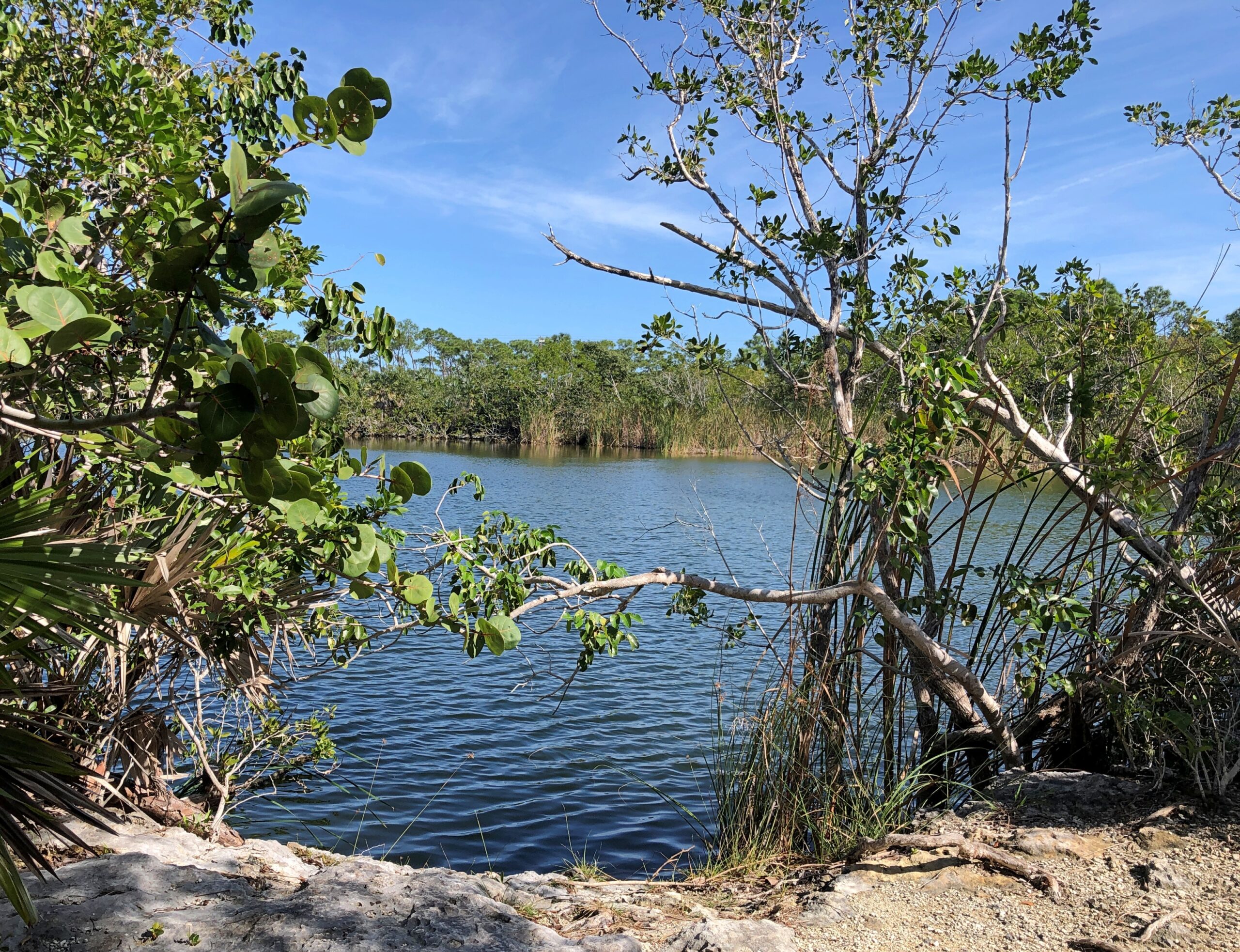
It goes partly around a pond in the refuge. No deer were to be seen.
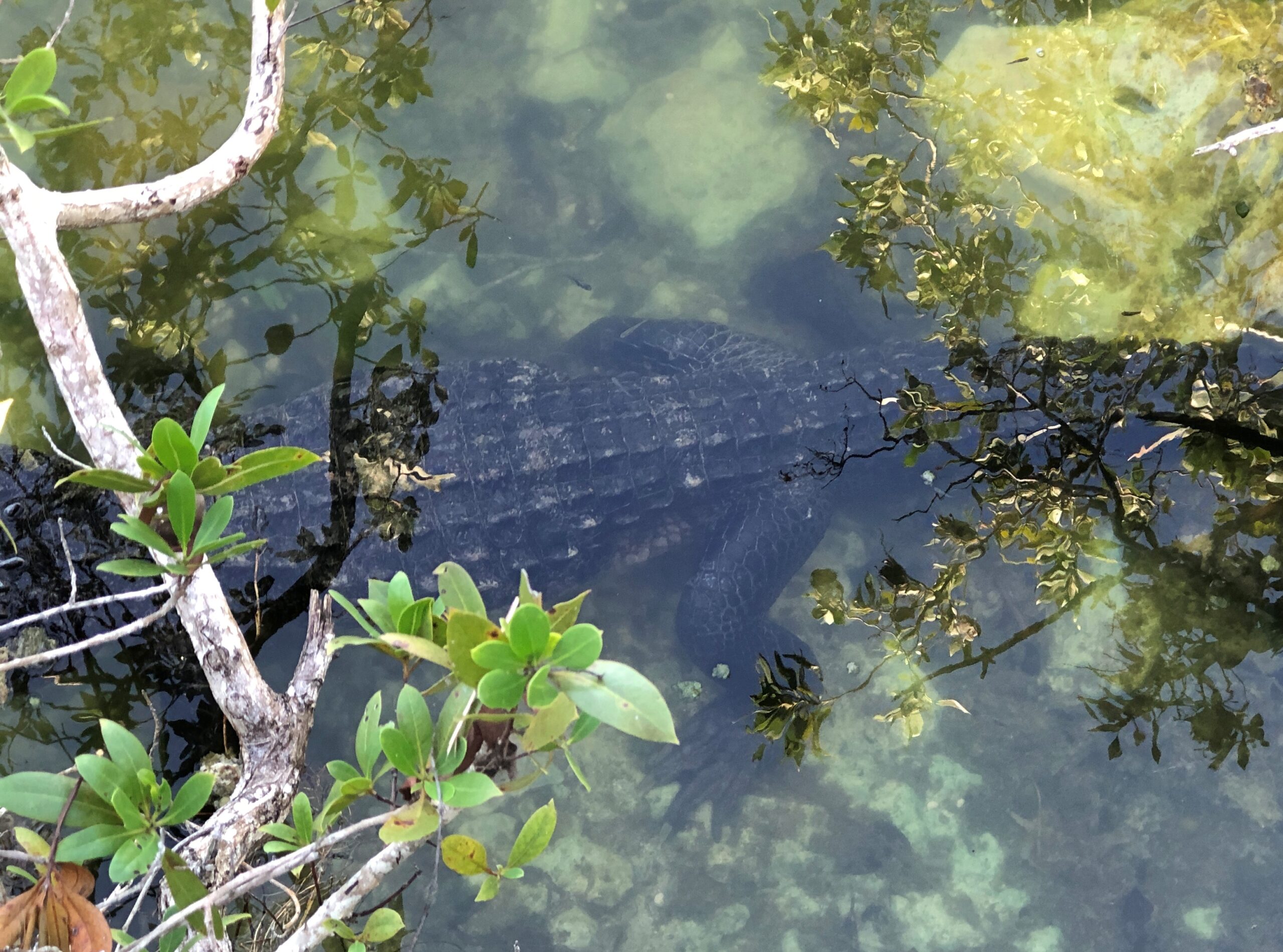
We did spot a gator, however. Or maybe a croc. Hard to tell at this angle. They both live in southern Florida.
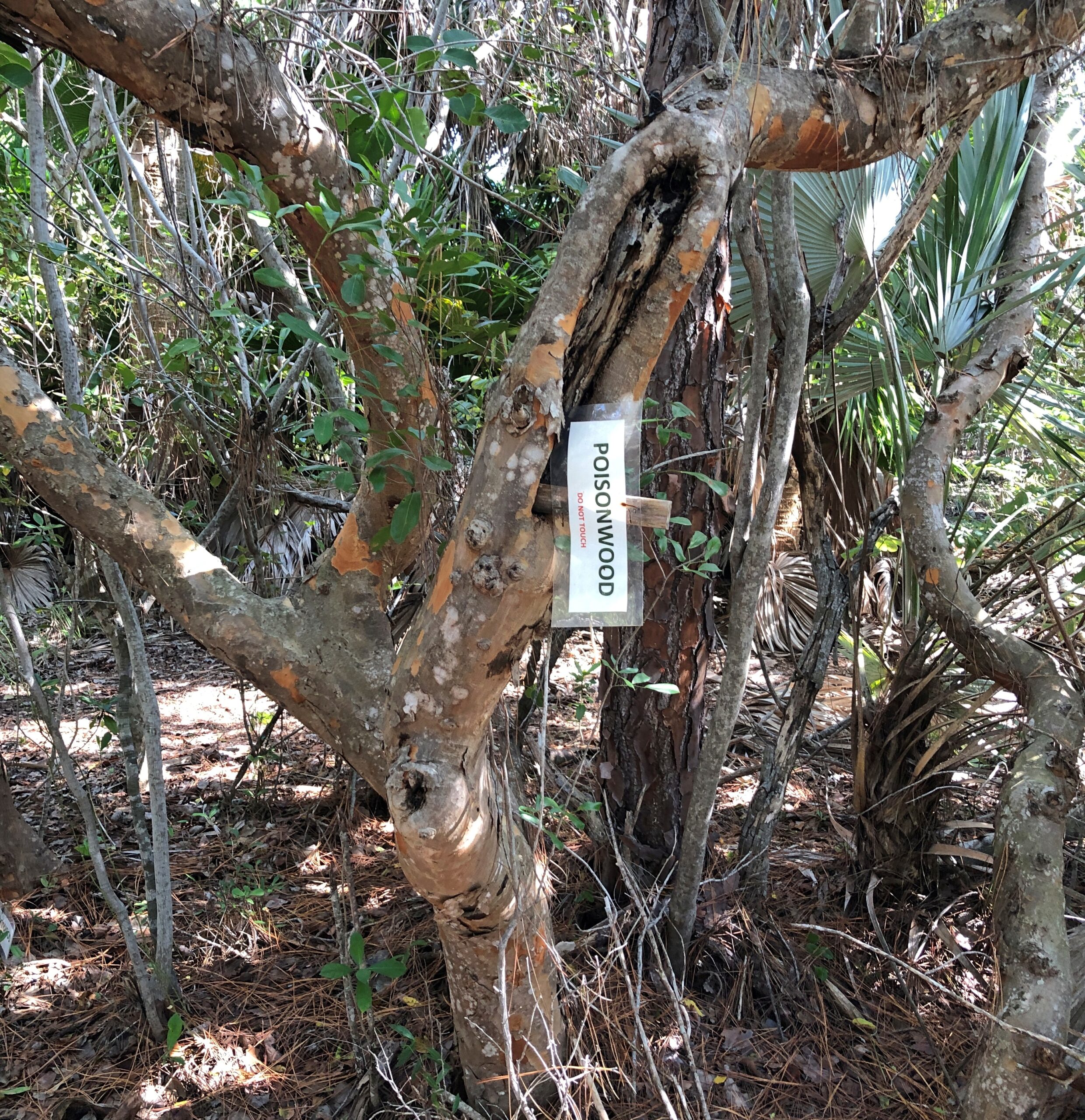
A sign on the trail warns visitors not about reptiles, but a nearby poisonwood tree.
Poisonwood? A native to the Keys. It sounds bad, and it is.
“Metopium Toxiferum [poisonwood] is related to poison oak, poison ivy, and poison sumac,” says the Tree Care Guide. “The tree produces the same irritant, urushiol, which causes an itchy, blistering rash. The oils from Metopium toxiferum cause dermatitis ranging in severity from a light red rash to intense skin blistering. Tea made from Metopium toxiferum leaves and twigs combined with bleach has been used to induce abortions but has also tended to kill the patient.”
Yikes. We took the advice of the sign and didn’t go near it.
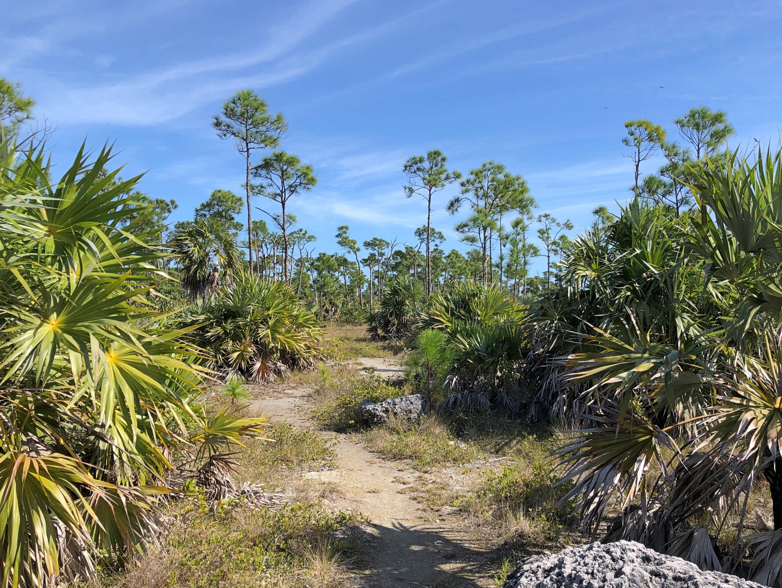
Across the road from the refuge parking lot, some undeveloped key landscape. There couldn’t be that much of that, at least on the keys connected by the highway.
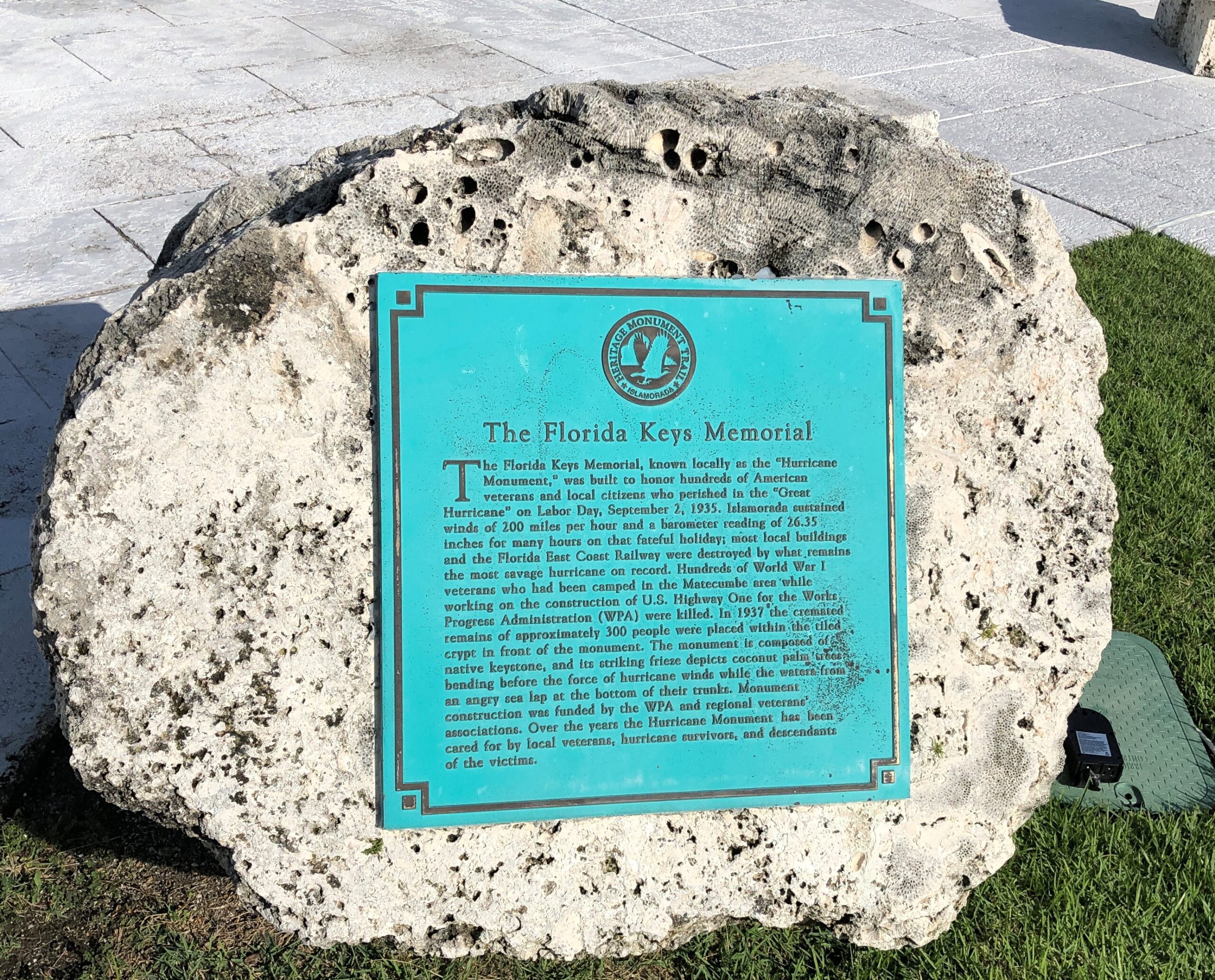
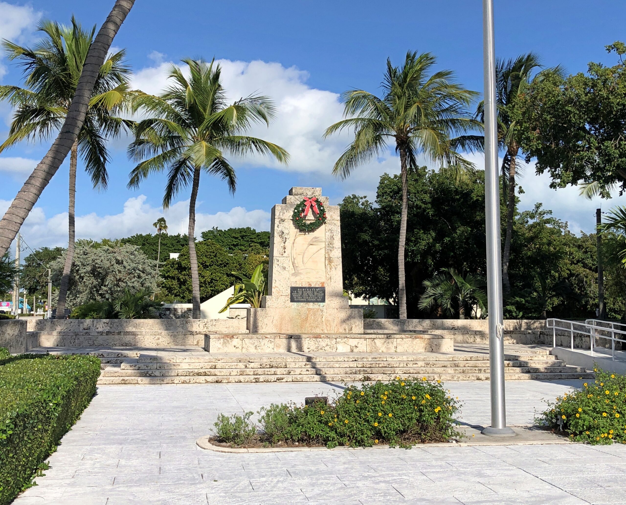
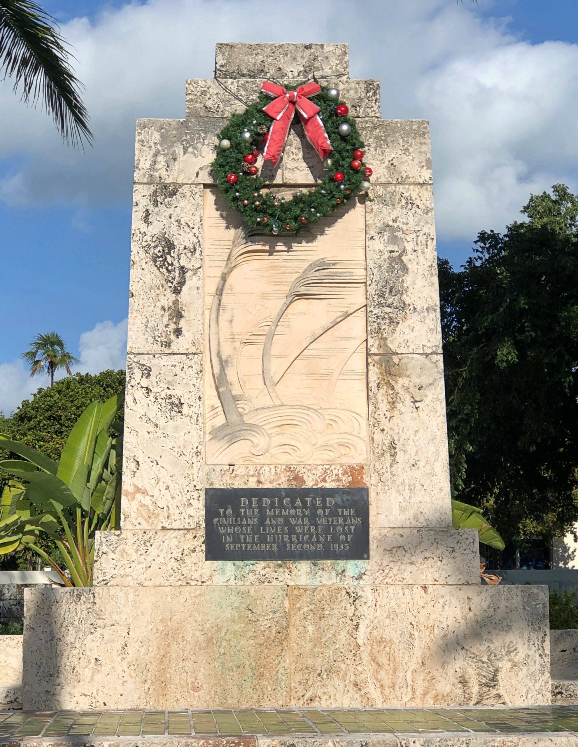
In Islamorada, which is spread across five small keys much closer to the mainland than either Key West or Big Pine Key, we stopped to pay our respects at the memorial to those who died in the 1935 hurricane.
Also in Islamorada, we drove past Betsy the Lobster, but sorry to say, didn’t stop for a closer look. What was I thinking?
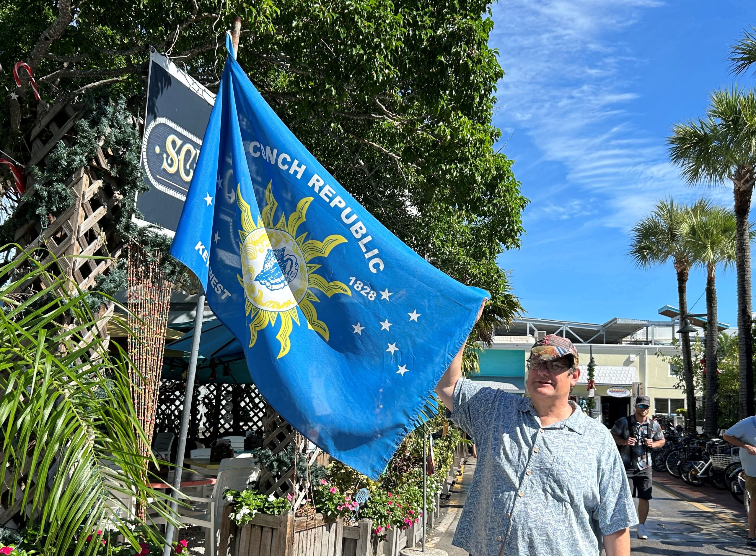
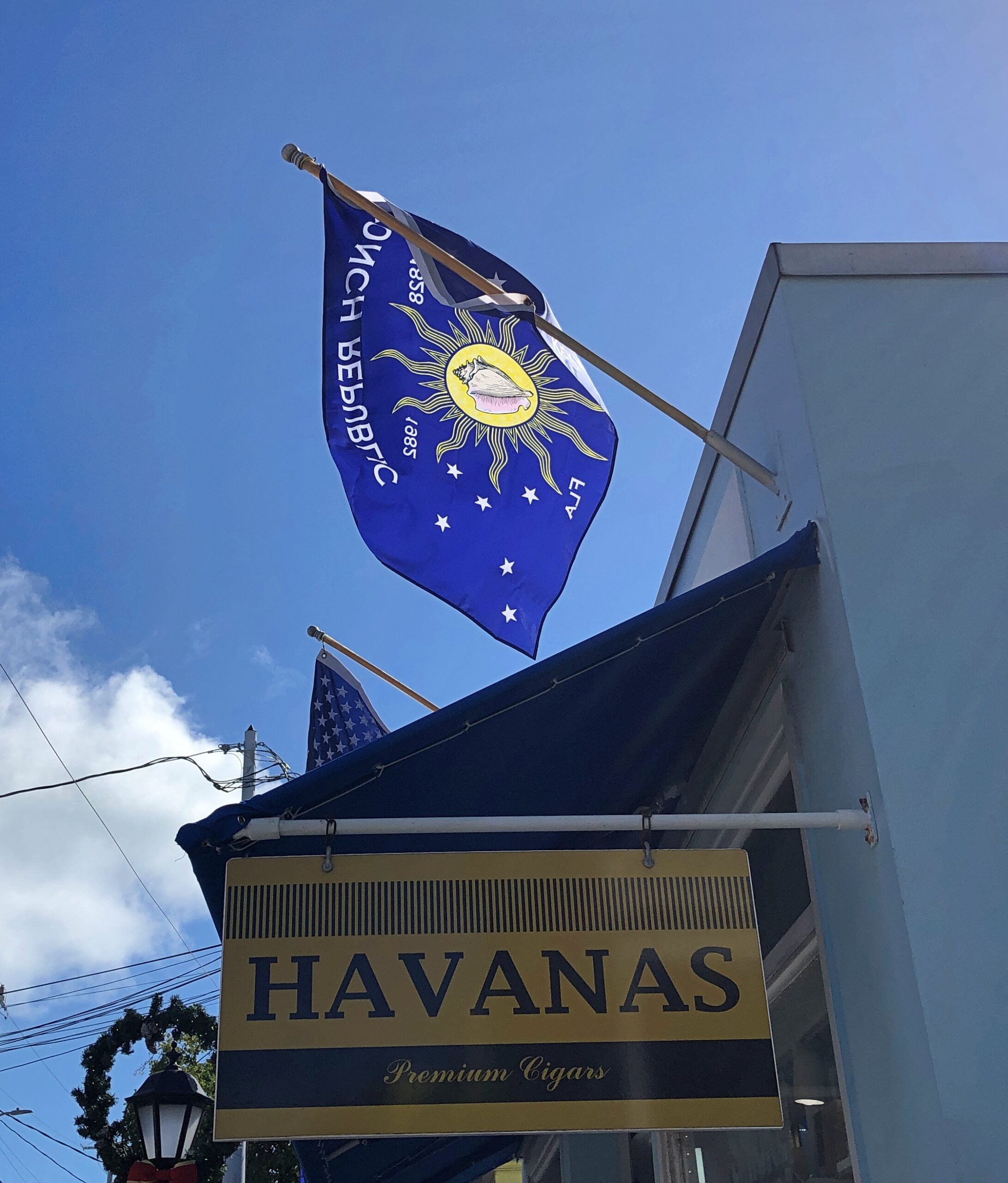
In Key West last month, we noticed the Conch Republic flag displayed in more than a few places.
More about the not-very-serious Conch Republic micronation, created in 1982, is in this Miami Take article. Curiously, the article doesn’t describe how the flag came to be, just that it was simultaneous with the declaration of the CR, which was a kind of protest against a surprise U.S. Border Patrol roadblock on US 1 at the entrance to the Keys. Still, the design works, and it’s something distinctively Key West.
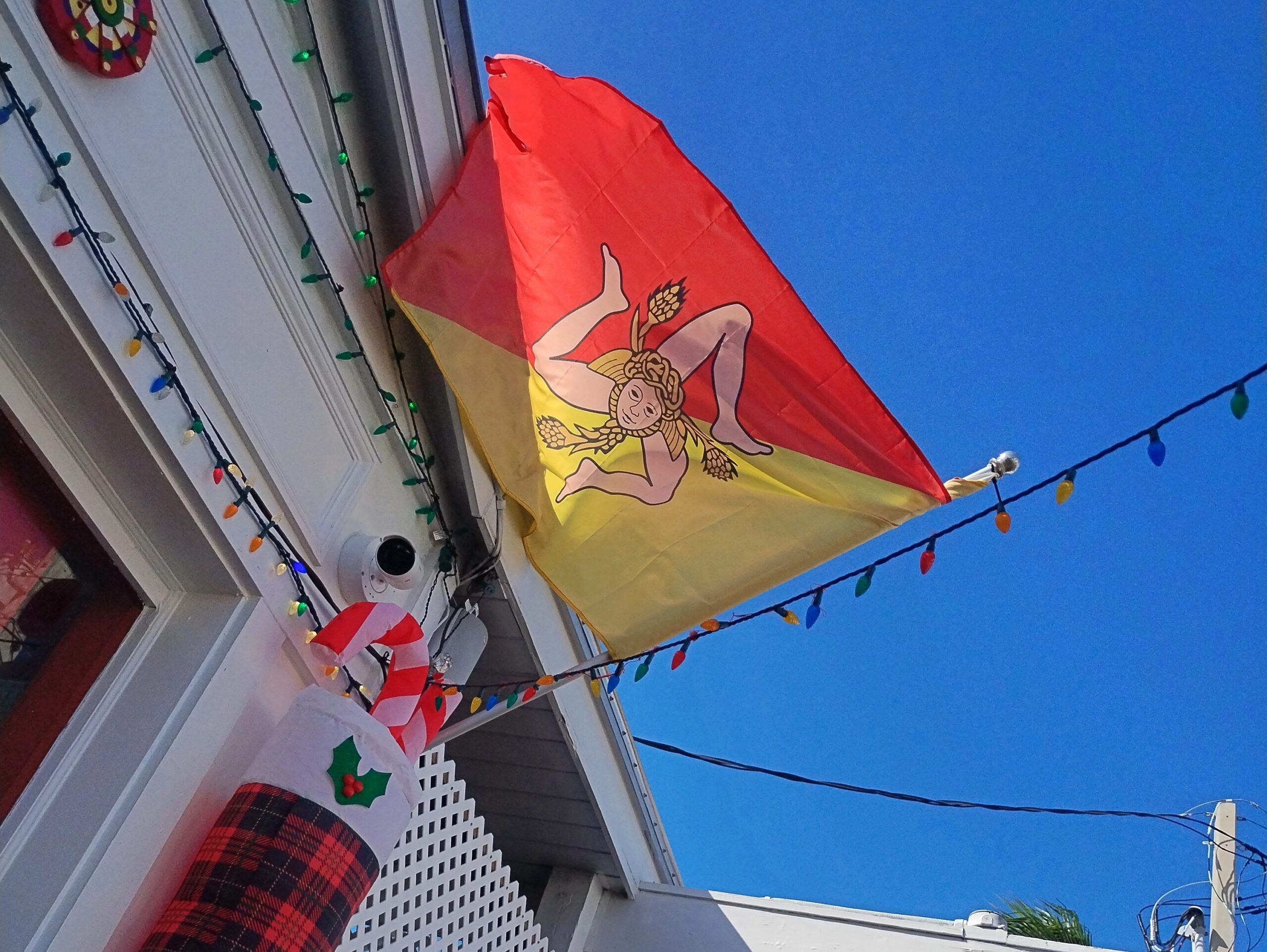
Saw the very distinctive Sicilian flag in Key West, too, just off Duval, over a joint that promised southern Italian food.
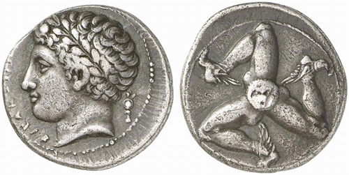
The design is not only distinctive, but ancient. This is a silver drachma from Sicily, ca. 300 BC.
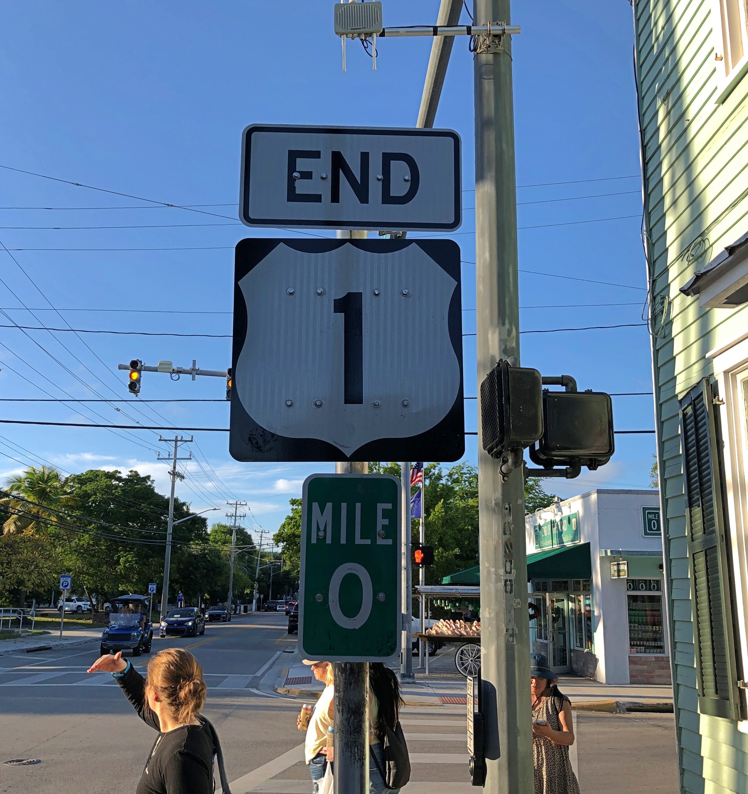
I digress. During one of our Key West walkabouts, we made a point of finding the southern terminus of highway US 1, which is at the intersection of Fleming and Whitehead streets.
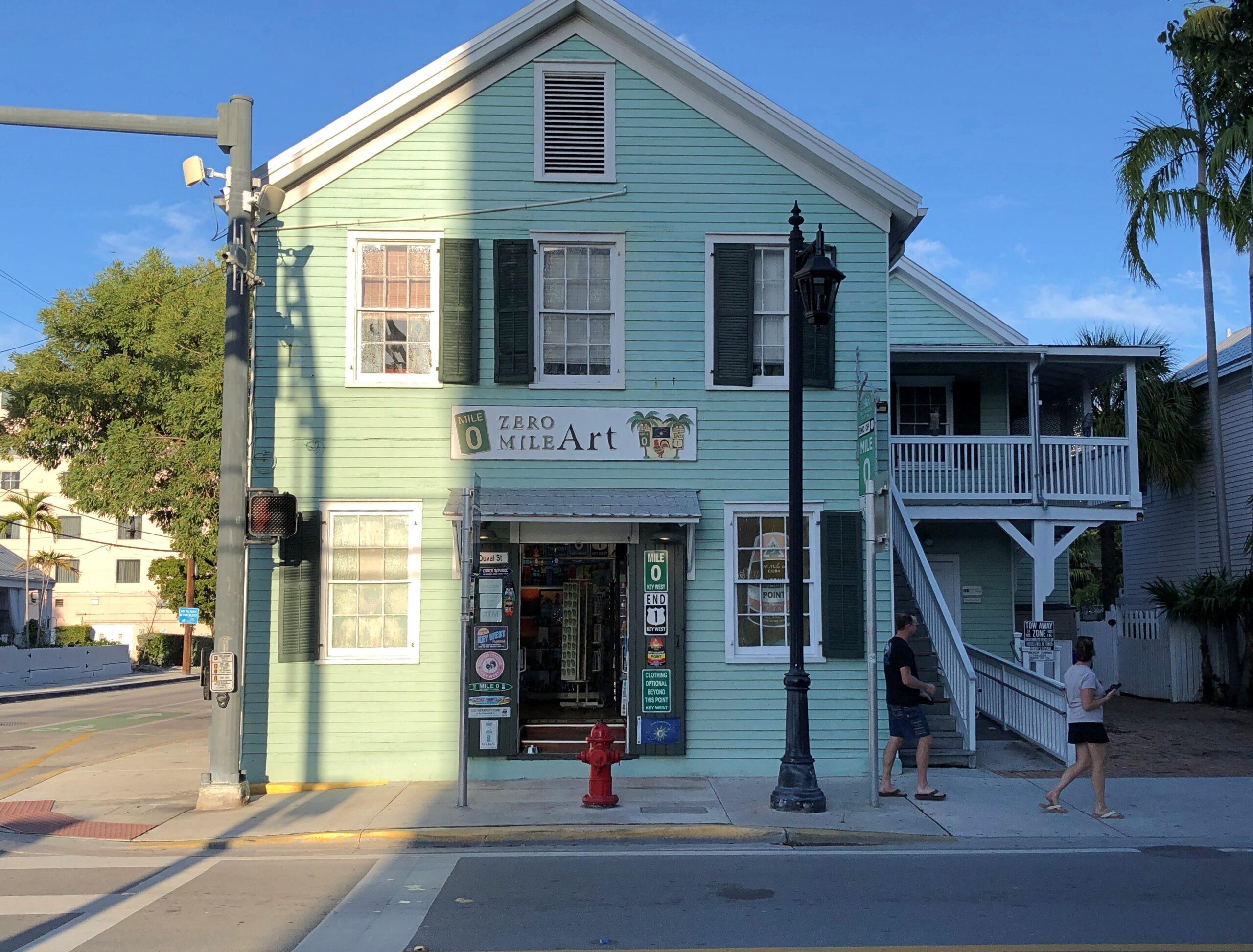
A business taking advantage of its unique location. Locational branding, they might say in marketing.
Now that I’ve now seen the southern terminus of US 1, that clearly means I have to see the northern terminus. That happens to be in Fort Kent, Maine, so perhaps a summertime visit. A real epic would be driving the entire 2,369 miles between Key West and Fort Kent on that highway. People drive all of the 2,448-mile Route 66, and it’s not even a real highway anymore. I’ve been gifted, or cursed, with the ability to think up more long trips that I can possibly do.
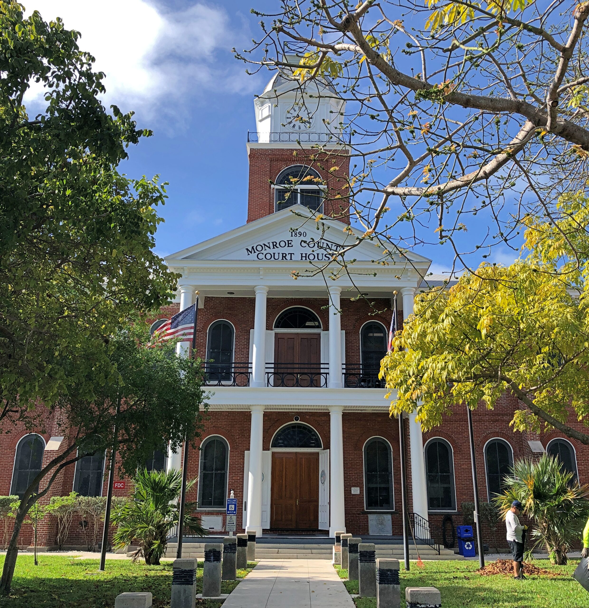
Half a block away from the beginning/end of US 1 is the Monroe County courthouse.
A nearby sign says: The original wooden courthouse was completed in 1823. The county occupied most of the Southern Florida Peninsula. The county seat in Key West currently covers the Florida Keys, and portions of the Everglades National Park. The present red brick courthouse, built in a traditional county courthouse style, was completed in 1890. It features a 100-foot tall clock tower and is an architectural feature that can be observed from almost any part of Key West.
A traditional county courthouse? In the Northeast, yes. Looks like someone used one of those building-moving transit beams in Rocky Horror to transport an entire New England courthouse down to the Keys.
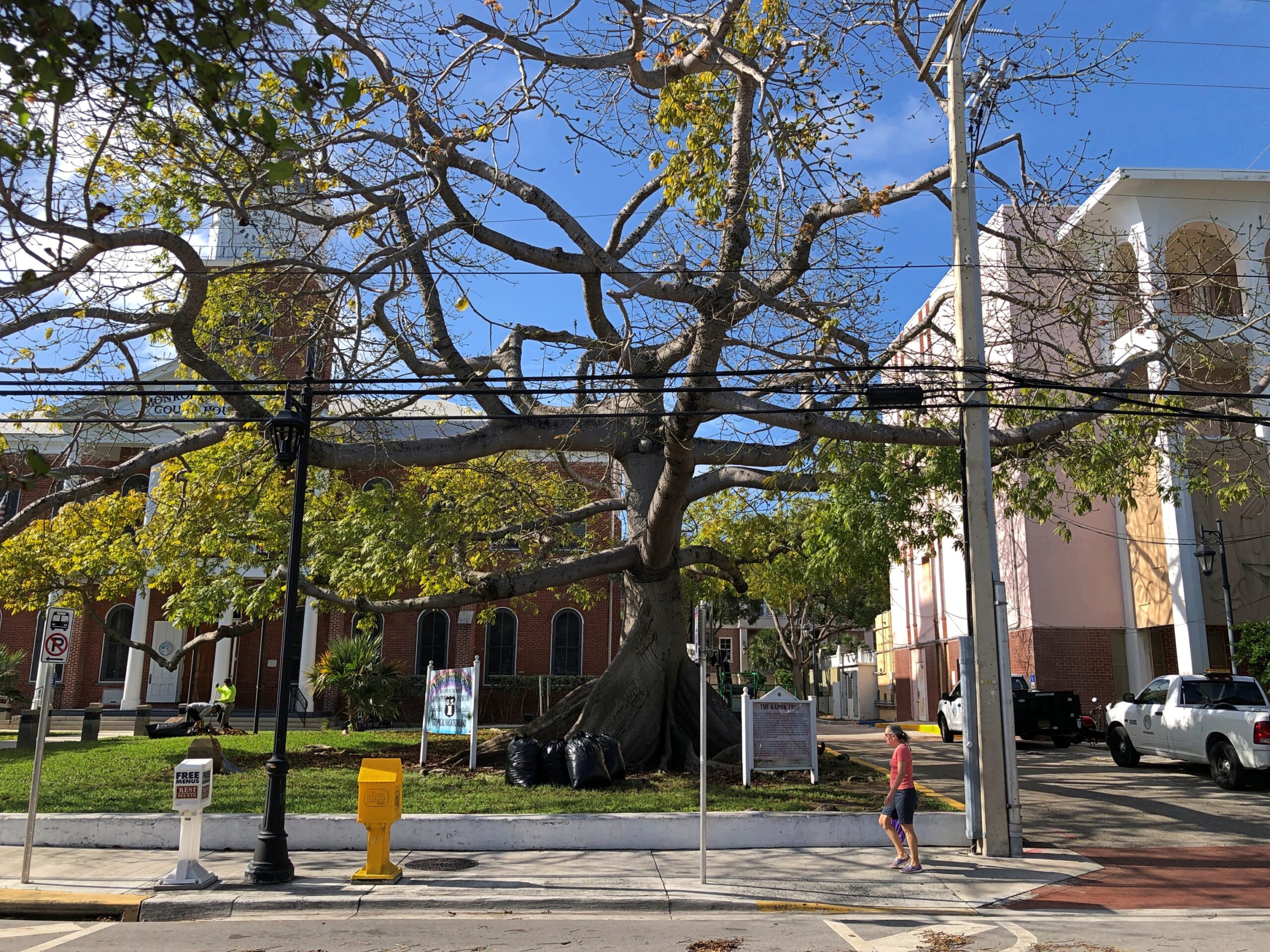
The courthouse grounds comes with this oddity.
At least, odd to me.
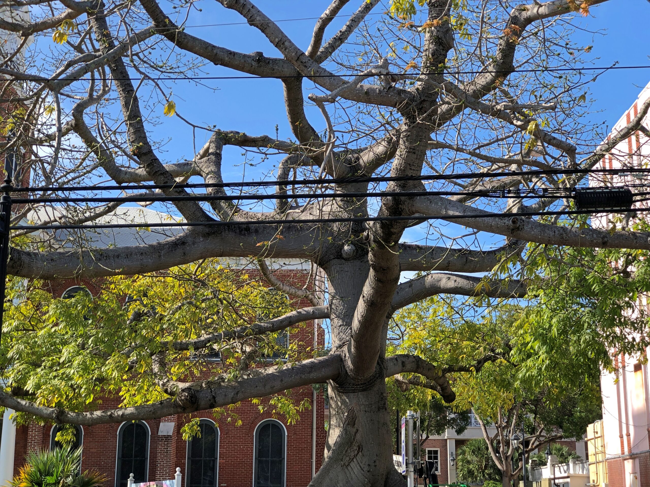
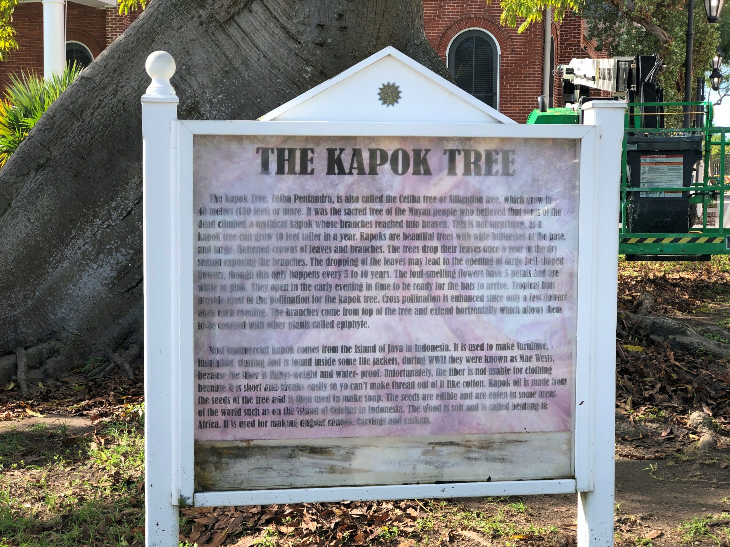
A kapok tree, ceiba pentandra. Odd to more than just me. Enough people that the city put a sign describing kapok trees, next to this example of one. The sign’s a bit worse for wear.
Java cotton is one name for its fiber, which surely evokes distant islands.
More Key West signs.
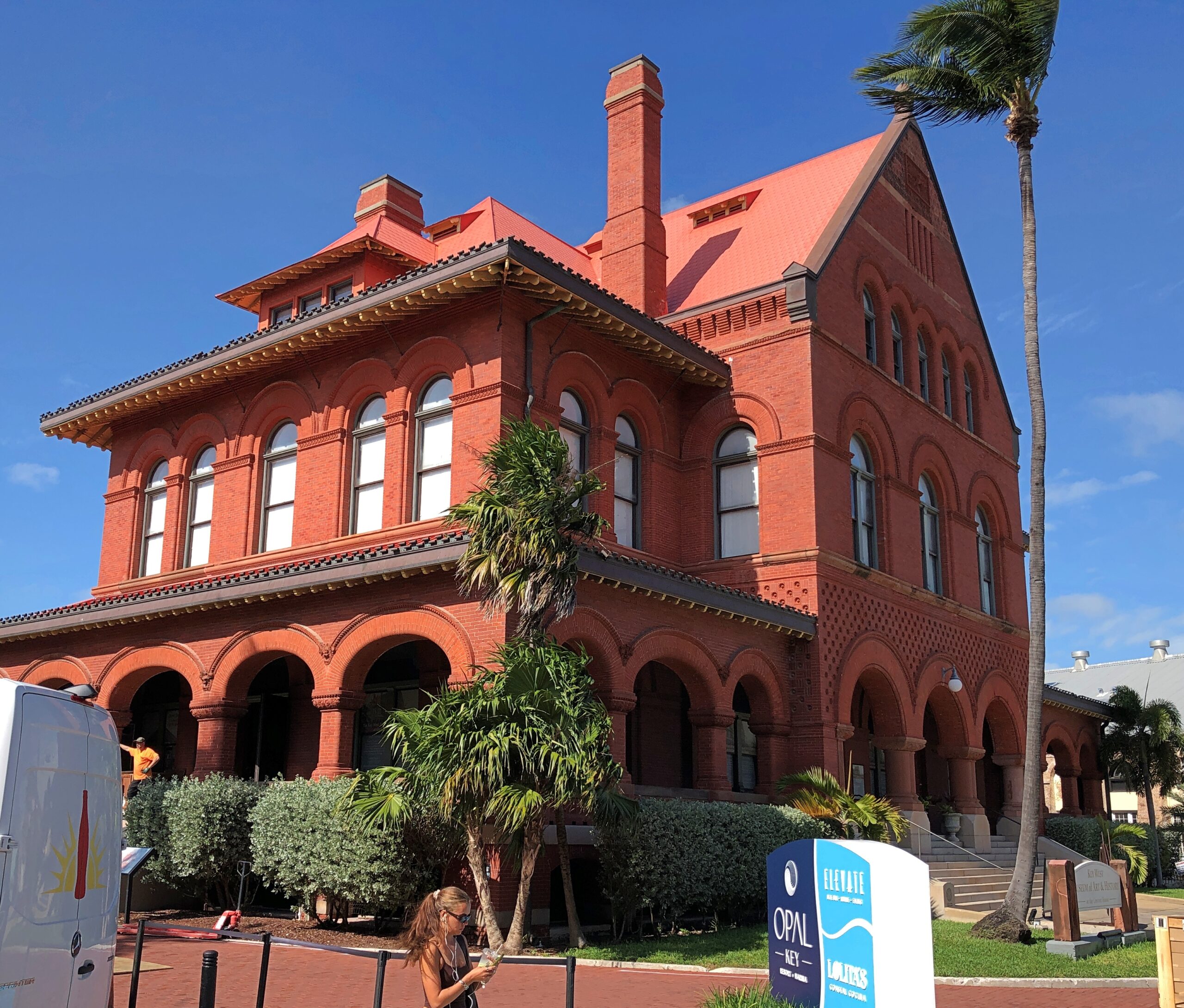
Is this not a handsome building? And looks solid enough to stand in any mere wind.
Formerly the island’s Custom House, Post Office, Federal Courthouse and 7th District Lighthouse Offices. Built – the early 1890s – when architectural beauty wasn’t considered in conflict with the practice of republican government. These days, it’s the Key West Museum of Art & History.
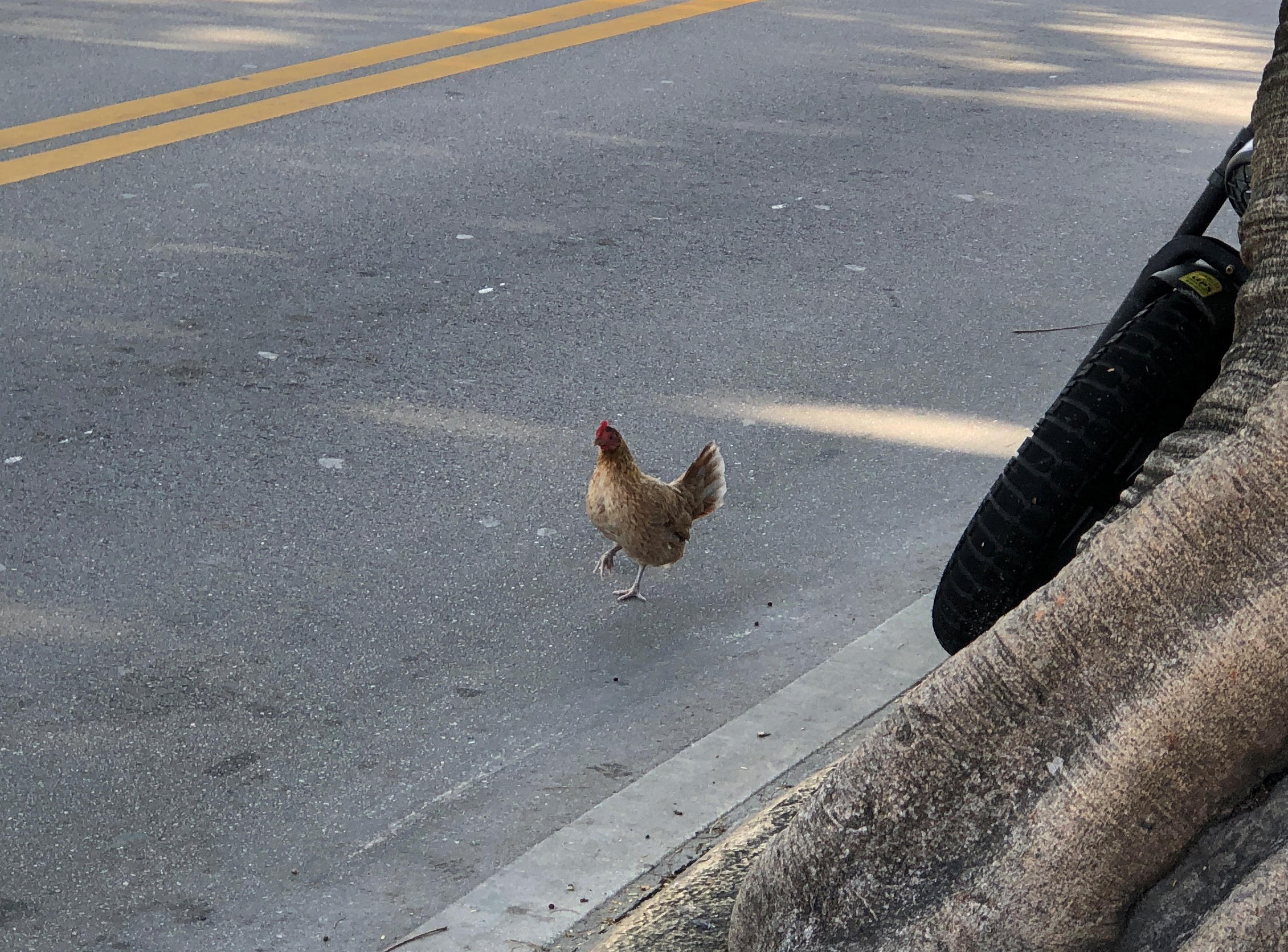
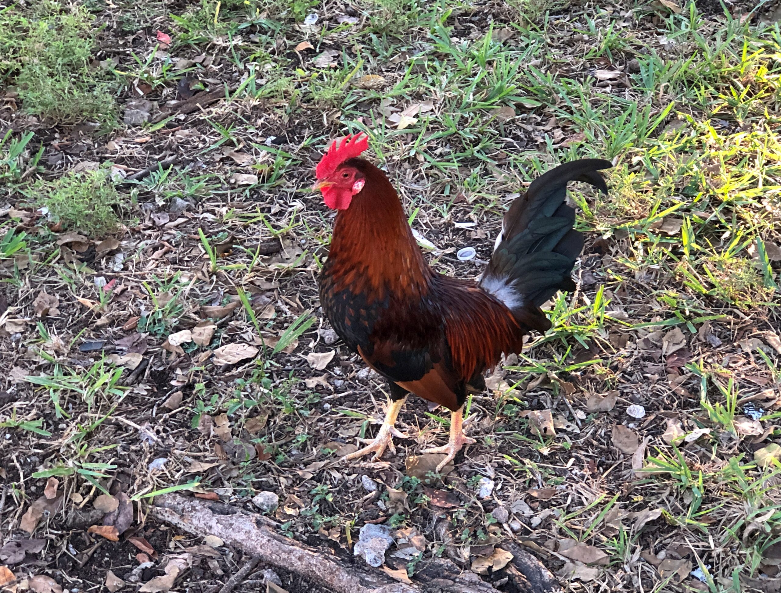
Sure, the chicken has been crossing the road for a long time now, but how often did you actually see it?
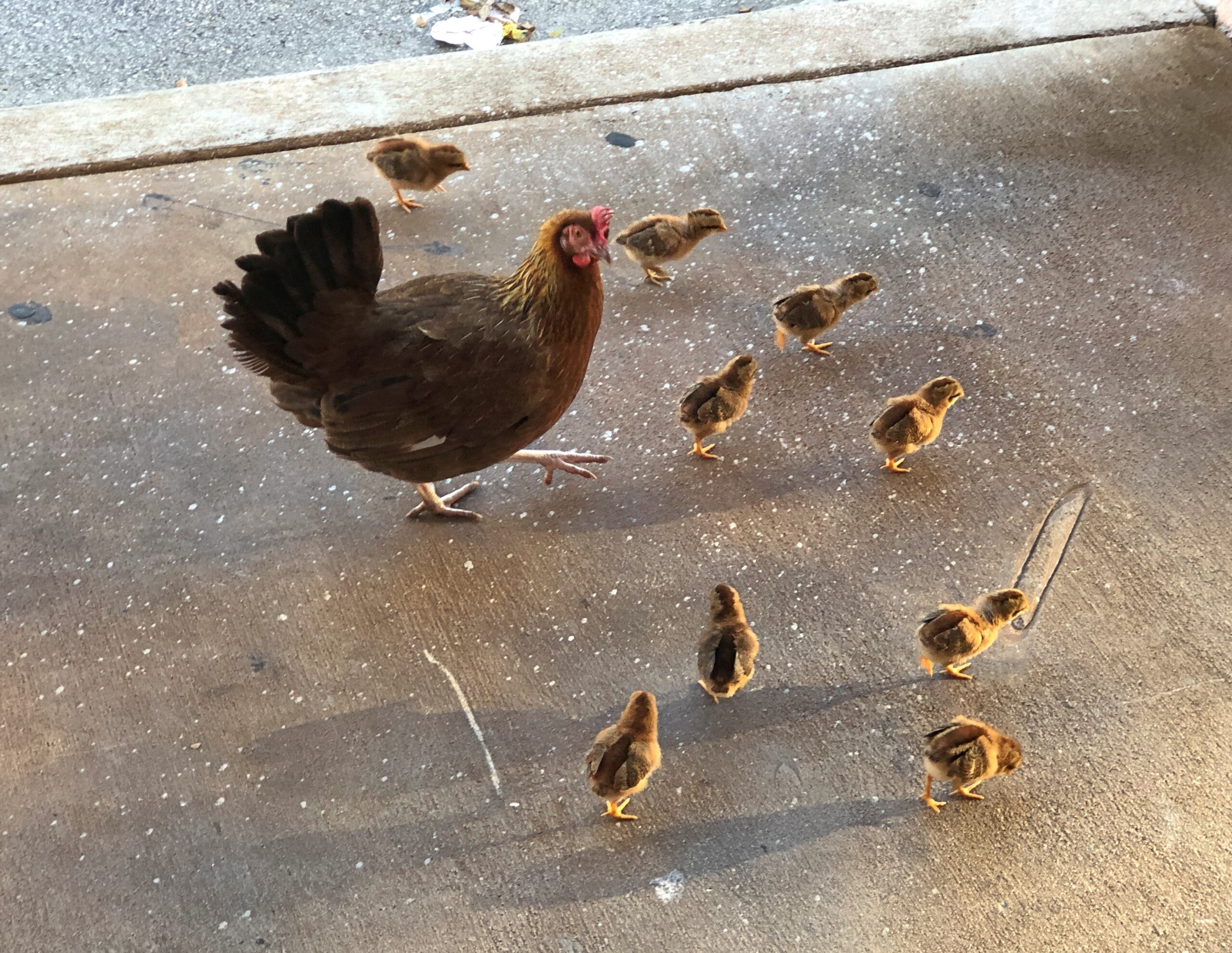
Pretty often in Key West, is the answer.
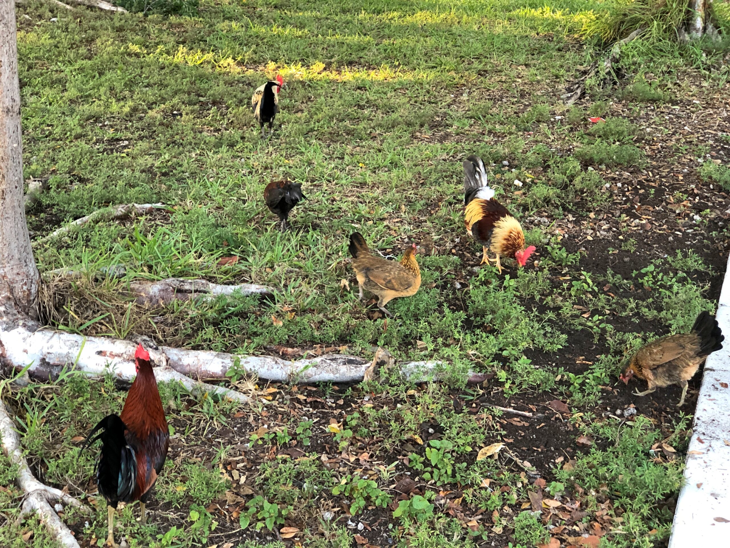
I’m hard pressed to think of any other North American town with footloose chickens. As in, on the streets and sidewalks. Not out in rural areas, but even there you don’t seem to see that many. Then again, the Conch Republic is only tangentially a North American town. North Caribbean is another way to describe it.
“When people stopped the laborious process of turning live chickens into Sunday dinner many decades ago, some backyard chickens gained their freedom,” notes Florida Rambler. “Other roosters were released when cock-fighting became illegal.”
So, for this rooster, his great- great- however many great-granddaddy was a champion cock, known to betting men from here to Savannah?
They’ve gone on to a career of being local color, these birds, with forays in behaving like pests in people’s yards. They are feral, after all, living in the lushness that is Key West. Was the chicken ever considered for the Conch Republic flag? Probably not; chickens don’t get a lot of respect from people, unless they’re dinner.
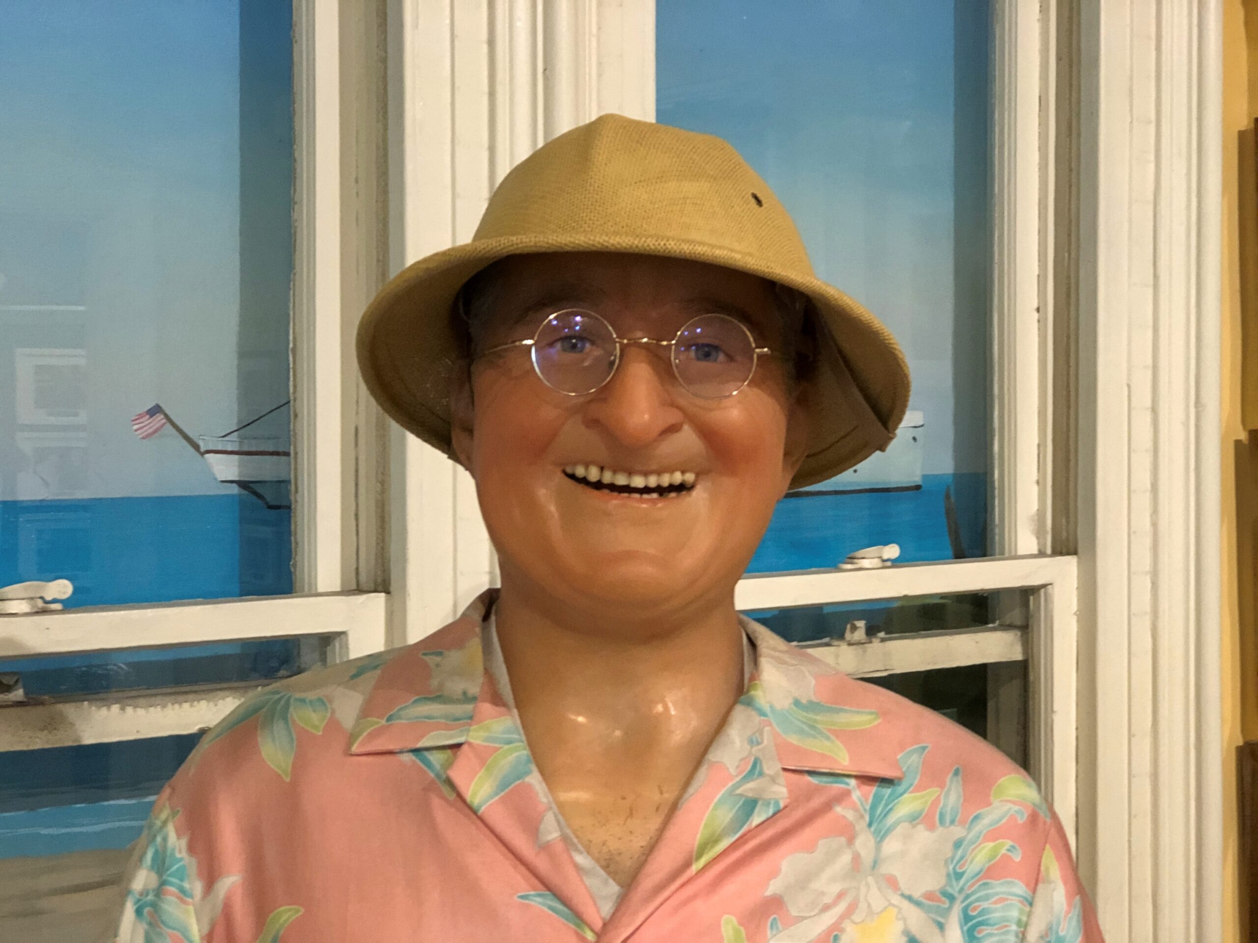
Nightmarish human faces weren’t invented by demented AI, but have long been with us. Case in point.
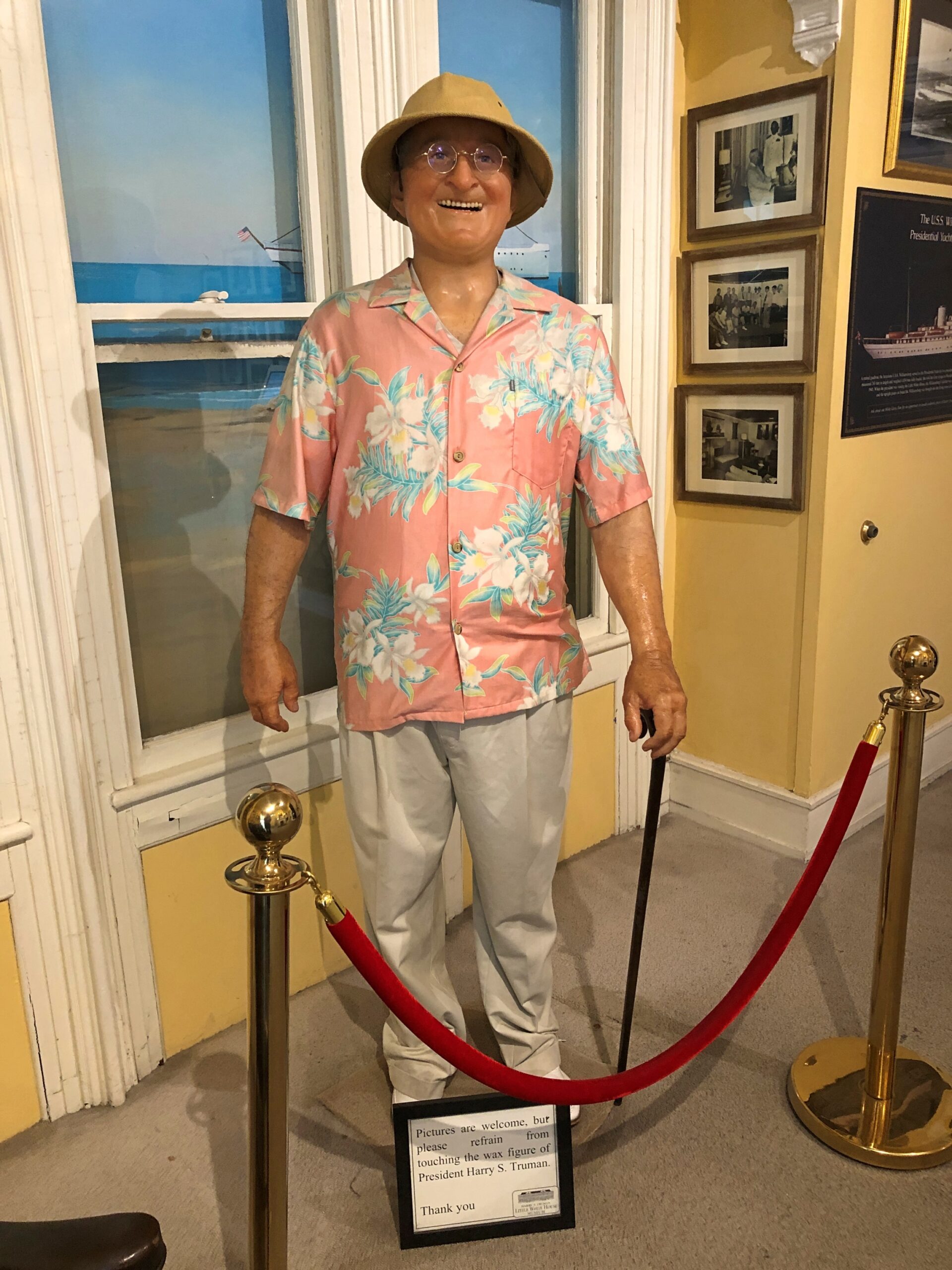
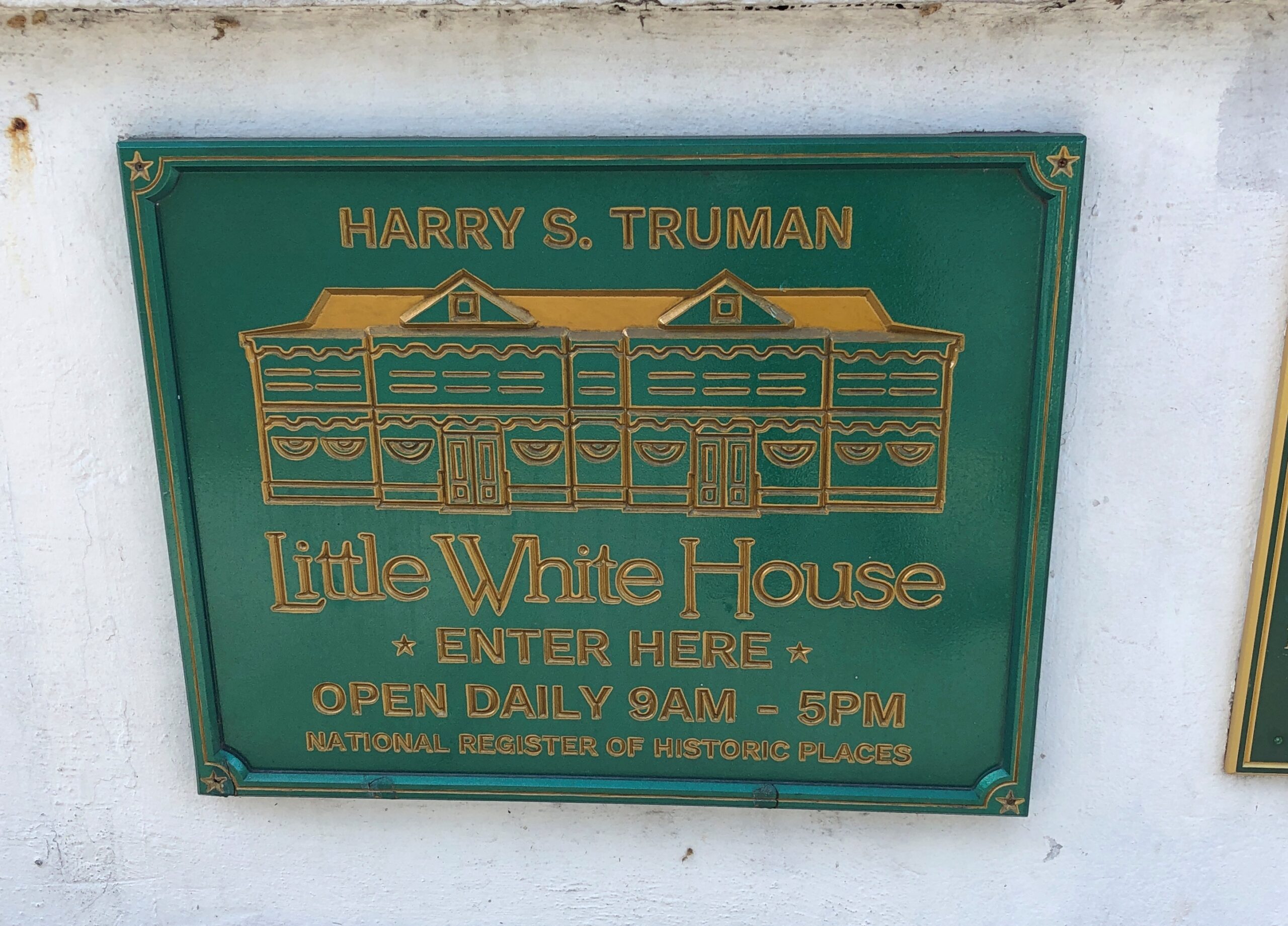
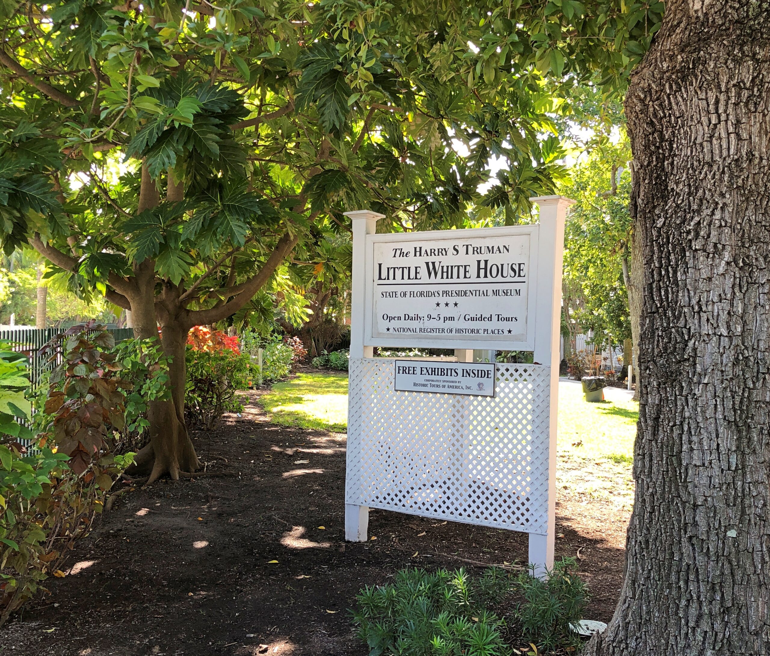
There’s Harry Truman in there somewhere. This particular wax dummy watches patrons in the small gift shop at the Harry S. Truman Little White House, which we toured on our second day in Key West.
The property belongs to the state of Florida these days, but of course was once a federal facility. Specifically, used by the Navy as officers’ quarters for the base at Key West. Truman took a cotton to the island early in his presidency, and visited often, and this is where the Navy put him up. He came to relax and play cards and fish and drink, naturally, but also to be president somewhere besides Washington in winter, since by the 1940s communication tech could facilitate such a thing.
The museum has been restored to its appearance in the late 1940s, and damned if it isn’t like walking into my grandparents’ time, entering an ordinary sort of American house of the period. The president might have stayed there, but Harry and Bess weren’t the sorts who went in for the latest expensive styles, but rather the sort of things available at a department store or via mail order: couches with some color but not too much, wooden coffee and end tables, mid-century lamps, etc.
Except, that is, for the handsome custom-make card table. That wasn’t available from Montgomery Ward.
“The poker table was a gift to Truman in 1949 by three civilian contractors working in the U.S. Naval Station cabinet shop,” says Wood Shop News. “The table is a marvel of craftsmanship and one of the most popular pieces at the Key West facility. Measuring 58” in diameter and 28” high, according to Little White House executive director Bob Wolz, it is based on a poker table that was used on the U.S.S. Williamsburg presidential yacht. The piece is made of mahogany with built-in chip holders and ashtrays crafted from recycled brass shell casings. A solid tabletop can be used to cover the poker table to turn into a dining space.”
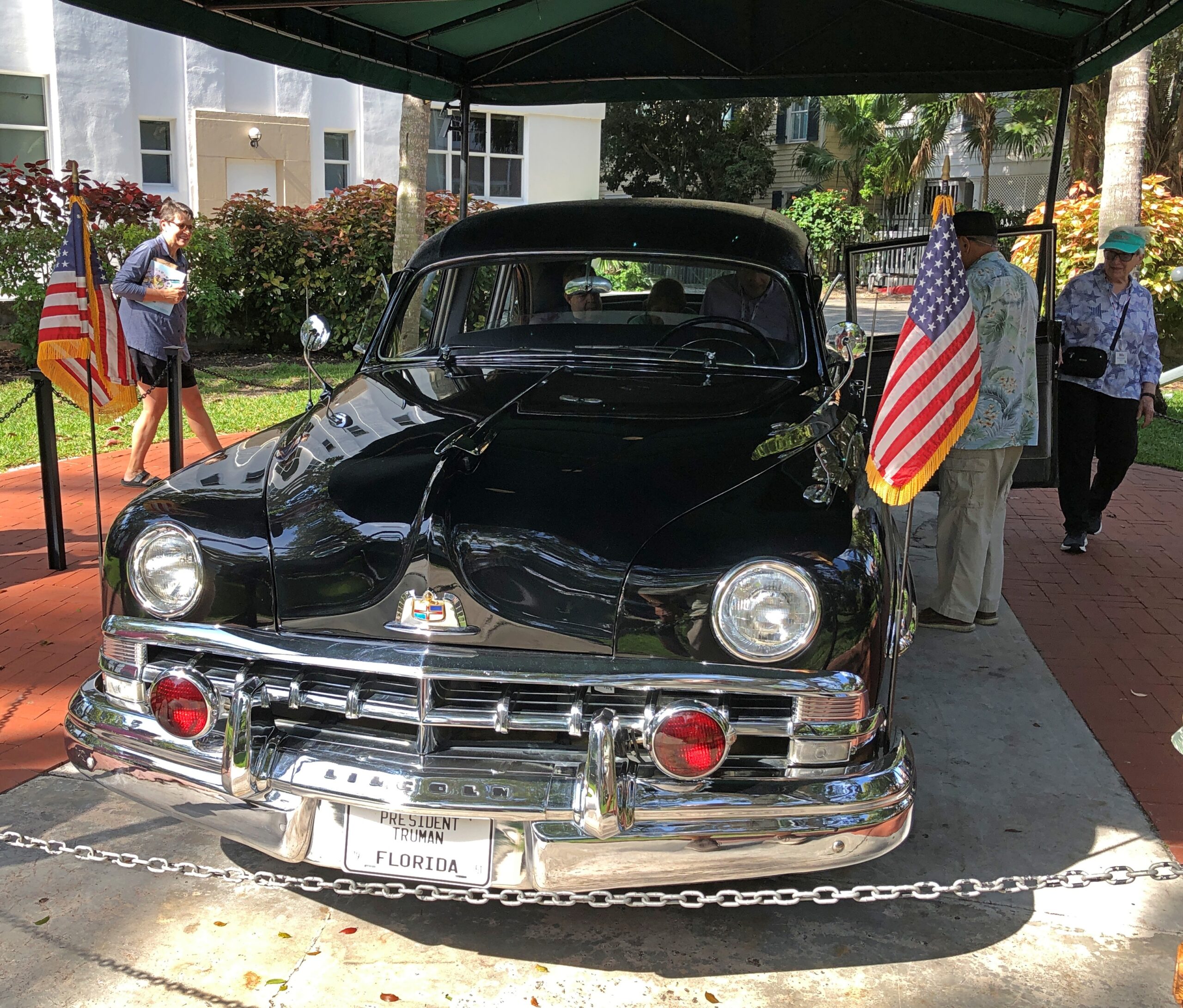
The limo parked on the grounds of the Little White House wasn’t standard mid-America either.
A nearby sign says that it is a 1950 Lincoln Cosmopolitan Presidential Limousine. One of nine that the Truman administration used, since in those days presidential vehicles weren’t transported by air, as they are now, so the government had them stationed in various parts of the country, ready to use.
The car is a museum piece, but no mere museum piece, since I understand that the current owner, the Key West Harry S. Truman Foundation, rents it under specific conditions. Namely, you pay some large fee, and are driven around Key West for a while. I learned this when we saw an elderly couple get in the back seat, followed by a uniformed driver, and off they went.
One more thing about the Little White House: the grounds are a small arboretum.
Flora includes well-known varieties, such as avocado, coconut, date palm, mahogany and mango, plus less-than-household names, such as Fiji fan palm, soapberry tree, and my own favorite name, gumbo limbo, whose “wood, though soft, was used in the past to carve carousel horses,” the museum tells us.
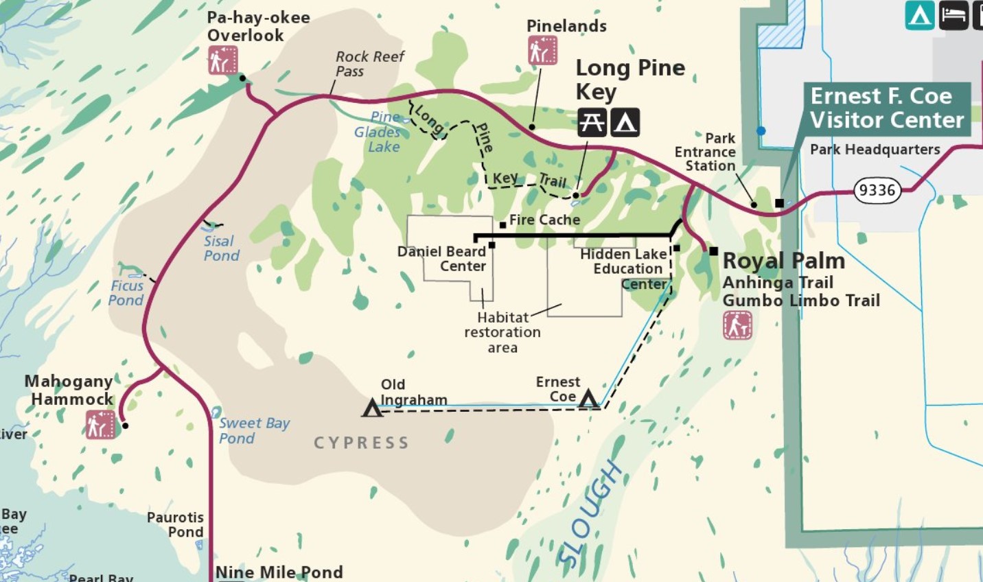
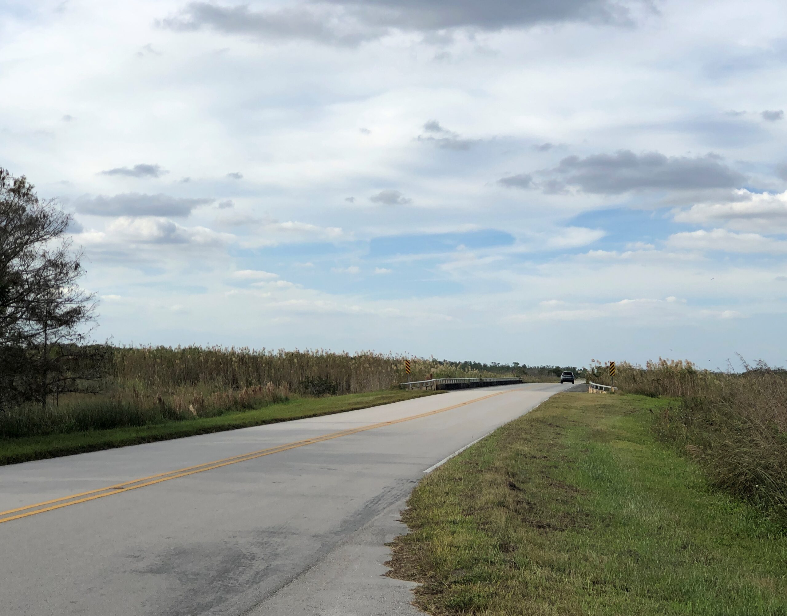
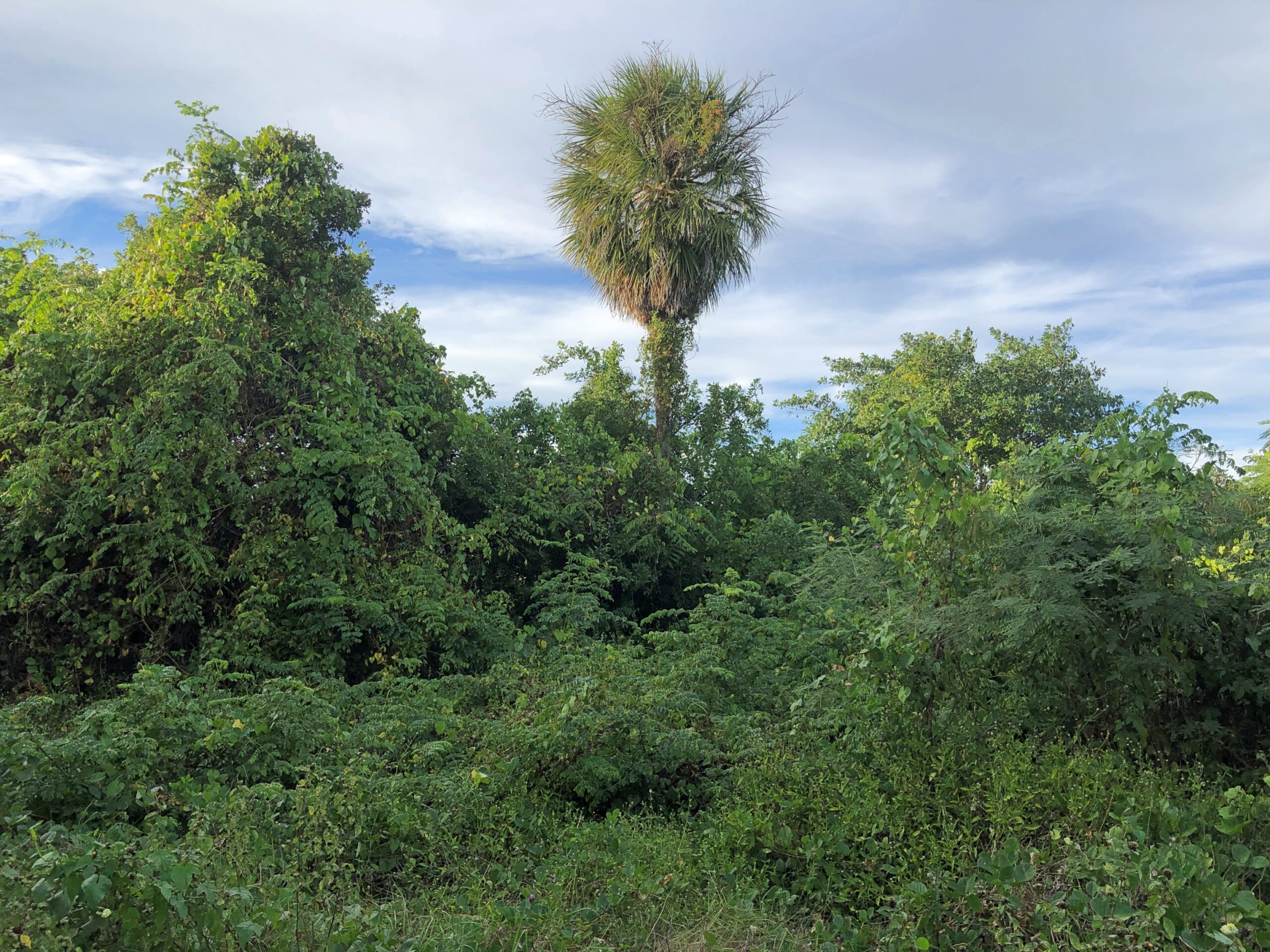
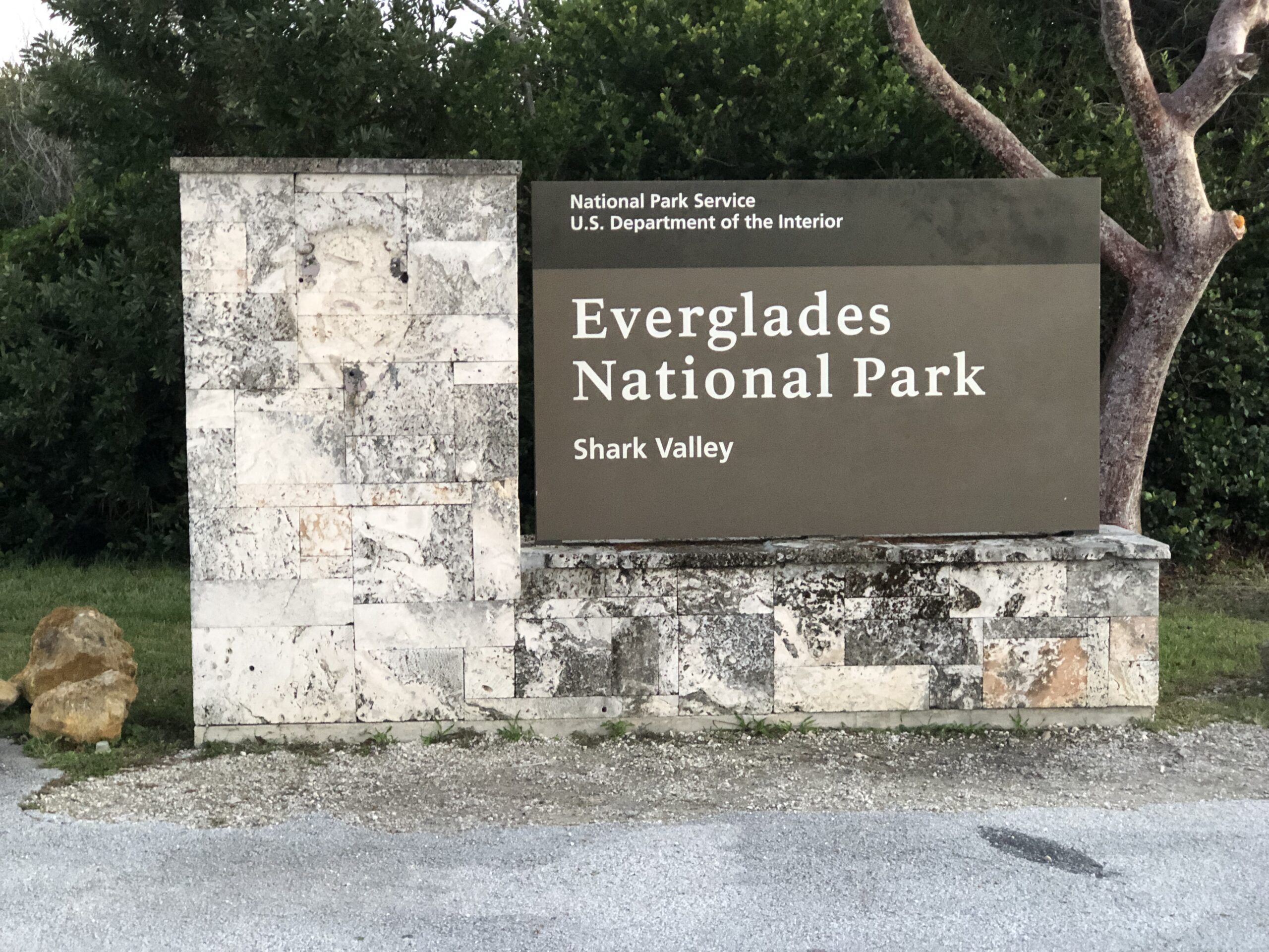
I’ve seen maps of Everglades National Park for years, and noted with great interest the main road snaking through the park, from the southern part of greater Miami to a point on the peninsula’s south coast. It was a road I’d long wanted to drive (in red, below), and on the afternoon of December 12, that’s what we did. Only about 40 miles each way in the park, so not too long a drive.
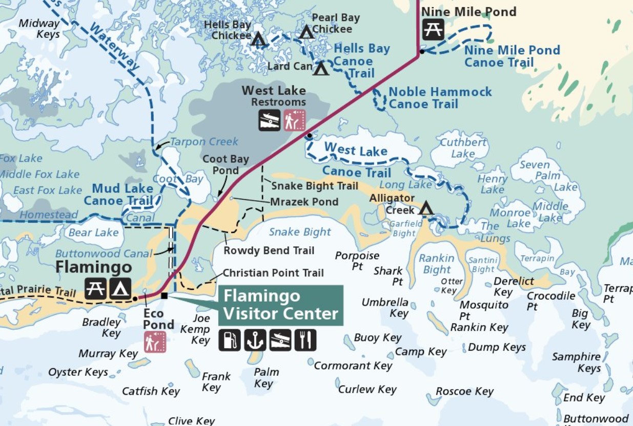
We stayed in Homestead, as far south as metro Miami goes, for the purpose of visiting the Everglades. Outside the park, the road is Florida 9336. Inside the park, it’s the less interestingly named Main Park Road. Odd, considering that some examples of nearby features are named Gumbo Limbo Trail, Hells Bay Canoe Trail, Alligator Creek, Snake Bight Trail and Coot Bay and Coot Bay Pond.
Almost no one else was around, which is the secret sauce for most enjoyable drives. My only minor complaint is that Pa-hay-okee Overlook, at the edge of a cypress zone, was closed. Considering how flat the terrain is, that view would have been expansive.
The park road takes you to Flamingo, Florida, which has no current human population unless you count park staff, who must stay nearby somewhere at least sometimes. Flamingo has no flamingos, according to a park ranger we met, whom I’ll call Bobbie. There seem to have been some of the birds in the late 19th century, she said, but they moved on when hunters showed up, looking for a source of colorful feathers for women’s hats fashionable at the time.
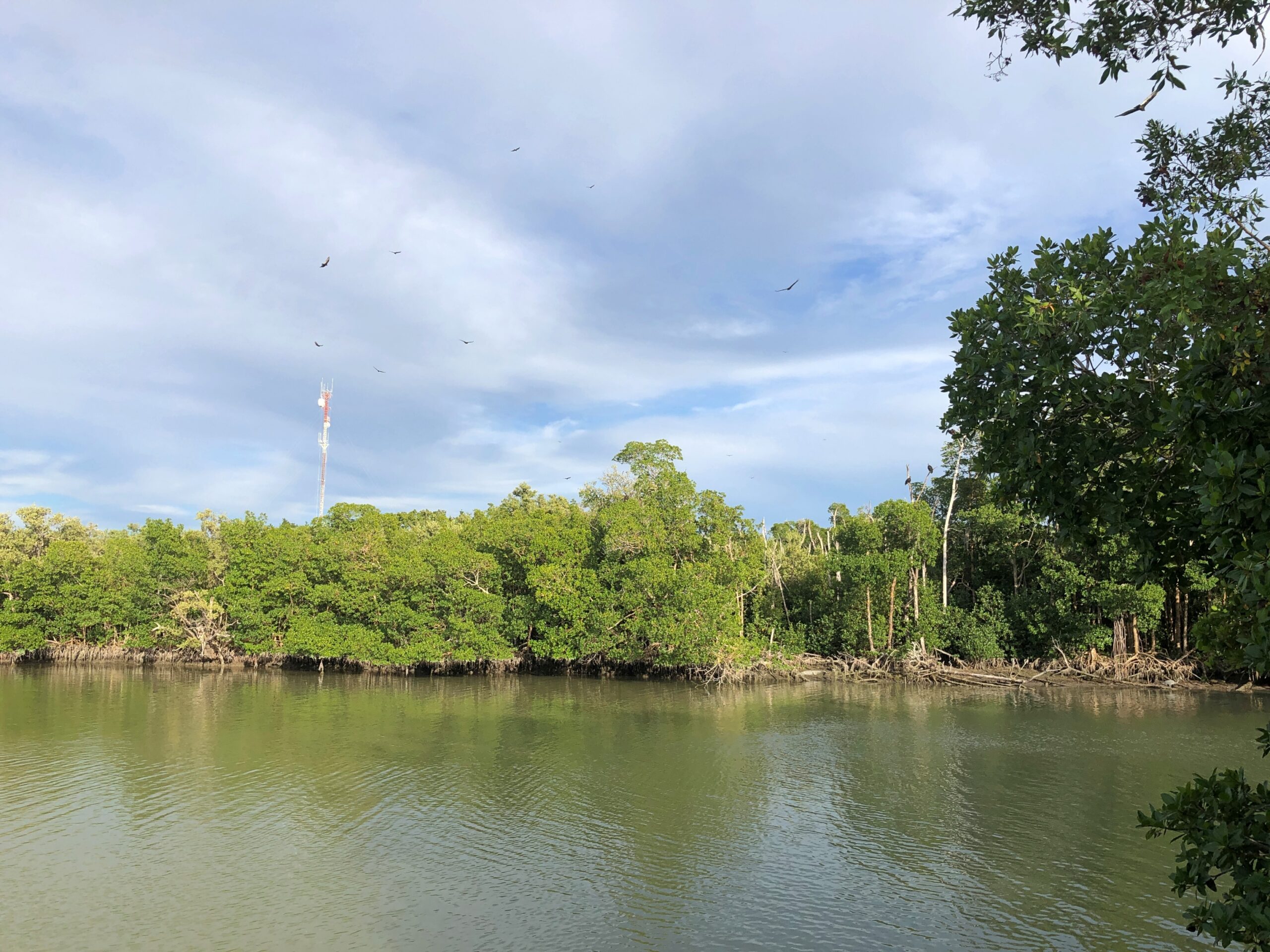
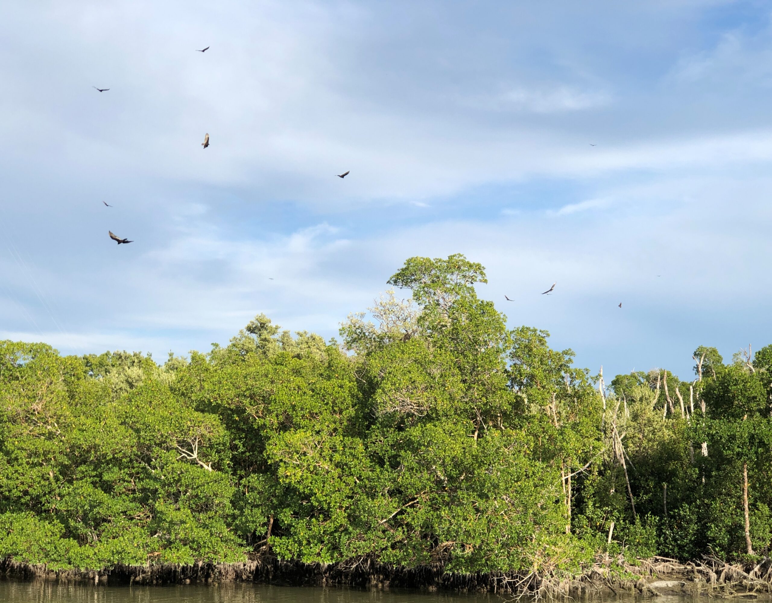
Plenty of other birds are still around, looking for a meal. Hadn’t seen that many circling birds since we were in north-central India.
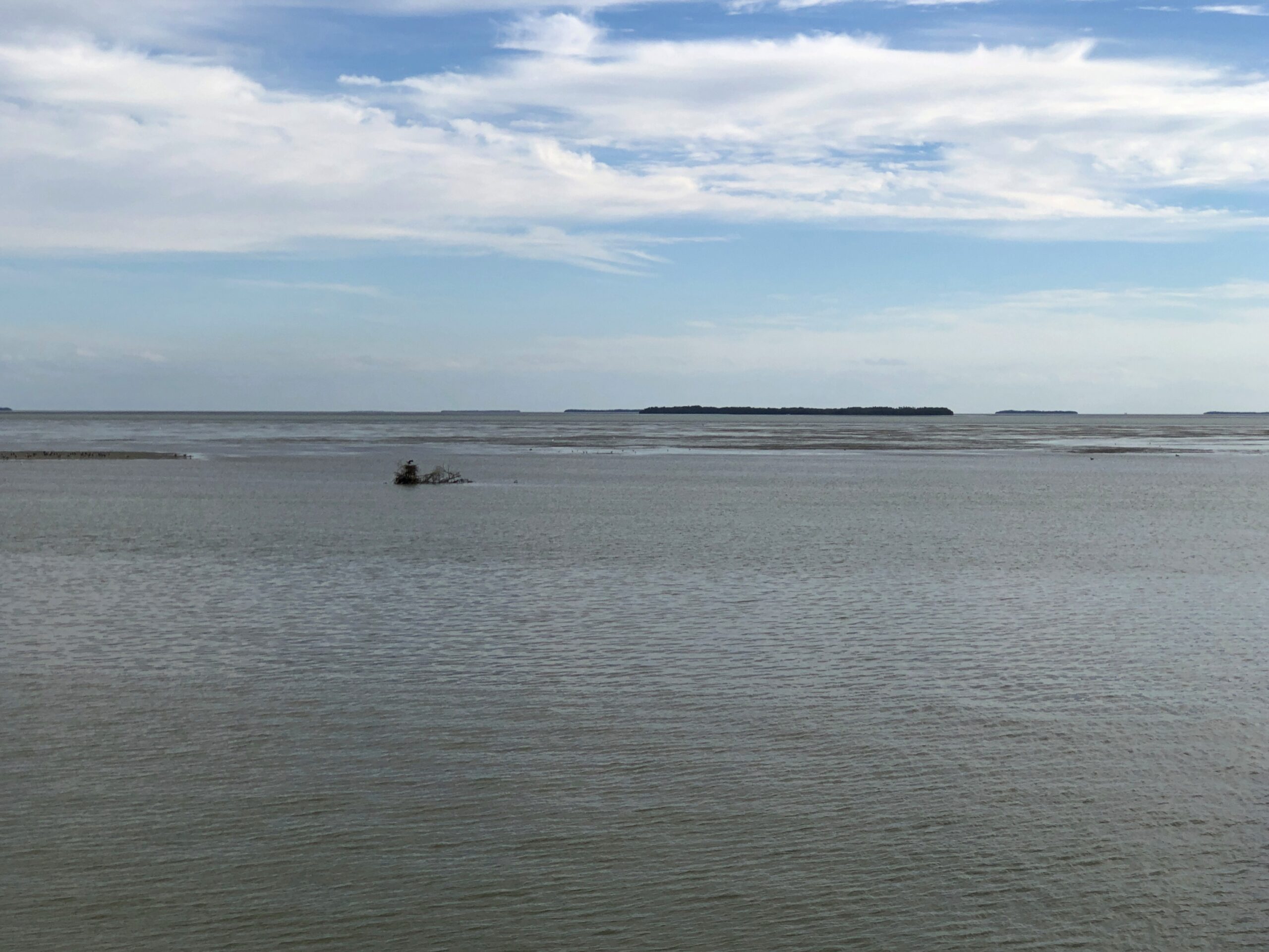
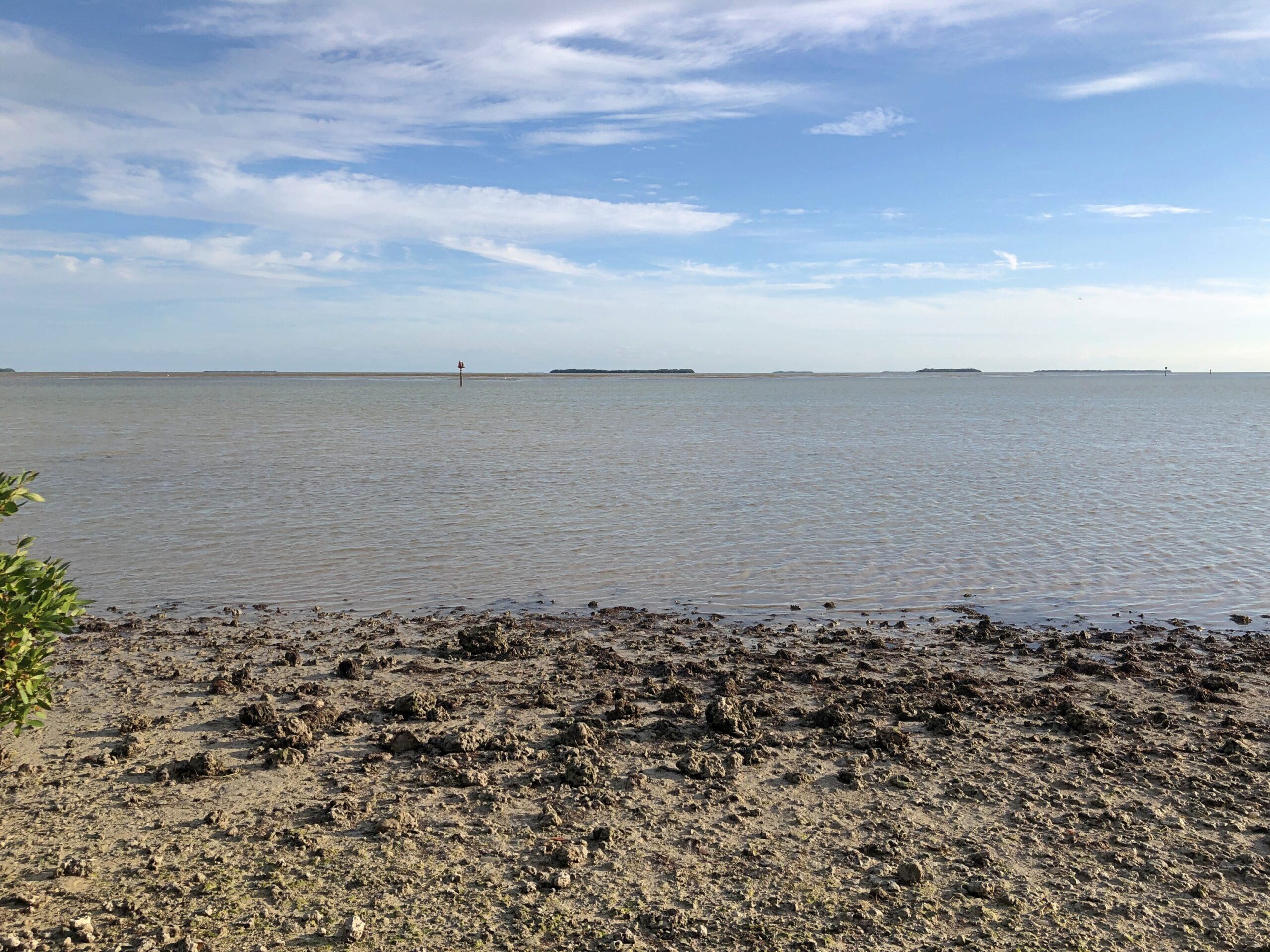
Flamingo, which is mostly the visitors center, lodging and campgrounds, offered views of Florida Bay and a few of its many keys, a term not limited to the chain of islands connected by the Overseas Highway.
We saw a manatee. Or at least a manatee nose poking out of the water near one of the docks at the park, then ducking underwater with an occasional small splash. The barest outline of its bulk was visible below.
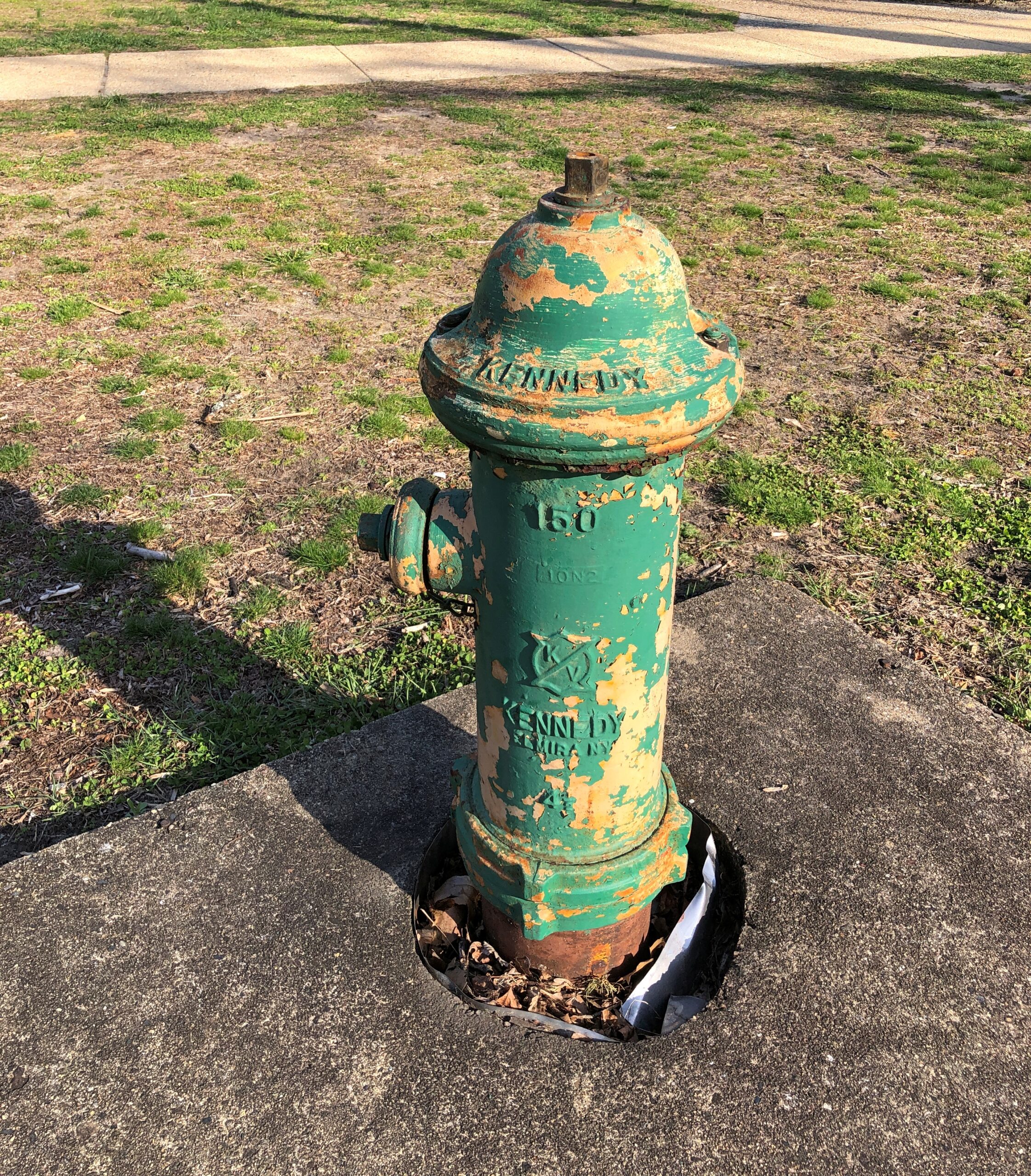
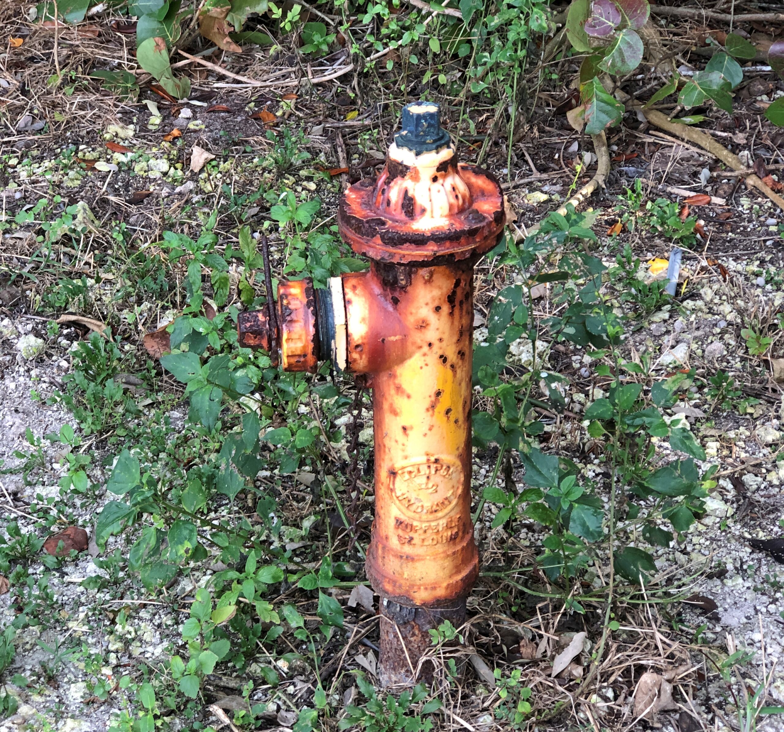
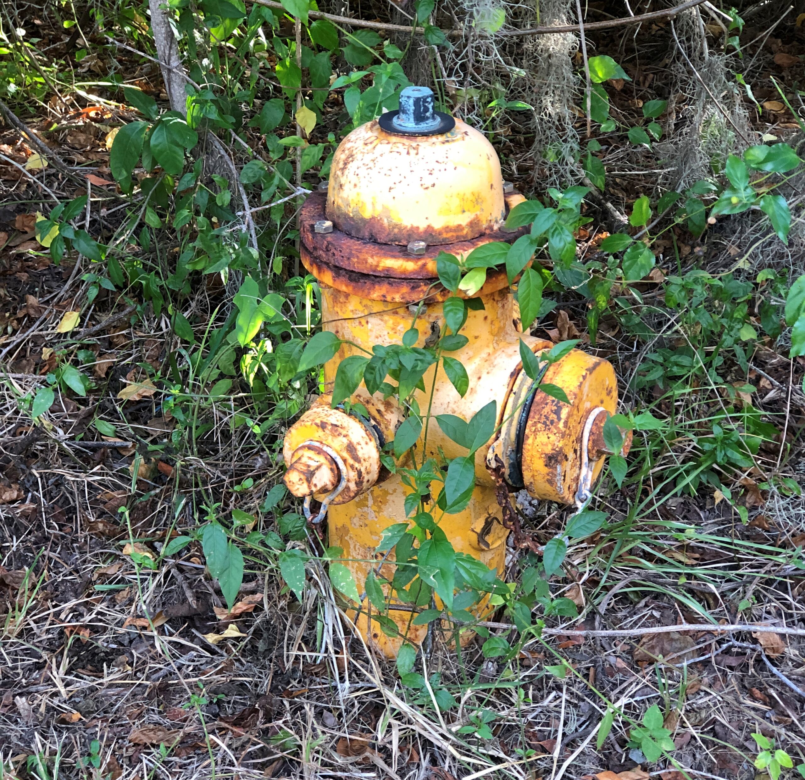
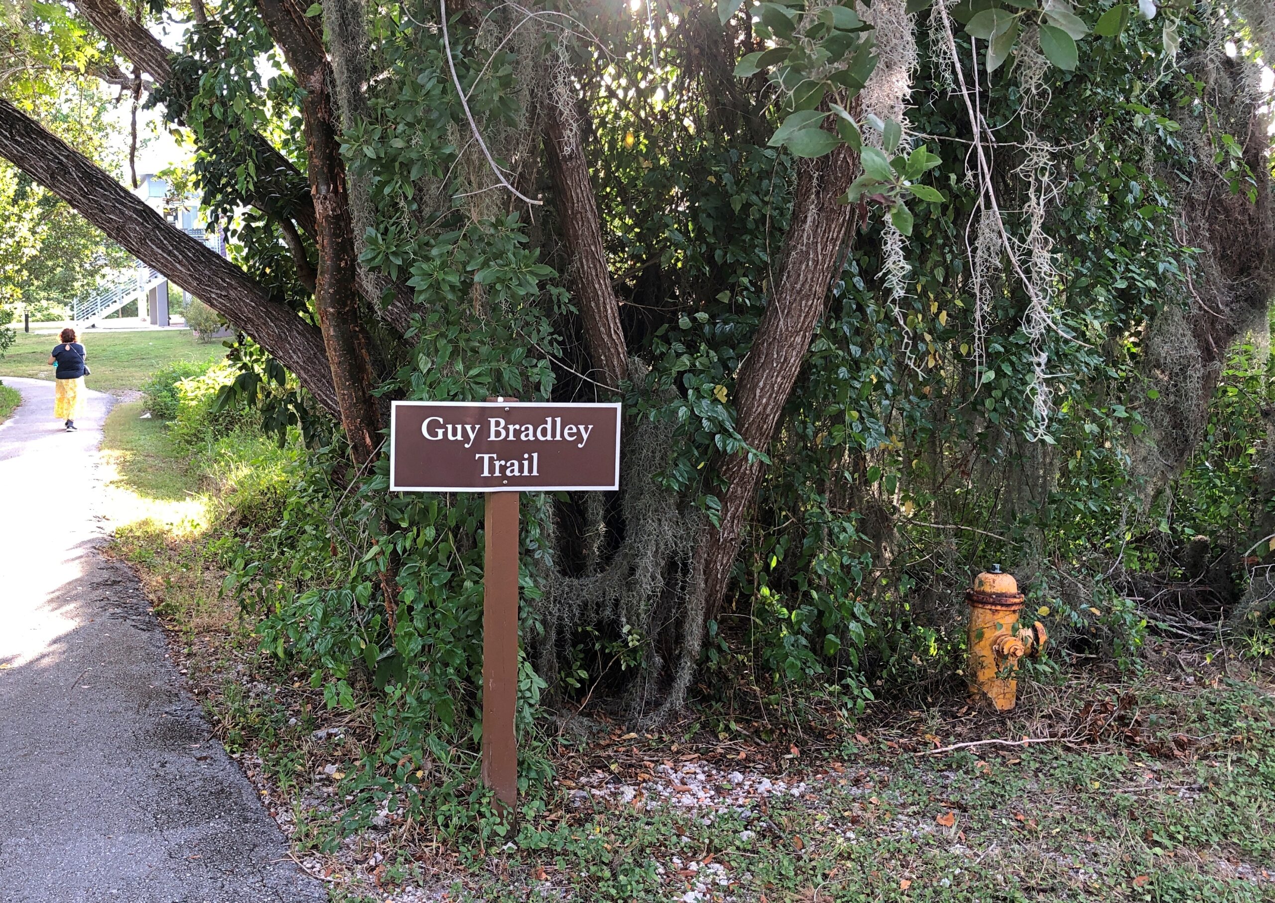
For some reason, the rusty fire hydrants on the park service property caught my attention.
We walked the Guy Bradley Trail. The Flamingo visitors center is also named for Bradley, an early game warden in the area who died in 1905 at the hands of poachers.
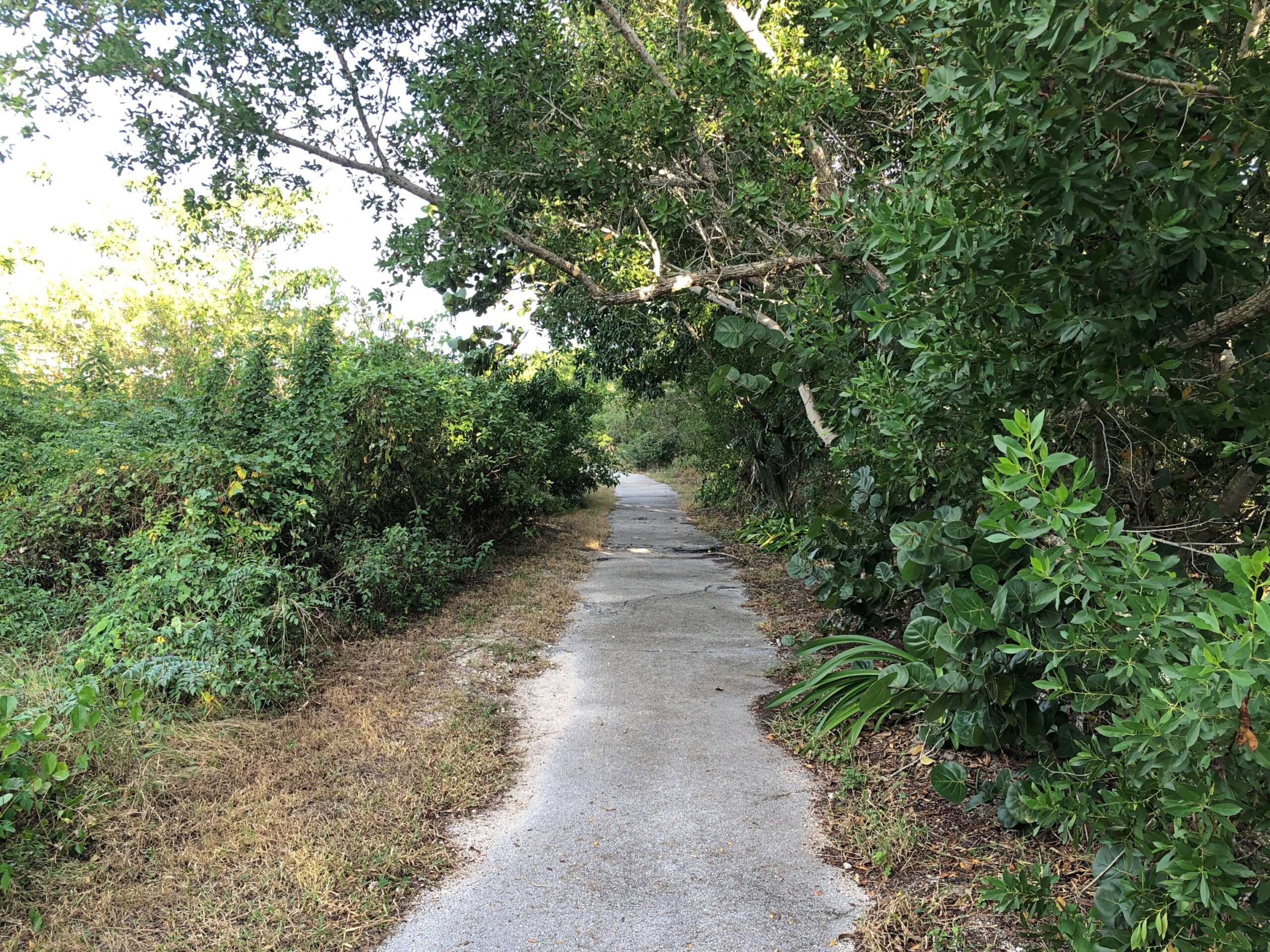
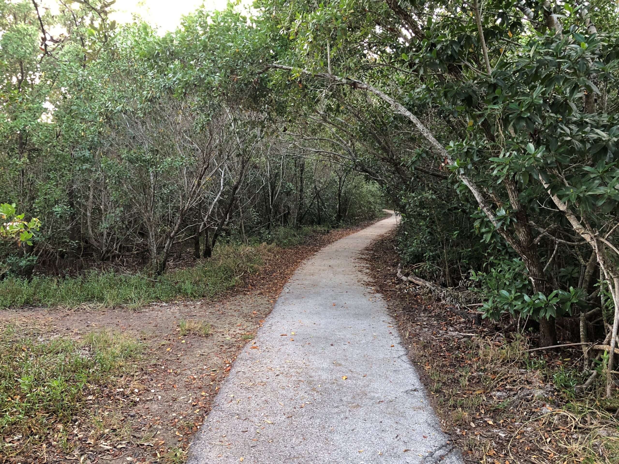
The trail, paved and mostly in good shape, was an easy one.
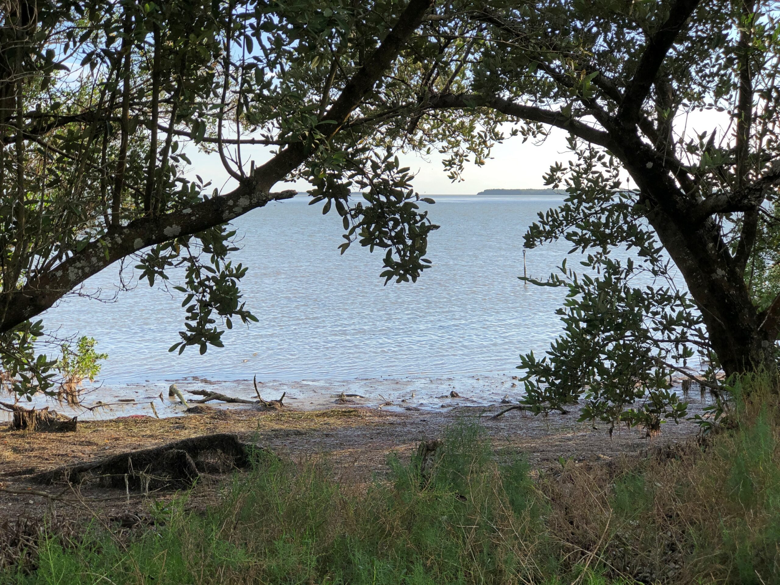
With some views of its own, including the ocean and not including the ocean.
One reason to visit the Everglades during the winter months, maybe the number-two reason right after the absence of searing heat, is the absence of mosquitoes. Make that the relative absence of mosquitoes. During our walk through the greenery around Guy Bradley Trail, a small number of winter mosquitoes were there to greet us.
Even in an age of DEET and whatever has mostly replaced DDT, you will find mosquitoes and more importantly, they will find you. That’s my experience over the years.
I close my eyes and I can recall those Pusan nights in ’90 in my non-climate controlled room, drinking the tea available in pots just outside everyone’s door, swatting mosquitoes that had clearly feasted on me moments before they died, and listening to the irregular beep-BEEP-beep-beeps of auto horns wafting in through the damaged window screens, along with more mosquitoes.
The only creature I run into regularly while camping is one or another kind of mosquito. The weather had been dryish in Jasper NP, so there weren’t that many there. Things had been even drier at Theodore Roosevelt NP, and we encountered only a very few hardy mosquitoes who managed to survive wrigglerhood in the risk-of-wildfire badlands this summer.
The plains near Regina, Saskatchewan, were another story. On the evening of July 3, we found a private campground a few miles east of Regina for a reasonable C$14. The place was sparse with people, probably since the Canada Day long weekend was winding down, but well populated with blood-drinking vermin. Their main diet likely came from the livestock on the surrounding ranches, but they weren’t above snacking on human beings. Once a cloud of them followed me, so I had to zig-zag back to our camp to lose them. Others buzzed intensely around the tent door until I sprayed it with Off.
I got out of my car to look around. The forest seemed even more oppressively dense with rain clouds gathering overhead. The air was warm and a little steamy. All I heard was the crunching of my footsteps, the mild rush of the wind, the twitter of birds and, suddenly, the buzz of mosquitoes. Mammals as large as human beings must be a tasty treat for the mosquitoes of the Apalachicola River Basin, because they attacked with terrific speed and in increasing numbers. For all I know, there are a dozen kinds, part of the wonderful biodiversity of the area. I had no chemical protection. I’d forgotten to pack anything with DEET in it, and the TSA might have taken it away anyway.
I took a short look at an interpretive kiosk that had some artifacts behind glass, and another look at the Milly Francis marker, but within a few minutes I retreated to the car. A couple of the mozzies followed me in, but I managed to dispatch the bastards in a pop of my blood.
Other national parks have majestic mountains or picturesque glaciers or striking deserts or epic coastlines or an important history of human activity. They have high-profile wildlife and ecosystems unique in the world. Congaree does count as a special place, preserving a tiny fraction of the floodplain forests that used to cover much of the Southeast, but that’s a little hard to appreciate on the ground, especially as the target of its high-profile wildlife, mosquitoes.
Text to a friend, along with the image: Now, what’s the bump in the water? Ah, it’s an alli AHHHGH
Reply from friend: Ha. Ha.
I thought it was funny, even though the joke depends on an alligator canard. As Bob the alligator wrangler told us the next day after our boat tour of the northern reaches of Everglades National Park, the creatures are actually “pretty chill.”
It’s those lowlife crocs that will attack you for no good reason and, I have to report, south Florida is one of the few places where alligators and crocodiles share a habitat. Of course it is. Bob worked for Coopertown Airboats, which is on US 41 and whose tours ply the nearby sawgrass waters, and have since 1945.
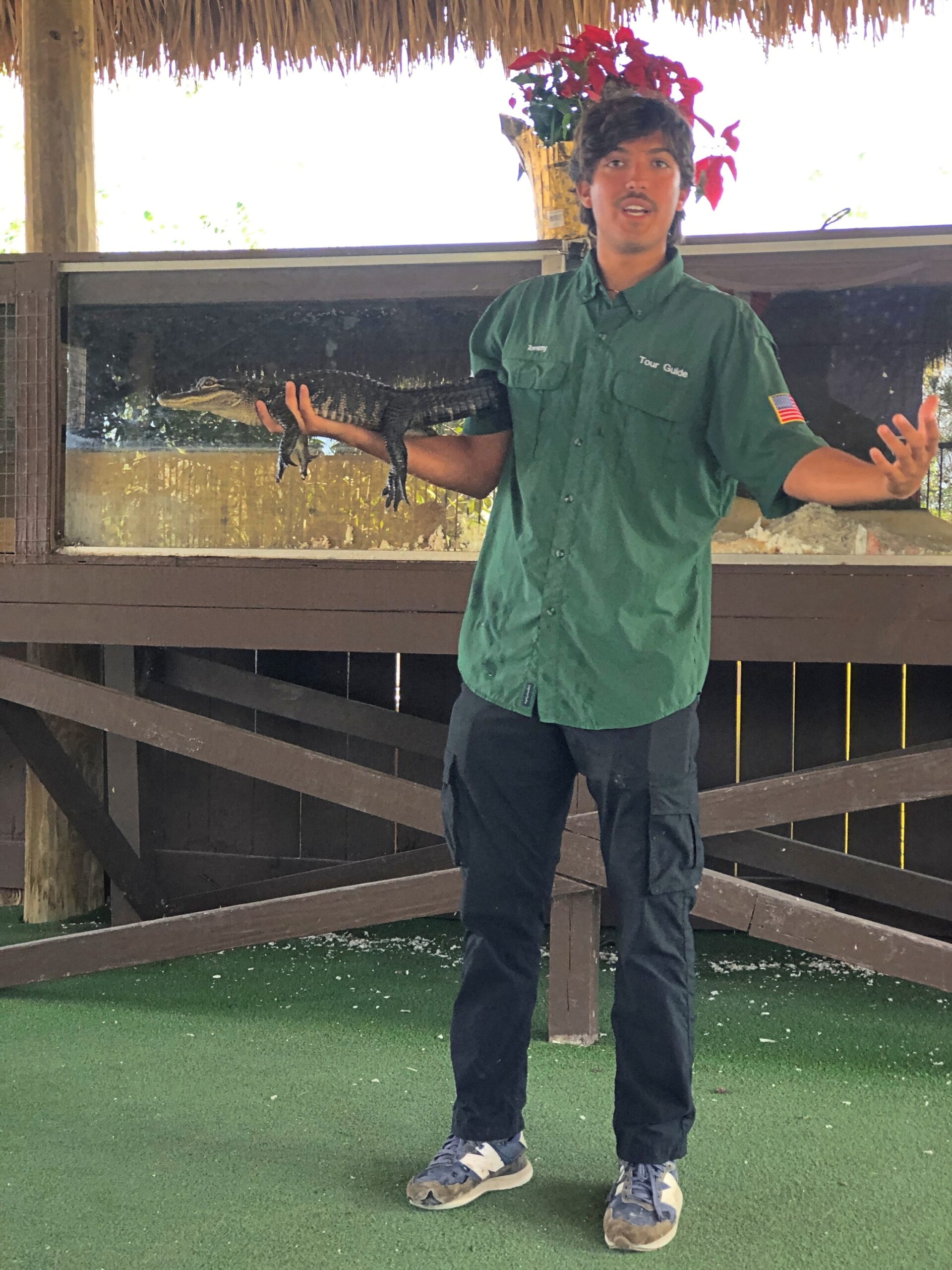
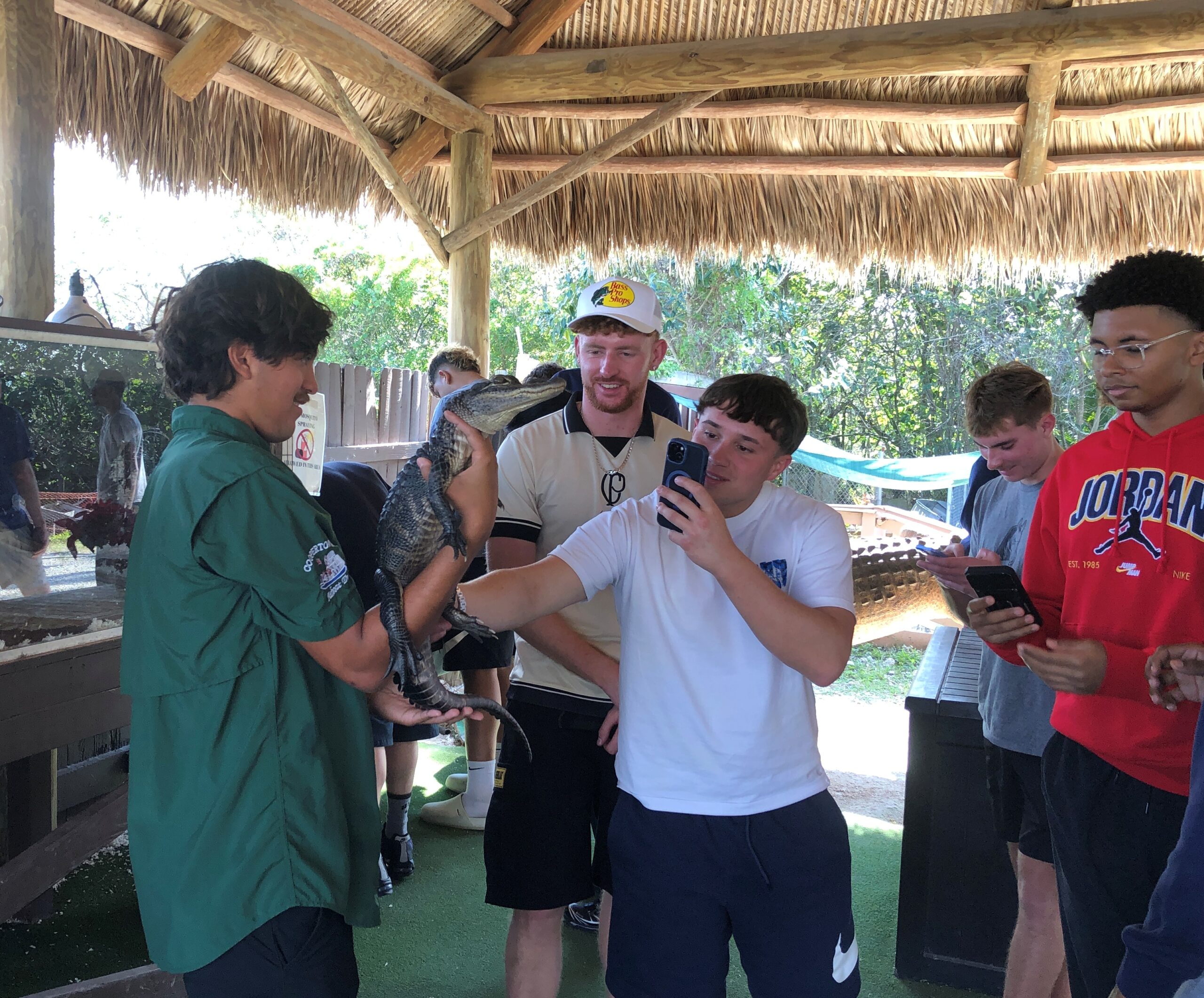
The company also has a few alligators lounging around the grounds in cement ponds, and some baby gators, one of which Bob handled with no problem. “Just keep you fingers away from his mouth,” he said, inviting us to touch the alligator. I don’t know why I was surprised to find that a living alligator’s skin feels pretty much like an alligator skin purse or wallet.
Behind glass at Coopertown was the Everglades’ real menace, anyway, a fat, pale ugly-as-can-be python, an inert reptilian Sydney Greenstreet whose countless cousins have claimed much of the biomass of the Everglades as their own, one nightmarish swallow at a time. The python is king of invasive species in Florida, which is saying quite a lot.
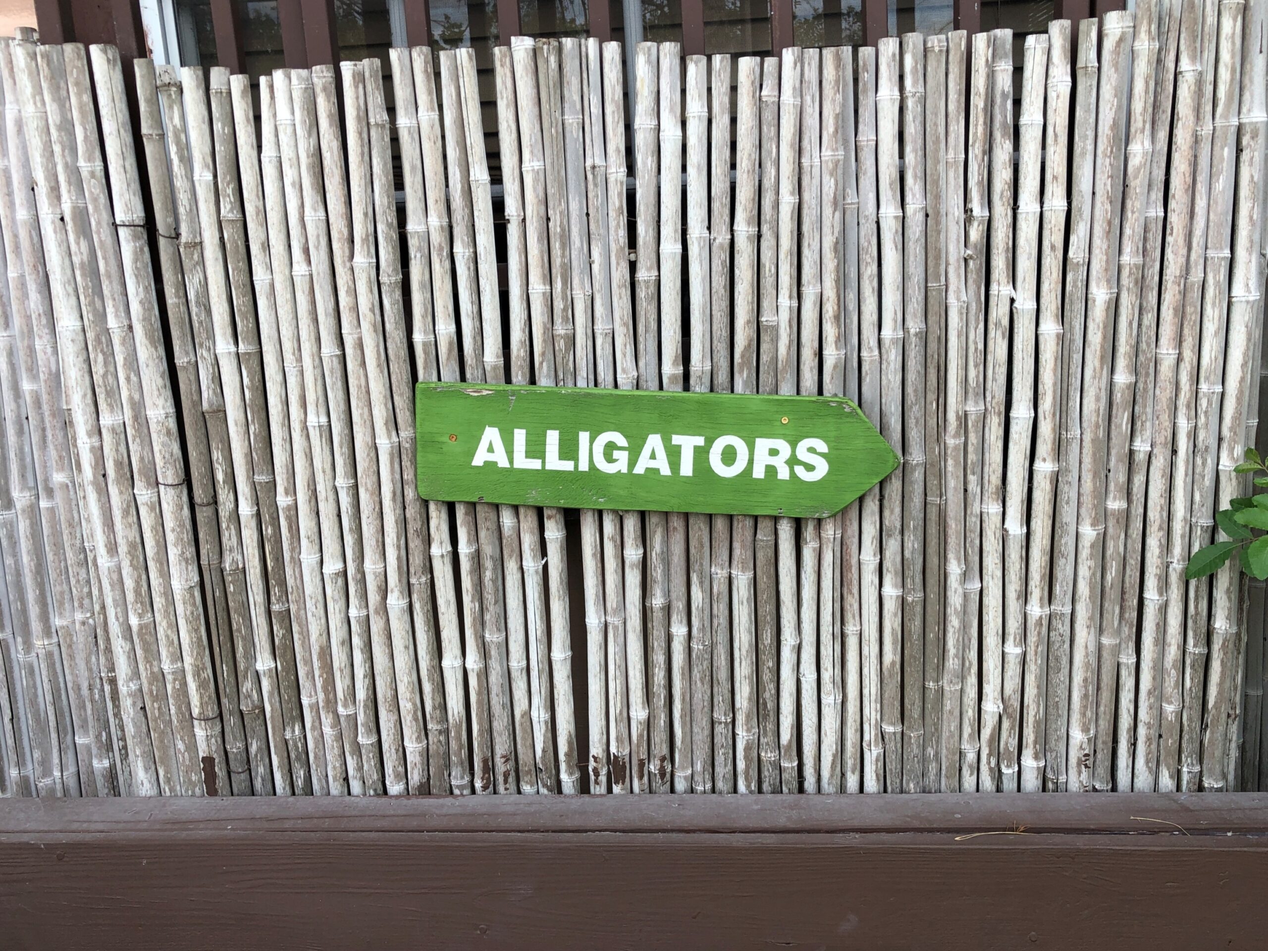
The Coopertown gators weren’t hard to find.
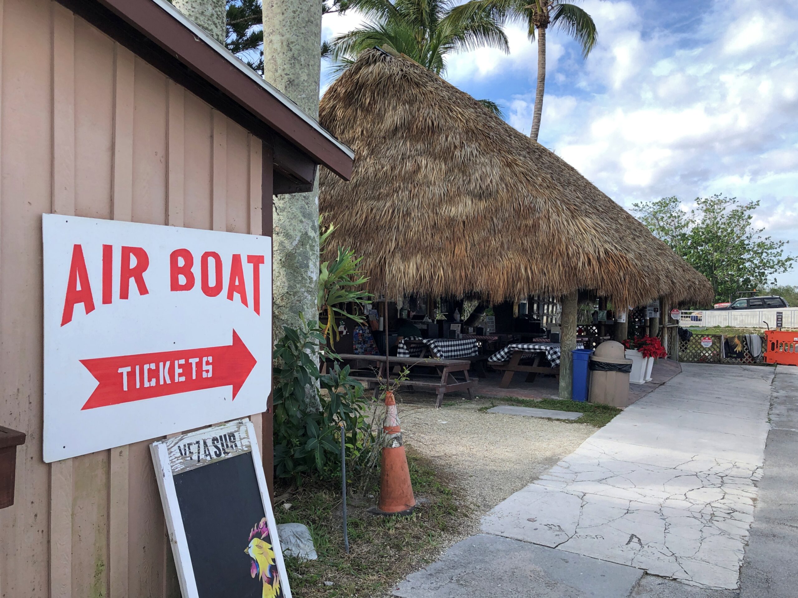
Neither were the boats. Nice, simple wayfinding.
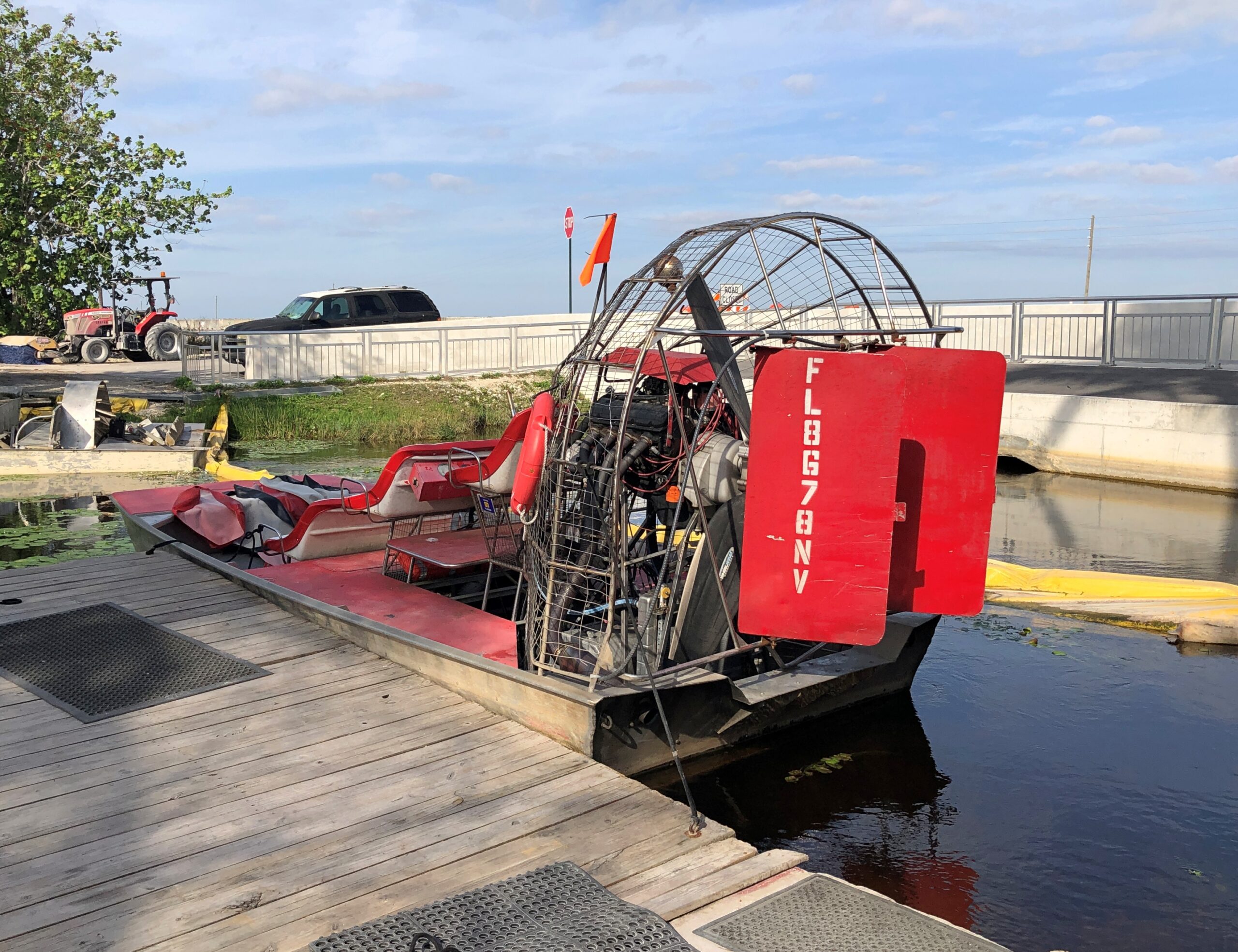
I expected the tour boat to look something like this, which was tied up at one of the docks.
The kind you see, or used to see, on TV. The sawgrass and alligator encounters made me think (a few days later) of Flipper for the first time in many long decades. It wasn’t a show we watched much in our house in the mid-60s, but I have a very vague memory of it, maybe from repeats but also reinforced by the saccharine theme song as included on one of the TV Toons records I owned in the ’80s. Reading about the show, I found that it was set in the Keys and not the Everglades, and the characters tooled around in a more standard motorboat. Still, it might have been the first time I ever heard about the Keys.
Those spiffy airboats are for the more expensive tours, I think. Ours was a larger flatbottom with a few rows of metal benches for regular tourists.
But it was pretty good seating for the half hour or so, especially since we got the front row.
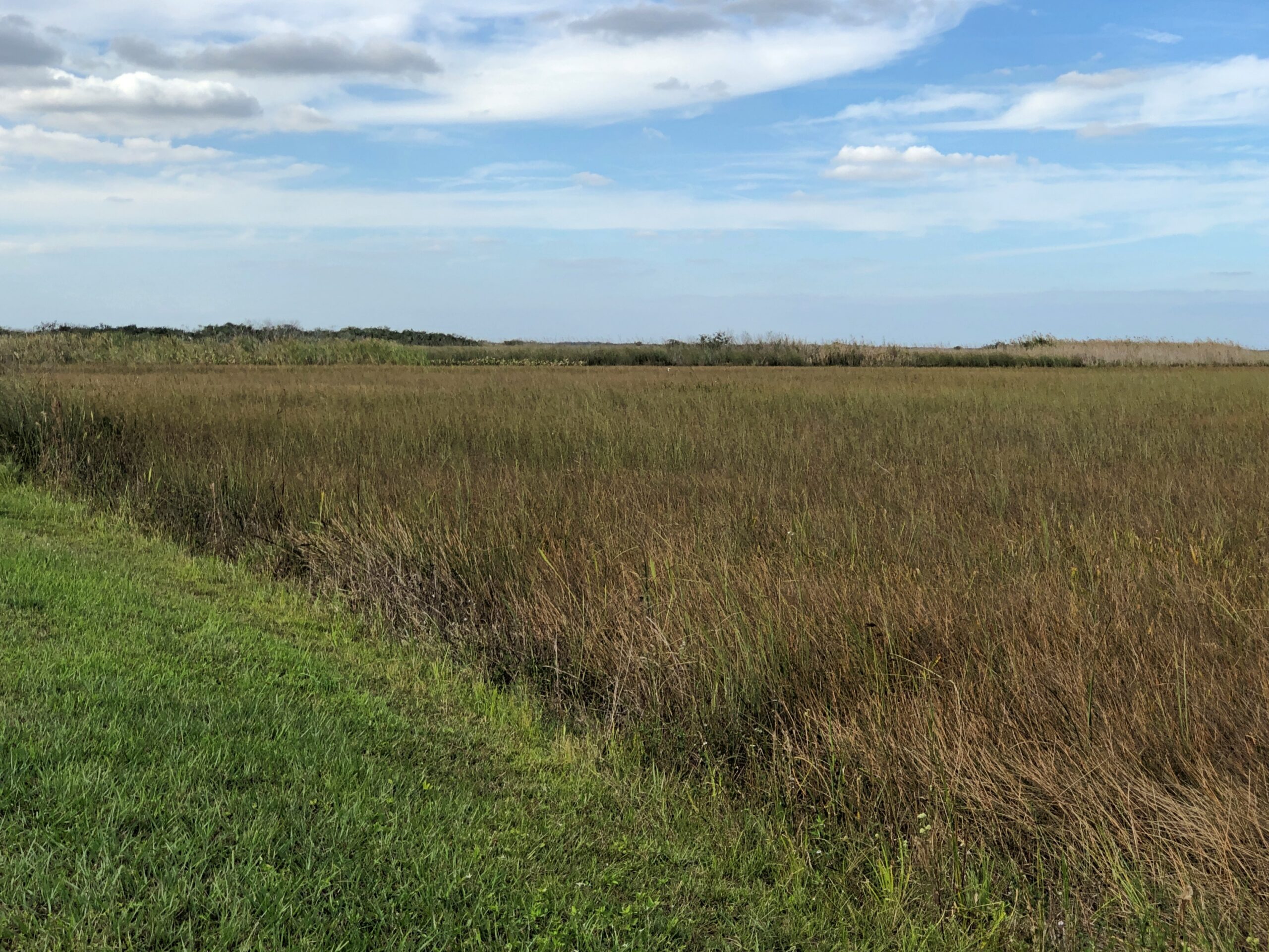
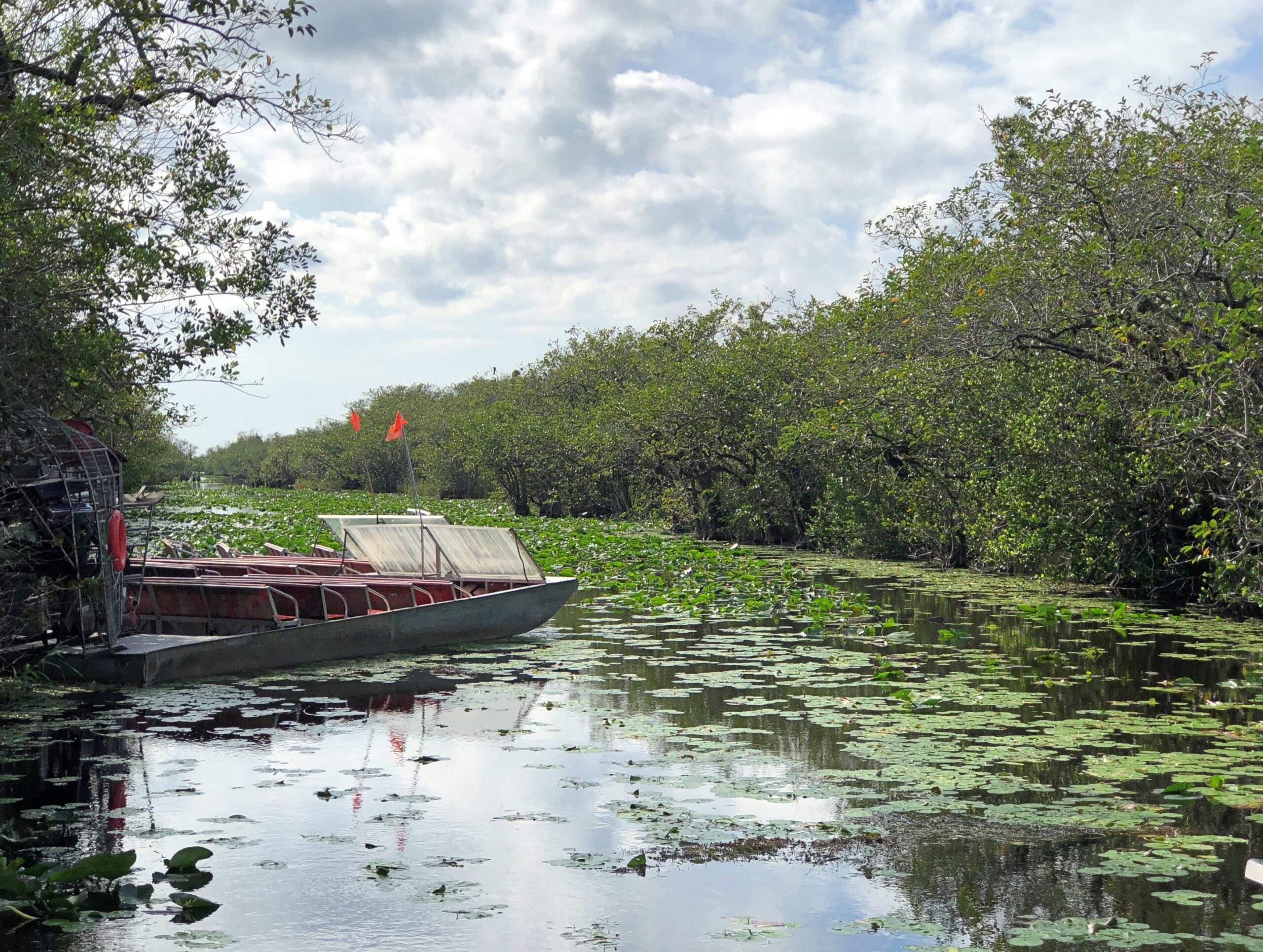
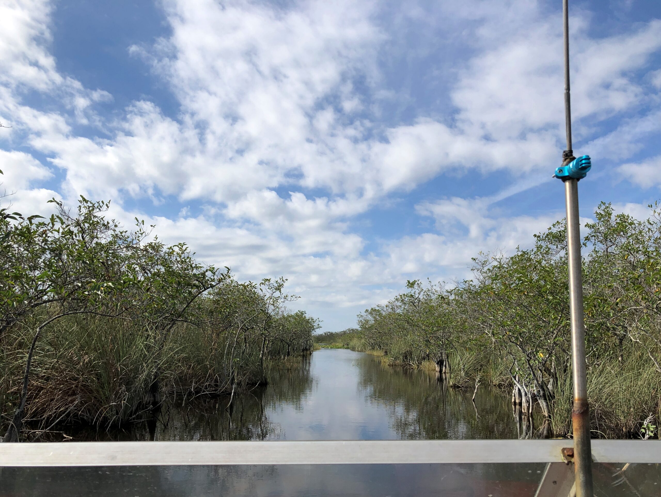
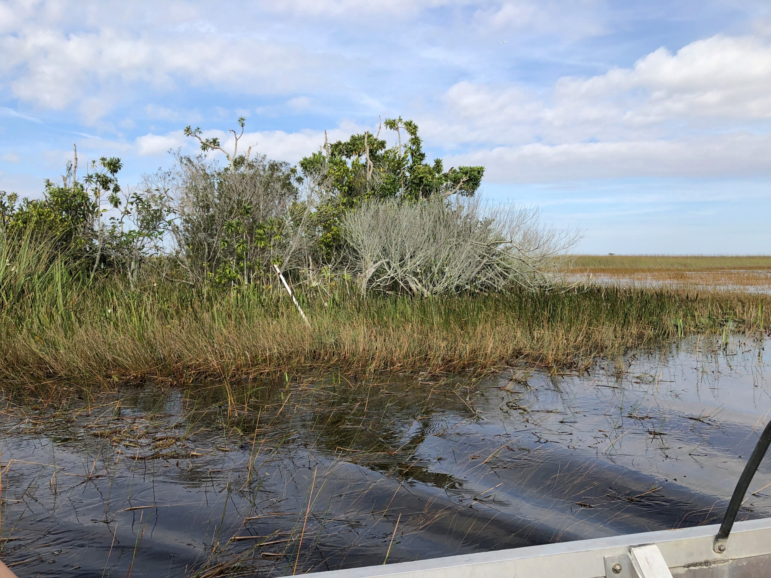
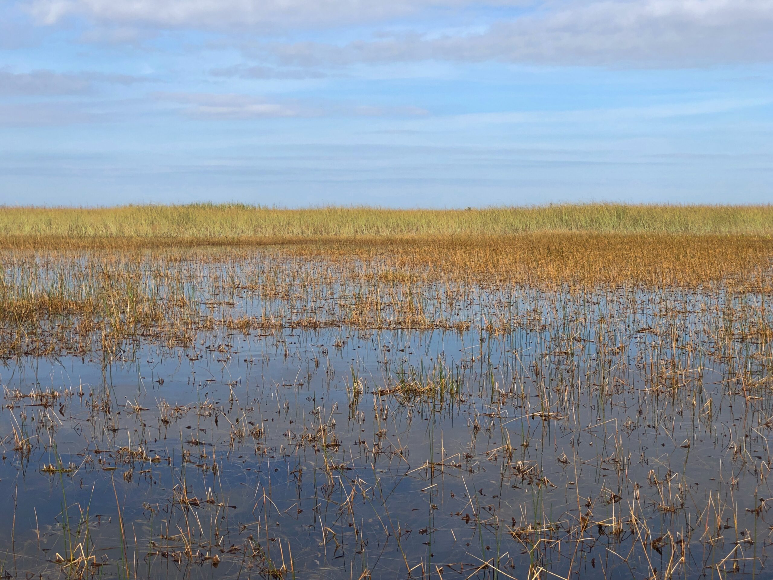
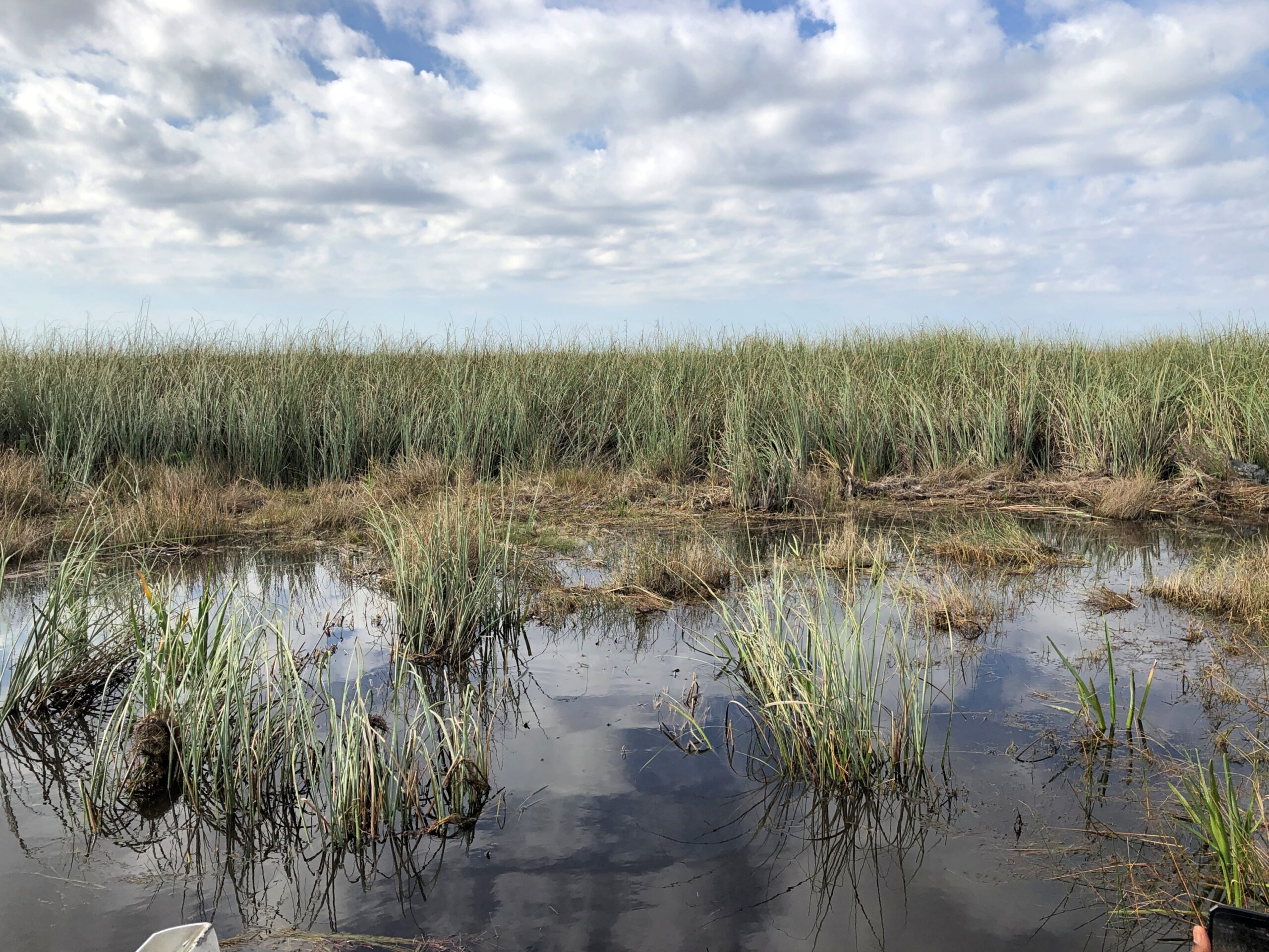
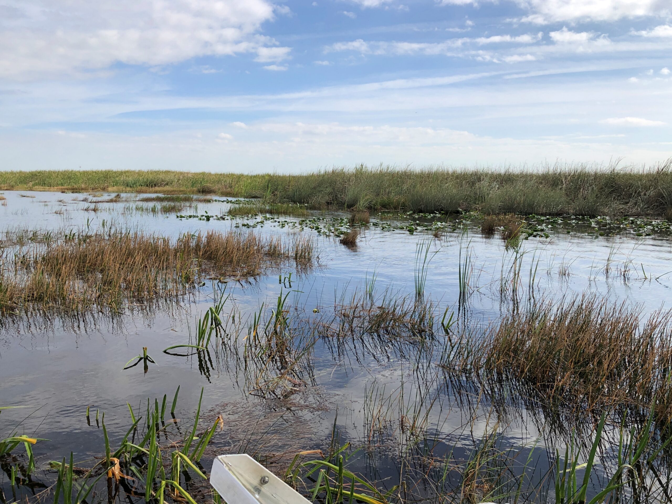
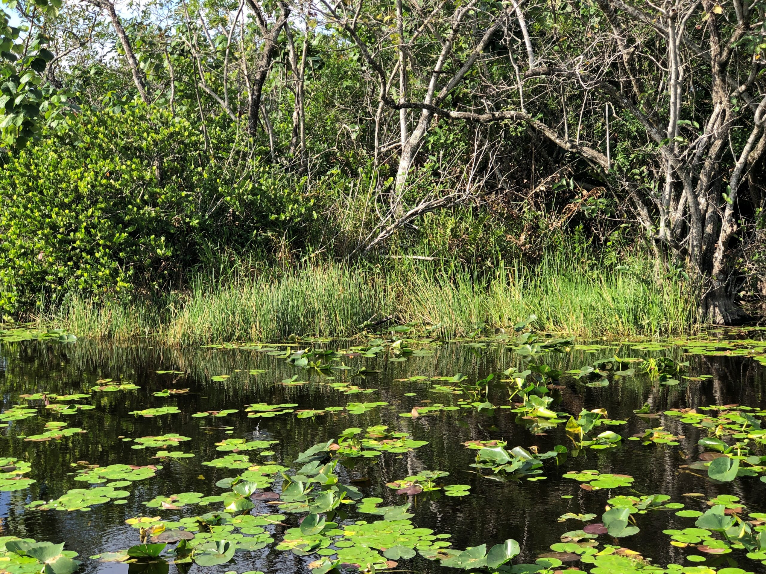
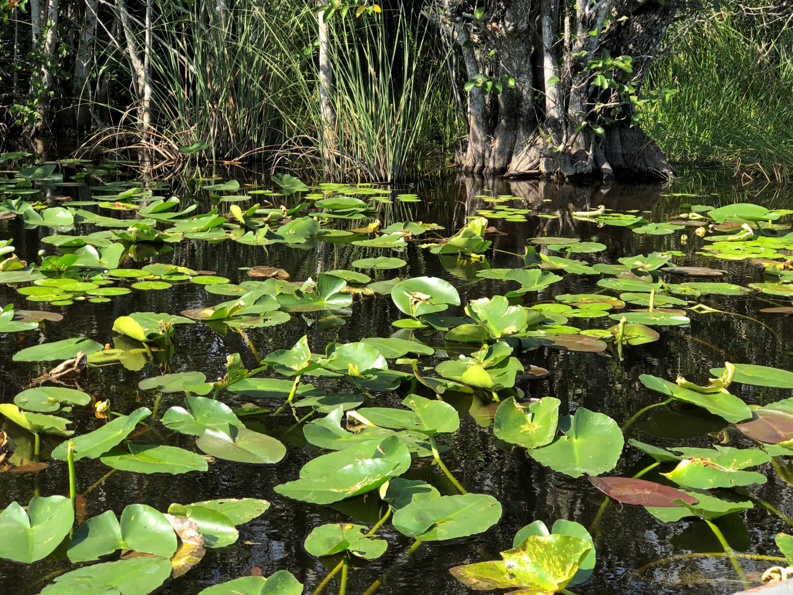
Off we went into the grassy water, dotted by quasi-islands sprouting trees. Soon the scenery looked like this.
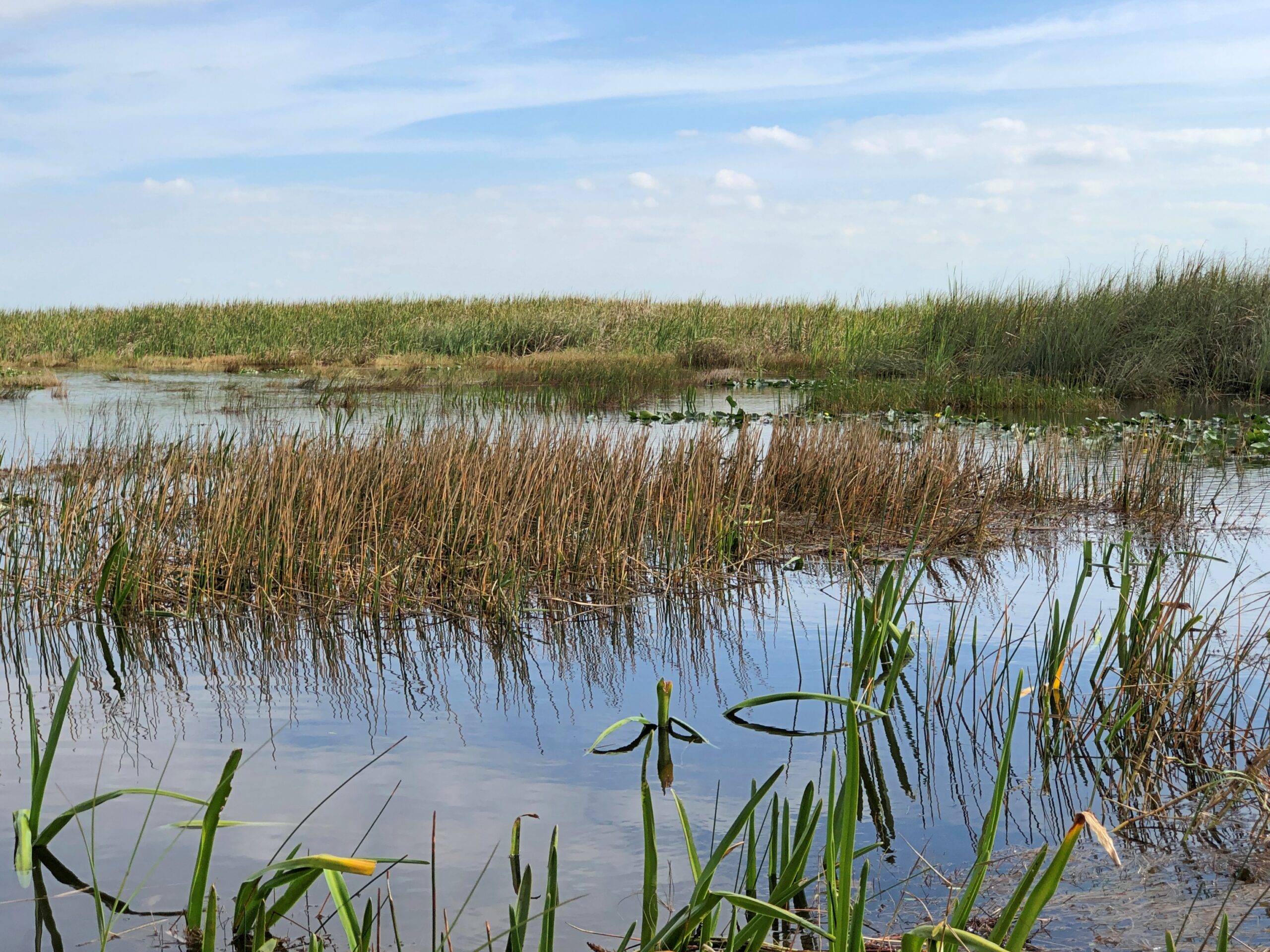
And this.
Leaving me to wonder, I’m glad the guide knows his way around, because I’d be lost instantly. The boat guide wasn’t Gator Bob, incidentally, but an older fellow perched in the pilot’s cage.
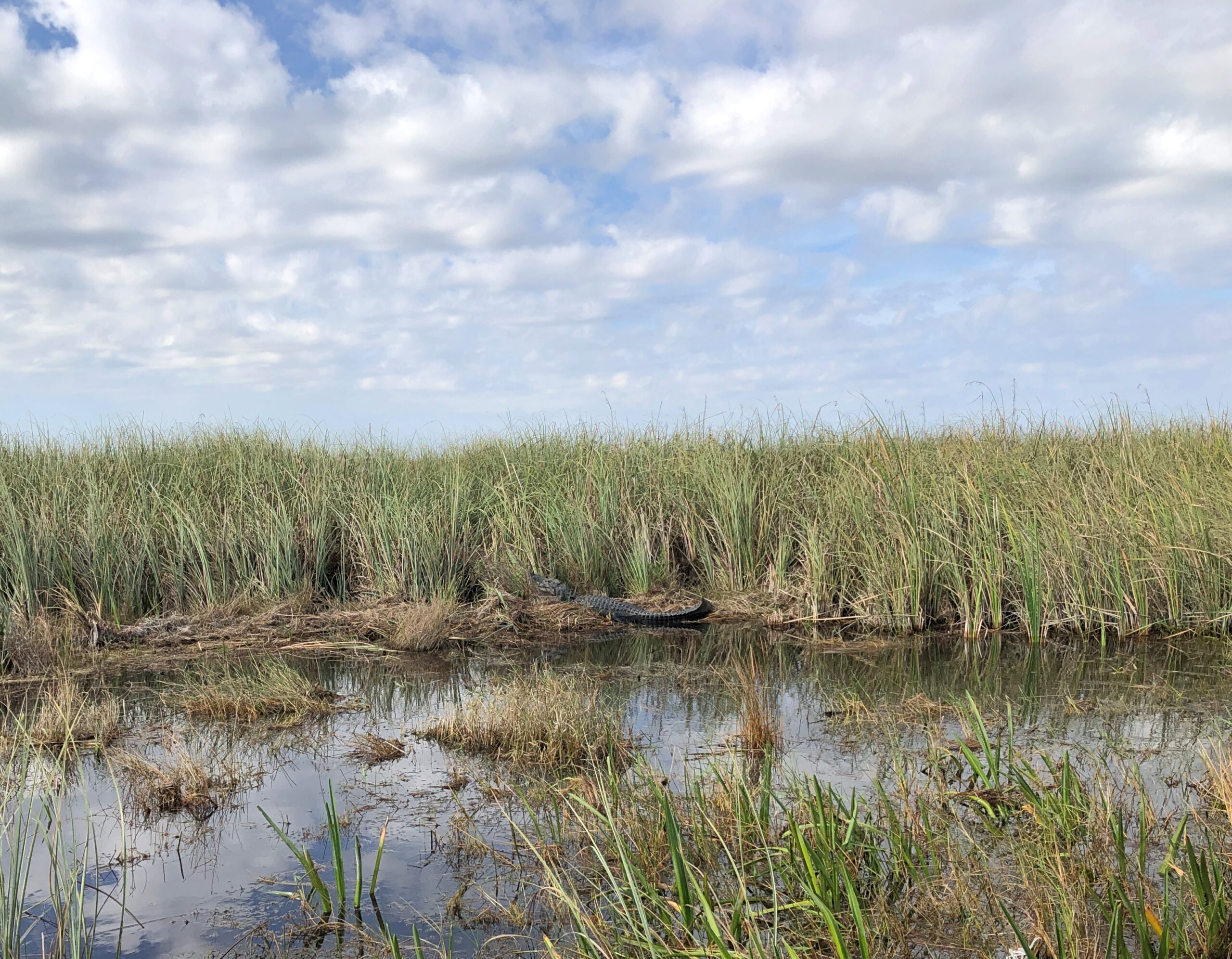
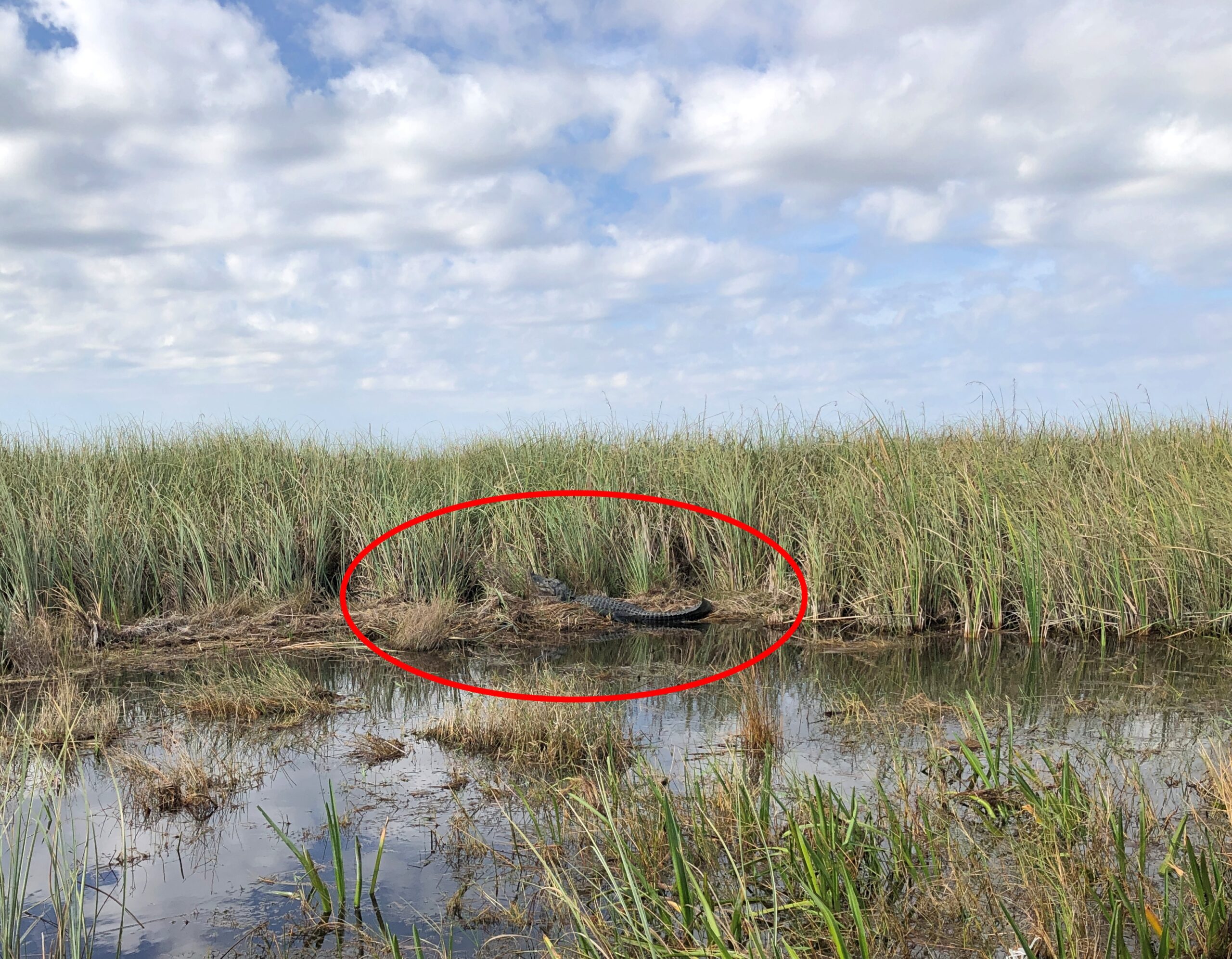
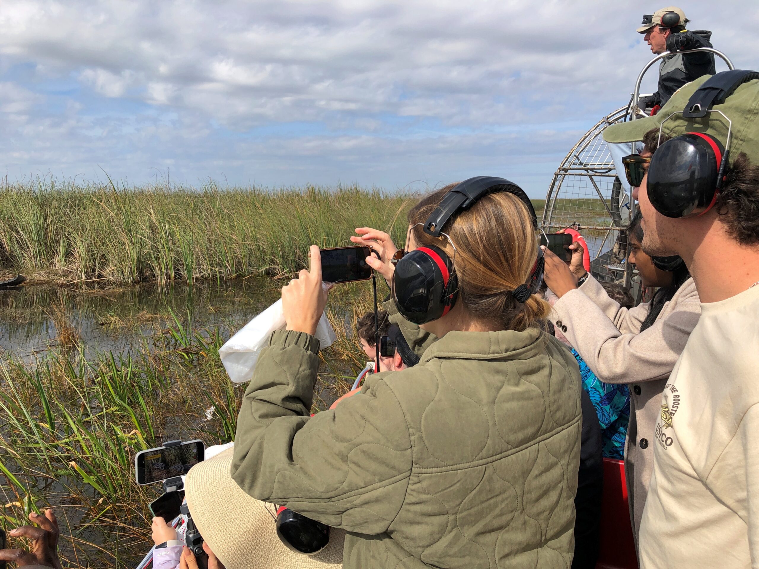
Before long, we found a lounging alligator in the wild.
December is part of the sluggish season for local reptiles, the guide explained. Not too cold for alligators, naturally, but cool enough that lying around in the sun is a good option for them. Regardless, the gator – let’s call him Bob – had his own paparazzi for a few moments.
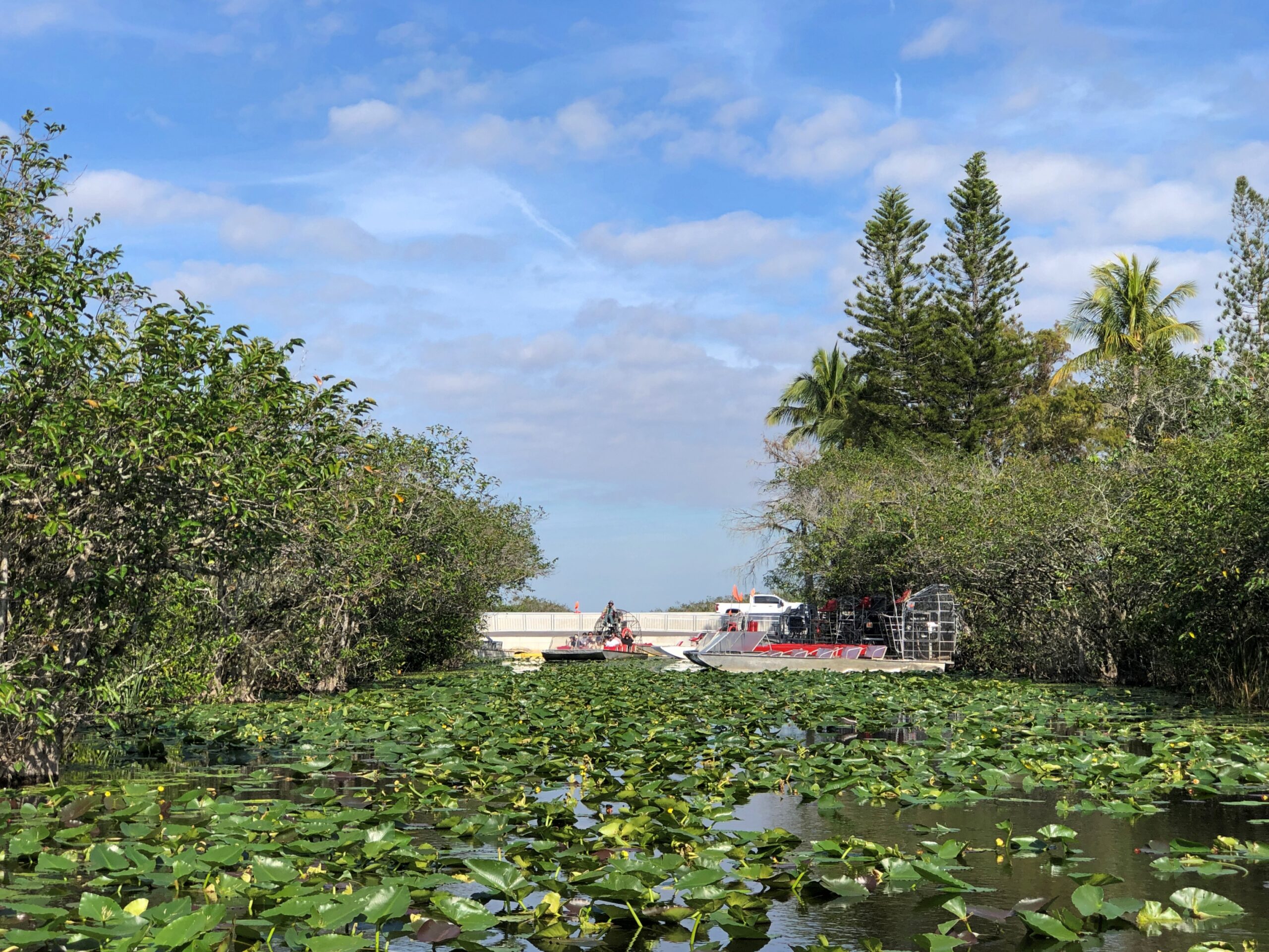
Our return took us through thick patches of lily pads. They moved aside without tangling or anything complicating that would happen if I were piloting the boat.
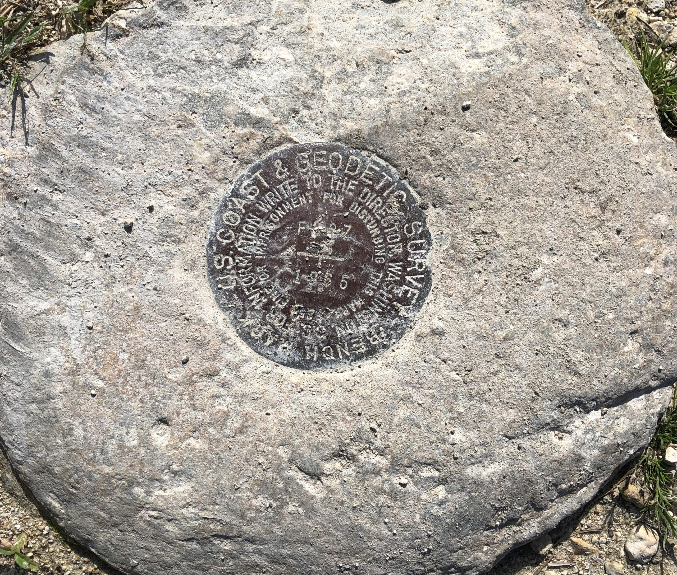
Bonus at Cooperville, out near the parking lot. A US Coast & Geodetic Survey Bench Mark, dating from 1965 if I read that right.
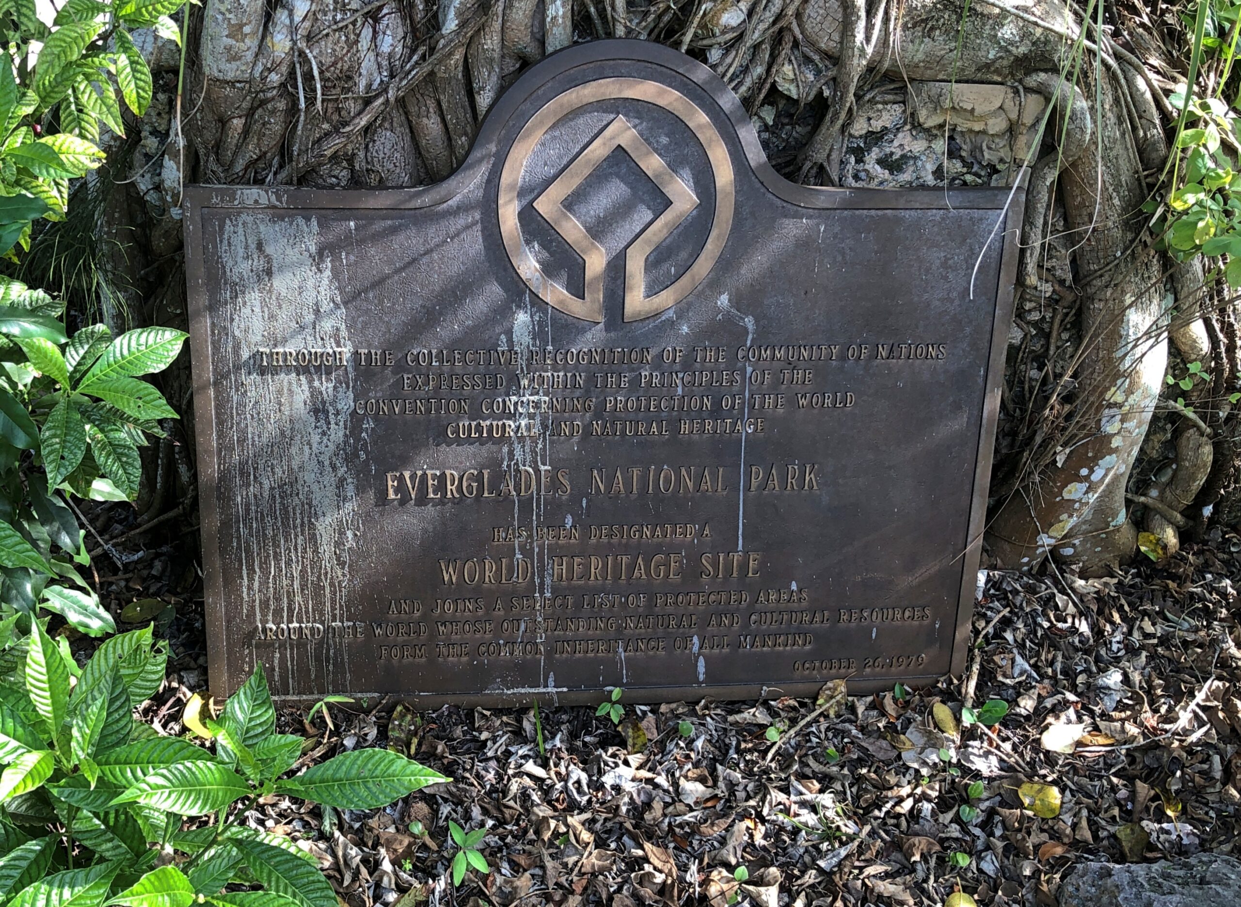
Another bonus: A World Heritage Site plaque, complete with comments by birds.
“Everglades National Park is the largest designated sub-tropical wilderness reserve on the North American continent,” UNESCO says. “Its juncture at the interface of temperate and sub-tropical America, fresh and brackish water, shallow bays and deeper coastal waters creates a complex of habitats supporting a high diversity of flora and fauna. It contains the largest mangrove ecosystem in the Western Hemisphere, the largest continuous stand of sawgrass prairie and the most significant breeding ground for wading birds in North America.”
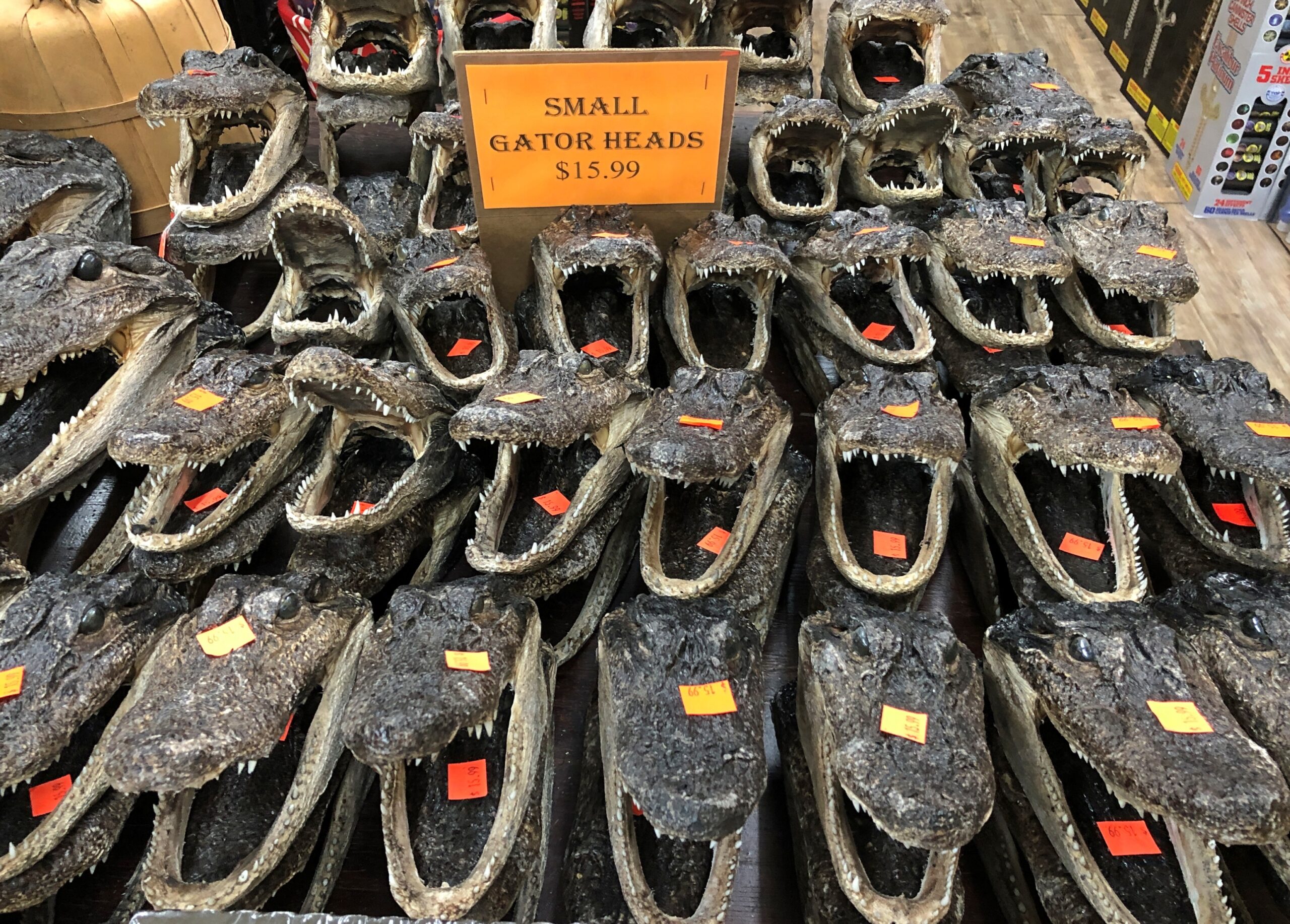
Good old wading birds. Still, that isn’t what people come to see. That would be gators. How do I know this? Consider a scene from a souvenir shop I visited later in our trip.