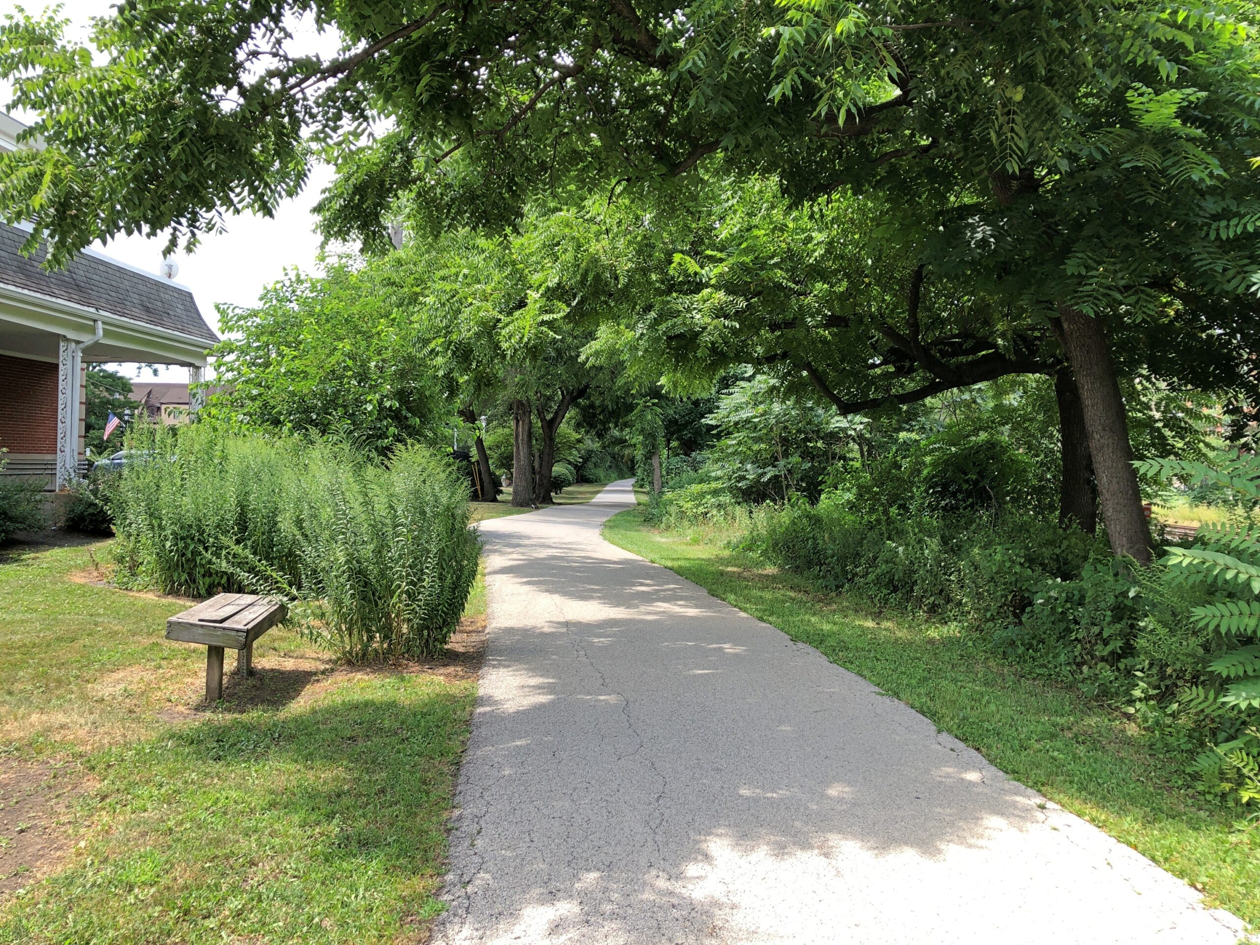
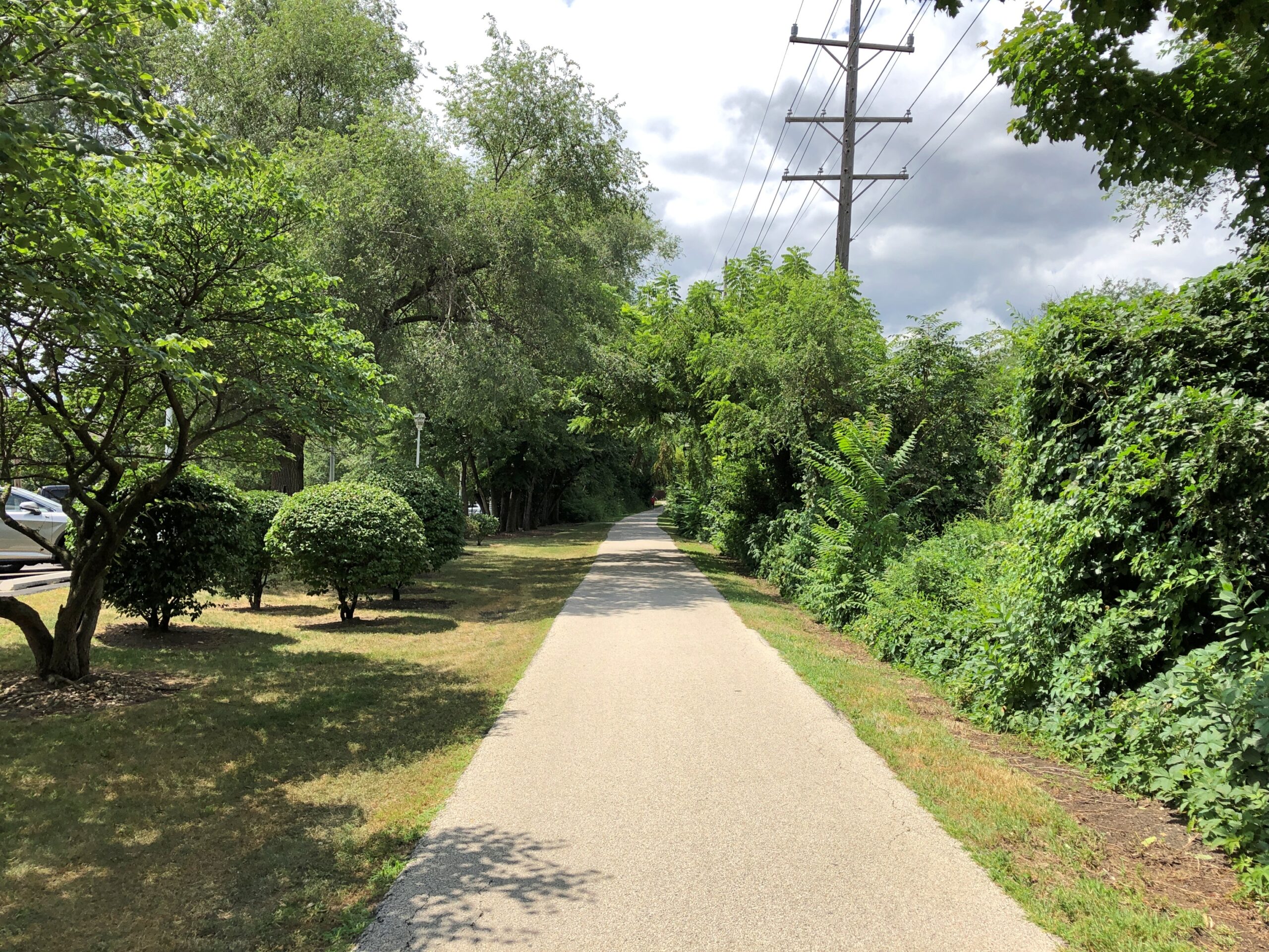
M.D. Trains, Blue Lotus &c.

Labor Day weekend is nigh, and even in a semi-retired state, I look forward to these three-day weekends, especially if the weather is still warm. Actually temps have been pretty high these last few days, which means that sitting on the deck well into the evening is comfortable, once the mosquitoes have calmed down.

Think I’ll take a stretch off just because. Back to posting on September 13.

The other day while out on the deck before sunset, listening to the loud cicadas, I made up a 19th-century religious movement, in outline. As one does. A farmer in early 19th-century Ohio proclaimed that the late summer cicadas are actually trying to communicate with mankind, but that the last people who could understand them were the ancient Israelites (using the Hebrew term for “locust”). Some Israelites were able to interpret their song as revelations from the Lord, which formed the basis for the lost Book of Locusts. After the destruction of the First Temple, the locusts spoke no more.

Who is suddenly able to understand the cicadas in the (19th century) present? The farmer, of course (Robert, let’s call him). He listens closely, and it turns out the Lord is laying down some new rules ahead of the Second Coming, via cicada song. Including how to organize a new church with Bob as its head, and an exact time for the Second Coming, like the Seven-Day Adventists. Bob gathers a few hundred followers. One of their main rituals is the “Summer Listening,” as they gather outside in the late afternoon and Bob, in a trance, interprets. Some of his grown sons soon have the ability too. Locust Listeners, their neighbors derisively call them, but soon they themselves are using the term.

The day for the Second Coming comes and goes, and Bob has a new revelation for his disappointed flock: they should be listening to crickets as well, to complement cicadas. That will reduce the chance of misunderstanding, as clearly happened with the date of the Second Coming. Groups of Listeners start staying up all night to listen to crickets, but others are dismayed, sparking a schism.

I could go on, naturally – how a few dozen Church of Listeners congregations still exist in the Midwest (and California, of course), how one of the great entomologists of the early 20th century grew up as a Listener, how a descendant of Bob erected a historic landmark in Ohio – a bronze cicada – in 1979…

* * *

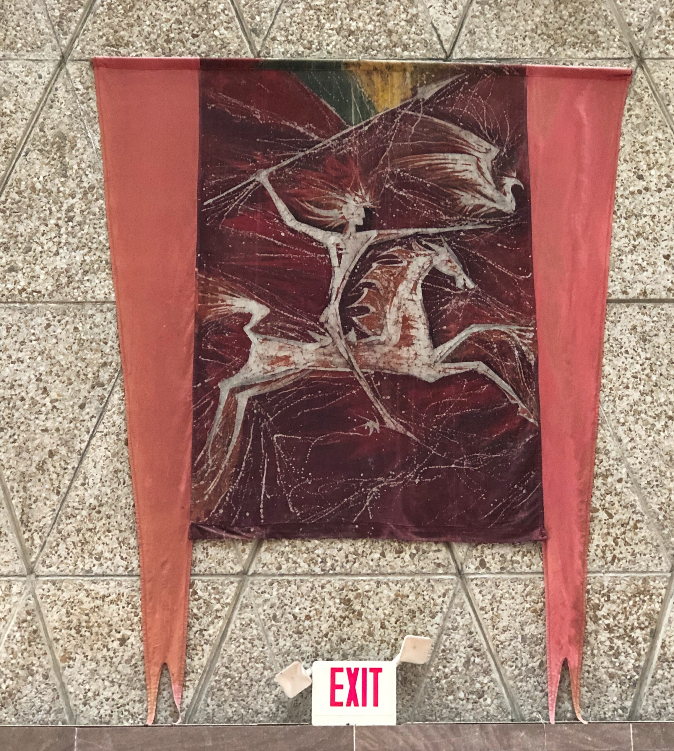
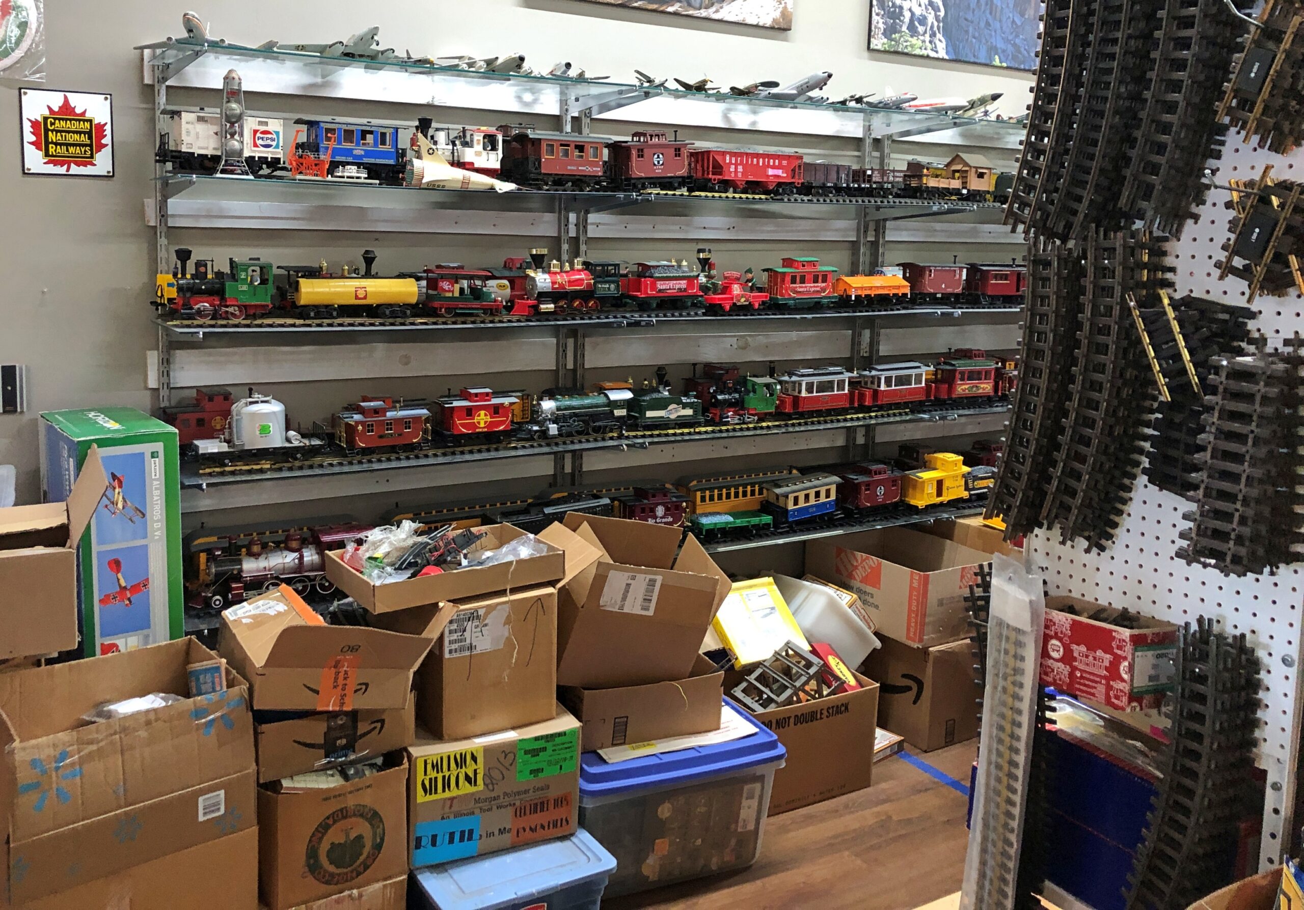
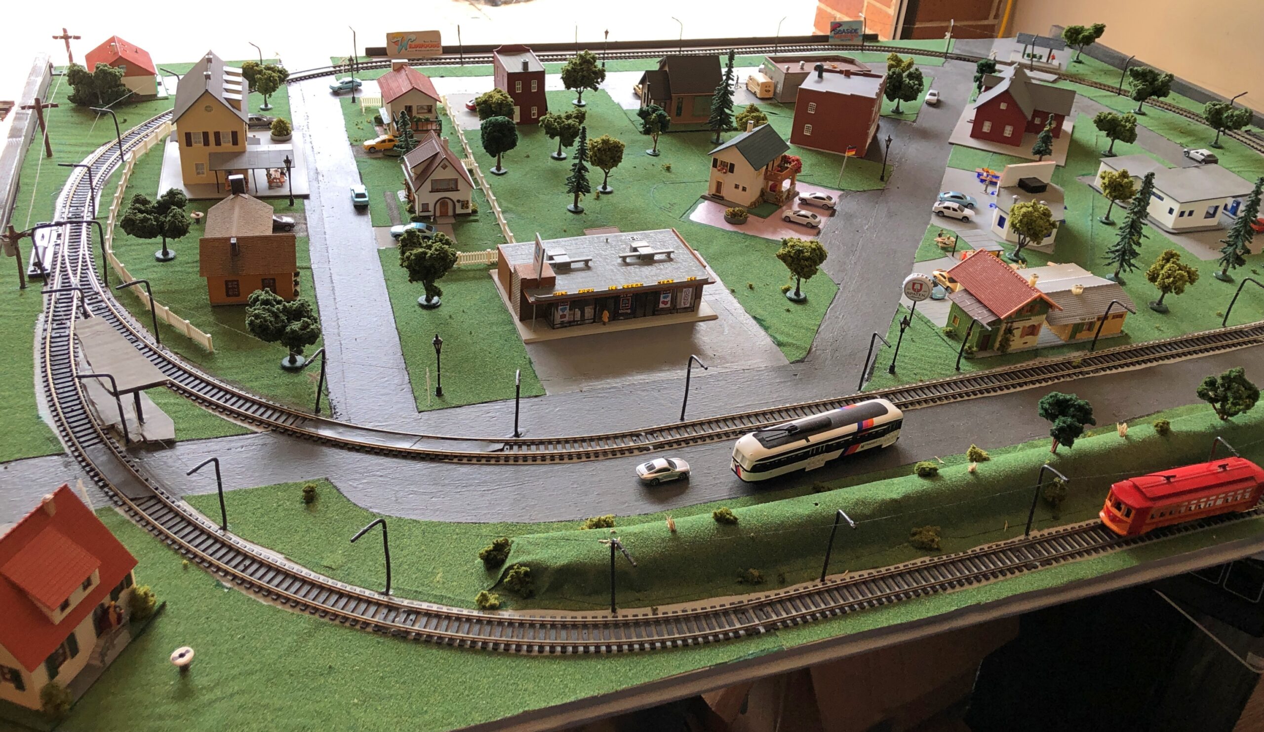
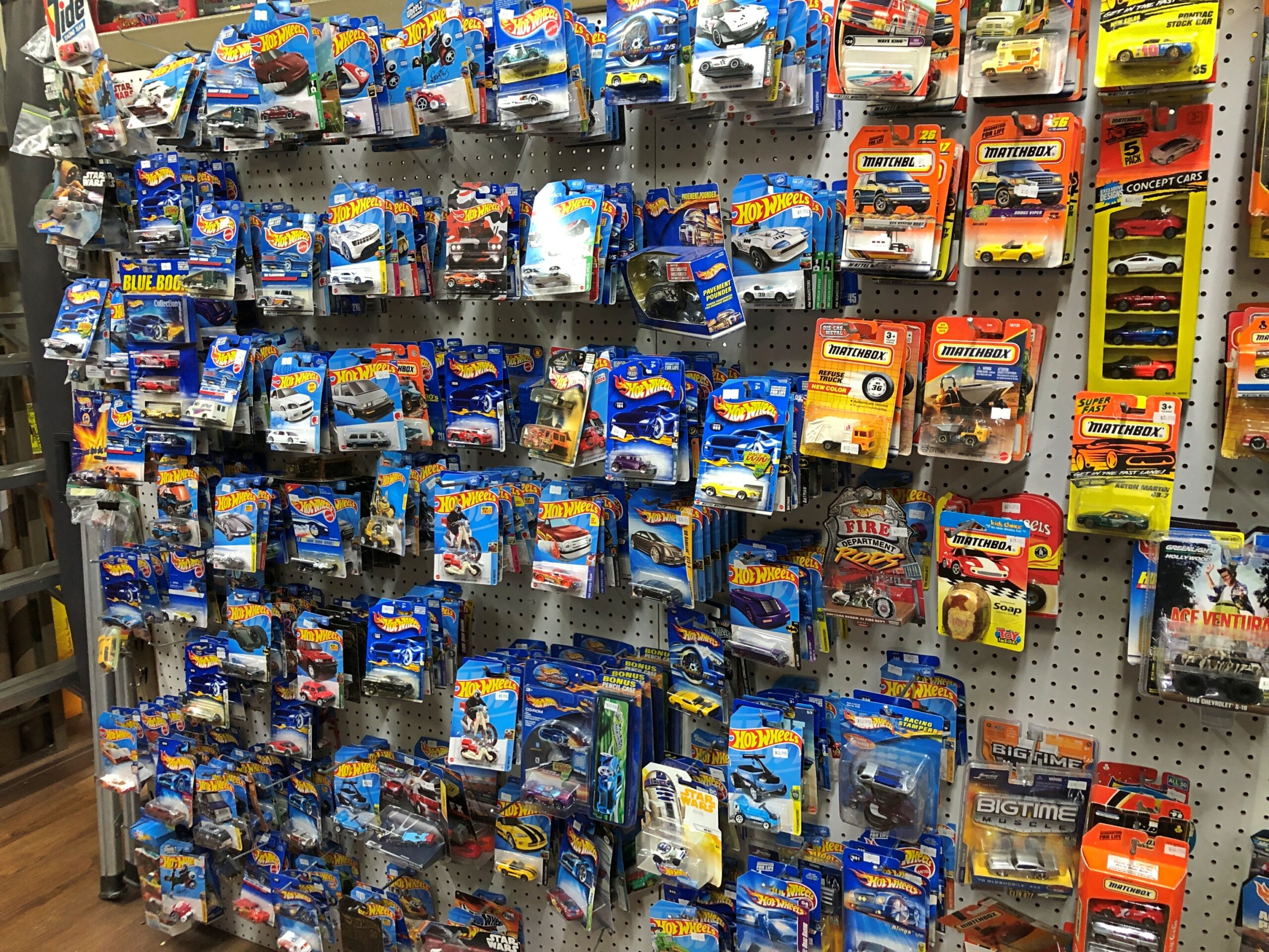
On the historic square in Woodstock last Saturday, something intriguing. This setup graced a shop window, though I took the image once I’d entered the building.

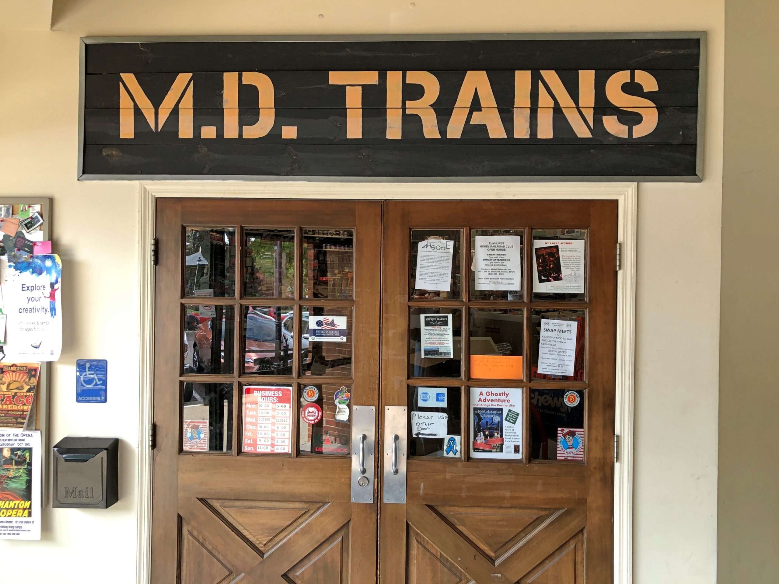
We’d found a model train store: M.D. Trains.

Those kinds of shops are few and far between, but not impossible to find. M.D. Trains was empty when we entered, except for an older man I took to be the proprietor and a younger fellow I took for an employee, both sitting near the front, chatting.

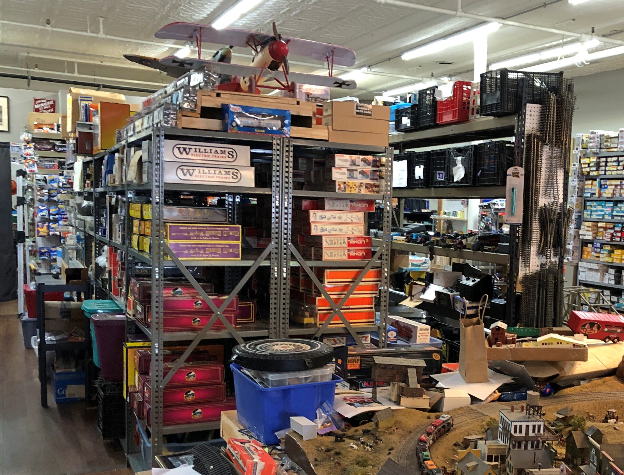
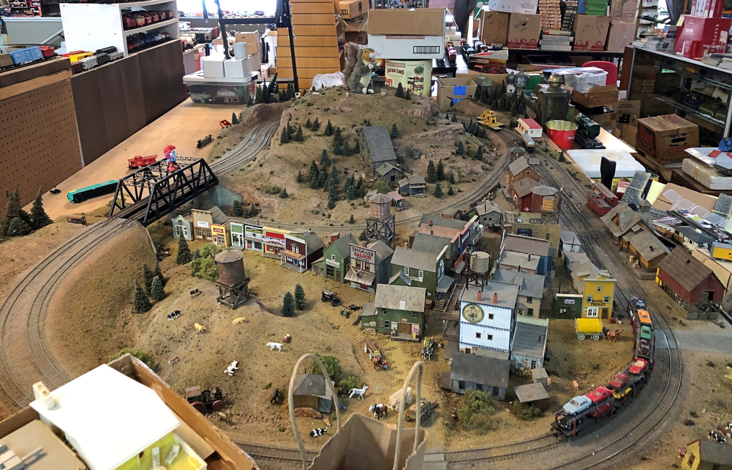
“You want to buy everything, don’t you?” the older gentleman said to us. Later I heard him say it to other people entering the shop. “Everything” meant a lot of stuff in a glorious clutter.

“If only,” I answered. I didn’t really mean it, since I’m not in the market for a room full of model train cars, tracks, accessories, model trucks, books, magazines and ephemera. Still, I enjoyed looking around the store.

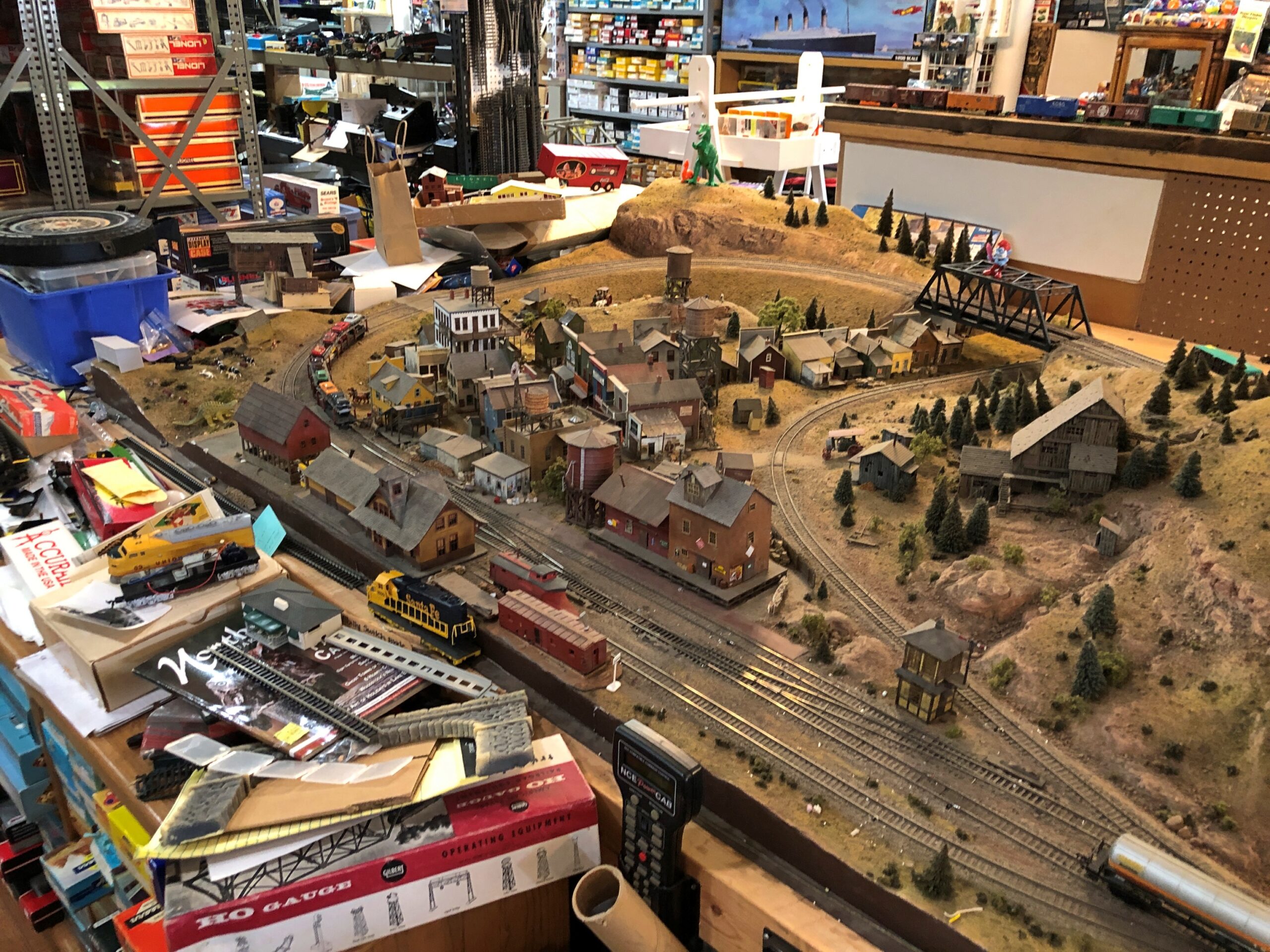
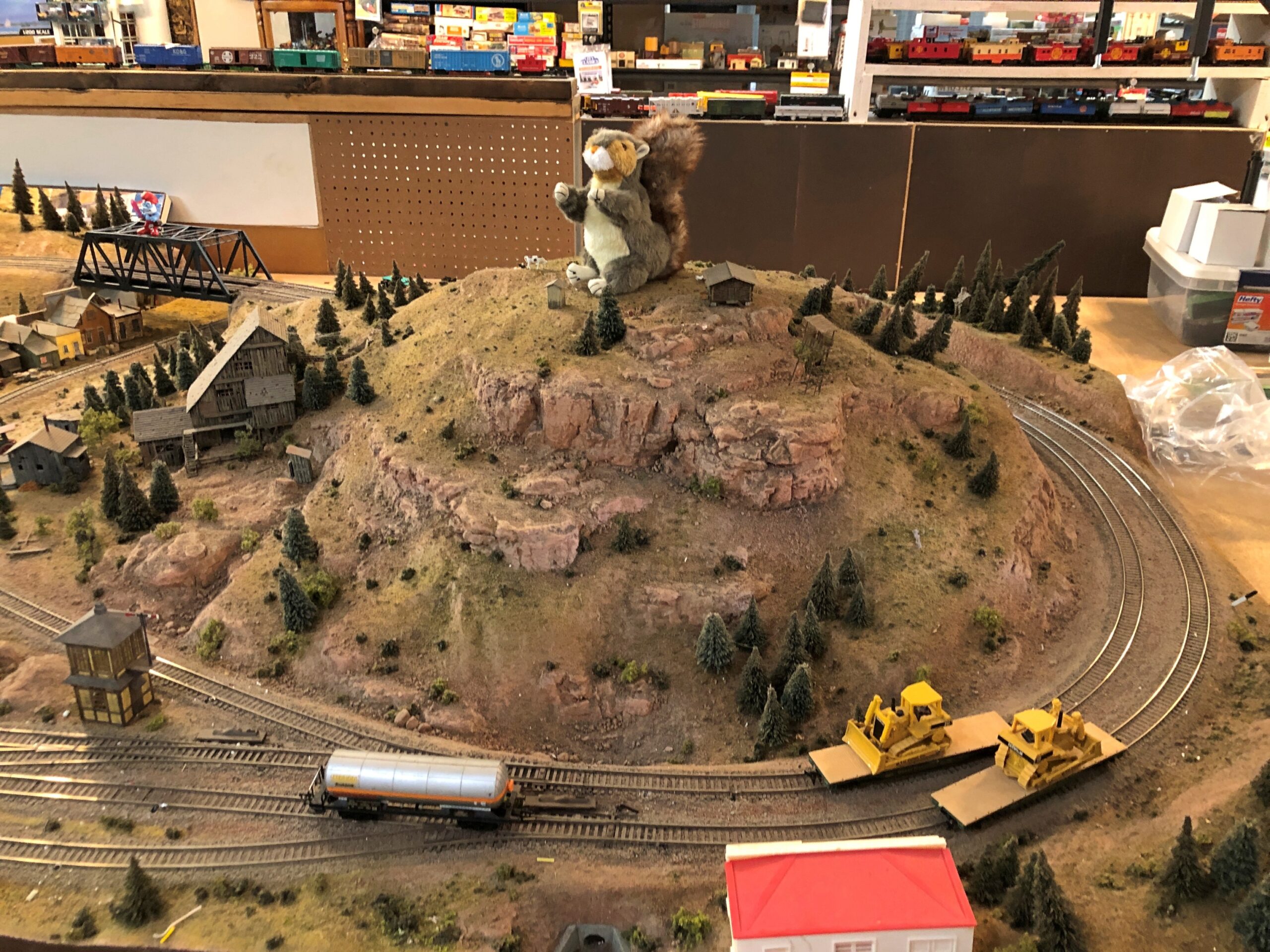
There’s more than just merchandise. Square in the middle of the store is an intricate model train layout, much more elaborate than the one in the window.

But I did buy a small toy engine for $5. You can’t go in a place like that and not support it.

* * *

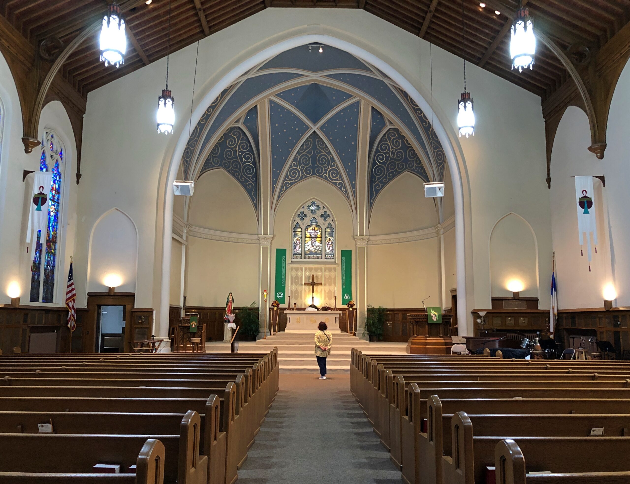
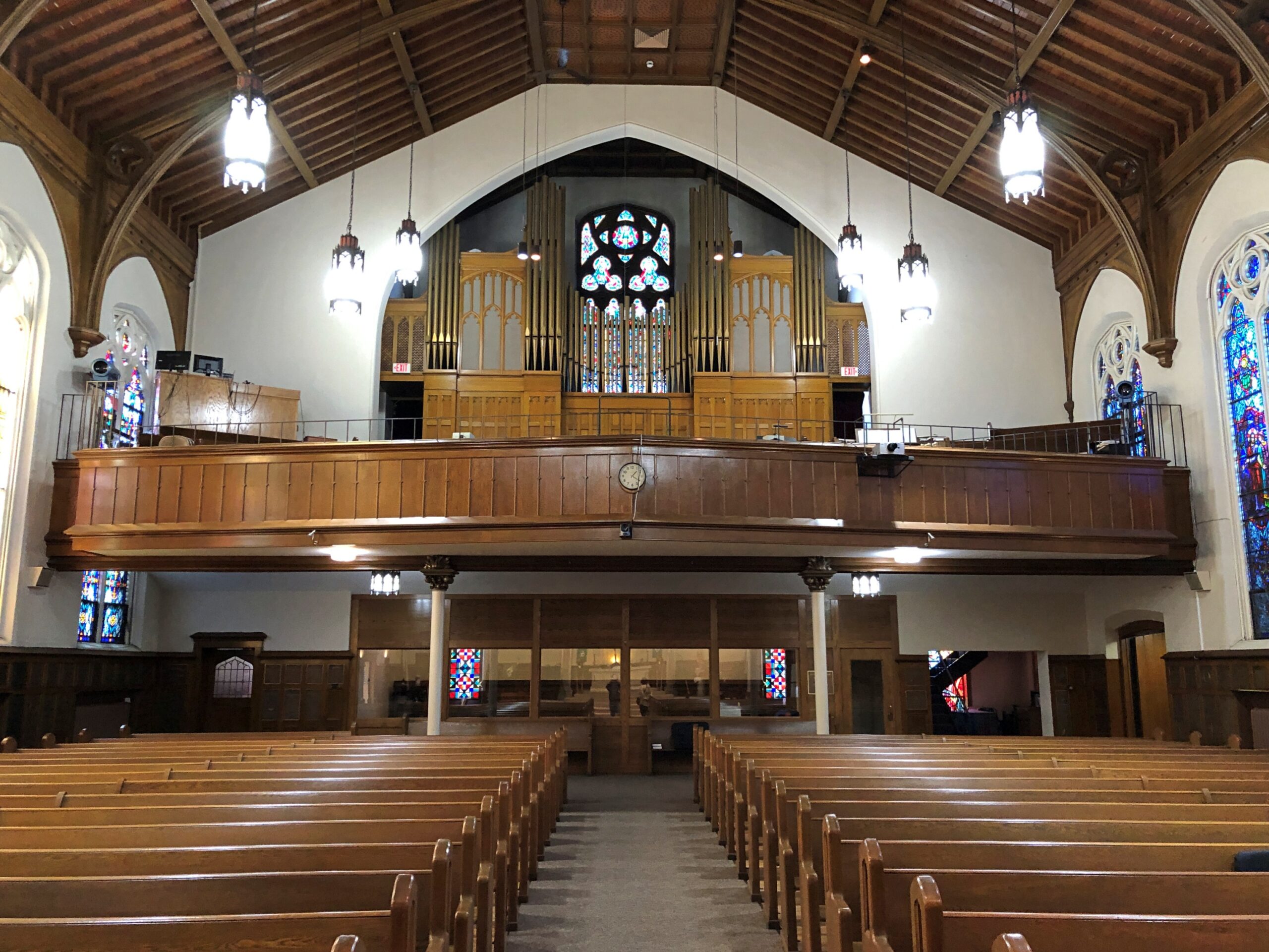
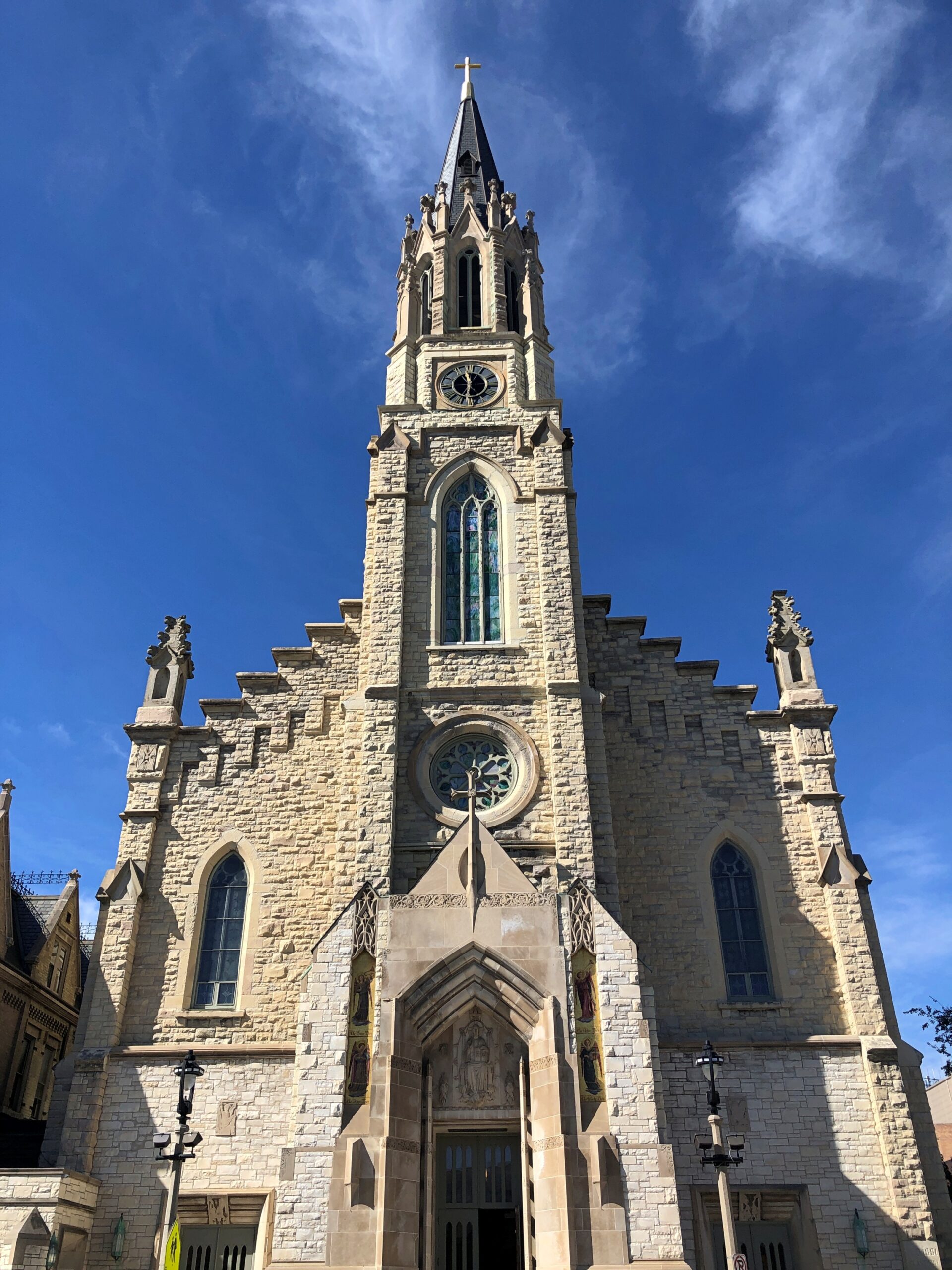
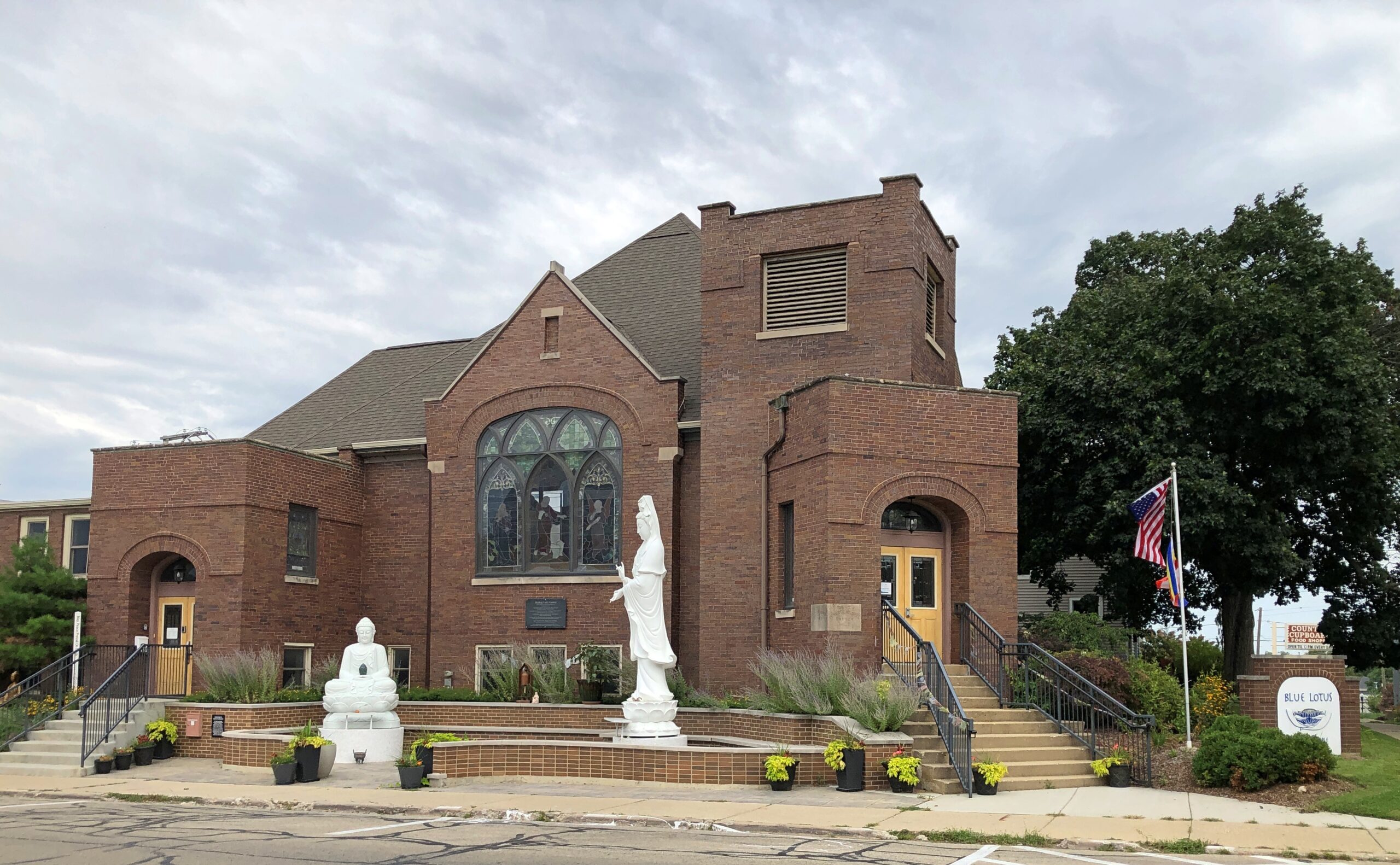
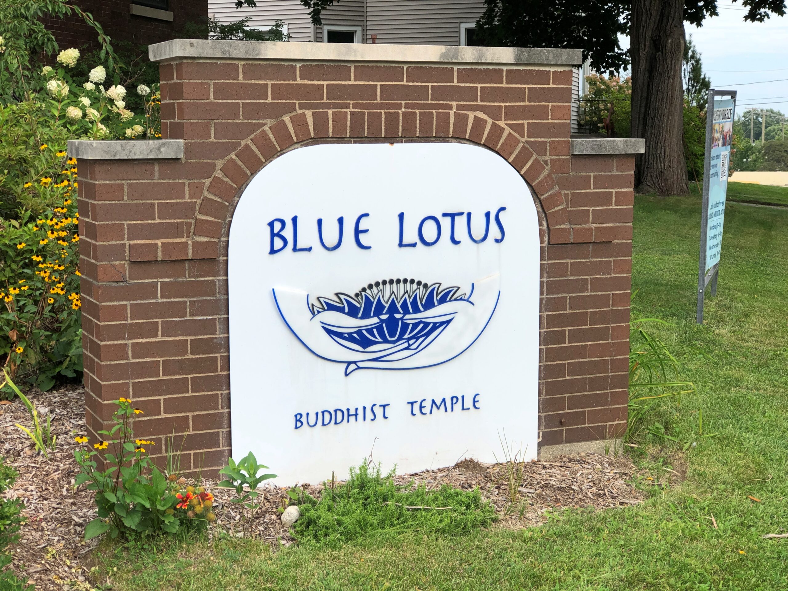
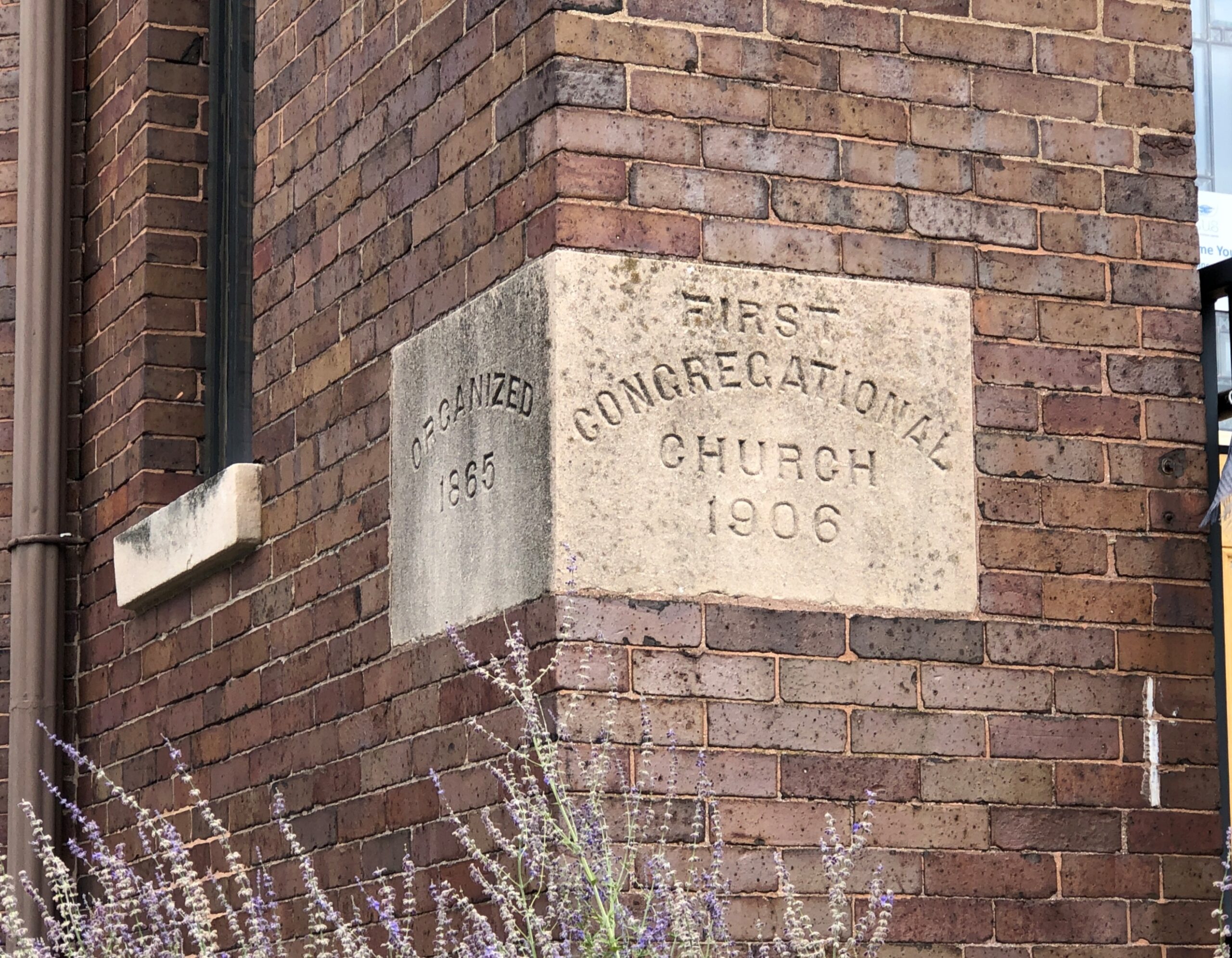
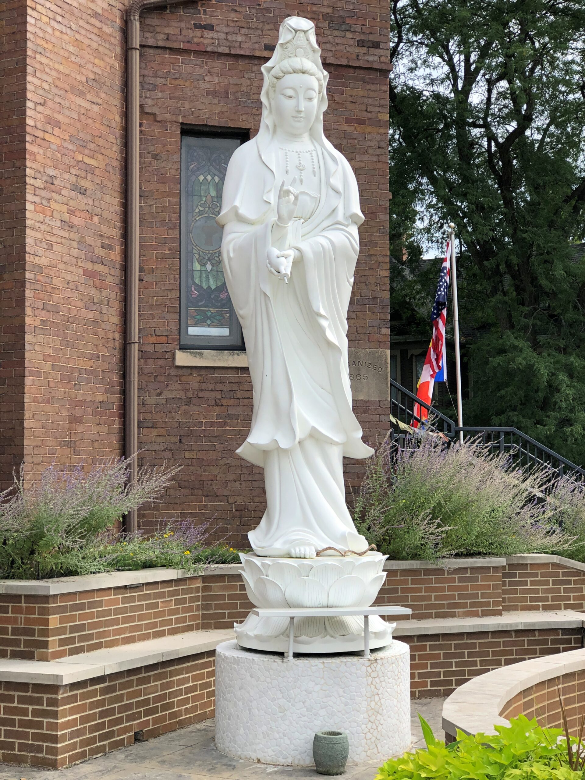
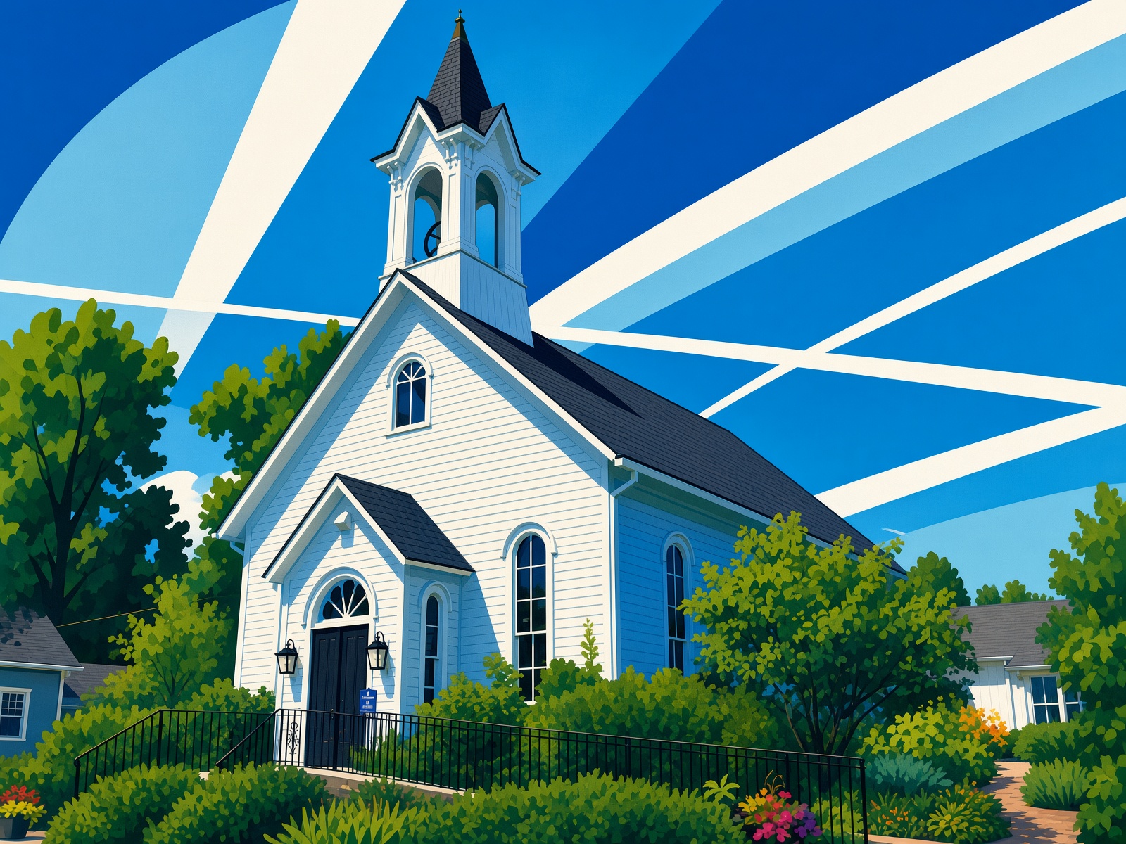
I’m glad to report that Blue Lotus, a Buddhist temple housed in a former Congregationalist church, is still active in Woodstock.

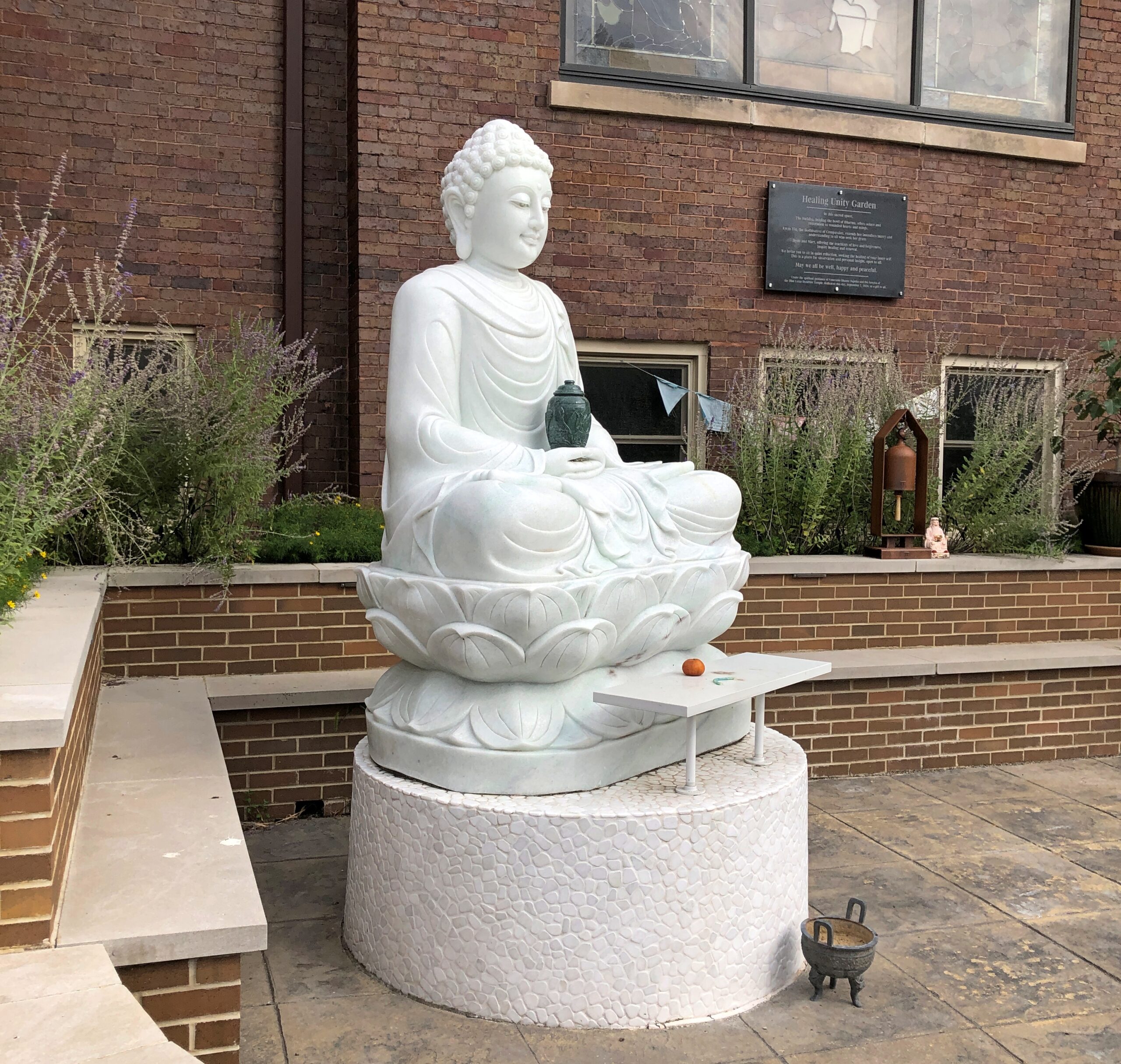
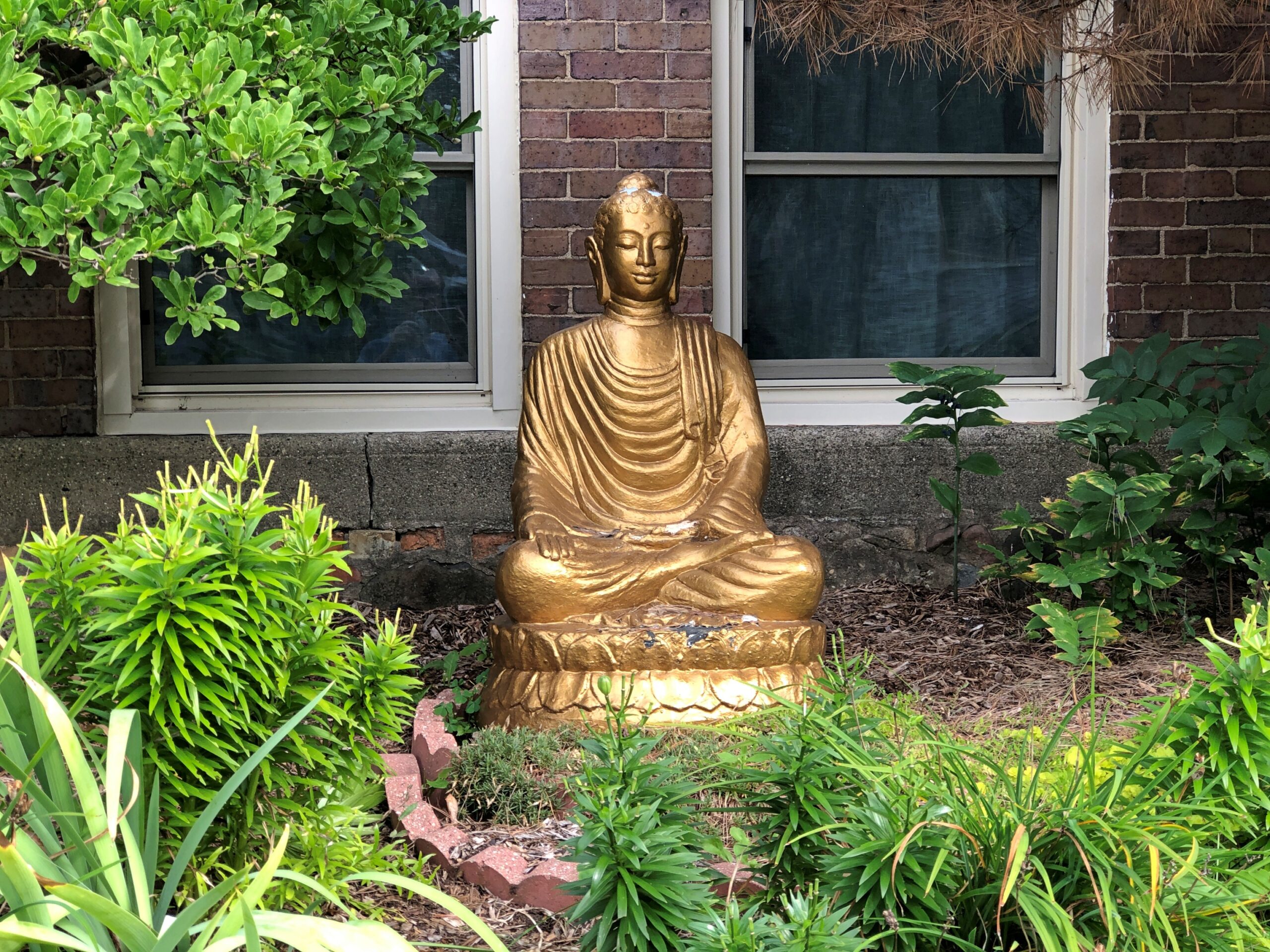
In fact, I believe they’ve added some depictions of the Buddha lately.

One of these days, Blue Lotus is going to be open when I happen by. I’d like to see how the temple interprets the space.

Idle Hands and AI

Most places I go, I take a fair number of photos, because in our time – over the last two decades or so – high-quality photography has become cheap and easy. I took a digital camera on a trip for the first time in 2005 and have ever since, each one making sharper images than the one before, besides an exponential increase in memory. I’d never have the patience to set apertures or figure out film speeds, but point a phone that I use for nothing else? Easy.

Now, suddenly, digital graphic design has became cheap and easy. Is it any good? A lot of AI images look like AI images, the kind of stilted cartoons we all now recognize (well, a lot of us do). But do they have to be?

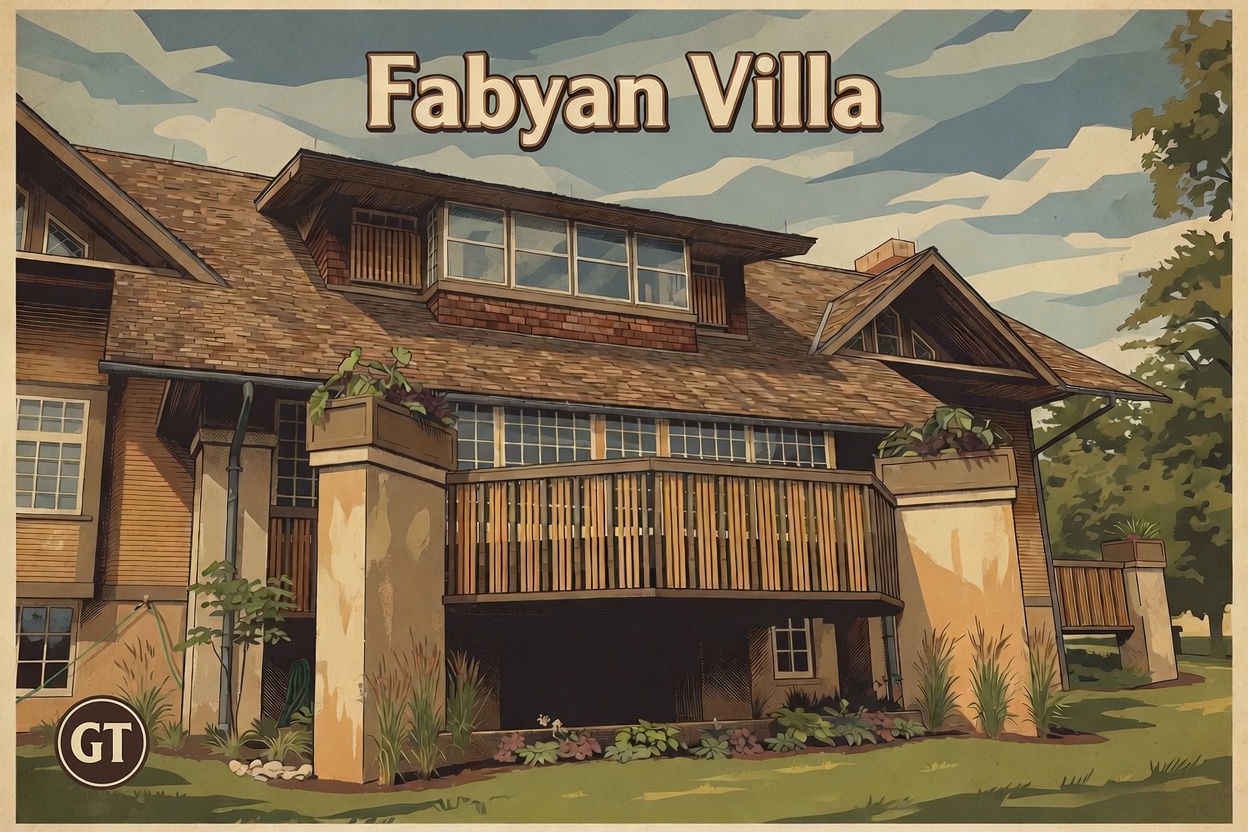
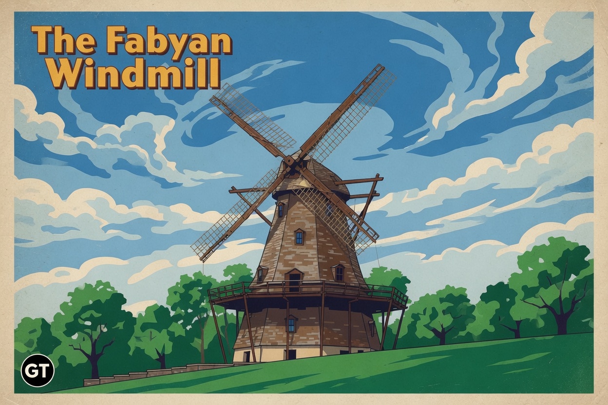
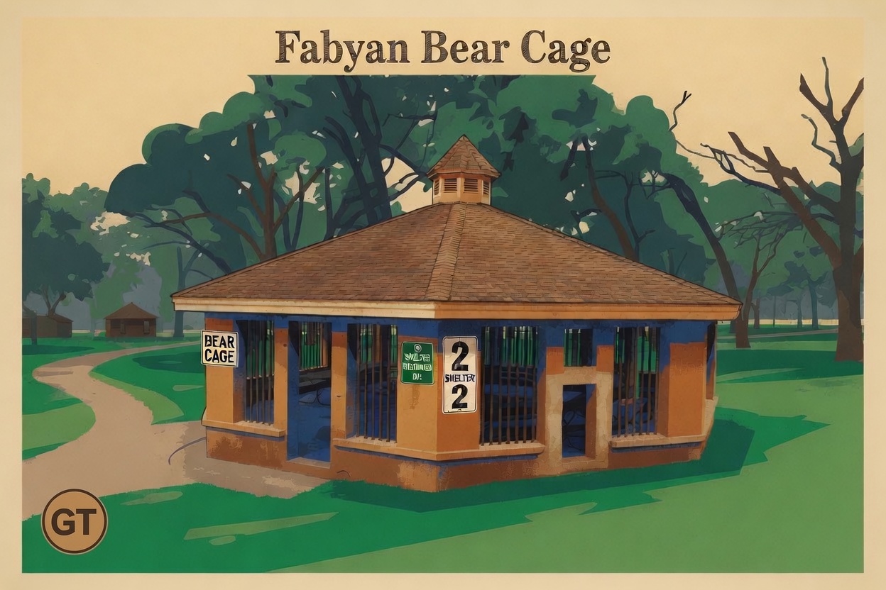
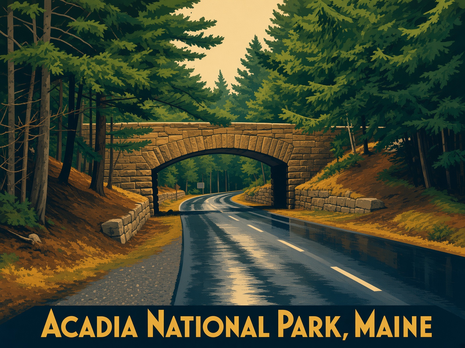
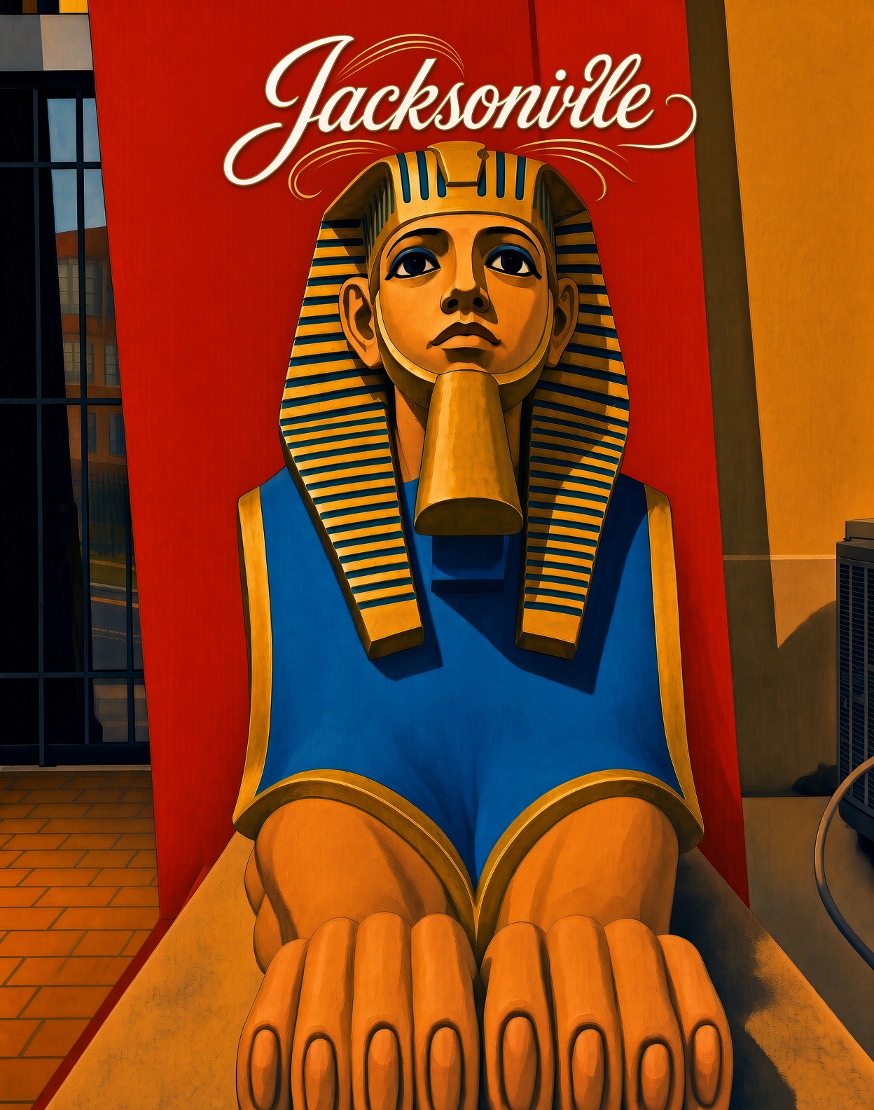
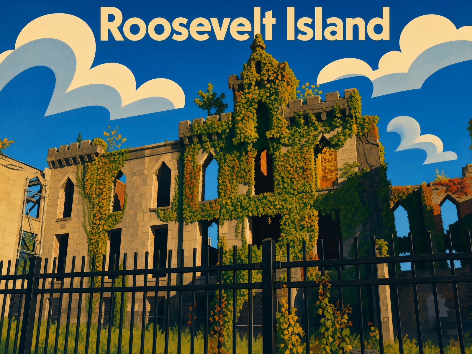
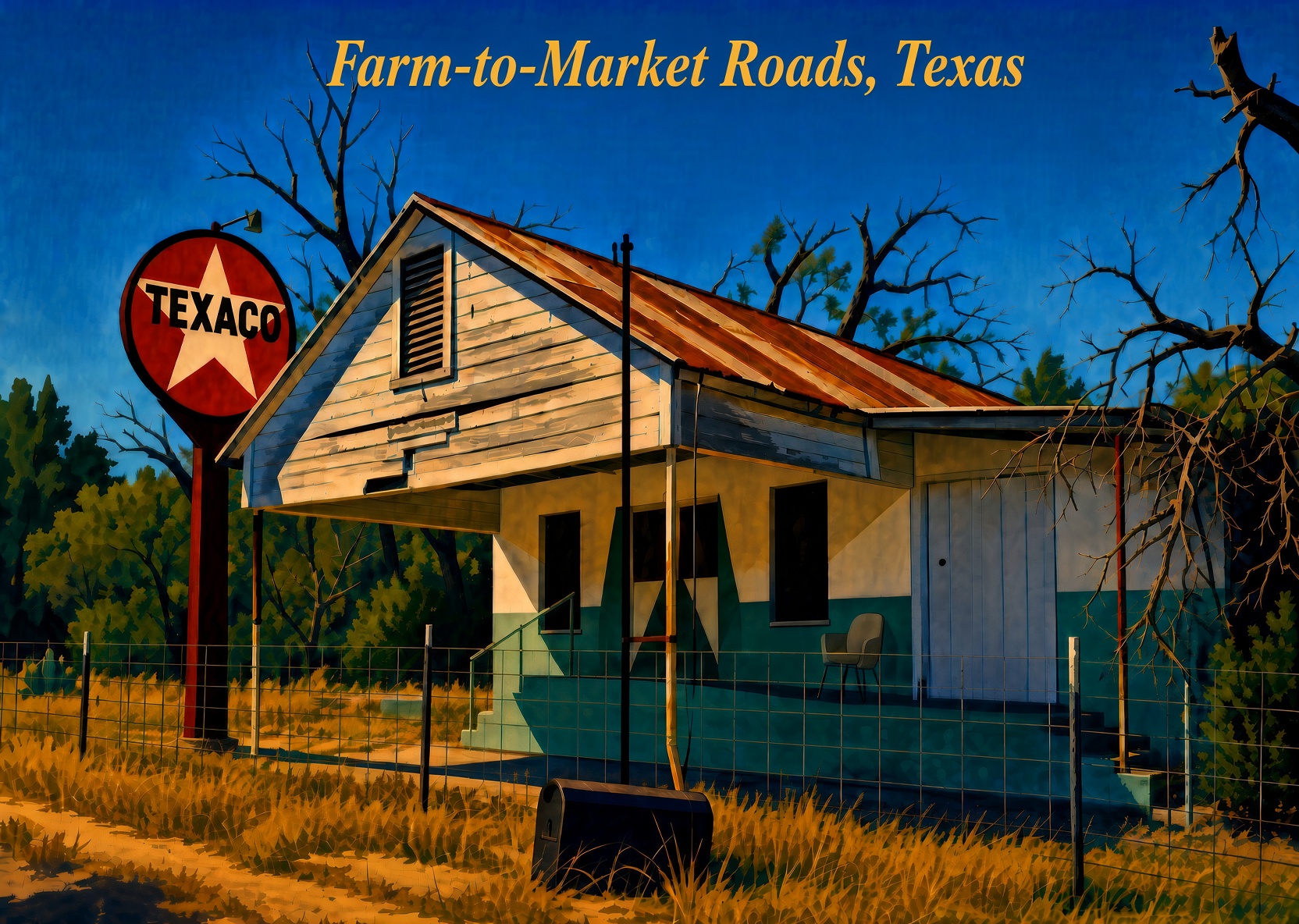
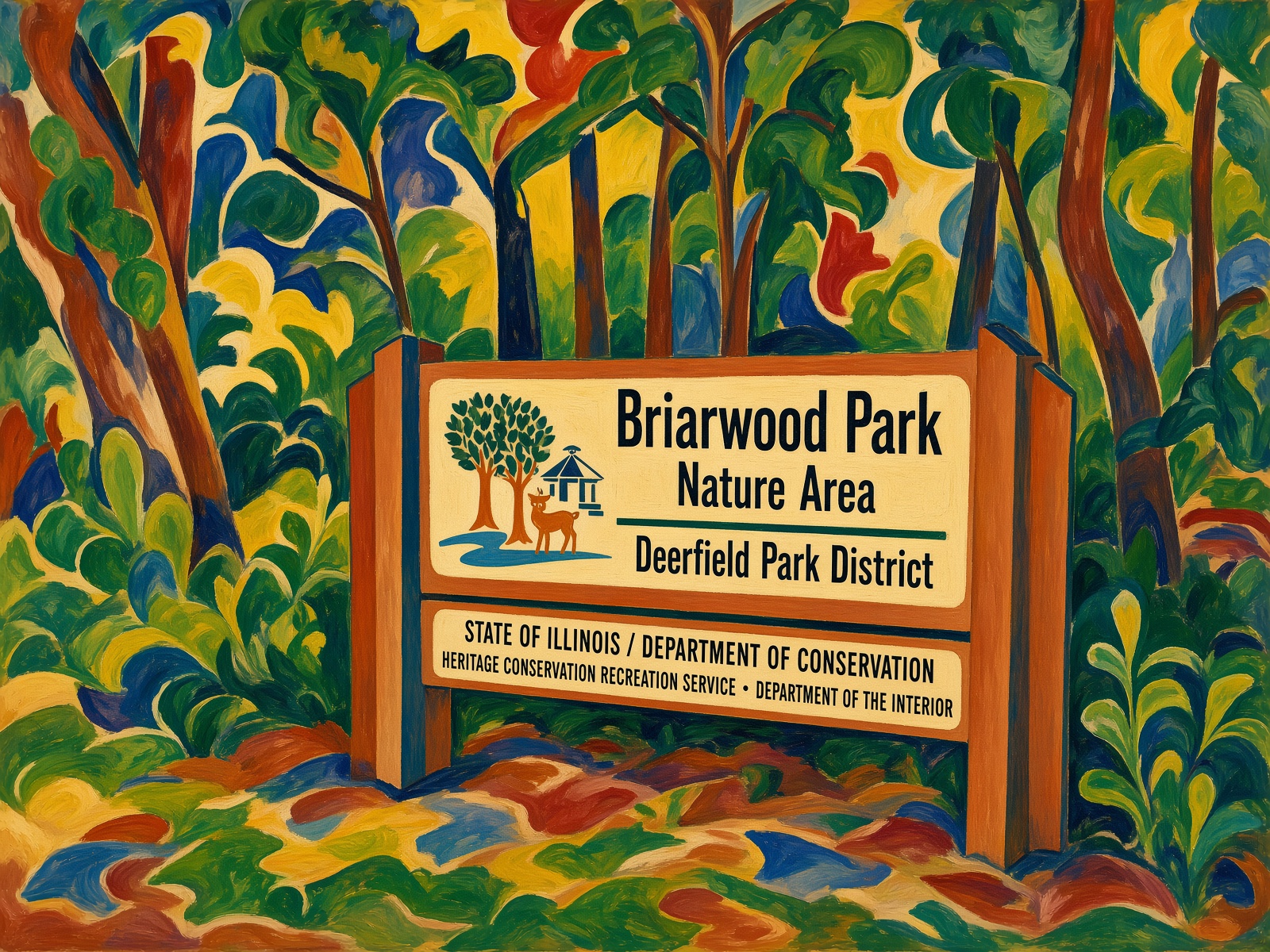
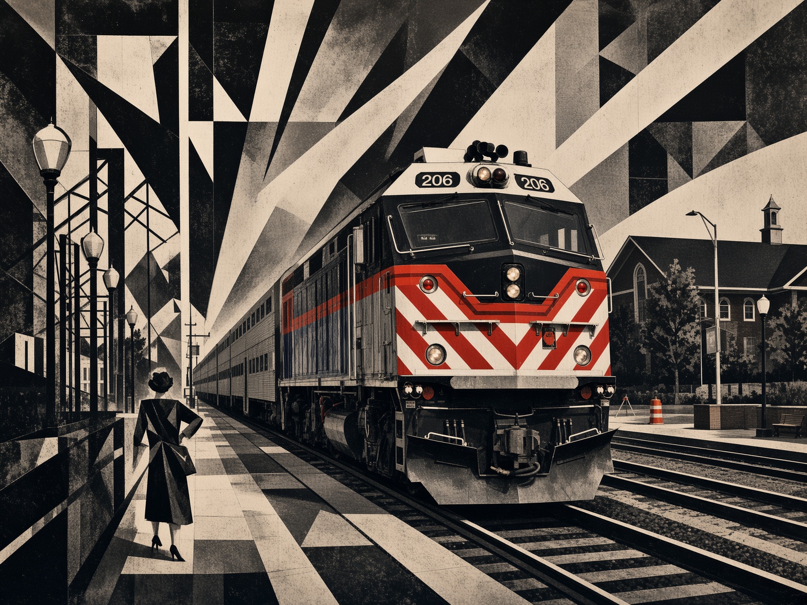
Earlier this summer, we visited Fabyan Forest Preserve in Geneva, Illinois. Later, I cooked up a series of “postcards” – named for the aspect ratio, since they aren’t real cards – using images I took there. There are a number of advantages to this, the main one being I own the copyright to the images, and so derivative works aren’t an issue. The prompts in this case are “WPA style” or something to that effect. Add some text and there you go.

Promotion-type images for other places I’ve been, recently or not. Again, all the underlying images are mine.

Images for details along the way in Illinois, using a variety of other prompts, exact location not so important.

One more.

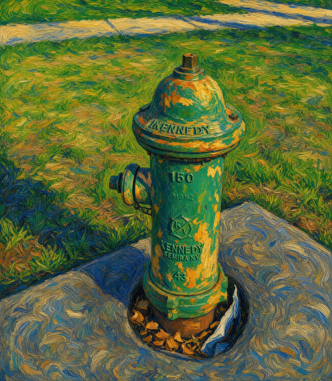
Think of it as the first in a fire hydrant series: Van Gogh Fire Hydrant.

Wayne, Illinois

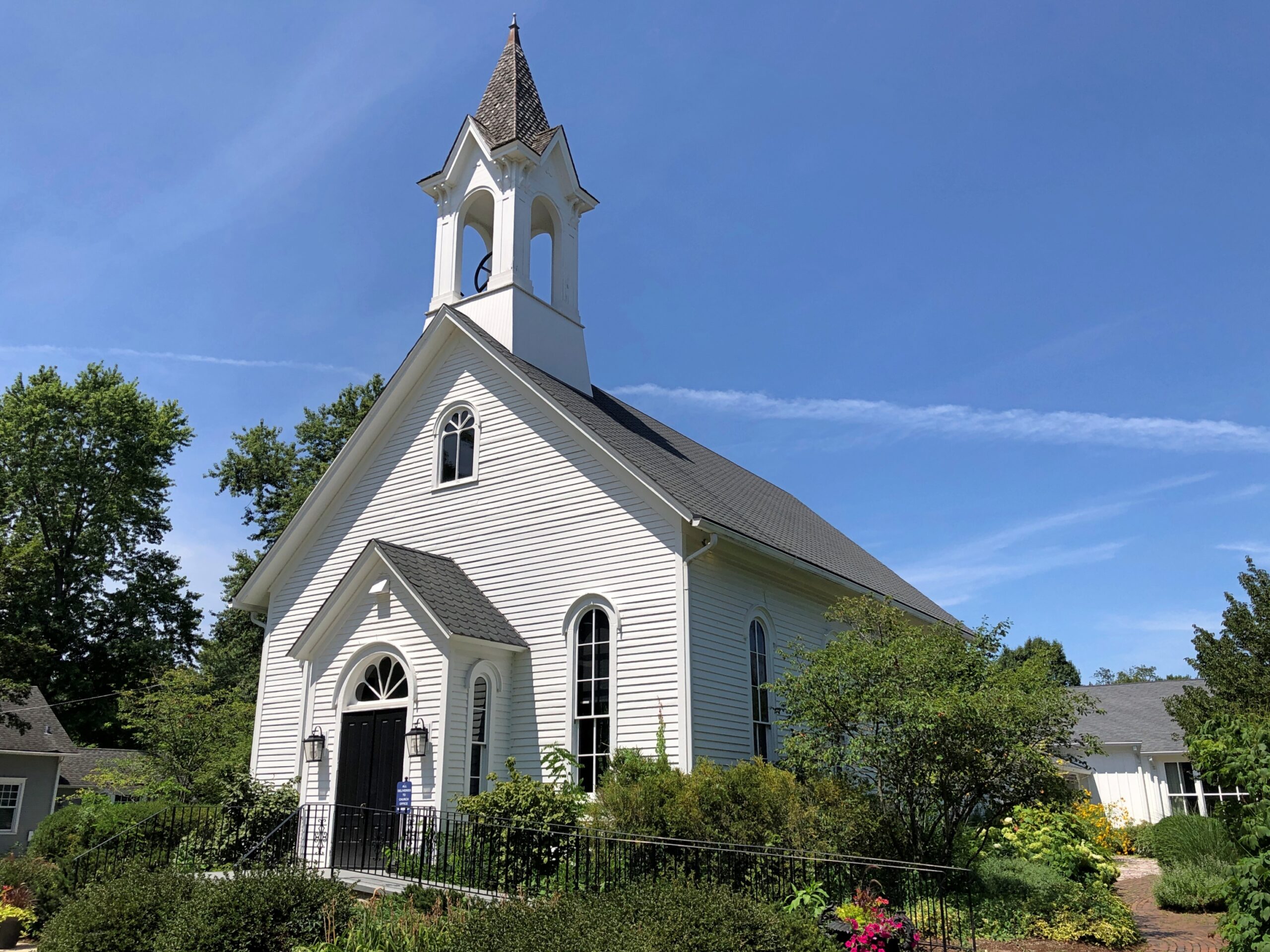
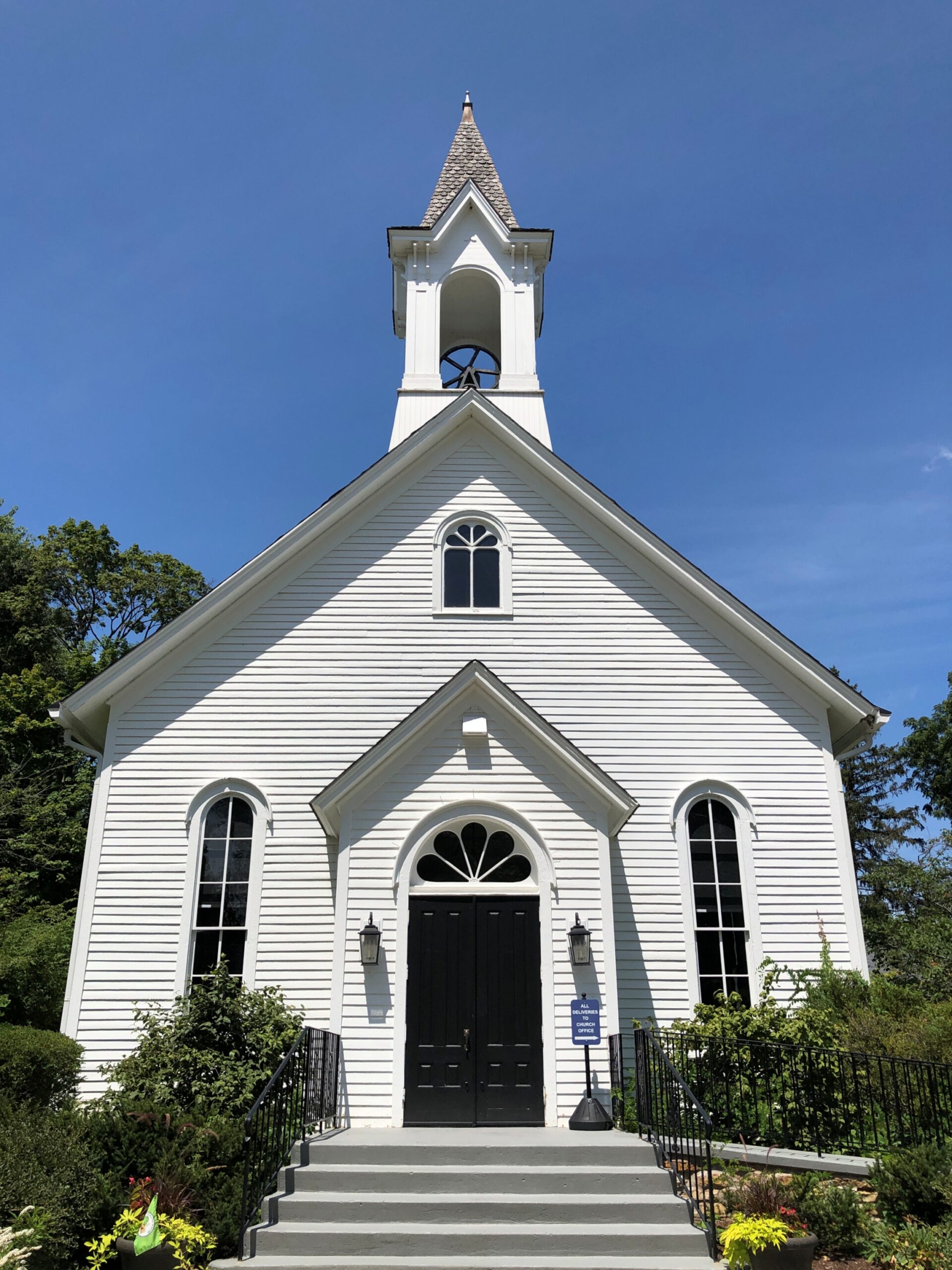
Toward the western end of Army Trail Road here in the suburbs – where the territory is almost exurban – a handsome church caught my attention not long ago. Traffic was sparse, so pulling off the road and then taking a look on foot was a reasonable option.

Little Home Church by the Wayside, a United Church of Christ congregation. Closed, unfortunately.

Without realizing it, I’d arrived in Wayne, Illinois. I drive Army Trail Road a lot, but mainly its eastern reaches, an arterial thick with retail in suburbs like Bloomington, Glendale Heights, and Carol Stream. I had a social event to go to late last month, and since it was Saturday, I allowed myself a little extra time to do a spontaneous drive, such as follow Army Trail as far west as it goes, to see what I could see. Such as Wayne, a place I barely knew as a spot on maps.

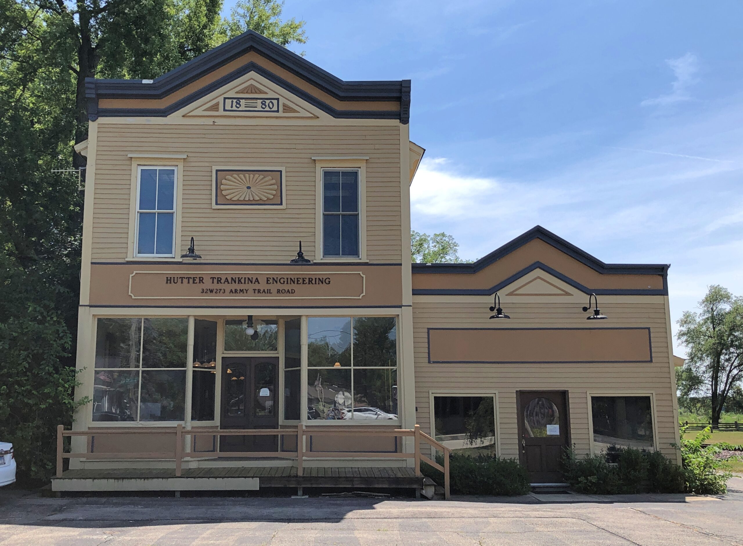
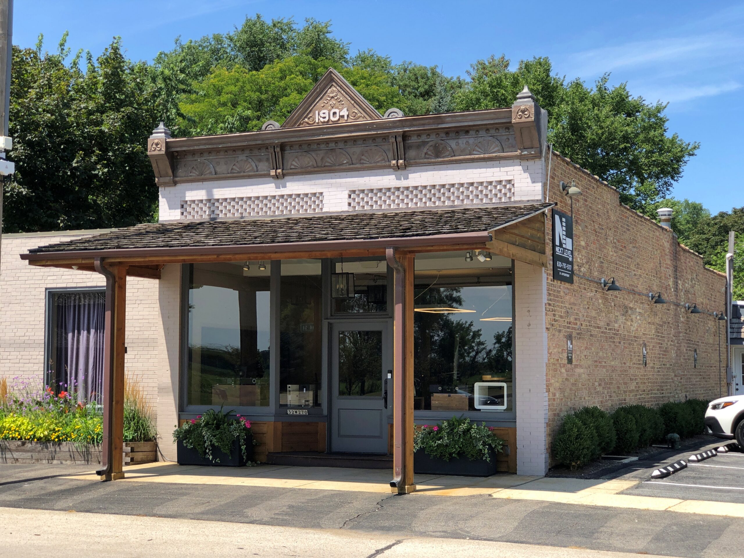
Army Trail passes right through “downtown” Wayne. It isn’t very large, but it has a few good-looking buildings besides the church.

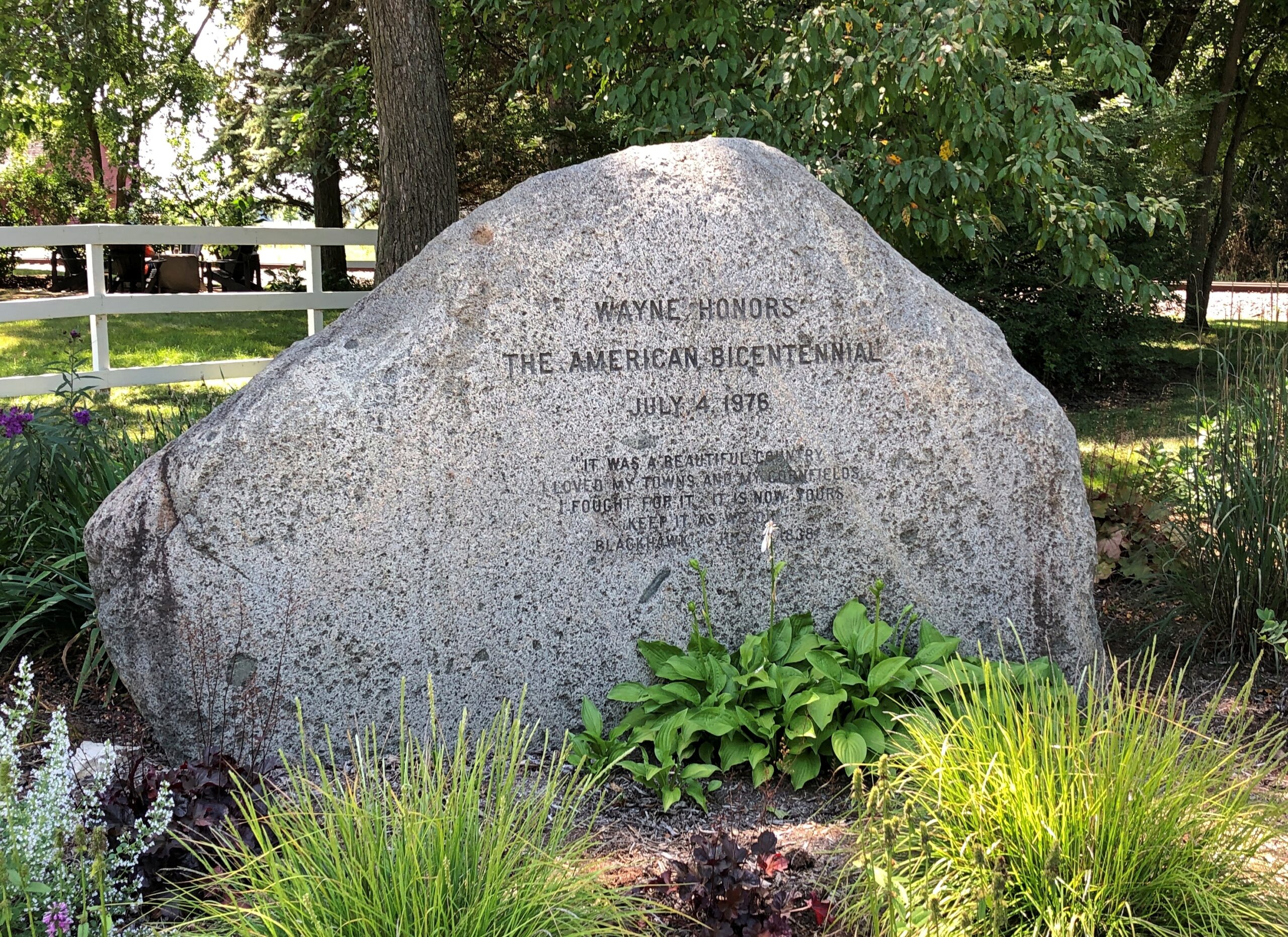
A bicentennial stone.

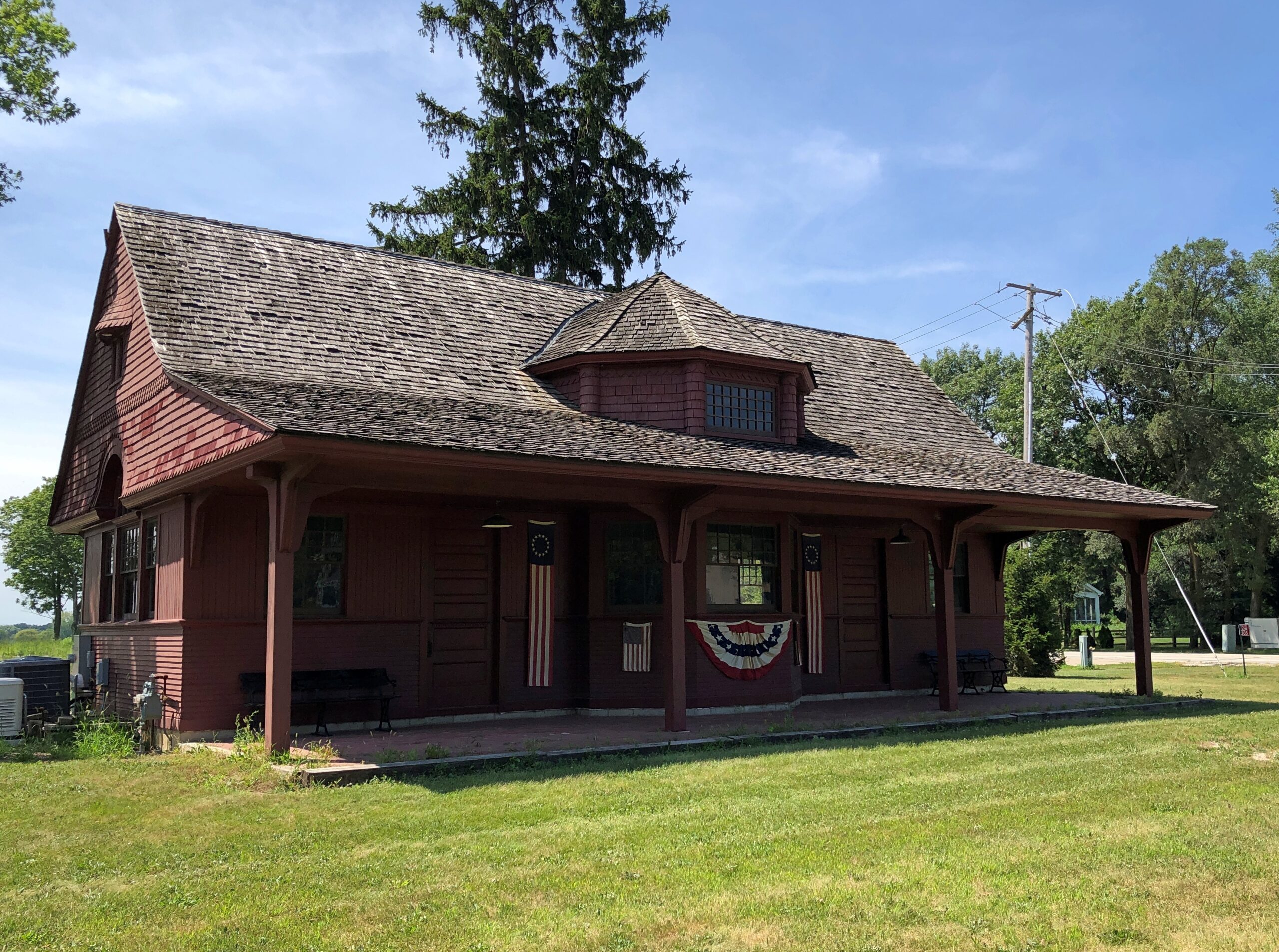
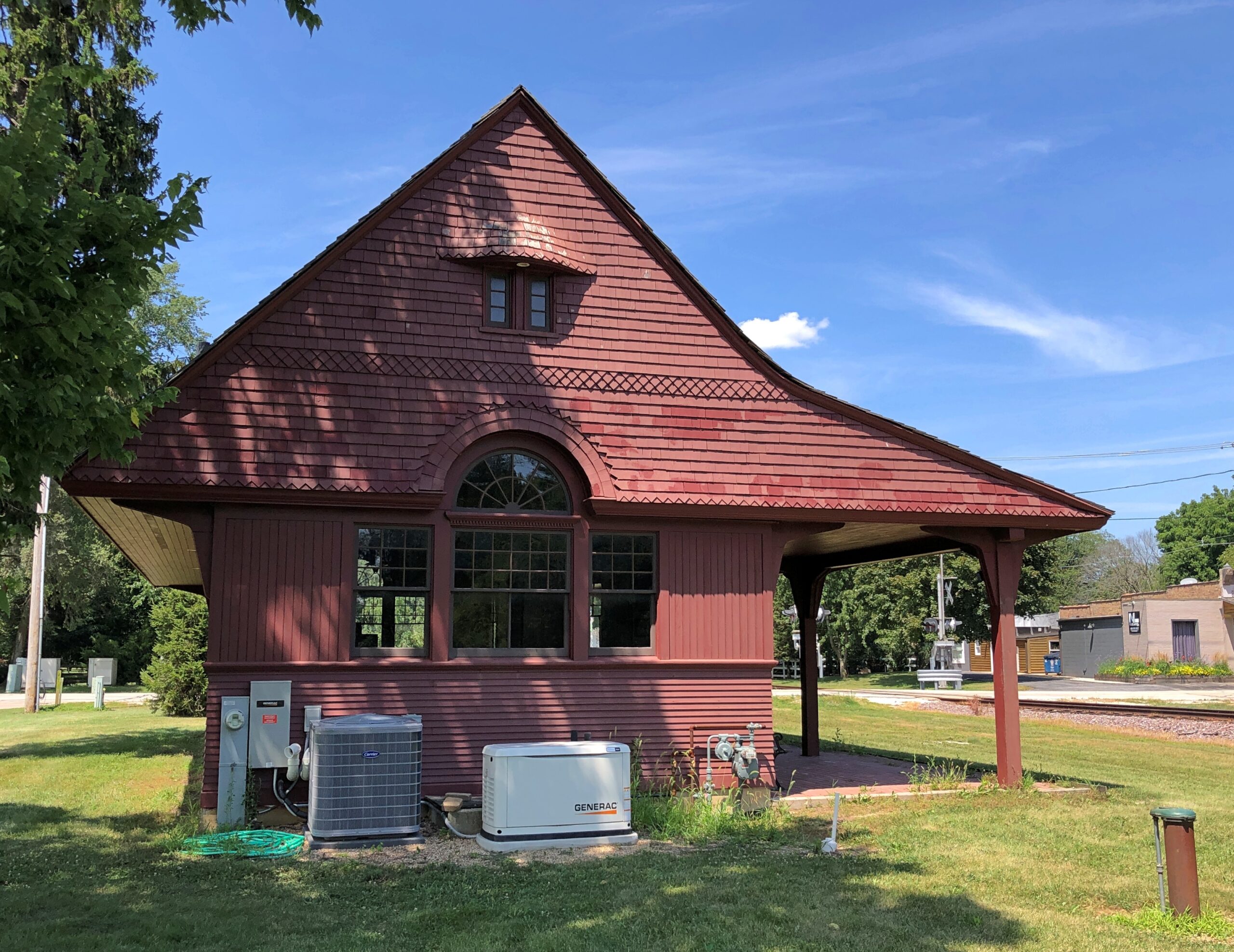
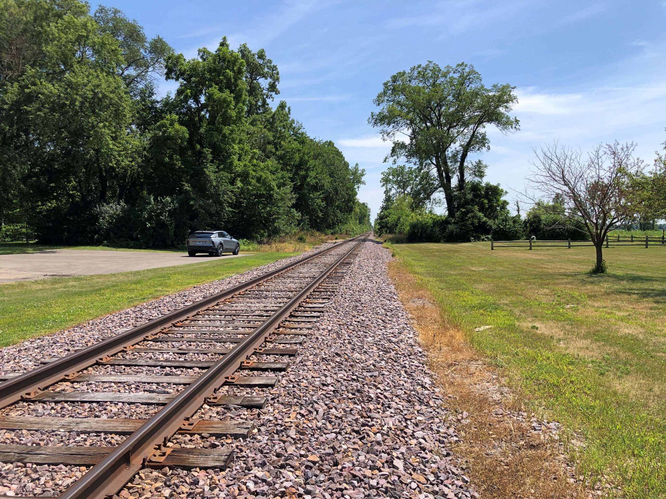
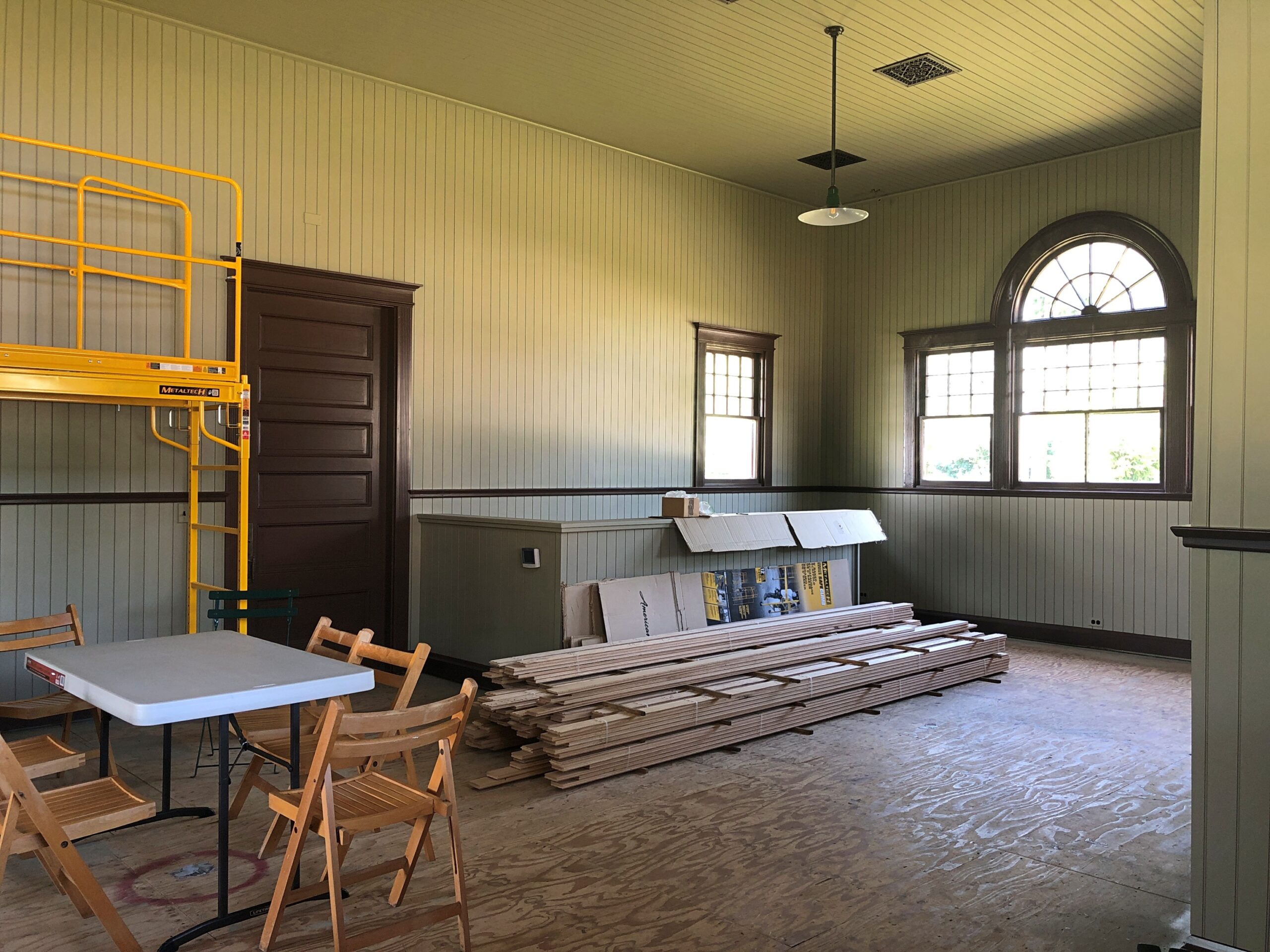
A nonfunctioning, yet well restored, train station. Nonfunctioning in the sense that trains don’t stop there anymore, but apparently events are held at the building. If I were going to throw a hootenanny or a shindig or a hoedown, I might consider renting it.

Provided local codes allow such noisy festivities.

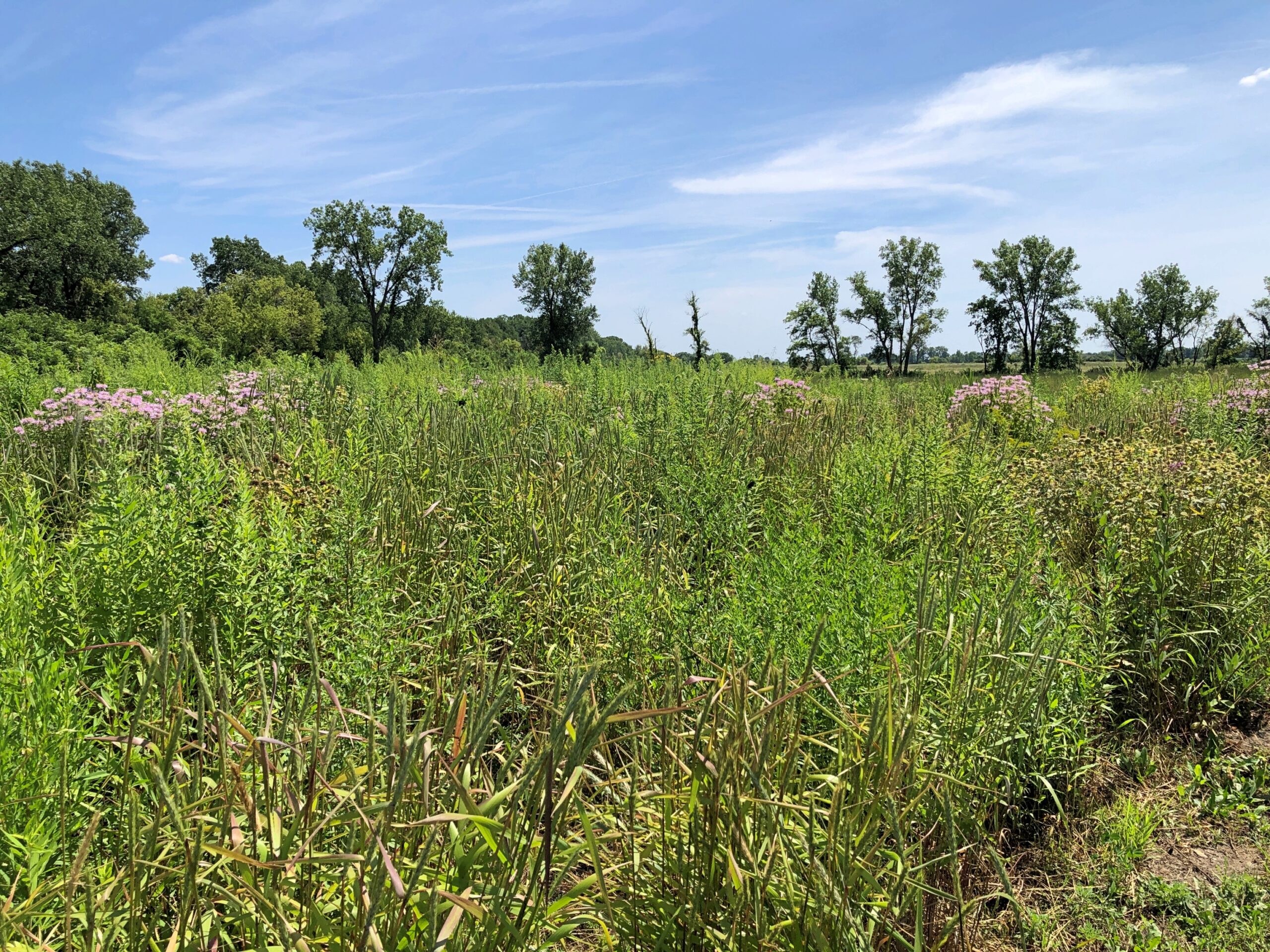
Wayne, I later discovered, is a low-density suburb: a sizable 5.8 square miles with a population of not quite 2,300. As such, I imagine there are a fair number of rules to enforce the quiet and semi-rural character. Zoning keeps lots large, four acres or more, which functions to make the town the province of those who can afford it, but there’s also a lot of open land. Such as the Dunham Forest Preserve.

Open to all, but the day I visited, near it was north of 90 degrees F. and, true to the prairie nature of parts of Illinois, little shade was to be seen. Taking pictures around downtown and the former station was sweaty enough.

We’ve heard of one-horse towns, though the metaphor long ago became fossilized. Wayne, it turns out, is a many-horse town, the legacy of a major horse-breeding operation in the 19th century.

“By 1865, Mark W. Dunham… had begun breeding and selling prize Percheron horses which he originally imported from France,” the Village of Wayne says. “By 1883 he had over 1,300 mares and stallions grazing on 1,700 acres of land known as Oaklawn Farm. His residence, Oaklawn, now popularly known as ‘Dunham Castle,’ was also constructed as part of the farm, and the red brick building which had been the Dunham home (now the Dunham Woods Riding Club) was converted into offices for the farm and guest rooms for visiting horse buyers.

In 1893, Oaklawn Farm was accorded the honor of serving as one of the agricultural displays for the World’s Columbian Exposition in Chicago, and visitors traveled Wayne Road from Wayne Station out to the Broad expanse. The old railroad station still exists and has been returned to its original site in the Village Center. By 1905, Oaklawn Farm produced more Percheron horses for American and European buyers than the next eight establishments combined.”

The market for Percheron work horses isn’t what it used to be, but Wayne’s open spaces and many trails – pretty much invisible when you’re driving through – accommodate a good many horses even now, according to the village: “[Wayne] is one of the few communities in northeastern Illinois that provides and encourages equestrian uses and facilities.”

Marengo, Illinois

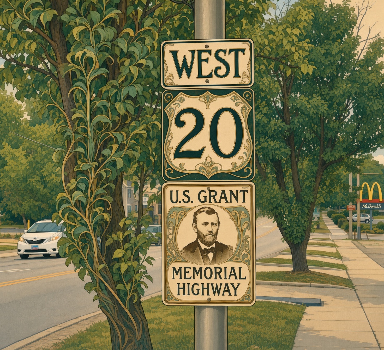
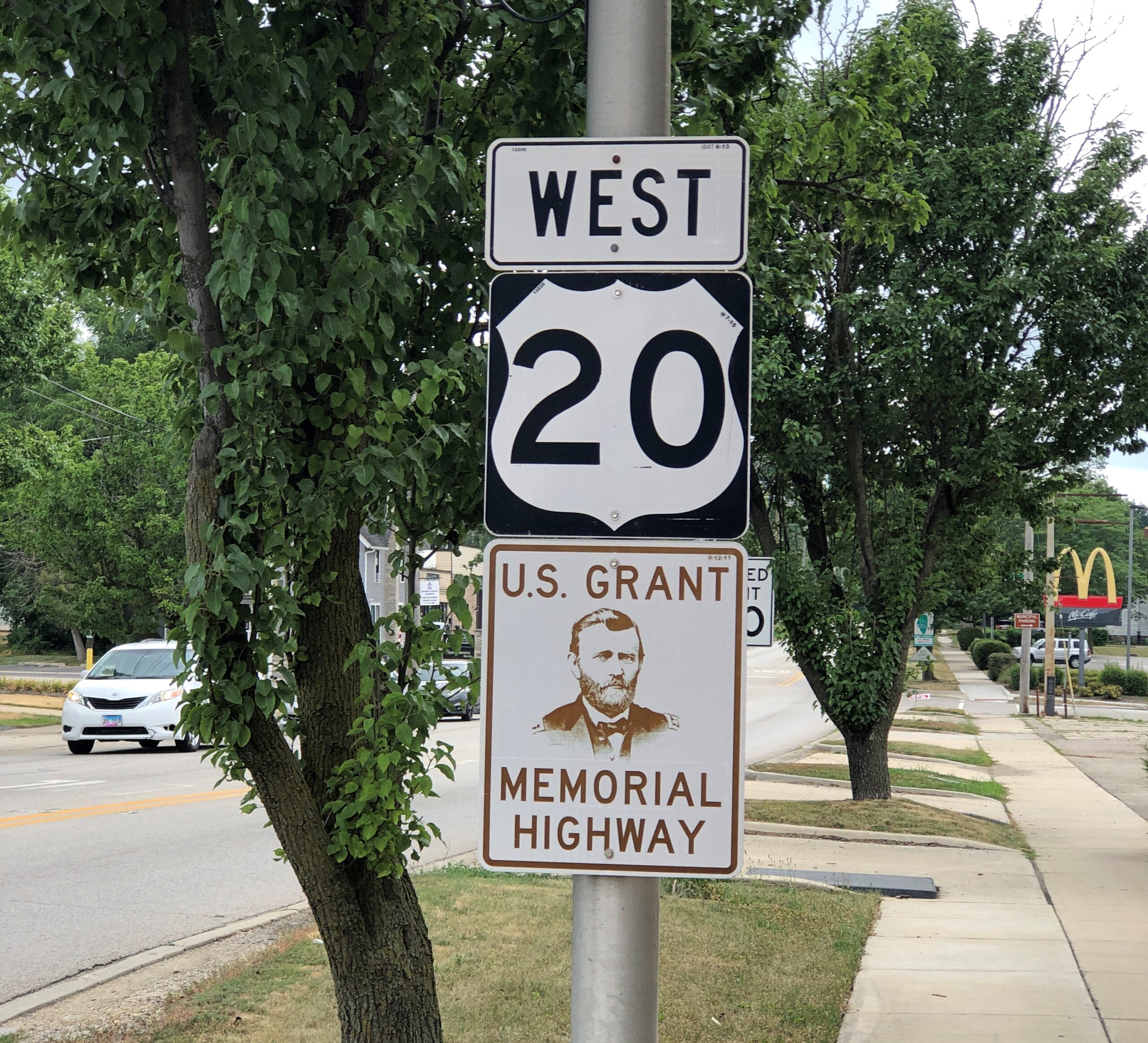
US 20, according to the Federal Highway Administration, is the longest road in the country. That wasn’t the case in 1925 when the US highway system was created; it was number two at that time. Various adjustments afterward (told in highway-nerd detail on the FHA’s Highway History page) made it so by 1963.

“US 20 is 3,365 miles long, according to the 1989 log,” the site notes. “The route begins in Boston at a junction with Massachusetts Route 2 and ends in Newport, Oregon, at a junction with US 101. Because U.S. numbered highways are not designated with[in] National Parks, US 20 is divided into an East Section ending at the eastern entrance to Yellowstone National Park and a West Section beginning at the west entrance to the park.”

In Illinois, the highway is also the General Ulysses S. Grant Memorial Highway.

When time isn’t an issue, US 20 is my preferred route westward toward Rockford and, for an ambitious intrastate drive, Galena. Last month, it was our preferred route most of the way to Union, Illinois, to visit the Illinois RR Museum. On the way back, we stopped briefly in Marengo, which is one of the many towns along those 3,365 miles.

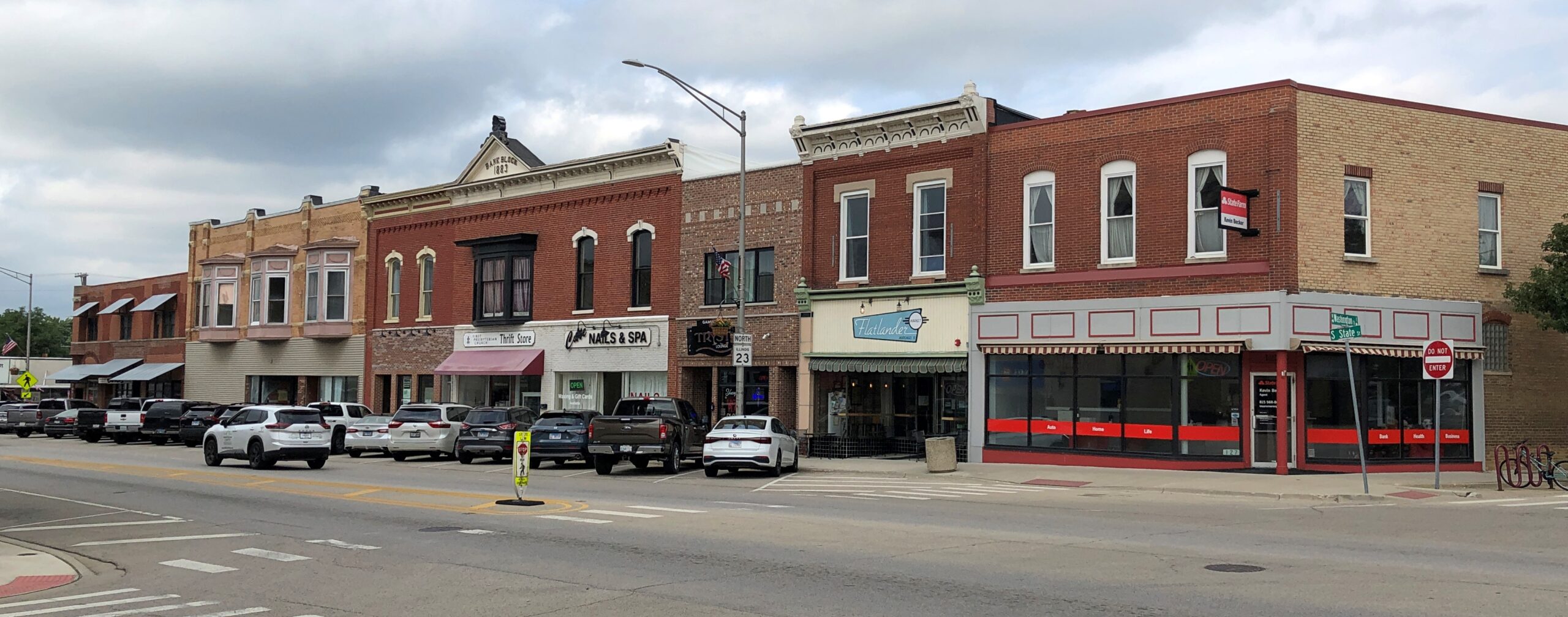
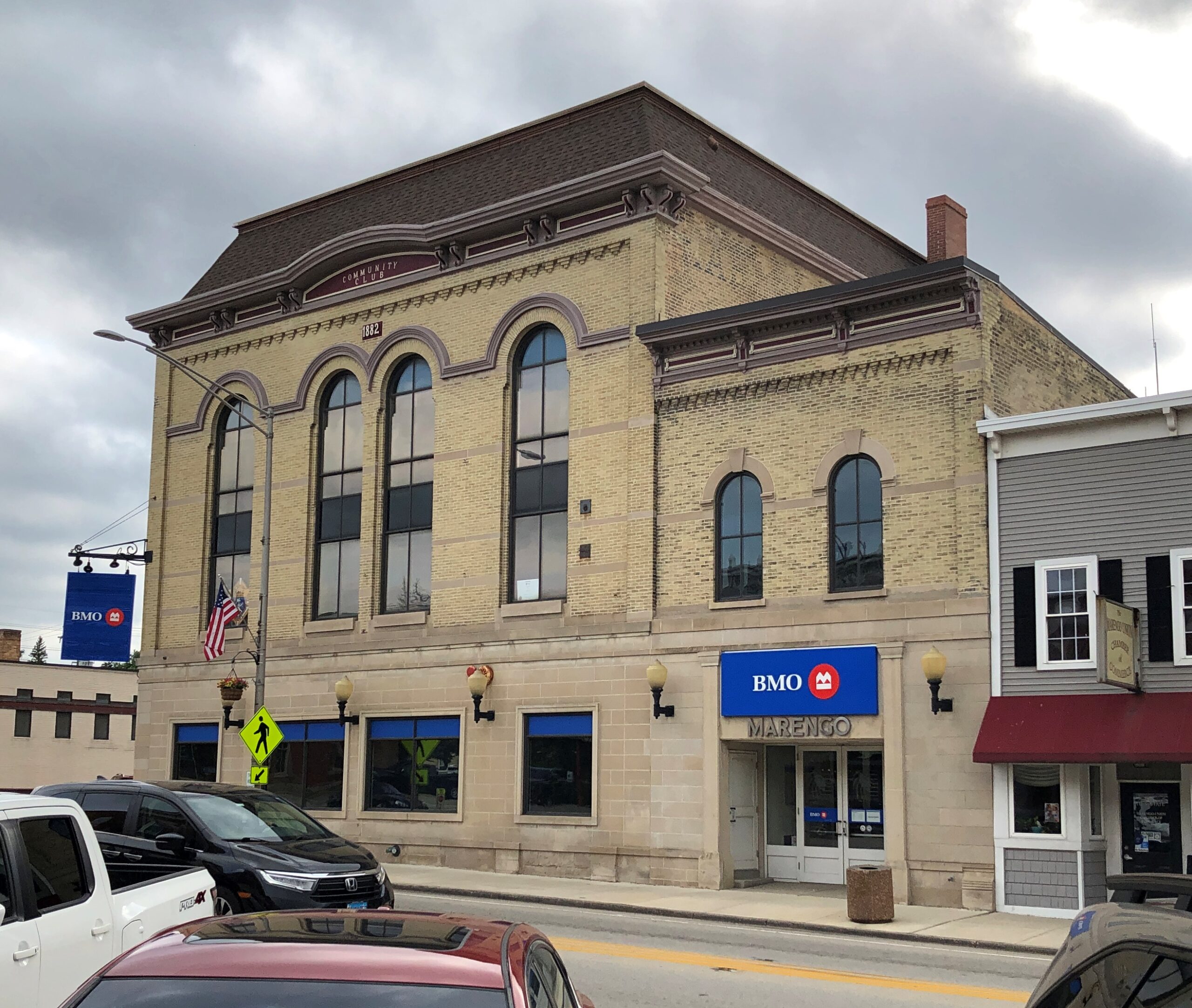
A modest downtown, but at pop. 7,500 or so, it doesn’t need to be anything else.

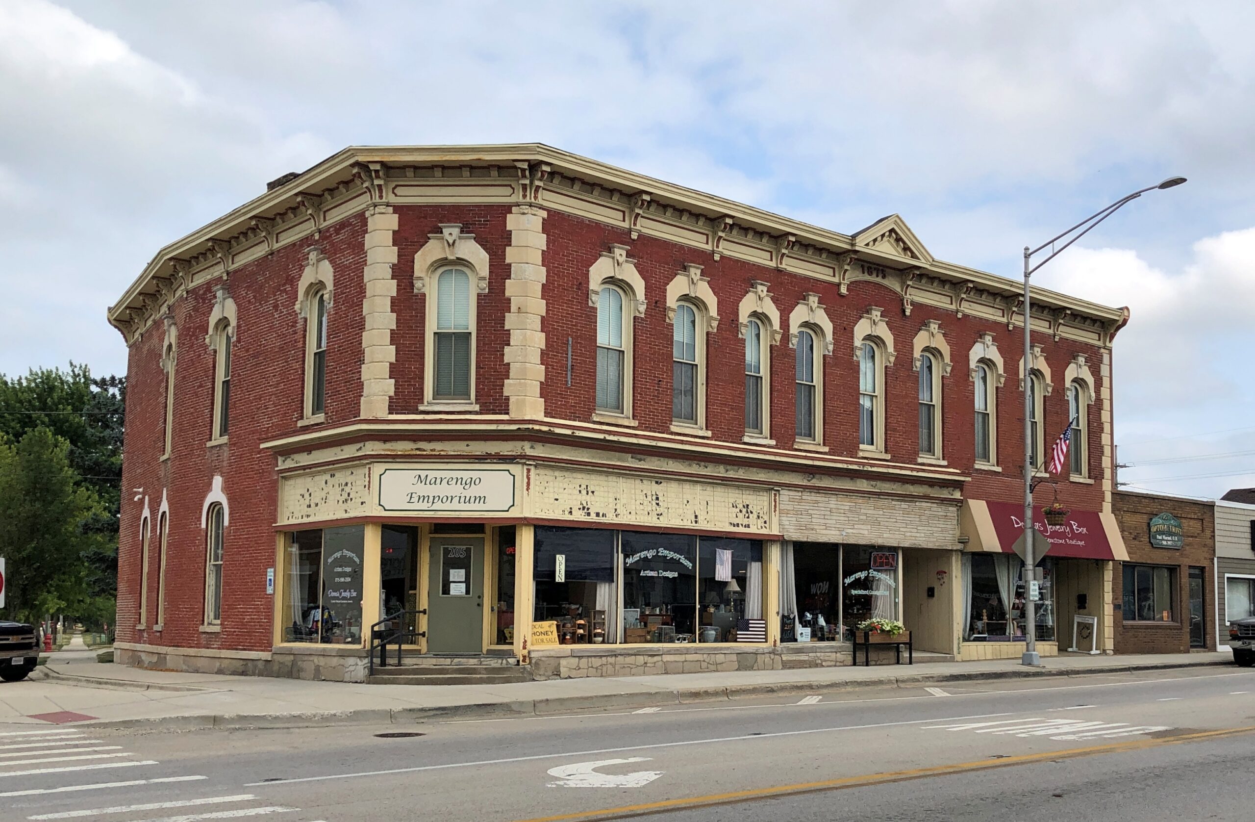
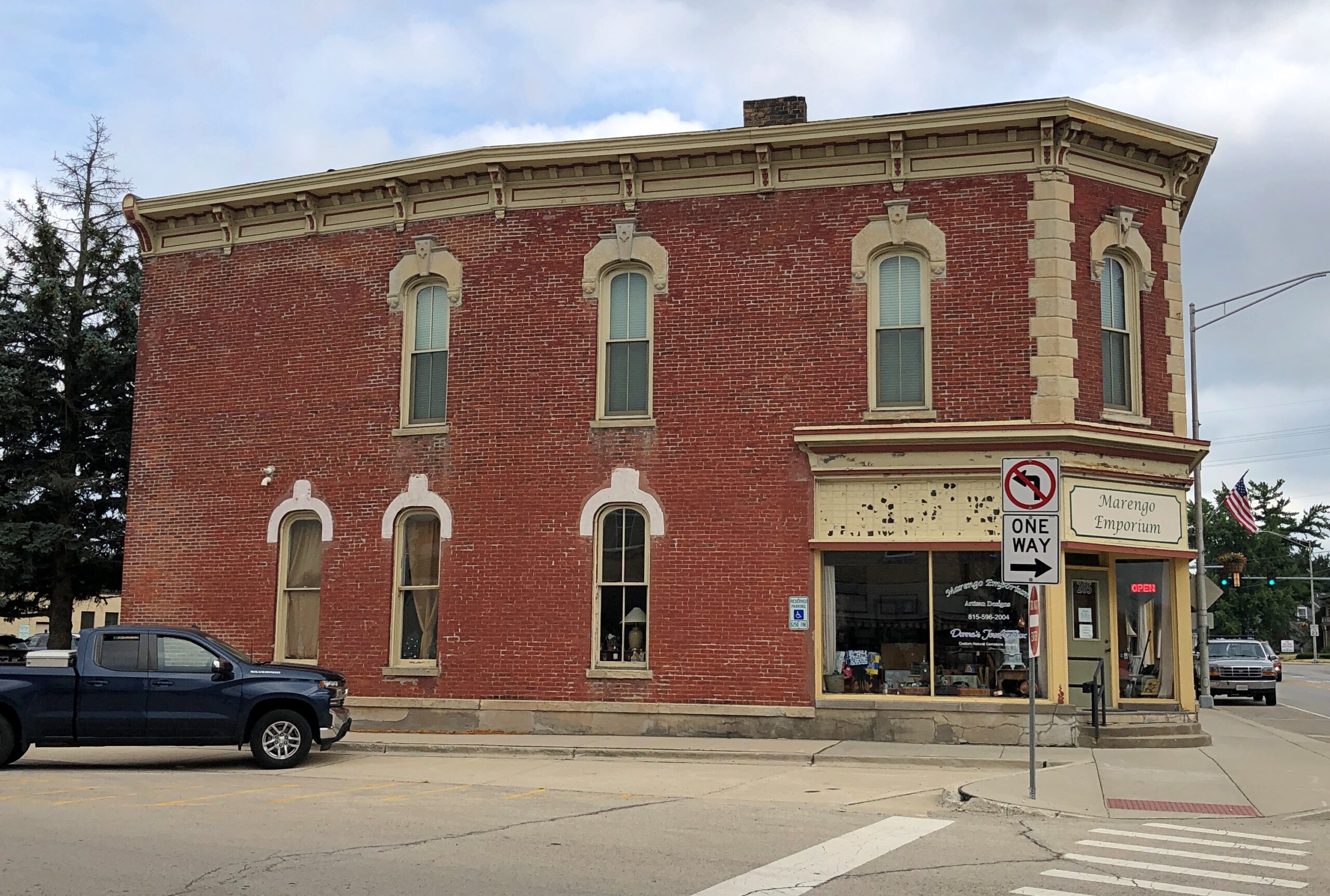
A run of buildings from the late 19th century, along Main St. Such as the current home to the Marengo Emporium, closed that late Saturday afternoon, in spite of what a red neon OPEN sign said.

The Marengo Union Chamber of Commerce notes that the building, dating from 1875, housed the first bank in McHenry County in its early years. “In the later years, Swonguer Furniture & Undertakers, Marengo Farm Store, Vidiots, Wholly Smokes and State Street Pub occupied the building but perhaps [it’s] best known for housing the Marie Ann Dress Shop,” the C of C says.

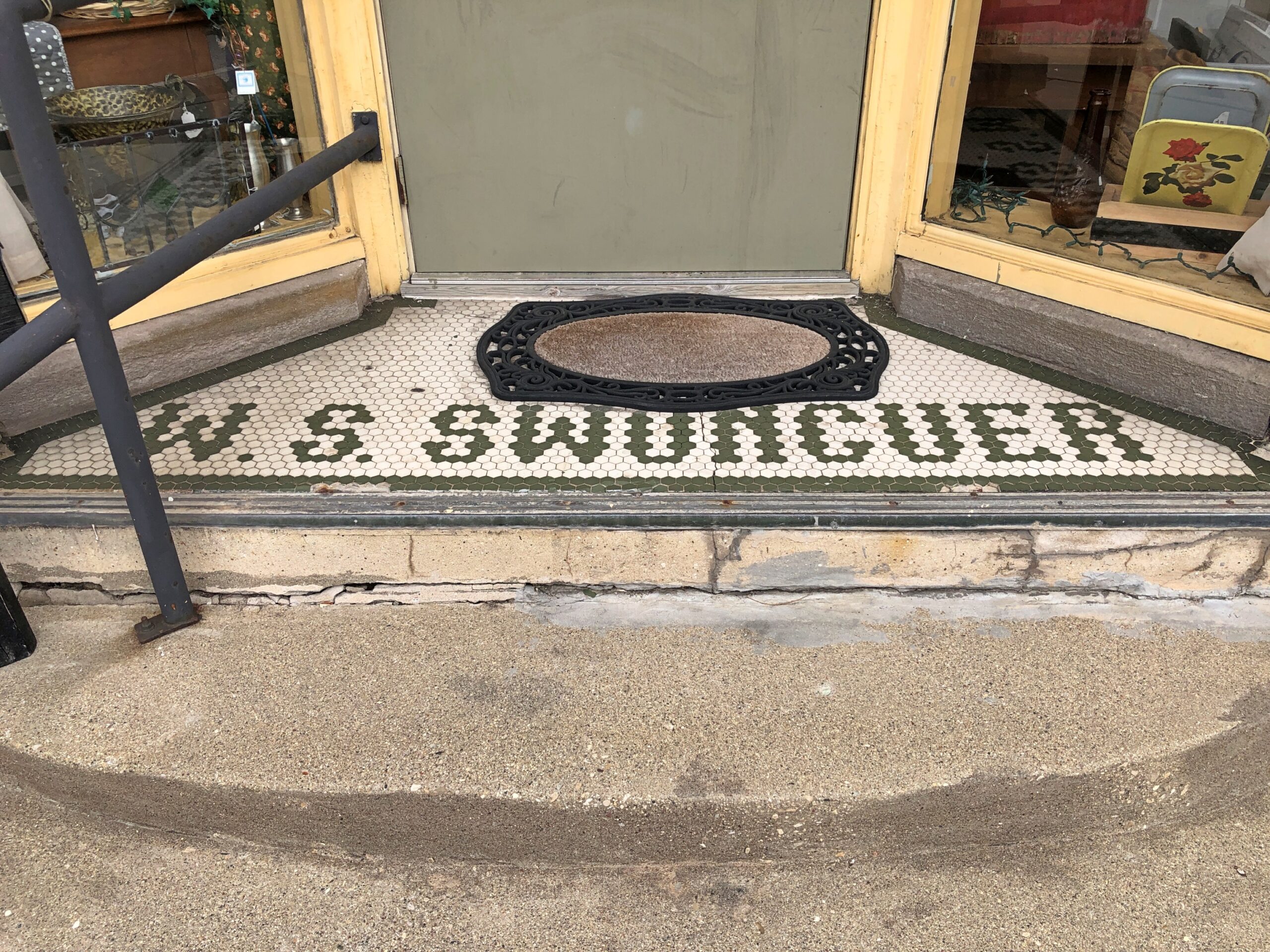
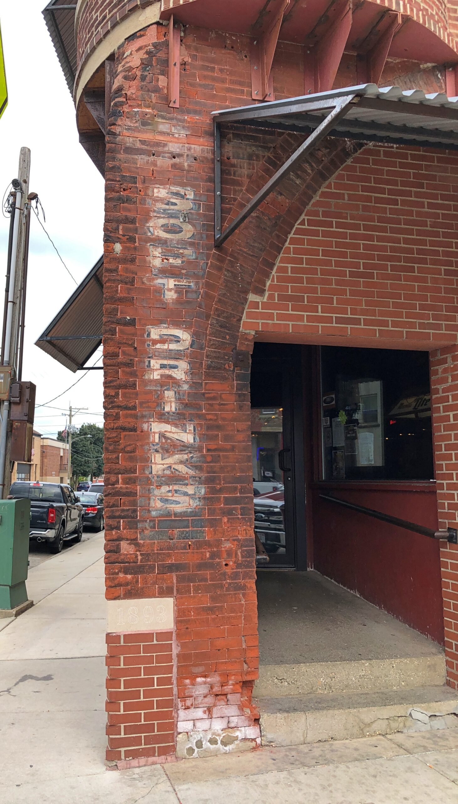
Swonguer Furniture & Undertakers. Not as odd as it might sound and, apparently, a known combination in a number of places more than a century ago. After all, how different is making pine boxes from making pine tables and chairs, at least for a skilled wood worker? Also, it explains this trace of the former furniture and undertaker establishment, in the form of abandoned commercial mosaic text.

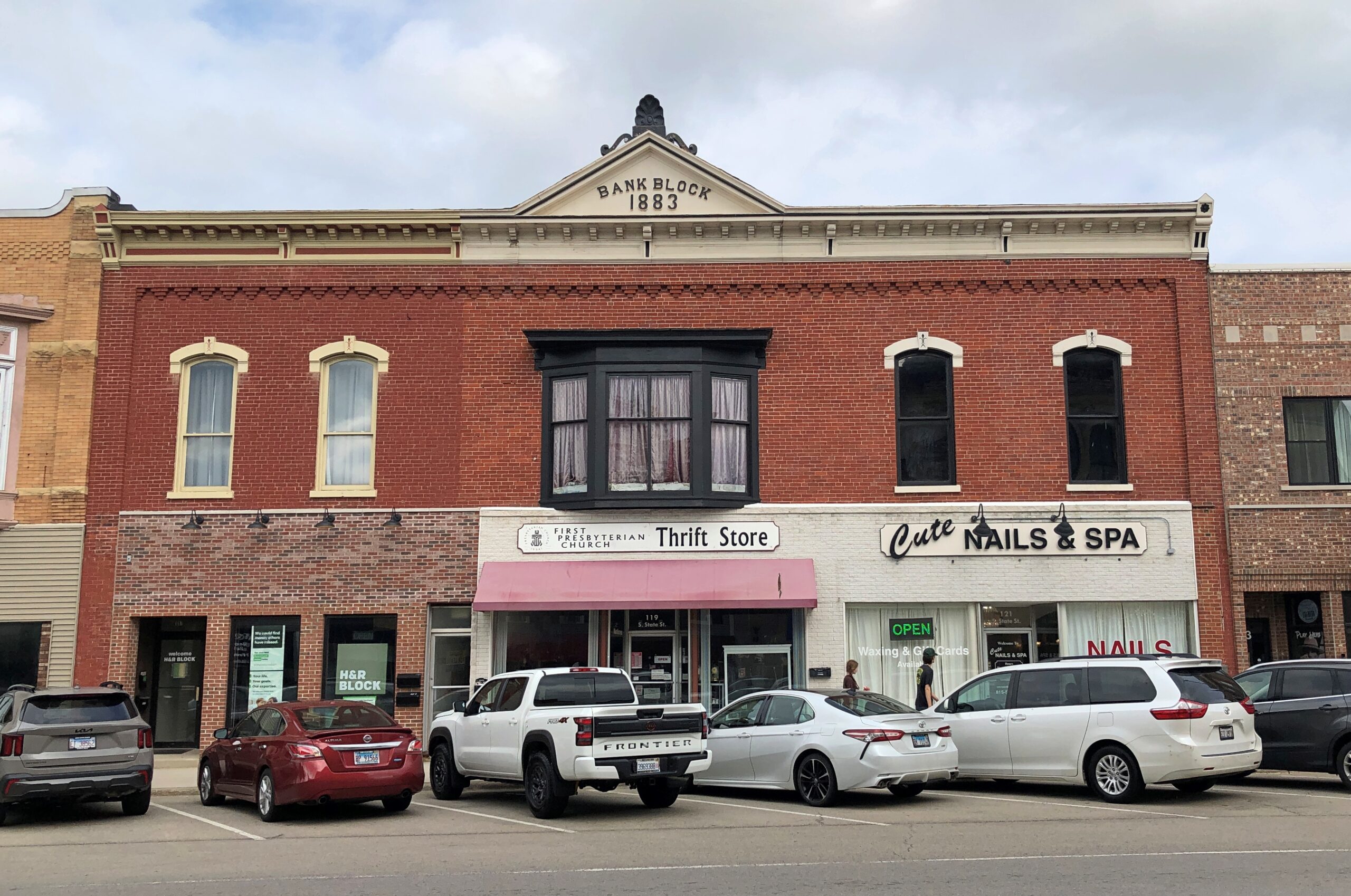
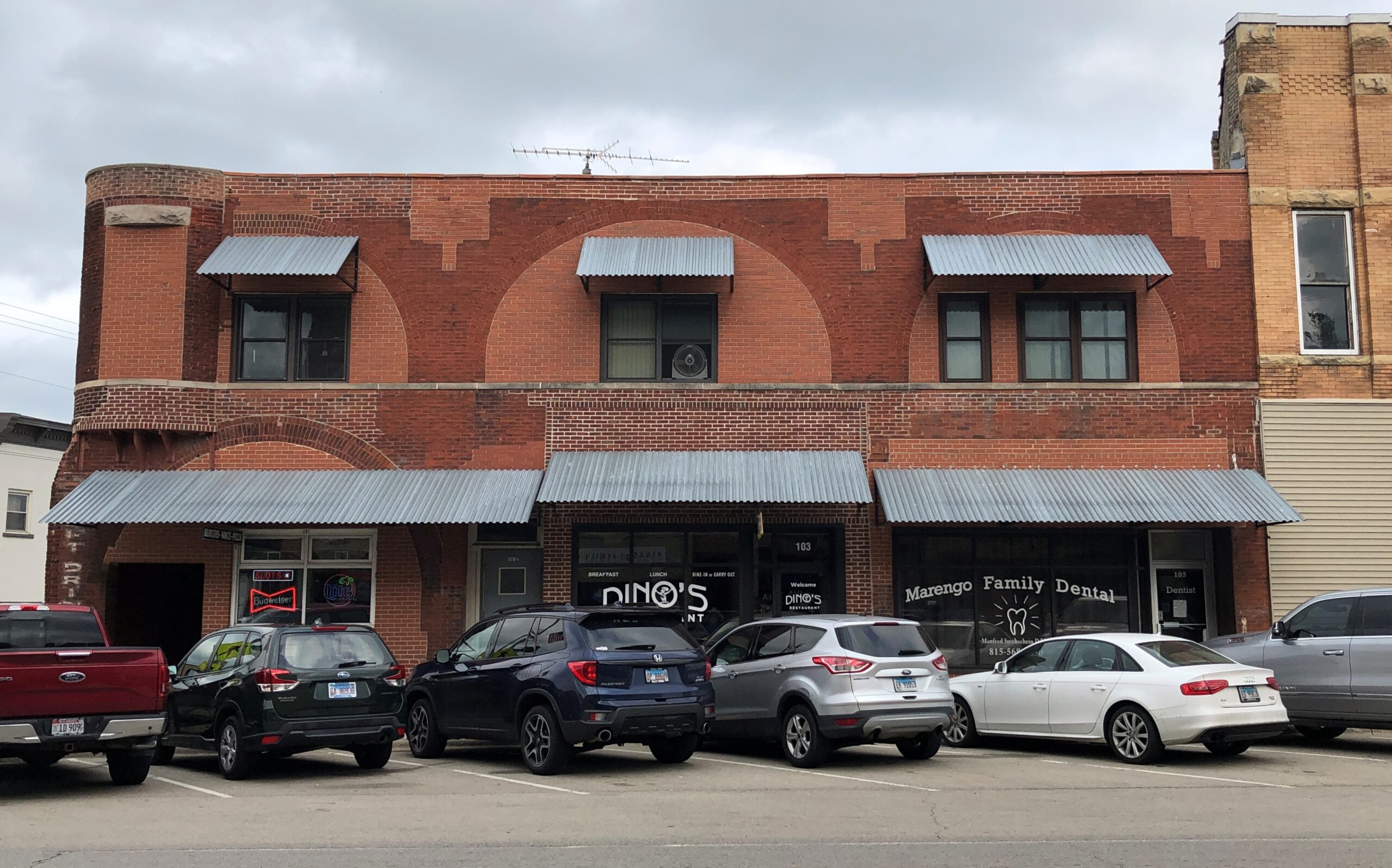
Other buildings on the street.

There’s been a fair amount of re-bricking and other construction over the years on that last one. The building looks like it was assembled Frankenstein-style, though I’m sure it wasn’t. The corrugated metal awnings look a little out of place, but I suppose it was an economical addition. To one side, an unusual ghost sign.

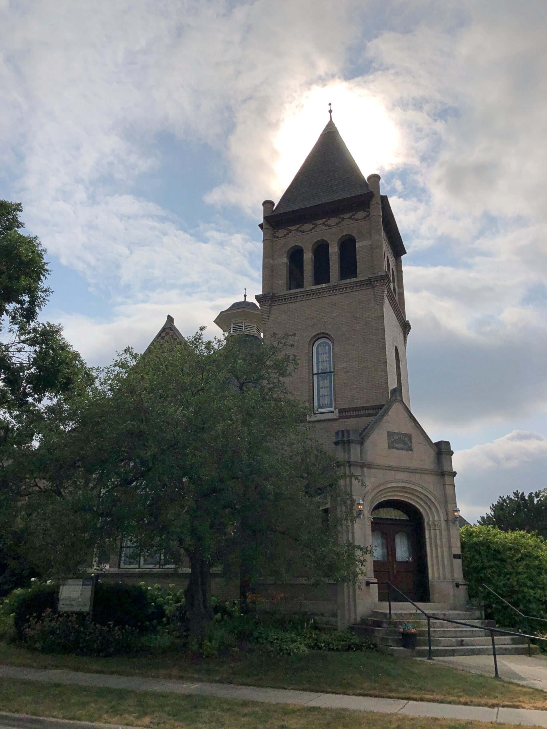
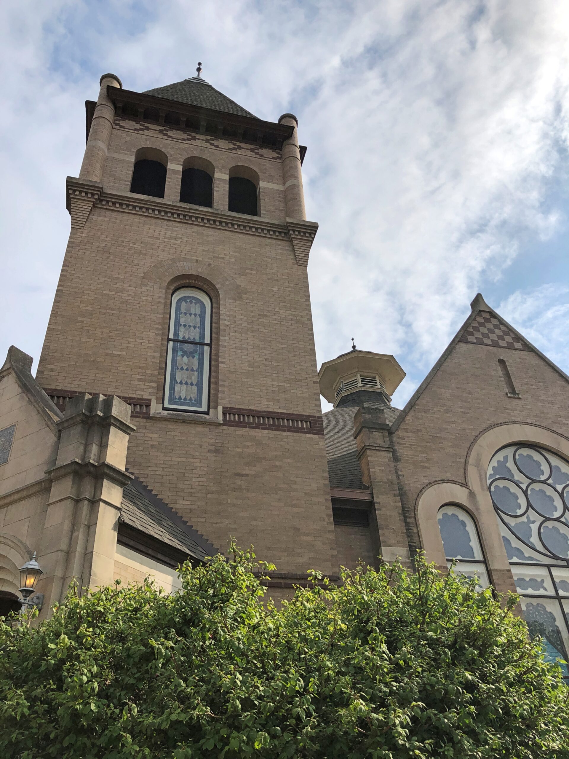
First Presbyterian, a block from Main.

An 1898 rebuilding of a previous church. Naturally McHenry County says: “The architects, Tumbull and Jones of Elgin borrowed elements from various Romantic styles when they designed this church. Foremost is the Moorish-style square bell tower.”

I’ll say. How often does one encounter Moorish-style square bell towers here in the heart of North America? Maybe more often than I know, but I figure no one’s done a census.

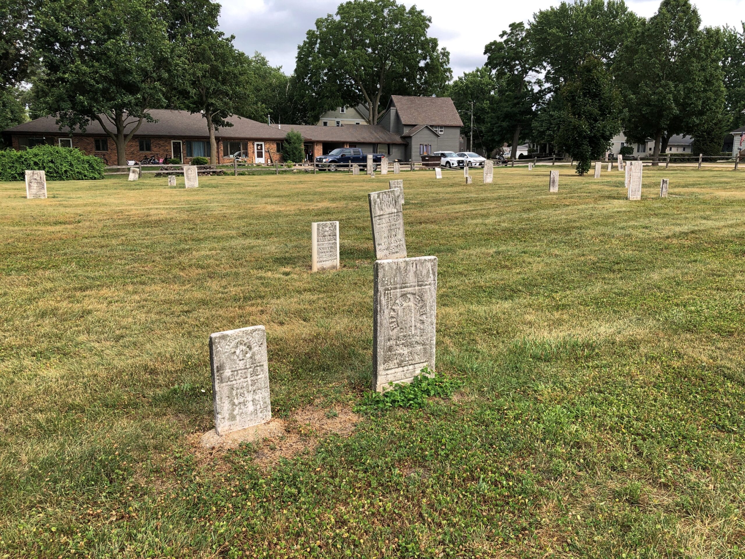
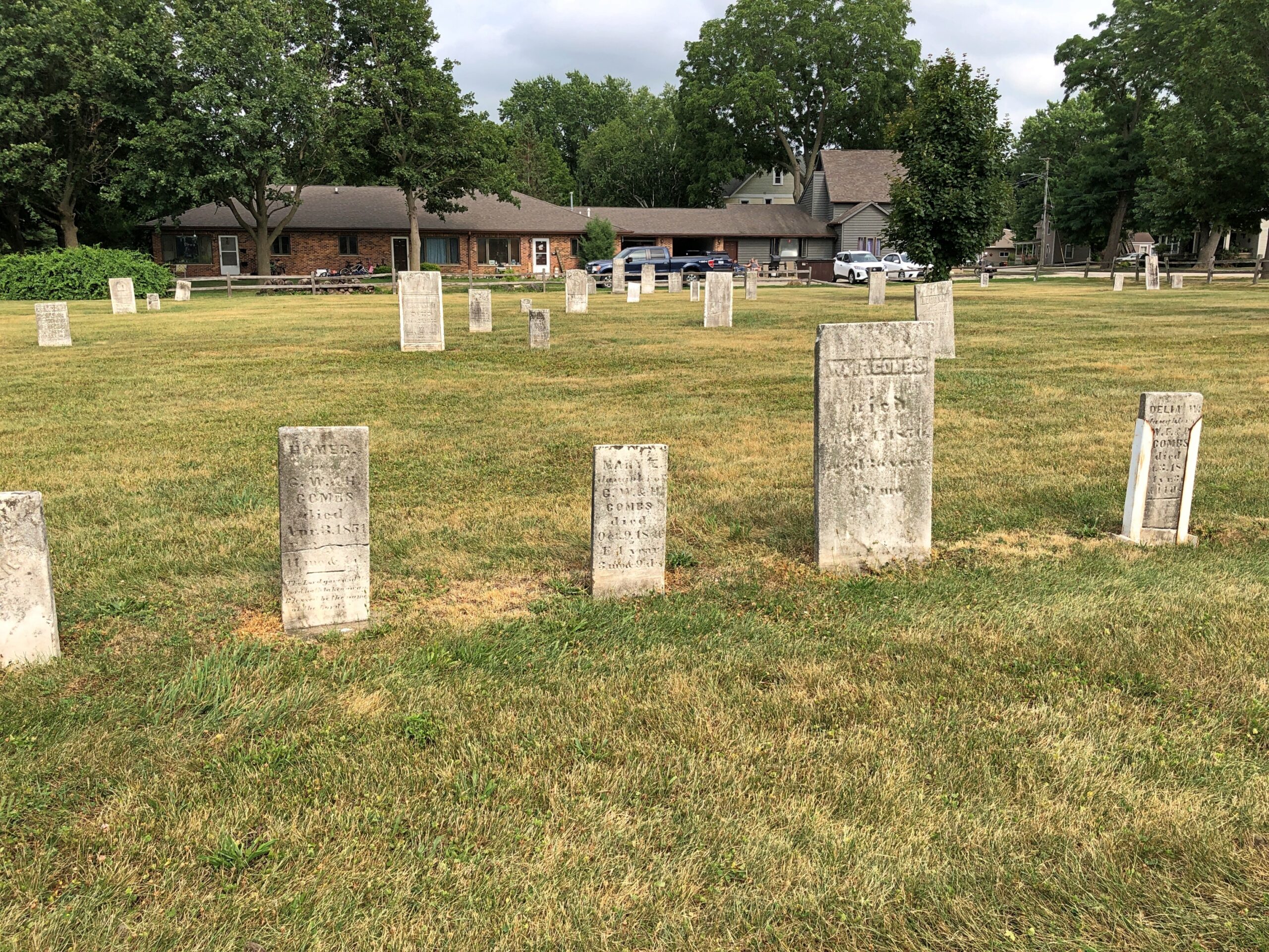
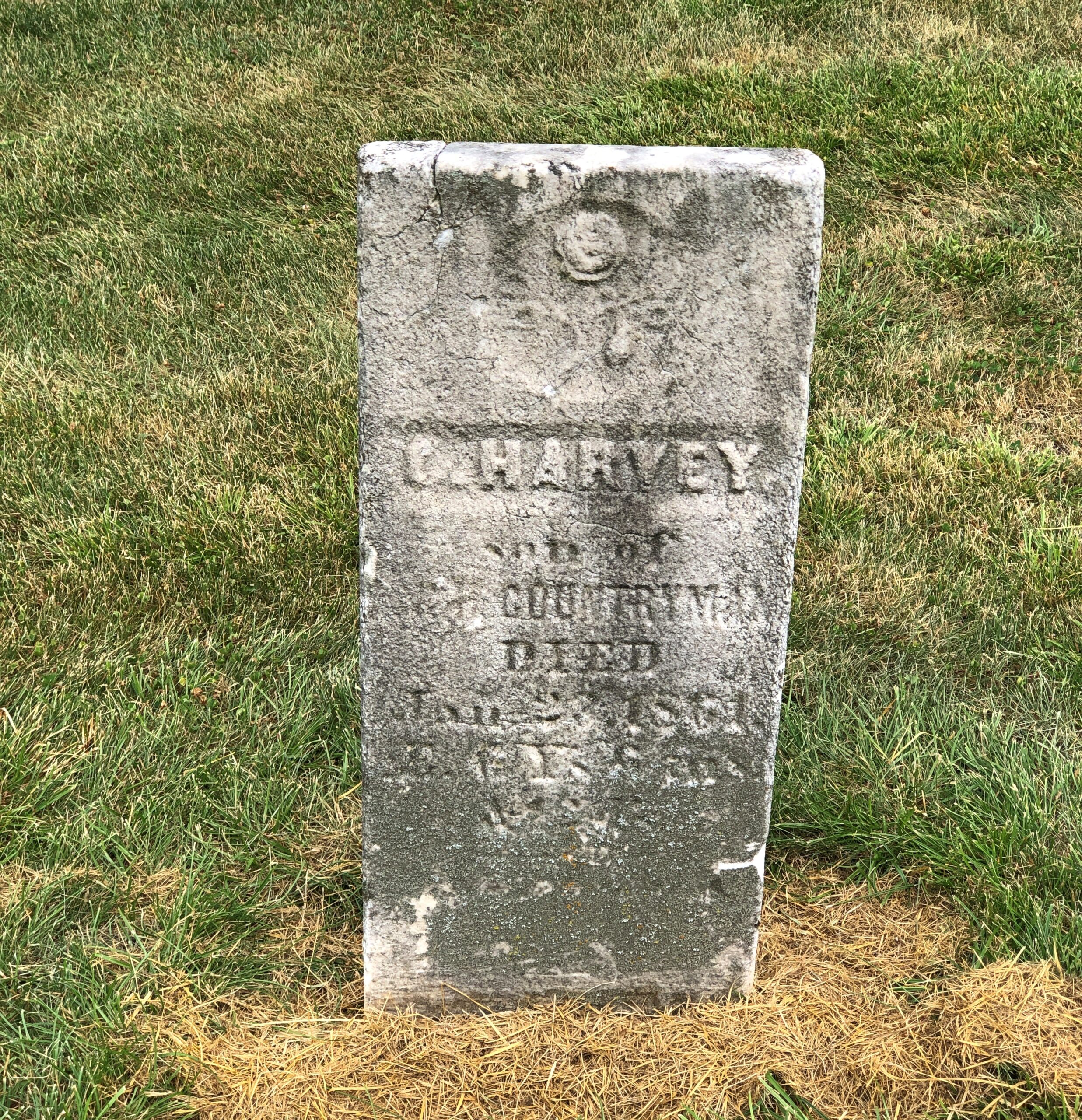
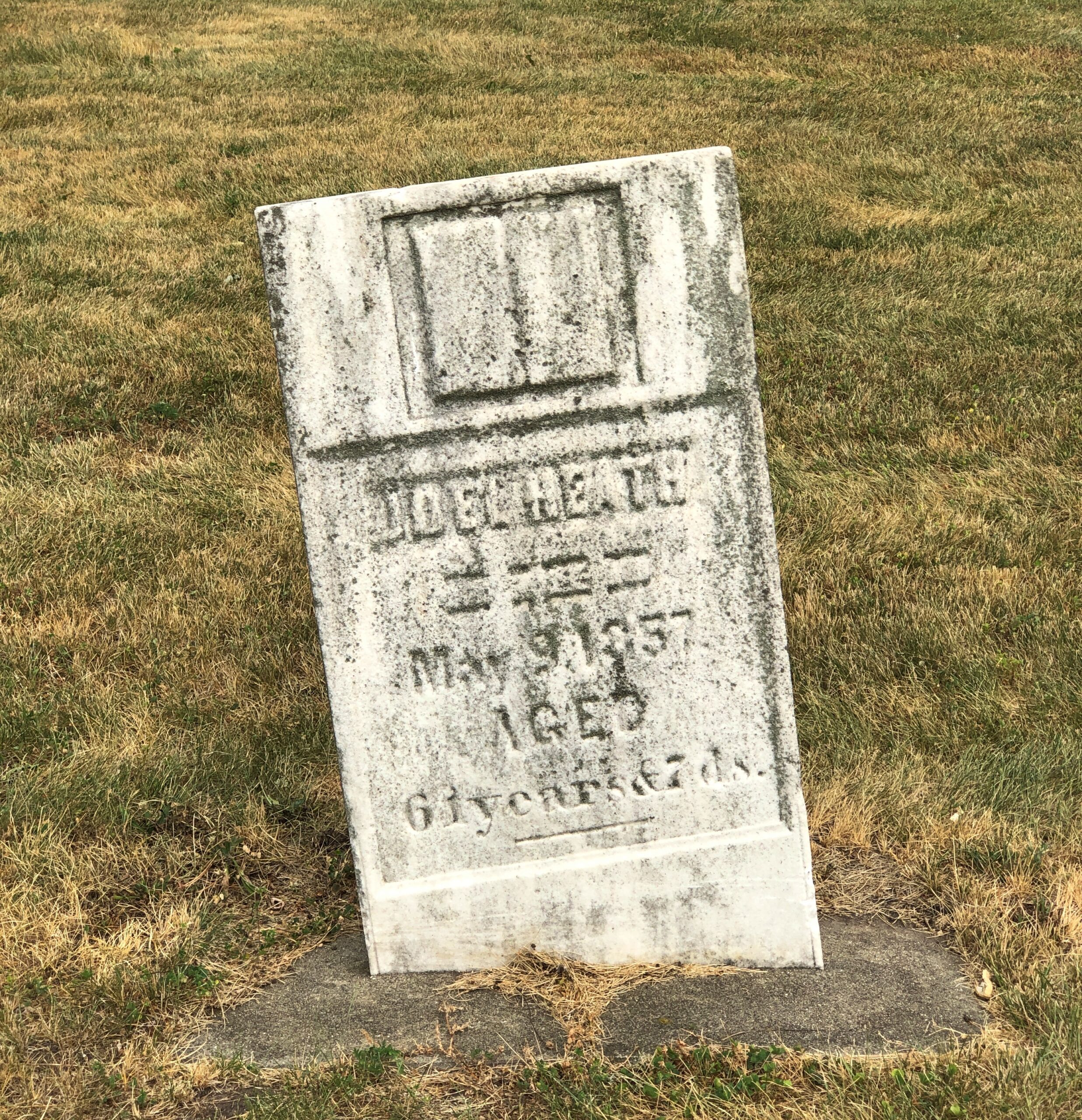
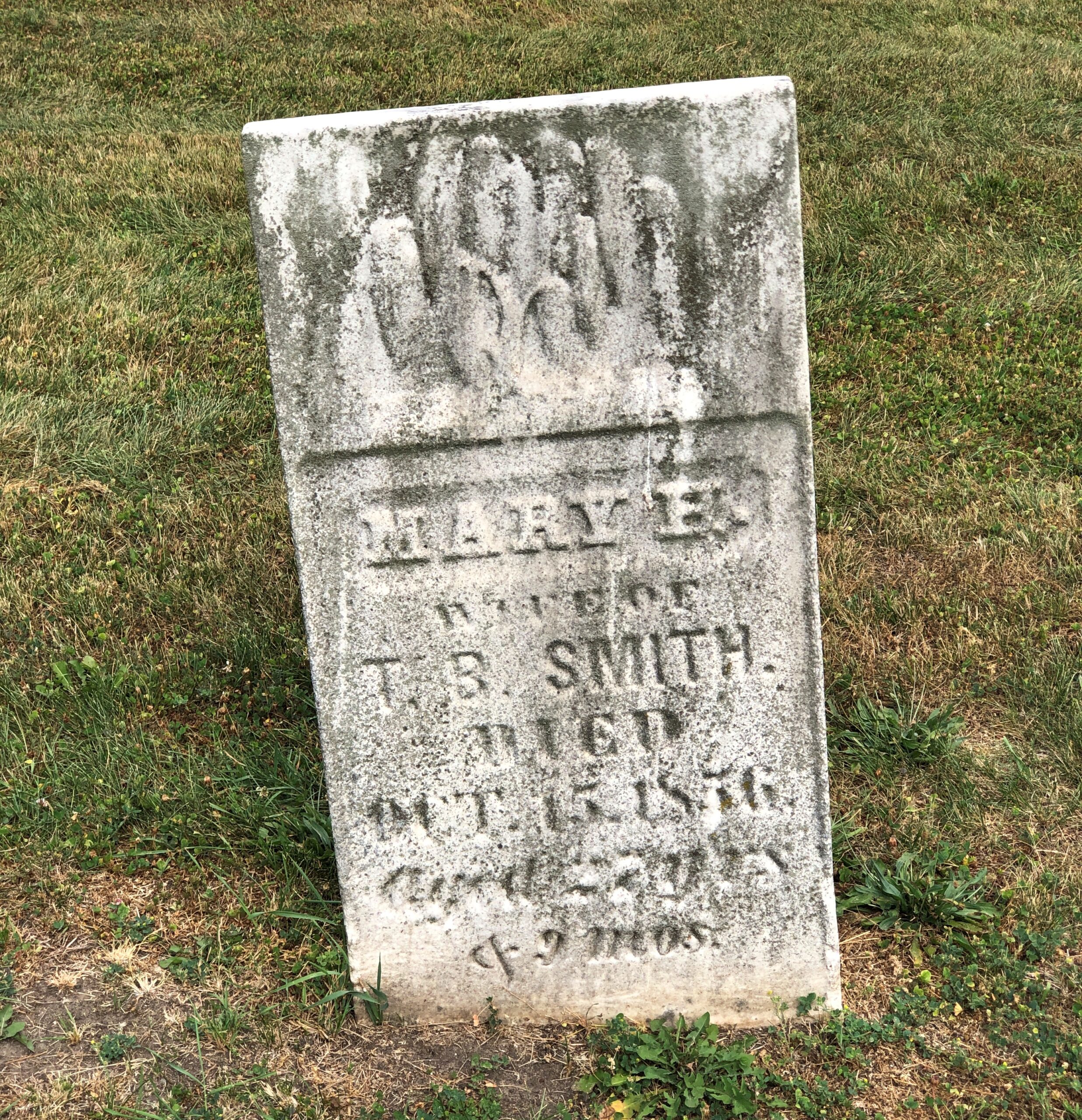
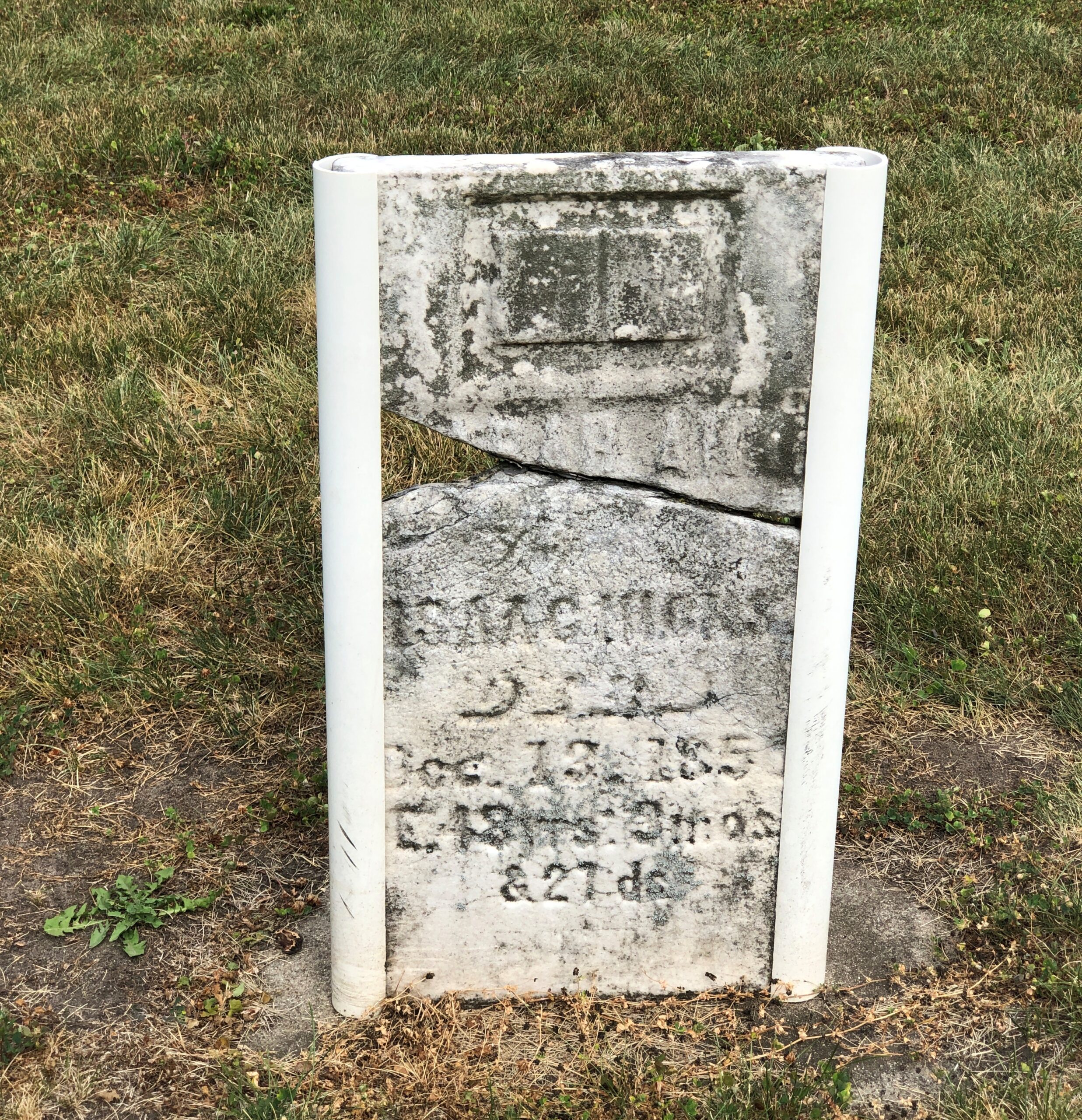
Not far from downtown is East St., which takes you to the City of Marengo Cemetery. Cubs pitcher Lundy Lundgren (d. 1934) is buried there; I saw his marker across the street during a previous visit to Marengo. This time, I took a look at the older section of the cemetery.

I suspect there are more burials than stones, but in any case, the stones are worn.

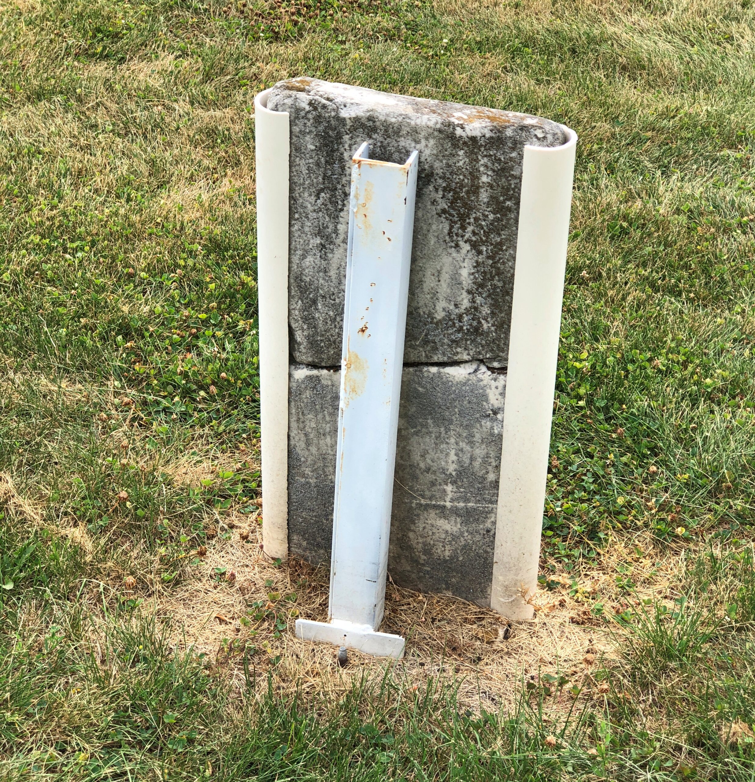
In some cases, propped up by metal structures.

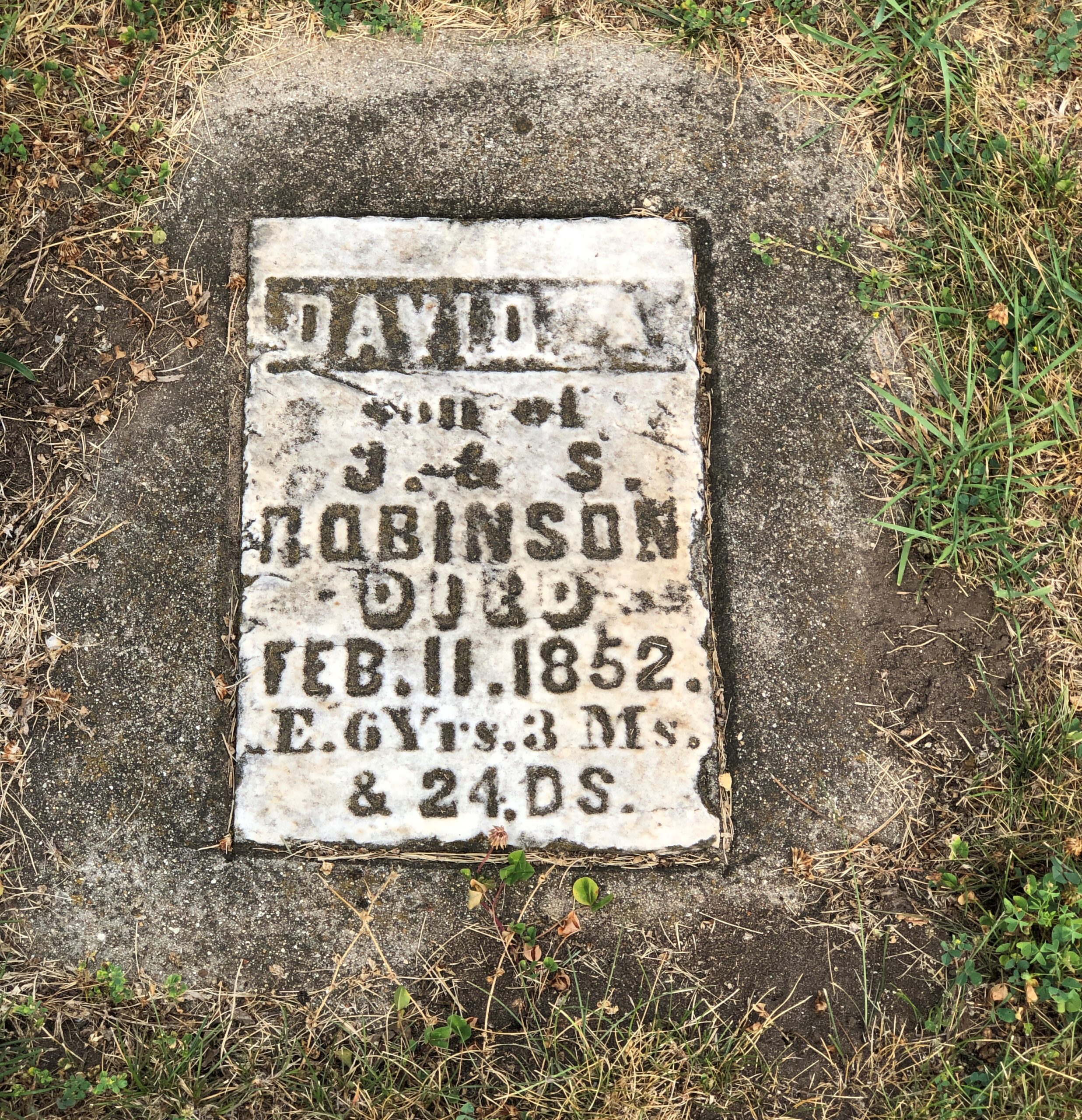
As usual for any cemetery, there are stones that hint at sad stories of extinguished youth.

Six years, three months and 24 days. Whatever else you can say about being old — and I’m at that point — you can be sure you aren’t going to die young.

The Geneva Grotto

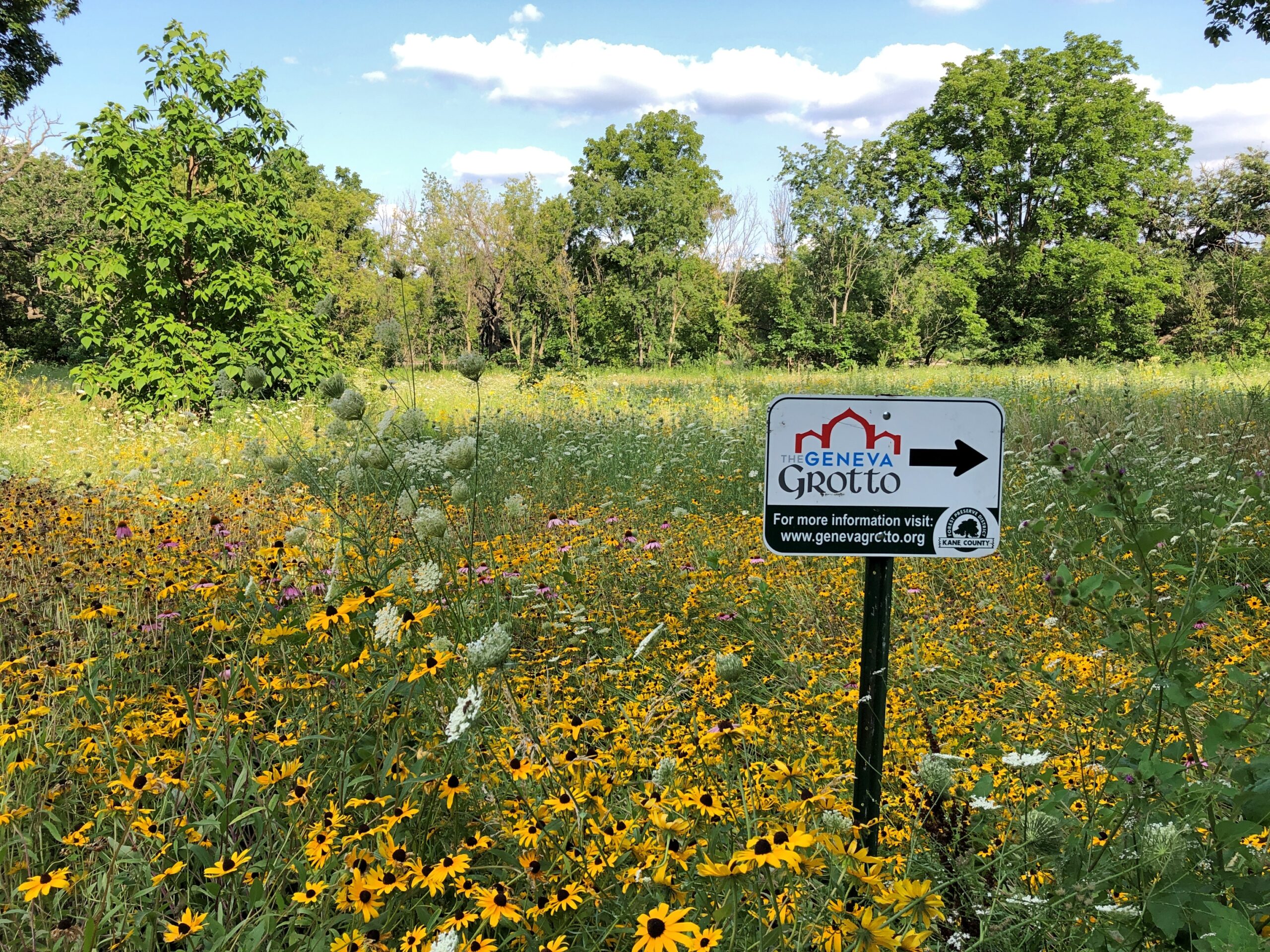
I don’t know about anyone else, but when I see something like this, I’m intrigued. The Geneva Grotto, you say?

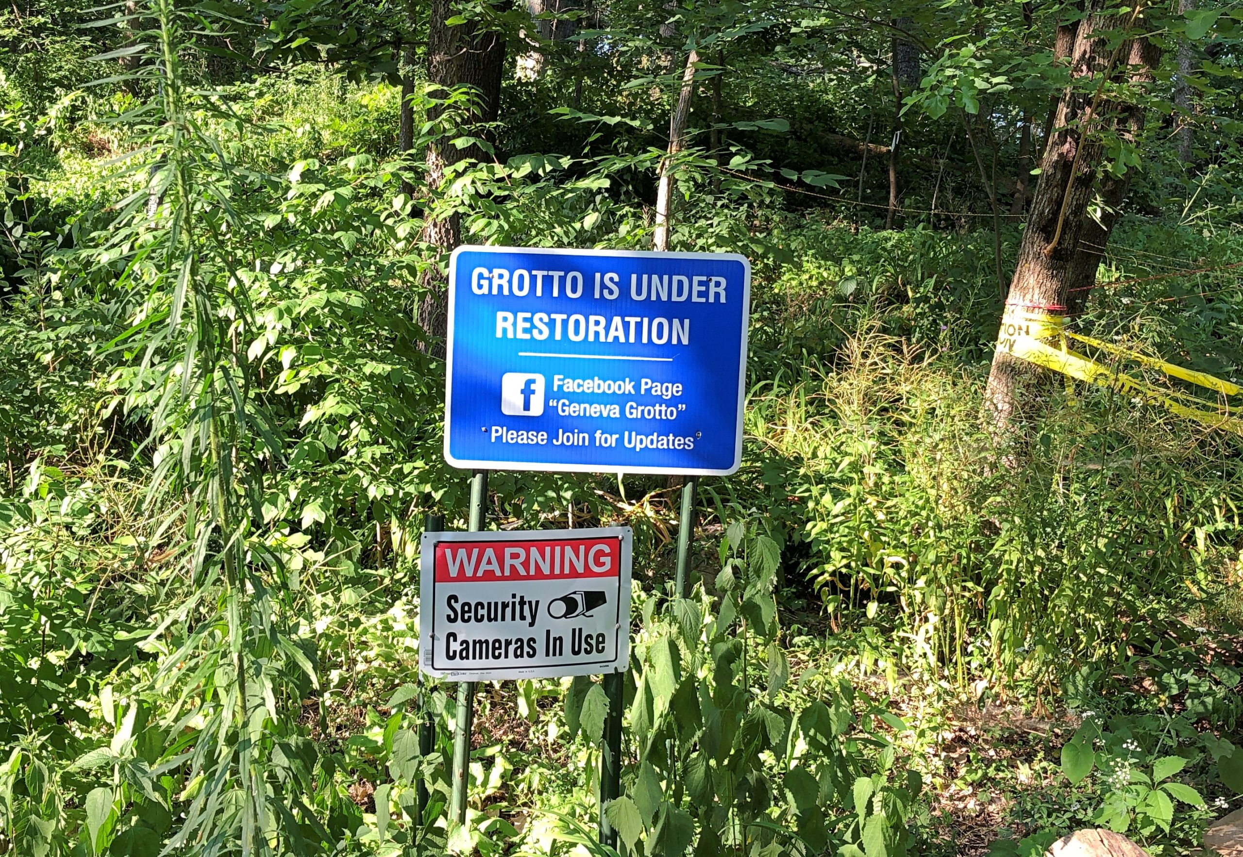
Barring an obvious hazard – and there weren’t any, unless you count the possibility of mosquitoes carrying some disease yet unknown to science – that’s the kind of thing that bears further investigation. So toward the end of our most recent visit to Geneva, Illinois, we followed the sign, which is next to a parking lot in the Gunnar Anderson Forest Preserve on the Fox River, behind the Kane County Government Center.

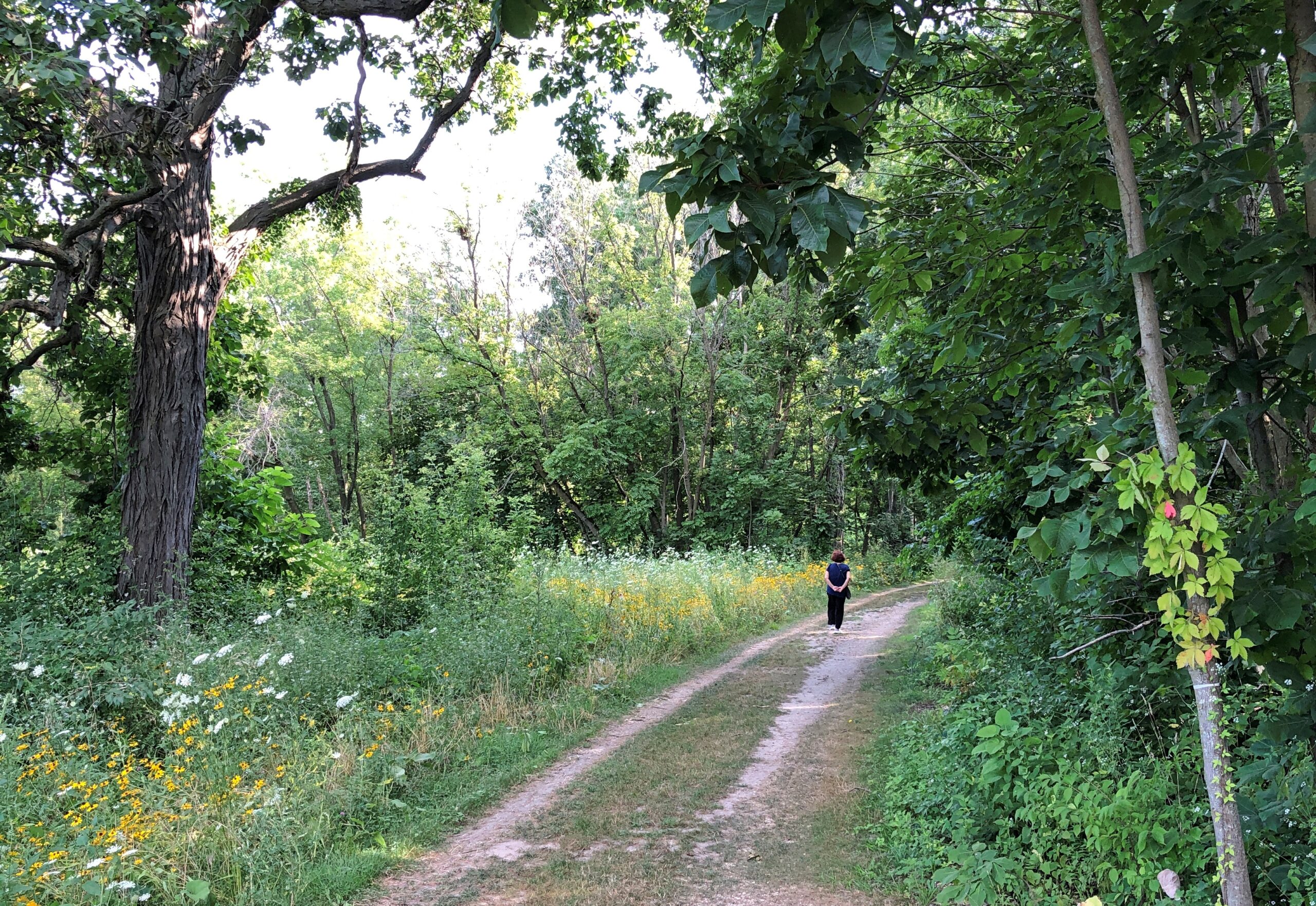
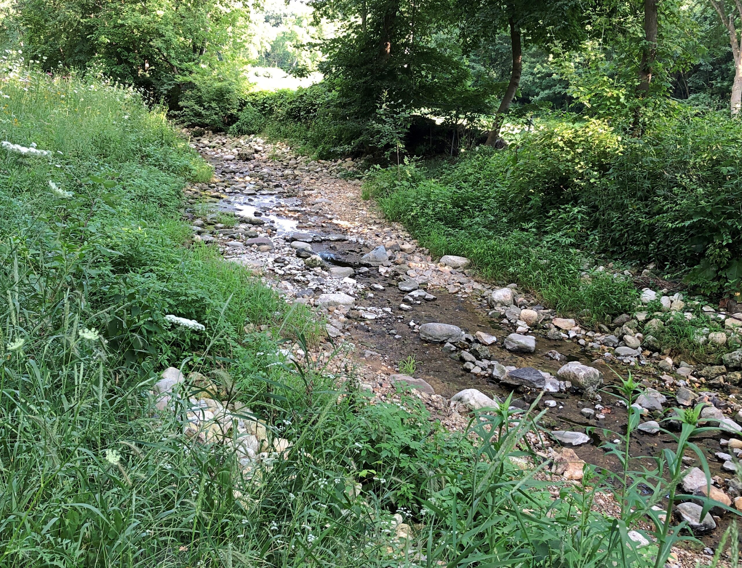
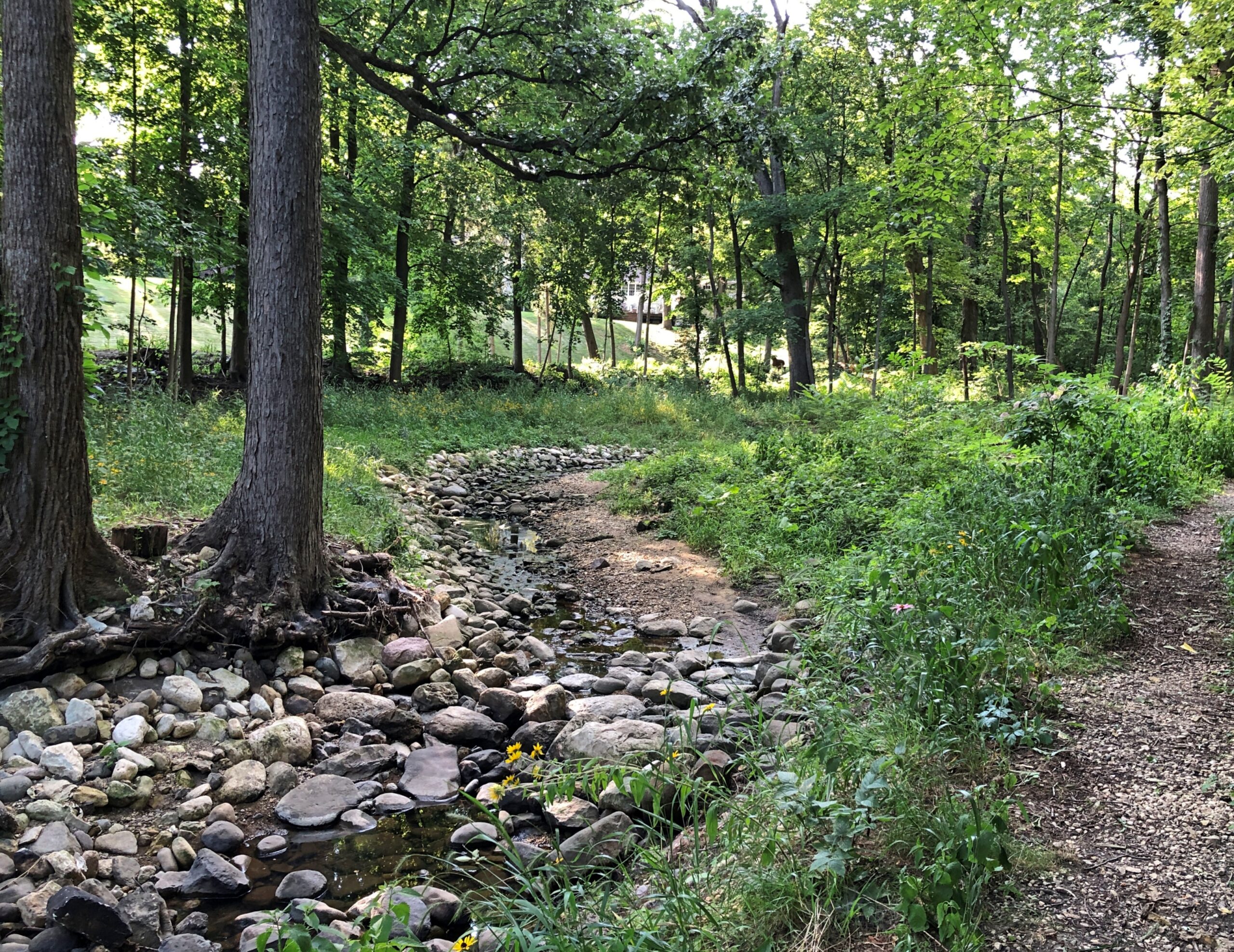
The tracks lead to a smaller trail into the forest, along a small, rocky creek that feeds into the Fox.

So small it isn’t acknowledged on Google Maps. The place felt a little remote, but of course it isn’t. At various points along the way, houses just outside the forest preserve are visible. Also, it doesn’t take long to get to the promised destination: less than five minutes. Bold exploration, this was not. More like seeking out the obscure, which I have a certain knack for.

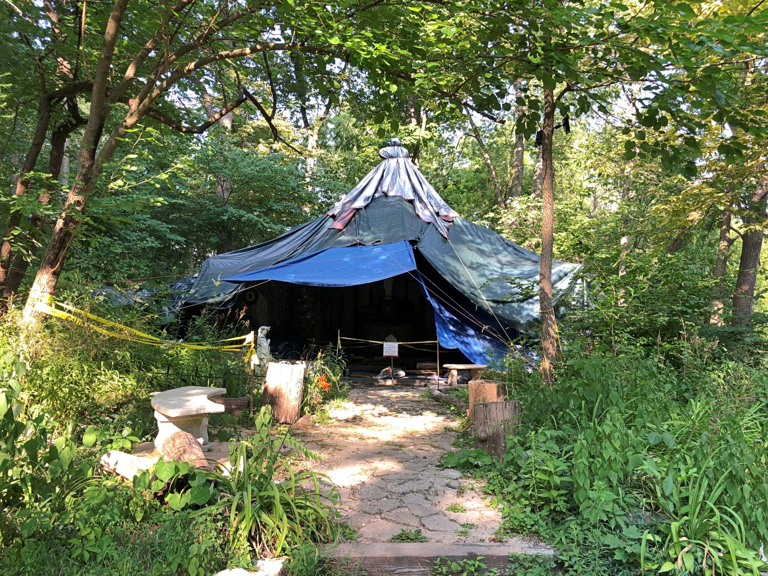
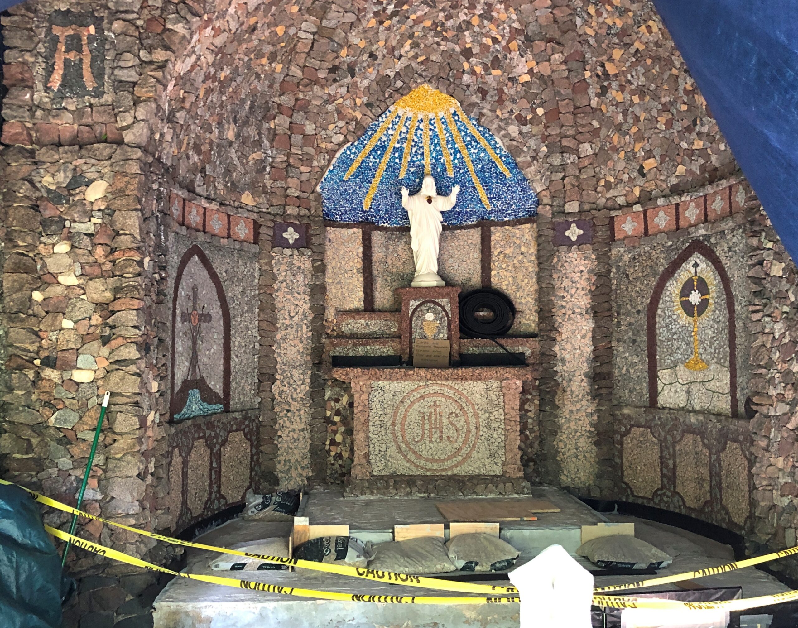
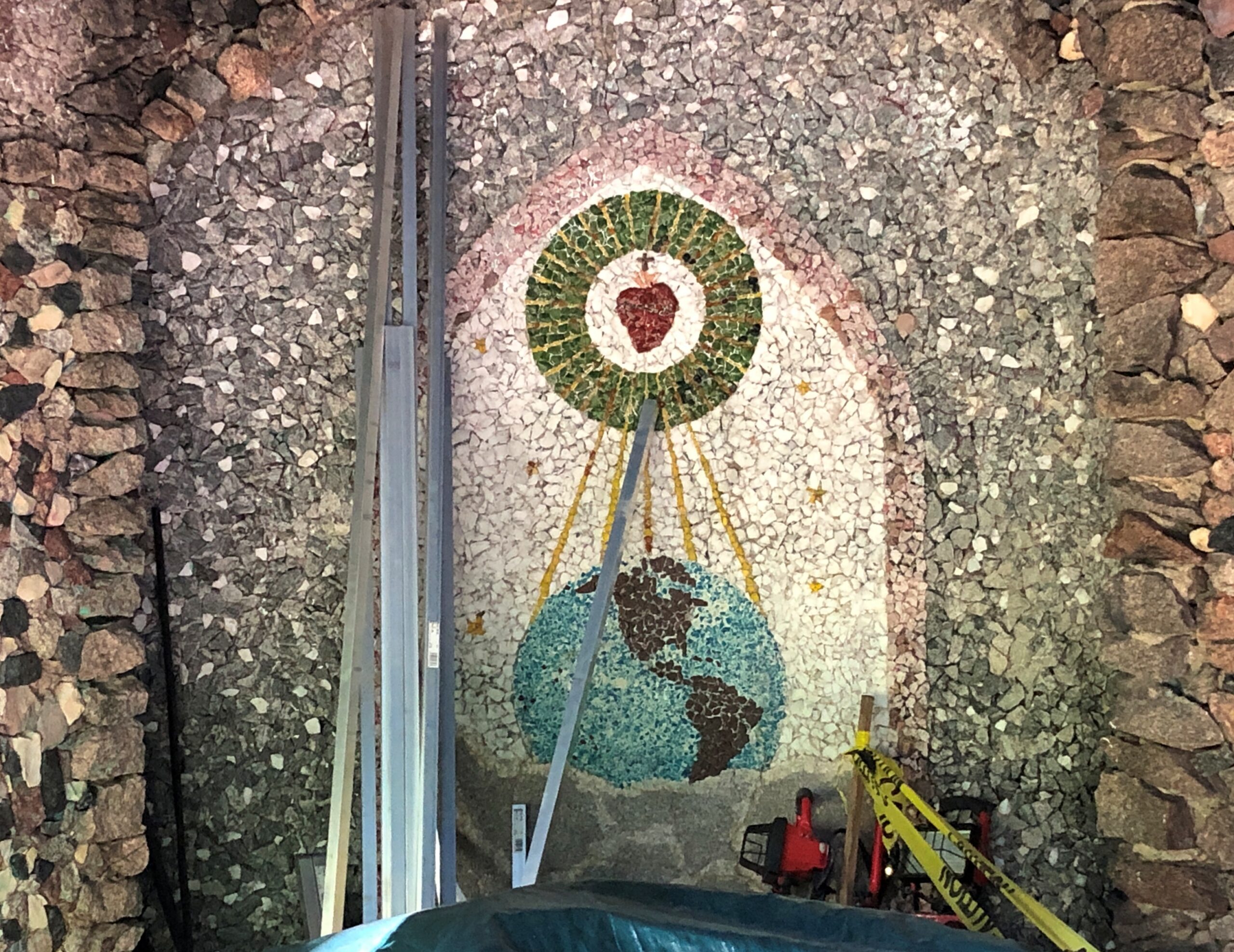
When we arrived, the grotto stood in the forest, and under a tarp.

Restoration is under way. Wanker vandals damaged the place in recent decades, I understand, so a camera now watches.

When I see that kind of setup, I’m reminded I’m reminded of the opening lines of “Soldier of Plenty” by Jackson Browne (1986).

God is great, God is good
He guards your neighborhood
Though it’s generally understood
Not quite the way you would

So while the grotto might be obscure, it isn’t unknown. In fact, it has its own web site. Or rather, the volunteers overseeing the restoration do.

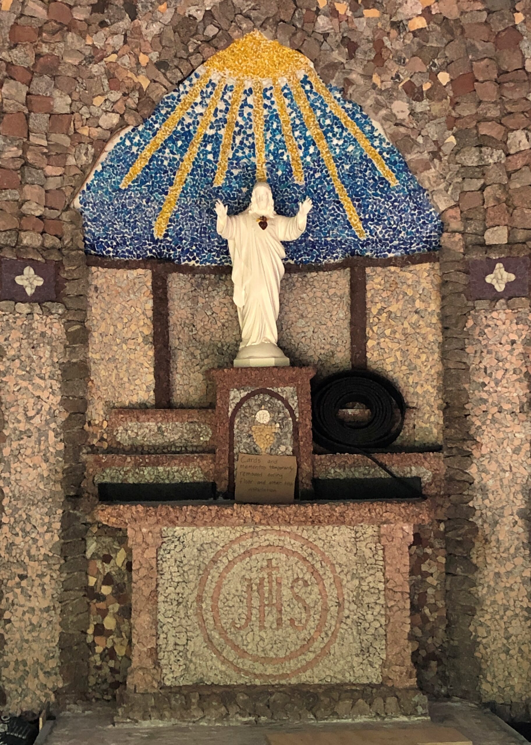
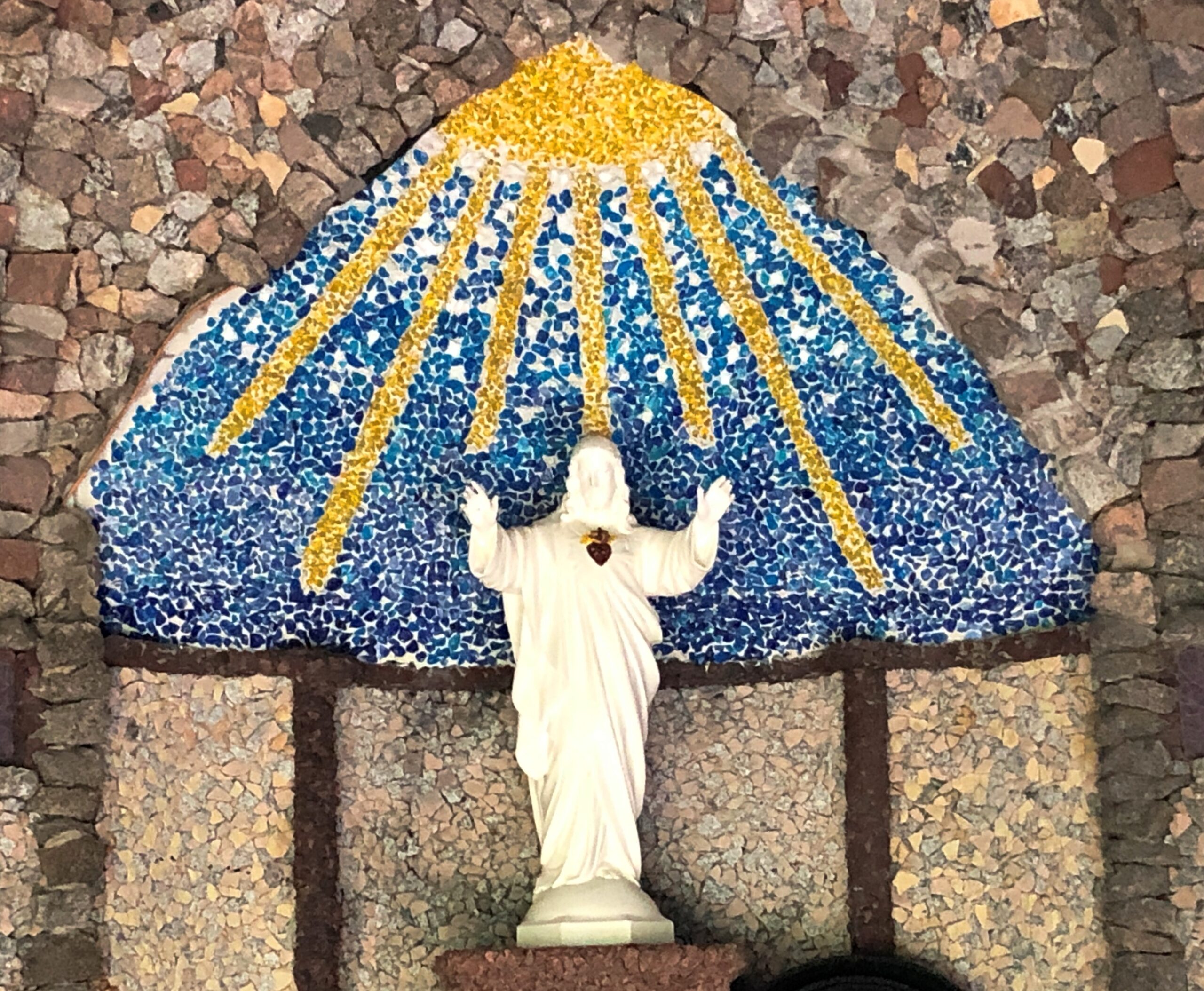
“Built in the 1930s when the property was owned by the Missionaries of the Sacred Heart [MSC], the outdoor chapel is an imposing stone structure,” the site says. “A German priest [Bro. Driesch] built the shrine, using rocks and colored glass from the local river beds to create the small chapel-like structure.”

We got as close as we could without stepping on the stone floor of the grotto, since a sign further warned us that that would hinder the restoration. Close enough that some of the interior mosaics were visible.

The land ultimately proved so valuable that the MSCs sold it in the early ’70s and moved on. But the grotto, with the help of restoration, endures.

Downtown Glen Ellyn: The Historic District

Even modest buildings have a history. Or point to a history.

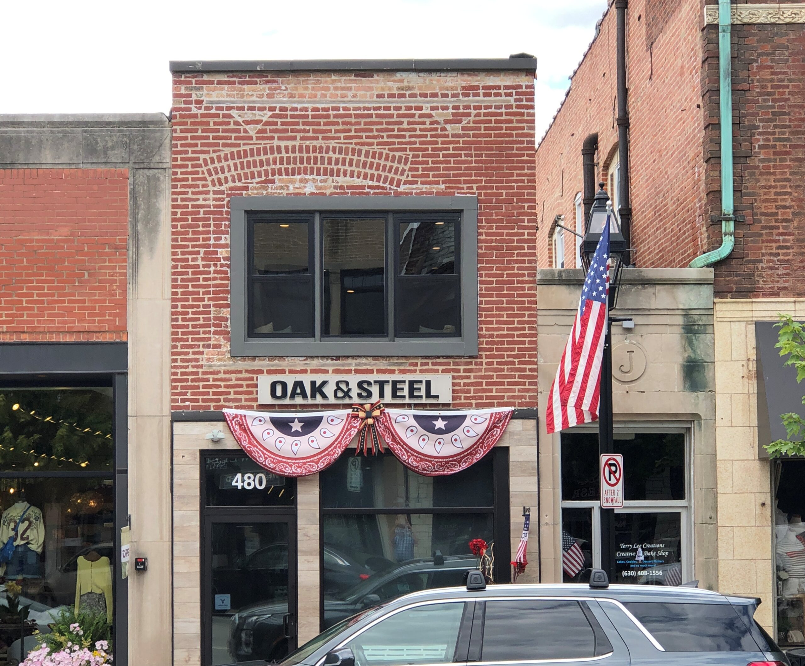
Just not much visible history in this case. Yet under this building in downtown Glen Ellyn, Illinois – in the Glen Ellyn Downtown North Historic District – is the main creek that used to pass through the village. Indian Creek, flowing for about 100 years now through an underground manmade channel. Civil engineers were busy in the 1920s.

An article published in 2023, “The Creeks of Old Glen Ellyn, Part 1” by Robert Elliot, offers a bit of detail: “Though we do not know exactly when, the creeks which flowed through old Glen Ellyn were slowly moved underground. Indian Creek appears to have remained above ground for a long time, although it too eventually fell victim to development. Although the exact year remains unknown, it appears that Indian Creek was mostly moved underground in 1922, when a dry goods store was constructed where it used to flow under Main Street. Today, Oak & Steel occupies the same location.”
Glen Ellyn was once marked by open creeks and small ravines and other irregularities, much like the rest of Du Page County. Like in much of the rest of the county, or the nation for that matter, that wasn’t consistent with modern suburbia, so the terrain was modified – in the same spirit as controlling the Mississippi or digging the Panama Canal, if not the gargantuan scale.

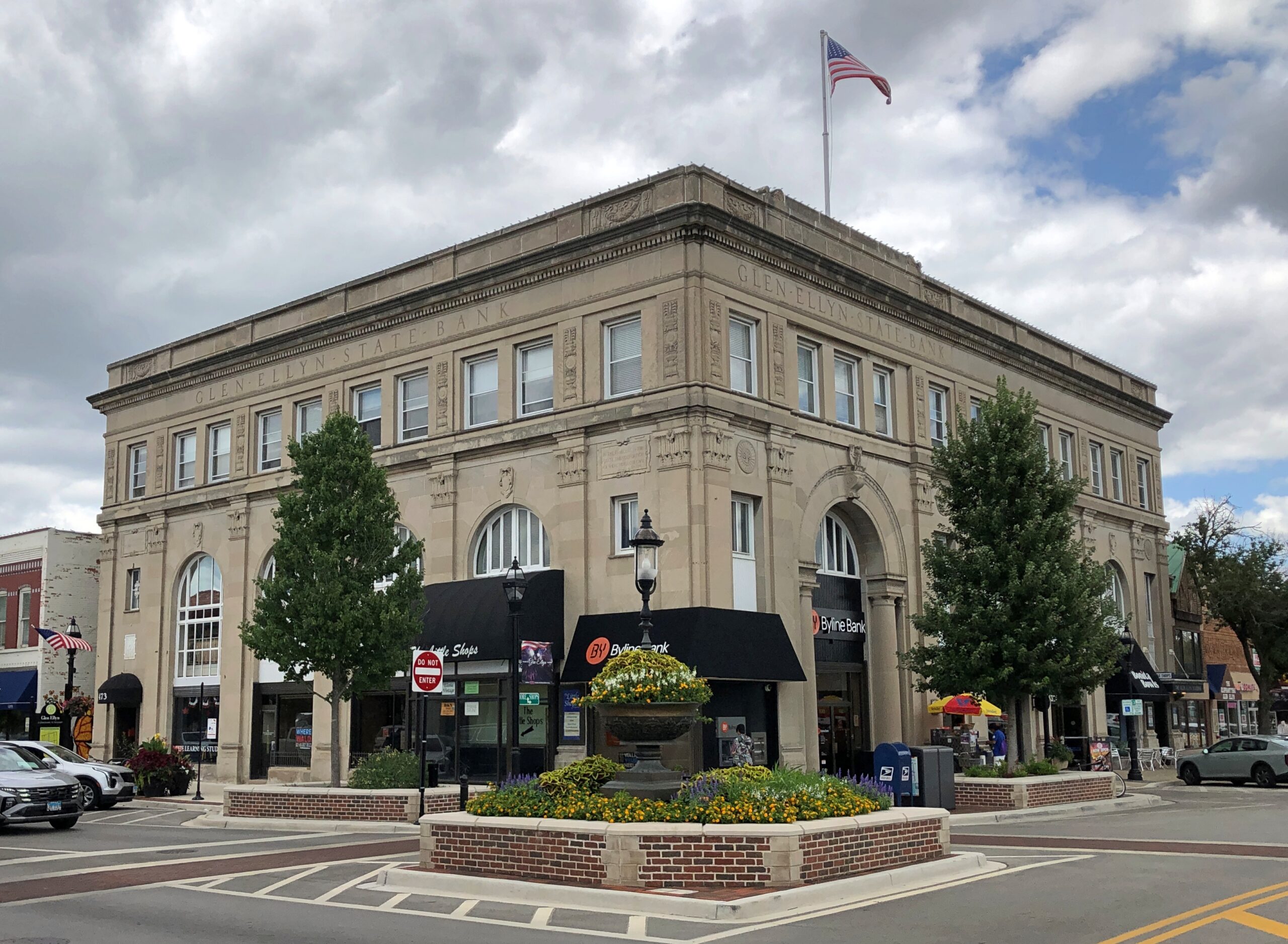
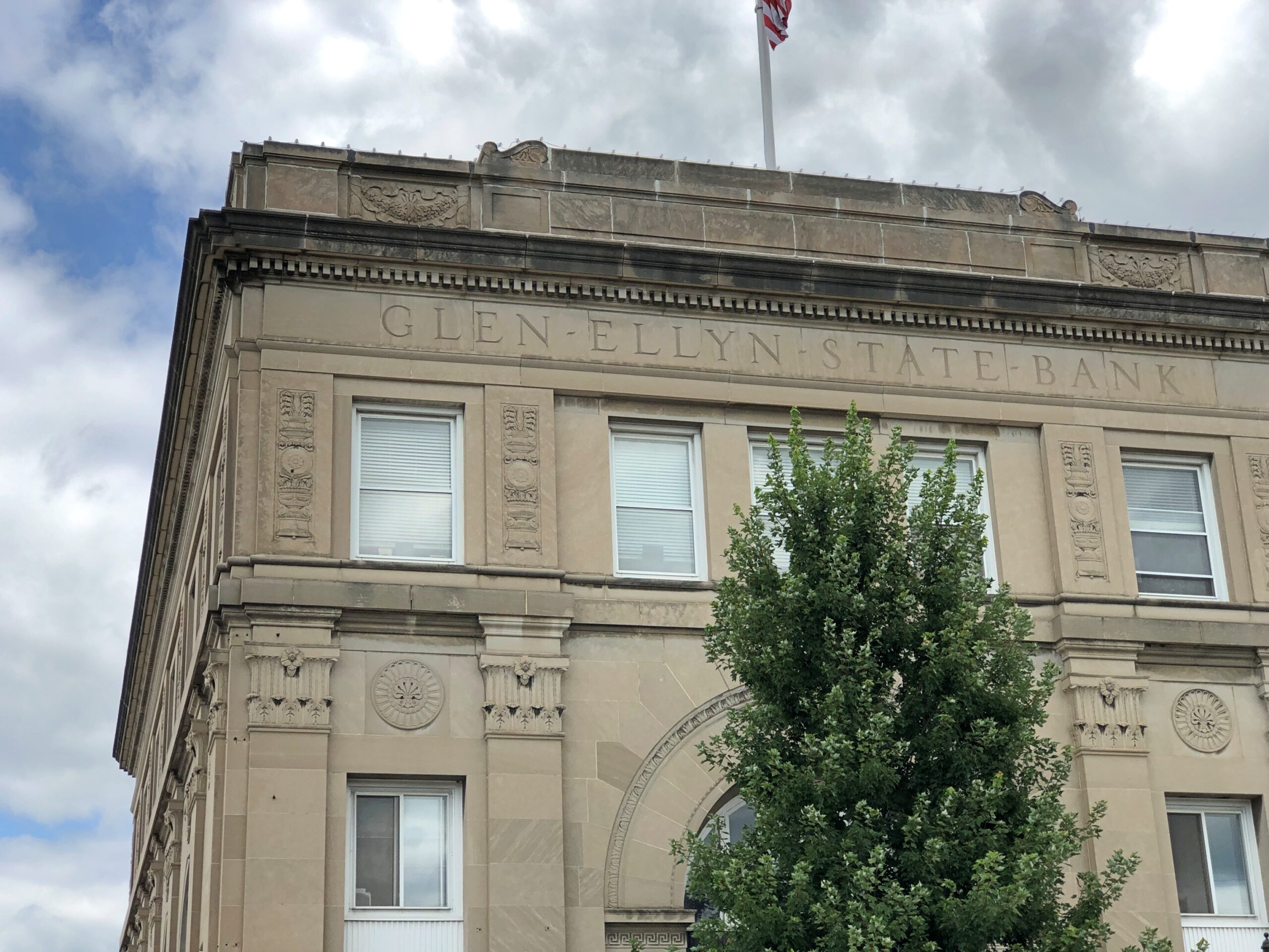
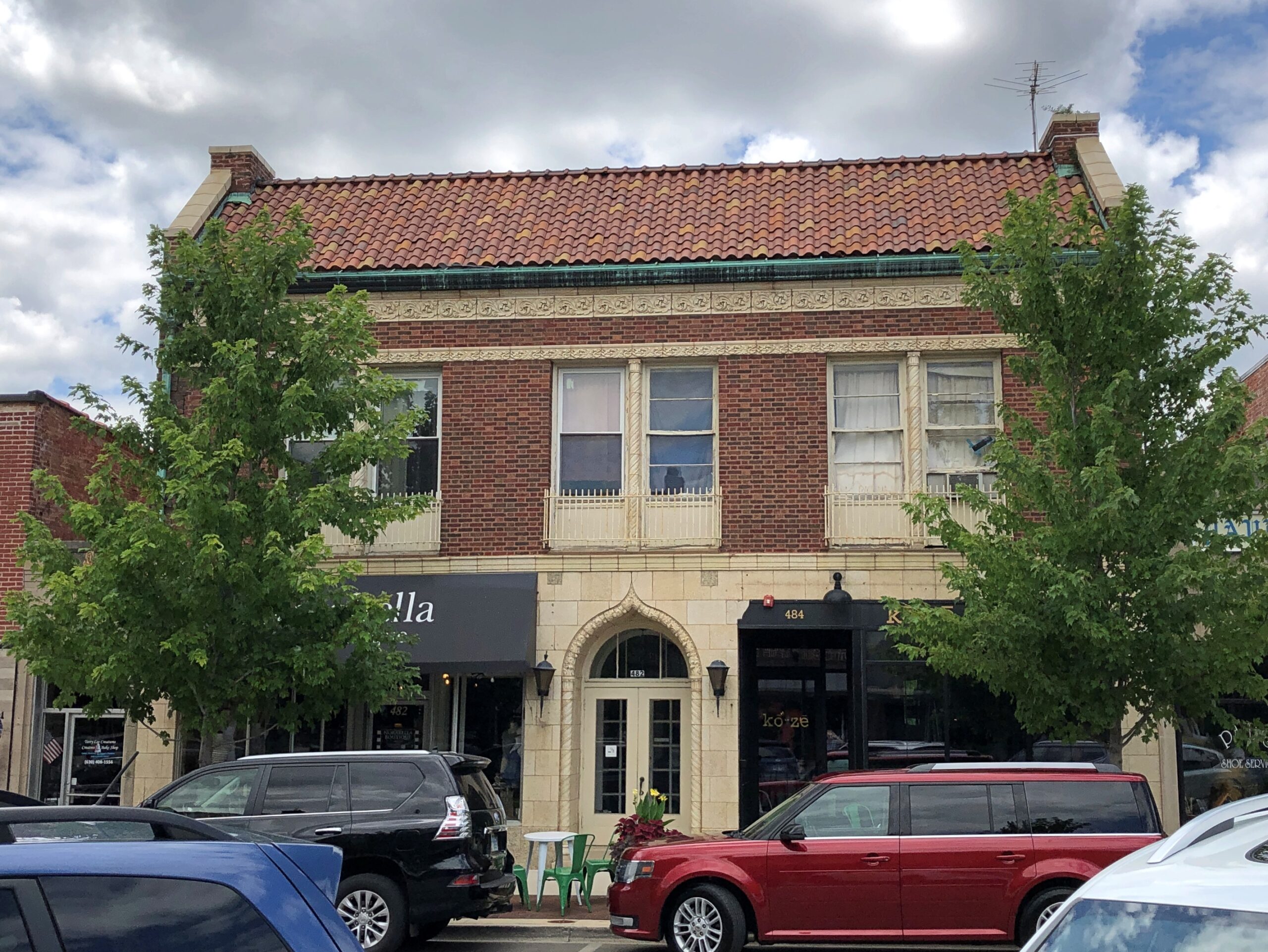
The 1920s also saw brisk commercial development near the Glen Ellyn interurban station, and it is these buildings that make up much of the historic district today. Such as a bank building, a sturdy-looking edifice built to re-assure in the days before the FDIC. Sturdy and elegant, I have to add.

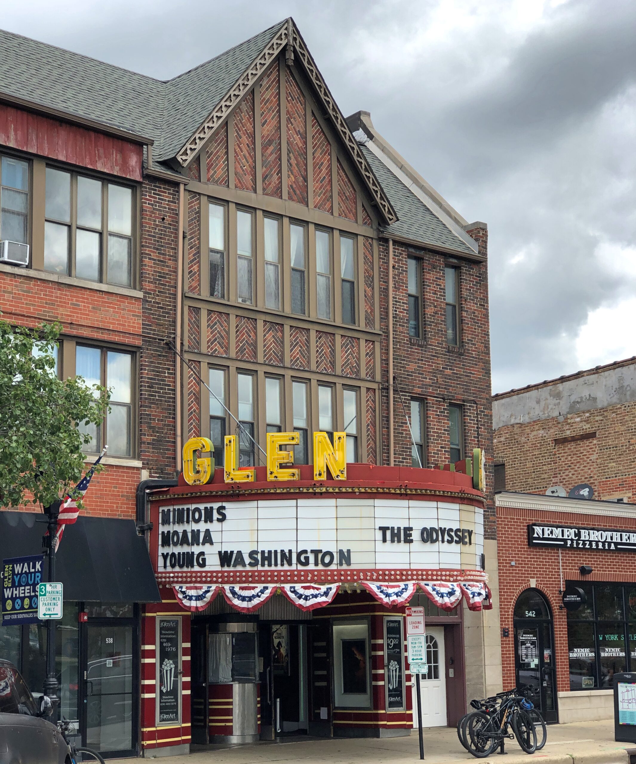
The Glen Art Theatre. A spot to take in a motion picture, now as then.


“The Glen Theatre, formerly a single screen theatre, opened in February 1927,” says Cinema Treasures. “It was designed in the Tudor Revival style, along with the storefronts on either side of the three-story building. The architect was William B. Betts of Park Ridge, IL, who also designed a number of other movie theaters in the Chicago suburbs. Originally, the Glen Theatre not only featured motion pictures, but live stage acts, as well, and contained a Barton organ.”

Other historic district structures.

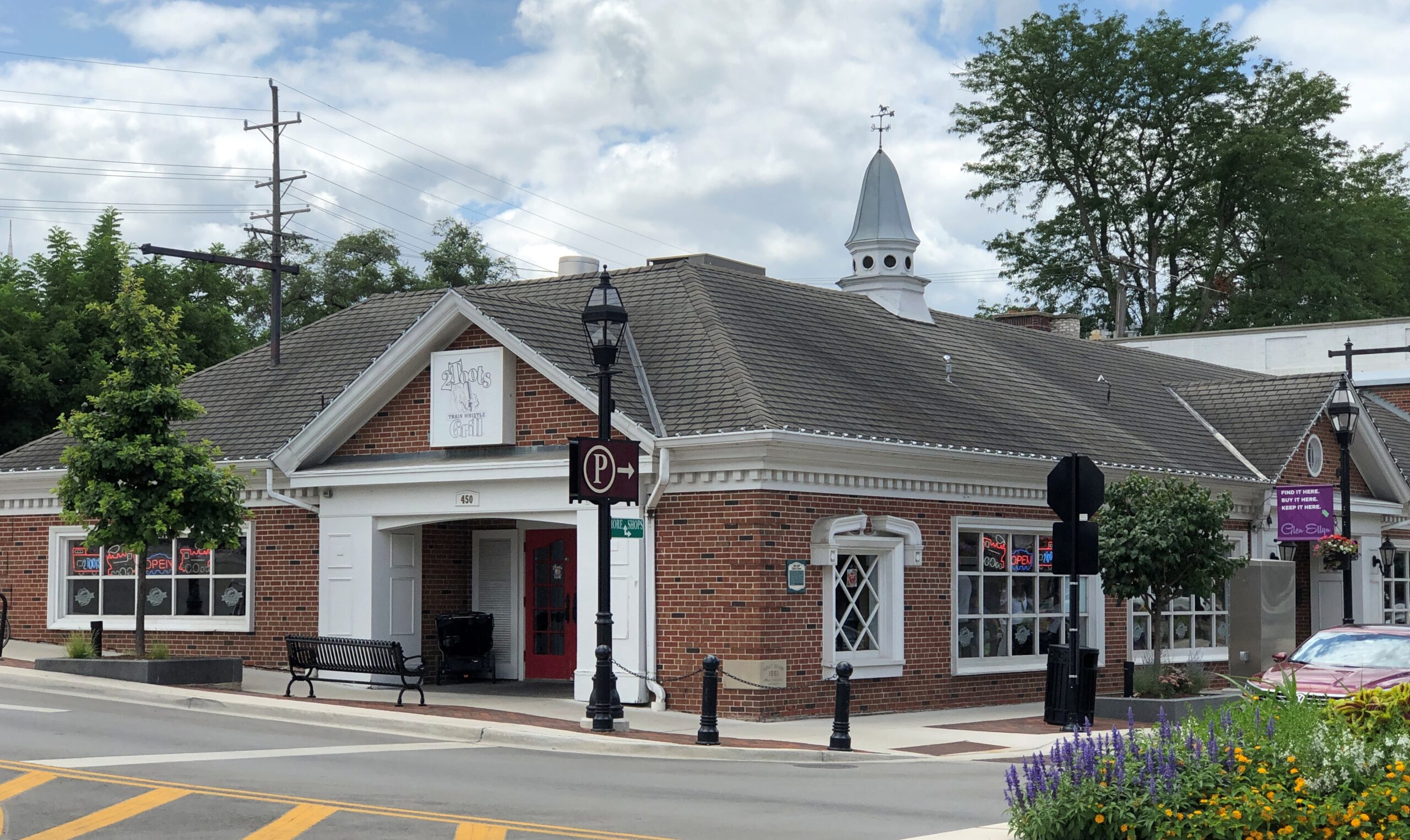
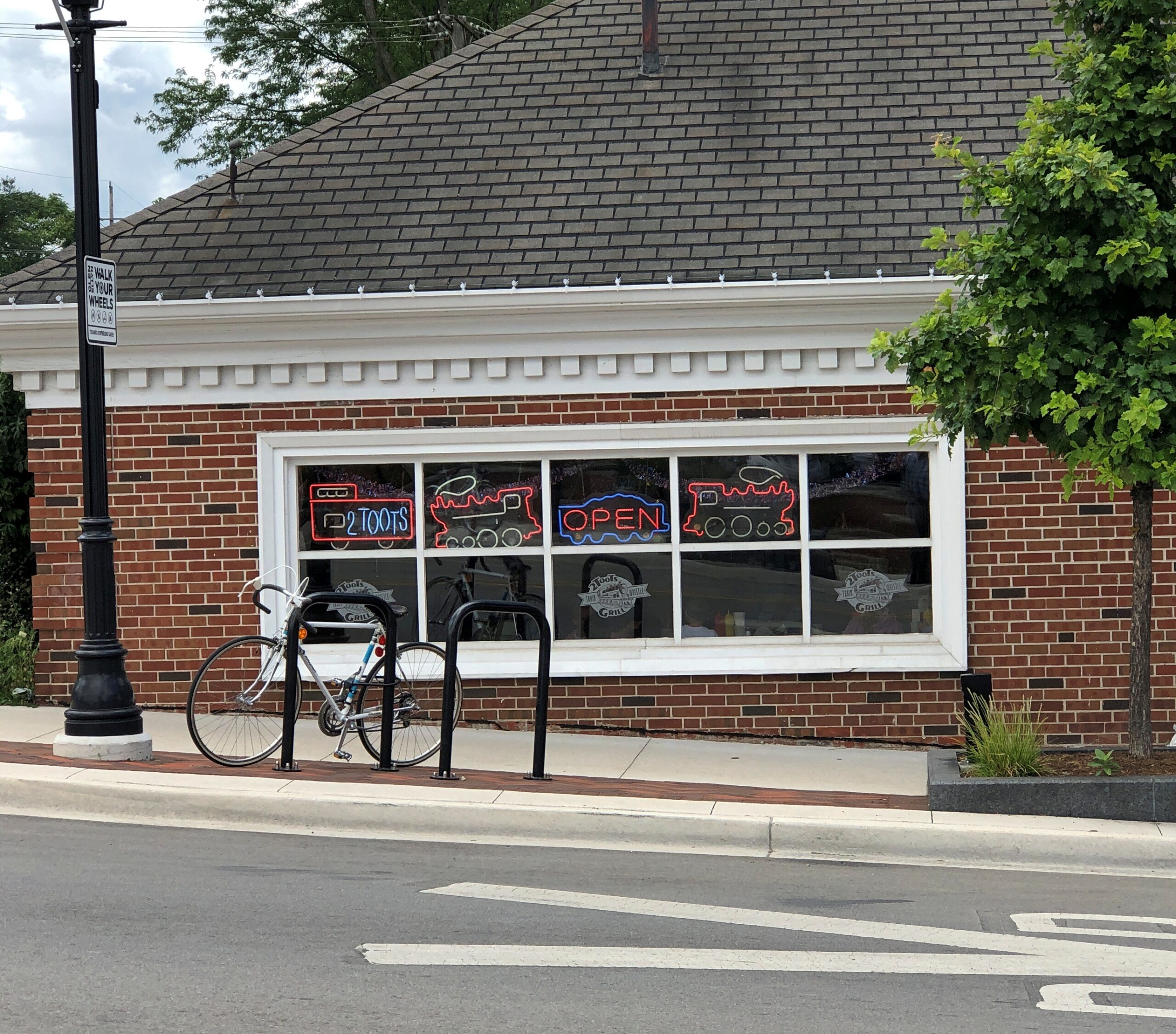
The site of the interurban line station. These days, it includes 2 Toots, a restaurant that delivers your burger and fries by model train.

I didn’t confine my peregrinations to the historic district, mainly because I didn’t know about it until later.

Just outside the district, a couple of churches.

More apartments up/retail down structures.

The Village Office, looking a little New Englandish.

The interurban line that once came through Glen Ellyn, the Chicago, Aurora and Elgin Electric (CA&E), is long gone, as they all are. But it left a legacy, namely the Main Stem of the Illinois Prairie Path.

Worth a short walk or a long one. Traversing Du Page County is possible on its 61-mile network. During my recent visits, I walked maybe 1 percent of that distance, but I’m considering other segments.

St. Mary’s Coptic Orthodox Church

Earlier this month, entirely by chance, I saw that St. Mary’s Coptic Orthodox Church in Palatine was about to hold its annual Egypt Fest. I noticed, besides offering the kinds of things you’d find at a local festival, such as food and children’s rides, the event also offered the opportunity to visit the church building. Instantly I knew I wanted to attend. I didn’t remember ever visiting a Coptic church before. So I went that Saturday afternoon.
The church is in a prosperous neighborhood not far from a major highway that I drive often, and I knew it well, in the sense that St. Mary and the Christ Child in their glory are visible from the highway. But also as a flyby. Visiting in person, I got a better look.

They are featured on the back wall. Facing east, if my geographic awareness is correct.

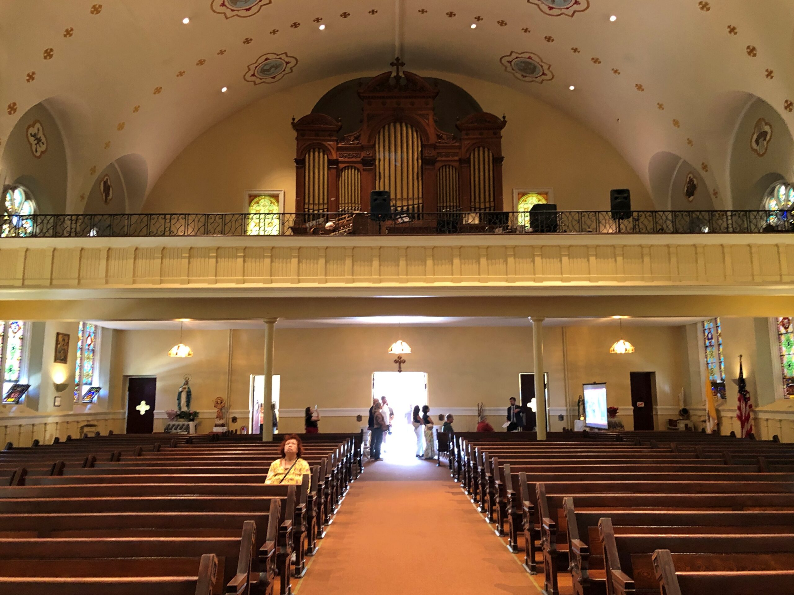
The church was indeed open. An interior detail.

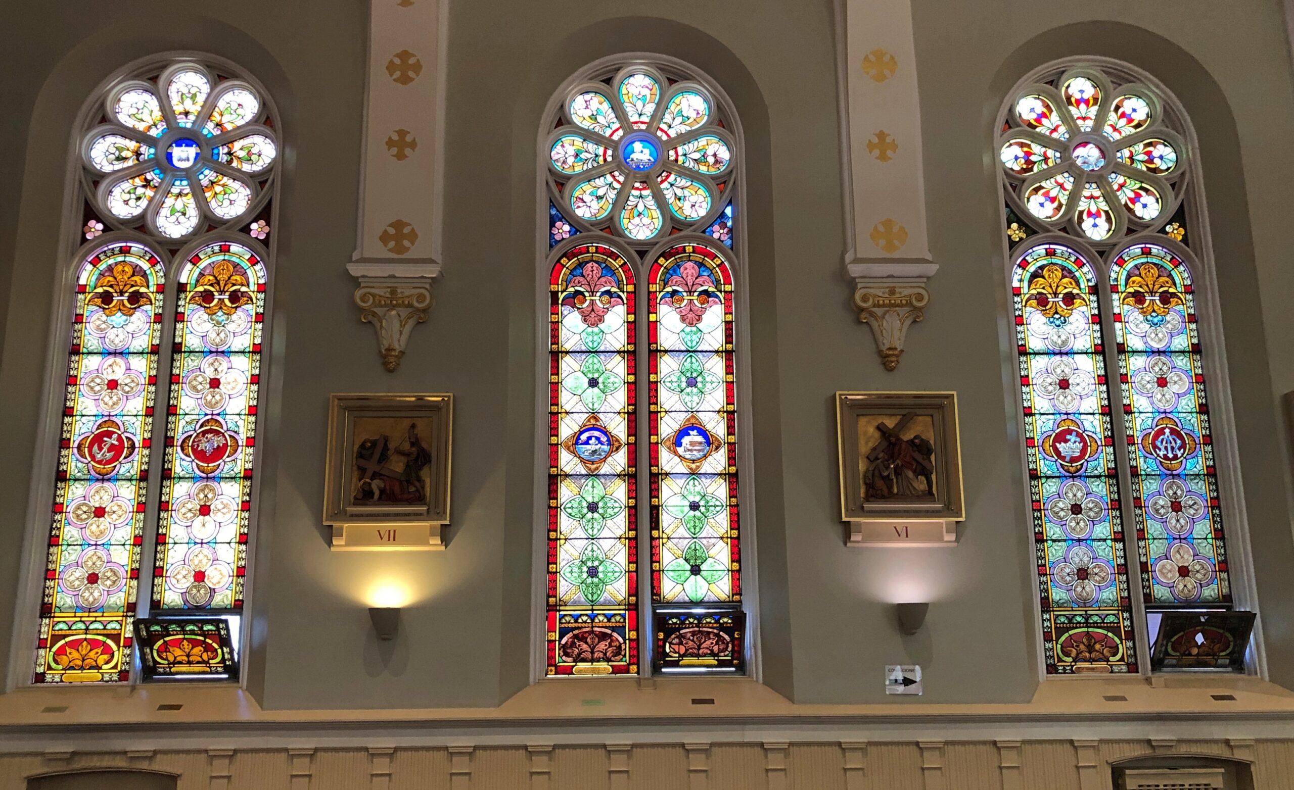
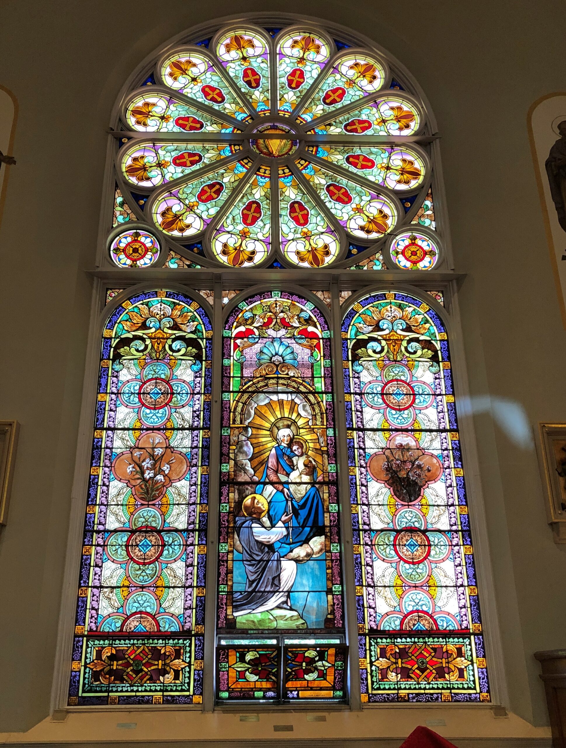
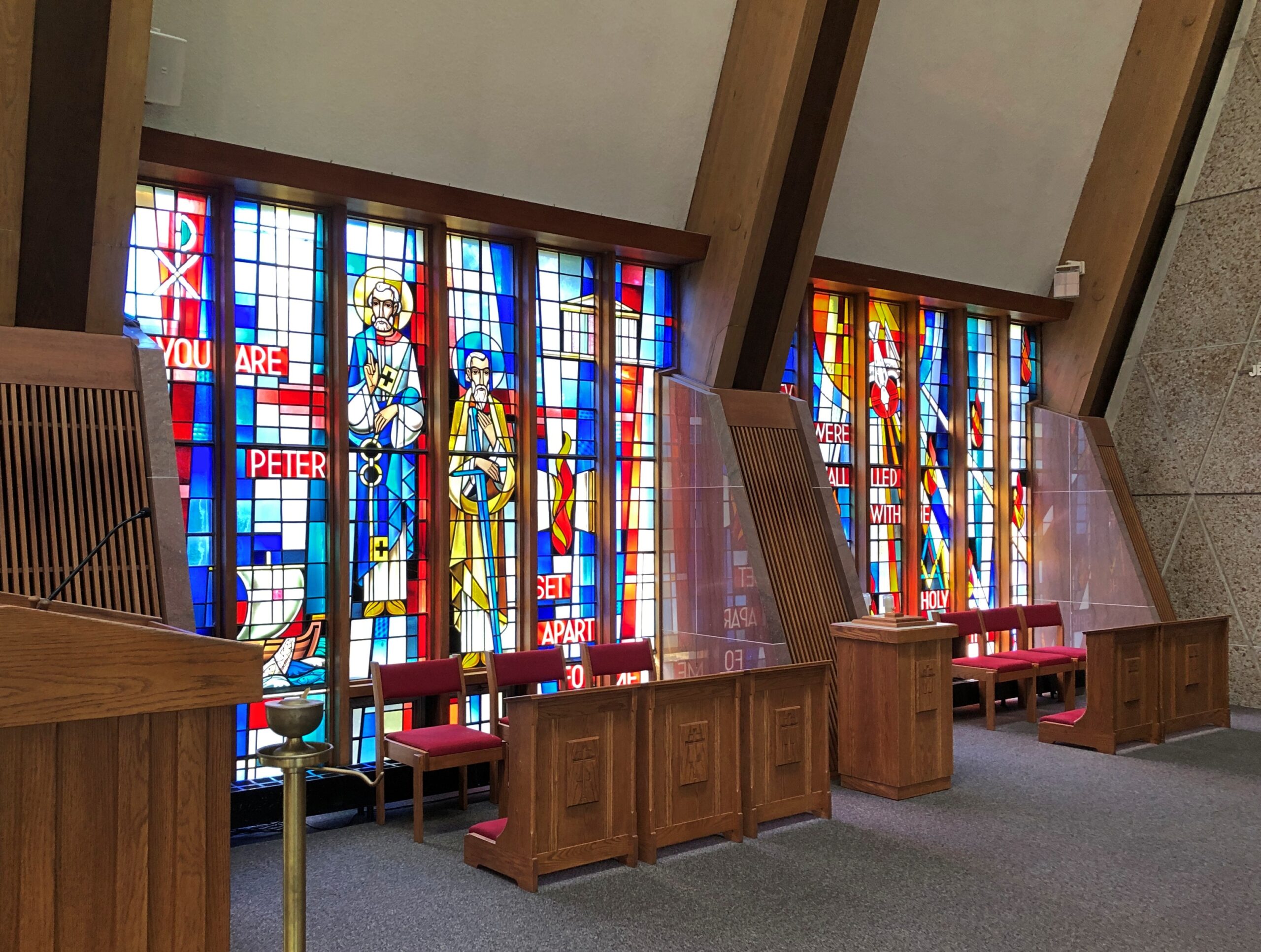
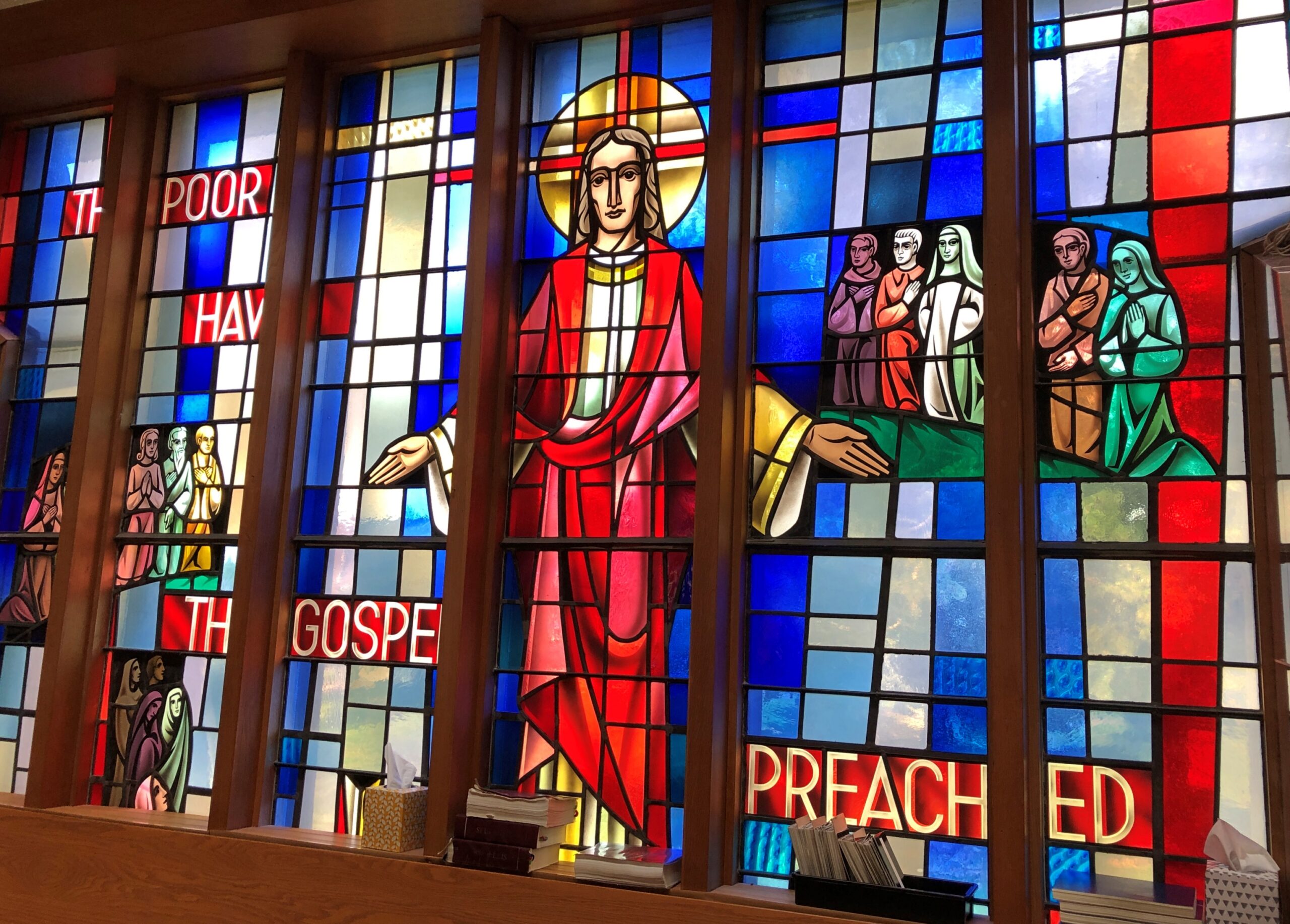
Stained glass.

Pews and an iconostasis. Unusual, but I’ve seen it before. Priests and a few laymen were active in the sanctuary that afternoon. The prayers, which I took to be partly in Coptic, had a hypnotic quality. Text of the prayers scrolled by in English, Coptic (I assume) and Arabic.

That kept me in the pews a while, as I tried to remember what I learned, many years ago, about what had caused the rupture between Constantinople and Alexandria in the 5th century. During the Council of Chalcedon. That much I remembered. The nub of the quarrel? I had to look that up later.
The nature of the Son. The sort of argument that inspired riots, once upon a time. Now I imagine even most lifelong parishioners of whichever side would shrug at the difference. The Copts have more immediate concerns anyway, such as ongoing persecution in Egypt itself. We have our issues in North America, but at least Copts can live in peace here, and maintain an elegant church in a prosperous neighborhood.

Hill of Crosses, Lemont

Yesterday a near-full moon rose in the evening, as coppery a color as I’ve ever seen the lunar disc, including during eclipses – which wasn’t happening that evening. Not quite the color of an uncirculated penny, but close, with the addition of a dash of yellow. Must be the peculiar optics generated by thin wafts of smoke from Canada. This evening, there was still a tinge of copper, but the moon had mostly returned to silver-white.

Then it occurred to me that future generations, maybe even people being born around now, won’t know the color of an uncirculated U.S. penny. The color of a Moscow mule cup, then.

During a recent visit south of home but still in the suburbs, we came across something unexpected in the town of Lemont: a Hill of Crosses.

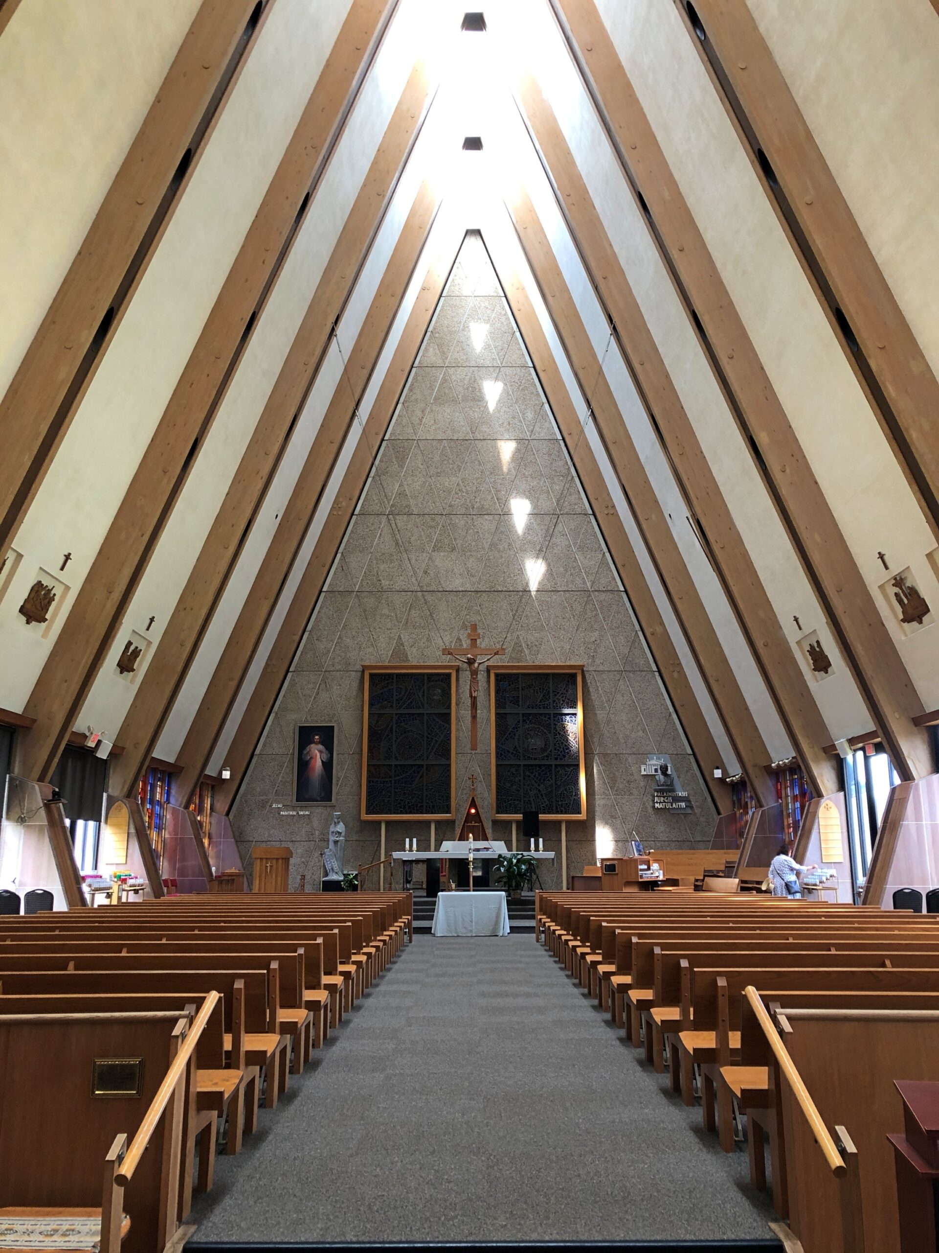
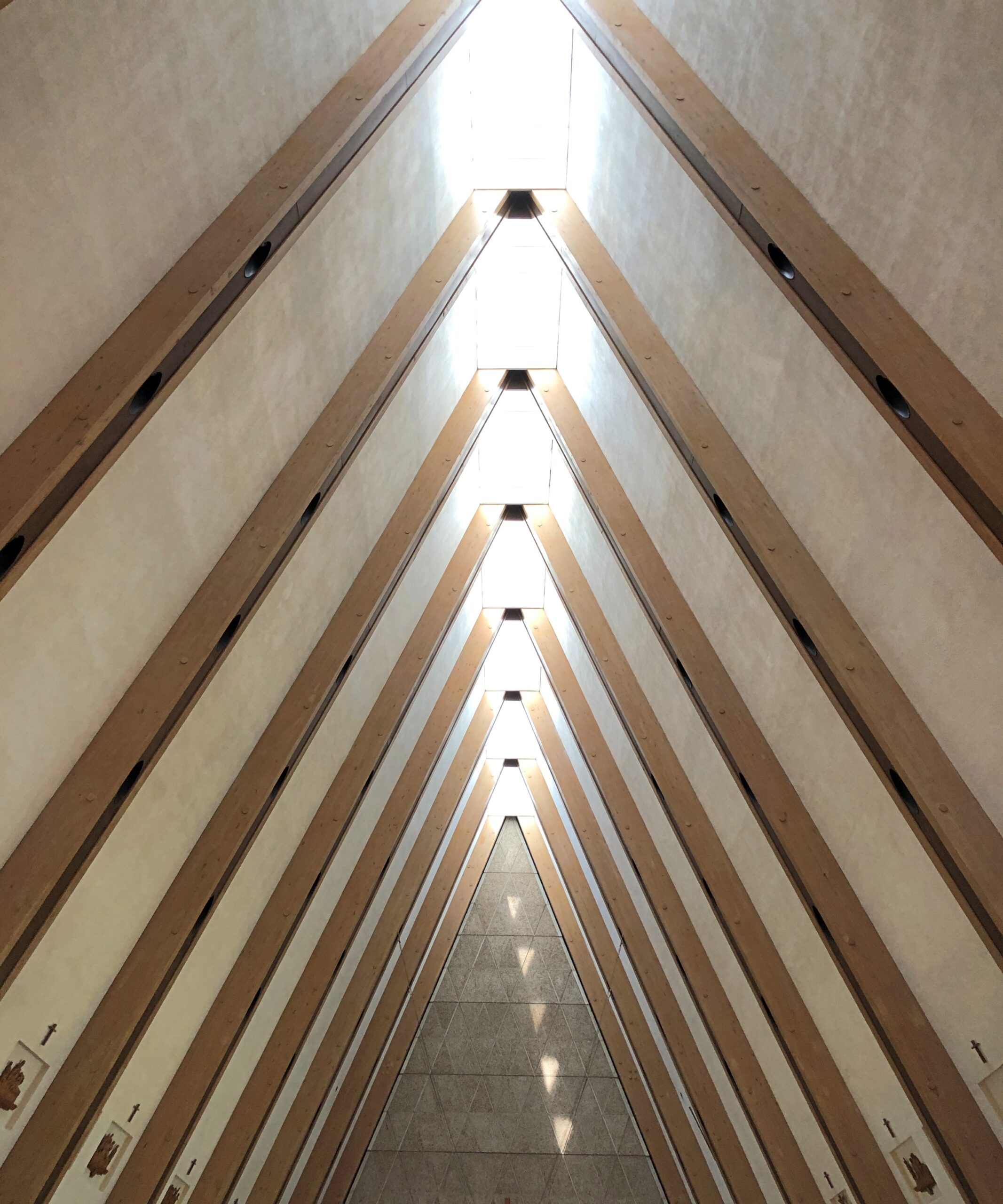
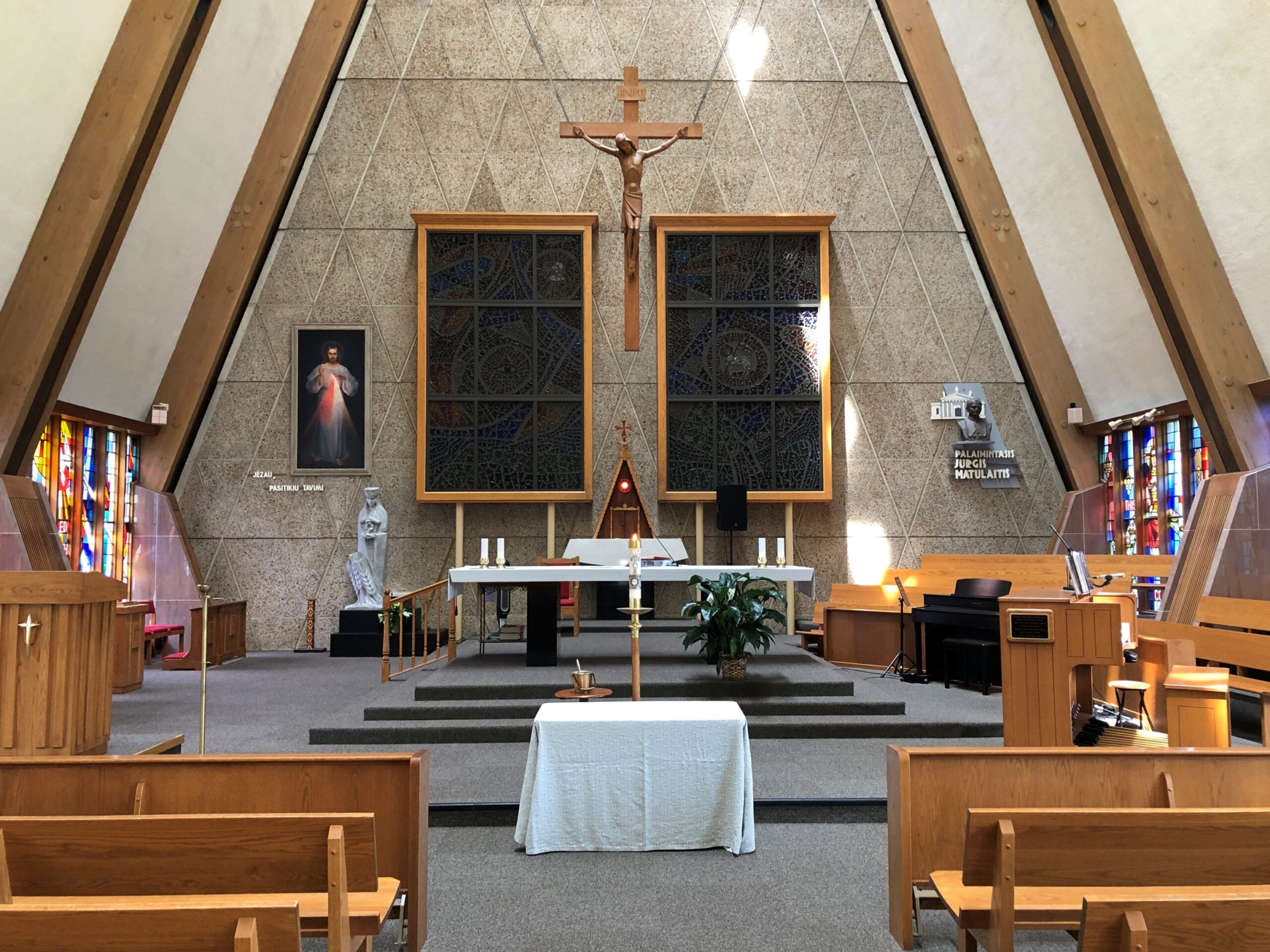
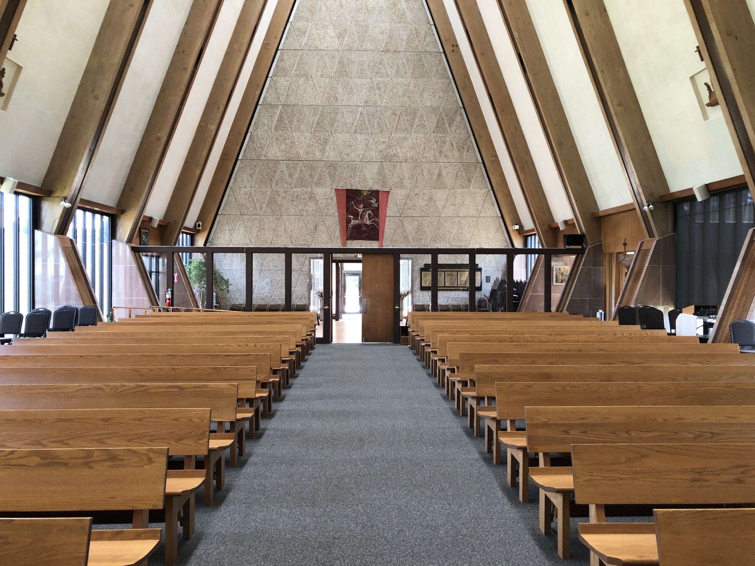
Not a large hill, more like a hillock, but still a distinctive homage to the Hill of Crosses in Lithuania, in the northern part of that country. The Lemont hill is part of a sizable complex called Lithuanian World Center, whose web site calls it “the largest Lithuanian community and cultural center outside Lithuania.” It has conference rooms, event halls, office space, gyms, classrooms (for three schools, two taught in Lithuanian), soccer fields, a Catholic church and a museum devoted to Lithuanian art. And, near the front parking lot, a Hill of Crosses.

As for the one in Lithuania, it’s known for its 100,000 (at least) crosses, erected spontaneously over the centuries and re-populated with crosses whenever secular authorities (namely the Soviets) took it in the their heads to destroy the place. Quite the story. Wish I’d seen it in ’94. Lemont will have to do for now.

The one in Lemont is a place for family members to honor the departed.

We started noticing a certain depiction of Christ.

Later, when we happened upon a nun at the church, I asked her about the depiction. “Pensive Christ,” she called it. That sounded familiar, but I couldn’t quite remember when I’d heard about it. Popular in Lithuania, apparently.

Per Wiki: “The image became especially popular in Silesia and Pomerania, and then Poland and Lithuania, where it became strongly entrenched in folk art wood carvings by Dievdirbiai (Lithuanian folk carvers).”

Nor’East ’26 Scraps

The run of days from Juneteenth to July 4 at least, and even better to Nunavut Day (July 9), would be a fine time to slow down, like between Christmas and New Year’s Day, only warmer and without the mad runup to December 25. Back to posting around July 6.

Thousands of impressions flitter by on the road, most instantly forgotten when literally on the road – driving, you need to be in the moment, or else – or quickly forgotten, when “on the road” means you’re out and about somewhere that isn’t home. Still, a handful of details stick, even without photos. But photos help.

Maine

I call it “Self-portrait with Goth Prom.” Poster spotted in downtown Bangor.

In the Maine Statehouse, a flat-ish object of a different kind.
Lincolnville, on the coast of not far from Belfast.

Lincolnville, Maine

Carnivorous whelks. I was frankly ignorant about carnivorous whelks, and glad to learn a little about them. Because what a great name for a snail.

Too bad I wasn’t hungry in Belfast. I’d have had tacos.

The Penobscot River and the Penobscot Narrows Bridge. A literal and scenic highpoint on that part of US 1 as it winds through near-coastal Maine. The bridge includes an observatory, unfortunately not open in April. Driving over the bridge itself was another pleasure of coastal Maine.

Helen’s Restaurant in Ellsworth. Tasty fish and chips. Haddock, specifically. What do you take for a haddock? “Well, sometimes I take-a aspirin, sometimes I take-a calomel.” It was some years before I learned that calomel was something I’d never take in a million years.

Massachusetts

Our Lady of Czestochowa Parish, Turners Falls.

The church was closed. So was Poet’s Seat Tower.
As the tower appeared more than 100 years ago.

Shelburne.

Massachusetts 112 (Route 112) in Hamilton County. Car commercial driving.

Goshen Cemetery, just off Route 112.

Ohio

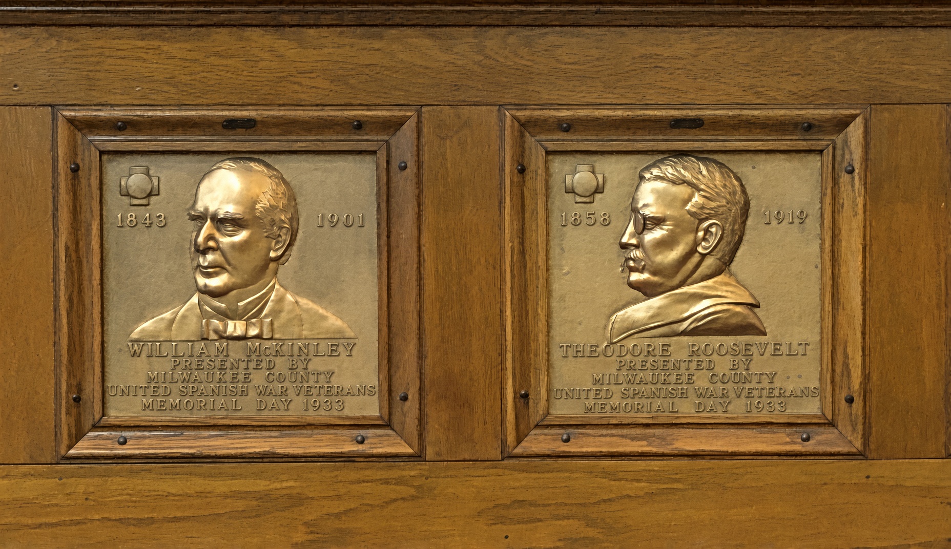
A solid bank building in Niles, across the street from where William McKinley was born. The Dollar Savings Bank Co. sounds like the kind of place that George Babbitt would mention, but distain in favor of a bank with longstanding ties to the best business men in Zenith.

An Admiral Dewey clock at the McKinley Birthplace Museum. A textbook case, that Dewey, of how fleeting fame usually is.

Passing through northeast Ohio intrigued me greatly about that part of the state. Akron, Canton, Youngstown, Austintown — all places I can imagine going, and enjoying the visits. See ’em before the reverse migration really gets underway.

Further west, the drive on the Lincoln Highway (US 30) was a pleasure: mostly four lanes, rarely crowded. The flat farmlands don’t qualify as conventionally scenic, but the budding springtime fecundity has a lot to recommend it, even as a strictly visual pleasure: the bright greens of new leaves, the brown and grays of the fields recently plowed, small roads heading off usually at right angles to the main road, a run between Upper Sandusky and I-75 near Lima with few buildings of any kind, except distant farm structures.

Downtown Lima: the Allen County courthouse, seen from North St.

Looks like my kind of breakfast place. Closed on Sunday anyway.

Another North St. detail. Spiderman sitting on — something. A large scoop of strawberry ice cream?

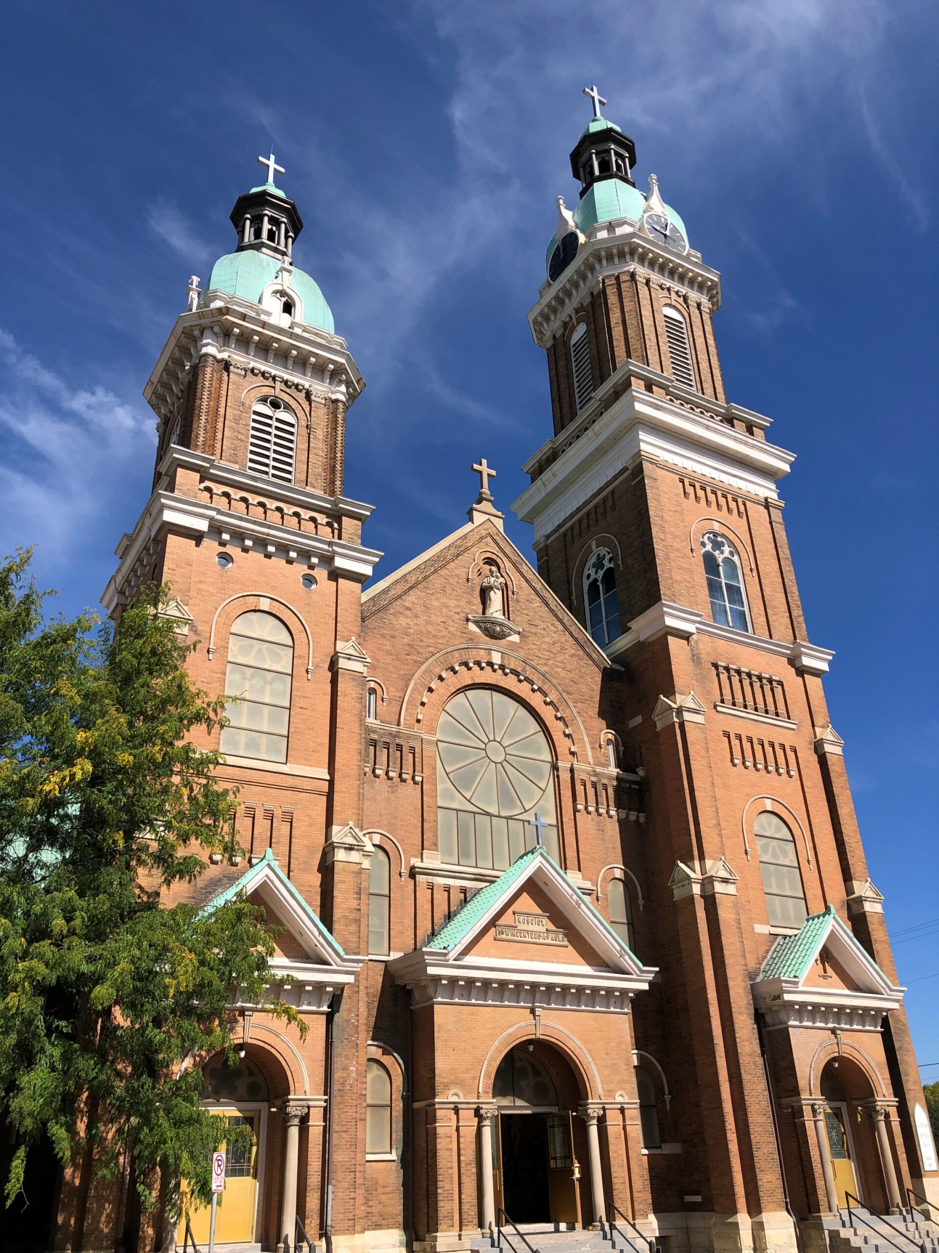
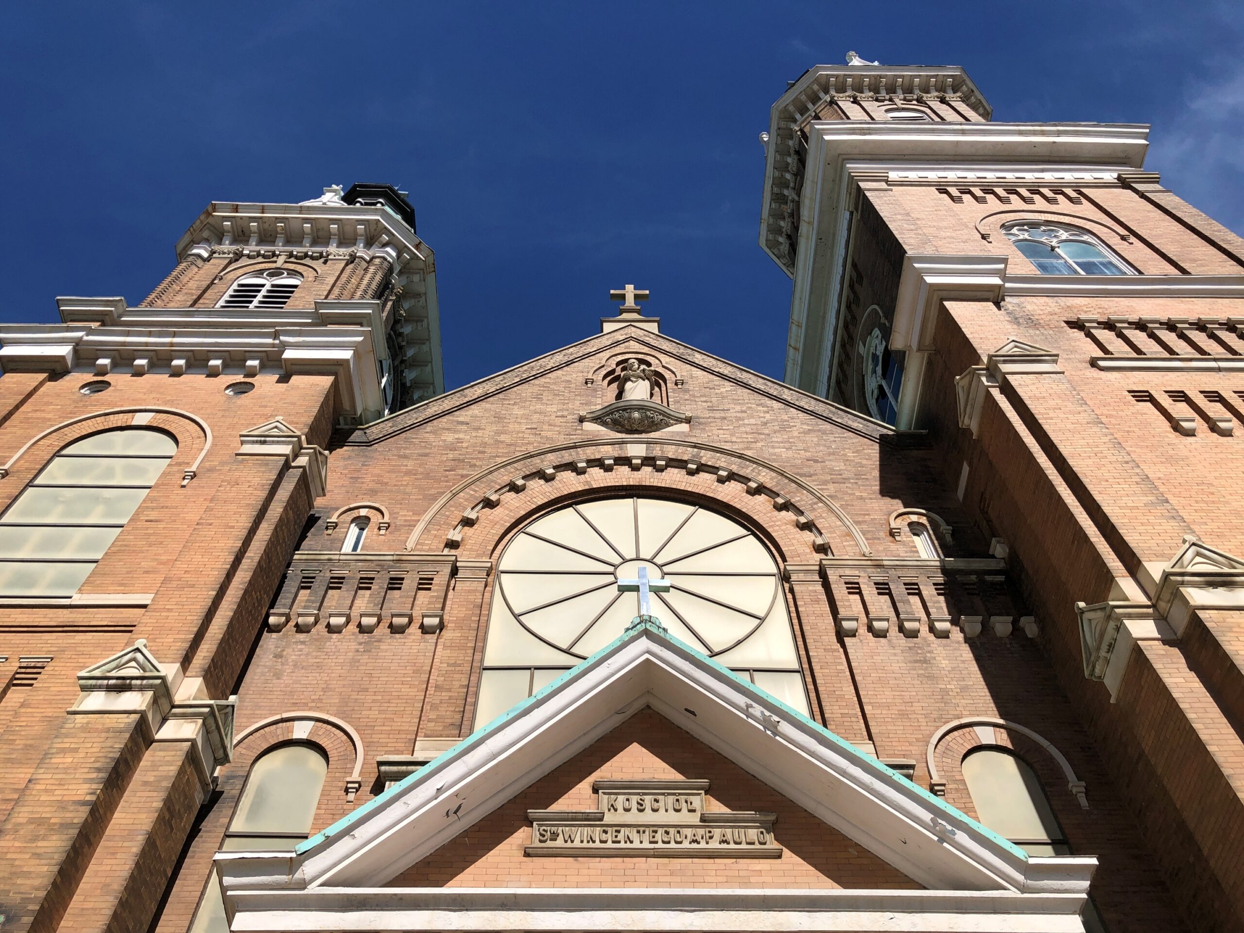
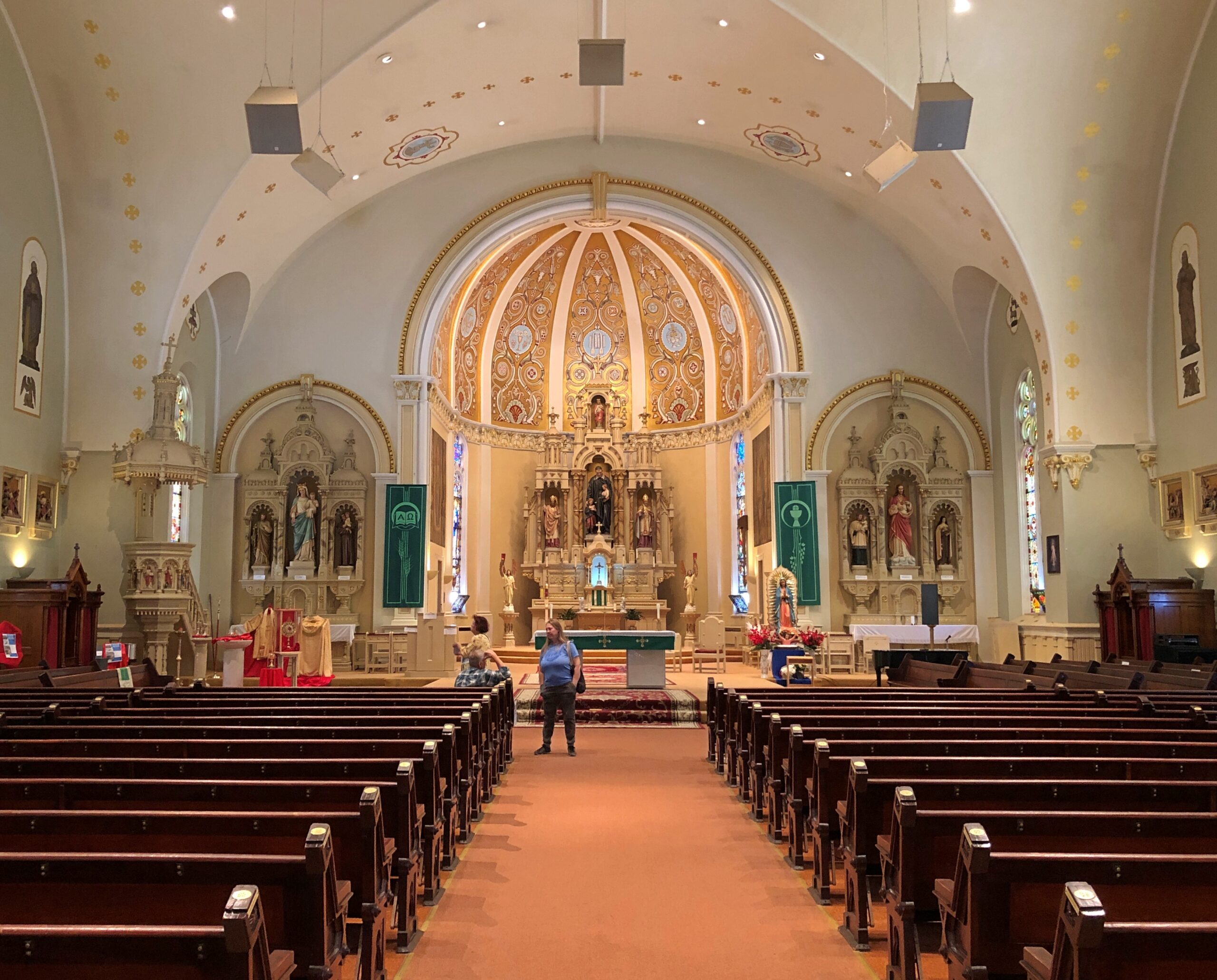
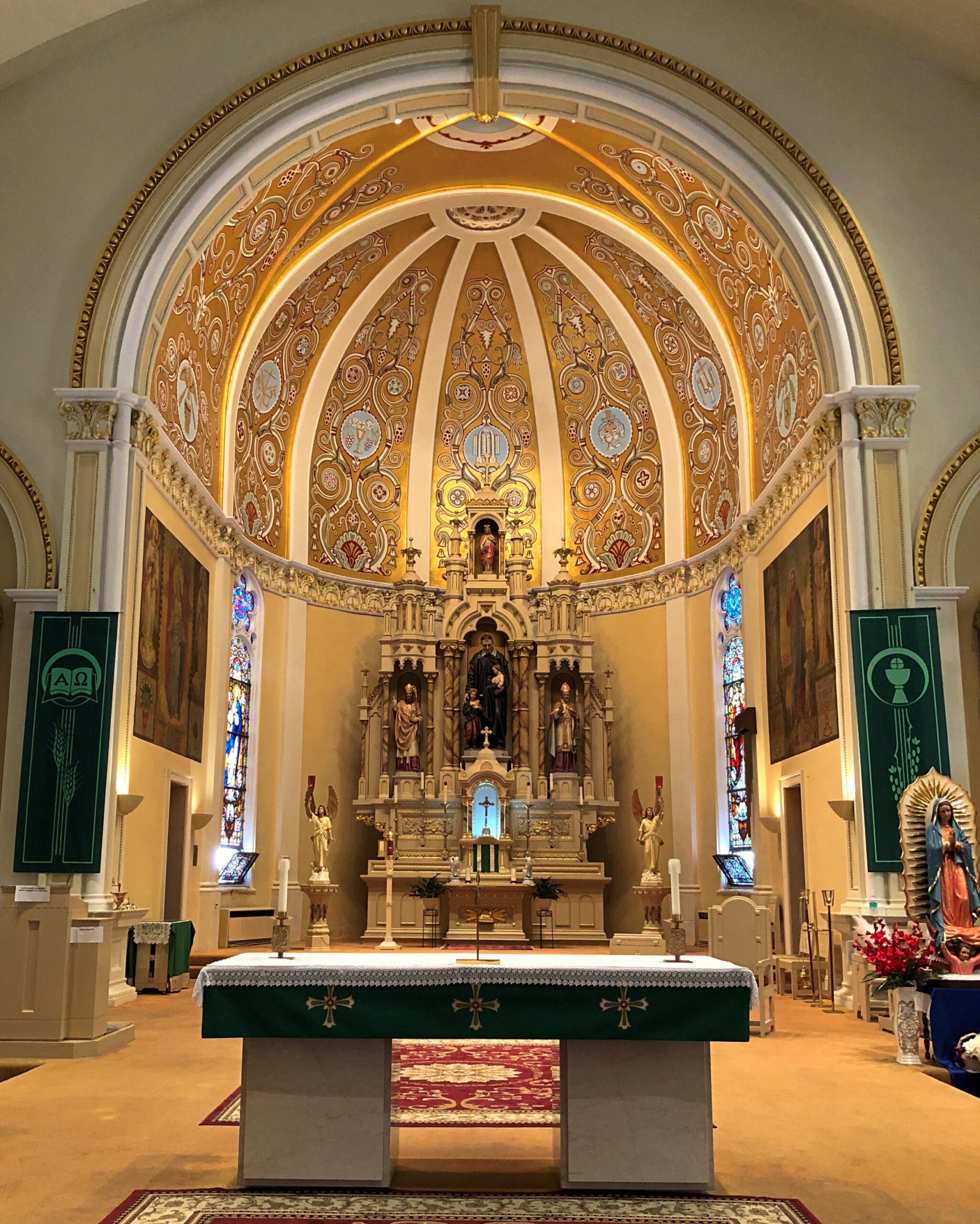
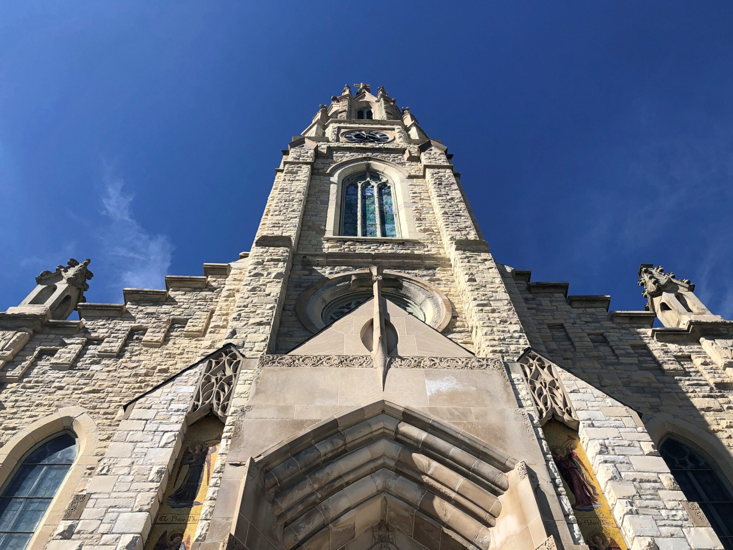
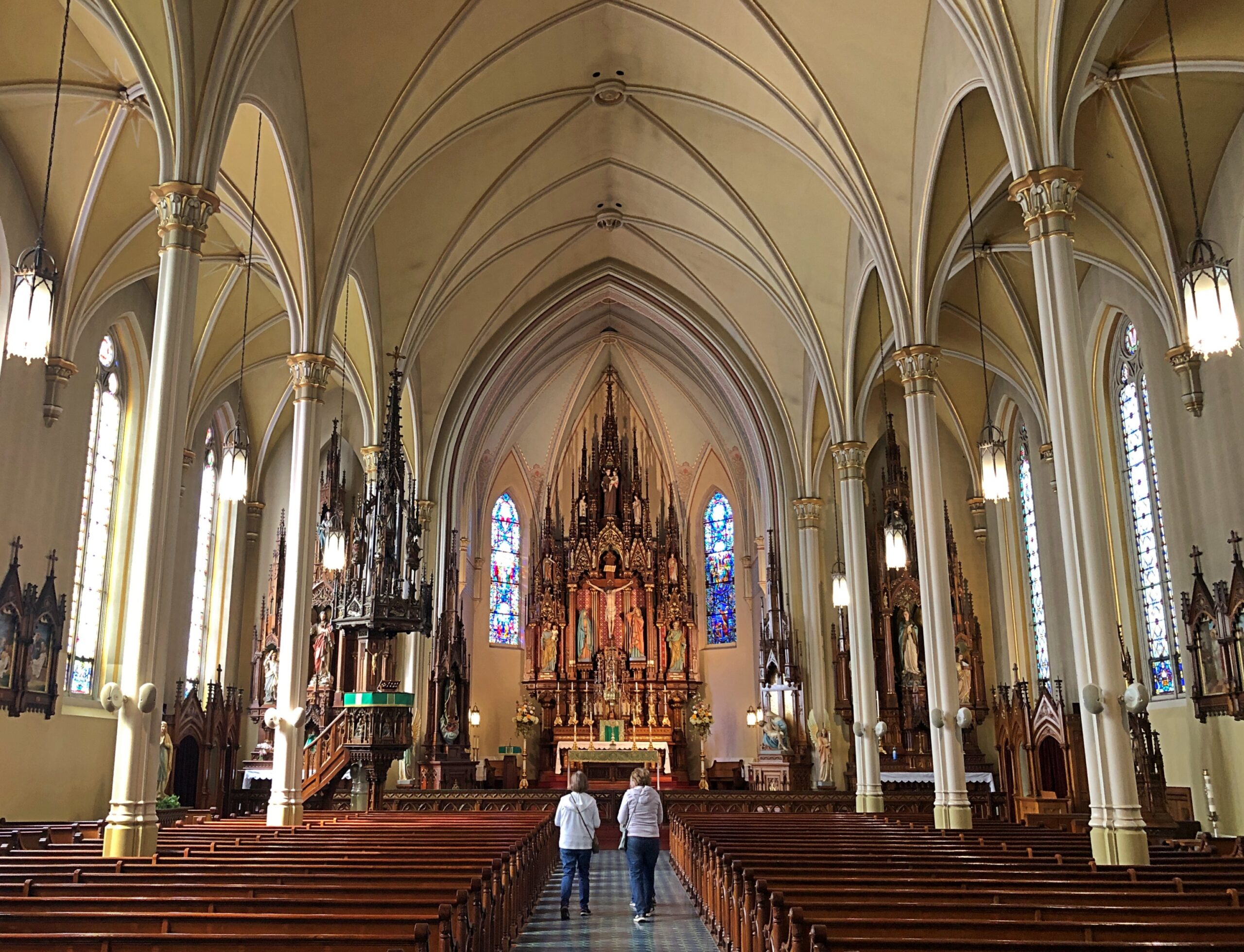
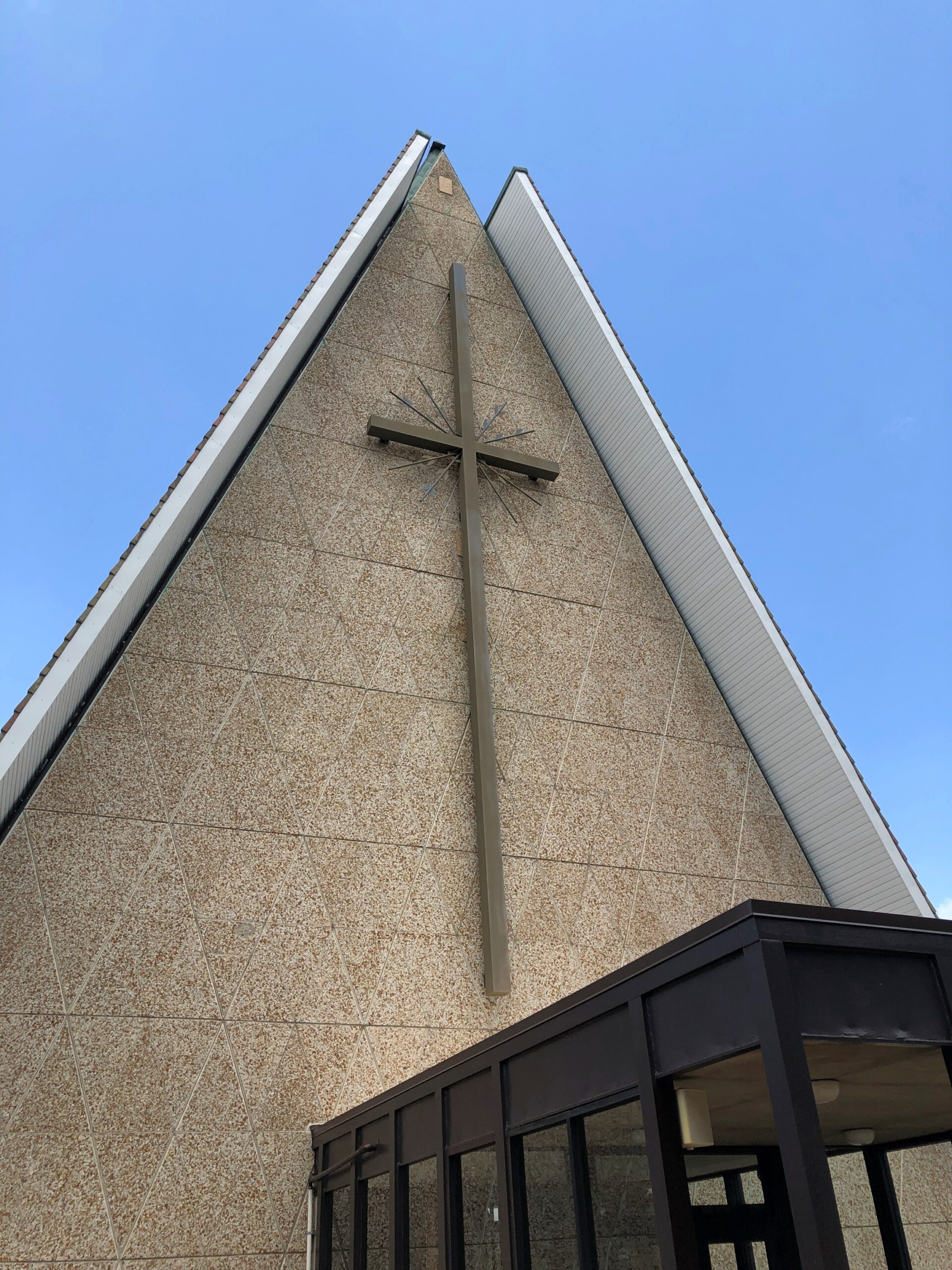
Saint Rose Church in the hamlet of Saint Rose, not far east of the Ohio-Indiana line. A Cross-Tipped Church.

Pennsylvania

The hills at the edge of Punxsutanwney.

The drive west across Pennsylvania began across the Delaware River from Port Jervis, NY, taking US 209 southwest through part of Delaware Water Gap National Recreation Area. Bet the straight-ish, two-lane road is busier in peak recreation season in the Recreation Area, but in April, I booked along without encountering much in the way of traffic. Trees were still budding, but it wouldn’t be long before some stretches of the highway would pass through green tunnels. The sunlight was already casting green leaf shadows on the road.

Watch Groundhog Day, and the impression is that the festivities are held in the center of town — which they are, in the Punxsutanwney stand-in of Woodstock, Illinois. Go to Punxsutanwney itself and learn that the February 2 fest is a few miles from town in a place called Gobbler’s Knob.

Gobbler's Knob

One more Phil. Iron Phil.

The clerk at the Gobbler’s Knob gift shop took pains to let me know that the site, and the festivities, were overseen by a nonprofit, not the commonwealth. Outside is the nonprofit’s bus, or at least I assume that, probably used to ferry people from town to GK and vice-versa, to help deal with the popularity of the event.

I like a good local festival as much as anyone, but February 2 is a deal-breaker. Can’t Phil come out again on August 2 to predict how much longer summer is going to last?

One More (Indiana)

Miami Chief Francois Godfroy stands at the corner of Main Street and Huntington Street/Indiana 18 in Montpelier. Well, maybe it’s supposed to remind passersby of the chief more than actually depict him.

A Daughters of the American Revolution historical marker says: Reserved by U.S. to Chief Francois Godfroy of the Miami Nation of Indians by treaty at St. Mary’s, Ohio, 6 October 1818. 3,849 acres on Salamonie River at La Petite Prairie, Harrison Township, Blackford County: reserve lands sold 1827, 1836.

Waymarking says: “The statue was made in Venice, CA in 1960 for the Tom Wood Pontiac dealership in Indianapolis. Later it was in front of the Indian Museum at Eagle Creek Park In Indianapolis. After the museum closed, the statue (of more a plains Indian than a NE Indiana tribe) was obtained by Chief Larry Godfroy — a descendant who presented it to the City of Montpelier and they erected it as a monument in 1984.”

Maria Stein Shrine of the Holy Relics

It’s always good to see that visitors are welcome.

To be a visitor at the Maria Stein Shrine of the Holy Relics, however, you have to make your way to Maria Stein, Ohio, a census-designated place in Mercer County whose population is just over 1,000. As for Mercer County, its western edge is the border with Indiana and the nearest city of any size is Lima, to the northeast. The region isn’t precisely remote – this is the Midwest, after all – but it isn’t overrun with visitors.

The shrine rates a point-of-interest on my Rand McNally Road Atlas (Maria Stein Shrine, it says), and I find that kind of thing intriguing, especially when I’m going to be nearby anyway. So I visited the shrine on the last day of my trip, on the way home.

The shrine is part of the former Motherhouse of the Congregation of the Sisters of the Precious Blood (who relocated to Dayton 100+ years ago). Also part of the complex is the Adoration Chapel, where I went first.

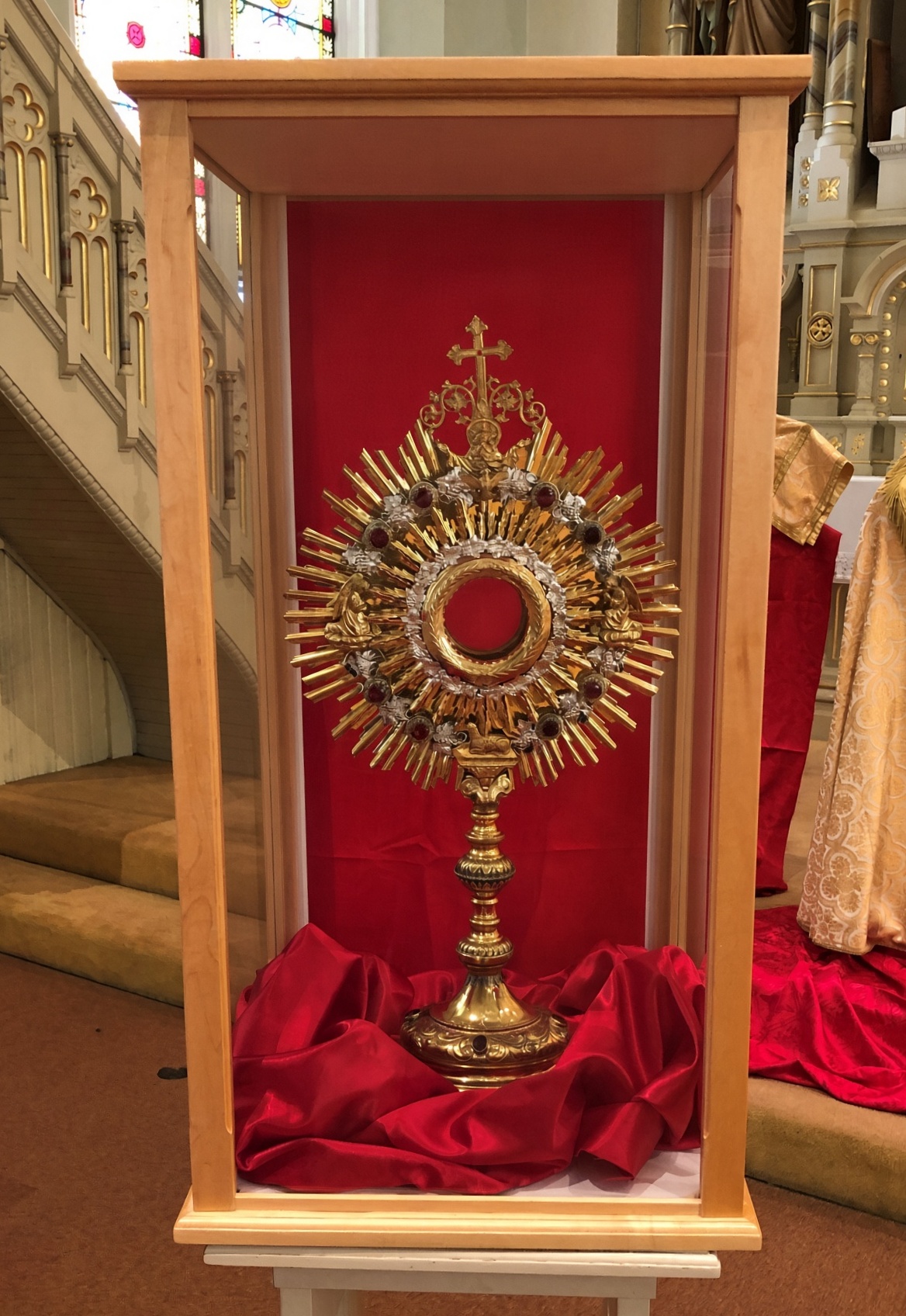
The relic shrine is adjacent to the chapel. It’s all about the relics. As it should be.

“The Maria Stein Shrine of the Holy Relics houses over 1,200 relics of the Saints and the True Cross,” says the shrine’s web site. “95% of the relics in the Maria Stein collection are First Class. The first relics were brought to the area by Fr. Francis de Sales Brunner, who founded most of the local churches and convents, bringing priests, brothers, and sisters of the Precious Blood communities to America.

“After his death, the significant collection of his relics, including a Calendar of Relics, and the bodily remains of St. Victoria, were under the care of the Sisters. In 1872, Fr. J. M. Gartner, a priest from Milwaukee, acquired 175 relics for safekeeping in the New World. When he brought them to America, his original intent was to have a kind of traveling exhibit. But the faithful wanted them kept together and suggested finding a permanent place for the collection.

“When he heard about the many relics under the care of the Sisters of the Precious Blood, he approached the Sisters, and together they gathered all of the relics into one collection, and we became the Shrine of the Holy Relics in 1875.”

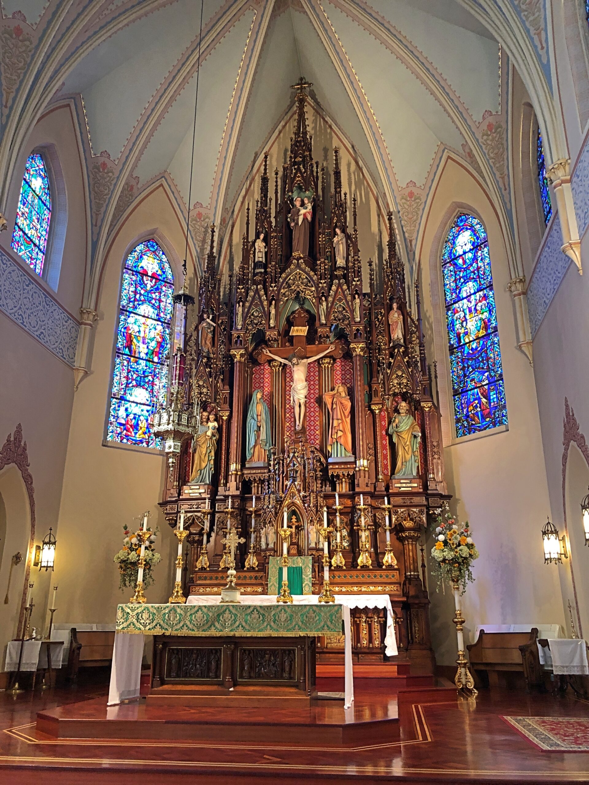
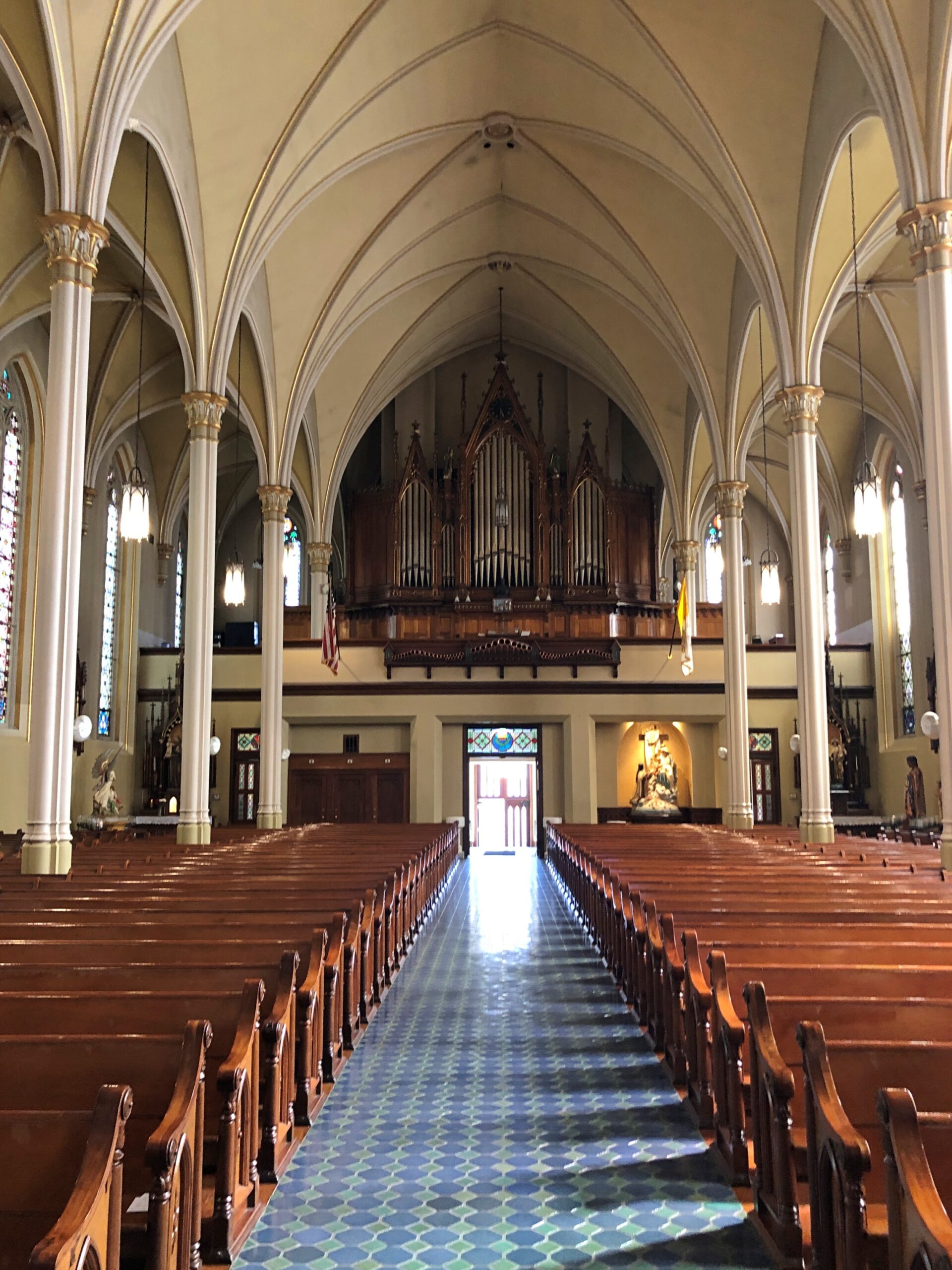
Besides reliquaries large and small, the shrine also includes some fine woodwork and stained glass.

A minute’s drive from the shrine, on the two-lane highway Ohio 119, is the site of St. John the Baptist Catholic Church. Site because it is a ruin. Or was the day in April when I visited, as it’s probably gone by now. From the looks of things, demolition was in progress.

How is it that a late 19th-century brick church was being razed? I was aghast for a little while, but a posted notice told me that the church had been severely damaged by fire in May 2025.

A damn shame, but it turns out — something I didn’t know buzzing down Ohio 119, seeing church after church in otherwise tiny towns — that this part of Ohio is home to many immigrant Catholic churches, mostly tall and brick and over 100 years old. The cluster of churches even has a name: Land of the Cross-Tipped Churches. Dang, now this is another place I want to re-visit. This happens to me fairly often.