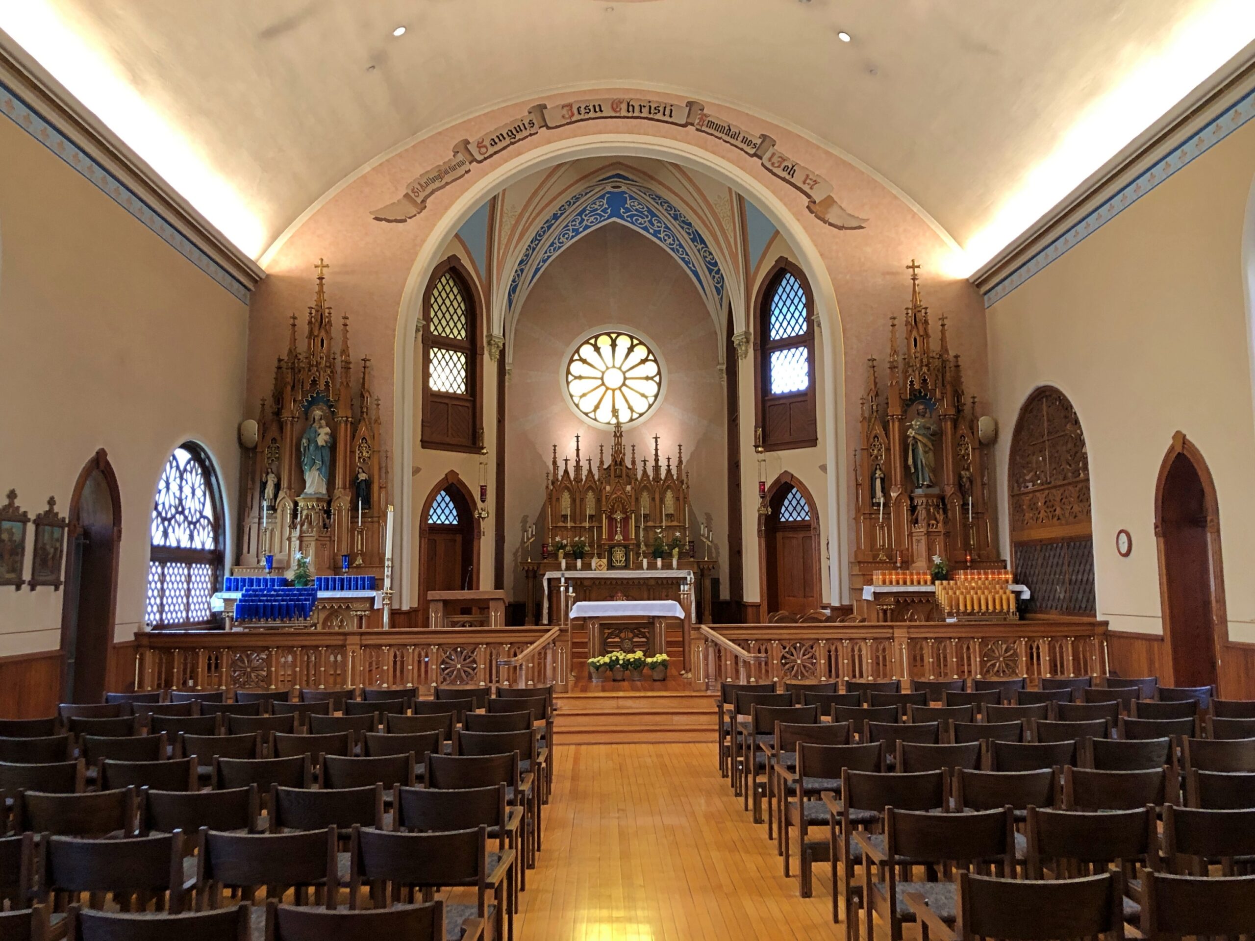
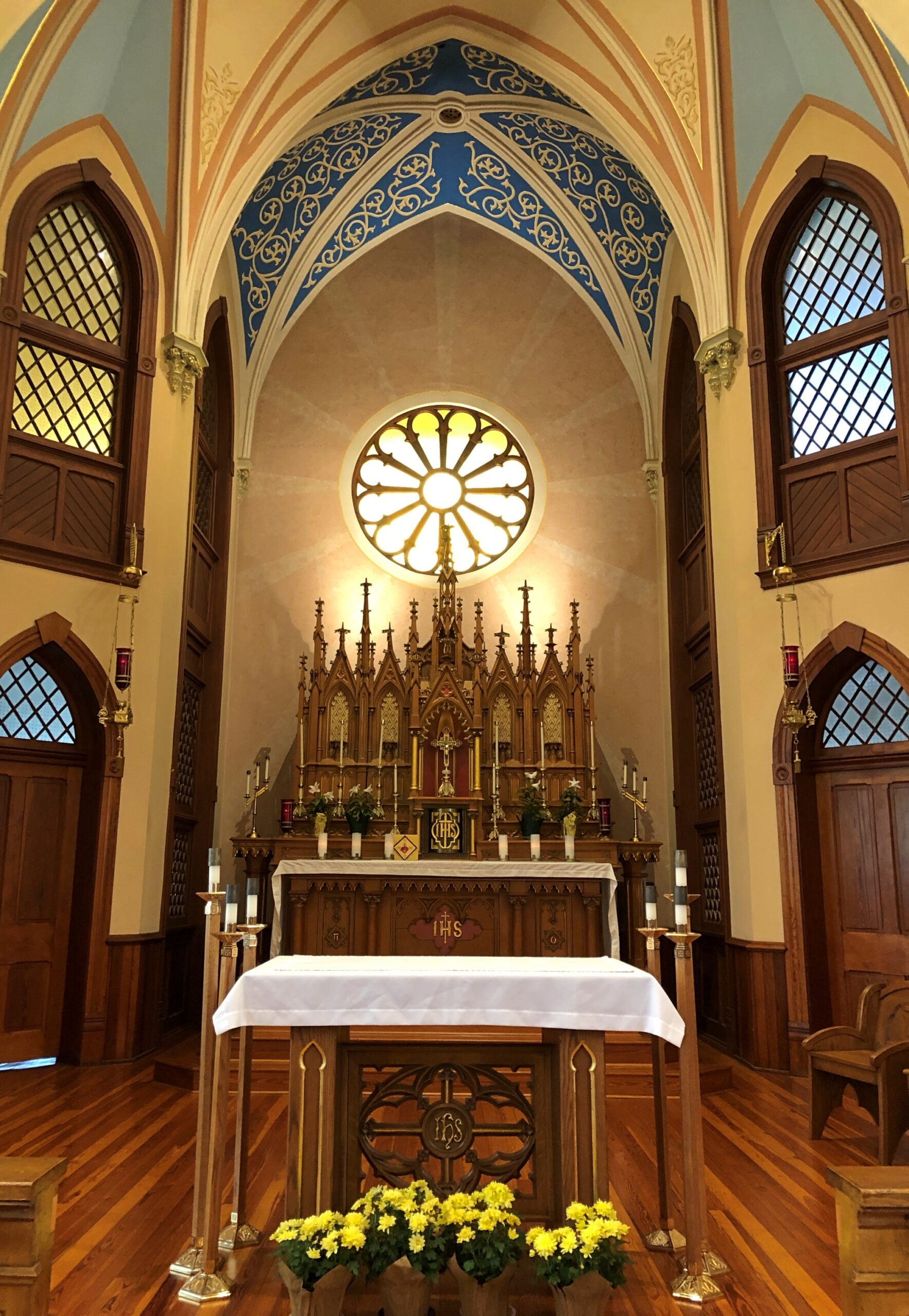
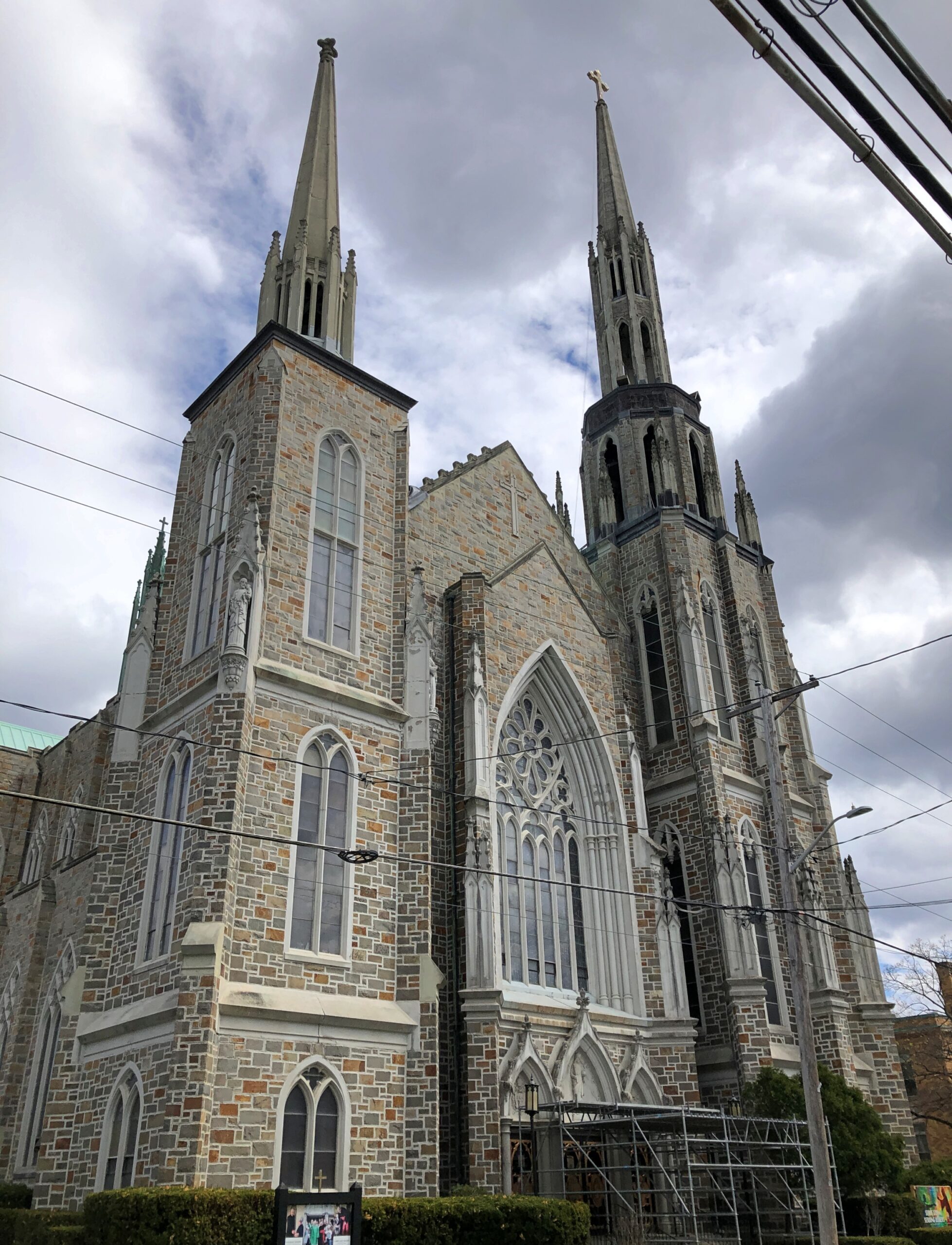
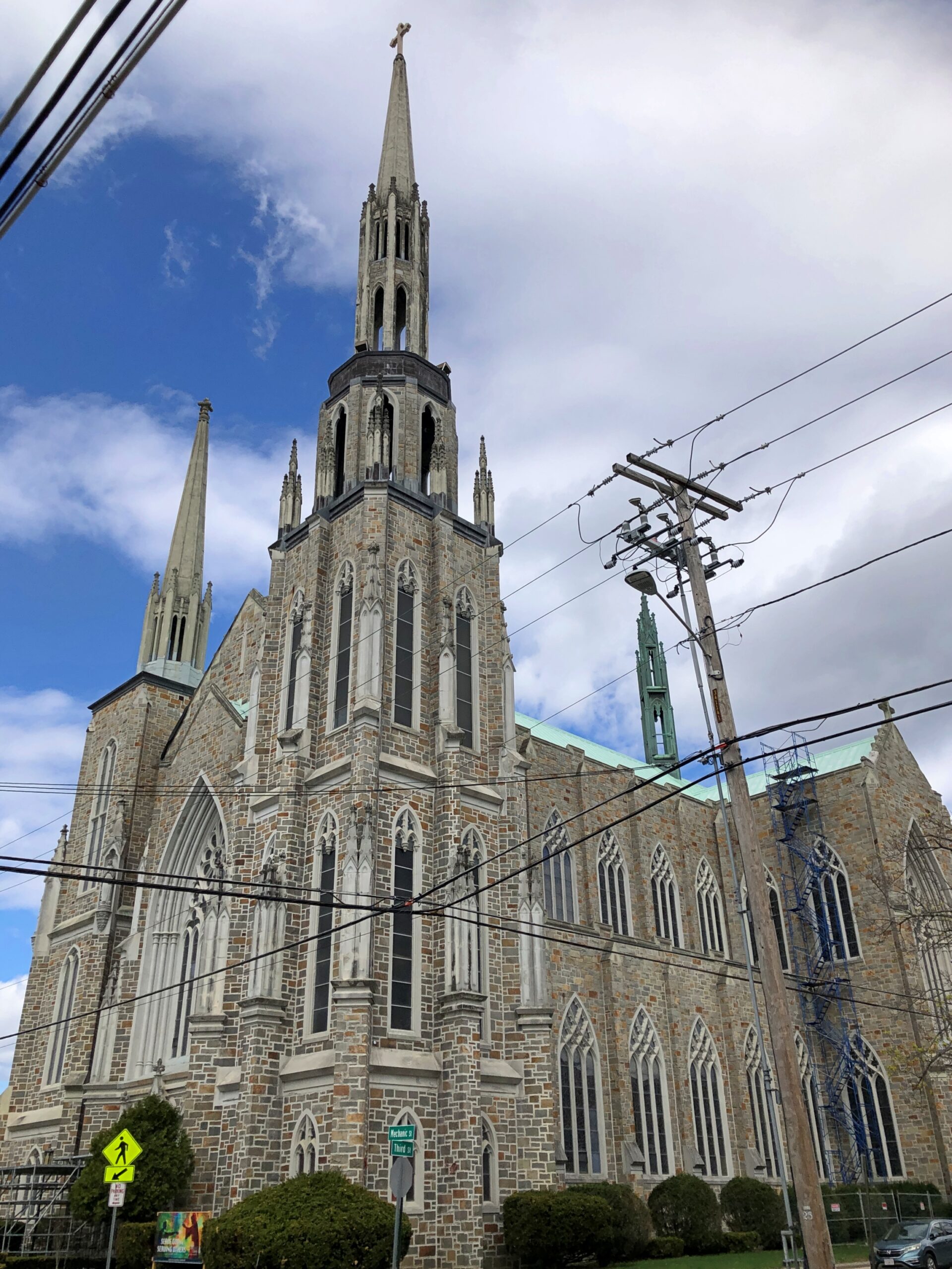
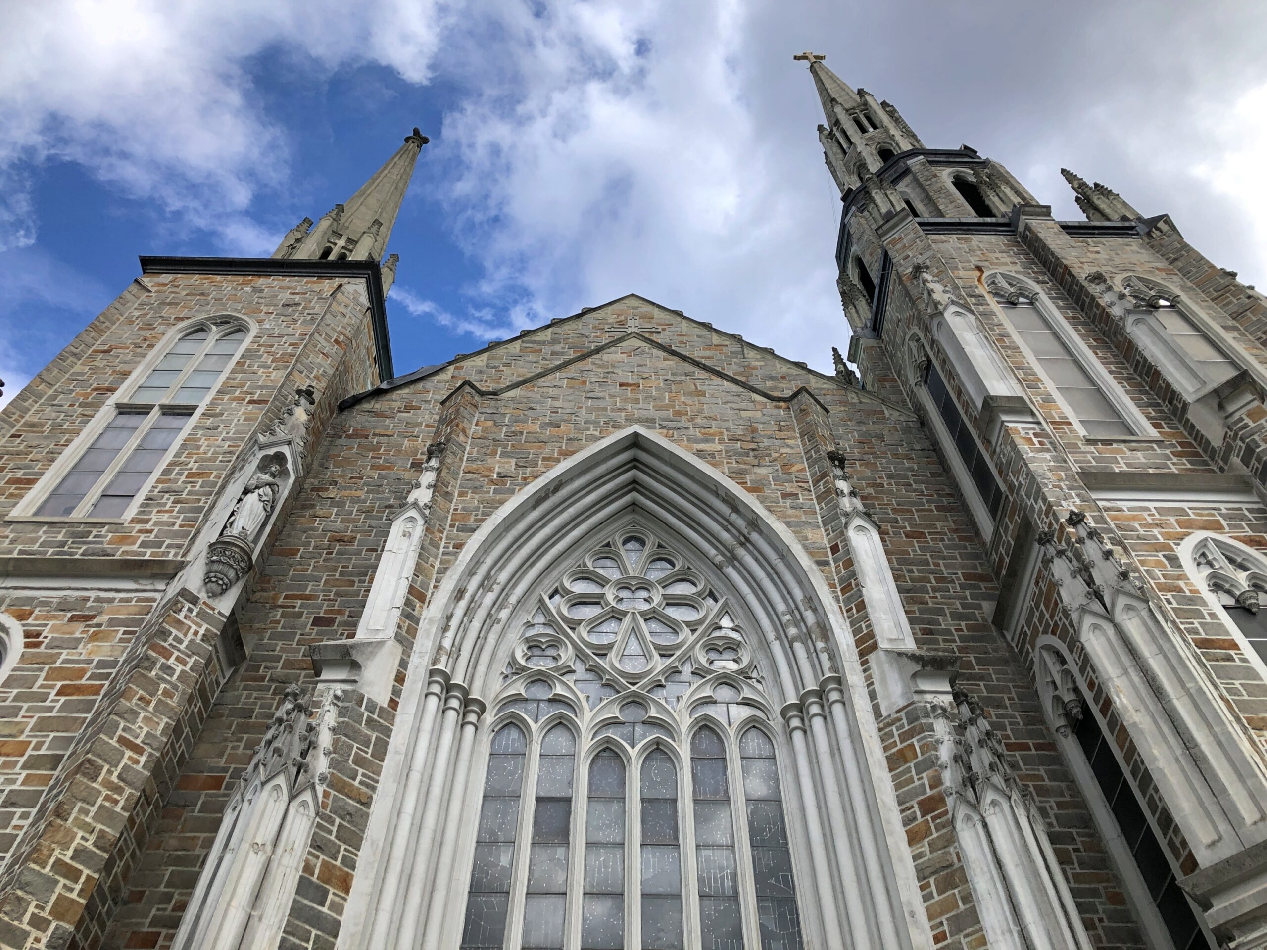
Earlier this month, entirely by chance, I saw that St. Mary’s Coptic Orthodox Church in Palatine was about to hold its annual Egypt Fest. I noticed, besides offering the kinds of things you’d find at a local festival, such as food and children’s rides, the event also offered the opportunity to visit the church building. Instantly I knew I wanted to attend. I didn’t remember ever visiting a Coptic church before. So I went that Saturday afternoon.
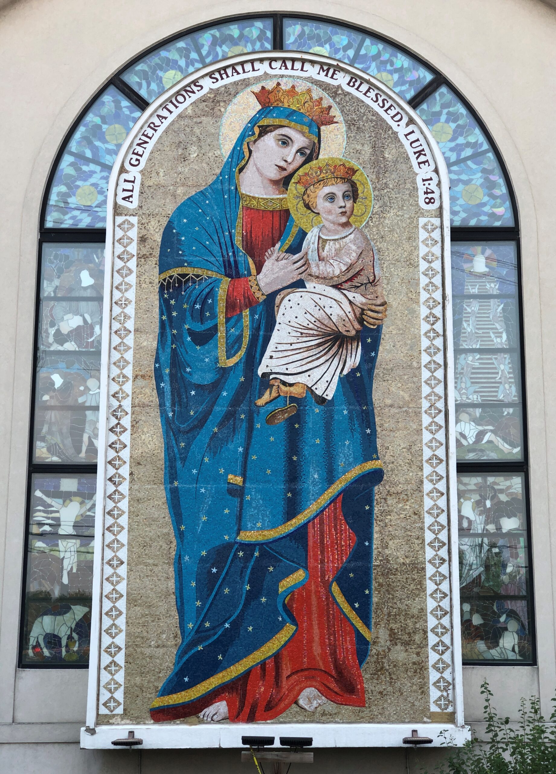
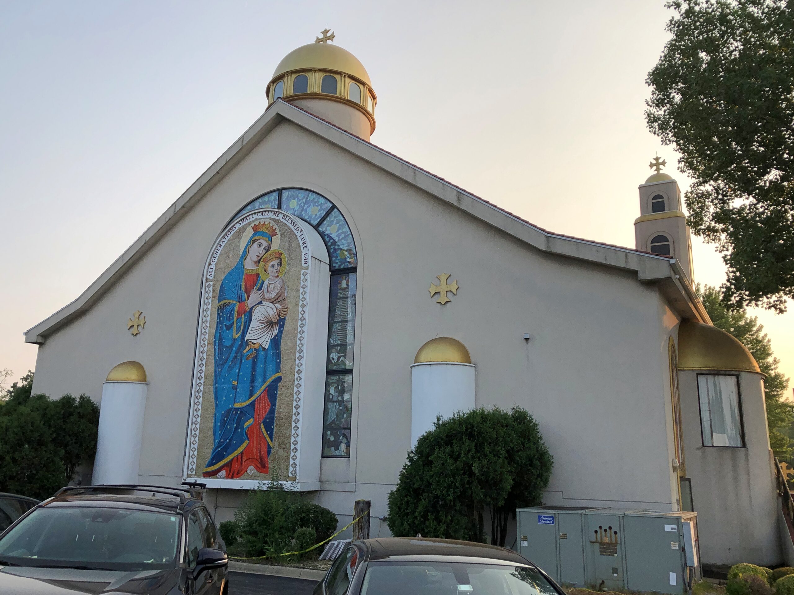
The church is in a prosperous neighborhood not far from a major highway that I drive often, and I knew it well, in the sense that St. Mary and the Christ Child in their glory are visible from the highway. But also as a flyby. Visiting in person, I got a better look.
They are featured on the back wall. Facing east, if my geographic awareness is correct.
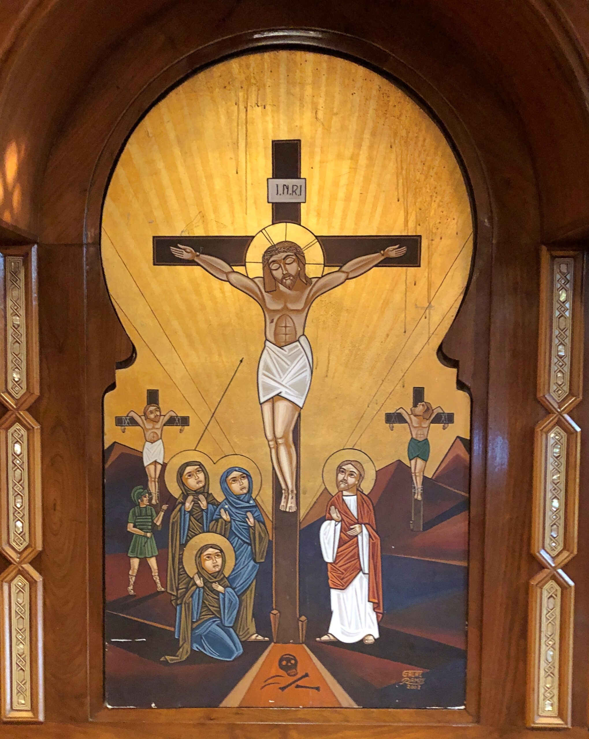
The church was indeed open. An interior detail.
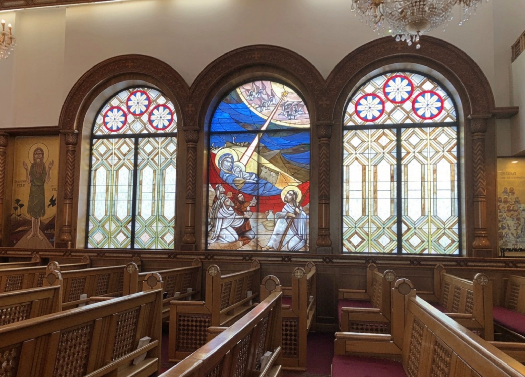
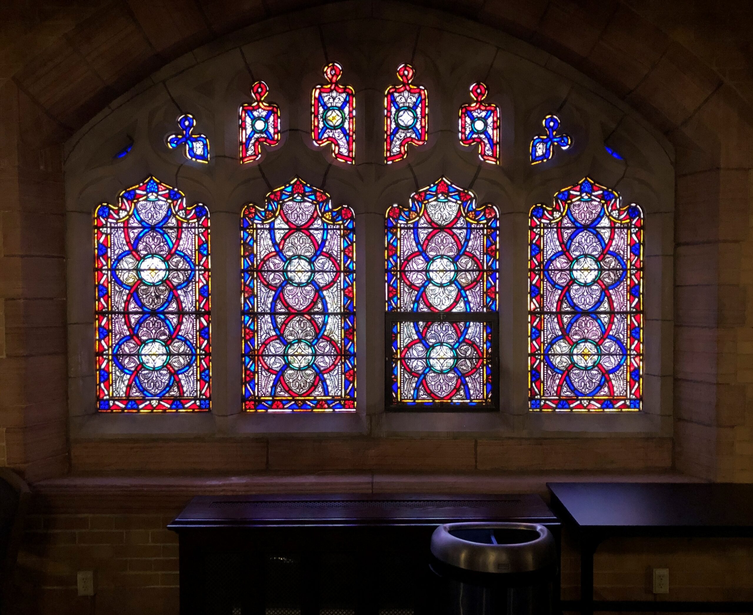
Stained glass.
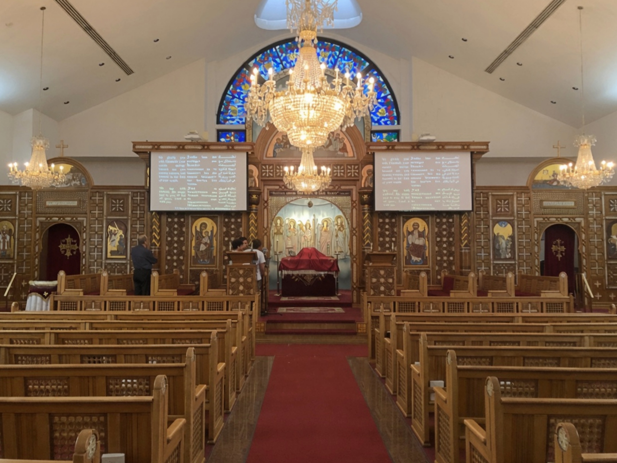
Pews and an iconostasis. Unusual, but I’ve seen it before. Priests and a few laymen were active in the sanctuary that afternoon. The prayers, which I took to be partly in Coptic, had a hypnotic quality. Text of the prayers scrolled by in English, Coptic (I assume) and Arabic.
That kept me in the pews a while, as I tried to remember what I learned, many years ago, about what had caused the rupture between Constantinople and Alexandria in the 5th century. During the Council of Chalcedon. That much I remembered. The nub of the quarrel? I had to look that up later.
The nature of the Son. The sort of argument that inspired riots, once upon a time. Now I imagine even most lifelong parishioners of whichever side would shrug at the difference. The Copts have more immediate concerns anyway, such as ongoing persecution in Egypt itself. We have our issues in North America, but at least Copts can live in peace here, and maintain an elegant church in a prosperous neighborhood.
Yesterday a near-full moon rose in the evening, as coppery a color as I’ve ever seen the lunar disc, including during eclipses – which wasn’t happening that evening. Not quite the color of an uncirculated penny, but close, with the addition of a dash of yellow. Must be the peculiar optics generated by thin wafts of smoke from Canada. This evening, there was still a tinge of copper, but the moon had mostly returned to silver-white.
Then it occurred to me that future generations, maybe even people being born around now, won’t know the color of an uncirculated U.S. penny. The color of a Moscow mule cup, then.
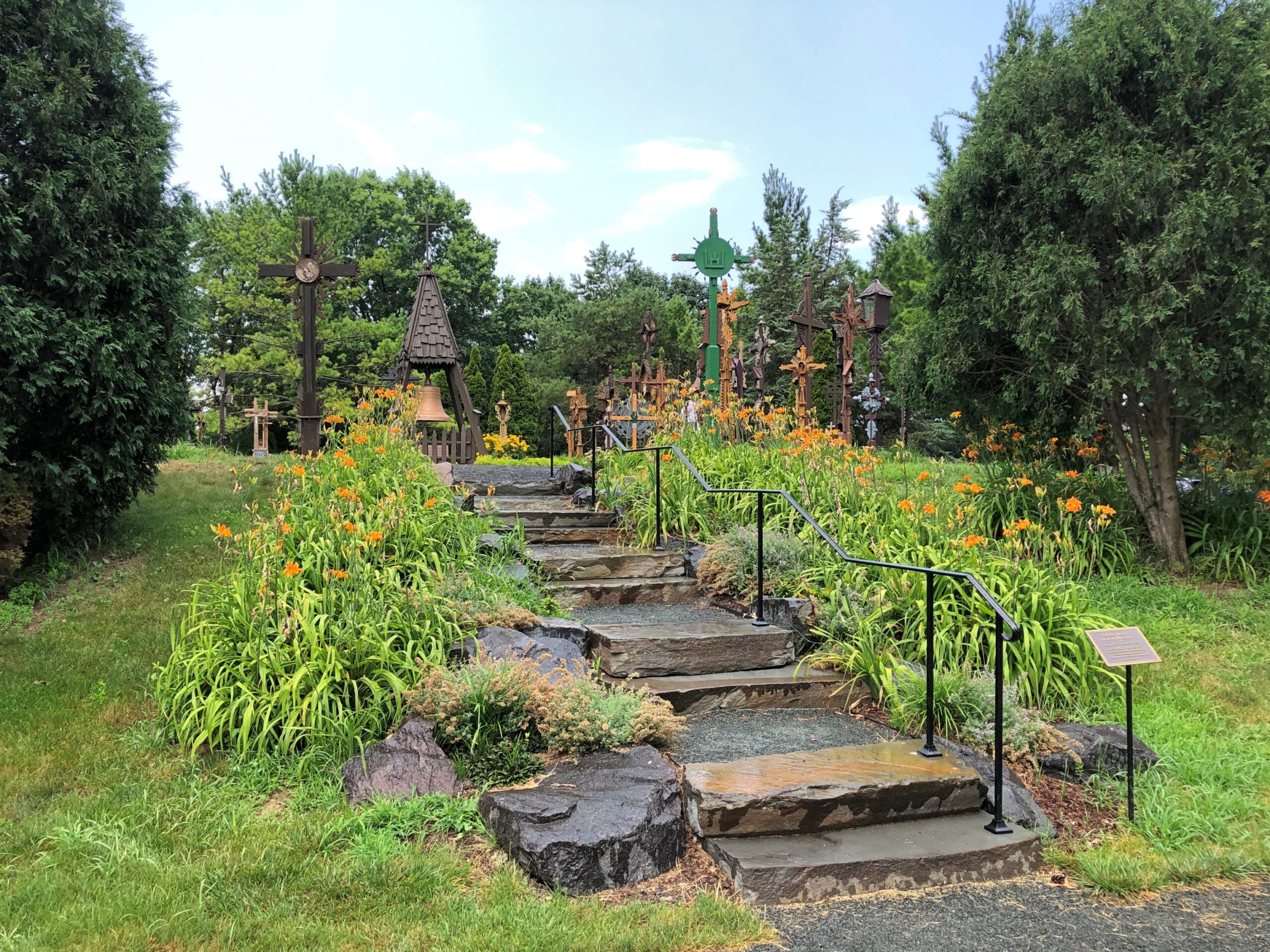
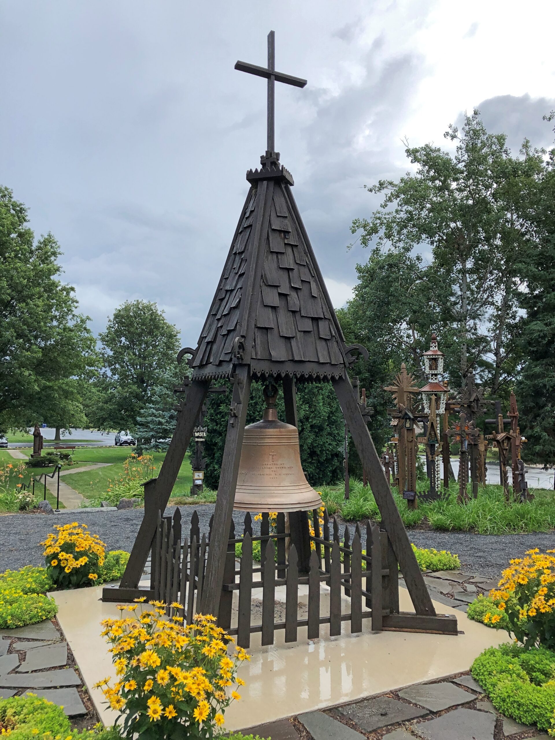
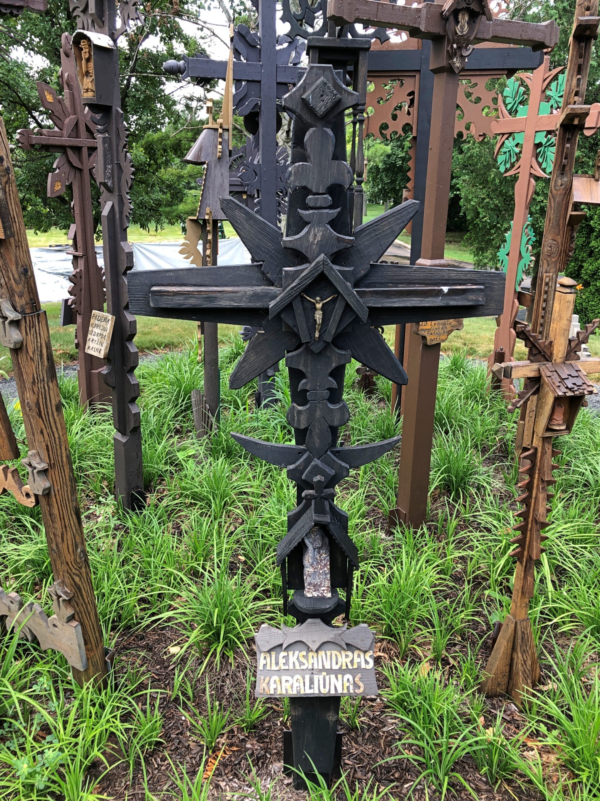
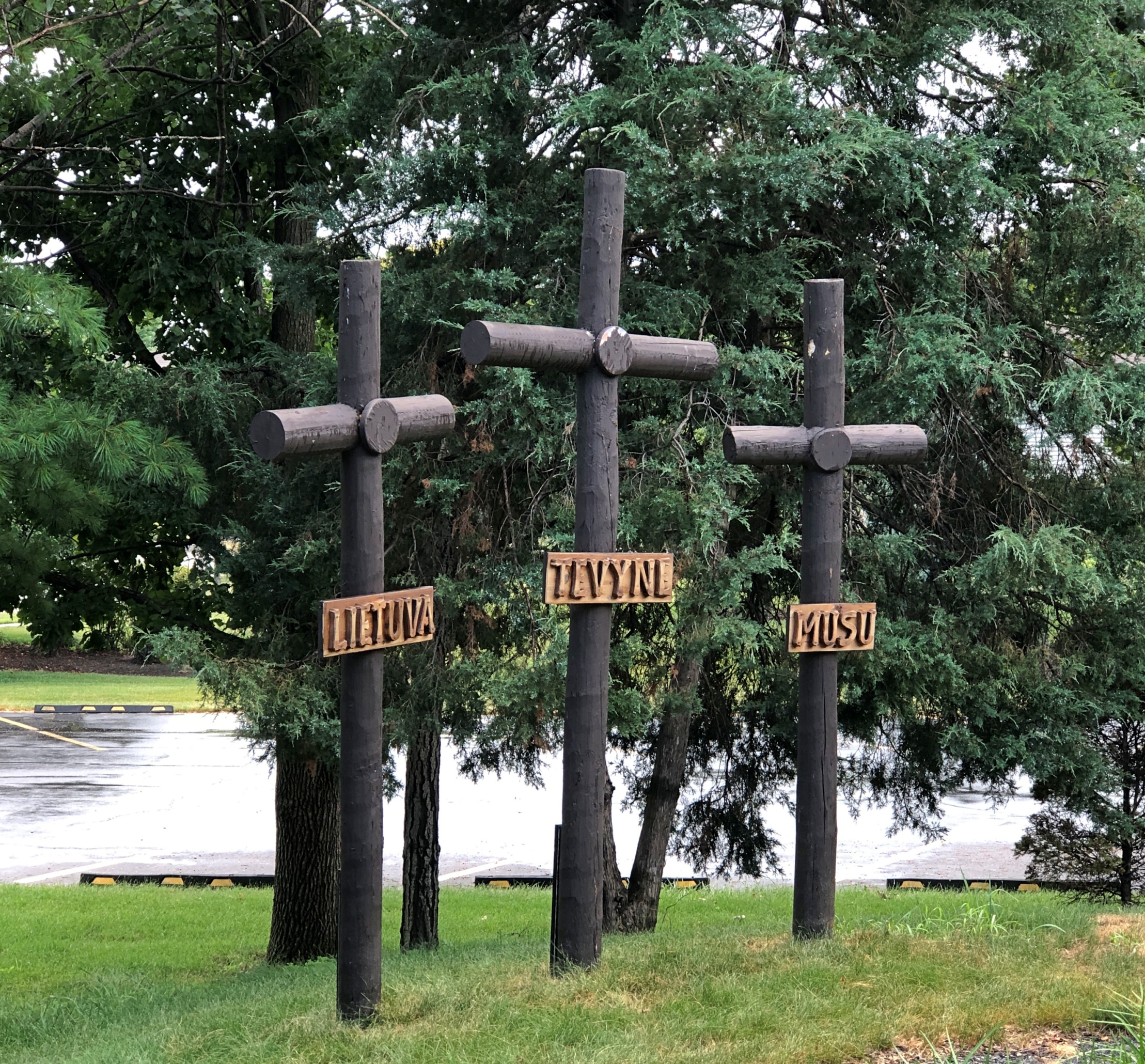
During a recent visit south of home but still in the suburbs, we came across something unexpected in the town of Lemont: a Hill of Crosses.
Not a large hill, more like a hillock, but still a distinctive homage to the Hill of Crosses in Lithuania, in the northern part of that country. The Lemont hill is part of a sizable complex called Lithuanian World Center, whose web site calls it “the largest Lithuanian community and cultural center outside Lithuania.” It has conference rooms, event halls, office space, gyms, classrooms (for three schools, two taught in Lithuanian), soccer fields, a Catholic church and a museum devoted to Lithuanian art. And, near the front parking lot, a Hill of Crosses.
As for the one in Lithuania, it’s known for its 100,000 (at least) crosses, erected spontaneously over the centuries and re-populated with crosses whenever secular authorities (namely the Soviets) took it in the their heads to destroy the place. Quite the story. Wish I’d seen it in ’94. Lemont will have to do for now.
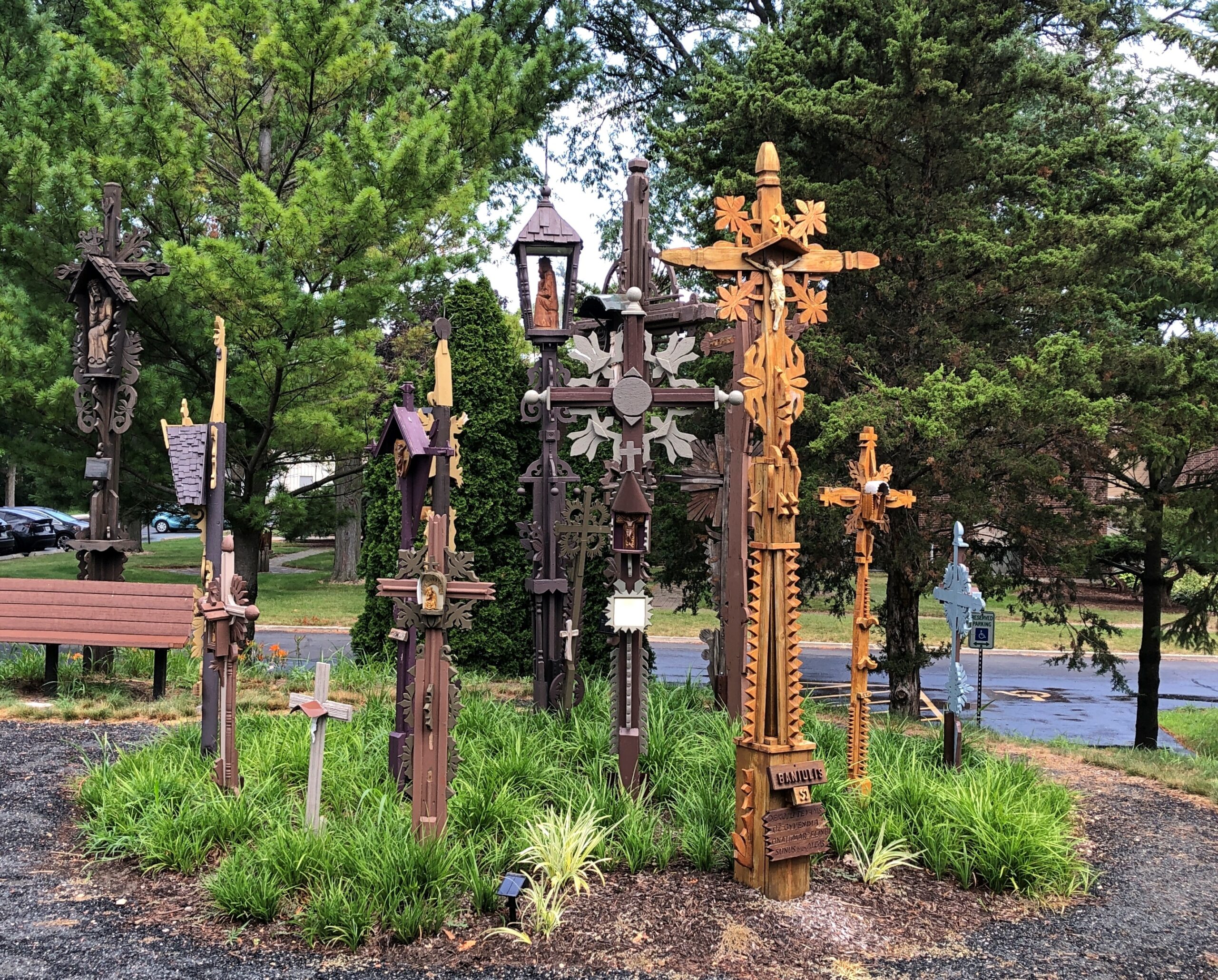
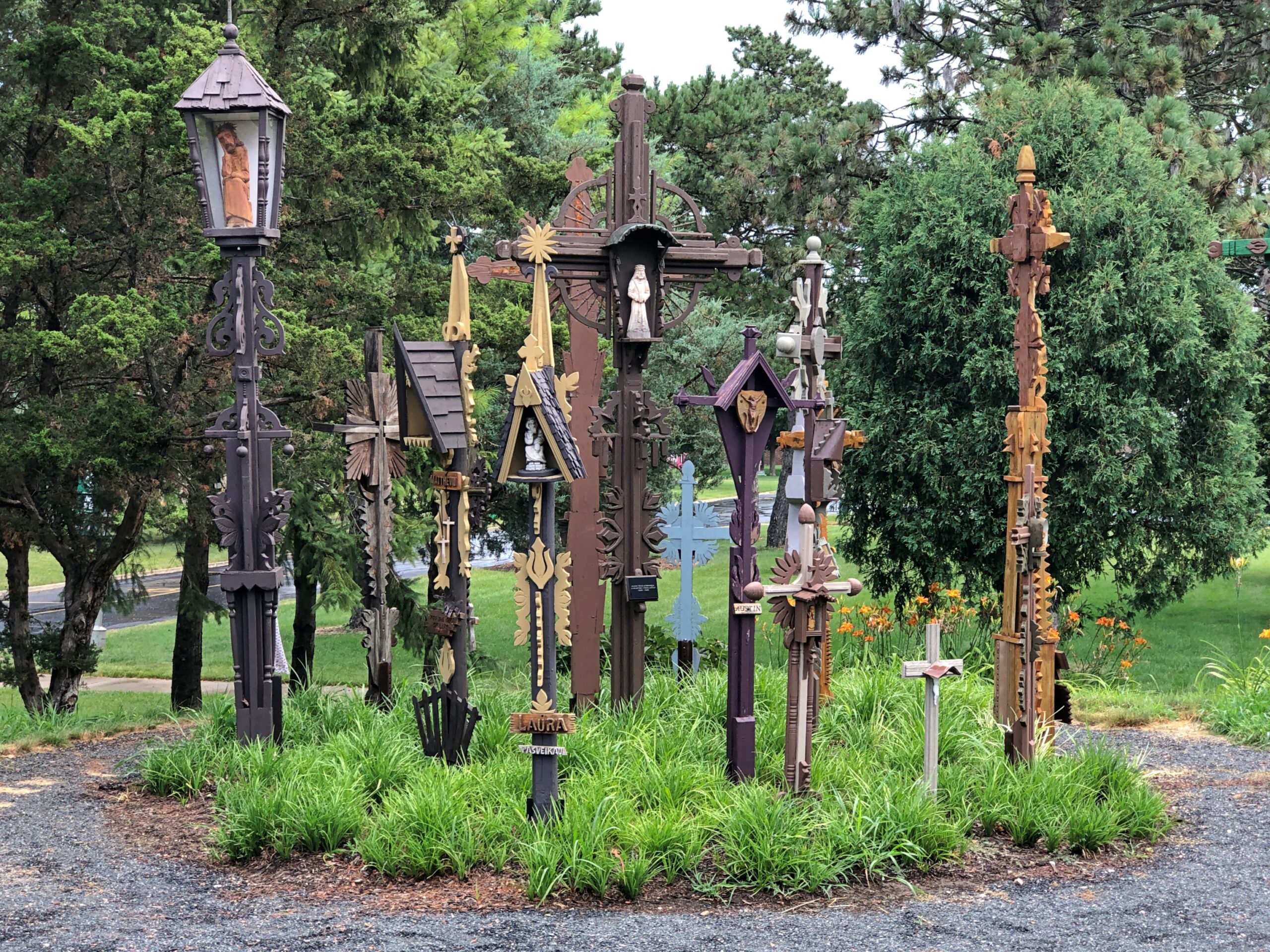
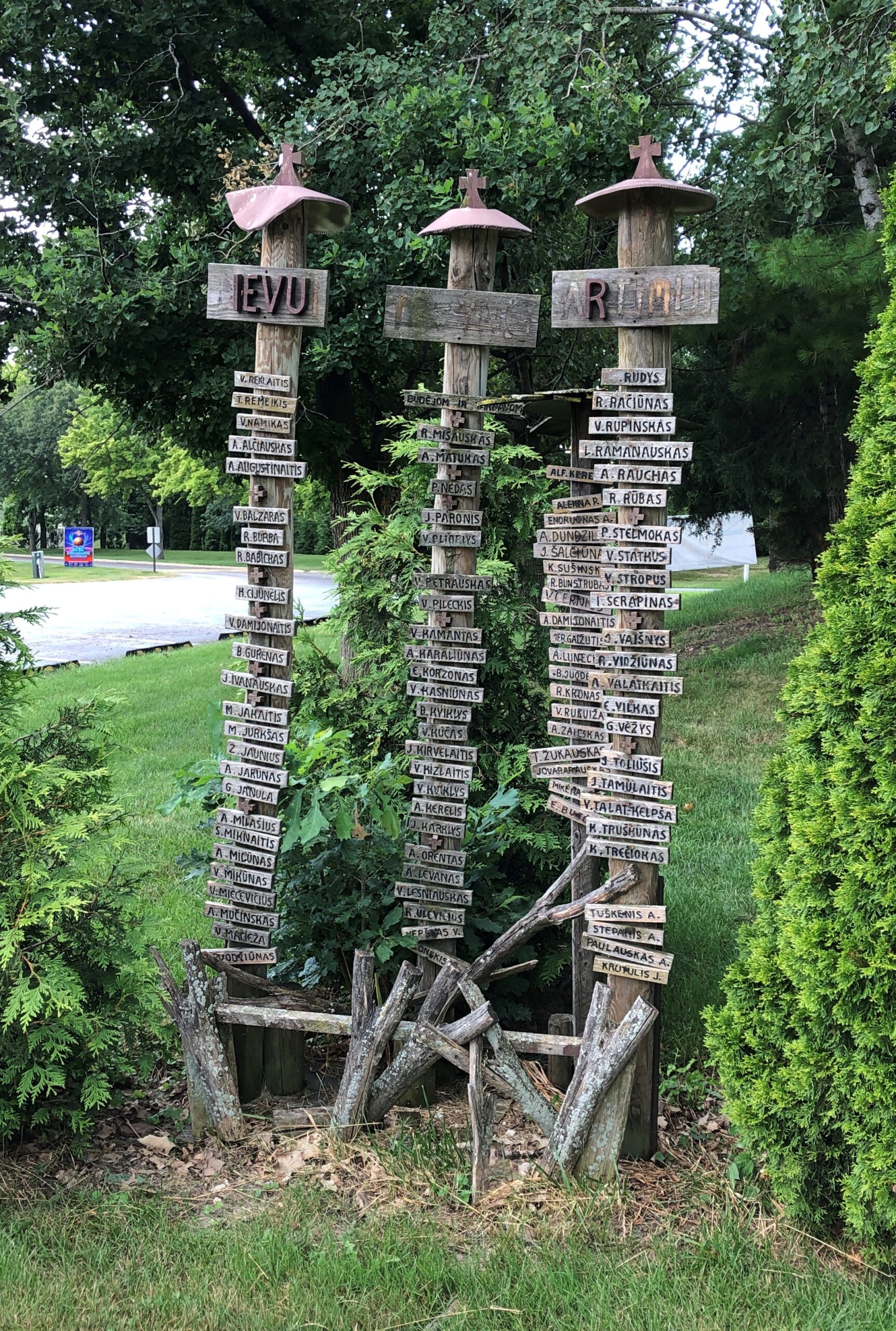
The one in Lemont is a place for family members to honor the departed.
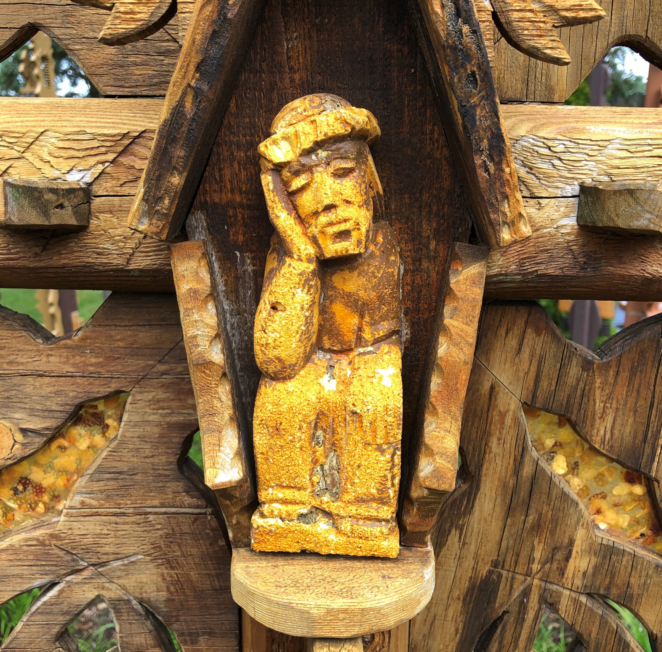
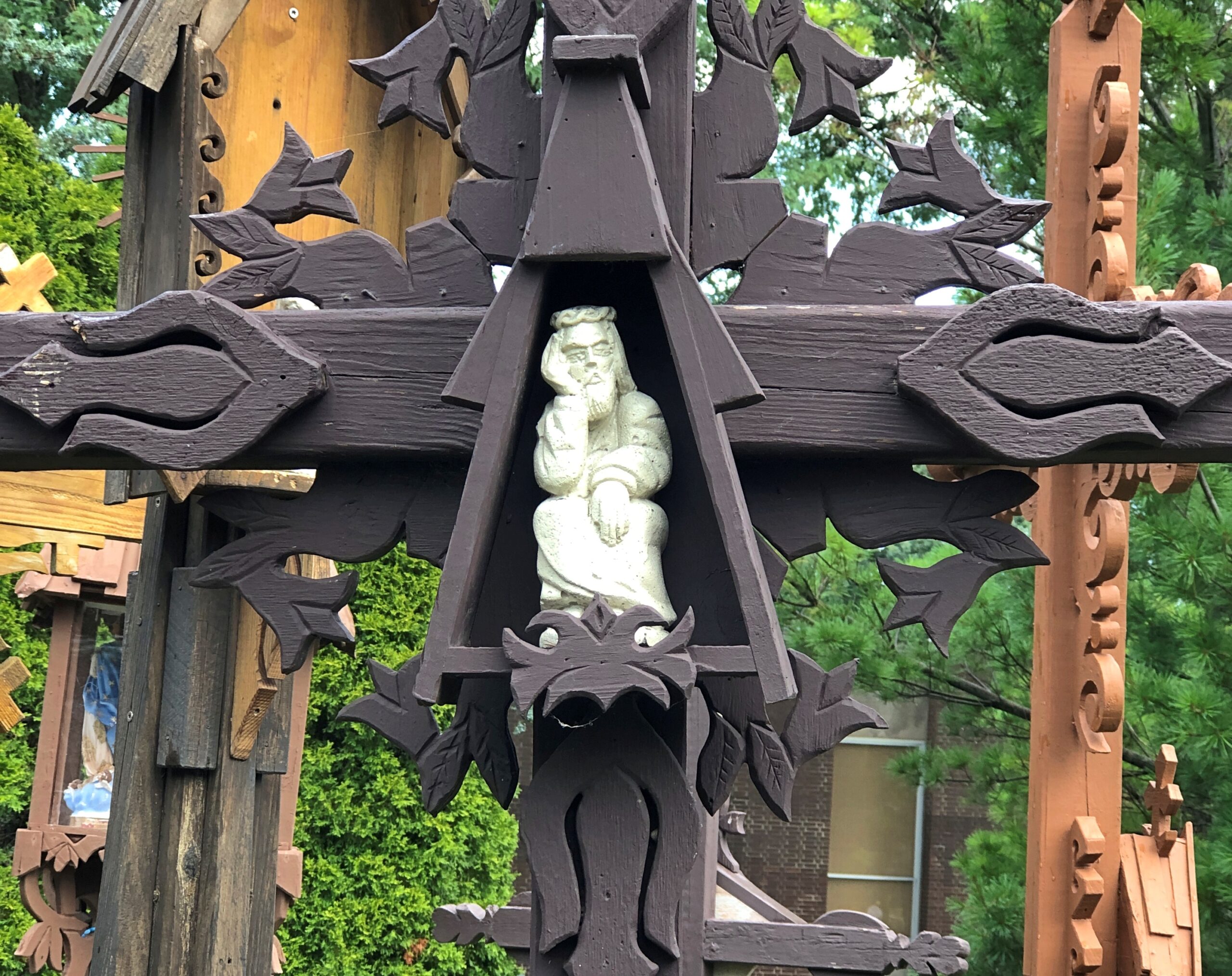
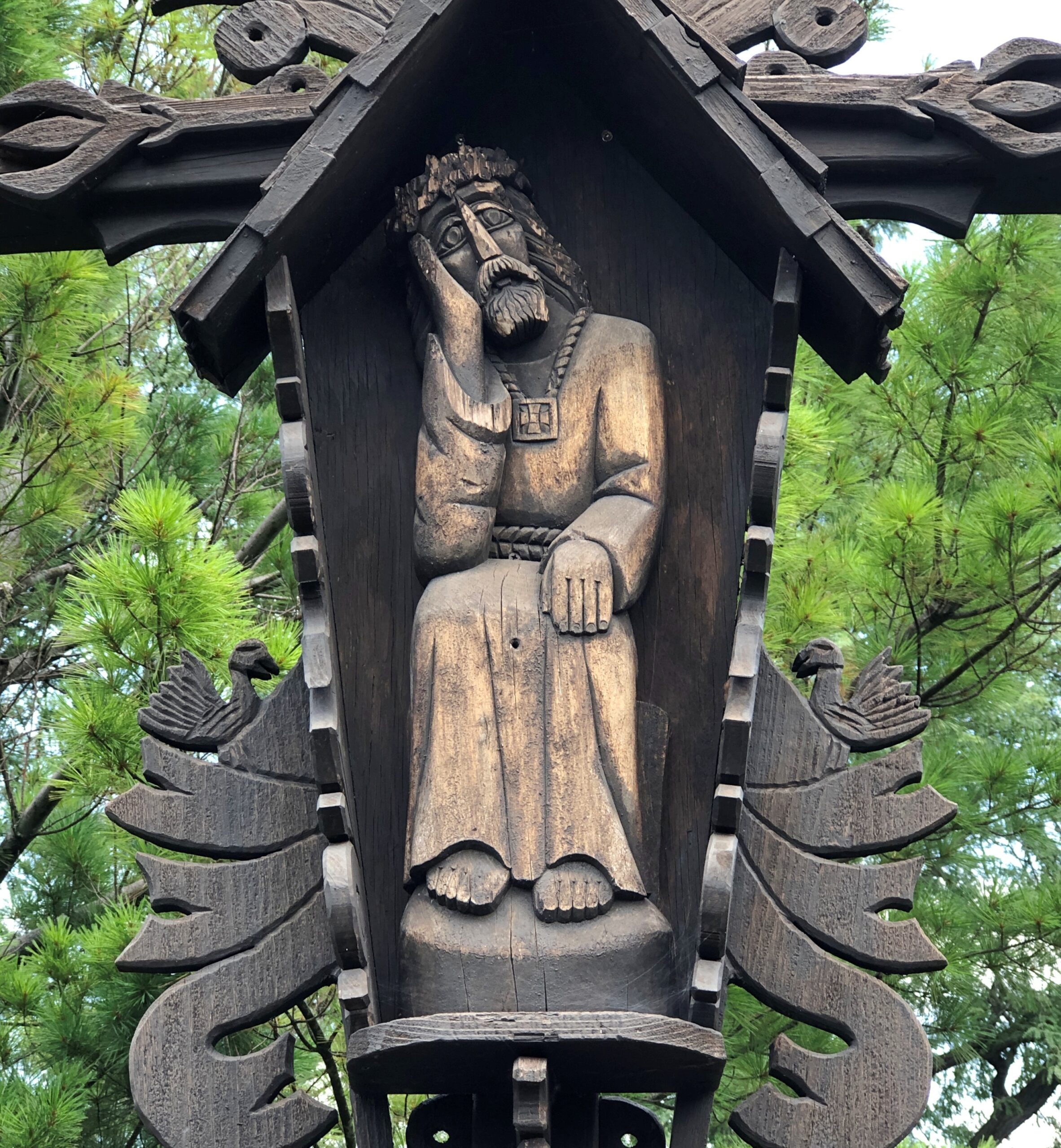
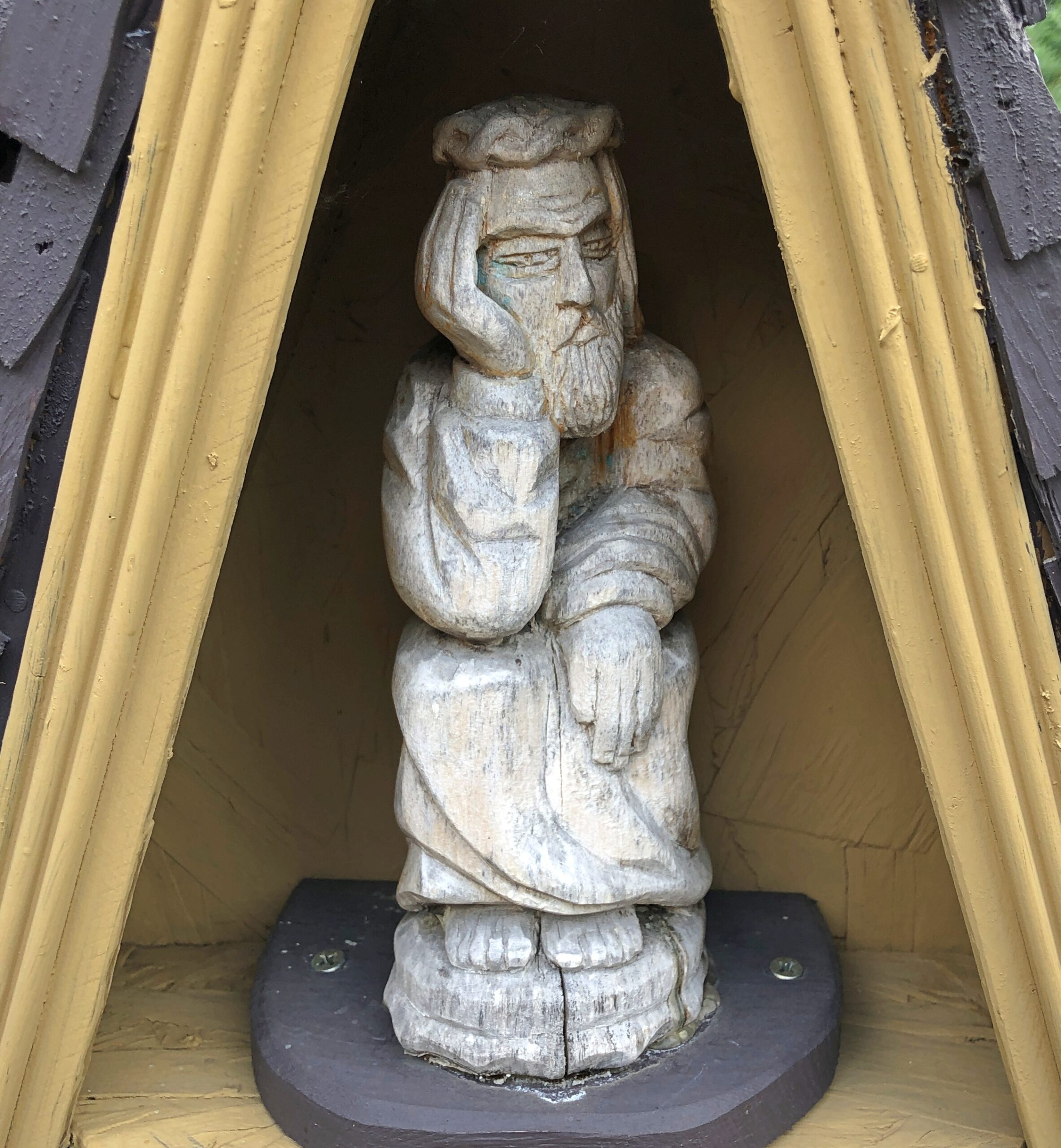
We started noticing a certain depiction of Christ.
Later, when we happened upon a nun at the church, I asked her about the depiction. “Pensive Christ,” she called it. That sounded familiar, but I couldn’t quite remember when I’d heard about it. Popular in Lithuania, apparently.
Per Wiki: “The image became especially popular in Silesia and Pomerania, and then Poland and Lithuania, where it became strongly entrenched in folk art wood carvings by Dievdirbiai (Lithuanian folk carvers).”
The run of days from Juneteenth to July 4 at least, and even better to Nunavut Day (July 9), would be a fine time to slow down, like between Christmas and New Year’s Day, only warmer and without the mad runup to December 25. Back to posting around July 6.
Thousands of impressions flitter by on the road, most instantly forgotten when literally on the road – driving, you need to be in the moment, or else – or quickly forgotten, when “on the road” means you’re out and about somewhere that isn’t home. Still, a handful of details stick, even without photos. But photos help.
Maine
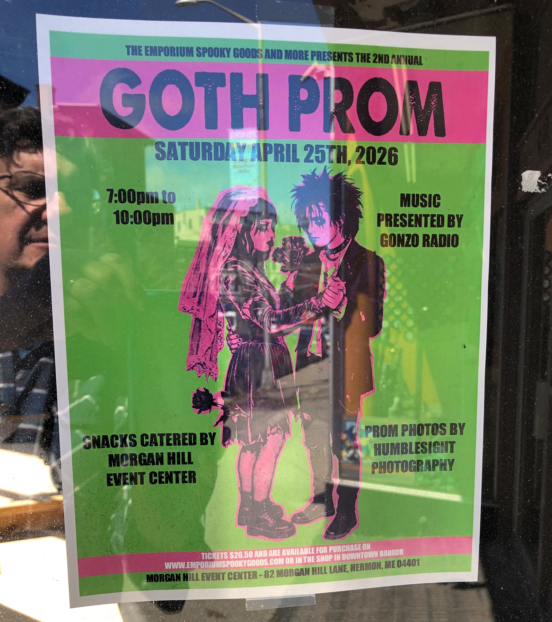
I call it “Self-portrait with Goth Prom.” Poster spotted in downtown Bangor.
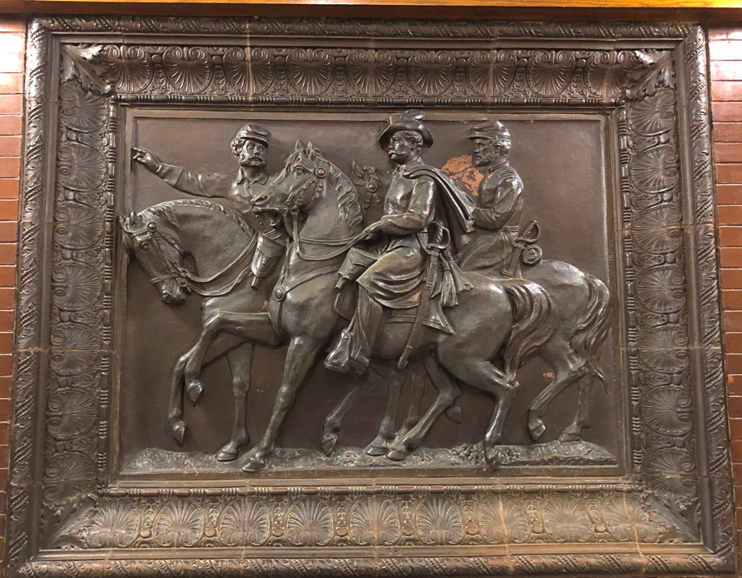
In the Maine Statehouse, a flat-ish object of a different kind.
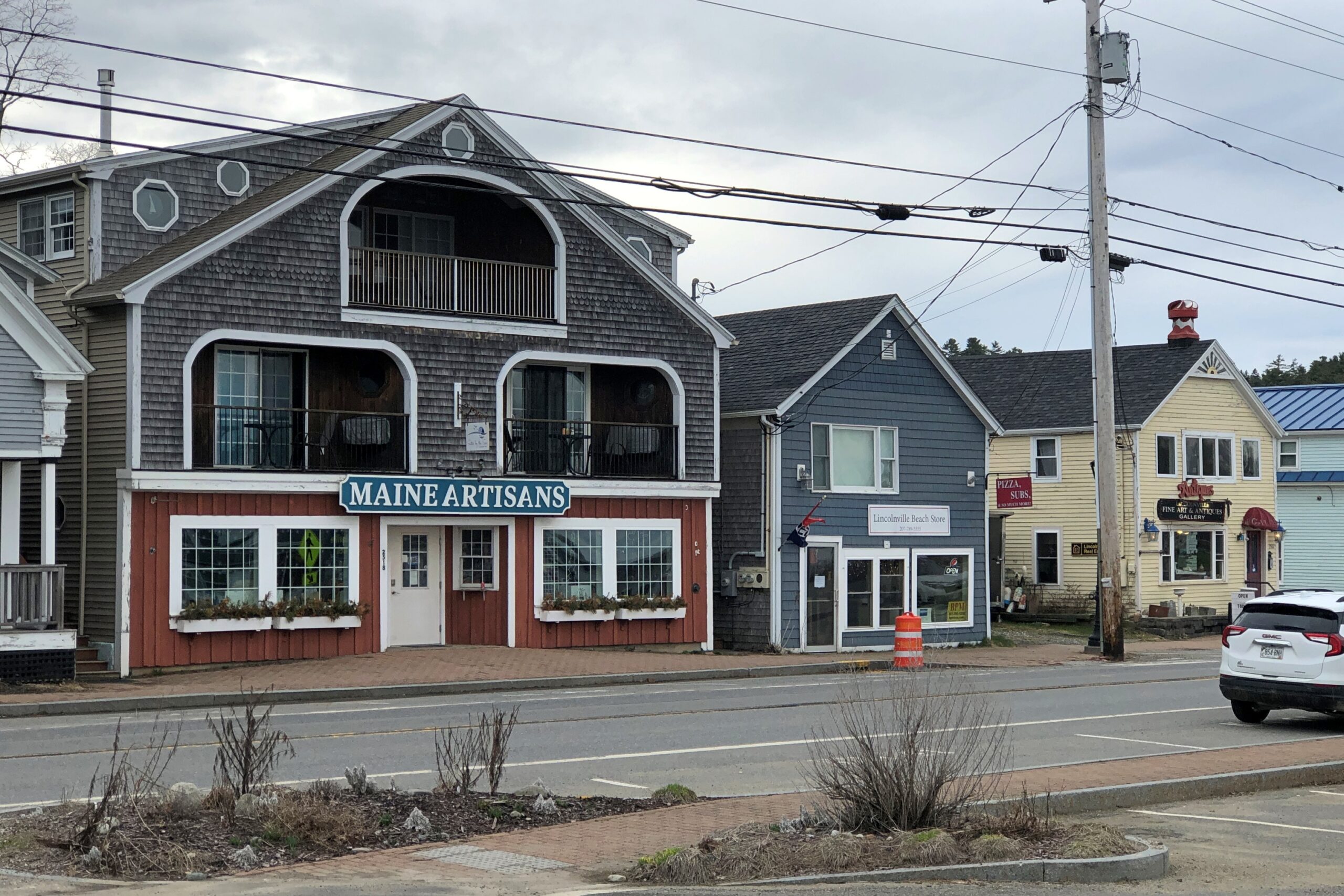
Lincolnville, on the coast of not far from Belfast.
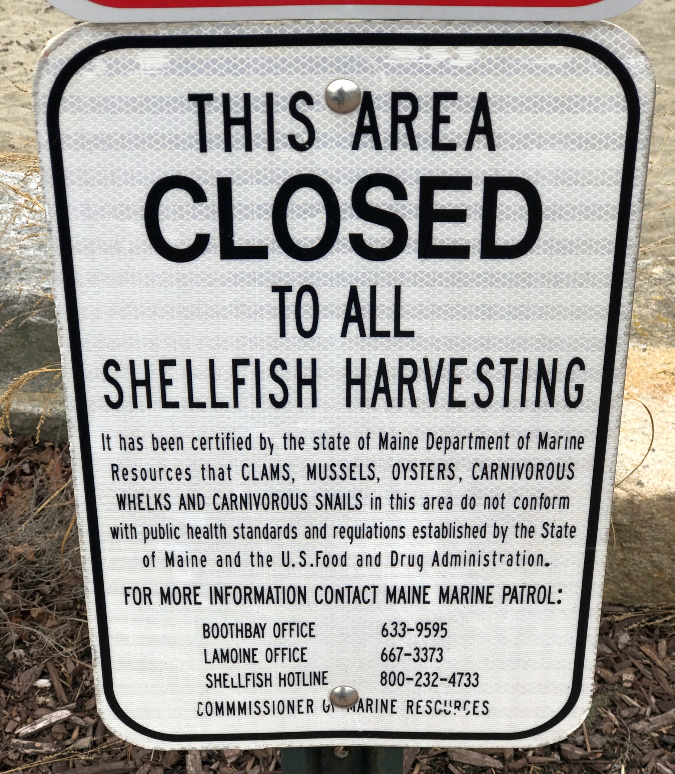
Carnivorous whelks. I was frankly ignorant about carnivorous whelks, and glad to learn a little about them. Because what a great name for a snail.
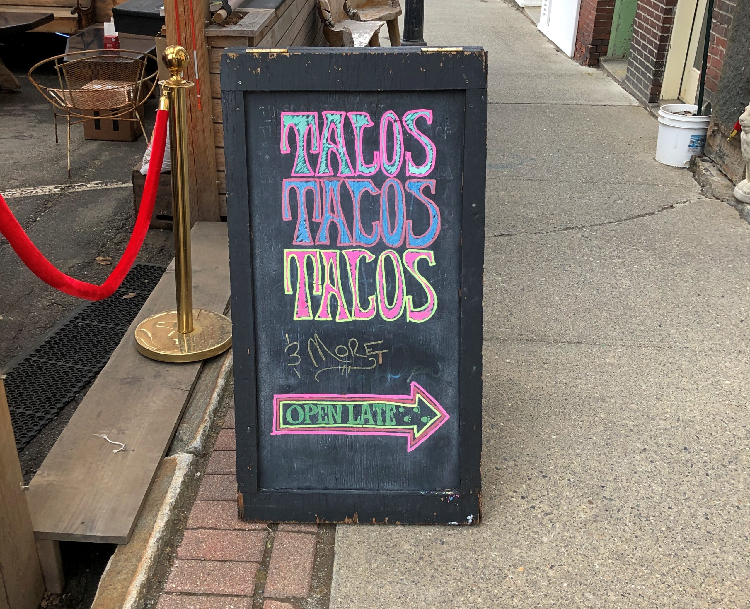
Too bad I wasn’t hungry in Belfast. I’d have had tacos.
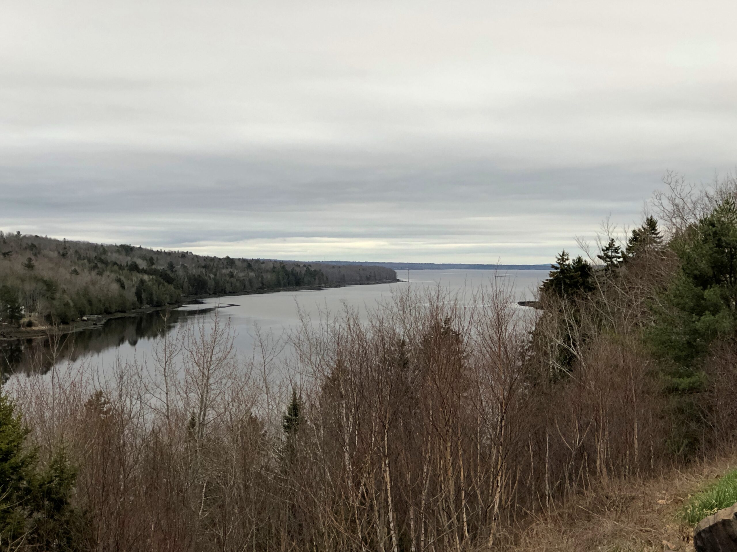
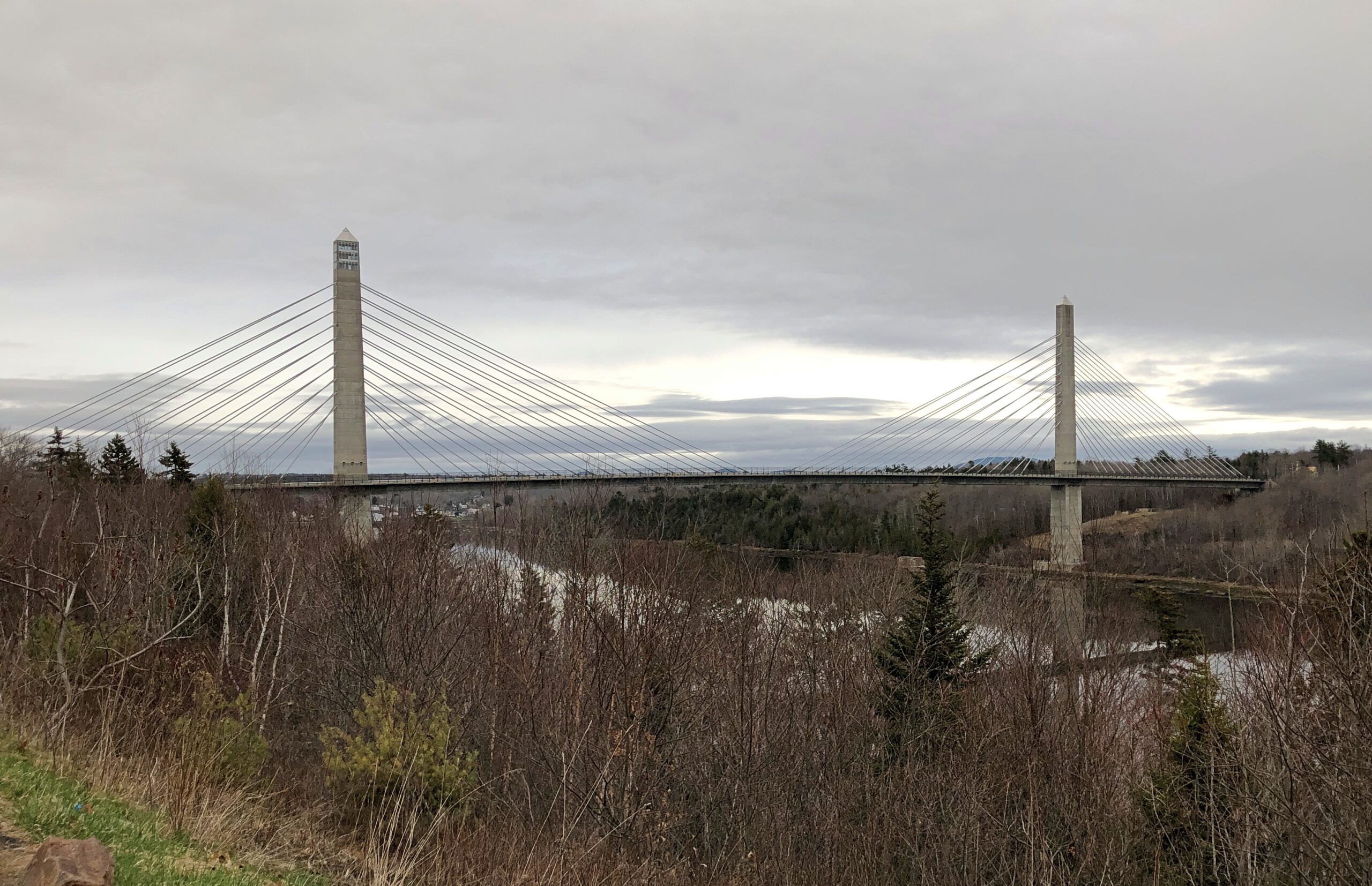
The Penobscot River and the Penobscot Narrows Bridge. A literal and scenic highpoint on that part of US 1 as it winds through near-coastal Maine. The bridge includes an observatory, unfortunately not open in April. Driving over the bridge itself was another pleasure of coastal Maine.
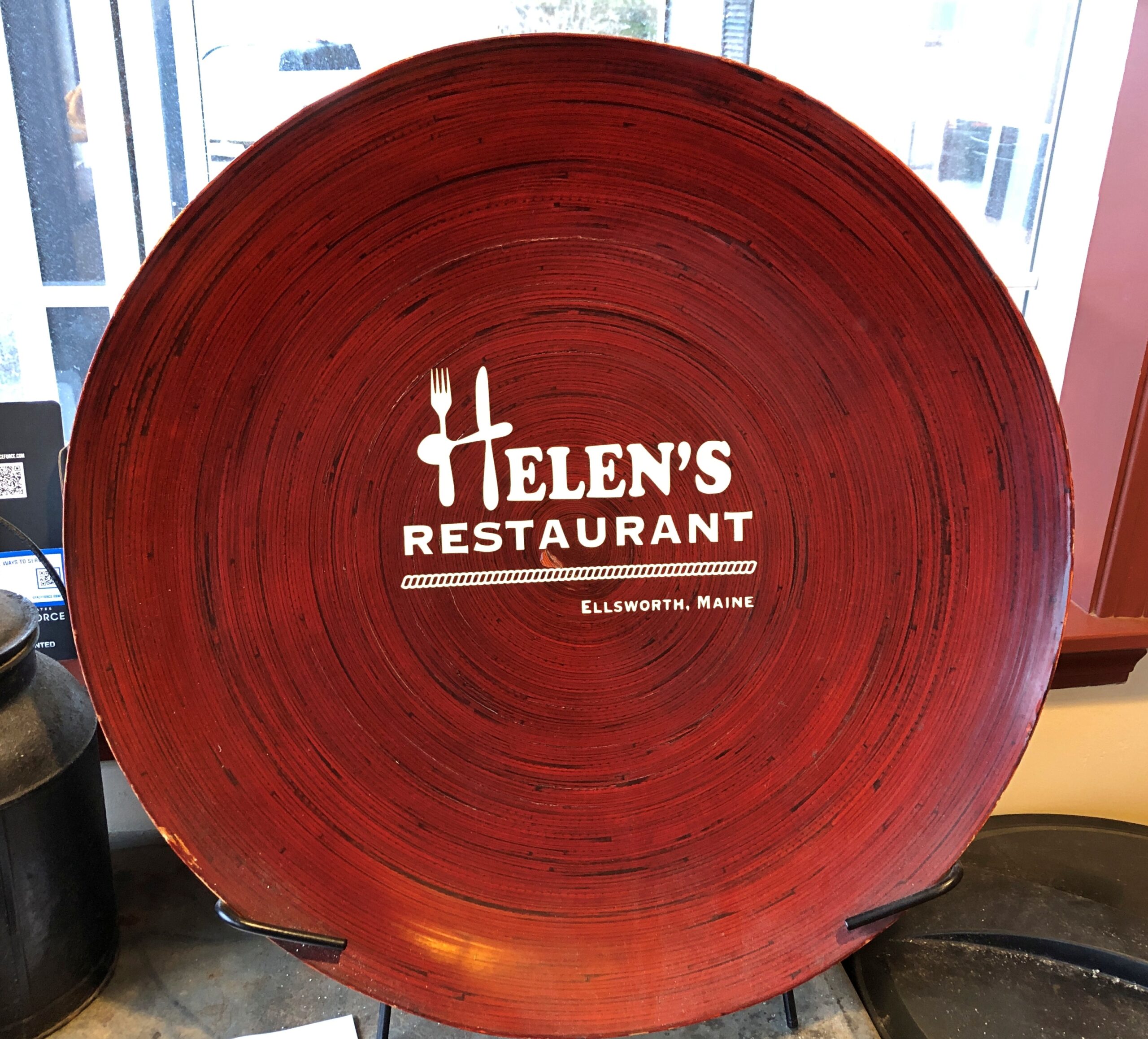
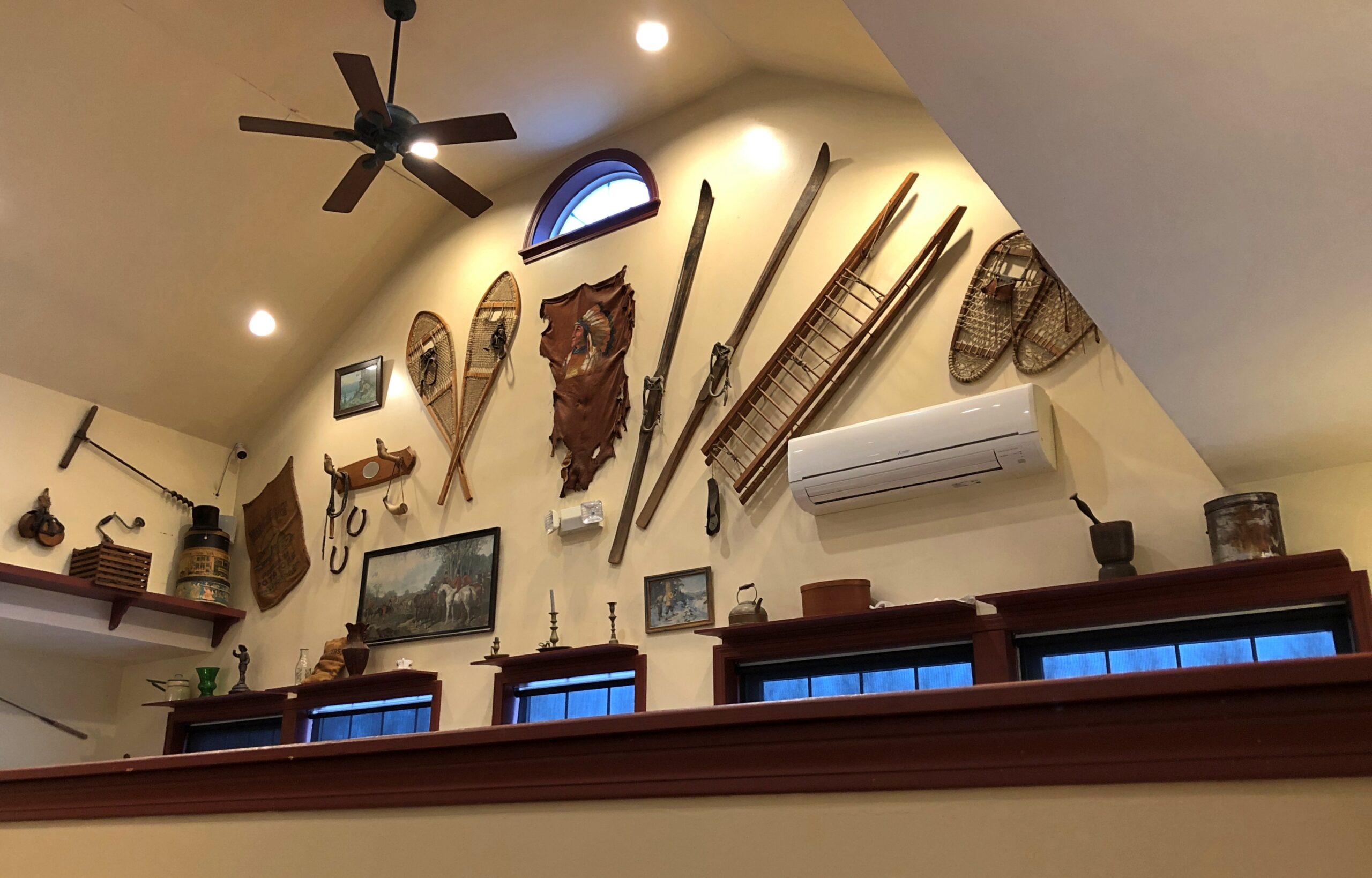
Helen’s Restaurant in Ellsworth. Tasty fish and chips. Haddock, specifically. What do you take for a haddock? “Well, sometimes I take-a aspirin, sometimes I take-a calomel.” It was some years before I learned that calomel was something I’d never take in a million years.
Massachusetts
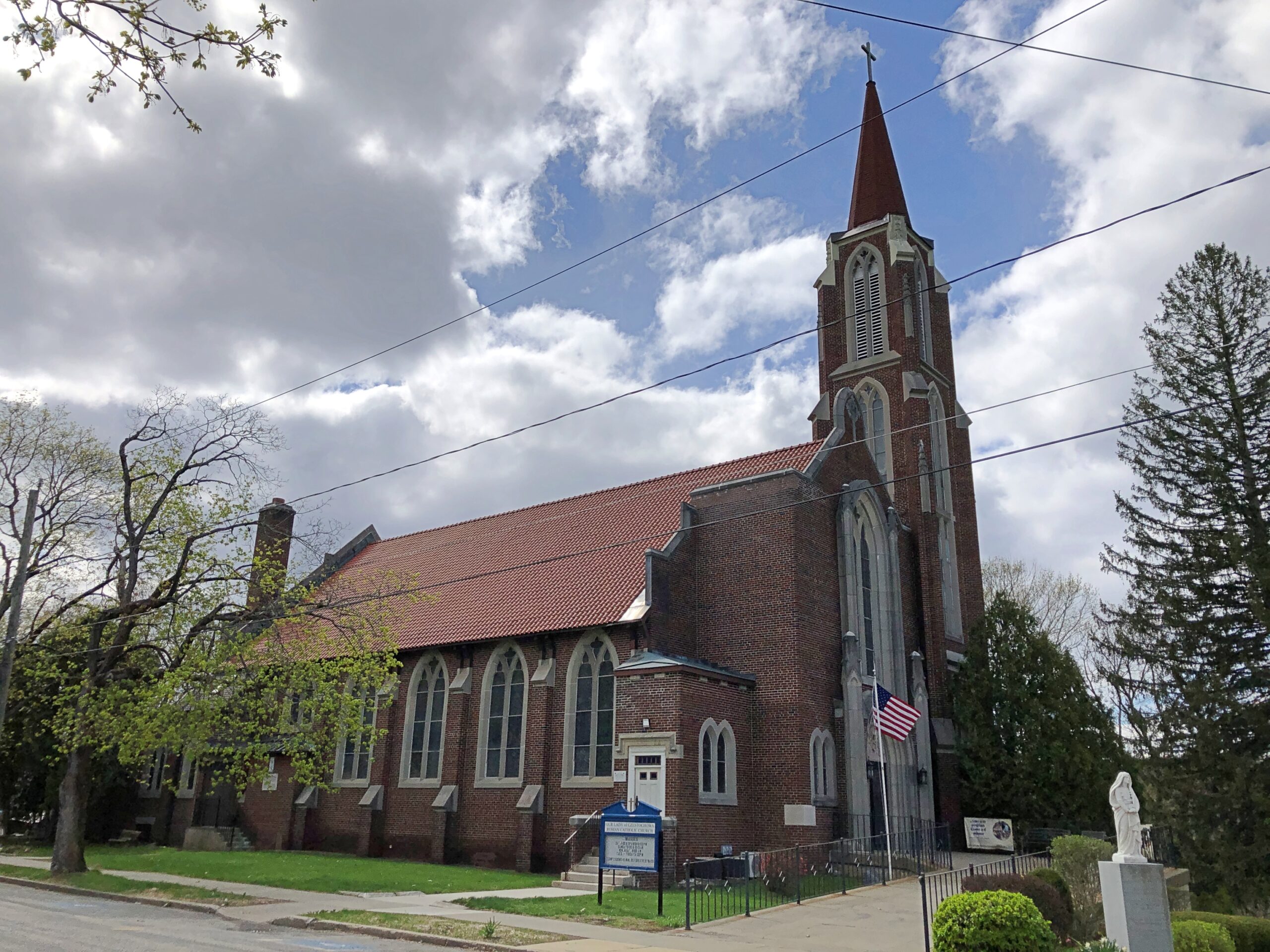
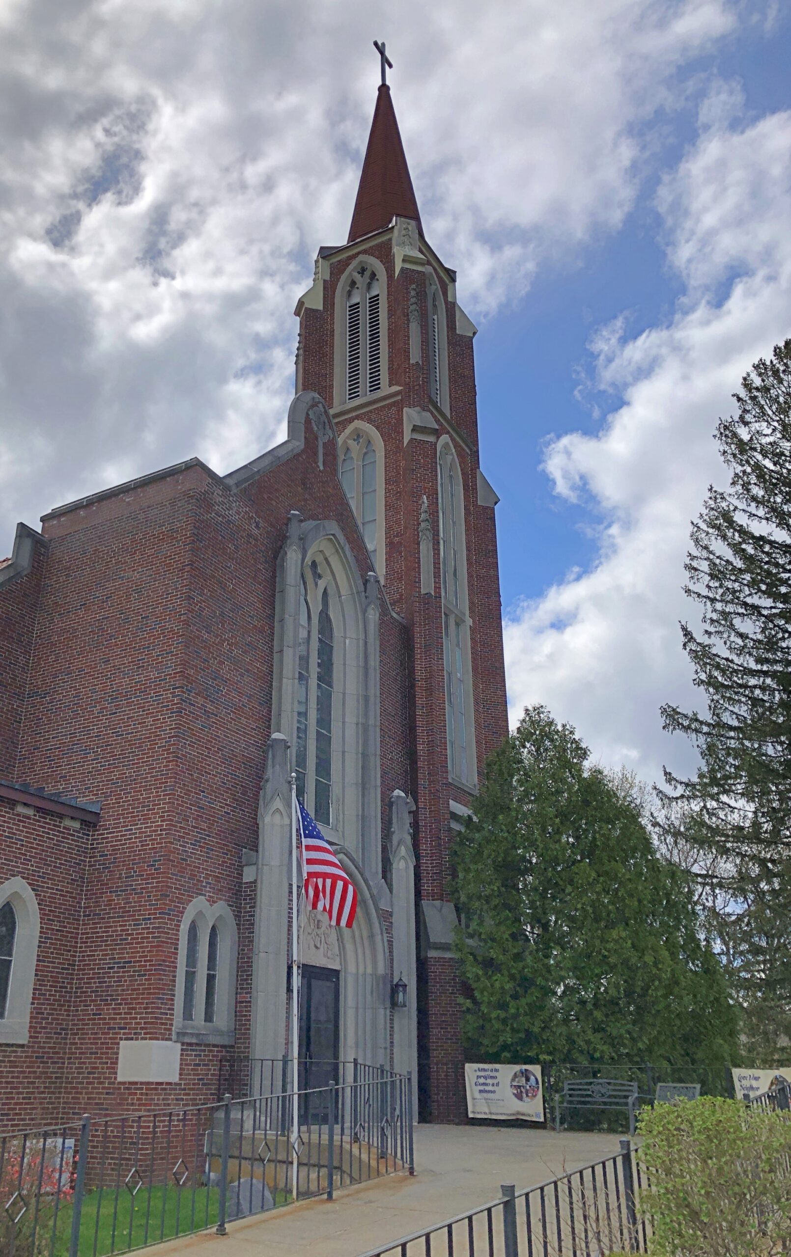
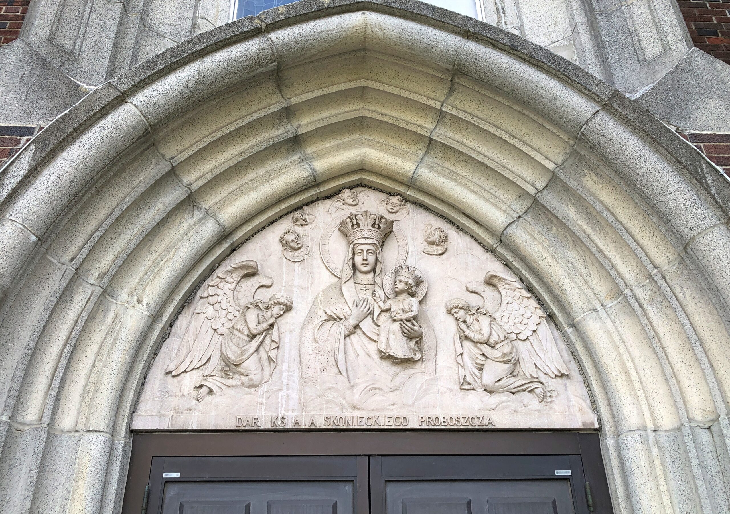
Our Lady of Czestochowa Parish, Turners Falls.
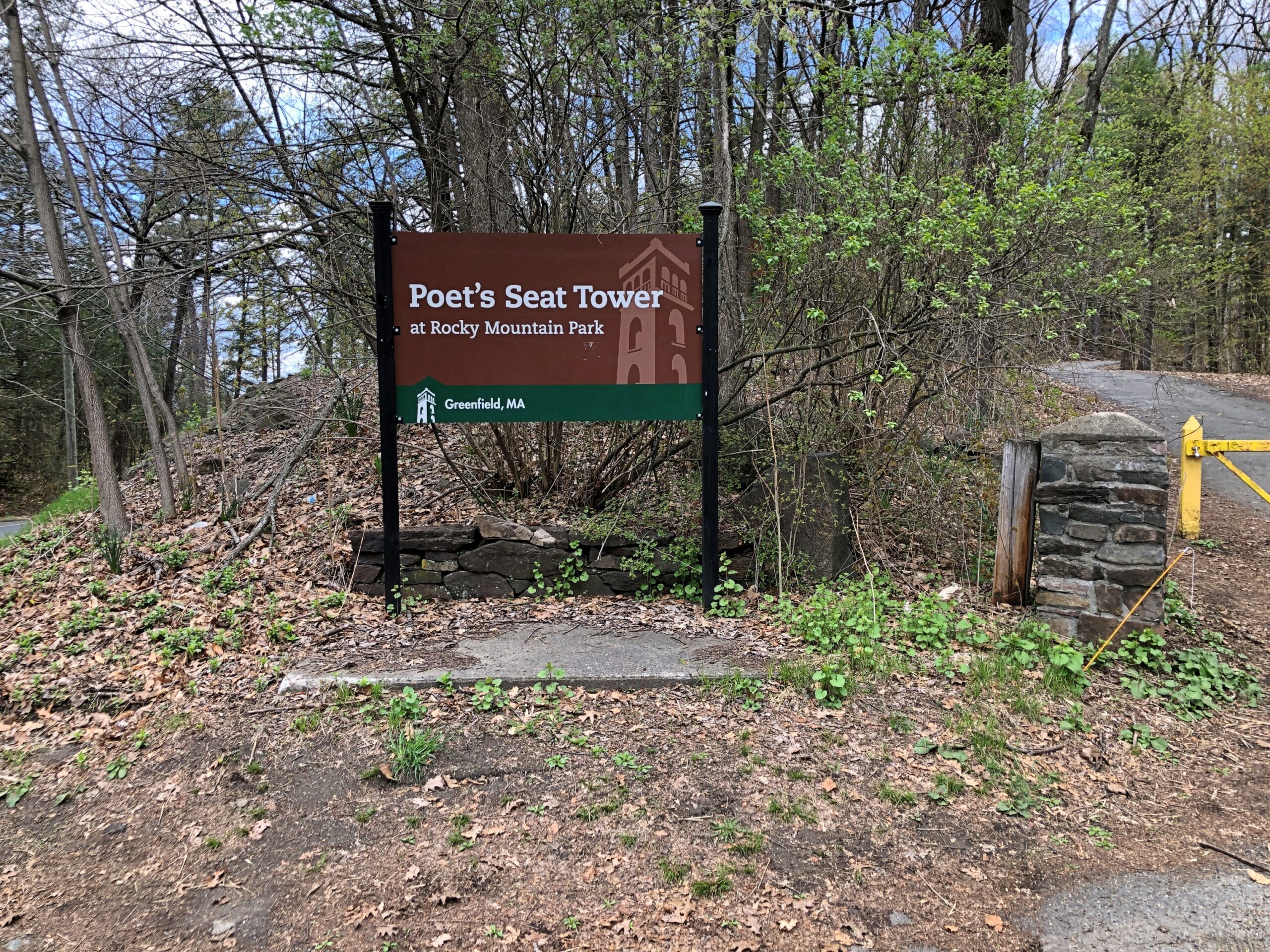
The church was closed. So was Poet’s Seat Tower.
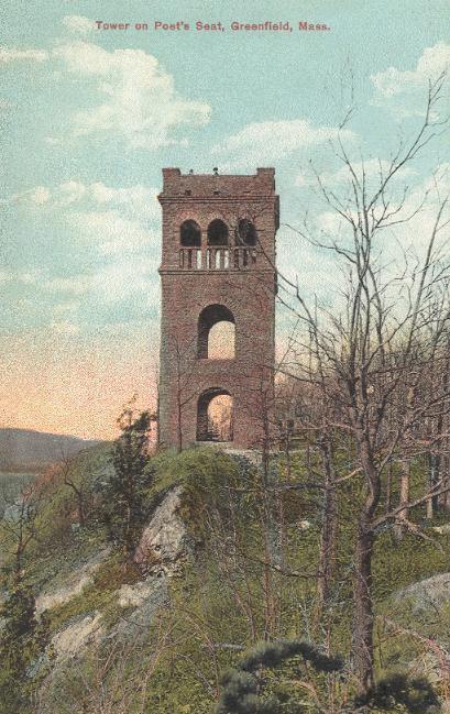
As the tower appeared more than 100 years ago.
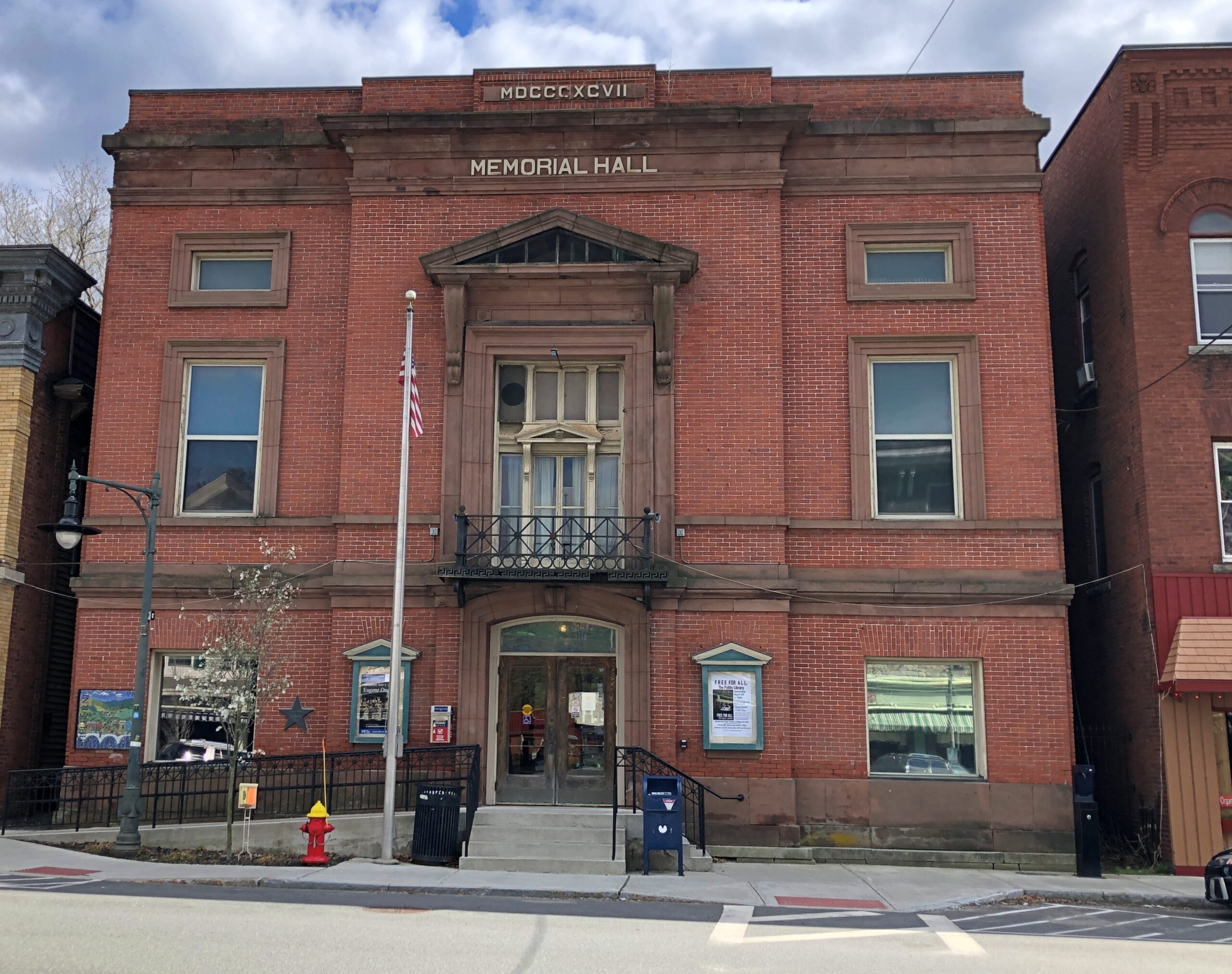
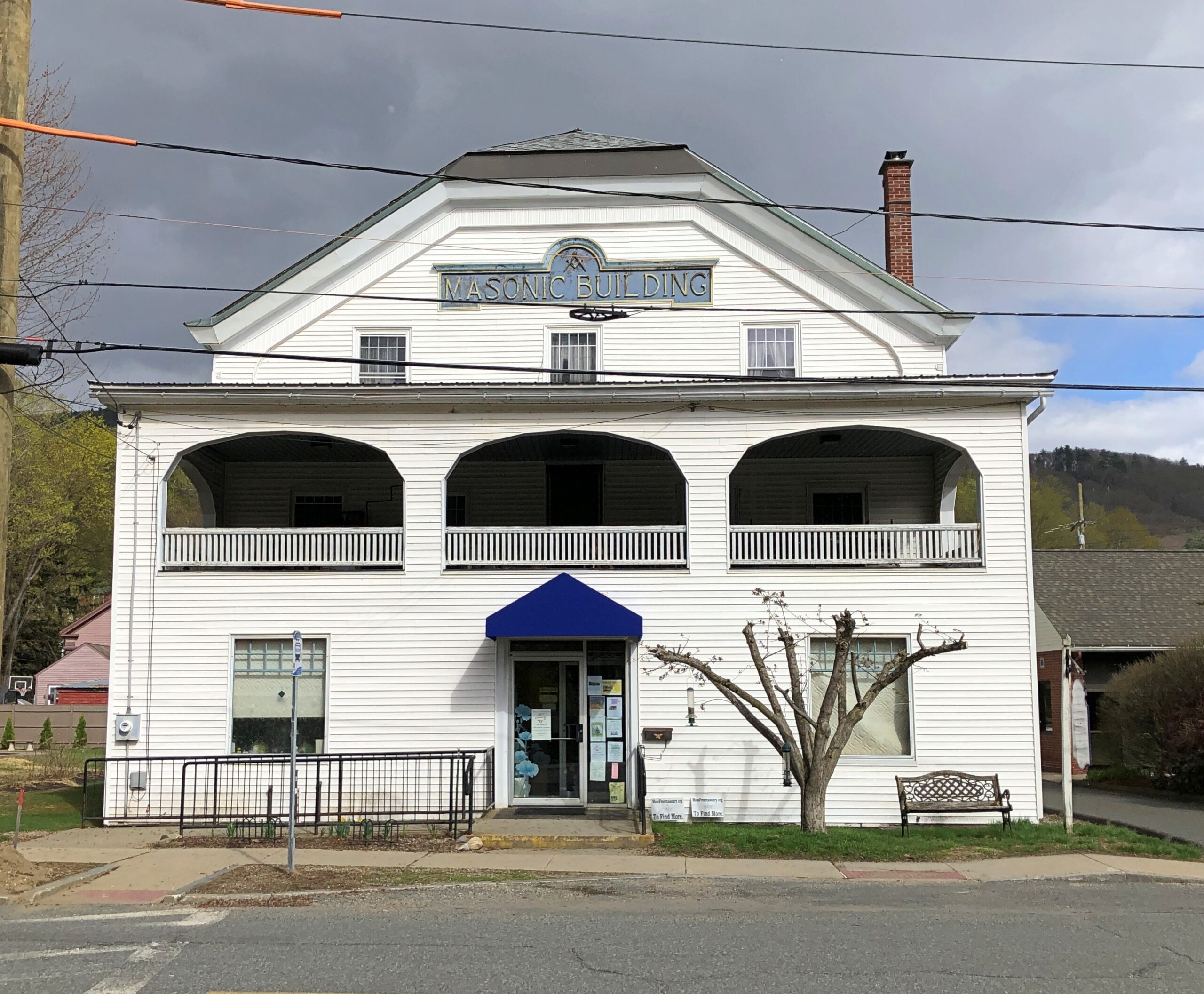
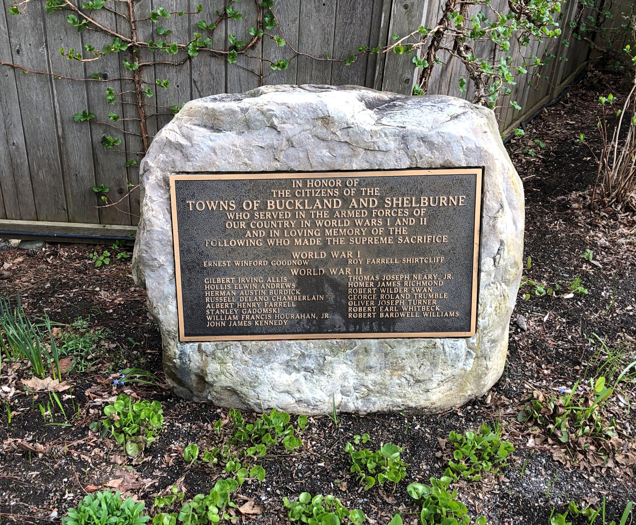
Shelburne.
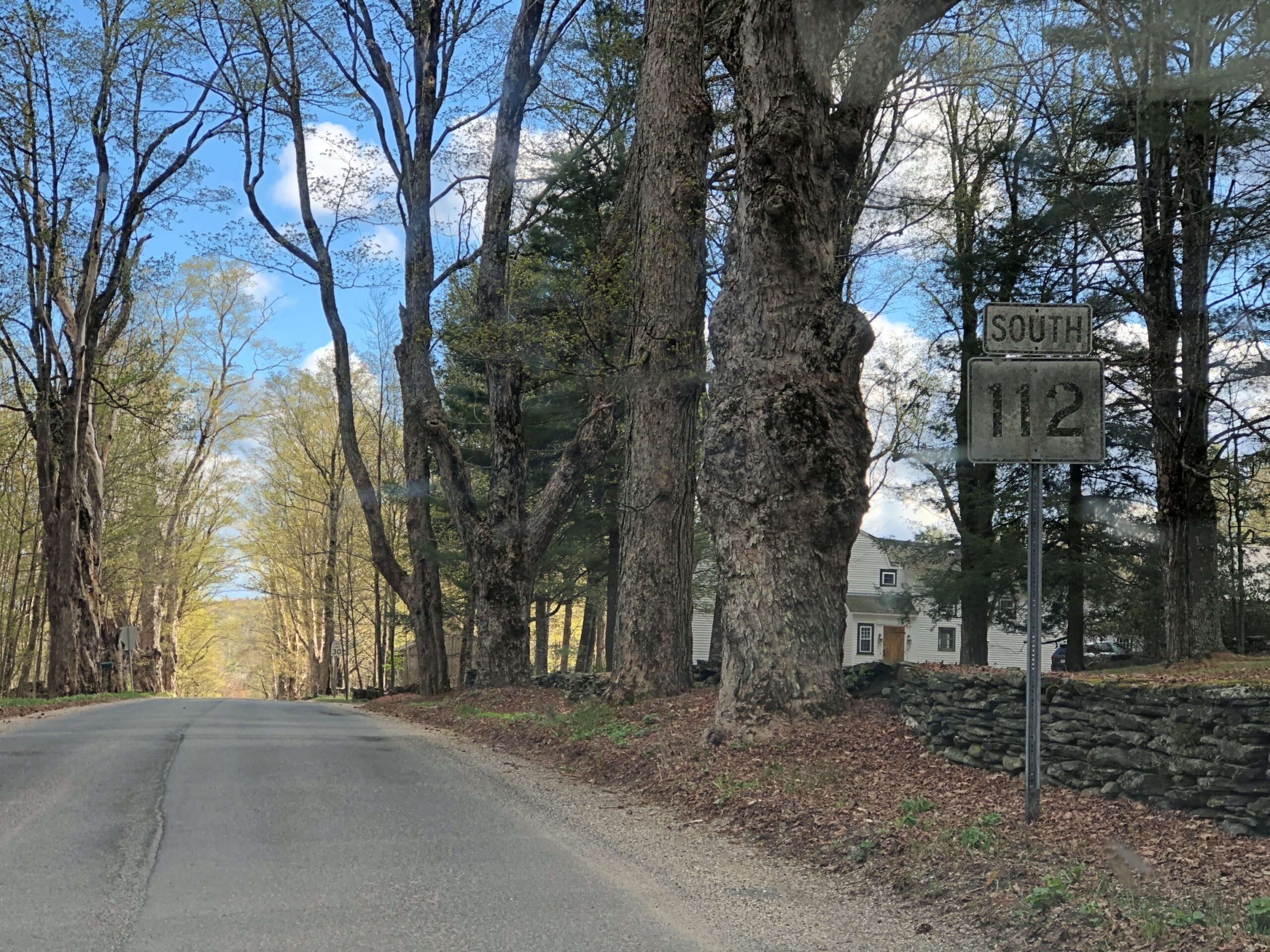
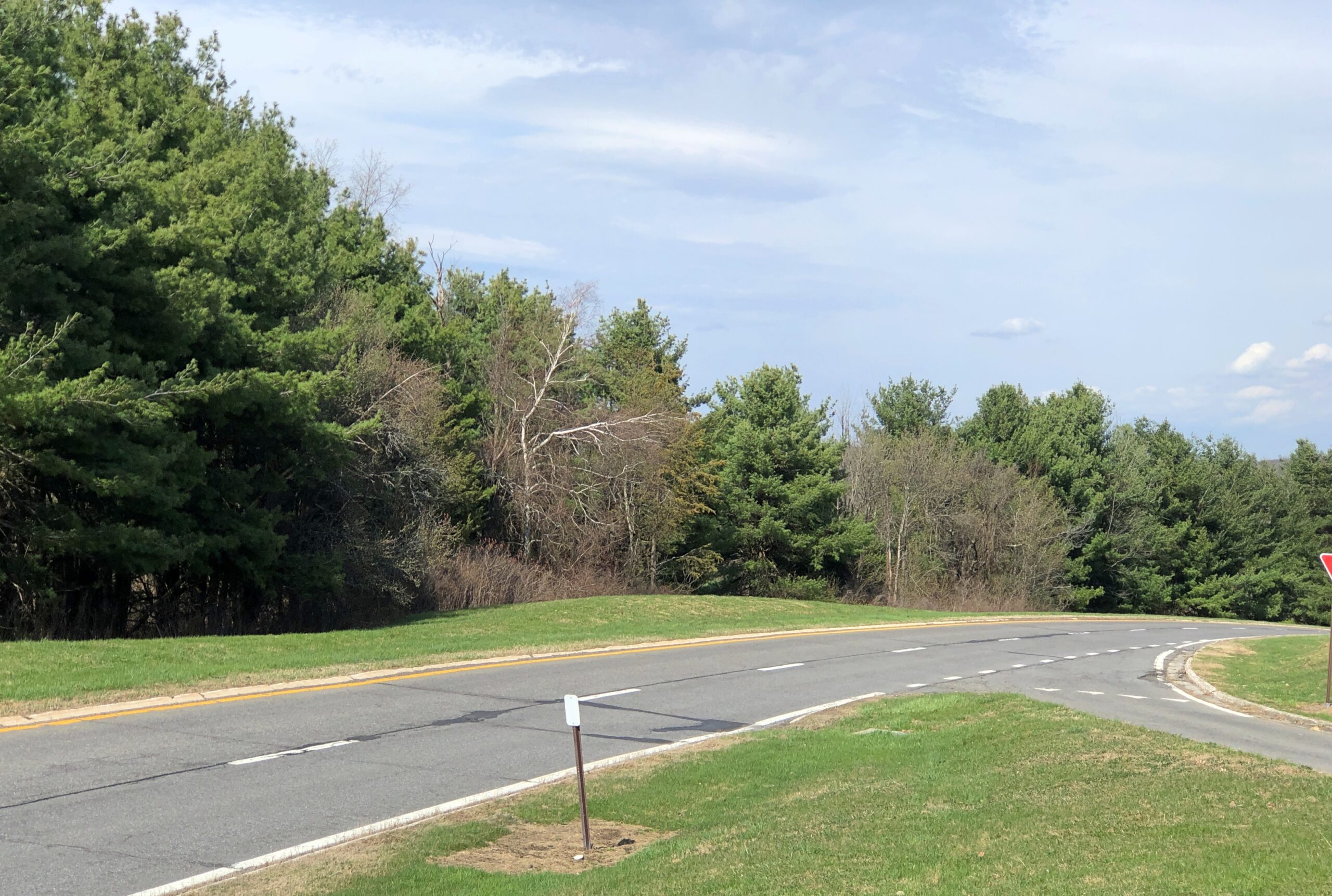
Massachusetts 112 (Route 112) in Hamilton County. Car commercial driving.
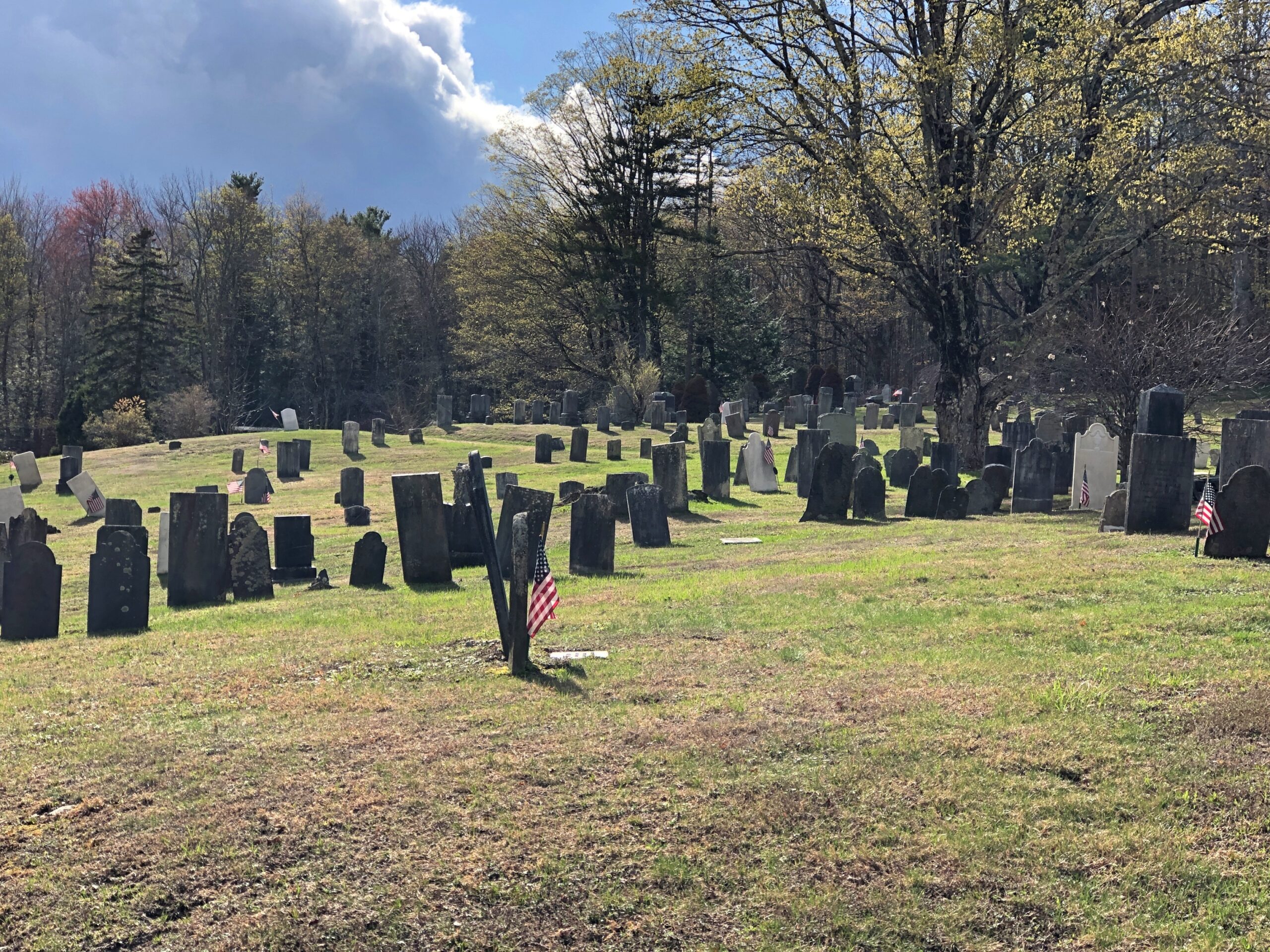
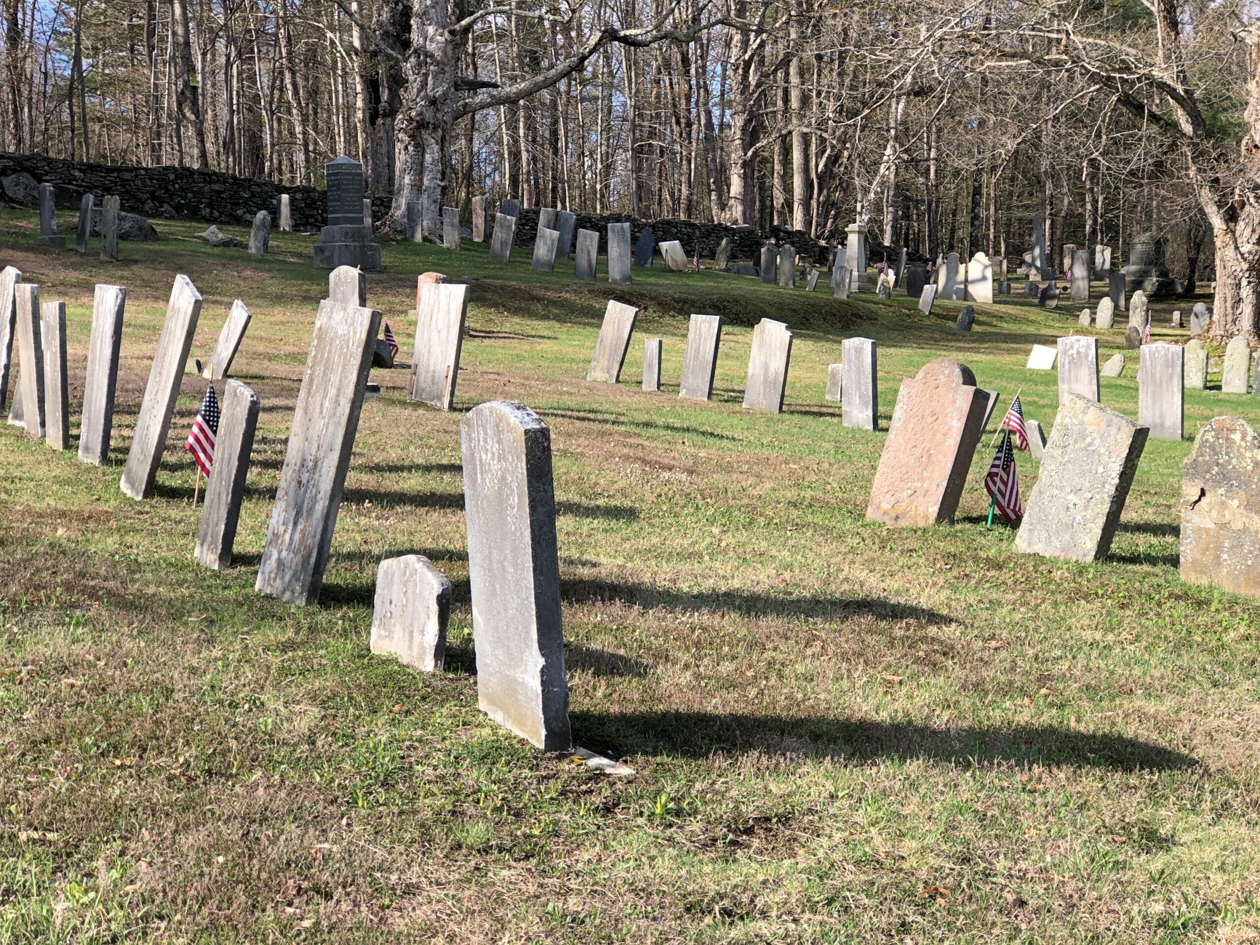
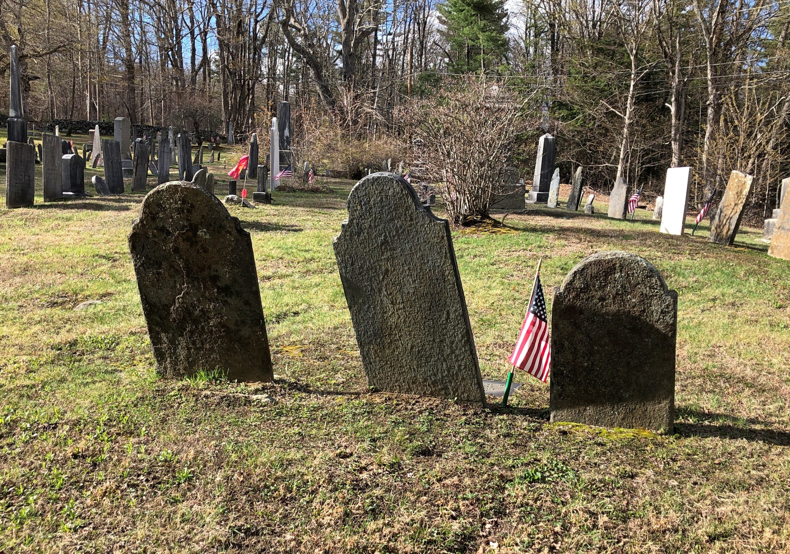
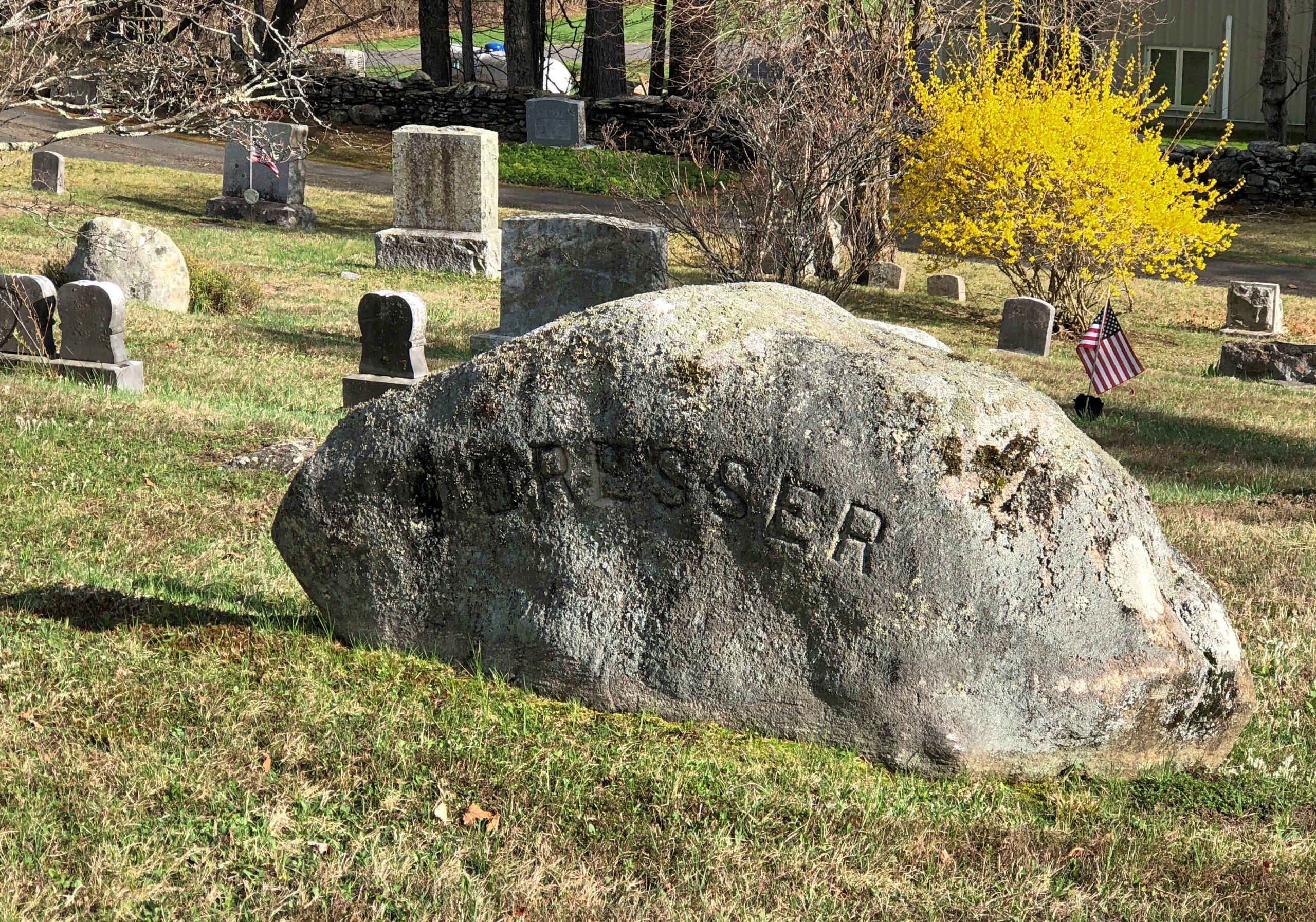
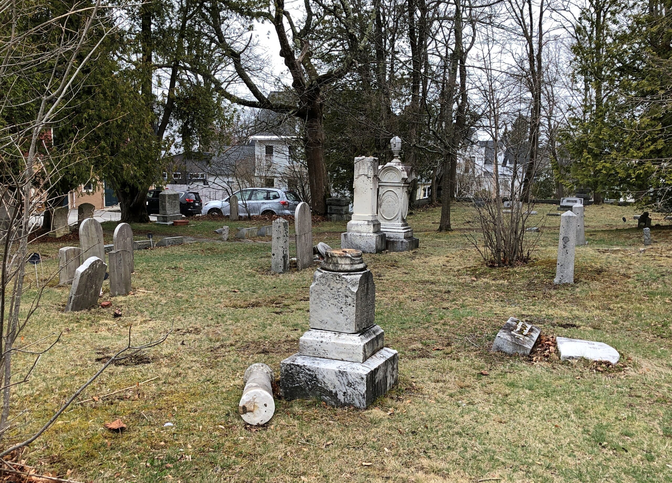
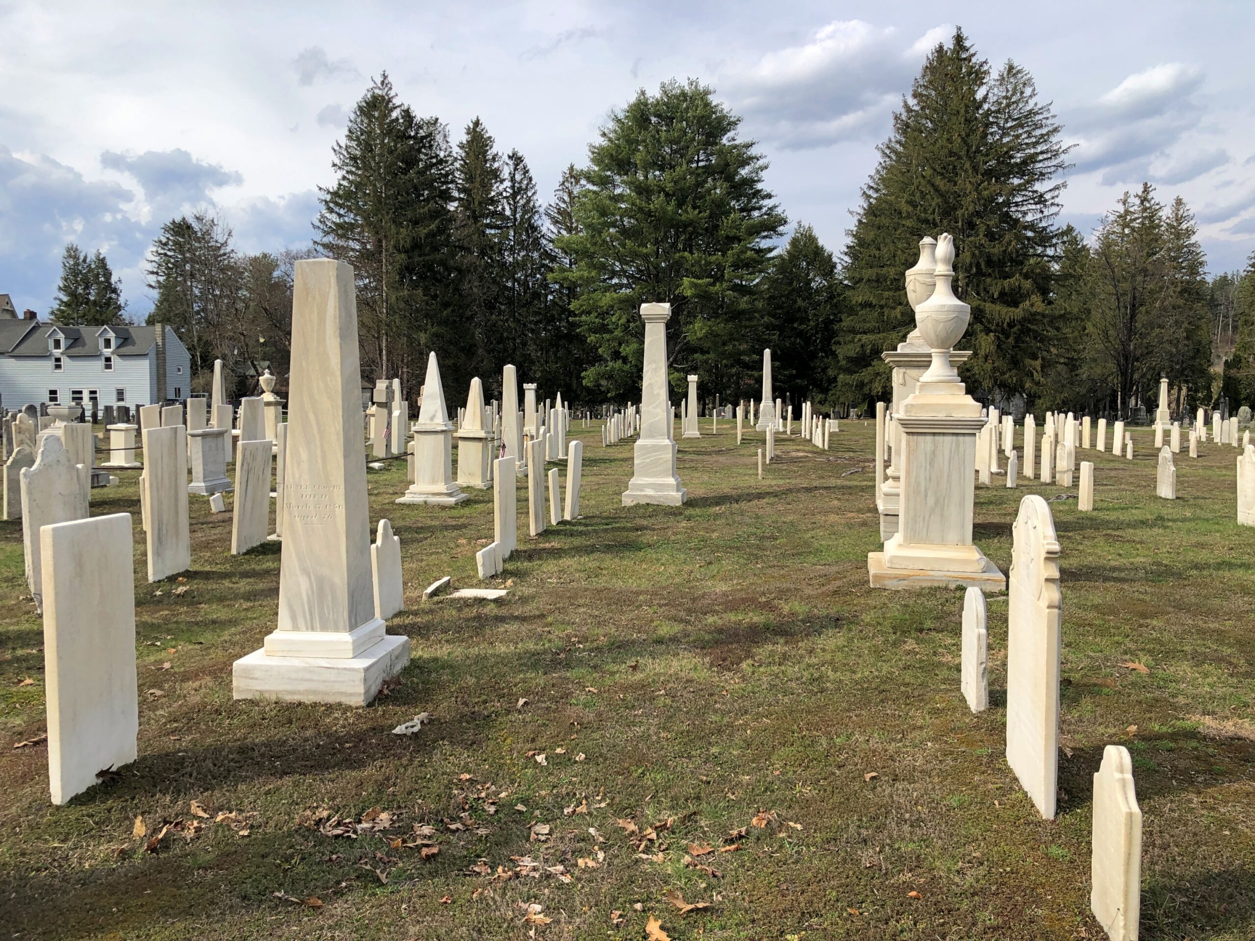
Goshen Cemetery, just off Route 112.
Ohio
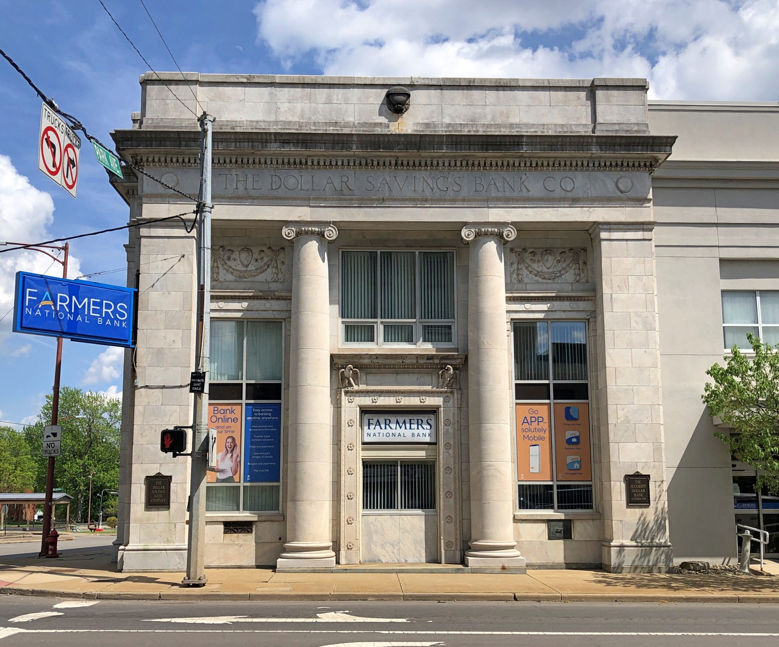
A solid bank building in Niles, across the street from where William McKinley was born. The Dollar Savings Bank Co. sounds like the kind of place that George Babbitt would mention, but distain in favor of a bank with longstanding ties to the best business men in Zenith.
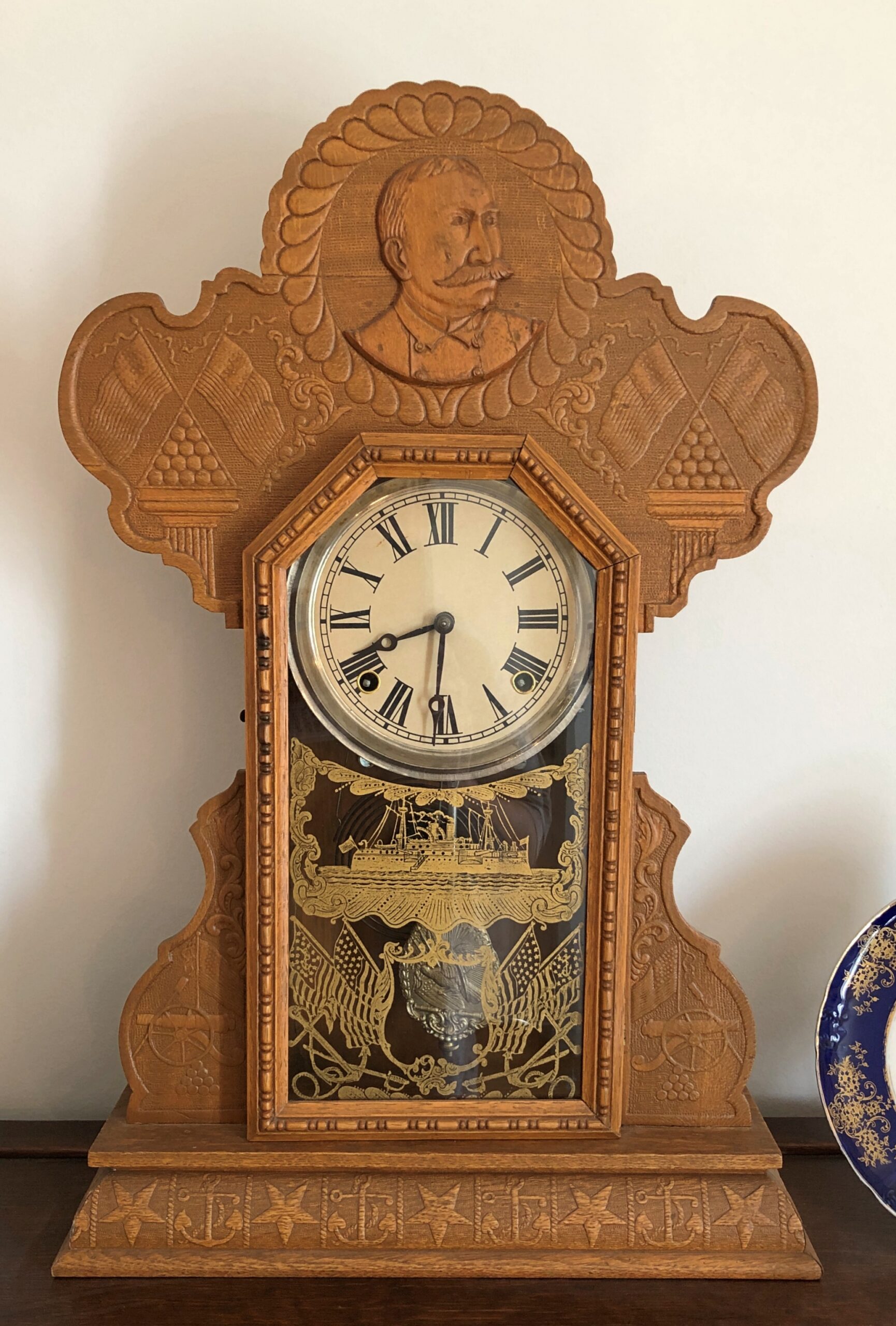
An Admiral Dewey clock at the McKinley Birthplace Museum. A textbook case, that Dewey, of how fleeting fame usually is.
Passing through northeast Ohio intrigued me greatly about that part of the state. Akron, Canton, Youngstown, Austintown — all places I can imagine going, and enjoying the visits. See ’em before the reverse migration really gets underway.
Further west, the drive on the Lincoln Highway (US 30) was a pleasure: mostly four lanes, rarely crowded. The flat farmlands don’t qualify as conventionally scenic, but the budding springtime fecundity has a lot to recommend it, even as a strictly visual pleasure: the bright greens of new leaves, the brown and grays of the fields recently plowed, small roads heading off usually at right angles to the main road, a run between Upper Sandusky and I-75 near Lima with few buildings of any kind, except distant farm structures.
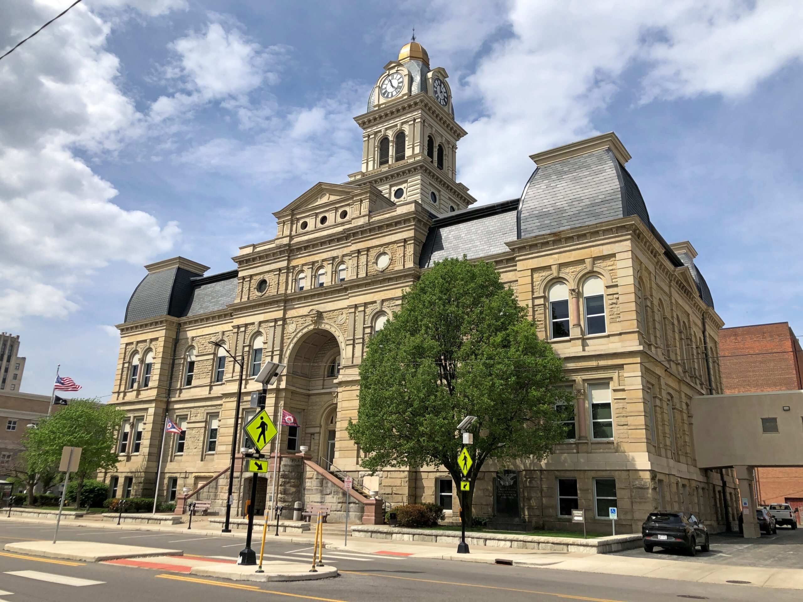
Downtown Lima: the Allen County courthouse, seen from North St.
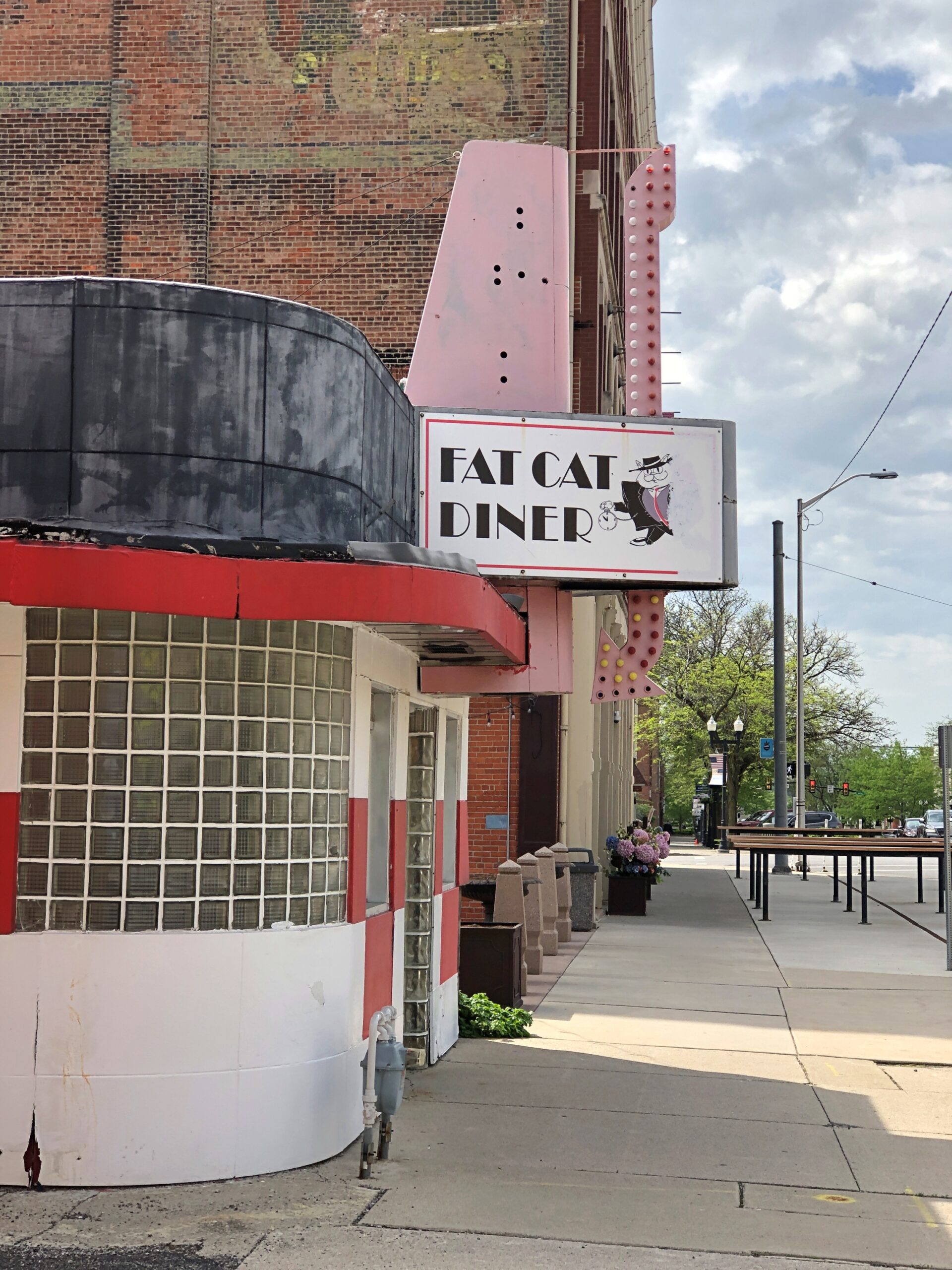
Looks like my kind of breakfast place. Closed on Sunday anyway.
Another North St. detail. Spiderman sitting on — something. A large scoop of strawberry ice cream?
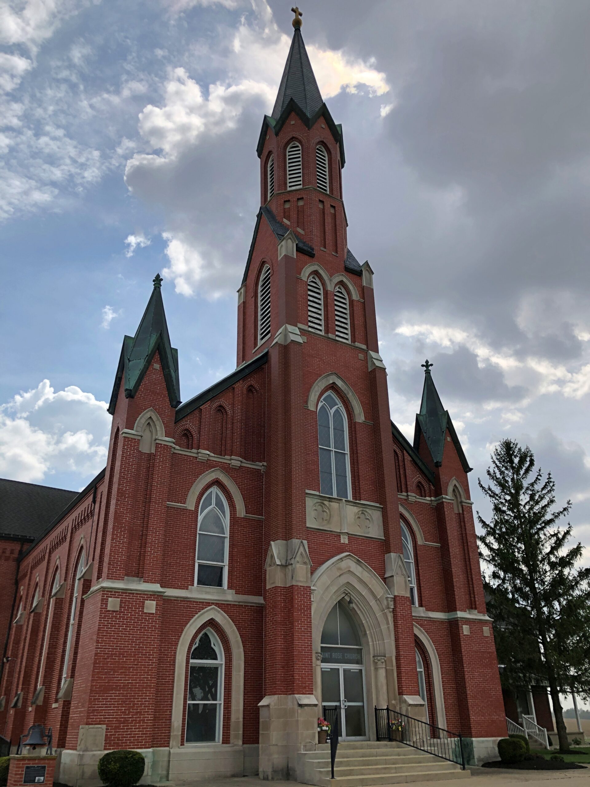
Saint Rose Church in the hamlet of Saint Rose, not far east of the Ohio-Indiana line. A Cross-Tipped Church.
Pennsylvania
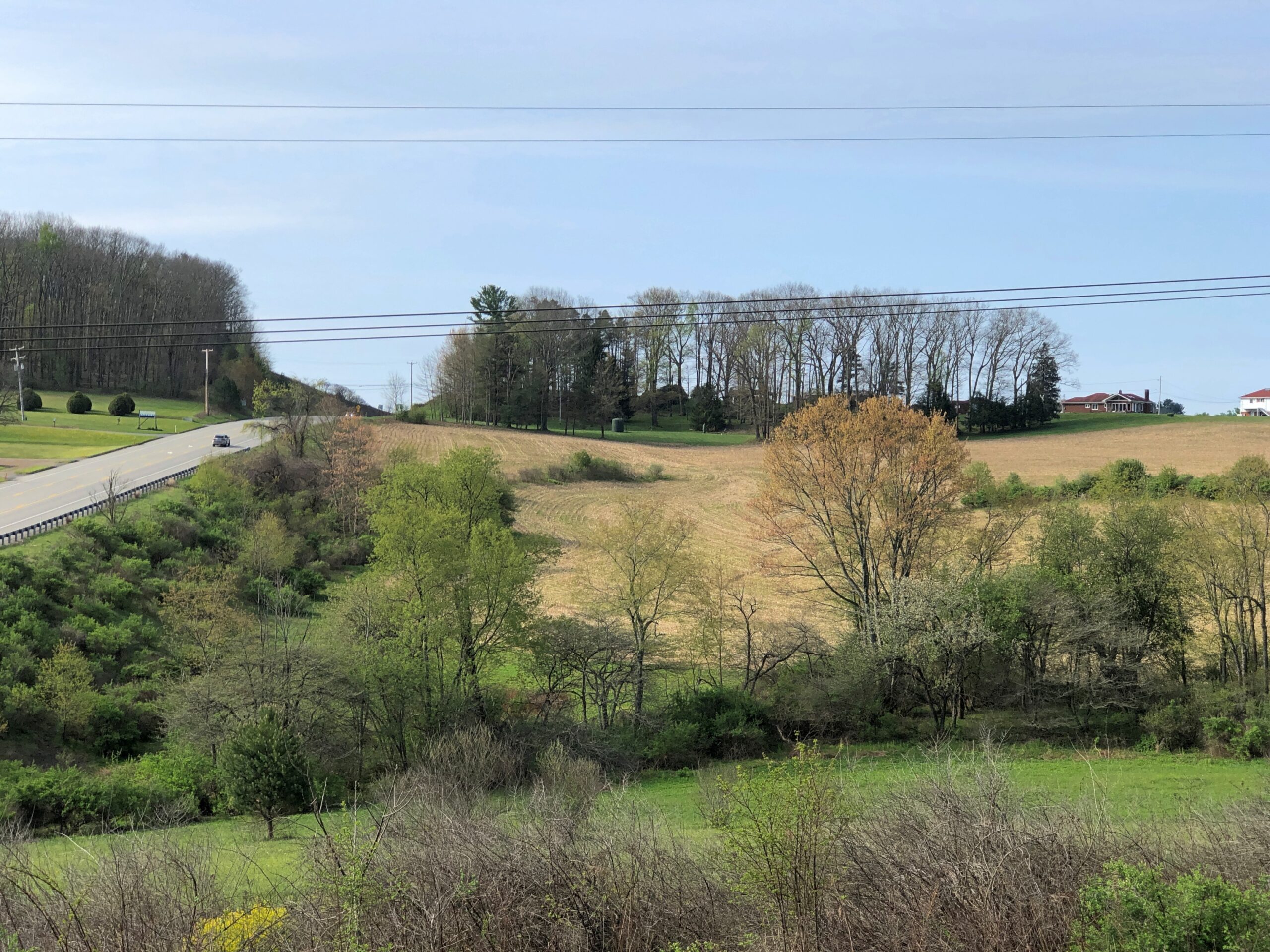
The hills at the edge of Punxsutanwney.
The drive west across Pennsylvania began across the Delaware River from Port Jervis, NY, taking US 209 southwest through part of Delaware Water Gap National Recreation Area. Bet the straight-ish, two-lane road is busier in peak recreation season in the Recreation Area, but in April, I booked along without encountering much in the way of traffic. Trees were still budding, but it wouldn’t be long before some stretches of the highway would pass through green tunnels. The sunlight was already casting green leaf shadows on the road.
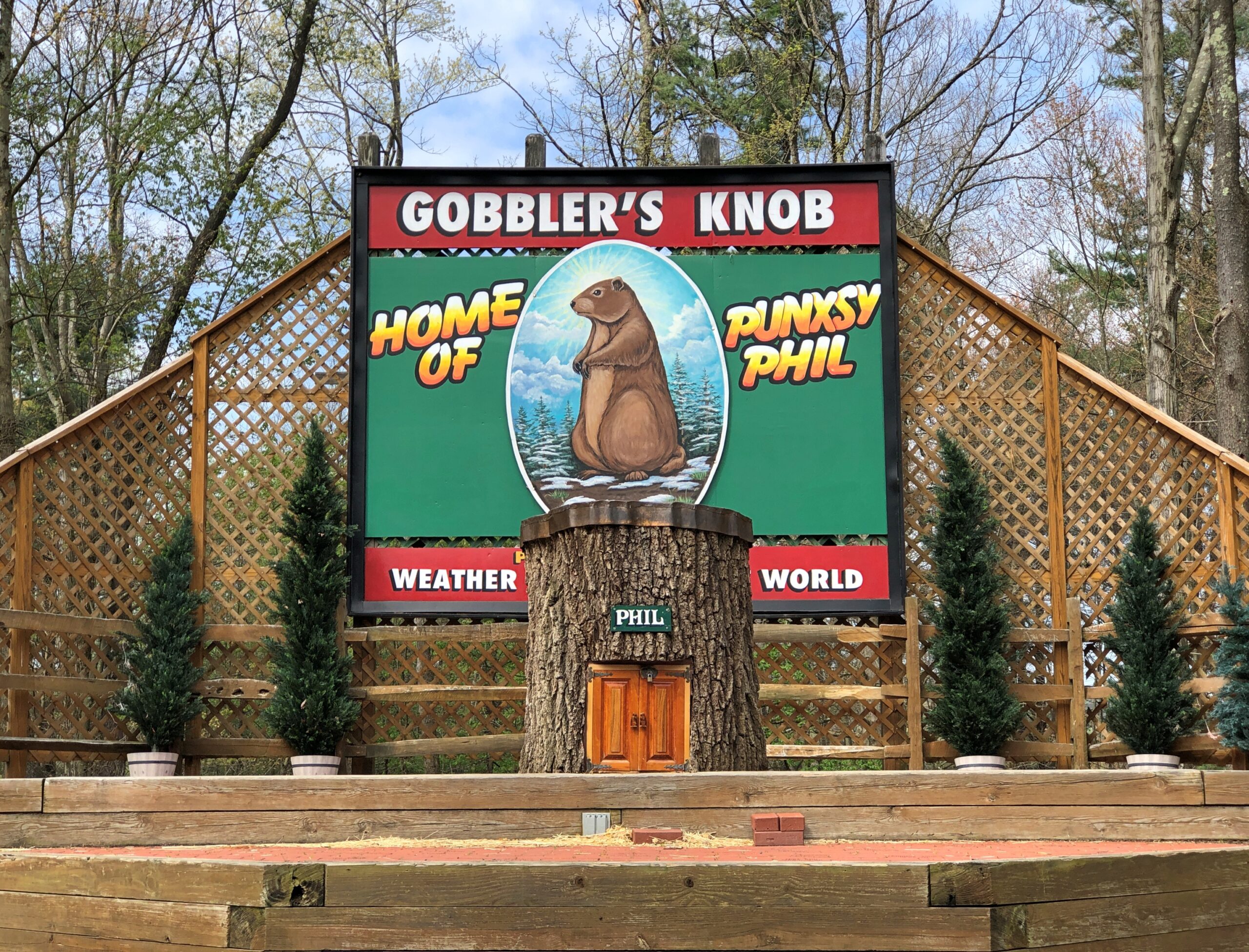
Watch Groundhog Day, and the impression is that the festivities are held in the center of town — which they are, in the Punxsutanwney stand-in of Woodstock, Illinois. Go to Punxsutanwney itself and learn that the February 2 fest is a few miles from town in a place called Gobbler’s Knob.
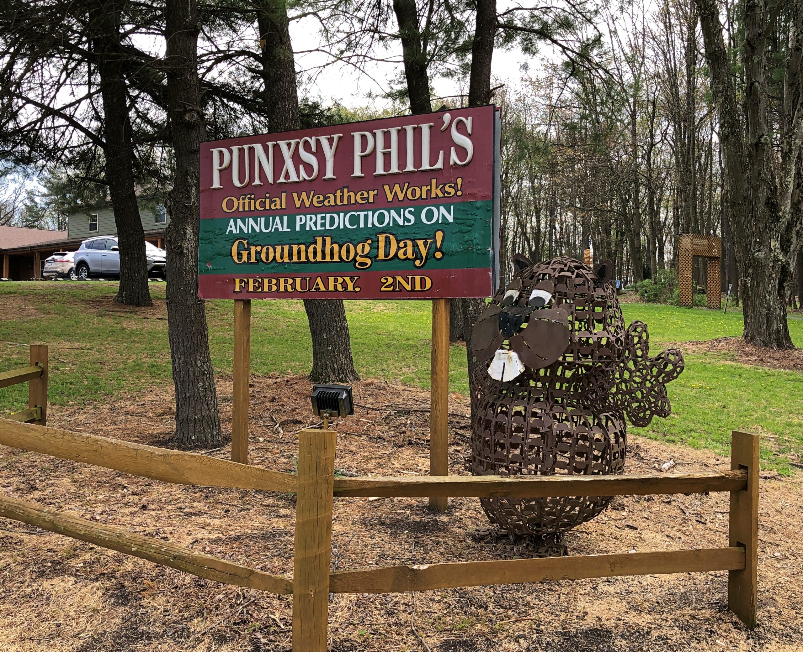
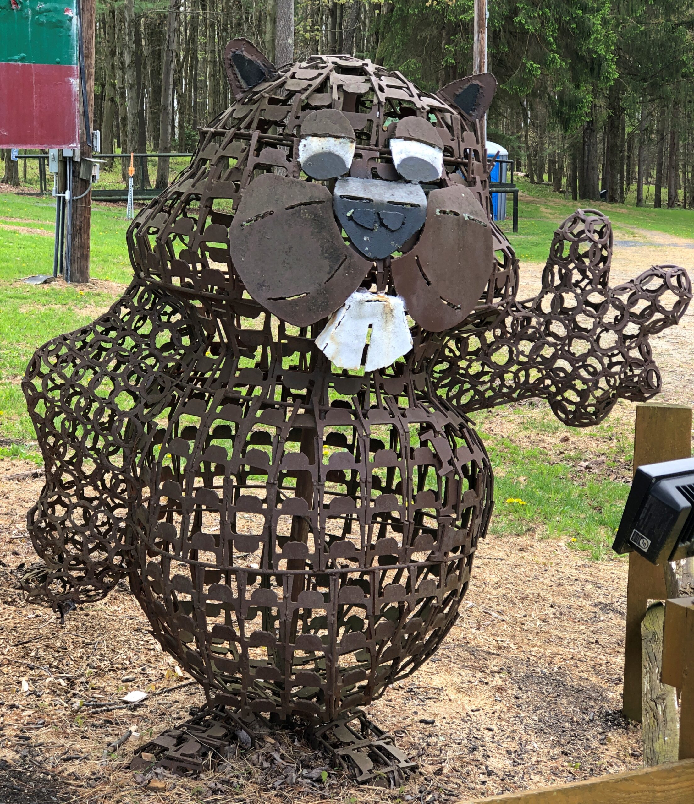
One more Phil. Iron Phil.
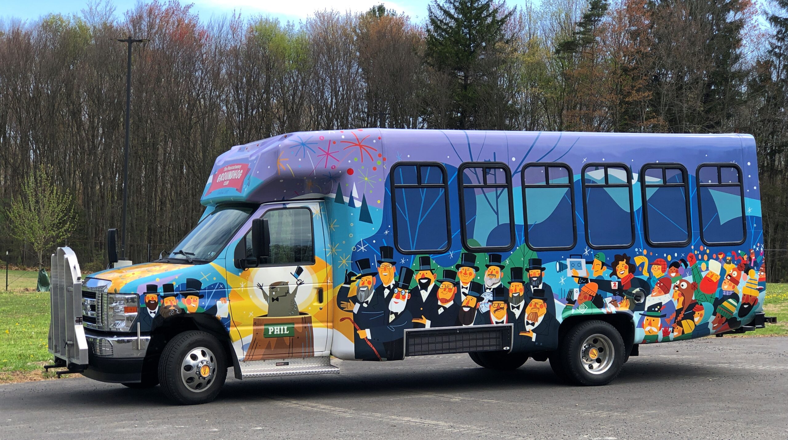
The clerk at the Gobbler’s Knob gift shop took pains to let me know that the site, and the festivities, were overseen by a nonprofit, not the commonwealth. Outside is the nonprofit’s bus, or at least I assume that, probably used to ferry people from town to GK and vice-versa, to help deal with the popularity of the event.
I like a good local festival as much as anyone, but February 2 is a deal-breaker. Can’t Phil come out again on August 2 to predict how much longer summer is going to last?
One More (Indiana)
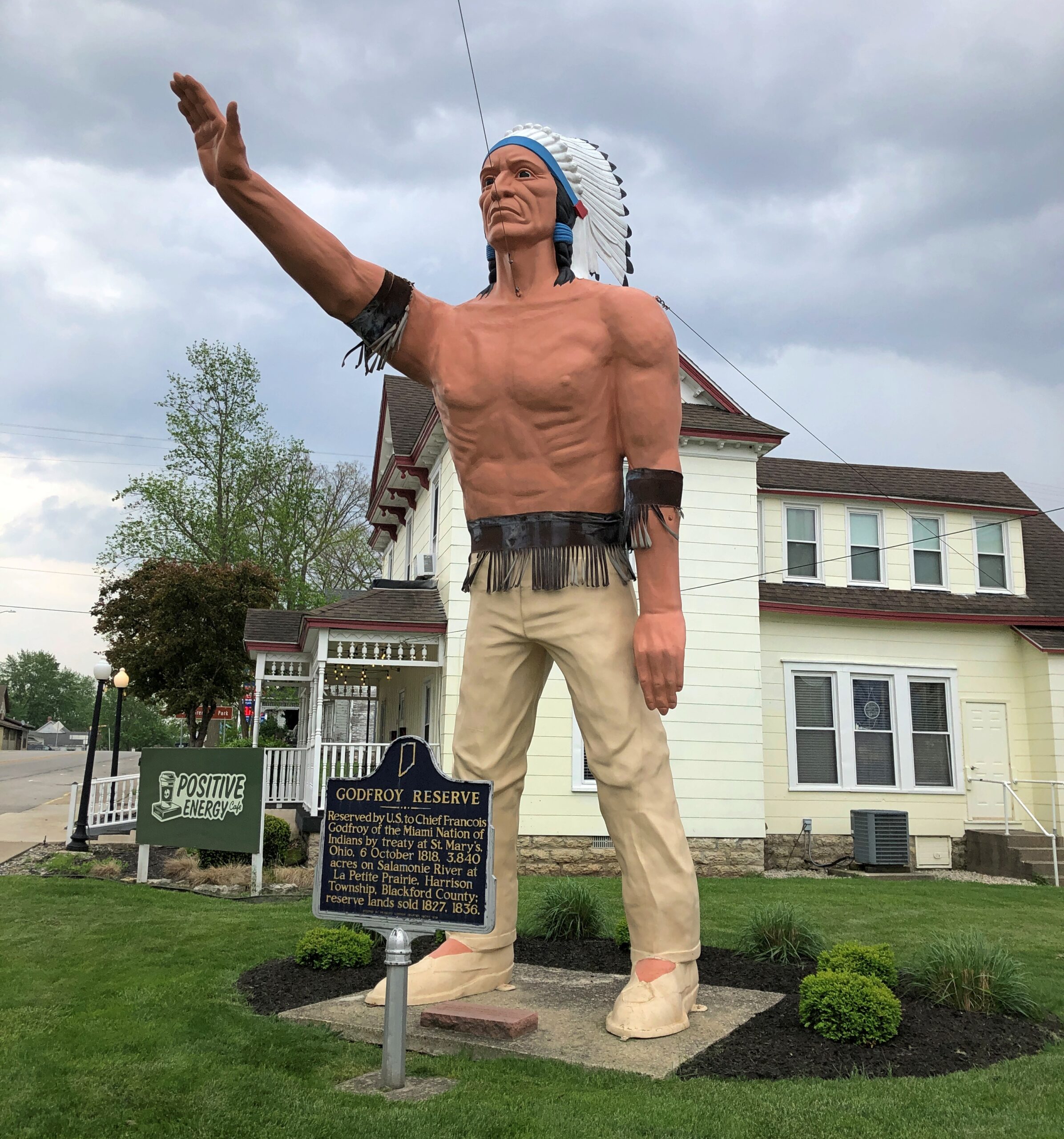
Miami Chief Francois Godfroy stands at the corner of Main Street and Huntington Street/Indiana 18 in Montpelier. Well, maybe it’s supposed to remind passersby of the chief more than actually depict him.
A Daughters of the American Revolution historical marker says: Reserved by U.S. to Chief Francois Godfroy of the Miami Nation of Indians by treaty at St. Mary’s, Ohio, 6 October 1818. 3,849 acres on Salamonie River at La Petite Prairie, Harrison Township, Blackford County: reserve lands sold 1827, 1836.
Waymarking says: “The statue was made in Venice, CA in 1960 for the Tom Wood Pontiac dealership in Indianapolis. Later it was in front of the Indian Museum at Eagle Creek Park In Indianapolis. After the museum closed, the statue (of more a plains Indian than a NE Indiana tribe) was obtained by Chief Larry Godfroy — a descendant who presented it to the City of Montpelier and they erected it as a monument in 1984.”
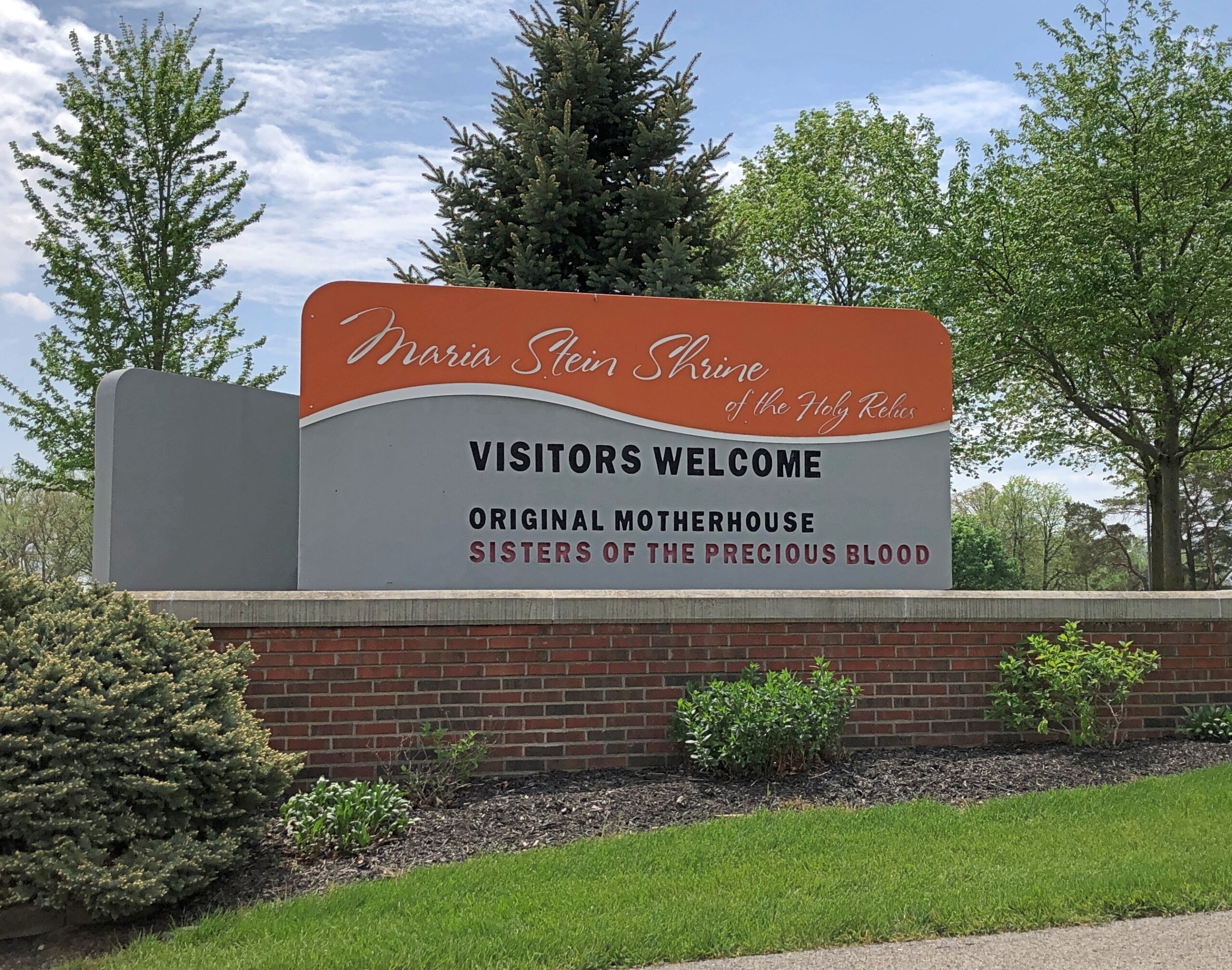
It’s always good to see that visitors are welcome.
To be a visitor at the Maria Stein Shrine of the Holy Relics, however, you have to make your way to Maria Stein, Ohio, a census-designated place in Mercer County whose population is just over 1,000. As for Mercer County, its western edge is the border with Indiana and the nearest city of any size is Lima, to the northeast. The region isn’t precisely remote – this is the Midwest, after all – but it isn’t overrun with visitors.
The shrine rates a point-of-interest on my Rand McNally Road Atlas (Maria Stein Shrine, it says), and I find that kind of thing intriguing, especially when I’m going to be nearby anyway. So I visited the shrine on the last day of my trip, on the way home.
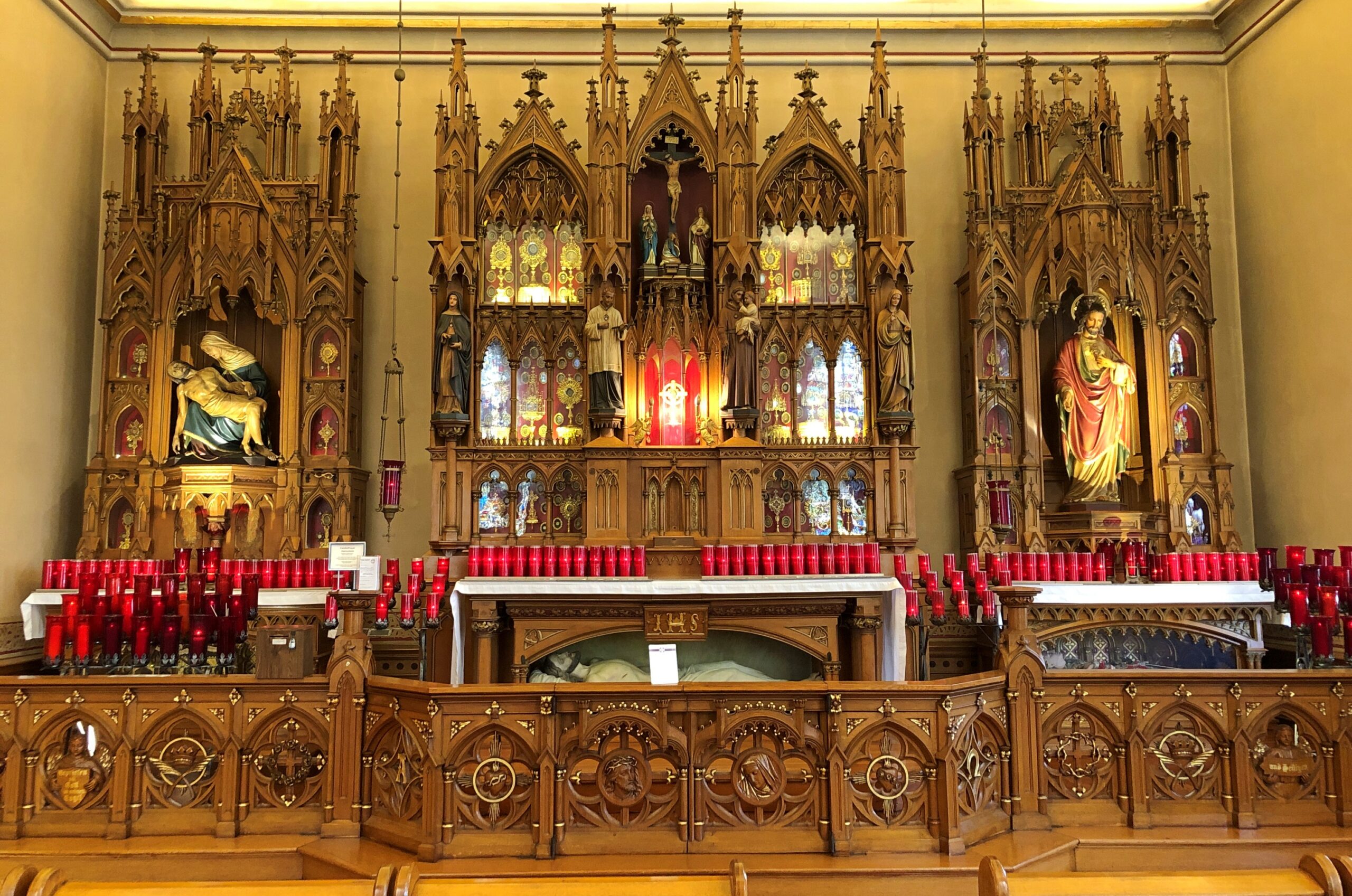
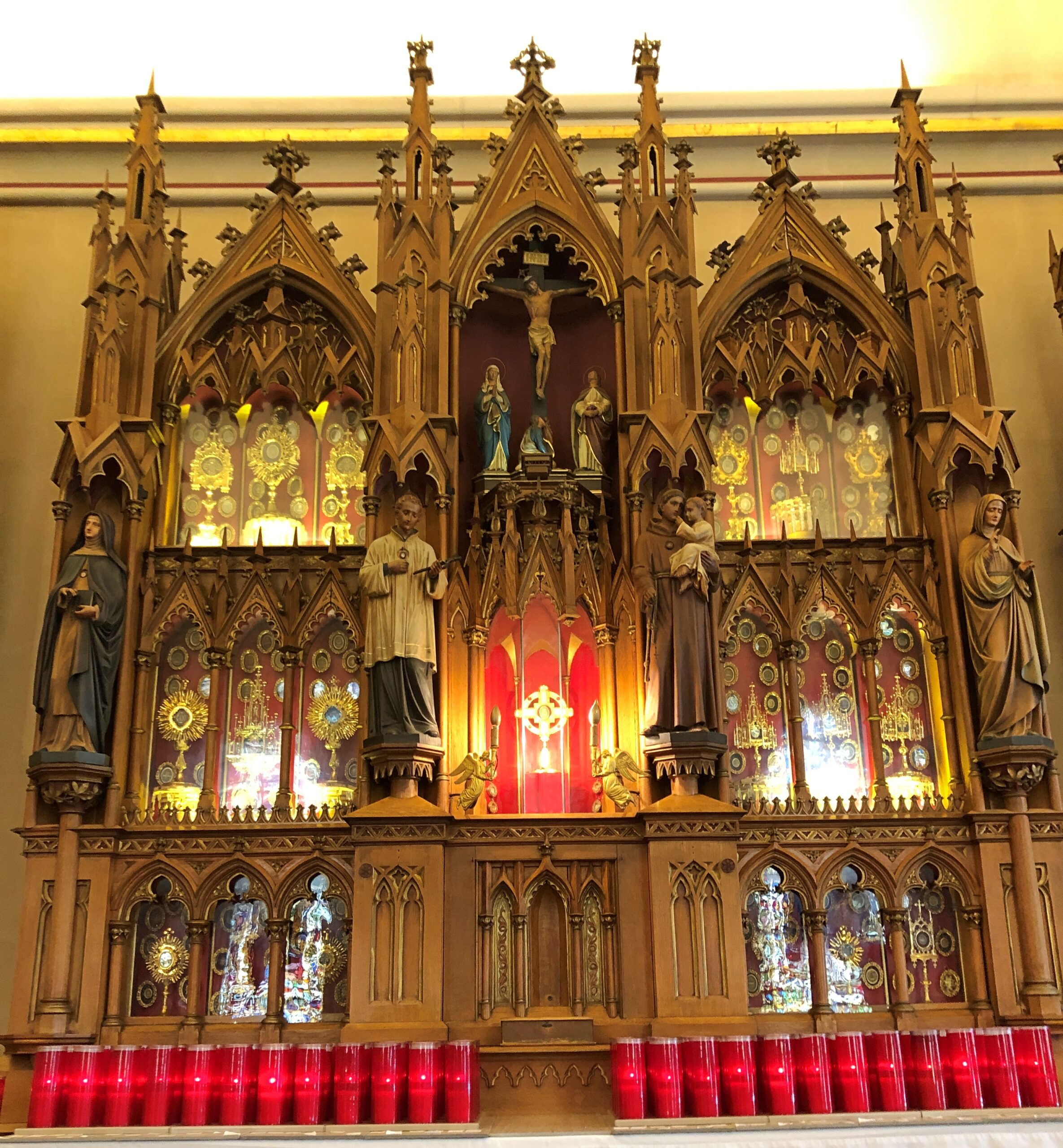
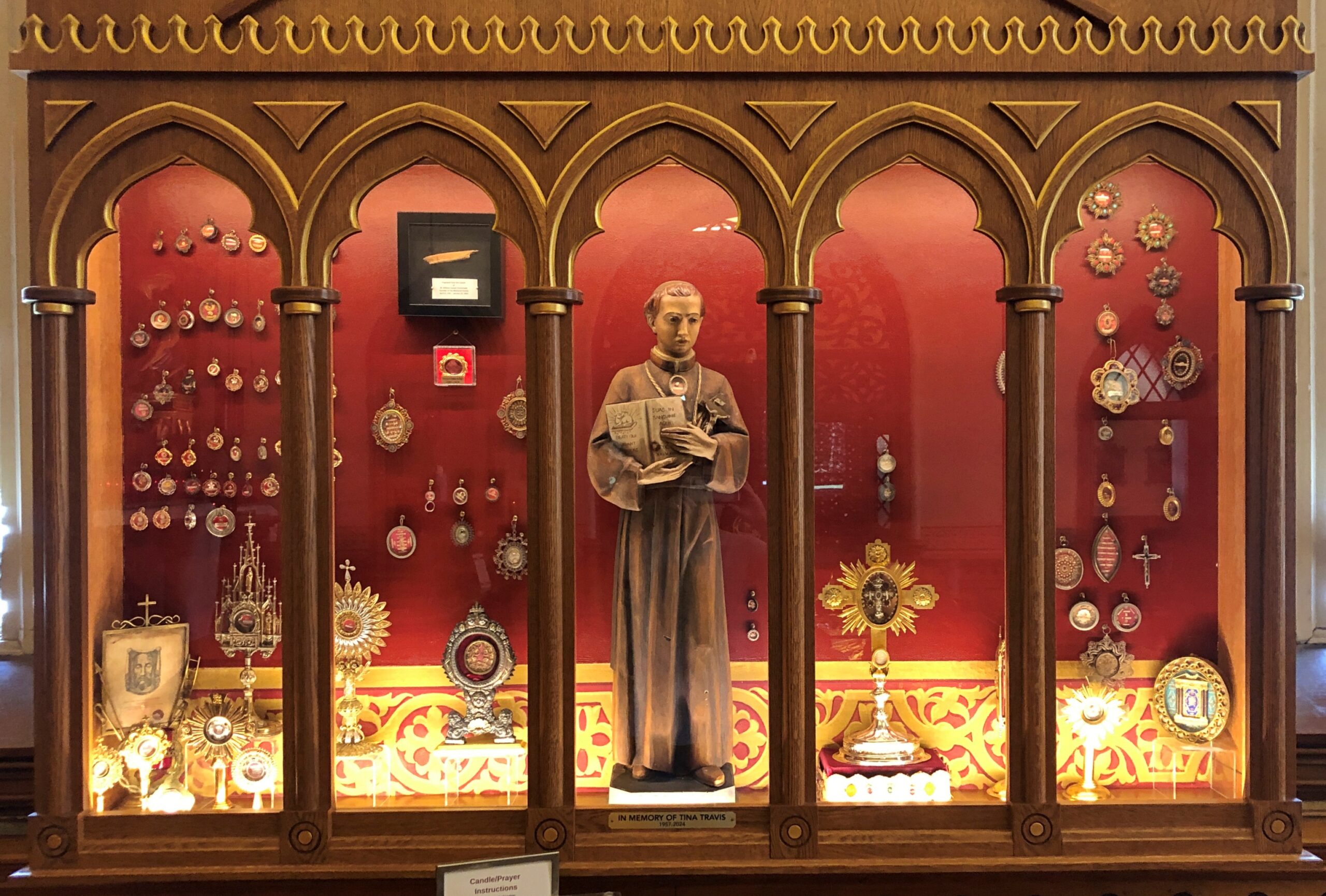
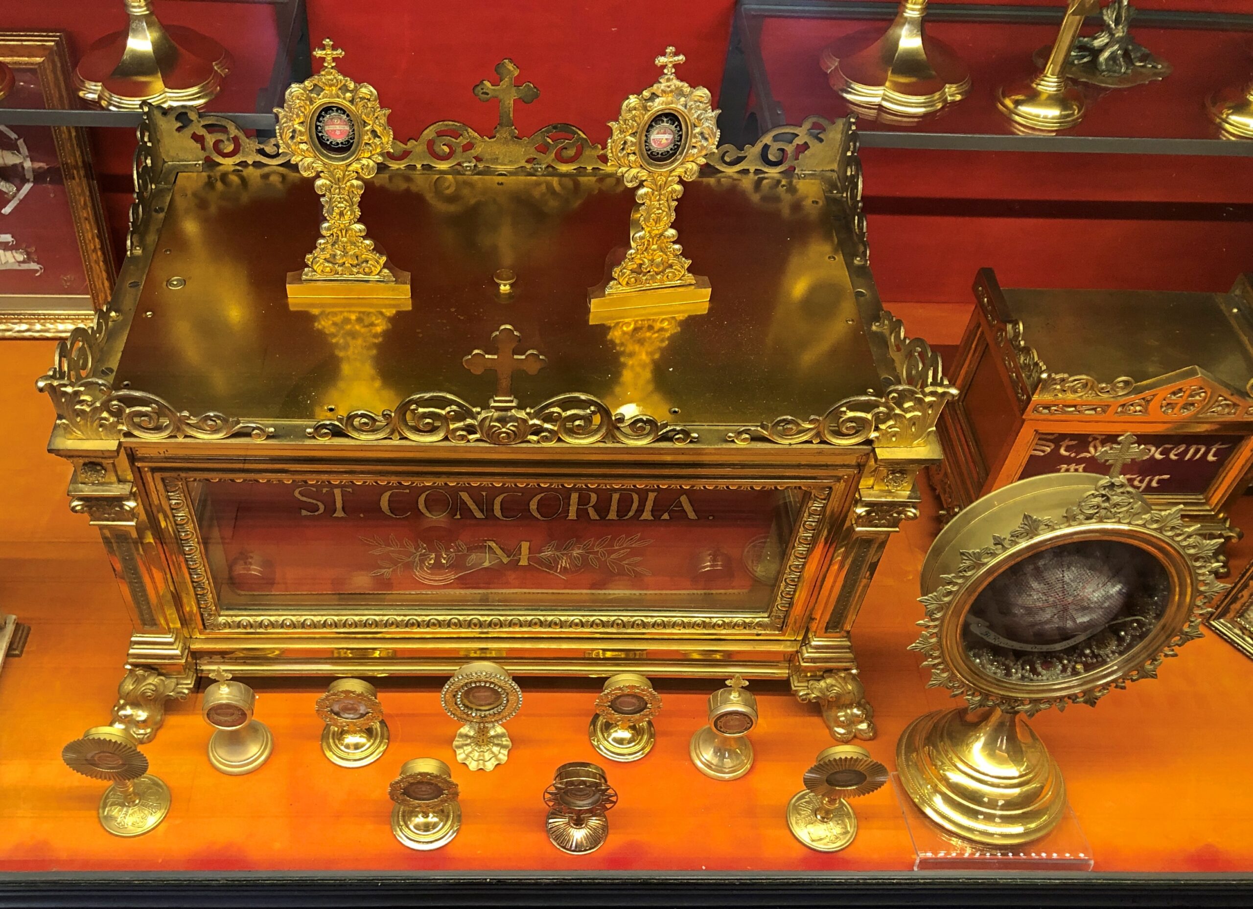
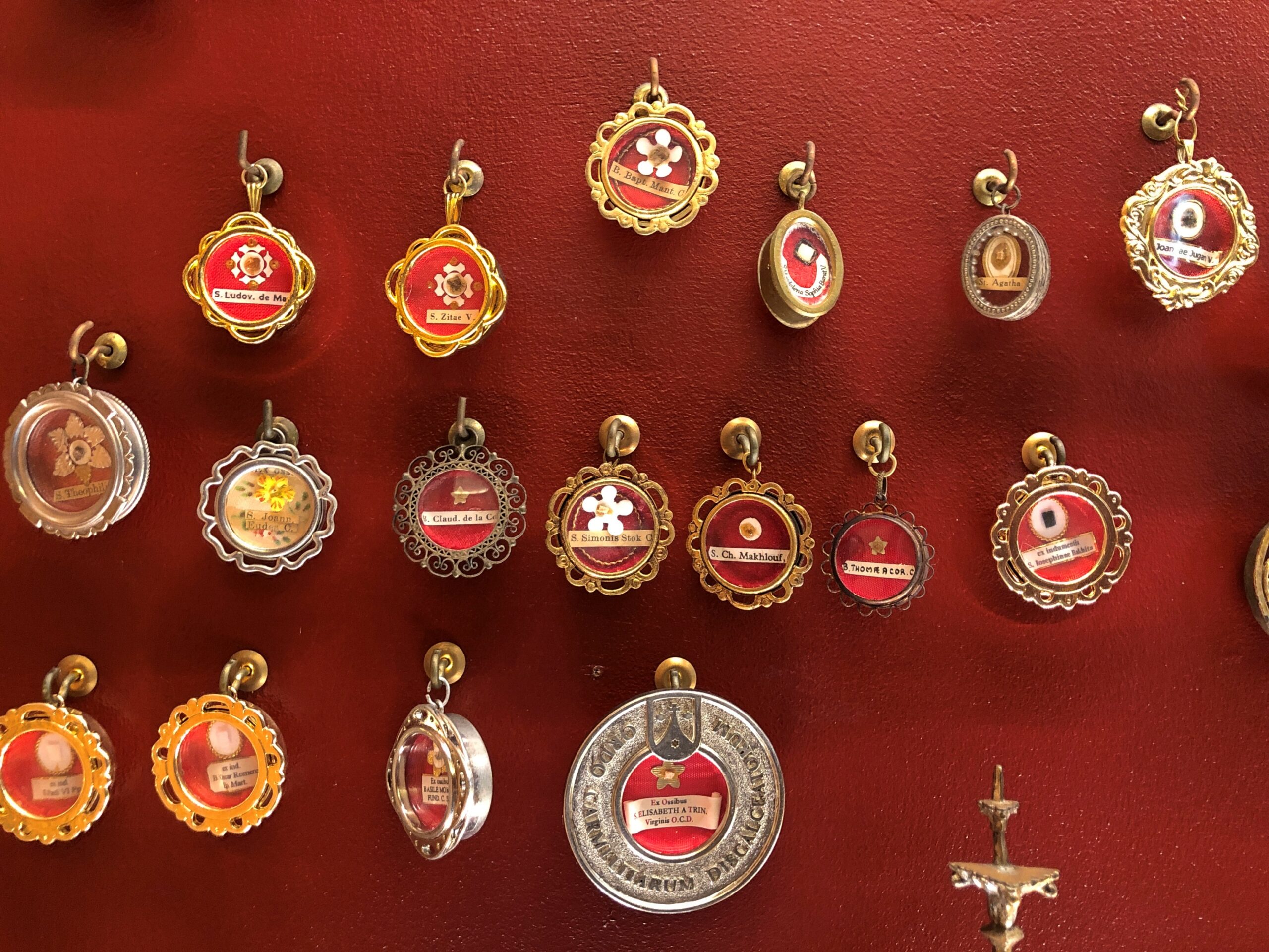
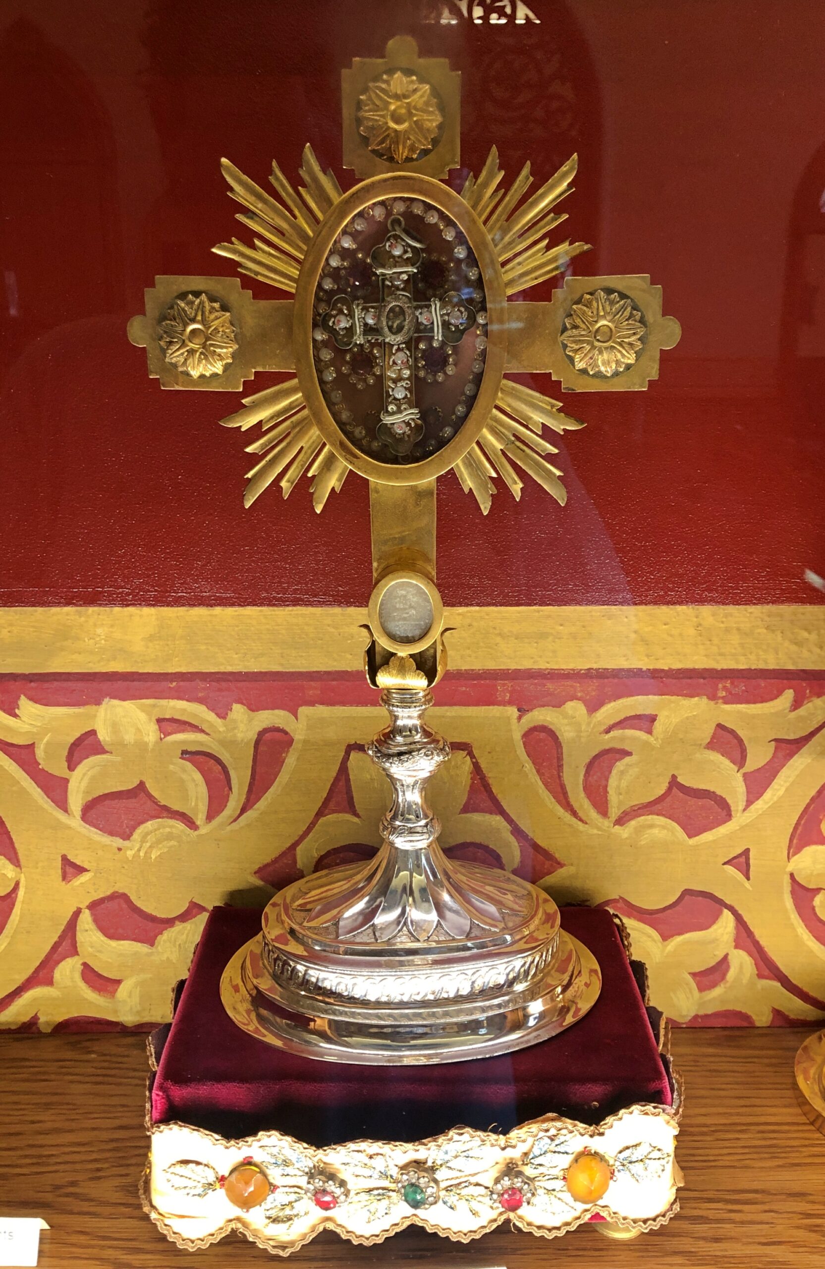
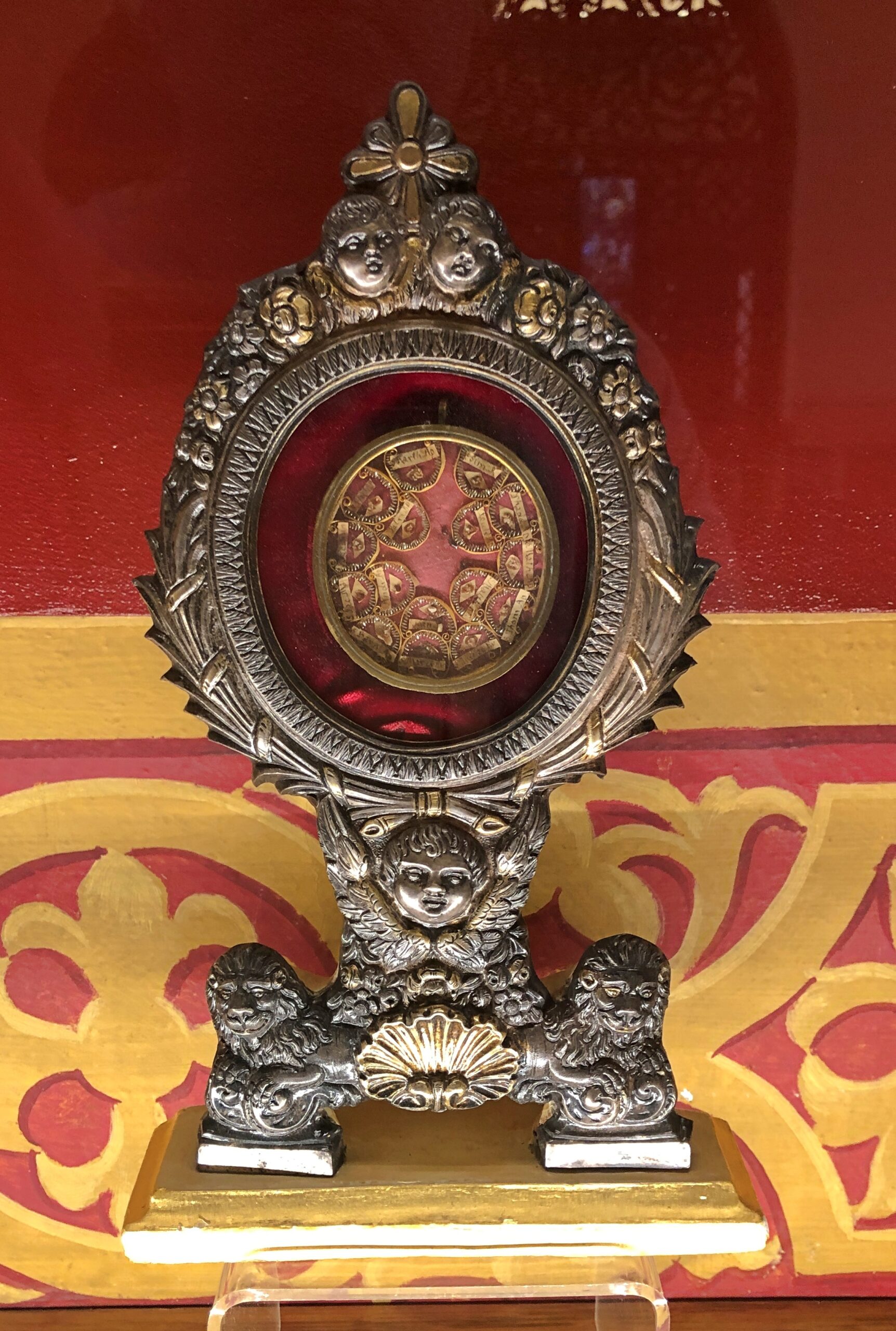
The relic shrine is adjacent to the chapel. It’s all about the relics. As it should be.
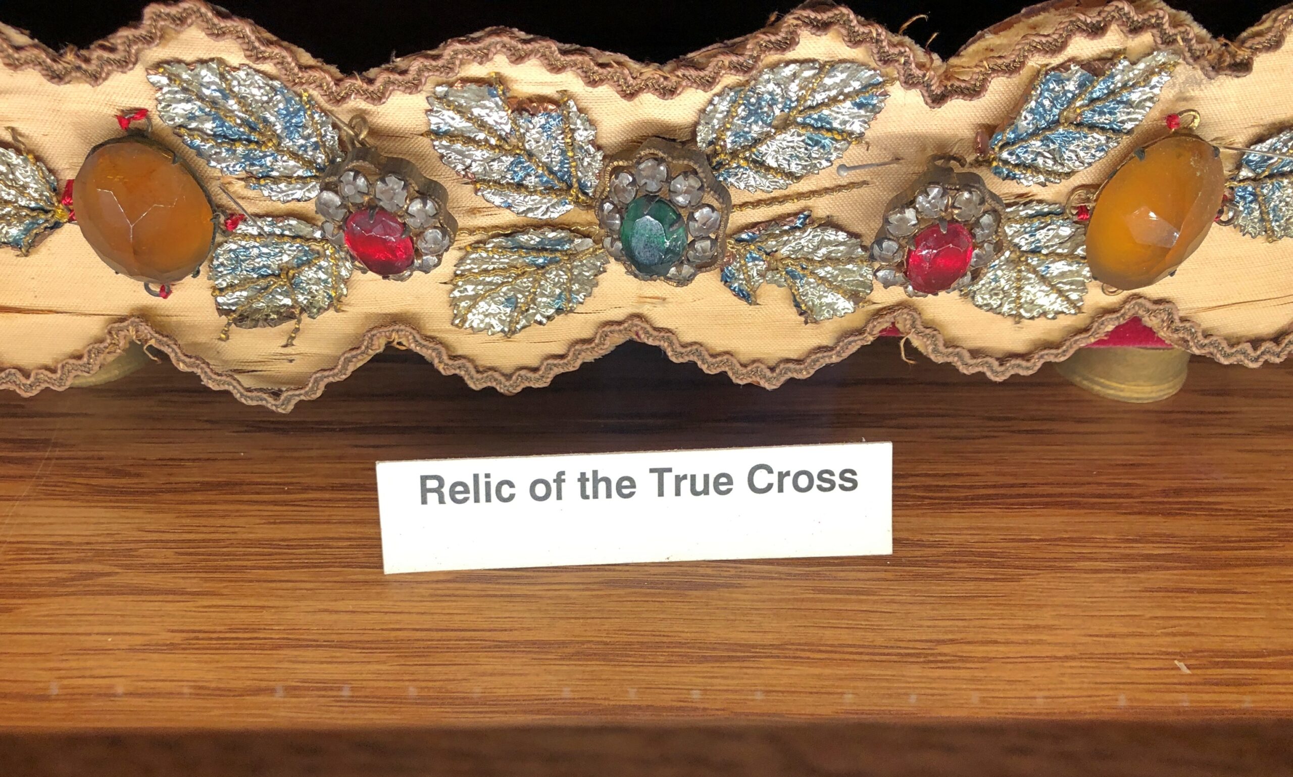
“The Maria Stein Shrine of the Holy Relics houses over 1,200 relics of the Saints and the True Cross,” says the shrine’s web site. “95% of the relics in the Maria Stein collection are First Class. The first relics were brought to the area by Fr. Francis de Sales Brunner, who founded most of the local churches and convents, bringing priests, brothers, and sisters of the Precious Blood communities to America.
“After his death, the significant collection of his relics, including a Calendar of Relics, and the bodily remains of St. Victoria, were under the care of the Sisters. In 1872, Fr. J. M. Gartner, a priest from Milwaukee, acquired 175 relics for safekeeping in the New World. When he brought them to America, his original intent was to have a kind of traveling exhibit. But the faithful wanted them kept together and suggested finding a permanent place for the collection.
“When he heard about the many relics under the care of the Sisters of the Precious Blood, he approached the Sisters, and together they gathered all of the relics into one collection, and we became the Shrine of the Holy Relics in 1875.”
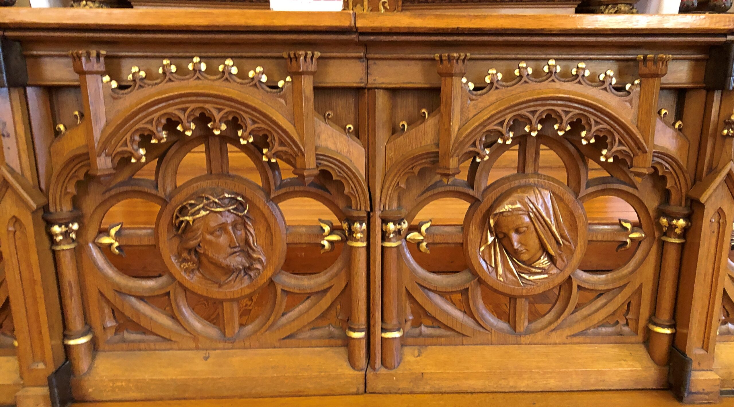
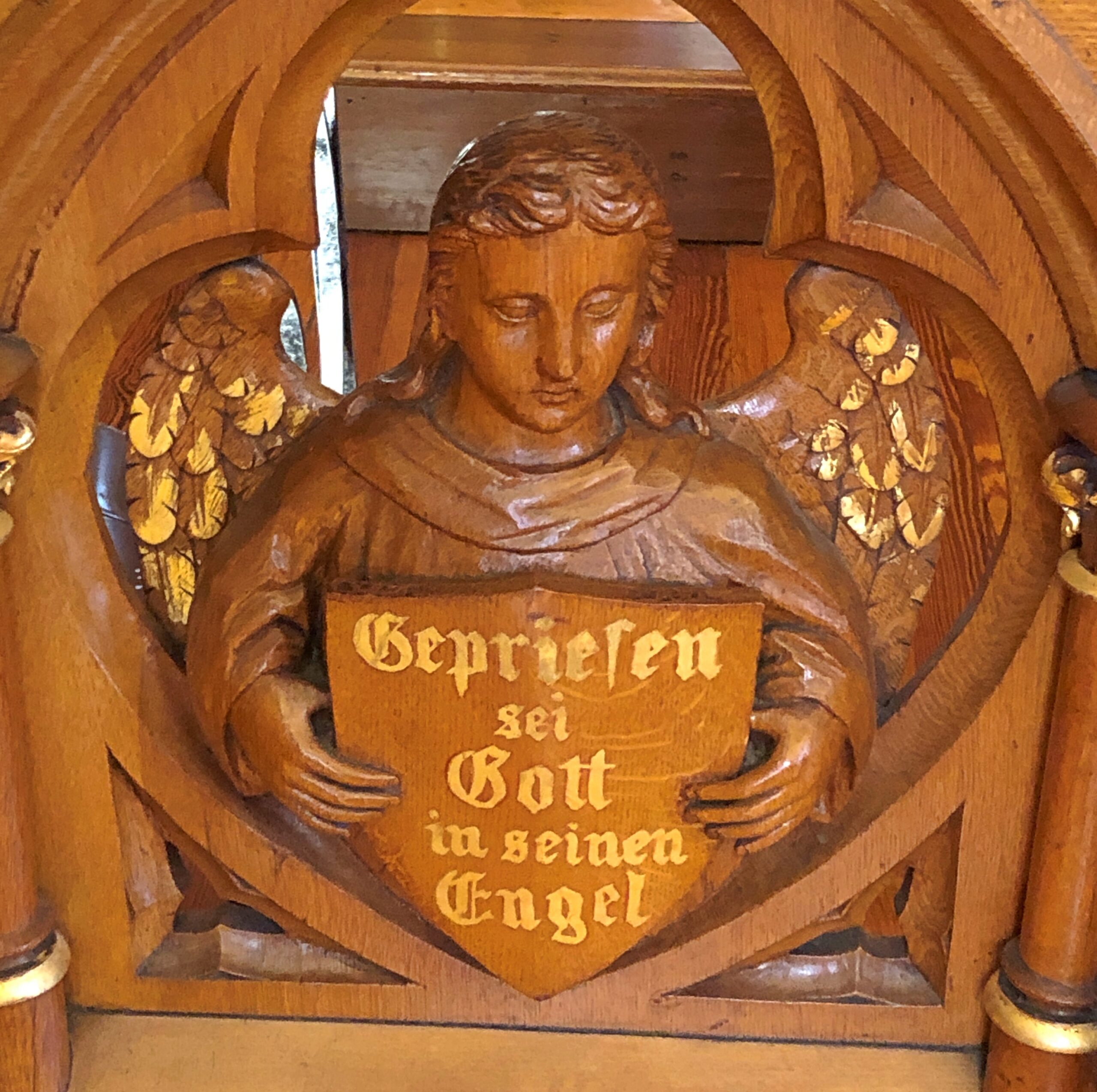
Besides reliquaries large and small, the shrine also includes some fine woodwork and stained glass.
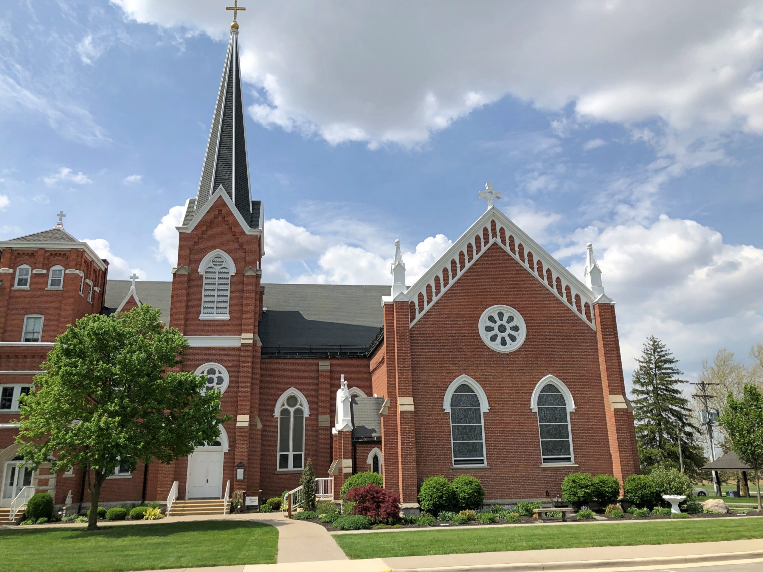
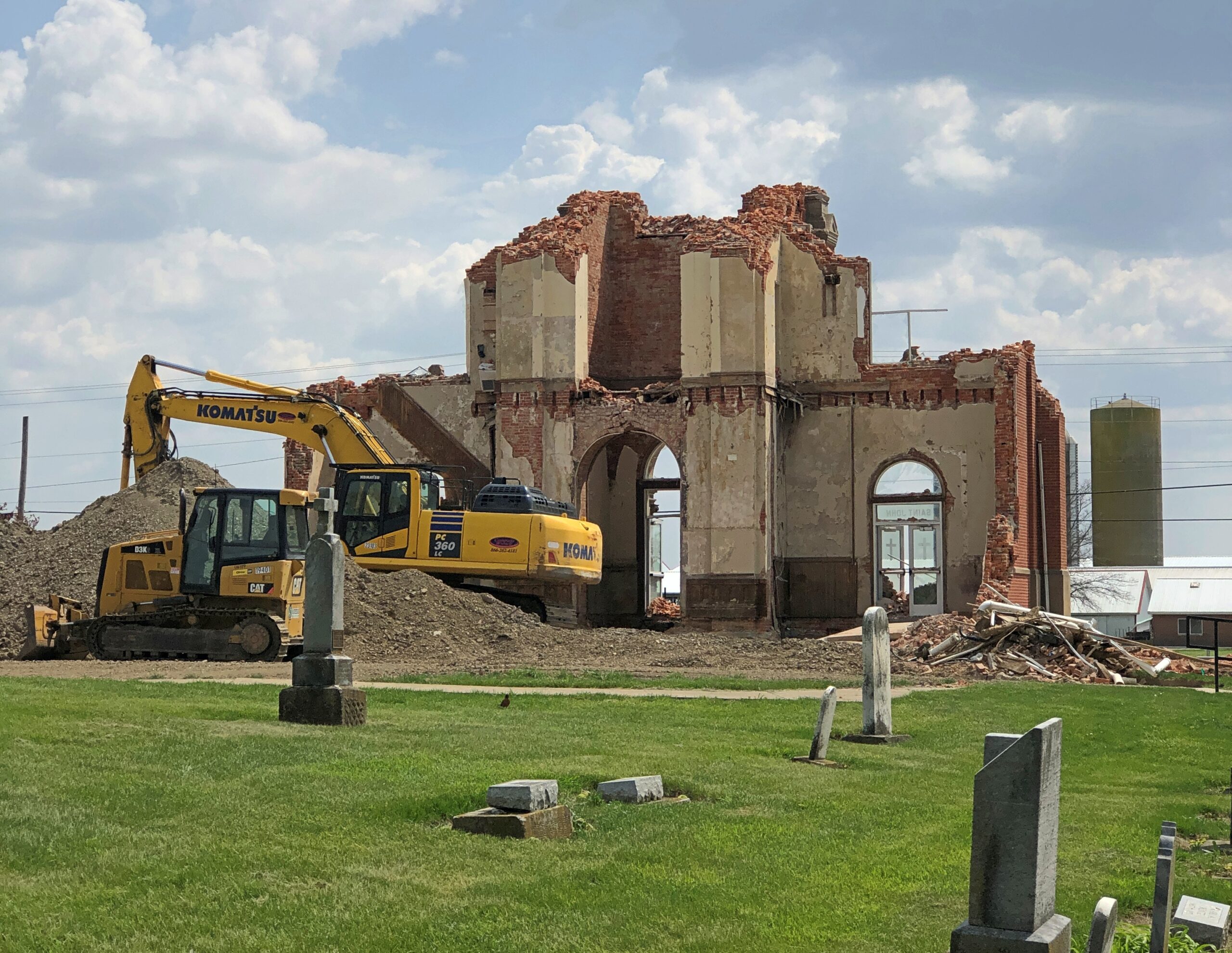
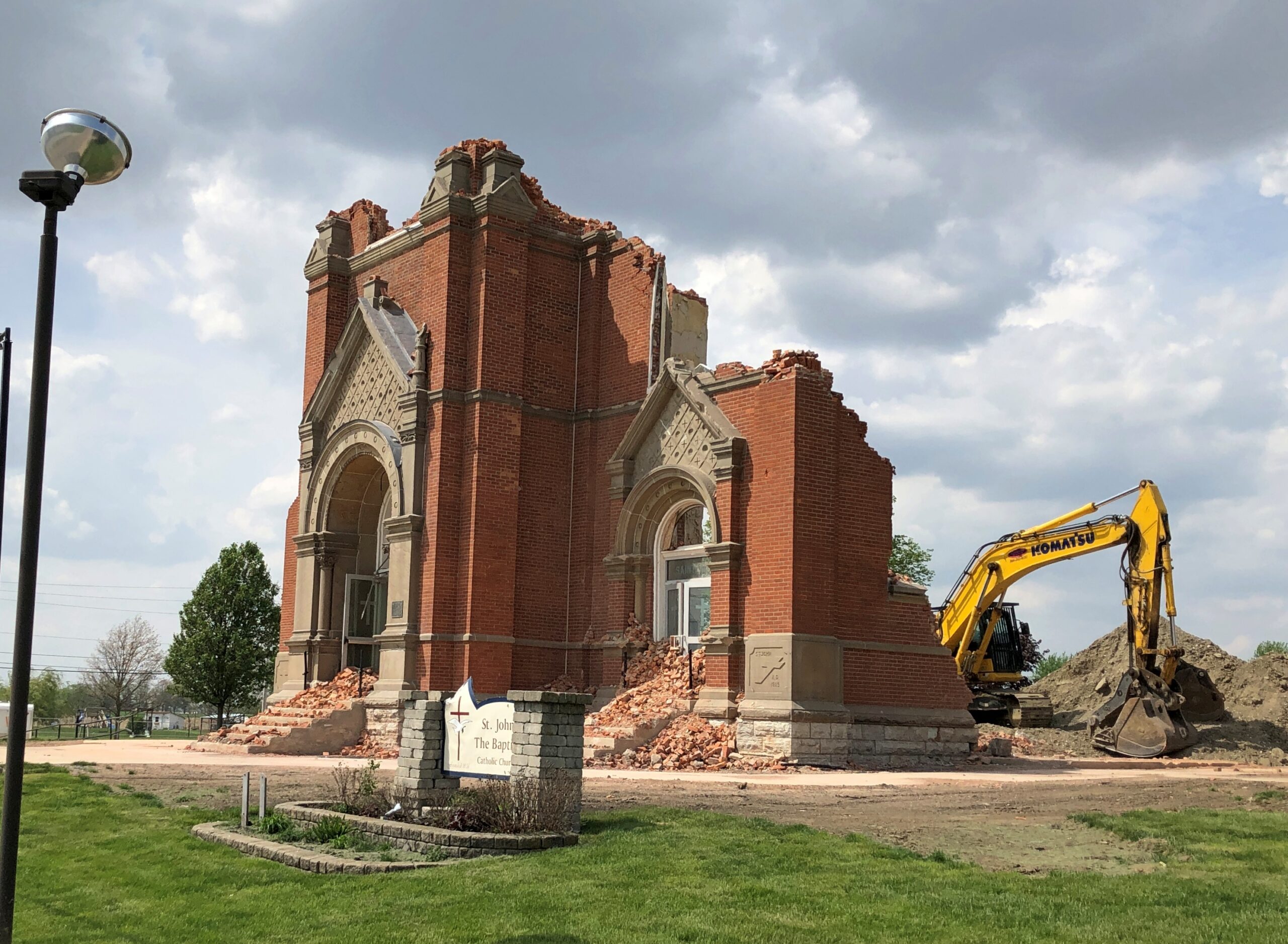
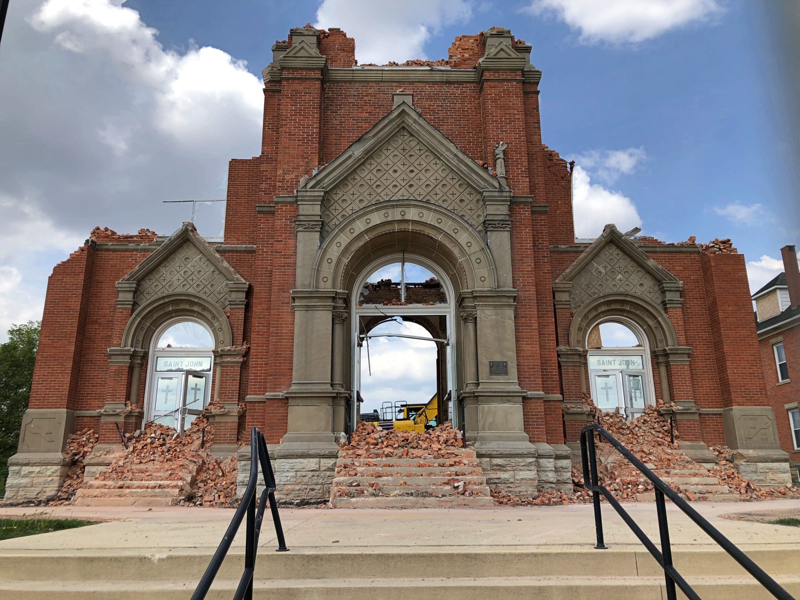
A minute’s drive from the shrine, on the two-lane highway Ohio 119, is the site of St. John the Baptist Catholic Church. Site because it is a ruin. Or was the day in April when I visited, as it’s probably gone by now. From the looks of things, demolition was in progress.
How is it that a late 19th-century brick church was being razed? I was aghast for a little while, but a posted notice told me that the church had been severely damaged by fire in May 2025.
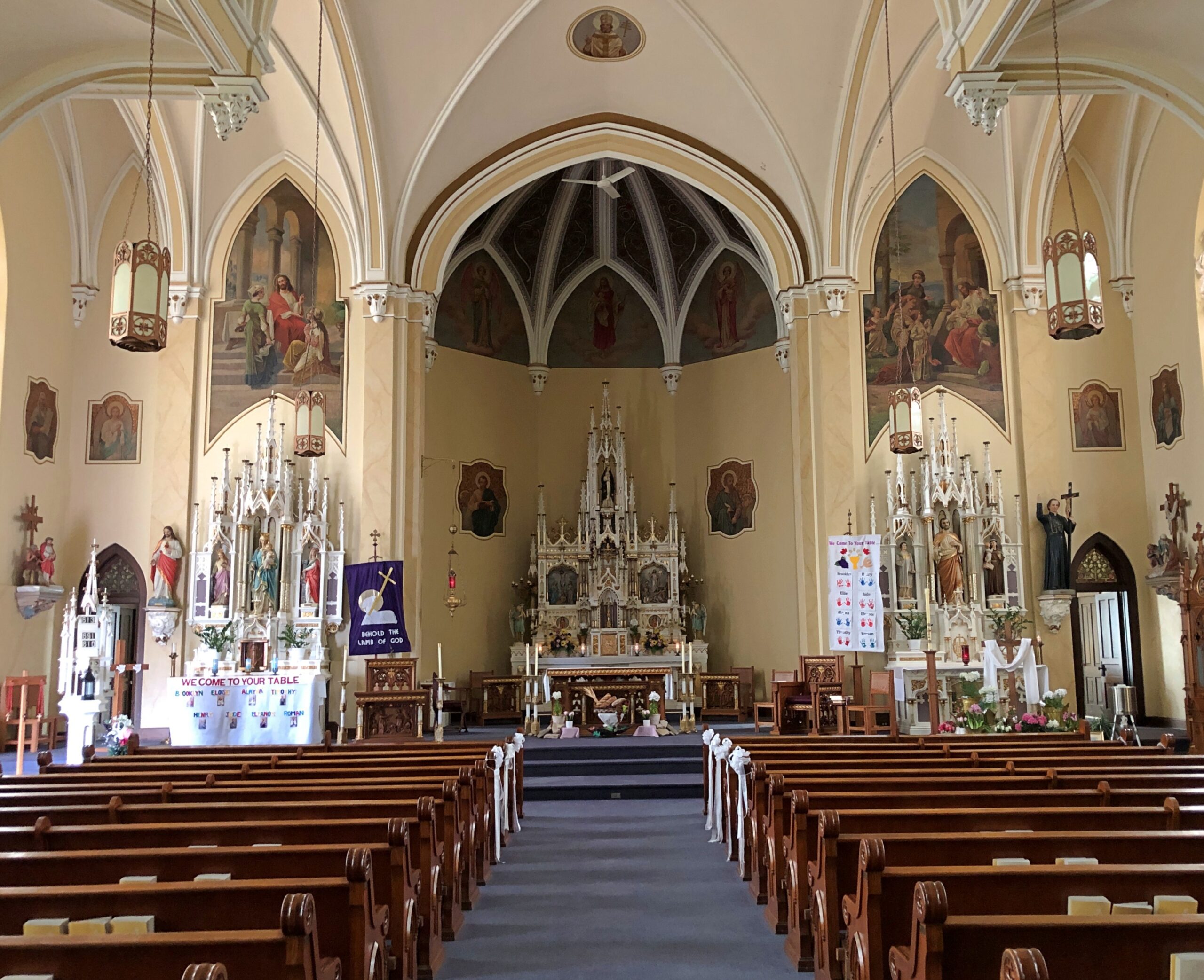
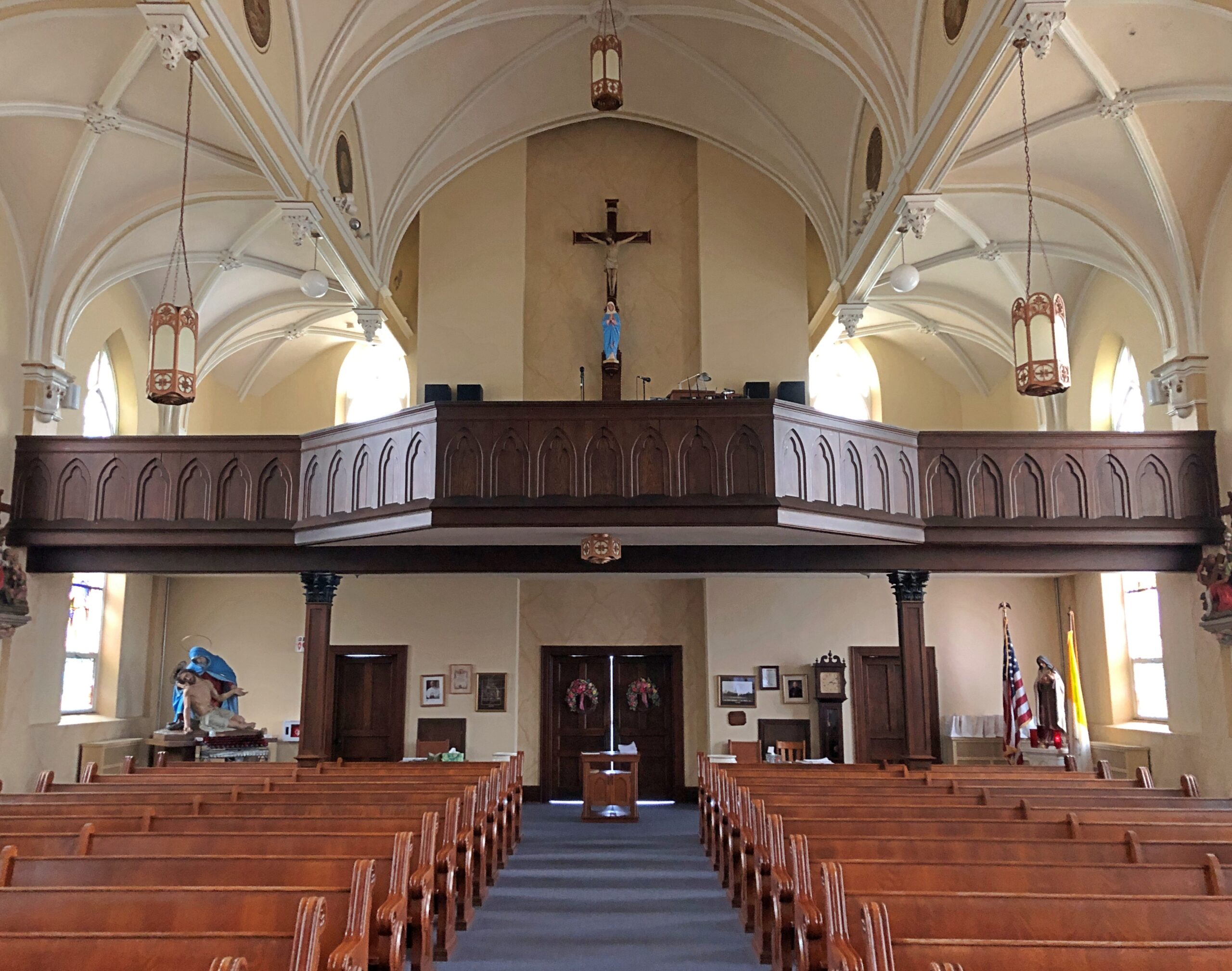
A damn shame, but it turns out — something I didn’t know buzzing down Ohio 119, seeing church after church in otherwise tiny towns — that this part of Ohio is home to many immigrant Catholic churches, mostly tall and brick and over 100 years old. The cluster of churches even has a name: Land of the Cross-Tipped Churches. Dang, now this is another place I want to re-visit. This happens to me fairly often.
The highway Massachusetts 2 – locally called Route 2 – traverses the northern reaches of the commonwealth, from the Boston Common to the border with New York more than 140 miles away, or vice versa. I went west, fortunately not starting in Boston itself, but still slightly inside Route 128.
Once you leave the thickest of metro Boston headed westward, the route becomes more casually picturesque, mildly winding through mildly hilly territory, providing access to Massachusetts towns more and less pleasant, depending I suppose on the vagaries of their economic history. Not an epic drive of the kind you encounter high in some mountains or across wide bodies of water, but a satisfying one all the same.
Eventually you come to the western part of the state, as mountainous as it gets, and the road acquires appropriate twists and vistas. My favorite moment on the road was when I first drove it in 1989. I took one of those twists, and saw a suddenly appearing sign that said Entering Florida. Of course someone has posted a picture.
Florida, Massachusetts, that is, a town (pop. 671) in the Berkshires.
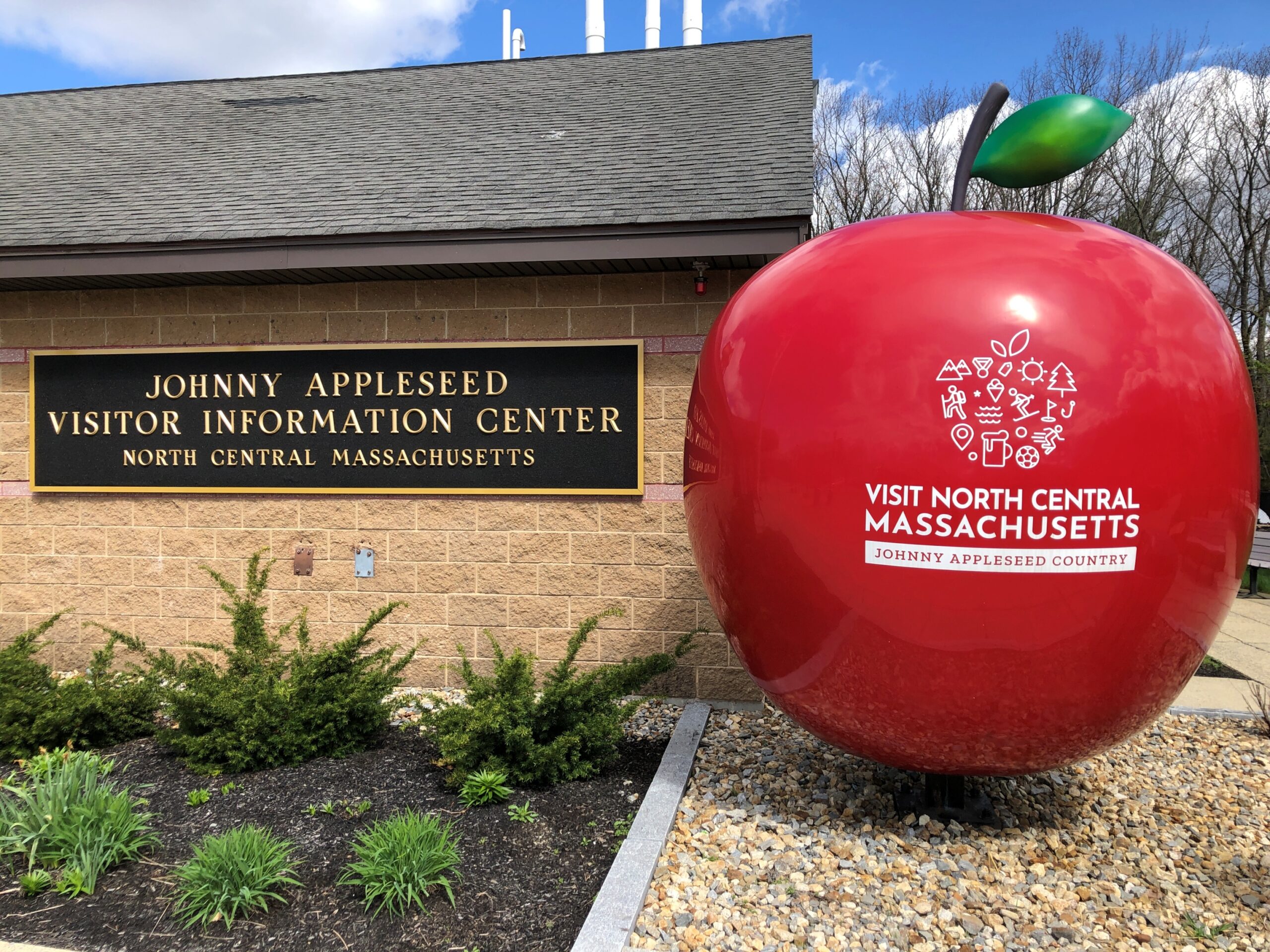
That was another drive. In April I traveled on Route 2 as far west as Shelburne Falls, but I’m getting ahead of myself. First I stopped at a rest stop on the way that reminds us that Johnny Appleseed hailed from these parts.
Indeed, John Chapman was born in Leominster, Massachusetts before the Revolution, though he came to fame in the wild-and-woolly Northwest Territory (and its spanking-new states) and now reposes in Fort Wayne, Indiana under some apple trees.
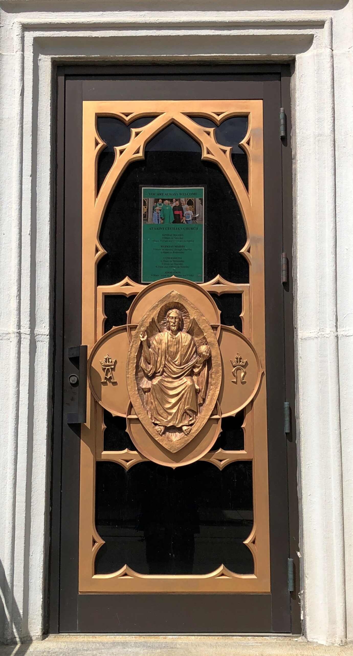
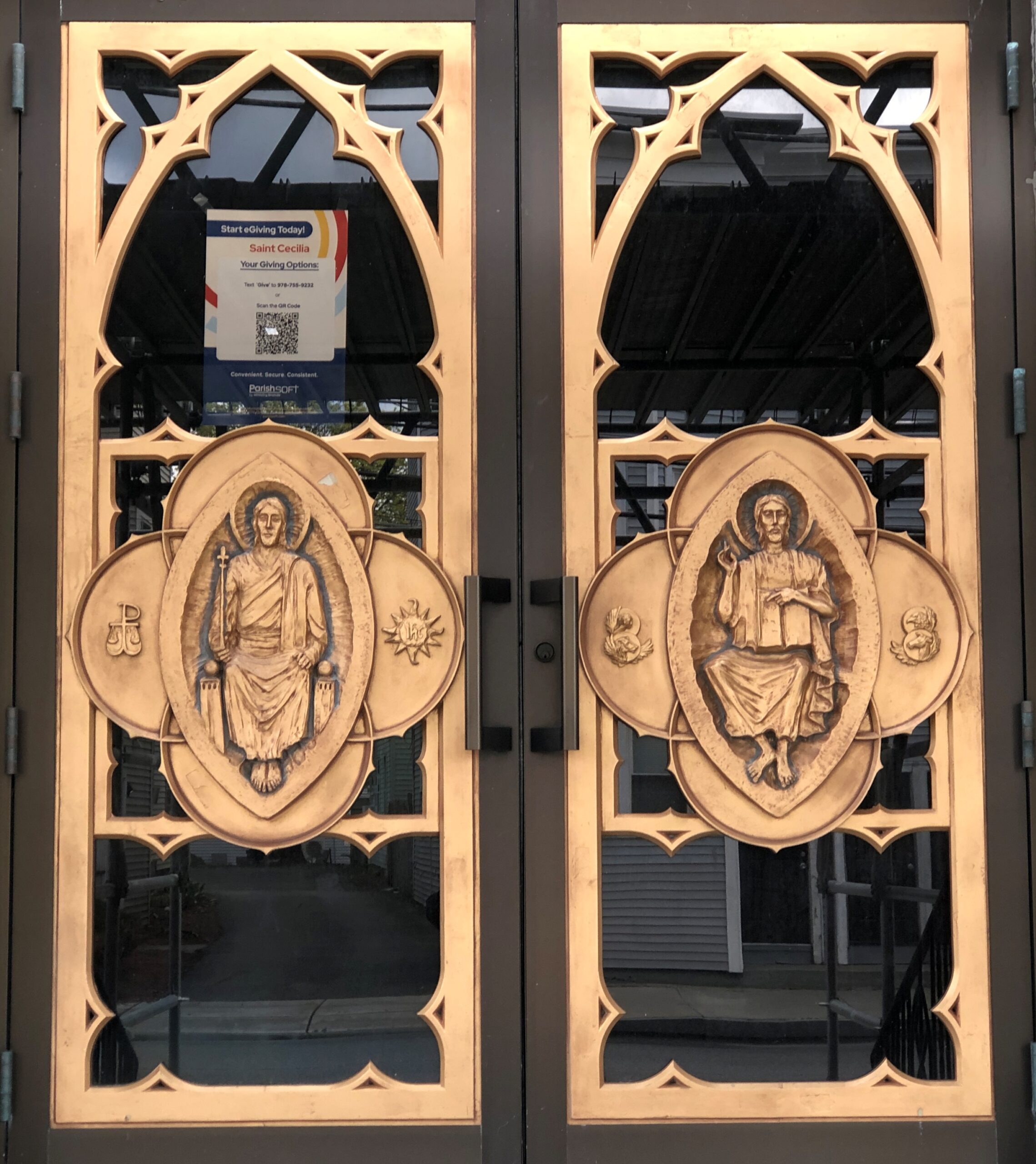
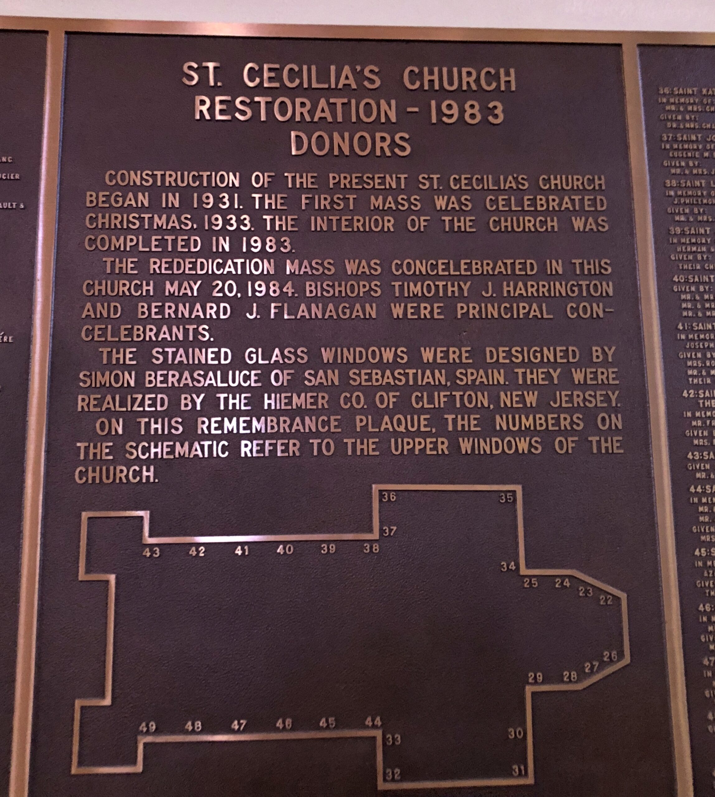
I was inspired to stop in Leominster (pop. 43,800). First stop, St. Cecelia’s Church, whose construction began in 1931 and which was restored in 1983.
Good to see a church of that name; reminds me of Santa Cecilia in Trastevere, a favorite part of Rome for me (40+ years ago), though the Massachusetts church itself is rather different.
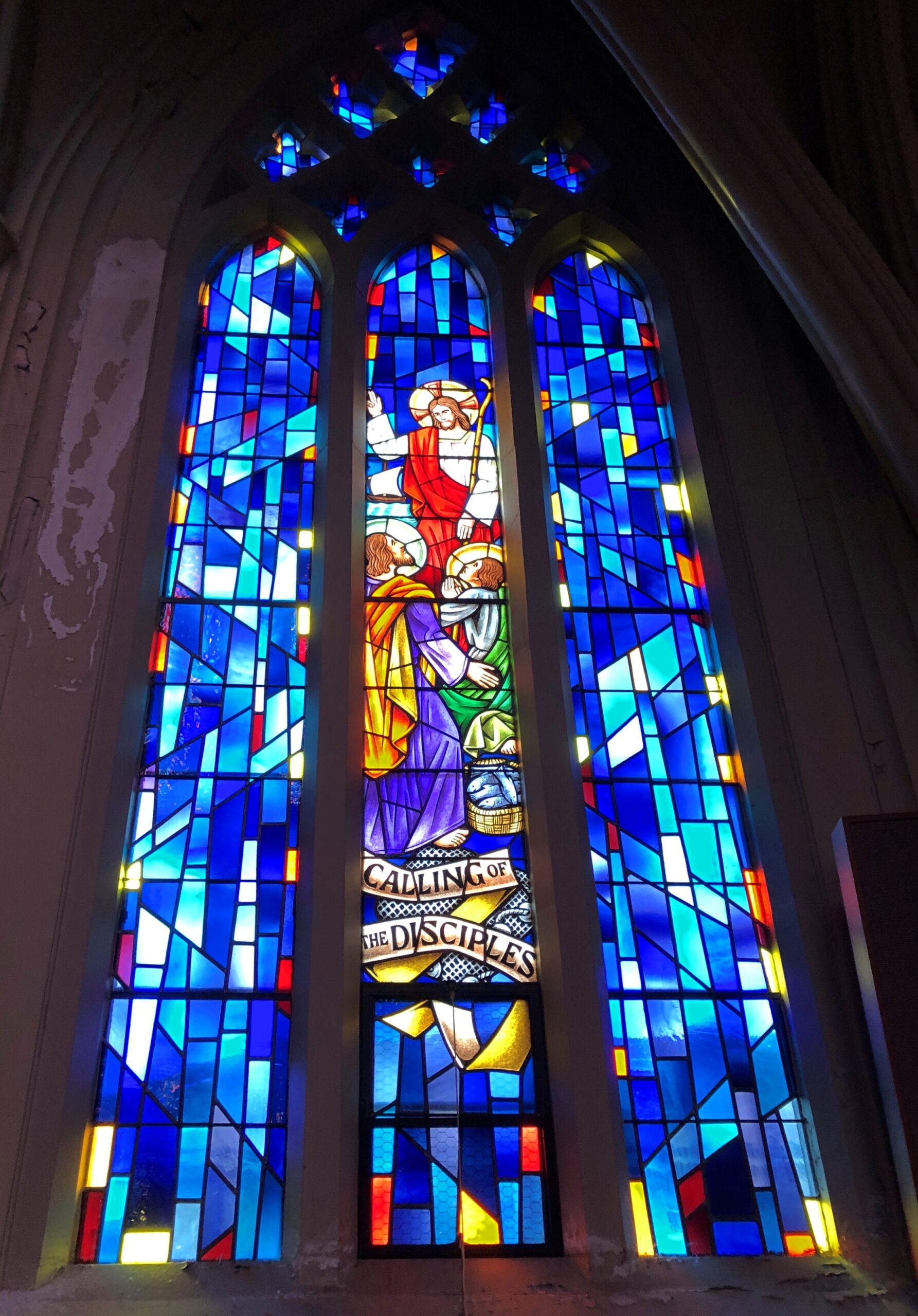
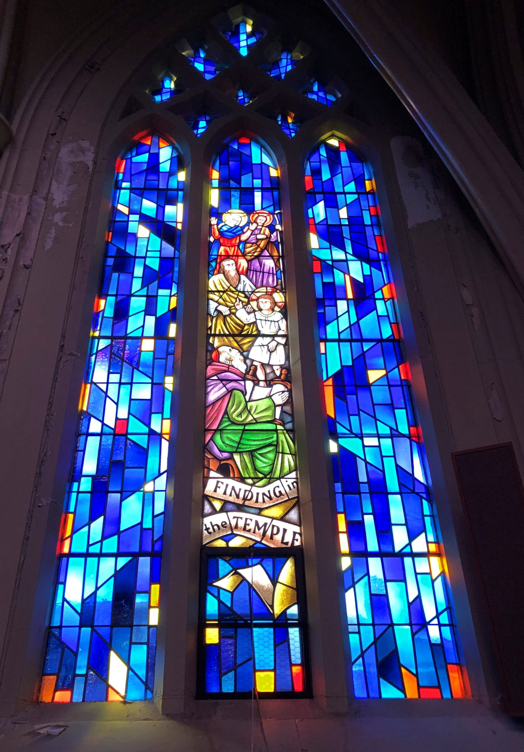
Some fine stained glass, designed in Spain, created in New Jersey.
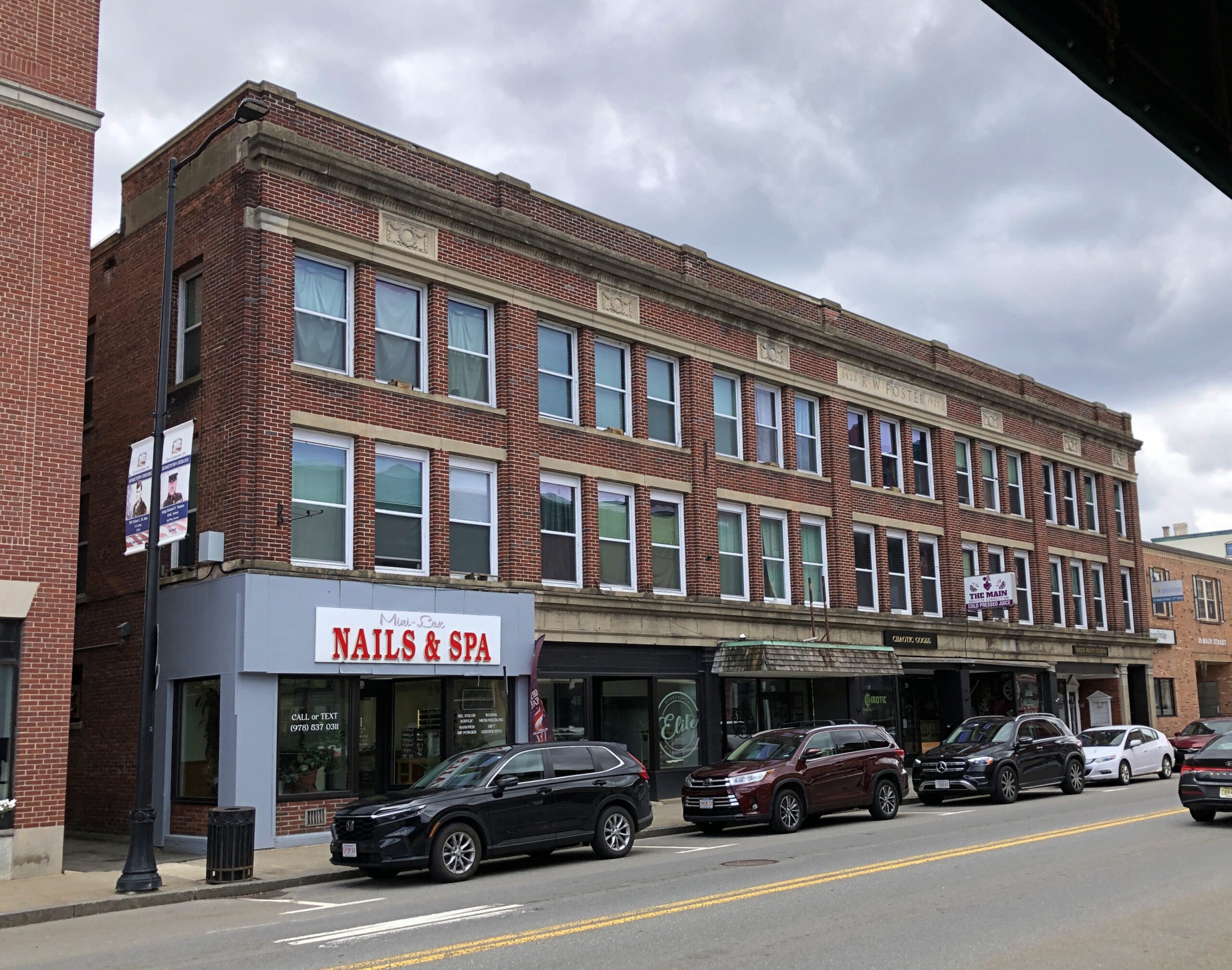
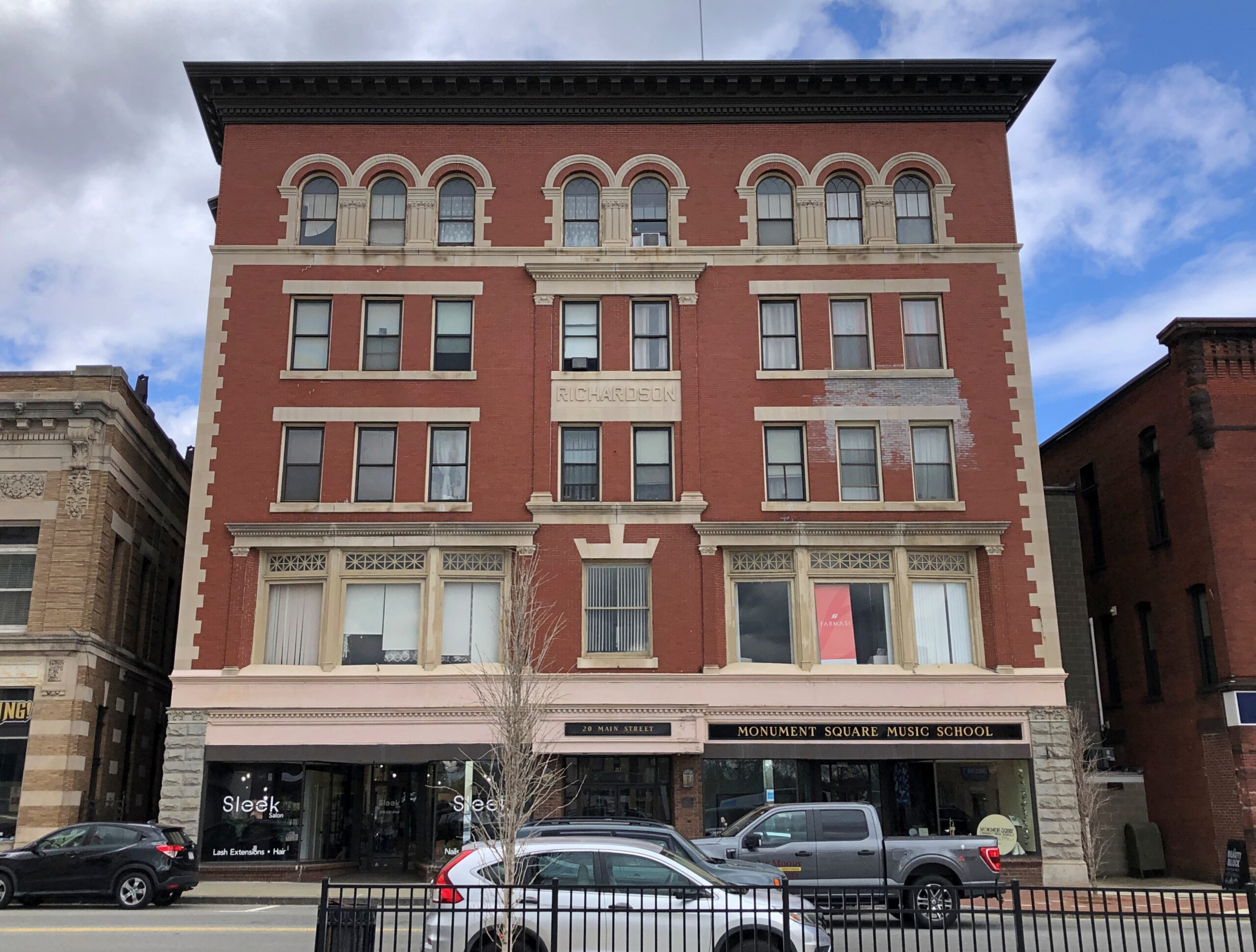
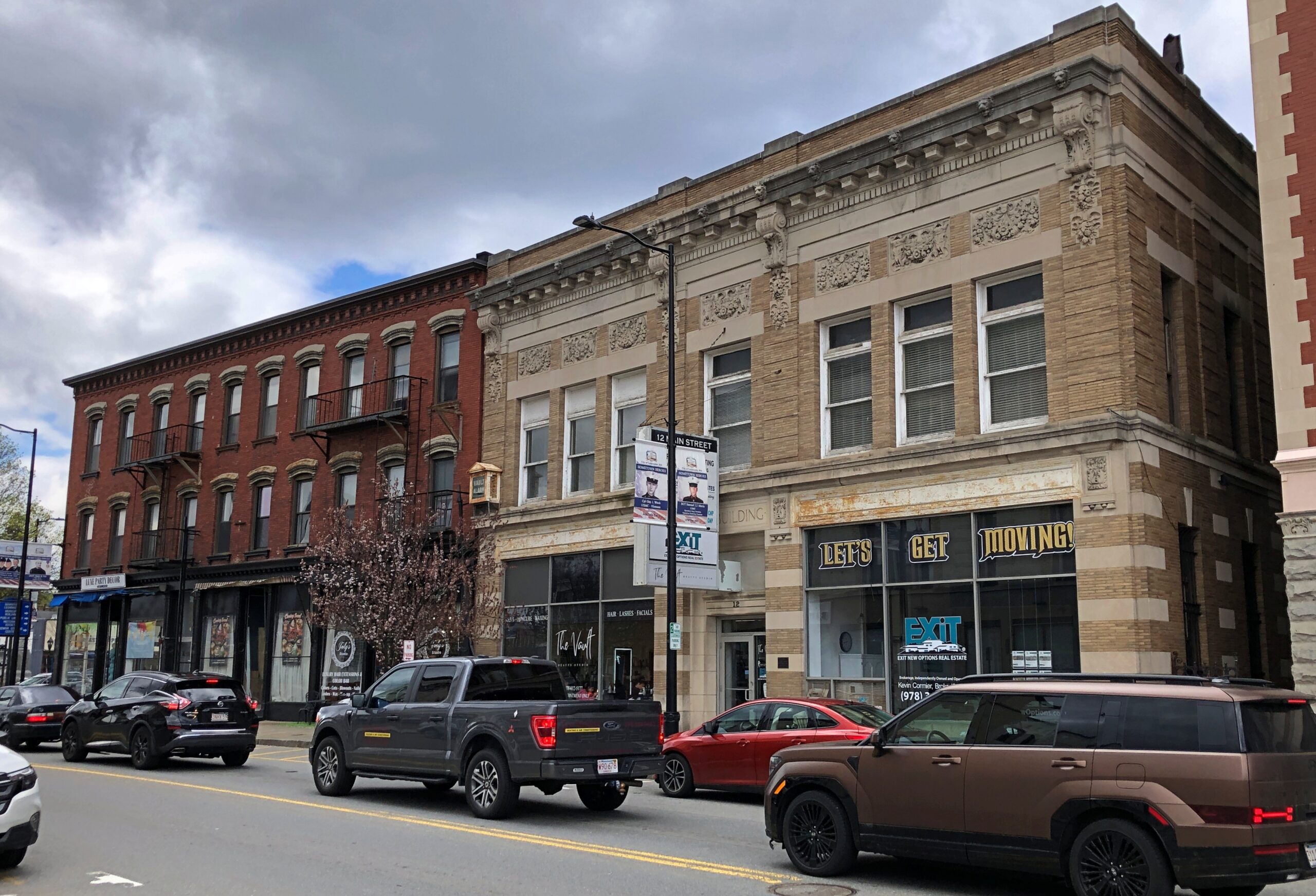
Leominster has the sort of long economic arc (for America) one finds in the Northeast: agriculture to manufacturing to services, though those first two economic activities are to some degree ongoing even now. The town is prosperous enough to support well-kept and still-used downtown buildings.
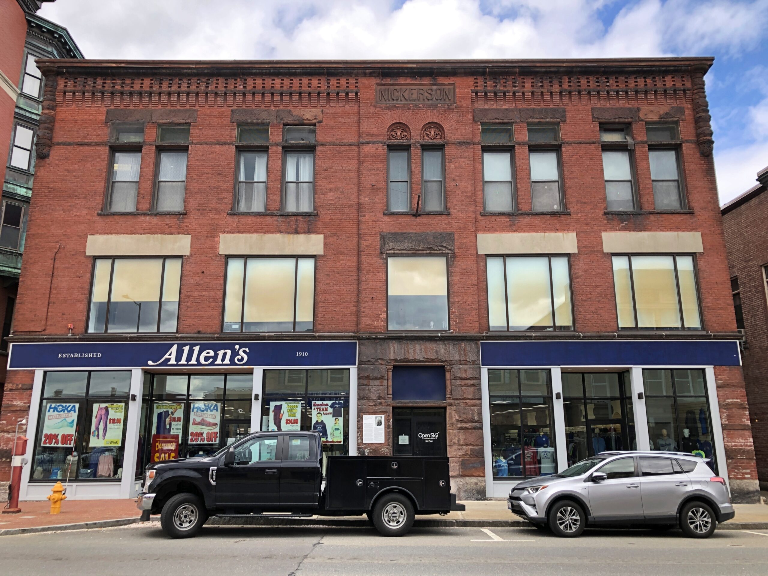
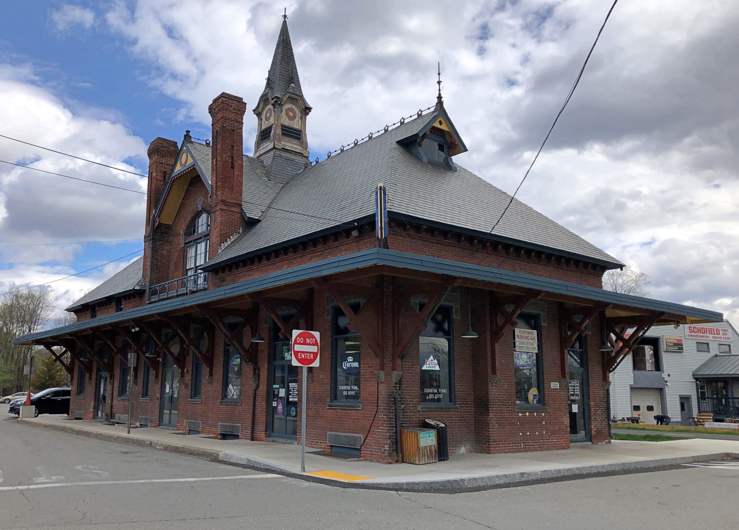
I liked the handsome former train station, now retail.
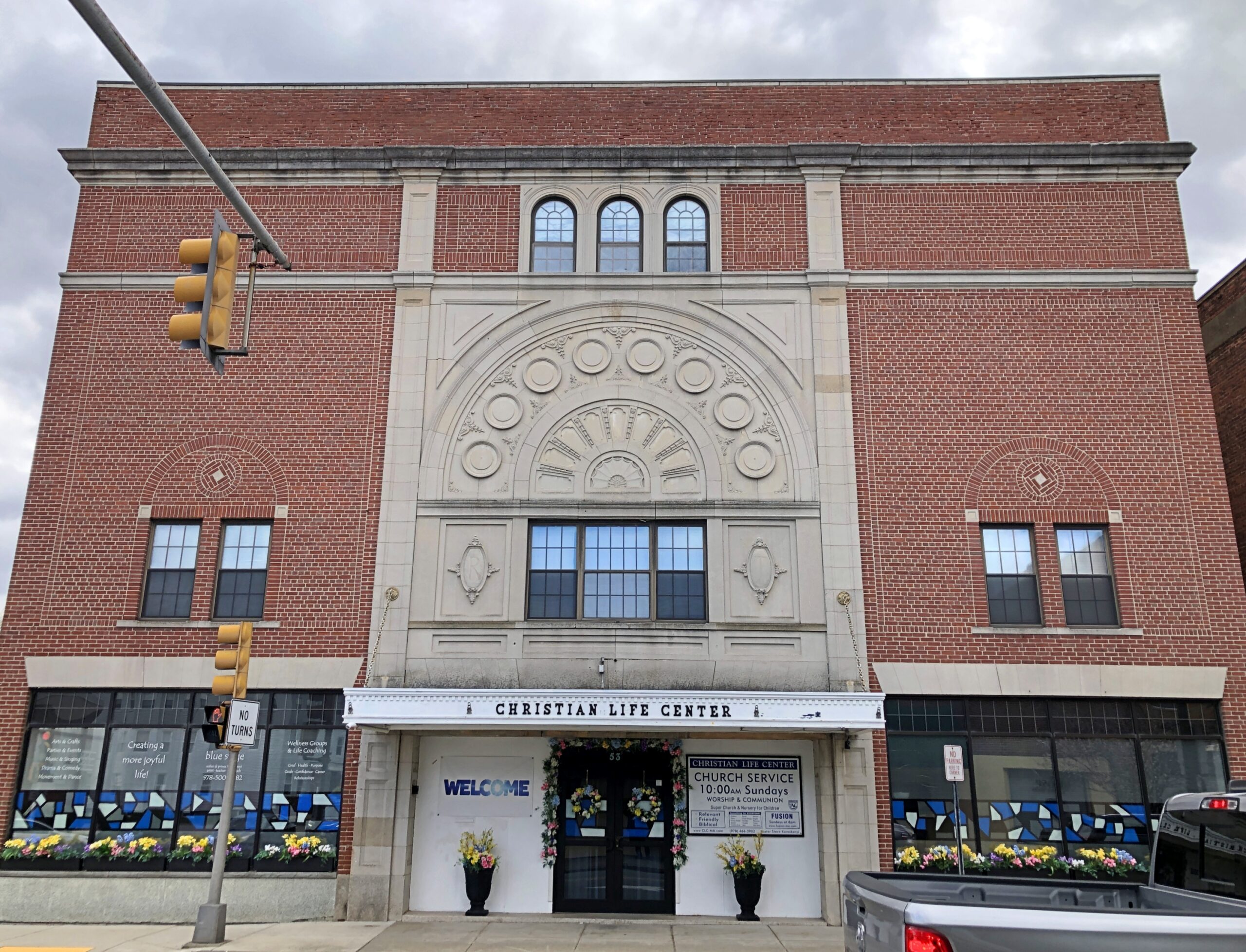
Another church.
Not as vaulting as the Catholic church down the road, but still a handsome brick structure. I had to look into it: this church is affiliated with the Assemblies of God, the largest Pentecostal association in the U.S.
Manufacturing in the case of Leominster meant a remarkable specialty in the 19th century and into the 20th: combs. Even more remarkable, a history of American comb making, published in 1925, is posted online, namely Comb Making in America, “An Account of the Origin and Development of the Industry for which Leominster has Become Famous to which are added Pictures of Many of the Early Comb Makers and Views of the Old Time Comb Shops.”
That publication date puts it in the public domain. Ah, there’s another setting for a streaming service limited series costume drama — among the cutthroat world of comb making in 19th-century Leominster. I don’t know that “cutthroat” is accurate at all, but who cares. Maybe two brothers fighting for control of their dying father’s comb empire, and their love for the same upper-class woman (who is anachronistically feisty), amid a backdrop of bitter labor agitation, with two labor leaders pushing for unionization, and their love for the same woman (a different woman, that is, one of the comb makers, but also feisty.). See, that wasn’t hard at all. Who needs AI to come up with ridiculous ideas?
The Forward of Comb Making in America calls Leominster the “present seat” of the industry in America: “The industry has changed this thriving town, which is about fifteen miles from Worchester and forty-five miles from Boston, from a small agricultural hamlet into an industrial center of more than twenty thousand people whose products are known throughout the world.”
In the early days, of course, making combs from animal horn and the like was a labor-intensive effort. A more modern industry arose with the invention of celluloid. Later came more sophisticated plastics and molding tech, and the expansion of the industry into other molded items. Such as Foster Grants and Tupperware, both of which originated in Leominster. A simple Google search reveals that there is still a plastics industry in Leominster.
I didn’t spend a lot of time in Leominster, so maybe I missed it. But where’s the giant comb or Foster Grant or Tupperware container in a prominent public place? Leominster officials and private boosters, get on it. Or at least invite the Wall Dogs to town to whip up some local history murals.
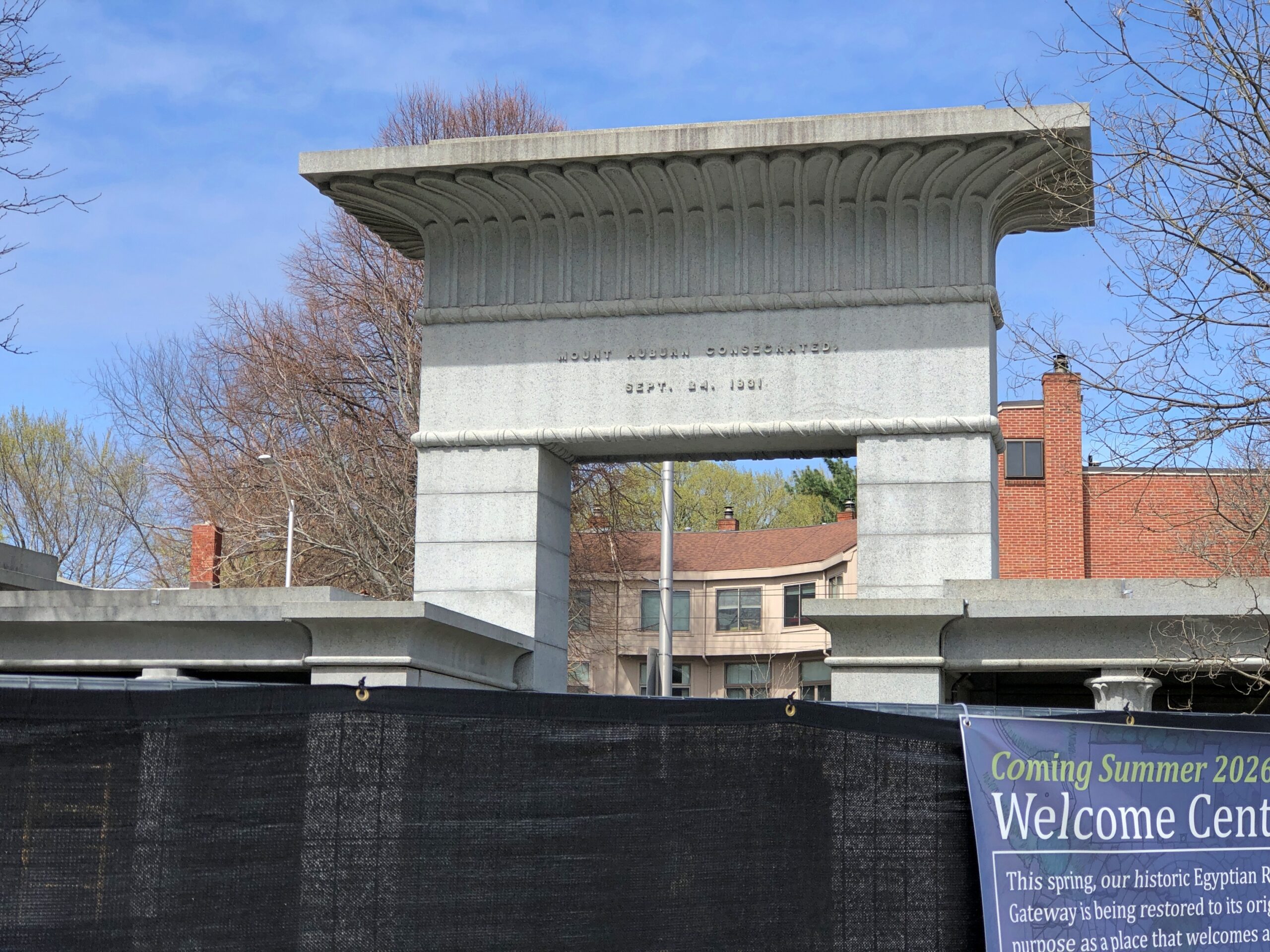
The main gate of Mount Auburn Cemetery, an Egyptian Revival structure, was behind a temporary fence the day I dropped by. That’s only reasonable, as an object that needs periodic renovation.
I took a paper souvenir from the cemetery, one that’s given away: a detailed map and guide. An exceptionally detailed map and guide, I should add, including not only the vehicular roads that twist around the grounds (something like the roads in greater Boston), but all of the many, many footpaths, all of which seem to have names. Also noted are special features, including chapels, ponds, named knolls, the sites of 62 notable people buried on the grounds, plus the sites more than 20 notable memorials or works of funerary art. It’s more than anyone could take in during a short visit, or even a lot of longer visits.
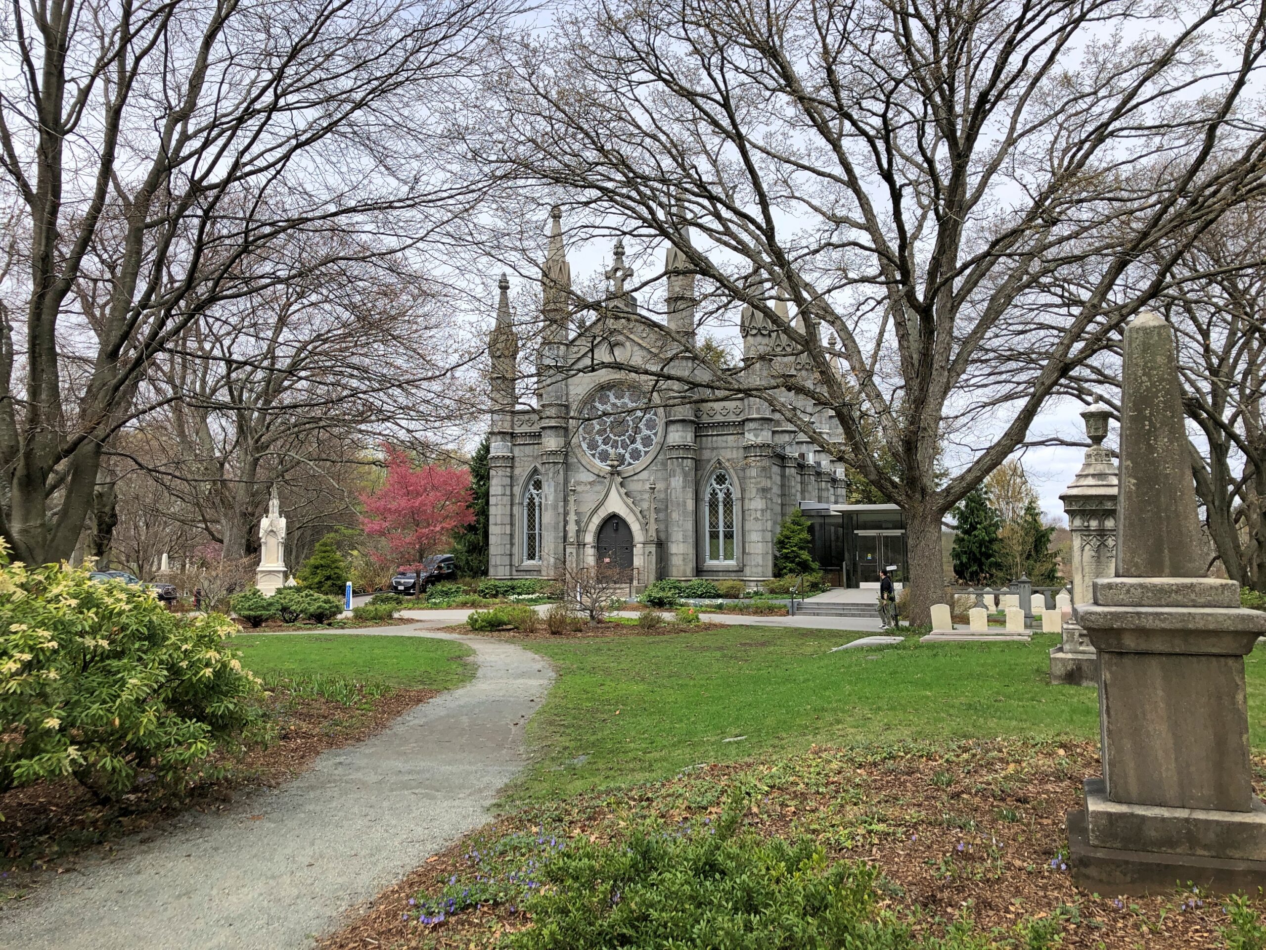
That’s never deterred me. I parked near the entrance and set out, picking up the map at the visitors center and spending a moment at Story Chapel.
The chapel is named for Joseph Story (d. 1845), associate justice of the Supreme Court, colleague of John Marshall and, in as much as I know about the subject (not much), a titan of early U.S. jurisprudence. He was also first president of Mount Auburn and, when his time came, he was buried there, though that was among the many memorials I didn’t happen to see.
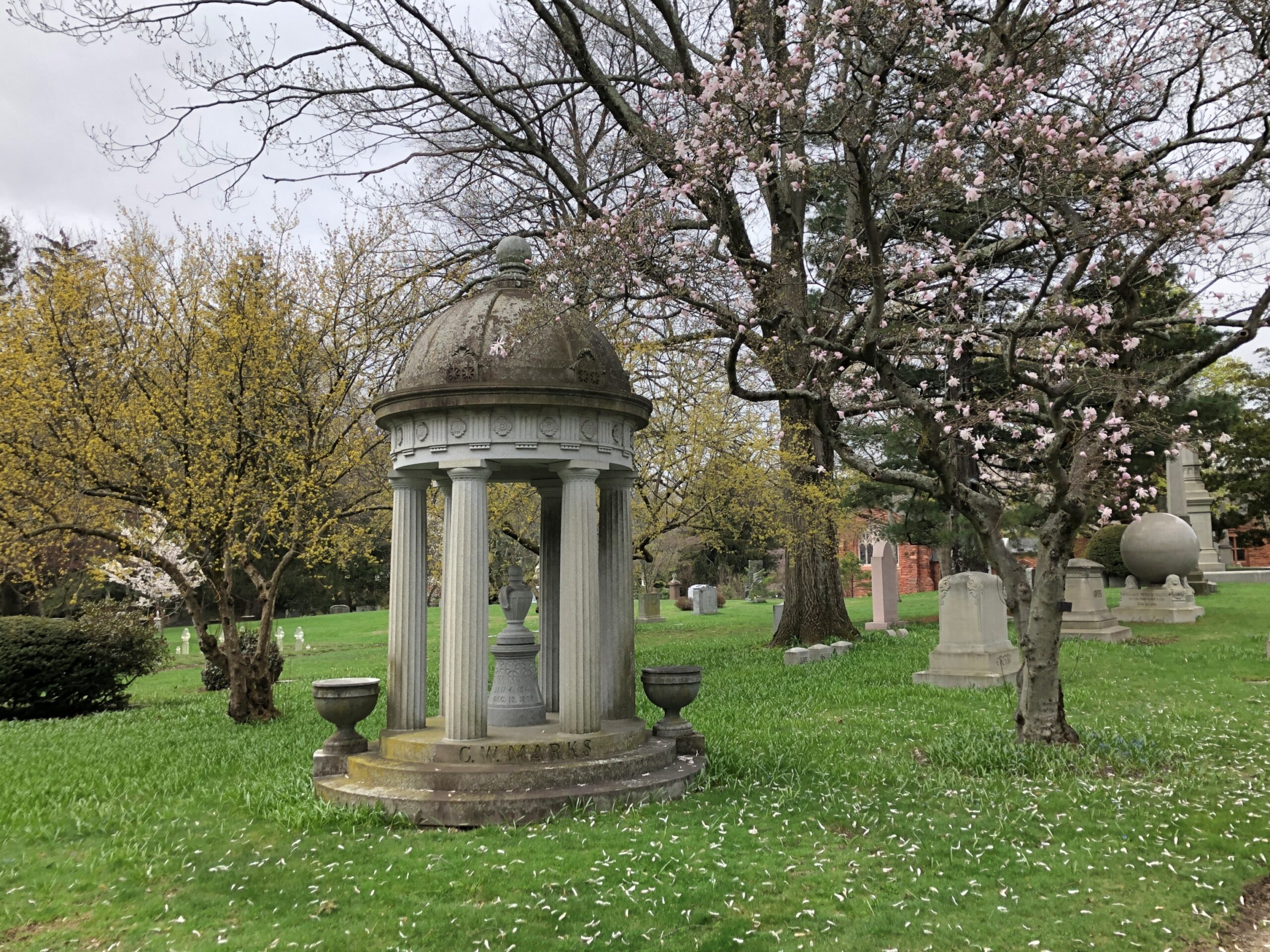
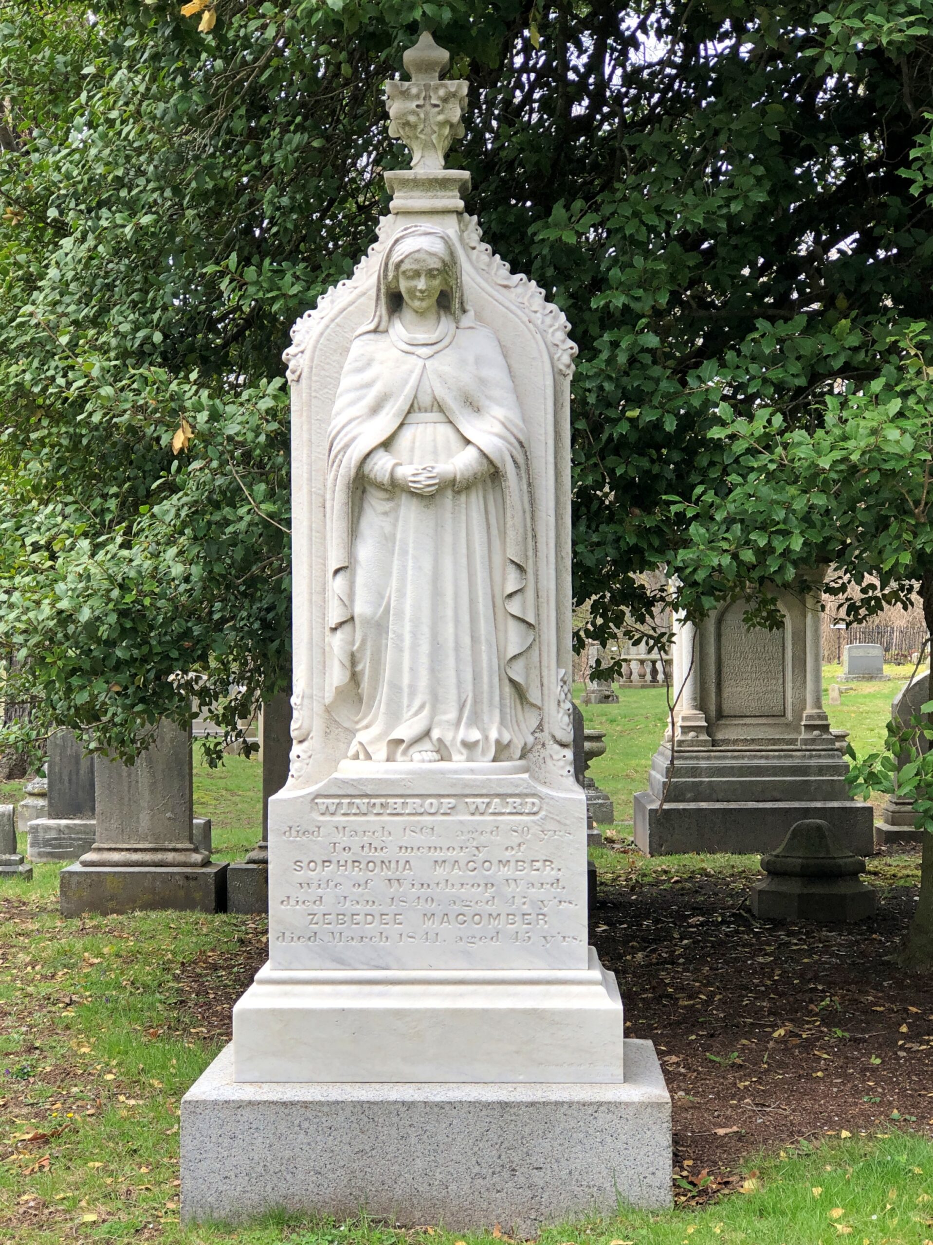
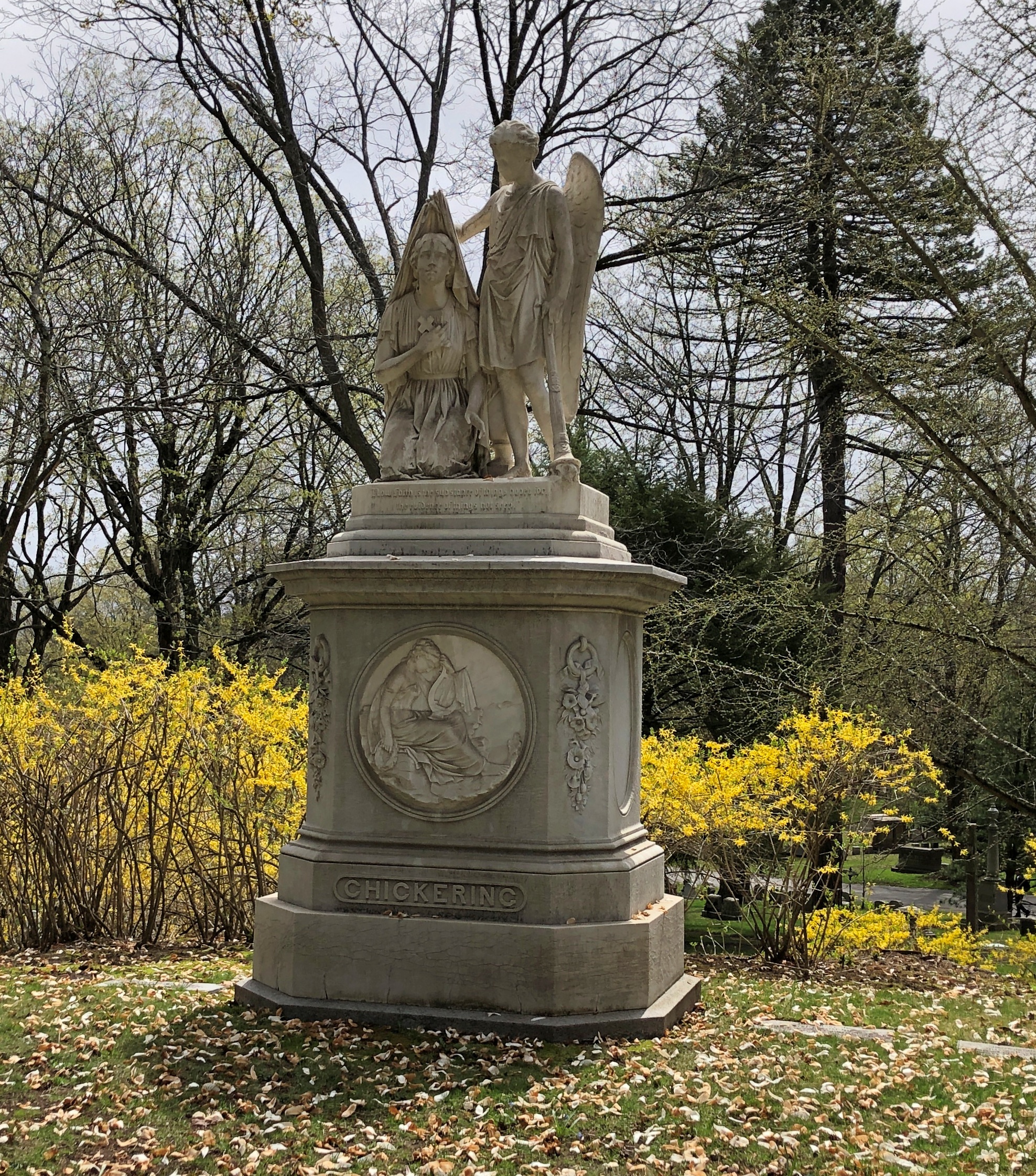
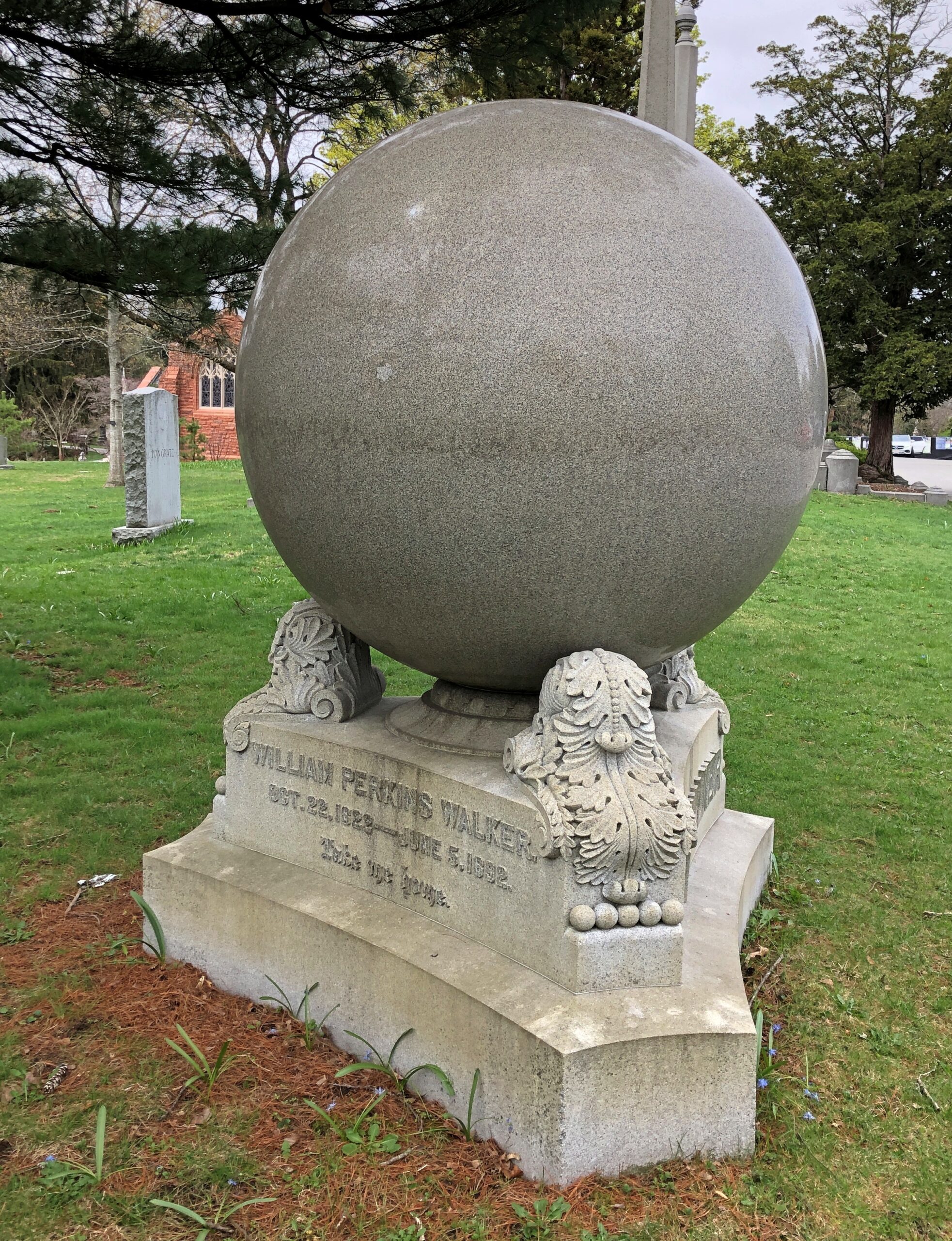
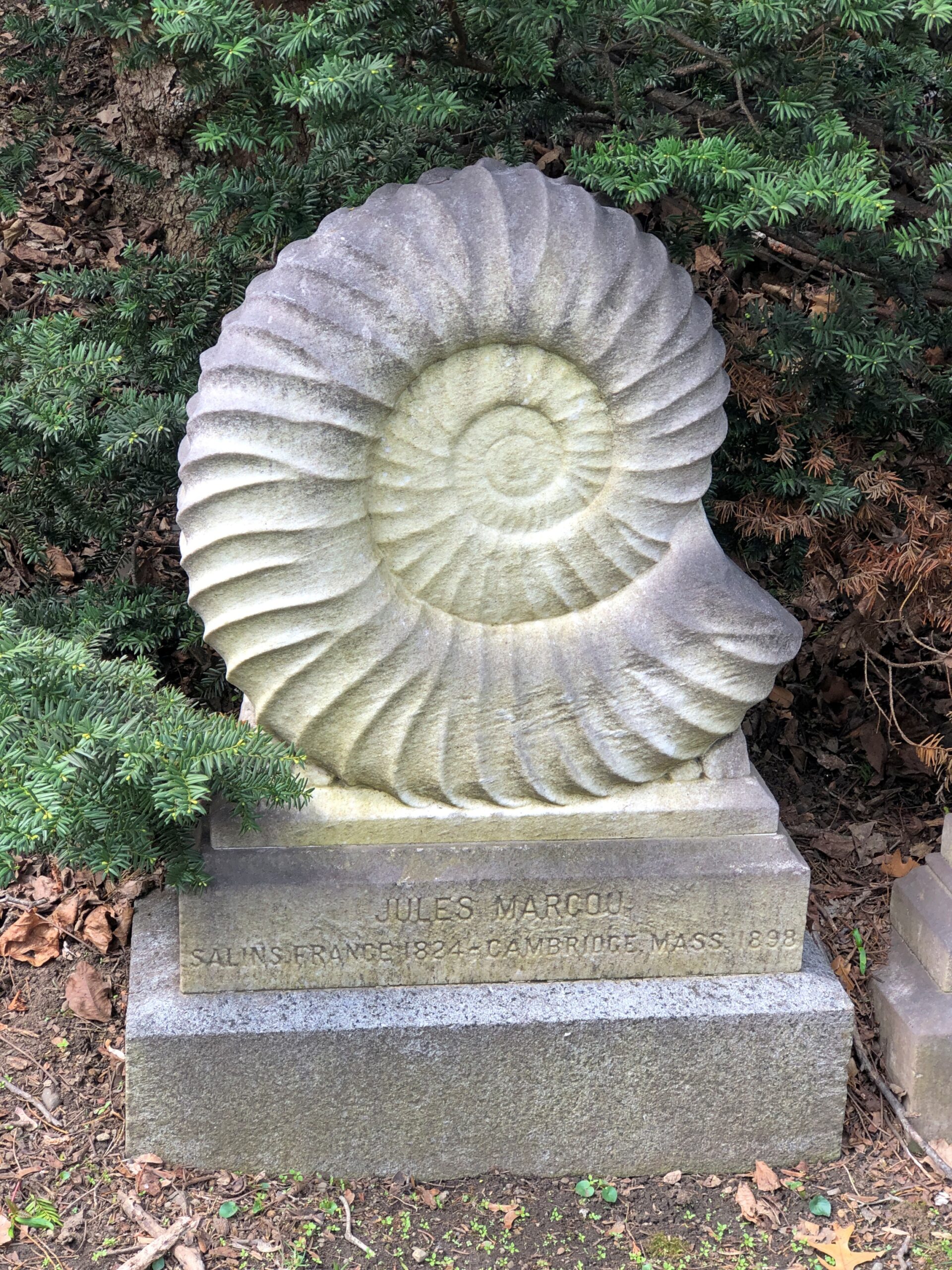
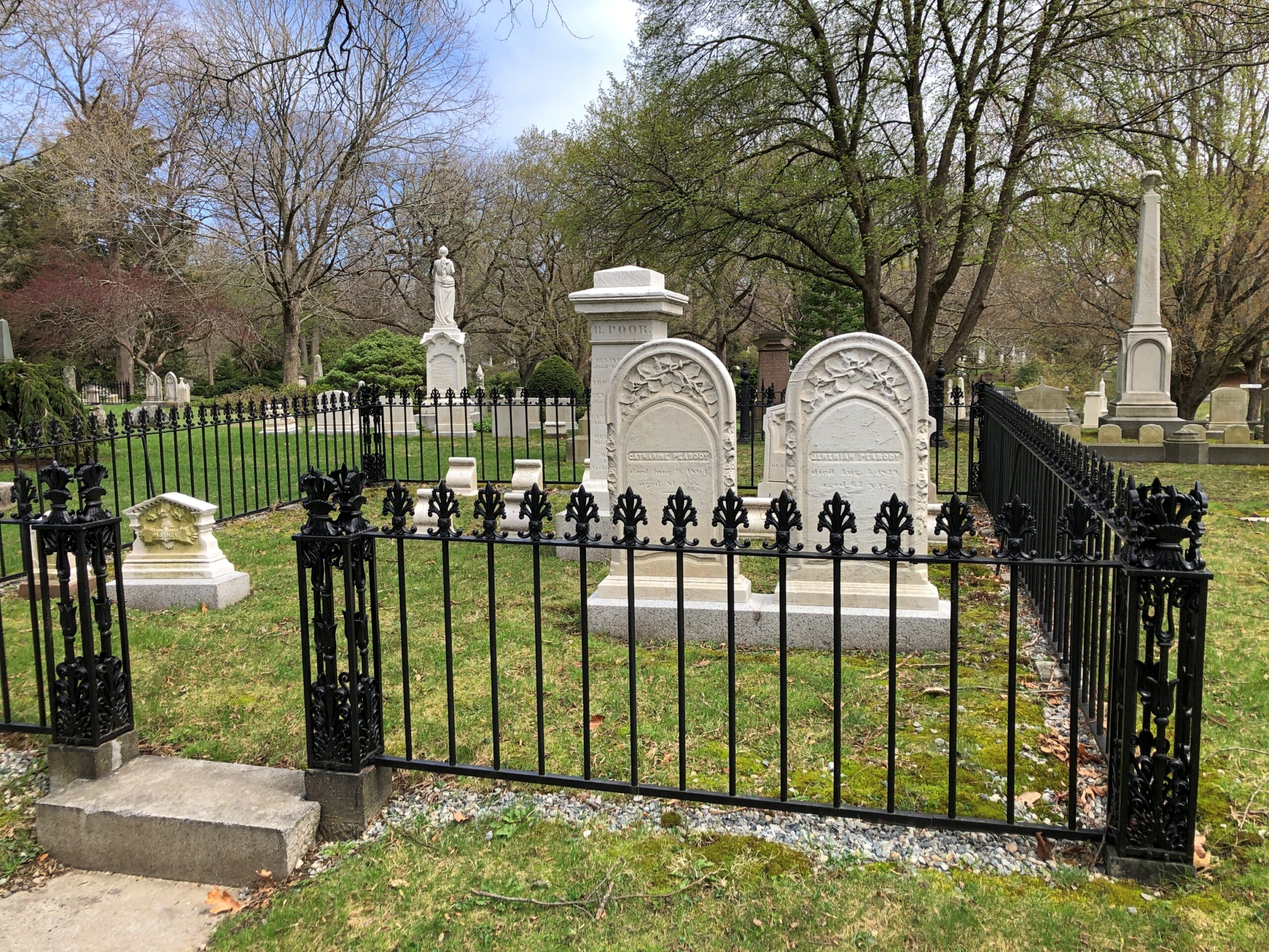
So many memorials. Some more conventional, but no less beautiful or impressive for it.
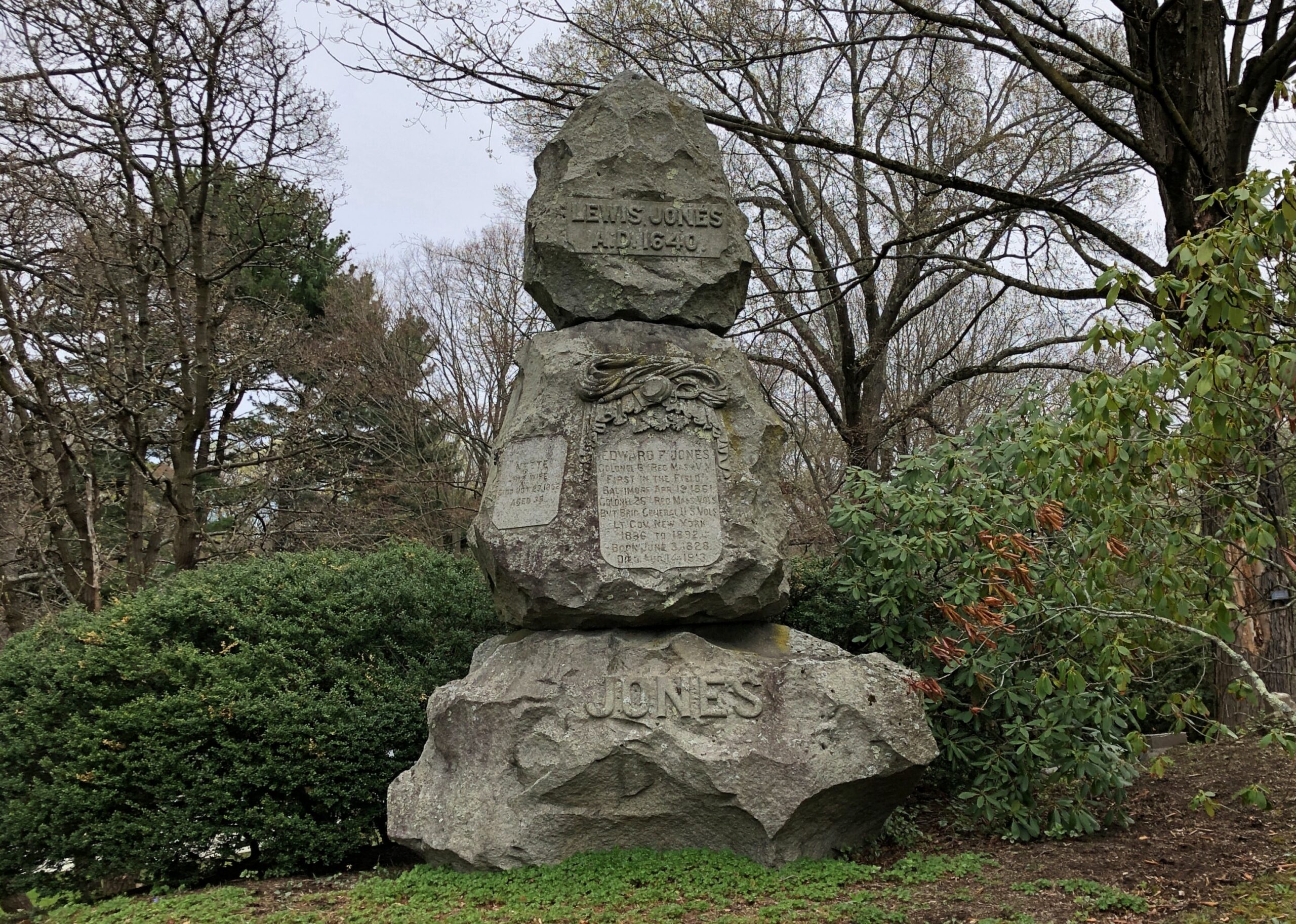
Some less conventional. Any grand cemetery needs a component of the unusual or odd.
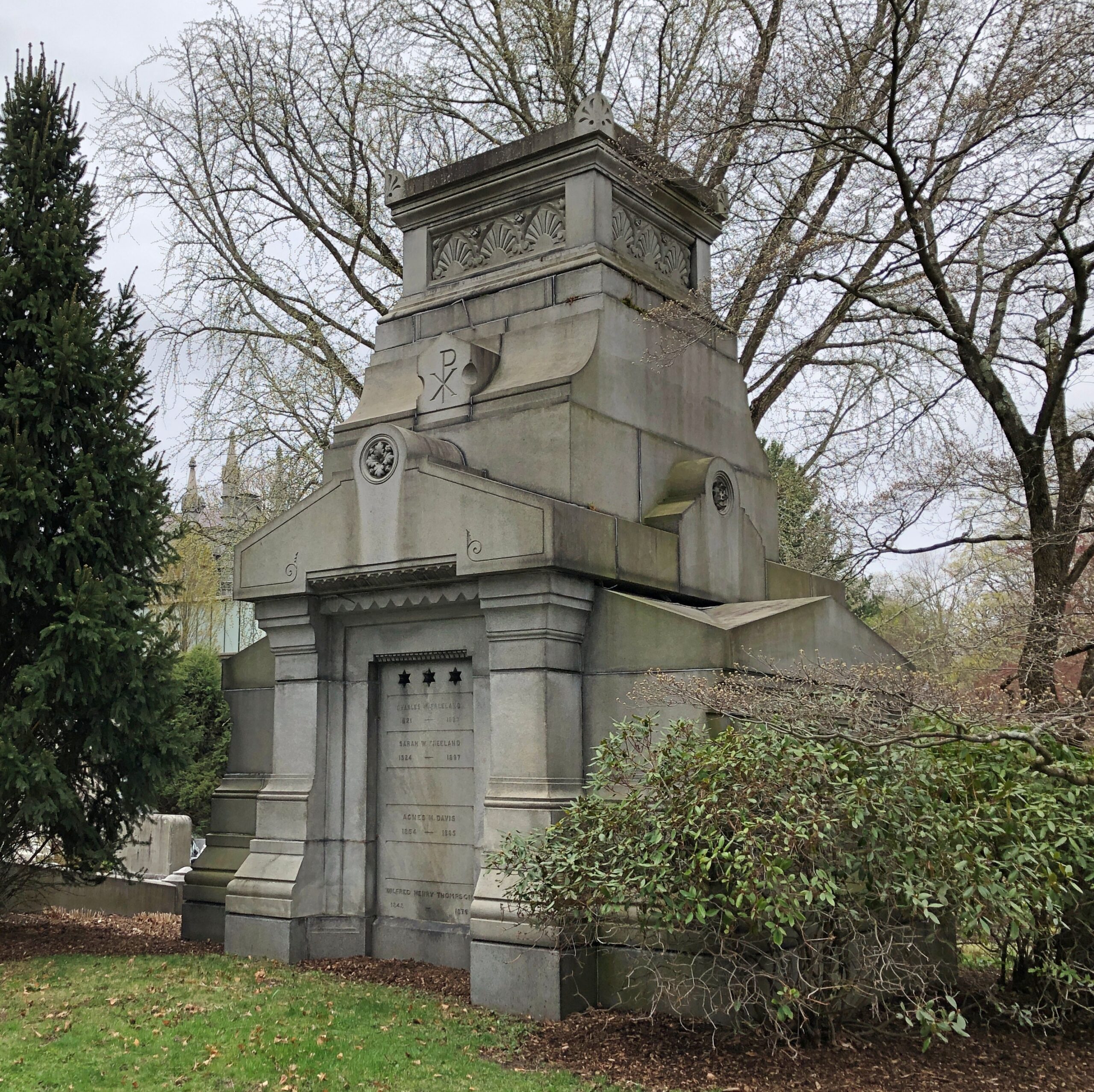
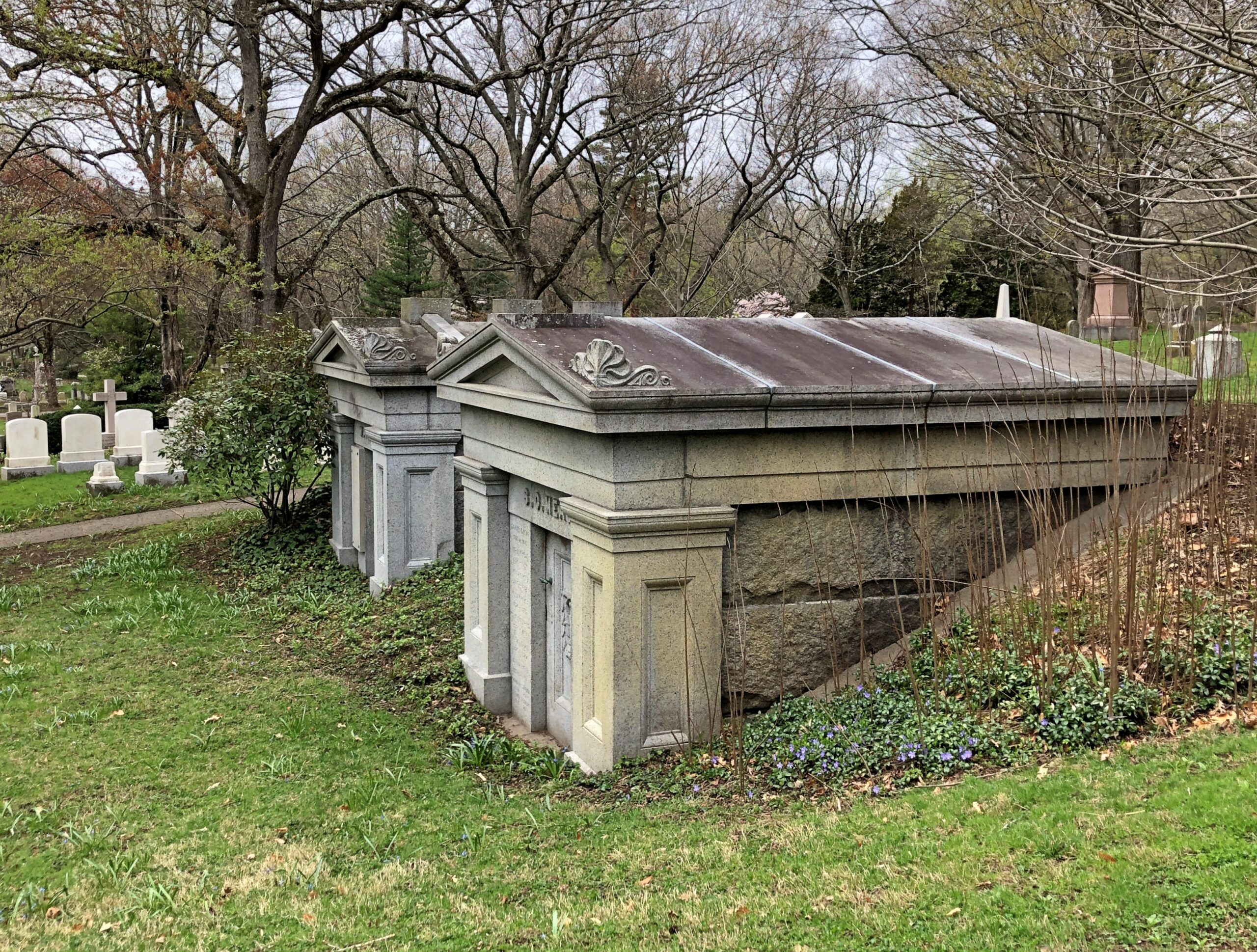
A number of mausoleums, though perhaps not as many as you’ll see at Green-Wood or Woodlawn in the Bronx.
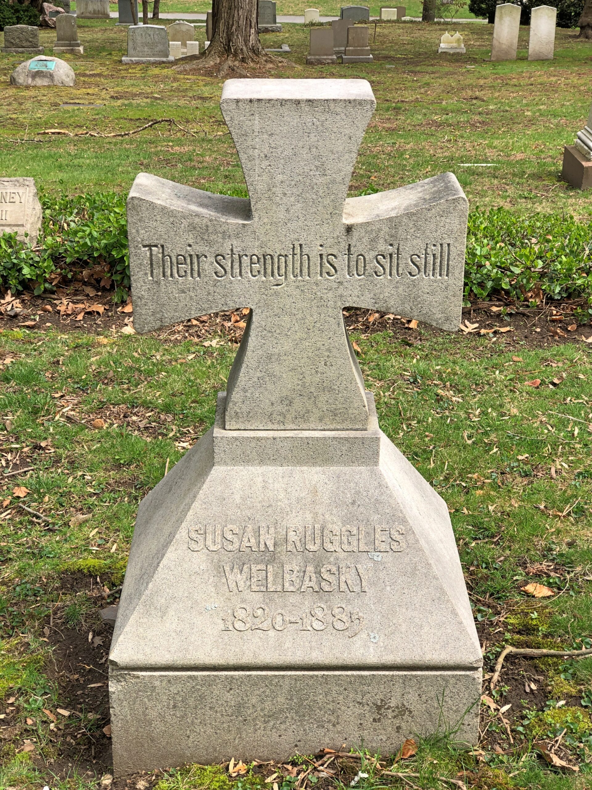
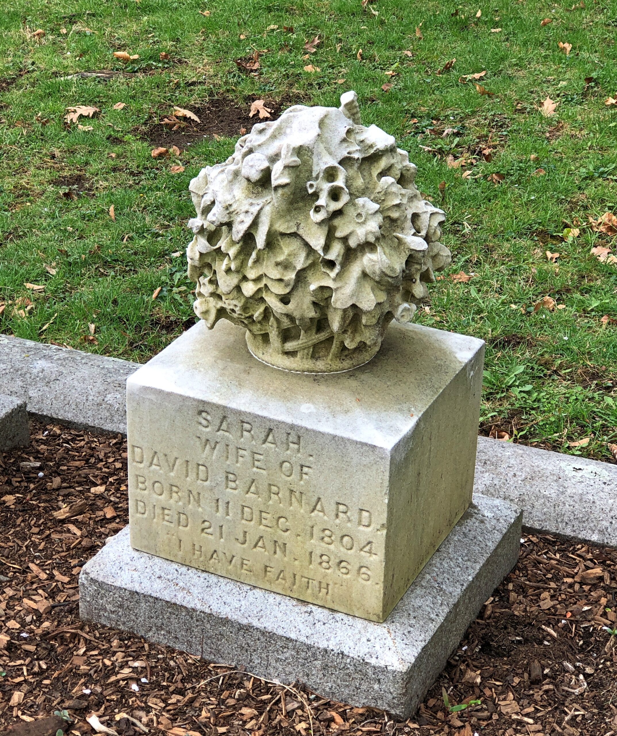
More modest stones.
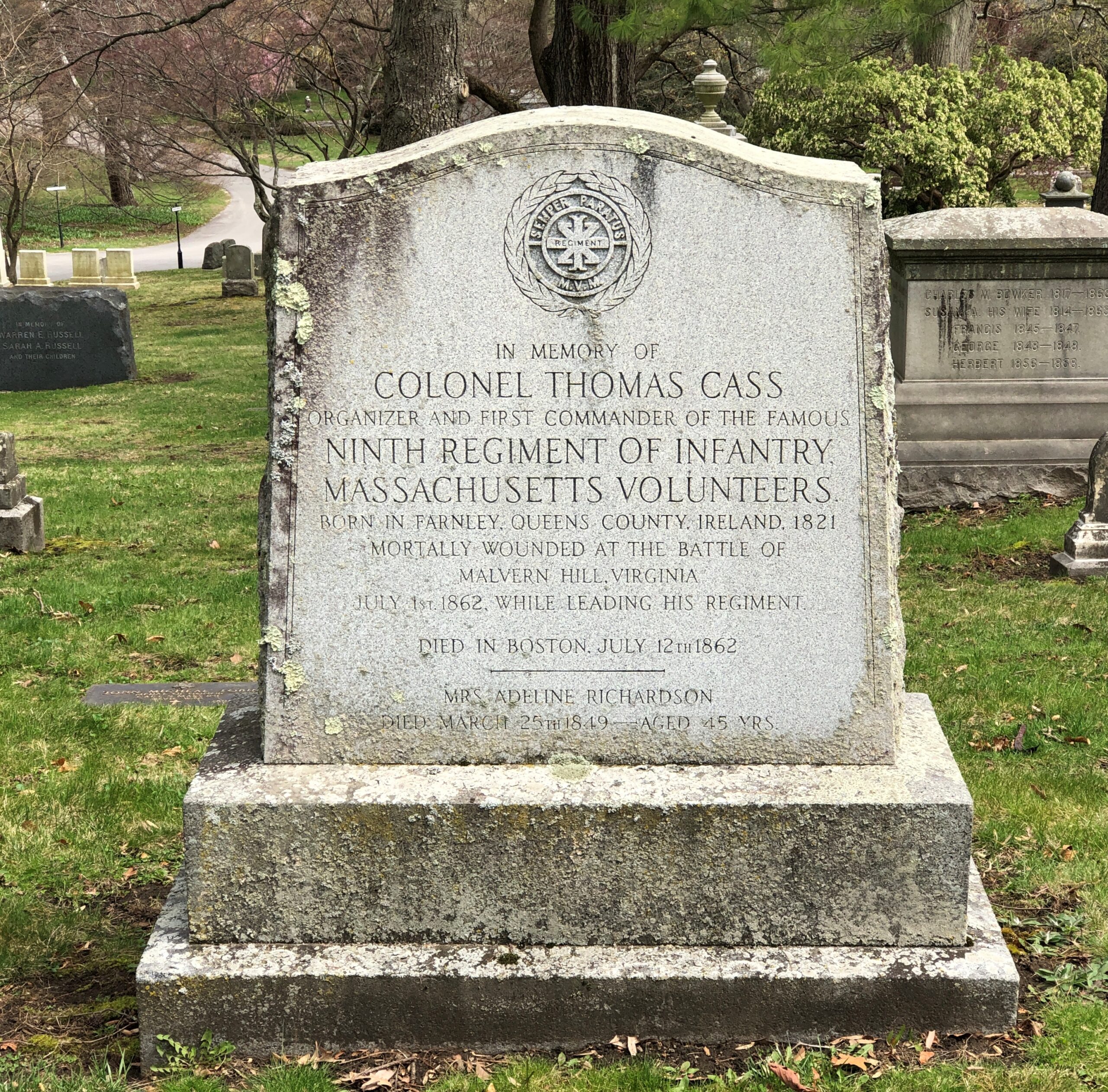
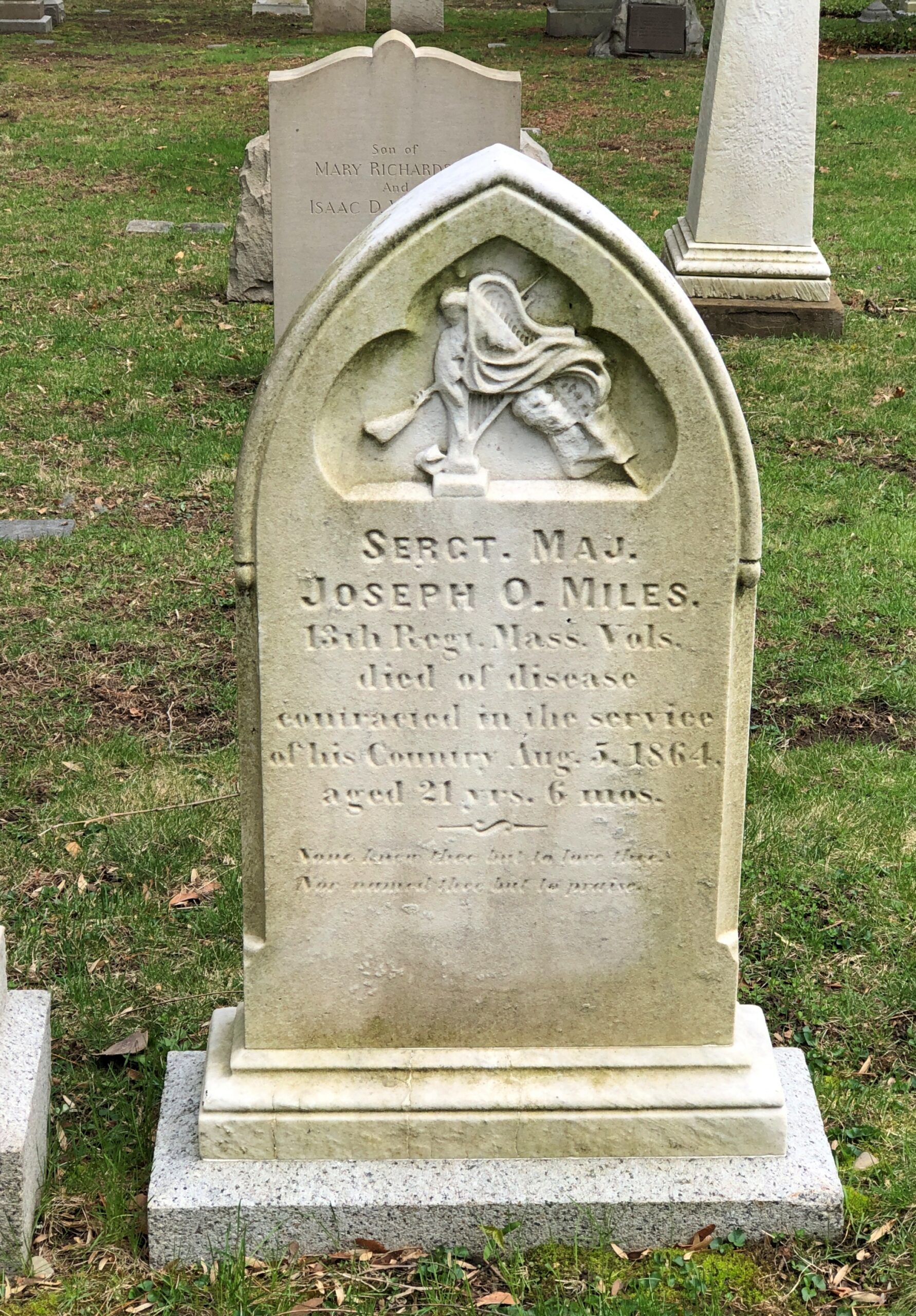
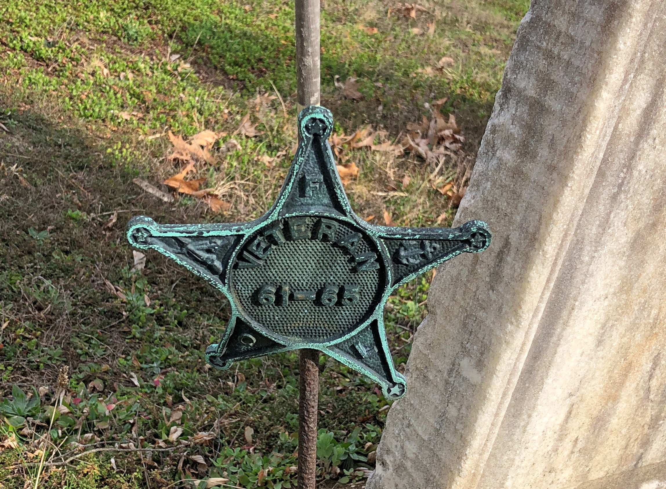
Men who died for the Union.
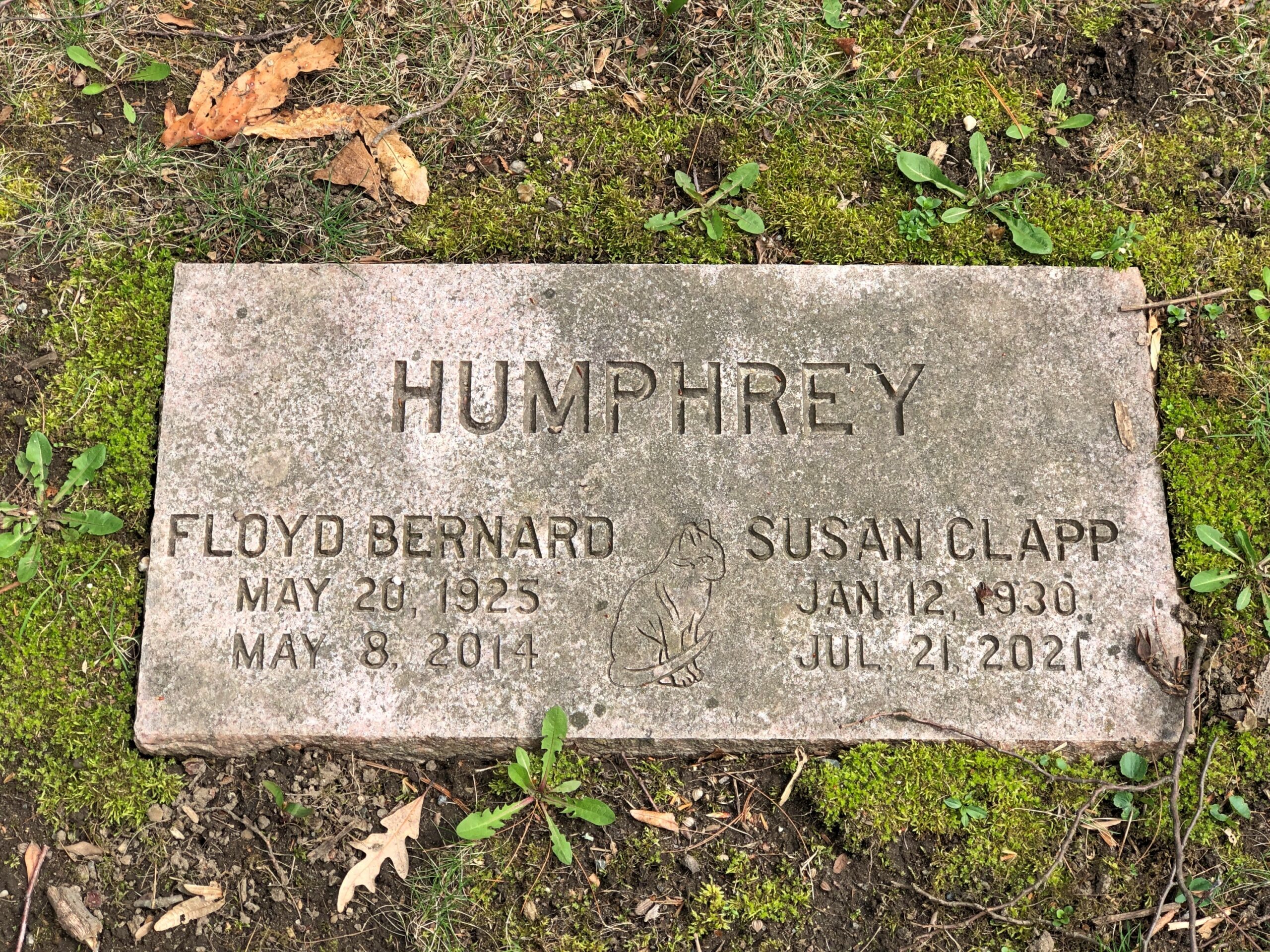
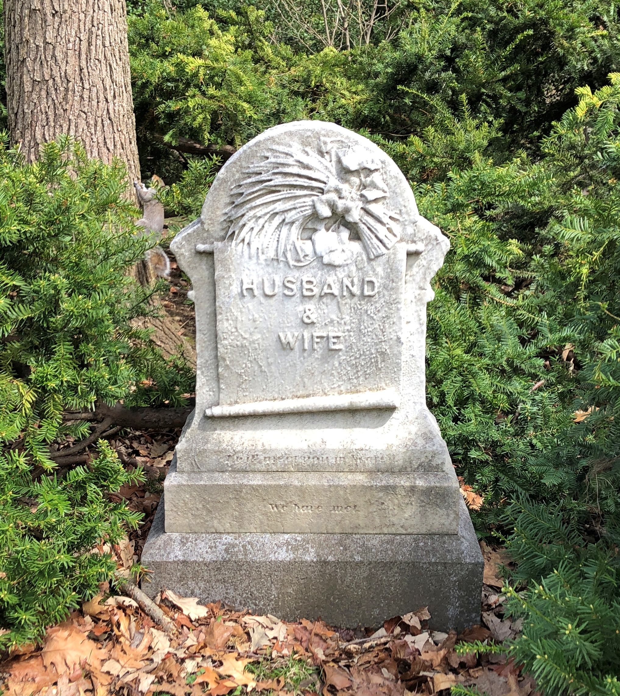
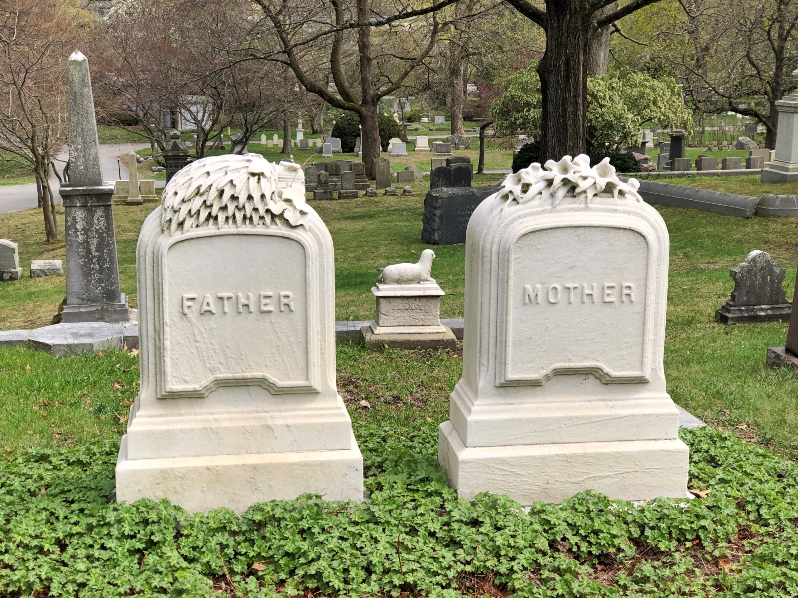
A good many couples.
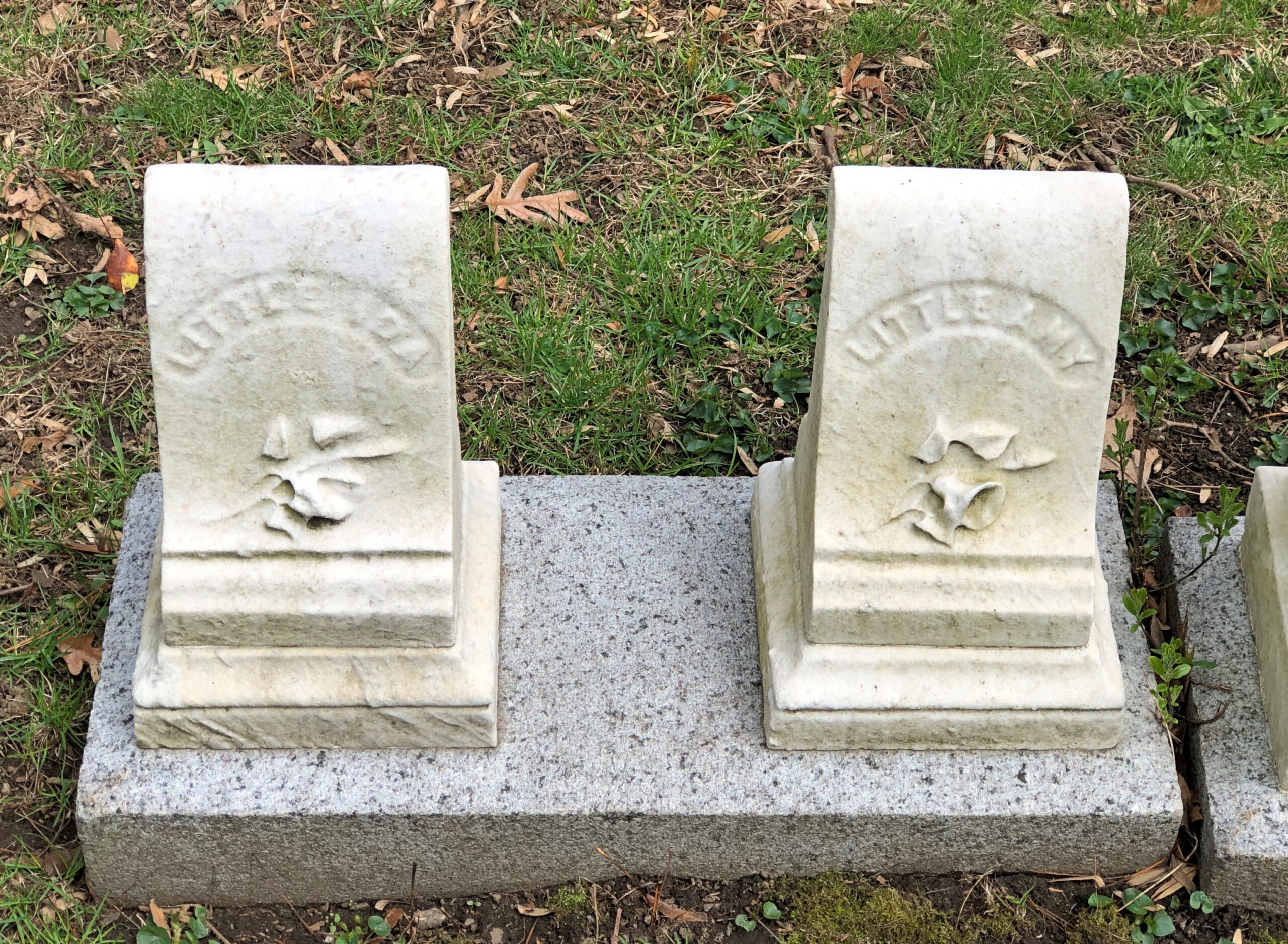
A sad story, one of many.
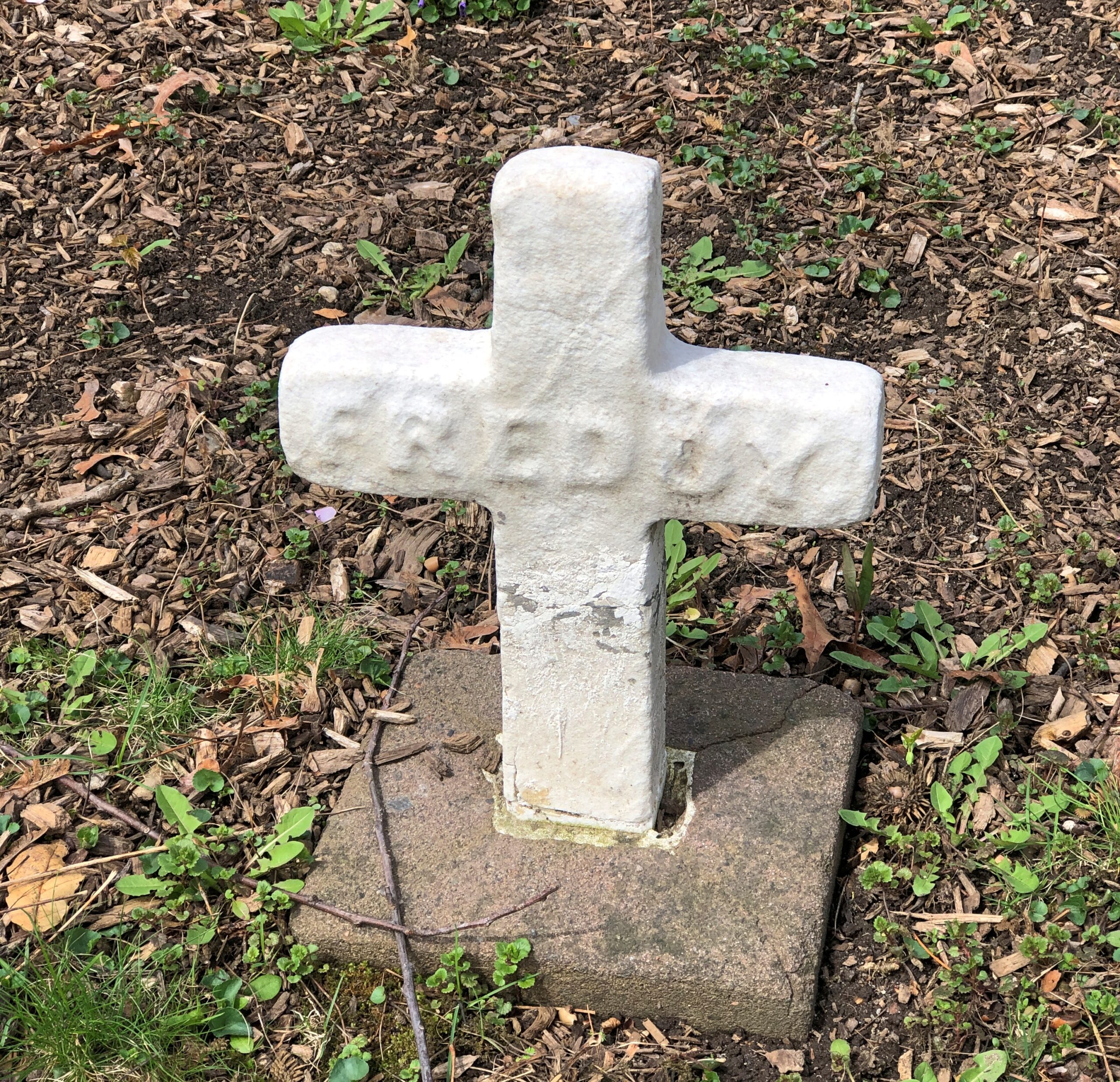
Maybe a sad story. A little enigmatic, anyway.
Looking at the map’s list of famous permanent residents, one thinks: “Right, I know him. And him. And him. And her. There’s another person I’ve heard of. And another. And I think I know that one – I do…”
On it goes. A short selection of those I didn’t have to look up: Louis Agassiz, John Bartlett (of Quotations fame), Edwin Booth, Charles Bulfinch, Dorothea Dix, Mary Baker Eddy (“discoverer” of Christian Science, the map says), Edward Everett (spoke at Gettysburg, was upstaged), Fannie Farmer, Felix Frankfurter, Buckminster Fuller, Charles Dana Gibson, Curt Gowdy, Oliver Wendell Holmes Sr., Julia Ward Howe, Henry Cabot Lodge, Henry Wadsworth Longfellow, Bernard Malamud, Arthur Schlesinger Jr., B.F. Skinner, I.F. Stone, and Charles Sumner.
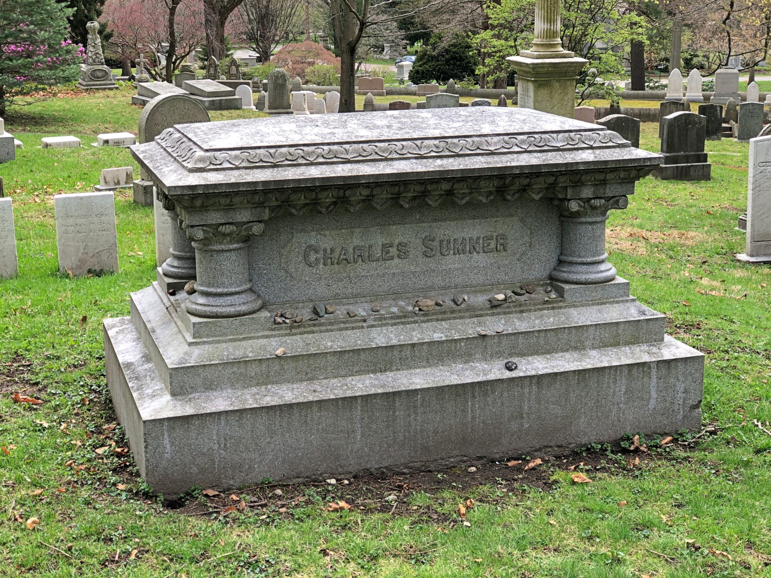
I could have spent all day looking for them, but mostly I didn’t. I did see Charles Sumner’s stone. People leave smaller stones. I found one and did too.
Near Sumner. I’d never heard of him, but I like that name.
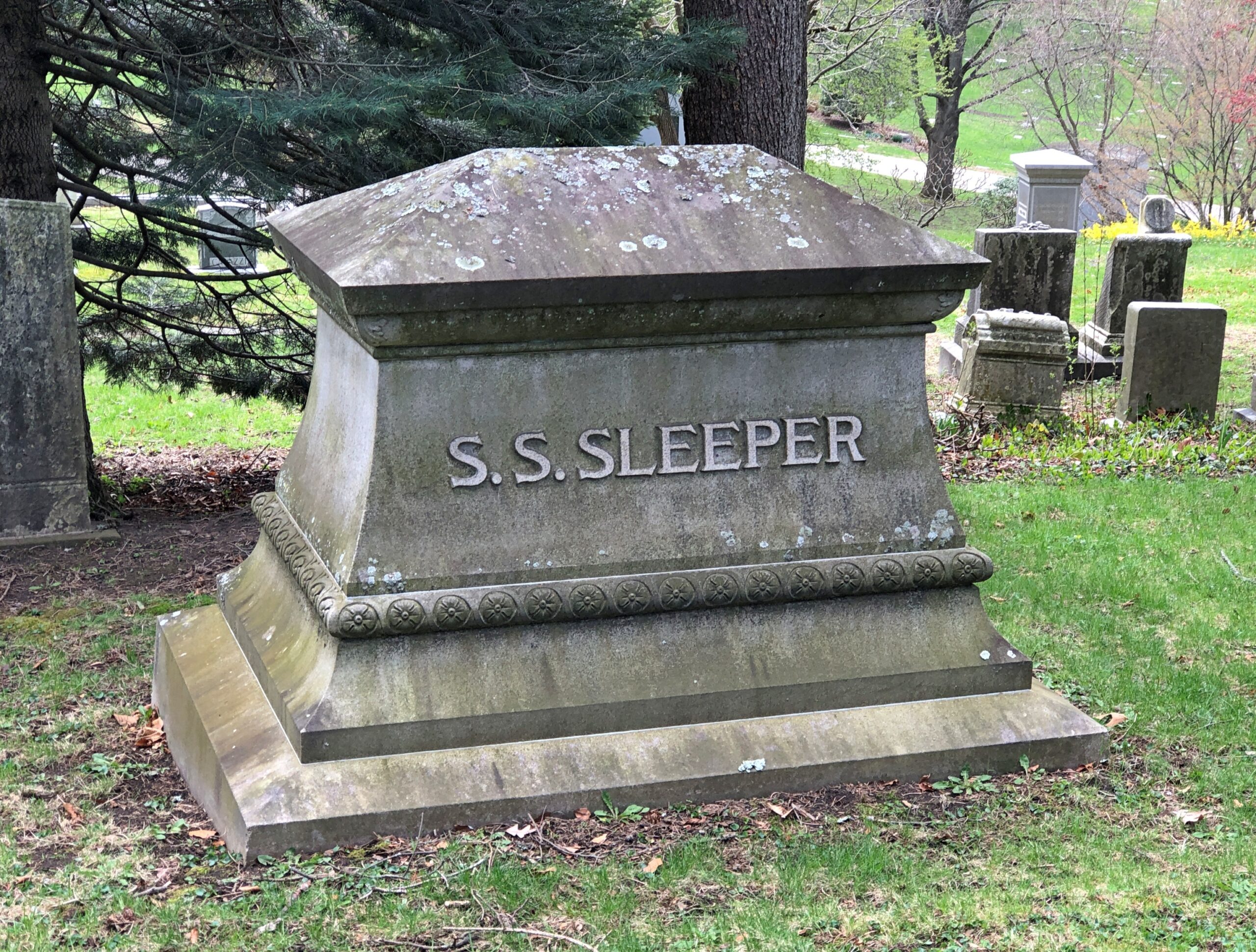
Solomon Sias Sleeper (d. 1895), successful Cambridge merchant and local politico and philanthropist.
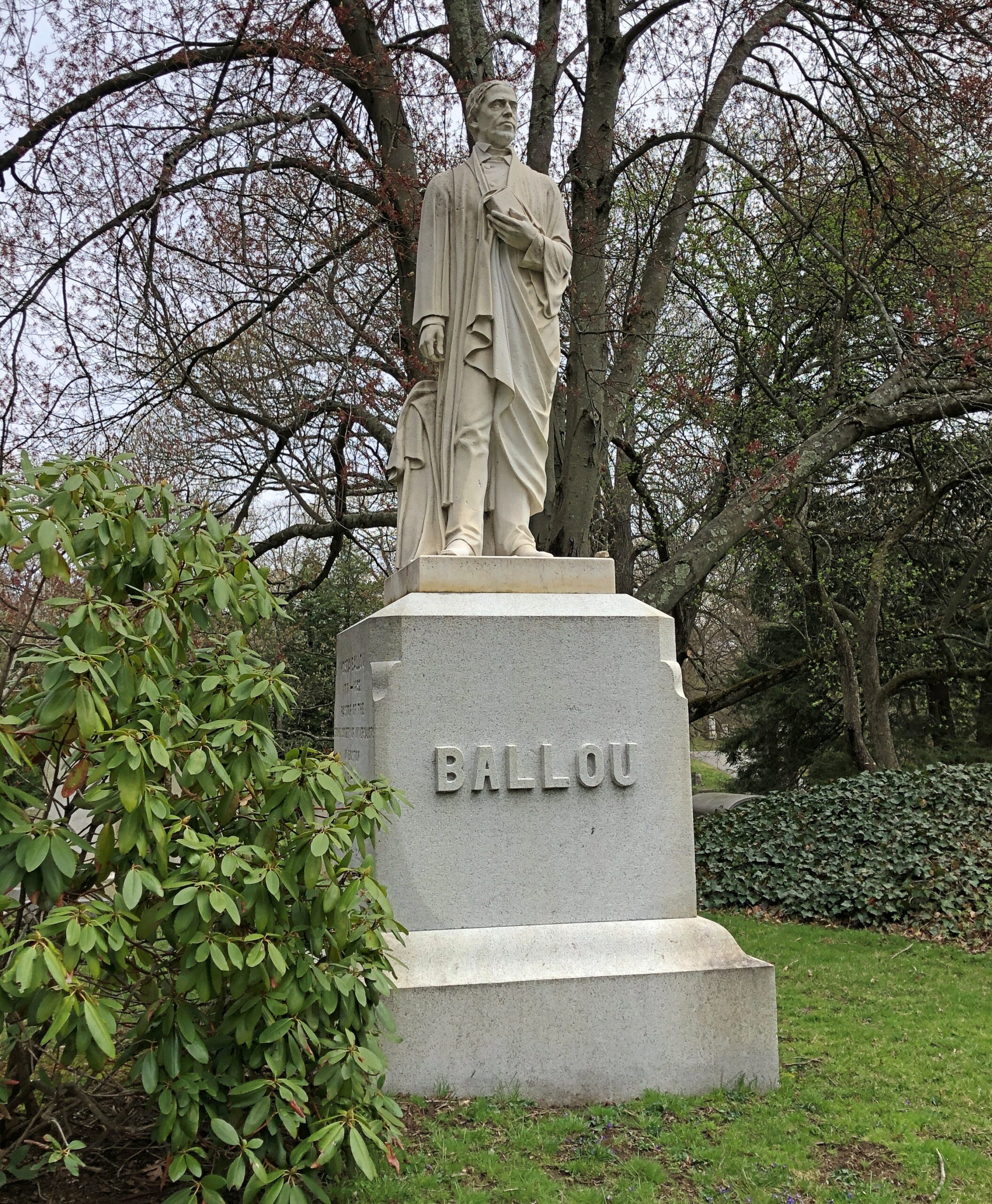
The map also lists impressive memorials. I found a number of those. Such as the Rev. Hosea Ballou Monument, honoring a Universalist clergyman (d. 1852).
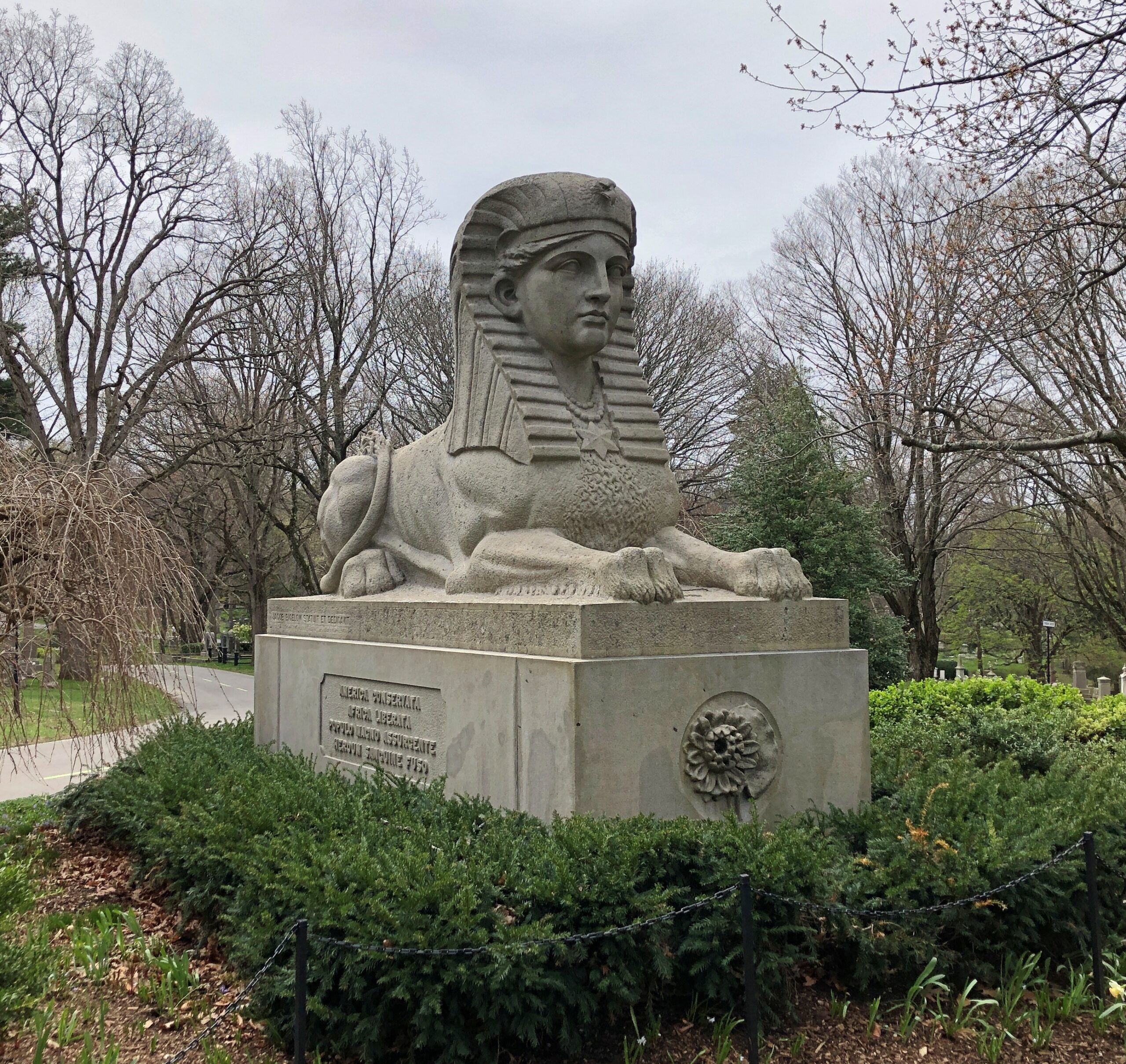
A Civil War memorial, erected in 1872 — the only time I’ve seen a sphinx used for that purpose.
“The sphinx was chosen because of its ideal personification of intellect and physical force and its representation of the combined ideas of beauty and strength,” the notes on the map say. I know the sphinx has a very long history and comes with a lot of encrusted lore, but that sounds like a peculiar Victorian interpretation that didn’t really stick.
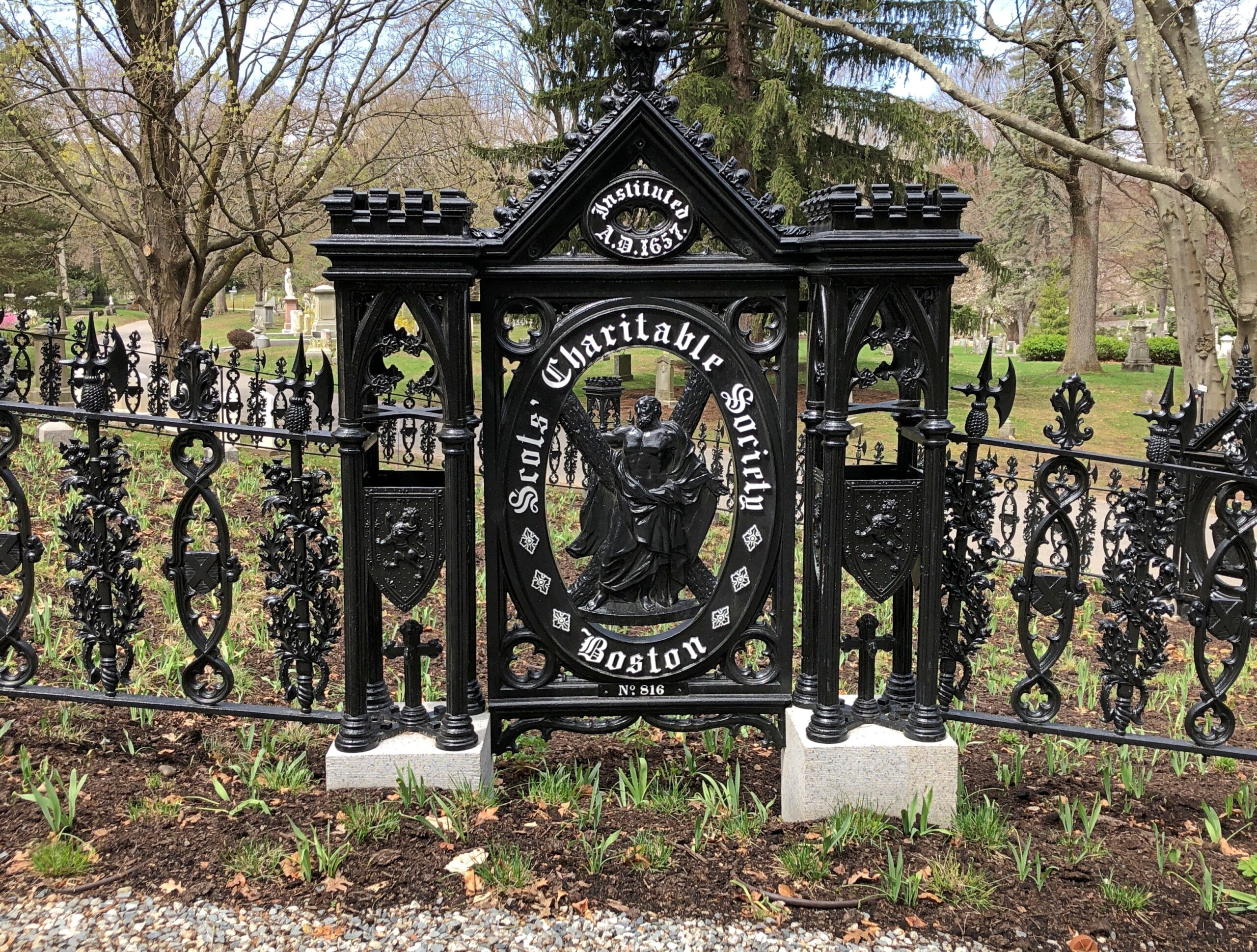
The Scots’ Charitable Society Lot.
An organization founded in 1657 in Massachusetts. It “aims to help people of Scottish heritage by providing relief to Scottish-American individuals and families in need, and by granting undergraduate scholarships to the Scottish-American community,” says its web site because it is still around.
Bigelow Chapel.
Named for Jacob Bigelow (d. 1879), second president of Mount Auburn.
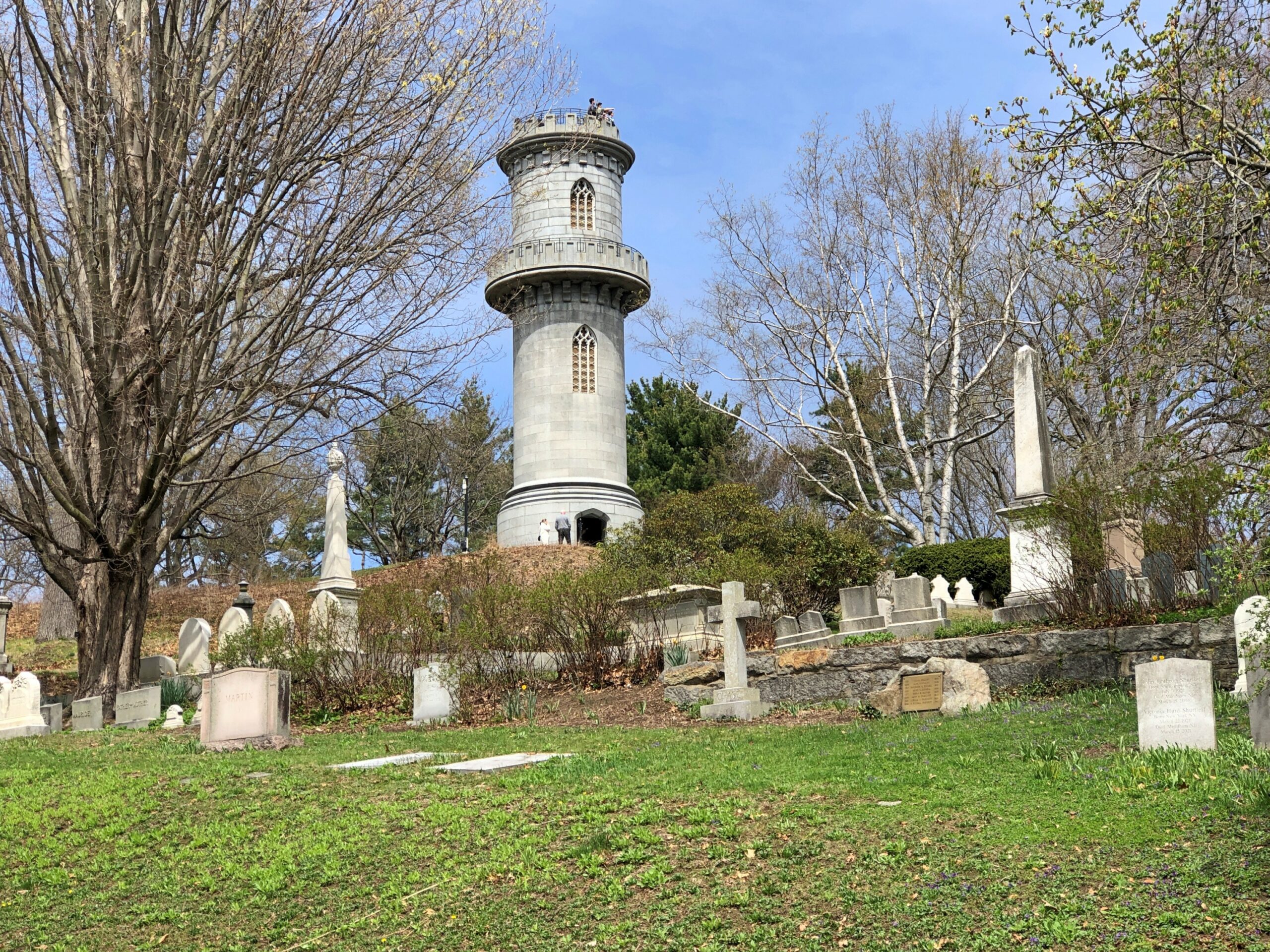
Washington Tower. The highest point on the grounds, honoring George Washington. Designed by Bigelow in collaboration with architect Gridley J. F. Bryant. I didn’t have the energy to climb the hill and then the tower at that moment. Too bad. I understand the view of the Boston skyline from there is terrific.
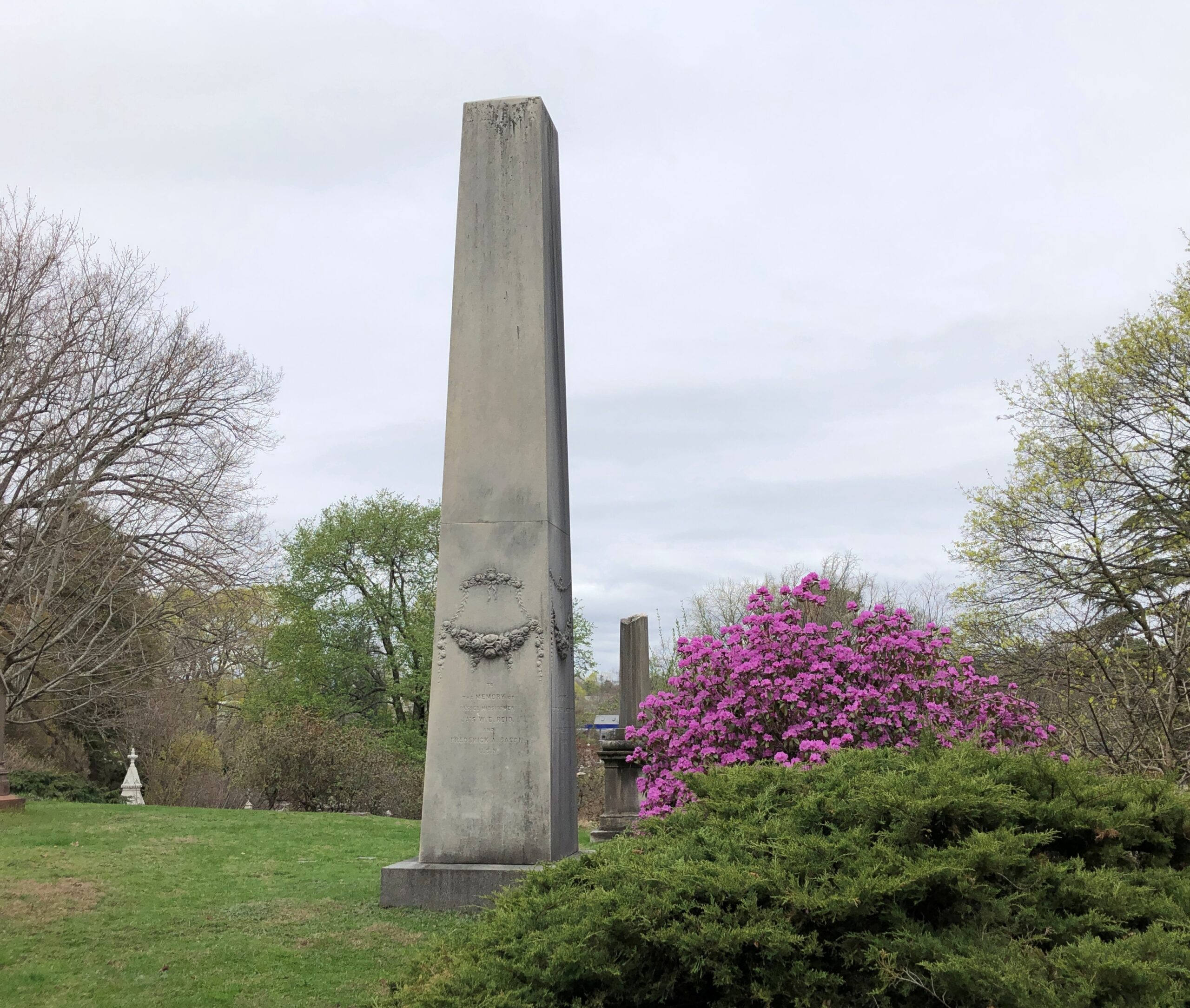
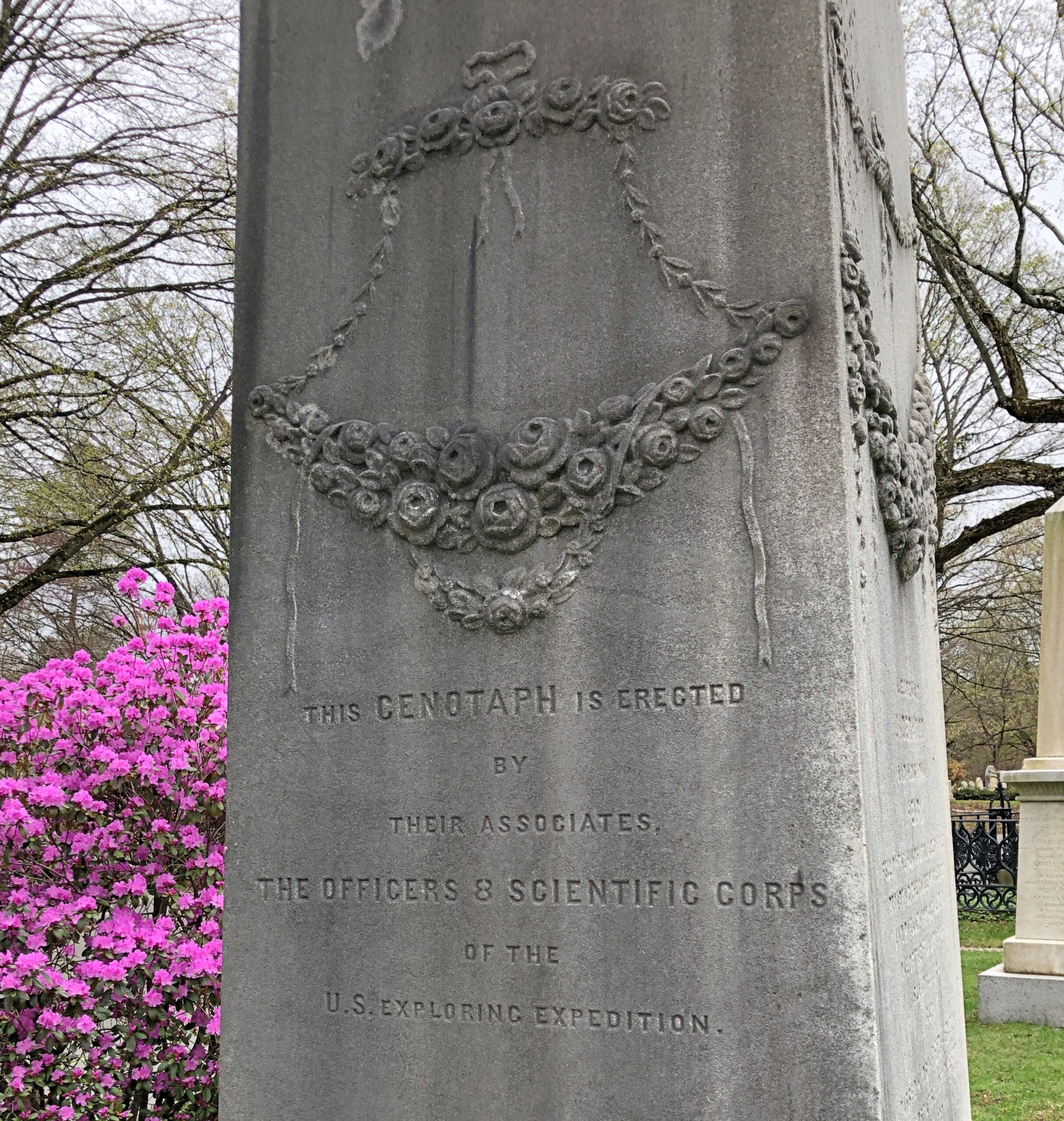
I was delighted to see it. In its way, as important as Lewis and Clark’s journey, and something I’m certain 99-point-more percent of Americans have never heard of.
Back to Joseph Story. He gave the dedication speech at the cemetery on September 24, 1831. It’s a long one, per custom of the time. Per custom of my time, a short quote:
Here, let the brave repose, who have died in the cause of their country. Here, let the statesman rest, who has achieved the victories of peace, not less renowned than war. Here, let genius find a home, that has sung immortal strains, or has instructed with still diviner eloquence. Here let learning and science, the votaries of inventive art, and the teacher of the philosophy of nature come. Here let youth and beauty, blighted by premature decay, drop, like tender blossoms into the virgin earth; and here let age retire, ripened for the harvest. Above all, here let the benefactors of mankind, the good, the merciful, the meek, the pure in heart be congregated, for to them belongs an undying praise.
“If you’re taking pictures of buildings, you should take one of that building over there,” an old man said to me, pointing at a building partly obscured behind the curve of the street. I had been taking pictures of buildings. A spring day had come to Bangor: the air was a pleasure, so was the friendly warm sun, and I was out and about among the short downtown blocks.
“Thanks,” I said, adjusting my position on the sizable downtown plaza, so that the building came into view.
Wow. As I often do, I looked into the building later. A little gem of the brick arts known as the Circular Brick Building, a no-nonsense Maine sort of name, or the Merchants National Bank building, after a long-time occupant. Part built in the 1900s, part in the 1920s, a bank till the 1980s, a mix of apartments and ground-floor retail since the 2010s, after some decades vacant.
A random old man’s recommendation was a winner. He was idling on a bench in the plaza, so I went back and told him I agreed that it was an impressive building. The man could have been from central casting: Get me an old Mainer in ordinary but not shabby clothes, and don’t forget the bushy white beard and pale pink face. It was a missed opportunity when I asked him whether he’d lived in Bangor his whole life. The comic Mainer answer would have been, “Not yet.”
Instead the old Mainer told me he had. Wouldn’t live anywhere else. Couldn’t imagine living anywhere else. Didn’t want to go anywhere else. He implied he’d had enough of that during his time in the Army, exact years unspecified, and I didn’t ask when, though there’s a distinct chance a shooting war was going on then. That doesn’t mean he was anywhere near it, however. For all I know, he could have been a PFC excrement sanitation specialist (PFC-ESS) in Louisiana, to put it in the way the cinematic Patton didn’t, but the ’60s Army might have.
Anyway, he asked me where I was from, and long experience has taught me to say “Chicago,” and not something in any detail like, “Texas, but I haven’t lived there in a long time, and then I lived some other places like Nashville and Osaka, yes, the place in Japan, but it’s been Chicago for a long time now, except I actually live in the northwest suburbs.” Few people would hear any of that. Everyone pays attention when I’ve said Chicago (or Texas, the times I’ve said that). Somewhere years ago, I think it was a pudgy middle-aged Briton – you know, he looked a little like Benny Hill – who asked me where I was from. At hearing “Chicago,” he pantomimed shooting a Tommy gun.
When old man Mainer heard Chicago, he told me that soon after his discharge from the Army, he found himself in Chicago, in fact at the lakefront. He threw his Army ID into Lake Michigan. “Felt great to be out, but it was a problem, since that was the only ID I had right then,” he said. Obviously he made it back to Bangor.
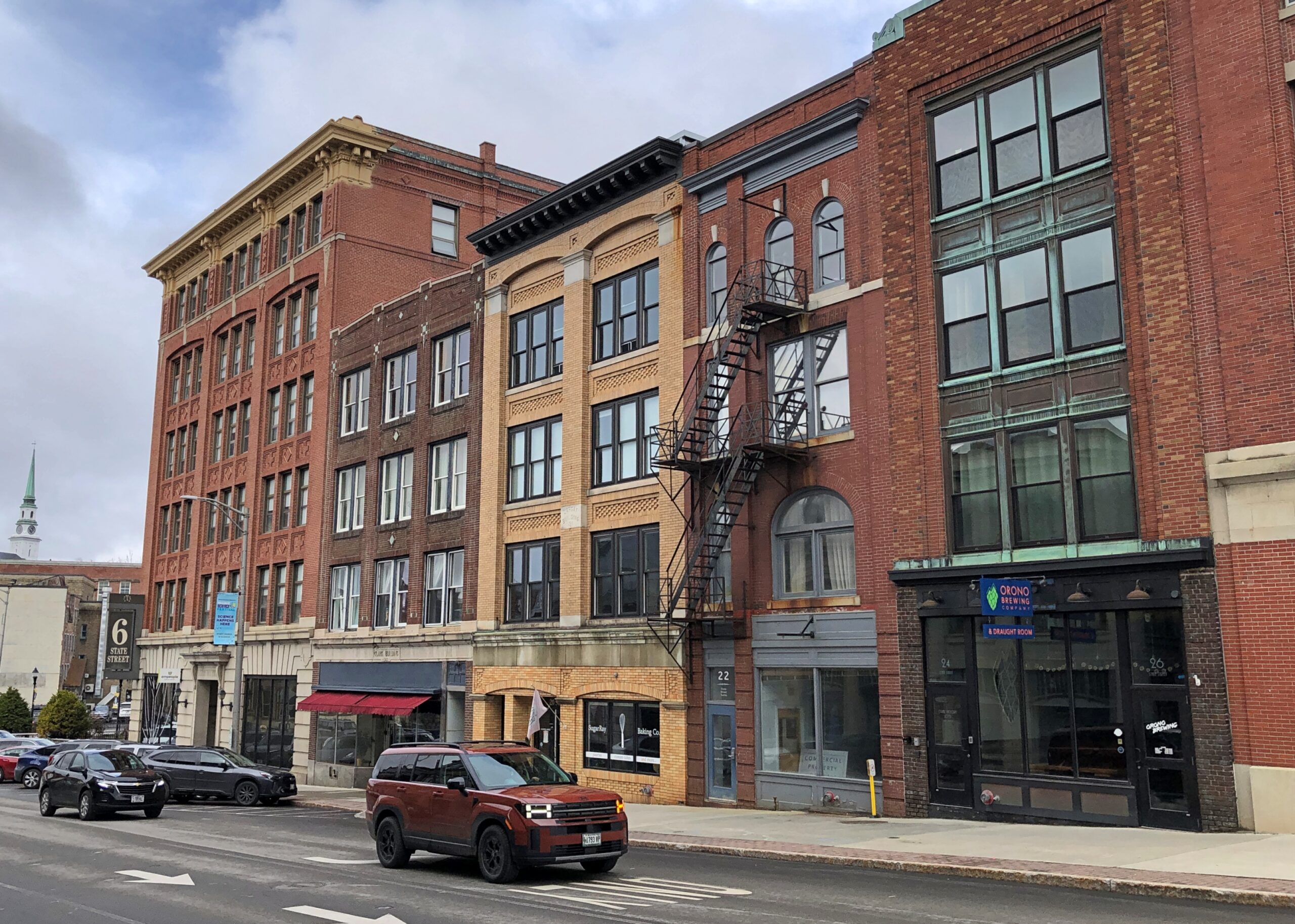
The city’s got some fine streetscapes.
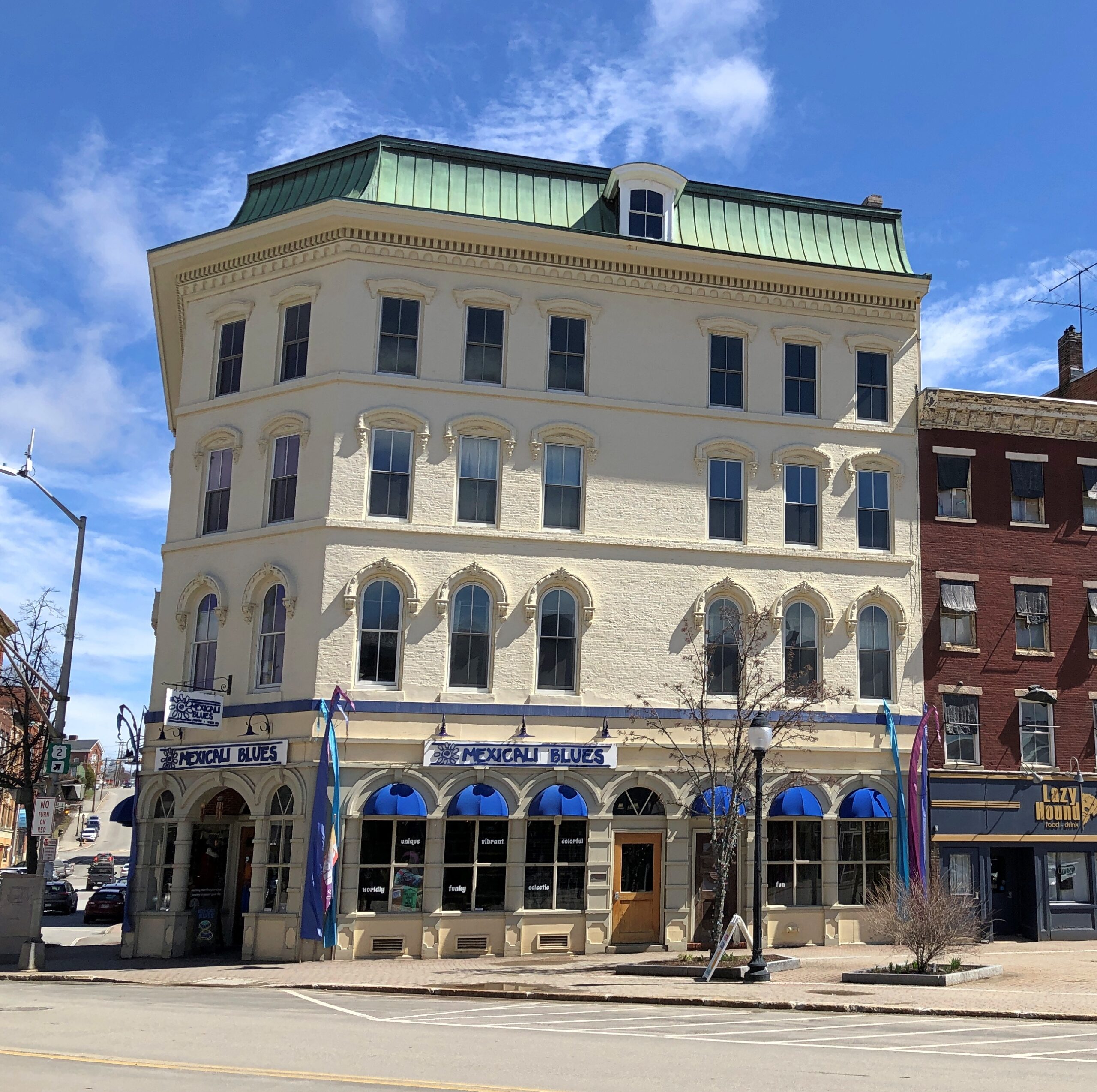
Some other handsome Bangor blocks and buildings.
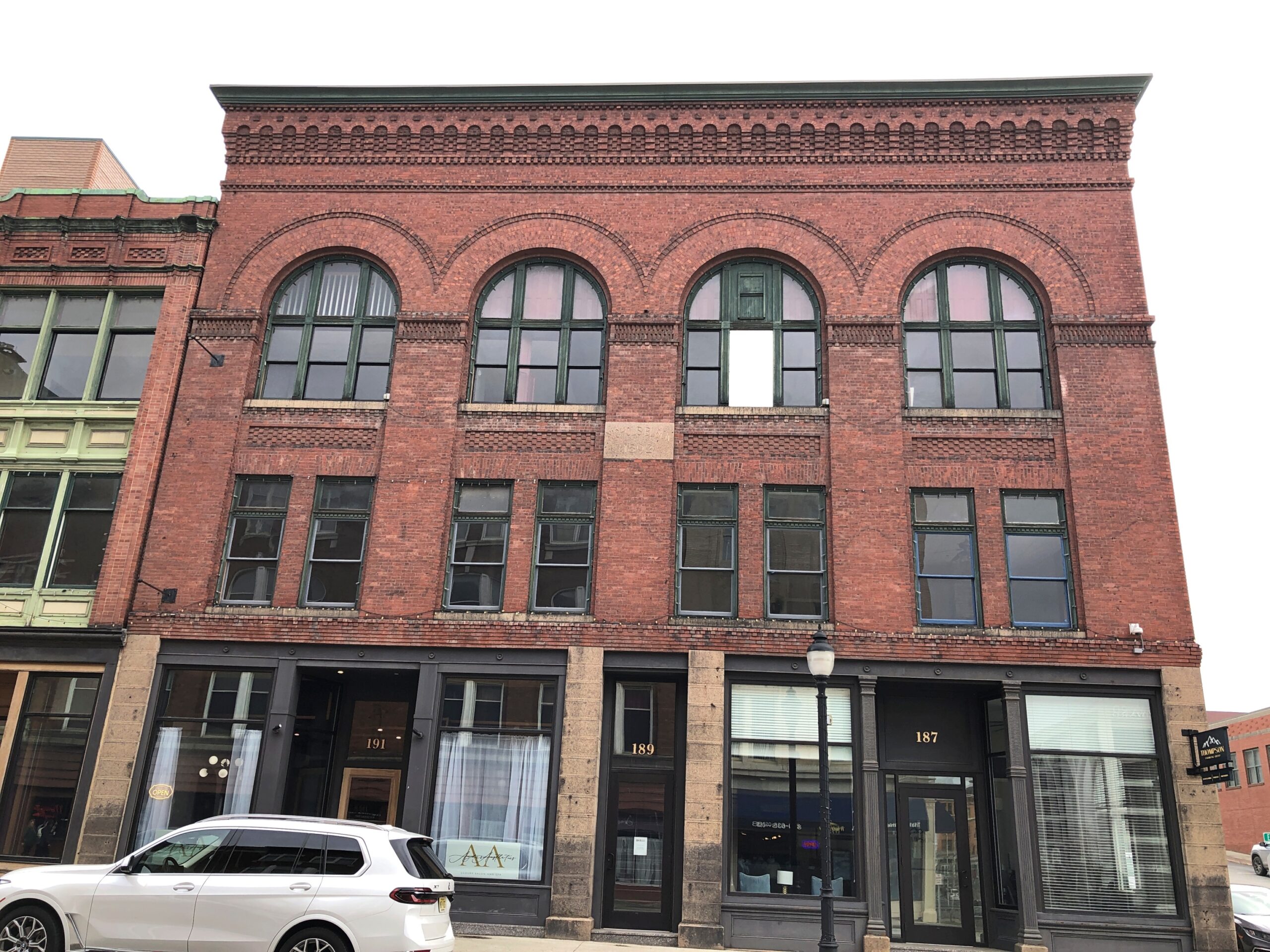
Early examples of the art of the steel-framed highrise.
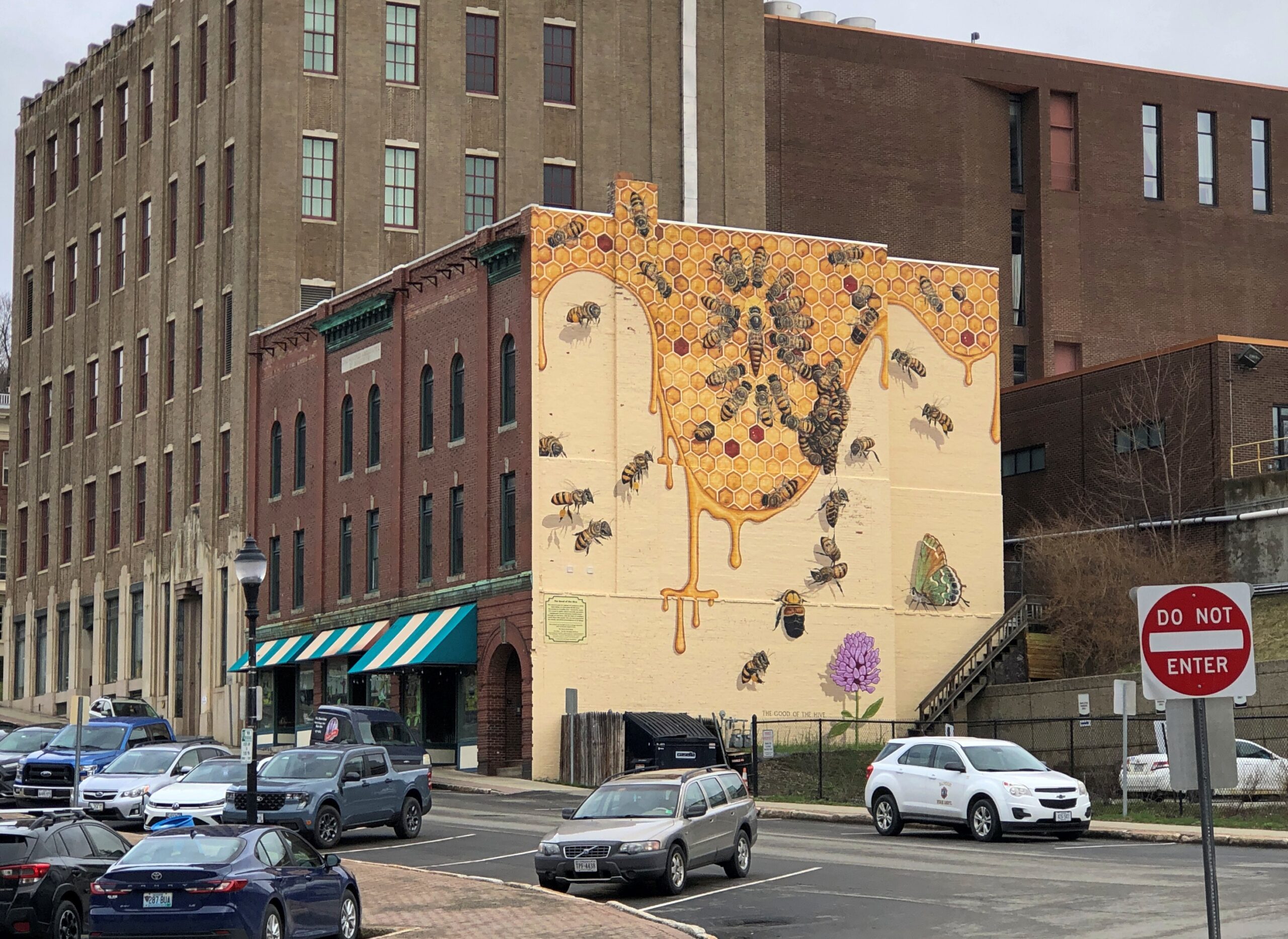
Paul Bunyan isn’t the only mural subject. This one is bees.
Because Bangor is known for honey production? I had to check and probably not much, the sort of thing that gets lumped in with “other” in the ag census for Penobscot County. These bees are bees for the sake of being bees. (Try that three times fast.)
“Bangor Beautiful partnered with Bangor Greendrinks to create a large bee-themed mural in Downtown Bangor during the summer of 2023,” notes the nonprofit Bangor Beautiful. “The artist Matt Willey is the founder of The Good of The Hive, a global mural project with the goal of hand-painting 50,000 honey bees, the number in a healthy, thriving hive. He has painted bee murals all over the world, including at the Smithsonian.”
I knew I got out of bed for a reason today: to find out that there is an artist whose obsession is bee murals. More than 11,780 painted bees so far, according to the artist. Eccentricity of the first order, and I salute it.
You can’t call Bangor bustling, but I’ve seen plenty more vacant downtowns. Business details, former and existing.
Temple of the Feminine Devine, eh? Not to be confused with the Temple of the Devine Feminine, an outfit in Seattle. I could make a Life of Brian reference here, but if you know that reference, you’ve already thought of it.
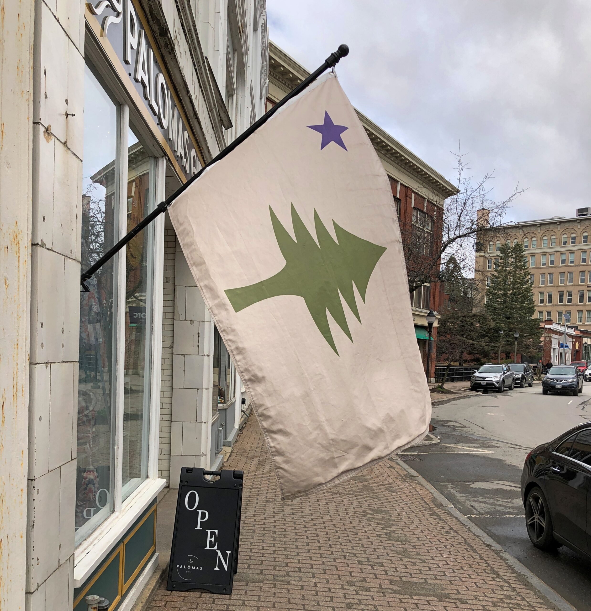
The unofficial Maine flag, and variations.
That flag failed to become official in the last election in a ballot question. No one in Maine cares what I think, but I think it should be made official again, but without disestablishing the current flag. Co-official, you could say. Maine would be unique that way. Also, no fixed pattern beyond a single pine tree and a single star to the upper left. Let a loose a proliferation of lone pine flags begin.
Bangor as a whole hugs the Penobscot River, but downtown clings to the much smaller Kenduskeag Stream, a tributary of the Penobscot.
A small island in the stream is a park.
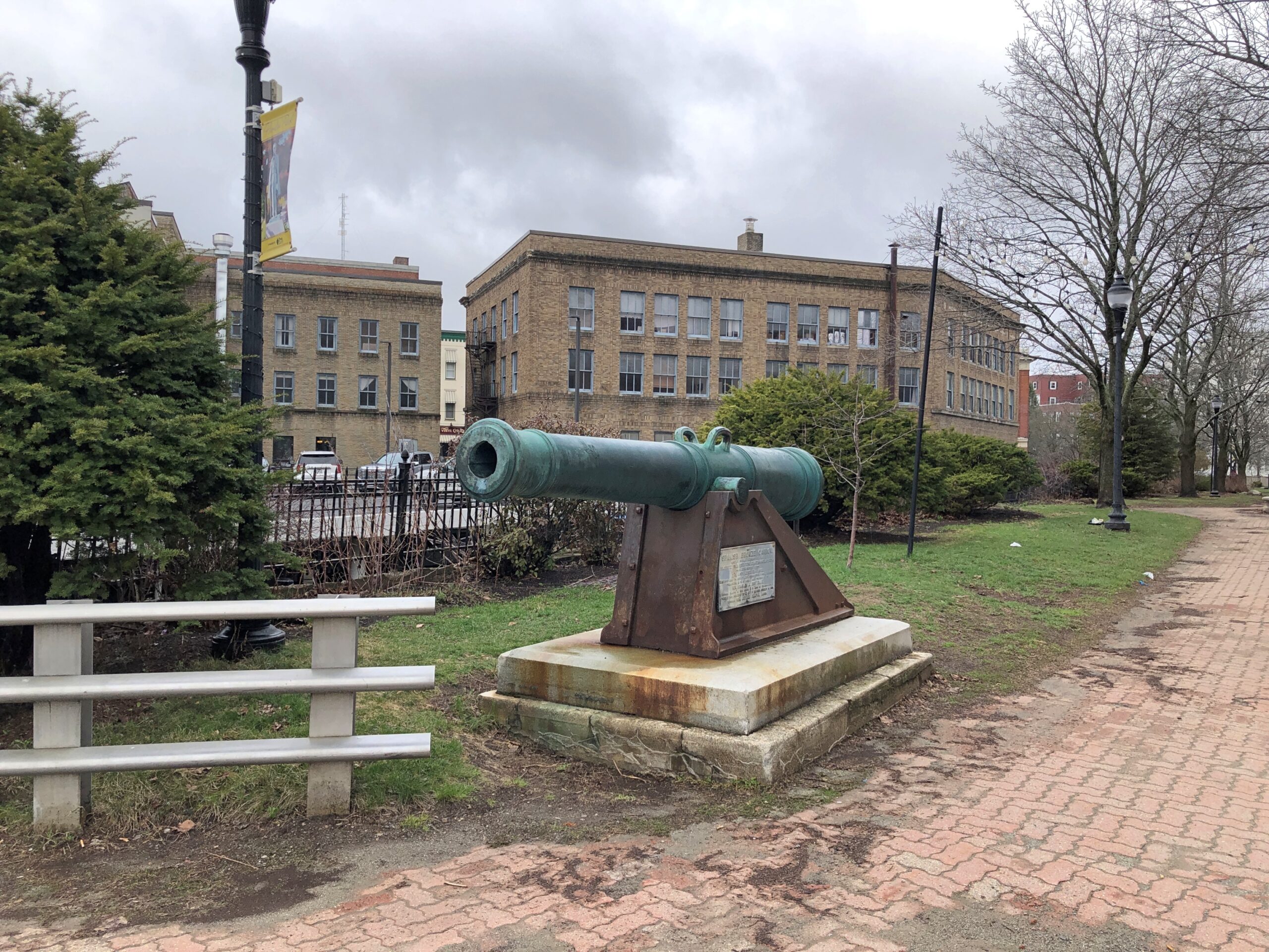
The park sports a cannon captured at Fort Toro, Guantanamo Bay, Cuba in 1898.
It so happened that Rep. Charles A. Boutelle was the chairman of the Committee on Naval Affairs in the U.S. House at that moment, facilitating the war prize cannon’s permanent move to Bangor. Quite the career Boutelle had, per Wiki: “American seaman, shipmaster, naval officer, Civil War veteran, newspaper editor, publisher, conservative Republican politician, and nine-term Representative to the U.S. Congress from the 4th Congressional District of Maine.”
That’s not all. Vice President Hannibal Hamlin, Bangor favorite son, stands in bronze not far from the cannon.
“After Lincoln took office and even with the outbreak of the Civil War, however, Hamlin had almost no role in the administration, as was common for this period in history. Hamlin despised his new position as vice president. He missed being part of the political process and controlling patronage but felt it was his duty to serve. He also found presiding over the Senate boring and was frequently absent. Still, he was disappointed when the Republican Party dropped him from the ticket in 1864.” A curious, but all too familiar quirk of human psychology, in that last sentence.
The “diplomat” on the plinth refers to his posting to Spain in the early 1880s, named to the job during the brevity of the Garfield administration.
A month from now, Main St. in Bar Harbor is going to be a busy place, sidewalks thick with shoppers and walkers with their coffee and ice cream cones. People will gather at the well-trimmed Village Green. The park at the end of Main, Agamont Park, named for a storied 19th-century hotel on the site that burned down long ago, will be alive with the pleasant sounds of people on vacation, taking in the view of the harbor. Boats will ply the harbor. Lobsters will die en masse to make their appearance on the menus of Bar Harbor restaurants.
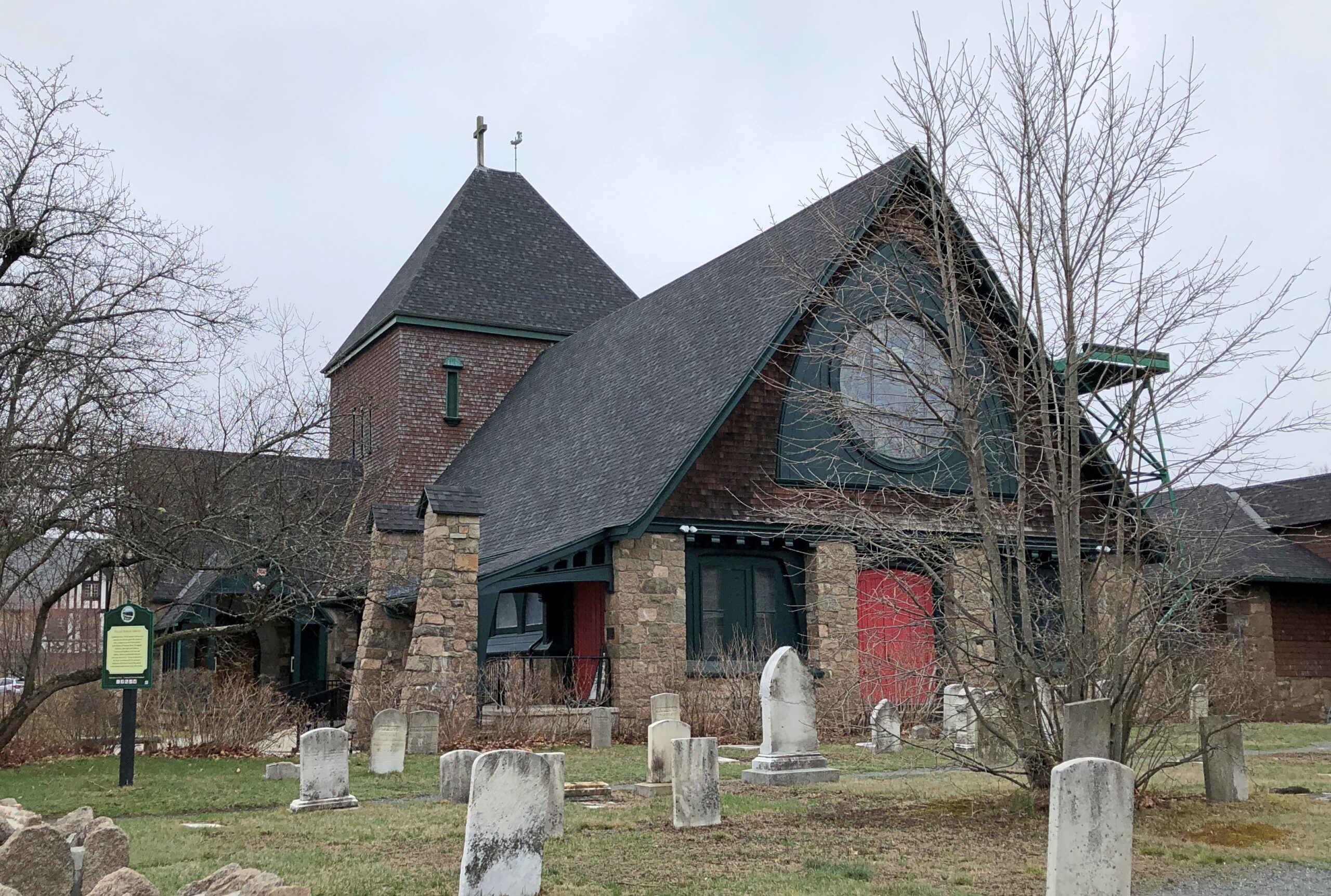
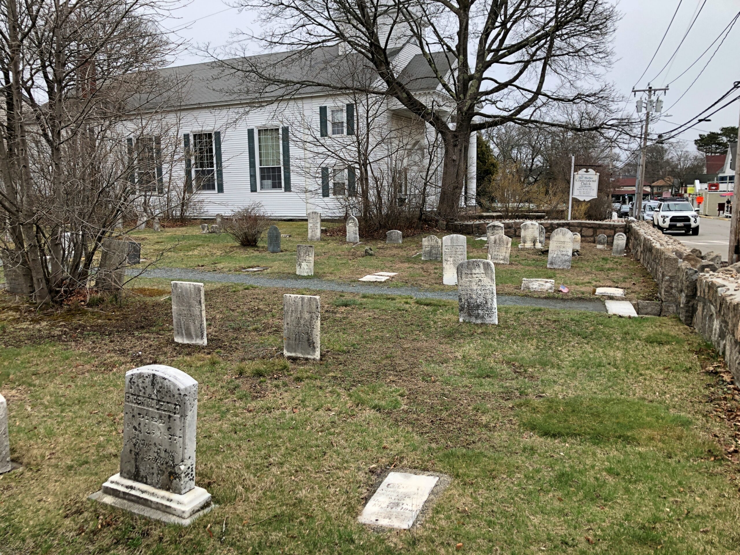
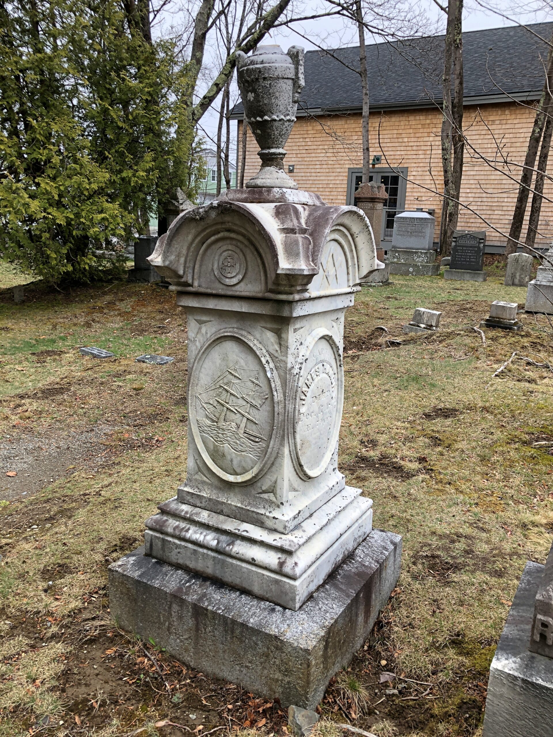
One place in town that will not be busy come high season, just as it wasn’t busy a month ago when I visited — and was the only living person there — is the Village Burying Ground, which is a minute’s walk from Main St., tucked away on a small slice of land between two churches, Bar Harbor Congregational and St. Saviour’s Episcopal.
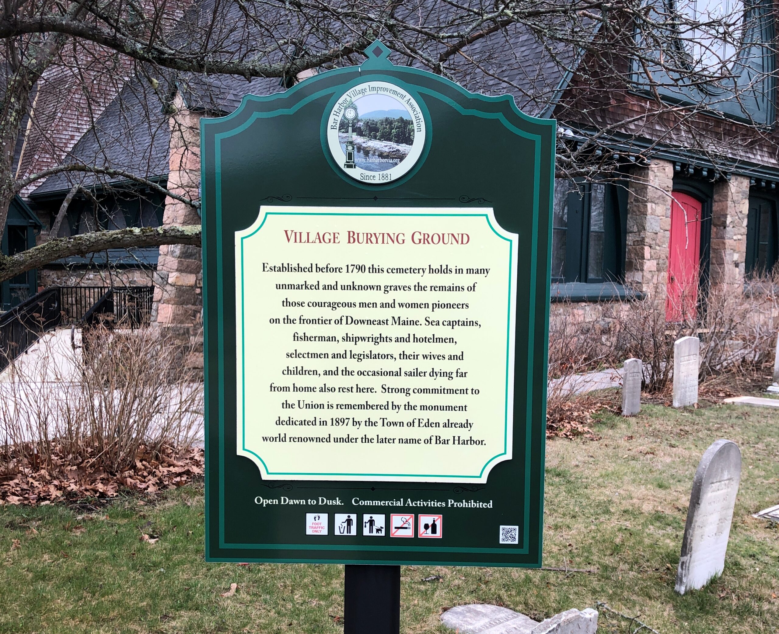
“Established before 1790, this cemetery holds in many unmarked and unknown graves the remains of those courageous men and women pioneers on the frontier of Downeast Maine,” says a sign on site, put there by the Bar Harbor Village Improvement Association.
“Sea captains, fishermen, shipwrights and hotelmen, selectmen and legislators, their wives and children, and the occasional sailer [sic] dying far from home also rest here.”
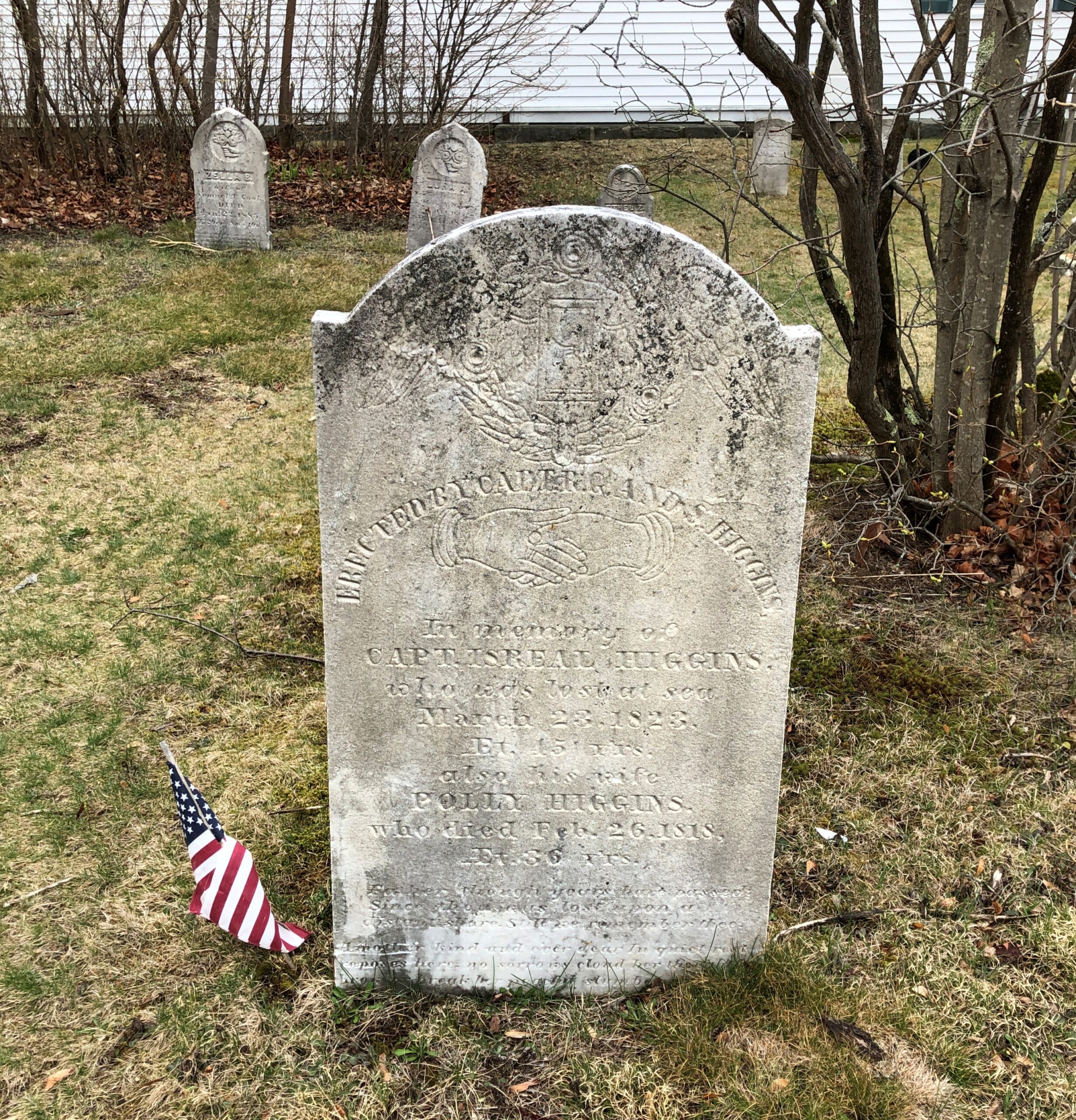
One of those sea captains, Israel Higgins (d. 1823).
Capt. Higgins, son of Eden (later called Bar Harbor) founder Israel Higgins, was lost at sea. “Israel was considered a master mariner and served as an Eden selectman in 1802, 1803, and 1809,” notes the blog Adventures in Cemetery Hopping. “He was in command of the schooner Julia Ann (his son Seth was also aboard), thought to be the first ship built in Bar Harbor in 1809. Israel and Seth died at sea on March 29, 1823 about 25 miles south of Sandy Hook, N.J., which is about 600 miles south of Bar Harbor.”
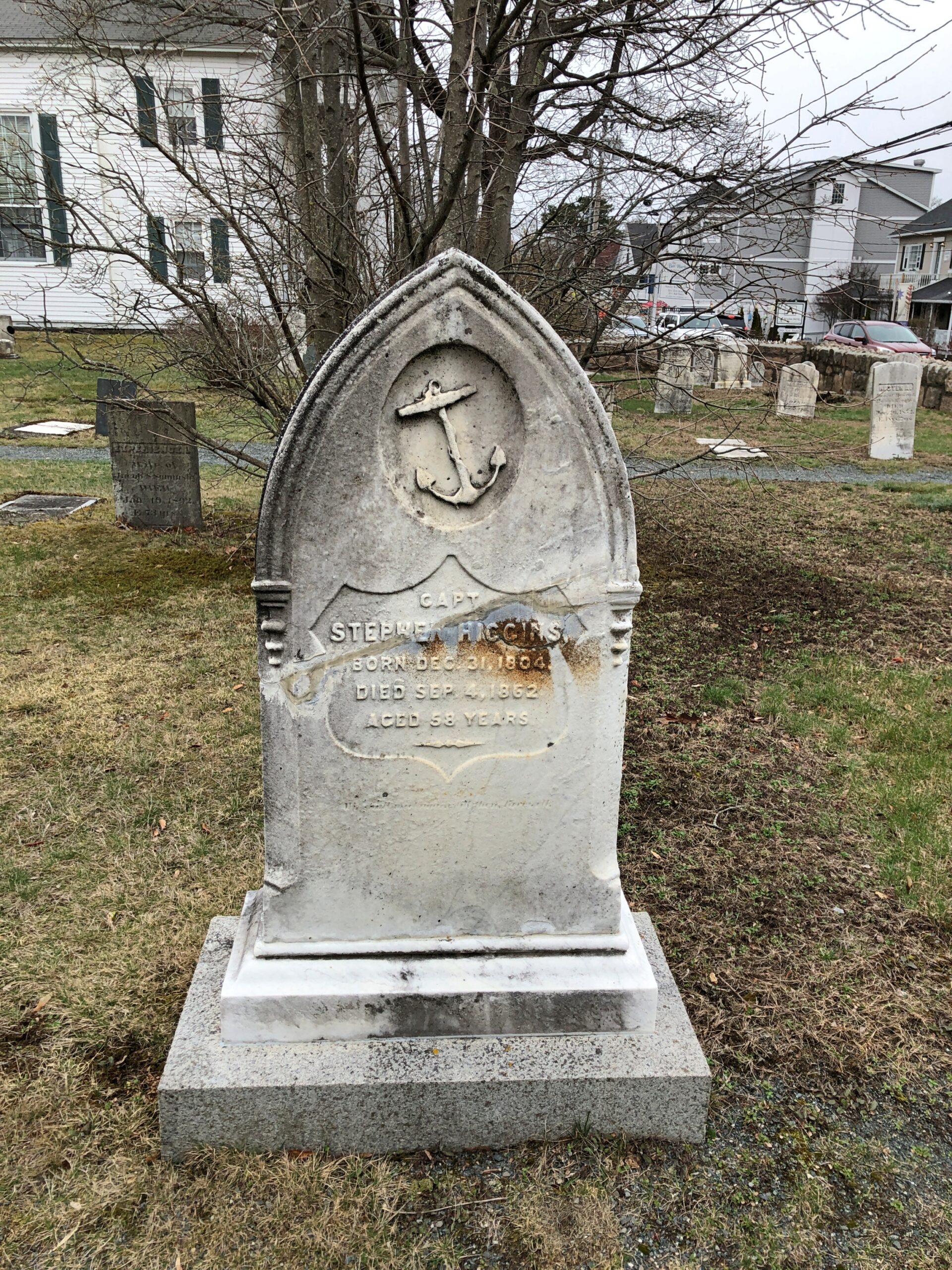
Lived to be 89. In those older days, an old sea dog who liked to hang out in the technically illegal bars in Bangor and tell harrowing and probably exaggerated stories about his seafaring youth? One of those old sea dogs who didn’t discuss the old days much? Did he regard steamships as unworthy of real seamen, or take positive joy in hearing about progress in seafaring?
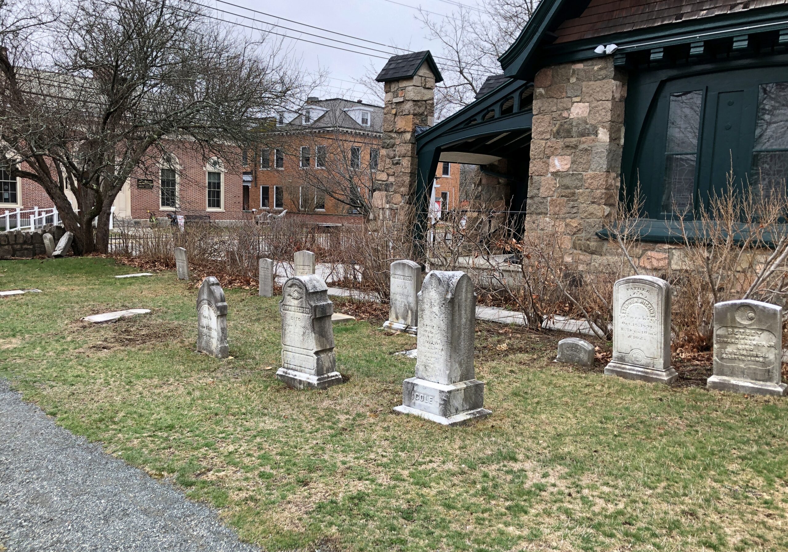
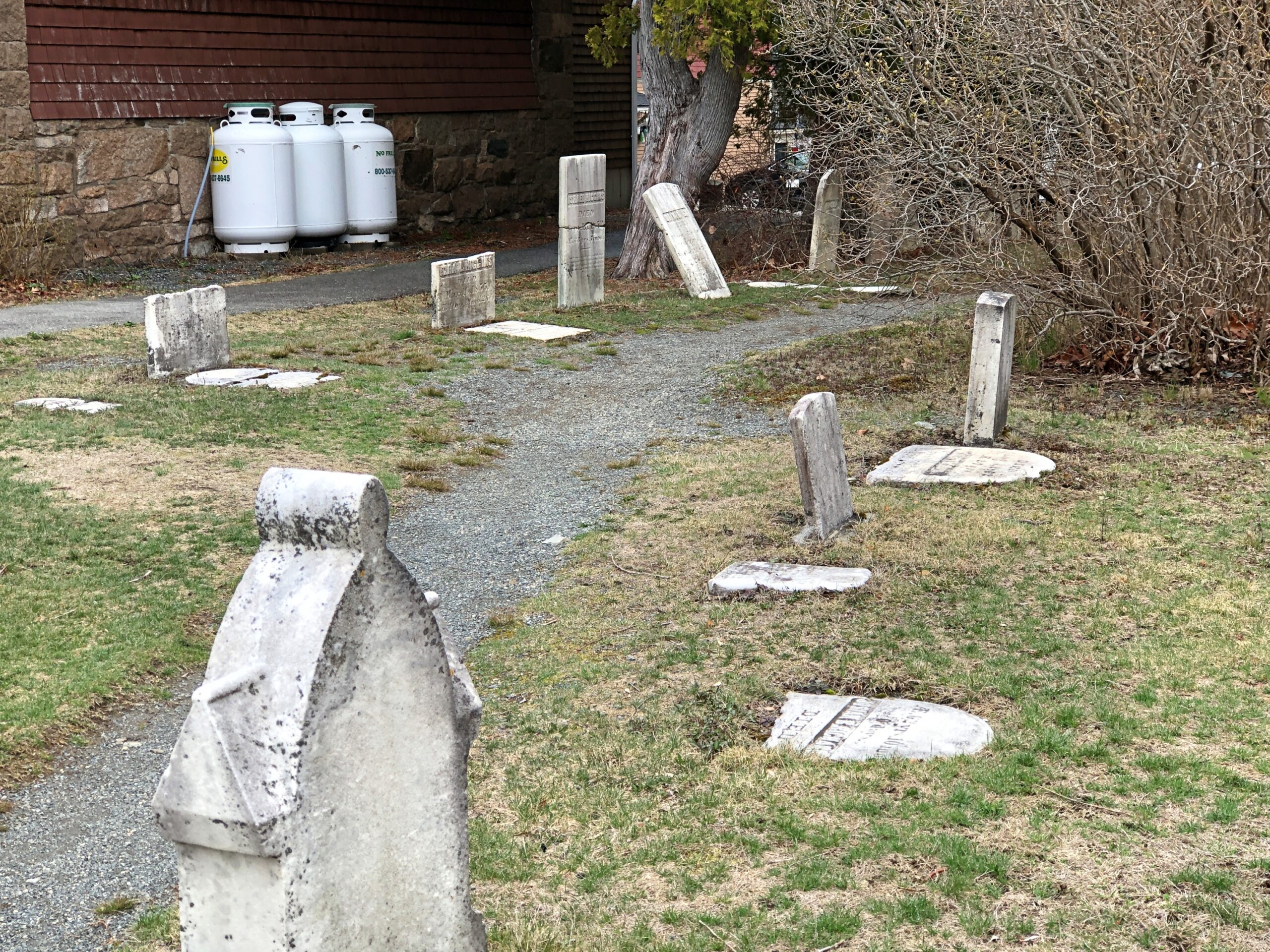
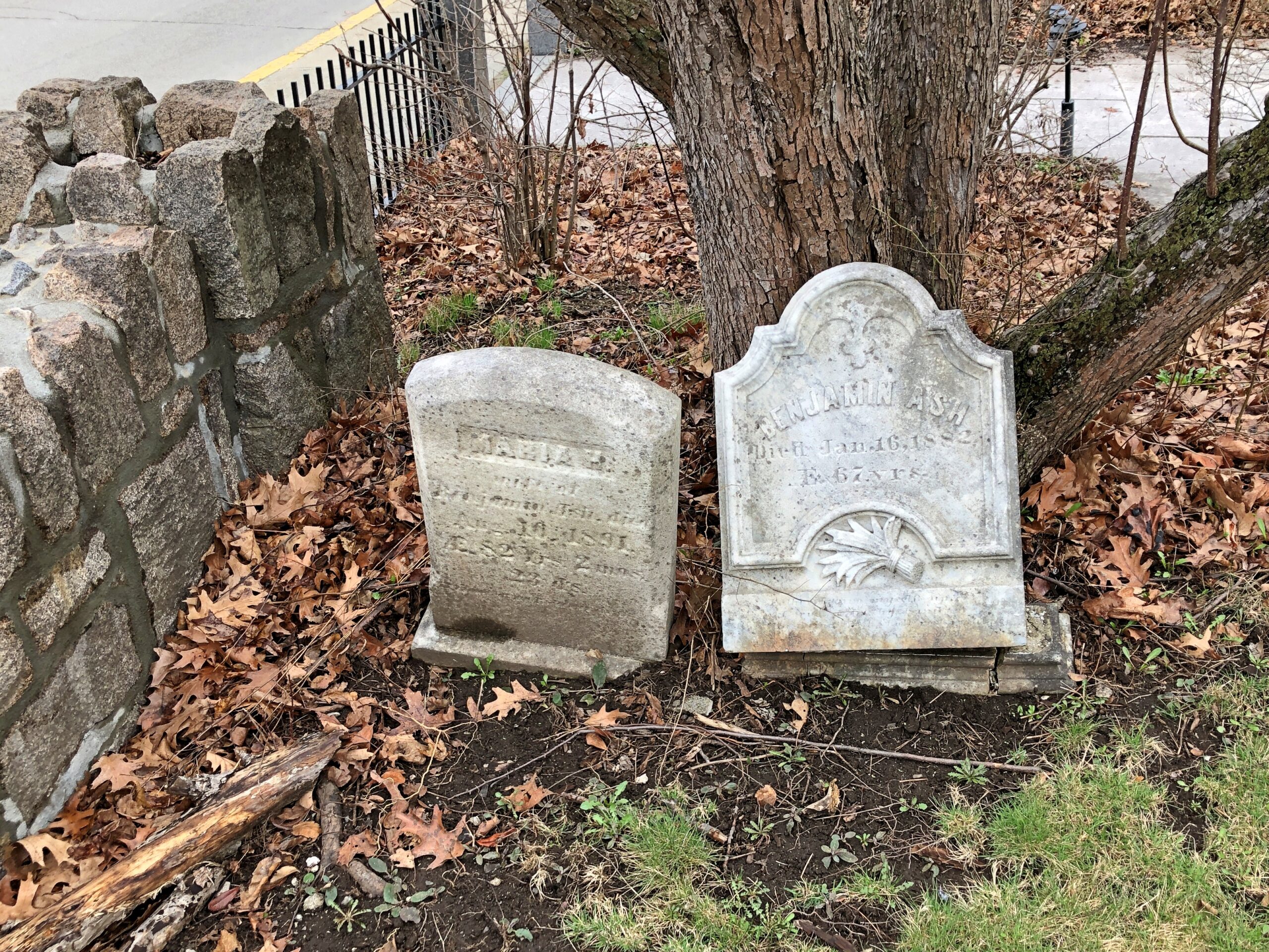
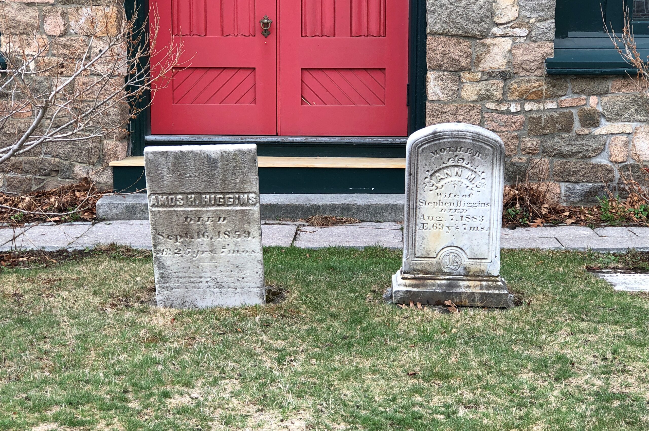
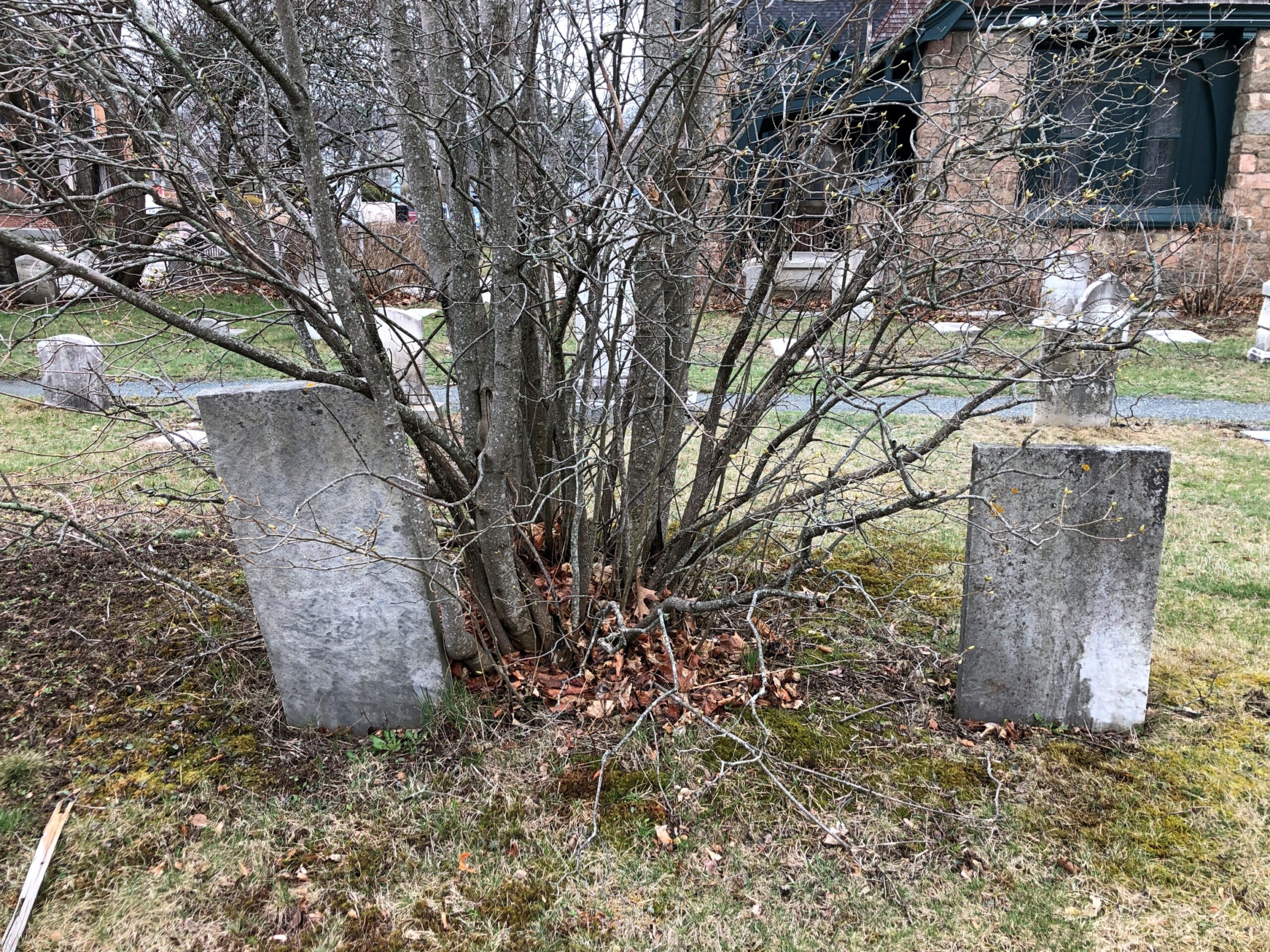
Stones two by two. Maybe not coupled in life, but they are now.
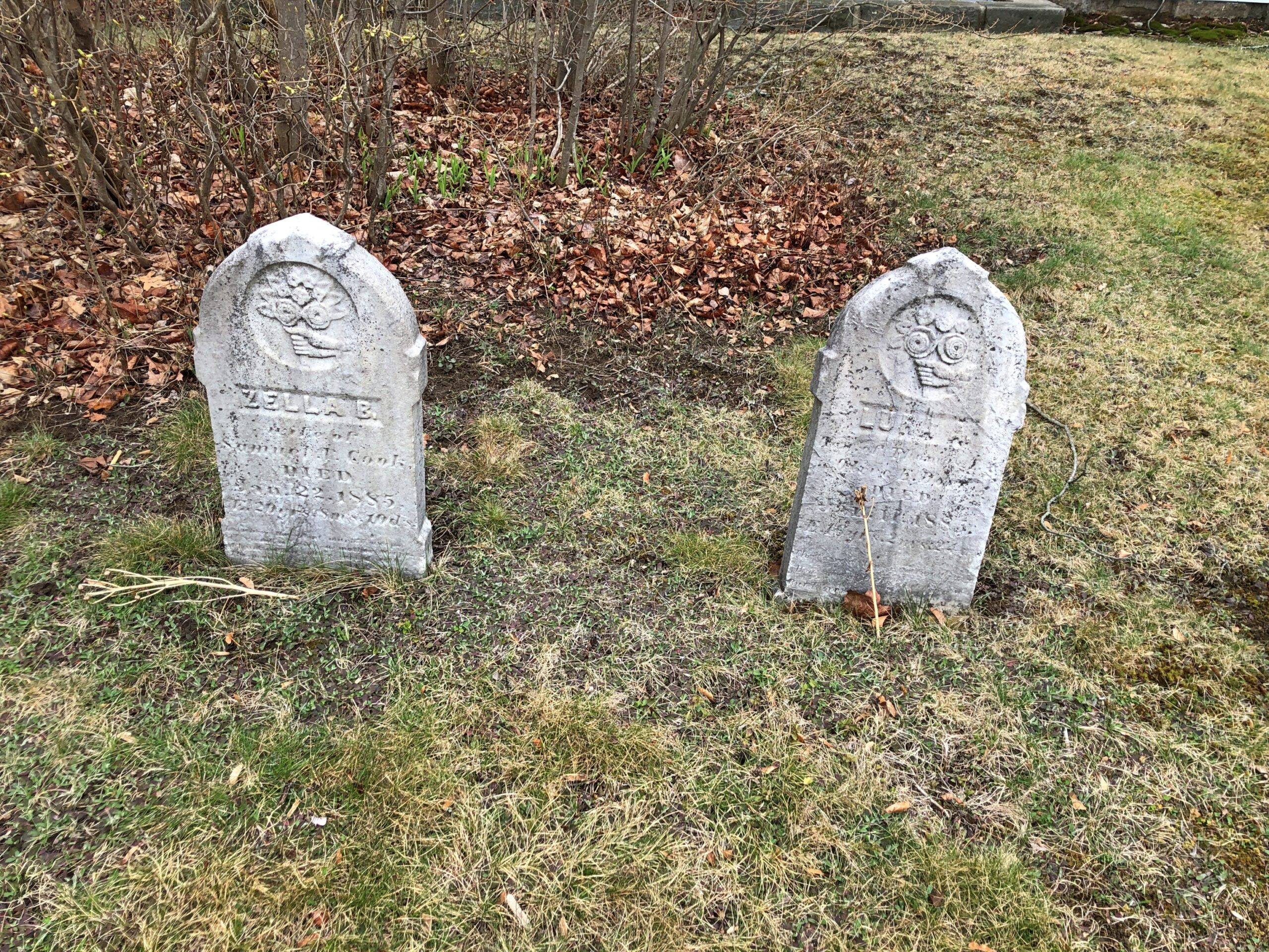
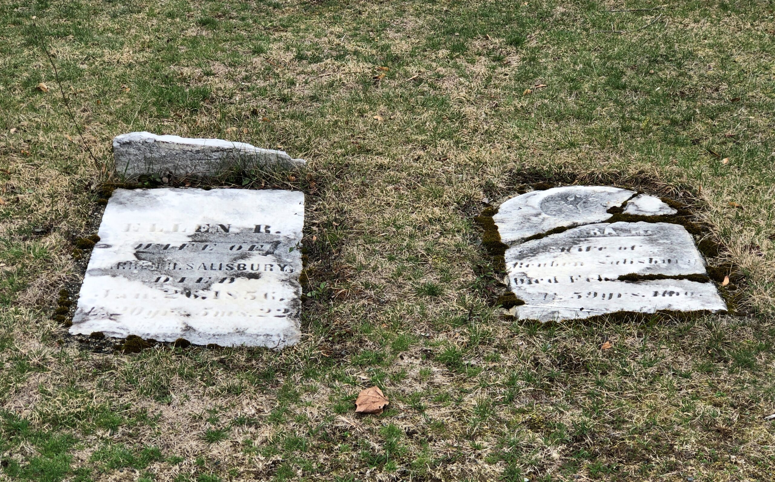
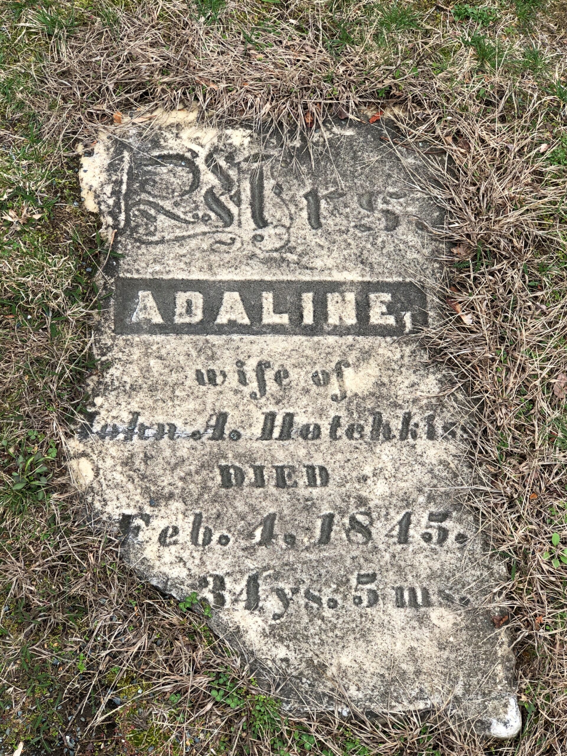
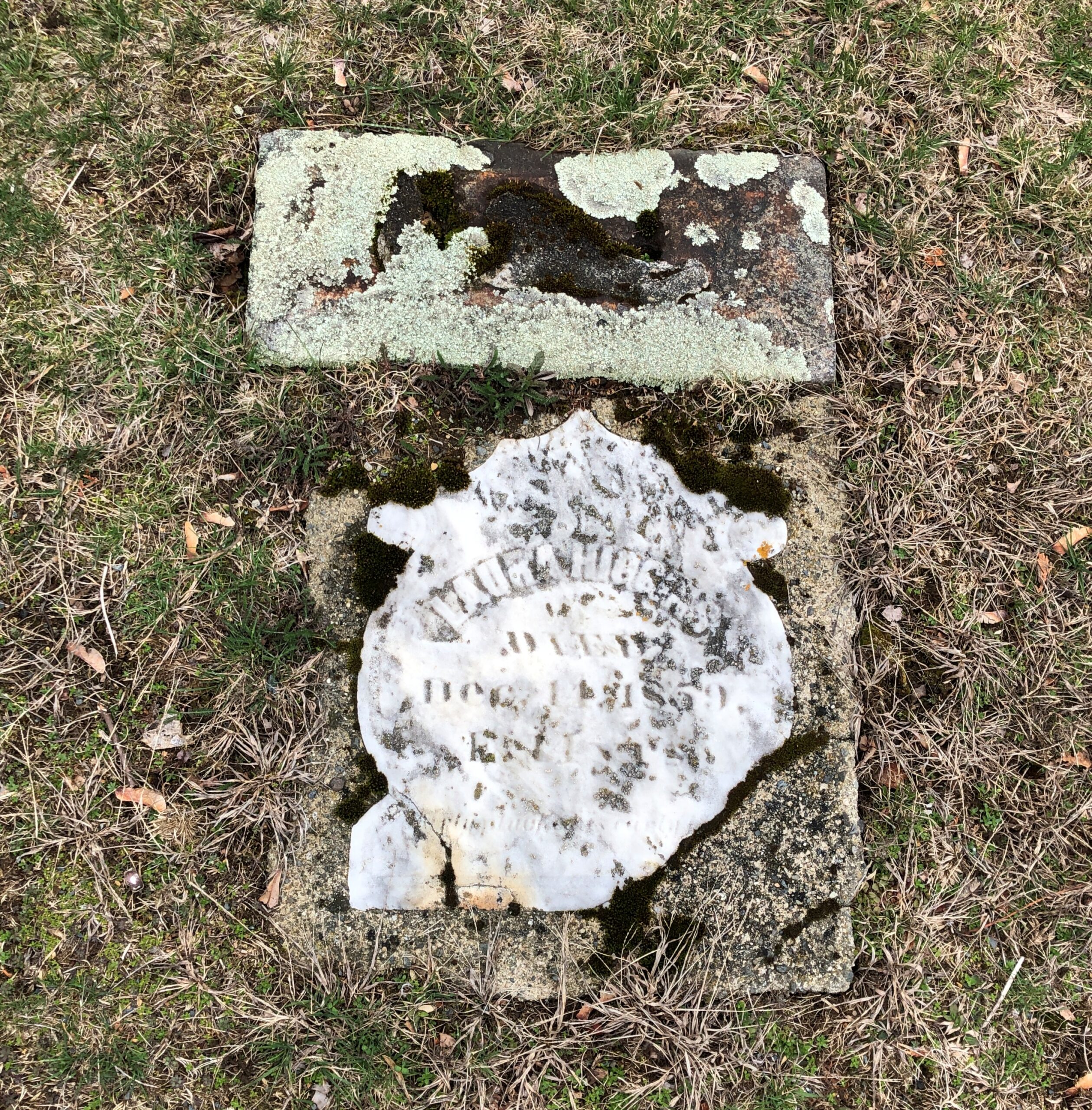
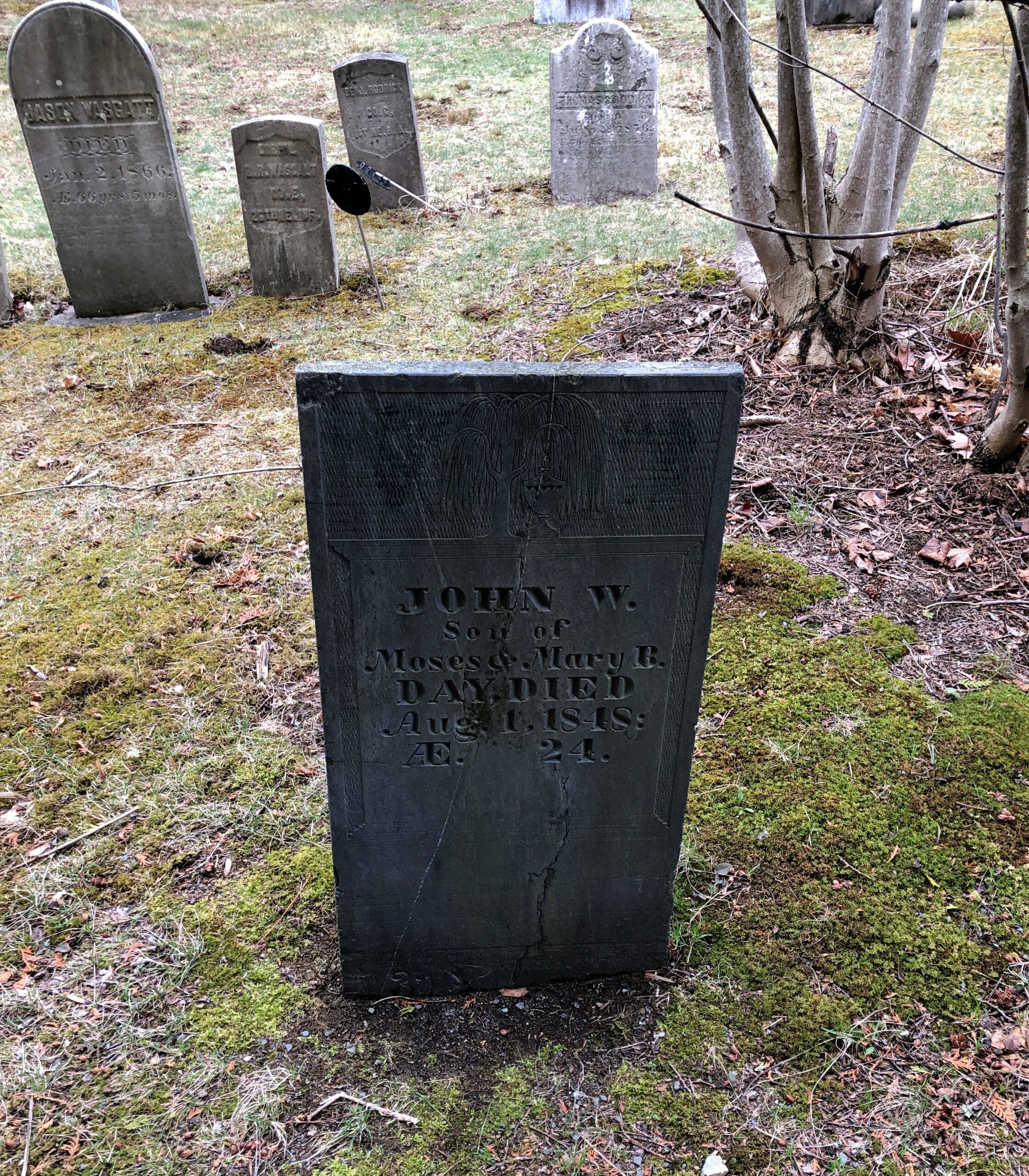
Many stones are on their way to disintegration, as usual with a cemetery that goes back this far.
Dark rectangular slate, as seen in a lot of New England, though no others in this cemetery that I noticed, except for a handful of lighter-colored rectangles.
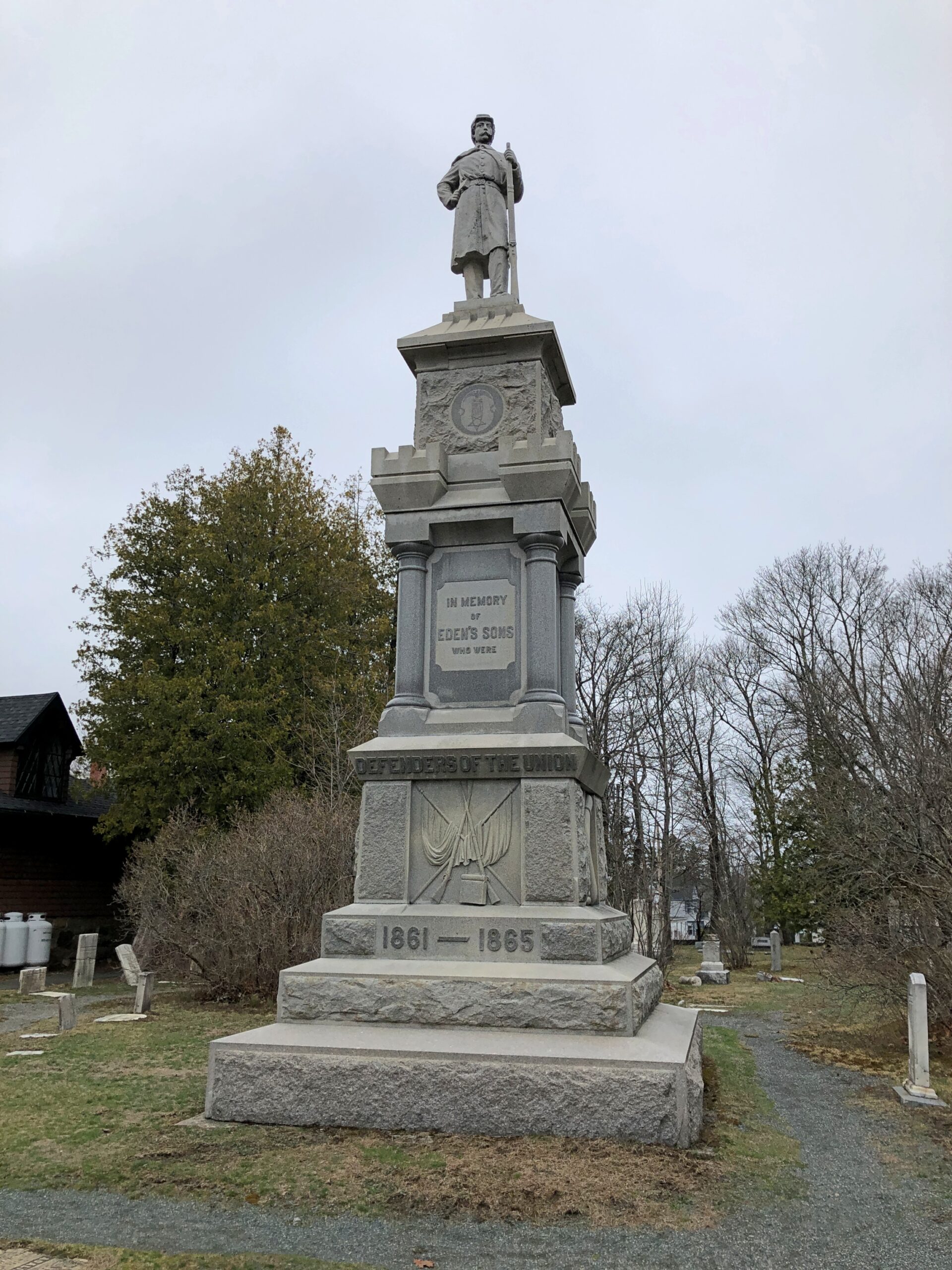
A memorial to Union soldiers from Eden, erected in 1897, ordered from a catalog. Attributed to Cook & Watkins of Boston, memorial makers.
The village paid for most of it, though the public at large donated. Their efforts were probably pushed along by the idea that we’d better get around to this now, what with all the graybeard vets.
Not long ago, I wondered how accurate the lyrics of “Alice’s Restaurant Massacre” were on one specific point. I had my reasons.
You can get anything you want at Alice’s Restaurant Walk right in, it’s around the back Just a half a mile from the railroad track
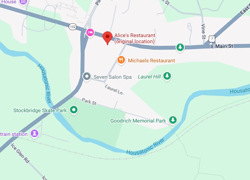
Seems like a convenient rhyme, but that’s not all. Google Maps tells me that the site of Alice’s Restaurant is about a half a mile from a railroad track. I didn’t save the scale on this map, but the distanceis correct. This is mildly amazing. Who expects geographical accuracy from a song lyric?
That morning, April 14, I’d extracted myself from Midtown Manhattan via various sorts of transport, retrieving my car at long-term parking at Newark International, and planned to spend the night in Portsmouth, New Hampshire. Though New England isn’t large, it is molasses when it comes to driving through its densely settled areas, and first I had to get out of New Jersey and New York, then cross Massachusetts. All that meant an all-day drive. Stockbridge, Massachusetts, former home of Alice’s Restaurant, was a stop along the way.
Near the eastern edge of New York state, I cruised north on the Taconic State Parkway.
That sounded good, I thought when I noted the name on a map. It was. Budding greenery, smooth driving, no trucks. Or that many other cars, the further north you go. Construction started about 100 years ago, at the urging of then private citizen Franklin D. Roosevelt. The parkway is in the same league as the Natchez Trace Parkway or the Blue Ridge Parkway, though only about a quarter as long as either.
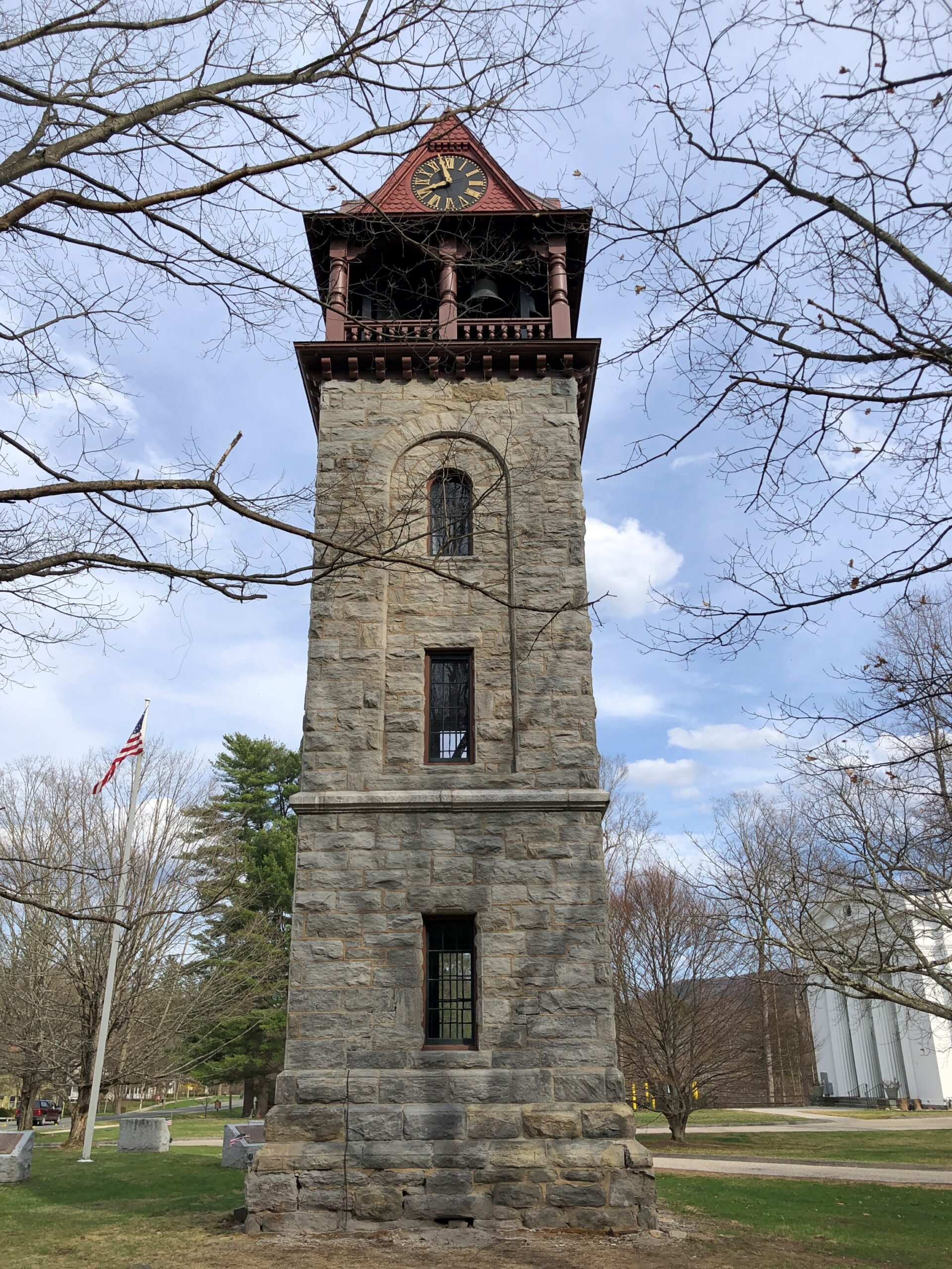
Once I’d gone far enough north, I took connecting roads to the Massachusetts Turnpike. Stockbridge, which is slightly south of the turnpike, counted more-or-less as a midway point on my day’s drive. As I entered town via Massachusetts 102, I noticed a tower. A stone tower, exuding 19th-century New England sturdiness. Its clock was wrong.
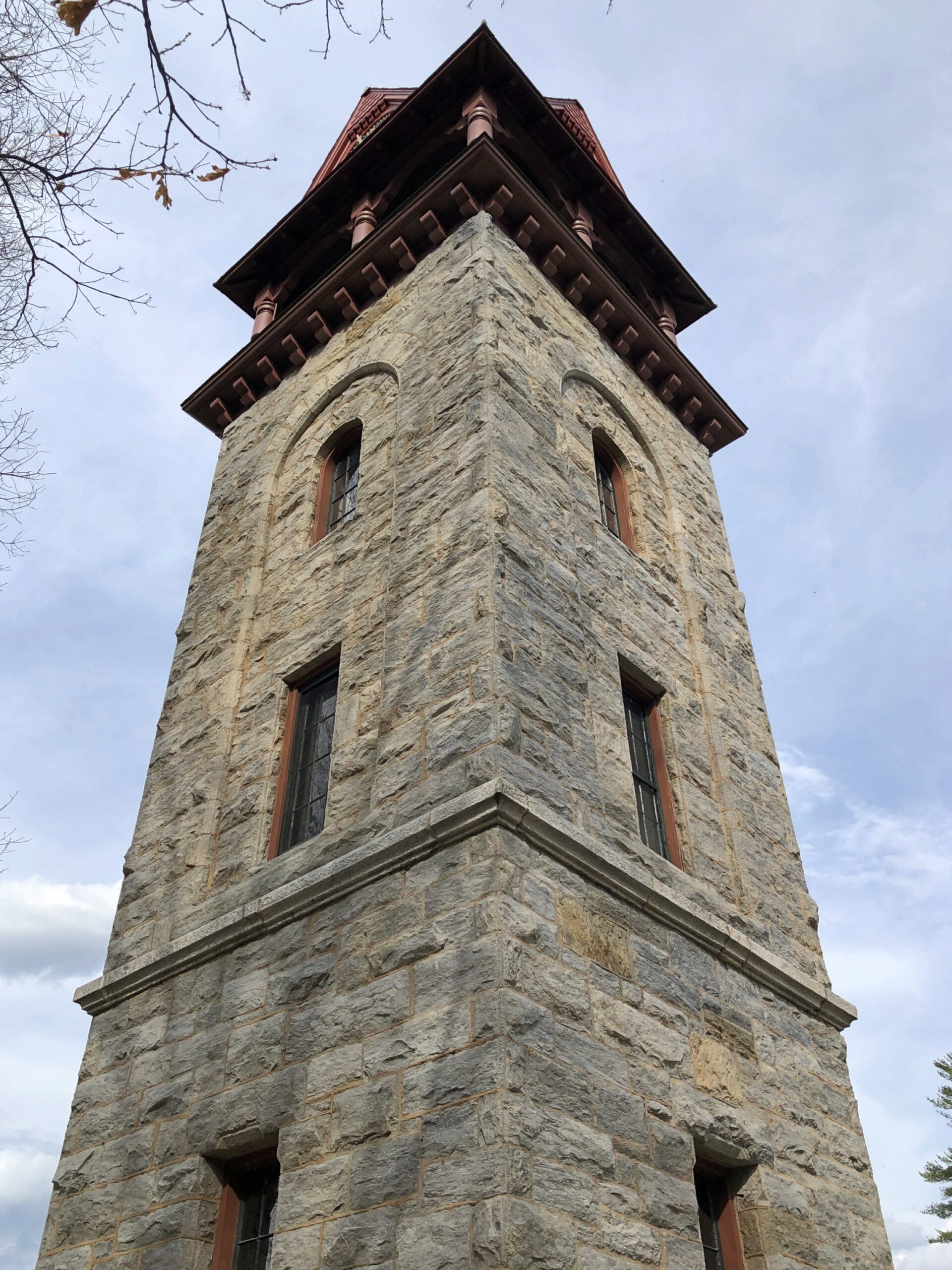
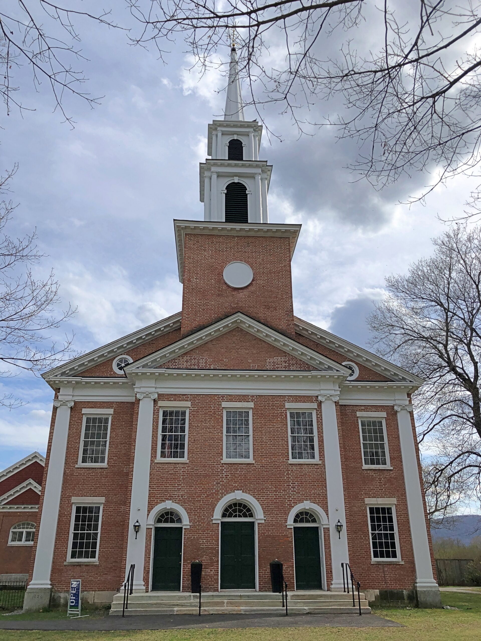
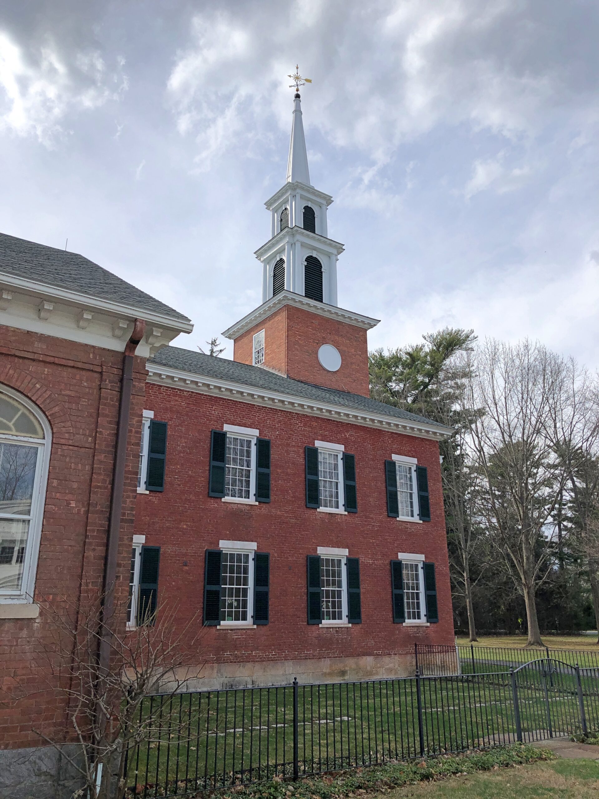
The Children’s Chimes Tower, a 19th-century bell tower built on the site of the town’s original church. A 19th-century replacement for that church stands near the bell tower, looking as New England as can be.
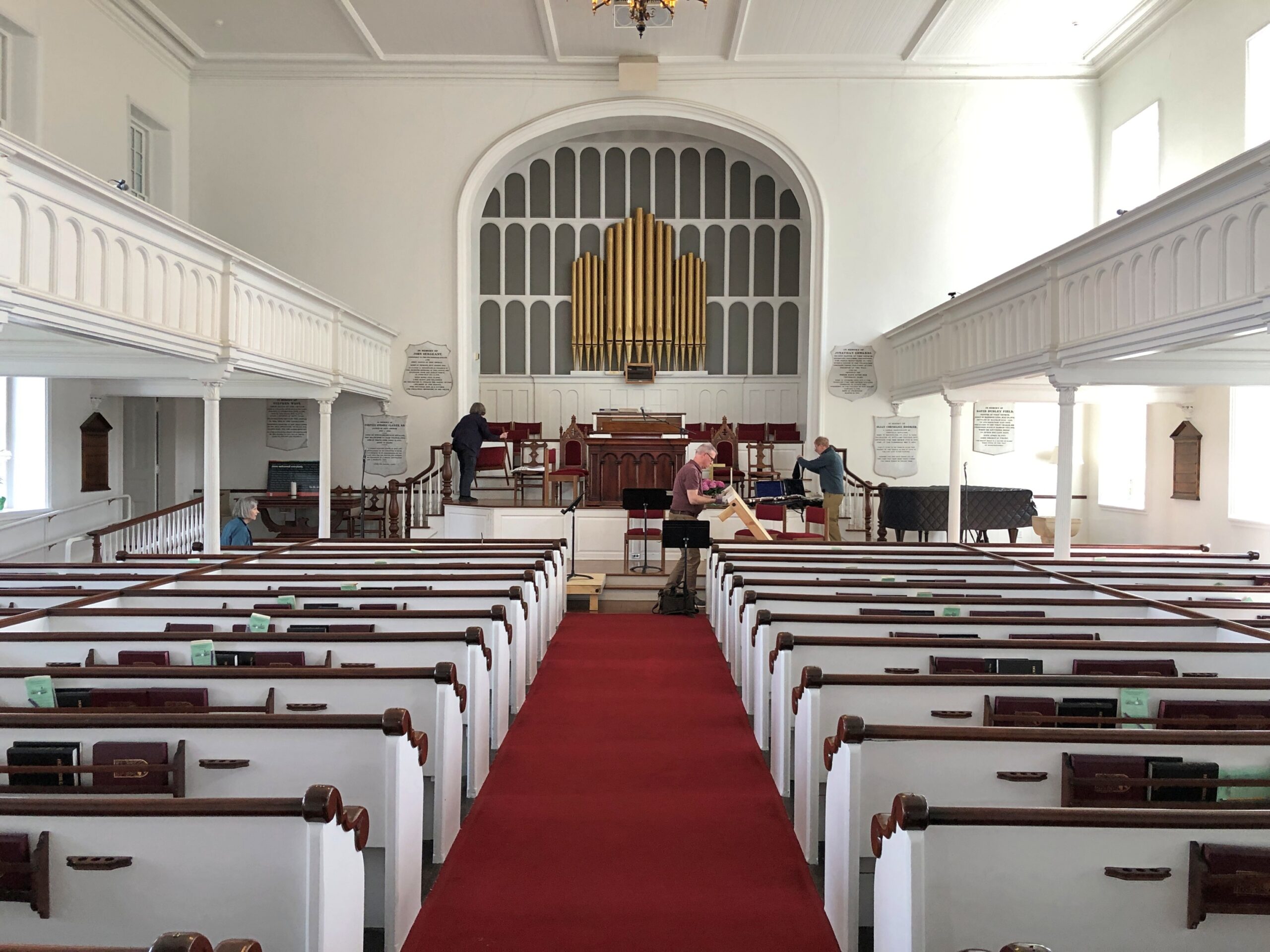
The First Congregational Church UCC. Remarkably, it was open.
Musicians were practicing, or rather seemed to be wrapping up a practice. They paid no attention to me as I looked around.
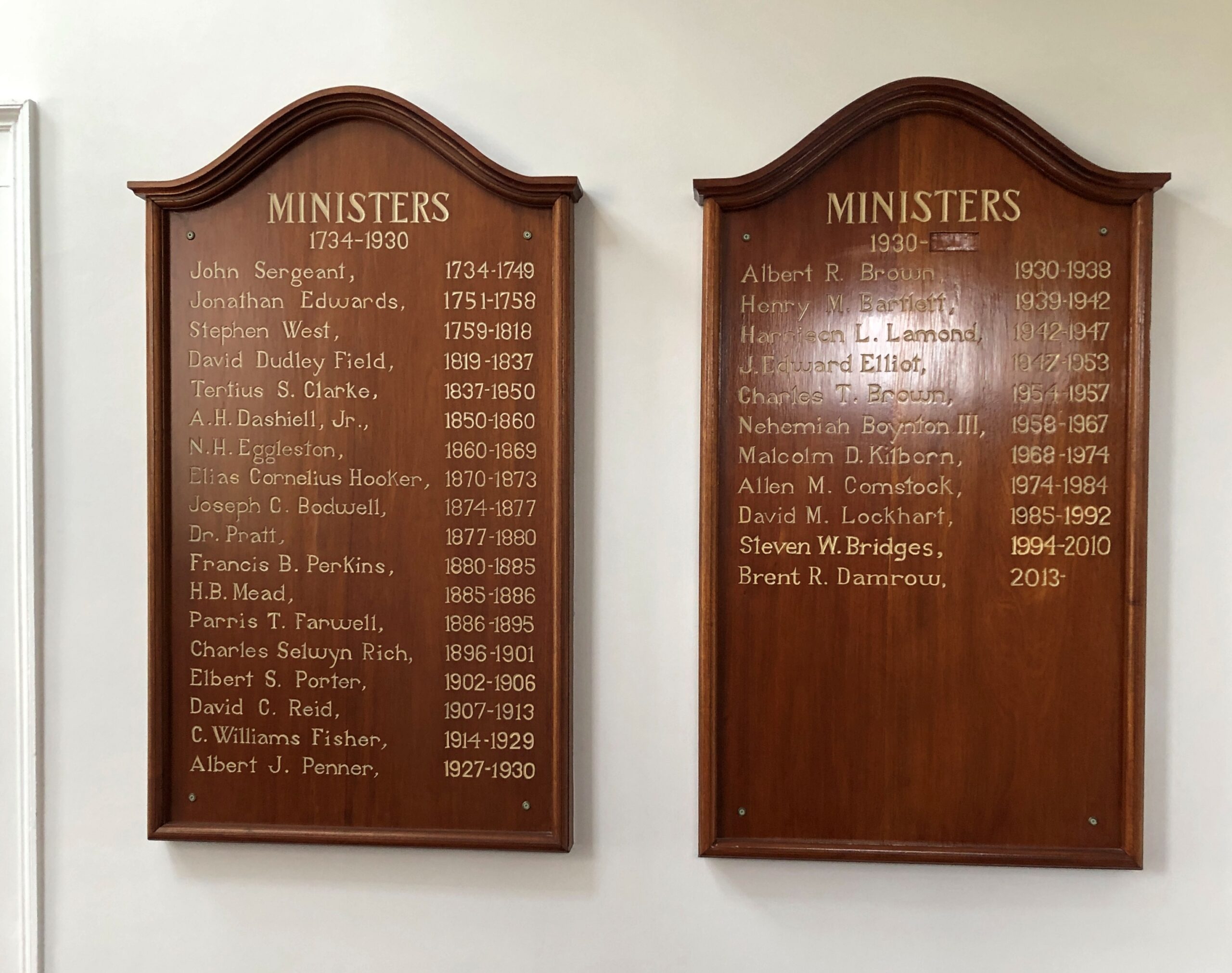
Jonathan Edwards was the church’s second pastor. “Sinners in the Hands of an Angry God” Jonathan Edwards? Yes.
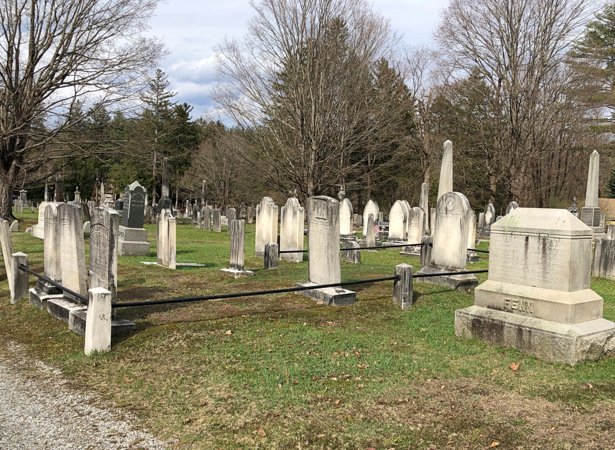
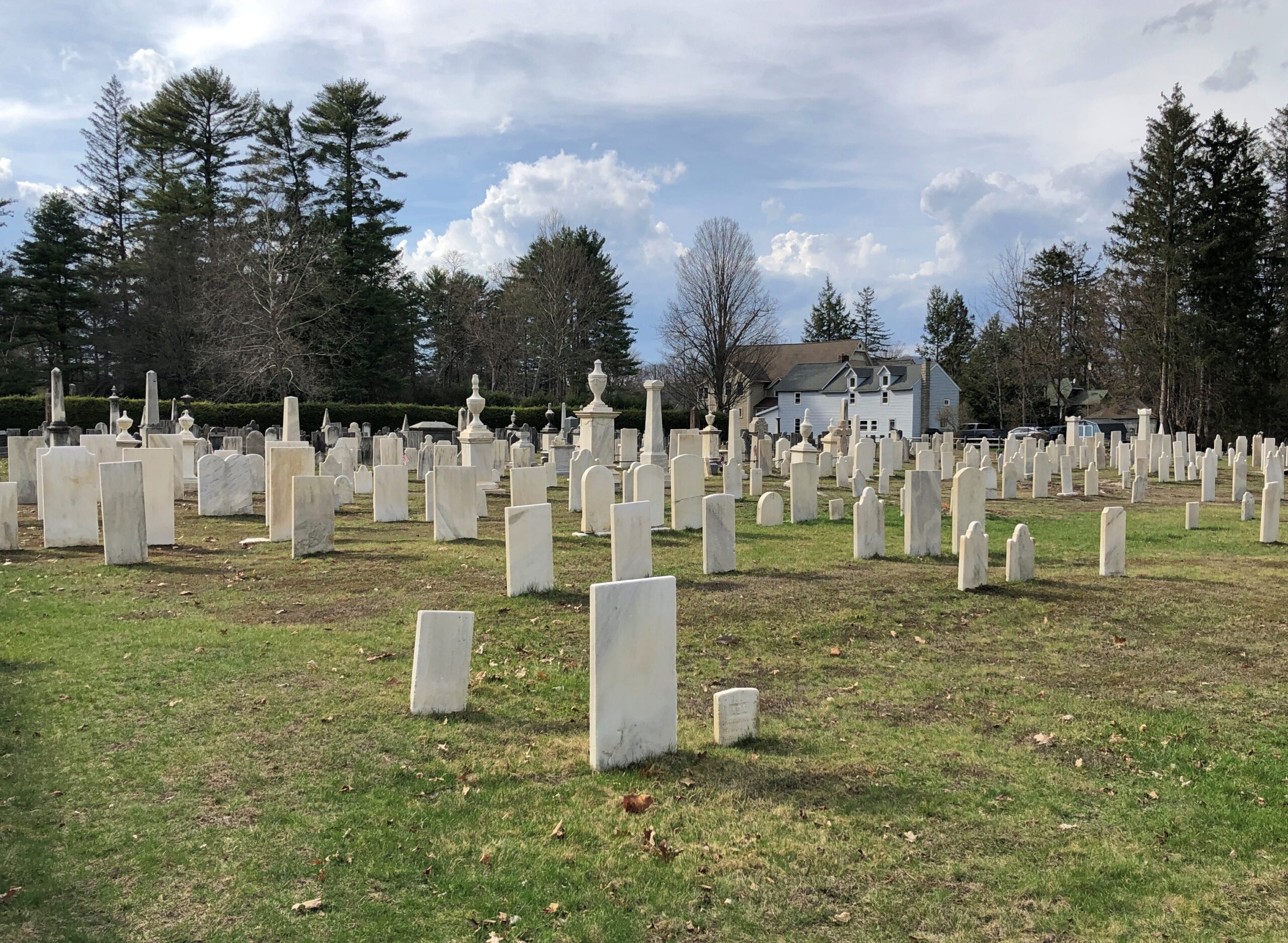
Across the road from the church and freestanding bell tower – which doesn’t chime, except in the summer – is the town cemetery.
“One of the earliest burials was the first minister, John Sergeant, who died in 1749,” says the Stockbridge Library. “Members of the Mohican tribe who joined the church also were buried here. Twenty years later, discussions began about ways to enclose the burial area to keep out cattle, horses, and pigs. It wasn’t until 1853, however, that a new organization in town, the Laurel Hill Association, took on the responsibility to clean and protect the area.”
Route 102 turns into Main Street, with its shops, hotels, and other establishiments.
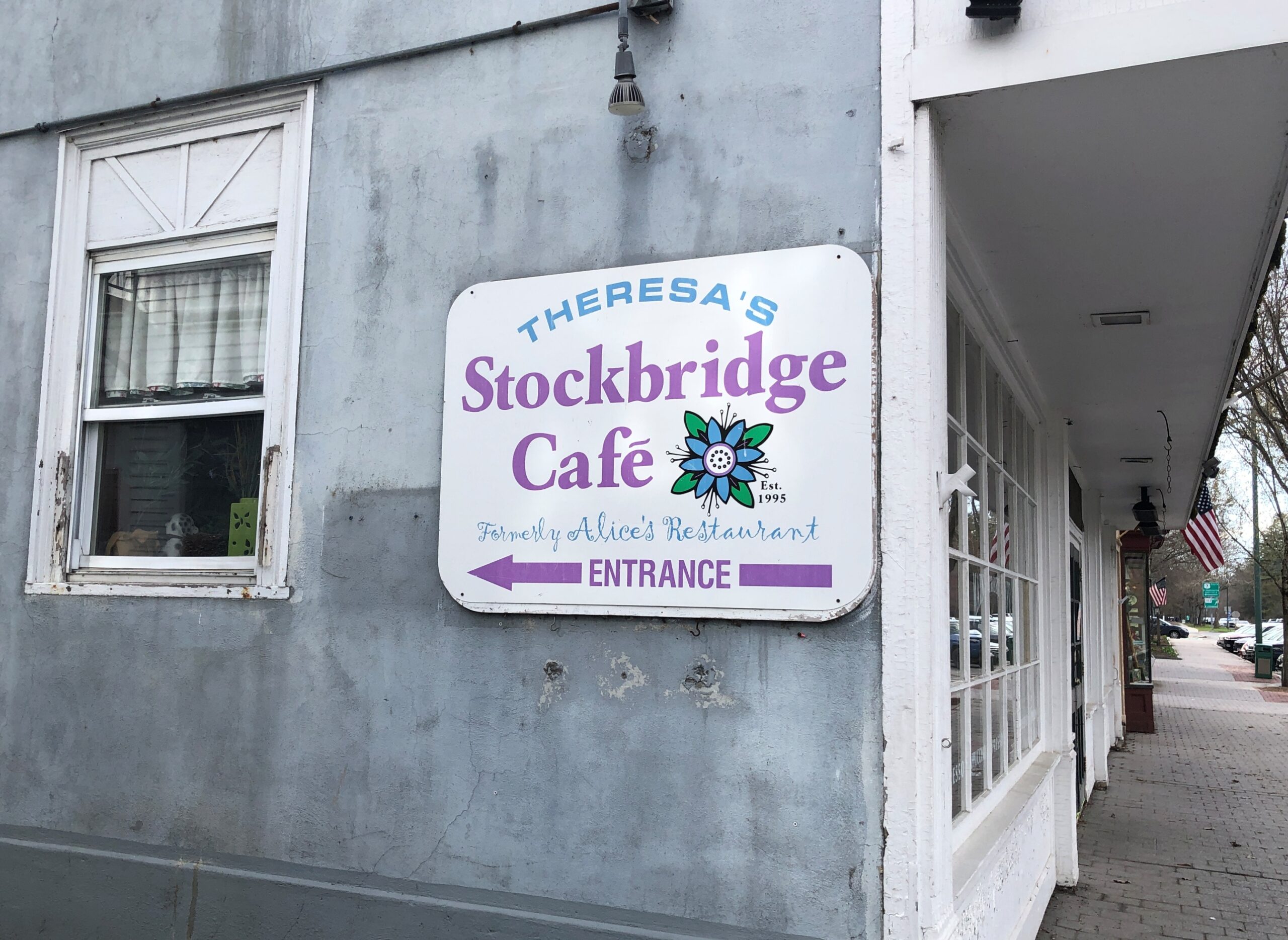
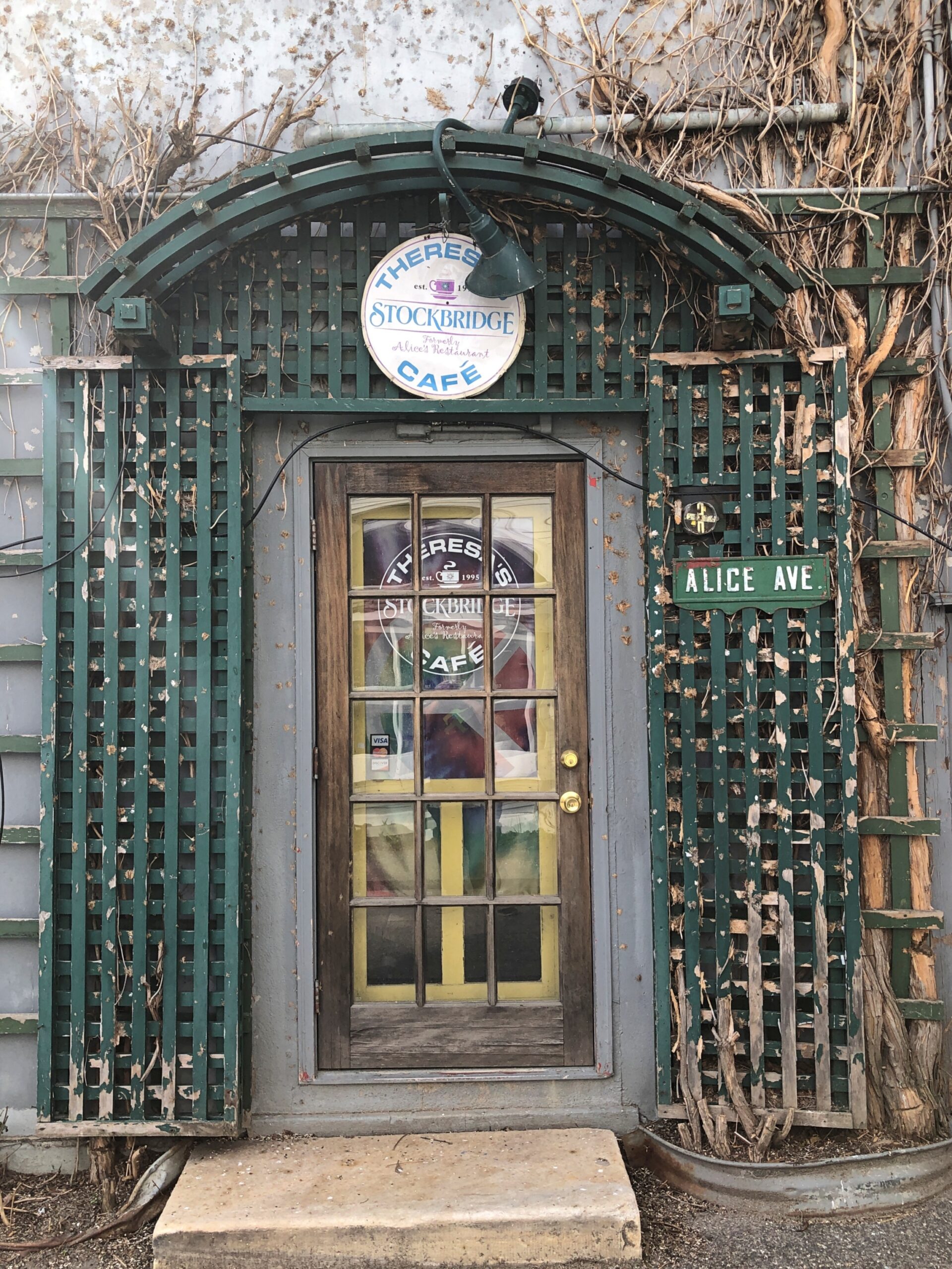
And, around the back (off Main St., that is), just a half a mile from the railroad track, is Theresa’s Stockbridge Café.
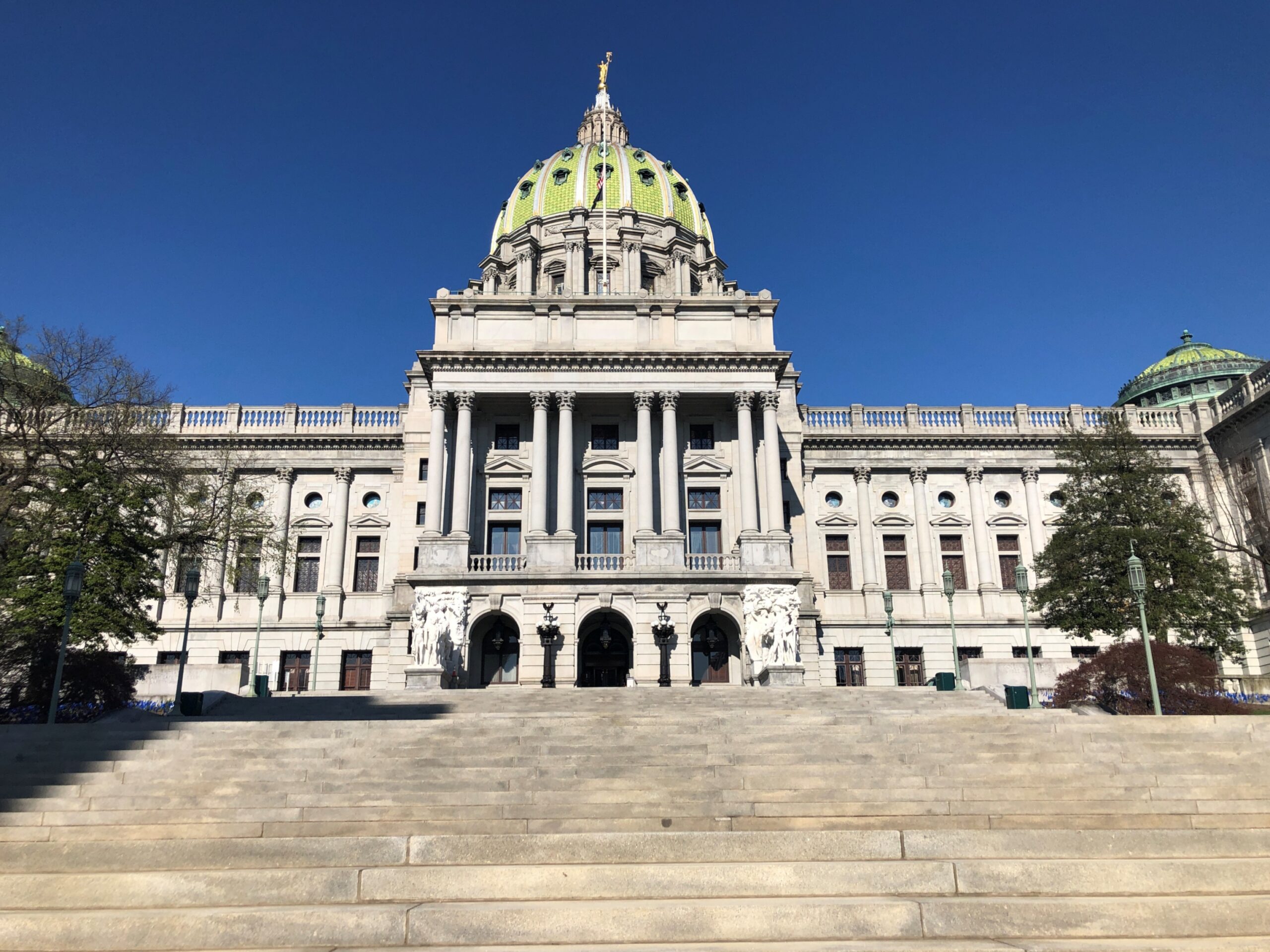
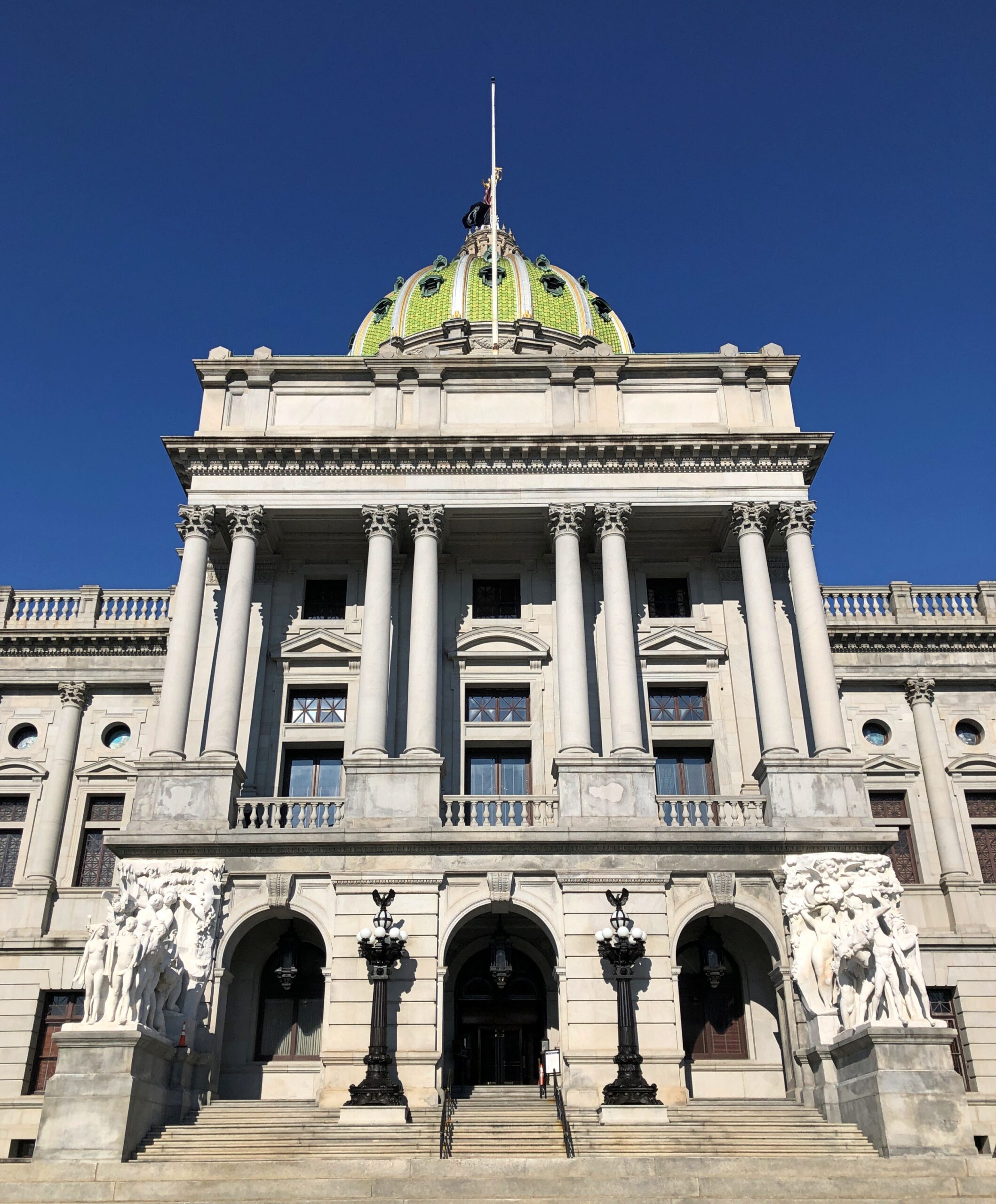
Pennsylvania has a handsome capitol, no doubt about it. At its dedication in 1906, TR called it “the handsomest building I ever saw.”
That must have been satisfying for the architect, Joseph Huston (d. 1940), to hear, or hear about.
But he didn’t have long to bask in the glory of his design. A few years later, Huston was in prison. Specifically, Eastern State Penitentiary in Philadelphia, back when that was a functioning stony lonesome.
“Huston eventually was charged with conspiracy to defraud the State of Pennsylvania by accepting bribes for the work on the Capitol and by charging the State more than was proper for the contracts required to complete the structure,” says Philadelphia Architects and Buildings. “Convicted on 29 April 1910, and after an unsuccessful attempt to mount a new trial… he served six months and 20 days in prison but was paroled on 20 December 1911 and returned to an architectural practice which was significantly affected by his legal difficulties.”
I’ll bet his practice was affected. An unusual tale for an architect, something you’d associate more with a contractor, but I suppose the temptation was too great for Huston and besides, grand buildings throughout the ages all had cost overruns, right? All the way back to the Ziggurat of Ur. That clearly didn’t cut any ice with the jury.
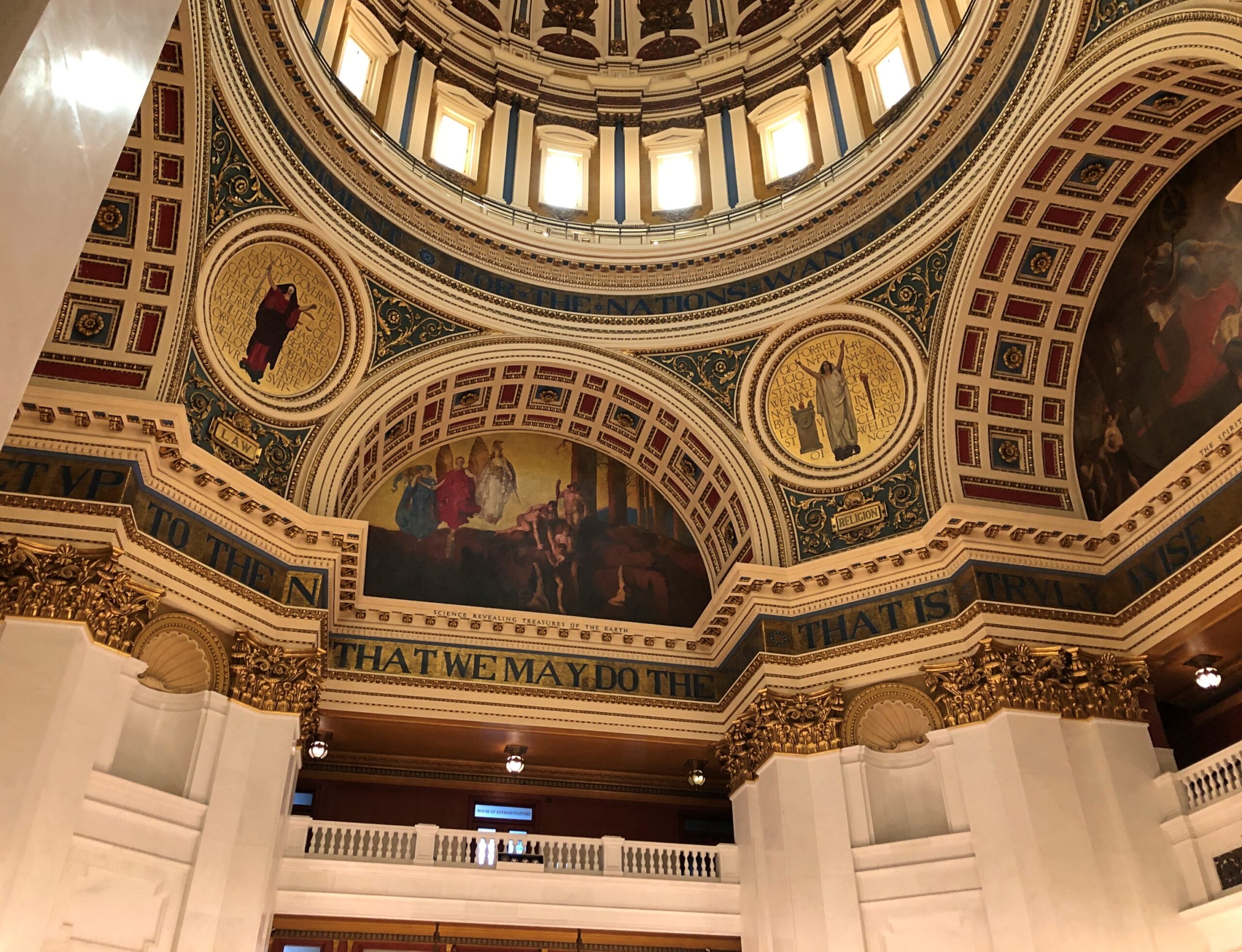
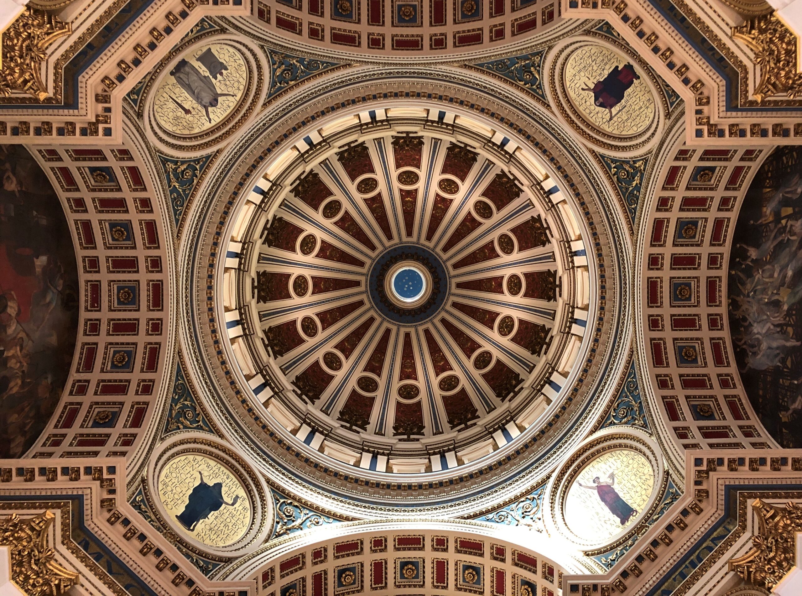
Whatever his side interests, Huston promised a palace of art to the commonwealth, and he delivered.
I arrived in Harrisburg fairly late in the afternoon of April 8, on my second day driving east. Pennsylvania is a long drive across, and I’d started in Cleveland, with the goal of reaching Trenton, New Jersey that evening. I did, but it didn’t leave much time to stop and see things. I was glad to learn that the capitol building was open until 6 pm, so I made time for it.
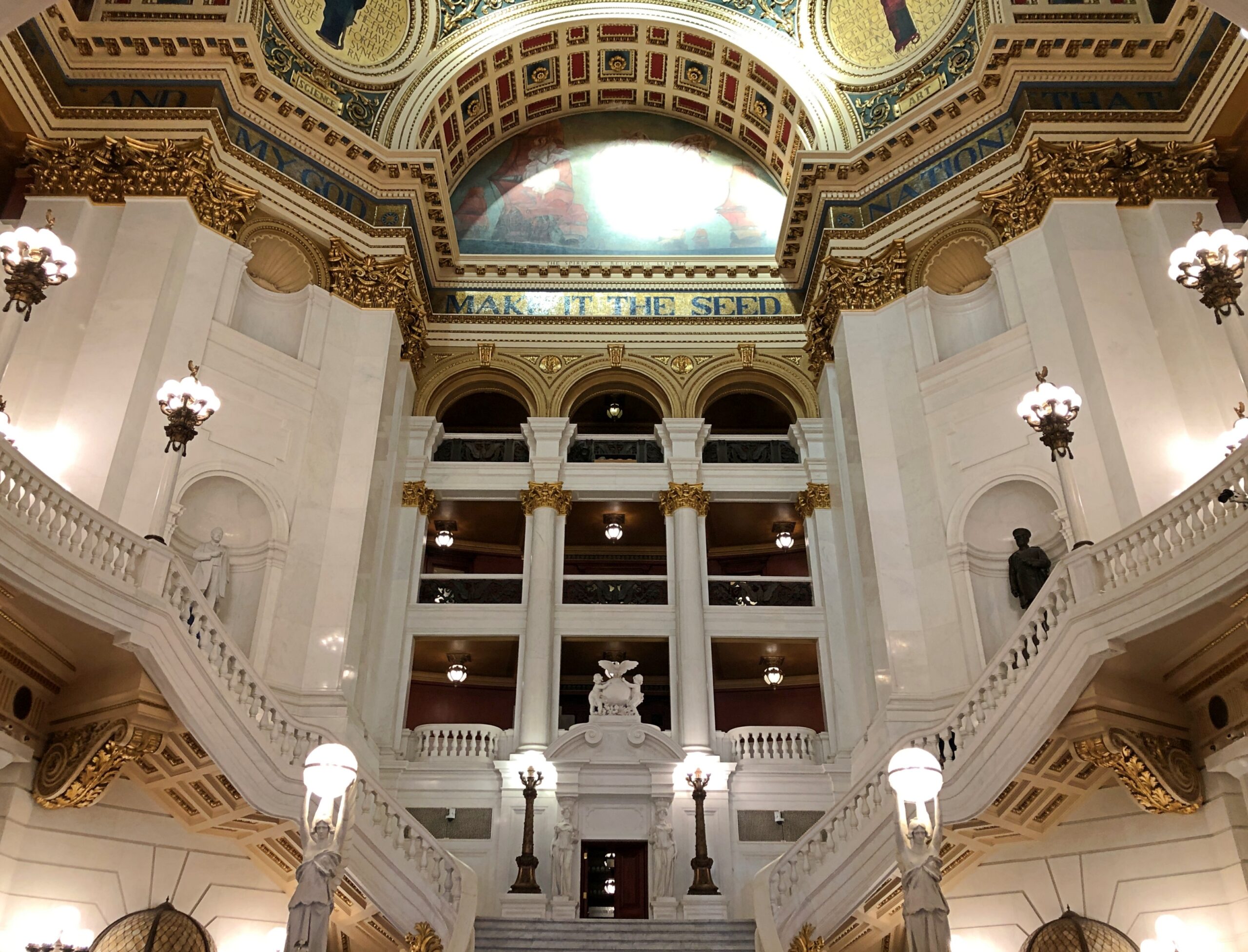
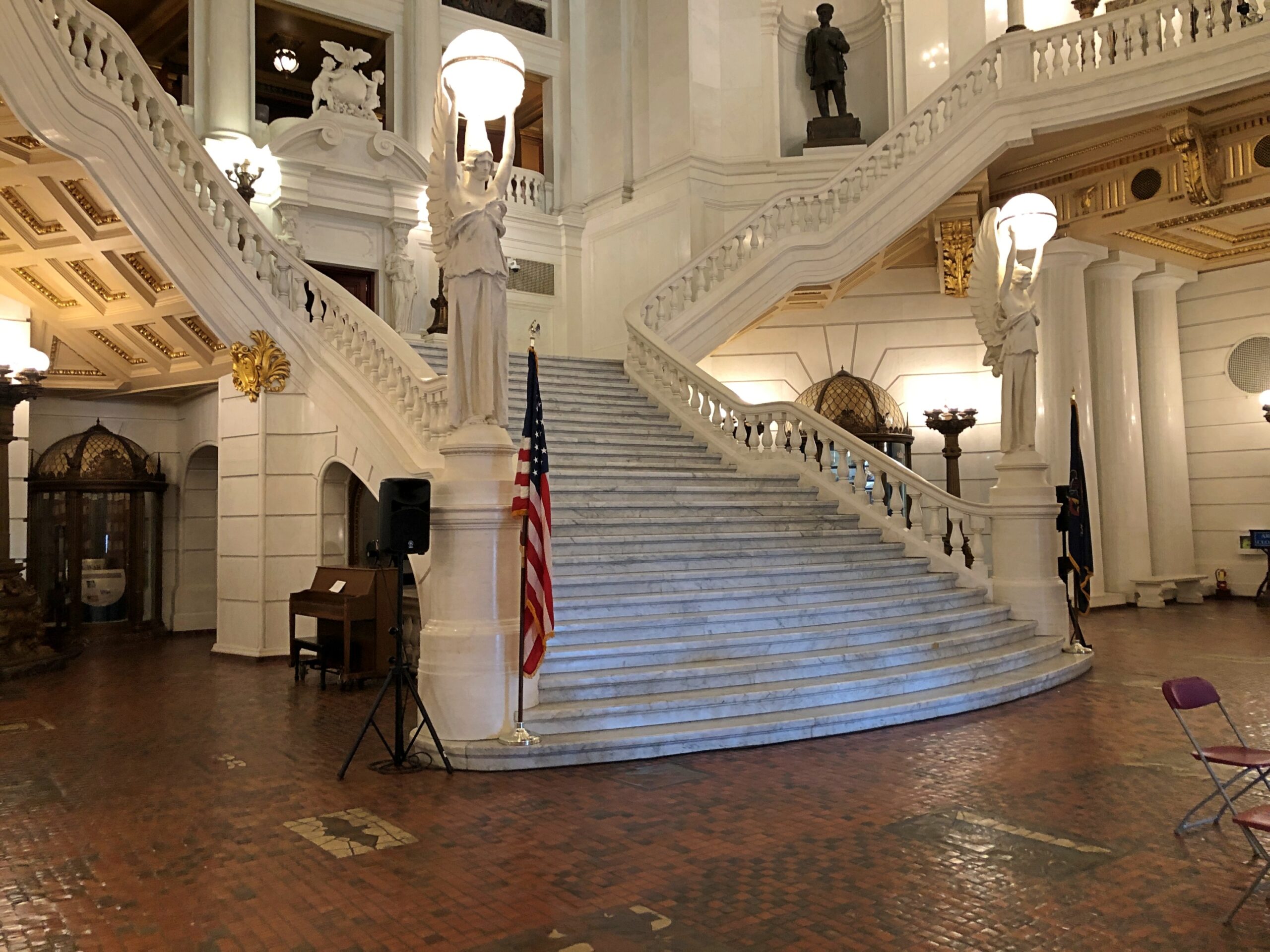
The grand staircase, flowing down to, or up from, the distinctive tile floor under the rotunda.
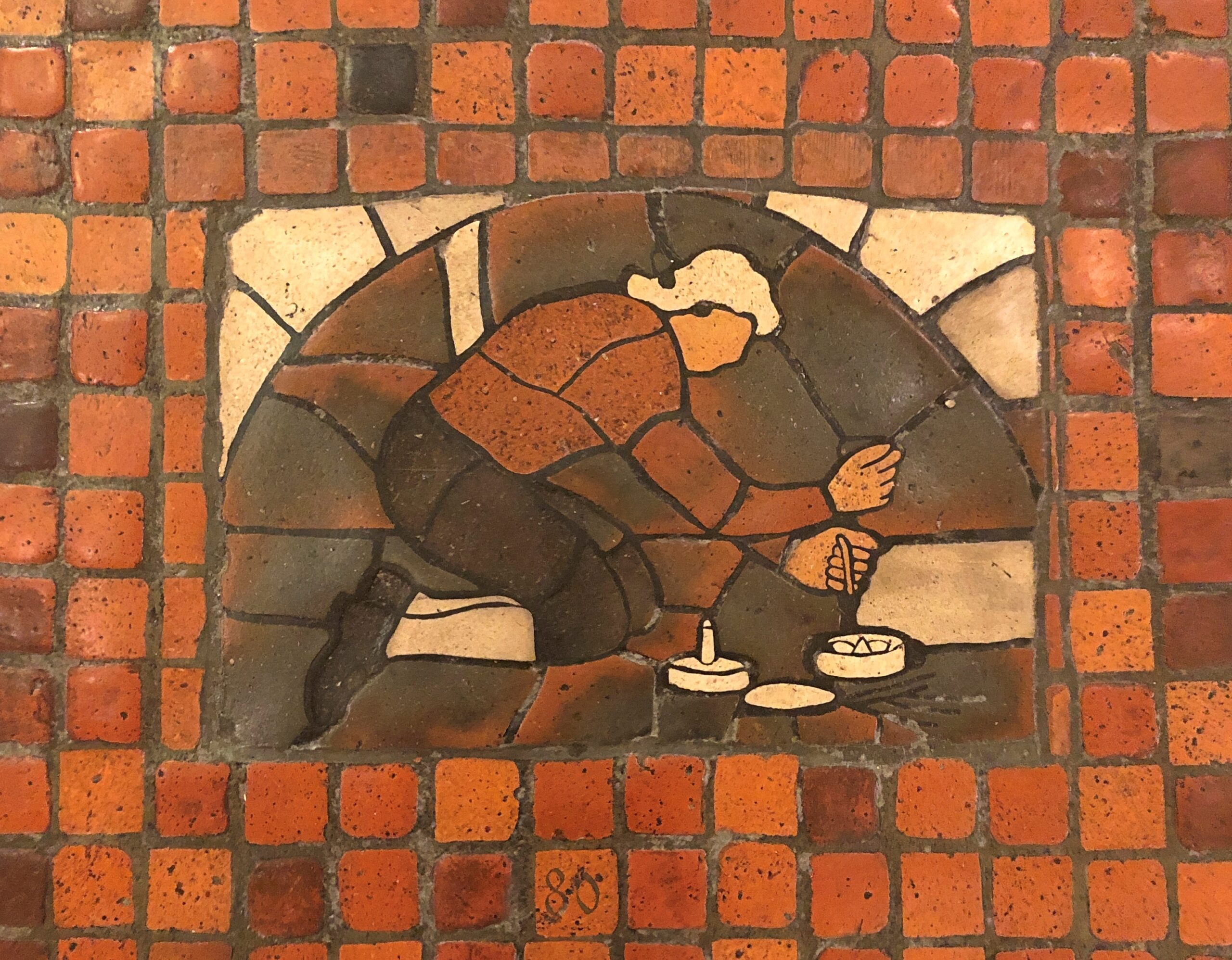
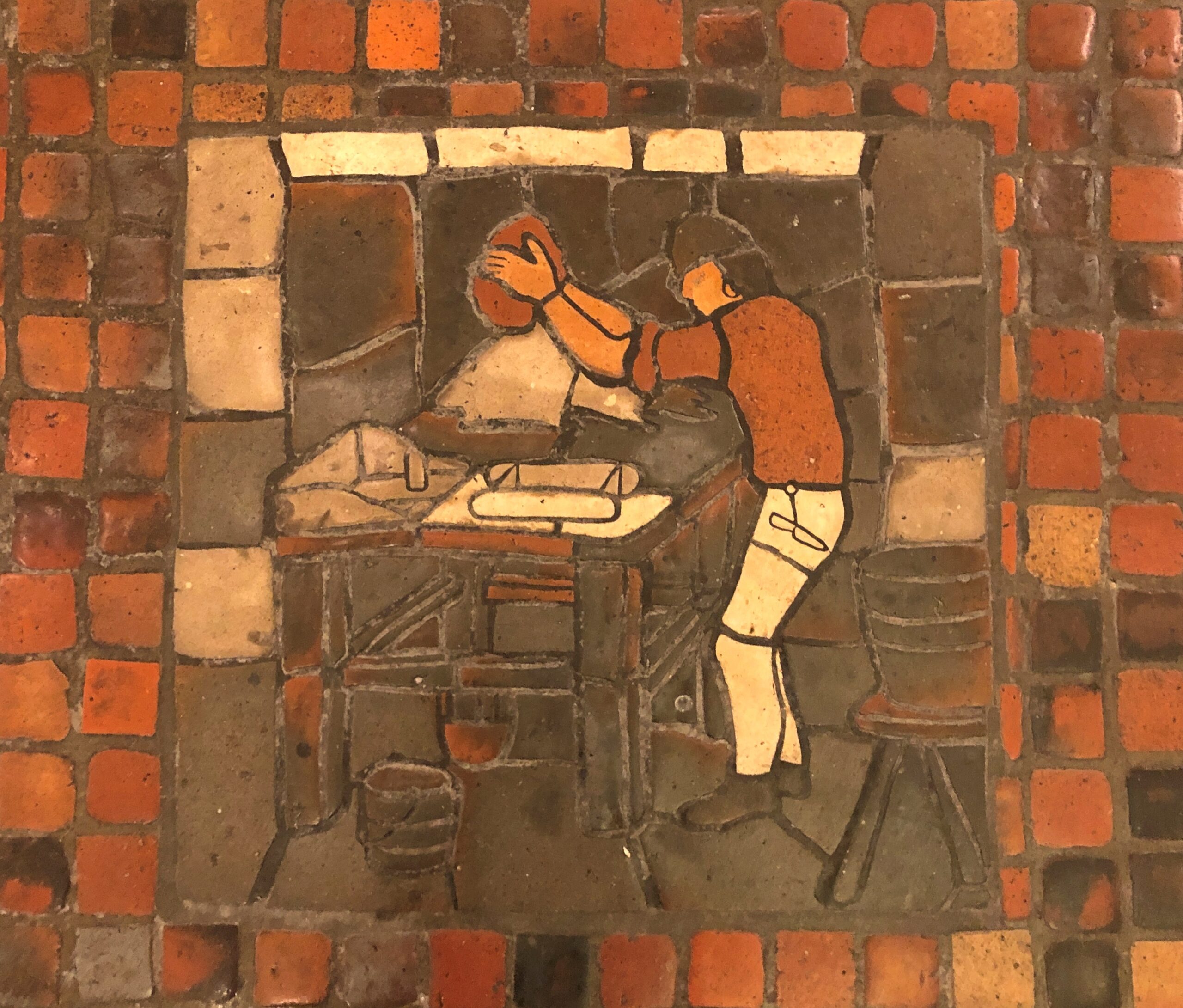
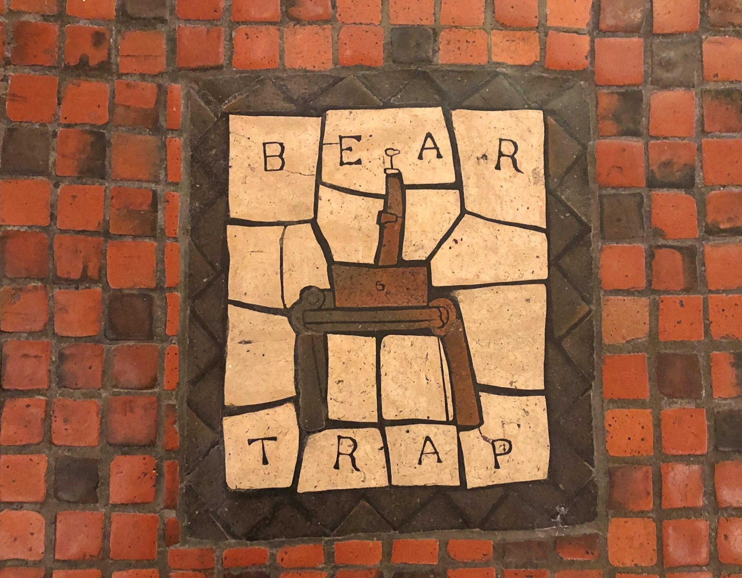
Art flourishes not just on the vaulting dome or the ornate walls, but even underfoot.
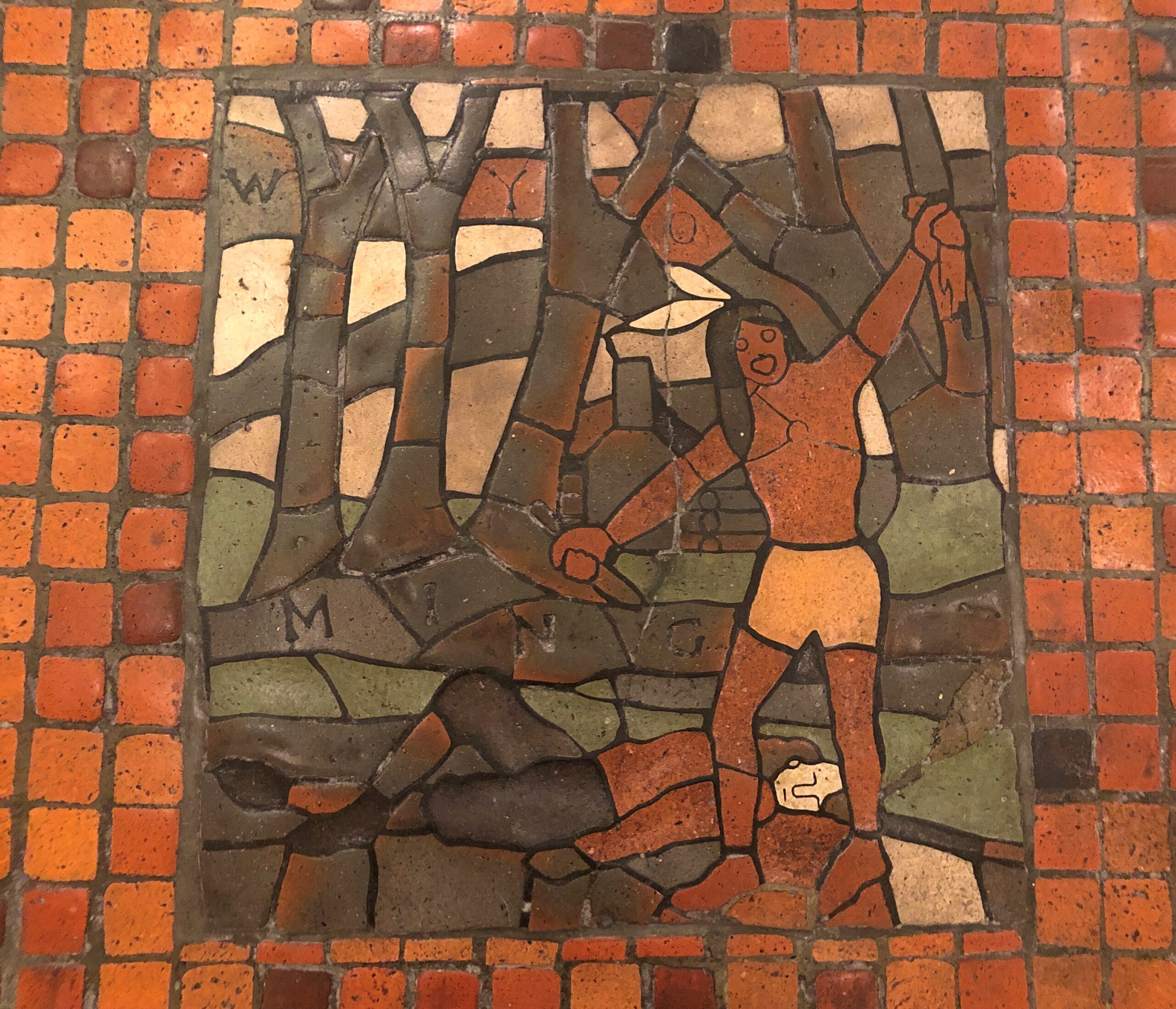
Henry Chapman Mercer, a Pennsylvania artist, did the mosaics grouted into the floor – scenes from the history of the commonwealth, from pre-history to the dawn of the 20th century. A good introduction to Mercer, one of the more interesting people I’ve first heard about lately. Among other achievements, he left behind his home, Fonthill; the Mercer Museum; and the Moravian Pottery and Tile Works, all in Doyleville, Pa., which is suburban Philadelphia these days. As if I needed another reason to revisit metro Philly.
A lot of scenes, it turns out, more than I could photography or even see. Including one that might not have made the cut in later times.
The House and Senate chambers weren’t open late that afternoon. I understand they are important parts of the art palace. More can been seen here about the decorative arts of those rooms, and the rest of the capitol.
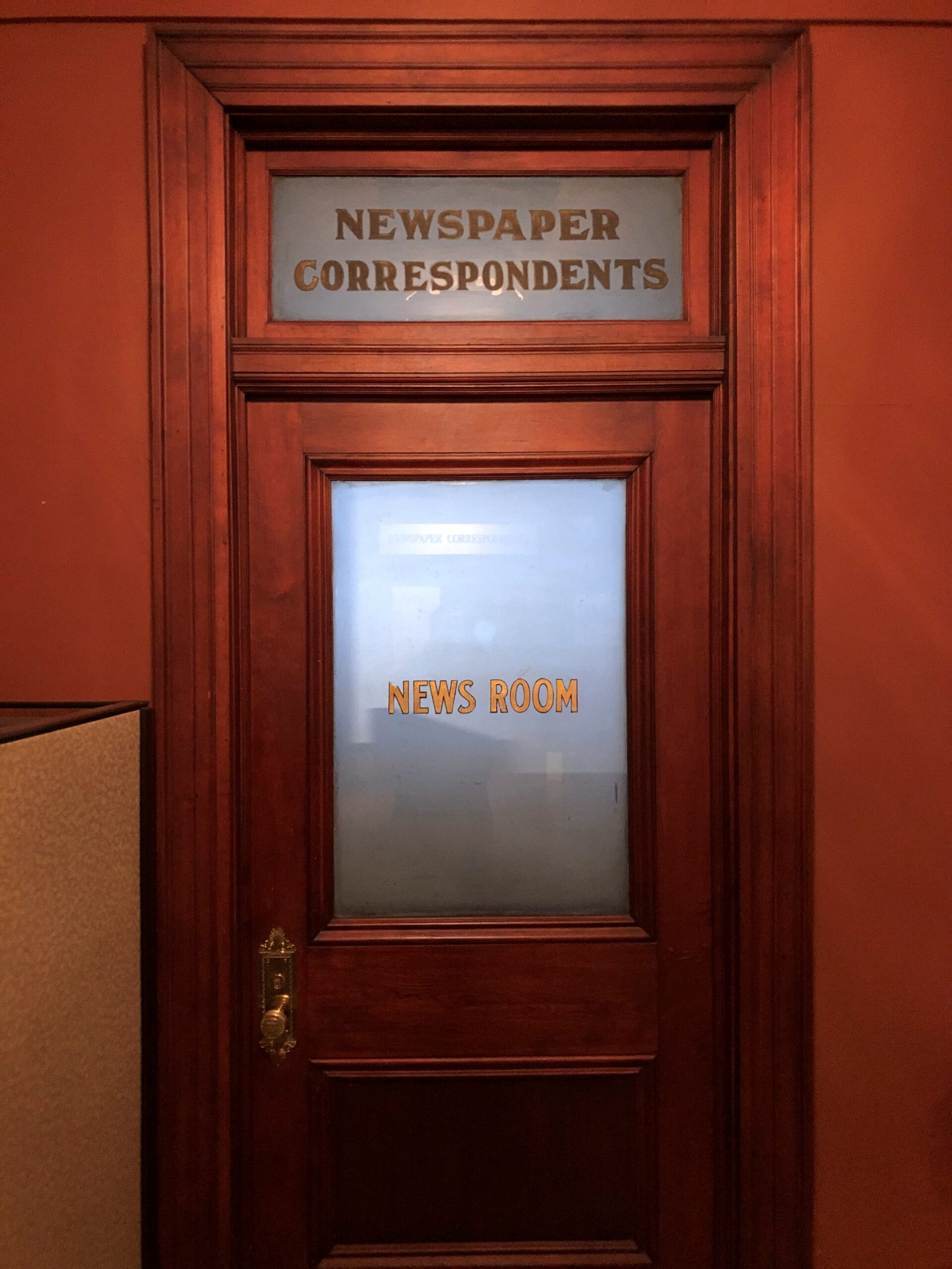
Not art, but this was good to see. I figure it isn’t literally for newspaper reporters any more, but I like to think when you open the door, you step into the press room of The Front Page.
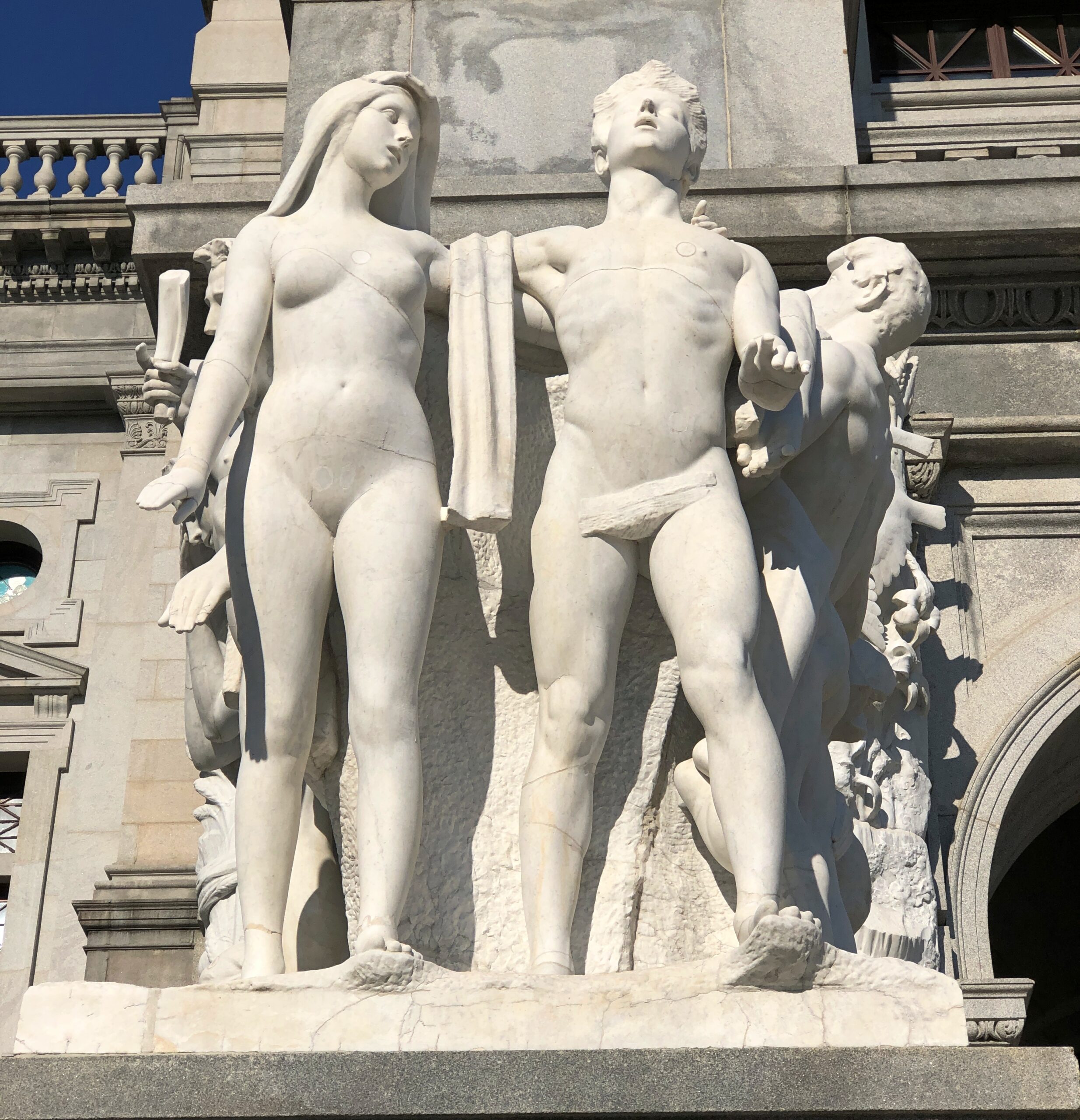
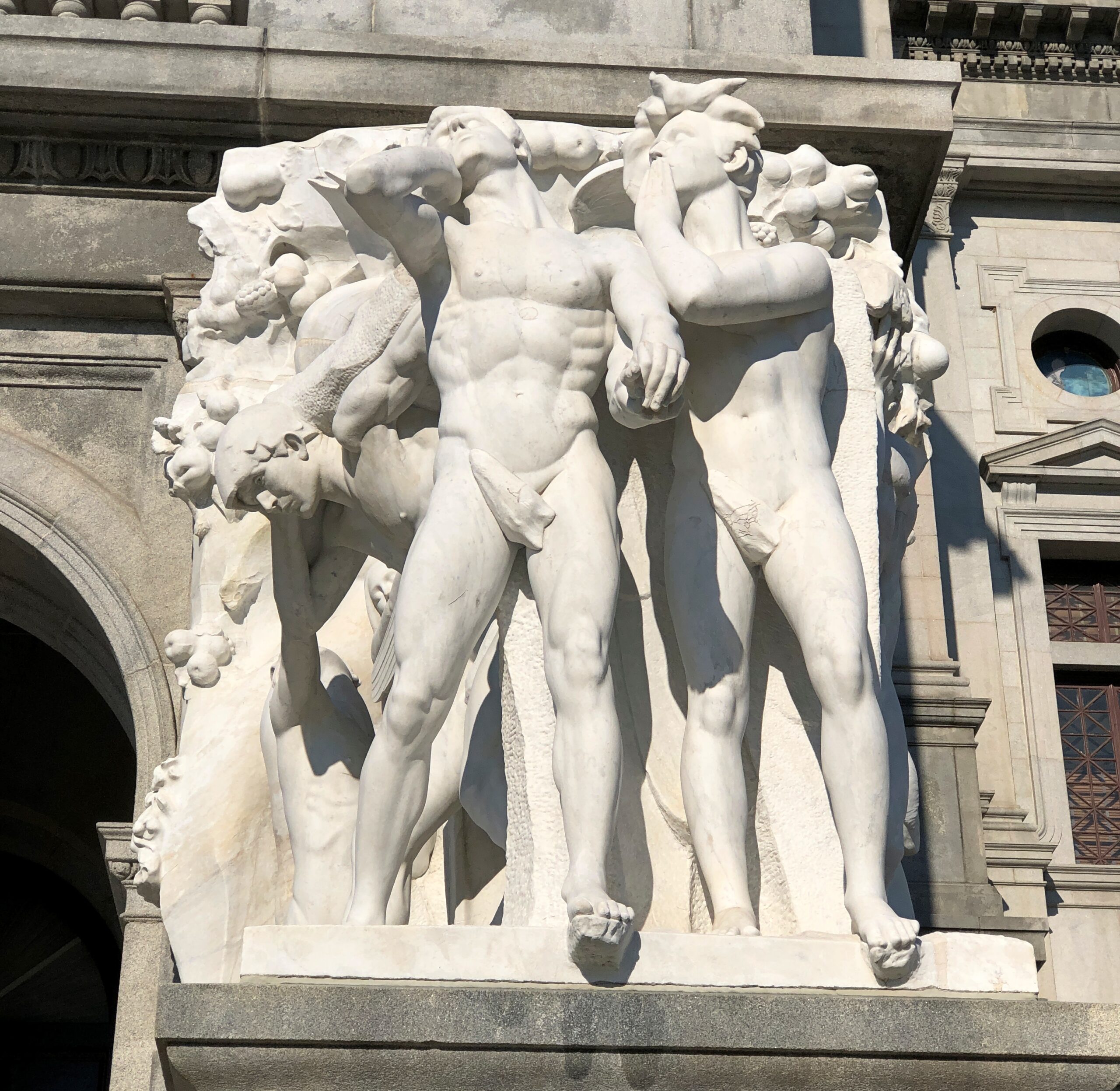
Statuary out front: two groups consisting of 27 figures. The artist in this case is George Grey Barnard (d. 1938), born in Pennsylvania, but I believe Chicago can claim him. Wouldn’t be a palace-of-art from 100+ years ago without larger-than-life statues in profusion. I’m glad the commonwealth has seen fit to keep them clean.
The upper couple would seem to be Adam and Eve; and wags might call the other couple Adam and Steve.
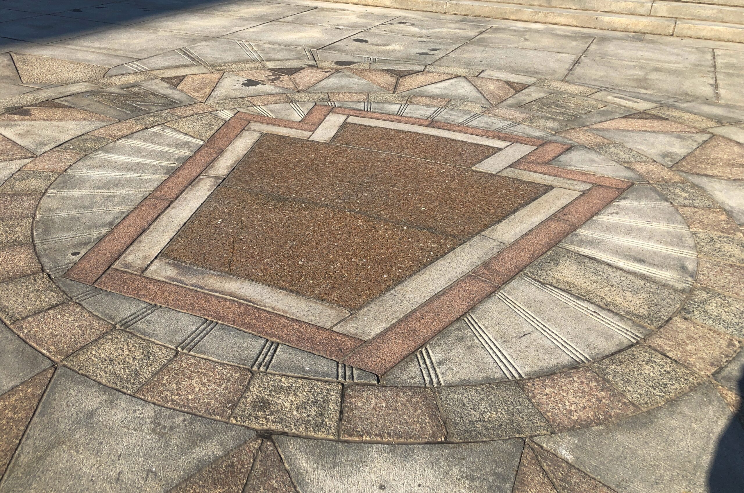
In the sidewalk in front of the capitol: The Keystone. You can see that in various parts of the state, but I remember it most from the keystone-shaped signs in Pennsylvania that tell you that a garage will do state inspections for your car.
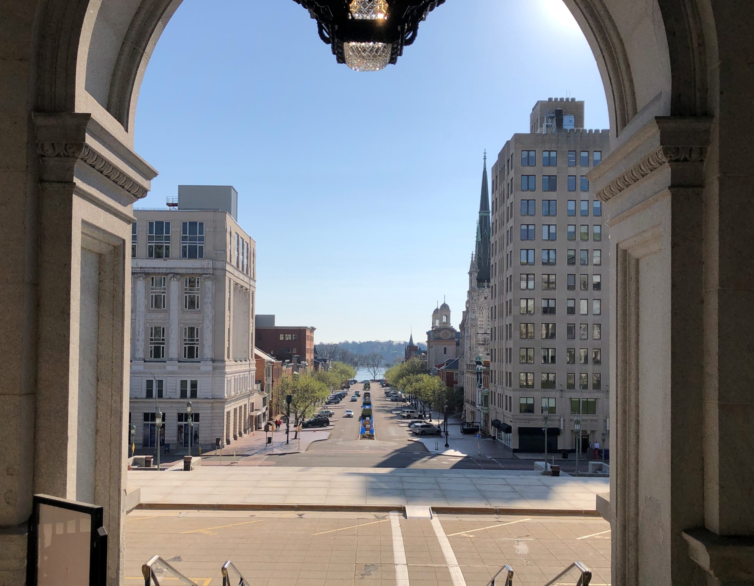
The view down State Street from the entrance. Off in the distance, the Susquehanna.
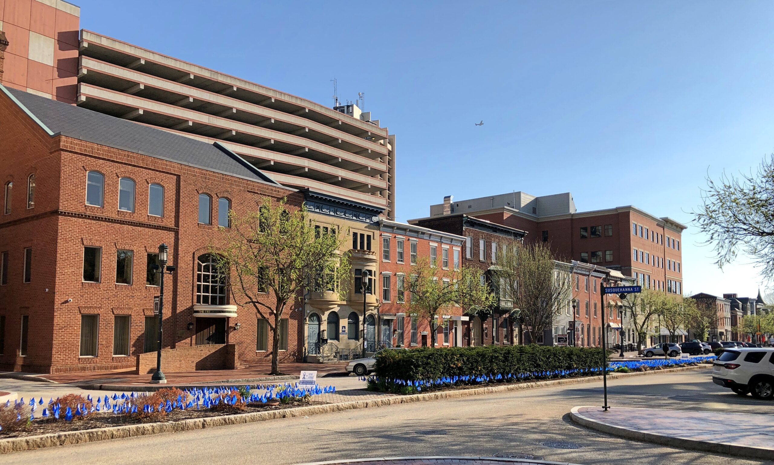
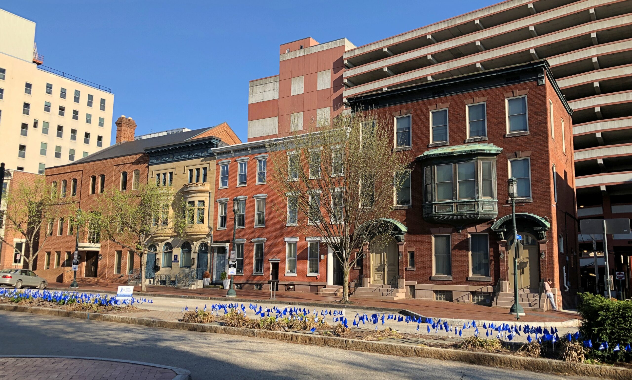
Couldn’t very well leave Harrisburg without a stroll down that street.
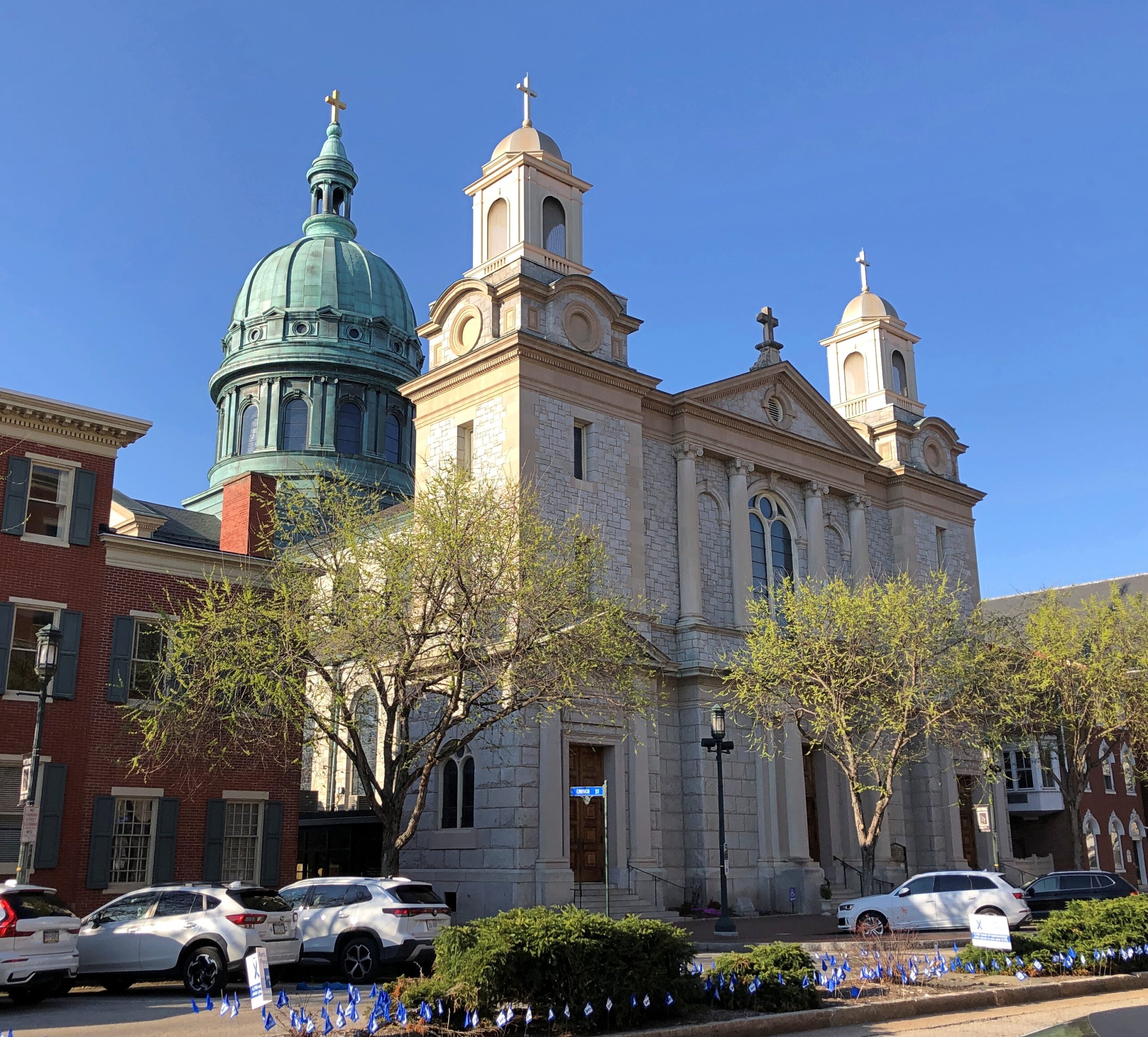
Two monumental churches rise on the street. The Cathedral Parish of Saint Patrick.
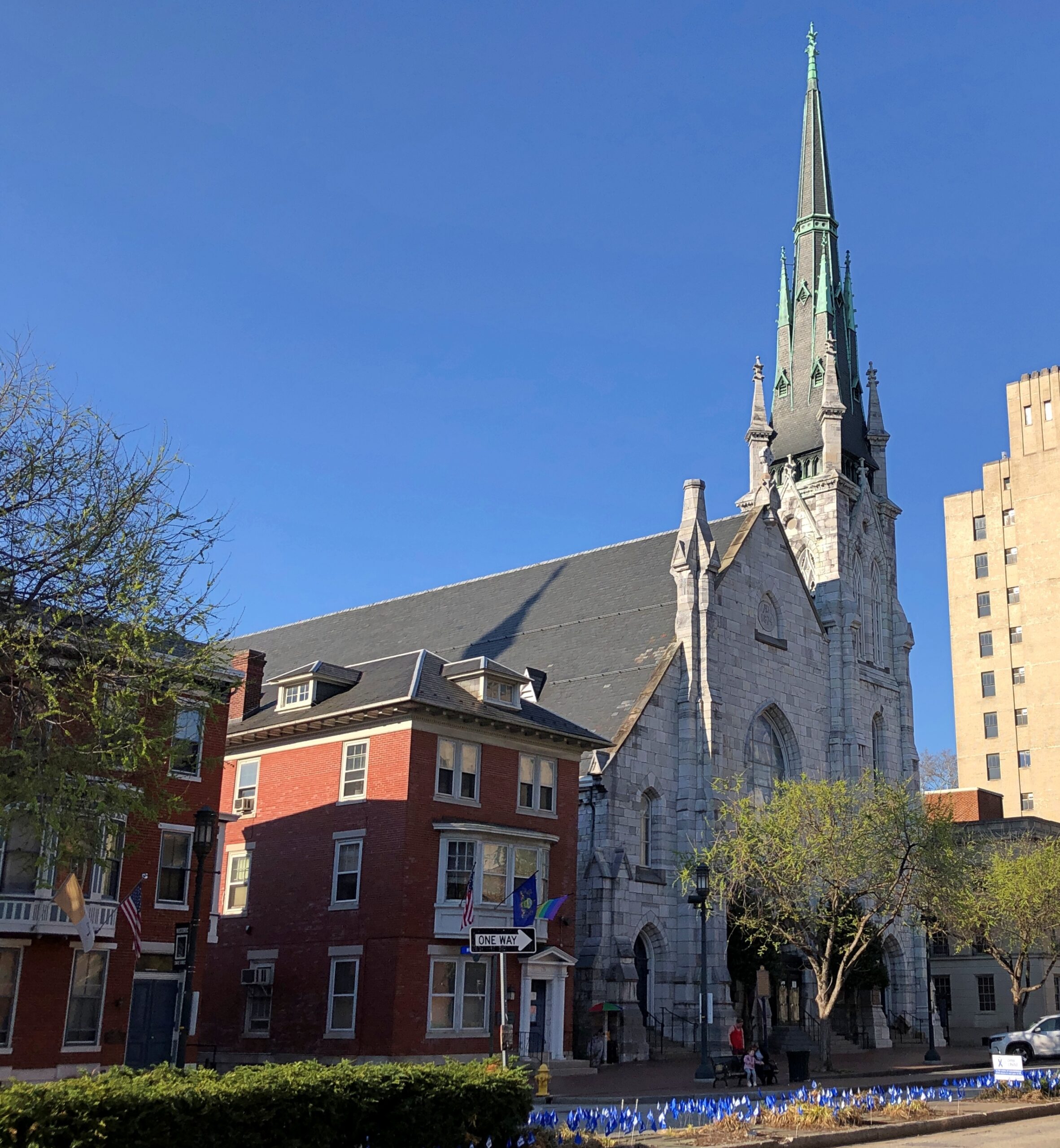
Grace United Methodist Church.
I had to be on my way afterward. But any trip that starts off with a grand capitol is going to be a good one.