Boneyards Along the Way

On the second day of my recent trip, as I was leaving Carbondale, Illinois, I spotted the small but pretty (and unimaginatively named) Woodlawn Cemetery. Founded in 1854, it’s two years older than the city. Everything was wet from the heavy rain the night before. Woodlawn Cemetery, Carbondale Woodlawn Cemetery, Carbondale Woodlawn Cemetery, Carbondale

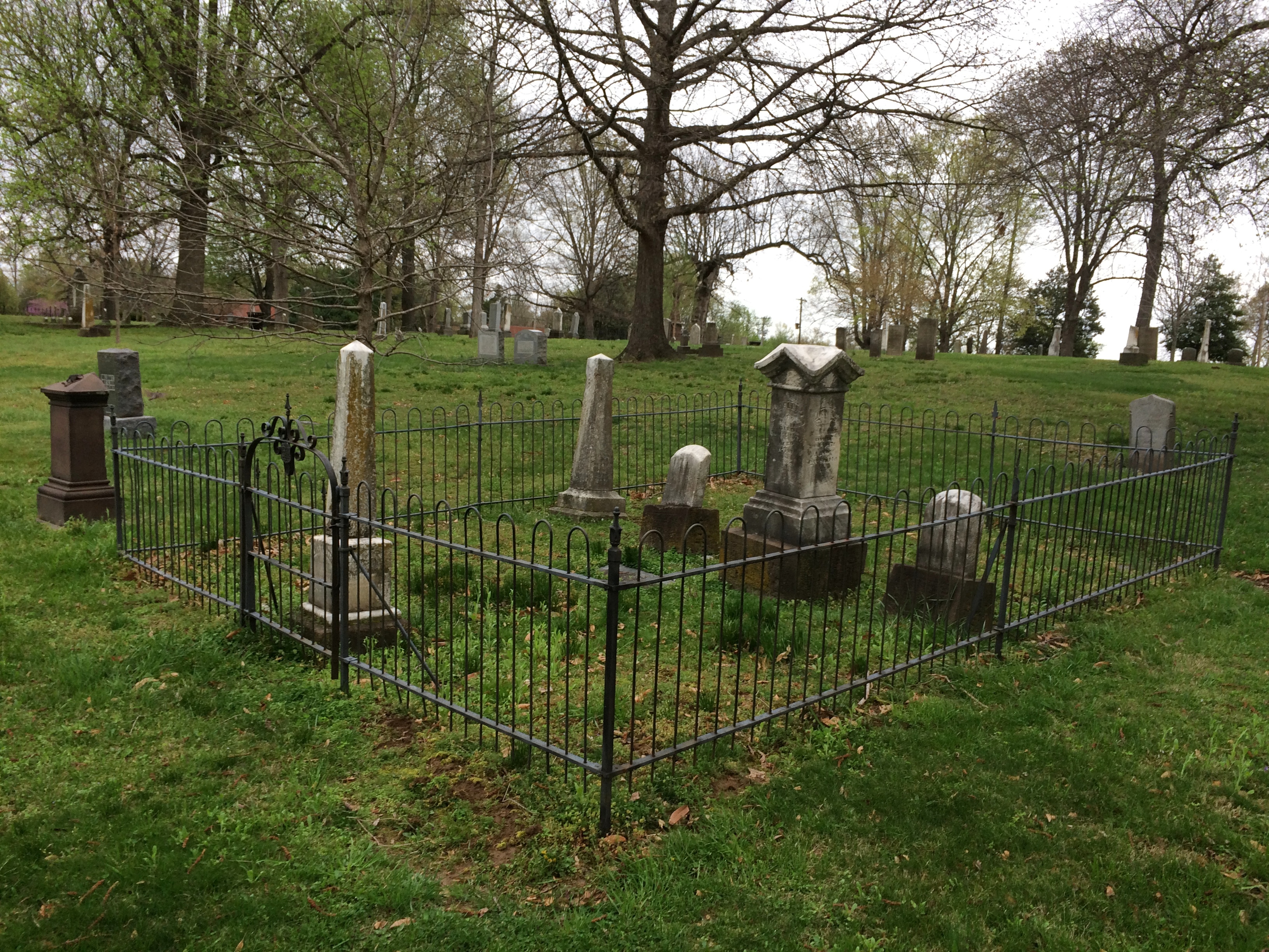
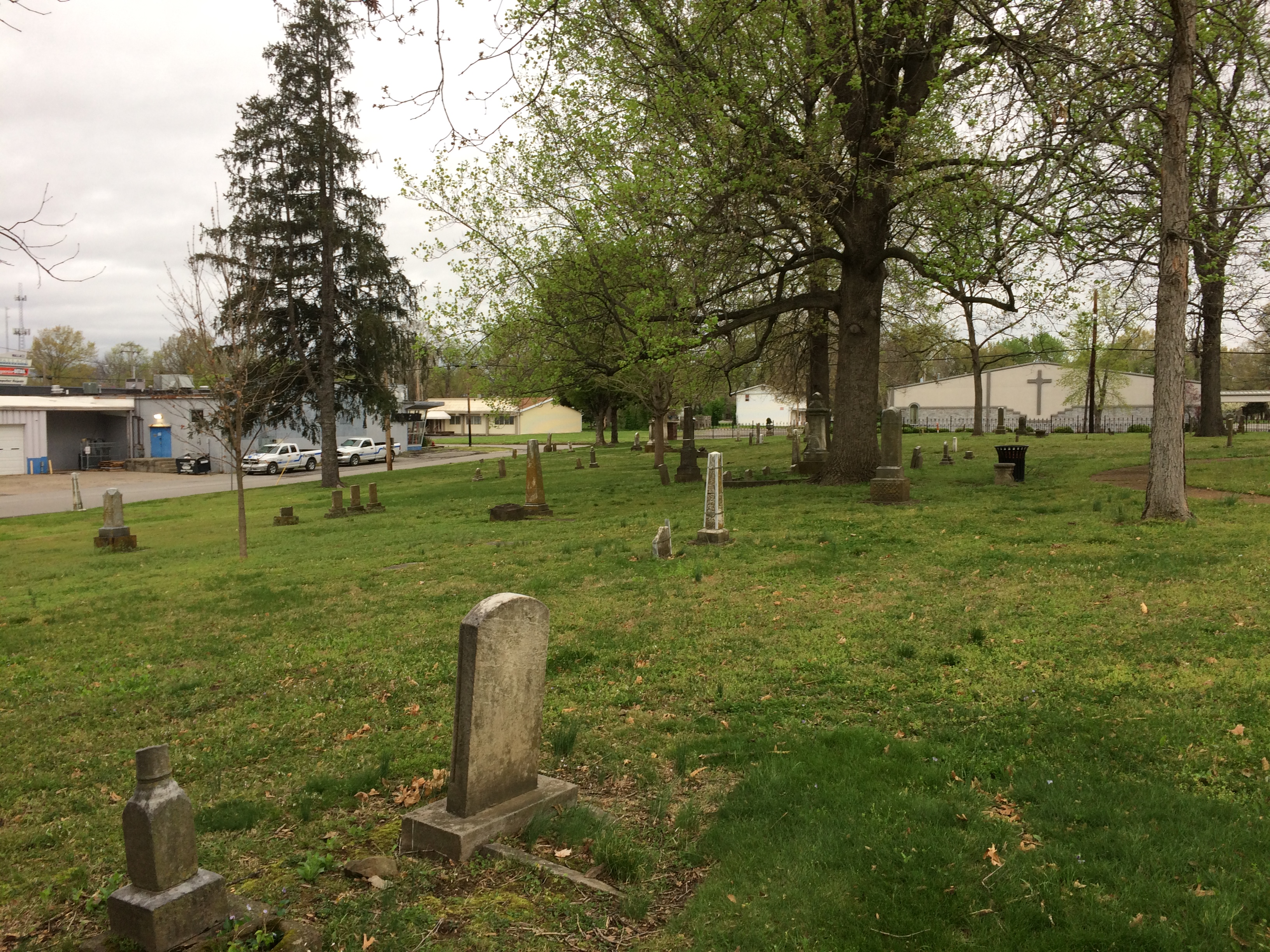
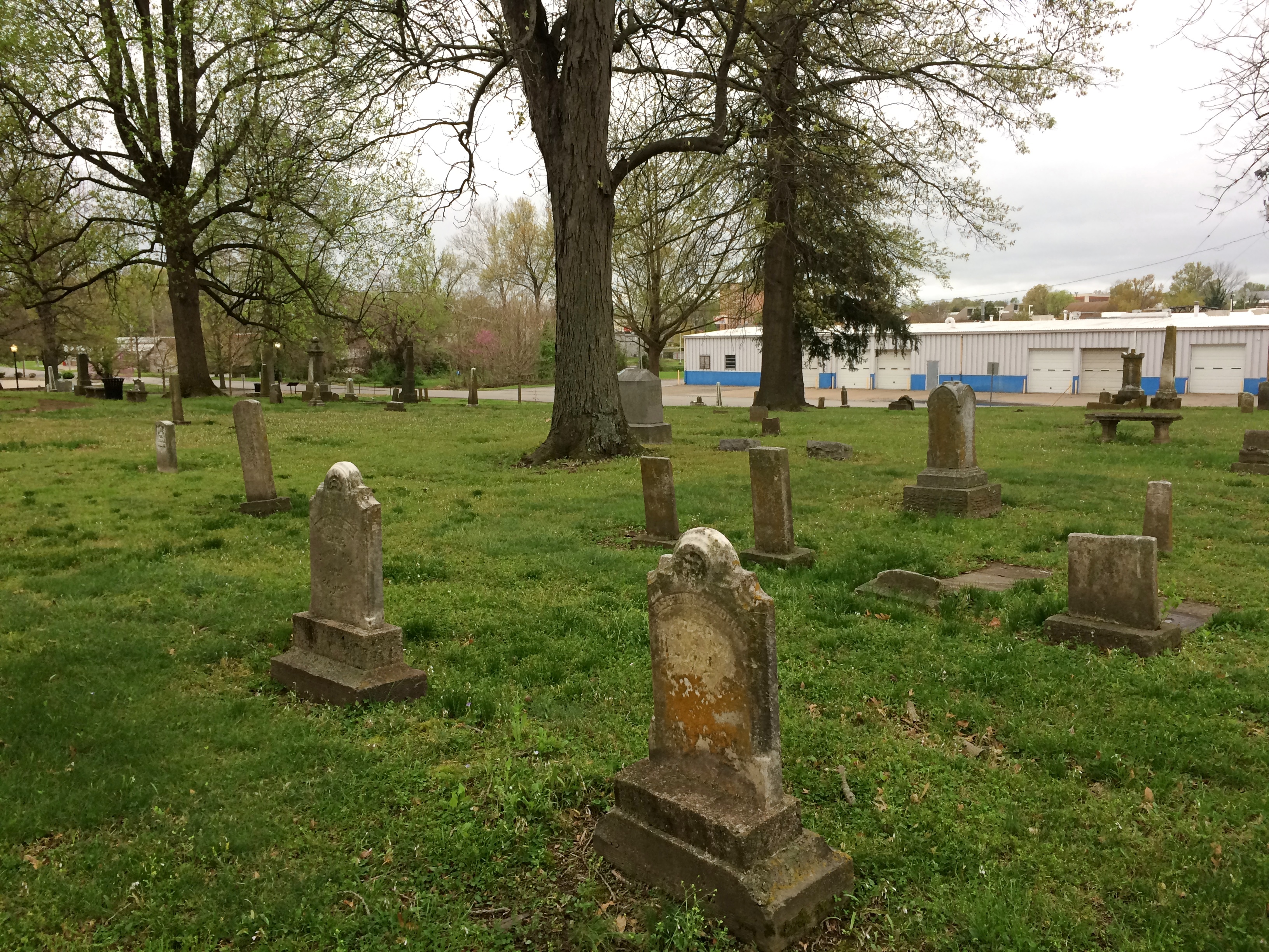
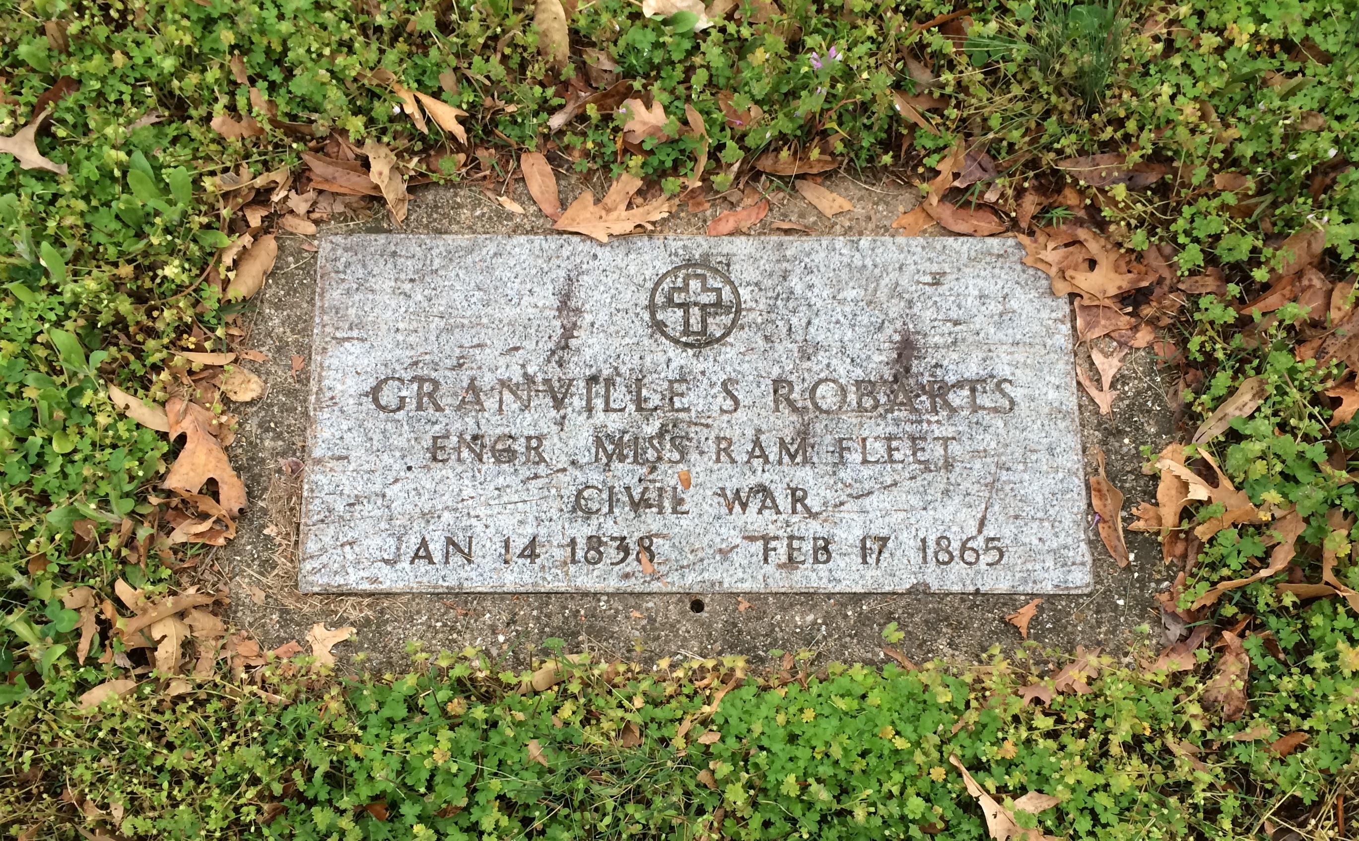
There are a number of Civil War graves.Woodlawn Cemetery, Carbondale Woodlawn Cemetery, Carbondale

“In April, 1866, three Carbondale-area Civil War veterans… proposed that the community… gather on the last Sunday of April to honor their fallen comrades and neighbors, by cleaning and decorating their graves,” says the cemetery’s nomination for the National Register of Historic Places.

“On the appointed day, April 29, more than 200 veterans plus approximately 4,000 area citizens gathered at Woodlawn Cemetery… Gen. John A. Logan addressed the assemblage.”

Evidently, this and later commemorations deeply impressed Logan, who on May 5, 1868, issued GAR General Order No. 11.

The 30th day of May, 1868 is designated for the purpose of strewing with flowers or otherwise decorating the graves of comrades who died in defense of their country during the late rebellion, and whose bodies now lie in almost every city, village, and hamlet churchyard in the land…

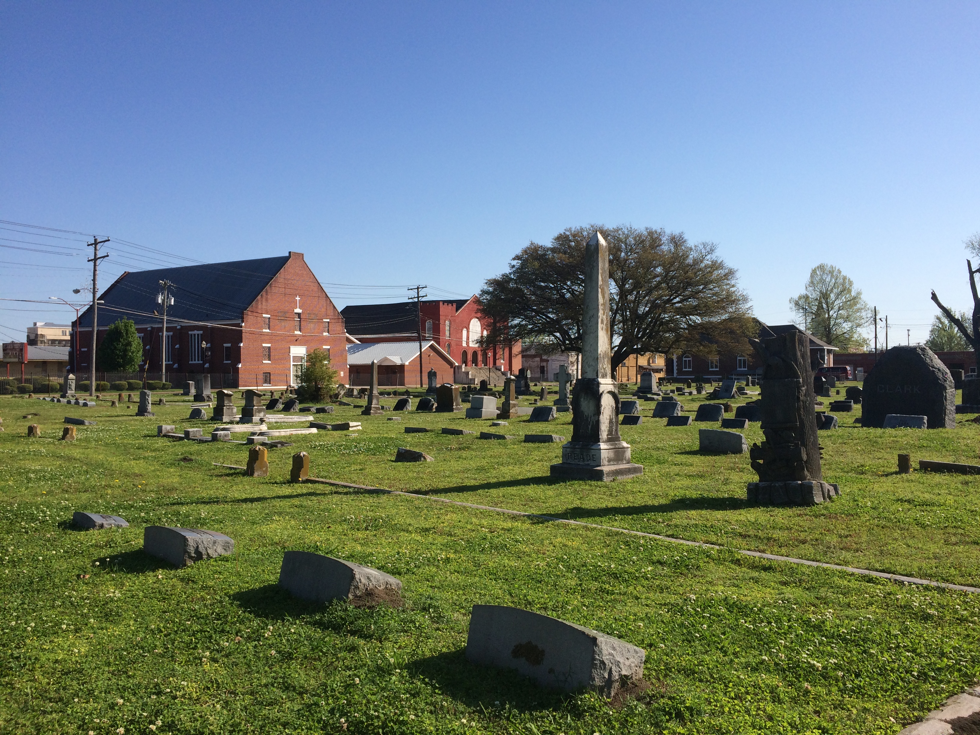
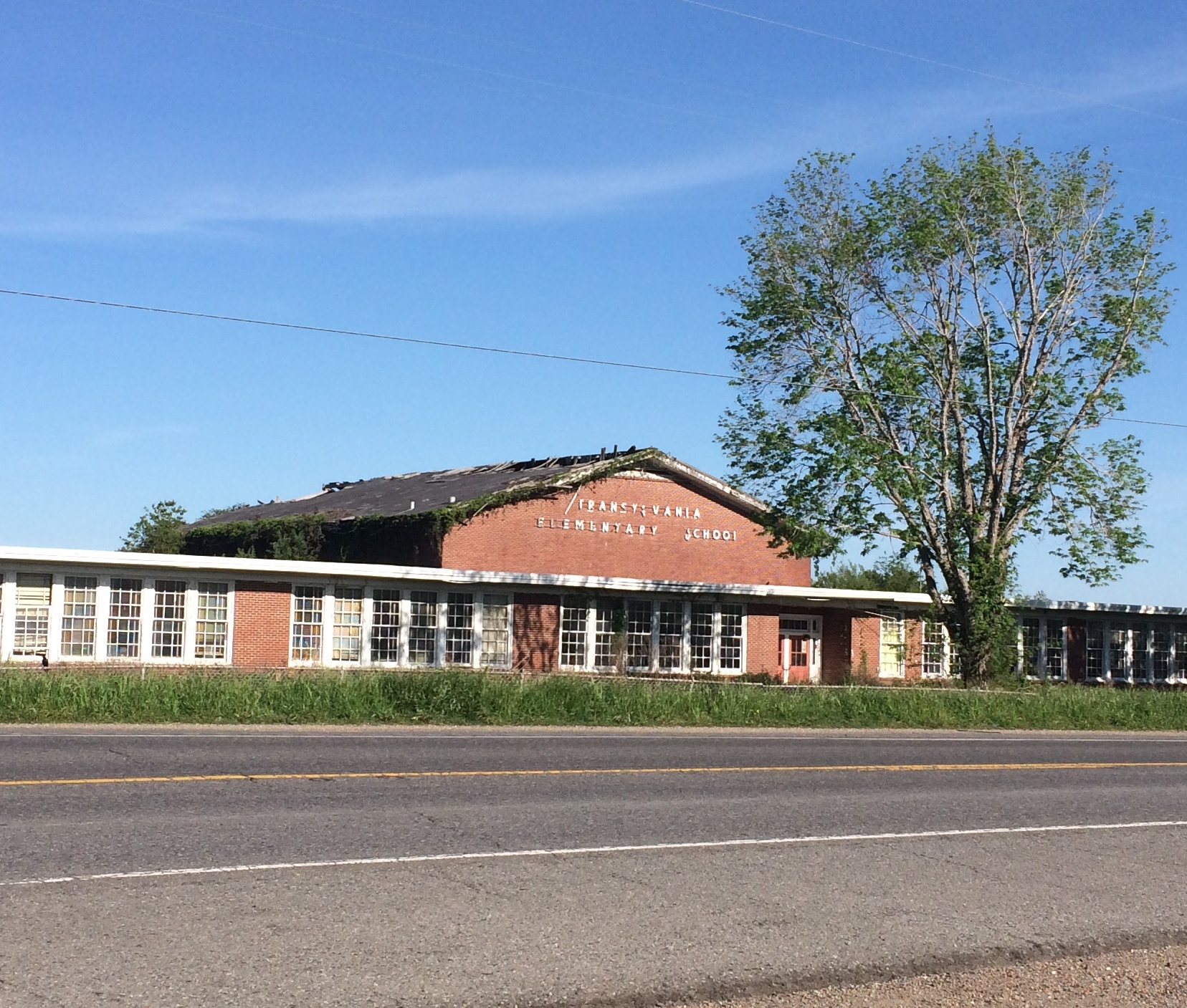
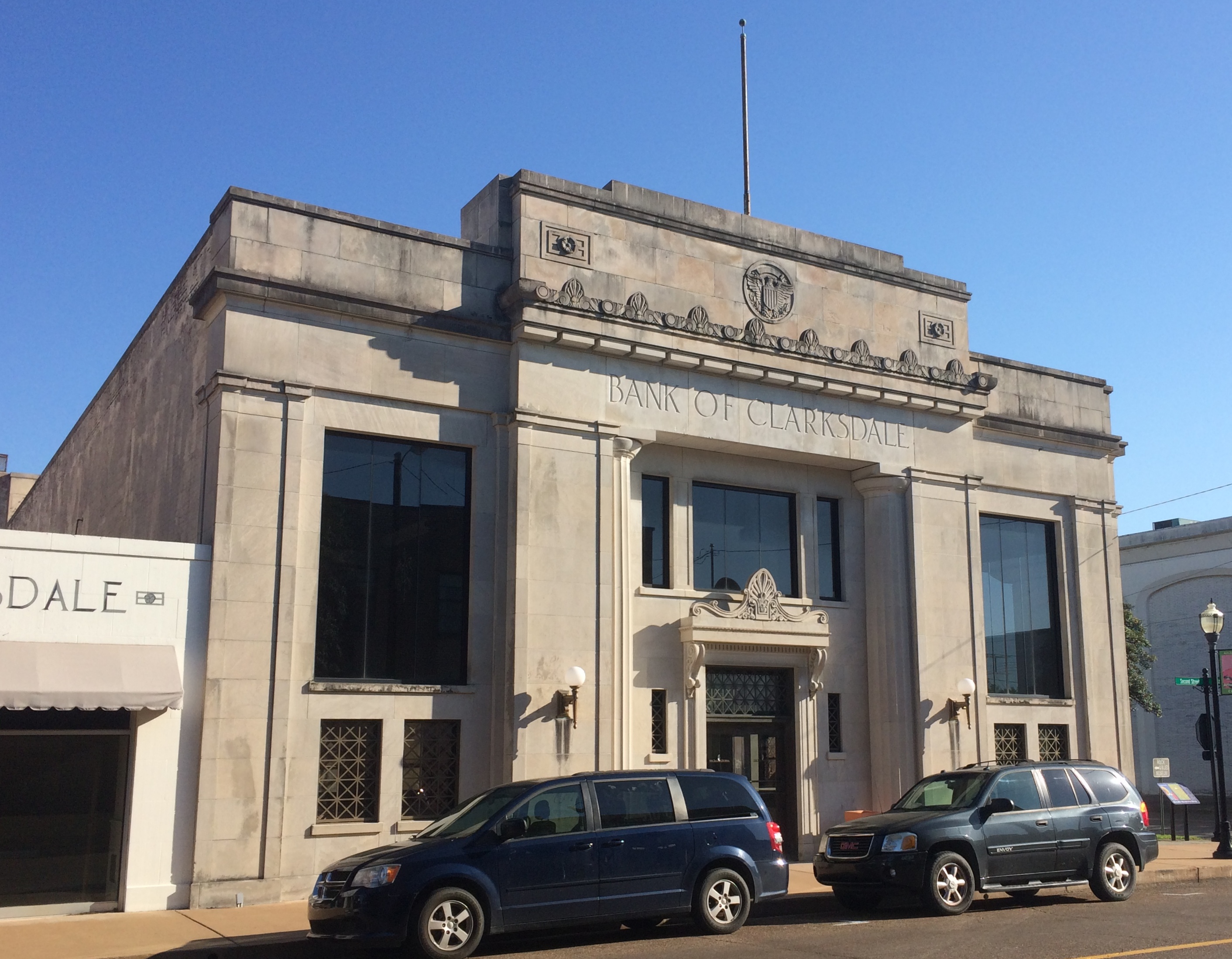
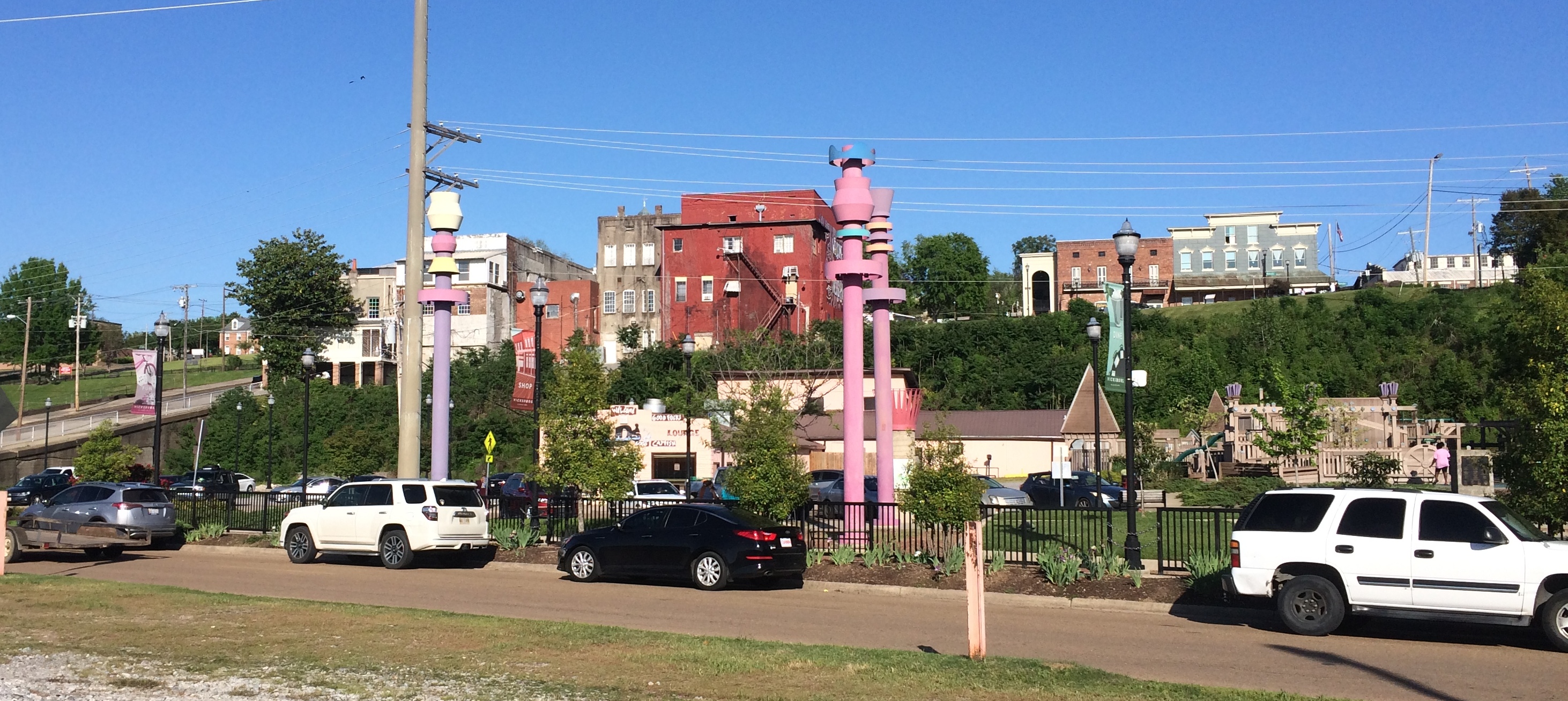
While visiting Clarksdale, Mississippi, I spent a few minutes at Heavenly Rest Cemetery.

 Heavenly Rest Cemetery Clarksdale

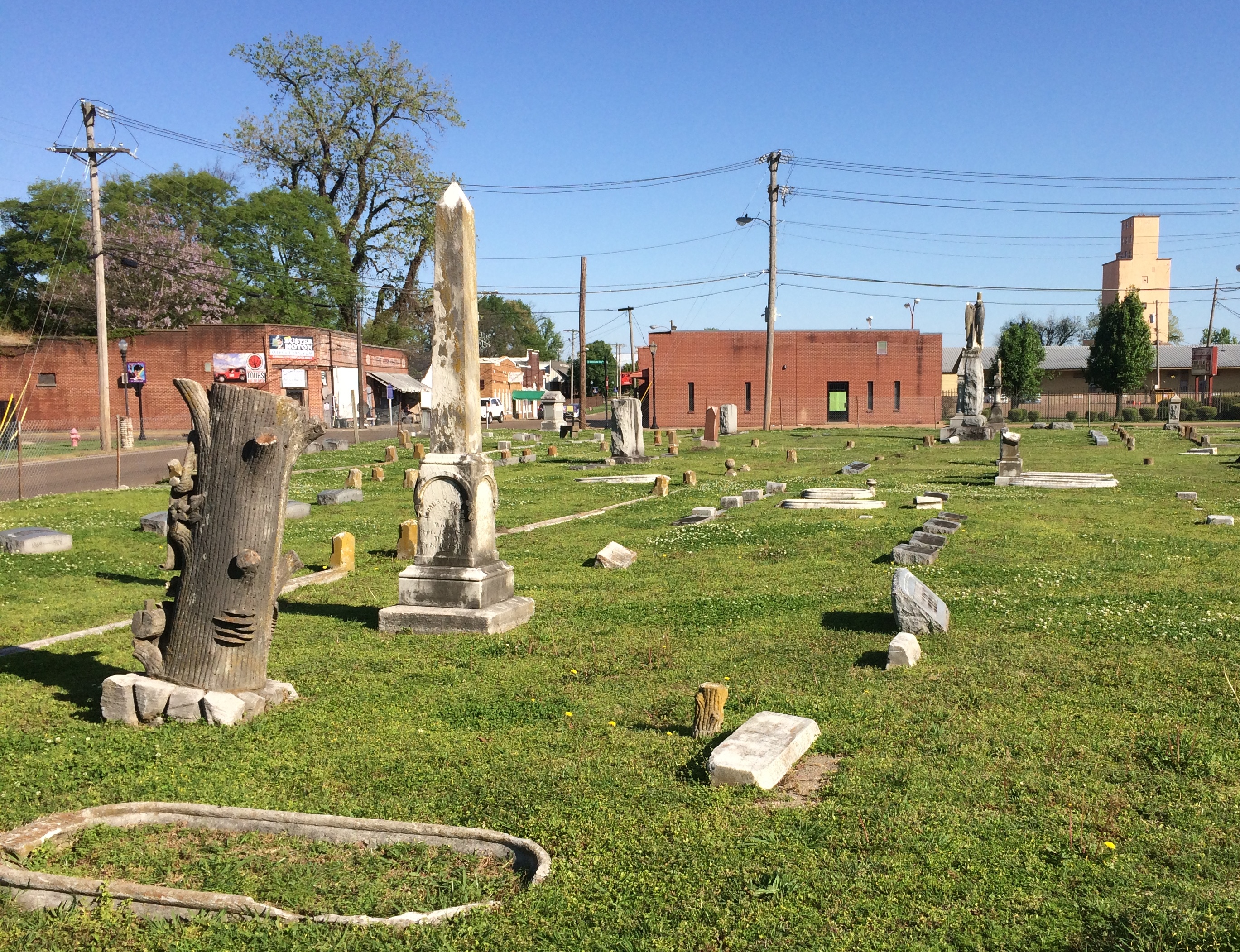
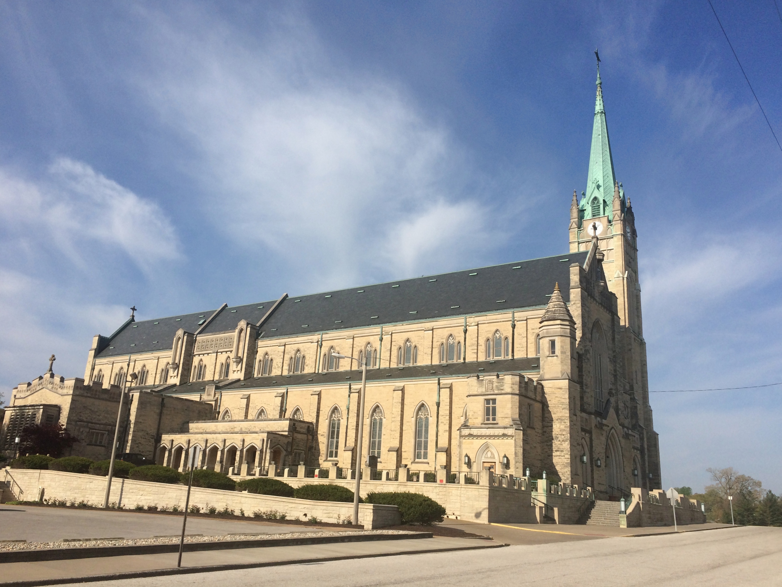
In the background are two buildings of First Baptist Missionary Baptist Church (1918), historic in its own right.

 Heavenly Rest Cemetery Clarksdale

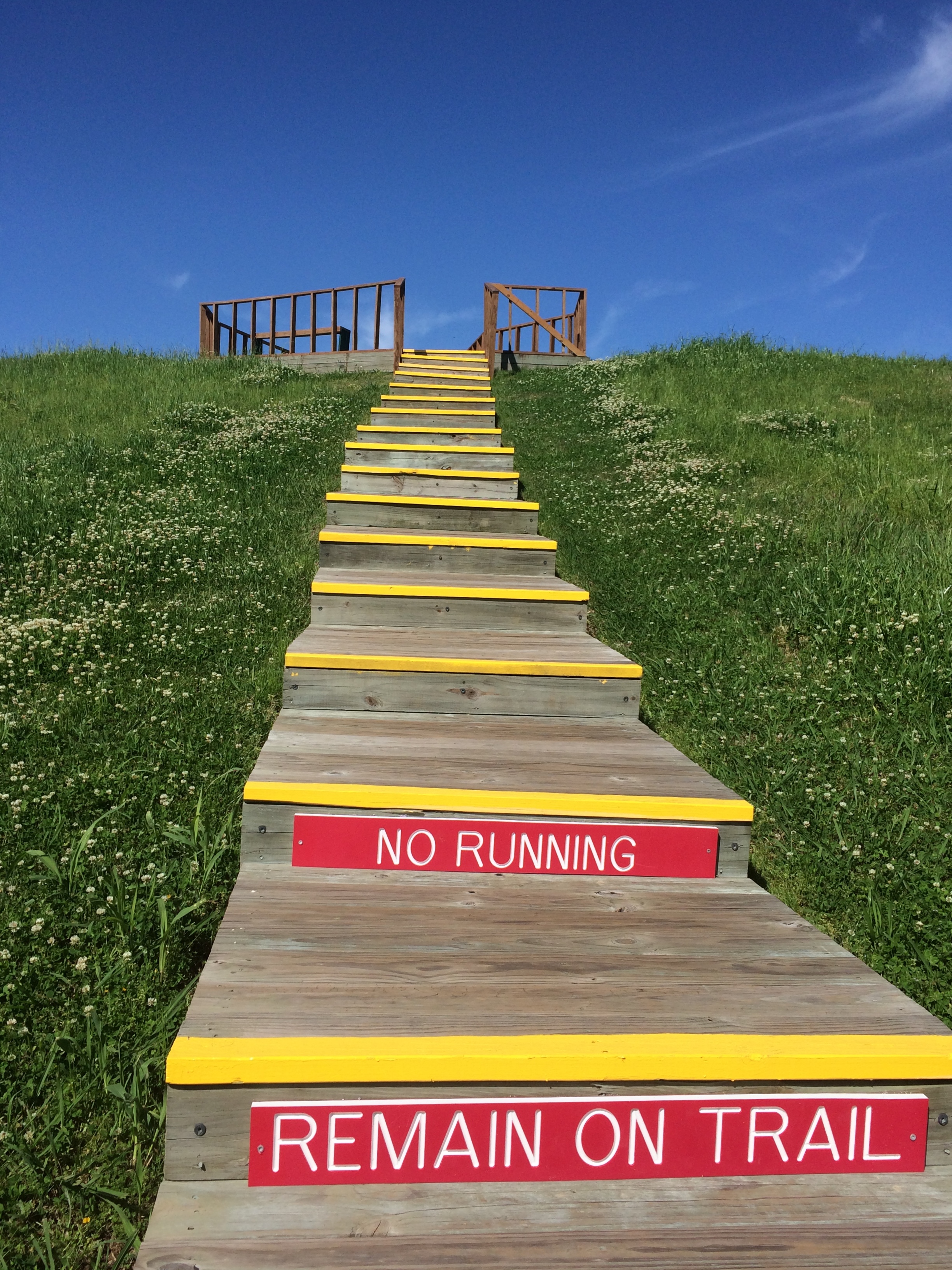
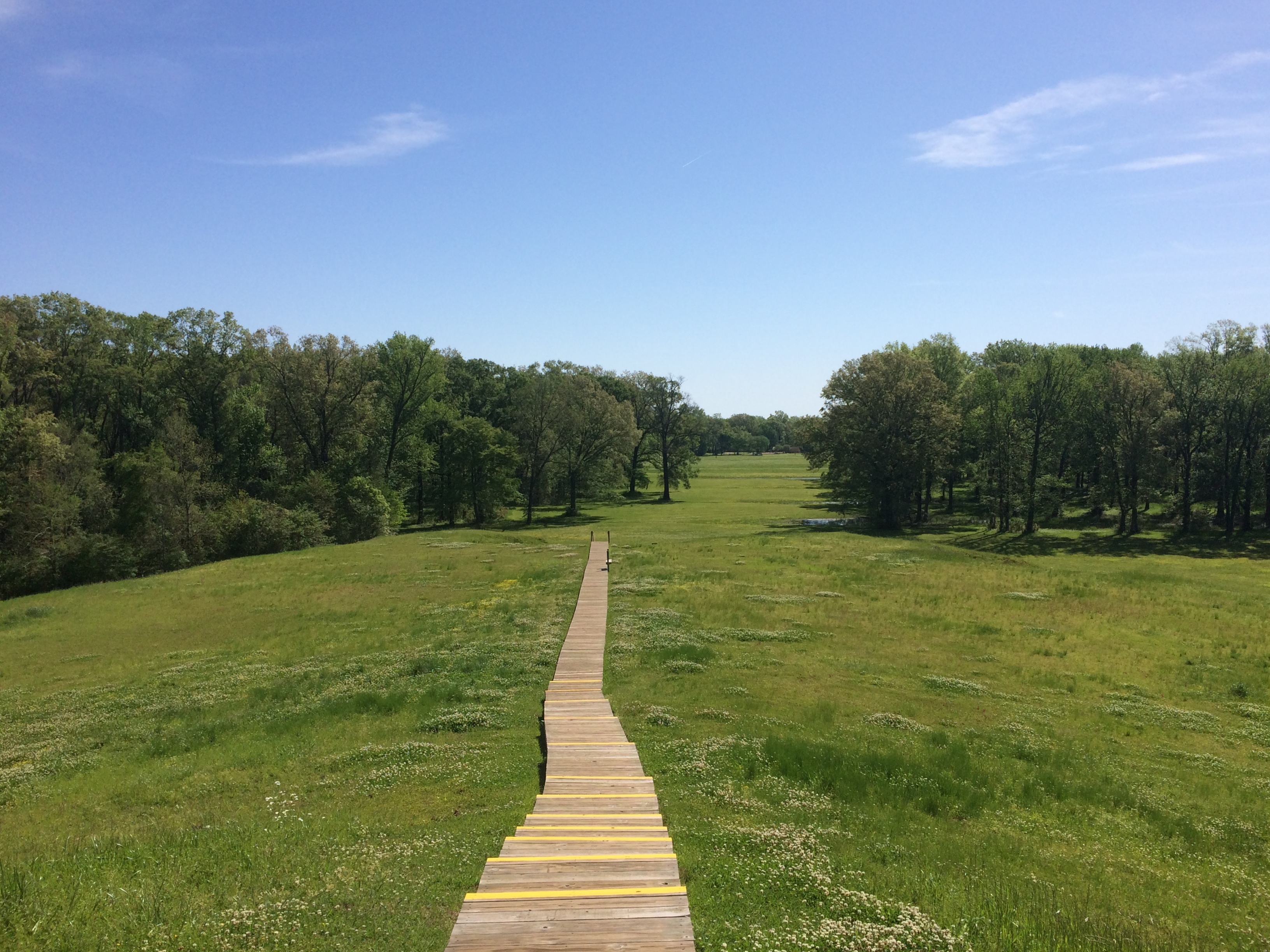
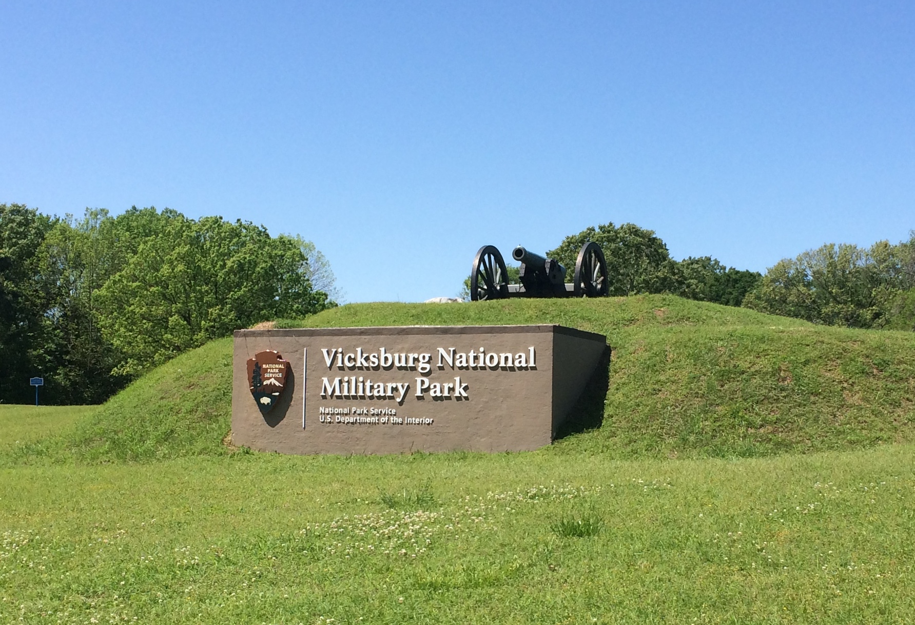
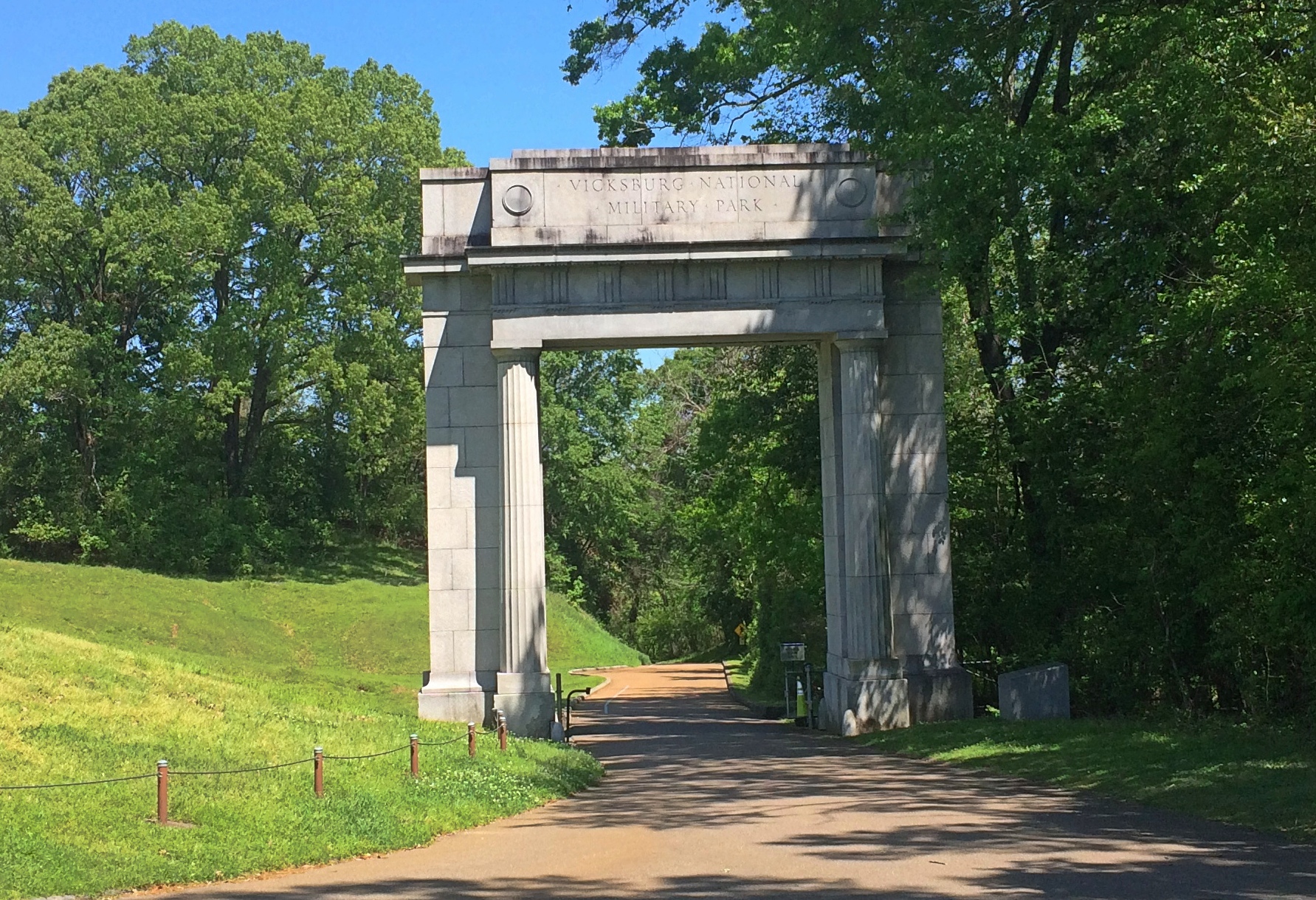
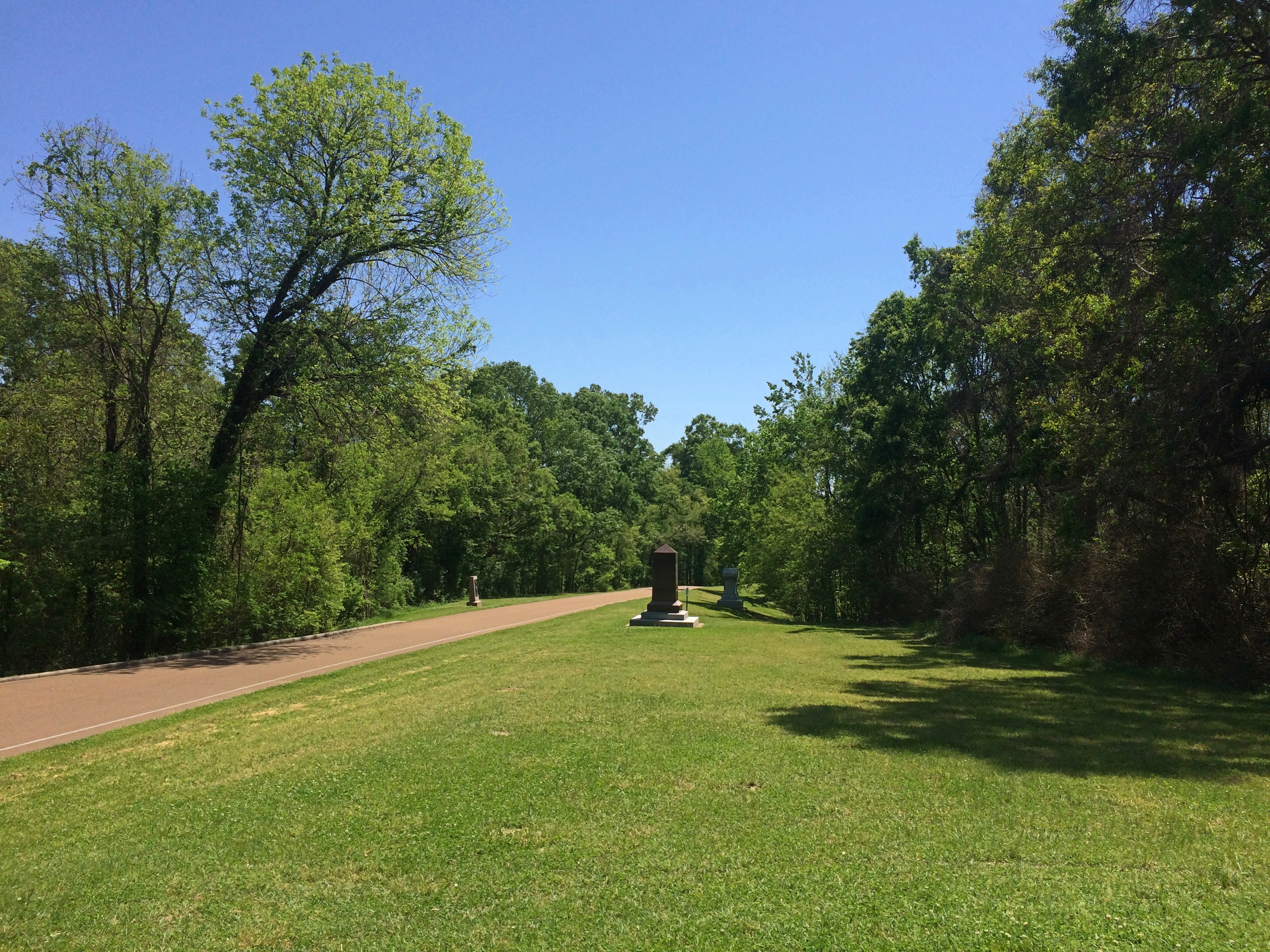
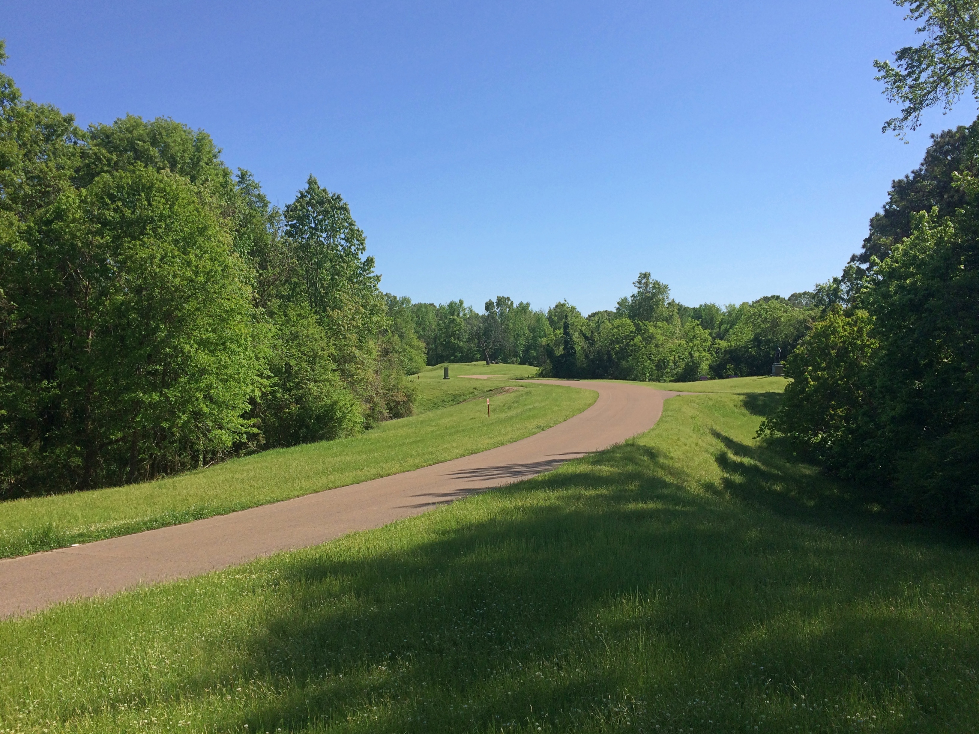
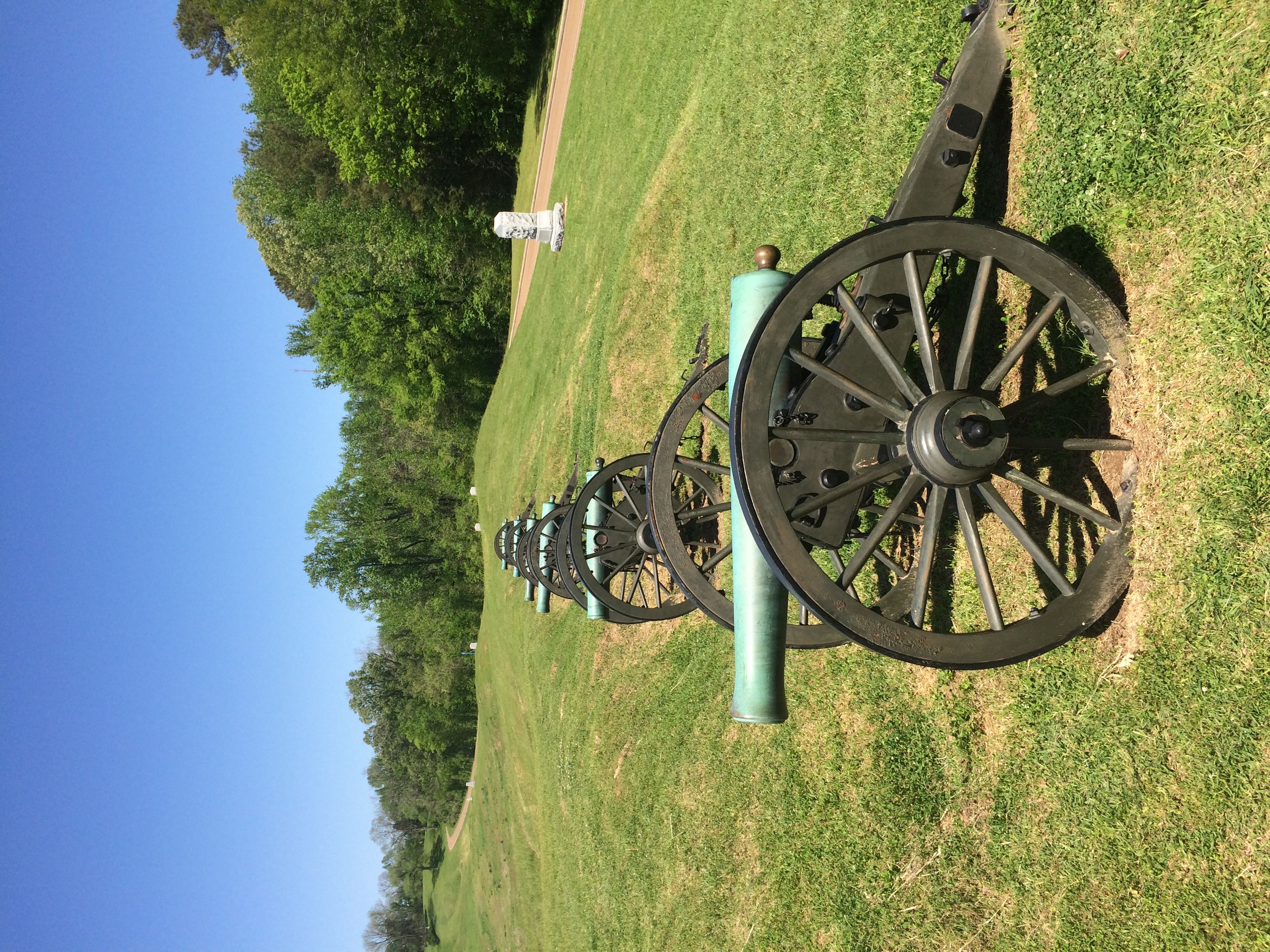
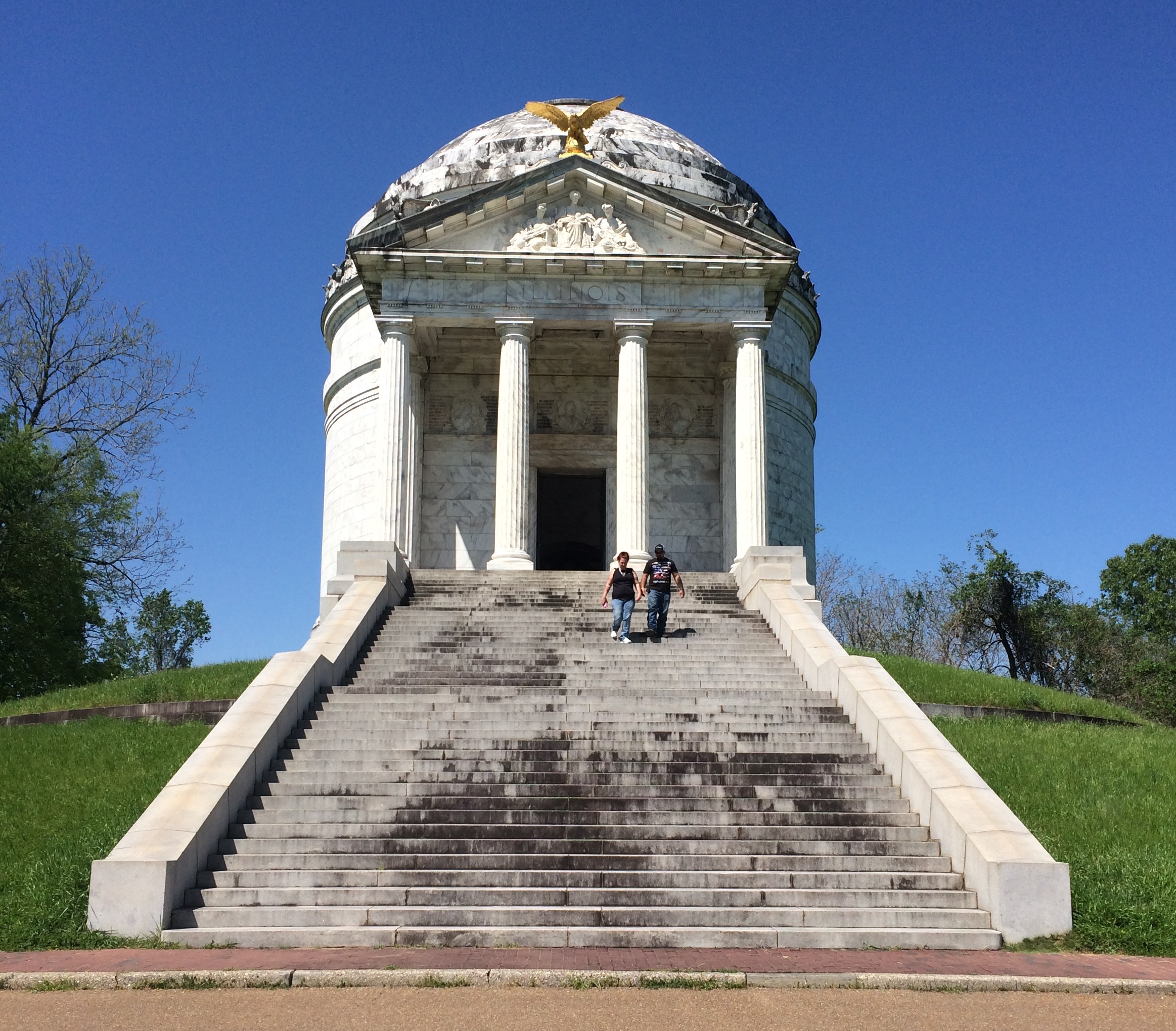
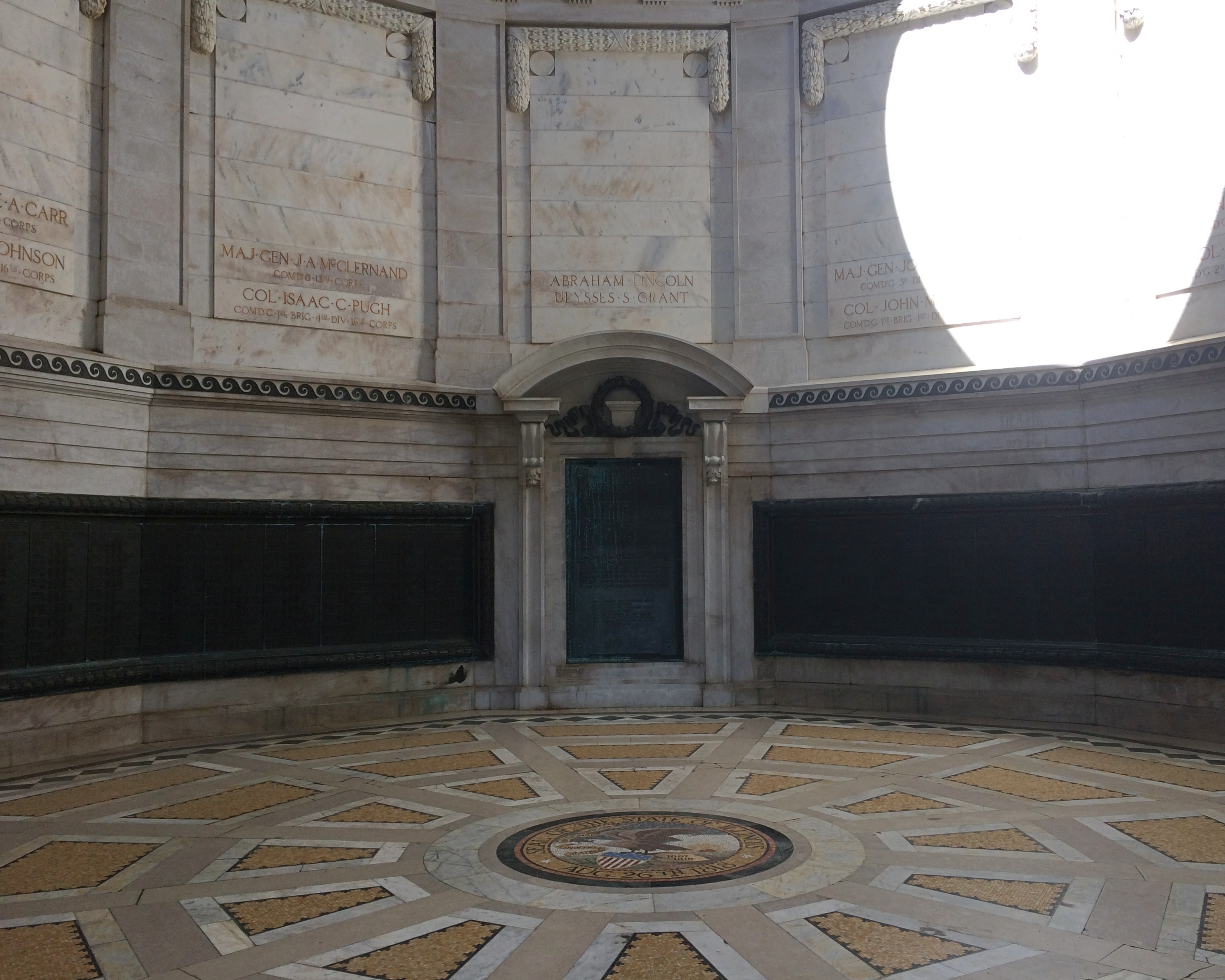
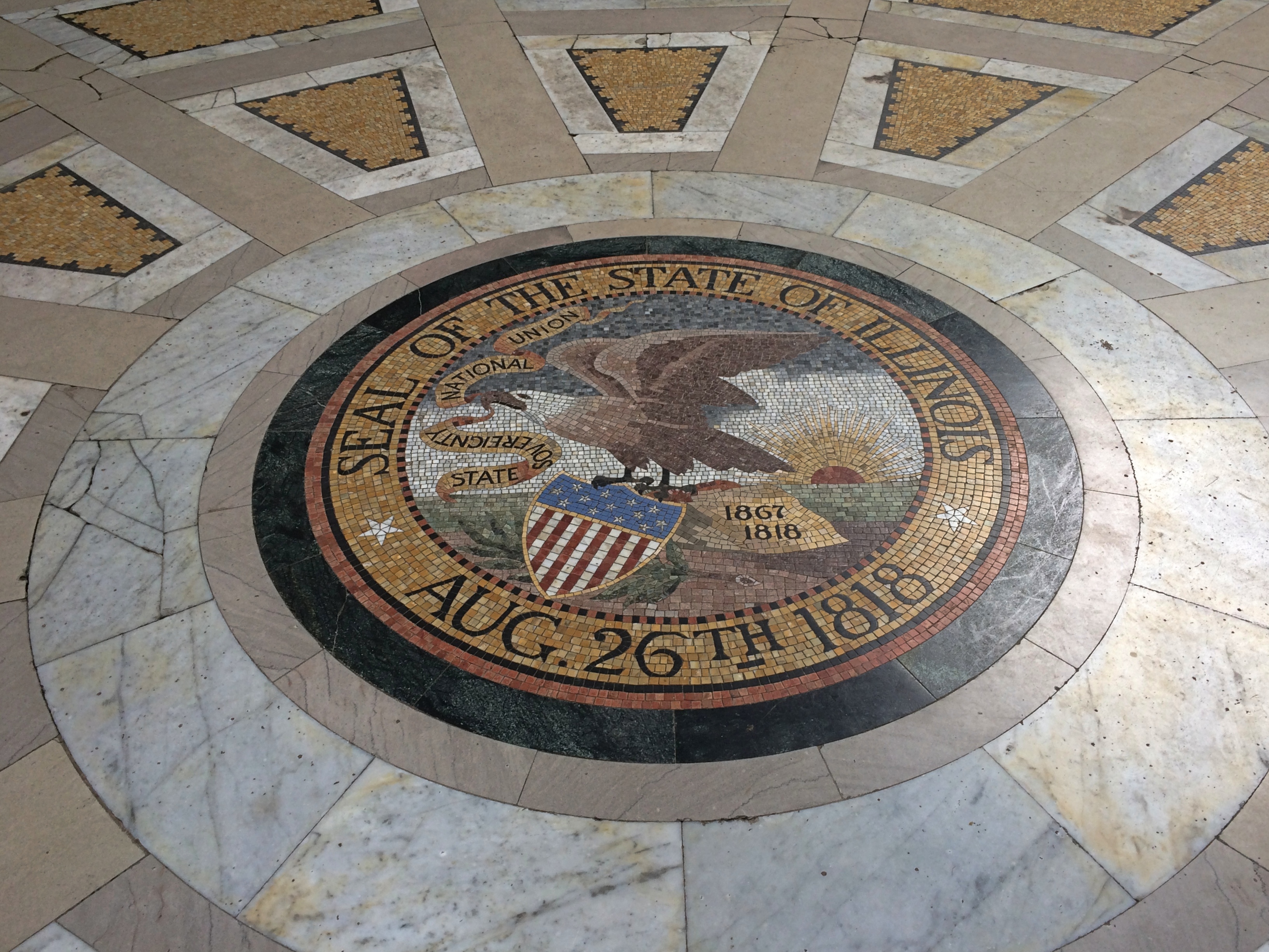
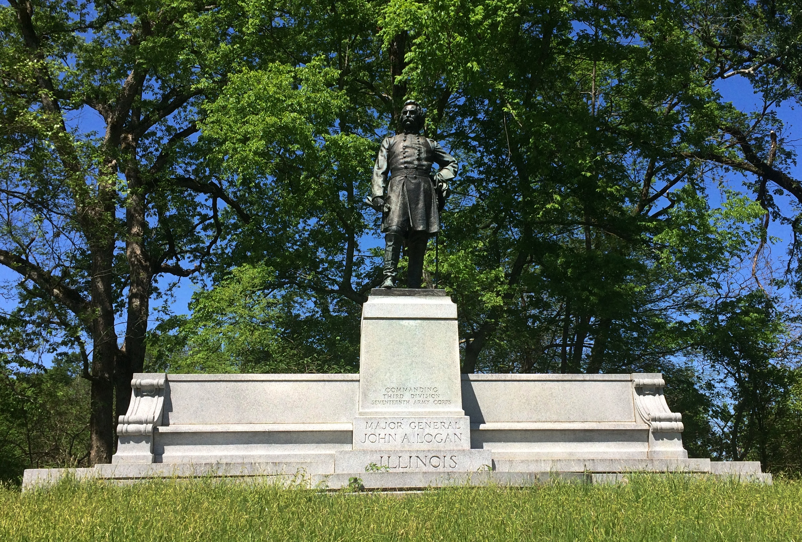
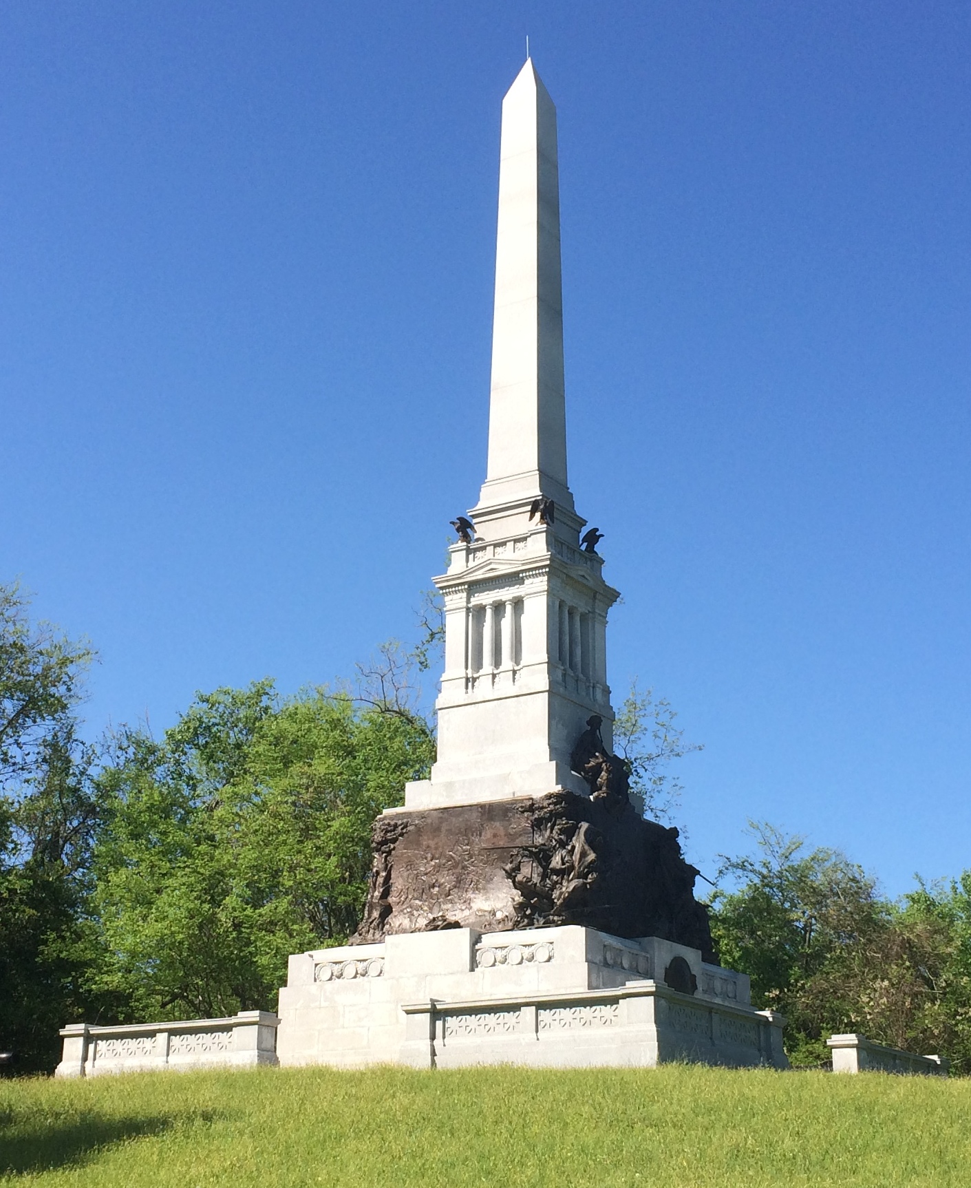
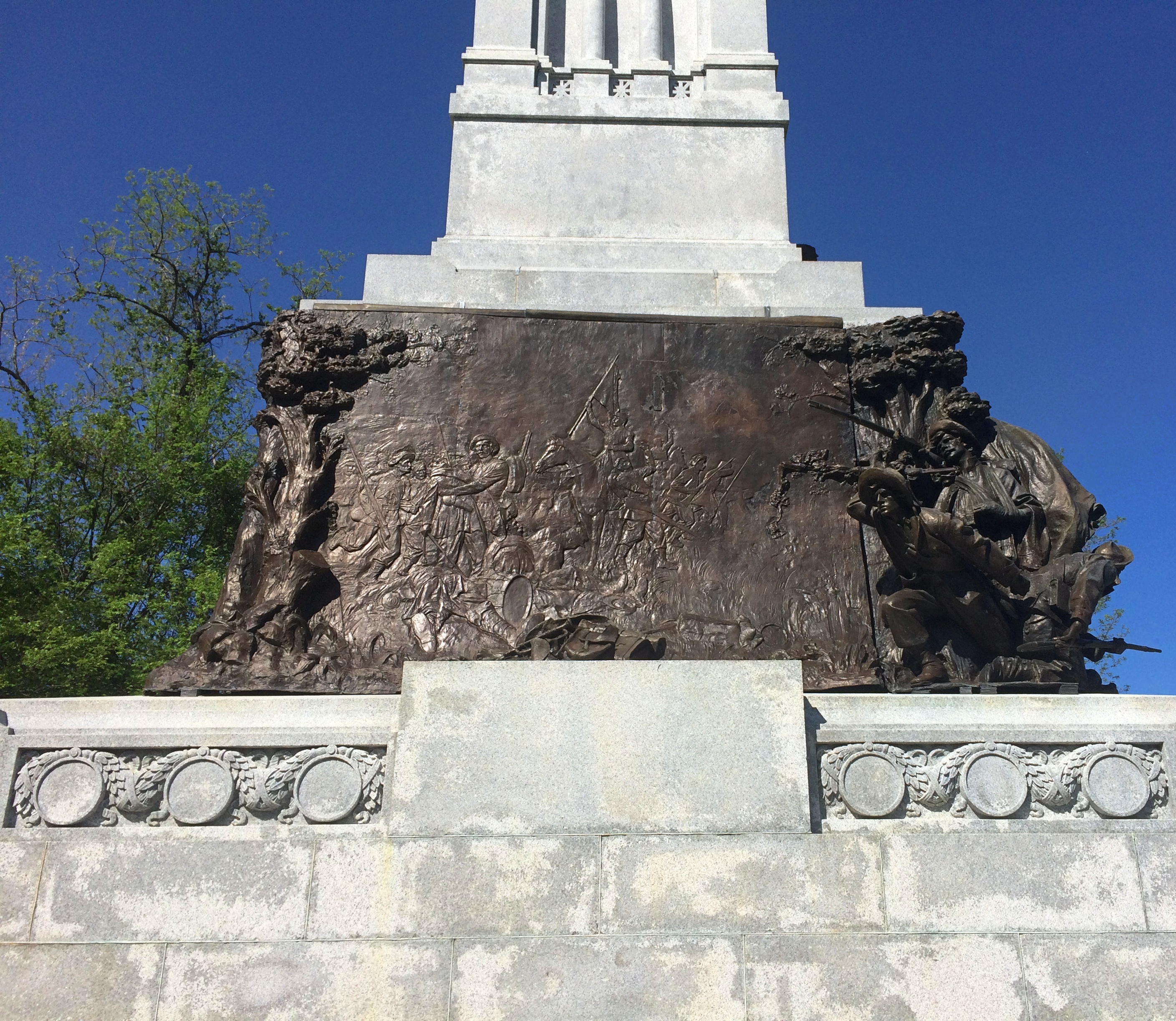
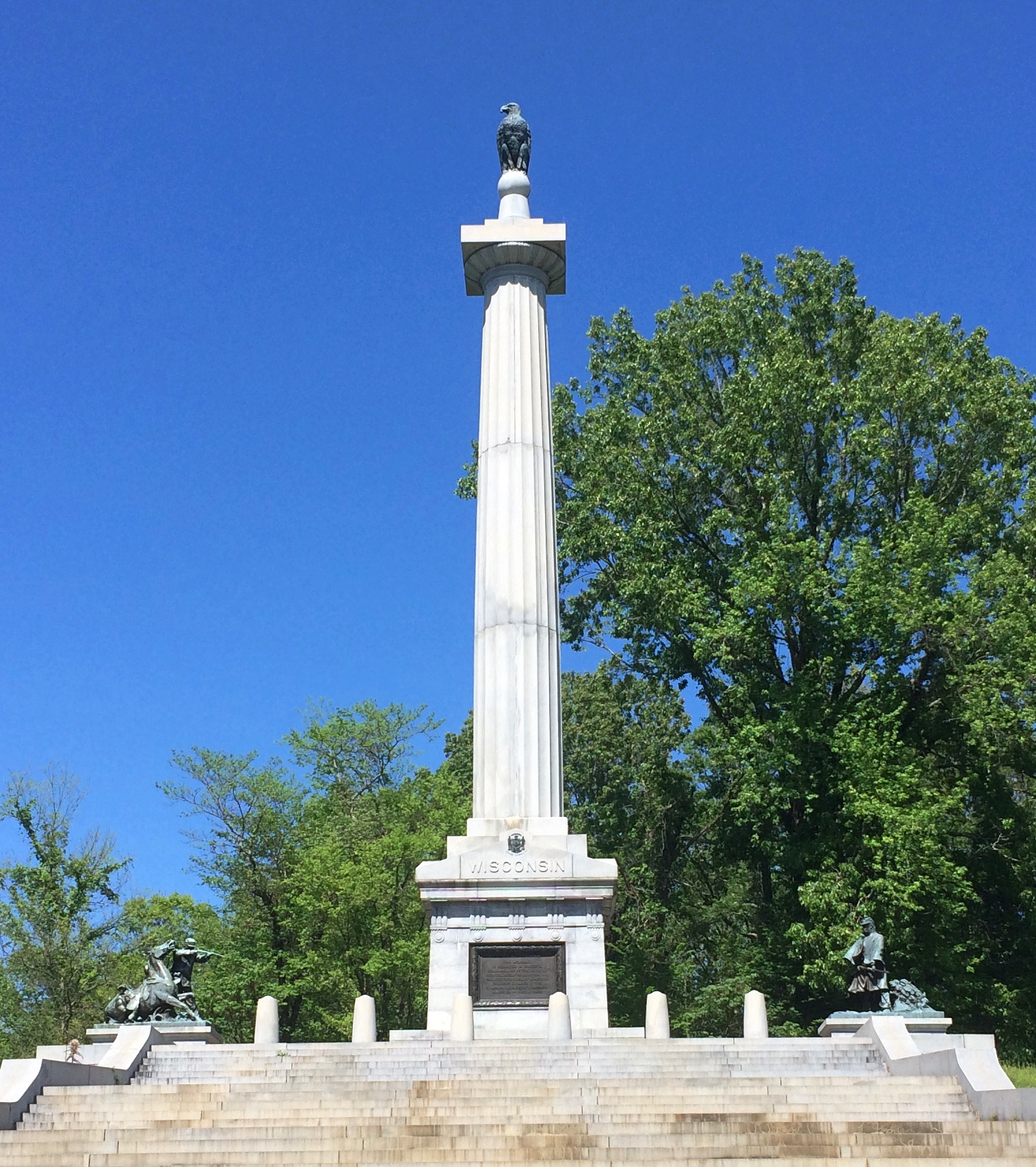
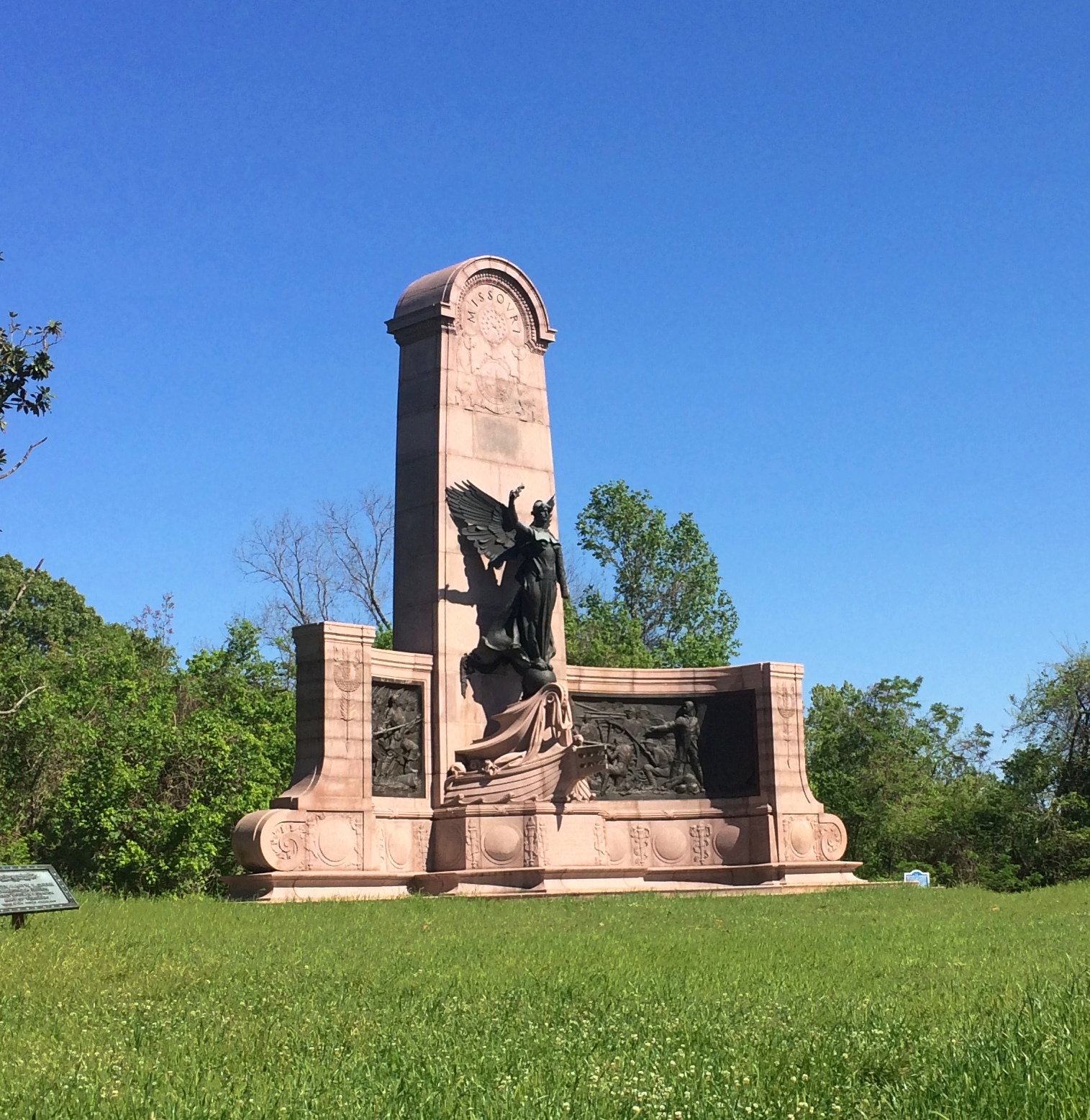
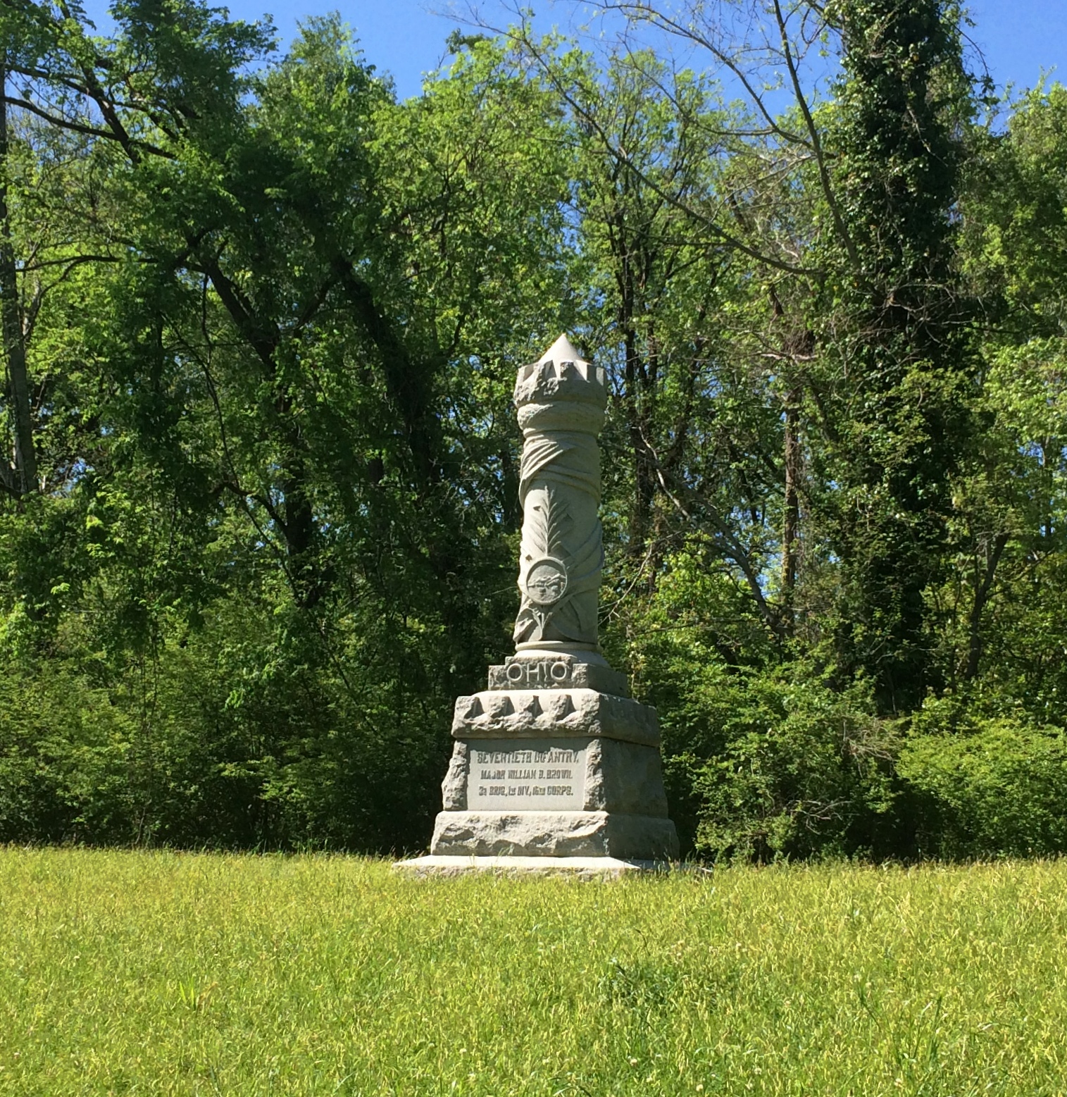
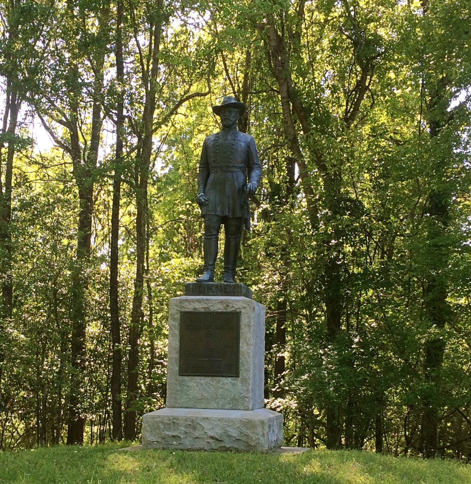
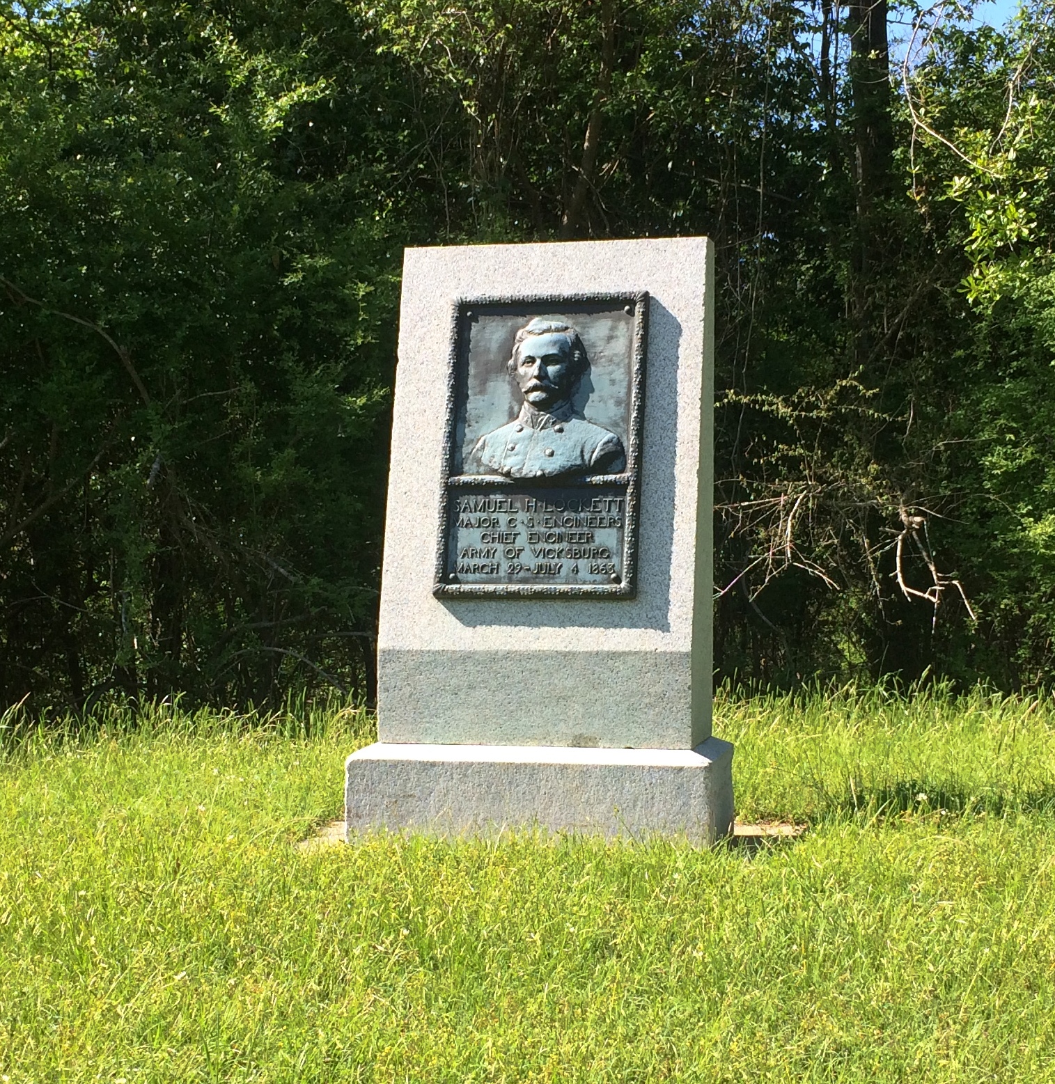
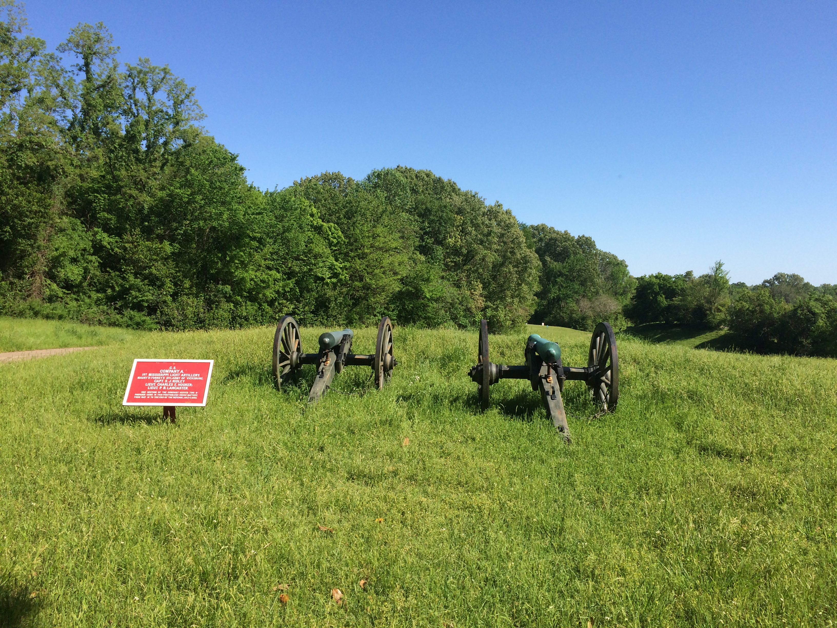
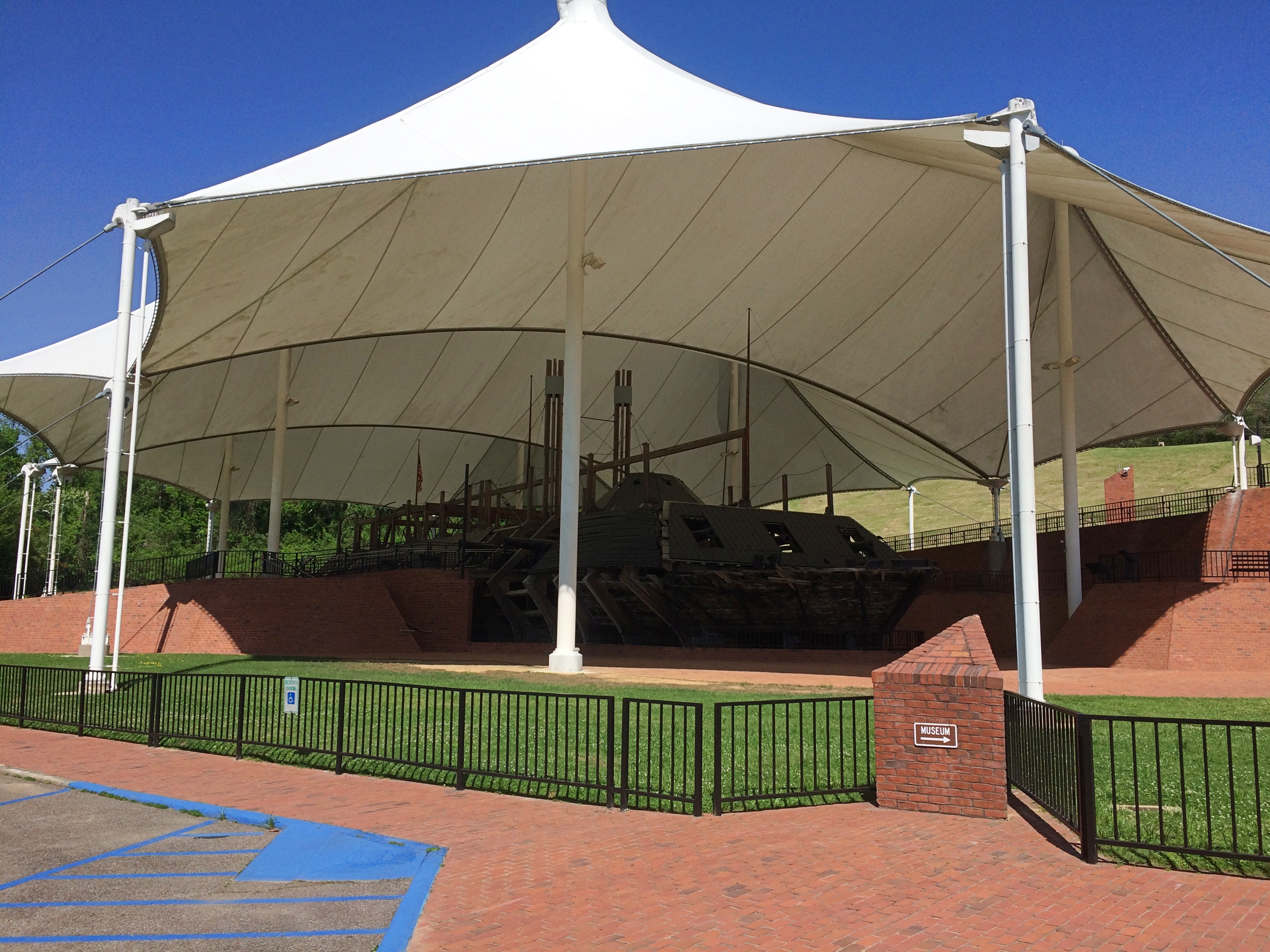
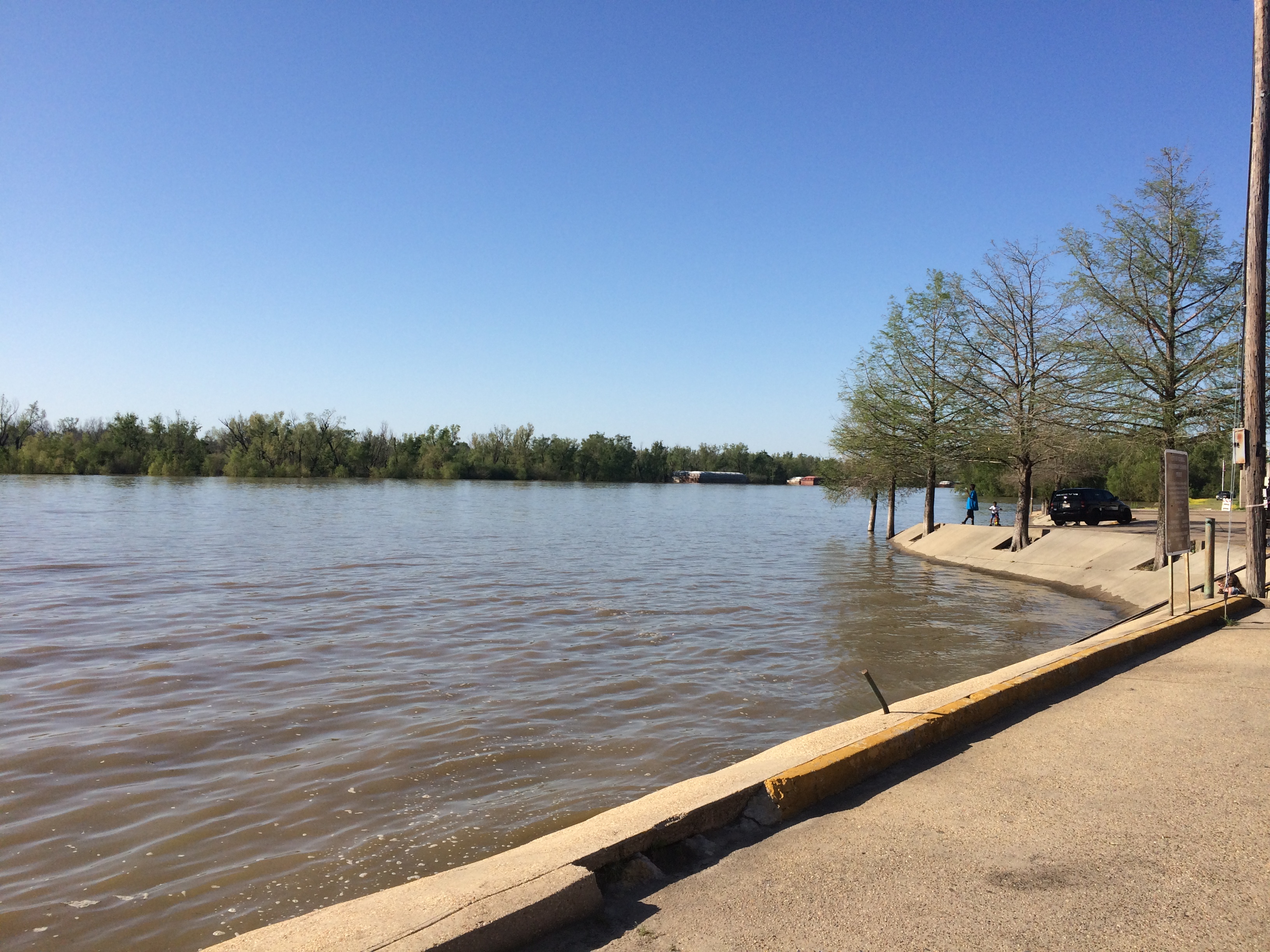
At Vicksburg National Military Park is the 116-acre Vicksburg National Cemetery, which holds the remains of 17,000 Union soldiers, a higher concentration than any other cemetery, according to the NPS.

Vicksburg National Cemetery Vicksburg National Cemetery Vicksburg National Cemetery

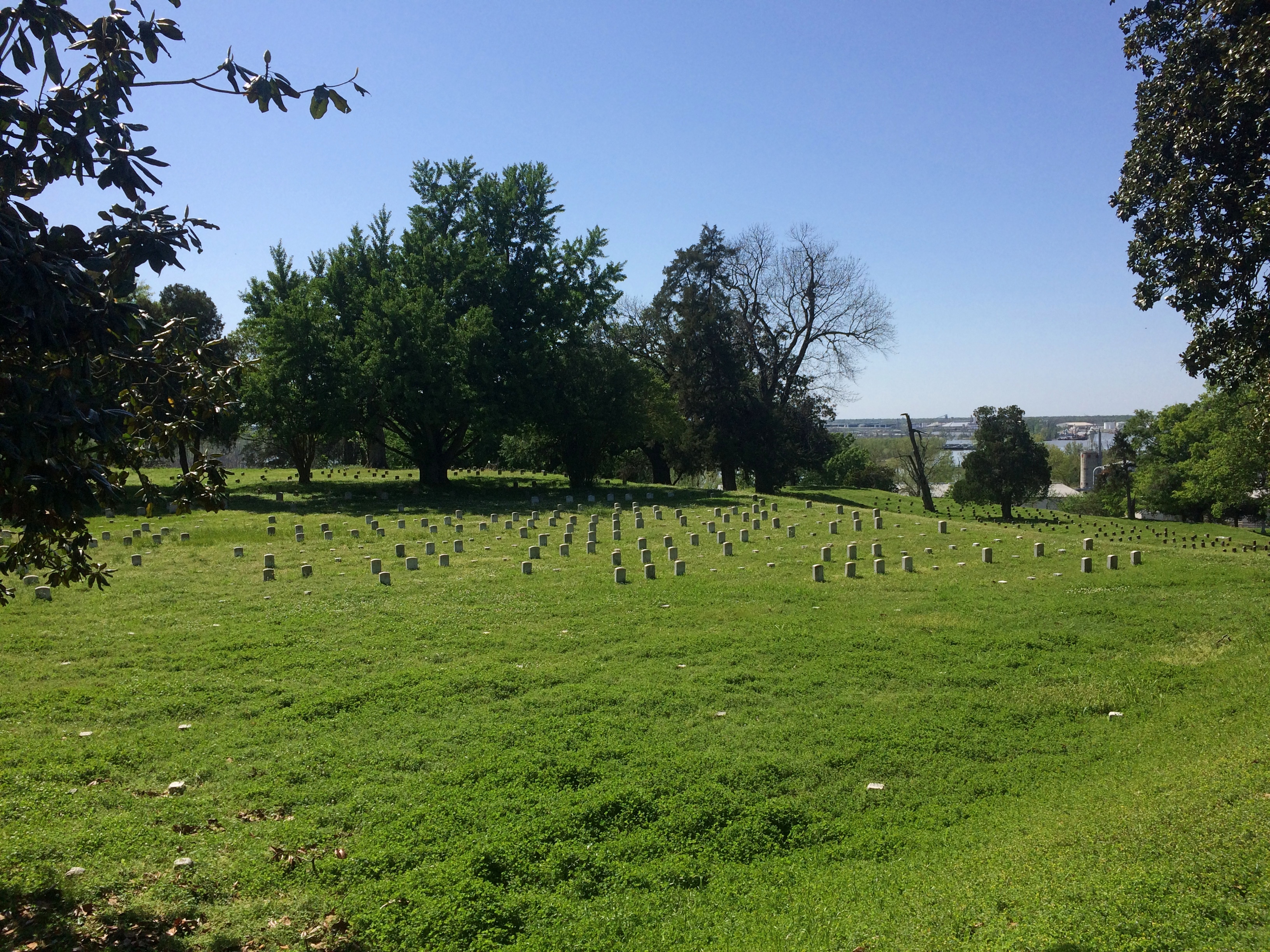
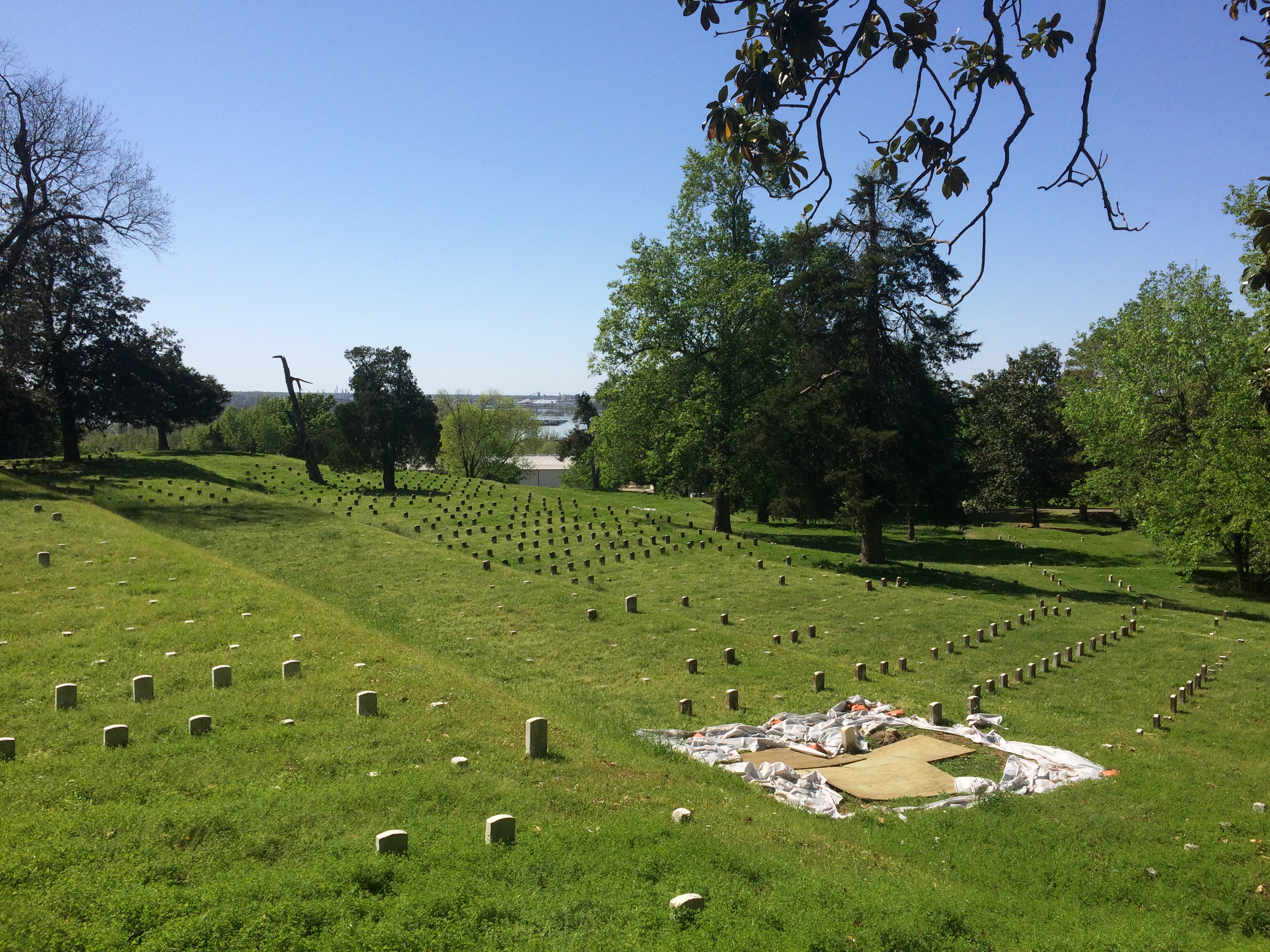
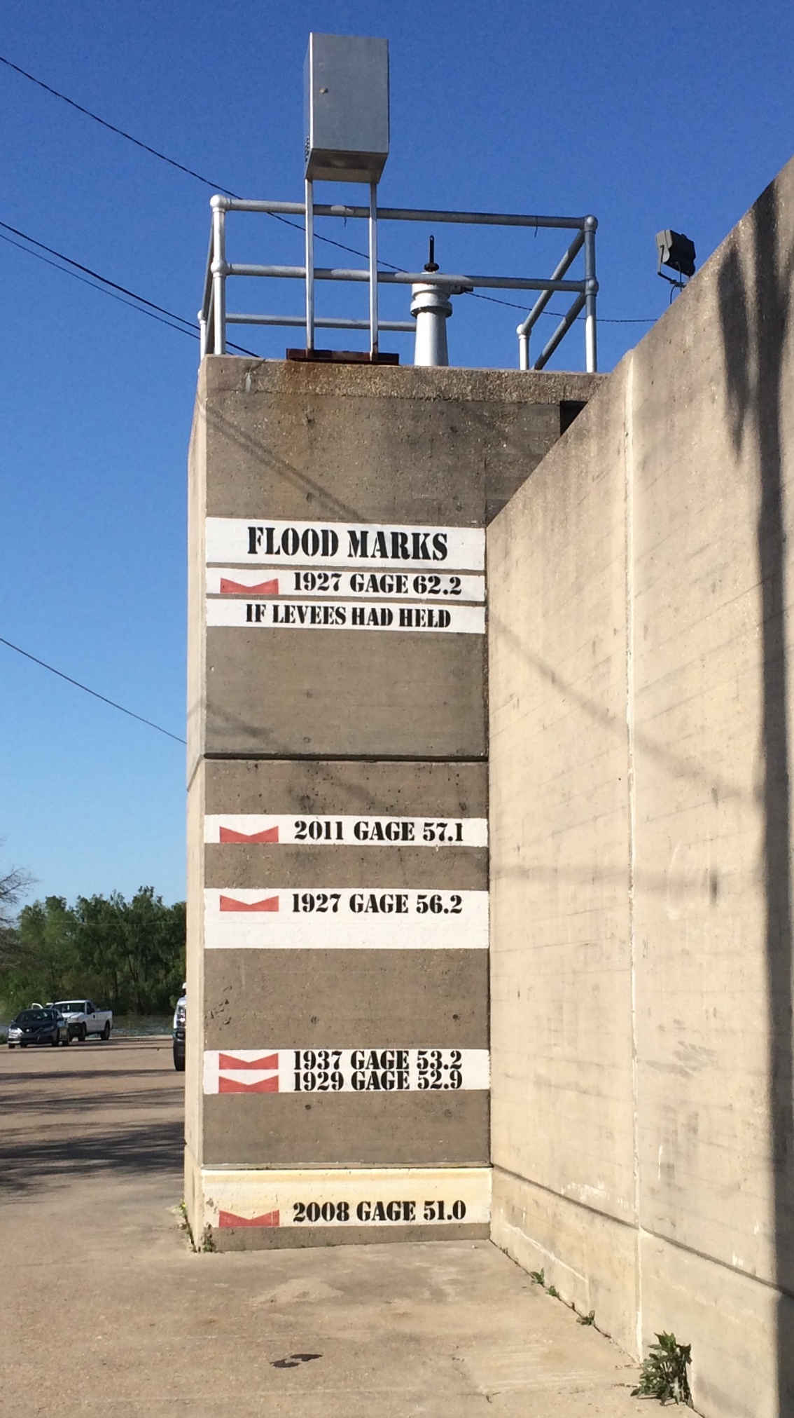
“After the creation of Vicksburg National Cemetery [in 1866], extensive efforts were made by the War Department to locate the remains of Union soldiers originally buried throughout the southeast in the areas occupied by Federal forces during the campaign and siege of Vicksburg — namely, Arkansas, Louisiana, and Mississippi. However, by the time of these re-interments many of the wooden markers had been lost to the elements, and identification of many of the soldiers was rendered impossible.

“Nationwide, 54% of the number re-interred were classified as ‘unknown.’ At Vicksburg National Cemetery, 75% of the Civil War dead are listed as unknowns…”

The cemetery is closed to burials now, but after the Civil War a number of later servicemen were buried there, including the curious story of Flight Sgt. Edgar Horace Hawter of the Royal Australian Air Force, re-interred there in 1949 from New Guinea.

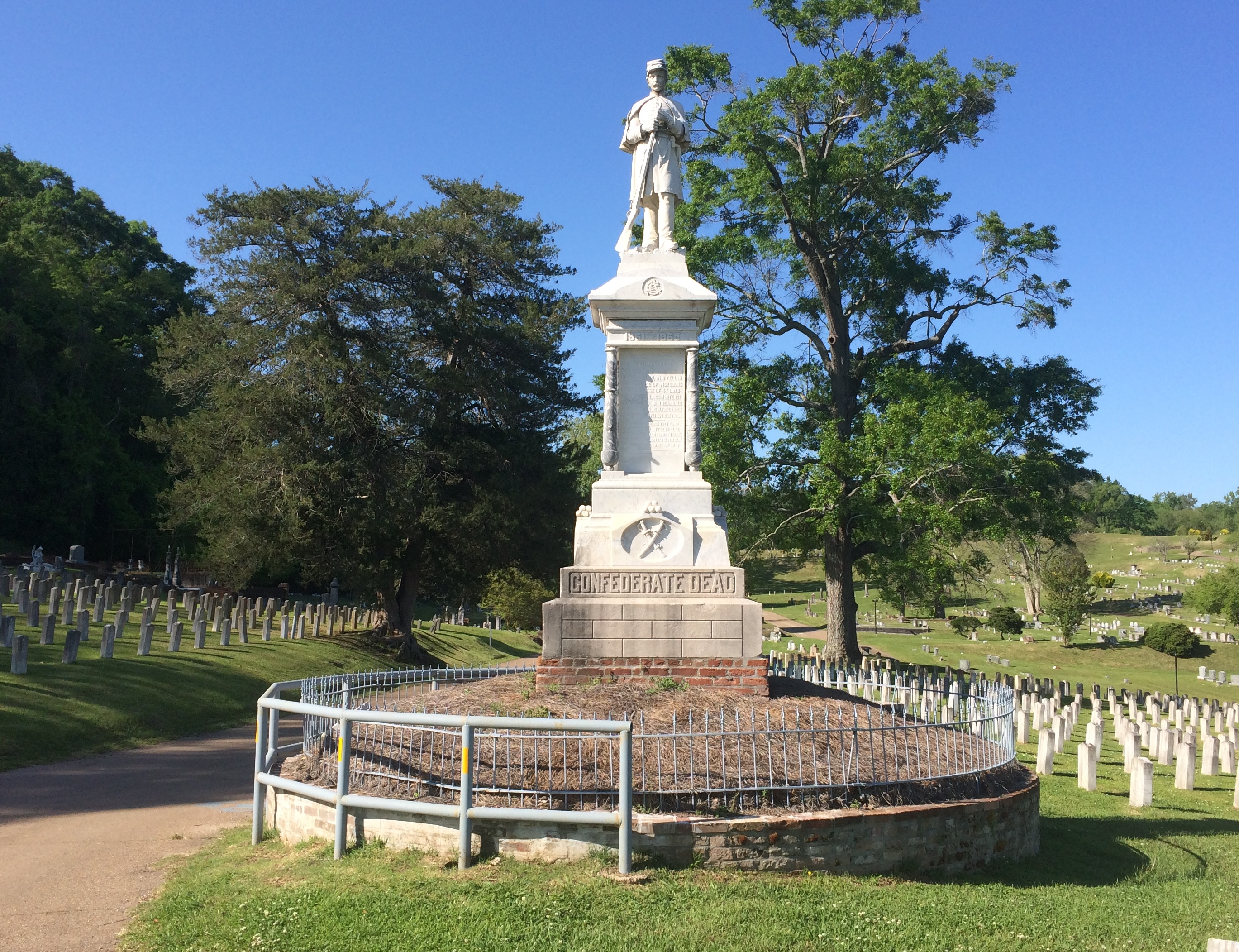
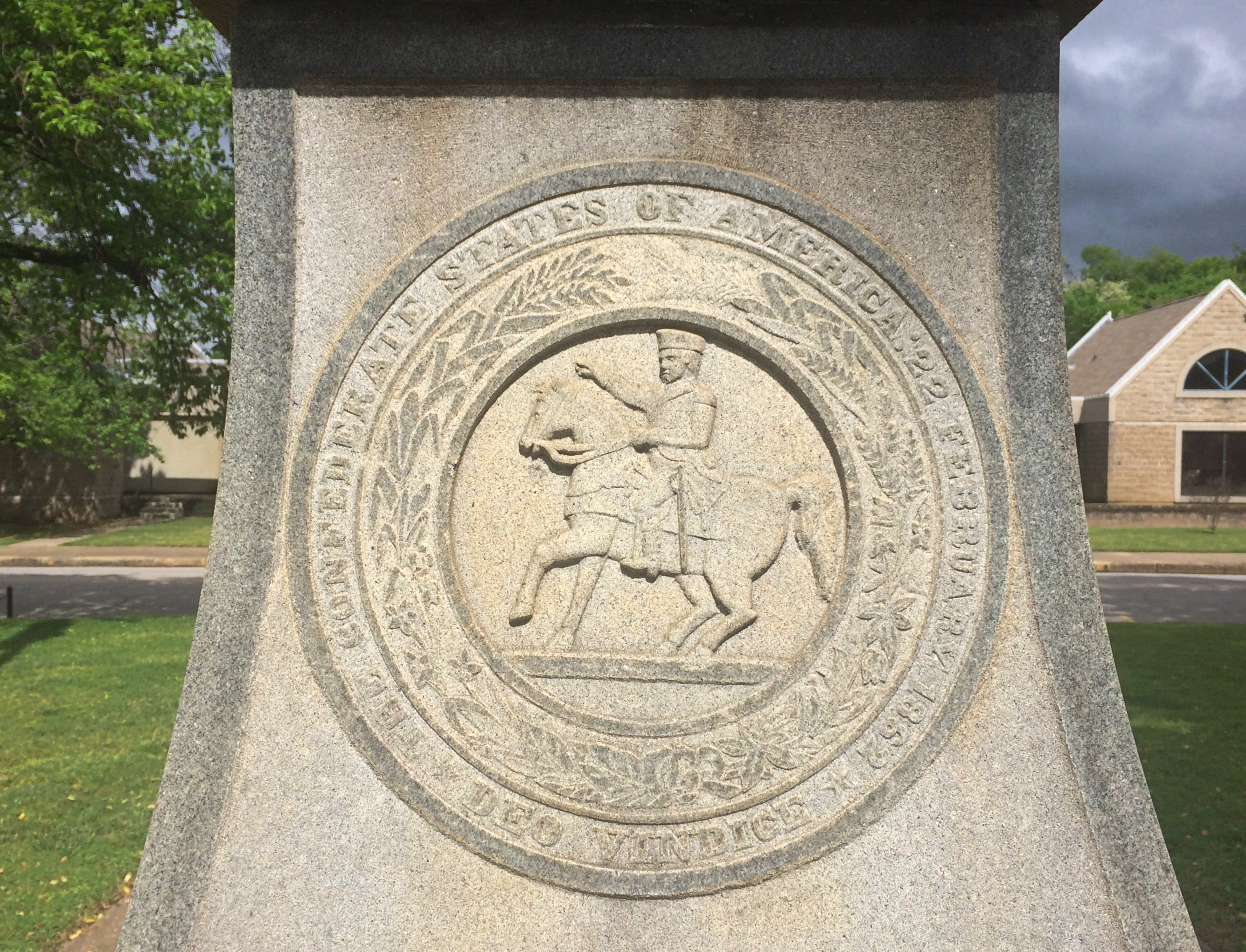
“Confederate dead from the Vicksburg campaign originally buried behind Confederate lines have now been re-interred in the Vicksburg City Cemetery (Cedar Hill Cemetery), in an area called Soldiers’ Rest,” the NPS says. “Approximately 5,000 Confederates have been re-interred there, of which 1,600 are identified.”

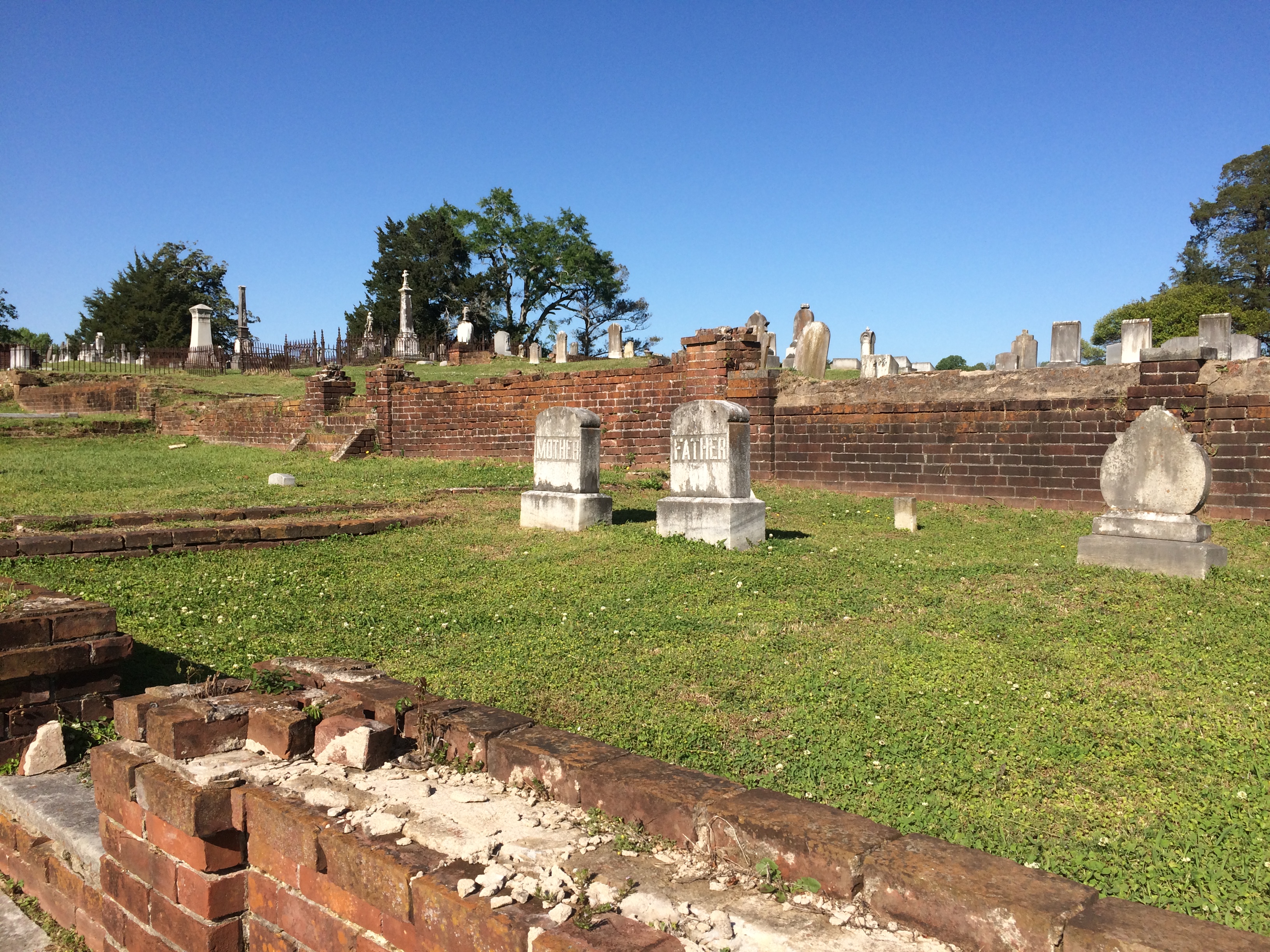
Cedar Hill Cemetery wasn’t hard to find.

Cedar Hill Cemetery Soldiers' Rest Cedar Hill Cemetery Soldiers' Rest

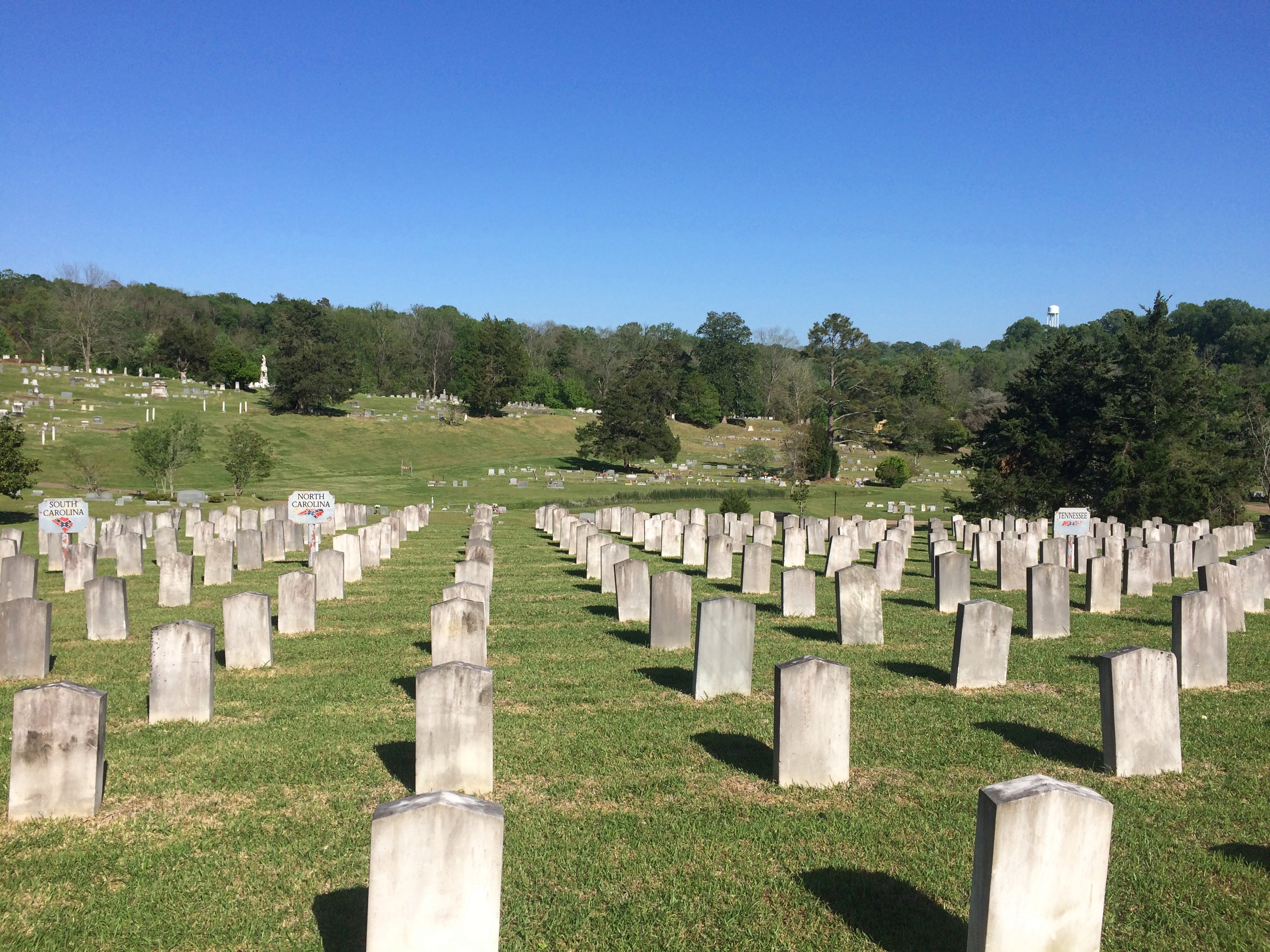
Most of the cemetery isn’t Soldiers’ Rest.

Cedar Hill Cemetery Vicksburg Cedar Hill Cemetery Vicksburg Cedar Hill Cemetery Vicksburg Cedar Hill Cemetery Vicksburg

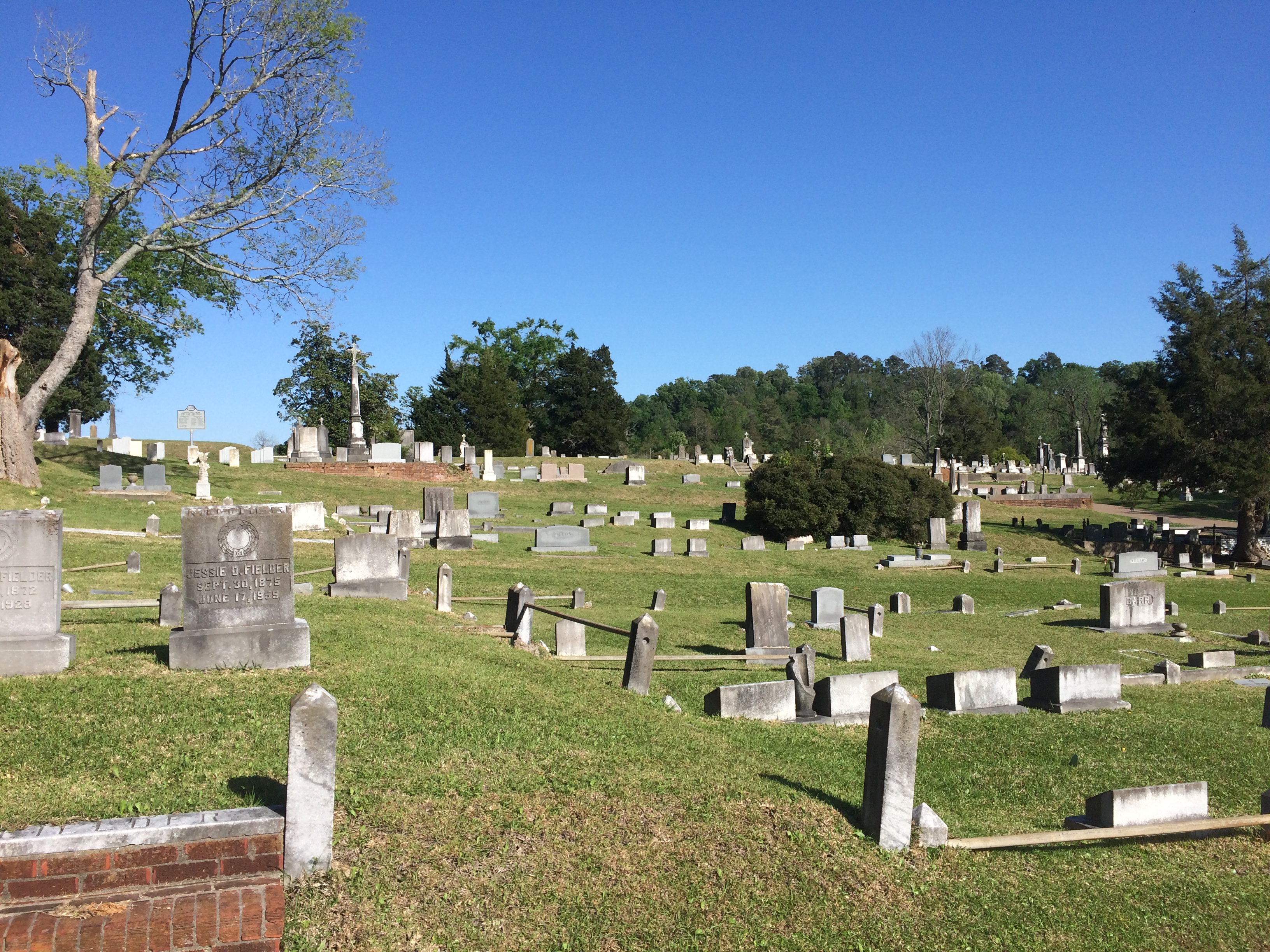
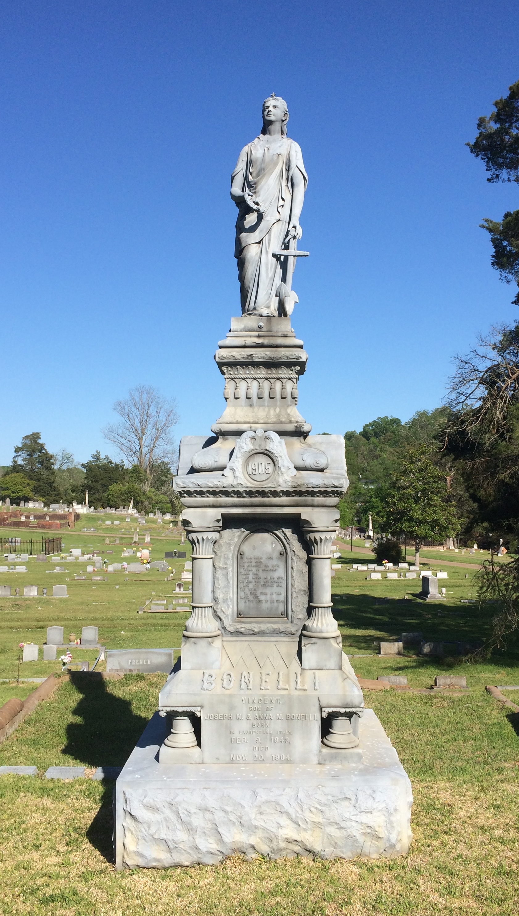
Most of the stones are modest, but there are a few larger ones.

Cedar Hill Cemetery Vicksburg Cedar Hill Cemetery Vicksburg

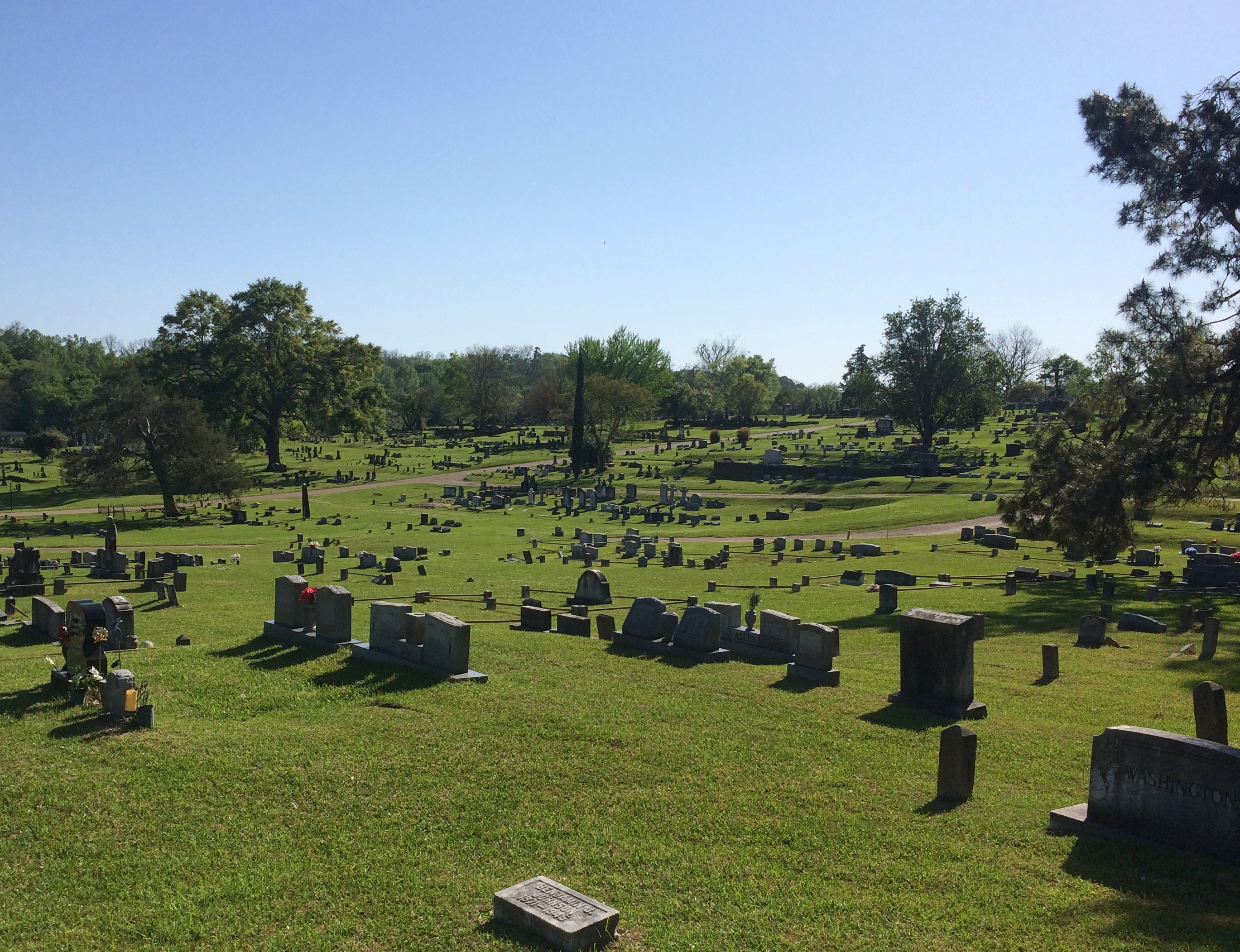
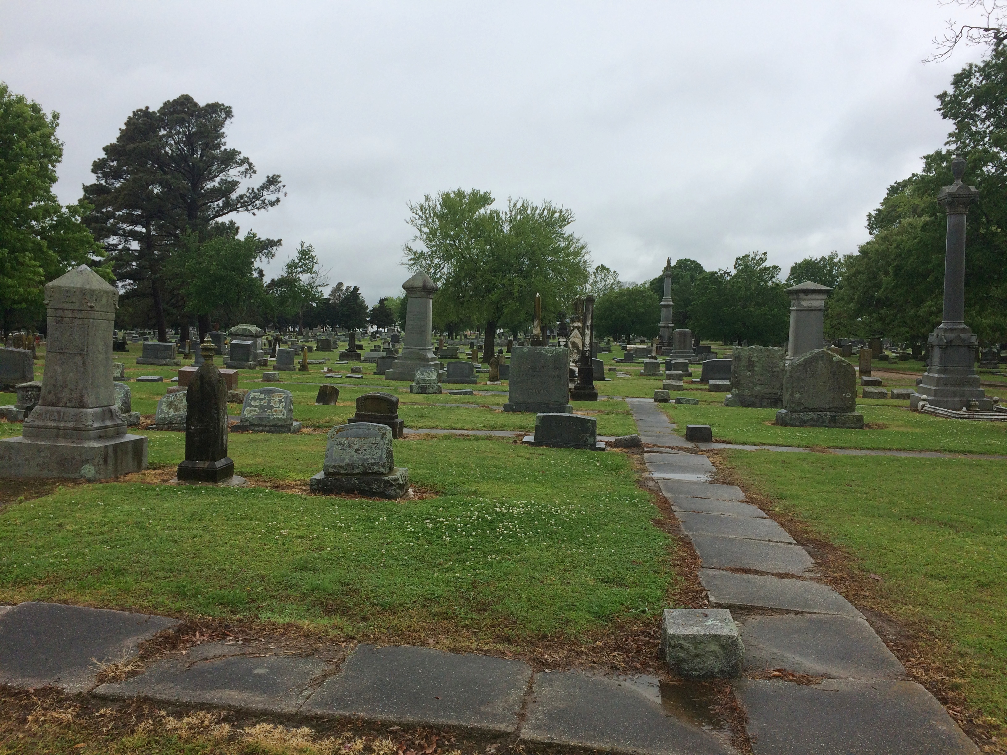
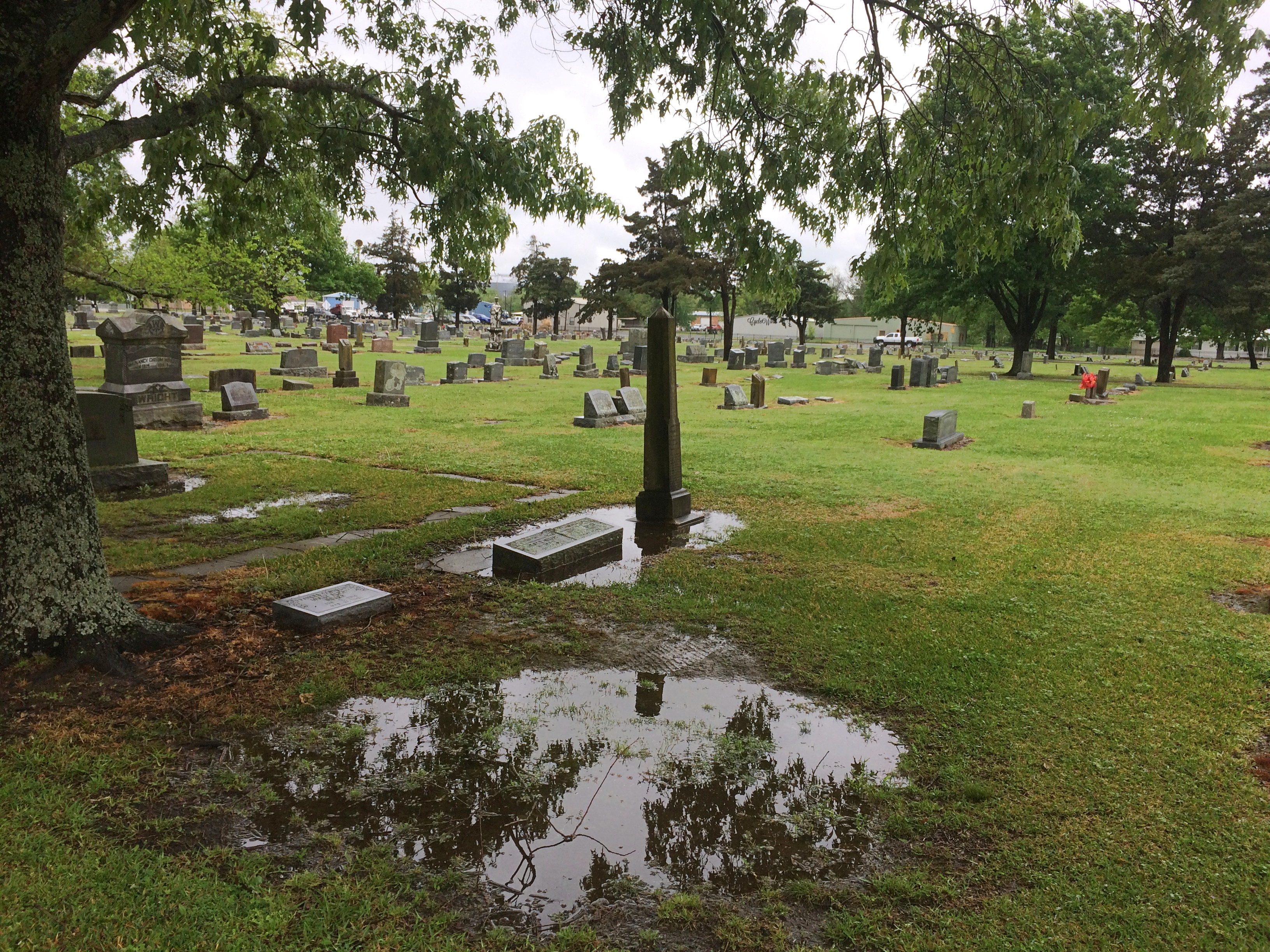
Evergreen Cemetery in Paris, Texas, was green enough, and wet with recent rain when I arrived there on April 16.

Evergreen Cemetery, Paris, Texas Evergreen Cemetery, Paris, Texas

As a veteran of the Texas Revolution, Dr. Patrick W. Birmingham (1808-1867) rates a Texas flag.
Evergreen Cemetery, Paris, Texas
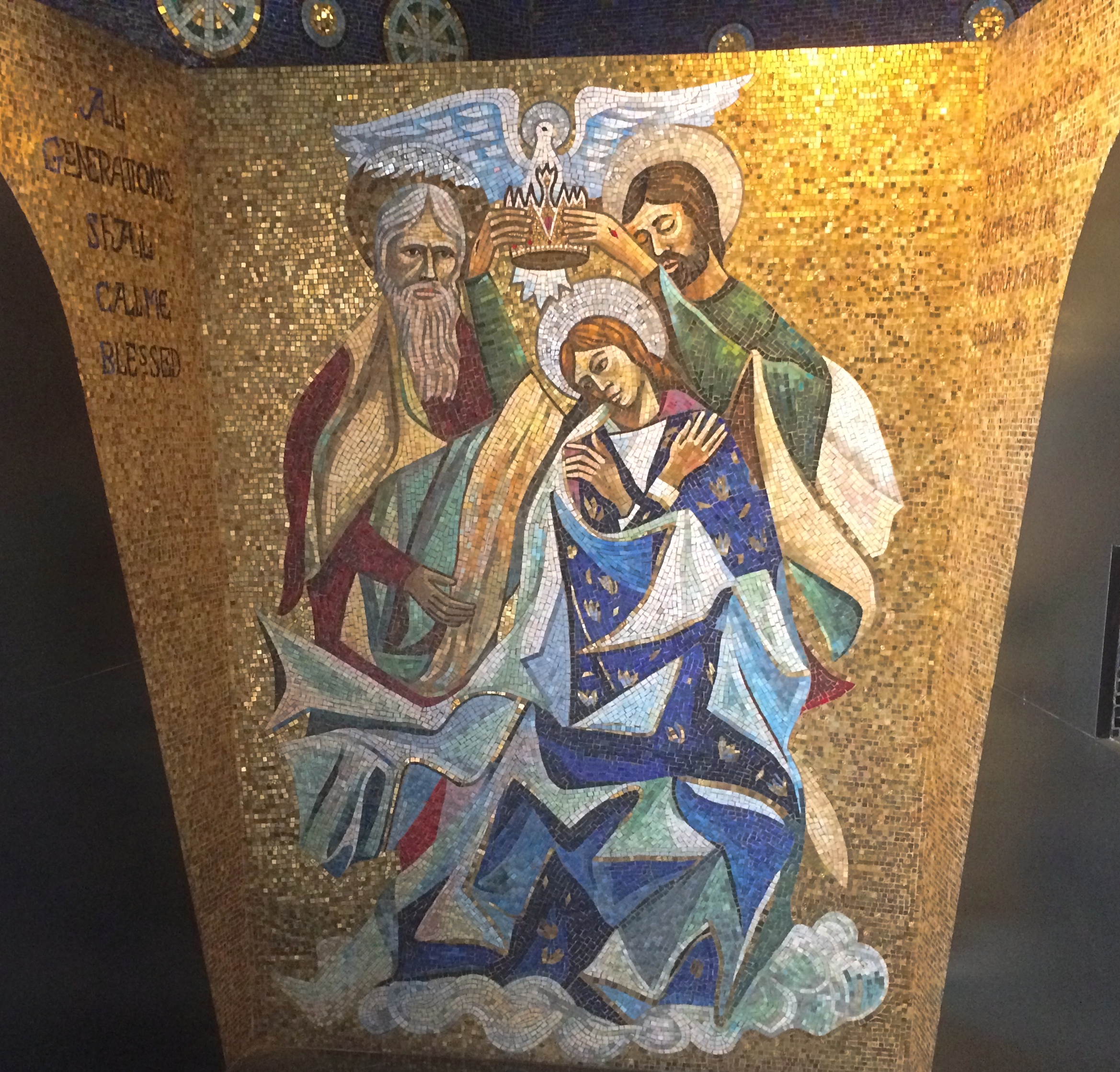
Another plaque told me that Jesus in Cowboy Boots was part of a memorial at Evergreen, but maddingly it didn’t offer any direction about where such a thing would be found. So I did what we moderns do, and did a Google Image search for that term. I got an image easily.

Turned out I was practically standing next to it.

Evergreen Cemetery, Paris, Texas - Jesus in Cowboy Boots Evergreen Cemetery, Paris, Texas - Jesus in Cowboy Boots

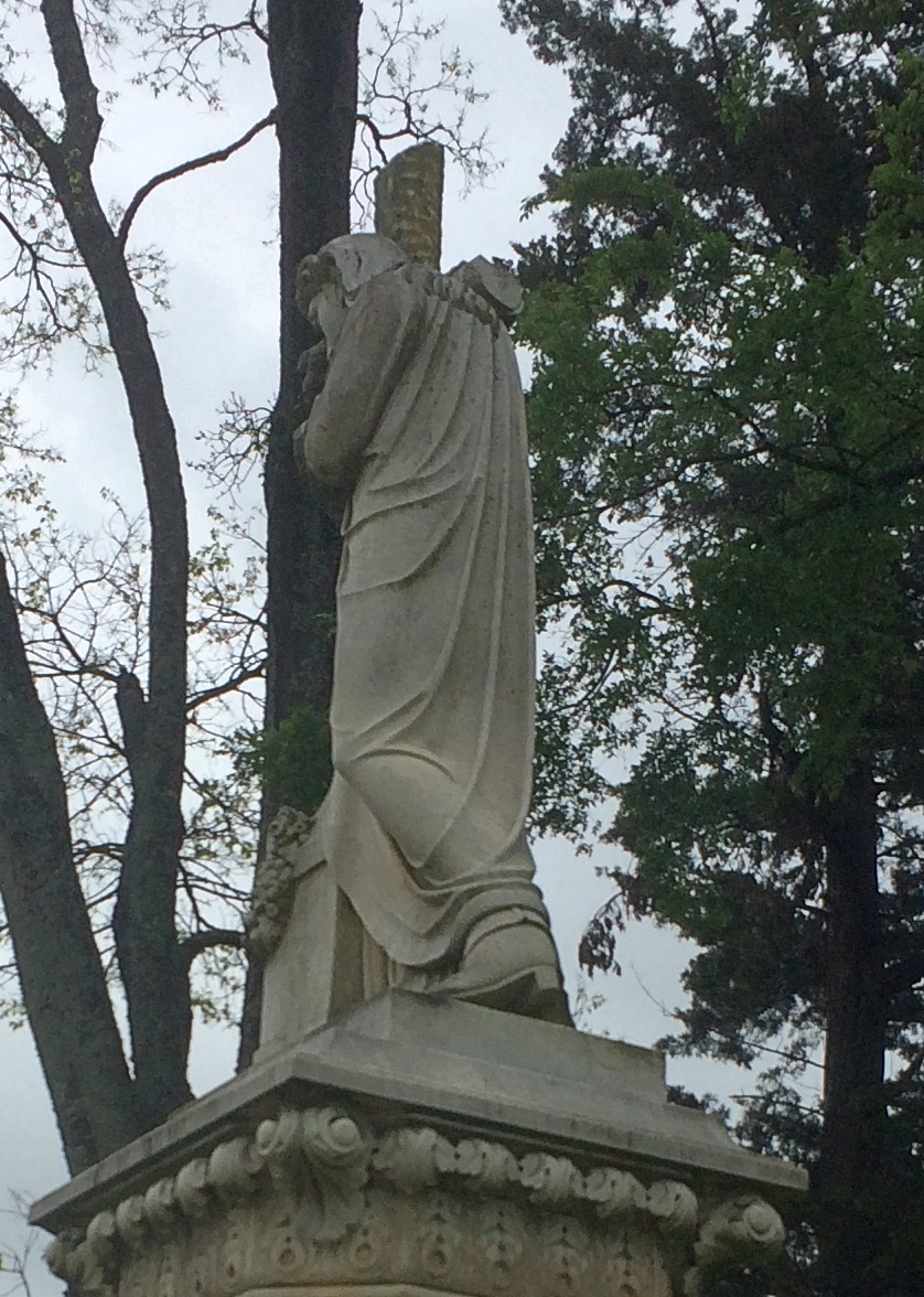
It was a little hard to make out at first, but yes, it does look like that figure is wearing boots rather than, say, sandals. It’s not clear it’s actually a depiction of Jesus, but as Atlas Obscura points out, the name has stuck.
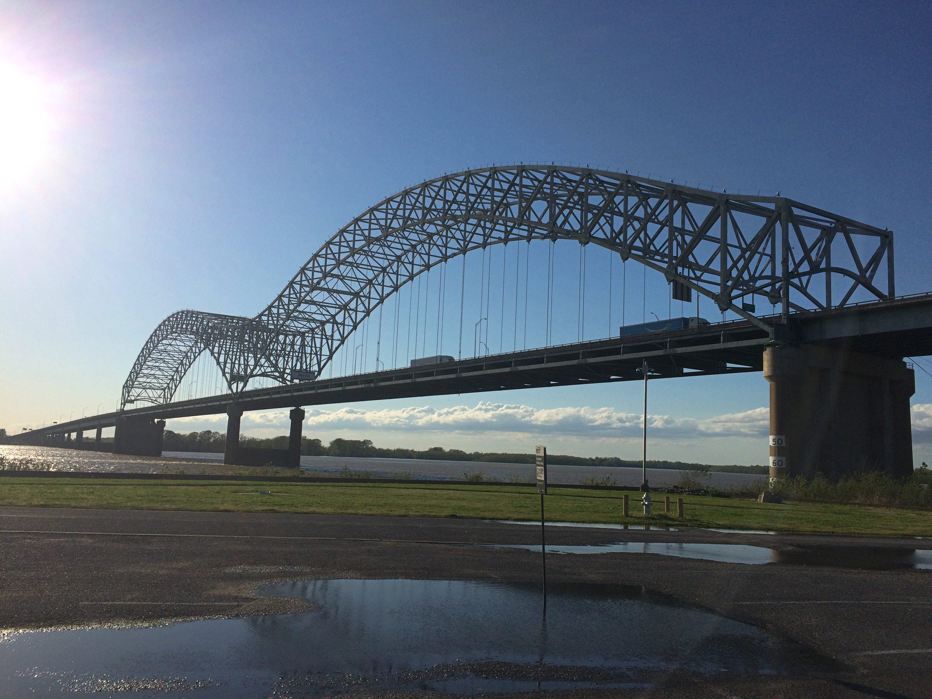
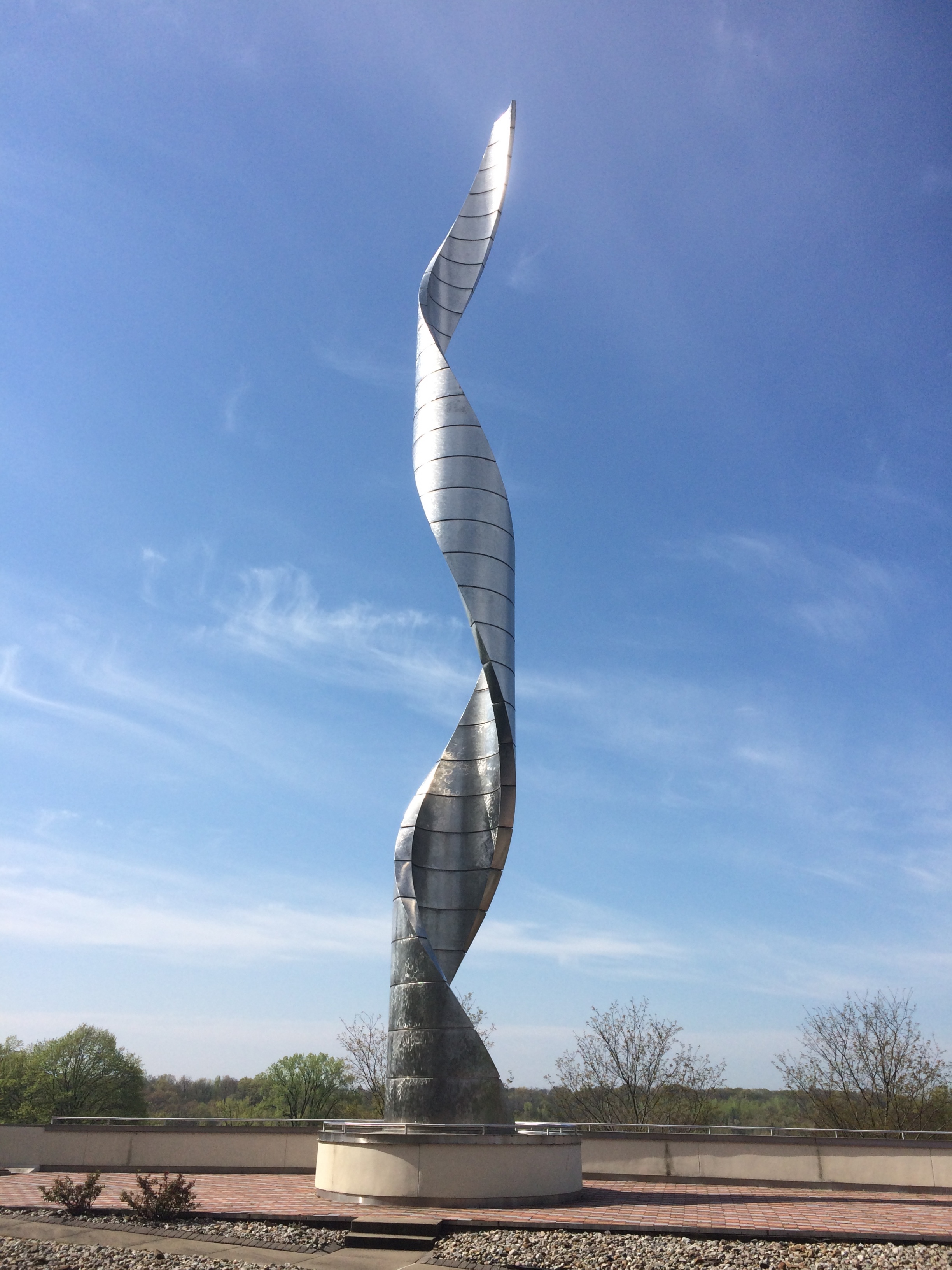
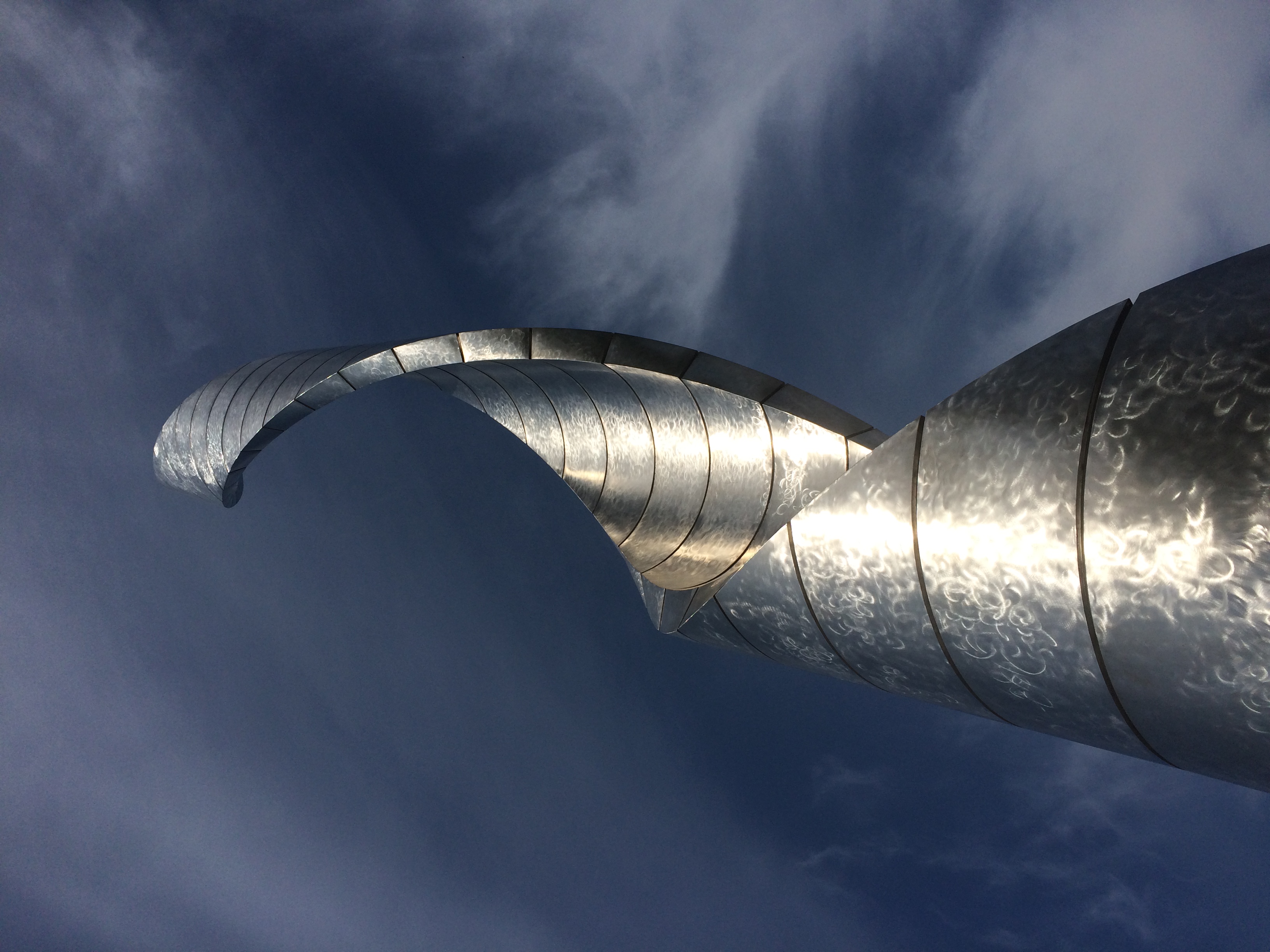
Fort Smith National Historic Site

As historic sites go, Fort Smith National Historic Site is definitely worth a look, with its main building (former barracks-courthouse-jail), reconstructed gallows, site of a first fort, outline of the second fort’s former walls, parkland and walking paths, and a nice view of the Arkansas River.Fort Smith National Historic Site

But what really caught my attention during my visit on April 17 was painted on one of the sidewalks.Fort Smith National Historic Site Fort Smith National Historic Site

“The line on the sidewalk behind you represents the 1834 boundary between Indian Territory and Arkansas,” the sign nearby simply says. “Indian Territory was defined as the unsettled land west of the Mississippi River not including states or previously organized territories.”

I should note that the line on the sidewalk isn’t the current border between Arkansas and Oklahoma. But it’s pretty close — at that point the line is on the eastern bank of the Arkansas River, at least according to Google Maps (not quite an infallible source).

The pink arrow points to about where the painted line is. As you can see, the modern border zags a bit to the west at that point, so that all of the land of the historic site — and the city of Fort Smith, for that matter — is in Arkansas.

At some point, that line must have been straight and a slice of land east of Arkansas-Poteau confluence was Indian Territory, if the sidewalk line is correct. This Encyclopedia of Arkansas article seems to deal with a border adjustment in the area, in the context of the Choctaw Nation-Arkansas border, which was the subject of decades of dispute.

But the article says the strip was “two miles wide and twelve miles long,” and the Fort Smith slice looks nowhere near that large, so I don’t know how the above border adjustment was made. Some Arkansas or Choctaw historian might, but I’m going to leave it at that.

The fort was originally established in 1817 to patrol the neighboring Indian Territory and named for the otherwise little-remembered Gen. Thomas Smith. The U.S. Army abandoned the first fort in 1824, but by that time a town had grown up near the fort. The Army built a second fort in 1838 that it occupied, except for a short Confederate period, until 1871.

The site of the first fort, entirely forgotten and not re-discovered until 1958.
Fort Smith National Historic Site

During the Army period, the handsome main building of the second fort served as a barracks. Late in the 19th century, it was a federal courthouse and jail. Now it’s a museum. Closed when I visited, unfortunately.

Also handsome: the Historic Commissary Building. It too was closed.Also handsome: the Historic Commissary Building. It too was closed.

Flat stones that mark where the second fort wall used to be. A sign pointed out that most later U.S. Army forts didn’t bother with walls.
Fort Smith National Historic Site

Another prime attraction — maybe the prime attraction — is the rebuilt gallows.
Fort Smith National Historic Site

“With the largest criminal jurisdiction of any federal court at the time, the Western District of Arkansas handled an extraordinary number of murder and rape cases,” a sign in front of the gallows says. “When a jury found defendants guilty in these capital cases, federal law mandated the death penalty. In Fort Smith, that meant an execution by hanging on a ‘crude and unsightly’ gallows.”

A separate sign lists everyone hanged at Fort Smith during the years (1873-96) that federal executions took place on the site, 87 men all together. The famed Judge Isaac C. Parker sentenced 160 people (156 men, four women) to death in that court, 79 of whom were eventually hanged. “George Maledon, known as the Prince of Hangmen, served as executioner at over half of the Fort Smith hangings,” the sign also noted.

Main Street, Van Buren, Arkansas

I spent the night of April 16 in Alma, Arkansas, a part of greater Fort Smith, and the next morning I decided to see Fort Smith National Historic Site, so I headed into town via U.S. 71 Business. My breakfast was in a sack in the seat next to me, so I was also looking for a place to stop and eat. Sometimes small parks are just the place, either to eat in the car away from traffic whizzing by, or to find an outdoor table.

I saw a small sign that said PARK –> , so I turned right off the main road. Soon I found myself at the intersection of 6th and Main Street, main artery of the picturesque Van Buren Historic District. I parked on Main and ate my breakfast, and naturally got out for a walk after that.Van Bureau Main Street

Van Bureau Main Street
Except for Fort Smith itself, Van Buren is the largest place in the Fort Smith MSA, with about 23,600 residents, founded on the Arkansas River well over a century and a half ago. Van Buren, Arkansas

Much more recently, the river got pretty angry.

Though a bit chilly that Saturday, the weather was comfortable enough for a walk on Main Street, mostly sporting buildings of a certain vintage.Van Buren Main Street Van Buren Main Street Van Buren Main Street

Older buildings, but with distinctly contemporary uses, including the likes of Rethreadz Boutique, The Vault 1905 Sports Grill, Sophisticuts, Corner Gifts, The Vault, and Red Hot Realty.Van Buren Main Street Van Buren Main Street Van Buren Main Street

At Main and 4th is the Crawford County Courthouse, dating from 1842 and as such, according to Wiki anyway, the oldest operating courthouse west of the Mississippi.

Crawford County Arkansas Courthouse
It wouldn’t be much of a Southern courthouse without its Confederate memorial, dating from 1899.Crawford County Arkansas Courthouse

A detail from the base. Something you don’t see too often.
Crawford County Arkansas Courthouse

Something you see even less at courthouses, North or South: a Greek goddess, namely Hebe, goddess of youth and youthful joy.Crawford County Arkansas Courthouse Hebe Crawford County Arkansas Courthouse Hebe

The original was a 1908 gold-painted iron statue, according to a sign on site. This 2003 bronze is a replacement for the original, which now resides in the Crawford County Museum.

Off to one side of the courthouse is the Albert Pike Schoolhouse, thought to be one of the oldest extant buildings in Arkansas, built ca. 1820 and later relocated to its current spot.
 Albert Pike Schoolhouse

Another memorial on the grounds. I’d never heard of Cyrus Alder before; now I have.

Cyrus Alder memorial
Finally, I spotted some interesting walls in the vicinity of the courthouse. Such as what looks to be a palimpsest ghost sign wall.
Van Buren ghost wall

In an alley across the street from the courthouse, this. It’s fairly new, as you’d think. Streetview of May 2018 has a blank wall there.Van Buren You Are Here mural Van Buren You Are Here mural

My knee-jerk reaction: izzat so? I never did find the park that I thought might be a good place for breakfast. I did much better, enjoying a bit of serendipity on the road, since I had no inkling of Van Buren, Arkansas before I found myself there.

Talimena National Scenic Byway & The Former Heavener Runestone State Park

Oklahoma isn’t known as much of a nanny state. So in retrospect it’s no surprise that the U.S. 271 entrance to Talimena National Scenic Byway, which is a two-lane road through the Winding Stair National Recreation Area, was wide open on April 16, a gloomy, drizzly day with the mountains shrouded in clouds.

Talimena National Scenic Byway

Some other jurisdiction might have put up barricades to protect drivers from their own foolish impulse to drive the road no matter what, but Oklahoma doesn’t roll that way.
Besides, the facility at the entrance was abandoned. I did see signs for a recreation area headquarters in the nearest town, Talihina, so I supposed the rangers or rangers-equivalent moved there.
Talimena National Scenic Byway

I was eager to drive the byway for two reasons. One, it’s a national scenic byway. In my experience, that generally means some good driving on the offing. Some car-commercial driving.

Also, the poetry of that name: Winding Stair Mountains. Even if they really are fairly small mountains, that’s a name and a place on the map that has intrigued me for a long time.

I stopped at an historic marker a short ways from the entrance that told me that the Ft. Smith-Ft. Towson Military Road once crossed the Winding Stair Mountains at that point, but it wasn’t the basis of the modern road, part of Oklahoma State Highway 1, which was completed only in 1969. I took a short walk in the nearby forest. The road also traverses a western section of Ouachita National Forest.
Talimena National Scenic Byway

Then I took a look at the road ahead.
Talimena National Scenic Byway
I wasn’t discouraged. I figured there might be patches of fog to drive through. Also, I’d seen two cars enter the road ahead of me.

The first few miles were gorgeous indeed, with places to stop that looked like this.
Talimena National Scenic Byway

Pretty soon, though, the fog turned thick. I took it slow, about 30 mph, but even so the hazard of the drive was top of mind. I could see maybe 10 feet ahead, on a road that wound around and climbed and dropped — with steep drops into ditches sometimes off one or the other shoulder.

Mostly, I knew that if something appeared in the road ahead of me, such as an animal or worse, a stopped car, I might easily hit it. I don’t think I was risking death or even injury myself that much, just highly inconvenient damage to my car and maybe legal problems.

Now the views off to the side of the pullouts in the road looked more like this.
Talimena National Scenic Byway

Yet the way — only about 12 miles on the section I wanted to drive — wasn’t entirely foggy. Sometimes I’d see the fog thin out ahead of me, suddenly, and even more suddenly, clear away completely. The beauty of the surroundings was suddenly clear as well, passing through a contoured forest of wet pine, oak, flowering dogwood and more.

As it happened, I encountered no one else on the road during my drive, neither cars nor motorcycles nor deer, and then headed north on U.S. 59. Take that route and before long you pass through Heavener, Oklahoma, where you see signs for Heavener Runestone Park. Or, and I think not all of the signs have been changed, Heavener Runestone State Park. Even the likes of Atlas Obscura still calls it a state park.

The place hasn’t been a state park for 10 years. Supposedly recession-era budget cuts are to blame, but I suspect that the park had embarrassed the state long enough, maybe since its founding in 1970.

At some point in the past, someone carved runes into a sandstone boulder near Heavener. A local woman, one Gloria Farley, did her own research in the 1950s and determined that Norsemen had shown up in the future Oklahoma during the golden age of Vikings getting around (ca. 1,000 years ago), carved the runes, and then went on their way. Without leaving any other trace.

Apparently Gloria had friends in state government, and so 55 acres were made into a state park, its centerpiece being the rock, with a shelter built to protect it from the elements and vandals.Heavener Runestone Park

The boulder and its runes are behind glass inside.
Heavener Runestone Park
Signs near the glass case carry on the fantasy that Vikings visited Oklahoma.
Heavener Runestone Park

These days the park belongs to the town of Heavener and is overseen by a nonprofit. I did my little bit to support it, since there is no admission, by buying some postcards in the shop. (Also to support the manufacture of postcards in general.)

I don’t care that the place was founded on a fairly obvious hoax, maybe done by an Scandinavian immigrant in the 19th century with a peculiar sense of humor. In fact, that makes it more interesting, just as the faux Lincoln family log cabin does the Lincoln Birthplace National Historical Park.

Besides, the loop to and from the Heavener Runestone, a path along the side of Poteau Mountain, is a good walk, even if wet with recent rain when I was there.Heavener Runestone Park Heavener Runestone Park Heavener Runestone Park Heavener Runestone Park

It’ll never be a World Heritage Site, unless some wickedly serious paradigm shift happens, but even so the non-state park preserves, in a pleasant green spot, an eccentric vision.

Poverty Point World Heritage Site

West from Vicksburg and a little north of I-20 on US 65 is Transylvania, Louisiana, pop. scant. Now I can say I’ve been to Transylvania. I missed a turn, and realized it after a few miles, by which time I was near a school that needs roof repairs. Or an abandoned school building. I pulled over within sight of the structure to consult my maps.

Transylvania, Louisiana

Soon I was headed by the correct small roads to Poverty Point World Heritage Site, which has an address in Epps, Louisiana, but that’s just the nearest currently inhabited town. The site is firmly in the countryside.

Its signs stress the World Heritage status accorded the site a few years ago. Poverty Point also happens to be a U.S. National Monument.Poverty Point Louisiana

On this site, in the second millennium BC, the people who dwelled here spent centuries building enormous mounds and ridges of earth by hand. The thought of that conjures up a past so remote that our image of them is one of shades, whispering in a language we can’t comprehend, pushing this collective building goal forward for reasons we cannot possibly know.

What you see close after the beginning of the third millennium AD is wide green fields, modestly undulating. Off in the distance are copses of trees, more fields and other natural land contour. The day was pleasantly warm.Poverty Point Louisiana

Poverty Point Louisiana

Poverty Point Louisiana

“Hand by hand and basketful by basketful, men and women shaped nearly 2 million cubic yards of soil into stunning landscapes,” the site’s web site says. “The result was a massive 72-foot-tall mound, enormous concentric half-circles and related earthworks that dwarfed every other earthen monument site for 2,200 years.”

Mound B beats them all. The largest ever built by a hunter-gatherer population.

Poverty Point Louisiana

Poverty Point Louisiana

A further estimate on a sign near the mound says it would have taken 15.5 million loads of earth to build this single mound.

Poverty Point Louisiana Poverty Point Louisiana

Poverty Point Louisiana

It’s a brain bender. Imagine a time and place when virtually everything you know, or have seen, or believed, wouldn’t exist for thousands of years.

Vicksburg National Military Park

Had my second shot today. Now George Soros is controlling my brain. Or is it Bill Gates? Hard to keep all these kaleidoscopic alt-realities straight, you know.

Over the years I’ve bypassed Vicksburg, the city and the battlefield, a number of times, so I made a point of visiting this time. I arrived at Vicksburg National Military Park just after noon on April 11, pausing to eat lunch in my car in the parking lot.
Vicksburg National Military Park

At more than 2,500 acres, it’s a large park, but actually smaller than most of the other national military parks, such as Chickamauga (9,500+ acres), Shiloh (9,300+ acres), Fredericksburg (8,400+ acres) or Gettysburg (6,000+ acres). Takes a lot of land to wage near-modern war, after all.

Still, with its winding roads, thick woods, open fields, and monuments of all sizes and descriptions, the place feels expansive. And lush. Full spring had come to Mississippi, along with a pleasant warmth in the air that must have been blazing hot by the time the siege happened in the summer.Vicksburg National Military Park
Vicksburg National Military Park Vicksburg National Military Park

Everywhere you look, a few more cannons. According to Wiki, there are 144 emplaced cannons in the park.Vicksburg National Military Park

Only fitting, since the event was largely a duel of artillery. Also according to Wiki, the park includes 1,325 historic monuments and markers, 20 miles of trenches and earthworks, a 16-mile tour road, a 12.5-mile walking trail, two antebellum homes, and the restored gunboat USS Cairo, the luckless Brown Water Navy vessel that became first ship ever sunk by a remotely detonated mine.

Each state on both sides that sent men to the campaign has a sizable memorial — as many as 117,000 soldiers took part — but it looks like none is more sizable than Illinois.Vicksburg National Military Park - Illinois Vicksburg National Military Park - Illinois

“The design was by W. L. B. Jenney and sculptor was Charles J. Mulligan. Jenney served with distinction as a major in the Union Army during the Civil War as an engineer,” says the National Park Service.

“Stone Mountain (GA) granite forms the base and stairway. Above the base is Georgia white marble. There are forty-seven steps in the long stairway, one for each day of the Siege of Vicksburg.

“Modeled after the Roman Pantheon, the monument has sixty unique bronze tablets lining its interior walls, naming all 36,325 Illinois soldiers who participated in the Vicksburg campaign. Atop the memorial sits a bronze bald eagle sculpted by Frederick C. Hibbard of Chicago, who would also sculpt the statue of General Ulysses S. Grant in the park.” Vicksburg National Military Park - Illinois
Vicksburg National Military Park - Illinois

Near the Illinois memorial is one of the aforementioned antebellum homes, the well-restored Shirley House, which survived 1863 against all odds.

As it is now.
Vicksburg National Military Park - Shirley House

As it was then.
Shirley-House-During-Siege-of-Vicksburg

Just down the road from the Shirley House is a statue of Gen. John Logan, who commanded the 3rd Division of the XVII Corps of the Union Army in this area, and who ought to be better known for a number of reasons, such as fostering Memorial Day and for his change of heart about black people during the war.
Vicksburg National Military Park - John Logan

“But what of JOHN A. LOGAN? I will tell you. If there is any statesman on this continent, now in public life, to whose courage, justice and fidelity, I would more fully and unreservedly trust the cause of the colored people of this country, or the cause of any other people, I do not know him. Since [Charles] Sumner and [Oliver. P.] Morton, no man has been bolder and truer to the cause of the colored man and to the country, than has JOHN A. LOGAN. There is no nonsense about him. I endorse him to you with all my might, mind, and strength, and without a single shadow of doubt.”

— Frederick Douglass’ endorsement of John Logan during the 1884 presidential election.

Because of heavy rains (I assume) some of the roads were closed, including the one to Grant’s headquarters, where his equestrian statue is, so I didn’t see that.

Moving along, I came to another impressive state memorial: Mississippi. The home team, so to speak.Vicksburg National Military Park - Mississippi Vicksburg National Military Park - Mississippi

Wisconsin. That’s no mere eagle on top, but Old Abe.
Vicksburg National Military Park - Wisconsin

Missouri, which is dedicated to combatants on both sides.Vicksburg National Military Park - Missouri

Besides the state memorials, there was an array of statues and stones and plaques honoring other men and groups of men, or detailing movements during the siege.Vicksburg National Military Park Vicksburg National Military Park Vicksburg National Military Park Vicksburg National Military Park

The USS Cairo, partly protected from the elements. Its visitor center was closed, not for Sunday but still for the pandemic.
Vicksburg National Military Park

The view from Fort Hill.
Vicksburg National Military Park

I’m glad I got around to Vicksburg. Also glad to report a fair number of other visitors, most clearly tourists from other places, though some people were out jogging or walking their dogs. Best of all, I spotted some people with their kids (or grandkids) in tow. Maybe being the weekend had something to do with that, or that the city of Vicksburg is fair-sized. Even so, I remember how few other people I saw on the summer day I visited Shiloh — and only one or two families with children.

Clarksdale and Vicksburg Walkabouts

No question about it, Clarksdale, Mississippi, is a poor Delta town. The median household income in Coahoma County, of which Clarksdale is the seat and only town of any size, is $29,121 as of 2019, according to the Census Bureau, and over 38% of the population lives below the federal poverty level. For all of Mississippi — by household income the poorest state in the union — median household income is just over $45,000, and 19.6% of the population lives in poverty. (The U.S. figures are about $68,700 for median household income, with 10.5% living below the poverty level.)

Coahoma County is also majority black, 77.6%, compared with 37.8% for Mississippi as a whole. Since 2010, the county has lost 15.4% of its population; Mississippi has managed to eke out a 0.3% gain over the same period.

By contrast, Warren County, whose seat is Vicksburg, Mississippi, is considerably more prosperous by the same metrics, though it too lost population in the 2010s: down 6.9%. Median household income is $45,113, just over the state median, and about 20% of the population officially lives in poverty. Black and white are more evenly divided in Warren County, at 49.3% and 48.4%, respectively.

I took a walk around the downtowns of both Clarksdale and Vicksburg on the same day, Sunday, April 11, fairly early in the morning for the former, and late in the afternoon for the latter.

Poor it may be, Clarksdale is distinct as the hub of the Delta blues, a fact that the town very much plays up in the early 21st century, with a museum, music venues, plaques, public artwork and more. Funny, I have a hunch that the city fathers in segregationist Clarksdale a century or so ago didn’t give a fig for the music that the black population was creating and exporting to Chicago and other places.

Few other people were about on that Sunday morning. The first thing that caught my attention was a large mural.Clarksdale, Mississippi mural, Ground Zero Club 2021

Clarksdale, Mississippi mural, Ground Zero Club 2021 Clarksdale, Mississippi mural, Ground Zero Club 2021

That’s the back wall of the Ground Zero Blues Club, and the mural must be of recent vintage, since a Streetview image from September 2019 shows a few smaller murals, but mostly a blank wall.

That’s hardly the only public artwork in downtown Clarksdale.Clarksdale, Mississippi public art Clarksdale, Mississippi public art Clarksdale, Mississippi public art

The town sports a lot of interesting old buildings in various conditions, some music oriented, some ordinary commercial structures.Clarksdale, Mississippi public art Downtown Clarksdale, Mississippi Downtown Clarksdale, Mississippi

One of the music businesses is a place called Deak’s Mississippi Saxophones and Blues Emporium. Not something you’re likely to see anywhere else.

Deak's Mississippi Saxophones and Blues Emporium

Deak's Mississippi Saxophones and Blues Emporium
Late that day, I took a walkabout of similar duration in Vicksburg, after visiting the local battlefield.Welcome to Vicksburg

It’s a larger town with larger buildings, such as The Vicksburg, formerly the Hotel Vicksburg, which I’ve read is the tallest building in town and in recent years an apartment building. Next to it are the Strand Theatre and the B.B. Club, formerly the B’nai B’rith Literary Association building, and now an event venue.Former Vicksburg Hotel Strand Theatre Vicksburg

downtown Vicksburg

Some smaller structures grace downtown Vicksburg as well, of course.downtown Vicksburg

The city is mostly on a loess bluff overlooking the Mississippi.downtown Vicksburg

Old Man River.
Mississippi at Vicksburg
The damage that Old Man River can do, when he’s in the mood. There’s no doubt that 1927 is the one to beat, and not just in Louisiana, though 2011 was a whopper too.

Mississippi at Vicksburg
That’s on the river-facing side of the modern floodwall system protecting Vicksburg. On the town-facing side are a lot of different murals. Some details:

Vicksburg floodwall murals Vicksburg floodwall murals

My own favorite, “President McKinley Visits the Land of Cotton,” is based on a photo of an arch built from cotton bales to greet the president, who visited for a little less than two hours on May 1, 1901, not long before his date with Death in Buffalo.
Vicksburg floodwall murals

If possible, I like to see a presidential site on each trip. That counts as one for the trip.

West Tennessee Dash

On April 10, after leaving Illinois via a white-knuckle, two-lane bridge across the Mississippi into the state of Missouri, I headed south to catch the ferry back across the river at Hickman, Kentucky (green arrow). The point of this exercise was to continue from Hickman on small roads to the Kentucky Bend, marked here with a pink arrow.

There’s nothing distinctive about the Kentucky Bend except its odd status as an exclave of the commonwealth of Kentucky. I’d planned to snap a picture of whatever sign was at the Tennessee-Kentucky border at that point, and maybe visit the small cemetery just inside the bend.

It wasn’t to be. When I got to the ferry, the Mississippi looked a mite testy, swollen from the storms the night before, and probably other spring rains. A phone call confirmed that the ferry wasn’t running.Hickman Ferry

Without the ferry crossing, visiting the Kentucky Bend would have meant considerable backtracking, so I blew it off, and continued southward in Missouri. I got a glimpse of the bend from the riverfront at New Madrid, but I didn’t linger because I needed to find a bathroom.

Later I crossed into Tennessee on I-155 and soon connected with U.S. 51, which goes straight into Memphis. Despite the years I lived in Tennessee once upon a time, it was a part of the state I’d never seen, except for Memphis itself.

I didn’t quite make the straight shot into the city. Not far from U.S. 51 is Fort Pillow State Historic Park, site of the Battle of Fort Pillow, also known as the Fort Pillow Massacre, on bluffs overlooking the Mississippi. It’s been a state park for 50 years now. The day was as brilliant and warm as a spring day could be by that time, a contrast from the cool rain and less lush conditions further north.

Fort Pillow State Historic Park

I only spent a little while at the museum and visitor center, but got the impression that the bloody history of Fort Pillow isn’t emphasized. Be that as it may, I was keen to see whatever was left of the fort, or what had been rebuilt. Signs pointed the way.
Fort Pillow State Historic Park
An longer interpretive sign at this clearing said Nathan Bedford Forrest set up his command there.
Fort Pillow State Historic Park
On the trail went.Fort Pillow State Historic Park Fort Pillow State Historic Park Fort Pillow State Historic Park

It would have been nice had the FORT –> signs said how far was left to go. Also, I couldn’t quite follow the track I was taking, as compared to the map I acquired at the visitors center, which was a little unusual. Anyway, I climbed another couple of rises and came to a spot where I could just barely see the river.
Fort Pillow State Historic Park

I figured surely there must be earthworks or something at such a high point, but I didn’t see anything. Then I noticed another FORT –> sign pointing me down another staircase. That meant I’d have to go up again somewhere, because forts aren’t built in lower places. Then to return, I’d have go down and then up again. I didn’t have the energy for all that, I decided, so I made my way back. Still, I had a good walk. By the end of the day, I’d walked about two and a half miles.

Besides, I wanted to get to Memphis. When I arrived about an hour later, I found a spot in Mud Island Park with a view of the skyline.
Where the hell is Memphis?

The Hernando de Soto Bridge. More bridges ought to be named after explorers.Where the hell is Memphis?

Back on the mainland, I found the Memphis Pyramid. It wasn’t hard to spot.
Memphis Pyramid

Or more formally, Bass Pro Shops at the Pyramid.
Memphis Pyramid
Taller than the Pyramid of the Sun in Mexico, according to this source, but somehow that ancient Mesoamerican structure has much more of a presence. The Memphis Pyramid has been standing for 30 years now, and seems to be making it as a retail store, after failing as a municipal arena.
Memphis Pyramid

The blue-lit structure is an elevator to a view from the top of the pyramid.
Memphis Pyramid

Probably worth the price, but the line was long, so I headed for the exit. But I couldn’t leave without buying something to support the Memphis Pyramid, so I bought a box of Moon Pies.

Southern Illinois Going and Coming Back

I spent the first 24 hours of my recent trip, as well as the last 18 hours or so, in southern Illinois. Not far from Carbondale, in Shawnee National Forest, is Pomona Natural Bridge, which is the first place I went after a drive down from metro Chicago.
Pomona Natural Bridge
The official trail is a short loop from the parking lot to the natural bridge.Pomona Natural Bridge Pomona Natural Bridge

The trail goes over the top of the bridge.
Pomona Natural Bridge
Which looks like this from another angle. You can climb steps down to under the bridge, and that’s what I did.
Pomona Natural Bridge
Though a short trail, the drop to under the bridge is a little steep, and I navigated it carefully, testing my new hiking shoes and walking stick in the field. They proved useful.

The road to the natural bridge passes some farms, complete with an array of rusting equipment, available any time for spare parts.near the Pomona Natural Bridge near the Pomona Natural Bridge

This building, forgotten by time, stood next to a crossroads.near the Pomona Natural Bridge near the Pomona Natural Bridge

The next morning, April 10, I drove south, eventually passing through the ruin that is Cairo, Illinois, pop. 2,000 or so, a town that never became St. Louis or Cincinnati or even Cape Girardeau or Quincy, despite its location. One hundred years ago, more than 15,000 people lived there.

Sure, it’s still technically a functioning municipality, and the houses off the main street show that people still call Cairo home, but the main street was like a little piece of the early ’80s Bronx had landed here in low-lying southern Illinois: a parade of empty lots, rubble, recently burned structures, and otherwise vacant buildings, with a scattering of intact buildings, mostly part of one level of government or another, including the handsome public library. Mine was the only moving car, and I saw only two pedestrians.

I acquainted myself with a number of small towns on this trip, also including New Madrid, Mo., Clarksdale and Vicksburg, Miss., Paris, Tex., Van Buren, Ark., and Belleville, Ill., all at least a little more prosperous than the forlorn Cairo.

At the confluence of the Ohio and Mississippi rivers is the 191-acre Fort Defiance State Park, known as Camp Defiance during the war. When I passed by, the park was closed by high water. Too bad. I wanted to see the confluence.Defiance State Park, Illinois Defiance State Park, Illinois Defiance State Park, Illinois

On the night of April 17, I arrived in Belleville, my last stop before returning home. The next morning I strolled along the town’s well-to-do main street, which is populated by restaurants, one-off retailers, and law and other professional offices. No one else was around.

Before leaving town, I stopped at the Cathedral of St. Peter.Cathedral of St Peter, Belleville Cathedral of St Peter, Belleville Cathedral of St Peter, Belleville Cathedral of St Peter, Belleville

The original church was completed in 1866, but in 1912 the building nearly burned to the ground. Rebuilding gave it a Gothic style patterned after the Exeter Cathedral in Devon, though its vaulted ceiling isn’t as elaborate.

A few miles away is the National Shrine of Our Lady of the Snows, a complex featuring not only a large shrine, but also a church, Lordes-style grotto, gardens, conference center, gift shop, residence hall, restaurant and hotel.

The shrine as seen from the slope in front of it.National Shrine of Our Lady of the Snows

National Shrine of Our Lady of the Snows

National Shrine of Our Lady of the Snows

The design screams 1960 and sure enough, there’s a cornerstone with that date on it. Construction began in 1958 and finished that year, with a design by one Richard Cummings, a 1952 Washington University graduate who worked at the St. Louis firm of Maguolo & Quick at the time.

“It is easily the most Space Age-fabulous building in the region,” asserts Built St. Louis. “Seated at the bottom of a hill that forms a natural amphitheater, the main shrine of Our Lady of the Snows is a complex arrangement of curved forms and overlapping, intertwined spaces, a sort of High Googie architectural style.”

At the back of the shrine are some fine mosaics. Always good to find mosaics.

National Shrine of Our Lady of the Snows

At the top of the slope is Millennium Spire, a work installed in 1998.National Shrine of Our Lady of the Snows

National Shrine of Our Lady of the Snows

The shrine is a project of the Missionary Oblates of Mary Immaculate, whom I’ve run across before in San Antonio, location of their school of theology. No Space Age-fabulous structures there that I recall.

Southern Loop ’21

Just returned today from a series of long drives totaling 2,610 miles that took me down the length of Illinois and through parts of Missouri, Tennessee, Mississippi, Arkansas, Louisiana and Texas. Dallas was the prime destination, where I visited Jay for the first time in well over a year.

I drove on crowded Interstates, nearly empty Interstates, U.S. highways, state and county roads, and urban streets, and logged a lot of miles on roads through farmland, forests and small towns. I crossed the Mississippi more than once, including on a bridge that felt so narrow that moving the slightest bit out of your lane would crash you into the side of the bridge or oncoming traffic. Rain poured sometimes, drizzle was common and there was plenty of evidence of a wet spring in the ubiquitous puddles and the lush greenery of the South.

On I-20 east of Shreveport, I spotted a small truck carrying mattresses that had stopped on the right shoulder ahead of me. Then I spotted the mattress he’d dropped in the middle of the road, a few seconds ahead of me. The truck was 50 feet or so further than the mattress; he’d probably stopped to pick it up, but fortunately hadn’t got out of his truck yet. To my left another car was just behind me, so I threaded the needle to the right of the mattress and left of the truck, missing both.

I left metro Chicago mid-morning on April 9, making my way to Carbondale in southern Illinois, and took a short afternoon hike to the Pomona Natural Bridge in Shawnee National Forest. Overnight an enormous thunderstorm passed over that part of the state, and intermittent rain continued the next day as I drove through the southernmost tip of Illinois, a slice of Missouri, the length of West Tennessee and into Mississippi, arriving in Clarksdale after dark.

En route I’d stopped for a couple of hours at Fort Pillow State Park and about half that long in downtown Memphis. Dinner that night was Chinese food from a Clarksdale takeout joint called Rice Bowl.

On the morning of April 11, I took a walk in downtown Clarksdale, then drove south — stopping to mail postcards in Alligator, Mississippi — and spent most of the afternoon at Vicksburg National Military Park.
Alligator, Mississippi

As the afternoon grew late, I walked around downtown Vicksburg and one of its historic cemeteries. The next day I headed west across the Mississippi River into Louisiana, where I stopped at Poverty Point World Heritage Site, locale of an ancient Indian settlement much older than Cahokia, or the pyramids outside Mexico City for that matter.

I stayed in Dallas from the evening of April 12 to the morning of the 16th, mostly at Jay’s house, though I did visit my nephew Sam and his family, meeting their delightful two-year-old daughter, my grandniece, for the first time.

On the 16th I drove north from Dallas, spending a little time in Paris, Texas. In Oklahoma I headed on small roads to the Talimena Scenic Drive through Winding Stair Mountain National Recreation Area, where I followed its winding (as the name says), up and down two-lane path through near-mountainous terrain. In a thick fog. That was excitement enough for one day, but that didn’t stop me from visiting Heavener Runestone Park toward the end of the afternoon. I spent the night just outside Fort Smith, Arkansas.

The next morning I headed toward Fort Smith and chanced across the picturesque Main Street of Van Buren, a large suburb of Fort Smith, or maybe its mate in a small twin cities. I also looked around the Crawford County Courthouse before crossing the Arkansas River to Fort Smith proper, spending an hour or so at Fort Smith National Historic Site. From there a long and tiring drive took me to Belleville, Illinois for the last night of the trip, stopping only for gas, food and a quick look at the Mildred B. Cooper Memorial Chapel.

The place I stayed in Belleville last night was an inexpensive motel at the end of the town’s downtown shopping and restaurant street. Up earlier than usual this morning, around 7, I took a walk in area’s handsome, near-empty streets and sidewalks. Before leaving town I stopped at the Cathedral of Saint Peter, and a few miles away, Our Lady of the Snows shrine.

That ought to be enough for any trip, I thought, till I saw that the world’s largest catsup bottle in nearby Collinsville as a point of interest on my paper map (I now use both paper and electronic, which complement each other). So I went to see that. Later heading north on I-55, I thought, that ought to be enough for any trip, till I saw the pink elephant. Pink Elephant

That is, the Pink Elephant Antique Mall northeast of St. Louis, which I’ve driven by many times over the years, but never stopped at. This time I did and it became the cherry on the sundae of the trip.