NC 40 Yrs Ago

March 3, 1981

As I write, each moment takes me further east that I’ve ever been. It’s noon and we’re on NC state highway 64, a rural route to the coast, which is about an hour away. Writing from the front passenger seat, mostly between the fairly few bumps and potholes.

Temps high 50s, so windows up. On a warmer day, this would be a great road to roll down your windows and crank the radio.

We pass on either side of us stands of thick pine alternating with open farmland. To our front, an open two-lane road all the way to a pinpoint on the horizon; a straight-razor cut all the way ahead. Behind me is Stuart, who is napping in the back seat with a silly grin on his face.

Normally, I’d say the day began too early, that is, 6:30 am, but it was worth it. After a breakfast composed of those mammoth Shredded Wheat biscuits, which I hadn’t seen in years, we left Durham.

2:15 Nag’s Head. Saw the Atlantic Ocean proper for the first time just below the Joe Justice fishing pier, which was closed.

3:30 The Bodie Island lighthouse is to my left. In the time it’s taking me to write, we’ve started crossing the enormous bridge to Hatteras Is. Fleetwood Mac is on the radio.

Today’s mostly been a day of travel, with Neal driving his parents’ 13-year-old station wagon, me in front navigating, and Stuart in back among some of the provisions. Once we got to the coast early in the afternoon, heading through Nag’s Head and north to the Wright Brothers National Monument to see where their plane memorably hopped x feet that day in 1903.

We climbed to the top of Kill Devil Hill, from which the Wrights tested their gliders. We then wandered south to Jockey’s Ridge, a titanic sand dune, and climbed to the top. We watched hang gliders launching from the dune and befriended a big black dog, who was chasing hang gliders when he wasn’t playing with us. Must have belonged to one of the people hang gliding, since he didn’t look ragged enough to be a dog living on its own.

As we left, he followed us part of the way toward the parking lot, but then turned around. We were sorry to see him go, but he couldn’t have come with us even if he wanted to. We headed south to where we are now, Hatteras.

Jana Seta Tallinn

This looks like a promising way to ease into proto-spring. Or, as you notice the crunch of snow under your feet give way to squishing sounds, the Mud Season.

That’s just the near-term weather forecast for where I live, and thus a very narrow focus. I am glad — for any number of reasons, including Siberian weather — I don’t live in Irkutsk. The days ahead for that place:

Which pretty much looks like here during February until a few days ago, except we had more snow. Another difference is that I expect the rest of the spring is going be much colder in Irkutsk than here.

Then again, for year-round pleasant weather, I hear the place you want to be is Medellín:

That does look pleasant, just keep a sweater around for the evening. Reminds me of Mexico City in December, except there wasn’t a bit of rain.

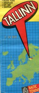
One more map (for now): Tallinn. Nice town, Tallinn, at least in 1994, and I expect it’s done well for itself in the generation since casting off the Soviet yoke.

The map front is simple enough, and reminds everyone where Estonia is in the greater scheme of Europe. Guess some people need to be reminded of that kind of thing.

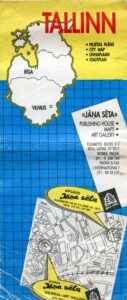
The map is the product of Jana Seta, “publishing house, maps and art gallery” in Riga. I’m happy to report that it’s still around, and has a web site that tells me that the company had just started business the same year we visited Riga, which was just after we were in Tallinn. Unfortunately, we didn’t visit the map store.

“We started on the 19th of April 1994 when the specialized map and travel literature outlet — Jana Seta Map shop — opened its doors to the first customers in the newly renovated Berg’s Bazaar building in Riga,” the site says. “At that time it was the first and only specialized map shop in the Baltics.

“Together with the constant in-going and out-going tourism development in Latvia, our shop has grown to become one of the leading map shops in the whole of Eastern Europe. Many trips around Latvia and abroad have started at the shelves of our map and tourism literature.

“The former USSR army general staff topographic map and city plans (published 1949-1991) have a special place in our assortment.” Hm.

One side of the map is a wider view of the city, while the other has a detailed map of the historic center, plus an index and advertisements for the kinds of things that tourists and business travelers might want, mostly in English. Looks like Jana Seta was quick to pick up the ways of private enterprise. The map key and other information are in English, Russian and (I assume) Latvian.

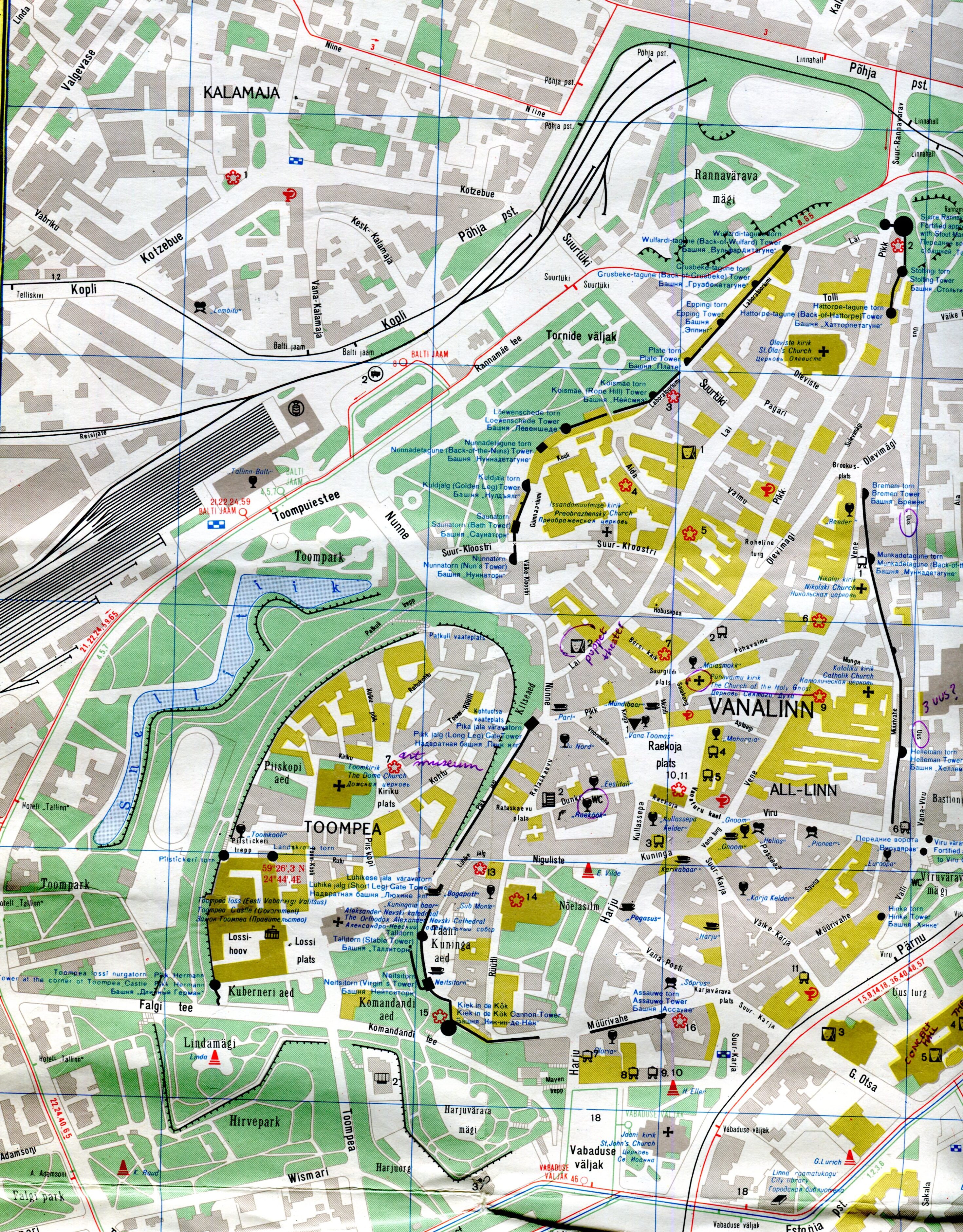
This is the inset for the historic center of Tallinn.

A fine old place to visit, though we stayed in cheaper accommodations out from the center, in a Soviet-era block of flats, and rode the convenient trolley into the old town. I see that I marked a few places of interest in purple ink, including one I labeled “puppet theater.” As much as I’d like to say that we went to a puppet theater in Tallinn, I’m afraid we didn’t.

“The Historic Centre (Old Town) of Tallinn is an exceptionally complete and well-preserved medieval northern European trading city on the coast of the Baltic Sea,” says UNESCO, which put it on the World Heritage list in 1997. “The city developed as a significant centre of the Hanseatic League during the major period of activity of this great trading organization in the 13th-16th centuries.

“The upper town (Toompea) with the castle and the cathedral has always been the administrative centre of the country, whereas the lower town preserves to a remarkable extent the medieval urban fabric of narrow winding streets, many of which retain their medieval names, and fine public and burgher buildings, including town wall, Town Hall, pharmacy, churches, monasteries, merchants’ and craftsmen’ guilds, and the domestic architecture of the merchants’ houses, which have survived to a remarkable degree. The distribution of building plots survives virtually intact from the 13th-14th centuries.”

One more thing I learned just now from Jana Seta’s site: “Mars has three craters named for places in Latvia: Auce, Rauna and Talsi. Now you know.”

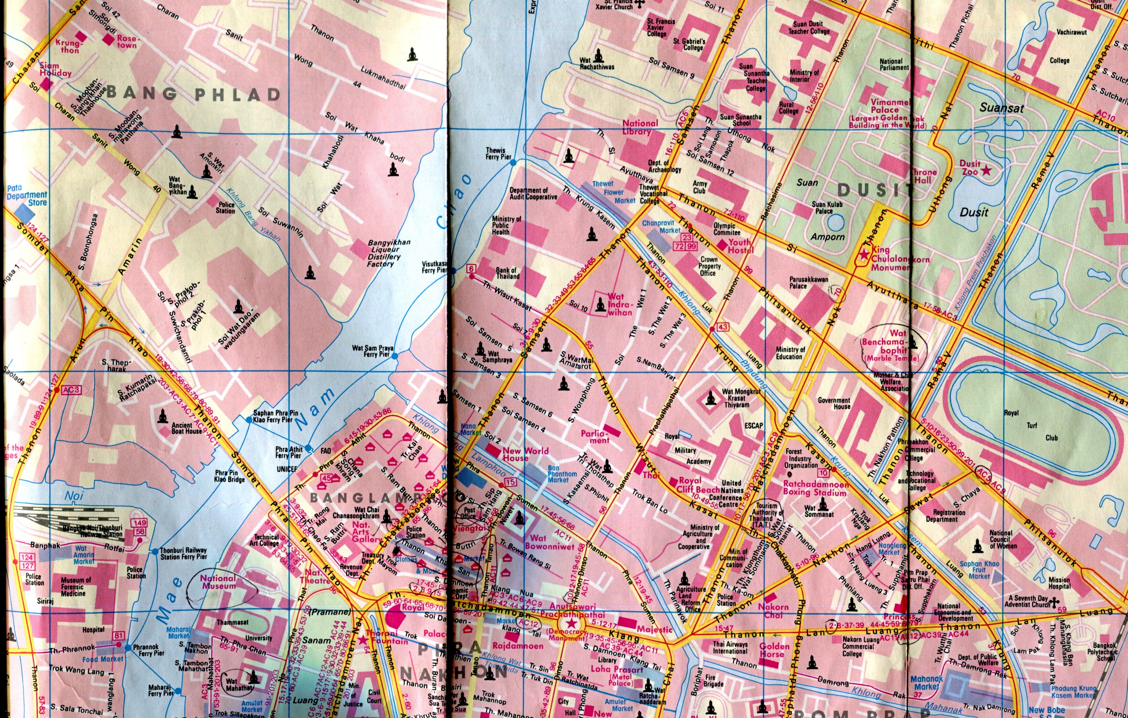
Nelles Bangkok

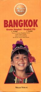
Bangkok is one of those cities hard to navigate even with a map. But I guess the challenge and the thrill of finding your way around in a place where most of the signs aren’t in a roman script is a thing of the past. Even if I ever went back there, I’d take my box, with its connection to nifty electronic maps and transliterations.

We had a good map: Nelles. It wasn’t the only place where we used that brand.

Craenen, a European map distributor, says of Nelles: “Nelles Verlag is a German publisher of maps and guidebooks. The Nelles maps are well known and appreciated for their reference precision and quality…


“Places of interest, including historical sites, beaches, national parks or protected area, etc. are highlighted both on the main map and on the accompanying street plans or enlargements…. The extensive range consists of a large number of destinations for which it is difficult to find other good maps. Asian destinations in particular are very well represented, and in recent years, more coverage has been given to both South America and Africa.”

Tourist Map of Japan

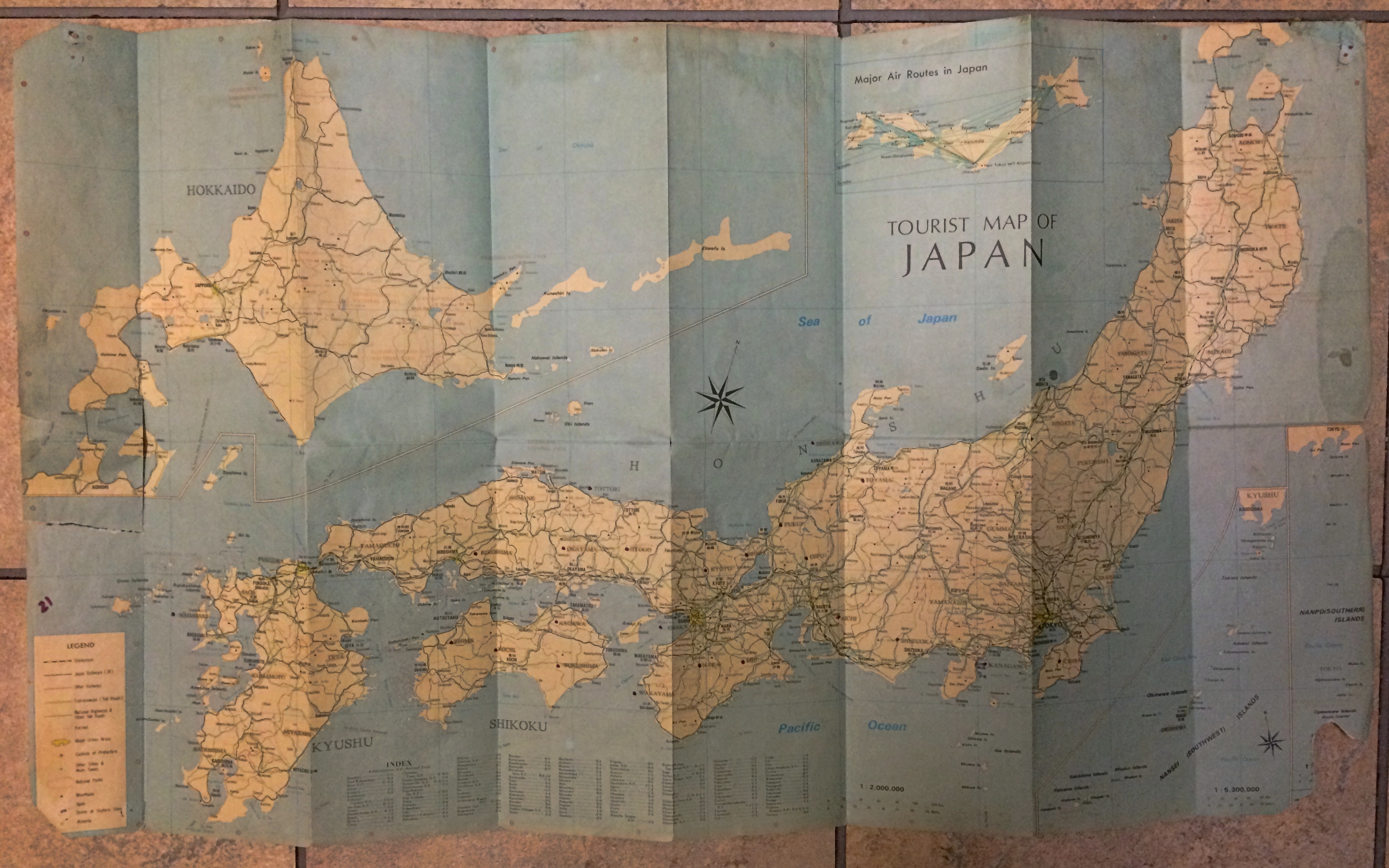
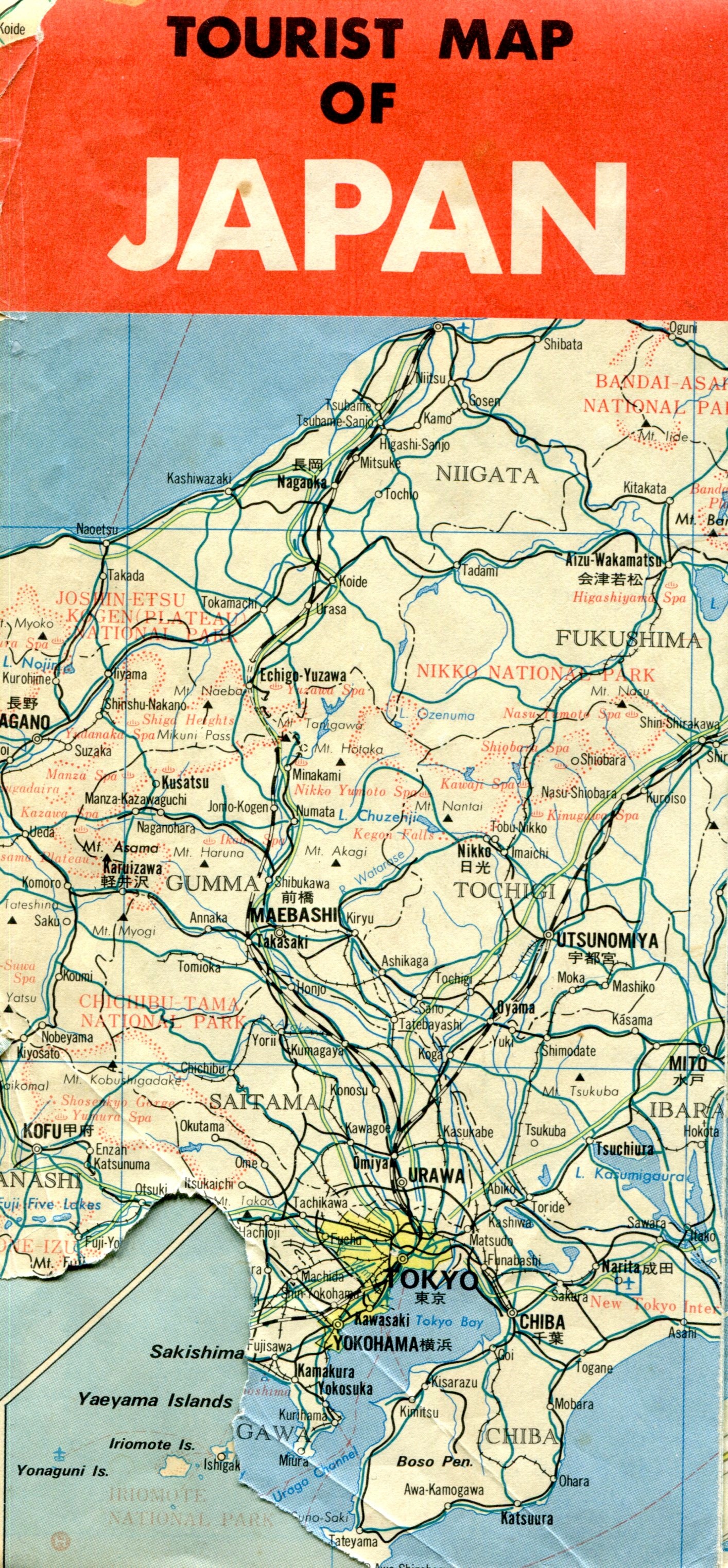
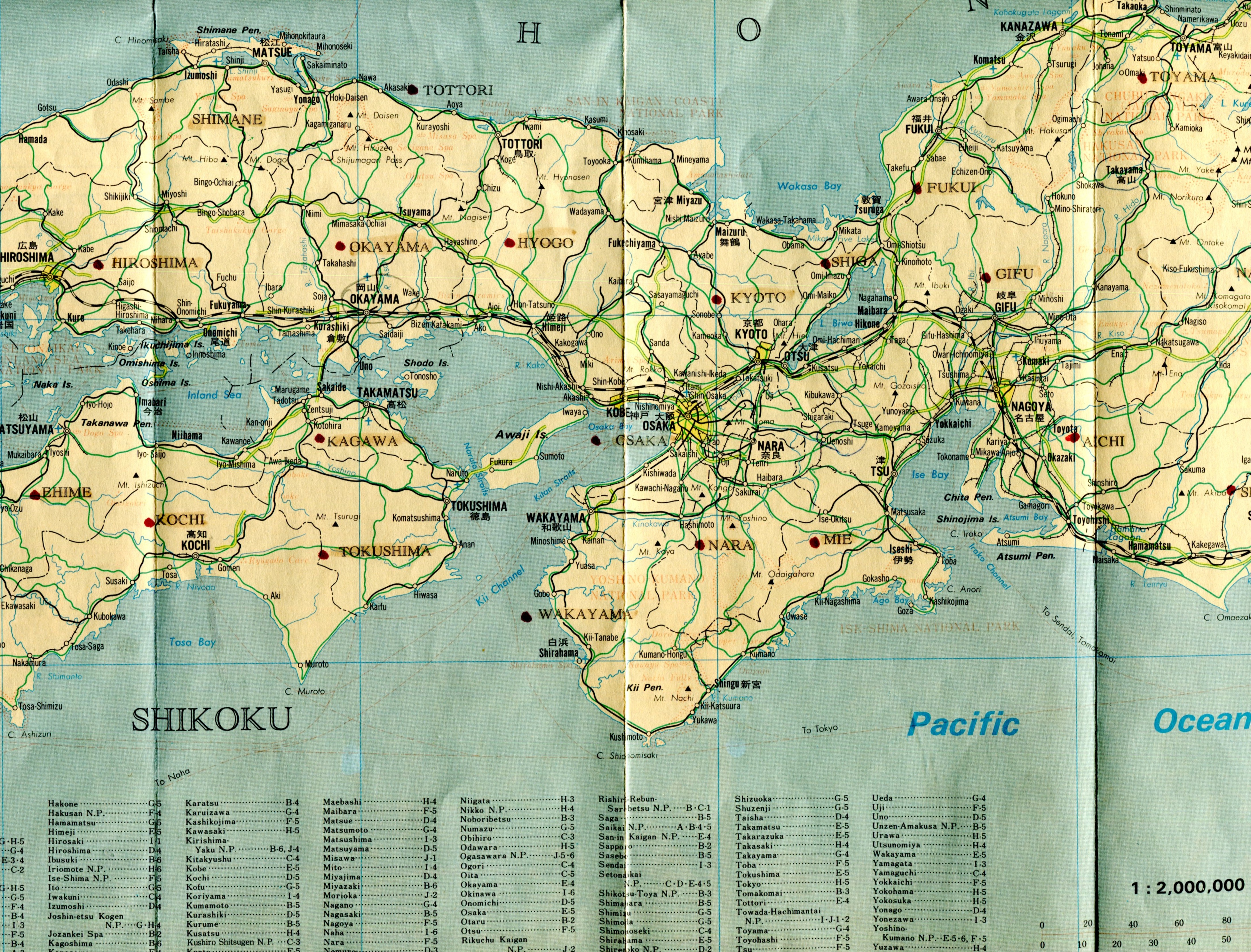
Another yellowing old map in my collection — accumulation — random stash — is one of Japan published by the Japan National Tourist Organization in 1988. I picked it up in 1990 during my early days in the country, and for a while it was thumbtacked to a wall in my flat.Tourist Map of JapanLook closely and you’ll see the thumbtack holes. Along with tears and other damage. Part of the front panel, not far from Tokyo-Yokohama, is missing for some reason.
Tourist Map of Japan
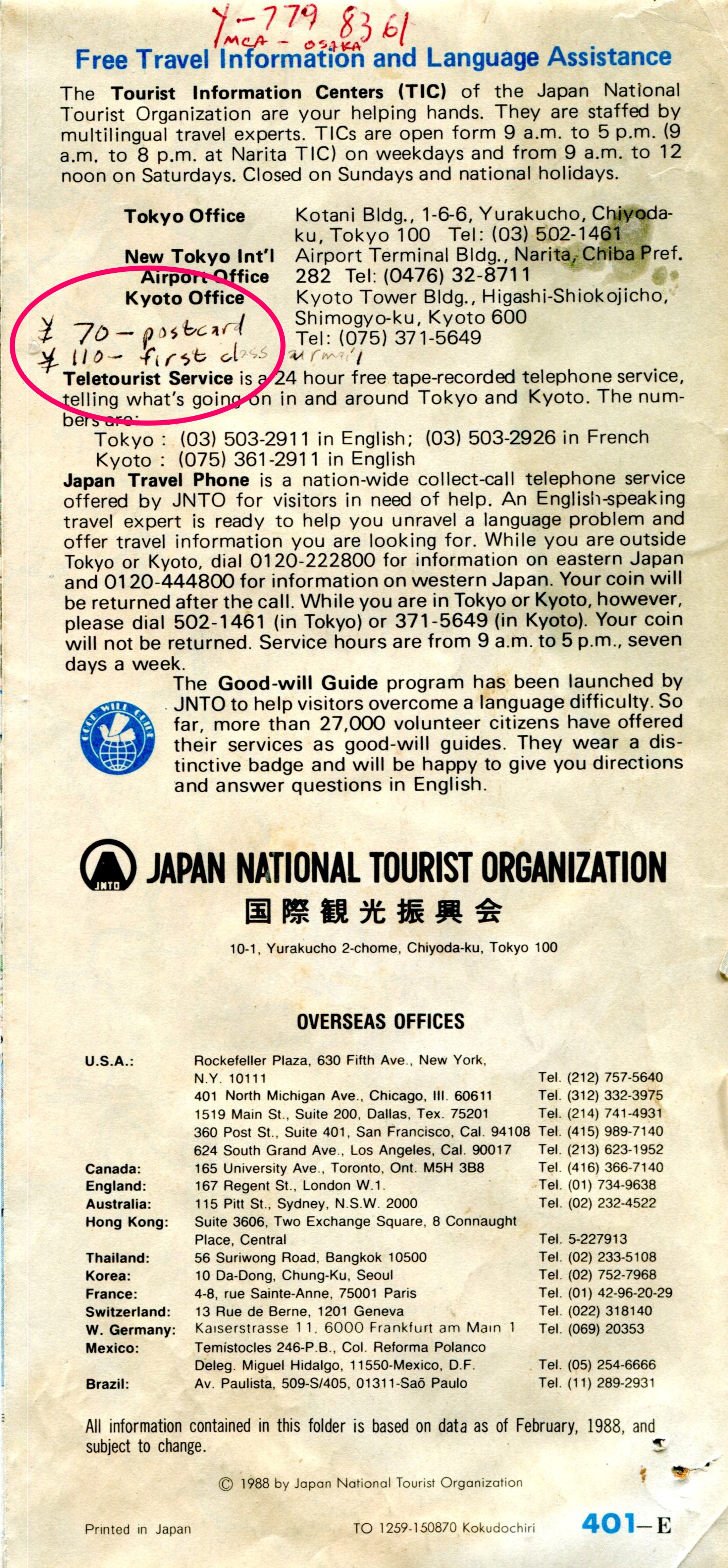
I also seem to have used it for note-taking, at least briefly. Something I learned very early on: the price of a postcard and a first-class letter to the U.S. (¥70 and ¥100, respectively). Not bad, $1 fetched about ¥130 during my first year there. I’m not sure what “Y-779 8361 MCA – Osaka” refers to.
Tourist Map of Japan
Featuring cities, towns, rail lines and roads, spas (very important in Japan; onsen (温泉), perhaps hot spring is a better translation), rivers, lakes, major mountains, national parks and prefecture names. The kanji for larger cities and towns is also included.
Tourist Map of Japan
It wasn’t a map I carried around much, since the scale was too large (1:2,000,000 as it happens) to be useful as a guide. Still, it had a good run on my wall, helping inspire me to get out and about.

Jugendherbergen in Europa und im Mittelmeergebiet

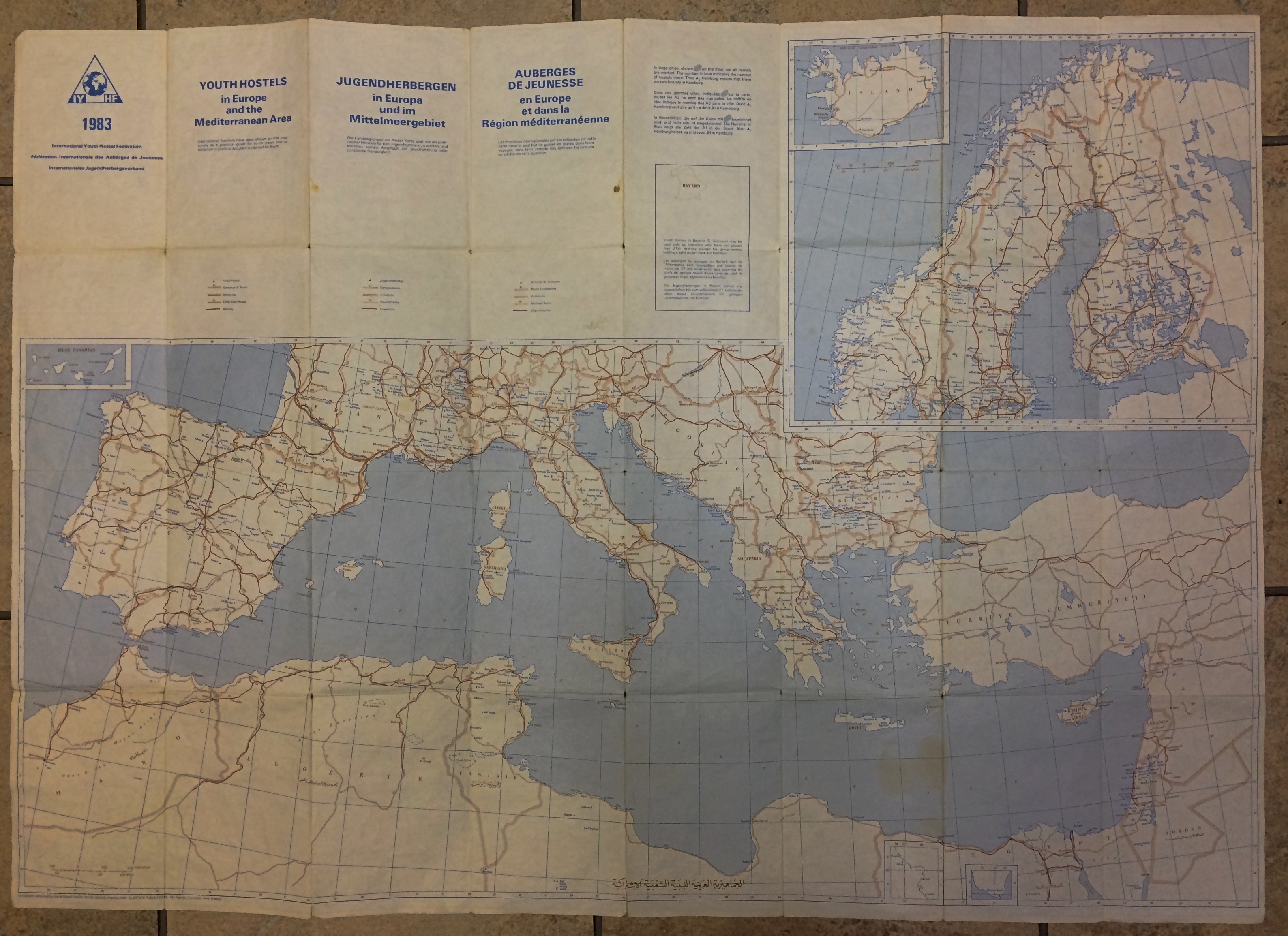
Folded away in my collection of maps is a well-folded and slightly yellow youth hostel guide map of Europe, vintage 1983. Even if I hadn’t carried that map around Europe in the summer of ’83, I would know the date.youth hostel map 1983 youth hostel map 1983

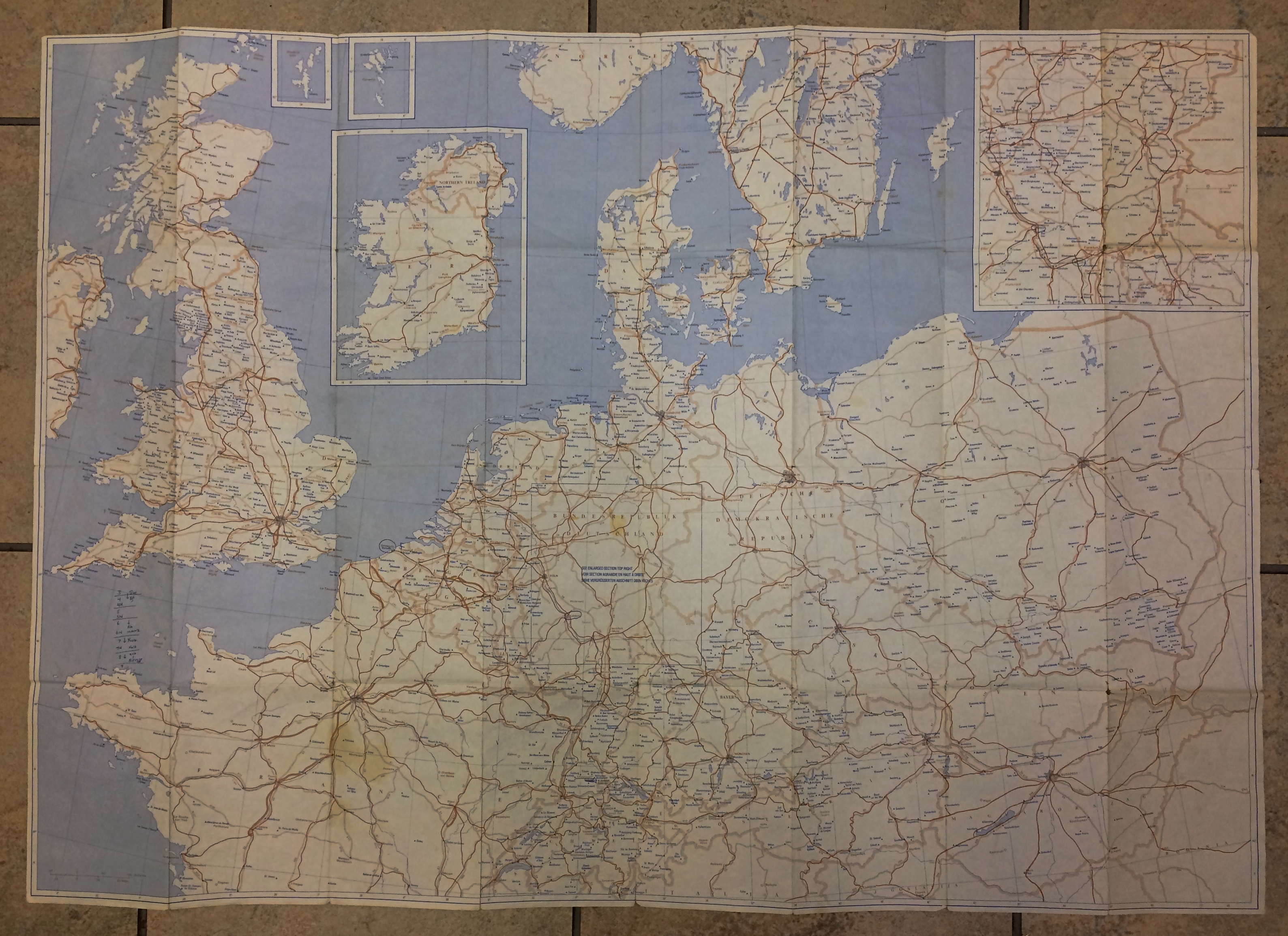
It’s fairly large, 24 x 34 inches, and a little cumbersome to use except in your room, as you planned a future stay. We had guidebooks that might (or might not) mention a particular youth hostel, but there were no websites to tell you what you were getting into, though I never did stay in a bad one, just some mediocre ones. You also never knew whether it had a vacancy, unless you figured out how to call ahead, which could be an involved process. Even in the high season of summer, however, I remember that being an issue maybe only twice, and in those cases the hostel staff recommended somewhere else to stay.

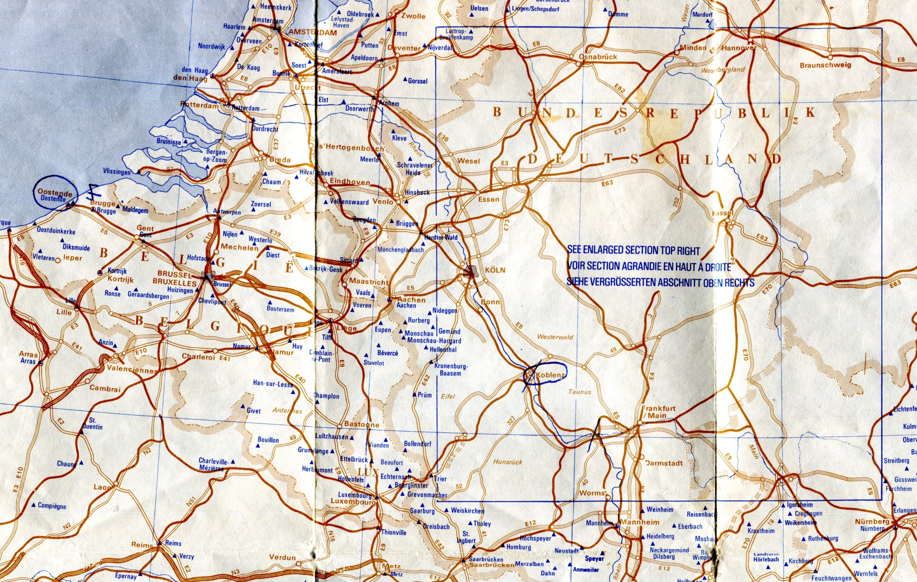
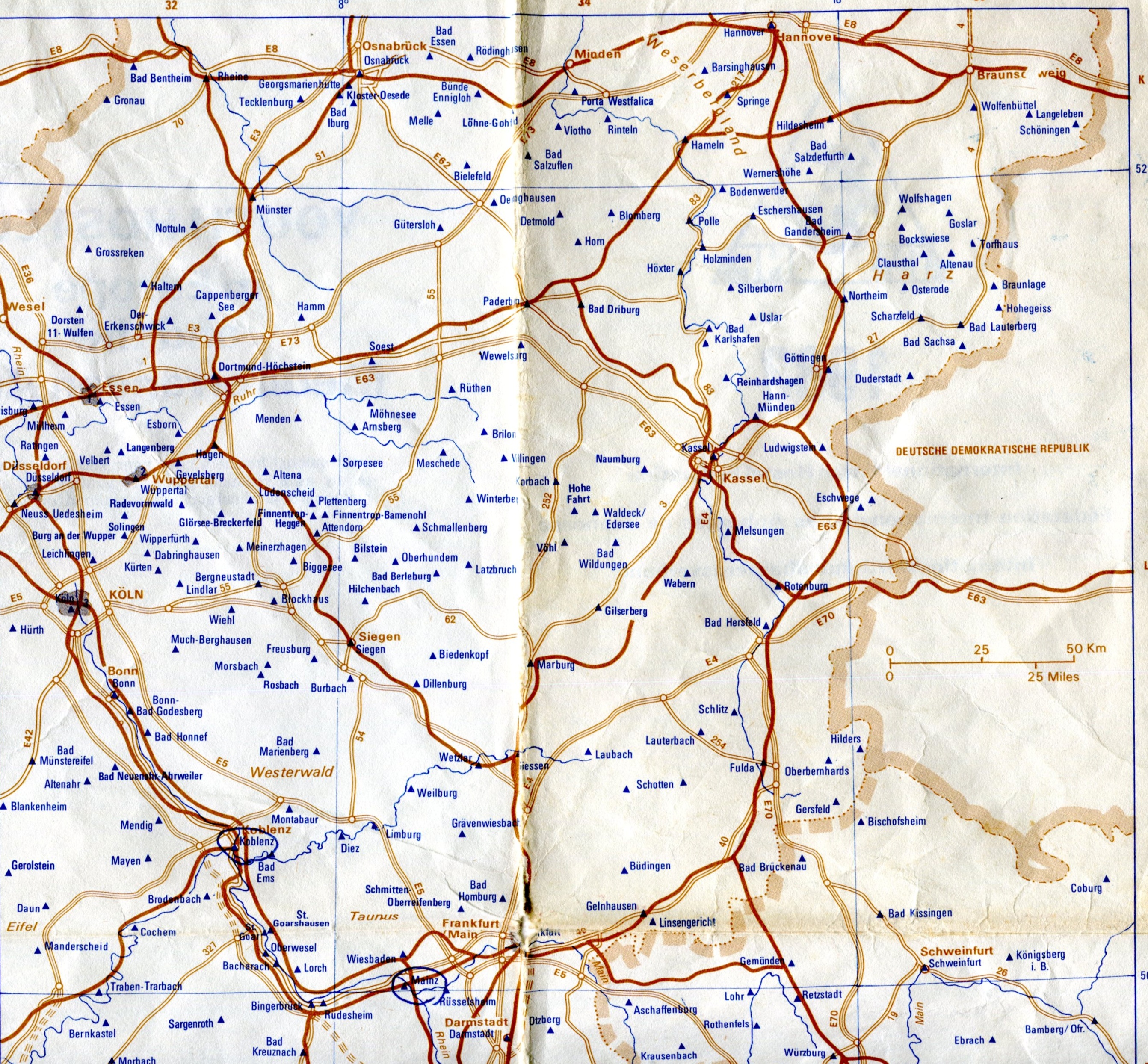
One side includes most of northern Europe, including insets for Ireland and West Germany, where youth hostels were thick on the ground. But not in East Germany in those days. Guess the DDR didn’t take kindly to youth traveling around.youth hostel map 1983Interestingly, most of the other communist countries, at least those that weren’t the Soviet Union, had a system of youth hostels. Bulgaria seemed to have been especially fond of them. Maybe they still are.

The other side features southern Europe and northern Africa, including a fair number in Tunisia and a scattering in Morocco, Egypt and Libya, of all places.
youth hostel map 1983
The map is relatively simple, noting national borders, some of the larger cities and roads and rivers, and each IYHF-affiliated property as a blue triangle to stand out against the browns of the rest of the map.youth hostel map 1983

The German inset.youth hostel map 1983

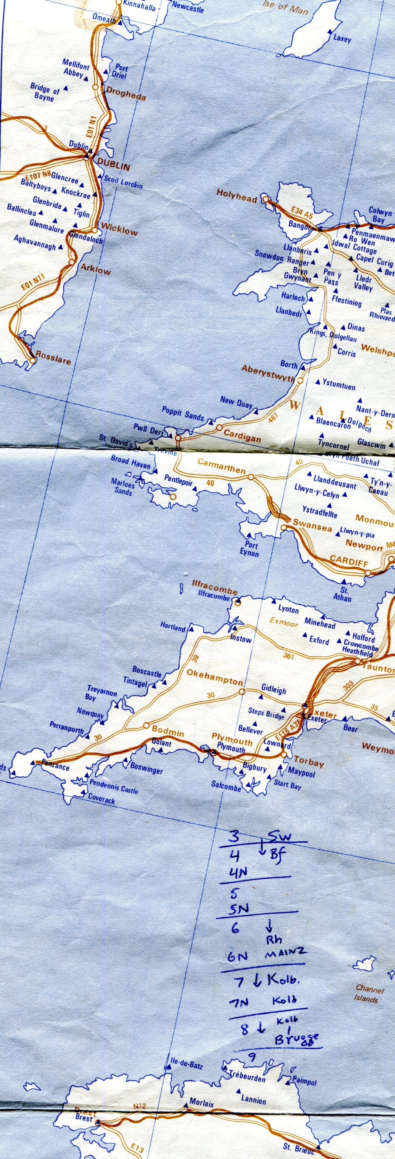
I took a few notes on the map, such as these between Devon and Brittany.youth hostel map 1983

Looks like I was working out my travel schedule from August 3 to 9, as we headed north from Switzerland to the coast at Oostende. I wrote “Brugge” at the end, but for reasons I don’t remember, and can’t fathom now, we didn’t stop there.

We stayed at hostels in the UK, West Germany, Austria, Switzerland and Denmark. All the more expensive countries, in other words. In Italy, which had any number of cheap guesthouses, we didn’t bother, and sometimes the hostels we stayed at in northern Europe weren’t affiliated with the IYHF.

SoCal Snaps From An Age Ago

Slightly warmer this weekend, but not enough to melt much snow. That may start happening this week, though I expect the last traces of February snow to linger well into March.

It’s been a year since I went anywhere by airplane. Much of the nation can probably say the same. A year ago, I went to southern California and Texas. Seems like an age ago.

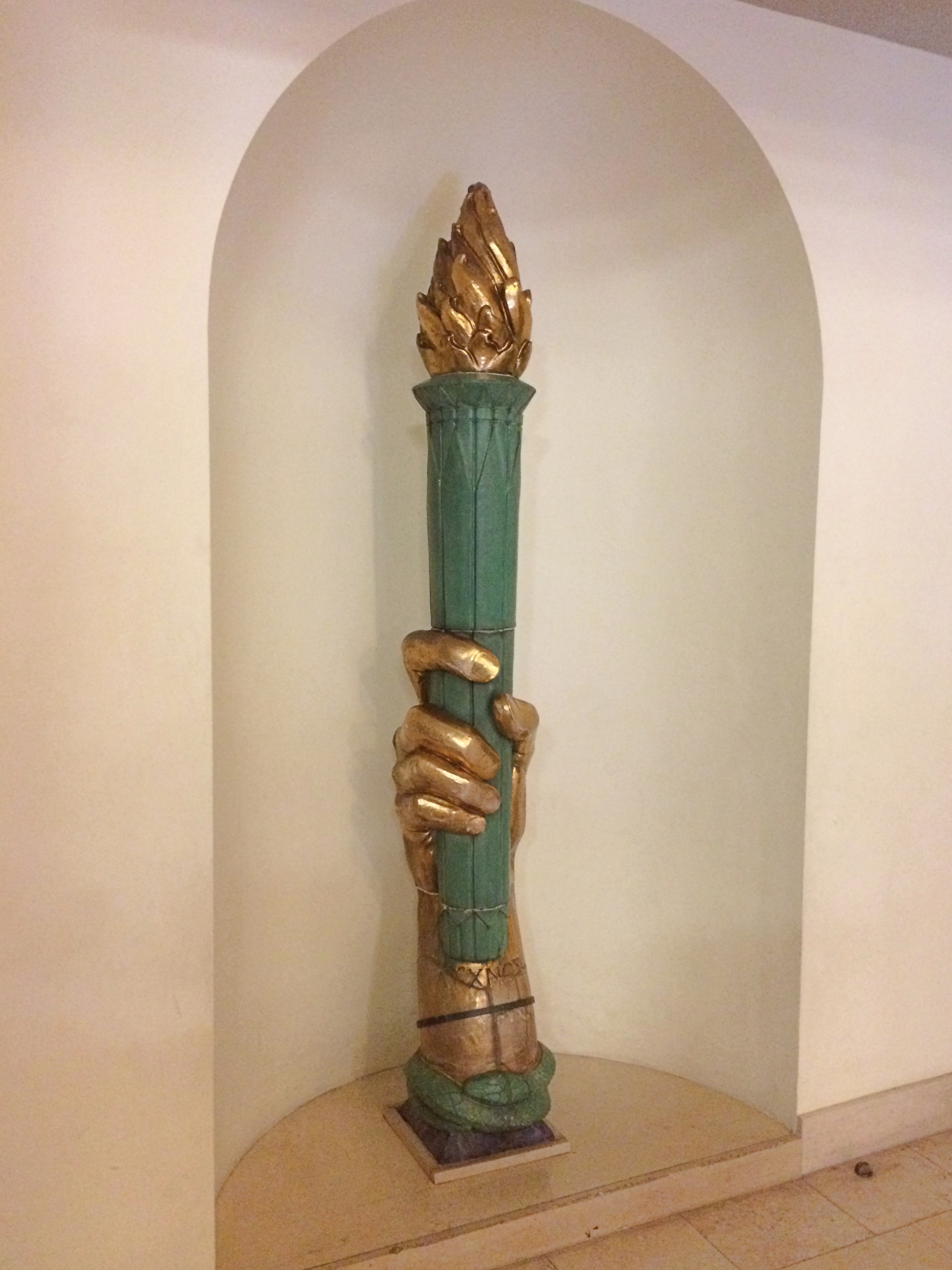
At the apex of the Los Angeles Central Library, there’s a small sculpture depicting a handheld torch. That’s the light of knowledge, I’ve read. Guess knowledge can be a flickering thing, rather than a steady shine. The one on top of the building now is a replacement for the original, which is in an alcove in the Cook Rotunda.
Torch at LA Central Library
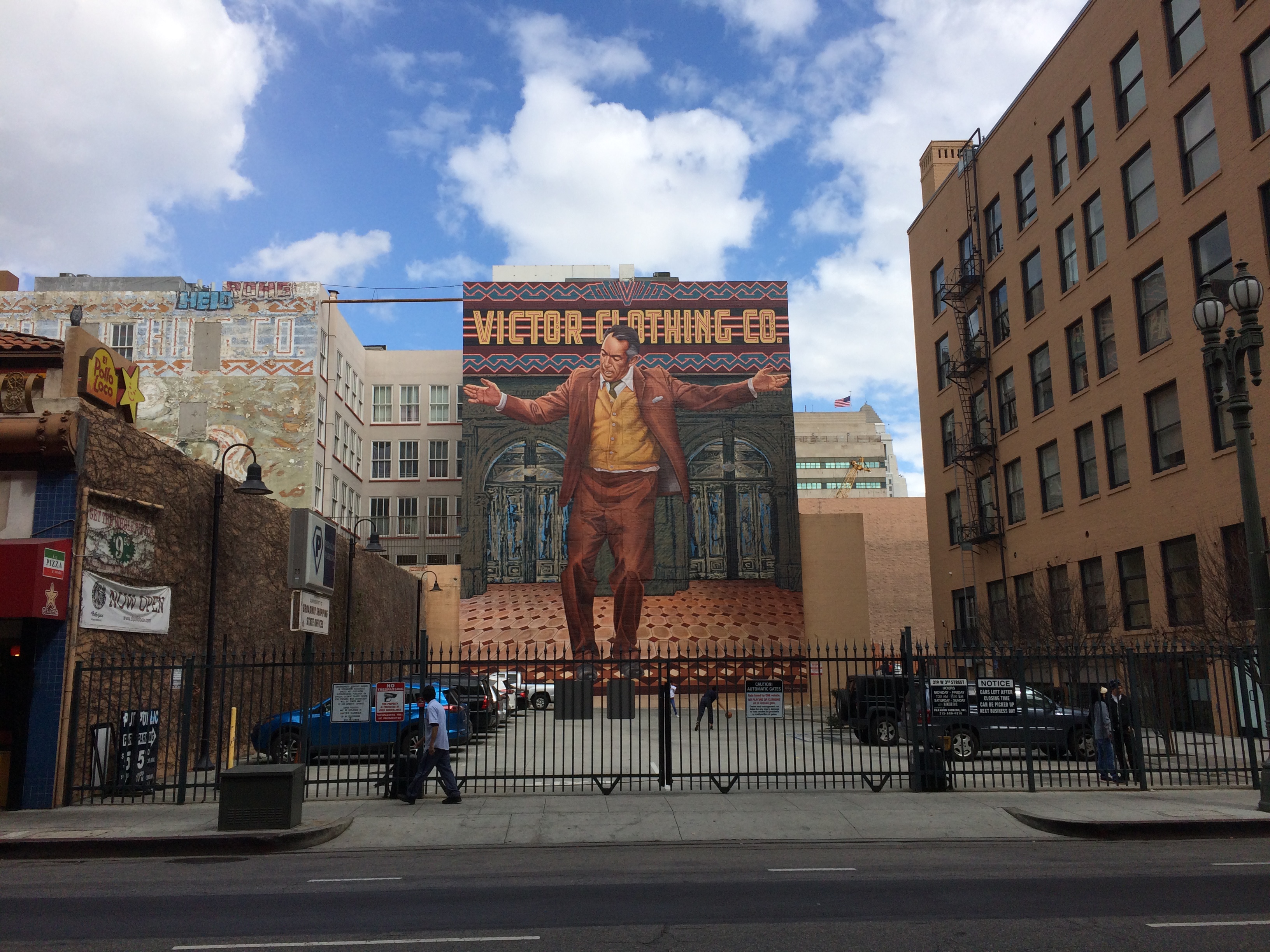
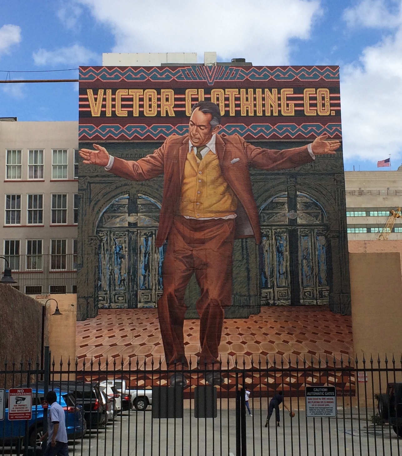
From one exit of the Bradbury Building in downtown Los Angeles, you can see a sizable mural of Anthony Quinn.
Anthony Quinn mural

Anthony Quinn mural

Artist Eloy Torrez did the work, known as the “Pope of Broadway,” in 1985 and restored it a few years ago.

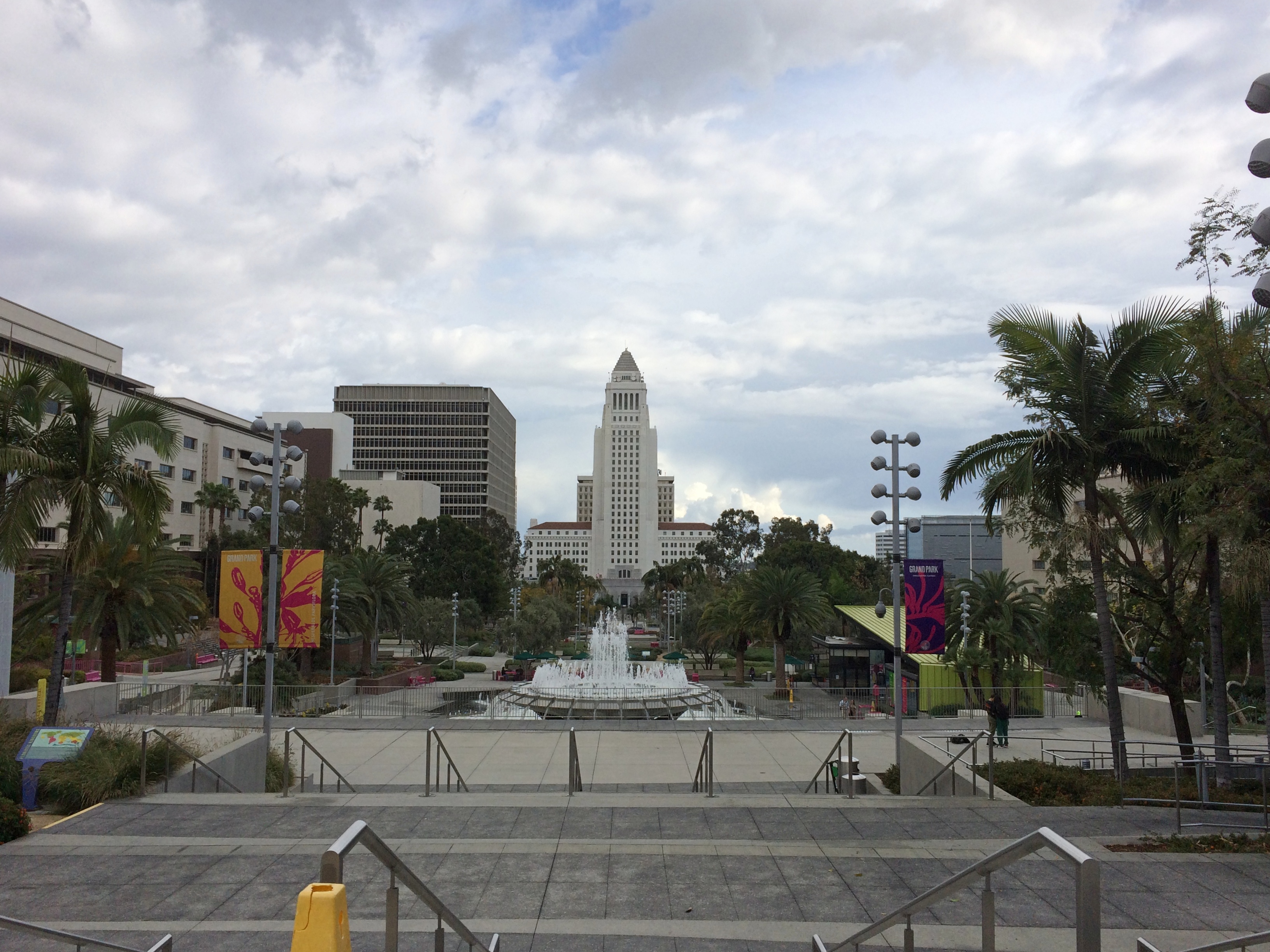
Grand Park in downtown LA, looking toward City Hall. When we visited the area in 2001, we got closer to the building, but its observation deck was closed.LA City Hall

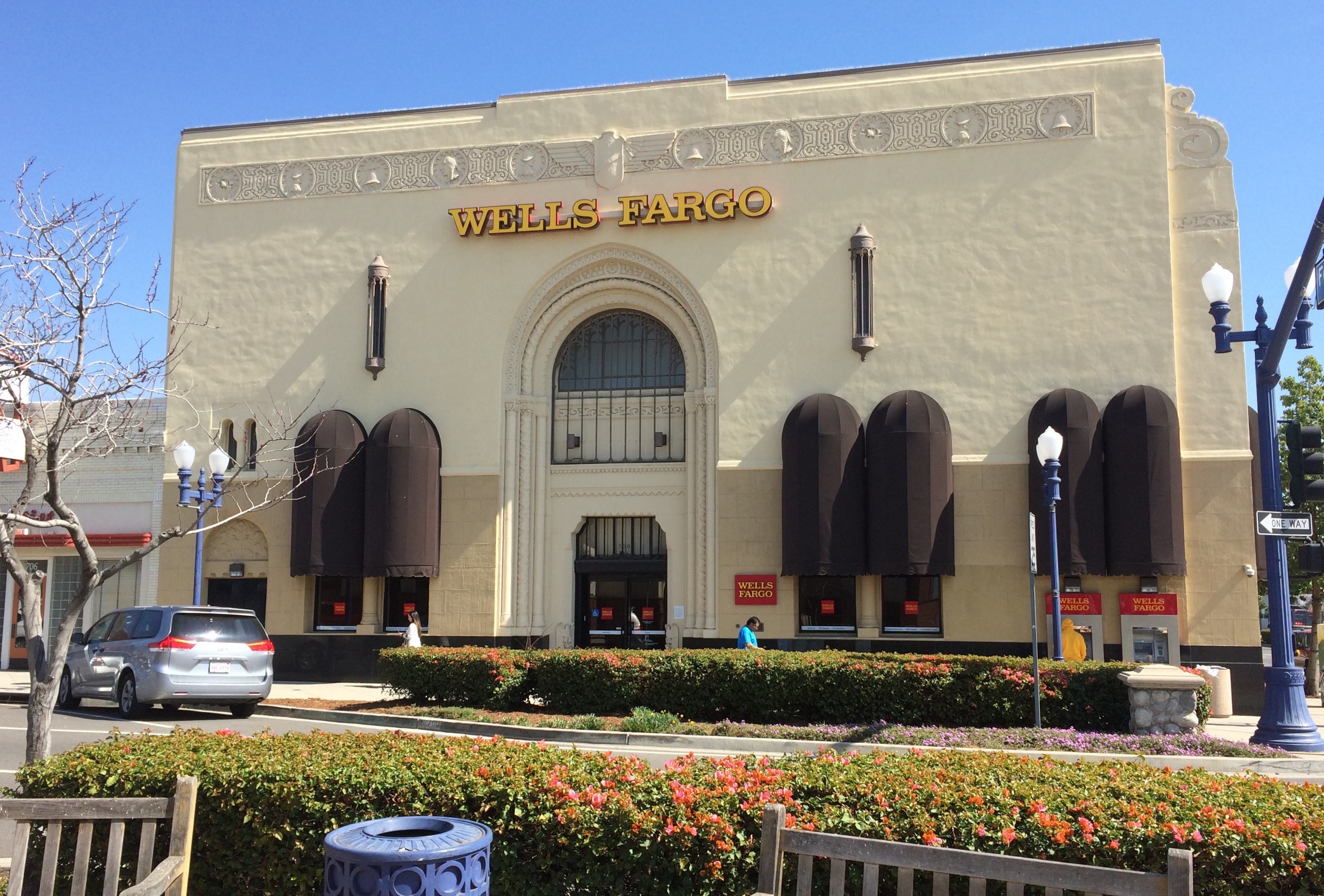
A Wells Fargo bank in Azusa, California.

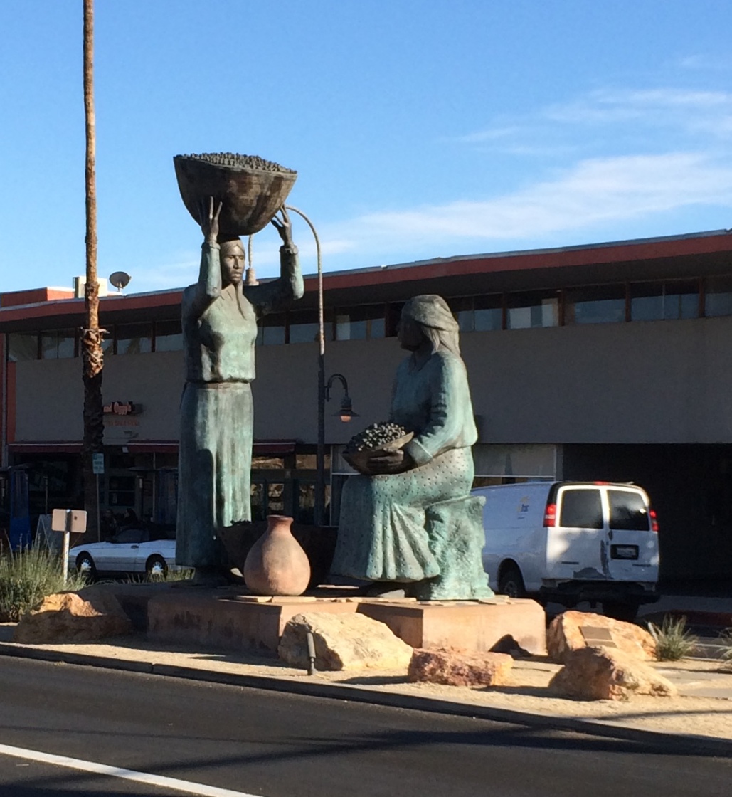
In Palm Springs, the “Agua Caliente Women” sculptures, created by Doug Hyde in 1994.
Agua Caliente women Palm Springs
The Agua Caliente Band of Cahuilla Indians have had a long history in the area, very much down to the present. The tribe and its members currently represent the largest single land owner in Palm Springs, according to the tribe’s web site.

Vintage Procrastination Cards

A few years ago, I found a yellowing envelope at my mother’s house tucked away in some files that obviously hadn’t been touched for many years. It wasn’t sealed, so I looked inside, intrigued. Unfortunately, it wasn’t a stash of high-denomination bearer bonds or some such.

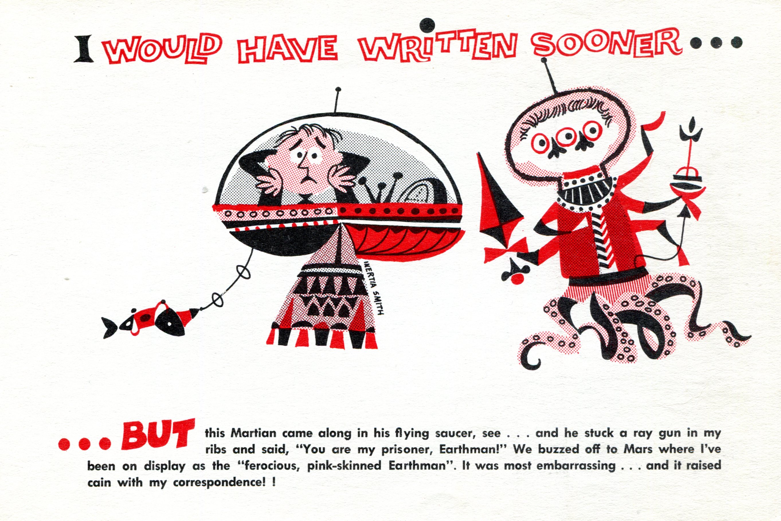
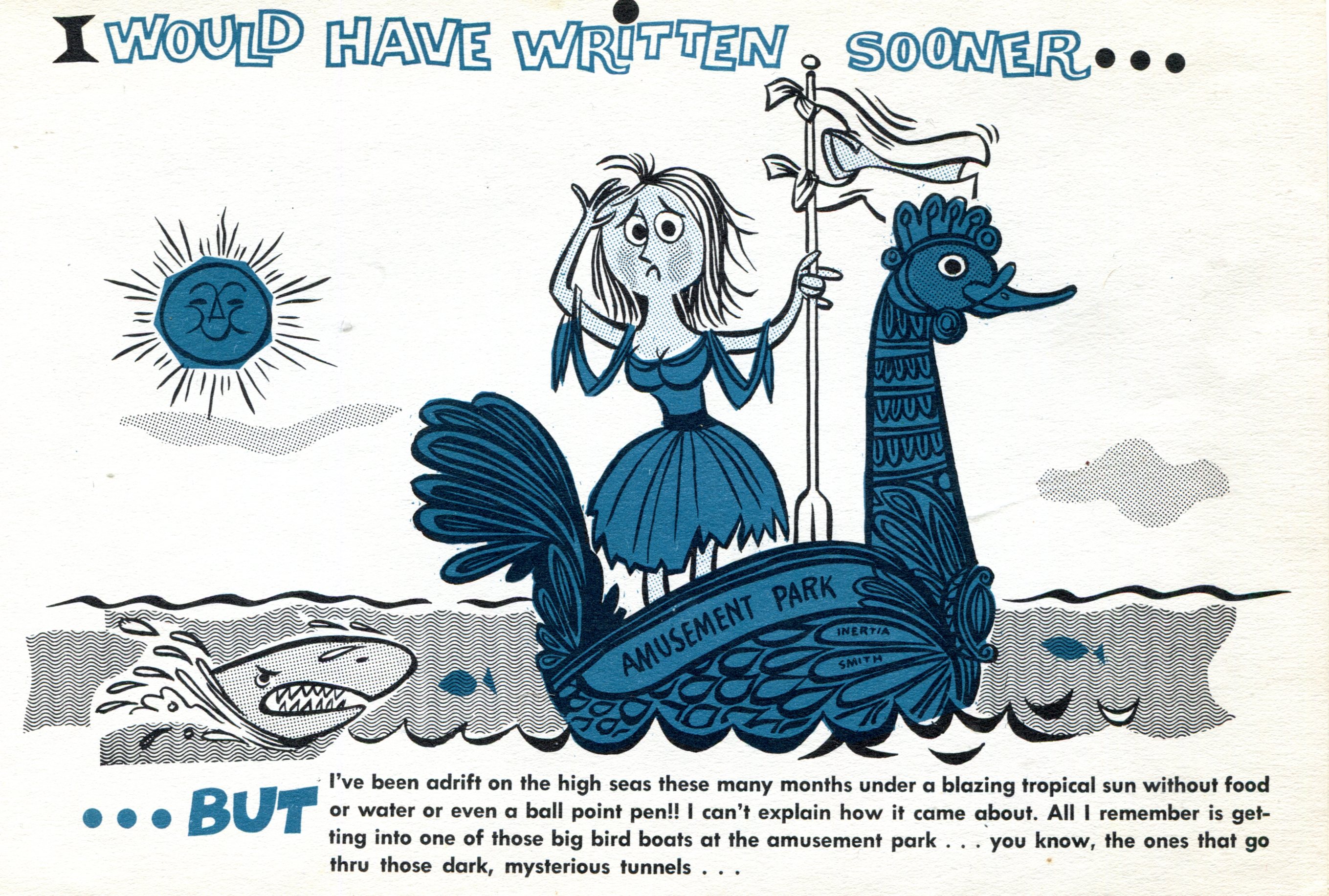
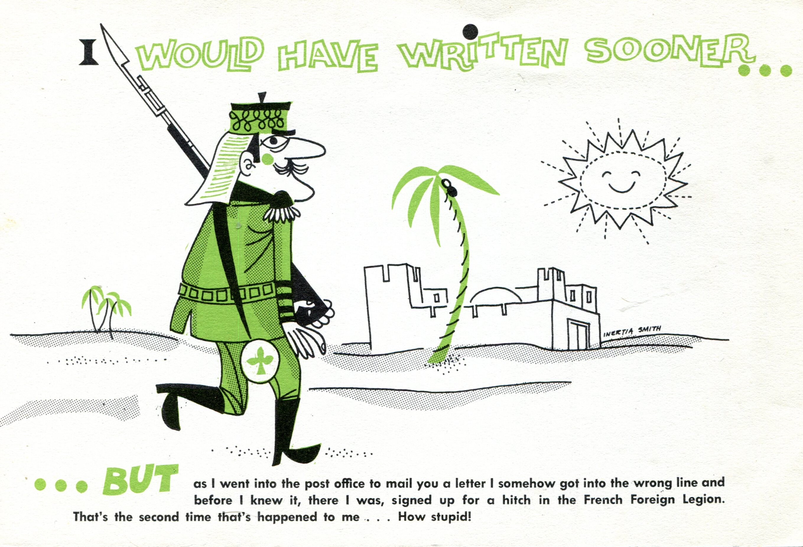
Instead, there were six large note cards of an odd size, 7⅝ ” x 5¼ “, printed on white paper only slightly yellowed. There’s a theme to them all, with this sentence running over each of six different cartoons: I would have written sooner… but…

Procrastinator cards. Just Google that term and you can see it’s a small genre.

The cards include an illustrative cartoon and caption. This is one of the six.Country Cousin cards - Inertia Smith

If I had to guess, I’d say 1950s vintage. They don’t strike me as anything my mother would have bought. Maybe someone gave them to her — maybe one of my aunt’s many gag gifts to her. That would have been in character, anyway. It also would have been in character for my mother to tuck them away, even though she had no intention of ever sending them. She might have considered them too silly to use.

They are silly.
Country Cousin cards - Inertia Smith
Actually, the term dopey comes to mind, but that’s just me. Of course, humor doesn’t age well, but it could be that even in the 1950s, these weren’t very funny. At least, my mother probably didn’t think so.
Country Cousin cards - Inertia Smith
The back of each card attributes them to an outfit called Country Cousin of Lake Placid, New York, but there’s no address or date or copyright mark. A simple search turns up nothing about it. The illustrations are signed “Inertia Smith.” That name doesn’t turn up much except two people using it for a name on Facebook.

Those are the only three I’m going to scan, because the other three include hopelessly racist caricatures, featuring Africans, American Indians and Chinese characters. The one depicting Africans manages to work “mau-mau” into the text, a more direct clue pointing to the ’50s. Best to leave them in the envelope. You could argue that standards were lower then, as indeed they were, but I wouldn’t be posting them in the 1950s, I would be in the 2020s.

(Very) Local Snow Scenes

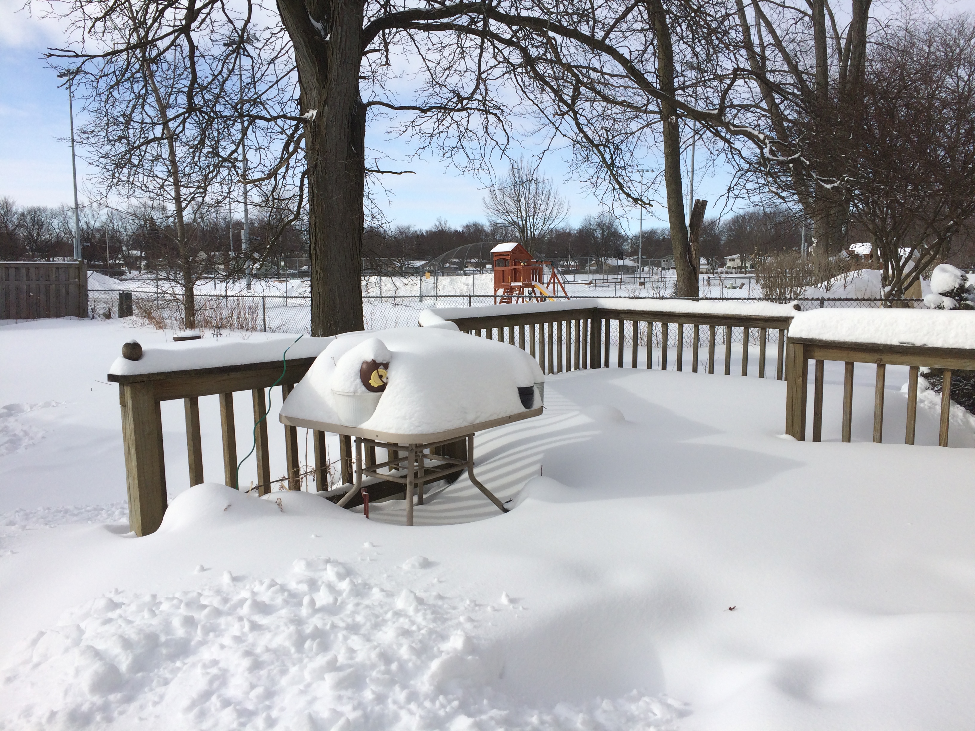
After shoveling snow yesterday, I went around outside the house and took pictures. It looks like you’d expect.

Out the back, looking southwest and then south.A lot of damned snow


Nothing we haven’t seen before, but still impressive.

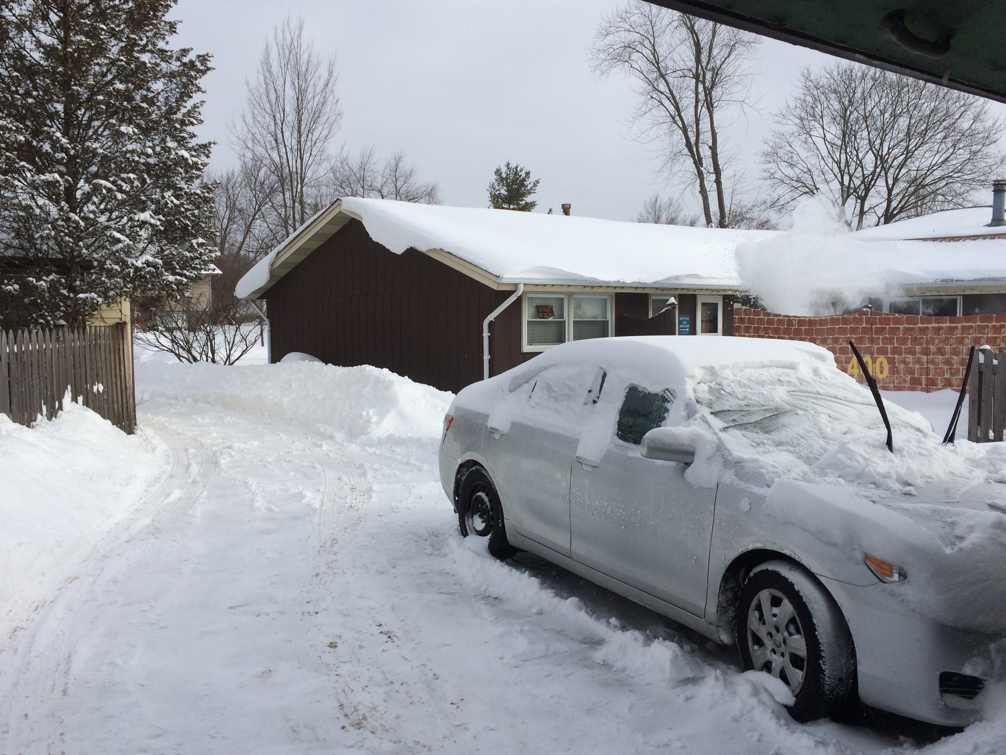
Our driveway.

The plume of snow over our neighbor’s fence is the result of him using his snow blower on his backyard patio. I partially dug out my car, in case I had to go somewhere during the day. I didn’t, so it remains mostly covered.

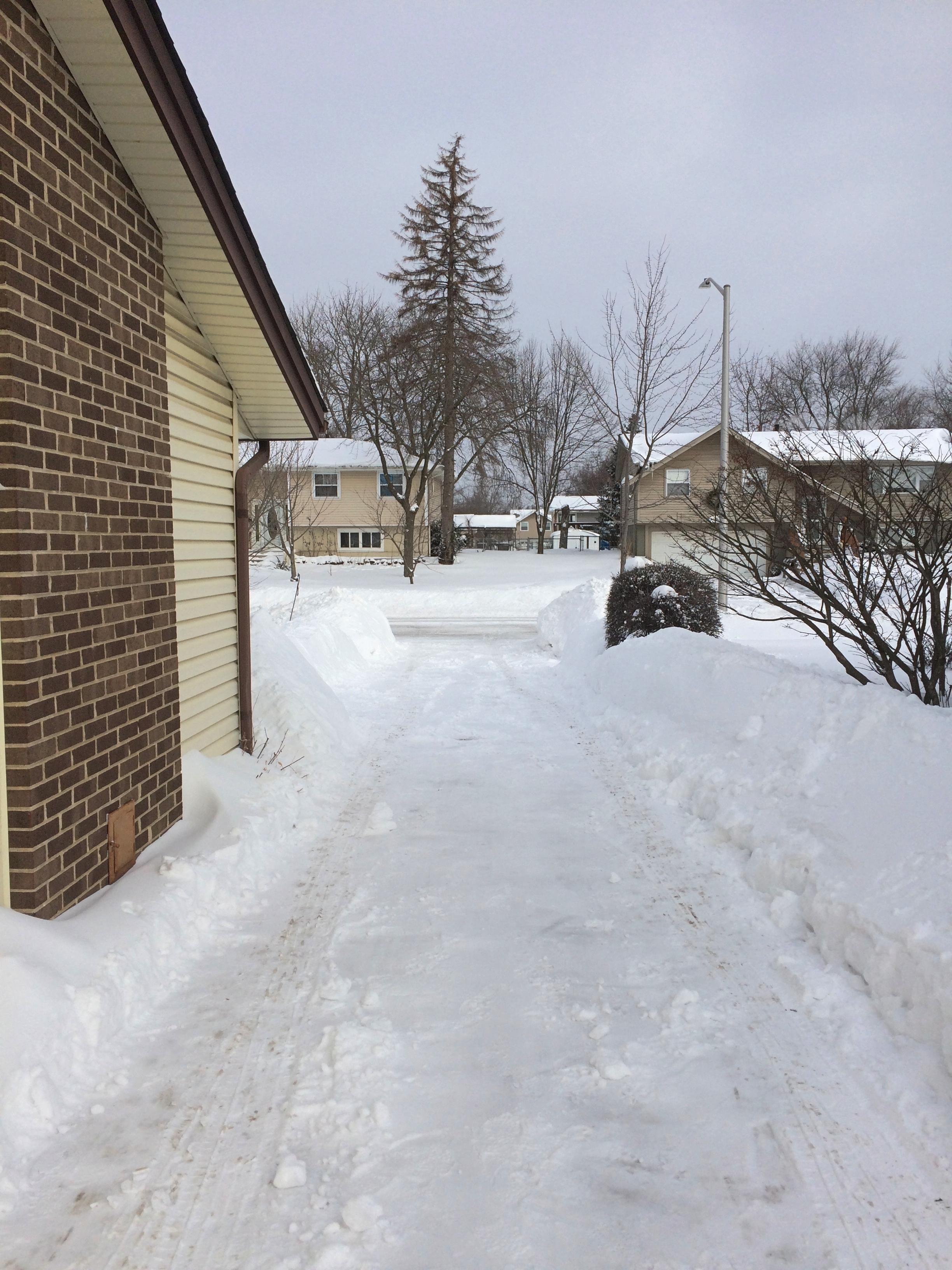
The view down the driveway to the street, looking north.

Like ours, almost all of the other driveways on the block are still covered a half-inch or so of snow. But yesterday afternoon I spotted one near neighbor using a leaf blower to try to clear that last coat of snow. Whatever, buddy.

Front yard, looking west. Life goes on. It isn’t fully visible in the picture, but the person in blue down the street was walking her dog.

The ridge of snow is next to the driveway. Considerable effort has gone into building it, including our shoveling and then snowfall. It comes up to about my mid-chest.

Now what we need is a string of sunny days just above freezing to slowly wear down the piles. A long string. Not a few really warm days in March marked by rain.

The Presidents Day Storm: We Called It Monday

Another Presidents Day come and gone. The aftermath of the Presidents Day Storm of 2021 still lingers, especially down South. (I’d forgotten about the Presidents Day Storm of 2003, probably because it was NE and Mid-Atlantic.)

Around here we merely had more snow pile on top of our increasingly large drifts. About 6 inches in my neck of the suburbs, but other metro Chicago places got two or even three times as much. In any case, it’s accumulating. In some parts of my yard, the snow looks at three feet deep.

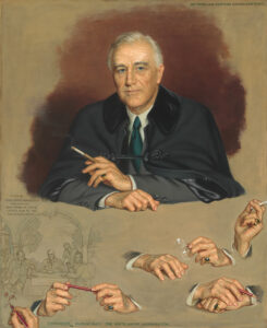
Indoors, I marked the day by taping a new postcard to the wall. It depicts FDR.

“During the autumn of 1944, Roosevelt received a letter from artist Douglas Chandor, proposing that a painting be created of Roosevelt, Winston Churchill, and Joseph Stalin, to document the allied efforts at the Yalta Conference in Russia,” the Smithsonian says about the painting.

“Chandor arranged a sitting for Roosevelt in early April, less than a month before the president’s passing. This portrait is a study for the larger painting, The Big Three at Yalta — a sketch of which appears at the lower left. Chandor also painted a life portrait of Churchill, which is owned by the National Portrait Gallery, but Stalin would not sit for his portrait. Thus, The Big Three at Yalta was never painted.

“Chandor believed that hands revealed as much of a person’s spirit as his or her face would, and therefore experimented with multiple configurations and gestures, scattered across the bottom of the canvas. Roosevelt, however, was dismayed by the attention Chandor paid to his hands, dismissing them as ‘unremarkable’ and likening them to ‘those of a farmer.’ ”

Interesting hands, but also an idealized face. I’ve seen photographs of President Roosevelt from around that time, and there was more than a hint of death in his face. The ravages of untreated hypertension, perhaps.

Speaking of presidents, one of our most recent Star Trek episodes was the one in which Abraham Lincoln gets a spear in the back. As Capt. Kirk said, it was a little hard to watch. So was the episode, though it wasn’t quite as bad as I remembered. Just mostly. I don’t feel like looking up the title. If you know it, you know it.

One interesting detail, though. Faux-Lincoln comes to the Enterprise bridge and, among other things, has a short interaction with Uhura. He uses a certain word and apologizes, afraid that he has offended her. To which, Uhura says:

“See, in our century, we’ve learned not to fear words.”

Of all the many optimistic things Star Trek ever expressed about the future, that has to be the most optimistic of all.

1950s MPCs

Back again on February 16. I do not, in fact, have Presidents’ Day-Washington’s Birthday off, but never mind. I will still be honoring the immortal deeds of William Henry Harrison, Millard Fillmore, Rutherford B. Hayes, et al.

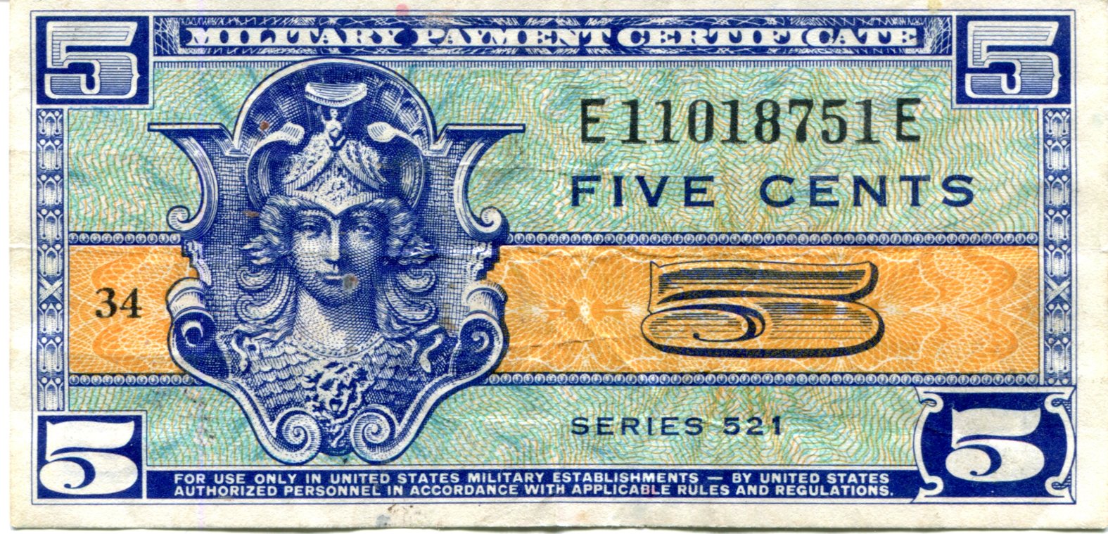
I have an example of U.S. Army scrip, picked up by my parents in Germany in the mid-50s but obviously never spent. At some point, I annexed it to my collection of cheapo banknotes.

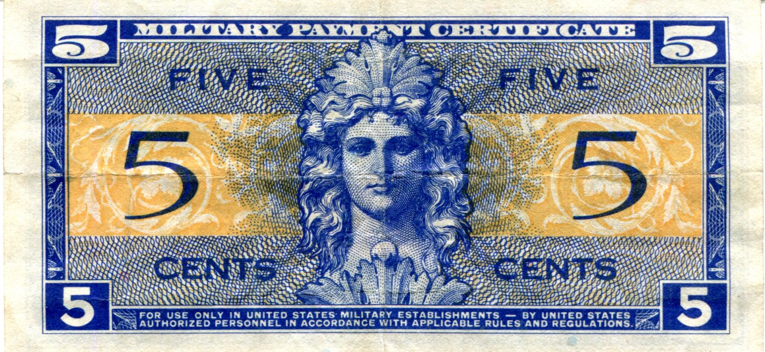
Scrip, maybe, but officially Military Payment Certificates, or to (of course) use their initialism, MPCs. Also roughly the size of Monopoly money.
MPCs lasted from from 1946 until 1973. Postwar occupation to the near-end in Vietnam, in other words. Paying dollars to soldiers stationed in the likes of postwar Germany or Korea or Vietnam did wonky things to those local economies, the thinking went. Maybe so. I suspect locals found a way to trade in MPCs as well, though it must have been harder.

Thirteen series were released, with a total of 94 different notes. I’ve got a Series 521 5-cent note, including the standard admonition: For use only in United States military establishments — by United States authorized personnel in accordance with applicable rules and regulations.

I guess that meant my mother could use them at the PX.

“Series 521 MPCs were used in 19 different countries between May 25th, 1954 and May 27th, 1958,” says Antique Money. “Almost 317 million dollars worth of currency was issued across all seven denominations during that time period. For that reason, most 521 notes are very common.”

Figures. It wouldn’t be like me to end up with the Inverted Jenny of MPCs, if such a thing exists.
About 27.2 million 5-cent notes of this series were manufactured. Value in perfect condition, according to Antique Money, which my note is not, $15.