Stockbridge, Massachusetts

Not long ago, I wondered how accurate the lyrics of “Alice’s Restaurant Massacre” were on one specific point. I had my reasons.

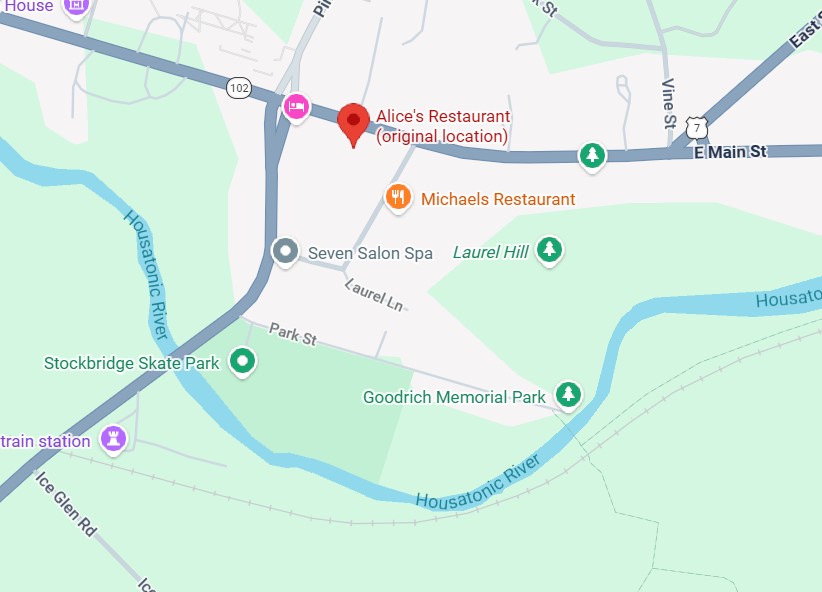
You can get anything you want at Alice’s Restaurant
Walk right in, it’s around the back
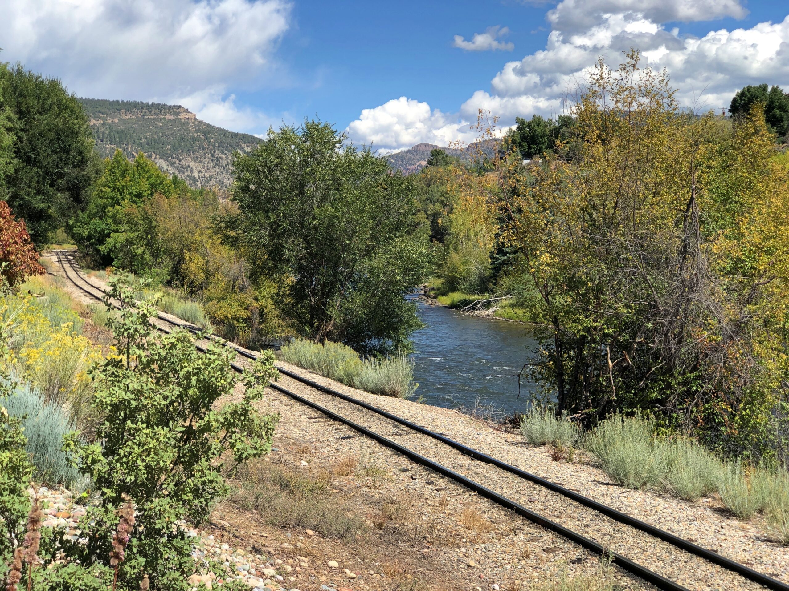
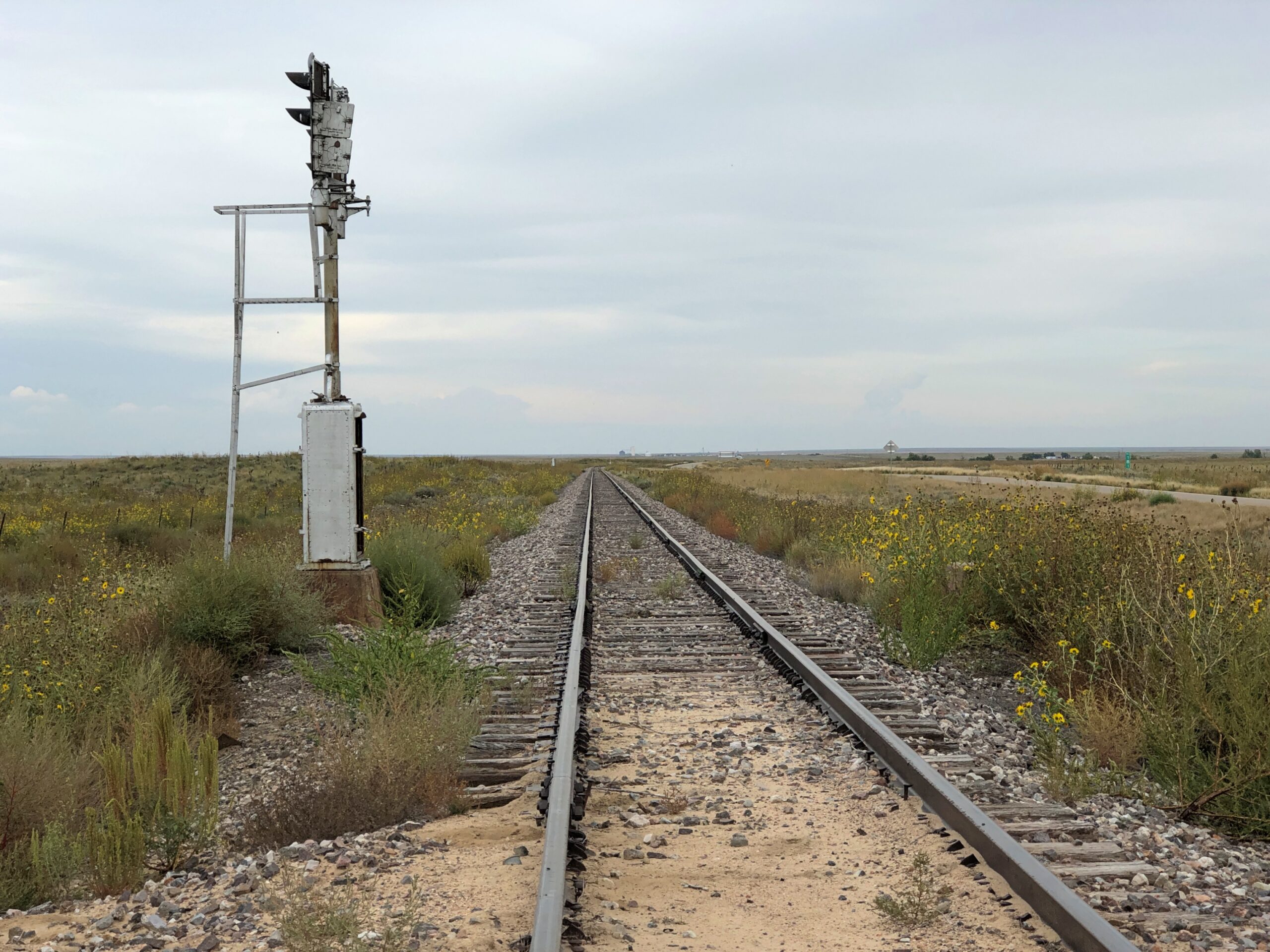
Just a half a mile from the railroad track

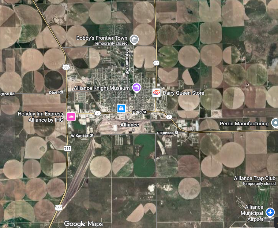
Seems like a convenient rhyme, but that’s not all. Google Maps tells me that the site of Alice’s Restaurant is about a half a mile from a railroad track. I didn’t save the scale on this map, but the distance is correct. This is mildly amazing. Who expects geographical accuracy from a song lyric?

That morning, April 14, I’d extracted myself from Midtown Manhattan via various sorts of transport, retrieving my car at long-term parking at Newark International, and planned to spend the night in Portsmouth, New Hampshire. Though New England isn’t large, it is molasses when it comes to driving through its densely settled areas, and first I had to get out of New Jersey and New York, then cross Massachusetts. All that meant an all-day drive. Stockbridge, Massachusetts, former home of Alice’s Restaurant, was a stop along the way.

Near the eastern edge of New York state, I cruised north on the Taconic State Parkway.

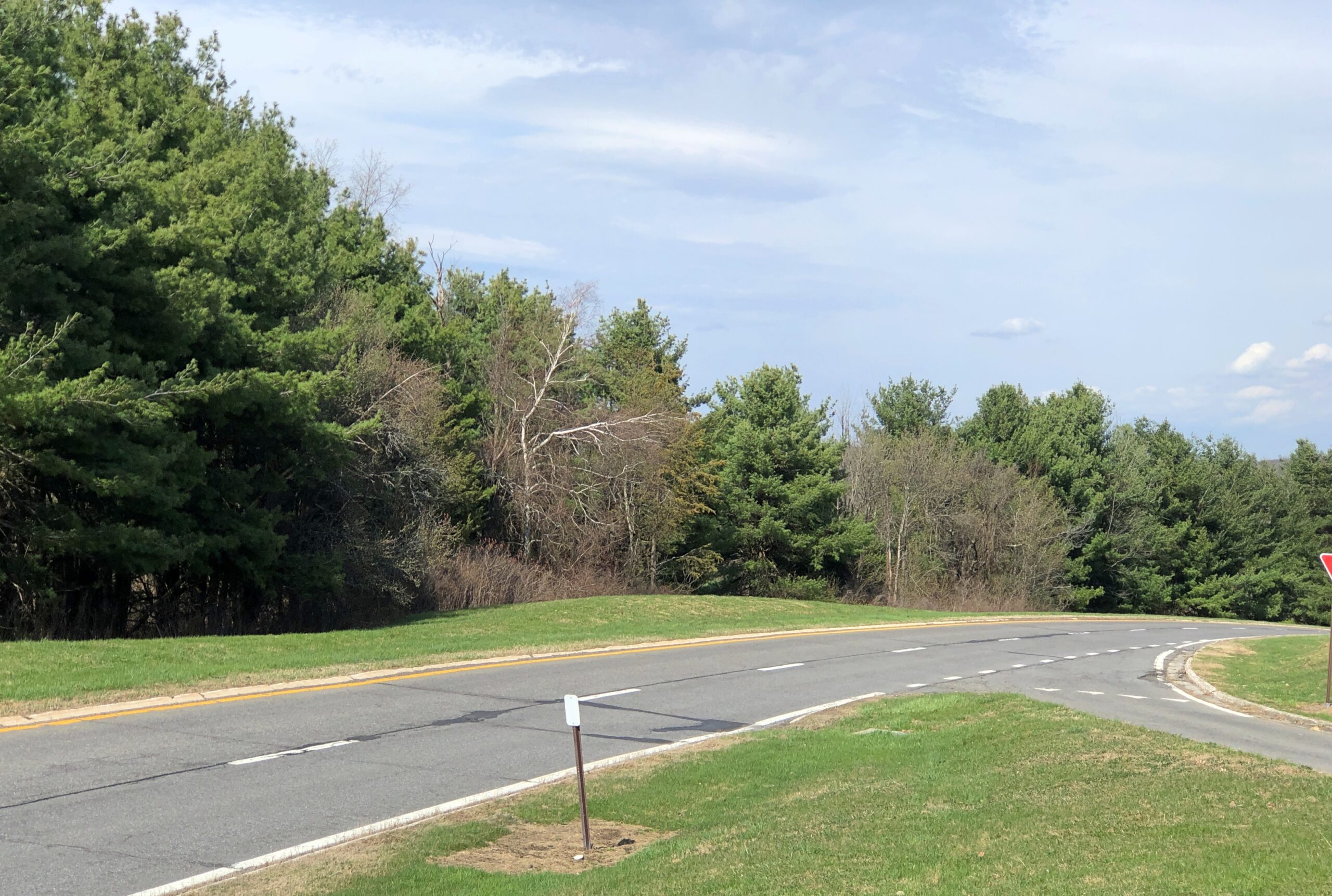
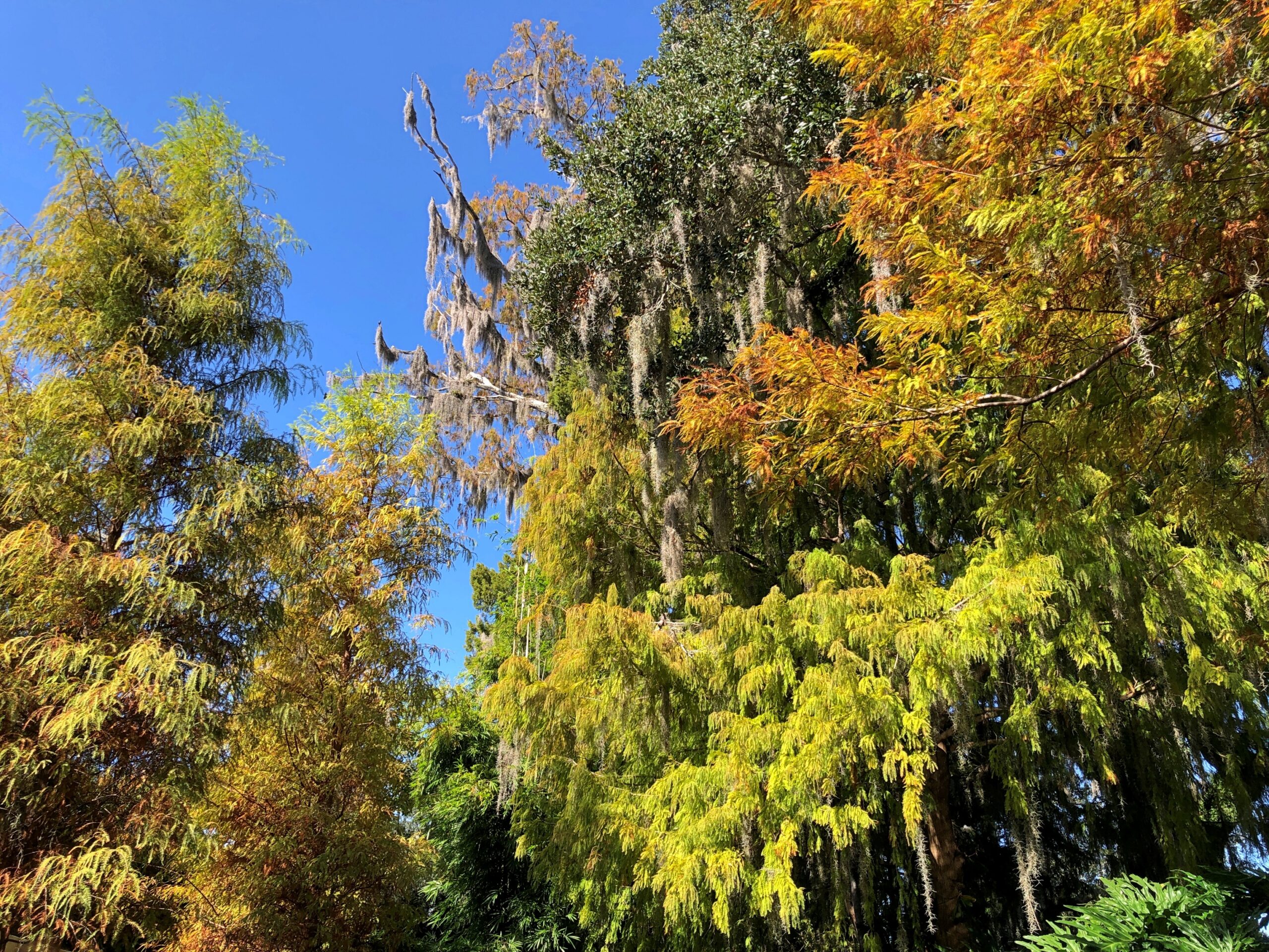
That sounded good, I thought when I noted the name on a map. It was. Budding greenery, smooth driving, no trucks. Or that many other cars, the further north you go. Construction started about 100 years ago, at the urging of then private citizen Franklin D. Roosevelt. The parkway is in the same league as the Natchez Trace Parkway or the Blue Ridge Parkway, though only about a quarter as long as either.

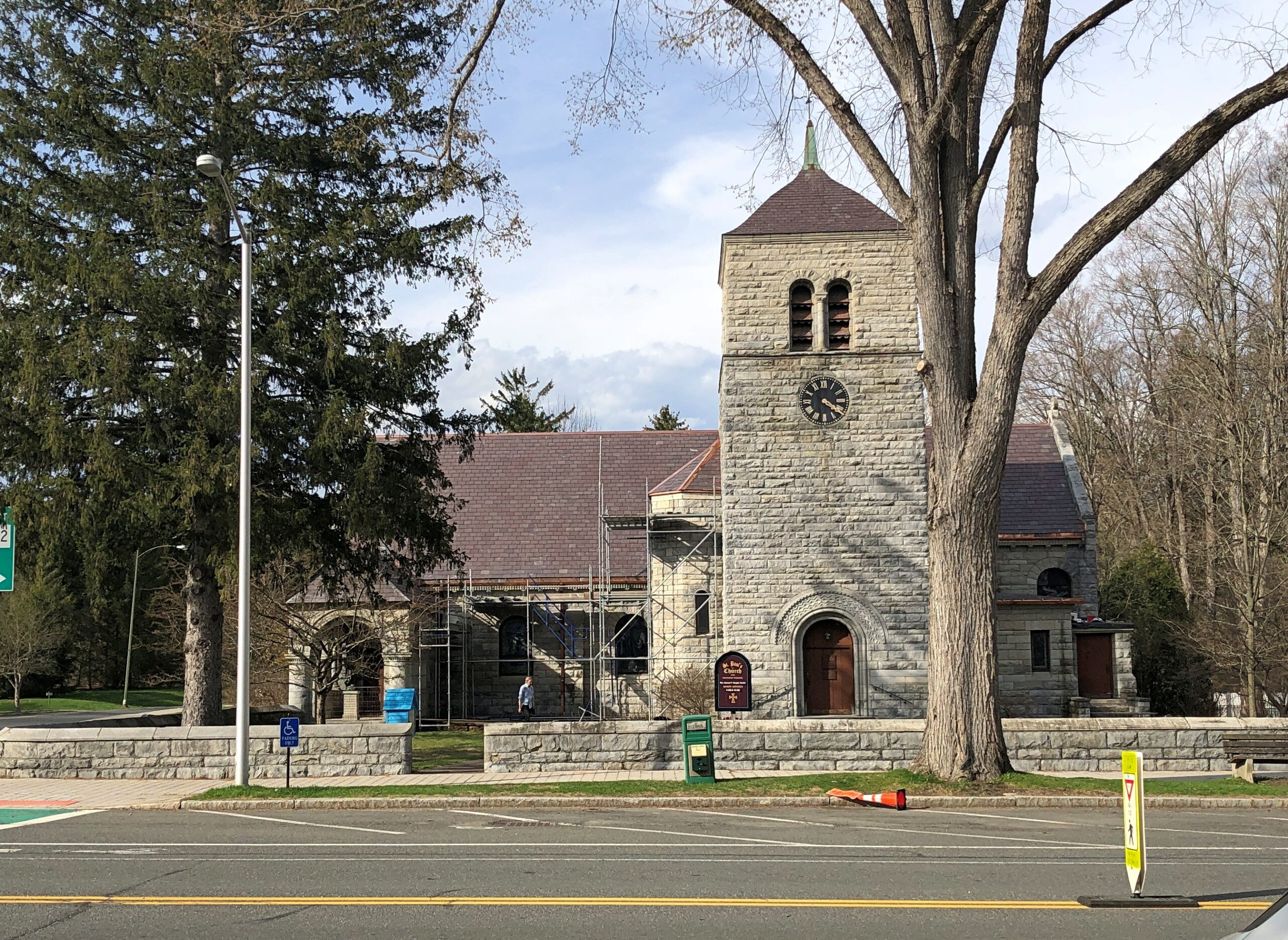
Once I’d gone far enough north, I took connecting roads to the Massachusetts Turnpike. Stockbridge, which is slightly south of the turnpike, counted more-or-less as a midway point on my day’s drive. As I entered town via Massachusetts 102, I noticed a tower. A stone tower, exuding 19th-century New England sturdiness. Its clock was wrong.

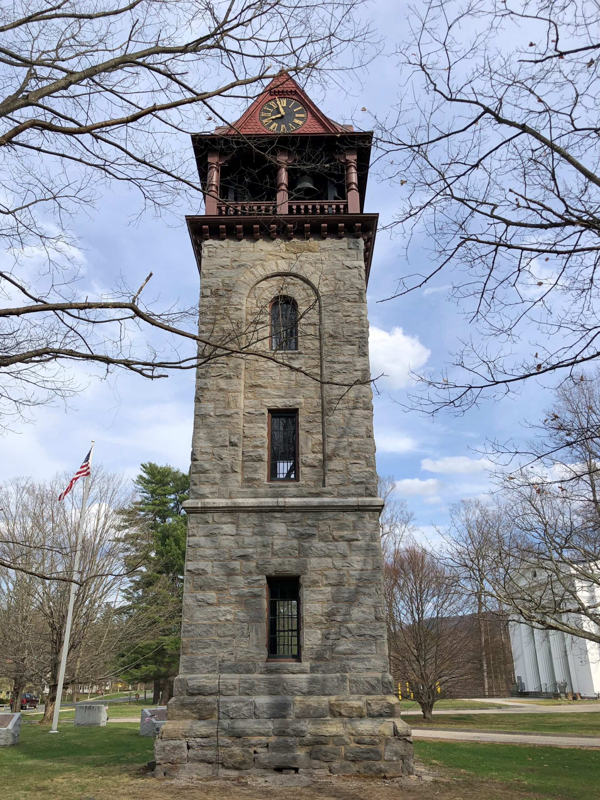
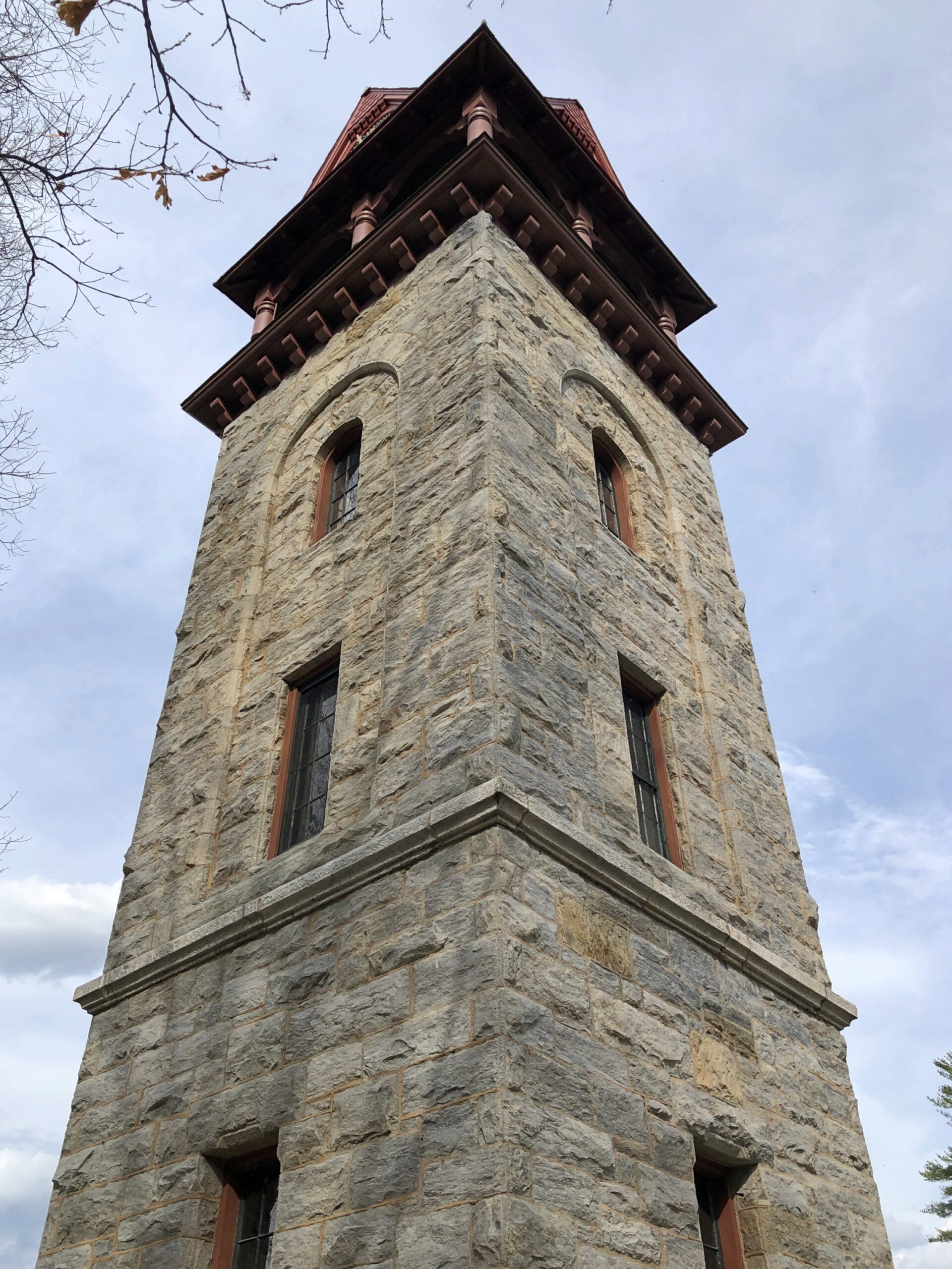
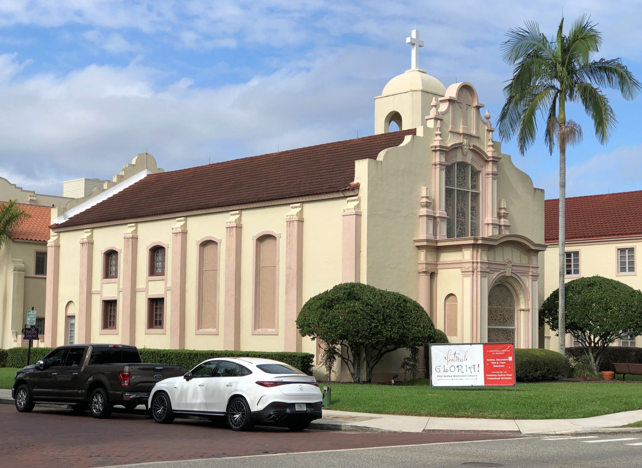
The Children’s Chimes Tower, a 19th-century bell tower built on the site of the town’s original church. A 19th-century replacement for that church stands near the bell tower, looking as New England as can be.

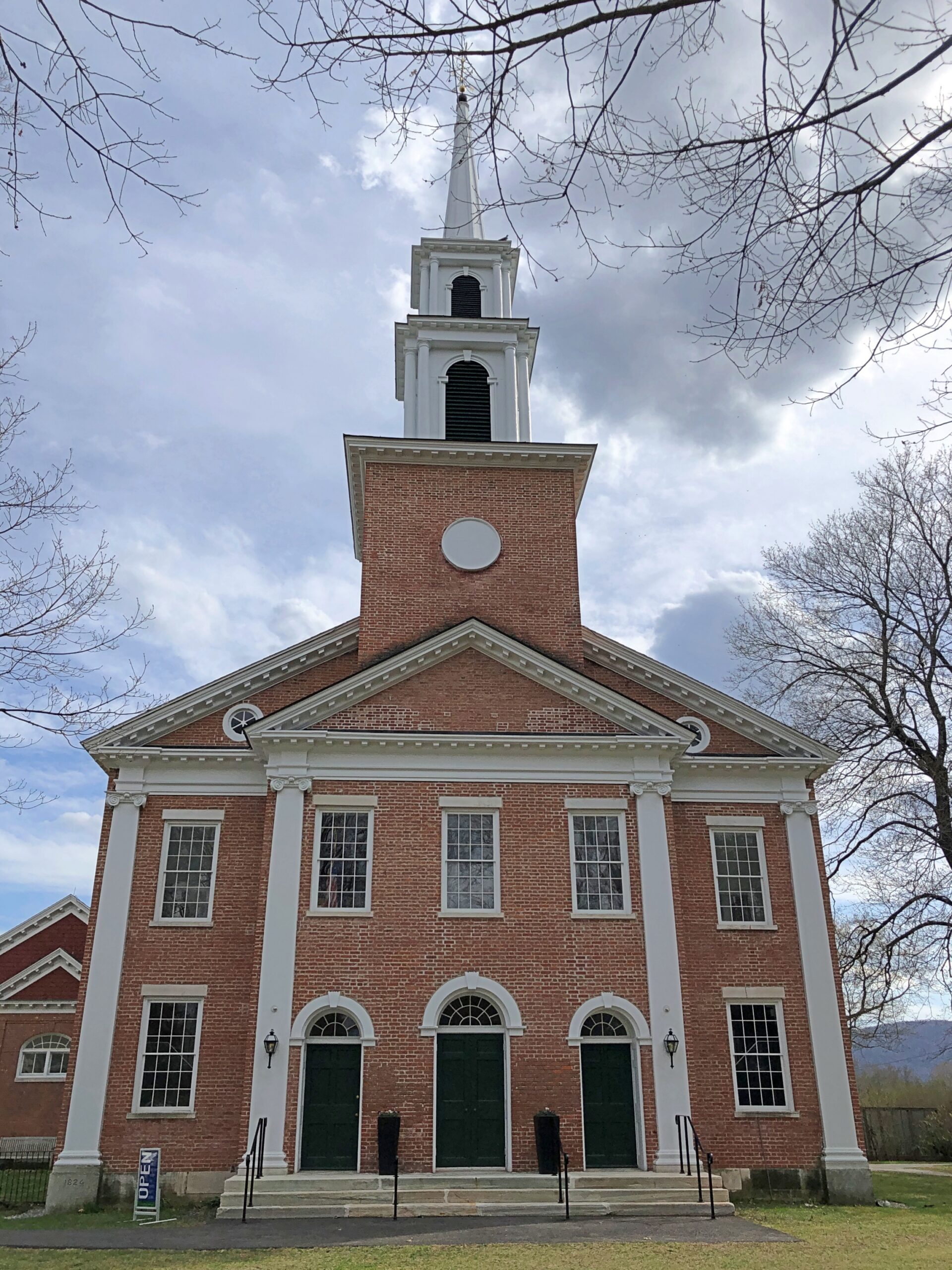
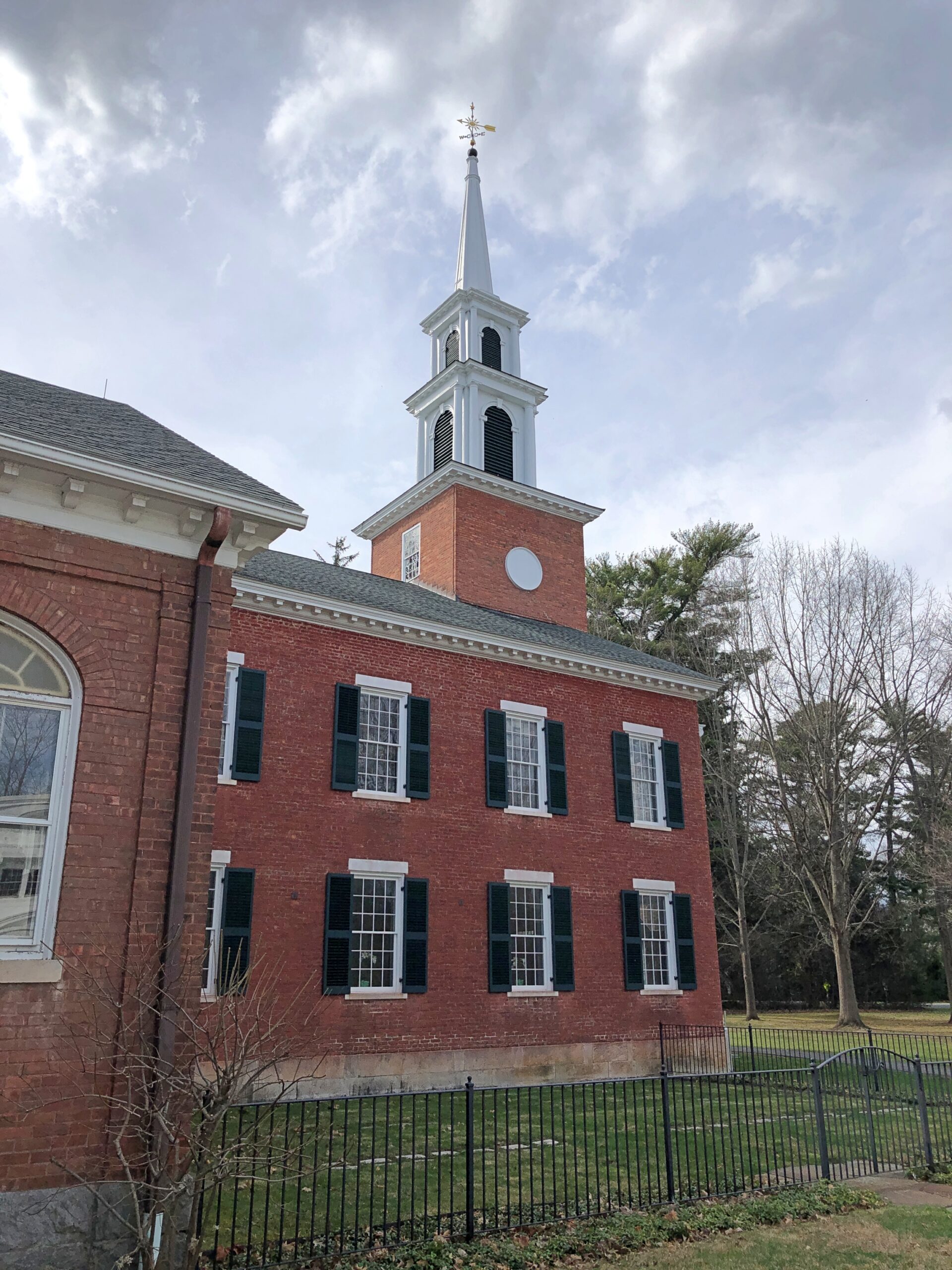
The First Congregational Church UCC. Remarkably, it was open.

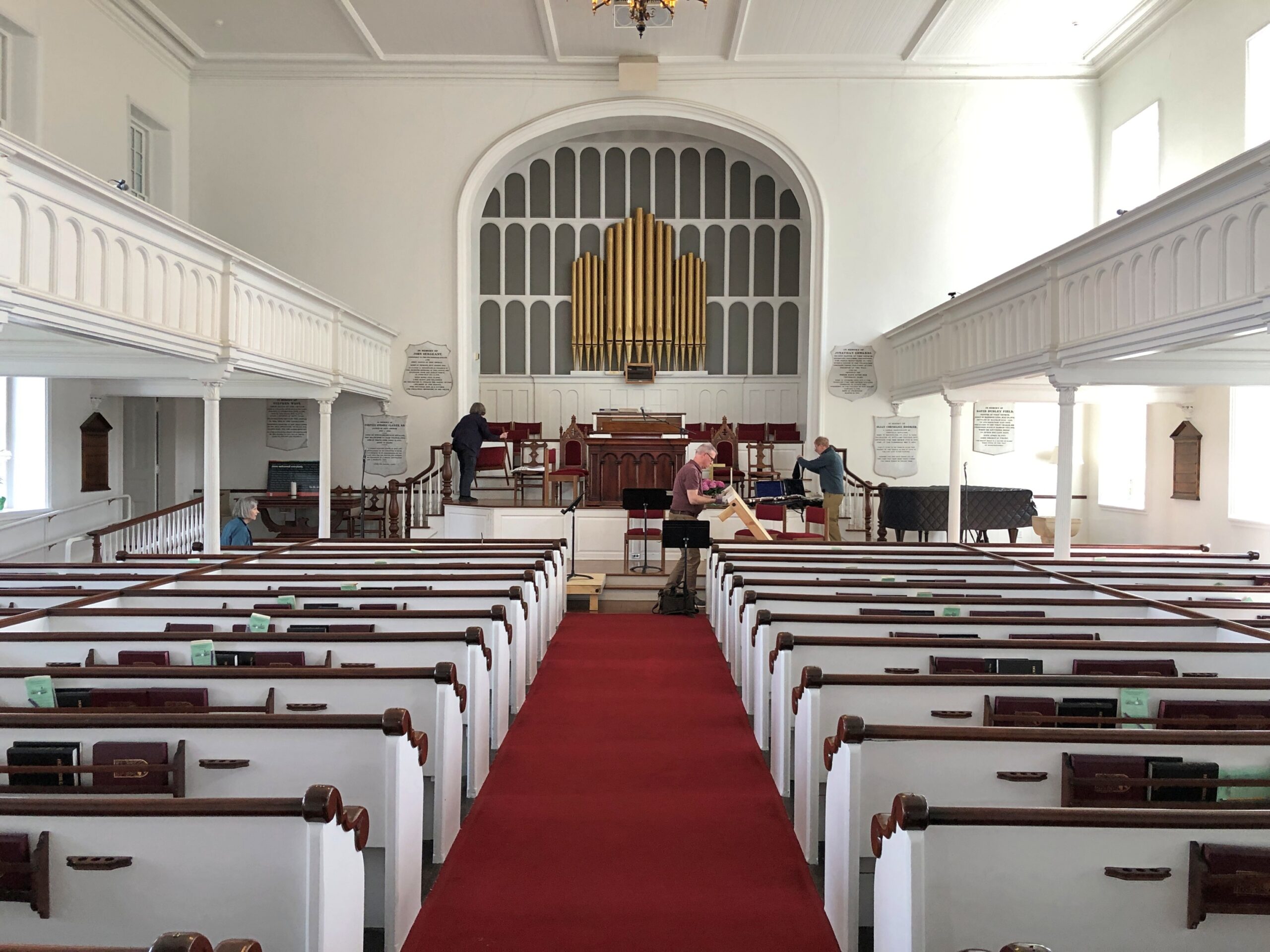
Musicians were practicing, or rather seemed to be wrapping up a practice. They paid no attention to me as I looked around.

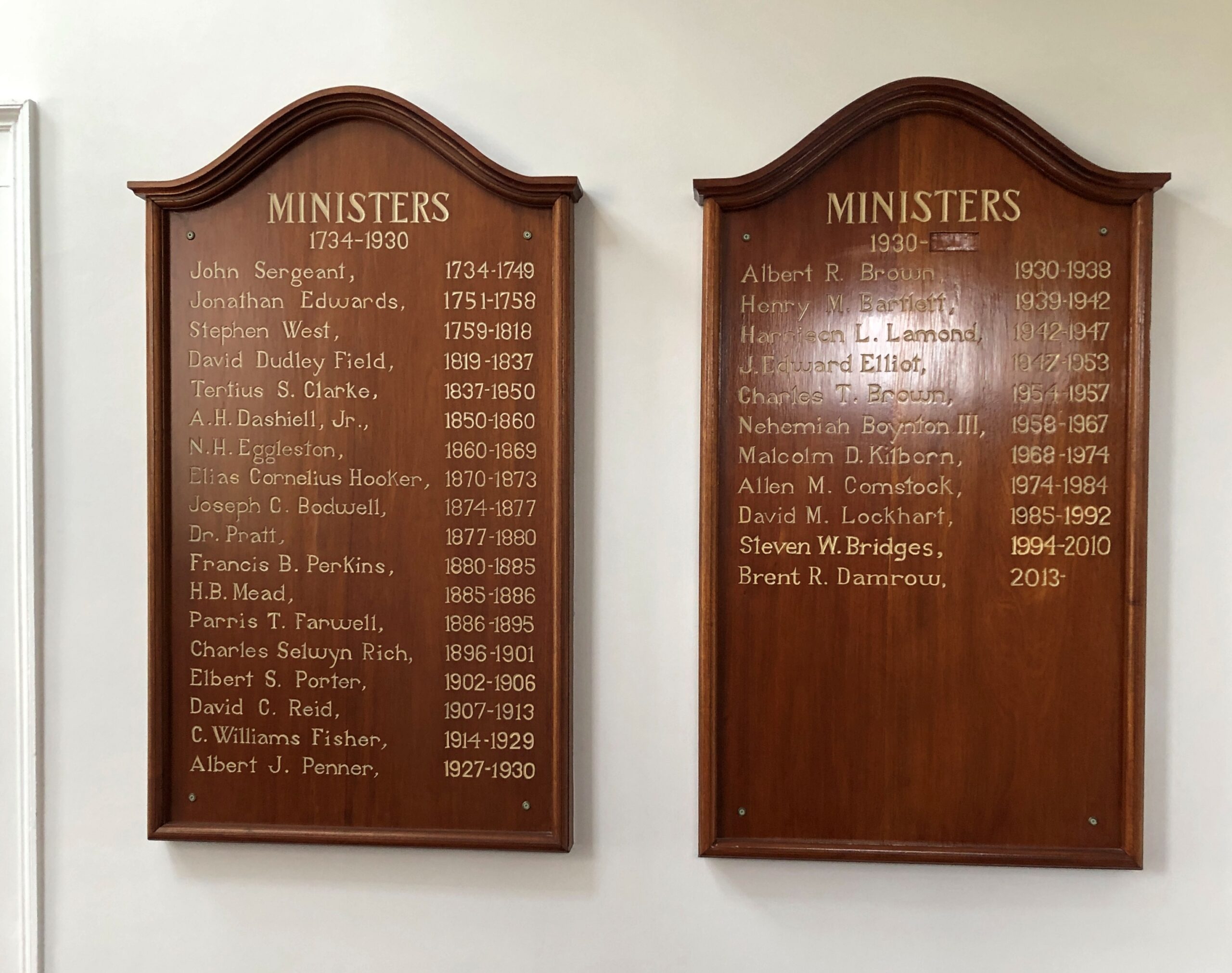
Jonathan Edwards was the church’s second pastor. “Sinners in the Hands of an Angry God” Jonathan Edwards? Yes.

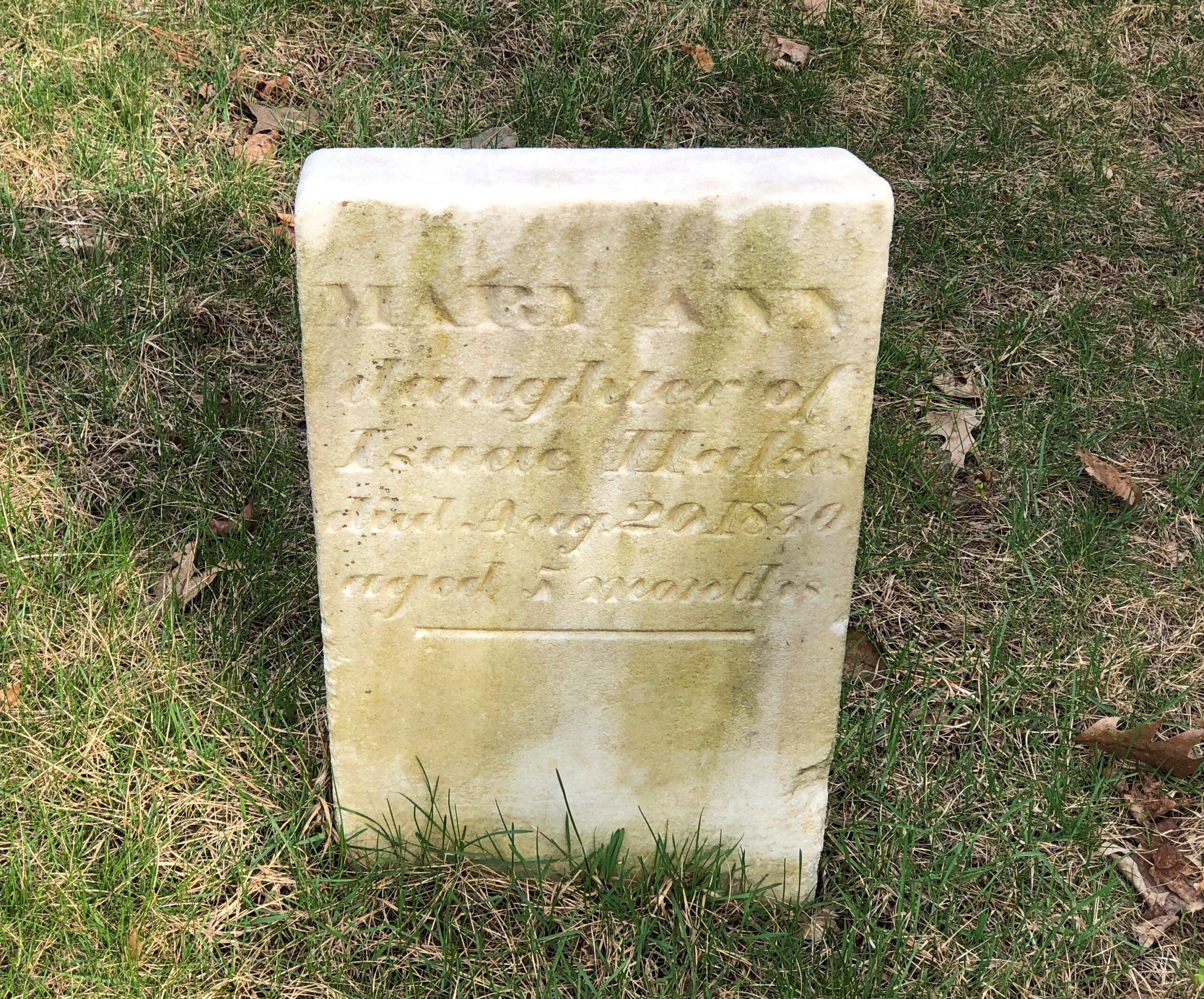
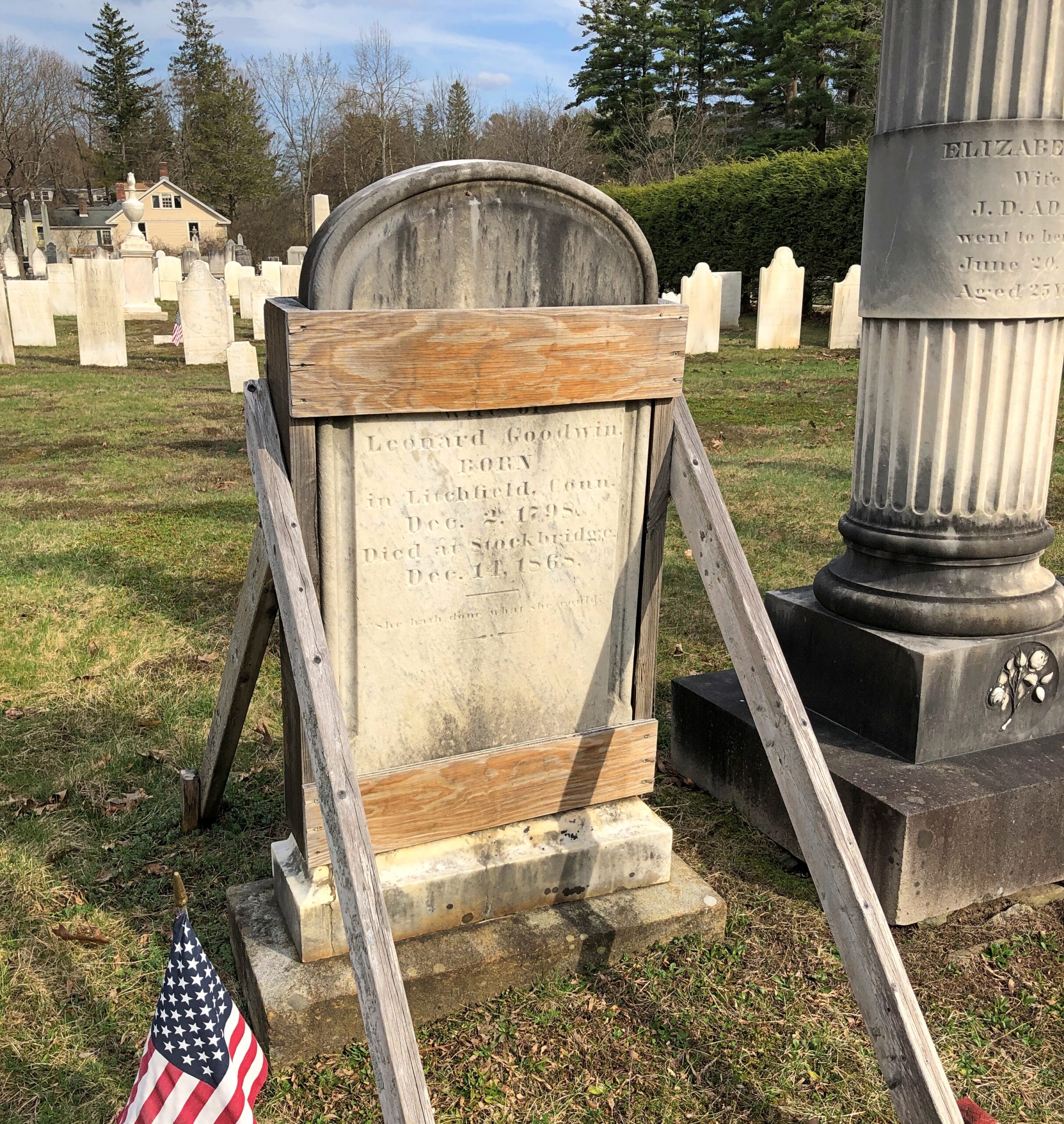
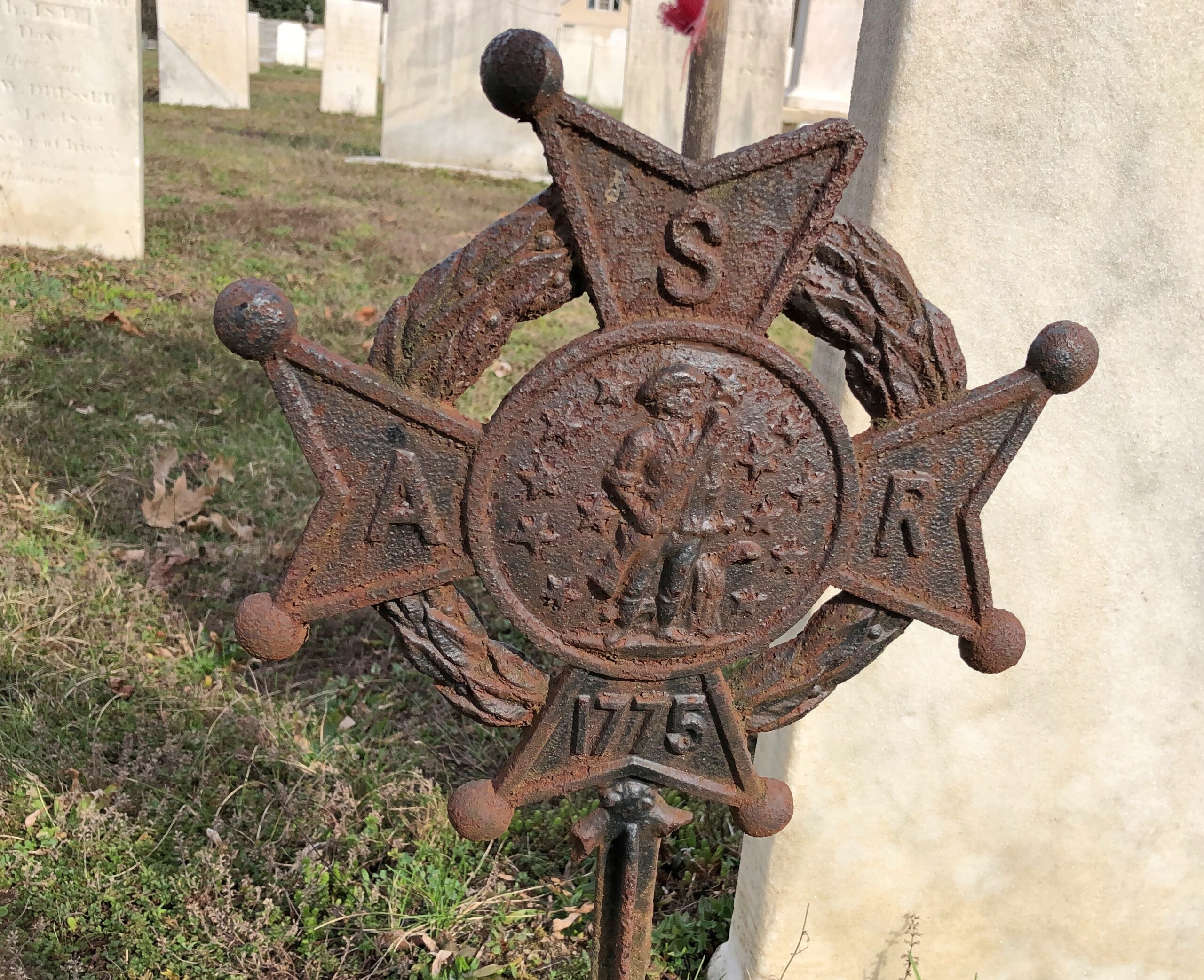
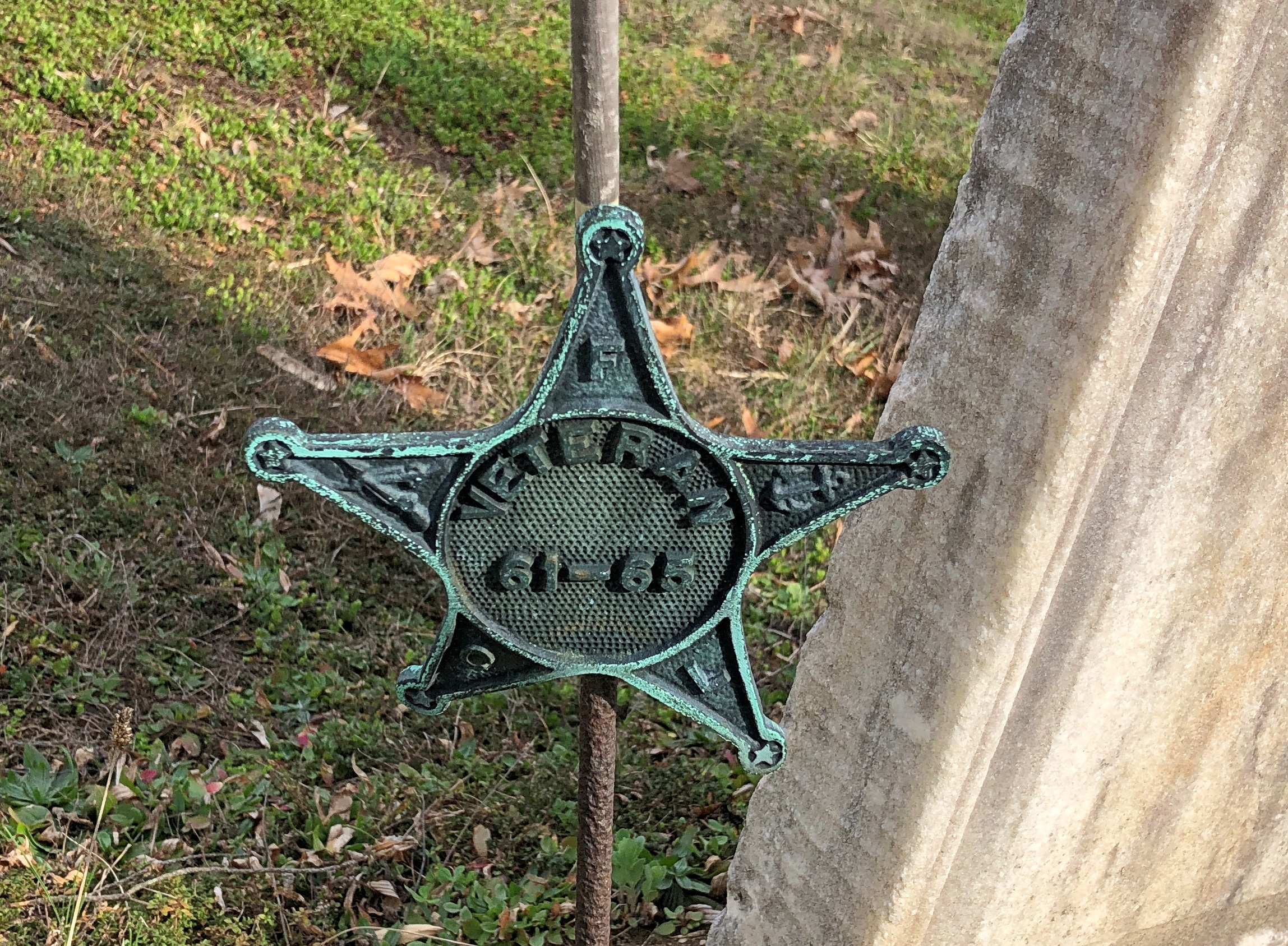
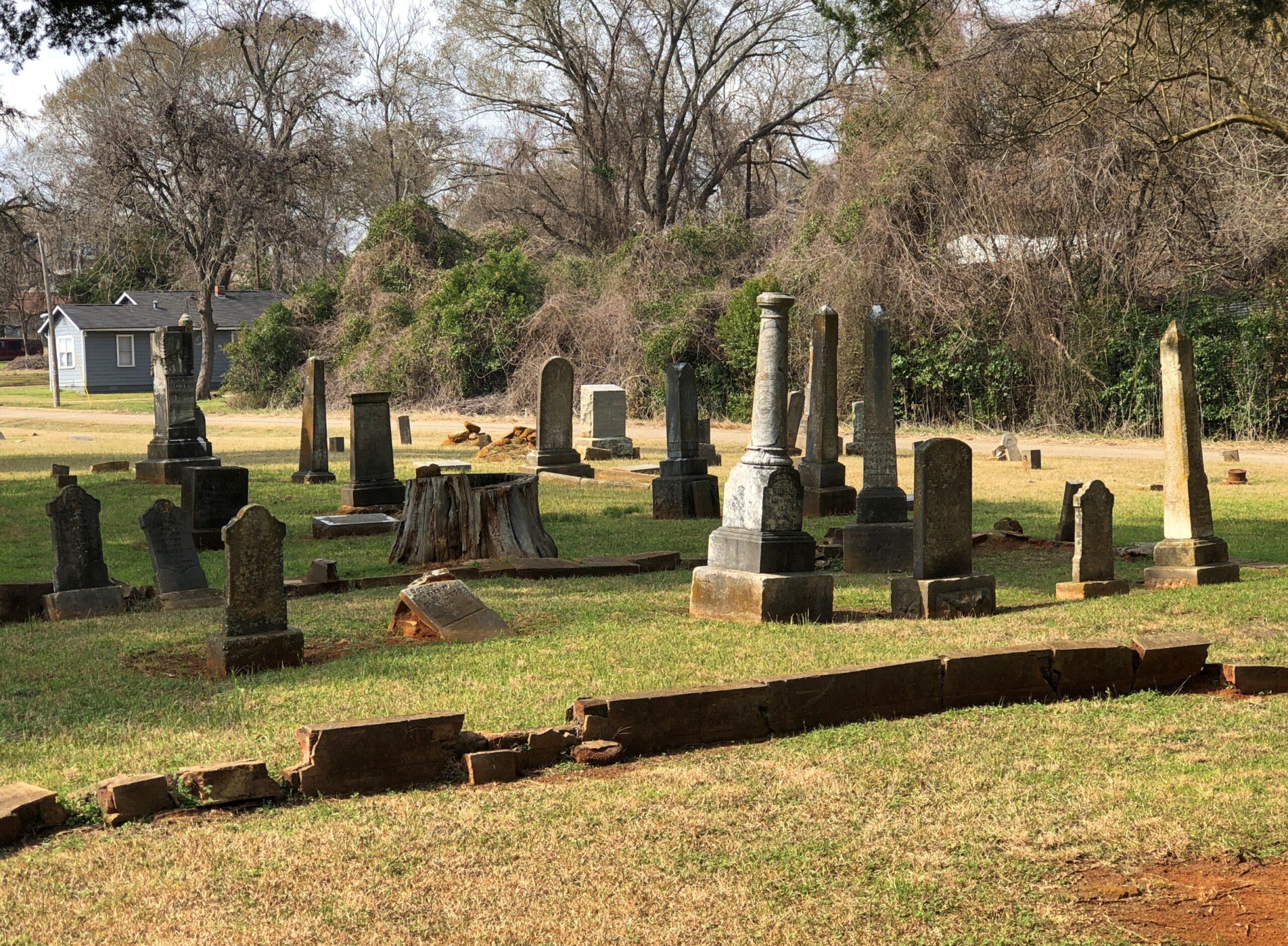
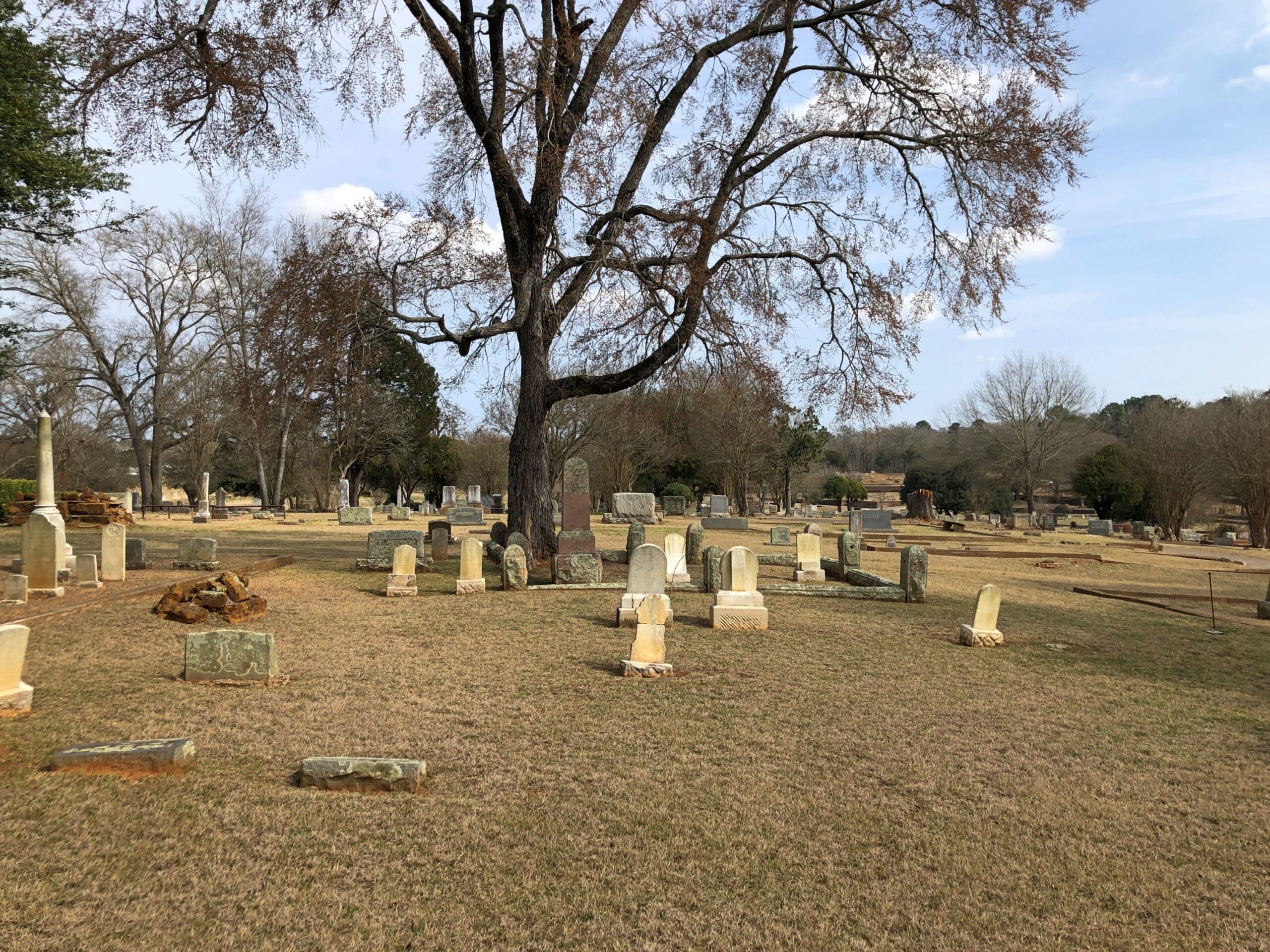
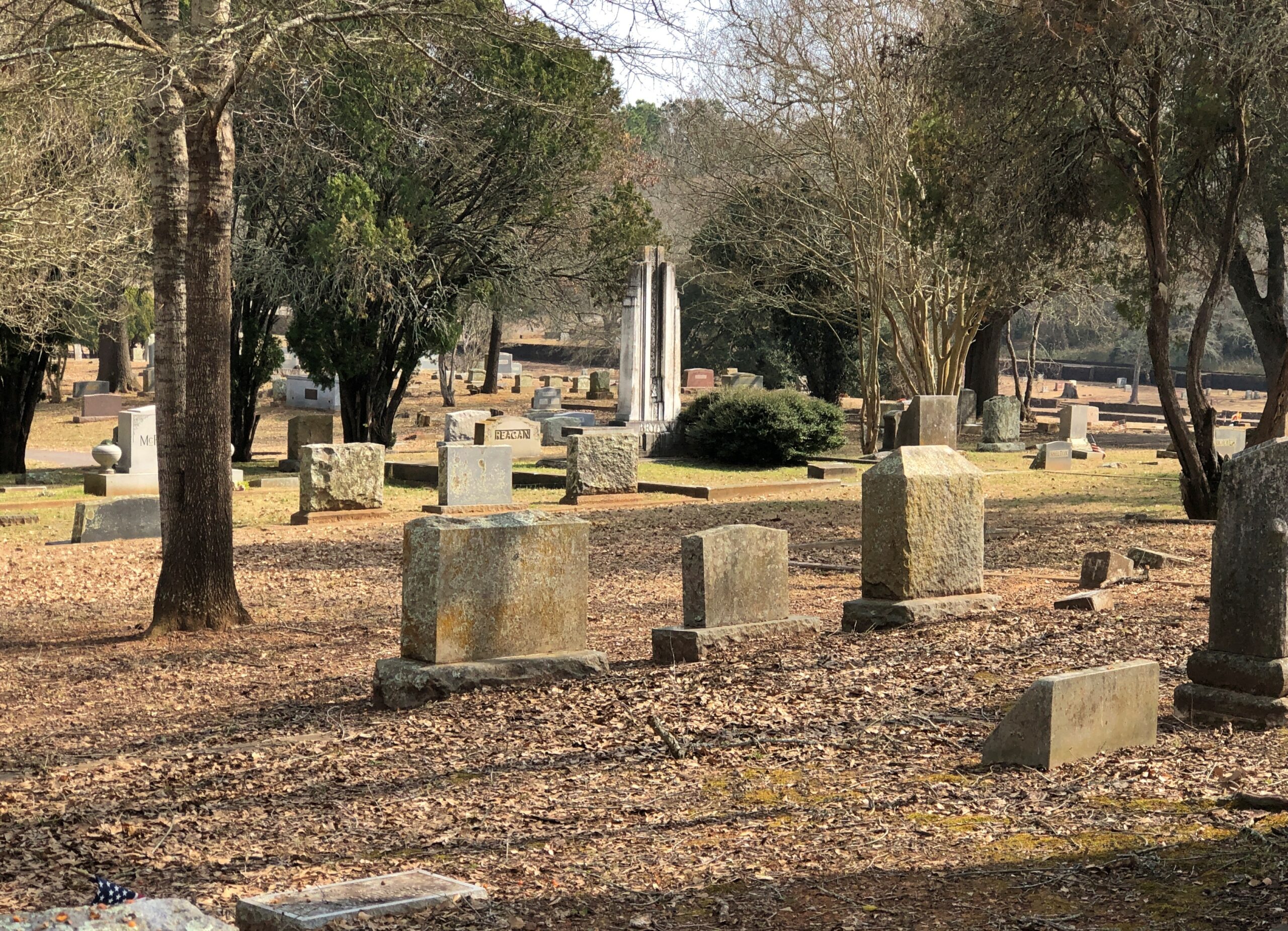
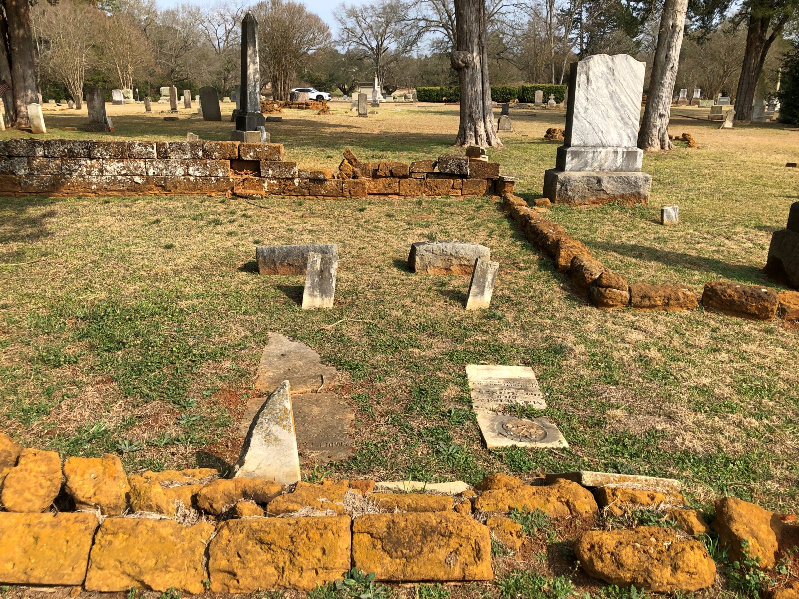
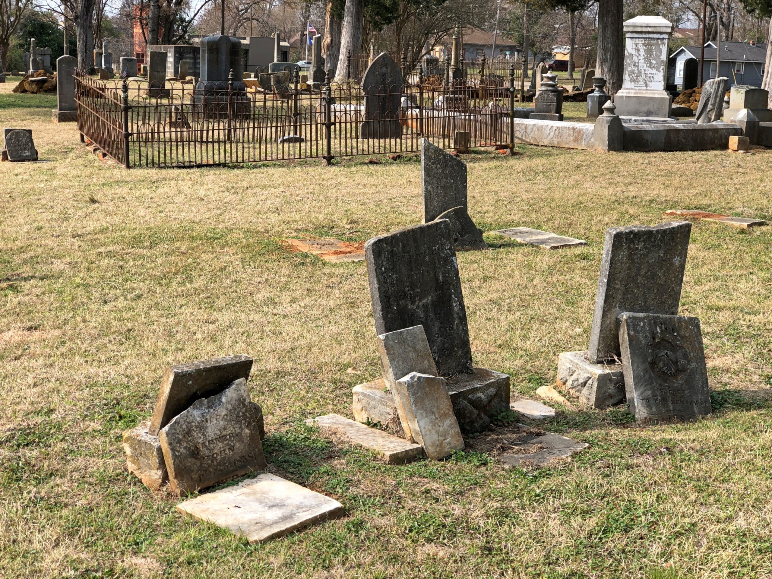
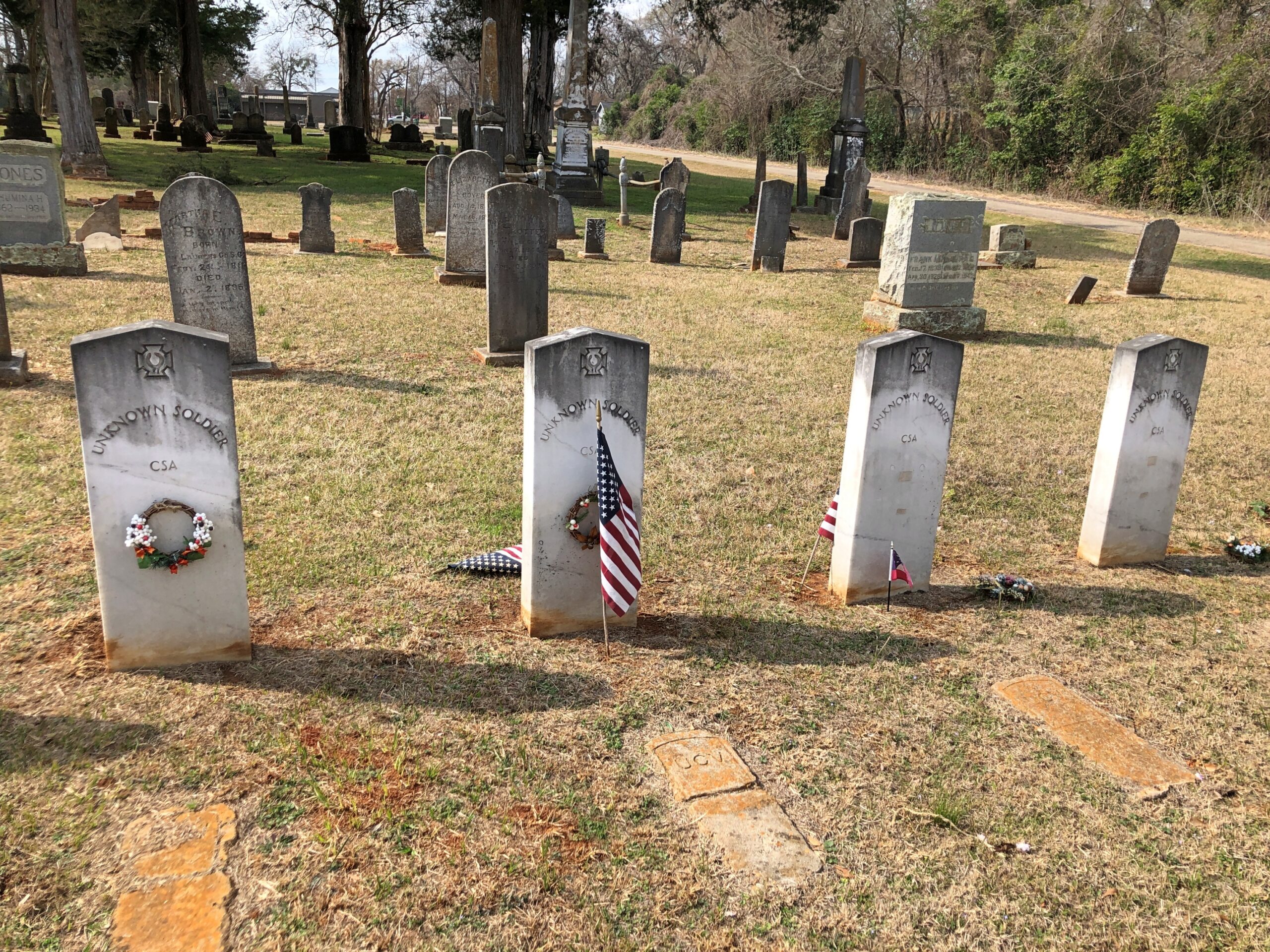
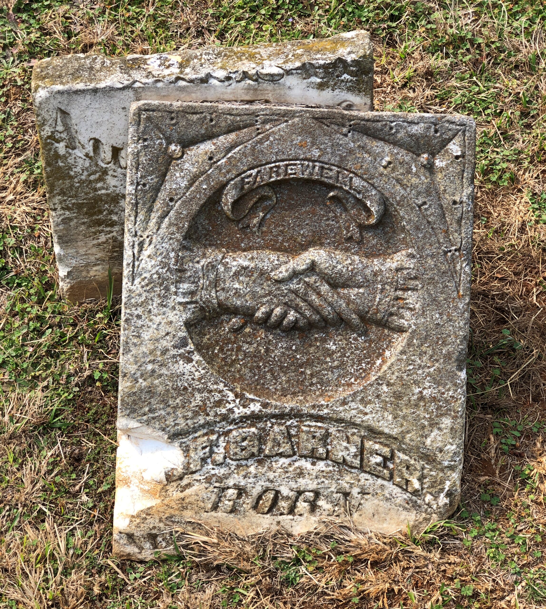
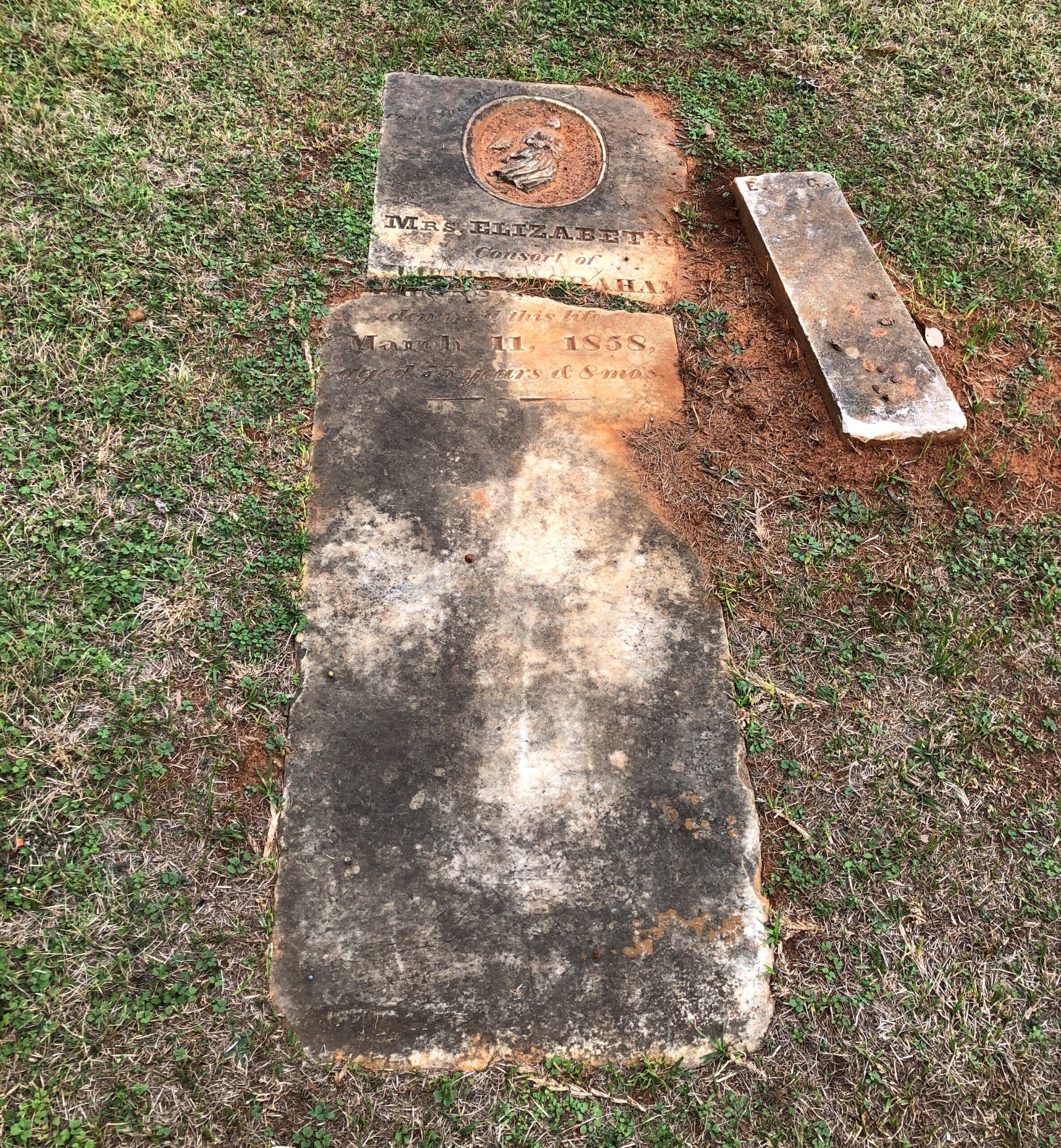
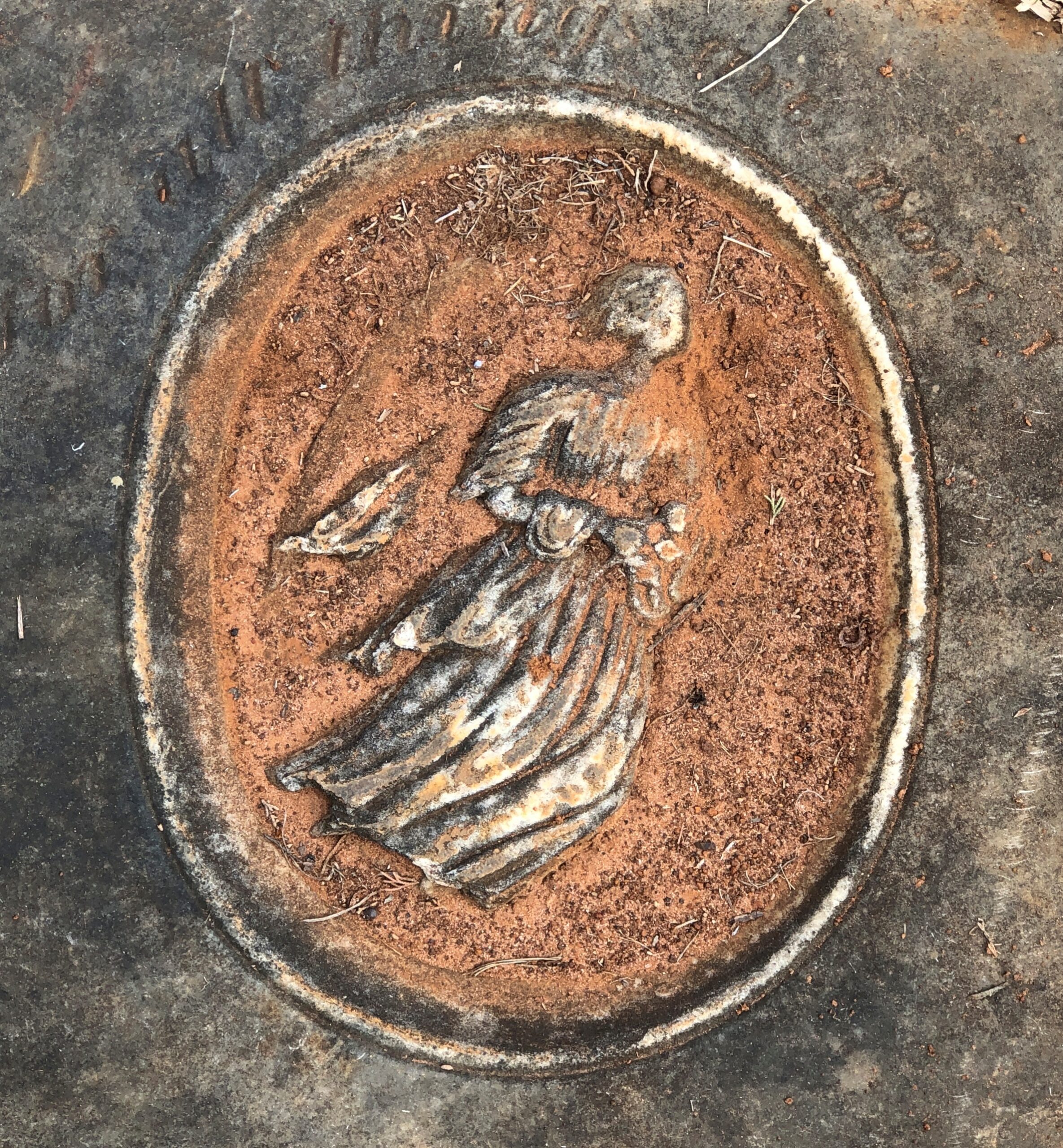
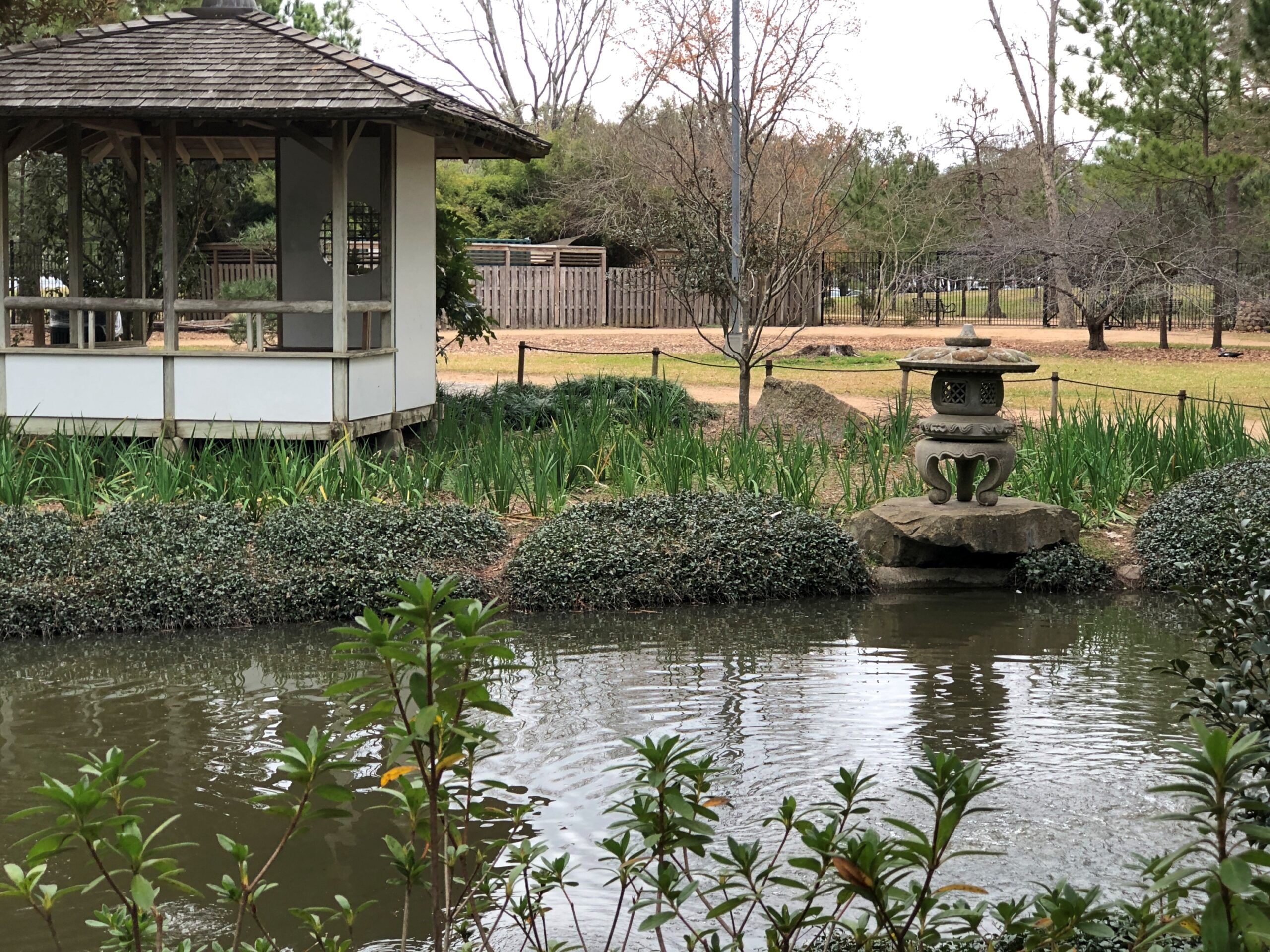
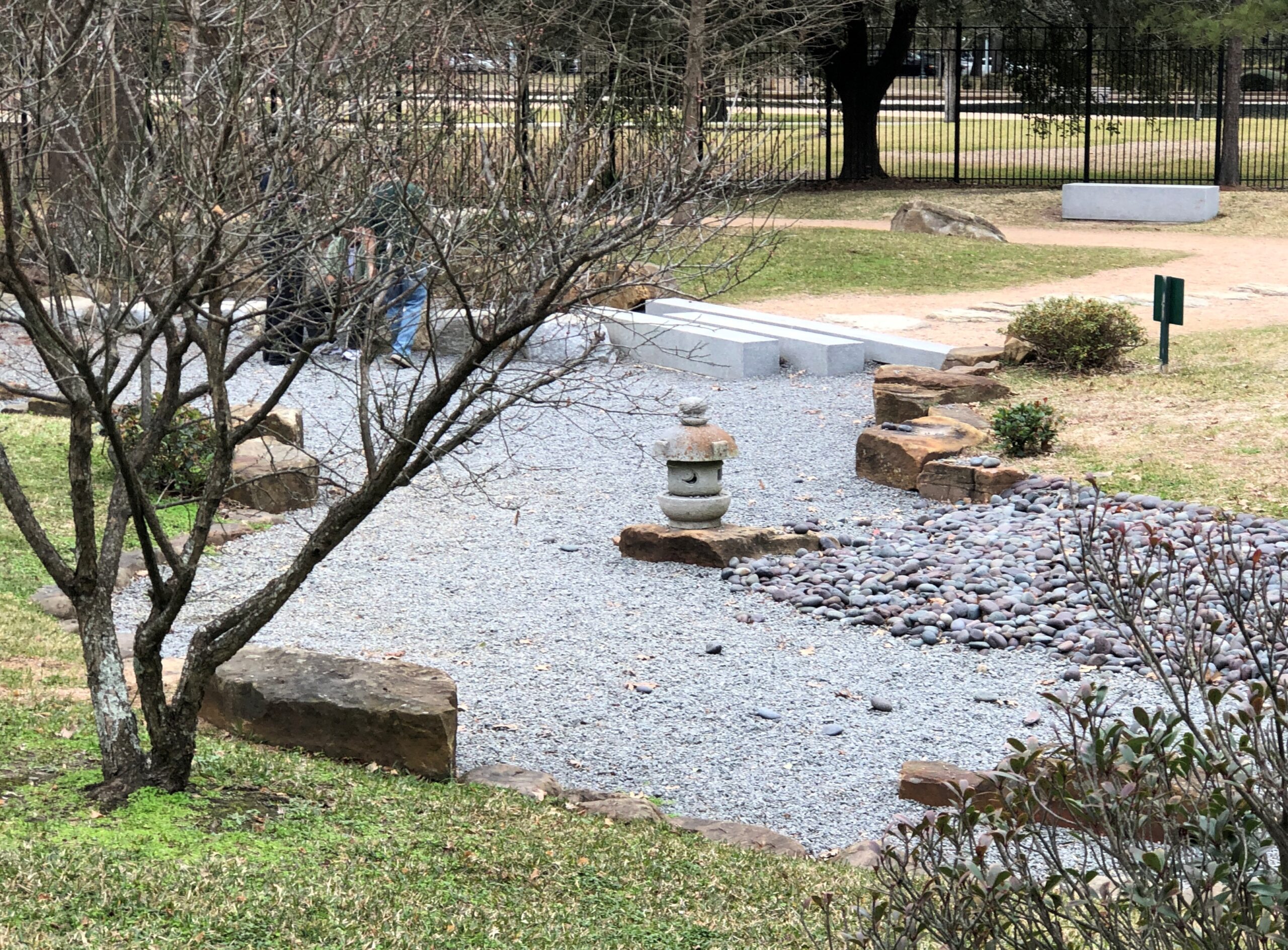
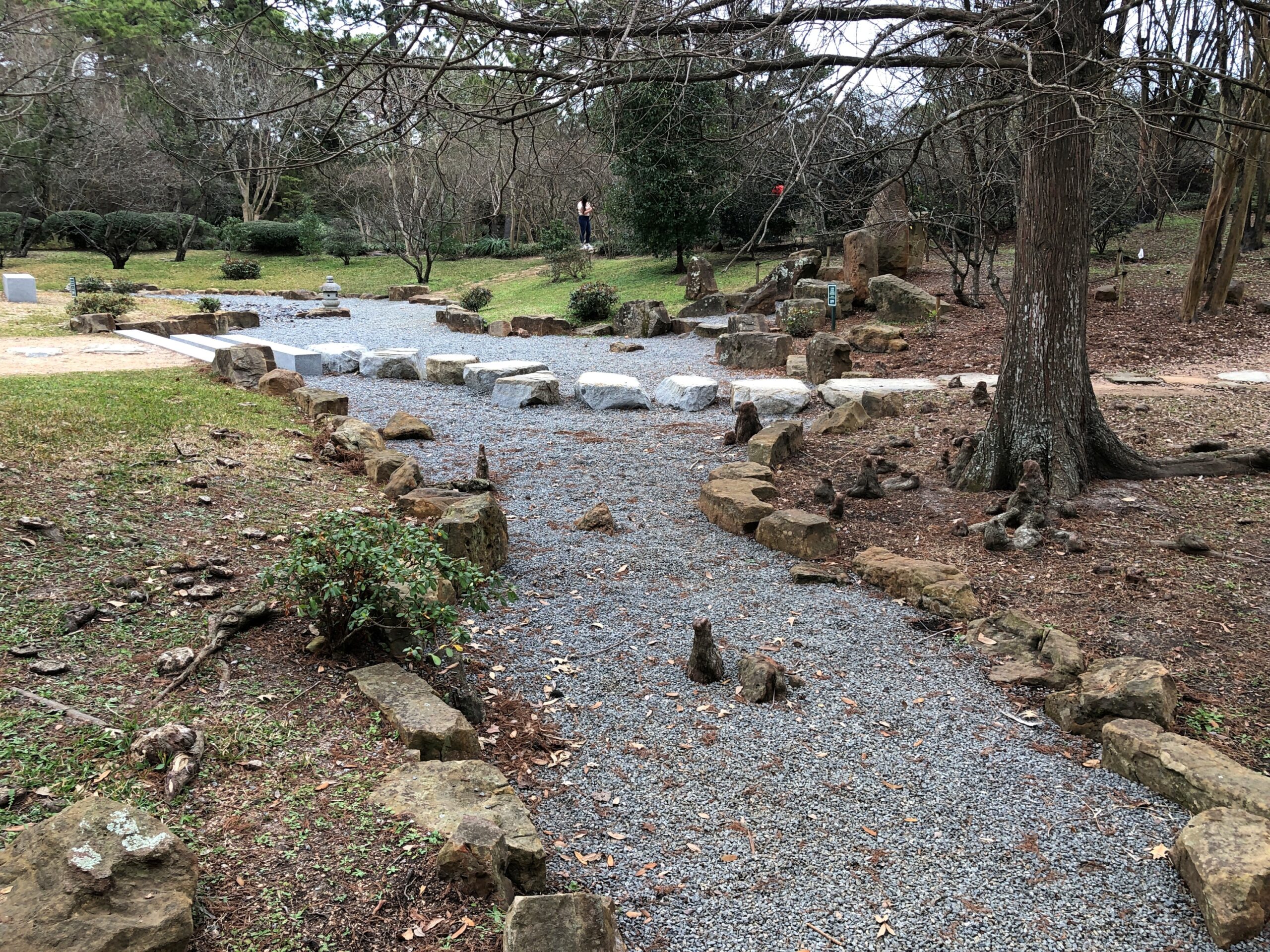
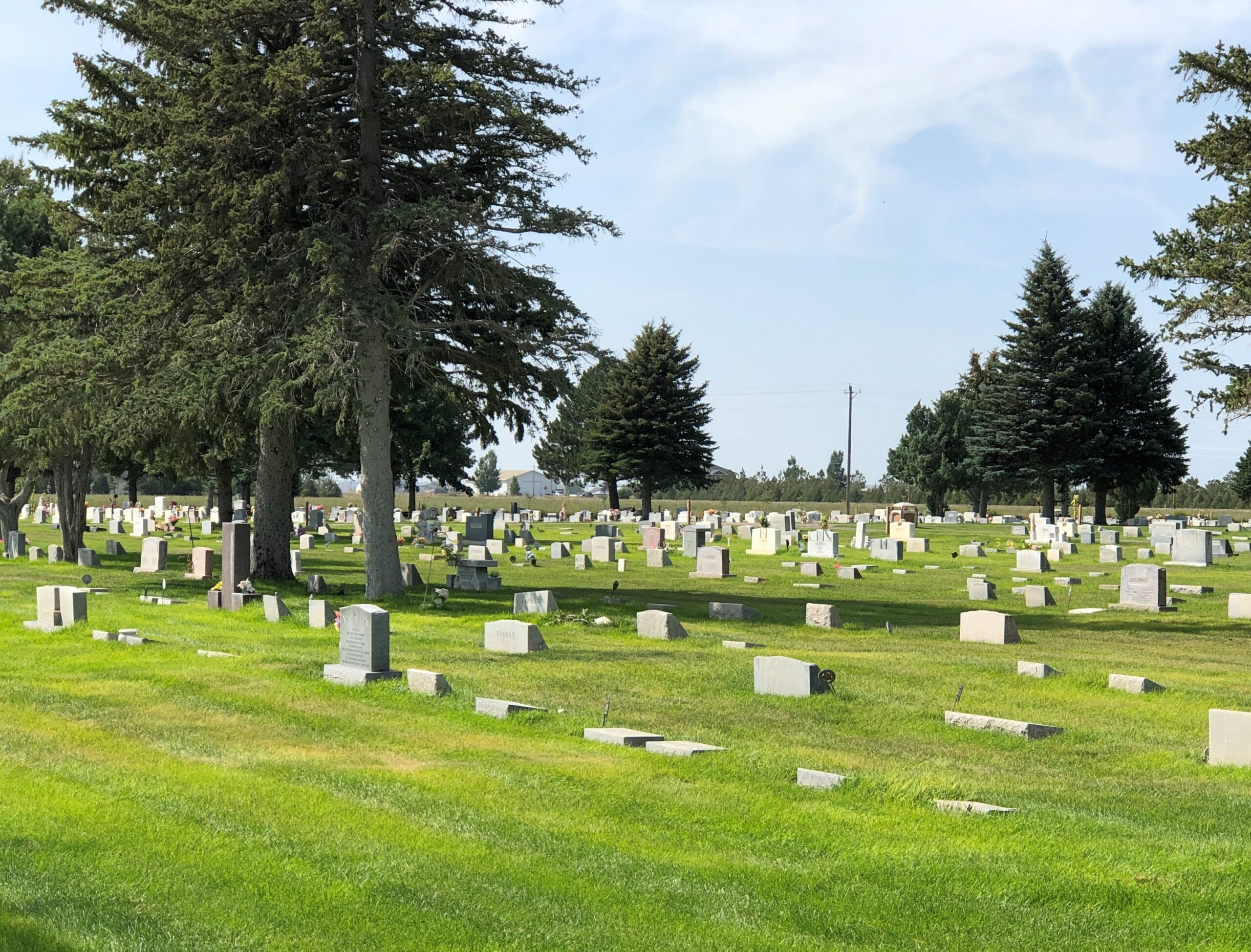
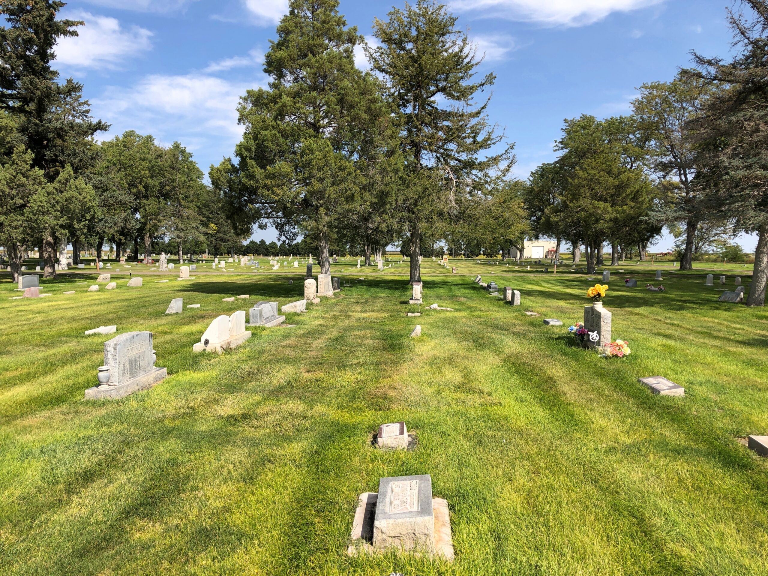
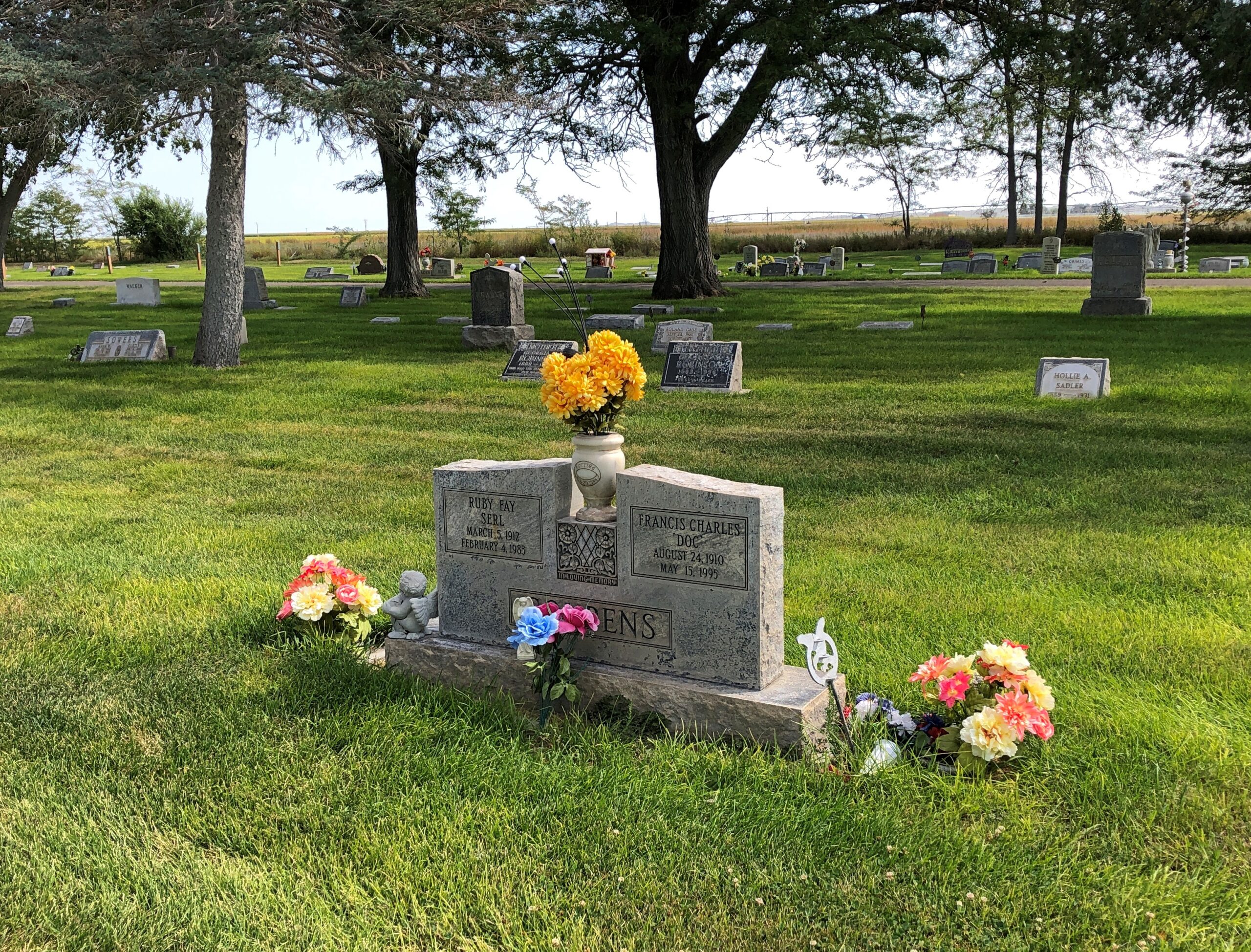
Across the road from the church and freestanding bell tower – which doesn’t chime, except in the summer – is the town cemetery.

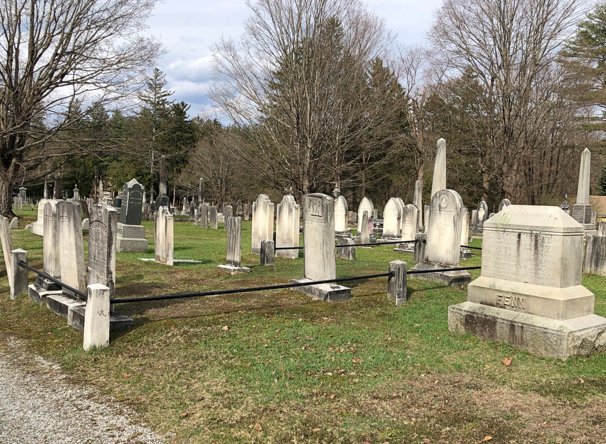
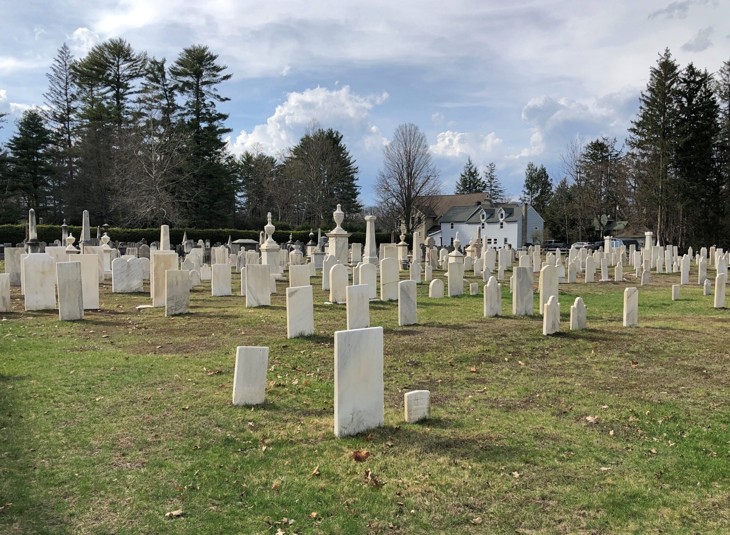
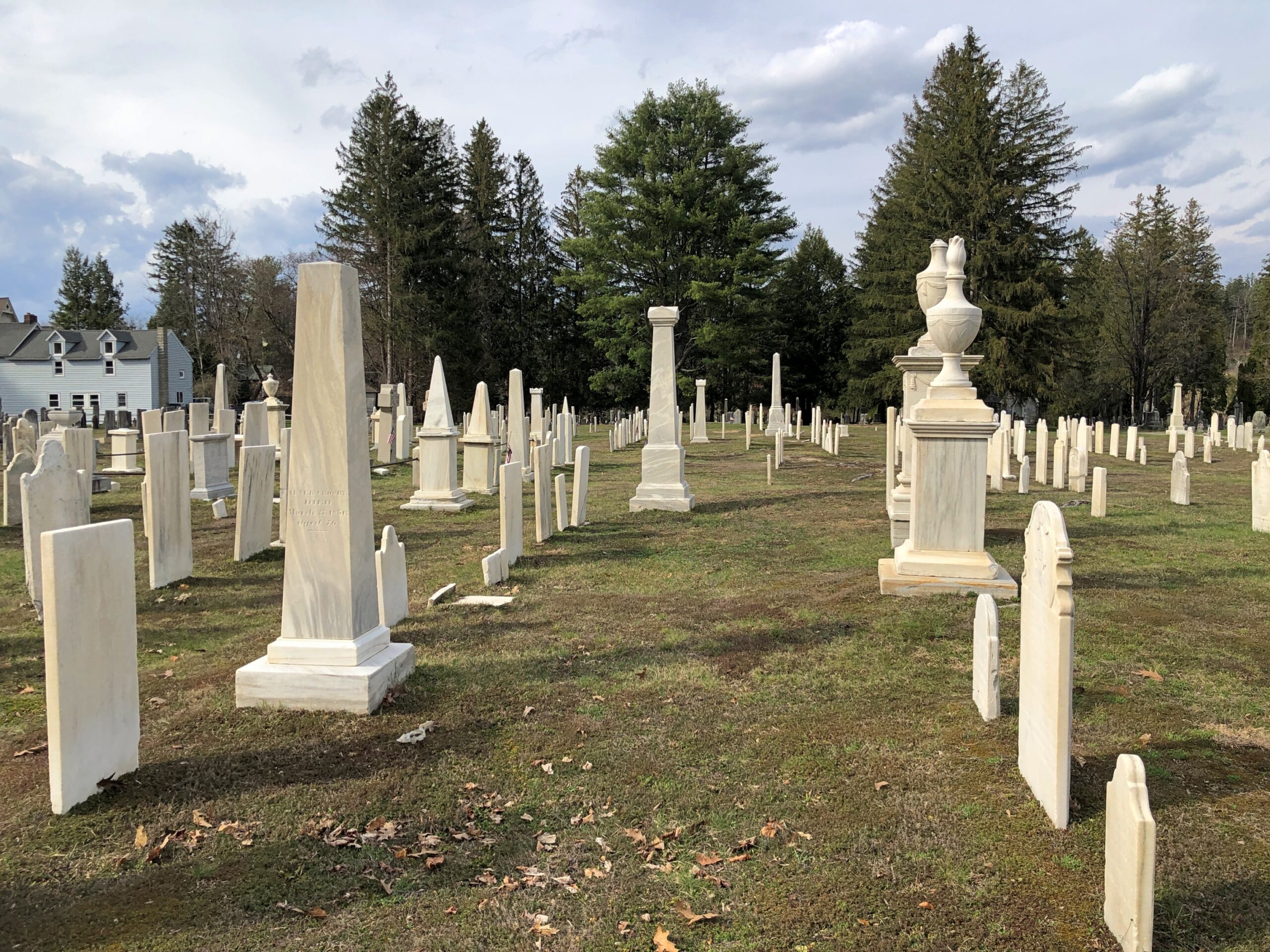
“One of the earliest burials was the first minister, John Sergeant, who died in 1749,” says the Stockbridge Library. “Members of the Mohican tribe who joined the church also were buried here. Twenty years later, discussions began about ways to enclose the burial area to keep out cattle, horses, and pigs. It wasn’t until 1853, however, that a new organization in town, the Laurel Hill Association, took on the responsibility to clean and protect the area.”

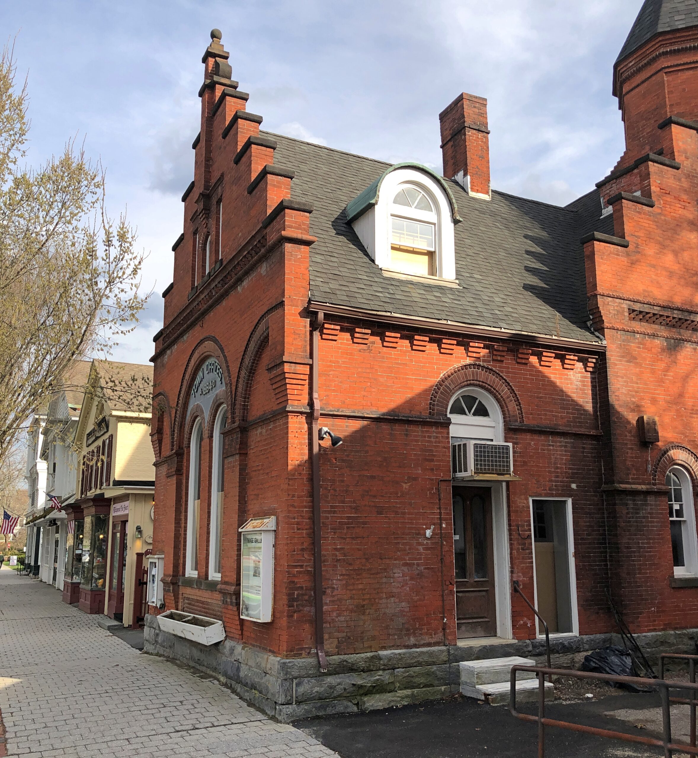
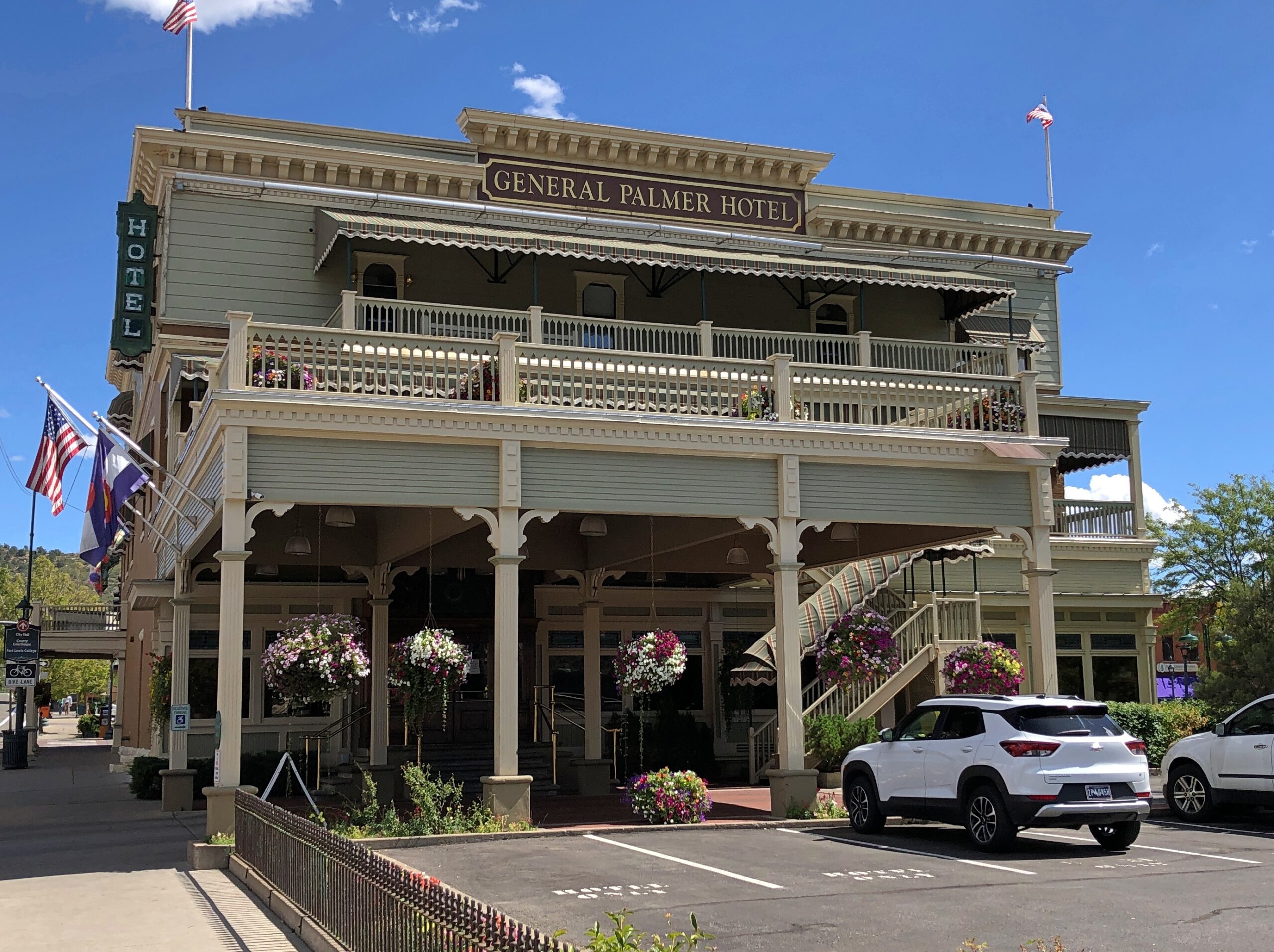
Route 102 turns into Main Street, with its shops, hotels, and other establishiments.

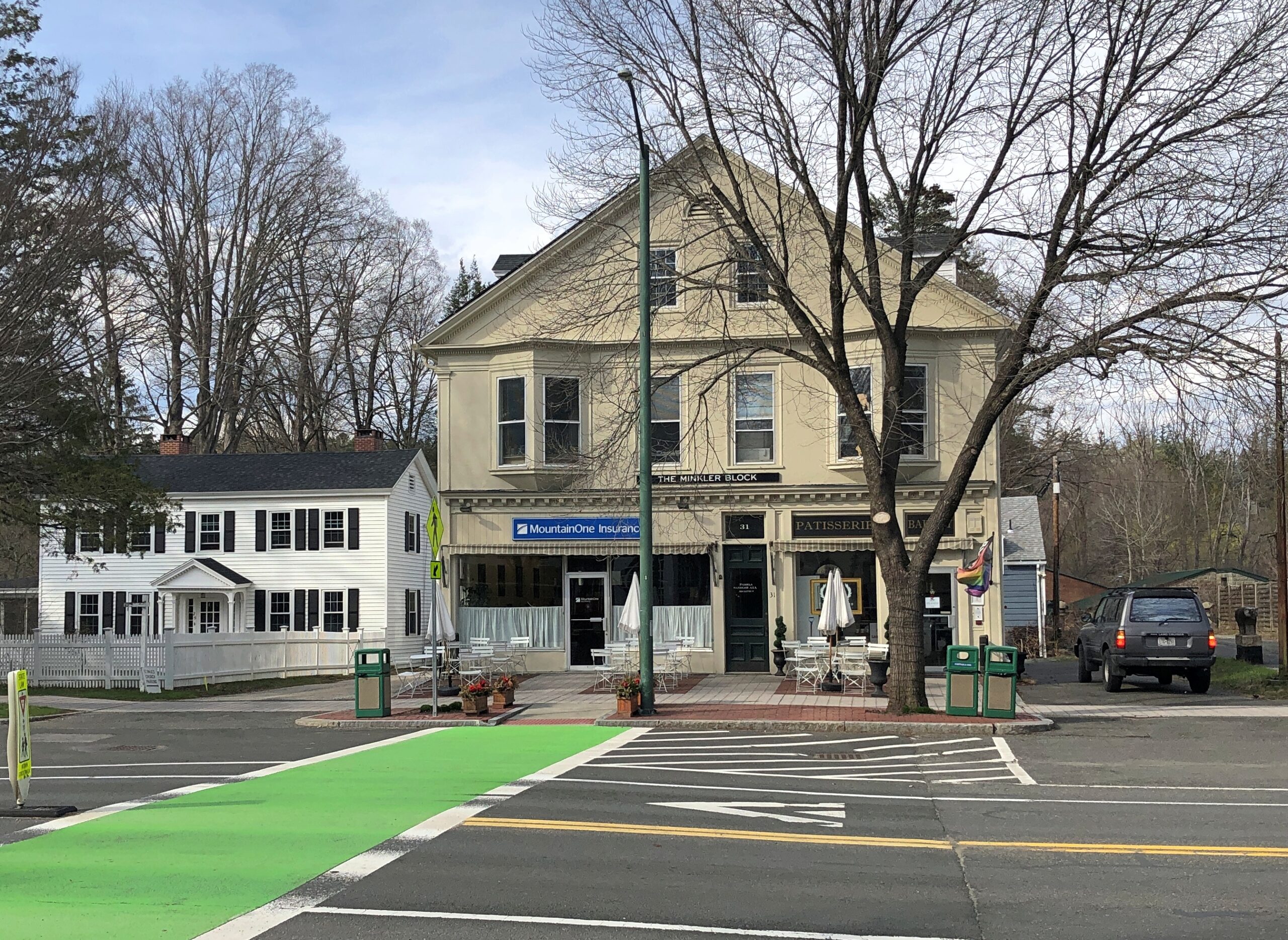
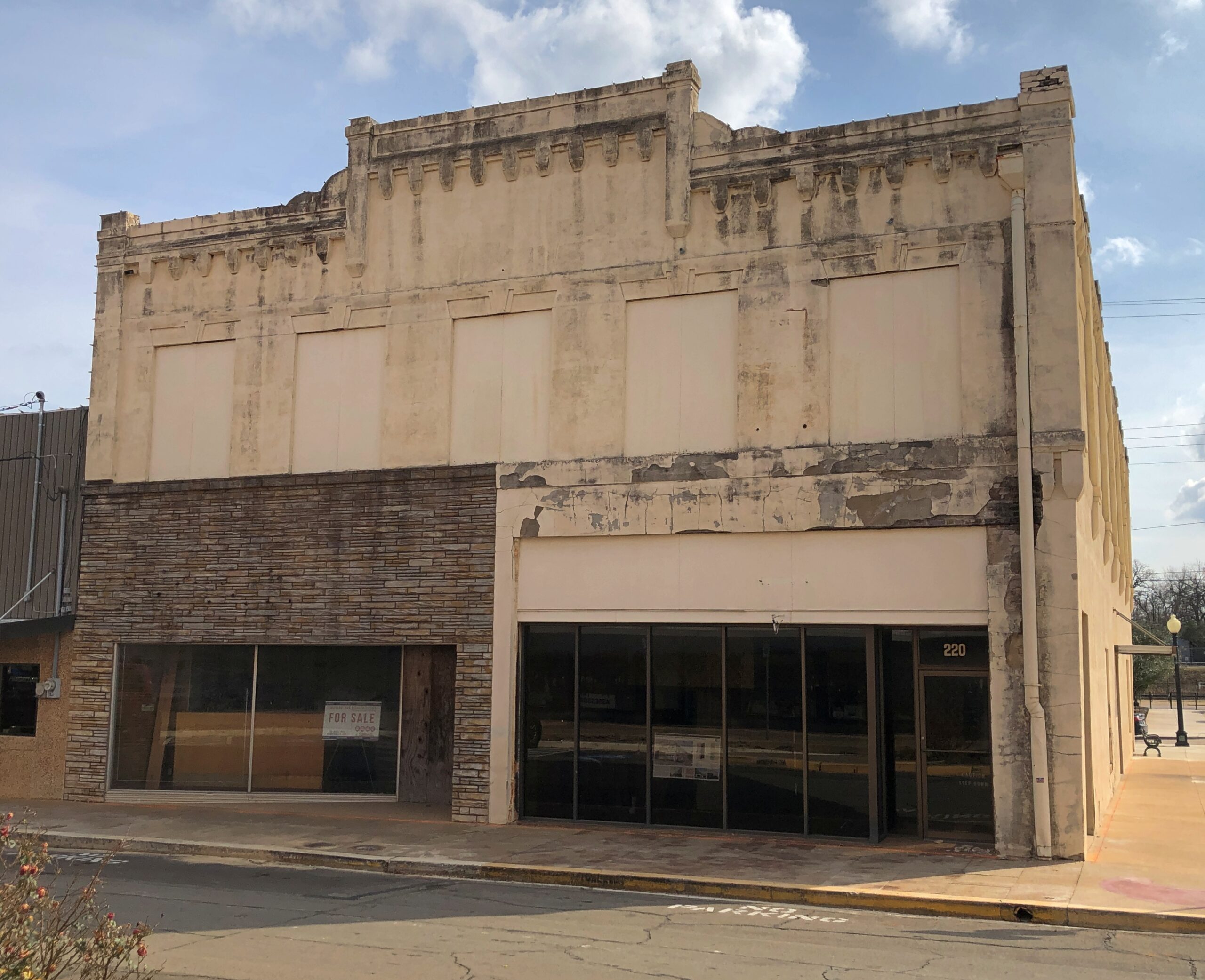
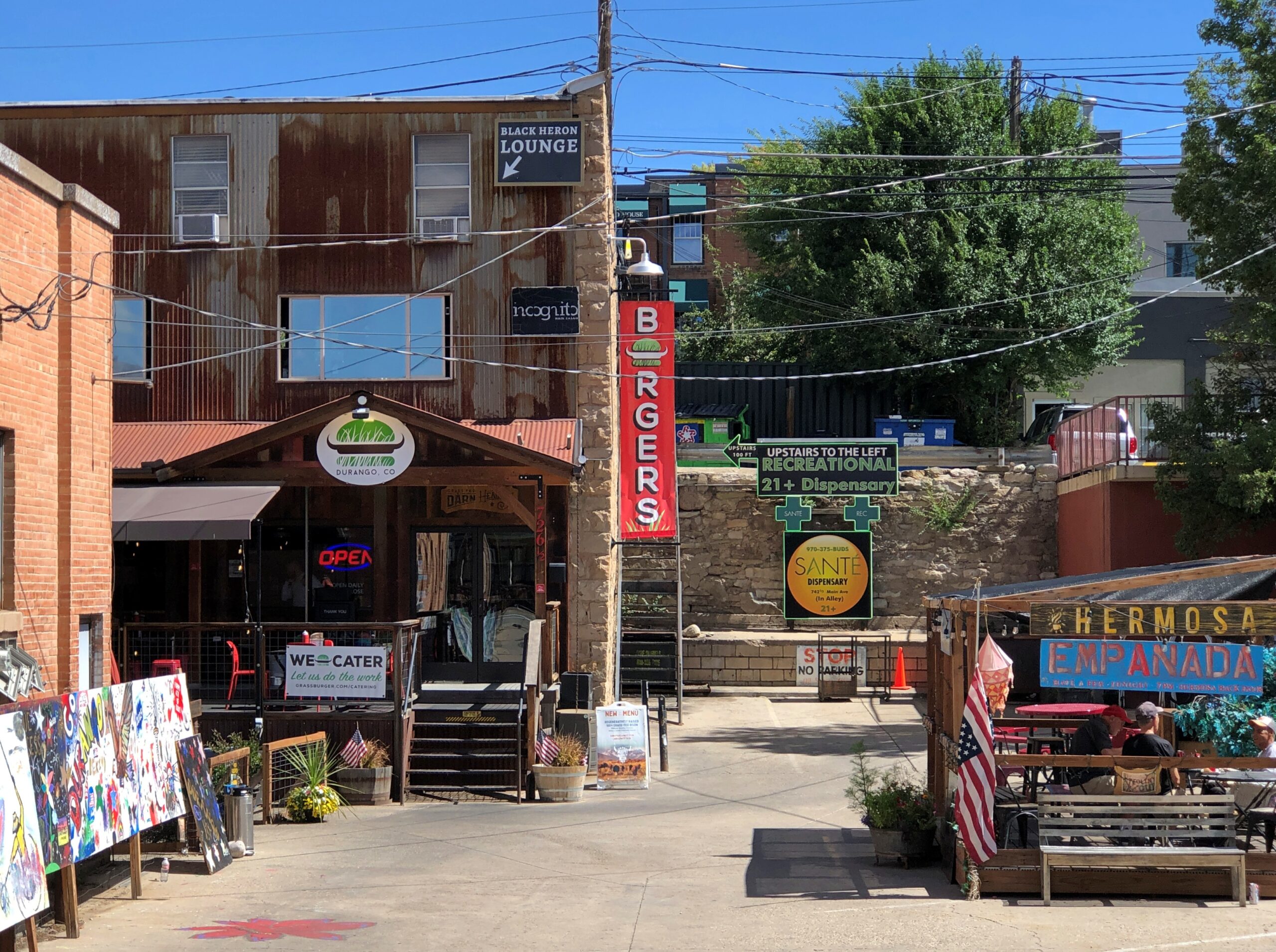
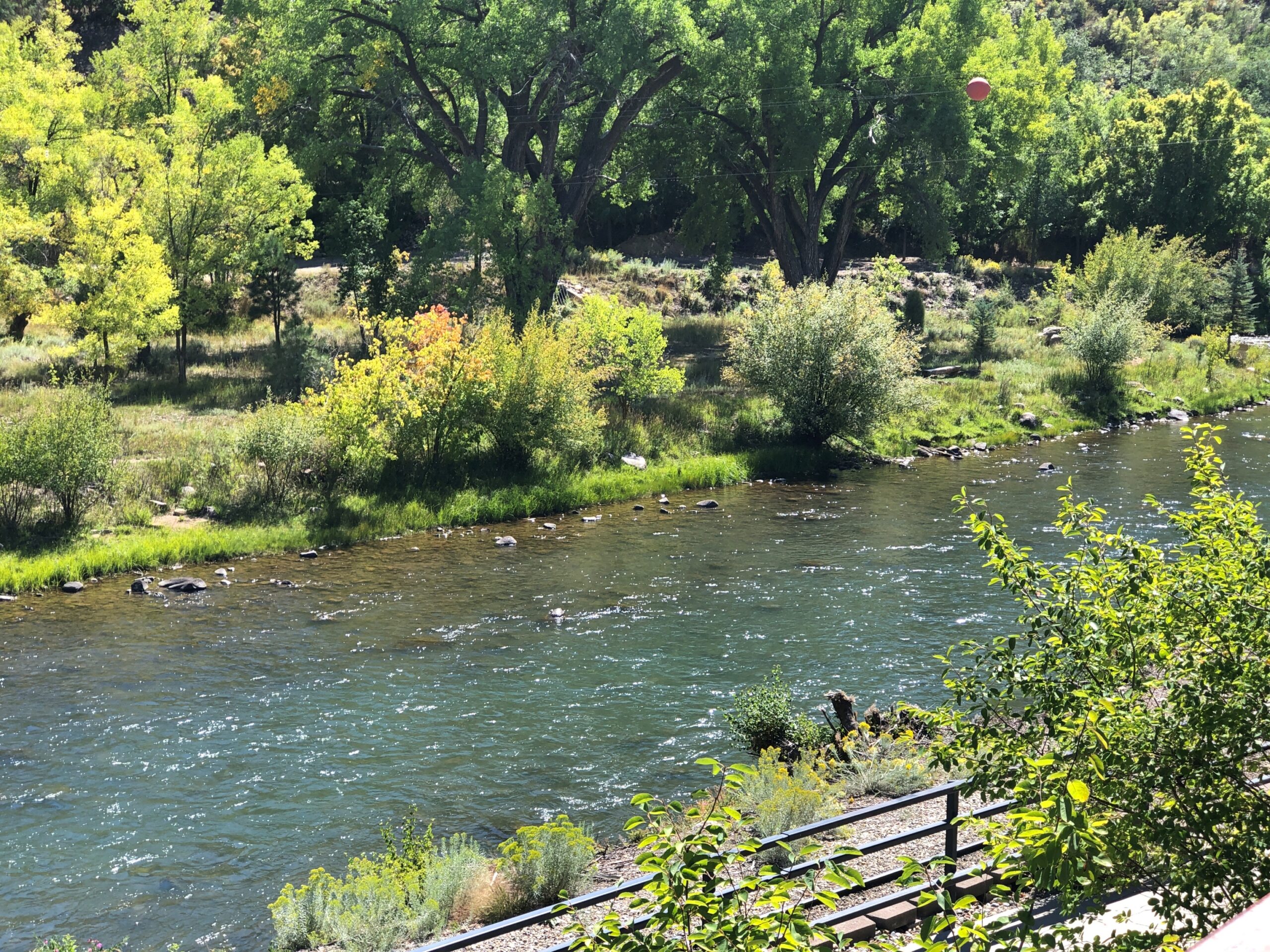
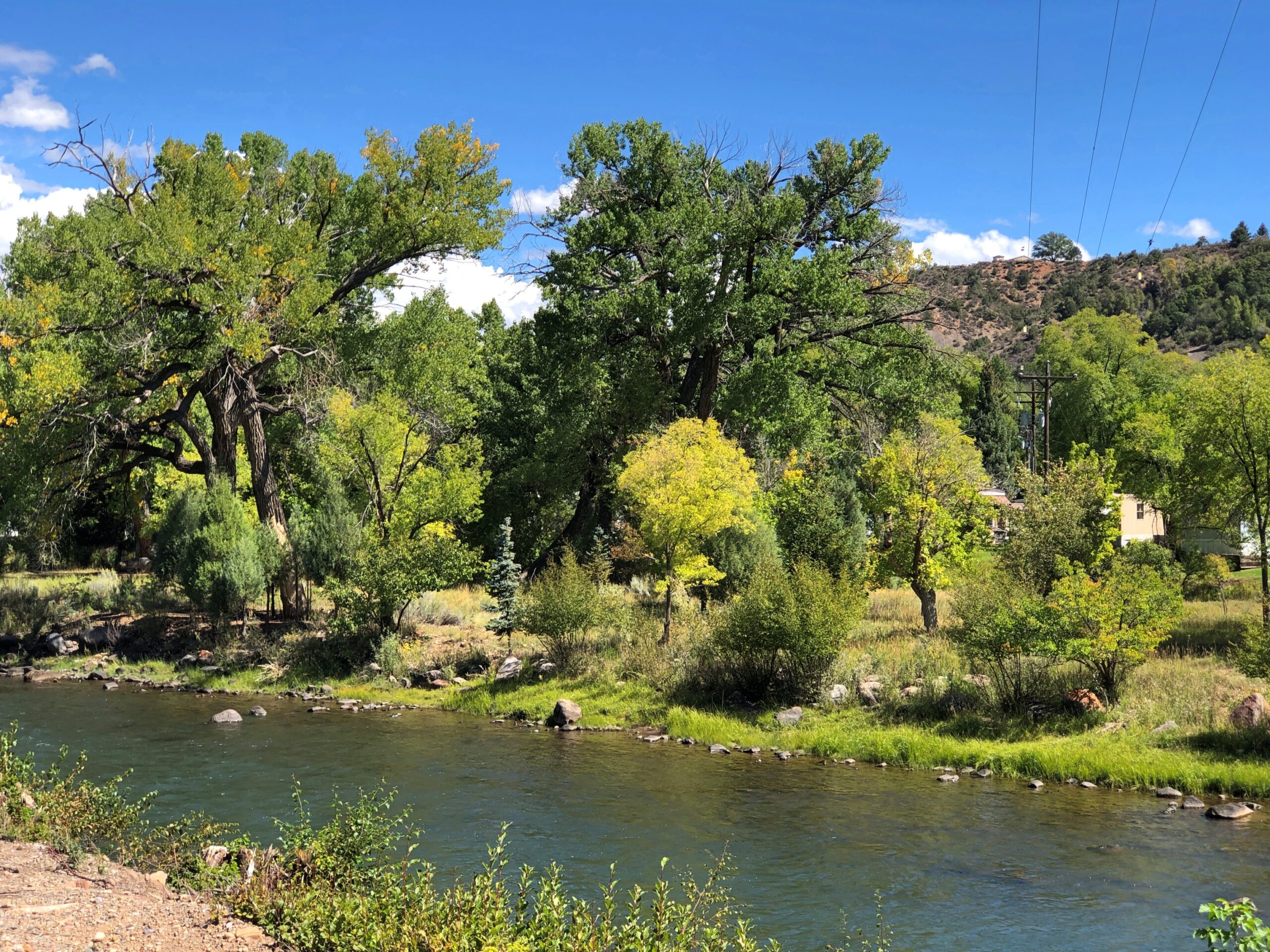
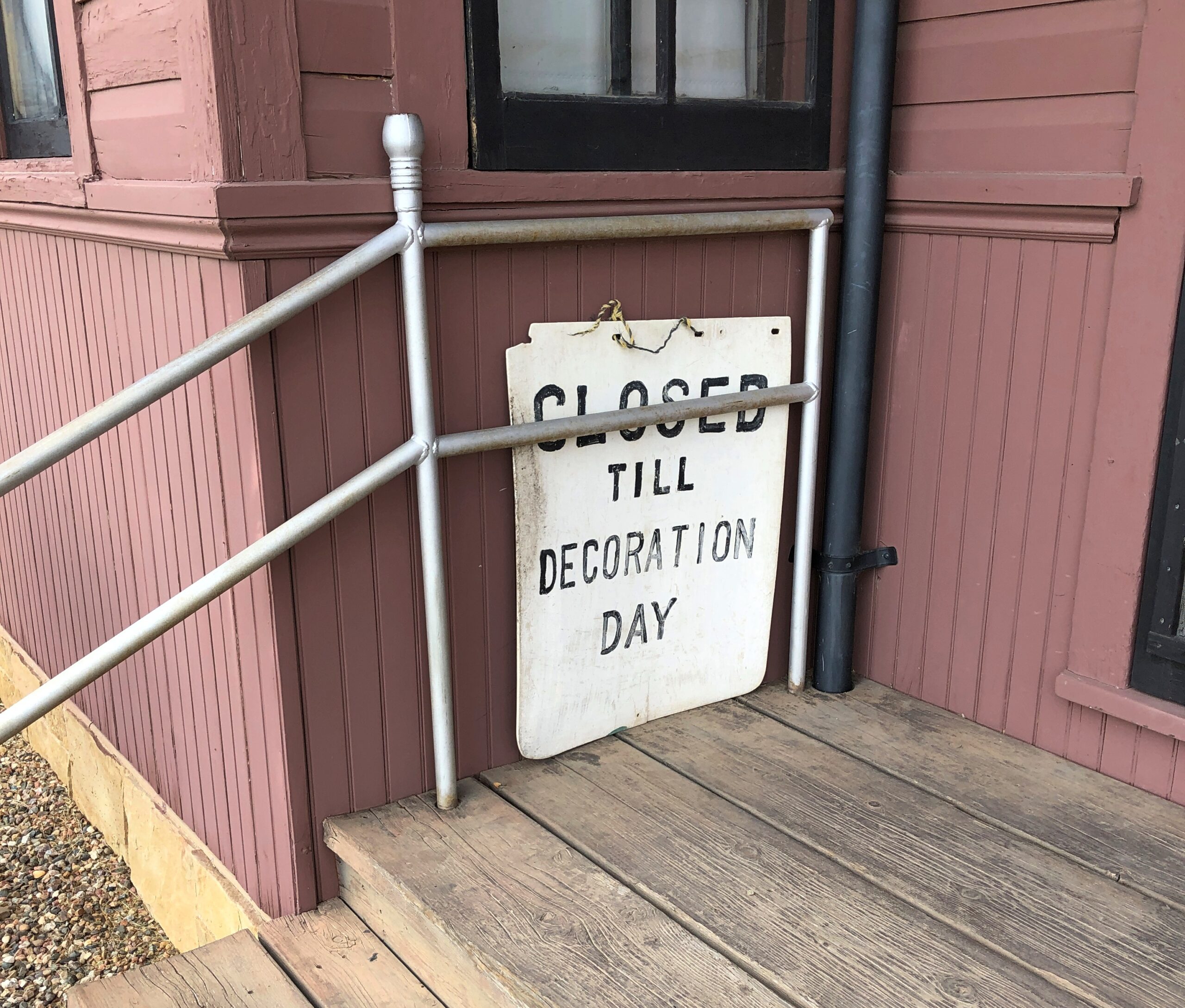
And, around the back (off Main St., that is), just a half a mile from the railroad track, is Theresa’s Stockbridge Café.
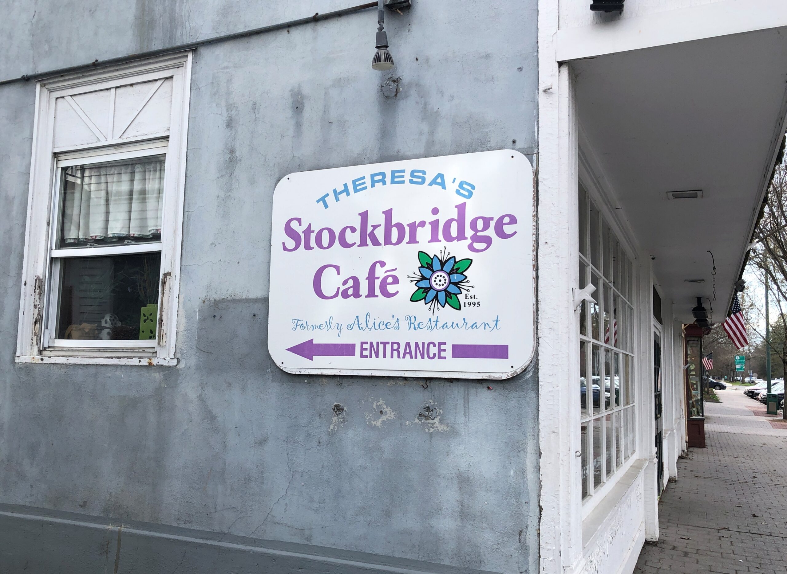
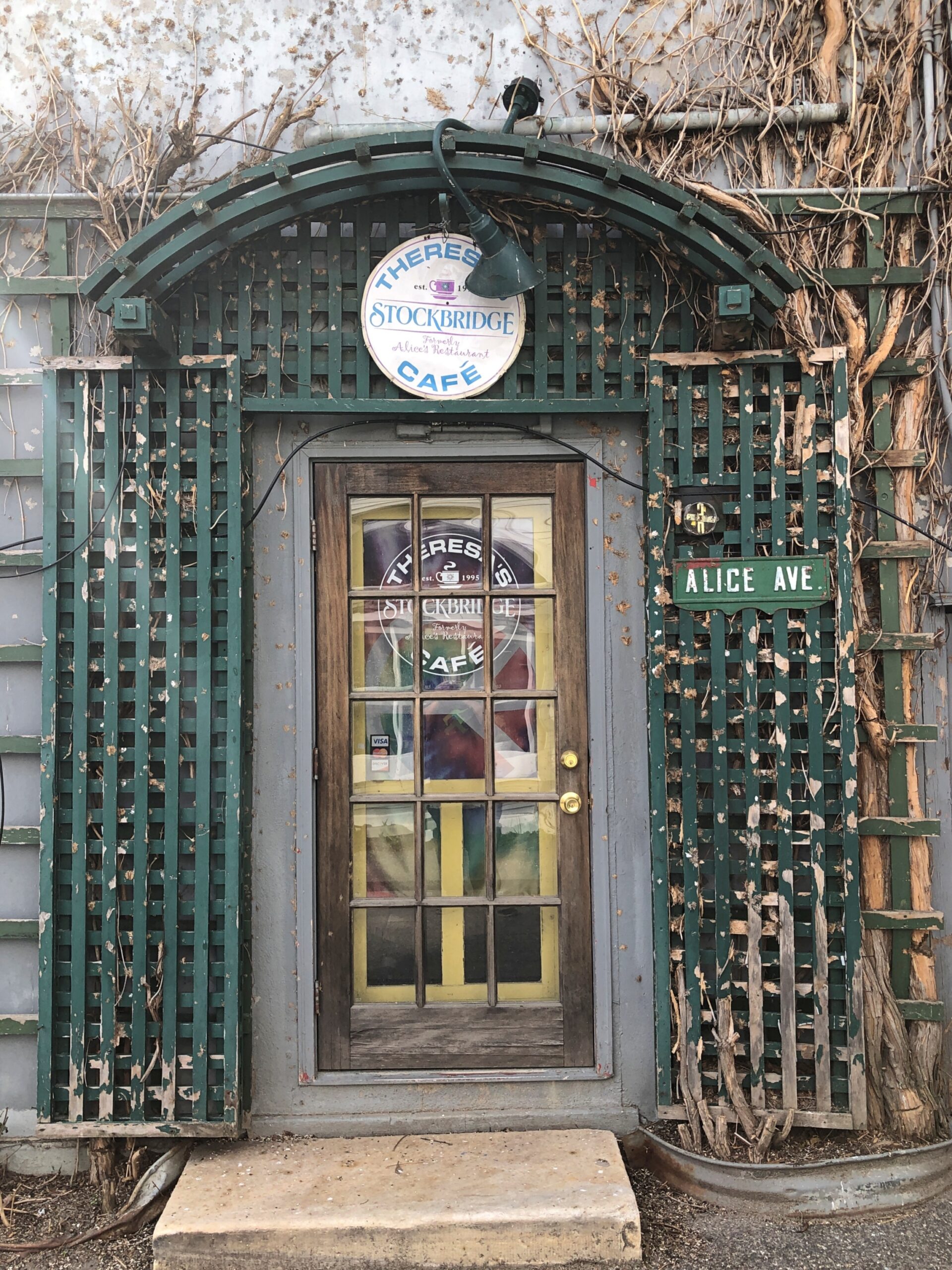
Closed for the day.

Palestine, Texas

Terrific lightning storm rolled by to the south last night at about 11. Little rain but a prodigious amount of cloud-to-cloud lightning, unlike anything I’ve seen in years. The last time might have been when we were under such a near-rainless storm in North Dakota nearly 20 years ago. After watching in fascination from the back door, I got my phone and recorded about 30 seconds of the spectacle.

As usual, video only conveys a fraction of the visual power of the moment. But, in spite of the channel it’s on, it isn’t AI.

I was curious today which volume of the Encyclopedia Brown books — whose protagonist is a sharp grade-school boy who solves crimes and mysteries — mentioned the town of Palestine, Texas. Even though I grew up in Texas, I’d never heard of the place until I read an EB story in the early ’70s that mentioned a string of places that some international jewel thief was traveling to: Moscow, Odessa, London, Paris, Palestine and Athens. The boy detective determined that the criminal would be in Texas, since those are all places in that state, and especially because “Palestine” is called “Israel” now, as he said.

You might wonder (I do now, anyway) what business an international jewel thief would have in a place like Moscow, Texas (pop. 170) or London, Texas (pop. 180), but never mind. It didn’t take long for me to find a YouTube review of Encyclopedia Brown Keeps the Peace (Book 6, originally published 1969), including the case that mentions the Texas towns. The reviewer takes the book to task, asking “can grade-schoolers be expected to know this information?” No, of course not. They can be expected to learn it, however.

Now I know exactly where I learned about Palestine (Pal-es-TEEN) more than 50 years ago. I didn’t arrive in Palestine in person until this February, on my way to Dallas from Nacogdoches. During my visit, I made the acquaintance of this fellow.

The sculpture is called “Chuggin’ ” (2020), created by Dewane Hughes, a sculpture professor at the University of Texas in Tyler. Railroads are important in the history of Palestine, so much so that one terminus of the Texas State Railroad – a linear state park along a former short line RR – is in the town. The other terminus is in Rusk, about 25 miles away. Not running in February, unfortunately.

“Chuggin’ is near the town’s visitor center, a former RR depot.

Also nearby is “Forging History” (2014) by Dale Montagne, with the base made of three actual rail car wheels.

Parking was easy to find in downtown Palestine, traffic light. Parallel parking was available right across from the splendid Sacred Heart Catholic Church, as it happened, an 1890s creation by Nicholas Clayton, who was most active in Galveston before the hurricane. Originally many of the congregation were workers on the International-Great Northern Railroad Co., which had a major presence in Palestine.

Palestine still has a sizable rail yard south of downtown.

Took a walk around downtown. Like most large towns, or small cities, there is a mixture of ongoing businesses –

— with vacancies.

Got some buildings with really good bones, as it’s been said in the real estate biz.

The Palestine City Cemetery is to the east of downtown, but not very far. Nowhere is that far in town.

City Cemetery, Palestine Texas

The crumble is on.

Something you don’t see that often. Not just the Stars and Bars, but the very first version with seven stars. In the fullness of not much time, six more stars were added.

Unknown CSA soldiers.

I assume United Confederate Veterans, the Southern equivalent of the GAR, placed this stone and those like it.

The cemetery has an impressive number of worn, broken stones, soldiering on through the elements.

Victorian sentiment in stone, said with due respect.

Would that kind of soft decay, the romanticism of stones worn by time and the elements, have appealed to Victorian sensibilities? Could be.

The Hermann Park Japanese Garden & A Side of Rice

My go-to data source for gas prices is AAA, which tells me that the national average today is $3.983/gal, and higher in Illinois, at $4.228/gal. As everyone knows, up markedly this month. People have long seemed to believe that the President of the United States has a magic button that made gas prices change. That was nonsense, of course, but now it looks like the administration has found such a button, except it might be stuck on “rise.”

Be that as it may, I’m glad my recent long drives, and long flights, aren’t scheduled for this year. The summer of ’26 could be a time to stay closer to home. Then again, prices north of $4/gal – in fatter 2008 dollars – didn’t keep us from driving to Great Smoky Mountains NP that year.

In Houston last month, I did a fair amount of driving, including in the airport-area industrial submarket. That is, among the warehouses and distribution centers that form part of the sizable metro Houston industrial market, which totals about 700 million square feet (for comparison, metro Chicago’s market is roughly 1 billion square feet). I’m probably one of the few tourists anywhere who gets a kick out of driving by behemoth industrial buildings, but there you have it.

I also drove the short distance from downtown Houston to Hermann Park, a legacy of the City Beautiful Movement and the landscape architectural talents of George Kessler (d. 1923). He was a younger version of Frederick Law Olmstead, it seems, busy in a lot of places, though more important in planning for Dallas than Houston.

Always thought “City Beautiful” is too far a reach. Like most people, I’d say City Pretty Nice or City Not Bad would be good enough, but that’s not the kind of movement name that inspires grand projects.

The Japanese Garden occupies part of Hermann Park. That seems to be the generic name. I made my way there. It’s a pretty place, even in February.

A mix of imported Japanese flora and the pines of East Texas. Hermann Park itself dates from the early 20th century. The Japanese Garden, the late 20th century, a prosperous time for Japan, and when that dustup between Nippon and the USA had mostly been put in the rear view mirror.

Where there is water, there is waterfowl.

Just outside the Japanese Garden are tracks for the Hermann Park Railroad, a narrow-gauge line that makes a loop through the park. I didn’t ride it, but of course thought of the Brackenridge Park RR in San Antonio, the one by which all others are judged (by me).

Just outside Hermann Park is Rice University. I considered Rice, but decided not to go — or I wasn’t admitted anyway, I don’t remember after all this time. As a result, my short stroll this February was my first visit to campus.

Not a very long visit. Rice has some fine buildings.

But also long sightlines. That make for long walks.

I’d already spent time walking around downtown Houston, and then the Japanese Garden. There’s only so much walking even indefatigable sightseers can do.

Big Four Bridge

Even the last day of a long trip can include – should include – something to see. With that in mind on December 22, after we crossed the Ohio River from Louisville on the I-65 bridge, which I have done many times, we took the first exit to go to Jeffersonville, Indiana, which I have done only once, in 1990. Then we went back across the river to Louisville, this time on foot on a massive iron structure known as the Big Four Bridge.

The Jeffersonville side of the bridge offers views of that town and its riverfront, where I took a wintertime stroll all those years ago. At that time, Big Four Bridge was a decaying relic, inaccessible to the public.

You can also see the I-65 bridge from that vantage. It too is an elegant design.

But not as impressive as the sweeping ironwork of Big Four Bridge.

The Ohio sweeps along as well.

I couldn’t take enough pictures of Big Four.

Once upon a time, Big Four carried the Cleveland, Cincinnati, Chicago and St. Louis Railway, also nicknamed the Big Four Railroad. The 2,525-foot span contains six trusses, beginning as a late 19th-century project, the sort of pre-OSHA work that killed dozens of workers during construction (so why not ghost stories?).

Completed in 1895, “The Big Four Bridge allowed freight traffic to dramatically increase in Louisville, and began carrying high-speed interurbans on September 12, 1905…” says Bridges & Tunnels. “Due to bigger and larger trains, not only in size, but in weight, contracts were let in June 1928 to build a larger Big Four Bridge. The new span, constructed by the Louisville & Jefferson Bridge Co., was built on the piers of the old bridge, while leaving the existing span intact while it was upgraded.”

That is the structure we see today, except that in the early 21st century, it was redeveloped into a pedestrian/bicycle bridge.

At the Louisville side of the bridge, views of the city.

And looking back at the bridge from the Kentucky (Louisville) side.


We saw the daytime bridge, of course. But “the Big Four Bridge has an LED lighting system that wraps the iron fretwork in vibrant colors,” says Our Waterfront. “The lights can be programmed to have a rainbow effect, highlighting the beauty and strength of the bridge structure. At night, the bridge becomes a colorful beacon in our city. Lights operate daily from twilight until 1 am.”

Another reason to come back to Louisville-Jeffersonville, obviously.

Pardon Me, Boy –

It was some years before I got the joke.

For good reasons. I was only 13 when the movie came out, with no memory of the original reference, and you couldn’t just dial up any old song on your machine in those days. Still, I’m happy to say I saw Young Frankenstein in the theater, as I did Blazing Saddles that same year, which also included some references I didn’t understand until later, notably the names of Lili Von Shtupp and Gov. Le Petomane.

On the road home from Florida, we passed through Chattanooga, a city I hadn’t visited since sometime in the 1980s. I also have handful of memories of Chattanooga during our family road trip around the South in 1969, especially the hotel.

This time I noticed that the Chattanooga Choo-Choo was only a few blocks from the Interstate. So we paused our drive for a short visit.

“This landmark Chattanooga hotel located on Market Street in downtown Chattanooga initially served as the Southern Railway Terminal,” the Tennessee Encyclopedia says. “Designed by Beaux-Arts-trained architect Donn Barber of New York City, this magnificent architectural gateway to the Deep South opened during the Christmas season of 1909.”

With the mid-century decline of passenger rail in the U.S. came the near-demolition of the terminal, but the lesson of Penn Station and the era’s other thoughtless architectural destruction was apparently enough to fuel the Southern Railway Terminal’s preservation. With its redevelopment into a hotel-retail-entertainment complex came a new, instantly recognizable name: the Chattanooga Choo-Choo.

Inside, the sort of grand hall that marks grand old train terminals.

Behind the main building, relics of past choo-choos.

In case you’ve forgotten where you are.

Shovel all the coal in, gotta keep it rollin’
Woo, woo, Chattanooga, there you are

Winter Park, Florida

Regards for the New Year. Back to posting four days into 2026, maybe with tales of Florida alligator tourism. The change of the year always brings me the same reaction: how did that number get so high? This time around, I wonder how is it that 1976, a good (mostly) year I remember fairly well for a number of reasons, was 50 years ago?

Orlando, Yuriko was surprised to learn, is an actual city. The day after Universal Epic Universe, we drove from our hotel near that park, past Orlando’s sizable downtown, and to the inner suburb of Winter Park. She marveled that the city had a presence besides the sprawl of the theme parks, which are at some distance from the Orlando CBD. Bet she isn’t the only person, upon leaving the theme park zone, with that reaction.

One could devise a pretty good multi-day visit to Orlando, to see its green spaces and historic sites and museums, and take in a few shops and restaurants and some live music, and never pay the Mouse or Comcast a dime. Maybe one day I will do such a visit, but the pull of the theme parks is pervasive. Even my businesses trips of yore (early 2000s) to central Florida tended to gravitate toward the parks. Why would you skip the theme parks? would be the reaction, even — and most importantly — among members of my family. For now, part of a day away from the Theme Park Industrial Complex will have to do.

I’d gotten wind of a tour boat ride on Winter Park’s small lakes that (1) wasn’t expensive and only about a hour long; (2) didn’t require reservations or a damned app or the like to access; and (3) most importantly, was something we could do sitting down, after a day of walking and more walking.

Winter Park, Fla. Dec 10, 2025

We made it for the noon tour. December 10 was as warm and clear a day in Winter Park as you could ask for, a reminder of why a couple of Victorian businessmen were able to found a town in central Florida and attract wealthy property buyers who aspired to escape the frozen North for a few months.

Our skipper for the tour.

Winter Park, Fla. Dec 10, 2025

Skipper Bob, let’s call him. He took us from the tour-boat dock on Lake Osceola through a couple of canals to Lake Mizell and Lake Virginia and then back, pointing out some of the posher estates and landmarks along the way, such as the posh boat houses that tend to come with such properties.

Winter Park, Fla. Dec 10, 2025

Bob also offered up some detail about the history of the area, most of it unfamiliar. I didn’t know, for example, that Fred Rogers was an alumnus of Rollins College, which occupies a sizable chunk of the Lake Virginia shore. I also learned that the college, even in our age of grossly inflated higher-ed tuition, outclasses most others in its high cost.

Out on the lakes, Bob revved up the engine from time to time, spurring the boat forward at a good clip. Wind famously blows long hair into a pleasantly billowing mass at such times, but under the warm sun and blue sky that day, even my shortish hair was picked up by the wind. Felt good.

I liked the passages through the canals. I don’t think I was alone in this.

and offering up some detail about the history of the area, most of it unfamiliar. I didn’t know, for example, that Fred Rogers was an alumnus of Rollins College, which occupies a sizable chunk of the Lake Virginia shore. I also learned that the college, even in our age of grossly inflated higher-ed tuition, outclasses most others in its high cost.

In most of the rest of the country, winter had arrived. In Winter Park, named for the season it is most unlike, you can pass through the tightly packed greenery luxuriating in warm air.

You’re up close to the yards of more modest, but still high-value real estate. Everyone’s got a dock.

Winter Park, Fla. Dec 10, 2025

The vantage means views of the canopy above.

Winter Park, Fla. Dec 10, 2025

After the boat tour, we walked a few pleasant blocks along Morse Blvd., away from the lake. This handsome church, First United Methodist, didn’t look open. Too bad.

Winter Park, Fla. Dec 10, 2025

The city is fond of its peafowl, I understand.

Winter Park, Fla. Dec 10, 2025

The downtown shopping street in Winter Park is Park Ave. On one side of the street are the likes of Bosphorous Turkish Cuisine, Williams-Sonoma, Ocean Blue Galleries, D’Anne Mica, Fannie Hillman + Associates real estate, Current by John Craig men’s clothing, The Imperial on Park wine bar and Be On Park Fine Jewelry. Life Is Good (registered trademark) products are available on the street.

the shopping side of the street are the likes of Bosphorous Turkish Cuisine, Williams-Sonoma, Ocean Blue Galleries, D'Anne Mica, Fannie Hillman + Associates real estate, Current by John Craig men's clothing, The Imperial on Park wine bar and Be On Park Fine Jewelry. Life Is Good (registered trademark) products are available on the street.

Across the street from the shops is Central Park. The developers were out, I think, to remind New Yorkers of home, but without the likelihood of snow or ice or blizzards like in ’88.

Winter Park, Fla. Dec 10, 2025

The Winter Park station on the SunRail commuter line is at the park, and a SunRail came while I was idling in the park. Amtrak stops there too.

Winter Park, Fla. Dec 10, 2025

The park was decorated for the holidays, of course. Including a phone booth.

Winter Park, Fla. Dec 10, 2025

A local tradition. You can call from the booth and leave a message for Santa Claus.

Silverton, Colorado

Cold winds rolled through northern Illinois today. Seven inches of snow are forecast for Saturday. What? Right, it’s winter. The winter solstice is just the shortest day of the year.

Back to posting on Sunday. Regards for Thanksgiving.

Something to upset PETA sympathizers.

Silverton, Colorado

Stroll down Greene St. in the mountain town of Silverton, Colorado, at least in mid-September this year, and you’d have had the opportunity to buy a hide for $300. We did, but declined. Still, it wasn’t just a Colorado detail, but a Western one. The West, where men are men and cow hides hang in the sun. As far as I could tell, you couldn’t buy a hide with Bitcoin, but I suppose you’d have to ask the seller to be sure.

Not five minutes after we’d parked off the main thoroughfare of Greene Street in Silverton, on a large side street, a steam locomotive hauling a valuable cargo — tourists — pulled into town, a block from where we parked. The Durango & Silverton Narrow Gauge RR train from Durango had arrived. Instantly the streets around the train were thick with those same tourists who had paid roughly $100 a head for the scenic ride, though I suppose many, the majority maybe, had gotten a slight discount as seniors.

Silverton, Colorado
Silverton, Colorado

I assume the economy of 21st-century Silverton depends pretty heavily on these arrivals, at least in the warm months, as day after day the line disgorges its many passengers for their layover. No doubt the likes of High Noon Hamburgers or the Shady Lady or a lot of the other businesses in town wouldn’t be viable otherwise.

Silverton, Colorado

Blair St., paralleling Greene St. a block away. No need for pavement.

Silverton, Colorado

Greene St.

Silverton, Colorado

Lots to see on Greene.

Silverton, Colorado
Silverton CO

Including the fine Colorado flag, flying at Railroad Art by Scotty, a seriously cool gallery.

Silverton CO
Silverton CO

“Railroad Art by Scotty presents the custom matted and framed collector Railroad Art Prints by renowned railroad artist H.L. Scott, III,” its web site says. “These are not photographs and they are not created on the computer. These are pen & ink drawings created by Scott using the technique known as STIPPELING or pointillism.”

One of the few buildings I’ve seen that clearly states its elevation.

Silverton CO

The Grand Imperial Hotel. A lofty name to live up to, but probably posh enough to do so.

Silverton CO

Restored to its 1880s appearance in the 2010s, no doubt at considerable expense.

As it looked in 1940, a photo from the Library of Congress, Farm Security Administration-Office of War Information Photograph Collection.

More Greene St.

Silverton CO
Silverton CO

Greene is short, because Silverton isn’t very large, and so the street, now a road, soon heads for the hills.

Silverton CO

The Hillside Cemetery of Silverton.

Hillside Cemetery of Silverton

An apt name.

Hillside Cemetery of Silverton

With a good view of the town.

Silverton

Some sizable memorials.

Hillside Cemetery of Silverton

More modest ones.

Hillside Cemetery of Silverton

Echoes of lost men from another time. Beyond the outstanding beauty of a hillside cemetery in the flush of autumn, reason enough to visit the cemetery.

Durango, Colorado

“Good morning.”

“Good morning,” Walter said in response to me, but in a hushed tone that somehow made his Austrian accent more distinct. “Do you want to see some bears?”

Yes. I followed him out to the large deck off the large common room of the Country Sunshine B&B. Outside we met with cool air, bright morning sun, and the strong smell of pine. The deck was a floor above the grassy ground, which sloped downward away from the bed and breakfast, shaded by a small copse of enormous pines.

We’d just spent the night at Country Sunshine B&B, the first of three for our visit to Durango, Colorado, a place I’d wanted to visit since the moment, years ago, when I heard Garrison Keillor describe the place in the engaging way that he had. I’d come out of our room – one of the three or four bedrooms off the common room – ahead of Yuriko, to examine the breakfast spread at the main table when Walter asked me about bears.

Under one of the tall pines, and among the many pine cones dotting the ground, was something dark and much larger: a bear.

Durango, Colorado

“He isn’t the only one,” Walter said, pointed upward. Another sizable bear was perched part way up the largest pine. I didn’t say anything, or maybe I did. Something along the lines of, How about that. When I spend time on my deck, squirrels are about as large as the animals get, except occasional rabbits and raccoons.

Durango, Colorado

“Look way up,” Walter said.

Two more bears – smaller bears, though I wouldn’t want to be face-to-face even with them – clung to the branches toward the top of the tree. They were hard to see, and my photos barely show them, but they were there, not moving a bit.

Durango, Colorado

Soon Yuriko, and some other guests, had come to the deck to see the bears and take pictures. Every few minutes while we watched, the largest of the bears, the one on the ground, would start shimmying up the tree. The bear in the tree snarled at his approach, and, after pausing for a few moments, the first bear returned to the ground.

We were about 10 miles north of Durango, where the human settlement is fairly thin, and bears known to prowl the mountains on either side of the single road, US 550.

In the two decades of so that Walter and his wife Jodi have owned the B&B, he said bears had been sighted. Of course they had. Get careless with closing an outdoor garbage receptacle and bears will make an appearance in the neighborhood. During dry spells, they come for the creek waters near the property, and Walter pointed out that this summer had been fairly dry in the region.

But this was a first, Walter said: probably a male bear out to do harm to some cubs, a female bear standing in his way — a bear drama playing out in the tree near the B&B.

Late that afternoon, we returned to the B&B. Papa Bear, as everyone was calling him now, still lingered under the tree. Mama Bear still watched him from the lower branches, and the cubs still clung to the upper branches. Papa Bear had mostly quit trying to climb the tree, Walter said, but he was still waiting around.

The bears stayed in place through that evening, but when I went to the breakfast table the next morning to examine the bagels and spreads and fruit and hot drinks, the bears – I checked from the deck – they were not to be seen. After their one-day show (from a human point of view), they’d taken their drama somewhere else,

We spent that first day (September 16) wandering around town and nearby. In downtown Durango, small buildings that have endured for more than a century line Main Street.

Durango, Colorado
Durango, Colorado
We spent that first day (September 16) wandering around town.

Or not so small. Such as the magnificent Strater Hotel, built in 1887.

Strater Hotel, Durango

The sort of place where presidents stay, or used to. Did any? The hotel web site doesn’t say. I’d ask ChatGPT, but it would probably tell me that FDR stayed there during his Grand Western States Whistle Stop Tour in 1939, a wholly fictional event. Wiki says Gerald Ford stayed there. Louis L’Amour did too, and now has a room named after him.

A competitor. Named for this fellow, Union (brevet) brigadier general and railroad man, who co-founded the Denver and Rio Grande RR.

General Palmer Hotel

Downtown Durango is well supplied with retail.

Lunch options, besides burgers and empanadas or a liquid lunch, included the likes of the Diamond Belle Saloon, Seasons of Durango, Chimayo Stone Fired Kitchen, Steamworks Brewing Company, and Eolus Bar & Dining. All very nice, I’m sure, but we chanced on something more to our tastes at that moment: the Durango Diner. In business for 60 years.

Durango Diner

Durango started not so much as a mining town, but a railroad node that served the mines further up the line. Silverton, for instance. One reason Durango is where it is: the Animas River. These days, the river is accessible to pedestrians in a number of places in town. One was near the Durango Library, also the location of a shady sculpture garden.

At this place, the tracks of the Durango & Silverton Narrow Gauge RR run along the river.

Animas River, Durango

That was also true at the 29th Street Park, though the tracks were on the other side of the river.

Animas River, Durango

We waved. A few waved back.

Alliance, Nebraska

The highway Nebraska 2 passes through the town of Alliance, as do the BNSF railroad tracks paralleling the highway. During my drive across the Sandhills, I saw train after train headed east from Alliance. Long trains, the seemingly endless sort, even though they’re going the opposite direction you are, so they’re passing by at your speed plus their speed: well over 100 mph probably.

Every single one was a coal train. The industry isn’t what it used to be, but it isn’t dead, and much extraction takes place in the Powder River Basin, with rail from there converging in Alliance and then heading to the markets in the east. For a fairly small place, Alliance (pop. 8,150 or so) has a large rail yard.

Back up a little further, and the region reveals clear signs of circle-pivot irrigation.

In ag terms, most production in Box Butte County – a favorite of mine among county names – is actually livestock, raised on non-irrigated grassland, which you can also see driving in. As for the irrigated places, that’s corn and wheat, with a smattering of alfalfa, beans, sunflowers and sugar beets. Somewhere up north is a rock formation called Box Butte, a name that I understand the railroads were using in promoting settlement this way, before it was ever official.

I didn’t come to town to learn all that, but I did later. Mainly I came to see Carhenge. The weather that day, September 7, was clear and very warm, which inspired some further looking around. First stop, Alliance Cemetery.

Alliance Cemetery
Alliance Cemetery
Franks & Beans

“Bury me in old Box Butte County.” There’s a western swing title in that.

Alliance Cemetery

Something I’d never seen on a gravestone before: Scooby-Doo.

Go figure. Maybe Richard “Red” Hardy is the one who wanted it on the stone, since he would have been almost 10 when that cartoon premiered (September 13, 1969), and that’s about the right age to get hooked on such a thing. Then again, I was eight — saw the first episode myself — and yet somehow I’ve remained immune to its charms.

As for the Huskers, I saw them on some other stones in this cemetery. Hardly the only example of fandom from the grave.

I’ve seen cowboy churches and I’ve seen cowboy graves.

The cemetery is east of downtown Alliance, but not that far away. The Box Butte County Courthouse is on Box Butte Ave.

Box Butte County Courthouse

Along with a number of other vintage buildings. Newberry’s Hardware Co., once upon a time, which seems to be 1888 and then maybe an enlargement in 1914? Looks like it needs an occupant.

The 1927 Fraternal Order of Eagles Building.

FOE Building, Alliance NE

Slacker that I am, I didn’t take many detail shots, but one of this particular building is available (public domain) that shows how seriously the local FOE took its eagles about 100 years ago.

Hardware Hank is a hardware cooperative. New to me, but that only means I need to get out more.

More murals.

Alliance NE

Rhoads’ was a local department store. Gone but not forgotten, at least if you read the mural, which looks refurbished recently. The tag at the bottom says it was a gift of the Alliance High School Class of 1962.

An art deco theater. Nice.

Alliance NE
Alliance NE

A really cheap way to advertise.

You never know when (and where) Dali will show up. Enigmatic fellow.

And who is poor Jerry?

Antique shop within? A simple desultory Google search doesn’t reveal much. Street View puts the sign’s appearance between 2007 and 2012 (Google didn’t come that much to Alliance.) Even the Library of Congress wants to know.

I found lunch in Alliance that day at Golden Hour Barbecue, which promised (and provided) Texas-style ‘cue. I enjoyed it thoroughly. Same league as Salt Lick, though a little expensive, considering how close the cattle are. Then again, everything seems expensive these days, and it was such a large lunch that I barely needed to eat that evening in my room in Scottsbluff, so that mitigated the upfront cost.

Before heading to the big rocks near Scottsbluff on the morning of the 8th, I took a look around that town as well.

Scottsbluff NE

Can’t have too many art deco theaters. When I’ve done image searches for Scottsbluff, the Midwest theater comes up often as not.

A car to match. At least that morning.

Scottsbluff NE

Another former small department store, now private offices.

Just outside Scottsbluff is a single grave.

The grave of Rebecca Burdick Winters (d. 1852) She died a faithful Latter-Day Saint, her stone says, on her way to Utah. Officially, it is Rebecca Winters Memorial Park.

“Seven miles northeast of Scotts Bluff National Monument lies a solitary grave,” says Find a Grave. “This site marks the final resting place of Rebecca Winters, who died of cholera on August 15, 1852. Rebecca was only one of thousands of people who succumbed to disease as they made their way west on the overland trails, but her grave is one of only a few that remains identifiable today.”

Colorado Flatland Drives

Go east, old man.

Eastern Colorado

That was the goal about two months ago now, after I left Colorado Springs for a solo drive back to Illinois. The fastest way would be to link with I-70 while still in Colorado. I wasn’t inclined to do that, though I did take that Interstate route through much of Kansas. Instead, I wanted to start remote and stay that way for the length of eastern Colorado.

So east on Colorado 94 it was, which passes through such hamlets as Yoder, Rush and Punkin Center. Mostly, though, there are few signs of people.

Eastern Colorado

I noticed the Front Range growing smaller in my rearview mirror. I wondered at what point they would vanish from sight, and decided to keep track of their shrink, and note the last time I could see them. Naturally, I forgot about that resolve, and next thing I knew, the road backward and forward stretched to both horizons.

This is looking back west, a mountain barely visible, and is also an image illustrating that the eastern Colorado terrain isn’t completely flat.

Eastern Colorado

Eastbound Colorado 94 ends near Aroya, where it meets US 40/287. I took that road southeast to Kit Carson (pop. 255).

Kit Carson, Colorado

The railroad still comes through Kit Carson. It’s safe to say that without the railroad, the town might be no larger than Punkin Center. The Kit Carson Railroad Depot is now a museum.

Kit Carson, Colorado

Closed. Till Decoration Day. Really?

Kit Carson, Colorado

In any case, it was closed on September 22.

Across the street, metal works. The pump jack is one thing, but the other is a — tower?

Kit Carson, Colorado

The Kit Carson town web site has a few things to say about itself:

The town of Kit Carson had two locations. The original site was located near the site where Kit Carson traded with the Arapahoe and Cheyenne Indians. The present site was determined by the arrival of the railroad. Destroyed by fire three times, twice by the torches of Indians and once by carousing cowboys, the determined citizens of the town showed their desire to survive by rebuilding.

I can’t help but think those carousing cowboys were actually a gang of rustlers, cutthroats, murderers, bounty hunters, desperados, mugs, pugs, thugs, nitwits, halfwits, dimwits, vipers, snipers, con men, Indian agents, Mexican bandits, muggers, buggerers, bushwhackers, hornswogglers, horse thieves, bull dykes, train robbers, bank robbers, ass-kickers, shit-kickers and Methodists.

Also of note, according to the town: The railroad brought in foreign dignitaries, such as the Grand Duke Alexis [Alexei Alexandrovich] of Russia. The Grand Duke hunted in Kit Carson and was accompanied by his military escort, General George Armstrong Custer on January 20, 1872. [Custer was a lieutenant colonel at the time, but never mind.]

Grand Duke Alexis was on his 1871-72 tour of America. Sounds like he had a fine old time. Could have been the subject of an episode of Death Valley Days, but I don’t think it was. Dom Pedro, emperor of Brazil, made an appearance, as did the Emperor Norton, but I digress.

From Kit Carson, I headed south to Eads, still in Colorado, and then east on Colorado 96. I had the idea that I wanted to see the Sand Creek Massacre National Historic Site, which isn’t too far from that road. Just before the turnoff to the historic site, I noticed something odd near the highway.

A wrecked train. A long wrecked train. The cars toward to back.

train wreck, Colorado

Toward the front.

train wreck, Colorado

Nary a clue as to how it happened, or when, except that the cars don’t seem rusted or overgrown. I stayed on the road to take my pictures. The cars are lined up as if they were dumped off the track on purpose. No. Why? Or could it have been some odd accident in which the train essentially fell off in place? Or is that how derailments work? Why are front cars especially mangled?

It didn’t take too much research (later) to find some answers. The Kiowa County Independent reported in August: The heavily laden train was navigating a significant curve and elevation change west of Chivington when 16 covered hopper cars derailed. Each was filled with thousands of bushels of wheat, spilling tons of grain onto the ground along Highway 96, which runs parallel to the rail line.

Oops. Guess everyone would have heard about it if the cargo had been more volatile or toxic.

At the turnoff to the historic site, I got a view of the tracks (again, from the road). Far enough away that the mangled train cars aren’t visible.

Eastern Colorado

On to the historic site, via an unpaved road.

Eastern Colorado
Eastern Colorado
Eastern Colorado

Turns out the historic site closes at 4 pm. I got there just as the rangers were leaving, and one of them, who had a remarkable collection of snaggled and bent teeth, told me so politely. I didn’t argue with him, but I also wondered why a site so remote closes at all, except maybe for the visitors center or small museum. Rules is rules, I guess.

That was pretty much it for Colorado. I got to the border with Kansas not long after, and looked back.

Colorado-Kansas Border

Colorful Colorado. I’ll go along with that.