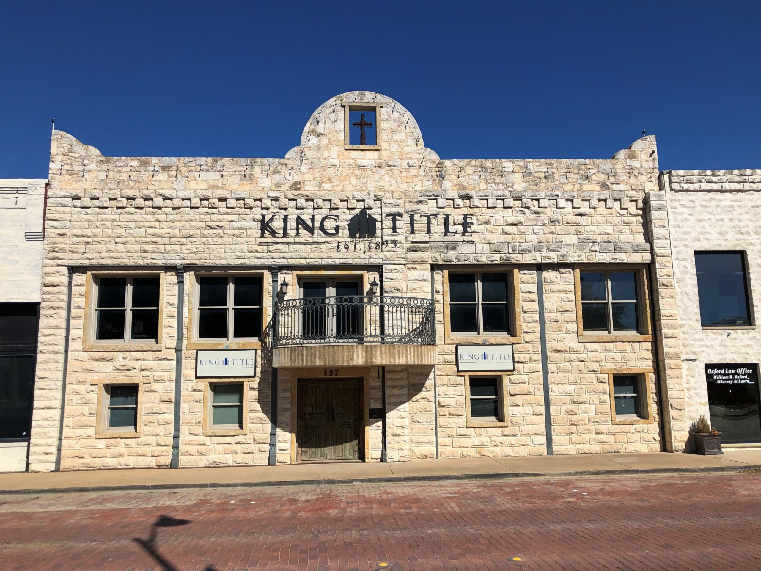
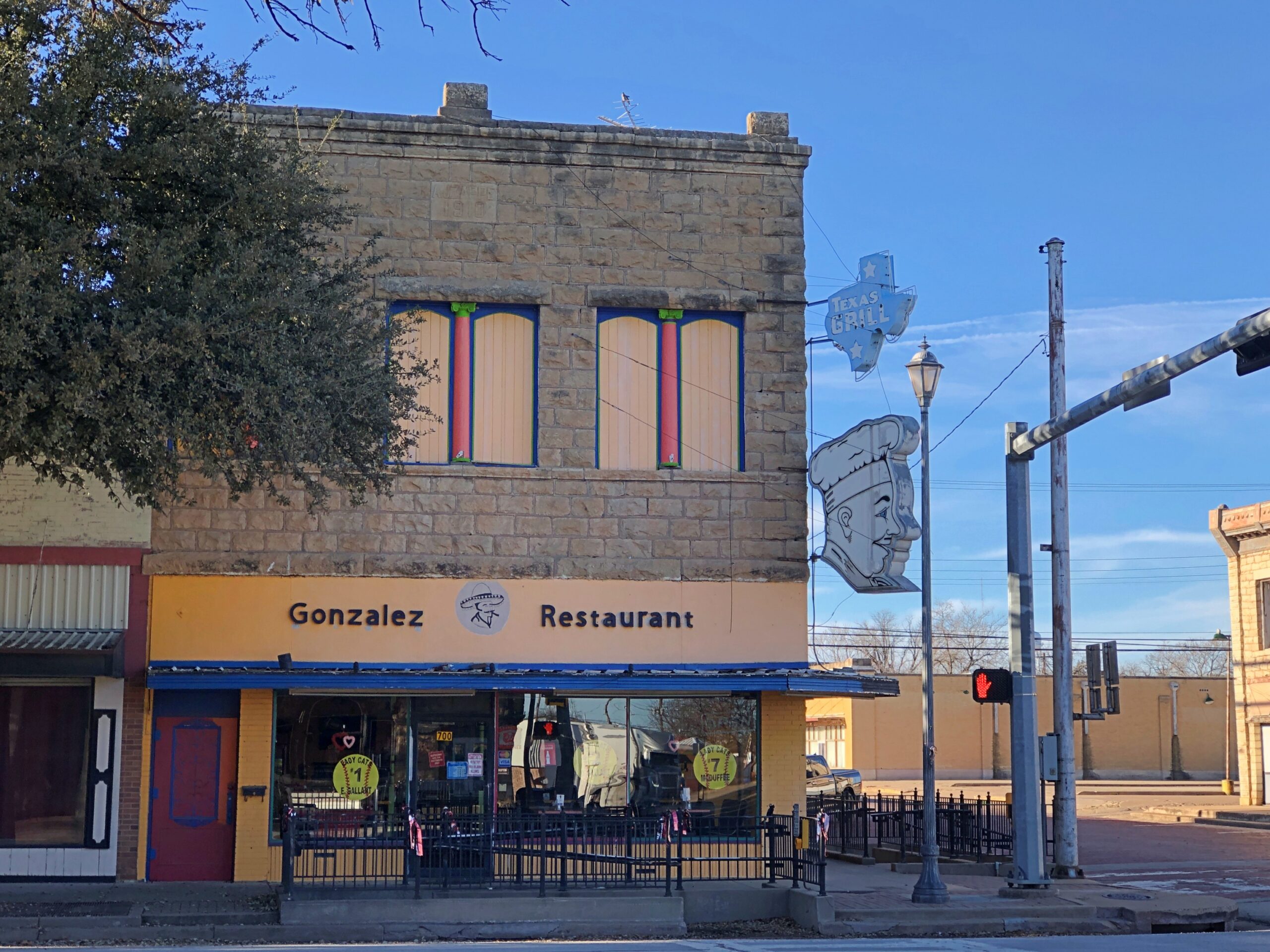
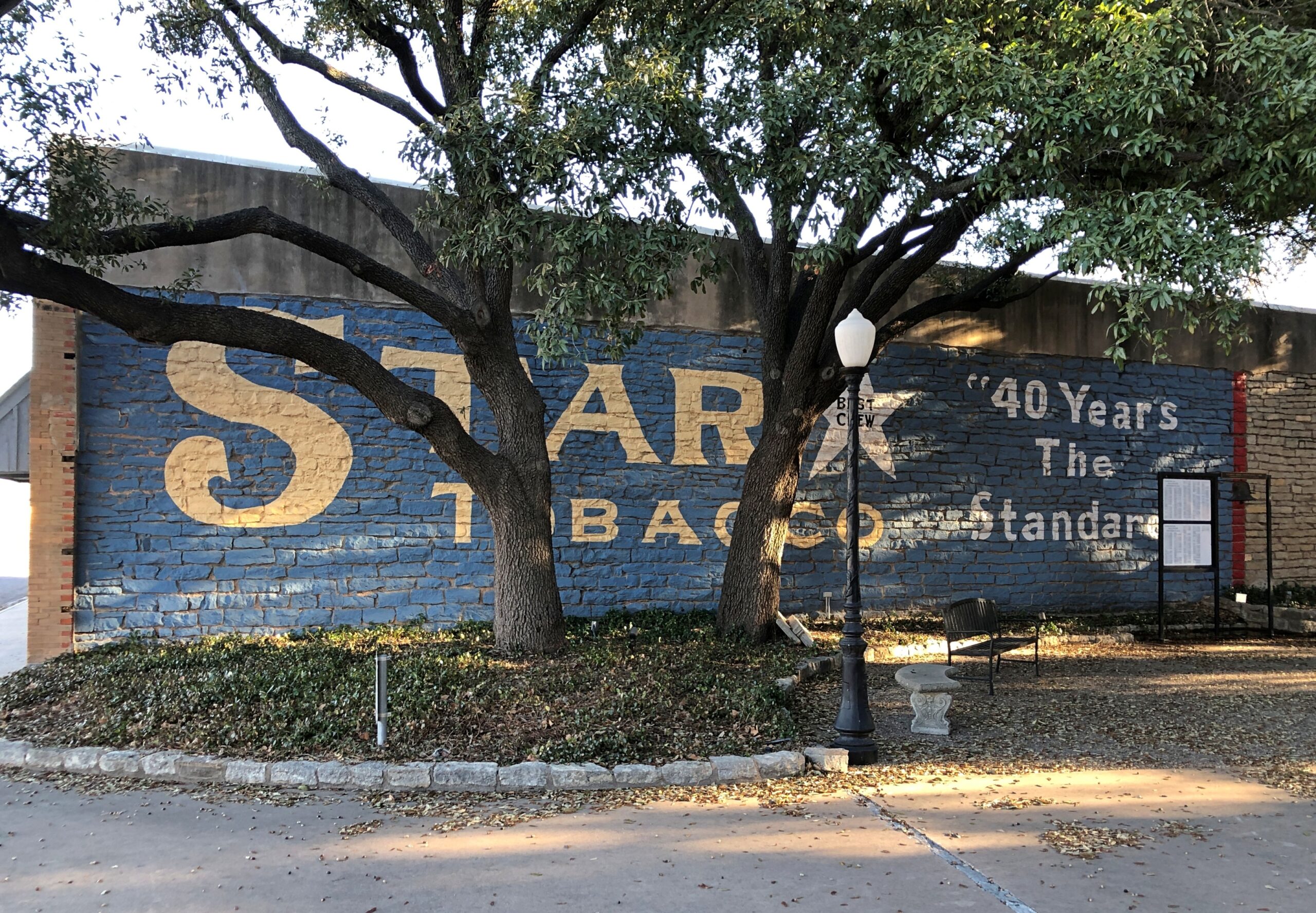
Time for spring break. Back to posting around April 26, when it might actually be spring in northern Illinois. There have been a few days recently when I’ve been able to sit out on my deck comfortably, which is my idea of spring, but not that many.
The recent trip to Texas seems like a while ago now. As usual, though, there were many details. A lot more than I can convey, but here are a few more.
Faces
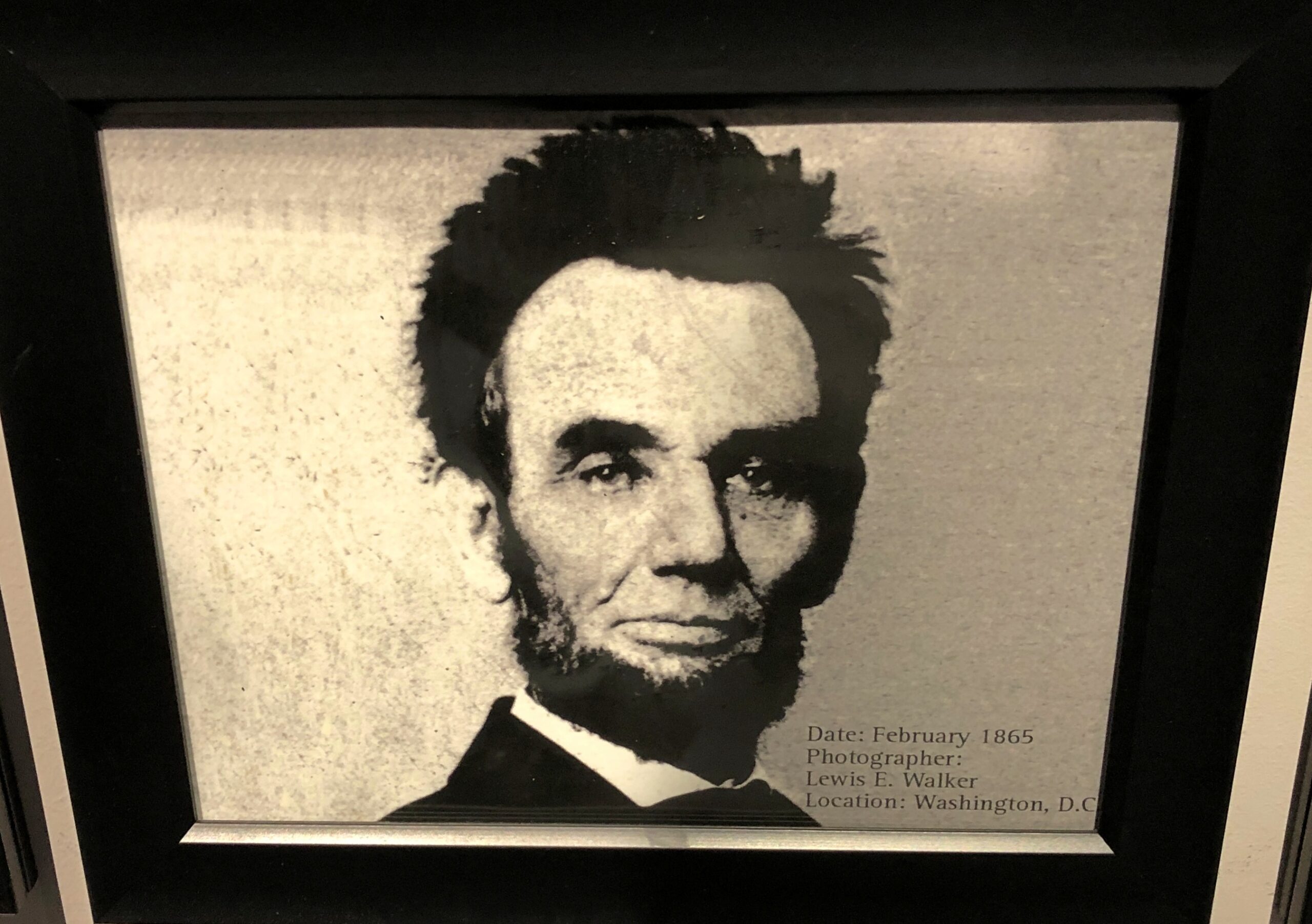
At the National Funeral Museum in Houston, one display featured, chronologically, 20 photographs of Abraham Lincoln. The third to last one, from February 1865, is one you don’t see much.
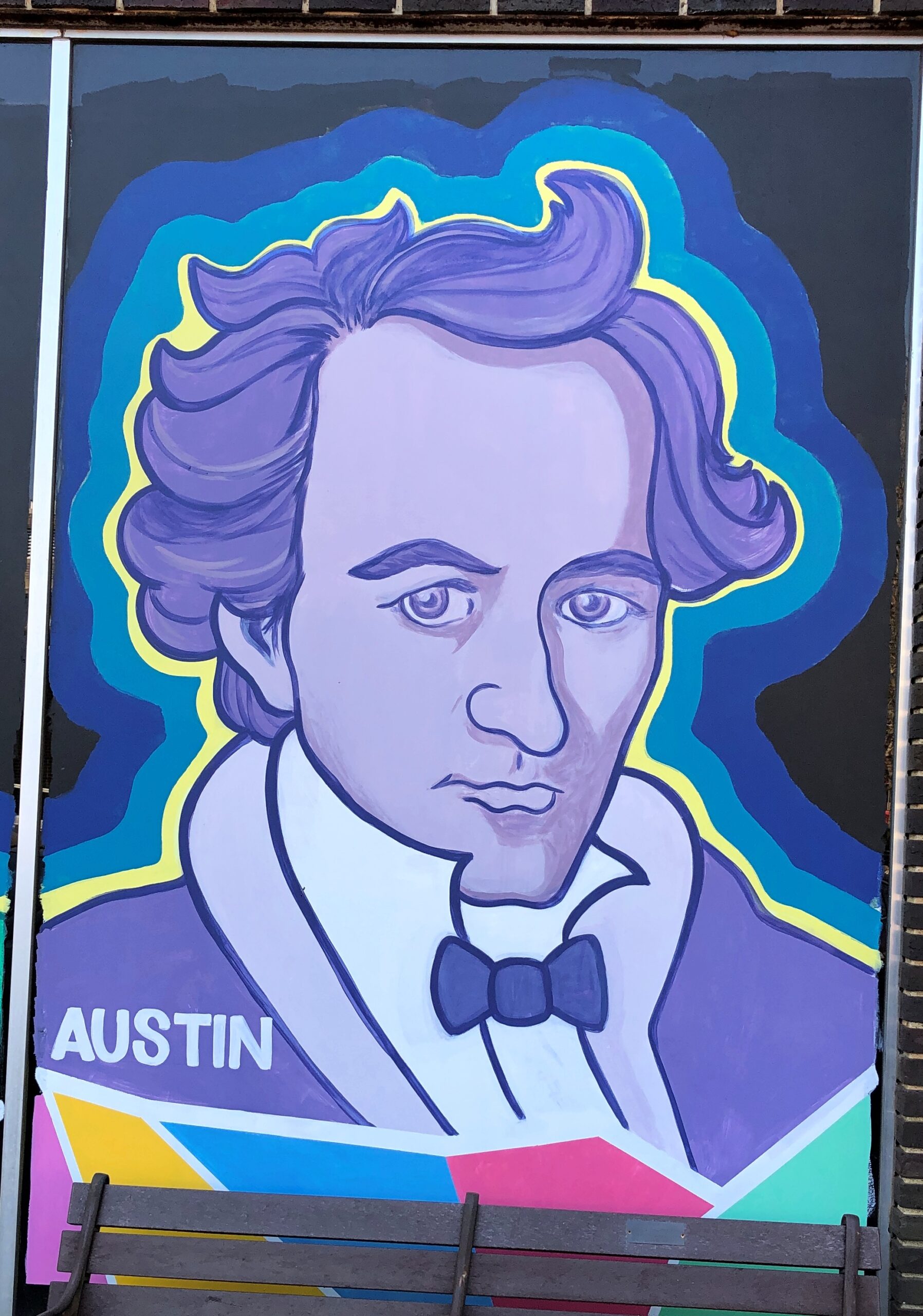
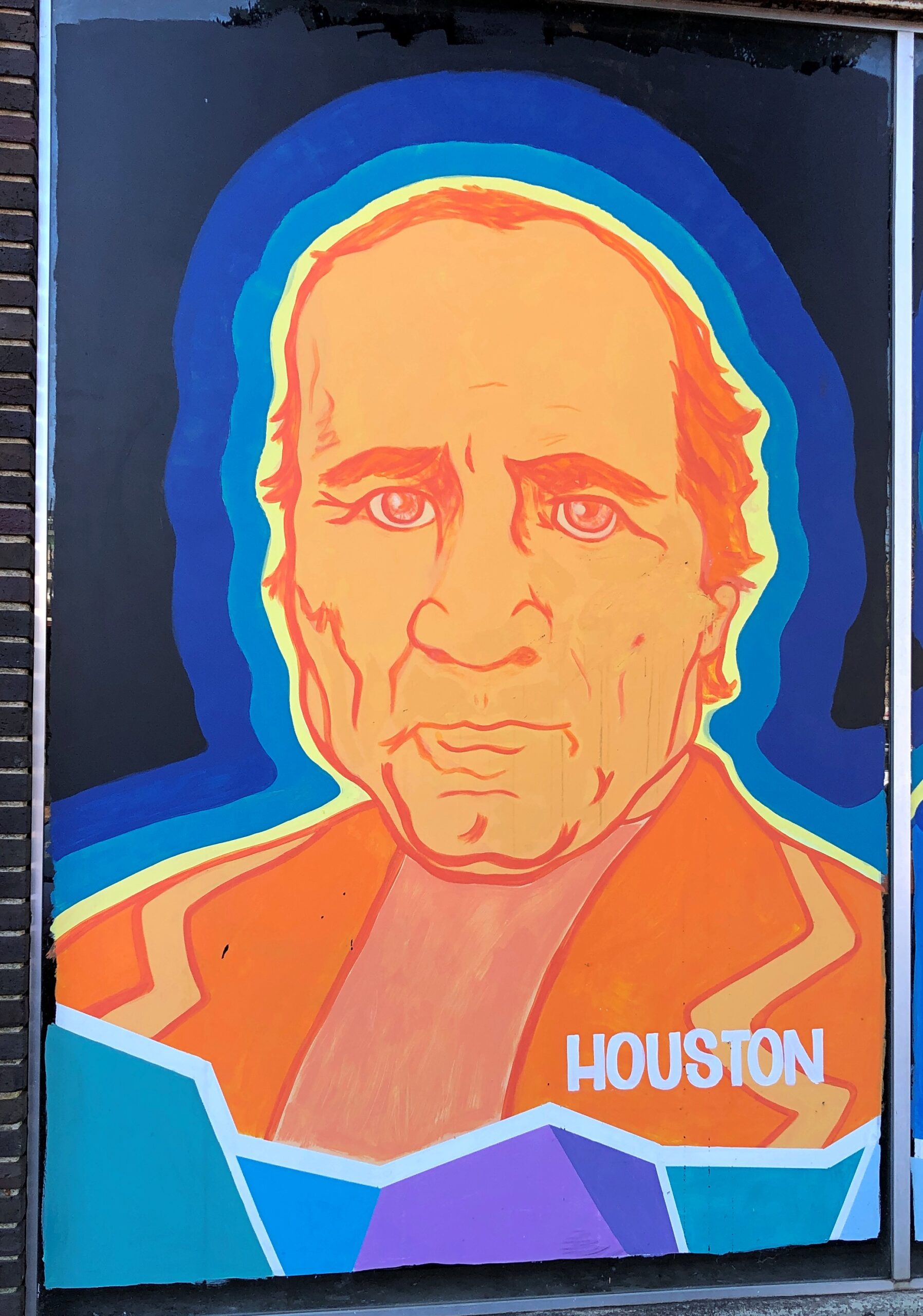
On a wall in downtown Nacogdoches, familiar figures from Texas.
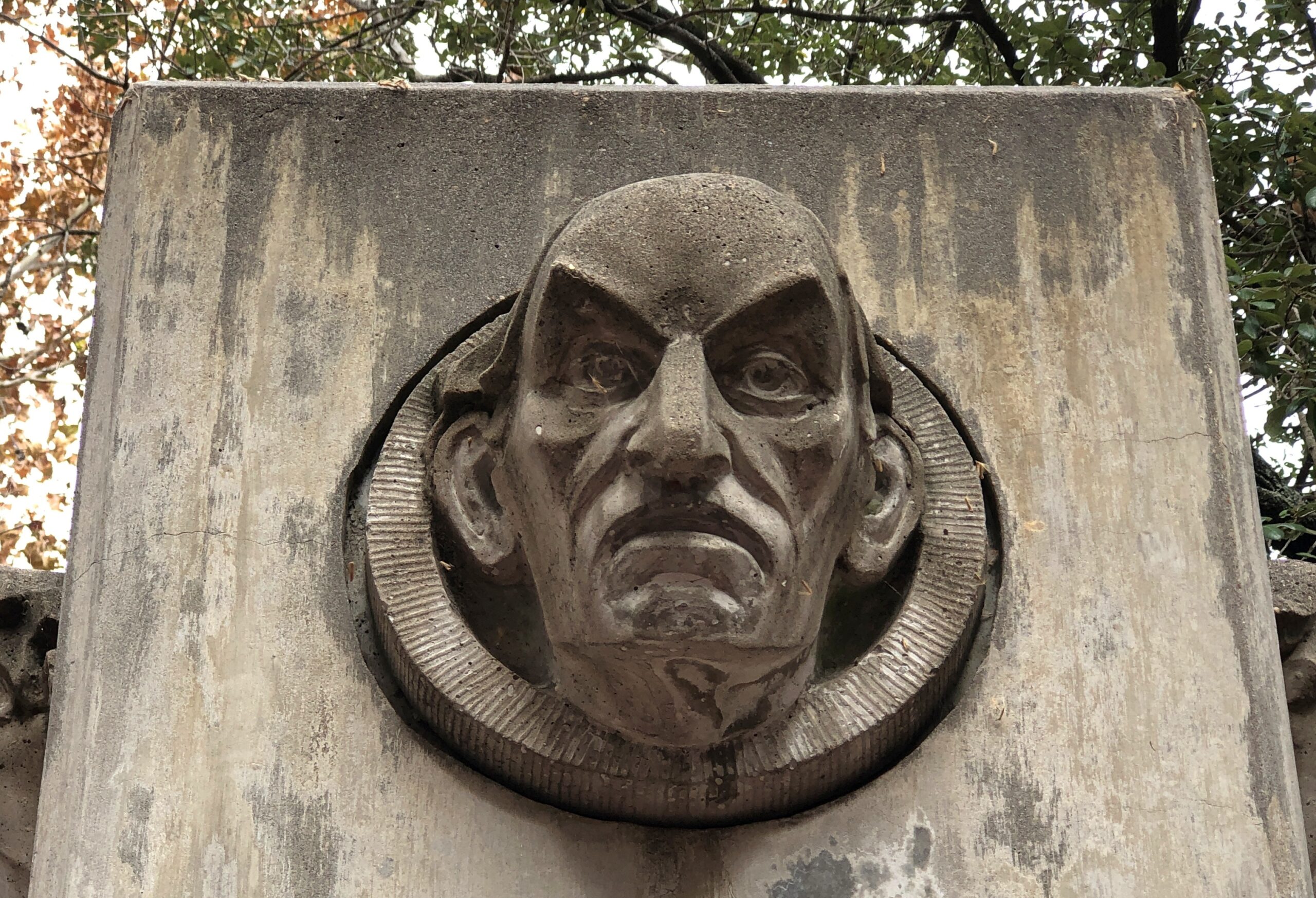
I didn’t work out who this was supposed to be, in downtown Houston. Better that way, I think.
Signs
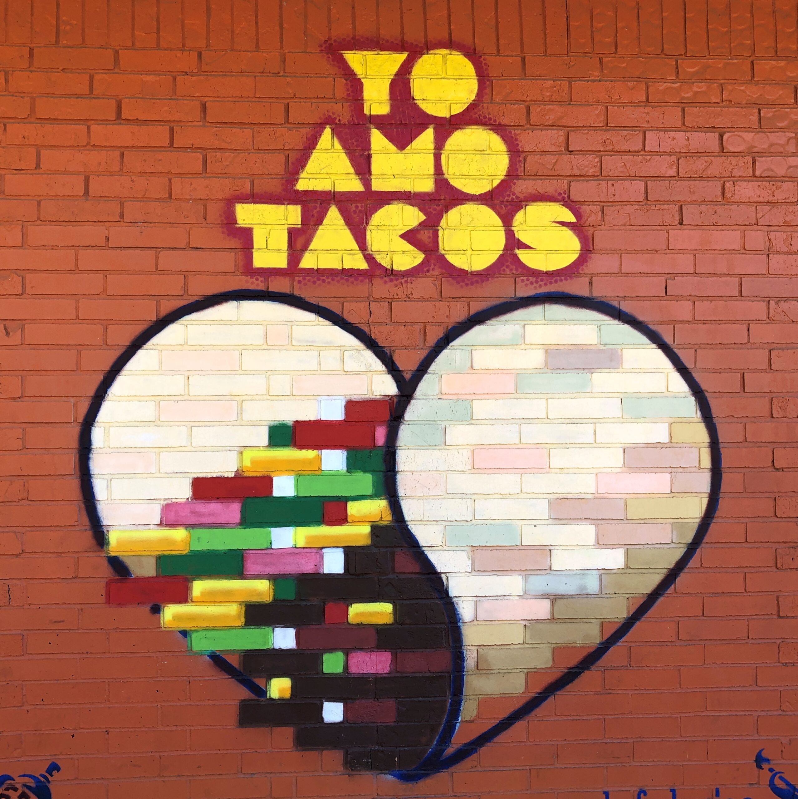
This place in Austin, well known to Tom, serves most delicious tacos.
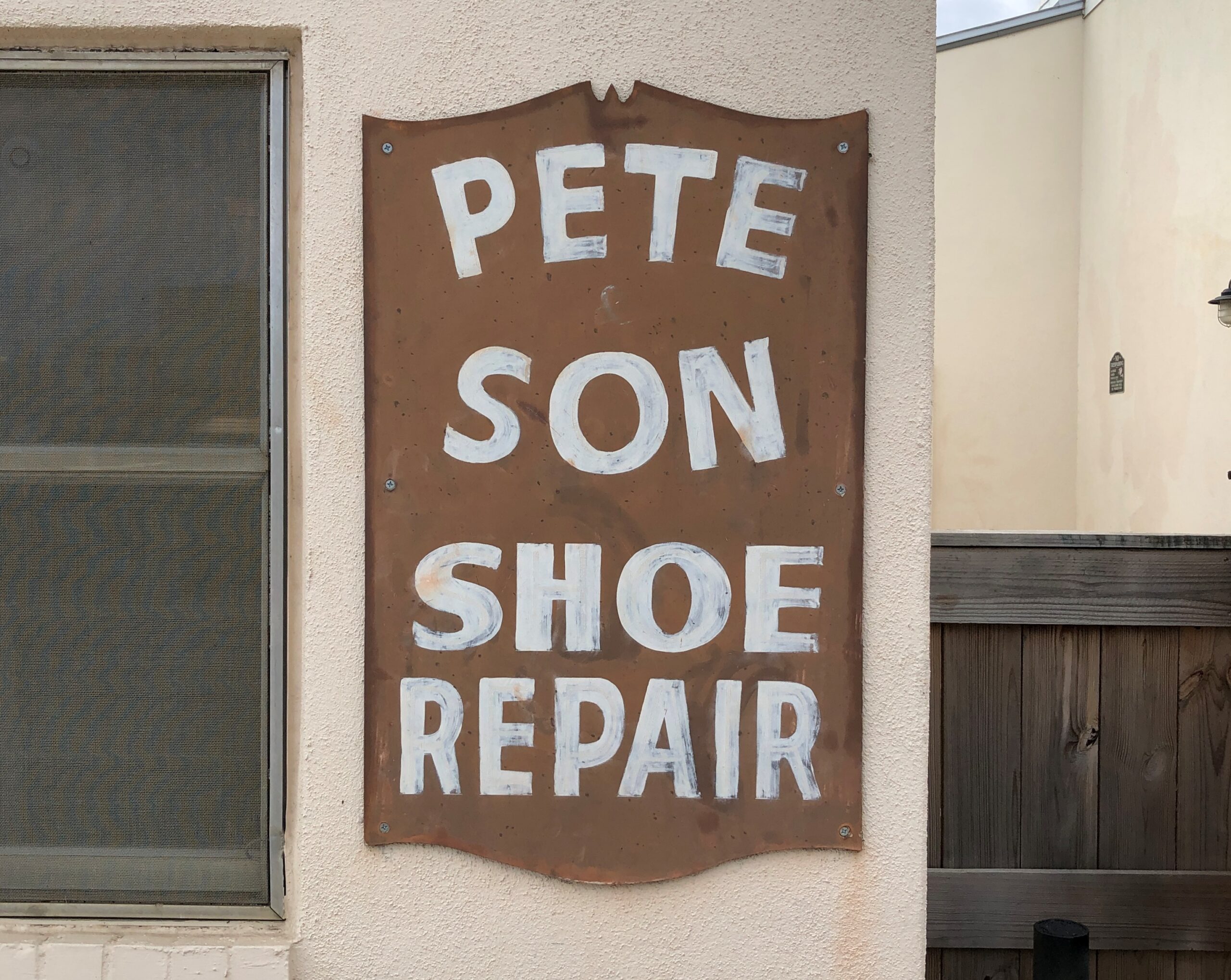
Bastrop: Cobbling runs in the family.
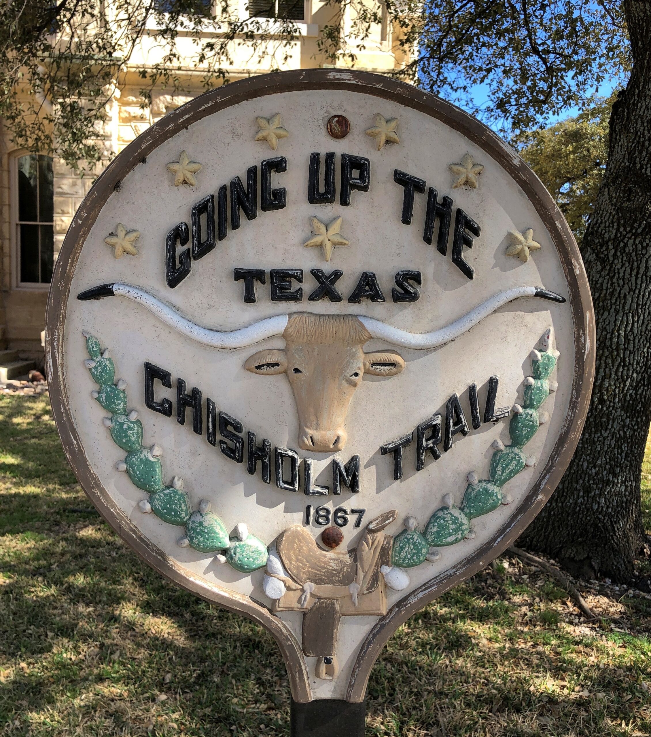
Belton.
Structures
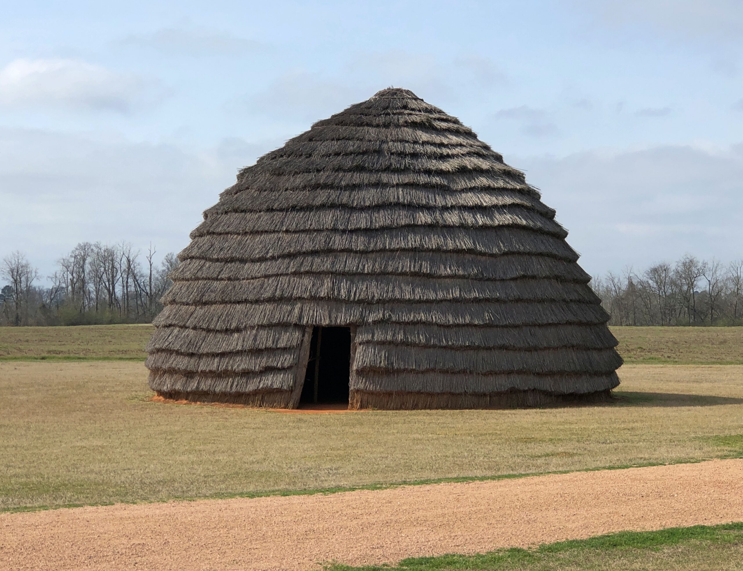
A re-creation of an ancient Caddo home.
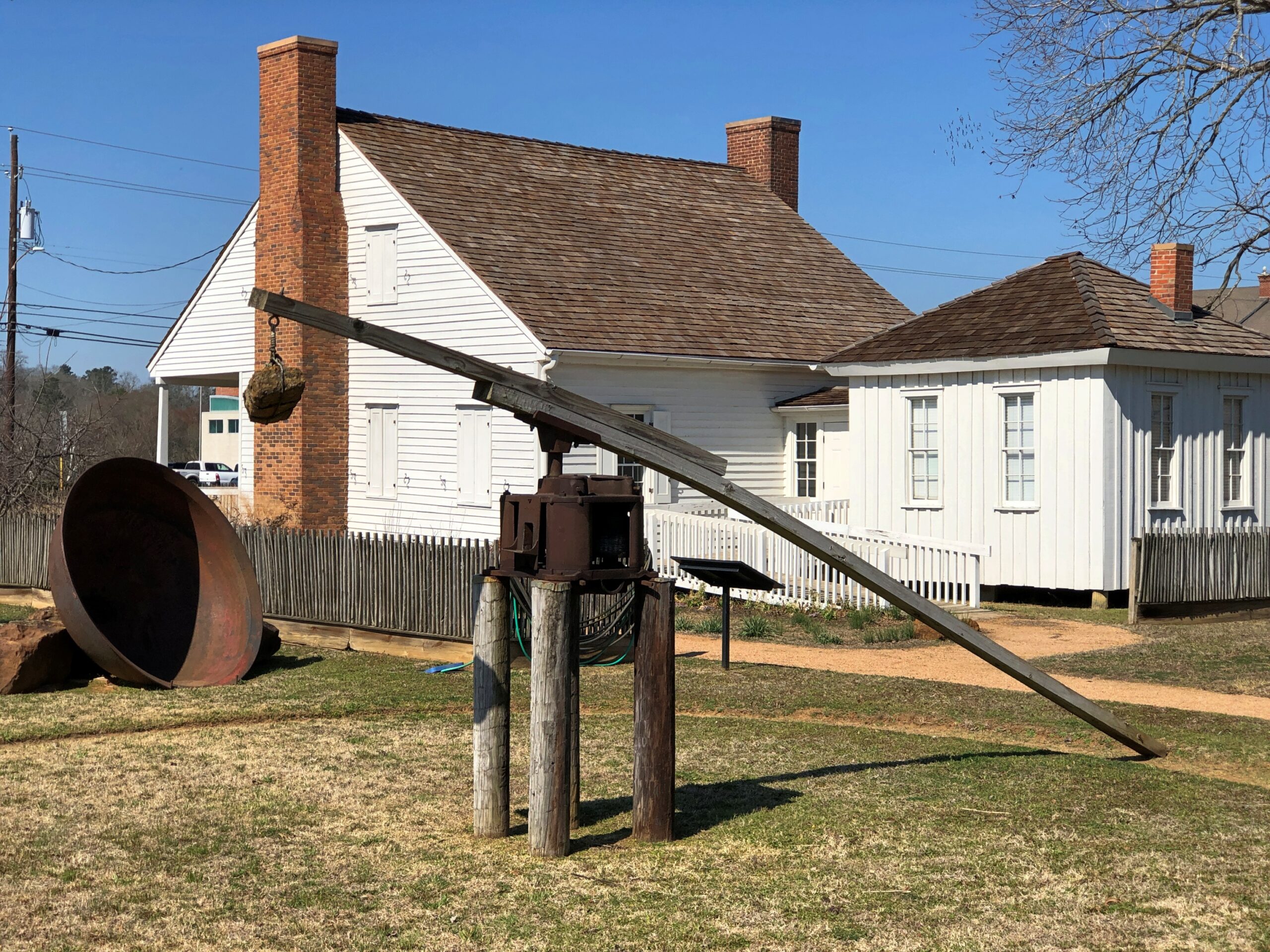
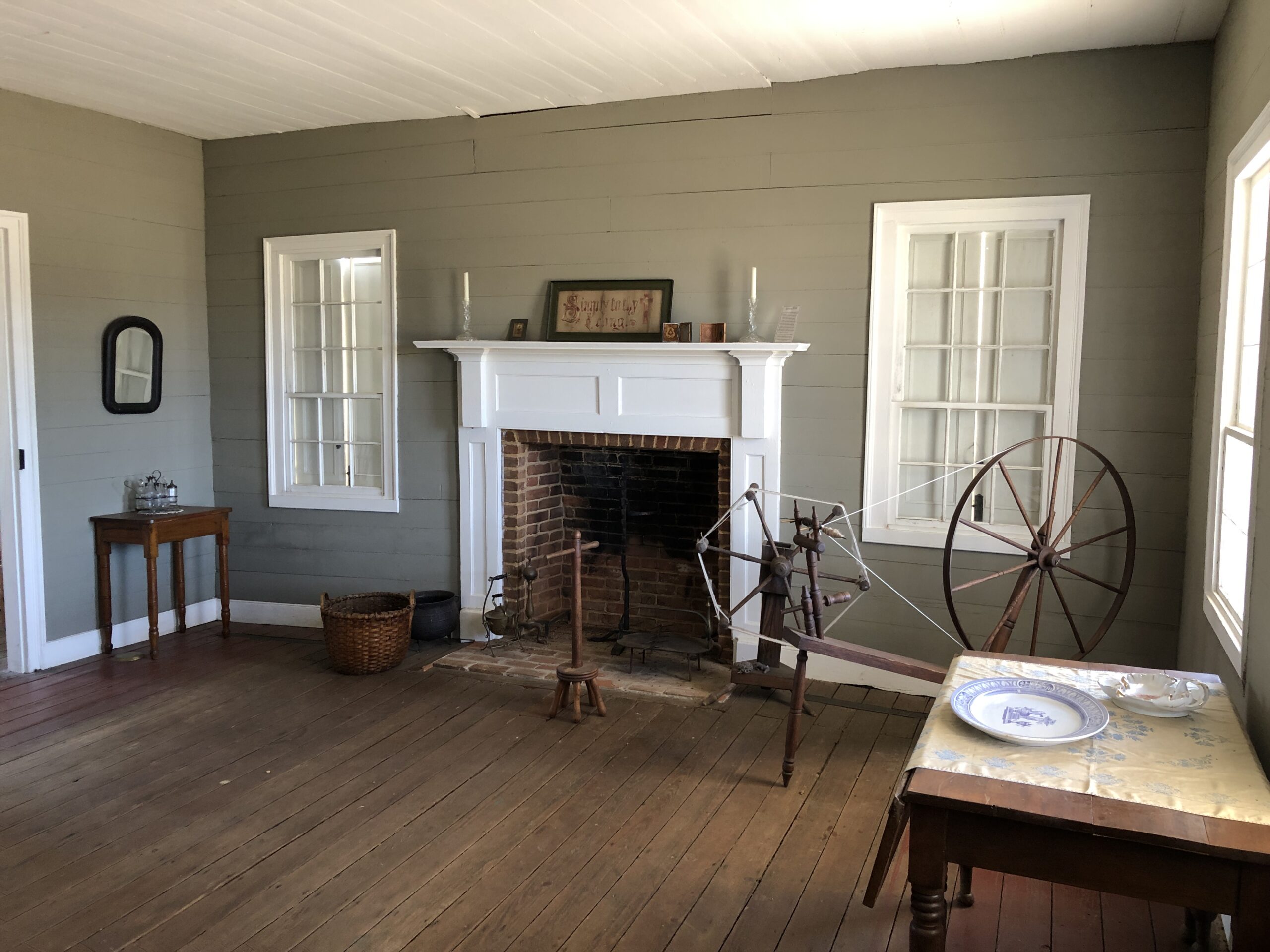
Durst-Taylor Historic House & Garden in Nacogdoches.
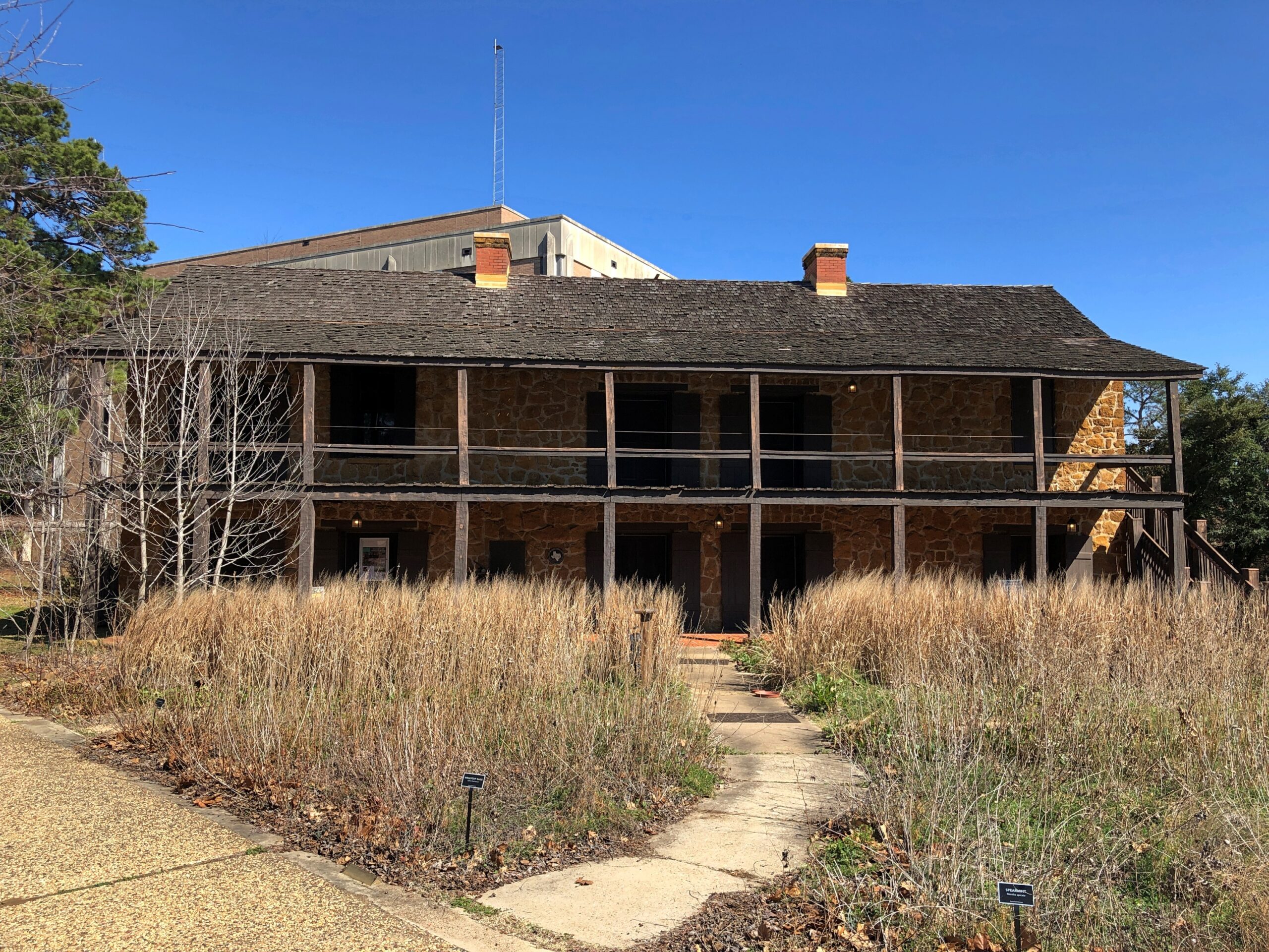
The Old Stone Fort Museum in the same town, which is made of stone, but was never a fort. On the campus of Stephen F. Austin State University. Recommendation to the university: if you want people to visit the place, provide just a little unrestricted parking. A little visitor parking anywhere on campus would be good.
Then again, the university seems determined to move the structure anyway — which might mean taking it apart, and then not putting it anywhere where because such a move would cost too much.
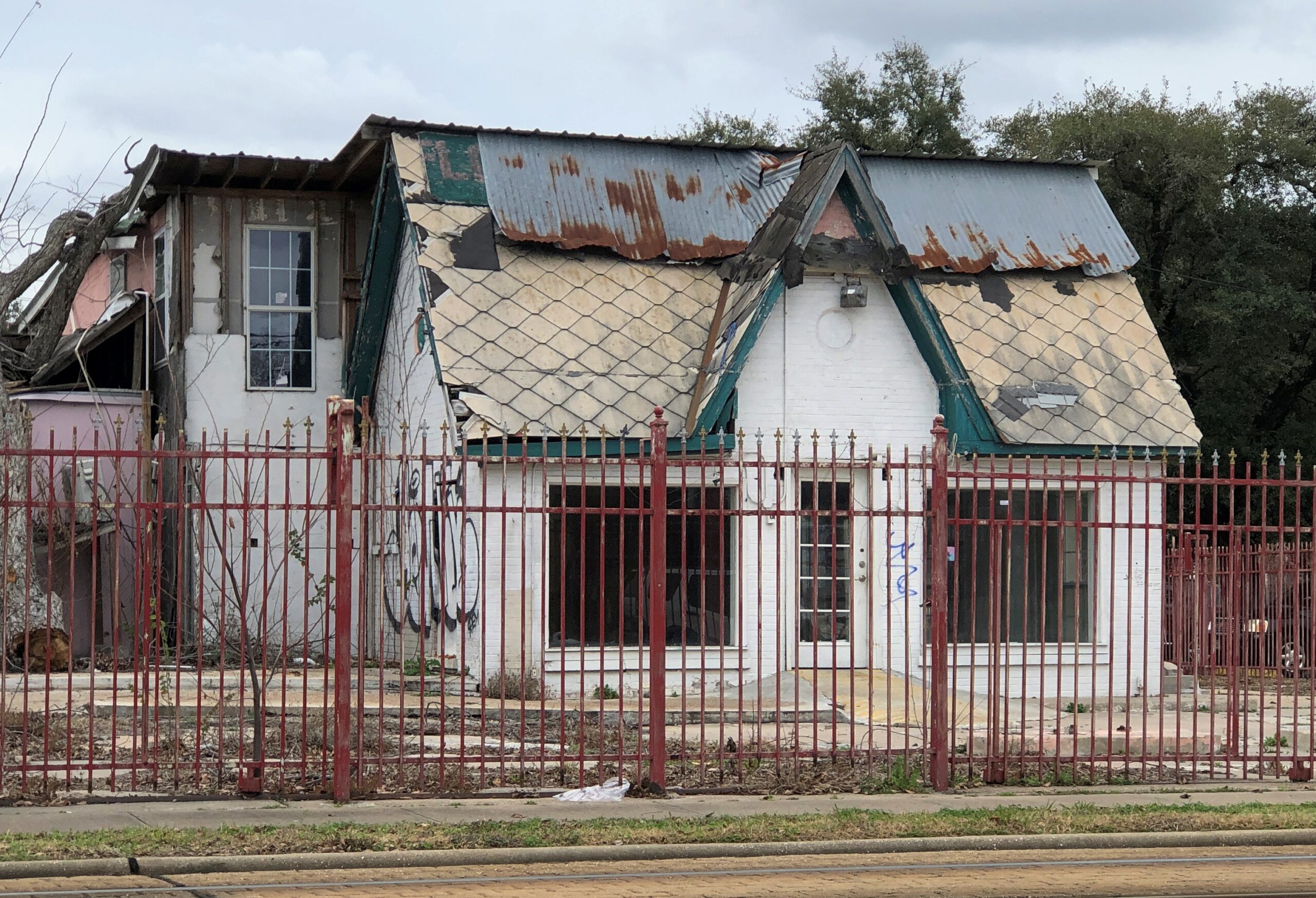
A place that has seen better days in Houston.
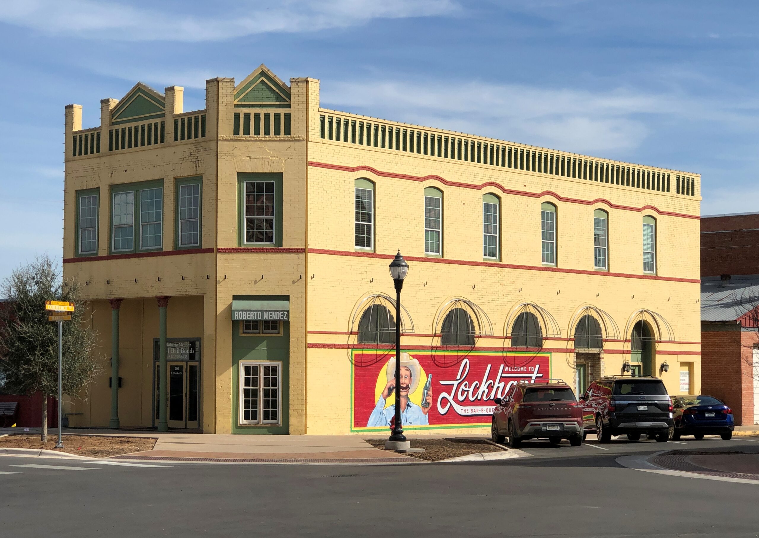
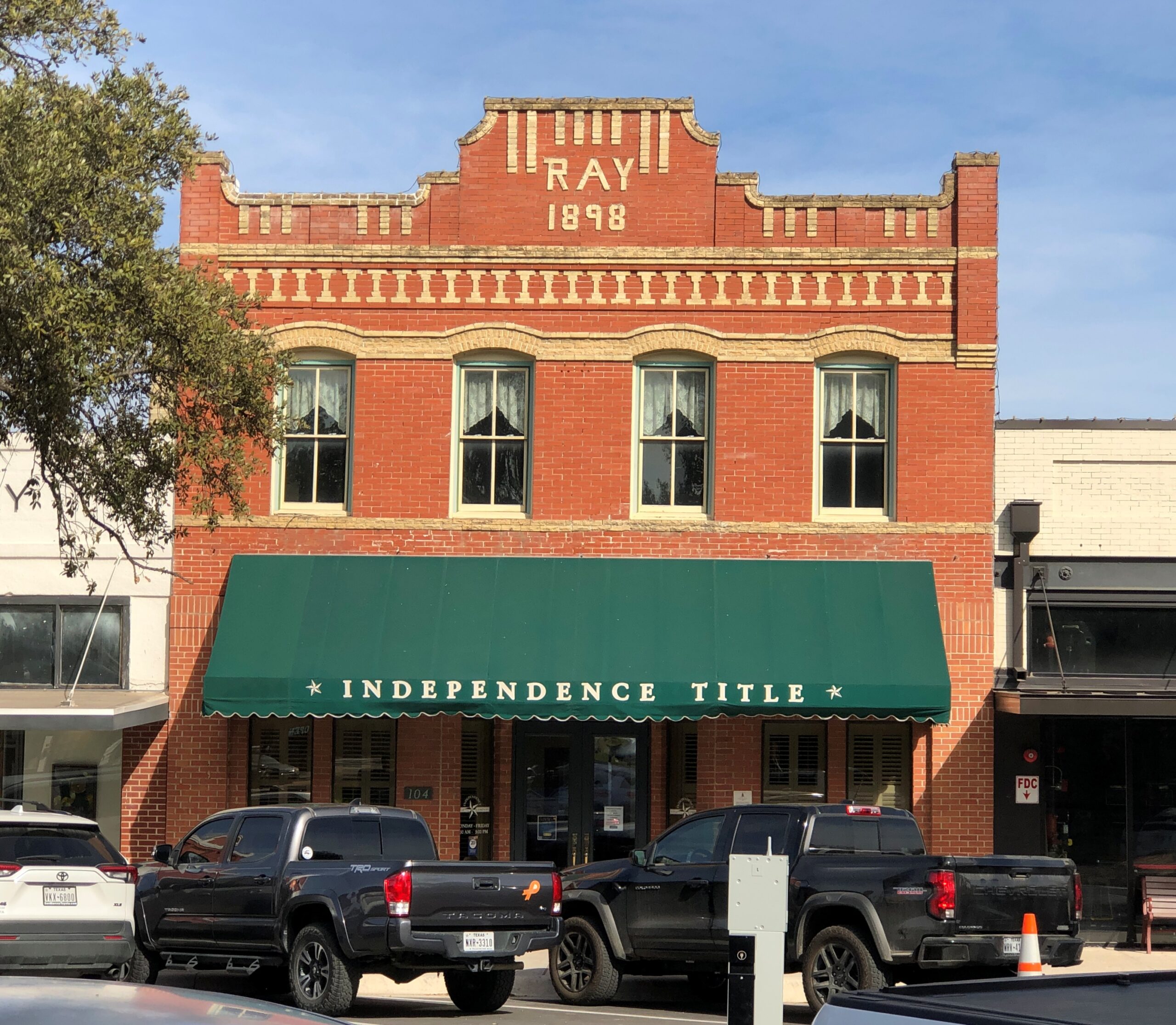
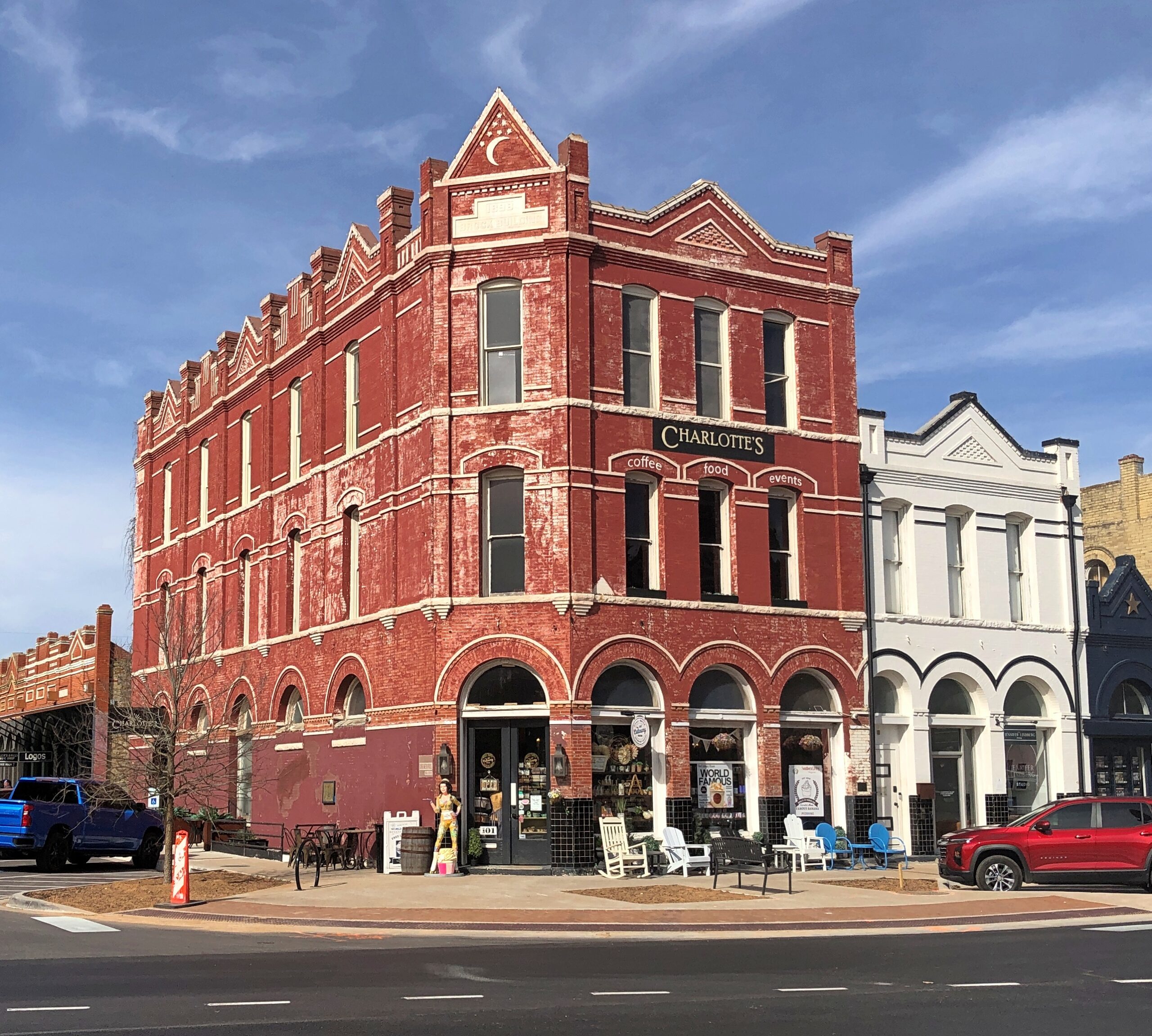
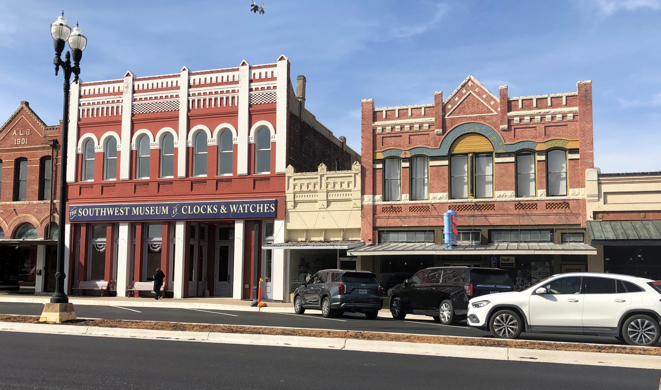
Downtown Lockhart.
The Southwest Museum of Clocks & Watches is permanently closed, alas.
Items
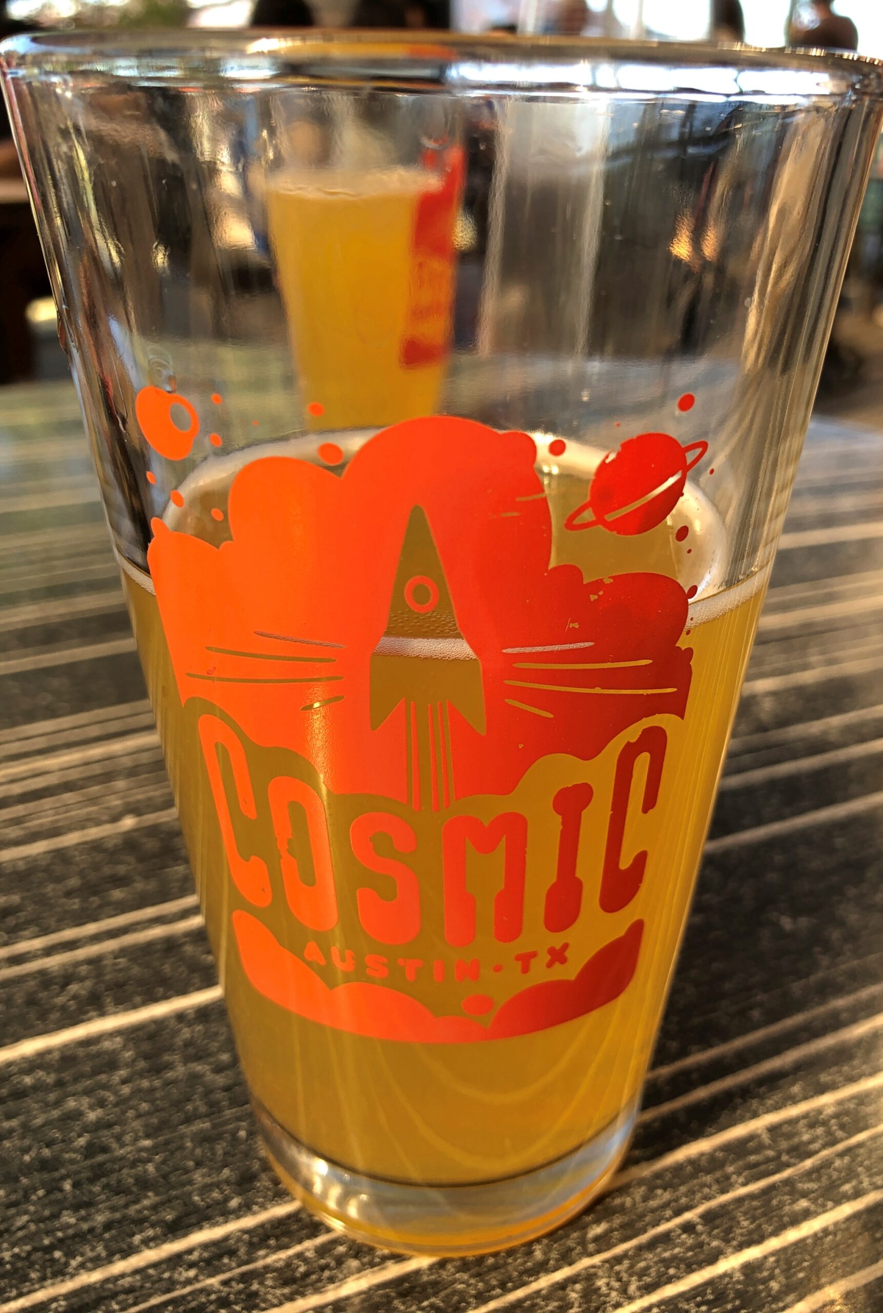
Cosmic in Austin is a bar and a collection of food trucks that surround an informal plaza with a lot of tables and chairs and shade. It’s a very pleasant place, and within walking distance of Tom’s home.
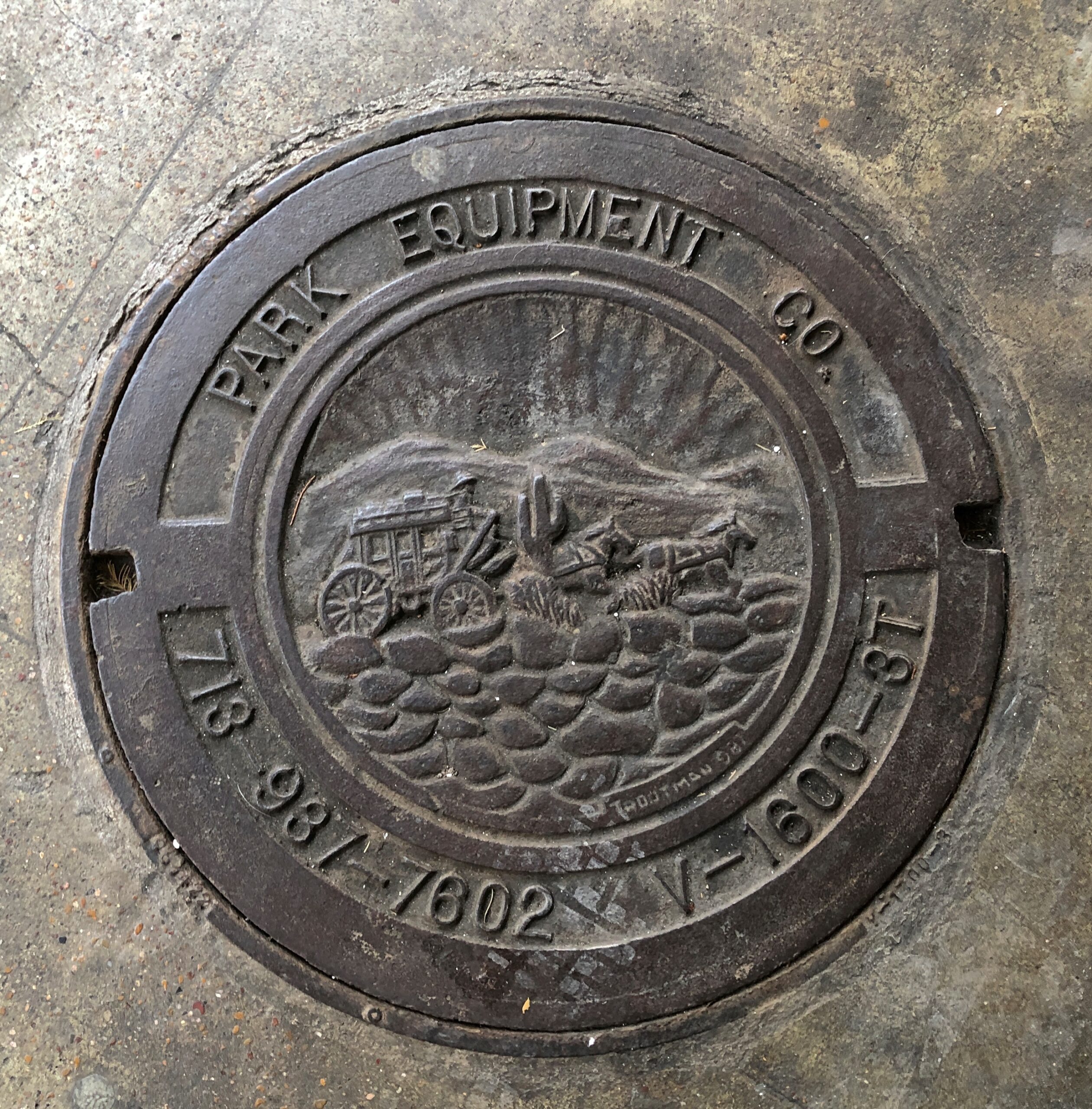
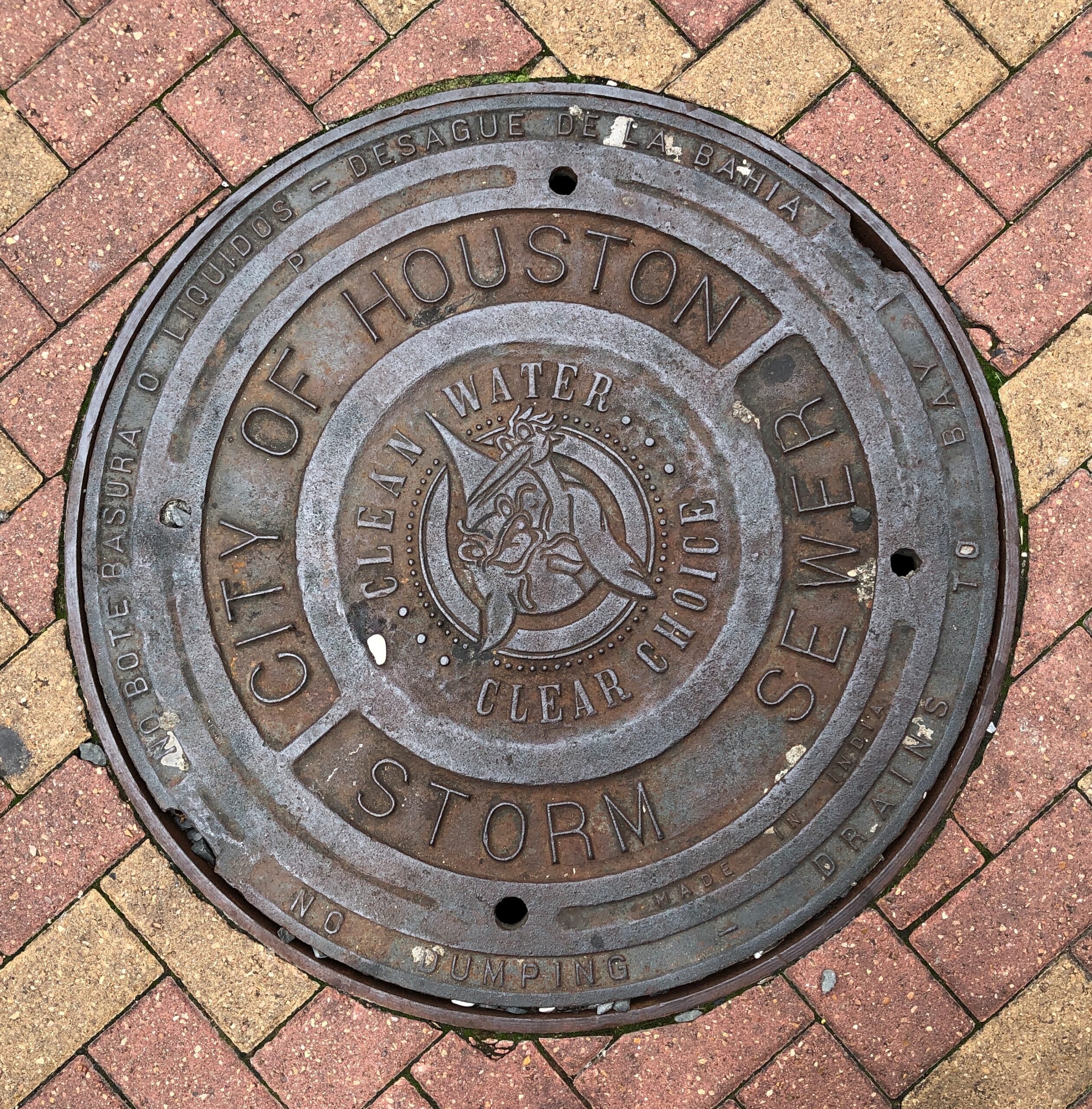
Houston manhole covers.
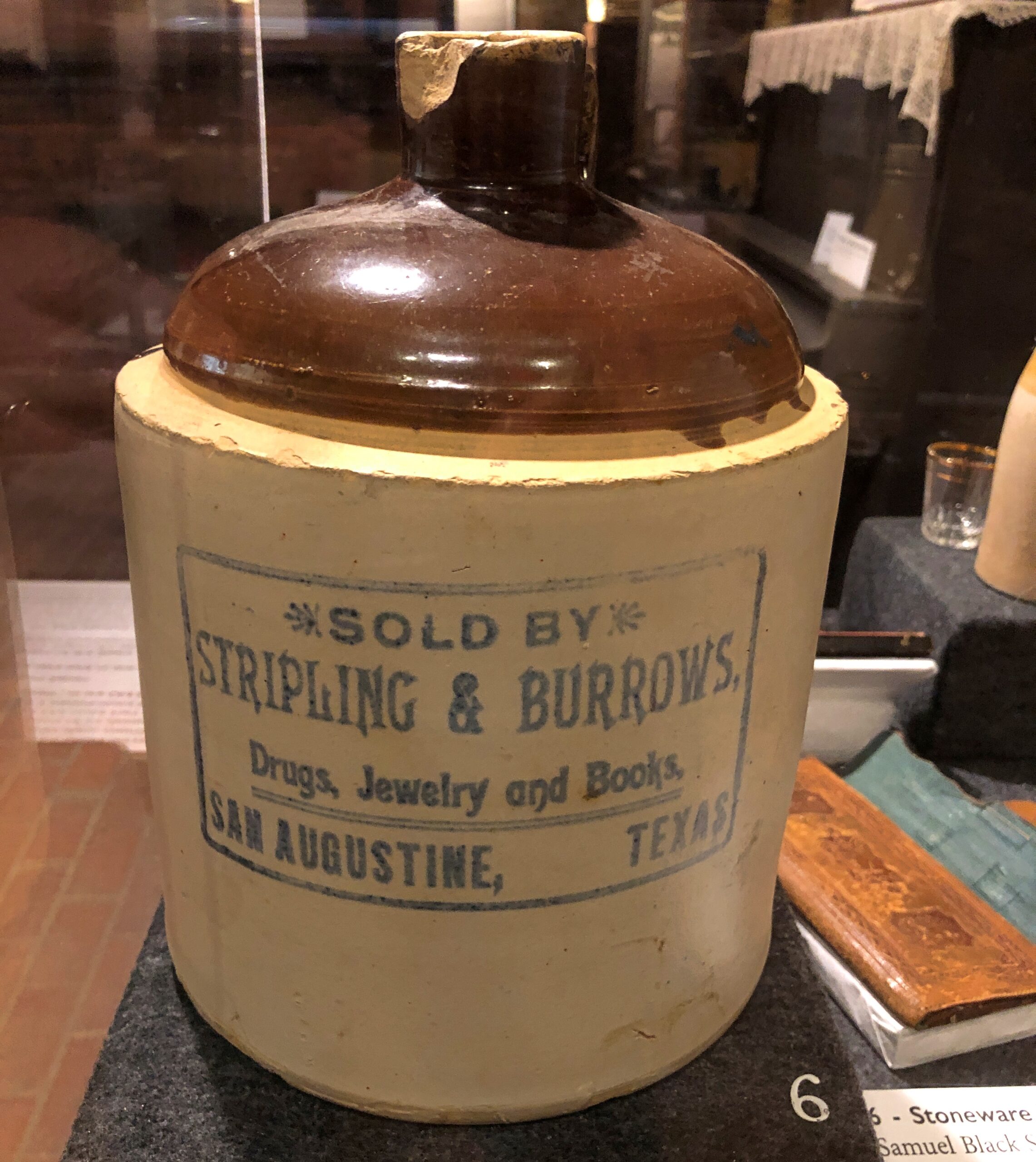
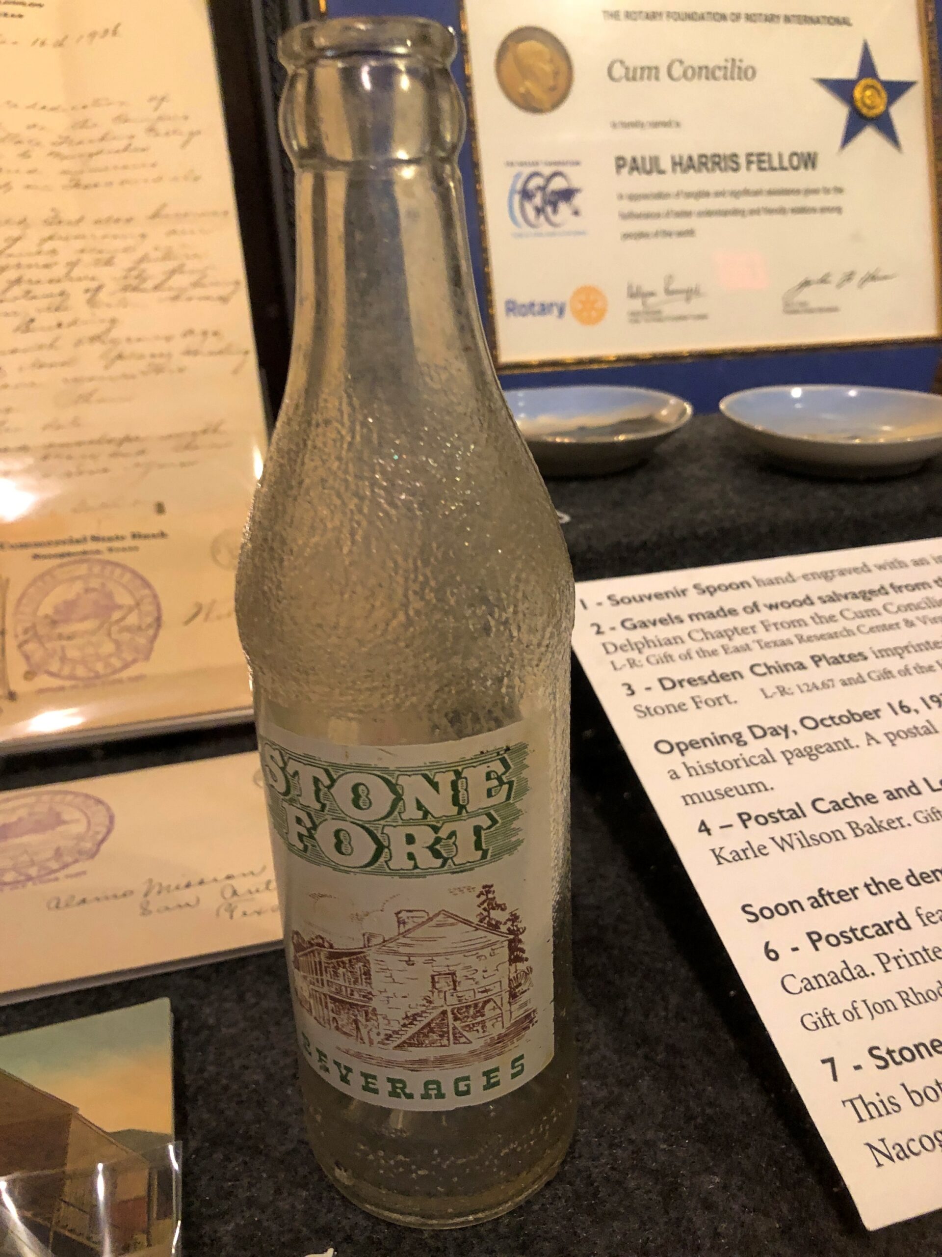
An artifact at the Old Stone Fort, but from San Augustine, and a hyperlocal soda bottle.
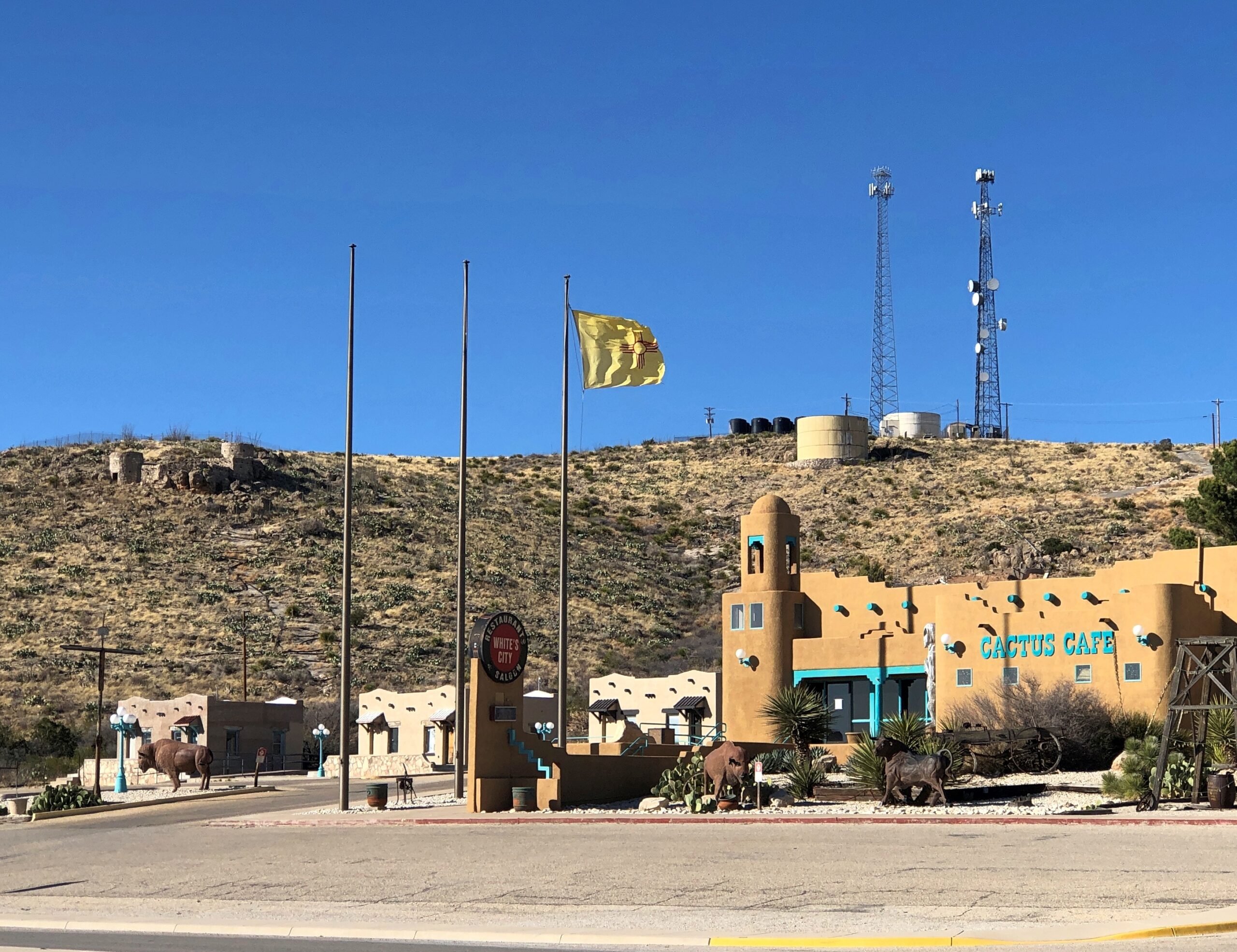
The New Mexico flag near Carlsbad NP.
Landscapes
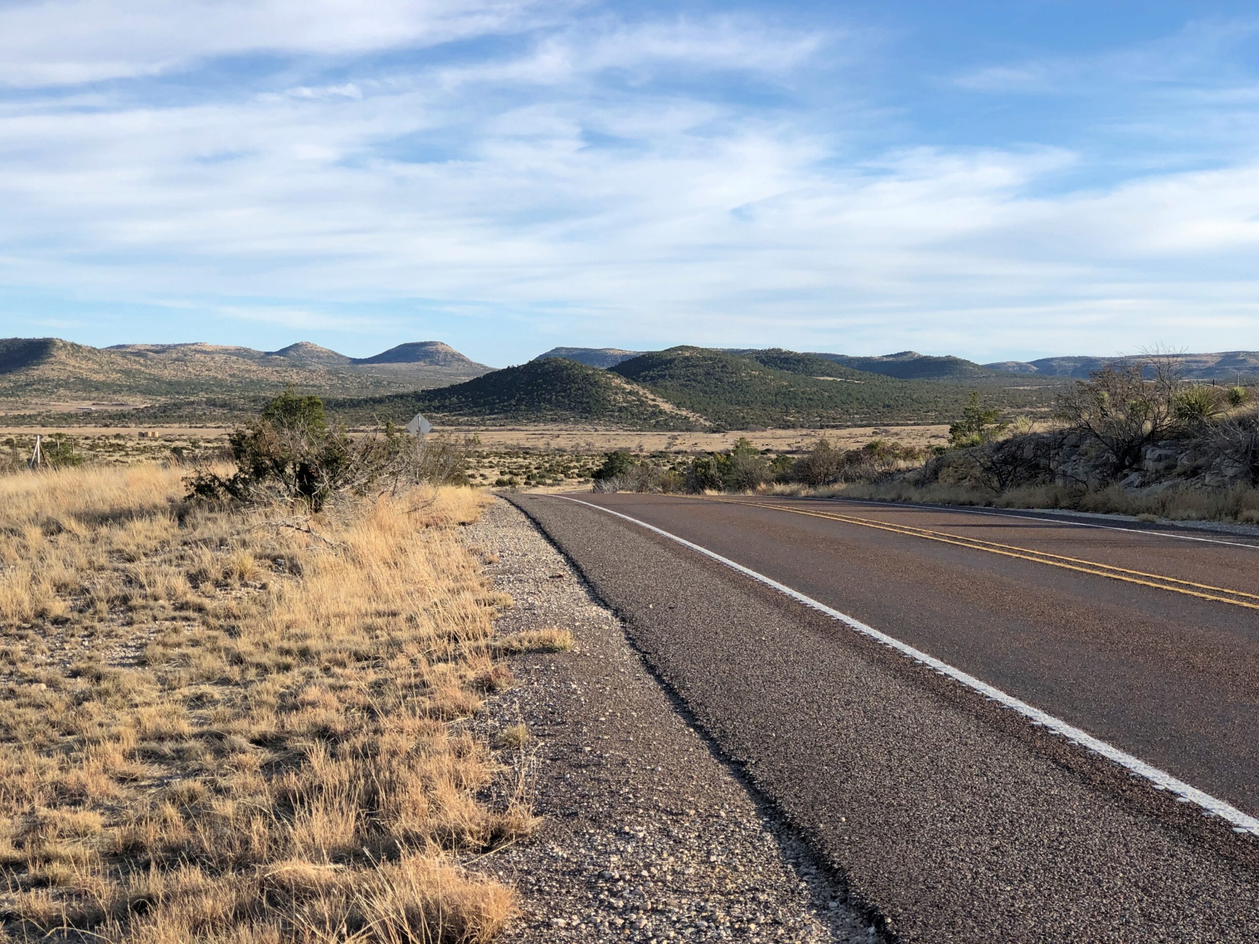
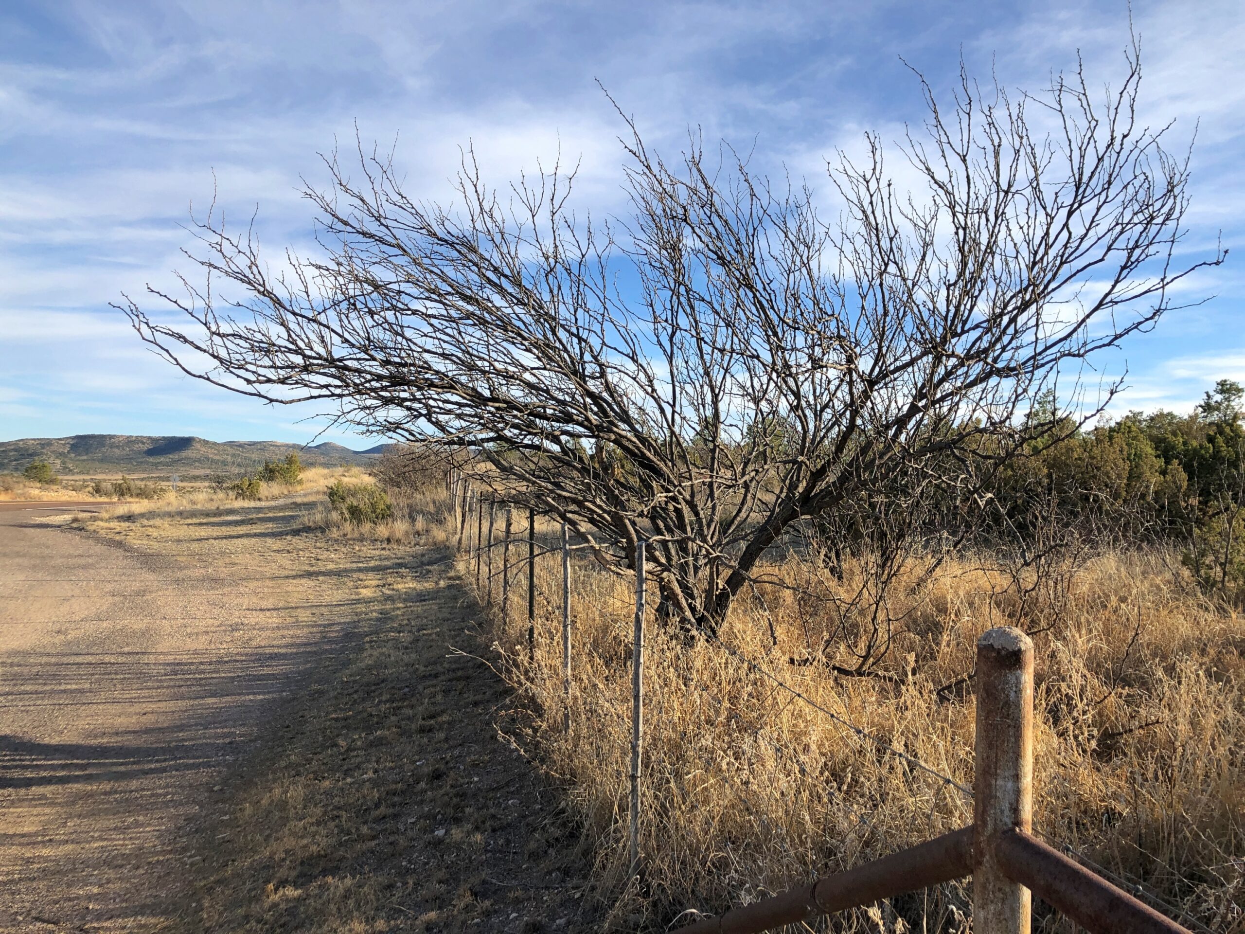
Not just any landscapes, but within the Sierra Madera Astrobleme in West Texas. US 385 cuts right through the ancient crater for about eight miles, on the way to Marathon. You’d never know but for signs telling you that you’re entering the astrobleme, and one telling you that you are leaving it.
Memorials
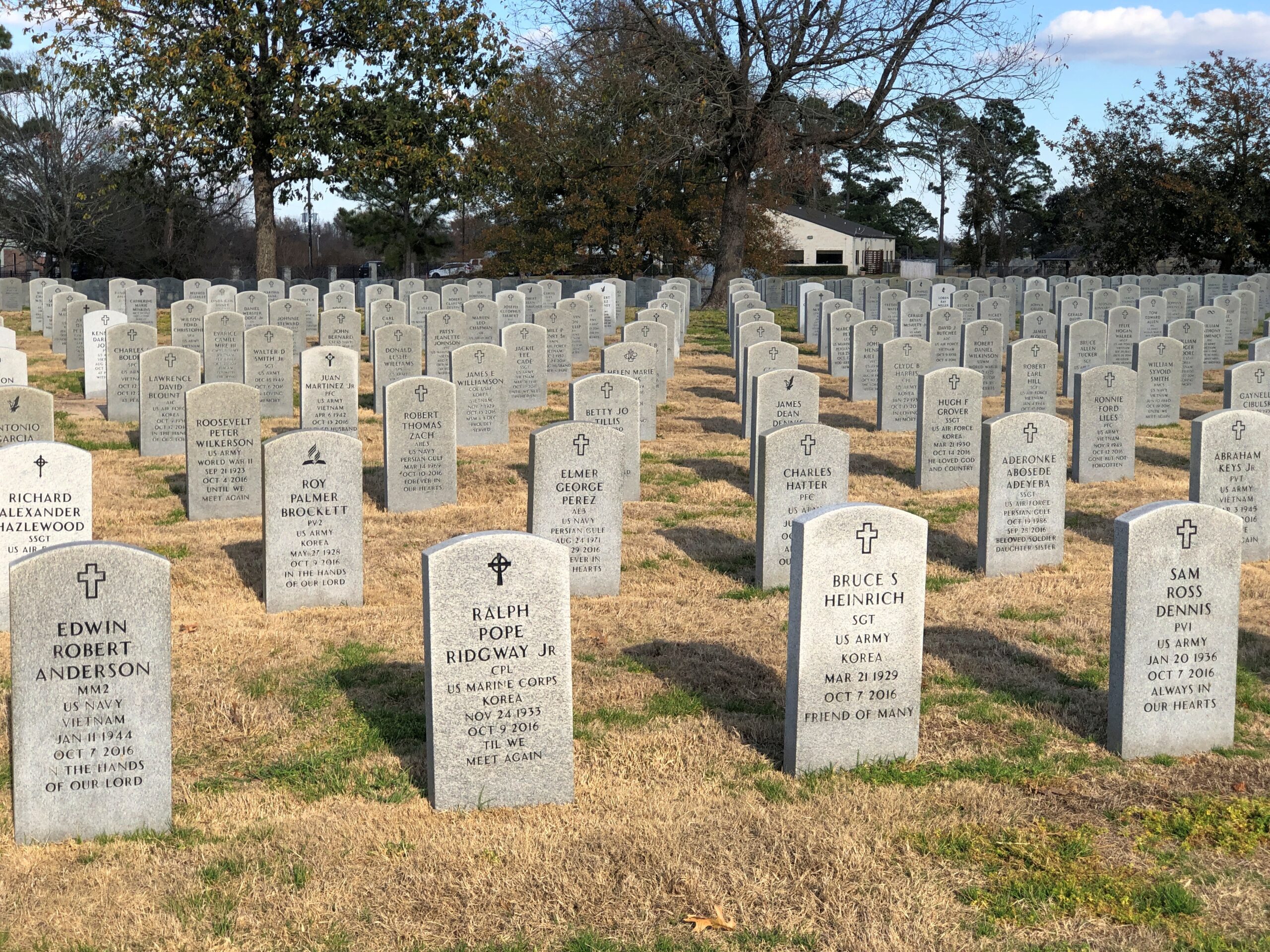
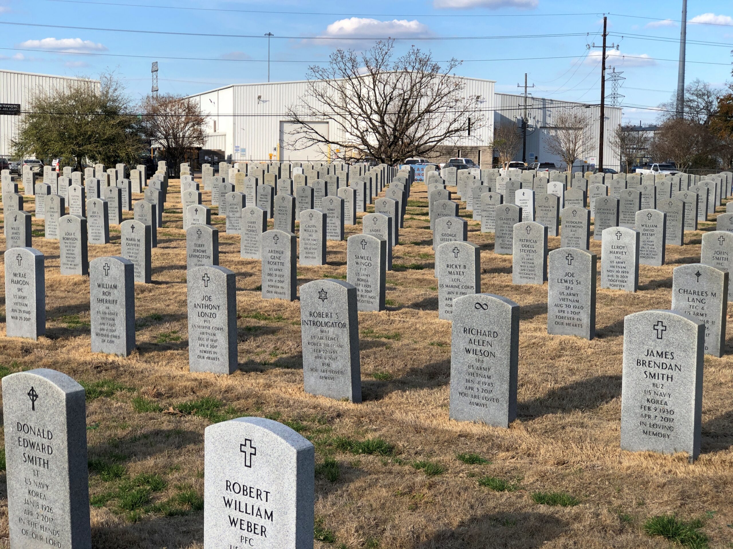
The Houston National Cemetery.
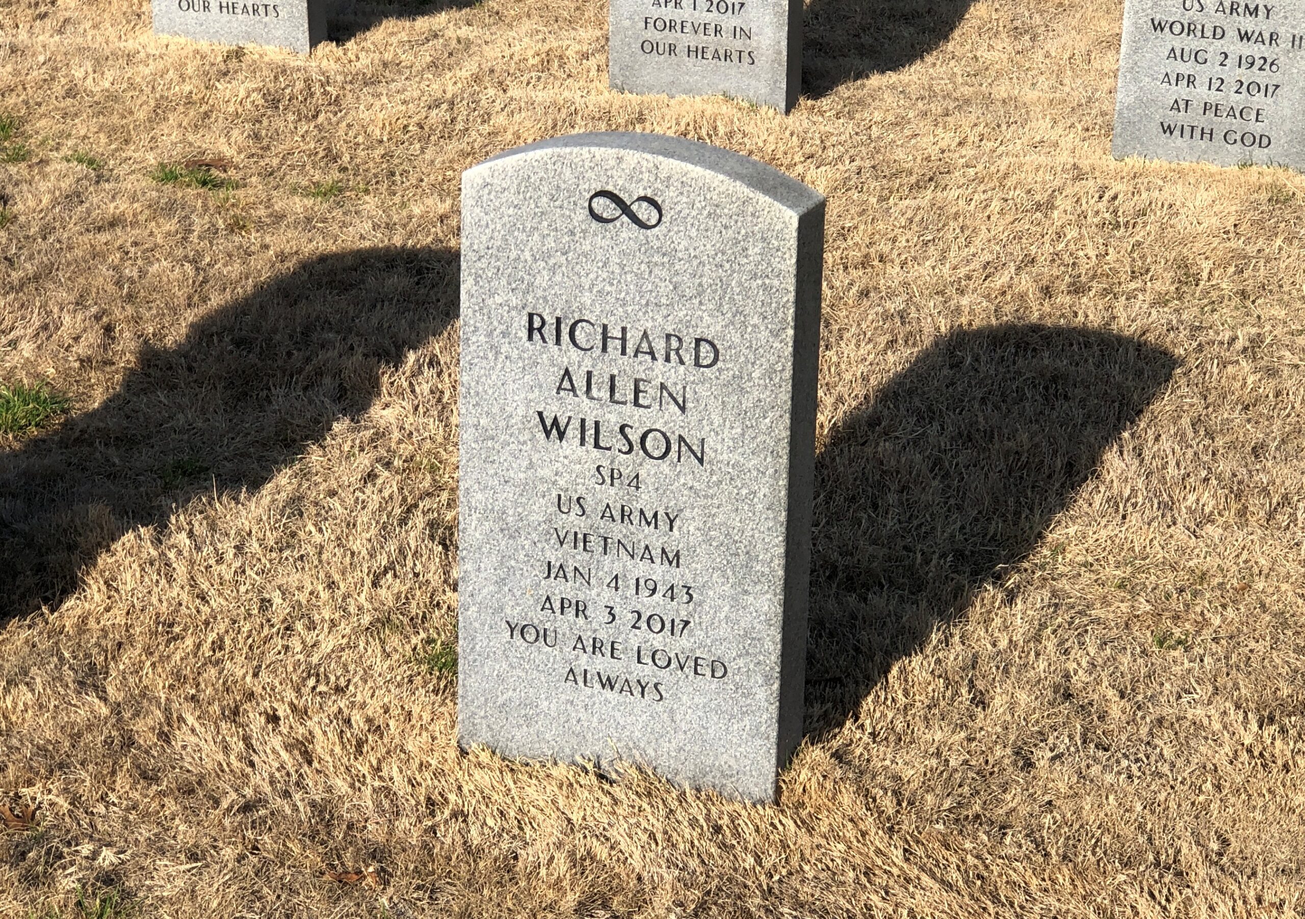
RIP, Richard Allen Wilson. I don’t think that I’d ever seen an infinity symbol on a national cemetery stone. That, of course, made me curious, and I checked: it is one of the 98 various symbols that the National Cemetery Administration allows. The list is here.
I’m familiar with most of them, but not quite all of them, such as the Church of World Messianity, which is a Japanese new religion – it’s hard to keep track of all of those – and the Aaronic Order Church, which may or may not be part of the LDS movement, but in any case is an American sect. Hard to keep track of all those, too.
The NCA says: “No graphics (logos, symbols, etc.) are permitted on Government-furnished headstones or markers other than the available emblems of belief, the Civil War Union Shield, the Civil War Confederate Southern Cross of Honor, and the Medal of Honor insignias… Emblems of belief for inscription on Government headstones and markers do not include social, cultural, ethnic, civic, fraternal, trade, commercial, political, professional or military emblems.”
So (for example) symbols for the Loyal Order of Moose or some odd emoji or maybe a grawlix will not be considered, though as a comment about the Army, the latter would be funny.
Finally, a less formal memorial, but I’m sure just as heartfelt.
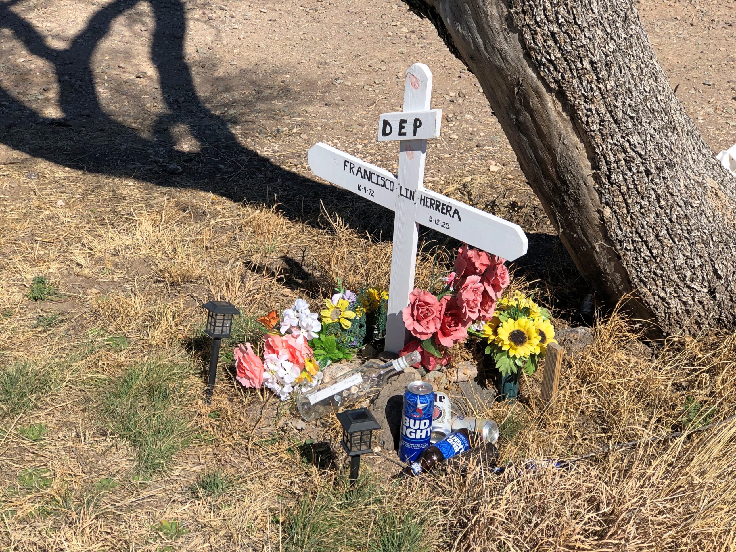
A memorial for Francisco Lin Herrera happens to be near the Giant paintings outside of Marfa. He died in an accident along that stretch of US 90. RIP, Francisco.
Regards for Easter. And Maundy Thursday and Good Friday and Easter Saturday. Back posting on Easter Monday.
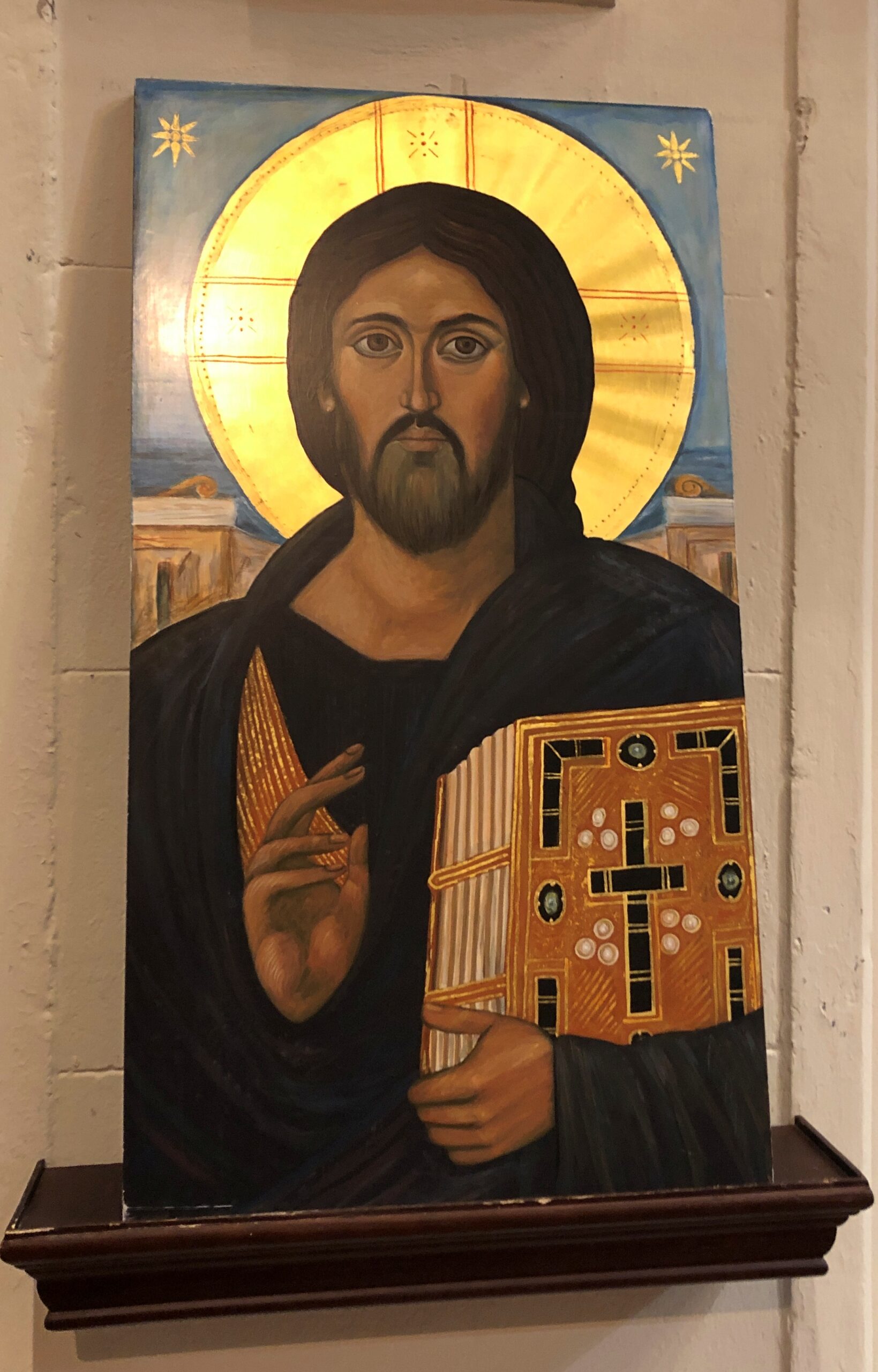
This seemed like a fitting set of images for the occasion.
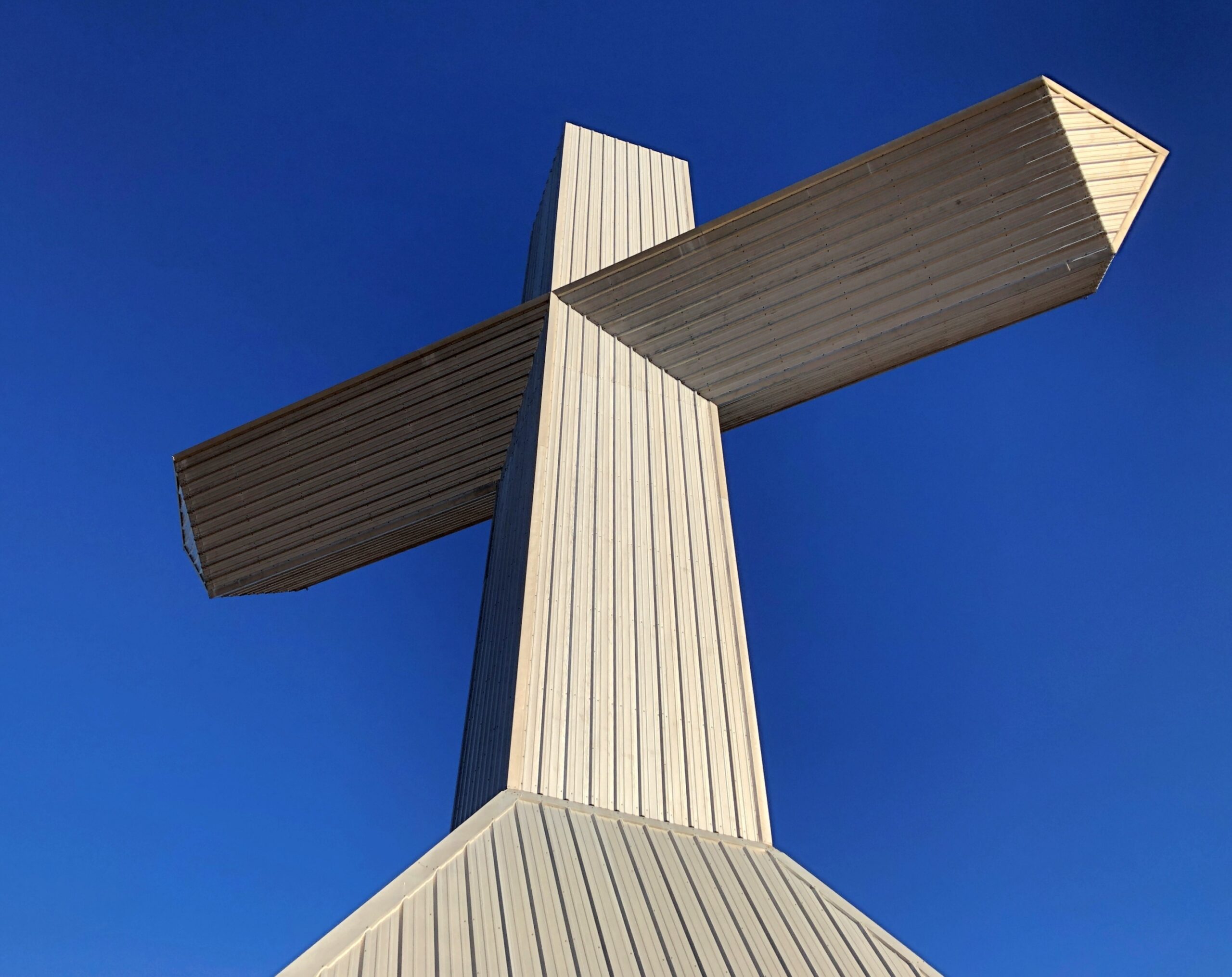
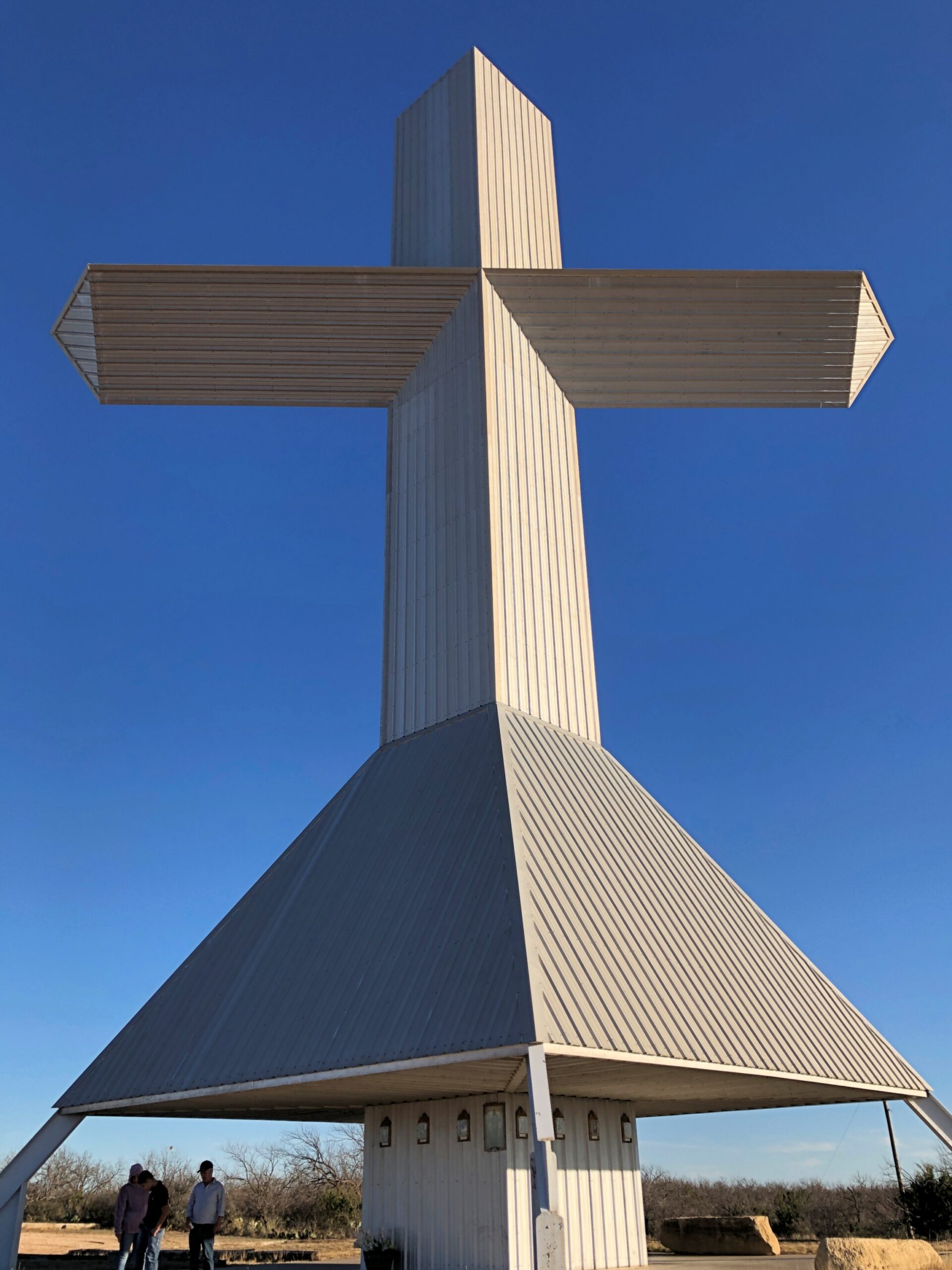
A 100-foot steel cross rises on a small hill a few miles south of Ballinger, Texas, seat of Runnels County. Couldn’t very well pass that up, considering that we were passing through Ballinger (pop. about 3,600) anyway, toward the end of our drive that day from metro DFW to San Angelo, Texas.
“The Ballinger cross was built by a local construction company and commissioned by Jim and Doris Studer, owners of Buddy’s Plant Plus,” notes the Austin Chronicle. “The company is the only U.S. factory making water-soluble fertilizer for Miracle-Gro. After 20 years of making fertilizers in Florida, the Studers went looking for a drier climate. In 1988, they moved the company to Ballinger, where it quickly became one of the largest employers in the county.”
Jim Studer reportedly had been considering the construction of a cross about half that height, as a token of gratitude for a successful business. Then, during a visit to Florida, he was nearly electrocuted in what could easily have been a fatal accident – and decided to roughly double the size of the structure. A thanks to the Lord for not being offed at that moment, perhaps, but no doubt sincere gratitude regardless, for his thriving business. The cross went up in 1993.
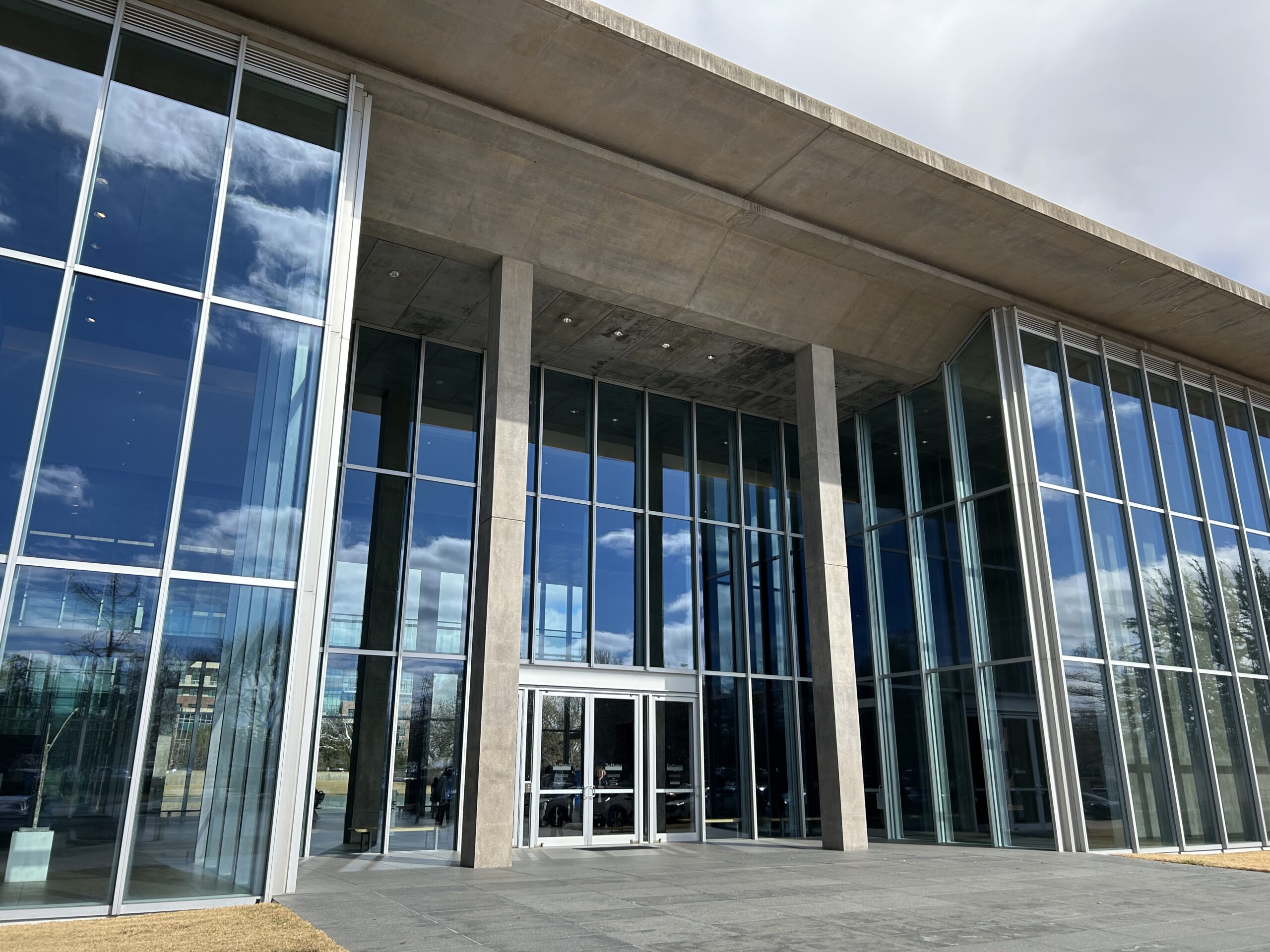
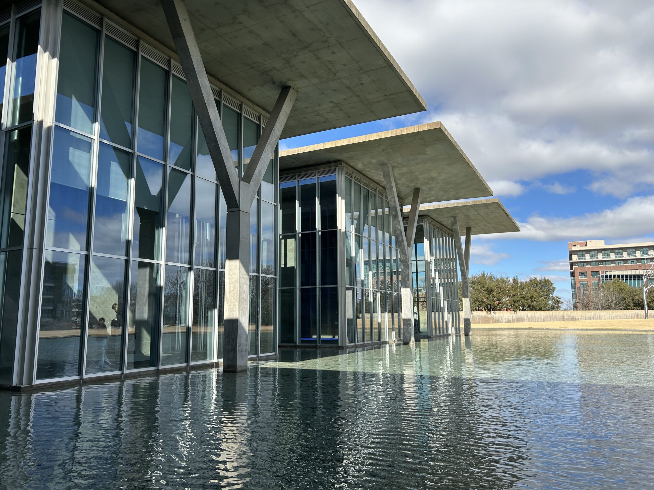
We’d left Dallas that morning in mid-February, skirting the cities on I-20 West, except for a brief stop in the Fort Worth museum district. Specifically, at the Modern Art Museum of Fort Worth. Yuriko had heard about my visit in 2019 and been slightly miffed, since she too wanted to see the Tadao Ando-designed structure. So we shoehorned a visit for a look at the structure on the day’s itinerary, though not the museum collection. It loses nothing on a second viewing. Gets better.
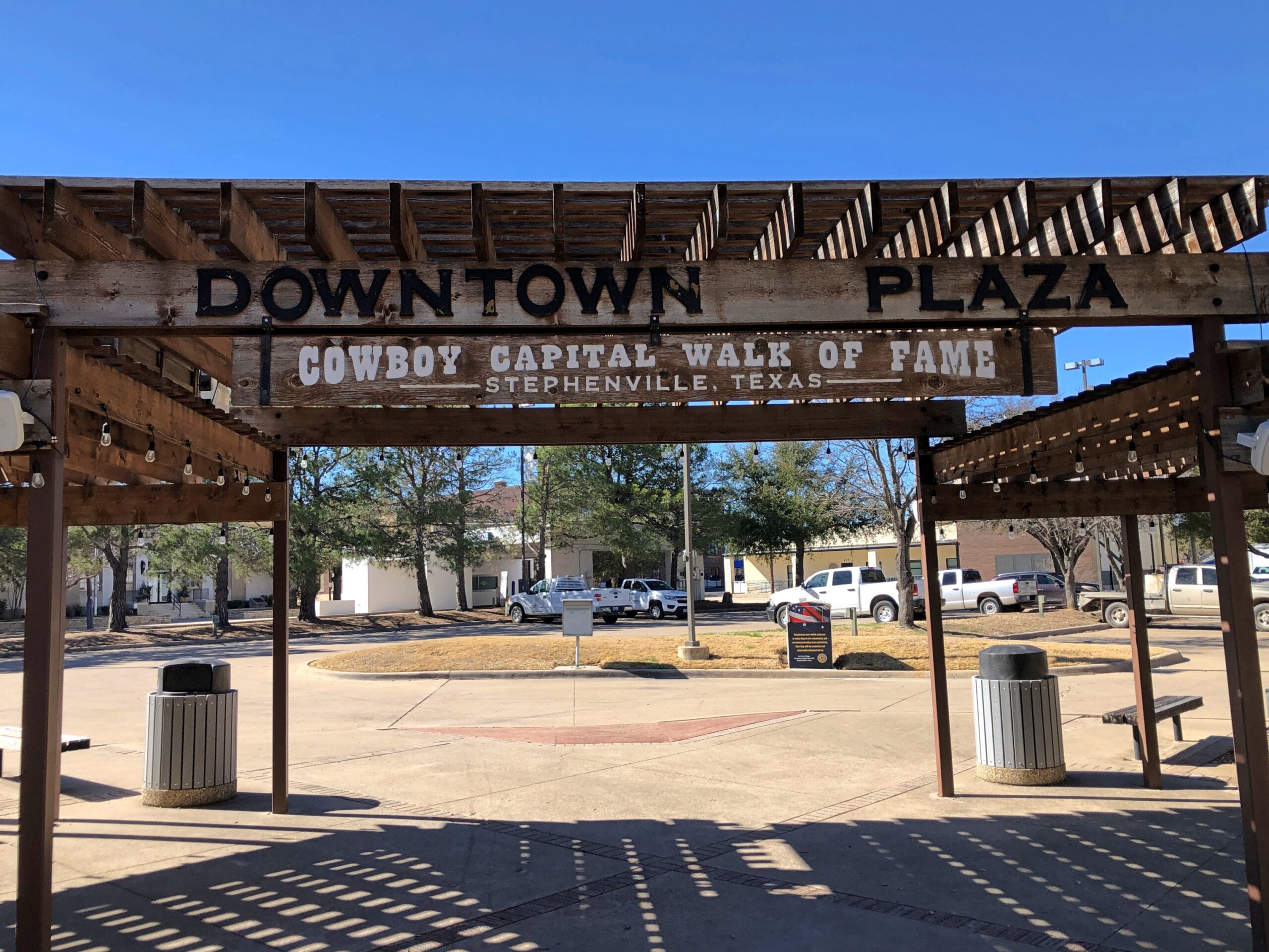
Go southwest from Fort Worth on US 377 and soon enough you’ll arrive in Stephenville (pop. 20,800 or so), seat of Erath County.
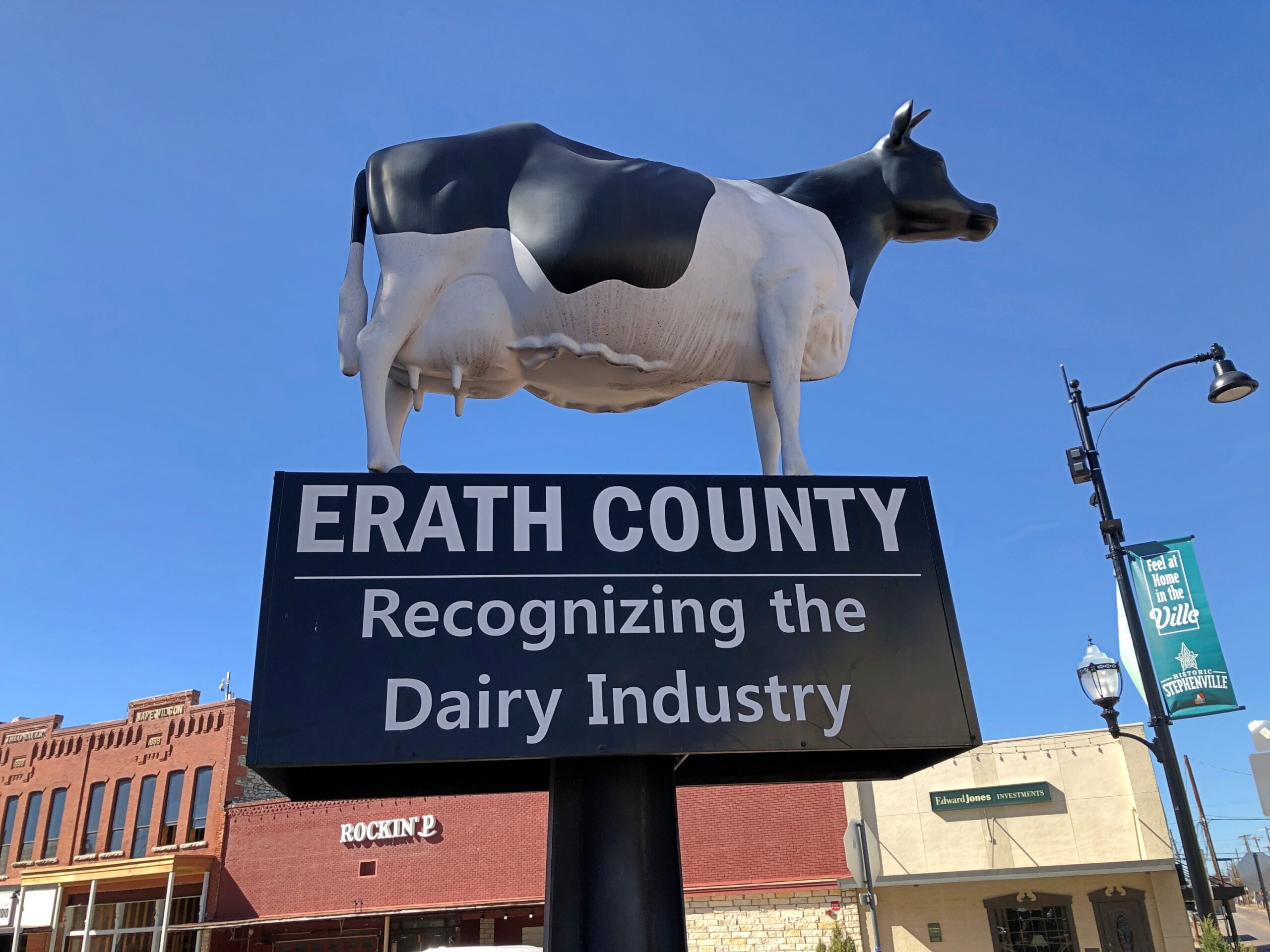
A dairy industry in Erath County? Yes, indeed: sales of $350.9 million in 2022, according to the USDA, by far the largest ag product in the county, and third highest for milk sales among all the 254 counties in Texas, and 24th in the nation. Meat cattle in Erath County are a distant second at $82.7 million that year, so a milk cow standing in the shadow on the Erath County courthouse is just about right.
I had to look it up: number one county in nation for milk production by dollar volume is not in Wisconsin, but rather Tulare County, California, at more than $2.8 billion in 2022. First out of 1,770 counties nationwide producing milk. Now there’s a Jeopardy answer to stump everyone.
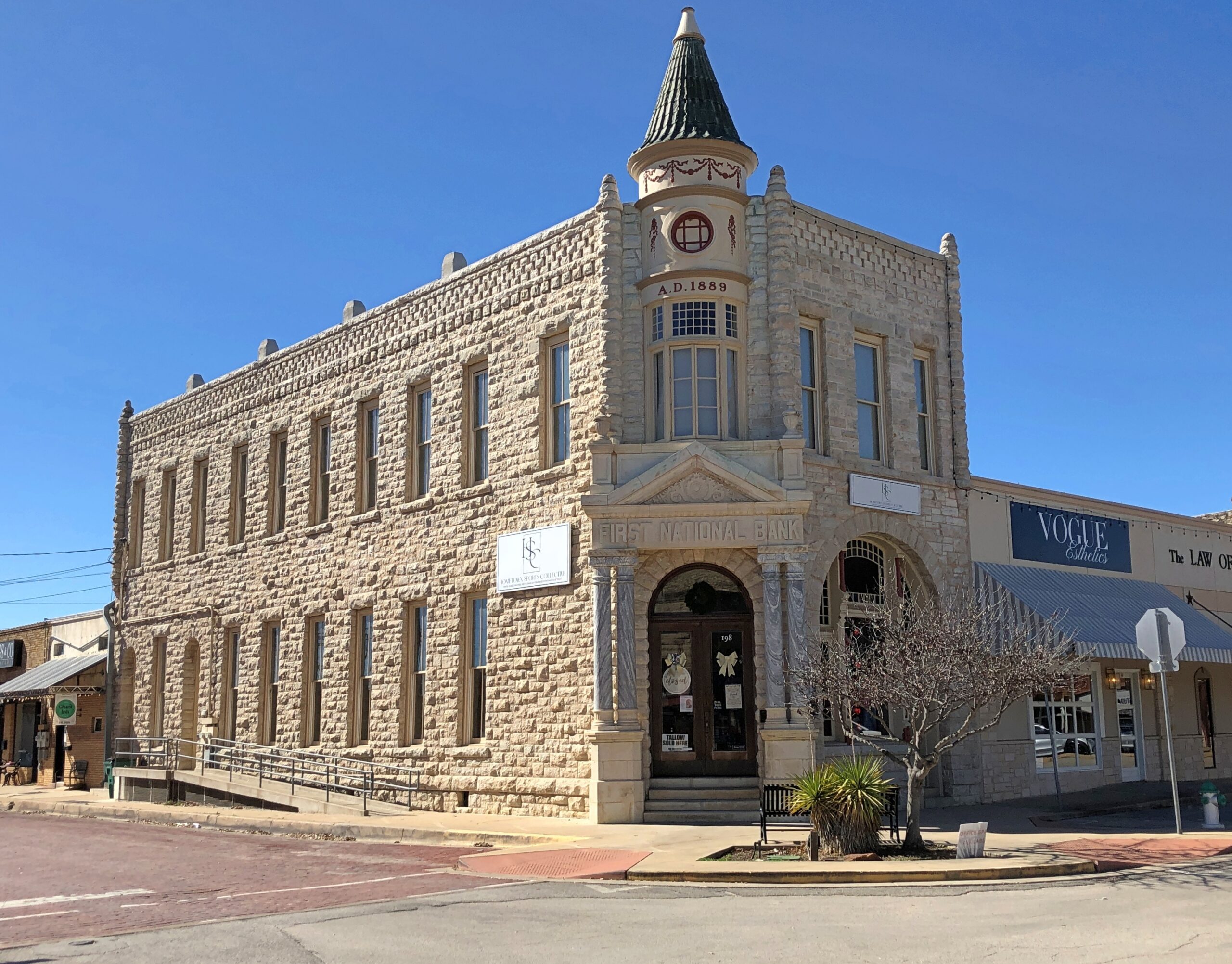
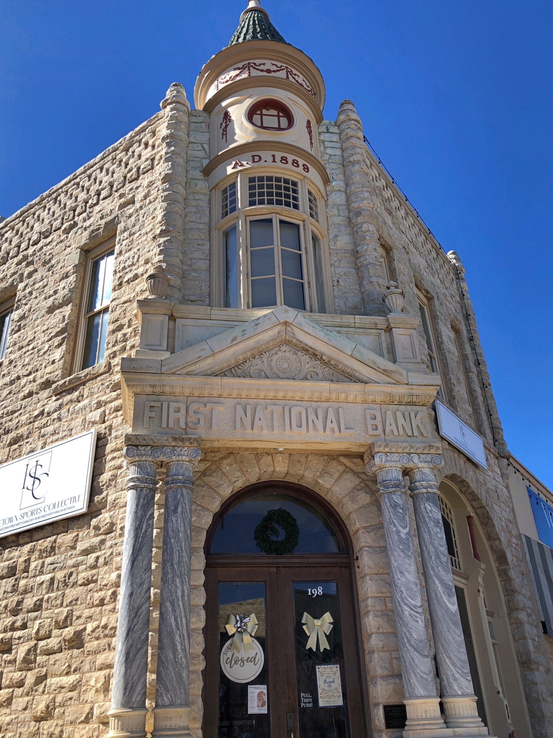
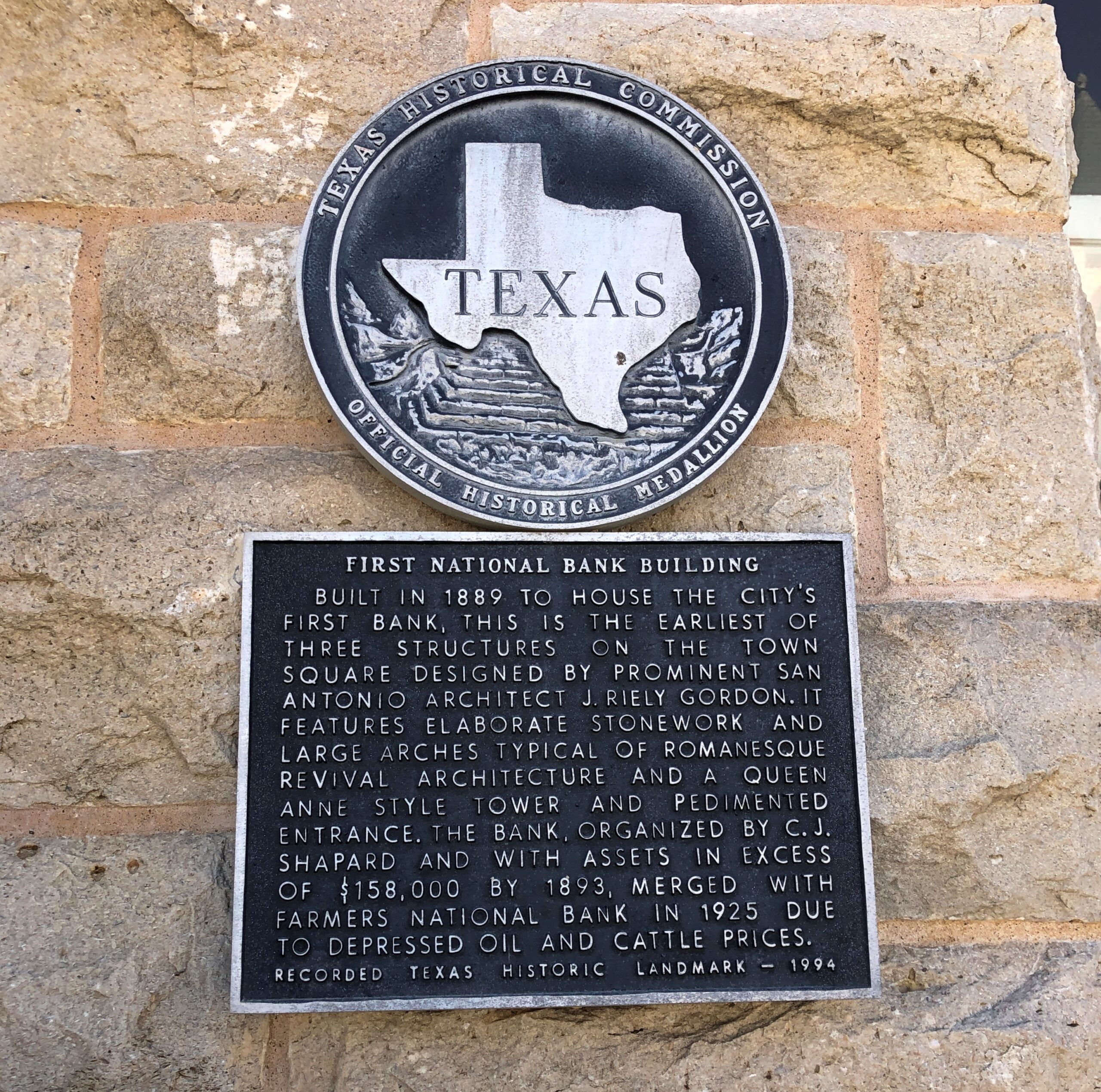
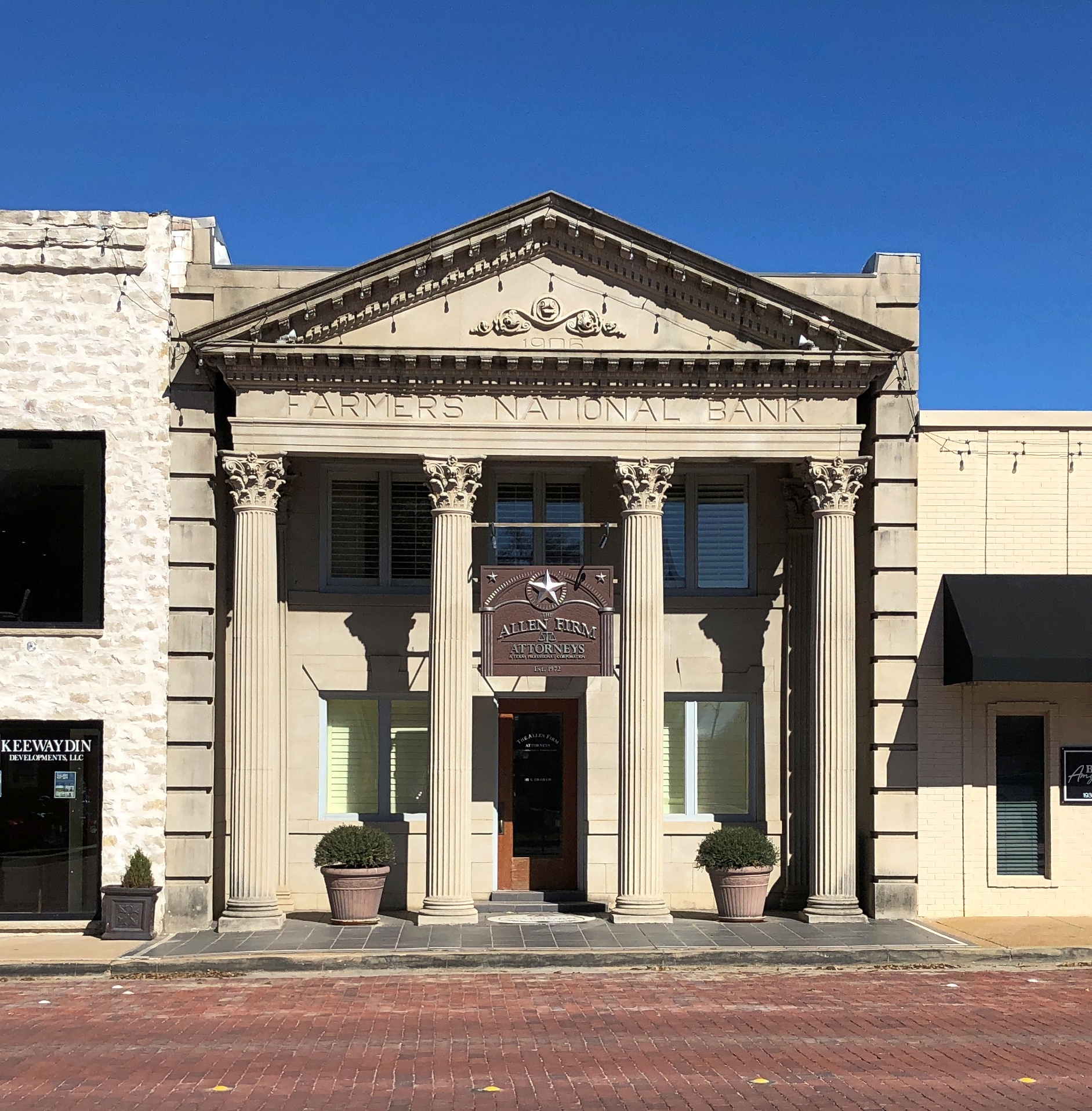
We ate lunch in Stephenville at Greer’s, which served a chicken-fried steak to beat all, then took a constitutional around the Erath County courthouse. Starting with one hefty former bank building, vintage 1889.
For Texas county courthouses, James Riely Gordon (d. 1937) is a starchitect, but of course that wasn’t all he did. When he designed this bank, he was 26.
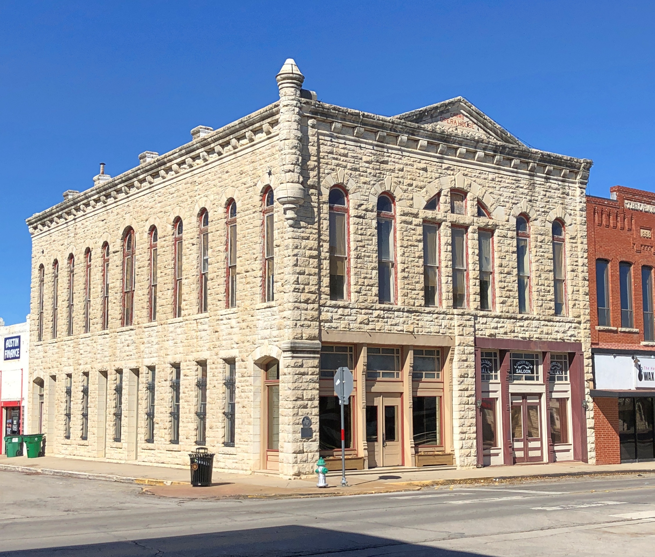
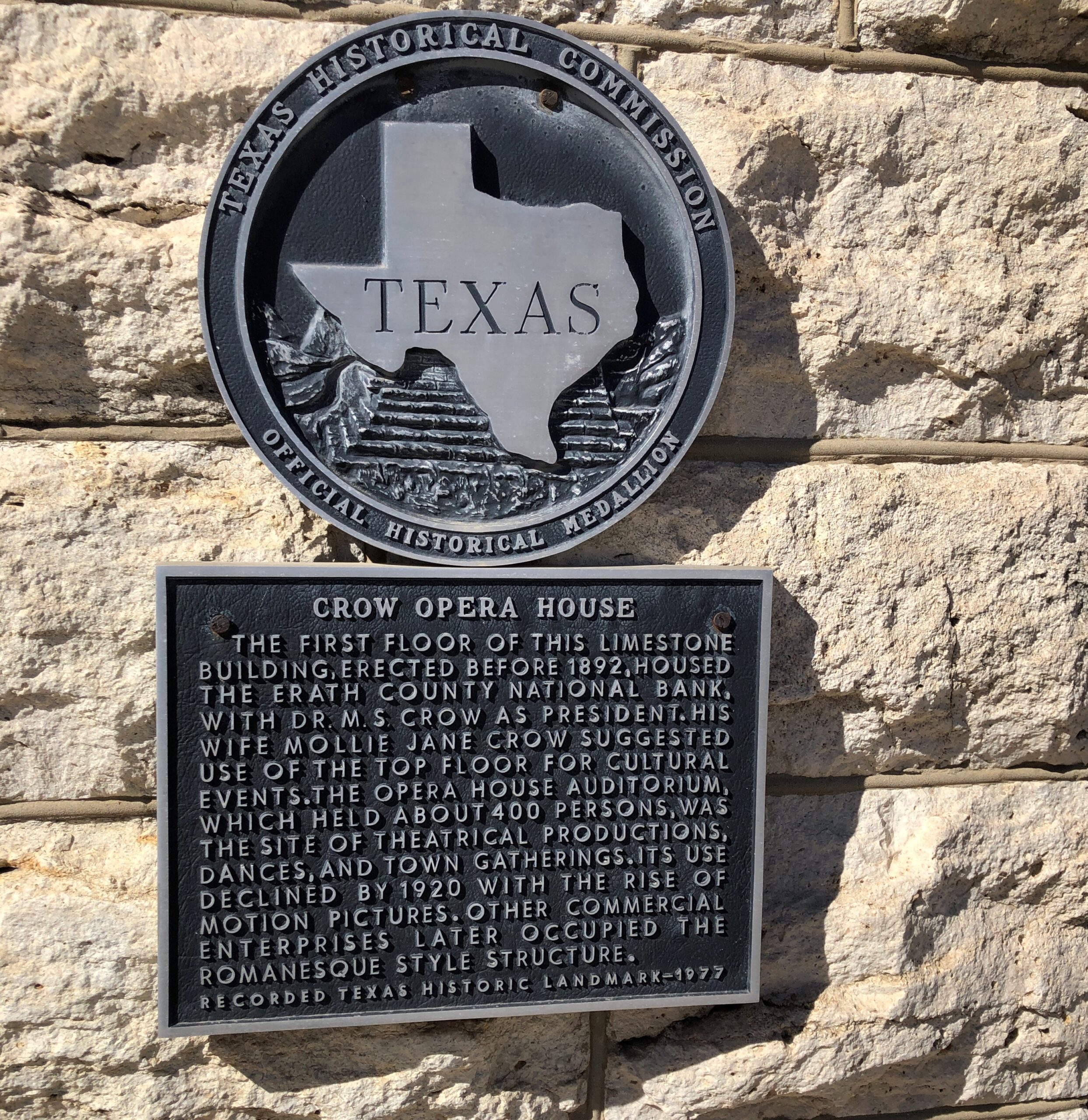
Every town worth its late 19th-century salt has to have an opera house.
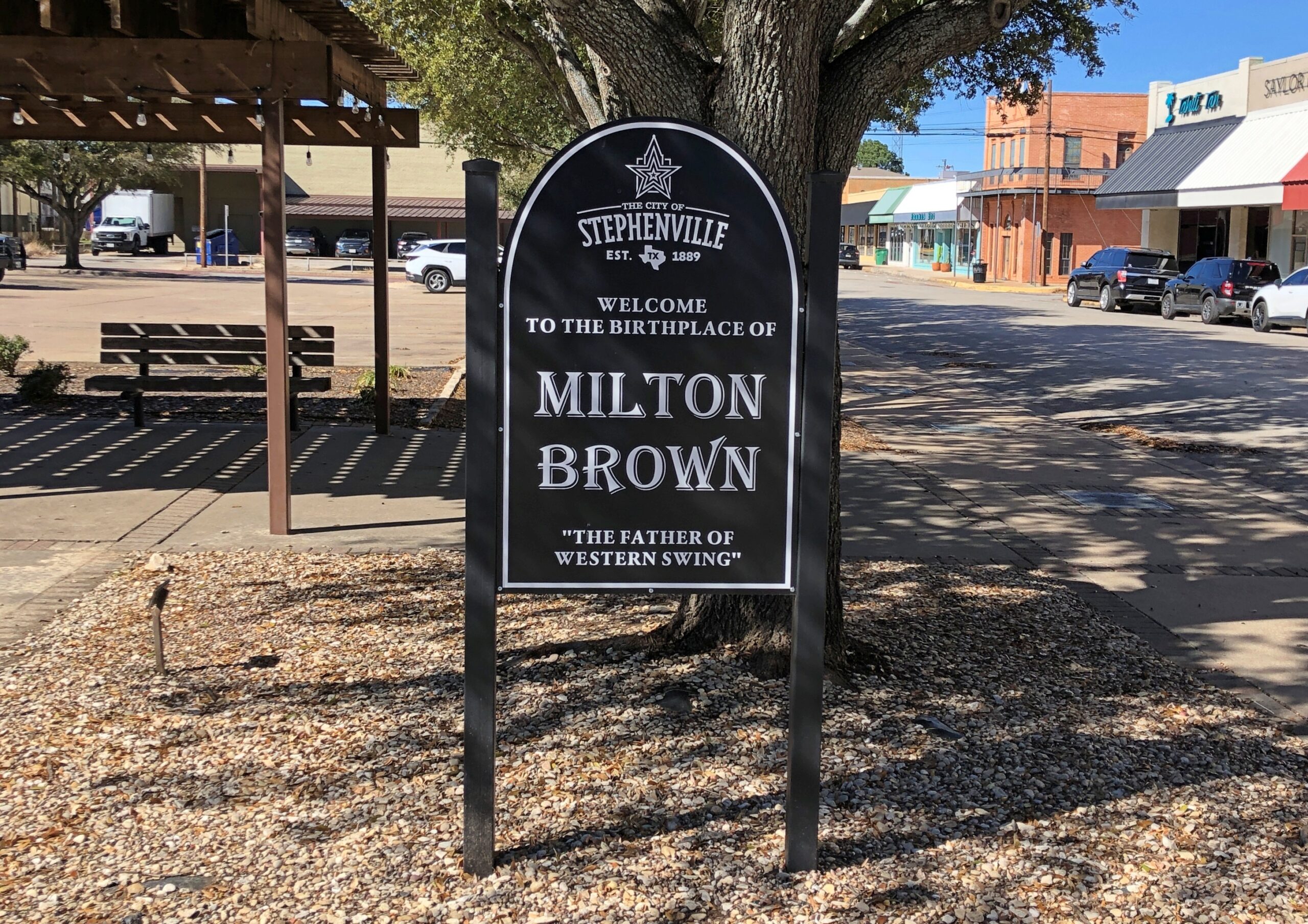
Wiki: “Brown began his musical career in 1930, when he met Bob Wills and guitarist Herman Arnspiger. They were performing at a local Fort Worth dance and Brown joined the duo on a chorus of ‘St. Louis Blues.’ The trio decided to team up to play medicine shows around Texas and Brown landed a regular radio spot on WBAP for the group, where they played a show sponsored by Aladdin Lamp Company, which had the band change its name to the Aladdin Laddies.”
Man, there’s another streaming platform limited series for you: the founding of western swing. Add a fictional love triangle between Bob Wills and Milton Brown and a fictional fetching woman, and some fictional tension between Bob and Milton, who nevertheless produce terrific music to enthusiastic audiences early in the Depression, until Milton dies suddenly in the last episode in a car wreck, as the real musician did in 1936 at age 32. Bob is left to carry on.
Milton’s not the only one honored near the Erath County courthouse.
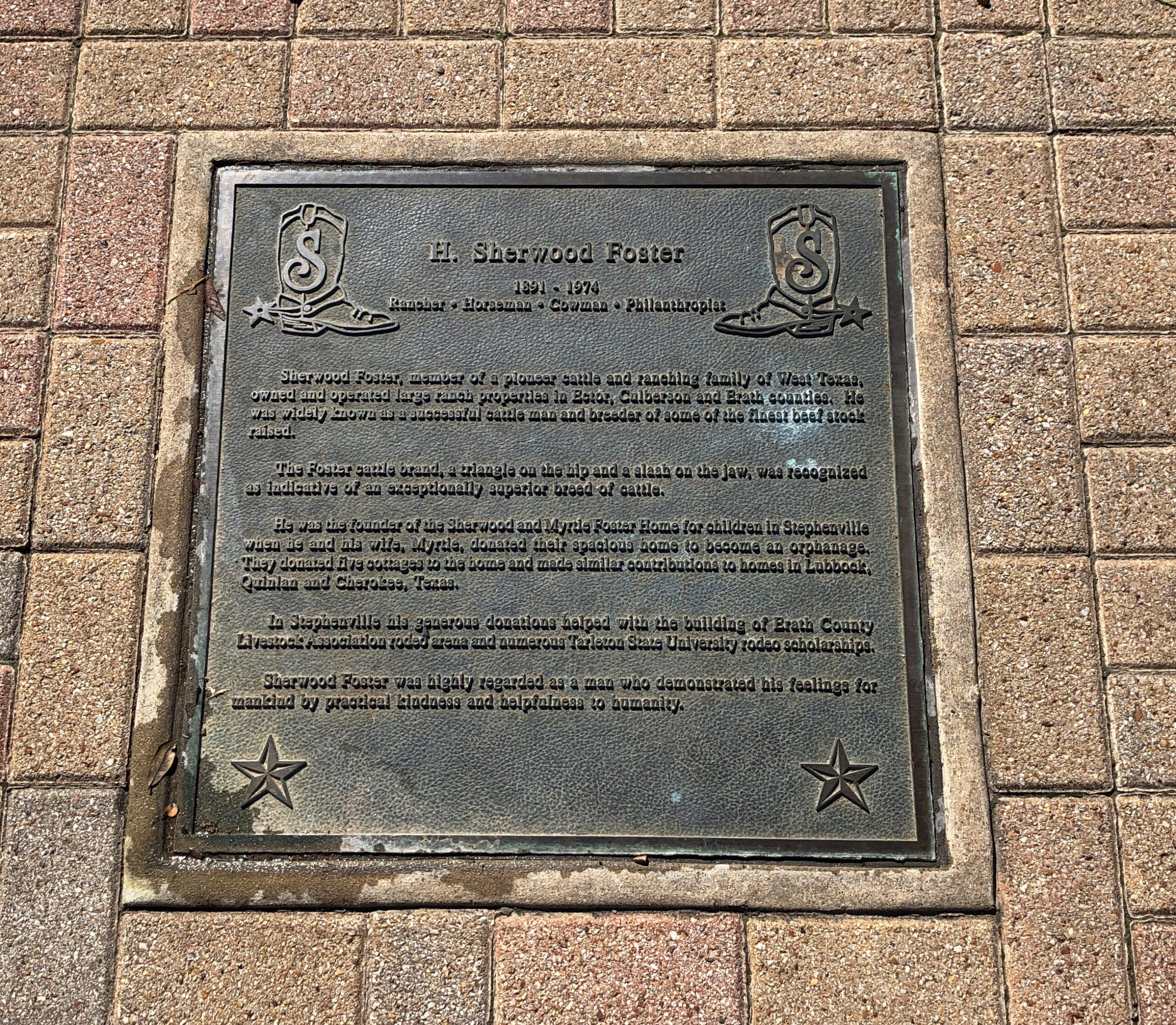
There were a fair number of plaques like this, too many to read, so I picked one.
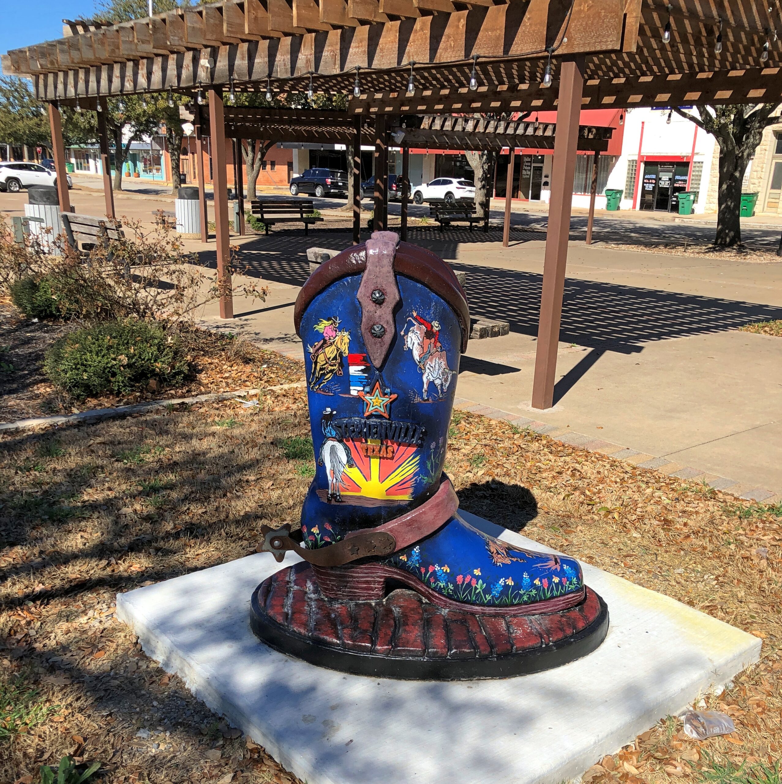
Chicago had its art cows (that was in 1999?!?) and Sturgeon Bay, Wisconsin, has its sturgeons, so Stephenville had boots?
You’d think maybe, considering the importance of dairy locally, there would also be — do dairy workers wear special boots? If so, there should be one of those on display too.
More Stephenville.
US 67 joins US 377 for a run southwest of Stephenville, through such burgs as Dublin, Comanche and Brownwood. Then US 377 peels away to the south; but we followed US 67 west to Ballinger. That town was mostly a stop to get our bearings, really, but I also did a short walkabout while Yuriko napped in the car.
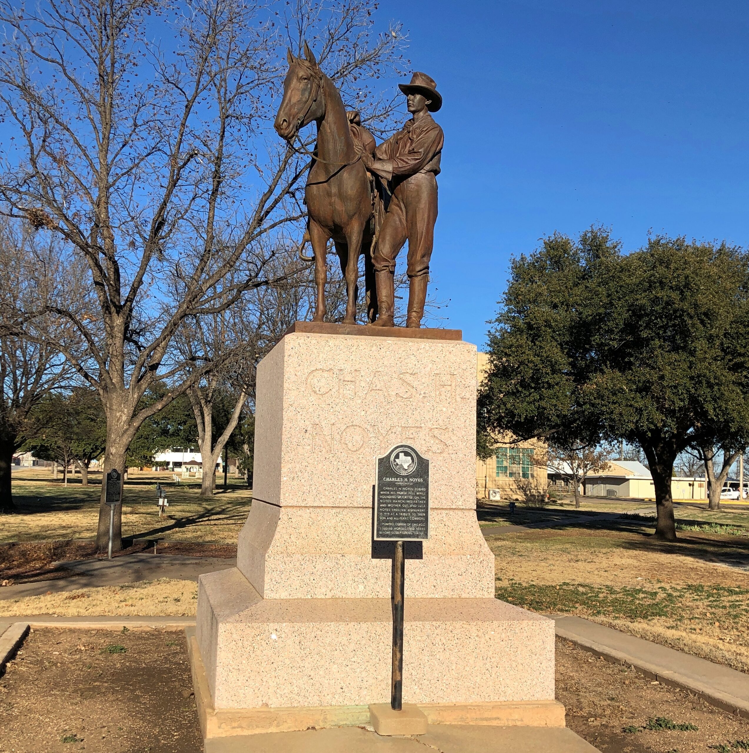
I made the acquaintance of Charles H. Noyes (d. 1917).
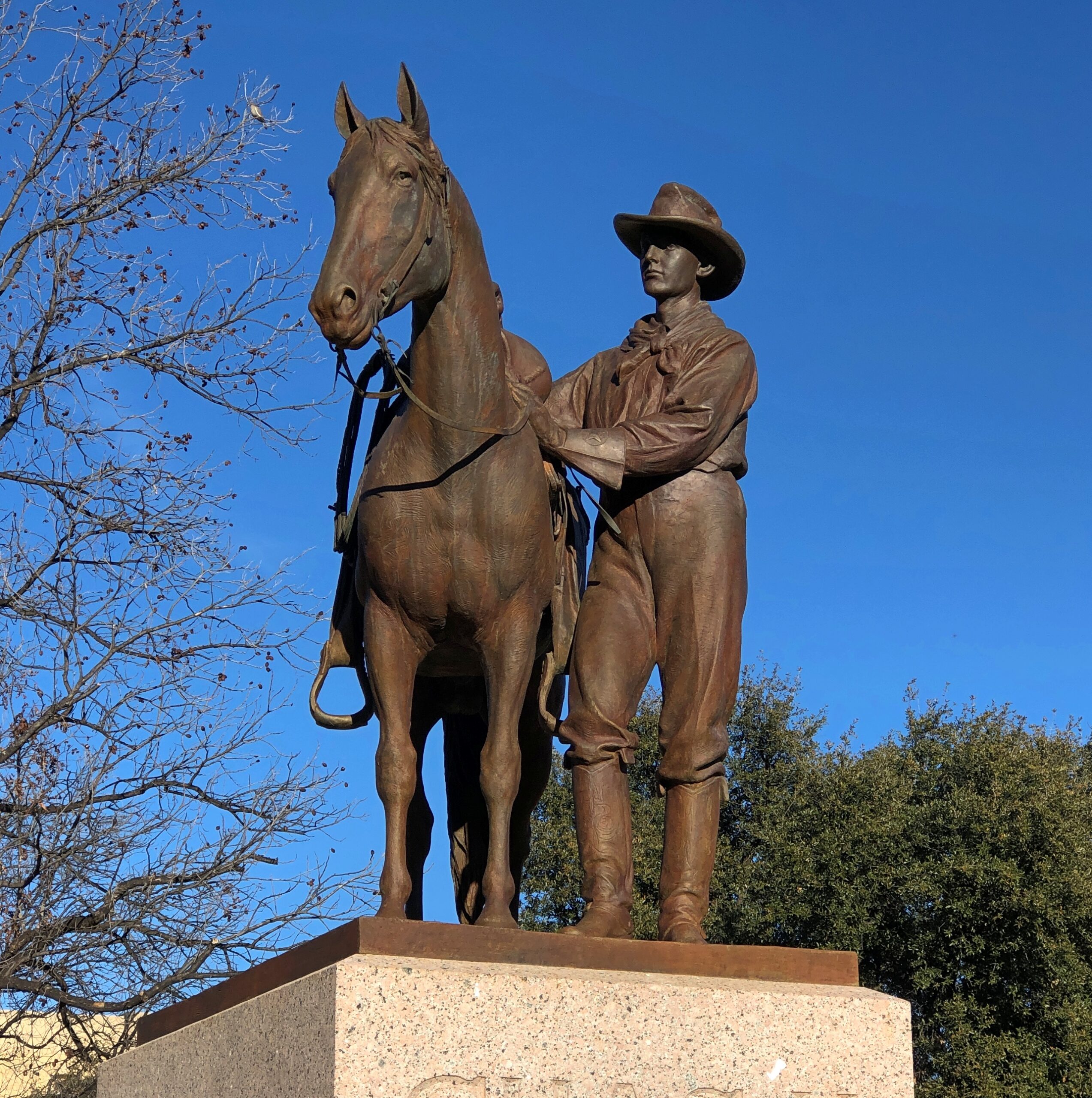
Charles was a young Runnels County man who died by being thrown from his horse while minding cattle. His parents tasked no less than Pompeo Coppin to do the sculpture honoring his memory. Nice work, Pompeo. RIP, Charles.
Terrific lightning storm rolled by to the south last night at about 11. Little rain but a prodigious amount of cloud-to-cloud lightning, unlike anything I’ve seen in years. The last time might have been when we were under such a near-rainless storm in North Dakota nearly 20 years ago. After watching in fascination from the back door, I got my phone and recorded about 30 seconds of the spectacle.
As usual, video only conveys a fraction of the visual power of the moment. But, in spite of the channel it’s on, it isn’t AI.
I was curious today which volume of the Encyclopedia Brown books — whose protagonist is a sharp grade-school boy who solves crimes and mysteries — mentioned the town of Palestine, Texas. Even though I grew up in Texas, I’d never heard of the place until I read an EB story in the early ’70s that mentioned a string of places that some international jewel thief was traveling to: Moscow, Odessa, London, Paris, Palestine and Athens. The boy detective determined that the criminal would be in Texas, since those are all places in that state, and especially because “Palestine” is called “Israel” now, as he said.
You might wonder (I do now, anyway) what business an international jewel thief would have in a place like Moscow, Texas (pop. 170) or London, Texas (pop. 180), but never mind. It didn’t take long for me to find a YouTube review of Encyclopedia Brown Keeps the Peace (Book 6, originally published 1969), including the case that mentions the Texas towns. The reviewer takes the book to task, asking “can grade-schoolers be expected to know this information?” No, of course not. They can be expected to learn it, however.
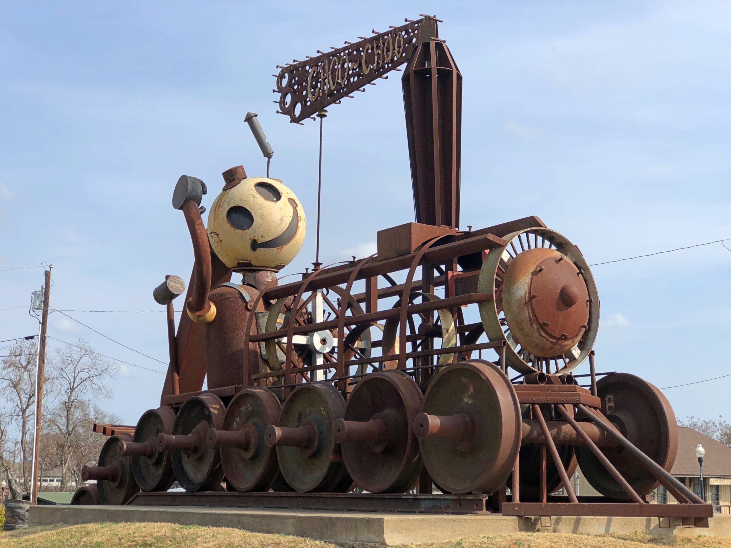
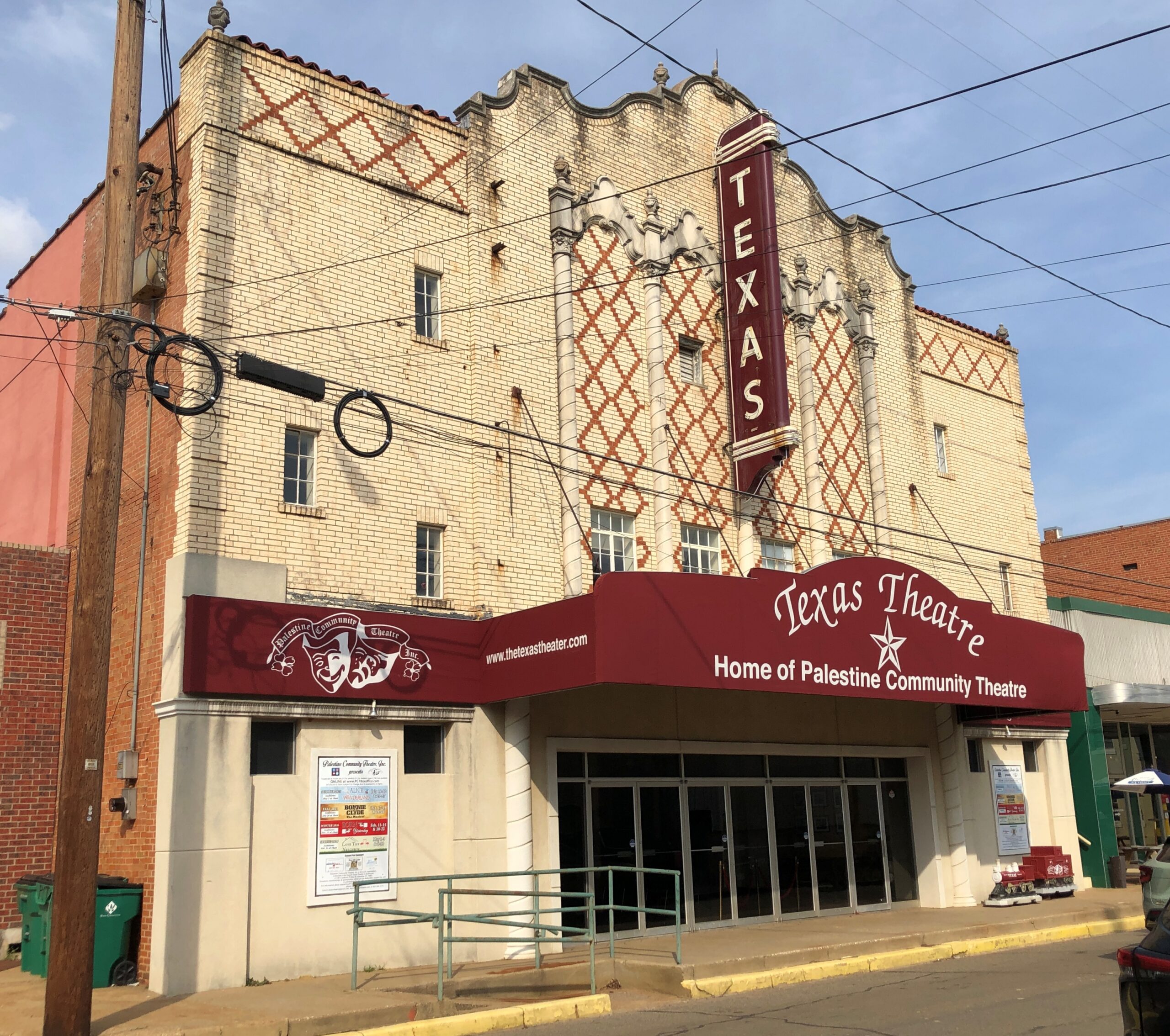
Now I know exactly where I learned about Palestine (Pal-es-TEEN) more than 50 years ago. I didn’t arrive in Palestine in person until this February, on my way to Dallas from Nacogdoches. During my visit, I made the acquaintance of this fellow.
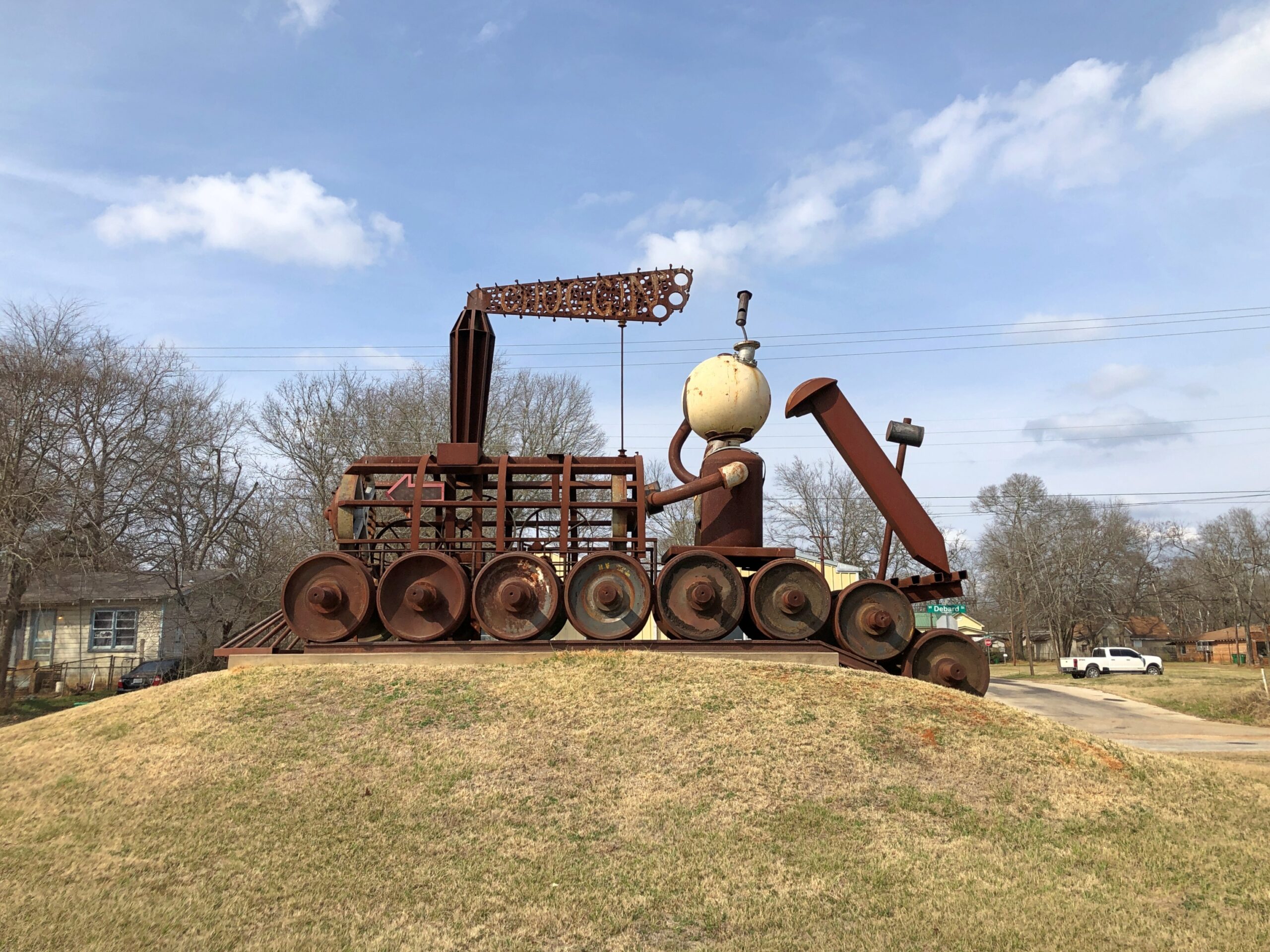
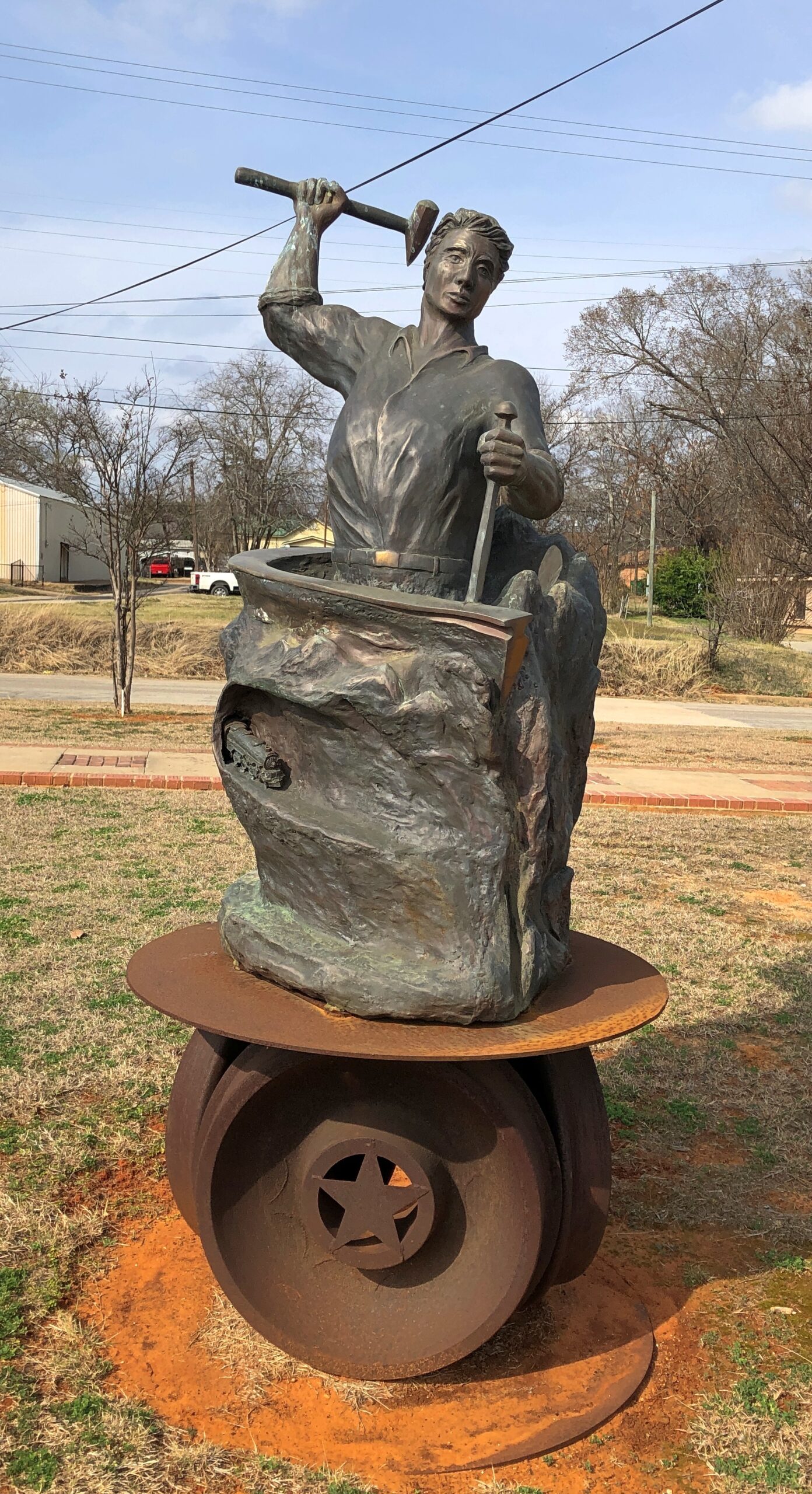
The sculpture is called “Chuggin’ ” (2020), created by Dewane Hughes, a sculpture professor at the University of Texas in Tyler. Railroads are important in the history of Palestine, so much so that one terminus of the Texas State Railroad – a linear state park along a former short line RR – is in the town. The other terminus is in Rusk, about 25 miles away. Not running in February, unfortunately.
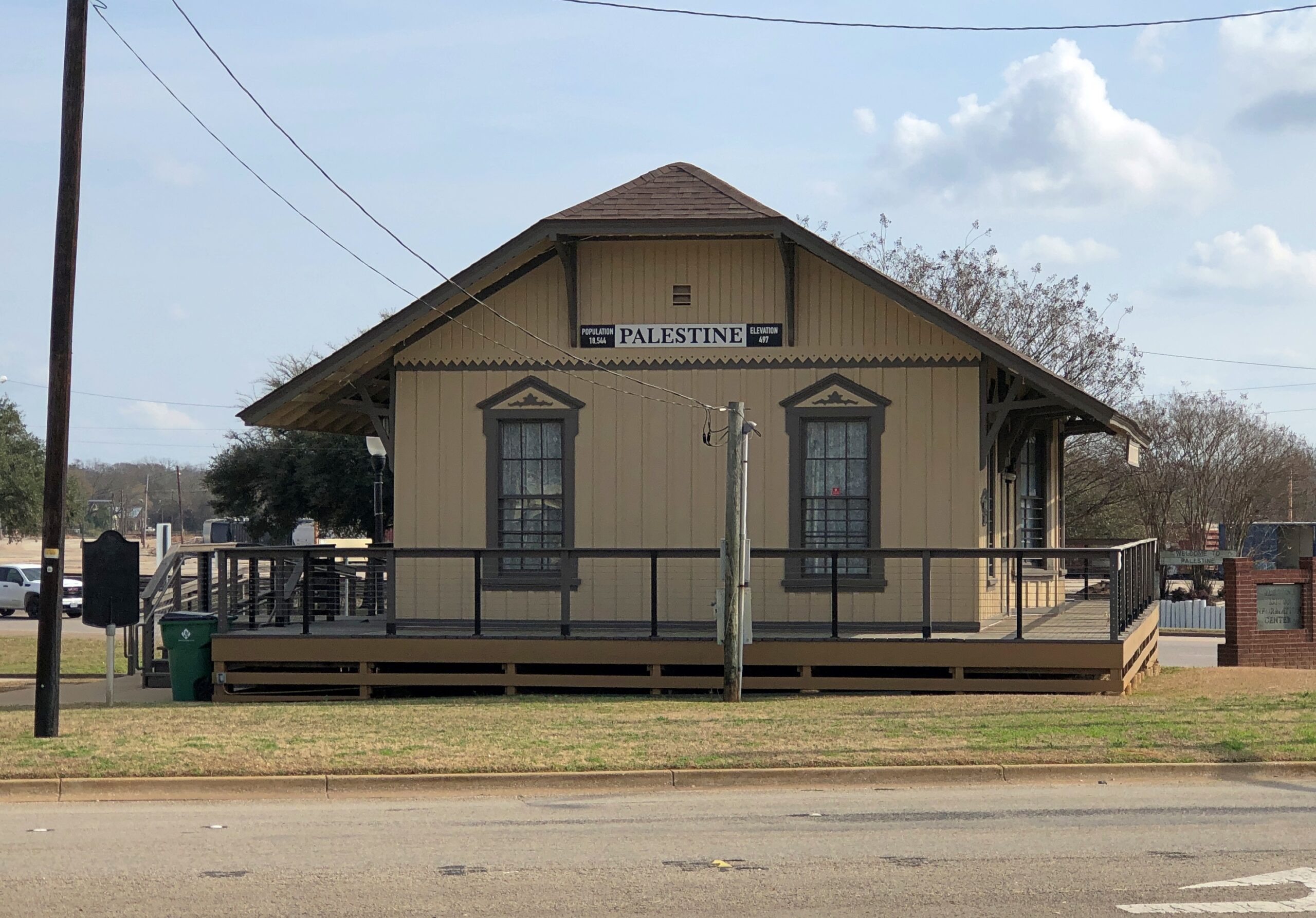
“Chuggin’ is near the town’s visitor center, a former RR depot.
Also nearby is “Forging History” (2014) by Dale Montagne, with the base made of three actual rail car wheels.
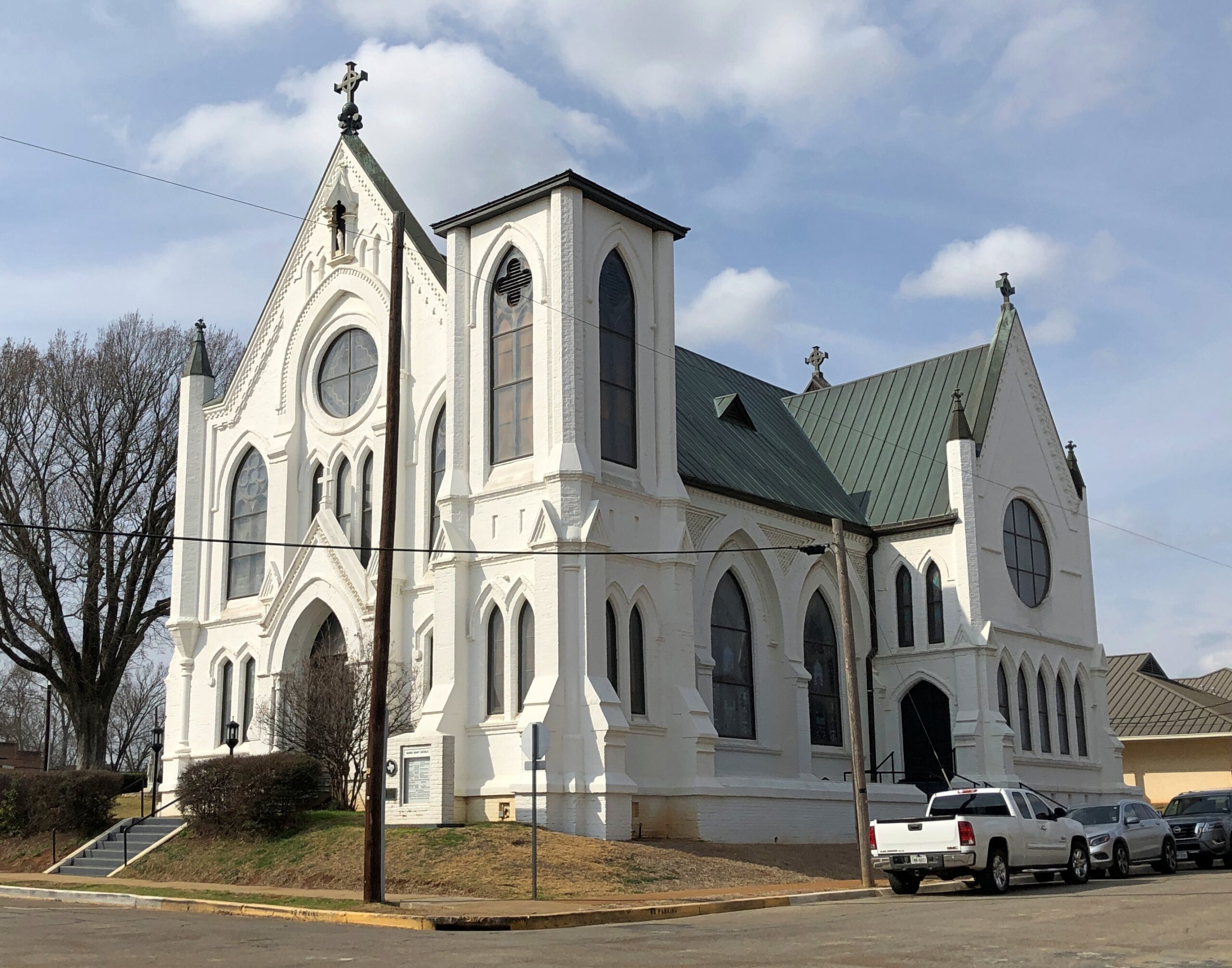
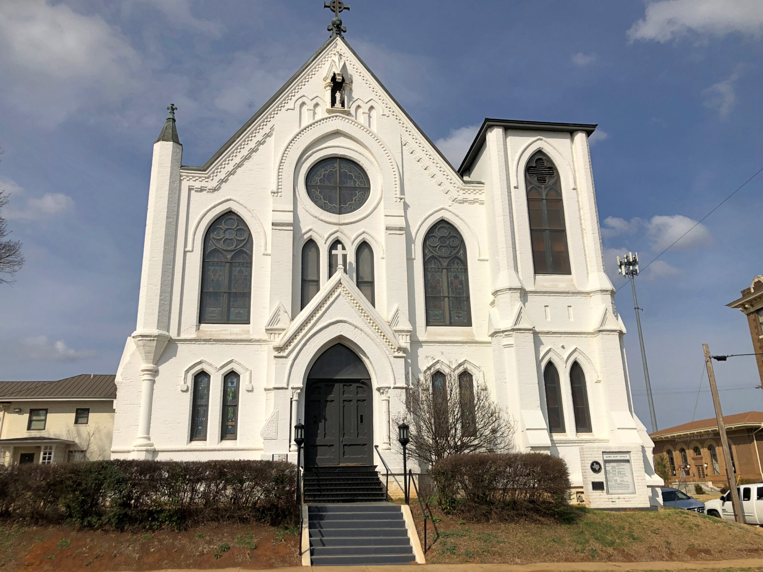
Parking was easy to find in downtown Palestine, traffic light. Parallel parking was available right across from the splendid Sacred Heart Catholic Church, as it happened, an 1890s creation by Nicholas Clayton, who was most active in Galveston before the hurricane. Originally many of the congregation were workers on the International-Great Northern Railroad Co., which had a major presence in Palestine.
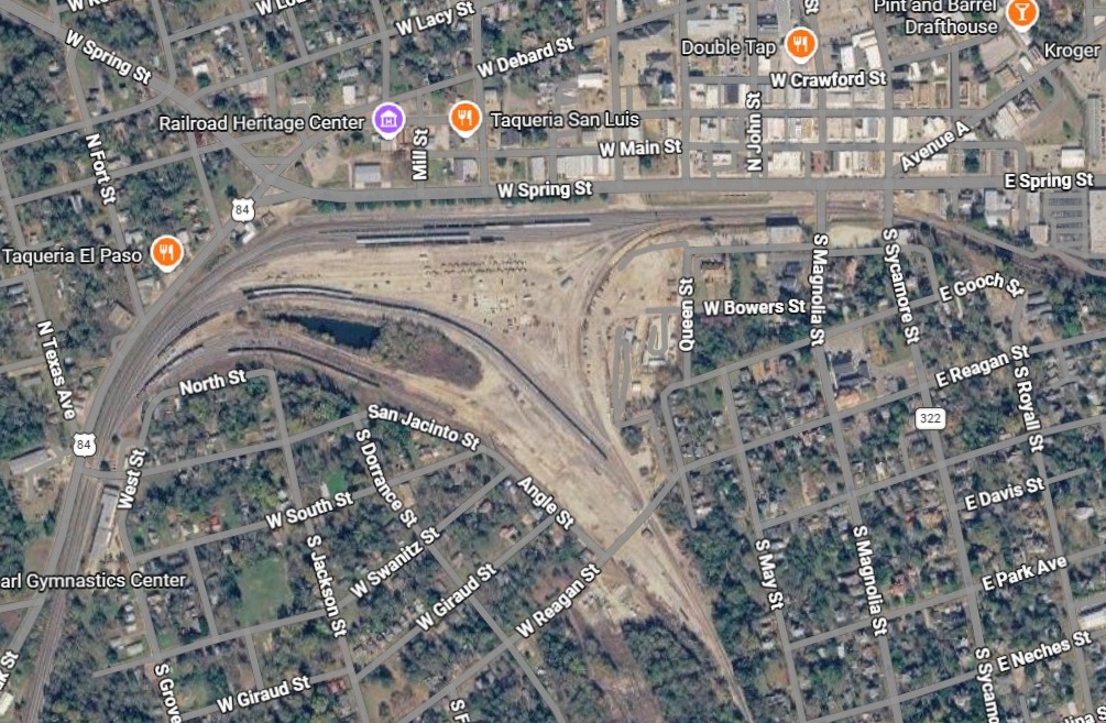
Palestine still has a sizable rail yard south of downtown.
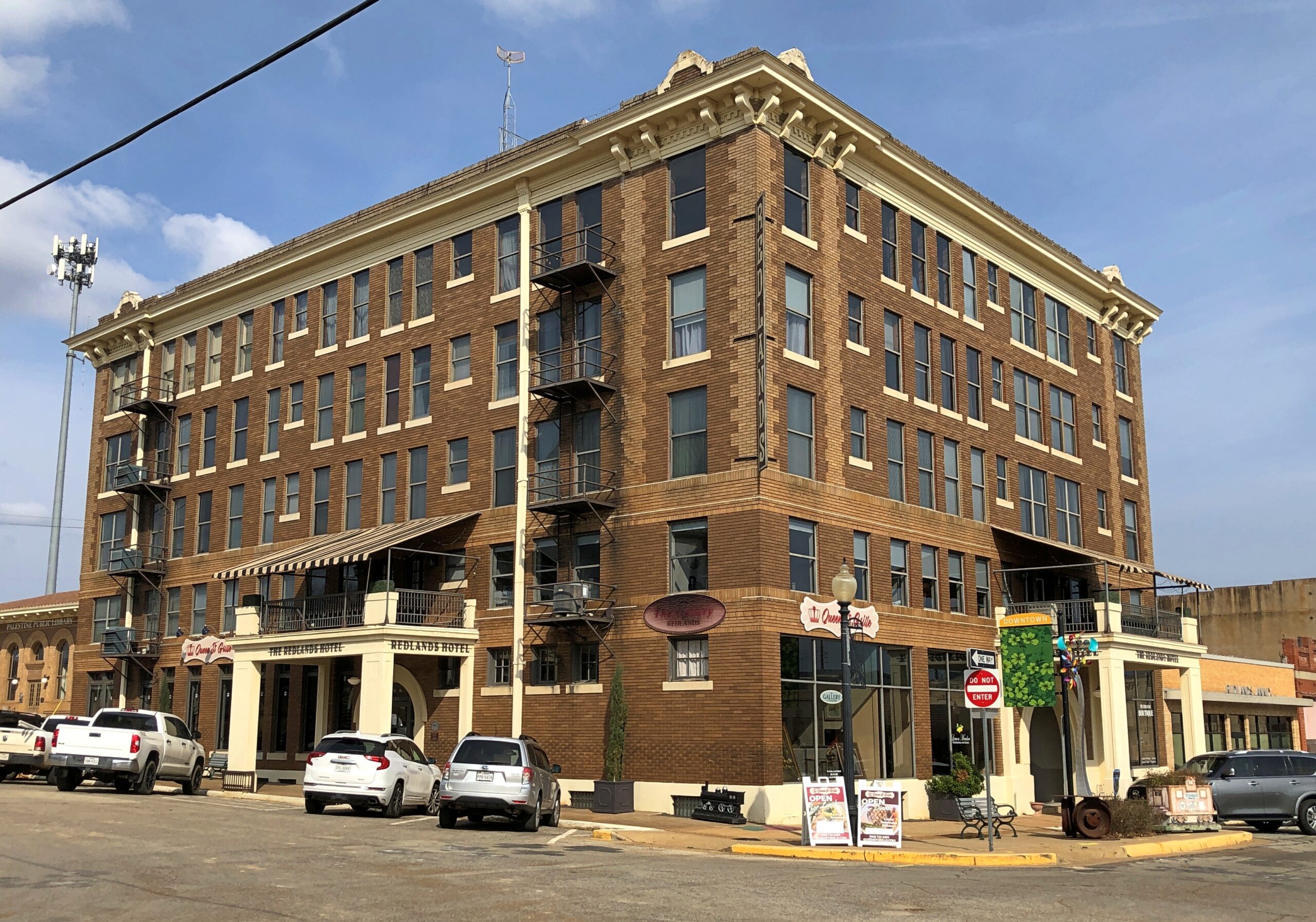
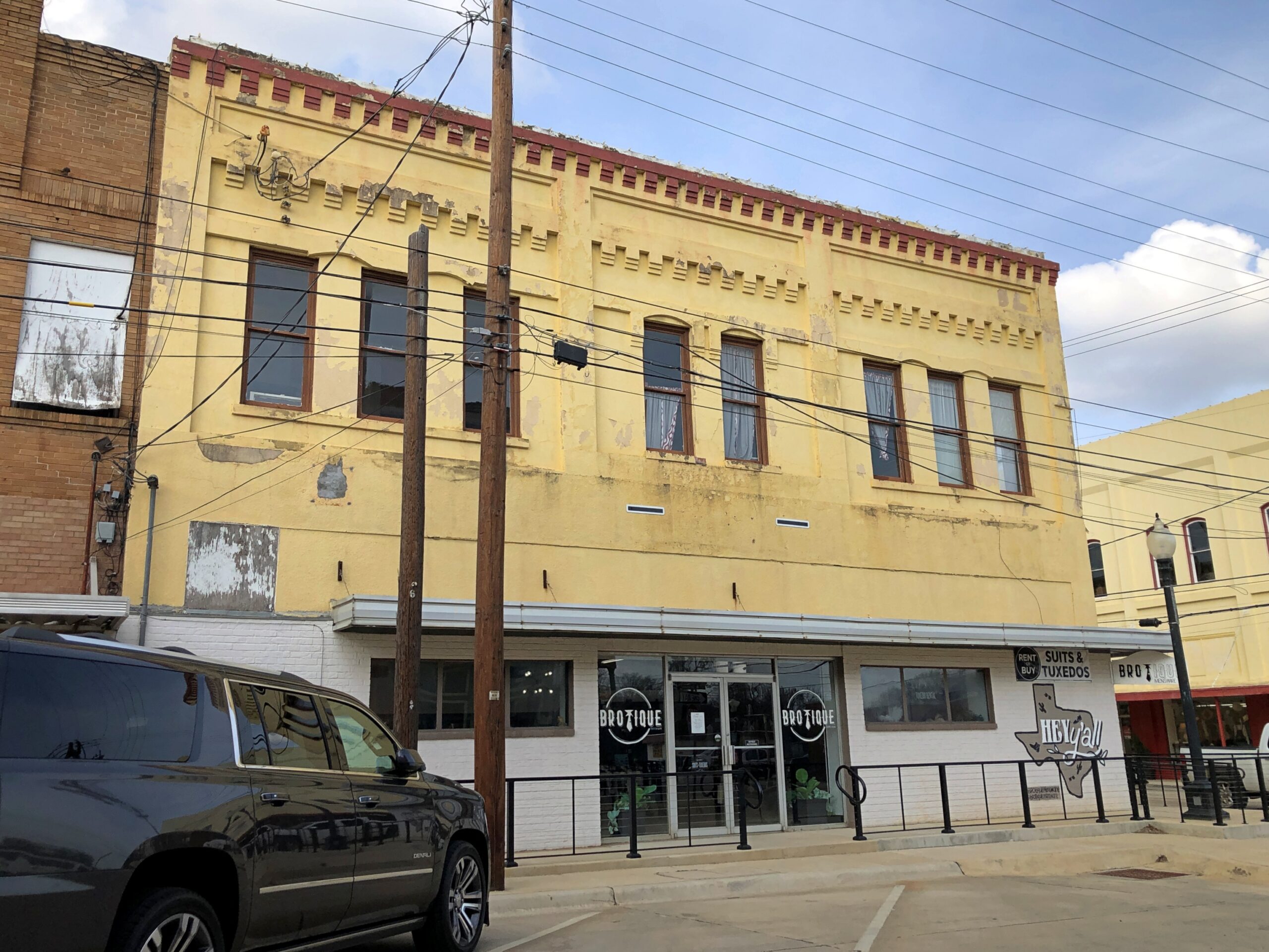
Took a walk around downtown. Like most large towns, or small cities, there is a mixture of ongoing businesses –
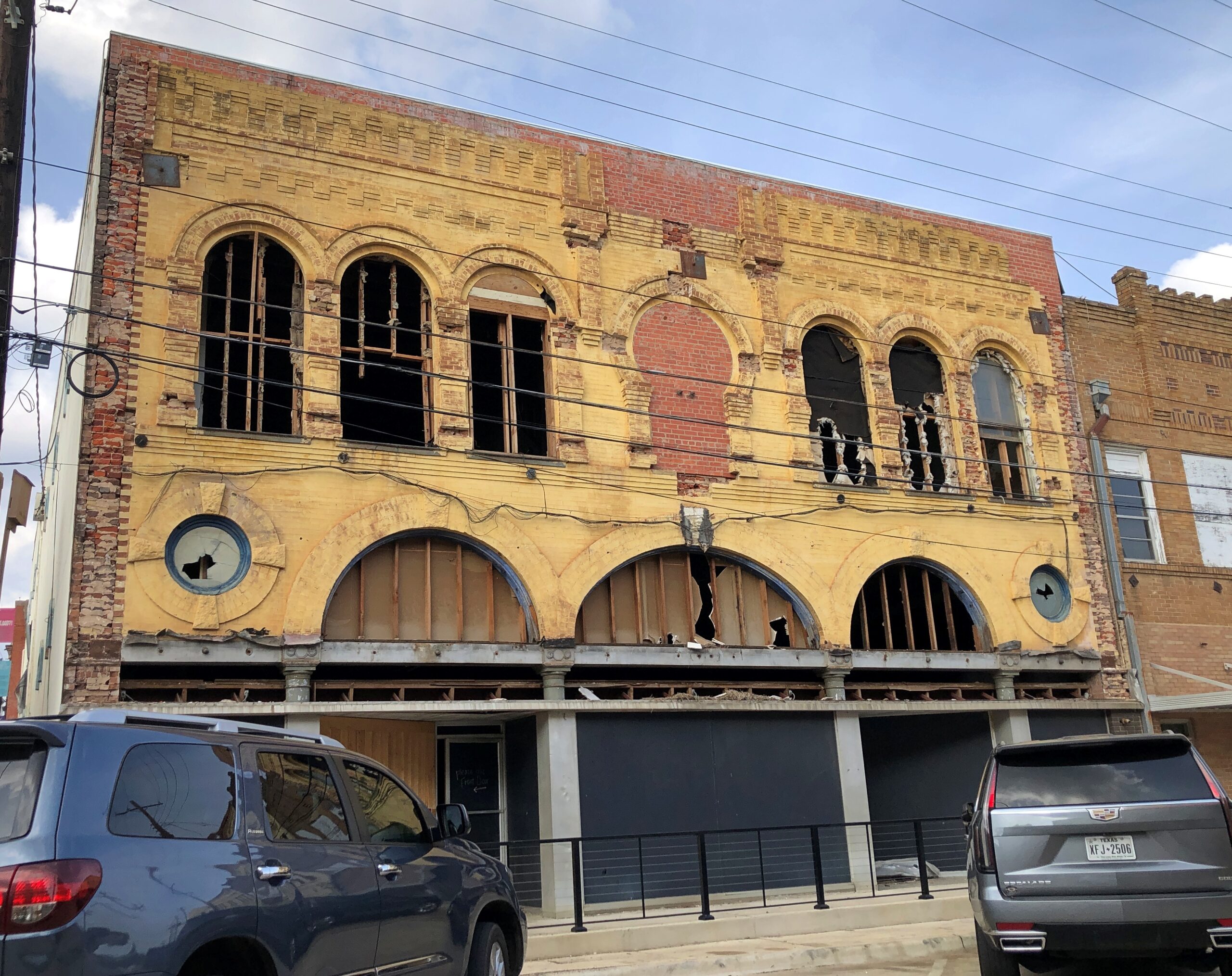
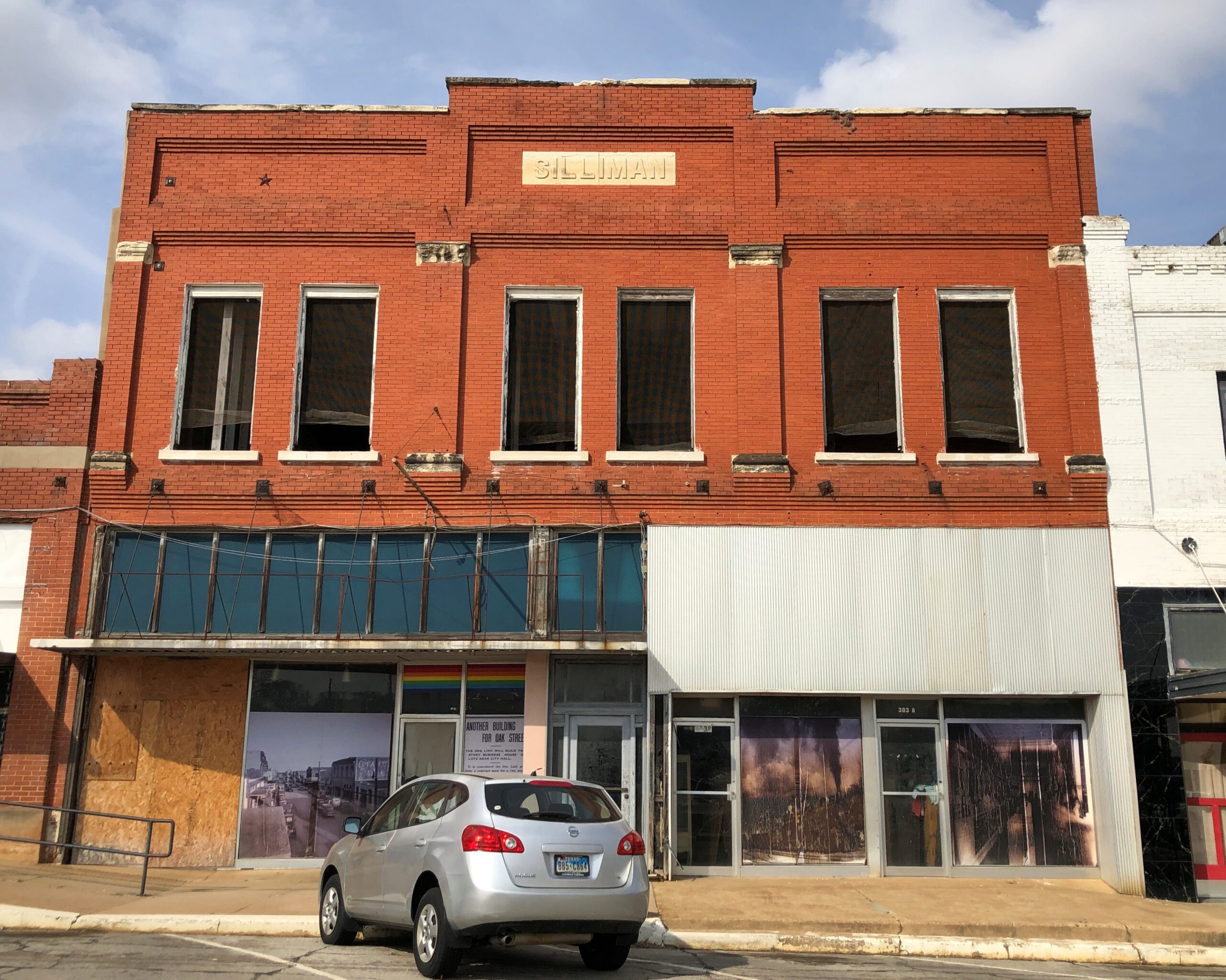
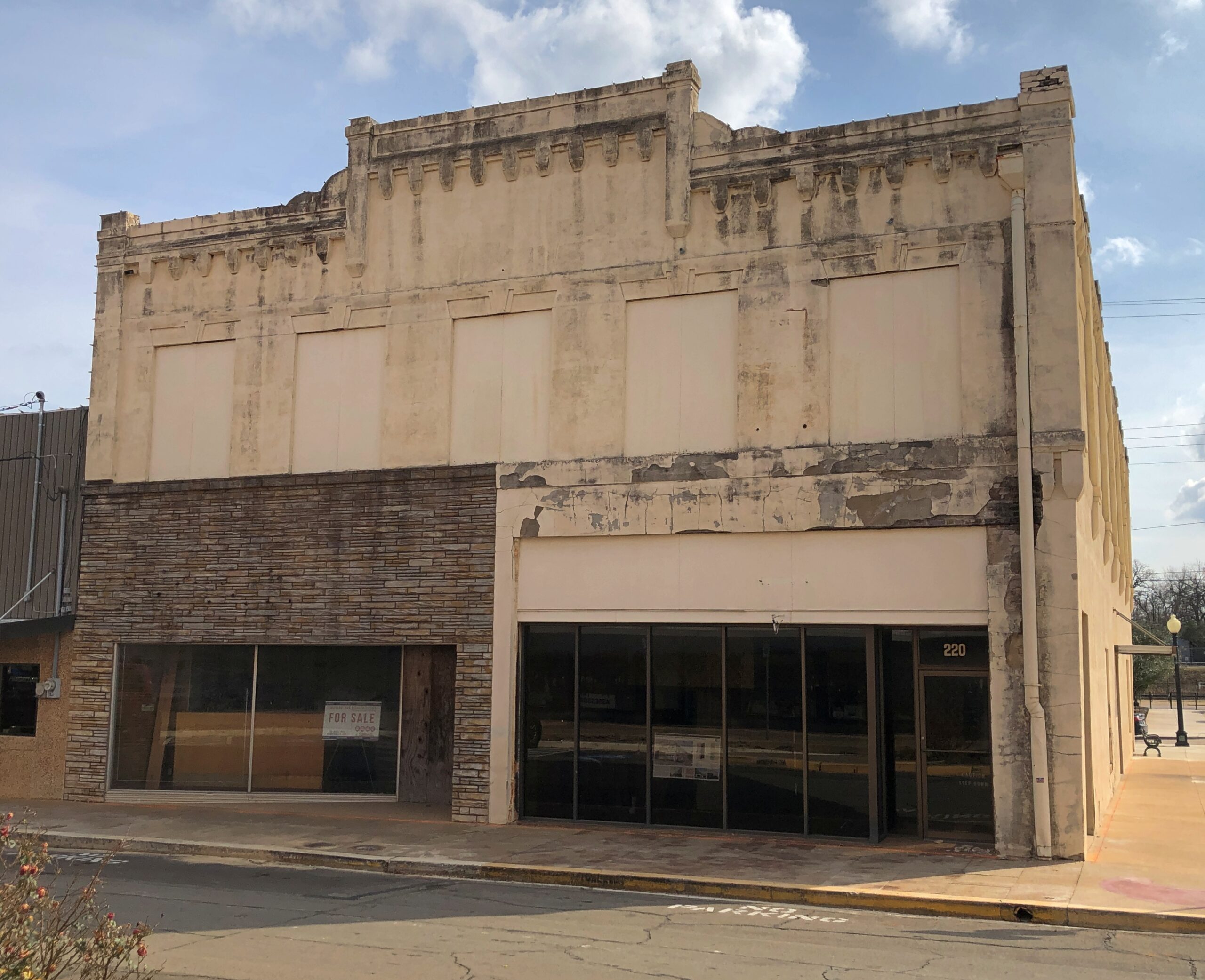
— with vacancies.
Got some buildings with really good bones, as it’s been said in the real estate biz.
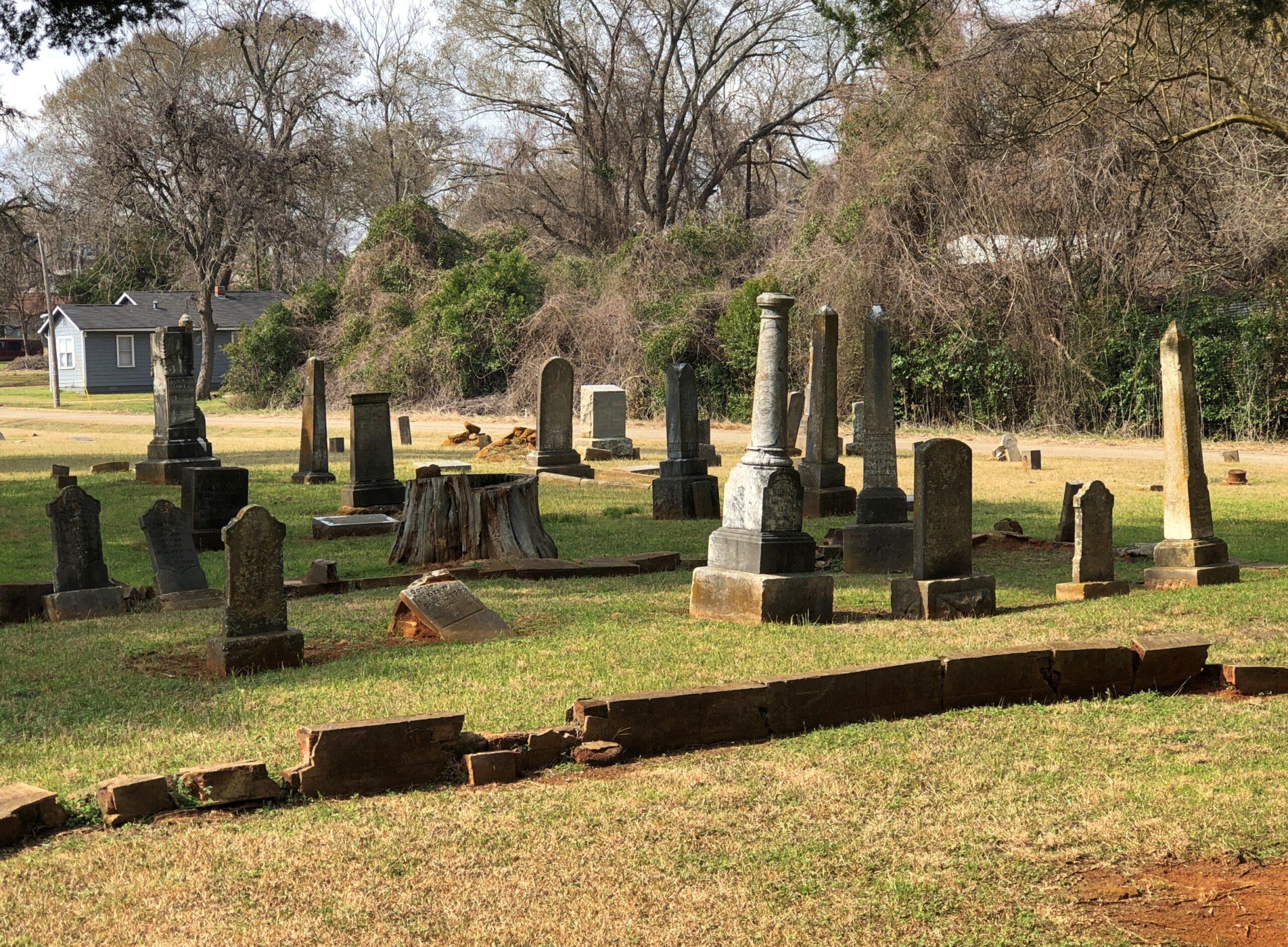
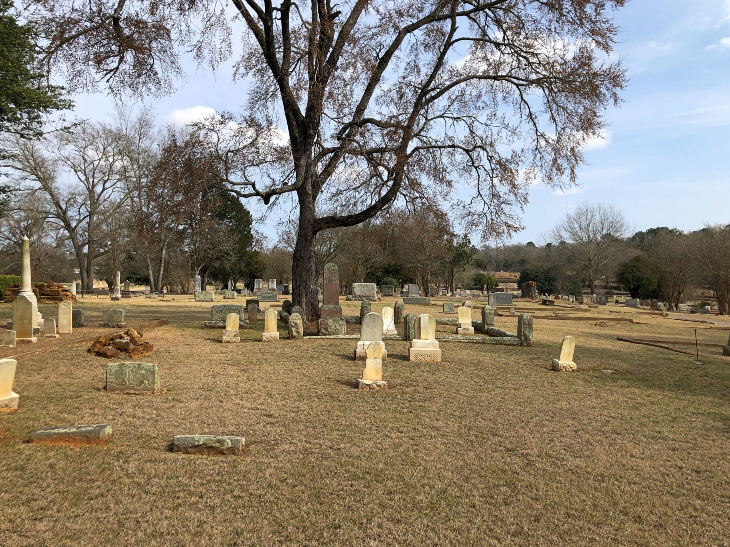
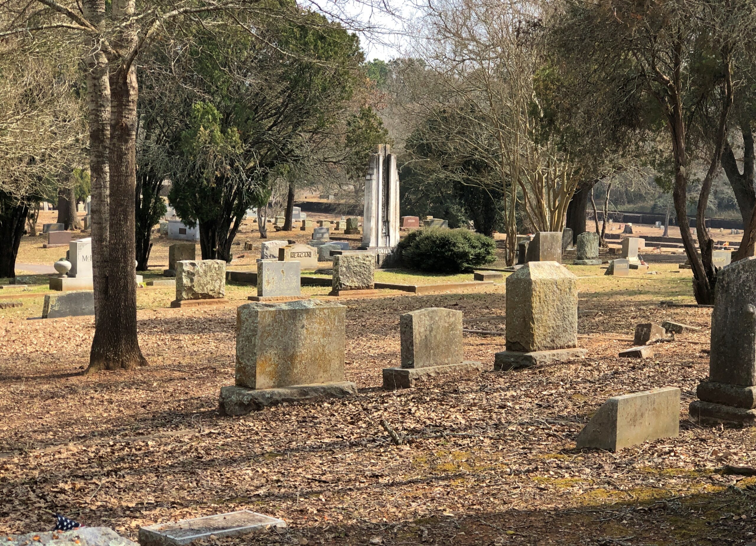
The Palestine City Cemetery is to the east of downtown, but not very far. Nowhere is that far in town.
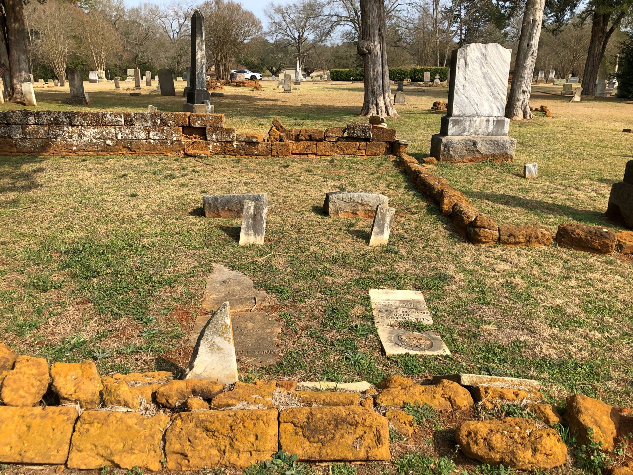
The crumble is on.
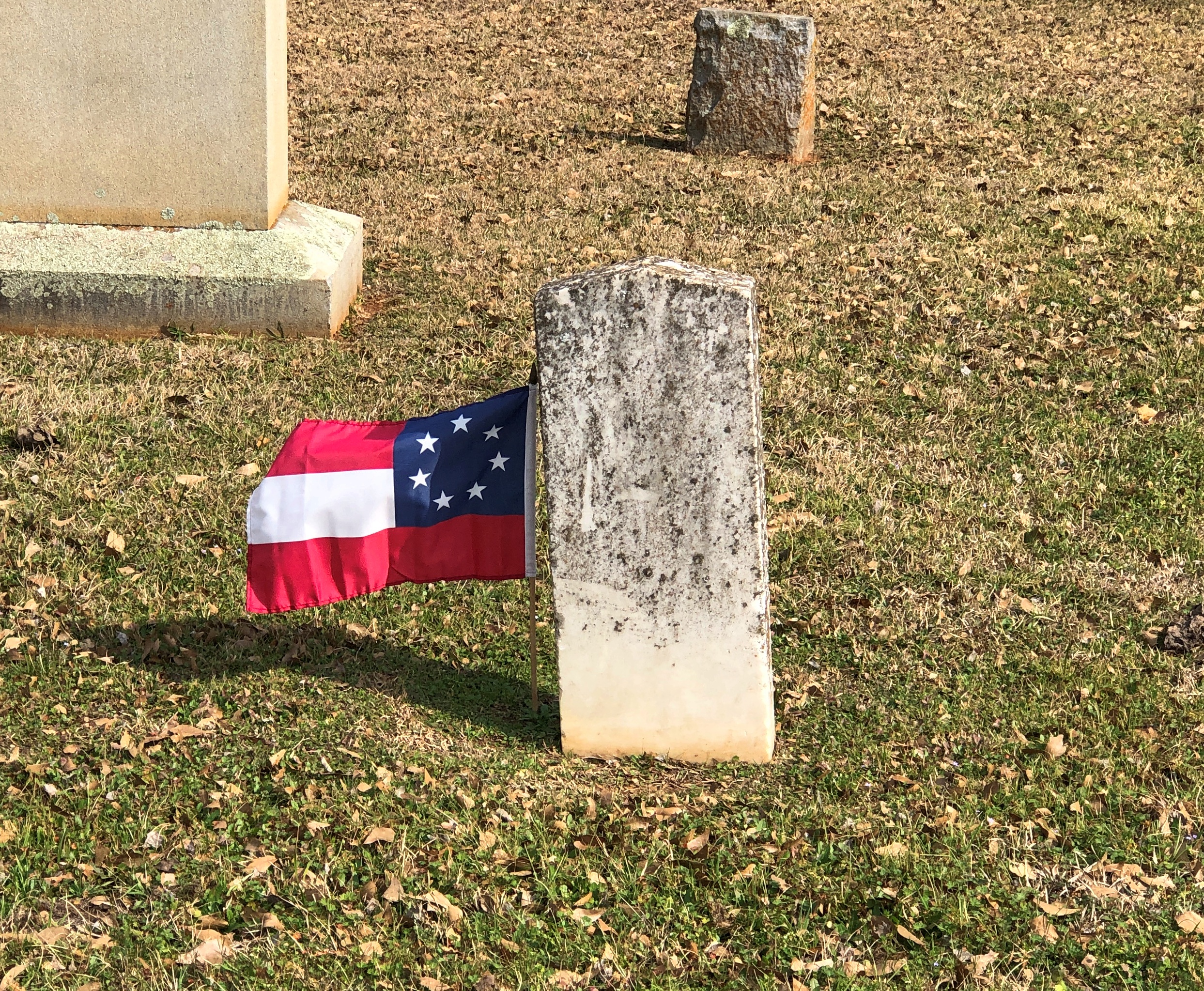
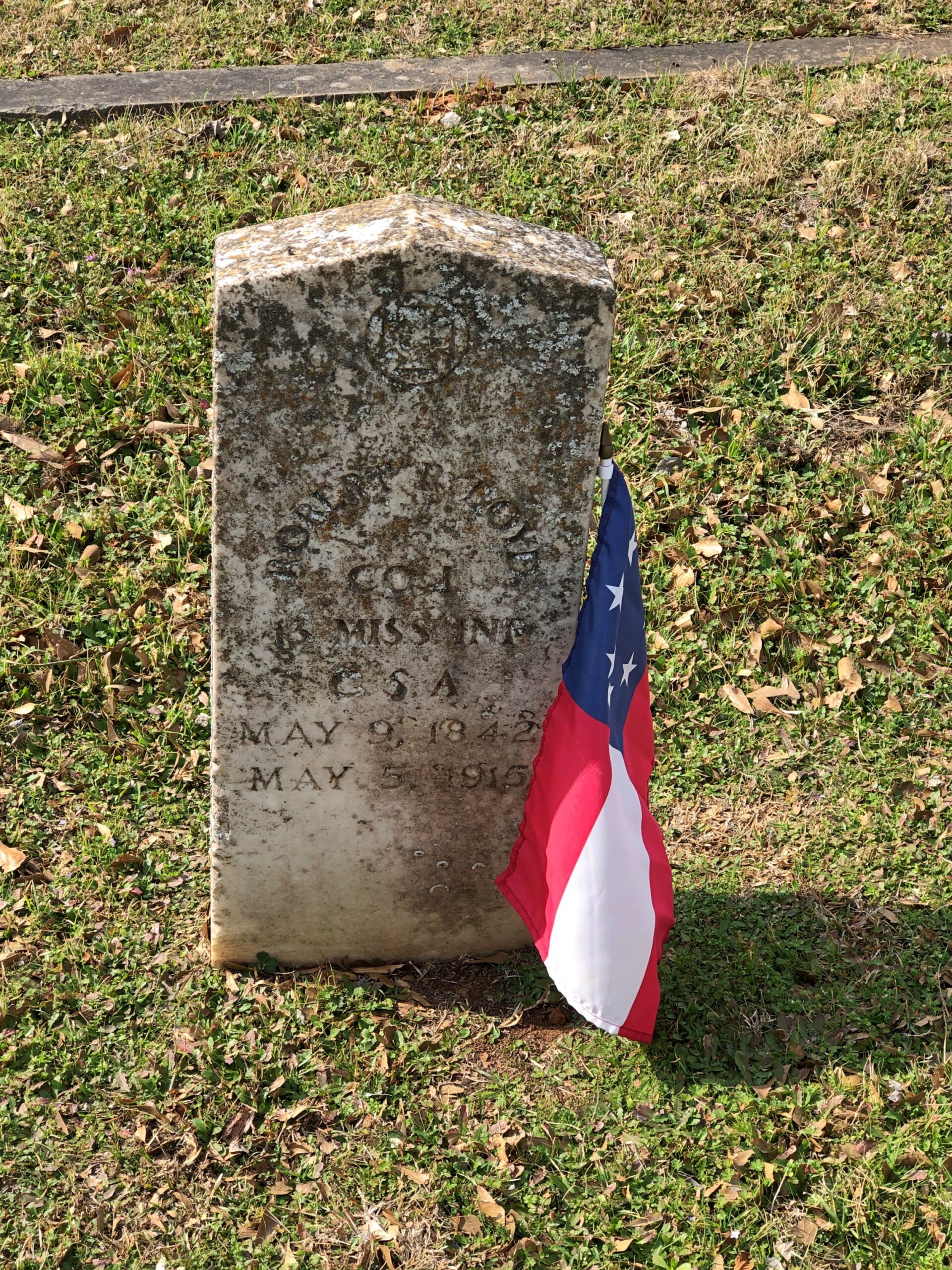
Something you don’t see that often. Not just the Stars and Bars, but the very first version with seven stars. In the fullness of not much time, six more stars were added.
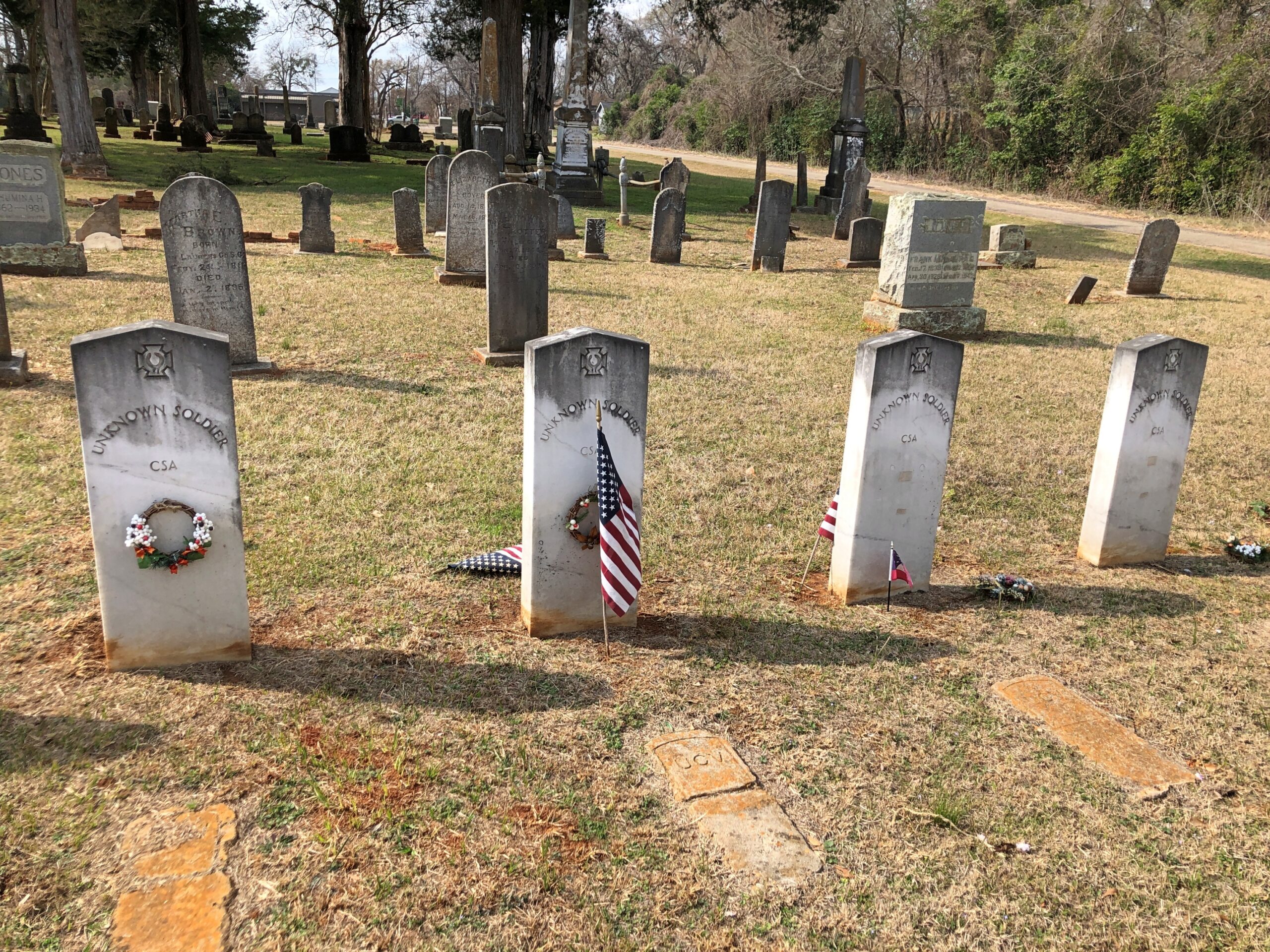
Unknown CSA soldiers.
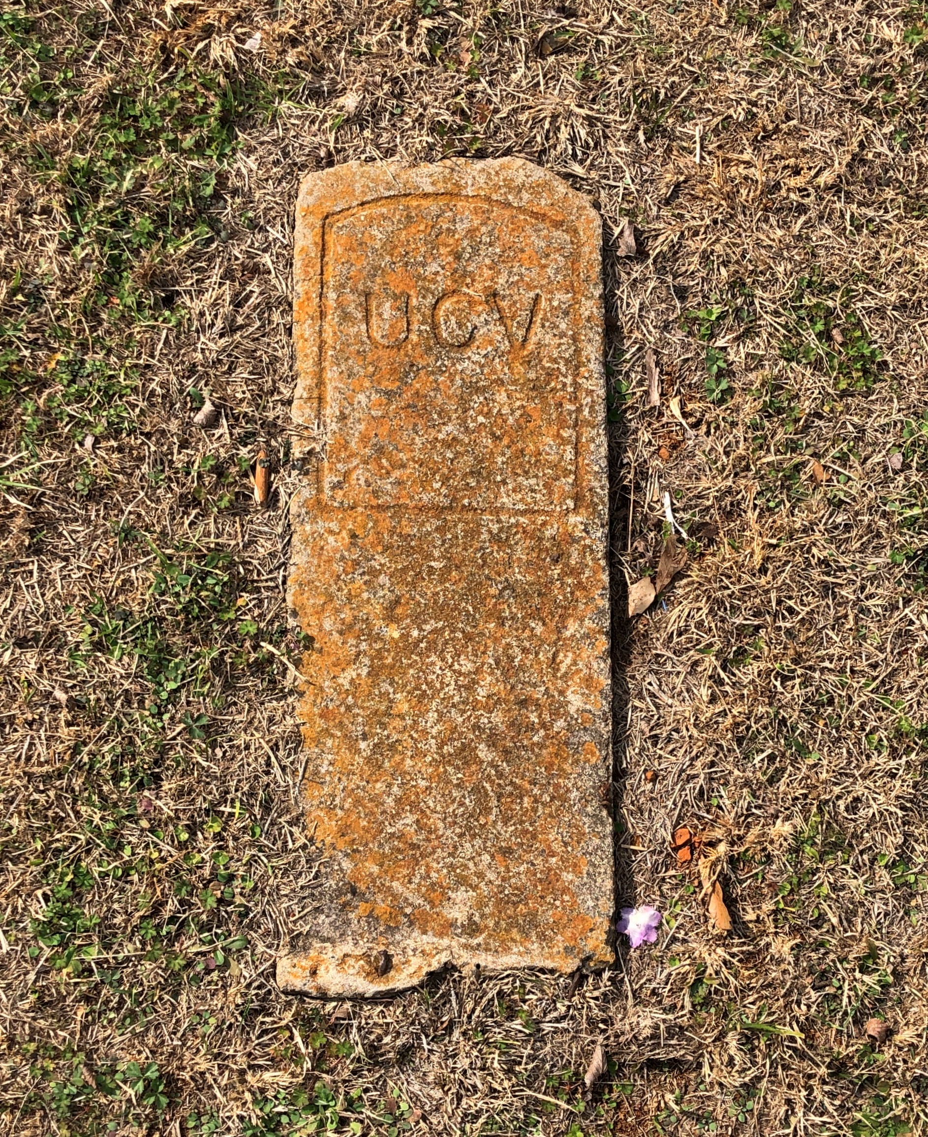
I assume United Confederate Veterans, the Southern equivalent of the GAR, placed this stone and those like it.
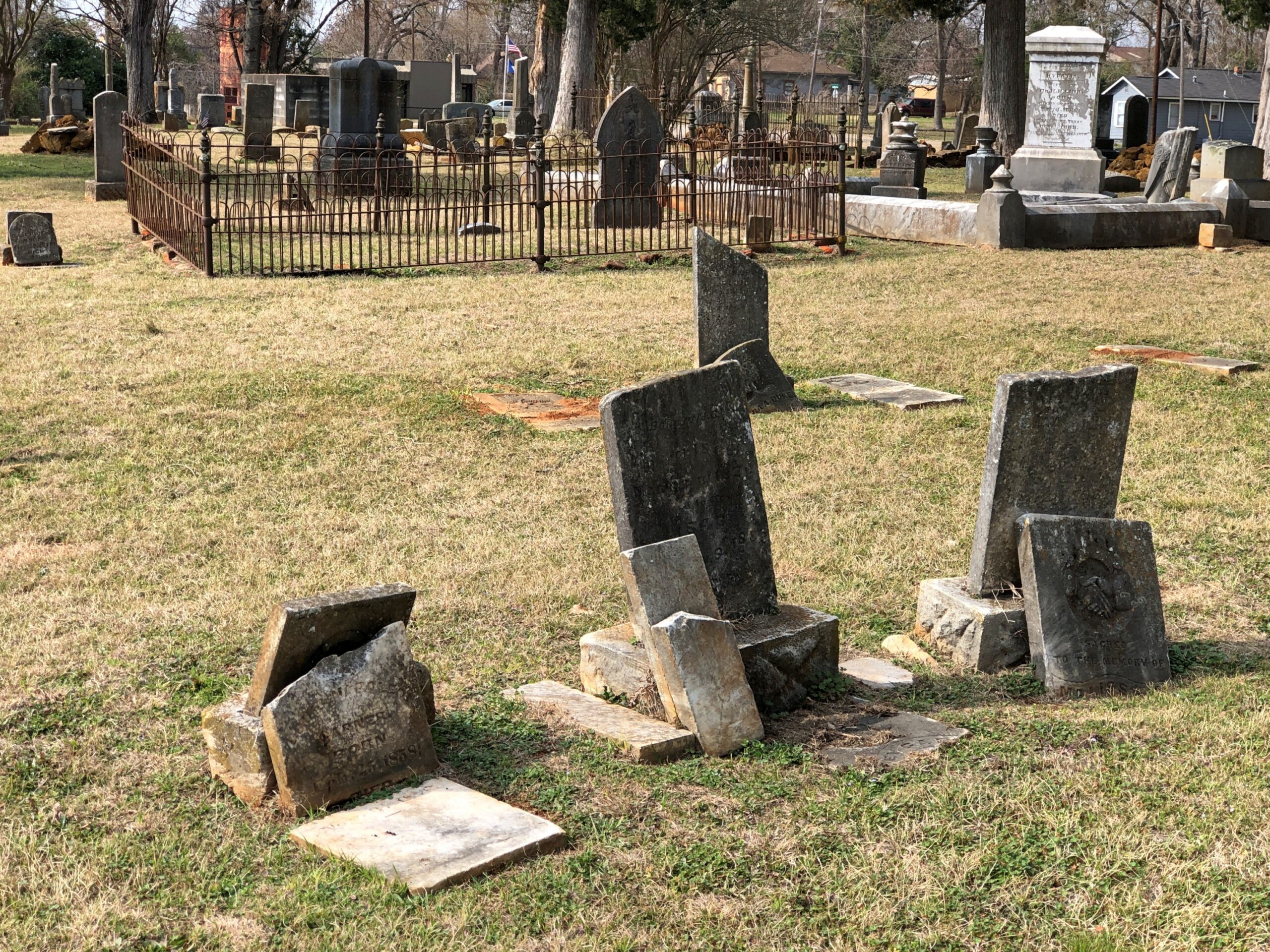
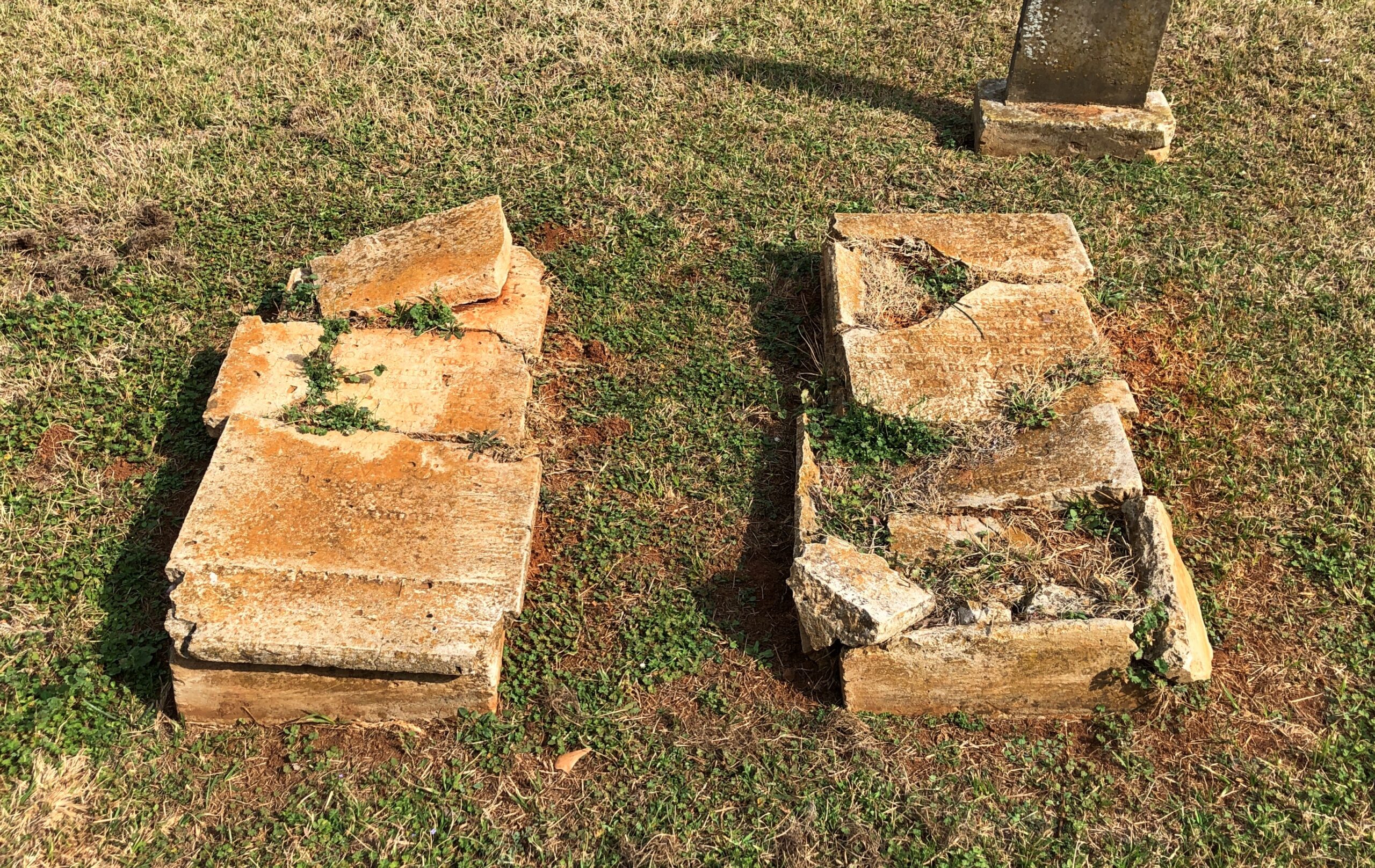
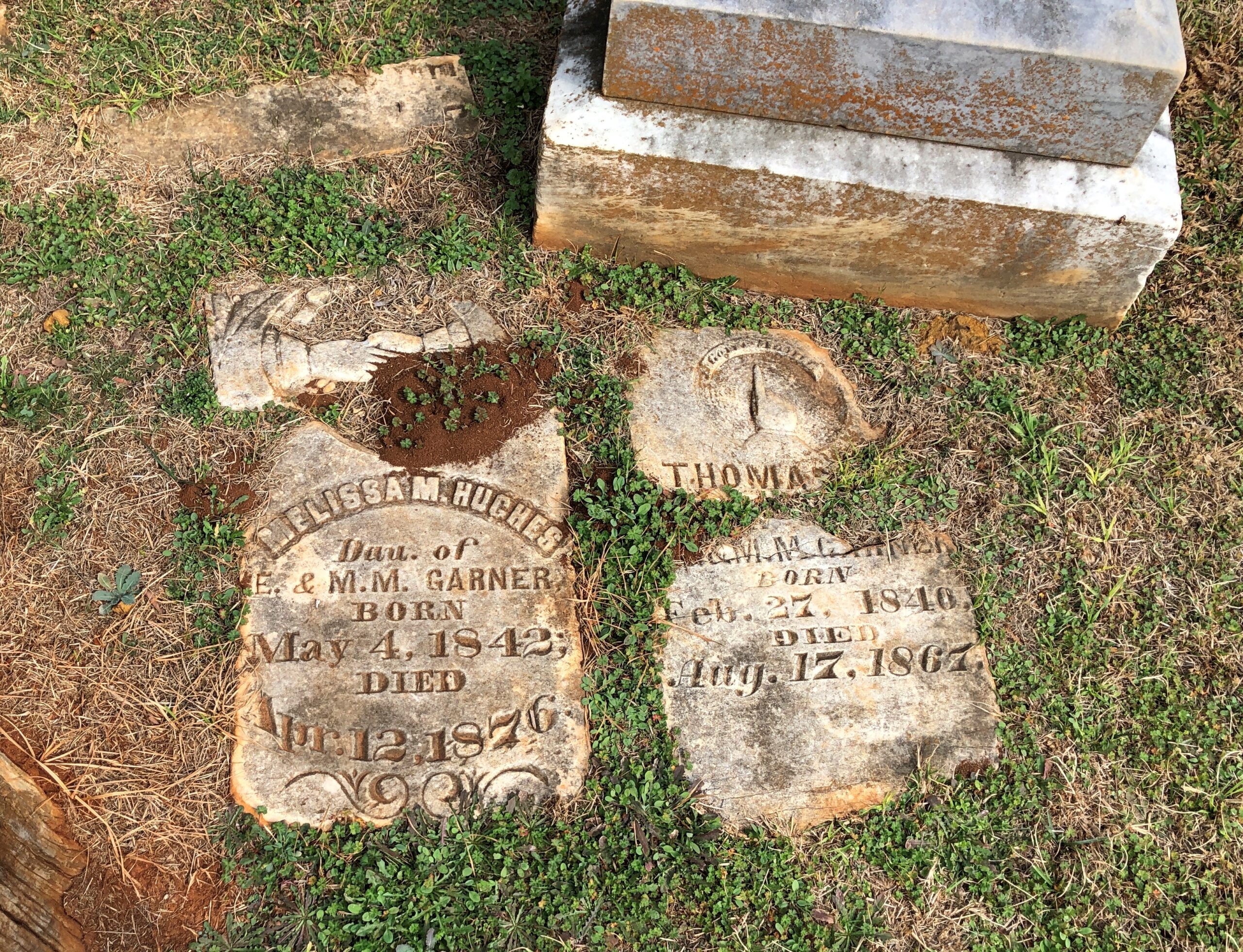
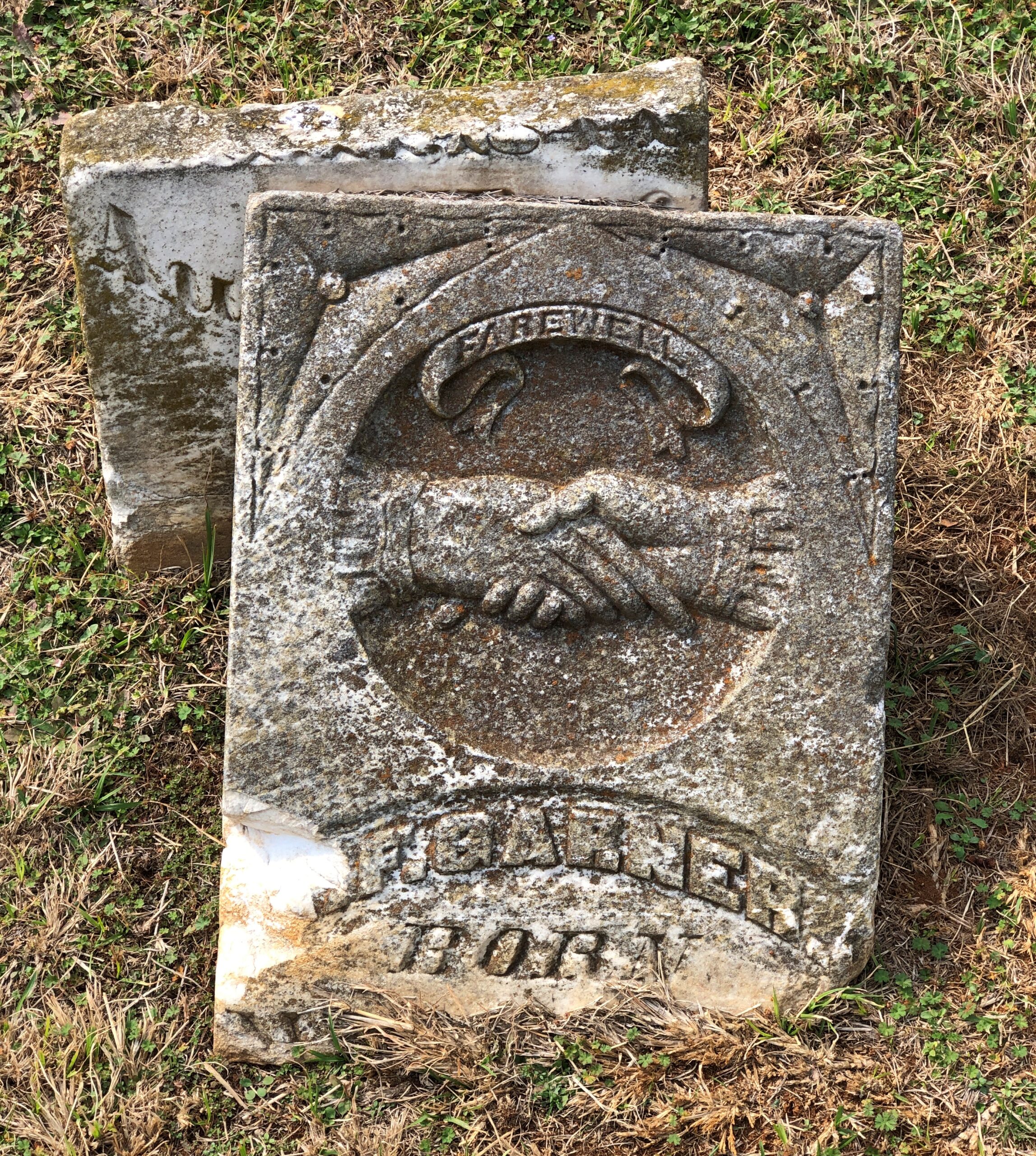
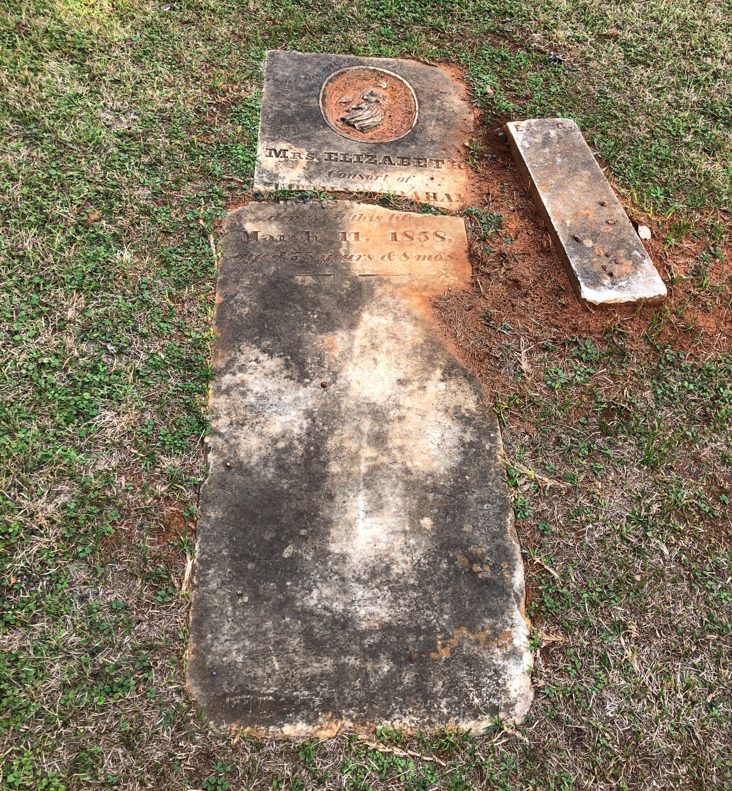
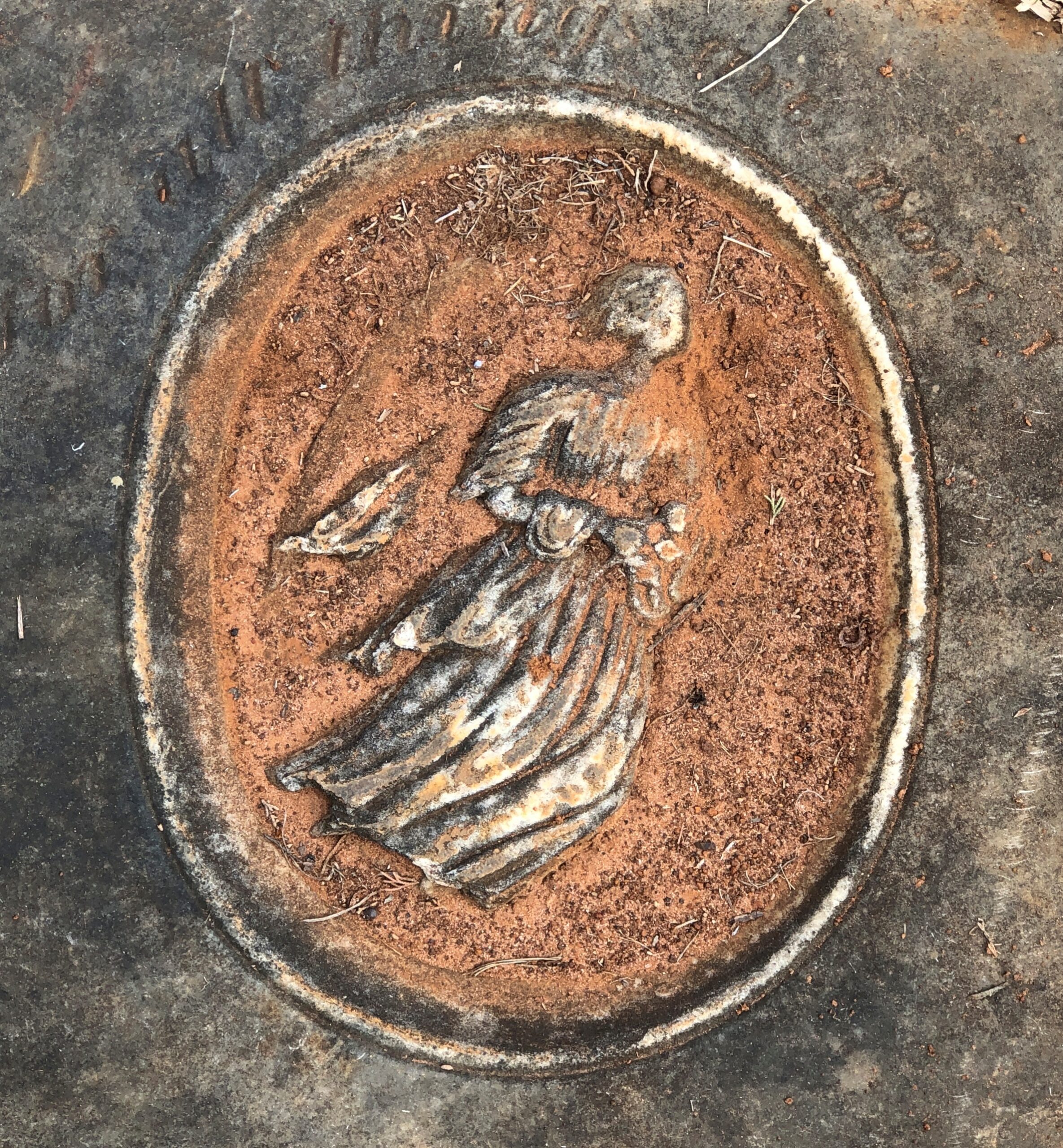
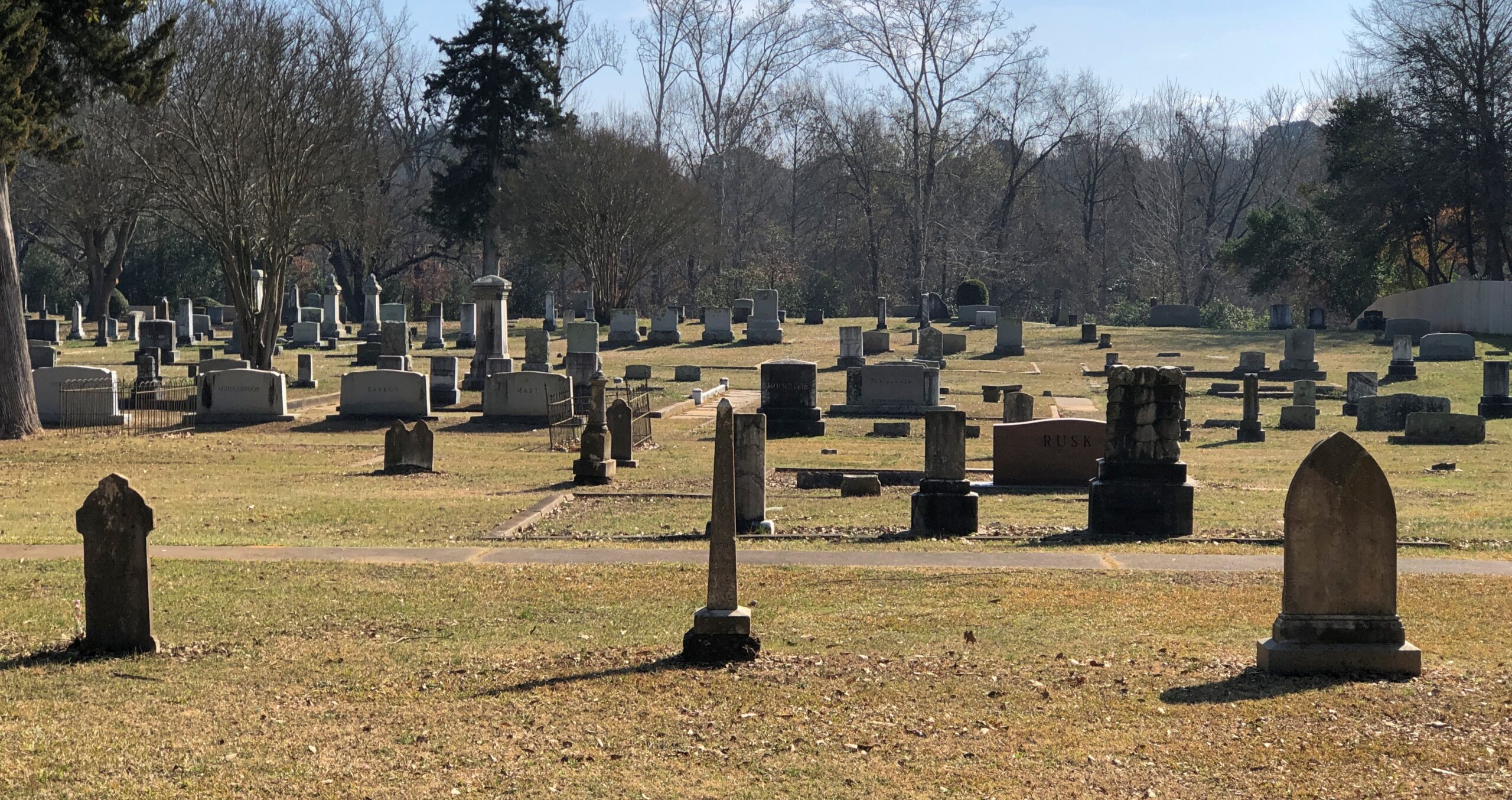
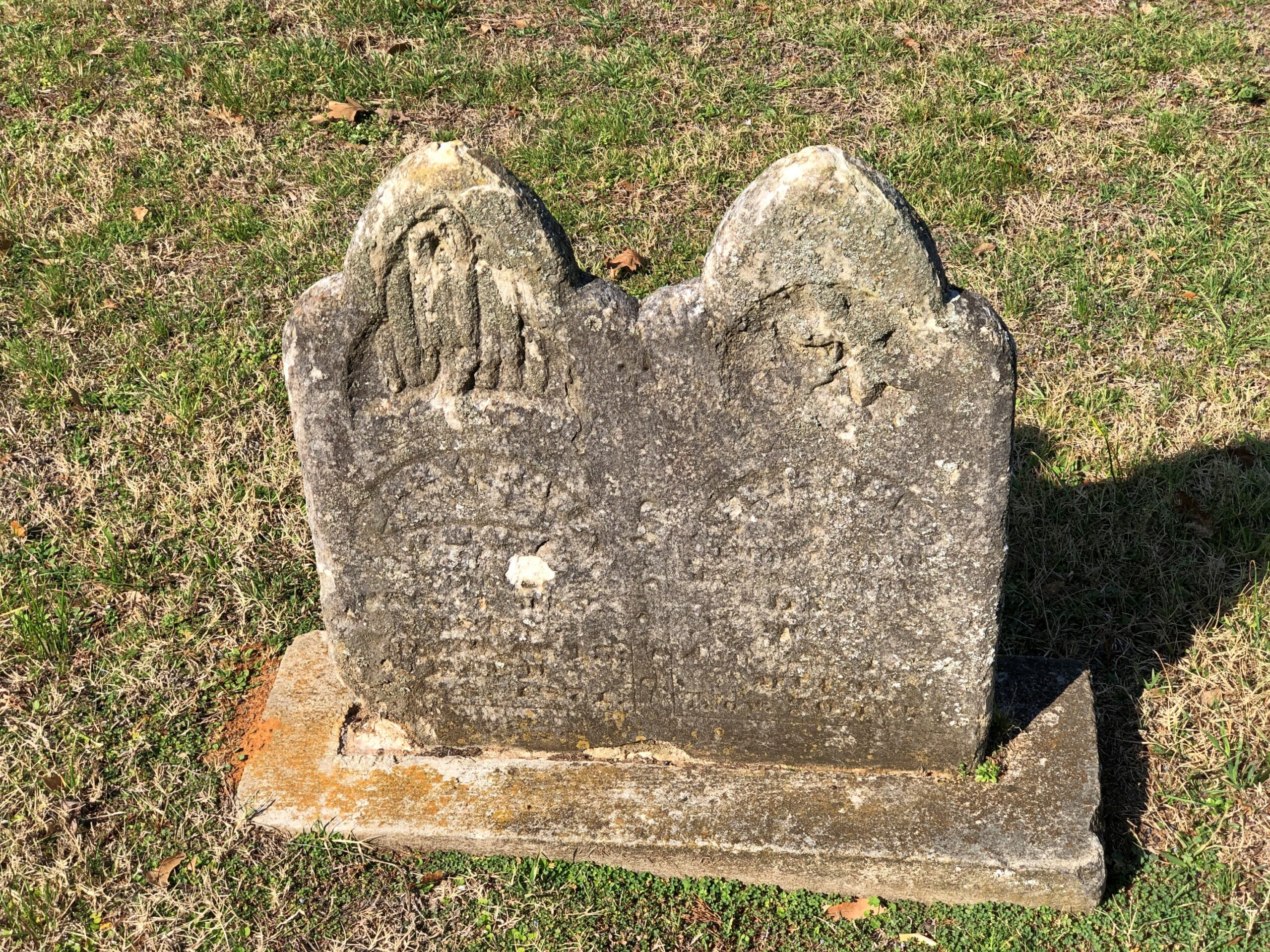
The cemetery has an impressive number of worn, broken stones, soldiering on through the elements.
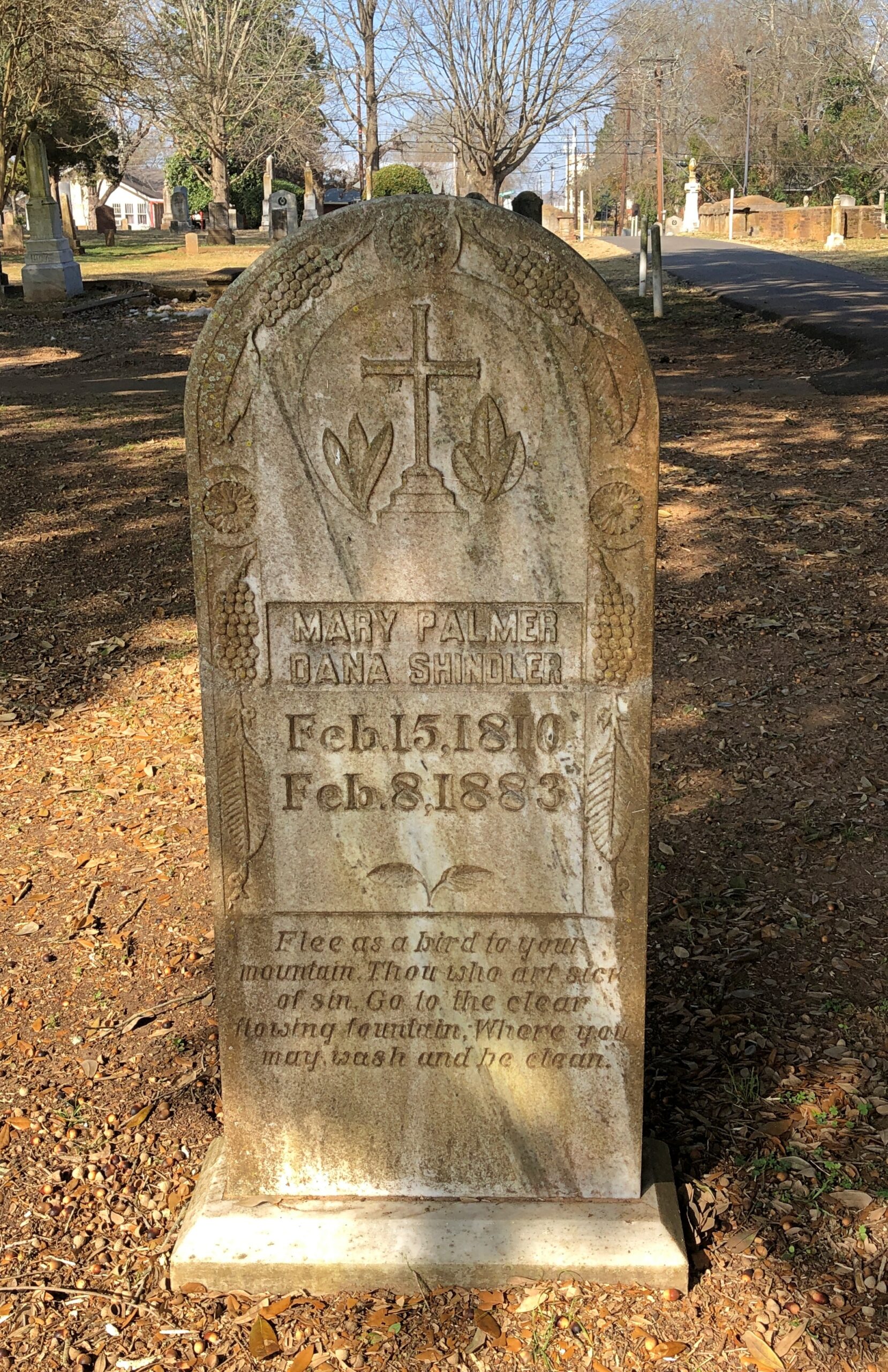
Victorian sentiment in stone, said with due respect.
Would that kind of soft decay, the romanticism of stones worn by time and the elements, have appealed to Victorian sensibilities? Could be.
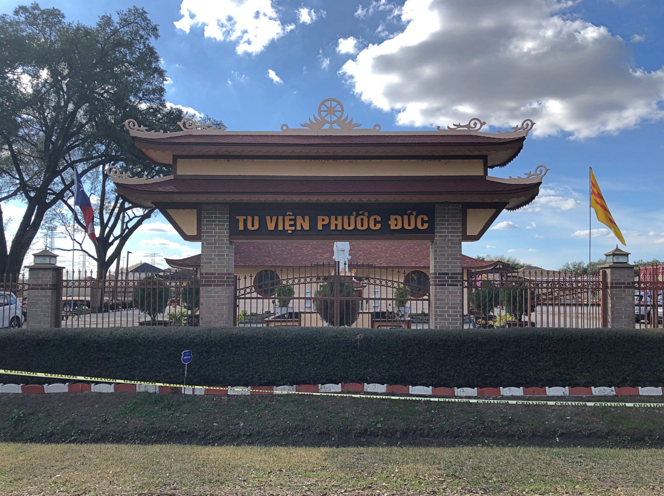
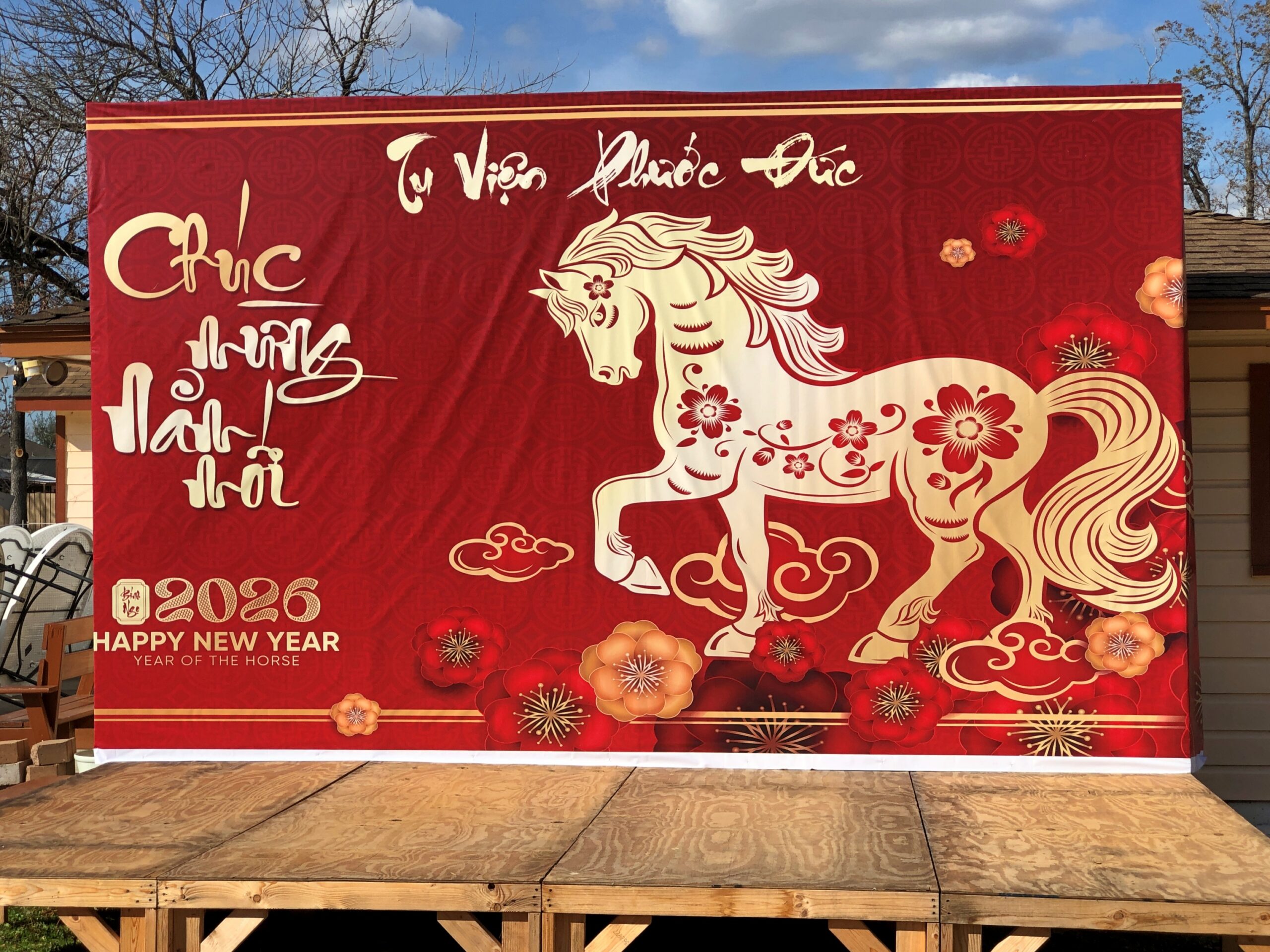
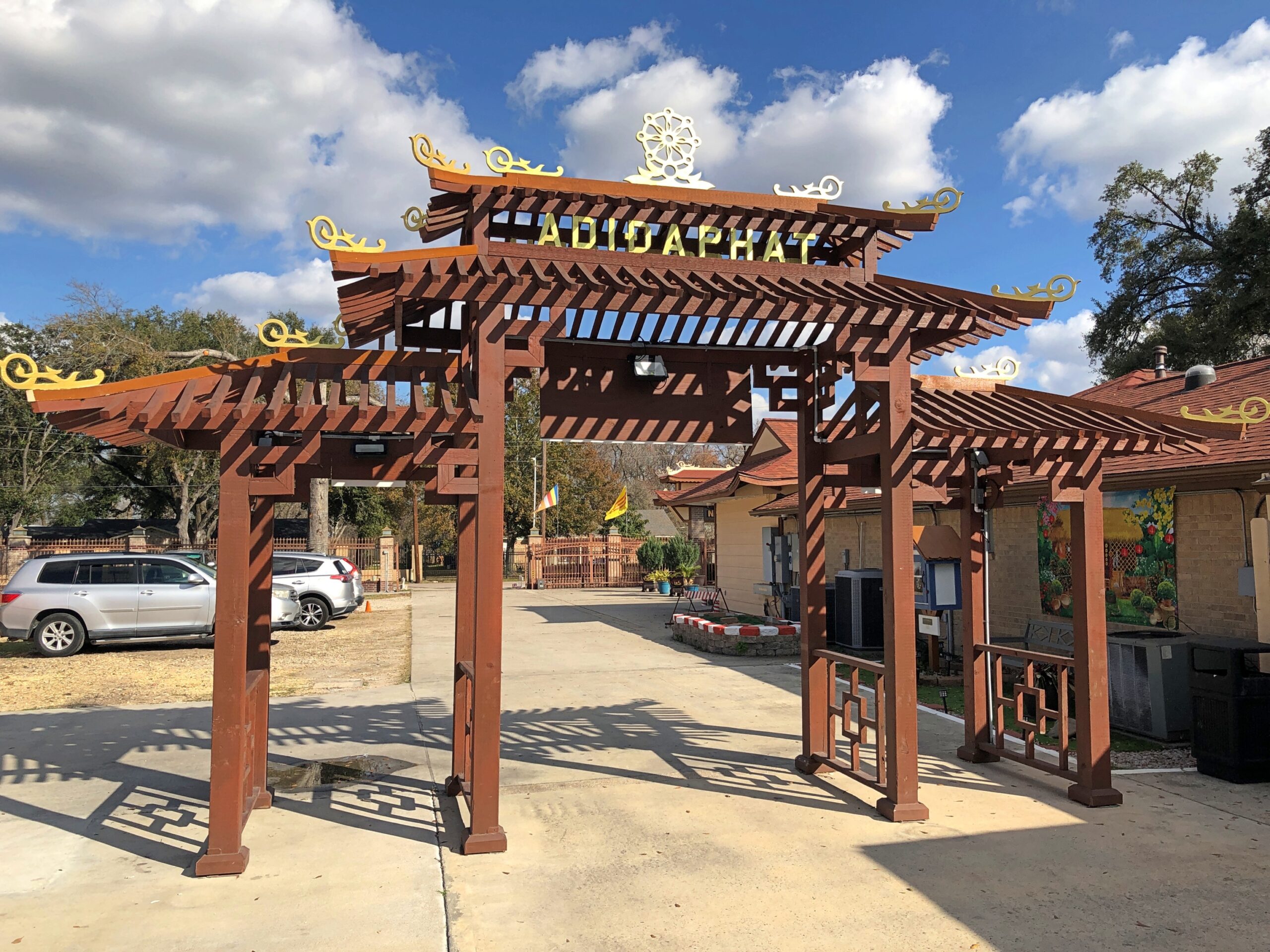
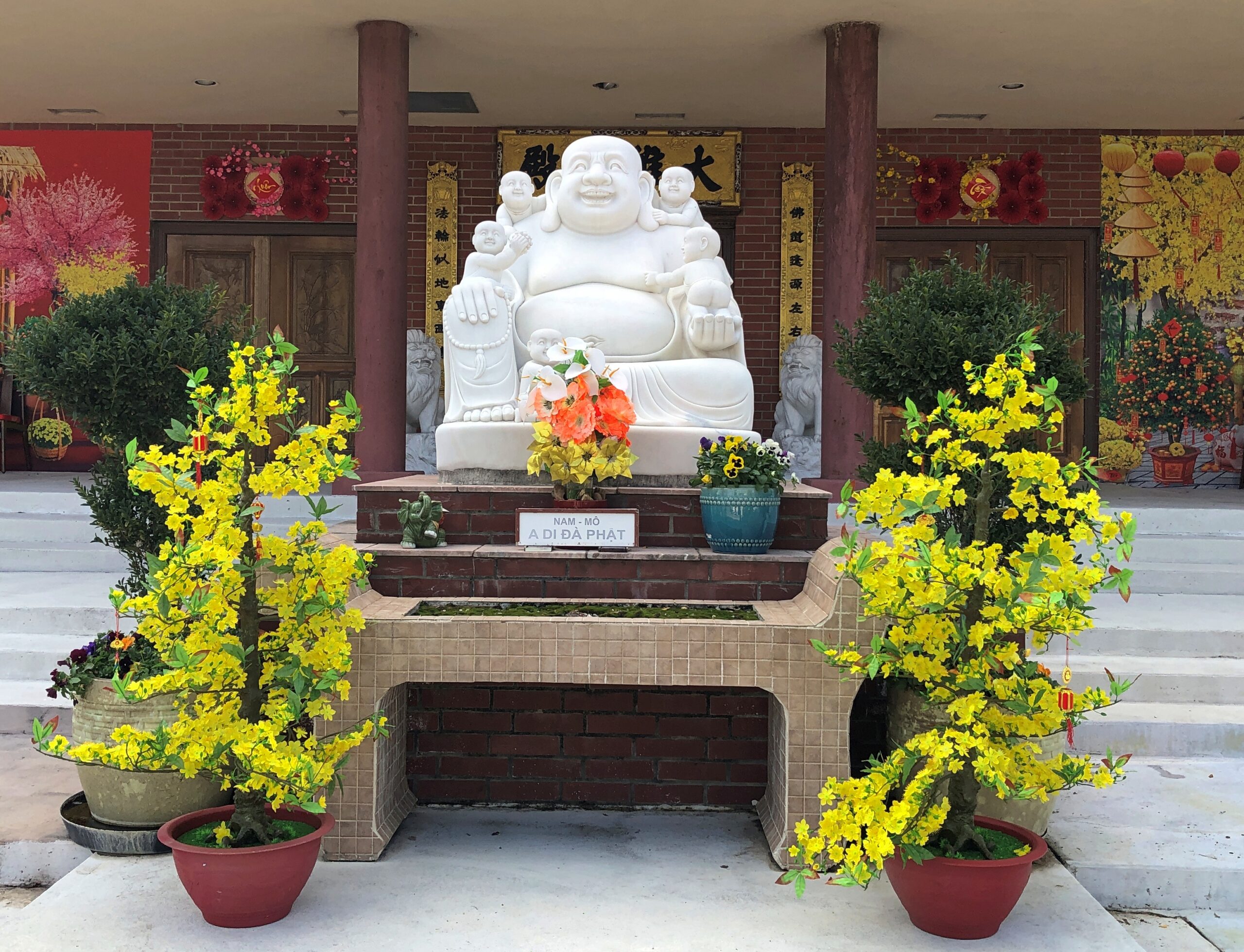
I arrived at Tu Viện Phước Đức in Houston a few days ahead of the Vietnamese New Year, but the monastery was getting ready.
Some kind of planning meeting – I guess – was ongoing in the main sanctuary – I guess again – but no one took a second look at me as I took a look around the place.
Parts of Tu Viện Phước Đức were also under construction, hinting at a thriving Vietnamese diaspora community woven into the fabric of Houston. And I like all those diacriticals, sprinkled on the name like croutons on a salad. I have copy and paste to thank for their presence here.
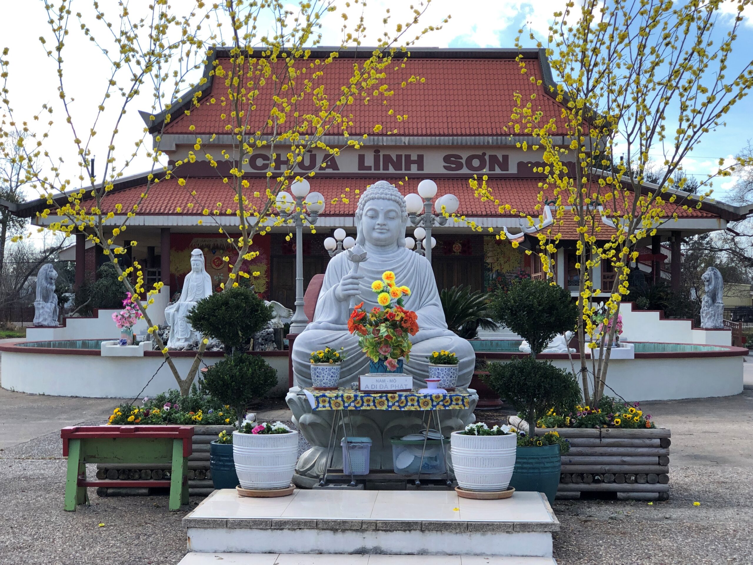
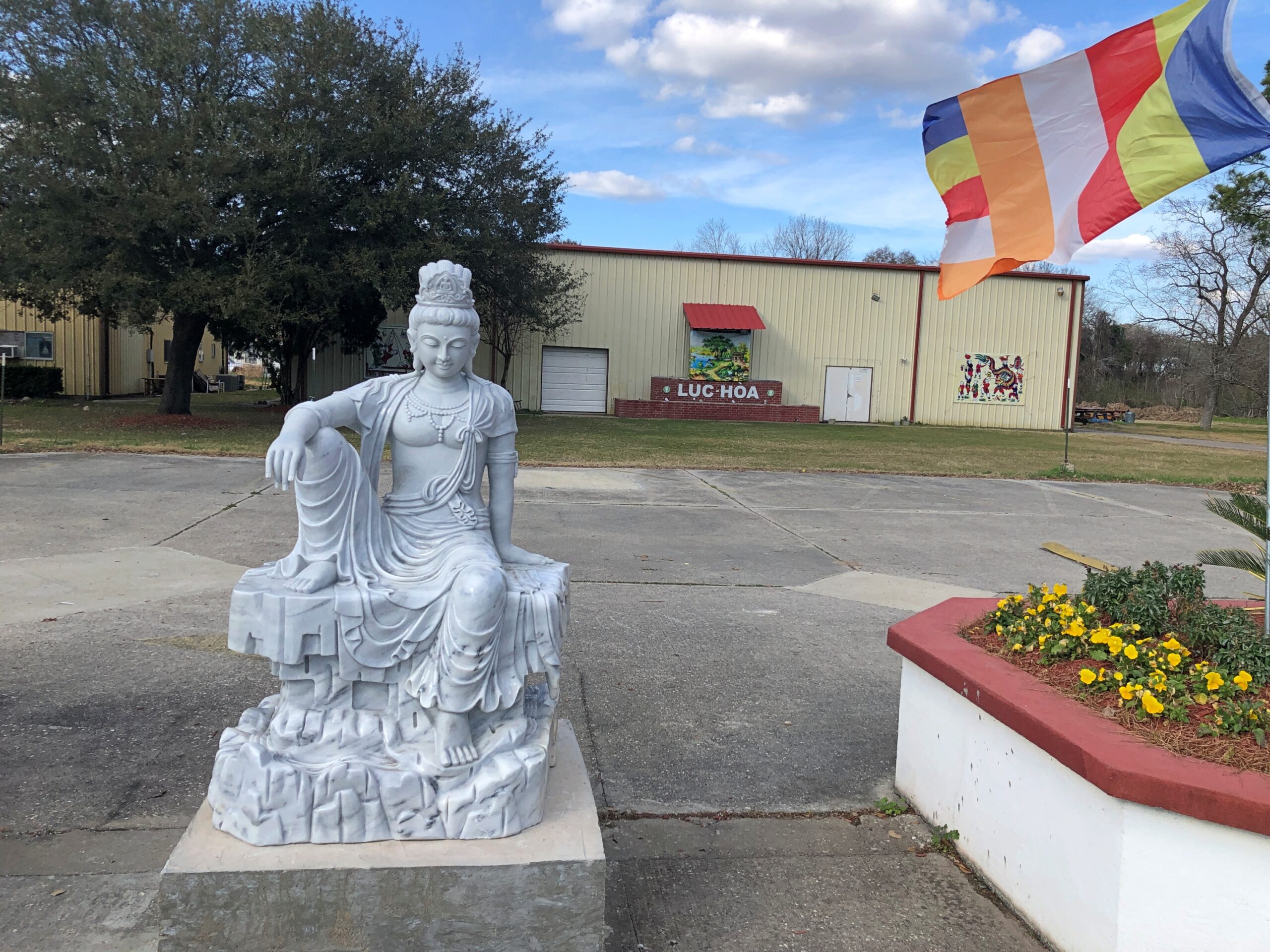
Google Maps had been my assistant that afternoon. “Buddhist temples” was my search term, and a number of them came up not far from my airport-area hotel. The other one I made it to happened to be Vietnamese as well: Chùa Linh-Sơn.
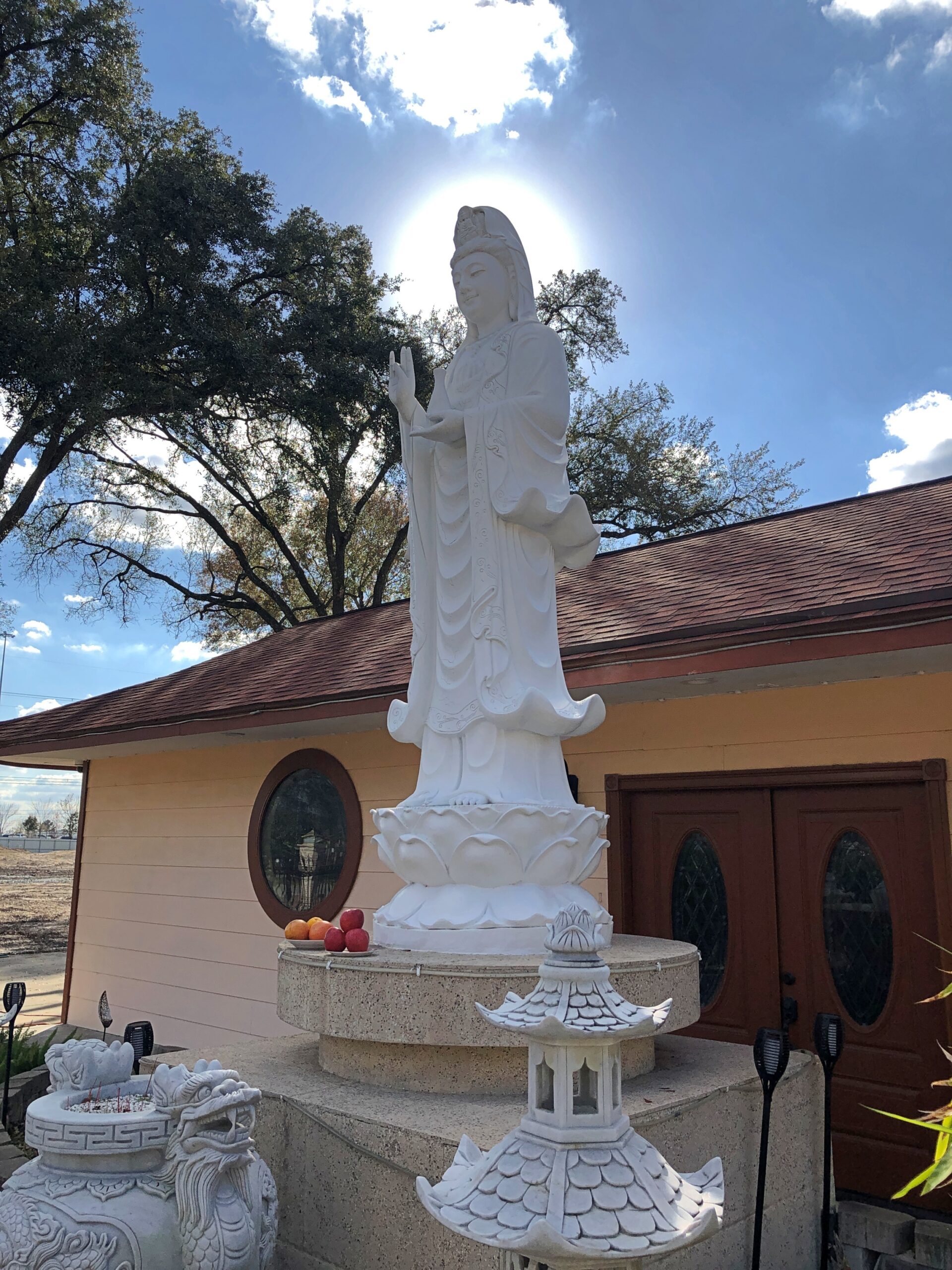
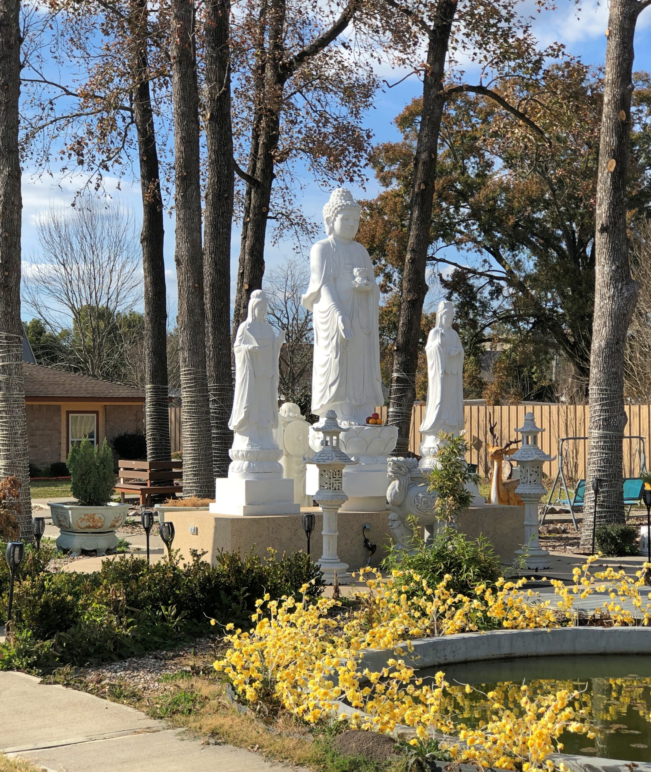
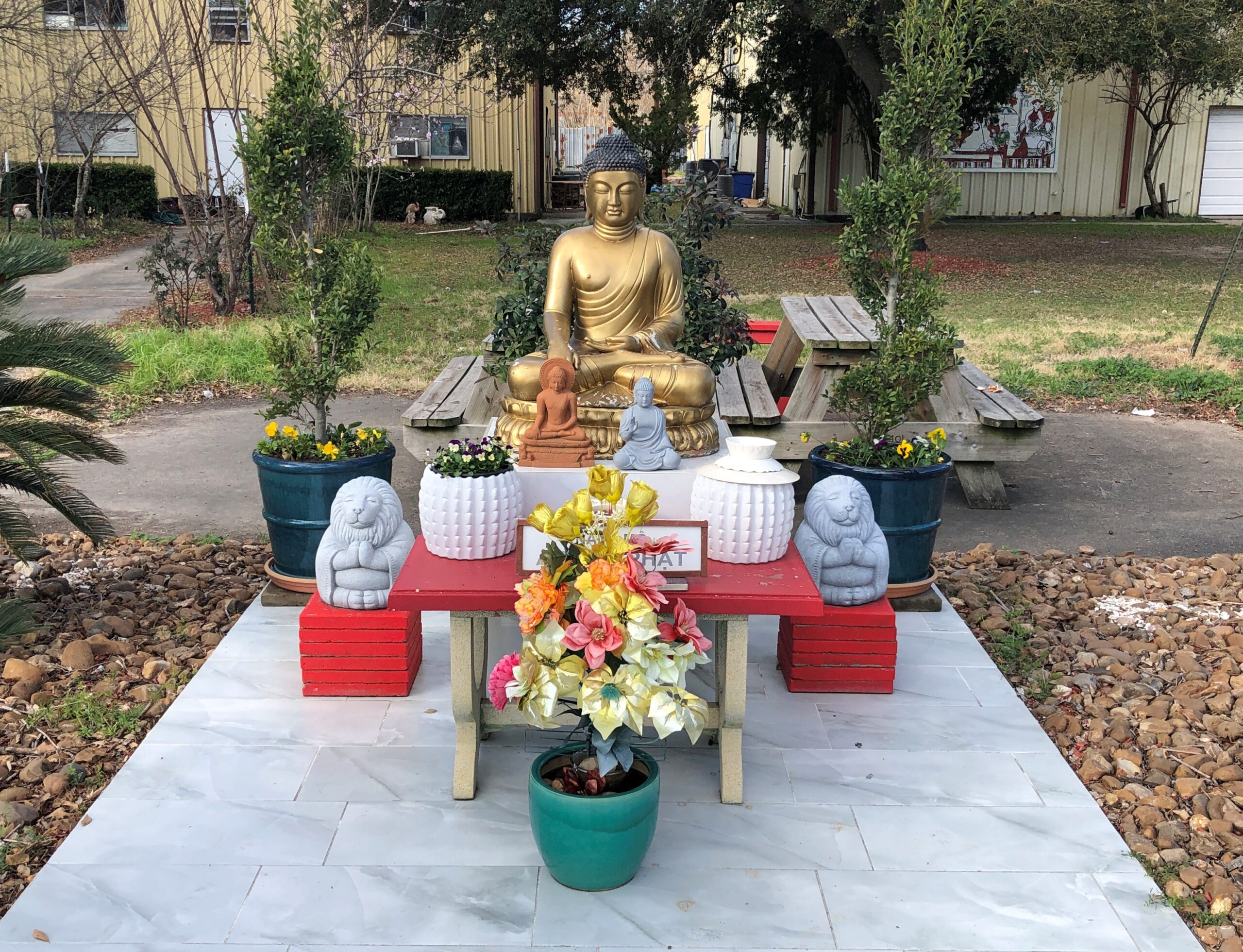
No one else was around that I saw or heard. But the grounds were open for a stroll. Plenty of Buddharūpa around.
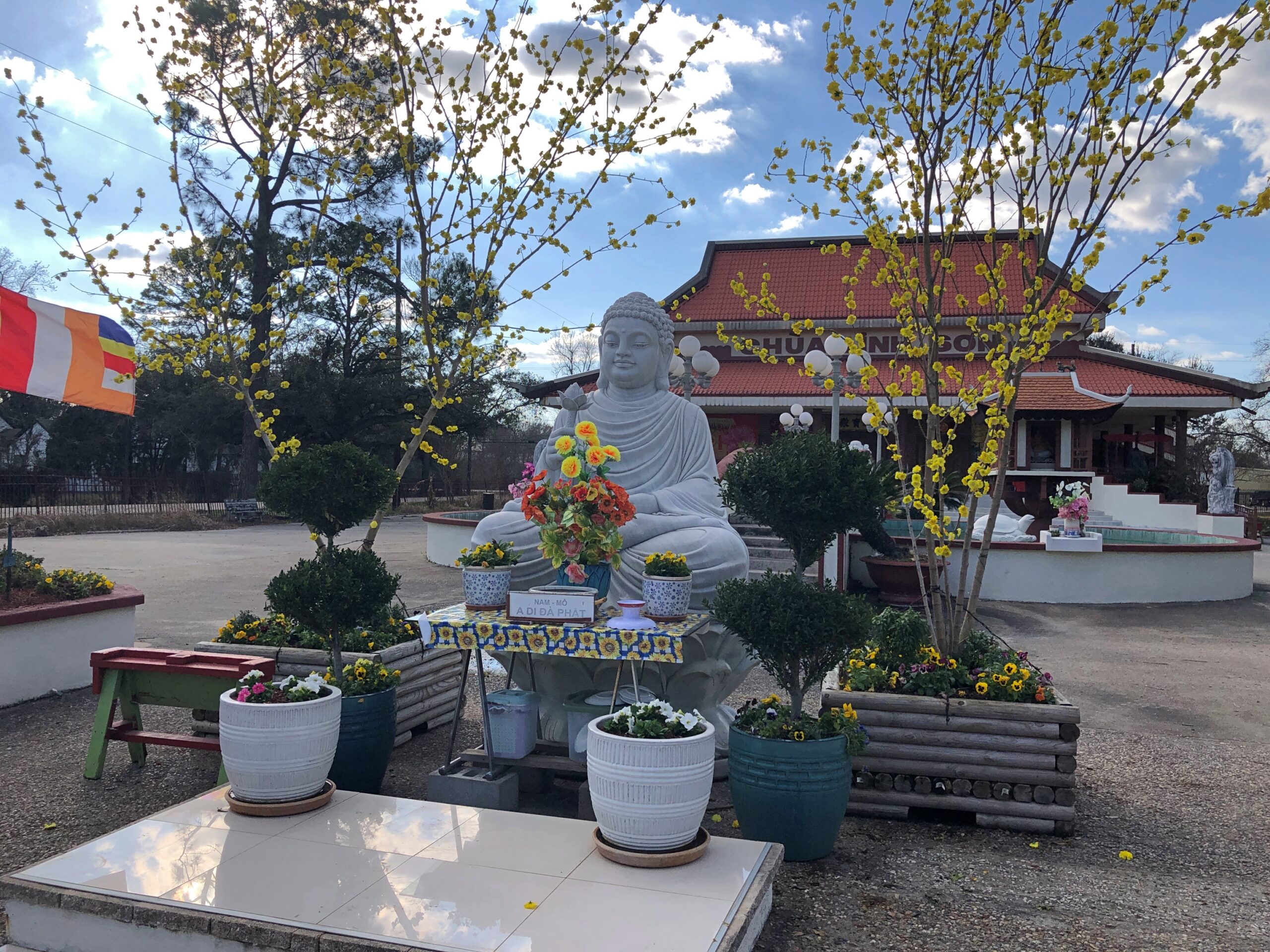
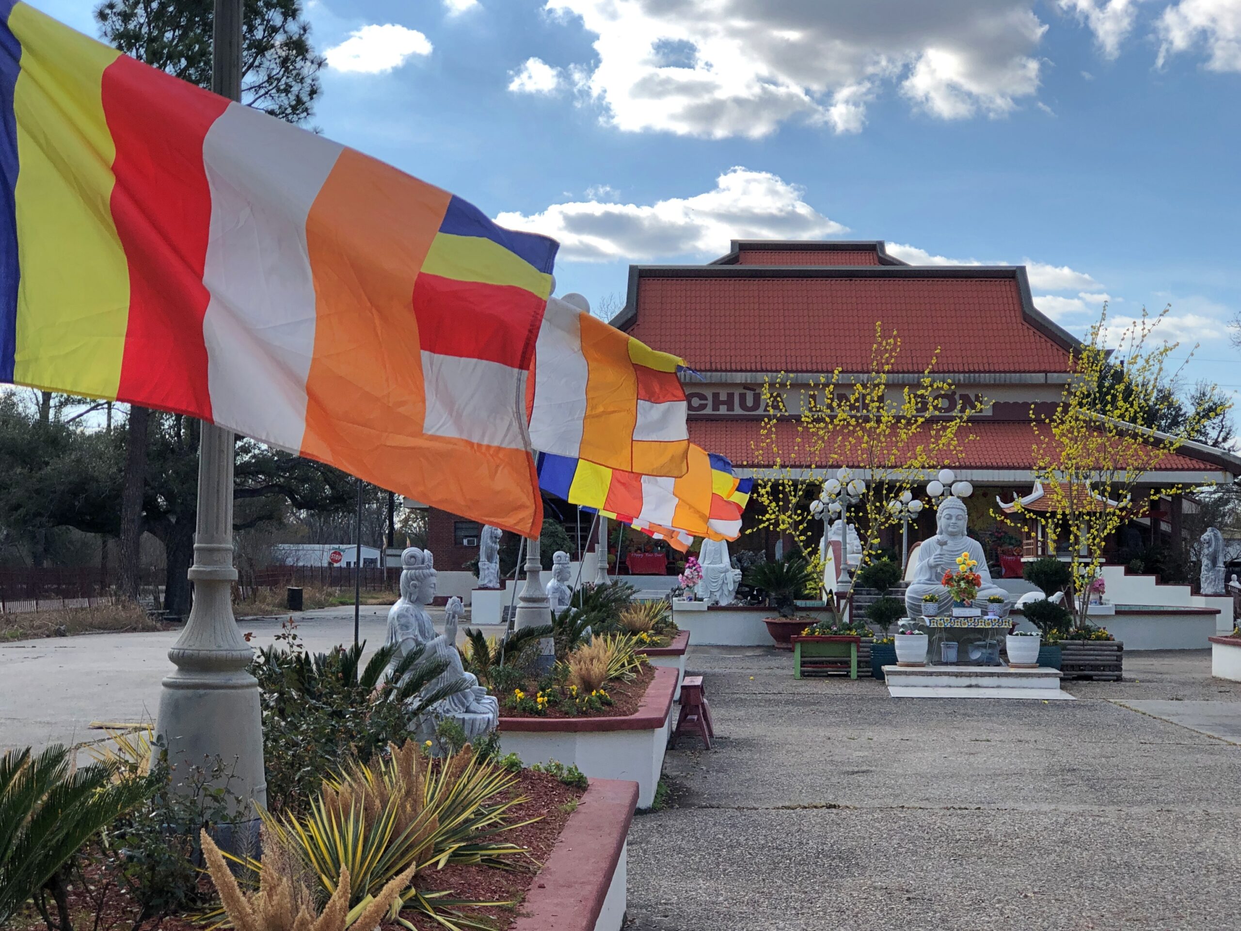
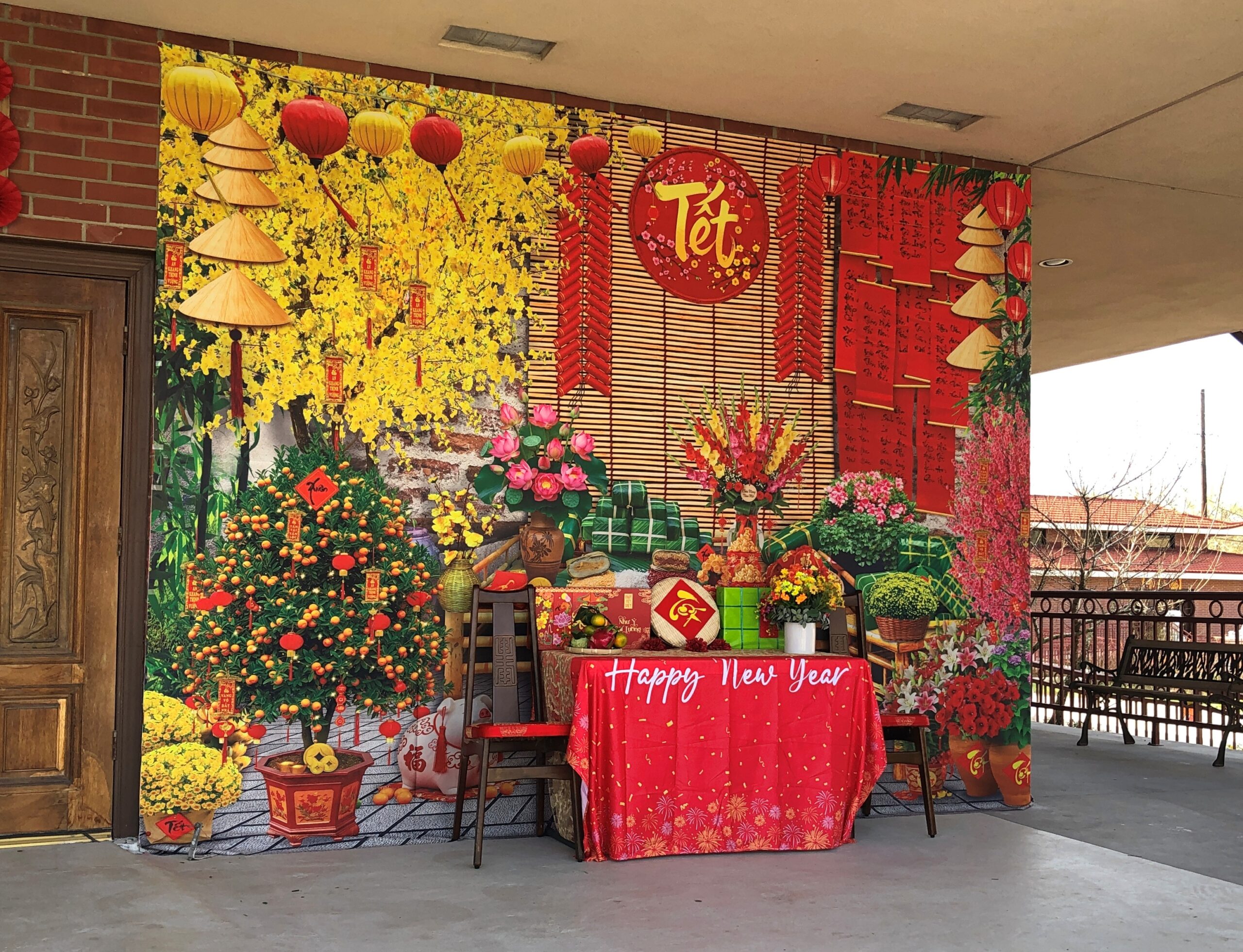
Chùa Linh-Sơn was also preparing for the New Year.
Too bad I didn’t have the chance to wish anyone a tip-top Tết, though I probably would have forgotten to do so.
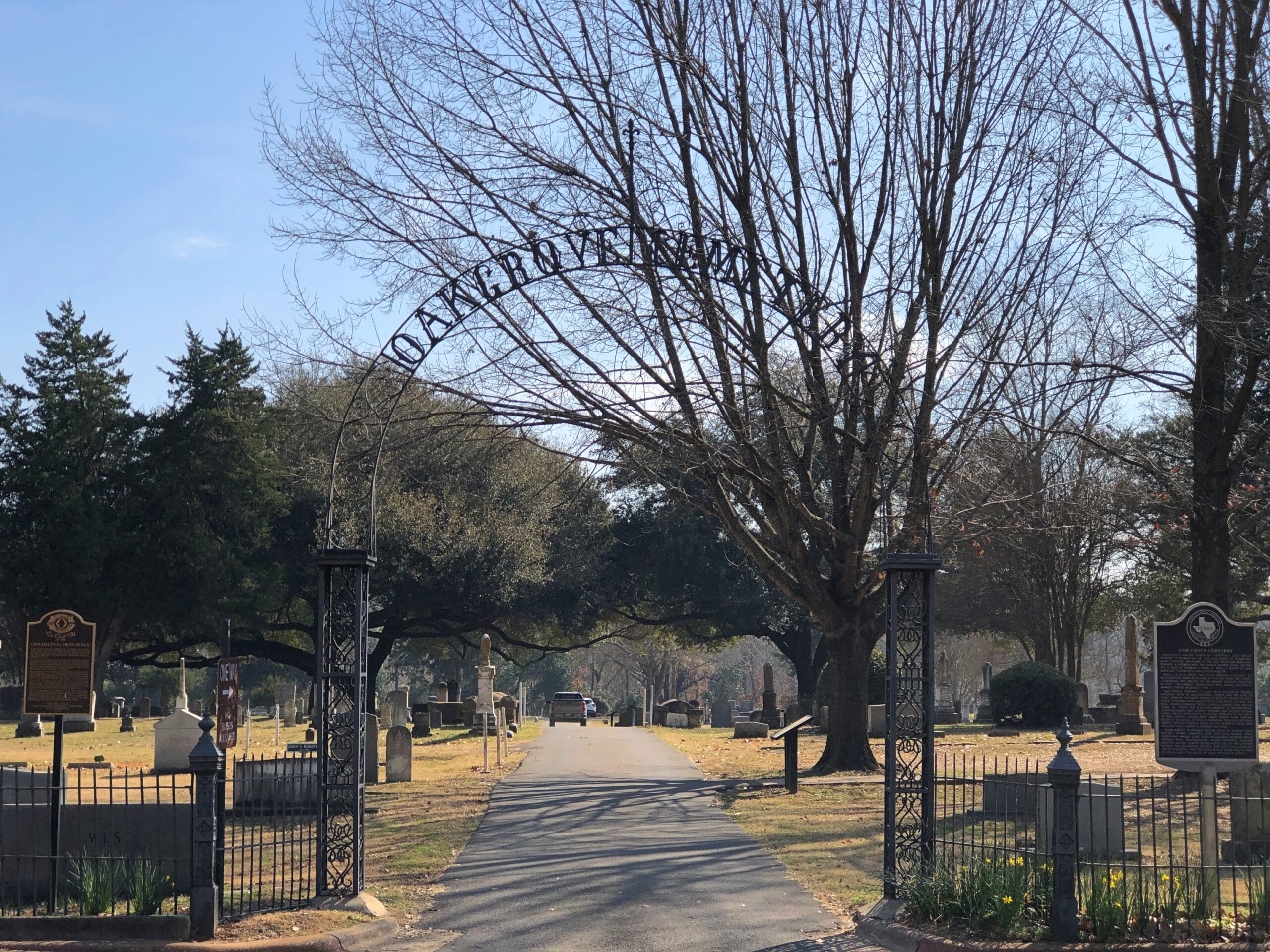
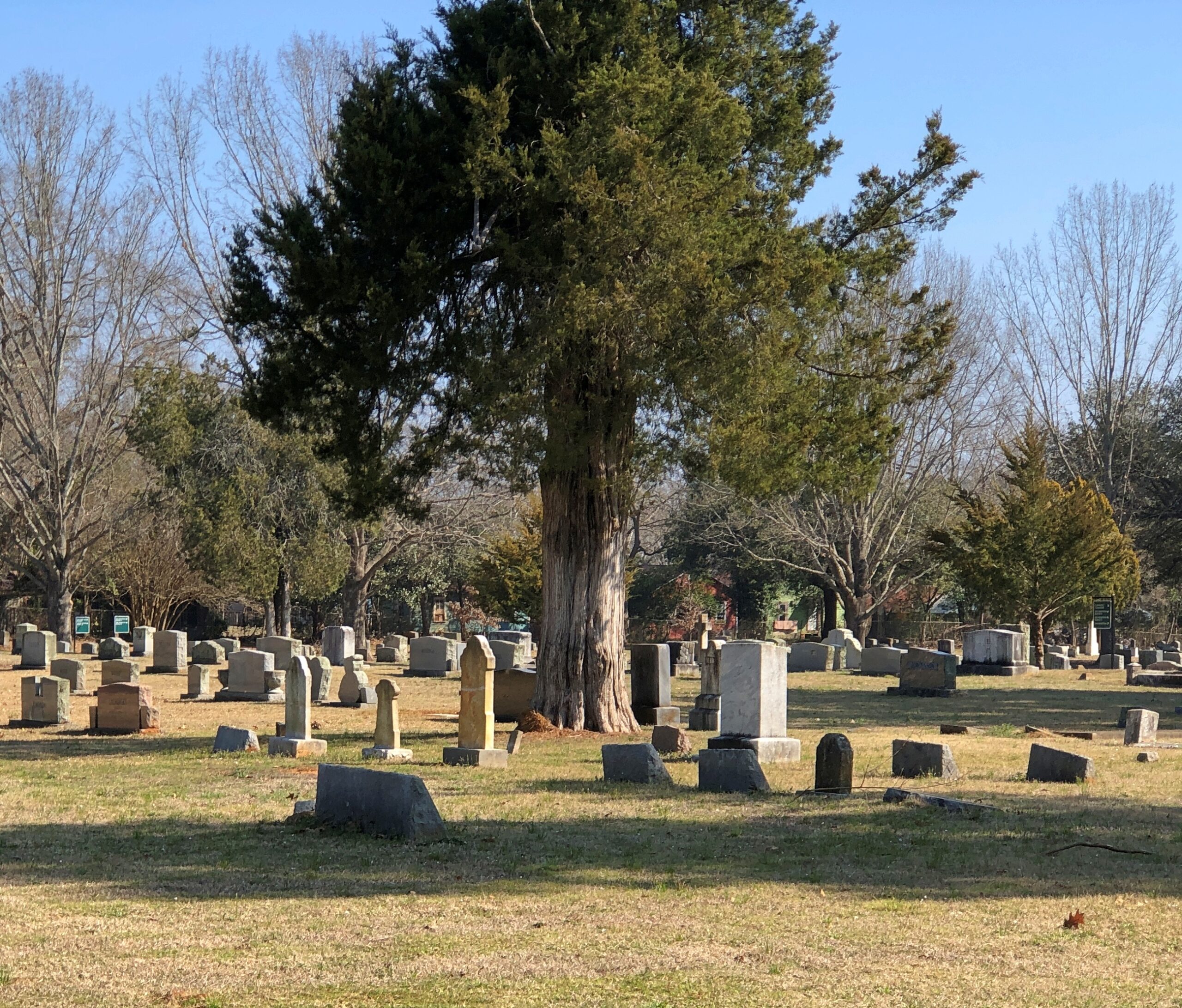
Houston’s Glenwood Cemetery sprawls out near downtown, adjacent to much of the parkland along Buffalo Bayou. In Nacogdoches, Oak Grove Cemetery is a more modest burial ground. Nacogdoches is a more modest city. The entrance to Oak Grove is about a half block from the Main St., but the grounds are still tucked away in a residential neighborhood along Lanana St.
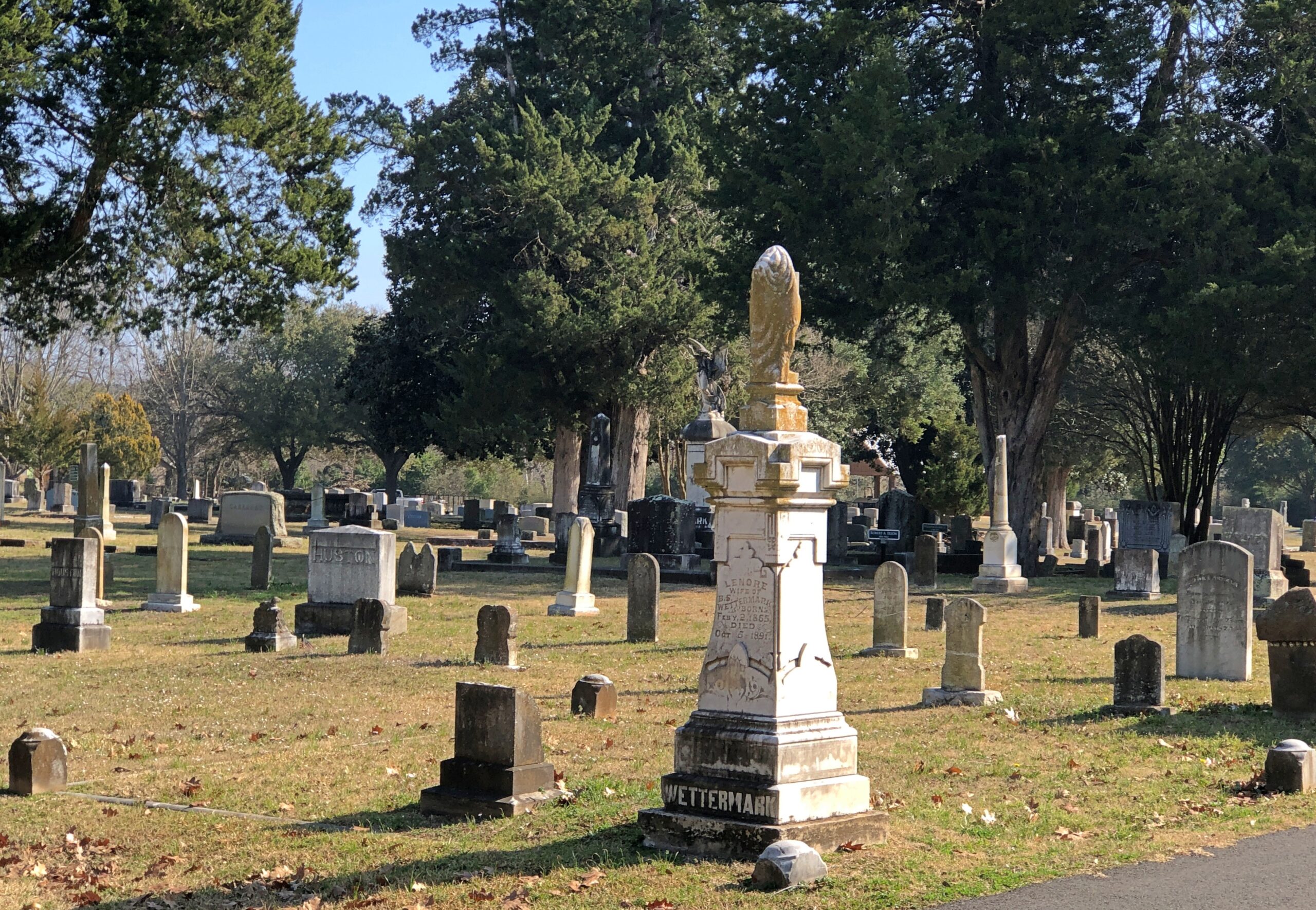
Decent flora, but not a garden cemetery.
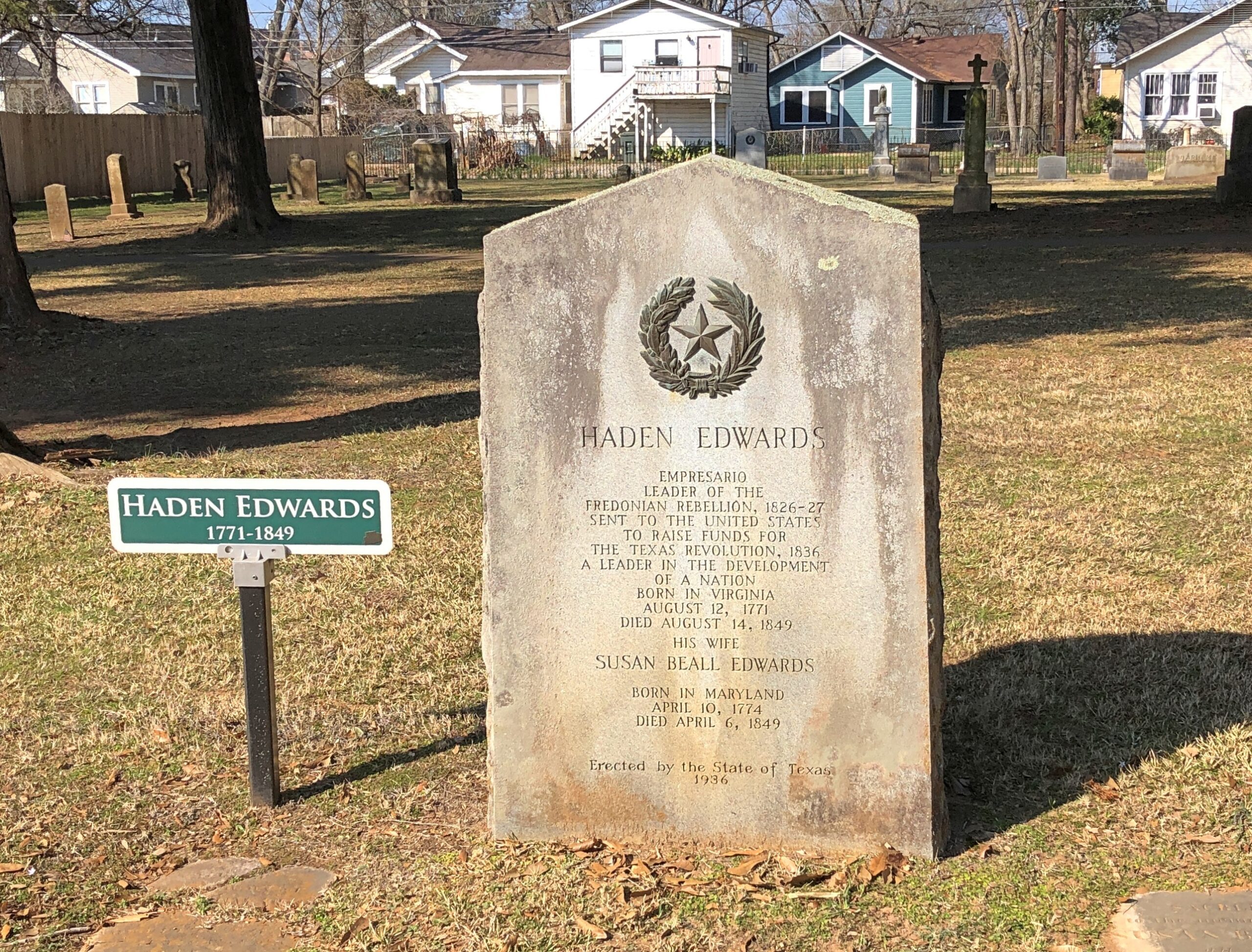
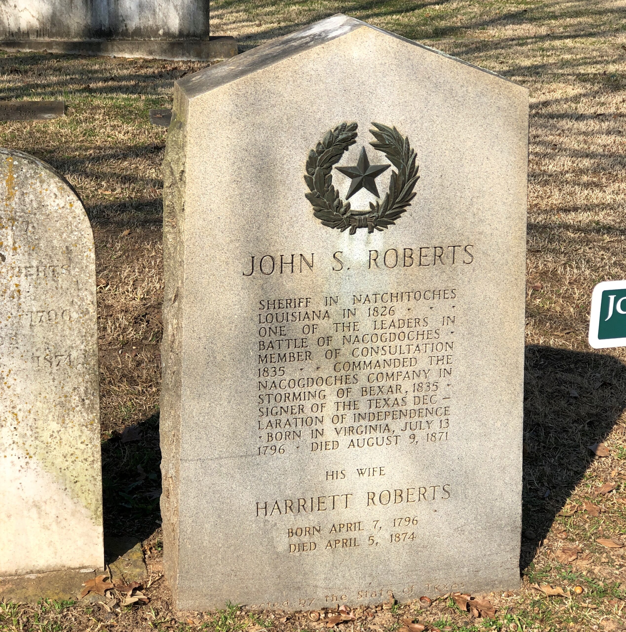
It’s an old cemetery by modern Texas standards – the first burial was the year after independence – so the cemetery punches above its weight in one way: noted early Texans. Such as Harden Edwards.
The state saw fit, during the 1936 Centennial, to put up a new stone for Edwards, an empresario and “Leader of the Freedonian Rebellion,” who must have penned the rousing tune, “Hail, Hail Freedonia,” for future generations to enjoy.
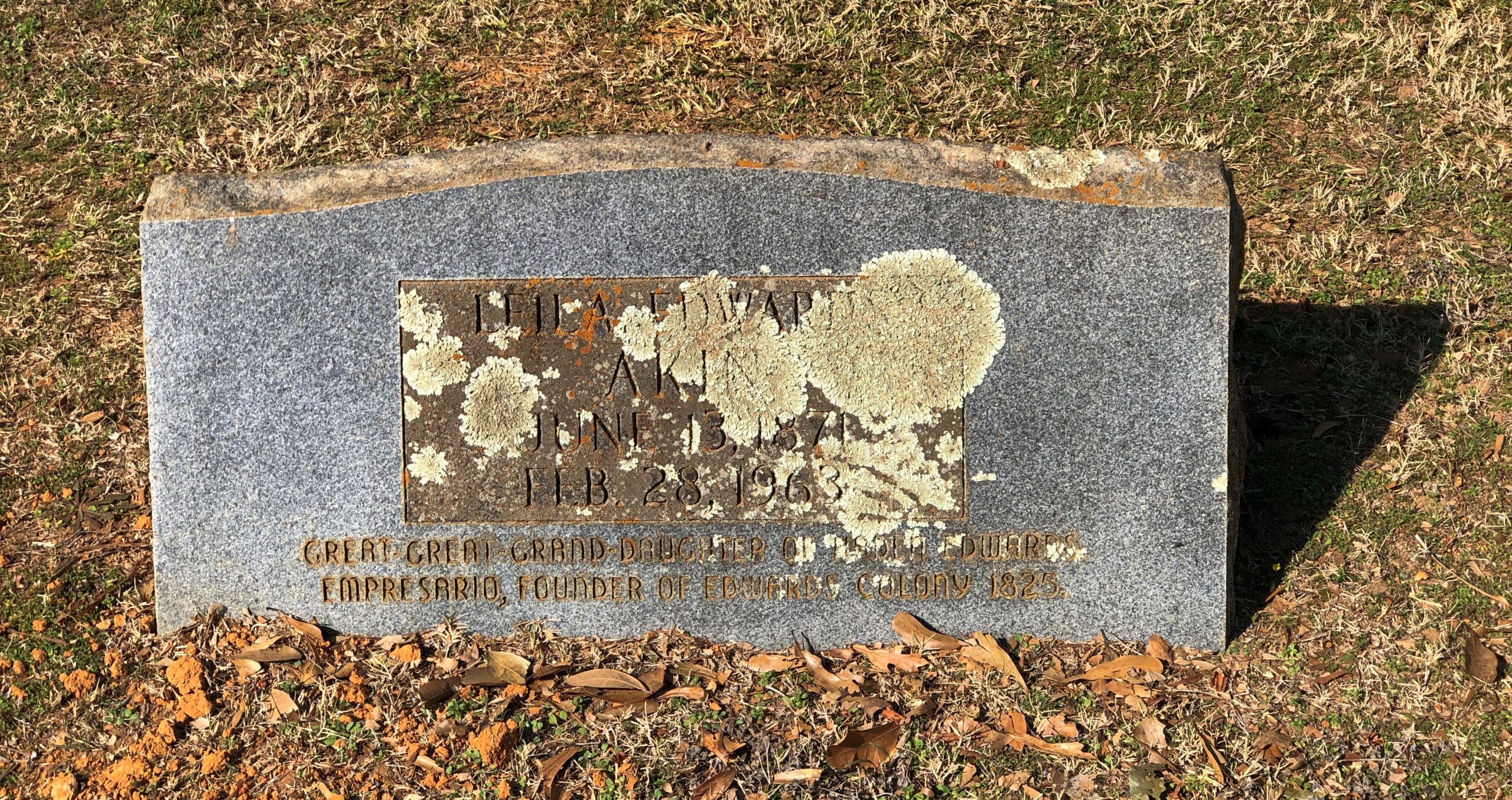
The stone of a great-great granddaughter of Edwards who died in 1963 seems eager to bask in his remote glory. Why not?
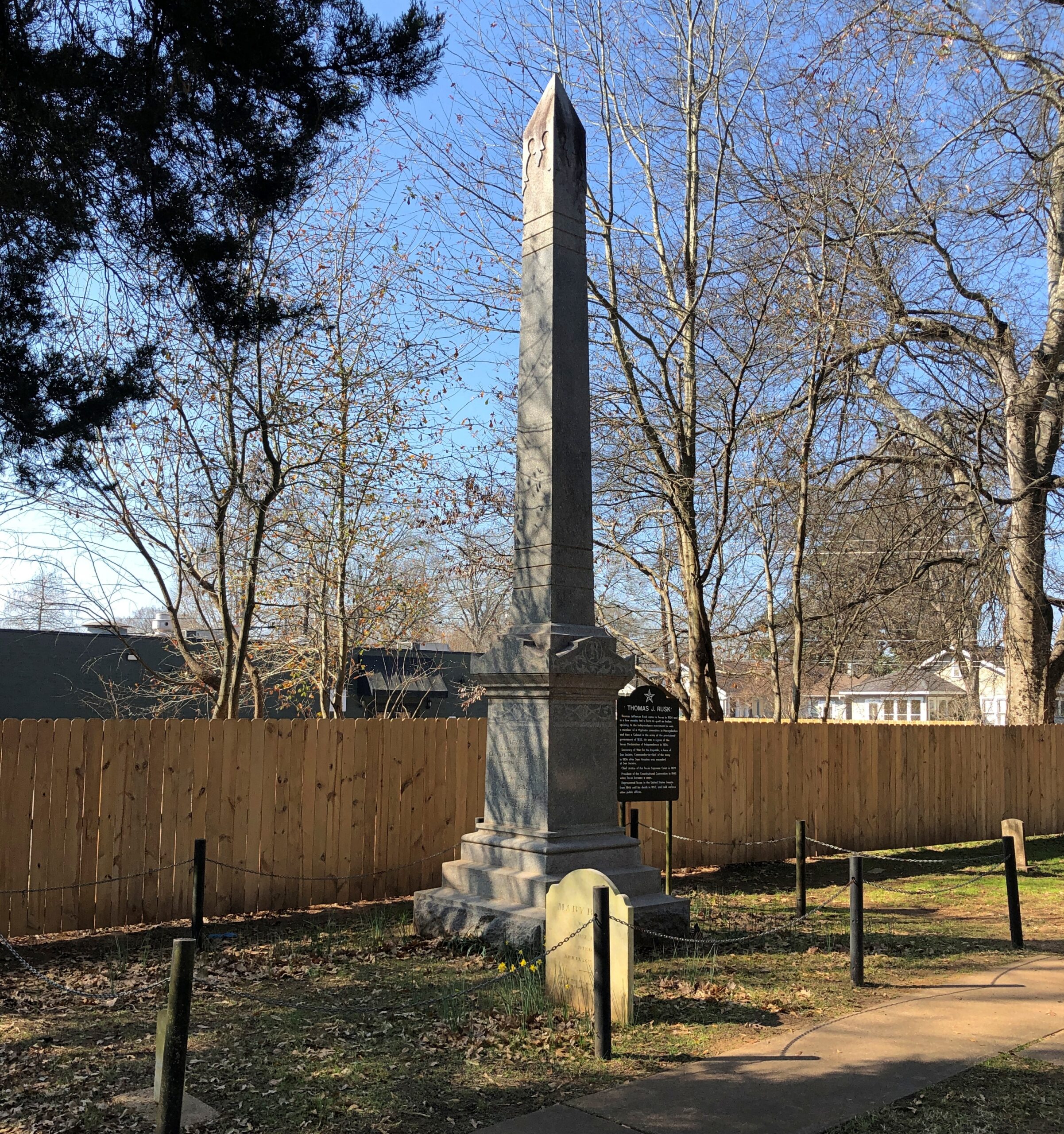
He was a signer, fought at San Jacinto, and had a notable career in antebellum Texas and U.S. politics. There’s is a town a county over from Nacogdoches named Rusk, seat of Cherokee County. Also, strangely, a font based on his handwriting was created in our time, “Texas Hero.”
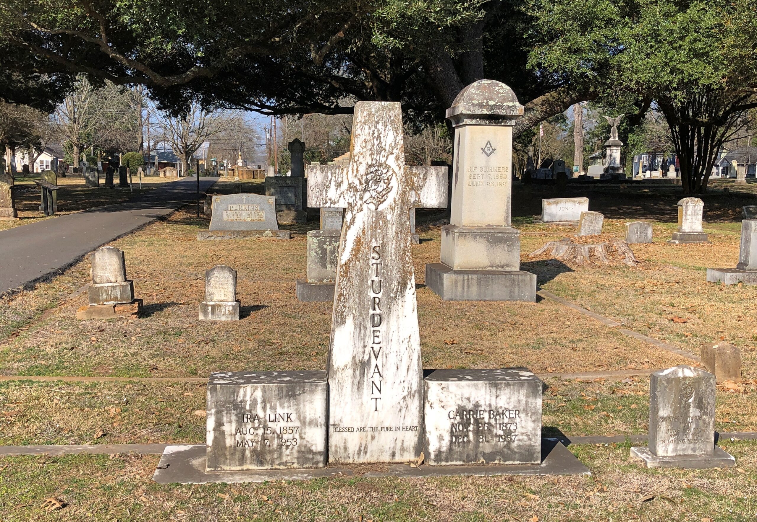
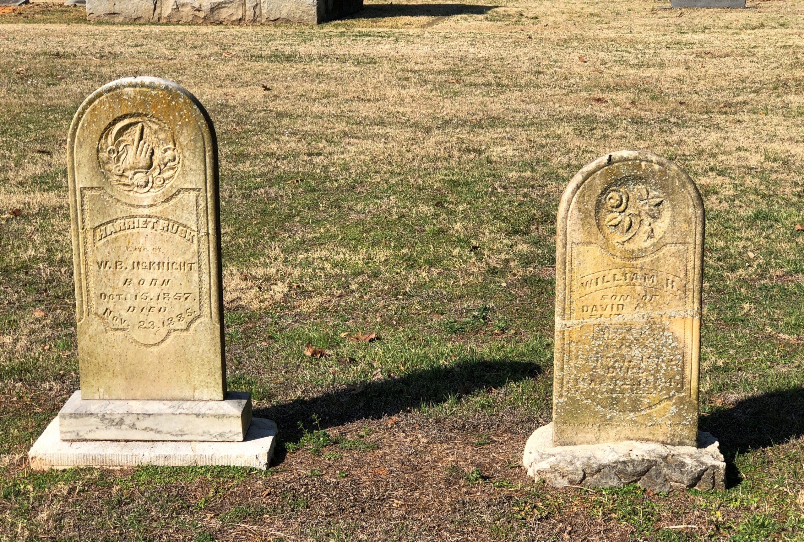
Some regular folks.
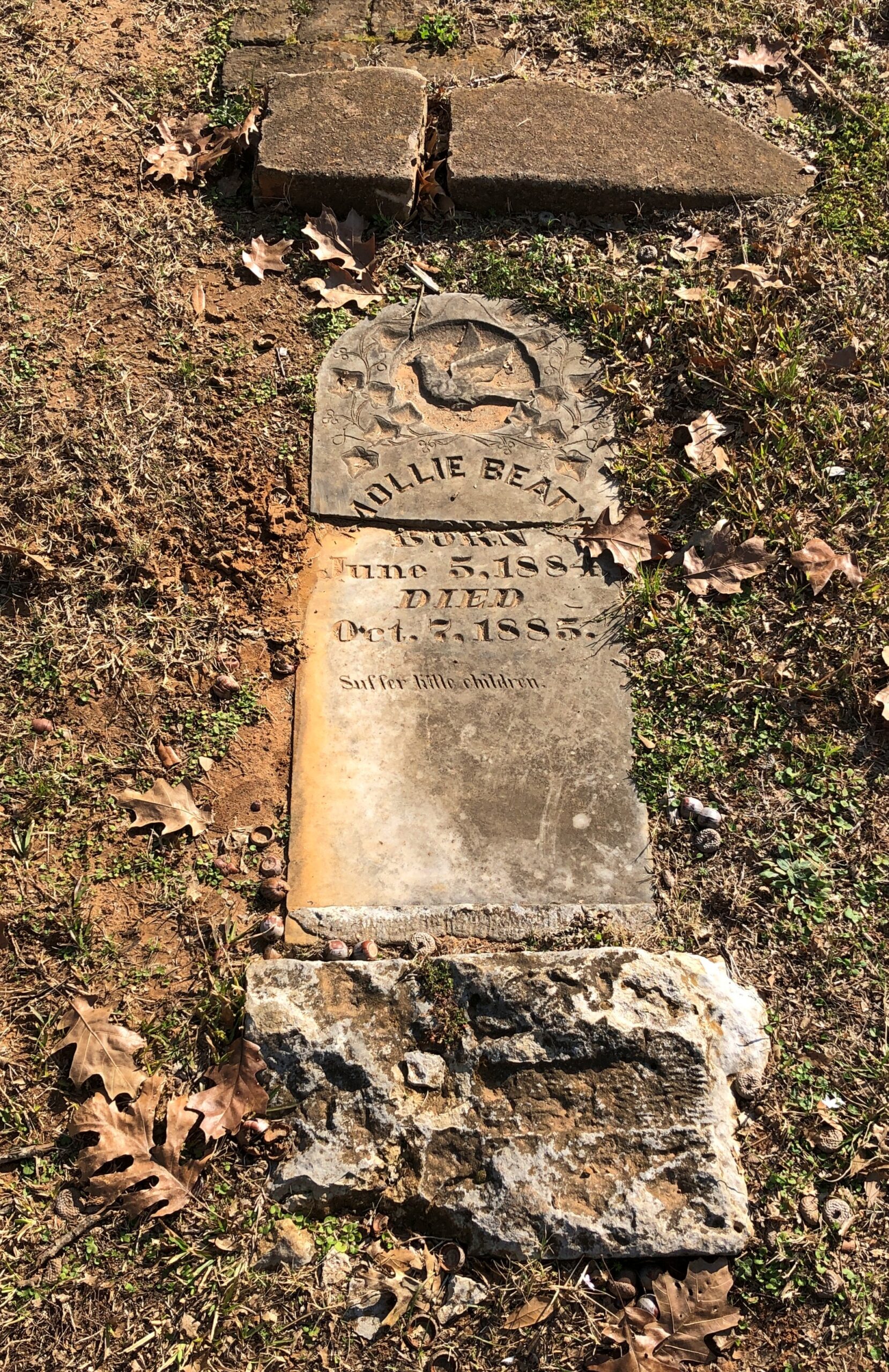
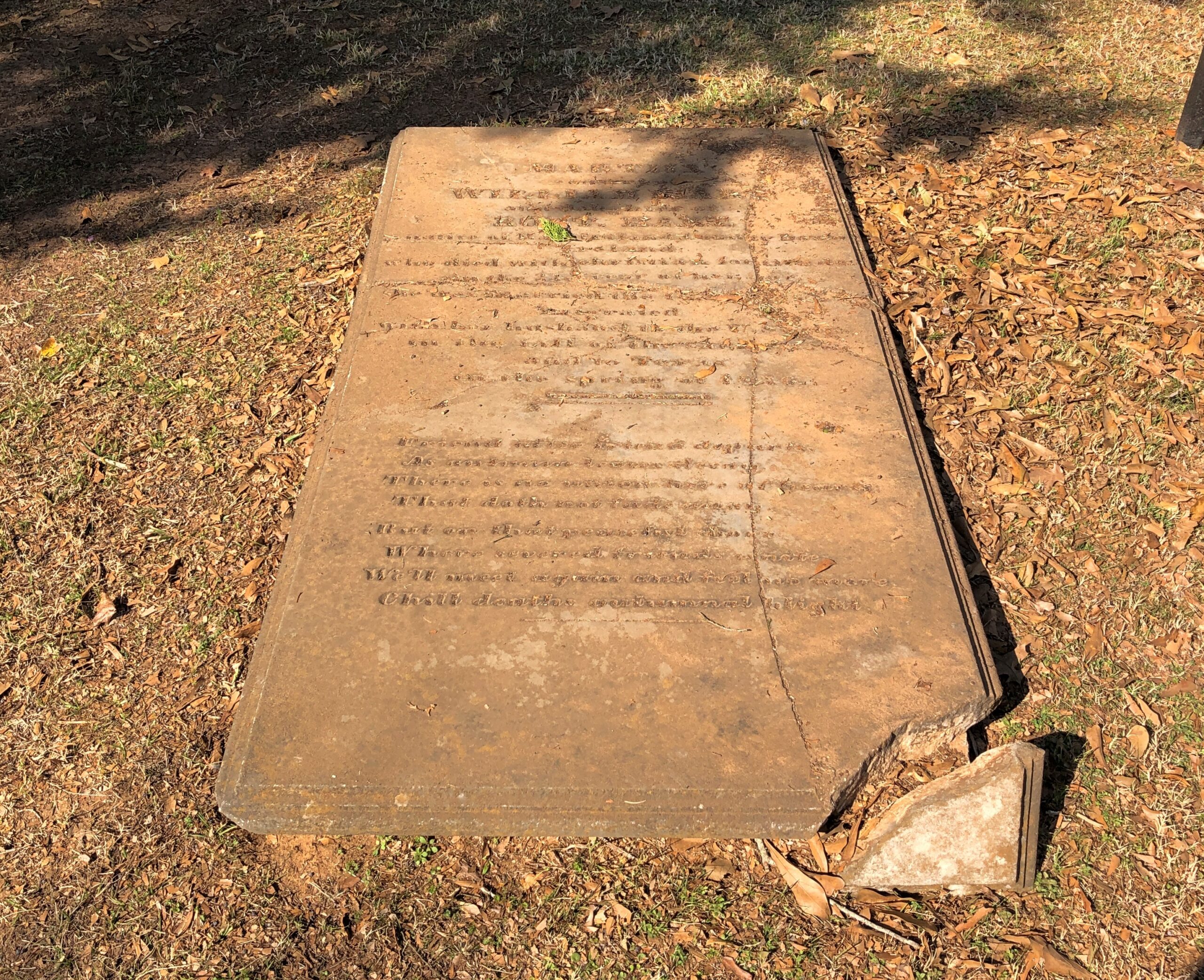
I don’t know how ordinary this person was, but perhaps he was gifted with Victorian prolixity. Or maybe his family was.
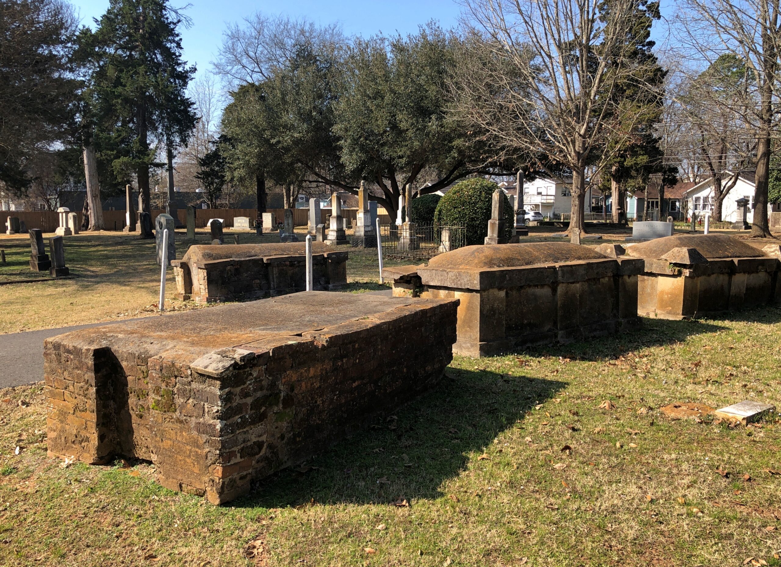
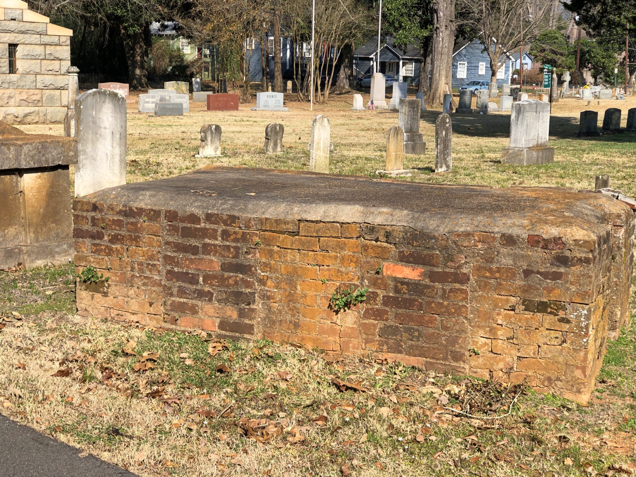
Brick tombs of the kind I’ve seen elsewhere in the South from roughly the same period, that is, sometime in the 19th century.
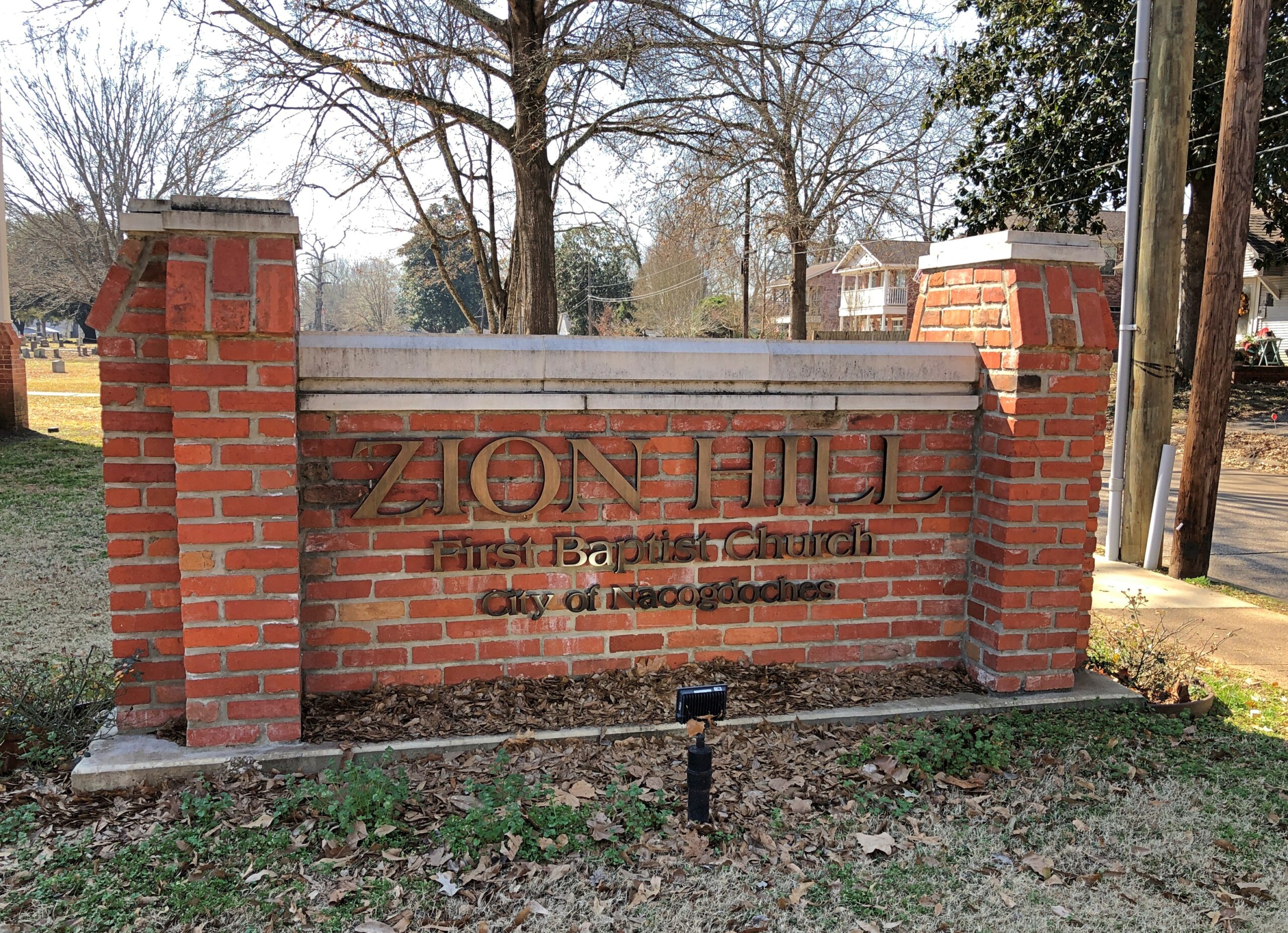
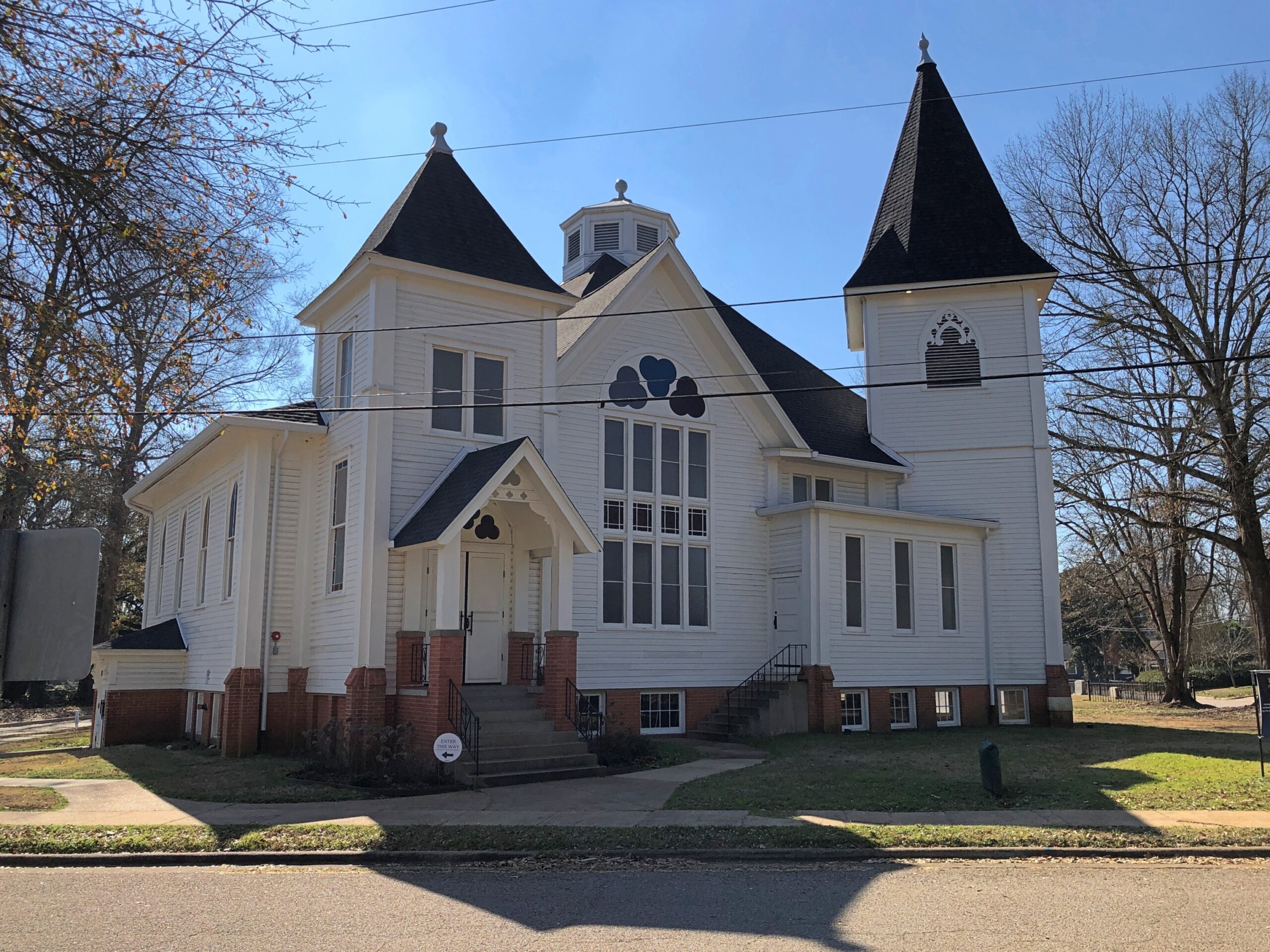
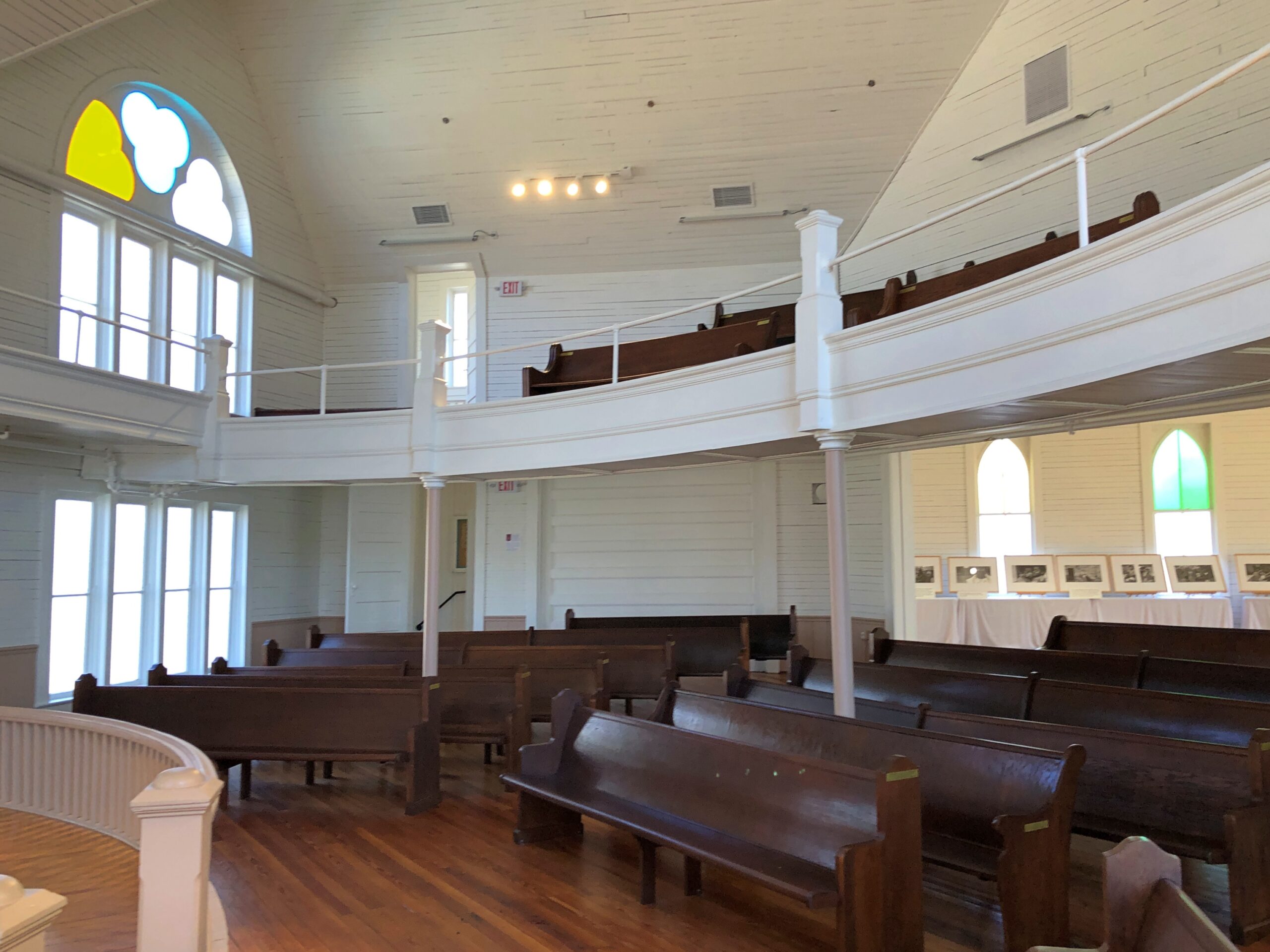
Adjacent to the cemetery but not associated with it is the former home of Zion Hill Baptist Church, one of the oldest African-American Baptist congregations in Texas, founded in 1878. The church is on the corner of Lanana and the delightfully named Bois d’arc St., as in lumpy “apples.”
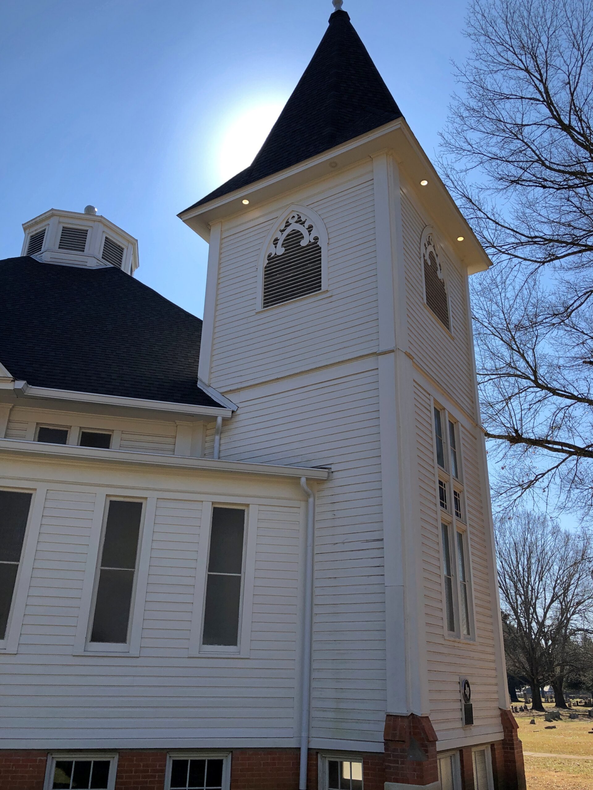
The congregation hasn’t used the structure, designed in 1914 by architect Diedrich Rulfs, for nearly 40 years. It’s a fine little museum these days, restored to its early 20th century glory.
Rulfs was a German who made good in Texas, as so many have, within a very special niche: most of the buildings worth seeing in Nacogdoches are his work.
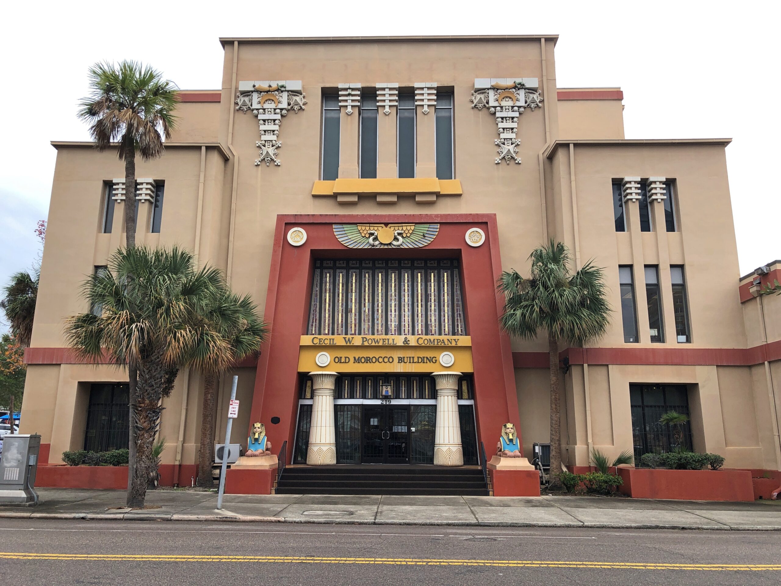
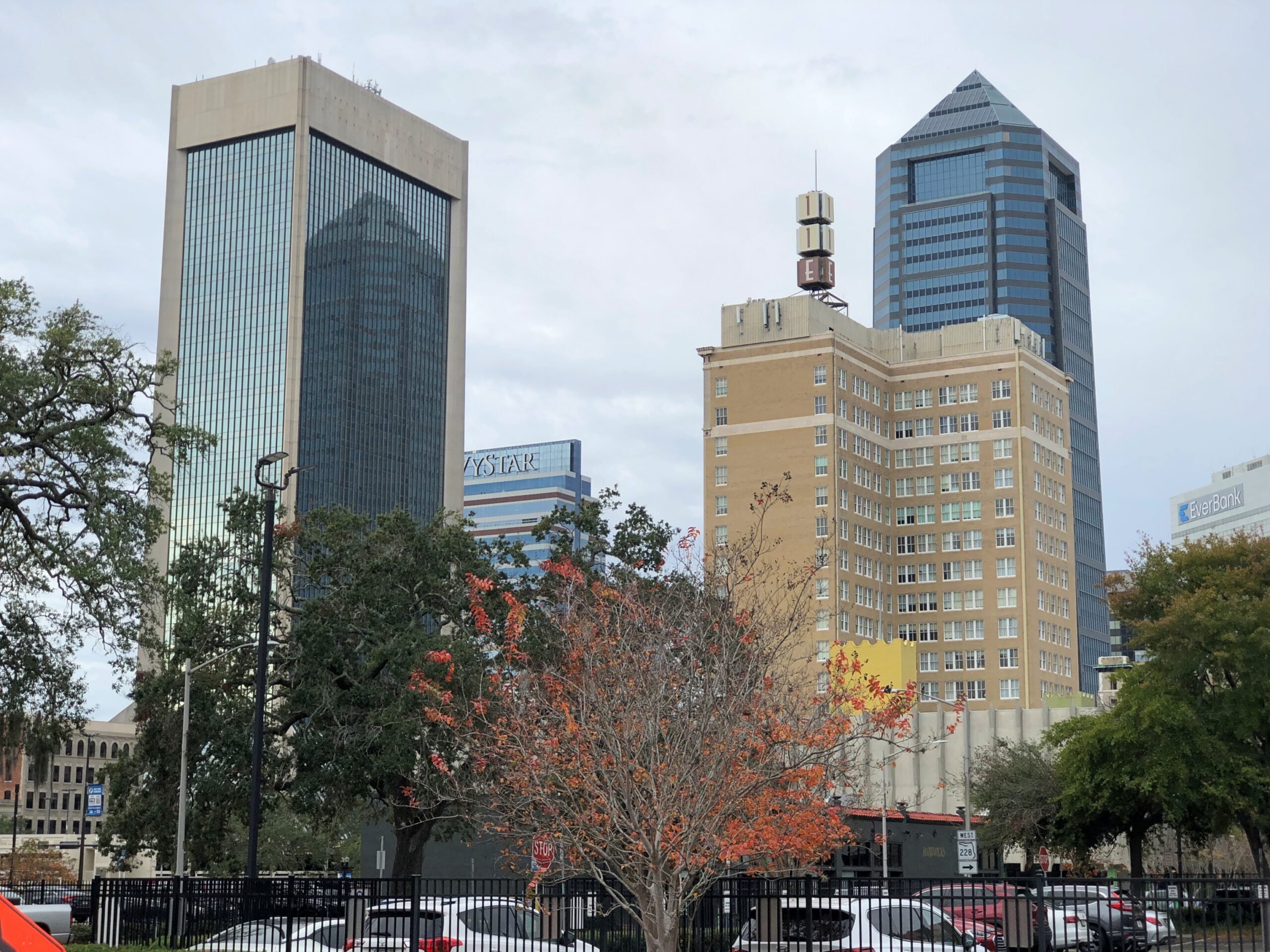
The coolest building in downtown Jacksonville: the Old Morocco Building (a.k.a. the Morocco Temple).
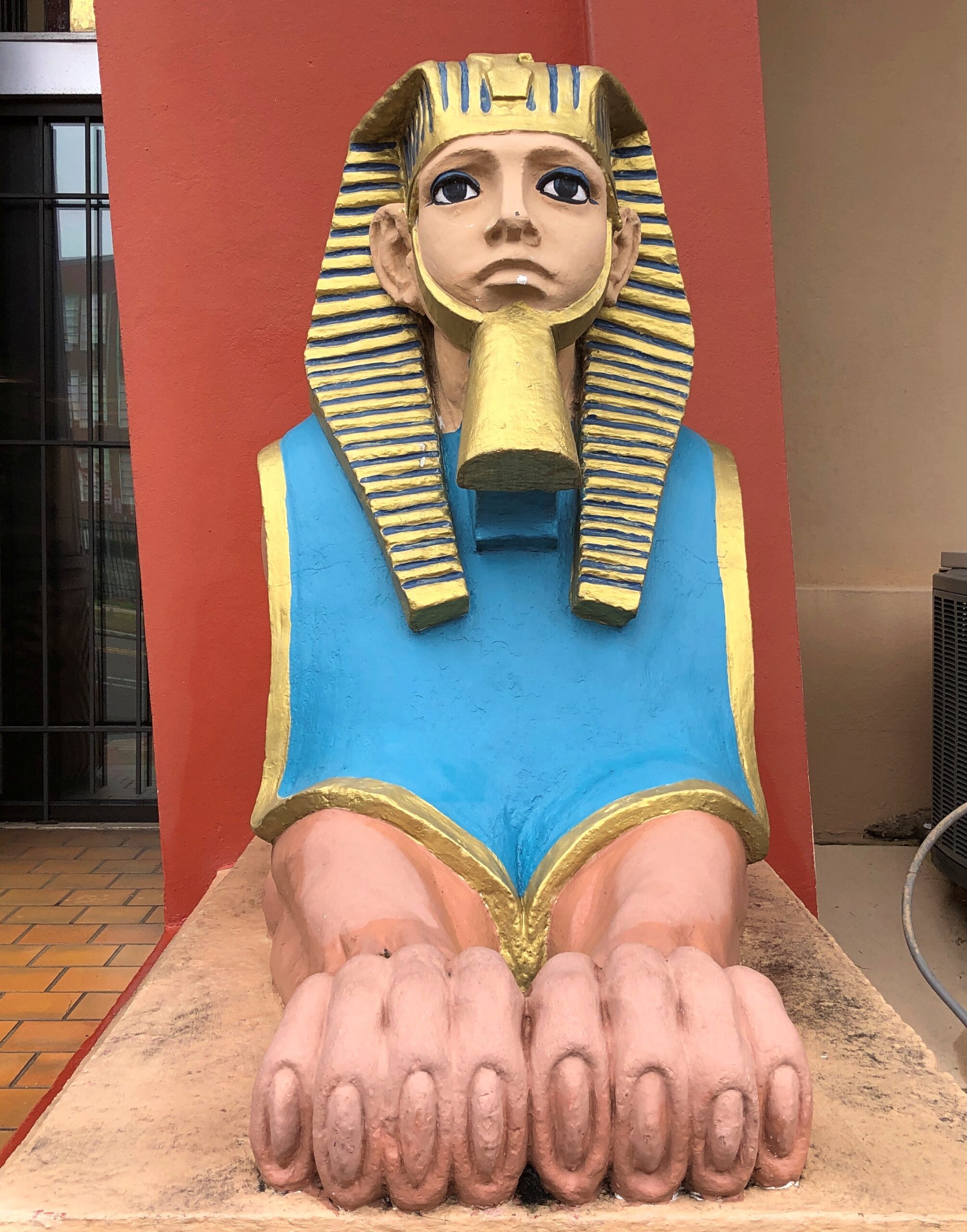
That’s my opinion, formed pretty much instantaneously on December 18, during our wander around downtown. We only spent a few hours in that part of Jacksonville, meaning my exposure was necessarily limited, but I’m sticking with my opinion. After all, what could be cooler than an Egyptian revival-Prairie School structure with sphinx-like guards out front? (And how about them toes?)
“The main facade features Egyptian-style terra-cotta columns with lotus-leaf capitals, tinted art-glass, sphinx-like sculptures, and a terra-cotta sun disk ornament with cobra heads,” notes Prairie School Traveler.
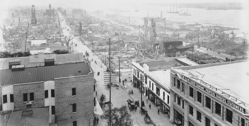
The Shriners – who else? – tapped architect Henry John Klutho to design the building, which was completed in 1911. Klutho had been based in NYC, but after the Great Fire of 1901 in Jacksonville, he came south to participate in the redevelopment of the city. If he did nothing else, the Morocco Temple would be enough. I understand the interior is similarly exotic, though modified after the Shriners moved out in the 1980s, but we didn’t venture in.
The aftermath of the fire. Redevelopment opportunities galore.
We’d come to Jacksonville, two days after leaving Key West, for two reasons. One, to visit old friends. Last year, I managed to visit old friends in Austin, San Antonio, Tokyo, rural Tennessee, coastal North Carolina, central Georgia, Denver, New York, suburban Boston, and finally Jacksonville. An essential ingredient for the year, these visits.
Also, I wanted to visit the generally ignored Jacksonville. A place one doesn’t hear about much. Miami has its Vice and Orlando its Mouse and Key West its Jimmy Buffett. But Jacksonville?
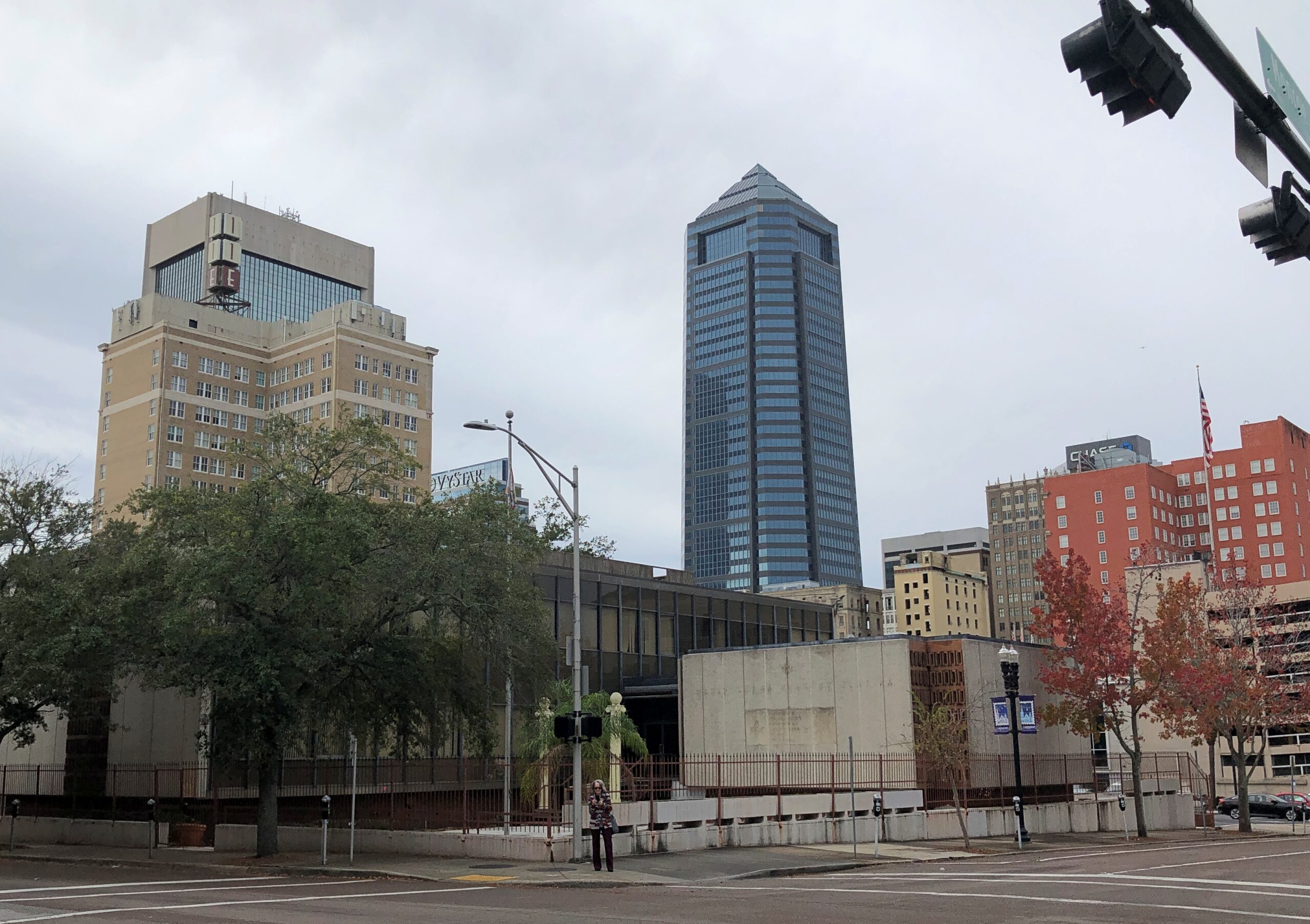
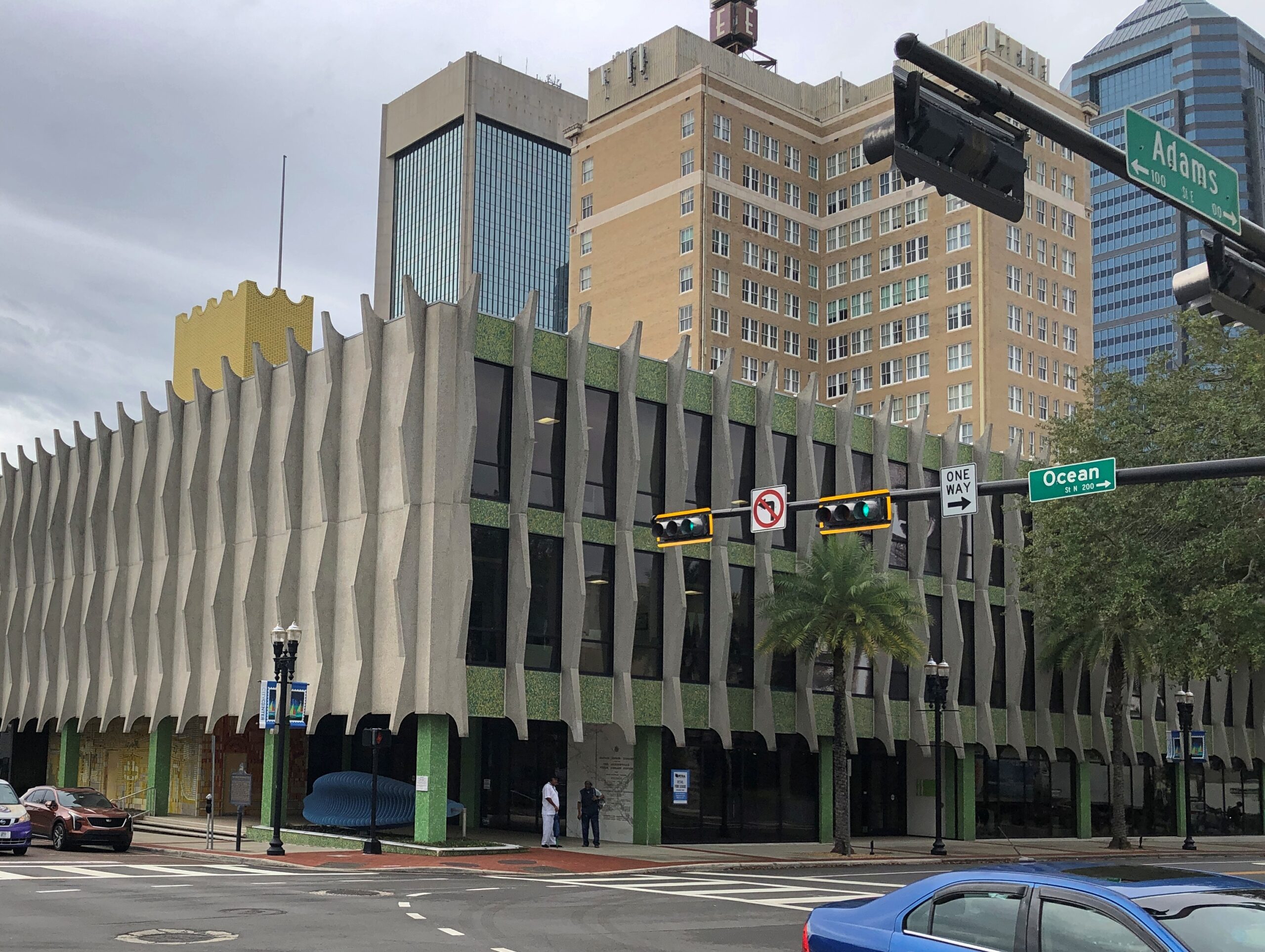
We were advised that parking would not be an issue in downtown Jacksonville, even on a weekday. It wasn’t. We set out to see what we could see.
It was almost spooky how empty downtown was. Even the downtown Detroit of recent years is more active.
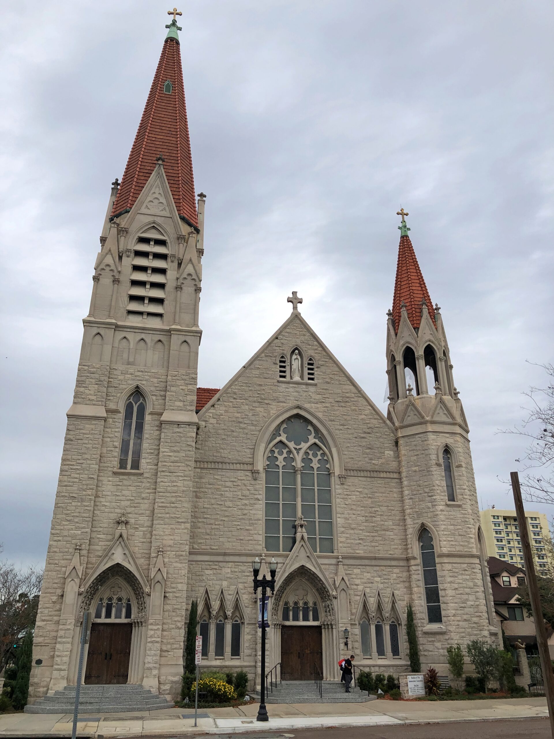
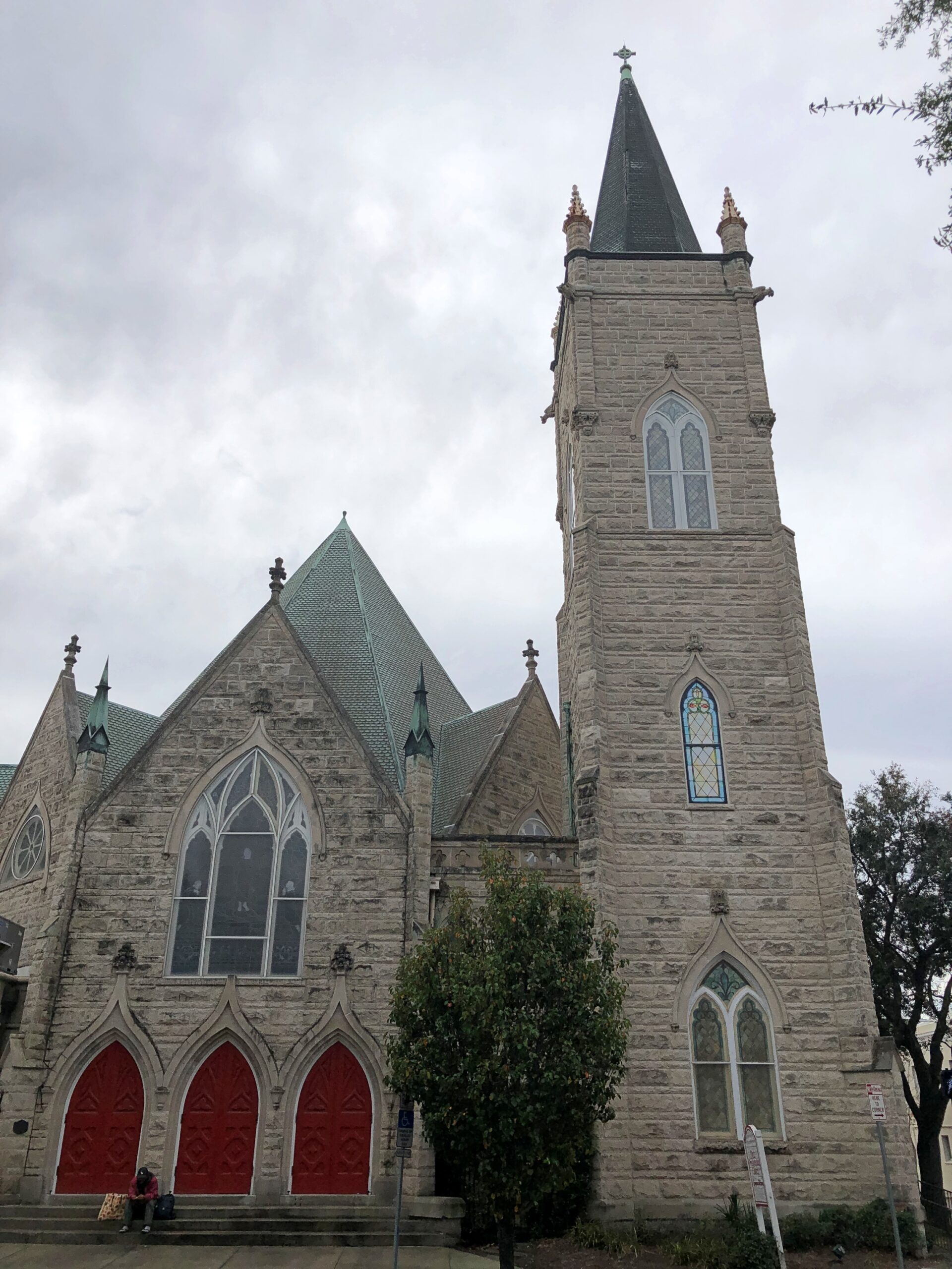
Downtown Jacksonville included some large but closed churches, such as the Basilica of the Immaculate Conception.
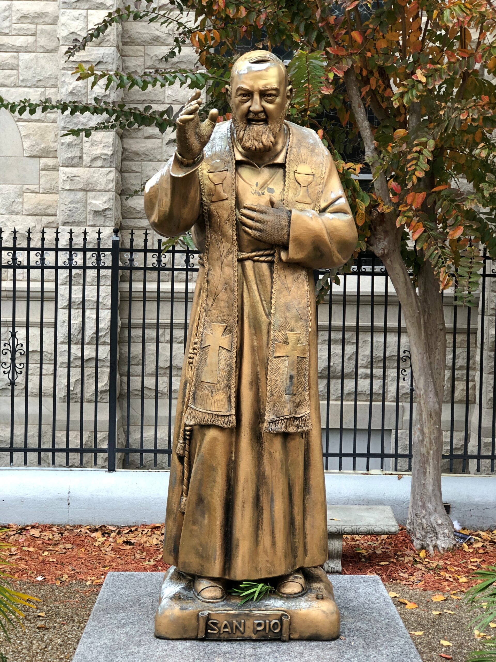
But at least Padre Pio is near the basilica to greet you.
If I’d known what to look for – because I had to look him up later – I’d have noticed the bandages covering both of his wrists. Among other things, St. Pio was known for his stigmata.
Down the street, also closed: First Presbyterian.
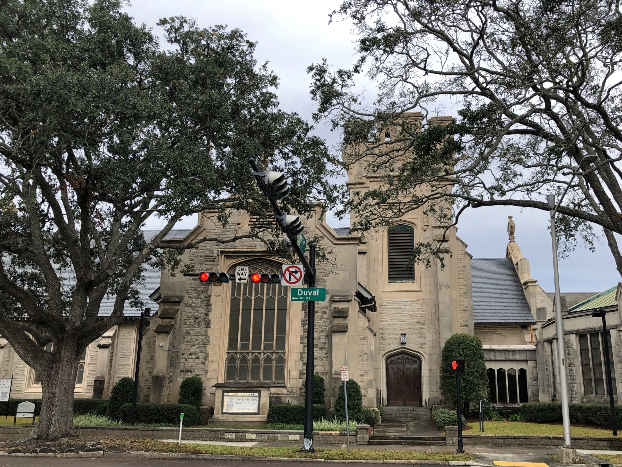
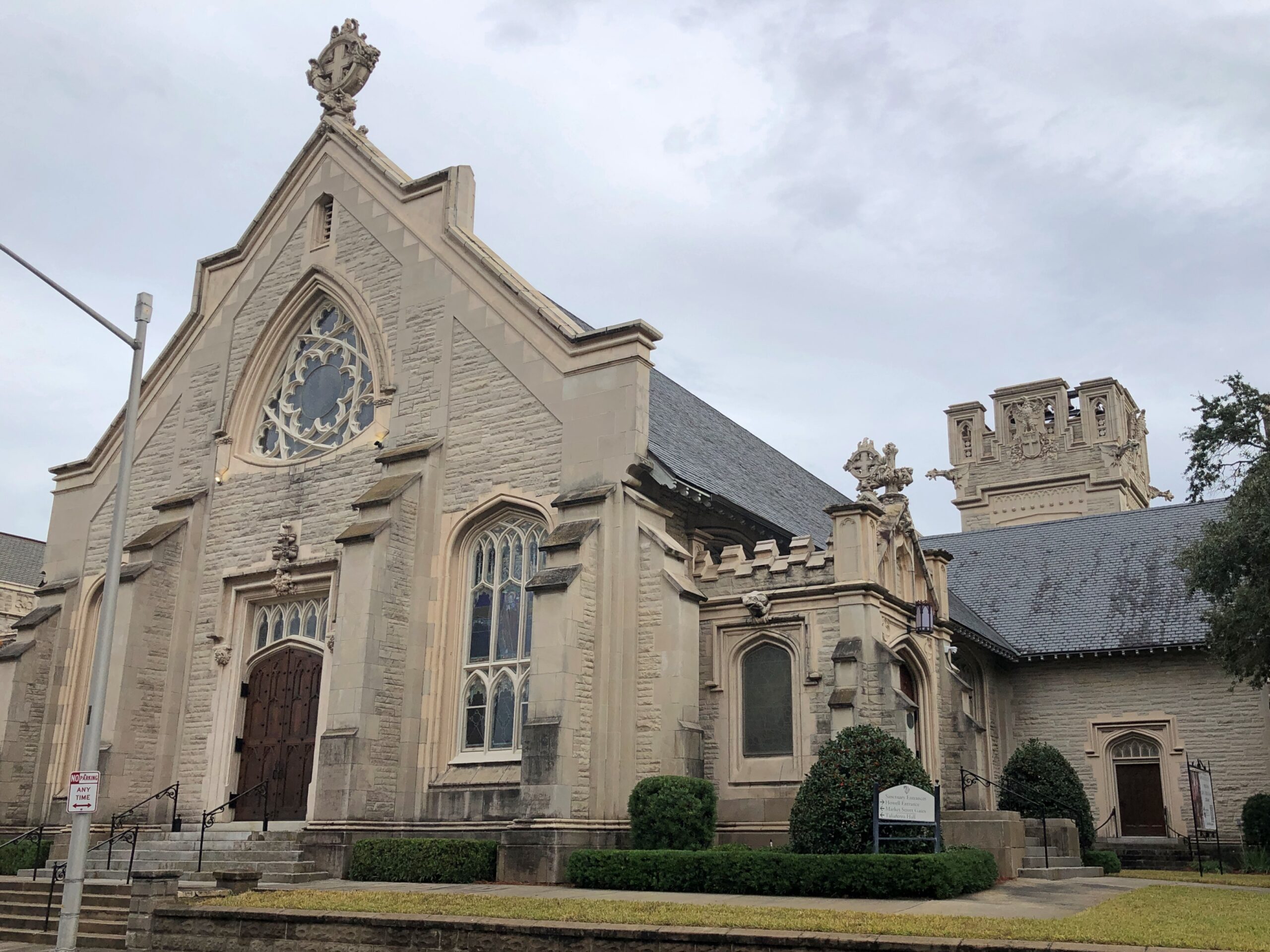
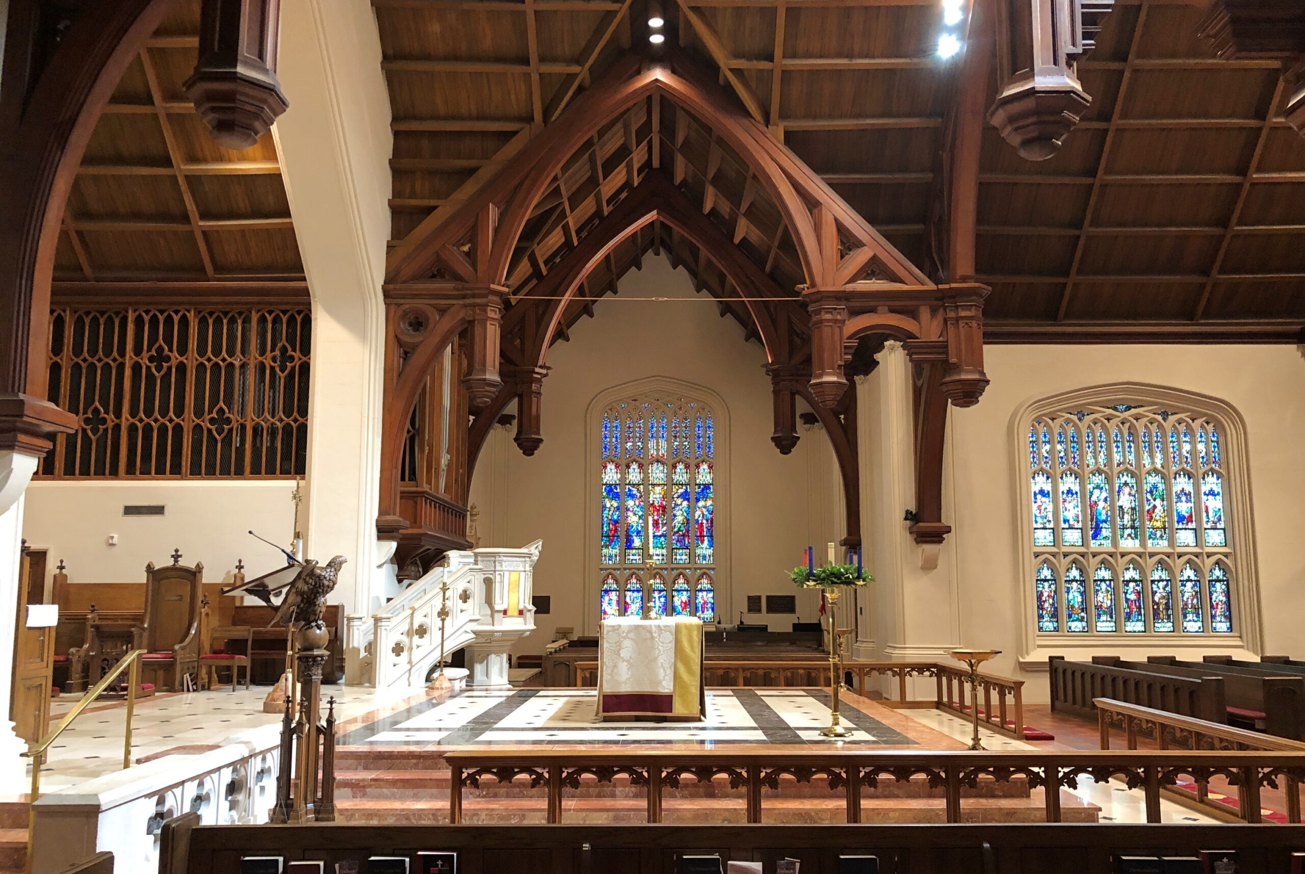
St. John’s Cathedral, Episcopal. At first I assumed it was closed.
This is the third church on the site. An 1840s structure burned down (and sank into the swamp?) in 1862, during one of the times the city changed hands between Union and Confederate. A grander church replaced it after the war but, oops, along came the aforementioned Great Fire of 1901. The current structure dates from 1906, the work of noted church architect Howard Nott Potter.
We found a way in, almost hidden around back. We were well rewarded.
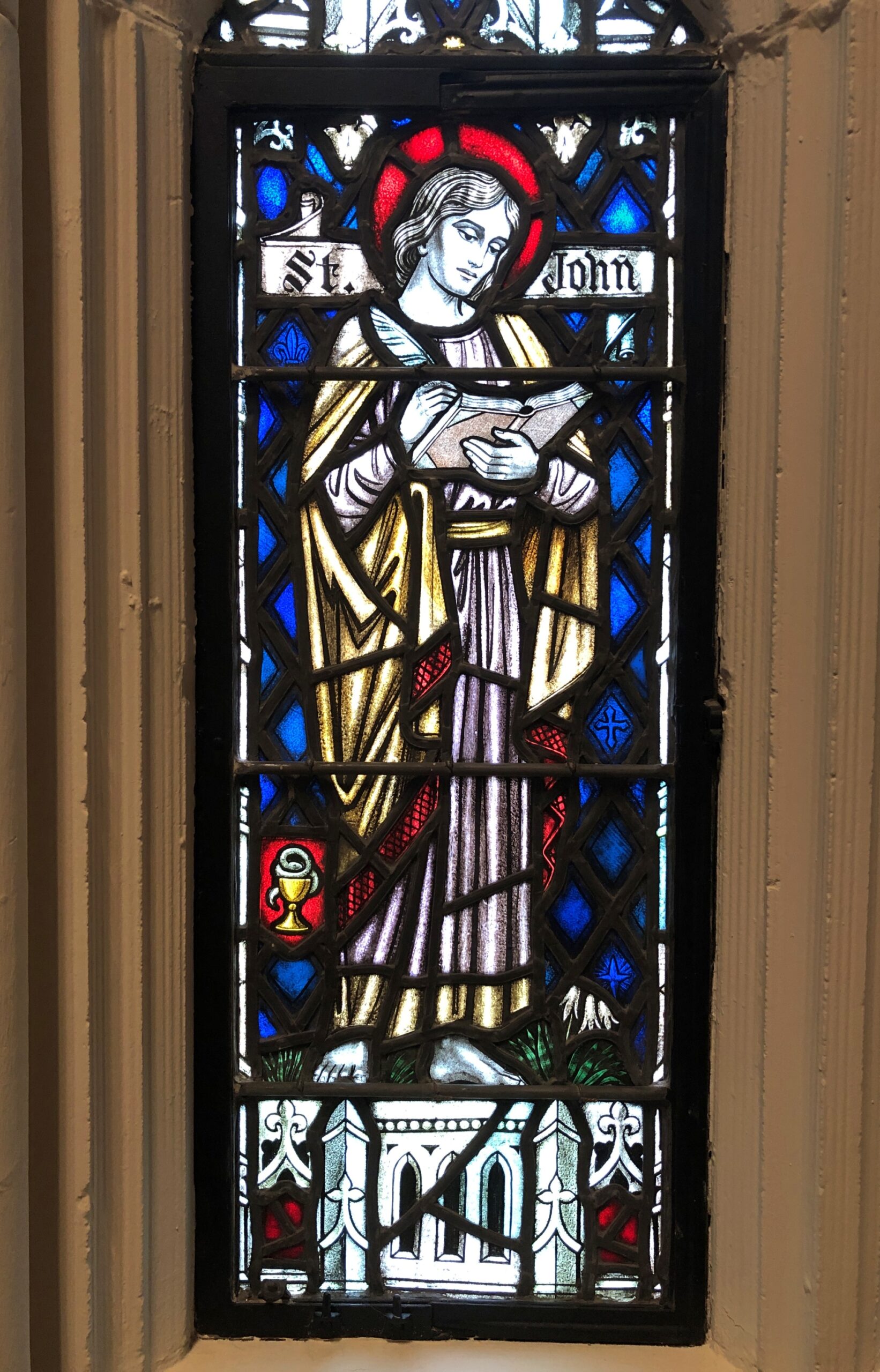
Fine stained glass. St. John makes an appearance, as you’d think.
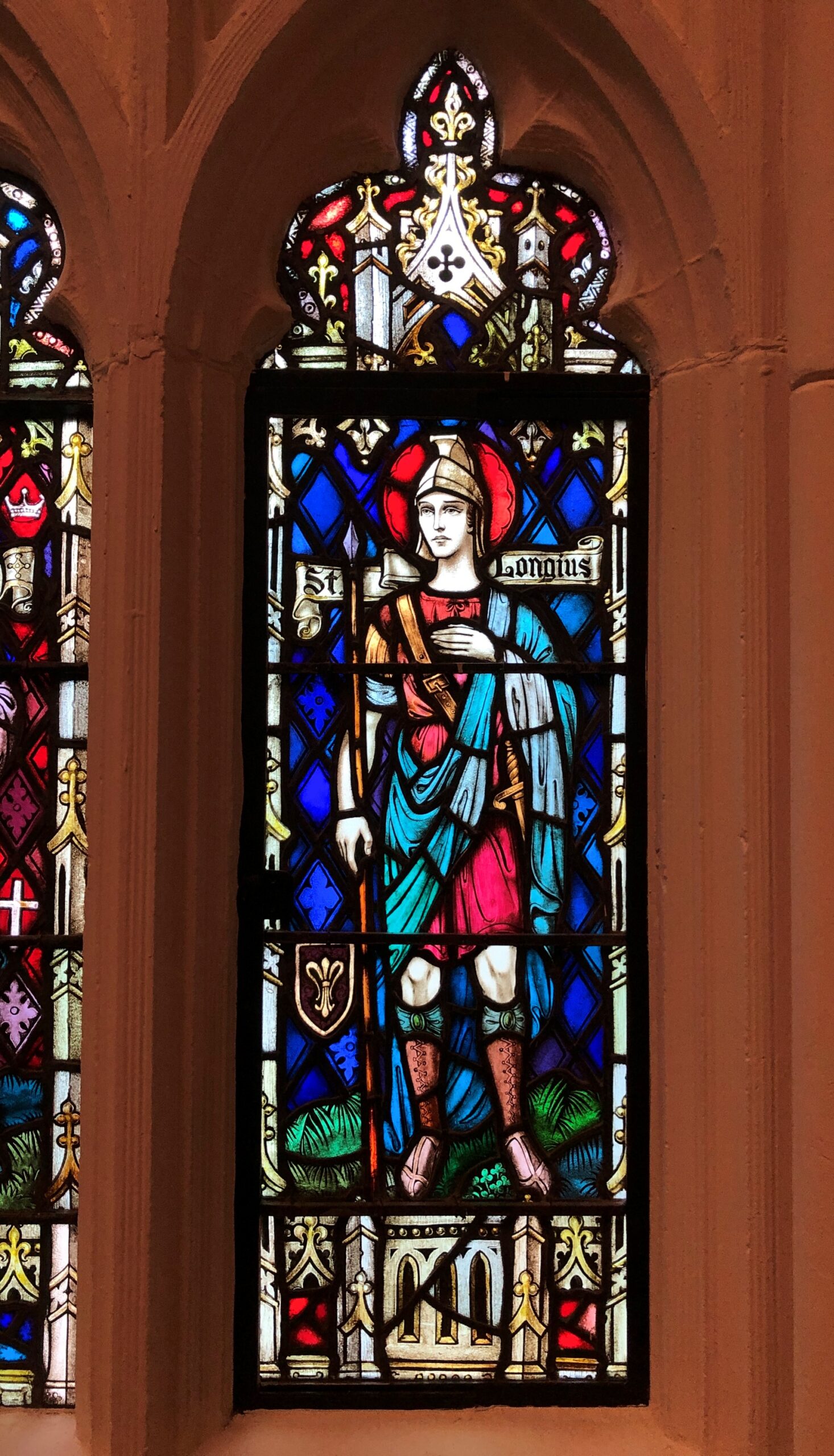
So does St. Longinus.
You might say he had a bit part in during the crucifixion, mentioned in one line exactly (John 19:34) and not even by name. But from such small acorns large bodies of belief grow.
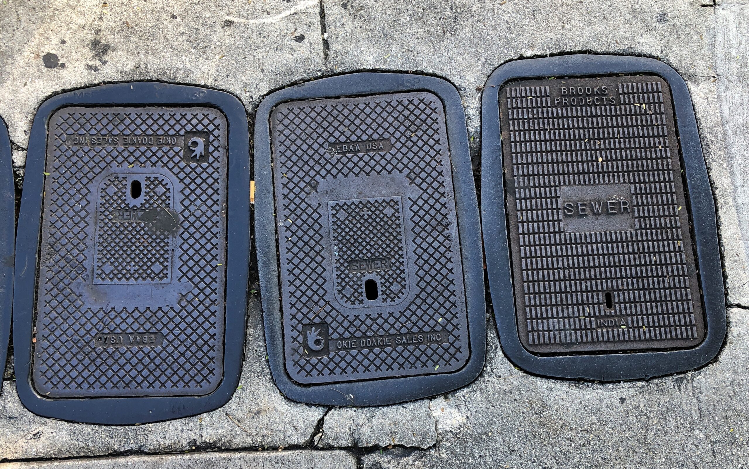
If you asked me, and no one has or will, Key West is missing something in having plain manhole and utility covers (though this isn’t bad).
I suspect custom covers cost more, and money is money, but distinctive places should have distinctive manhole covers. Aren’t details important in fostering – or in this case enhancing – a sense of place?
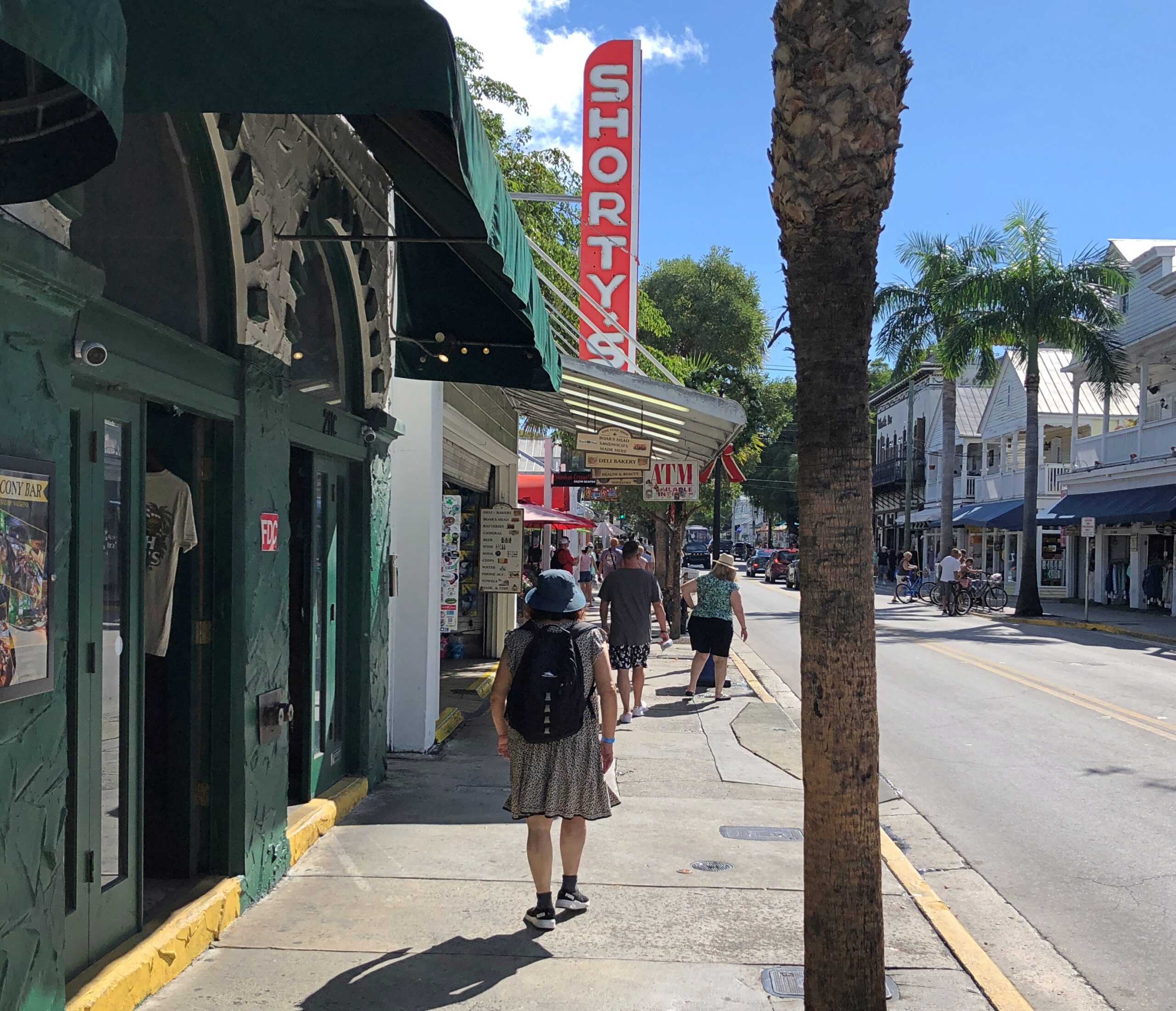
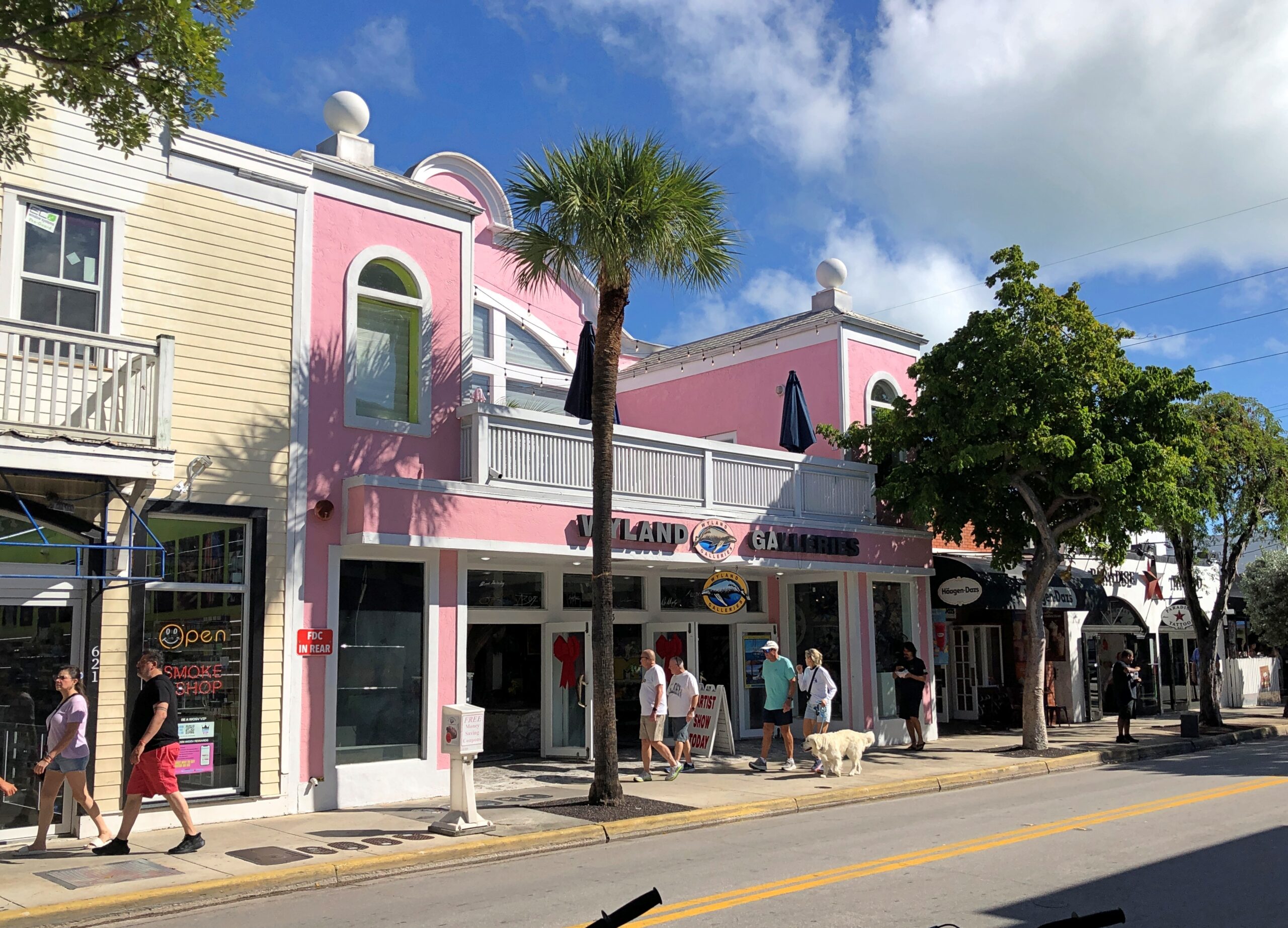
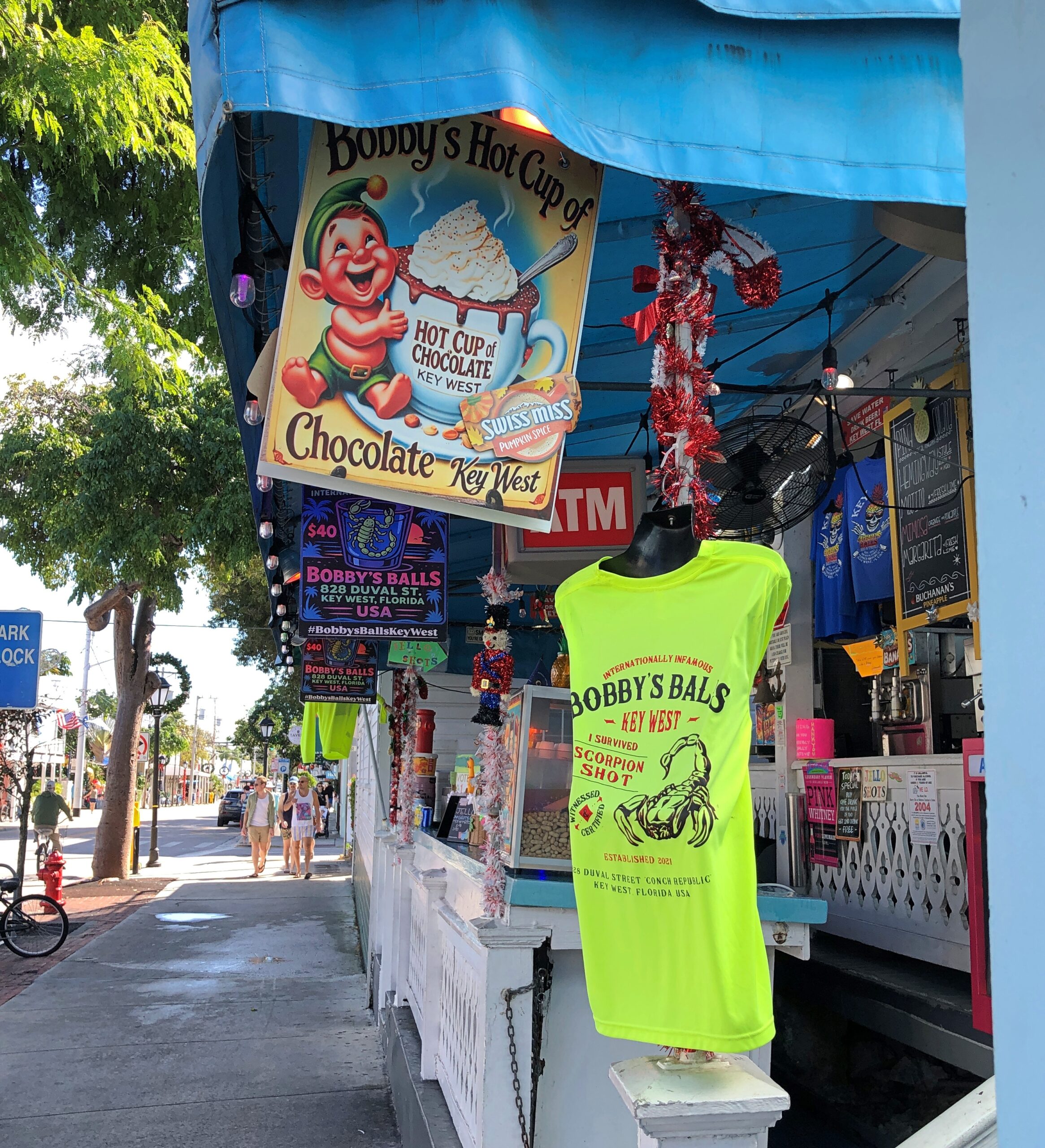
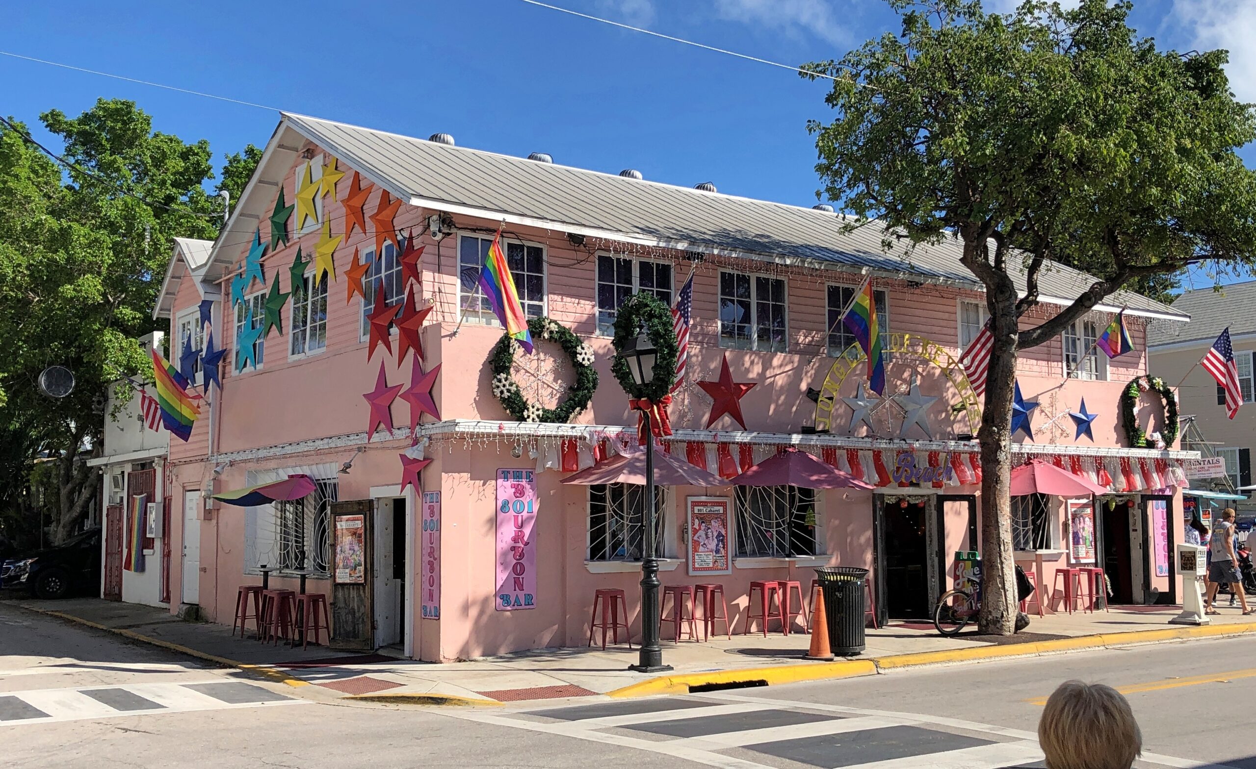
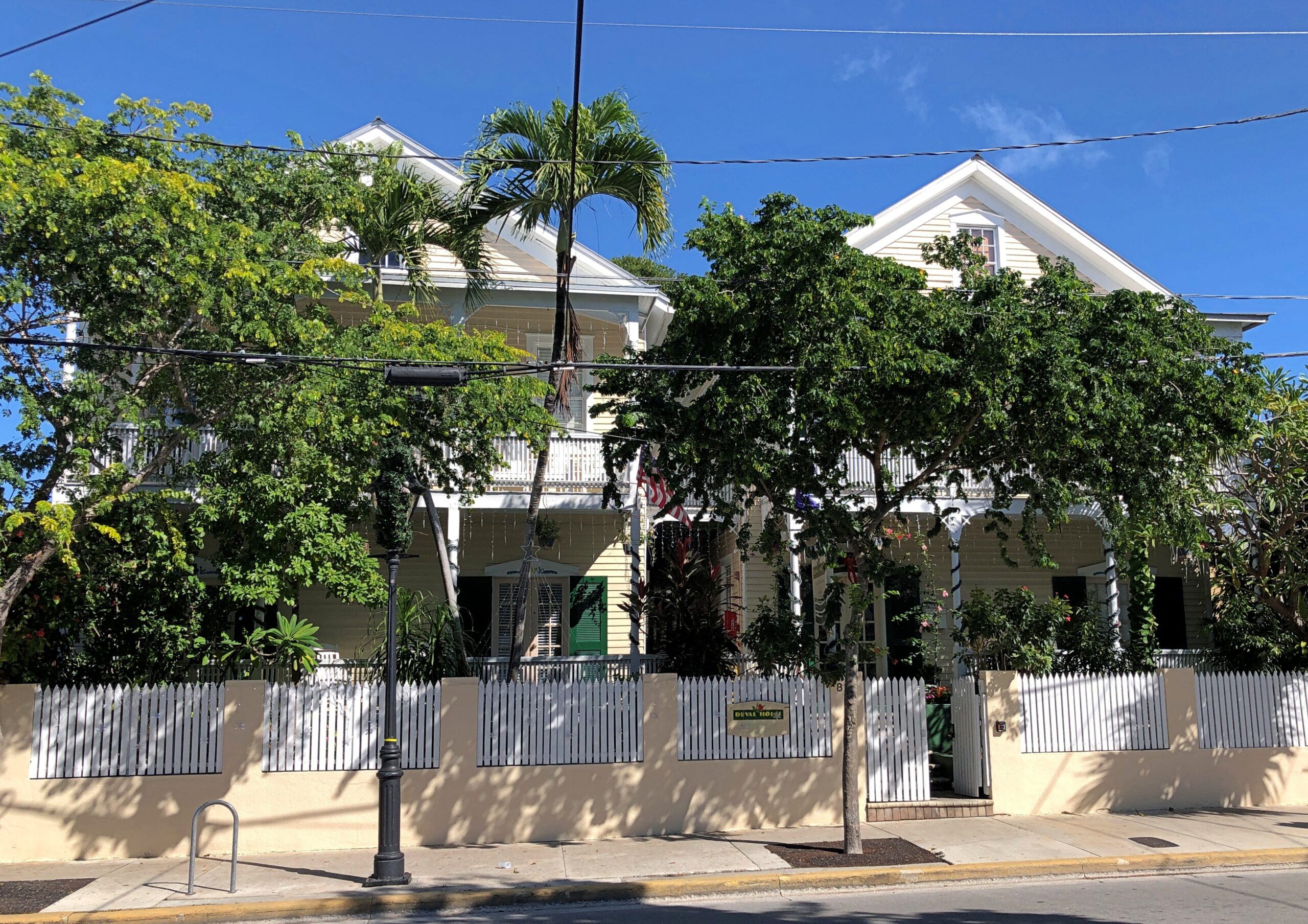
On the other hand, Key West has a sense of place without too many equals. That’s as good a reason as any to stroll down Duval Street, tourist hub of Key West, and take it all in. Or as much as you can. On a mild mid-December day, that wasn’t hard.
As a tourist street, a lot of retail detail.
Buildings that have somehow survived these last 100 years or so, despite the ocean’s habit of kicking up a hurricane-force fuss now and then.
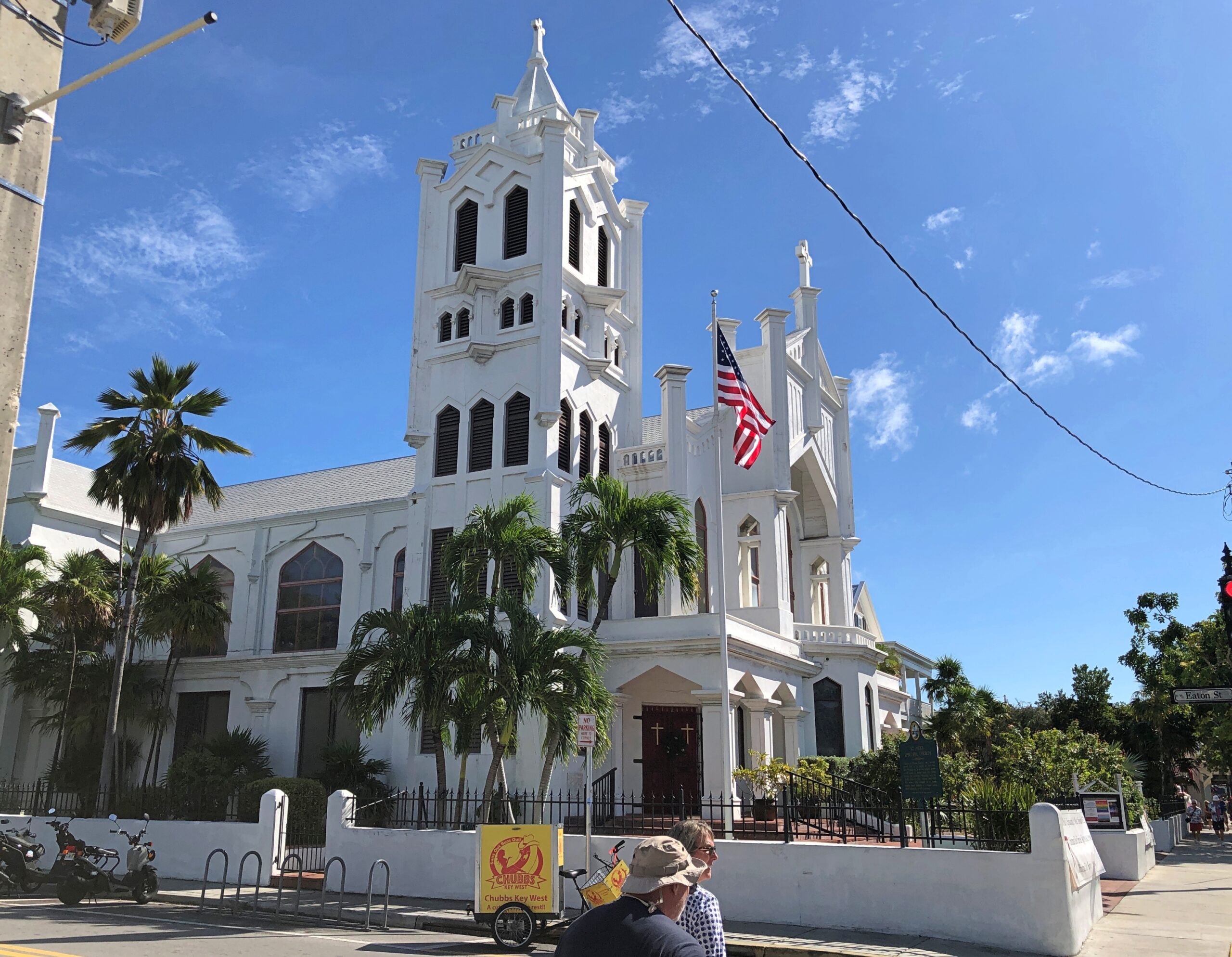
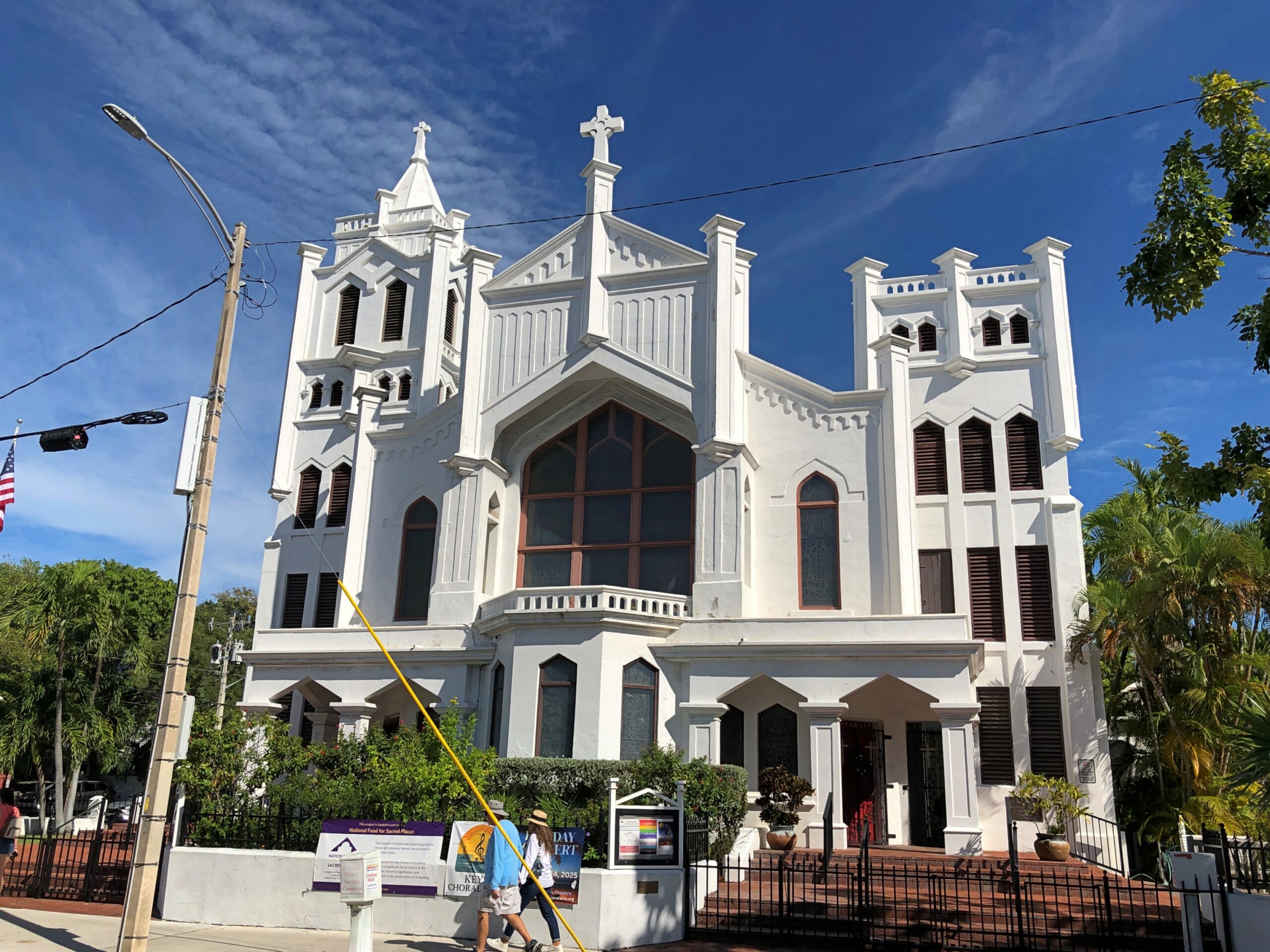
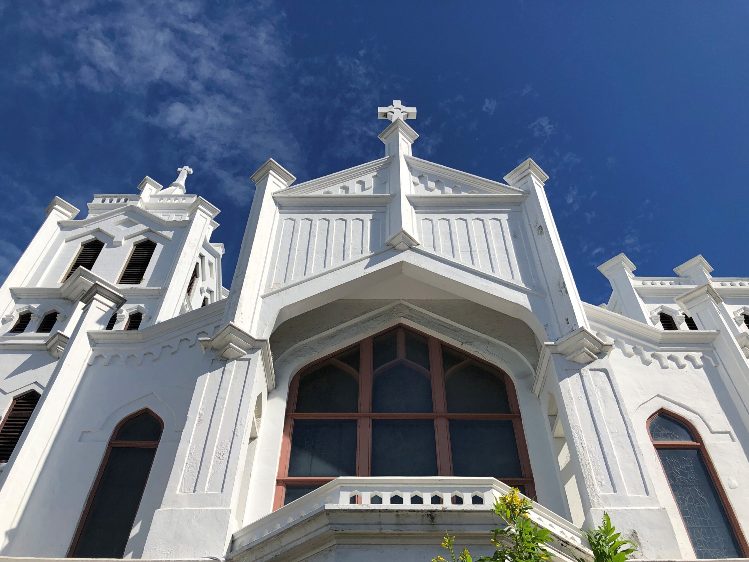
St. Paul’s Episcopal, 401 Duval.
In 2014, I ducked away from crowded Duval into the church, which seemed to be open because the organist was practicing. I sat, impressed by his vigorous noodling, and by the fact that no one else was in the church.
This time, closed.
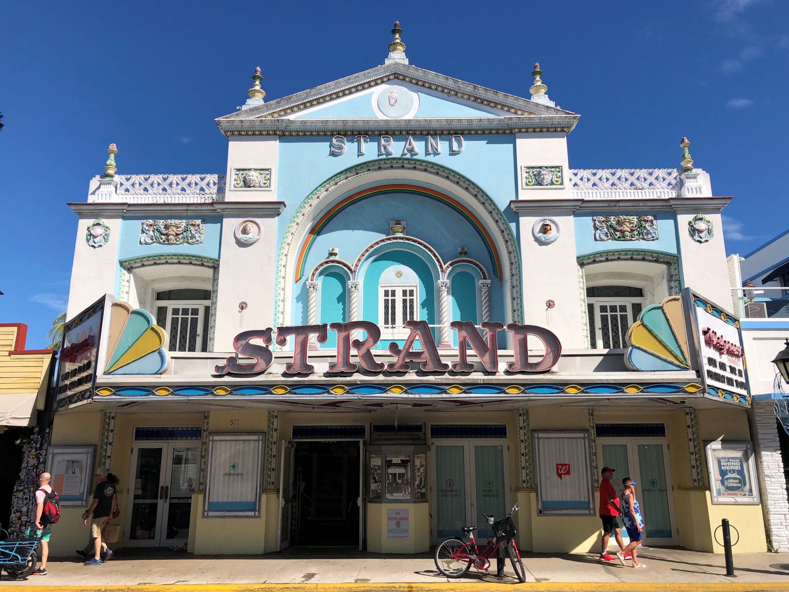
Looks like a movie theater. It was. Now a Walgreen’s.
More detail.
“Duval Street, the undisputed ‘Main Street’ of Key West, is the only place in the U.S. where one street allows you to walk from the Atlantic Ocean to the Gulf of Mexico,” says the American Planning Association, in picking Duval Street a Great Place in America.
“ A citywide commitment to preserving the National Register of Historic Places single-largest collection of wooden structures has allowed Duval Street and the rest of Key West to transition from an economy based on maritime industries and Cuban travel during its earlier years to one now supported by entertainment, art, and tourism.”
At least a foot of snow covers the ground outside, so it’s good to be inside. Winter has fully returned, but at least the early part, when the holidays are yet to come, and not the post-New Year grind of January or the interminable days of February, the alleged shortest month.
Thanksgiving was low key. I expect that’s actually true for most people, however many anecdotes there are about fractious Thanksgivings. Low key doesn’t get into sitcoms or in real or made-up tales on a Thanksgivingishell subreddit.
Back to posting after Christmas, maybe the first Sunday after. Got a lot to do before then.
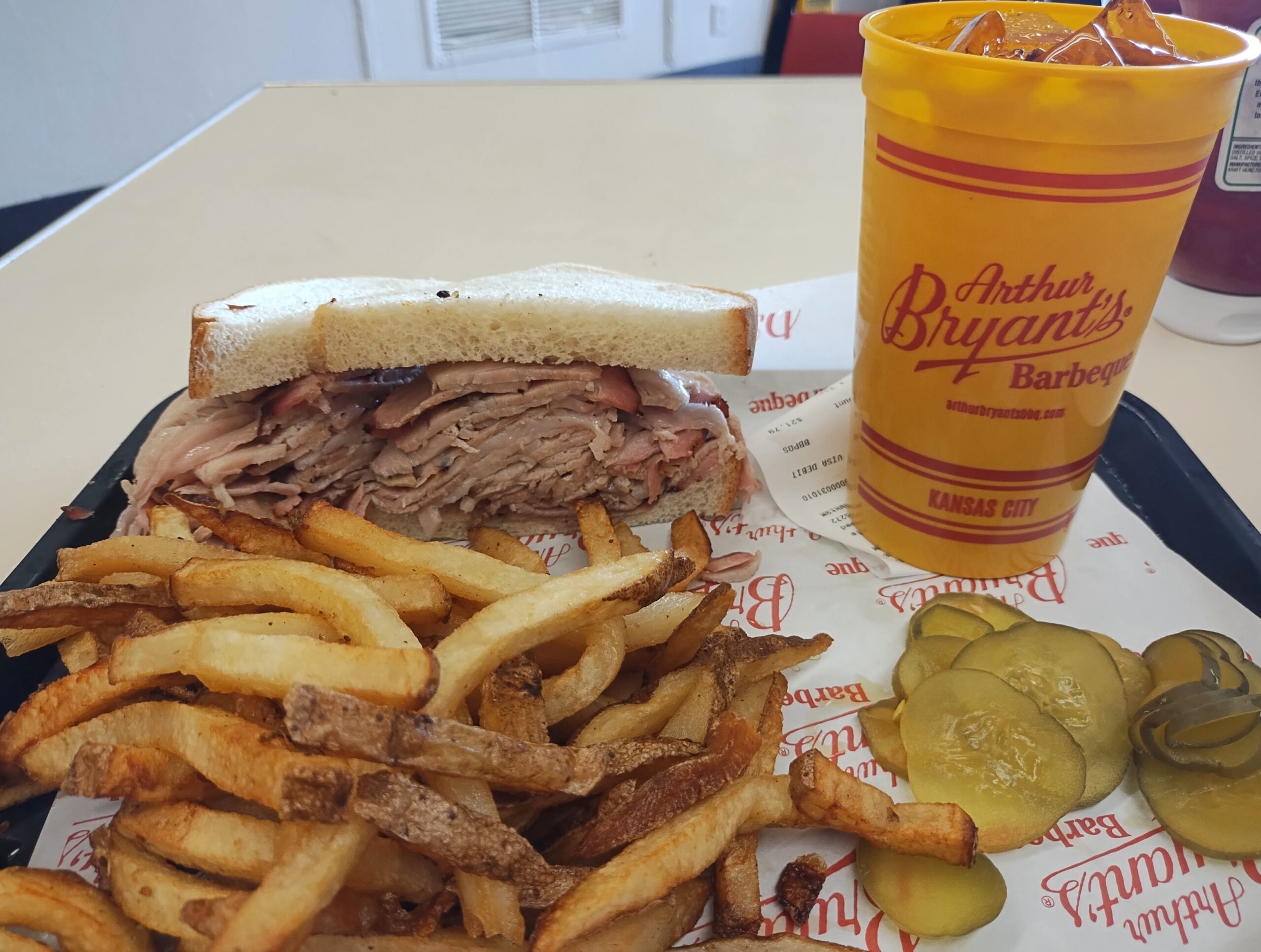
One more note about Kansas City in September. Besides the World War I Museum and Memorial, there was one more place I wanted to be during my visit: Arthur Byrant’s, for the barbecue I remembered so fondly from the late 1990s. Good ‘cue has sustained AB long after the pitmaster of that name died in 1982.
I’d go again.
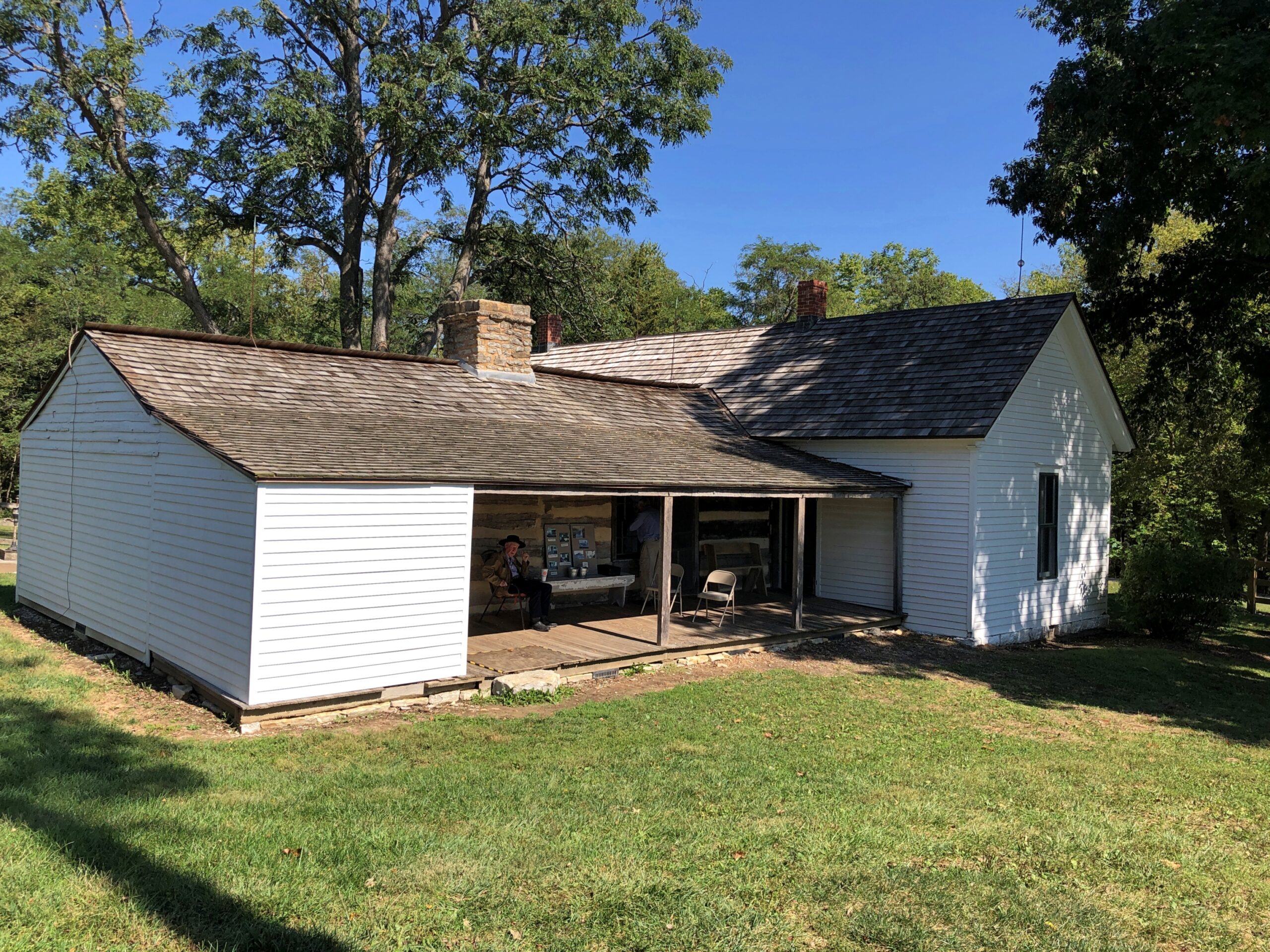
After I left KC, I headed not too far northeast to the Jesse James Birthplace Museum.
The birthplace museum, like the house, isn’t a large place, but it does convey some of the life and times of the famed outlaw, with some good artifacts and reading. Posters, too. I hadn’t realized that Jesse James was a character in the very last Three Stooges theatrical release, The Outlaws is Coming (1965), but there was the poster, along with ones advertising better-known biopics or Jesse James-adjacent movies. Somehow I missed that Stooges picture on TV as an impressionable kid, though I saw the likes of The Three Stooges Meet Hercules.
Jesse used to be buried at the homestead.
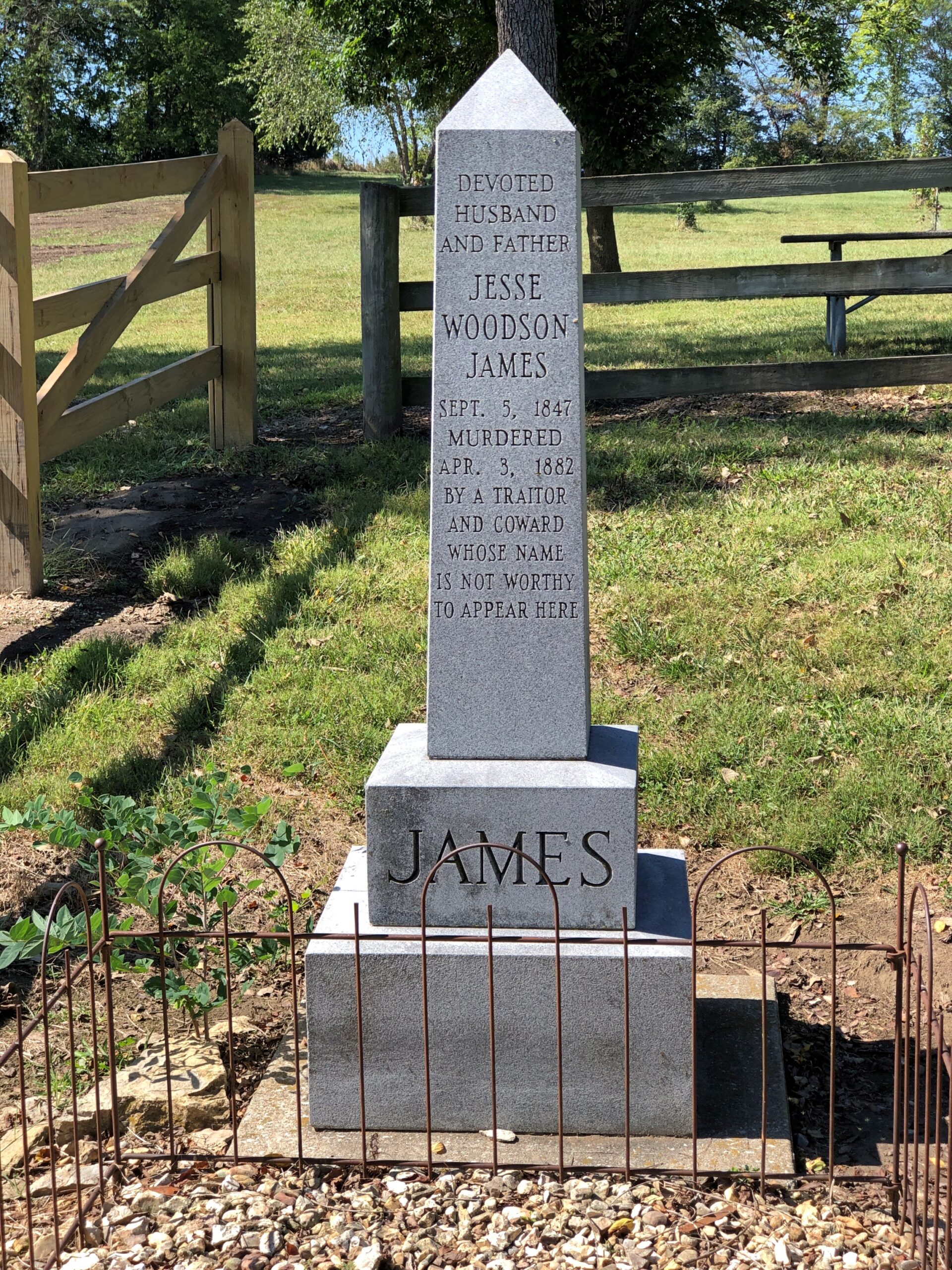
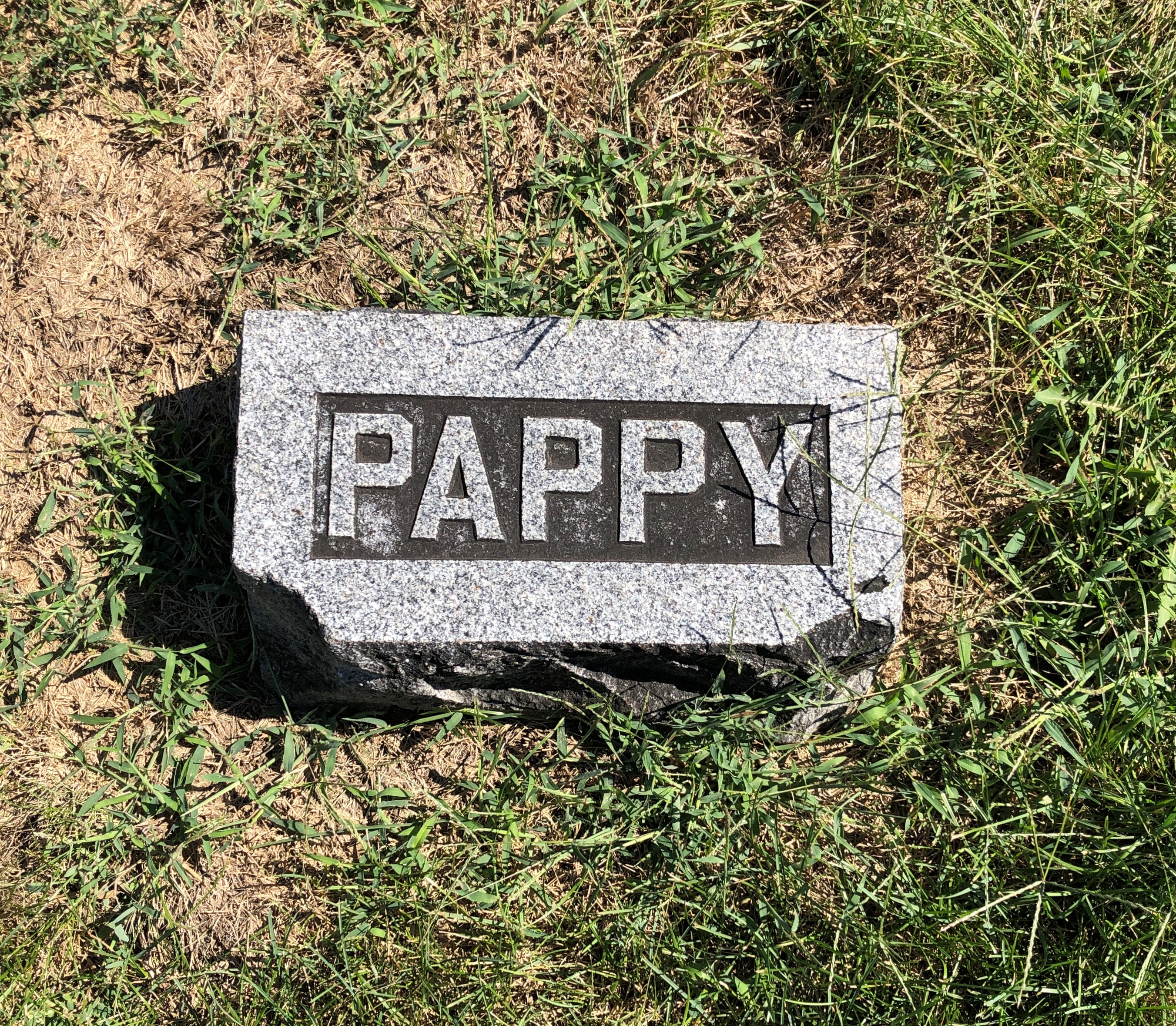
But at some point he was moved to Mount Olivet Cemetery in nearby Kearney, Missouri. Jesse receives rocks and flowers and coins from visitors 140+ years after his assassination by the Coward Robert Ford (“coward” capitalized, because the word is welded to his name in popular memory). As for Jesse, not a bad posthumous haul for a train robber.
Just as an example, do the Newton Boys get that kind of attention? No, they do not.
“The Newton boys were a criminal gang composed of brothers Willis, Joe, Jess and Wylie (Doc), who operated mostly in Texas during the 1920s,” says Texas State Historical Association. “Willis ‘Skinny’ Newton robbed over eighty banks and six trains from Texas to Canada with his brothers and other outlaws, including the single biggest train robbery in United States history. By the time they were captured, they may have stolen more money than all other outlaws at that time combined.”
I liked Mount Olivet. Got some stones of yore.
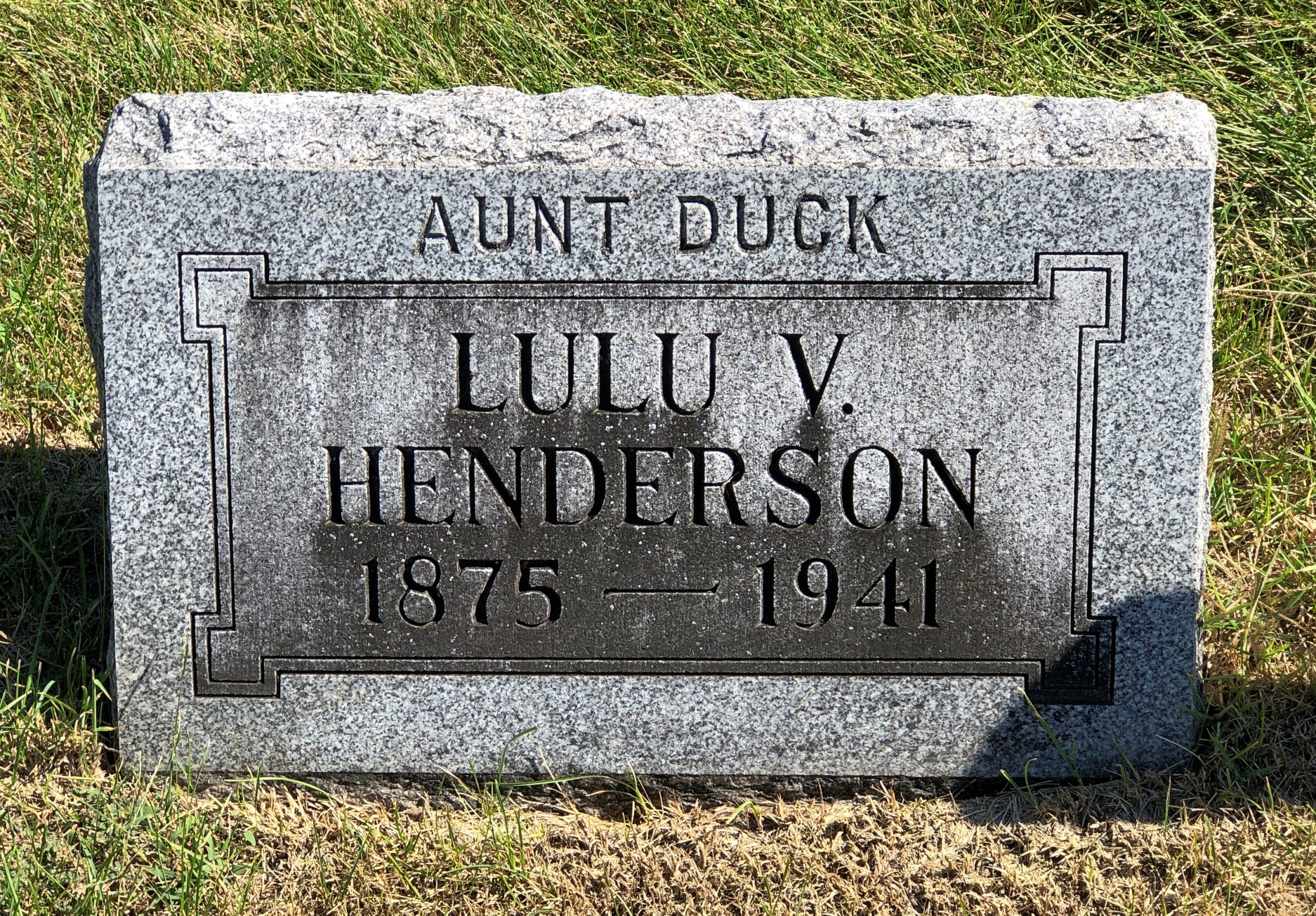
Aunt Duck had to have been a character.
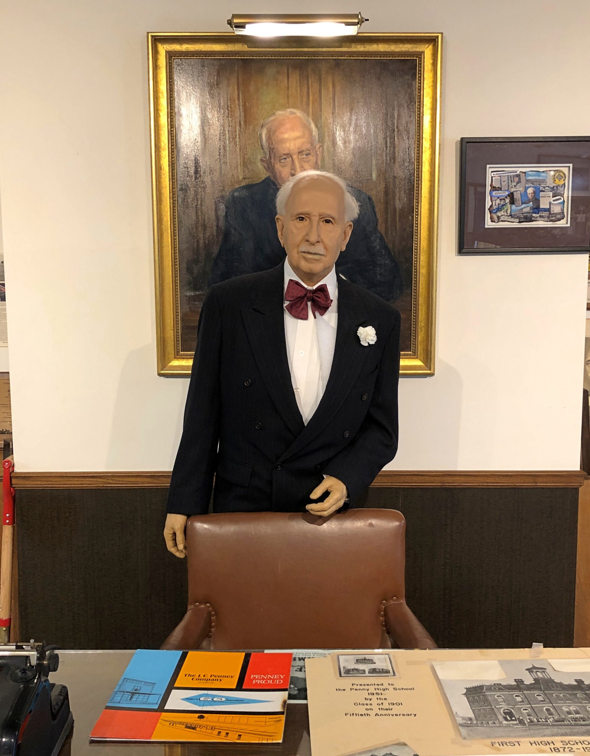
Further east, along U.S. 36 in Hamilton, Missouri, is the two-roomed JC Penney Library and Museum. The town library is in one room, the museum in the other. Most of the Penney artifacts are under glass. A wax JC Penney stands in front of a portrait of the department store mogul.
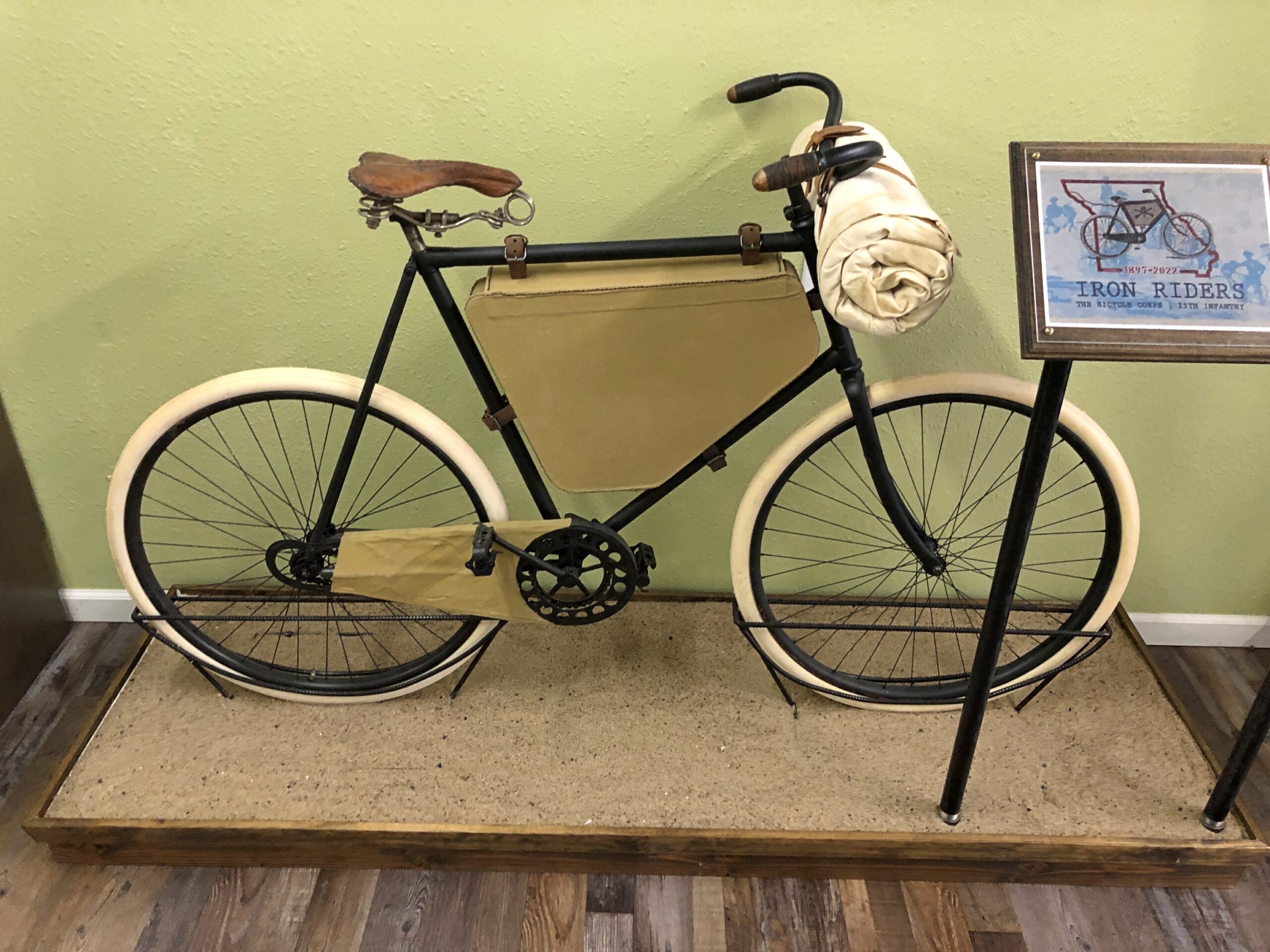
In Laclede, Missouri, is the Gen. John J. Pershing Boyhood Home State Historic Site. A fine museum about the General of the Armies, including an exhibit on something unknown to me, the Twenty-Fifth Infantry Bicycle Corps — the Iron Riders. The Army tested long-distance bicycling in 1897 as a strategy for troop movement, with the corps riding from Missoula, Montana to St. Louis. Pershing wasn’t involved in that effort, but it did happen during his time in the military. Quite a story. Deserves to be better known.
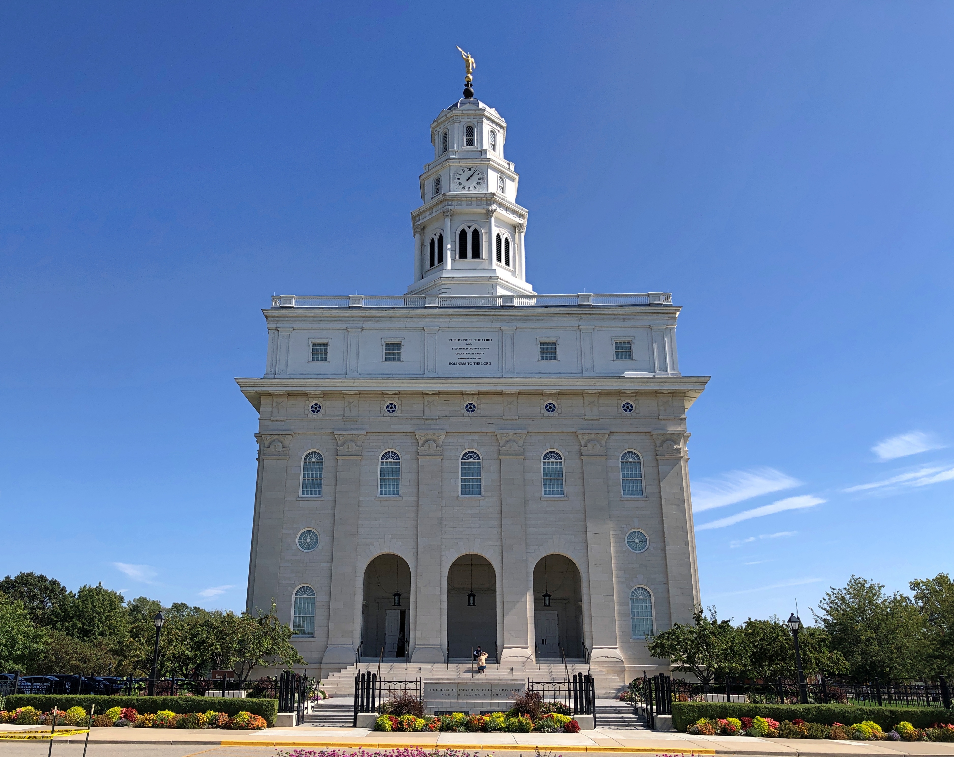
One the last day of my driving, I didn’t want to stop for much, but I did spend a while in Nauvoo, Illinois.
There’s a LDS temple there now. It wasn’t the last time I came this way, in 1997. I couldn’t go in, of course. For that you’d have to join the club.
North America is vast and contains multitudes. There’s no doubt about it. How else to account for Crestone, Colorado?
Spiritual Travels tells the tale:At 7,500 feet in elevation and ringed on three sides by mountains, Crestone is both beautiful and isolated, subject to extremes of weather, wind, and temperature. It includes an amazing array of spiritual sites: more than two dozen ashrams, monasteries, temples, retreat centers, stupas, labyrinths, and other sacred landmarks. There’s even a ziggurat, a structure modeled on the temples of ancient Babylon.
Beautiful yes, but not so isolated these days: we drove in via two-lane, high-quality paved roads, Including, on the highway Colorado 17, past the UFO Watchtower, regrettably closed at that moment. I’d pay five bucks a head to take a look at that.
Crestone began as a mining town, as so many others did in Colorado. After the mines played out by the early 20th century, the area around the town was given over to ranching. That seems reasonable, considering its location in the sprawling San Luis Valley, though the town itself is hard up against the Sangre de Cristo Mountains.
Spiritual Travels continues: Maurice Strong, a Canadian businessman and United Nations diplomat, and his wife, Hanne Marstrand Strong, purchased a large tract of land in the Crestone area [in the 1970s]. It had been subdivided for use as a retirement community, but the Strongs changed their plans for it after a wandering mystic told them that the land had unique spiritual qualities (a message echoed later by Native American elders).
So the Strongs decided to give free land to religious groups that agreed to establish centers there.
Awandering mystic told them? That’s an incident that could use a little more elaboration. Visiting Mormons and Jehovah’s Witnesses and even a weirdly masked devotee of Dahn Yoga have all come to my door, but I’ve yet to have any wandering mystics show up, at least along the lines of a sadhu or a strannik or a sufi. That I know of. Maybe one of those home repair outfits who are “doing work in your neighborhood” are really mystics, offering soul remodels.
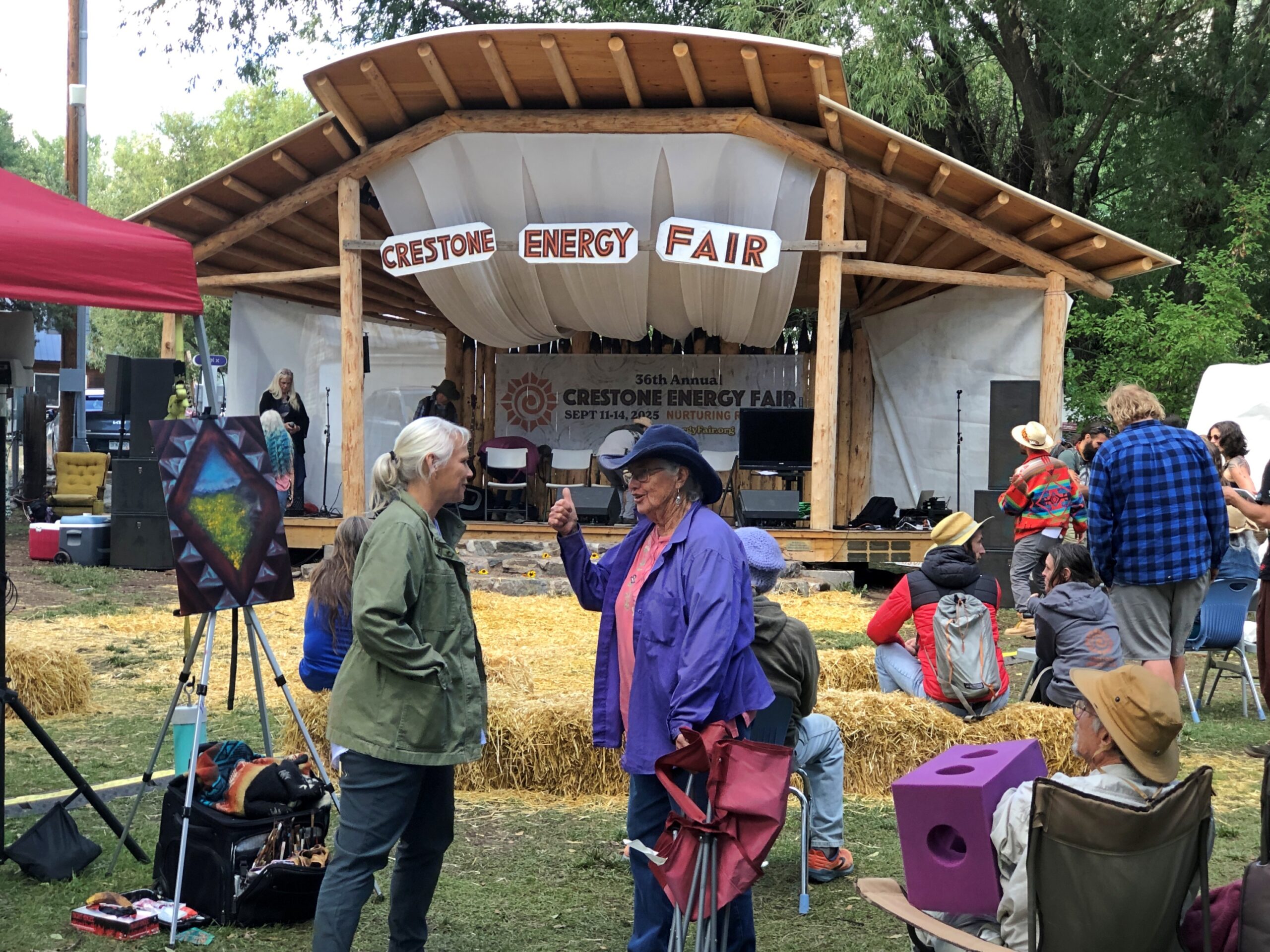
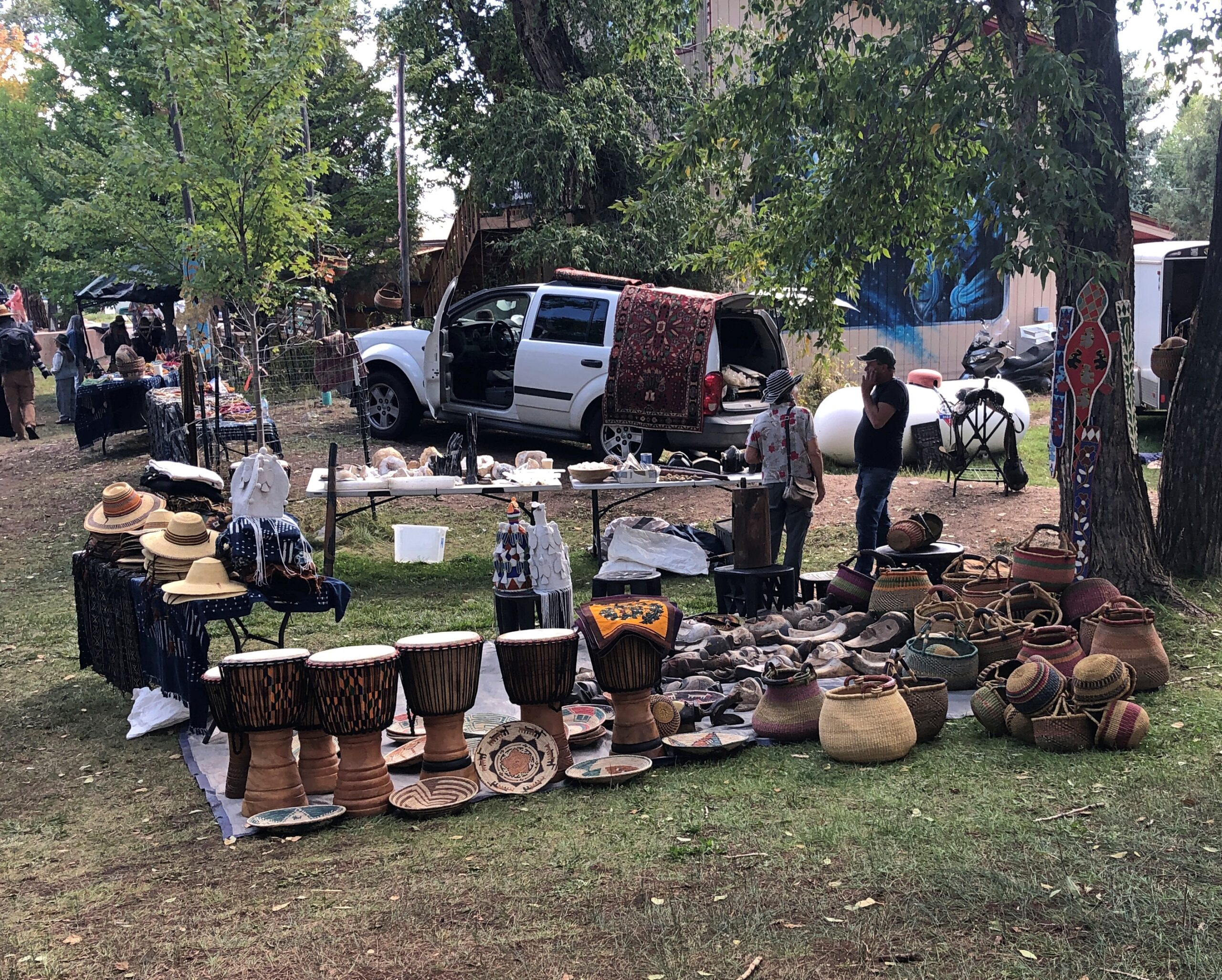
We arrived in Crestone on September 14 after our visit to Great Sand Dunes NP. Mystical insight is one thing, but we were looking for a late lunch. The town itself isn’t large, with a permanent population of 140 or so, but I’m sure it expands and contracts. Such as during events like the Crestone Energy Fair. We added ourselves temporarily to the population during the tail end of that event on that Sunday afternoon.
We bought a few things at the town’s grocery store, Elephant Cloud Market – small and aiming at what Whole Foods might have been in its earliest days – and I asked the checkout clerk about the Energy Fair. As in renewable energy?
He looked a little puzzled for a moment. “Sure. But it’s more about psychic energy.”
So, wind turbines of the soul, geothermal from the heart. But I’d guess mindful yet small modular reactors wouldn’t be part of the discussion. I didn’t say that any of that, of course. I just said, “Oh.”
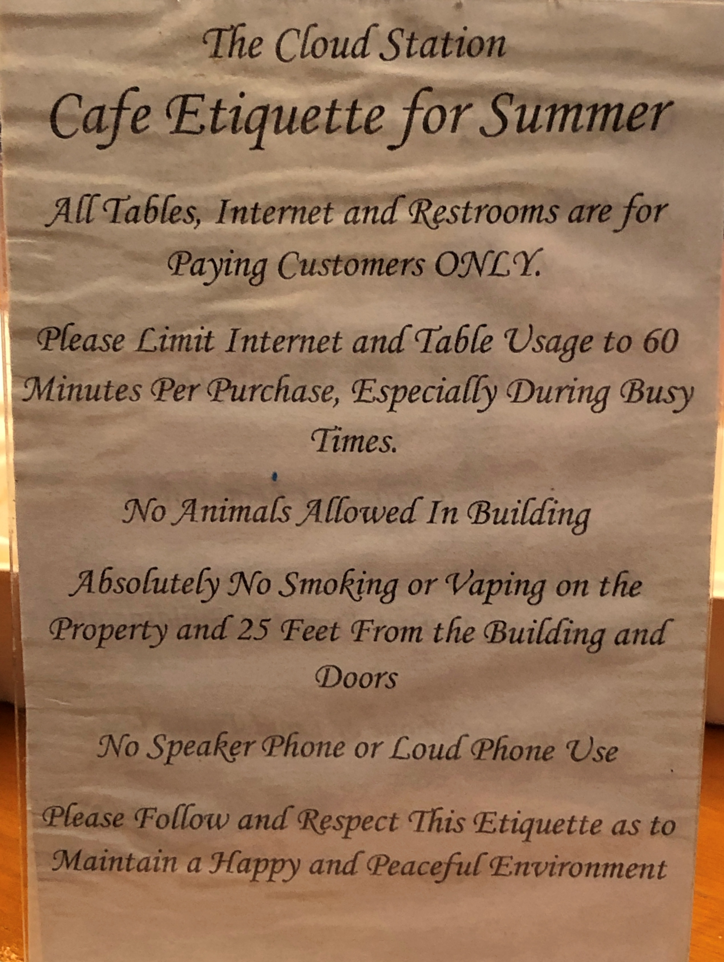
Next to the grocery store was a small eatery, the Cloud Station. We’d arrived just in time to order before closing: a couple of most delicious panini. While waiting for the order, I had time to study the rules.
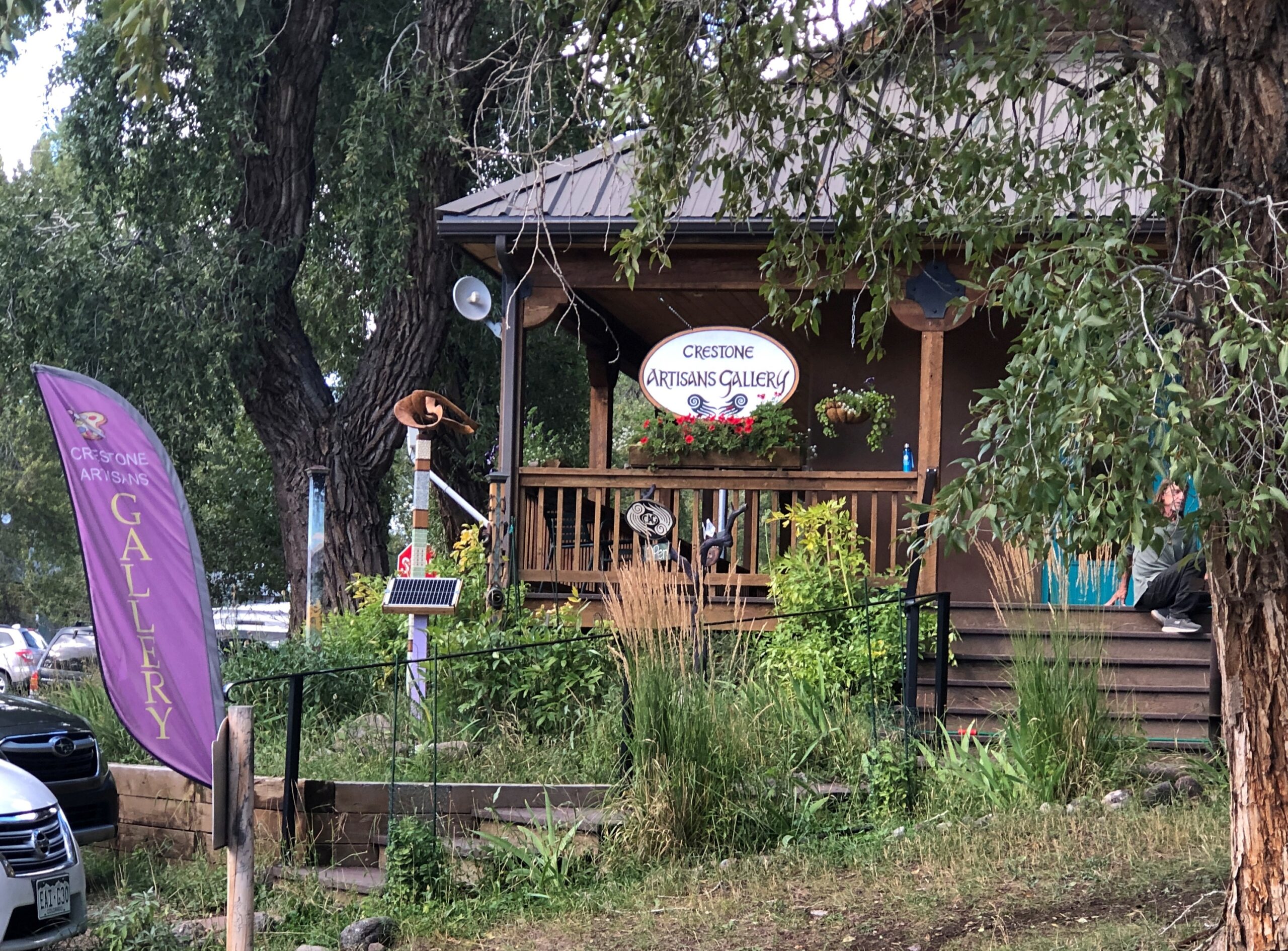
Afterward, we spent time looking around the few streets of Crestone.
You never know what you’ll see. Enough reason to come.
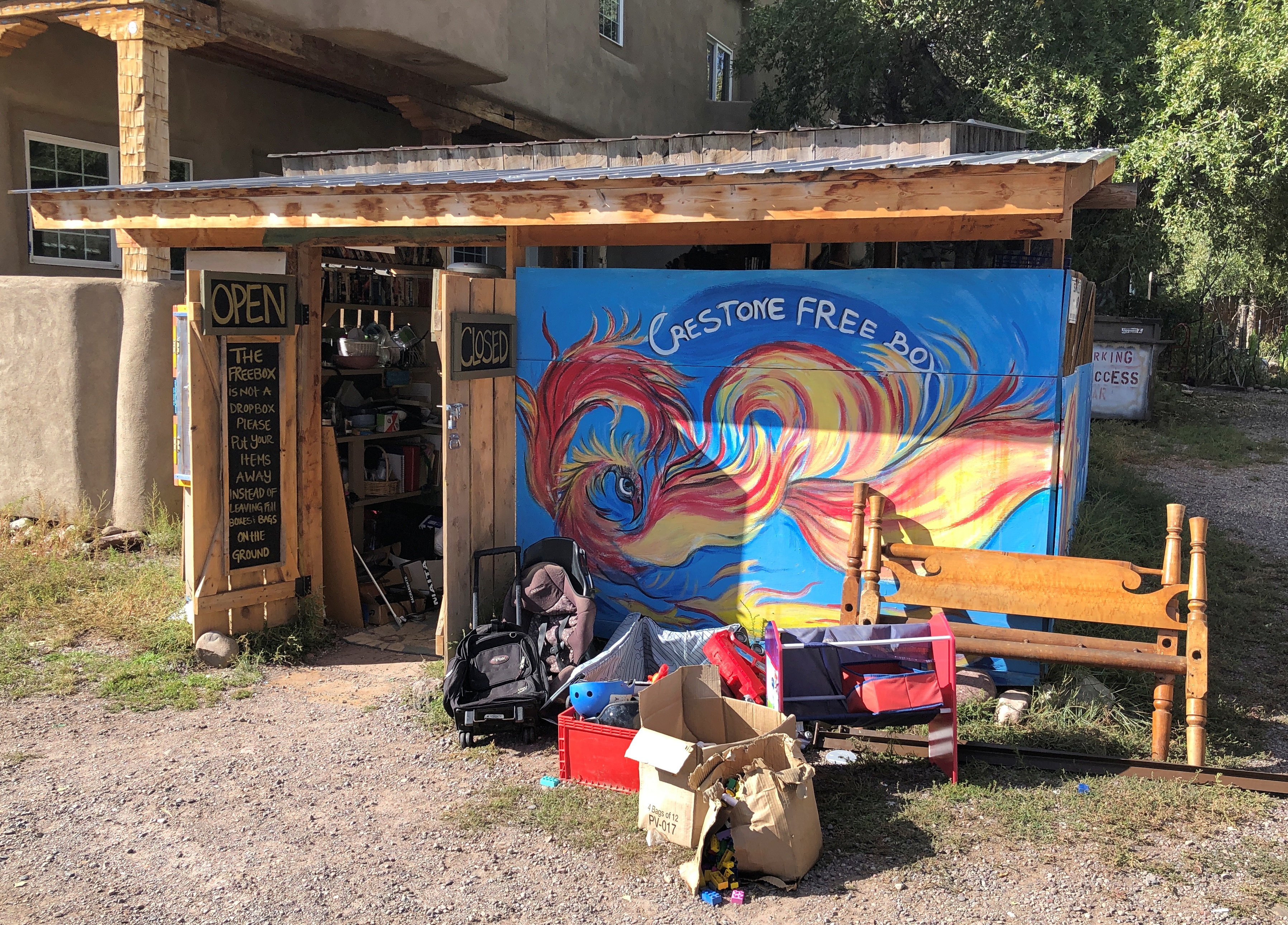
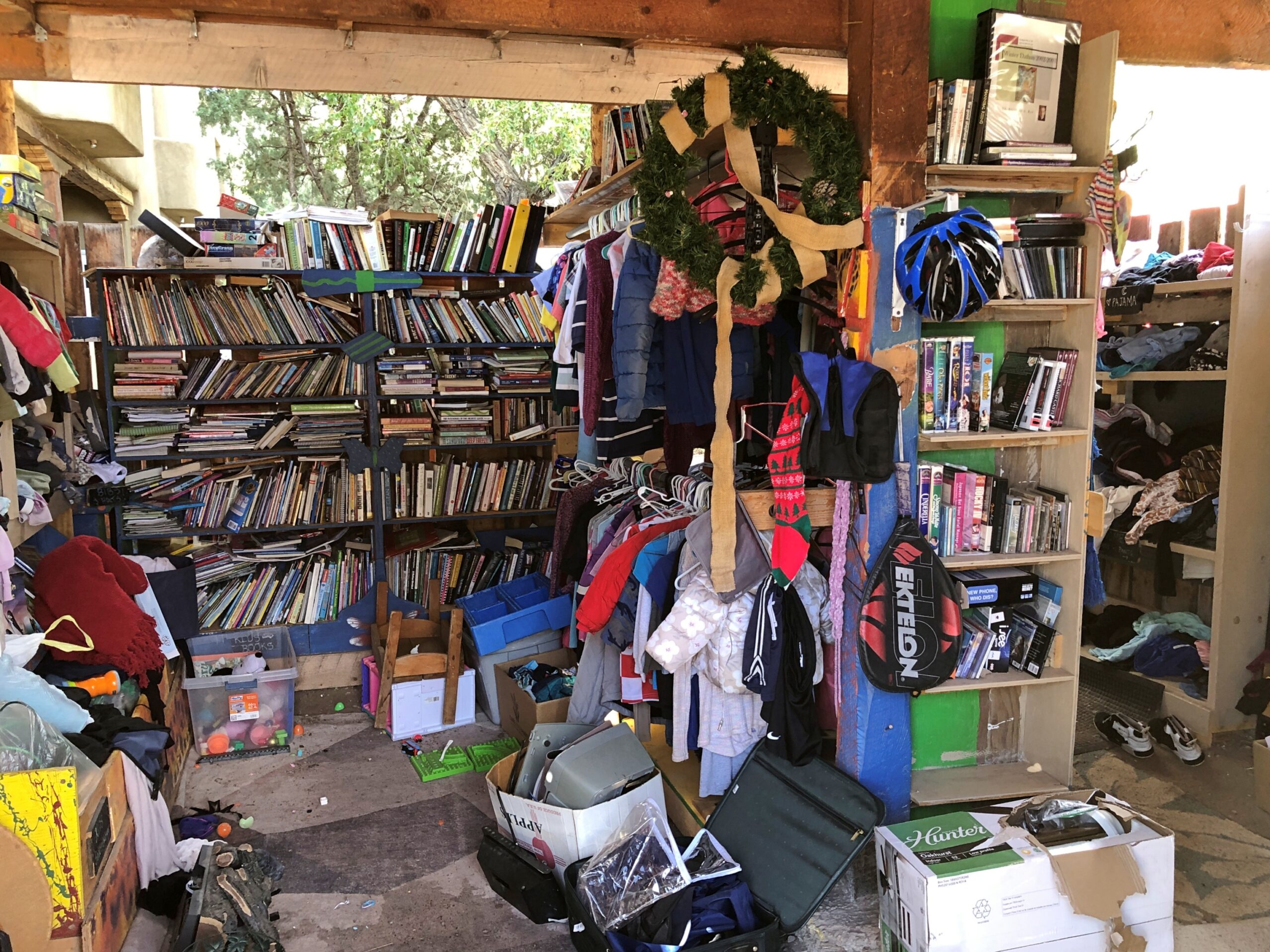
Something not mentioned in the tourist literature: the Crestone Free Box. Leave stuff, pick up stuff, no medium of exchange involved.
I’d argue that in the widest interpretation of spirituality, and Crestone is pretty wide in that regard, the Crestone Free Box counts as a spiritual site. It is, after all, about freely giving of yourself to the wider world. Squint hard enough, and that fits.
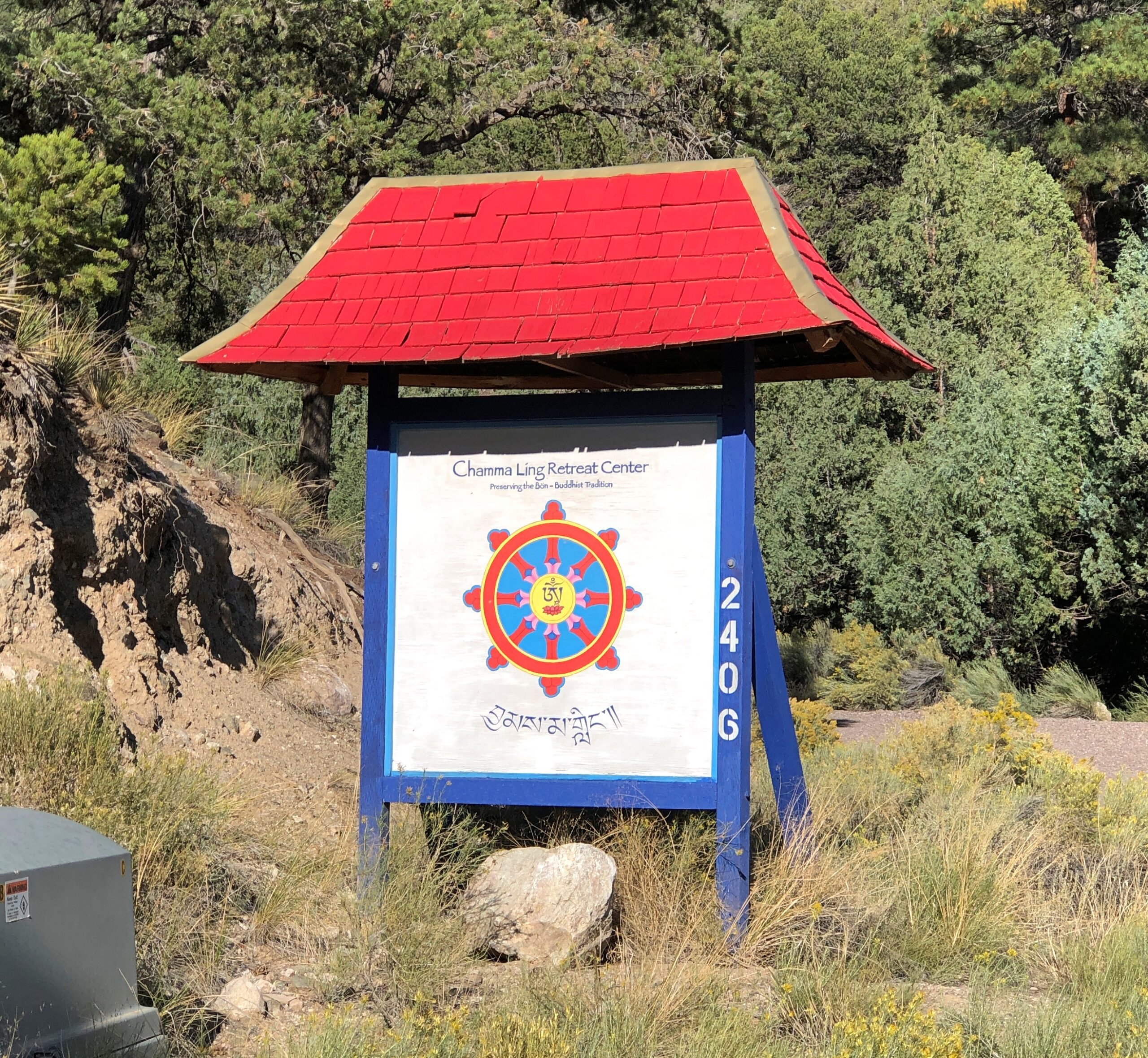
As for the other spiritual sites, except for a handful of mainline Christian churches, most of them are not in the town of Crestone proper. Rather, the land grants inspired by that wandering mystic sprawl to the south of the town’s small street grid, along a warren-like network of roads up and down the foothills of the Sangre de Cristo Range – mostly gravel roads, if our limited experience is any guide.
I had the idea that exurban Crestone was dotted with temples and shrines and other such places. But as we drove along, and especially as I studied the map, I came the realize that most of the establishments are retreats, such as Blazing Mountain Retreat Center, Chamma Ling, Crestone Mountain Zen Center, Crestone Retreat Center, Dharma Sangha, Dharma Ocean, Haidakhandi Universal Ashram, Shumei International Institute, Sri Aurobindo Learning Center, Vajra Vidya Retreat Center and Yeshe Khorlo USA. The sort of place that might briefly tolerate, but not really appreciate, casual visitors. More importantly for me, not the kind of religious – I mean, spiritual – sites that I tend to seek out.
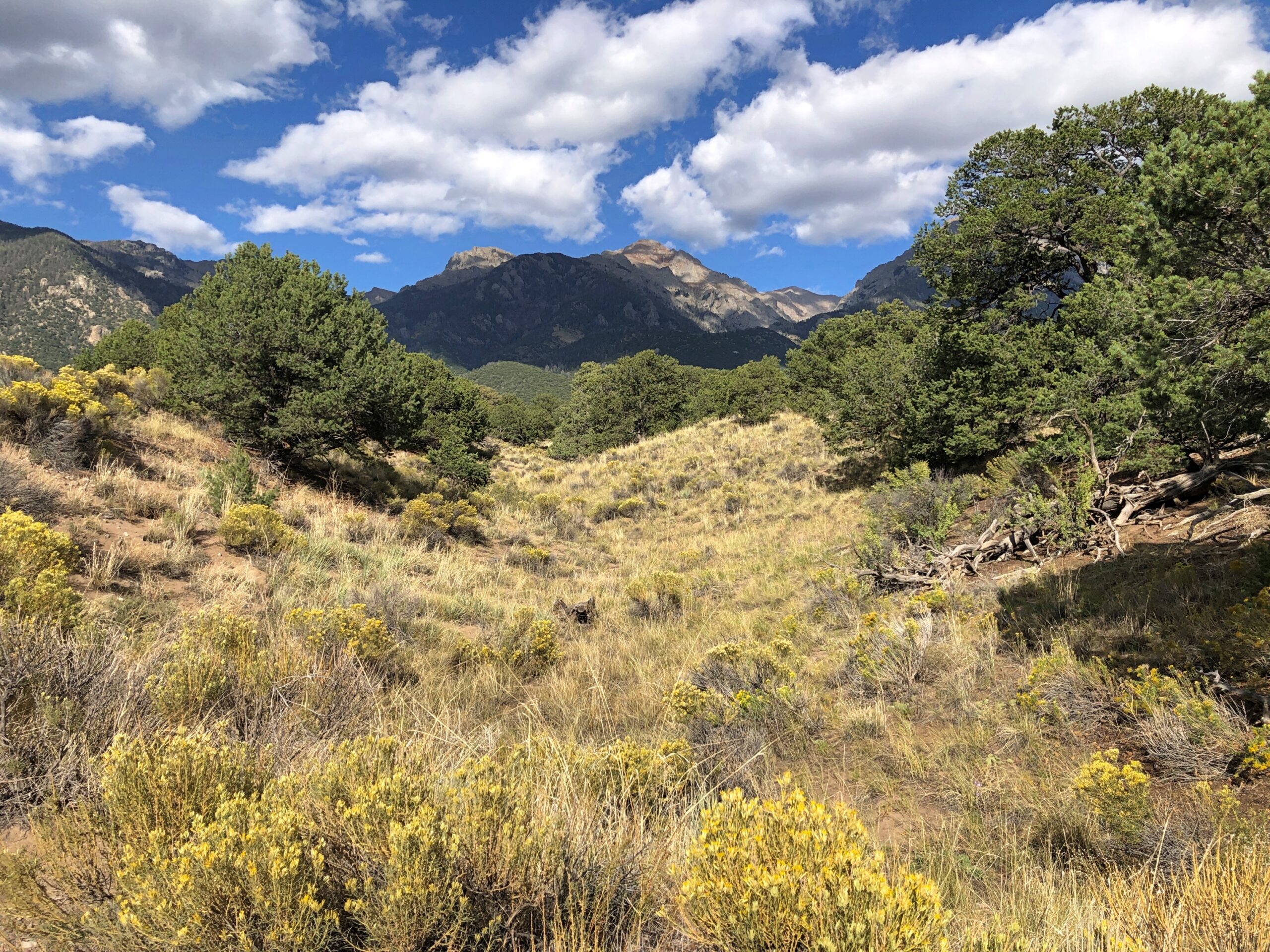
I will say this for the area, facing as it does the Sangre de Cristo: wow. The Strongs picked a striking setting.
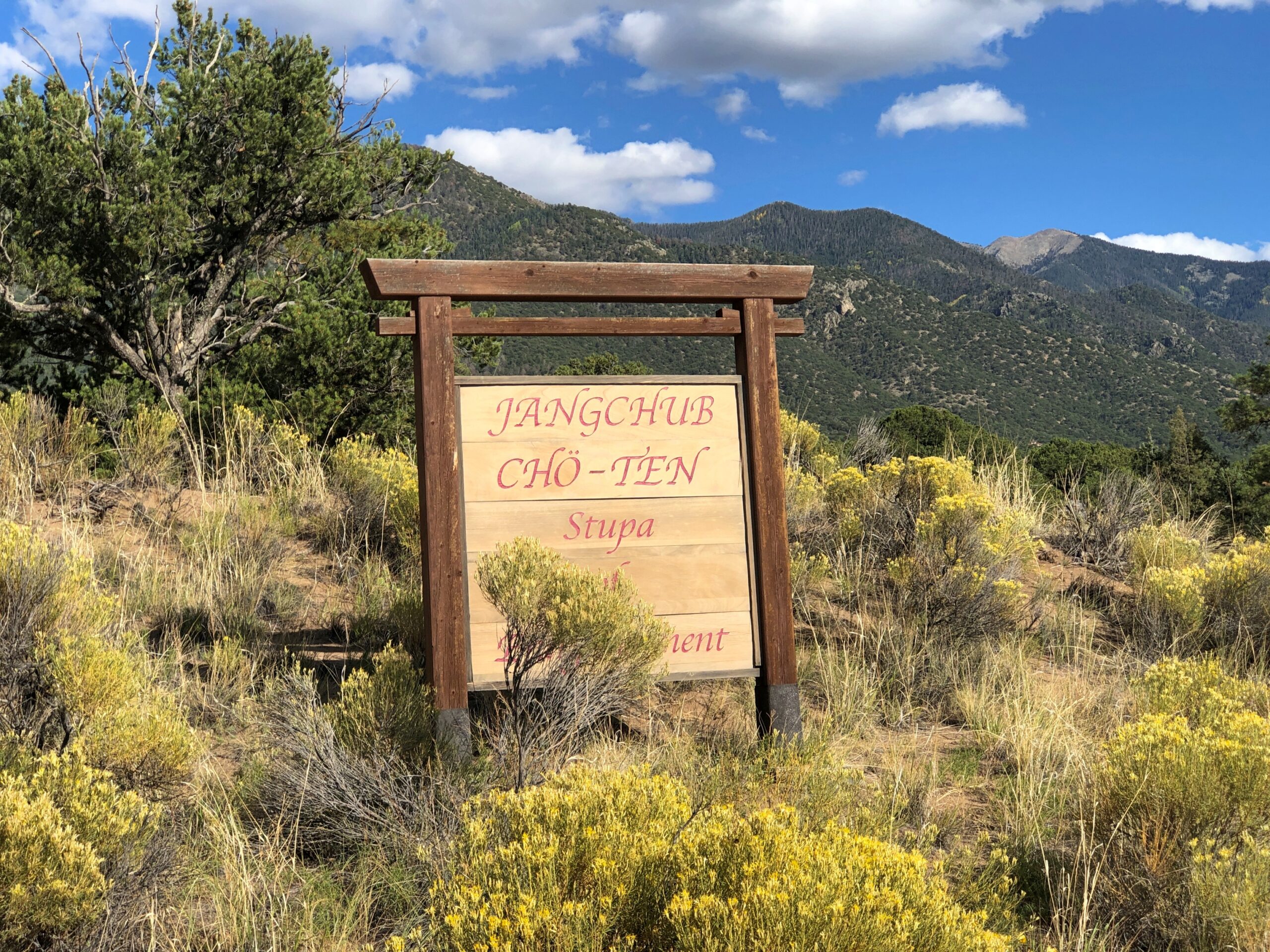
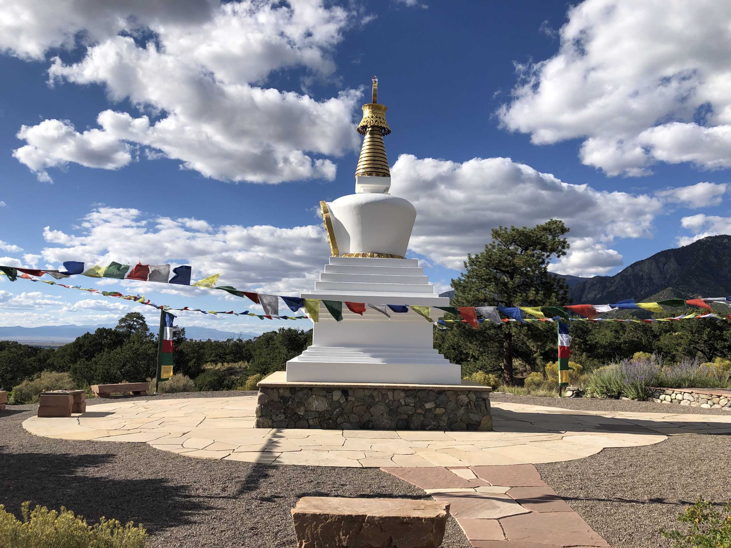
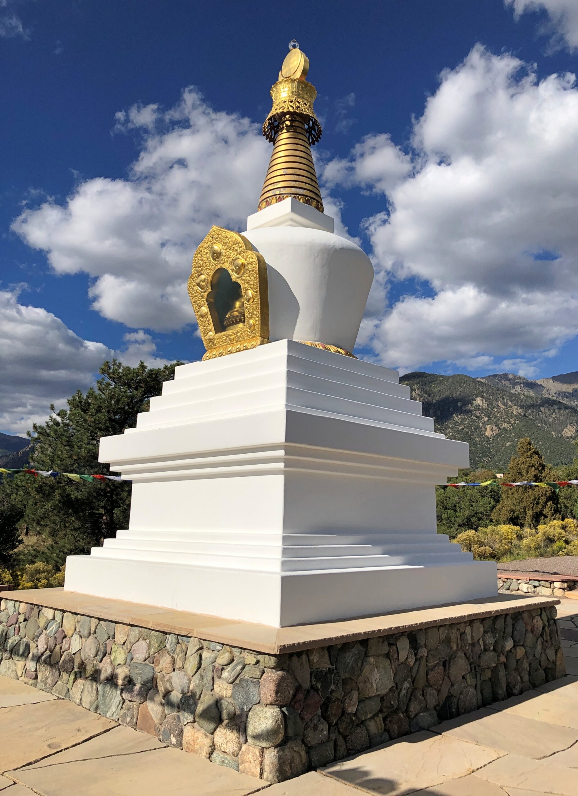
The Stupa of Enlightenment had the advantage of being not that far from town, besides not involving admission to a retreat.
I wanted to see the Crestone Ziggurat, deep in the warren. I like a good ziggurat as much as the next guy, and they’re hard to come by in North America. But as we drove along, and up and down the twists, the road crunching and pinging our undercarriage with little stones and kicking up dust, I lost my enthusiasm to find it.
Visible for miles, the Crestone Ziggurat rises from a rocky hill on the southeast edge of the Baca Grande, notes Atlas Obscura. After purchasing the land in 1978, American businessman and father of Queen Noor of Jordan, Najeeb Halaby, commissioned the ziggurat as a private place for prayer and meditation.
Today, the ziggurat is open to the public. Visitors can climb the spiral ramp to the top, which offers stunning views of the surrounding area, making it a perfect spot for reflection and quiet contemplation. Visitors are encouraged to arrange rocks in a personal design at its base as a form of meditation and intention setting.
Note also that the twisty roads also serve a residential population, living in homes suitable (I hope) for a semiarid climate, with many properties xeriscaped to emphasize the point.
The religious – I mean, spiritual – sites of Crestone would take a full day at least to examine, considering the ground you need to cover. Who knows, I might be back. For now, I stand in admiration of the place. It’s easy to make fun of some of the New Age pretentions of the town, and sometimes I give in to that urge (and occasionally, of course, out-and-out cultists show up nearby). But no: Crestone represents fine threads added to the tapestry that is North America and an inspired bit of placemaking.
Metro Denver is enormous, much larger than I remembered, even as recently as 2017. Or so it seemed. To the south, Colorado Springs is fairly large, but some orders of magnitude less than the monster metro to its north. Further south, Pueblo doesn’t seem that big, but even so it has 111,000 residents, give or take.
Then you come to Walsenburg. Who has heard of Walsenburg, Colorado (pop. 3,035), even though it too is on I-25 and on the irregular line where prairie and mountains meet? Colorado’s brisk growth over the last few decades seem to have passed it by. Its peak population was in 1940, when more than 5,800 people lived there.
I wish I could say I’d formed an impression of Walsenburg, but we stopped only for gas, and to get off the Interstate.
US 160, Walsenburg to Alamosa
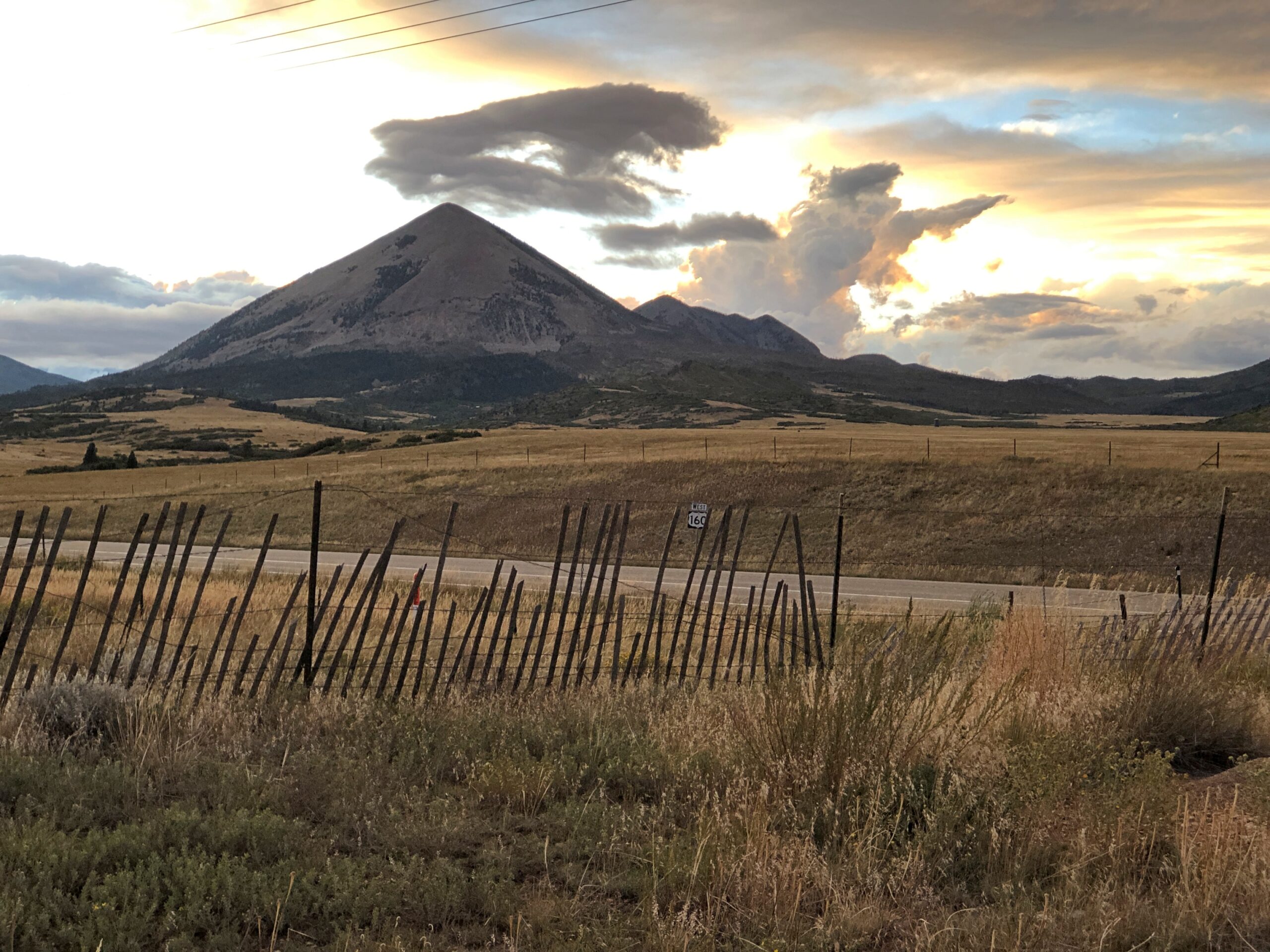
Walsenburg has few people, and when you go west on US 160, that dwindles to practically none. The road crosses the Culebra Range of the Sangre de Cristo Mountains at North La Veta Pass, elevation 9,413 feet, into the San Luis Valley. I enjoyed writing that sentence almost a much as I enjoyed the drive itself.
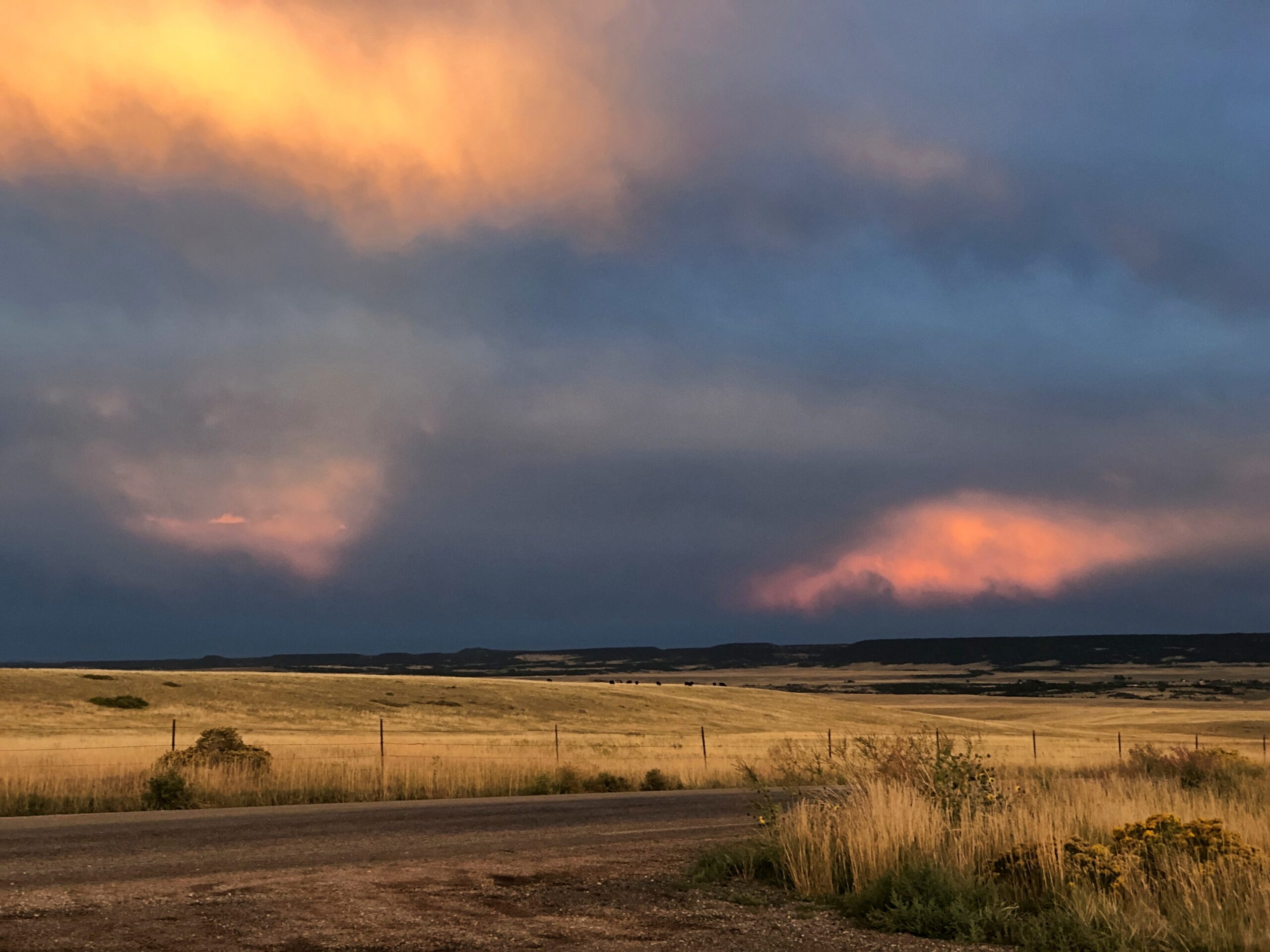
Enjoyable at least until dark. Wish we’d gotten to see more of it. We’d futzed around in Colorado Springs much of that day, September 13, including a fine lunch at Edelweiss German Restaurant. So the sun went down before we got to our destination, Alamosa. But we did stop for a few minutes on US 160 before we lost the light. A chilly wind blew clouds along at quite a speed, and for their part the clouds were catching the sunset in luminous patches. Until I can see the aurora, that will more than do.
Wolf Creek Pass, Way Up on the Great Divide
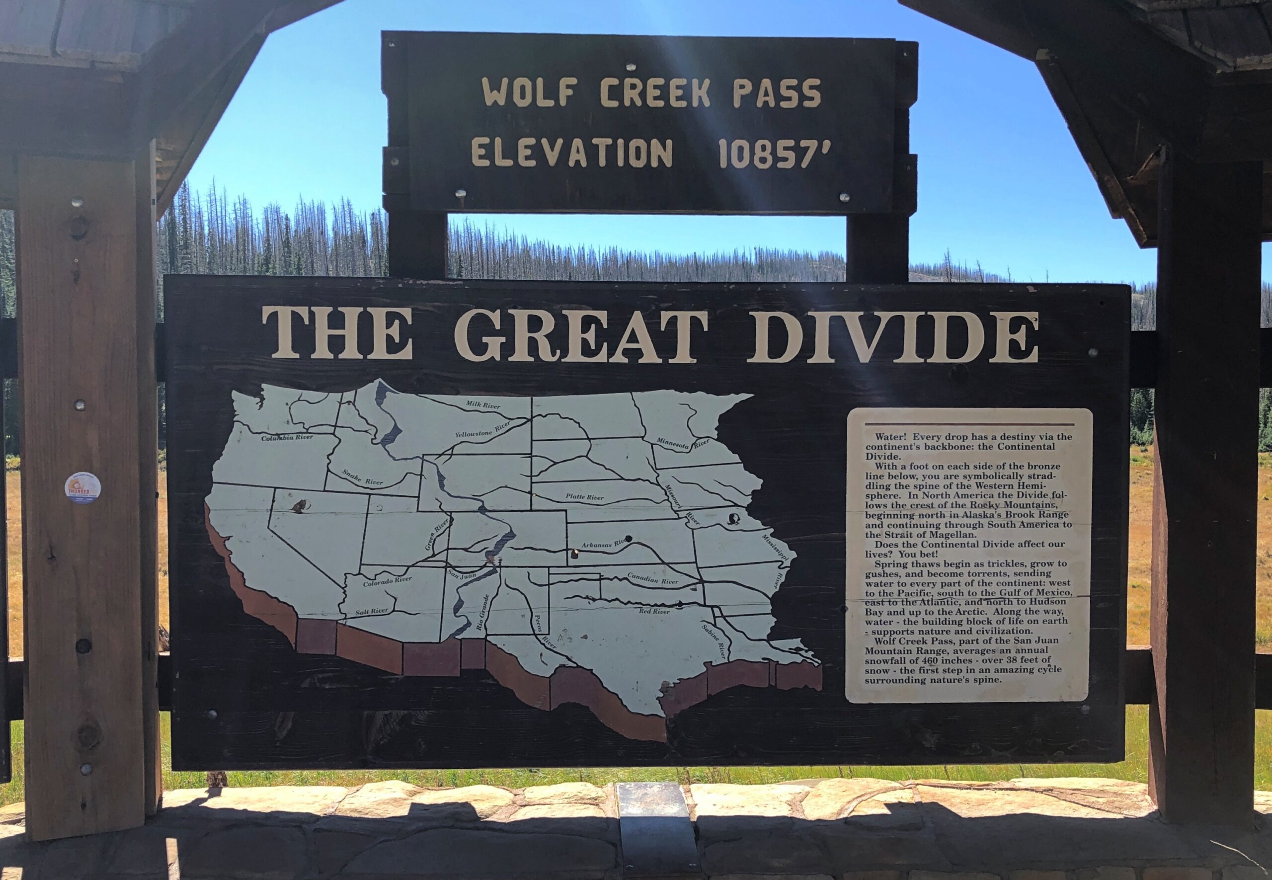
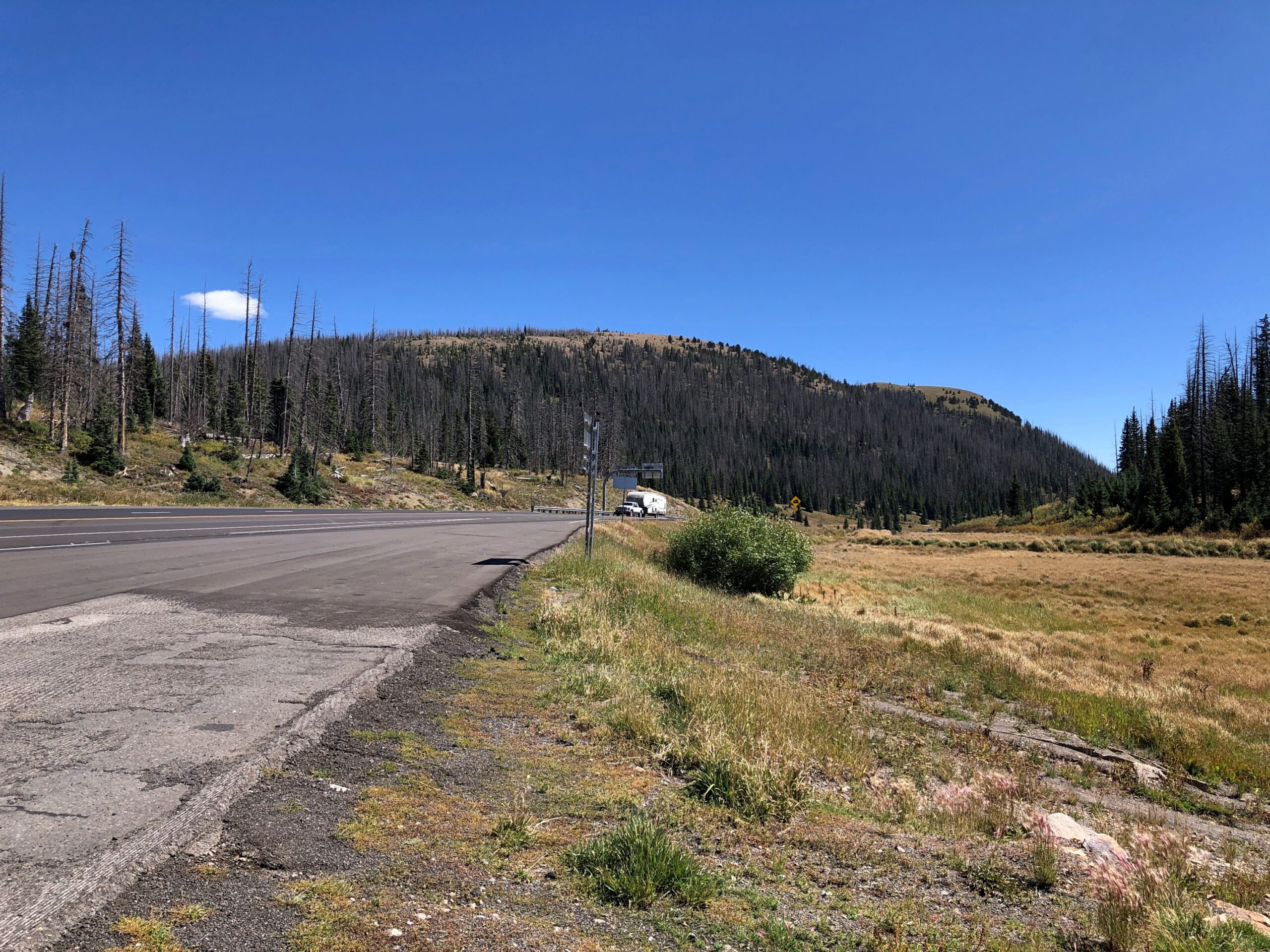
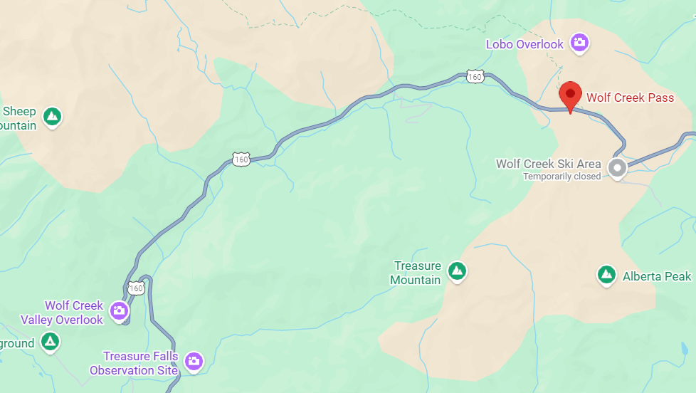
Follow US 160 west from Alamosa and eventually you’ll get to Four Corners. We didn’t go that far on the 15th, just to Durango. The road passes through much of the San Luis Valley, which is wide – the largest alpine valley in the world, they say – so the way is flat until you reach South Fork, Colorado. Then you climb into the San Juan Mountains, until you reach Wolf Creek Pass. Way up on the Great Divide.
Yuriko had been driving on the ascent to Wolf Creek Pass. Usually she doesn’t care for mountain roads, but she focused on a wide-load vehicle ahead of us, and we followed it up, though not at too close a distance. She thought better of driving down the other side, even though she’s never heard it immortalized by C.W. McCall.
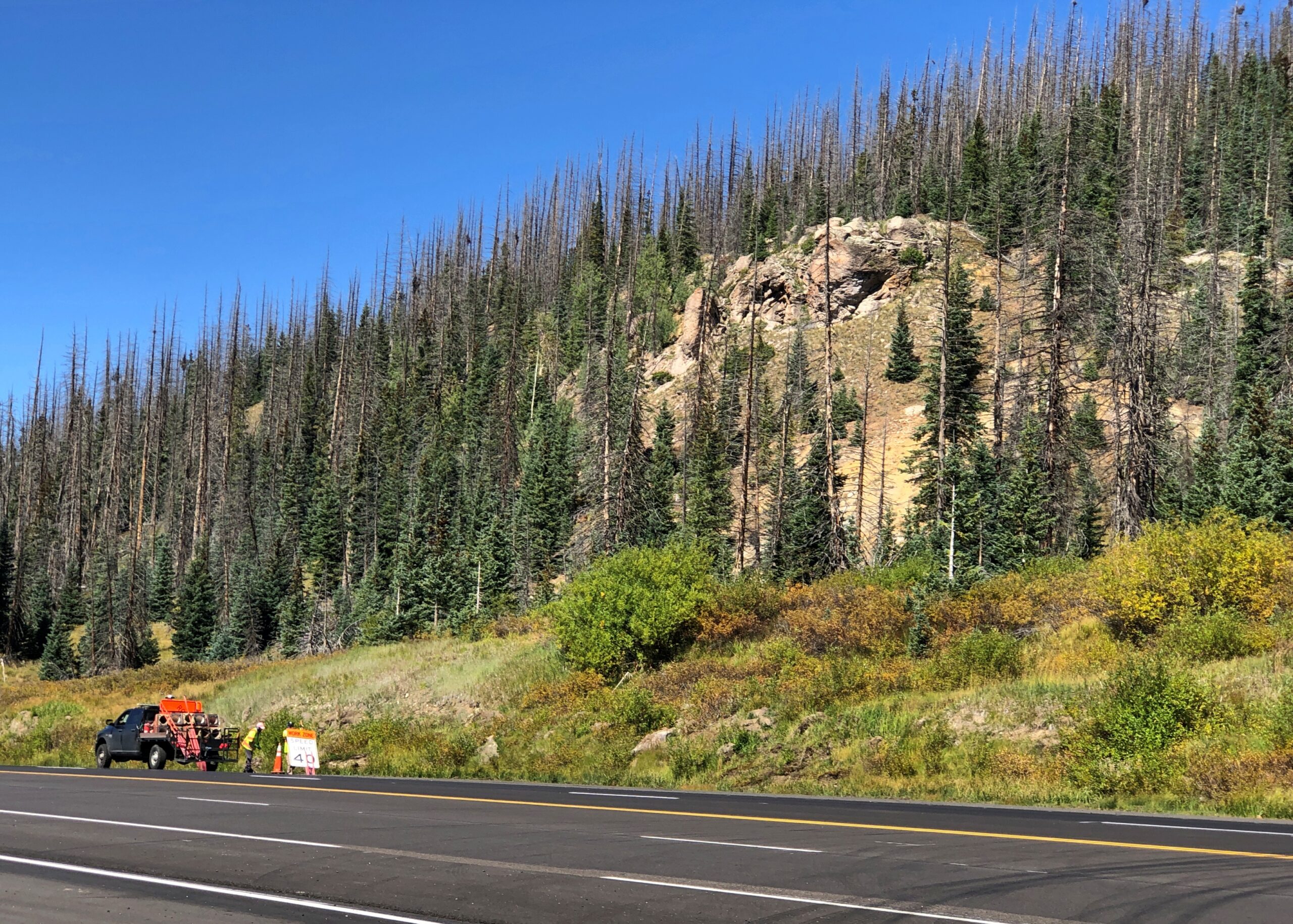
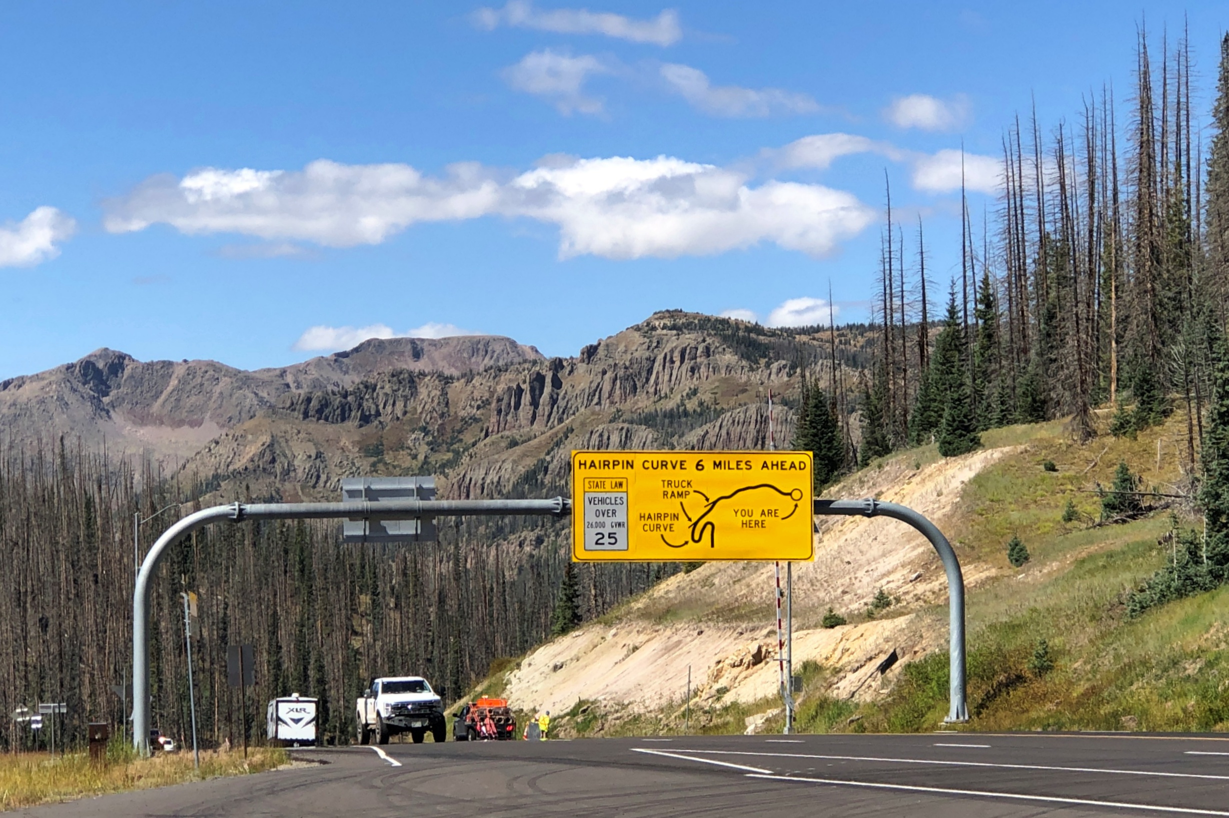
So I drove down. Truth be told, it’s not that bad on a clear day. In our time, US 160 down from Wolf Creek Pass is four lanes, and while curvy, only the hairpin turn – which you are well warned about – is a little tricky. Not that bad in a car, anyway. I couldn’t say about taking a truck down. I’ll bet 50 years ago the route was probably still two lanes and maybe even more winding, so C.W. was only exaggerating for comic effect, not making everything up.
At the end of the drop is Pagosa Springs, whose main street was completely torn up with construction. We found lunch off the main drag at PS FroYo, which is one of those restaurants that makes money for a local charity, in this case Aspen House. We didn’t know that before we ate our sandwiches, just that it was near where we parked and not fast food. A nice bonus to find out.
Lewis Street wasn’t under construction, so that made for a pleasant stroll after lunch, including time at a resale shop. No post cards. Bought some nearly new jeans, which proved their $5 worth (and much more) when I was later deposited briefly in the Kansas mud. They were standing by at that moment, sitting in a bag on top of everything else in the back seat — blankets, sleeping bag, small bags with some winter wear. I didn’t have to dig around looking for them. That never happens, or so it seems, so I thought I’d remember when it did by noting it here.
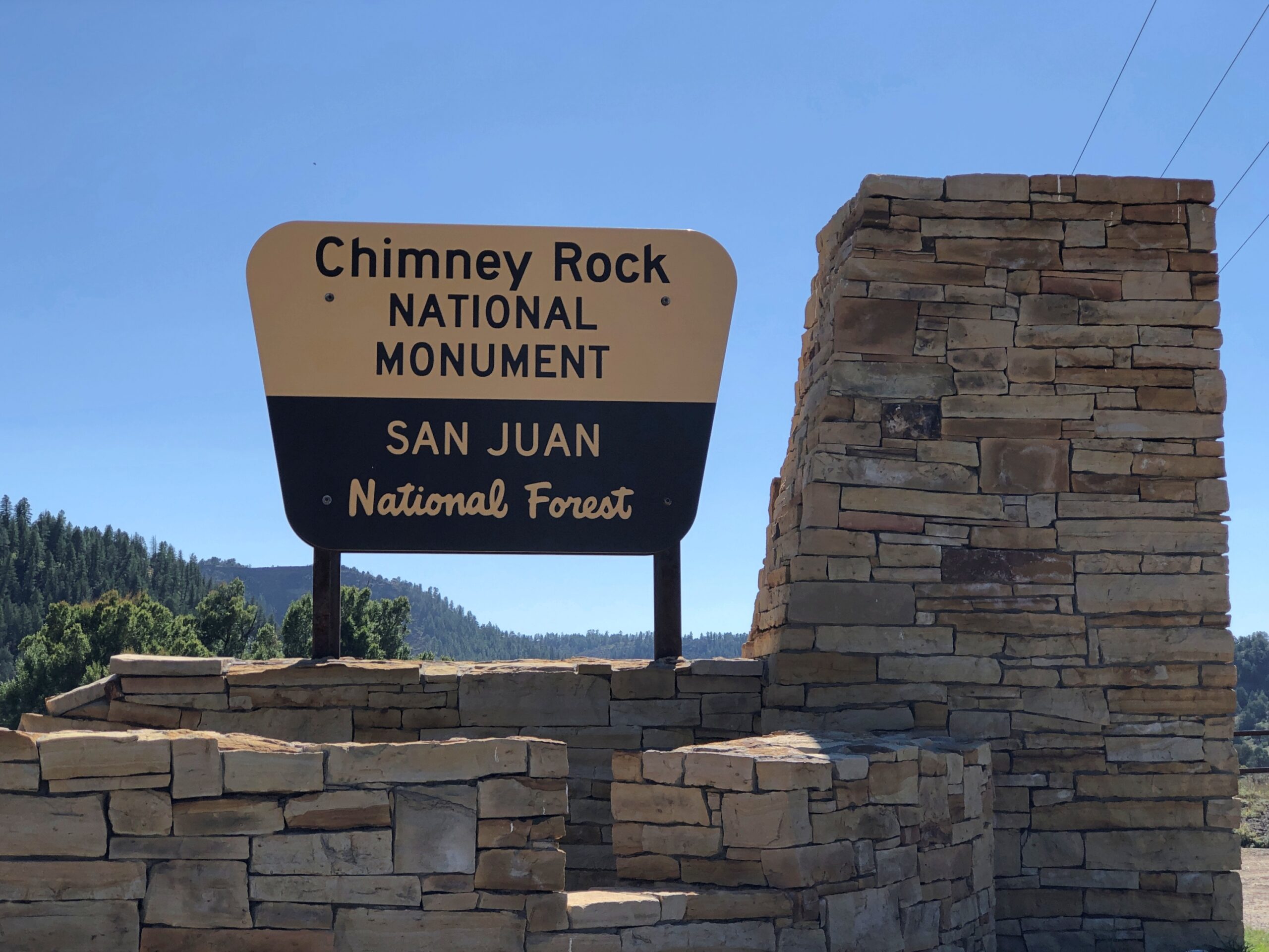
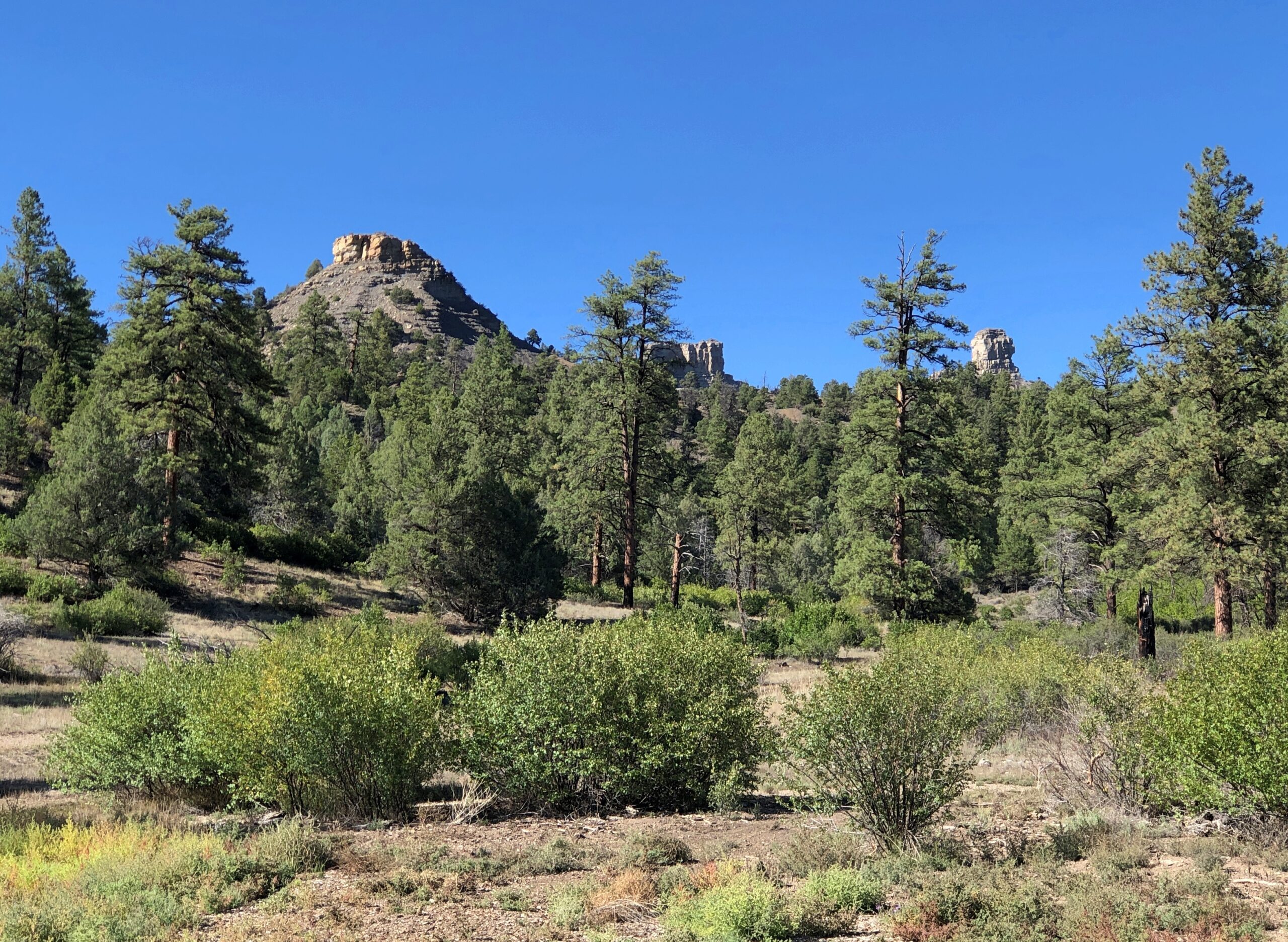
There is a road up to Colorado’s Chimney Rock, a ridge-top archaeological site that is the nucleus of the national monument, but it was closed. The small museum at the base of the rock was still open, so along with our view, we took in a little about the Ancestral Puebloans who used to live there.
Chimney Rock and Companion Rock, foci of the national monument.
“Chimney Rock covers seven square miles and preserves 200 ancient homes and ceremonial buildings, some of which have been excavated for viewing and exploration: a Great Kiva, a Pit House, a Multi-Family Dwelling, and a Chacoan-style Great House Pueblo,” says the Chimney Rock Interpretive Association. “Chimney Rock is the highest in elevation of all the Chacoan sites, at about 7,000 feet above sea level.”
US 550 North from Durango
North from Durango on US 550, the scenery starts pretty soon.
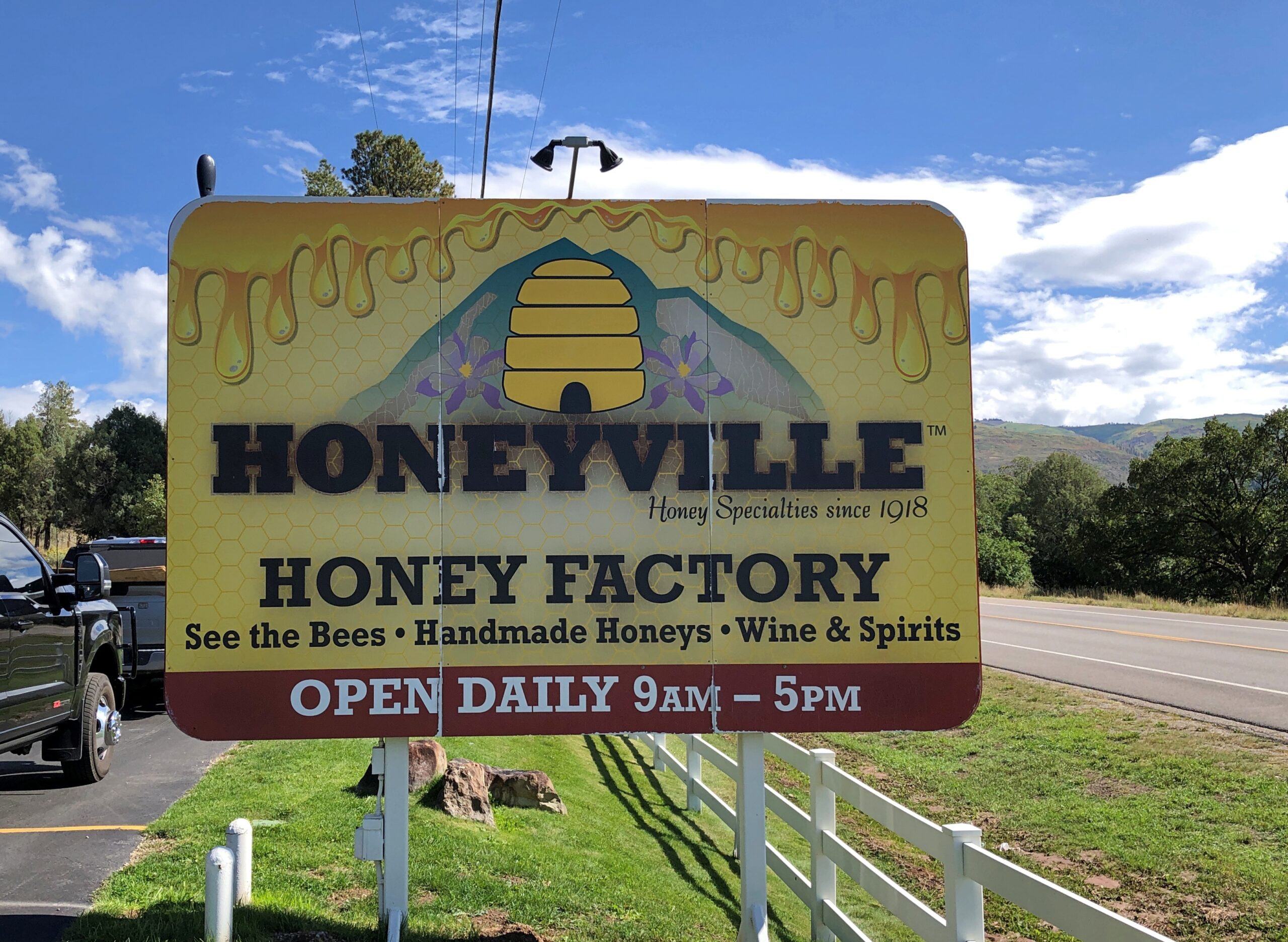
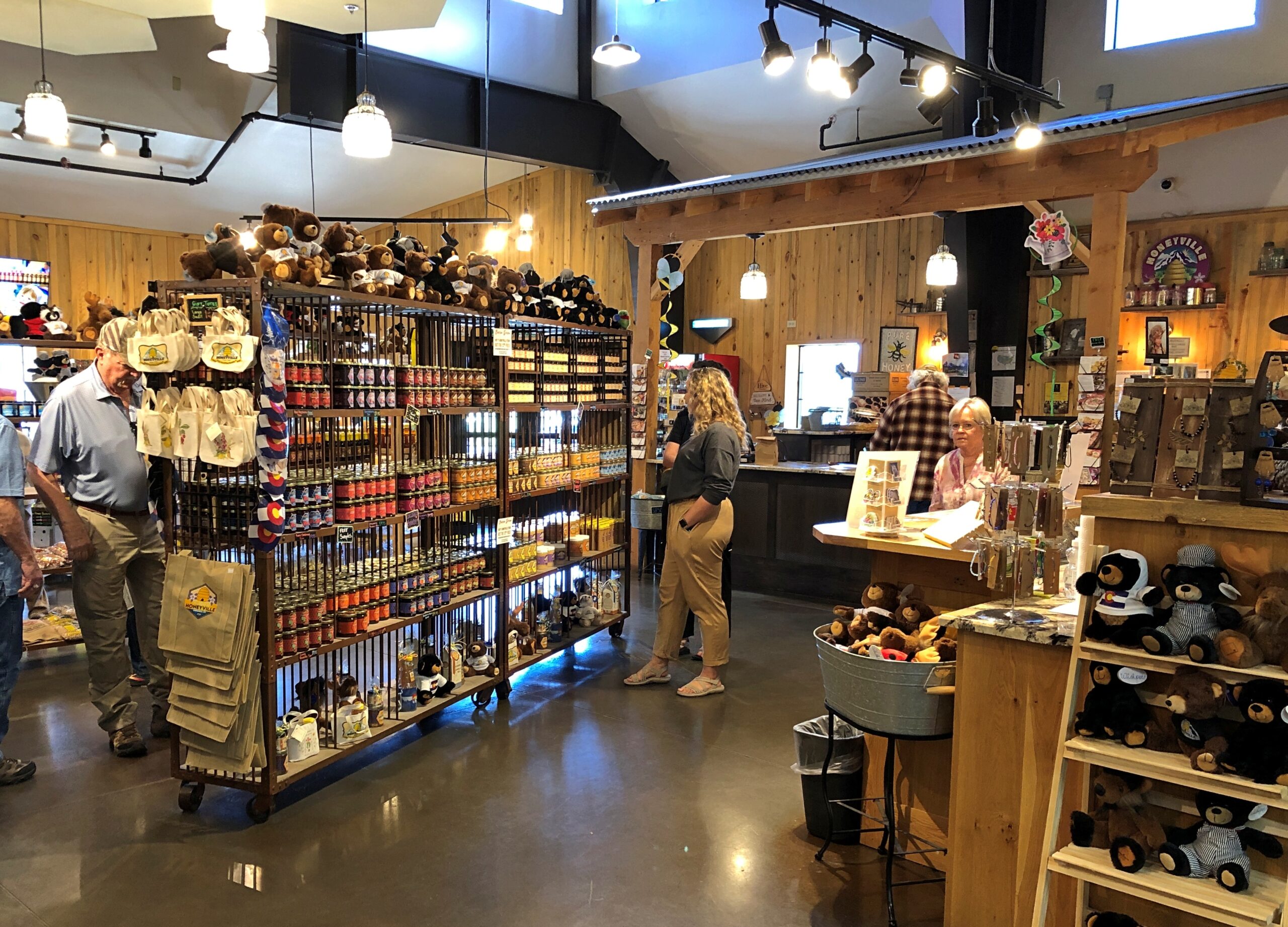
A few miles out of town, Honeyville. It looked like a good place for souvenirs.
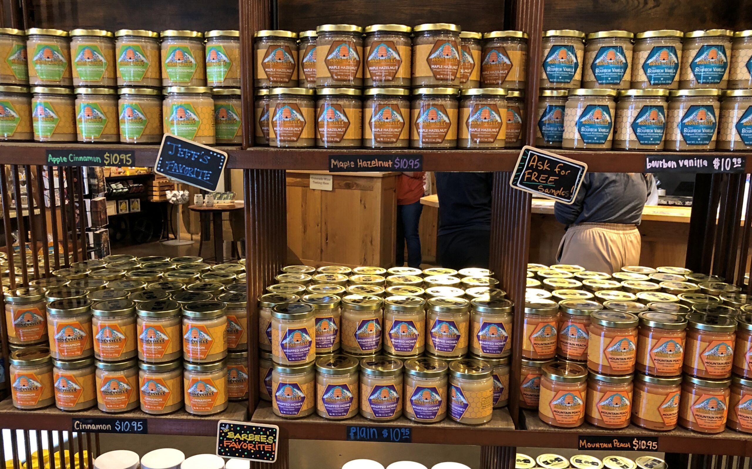
It was. I’m still working on a Honeyville jar of whipped cinnamon honey, which makes a warm biscuit sing.
All sorts of honey products are available.
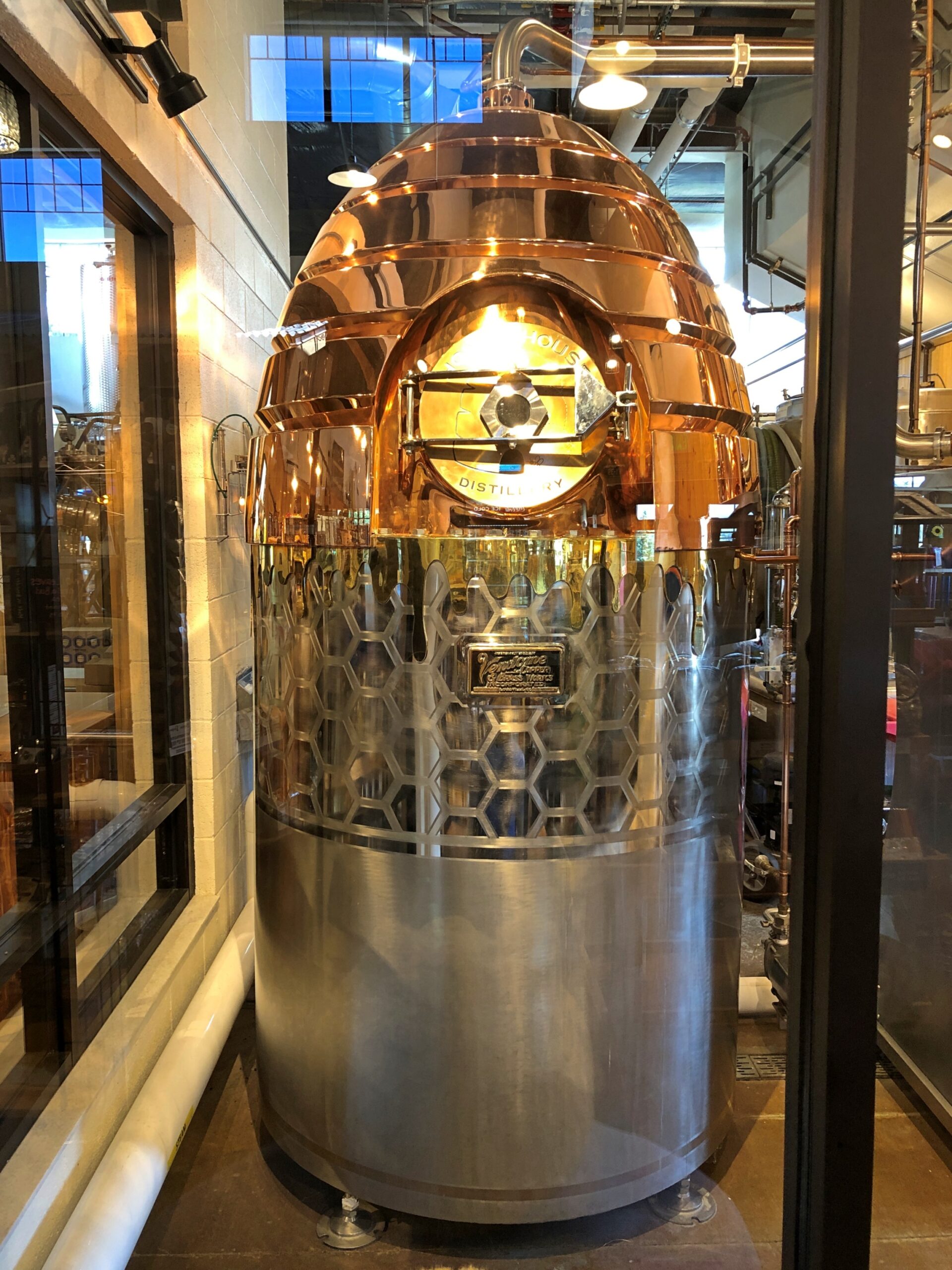
You can watch part of the process.
A warp drive engine fueled by honey? Could be that Zefram Cochrane kept (will keep) bees.
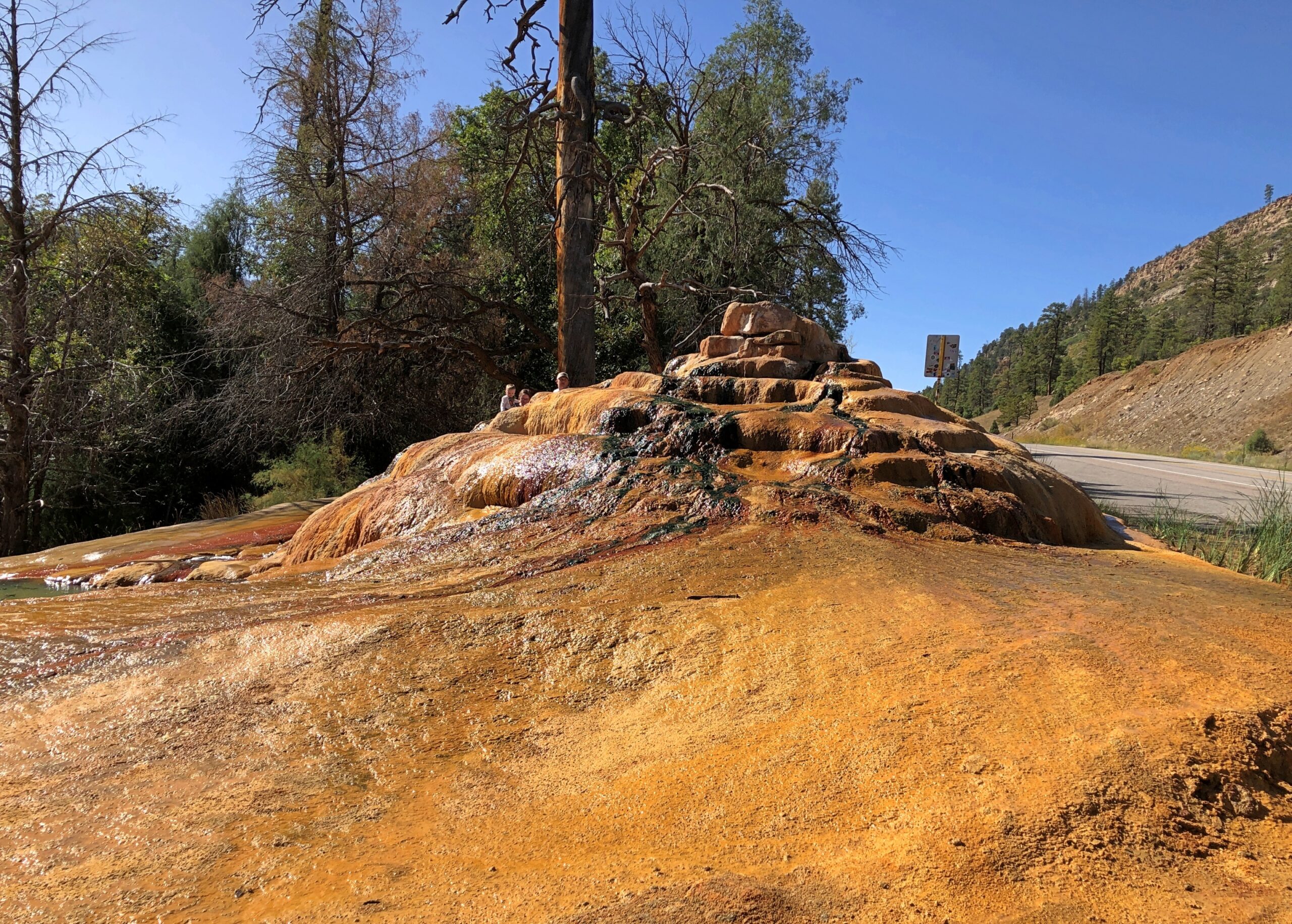
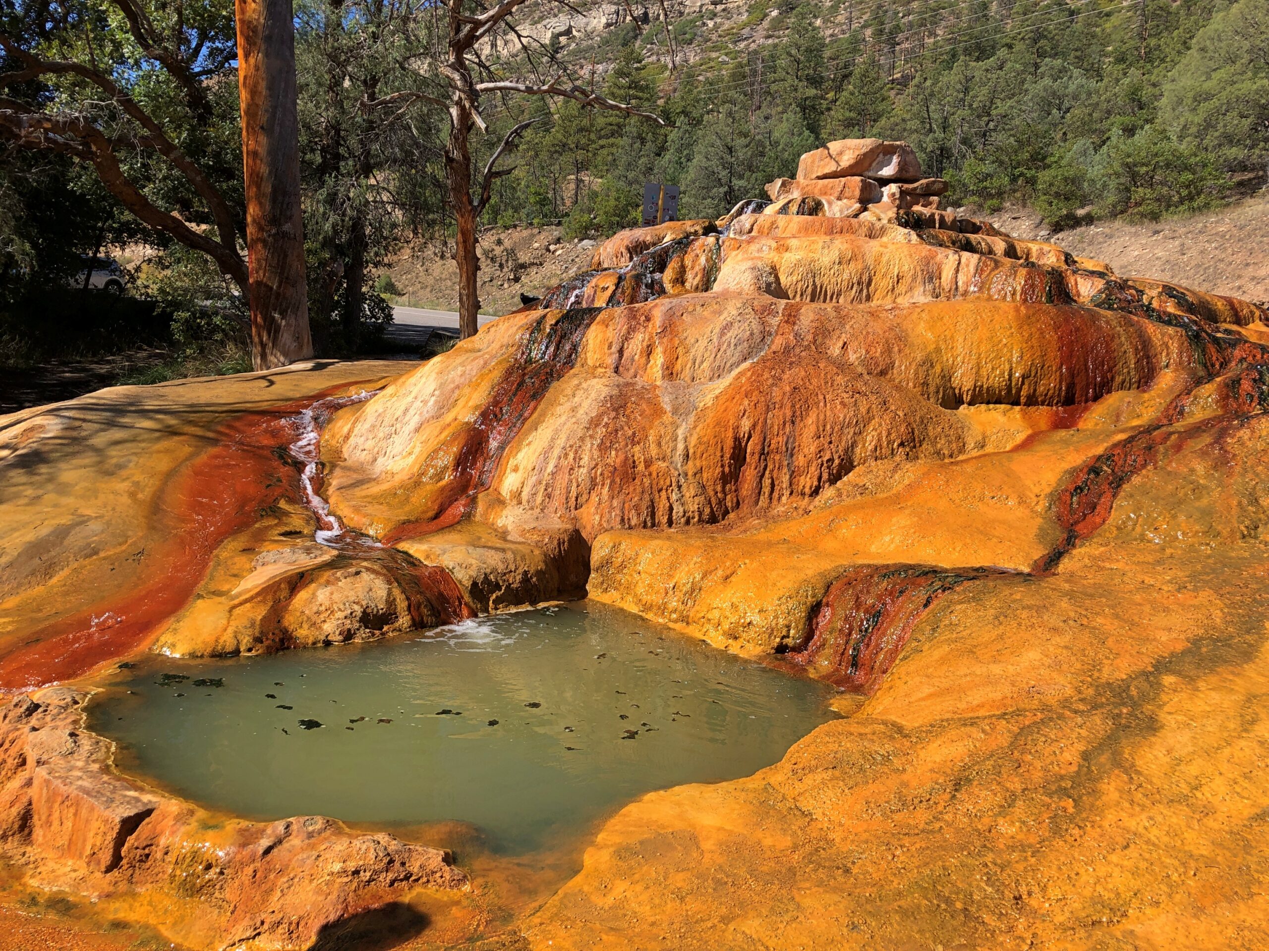
Only a few miles north, just off US 550, is Pinkerton Hot Springs, which is the kind of place that winds up on Atlas Obscura lists (actually, so does Honeyville). We took a look, but not a dip.
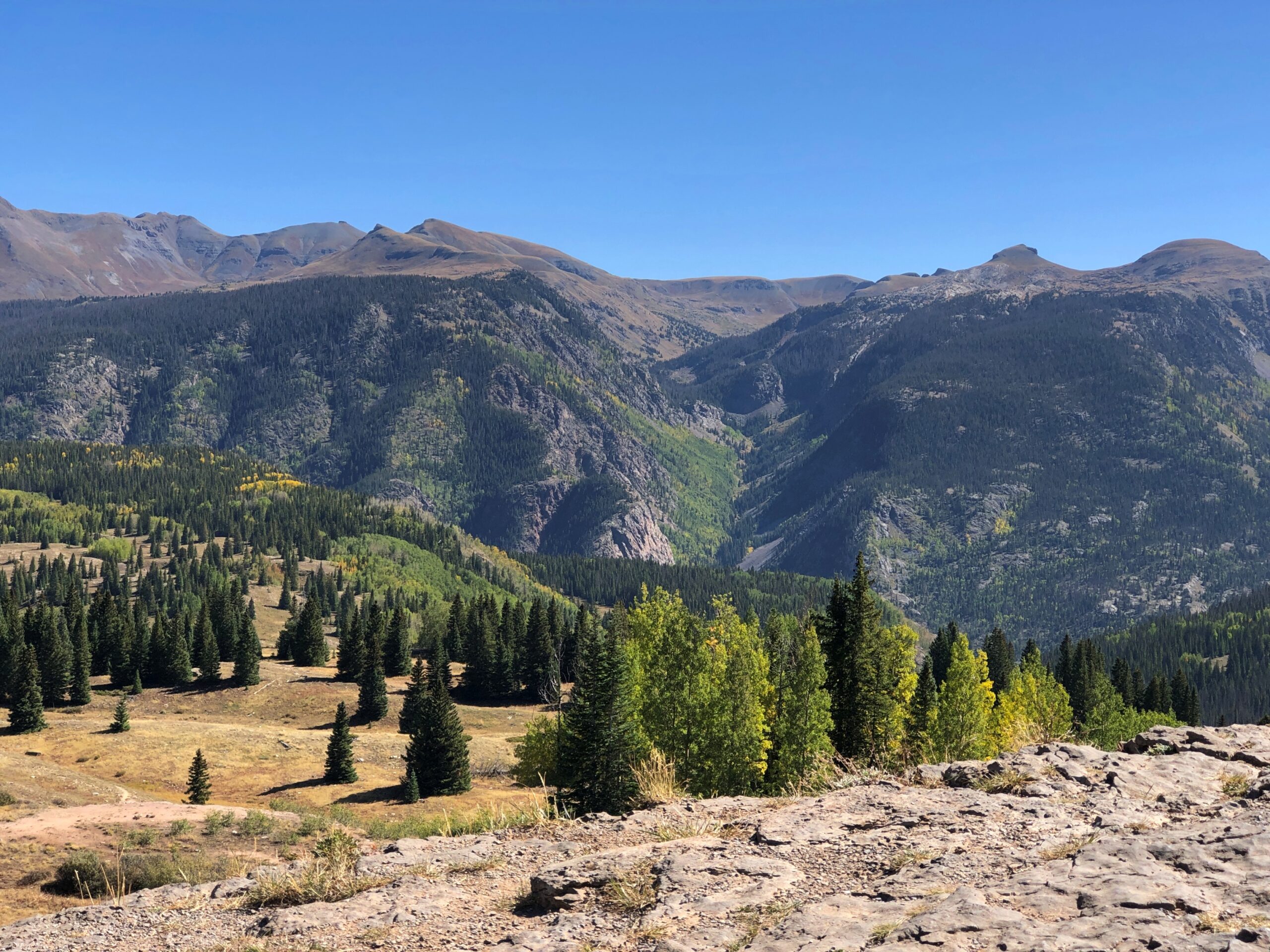
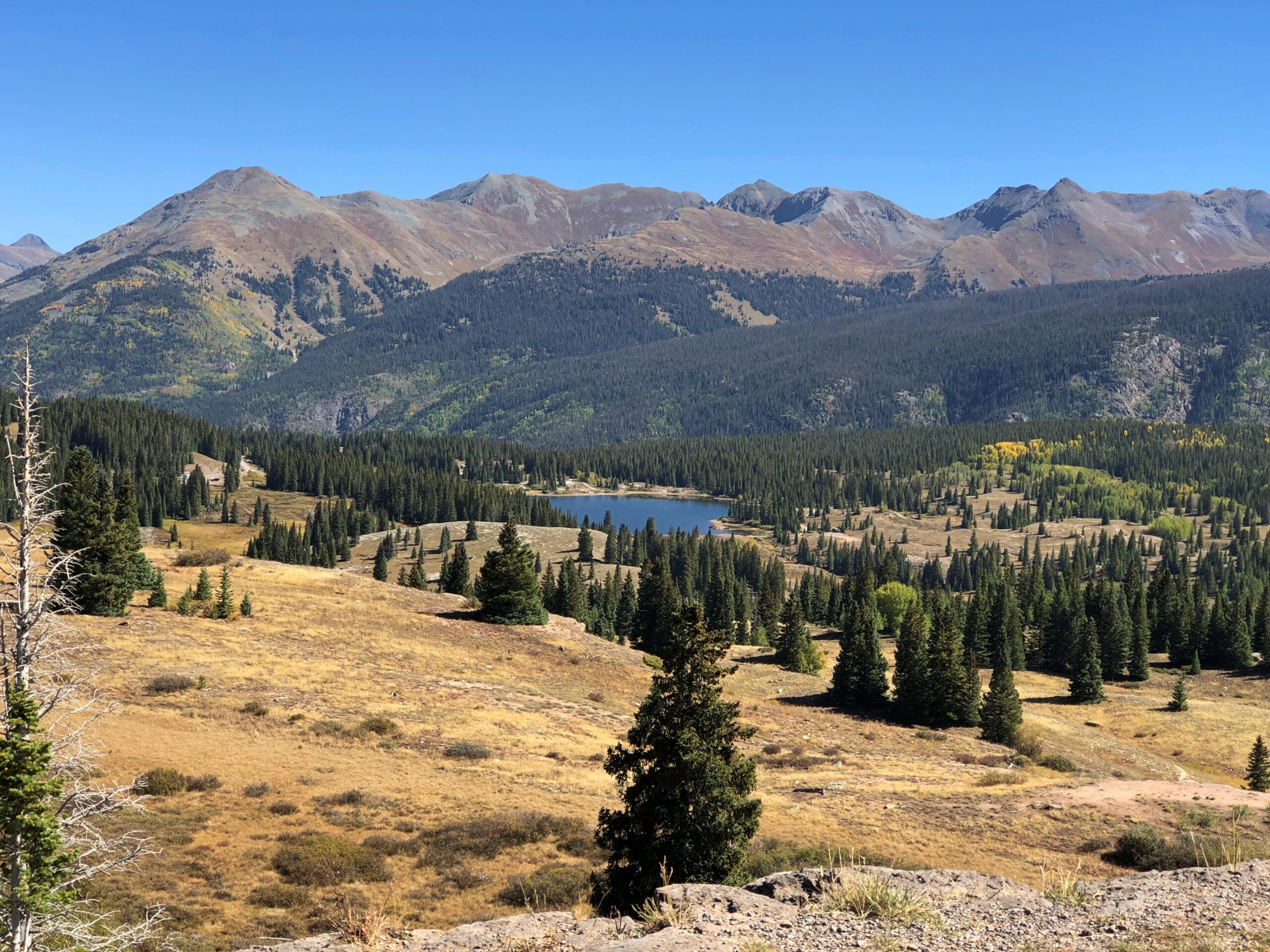
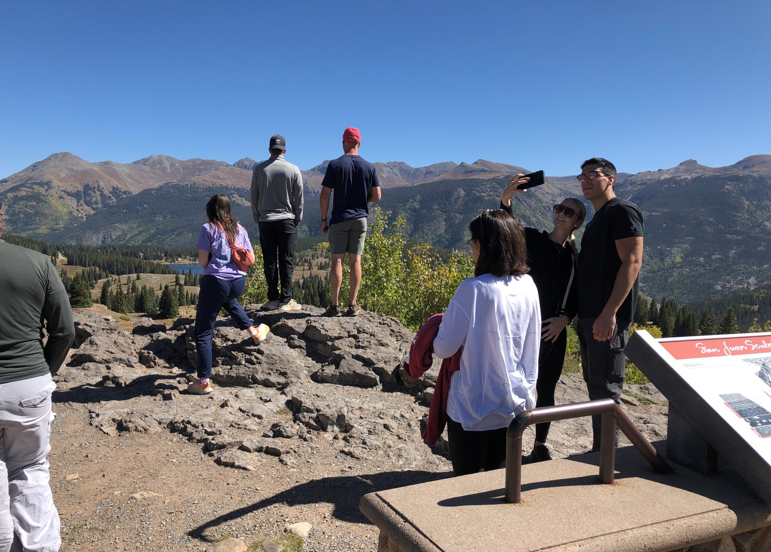
Before you get to Silverton on US 550, you cross Molas Pass, which has some terrific views of the edge of the Weminuche Wilderness. The day, by this time September 18, was clear and not exactly warm, but not that cold yet. Good day for a mountain drive.
Like the highway, the Molas Pass viewpoint was busy, but not overcrowded.
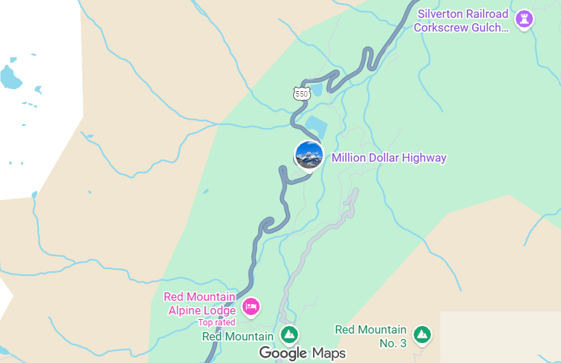
The route from Silverton to Ouray is known as the Million Dollar Highway. There isn’t a consensus about why that might be.
“There are a variety of explanations regarding the source of the name for the ‘Million Dollar Highway,’ says Roadtrip America. “One version claims it is based on the value of the ore-bearing fill that was used to construct the road, and another says it refers to the high cost of building a road over Red Mountain Pass (11,008 feet) and the Uncompahgre Gorge. One thing no one will dispute is the million-dollar views around every turn. This marvel of engineering, designed by Russian immigrant Otto Mears, slices through rugged mountains as it follows old stagecoach routes and former pack trails.”
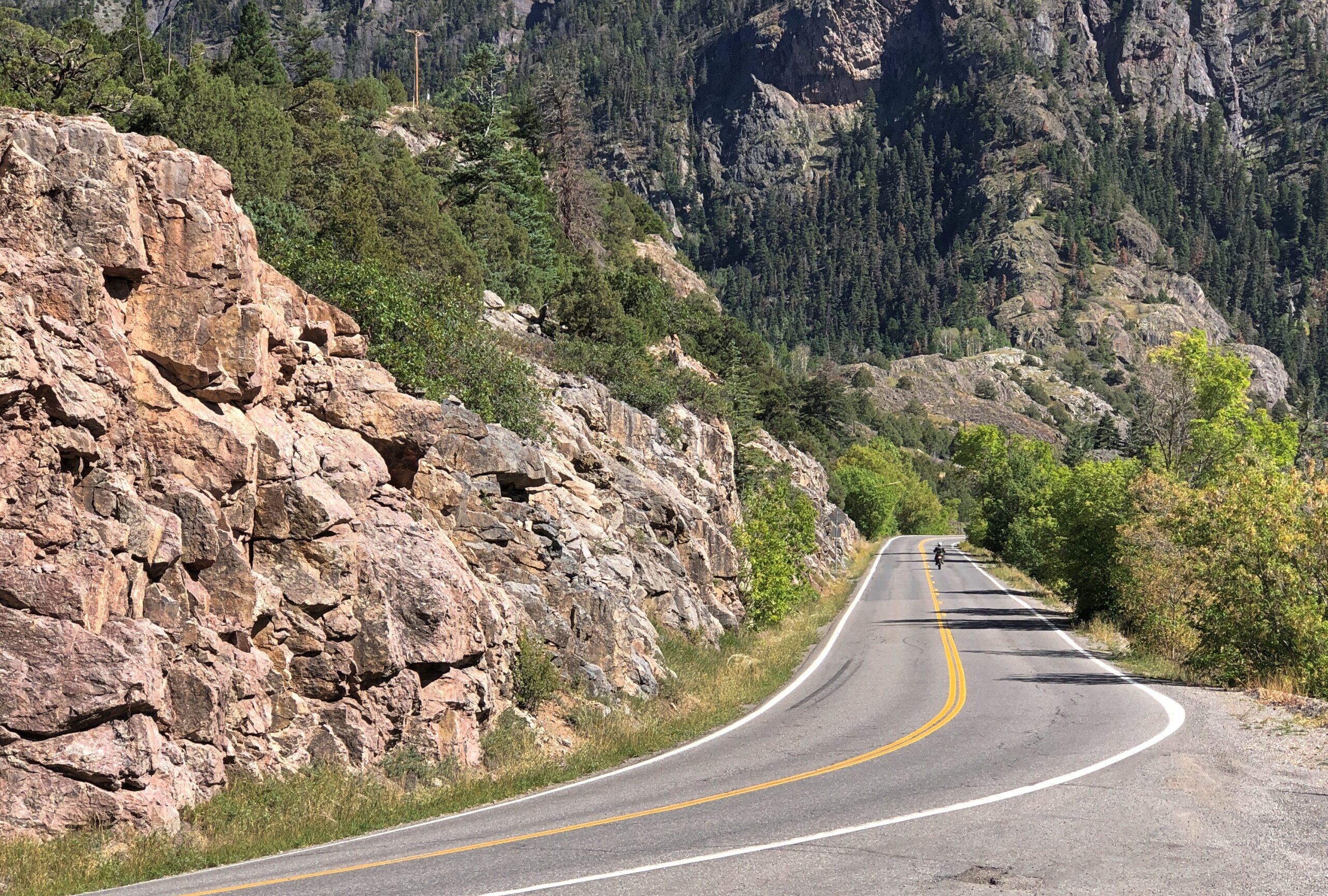
If you want some twisty mountain road action, Million Dollar’s got it. Also, stretches without guard rails.
“About 40 accidents take place on the Million Dollar Highway each year, with an average of seven deaths per year,” the Durango Herald reported in 2023. “Most of the accidents are caused by careless or fast driving in bad road conditions. Other factors are mudslides, inclement weather and wildlife appearing on the road when there is nowhere to swerve.
“While avalanches used to be a factor, the last reported death on the road because of an avalanche came in 1992.”
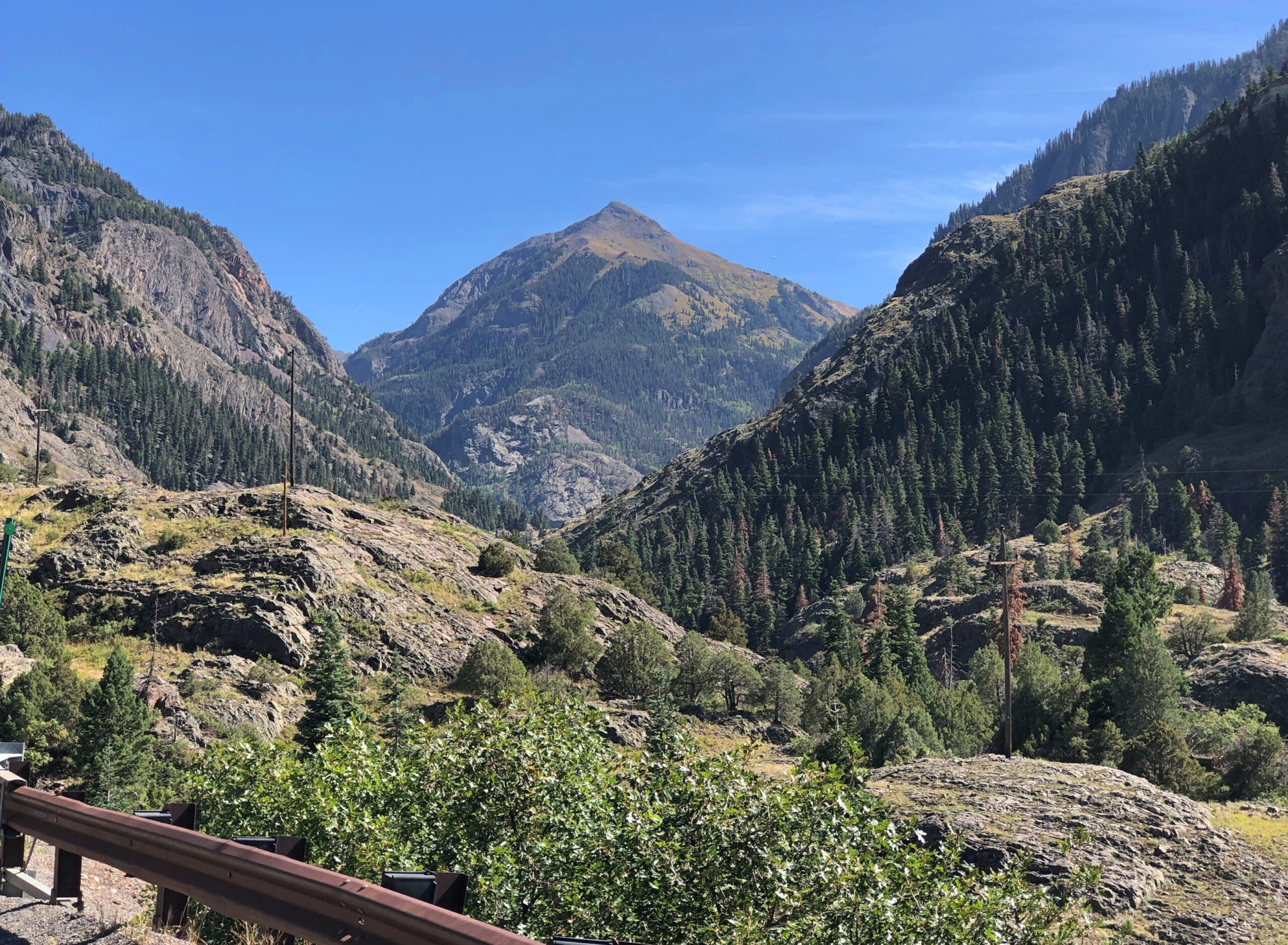
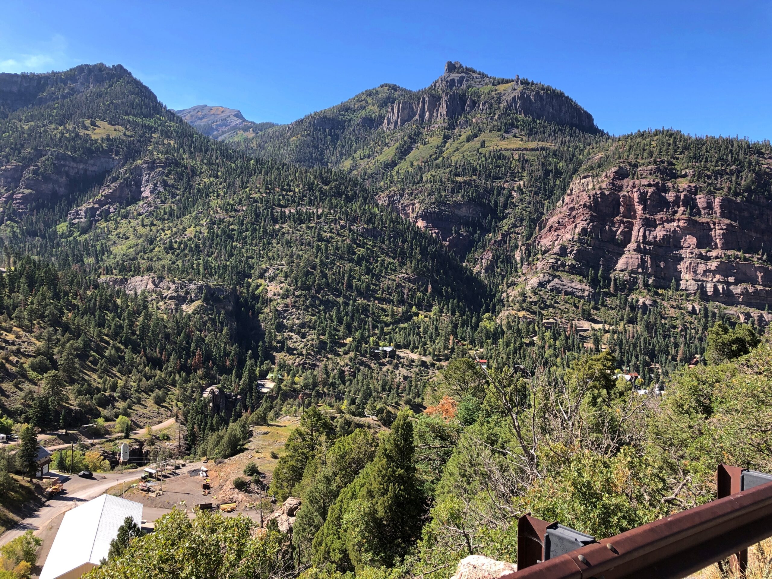
The views are exceptional, both as you move and when you stop. The road near Ouray.
Views near Ouray.
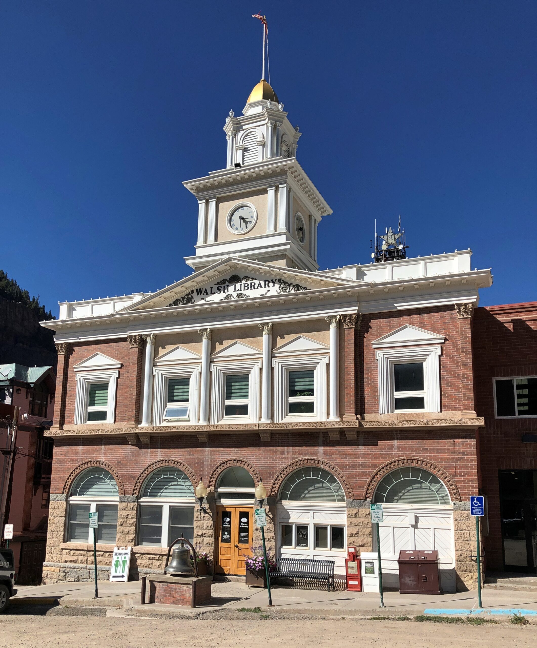
Ouray’s got some handsome buildings.
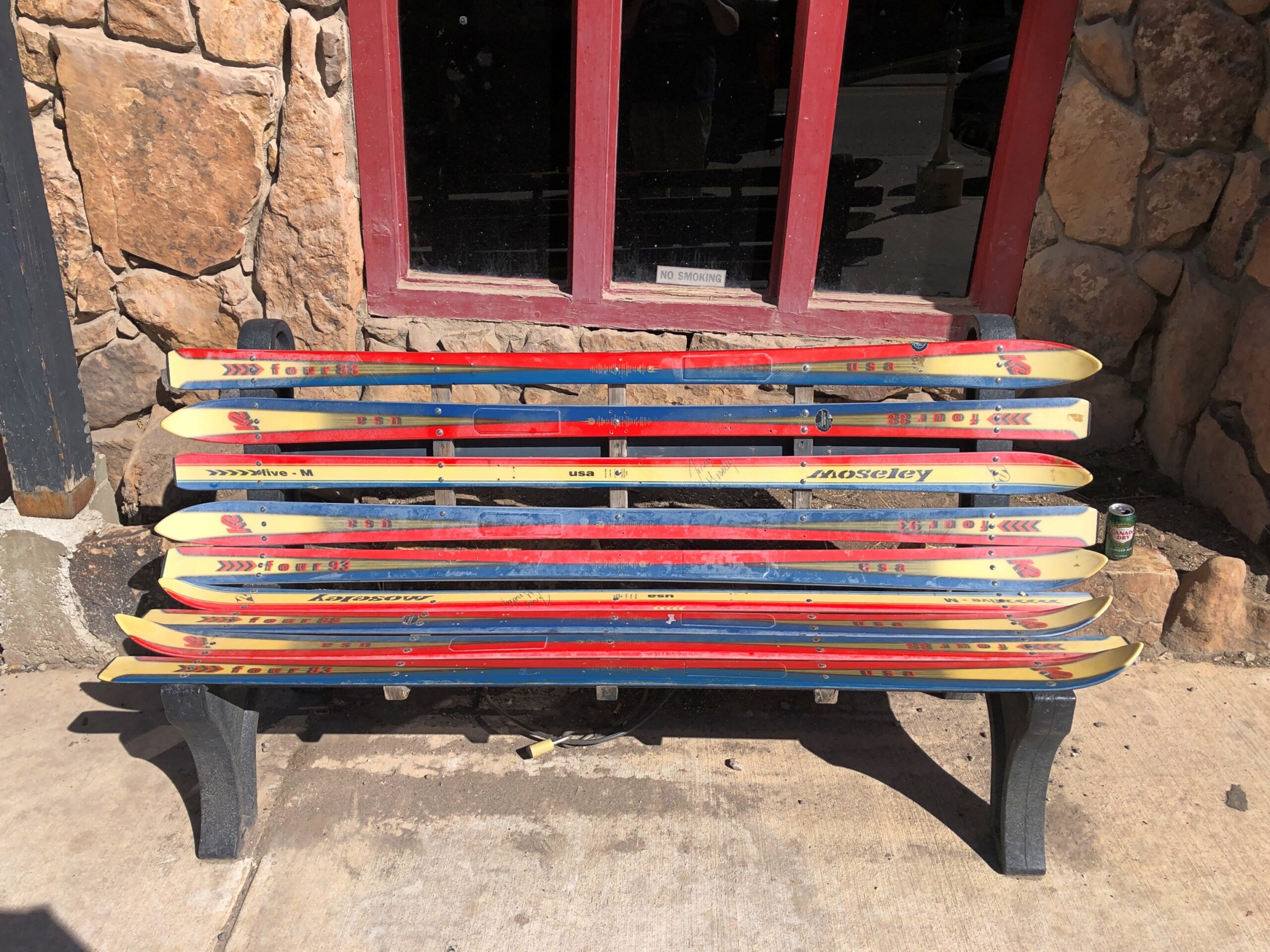
The main street in Ouray is the kind of place that has benches made from skis. Not the only time I saw that in Colorado.
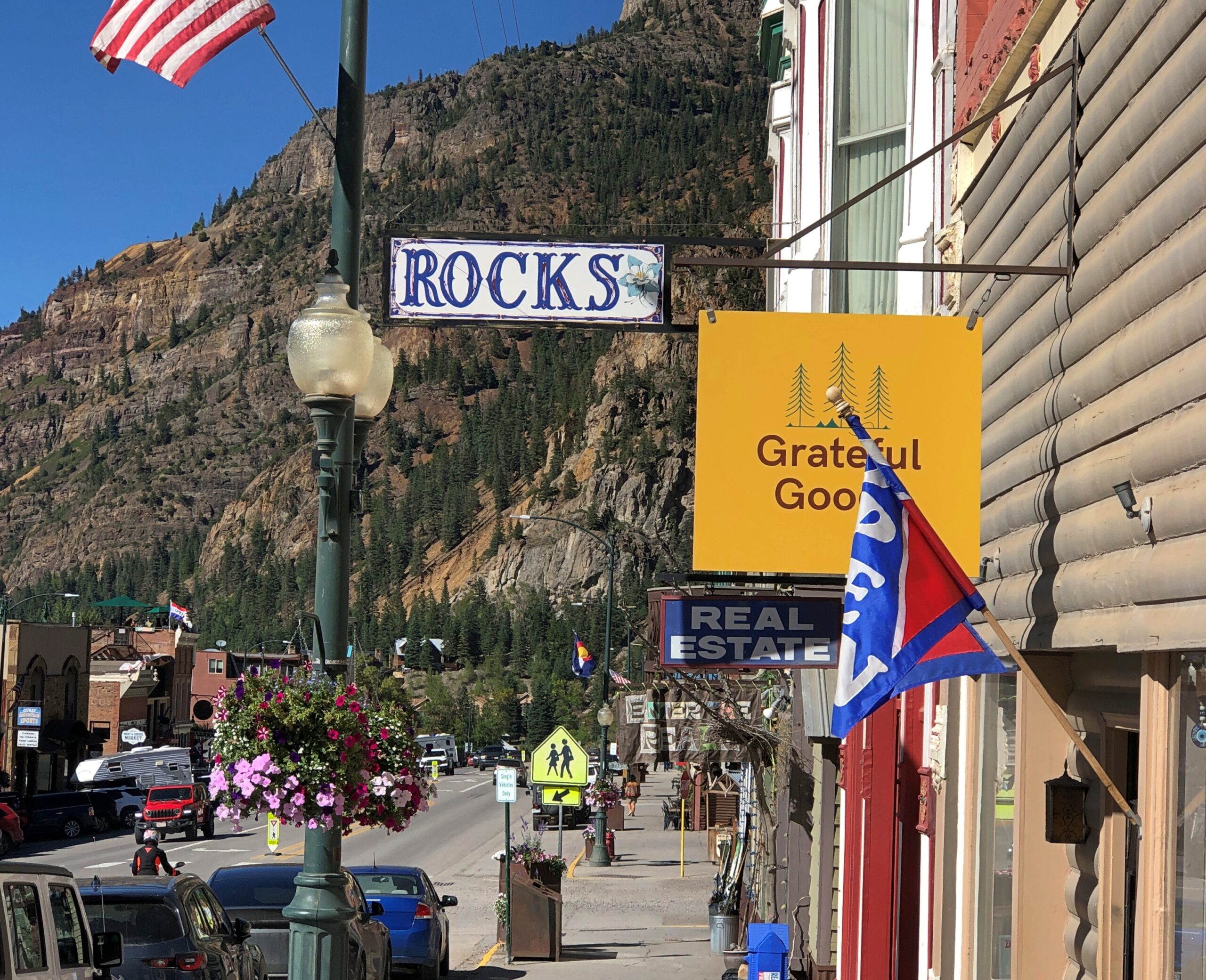
Also, some boutique retail. Good to see that Grateful Goo is available.
Who sells that again? Gwyneth Paltrow? Anyway, hipsters, or more likely plastic surgeons and orthodontists and tech millionaires, seem to have long ago discovered Ouray, close as it is to Telluride. I saw a bumper sticker-like posting on a light pole in town that said: What do you mean there’s an employee housing crisis in Ouray? My 2nd home is always empty.
Monarch Pass
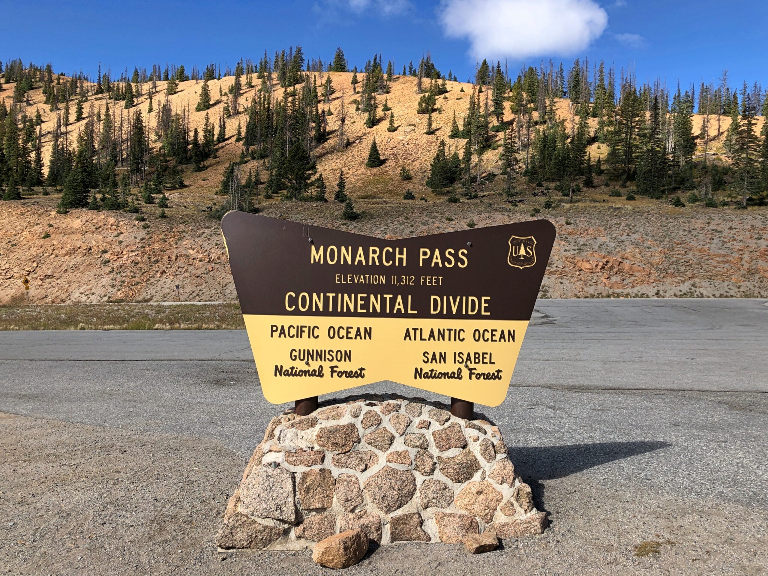
On our return to Denver, we headed out of Montrose east on US 50, a route that edges the gorgeous Blue Mesa Reservoir, and on to Gunnison and Salida. Just west of Salida, we took US 285 north, which goes to greater Denver. That highway crosses the Great Divide at Monarch Pass, elevation 11,312 feet.
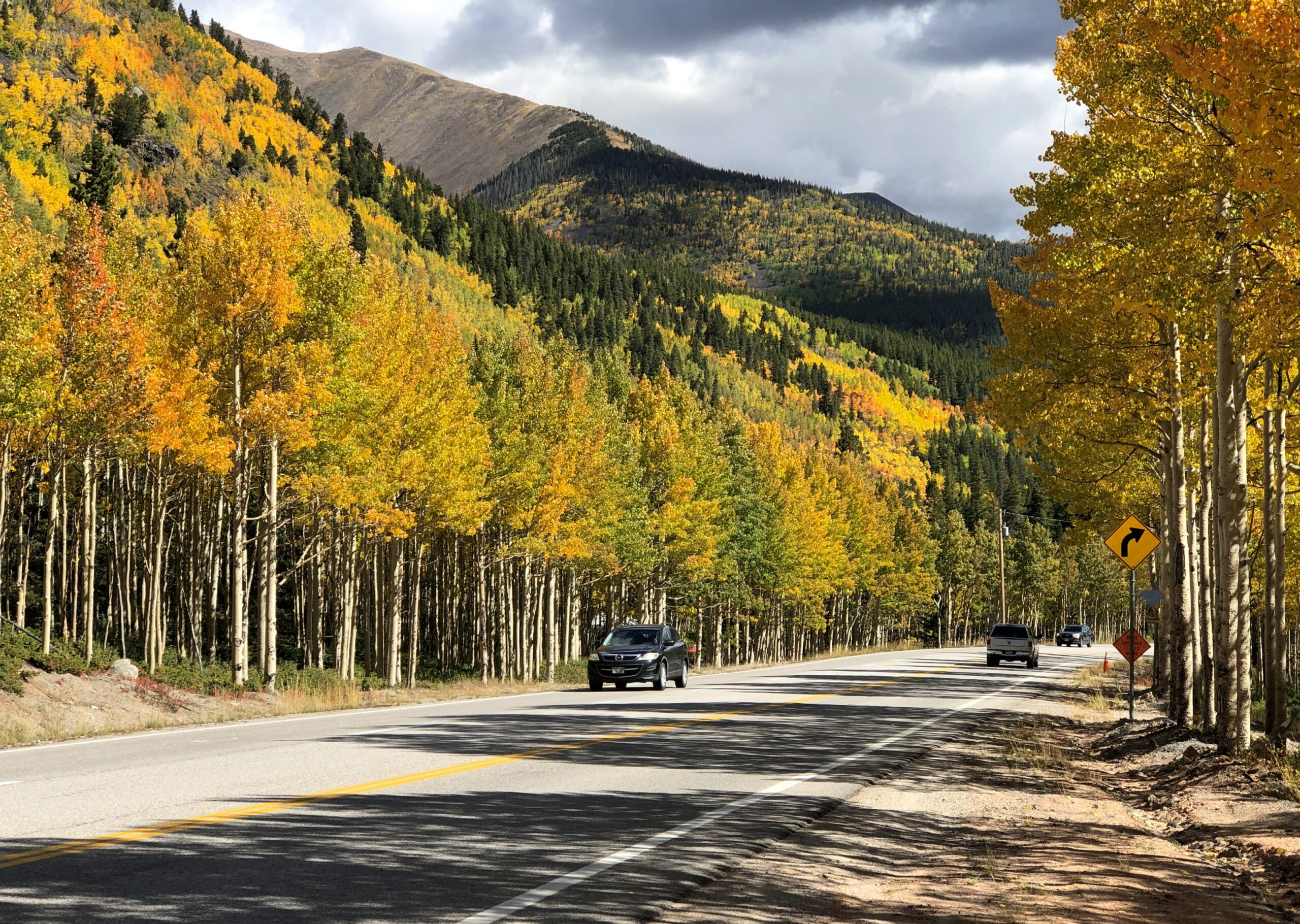
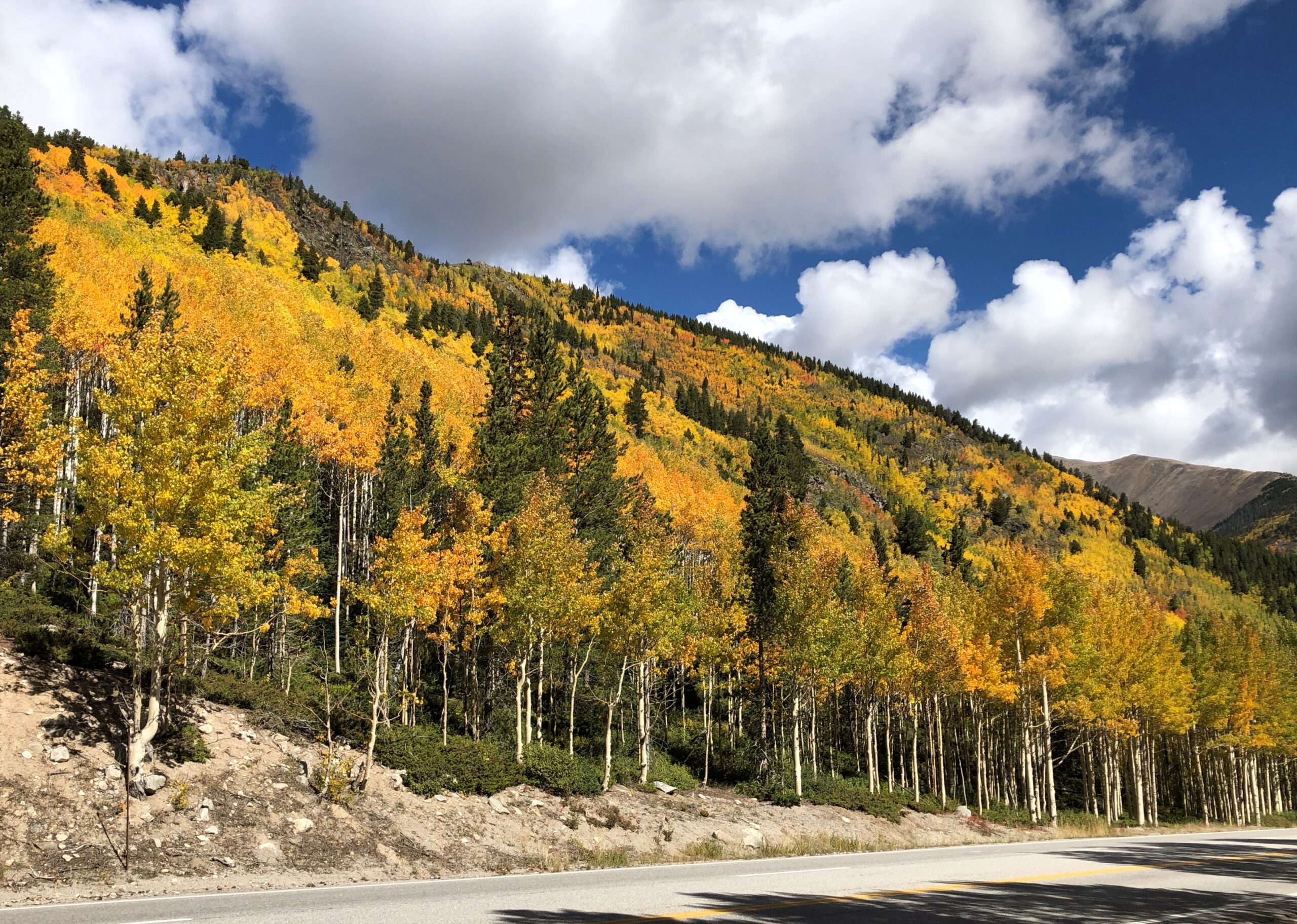
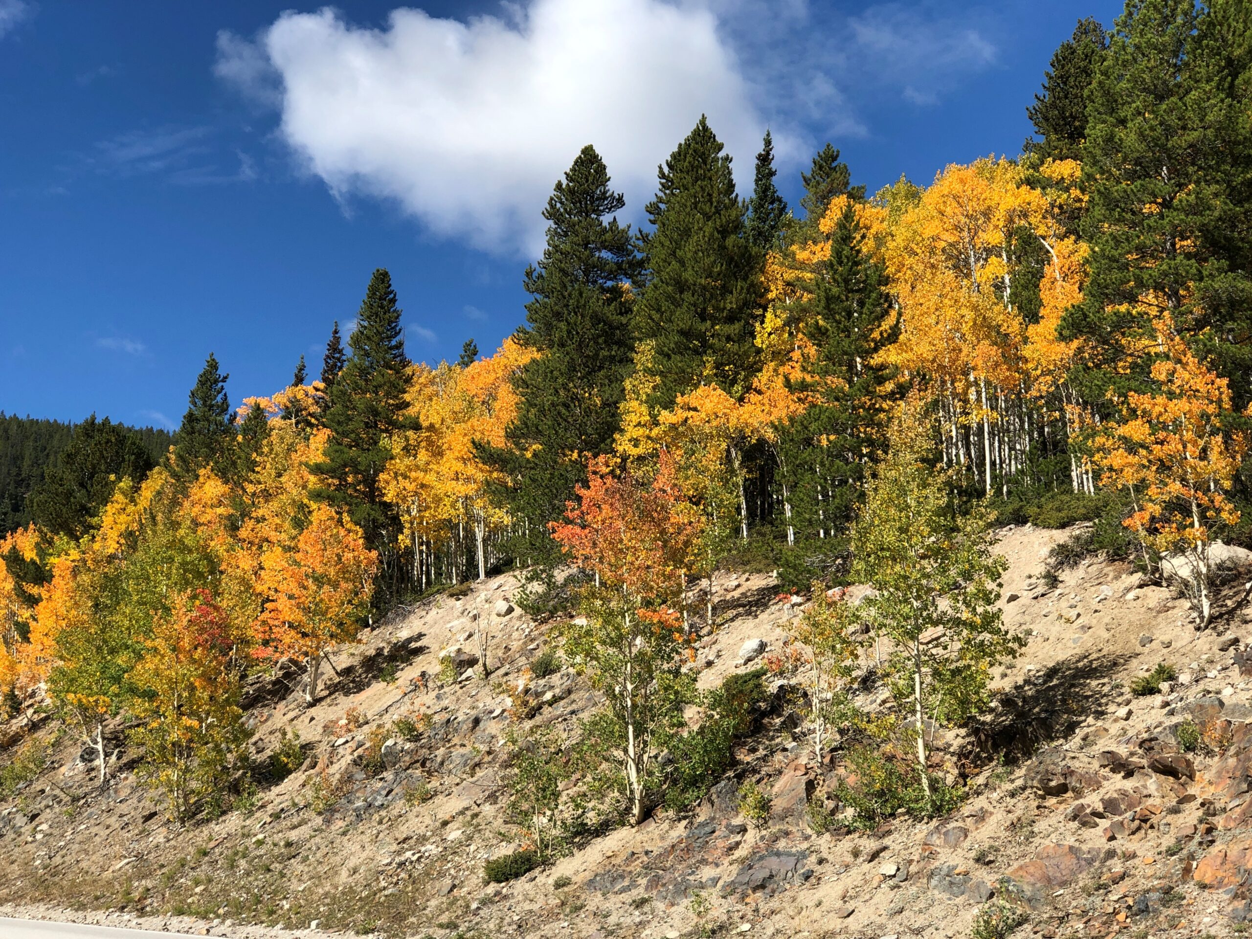
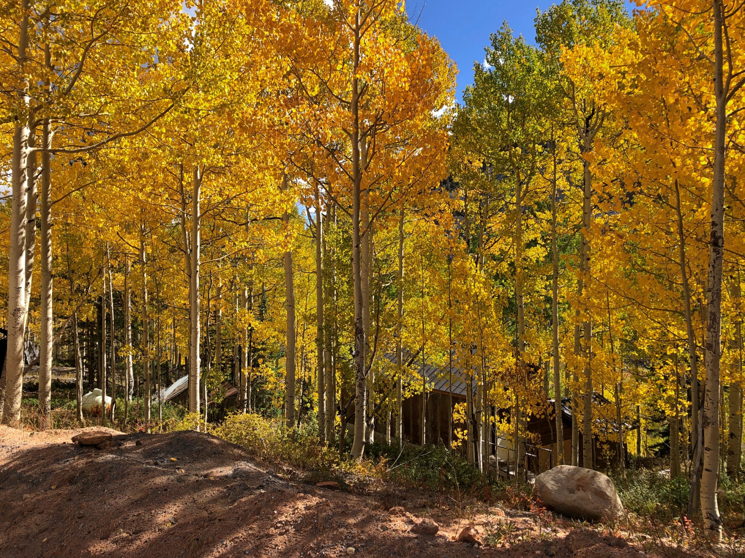
Even as early as September 20, the trees were ablaze.
I suppose that isn’t early for that elevation. We saw trees turning a week earlier, further north at Rocky Mountain NP. I didn’t know it at that time, but we were just beginning a fall season during which we’d see more colors (probably) than any other year. It’s not quite over even yet, with some reds and yellows here in the neighborhood. That isn’t so unusual. Lots of people seek out fall foliage. The odd thing was that it was completely unplanned.