Last Friday, I drove from Amarillo to Palo Duro Canyon State Park. It took only about 30 minutes: south on I-27 and then east on Texas 217, which ends when you get to the park entrance. Until very close to the entrance, it’s easy to look around and think, “Canyon? There’s a canyon around here? How is that possible?”
People — ignorant people, that is — are known to think “Texas is flat.” Some of it is, though, such as the Panhandle near Amarillo. A steppe’s a steppe. I’d read that Palo Duro was quite the canyon, but until I got there, it was a little hard to picture, driving down a mostly empty two-lane highway through terrain devoid of rises.
That’s just an example of my ignorance. If I’d done any kind of research beforehand, I would have found out that Palo Duro Canyon is enormous. Park literature calls the canyon the “second largest” in the United States, and a look at Google Maps, using the satellite image function, supports that idea, at least in terms of square miles of canyon floor.
The Grand Canyon is certainly deeper, and actually more grand — that’s in the name — but as the runner up among major U.S. canyons, Palo Duro is quite impressive. Here’s the kicker: the state park, even at 20,000 acres, is only a fraction of the entire canyon, which is about 120 miles long and averages six miles wide. The rest is private ranchland and maybe not much different than in previous centuries
You pay your entrance fee, a reasonable $5, and pretty soon you’re overlooking the sweep of the canyon, a long irregular groove carved in the flatness of the Texas Panhandle.
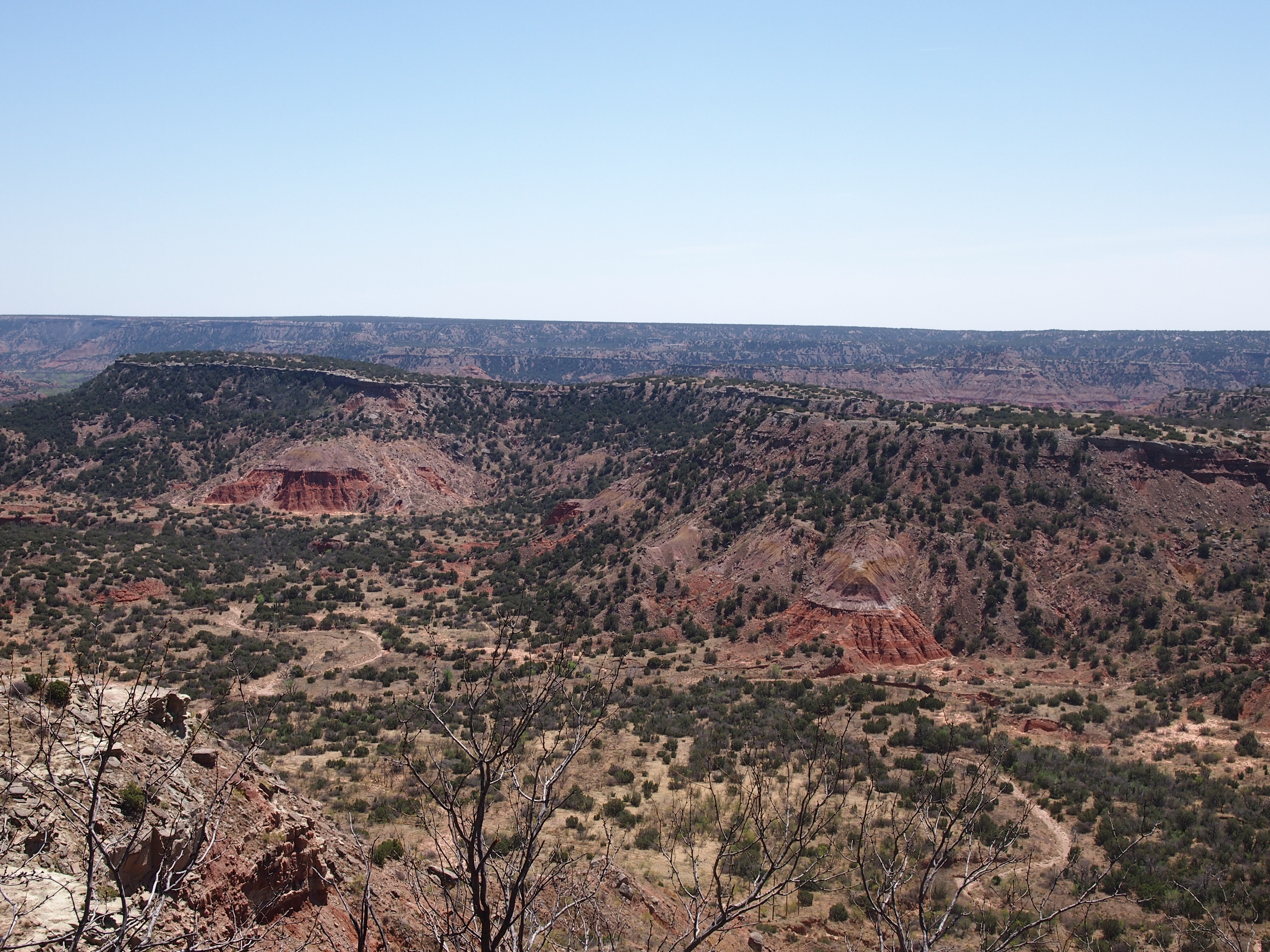

 Made not by a mighty river like the Colorado, but one with a less formidable name, the Prairie Dog Town Fork of the Red River. Unlike the bigger canyon in Arizona, visitors to Palo Duro SP have the option of driving to the canyon floor, 800 or so feet down. That’s because the CCC built a road into Palo Duro once upon a time, along with other structures.
So I drove in. I also got out and walked. Not on the longest of trails available, but a few miles on shorter ones.
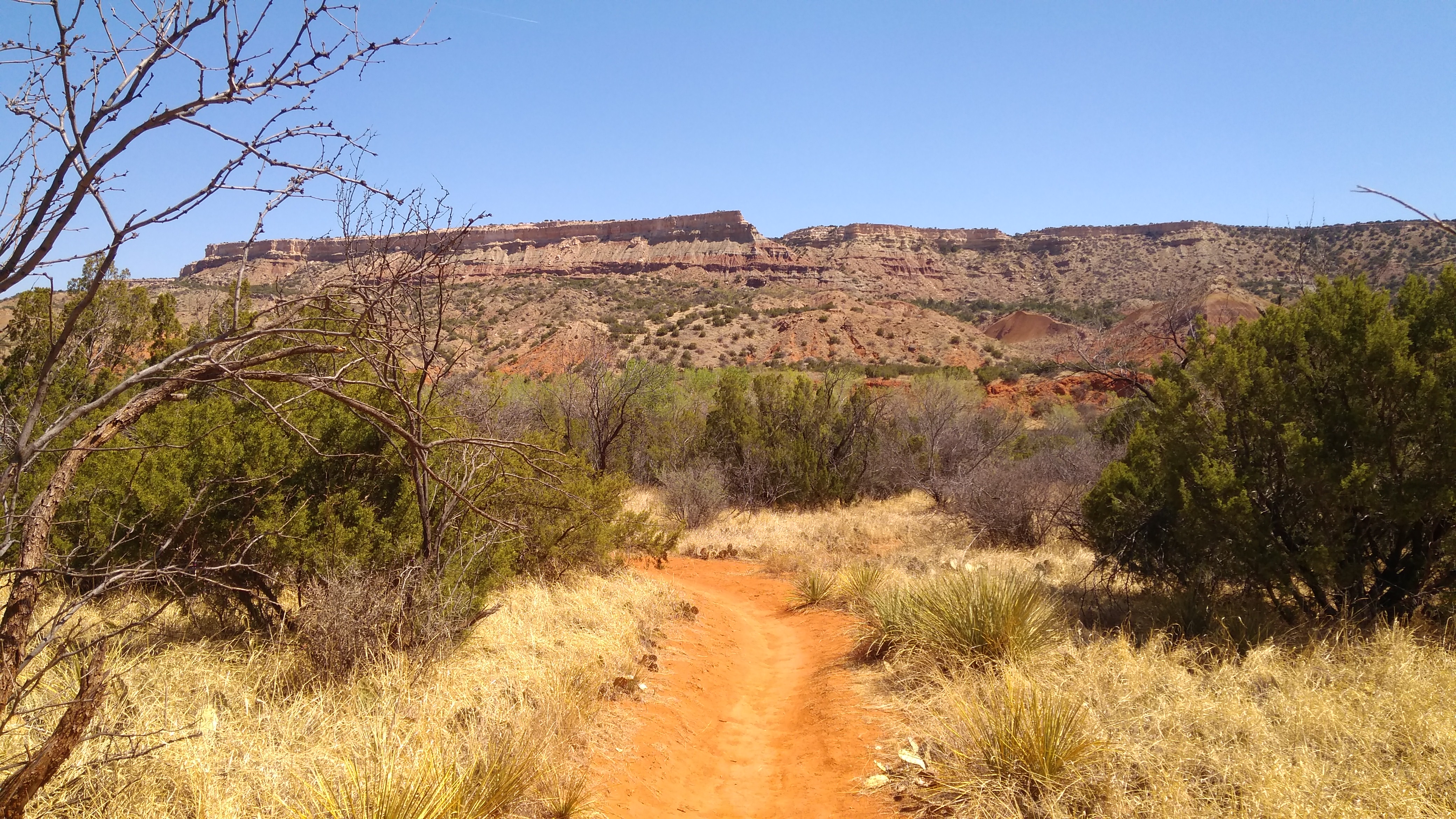
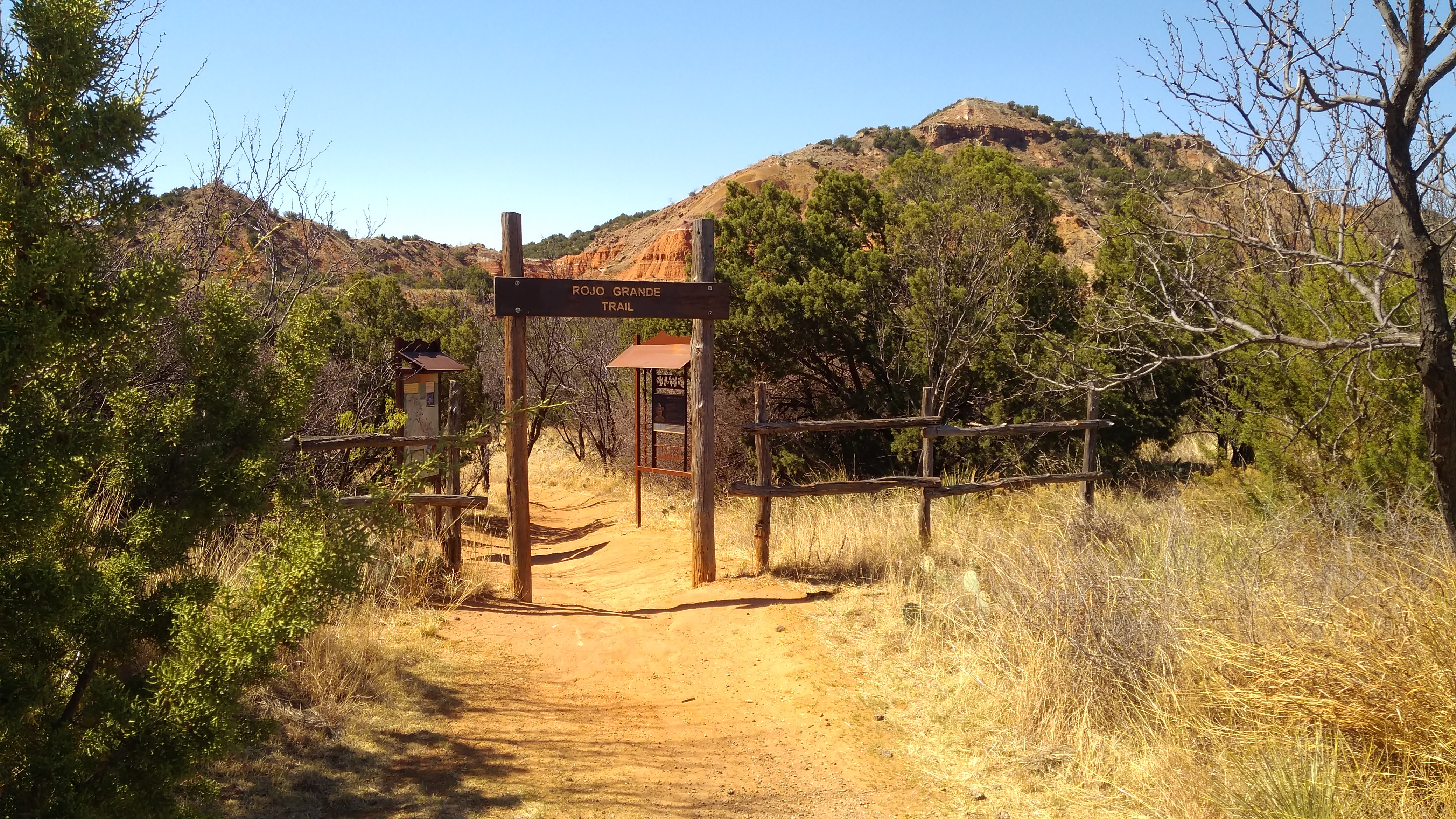 I liked the Rojo Grande Trail. Rojo all right, in places. At least the kind of red you get in rocks.
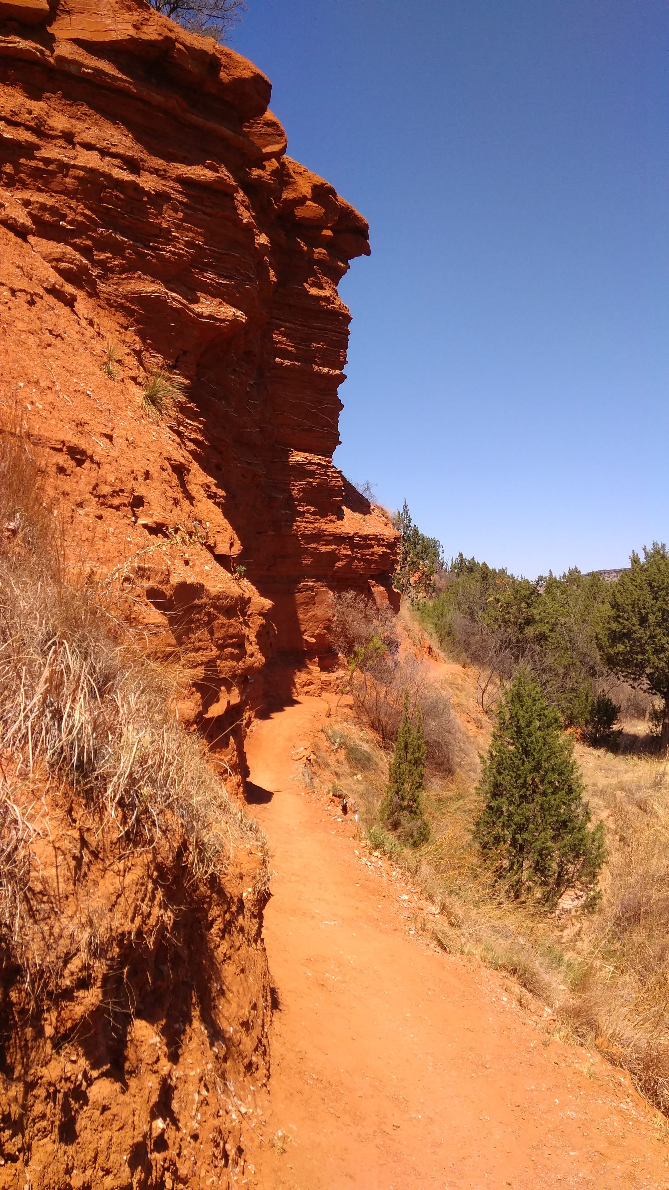
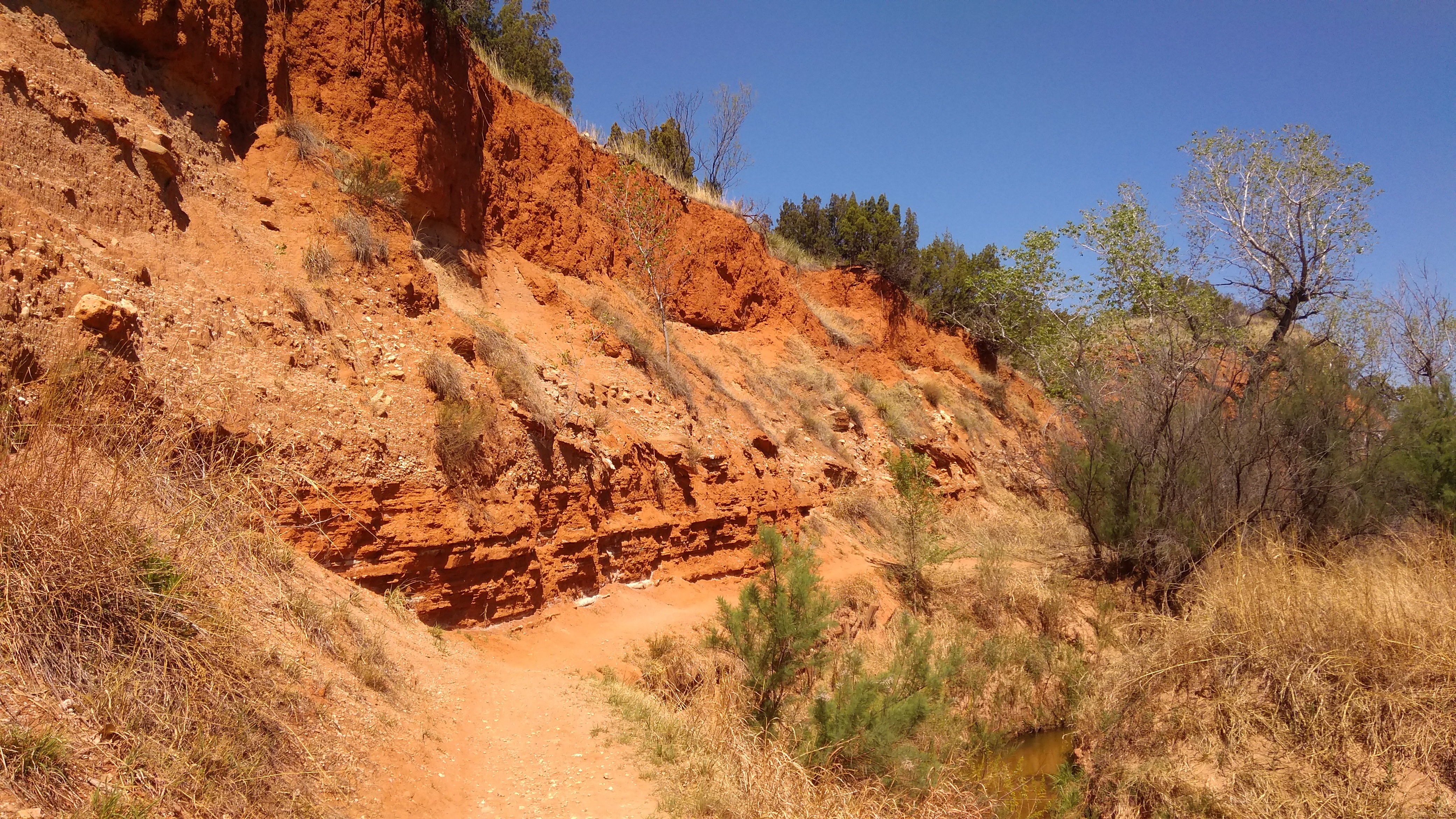
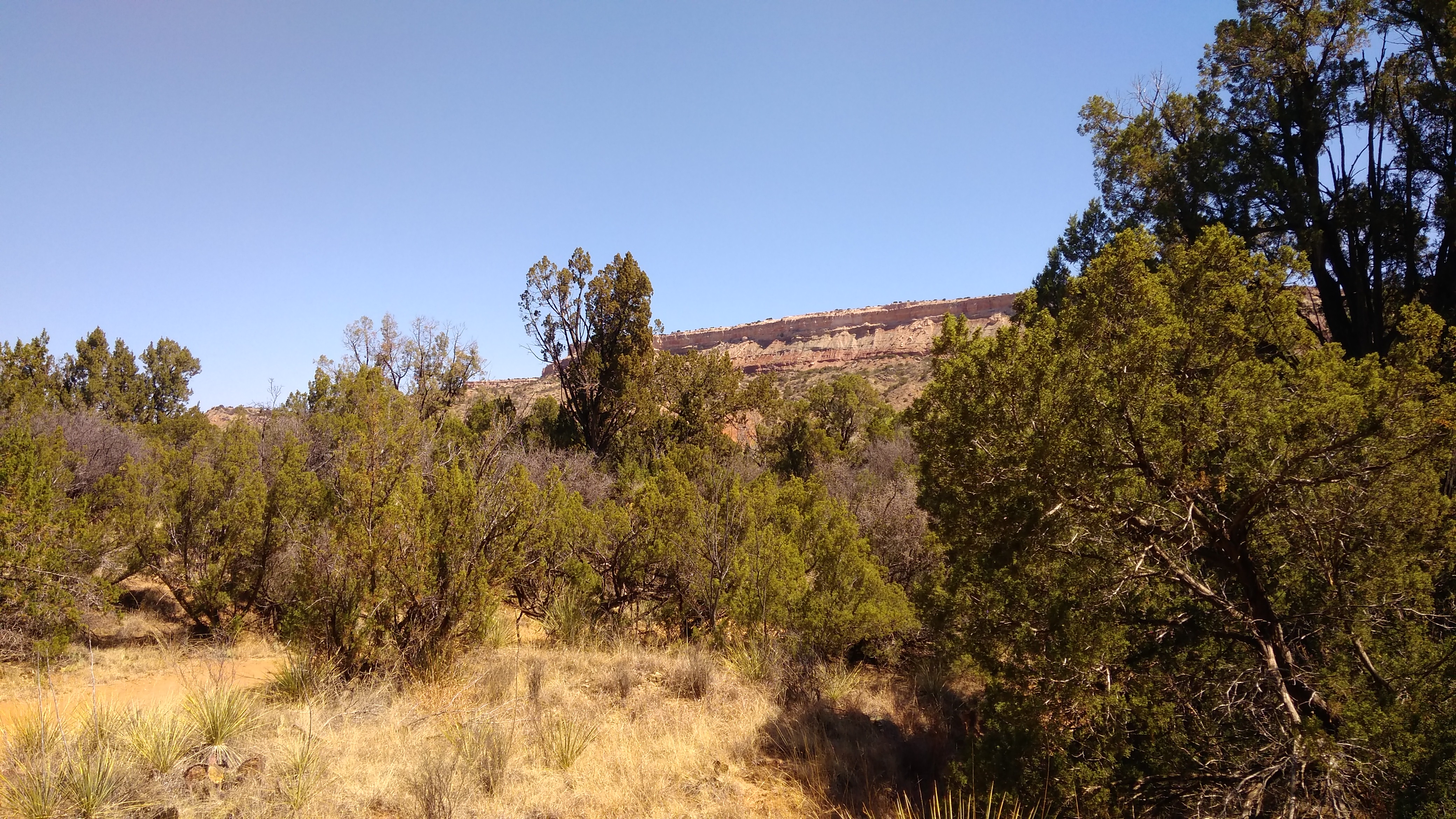
 Along with views of the canyon walls.
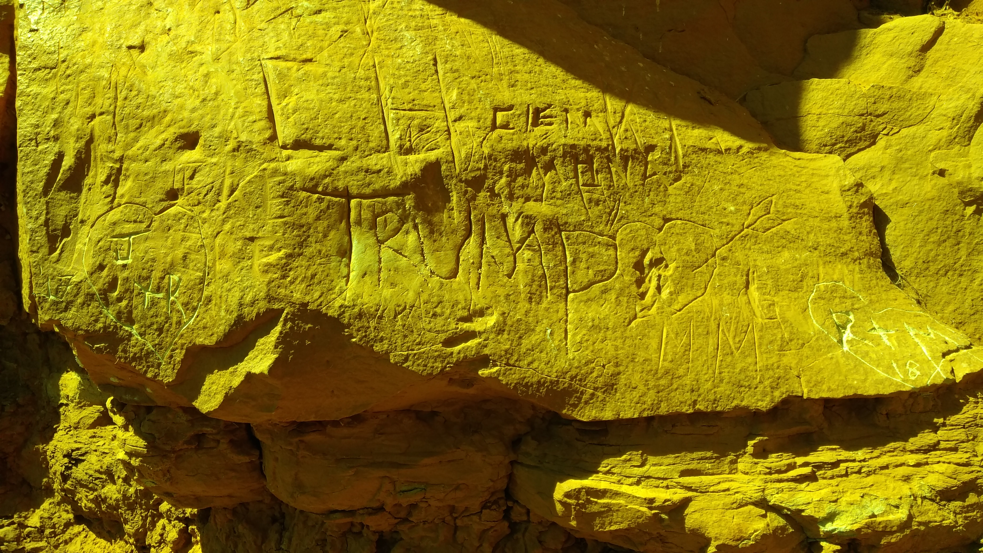
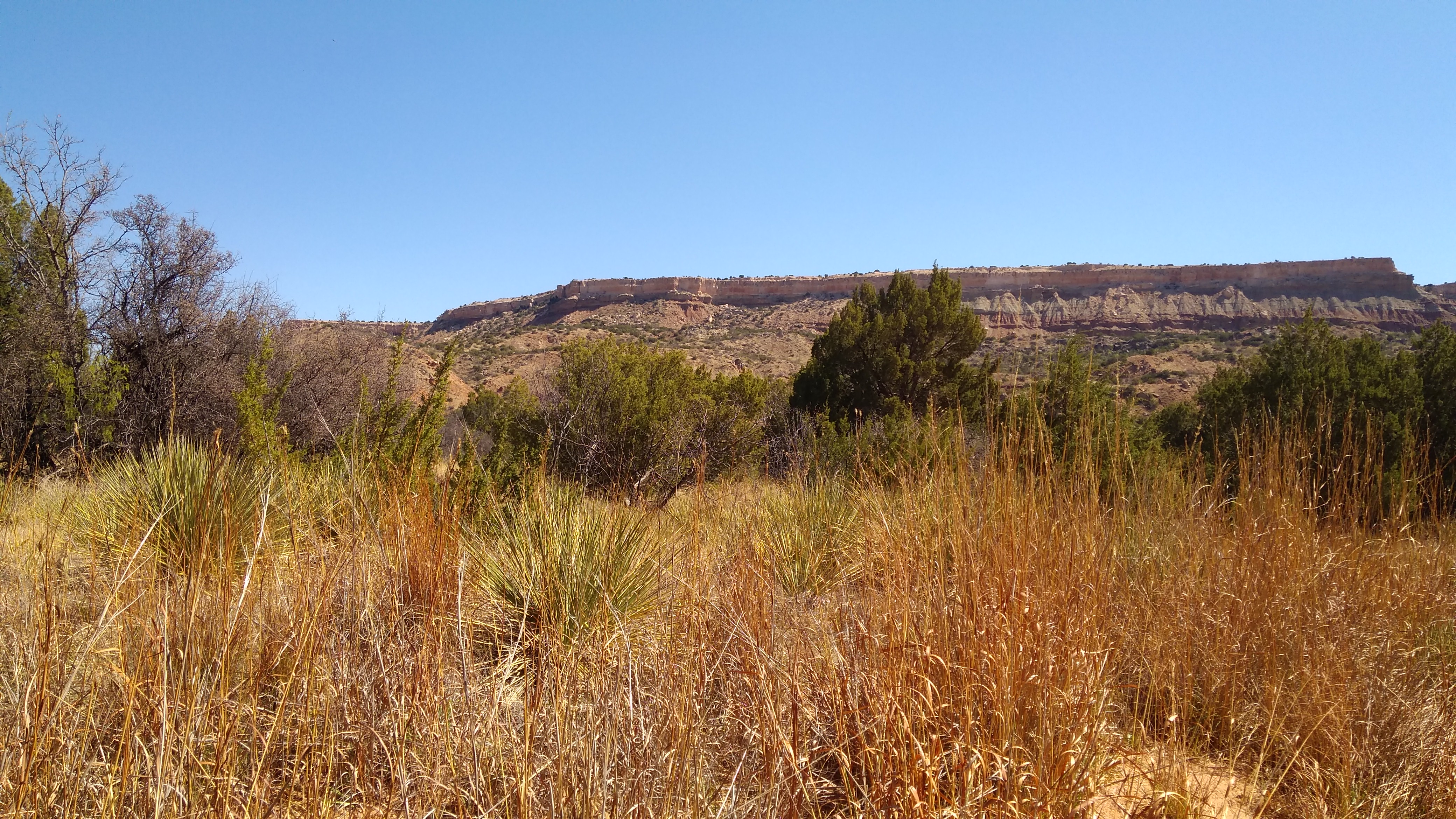 Plus plenty of semiarid-region flora and even a little fauna (a rabbit, in my case). Also, the occasional mark of man, besides the works of the CCC and the Texas Parks & Wildlife Department.
 All along the park road, drivers are warned about flash flooding. There seemed little risk when I was there, but the potential is real.
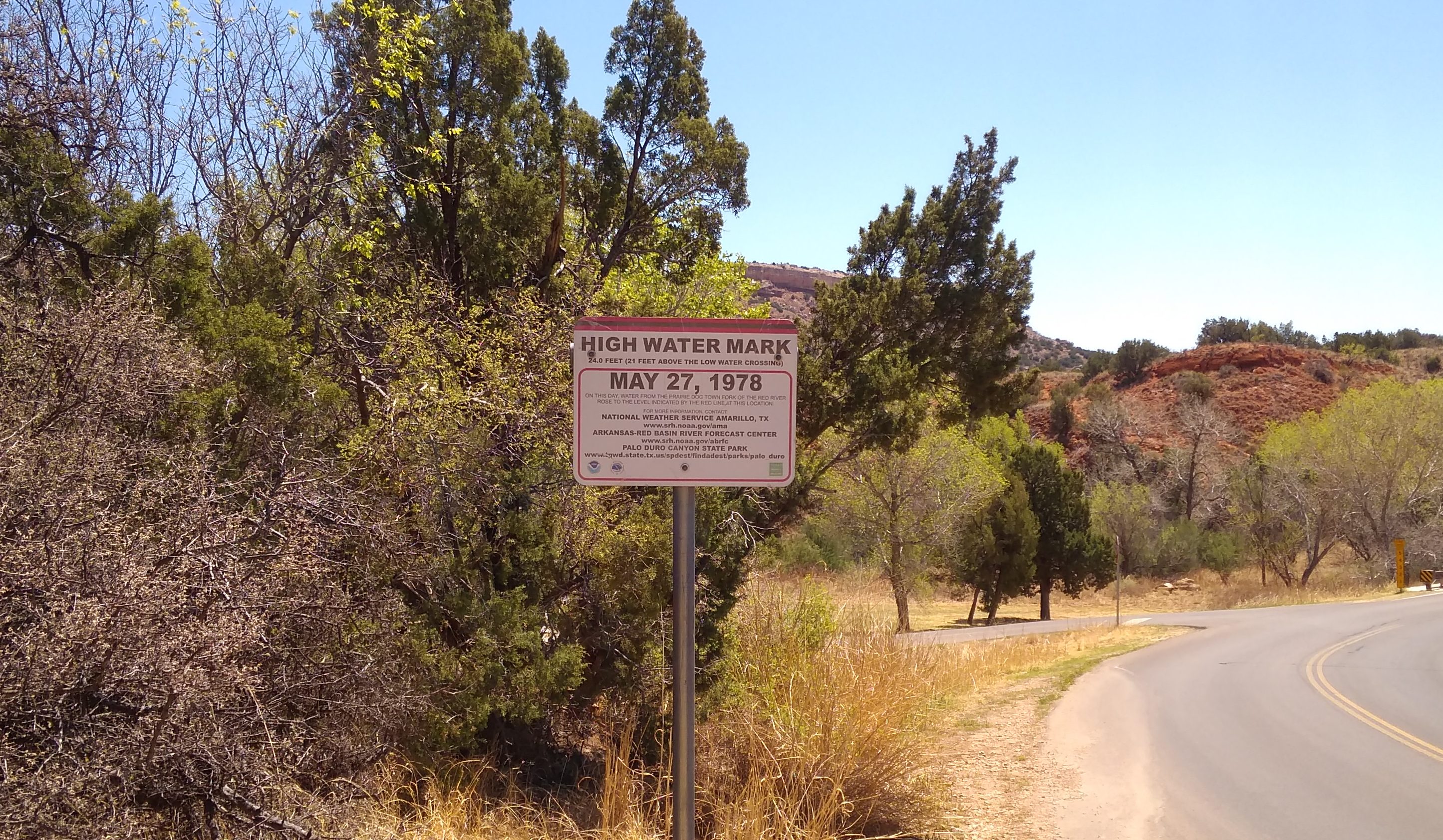 Almost 40 years ago, heavy rains flooded the canyon, killing four people. According to the sign, water crested at 21 feet above the nearby low water crossing. Hard to imagine that much water gathering in a place that seems so dry, but nature’s capricious. Best to stay out of her way if possible.