On September 15, KKTV in Colorado reported that Trail Ridge Road through Rocky Mountain National Park was “briefly closed Sunday [the 14th] due to the wintry weather. This was first time snow and ice shut down the road since it reopened in May.”
We drove that road two days before, on the 12th. As the article notes, the “48-mile highway through the park is North America’s highest continuous paved road and connects the east and west sides of the park… [it] reaches 12,180 feet at its highest point. Alpine Visitor Center, where snowfall was caught on webcam, is located at about 11,796 feet.”
We’d spent the night before in Granby, Colorado, from the looks of it a growing town – complete with large rows of spanking-new townhouses – and from there entered the park from the western, or less crowded side. The eastern entrance near Estes Park, Colorado, has a more direct connection to the mobs coming from greater Denver.
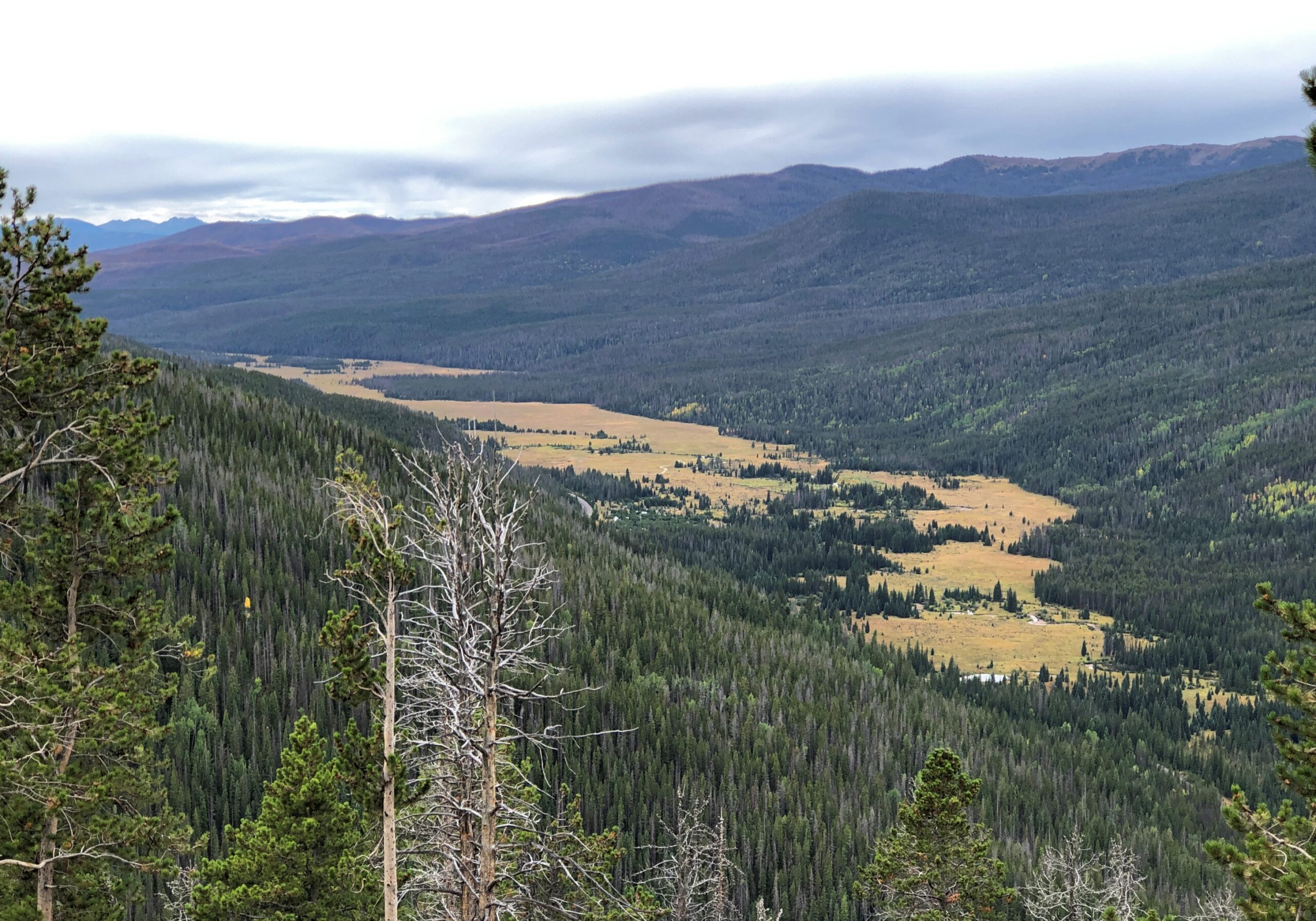
RMNP is a place of majestic vistas. We came for that, and were not disappointed. But I was just as impressed by something we saw near the western entrance at a place called Holzwarth Historic Site, in the Kawuneeche Valley. A picturesque place.
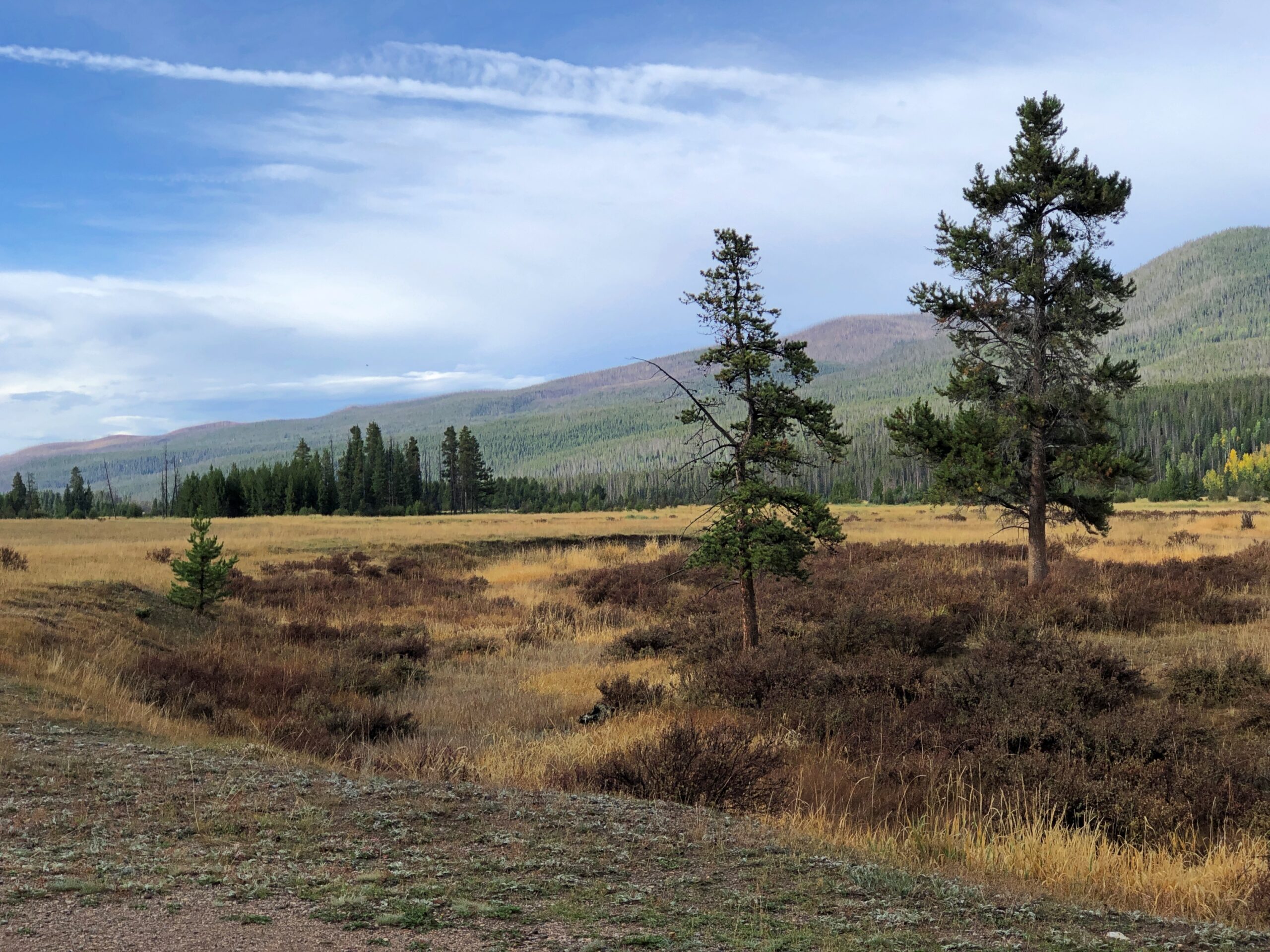
It was the first place we stopped in the park, walking on a path through part of the valley. A small bridge crossed what looked like a creek.
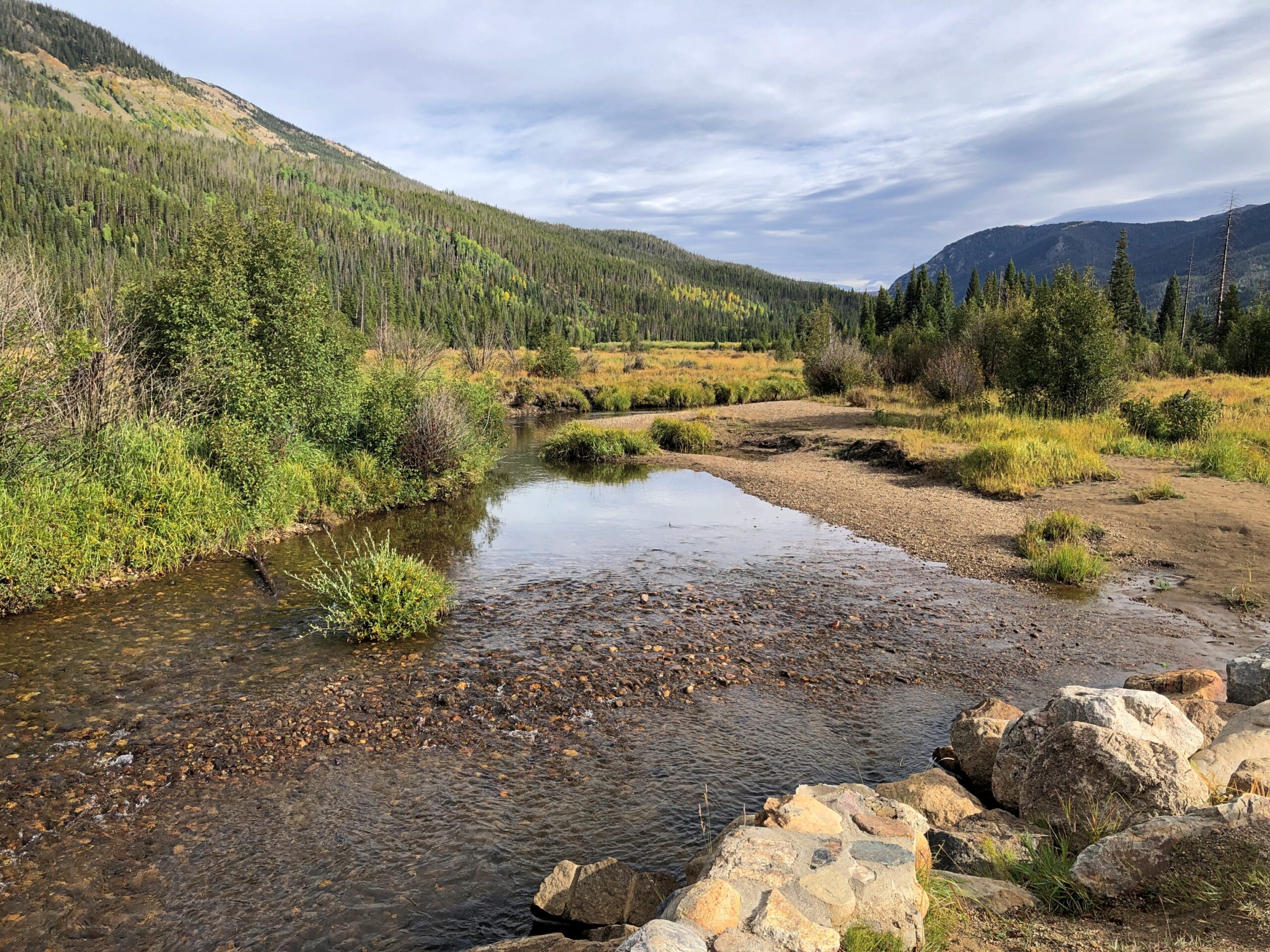
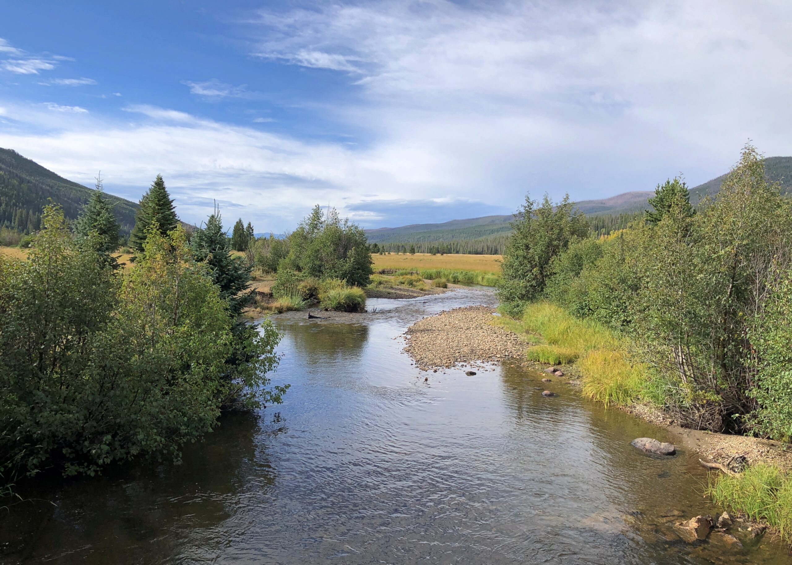
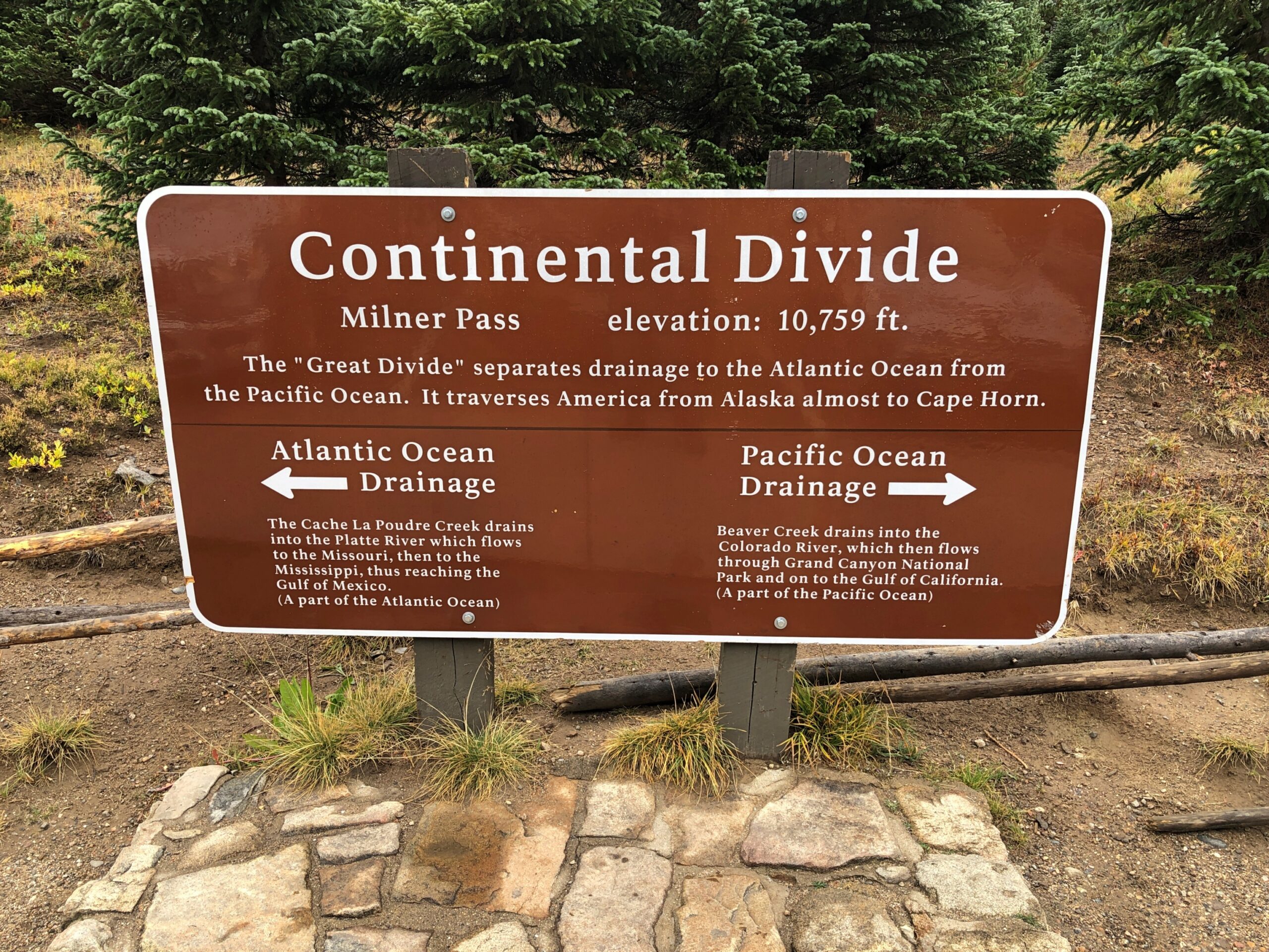
A sign on the bridge informed us, however, that this was the Colorado River. A flabbergasting moment. I’d known that the Colorado rises in one of the remote parts of the park, but I didn’t know we were going to encounter the river – whose downstream will carve epic canyons and be dammed to the hilt for the water and power needs of millions of people – by crossing it on foot in a few seconds.
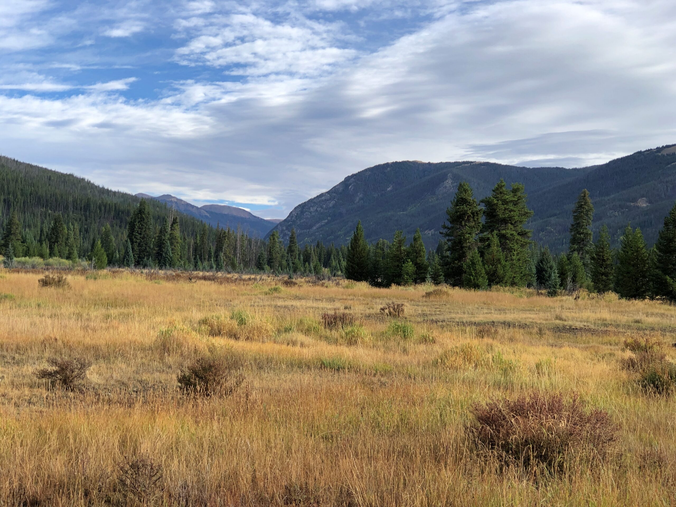
The Holzwarths ran a dude ranch on the site for much of the 20th century, before selling it to the Nature Conservancy, which eventually resulted in the area being added to the national park. A number of the dude ranch buildings still exist not far from the baby Colorado River.
From the valley Trail Ridge Road, which is also US 34, heads upward. A look back at the valley.
Soon you reach Milner Pass on the Continental Divide, crossing back to the Atlantic side; we’d crossed to the Pacific side at Berthoud Pass the day before outside the park, on the way to Granby.
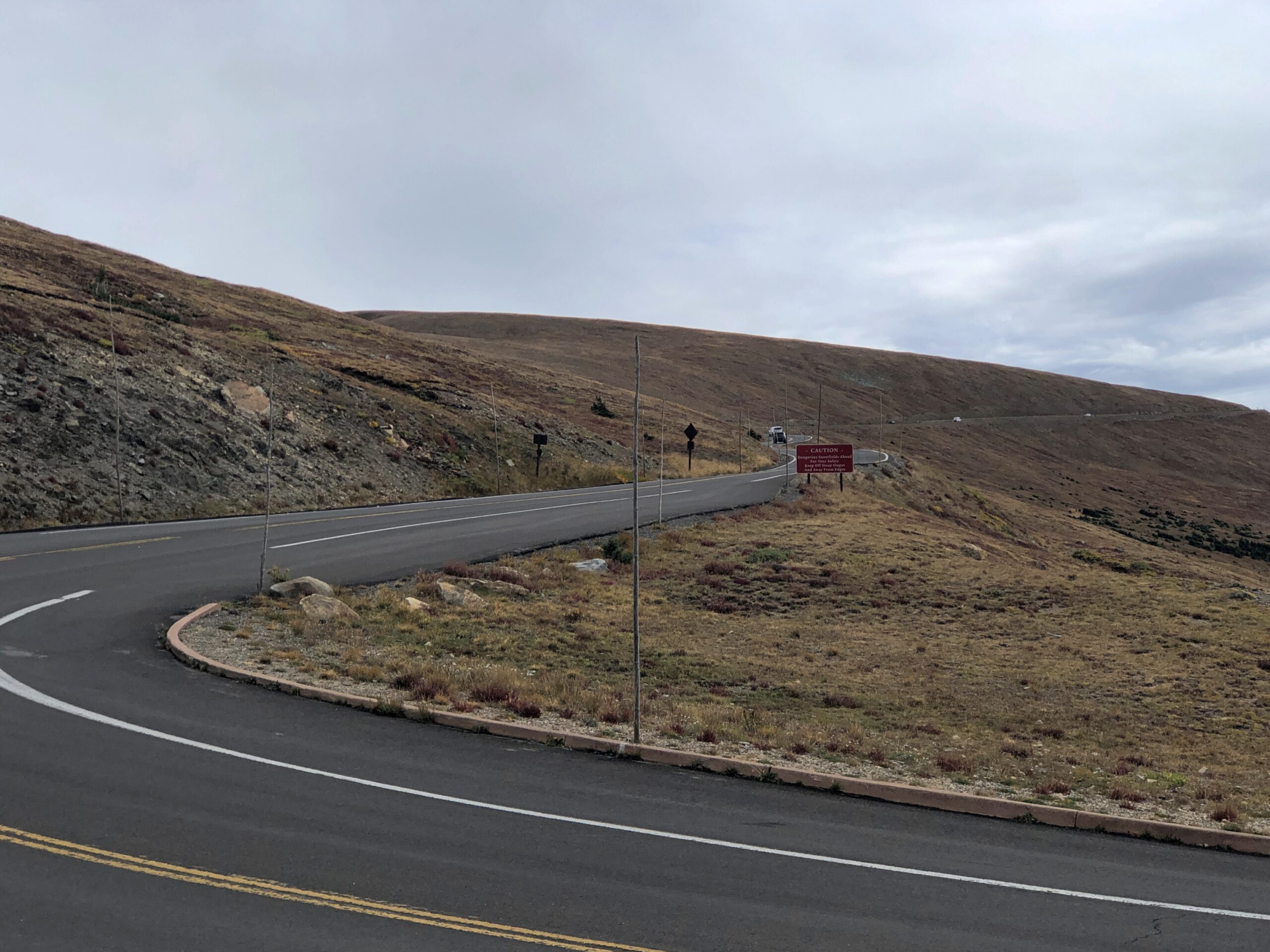
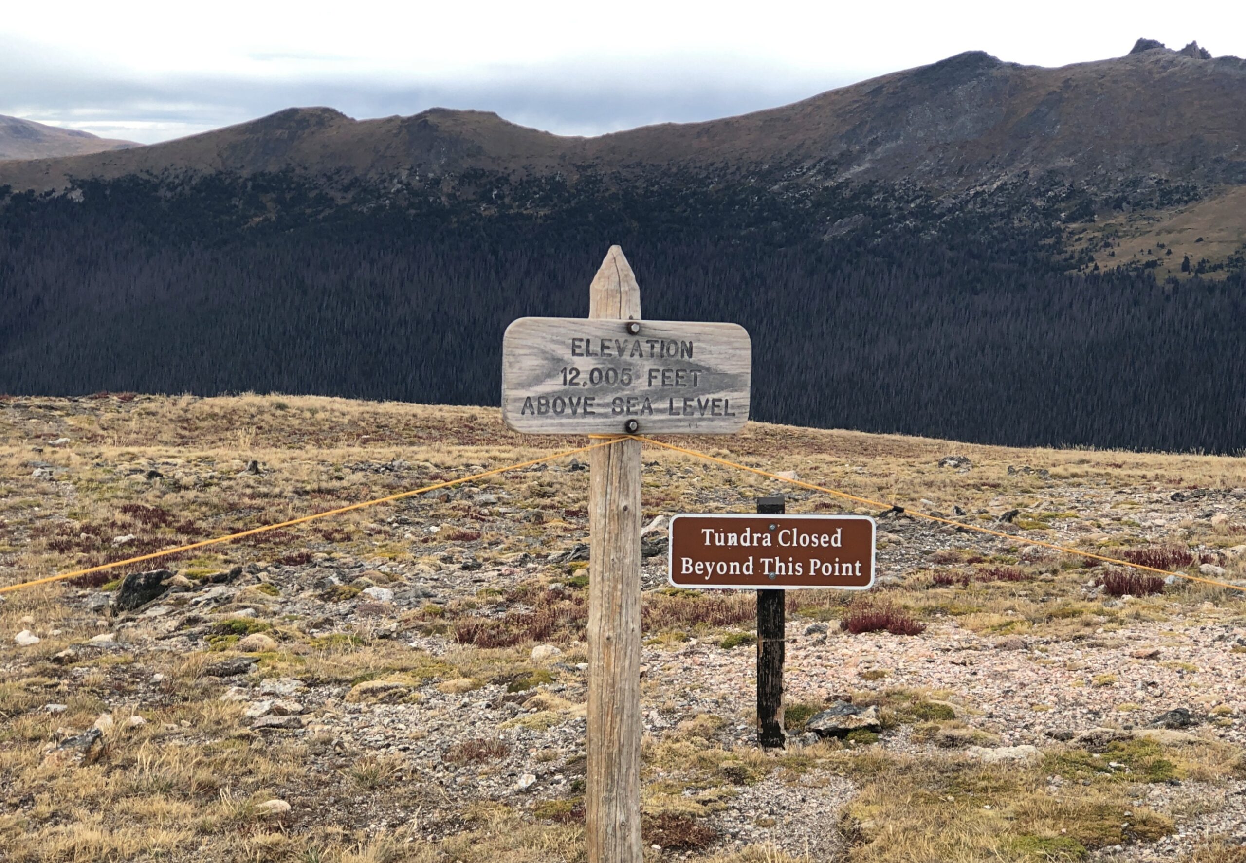
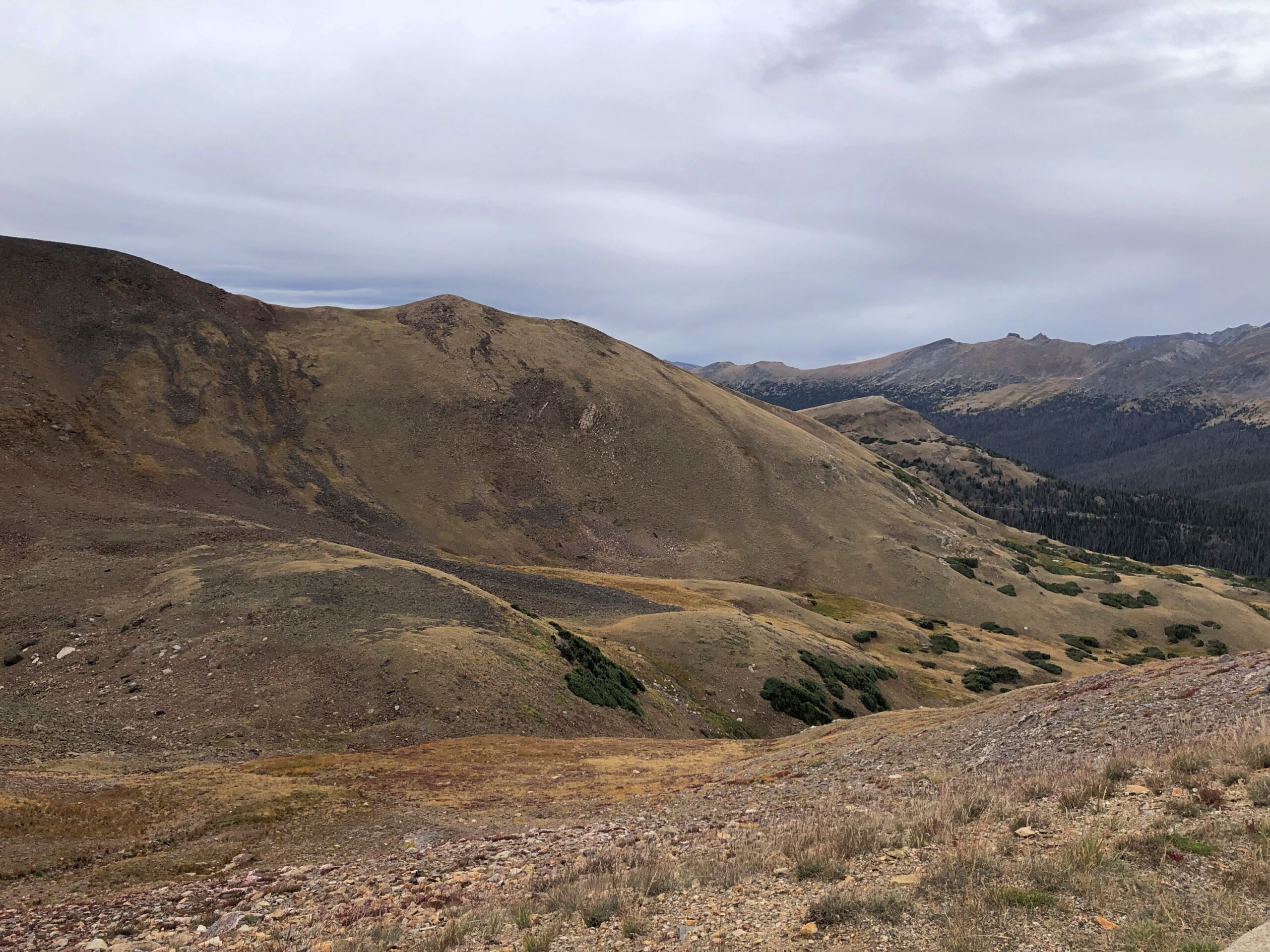
From there, the road takes you above the tree line. By that elevation, the warmth down in the valley is just a memory, as brisk chilly winds blow. The air was still above freezing that day, but not by much.
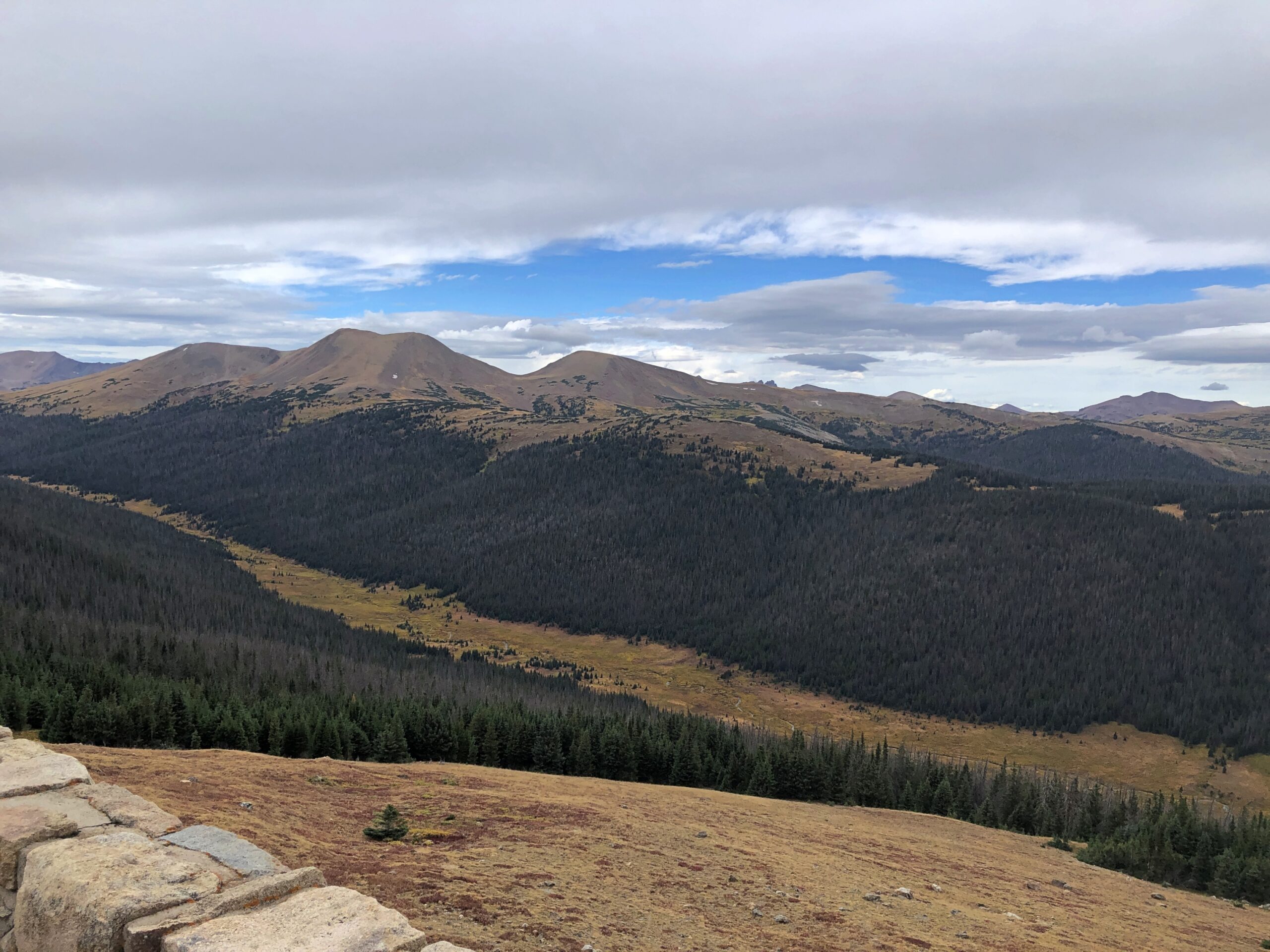
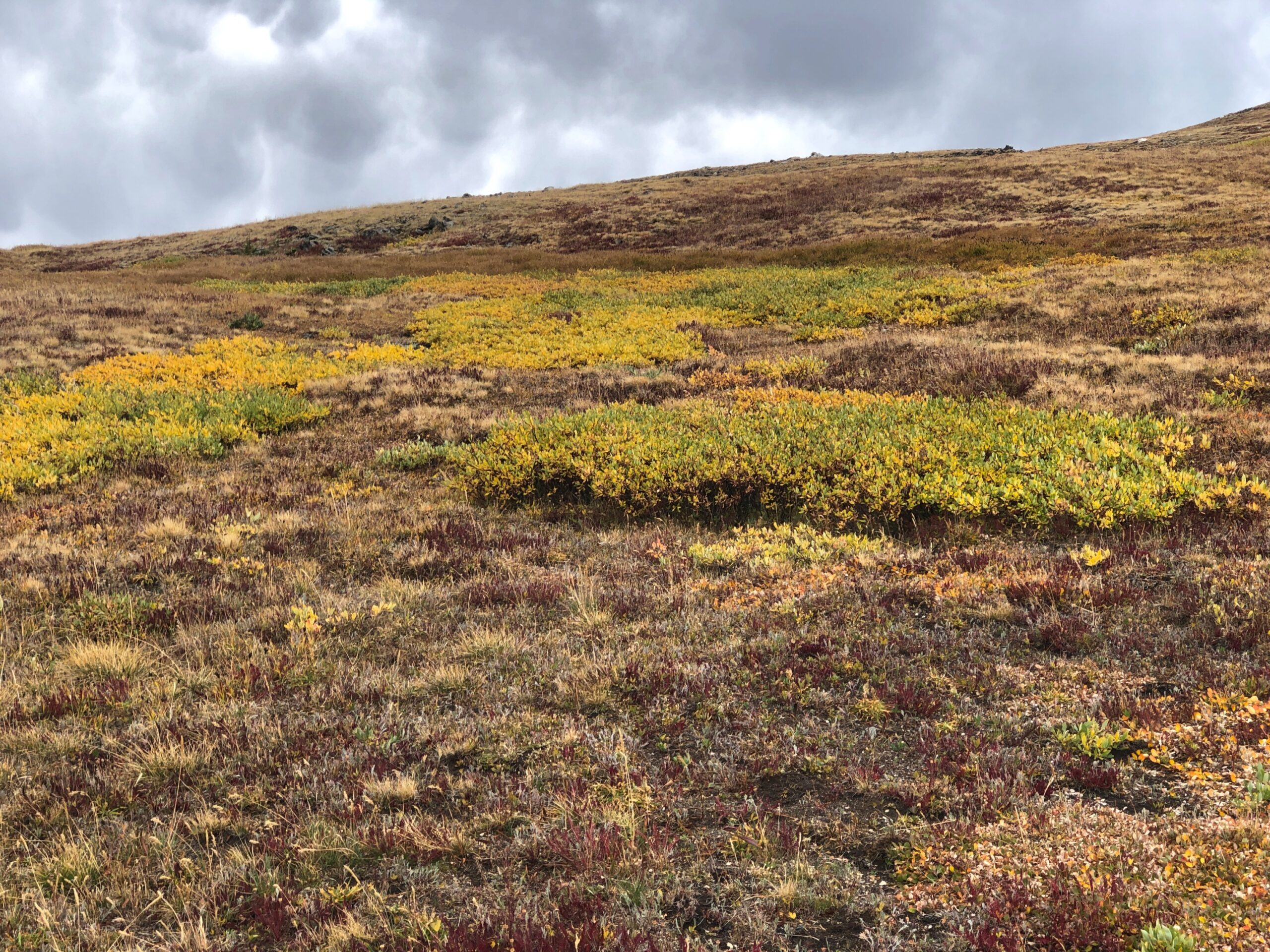
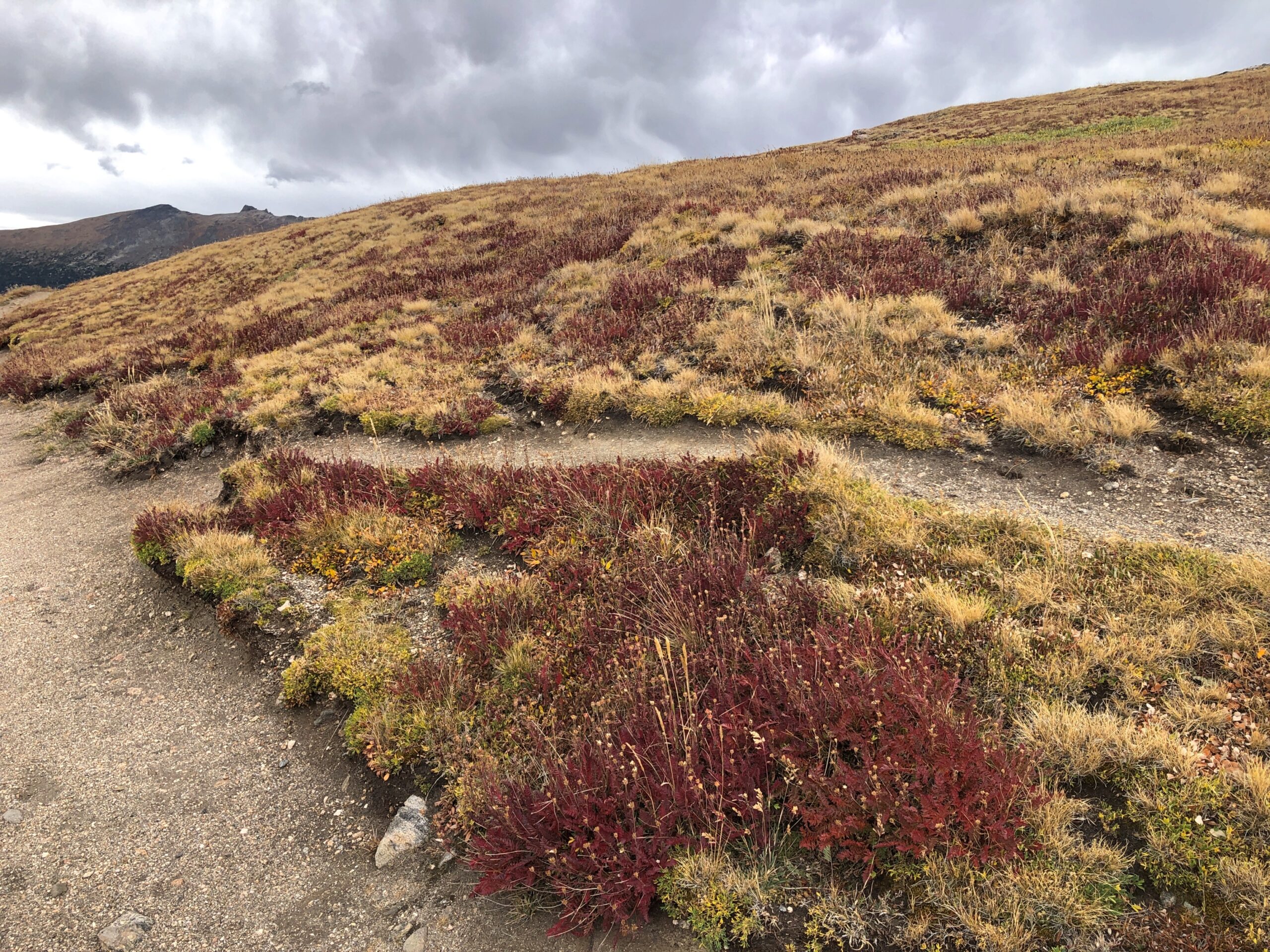
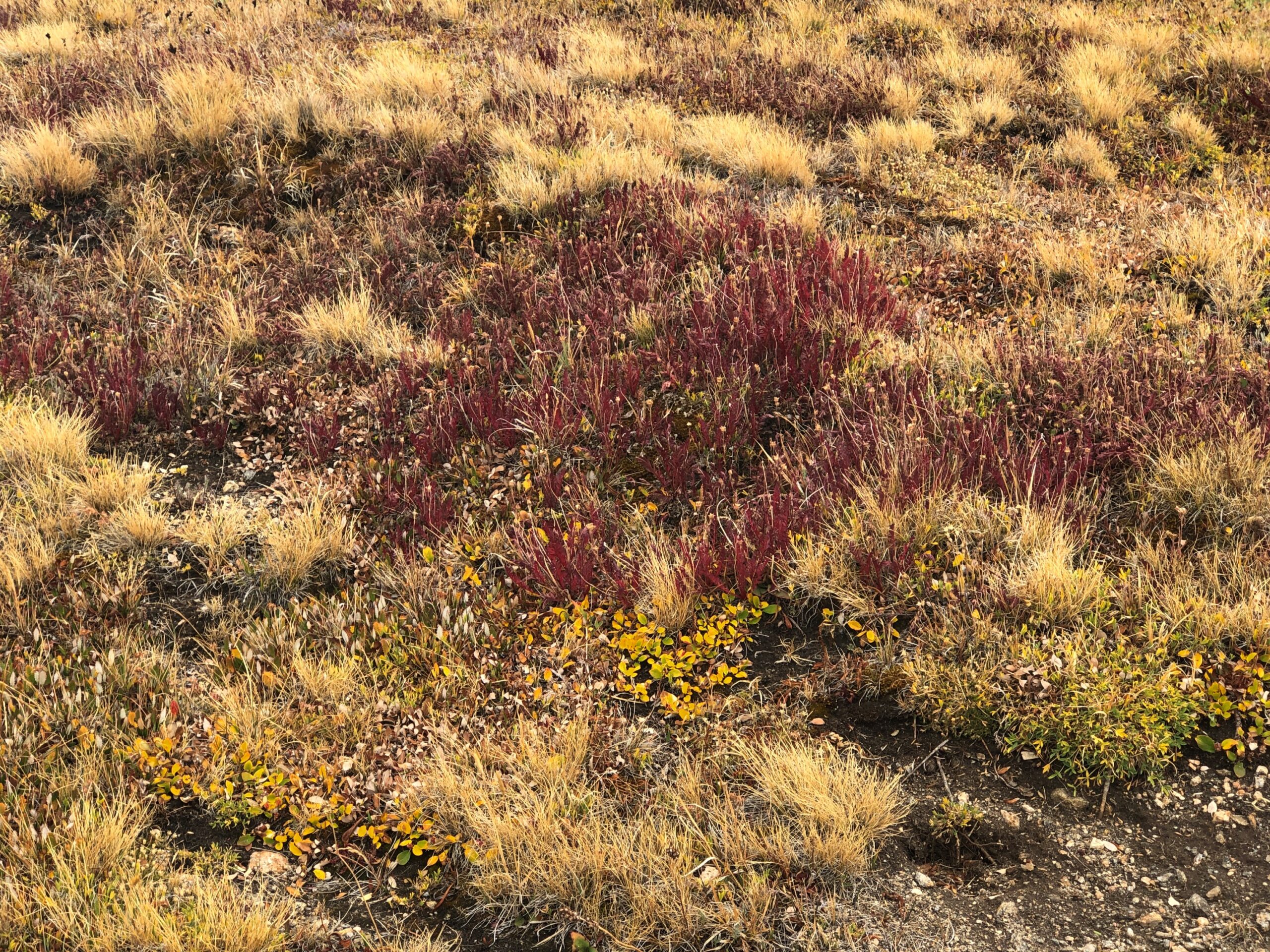
From one of the several pullouts on the road, a path through fields of alpine tundra.
Been a long time since I’d seen any. Back in the Canadian Rockies? No, Alaska. Still, a while ago. We’d reached autumn above the tree line, with the tundra turning.
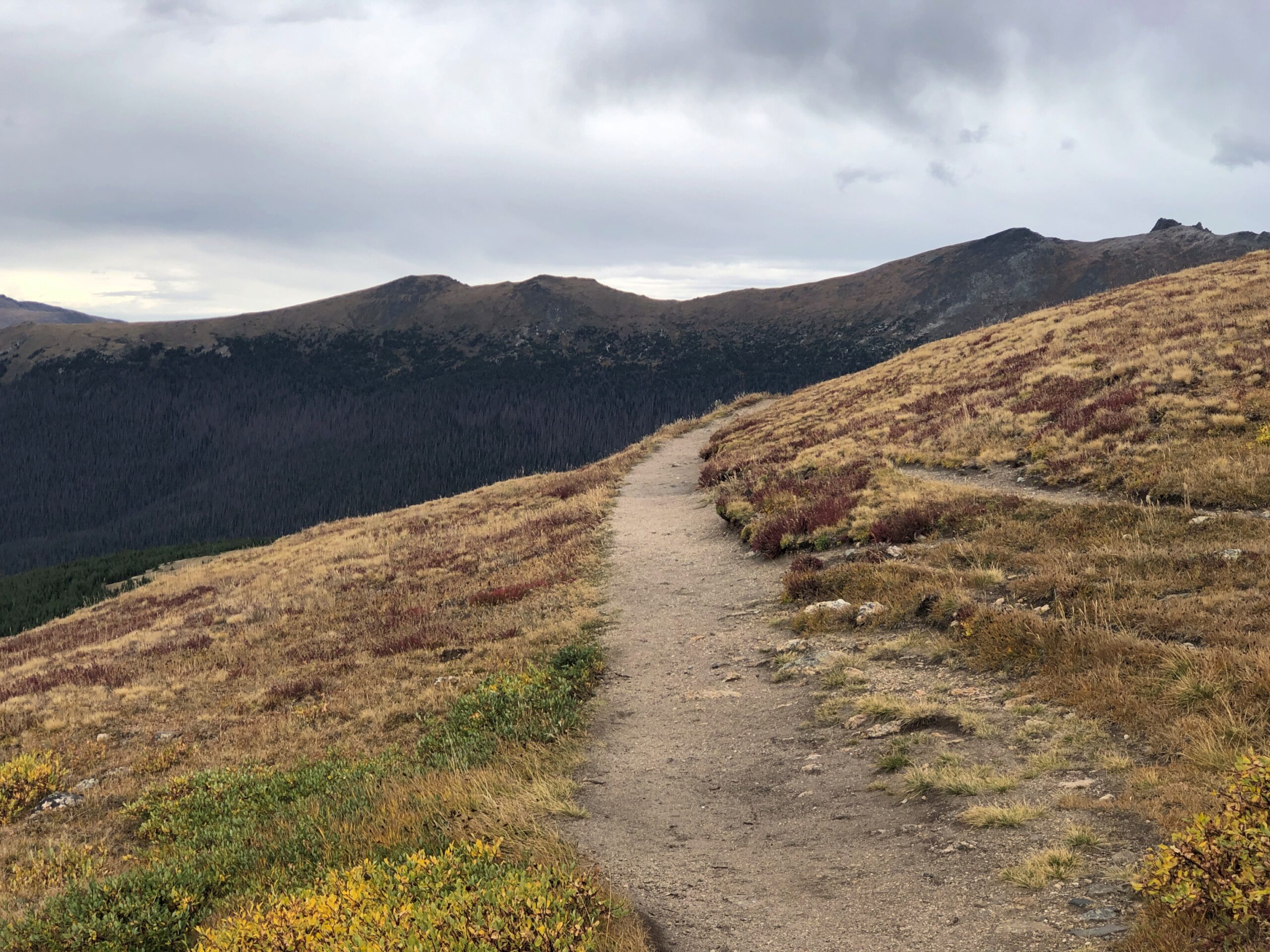
The road goes on.
Who first built the road? There was none when Rocky Mountain NP became a national park, with President Wilson’s signature on the bill. Improvements came later, and of course they were by the CCC.
At the Alpine Visitor Center, parking was hard but not impossible to find. The views are good from there, but if you want the better vistas, you climb some outdoor stairs. Roughly 200 feet of them.
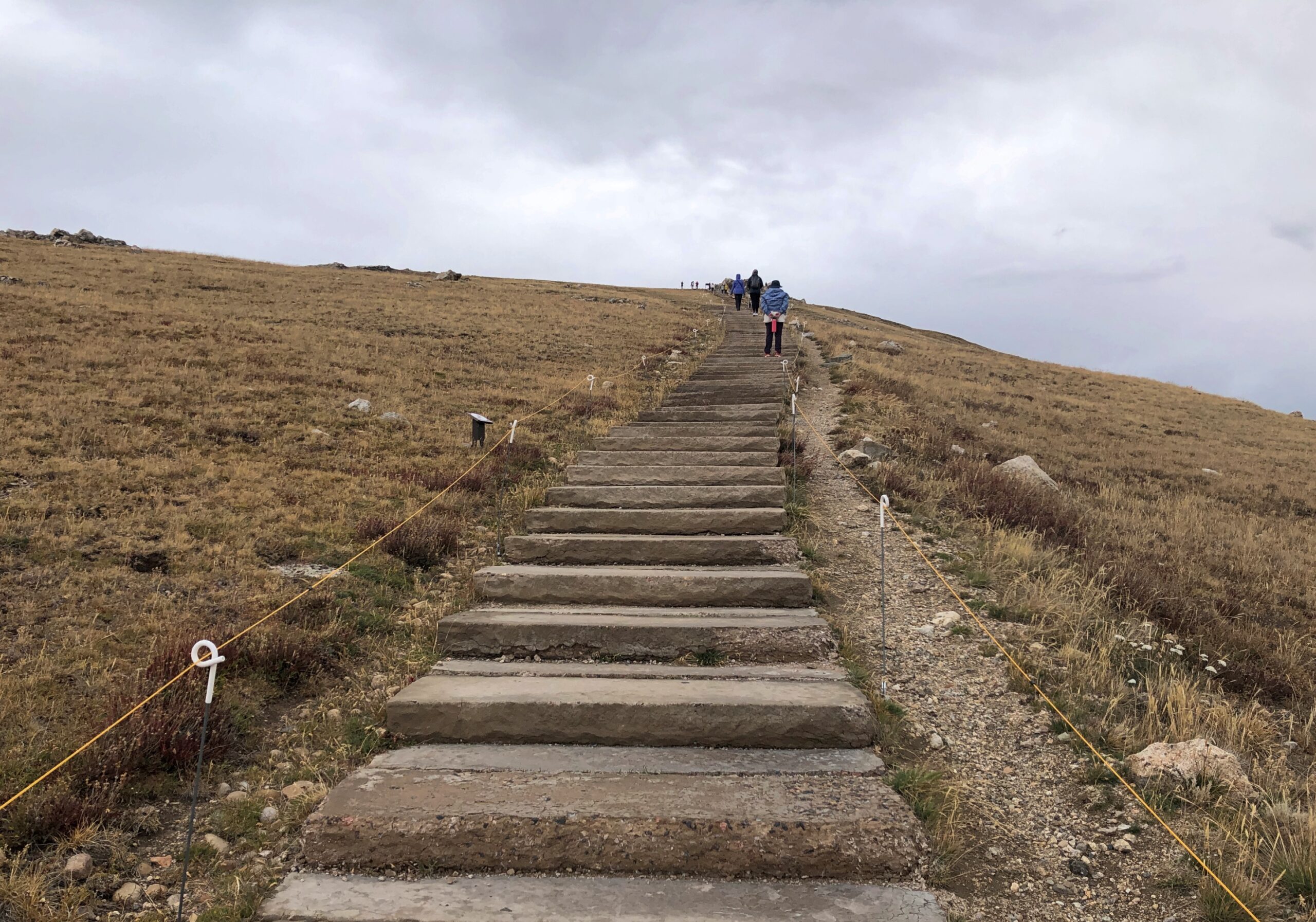
The air was cold and there wasn’t enough of it. Or so it seemed. I took my hiking pole, put on a sweater and cap and started up. I could have bought a small can of oxygen at the gift shop, had I known about it. I saw a woman, clearly older than me, coming up the stairs as I was headed down, pausing to inhale vigorously from such a can.
Yuriko and Emi made it to the top before I did, but by taking a number of breaks, I managed to get to there myself. Just another thing I should have done 30 (40) years ago. But even then, I’d have been tired at the top.
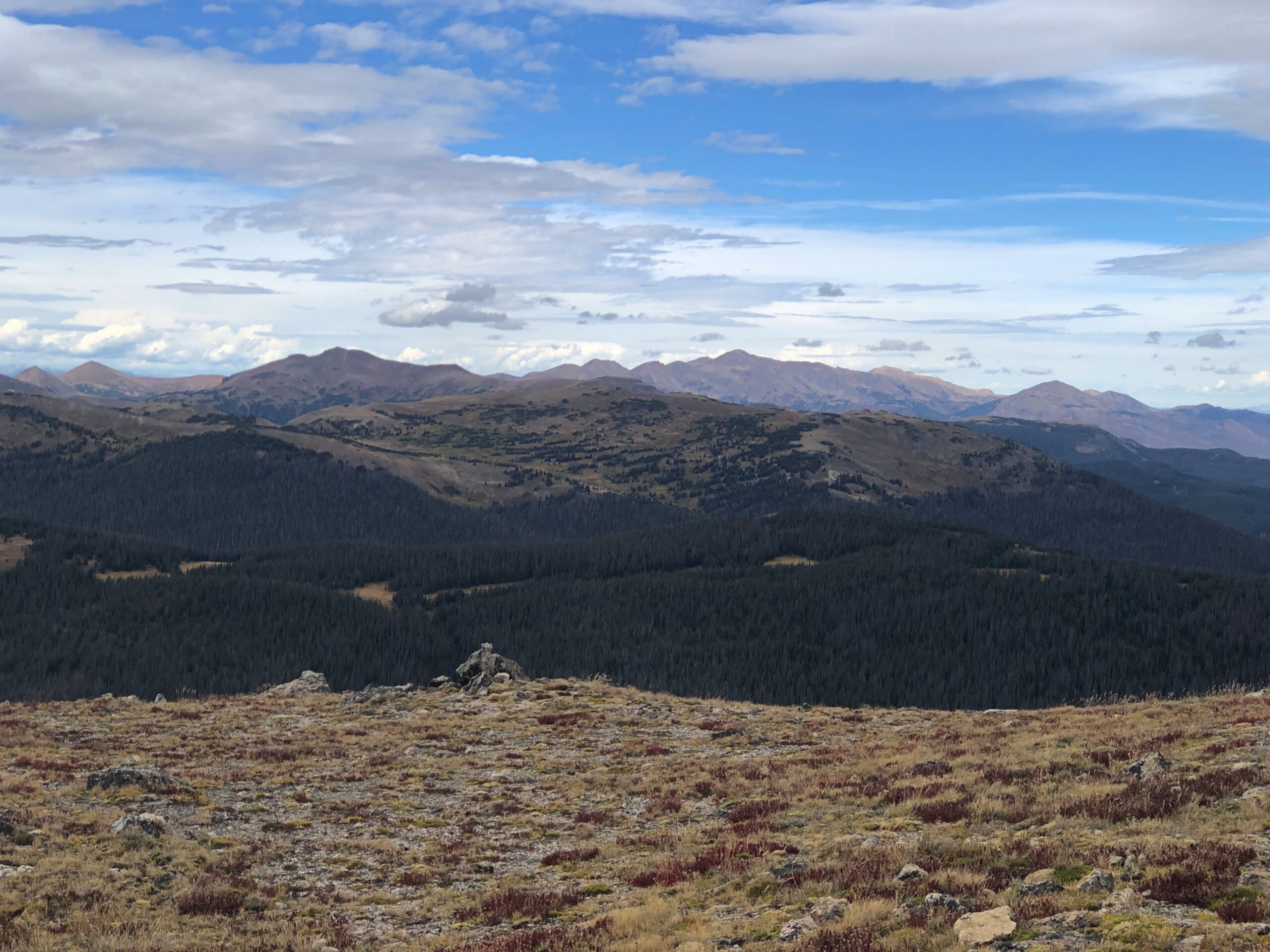
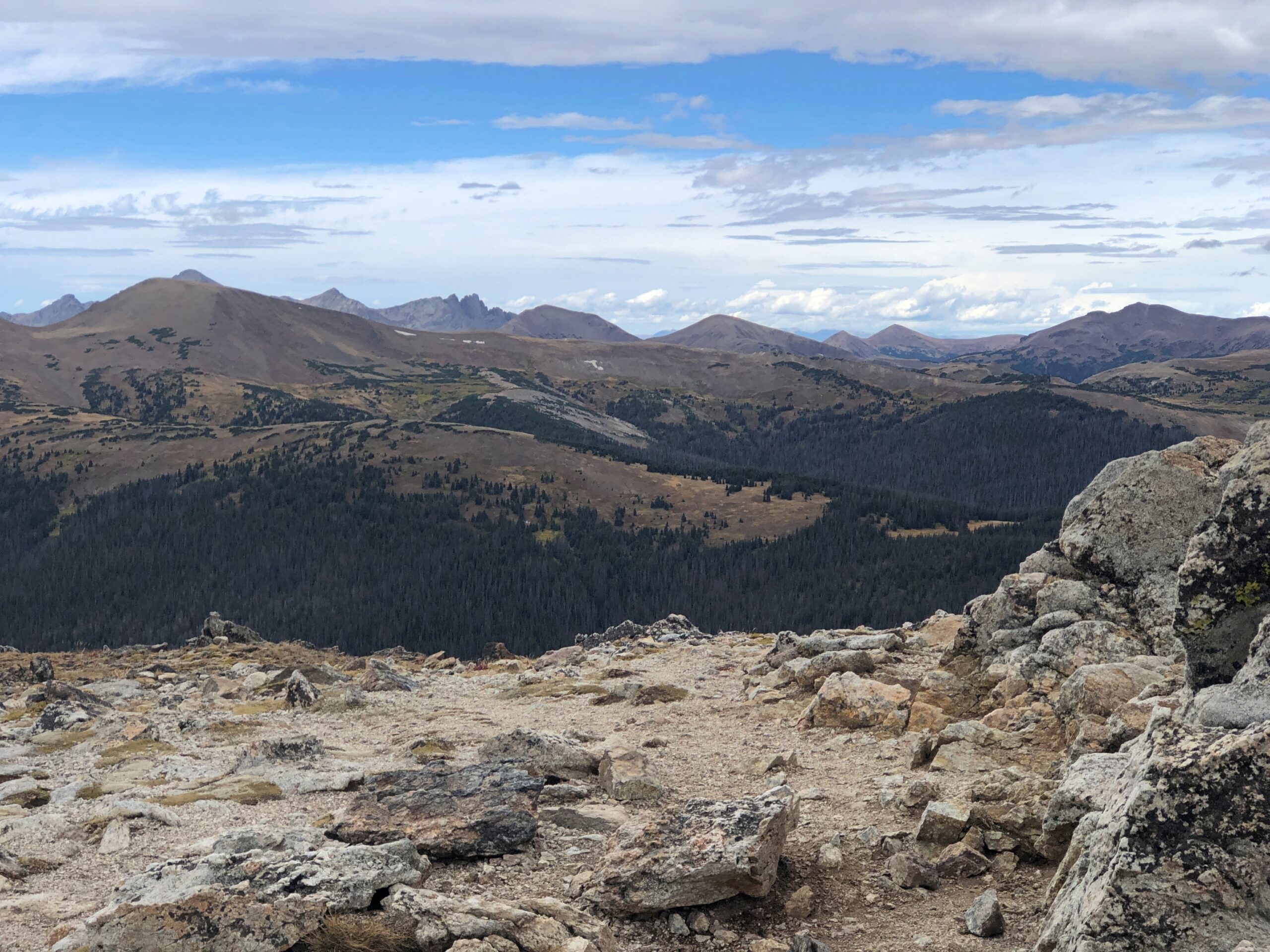
It’s that extra five feet that leaves you gasping, I think. No matter, the view was worth the gasps. Entirely. The images, as usual for this kind of vista, barely convey the scene in its glory. This is going to be a persistent reality over the next few days’ posts.
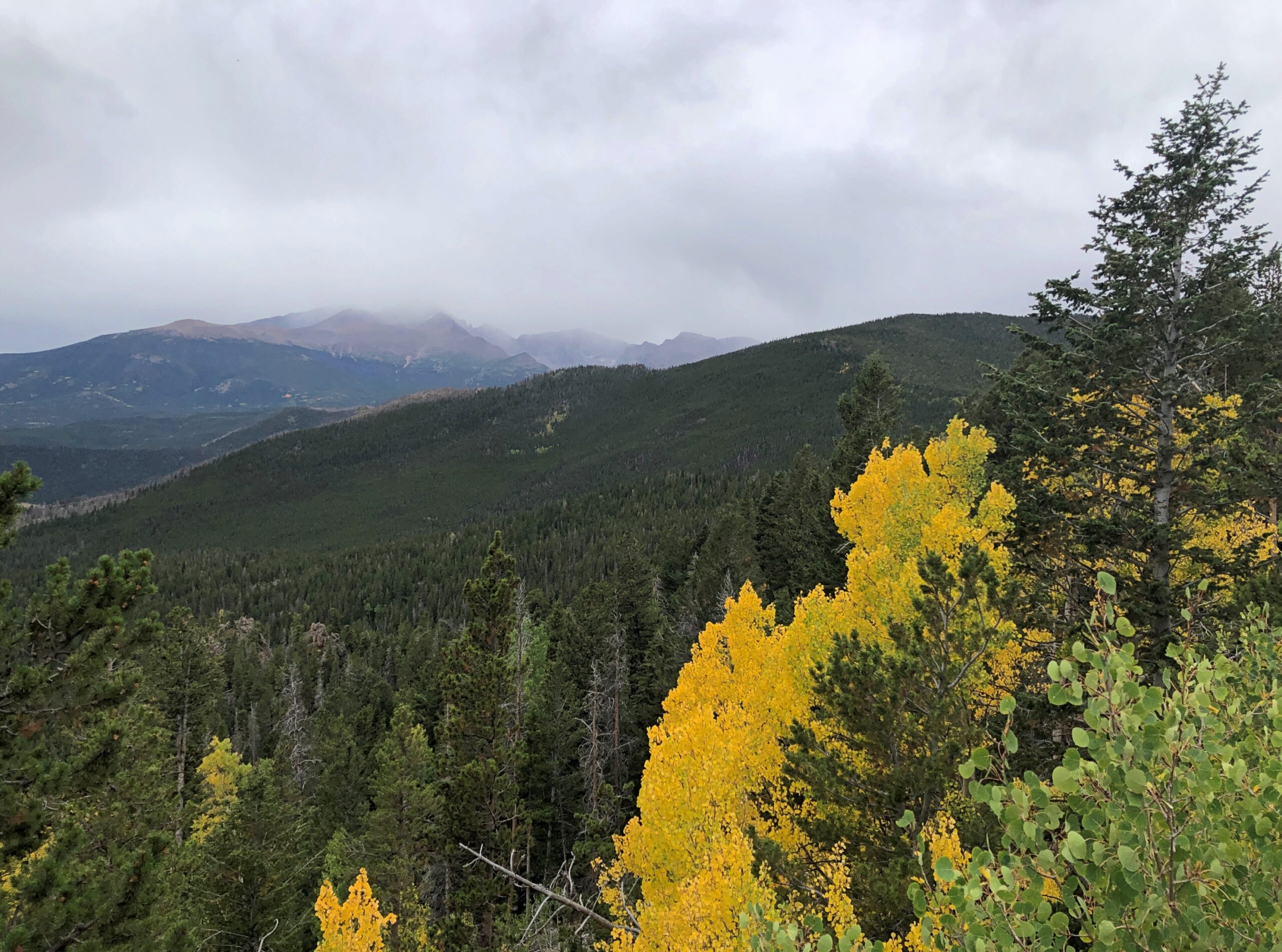
Enough to make you burst out with a rendition of “Rocky Mountain High.” If you had the oxygen. I have to say I was glad to repair soon to a lower altitude, one below the tree line. From the Alpine Visitor Center, the road heads toward the eastern entrance to the park, a good many miles away and several thousand feet closer to sea level.
Before we left the parking lot, we saw a fox — guess that would be an alpine fox, pointy snout, pointy ears, billowing with orange and white fur — trot onto the parking lot, as if it had a car parked there. A young ranger, presumably used to the elevation, took chase. Not to catch the fox, which would have been impossible, but probably to prevent the animal from getting run over. Roadkill is one thing, but parking lot kill would have put a small dint in the scenic wonder all around. Anyway, the fox headed for the slopes.
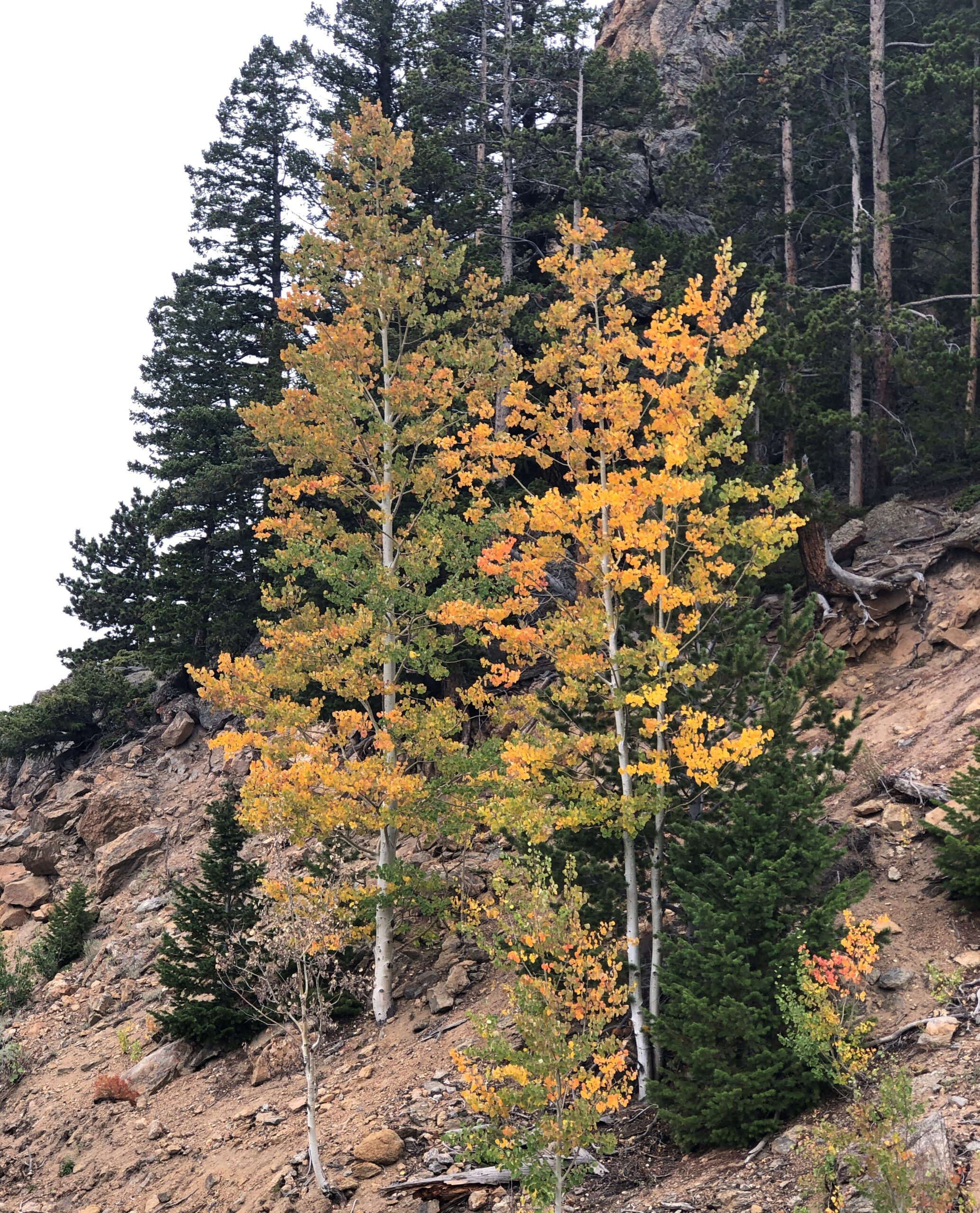
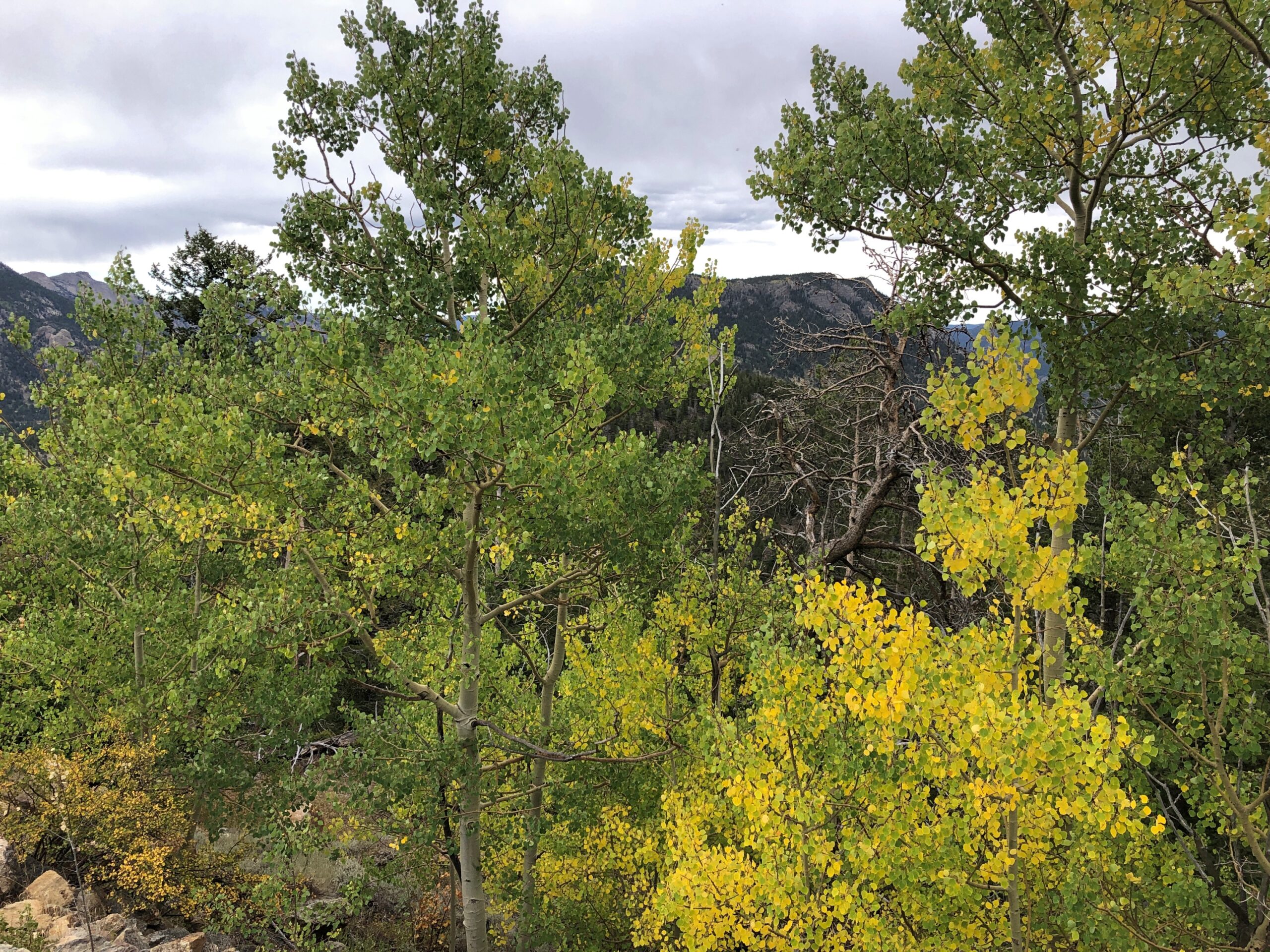
Not only was the air better below tree line, fall foliage was well under way, something we haven’t gotten much of even now here in northern Illinois, though it won’t be long.
One down, three to go. One of the marvels of Colorado’s four national parks is how different each of them are from the others, as we would soon see for ourselves.