Americans know their national parks – the famous ones, anyway – but how about their national preserves? A similar, yet different sort of designation by Congress. I don’t know all the details myself, but one thing is that resource extraction seems to be possible in limited ways at least some of the 21 preserves, but not at all (?) in the 63 parks. Regardless, preserves are different places on the maps, though they are often adjacent to parks.
Such as Big Cypress National Preserve, which is a large chunk of Florida next to Everglades NP.
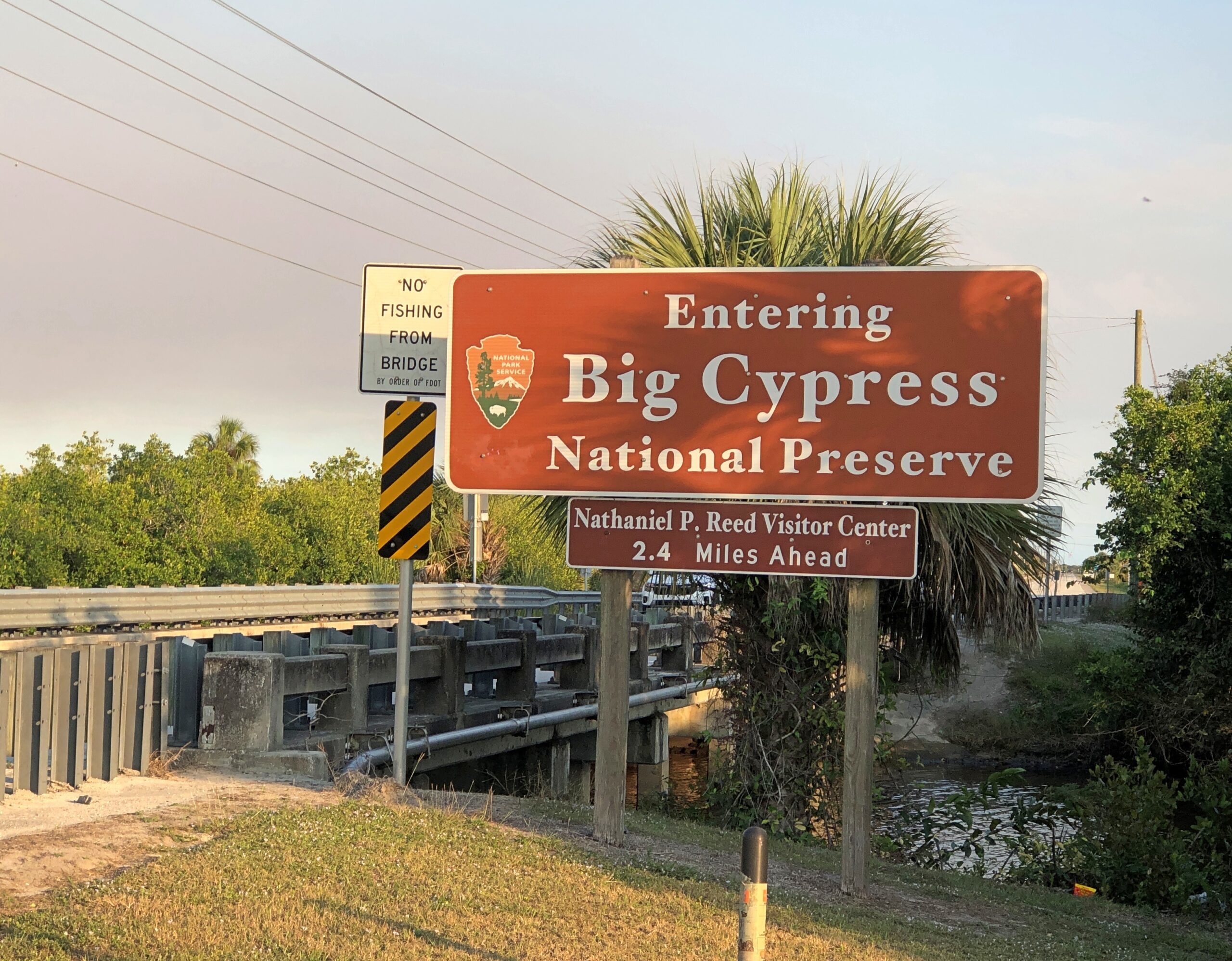
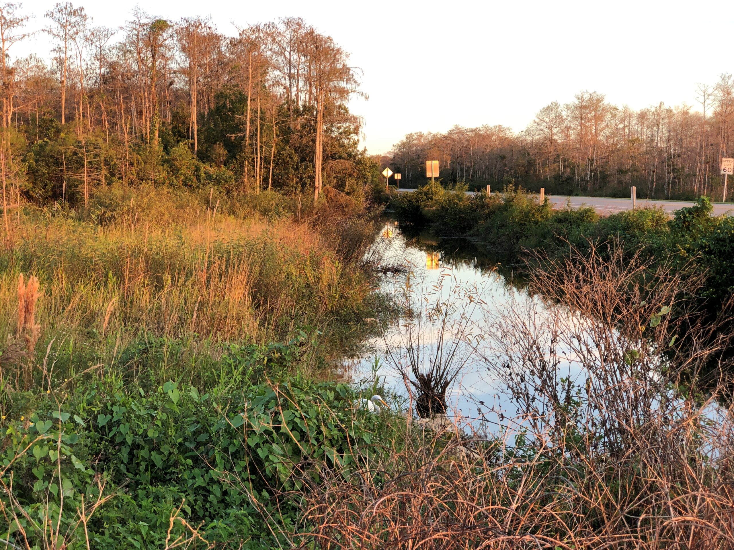
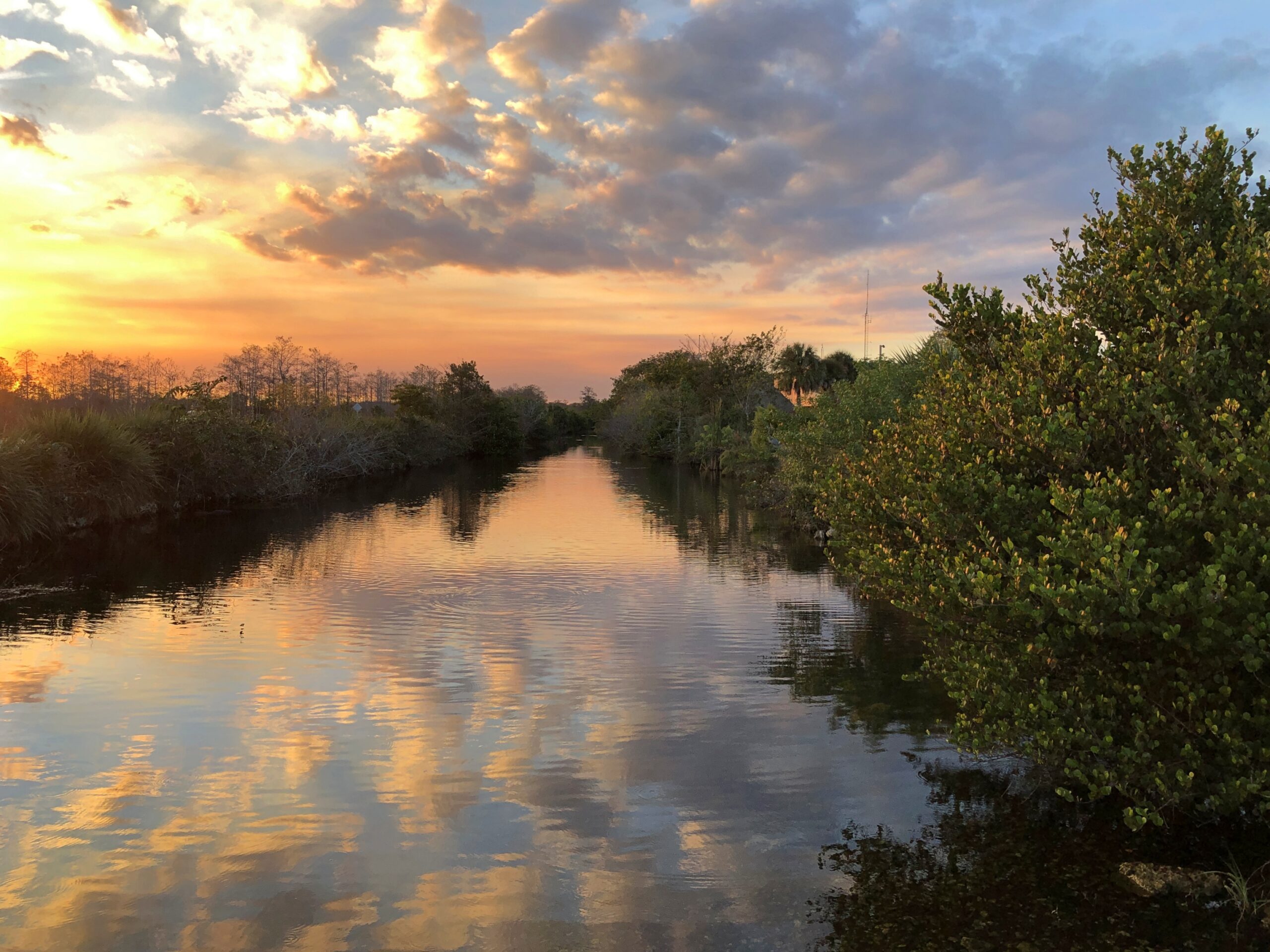
Head south from metro Orlando on US 27 and eventually – and it takes a while – the suburban aspects peter out and give way to agriculture, especially citrus and sugarcane. At a hamlet called Palmdale, the highway Florida 29 continues the trek south, meeting both I-75 (Everglades Parkway, Alligator Alley) and US 41. By that time, agriculture has given away to (mostly) undeveloped wetlands. Swamp, in the old days, but in fact the preserve and the park don’t qualify as such. We picked US 41 and headed east, into the thick in the Big Cypress.
Daylight is short in December, even in southern Florida, so we barely had time to traverse US 41 before losing the light. But we managed a few stops.
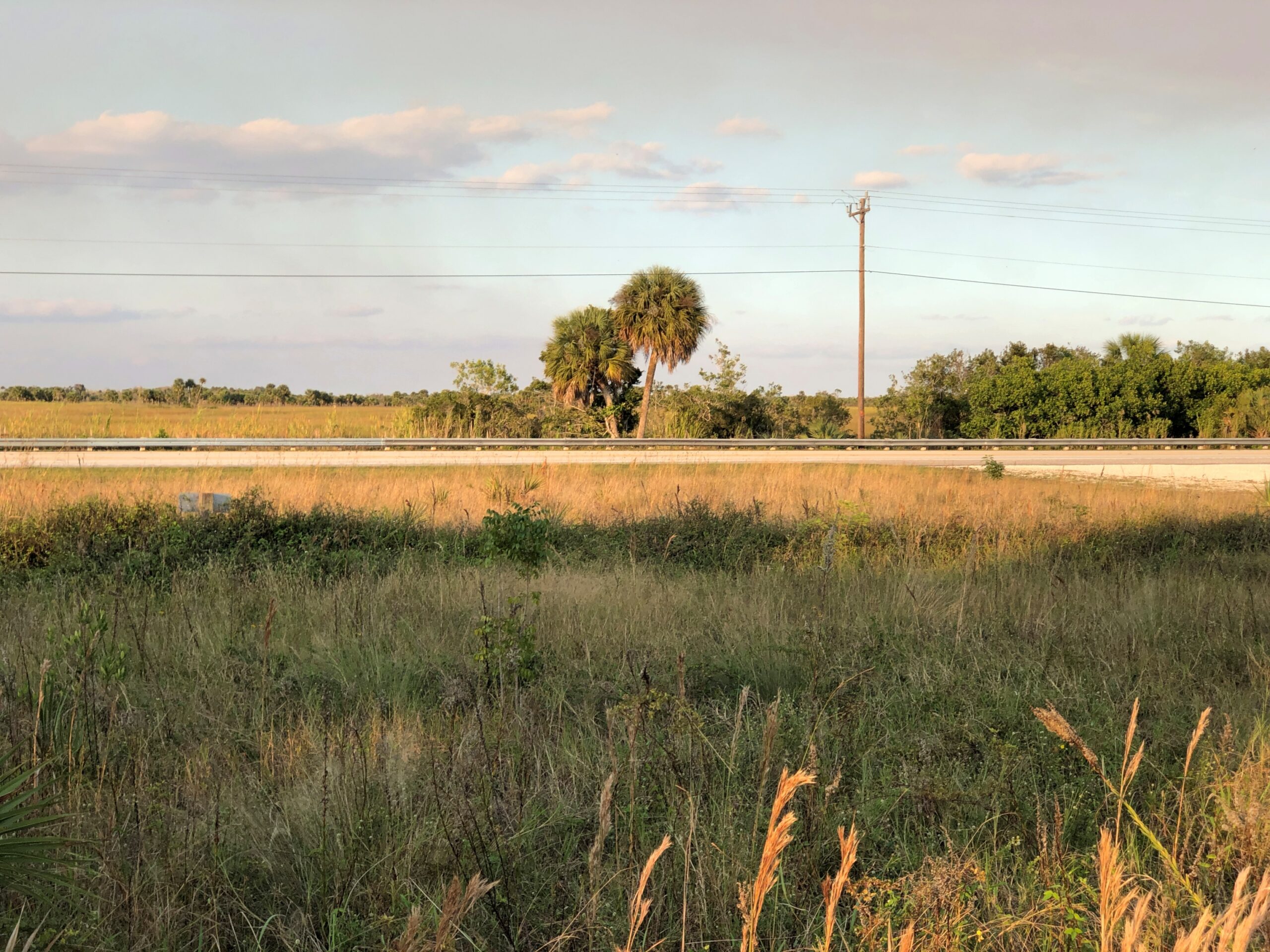
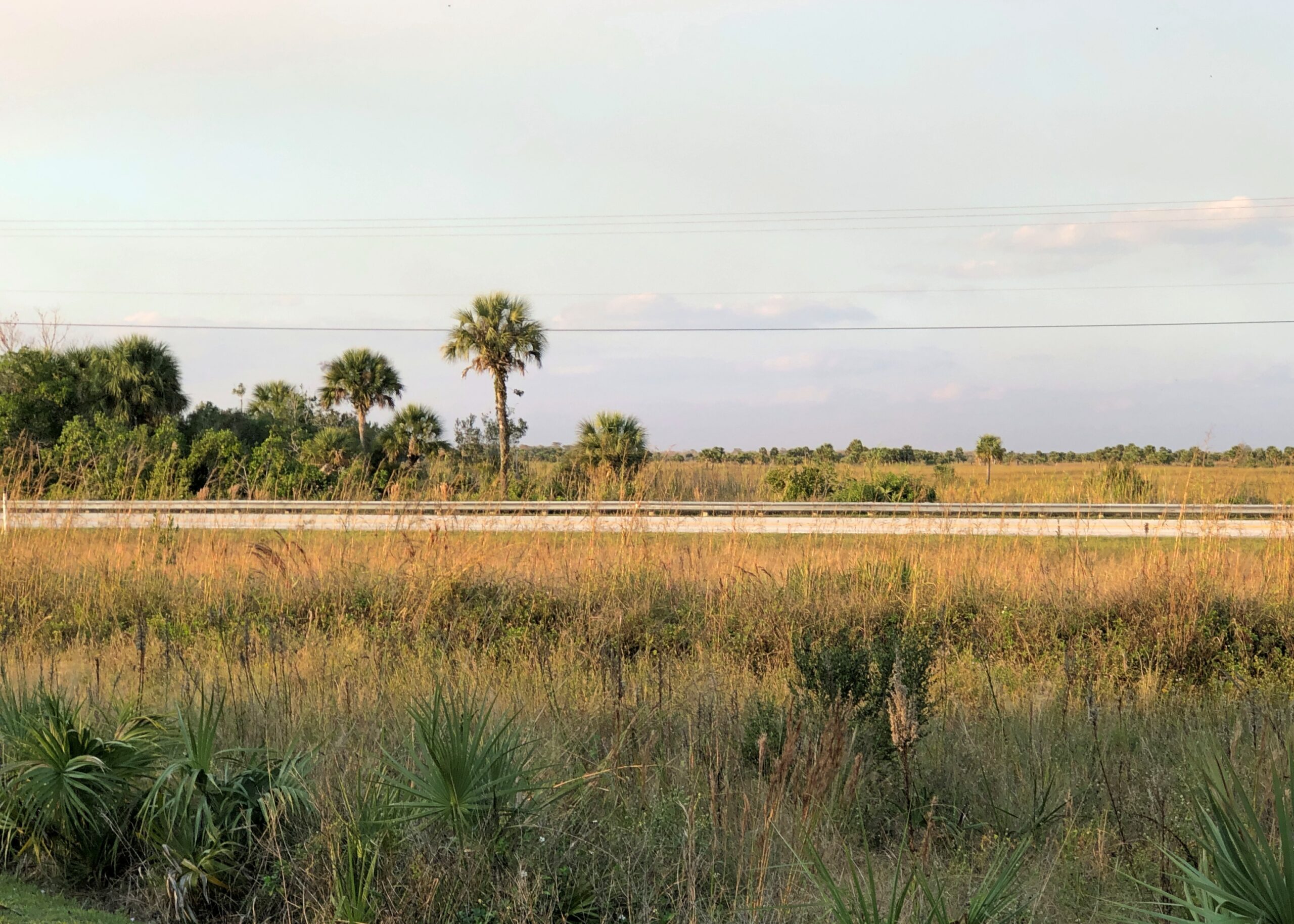
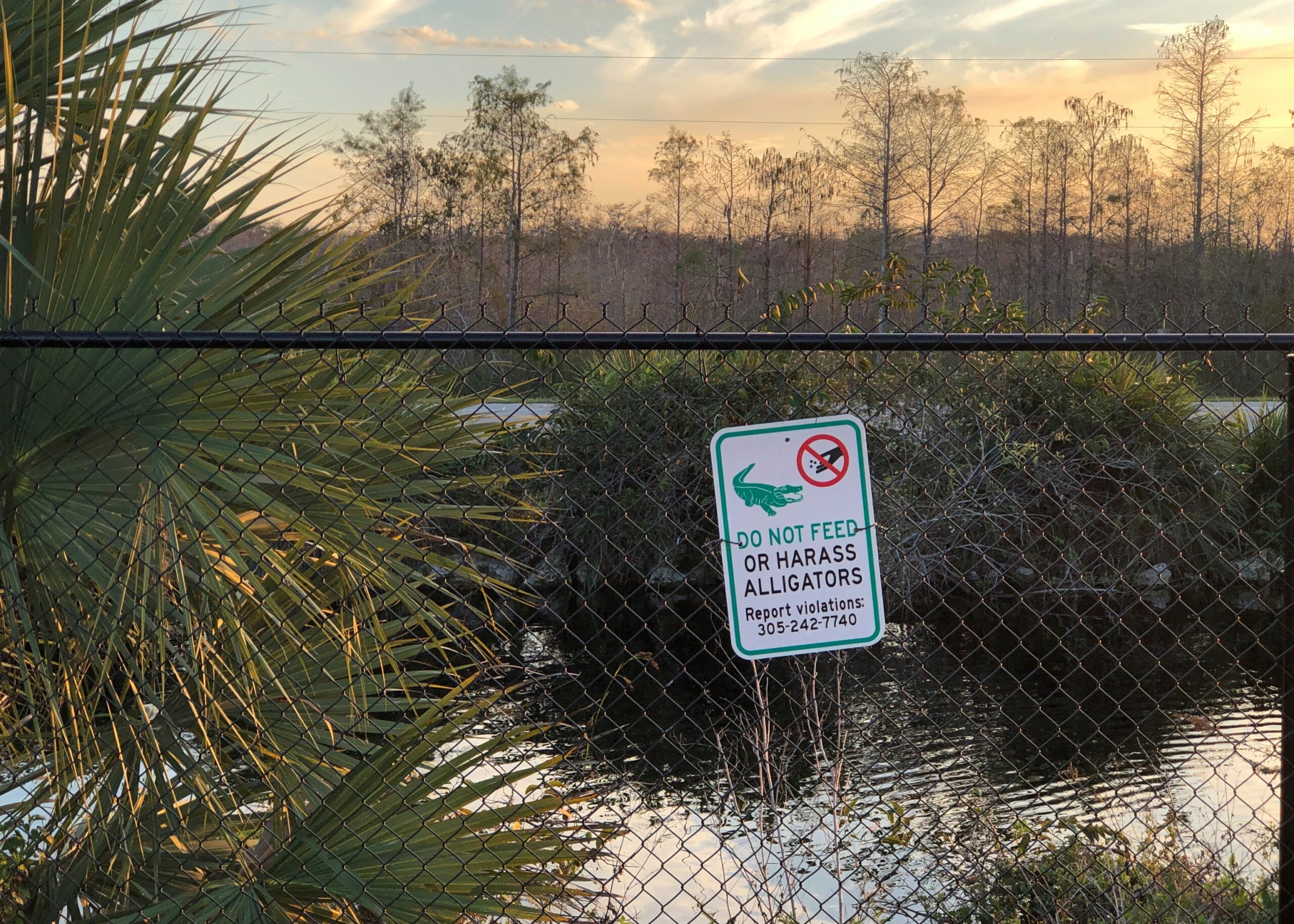
The territory was behind fences in some spots.
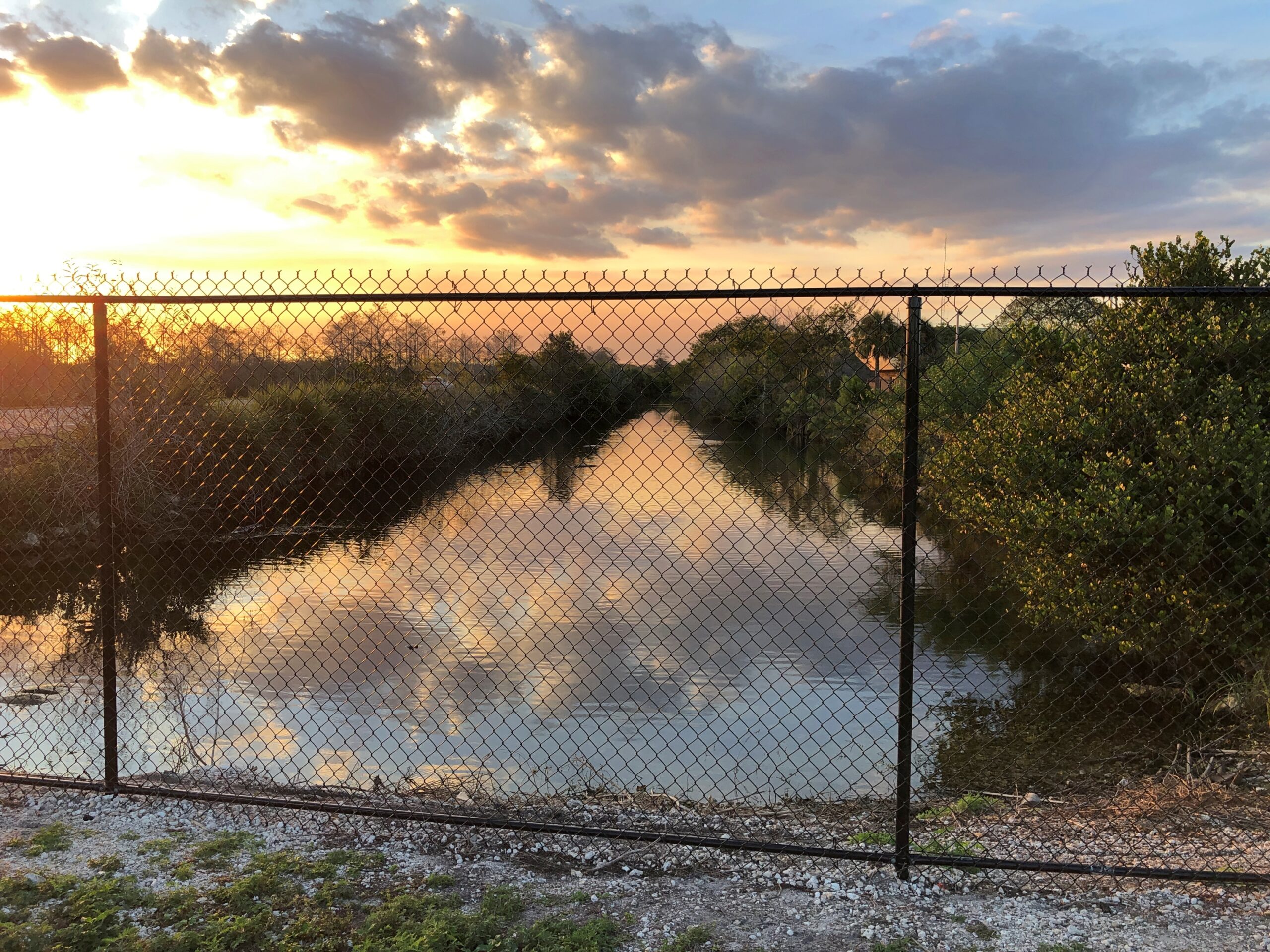
Mostly not.
By dark, we’d passed out of the preserve and on to the edge of the national park. Much of US 41 – known as the Tamiami Trail in part of Florida according to various sources, but not on any signs that I saw – is under construction toward its eastern end, meaning a tight drive through concrete barricades, everyone’s least favorite kind of driving. Under reconstruction, that is, and for good reason.

“The Tamiami Trail (U.S. Highway 41) has long been recognized as one of the primary barriers to flow of water through the ecosystem,” the NPS notes. “The need to eliminate barriers to overland flow of water in the Everglades is considered one of the indisputable tenets of restoration. Much scientific information amassed in recent decades reinforces the importance of removing these barriers to water flow in order to restore natural marsh connectivity.
“In 2009, Congress authorized implementation of the plan selected in the 2008 Modified Water Deliveries to Everglades National Park, Tamiami Trail Modifications, Limited Reevaluation Report (LRR) … The LRR plan would improve potential marsh connectivity, reduce sharp changes in water velocity, and improve rainy season depths and durations. In addition, these modifications will improve the ridge and slough landscape and fish productivity, which could result in increased foraging success for wading birds.”
It makes for a temporarily unpleasant drive, but I think we can all get behind increased foraging success for wading birds and other worthwhile eco-goals for the much abused Everglades. Now only if the plan could do something about Everglades pythons.