It’s been a year of getting near Canada — Buffalo and Detroit so far — without crossing the line, since the border remains stubbornly closed even now.
That wasn’t the case 15 years ago this month, when we drove from Illinois to Alberta by way of the Dakotas and other places. At the time I wrote: “So, to sum up: very long drives, a lousy exchange rate, high fuel costs. Was it worth it? Was it ever.”
What is it about mountains? Pre-modern generations considered them obstacles to their forward motion. Now that we have mountain roads and tunnels, we admire the view. Do people who live close to mountains take trips to see flatlands? That makes me think of busloads of Swiss out admiring Kansas, but I don’t think it works that way.
Anyway, it was a trip of wide horizons, long roads, lofty mountains, mighty waters (liquid and frozen), endless forests, vivid wildflowers, sweeping Canadian farms, campsites, elk and bears and bison, clouds of mosquitos, national parks, vistas and towns of the tourist and non-tourist variety.
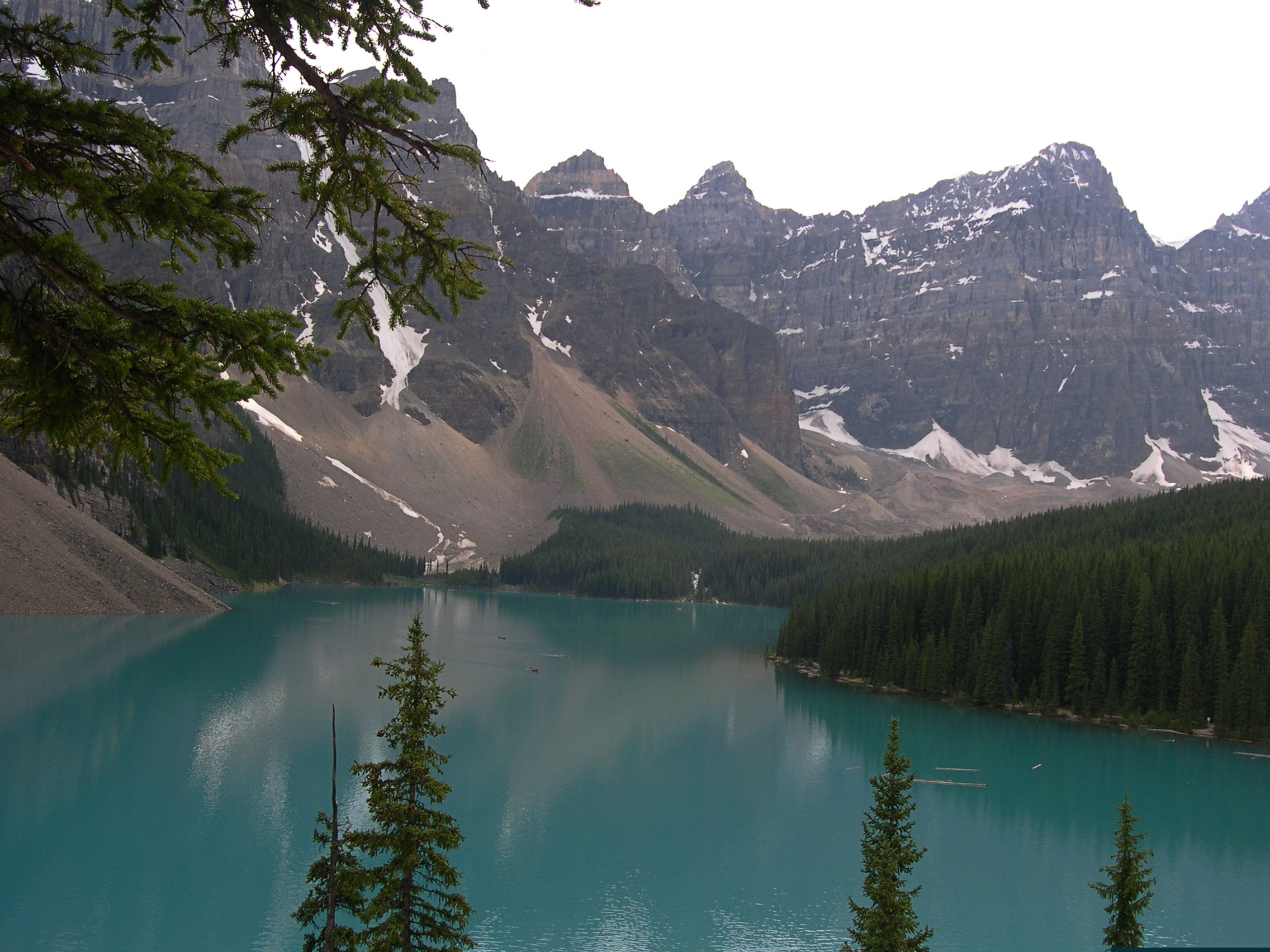
Moraine Lake and the Valley of the Ten Peaks. Too good a vista not to post again.
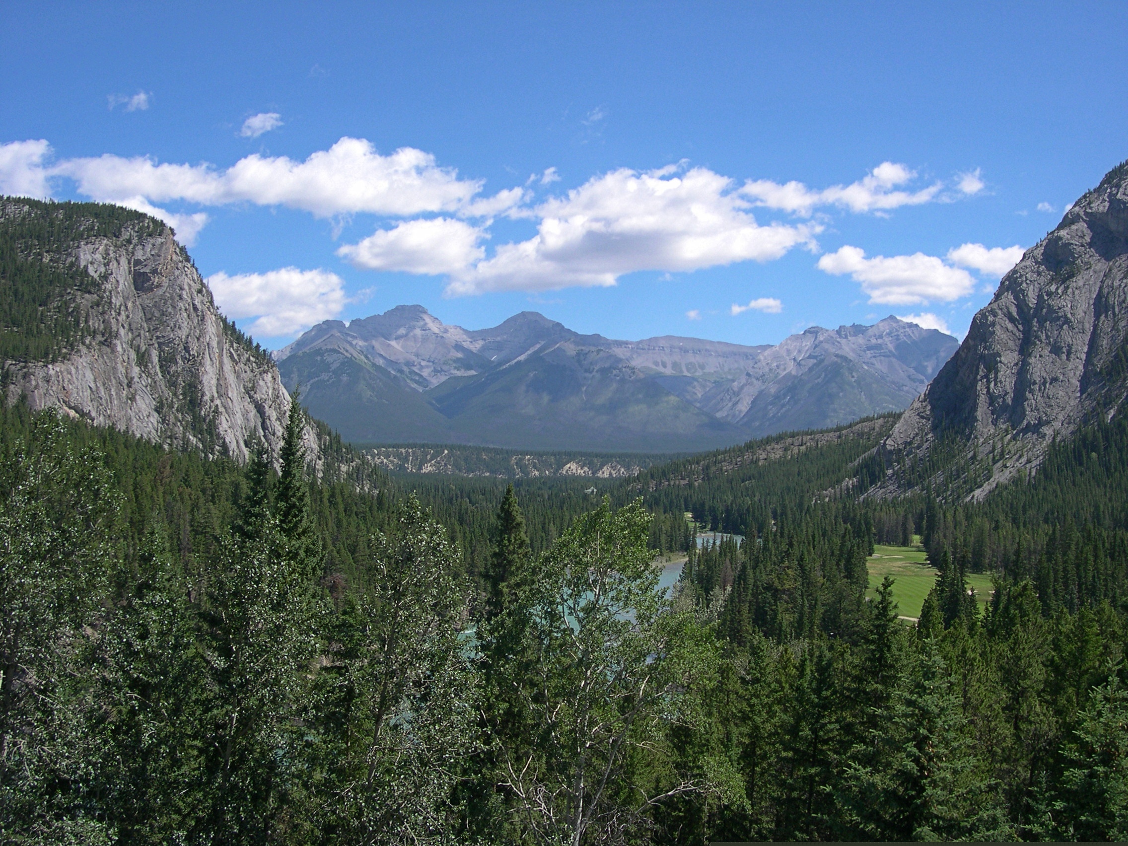
This looks like a view from some remote spot, but actually I was standing in back of the Banff Springs Hotel in Banff, which was a sight all its own.
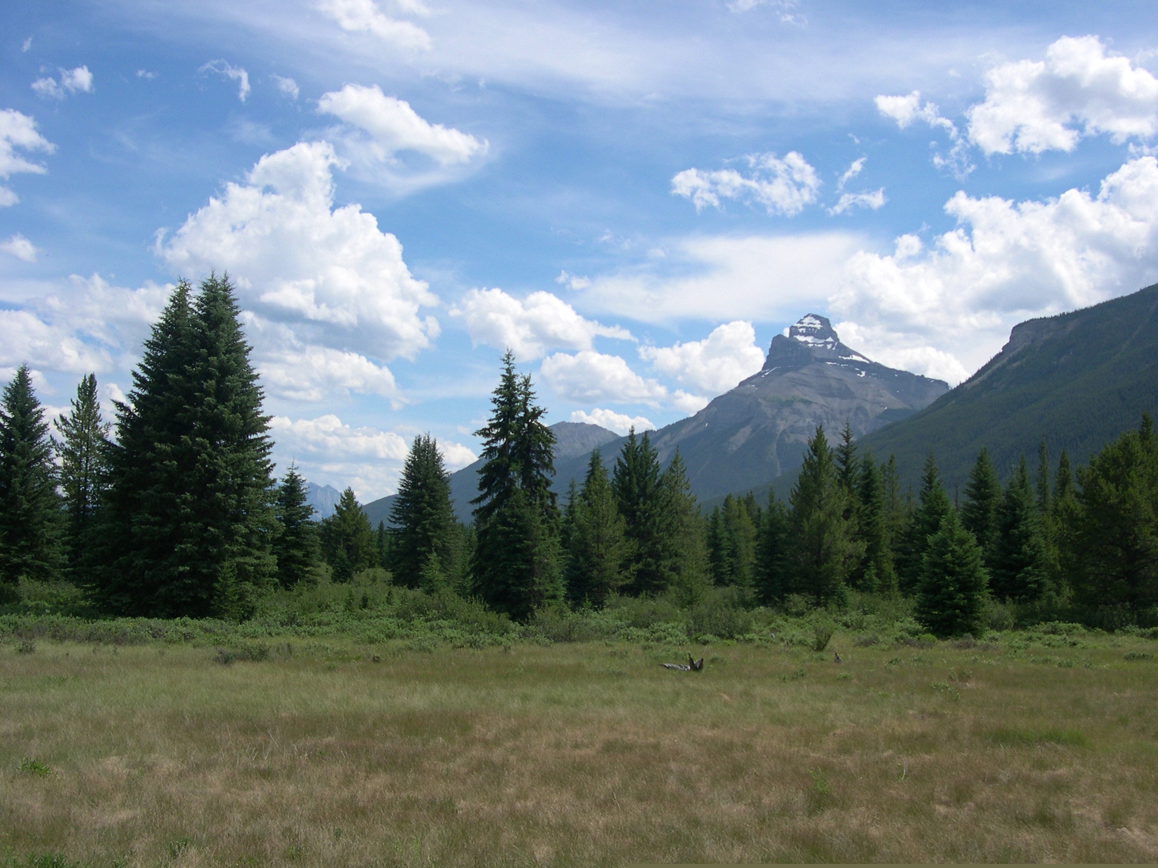
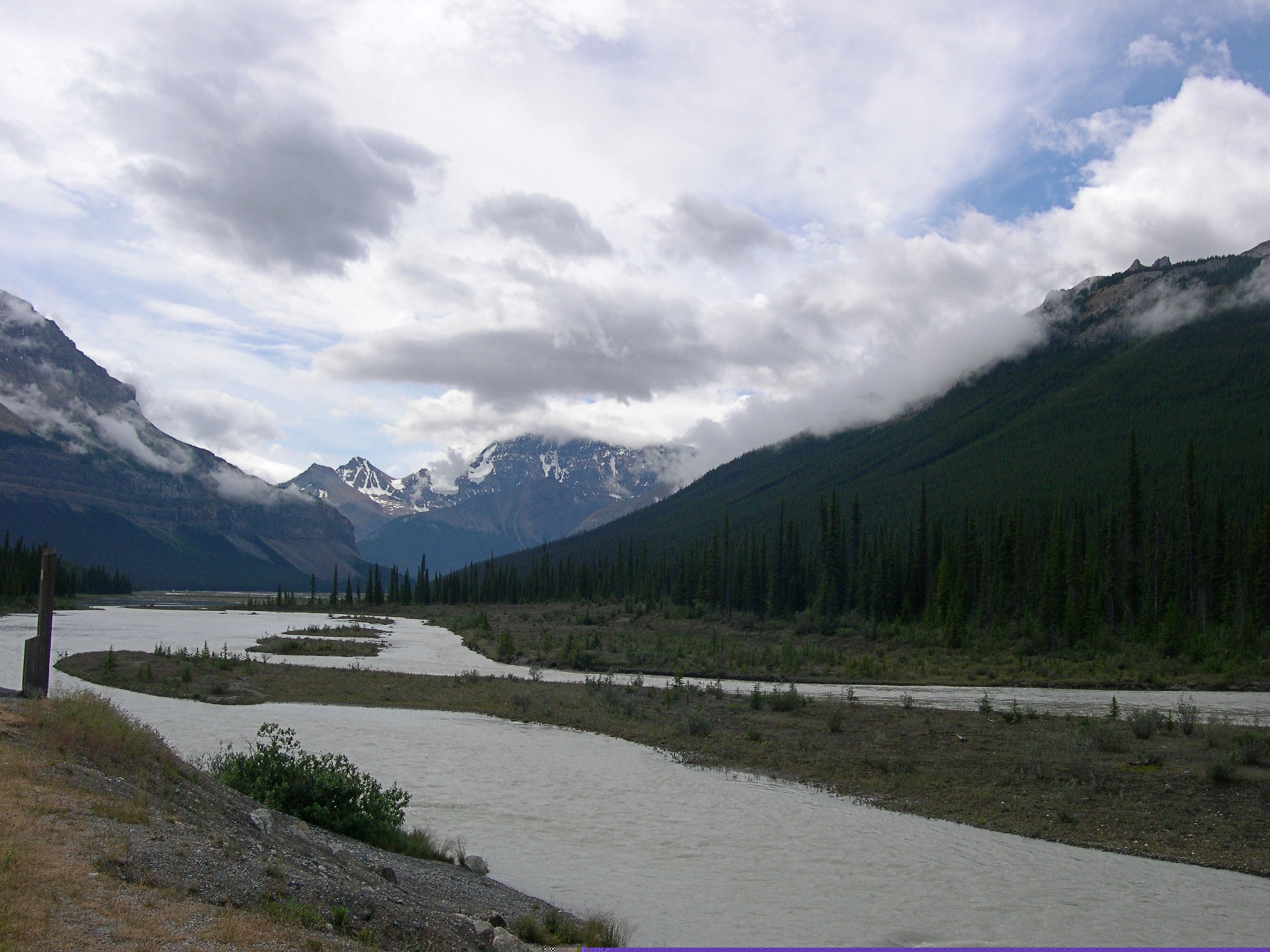
This view, on the other hand, is roadside on the Icefields Parkway, which remains one of the great drives of my life. A place called Moose Meadows.
More Alberta views.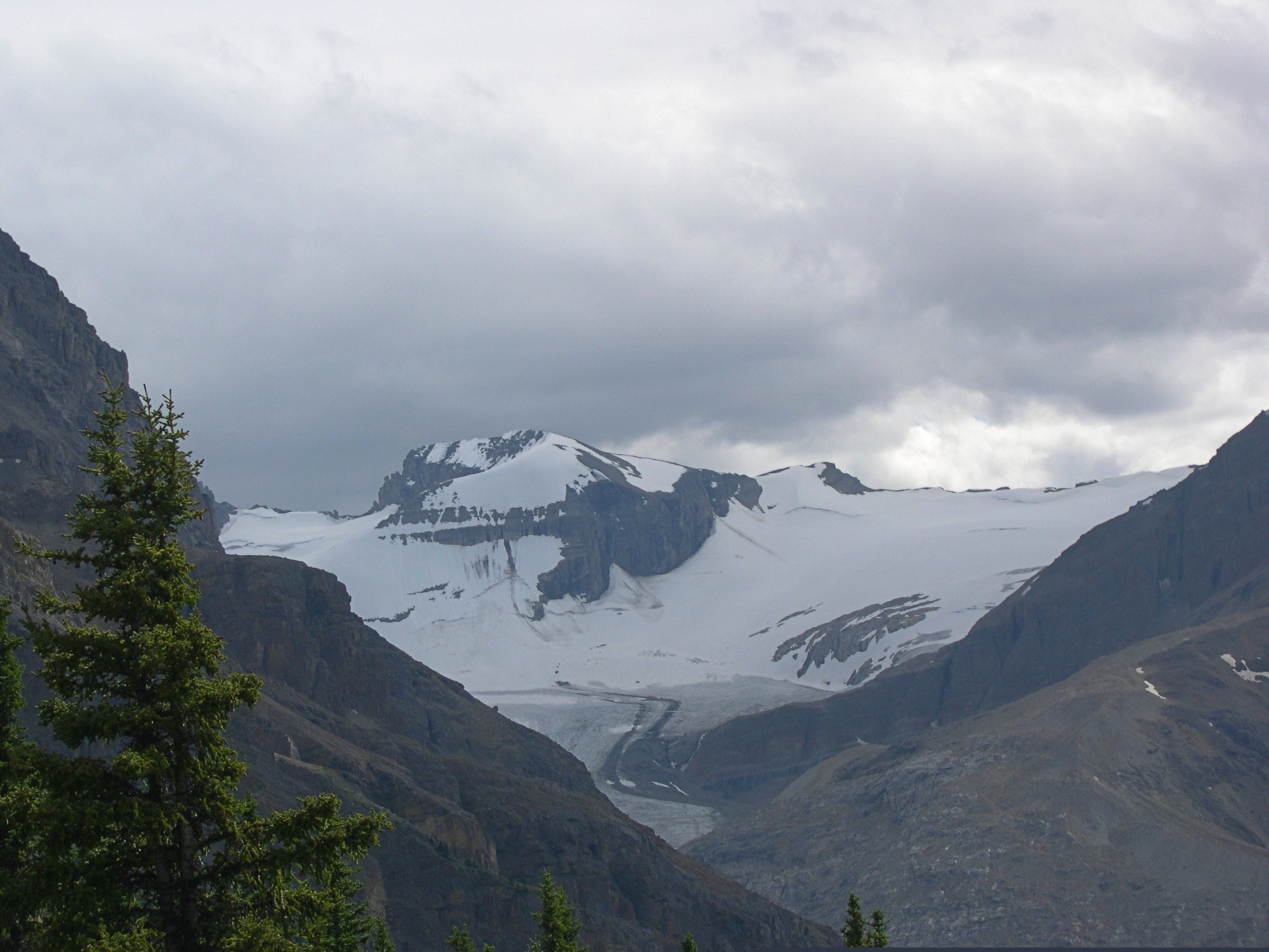
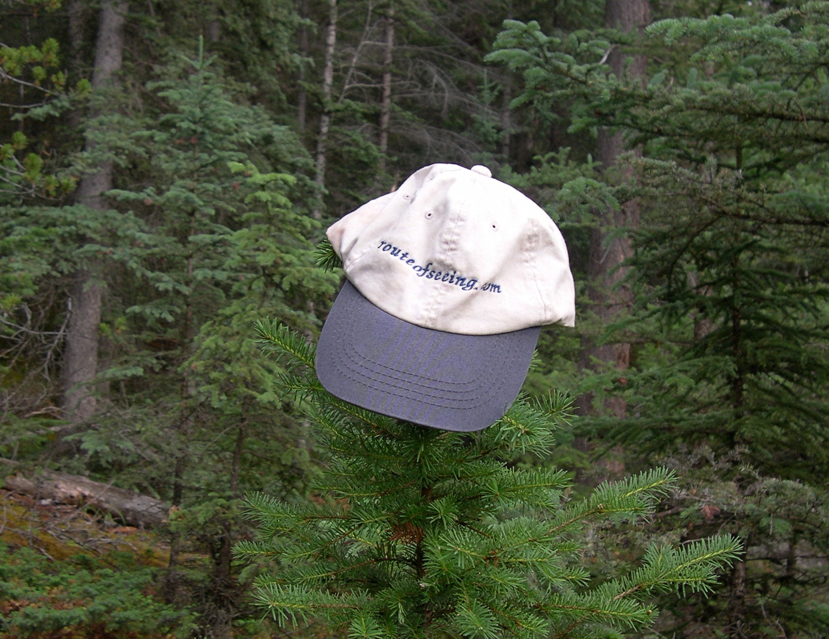
I told Ed Henderson (d. 2016) I’d take the cap he sent me various places. I haven’t lately, but I did for a while.
The girls had a good trip.


Even if they don’t remember much, in the case of Lilly, or anything at all, in the case of Ann.

