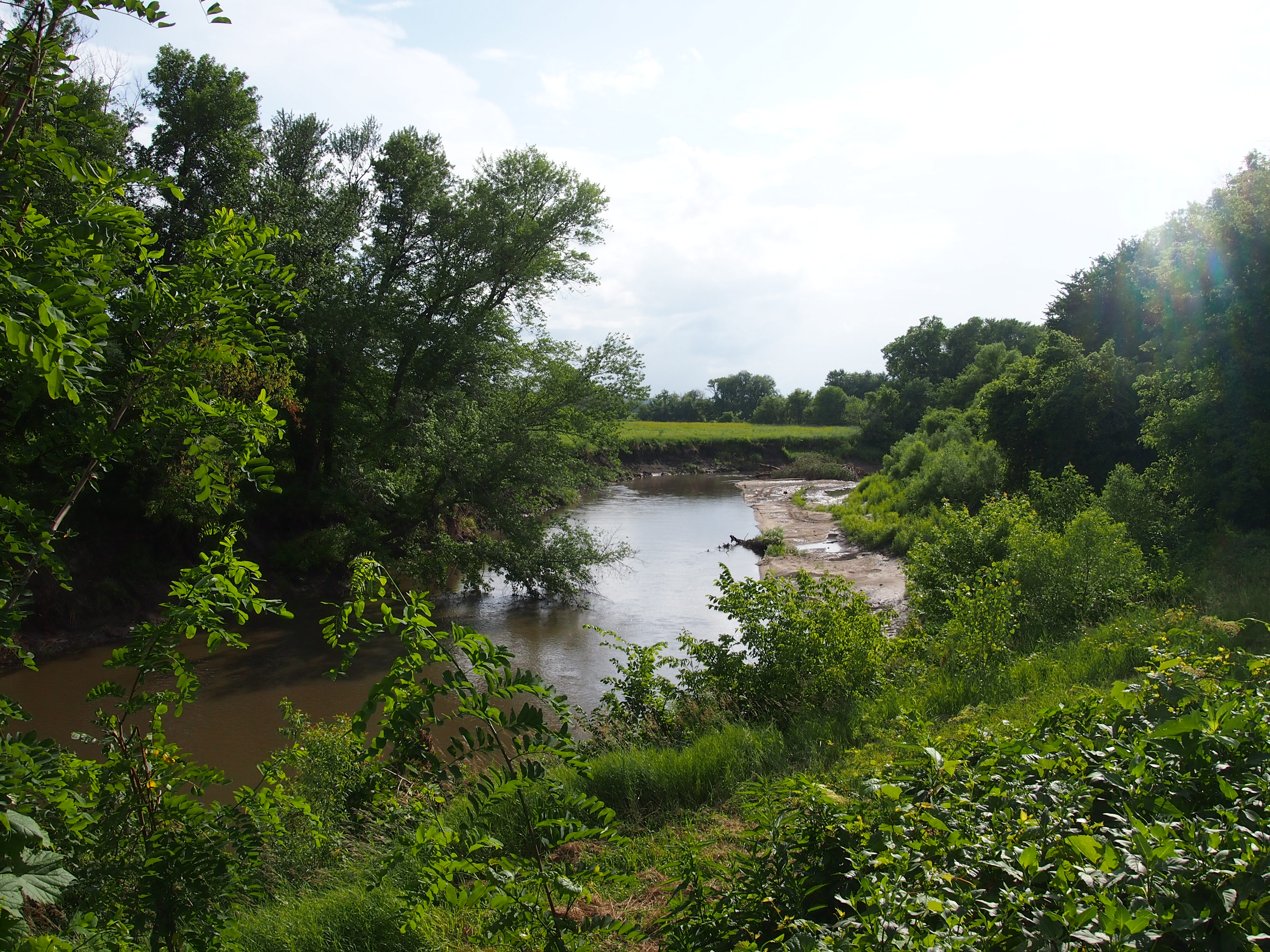
Or, back to visit Herbert Hoover. Not that President Hoover’s a particular favorite, but we were out that way. It started late Thursday afternoon, when all of us got in the car and headed westward, eventually putting up for the night in Moline, Illinois, one of the Quad Cities, our first of two nights there.
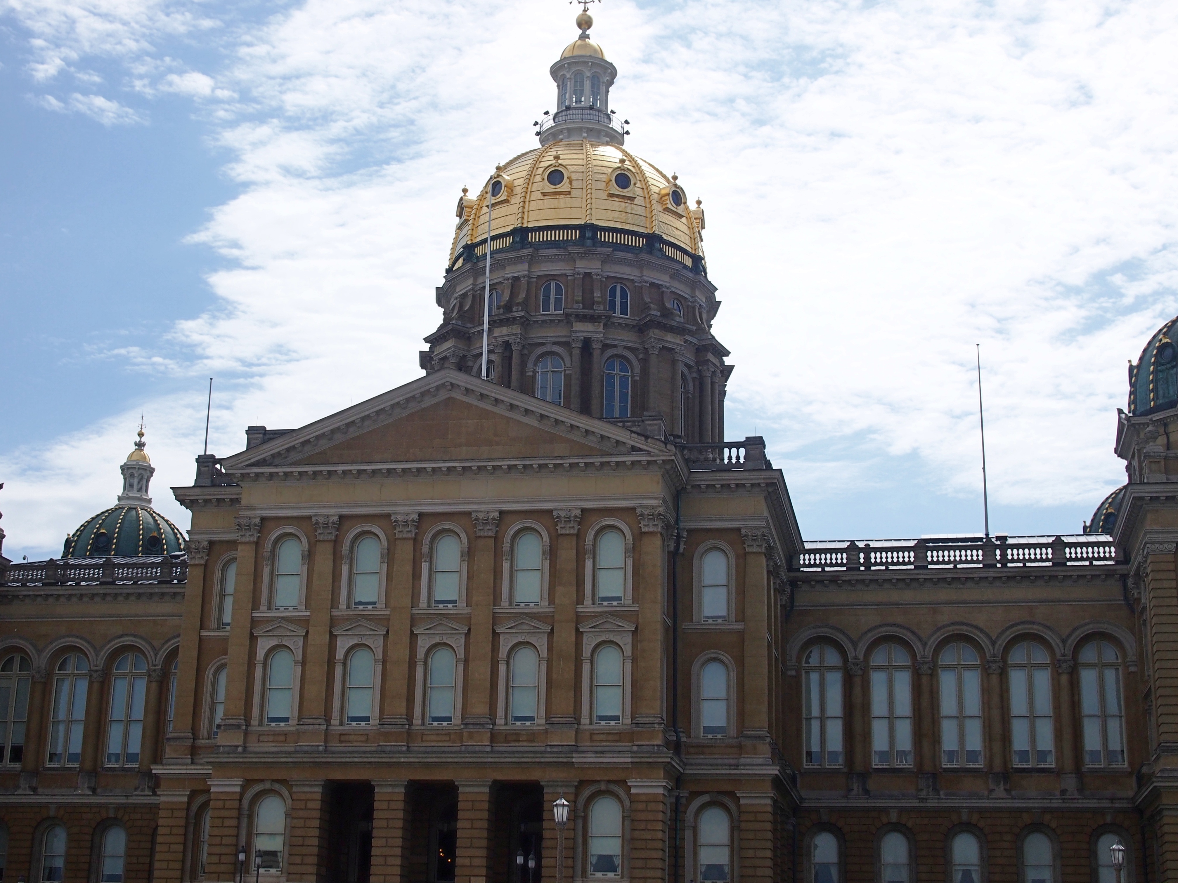
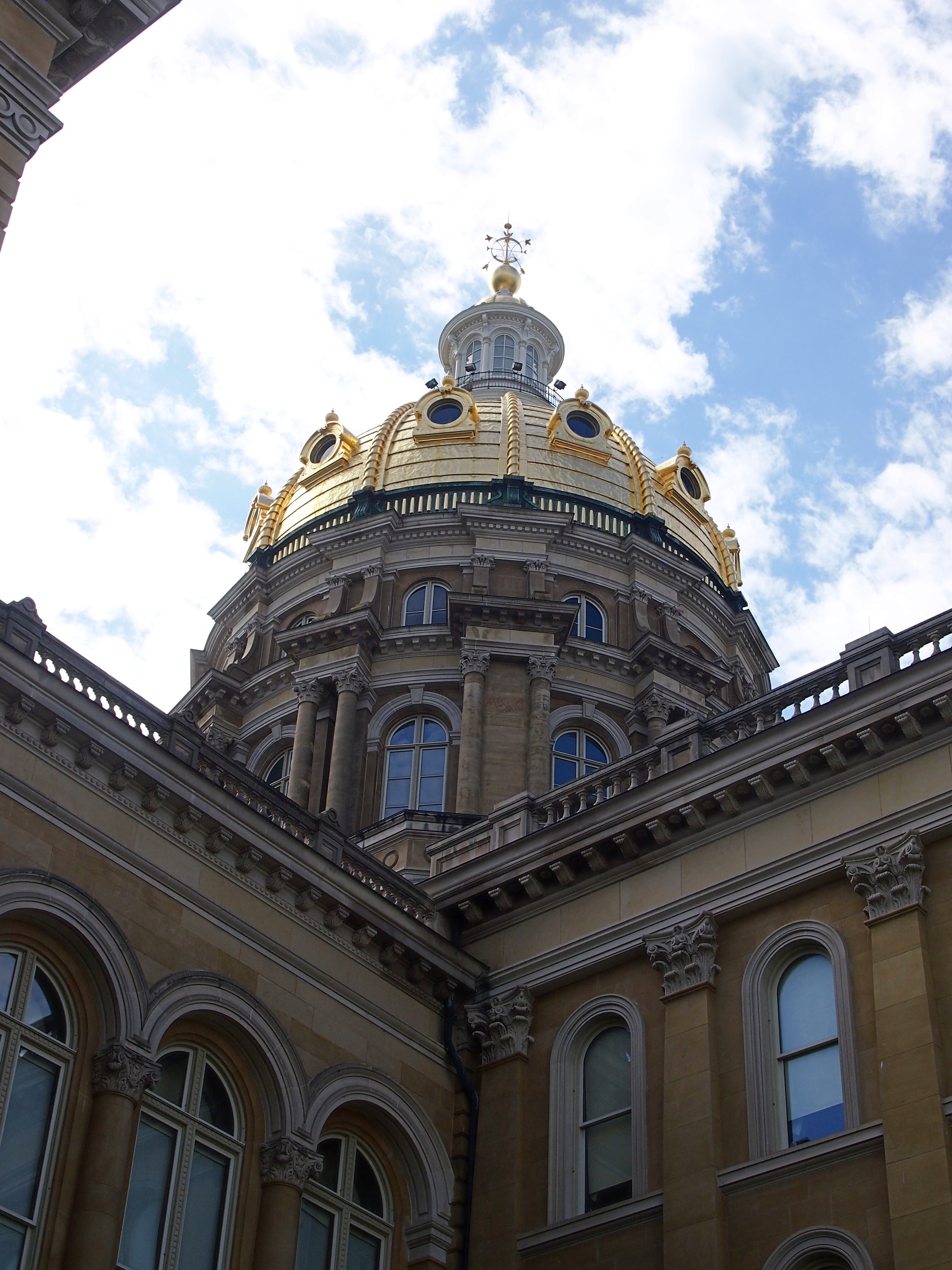
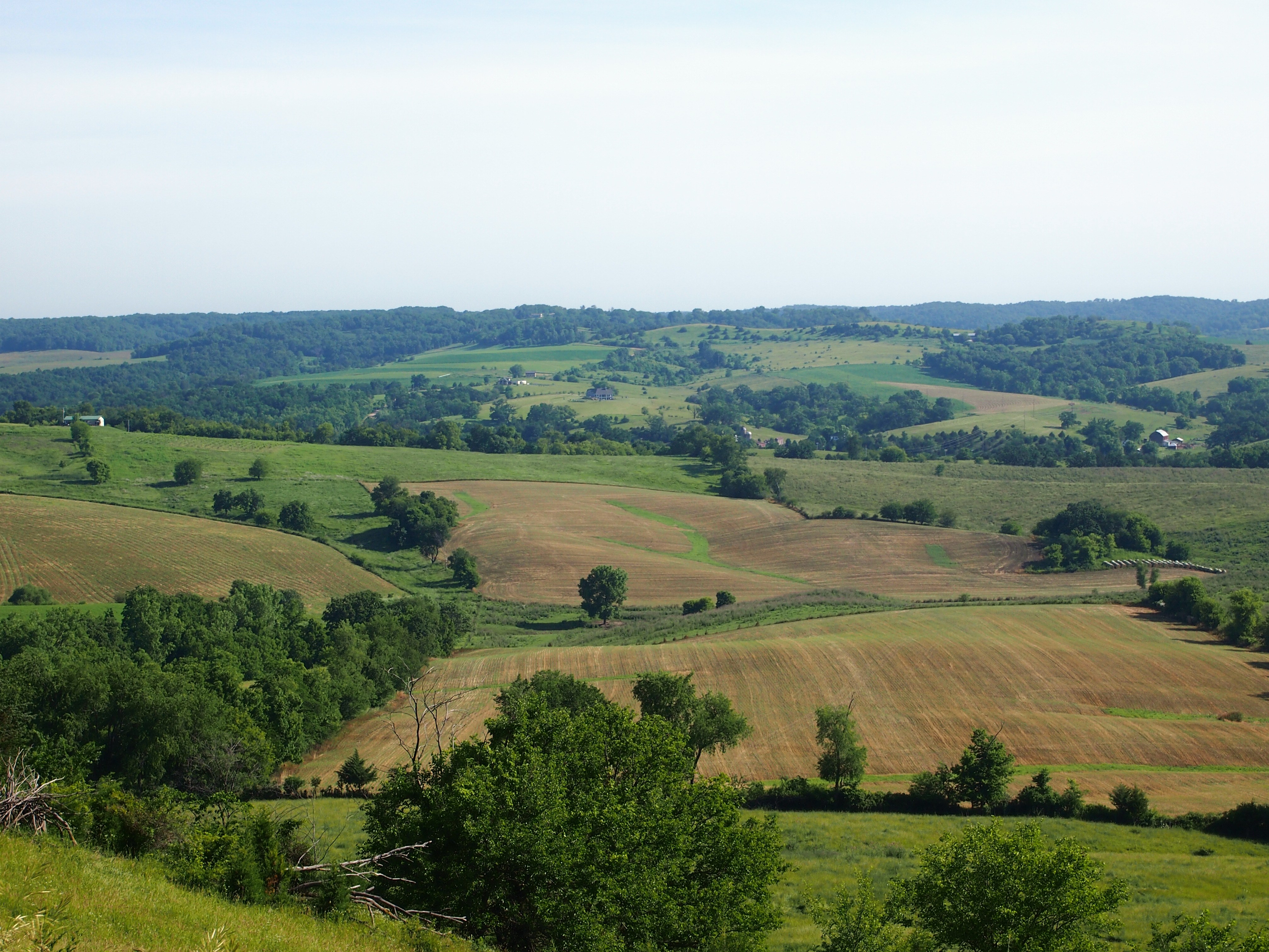
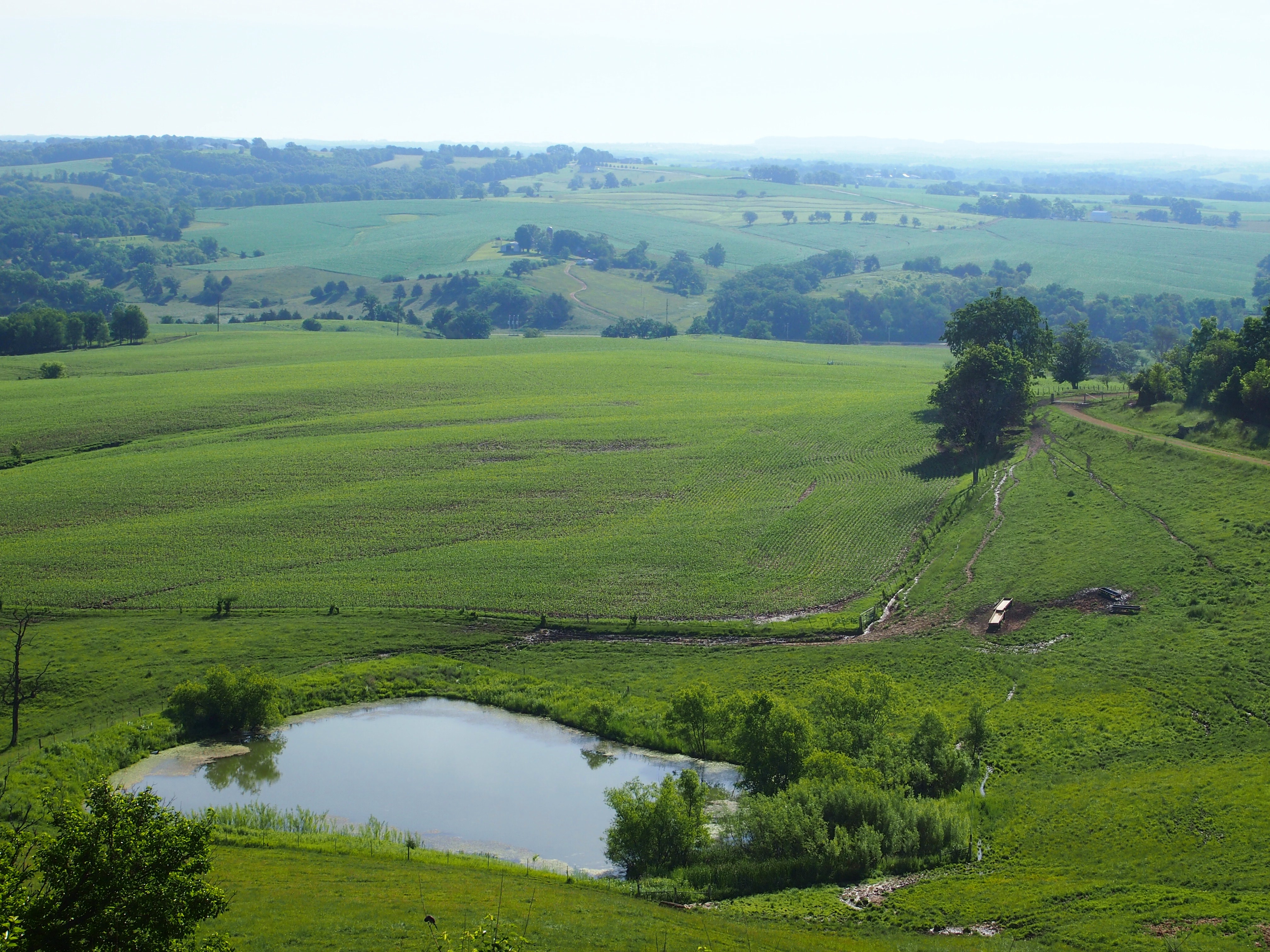
On Friday morning, we made our way to Iowa City — not following the most direct route, exactly, but getting there in the early afternoon for a look-see around the University of Iowa. It’s among the places Lilly is considering for her continued education. Late March being unpredictable, the air wasn’t very warm, but the sun was out and it wasn’t cold enough to discourage a walkabout on campus, or the nearby college-town business district, or a visit to the former state capitol. A re-visit for most of us, though it’s been quite a few years.
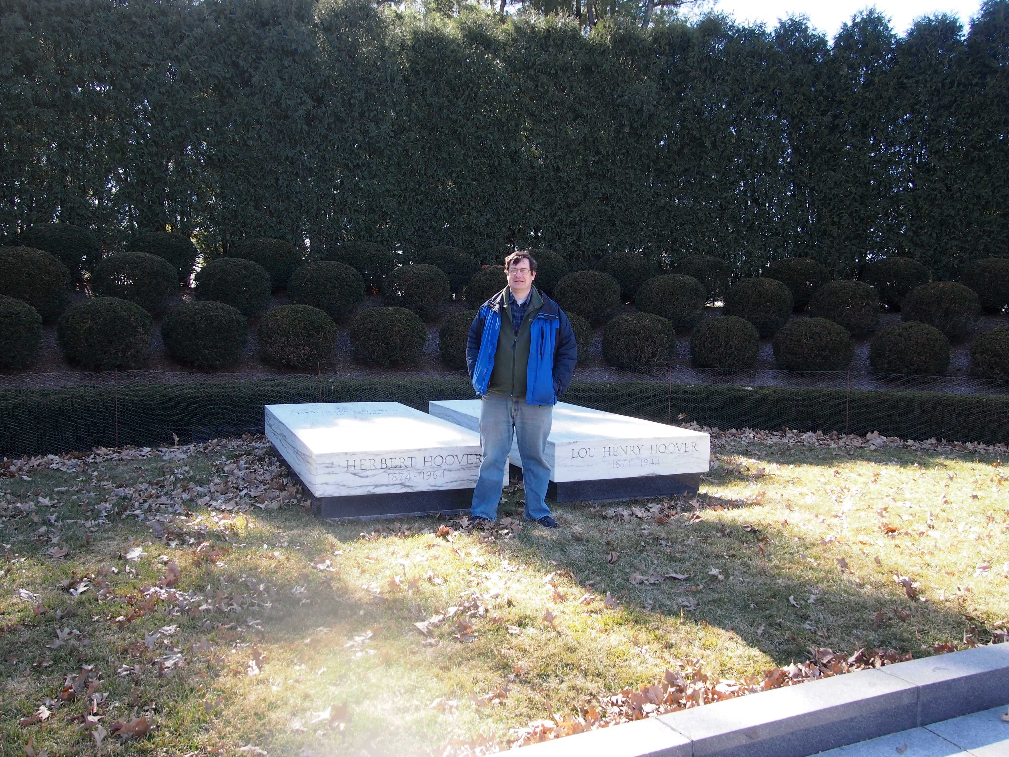
On our way back to Moline that afternoon, we stopped in West Branch, Iowa, birthplace and burial site of the 31st President of the United States. This time I insisted that everyone get out of the car and take a look. Lilly took my picture, so now I have a Manus Hand-style photo with a dead president. It’s the only one of that kind that I have.
 On Saturday morning, I was up earlier than the rest of my family, taking the opportunity to visit the Rock Island National Cemetery, along with the nearby Confederate Cemetery, burial ground for CSA POWs on Rock Island. On the way back, I toyed with the idea of wandering through the John Deere Pavilion, but left it for another time.
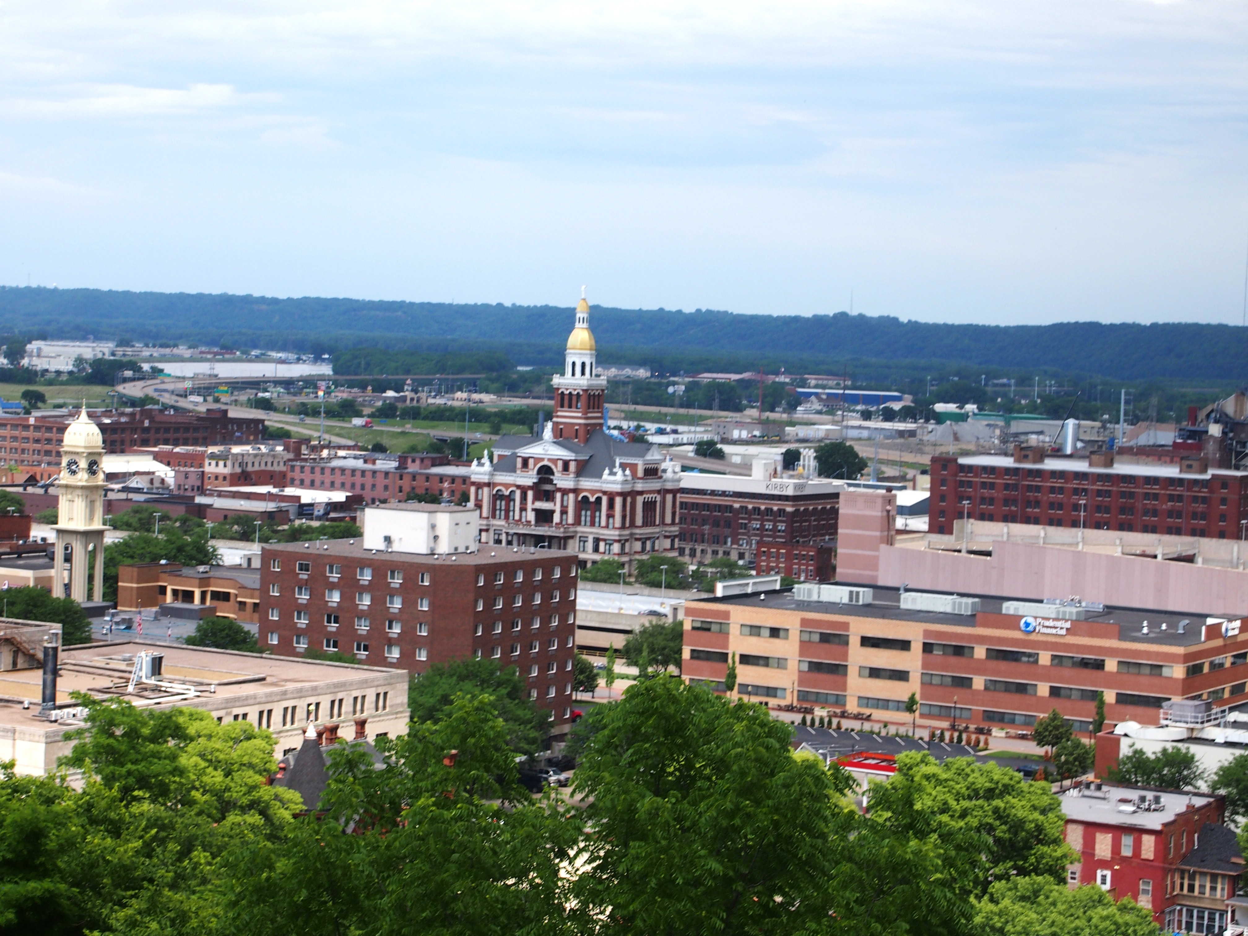
In the late morning, we visited the Figge Art Museum in Davenport, Iowa, the successor entity to the Davenport Museum of Art that’s been open about 10 years. Interesting collection, not overwhelmingly large, and including something I’d never seen before: a section devoted to Haitian art.
That was it for this 48-hour quickie. Except for a few minutes’ drive through Le Claire, Iowa, where we stopped for gas. Notable as the birthplace of Buffalo Bill Cody, and home to a museum devoted to the showman. We left that for another time as well.
