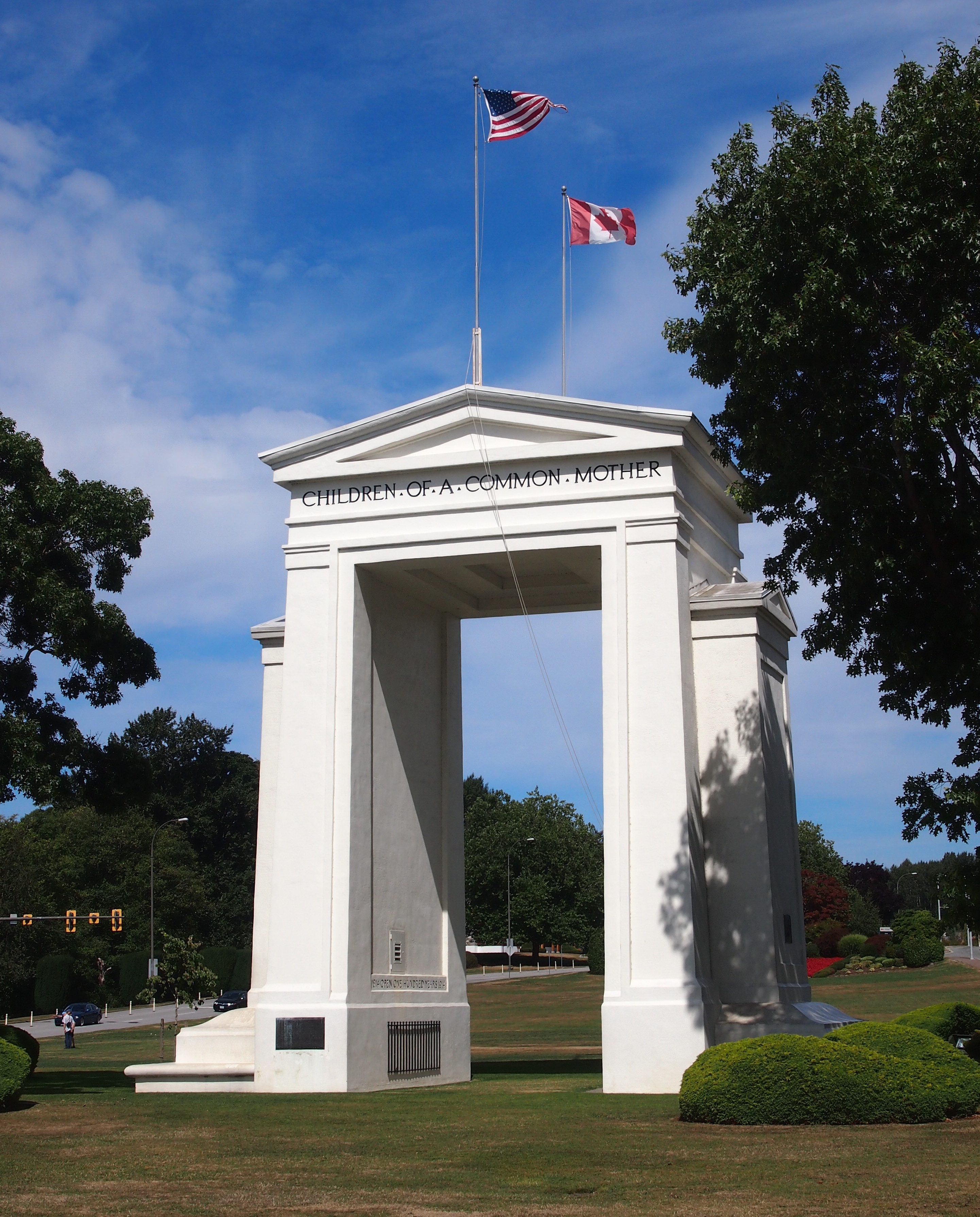
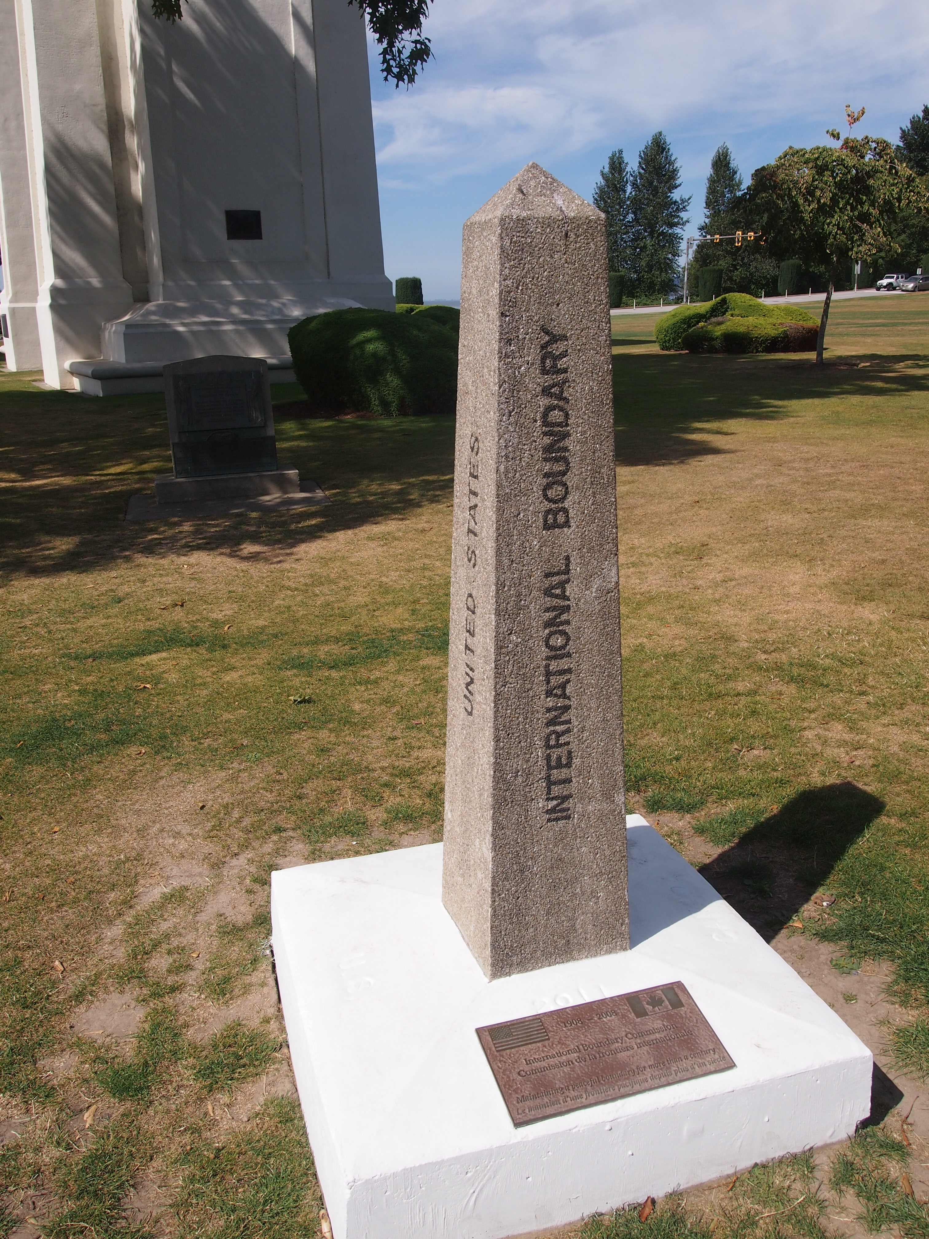
Last week, I found myself at the Arctic Circle. Or so the sign said. I didn’t bother to check with GPS, since I knew it was close enough, like the Prime Meridian line in Greenwich, England. I posed with it. That’s the tourist thing to do, especially when you’ve come a long way.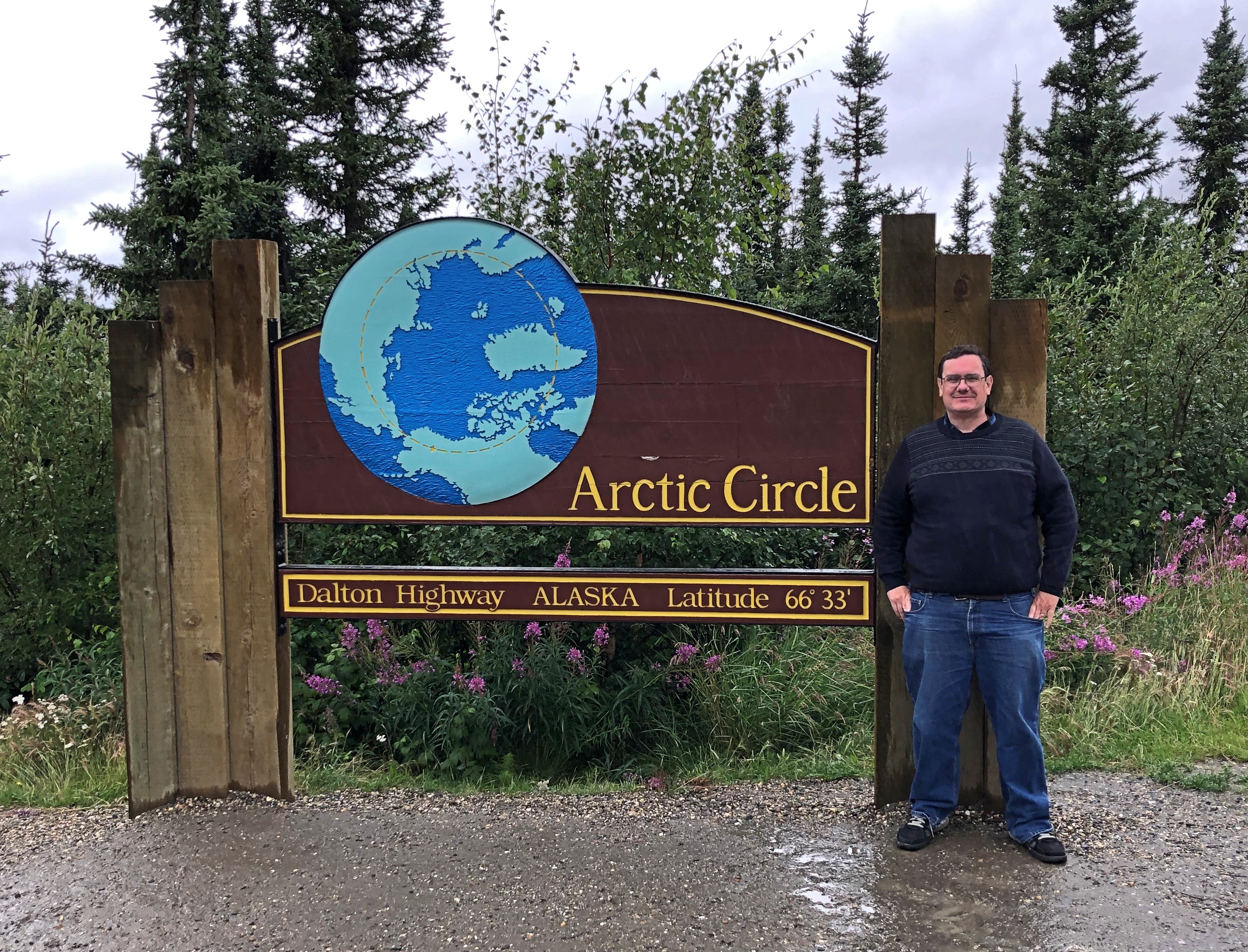
A fleeting but memorable moment there at 66 degrees, 33 minutes North, early during my recent visit to Alaska, which ran from July 26 to July 31. Before that, I flew to Seattle to spent a long weekend with Lilly, who has established a life in that city. I also visited some of my old friends — stretching back to college and high school — now resident in that part of the country.
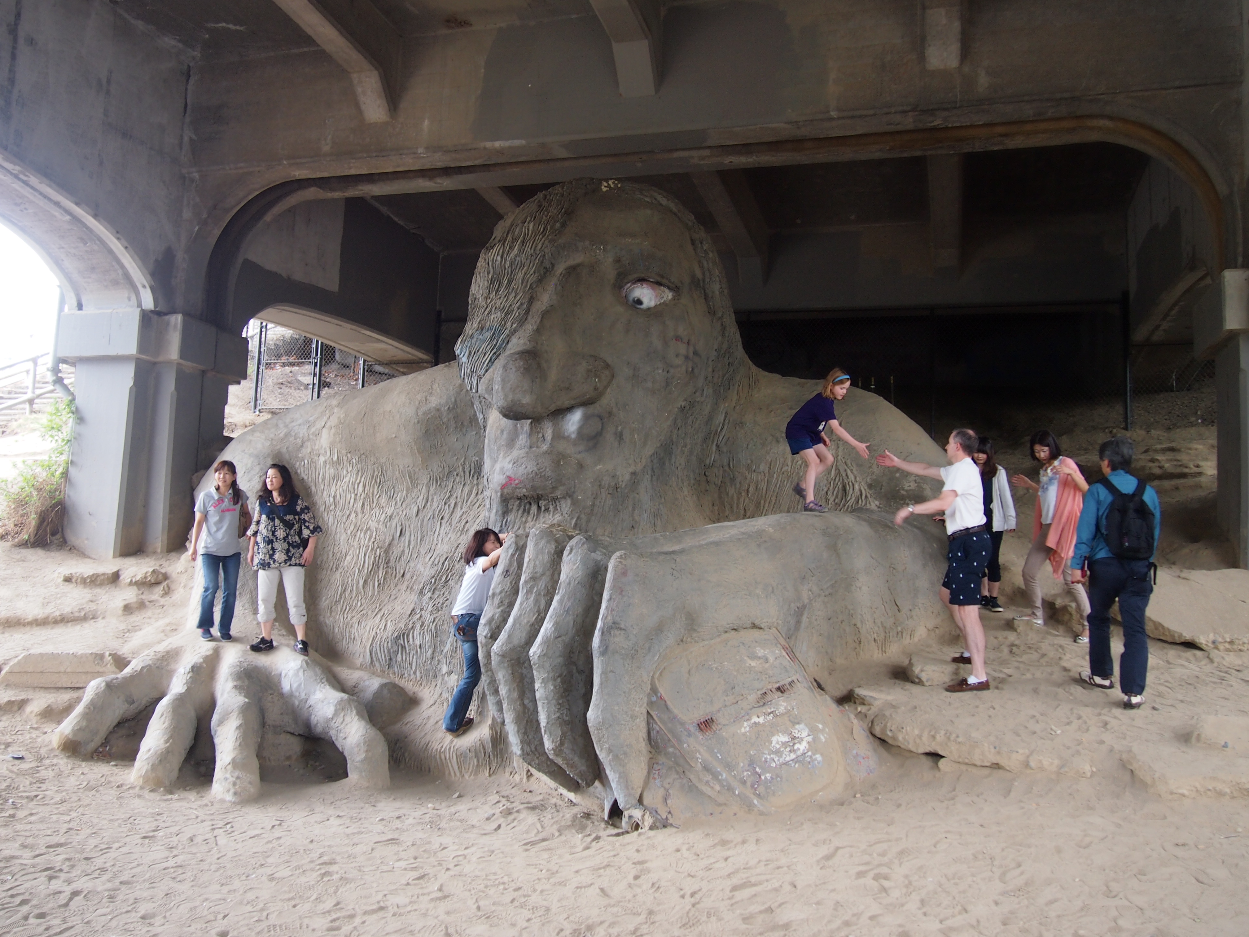
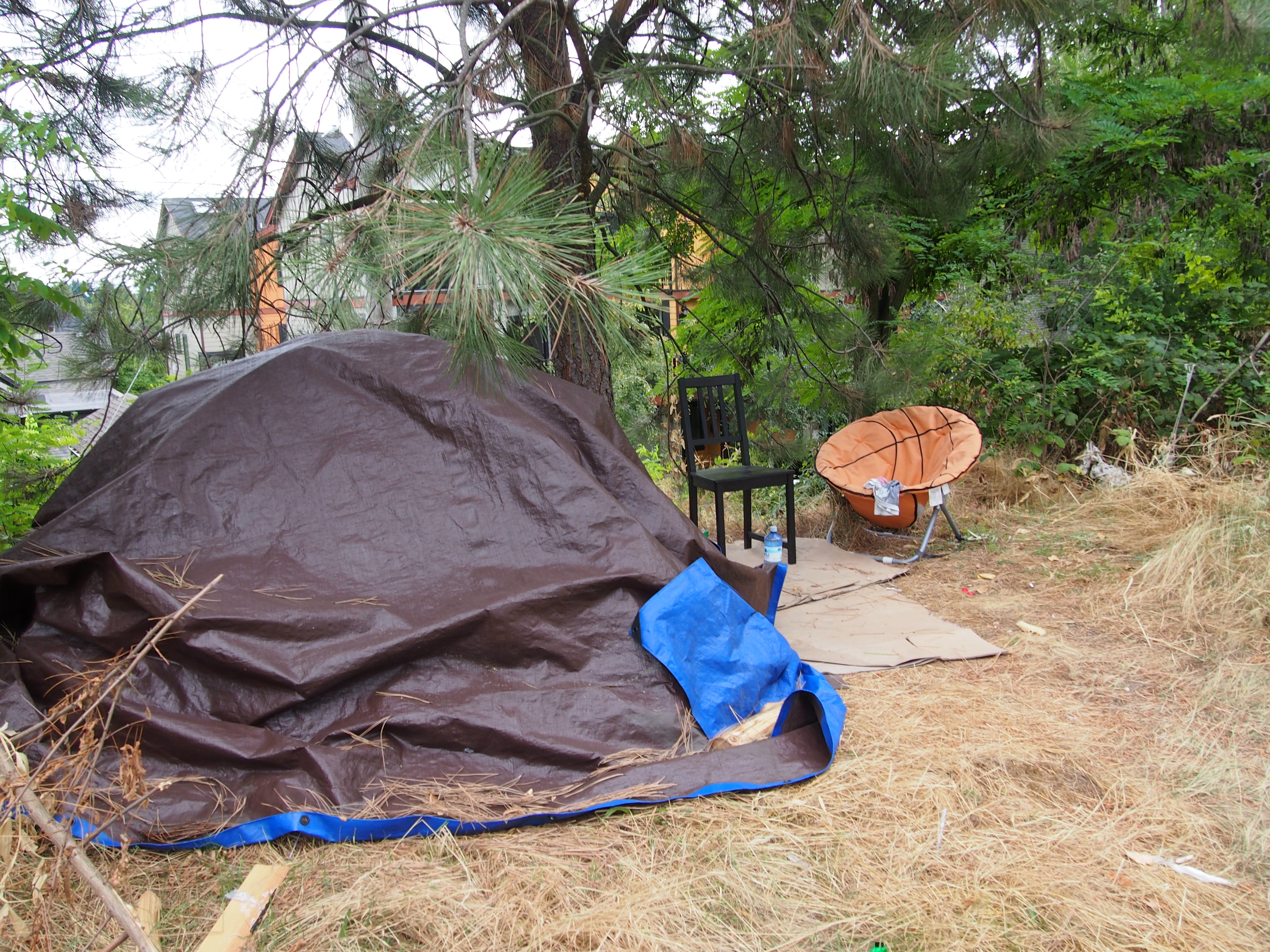
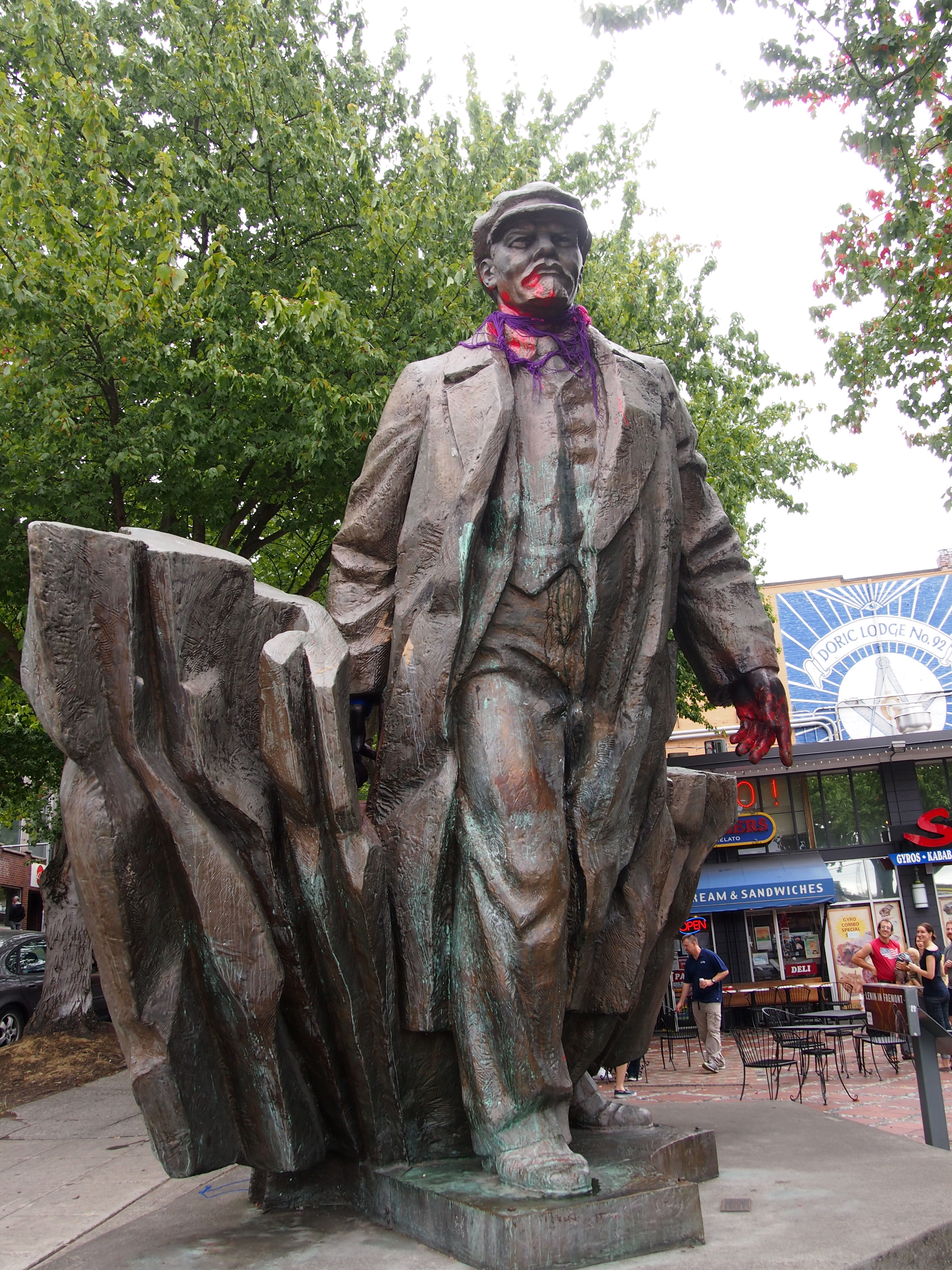
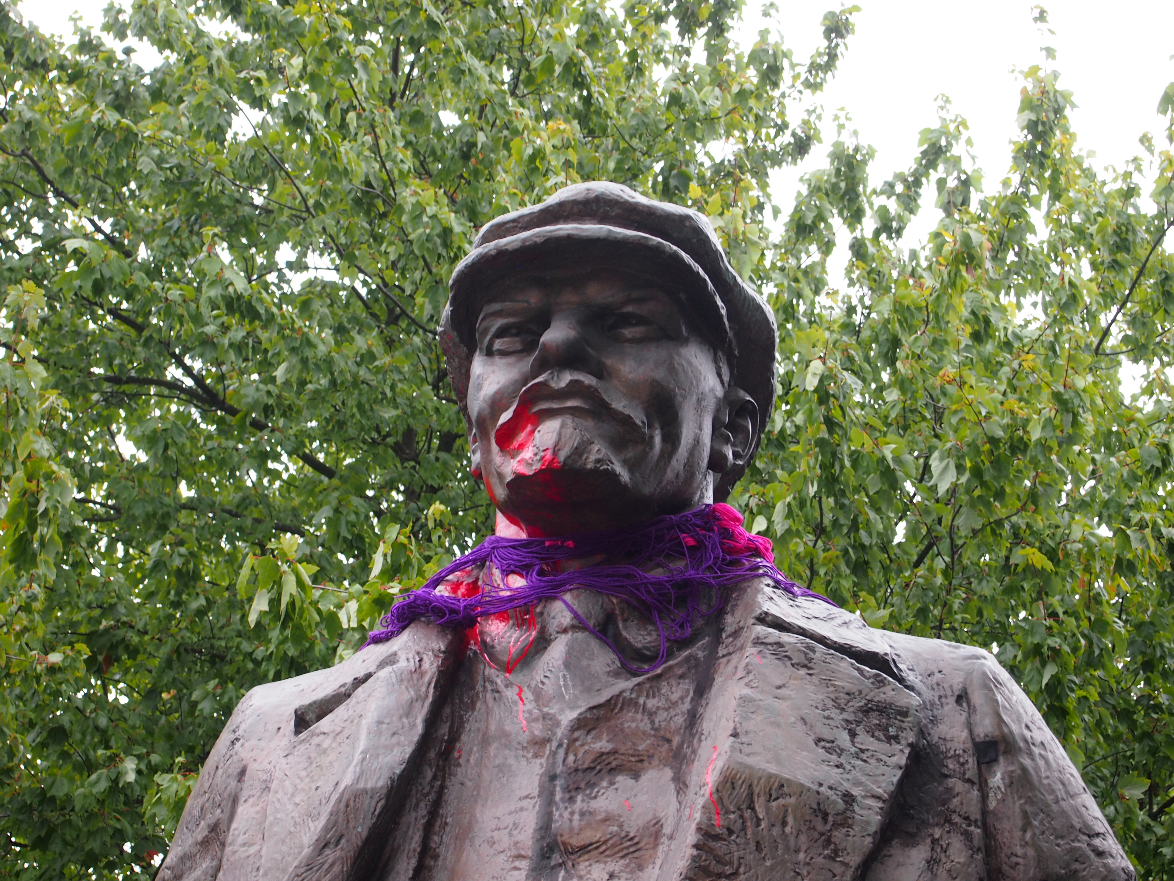
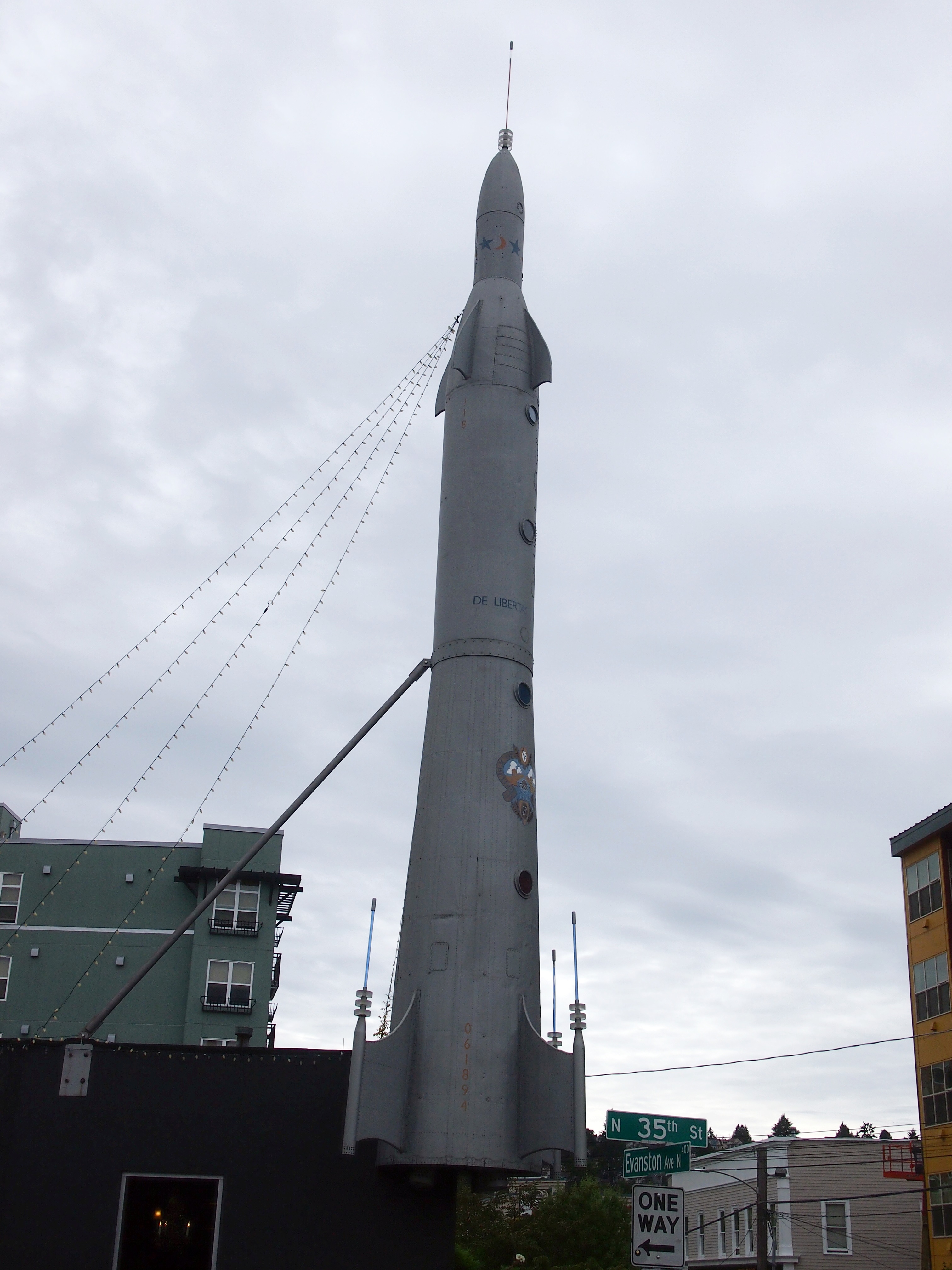
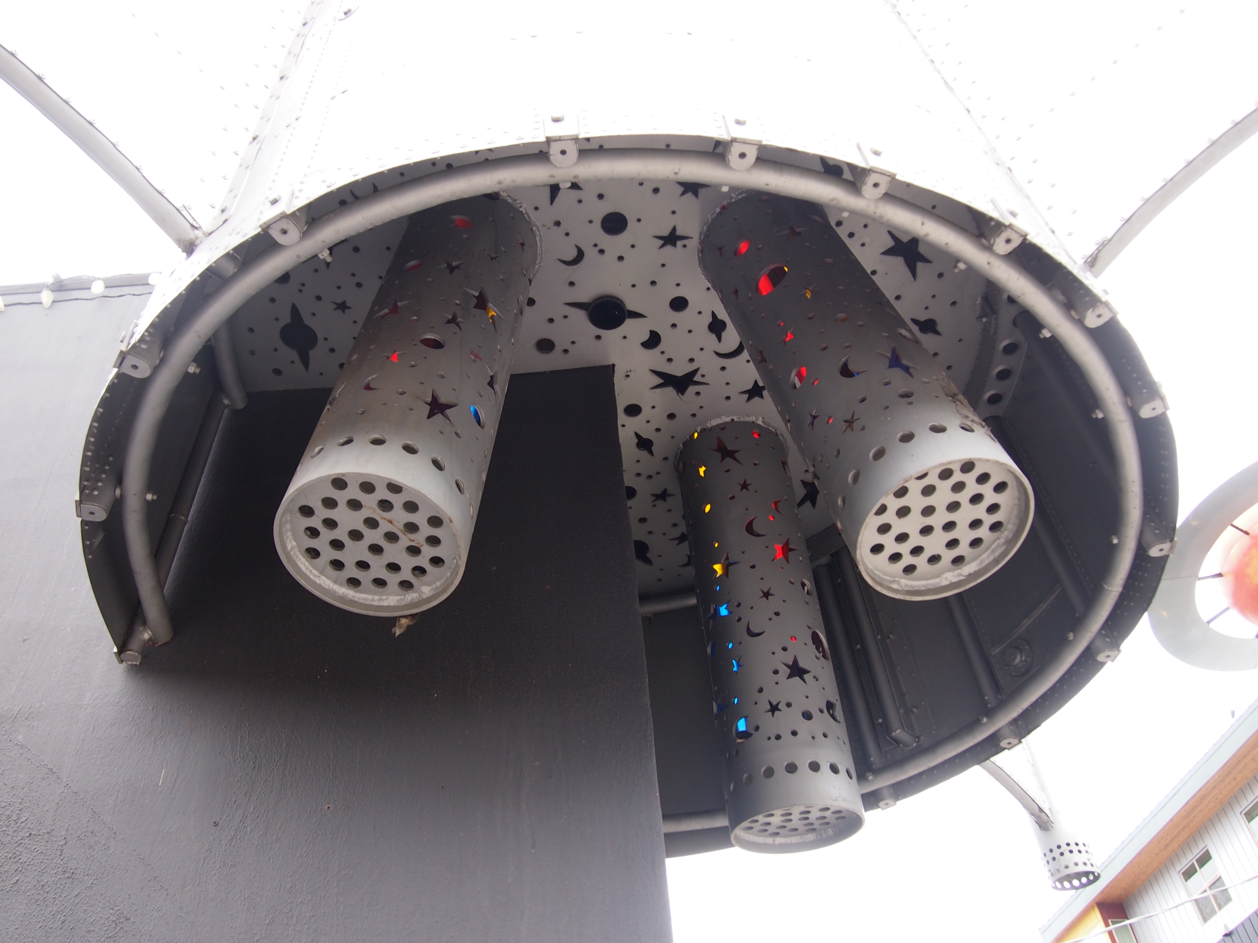
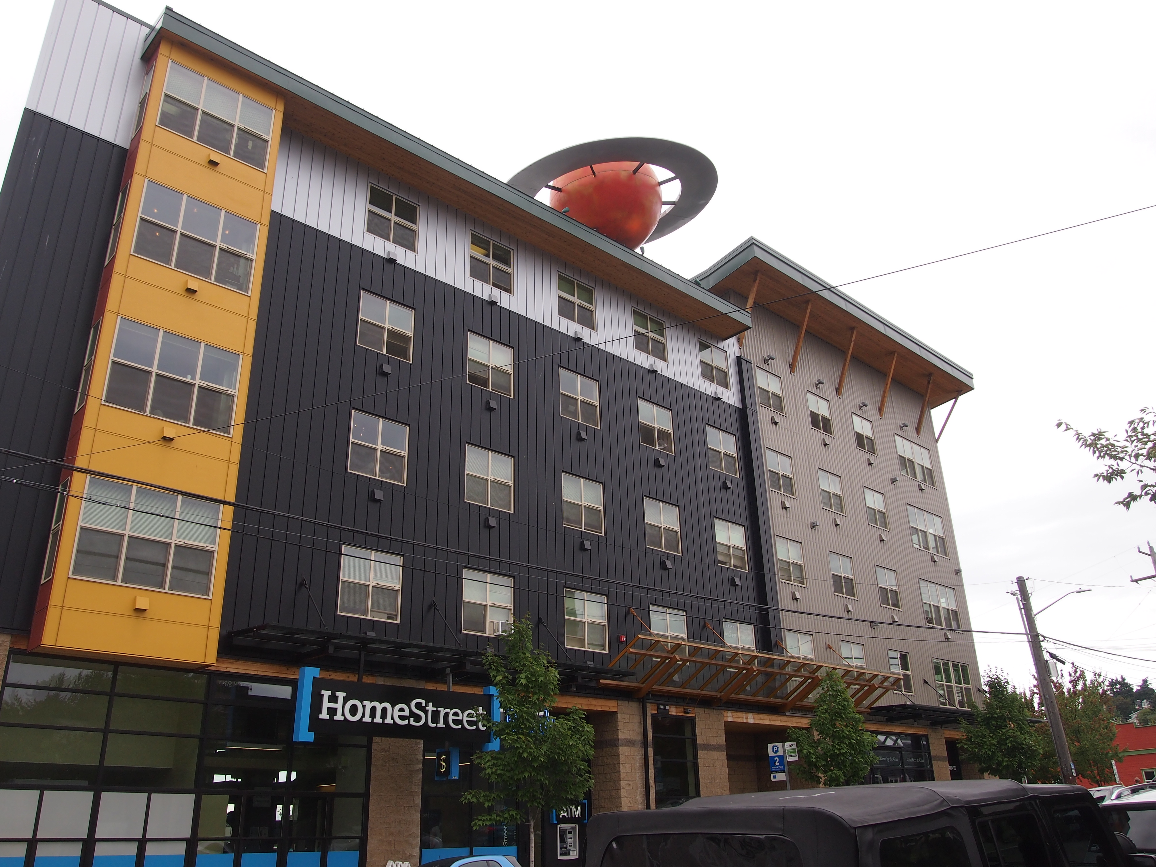
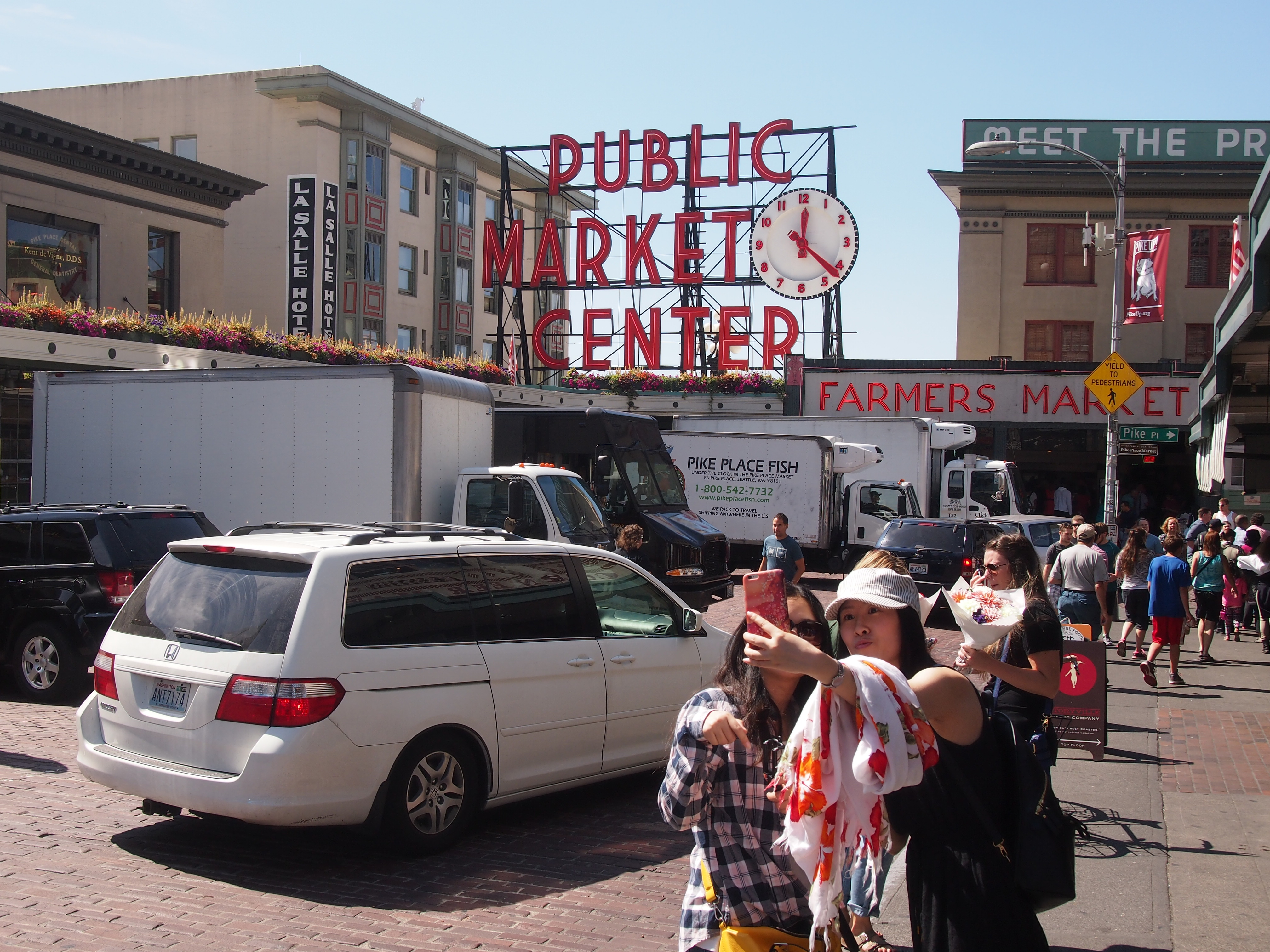
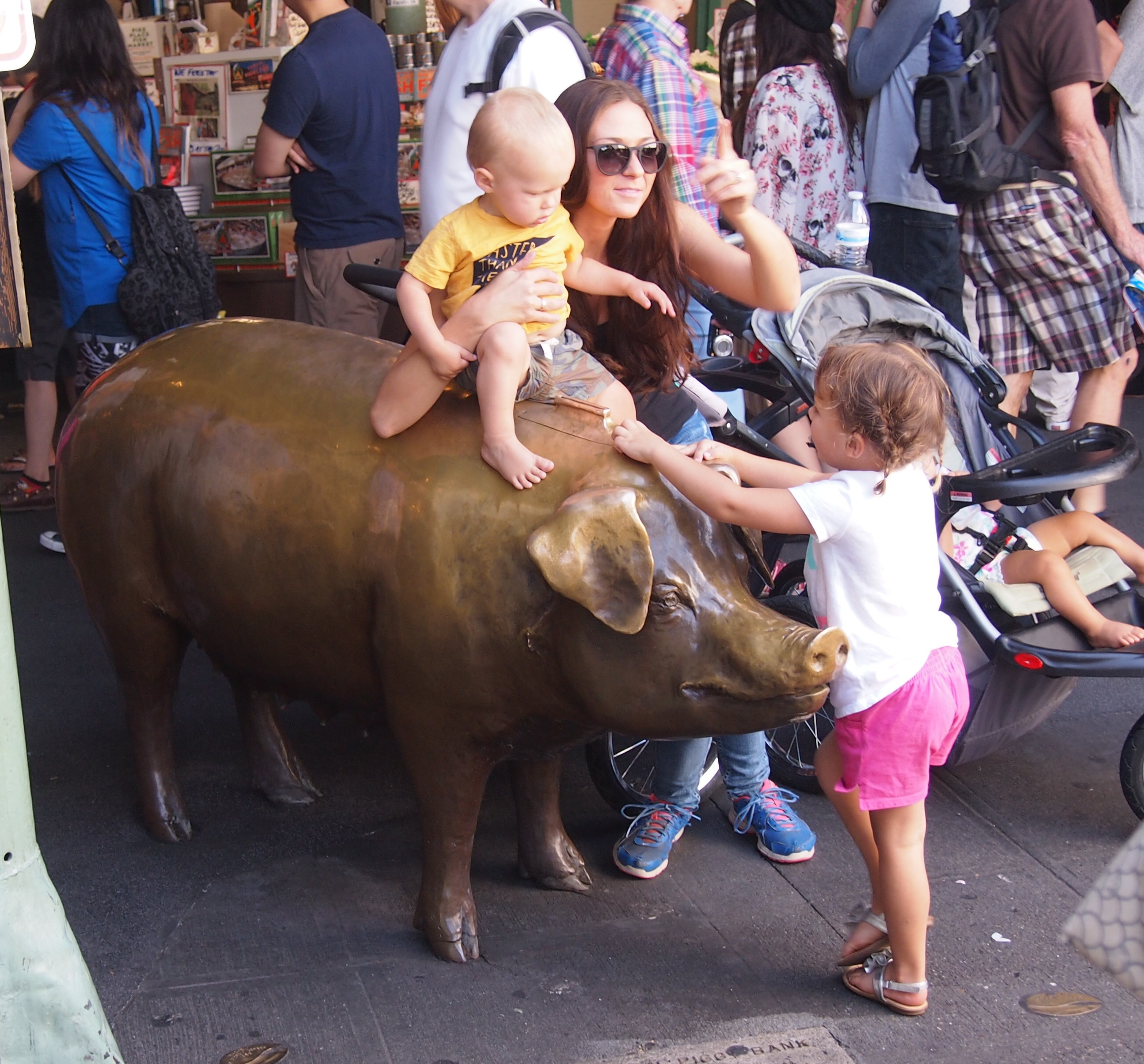
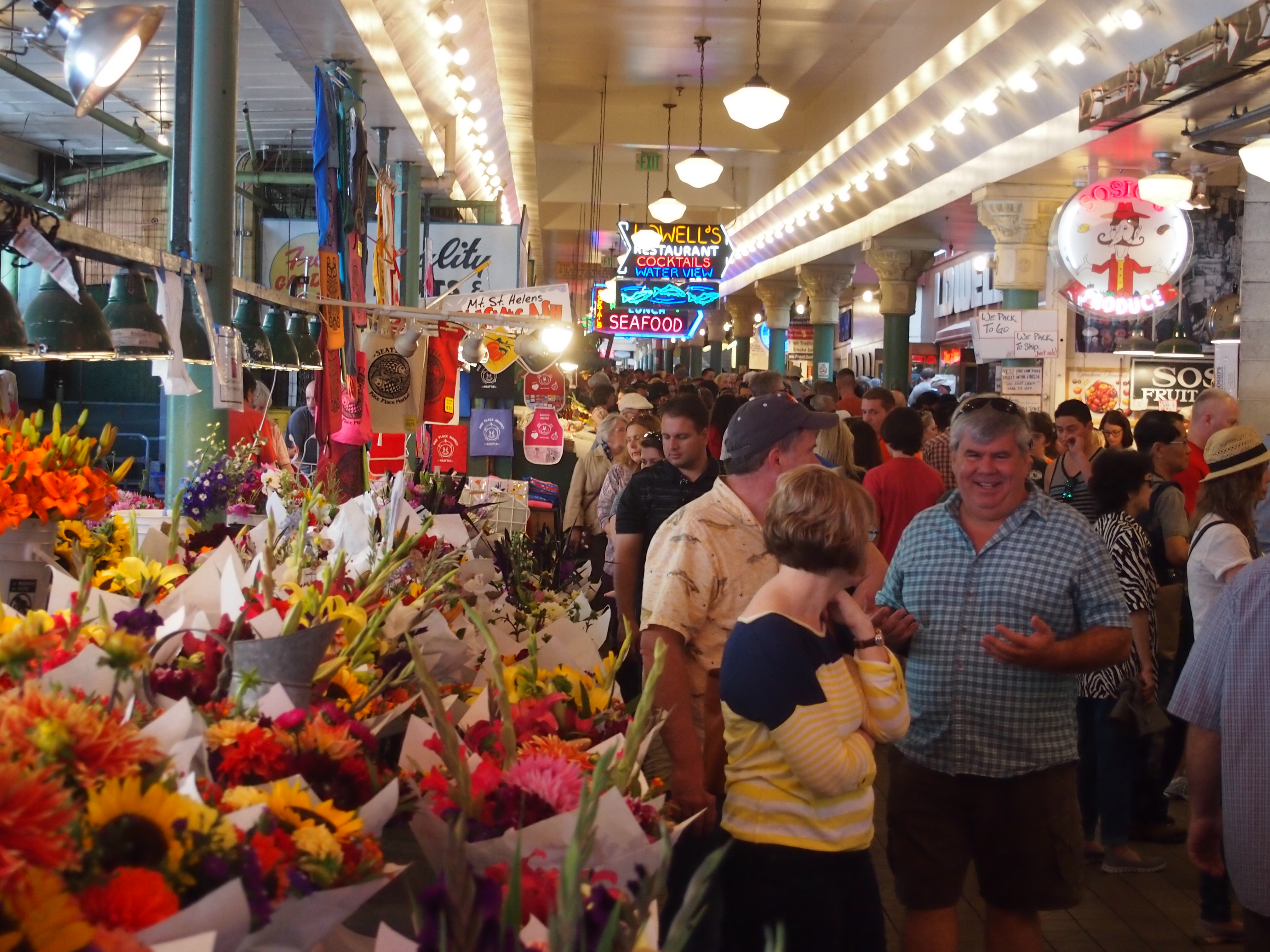
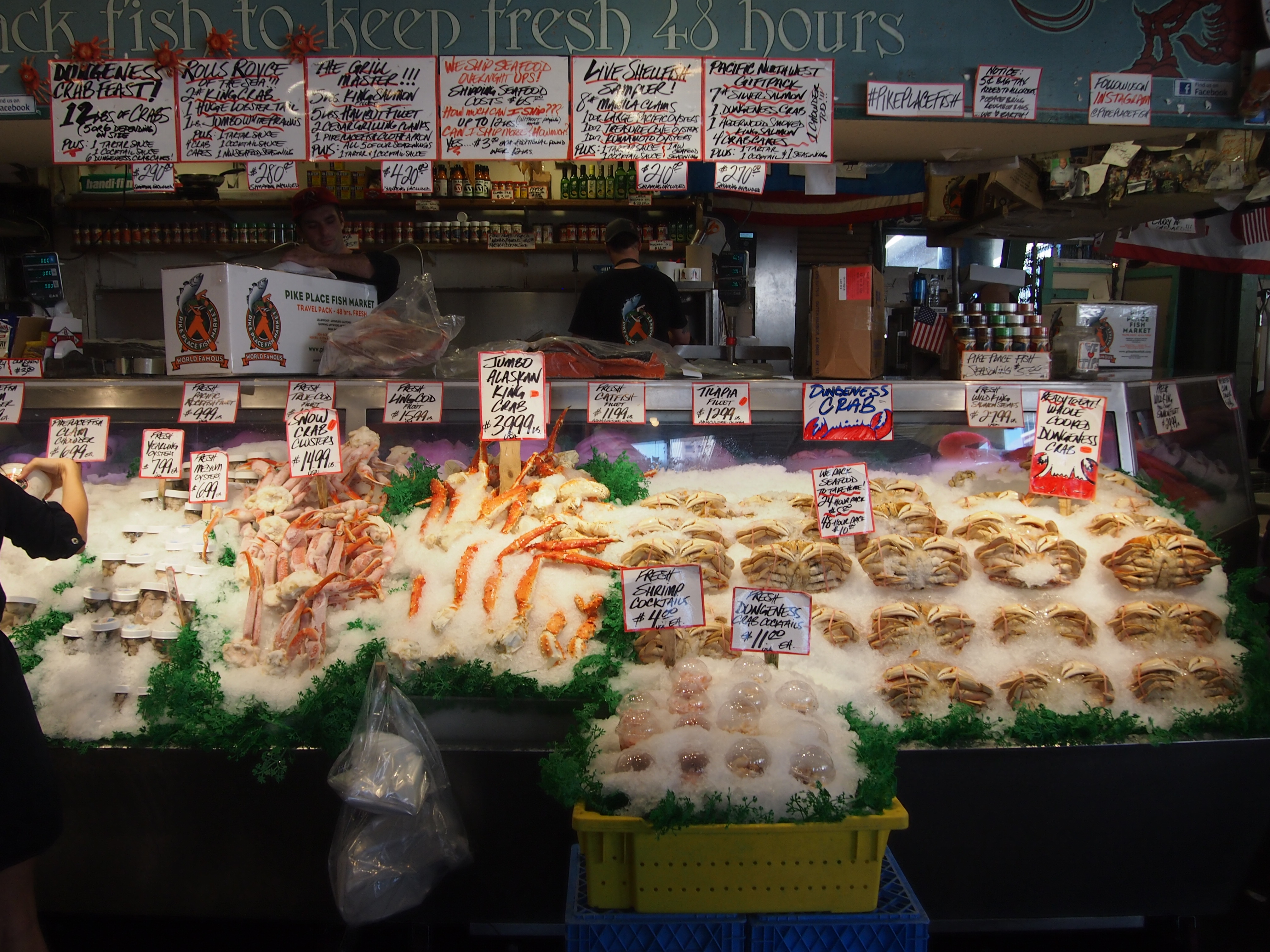
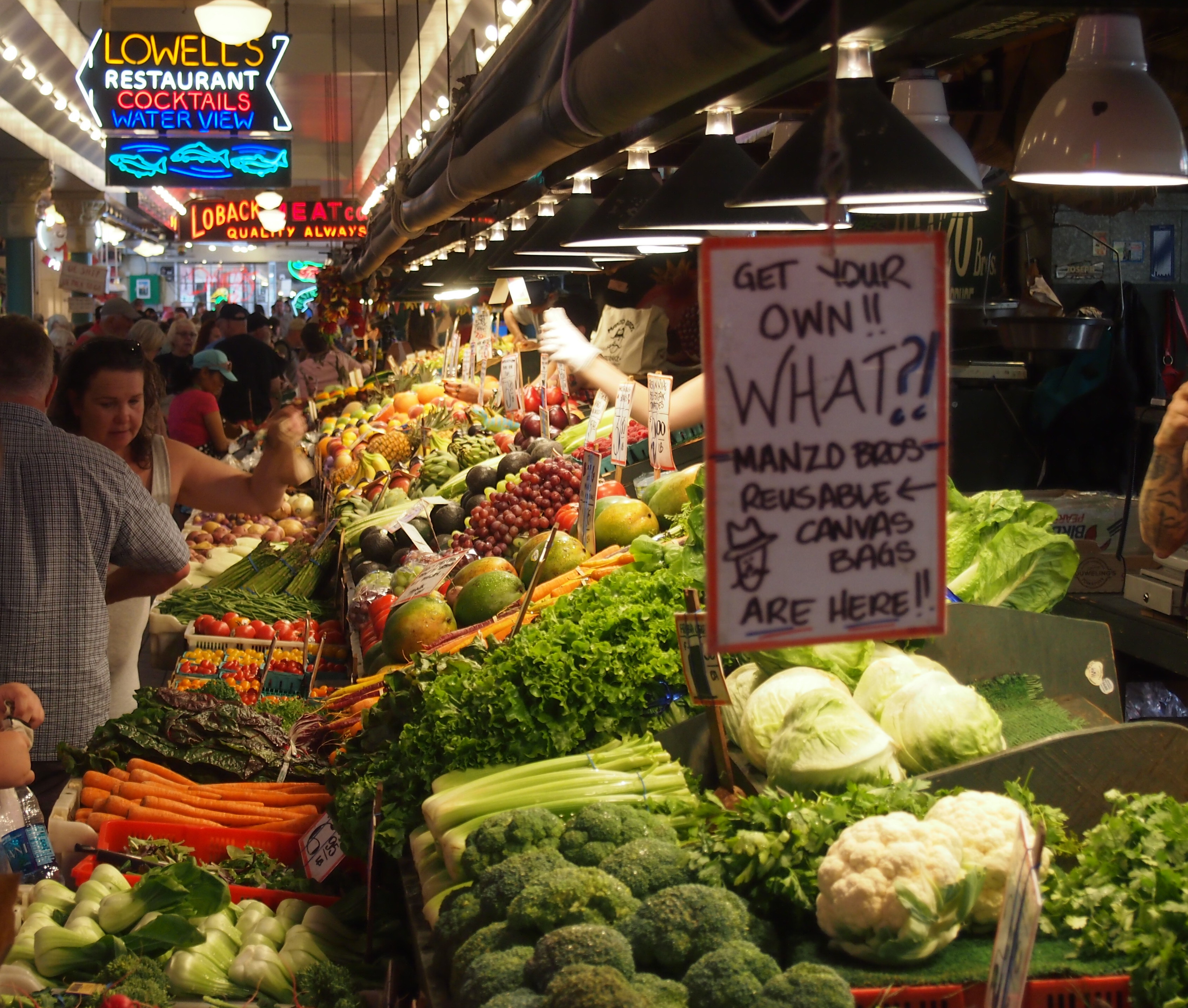
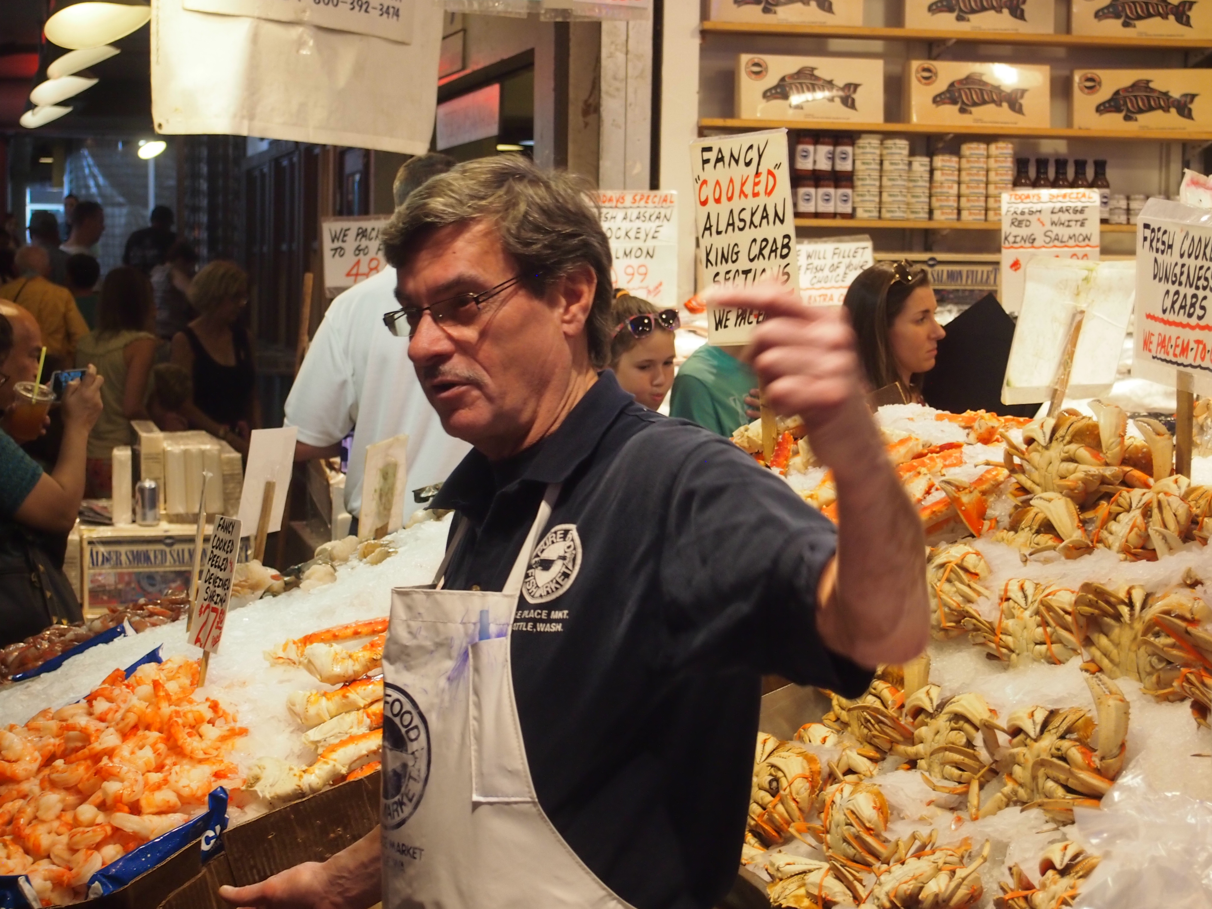
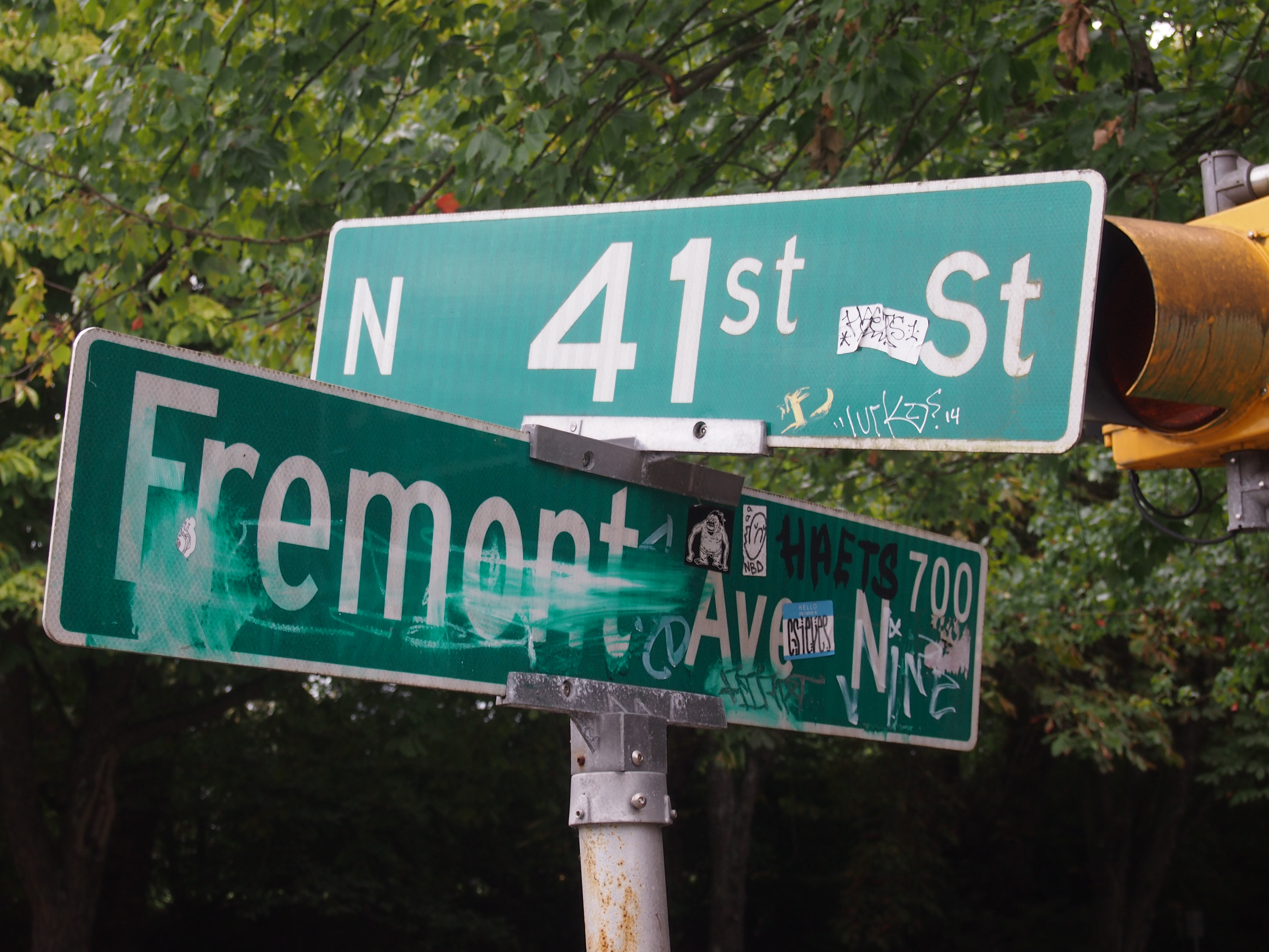
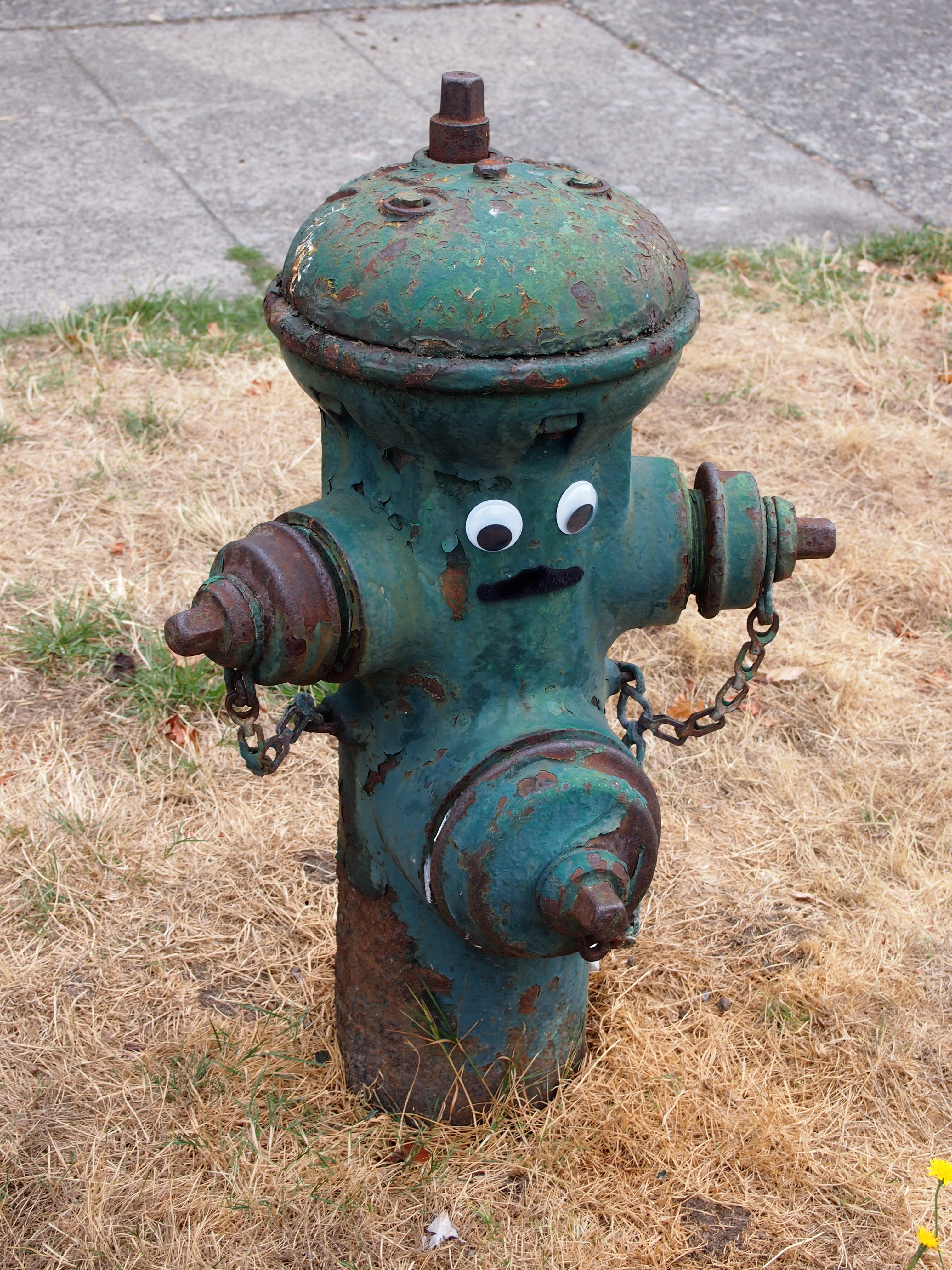
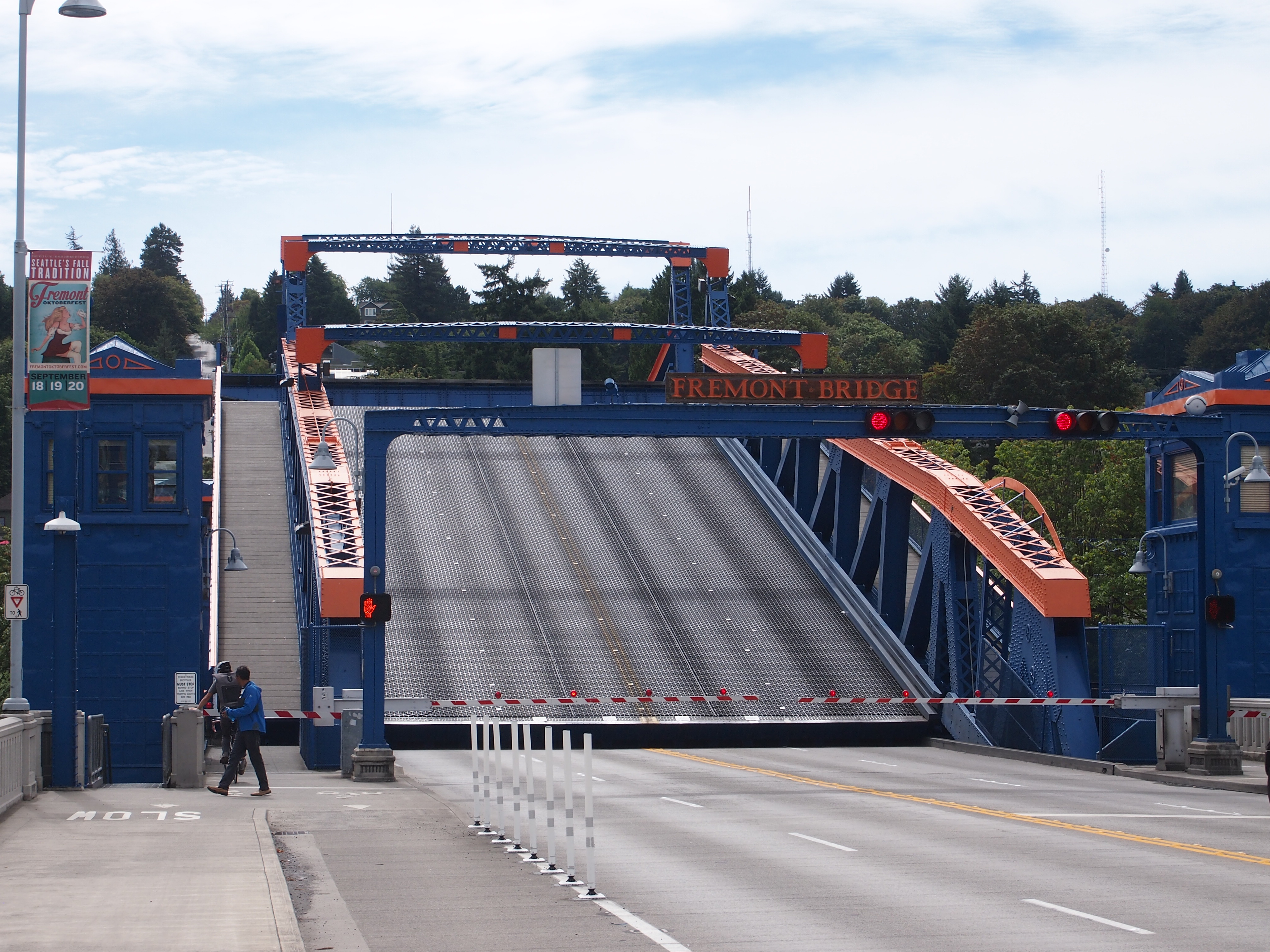
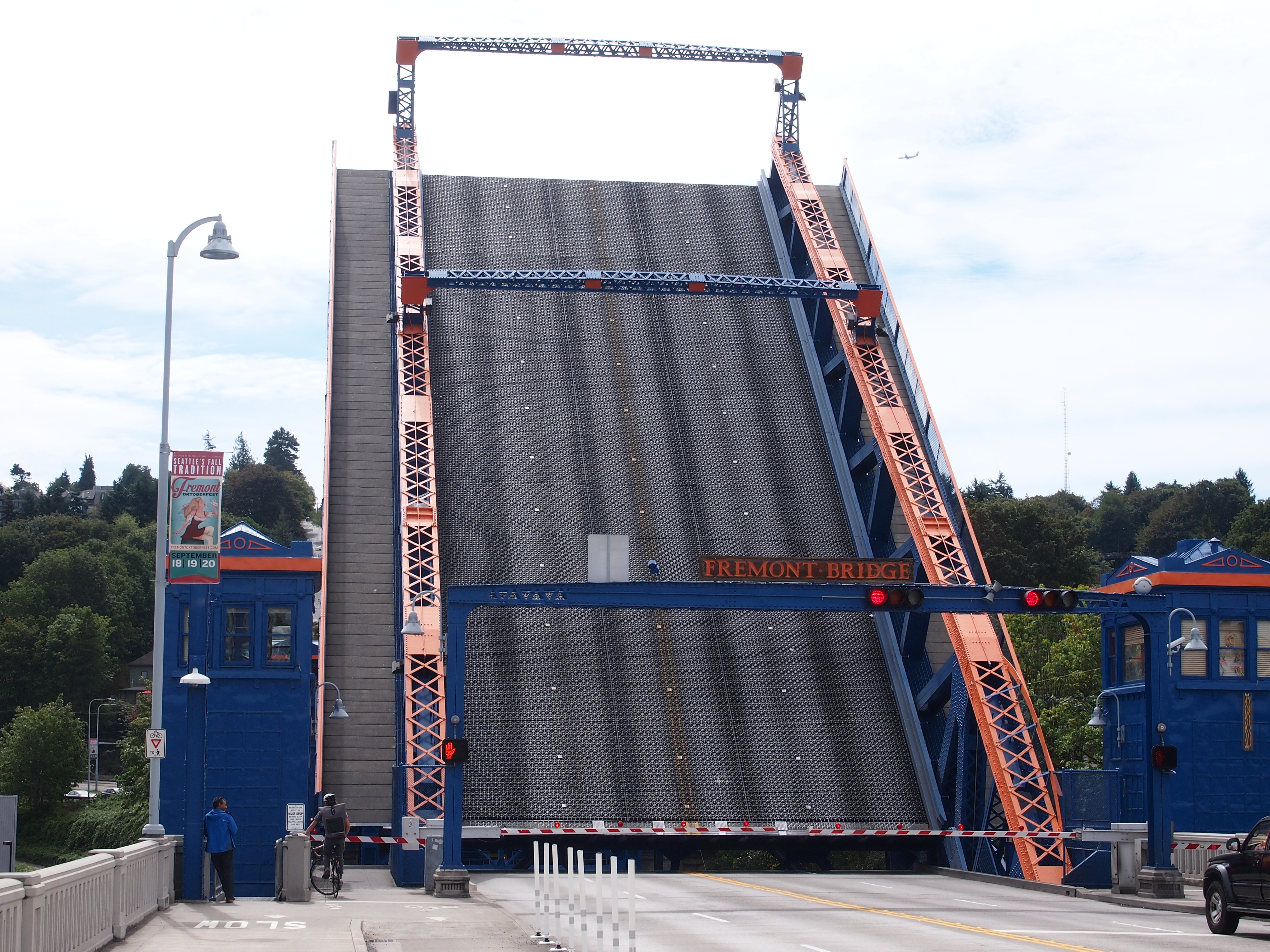
On the first day in Seattle, July 23, Lilly and I walked from her apartment in the Wallingford neighborhood (near Fremont) over to Gas Works Park under a warm summer sun. That was one of the first places I ever visited in Seattle in ’85, long before the notion of walking anywhere with a grown daughter. After an afternoon nap (for me), we had a delightful take-out dinner at Bill and Gillian’s back yard in Edmonds, with another friend, Matt, joining us.
On Saturday the 24th, I had breakfast up the street from Lilly’s with a high school friend, Louis, whom I hadn’t seen in… 40 years? Late in the morning, Lilly and I went to the Seattle Art Museum, which has quite the collection, arrayed in galleries each featuring a certain genre or artistic theme – usually a radically different one from the neighboring galleries. Out to smash that paradigm called “chronology” or “art history,” I suppose.
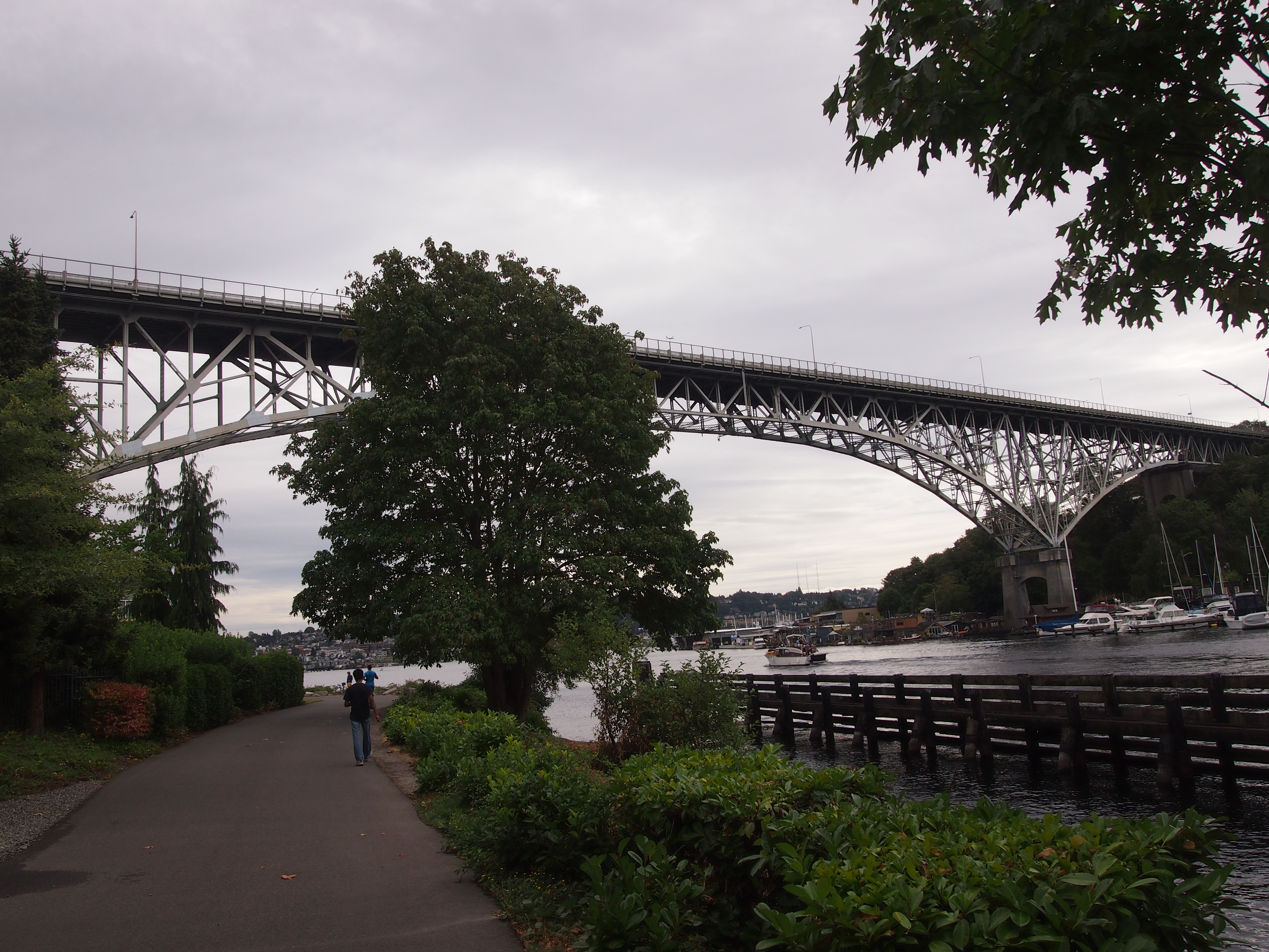
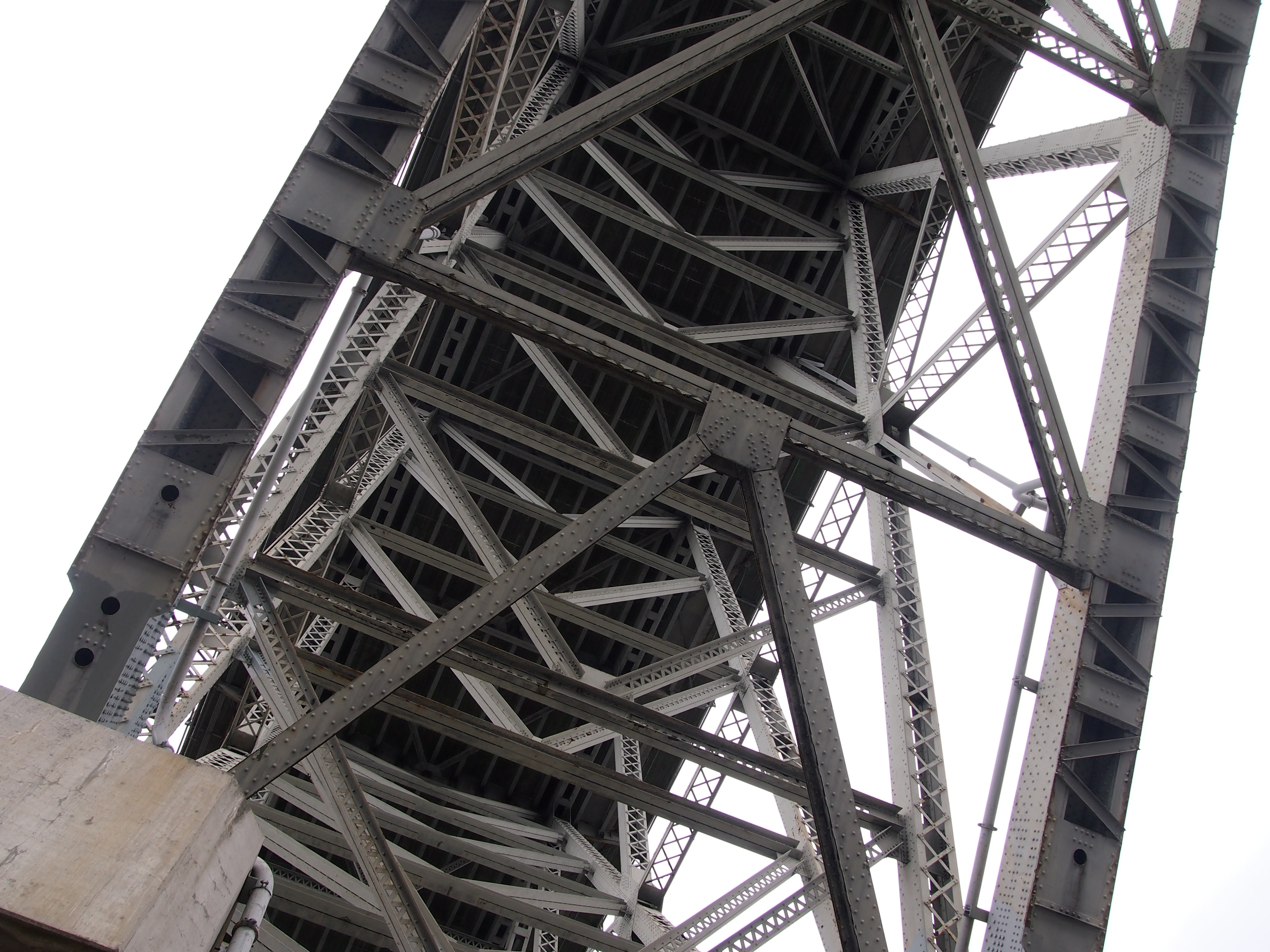
That afternoon, we went to the Ballard Locks, formally known as the Hiram M. Chittenden Locks, which connect Puget Sound with Lake Washington, a worthwhile suggestion of Jay’s. Not as impressive as the Panama Canal, Lilly said, but still a feat of 1910s engineering. That evening, old age rested (me) and youth went out (Lilly). That meant that the next morning, youth was a lot more tired than old age during the ferry ride and drive to spend the day at Olympic National Park, where we took a hike along Hurricane Ridge and then a walk to see Marymere Falls.
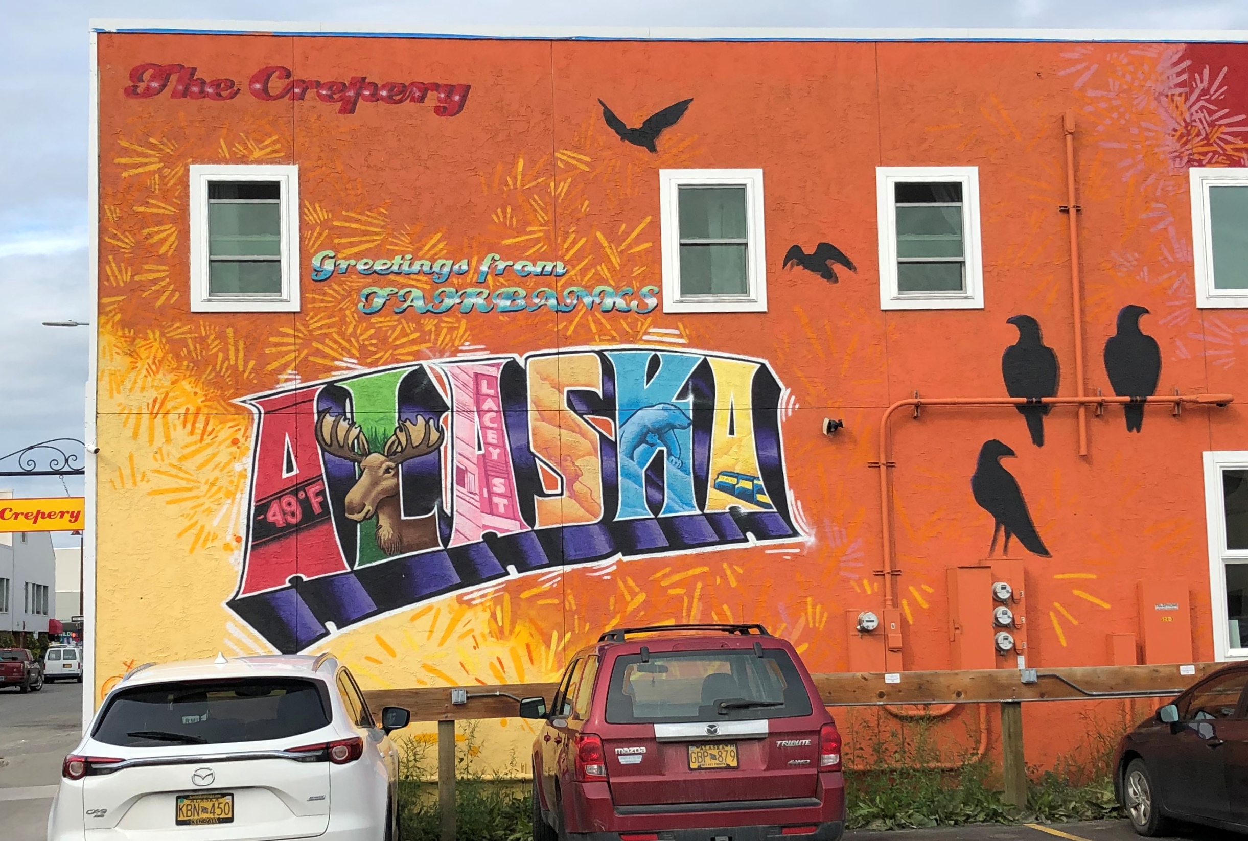
On July 26, I flew to Fairbanks, my base for the rest of the week. I didn’t have a rental car at first, so I got around via cabs and municipal buses in roughly equal measure – the former being infinitely more expensive than the latter, since the buses have been free since the pandemic hit. I took in the excellent Museum of the North on the sprawling campus of the University of Alaska Fairbanks and visited downtown Fairbanks long enough to get dinner.
The next day, I made my way to a general aviation runway near the airport and took a tour that involved flying in a small plane to Coldfoot, Alaska, which isn’t even a town, but rather a camp on the Dalton Highway, about 250 miles north of Fairbanks. North of Coldfoot, there are no services for 240 miles, until Deadhorse.
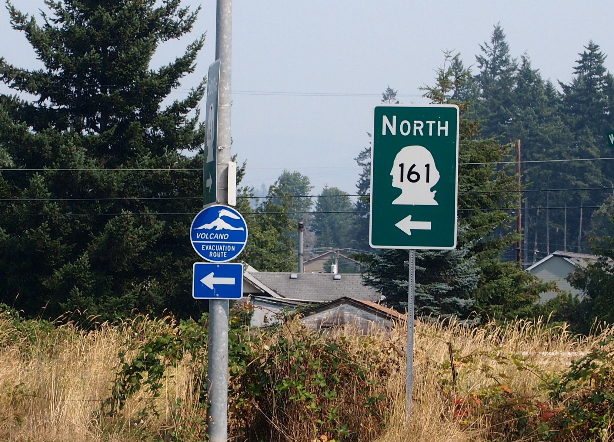
We didn’t continue further north. The tour then headed southward by bus on the gravel road that is the Dalton, stopping at a few places, including the Arctic Circle sign.
 On July 28, I picked up a rental car and spent some time looking around Fairbanks, including the Birch Hill Cemetery on the outskirts of town, and then suburban North Pole, Alaska, for a look at the curiosities there. Mainly, the Santa Claus House. From there I headed south on Alaska 3, a two-lane road to Anchorage. I didn’t go to that city, but rather to a hotel near the entrance of Denali National Park, where I spent the night. Along that road, I unexpectedly found a presidential site.
The next day, I took a bus tour of the national park, which took us along the only road in the park to see magnificent vistas and animals along the way. We saw many of each. We also saw Denali itself for a short time without a shroud of clouds, gleaming white among the brown mountains. About 600,000 people visited Denali NP in 2019, a record, and I understand the attraction.
That evening, or rather during the long twilight afternoon, I drove back to Fairbanks, only about 90 miles. On the morning of July 30, I spent time futzing around downtown Fairbanks, this time using the rental car, occasionally marveling that I was in the furthest north U.S. city.
A heavy lunch made me tired, so I returned to my room and napped and read and wrote postcards and watched YouTube and regular TV. Even tourists need time off. If the trip had ended then, I would have been more than satisfied, but I had scheduled one more day.
It was a good one. Better than I expected. I’d considered going to a hot spring about 60 miles from Fairbanks, but I’d had enough of long drives, so instead I visited another cemetery, some churches, a couple of neighborhoods and had a lighter lunch than the day before.
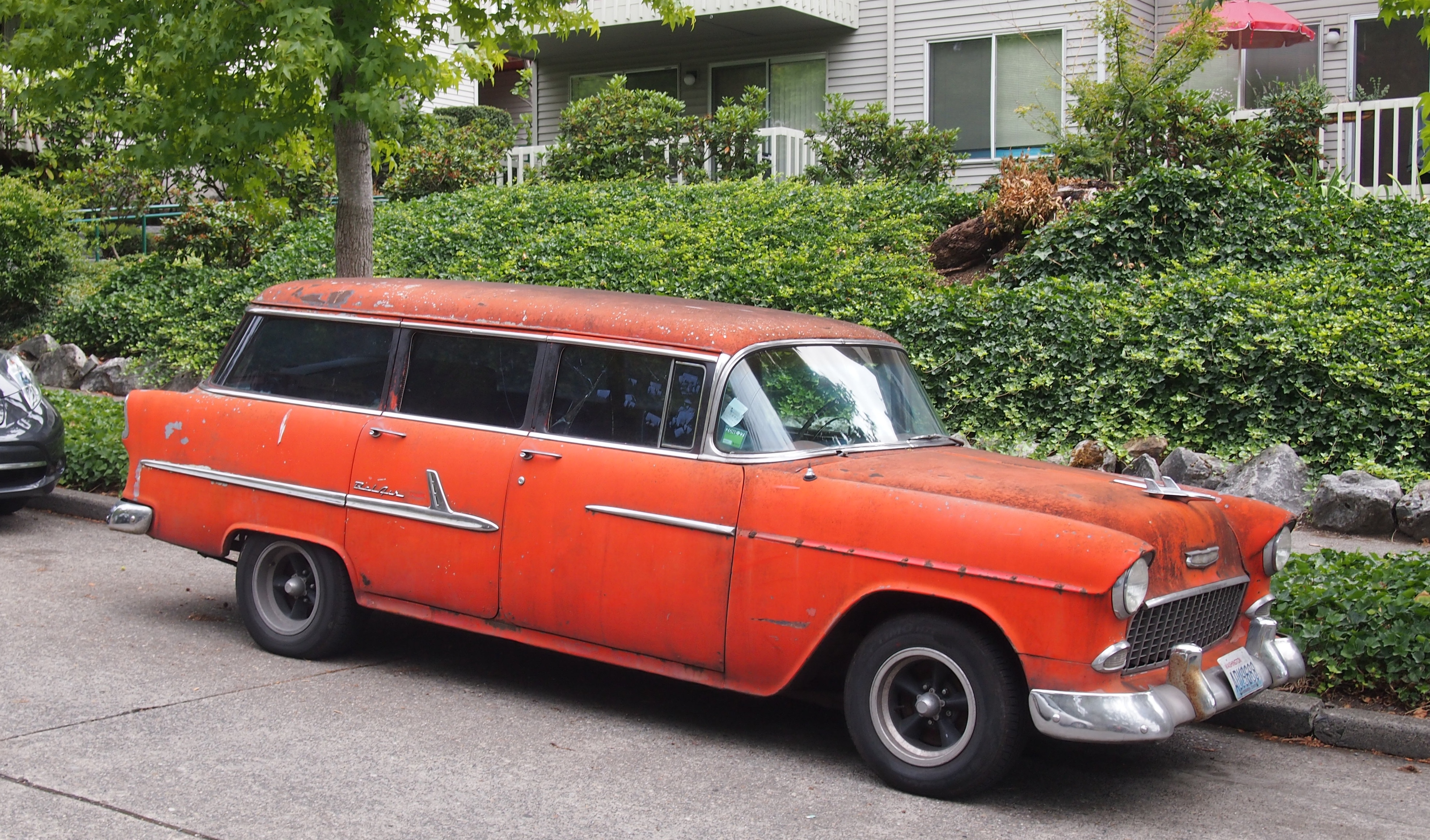
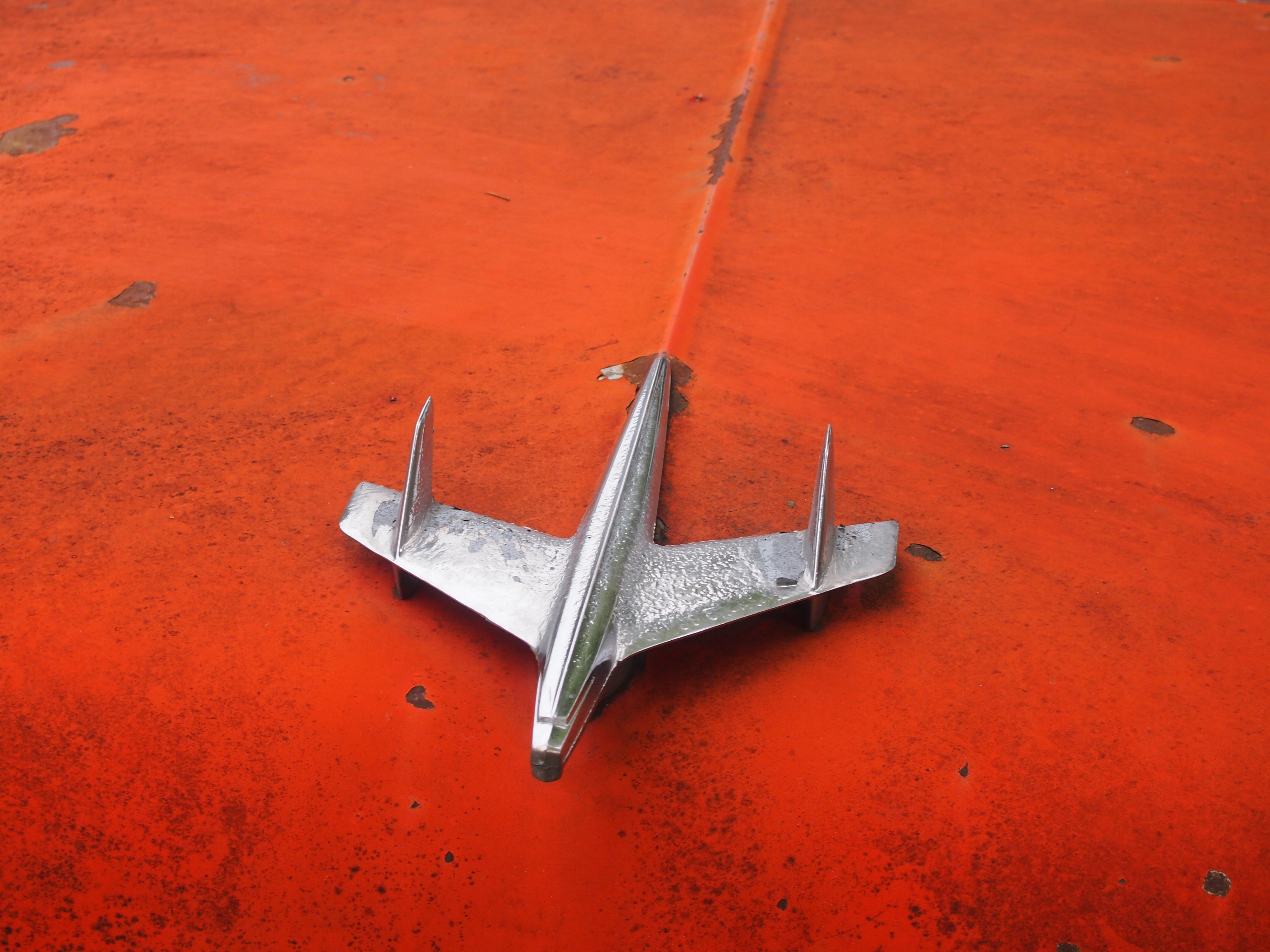
That meant I was ready for the Fountainhead Antique Auto Museum in the afternoon. I almost didn’t go. Two museums seemed like enough for this trip. But I figured I’d go look at some old cars for an hour or so, since I was nearby anyway. I was astonished at the place. Not only was it an excellent car museum, it was an excellent museum, period: an amazing collection expertly displayed and curated.
That wasn’t quite all. I spent a little more time before returning to the airport walking on the trails of Creamer’s Field Migratory Waterfowl Refuge, including its boreal forest trail, a term that evokes the trackless reaches not much further out of town. My July 31 flight from Fairbanks was a redeye, bringing me home early today.
My senses had to work overtime to take in all that I experienced. Alaskan vistas tend to be intense, in spots sweeping far to the distance; more expansive than I’d ever seen, besting even the Grand Canyon or the Canadian Rockies or the Gobi Desert. Roads took me through vast forested square miles without much human presence. On learning that there are really only six main species of trees in the Alaskan forests, and that one of them is the quaking aspen, I started noticing them everywhere. At one rest stop, I listened to the wind blow through a stand of maybe half a dozen quaking aspens, a distinctive rustle I’ve heard in my own back yard, only magnified.
Mostly the temps were in the 60s and 70s, and as high as 80, though a rainy cool day on the Dalton made the gravel crunch and the mud stick, and some of it yet remains dried on my hiking shoes. As the days passed, I started noticing the hours-long twilight and the never-quite dark of the night, strange to contemplate, if you’re not used to it. The signs and businesses and other details along the way in Fairbanks spoke to a strong regional identity, as much as in Texas.
At first, Fairbanks itself didn’t impress. The Lubbock of the far north, I thought. But the longer I stayed, the more I began to appreciate its light traffic, historic spots, and restaurants that wouldn’t be out of place in any much larger American city.
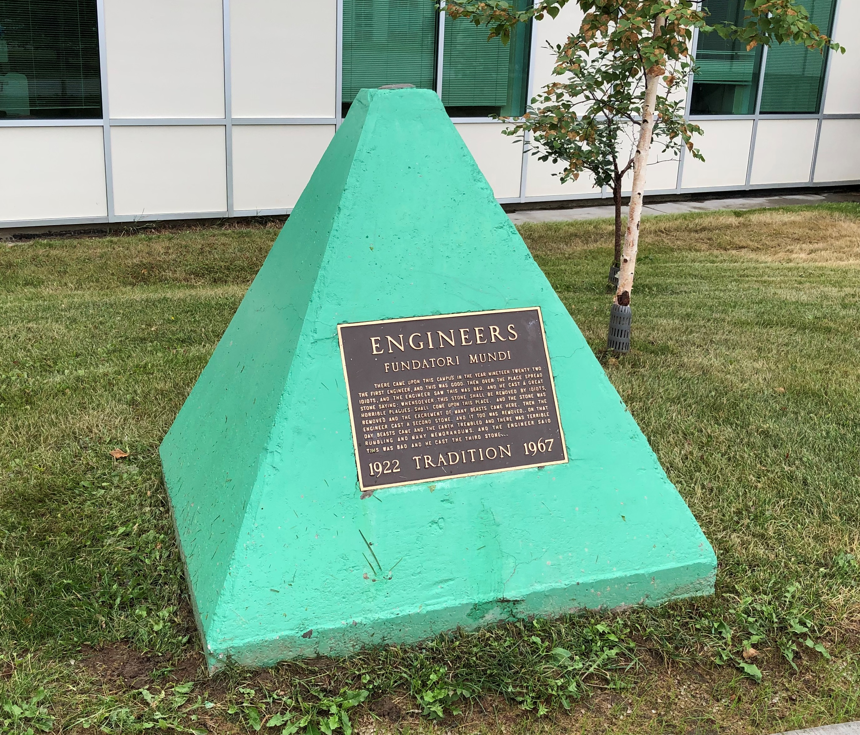
And its oddities. Perhaps none as odd as the green pyramid at the University of Alaska Fairbanks, in front of the engineering building.
The text is here.
The Alaska leg of the trip was a little expensive, at least after arrival, because the airfares to get there and away were the least expensive part of the trip. Everything else in Alaska is expensive. But I have to add: entirely worth it.


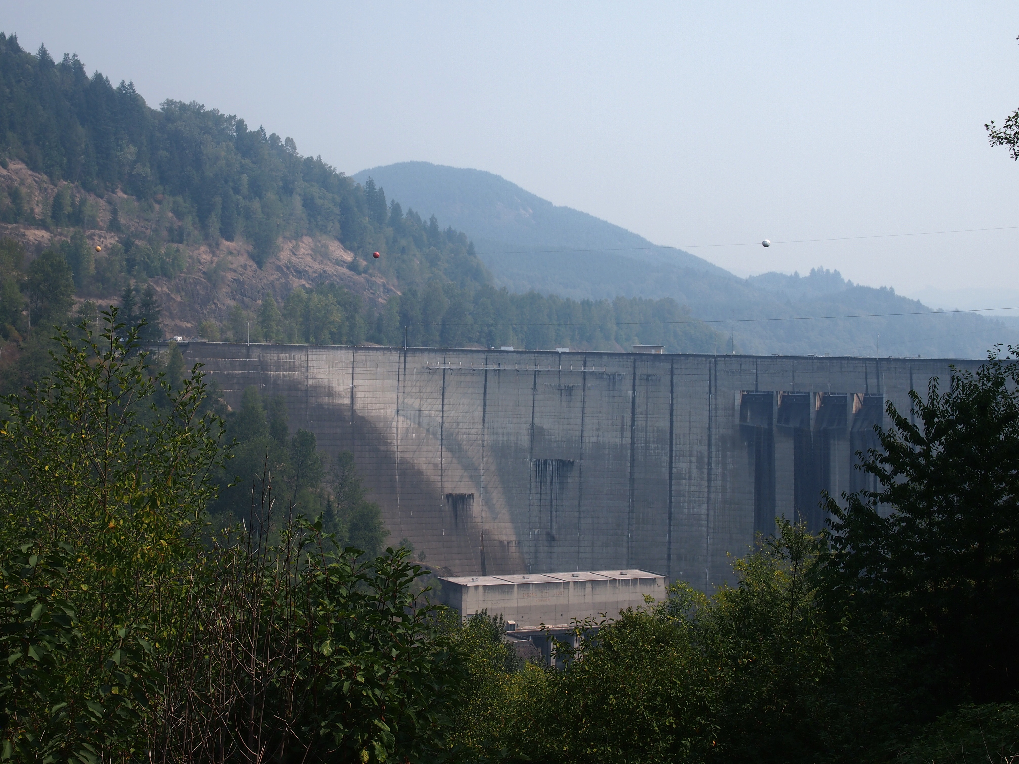
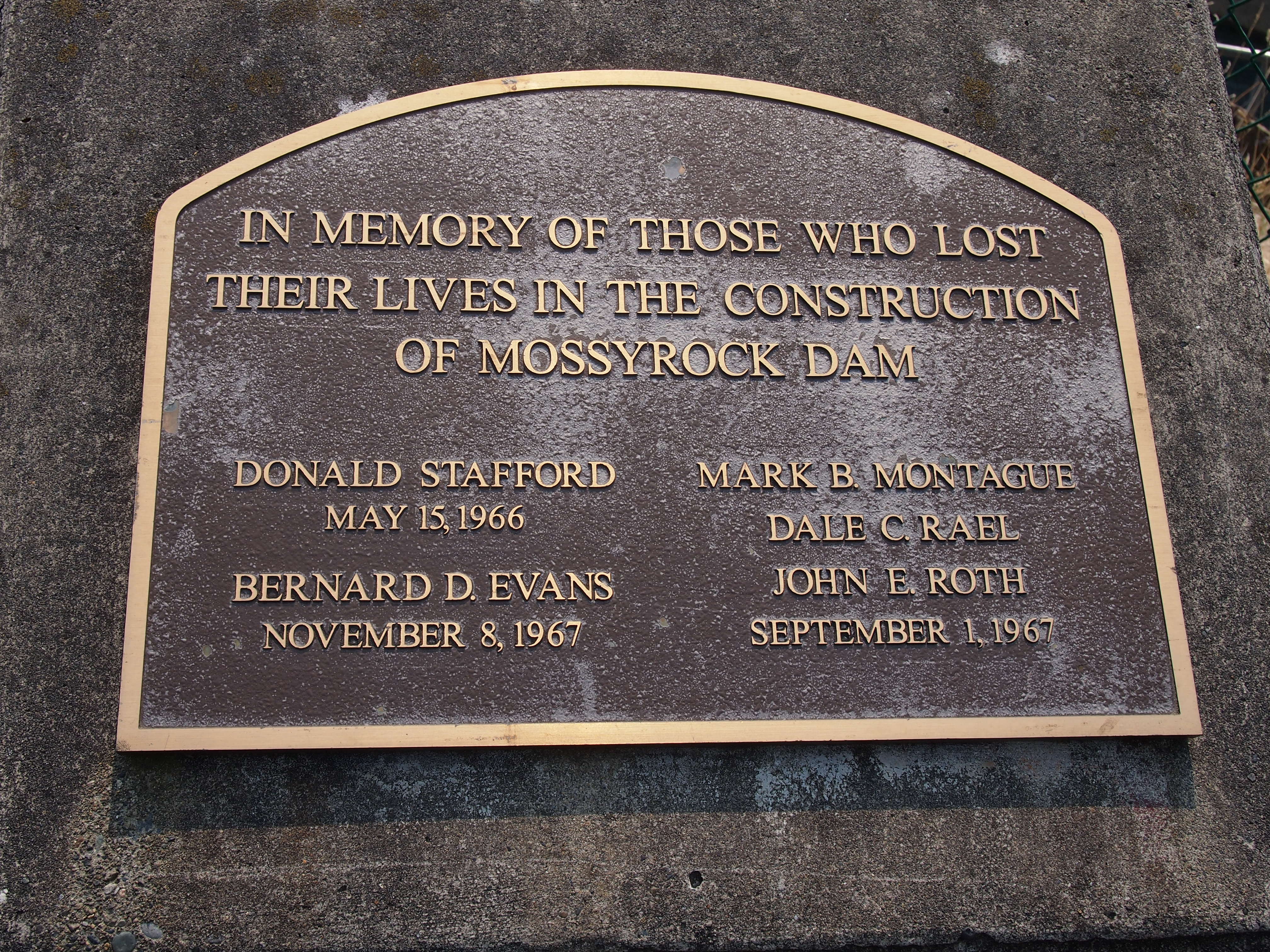
 I consulted my map and picked out something else in the vicinity to see. That turned out to be Mossyrock Dam in Lewis County, Wash.