April Flowers

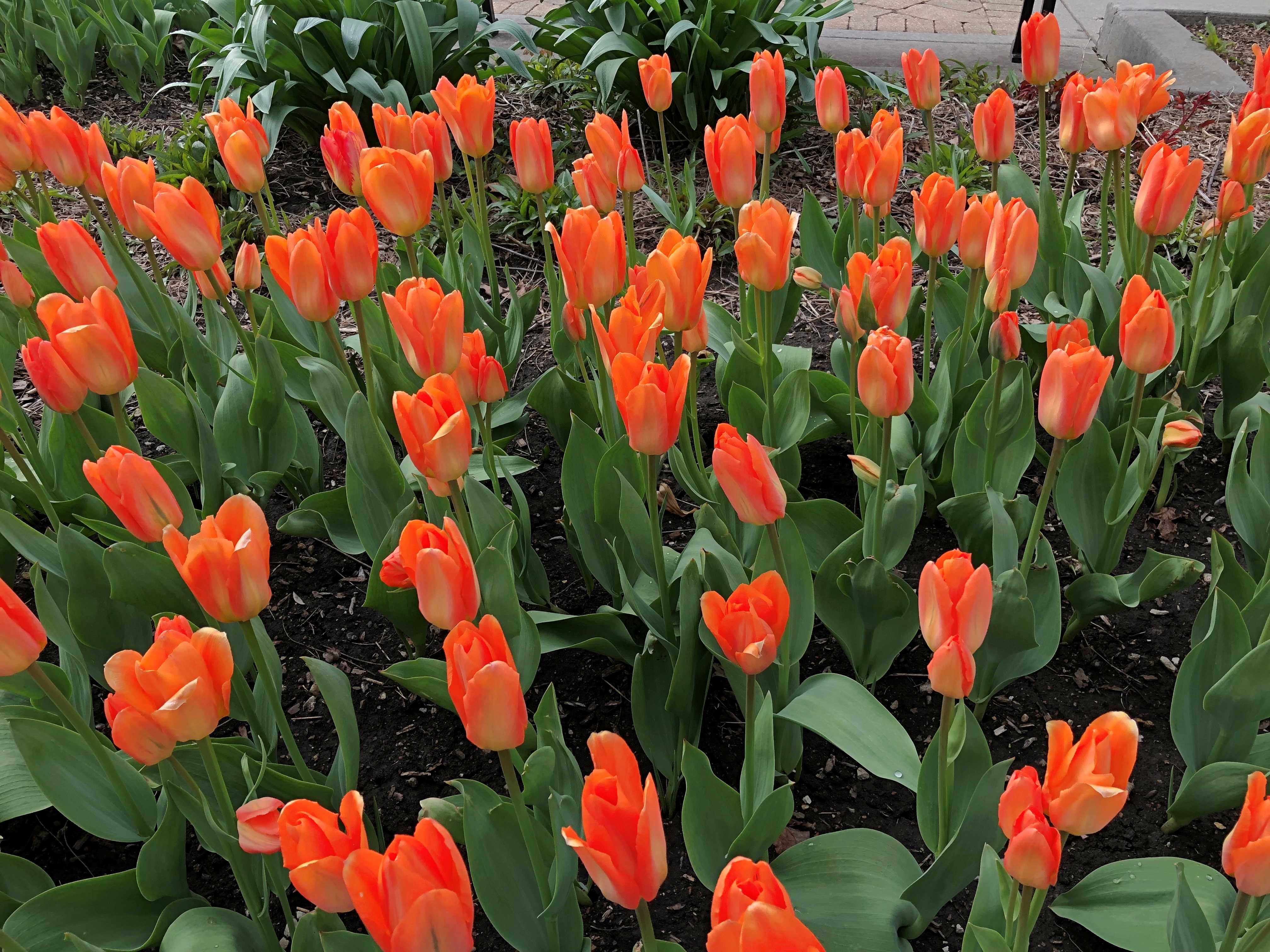
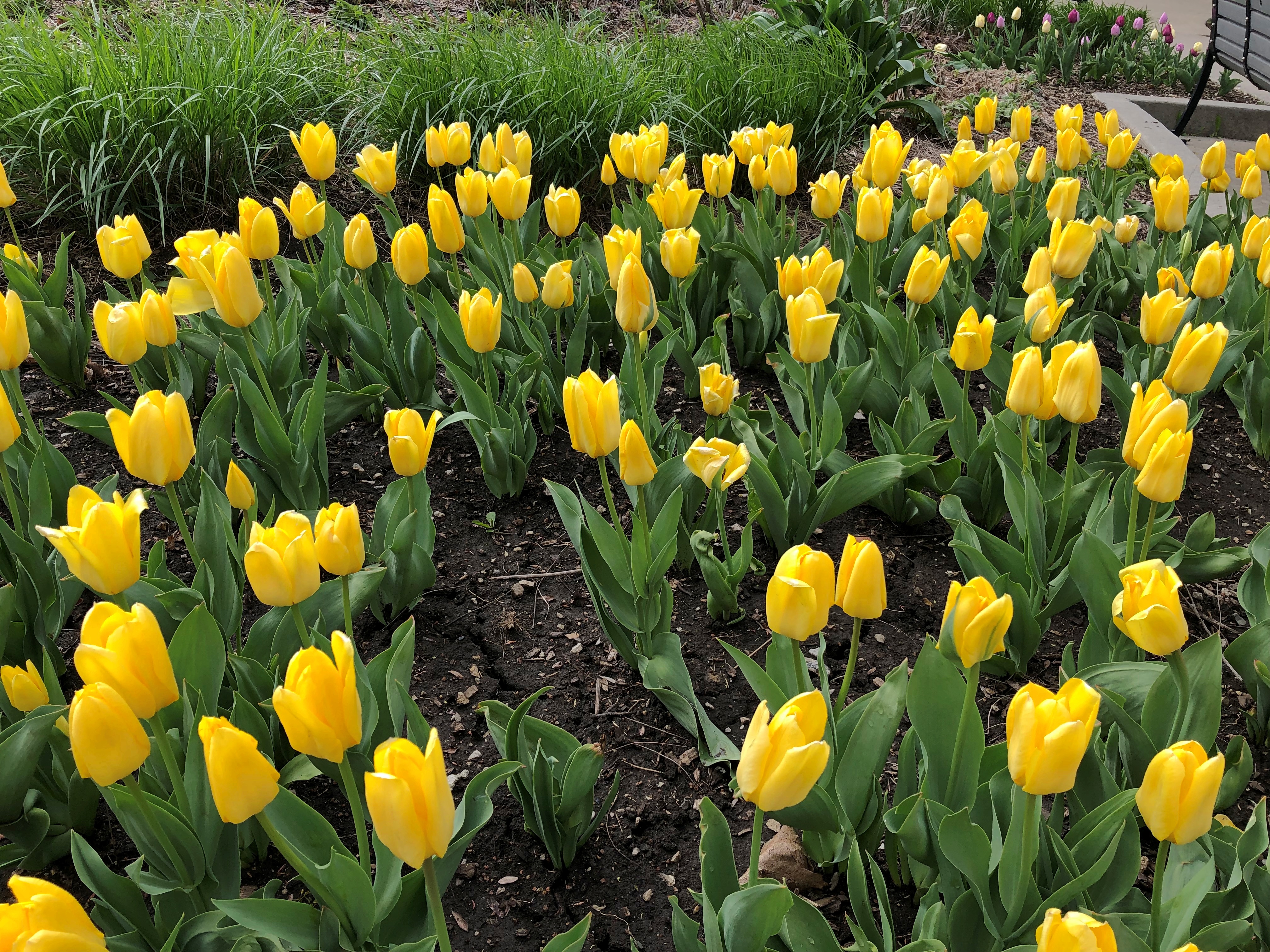
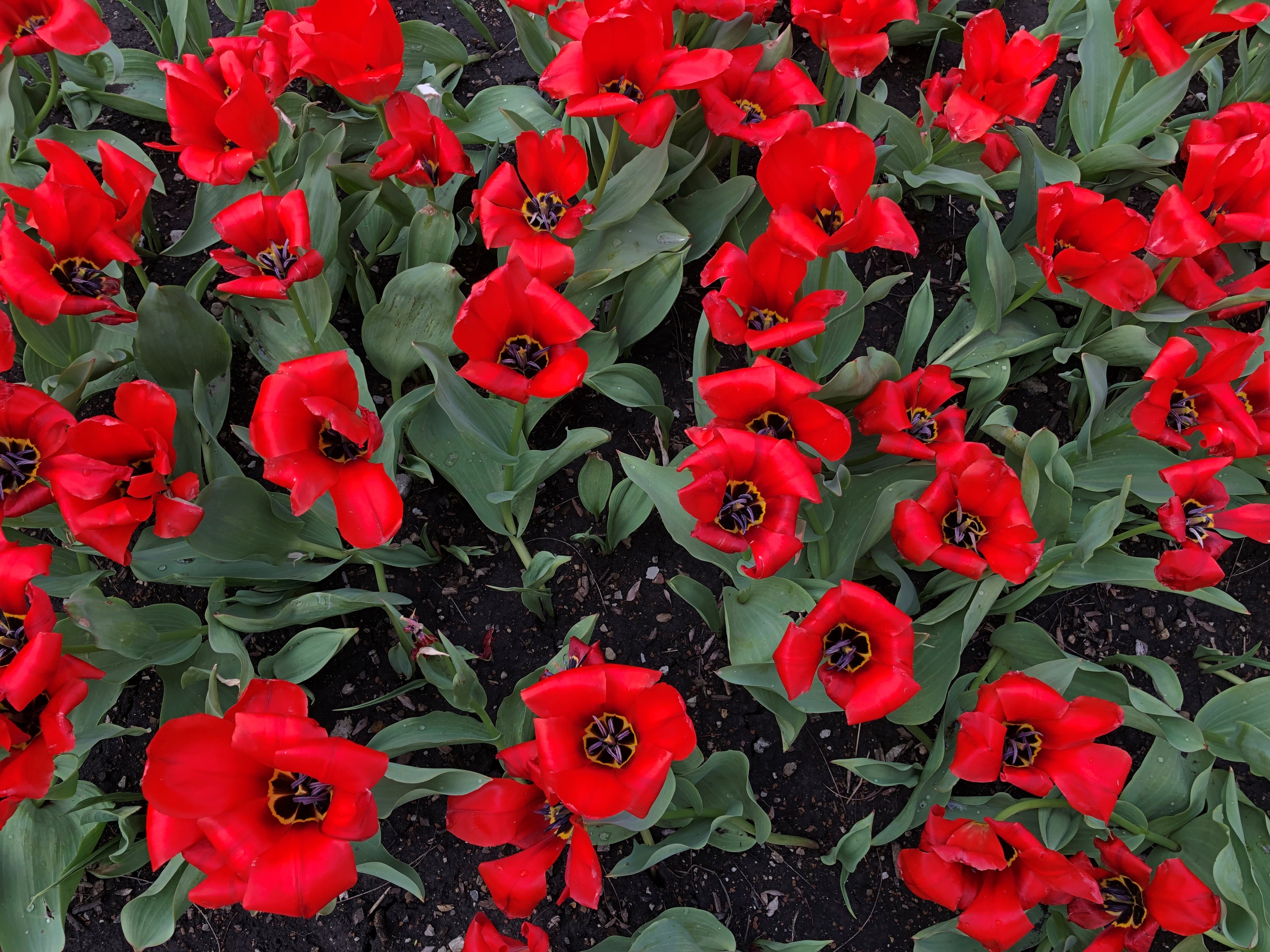
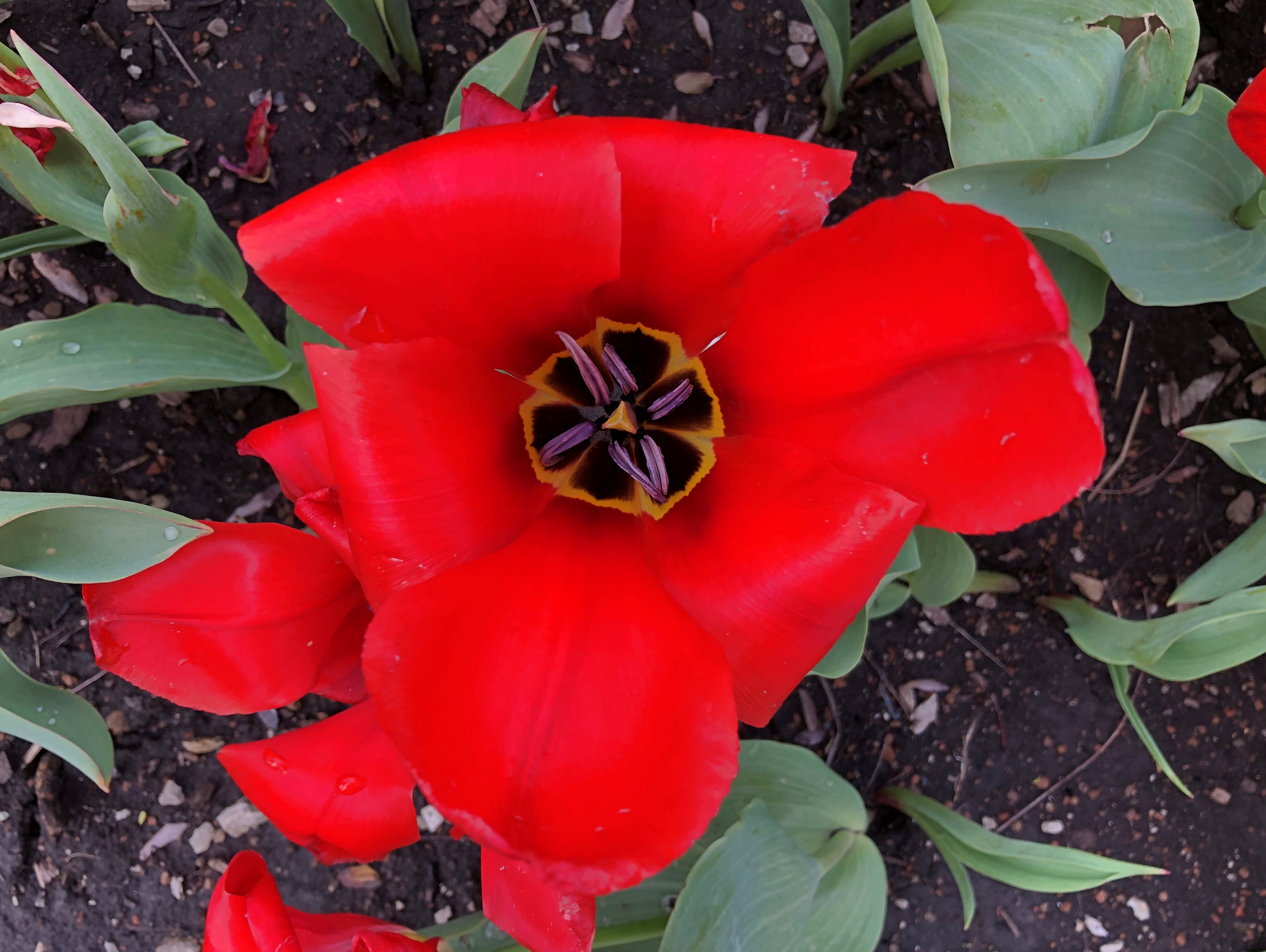
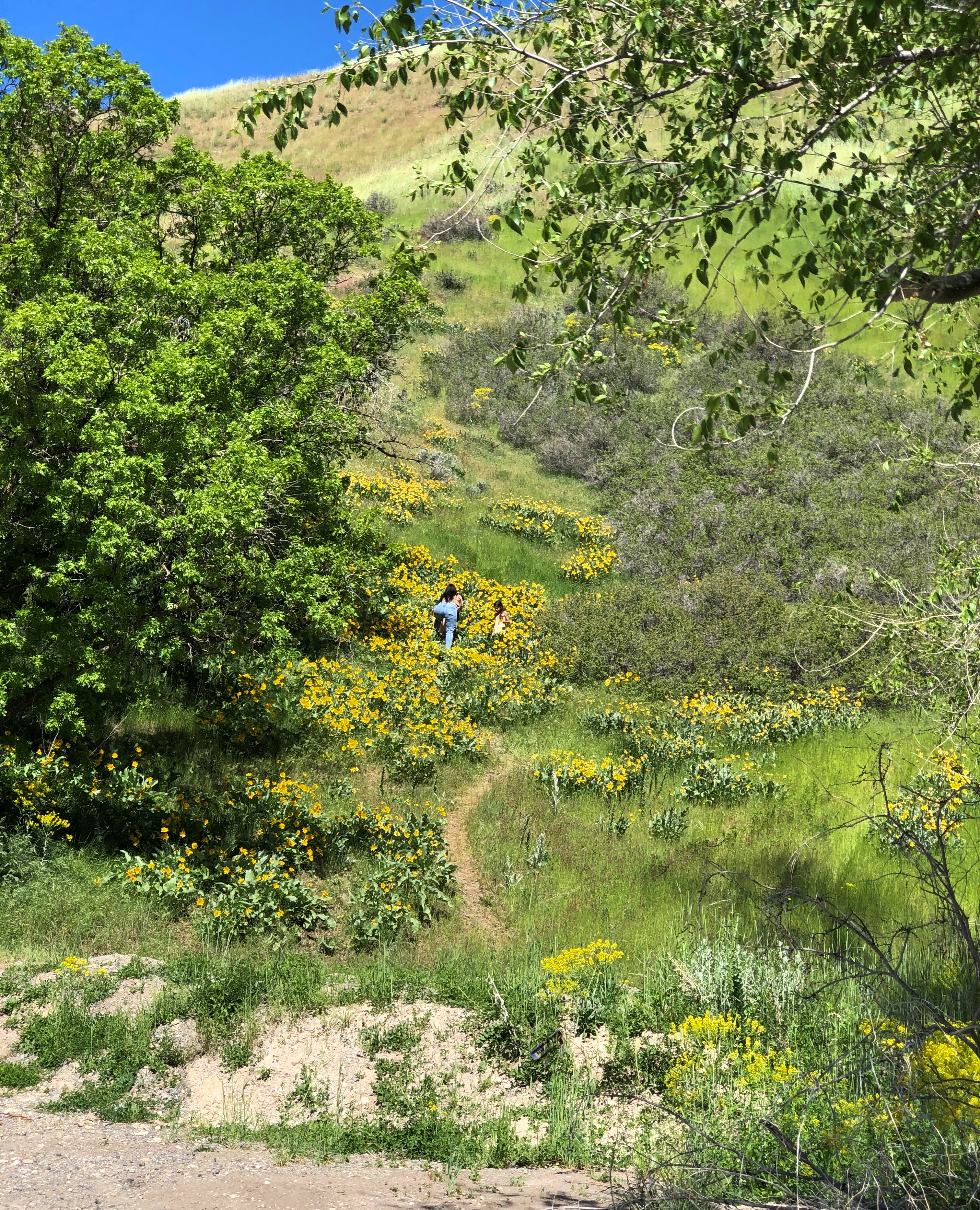
Temps are expected to dip down to freezing tonight. Bah. But I expect our local April flowers are hardy enough to take it, unlike (say) July flowers that would wilt at a whiff of air below about 50° F.

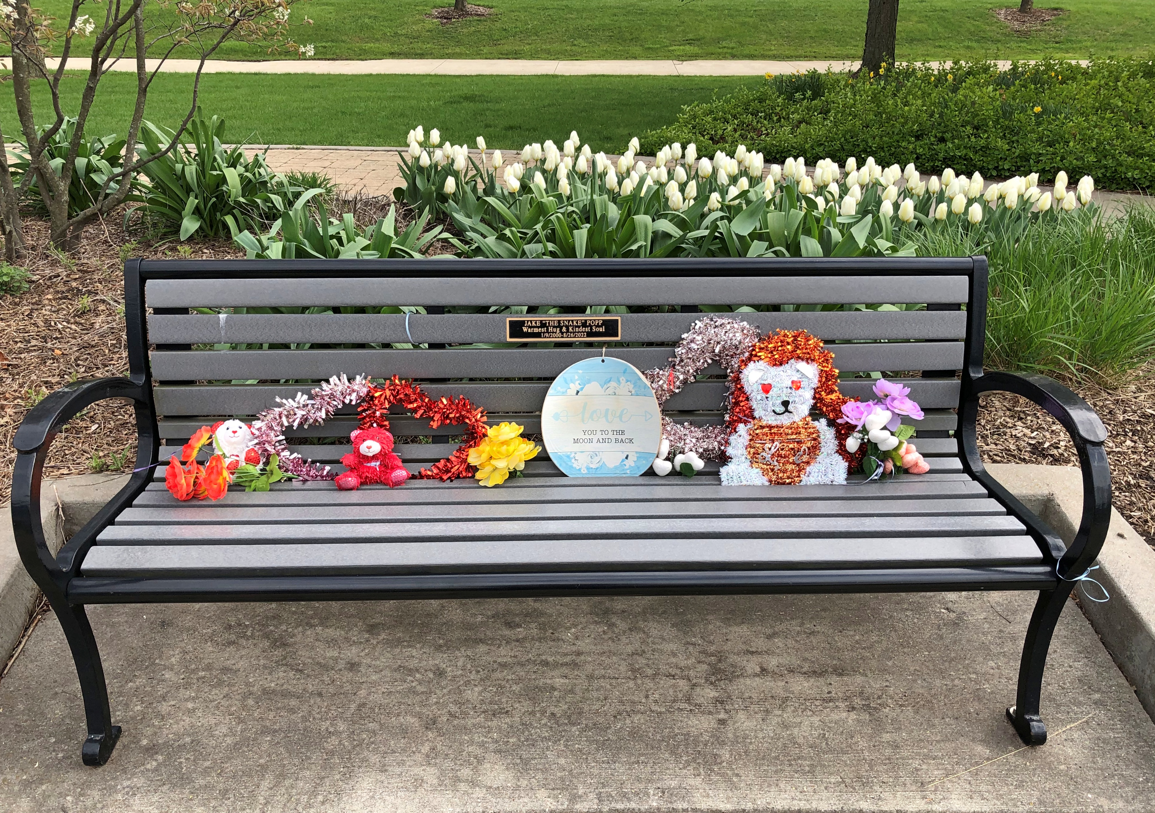
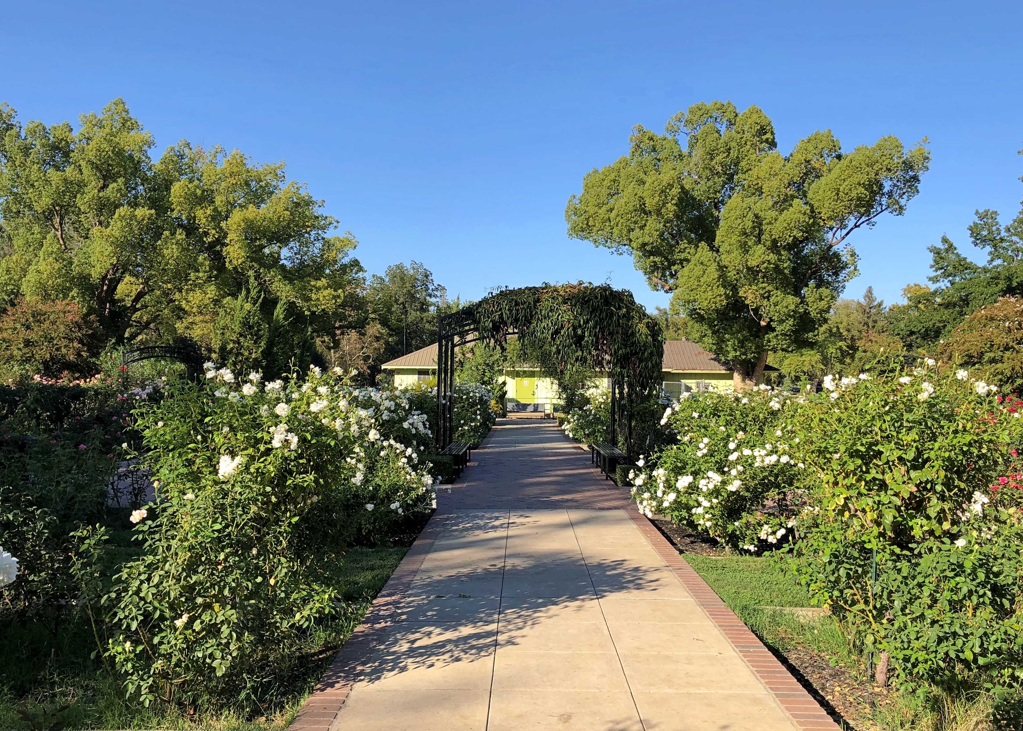
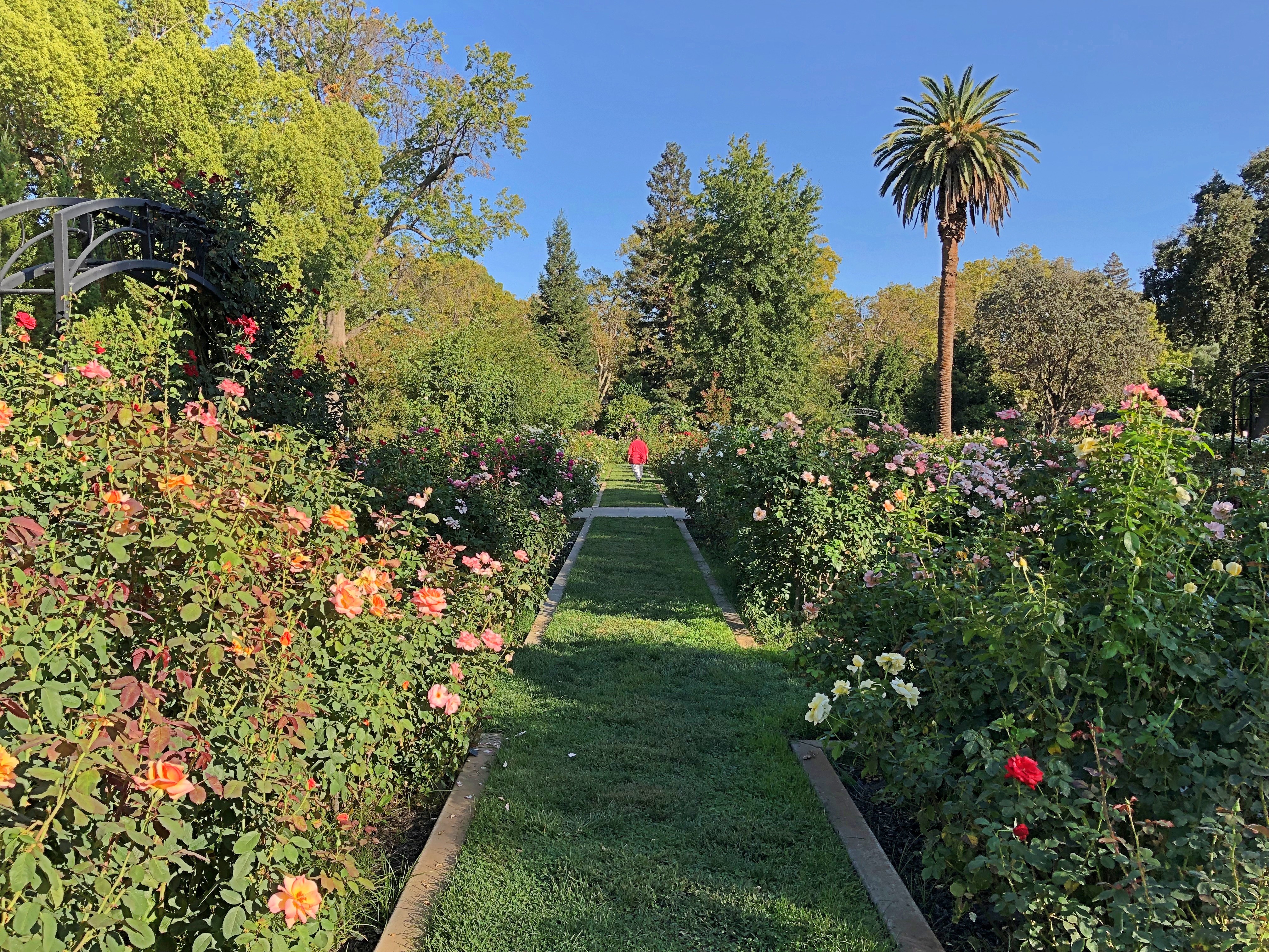
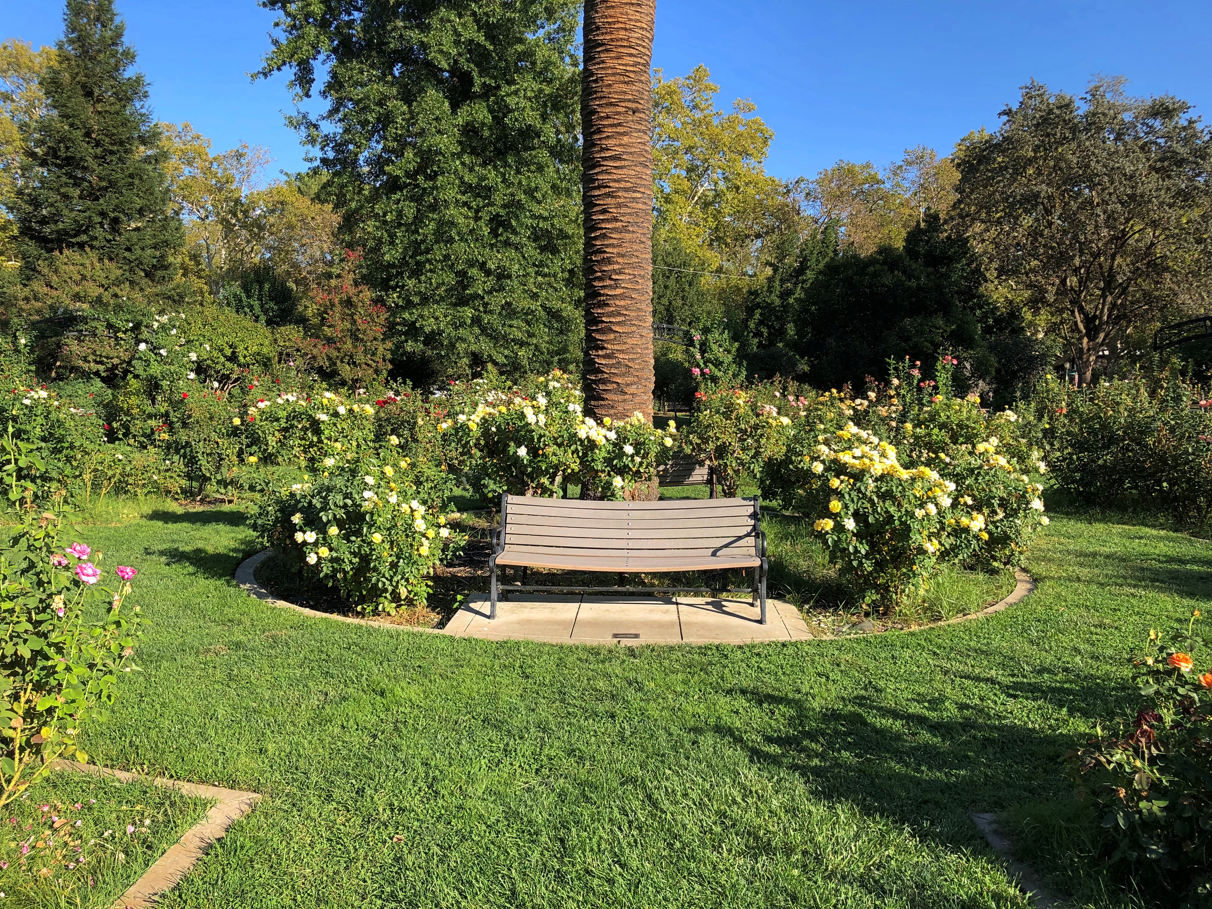
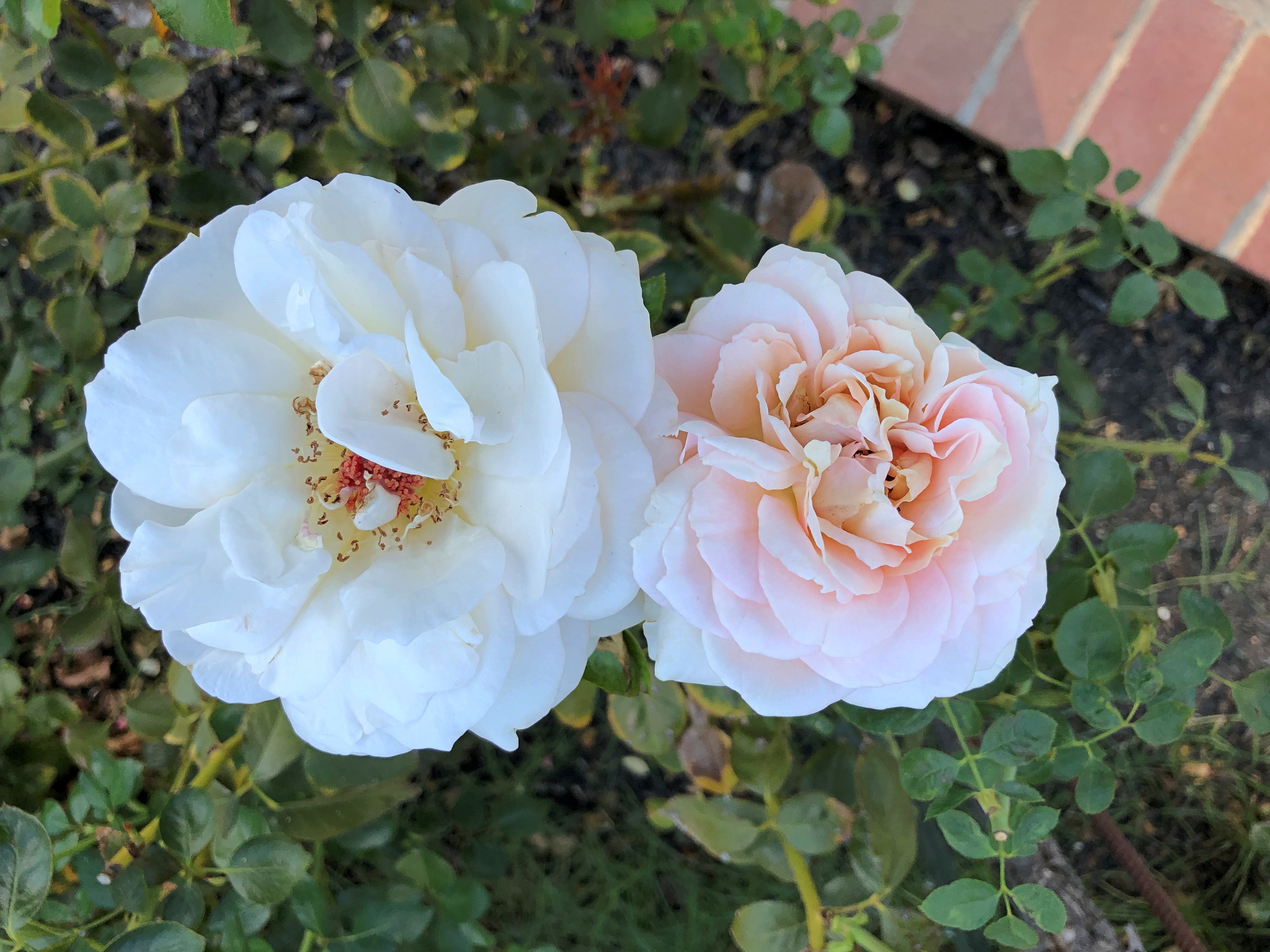
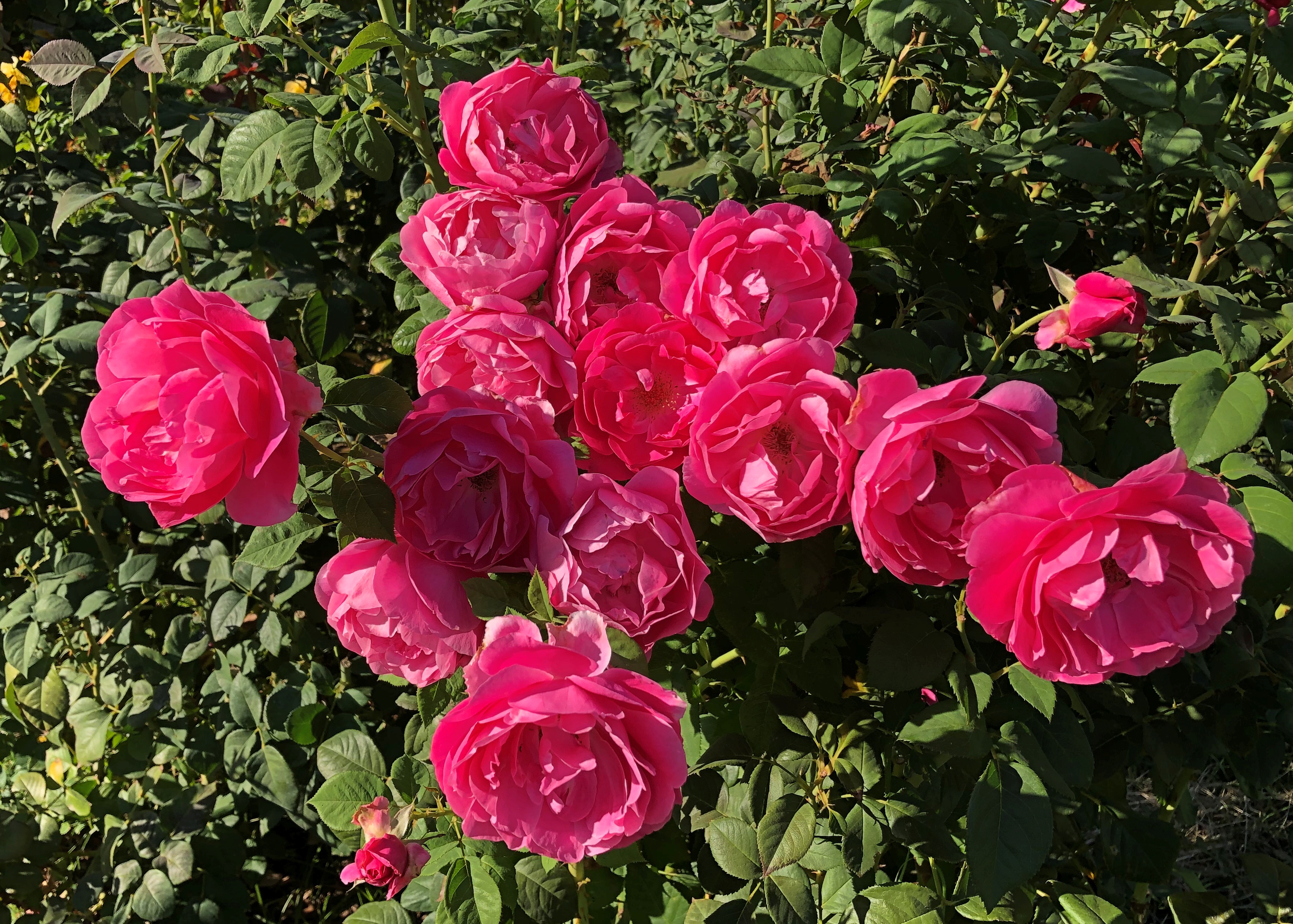
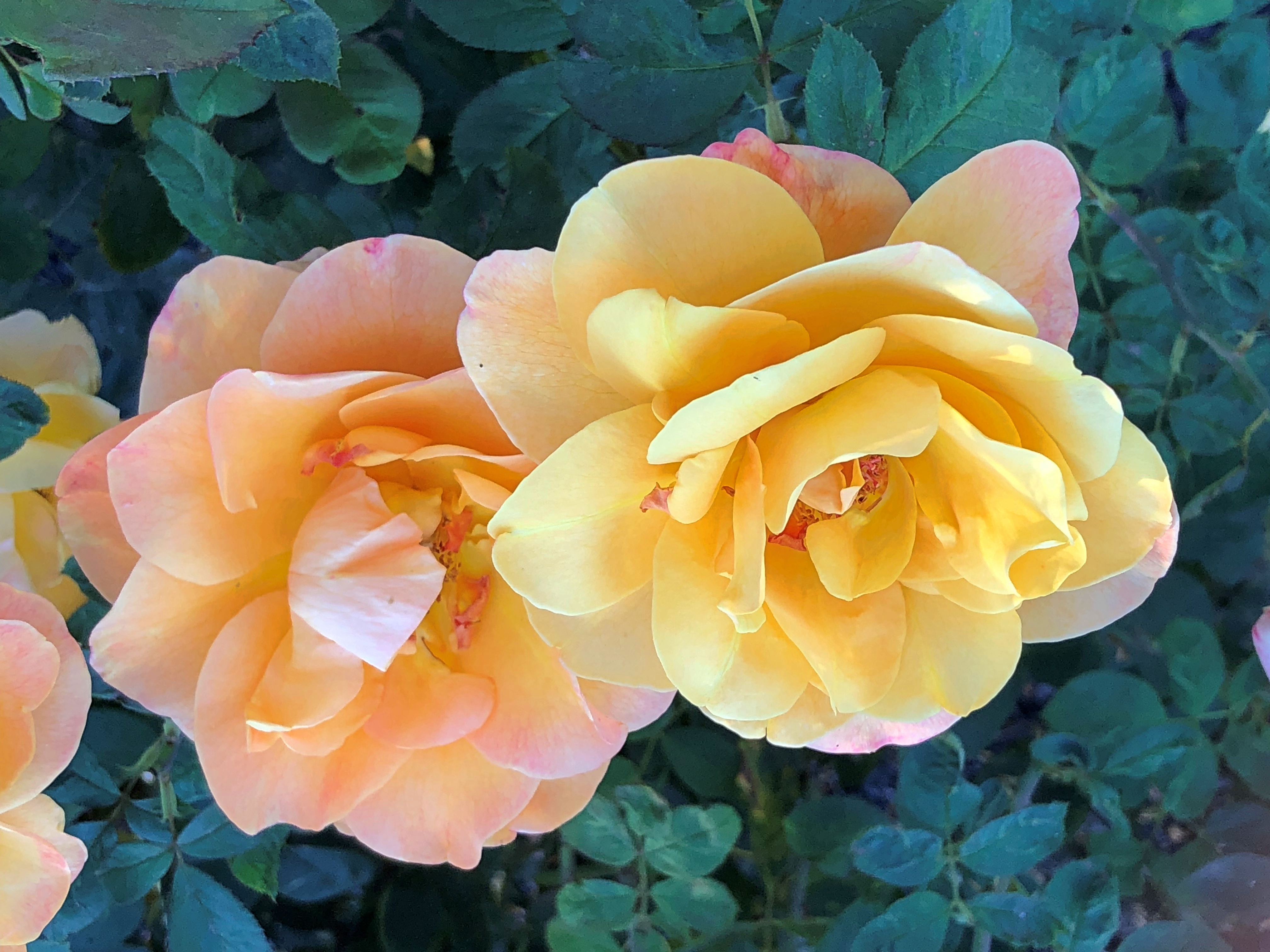
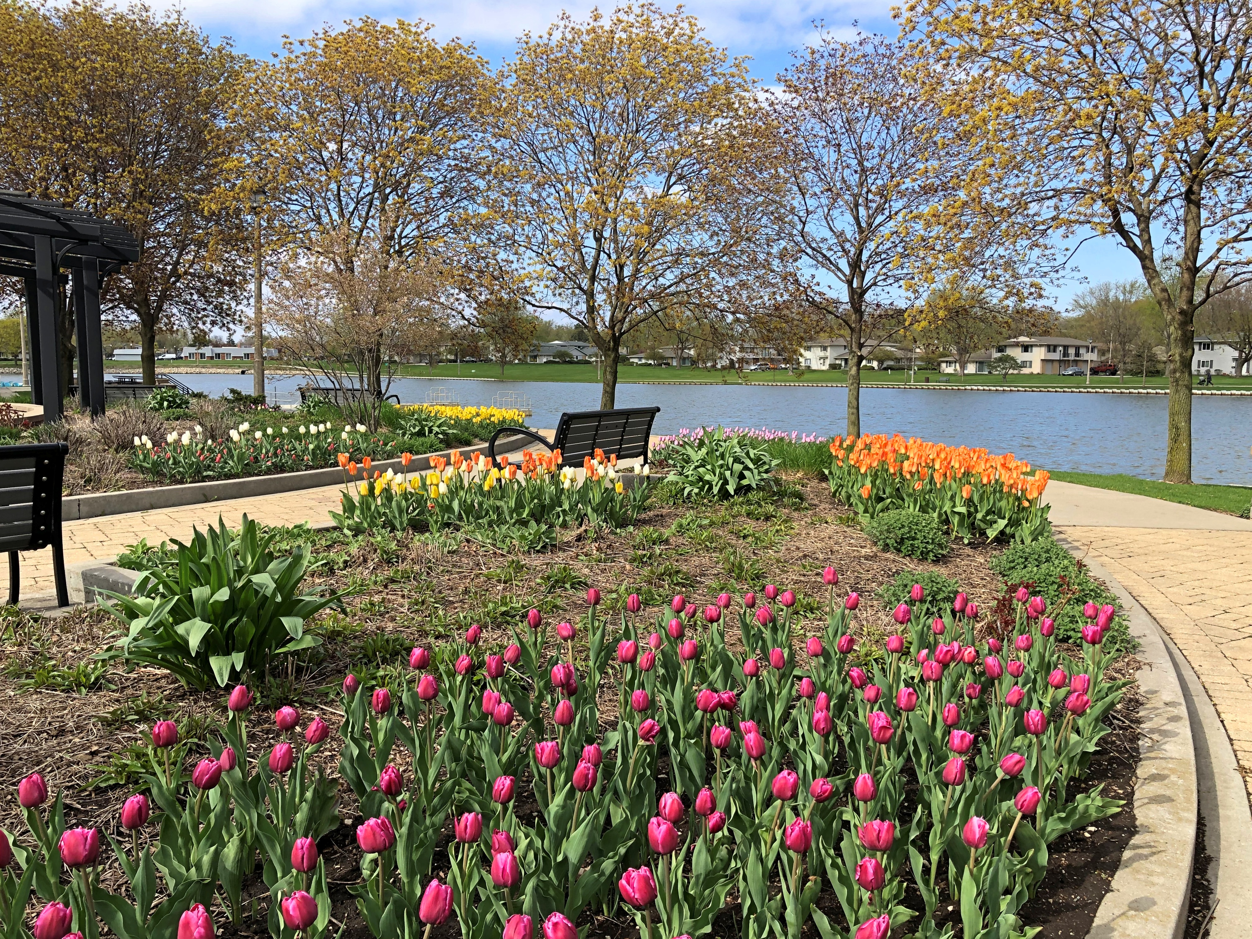
April flowers at a park not far from where we live.

A lovely scene. Just needed a bit more atmospheric warmth to make an idyllic scene. 

Just carping about the temps, as I do. Even Solomon in all his glory was not arrayed like one of these.

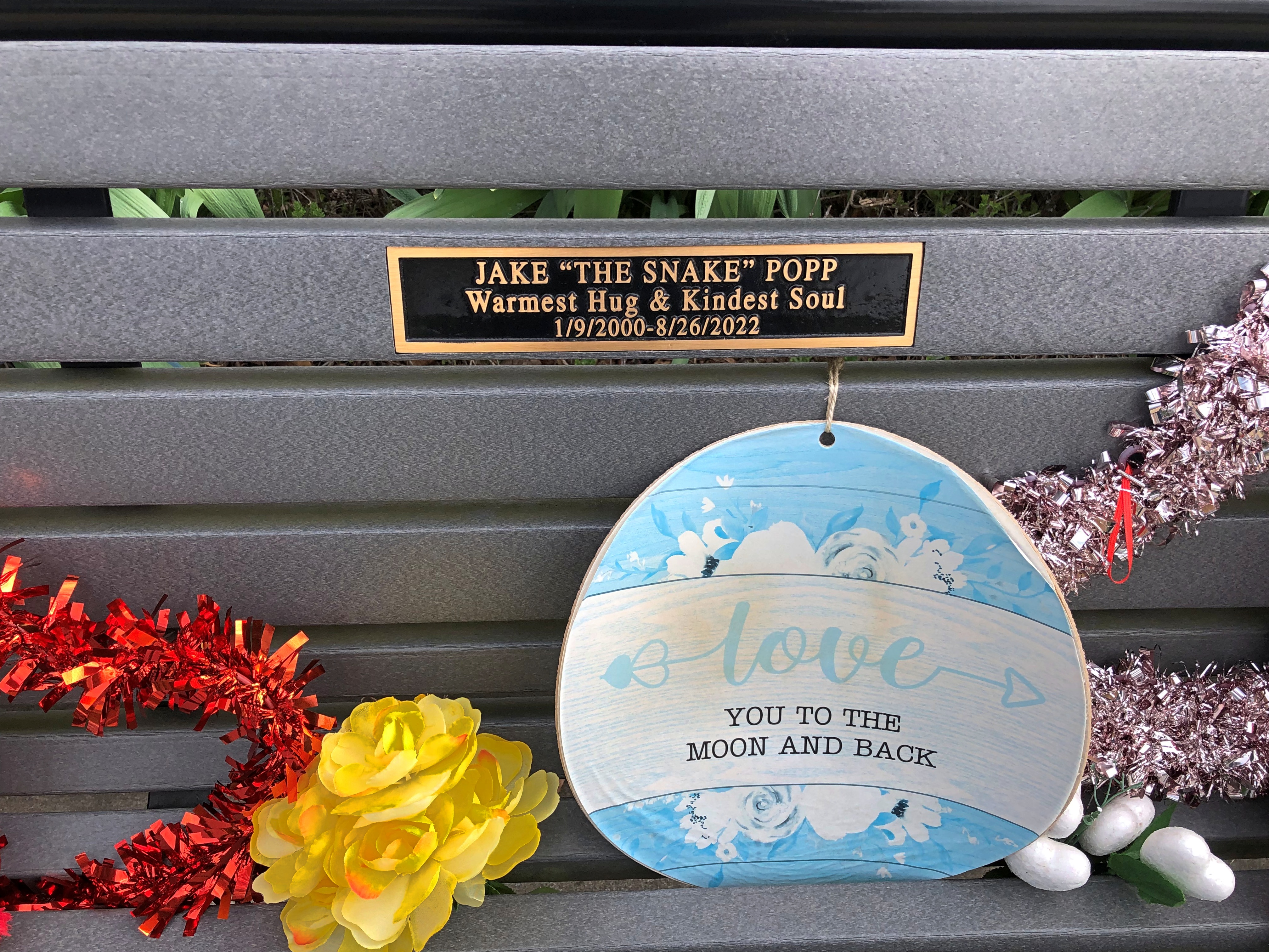
Among the new life of spring, a reminder of mortality.

A plaque I hadn’t noticed before. Because it’s all too new.

This young man, emphasis on young. Enough to set one’s teeth on edge, seeing that one of your children’s generation died so young. RIP, Jake.

Golden West Nuggets

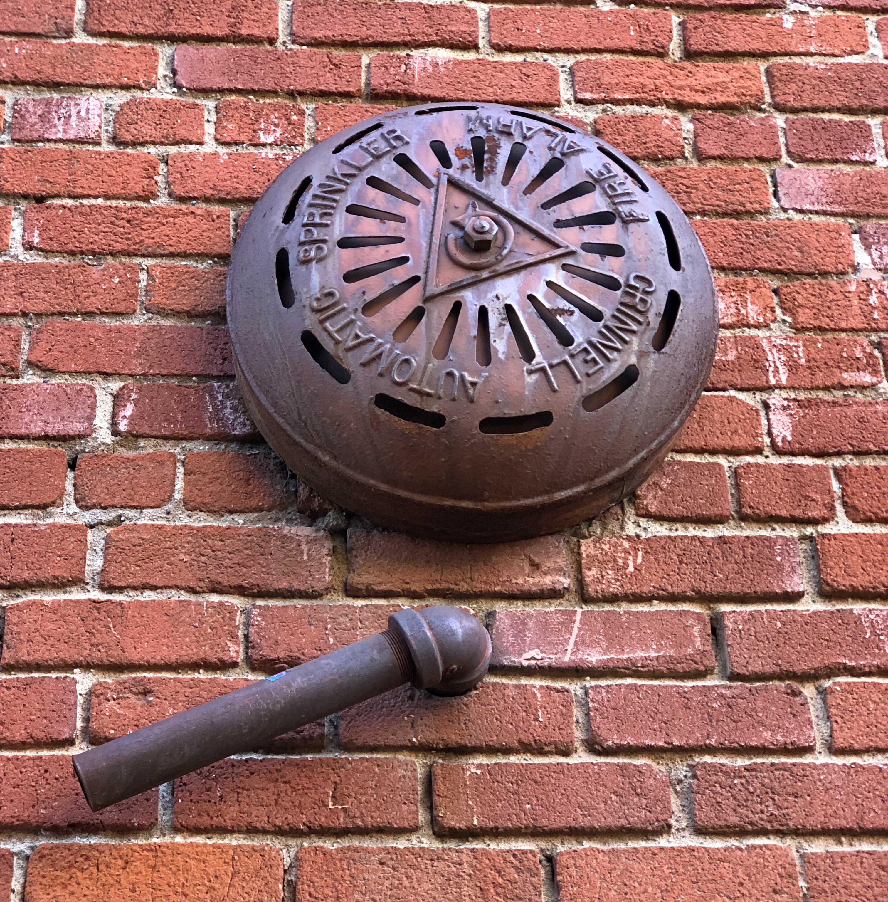
This is the kind of detail that keeps the built environment interesting. A visible part of an alarm system of some earlier vintage, operable or not.Placerville, California

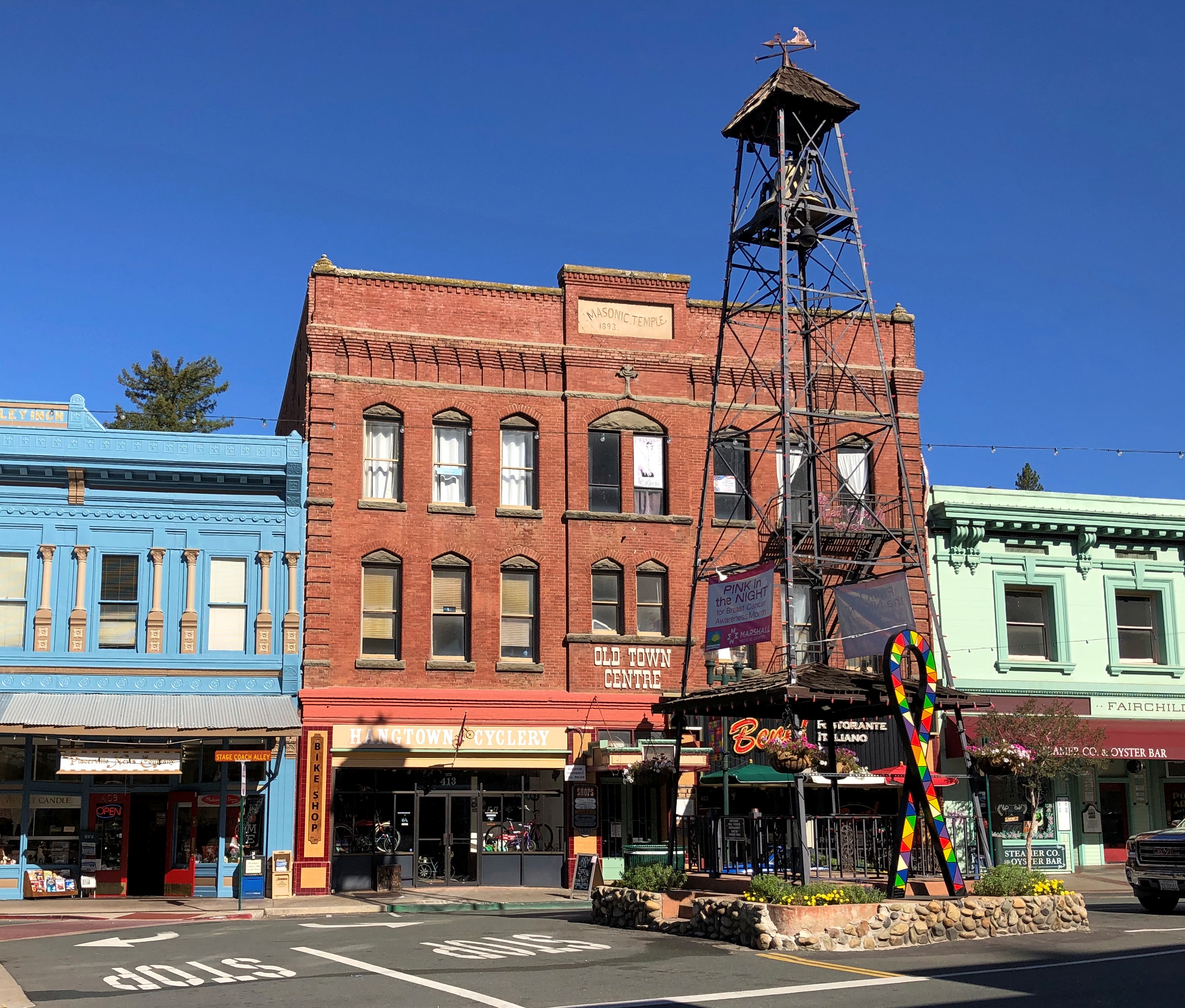
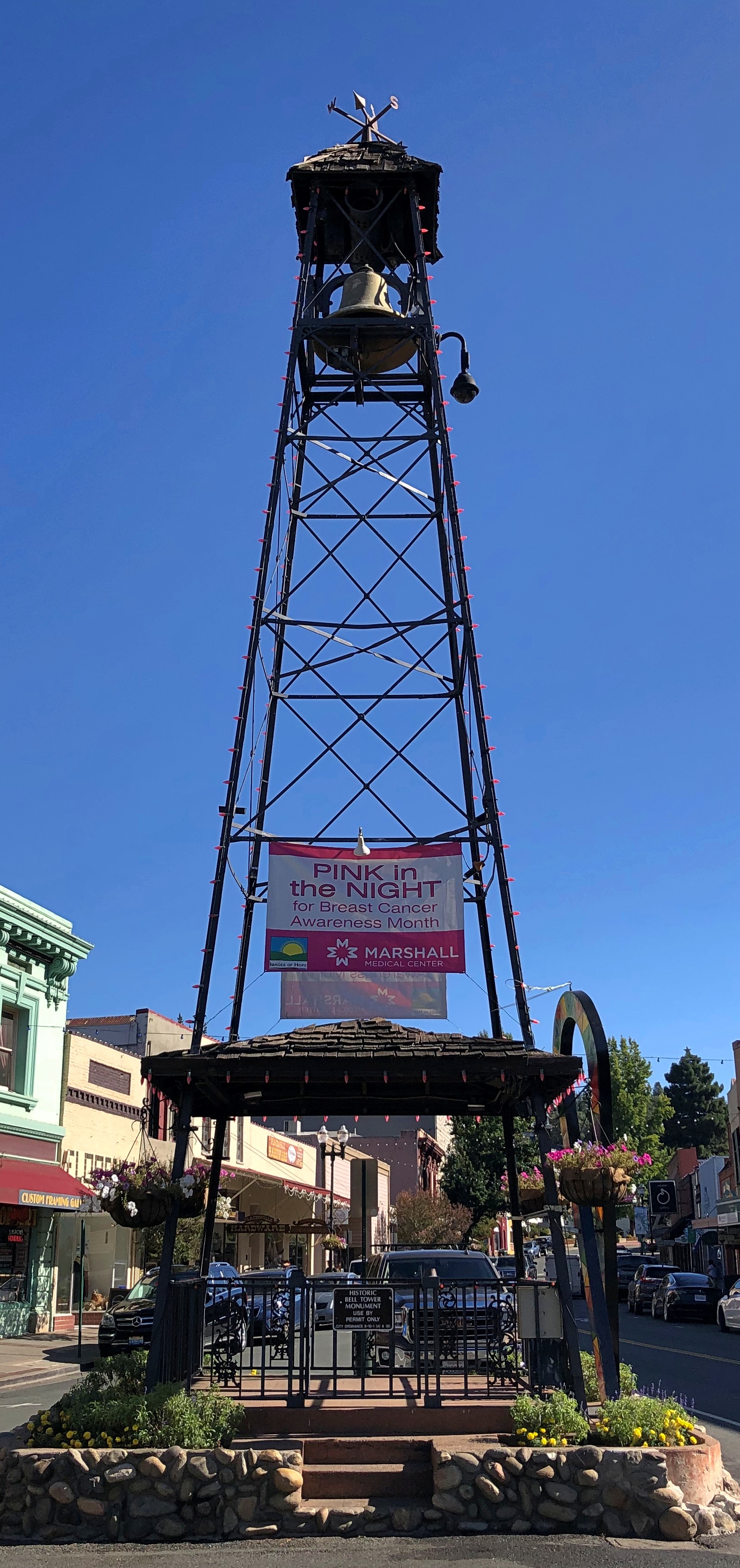
To be found in Placerville, California. You can also take a look at a small tower of some vintage in that town.Placerville, California Placerville, California

Placerville’s old bell tower. For use in the pre-electronic communication days, with a ring meaning something’s going on, come quick.

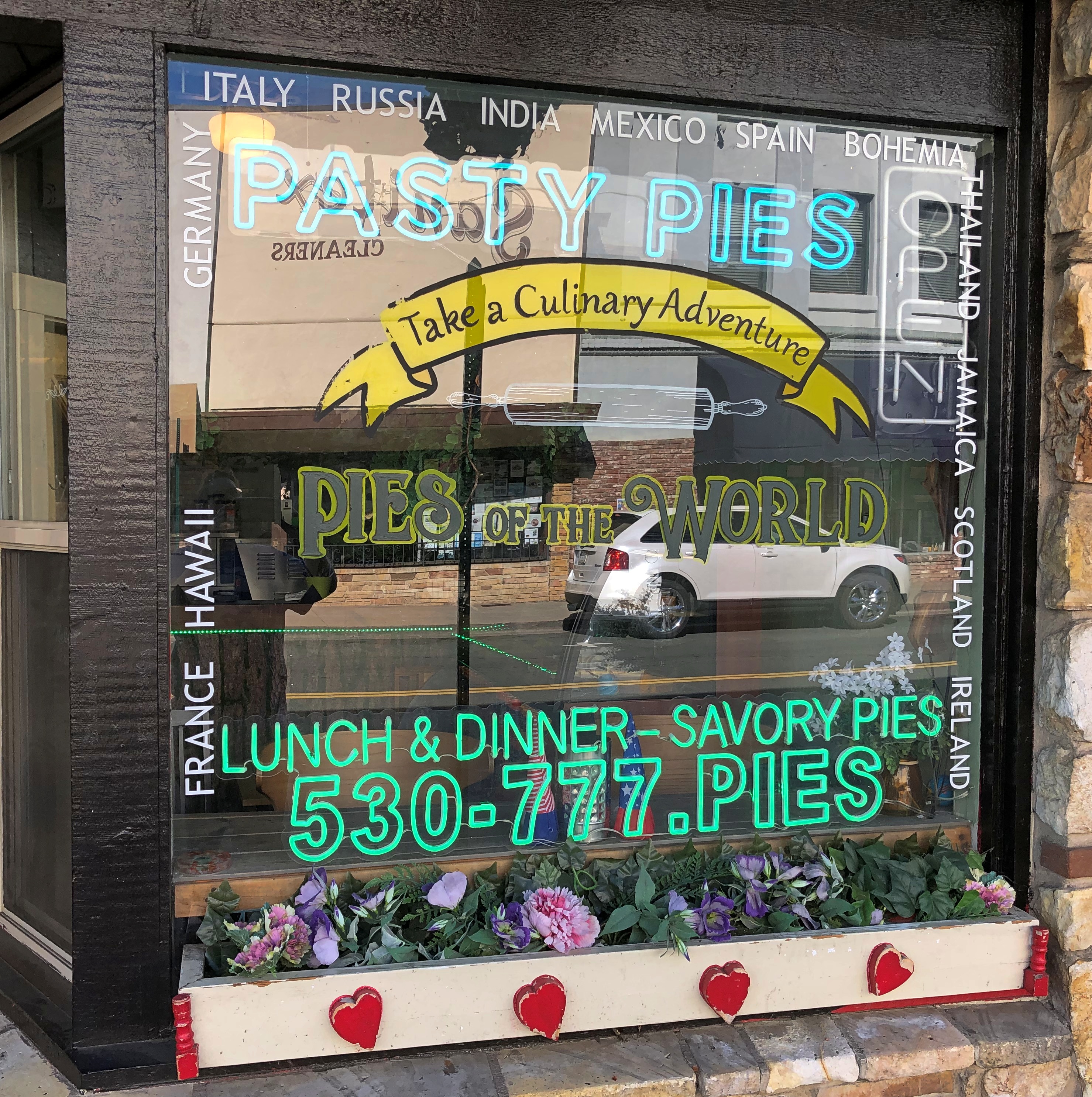
Wish I’d been hungry in Placerville, but no.Placerville, California

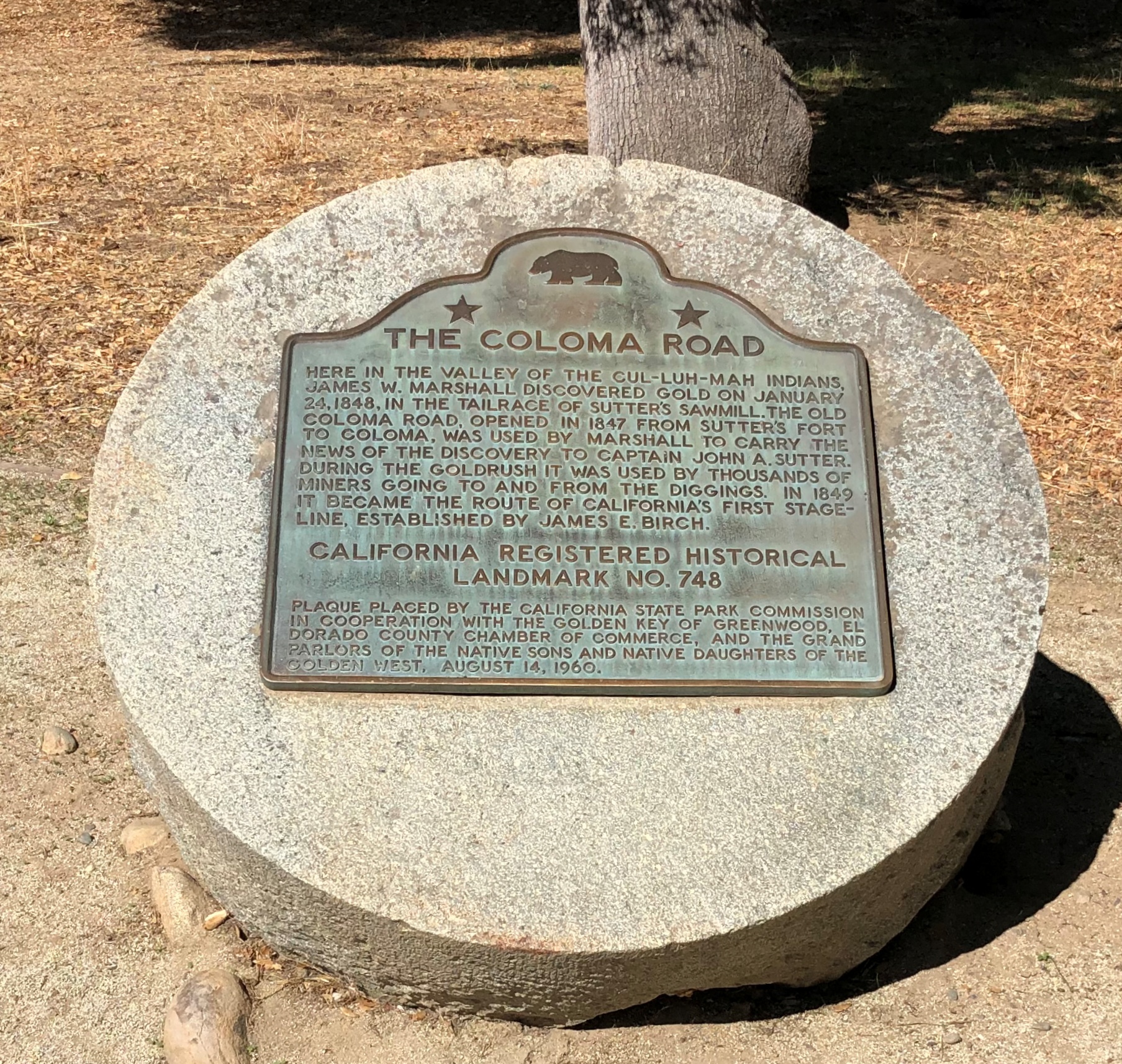
Some miles away, a Coloma plaque. I’m a fairly regular reader of plaques.

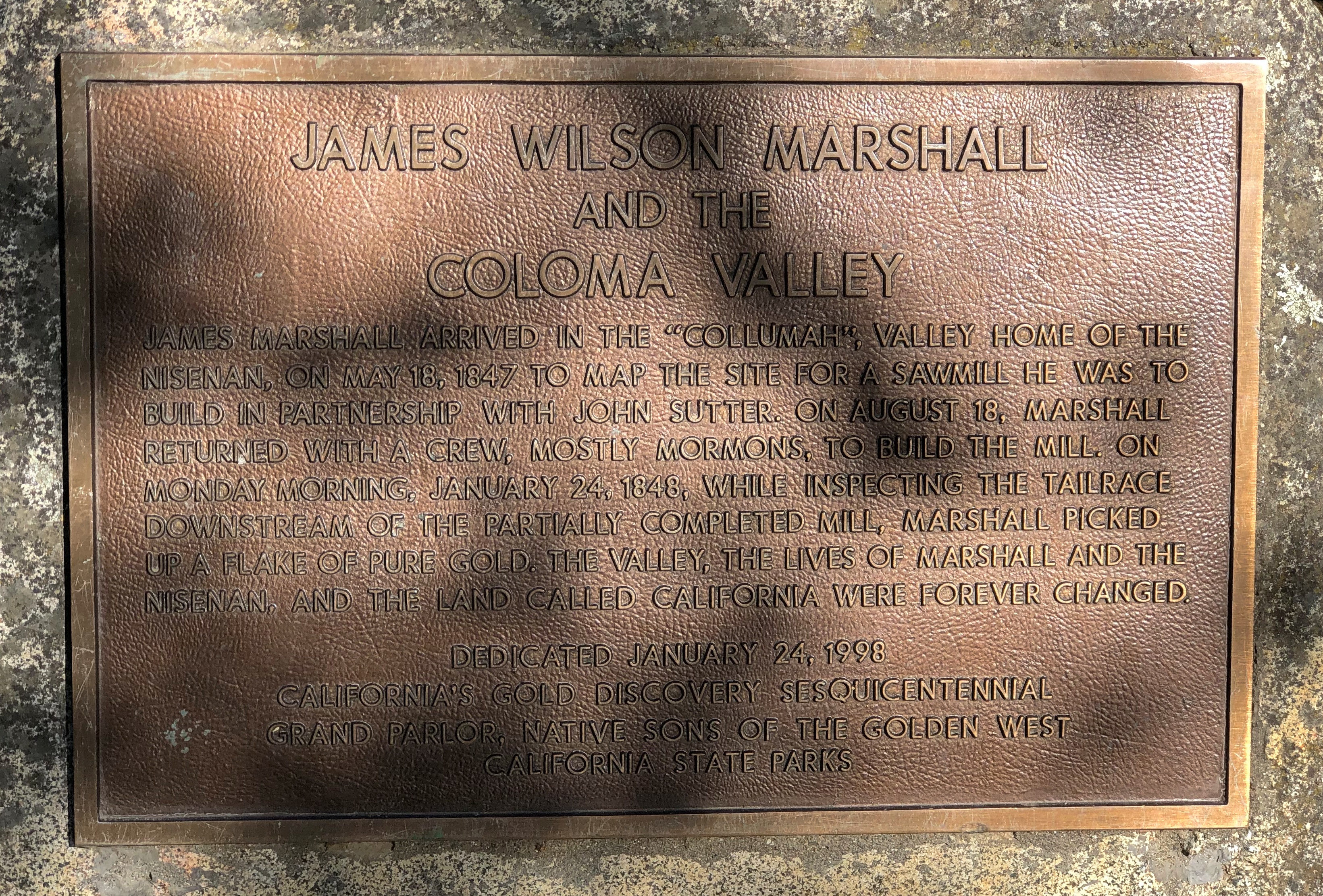
Another. I could post nothing but plaques, but that would be more granular than I want to be.

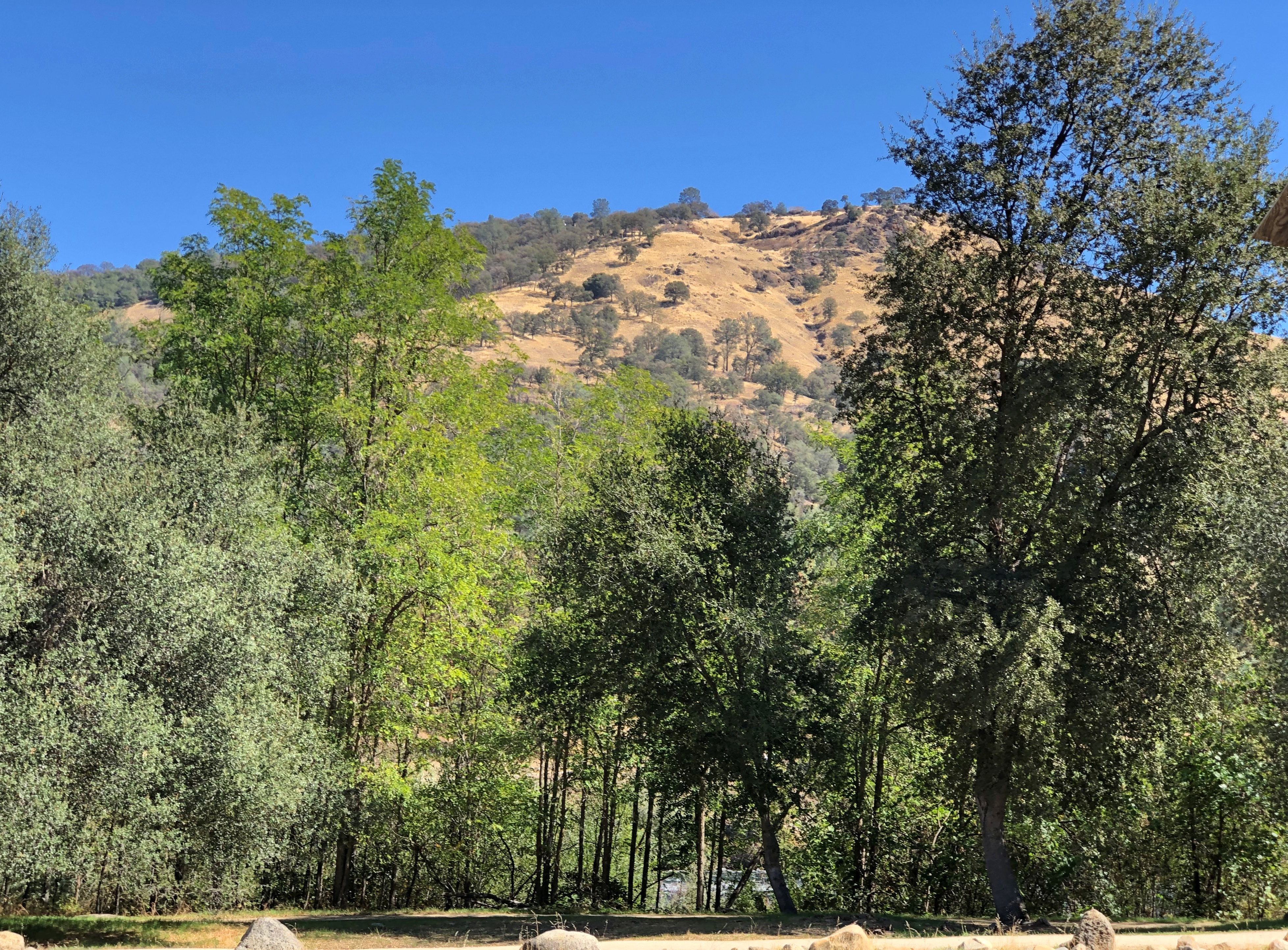
It’s a good-looking part of California anyway.Coloma Valley, California

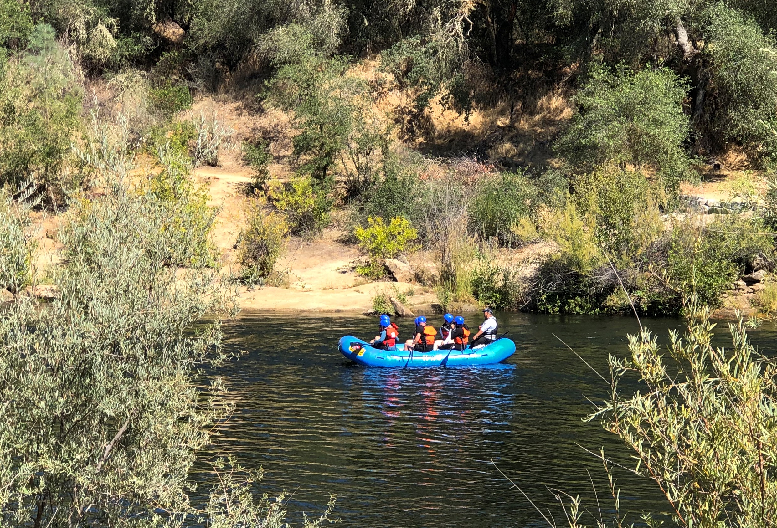
With recreational opportunities.Coloma Valley, California

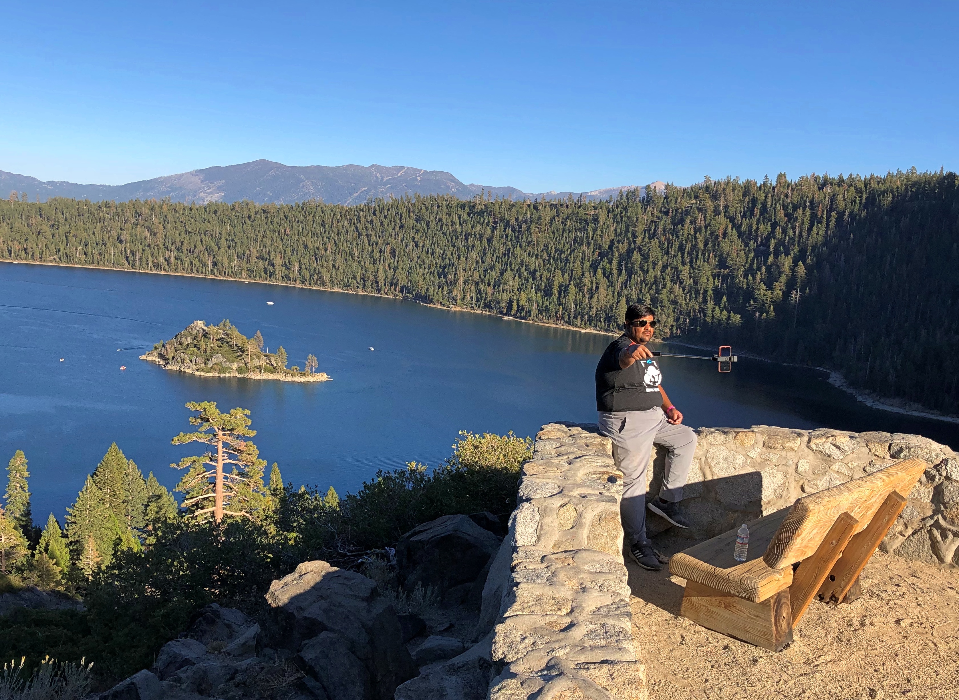
Mark Twain on Lake Tahoe (from Roughing It): “At last Lake Tahoe burst upon us, a noble sheet of blue water lifted some 6,000 feet above the level of the sea, and walled in by a rim of snow-clad mountain peaks that towered aloft a full 3,000 feet higher still.

“As it lay there with the shadows of the mountains, brilliantly photographed upon its surface, I thought it must surely be the fairest picture the whole earth affords.”

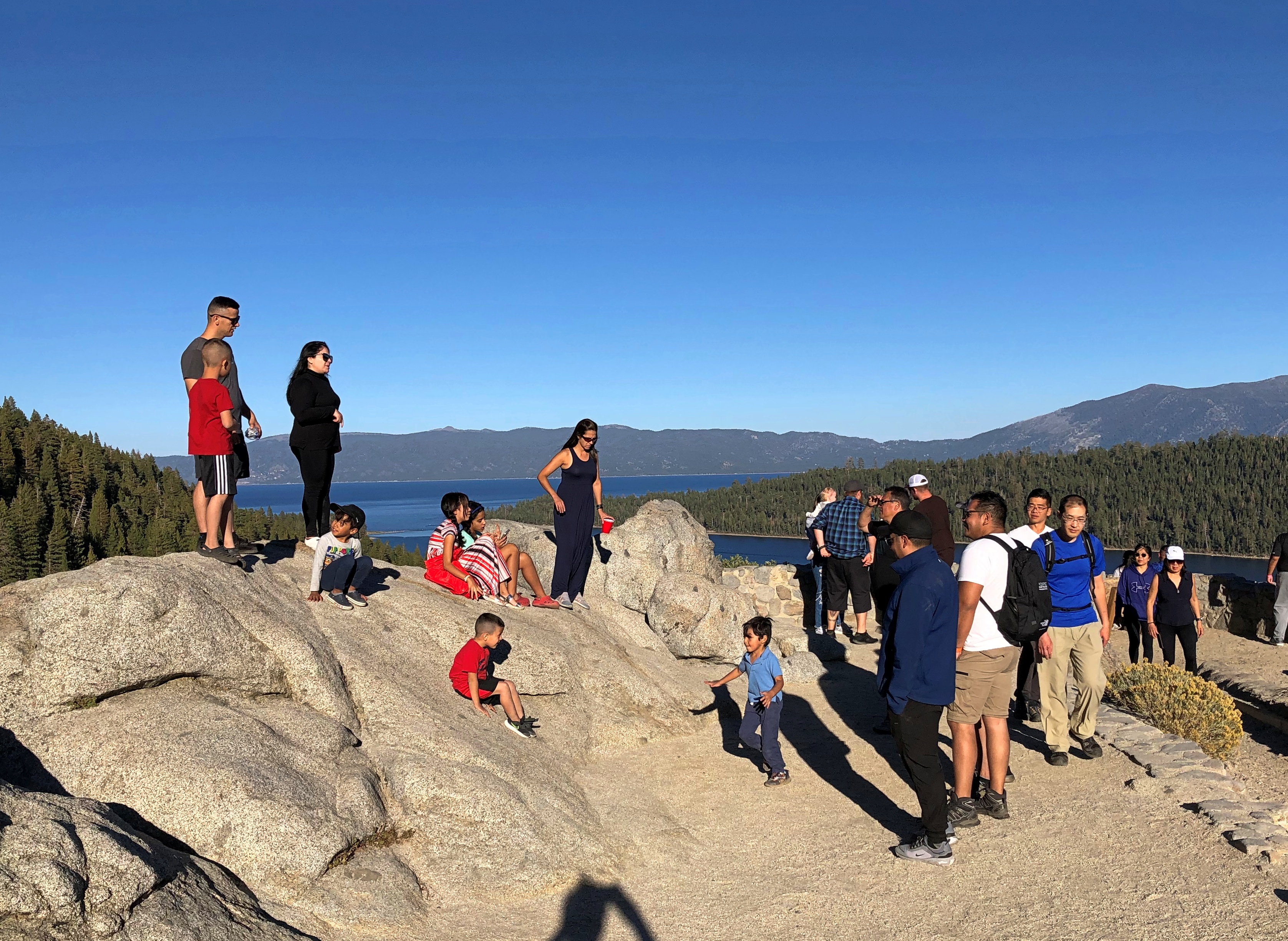
Enjoyable vistas for sure. It was good to see other people there.Lake Tahoe 2022 Lake Tahoe 2022

I had breakfast my first morning in Reno at a restaurant for old people — except that’s me now, isn’t it? But on a weekday mid-morning, I was one of the younger patrons. Decent food, though a touch expensive (a contagion from California, no doubt, plus the inflation du jour).

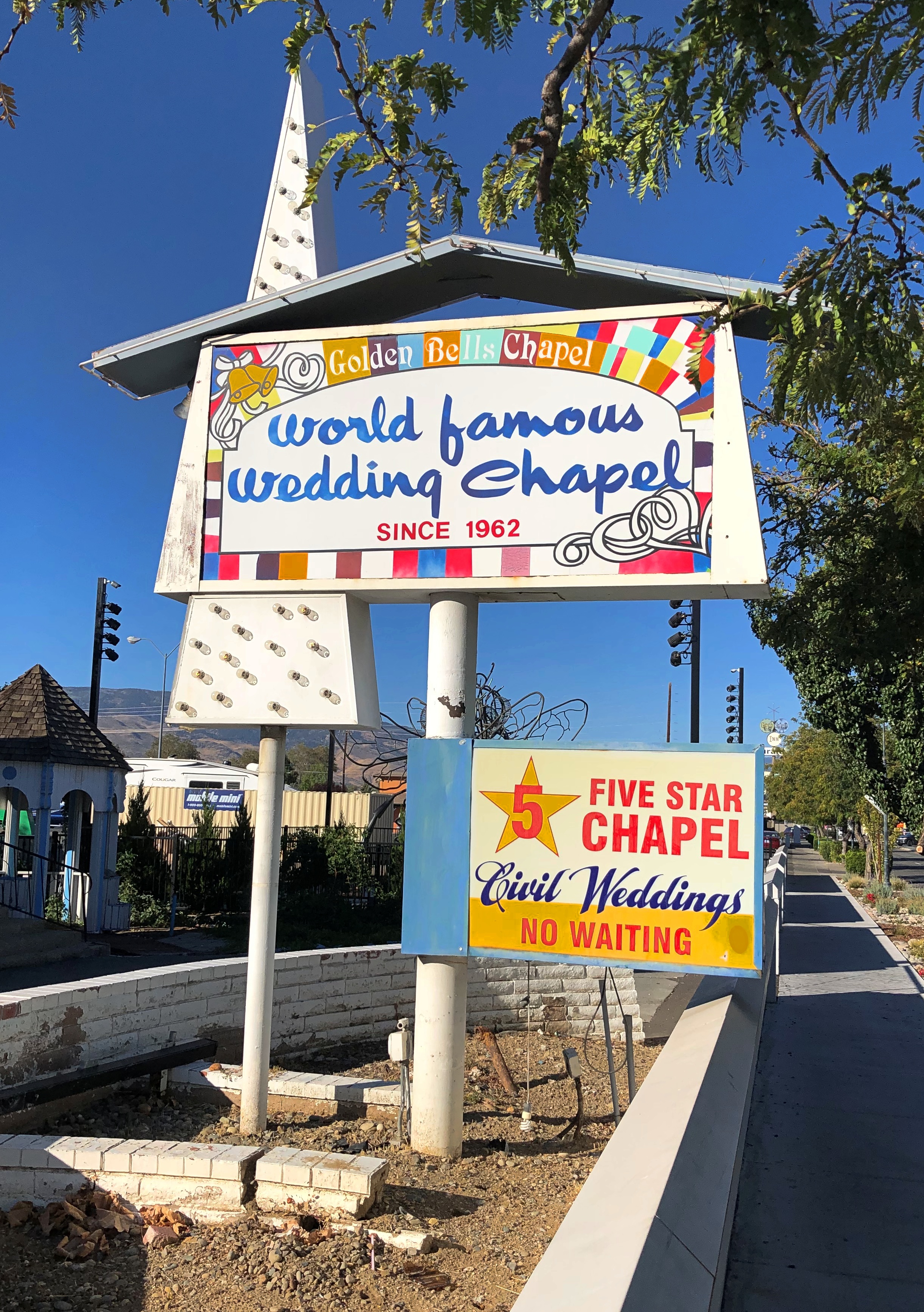
After I finished, I went out to leave, but noticed a sign I had to see, not far away. I took a closer look.Reno
reno

Not in the market, but someone must be. If that isn’t local color, I don’t know what is.

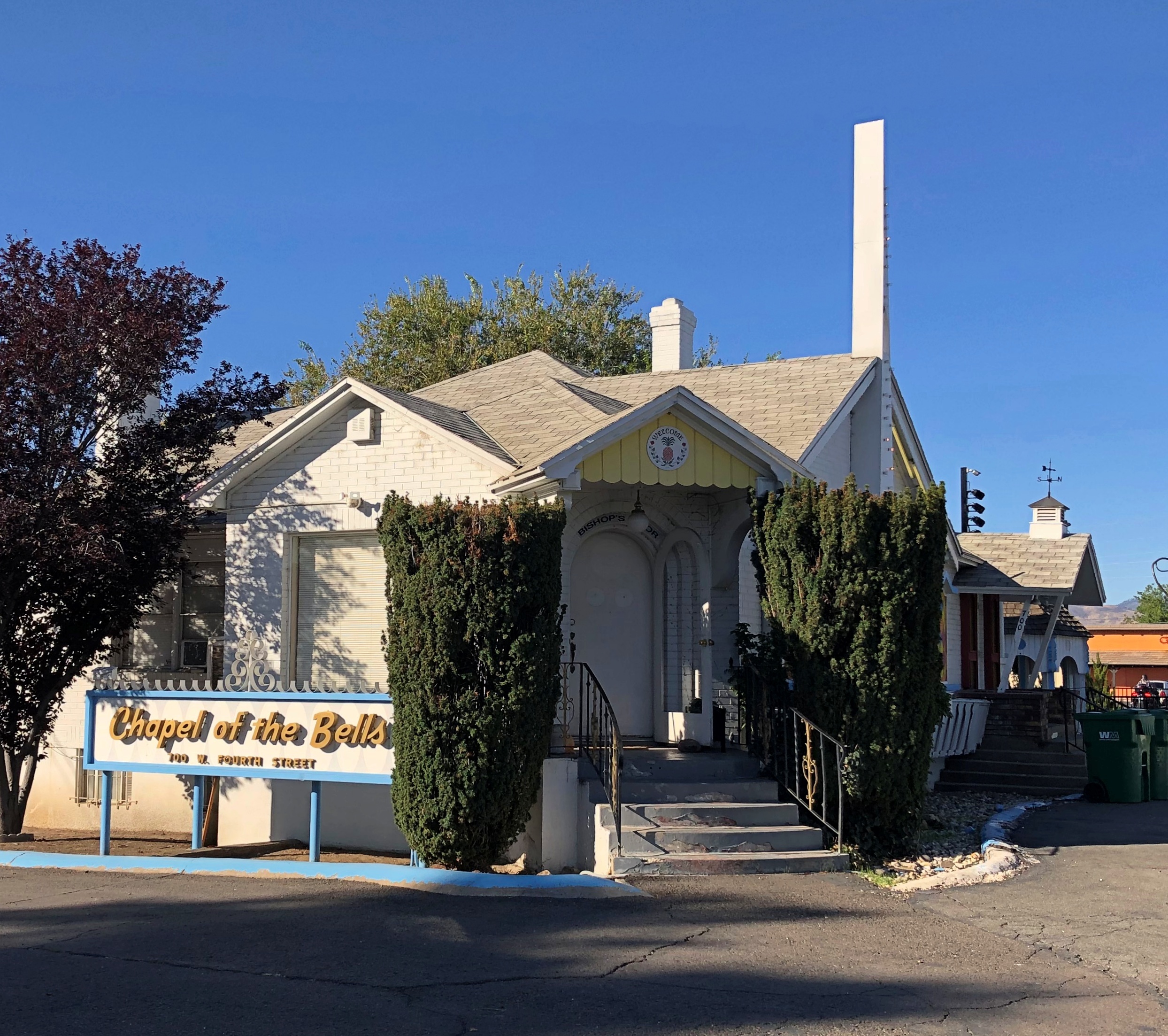
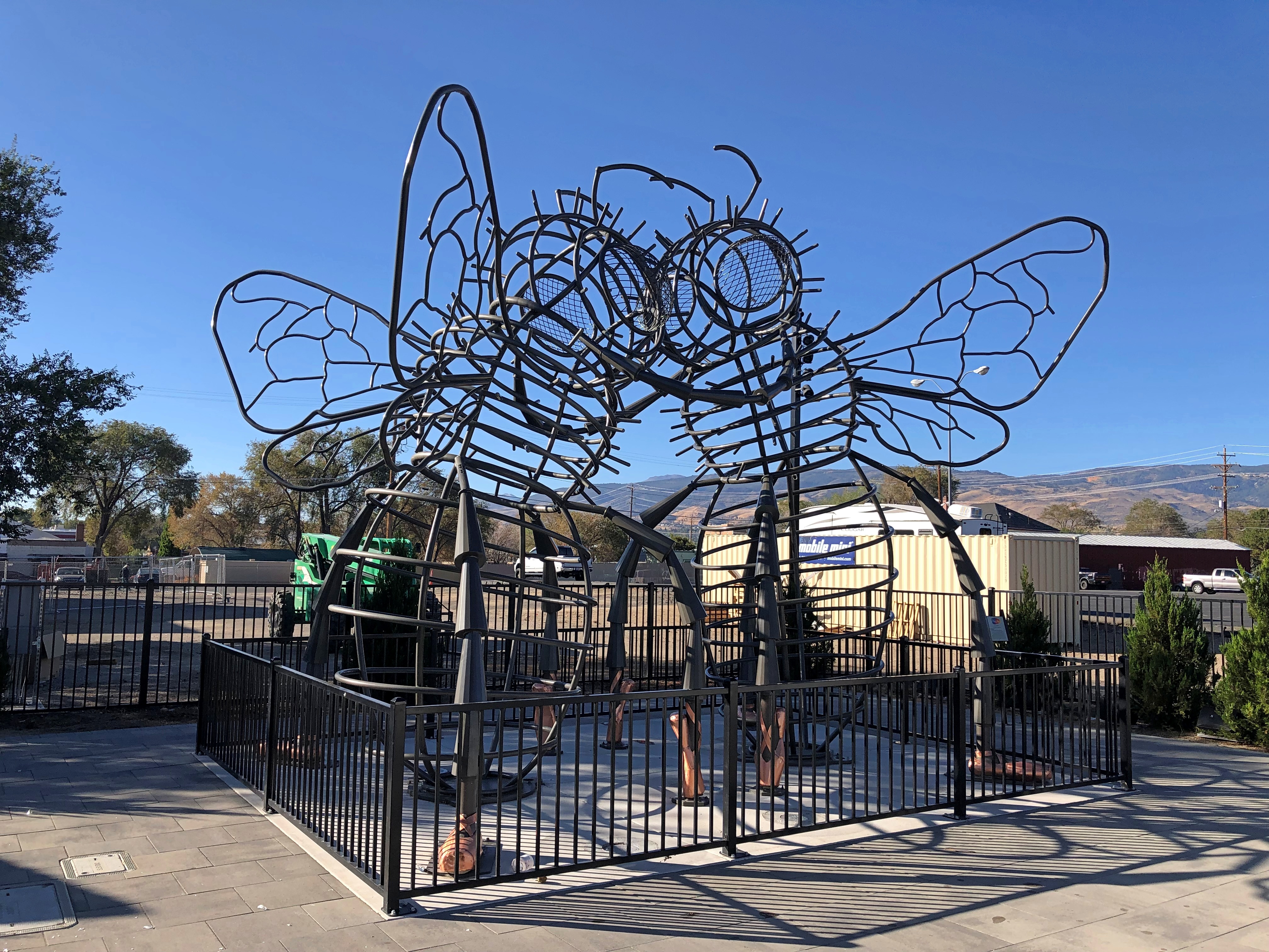
When serendipity is with you on the road, that kind of sighting leads to others. That’s what happened that morning in Reno. This was nearby the wedding chapel.Burning Man art in Reno

“Bee Dance” by Andrea Greenlees (2019), according to its sign, which also said it was created at Burning Man that year.

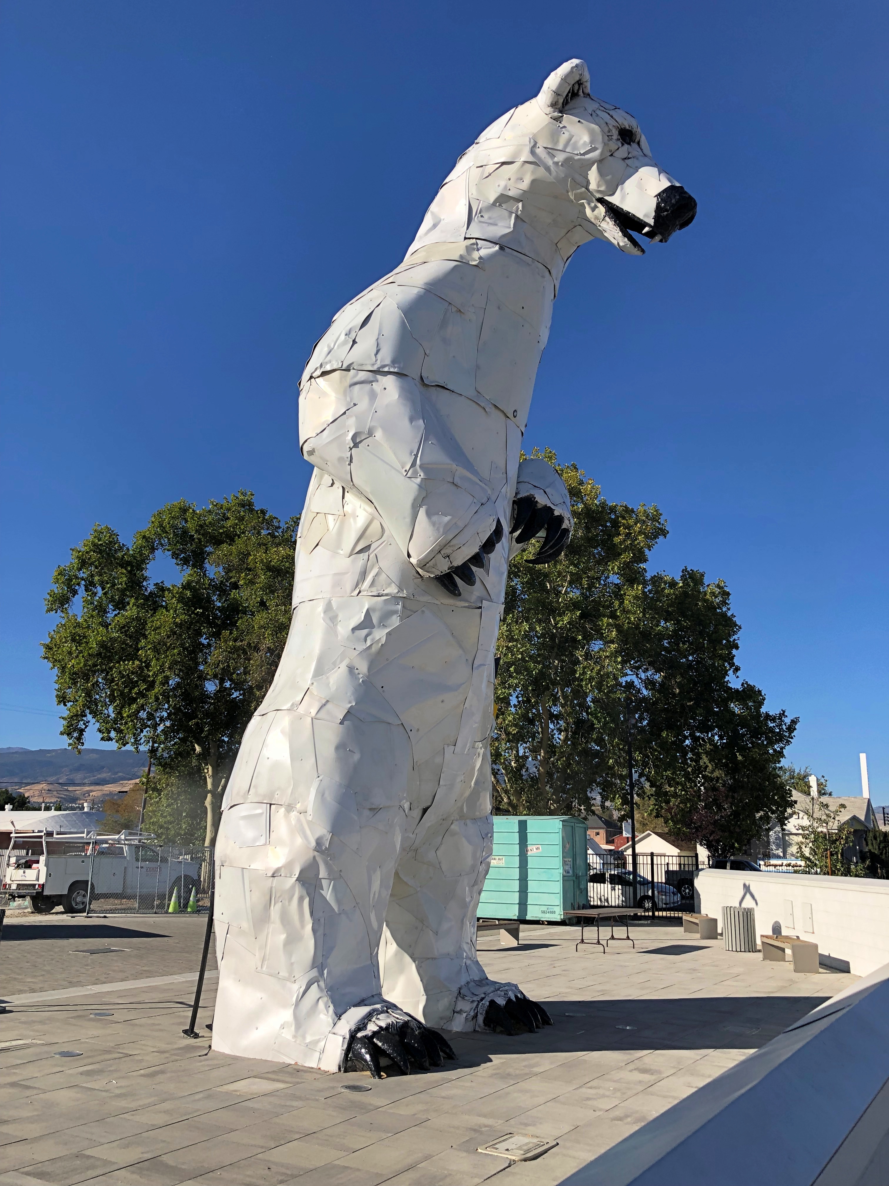
On the next block — all this was on West Fourth Street in Reno — was a closed off place called Glow Plaza, an outdoor event space that only opened this year. Well, open for concerts on the weekends. It wasn’t open for me to look around, though there was some construction going on at an adjacent site (probably new apartments), so maybe that restriction was just temporary.

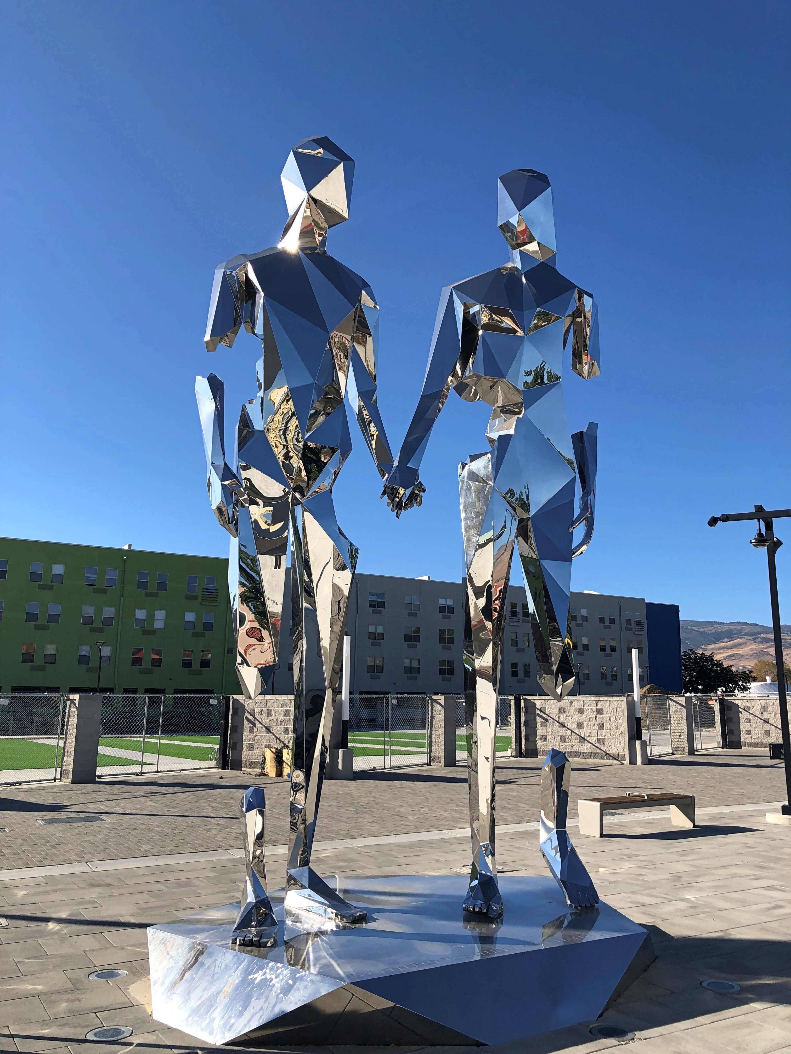
Anyway, I got a look from the sidewalk. New-looking sculptures.Reno polar bear Reno art

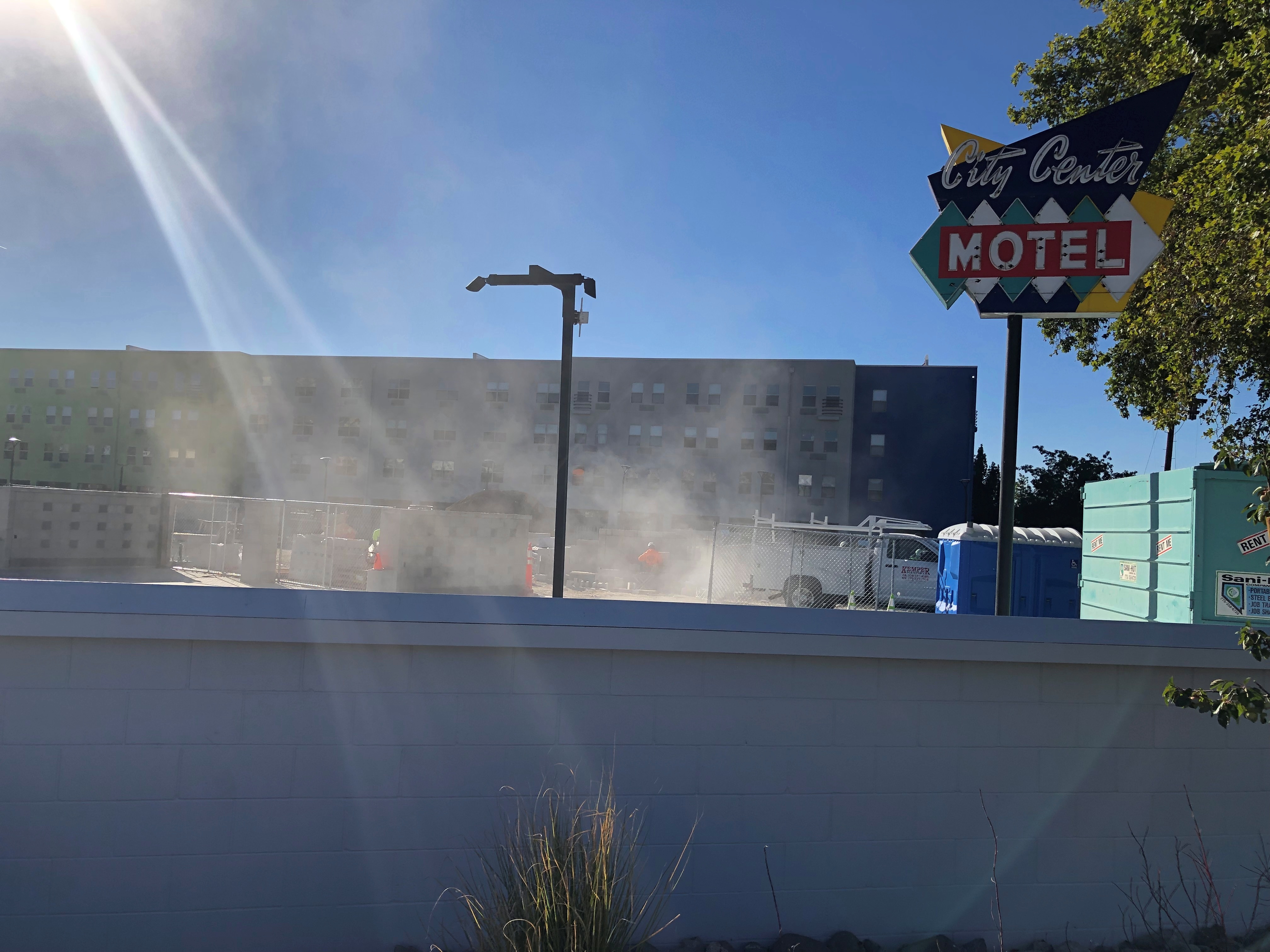
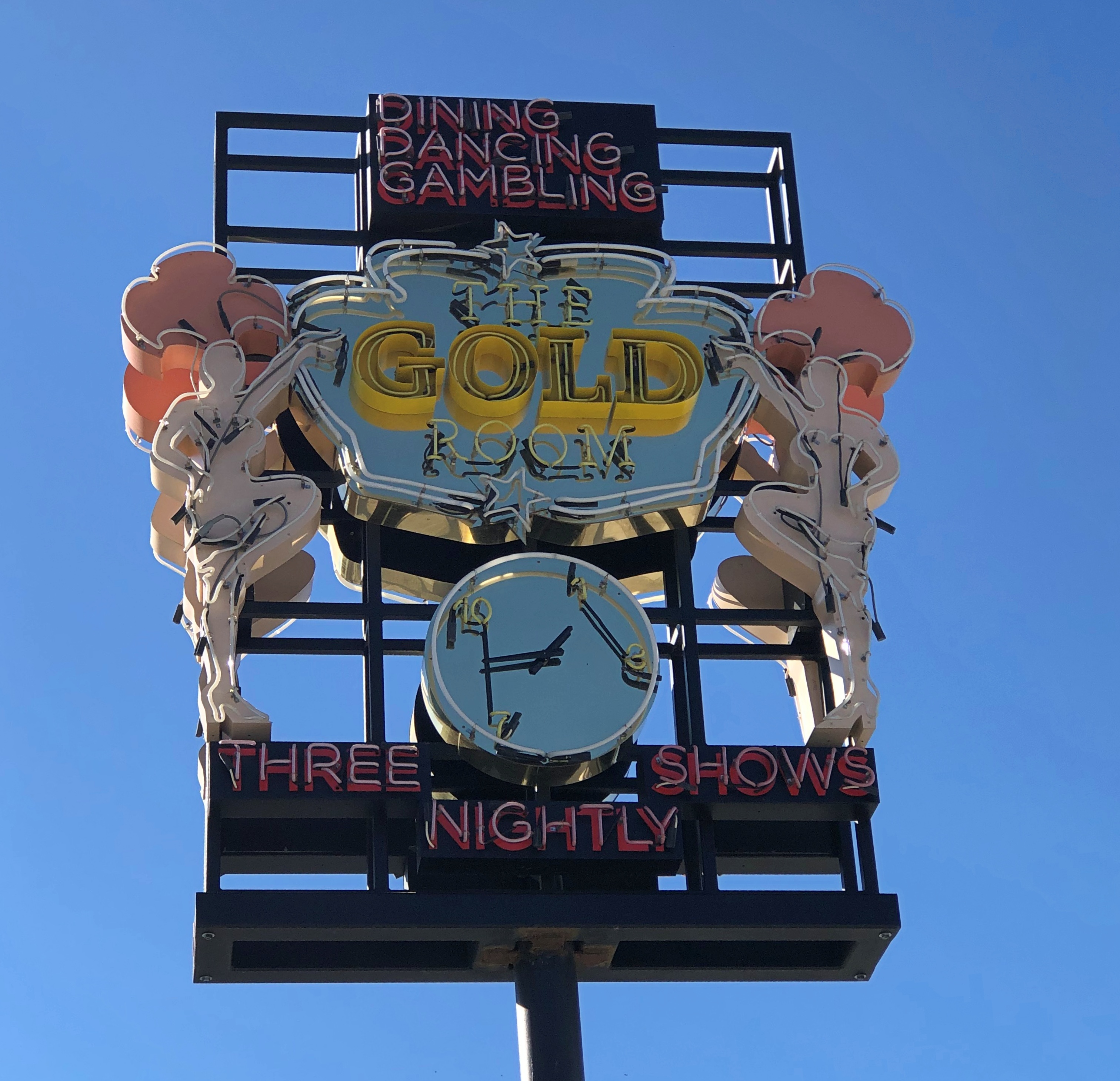
Including vintage Reno neon, or maybe close-replica homages.Reno neon Reno neon

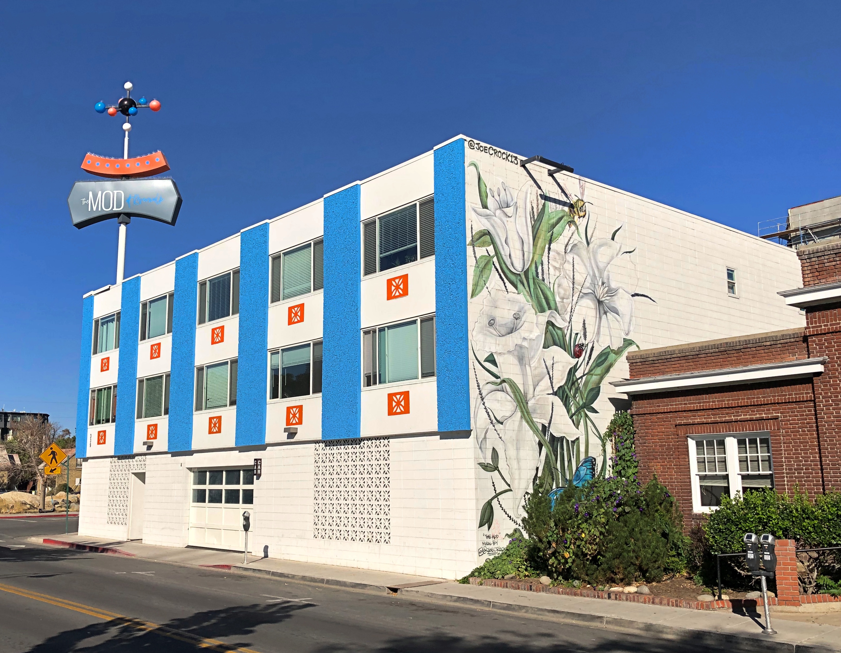
Speaking of apartments, this property in downtown Reno has the look of a 2010s adaptive reuse. I checked, and it is. It used to be a motel. The loss of an SRO property? Maybe, but I didn’t know there was much of that left.The Mod, Reno

Now it’s an “upscale micro-unit living facility,” to borrow a phrase from Northern Nevada Business Weekly. I checked again, and its rents range from $1,100 to $1,700 (the low end of the range is for about 250 square feet).

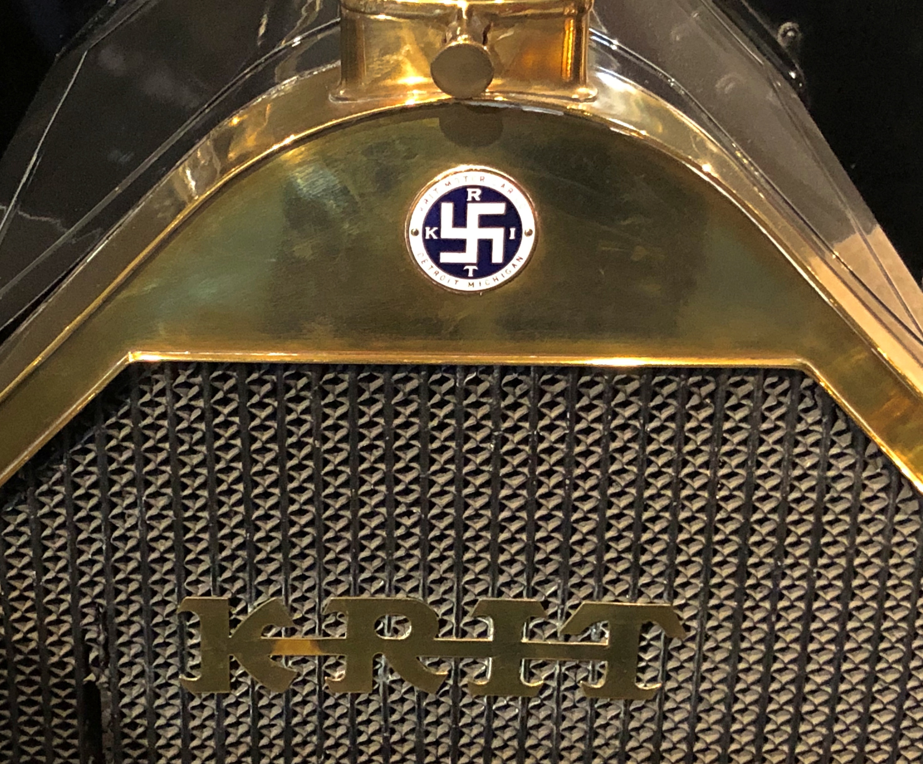
Could have done an entire posting of name plates on vintage cars at the National Automobile Museum. The familiar and the less familiar.National Automobile Museum, Reno National Automobile Museum, Reno

That last one’s an attention-getter. You can find it on a Krit Motor Car Co. auto, made years before jackbooted lowlifes shanghaied the symbol.

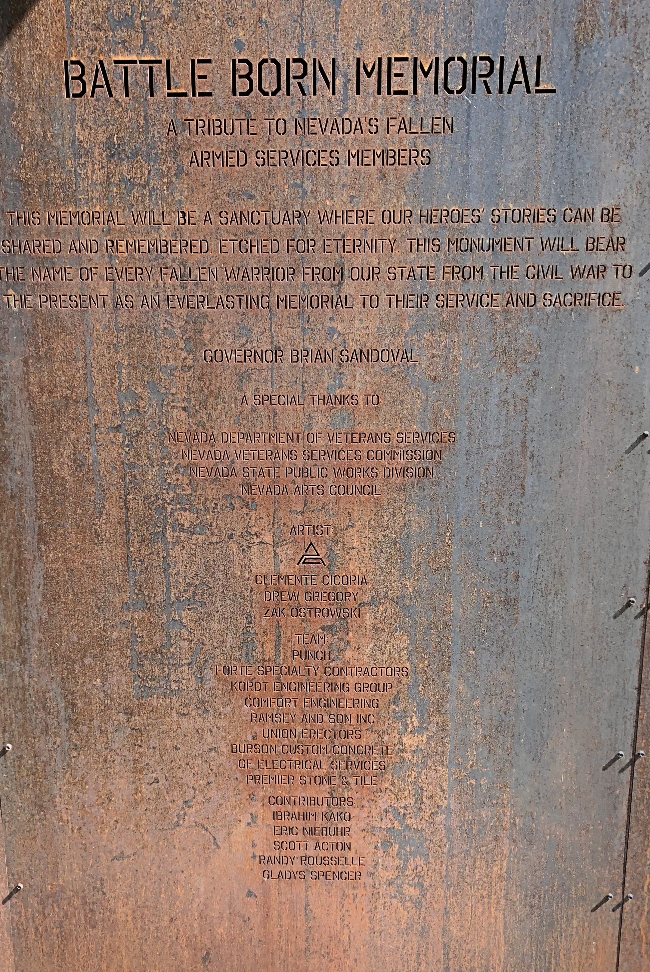
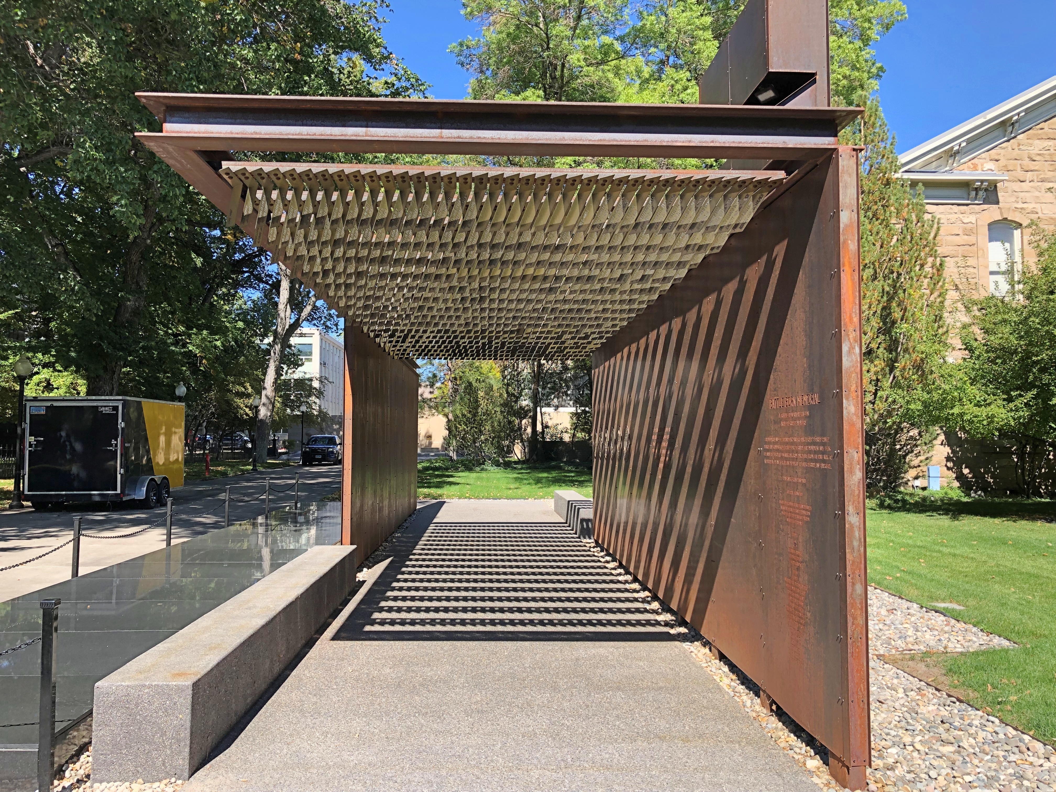
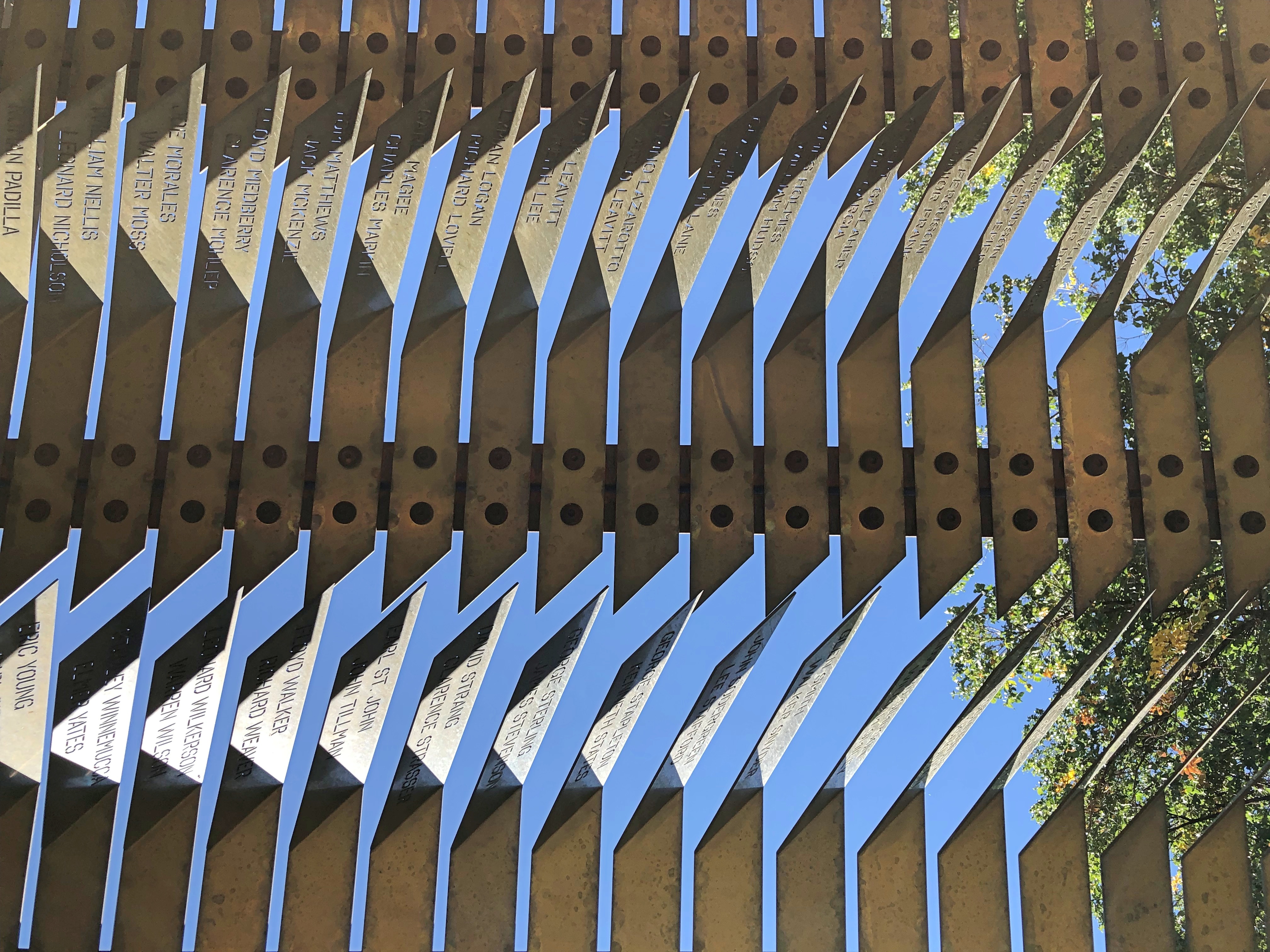
The Battle Born Memorial in Carson City, dedicated to fallen soldiers from Nevada.Battle Born Memorial, Carson City, Nevada Battle Born Memorial, Carson City, Nevada

At first I thought, iron? True, iron is at the heart of modern war. But as soon as I was inside, and looked up, I realized how fitting the material is. A remarkable memorial.

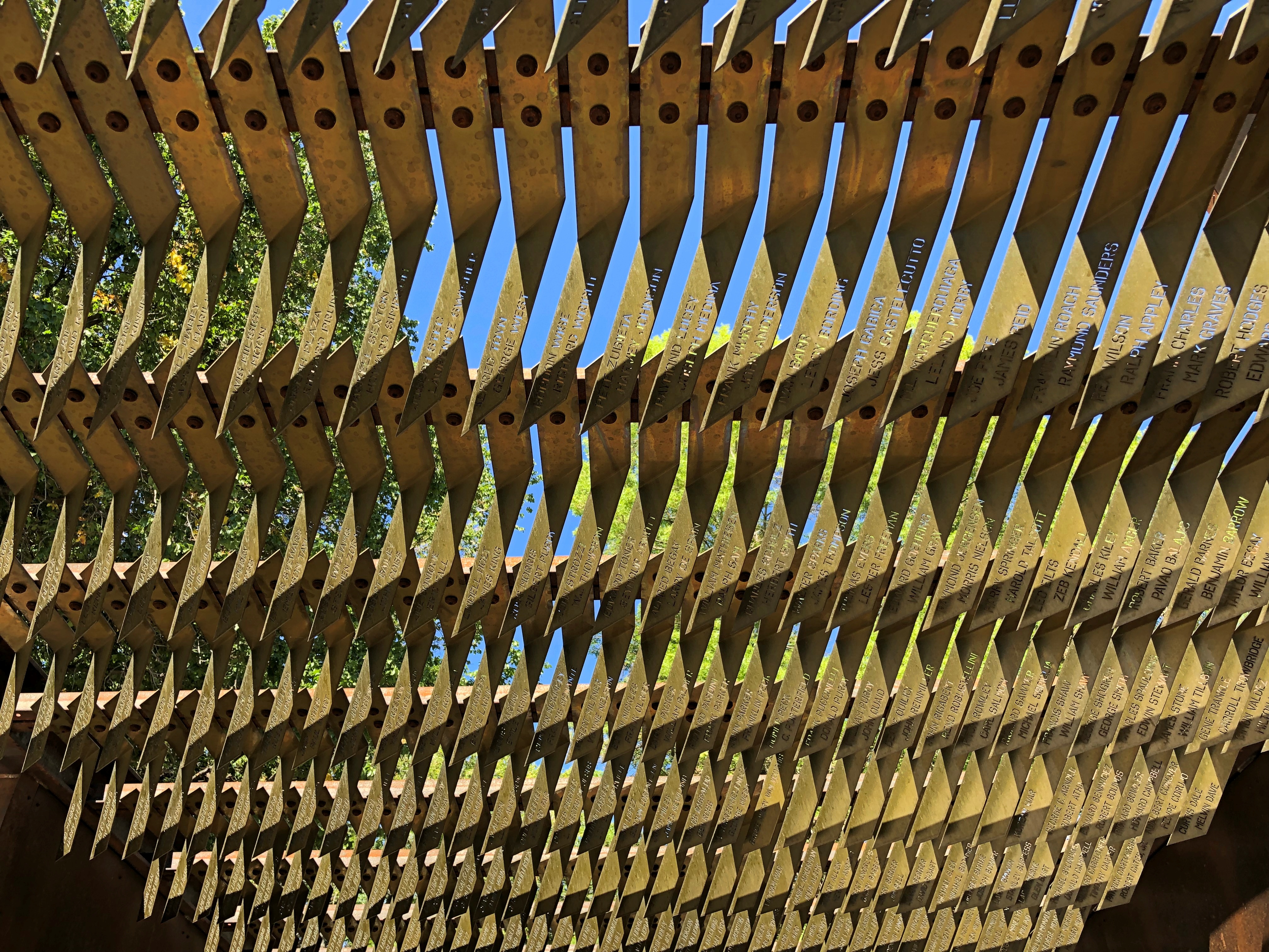
Especially when you gaze up at it.Battle Born Memorial, Carson City, Nevada

The names of the fallen are inscribed there.Battle Born Memorial, Carson City, Nevada Battle Born Memorial, Carson City, Nevada

Eight hundred and ninety-five names, I understand. Punch Architecture did the design, which was completed in 2018.

Later I looked up Battle Born. I didn’t know that was a nickname for Nevada. Everyone’s heard Silver State, but not Battle Born State. I puzzled on that a while, but eventually realized that when Nevada entered the union (1864; Lincoln needed another two Senators), it joined the fight, as a state, to keep that union together.

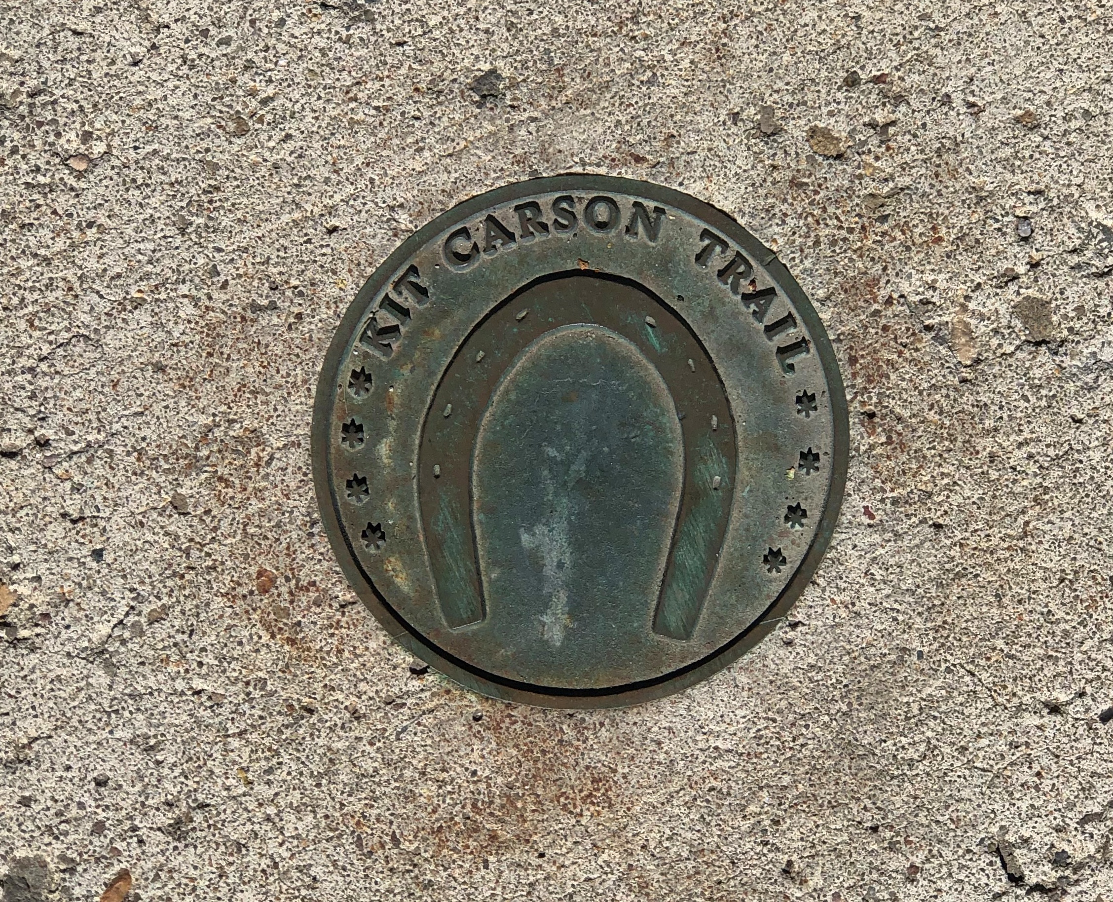
A much smaller metal-work, underfoot in Carson City. Good to know I’ve been on the Kit Carson Trail.Carson City, Nevada

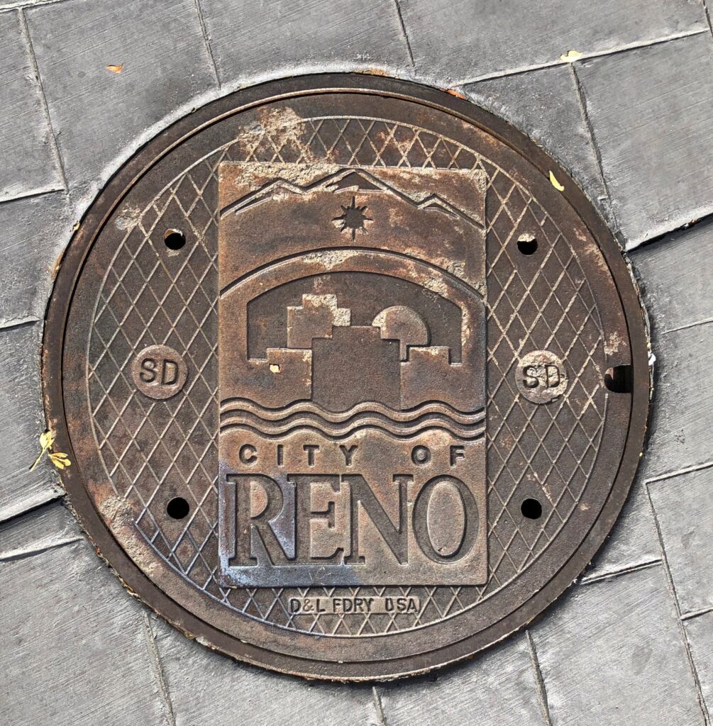
Underfoot in Reno.Reno, Nevada

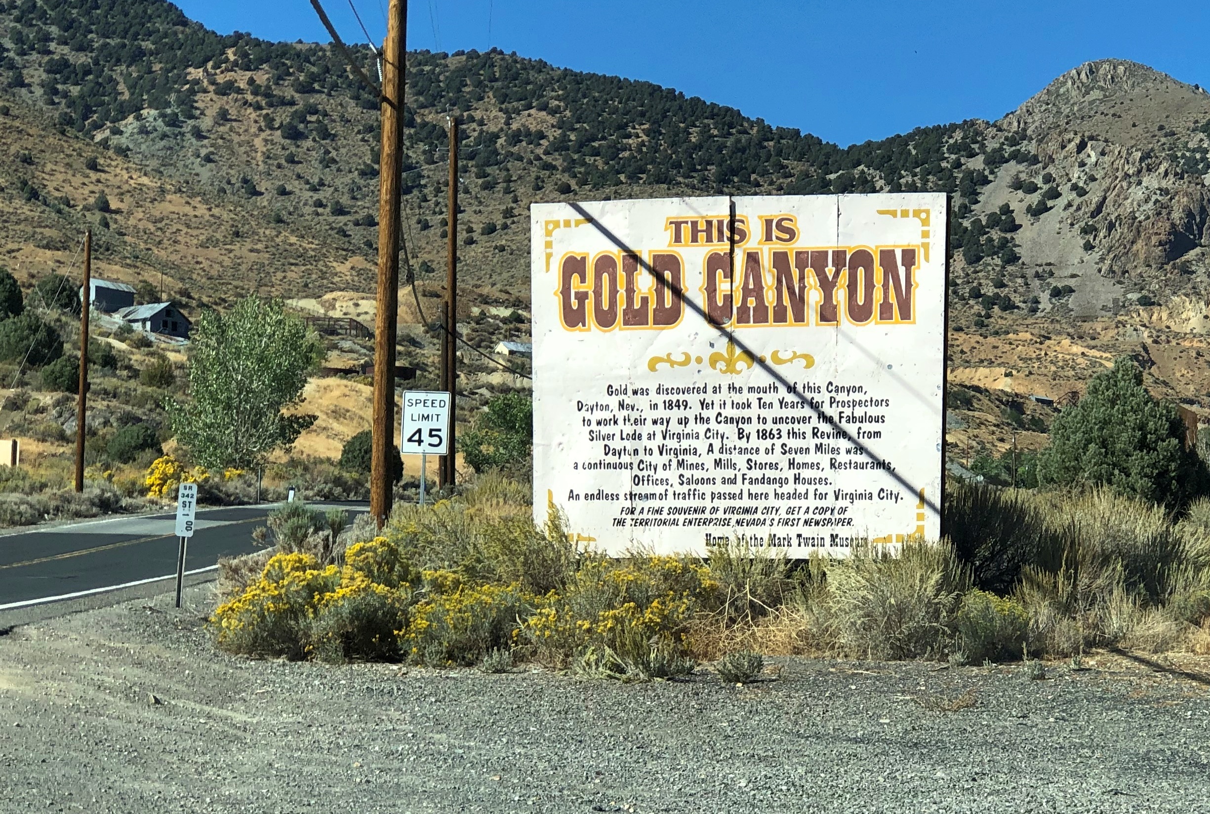
On the road to Virginia City.Gold Canyon, Nevada

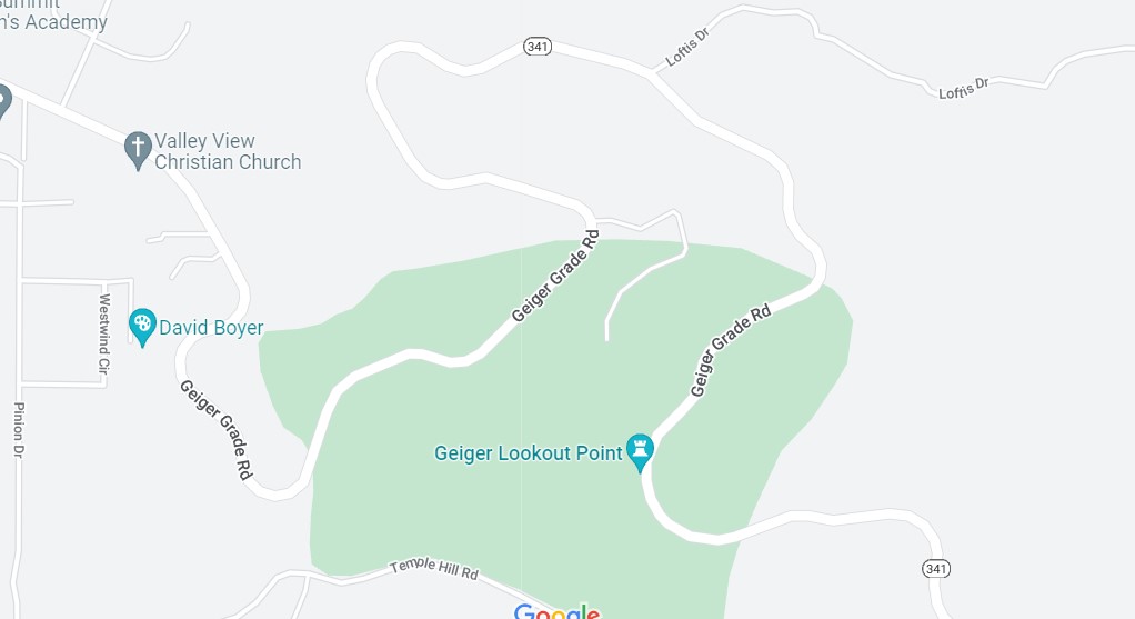
The drive out from Virginia City to I-580 is along Nevada 341, and it’s a winding drop of a drive through arid landforms. This snip from Google maps illustrates the winding-est part of the road, called Geiger Grade Road at that point. The entire drop is from more than 6,100 feet above sea level at Virginia City to Reno’s 4,500 feet.

Light traffic on a sunny weekday afternoon. A fine drive if you’re paying attention. Almost car commercial driving.

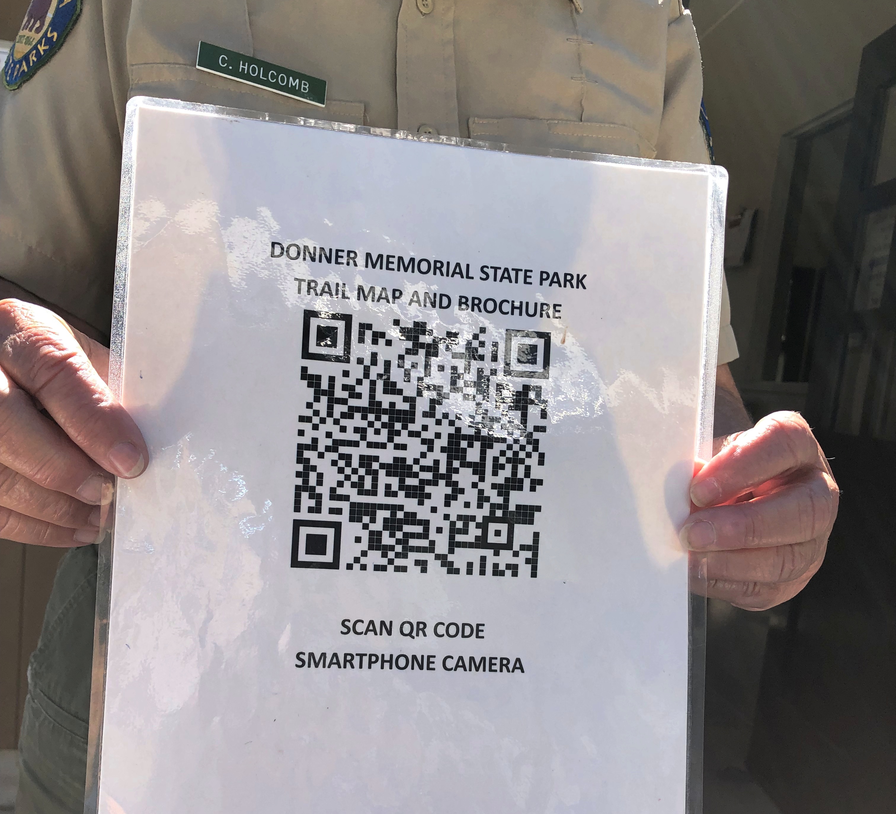
This instead of a real map.Donner Memorial State Historic Park

No, California. Don’t do this. It’s false economy. I don’t know how, I just know that it is.

I figured out my way around without a gizmo map. I even found a spot a few hundred yards from a parking lot, and a little off a nearby trail, where I could sit in the sun for a few minutes, and listen to only faint sounds. Almost as quiet as Joshua Tree or Big Bend NPs.Donner Memorial State Park

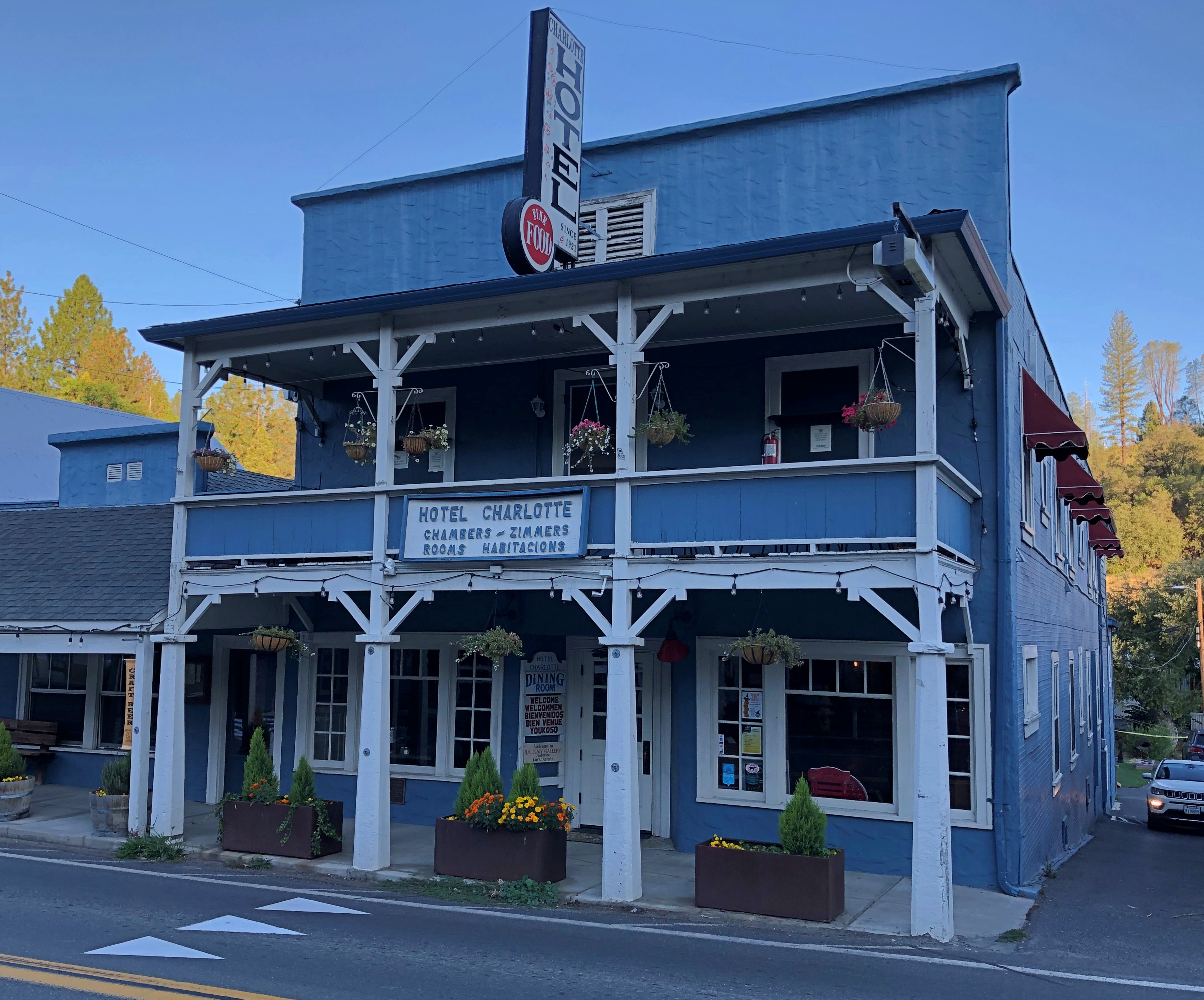
The Hotel Charlotte in Groveland, California. Now a hundred years old, it’s the kind of place that gives you a brass key, and lets you know there’s a fee for replacing it. Basic and comfortable, though the most expensive place I stayed on this trip; you’re really paying for near access to Yosemite NP.Groveland, California

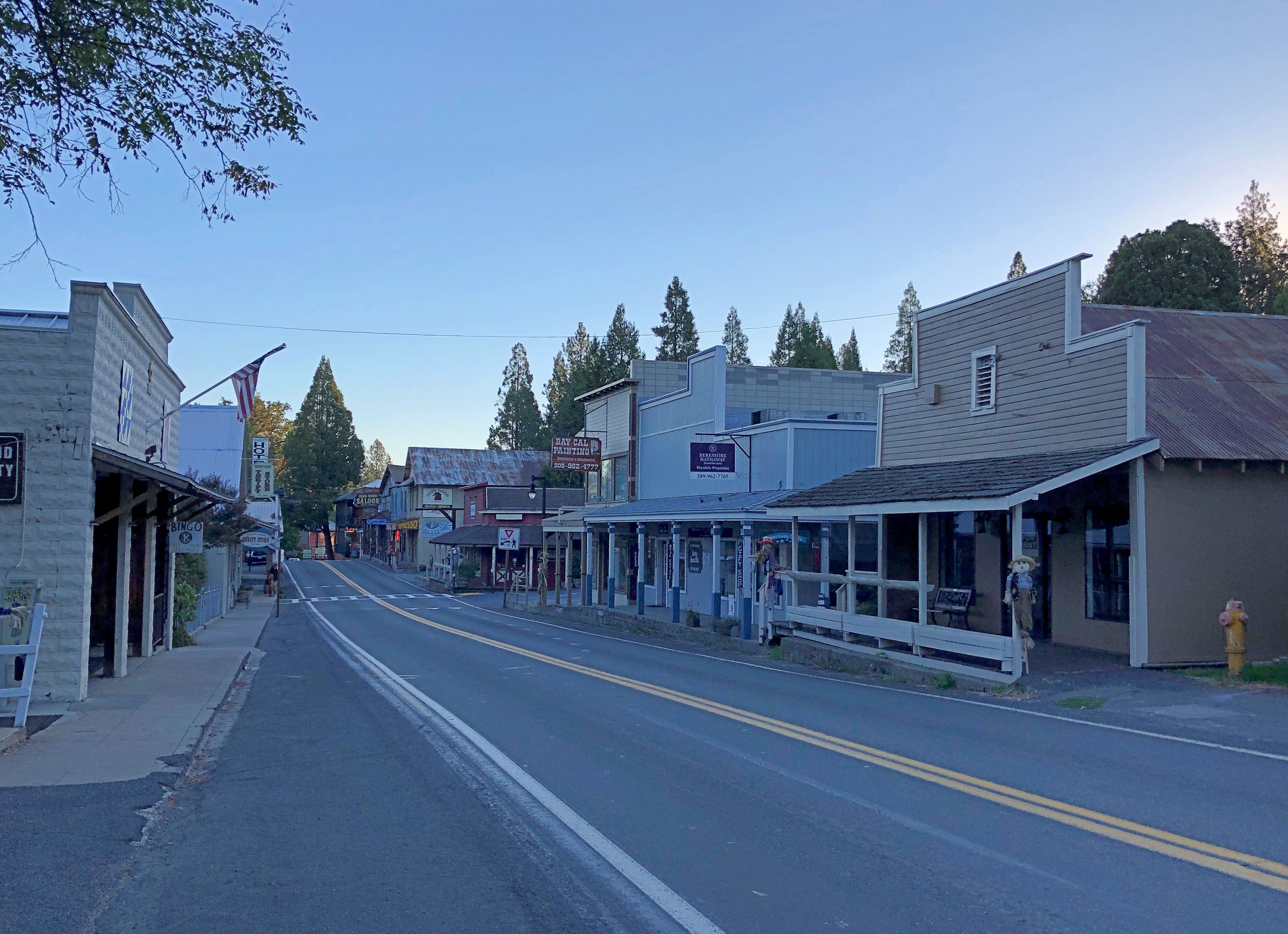
Main Street in Groveland (California 120), just after dawn.Groveland, California

A few more images. Such as in Sacramento.lumpia truck Sacramento

I had to look up lumpia: spring rolls found in the Philippines and Indonesia. And northern California, it seems. Too bad I wasn’t hungry. Also, it was closed. Not long after, I saw a Balinese restaurant in Old Sacramento. Still wasn’t hungry. Damn.

I was driving to the last place I was going to stay in Sacramento on the late afternoon of October 7, and I got a little turned around, wandering some neighborhood streets before the inevitable moment when I pulled over to consult Google Maps.

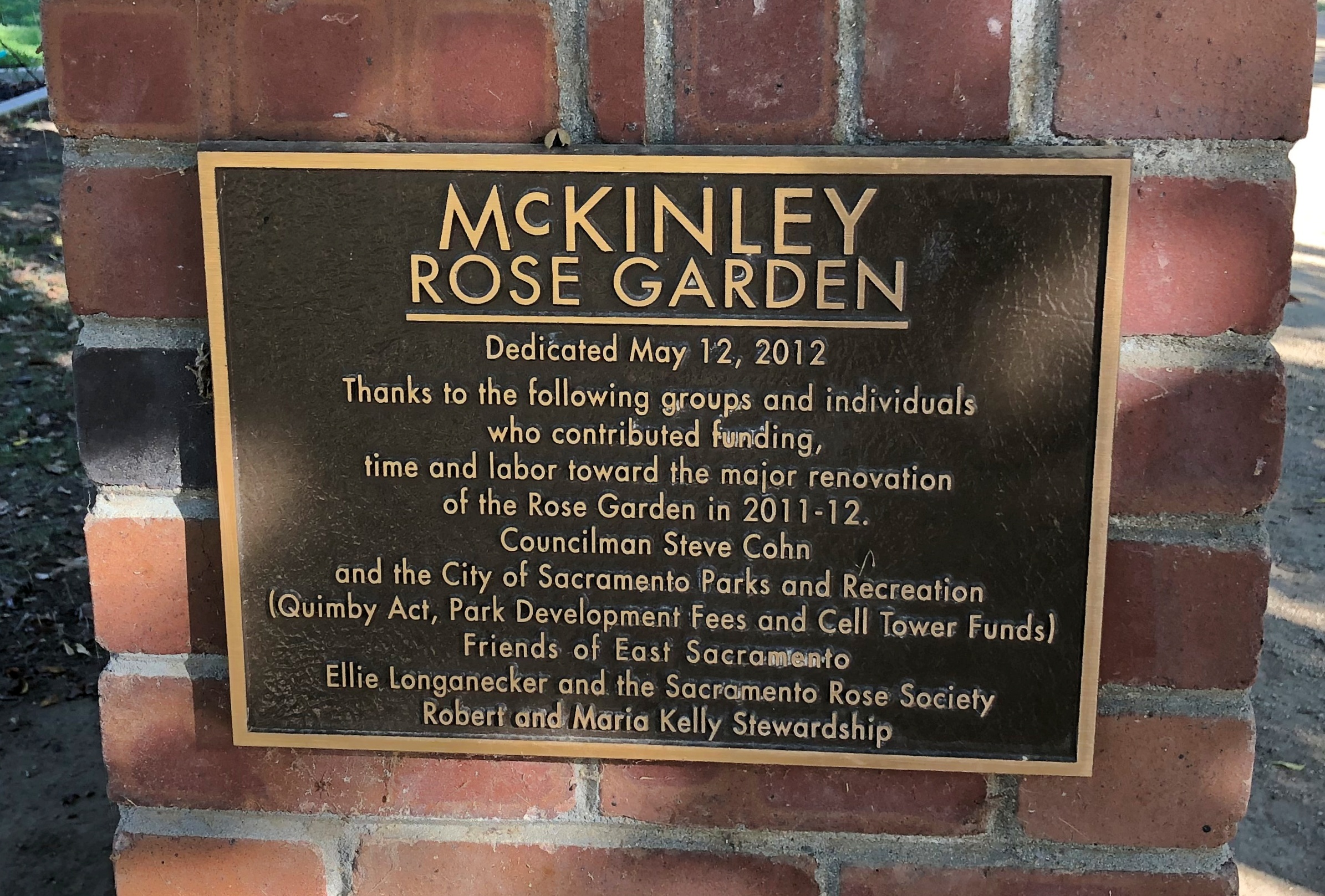
I chanced on this place.McKinley Rose Garden, Sacramento

What a garden it is.McKinley Rose Garden, Sacramento McKinley Rose Garden, Sacramento McKinley Rose Garden, Sacramento

An extravaganza of roses.McKinley Rose Garden, Sacramento McKinley Rose Garden, Sacramento McKinley Rose Garden, Sacramento

Go in the garden and ask the rose its meaning.

Late Bloomers

Summer is ebbing away, but it’s still warm. Looks to be for a little while longer.

Took a photographic survey of our back yard flowers this afternoon. The hibiscus are mostly gone, but other blooms whose names I don’t know carry on during the declining summertime.

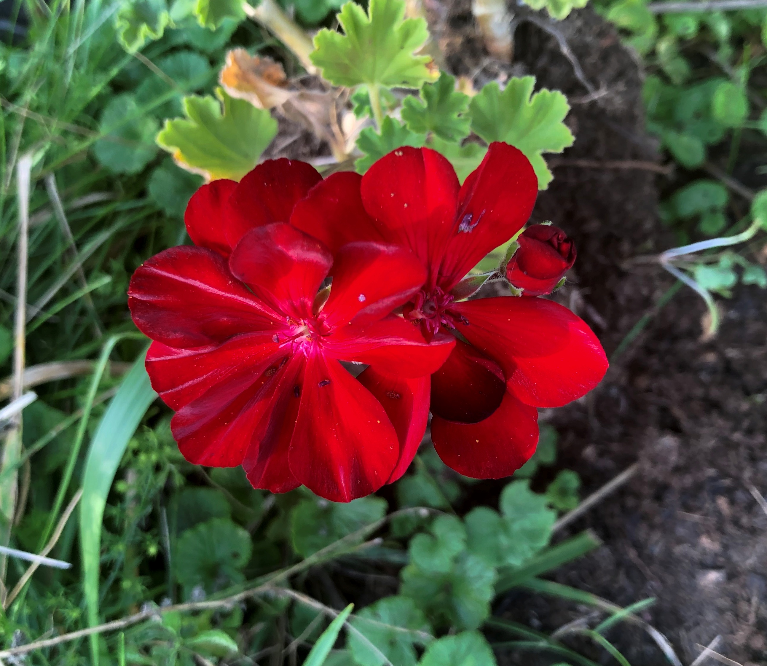
Such as this blood-red bloom.back yard flower

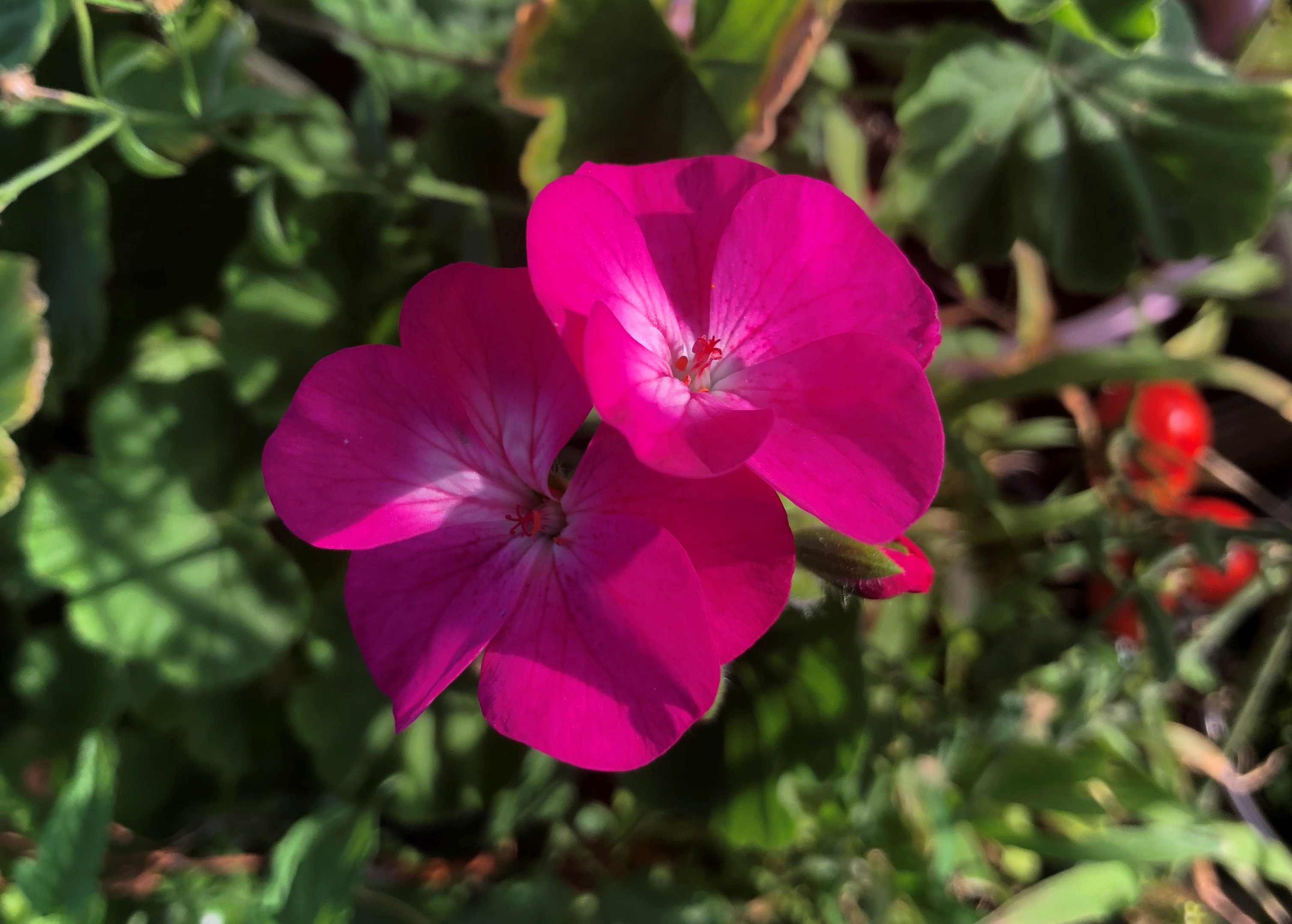
Less intense, but still a vivid color.back yard flower

On to pink.back yard flower back yard flower

White.back yard flower

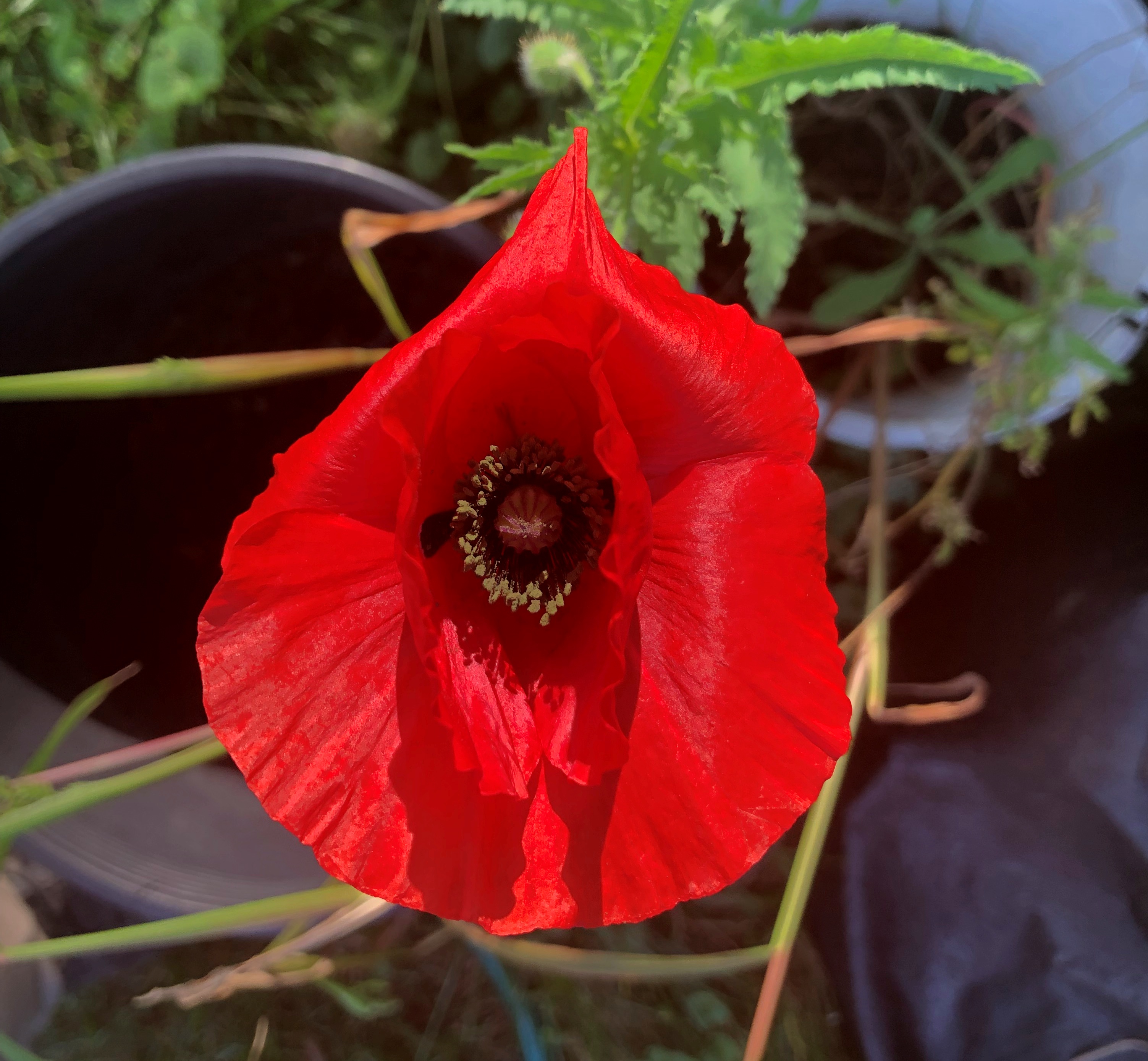
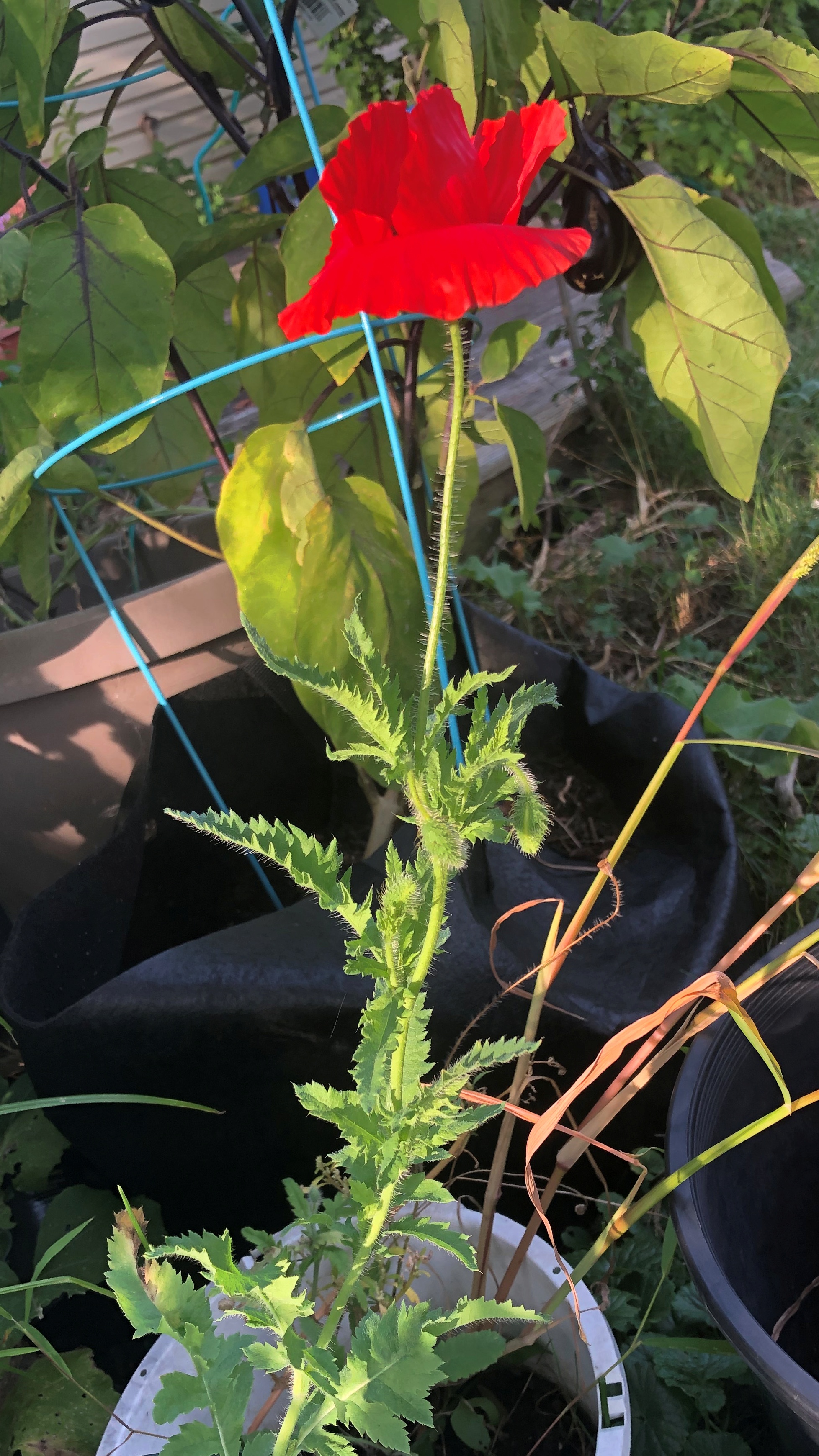
One more — vivid red again, but this one was worth a look not only because it’s striking, but because its a bloom on what many people would probably disdain as a weed (before it flowered, that is).back yard flower

back yard flower

The term weed ought to be specifically plants that interfere with agriculture, as well as old slang for cannabis. Mostly it just means plants people don’t like. There are plants I don’t like, and sometimes — when I have the energy — I uproot them. But usually I think of plants such as the one above as volunteers, whether they produce vivid flowers or not.

Dimming Summer Light

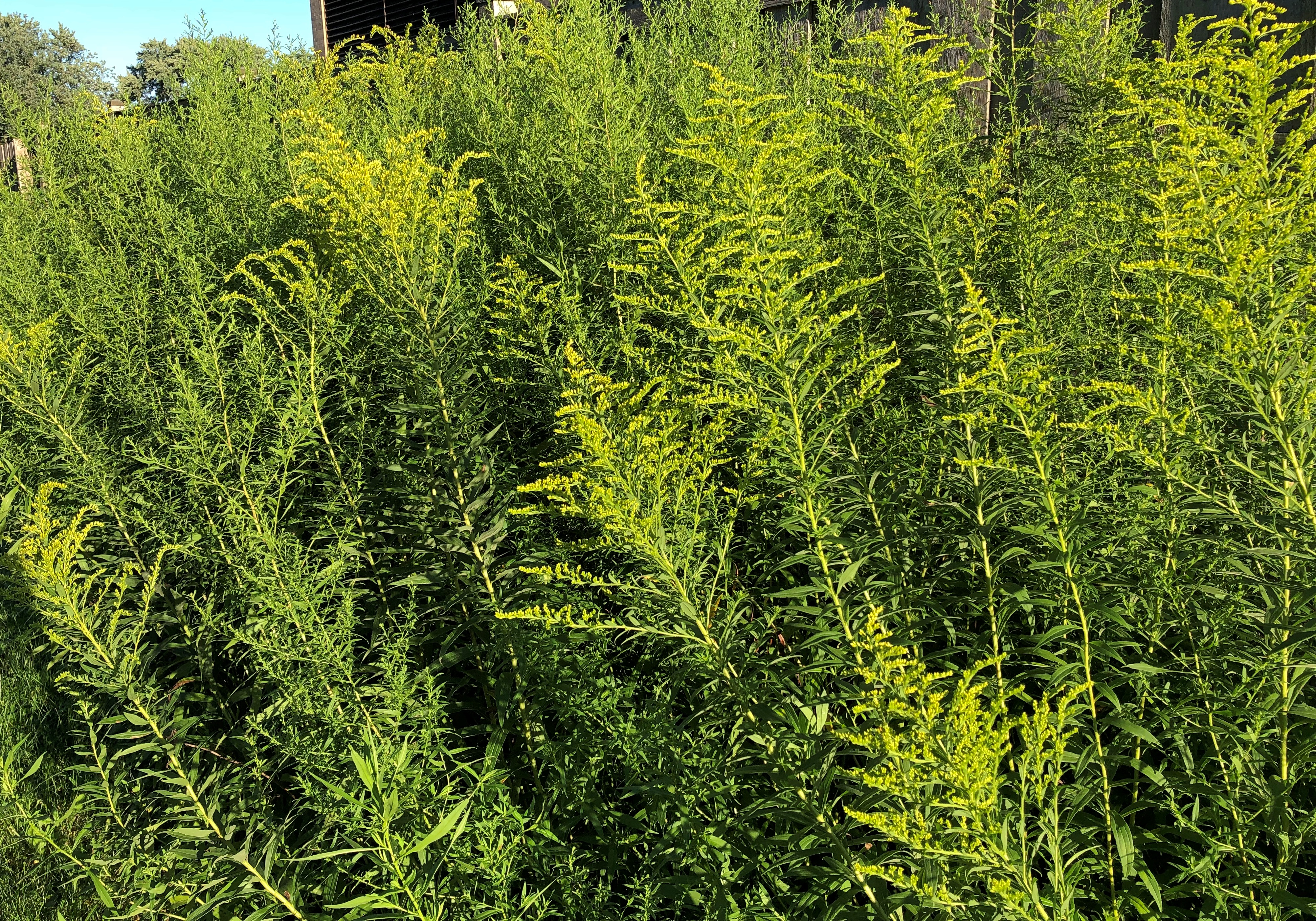
Goldenrod has started to turn golden out toward the back yard fence. I noticed that as the sun was going down for the last time in August 2022. It’s been an eventful month.

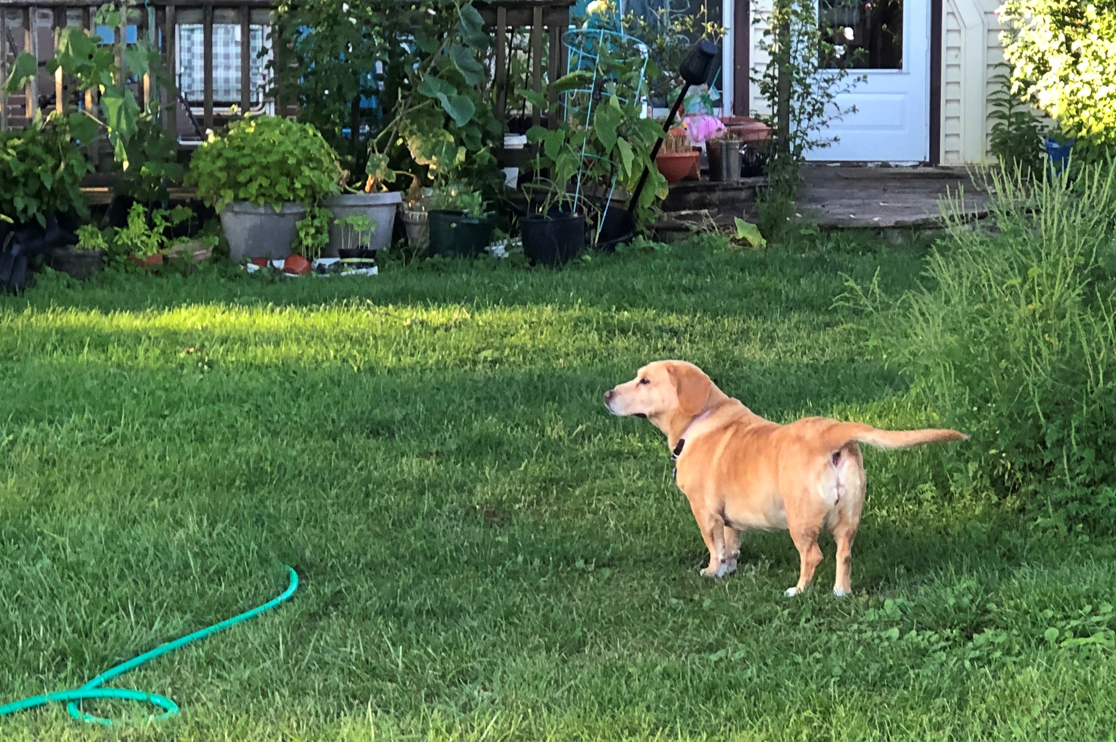
The dog was patrolling the yard at that moment.

Her patrols know no season, but various creatures to spy — including dogs beyond the fence — are more likely in the warmer months

In Indiana, You Take Vistas Where You Can Get Them

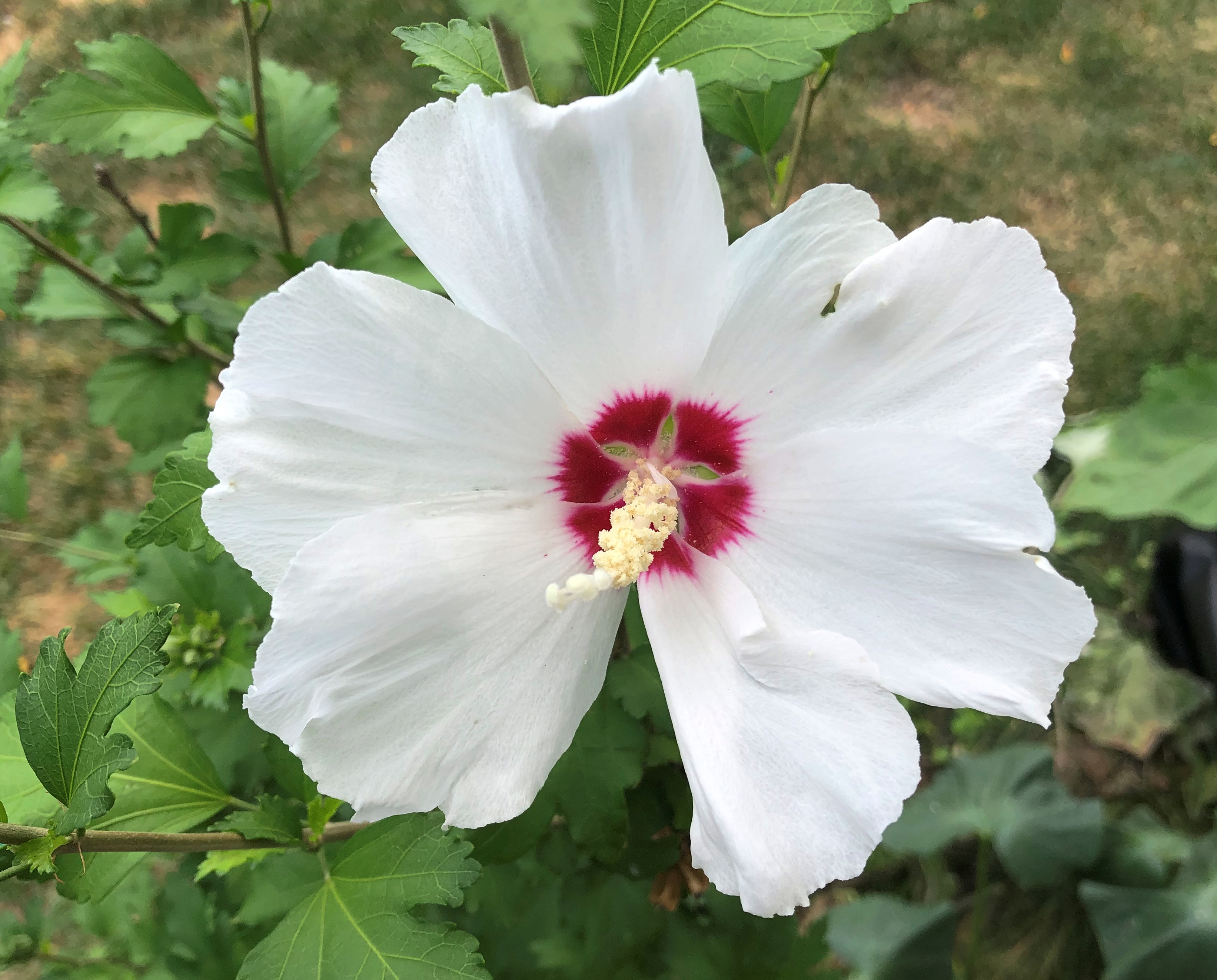
Our first back yard hibiscus of the summer. There will be many more for weeks to come, since the plants thrive with scarcely any effort on our part.

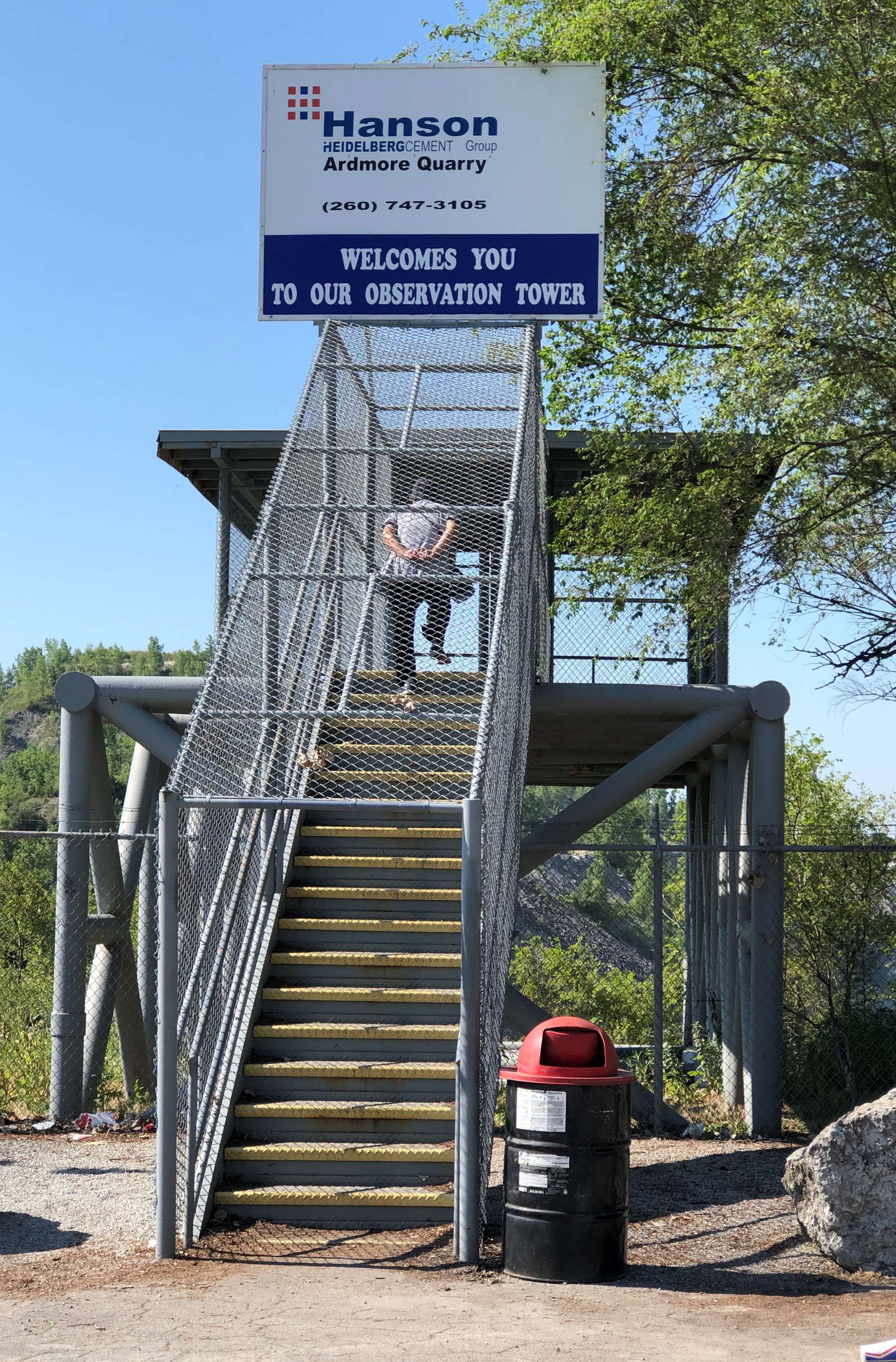
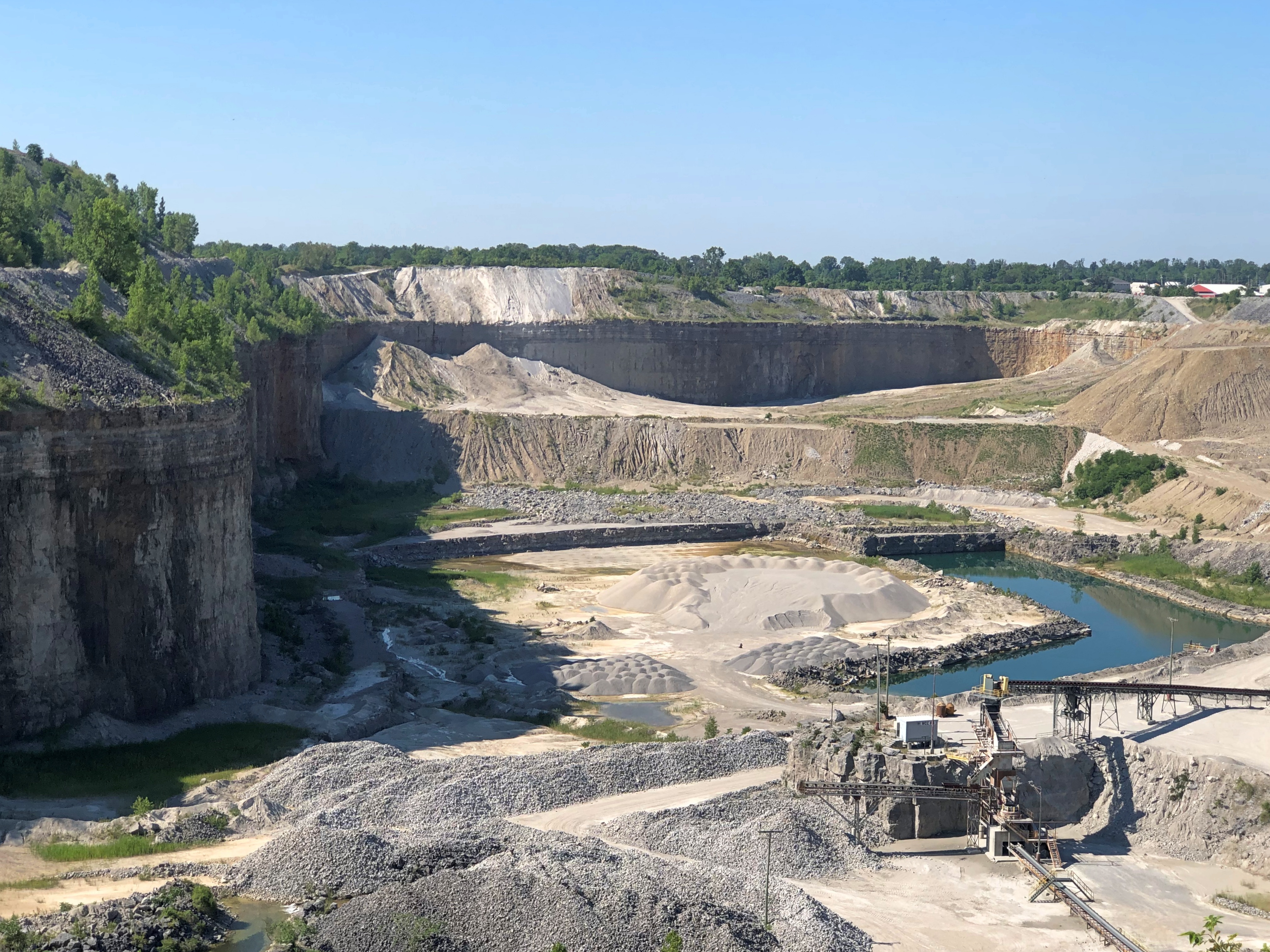
Before we went to Indiana this month, I got wind of the Hanson Ardmore Quarry Observation Tower in Fort Wayne. Turned out it wasn’t far from where we stayed, so after my jaunt to Lindenwood Cemetery, we took a look.

Tower might not quite be the word. It’s more of a fenced-in observation deck. But Hanson — a part of HeidelbergCement, a German building materials conglomerate no doubt controlled by shadowy billionaires — calls it a tower on the sign. The structure is at the end of a small parking lot that’s open to the public.Hanson Ardmore Quarry Observation Tower

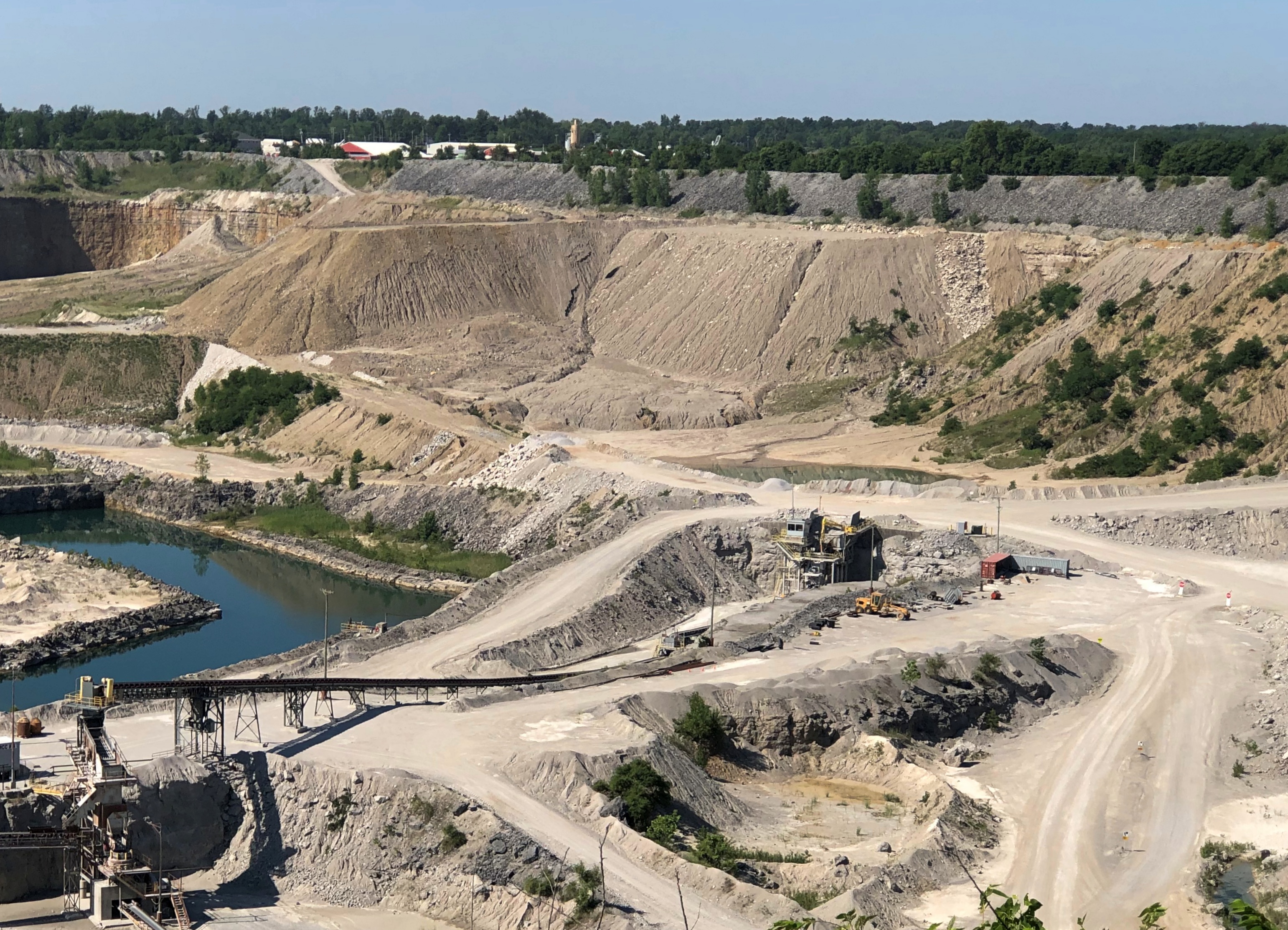
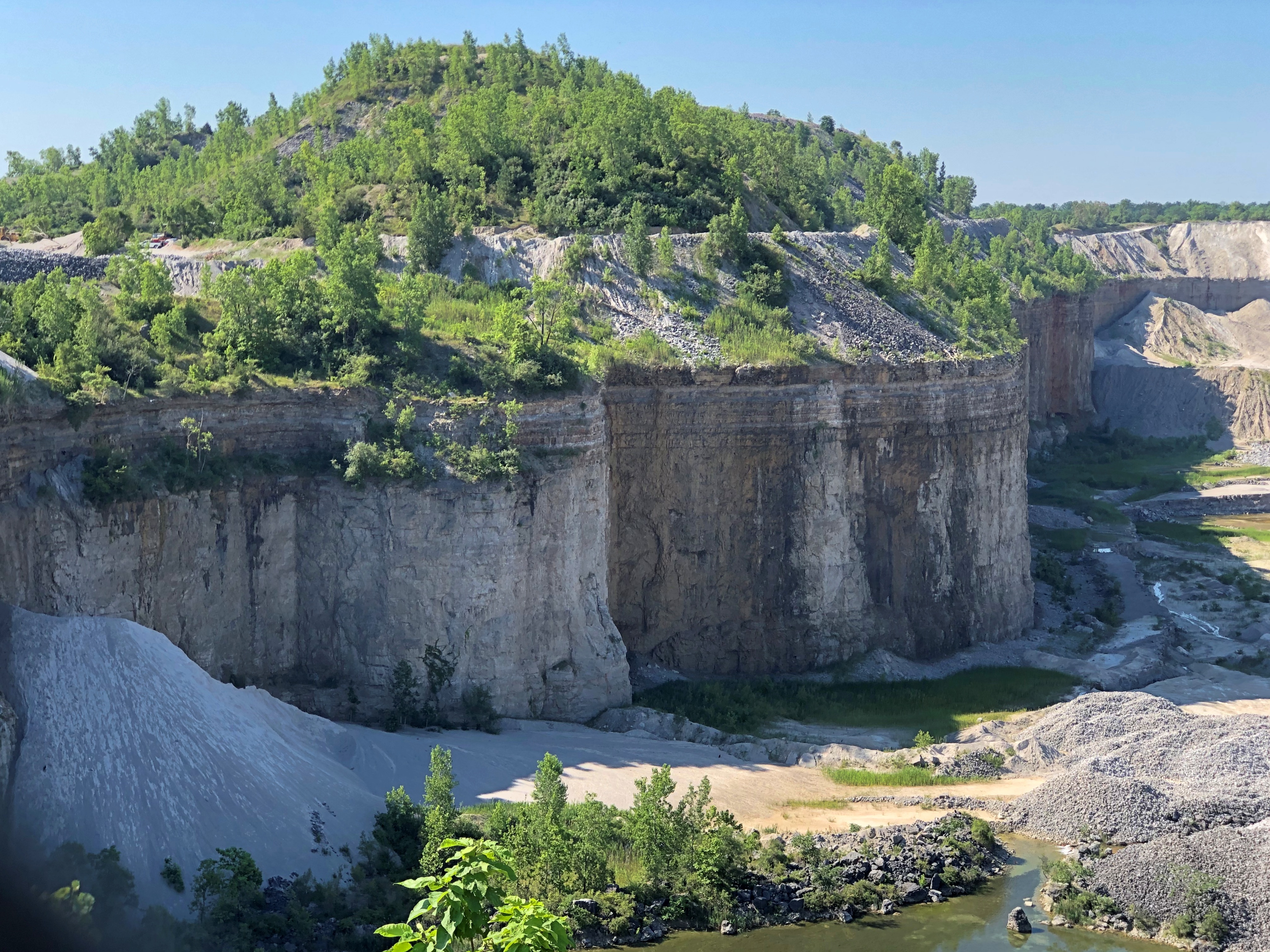
Regardless of the nomenclature, quite a view. Hanson Ardmore Quarry Hanson Ardmore Quarry

It was a Sunday, so the place was quiet. Still, Hanson has been digging limestone at this site for 80 years, and it is a big hole in the ground. Various sources, such as Roadside America, claim the quarry is 1,000 feet deep, but I don’t think so.Hanson Ardmore Quarry

I’d say maybe 300 or 400 feet. Horseshoe Bend is 1,000 feet deep, and this is no Horseshoe Bend. Still, it isn’t something you see very often, a vista into a working quarry.

Lindenwood Cemetery & Johnny Appleseed Park

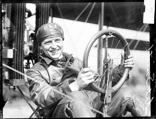
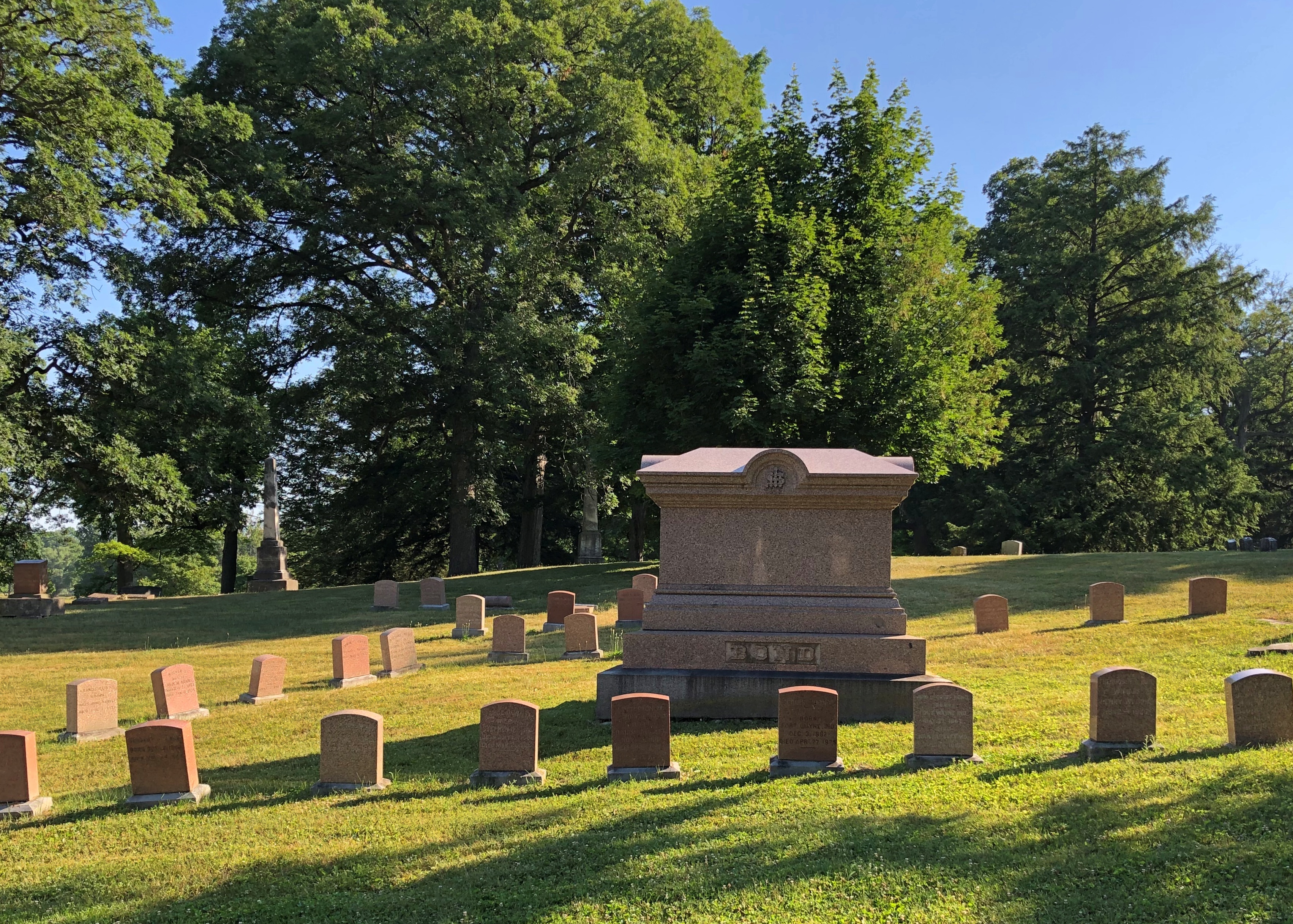
I didn’t see the grave of Art Smith in Fort Wayne early this month. I wasn’t looking for it, because I’d never heard of Art Smith. Only after reading about Lindenwood Cemetery a few days ago, and some time after I visited there, did I find out about him.

Along with a fun pic.Art_Smith_(pilot)_1915

Art Smith, early aviator, Bird Boy of Fort Wayne. In 1915, he took Lincoln Beachey’s job as a exhibition pilot at the Panama-Pacific International Exposition, after Beachey carked it in San Francisco Bay. Smith himself had a date with aerial death, but that was later, while flying the mail in 1926. He’s been at Lindenwood ever since.

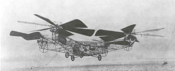
An aside to that aside. According to Wiki at least, Smith was one of only two men trained to fly the de Bothezat helicopter, also known as the Jerome-de Bothezat Flying Octopus, which was an experimental quadrotor helicopter.

That tells me that among those magnificent young men and their flying machines — you know, early aviators — Smith must have been especially crazy even in that fearless bunch, whatever his other skills as a pilot or virtues as a human being.

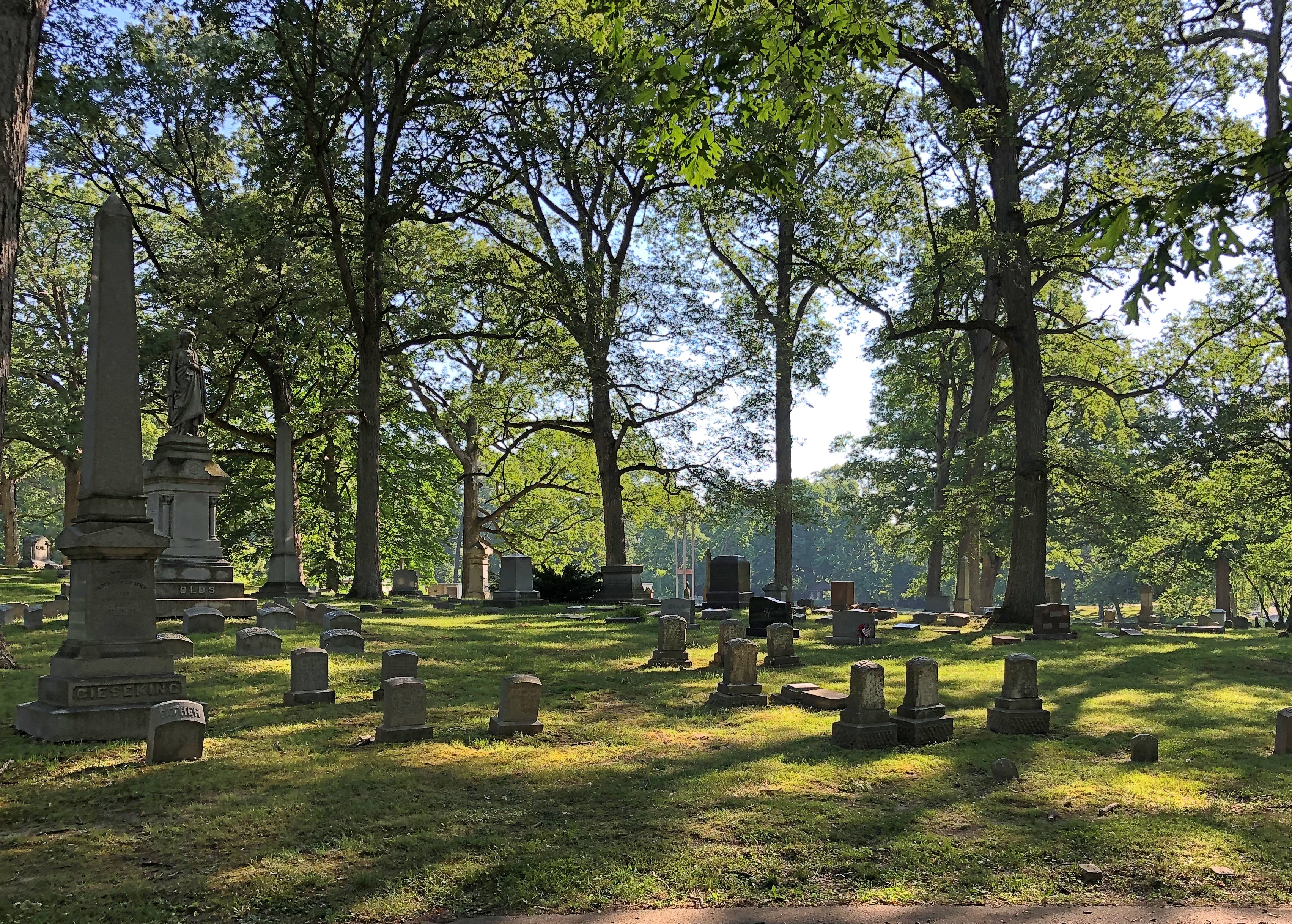
Lindenwood Cemetery dates from 1859, and is the Fort Wayne’s Victorian cemetery. It looks the part. All together about 69,000 people rest there, and at 175 acres, it’s one of the larger cemeteries in Indiana. As usual, I arrived in the mid-morning, by myself.

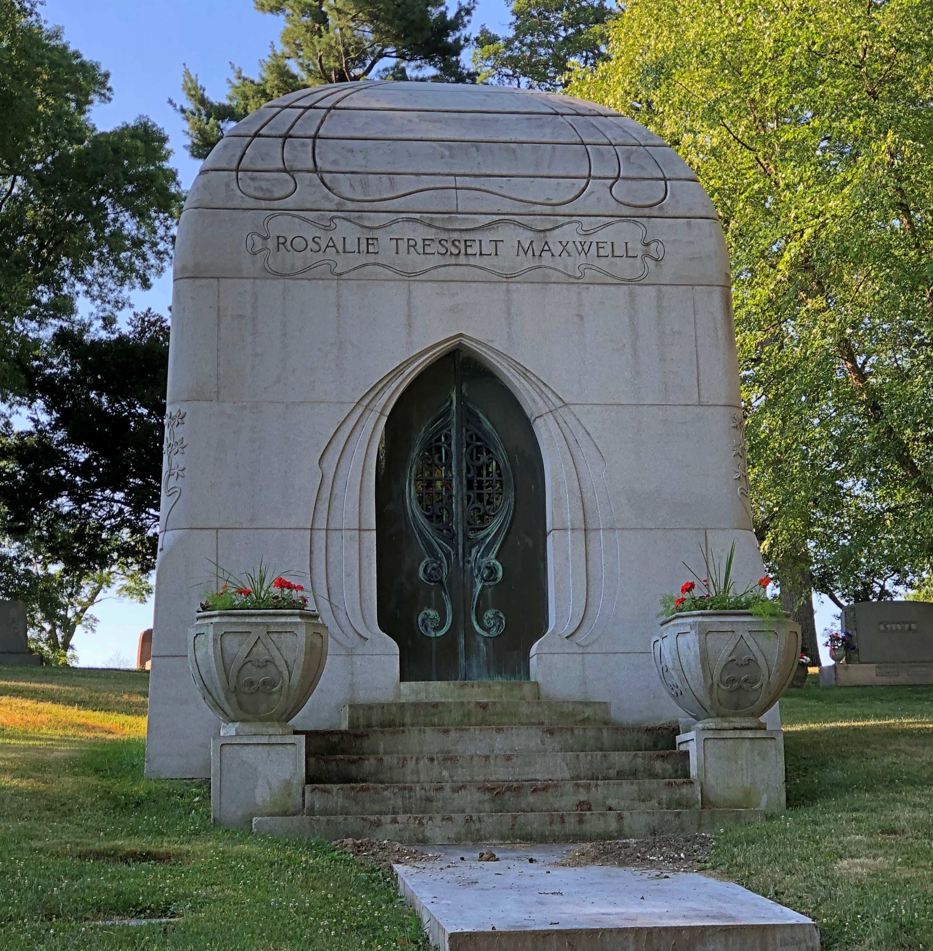
I did see one noteworthy burial soon after arrival. That is, the memorial itself seemed to make that claim. He founded two churches, so the claim seems to have some merit.Lindenwood Cemetery, Fort Wayne

It’s a forested area, as I’m sure was intended.Lindenwood Cemetery, Fort Wayne

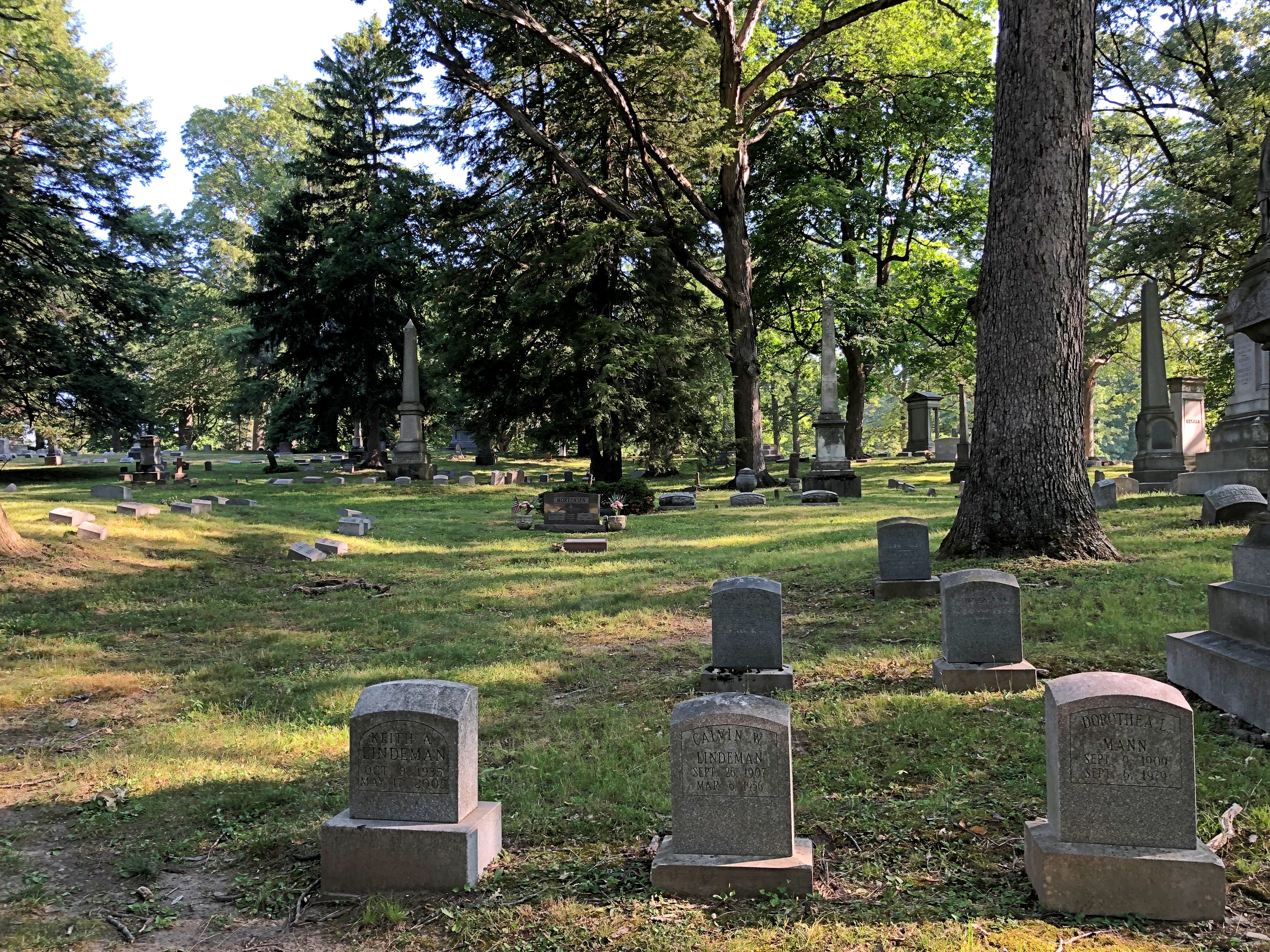
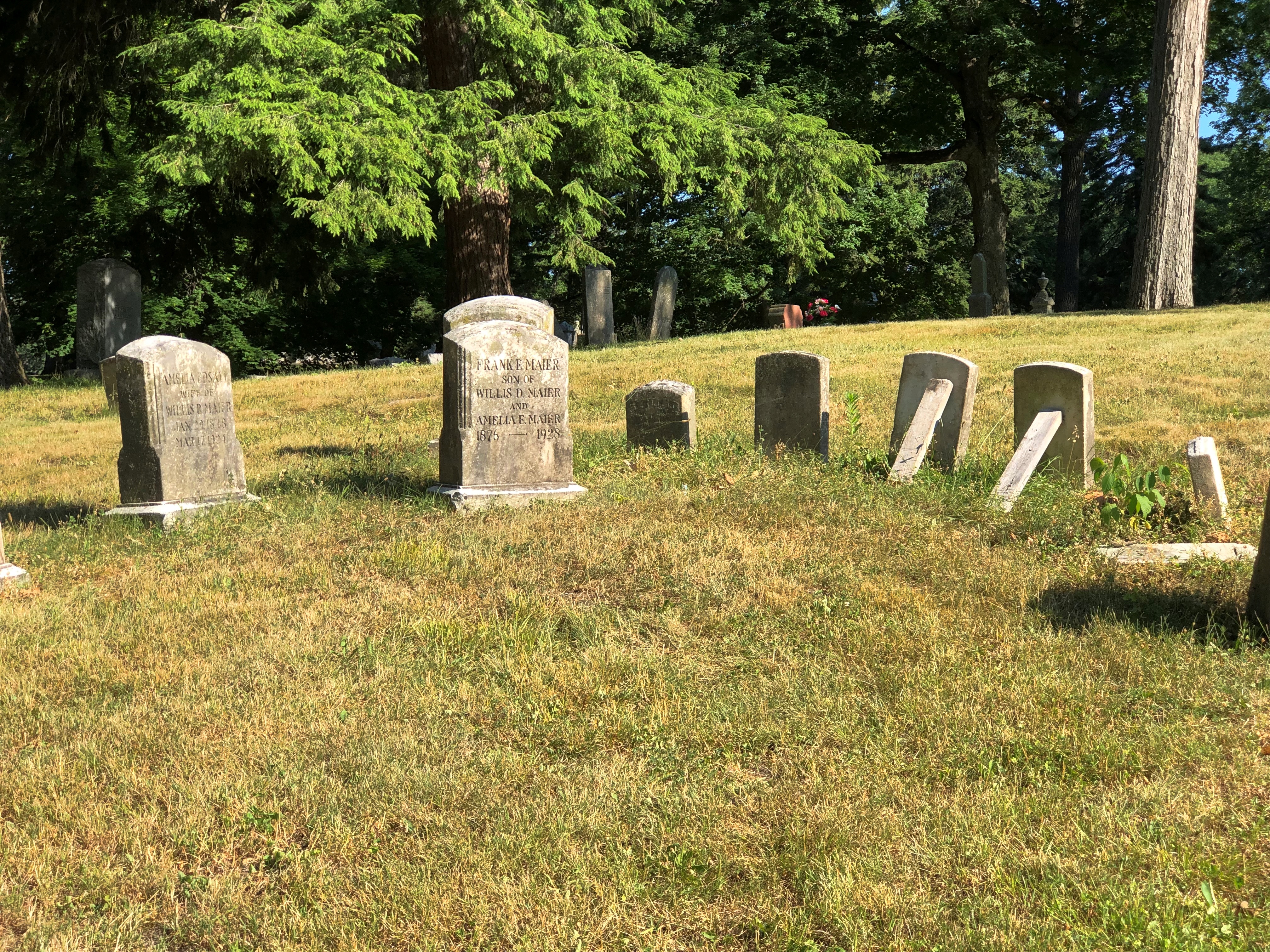
With open spots.Lindenwood Cemetery, Fort Wayne Lindenwood Cemetery, Fort Wayne

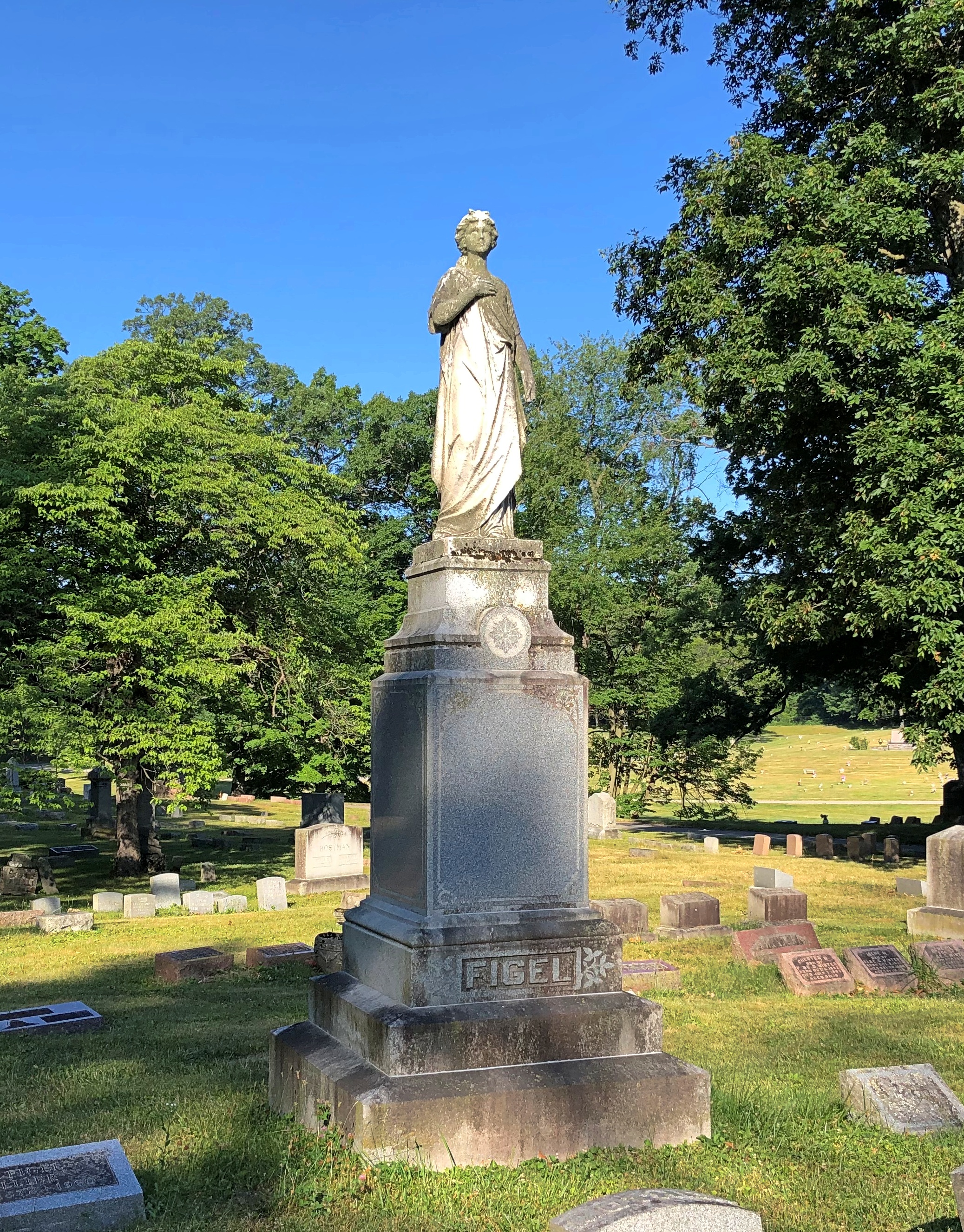
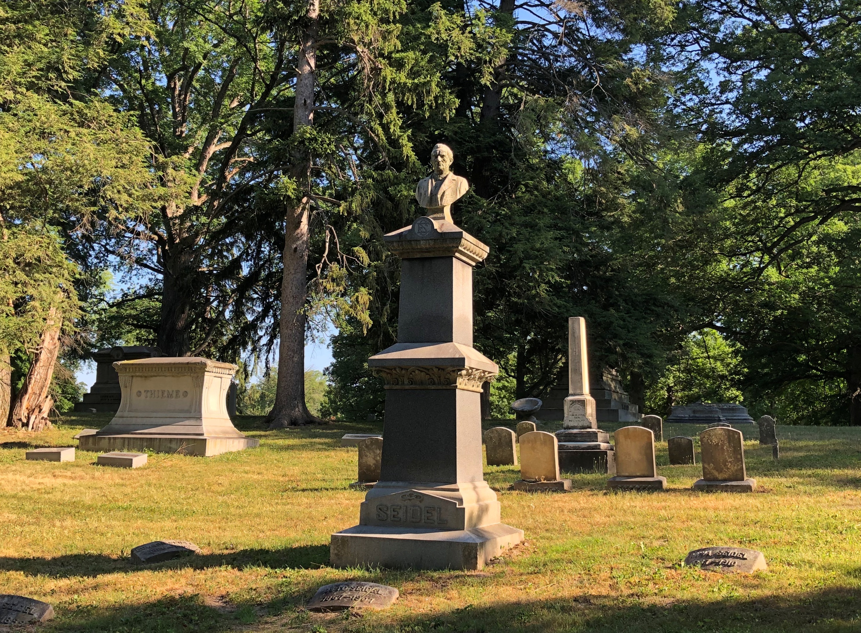
A scattering of funerary art.Lindenwood Cemetery, Fort Wayne Lindenwood Cemetery, Fort Wayne

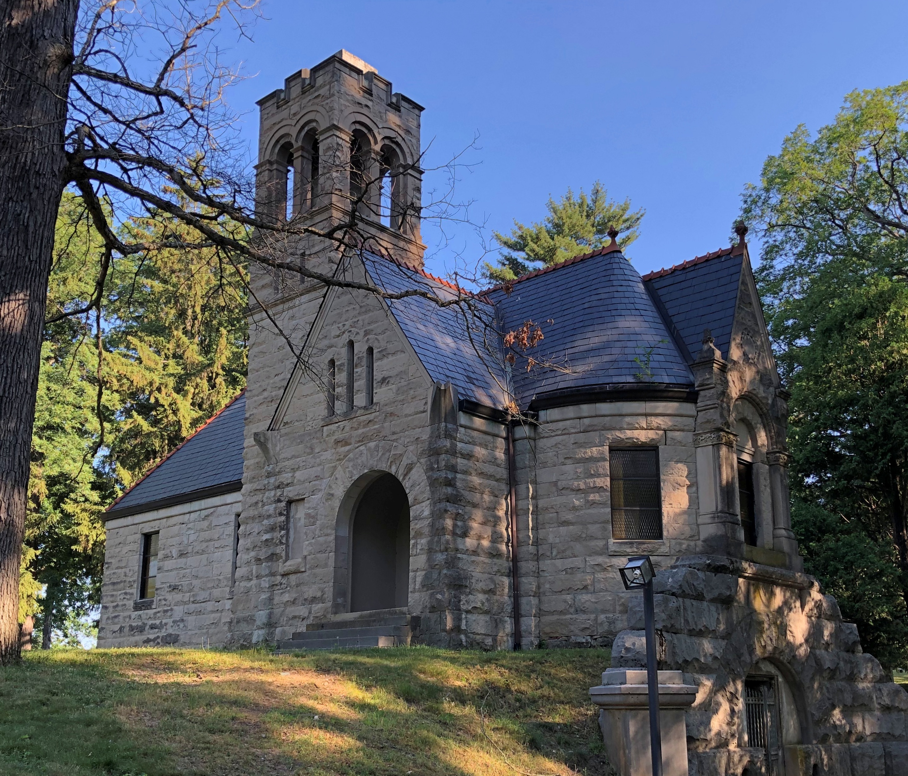
A chapel.Lindenwood Cemetery, Fort Wayne

An occasional mausoleum. I’ve never seen one quite like this one.
Lindenwood Cemetery, Fort Wayne

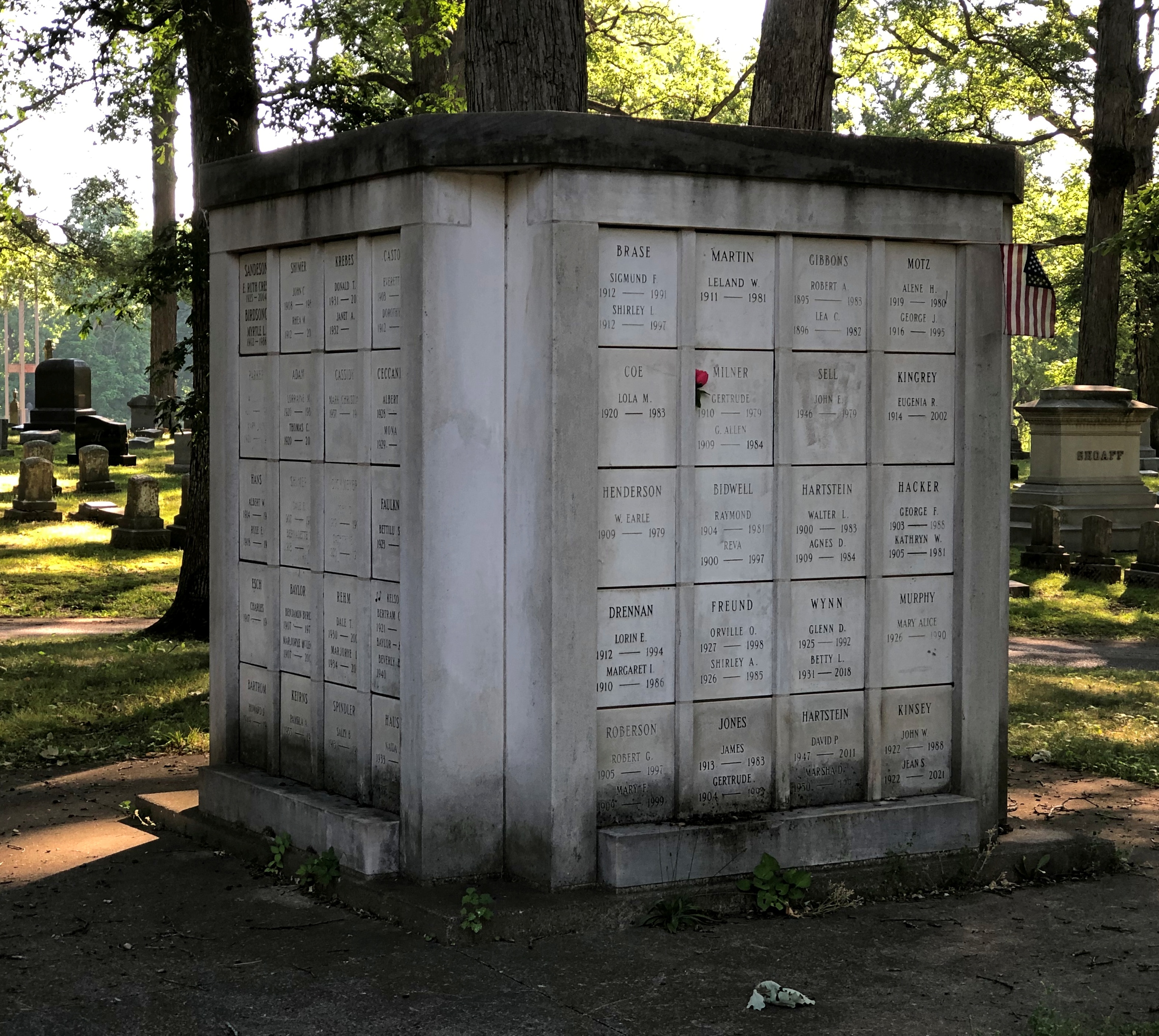
An apartment block necropolis? I hadn’t seen one quite like that, either. A more modestly priced option, probably, at least at one time.
Lindenwood Cemetery, Fort Wayne

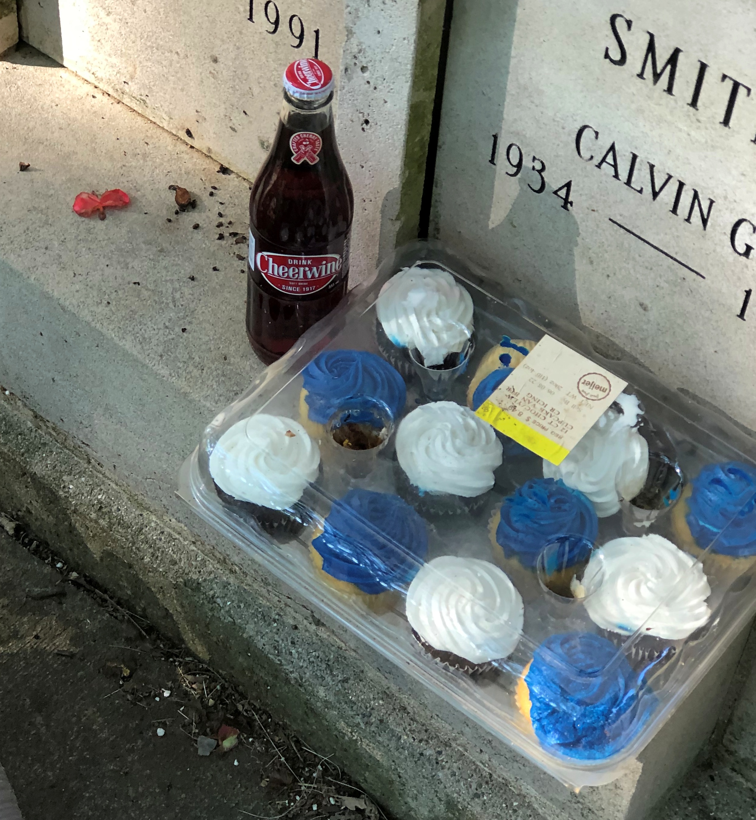
Calvin Smith (1934-88) is remembered by someone. Someone who brings treats, including the North Carolina soda Cheerwine.Lindenwood Cemetery, Fort Wayne - Calvin Smith

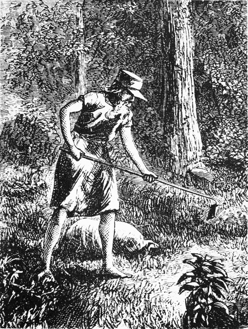
Which brings me to Johnny Appleseed, promoter of cheer cider. Hard cider, that is, something elided over in school stories about the career of John Chapman, or at least the ones I heard.

A contemporary image.

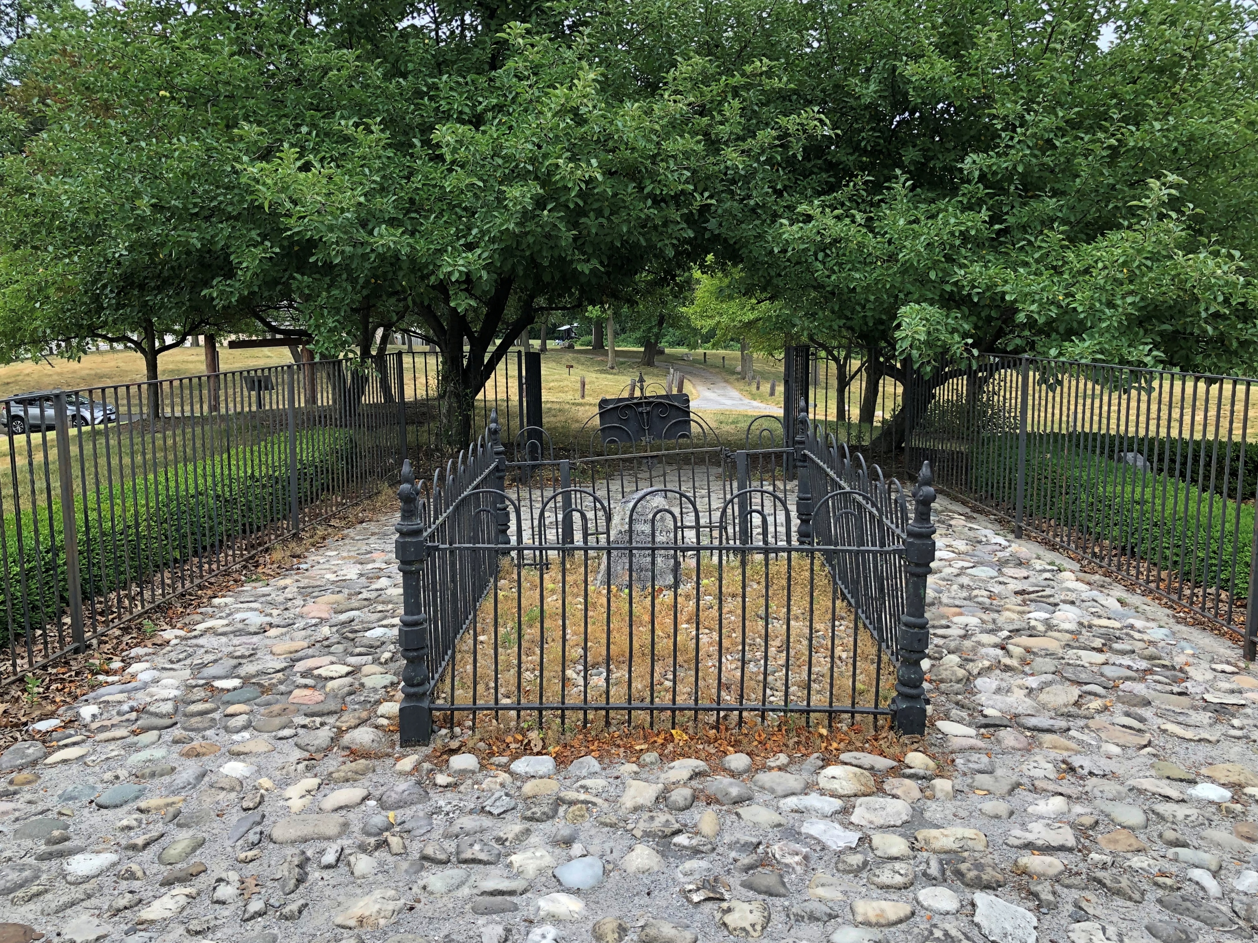
He too is buried in Fort Wayne but not, befitting his reclusive reputation, among the crowds at Lindenwood. This is Johnny Appleseed we’re talking about. He has his own park.

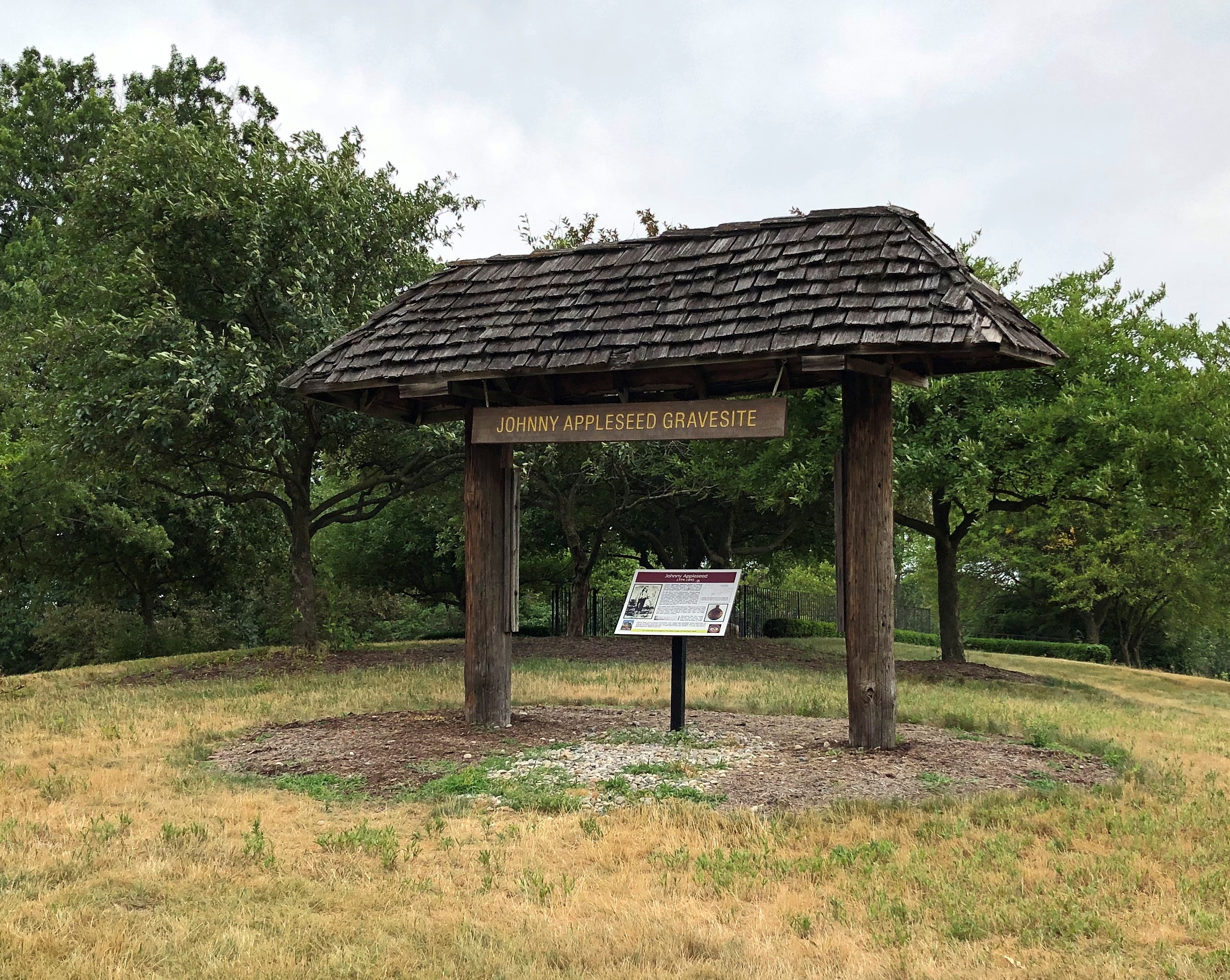
When I realized I was driving near his grave on Saturday evening before sunset, I took a detour to Johnny Appleseed Park, most of which features standard-issue municipal facilities, such as ballfields and picnic tables and sheltered event spaces. But one section includes Johnny’s grave.Johnny Appleseed Grave

That’s not actually the gravesite, but rather a sign about Johnny Appleseed. The nurseryman reposes on top of the hill behind the sign.Johnny Appleseed Grave

I read the sign and learned a thing or two. I didn’t know, for instance, that Chapman was also a missionary for the Swedenborgians.Johnny Appleseed Grave

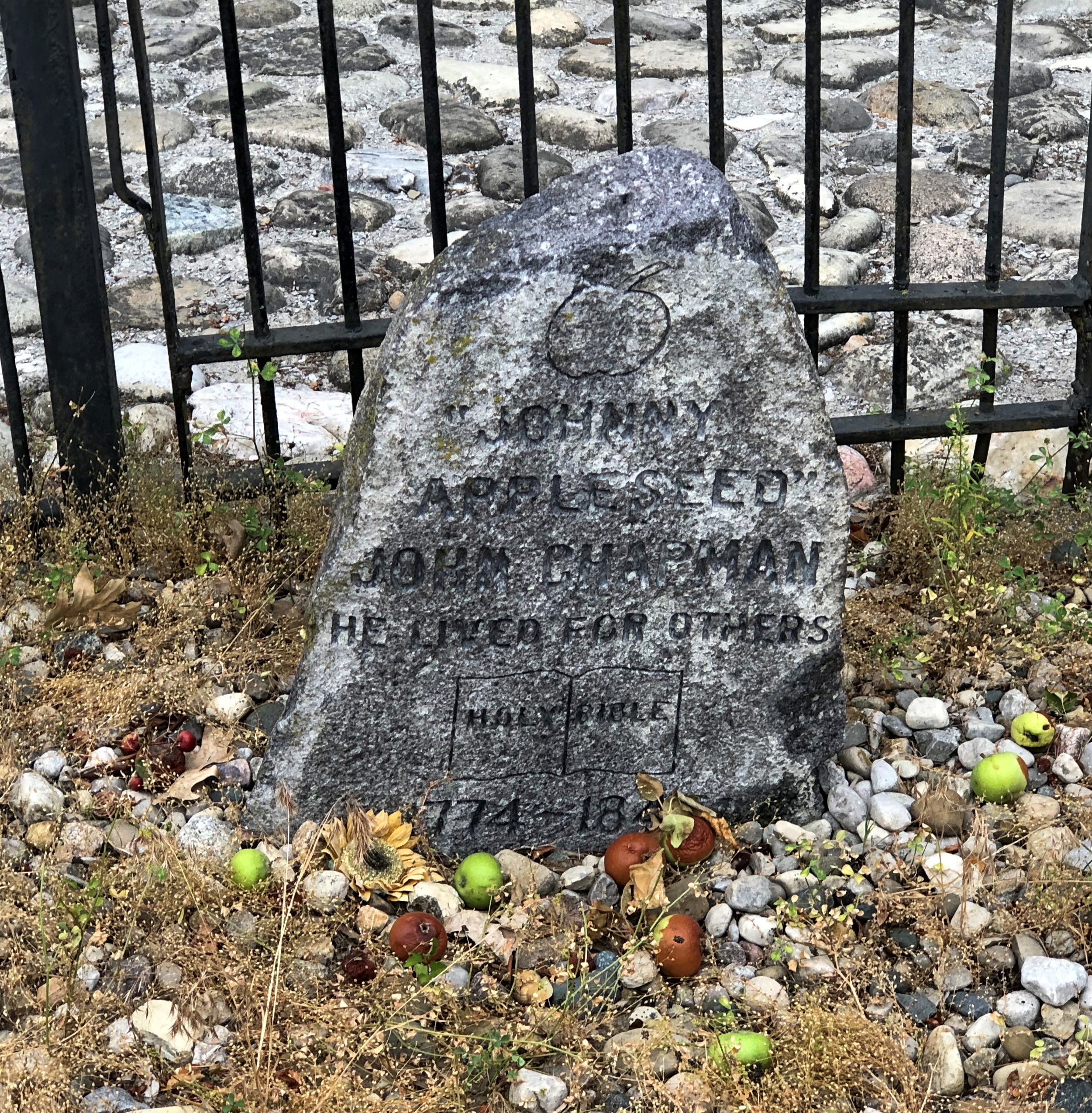
“Johnny

Appleseed”

John Chapman

He lived for others

Holy Bible

1774-1845

It took me a moment to notice the apples scattered around the stone. Then I noticed the apple trees planted around it. Nice touch.

Jerome Huppert Woods

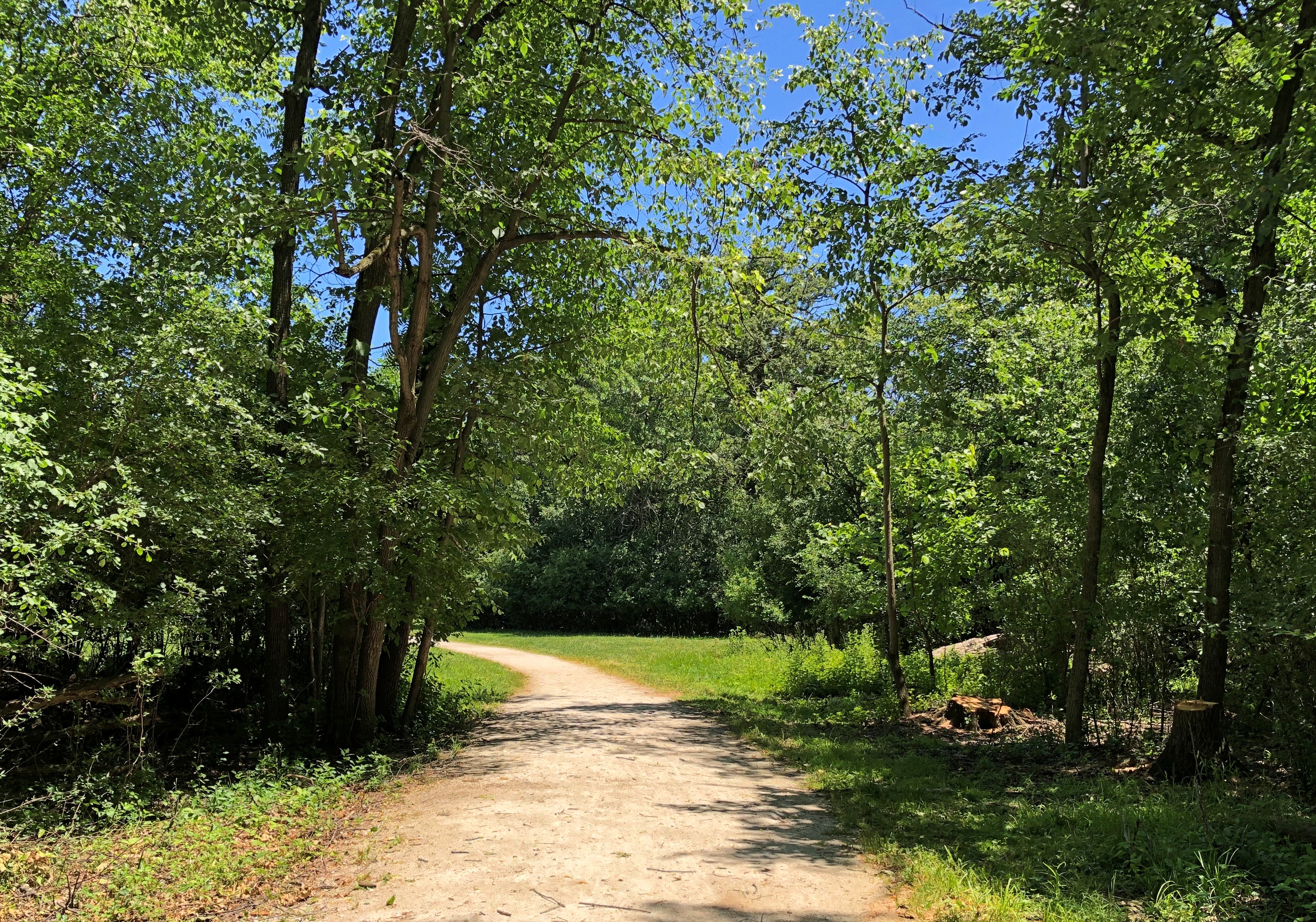
As forecast, temps didn’t break 80 degrees F. on Saturday. A good day to hit the trail.Jerome Hubbert Woods

A trail, anyway. The one we hit happened to be the Des Plaines River Trail, which parallels the river of that name, on a short section through Jerome Huppert Woods. The place might be named for this man, a casualty of WWII. How many Jerome Hupperts have there been? He was from Wisconsin, so that would be a little unusual, but hardly impossible.

The woods are a small slice of undeveloped land along the river. My guess would be that the Cook County Forest Preserve District was able to acquire most of the land along the Des Plaines because it is prone to flooding. A little further from the forest preserve land at that point, the suburb of River Grove surrounds the area, and it’s fully developed.

The reach the trail proper, you go along a connecting trail from a parking lot and recreation field to a short, graffiti’d tunnel under a road. Jerome Hubbert Woods

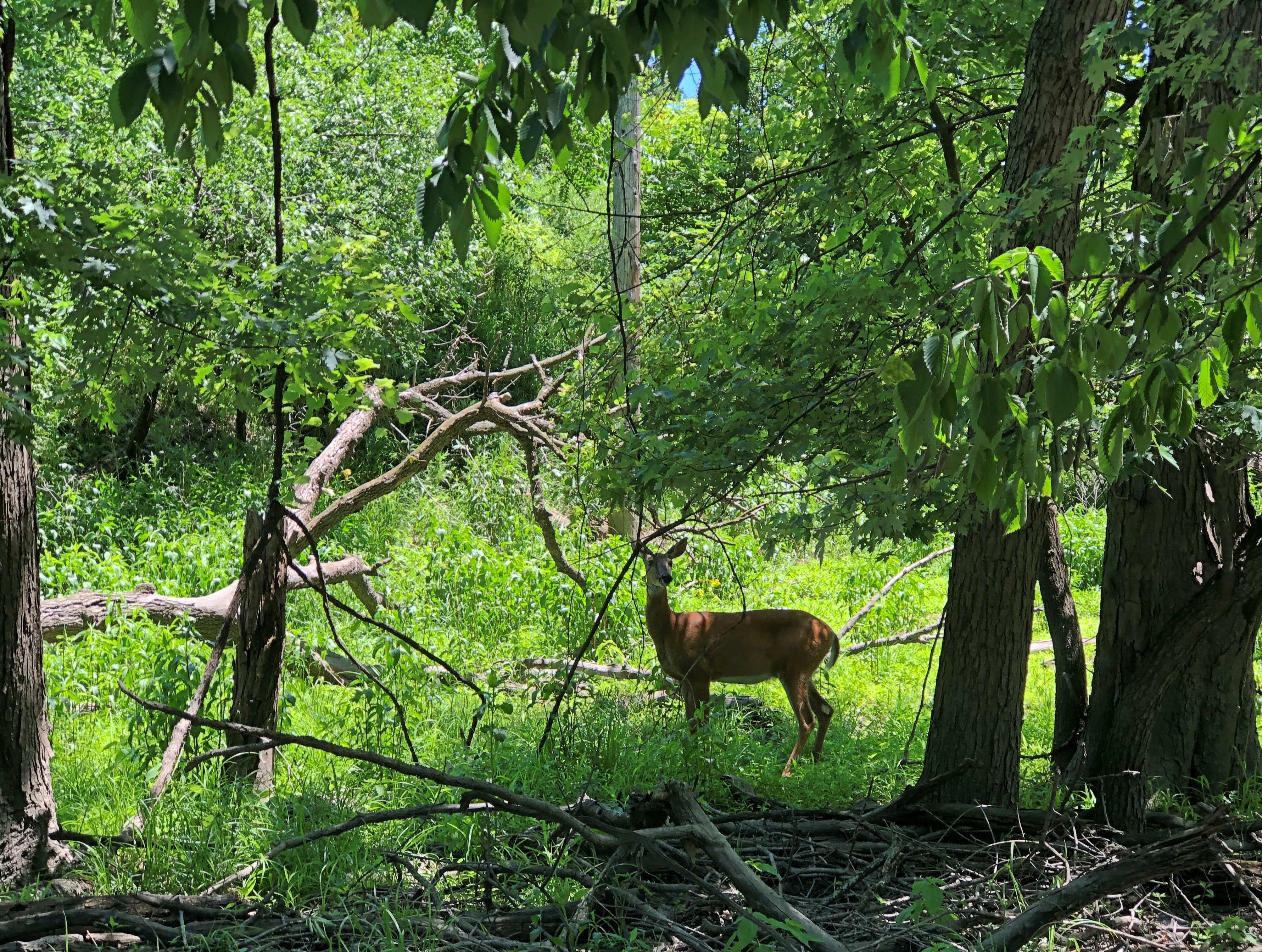
There’s enough undeveloped land in the area to support some large fauna, looks like.Jerome Hubbert Woods

I don’t look at the creature and think Bambi. Rather, I think, deer ticks, vector of Lyme disease. Best to keep your distance. Still, it was nice to see.

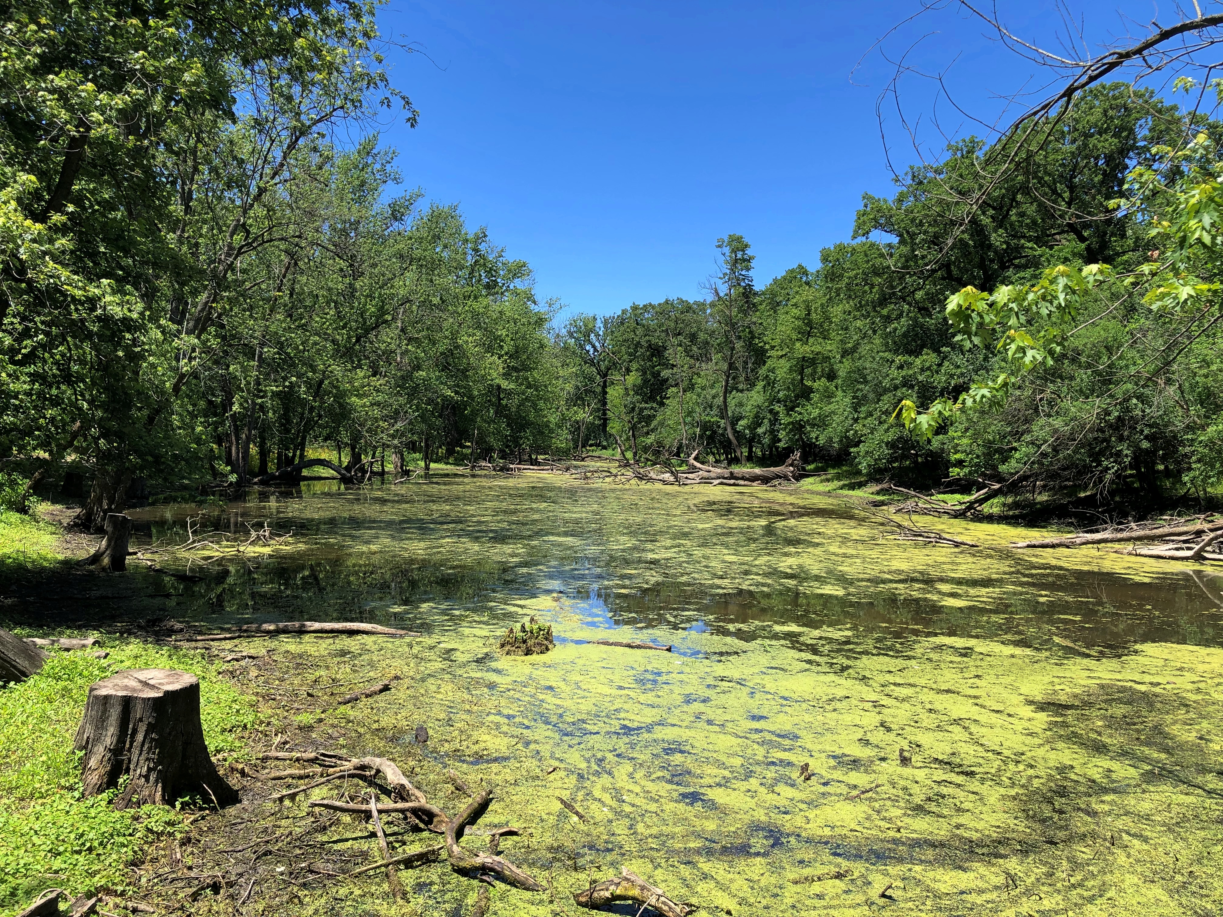
Recent rains seem to have created, or at least enlarged, a stagnant pond that isn’t visibly connected to the river.Jerome Hubbert Woods

Otherwise, lots of green. Lots of flowers. Lots of trees.Jerome Hubbert Woods Jerome Hubbert Woods Jerome Hubbert Woods

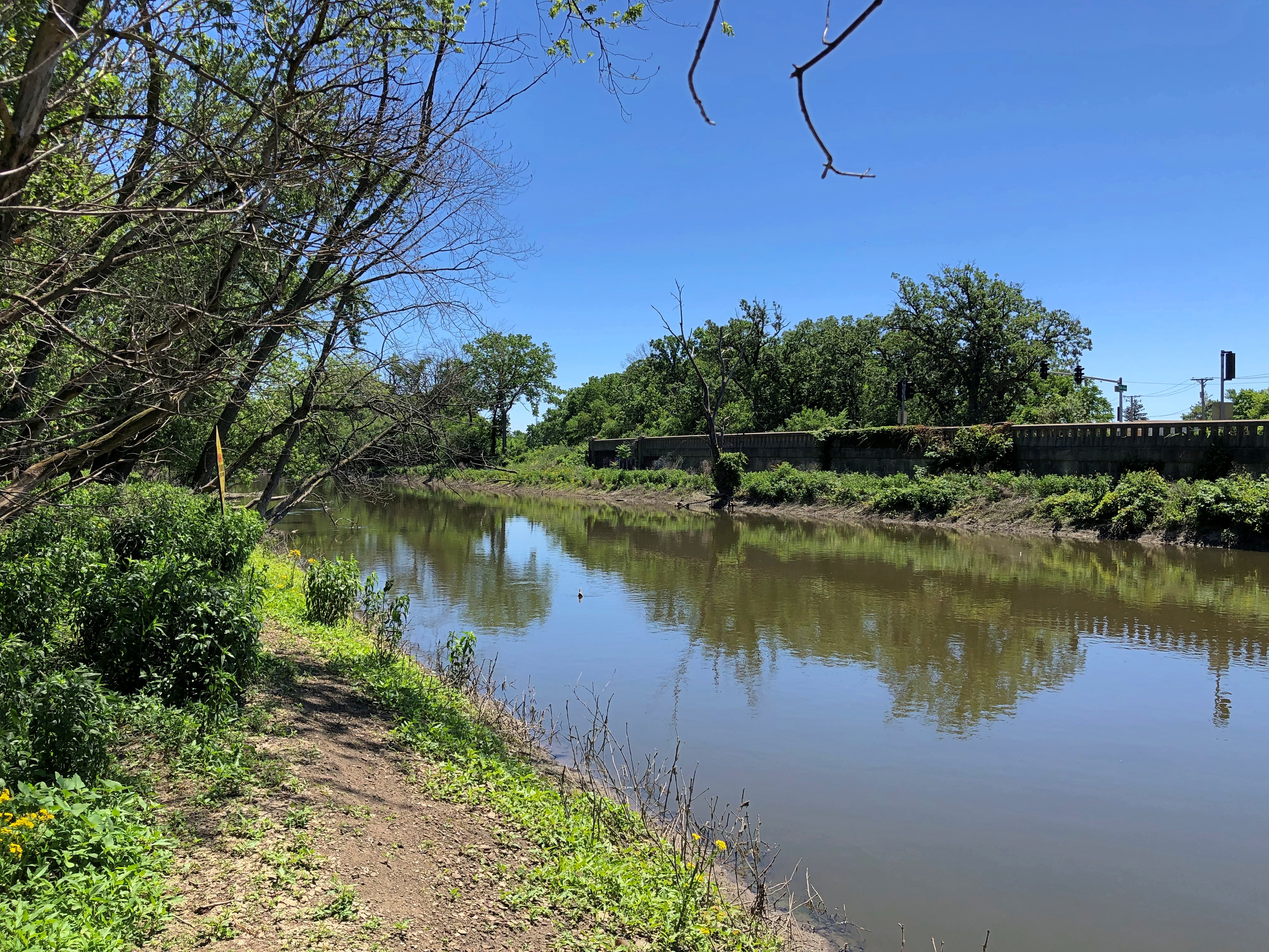
With views of the Des Plaines from time to time.Jerome Hubbert Woods - Des Plaines River

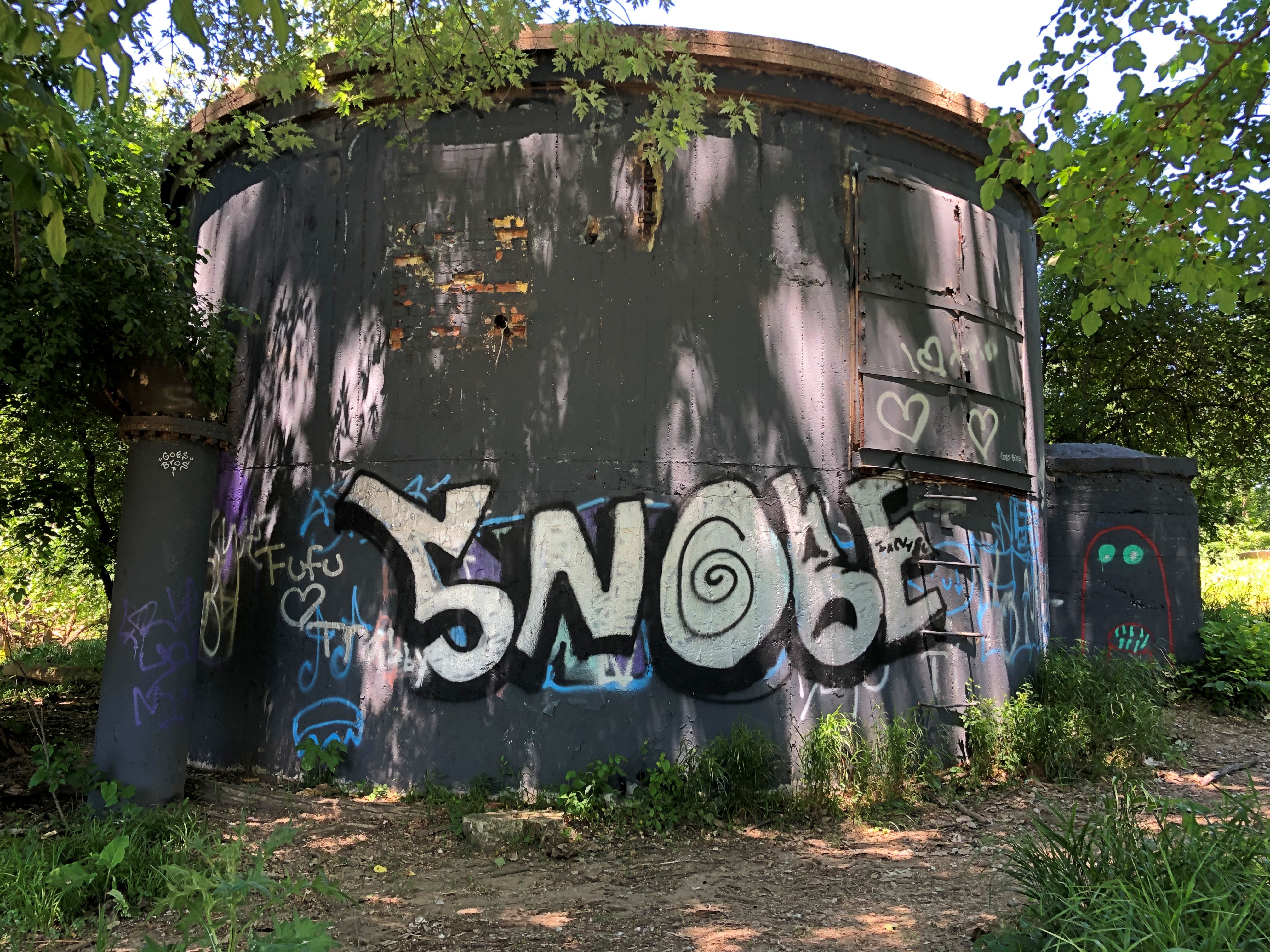
Along with abandoned structures.Jerome Hubbert Woods

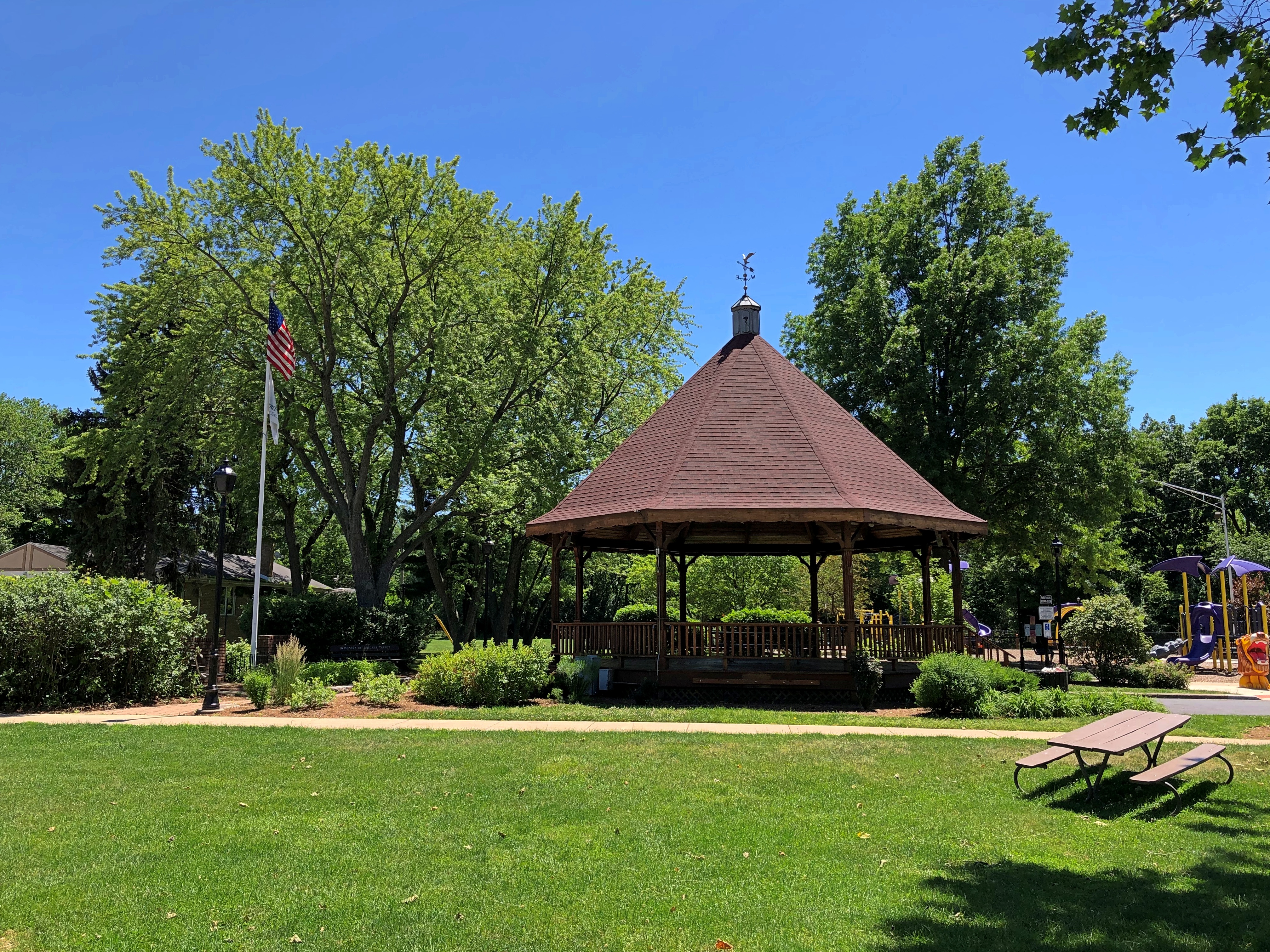
Eventually, we came to River Grove’s River Front Park, where we turned around. Not before resting a few minutes in the park gazebo, though.Jerome Hubbert Woods

As always, nice to find a gazebo. Obscure suburban parks are better for them.

High Desert Flora

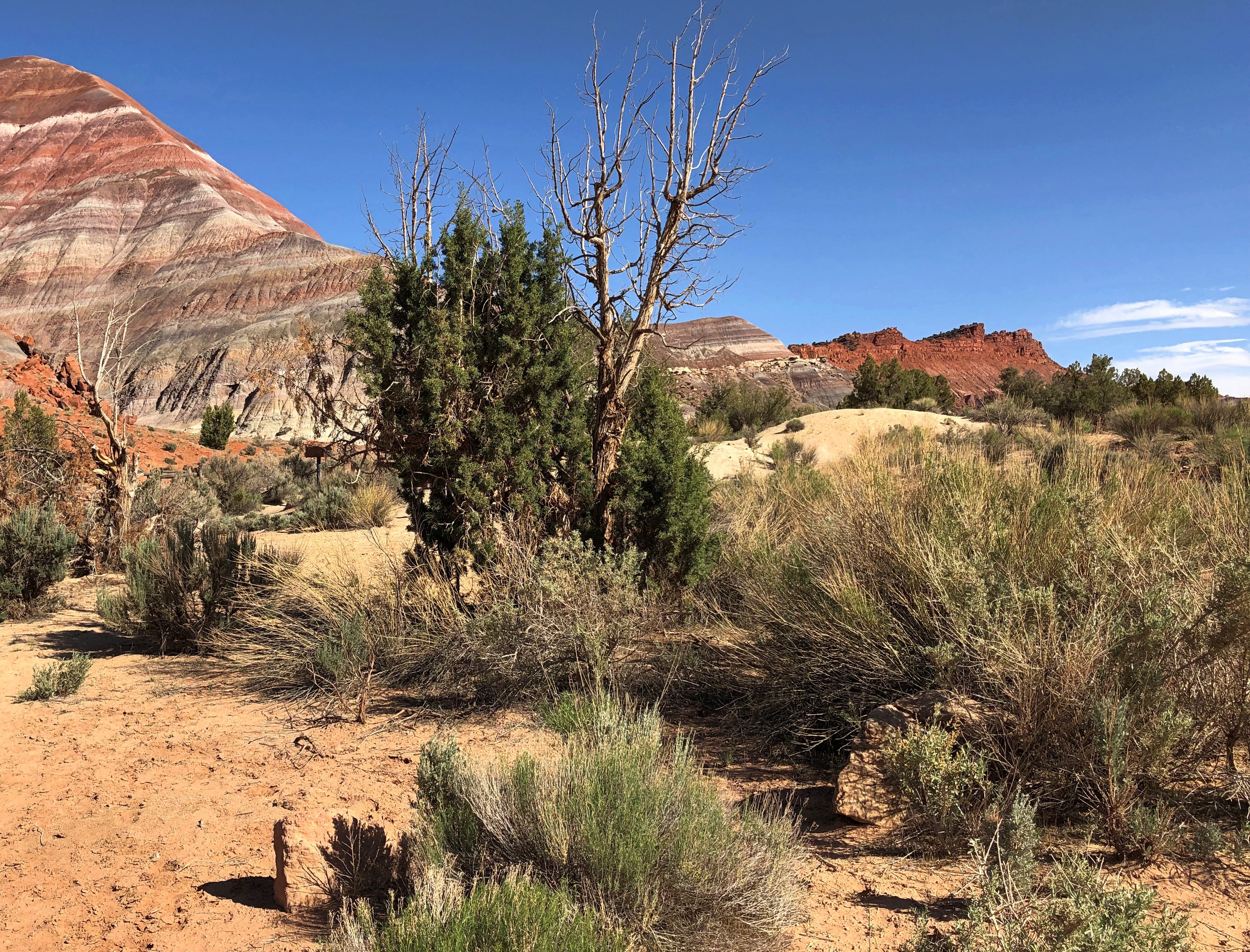
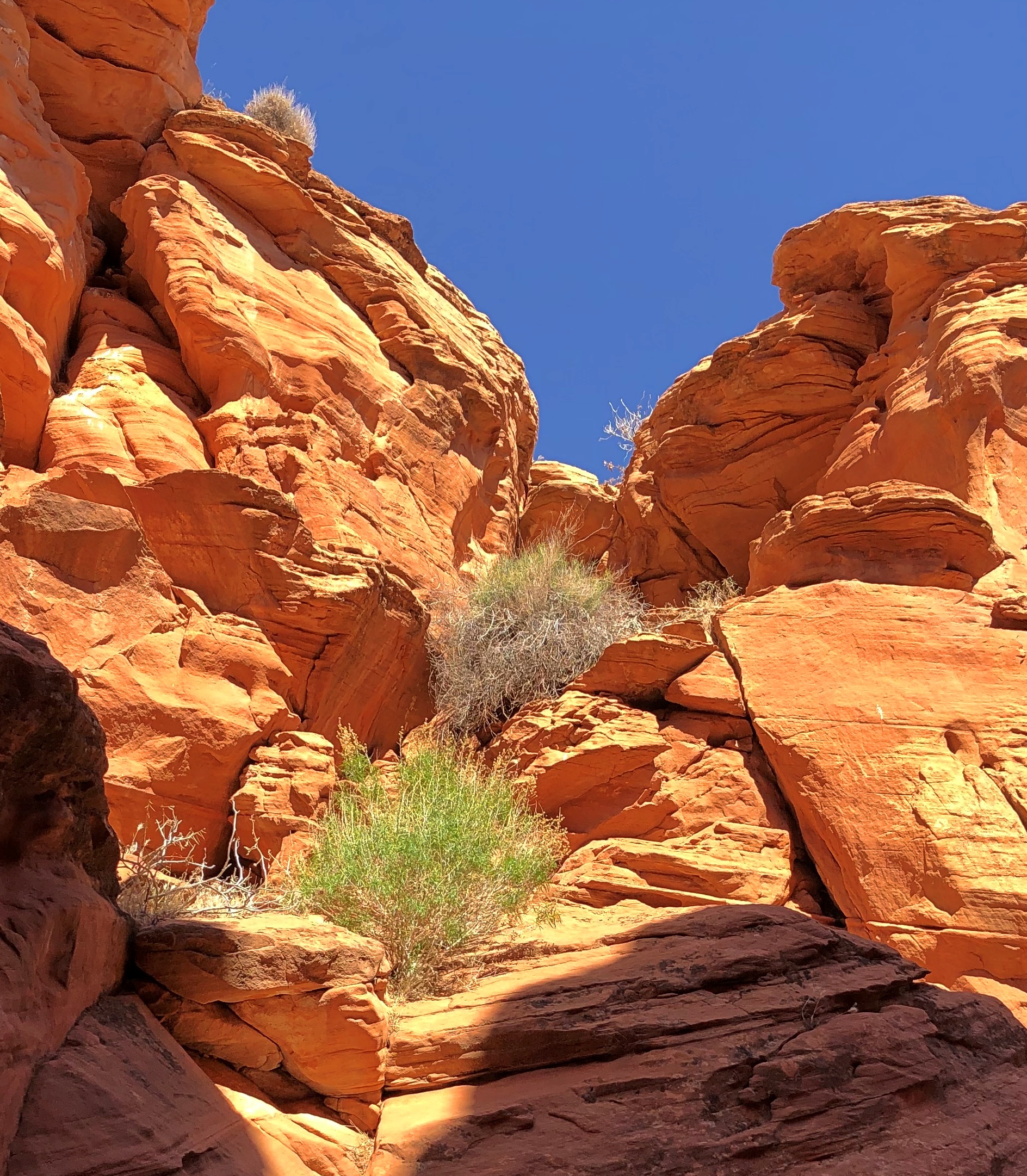
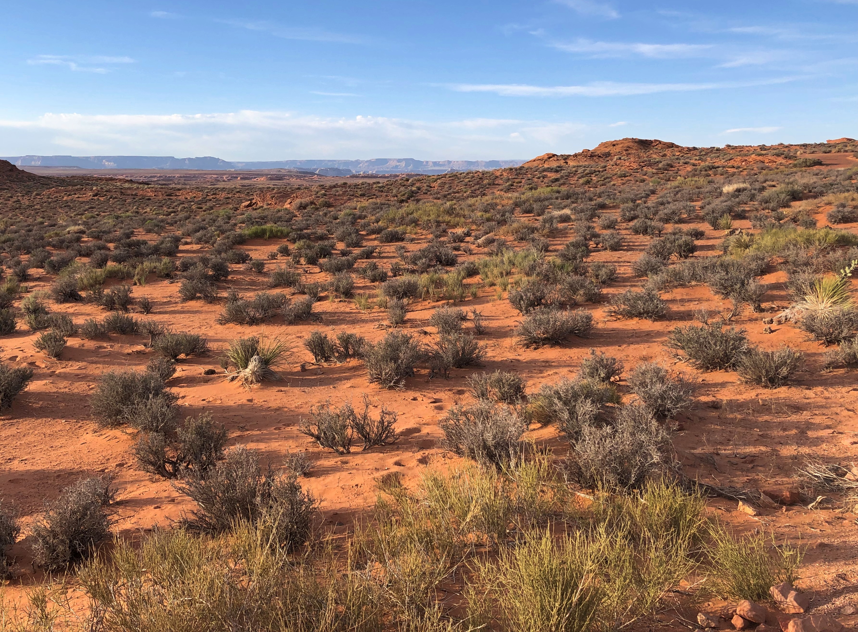
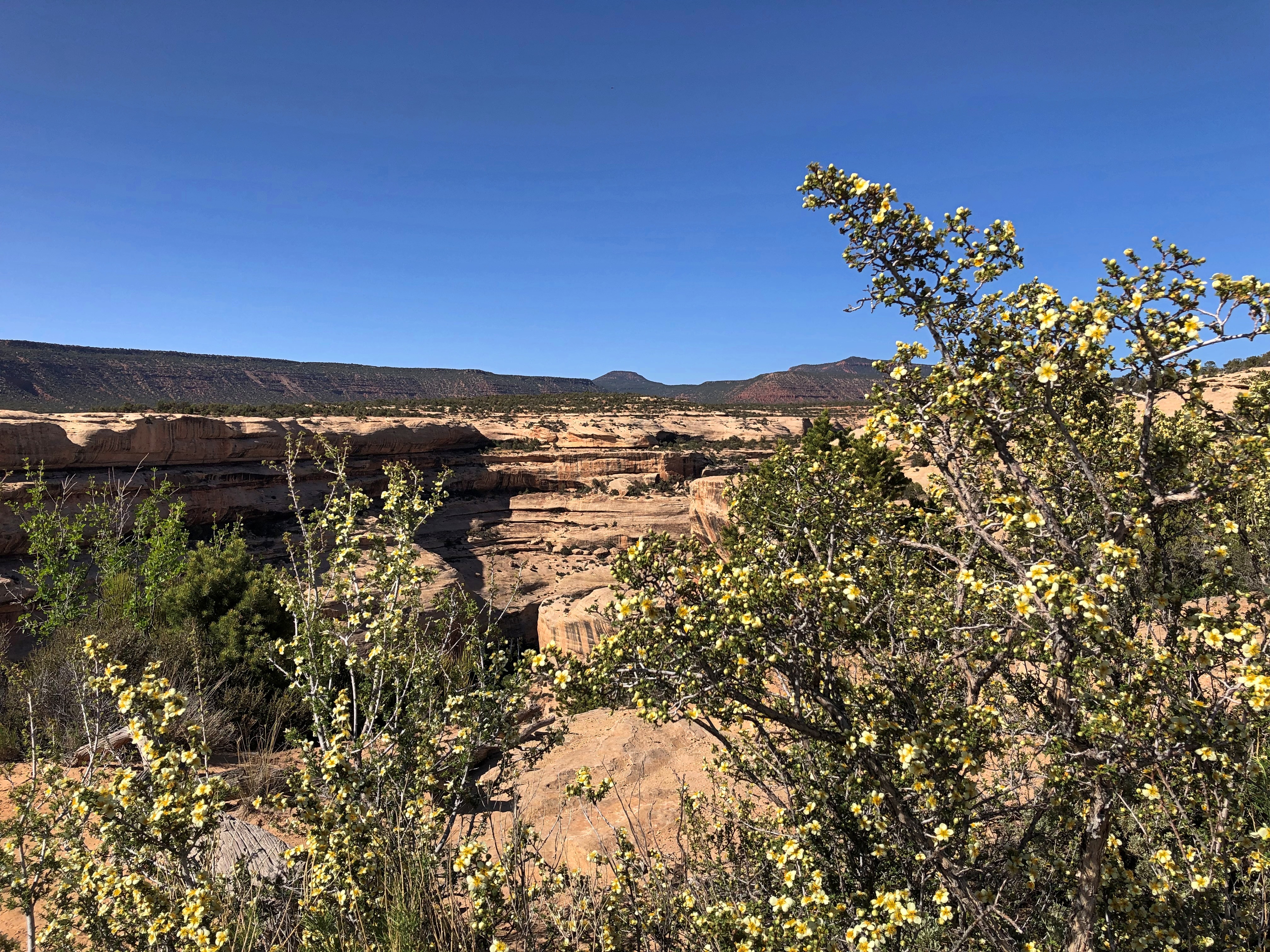
Not quite all the places we visited in May count as high desert, but mostly that’s what we saw, including a wide variety of plants. I looked at them mostly for aesthetic enjoyment, since I’m woefully ignorant about natural history, and when I try not to be, the information mostly isn’t retained by the sieve of my mind.

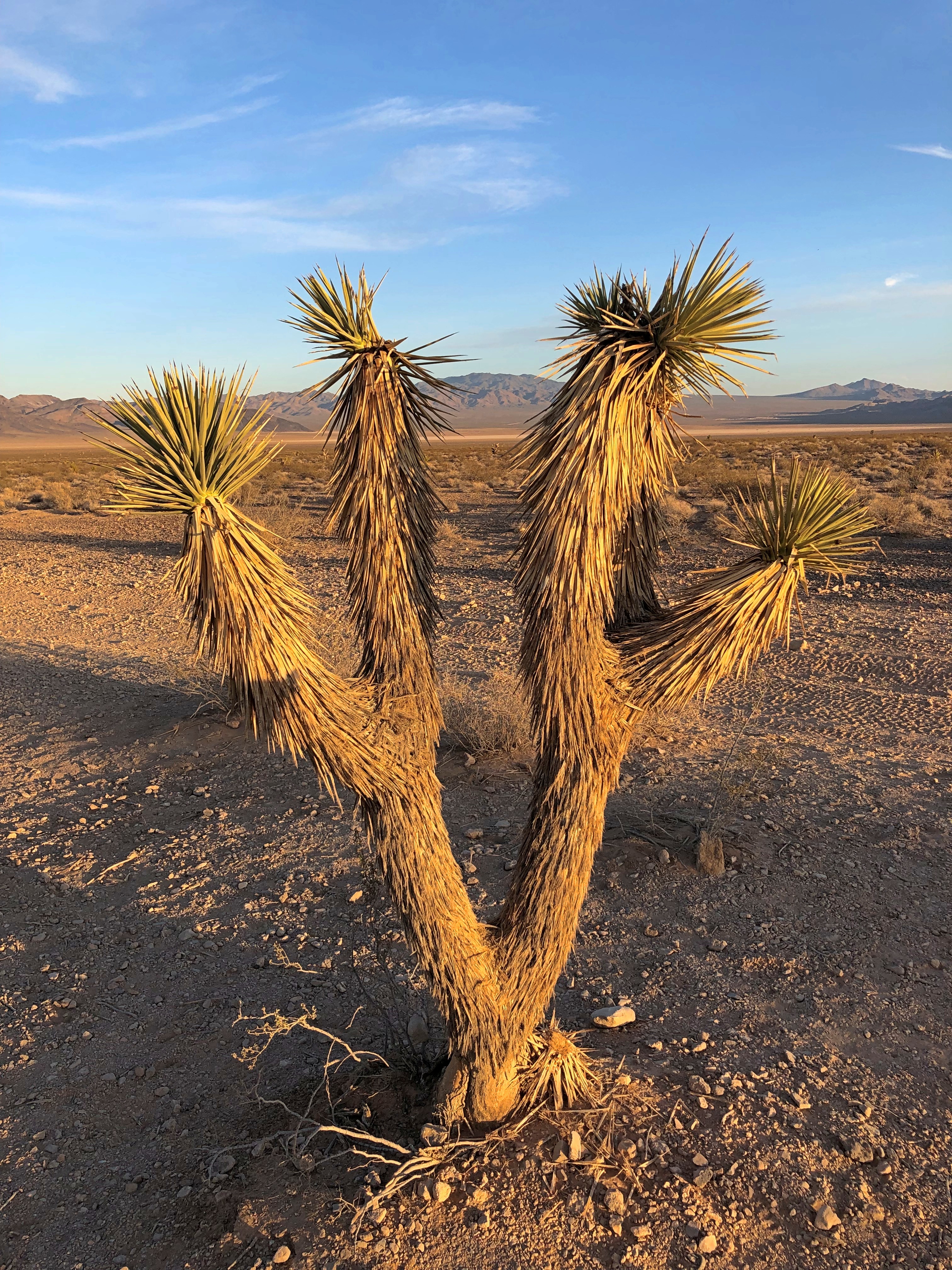
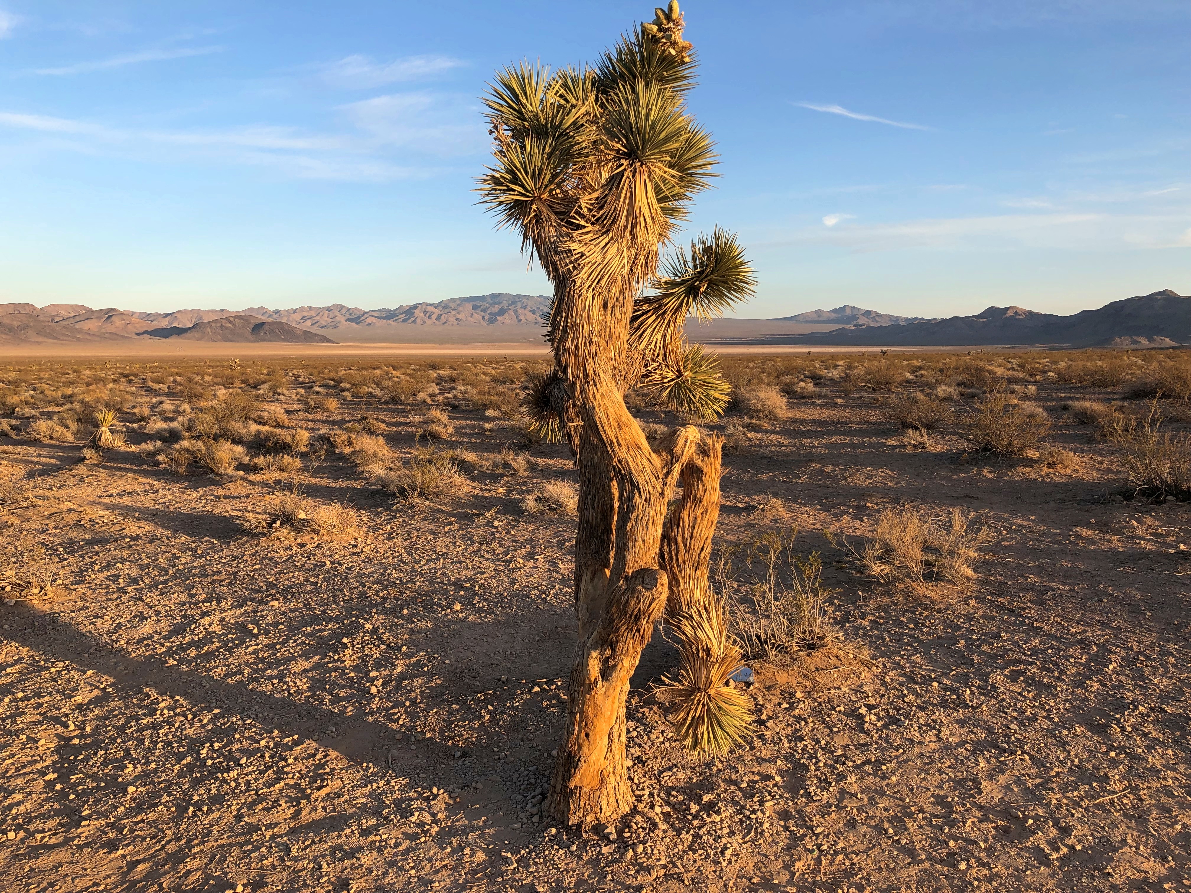
Still, I know a Joshua Tree when I see one. These were outside Las Vegas. The further east you go from there, the fewer you see.Joshua Tree, Nevada Joshua Tree, Nevada

Smaller than many of the yuccas at Joshua Tree NP, but Yuriko, who hasn’t visited that park, was suitably impressed.

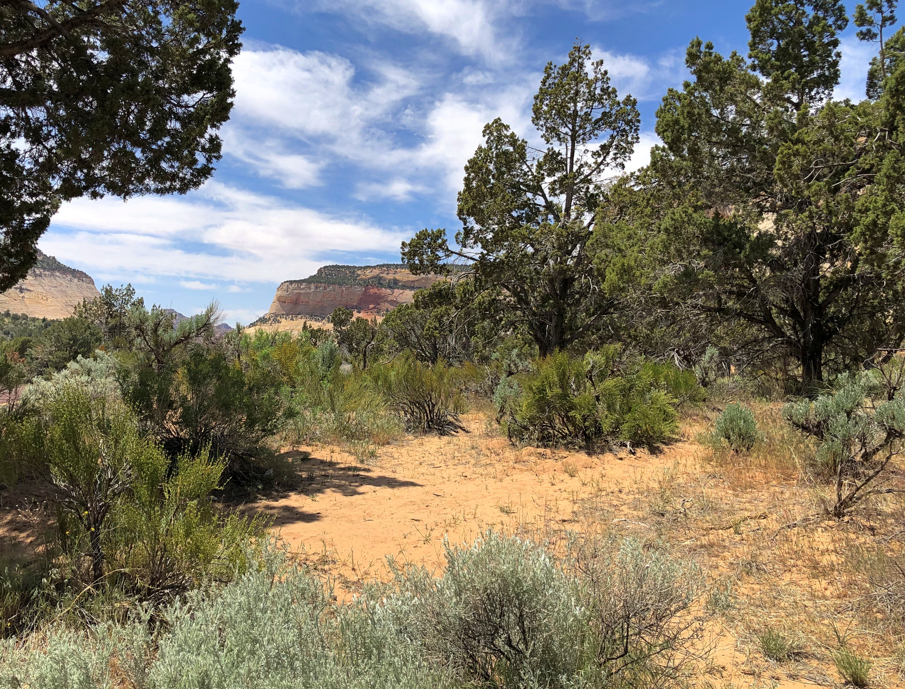
Moving on, flora at Zion National Park.

Grand Staircase-Escalante National Monument.Grand Staircase-Escalante NM

Owl Canyon, near Page, Arizona. Amazing the places life can cling.Owl Canyon, Arizona

Also near Page.
Near Page, Arizona

National Bridges National Monument.
Natural Bridges NM

Arches National Park.Arches National Park Arches National Park Arches National Park

Canyonlands National Park.Canyonlands National Park Canyonlands National Park

Salt Lake City.Salt Lake City flowers 2022 Salt Lake City - City Creek Park

The flowers were at Temple Square, near the Assembly Hall. The second image doesn’t look much like a city view, but it was, in City Creek Natural Area. The ground gets pretty steep pretty fast as you move away from downtown.

A 180-degree turn at that point, and you see this.Salt Lake City - City Creek Park

A nice change from desert scrub, though desert flora has its fascinations.

NV-AZ-UT ’22 (Or, How to Overdose on Western Scenery in a Week)

Years ago, I got to talking scenic destinations with a professional photographer who contributed to the Chicago-based magazine I edited at the time. He asked me if I’d ever been to Utah. I told him I had: northern Utah, including Cache Valley and Salt Lake City, which I’d visited in the early ’80s. Pretty places, I said.

“Northern Utah is pretty,” he said. “But southern Utah is ethereal.”

Later, after I visited Zion and Bryce National Parks, I was inclined to agree. But of course I wanted to see more. This year, I did. Yes, photographer whose name I wish I could remember. Ethereal. Absolutely.

Saturday before last, Yuriko and I flew to Las Vegas, returning late this Sunday from Salt Lake City. Two days in transit, seven on the road. In that time, we visited four national parks, three national monuments and two tribal parks, all in either Arizona or Utah. We spent a little time in the aforementioned major metros, plus more time in two tourist towns — one in Arizona, the other in Utah — staying there in two non-chain motels, one of which is arguably historic. We passed through an array of other tiny towns and wide places in the road, stopping when the mood struck.

I’m glad to report we ate no fast food. Besides grocery store food in our rooms or at picnic tables, and motel-supplied breakfasts, we ate at local eateries: Vietnamese, a family restaurant, Southern fried chicken, doughnuts, Mexican, barbecue (Texas-style beef), a retro diner, Thai, pizza, Korean fried chicken and Chinese hot pot. A few of those restaurants were in the cities — Vegas and Salt Lake — but I can also report that here in the early 21st century, the American appetite for food variety has spread far and wide into a galaxy of smaller places.

We drove briefly on Interstates, but mainly followed state, park and tribal roads, most paved, but not all. We walked a variety of trails, across sandy ground and over flat rocks, through woods but more often desert scrub. We crawled through slot canyons. All that under hot and copper skies, sunny or partly cloudy. Very warm, rather; in the 80s F. most of the time, except for a cooler spell on the last two days. Often as not, on the hot days, the wind kicked up and cooled us off, besides blowing sand at our faces and threatening to whisk our hats off high cliffs.

Mosquitoes were rarely a presence, fortunately, but gnats and flies made themselves known. If you looked carefully (actually not that carefully), you’d notice lizard trails in the red sands, and holes borrowed into the same sands by larger creatures who don’t care to come out during the daytime. Lizards, on the other hand, are more than happy to sit around in the sun, or scurry across the trail ahead of you or on the queer rock formations to your side.

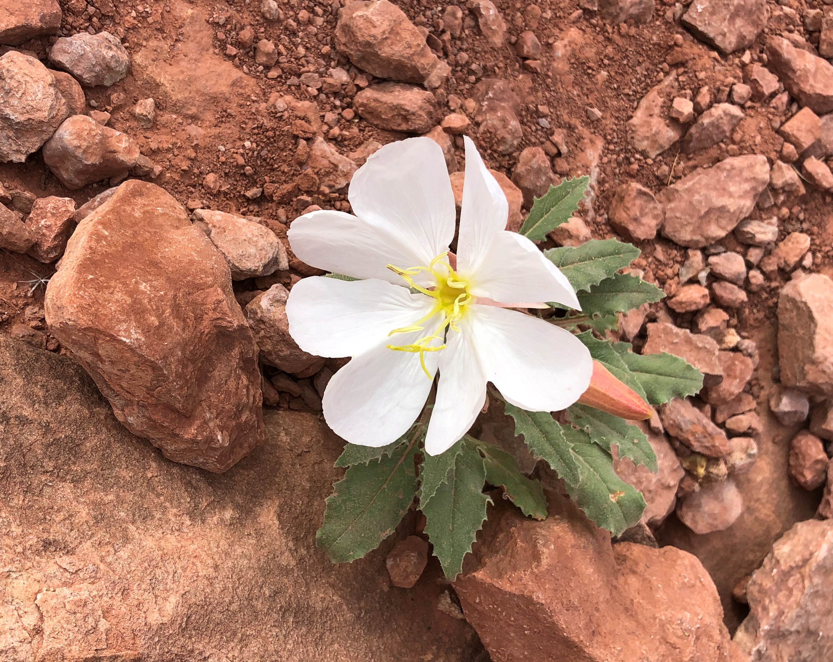
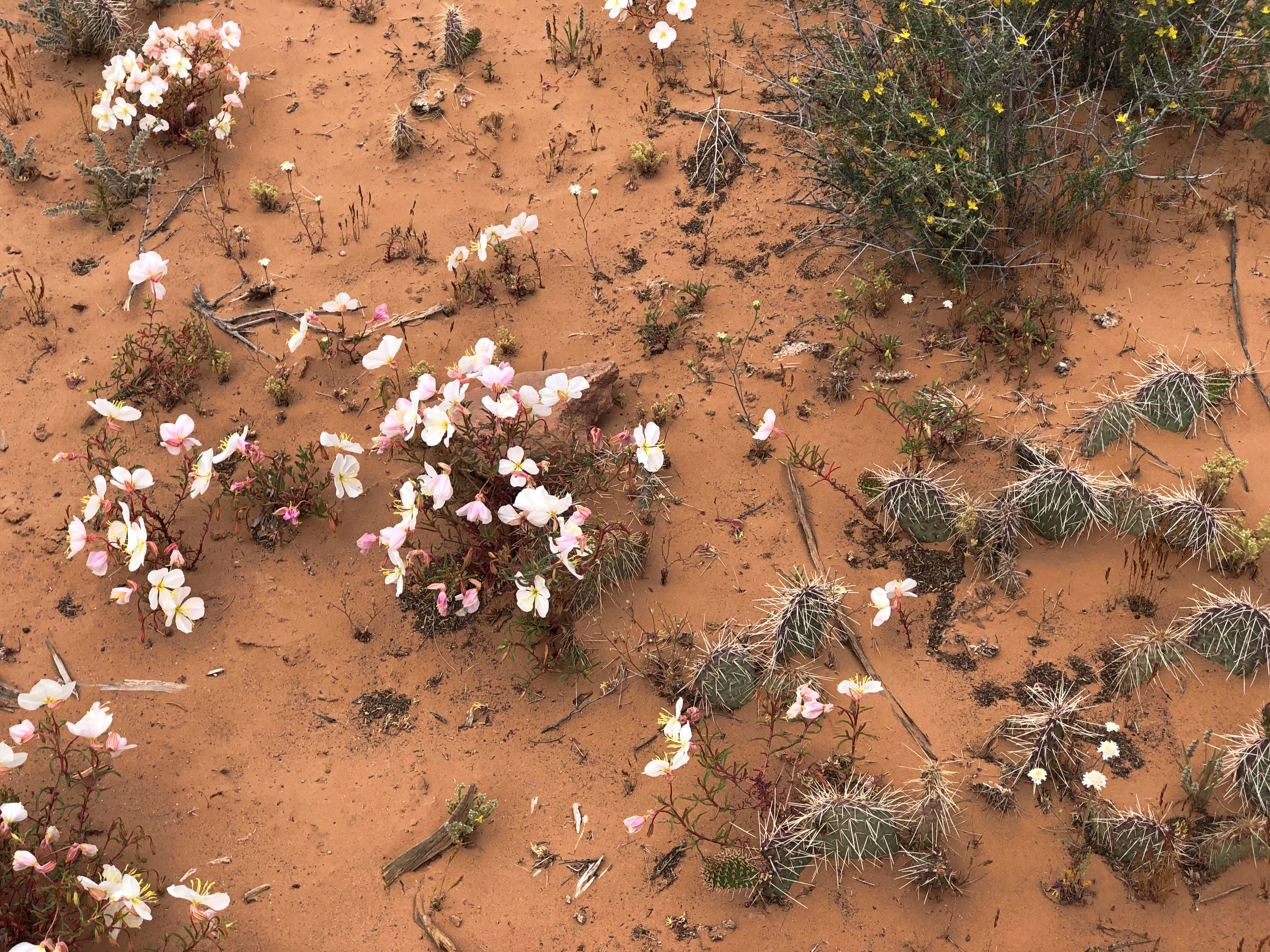
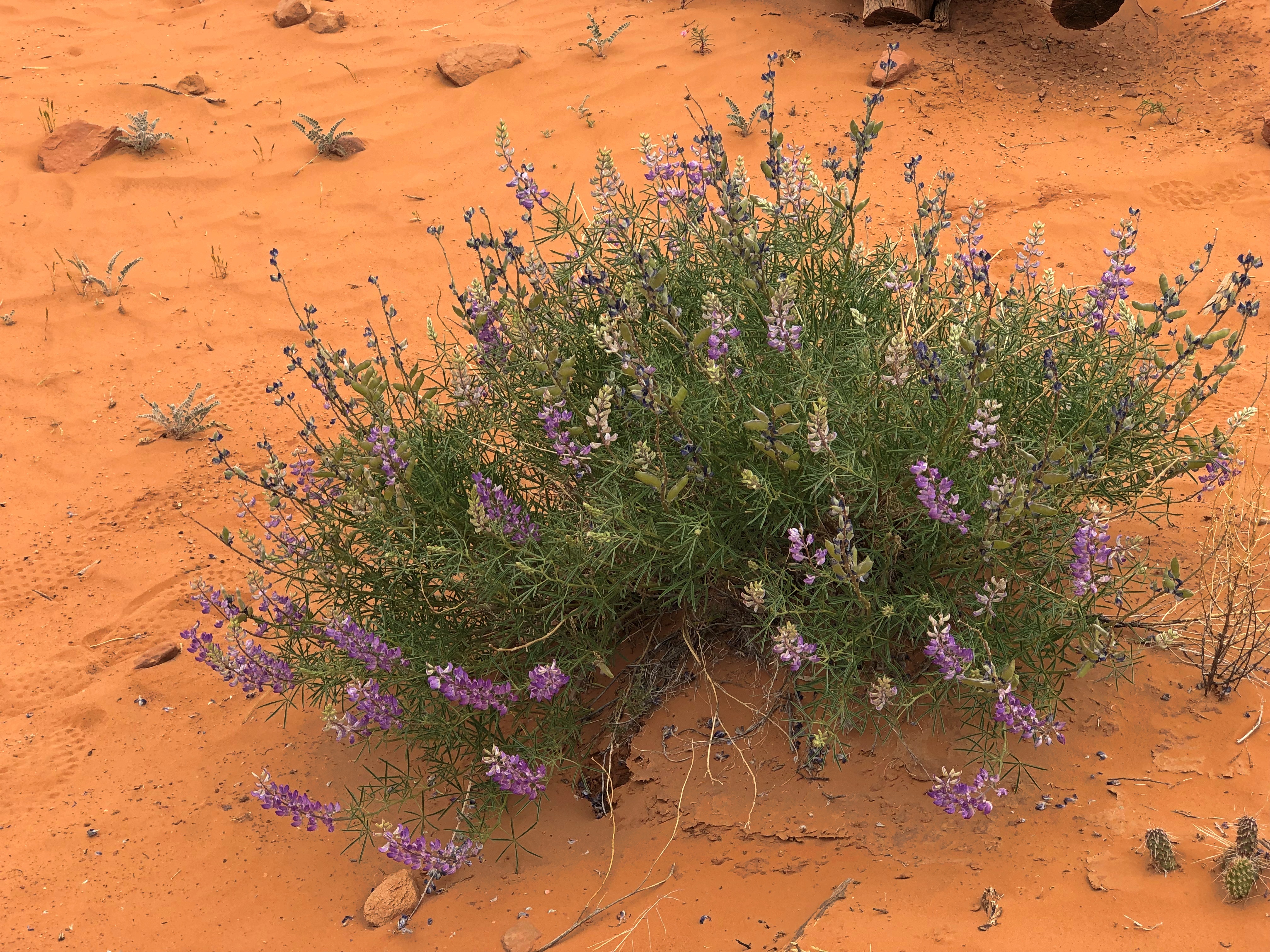
I’m not the first to notice that deserts can be surprisingly green, though not the greens you see in less arid places. Notice it I did. I’m not a farmer or horticulturist or botanist or  florist, but I tried to notice the desert flora. Wildflowers bloom in great profusion this time of the year, along the roads and trials and off into the distance, even in the harshest environments.

People are back in the national and other parks. Middle-class American tourists, that is, of whom I’m obviously one, plus visitors from a spectrum of European and Asian nations. Perhaps a strict majority of the tourists we encountered were older, but younger age groups, including young families and groups of young friends, were out in force. The tourists passed through an inhabited land, of course, one with as diverse a population as most any city in the nation.

No destination was exactly crowded, but a number of places were very popular, enough to erase any notion of desert solitude. Even so, there’s a mild camaraderie among the tourists, greeting each other much more frequently than they would in an urban or suburban setting, asking and offering to take pictures of strangers, pausing for each other to pass on narrow paths, sharing information about trail conditions ahead, making jokes or other observations for everyone to hear.

At one particularly windy vista, I put my hand on top of Yuriko’s head to hold her hat down, at her request, while she took pictures.

“That’s why she keeps you around, huh?” one passing fellow with about 10 years on me said.

“That and to open jars,” I answered.

The kernel of this trip was Yuriko’s longstanding wish to see Antelope Canyon (and she knows how to pick destinations). Back in bleak January, I planned the thing, expanding the list of destinations a lot. I’ve wanted visit that part of the country again for years.

We went looking for scenic vistas formed by rocks of unimaginably various shapes, and boy did we find them — views of reds and oranges and ochers and browns and whites, seeing formations deep in canyons, vaulting high into the sky, or appearing wholly at eye level or underfoot. It boggles the mind: how did these rocks get to be so incredible to human perception? I know: wind and water and time. A lot of time. But damn. I also know — or at least have an inkling of — the fact that these rocks are temporary. Geologically speaking, only a little less the blink of an eye than my own lifetime.

We drove out of Vegas last Sunday morning, bound for the tourist town of Page, Arizona, where we’d last stayed 25 years ago this month, when we visited Lake Powell. En route, we passed through Zion National Park (a destination in 2000 but not this time) and later ventured briefly into the vast and contentious Grand Staircase-Escalante National Monument.

Our first major destination, a week ago on Monday morning, was the slot canyons of Lake Powell Navajo Tribal Park, an embarrassment of sandstone riches near Page. Also near Page — actually in Page, but also part of the Glen Canyon National Recreation Area — is Horseshoe Bend on the Colorado River, now famous because of Instagram. Be that as it may, we weren’t about to miss that. We watched the sun drop below the mountains in the distance at Horseshoe Bend.

Another thing we weren’t about to miss was the less-visited North Rim of Grand Canyon National Park, which is every bit as grand as the South Rim, though it took some circuitous driving  last Tuesday to get there from Page, by way of remote roads, One of those roads, the only paved one anywhere nearby, edges the bottom of the dramatic cliffs of Vermillion Cliffs National Monument, a sprawling uplift of wilderness. Of it, the Bureau of Land Management says, “expect rugged and unmarked roads, venomous reptiles and invertebrates, extreme heat or cold, deep sand, and flash floods.”

Returning from the Grand Canyon to Page, we stopped at Navajo Bridge, which spans the Colorado River. It’s two structures: the historic bridge from the 1920s and the modern bridge from late in the 20th century, which was designed to complement the older bridge, and it does, masterfully. The old bridge is now a foot bridge, and we walked across it.

Leaving Page on Wednesday, we made our way to another tourist town, namely Moab, Utah, at first on roads passing through the Navaho Nation, until we reached Monument Valley Navajo Tribal Park, home of famed sandstone buttes. We did the drive on the park’s circular road, unpaved and dusty and rocky and as red-orange as Mars, flabbergasted by the stone masses, most of which don’t actually make it into the movies. If you think you’ve seen Monument Valley because it’s been captured on celluloid so often, let me assure you that seeing it in person is an experience a level higher.

Later that same day, before arriving in Moab, we stopped at the much more obscure Natural Bridges National Monument, whose name clearly states its prime attraction. Among the wonders of southern Utah, it is a modest one. But a modest wonder in this part of the country is still a wonder.

On Thursday, we drove the short distance from Moab to Arches National Park, an astounding place populated by lofty arches, but also an endless array of stone pinnacles and balancing rocks and other rock formations. We spent most of the day there. The crowds are such that timed entry is now being tested at the park, and the crowds are right. Arches is one of the places the photographer must have been talking about.

Less crowded but no less spectacular than Arches is Canyonlands National Park, a little further out of Moab. We spent Friday morning at the evocatively named Island in the Sky District of Canyonlands, whose vistas overlook canyons, mesas and buttes. Another ethereal place. On Friday afternoon, we drove to Salt Lake City on roads through pale badlands and along more cliffs, and then through the forested mountains of Carbon and Wasatch counties.

We spent Saturday in Salt Lake, a city greatly expanded since the last time I visited, in 1980. That’s so long ago it was like I’d never been there. We focused most of our attention downtown in the morning and took in urban sights, Mormon-oriented and otherwise, including Temple Square and Utah’s magnificent State Capitol. In the afternoon, we visited the This is the Place Monument on a hill overlooking Salt Lake, and finally the Natural History Museum of Utah.

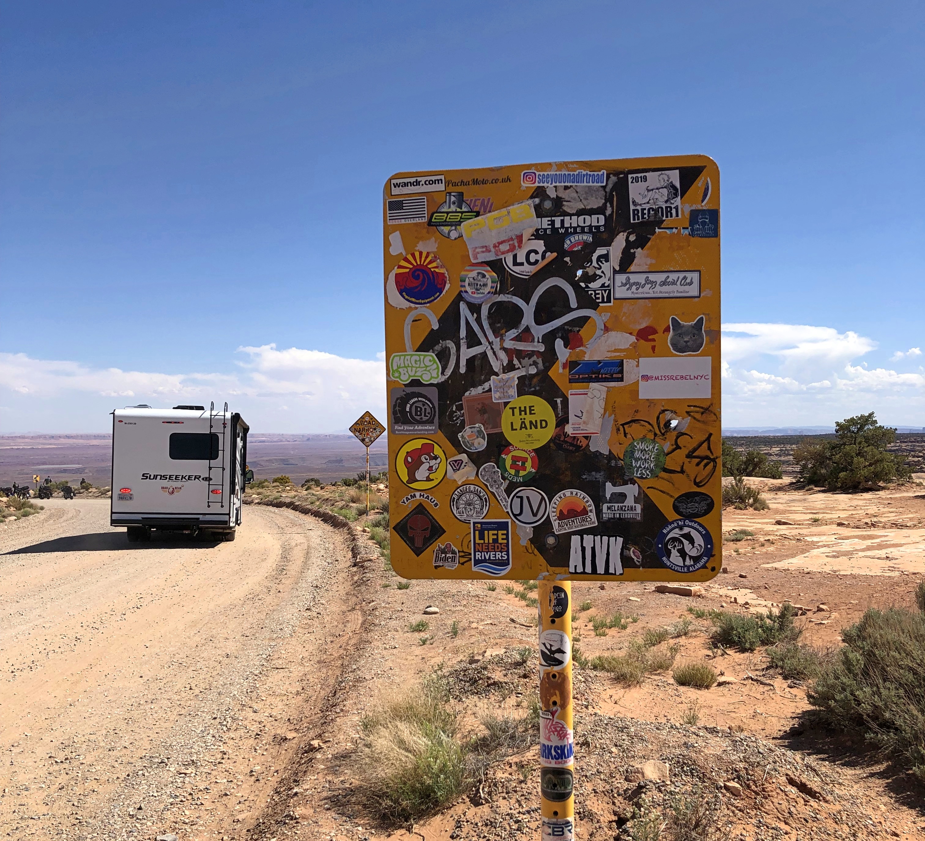
On a stretch of Utah 261, we encountered the Moki Dugway, a mountain road and one intense drive — more about which later. When we got to the top, I stopped to take pictures, including one of a road sign just ahead of the road’s first serious curve.Moki Dugway Buc-ee's
That little bastard of an amphibious rodent is everywhere.
An Excellent Story for Earth Day, Mrs. Maisel

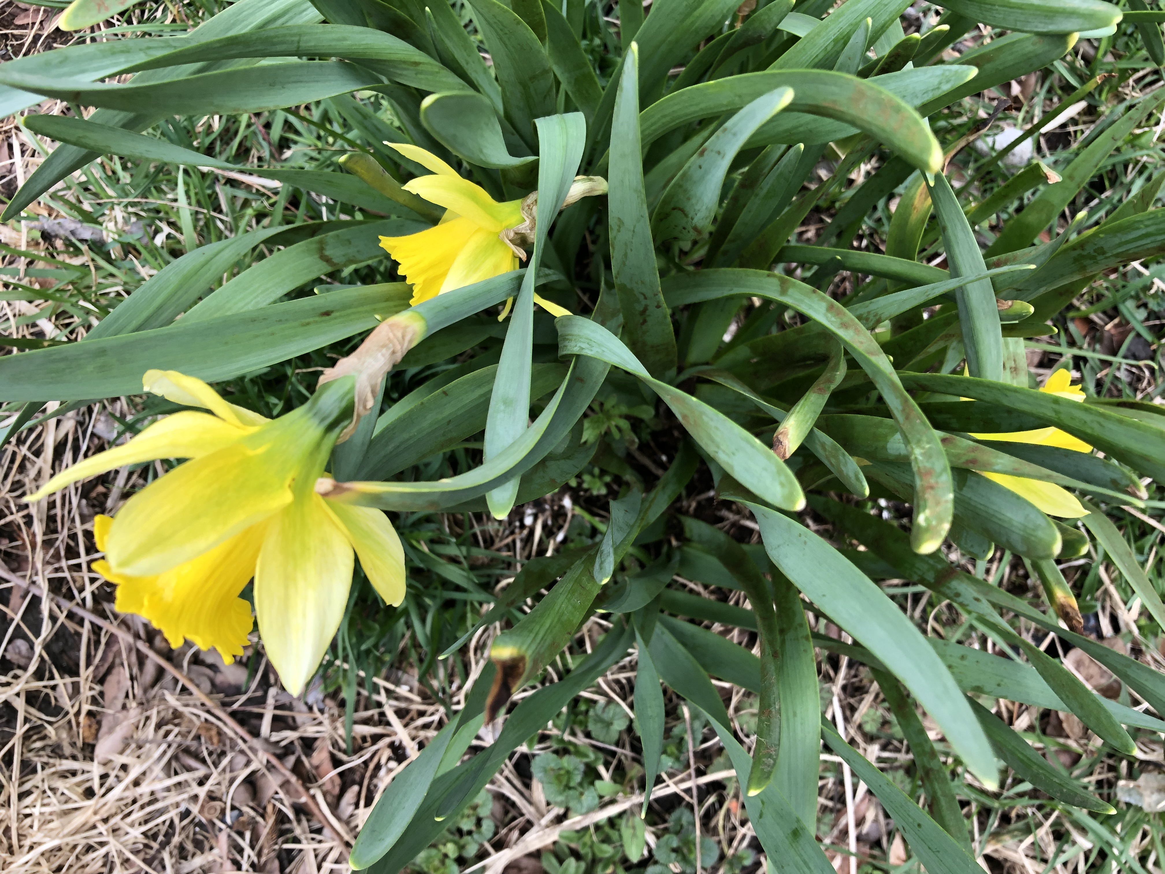
It’s about time, backyard croci.

Today was warm, cloudy and windy, until the clouds let go a lot of water, and then another -y adjective came into play, rainy. Tomorrow will be rainy, windy and chilly, and it won’t get warm again till after Easter, I hear.

Got an email pitch the other day, one of very many. There was a fair amount of verbiage to it, but the heart of the matter was this line: Are you interested in speaking to XY, a holistic health expert, about the sharp rise in the use of anti-anxiety drugs and why taking hemp extract is better for your health?

The short answer is, no. A longer answer would also be no. And I feel not a jot of anxiety about my decision.

And another pitch, at about the same time:

We think this is an excellent story for Earth Day that your audiences will love. The nationally acclaimed eco-feminist artist XX is celebrated as the real-life Marvelous Mrs. Maisel of the art world.
Is she now? Got into art one drunken night when she was on the outs with her husband? I know that show has won some Emmys, and I’m enjoying episodes of the recently dropped fourth season (once a week), but it’s still interesting that the publicist believed it would be a widely enough known reference to make such a statement, silly as it is.