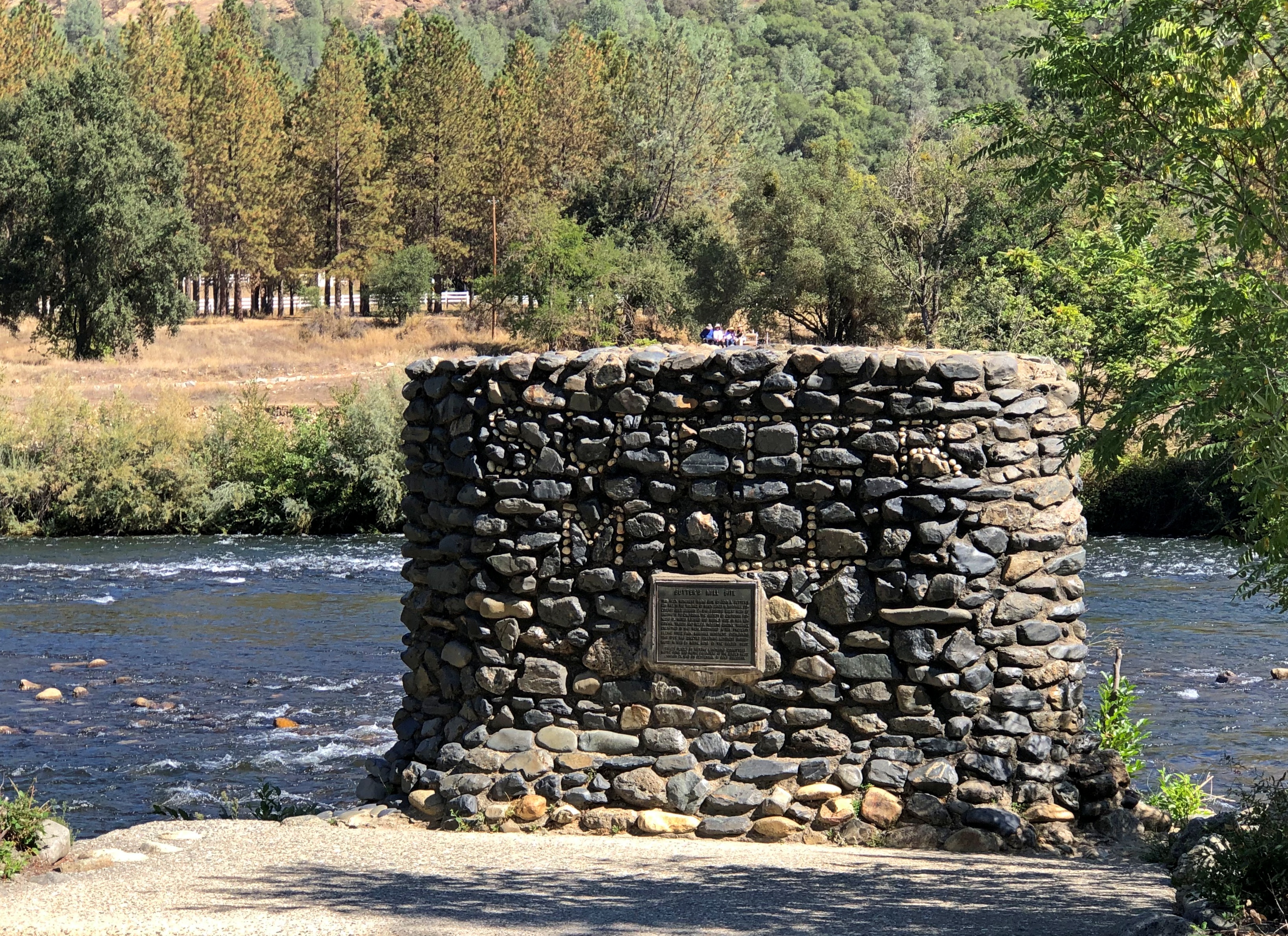
Lake Tahoe has long fascinated. Not necessarily for being a large alpine lake in the Sierra Nevada, elevation more than 6,200 feet above sea level, or as a relic of the last Ice Age, or for having the largest volume of any North American lake except for the five Great Lakes, though those interesting facts are surely of geographic importance. Or even for its reputation for scenic vistas which, I discovered myself in early October, is well deserved.
Rather, what fascinated me at a young age was the fact that the California-Nevada border cuts right across it (that border, incidentally, has a convoluted history otherwise). Even better, the bend in the line that contributes to both states’ distinctive shapes happens at a point in the middle of the lake. Do boats ever go out on Tahoe with their GPS, looking to float right on that imaginary geographical point? I like to think they do.
I took U.S. 50 west up into the mountains that day. Sacramento, where I started, is 30 feet above sea level. Eventually I reached Echo Summit, elevation 7,382 feet, where you can catch just the briefest glimpse of Lake Tahoe ahead and down more than a 1,000 feet – a perfect alpine blue like lakes in the Canadian Rockies.
But only glimpses, because if you’re driving U.S. 50 at that point, you’re snaking along a fairly busy two-lane highway with curves and drop-offs that demand your attention. Not a road for the easily spooked, but I liked it. There would be other mountain-meandering roads on this trip, cutting through thick forests or arid scrub and letting you dwell on your mortality if you’re so inclined.
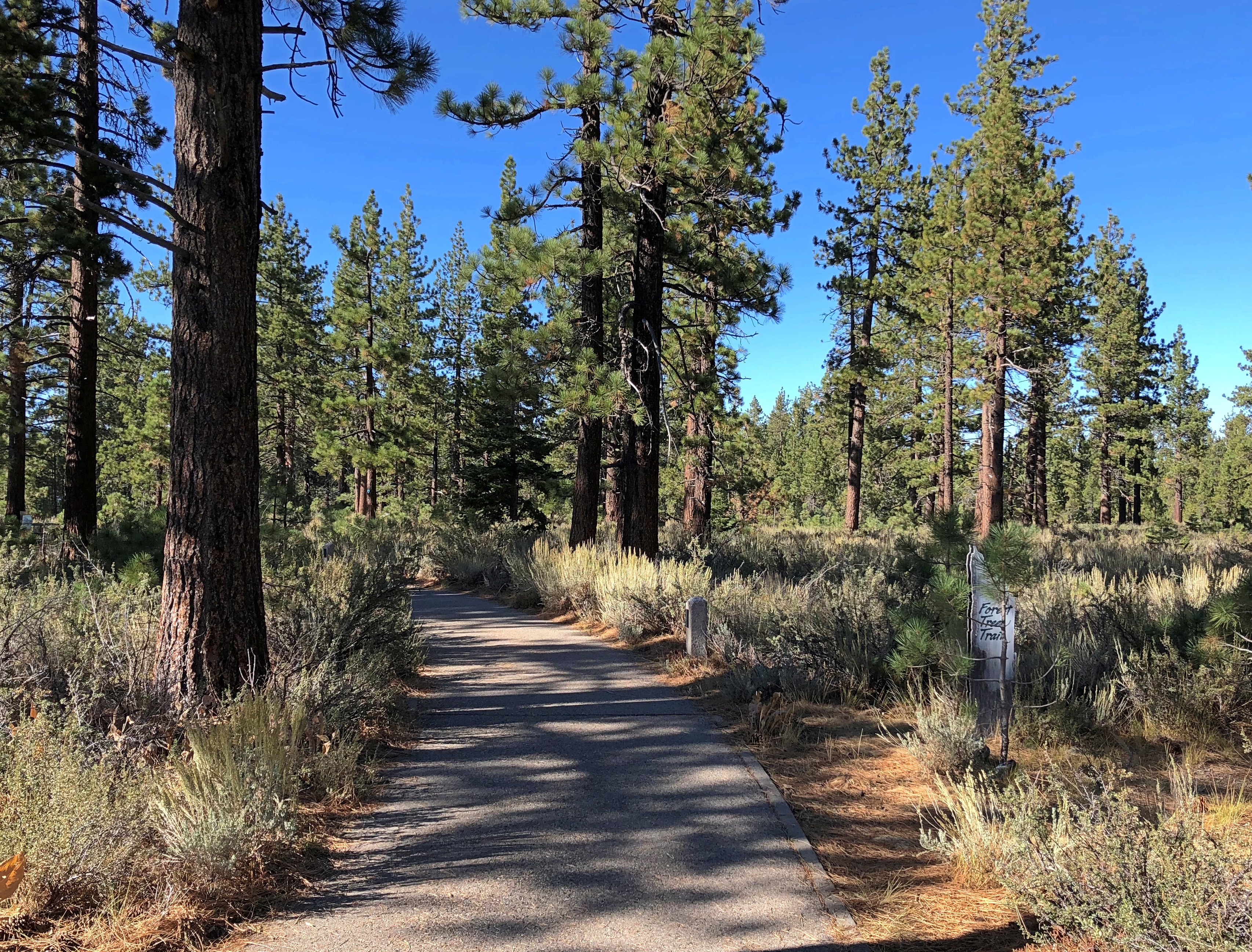
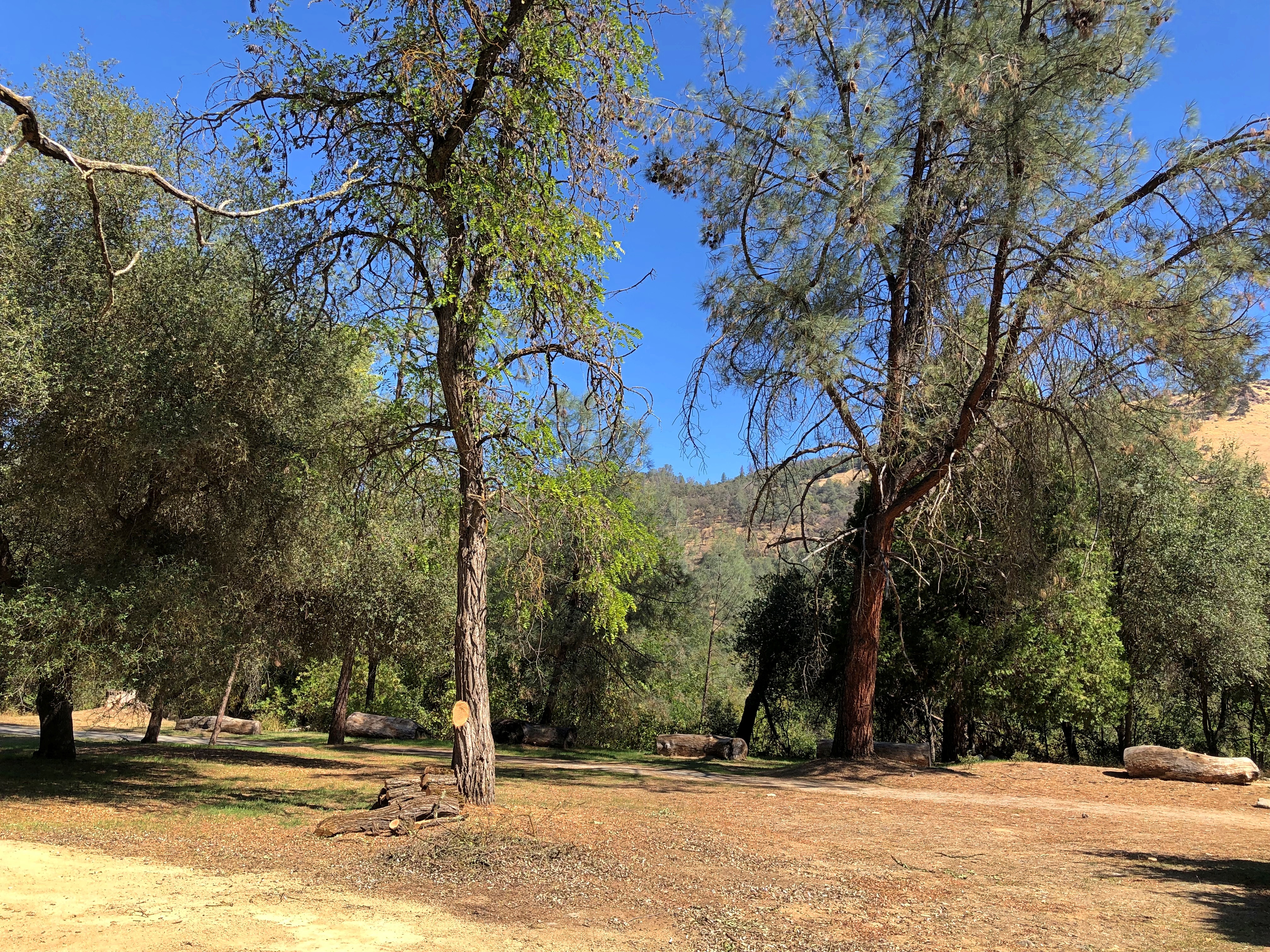
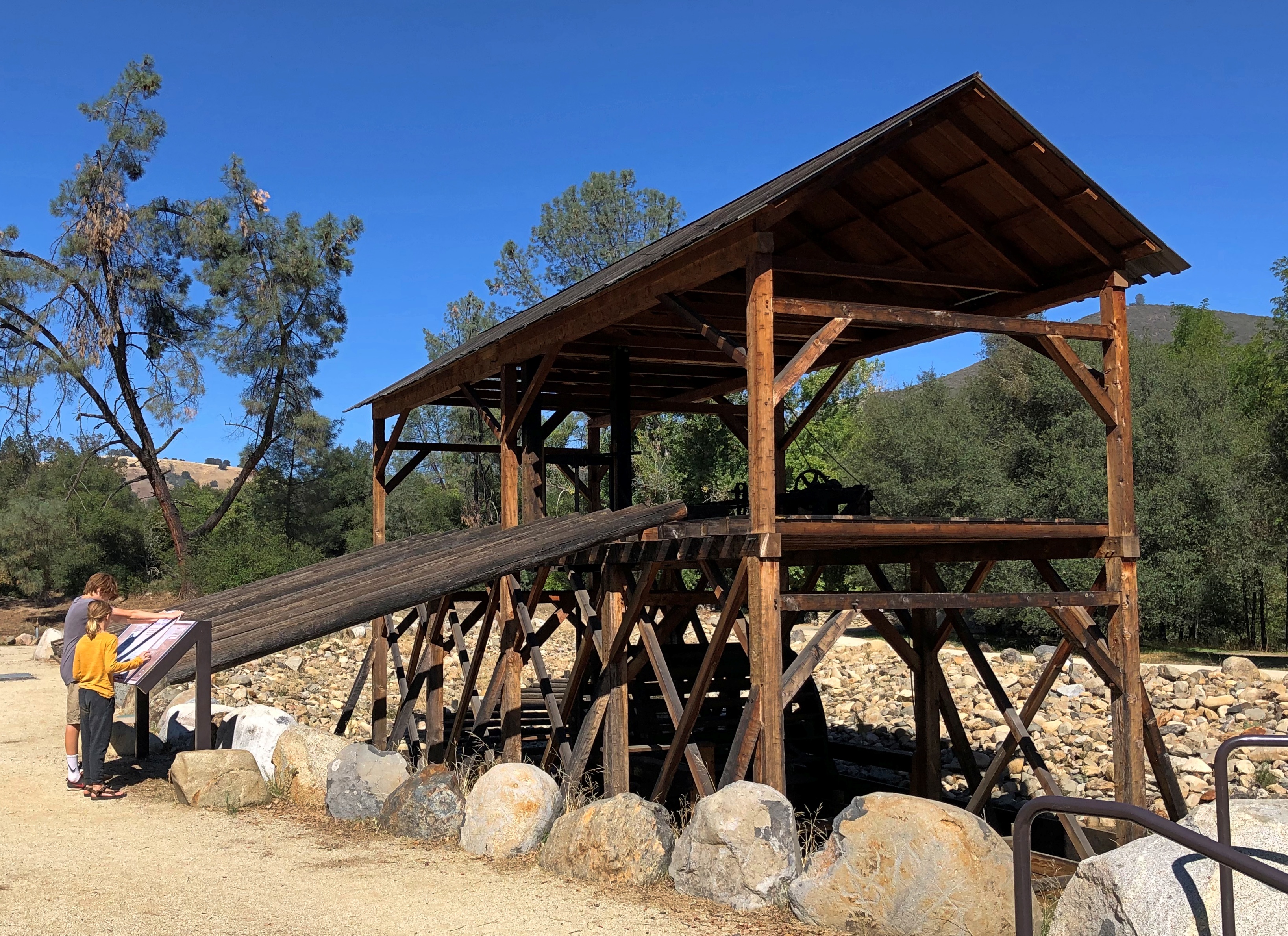
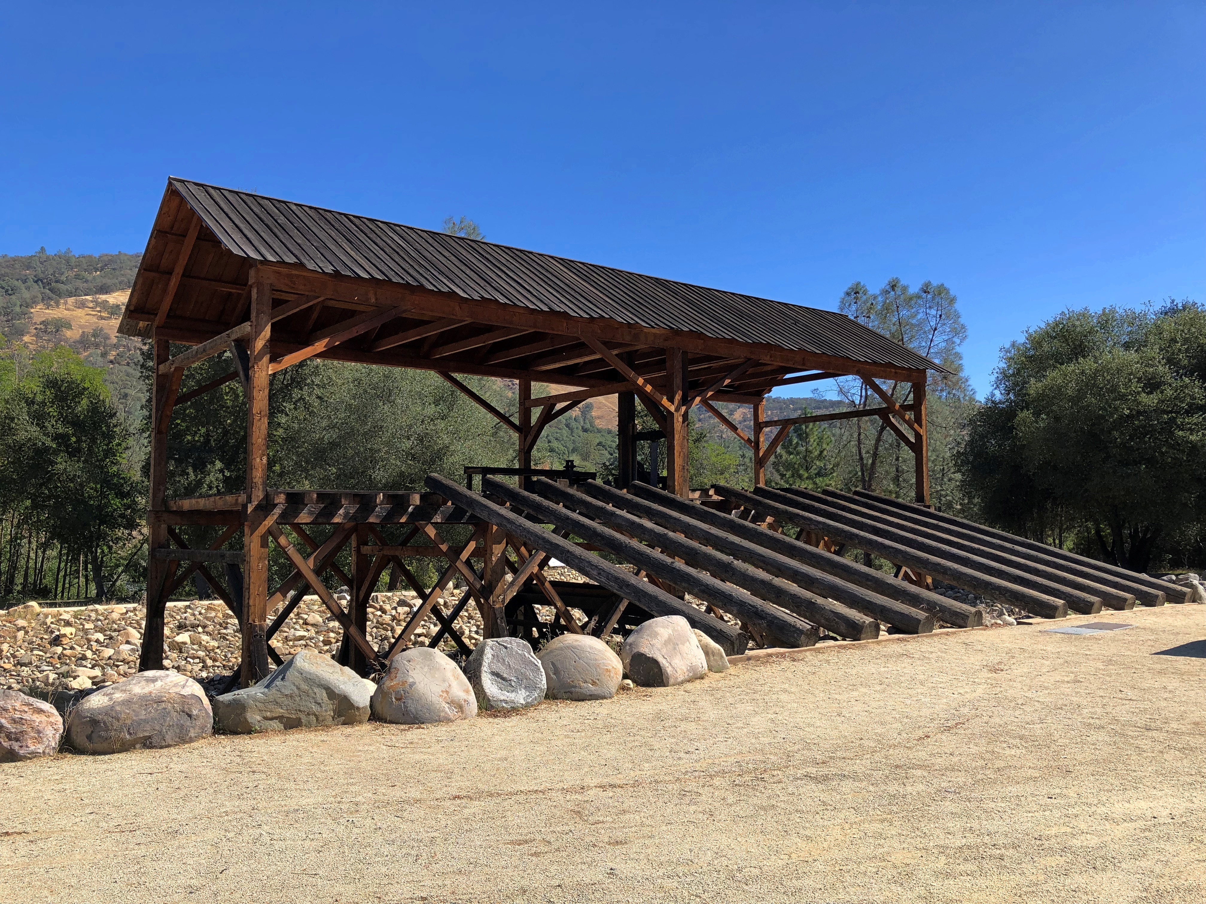
First stop: Taylor Creek, and some nearby places, such as Tallac Point and Keva Beach.
The wayfinding could not be more straightforward.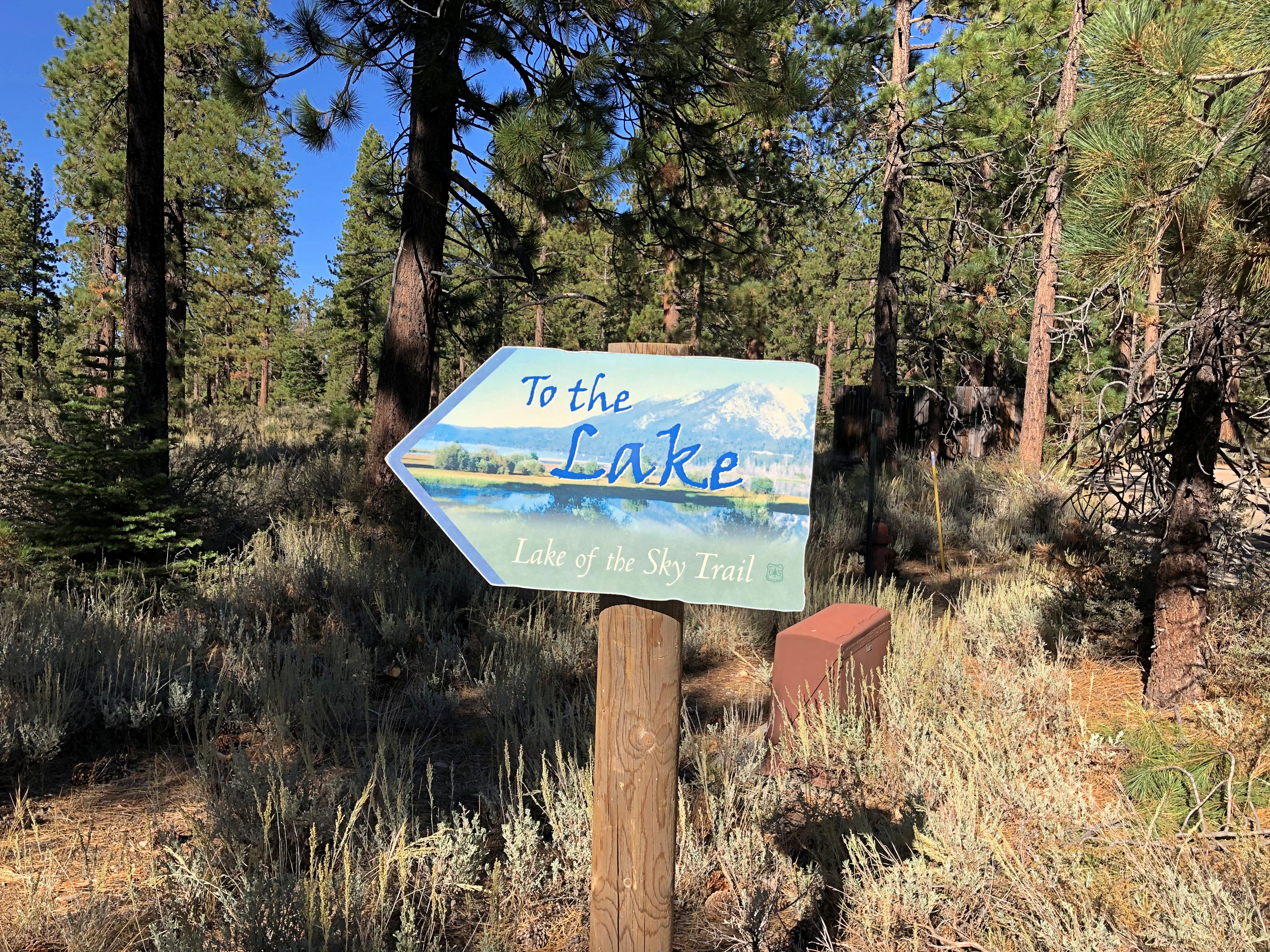
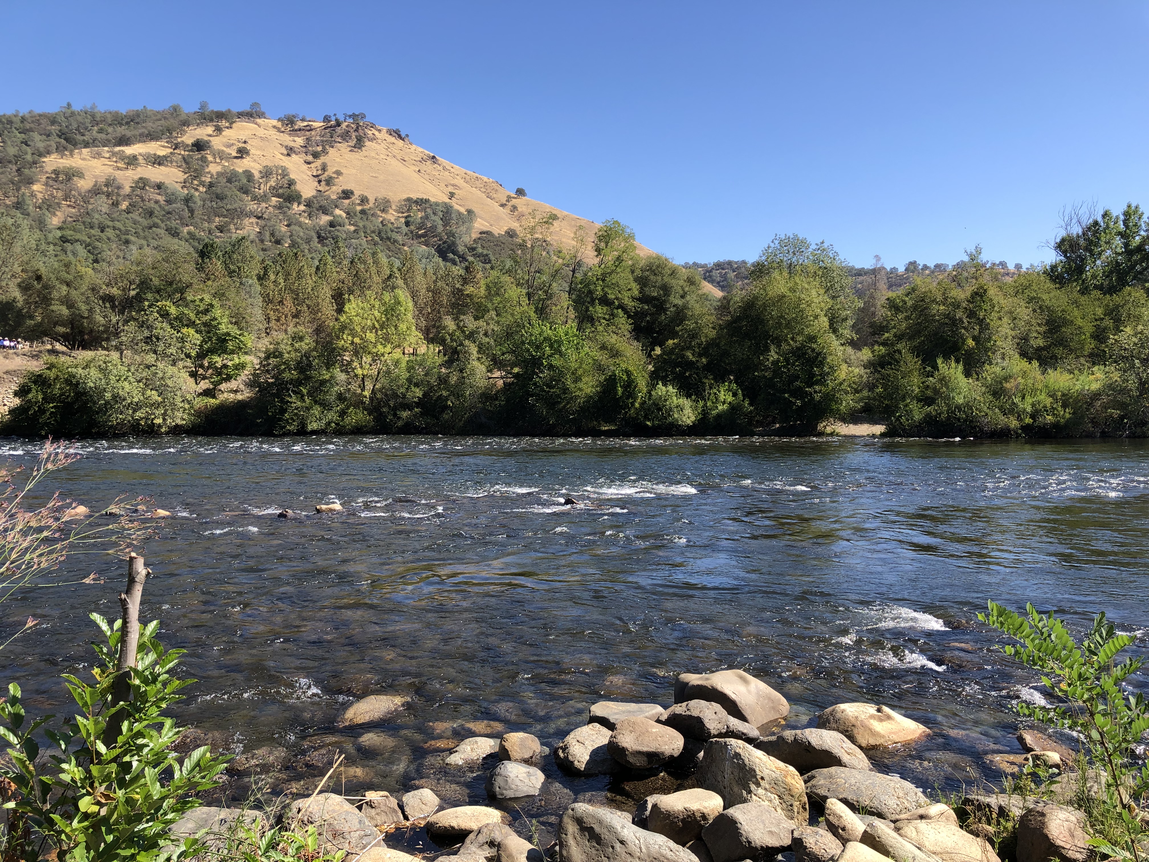
The wide expanse of Tahoe. I’ll call it an honorary Great Lake. Crater Lake is deeper, so maybe it is, too. But I’ll have to see it first.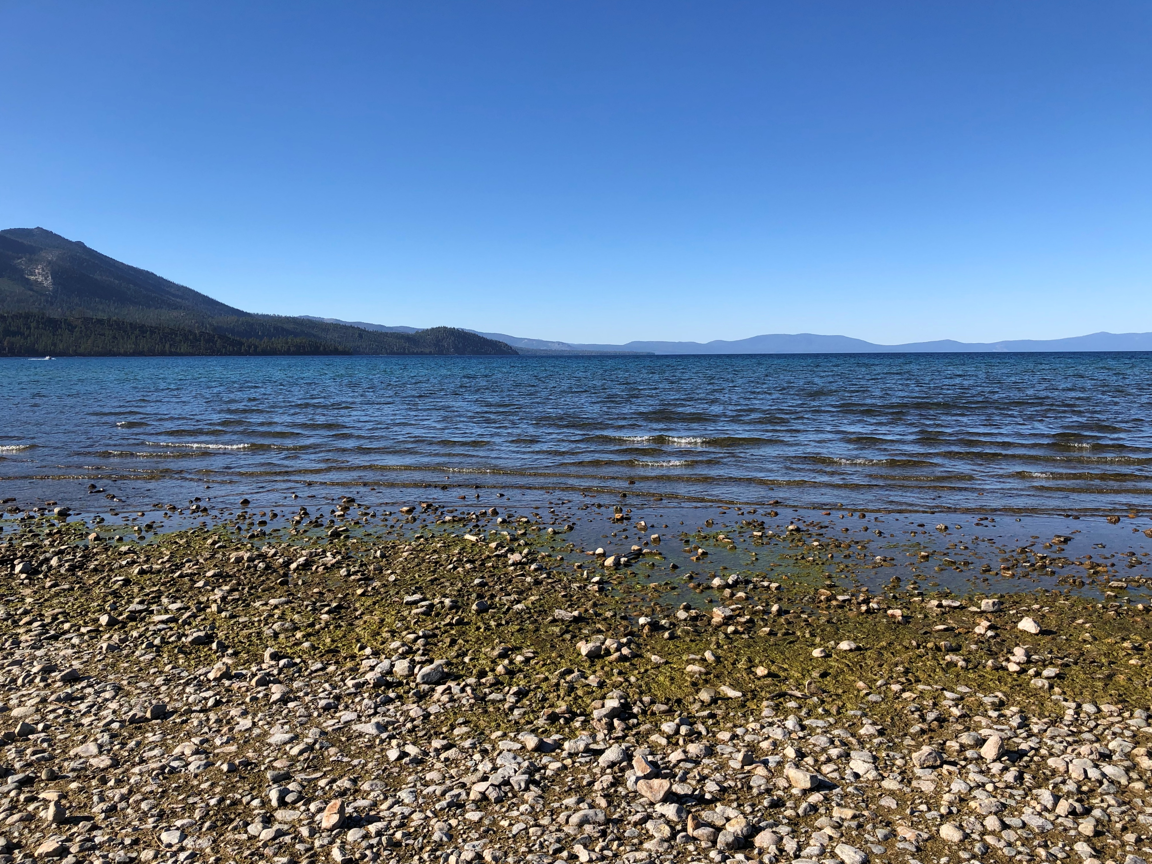
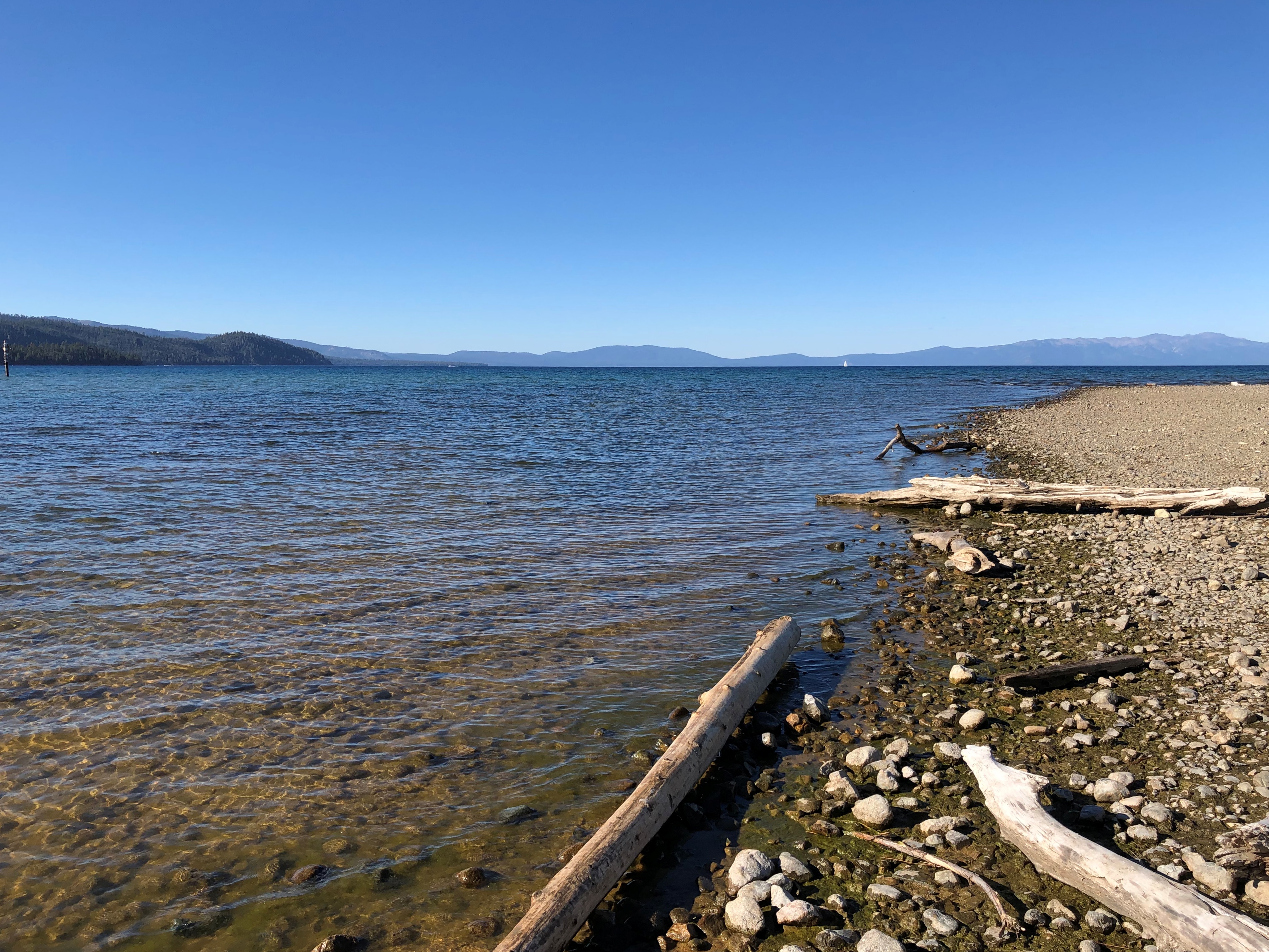
I’d have put my feet in the lake, except at that point — not really visible in my images — were some algae blooms: green, blobby and insalubrious looking. I wasn’t wrong to keep my distance.
“Nearshore algae blooms are a growing ecological threat to the lake – they seriously degrade water quality, make large areas of beach unpleasant with mats of decomposing algae, and for particular types of algae, can pose toxicity issues,” says the Tahoe Environmental Research Center of UC Davis.
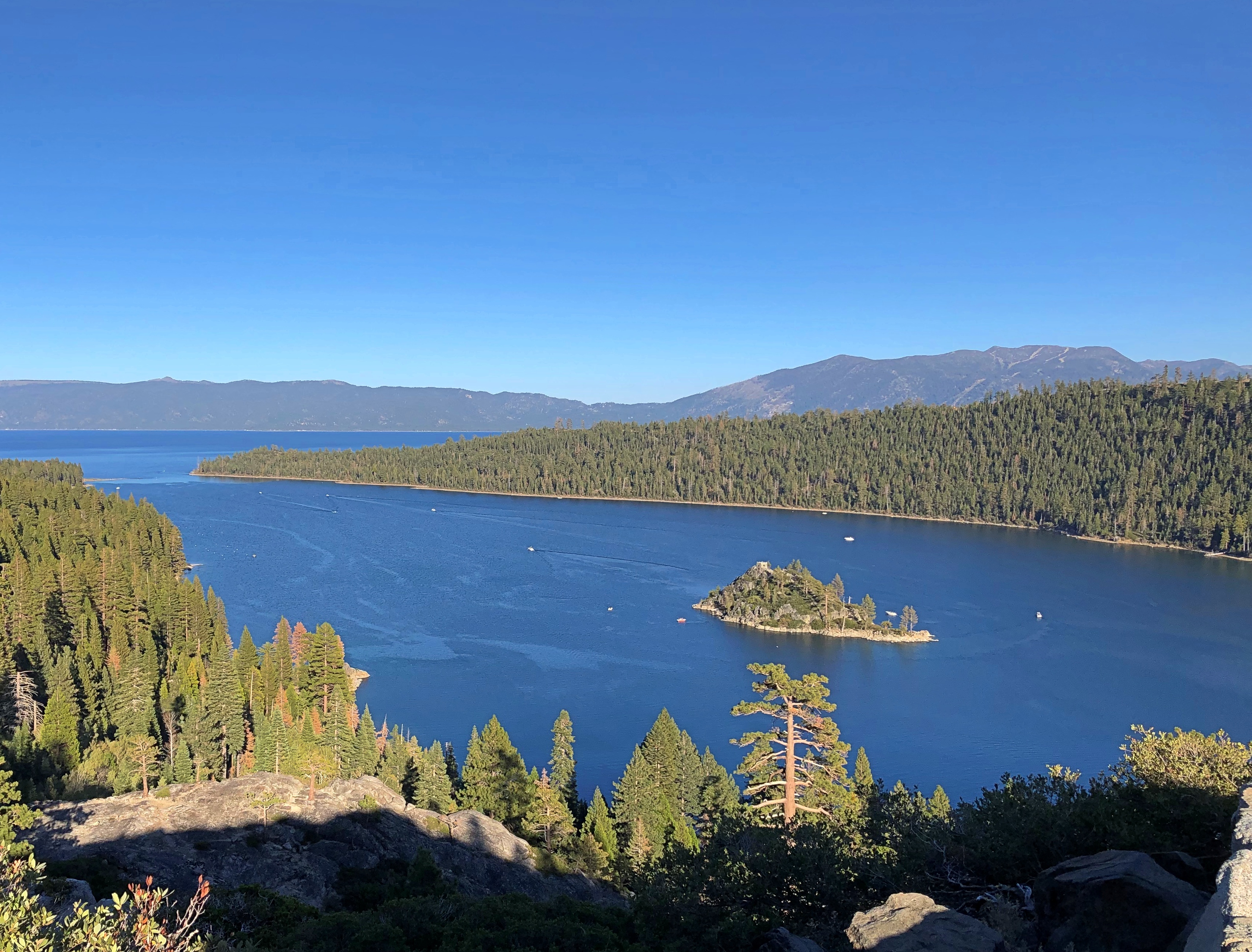
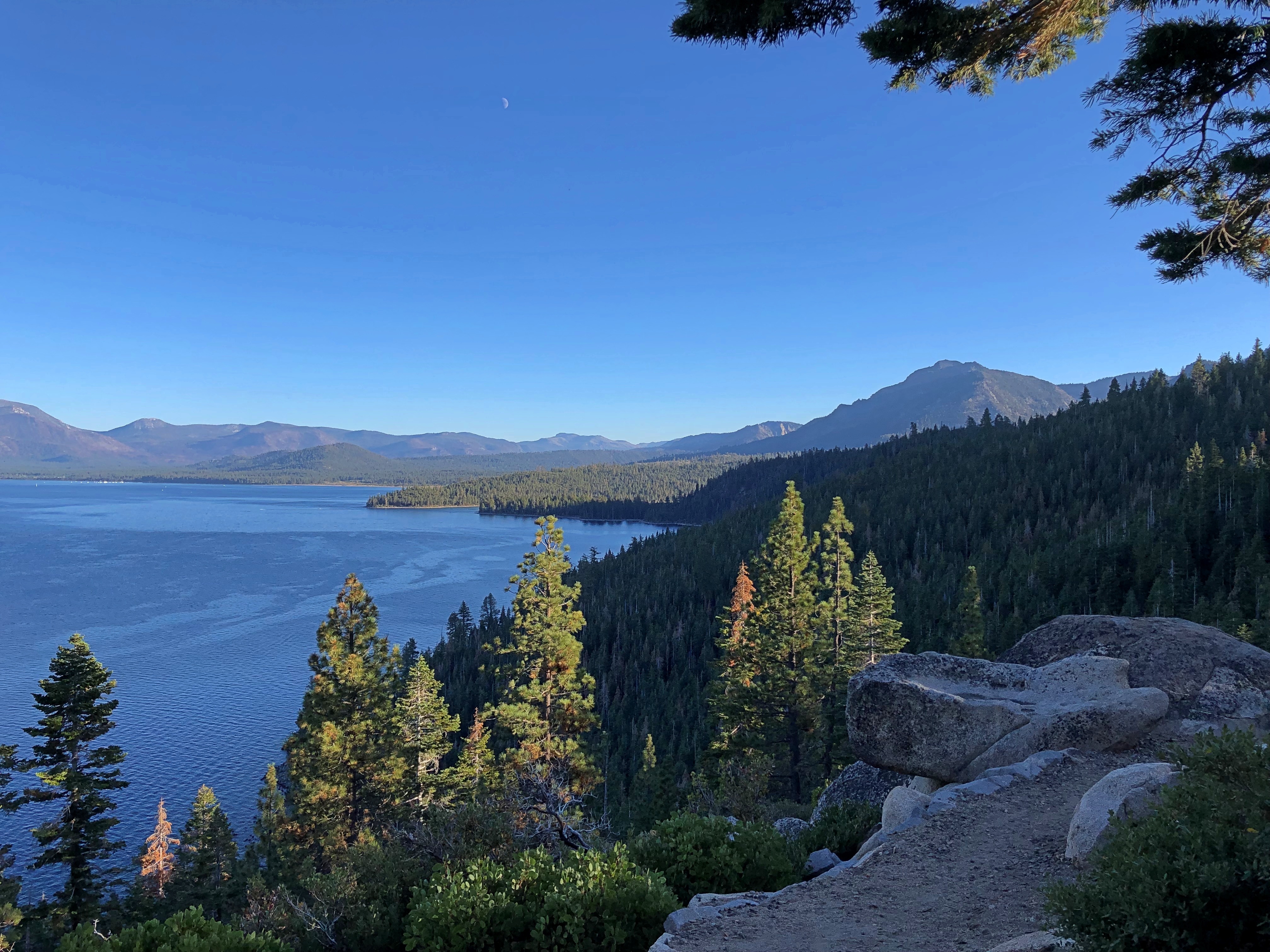
A bit further north, at Inspiration Point on Emerald Bay, and up some feet from the shoreline.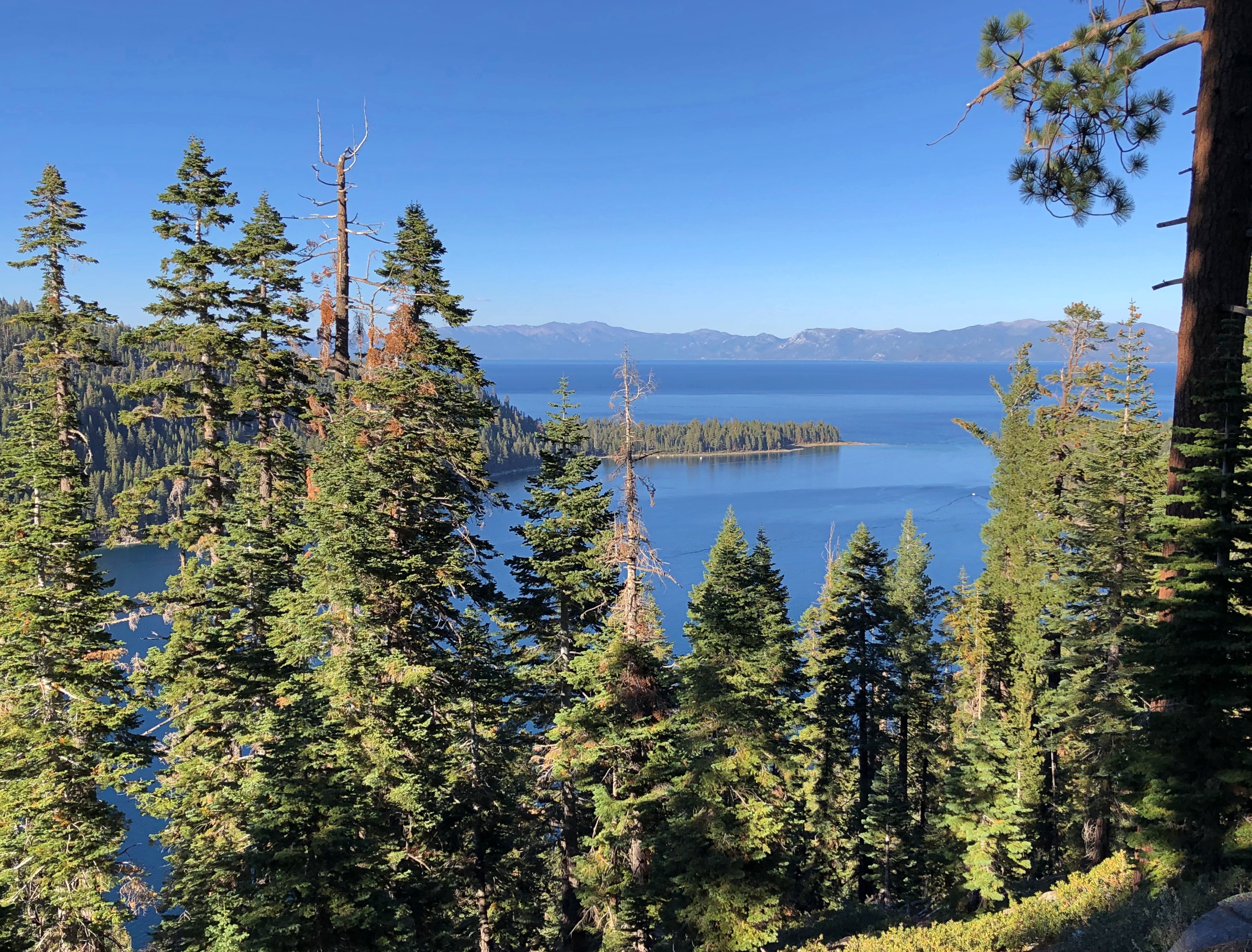
The island in Emerald Bay: Fannett Island, apparently the only island in the entire 191 square miles of lake.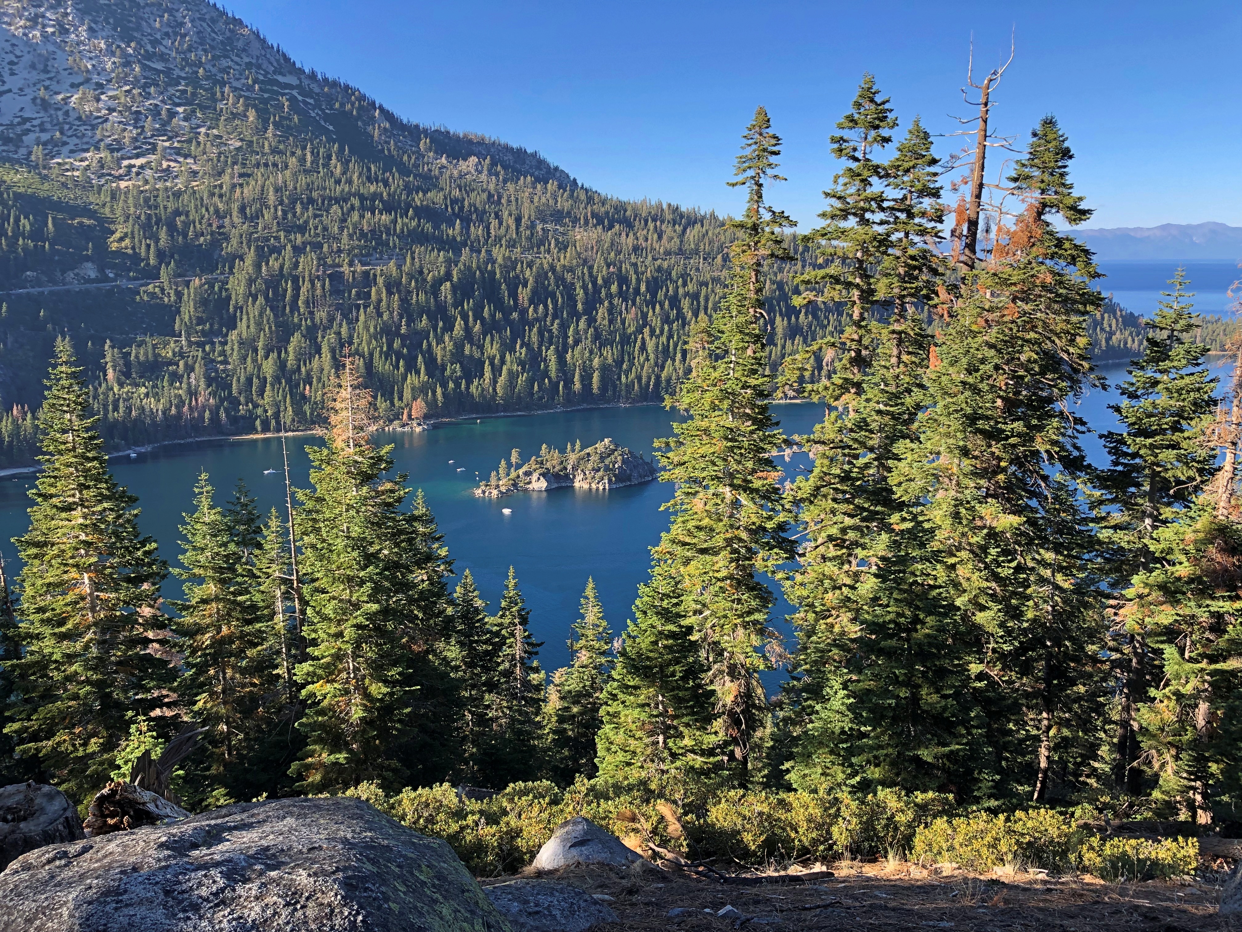

” A sparsely timbered, brush covered upthrust of granite that rises 150 feet above the water, Fannette Island was not always known by that name. During the past 100 years it has been known as Coquette, Fannette, Baranoff, Dead Man’s, Hermit’s, and Emerald Isle,” notes the California Dept. of Parks & Recreation.
The day’s best vista required a short climb. Really very short, and entirely worth the effort. Near Rubicon Point in D.L. Bliss State Park.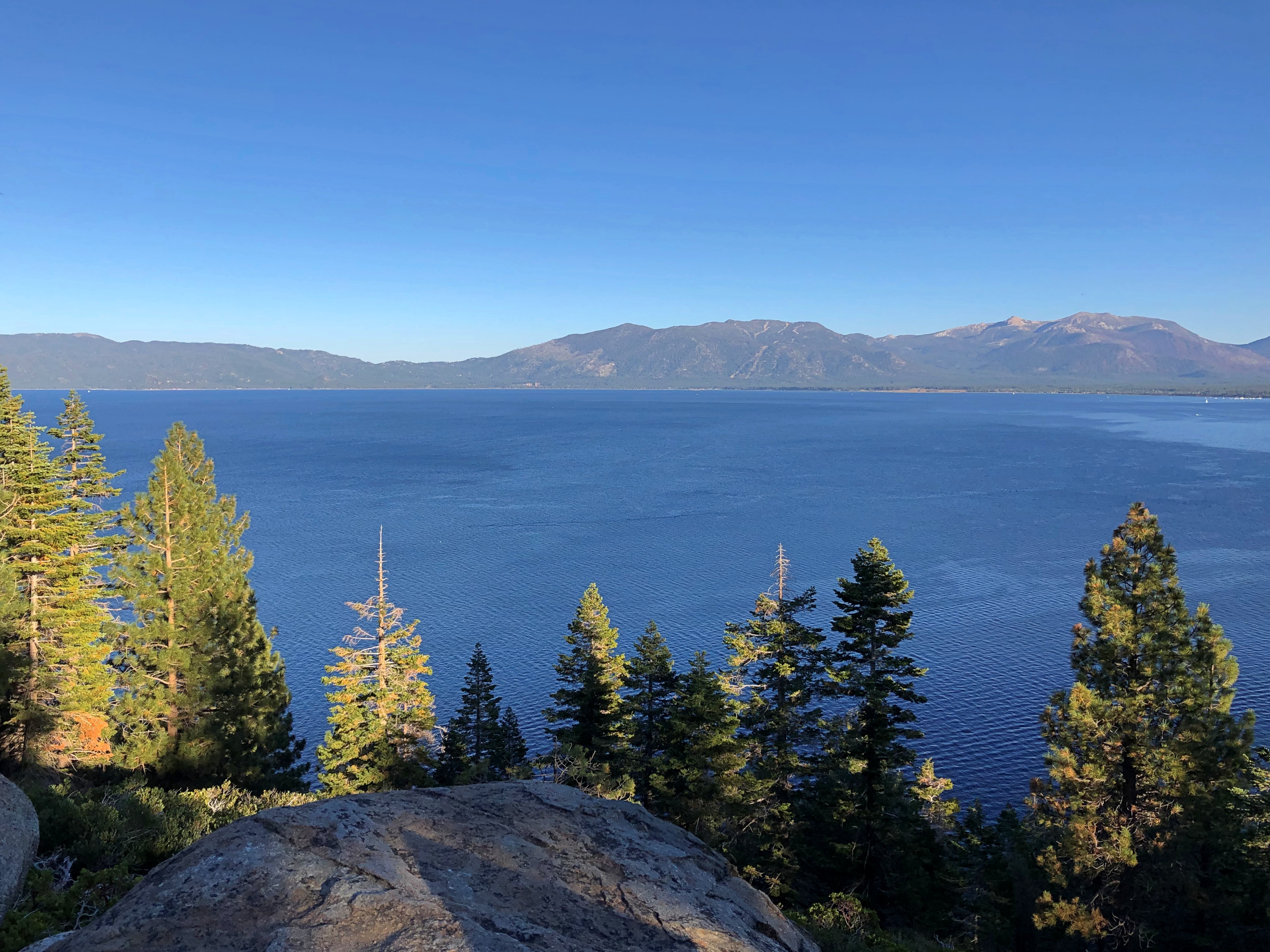
California 89 runs along the western shore of the lake, and I followed its winding, often scenic route to Tahoe City, then north to Truckee. Sometimes so scenic that the state neglected to include guardrails along some particularly steep stretches. Keep in your lane, or meet your maker. Obviously I kept to my lane.
At my last stop at the lake this time, I decided to put my feet in the clearer-looking water, at a pebble beach toward the northwestern shore.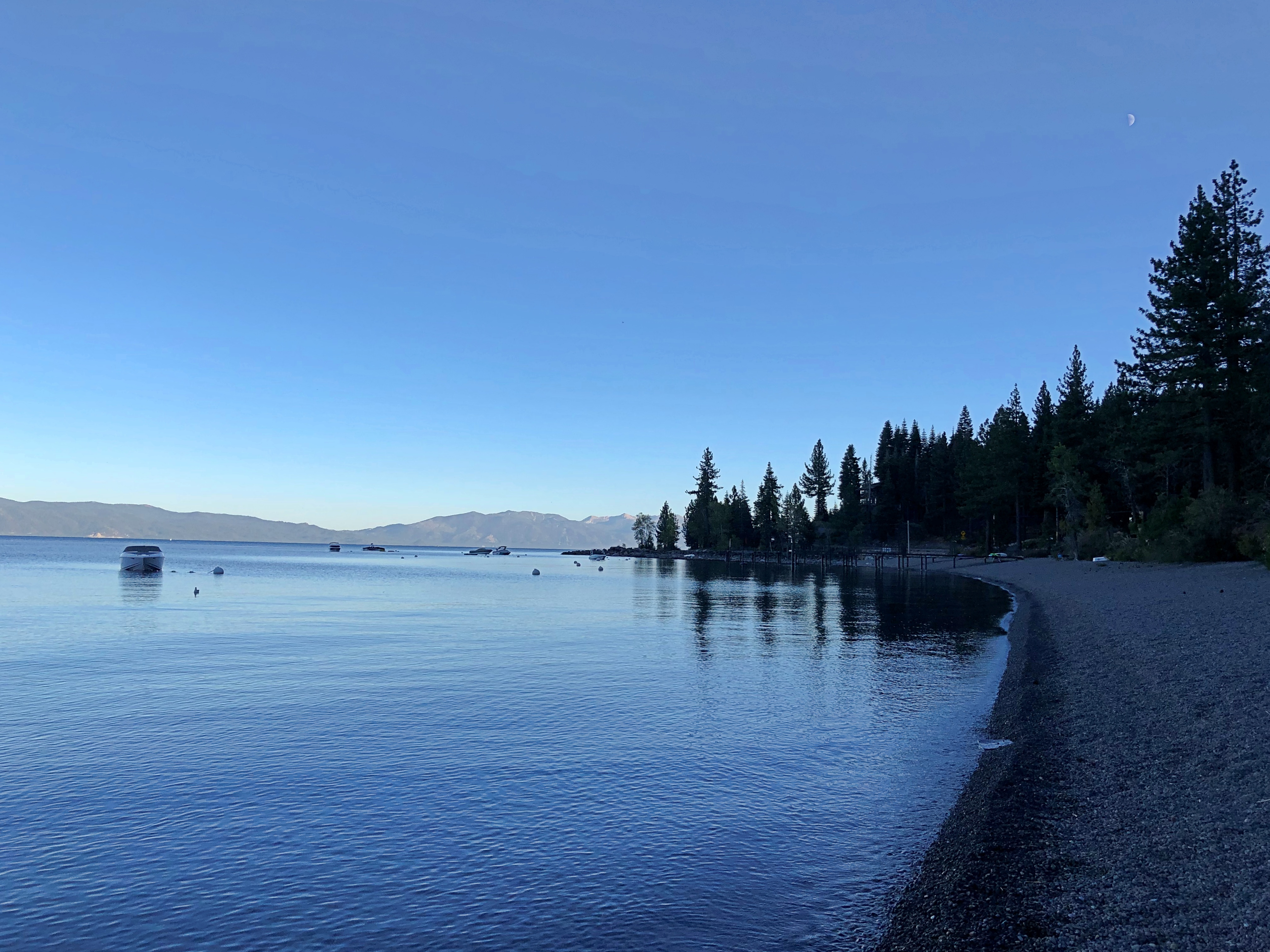

Pebble and pine cones, that is.


#/media/File:USS_Tullibee_(SS-284).jpg)
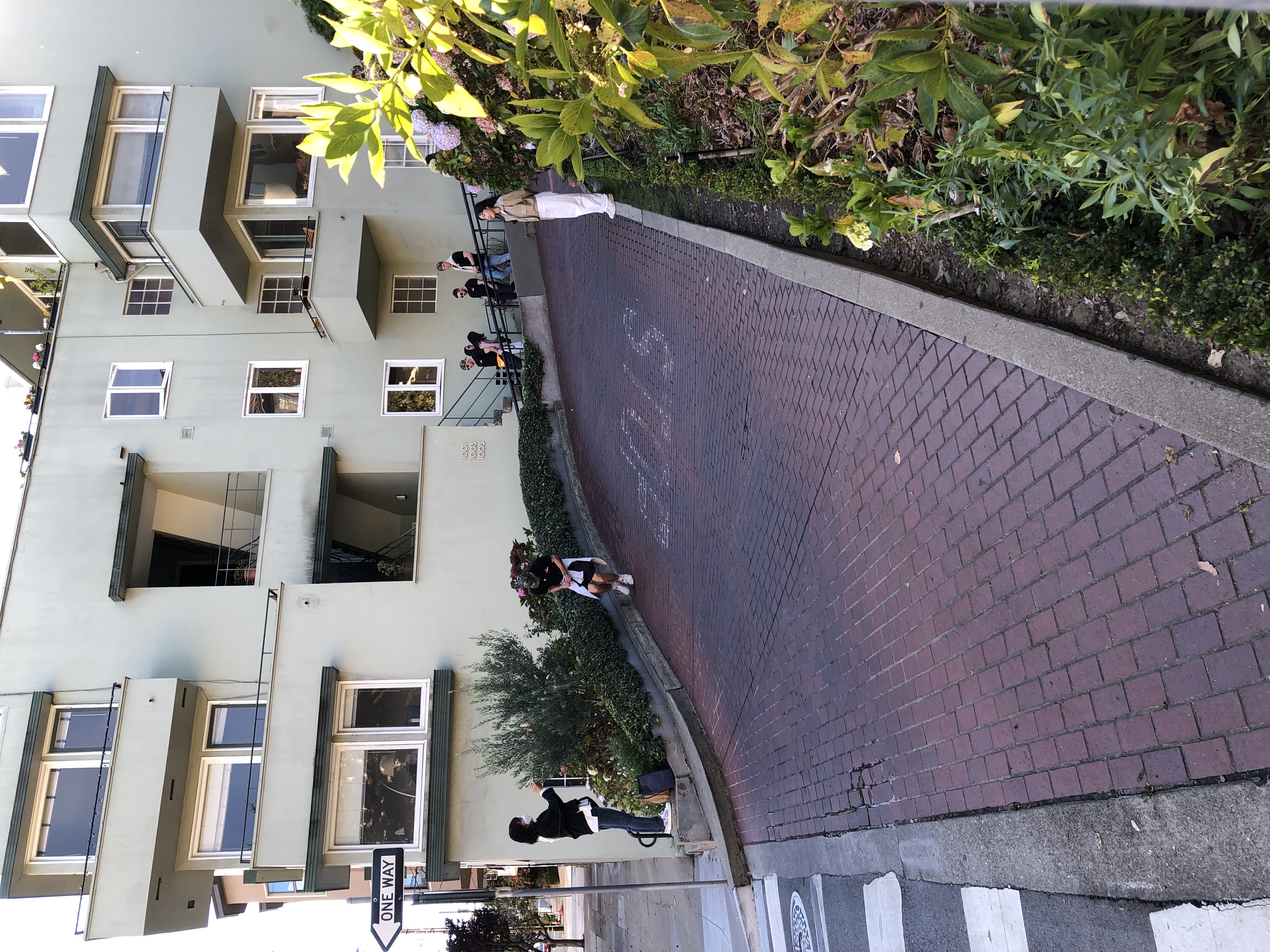
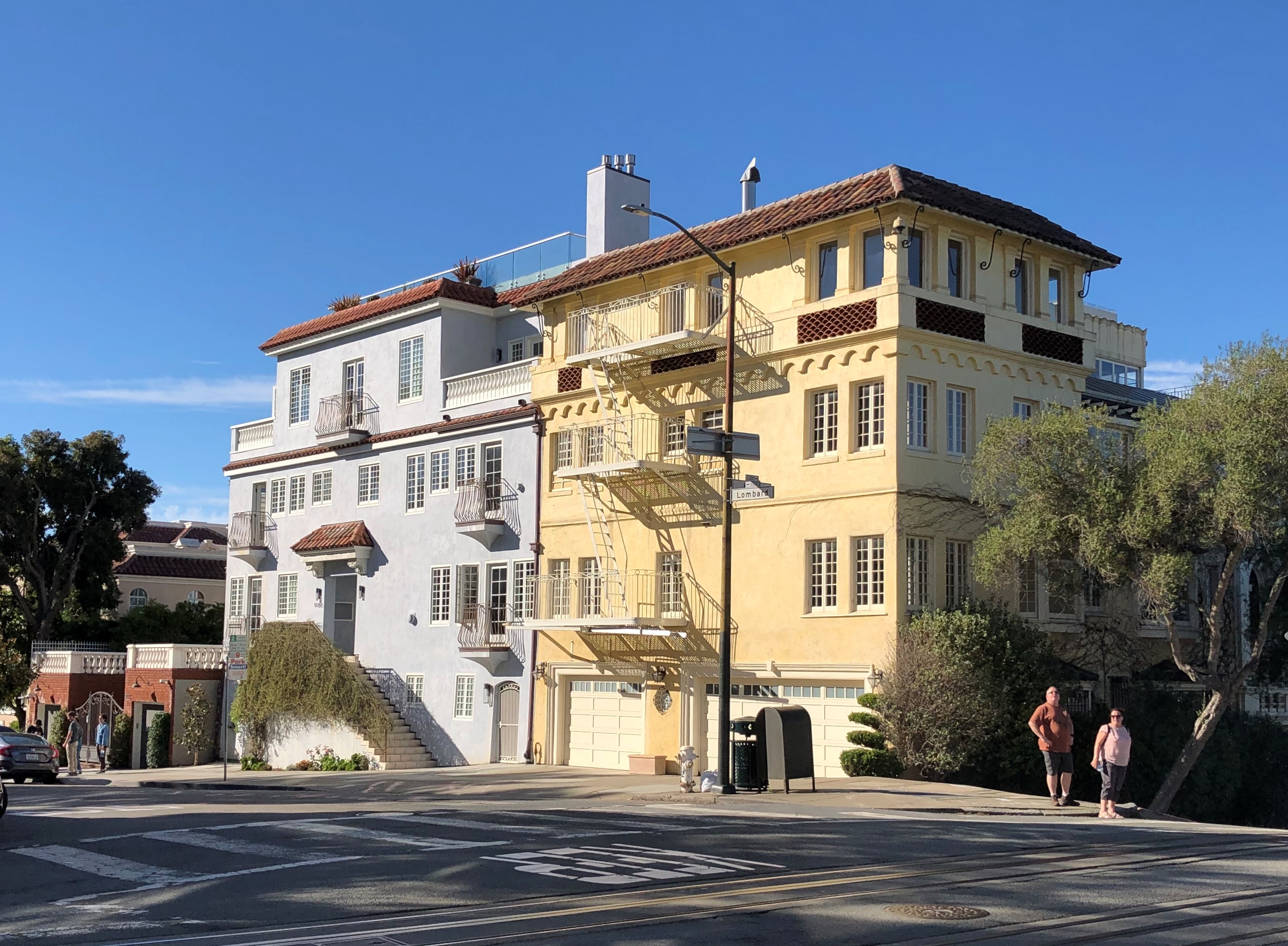
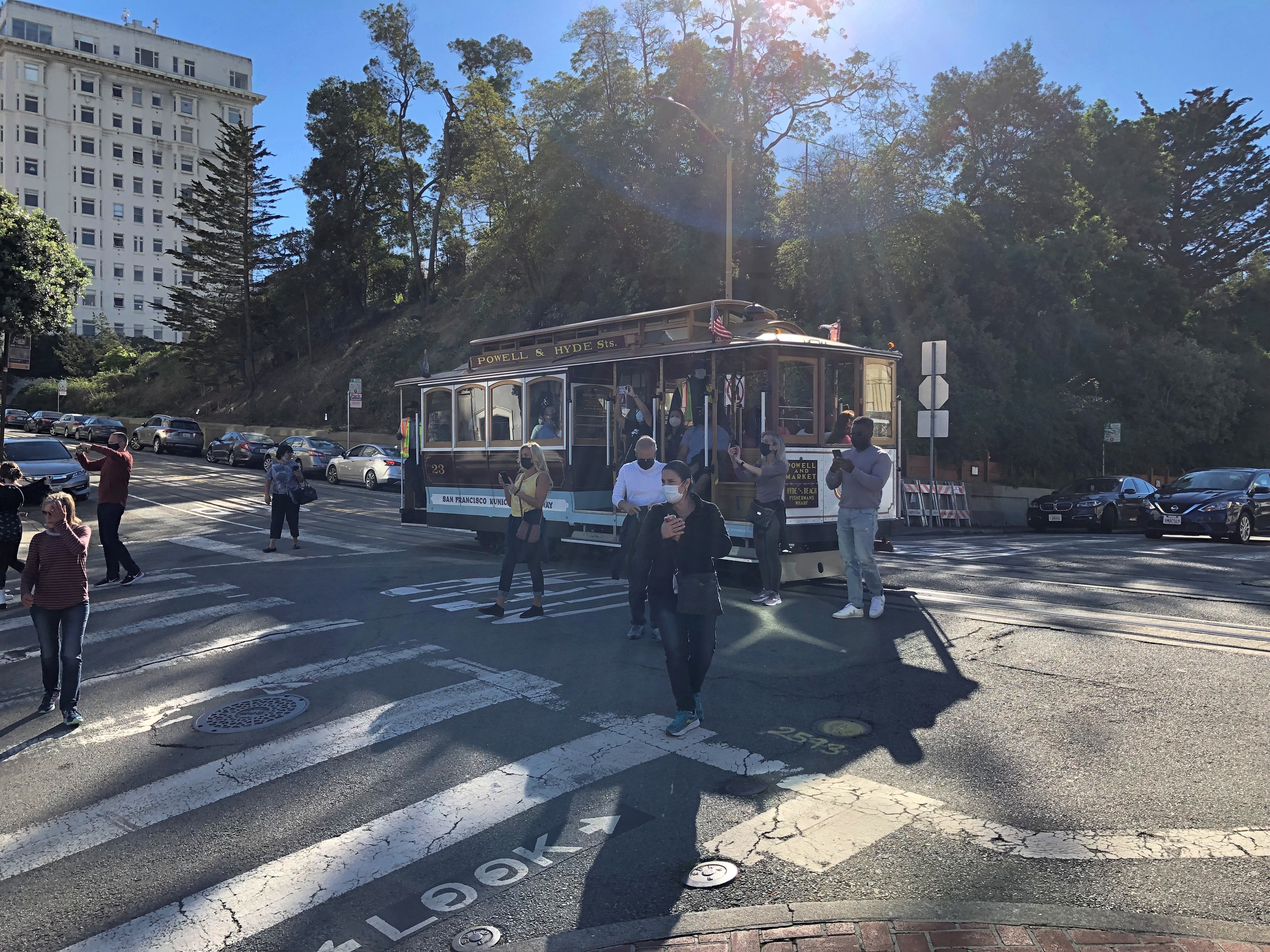
#/media/File:Lombard_Street_2020.jpg)