Queen of All Saints Basilica

The latest run of warm days is now ending, with rain moving through northern Illinois. In its wake, more seasonable temps for early March. Sunday wasn’t seasonable at all, with the air heated to a pleasant low 70s F.

On Sunday afternoon I headed for the the northwest side of Chicago. You’d think that would be straightforward, considering that I was coming from the northwest suburbs, but no: O’Hare takes up a sizable chunk of real estate between those two areas, and there’s no going under it like in Los Angeles. One goes around.

I was sure I didn’t need to consult a map, either. Go more-or-less east on a major road (Irving Park) that curls along the southern edge of the airport; go north on another major road that is just east of the airport (Mannheim); and then connect with the east-west road (Devon) that would take me to the part of the city I wanted to visit.

Easy, especially since I knew the first part of the route well. I often take those first two roads to the airport entrance. True, I had to go a little further north on Mannheim into less familiar territory to connect with Devon, but all I’d have to do is watch for Devon. So I did.

No, that wasn’t it, but it’ll be soon. No, that’s not it either, maybe the next major light. No, not that one. Maybe one more. No. We’ve all done this: expect something while driving, sure that it will come up soon, and it doesn’t. So I pulled over to check my map, finally, and I was some distance north of where I want to be. Mannheim doesn’t actually connect to Devon. The next major north-south street east of Mannheim, which is River Road, does. Oops.

Use the GPS, you say. I still say no. I wasn’t going to be late for anything that needed my punctuality, for one thing, but more important, I passed through a stretch of relatively unfamiliar and interesting territory as I navigated my way southeast to Devon. Metro Chicago is so large that that’s possible even after living here for decades.

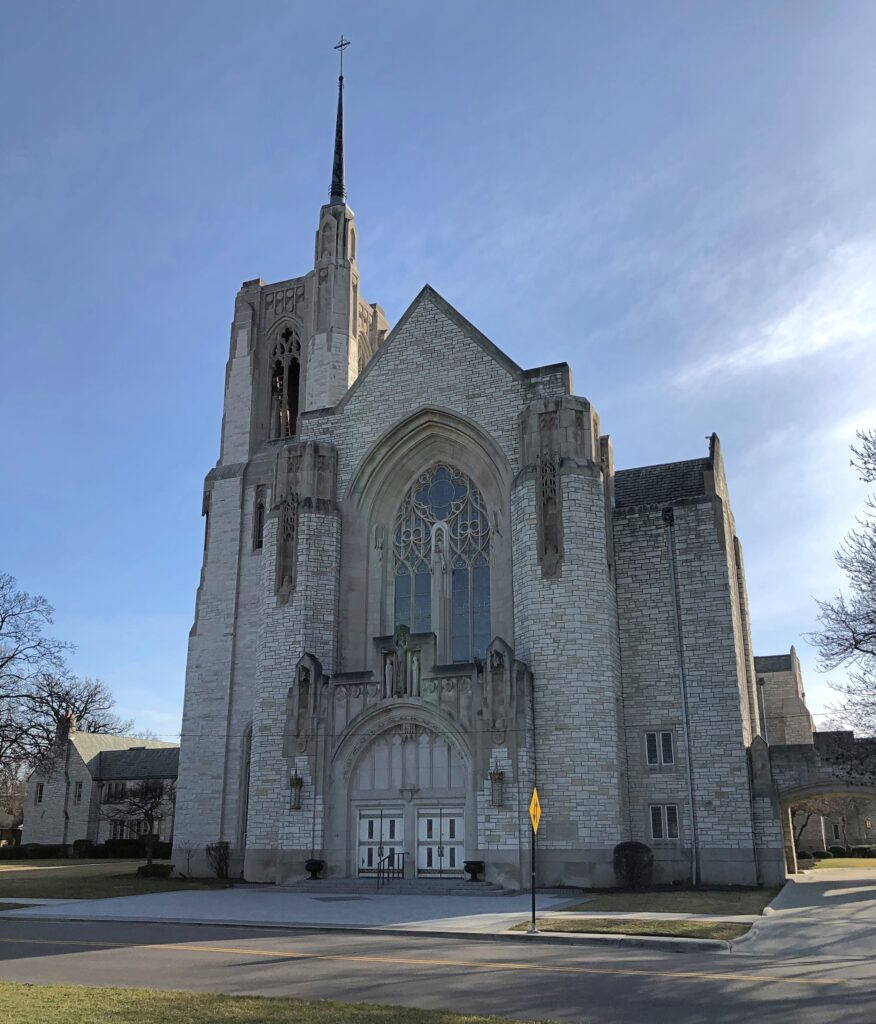
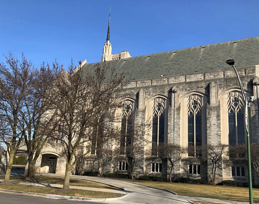
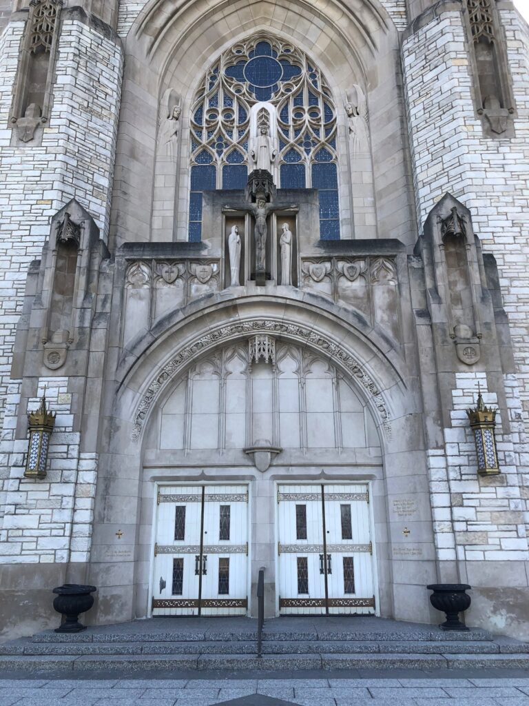
Had I not been “lost” I would never have noticed this along the road.Queen of All Saints Basilica Queen of All Saints Basilica

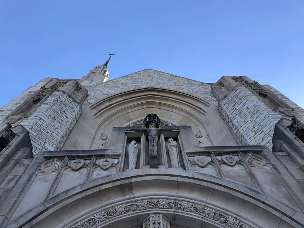
I’d happened across Queen of All Saints Basilica in the Sauganash neighborhood of Chicago, one of the three minor basilicas in the city. I might have seen it on a list of local Catholic sights some time, but I didn’t remember it and didn’t set out to see it. But see it I did, though it was already closed. The exterior had to do.Queen of All Saints Basilica Queen of All Saints Basilica

Completed in 1960, so I’m surprised it isn’t more modernist. But I suppose the diocese wanted neo-Gothic, and that’s what architects Meyer & Cook provided. That firm seems to be better known for the art deco Laramie State Bank Building, also on the western edge of Chicago. While Queen of All Saints is certainly impressive, what if the diocese had asked for an art deco church?

The Kingdom of Elvis

Is December here in northern Illinois evolving – devolving – into a chilly but snowless period? So far not much this year, including forecasts for the next week+. I can live with it.

I picked up Ann from Normal not long ago. Part of that involved a solo drive of two hours, much of it through the flat, featureless winter darkness of rural Illinois. Odd thoughts bubble up at such times and along such stretches, and that’s one reason I like this kind of driving, provided I’m not too tired.

A thought bubble this time, on the long road, fleshed out a little bit more later: Say there’s a major religion in 500 years – 1,000 years – whose founding document is the song “Elvis is Everywhere” by Mojo Nixon. The song makes a welter of theological claims: read them here. They might sound dodgy to you or me, but people believe the damnedest things, and I don’t expect that to change in the coming centuries.

The Kingdom of Elvis, let’s call it, but it isn’t a secular state. It’s a religion with certain tenets:

• Everyone has a bit of Elvis in him or her, and in fact inanimate objects participate in Elvis nature. That’s every human being, regardless of their other differences.

• There is an anti-Elvis – the hallmark of whom is that he has no Elvis in him. The evil opposite one walked the Earth at (roughly) the same time as Elvis, calling himself Michael J. Fox. Not much is known about him, but lore and artists depict him as diminutive and able to travel in time. A female figure, almost as evil (a nightmarish succubus, according to certain interpretations), called herself Joan Rivers.

• Elvis has been a creator throughout history, including before he made himself flesh in the 20th century (First century, to believers). Stonehenge in Britain and the Pyramids of Egypt, which Elvis lavished special attention on, are venerated as especially holy sites, as is Bermuda and the waters around the island. The homeless population of Elvis’ time (roughly) are regarded as saintly, since Elvis himself spoke to them, but that doesn’t apply to later homeless.

• Elvis has a special connection to the maritime industry, which has its own Elvis lore and ritual, though it isn’t clear why – scholars and laypeople have long debated why Elvis needs boats (compare with a parallel religion also with roots in the 20th century that asks, what does God need with a starship? Elvis believers think of that other religion as “jive.”)

• Intelligent beings that live elsewhere in the Universe resemble Elvis, “a perfect being.” Eventually the people of the Earth will more and more resemble Elvis – and indeed ultimately animate and inanimate matter alike will become Elvis. This process is called “Elvislution.”

• Believers are active participants in Elvislution, first speaking to Elvis, calling on him for healing, and to bring the perfect Elvis light. Elvis responds by calling on them to sing – like He sings — singing being a major form of worship for them. Exactly what kind of singing has been the subject of much acrimony down the centuries, but the practice has also produced ethereally beautiful songs.

• Posture is also important when singing like the King, but (again) different groups have different ideas about how to position and move their legs and lips. Stories are told of a fool called “Billy Idol” who didn’t worship Elvis properly.

Naturally, I could elaborate more – about how Mojo Nixon was widely regarded as Elvis’ prophet, but very little was actually known about him; and in fact a splinter group accepts a different prophet, a singer from the mid-21st century, who did one of the countless thousands of different recordings of the song; or how depictions of Elvis vary widely, but usually he wears sparkling white clothes marked by rhinestones and always — always — long sideburns.

The lyrics, demented as they are, are fairly easy to hear, to Mojo’s credit. Enjoy.

The Peshtigo Fire Museum & Fire Cemetery

You can drive from Sault Ste. Marie to metro Chicago in a day. It would be a long day, maybe eight or nine hours depending on traffic, construction, etc., but you can do it. I decided against such a long day, breaking the trip roughly in half by spending the last night of the drive around Lake Superior – which I was leaving far behind by this point – in Marinette, Wisconsin.

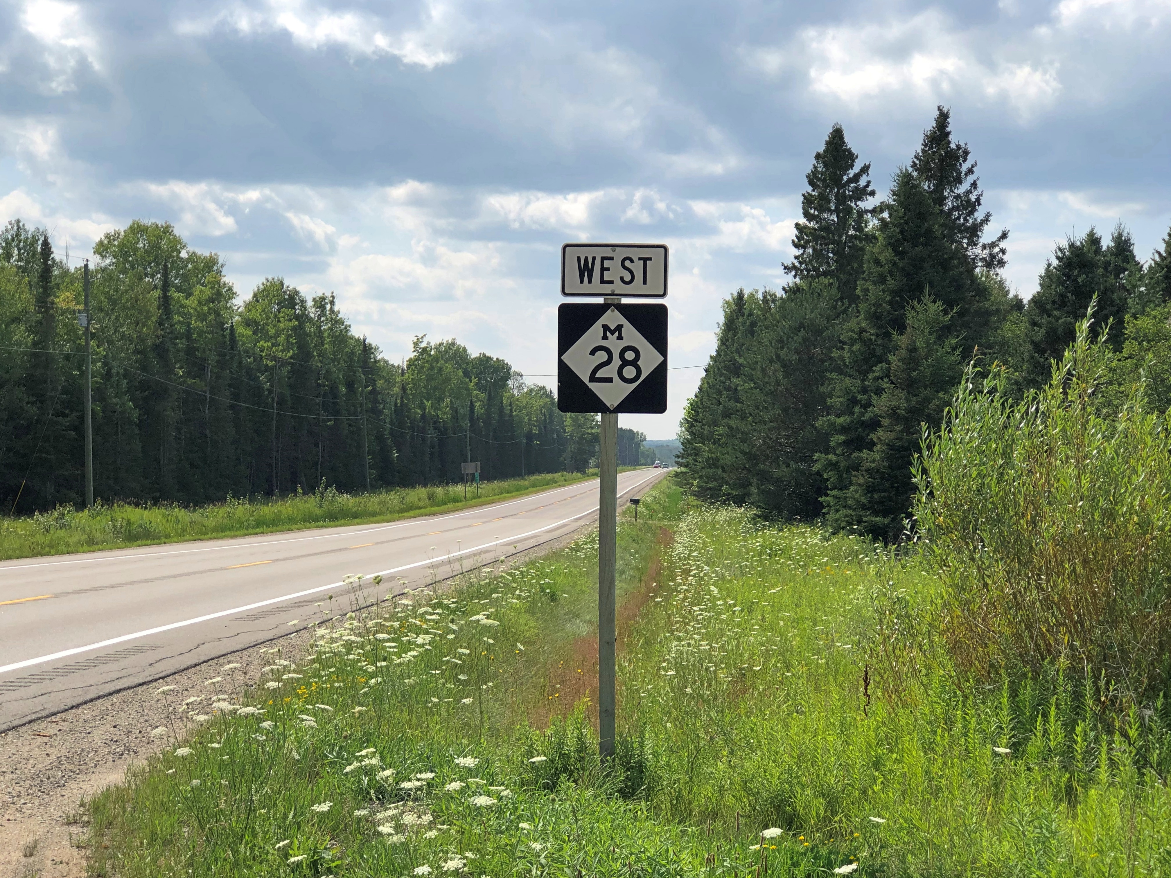
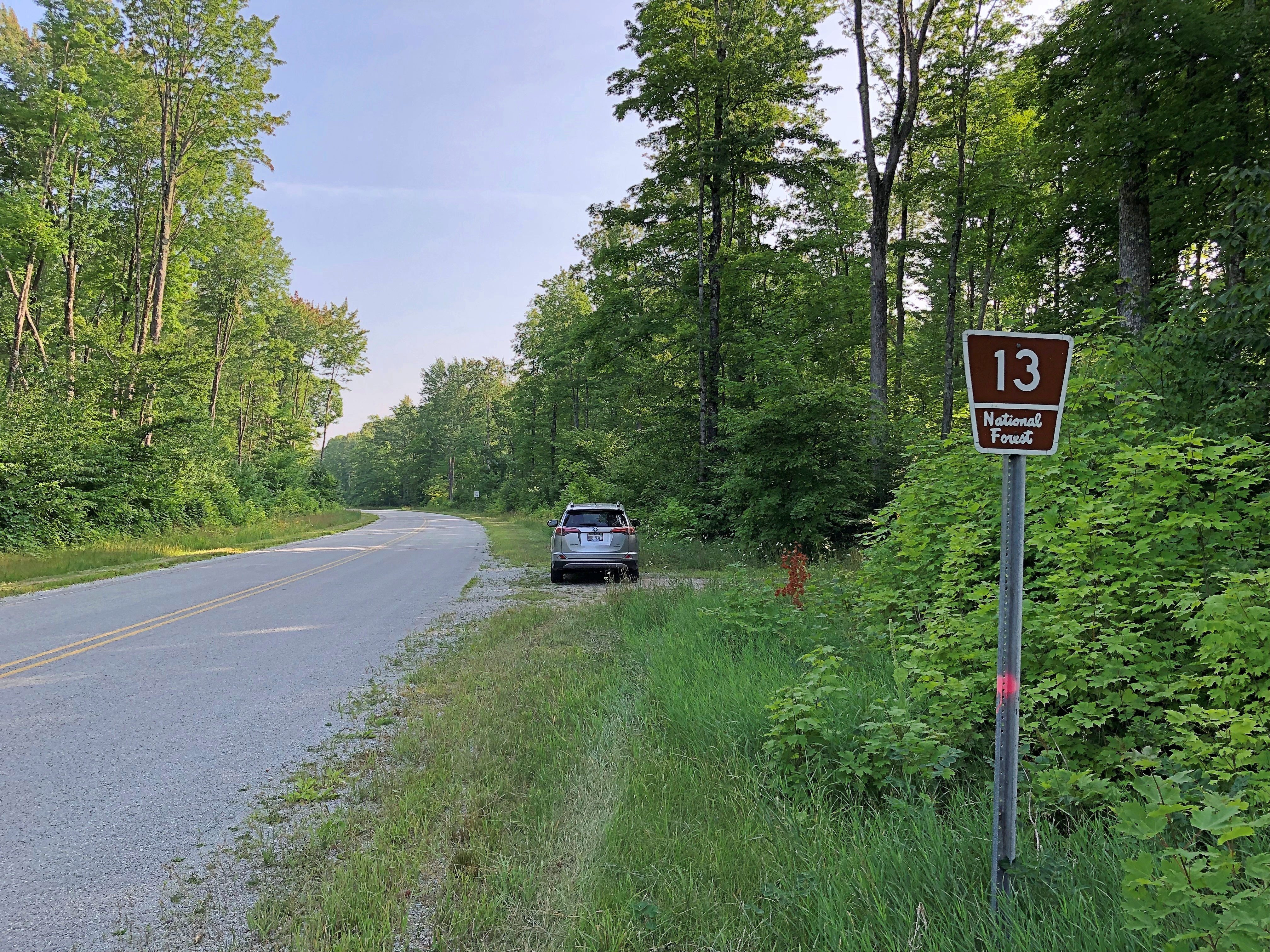
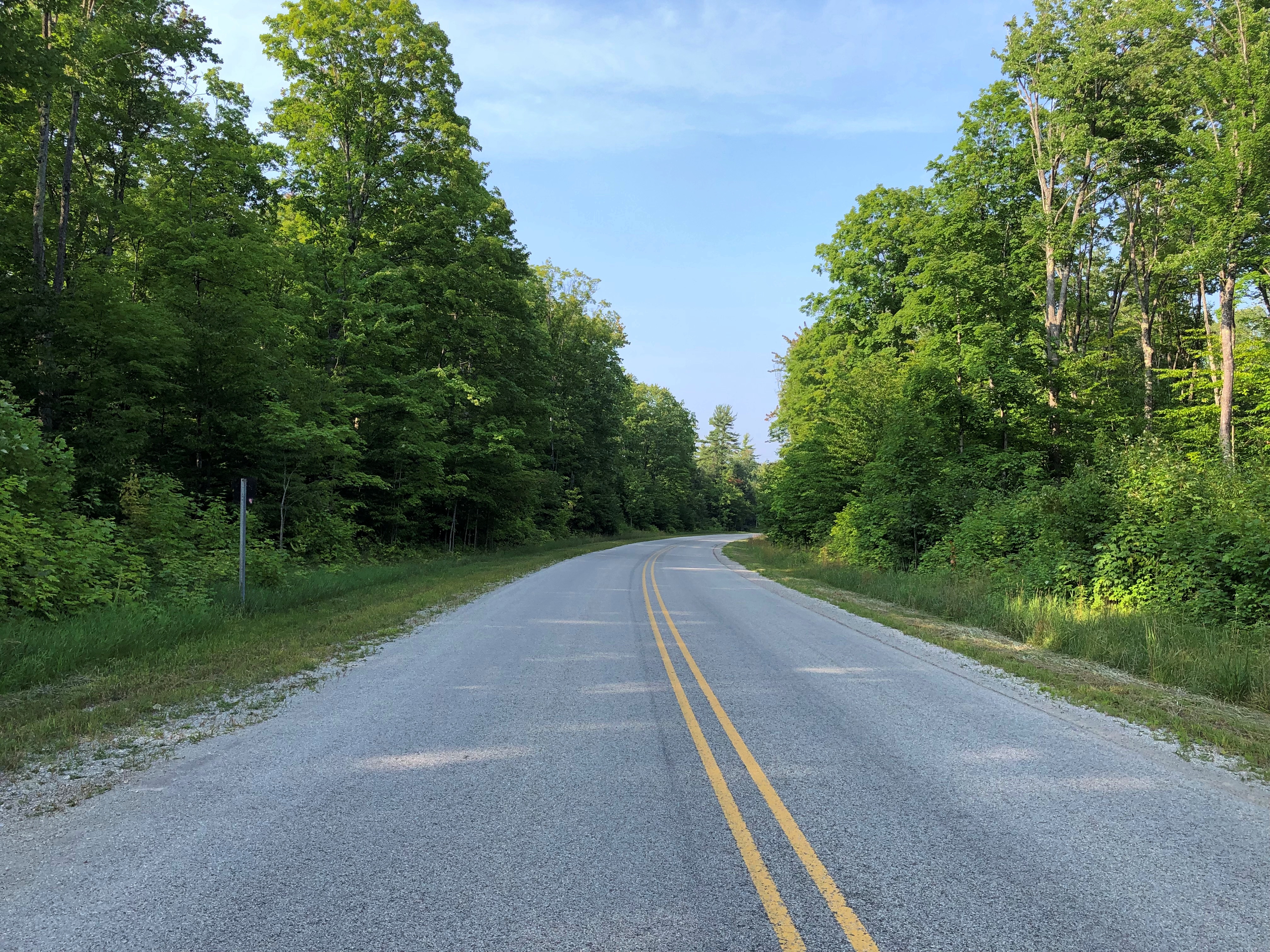
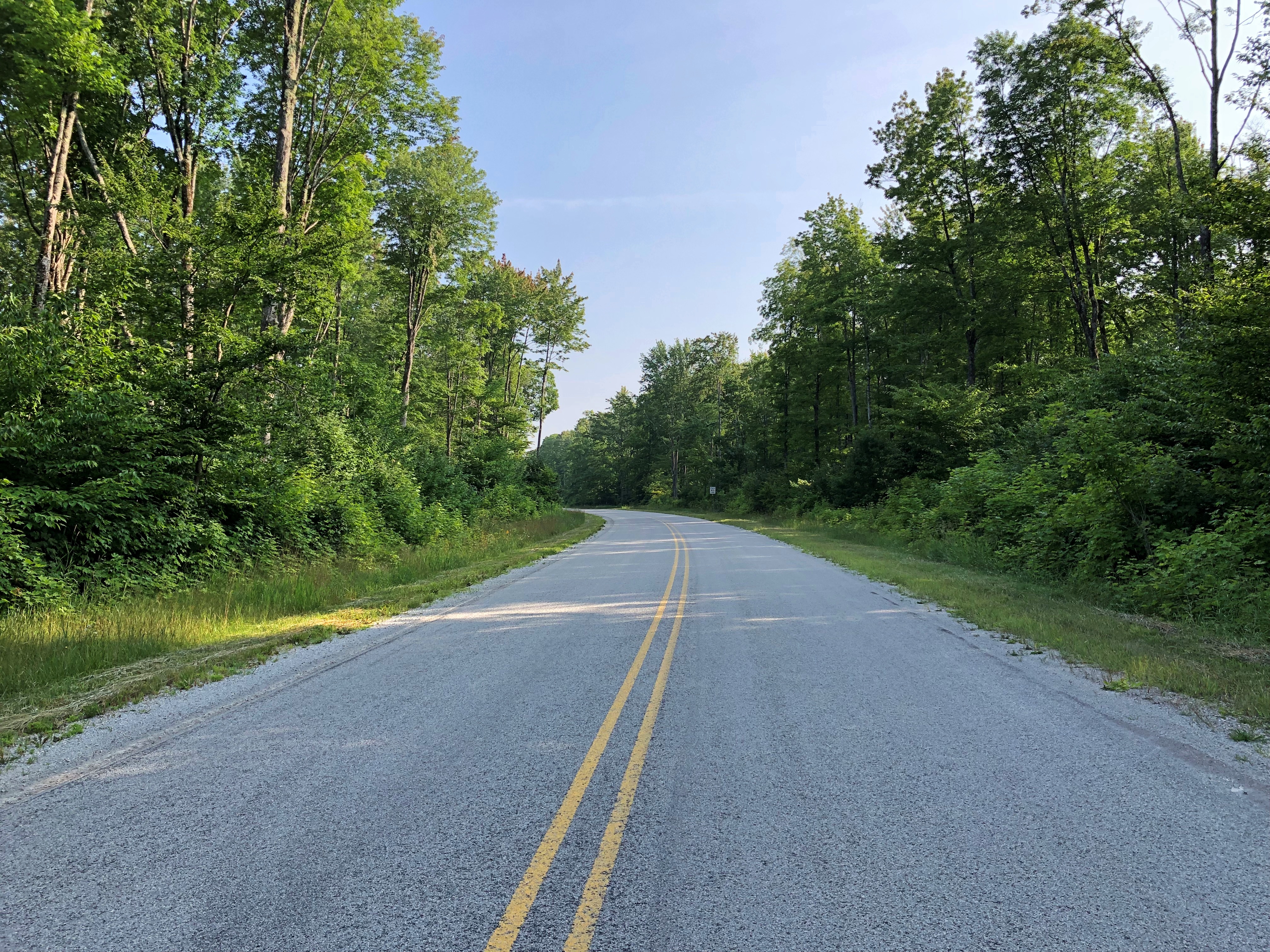
One reason: so I could enjoy a leisurely drive through the UP, including westward on Michigan 28 and then south on National Forest 13 through Hiawatha National Forest.

These are roads unlikely to make it on conventional best-drive lists, except for one that I might compile myself according to idiosyncratic lights, which might also include the Icefields Parkway, Lake Shore Drive, Alamo Heights Blvd., North Carolina 12 on Hatteras and Ocracoke islands, among others that come to mind. That the UP has two such favorite roads says something about the car-commercial driving to be had in the mostly forested UP.

Light enough traffic, at least on National Forest 13, that you can stand on the center line and take pictures at your leisure.

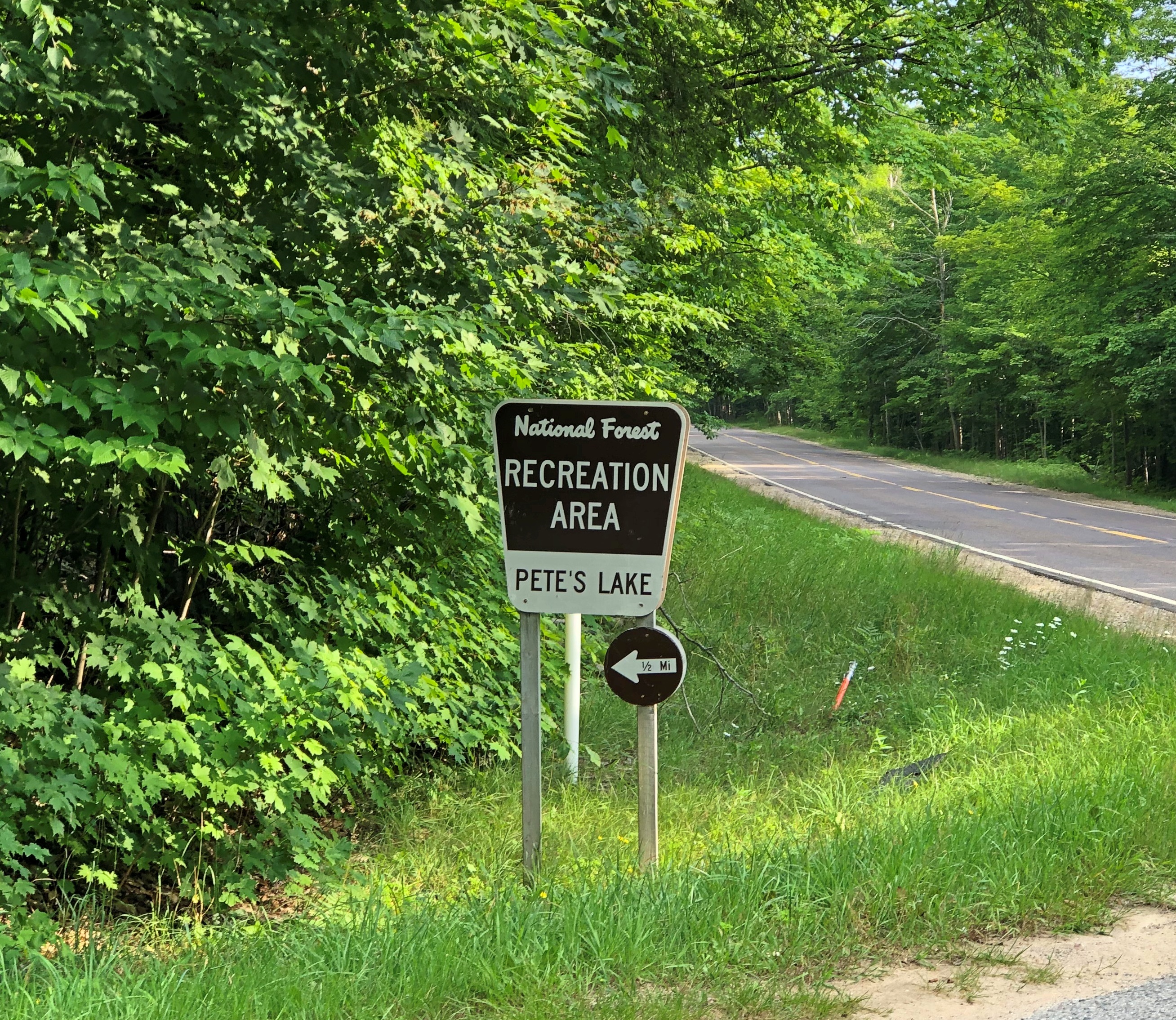
Another thing about NF 13: It took me to Pete’s Lake once upon a few times, and again on August 5, though I didn’t camp this time or experience a thunderstorm or yahoos yelling in the distance. It remains a sentimental favorite spot.National Forest 13

On the morning of August 6, I finally headed home, with one more stop in mind: Peshtigo, Wisconsin, a place that demonstrates, if nothing else, that the human mind is a creature of habit.

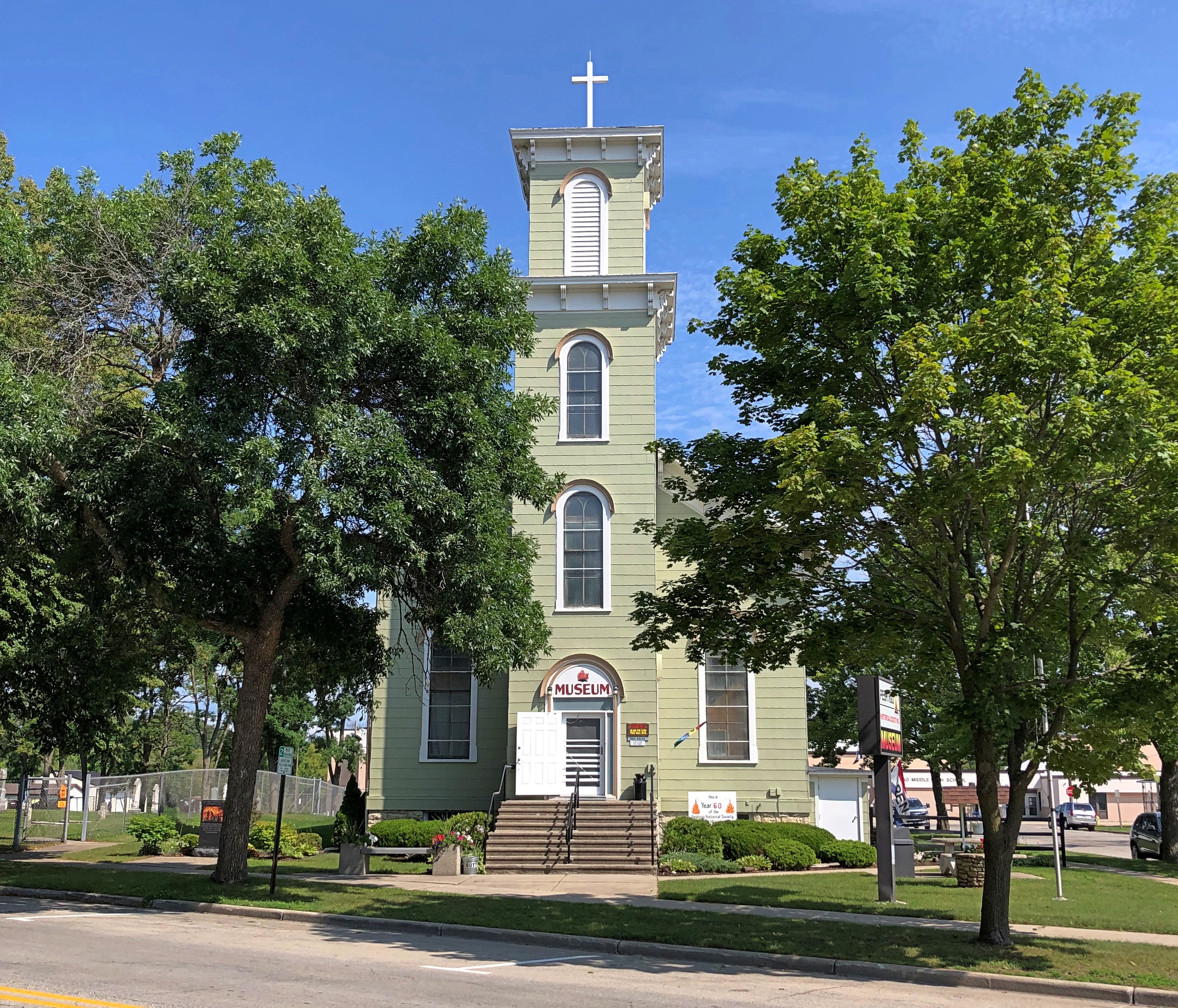
That includes me. I only mentioned the town in passing in 2006, when we stopped at the Peshtigo Fire Museum.Peshtigo Fire Museum Peshtigo Fire Museum

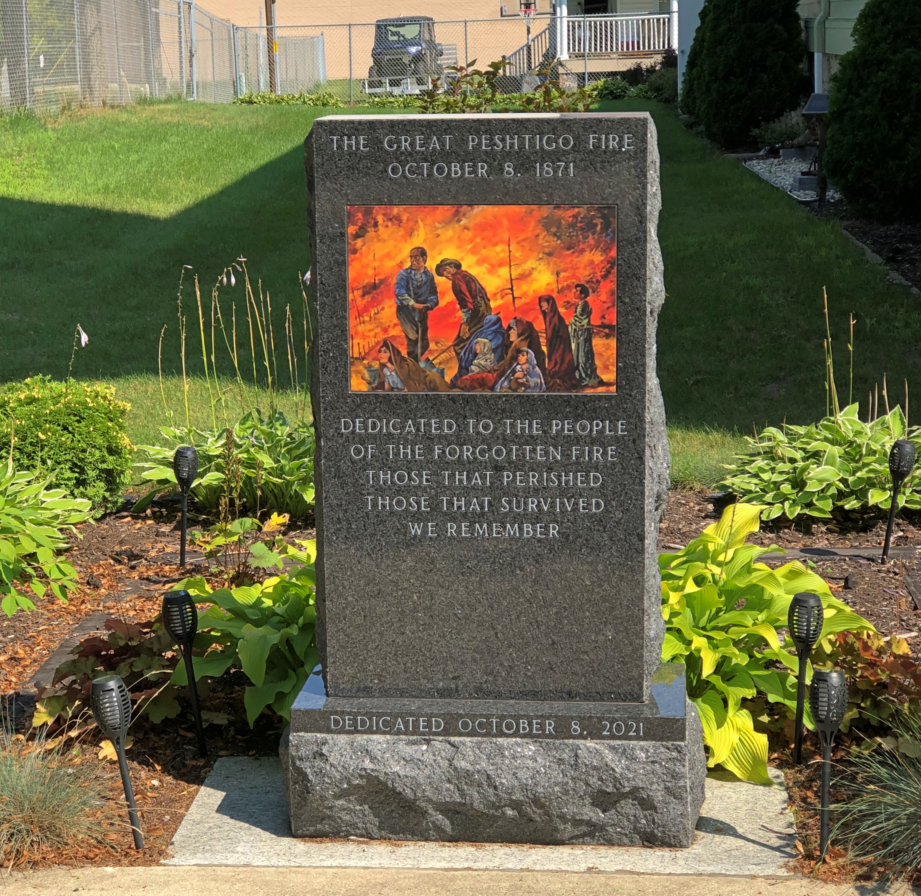
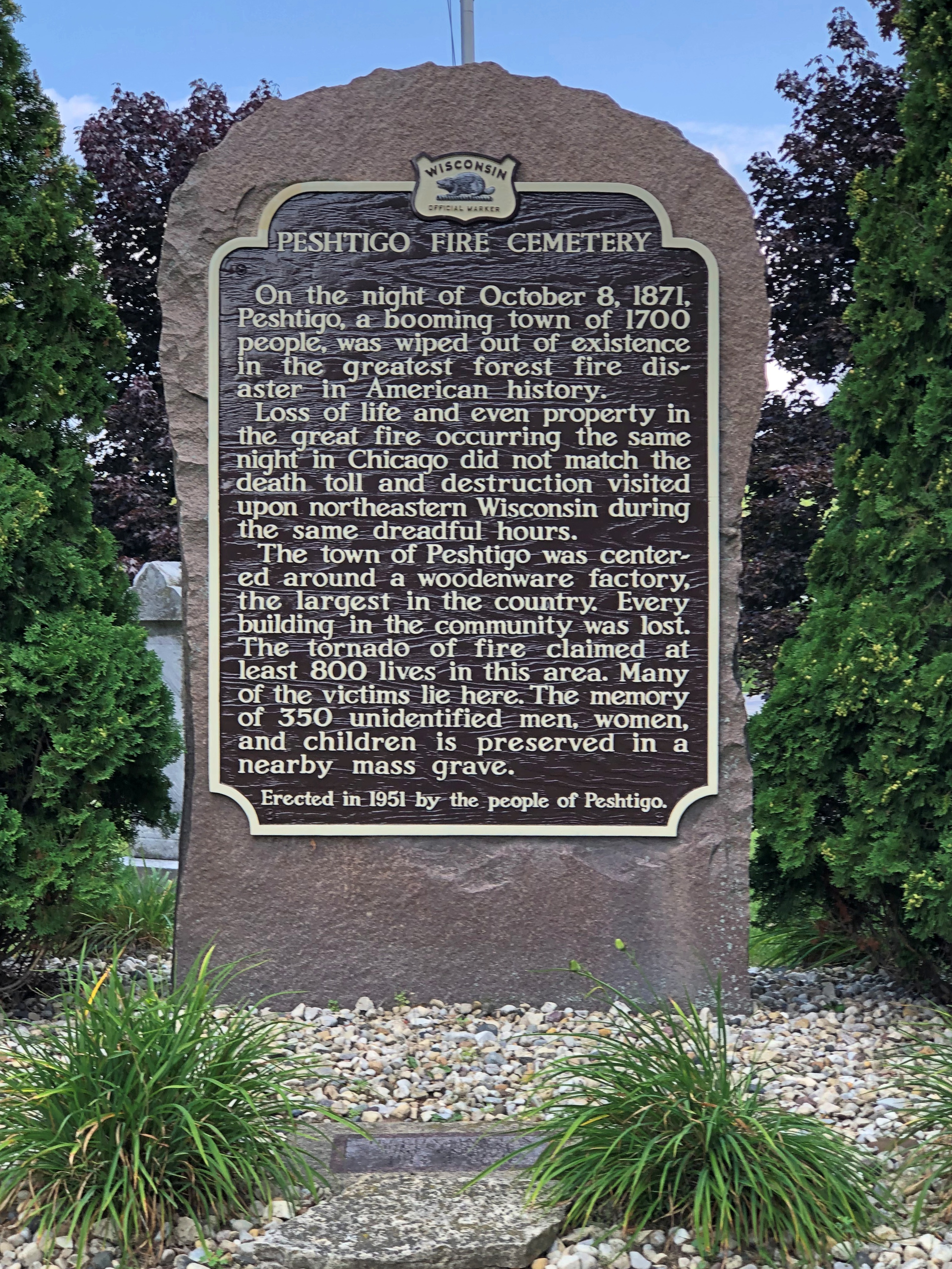
The building is a former Congregational church, on the site of a Catholic church that burned down in the firestorm of 1871 – which remains the deadliest wildfire in U.S. history, according to the National Fire Protection Association. Remarkably, the Maui wildfire is, for now, placed at fifth; modernity can’t protect us from everything.

“On the night of October 8, 1871, in Peshtigo, a lumber town about seven miles southwest of the Michigan-Wisconsin border, hundreds of people died: burned by fire, suffocating from smoke, or drowning or succumbing to hypothermia while trying to shelter in the Peshtigo River,” notes USA Today.

“But the fire also raged across Oconto and Marinette counties into Michigan’s Upper Peninsula, while another blaze burned across the bay of Green Bay in Brown, Door, and Kewaunee counties.”

No one knows exactly how many people perished in the Peshtigo fire — I’ve seen varying estimates, all in the low thousands — but it was certainly more than in the Great Chicago Fire, which happened the same day. Which one is mostly remembered? Chicago, of course, thus illustrating a habit of mind. Once a thing enters the tapestry of the popular imagination, it can crowd out similar events.

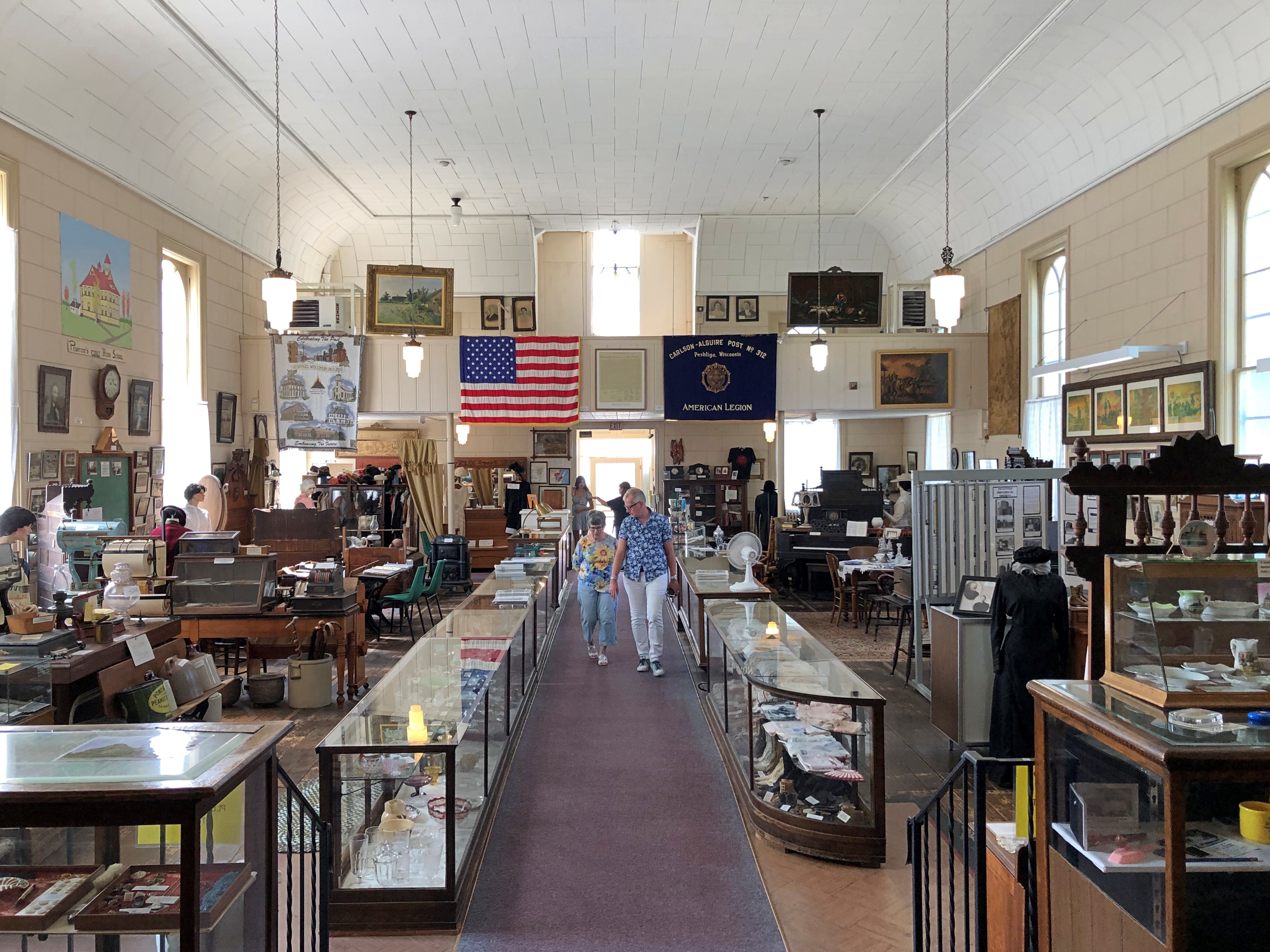
Peshtigo isn’t a large museum, but it is full of stuff.Peshtigo Fire Museum

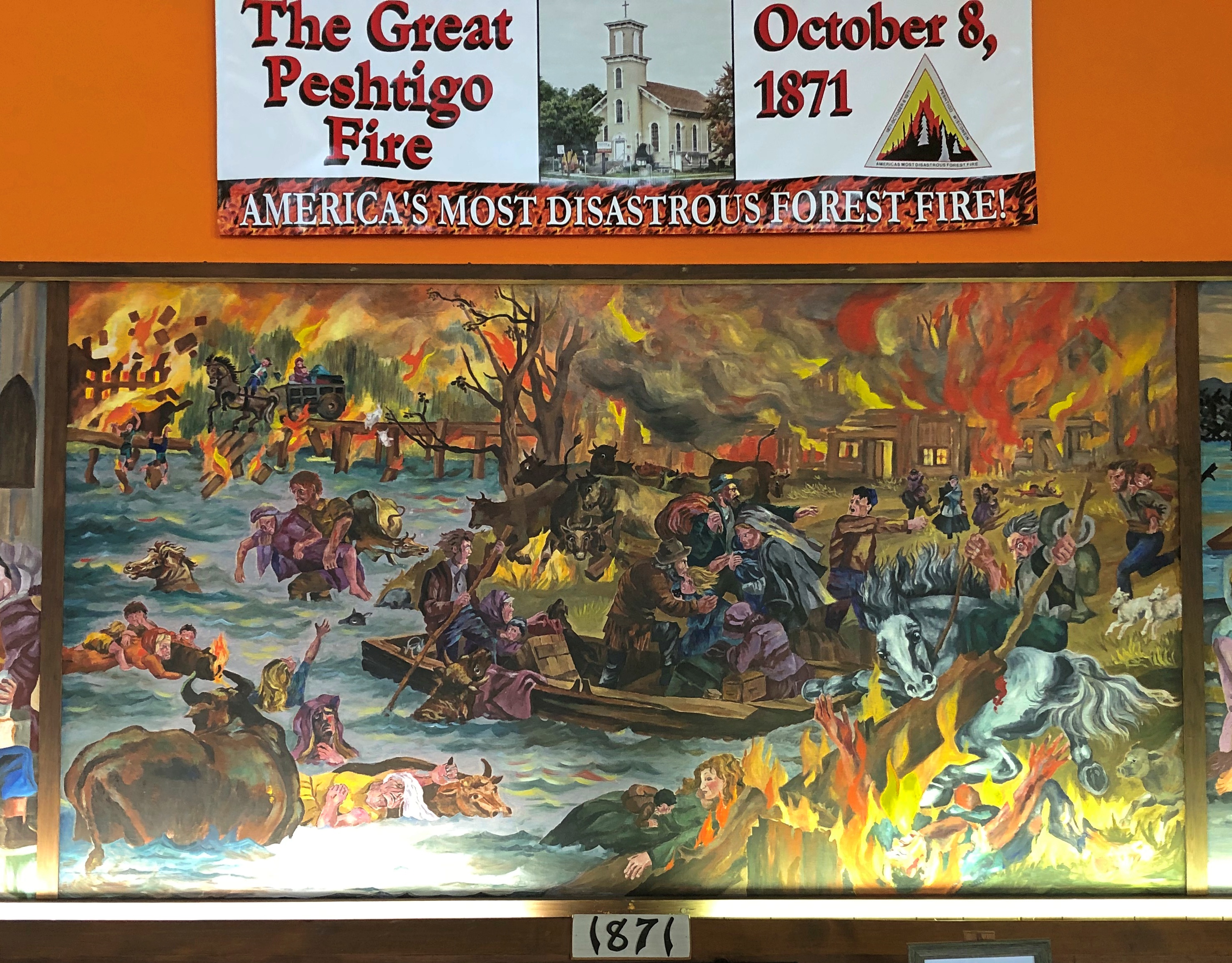
The museum includes much information and a few artifacts from the fire, though naturally not much survived. The fire itself is illustrated not by photography, but artwork.Peshtigo Fire Museum

Two volunteer docents were on hand to spread the word about the fire. It’s the only distinction for modern Peshtigo, pop. 3,400 or so. One was a woman about my age, the other a woman about Ann’s age. Again, good to see young’ins up on their local history.

Speaking of that, the museum is actually more local history than the single incident of the fire, as important as that is. As such, there are many artifacts from the entire spectrum of the town’s history (including in the basement).Peshtigo Fire Museum Peshtigo Fire Museum Peshtigo Fire Museum Peshtigo Fire Museum

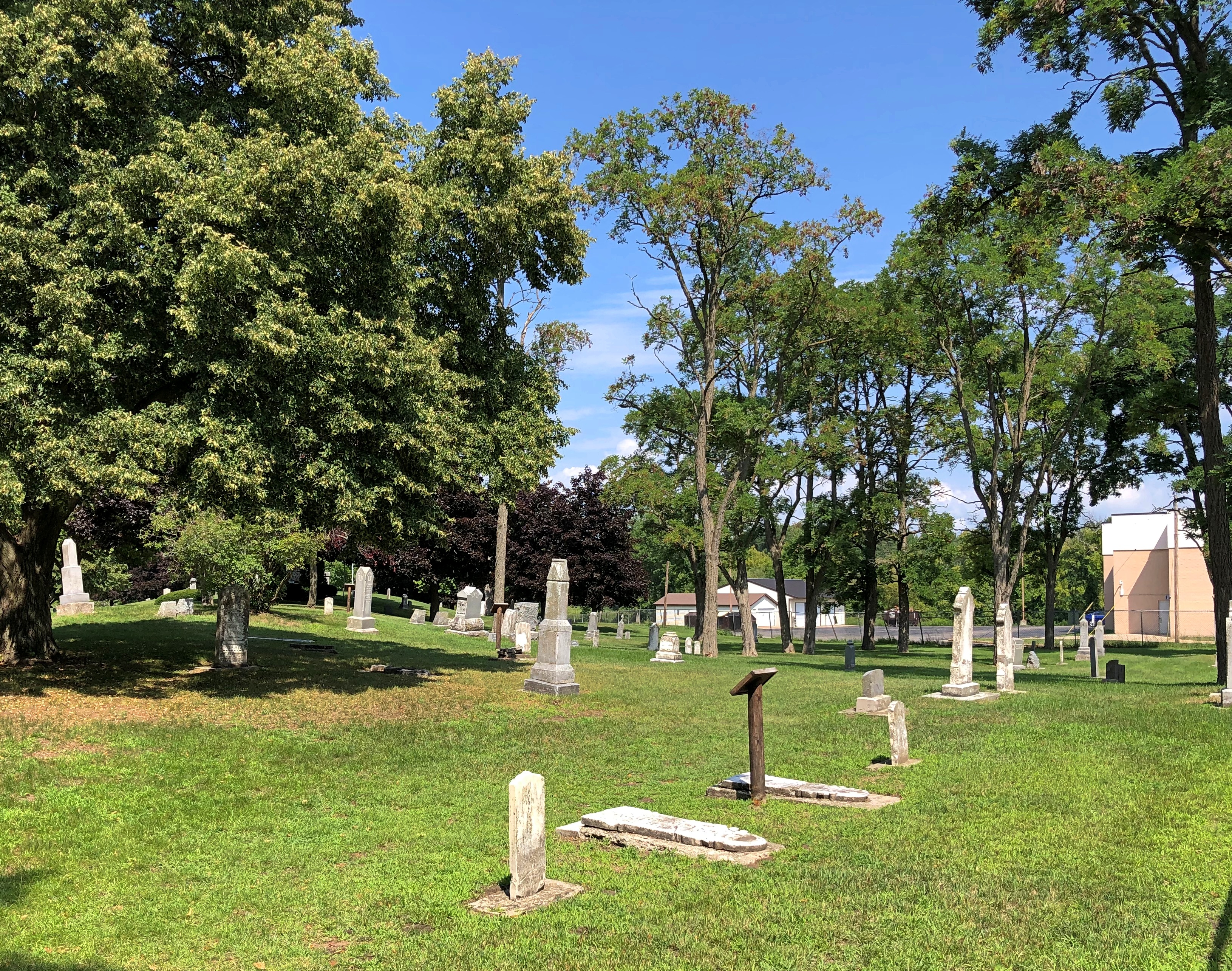
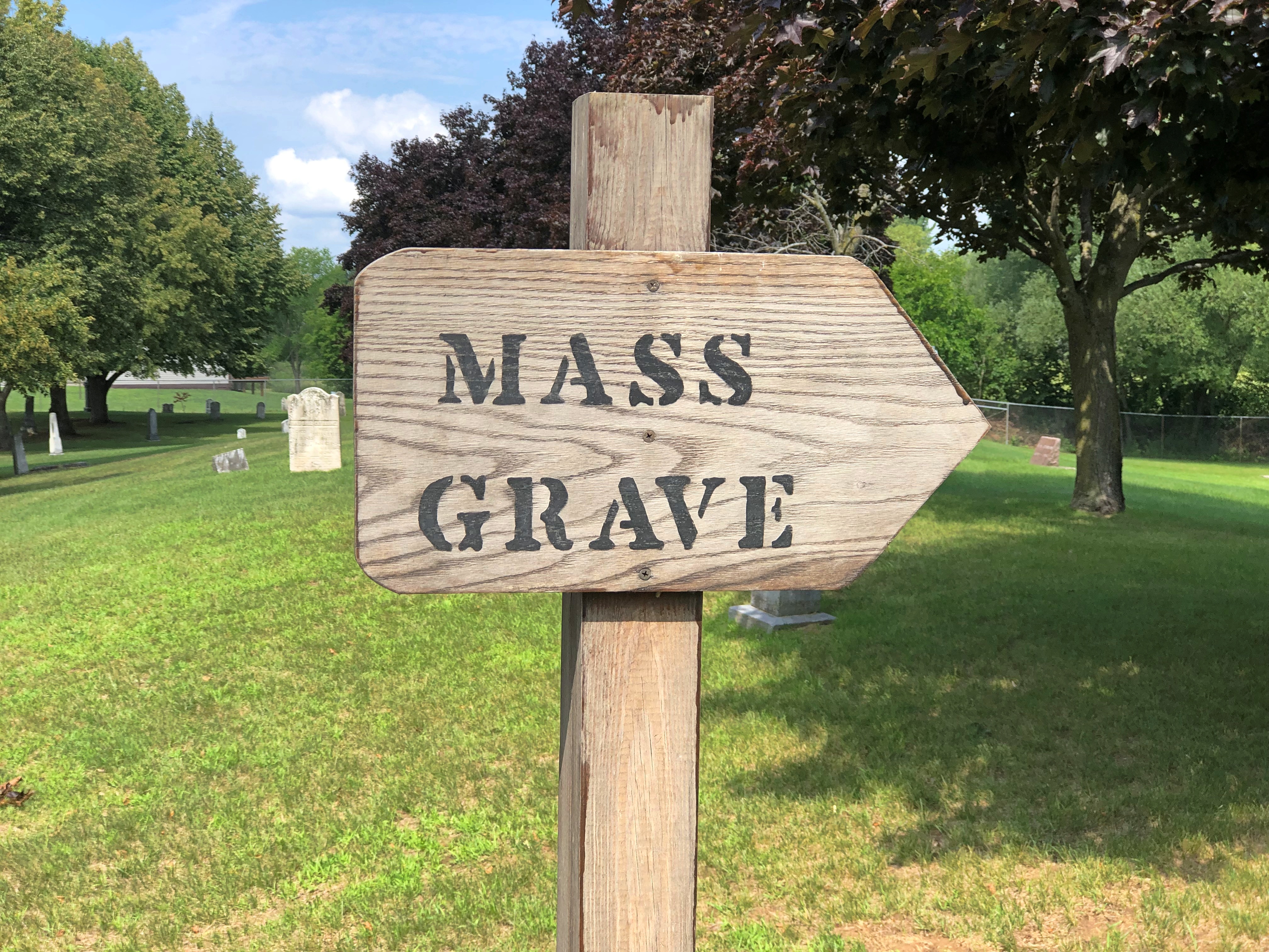
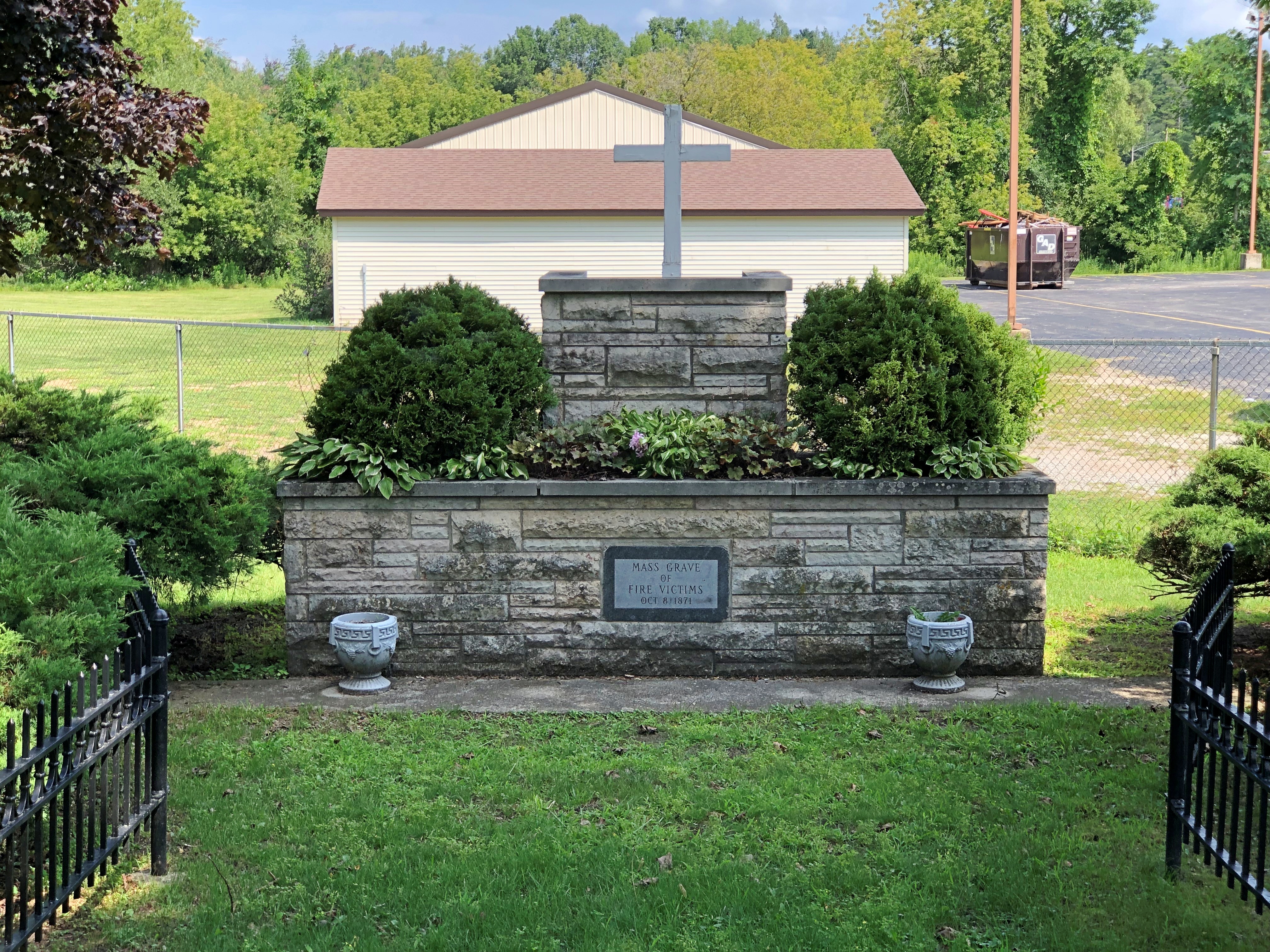
Next to the museum is the Peshtigo Fire Cemetery.Peshtigo Fire Cemetery Peshtigo Fire Cemetery Peshtigo Fire Cemetery

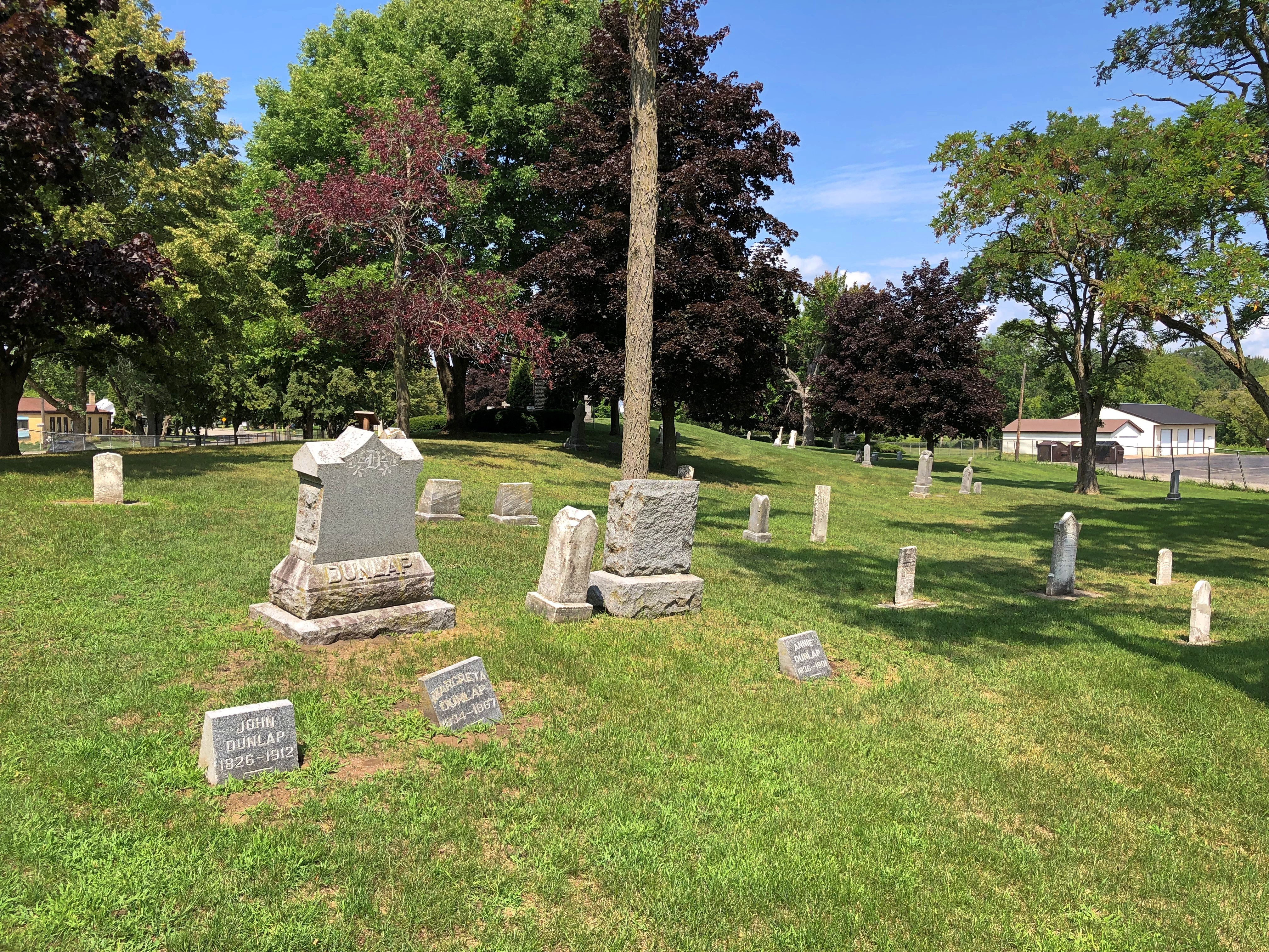
Including survivors of the fire.Peshtigo Fire Cemetery

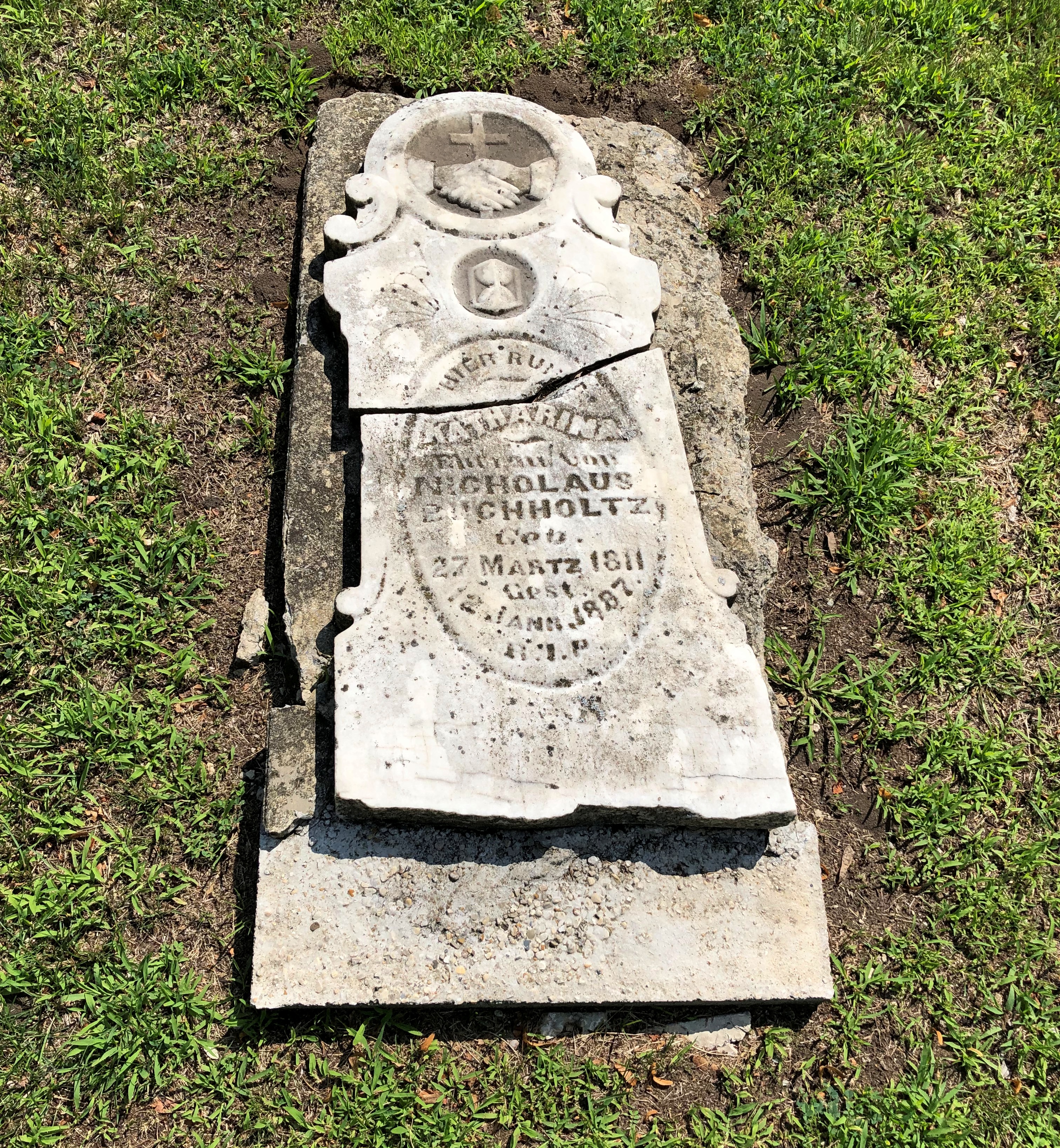
Along with many who did not.Peshtigo Fire Cemetery Peshtigo Fire Cemetery

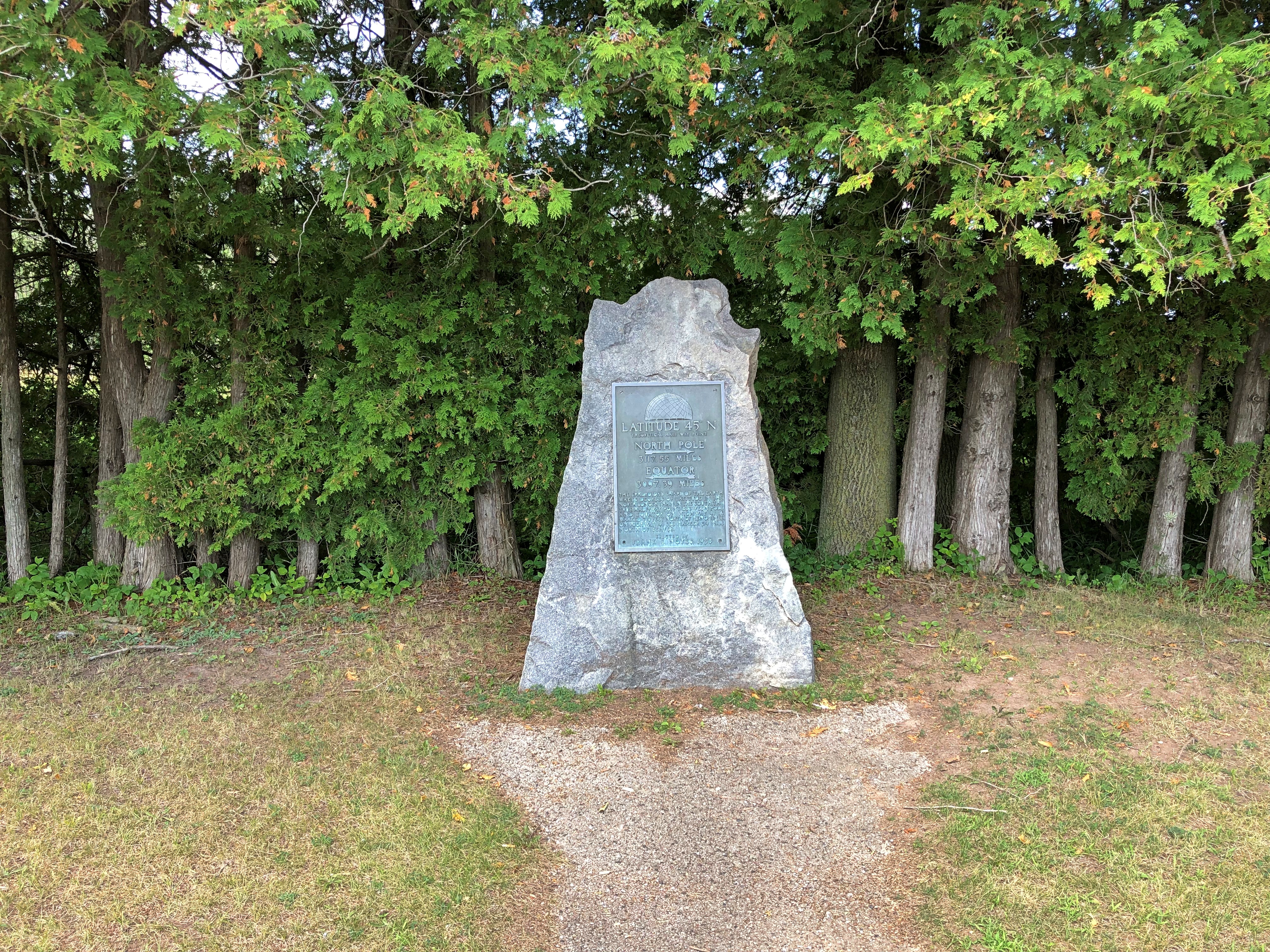
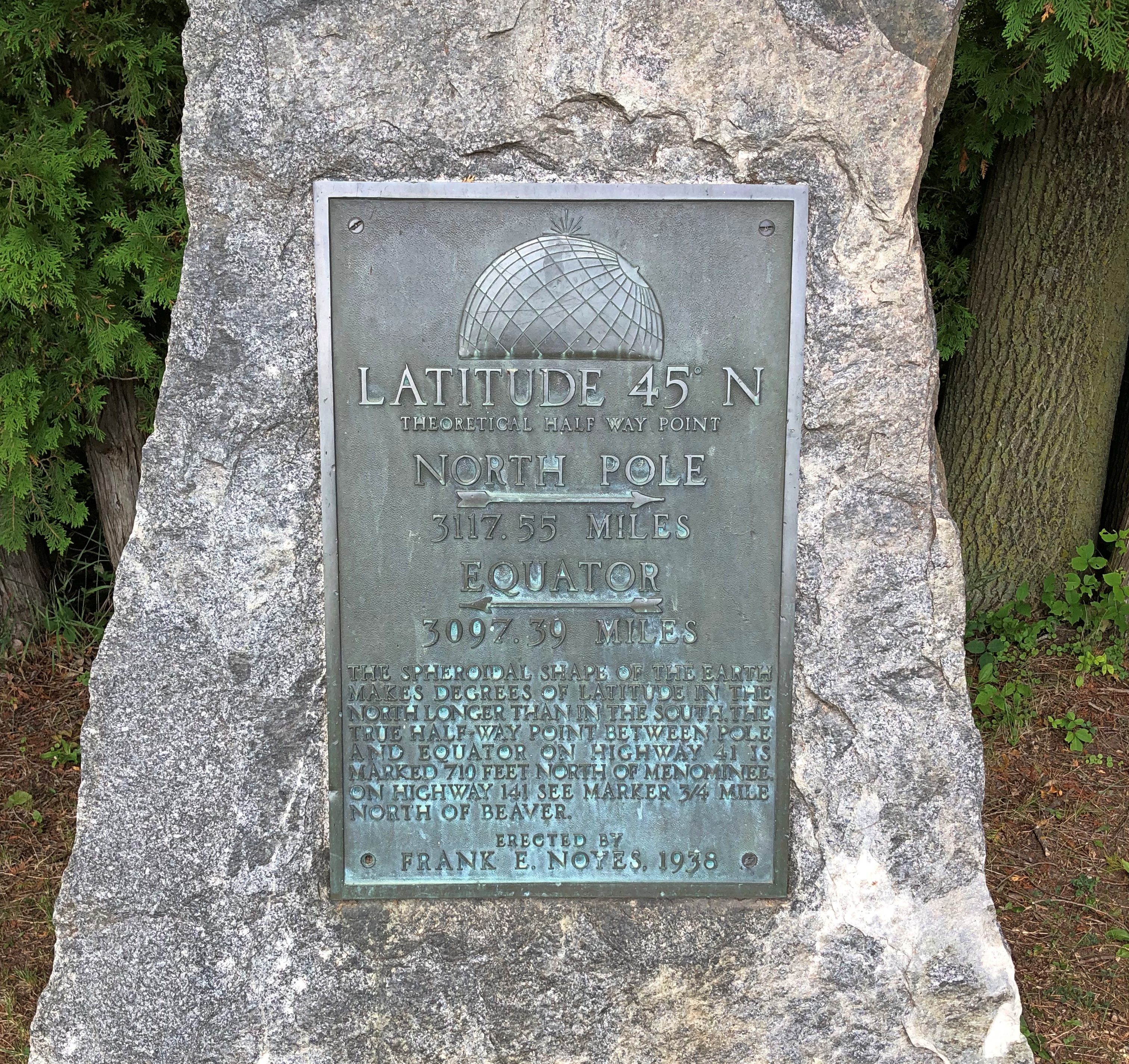
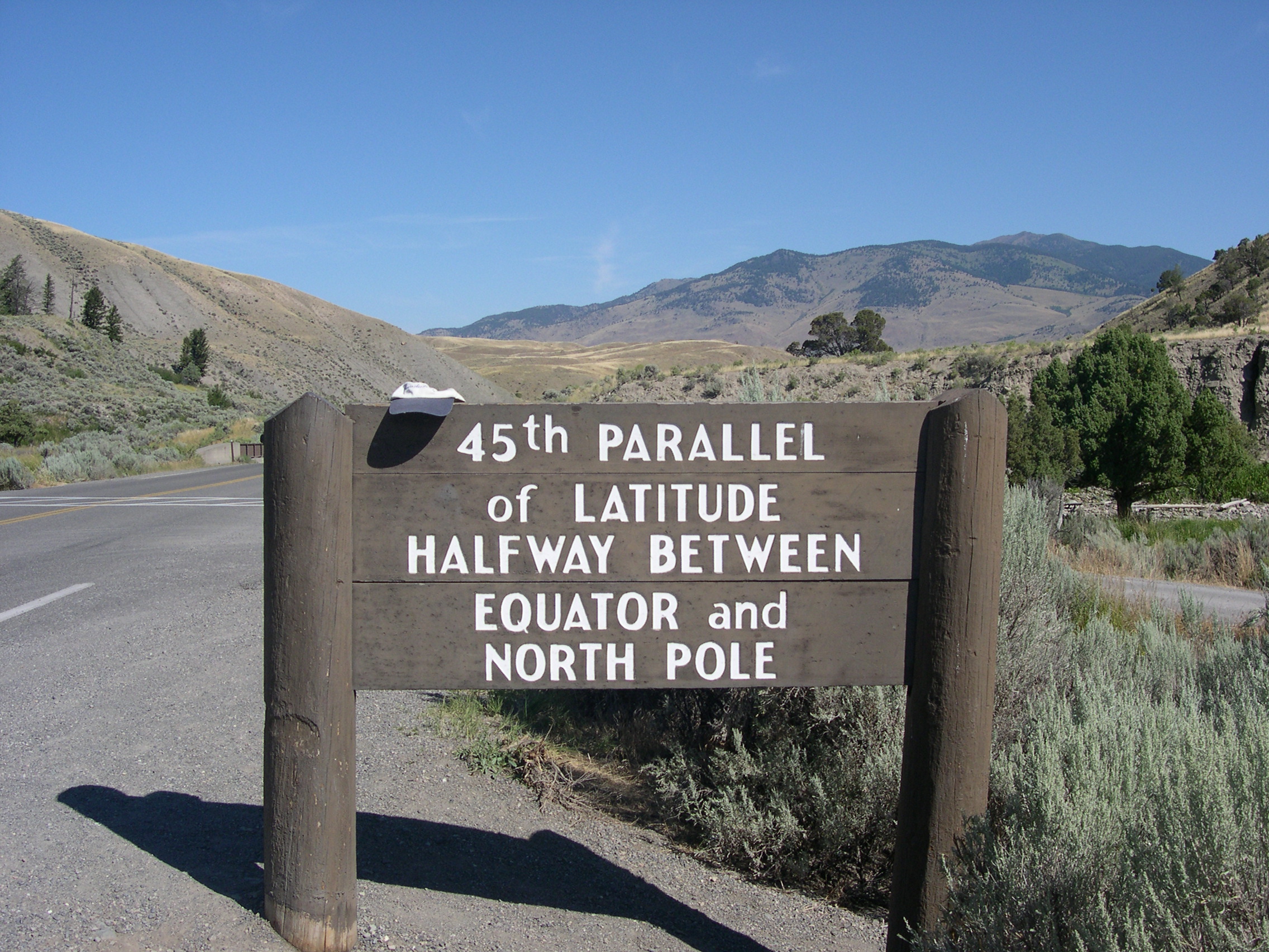
Too grim a note to end on. Not far south of Peshtigo is a roadside plaque I’d seen before, but not photographed.45th parallel Wisconsin 45th parallel Wisconsin

“The most obsessive of all of 45th Parallel markers are the plaque-on-rocks sponsored by Frank E. Noyes,” says Roadside America. “We know that he sponsored them because he put his name on every one.

“Frank was 82 years old, a faithful Episcopalian and 32nd degree Mason, and president, general manager, and editor of The Daily Eagle, a Wisconsin newspaper founded by his dad. For reasons lost to time, he became fixated on the intangible world of latitude in 1938 and put up plaques around his home town of Marinette to mark the halfway line.”

There are other such signs, of course, not of Frank Noyes origin, such as at the Montana-Wyoming border, as seen in 2005.

Except for bathroom and gas breaks, the Wisconsin 45th parallel proved to be the last stop of the nearly 2,000 miles around the lake.

Thunder Bay to Marathon, Ontario

On the first day of August, I made the acquaintance of Terry Fox. In bronze, anyway, and perhaps in spirit, since he’d been dead for over 42 years. Died very young; he’d be 65 now, had cancer not taken him away. A contemporary.

Apparently every Canadian knows who he was. Ignorant as I am, I didn’t, but I learned some remarkable things about him after seeing his memorial, which is just off the Trans-Canada Highway not far east of Thunder Bay.
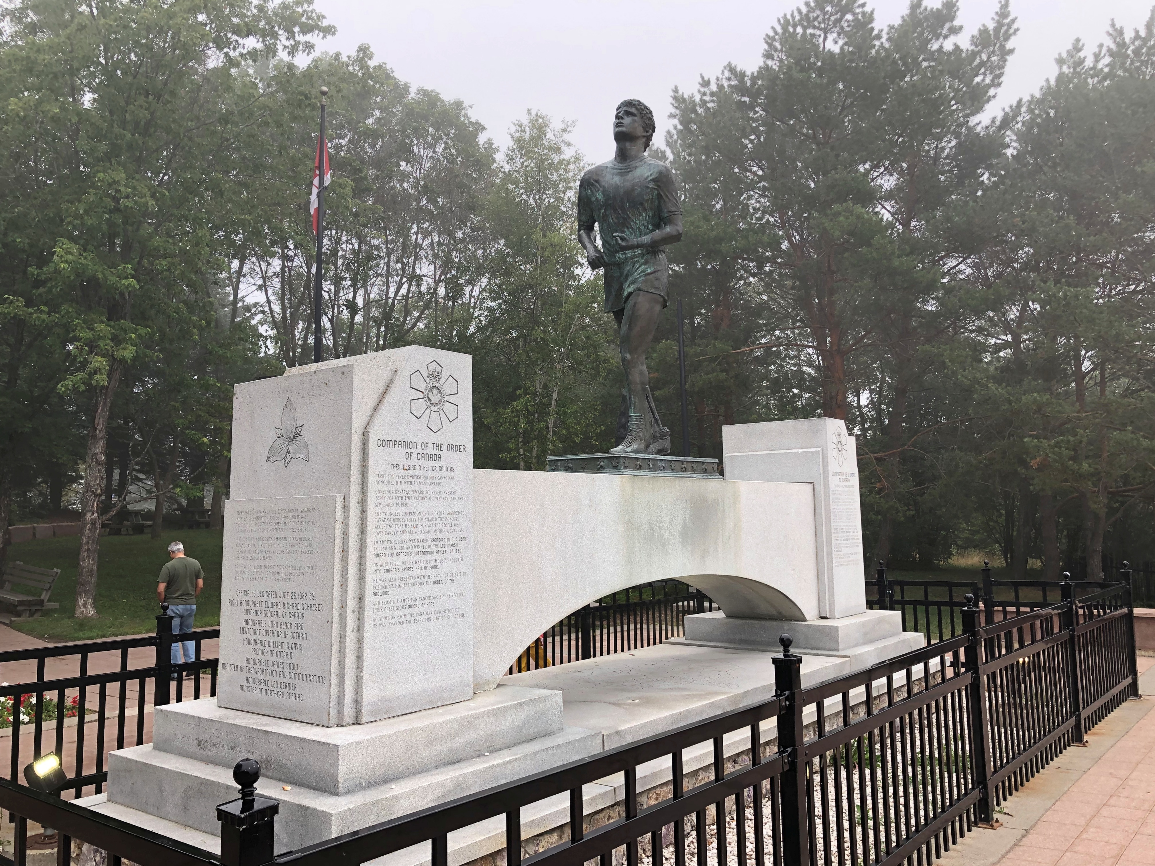
It was a foggy morning in northwest Ontario. The memorial features Fox as a runner, which he was. But not just any runner.
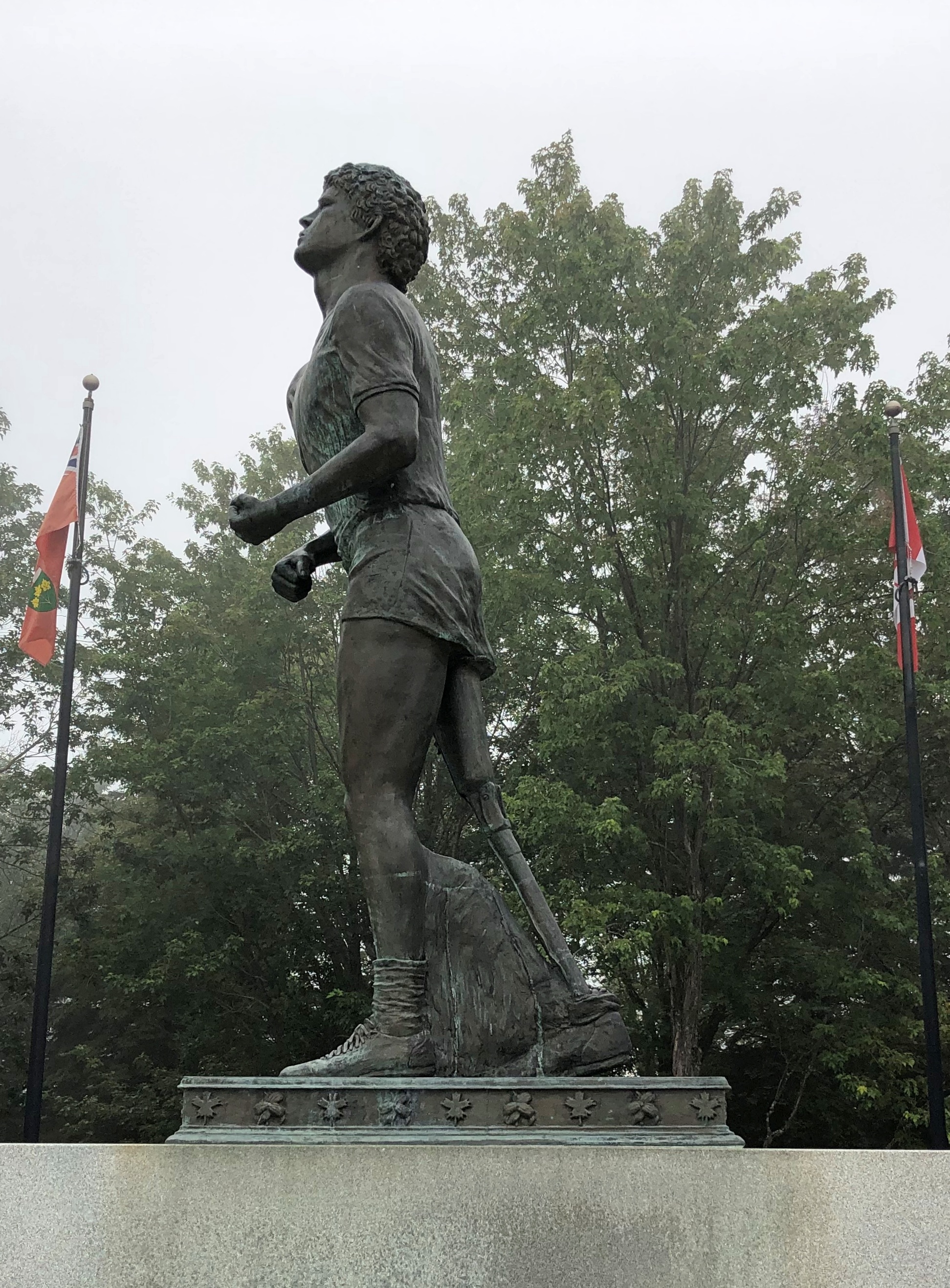
He had only one leg, the other amputated to prevent the spread of osteogenic sarcoma, bone cancer, from his knee.

“In the fall of 1979, 21-year-old Terry Fox began his quest to run across Canada,” the CBC says. “He had lost most of his right leg to cancer two years before.

“[He] hatched a plan to raise money for cancer research by running across Canada. His goal: $1 for every Canadian. Fox’s plan was to start in St. John’s, Newfoundland on April 12, 1980 and to finish on the west coast of Vancouver Island on September 10. With more than 3,000 miles (5,000 km) of running under his belt, he was ready.”

So he ran almost every day early that year, gathering attention as he went. By the time he got to Toronto, the nation was watching. But he didn’t make it all the way to the West Coast.

“As Fox headed towards Georgian Bay, his health changed. He would wake up tired, sometimes asking for time alone in the van just to cry… On August 31, before running into Thunder Bay, Fox said he felt as if he’d caught a cold. The next day, he started to cough more and felt pains in his chest and neck but he kept running because people were out cheering him on. Eighteen miles out of the city, he stopped. Fox went to a hospital, and after examination, doctors told him that the cancer had invaded his lungs… He had run 3,339 miles (5,376 km).

“Terry Fox died, with his family beside him, on June 28, 1981… Terry Fox Runs are held yearly in 60 countries now and more than $360 million have been raised for cancer research.”

My goal that day was much easier: drive to the town of Marathon, Ontario, from Thunder Bay, about 300 km as things are measured locally. I actually like having road distances measured in kilometers on lightly traveled Canadian roads, since they seem to go by quickly. For example, 50 km to go? Ah, that’s only 30 miles. The conversion is easy to do in your head – half + 10%.

Though I have to stress that kilometers should have no place in measuring U.S. roads. Miles to go before I sleep; You can hear the whistle blow 100 miles; I’d walk a mile for a Camel. There’s no poetry to the metric system.

(The conversion of U.S. to Canadian dollars is pretty easy these days too: 75%, or half + 25%. That way a $20 meal magically costs only $15.)

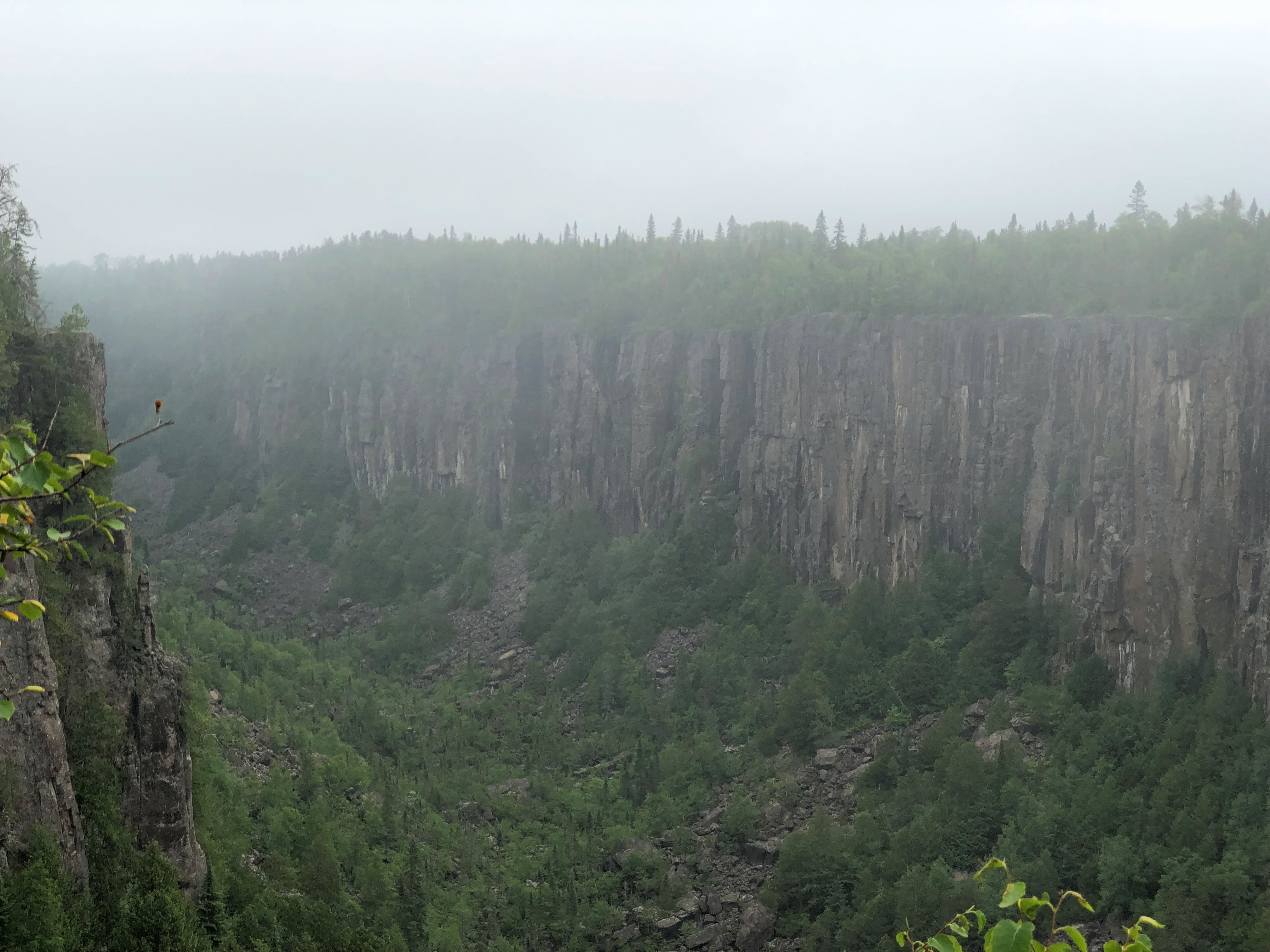
East from the Terry Fox memorial is Ouimet Canyon Provincial Park, which I visited as an alternative to Sleeping Giant Provincial Park, which is highly visible from Thunder Bay but which looks like an all-day sort of place. I preferred to spend the day on the road, stopping where the mood struck.Ouimet Canyon
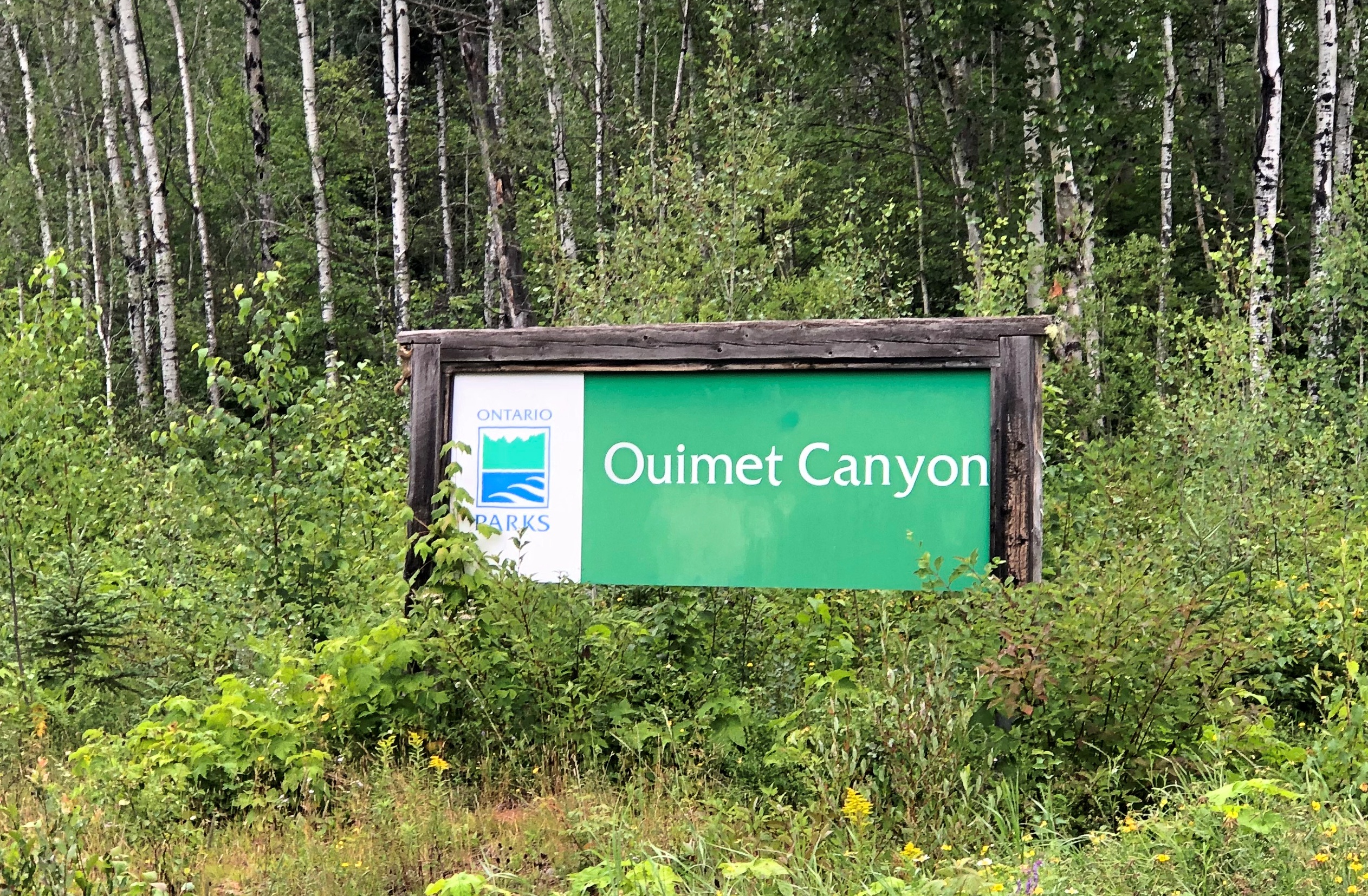
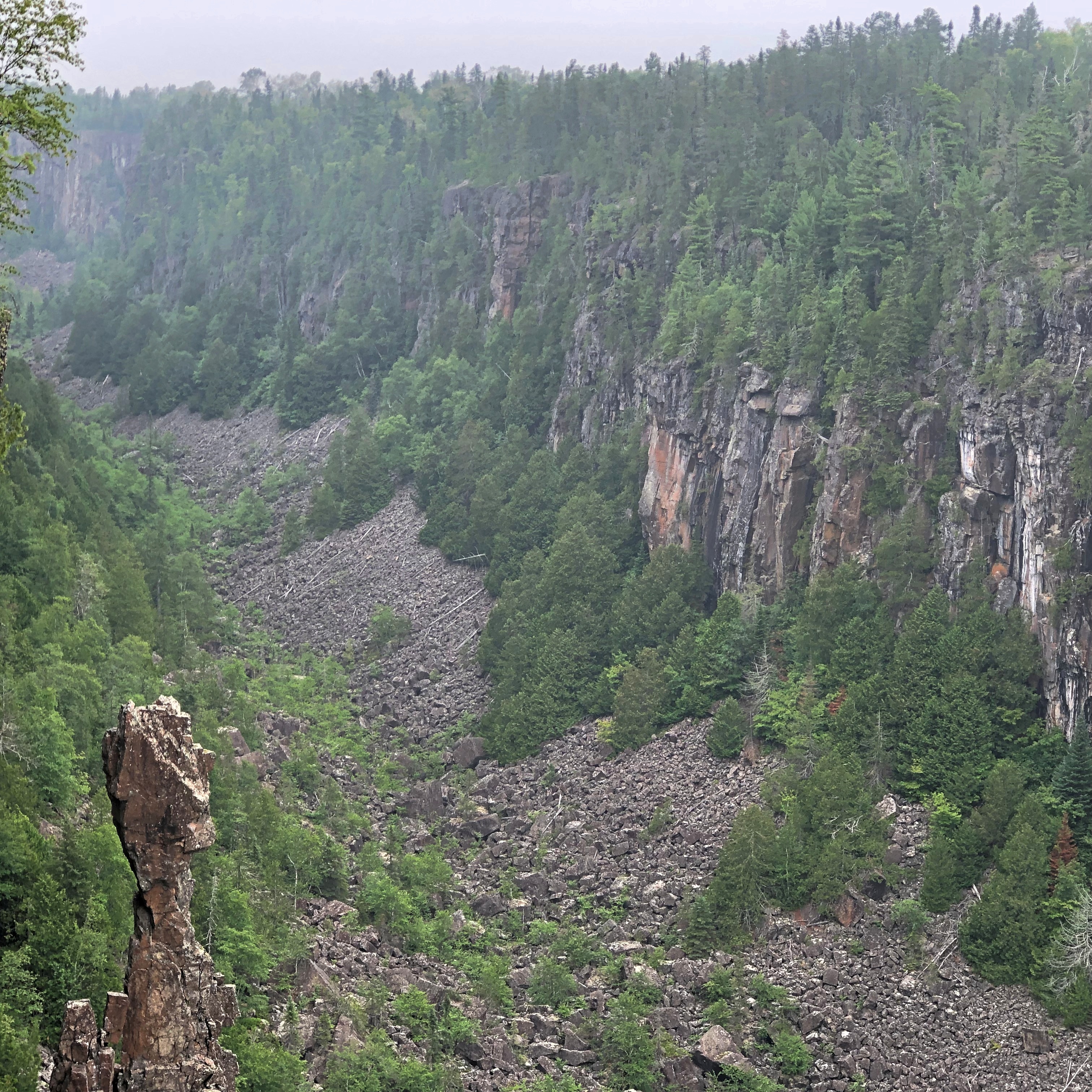
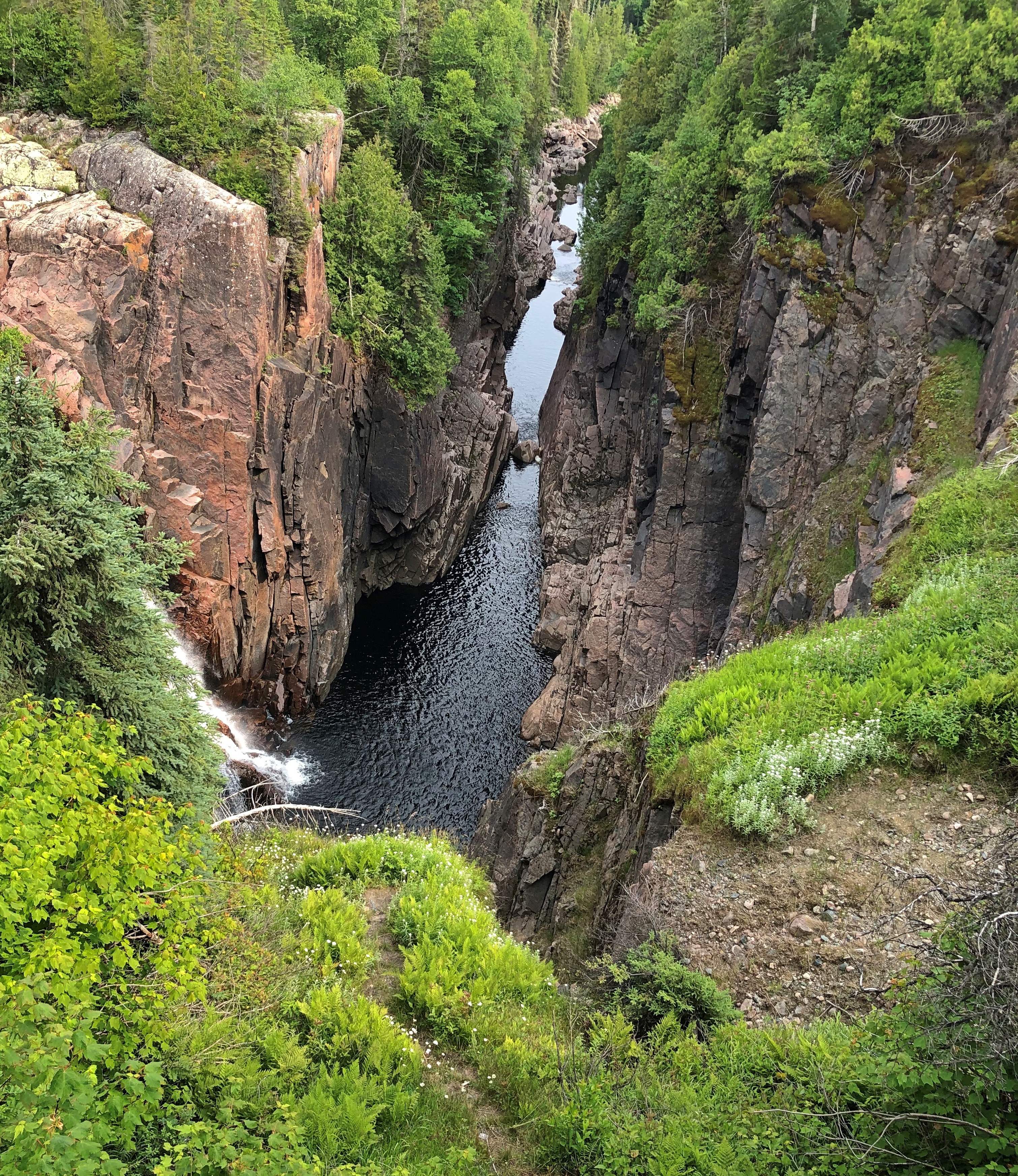
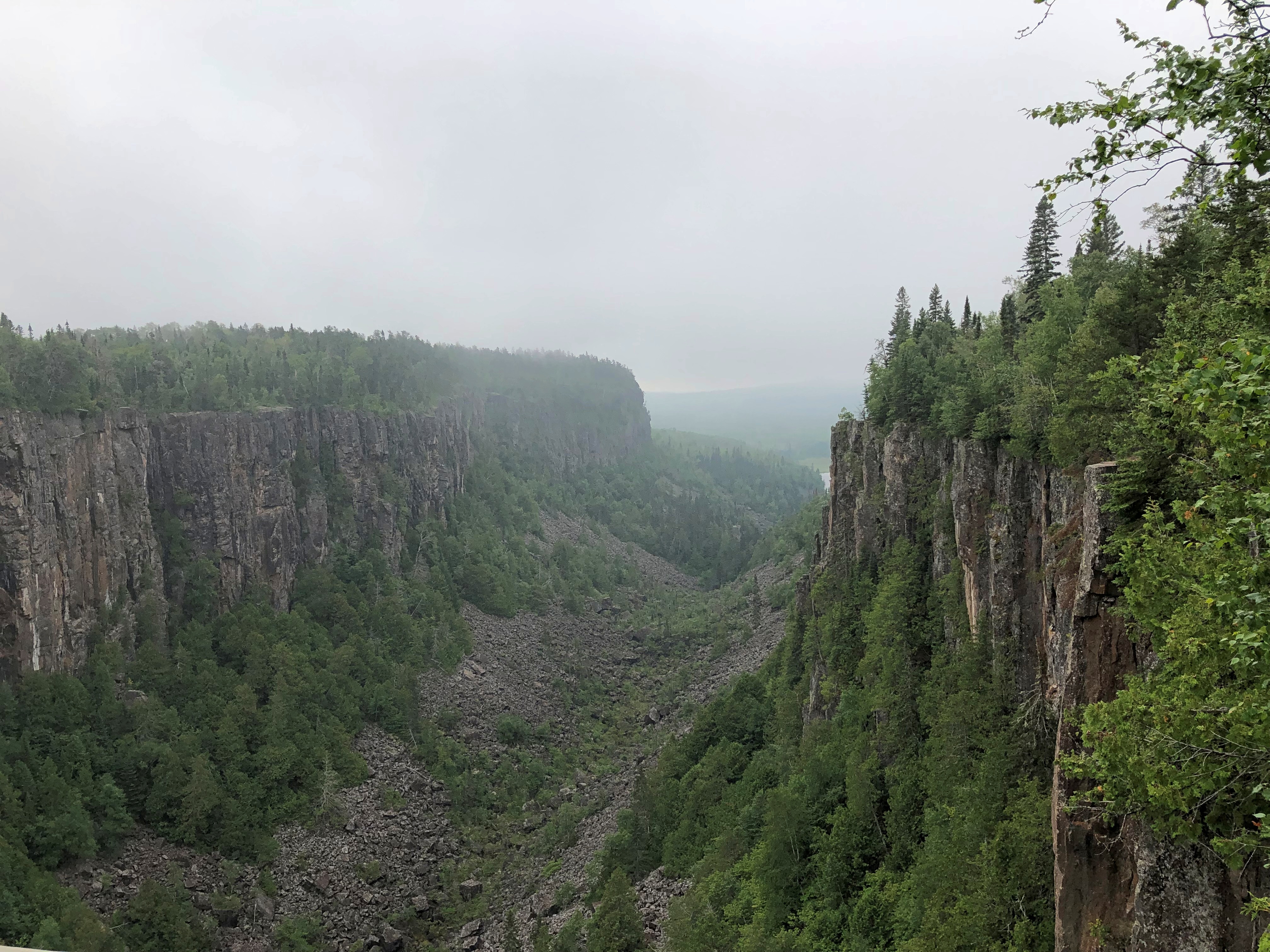
Ouimet Canyon is striking. A easy walk of 15 minutes or so takes you to the canyon’s edge. Foggy that morning but worth the stop.Ouimet Canyon Ouimet Canyon Ouimet Canyon
There was another place to stop in the park: a pleasant river view seen from a bench not far from the road, but tucked away behind some greenery, so that the road seemed far away. There was virtually no traffic anyway. I sat a while and watched the world go by not very fast. Or at all. I had to listen carefully to realize just how quiet the place is.

Also, the fog had started to burn off. Temps were very pleasant, whether Celsius or Fahrenheit.Ouimet Canyon Ouimet Canyon Ouimet Canyon
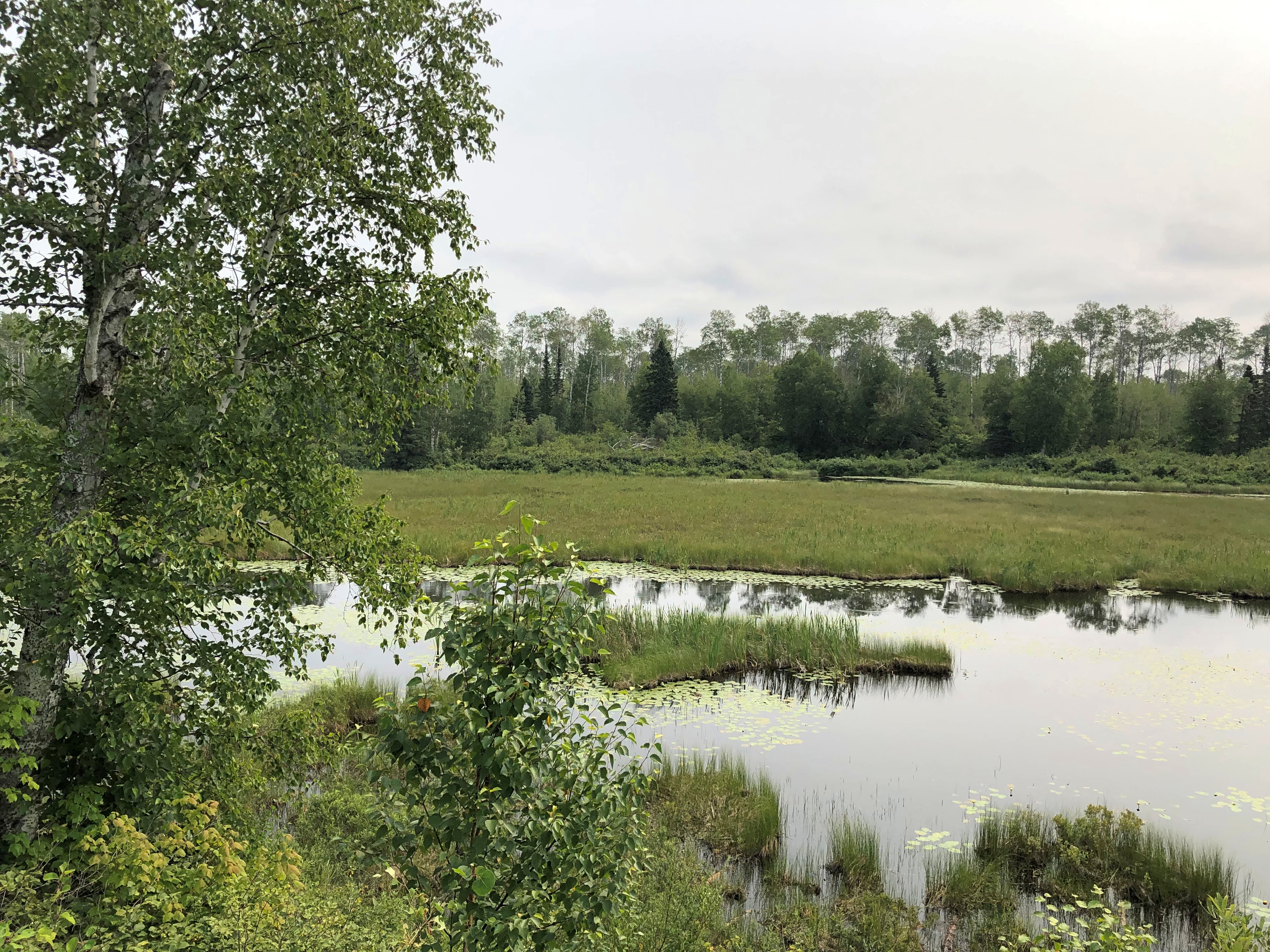
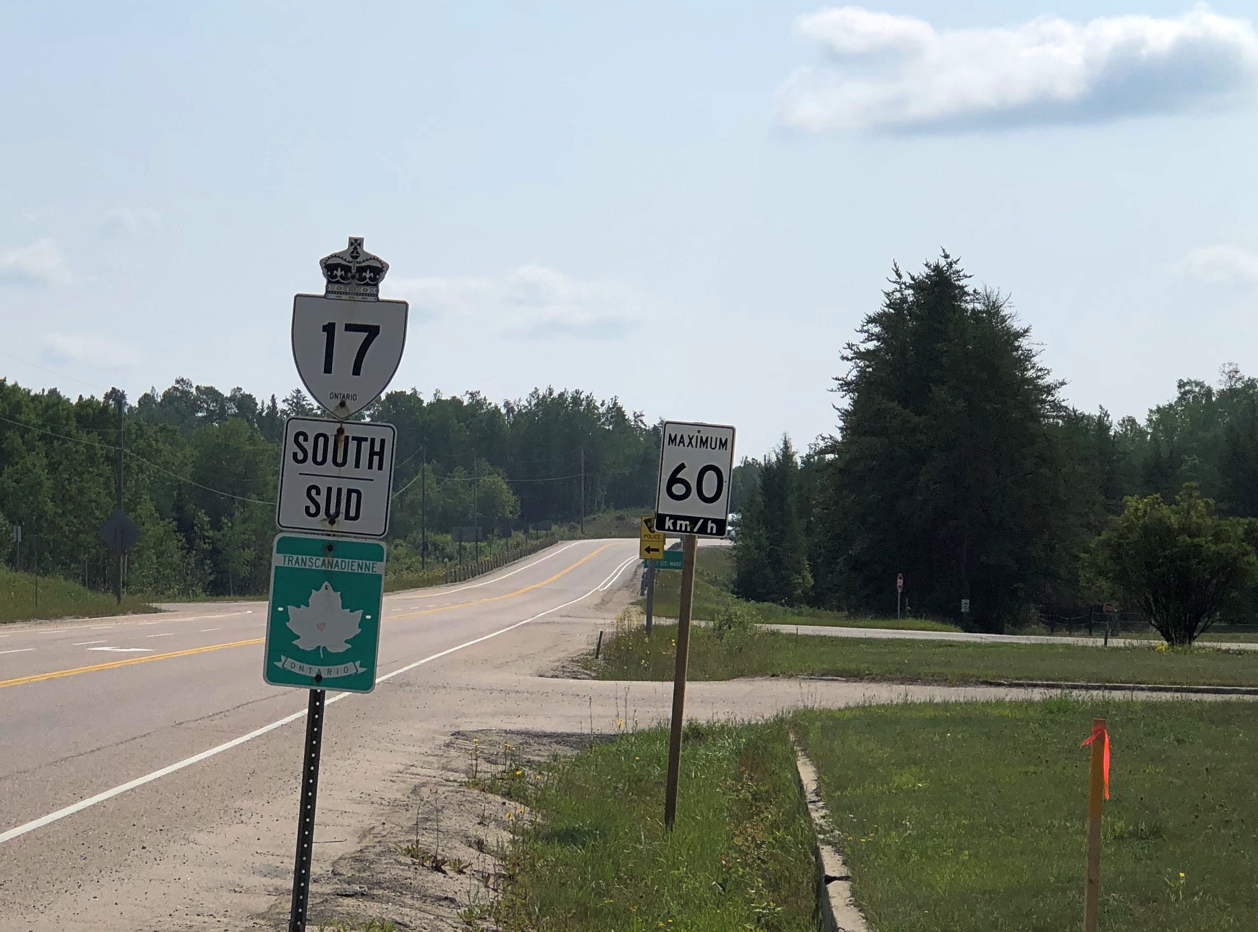
The Trans-Canada is King’s Highway 11 and 17 at this stretch. Highway 11 eventually splits off and goes way around to Toronto, including Yonge Street, while highway 17 hews closer to Lake Superior, and is the longest highway in the province. It is the one I eventually drove all the way to Sault Ste. Marie.

Much of the roadside is uncultivated flora. I took this to be fireweed, which meant I was far enough north to see it. I saw it in a lot of places in this part of Ontario.Highway 17 Ontario

But sometimes fauna, of the non-wild sort.

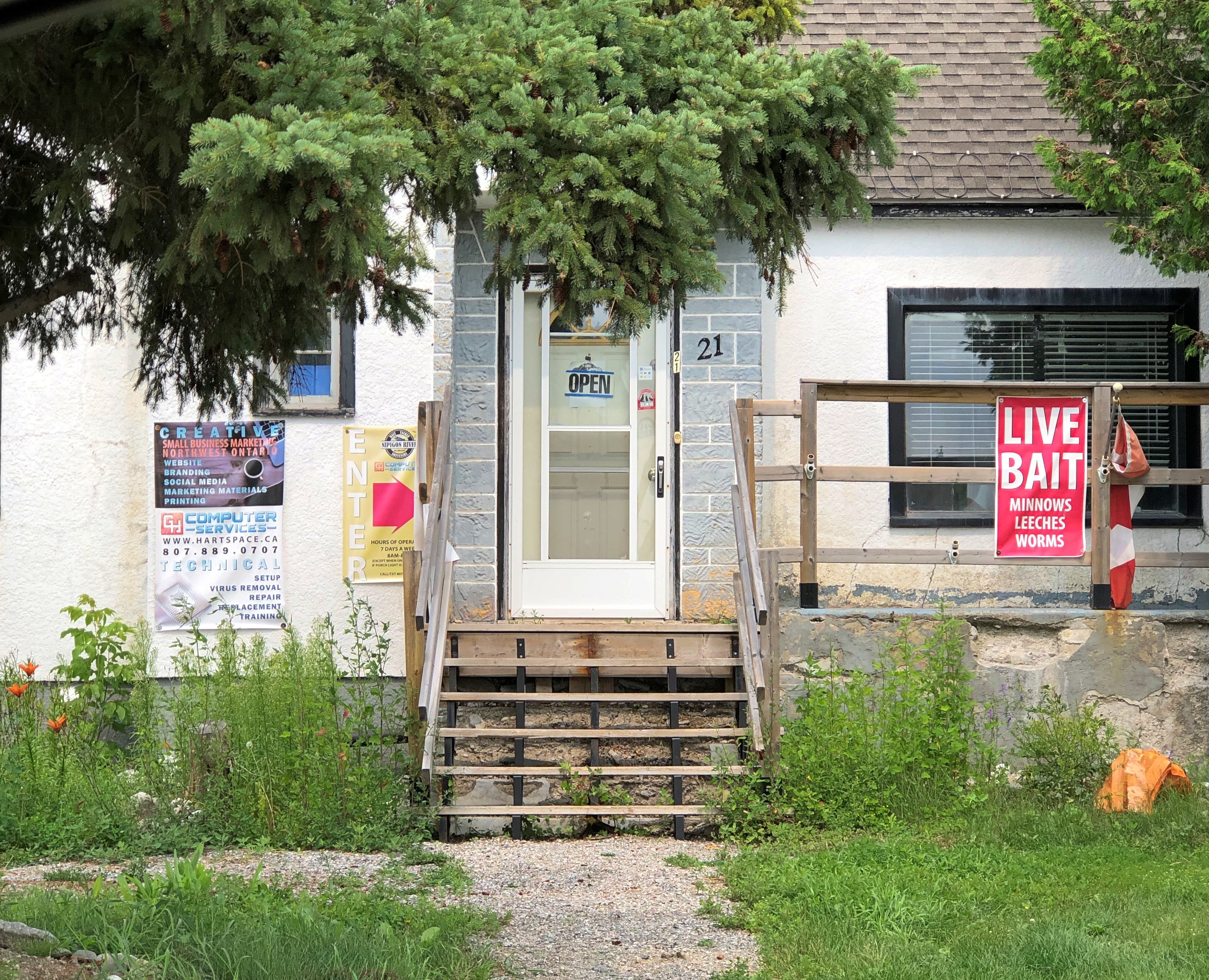
I found lunch in Nipigon, pop. less than 1,500. I could have had my laptop repaired, if it had needed work, or bought worms and leeches, if I were in the mood to go fishing. I never am.Nipigon, Ontario
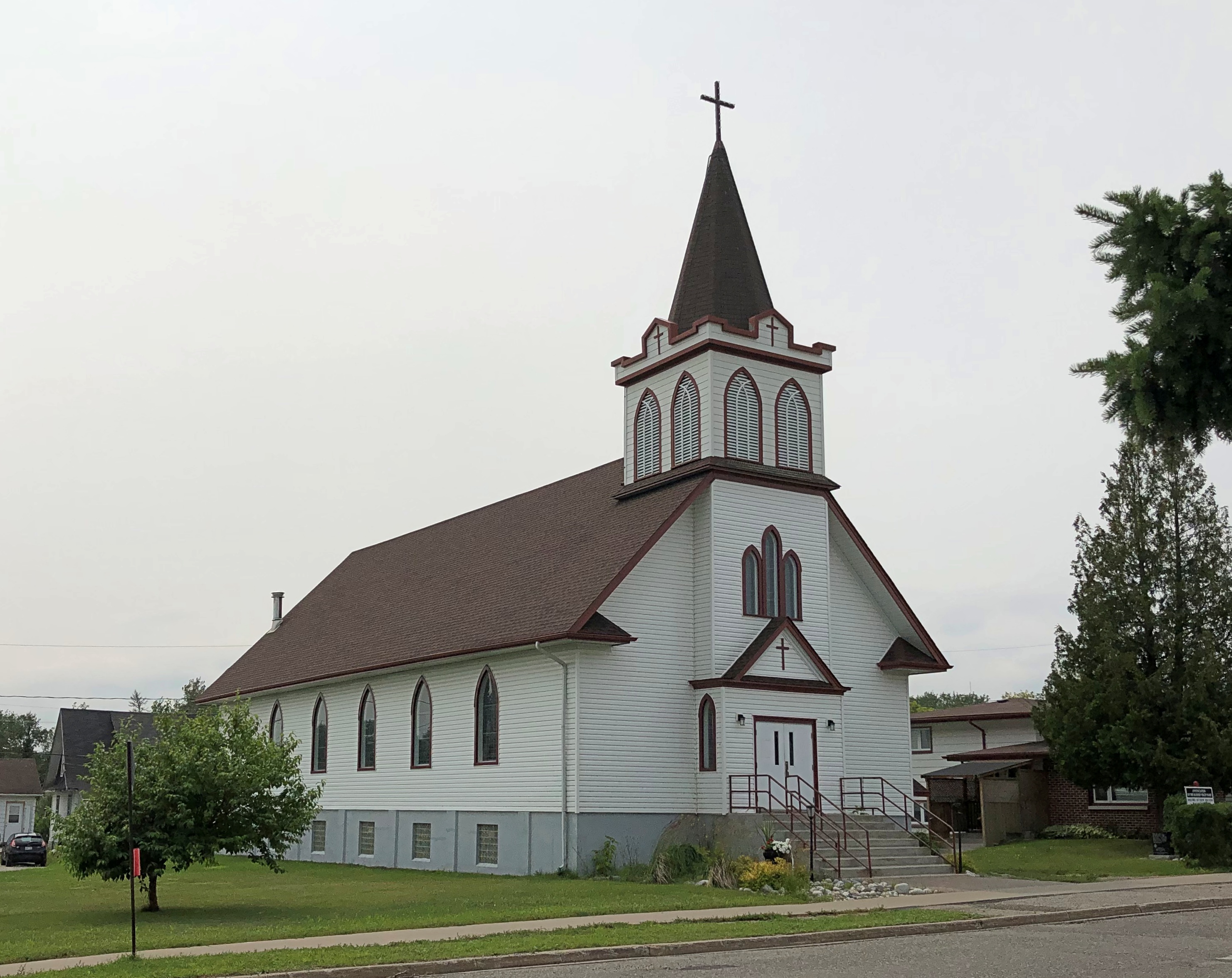
Nice church. The Annunciation of the Blessed Virgin Mary Roman Catholic Church. Closed, of course.Annunciation of the Blessed Virgin Mary,
Nipigon has an observation platform just off the highway, free and open to all, and completed only in 2018.Nipigon, Ontario
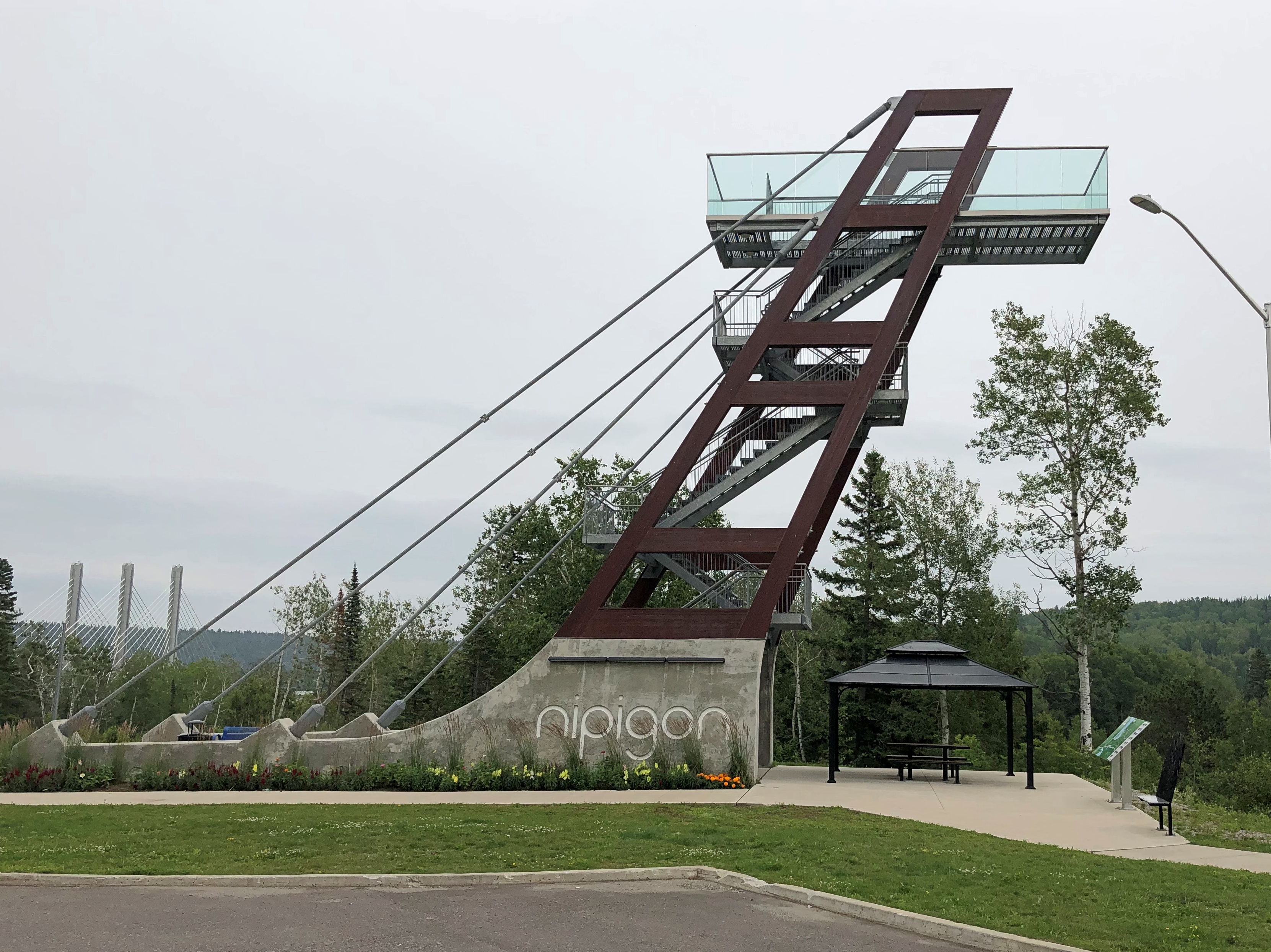
Naturally I climbed to the top for the vista. I need to do that kind of thing while I still can.Nipigon, Ontario
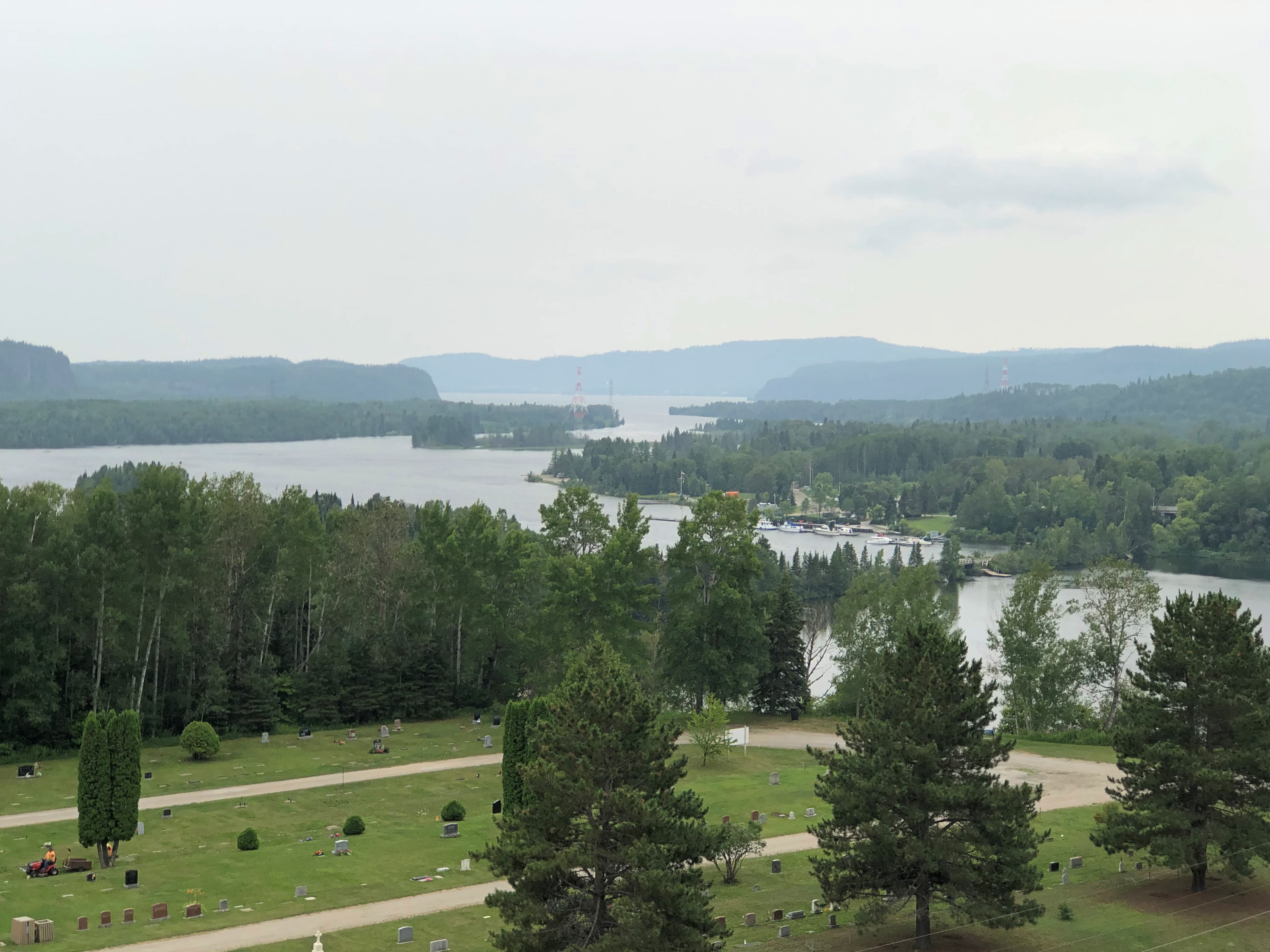
The Trans-Canada crossing the Nipigon River. Elegant, but with a troubled recent history.
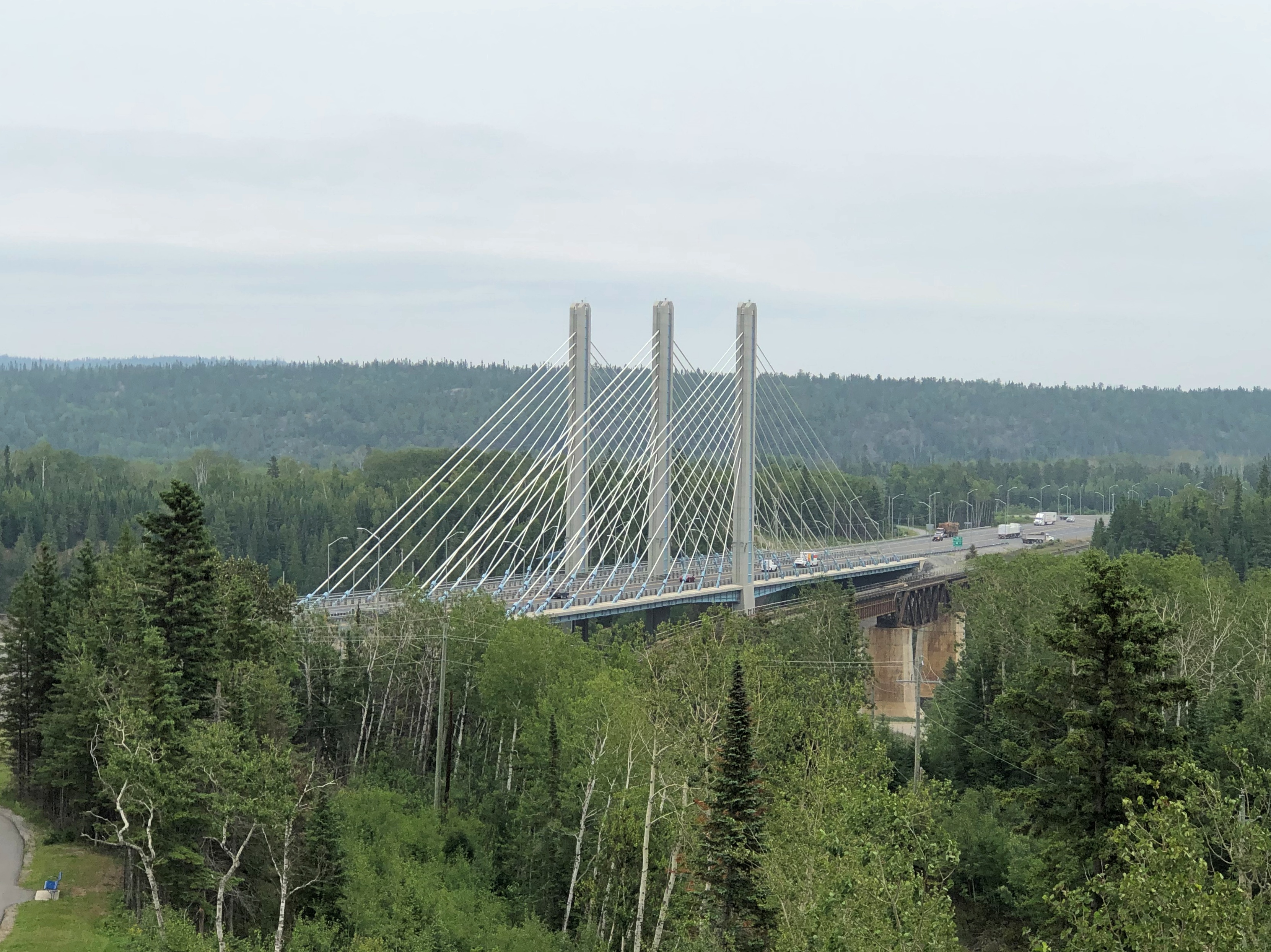
The bridge was also completed in 2018. Or rather, it was reopened that year.

“[The reopening] comes nearly three years after the bridge, described as the first cable-stayed bridge in Ontario, failed in January 2016, just weeks after it opened,” notes the CBC. Oops. Apparently no one died as a result, so there’s that.

“Engineering reports found that a combination of design and installation deficiencies caused the failure, which effectively severed the Trans-Canada Highway. Improperly tightened bolts on one part of the bridge snapped, causing the decking to lift about 60 centimetres.”

Further to the east: Rainbow Falls Provincial Park. Another short walk to a nice vista. Another thing to like about this part of Canada.Rainbow Falls, Ontario Rainbow Falls, Ontario

All together, it was a leisurely drive, but even so I arrived in Marathon, pop. 3,270 or so, before dark – long summer days are a boon up north – and took in a few local cultural sights.Marathon, Ontario
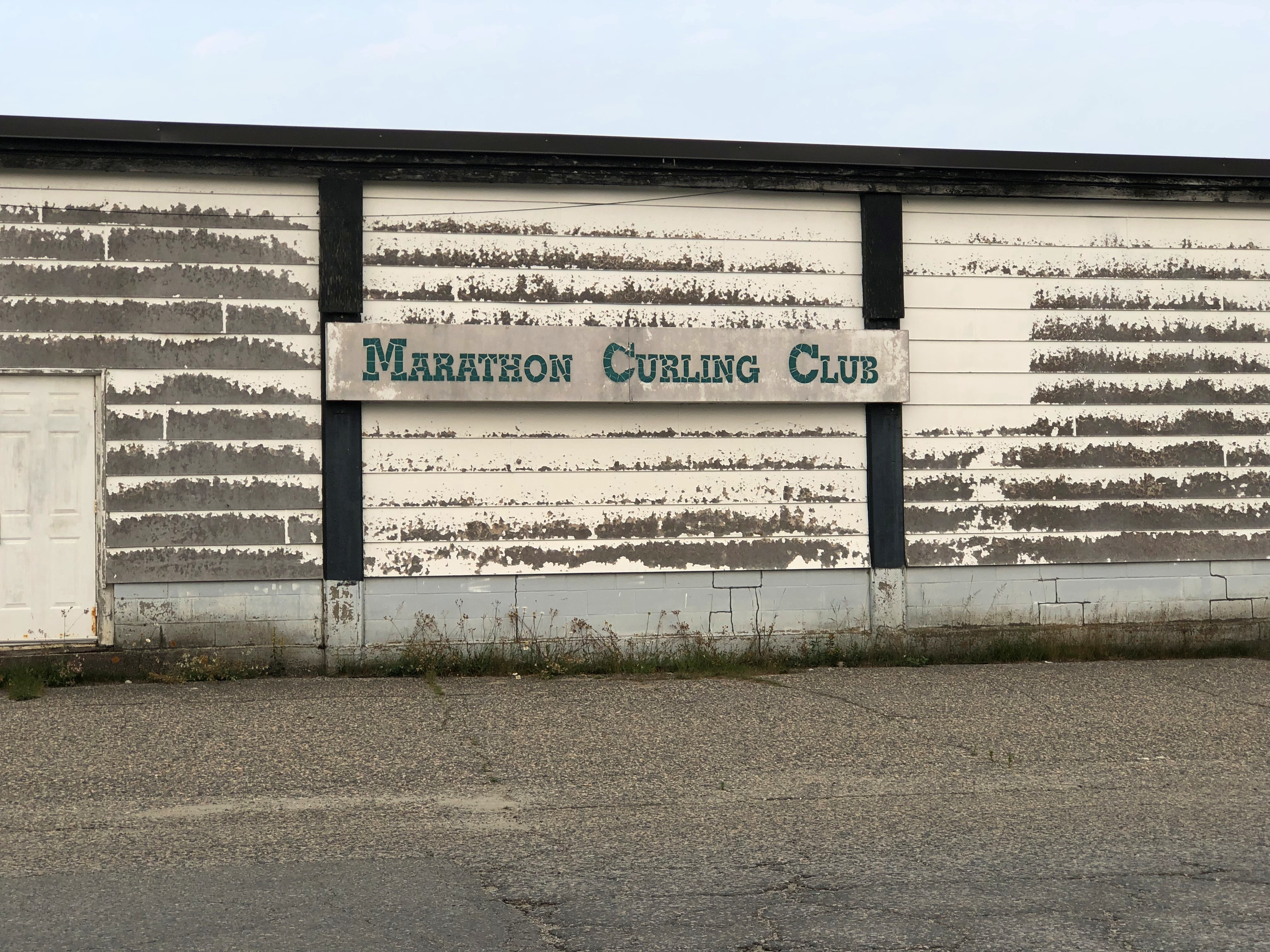
Marathon, Ontario

Just the exterior of the curling club. Wok With Chow, on the other hand, provided me dinner that evening, inside and at a table. Good enough chow, and demonstrating just how deeply ingrained Chinese food is in North America.

Highway 61 Revisited

A little more than five years ago – where does the time go? (Time stays, we go) – I wrote: “When I was very young, I had a U.S. map puzzle that I put together who knows how many times, fascinated by the individual shapes of the states. Some states more than others, including Minnesota, with its rough northern border, more-or-less straight-back western border, concave eastern border and pointy southeast and especially northeast corners.”

The road that follows the Minnesota coast of Lake Superior is Minnesota 61. We went part of the way in 2018.

I’d wanted to return to the pointy northeast corner since our last visit, so I did on July 30, heading north from Rice Lake, Wisconsin. I’d have stayed in Duluth the night before, but most places were booked there (well, it was a Friday) or insanely expensive. I know there’s been some inflation in hospitality property rates lately, but those prices represented something else. The popularity of northeastern Minnesota in summertime?

Probably, with many visitors heading up to lakes or into the woods. But the crowds along coast from Duluth to the Canadian border near Grand Portage weren’t that intense.

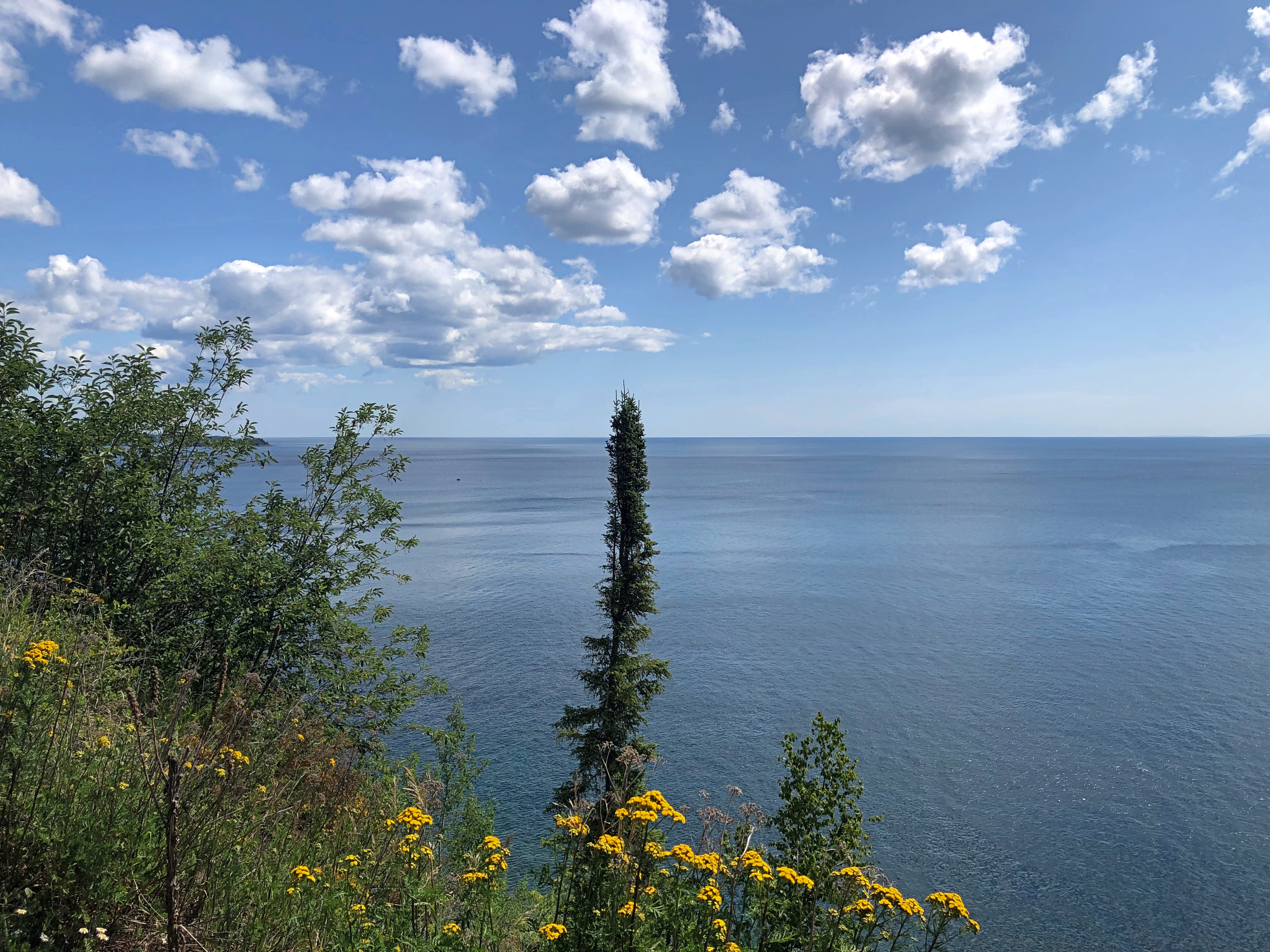
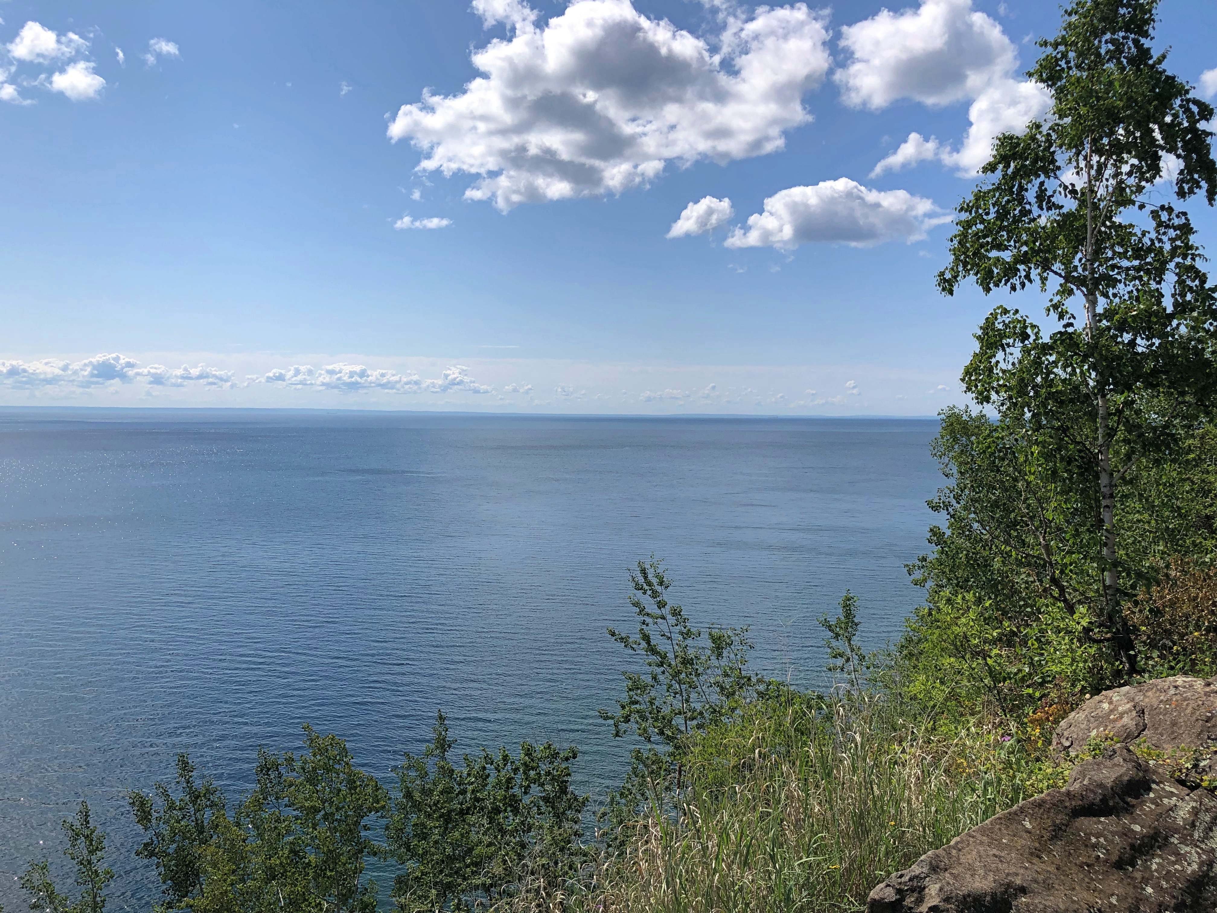
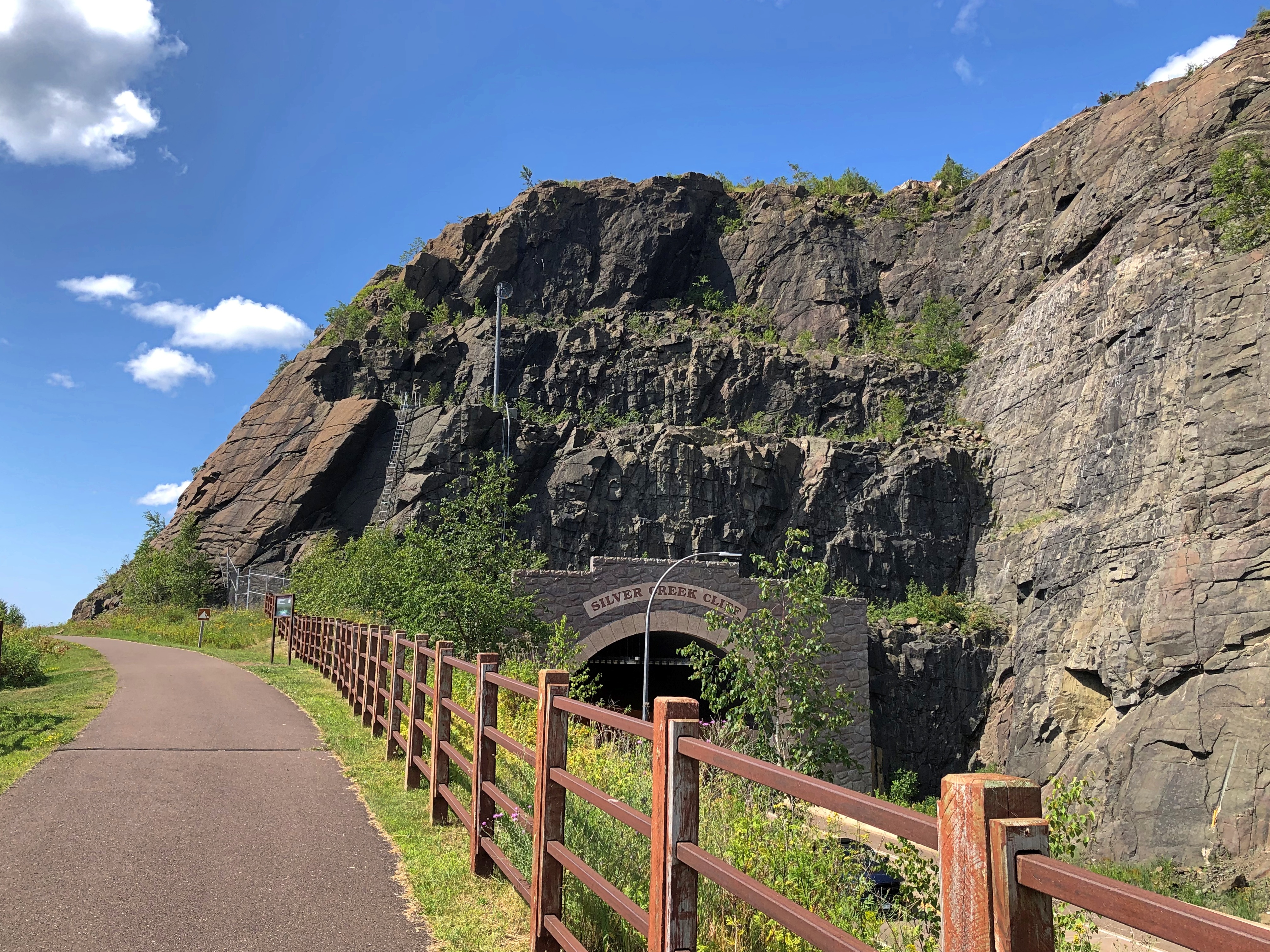
Not long out of Duluth the vistas appear, if you want them. I did.Minnesota 61 Minnesota 61

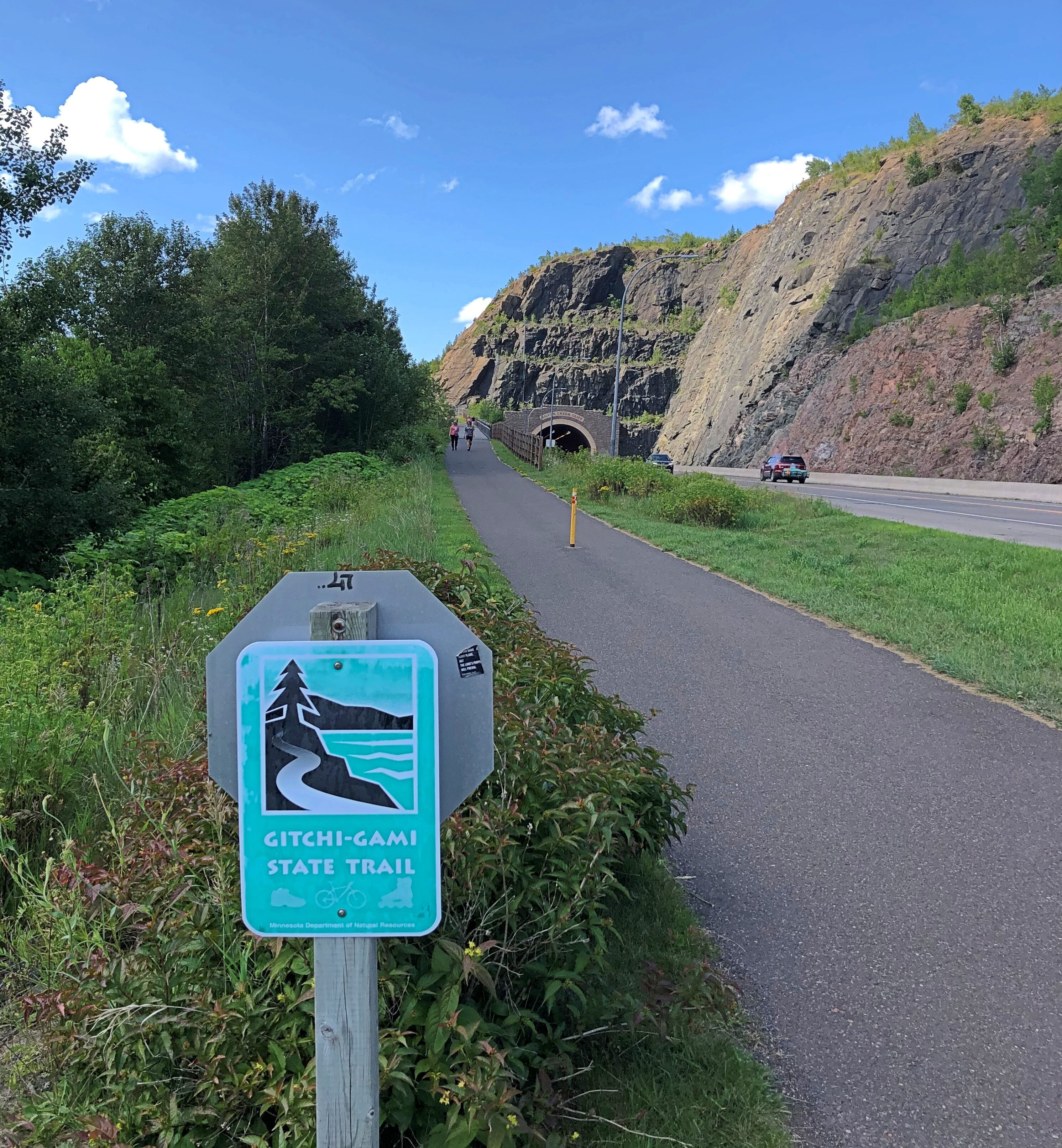
So do the trails.Minnesota 61 Minnesota 61

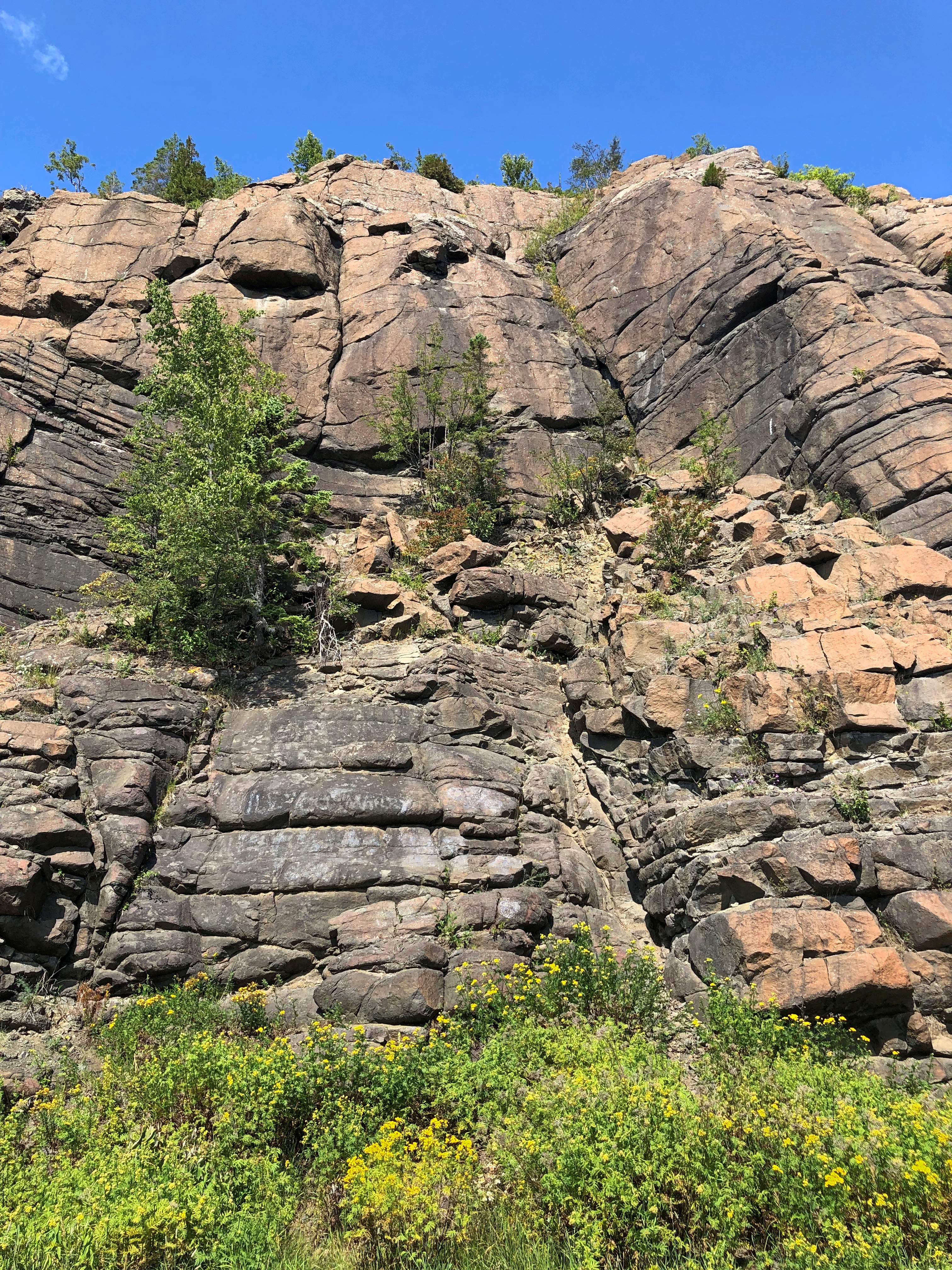
And the rocks.Minnesota 61

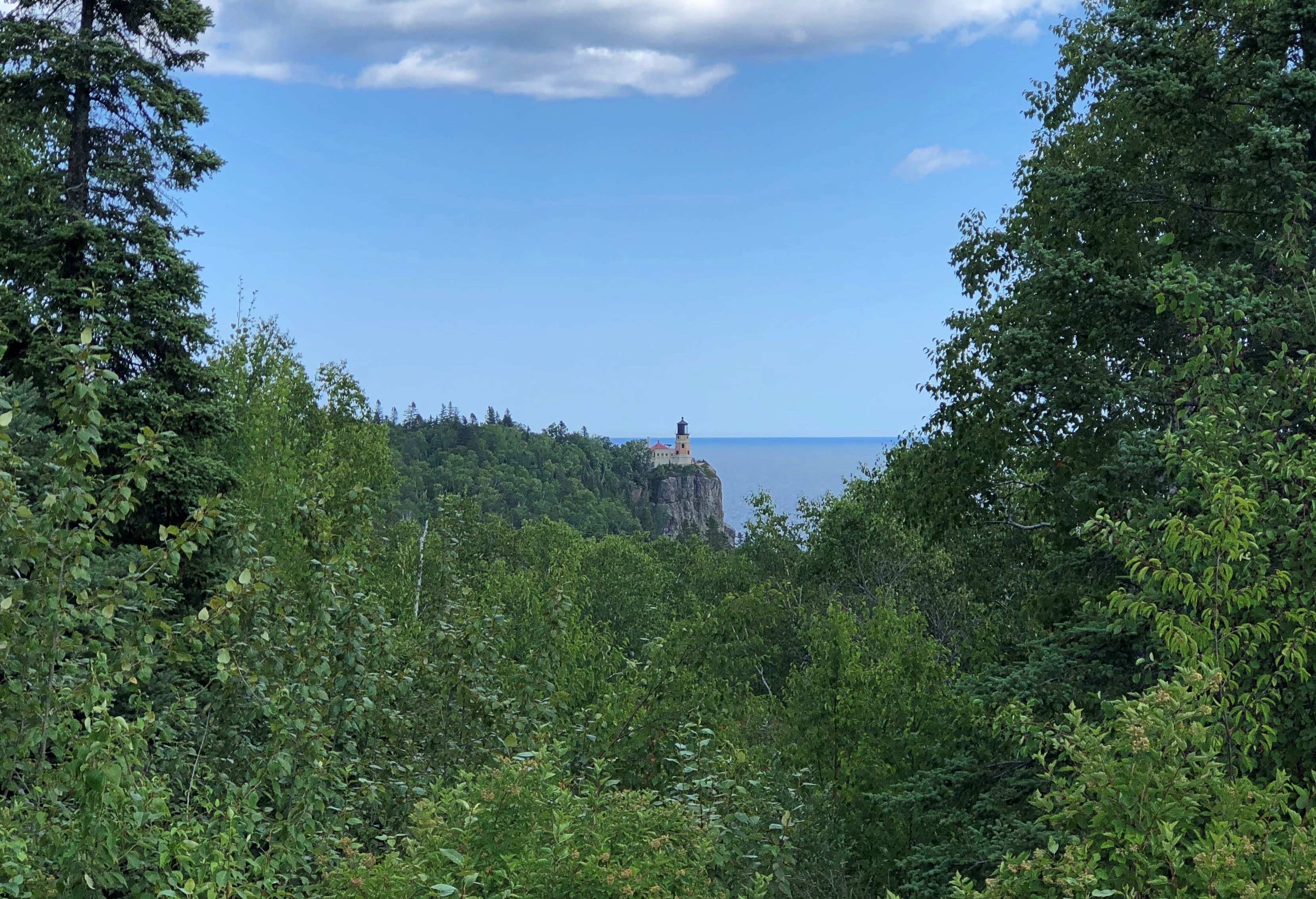
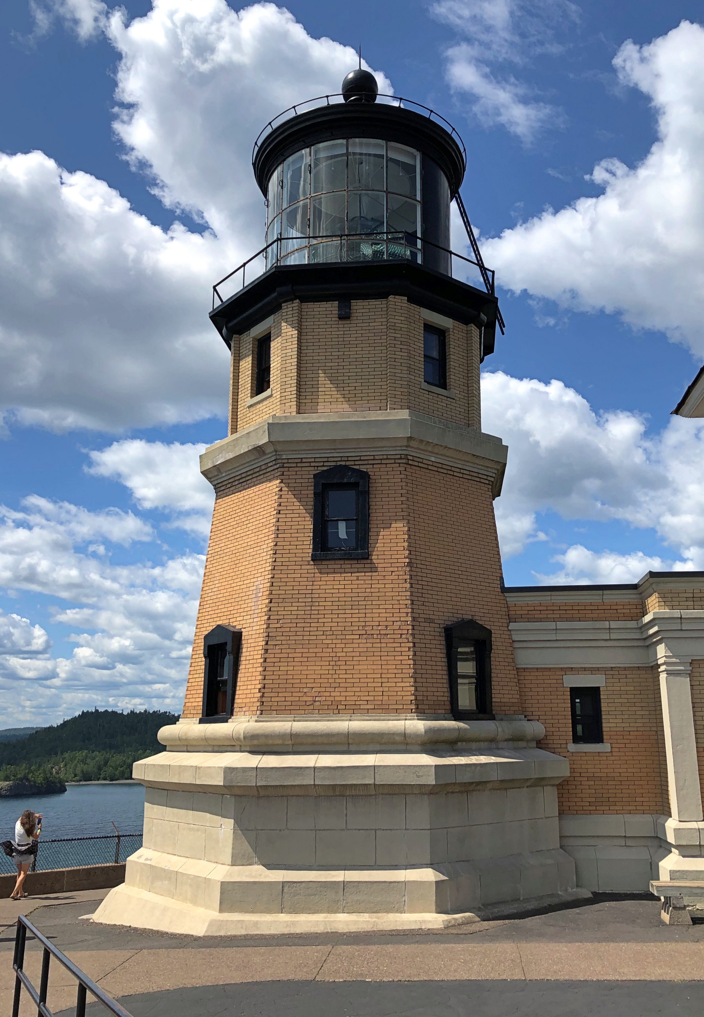
Some miles northeast on Minnesota 61 is a scenic view stop specifically so passersby can see Split Rock Lighthouse.Split Rock Lighthouse

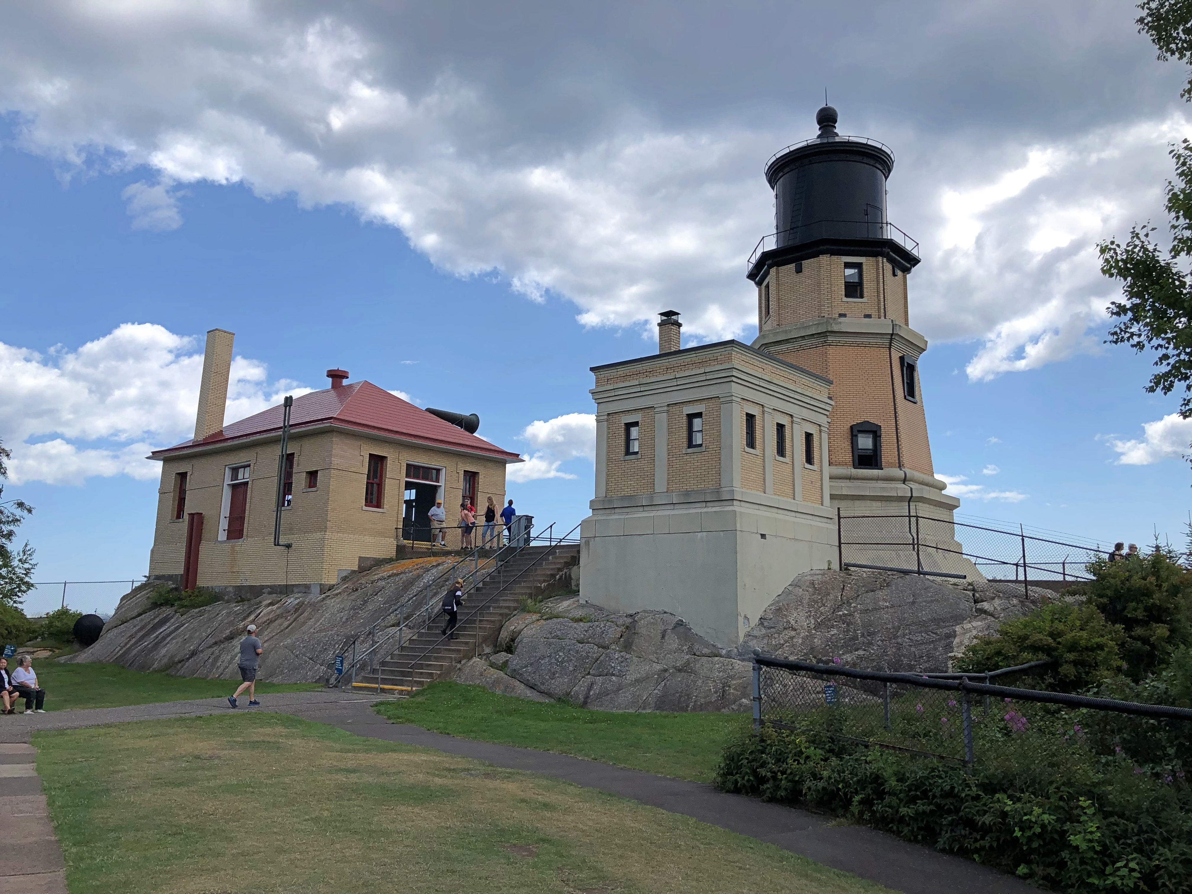
Still in working order, but not used as a navigation aid since 1969. Its heyday came immediately after its construction in 1910, when it proved invaluable in preventing the grievous loss of men and cargo into the depths of Superior’s ice-water mansion off this particularly treacherous stretch of shoreline.Split Rock Lighthouse Split Rock Lighthouse

Cream City Brick? I asked one of the docents, who said he needed to check on that, since I wasn’t the only person who had asked.

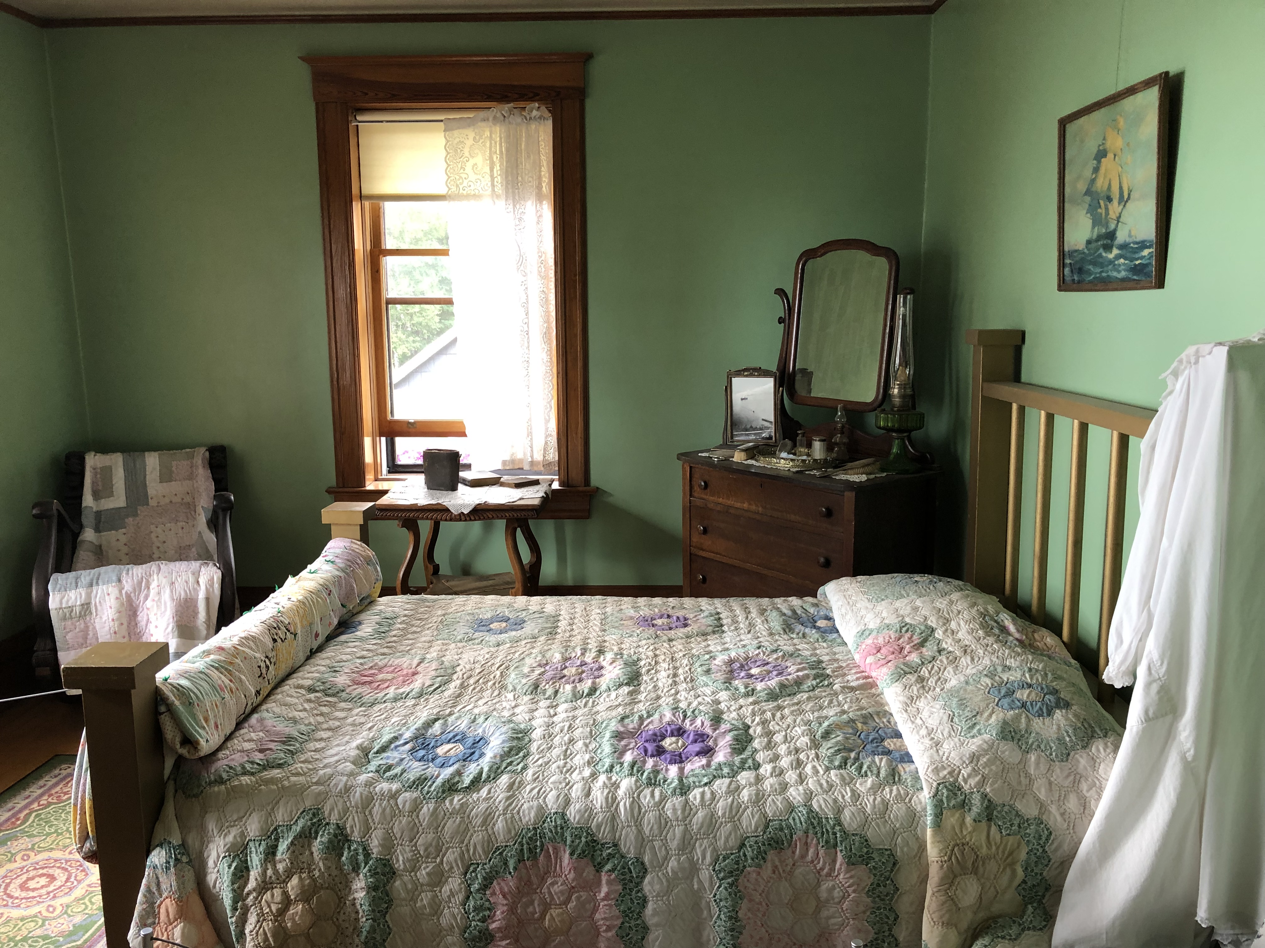
Humble quarters for the lighthouse keeper.Split Rock Lighthouse

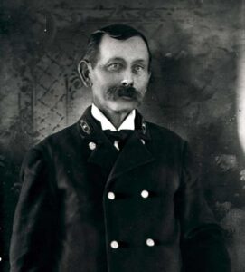
Orren “Pete” Young was the charter keeper at Split Rock Lighthouse, attending to his duties from 1910 to 1928. Wonder who should play him in the in-development prestige streaming drama Split Rock: The Early Years. Lighthouse Service intrigue. The fleshpots of Duluth. Young’s heroism during the Great Storm of 1913. Anyway, casting can be decided after the strike.

“A former sailor, Young began his lighthouse career in 1901 serving along Lake Superior’s Michigan coast,” explains the lighthouse web site. “In 1910 Young moved to the new Split Rock Lighthouse. His family, a wife and four children, would come to live at the lighthouse in the summer months but never lived there permanently. In the later years of his career, they lived in a year-round home 20 miles south of Split Rock in Two Harbors.

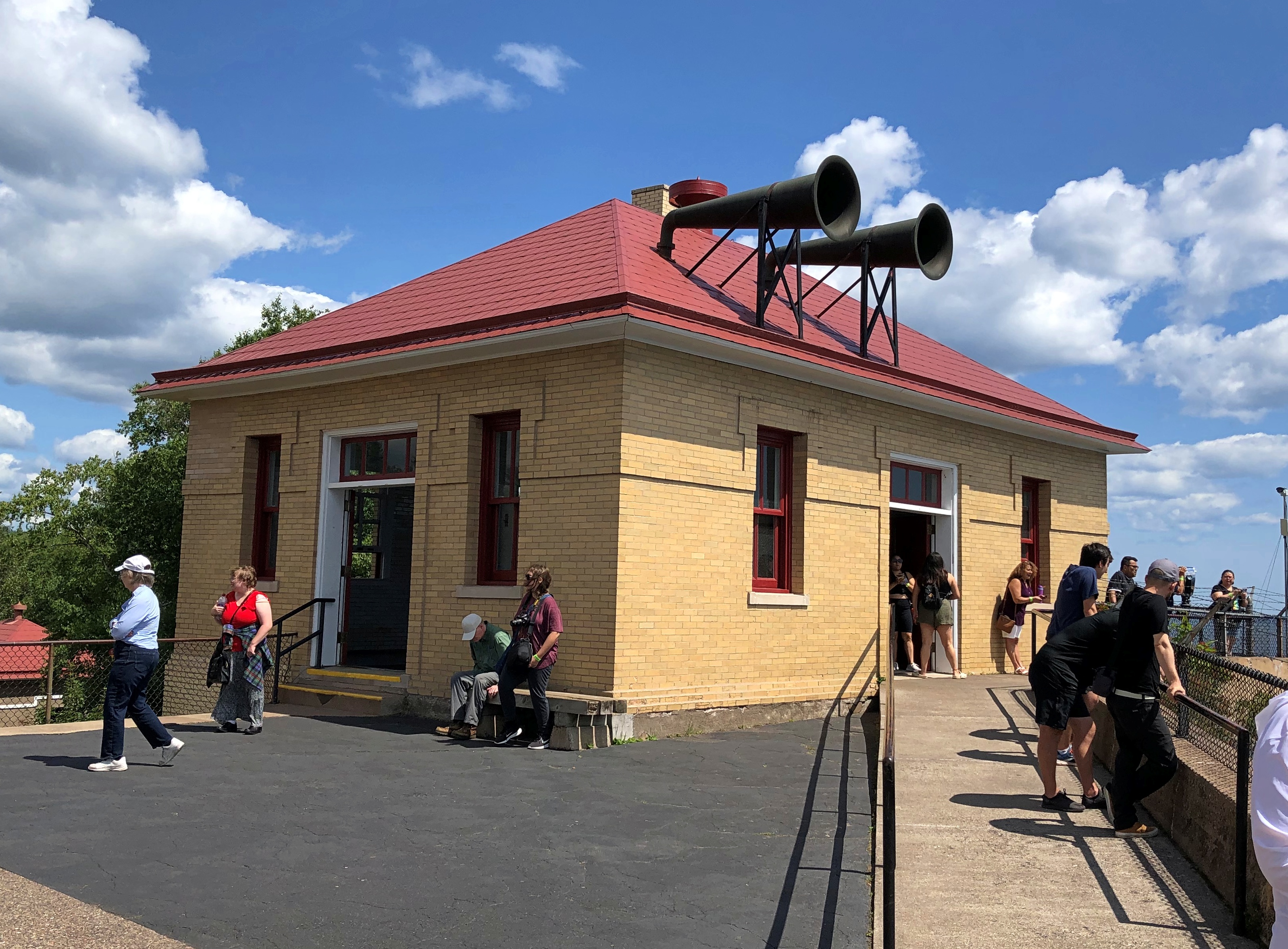
Split Rock wasn’t only a light, but it had a fog horn as well.Split Rock Lighthouse

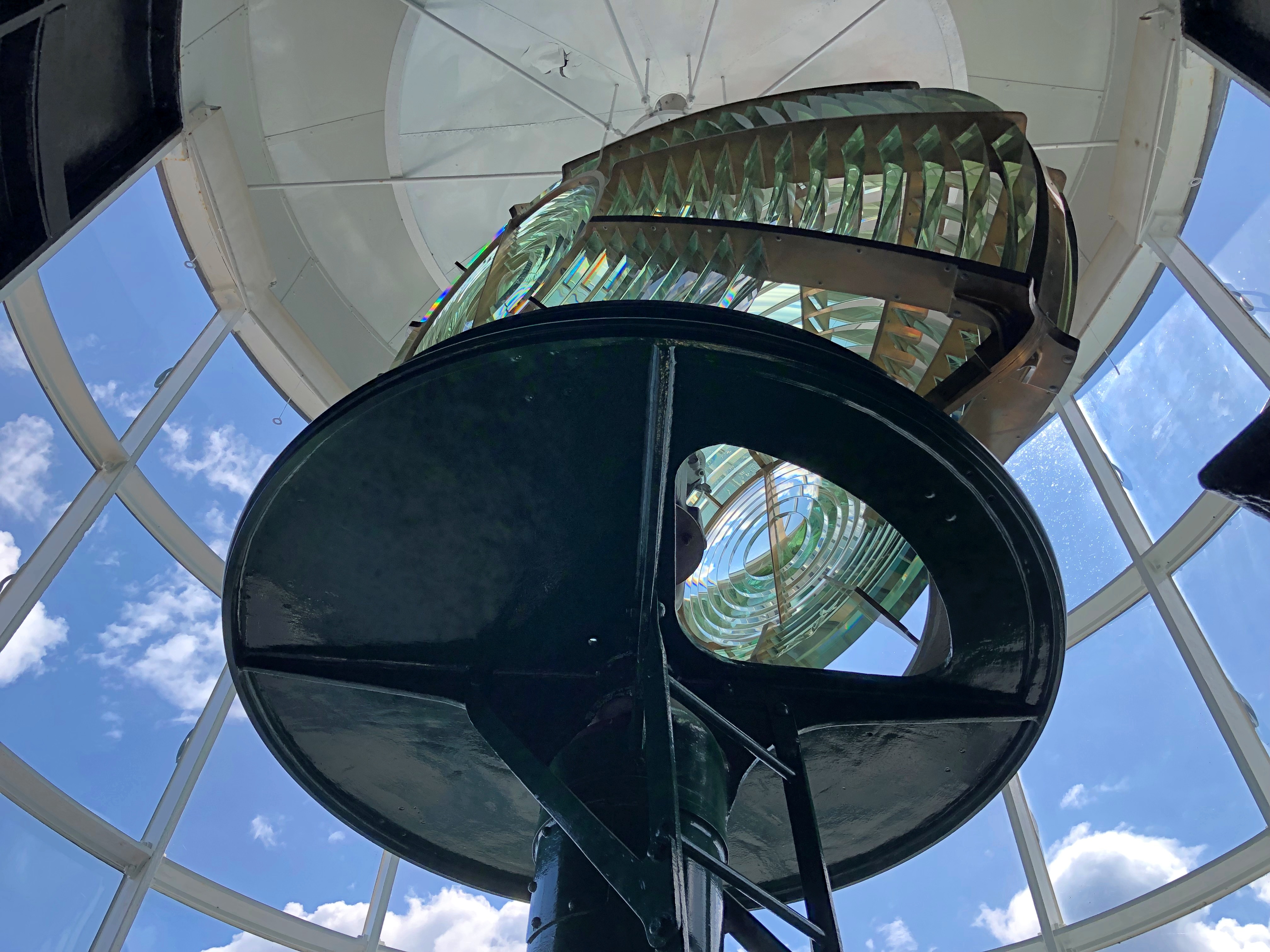
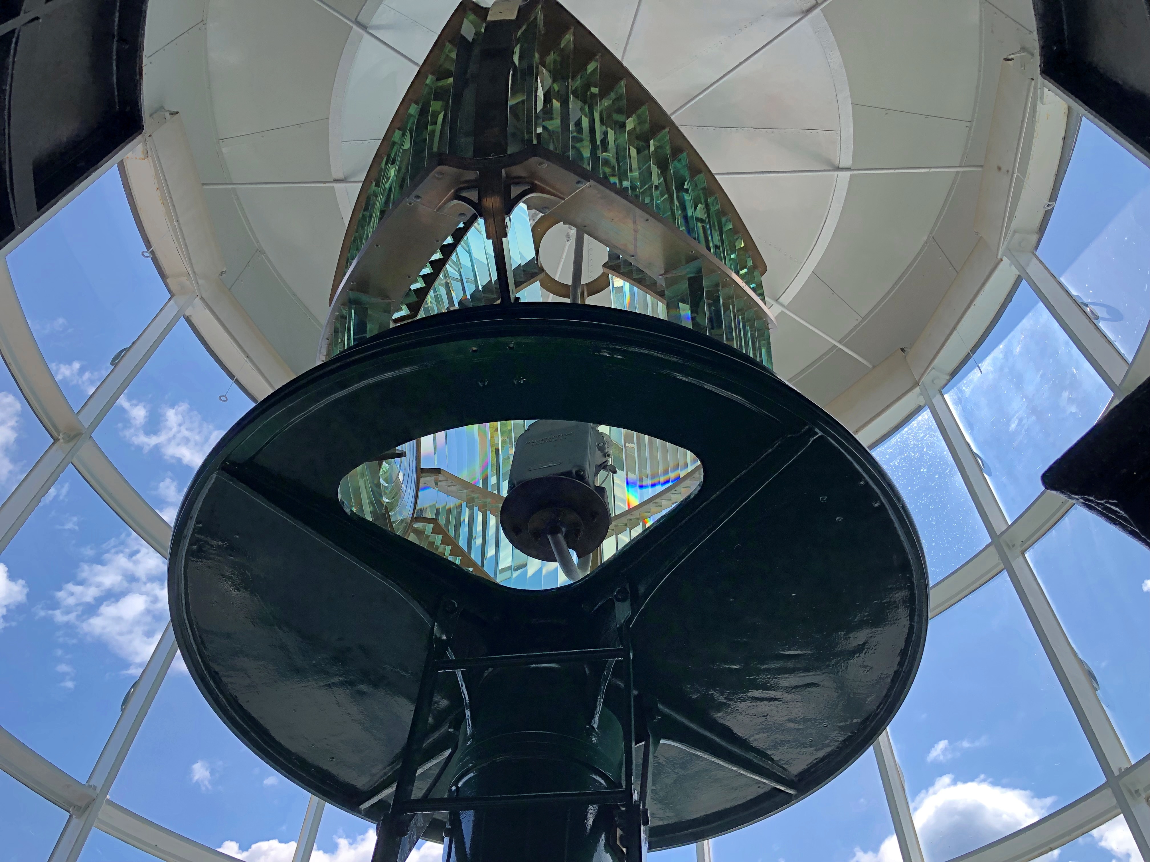
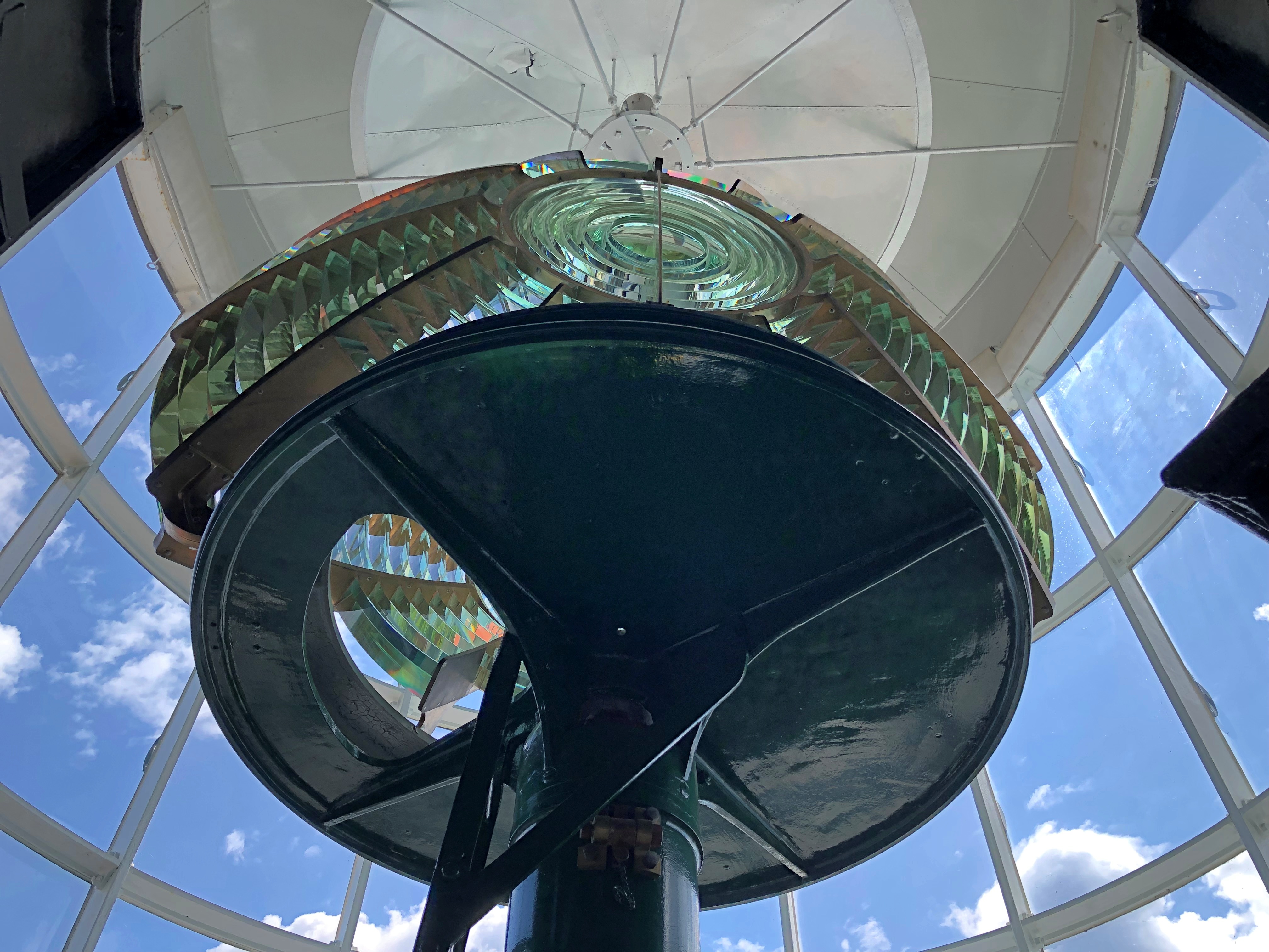
Best of all, a Fresnel lens, that extraordinary amalgam of art and science I’ve only encountered on the shores of Gitchee Gumee. This one is in situ and operational. And rotating. One that can and occasionally does beam its candlepower to some miles out into the lake.

You climb up a few flights of stairs inside the tower to reach the room it occupies.Split Rock Lighthouse Split Rock Lighthouse Split Rock Lighthouse

On I went from there, along the two-lane and sometimes winding highway, with periodic views of the lake, and sometime walls of trees on the landward side. Traffic was light, the weather perfectly clear. Near car-commercial driving.

Until about 30 years ago, I’ve read,  the road was designated U.S. 61. For reasons enshrined in some file at the U.S. Department of Transportation, the feds de-designated it, leaving it to the state to give it a number. Conveniently, 61.

Grand Marais, Minnesota,  pop. 1,300 or so, is up the coast on highway 61 from the lighthouse, and where I went next. I have to like a place that has an event called Moose Madness. That’s in October, so I missed that bit of local color.

Instead, I arrived in time for lunch, and I looked around the main shopping street, which was alive with people, tourists every bit as I was, but not jammed with them. I had my choice, among fixed-address places, of Java Moose Expresso Cafe, Gun Flint Tavern, Blue Water Cafe, Sven & Ole’s (pizza), Superior Creamery and World’s Best Donuts, among others.

There was also a cluster of food trucks. I ordered a small pizza from a one of those, paying tourist prices. It was good, though, sustaining me during the next few hours, when I crossed into Canada.

Around Lake Superior

Long stretches of the Trans-Canada Highway along or not far from Lake Superior are lightly traveled, even in summer. Driving the road isn’t exactly solitary, but traffic-free enough to allow your mind to wander. And by your mind, I mean mine, a few days ago.

Dear Mr. Prime Minister, I thought.

There must be a correct way to address the prime minister of Canada in a formal letter. Who writes formal letters to politicians any more? Still, the formal must exist, and I could look it up. Never mind, on with the letter.

Your Excellency,

I’m about mid-way through an enjoyable six days in your country, traveling from the port of entry at Grand Portage to an exit at the grand international bridge connecting the two Sault Ste. Maries.

I have noticed that very few places in Canada sell postcards, even tourist shops, and especially Parks Canada units. I had to struggle to find cards to send to my friends back in the United States, which is a minor hobby of mine.

Market forces, you might say. An erosion of Canadian heritage is what I’d call it, and I am writing to urge that your government do something to reverse the loss, against the day when – fully dismayed by electronic media — people return to physical media.

I leave the details to you and your Minister of Canadian Heritage (cc’d on this letter). Certainly Parks Canada can be persuaded to stock them again. For private shops, perhaps tax incentives to produce Canadian-content postcards and to stock them, and a public service campaign to encourage their purchase and use.

It might not be Canada’s most pressing challenge, but it is certain worth a little of your government’s time.

Despite the minor postcard annoyance, it was nice to be back in Canada.

Every bit as scenic as the U.S., but a lot cheaper. The current judgment of the currency markets is that the U.S. dollar is strong against its Canadian counterpart (unlike in 2006).

Canada wasn’t the entire trip. Leaving on July 28, I drove from northern Illinois northwestward through Wisconsin, then to the shore of Lake Superior in Minnesota, reaching the border on the afternoon of the 30th. I left Canada yesterday, August 5, proceeding home through the UP and then southwestward back through Wisconsin, arriving home today.

In effect, I went clockwise around Lake Superior: 1,937 miles all together, though some fraction of that was measured in kilometers.

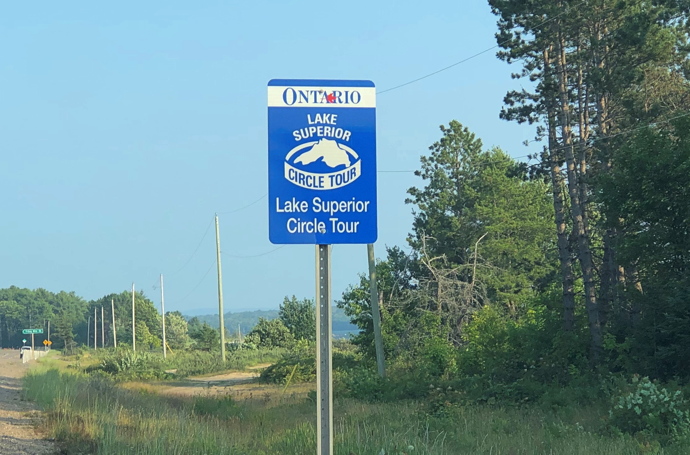
This particular drive has been in the back of my mind for years. Years and years. In September 1989, I drove to the UP and went camping. One day I headed north from my campsite to Munising for breakfast, and then on to Marquette. Somewhere along the way, around the time I first saw Lake Superior, I also saw a sign like this (except not Ontario).

I’d seen Lake Michigan Circle Tour signs in Illinois and Wisconsin. Those were brand new in those days, created to encourage tourism in the Great Lakes region, and if you asked me a brilliant bit of design. Drive around the lake, the sign says. You will be well rewarded.

I agreed: The ’89 trip itself was around Lake Michigan, though I’m sure I would have done it without the signs.

I’d never seen a Lake Superior Circle Tour sign before, but I liked the idea immediately.

The prospect intoxicated: around Superior would be mean driving to Minnesota, through that remote part of Ontario, and the back through the UP. Or vice versa. What was up that way? Exotic boreal territory; small towns; few services; moose? At the time, my experience with Canada was limited to a rewarding but short stay on Vancouver Island.

The actual Circle Tour follows a specific set of roads around, and during this trip I followed them on the whole, mostly because that was often the only option, but in some places I took other roads, usually since they were more convenient. So I can’t claim to be Circle Tour purist.

Even so, now that I’m done, driving around Lake Huron seems like a good idea too – either by way of the Bruce Peninsula and Manitouline Island, or the long way around Georgian Bay. I don’t expect to have another 34 years to get around to that, so it will be have to be sooner, if at all.

(Former) Dead Man’s Curve

Time for a genuine spring break, now that genuine spring has arrived. Back to posted content around May 24.

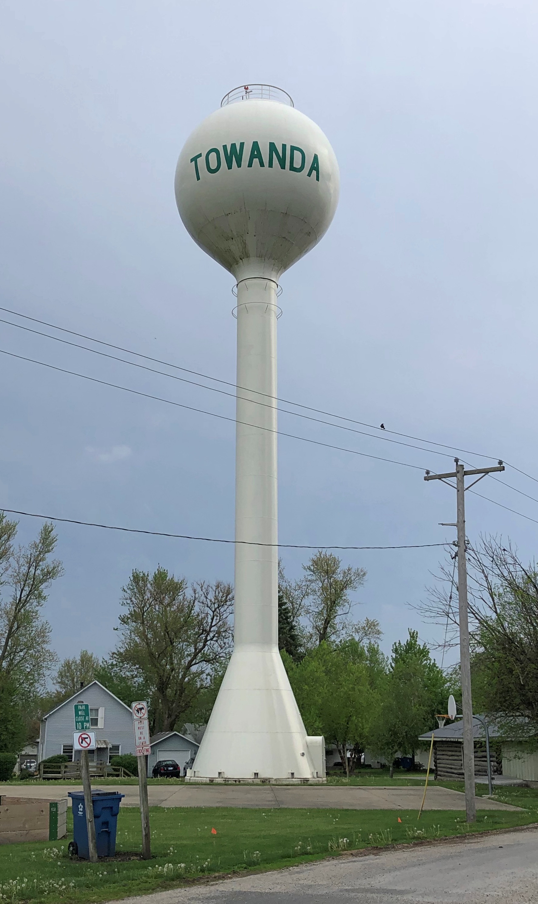
Returning from Normal on Sunday, I took another short detour fairly close by, in the wonderfully named town of Towanda, pop. 430 or so, originally a central Illinois project of the busy 19th-century businessman Jesse Fell. I’d seen signs for Towanda on the Interstate for years, but never stopped.Towanda, Illinois

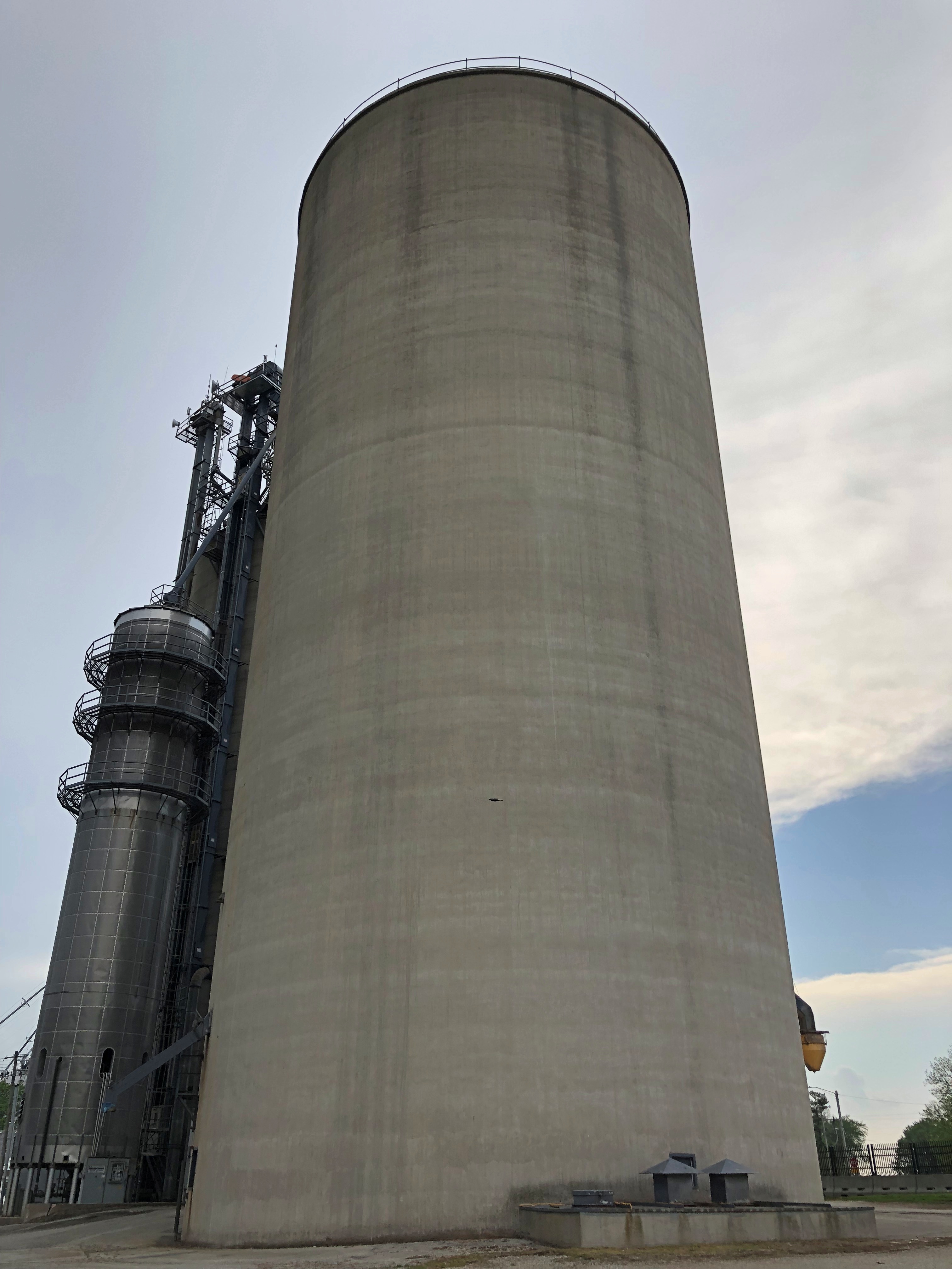
Towanda is the home of a massive grain elevator, owned by Evergreen FS of Bloomington.Towanda, Illinois

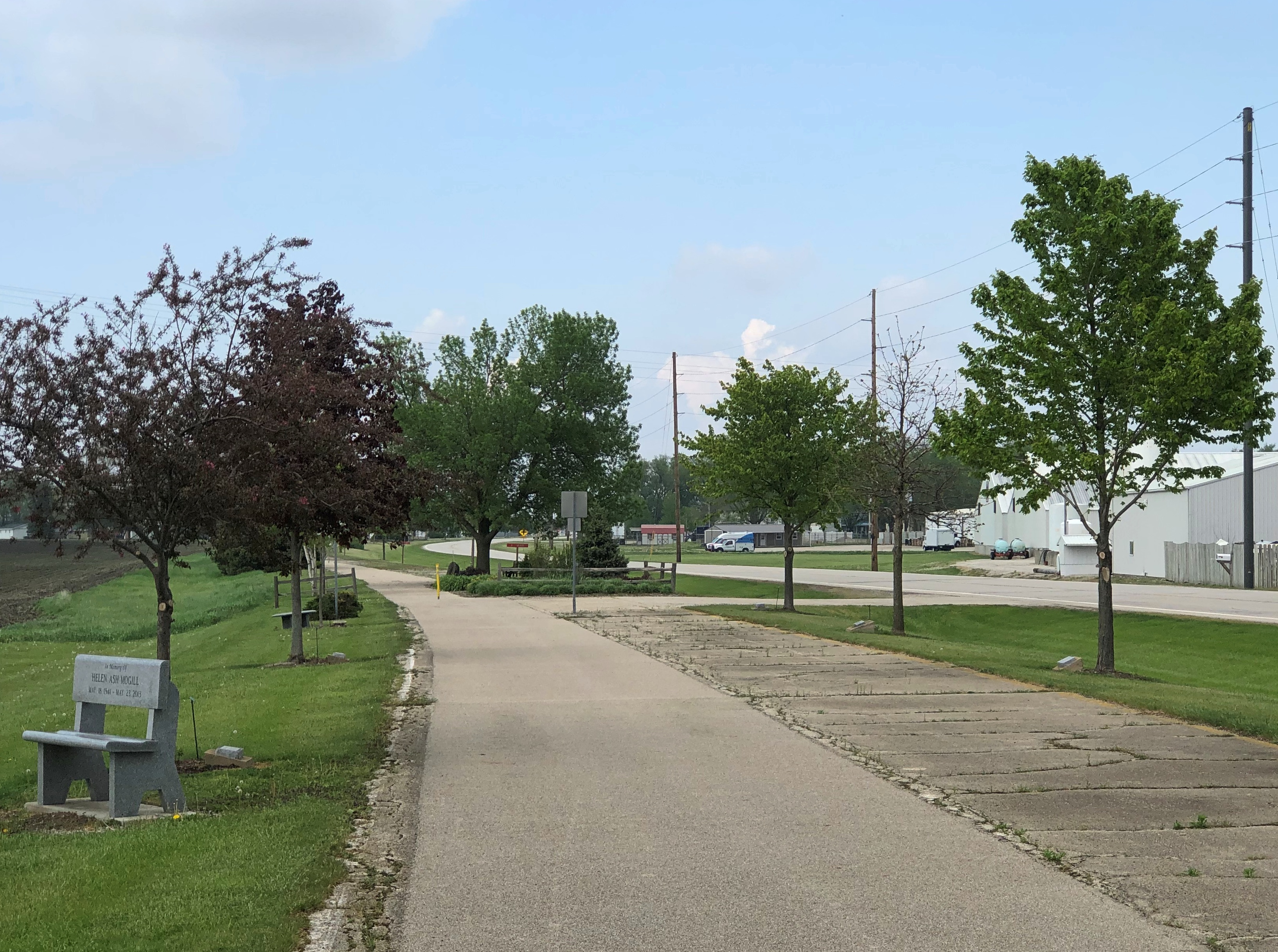
For a more ordinary tourist, a stretch of the former U.S. 66 passes through town, and has a walking path next to the road. I took a stroll.Route 66 Towanda

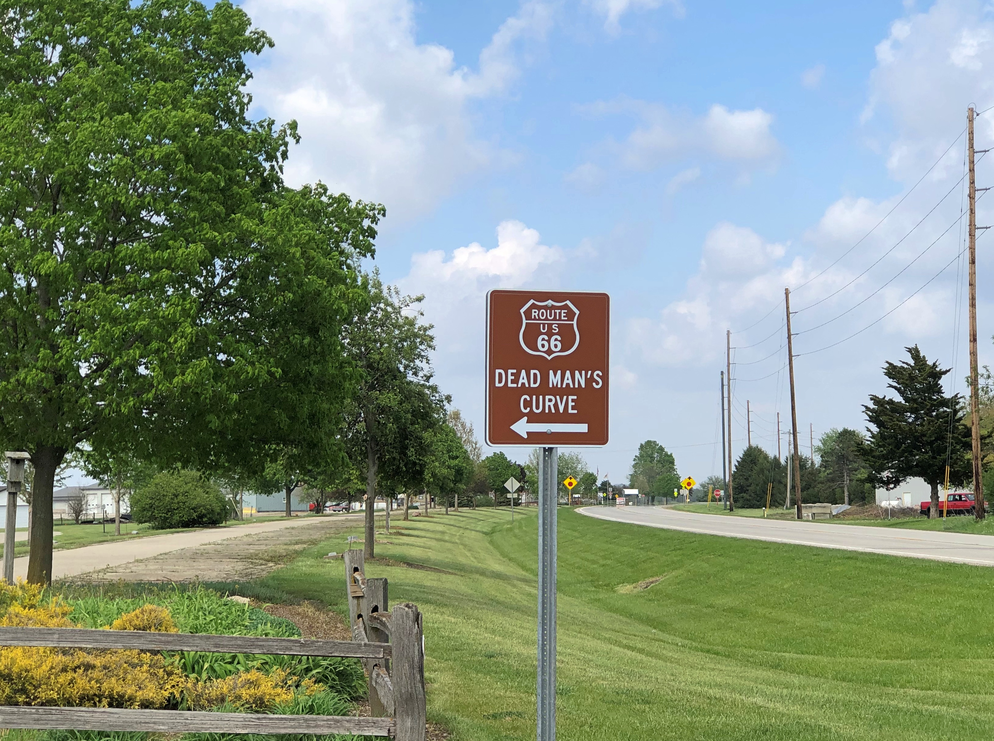
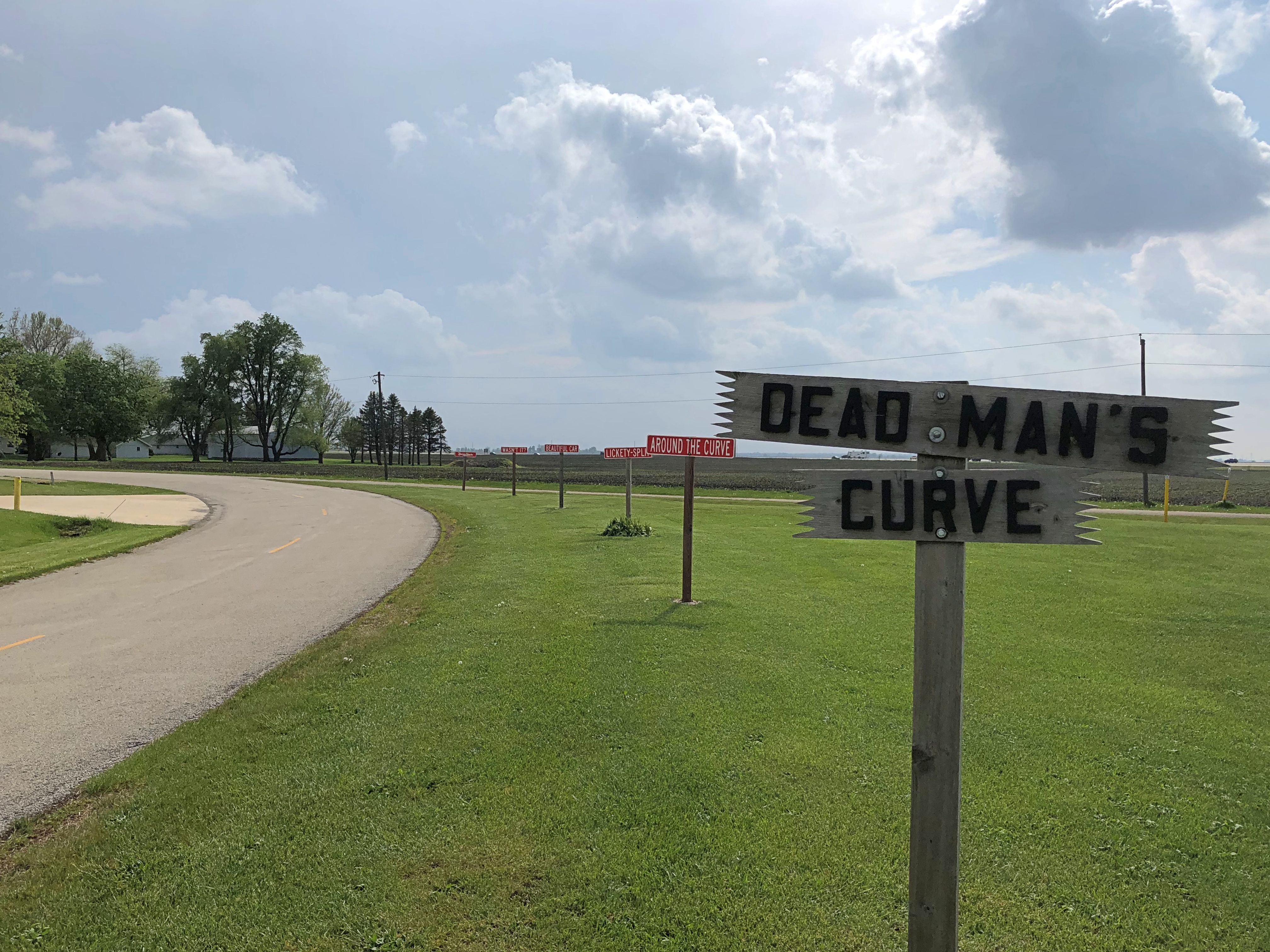
Also part of the former highway: Dead Man’s Curve.Dead Man's Curve Route 66 Towanda Dead Man's Curve Route 66 Towanda

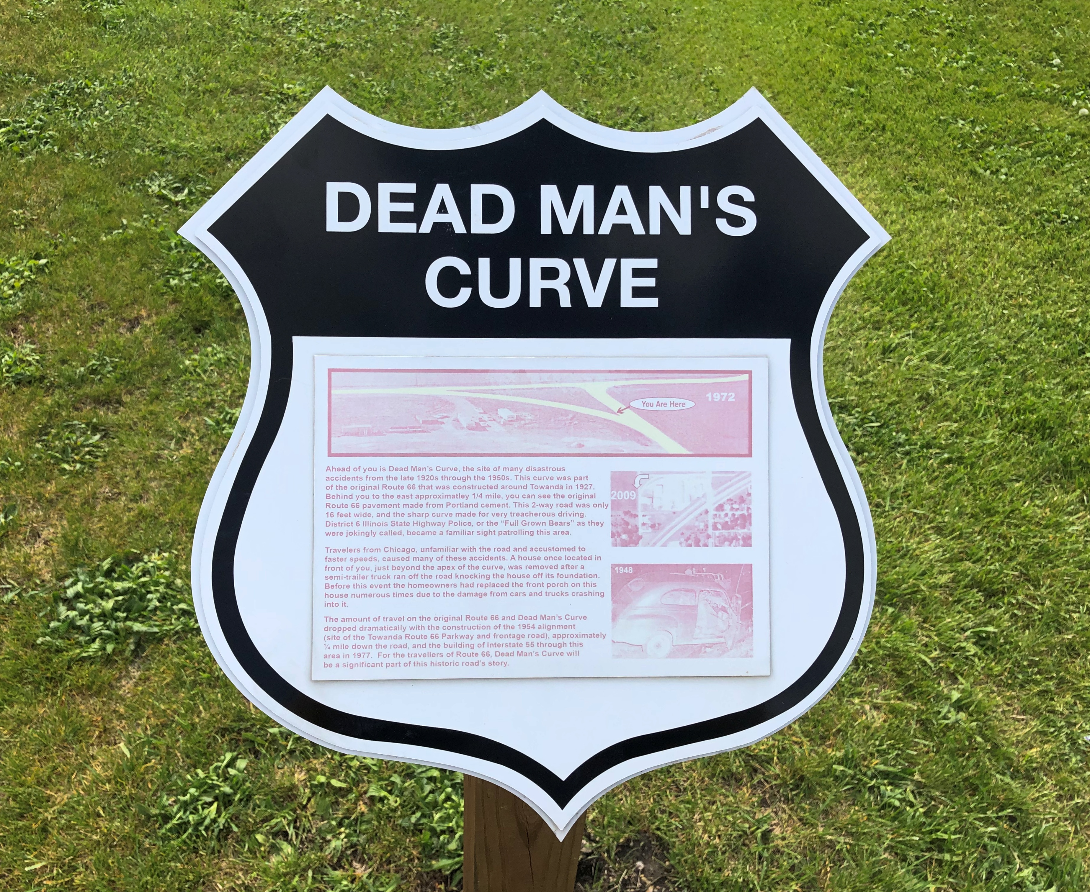
The nickname isn’t too hard to figure out, but a sign offers details.Dead Man's Curve Route 66 Towanda

It doesn’t offer a death toll, which may not be known, but does say that from 1927 until a bypass was built in 1954, the curve was the site of “many disastrous accidents,” especially involving drivers from Chicago, “unfamiliar with the road and accustomed to higher speeds.” Oops. Once a hazard, now a minor tourist attraction.

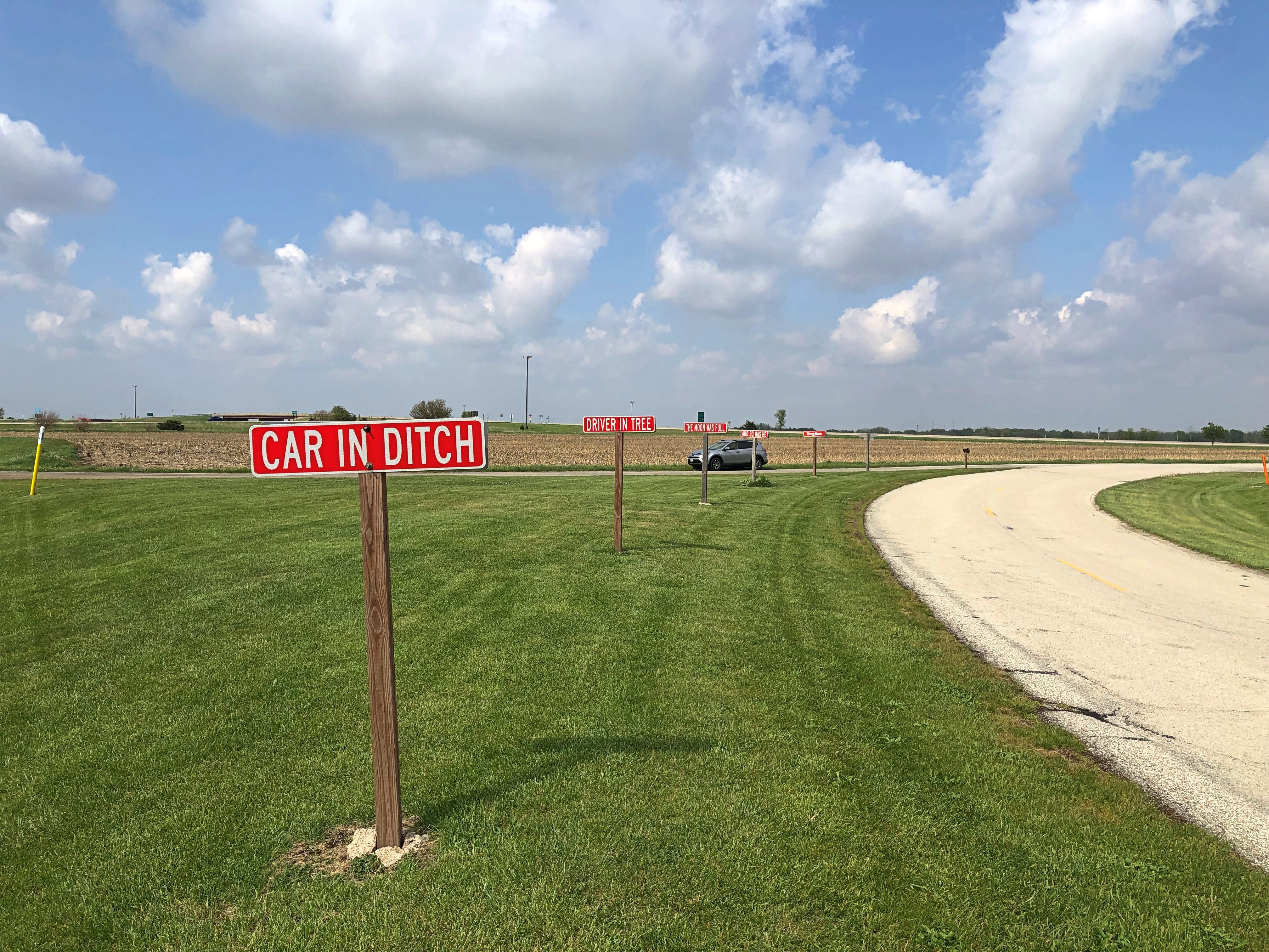
Note the Burma Shave signs. They look fairly new, so I take them to be modern homages, in this case noting the dangers of Dead Man’s Curve.Dead Man's Curve Route 66 Towanda

There’s a rhyme for each direction of travel on the road.

Northbound: Car In Ditch/Driver In Tree/The Moon Was Full/And So Was He/Burma Shave.

Southbound: Around The Curve/Lickety-Split/Beautiful Car/Wasn’t It?/Burma Shave.

Get Your Kicks at the Route 66 Association of Illinois Hall of Fame and Museum

Those three ships that come sailing in on Christmas Day in the morning will be trapped in ice this year, according to the National Weather Service.

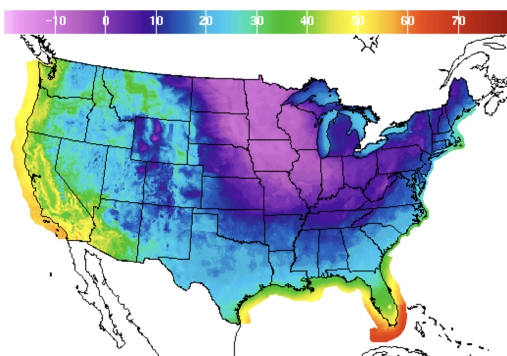
That’s the forecast for 8 a.m. Central on December 25. Bitter temps, unless you happen to be on the West Coast or in Florida, and even those places will be relatively chilly. Bah, humbug.

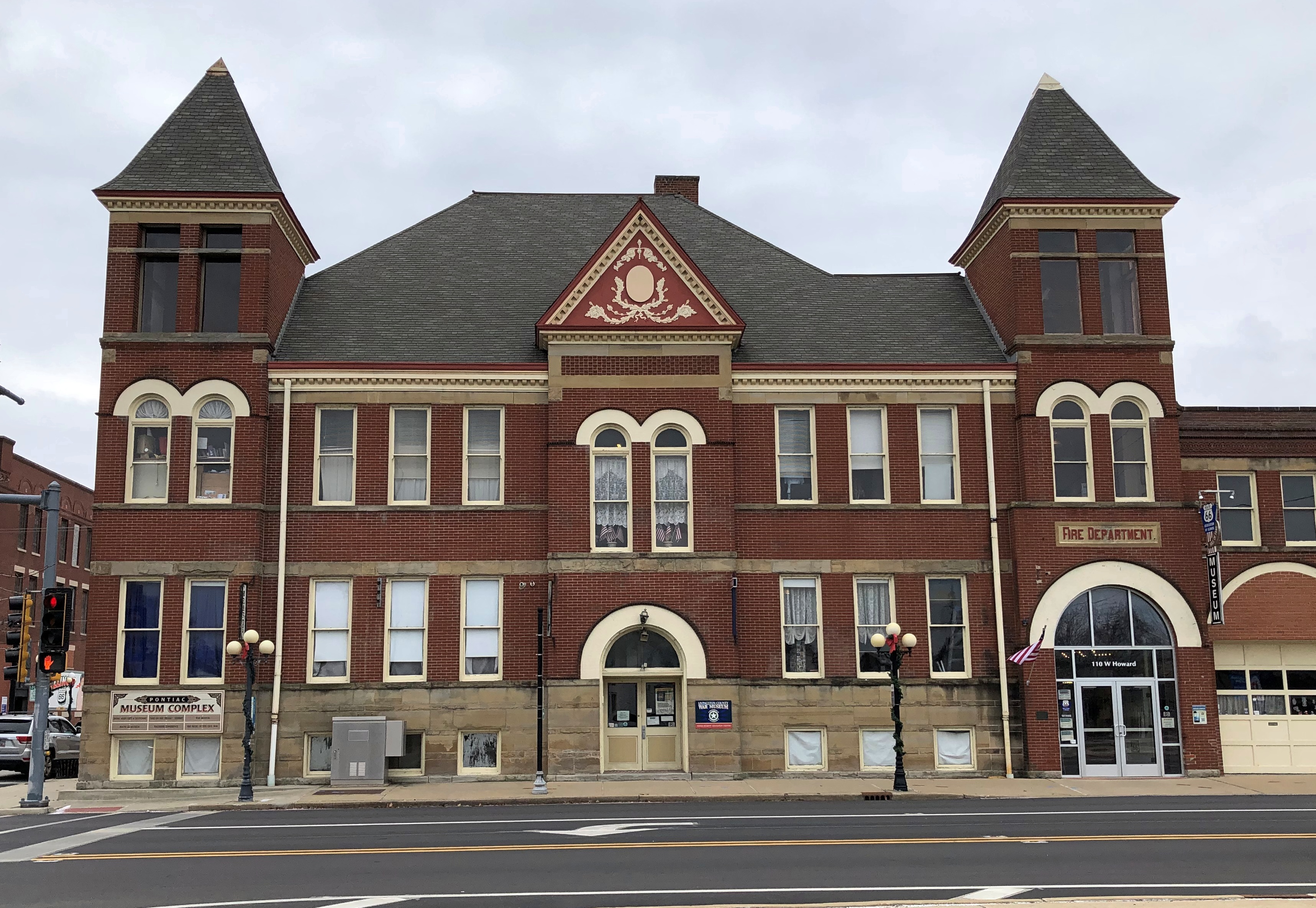
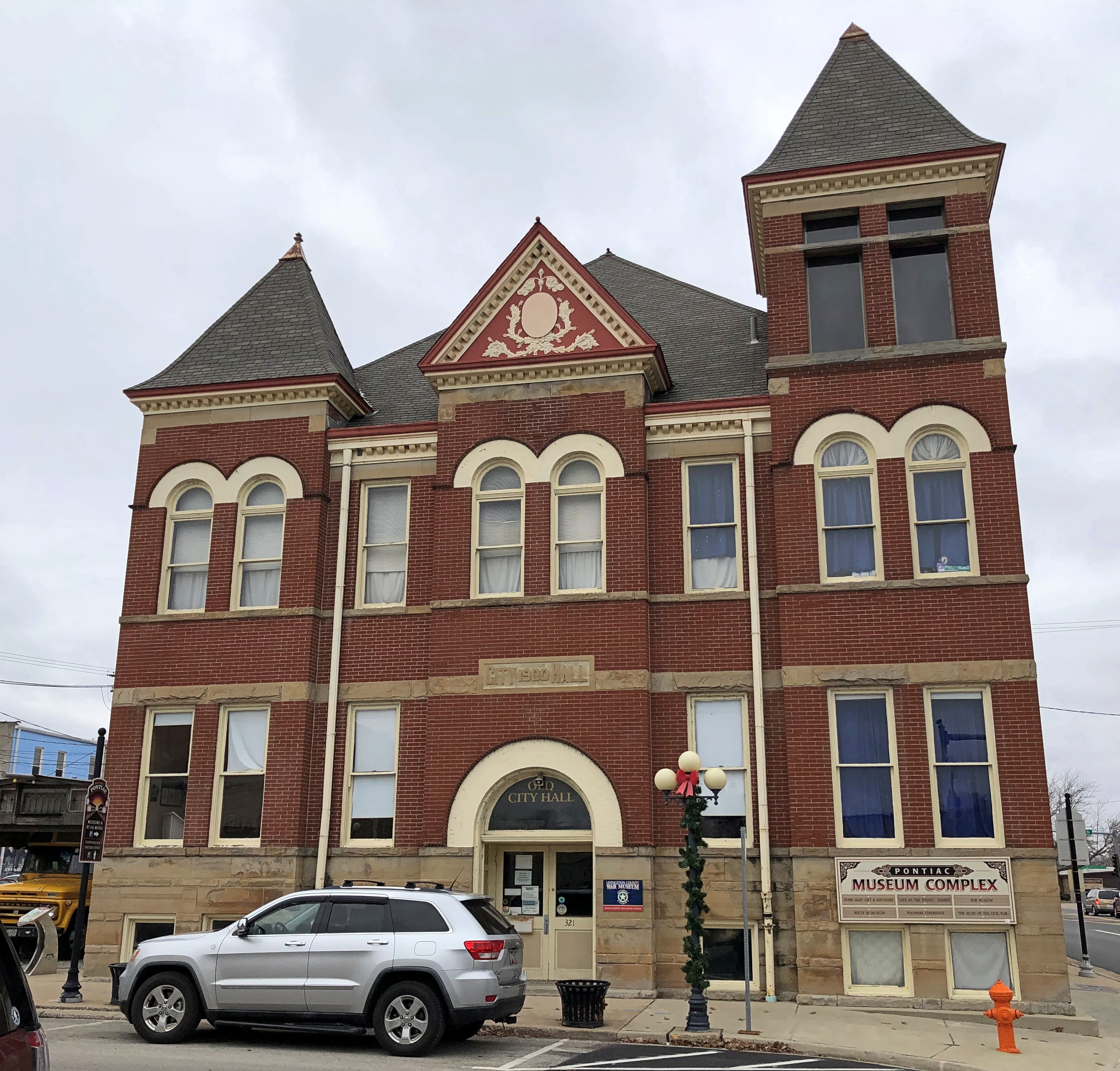
On Saturday I drove down to Normal to pick up Ann, leaving a little early so that I could drop by the Route 66 Association of Illinois Hall of Fame and Museum, which is in the handsome former city hall and main fire station of Pontiac, Illinois, a building that dates from 1900.Museum Complex, Pontiac, Illinois Museum Complex, Pontiac, Illinois

The building, now called a museum complex, is home to more than the Route 66 museum, which is on the first floor. Other floors feature a “Life on the Titanic” exhibit, the Waldmire Experience (more about its namesake later), a local war museum and a room devoted to the music of the Civil War. You might call it an eclectic mix.

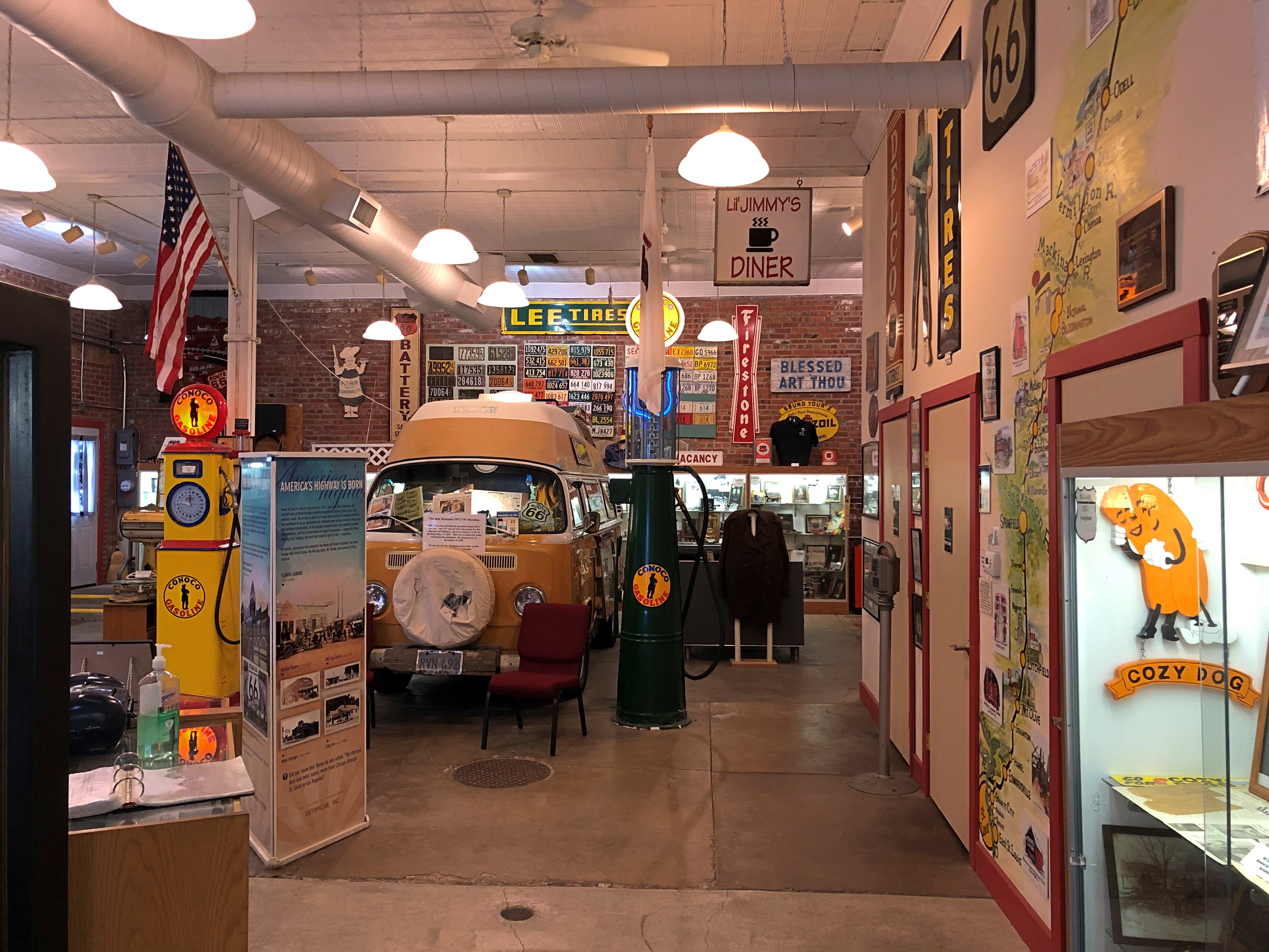
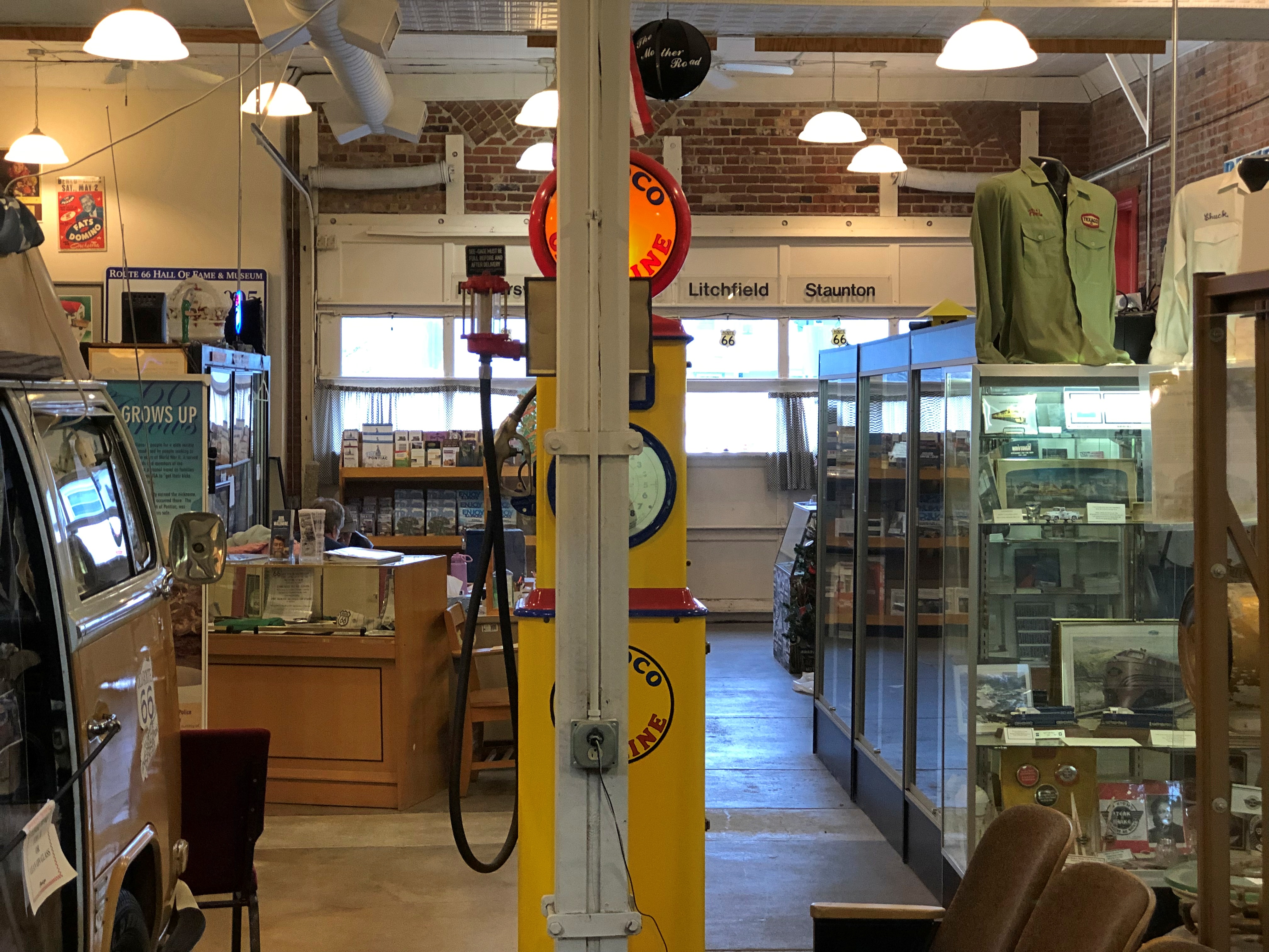
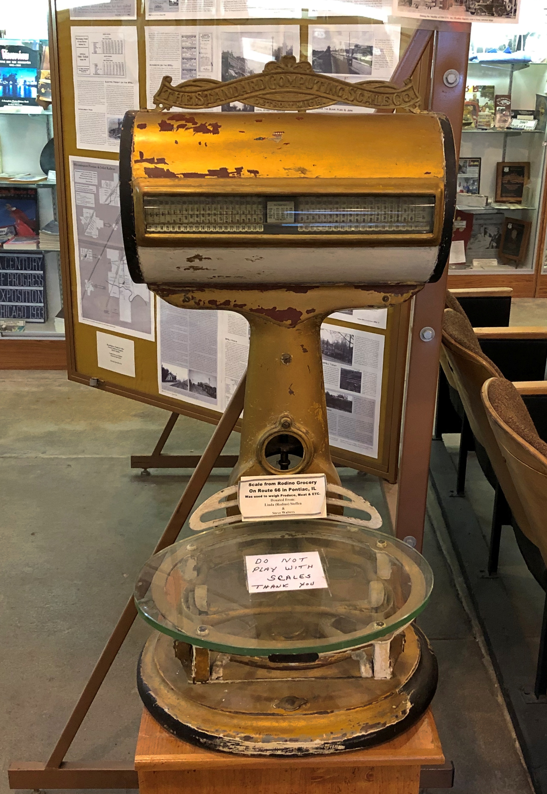
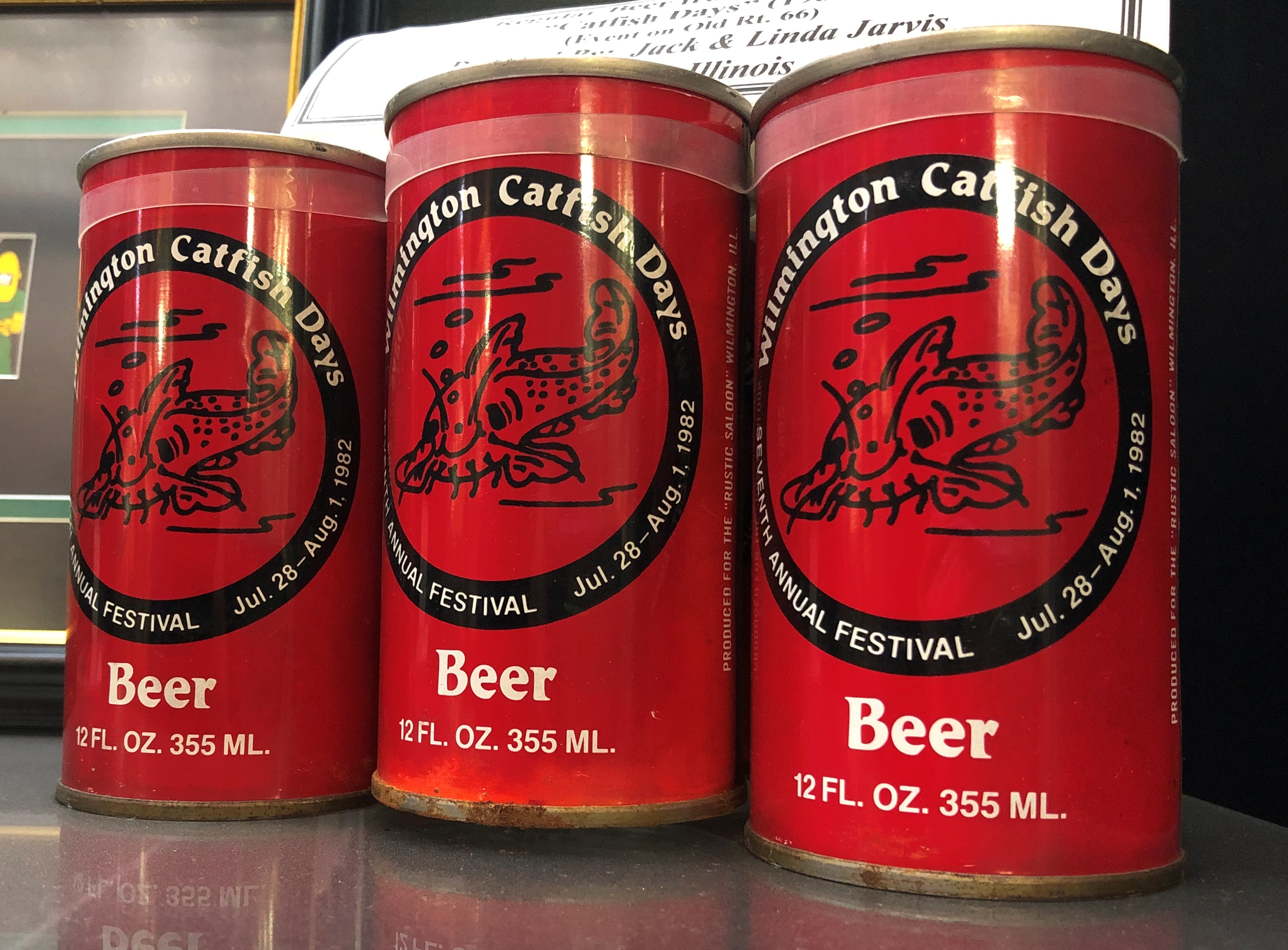
You might also call the Route 66 museum itself that. It’s a large room full of a lot of stuff. Just what a local museum should be.Route 66 Museum Illinois Route 66 Museum Illinois

Regional, really, since it covers the road formerly designated U.S. 66 as it passed through Illinois, from Chicago to East St. Louis, with such towns as Dwight, Pontiac, Bloomington-Normal, Lincoln, and Springfield along the way.

Display cases along the walls are devoted to each of those towns and others on the Illinois stretch, stuffed with pictures and photos and items, and arrayed in order from north to south (or the other way, if you start there). Plenty of other artifacts are placed freely on the floor or are on the walls.Route 66 Museum Illinois Route 66 Museum Illinois Route 66 Museum Illinois

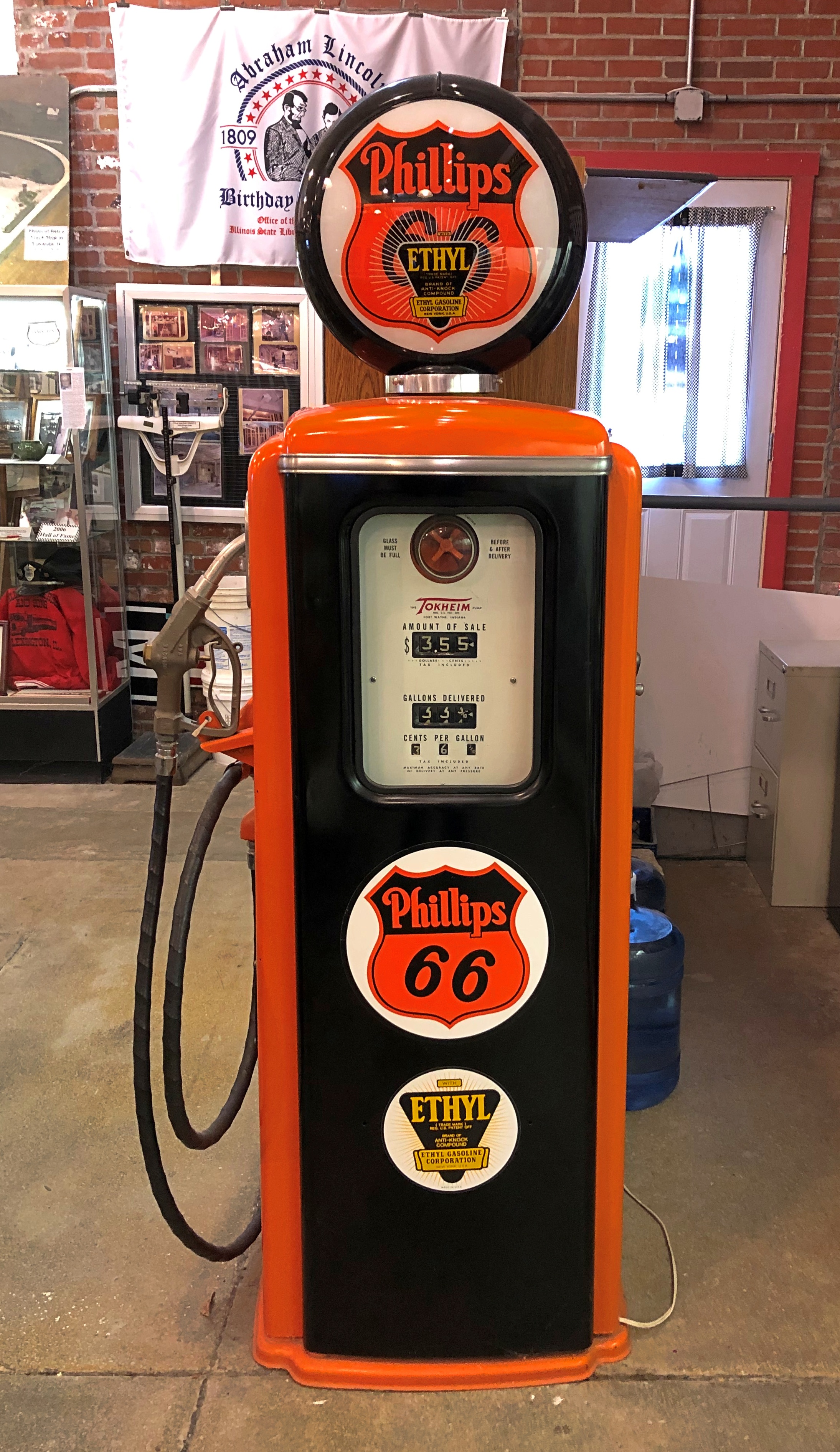
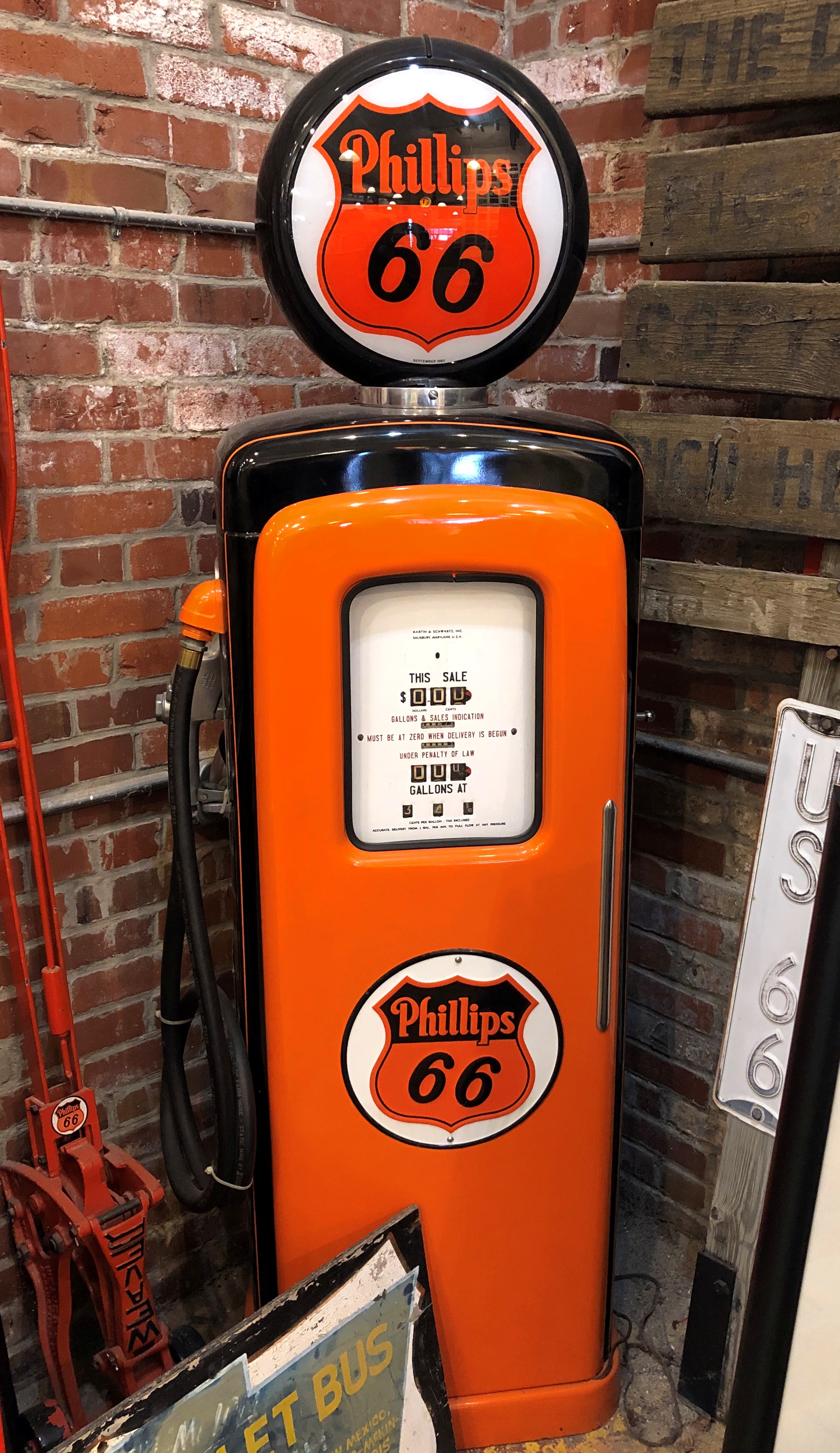
Old gas pumps. Even during the golden age of Route 66, you needed gas.Route 66 Museum Illinois Route 66 Museum Illinois

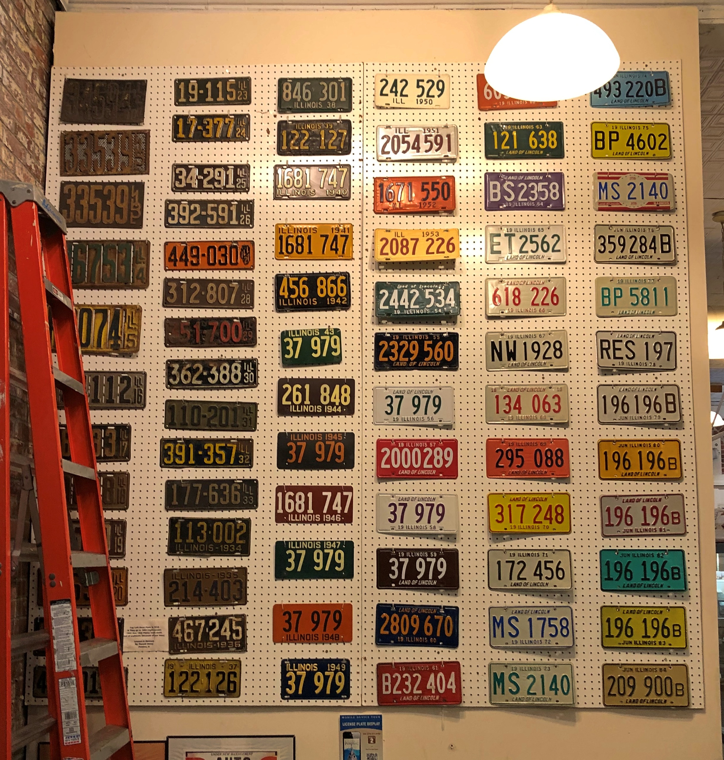
A wall of Illinois license plates, one for each year from 1915 to 1984.Route 66 Museum Illinois

Trivia for the day — when did Illinois first put Land of Lincoln on its license plates? The wall tells us. 1954. The same words are on IL plates even now.

Something I didn’t know that the museum mentioned: from 1907 to 1917, Illinois issued aluminum disks to show registration, something like taxi medallions. Car owners affixed them to dashboards. The Illinois Motor Vehicle Act, which required motorists to register each vehicle with the Secretary of State’s office, became law in ’07, and specified the two-inch diameter disks.

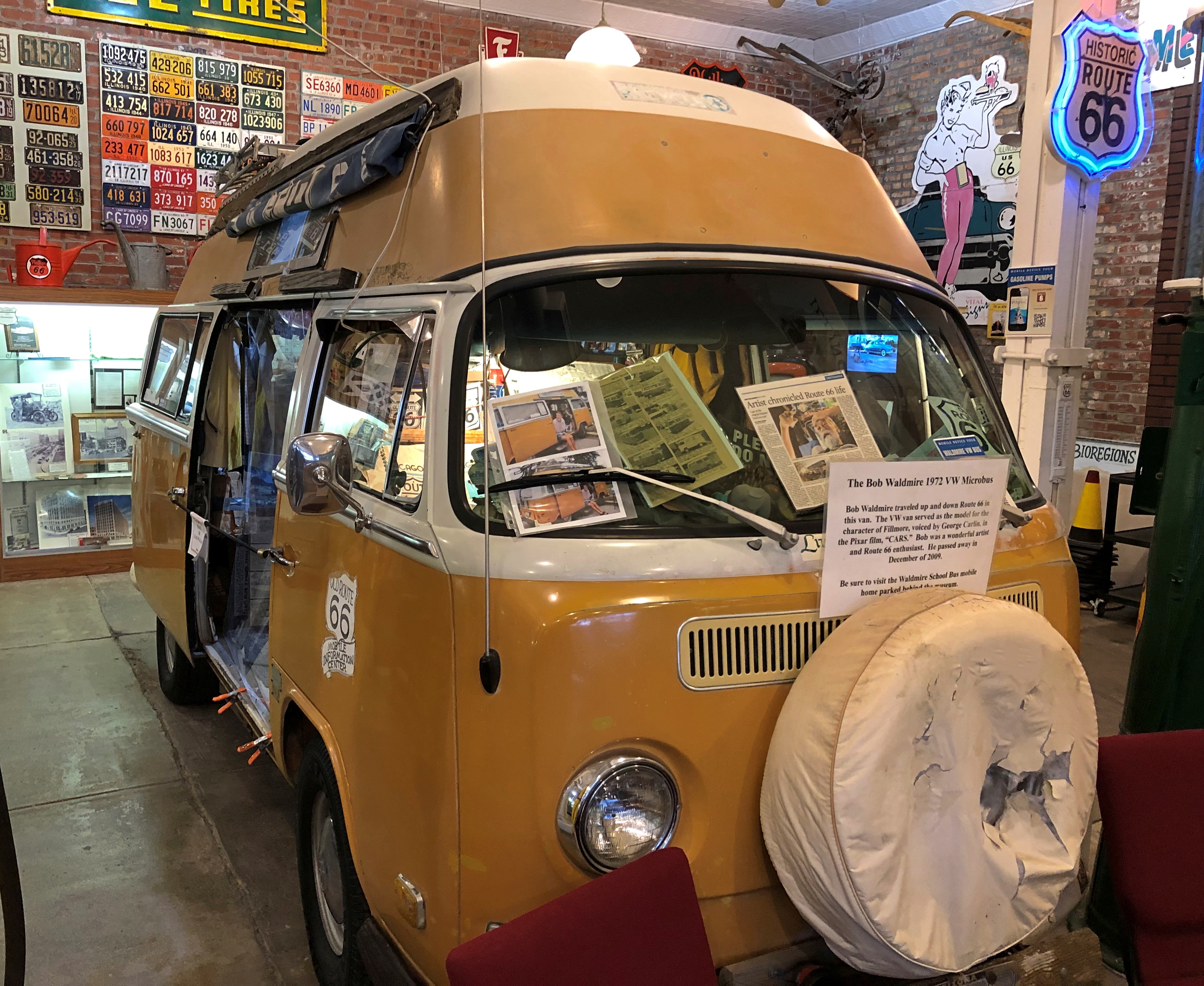
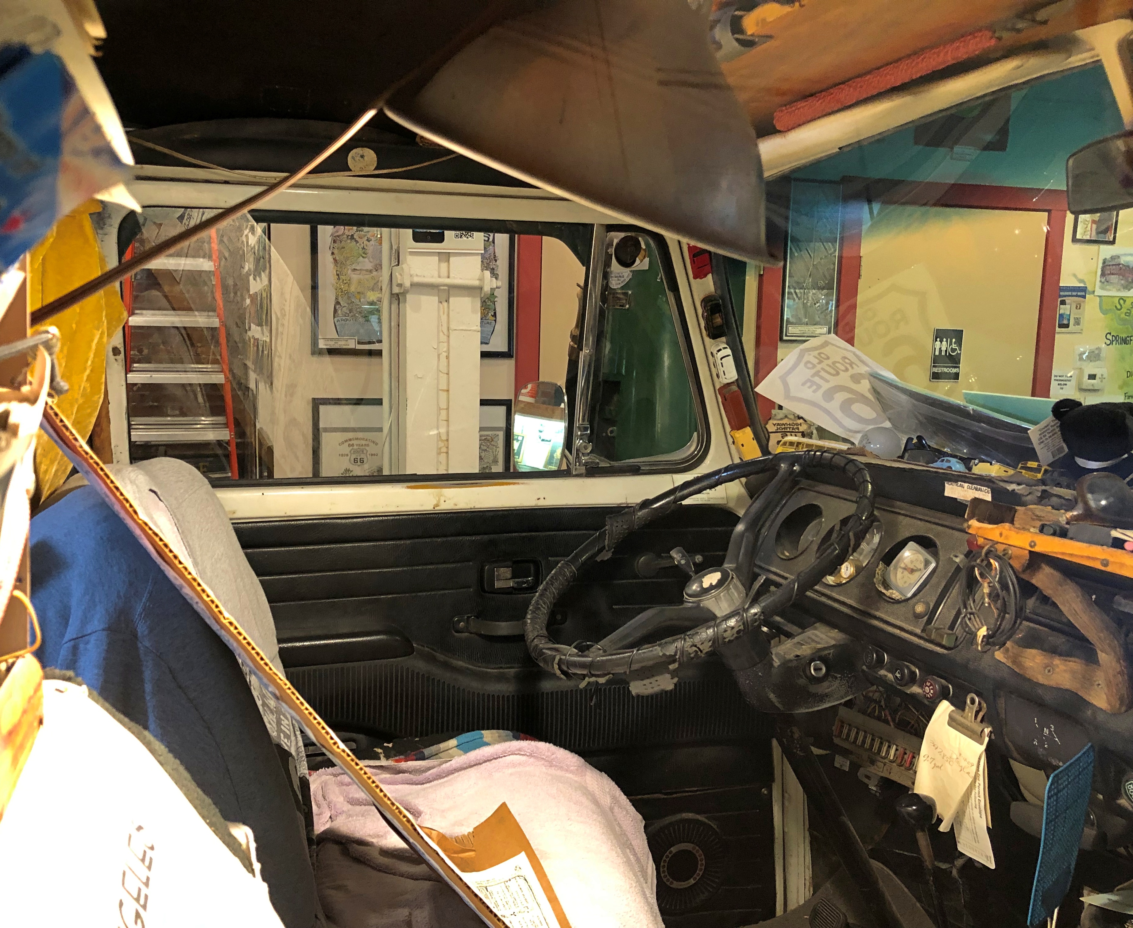
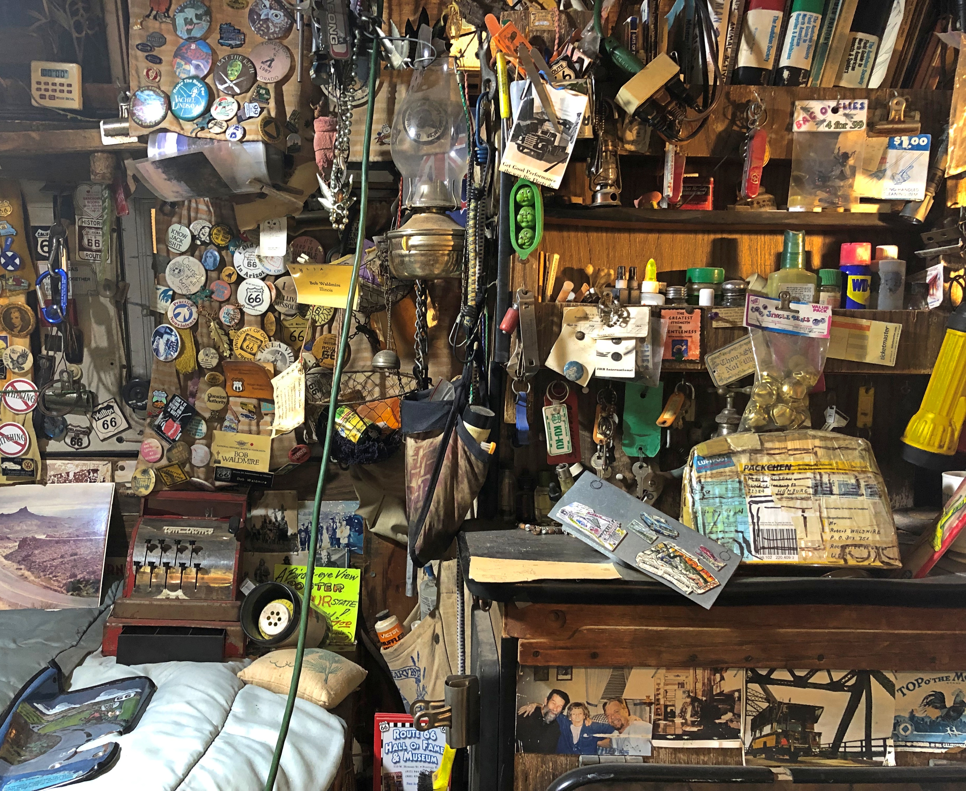
The centerpiece of the room is Bob Waldmire’s custom-fitted ’72 VW microbus. Views outside and in:Route 66 Museum Illinois Route 66 Museum Illinois
Route 66 Museum Illinois

Looks like he was a collector of bric-a-brac after my own heart. As a young artist, Waldmire (1945-2009) “determined that he would spend his life creating art that celebrated the history of Route 66,” according to a brochure I picked up. He apparently spent a lot of time driving the microbus along the historic route.

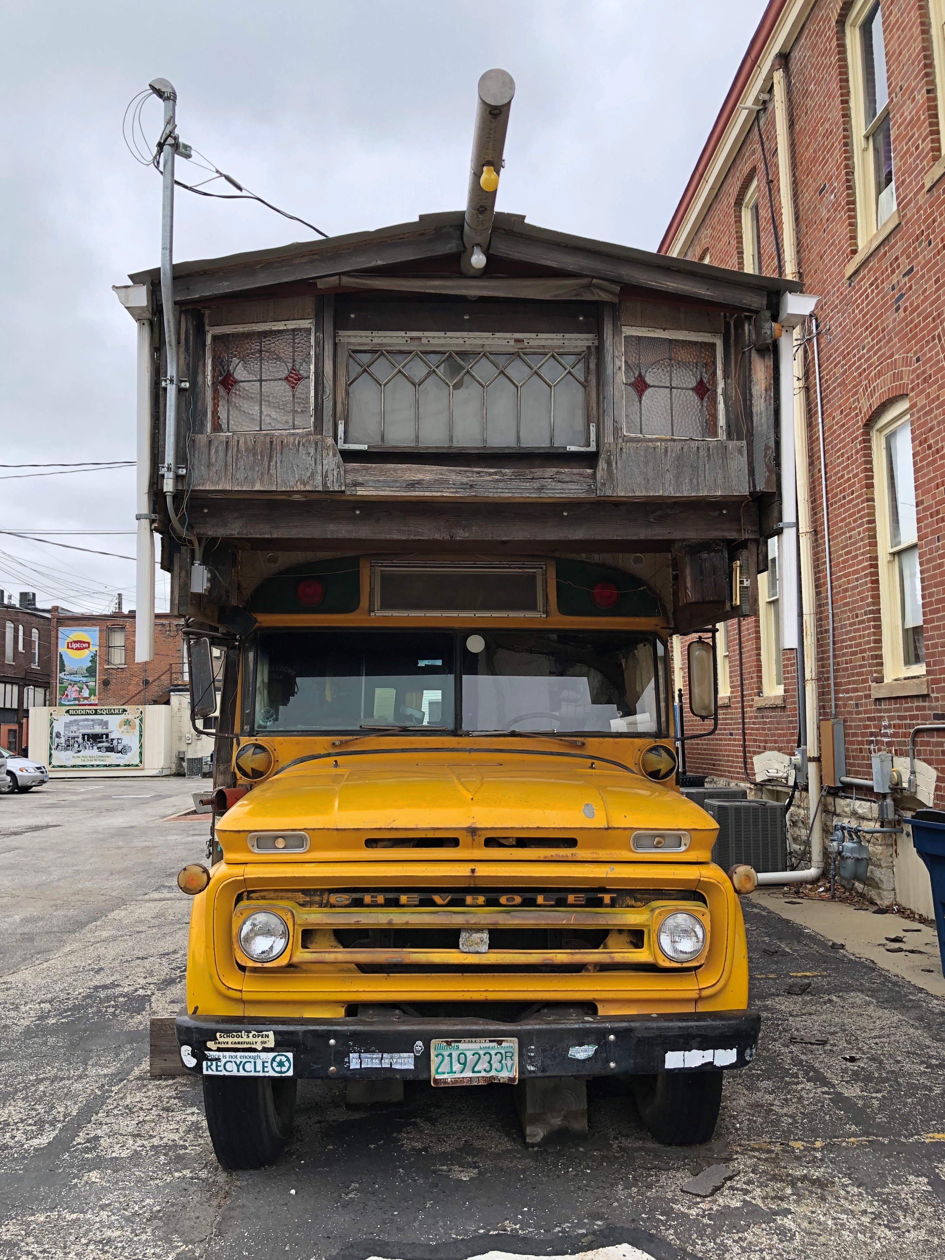
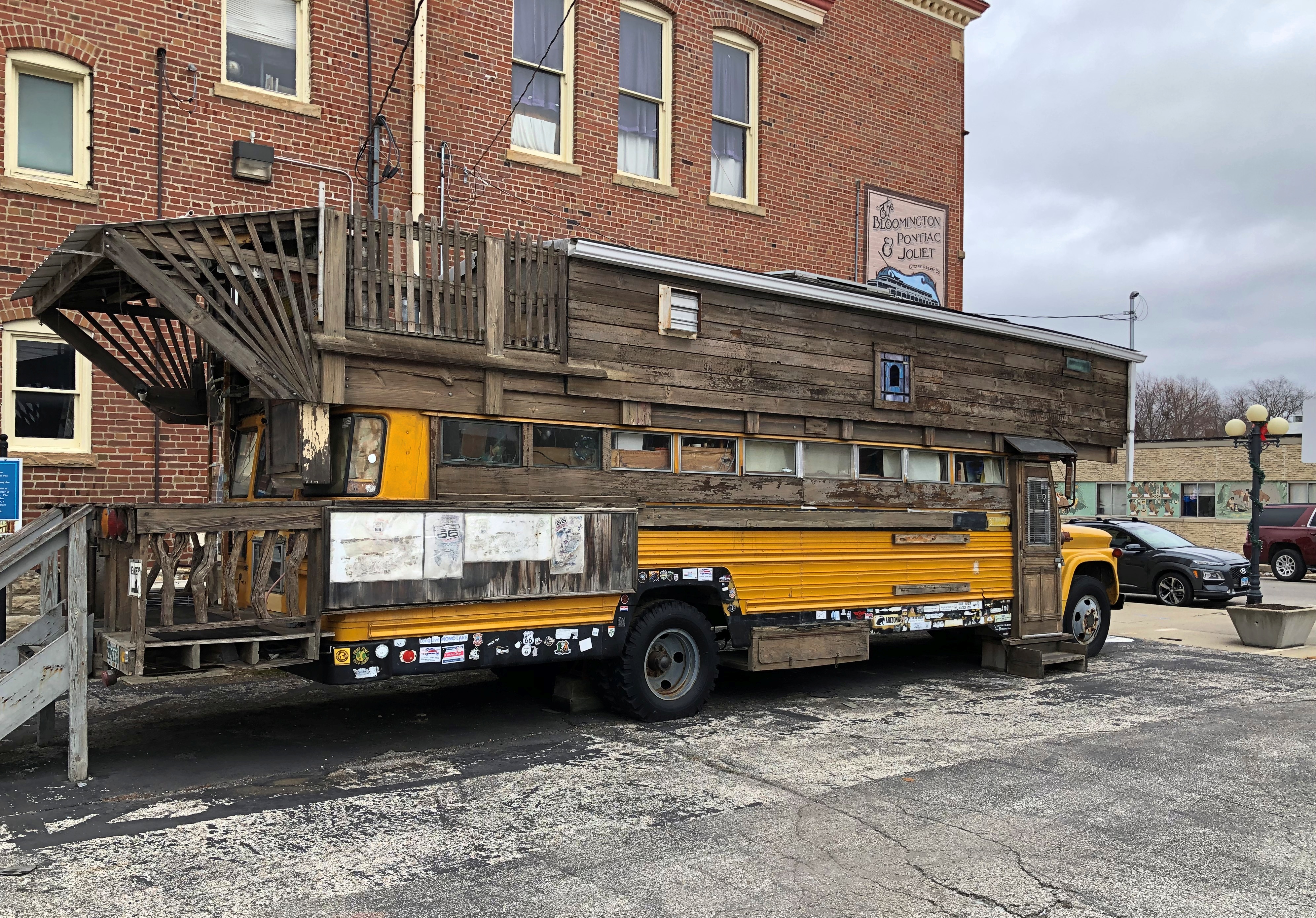
Until he upgraded to a modified school bus, that is.Route 66 museum Illinois Route 66 museum Illinois

The bus is parked behind the museum complex and is sometimes open for tours. Not when I wandered by. Just another reason to drop by Pontiac again, which will be easy enough during the back-and-forth to Normal over the next few years.

Utah 261 & The Moki Dugway

When planning our recent trip to scenic corners of the Southwest, I determined that we were going to make the move from Page, Arizona, to Moab, Utah, on May 18 by way of Monument Valley. I figured the mid- and late afternoon would be given over to the drive out from Monument Valley.

The most direct route to Moab from there is U.S. 163 through Mexican Hat, Utah, then on to U.S. 191 north through Blanding, Monticello and La Sal Junction, all Utah towns. Of course I examined some road maps as part of the process. (Doesn’t everybody? No? How is that possible?)

I spied an alternate route. Just after Mexican Hat, take Utah 261 north to Utah 95, then west a few miles to Natural Bridges National Monument as a possible stopover. I didn’t know anything about that national monument; there are so many. One hundred twenty-nine in fact, of which I’ve only visited a mere 20 or so, counting those on this trip.

A quick look at the park service map of the monument on line told me that is isn’t very large, and a single road loops through it with places to stop. Perfect for a short visit, I decided, before heading on to Moab. We might be a little more tired when we got to Moab, but it would be worth it. I was right.

I didn’t look into Utah 261 any further. On the Rand McNally road atlas, the small label Moki Dugway is next to the road, with a small arrow pointing from that name to about the mid-point of the road. I don’t remember noticing that. Later, I would. Michelin doesn’t mention the dugway at all.

So we set out from Monument Valley, stopping for a moment roughly where Forrest Gump stopped, but otherwise pushing on through. I expected more at Mexican Hat, which seemed to be a hotel or two overlooking the San Juan River plus a few other buildings. North of Mexican Hat, Utah 261 is an ordinary if remote two-lane highway through the desert. Dead ahead are the cliffs of a plateau, but it’s still off in the distance.

Before long, signs warn drivers that the road ahead will be unpaved for a few miles. No problem unless it’s raining, when reportedly unpaved desert roads gum up even four-wheel drives. It looks like it hasn’t rained here in a while.

The plateau grows closer, filling more of the windshield, and another warning sign about the unpaved segment whizzes by. I found myself thinking: does this road go around the plateau? It’s hard to see its course ahead. The road just seems to vanish into the steep cliffs of the plateau.

The next warning signs announce the road grade ahead: 10%. Also, they mention switchbacks on a narrow gravel road. By this time, you’re in the shadow of the cliffs, and realize the road goes up the side.

“Utah 261 is part of the Trail of Ancients, a National Scenic Byway that stretches across 480 miles through Colorado and Utah,” says Road Travel America. “The highway connects Utah Highway 95 with US Highway 163 by crossing Cedar Mesa and plunging down the dugway at an 10% grade, revealing sweeping views of Valley of the Gods, stripes of color in the rocks of the San Juan River Canyon known as the Navajo Tapestry, and distant Monument Valley.”

Up we went. The climb is about 1,200 feet. The road curves as much as you expect, enough to lose count of the switchbacks, all the while kicking up a little sand and gravel in your wake. There aren’t any rails, though usually there’s a rise in the ground at the edge of the cliff, so it would take more than a casual slip of the wheel to take a plunge. Or would it?

It wasn’t really a hard drive, and I didn’t think it was that dangerous, since I was going only fast enough to outpace the pull of gravity. Of course I had to hyper-focus: every instant on the road ahead, though peripherally I caught twisting and turning glimpses of the sky and the increasingly distant valley below.

I enjoyed the drive. It had a rare intensity. Yuriko was less enthusiastic, there in the passenger seat, where eyes can linger on the increasingly high drops.

Only twice did we encounter vehicles coming the other way, down, and while narrow, the road was wide enough to pass them without stopping. The state of Utah recommends that only vehicles less than 28 feet in length and 10,000 pounds in weight attempt to drive the dugway, which seems reasonable to me, and which I’m sure is routinely ignored.

“Moki is derived from the Spanish word, Moqui, a general term used by explorers in this region to describe Pueblo Indians they encountered as well as the vanished Anasazi culture,” Road Travel America explains. “Dugways are roads chiseled into steep slopes.”

Turns out that the Moki Dugway is a relic of the early atomic age, created in 1958 for trucks to haul uranium ore from the Happy Jack Mine on Cedar Mesa to the mill in Halchita, near Mexican Hat, which left a radioactive legacy of its own.

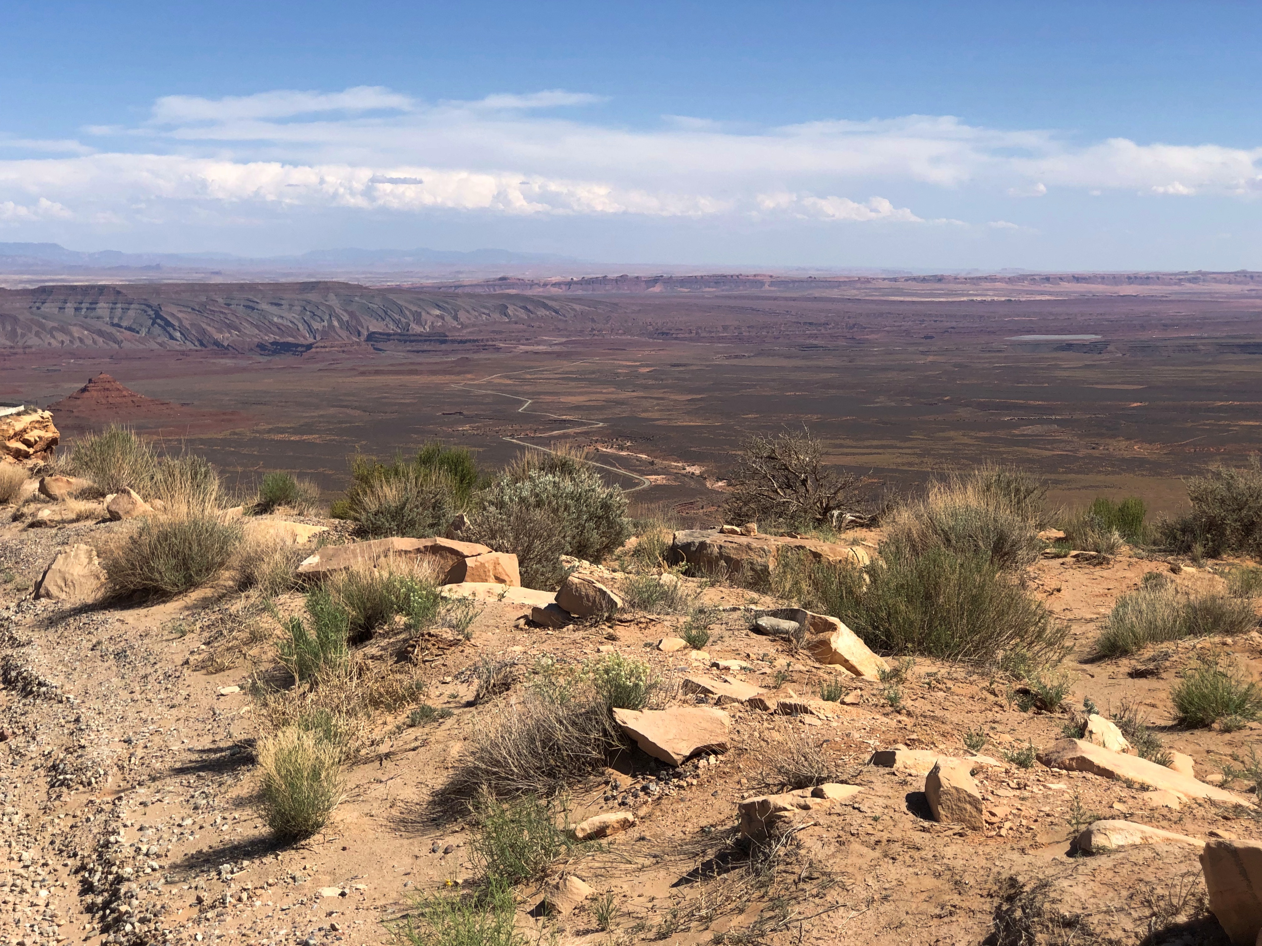
I’d learn about all that later. Of course we made it to the top. The road turned back into an ordinary two-lane blacktop. I paused to take a few pictures of the valley below. Note the lower paved level of Utah 261, snaking toward the cliffs.Valley of the Gods

Valley of the Gods, eh? Angry, unforgiving gods lording over a desolate realm, I’d say.

U.S. 89A

Much excitement yesterday afternoon around here, when the village alarm sirens went off around 3:30. Moments before, my phone told me of a tornado warning, both in English and Spanish. I was advised to seek shelter.

Instead, I took a look out of both the front and back doors. We had rain at that moment, but very little wind, and the clouds weren’t particularly dark. The sirens quit, but started again a few minutes later. I listened and watched a while.

Another warning came and went, but the wind stayed low. It might have been a reckless impulse, but nothing I saw made me want to seek shelter, which in my case would be the lower level near the bathroom, but with the bathroom door closed, because there’s a window in there. Still, I watched the skies more closely for a while. I understand that while a funnel cloud had been spotted over the northwestern suburbs, for whatever reason it never came to the ground and stir things up.
Our most recent trip was a driving one, despite the cost of fuel. I have the receipts in front of me for buying gas five times. They helpfully list the price per gallon, regular each time.

St. George, Utah (May 15): $4.599. Page, Arizona (May 17): $4.789. Blanding, Utah (May 18): $4.659. Moab, Utah (May 20): $4.689. Salt Lake City (May 21): $4.569. According to AAA, the national average for gas a week ago (May 19) was $4.589, so we were paying slightly more than average (which today is $4.600), but less than at home. A year ago, the average was $3.035, for an increase of about 51% since then.

All together, we paid $147.63 for gas on this trip, which would have (roughly) been about $100 had we taken the same trip a year ago. So that’s about $50 that Mr. Putin owes me. I suspect he’s going to stiff me on that charge.

I didn’t like paying a premium for fuel, but it was completely worth it. Some of the drives were extraordinary.

Such as the one from Page to the Grand Canyon and back, especially back, because getting to the park was the main focus in the morning, and we didn’t stop. On our return, which was in the late afternoon of May 17, we took a more leisurely attitude, and took a look at things along the way.

U.S. 89 out of Page is a good drive through a red desert landscape, generally following the Colorado River, which is mostly invisible, far below in Marble Canyon. The drive south from Jacob Lake, Arizona, on Arizona 67 through the wonderfully alpine Kaibab National Forest to the park entrance, is also good.

But the best road that day by far was the two-lane U.S. 89A, which connects the other two, U.S. 89 and Arizona 67. As visible in the map, it skirts Vermilion Cliffs National Monument.

On our return, we headed east on 89A from Jacob Lake (where 89A meets Arizona 67), which is in the forest at that point: through a fine aspen, spruce-fir, ponderosa pine and pinyon-juniper woodland. Nice, but the road is even better is when you reach the edge of the Kaibab Plateau. There’s a place to stop and see the Vermilion Cliffs and the desert flatlands below.Vermilion Cliffs National Monument Vermilion Cliffs National Monument

The thin black line is 89A. From the viewpoint, the road heads down toward the flatlands, leaving the Kaibab Plateau. As far as I can tell from the maps, the highway is the border of the monument, or very close to it. In any case, you see the cliffs looming not far away. They follow you for miles down the road.Vermilion Cliffs National Monument Vermilion Cliffs National Monument Vermilion Cliffs National Monument

“Vermilion Cliffs National Monument is a geologic treasure,” says NPS signage along the road. “Its centerpiece is the majestic Paria Plateau, a grand terrace lying between two great geologic structures, the East Kaibab and the Echo Cliffs monoclines.

“The Vermilion Cliffs, which lie along the southern edge of the Paria Plateau, rise 1,500 feet in a spectacular array of multicolored layers of shale and sandstone… these dramatic cliffs were named by John Wesley Powell in 1869, as he embarked upon his expedition of the Grand Canyon down the Colorado River.”

Earlier explorers were here, too. In 1776, Fathers Francisco Atanasio Dominguez and Silvestre Velez de Escalante came this way, though they had to turn back to Santa Fe eventually, so harsh was the terrain.

In our time, there are a handful of lodges on 89A in the shadow of the Vermilion Cliffs, but little else in the way of human artifacts, at least until you come to Navajo Bridge, which takes the road across the Colorado River at Marble Canyon.Navajo Bridge

Rather, two Navajo Bridges: in my picture, the original bridge on the left, and the modern bridge on the right, both steel spandrel arch bridges. The historic bridge was dedicated in 1929 and represented the only crossing of the Colorado for many miles, effectively joining the Arizona Strip with the rest of the state. The wider bridge opened in 1995, and the older one was repurposed as a pedestrian and equestrian bridge.

Naturally, we went across it.
Navajo Bridge

The view of the Colorado from the pedestrian bridge.Navajo Bridge Navajo Bridge

The historic plaque.
Navajo Bridge

I looked up the Kansas City Structural Steel Co. There’s a newish company of that name, founded in the 1990s, but the one referred to on the plaque seems to be this one, whose work was in the early 20th century.

There are warning signs as well.Navajo Bridge

I supposed it means a survivable sort of jump, as with a bungee cord, which no doubt lunatics do sometimes, or at least used to.