The Peshtigo Fire Museum & Fire Cemetery

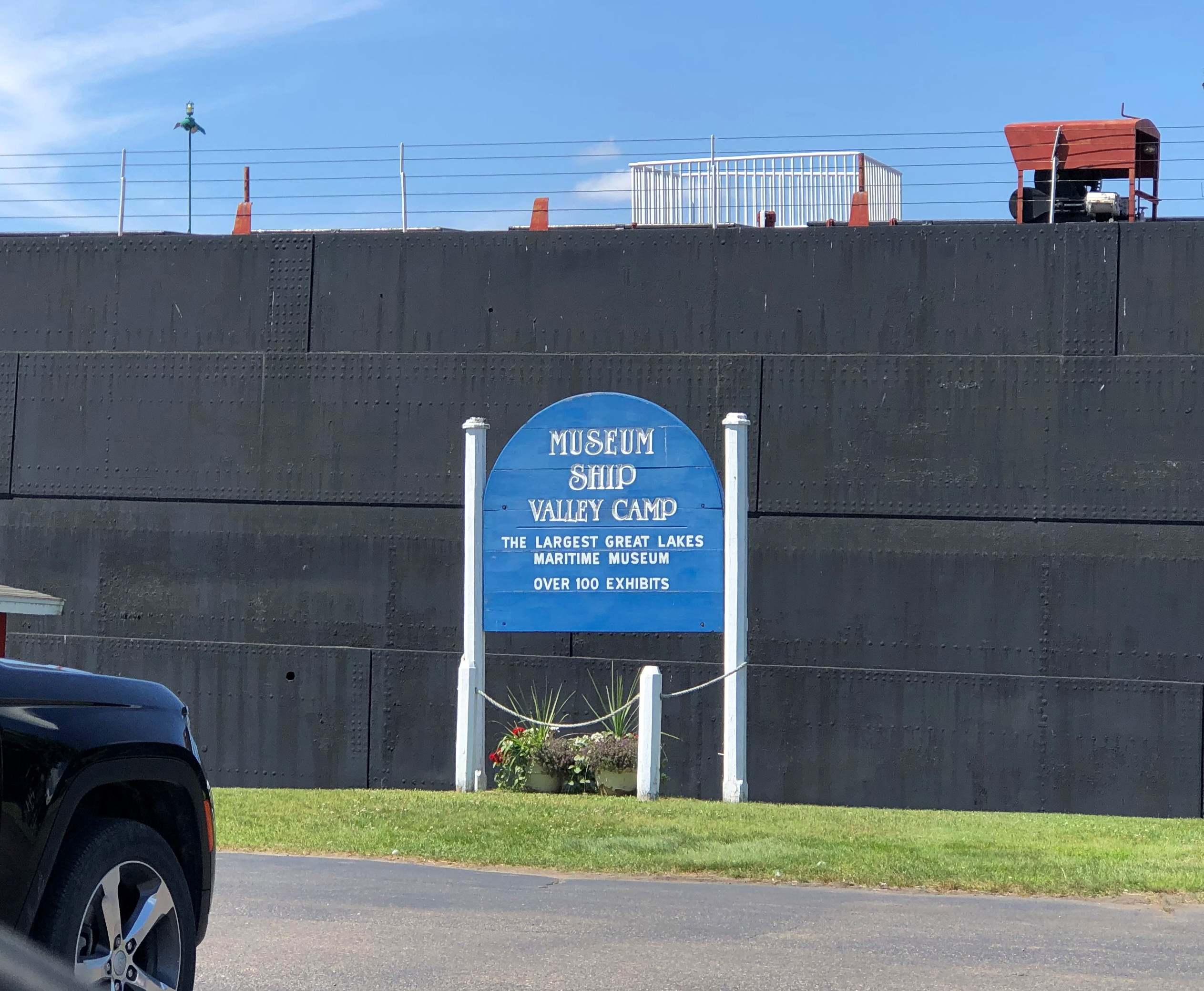
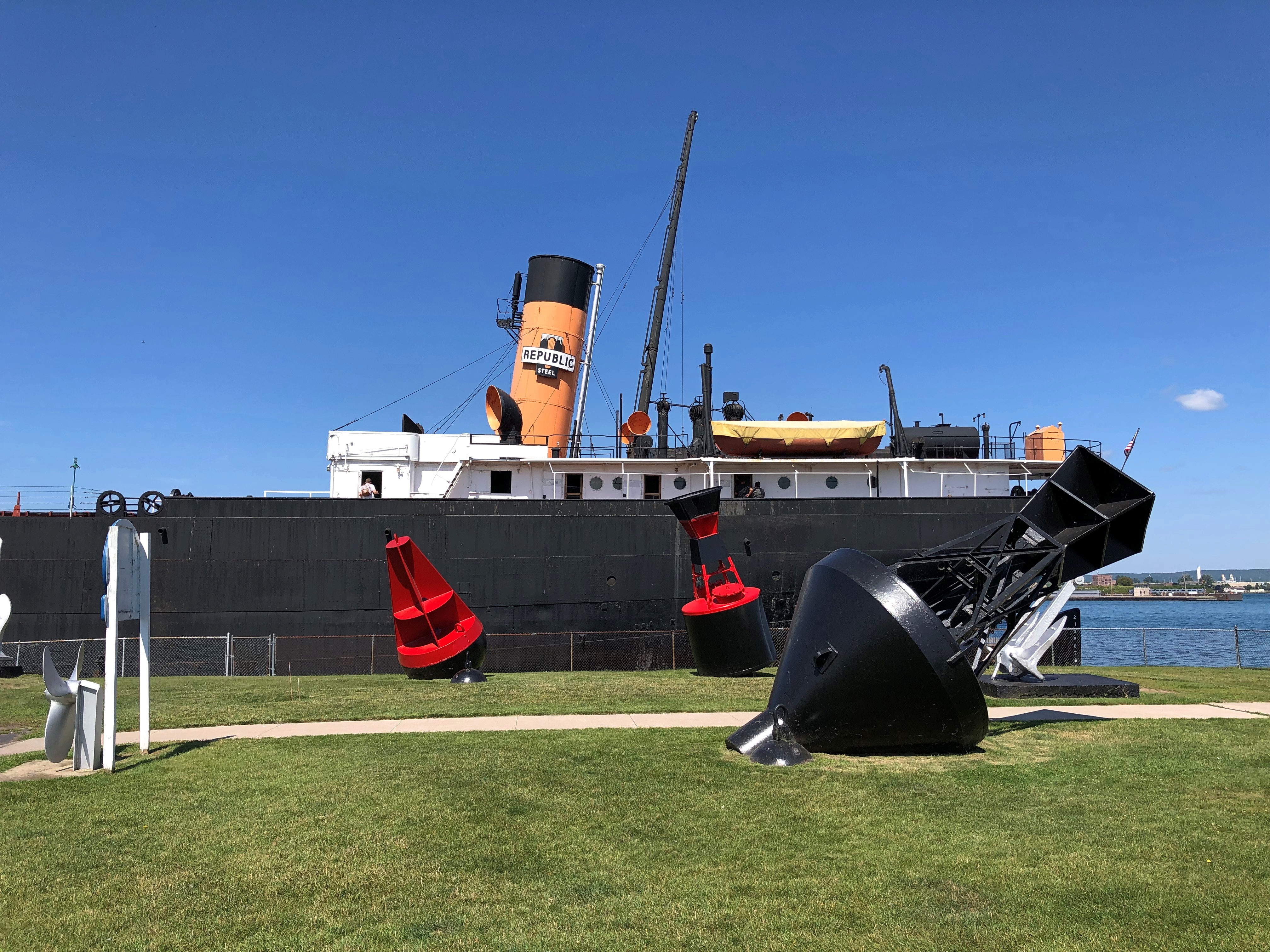
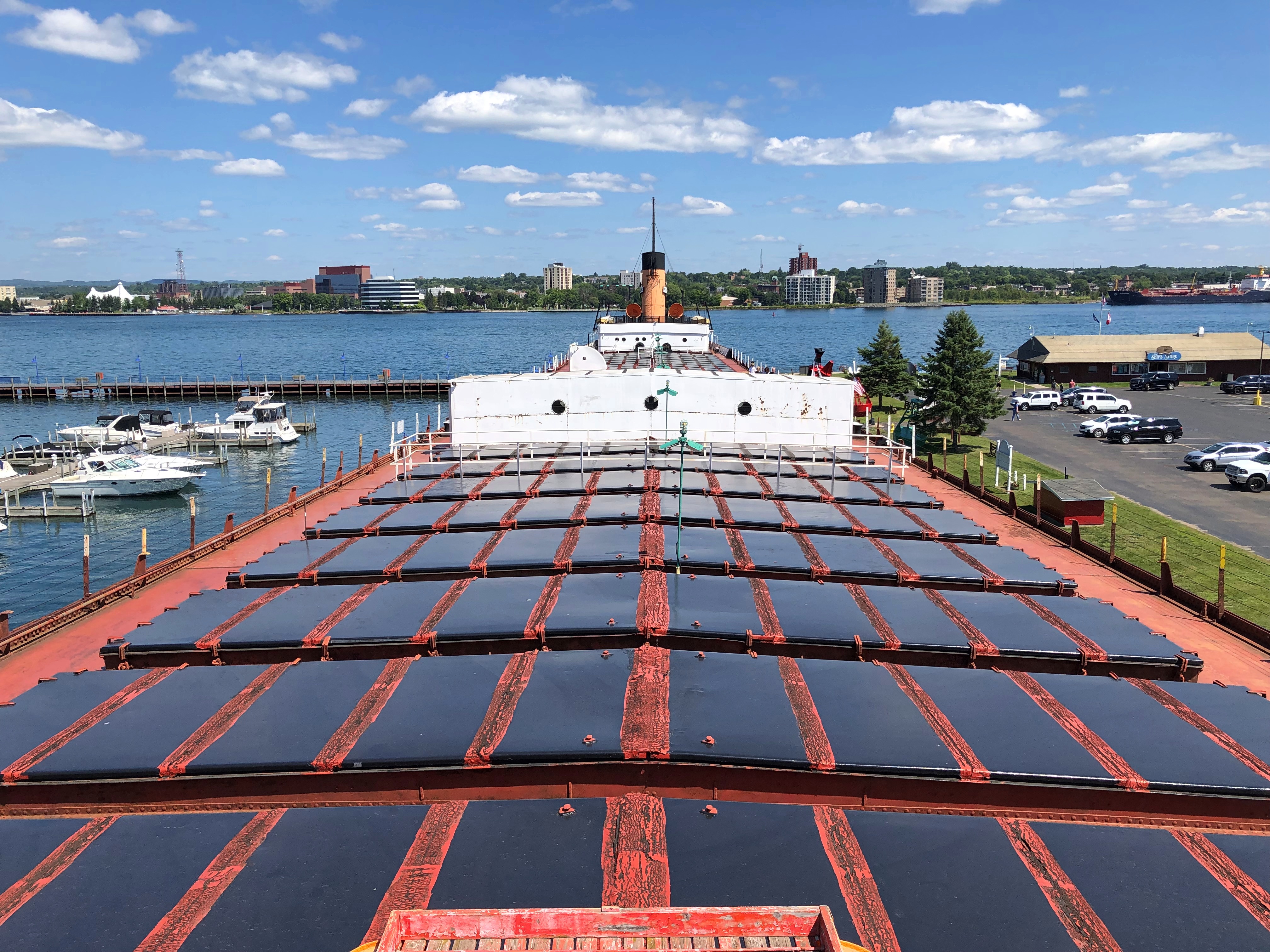
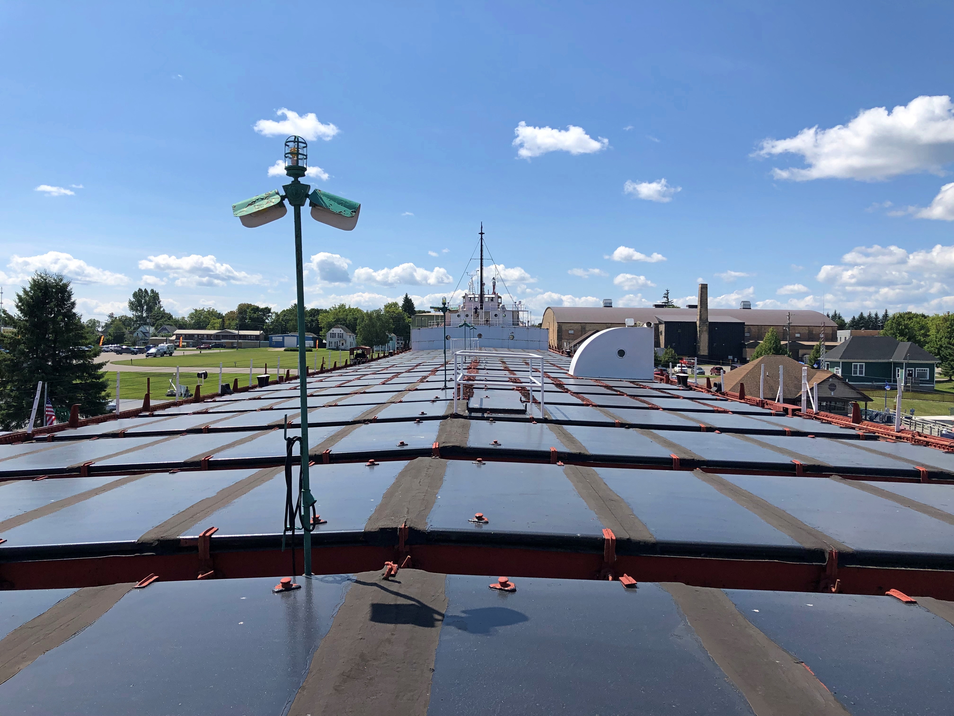
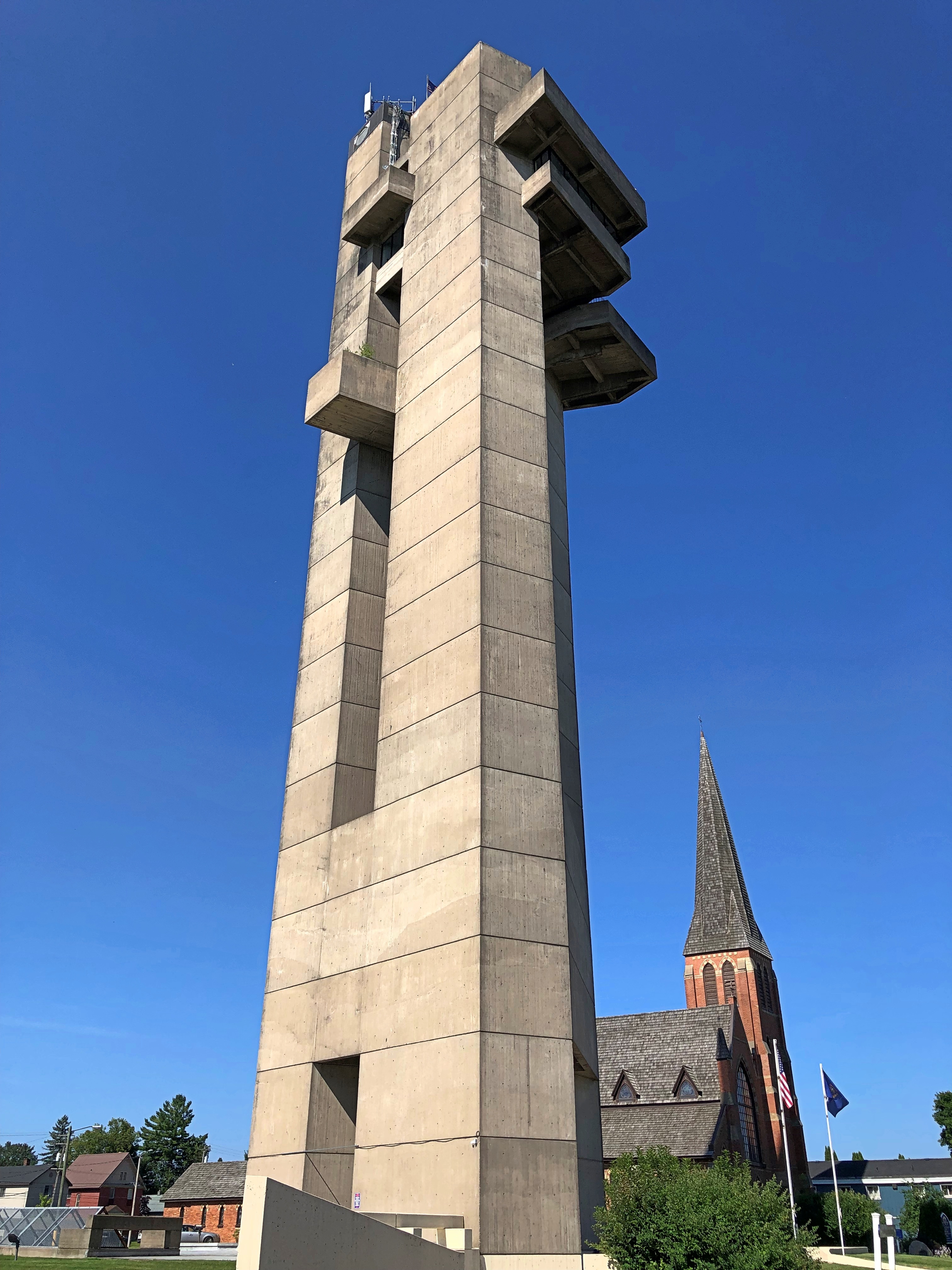
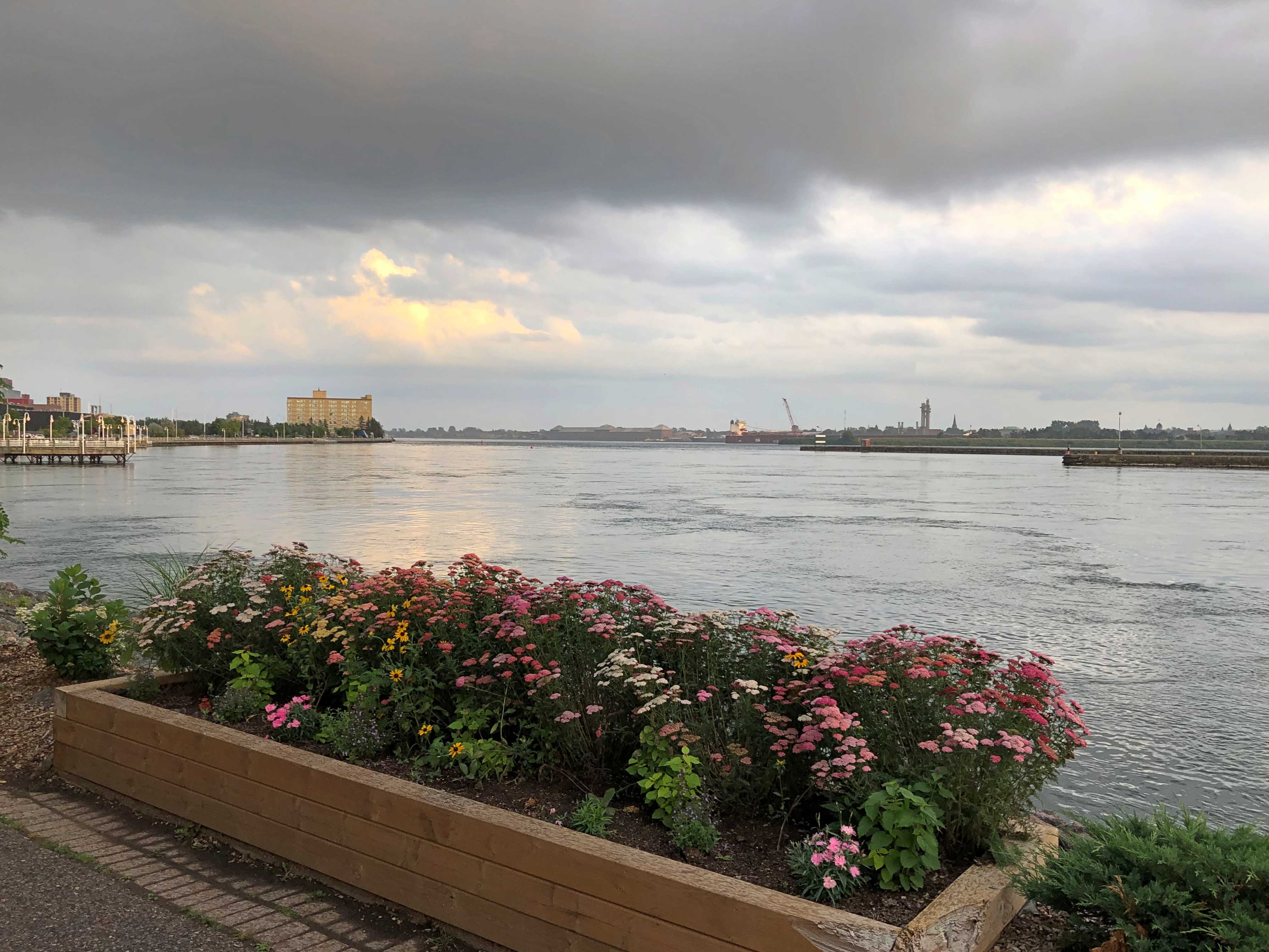
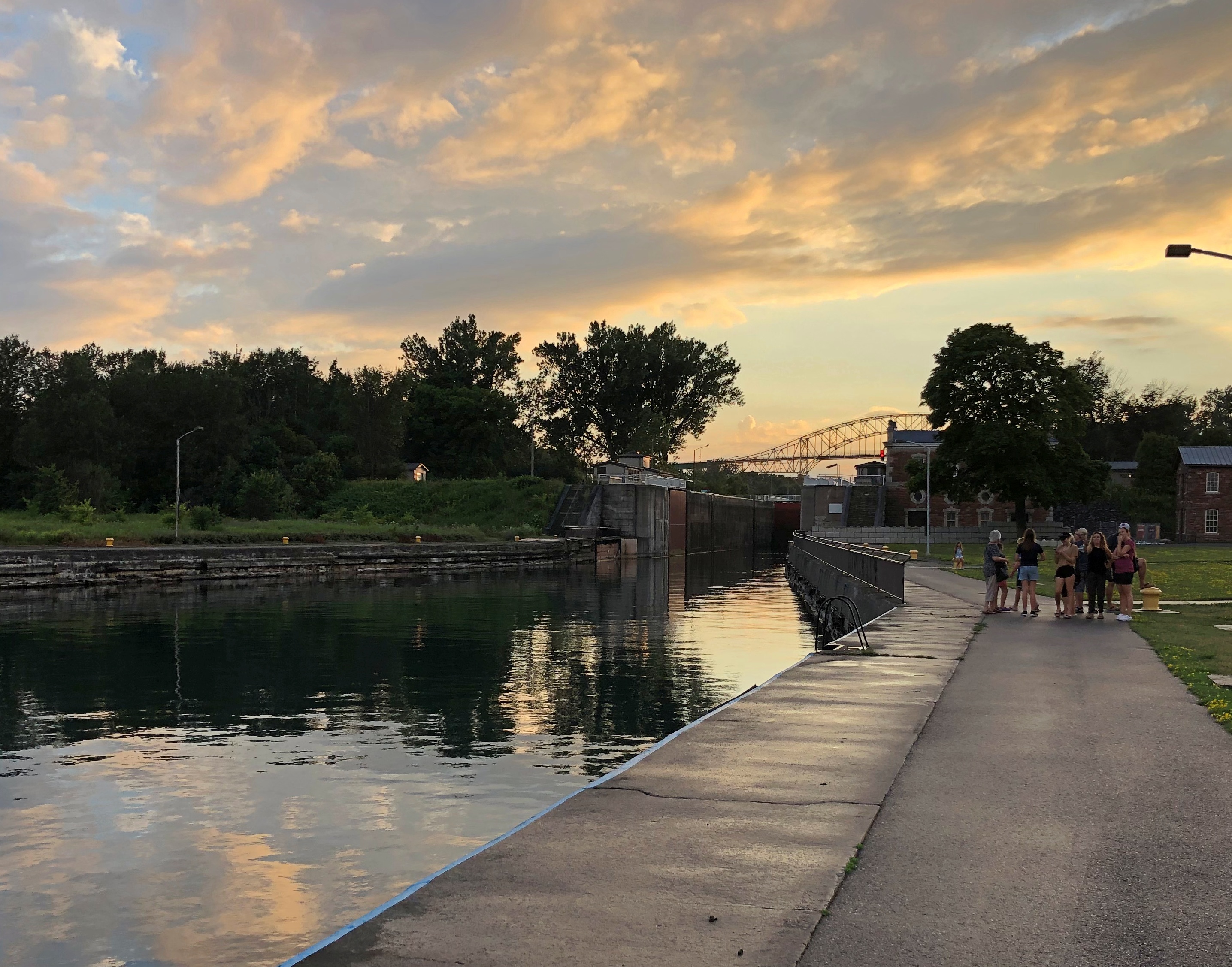
You can drive from Sault Ste. Marie to metro Chicago in a day. It would be a long day, maybe eight or nine hours depending on traffic, construction, etc., but you can do it. I decided against such a long day, breaking the trip roughly in half by spending the last night of the drive around Lake Superior – which I was leaving far behind by this point – in Marinette, Wisconsin.

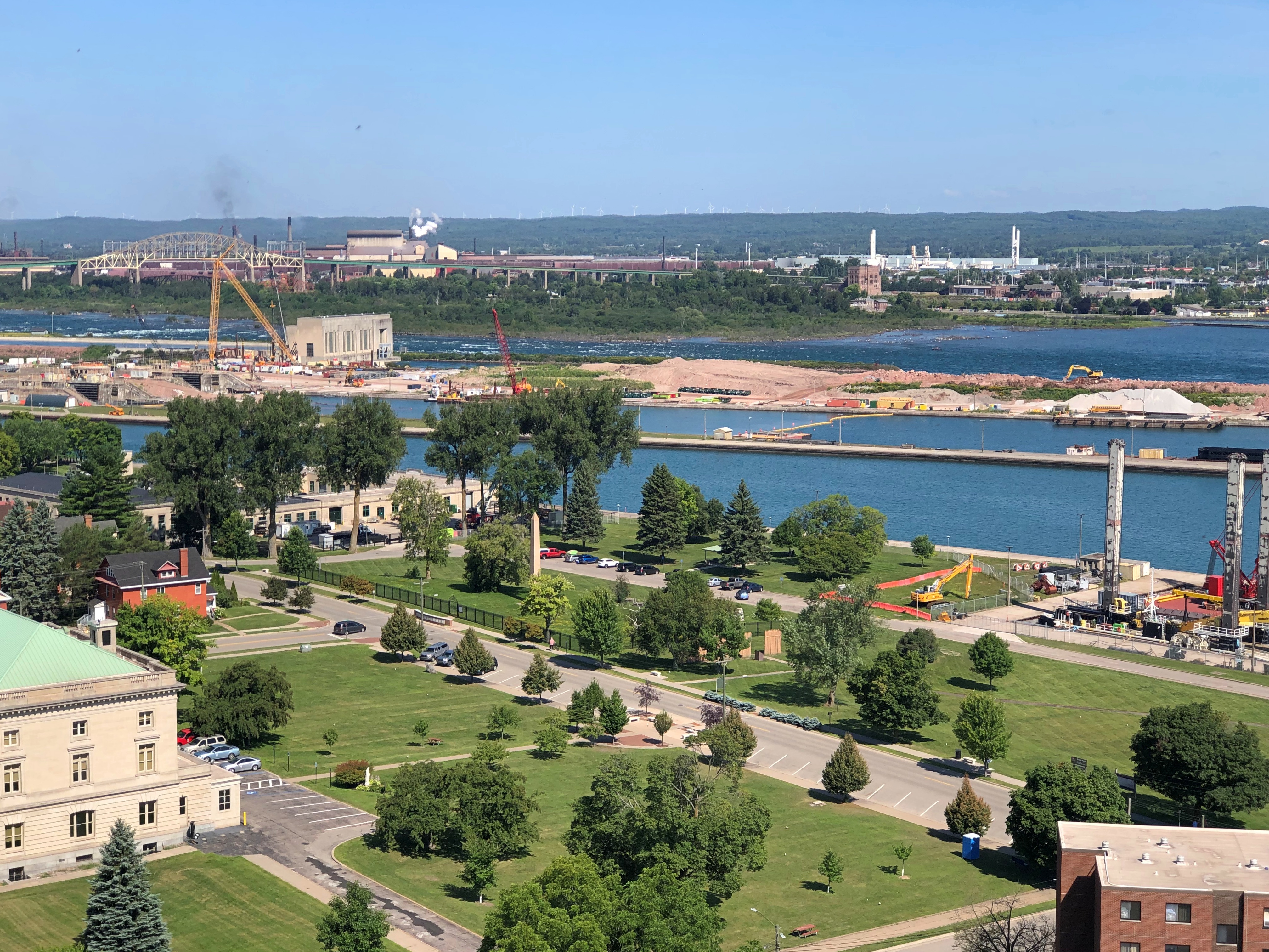
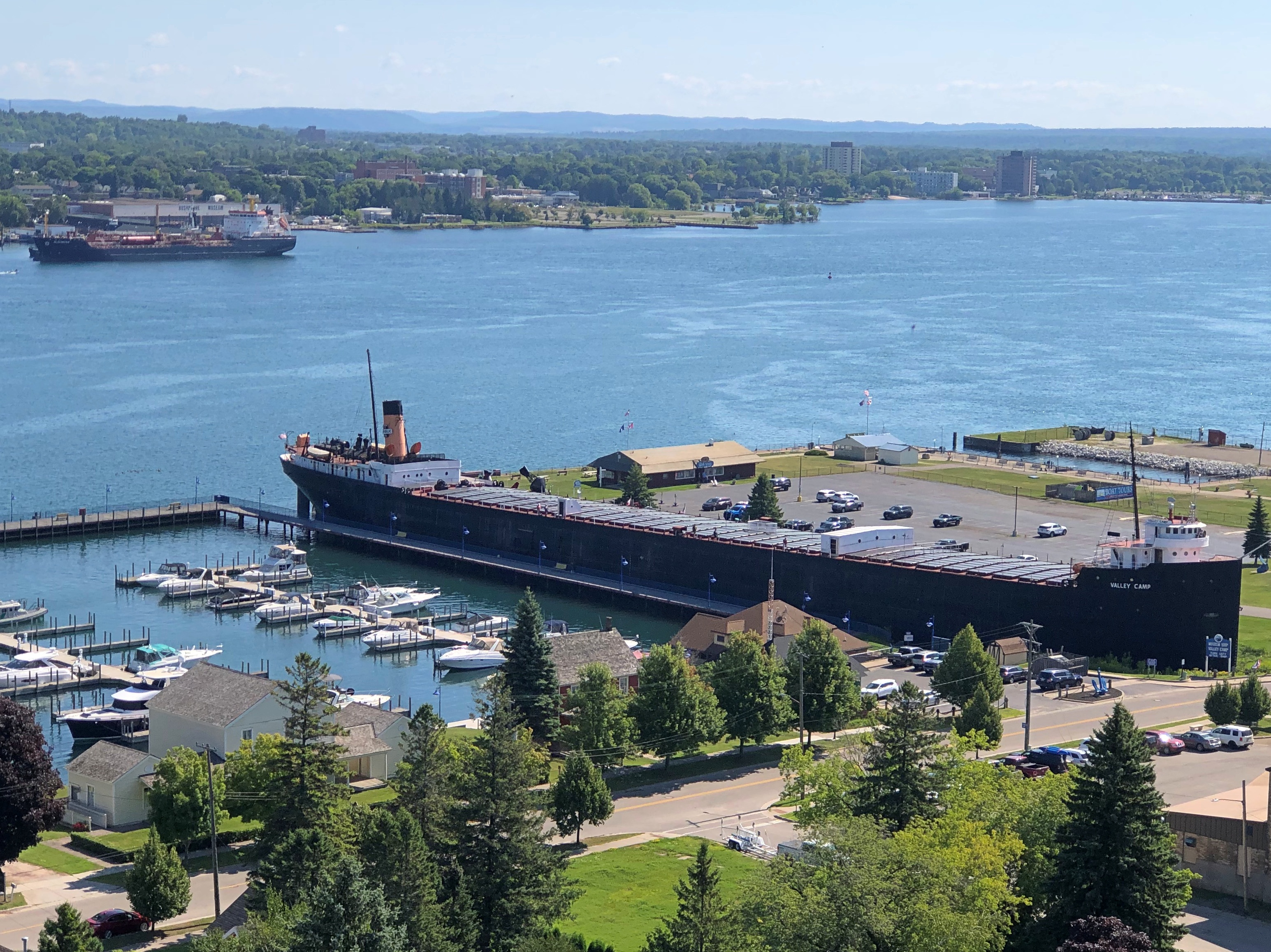
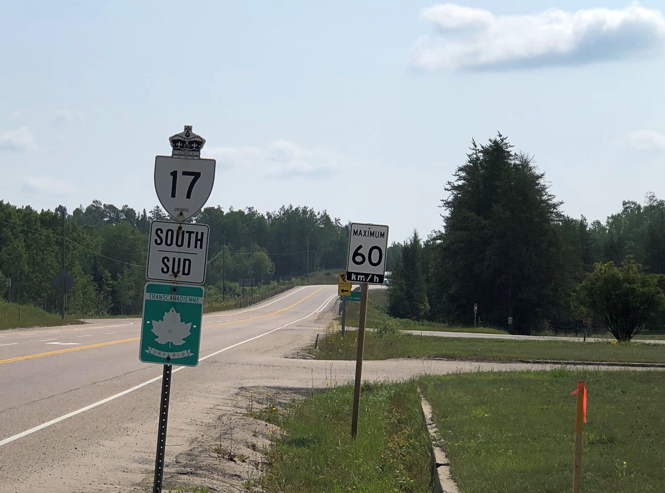
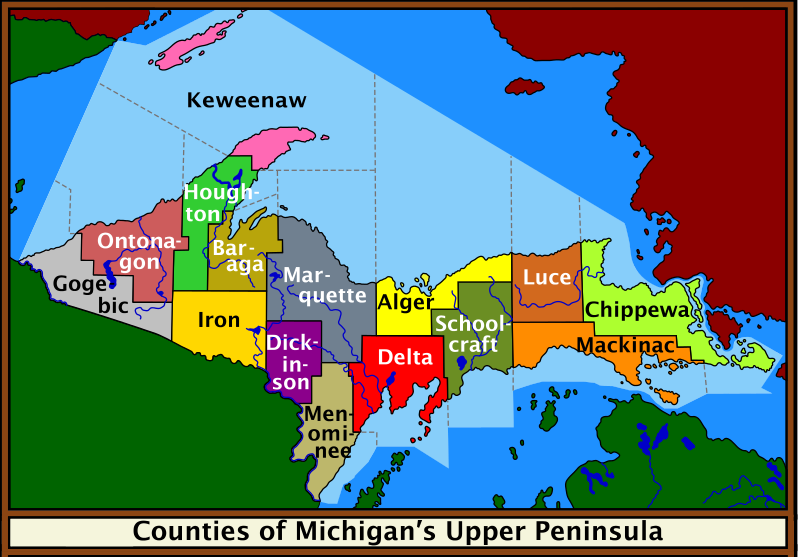
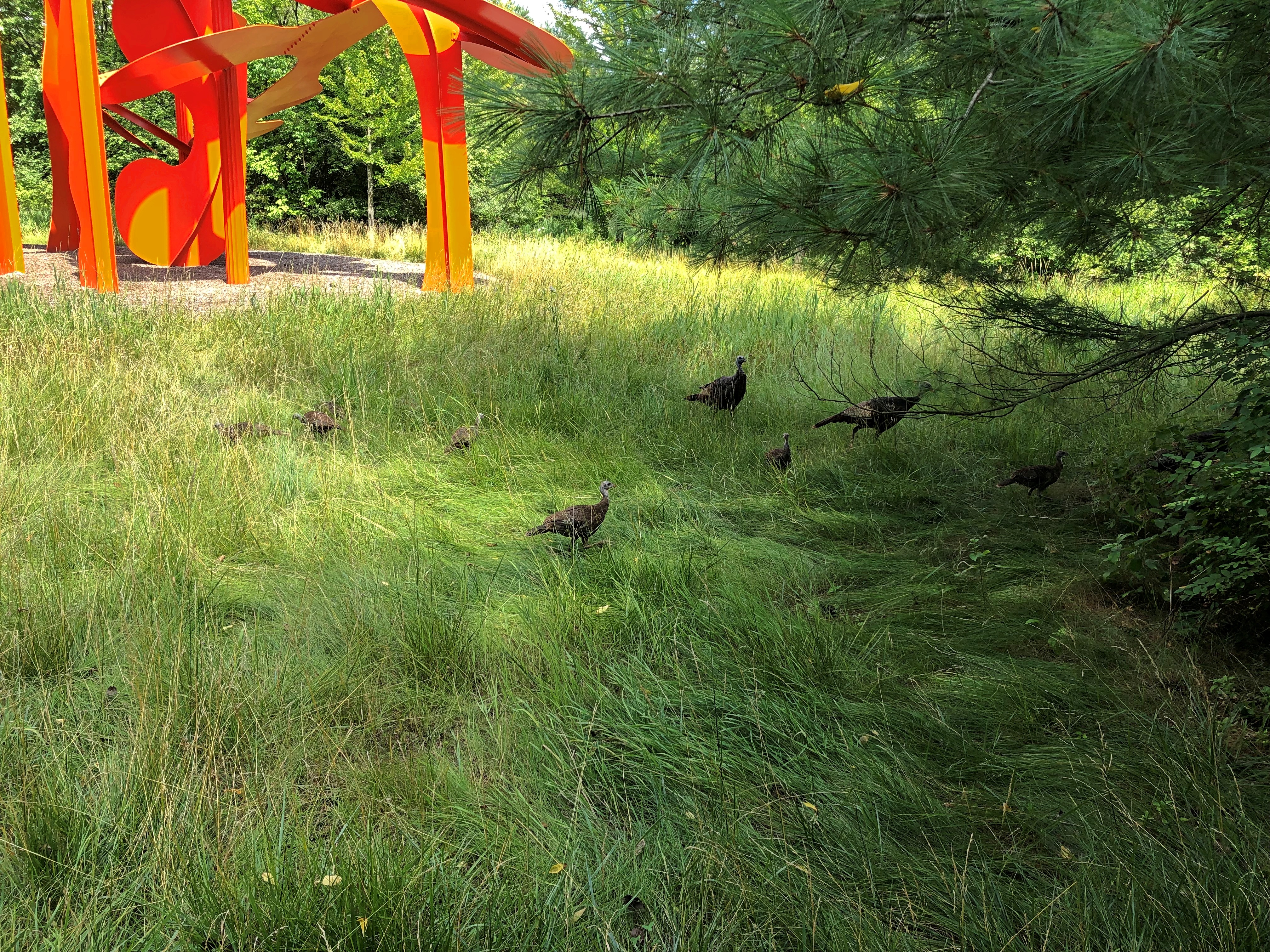
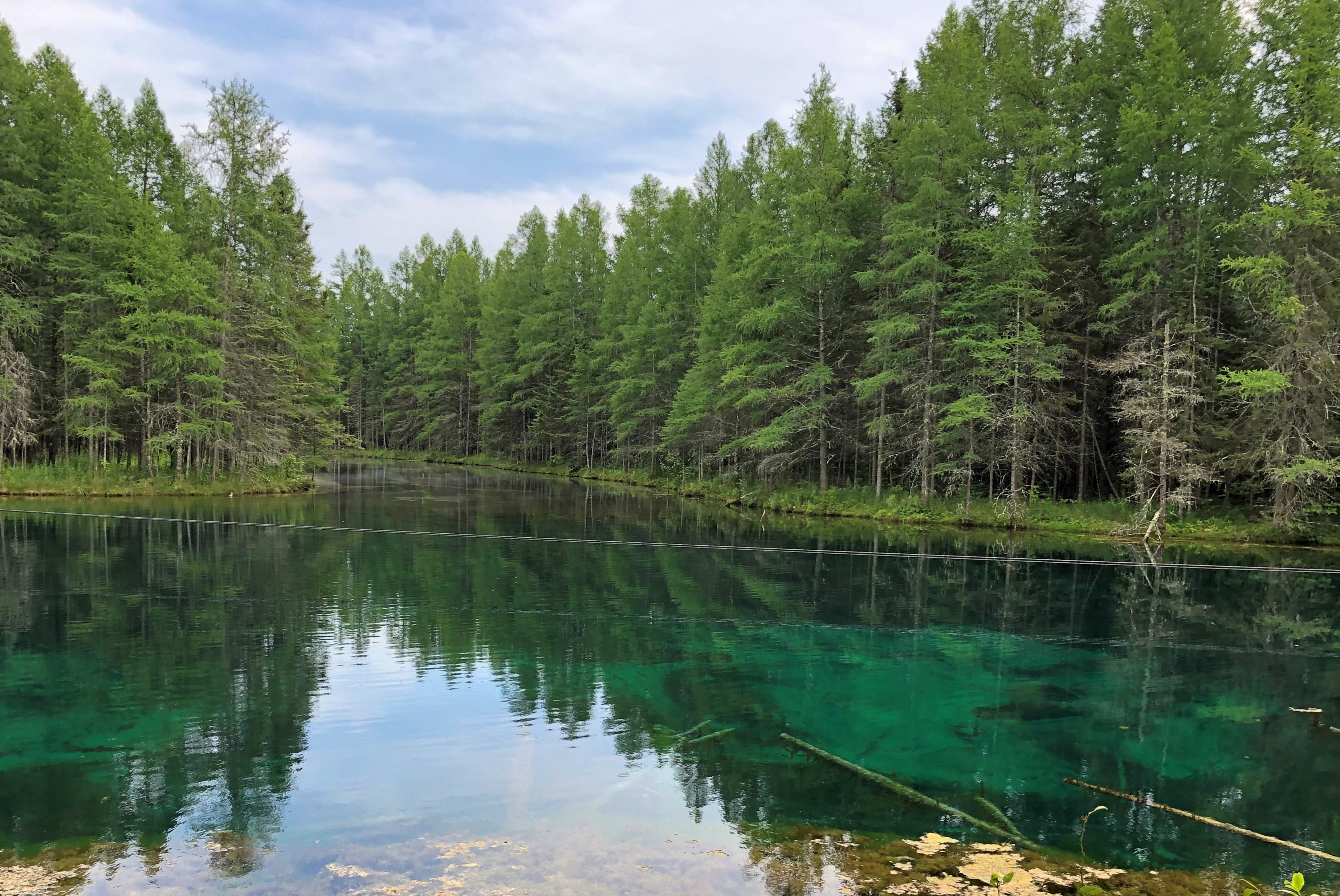
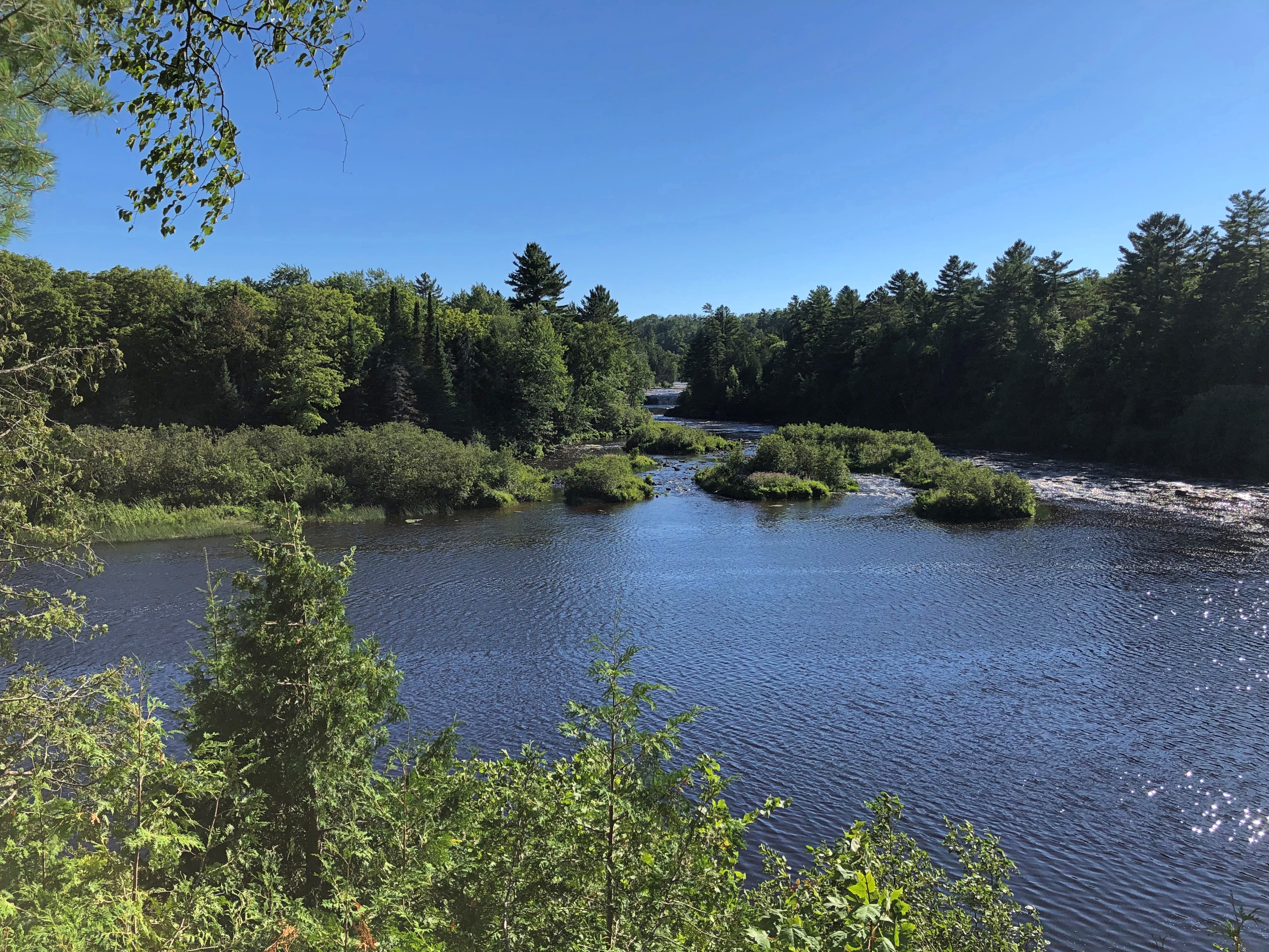
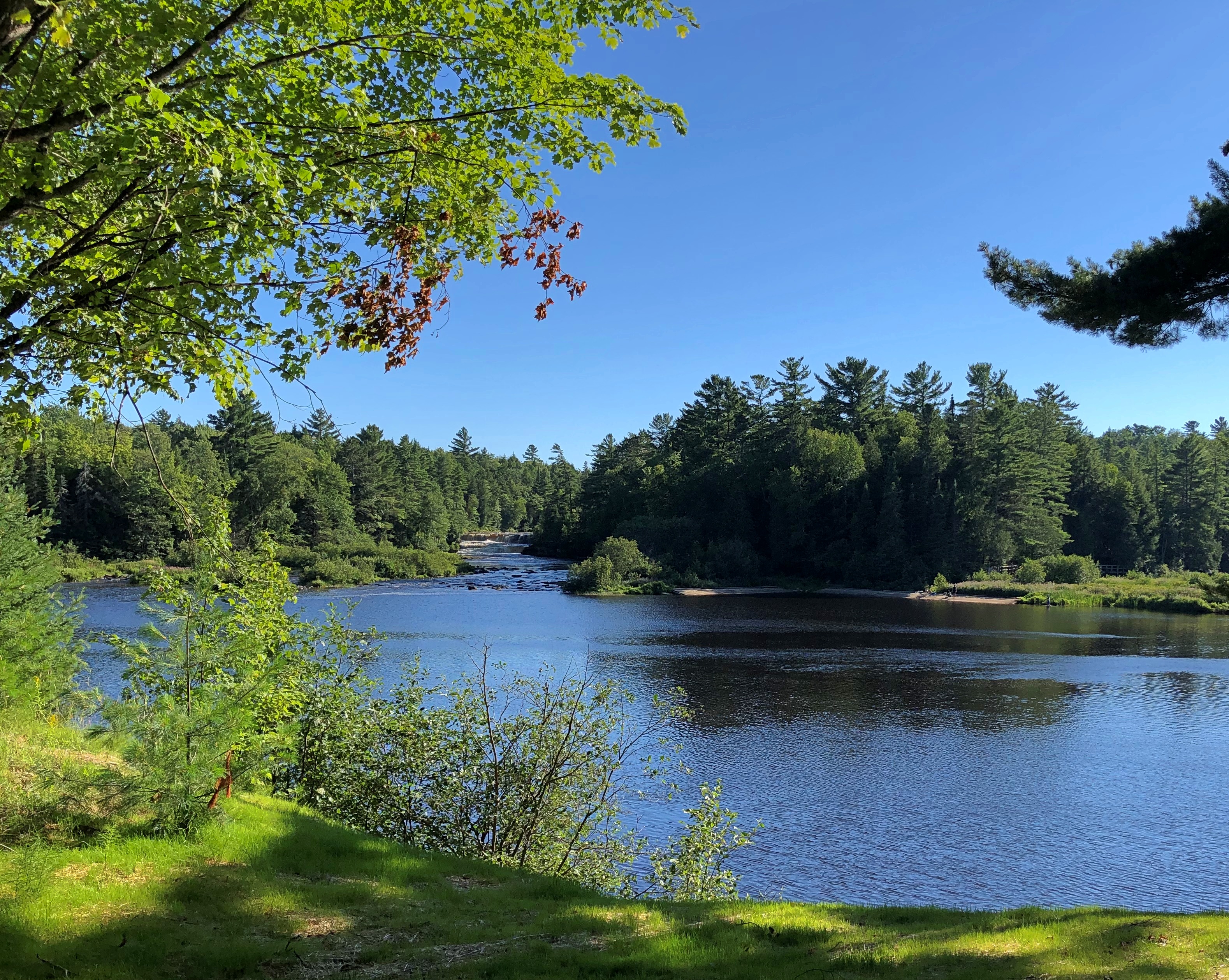
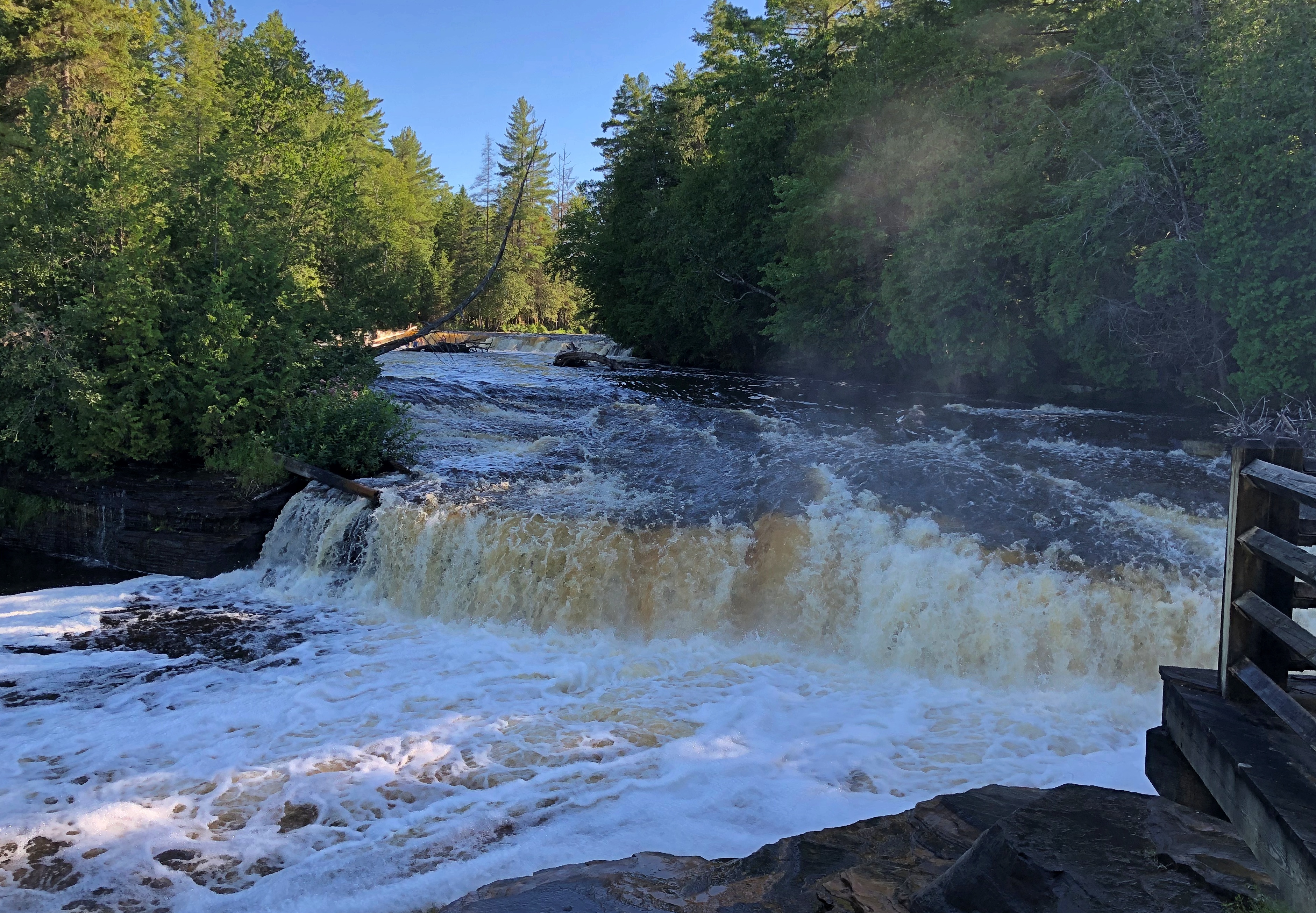
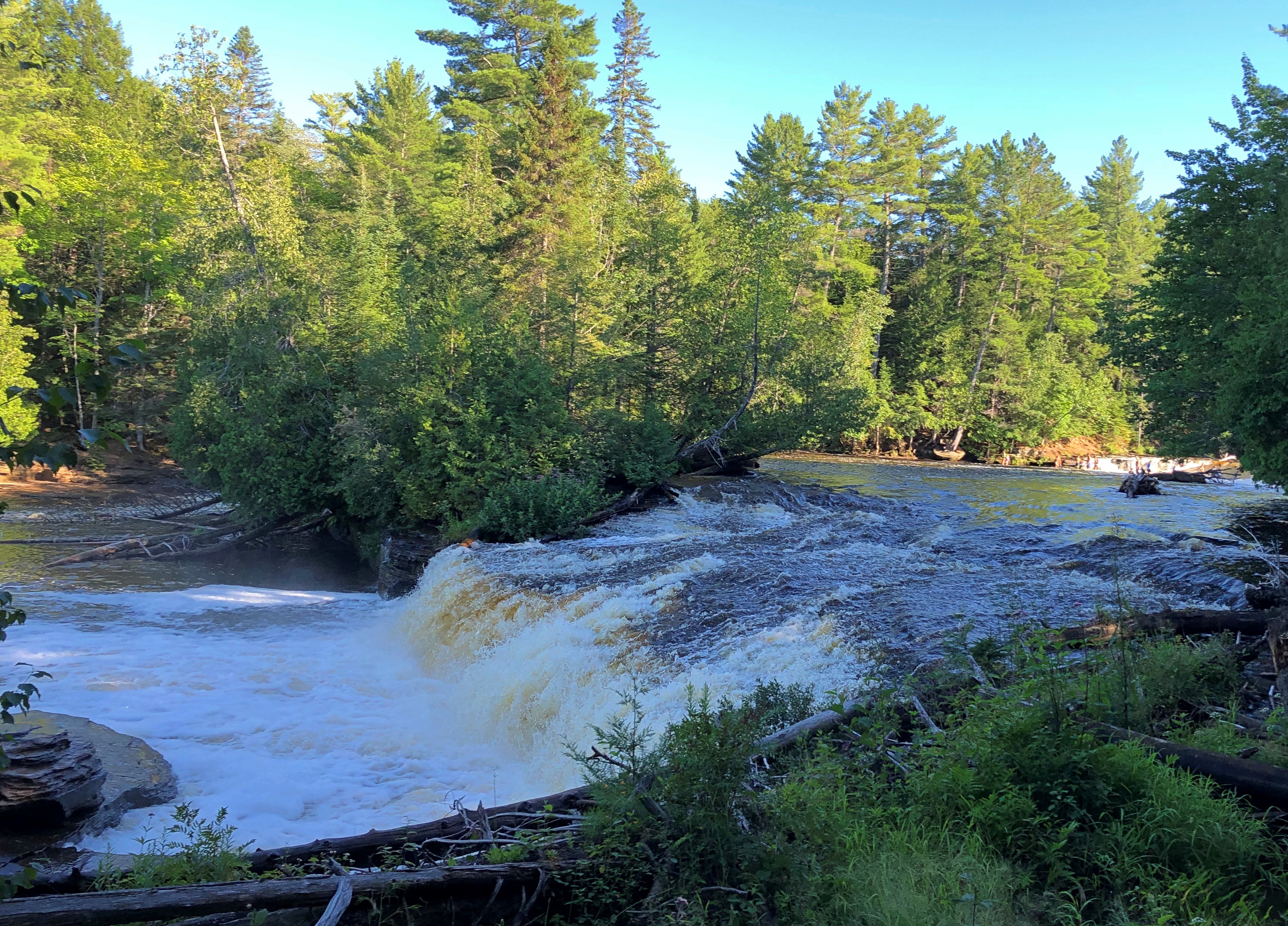
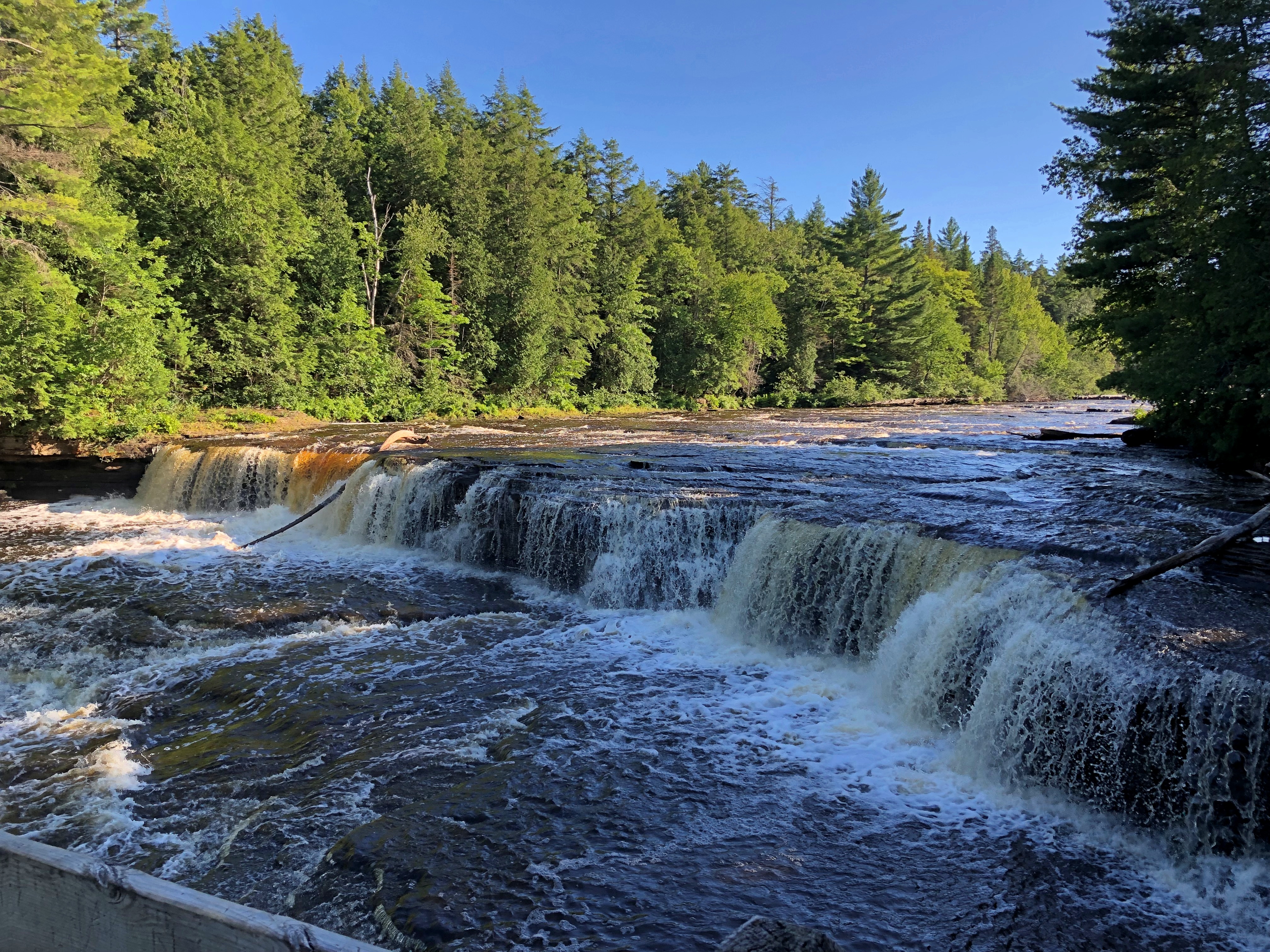
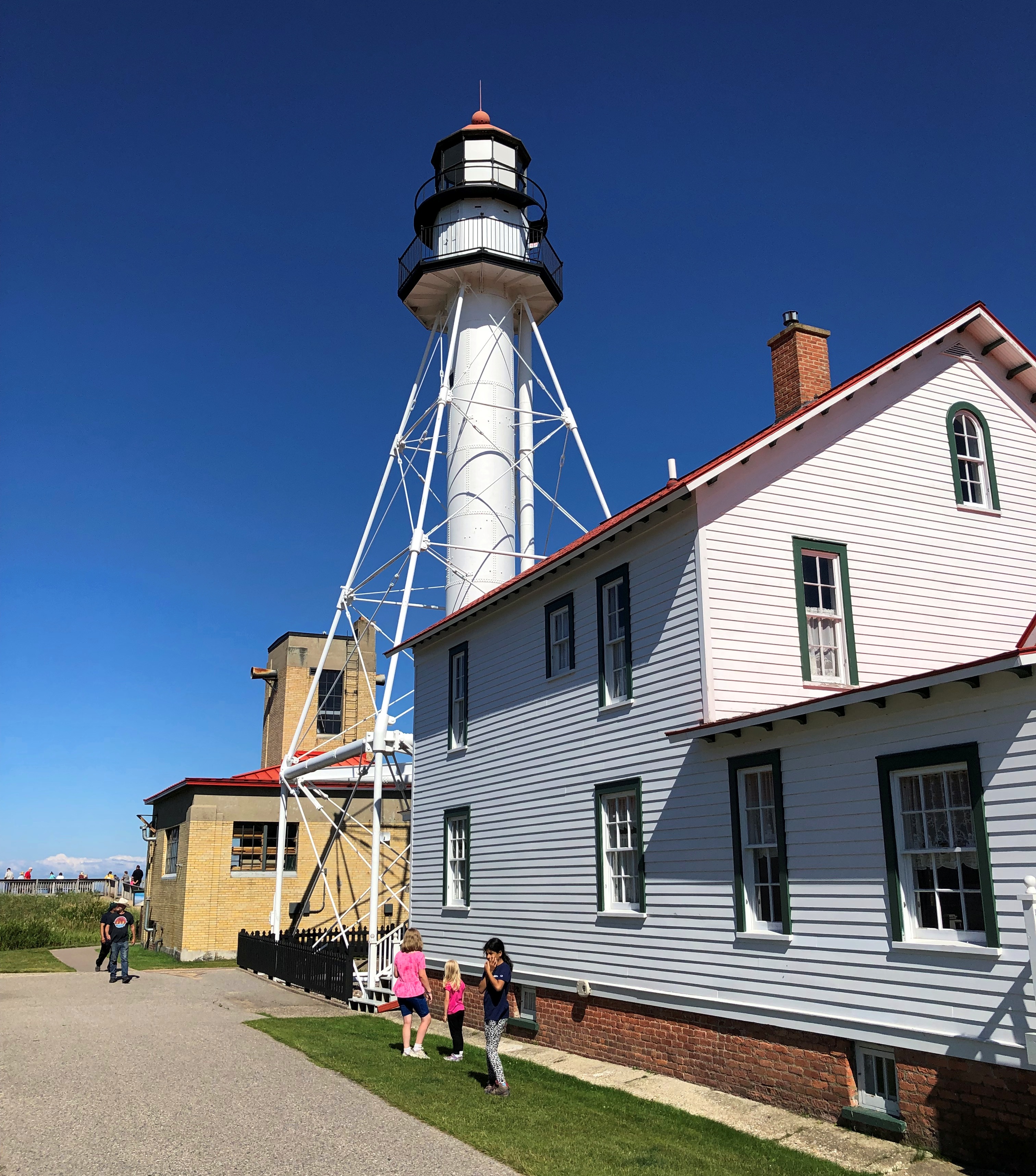
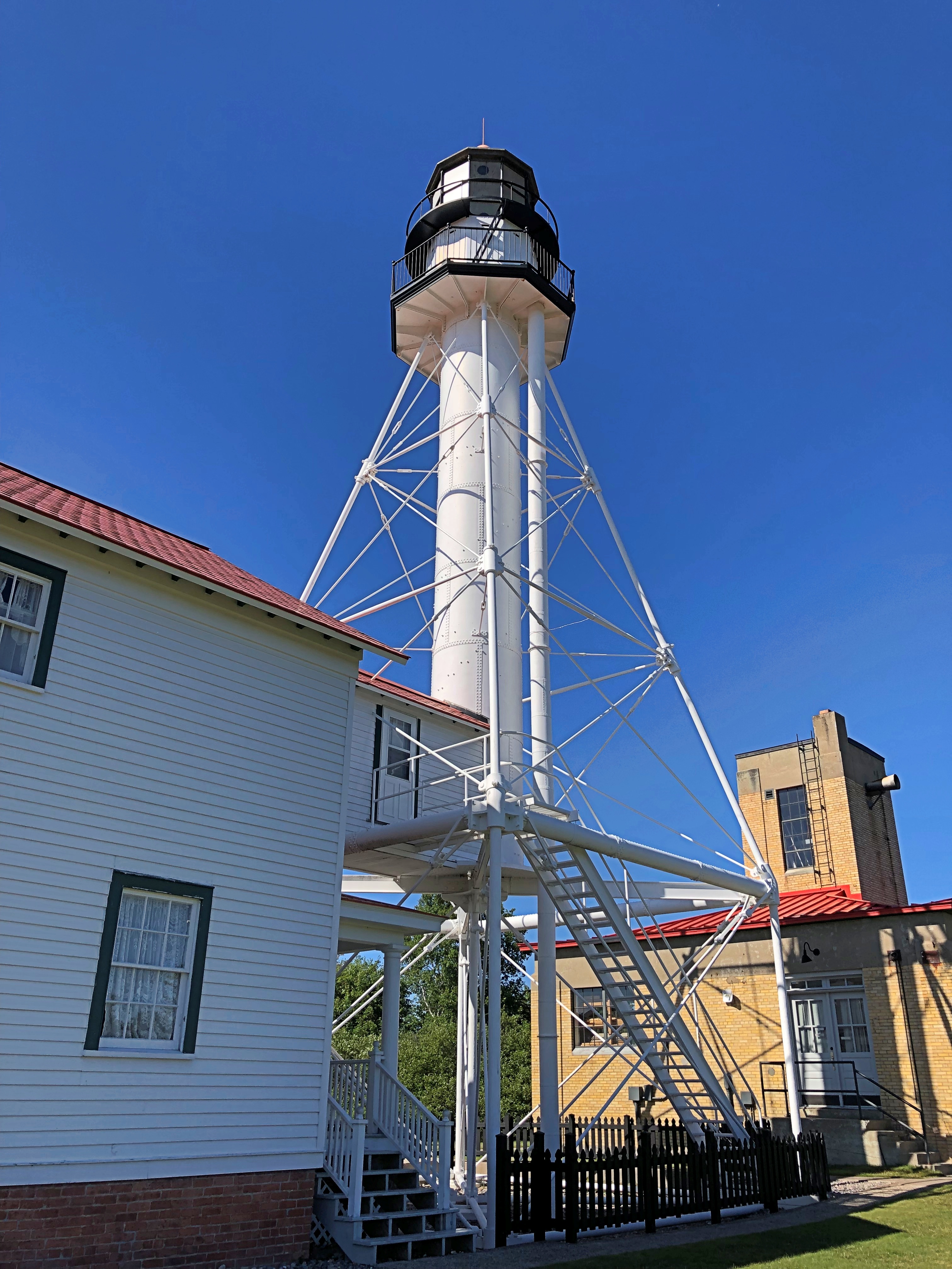
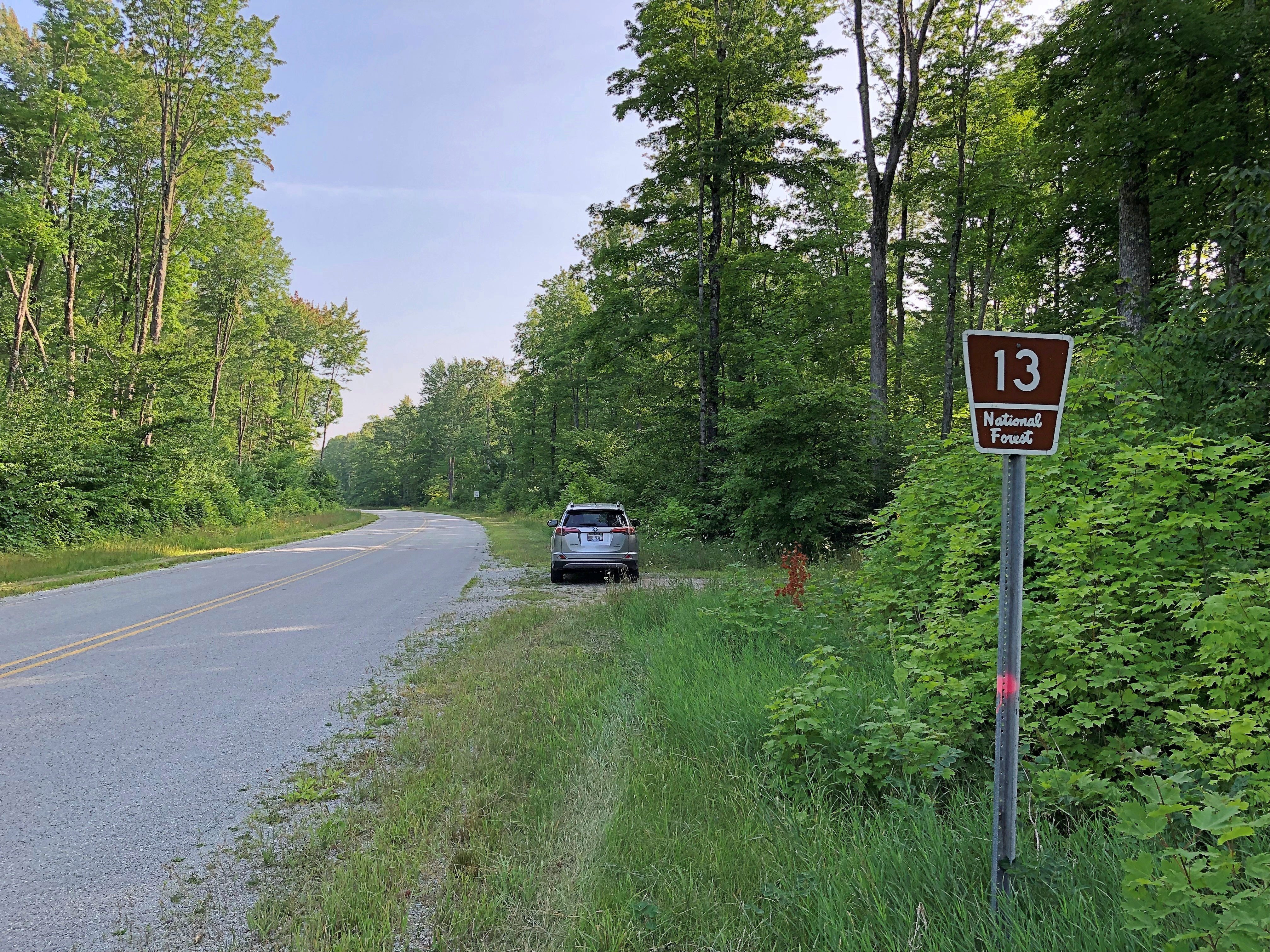
One reason: so I could enjoy a leisurely drive through the UP, including westward on Michigan 28 and then south on National Forest 13 through Hiawatha National Forest.

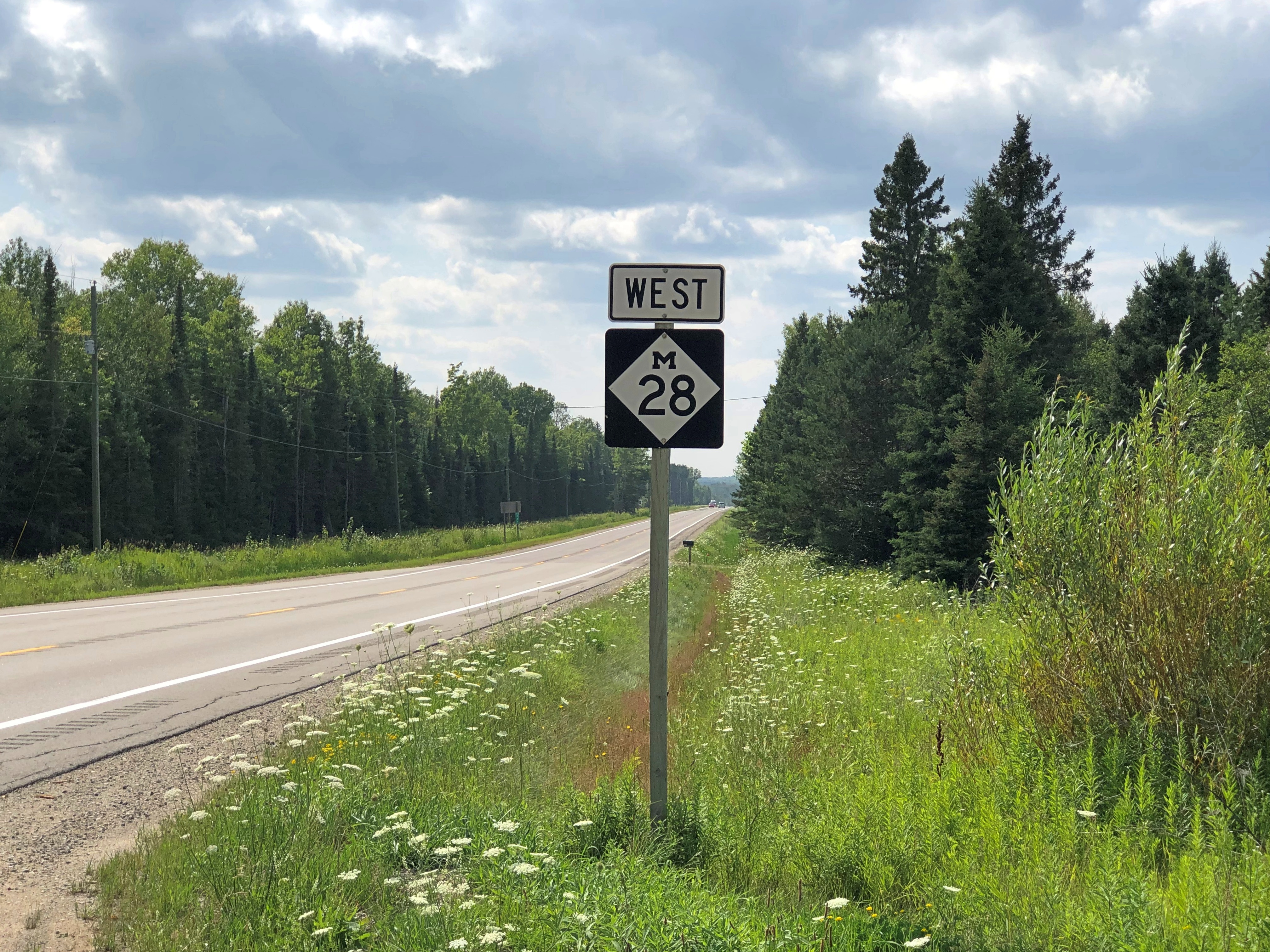
These are roads unlikely to make it on conventional best-drive lists, except for one that I might compile myself according to idiosyncratic lights, which might also include the Icefields Parkway, Lake Shore Drive, Alamo Heights Blvd., North Carolina 12 on Hatteras and Ocracoke islands, among others that come to mind. That the UP has two such favorite roads says something about the car-commercial driving to be had in the mostly forested UP.

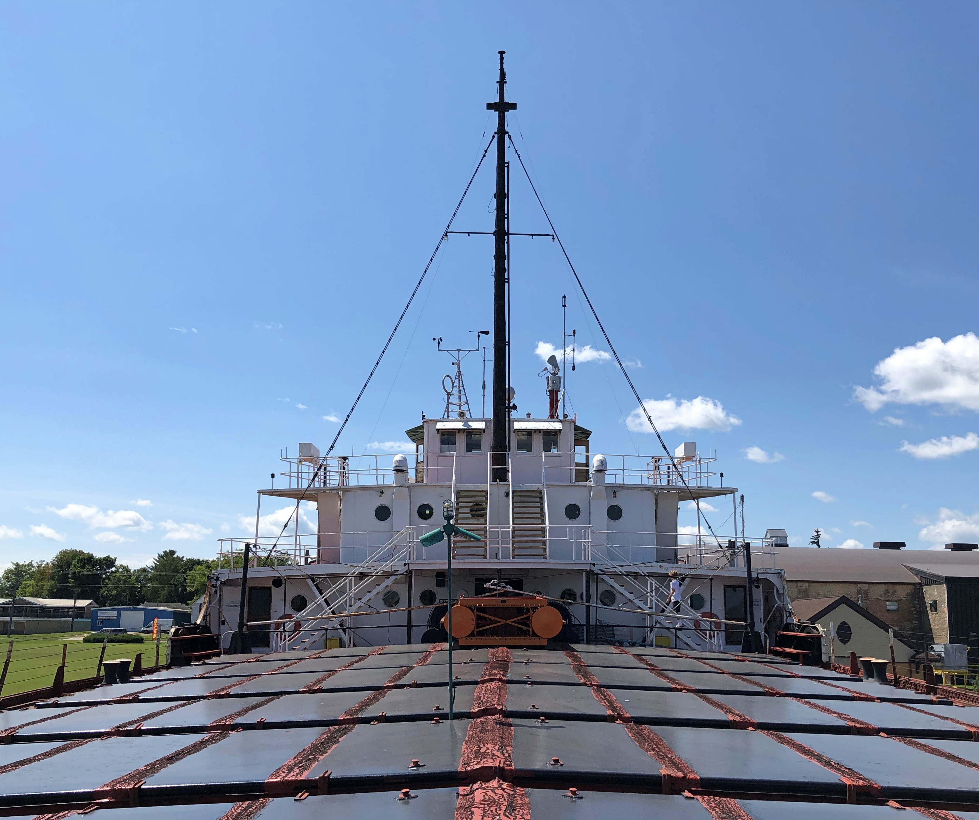
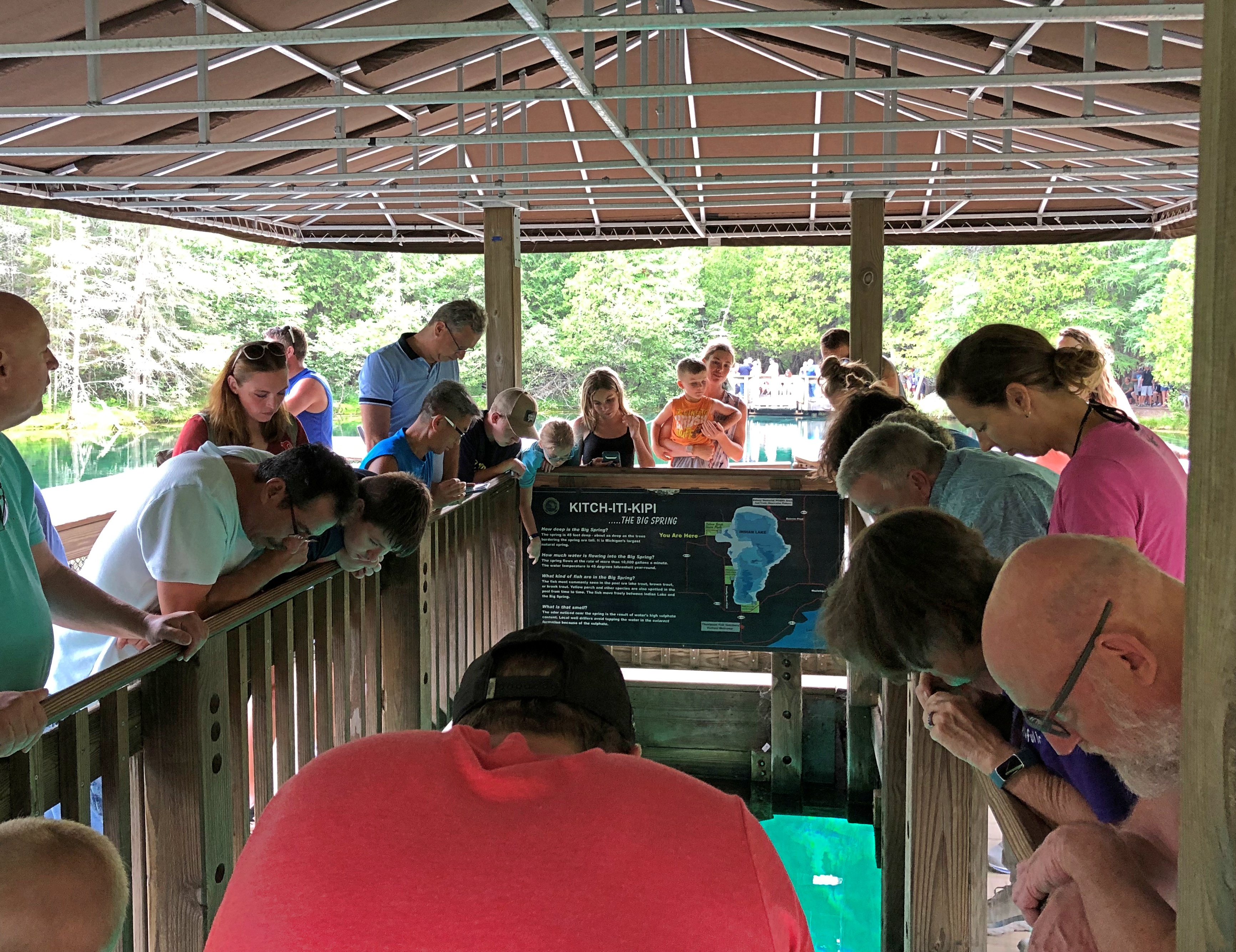
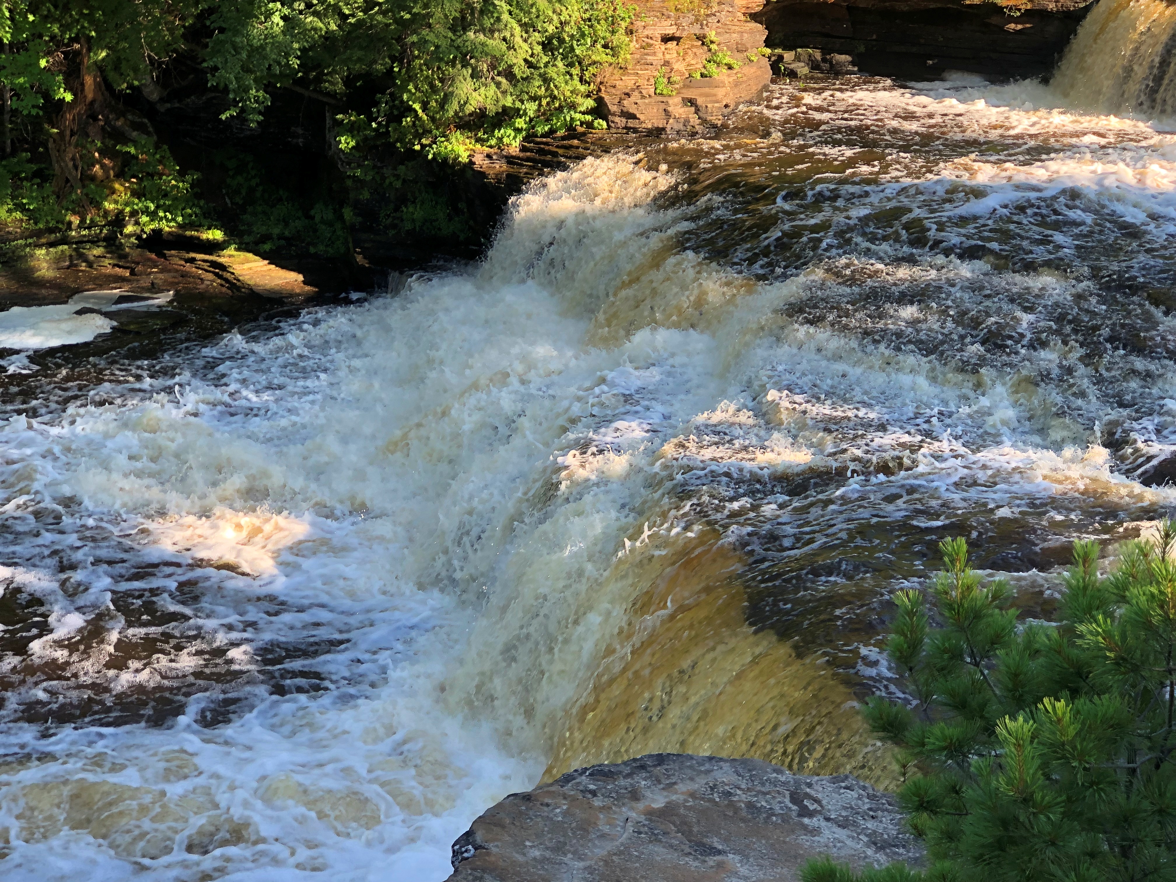
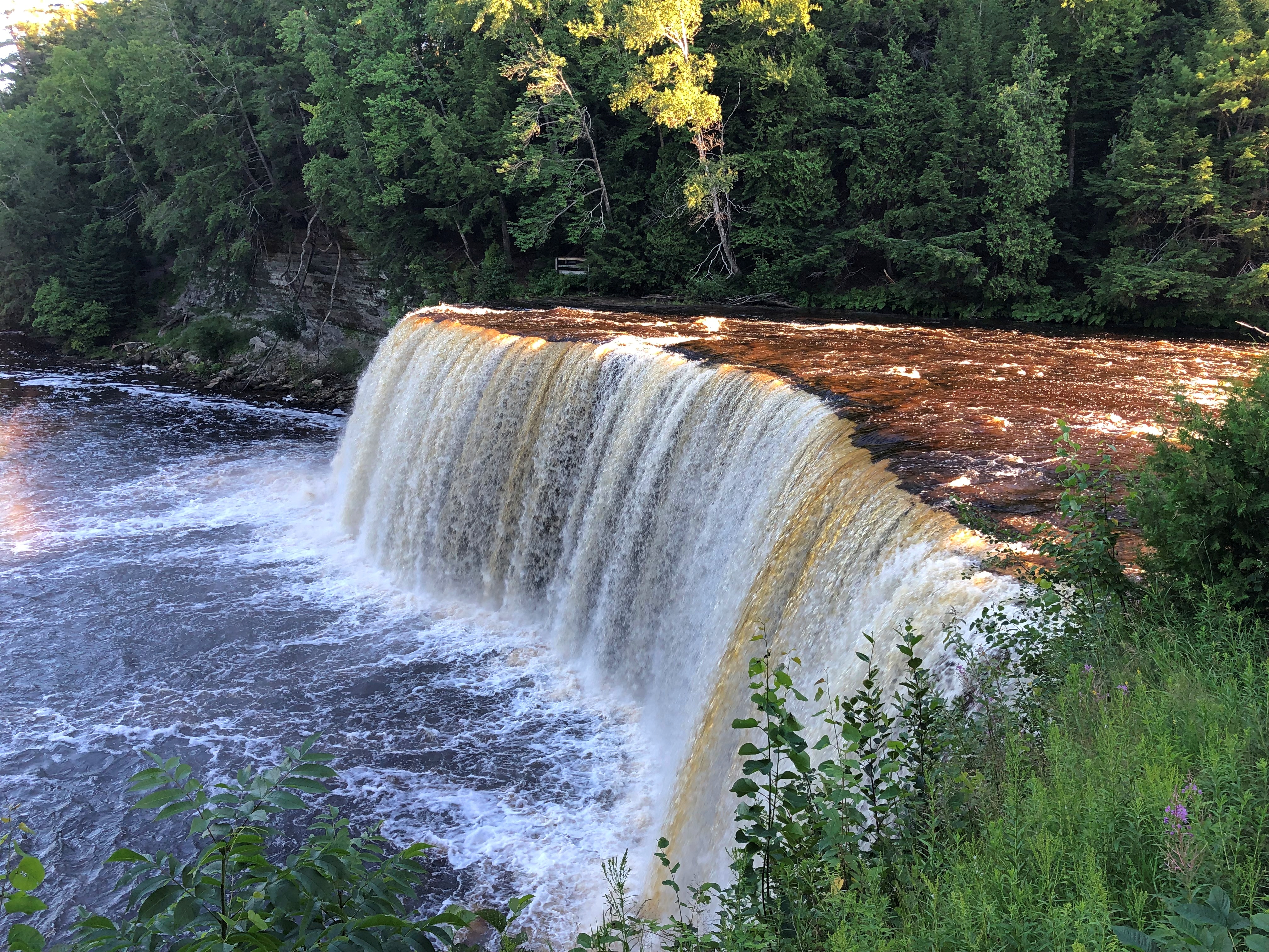
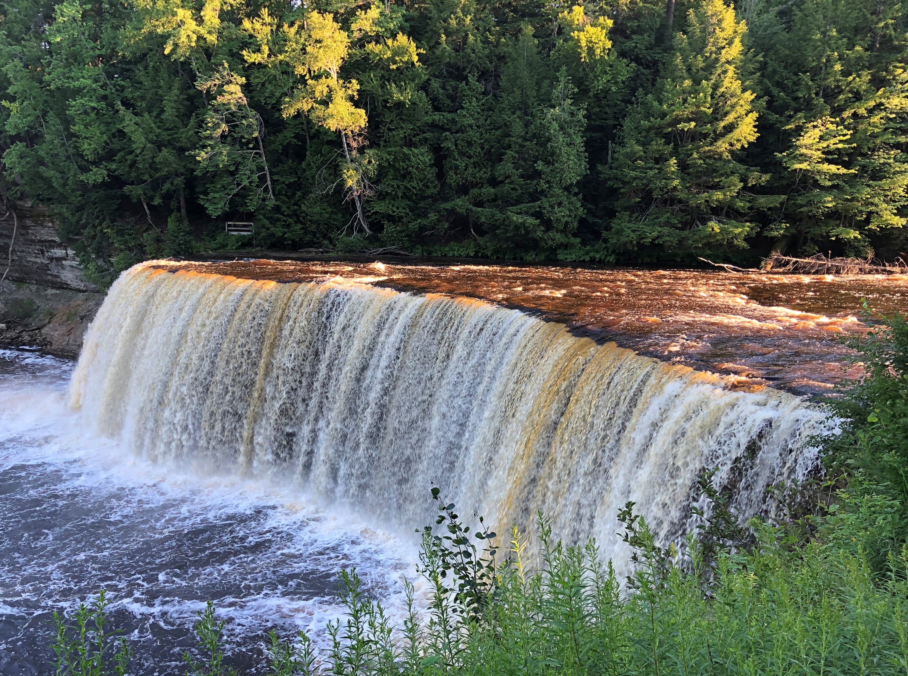
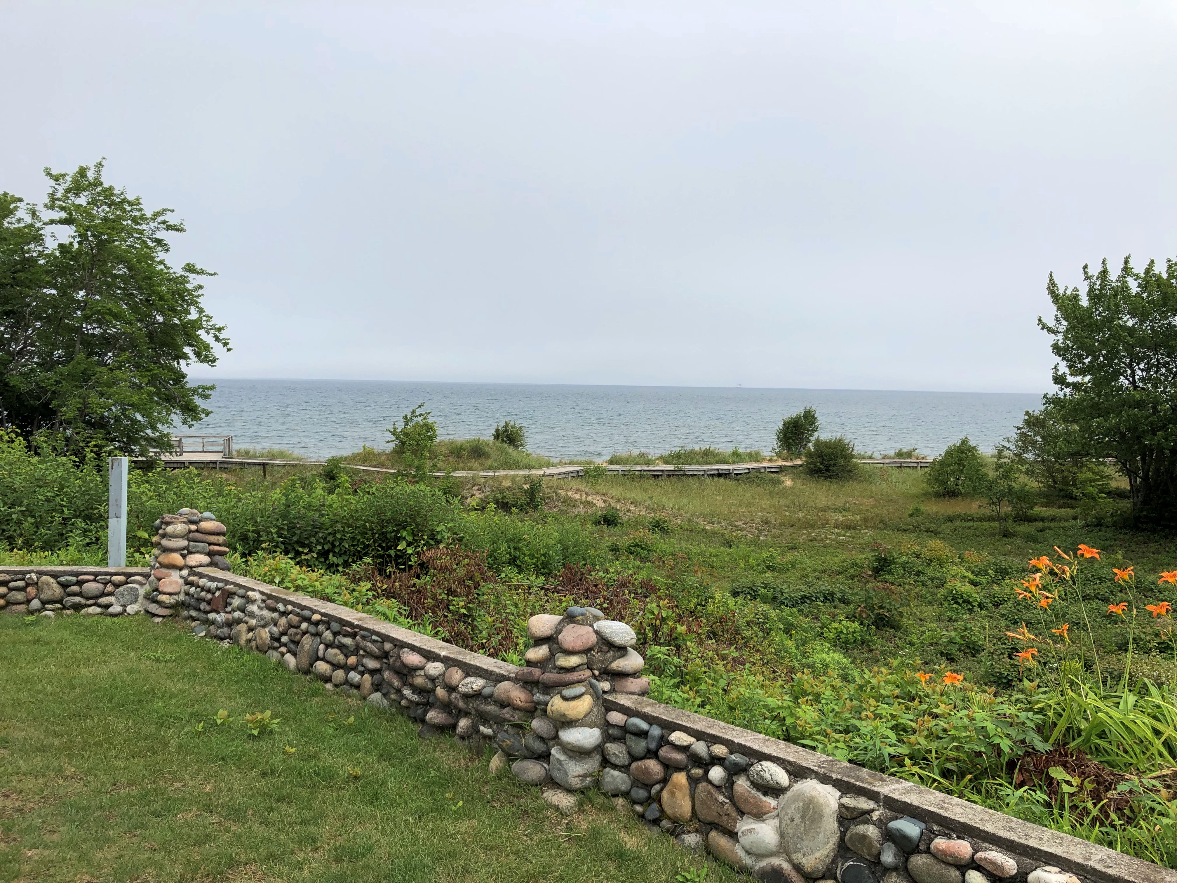
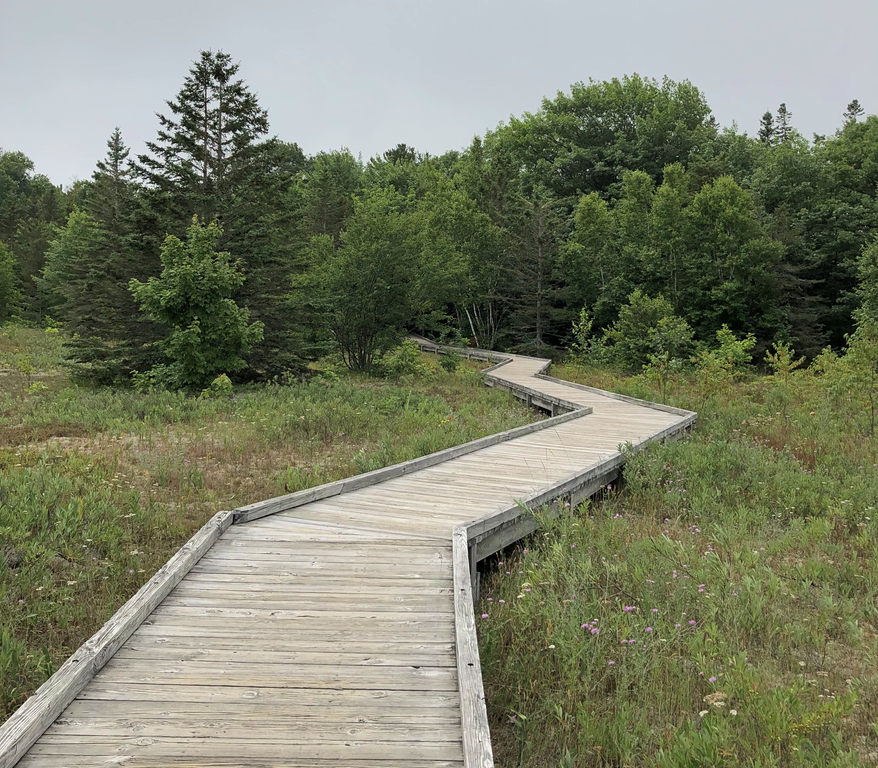
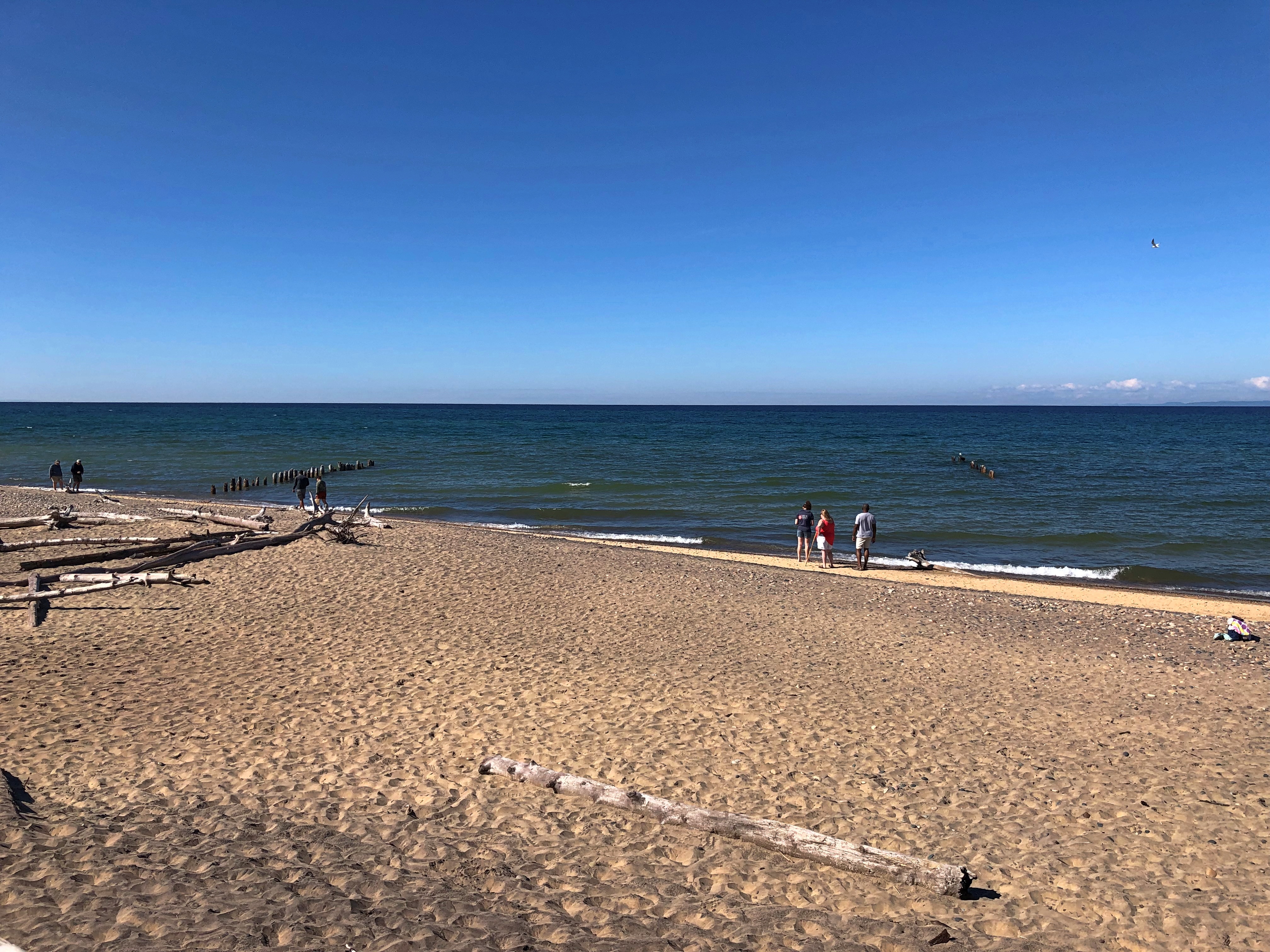
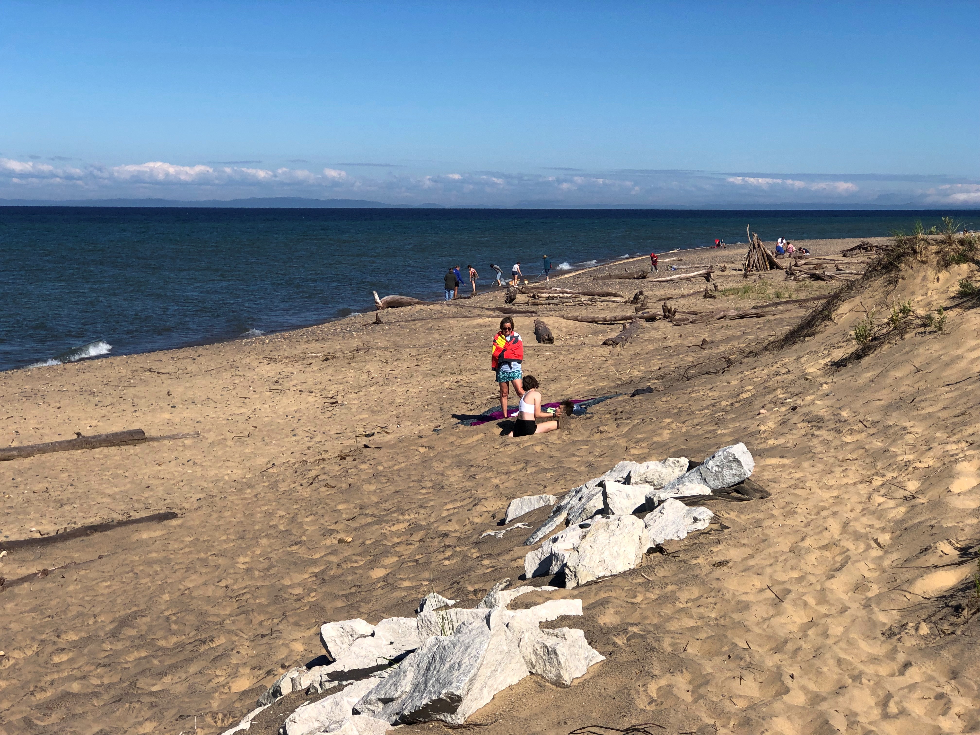
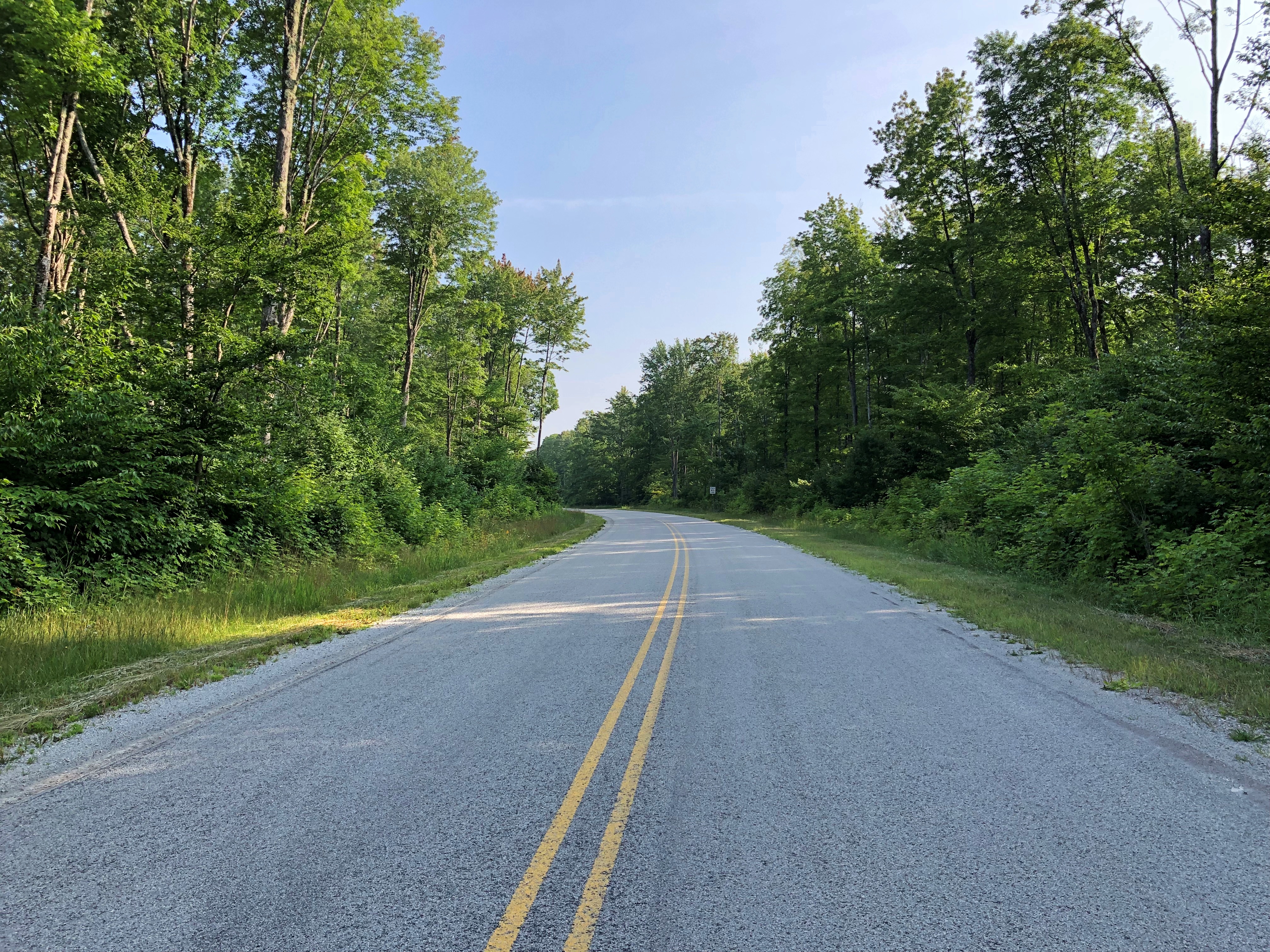
Light enough traffic, at least on National Forest 13, that you can stand on the center line and take pictures at your leisure.

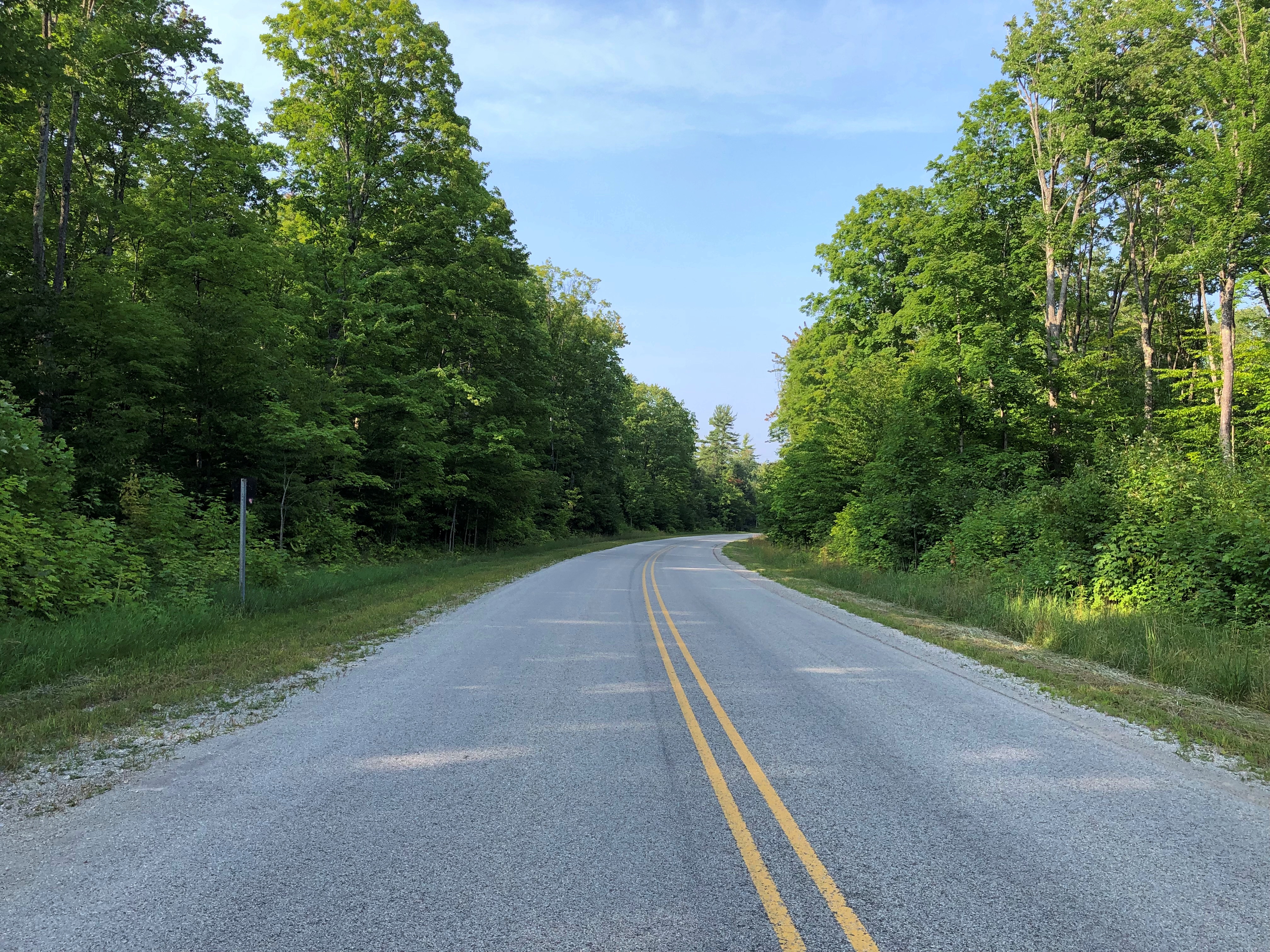
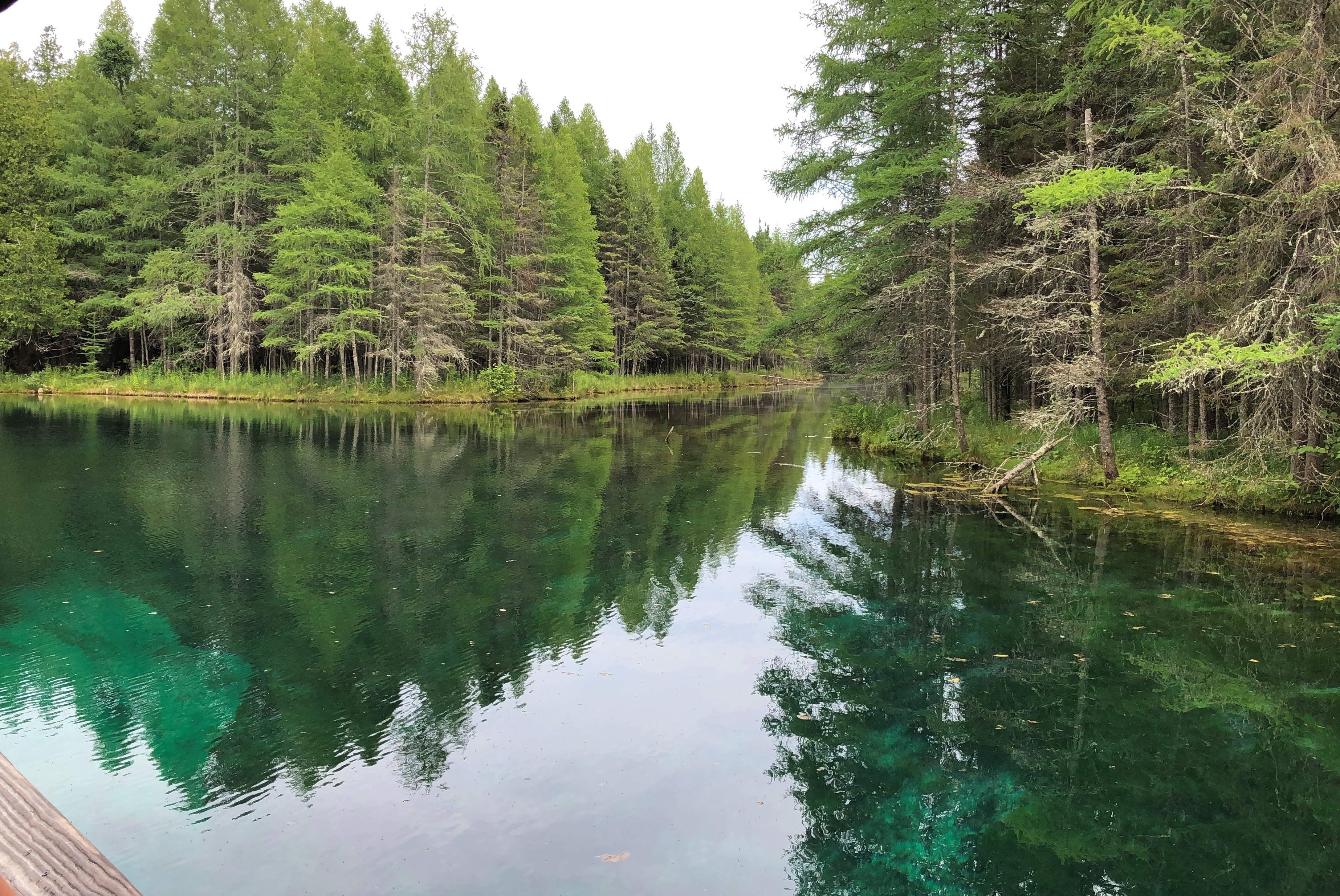
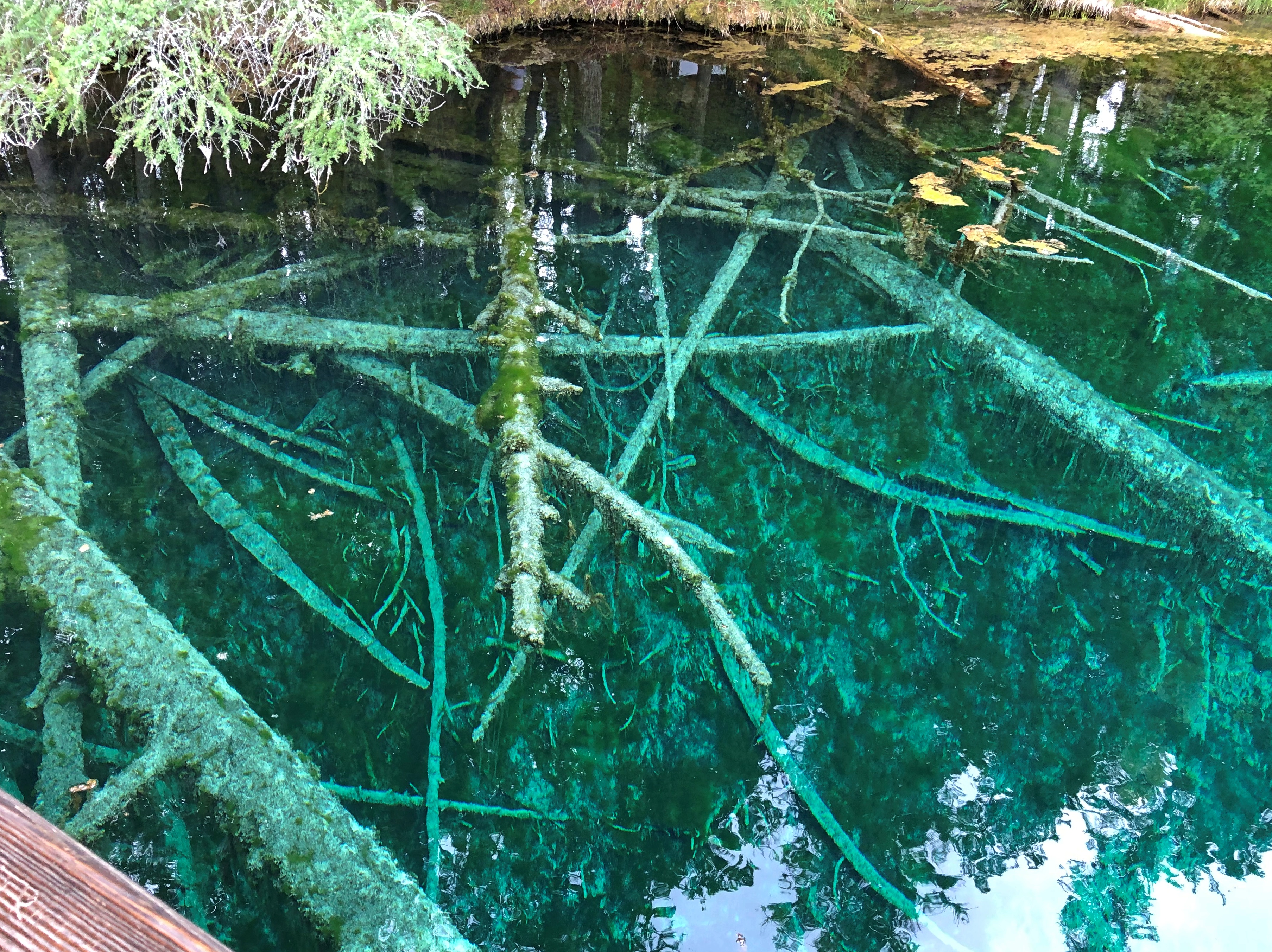
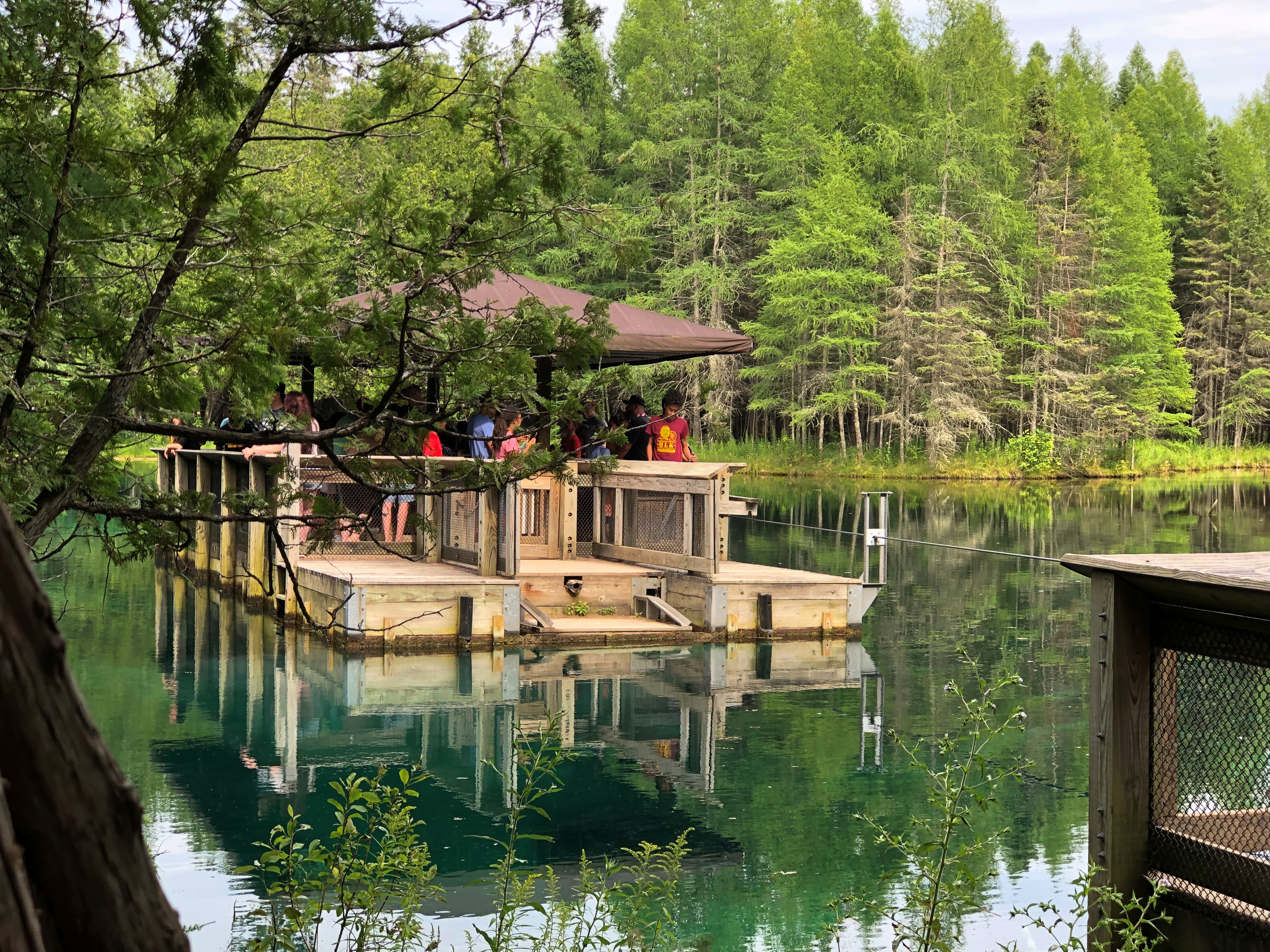
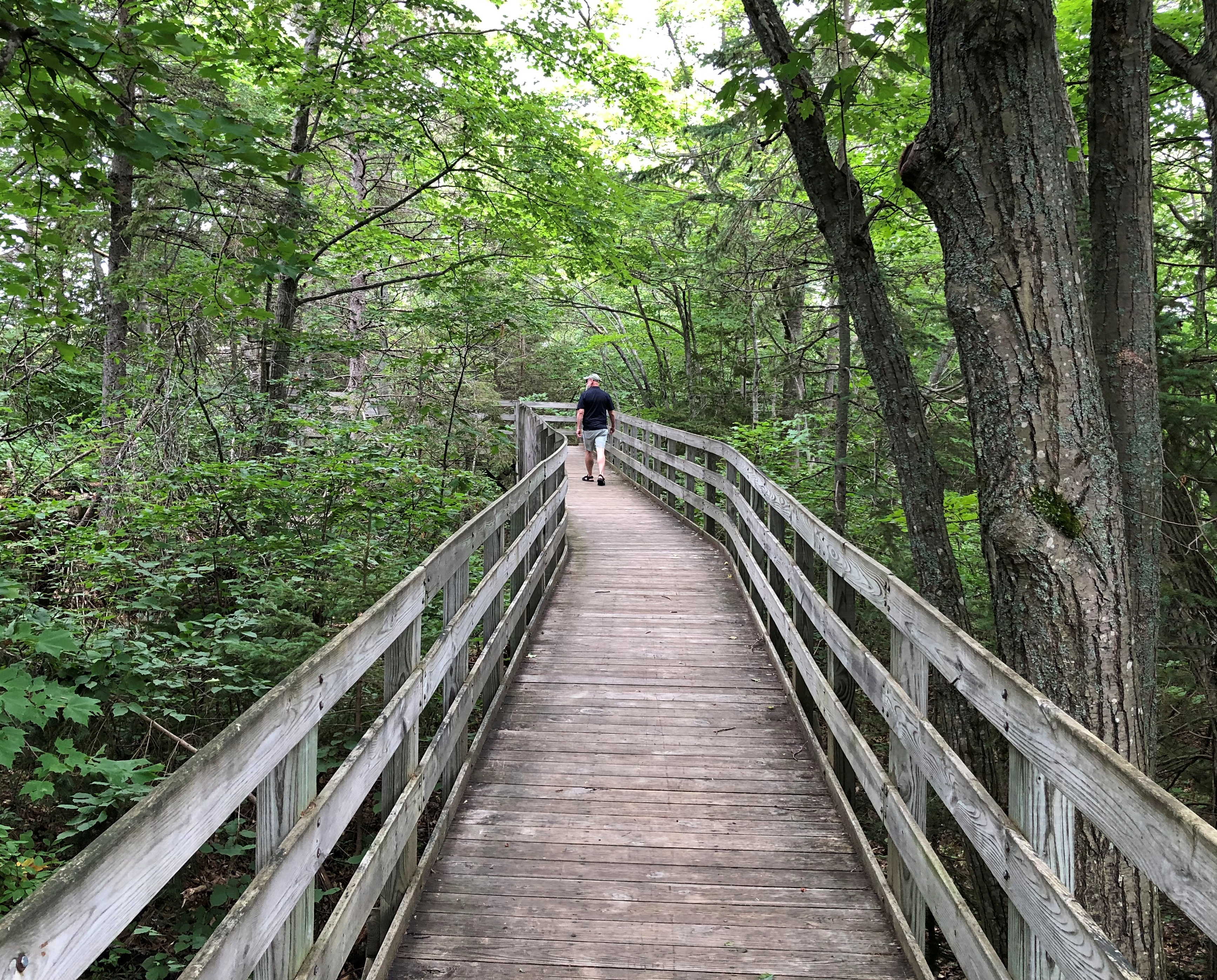
Another thing about NF 13: It took me to Pete’s Lake once upon a few times, and again on August 5, though I didn’t camp this time or experience a thunderstorm or yahoos yelling in the distance. It remains a sentimental favorite spot.National Forest 13

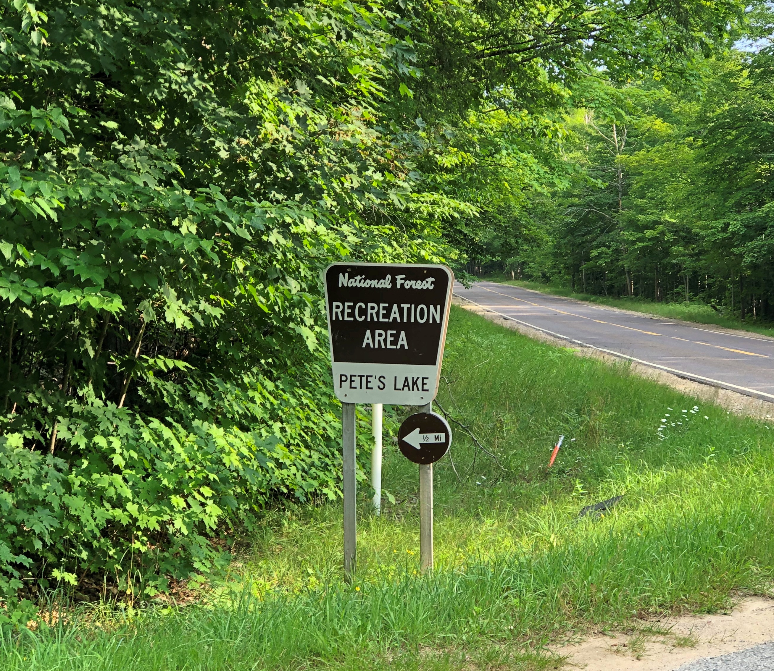
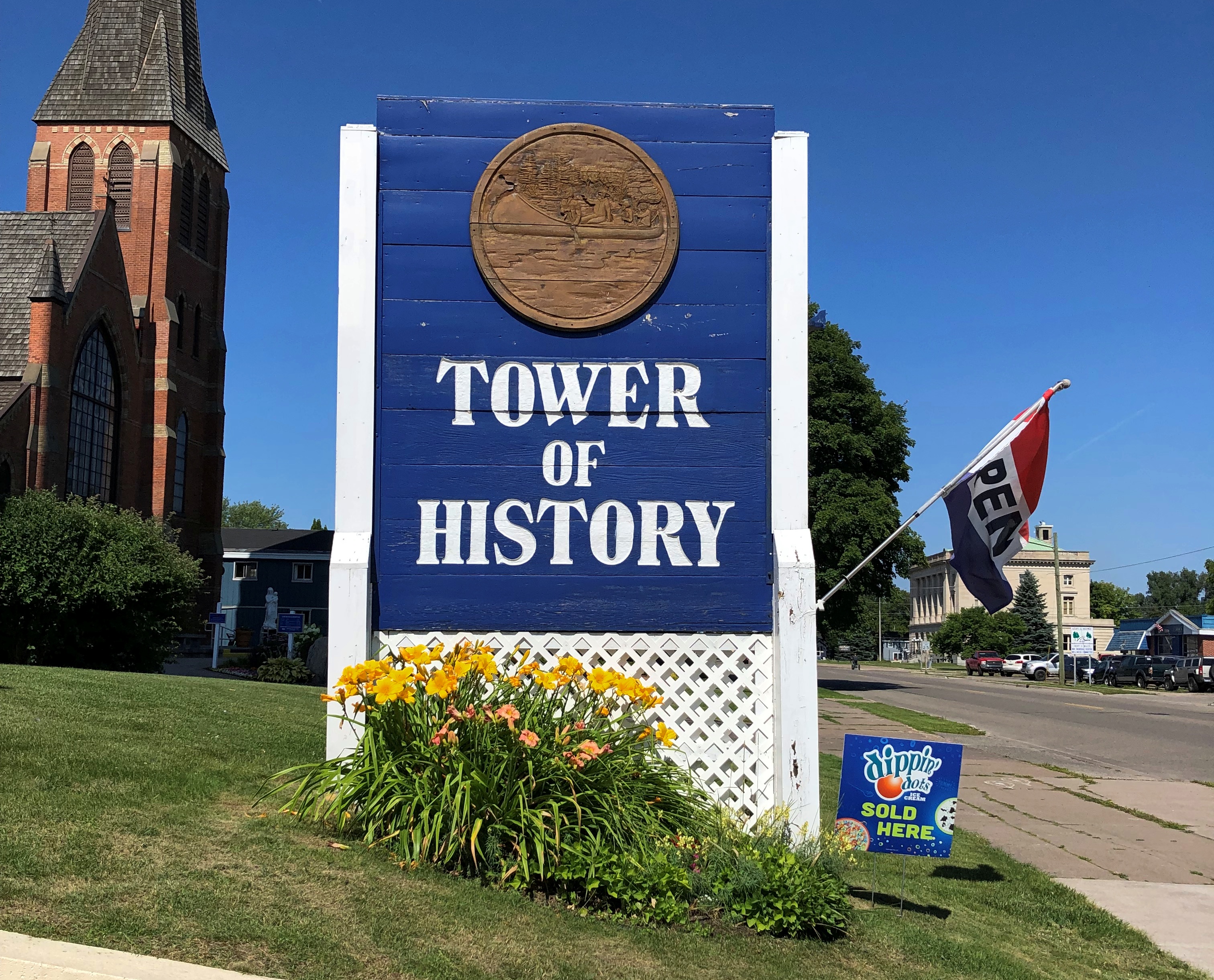
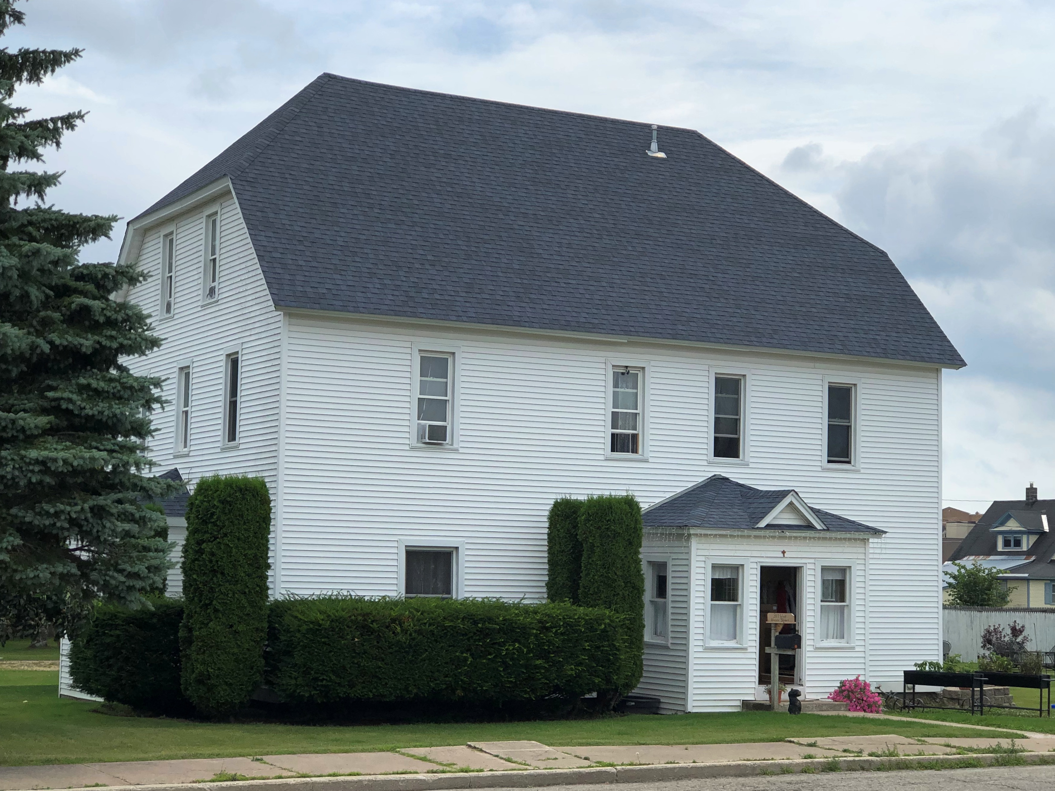
On the morning of August 6, I finally headed home, with one more stop in mind: Peshtigo, Wisconsin, a place that demonstrates, if nothing else, that the human mind is a creature of habit.

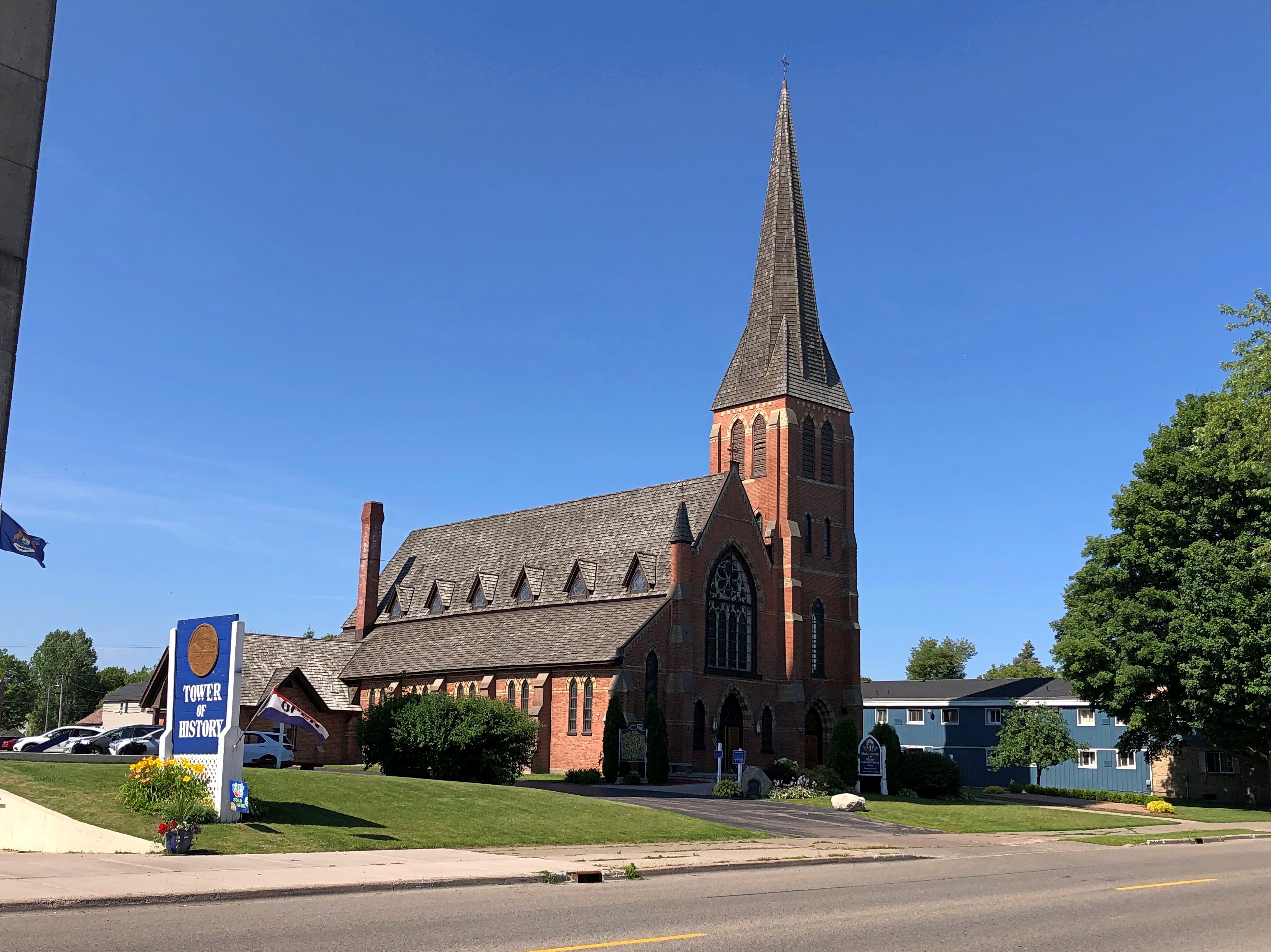
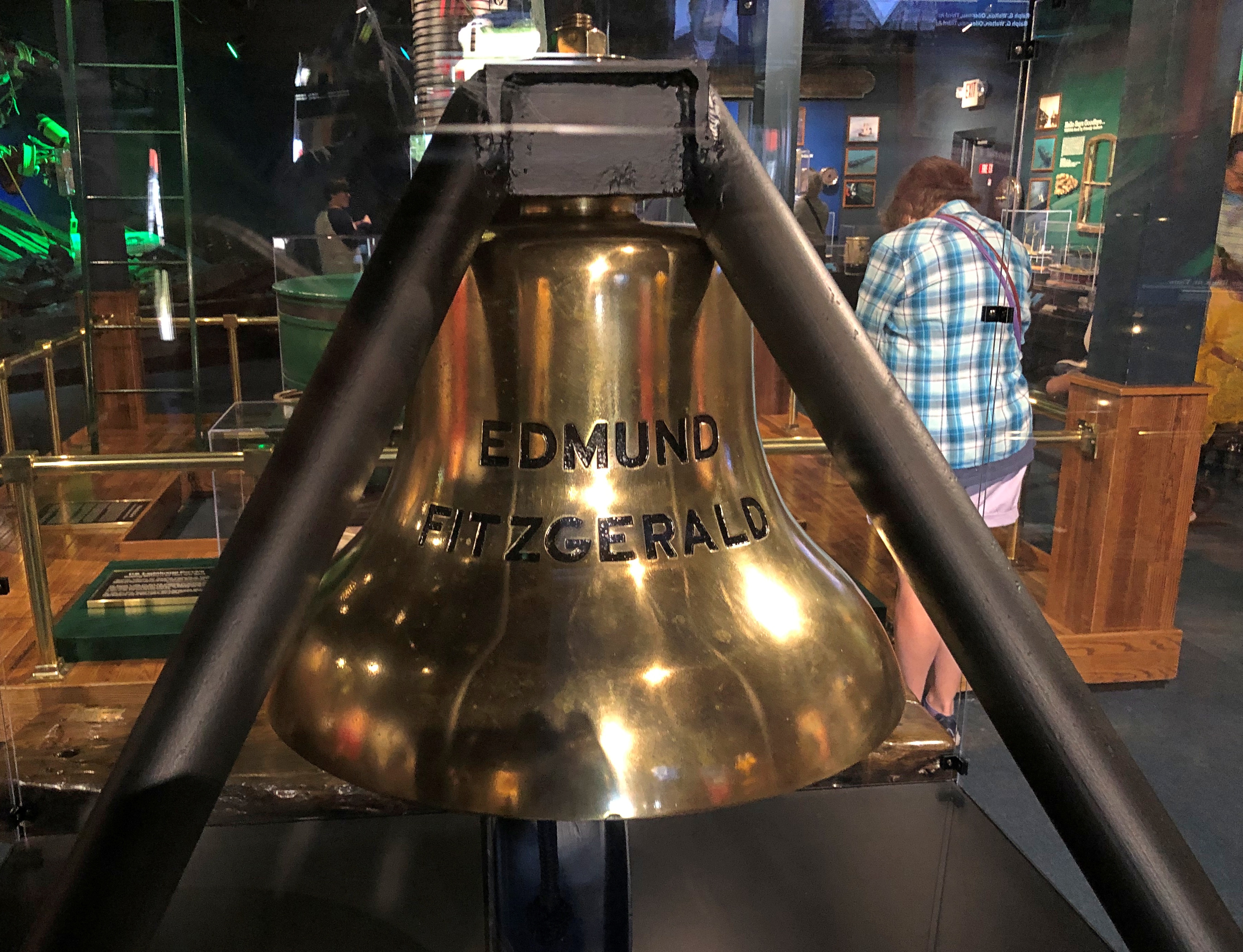
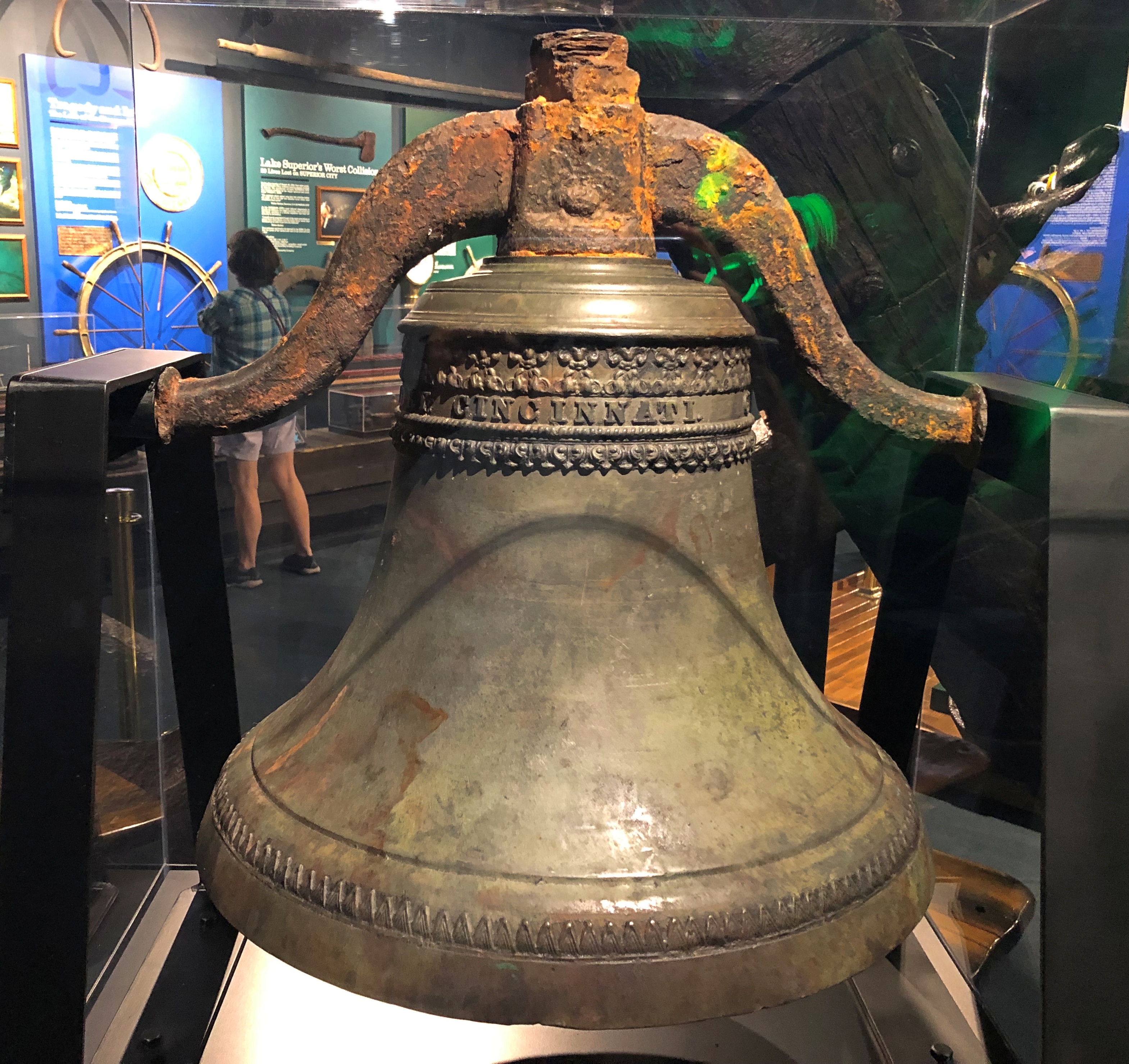
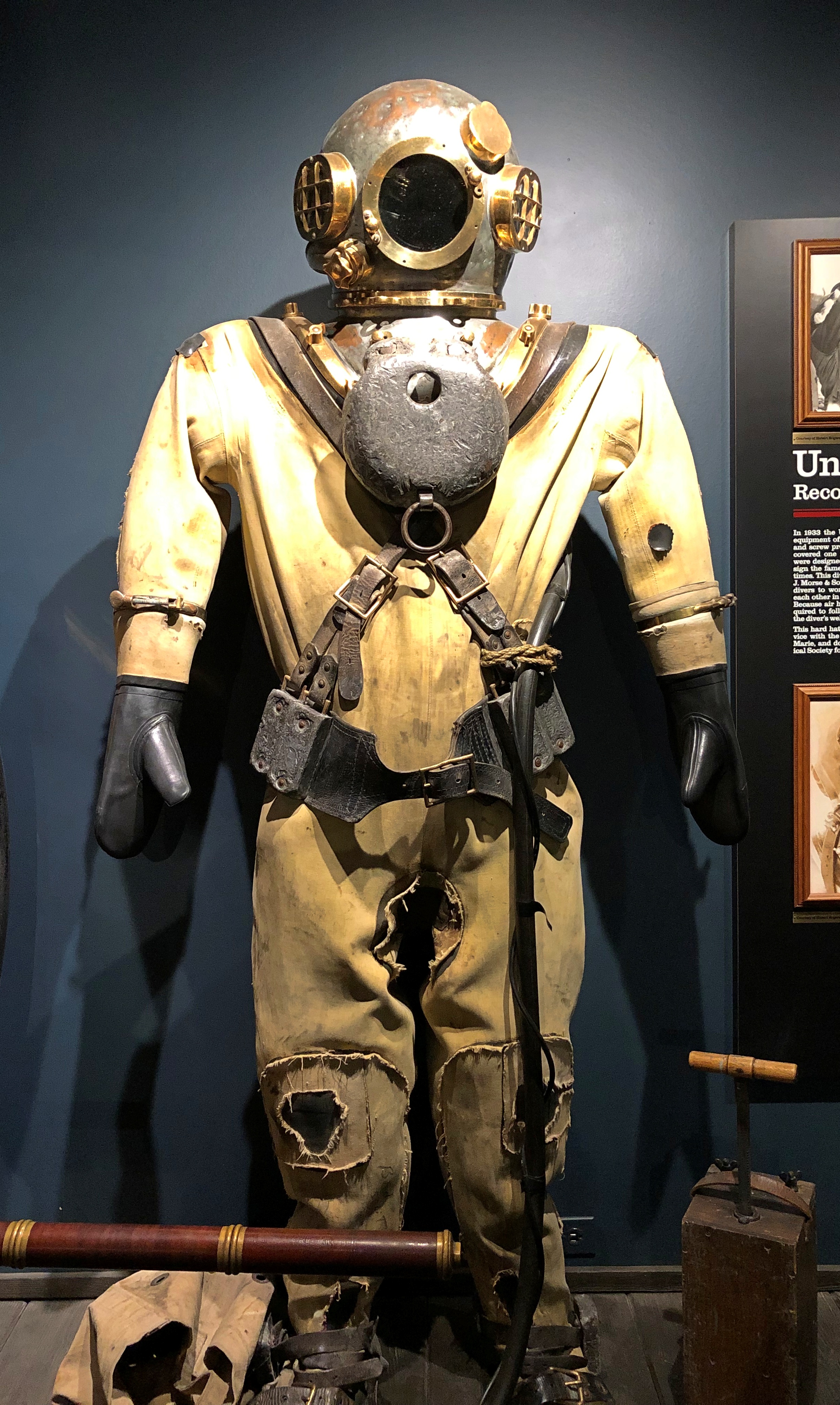
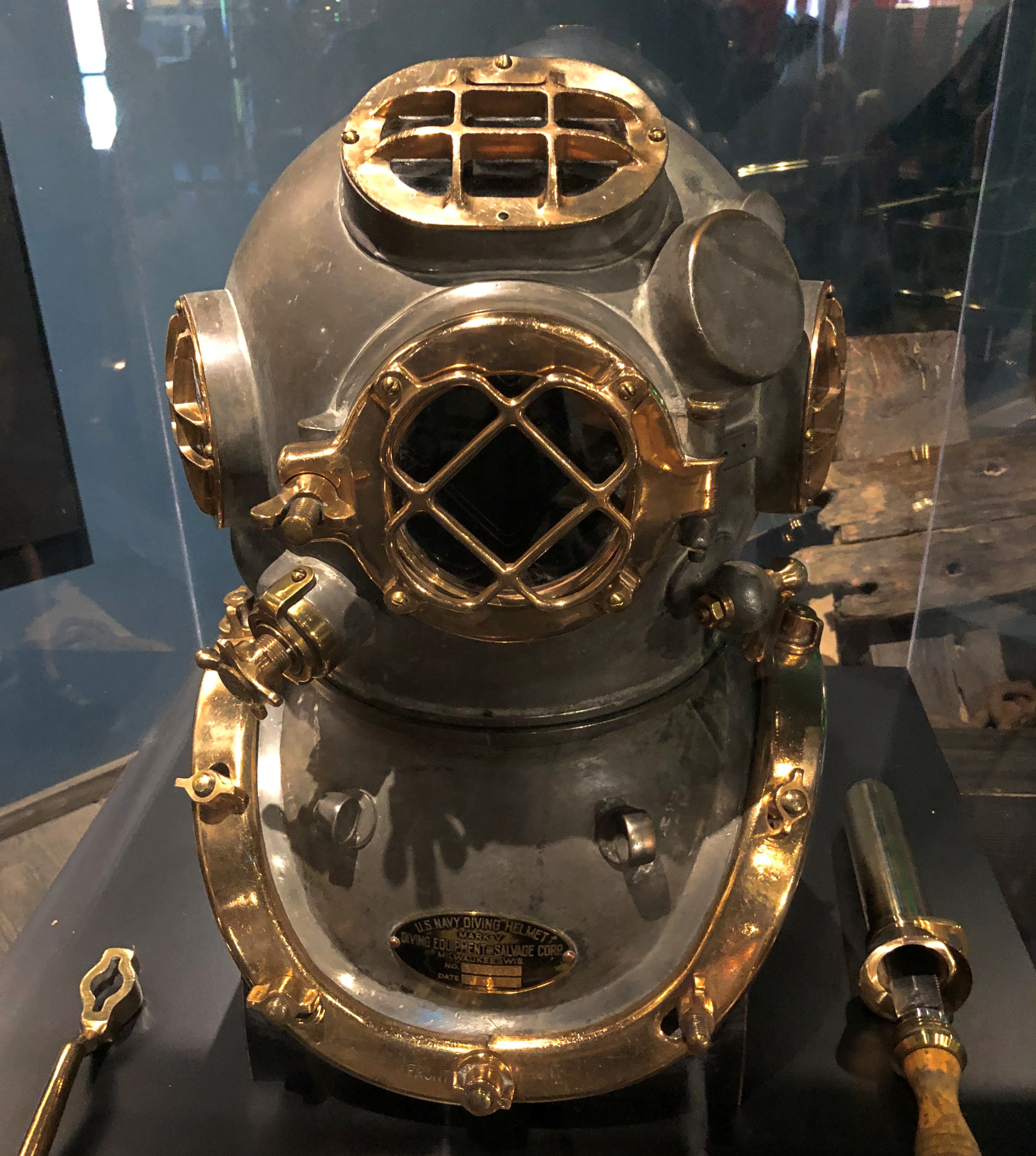
That includes me. I only mentioned the town in passing in 2006, when we stopped at the Peshtigo Fire Museum.Peshtigo Fire Museum Peshtigo Fire Museum

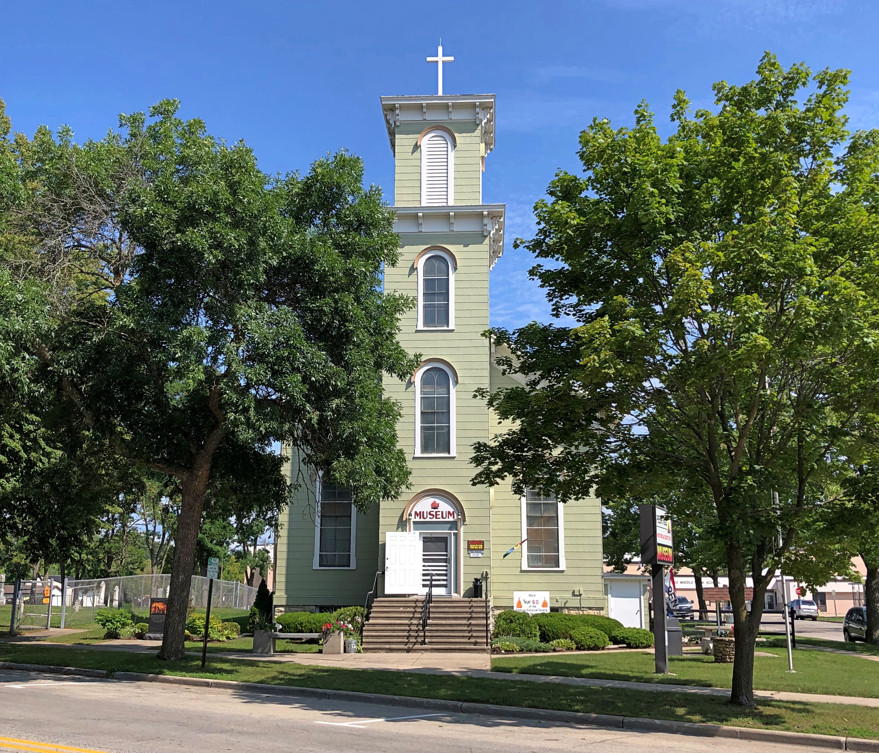
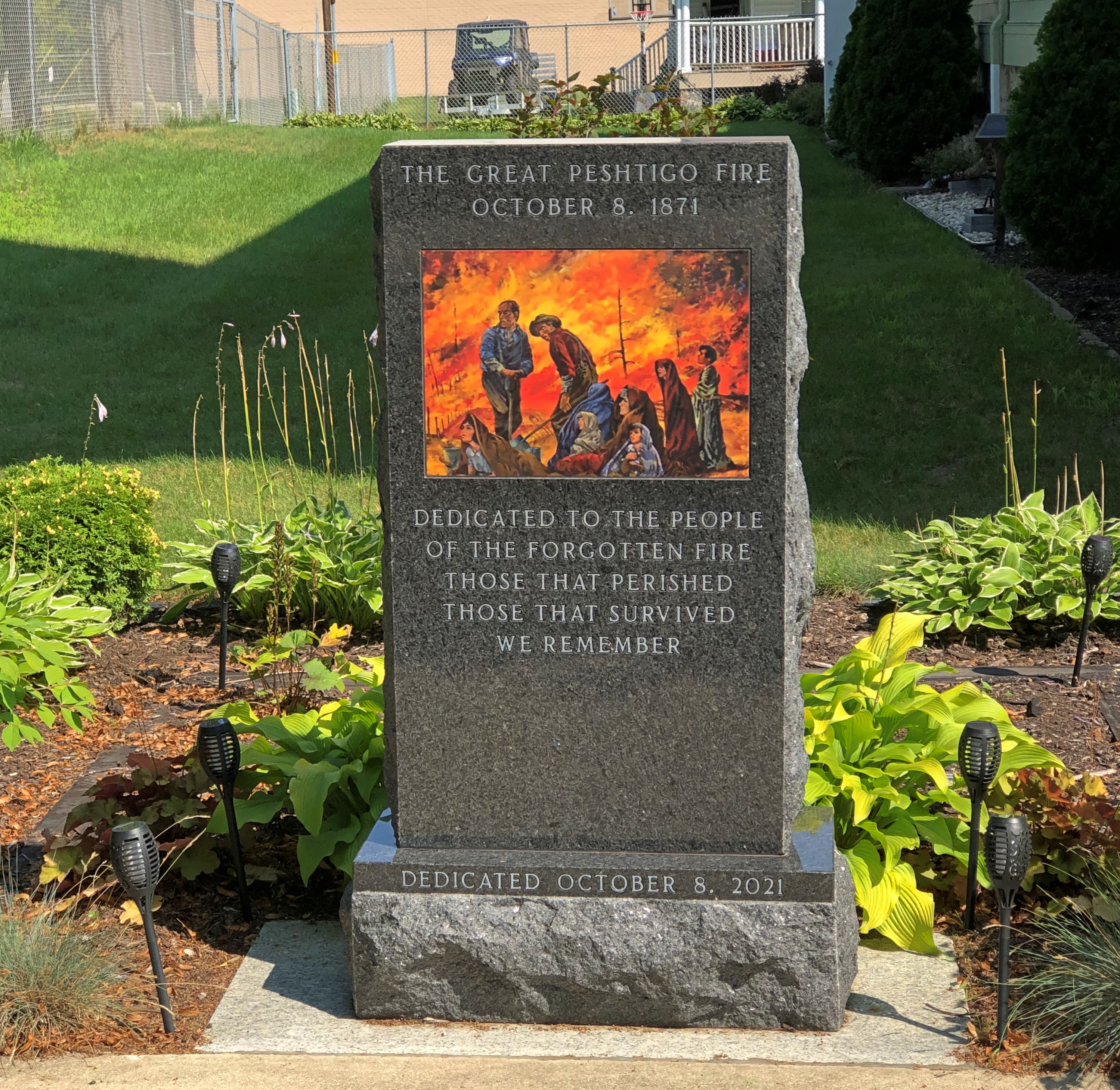
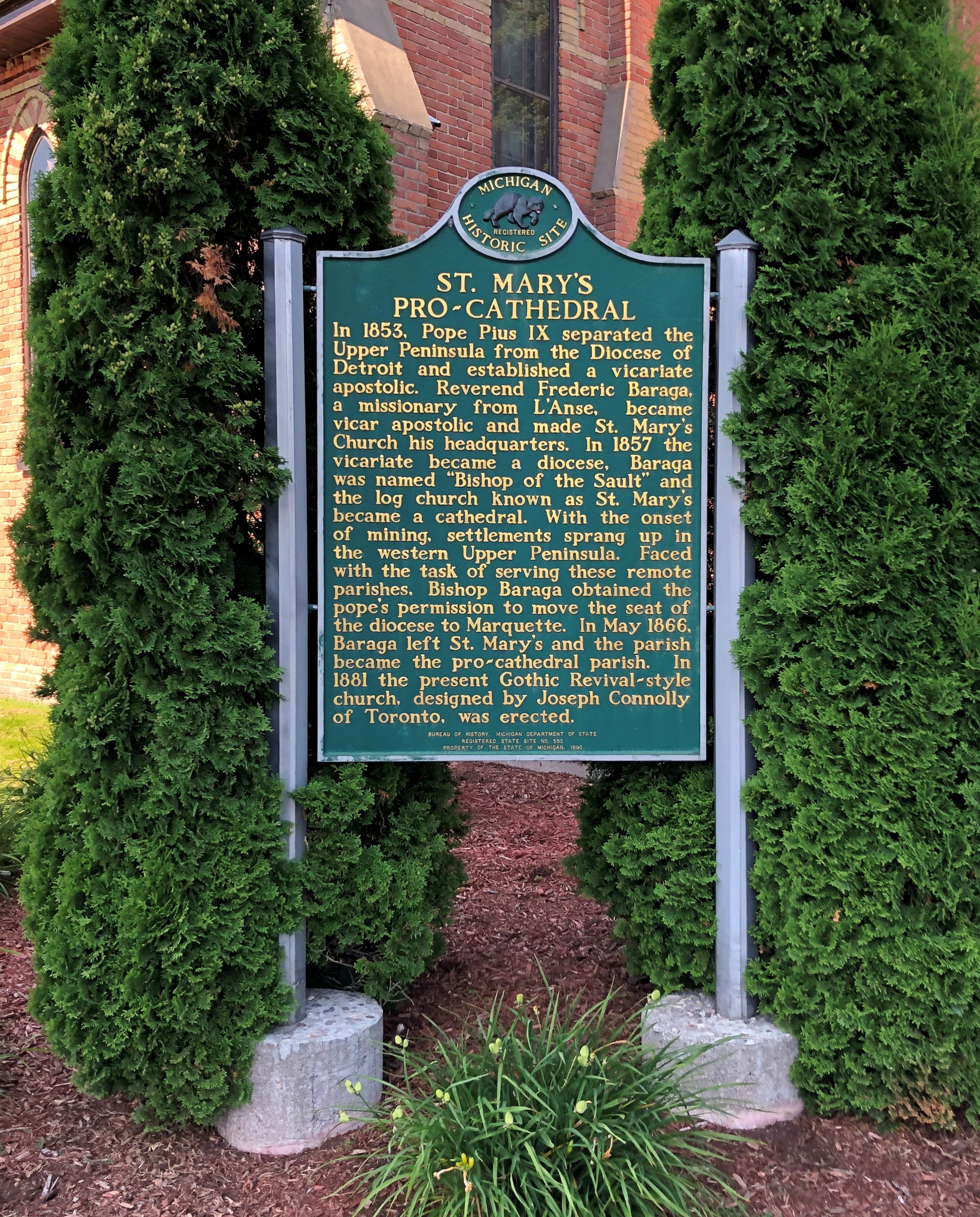
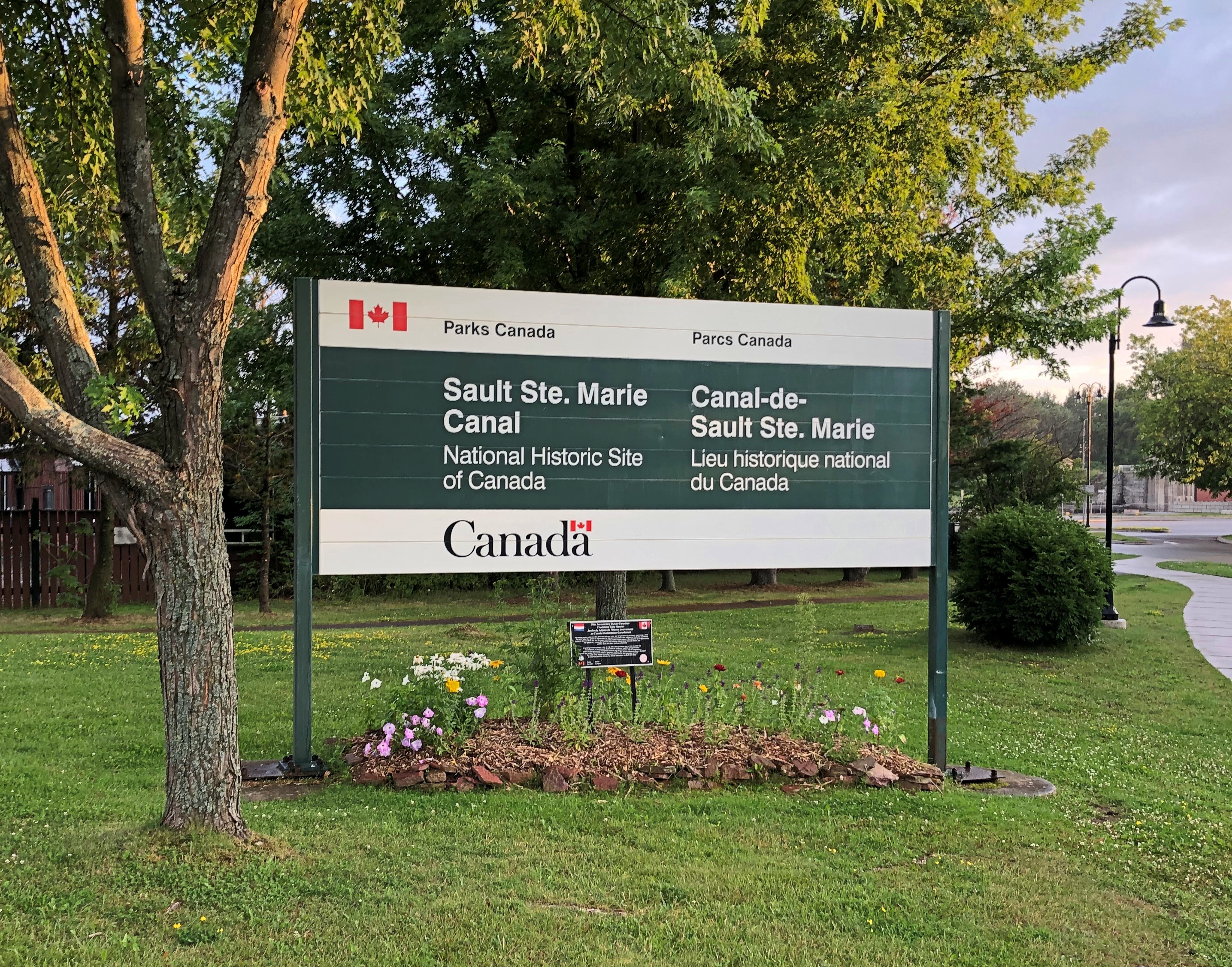
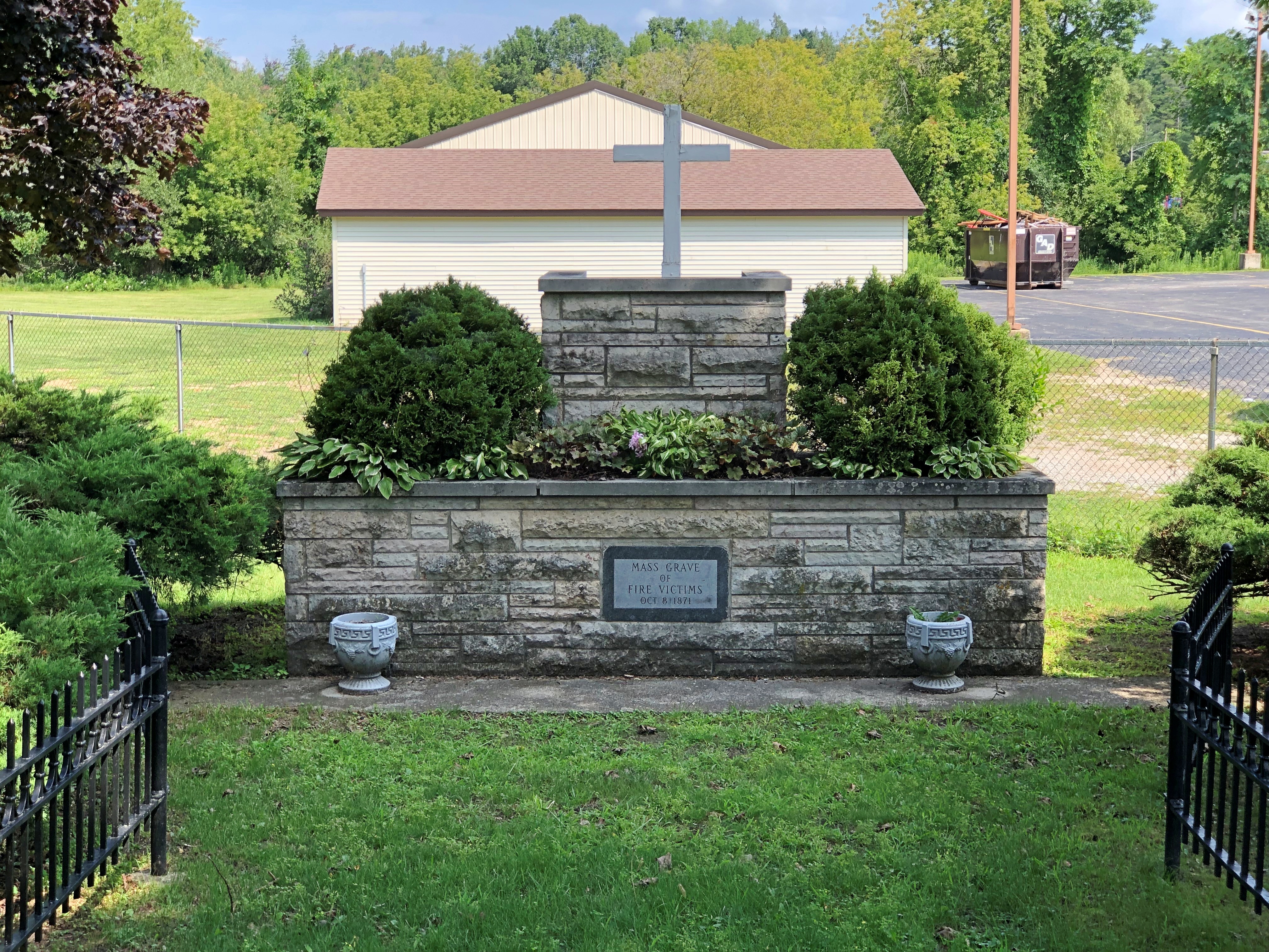
The building is a former Congregational church, on the site of a Catholic church that burned down in the firestorm of 1871 – which remains the deadliest wildfire in U.S. history, according to the National Fire Protection Association. Remarkably, the Maui wildfire is, for now, placed at fifth; modernity can’t protect us from everything.

“On the night of October 8, 1871, in Peshtigo, a lumber town about seven miles southwest of the Michigan-Wisconsin border, hundreds of people died: burned by fire, suffocating from smoke, or drowning or succumbing to hypothermia while trying to shelter in the Peshtigo River,” notes USA Today.

“But the fire also raged across Oconto and Marinette counties into Michigan’s Upper Peninsula, while another blaze burned across the bay of Green Bay in Brown, Door, and Kewaunee counties.”

No one knows exactly how many people perished in the Peshtigo fire — I’ve seen varying estimates, all in the low thousands — but it was certainly more than in the Great Chicago Fire, which happened the same day. Which one is mostly remembered? Chicago, of course, thus illustrating a habit of mind. Once a thing enters the tapestry of the popular imagination, it can crowd out similar events.

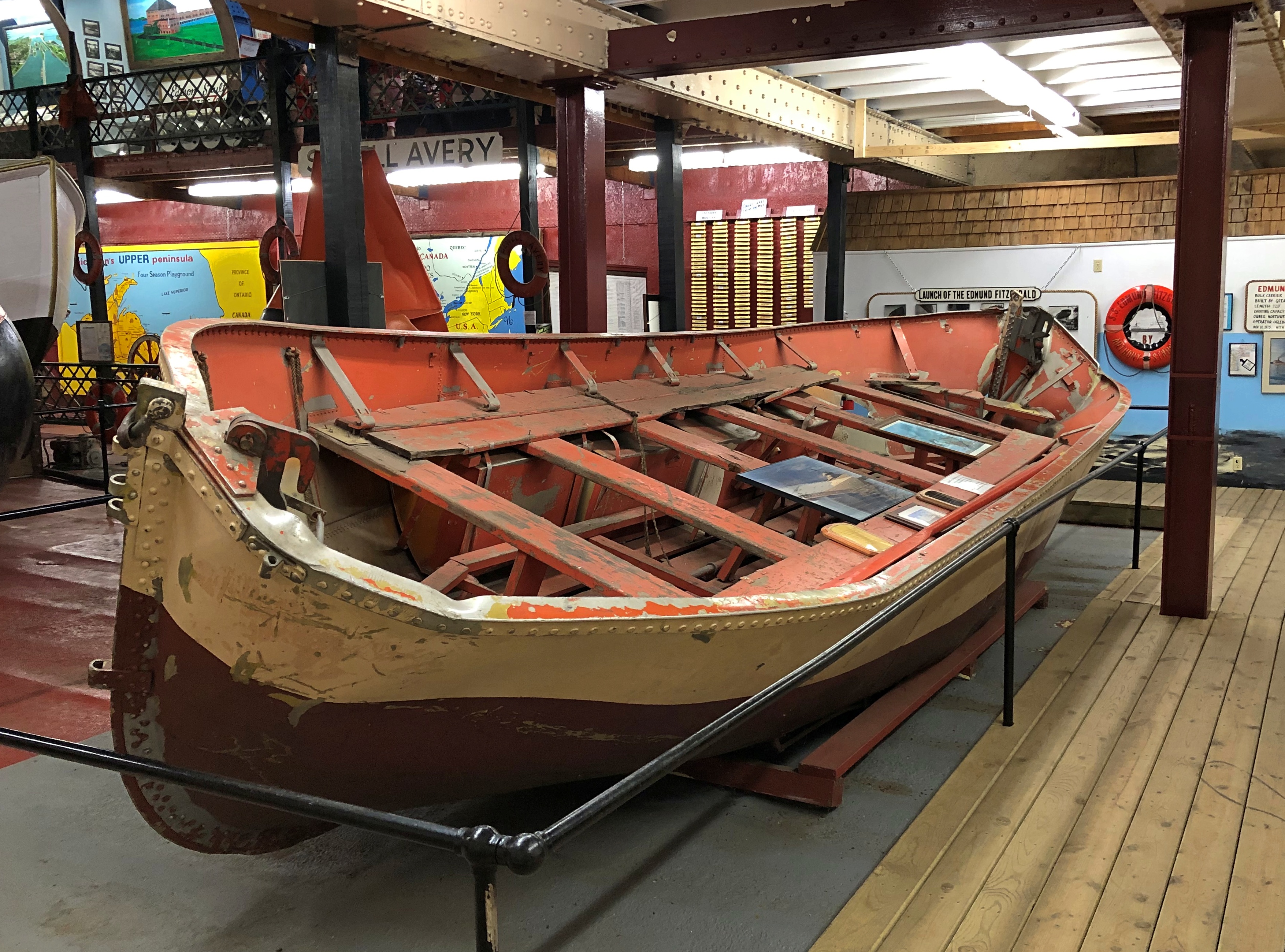
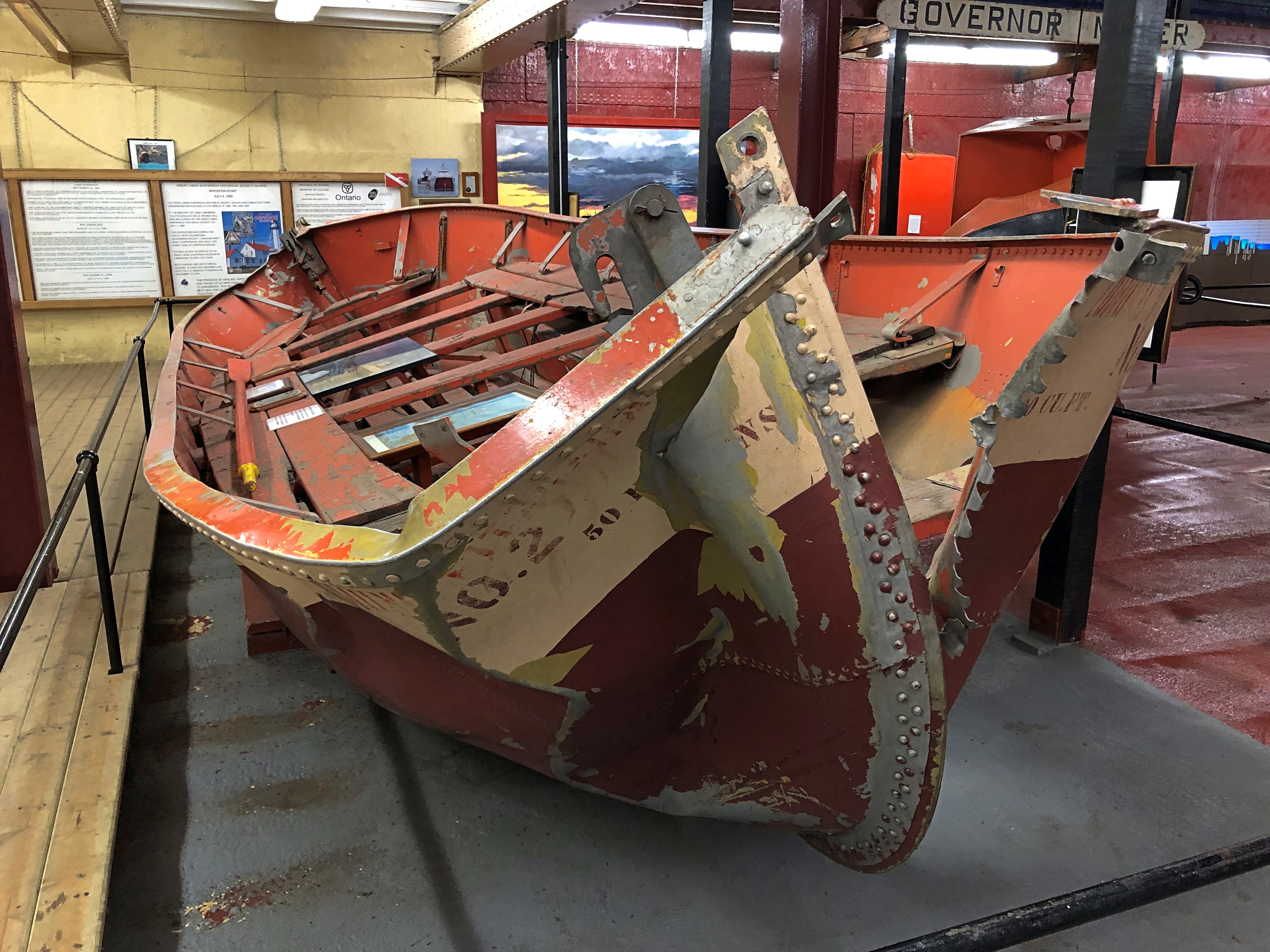
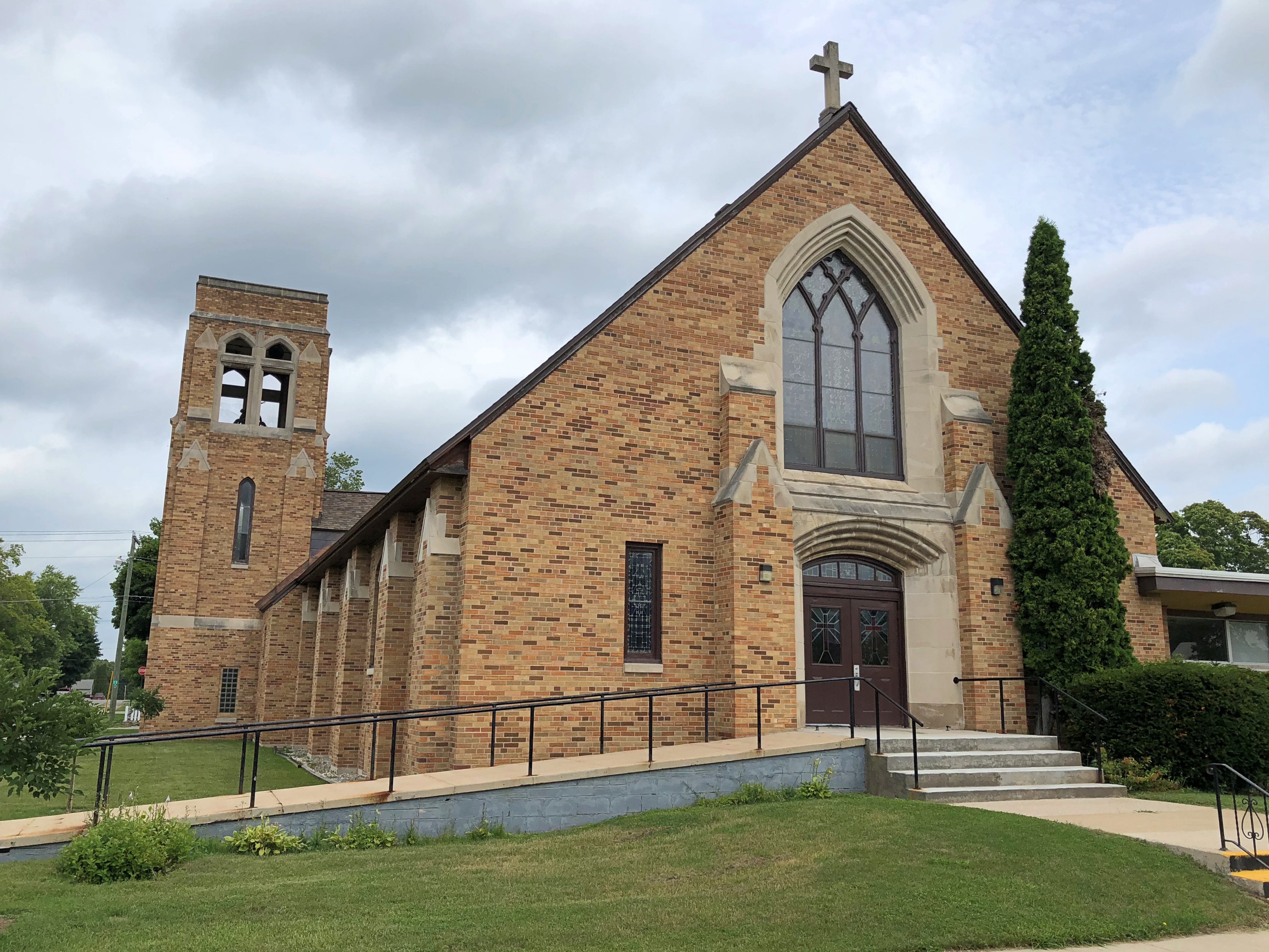
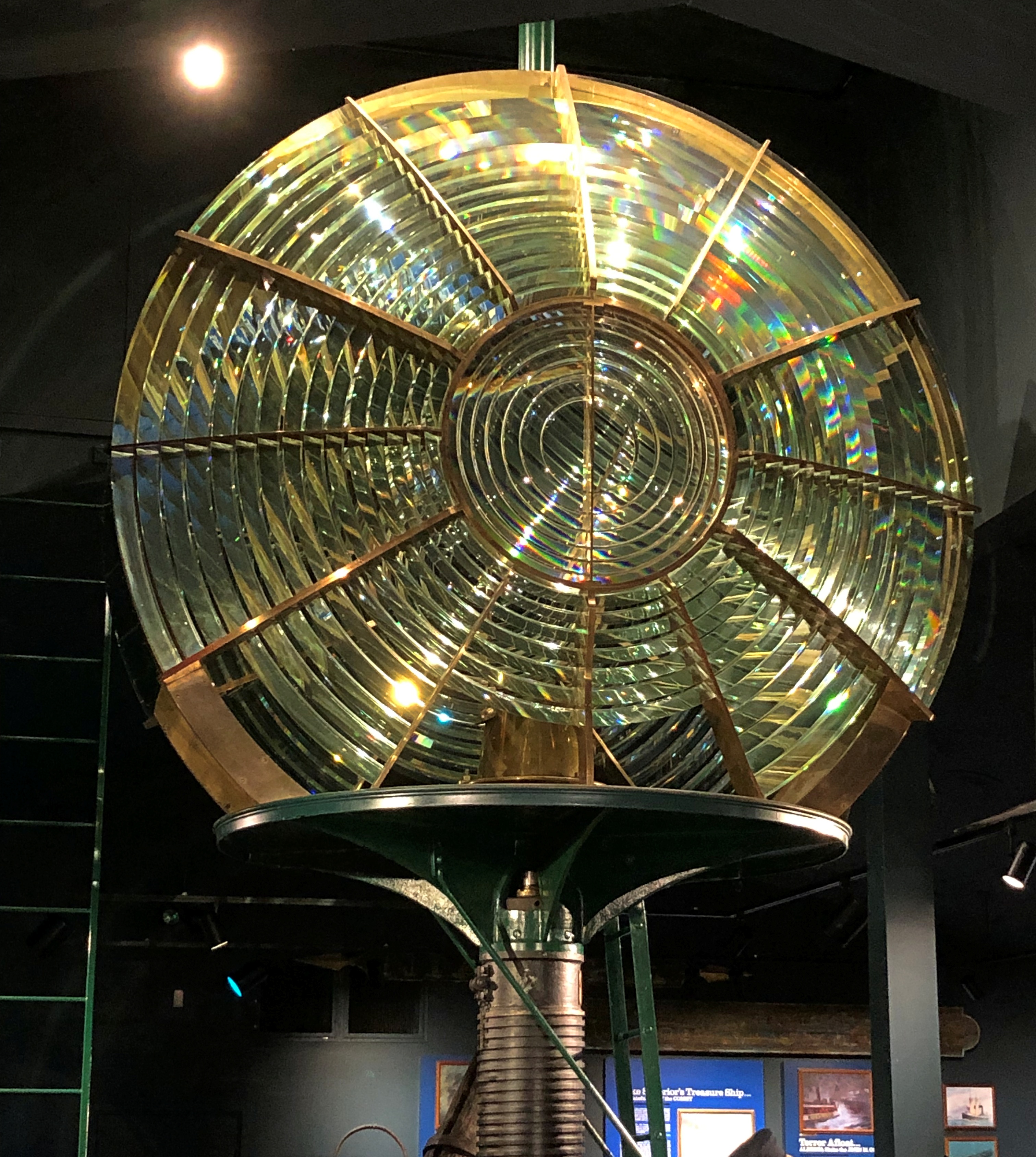
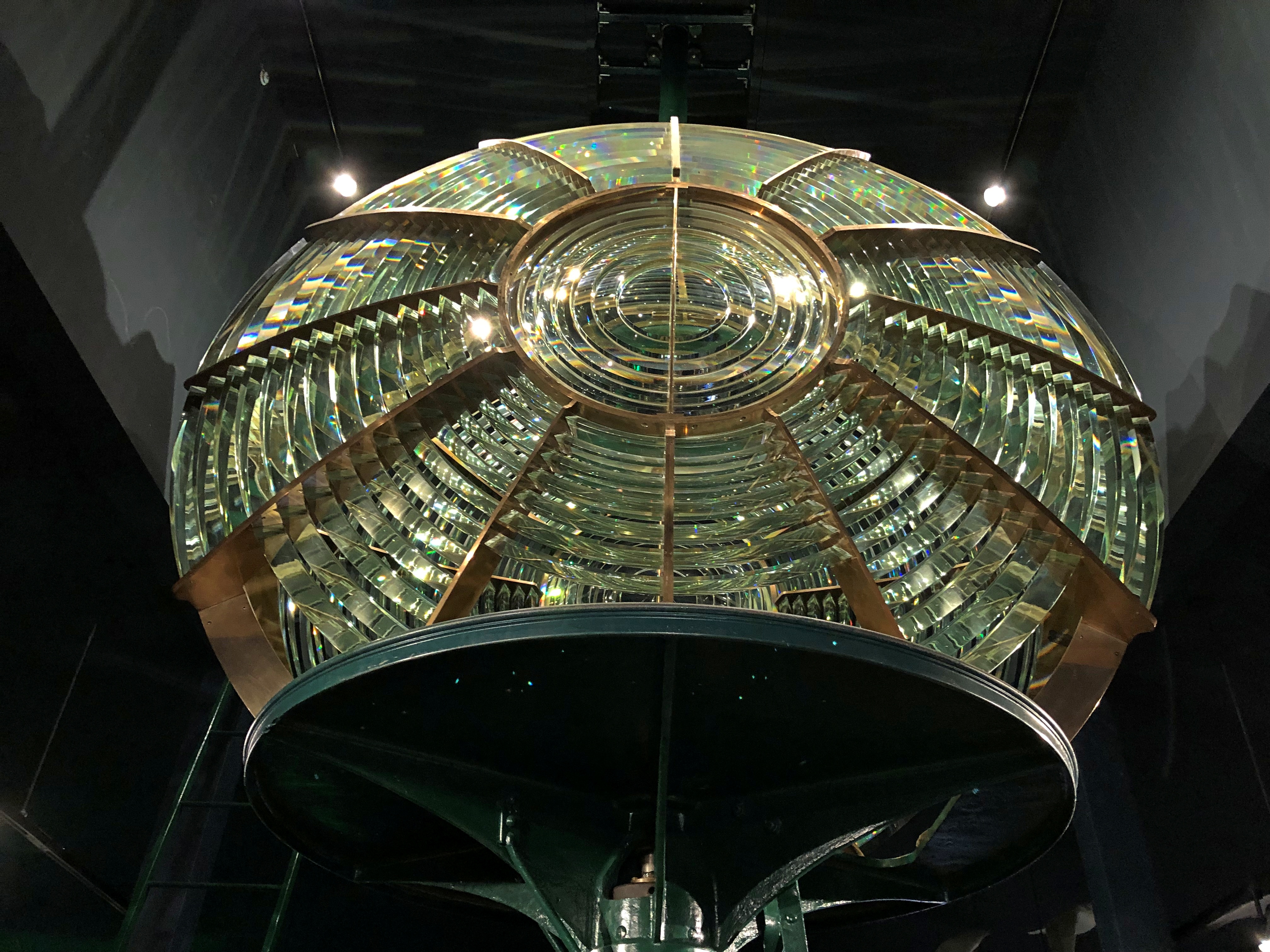
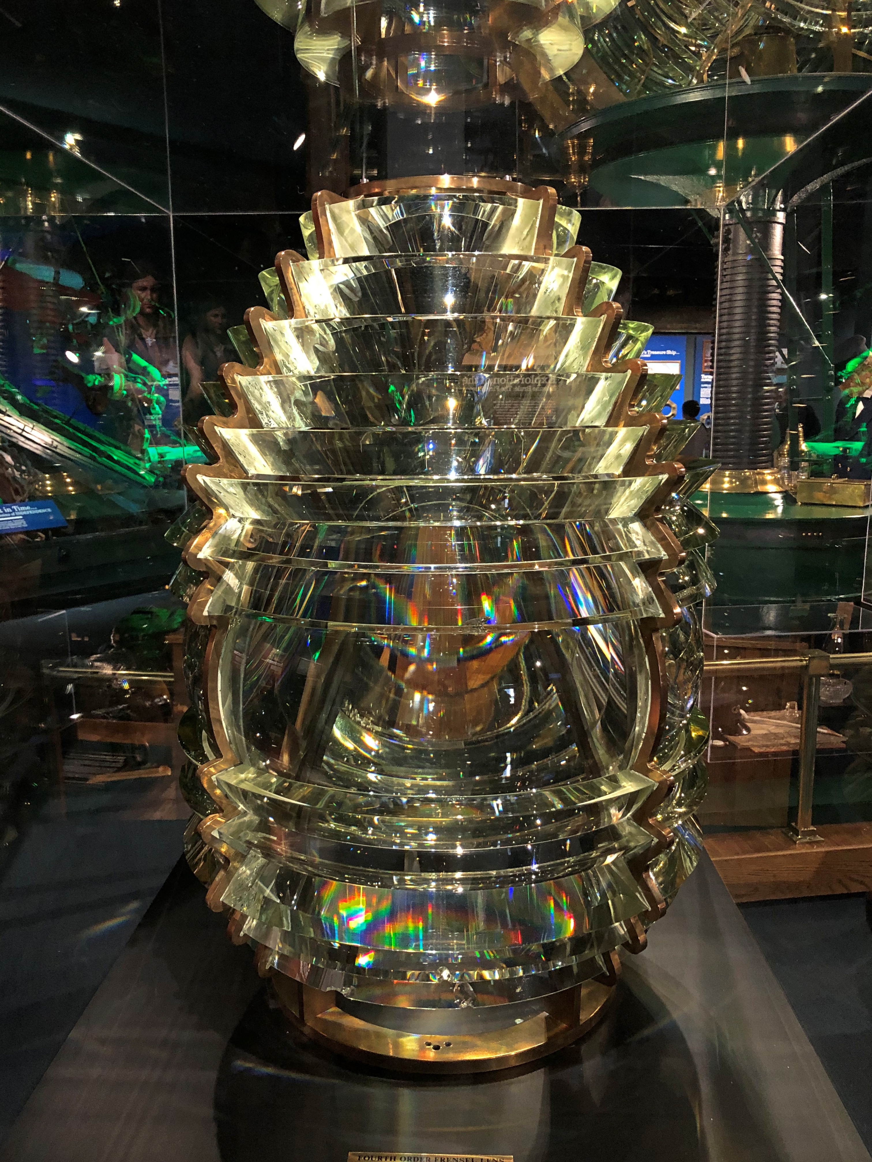
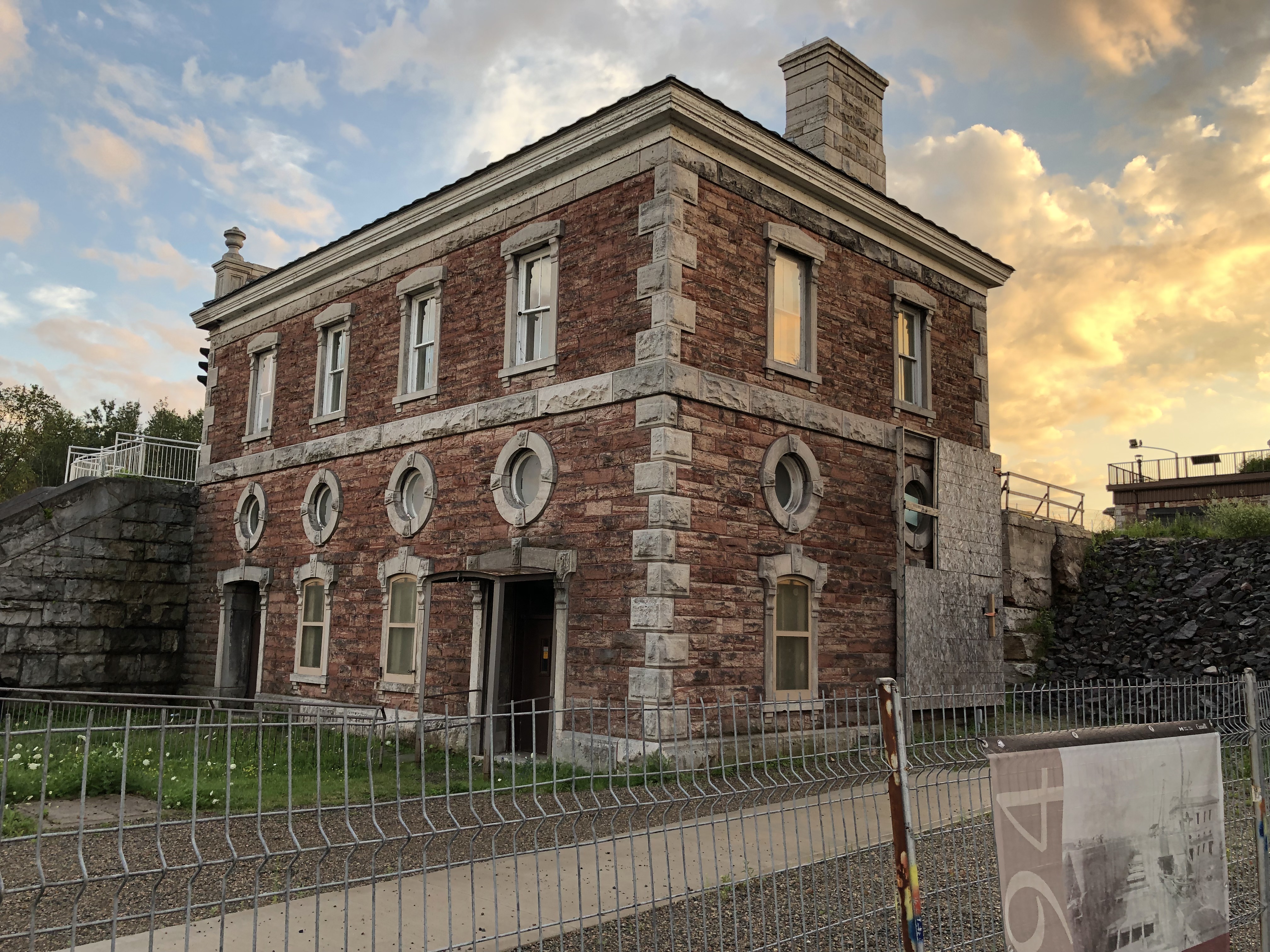
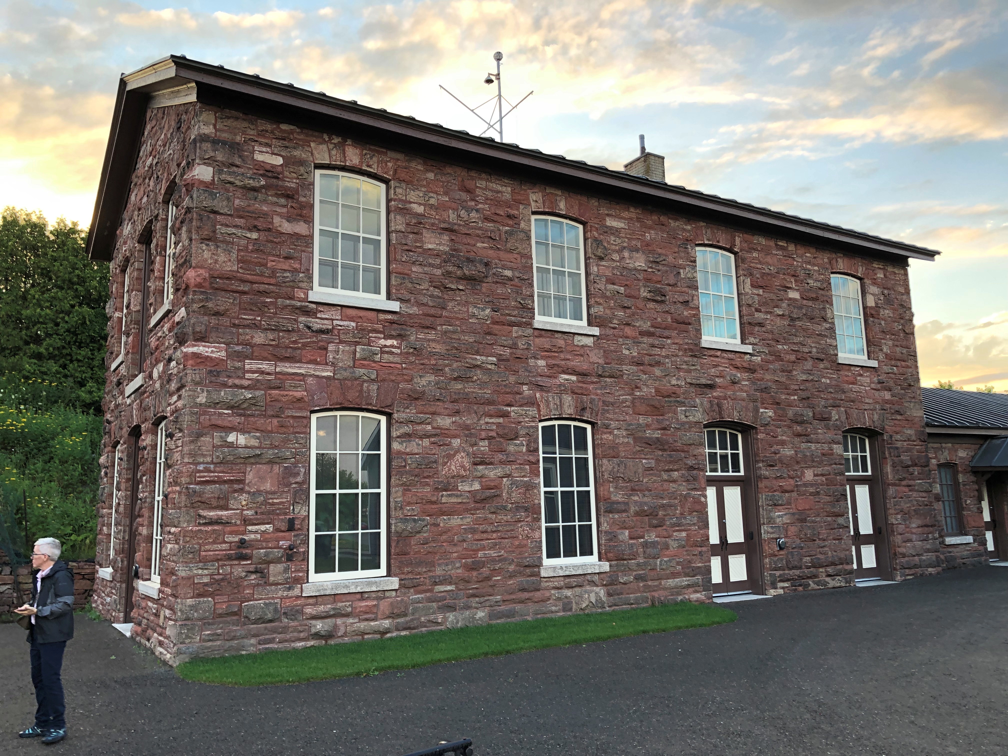
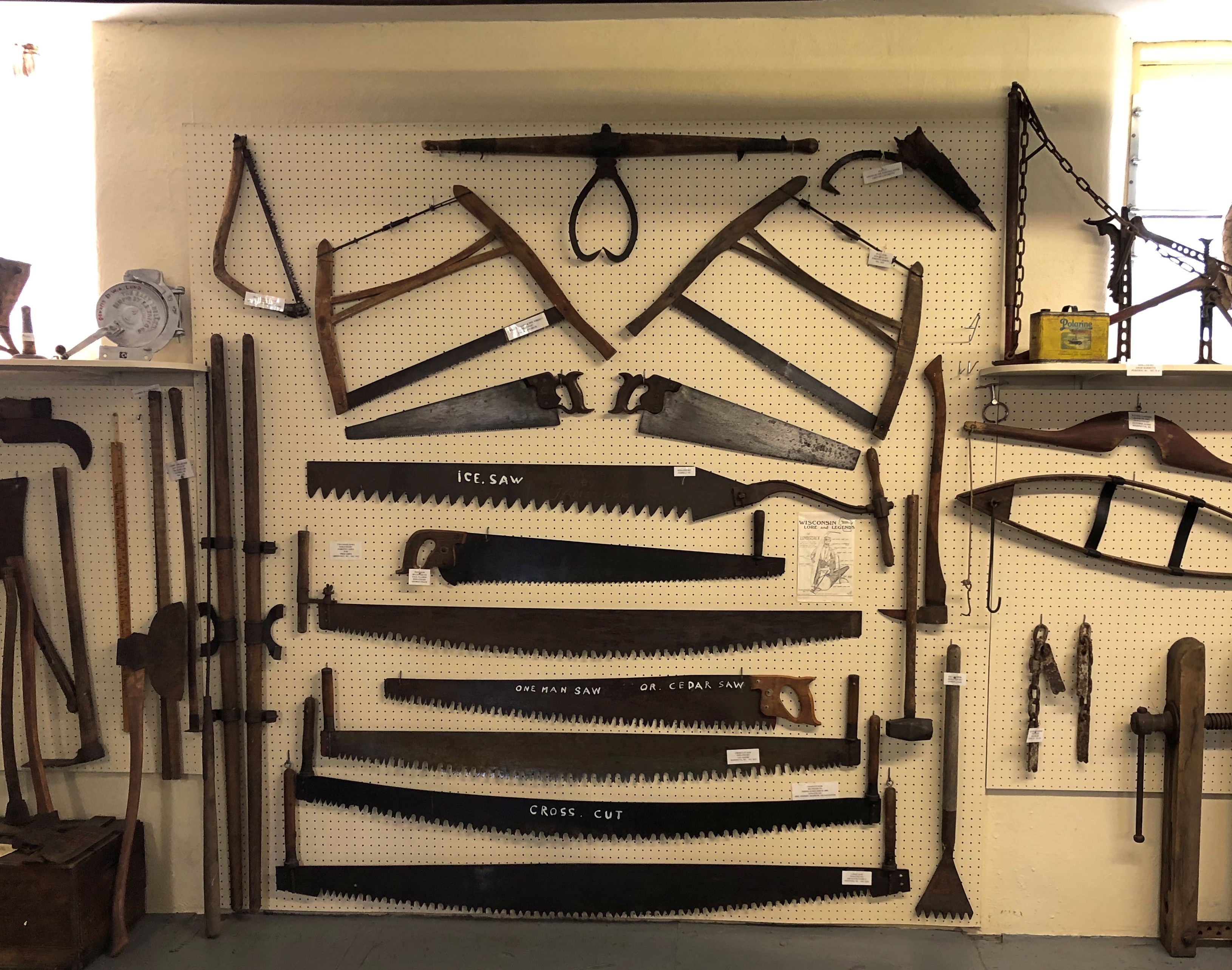
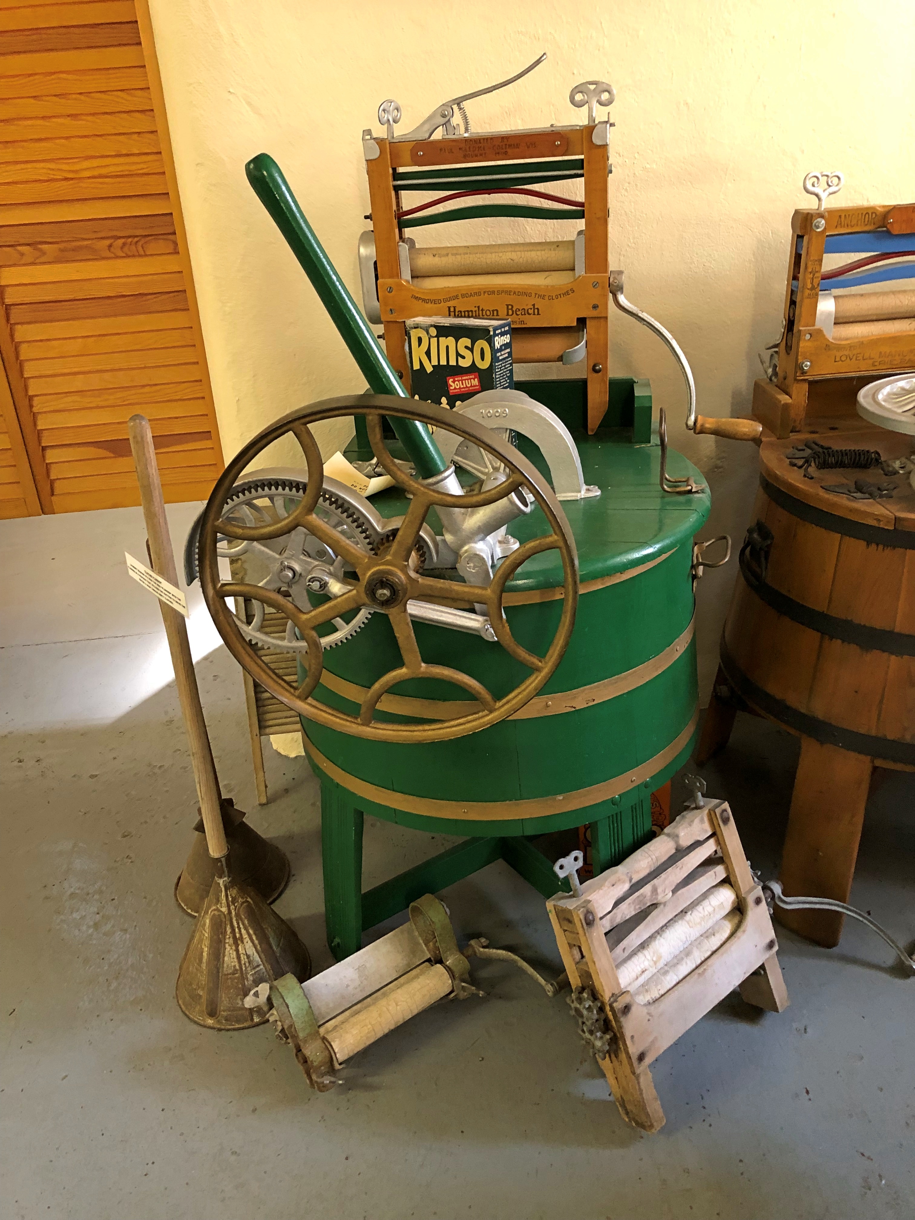
Peshtigo isn’t a large museum, but it is full of stuff.Peshtigo Fire Museum

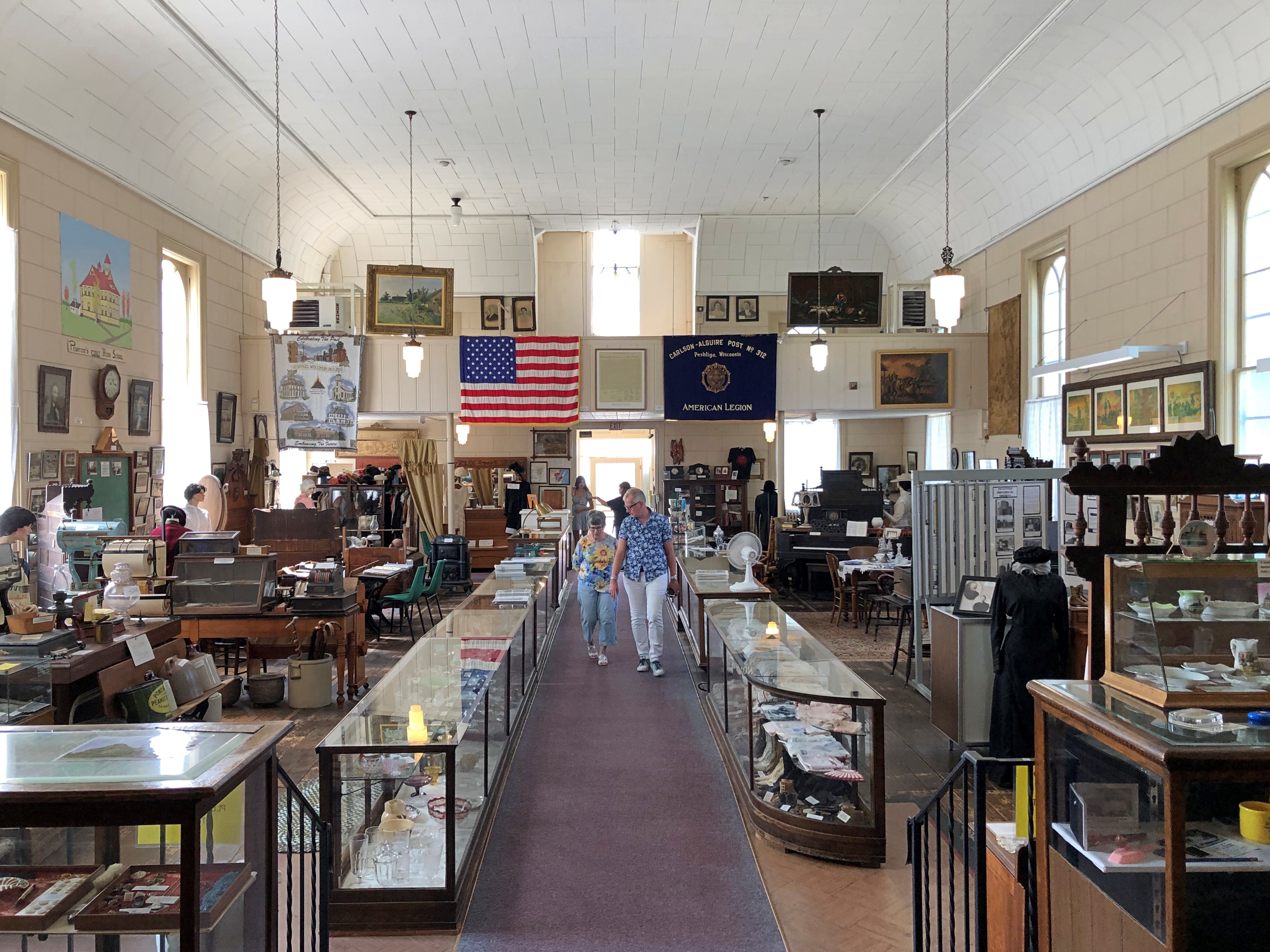
The museum includes much information and a few artifacts from the fire, though naturally not much survived. The fire itself is illustrated not by photography, but artwork.Peshtigo Fire Museum

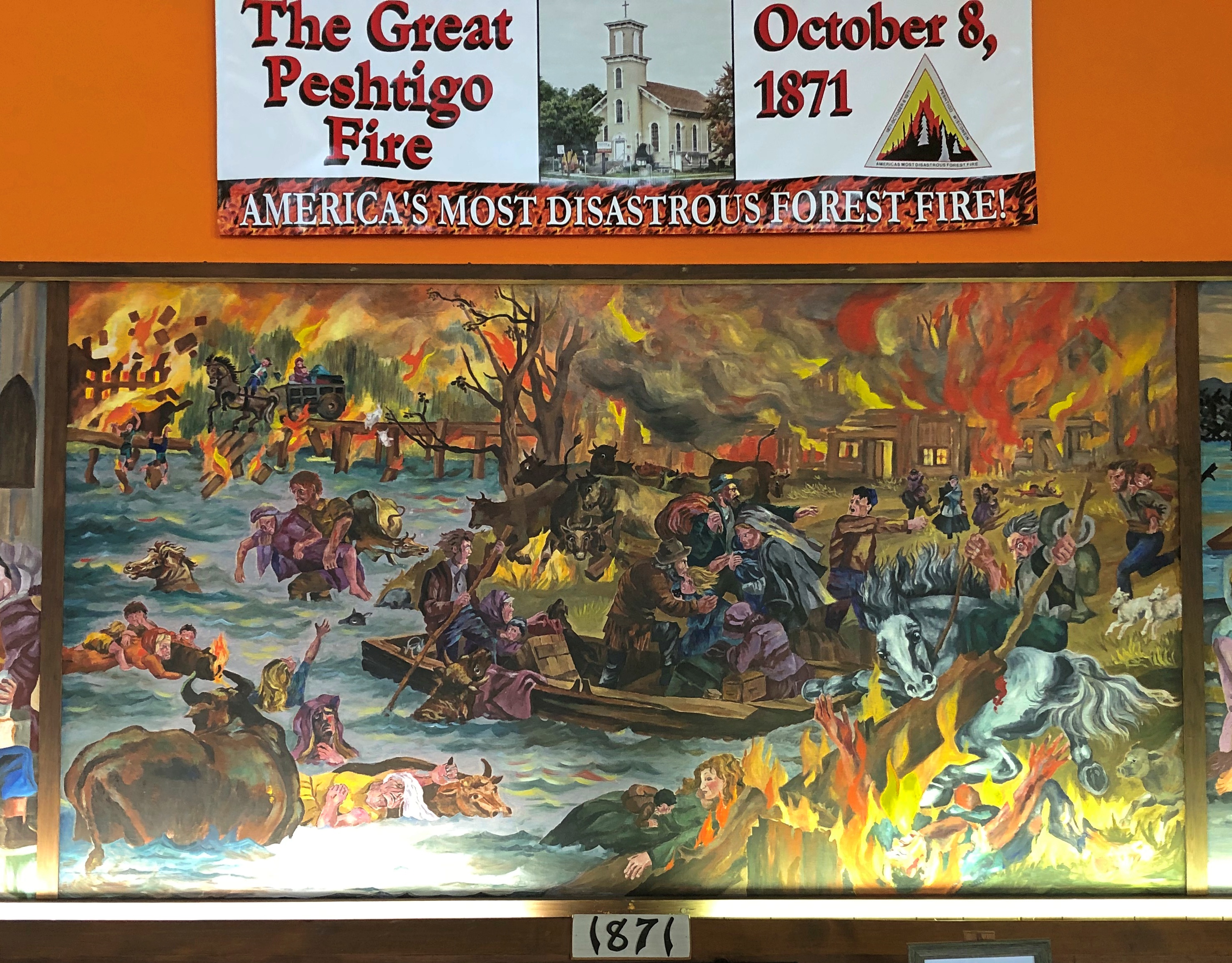
Two volunteer docents were on hand to spread the word about the fire. It’s the only distinction for modern Peshtigo, pop. 3,400 or so. One was a woman about my age, the other a woman about Ann’s age. Again, good to see young’ins up on their local history.

Speaking of that, the museum is actually more local history than the single incident of the fire, as important as that is. As such, there are many artifacts from the entire spectrum of the town’s history (including in the basement).Peshtigo Fire Museum Peshtigo Fire Museum Peshtigo Fire Museum Peshtigo Fire Museum

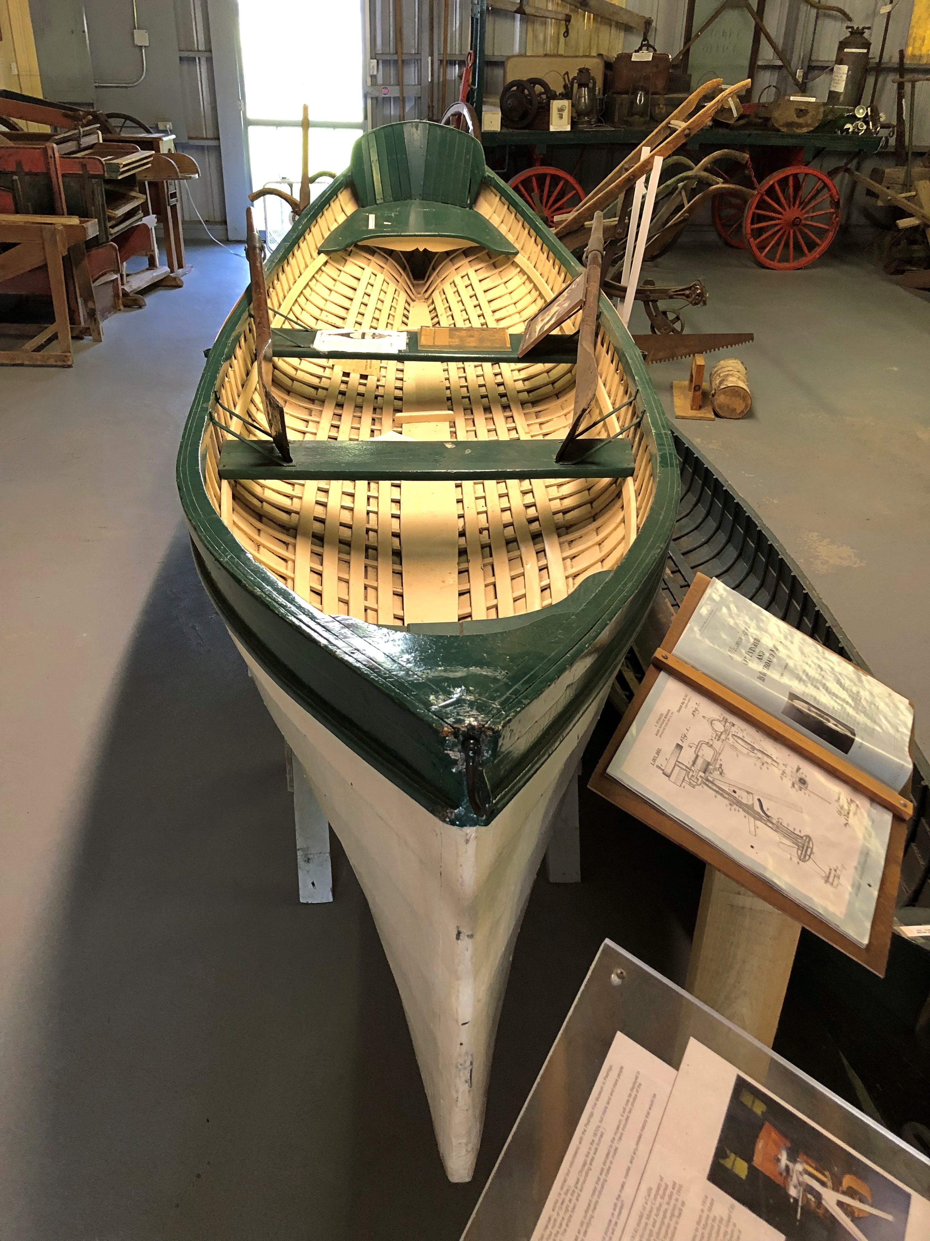
Next to the museum is the Peshtigo Fire Cemetery.Peshtigo Fire Cemetery Peshtigo Fire Cemetery Peshtigo Fire Cemetery

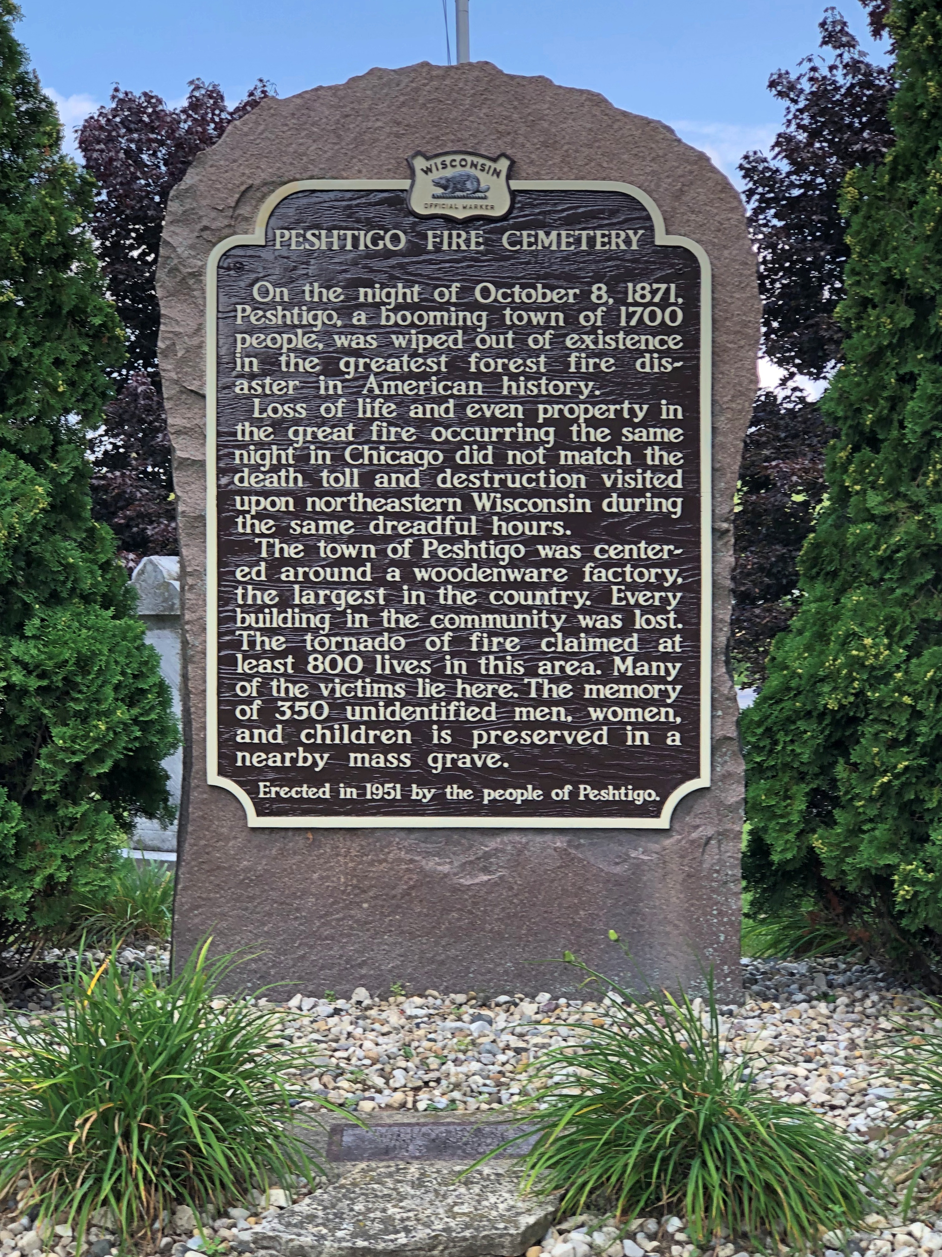
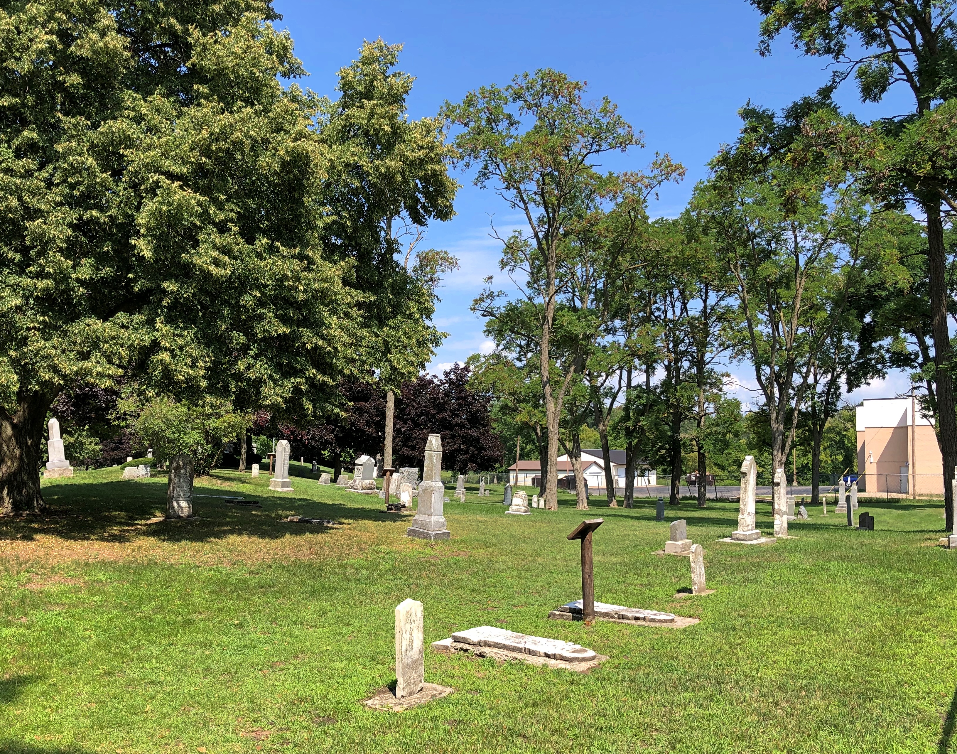
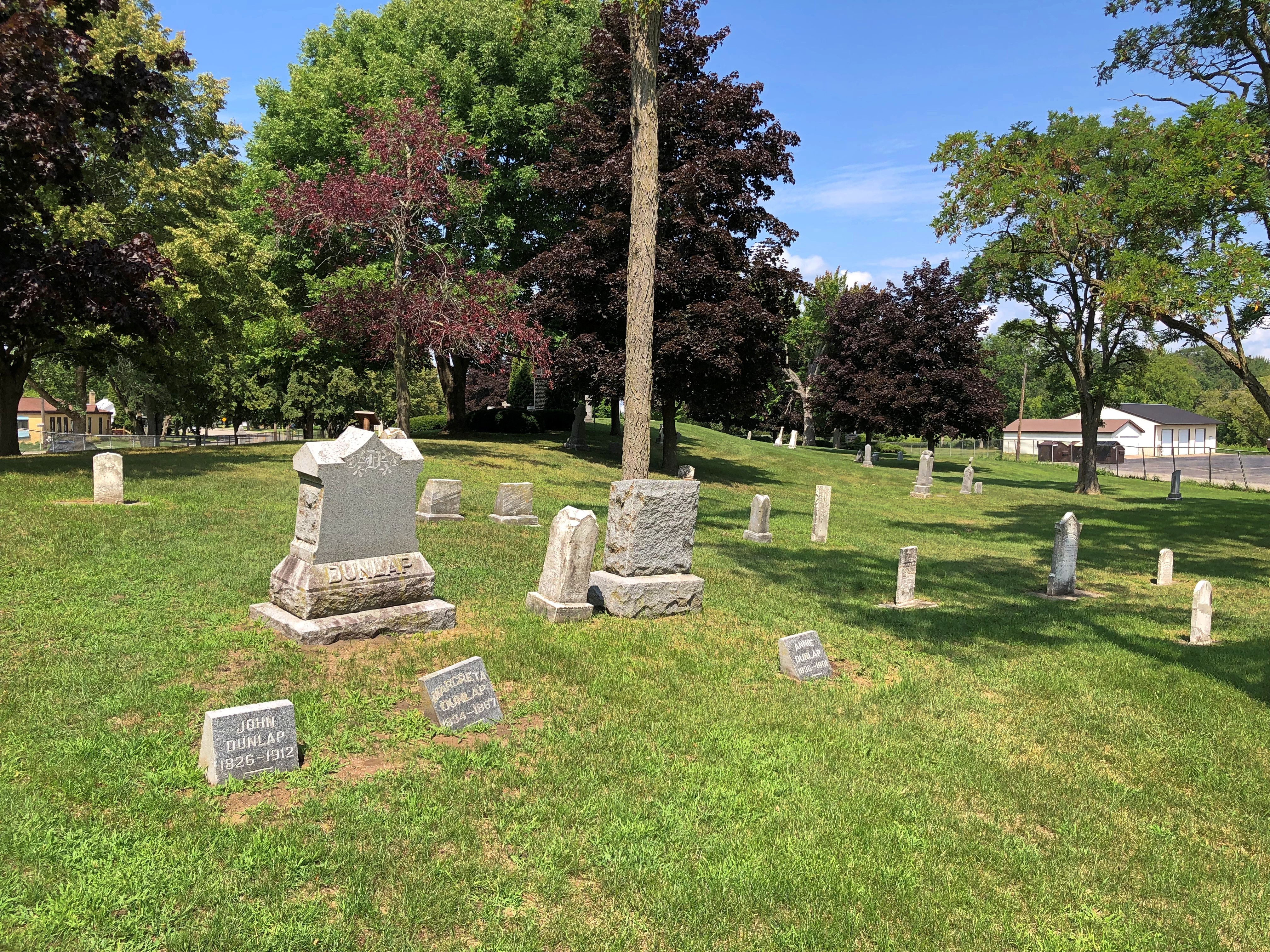
Including survivors of the fire.Peshtigo Fire Cemetery

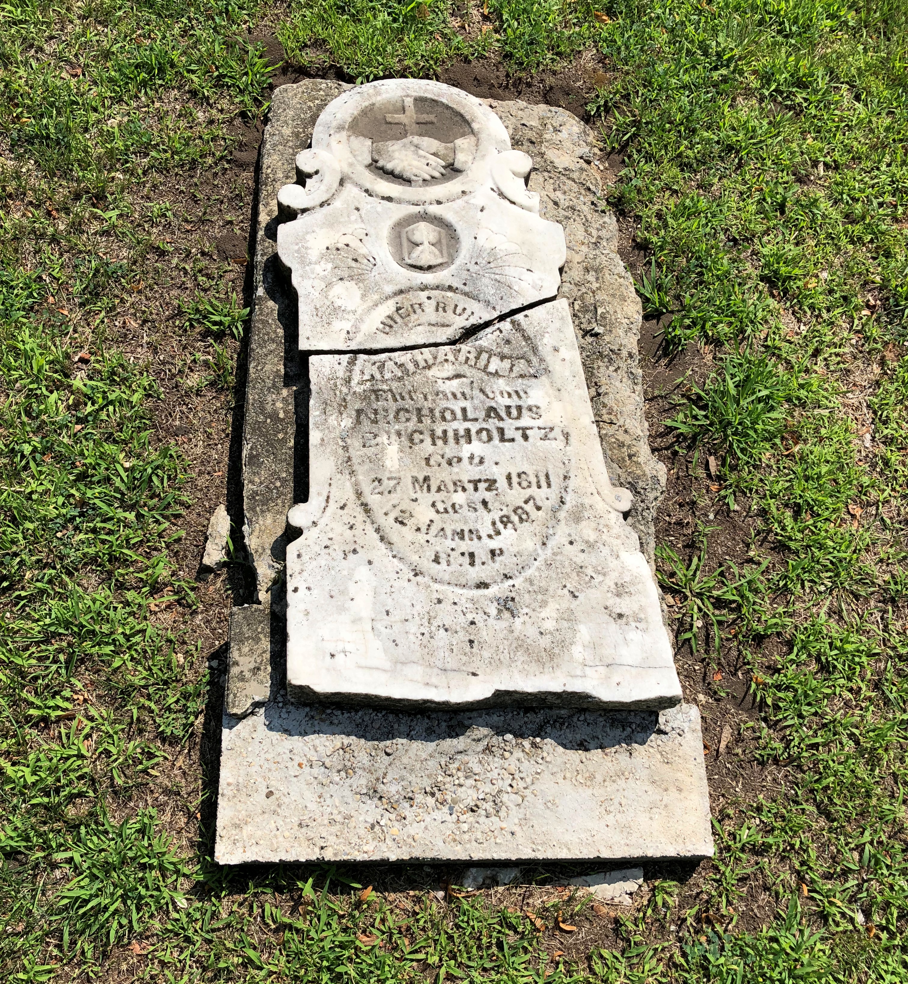
Along with many who did not.Peshtigo Fire Cemetery Peshtigo Fire Cemetery

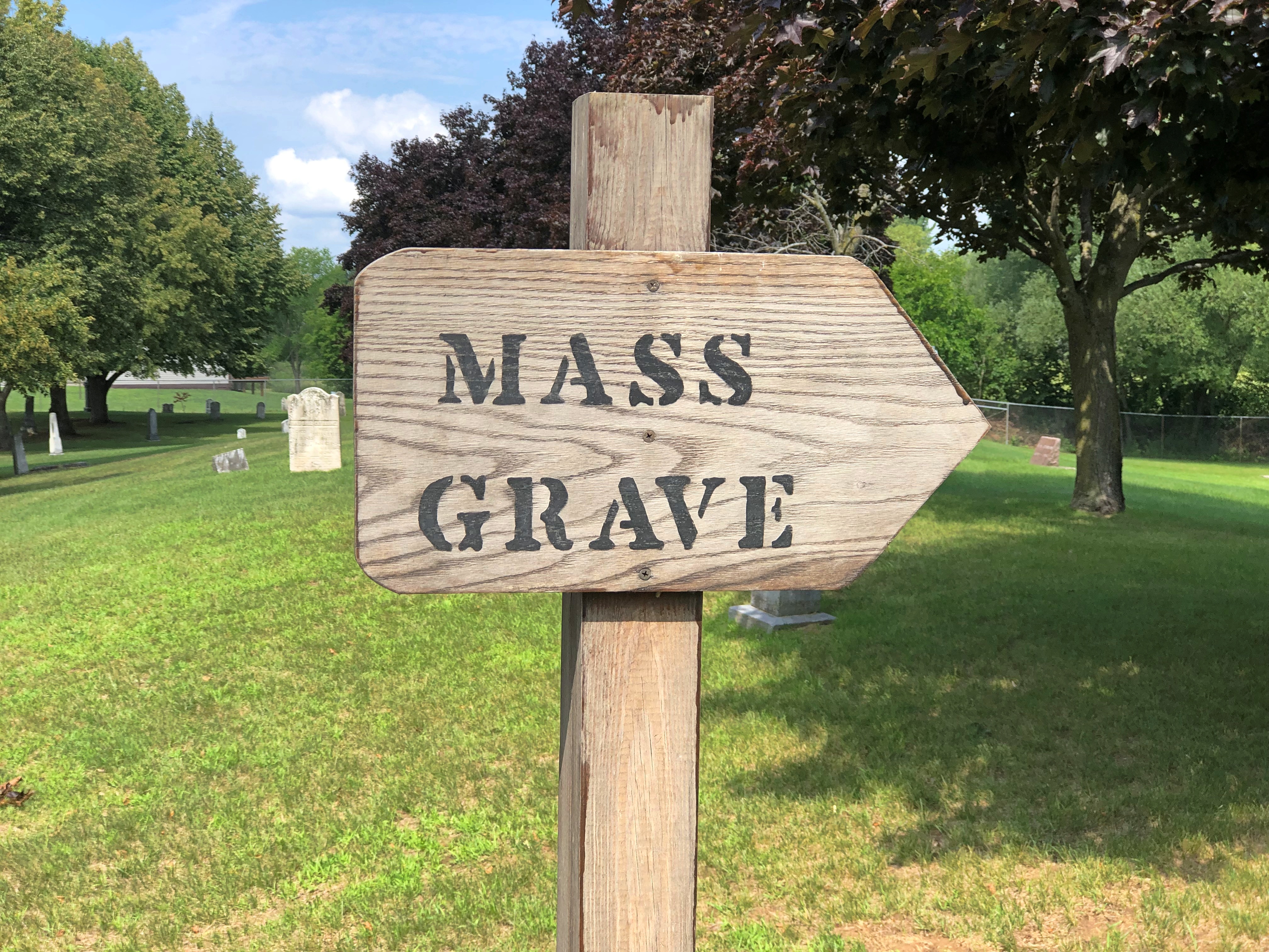
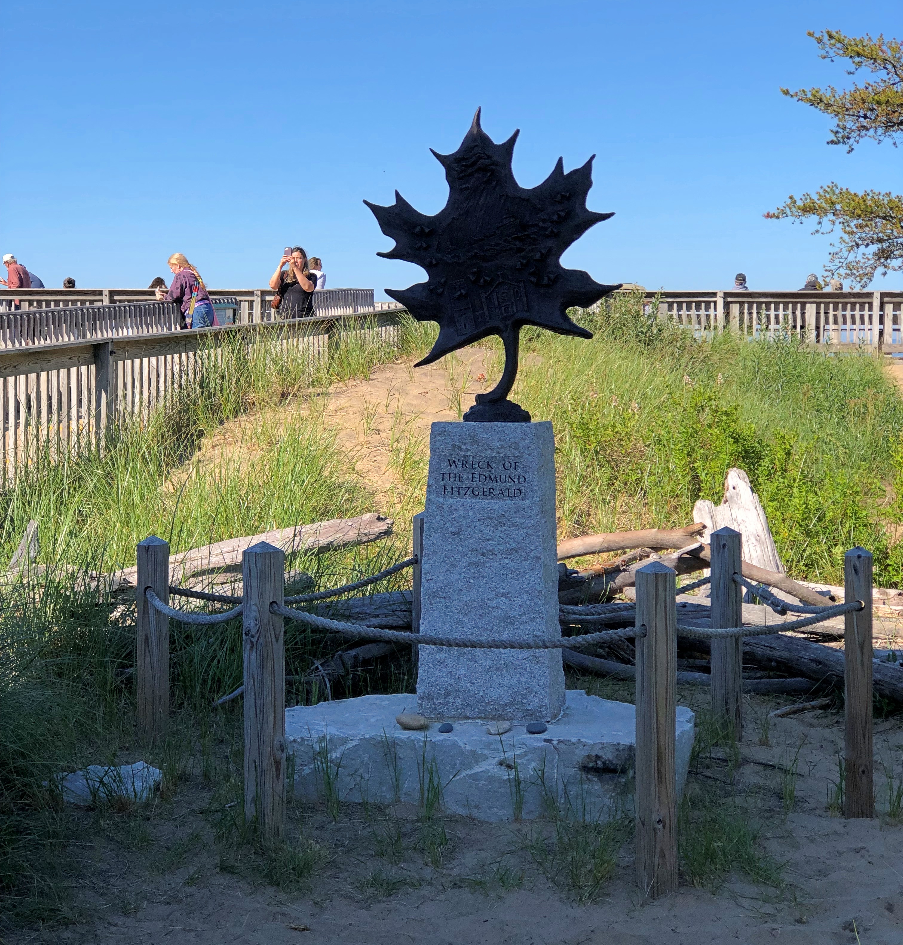
Too grim a note to end on. Not far south of Peshtigo is a roadside plaque I’d seen before, but not photographed.45th parallel Wisconsin 45th parallel Wisconsin

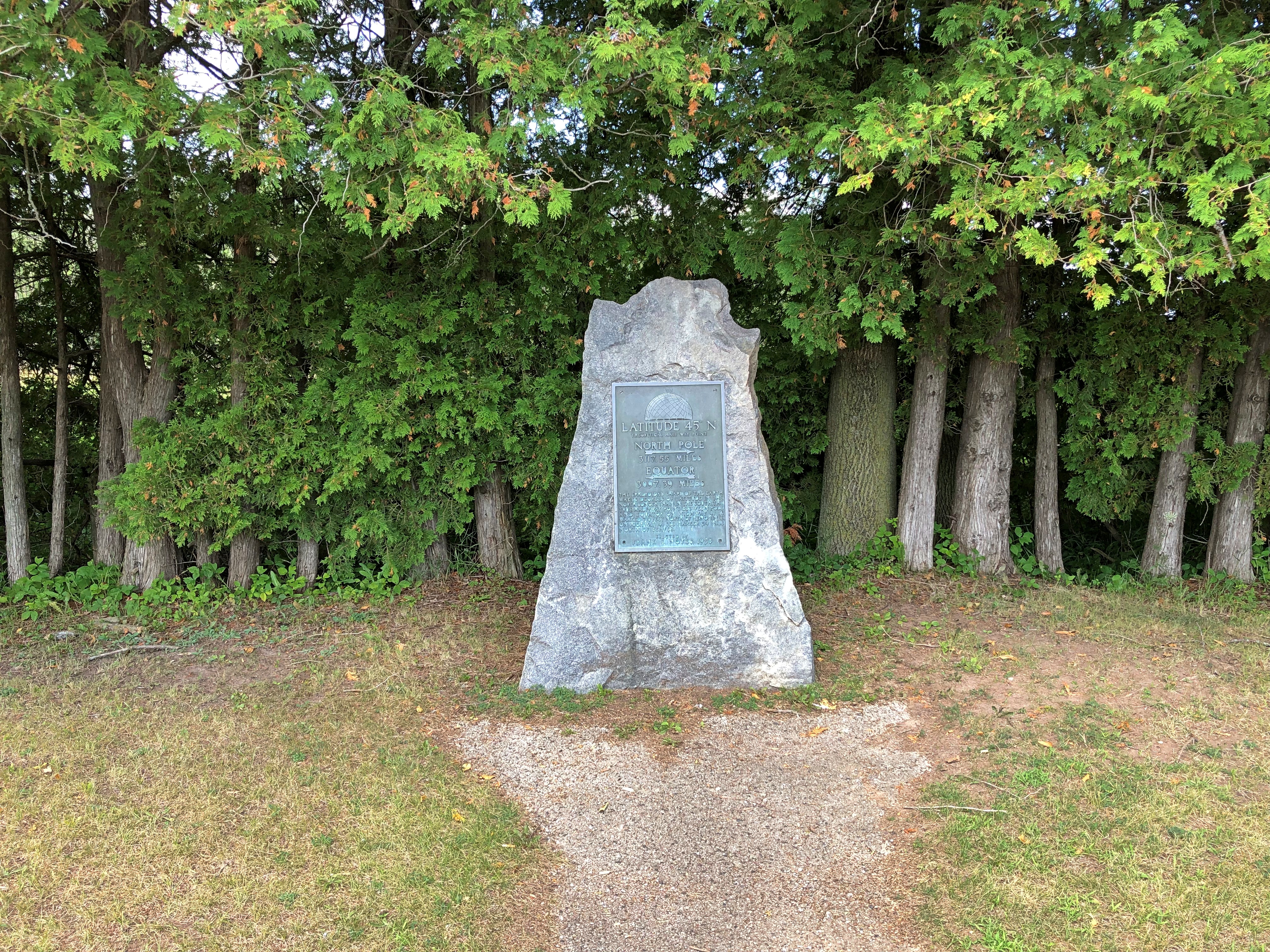
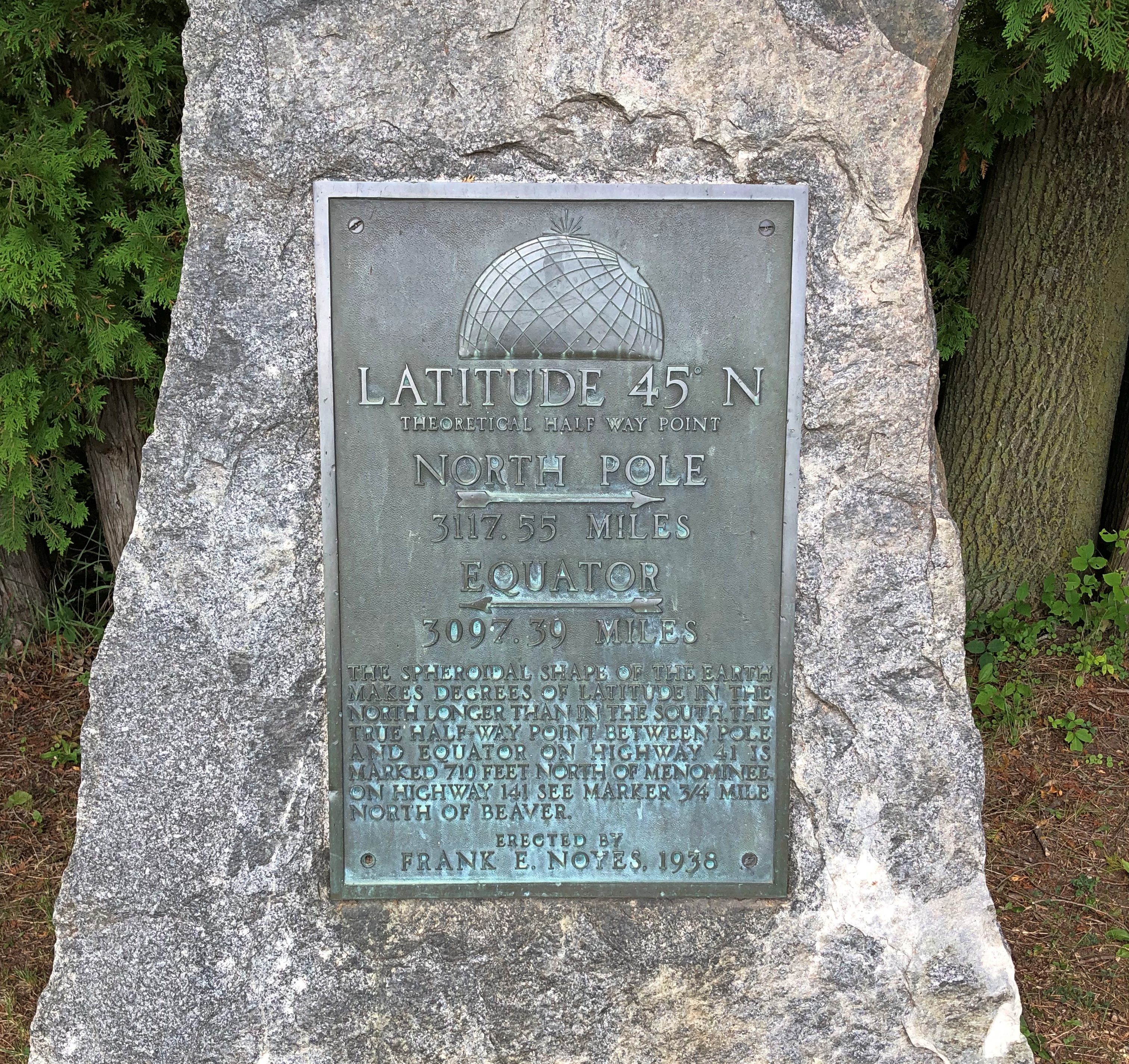
“The most obsessive of all of 45th Parallel markers are the plaque-on-rocks sponsored by Frank E. Noyes,” says Roadside America. “We know that he sponsored them because he put his name on every one.

“Frank was 82 years old, a faithful Episcopalian and 32nd degree Mason, and president, general manager, and editor of The Daily Eagle, a Wisconsin newspaper founded by his dad. For reasons lost to time, he became fixated on the intangible world of latitude in 1938 and put up plaques around his home town of Marinette to mark the halfway line.”

There are other such signs, of course, not of Frank Noyes origin, such as at the Montana-Wyoming border, as seen in 2005.

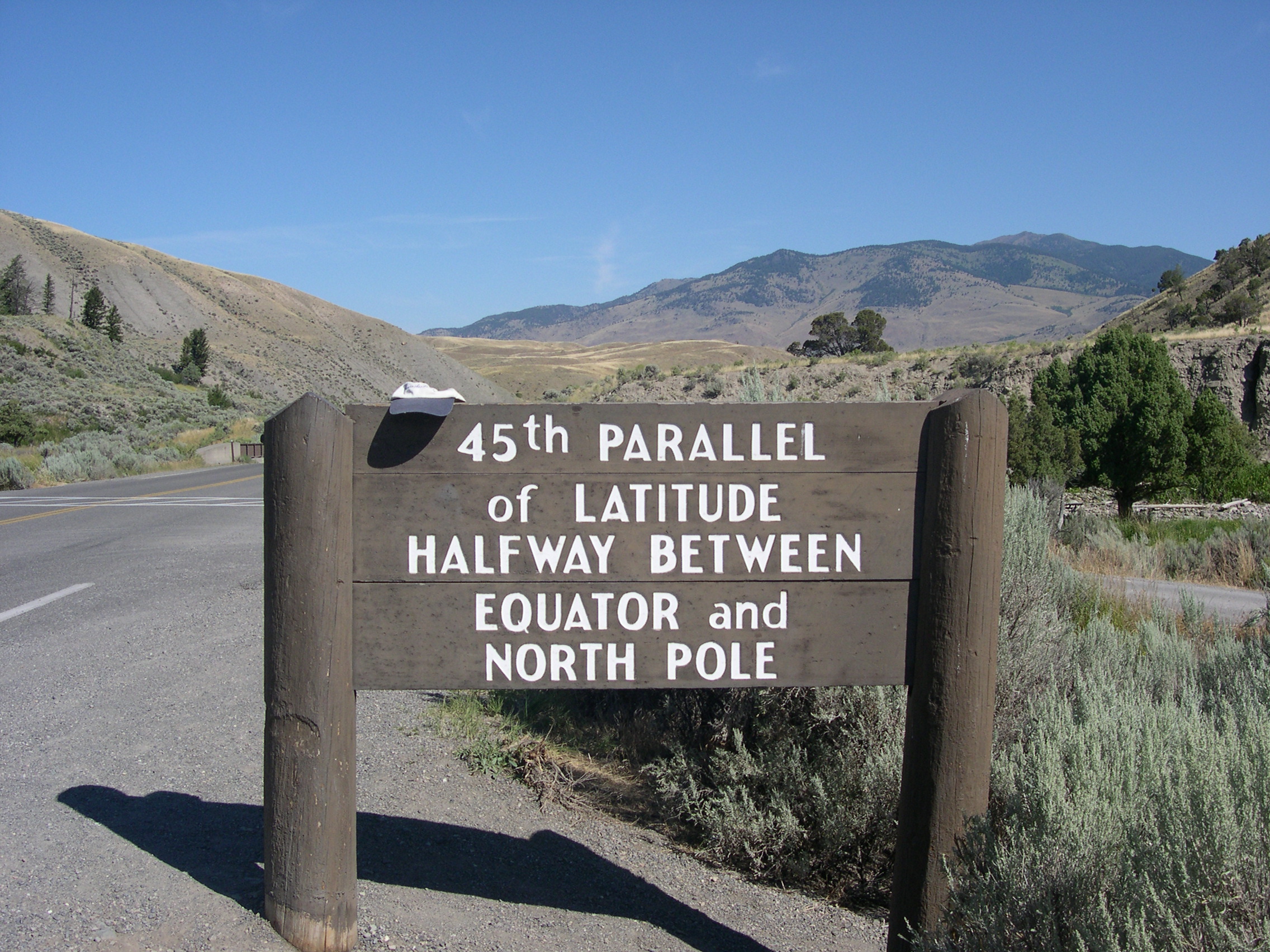
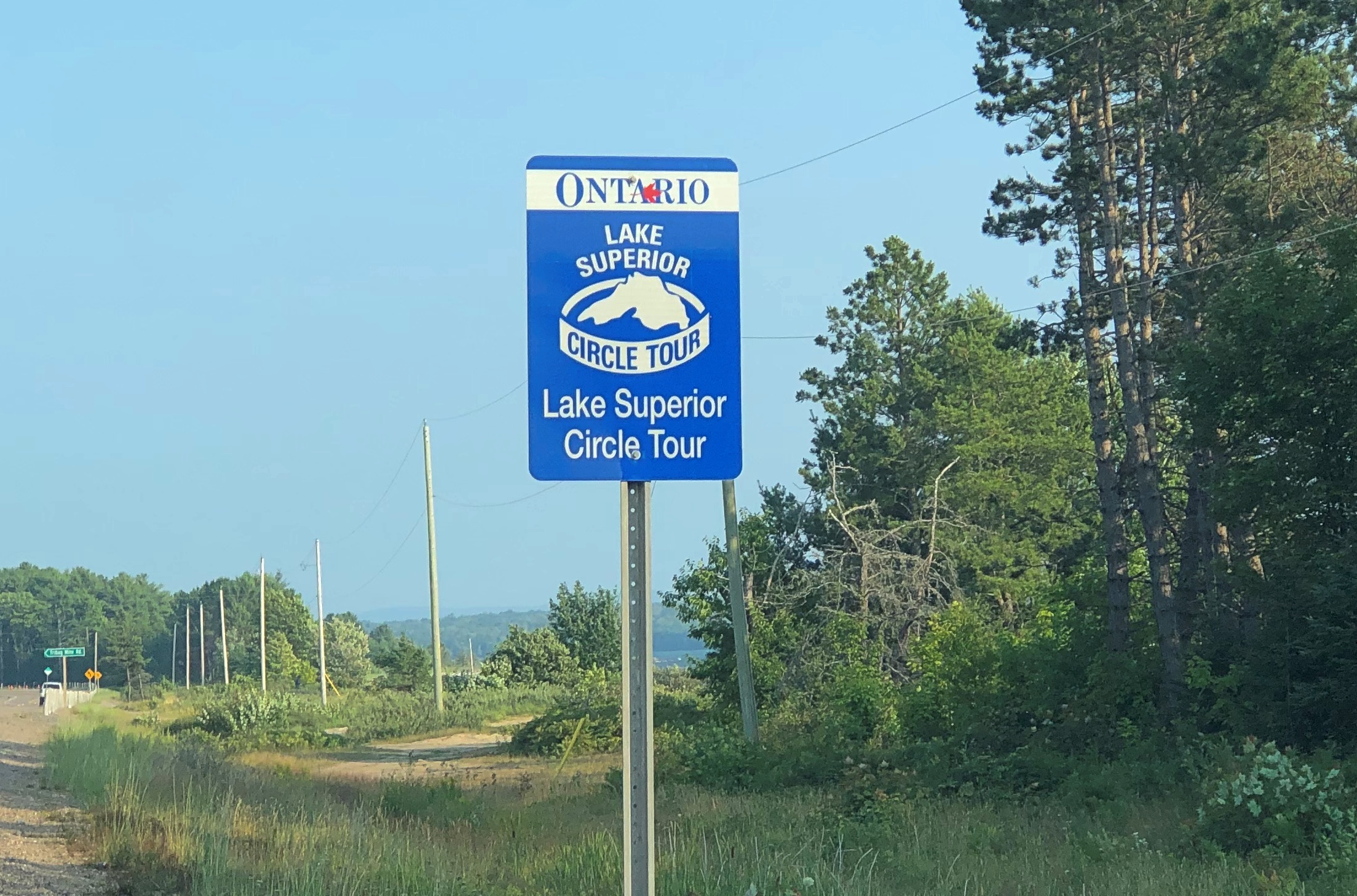
Except for bathroom and gas breaks, the Wisconsin 45th parallel proved to be the last stop of the nearly 2,000 miles around the lake.

SS Valley Camp

Temps hit 100 degrees F. today at O’Hare, reportedly for the first time in more than 12 years. I’d have thought it would have been more recently than that, but no. Still, such heat is transient here in the North: Tomorrow’s forecast calls for only 83 for a high, and Saturday a mere 74.

While atop the 21-story Tower of History, whose only purpose is provide a way to gaze at the scenery below, I spied an ore carrier on the Michigan Sault Ste. Marie riverfront. One of the signs on the tower’s observation deck told me it was SS Valley Camp – a museum ship. The kind of information that raises my eyebrows to an “Oh, really?” posture.

So I paid a visit late on the morning of August 5. Glad I did.SS Valley Camp, Sault Ste. Marie SS Valley Camp, Sault Ste. Marie

The best views of the ship aren’t from the outside, but on top.

The view from near the bridge, looking back toward the stern, which permanently points toward the St. Mary’s River and Canadian Sault Ste. Marie.SS Valley Camp, Sault Ste. Marie

The view toward the bow, pointing toward the Michigan Sault Ste. Marie.SS Valley Camp, Sault Ste. Marie

The metal plates – which look like solar panels under the bright sun – are in fact cargo hatches, for the Valley Camp in its nearly 50 years as a working ship carried ore and coal and other bulk goods. Visitors are advised not to go roaming around on the hatches, and I could see why, as they would be first-rate trip ‘n’ fall hazards that would land you on some hard, irregular surfaces.

The bridge complex.SS Valley Camp, Sault Ste. Marie SS Valley Camp, Sault Ste. Marie SS Valley Camp, Sault Ste. Marie

Displays of various quarters.SS Valley Camp, Sault Ste. Marie SS Valley Camp, Sault Ste. Marie

These days the ship is owned by Sault Historic Sites, the same nonprofit that owns the Tower of History. The ship dates from 1917, built for the Producers Steamship Co. as the Louis W. Hill by the American Ship Building Co. in Lorain, Ohio, on Lake Erie. (And I have to say, in those days, company names were nothing if not descriptive.)

State-of-the-art for 1917, at least according to Lorain newspapermen: “As modern as the genius of man can make her,” the Lorain Times-Herald said at the time. A later owner renamed the ship Valley Camp, in honor of the Valley Camp Coal Co. of West Virginia.

“From 1917 until it’s last voyage in 1966, the 11,500-ton ship logged some 3 million miles and carried in excess of 16 million tons of cargo,” says the museum’s web site. “A length of 550 feet, beam of 58 feet, and depth of 31 feet, the Valley Camp [had] a crew of 32 men. Purchased by Le Sault de Sainte Marie Historical Sites Inc. [now Sault Historic Sites], the ship arrived at Sault Ste. Marie on July 6, 1968, during [the city’s] tri-centennial celebration.”

Topside is pretty cool, but the real museum action is below decks. Much of the interior is given over the displays about the history of the ship, other Great Lakes ships, and the industries they served and continue to serve: photos, models, artifacts and more.SS Valley Camp, Sault Ste. Marie SS Valley Camp, Sault Ste. Marie SS Valley Camp, Sault Ste. Marie

Including a fourth-order, working Fresnel lens.SS Valley Camp, Sault Ste. Marie

It wouldn’t be a Great Lakes nautical museum worth its salt — its freshwater — without something from the SS Edmund Fitzgerald. In this case, one of the doomed ship’s battered lifeboats.SS Valley Camp, Sault Ste. Marie SS Valley Camp, Sault Ste. Marie

You can wander around and see much of the original metal and glass guts of the Valley Camp, too.SS Valley Camp, Sault Ste. Marie SS Valley Camp, Sault Ste. Marie SS Valley Camp, Sault Ste. Marie SS Valley Camp, Sault Ste. Marie

Cargo Hold #1, a sign told me, hasn’t been converted into museum space. I didn’t need to be told. The yawning space shows just how large the ship is.SS Valley Camp, Sault Ste. Marie SS Valley Camp, Sault Ste. Marie

The hold did have an exhibit, which looked temporary, about the sad fate of the SS Carl D. Bradley, which went down in a Lake Michigan storm in 1958, taking 33 of its 35 crewmen with it.

A load of grain or coal typically filled that space on the Valley Camp; denser iron ore or taconite filled it only about a third of the way to the top, the sign said. Impressive.

The Tower of History & Holy Name of Mary Catholic Church

It did me good today to learn that admission to the Tower of History, in real terms, costs only a little more than it did nearly 50 years ago. Sault Historic Sites, the nonprofit that owns the structure, obviously isn’t trying to gouge visitors. Or maybe that, as interesting as it is, the tower is in out-of-the-way place, and the market won’t bear a higher price.

In any case, a newspaper article from 1975 tells me that admission for an adult was $1.25 that year. When I visited on August 5 of this year, I paid $8. An inflation calculator tells me that $1.25 that year has the current purchasing power of $7.10.The Tower of History

Thus I paid a little over the rate of inflation for all those years, but not much; we can round up the sum to pay for more maintenance, since the tower dates from 1968. Looks like it, too. Concrete all the way up and down.The Tower of History The Tower of History

The tower was the first place I went after returning to the United States that morning. It stands 210 feet over the mostly low-rise city of Sault Ste. Marie, Michigan. As concrete towers go, it isn’t bad, but I didn’t come just to admire it from the ground. It’s an observation tower, and I’m a sucker for those. You’re paying for the views.

Such as of the Canadian Sault Ste. Marie to the north, across St. Mary’s River, the connector between Lakes Superior and Huron.Sault Ste. Marie, Ontario

The international bridge, to the west.Sault Ste. Marie, Michigan

Part of the U.S. locks. Superior and Huron aren’t at the same elevation, with a difference of 23 feet, so the river has long been site of a canal, and indeed work is still under way enlarging the locks.Sault Ste. Marie, Michigan Sault Ste. Marie, Michigan

A docked ore carrier. More about that later.Sault Ste. Marie, Michigan

The Michigan city, to the south.Sault Ste. Marie, Michigan

In the 1960s, the Holy Name of Mary Catholic Church in Sault Ste. Marie, Michigan, decided to build a tower to honor the missionaries who came to the Great Lakes once upon a time, and picked the site of a log cabin and chapel built by Fr. Jacques Marquette, S.J.

Shrine of the Missionaries, it was to be, as part of a larger complex that would have also included a community center and a new church building. The ballooning expense of the tower torpedoed the other plans, however, and the Diocese of Marquette acquired the tower, which it eventually donated to the nonprofit that runs it even now. Tower of History, I assume, was a secularization of the name.

St. Mary’s still stands a stone’s throw from the tower. I’m glad the handsome 1880s Gothic Revival church wasn’t replaced by an oddity from the 1960s.Holy Name of Mary Catholic Church

The church is also a pro-cathedral.Holy Name of Mary Catholic Church

We stepped inside. Nice. I was reminded a bit of the smaller, but equally colorful Painted Churches in Texas.Holy Name of Mary Catholic Church Holy Name of Mary Catholic Church Holy Name of Mary Catholic Church

Perhaps there is no air conditioning — I can’t say I checked — but if so, that makes for an interesting array of fans.Holy Name of Mary Catholic Church

It was good to be back in the UP.

Around Lake Superior

Long stretches of the Trans-Canada Highway along or not far from Lake Superior are lightly traveled, even in summer. Driving the road isn’t exactly solitary, but traffic-free enough to allow your mind to wander. And by your mind, I mean mine, a few days ago.

Dear Mr. Prime Minister, I thought.

There must be a correct way to address the prime minister of Canada in a formal letter. Who writes formal letters to politicians any more? Still, the formal must exist, and I could look it up. Never mind, on with the letter.

Your Excellency,

I’m about mid-way through an enjoyable six days in your country, traveling from the port of entry at Grand Portage to an exit at the grand international bridge connecting the two Sault Ste. Maries.

I have noticed that very few places in Canada sell postcards, even tourist shops, and especially Parks Canada units. I had to struggle to find cards to send to my friends back in the United States, which is a minor hobby of mine.

Market forces, you might say. An erosion of Canadian heritage is what I’d call it, and I am writing to urge that your government do something to reverse the loss, against the day when – fully dismayed by electronic media — people return to physical media.

I leave the details to you and your Minister of Canadian Heritage (cc’d on this letter). Certainly Parks Canada can be persuaded to stock them again. For private shops, perhaps tax incentives to produce Canadian-content postcards and to stock them, and a public service campaign to encourage their purchase and use.

It might not be Canada’s most pressing challenge, but it is certain worth a little of your government’s time.

Despite the minor postcard annoyance, it was nice to be back in Canada.

Every bit as scenic as the U.S., but a lot cheaper. The current judgment of the currency markets is that the U.S. dollar is strong against its Canadian counterpart (unlike in 2006).

Canada wasn’t the entire trip. Leaving on July 28, I drove from northern Illinois northwestward through Wisconsin, then to the shore of Lake Superior in Minnesota, reaching the border on the afternoon of the 30th. I left Canada yesterday, August 5, proceeding home through the UP and then southwestward back through Wisconsin, arriving home today.

In effect, I went clockwise around Lake Superior: 1,937 miles all together, though some fraction of that was measured in kilometers.

This particular drive has been in the back of my mind for years. Years and years. In September 1989, I drove to the UP and went camping. One day I headed north from my campsite to Munising for breakfast, and then on to Marquette. Somewhere along the way, around the time I first saw Lake Superior, I also saw a sign like this (except not Ontario).

I’d seen Lake Michigan Circle Tour signs in Illinois and Wisconsin. Those were brand new in those days, created to encourage tourism in the Great Lakes region, and if you asked me a brilliant bit of design. Drive around the lake, the sign says. You will be well rewarded.

I agreed: The ’89 trip itself was around Lake Michigan, though I’m sure I would have done it without the signs.

I’d never seen a Lake Superior Circle Tour sign before, but I liked the idea immediately.

The prospect intoxicated: around Superior would be mean driving to Minnesota, through that remote part of Ontario, and the back through the UP. Or vice versa. What was up that way? Exotic boreal territory; small towns; few services; moose? At the time, my experience with Canada was limited to a rewarding but short stay on Vancouver Island.

The actual Circle Tour follows a specific set of roads around, and during this trip I followed them on the whole, mostly because that was often the only option, but in some places I took other roads, usually since they were more convenient. So I can’t claim to be Circle Tour purist.

Even so, now that I’m done, driving around Lake Huron seems like a good idea too – either by way of the Bruce Peninsula and Manitouline Island, or the long way around Georgian Bay. I don’t expect to have another 34 years to get around to that, so it will be have to be sooner, if at all.

Gas Giant Thursday

Now that’s an image. It’s been getting some attention, and for good reason. Marvel of the age. Posted here.
The entire caption, for form’s sake, since I’m not going to further investigate the technical specs of the filters:

Webb NIRCam composite image of Jupiter from three filters – F360M (red), F212N (yellow-green), and F150W2 (cyan) – and alignment due to the planet’s rotation. Credit: NASA, ESA, CSA, Jupiter ERS Team; image processing by Judy Schmidt.

I saw a video clip about these Webb images today — produced by some local news outfit — and Jupiter was called “fifth rock from the sun.” Had a nit to pick with that, right away. Pretty big nit, actually, consider that Jupiter’s equatorial diameter is about 88,900 miles. The planet isn’t called a gas giant for nothing.

The following are couple of physical leftovers from the Michigan trip, acquired at grocery stores along the way. In both cases, my friends left the unused portion behind with us, and we’ve used them up in the weeks since. Such as the ground coffee. They said it was good, and Yuriko agrees.

Superior Coffee Roasting Co. is in Sault Ste. Marie, state of Michigan side.

The coffee bag got me thinking. Just how many ore carriers are their plying the Great Lakes these days? The Great Lakes Shipwreck Museum didn’t mention that, or at least that I saw. But the answer isn’t hard to find in our Internet-linked times.

More than 100 freighters transport iron ore across the Great Lakes, a combination of U.S.- and Canadian-flagged, and international carriers, according to an article published by the Great Lakes Seaway Partnership in 2019.

Citing the Iron Mining Association of Minnesota, the article also notes “more than 80 percent of the nation’s iron is mined in Minnesota, and that ore accounts for nearly 60 percent of shipments leaving the Duluth port. Iron ore led the port’s exports in the last year [2018], with 21.5 million tons shipped — the most transported from Duluth-Superior in a single season since 1995.”

Next, strawberry-rhubarb jam. Gone, as you can see. Much of it put on my breakfast breads this month. Wonderful sweetness. From Keweenaw Kitchens of Baraga, Michigan, on L’Anse Bay on Lake Superior.

Good travel writing can be hard to find. I came across this text the other day, when looking for useful information about a particular small U.S. city, Z.

Are you ready to explore some of the most AMAZING things to do in Z?

All caps doesn’t inspire confidence, but let’s carry on.

The perfect blend of unrivaled nature and diverse culture, Z is one of [state name]’s most vibrant and eclectic towns.

Interesting choice of adjective to go with “nature”: unrivaled. I’ve never been to this city, but I’m sure its “nature” is interesting enough, maybe even beautiful. Much else surely rivals it, though.

As a buzzing college town, Z offers an abundance of events and activities as well as being the perfect melting pot of different states from across America.

The only bit of useful information in that sentence is the fact that Z is a college town; but I already knew that, and so do many other people.

Not only is Z a hive of activity and excitement, the town also offers some of the most spectacular nature to be found in [state name].

This unique town is one not to be missed and with so many things to do in Z, you will certainly want to stop by.

“I’m looking for the hive of activity and excitement,” you say to the clerk at the Information booth in Z’s airport. “Could you tell me where that is?”

Well, it’s easy to mock this paint-by-numbers intro, but I might go through the slide show anyway, despite the fact that I’d support this kind of bad writing in some small way by adding to its clicks. Why? You can learn even from bad sites. I don’t know the city that well, so I’m bound to notice someplace I might want to see.

Sure enough, I did. More than one place.

Around Lake Michigan Bits & Pieces

Here’s a set of facts that only I’m likely care about, but I find remarkable anyway.

My recent trip with friends to the UP and back began on July 30 and ended on August 7. Fifteen years earlier, in 2007, I took a trip with my immediate family to the UP and back, from July 30 to August 7. I didn’t know about the coincidence until I read a previous posting of mine. I wish I could say that I’d taken a July-30-to-August-7 trip 15 years before that, in 1992, but no: Singapore and Malaysia was June 29 to July 10 that year (I had to check.)

Both were counterclockwise around Lake Michigan, but such is the richness of worthwhile sights in that part of the country that the two trips touched only at one point: the Mackinac Bridge. And in the fact that we spent time in the UP.

Is it so different now than 15 years ago? Except for maybe better Internet connectivity (I hope so) and maybe a worse opioid problem (I hope not), not a lot seems to have changed.

The UP’s population in 2020, per the Census Bureau, was about 301,600, representing a decline from 311,300 in 2010 and 317,200 in 2000. Truth be told, however, the UP’s population has never been more than about 325,600, which it was in 1910. After a swelling in population in the 19th century, especially after the Civil War, numbers have held fairly steady, meaning an increasingly smaller percentage of Michiganders and Americans, for that matter, live in the UP.

A spiffy public domain map.

Of course, the trip started in metro Chicago, and our first destination was BAPS Shri Swaminarayan Mandir Chicago in Bartlett, Illinois. A striking piece of India within short driving distance of home, I once said, and I’m pretty sure my friends agreed with that assessment.

Next: Indiana Dunes National Park. I had in mind we’d walk along a trail I knew, and a beach I liked, but no parking was to be had on a Saturday in summer. We were able to stop at the the Century of Progress Architectural District for a few minutes, and amble down to the beach for a few more from there. They liked that, too, and I’m sure had never heard of that corner of Indiana.

Across the line in Michigan, we went to Redamak’s in New Buffalo. Crowded, but it was then that we collectively decided, though it was unspoken, that good food in a restaurant setting was worth the risk of the BA.5 variant. I’m glad to report that none of us had any Covid-like symptoms during the entire run of the trip.

Those were my first-day suggestions. Now my friends had one: Saugatuck, Michigan, which is actually two small towns, the other being named Douglas. I’d seen it on maps, but that was the extent of my awareness. Turns out it’s a popular place on a summer Saturday, too. Especially on the main streets.Saugatuck, Michigan Saugatuck, Michigan Saugatuck, Michigan

Once we found parking, the place got a lot more pleasant. We wandered around, looking at a few shops and buying ice cream for a short sit down.

A small selection of Saugatuck businesses vying for those visitor dollars (no special order): Uncommon Coffee Roasters, Glik’s clothing store, Kilwin’s Chocolate, Sand Bar Saloon, Country Store Antiques, Bella Vita Spa + Suites, Tree of Life Juice, the Owl House (“gifts for the wise and the whimsical”), LUXE Saugatuck, Santa Fe Trading Co., Marie’s Green Apothecary (“all things plant made”), Mother Moon book store, and Amazwi Contemporary Art, just to list only a fraction of the businesses.

Not a lot of neon, but there was this.Saugatuck, Michigan

I liked the little public garden. Rose Garden, at least according to Google Maps.Saugatuck, Michigan

And its sculpture, “Cyclists,” by William Tye (2003).
Saugatuck, Michigan

At the Frederik Meijer Park & Sculpture Garden, we encountered a flock of what looked like wild turkeys.Frederik Meijer Sculpture Garden turkeys Frederik Meijer Sculpture Garden turkeys

The marina at Mackinaw City, from which boats to Mackinac Island depart, and a highly visible structure nearby.Mackinac City, Michigan Mackinac City, Michigan

You can be sure that we spent that afternoon on Mackinac Island.Mackinac Island

Besides the Mackinac Island Ramble (that’s what I’m calling our walk there), we took a number of other good walks on the trip.

One was at the 390-acre Offield Family Working Forest Reserve, near Harbor Springs, Michigan. Its excellent wayfinding — clear and immediately useful signs and maps — helped us through its mildly labyrinthine paths that curve through a lush forest with no major water features, including parts that had clearly been used as a pine plantation.

Clouds threatened rain but only produced mist in the cool air. Wildflowers might have been a little past peak, but there was a profusion, and a rainy spring and early summer put them in robust clusters of red and blue and gold and white, near and far from our path. Everywhere a damp forest scent, wonderful and off-putting at the same time.

On August 5, our last full day in the UP, we had lunch in the small town of Grand Marais, on the shores of Lake Superior. As tourist towns go, it’s minor league, but all the more pleasant for it. The extent of souvenir stands at the main crossroads was a single enclosed booth, staffed by a young college woman who was maybe a relative of the owner. The selection of postcards was limited, but I got a few.

Right there on the main street of Grand Marais is the Pickle Barrel House. You can’t miss it. We didn’t.

Afterward, we found our way to the eastern reaches of Pictured Rocks National Lakeshore, since the town is considered the eastern gateway to the lakeshore. That end of the lakeshore doesn’t have the pictured rocks, but there’s a lot else.

One trail on lakeshore land took us down to a beach on the south shore of Lake Superior. Sabel Beach, by name. You climb down a couple of hundred stairs to get there, but see the vigorous Sable Falls on the way. The way wasn’t empty, but not nearly the mob city on the southern shore of Lake Michigan or the waterfront at Mackinac Island.

Another lakeshore trail took us along Sable Dunes, which only involved a modest amount of climbing — not nearly as much as the Dune Climb at Sleeping Bear Dunes National Lakeshore — though sometimes the path underfoot was sand without vegetation. On the whole, the dunes support a full collection of the sort of hardy yellow-green grasses and bushes and gnarled trees you see near a beach. For human hikers, the dunes eventually provide a more elevated vista of the lake, which reminded me of the look over Green Bay last year.

We spent two nights in Newberry, Michigan. Still no more signs of møøse than the last time I was there. I did have the opportunity to take a short walk around town. This is the Luce County Historical Museum (closed at that moment), which was once the county jail and sheriff’s residence. It’s complete with a time capsule on the grounds for the Newberry centennial in 1982. Planned re-opening: 2082. That’s optimism.Newberry, Michigan

A few other nearby buildings.Newberry, Michigan Newberry, Michigan

Saint Gregory’s Catholic Church.Saint Gregory's Catholic Church

We encountered rain much of the last day of the trip, August 7, so mostly it was a drive from our lakeside rental near Green Bay (the water feature) in Wisconsin home to the northwest suburbs. We didn’t stop in Milwaukee, though we buzzed through downtown on I-94, which offers a closeup of the skyline.

We did stop at Mars Cheese Castle before we left Wisconsin. How could we not do that?

Kitch-iti-kipi

Not far from Manistique, Michigan, is the small Palm Book State Park, whose main attraction is known as Kitch-iti-kipi. It was last place we visited earlier this month in the Upper Peninsula, not long after enjoying a pasty and other good food for lunch at the Three Seasons Cafe in Manistique. This was a place I’d never been to, either.

The place is also called Big Spring. That’s what it is: big and astonishing clear, though it’s a little hard to tell from mere photos of the surface.Kitch-iti-kipi
Kitch-iti-kipi

“About 10,000 gallons of water per minute gush into the lake from the fissures in the limestone that holds the pool,” notes Atlas Obscura. “Because its water is replenished so quickly, the pool maintains a constant temperature of 45 degrees Fahrenheit.

“It is unknown exactly where the enormous volume of water that fills the lake comes from. Tourists flock to Kitch-iti-kipi because it’s a geological wonder, and also because of the beautiful ancient tree trunks that are encrusted with minerals.”

Images taken down into the spring are a bit different, but even then it’s hard to capture what the eyes do: a vivid reflection of the trees on the shore, a ghostly picture of the bottom, 40 feet down and tinted emerald, littered with logs and populated by fish.Kitch-iti-kipi

Submerged wood closer to shore. Kitch-iti-kipi

You don’t just stand around the edge of the pond, looking in. When you get near the spring, you get in line.
Kitch-iti-kipi

The line takes you to a dock where you wait your turn — it took us only about 15 minutes in line — to board an observation raft tethered to a cable.Kitch-iti-kipi

The raft is moved across the pond, and back, by a single person turning a crank on board. Whoever volunteers to do so turns the crank, and kids seemed especially eager, since it didn’t seem to involve much muscle power at all. I’m not sure how that works, but it did.

The bottom of the pond is visible through the raft, since it’s in the shape of a square doughnut.Kitch-iti-kipi
Kitch-iti-kipi

Online sources talk of the modern discovery of the spring about 100 years ago, and the Indian lore probably made up for the occasion, as discussed in this Michigan DNR video.

Another video, clearly made by a UP enthusiast, offers more geological information on how the spring came to be.

Tahquamenon Falls State Park

Just a passing thought: re-visiting a remarkable place, especially after the passage of some years, is like re-reading a good book. Or visiting old friends once again.

That was on my mind, in the company of old friends, as we came to Tahquamenon Falls State Park, conveniently located only about 20 miles from Whitefish Point, and a bit inland. The last time I was there, I was with small children —Tahquamenon Falls State Park

— who are now grown, was in the first year of a dozen as a freelance writer, and rarely saw the people I was now spending about a week with.

The Tahquamenon River isn’t that long, about 90 miles entirely in the Upper Peninsula. The state park encompasses much of its course, but especially the features you come to see: the waterfalls. Or rather, as I told my friends, teafalls.

“Because the headwaters of the river are located in a boreal wetland that is rich in cedar, spruce and hemlock trees, the river’s waters carry a significant amount of tannin in solution,” notes Wiki. As found in tea, coffee, wine and chocolate, among other things that please us human beings immensely.

We arrived at the Lower Falls first. That’s the way to do it. That way, you see an impressive series of smaller cataracts from a path that follows the edge of the river, and loops around a small island above most of the falls. Later come the Upper Falls, and its impressive single drop.

Below the Lower Falls, the tea color isn’t that noticeable.Tahquamenon Falls State Park Tahquamenon Falls State Park

But at the falls, it is.Tahquamenon Falls State Park Tahquamenon Falls State Park Tahquamenon Falls State Park Tahquamenon Falls State Park

People frolicked in the water close to the falls, despite the strong-looking current.Tahquamenon Falls State Park Tahquamenon Falls State Park

A trail along the river leads from the Lower Falls to the Upper Falls, but signs called it “difficult,” and four miles long besides. It’s usually good to pay attention to such signs, so we opted to drive to the Upper Falls.

Rather than a series of smaller drops, it’s one big waterfall.Tahquamenon Falls State Park Tahquamenon Falls State Park

One big teafall, that is. Definitely a place worth visiting again, like many others in the UP.

Whitefish Point

After leaving Sault Ste. Marie around noon on August 4, we headed via small roads to Whitefish Point, a cape jutting from the Upper Peninsula into Lake Superior.

First stop en route, Point Iroquois Light, which overlooks the lake as it narrows to drain into St. Marys River. A light has been there since 1856, in response to the increased shipping through the recently opened Soo Locks. The lighthouse and keeper’s house are handsome structures, though the light was under scaffolding. I’ve encountered a fair number of such obstructed sights over the years.Point Iroquois Light

Nice view of Whitefish Bay, too.Point Iroquois Light

A good boardwalk walk.Point Iroquois Light Point Iroquois Light

We had lunch in Paradise. The UP town of that name, that is. We stopped there for lunch in 2006 and I’d like to say I had a cheeseburger. But the record says otherwise. Back then, I wrote: “I need to say I’ve been to Paradise. Paradise, Mich., that is, which is just south of Whitefish Point. In fact, I ate a whitefish sandwich in Paradise, and it was good, but not paradisiacal.”

I didn’t record the name of the restaurant in ’06, but I will this time, because it’s so much fun: Wheelhouse Diner & Goatlocker Saloon. (The owner(s) must have been in the Navy.) We ate in the back, in the saloon part, which looked pretty much like the rest of the place, with the addition of a bar. I had a whitefish sandwich again, because that’s the thing you do within spitting distance of Lake Superior, at least once or twice. I didn’t regret my choice.

Same as 16 years ago — can it have been that long ago, and still be in the 21st century? — we headed up to Whitefish Point after lunch. The star of the point is Whitefish Point Lighthouse.Whitefish Point Lighthouse Whitefish Point Lighthouse Whitefish Point Lighthouse

The original light was built in 1849 as one of the first ones on Lake Superior and, as the lake’s epithet at this point attests — “Graveyard of the Great Lakes” — it was badly needed.

It’s also a fitting location for the Great Lakes Shipwreck Museum.Great Lakes Shipwreck Museum

The museum doesn’t seem to have changed much since I wrote: “Front and center inside the Great Lakes Shipwreck Museum is the bell from the Edmund Fitzgerald… It’s hard to imagine the violence necessary to sink a ship big enough to carry 26,000 tons of cargo, but there she lies, in two pieces, on the bottom not far from Whitefish Point.

“But it was not an Edmund Fitzgerald museum. Along three walls were other stories of other wrecks, most costing some lives, and most so long ago that there’s no living memory of them — the Comet, Vienna, Myron and Superior City, just to name a few. Among the artifacts from these wrecks were the nautical things you’d expect, such as a ship’s wheel, anchor chains, or steam engine gages.”

Like the name plate from the Myron, lost in a November gale in 1919.Great Lakes Shipwreck Museum

“More poignant were bits of flotsam like bottles, dishes, a candelabra and even a bar of soap in its late 19th-century packaging. Some of the museum’s benches were made from wooden planks from wrecked ships, with their name carved in it.”

This time it struck me how many ships sank after collisions with other ships. Radar was a real game-changer, but even so, it couldn’t prevent every wreck.

Such as that of the Edmund Fitzgerald, with all the modern equipment of 1975. The ship’s bell, retrieved from Superior’s ice-water mansion in 1995.Great Lakes Shipwreck Museum

The Big Fitz bell isn’t the only ship’s bell in the collection. Another was from the schooner Niagara, which sank in 1897.Great Lakes Shipwreck Museum

And how does one go looking for such artifacts? At least in the old days? Amazing that divers could do anything at all encased in such bulk.Great Lakes Shipwreck Museum Great Lakes Shipwreck Museum

All these things evoke history and loss, as they should. But I think none of the items are as cool as the museum’s Fresnel lens. Years ago, I wrote:

“Hanging near the ceiling was a second-order Fresnel lens, formerly the bright eye of a lighthouse elsewhere in Michigan but since retired… Meant to magnify light, and representing an important technical advance in the 19th century, a Fresnel lens is also an astonishing piece of glasswork.”

Yes, indeed.Great Lakes Shipwreck Museum Great Lakes Shipwreck Museum

“At first its overall resemblance to a human eye strikes you, but the more you look at it, the more the glassy curves and grooves and nodes emerge into an ensemble of glass pieces, arrayed like soldiers on parade.”

The museum also has a smaller, fourth-order lens.Great Lakes Shipwreck Museum

Before we left, we took a look at the shore, accessed by a boardwalk.Whitefish Point
Whitefish Point Whitefish Point

Sobering the think of all the wrecks off in that general direction.

Pop Up to Canada

When planning our recent trip, I suggested a visit to Sault Ste. Marie, mainly to see the locks that connect the higher-level Lake Superior with the lower-level Lake Huron (and Lake Michigan, for that matter). Engineering marvel and all that.

The idea of crossing from Sault Ste. Marie, Michigan, to Sault Ste. Marie, Ontario, didn’t really register with me. Maybe because I’m blasé about visiting Canada, having done so a number of times.

Or maybe because I dreaded whatever rigmarole Covid-addled Canada would force upon us to cross the border. After all, it was only about a year earlier that I’d seen the near-empty Rainbow Bridge between Niagara Falls, New York and its counterpart in Ontario, bereft of its tourist traffic.

Someday, I knew I’d want to go to the Canadian Sault St. Marie, because it’s the jumping off point to take the Agawa Canyon Tour Train and see other sights northeast of Lake Superior, but all that would take more time than we wanted to spend on this trip.

My friends had other ideas about visiting Canada. Namely, they wanted to. Just a pop across the border on August 3 and spend the night in Ontario, returning to the UP the next day. Two of them had never been to Canada, a slightly flabbergasting notion, and the third had only visited Vancouver Island on a long-ago organized bus trip in high school. They were keen to go, if only for a brief sojourn.

I didn’t object, and we went across the international bridge that afternoon. The rigmarole turned out to be fairly modest, uploading our Covid vaccination cards and passport numbers and a few other details the day before at a web site called ArriveCan, which generated a QR code on our phones that I was sure the guard would want to see, along with our passports.

She did not. Just the passports, and she asked a few perfunctory questions to make sure we weren’t degenerates trying to sneak into Canada, and we went through.

Our visit to the Great White North was short, but sweet. We had dinner — the best of the trip, I thought — at Uncle Gino’s Cafe & Ristorante. I had the penne alforno. The food was delicious, not too expensive (helped by the relative strength of the U.S. dollar), and the waitress was a peach.

Sault Ste. Marie is a small industrial town, including steel and paper products, and more recently hydroelectric and wind power. We drove around town a bit, and soon took a riverside stroll.Sault Ste. Marie, Ontario Sault Ste. Marie, Ontario Sault Ste. Marie, Ontario

Wind chimes inside funnels along the boardwalk, the likes of which I’d never seen. Makes a pleasant tune, though.Sault Ste. Marie, Ontario

We made it as far as the historic Sault Ste. Marie Canal, which includes smaller locks than on the American side. Reminded me a bit of the Erie Canal.Sault Ste. Marie, Ontario Sault Ste. Marie, Ontario Sault Ste. Marie, Ontario

The canal’s historic structures were closed for renovation, but nice to look at.Sault Ste. Marie, Ontario Sault Ste. Marie, Ontario

So were the clouds.
Sault Ste. Marie, Ontario

We spent the evening at our rented house, drinking wine, conversing and watching videos each of us selected in turn. I suggested a few Caro Emerald videos, and she was a big hit, as was Tammi Savoy, a delight I only discovered myself in January.

We left in the next morning and I forgot to suggest we visit the local Tim Horton’s. Damn. My friends missed an essential Canadian experience. They probably would have liked the coffee and I know they’d have liked the doughnuts. Guess they’ll have to visit the country again sometime.

As for me, I came to consider my visit to Sault Ste. Marie as a scouting expedition. One of these days, I need to come back to explore the region more thoroughly — take that Canadian train and see those U.S. locks.