Around Lake Michigan ’22

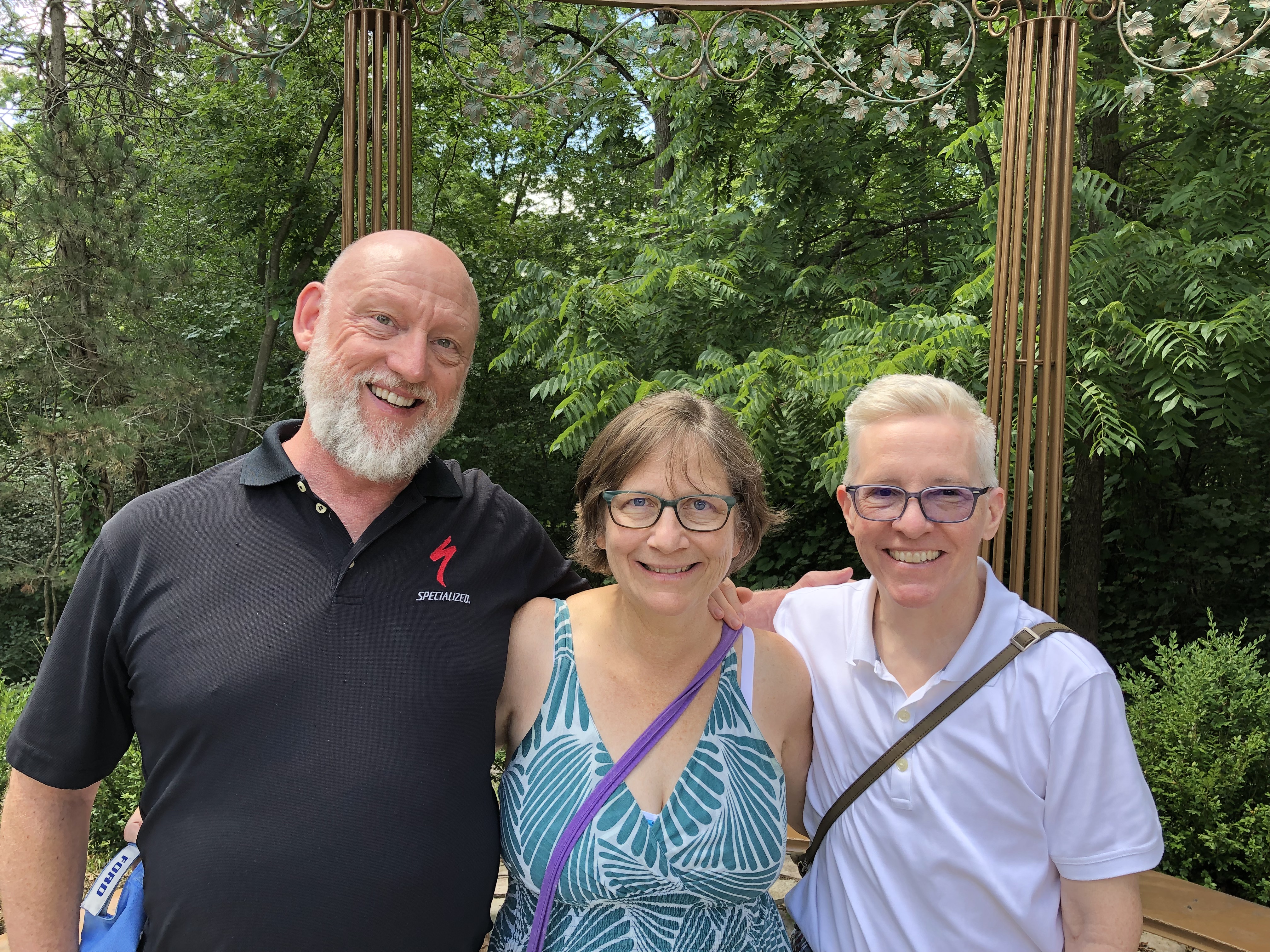
A little more than a week ago, I took a pretty good picture of three dear friends, two of whom I’ve known for over 45 years. From left to right, Tom, Catherine and Jae.

We were on the second day of our drive around Lake Michigan, counterclockwise, which took us from metro Chicago through northern Indiana, Grand Rapids and parts of western Michigan, Petoskey and environs, Mackinac Island, both Sault Ste. Maries, parts of the eastern Upper Peninsula, greater Green Bay and other parts of eastern Wisconsin, and back to metro Chicago.

Leaving on July 30 from our starting point at my house, we drove my car on crowded and less crowded Interstates, state and county highways, and a host of smaller roads, including National Forest roads cutting through lush boreal territory. Returning yesterday to my house, my friends flew back to Austin today; they had arrived from Austin two days ahead of the trip.

We’d planned the trip via email and Zoom, beginning back in early spring. I was the informal guide, making suggestions and offering bits of information I knew from previous visits to Michigan, upper and lower. But my friends were hardly passive in the course of our travels, digging up information via cell and making their own suggestions based on their own familiarity with some of the territory. Catherine had overseen arranging our accommodations, and everybody drove at one time or another.

We stayed in five different peer-to-peer rental accommodations along way, all entire houses that could provide us enough bedrooms, bathrooms, food prep and dining areas, and, in most cases, space to sit outdoors, once with a view of the waters of Green Bay.

Enjoying the outdoors was one of the main goals of the trip. For me, certainly, but especially for them, escaping the high heat of central Texas. They often remarked on the cool air and reveled in it, checking periodically to learn the temps at home. Three digits in Austin wasn’t usual. I don’t think got higher than 85 F. where we were. Standard night temps in both Michigans generally came in the 60s F.

Two meals a day was the norm: a mid- to late-morning breakfast and a late afternoon dinner, or a very late breakfast and a late dinner, at least as these things are reckoned in North America. So on many days, our meal schedule was more like that of Mexico City.

Food variety has trickled down to the lakeside and inland burgs of the upper Upper Midwest, though perhaps not quite as much as in large metros. Whitefish, the star of a lot of UP menus, had top billing in some of our meals, but we also enjoyed hamburgers and other meat — including one tasty UP pasty — pizza, pasta, breakfast fare, bar food, Italian and Asian, plus chocolates and fruit, such as Michigan cherries and UP jam. We prepared our own meals sometimes, did takeout a few times.

Coffee by morning, wine by night, though I only participated in the latter. Familiar wines were available in every grocery store we visited, and my friends sought out coffee ground as locally as possible: one bag from Sault Ste. Marie, for instance.

Meals and wine drinking were a source of convivial times, but hardly the only one. We talked and conversed and bantered at the table, as we headed along roads and as we walked trails. Shared personal histories were revisited, stories of our long periods apart were relayed, and opinions shared. Odd facts were floated. There was punnery, especially on the part of Tom, a born punster.

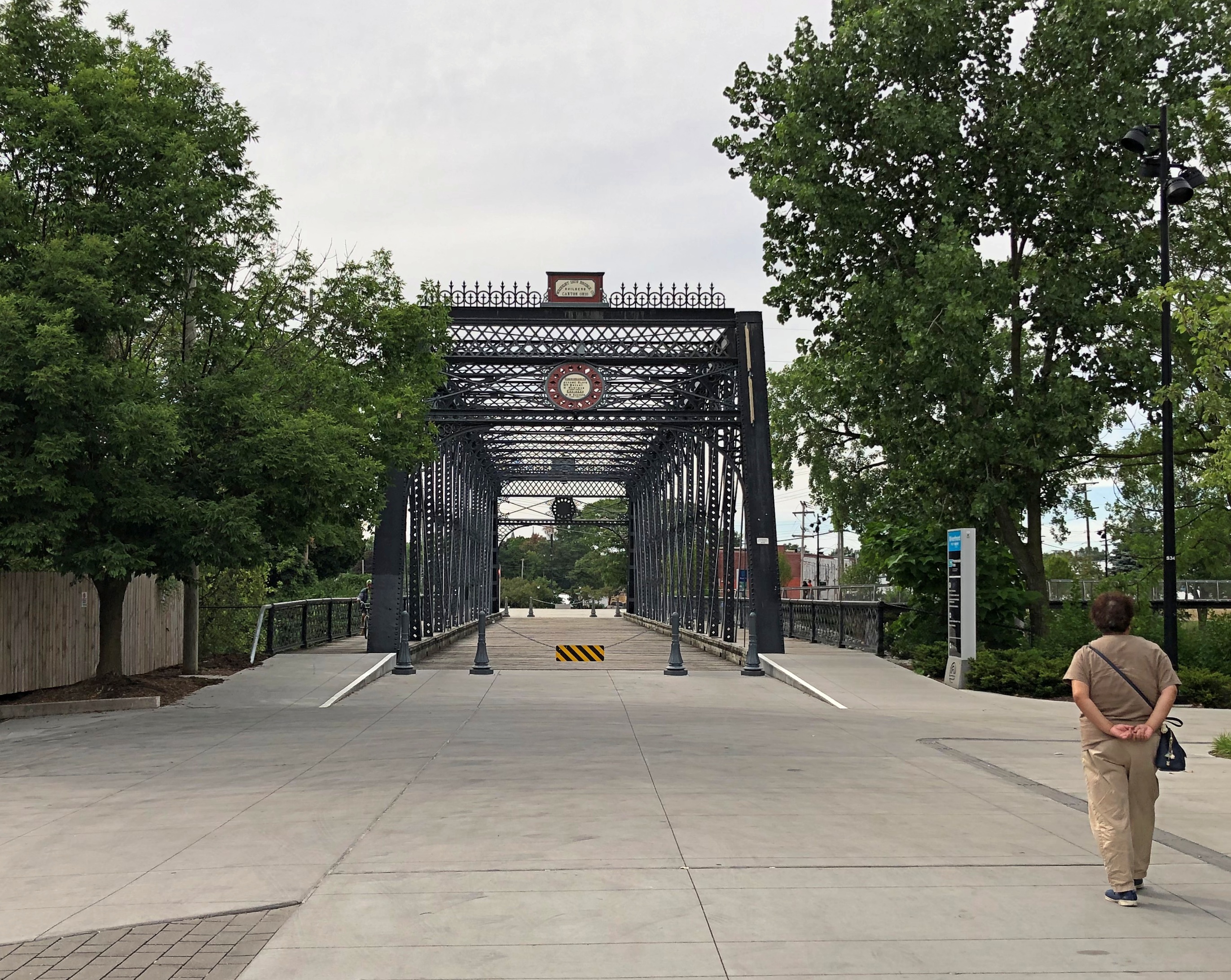
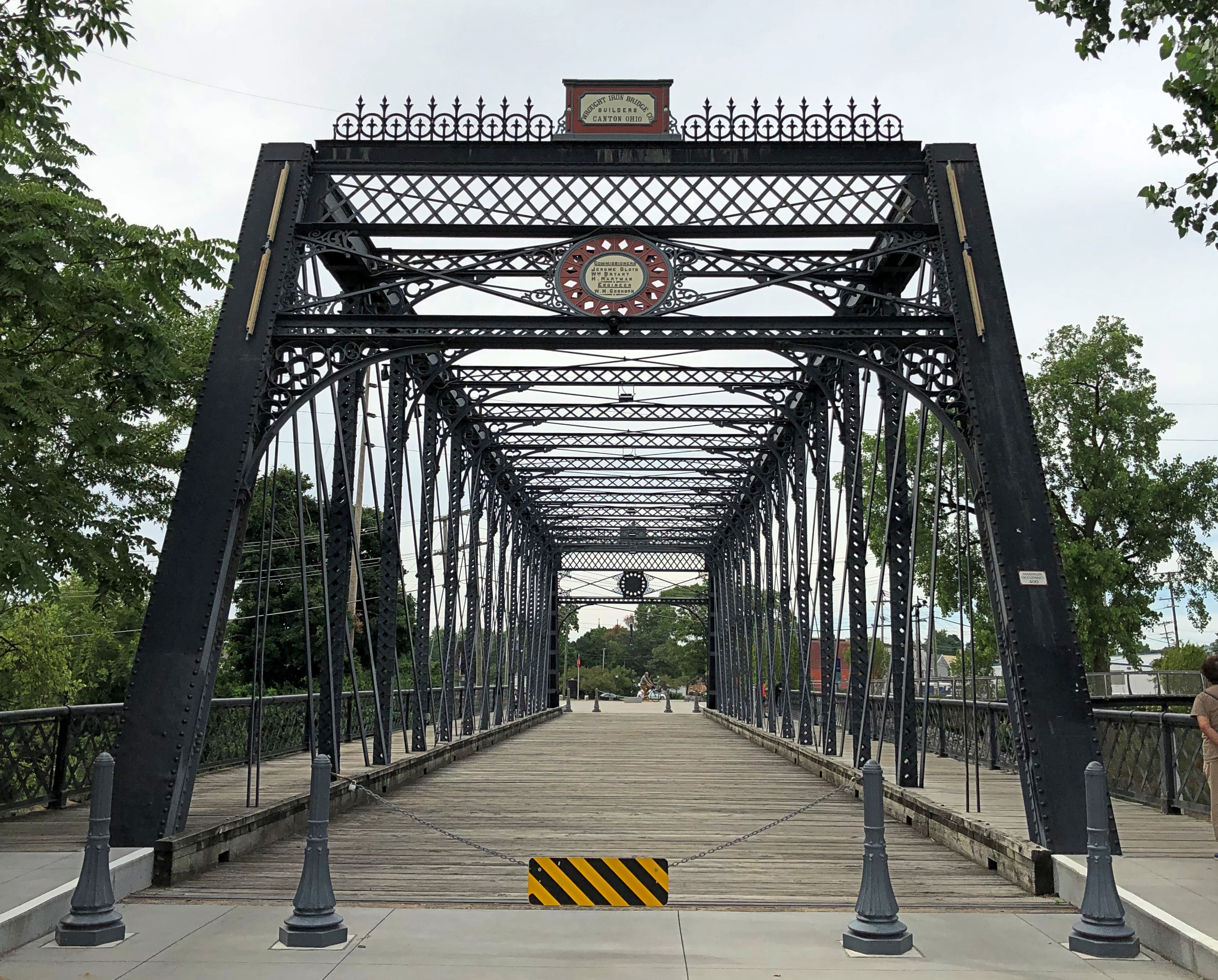
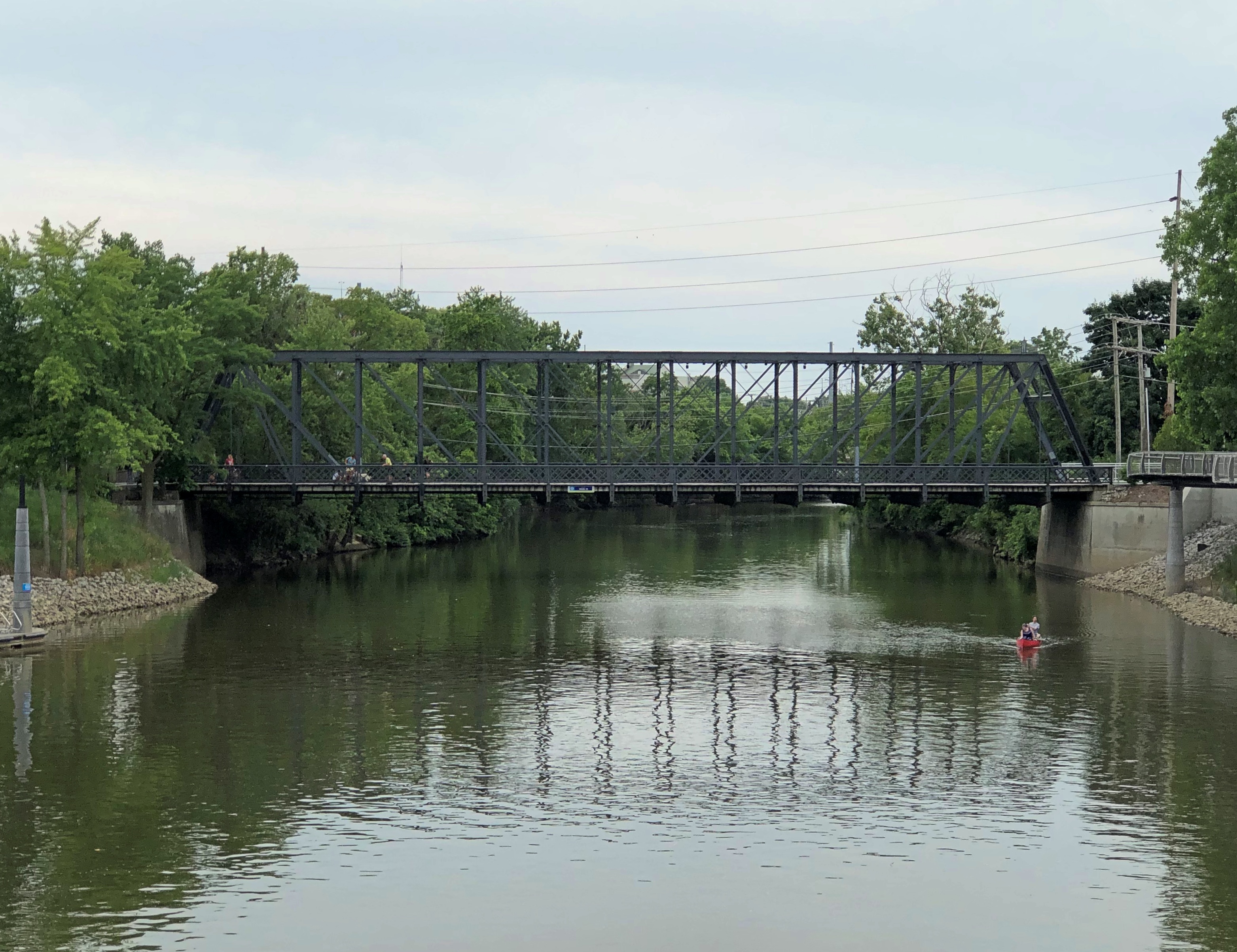
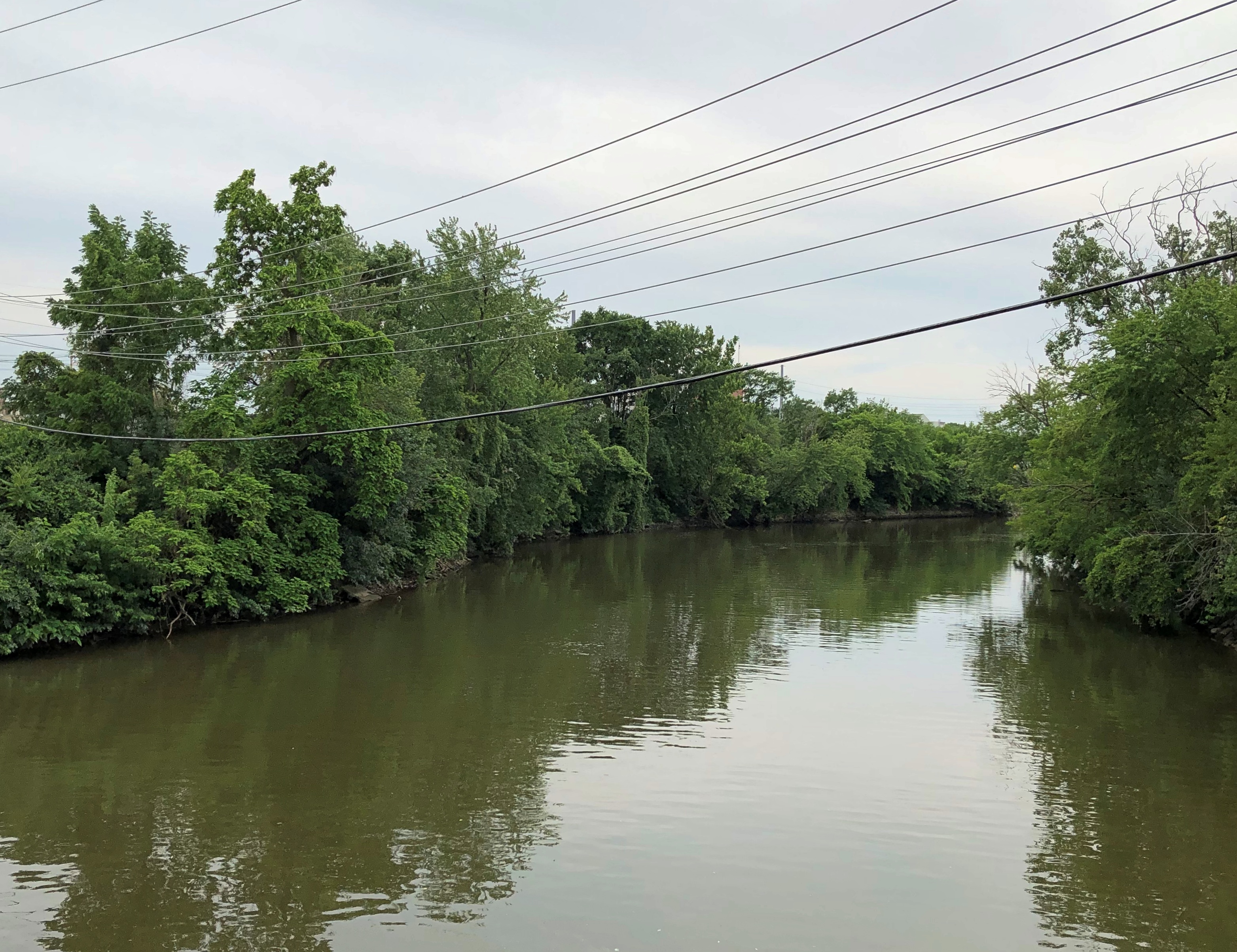
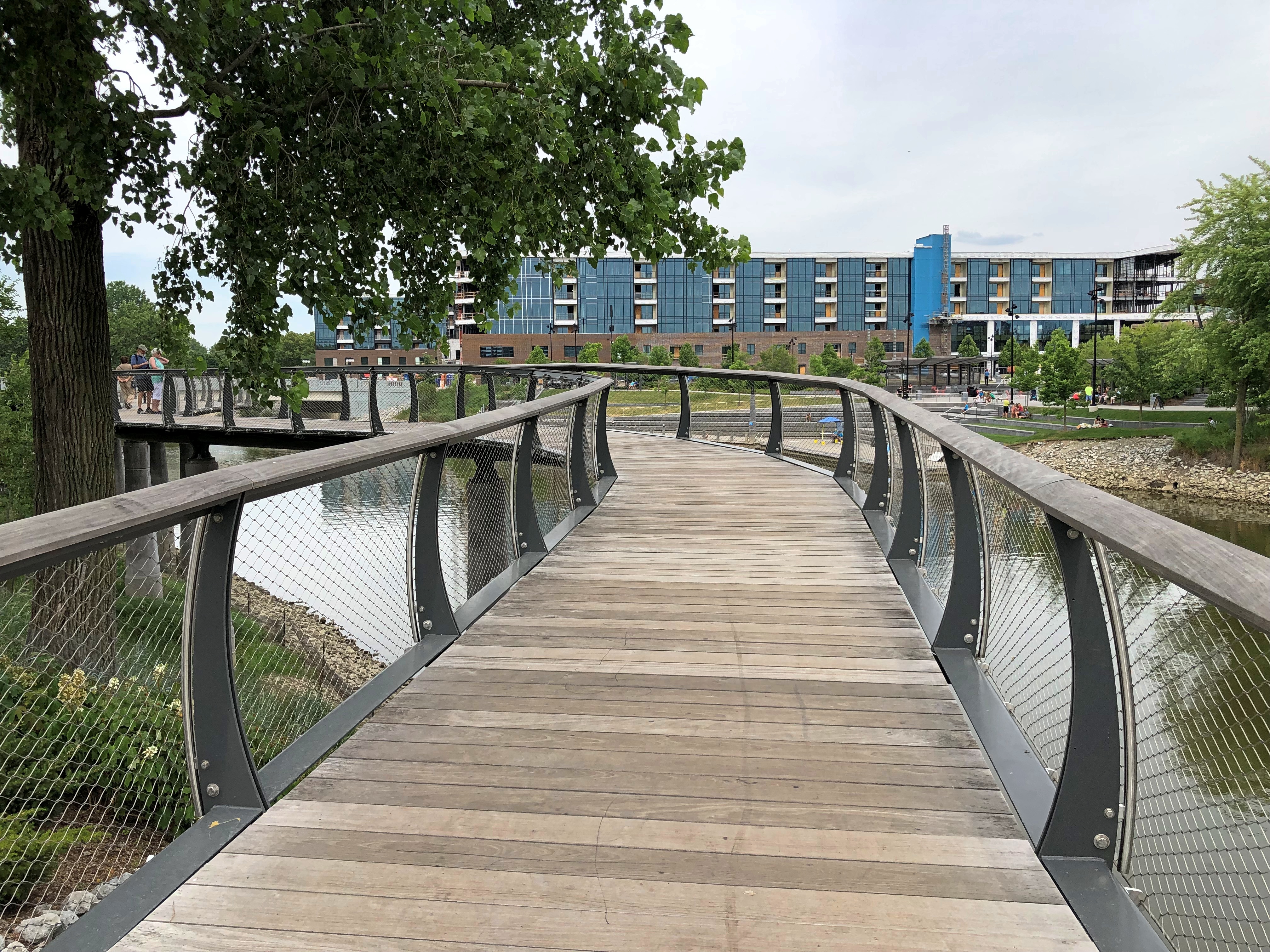
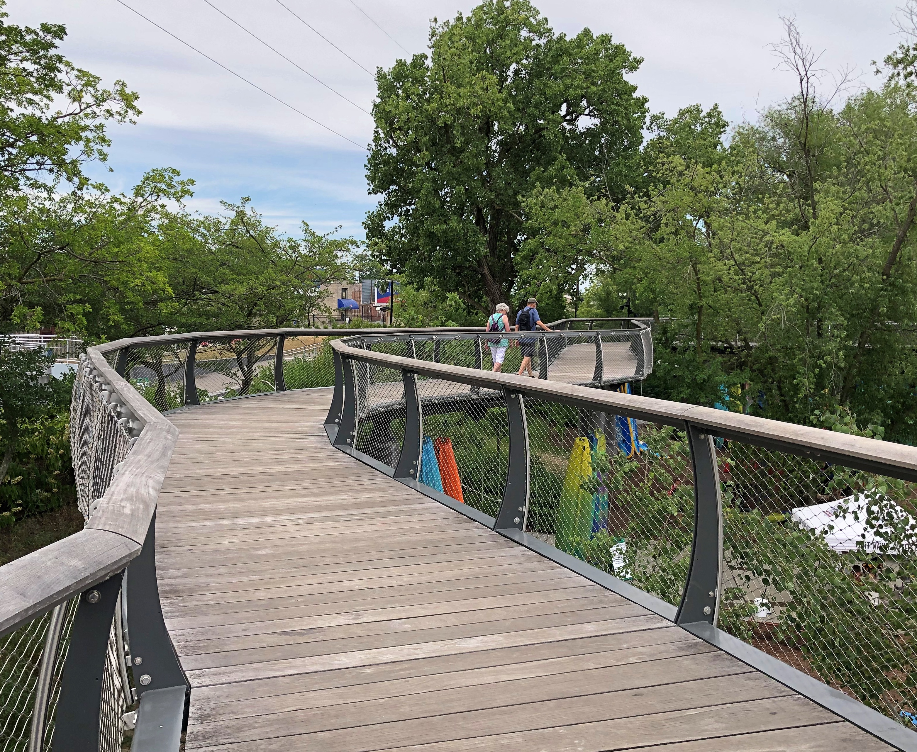
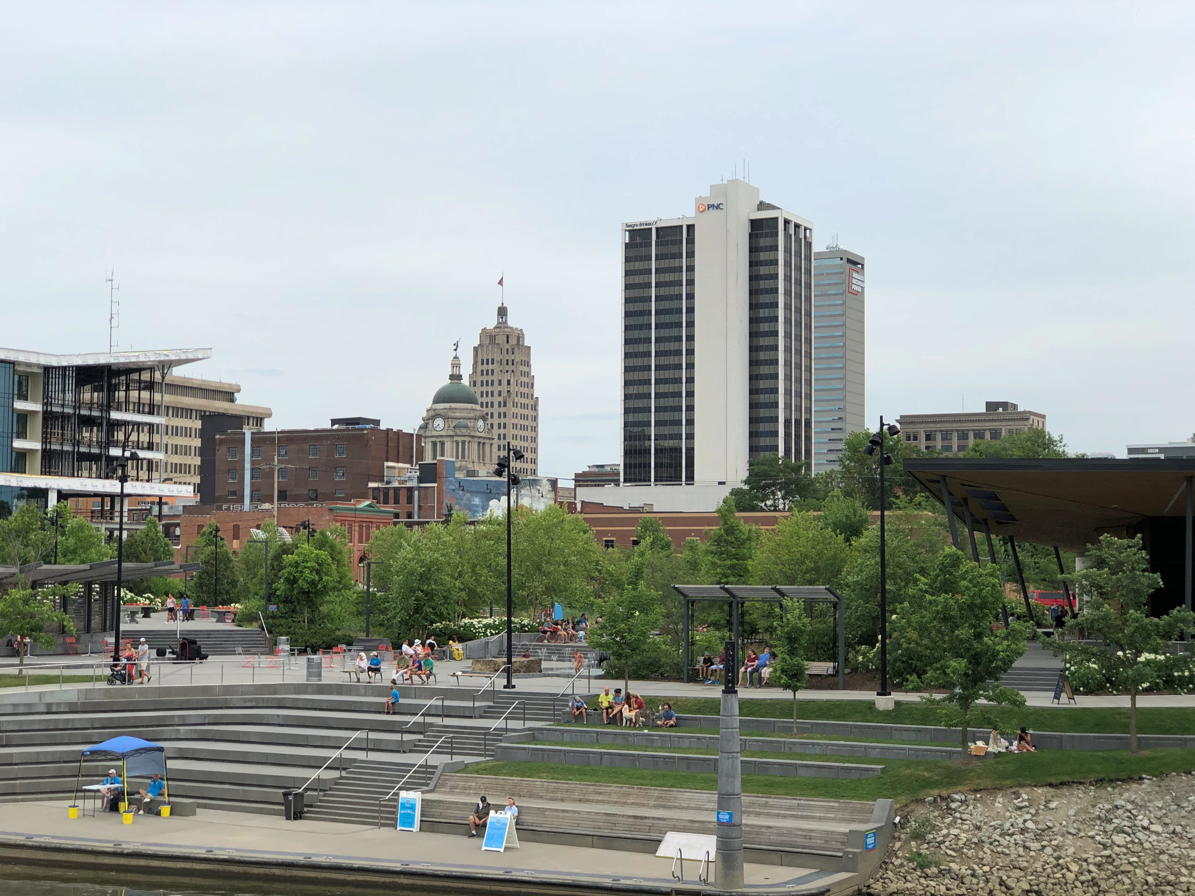
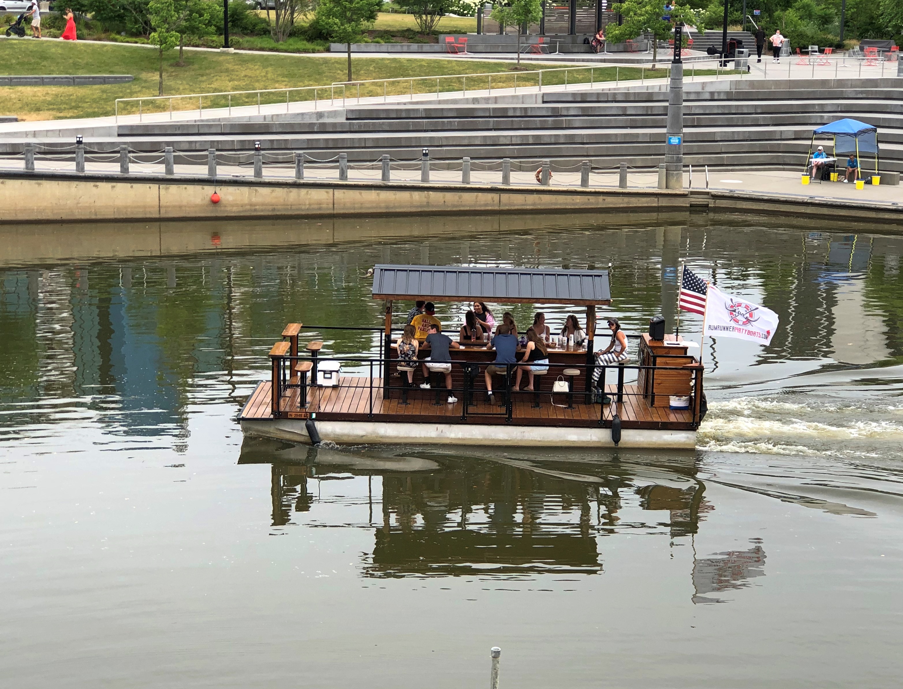
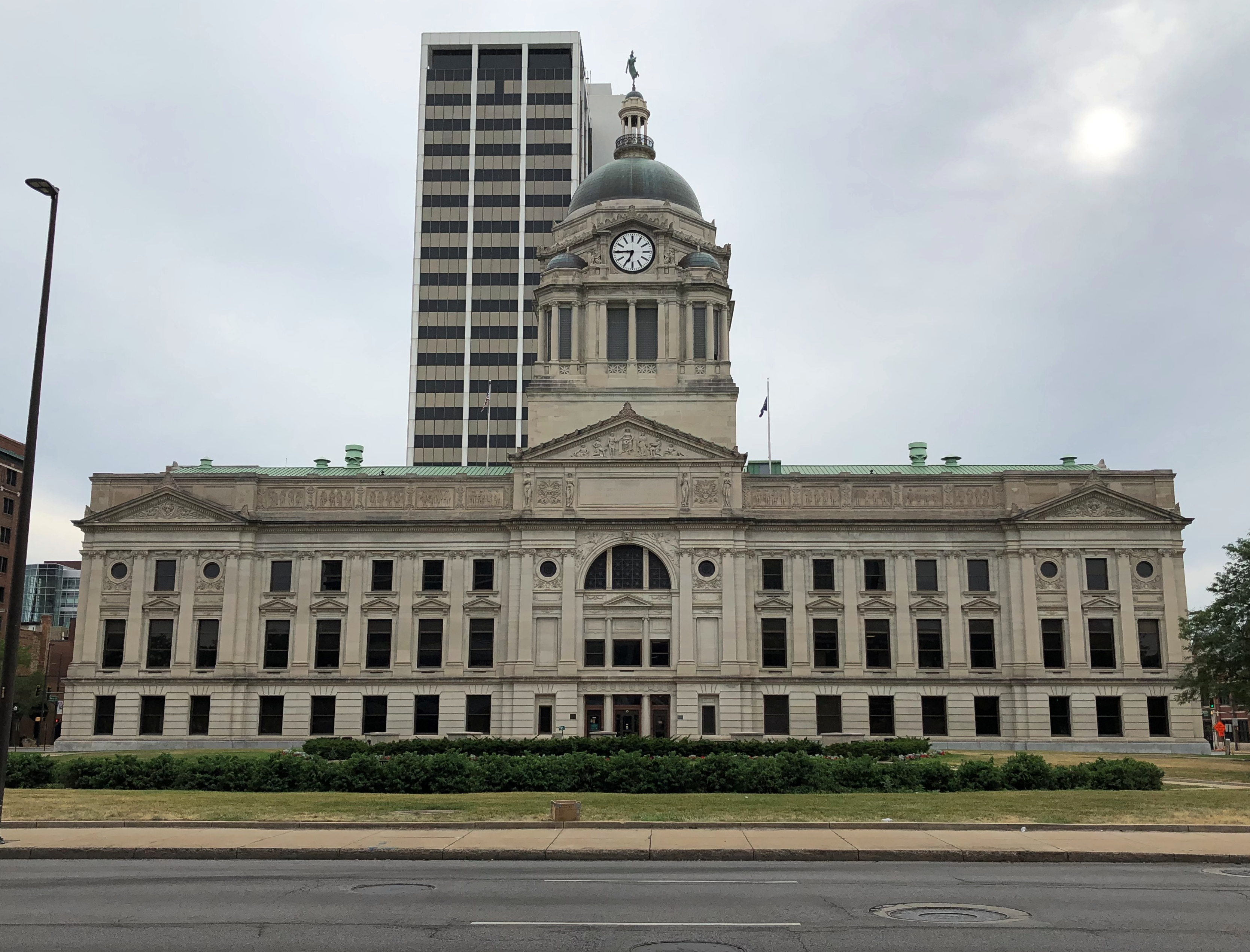
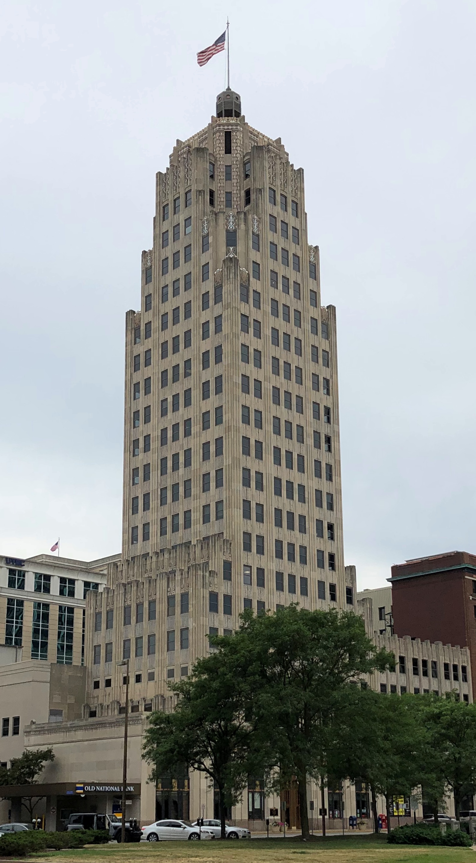
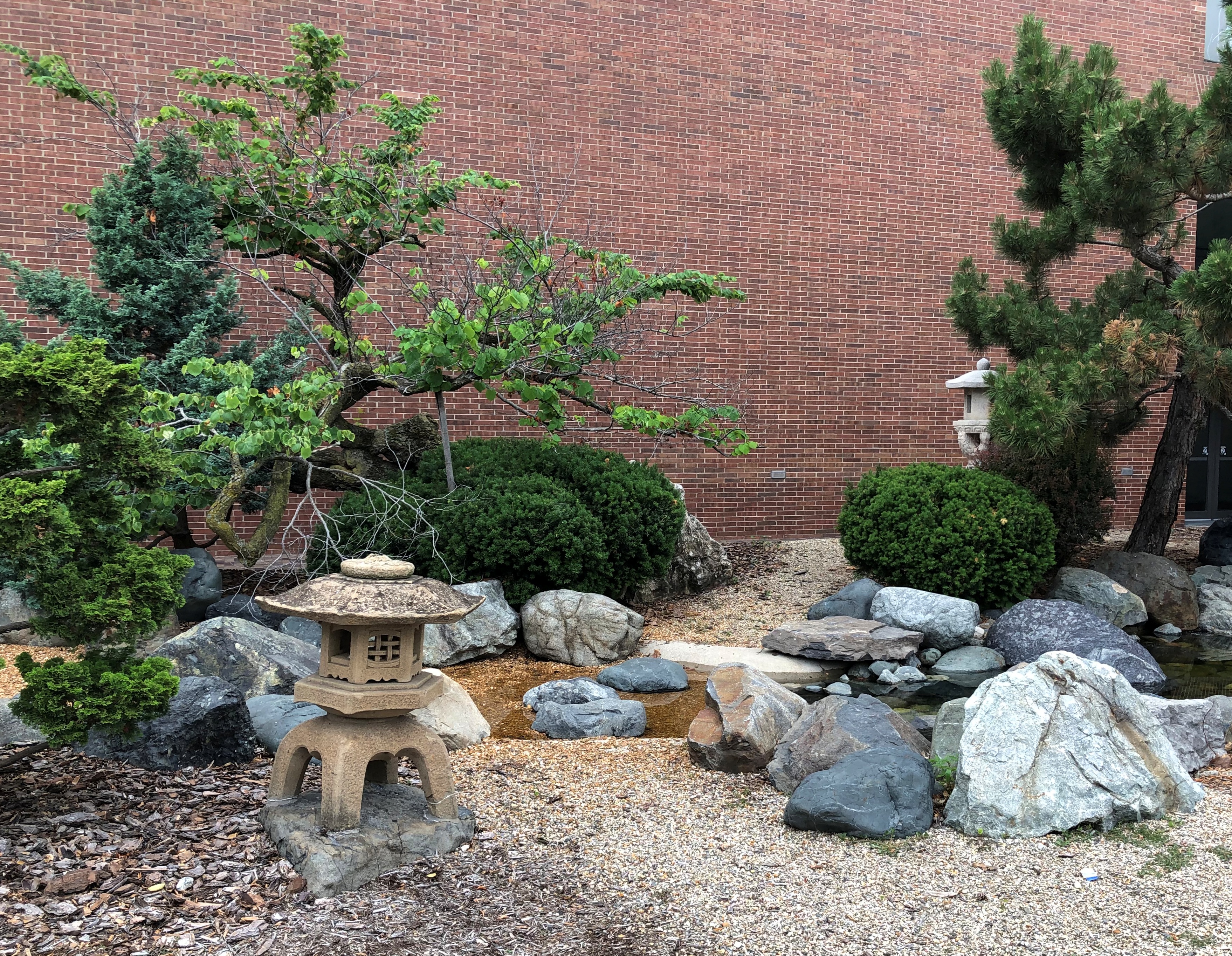
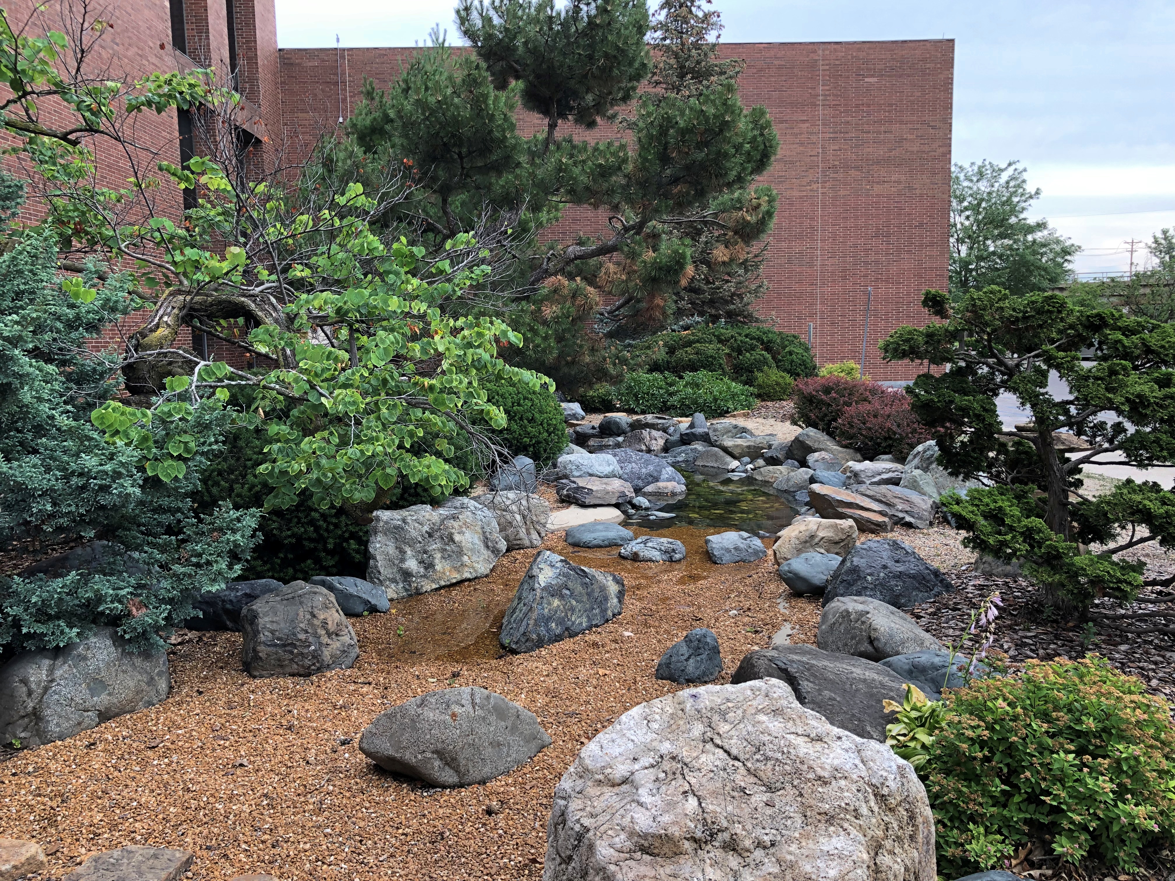
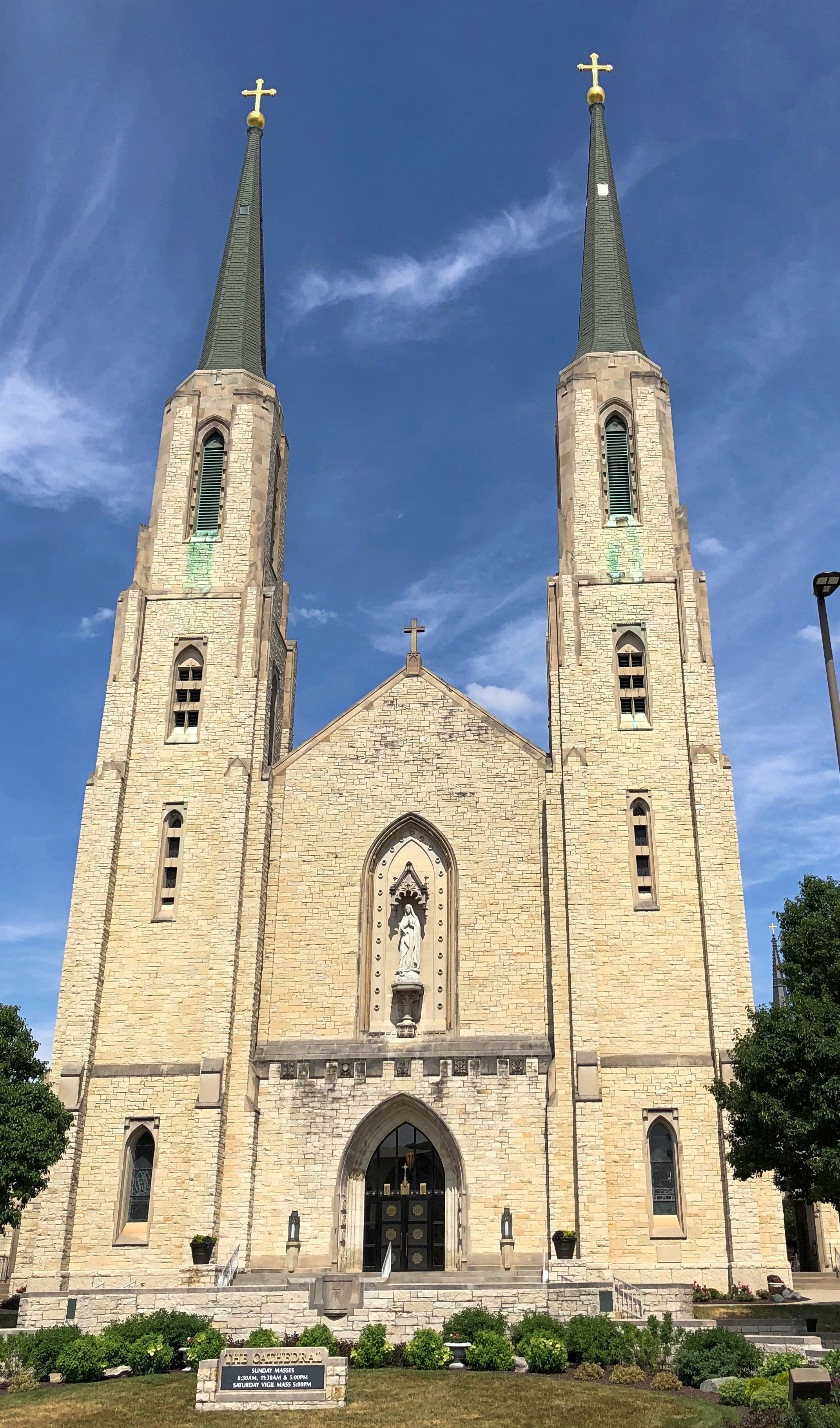
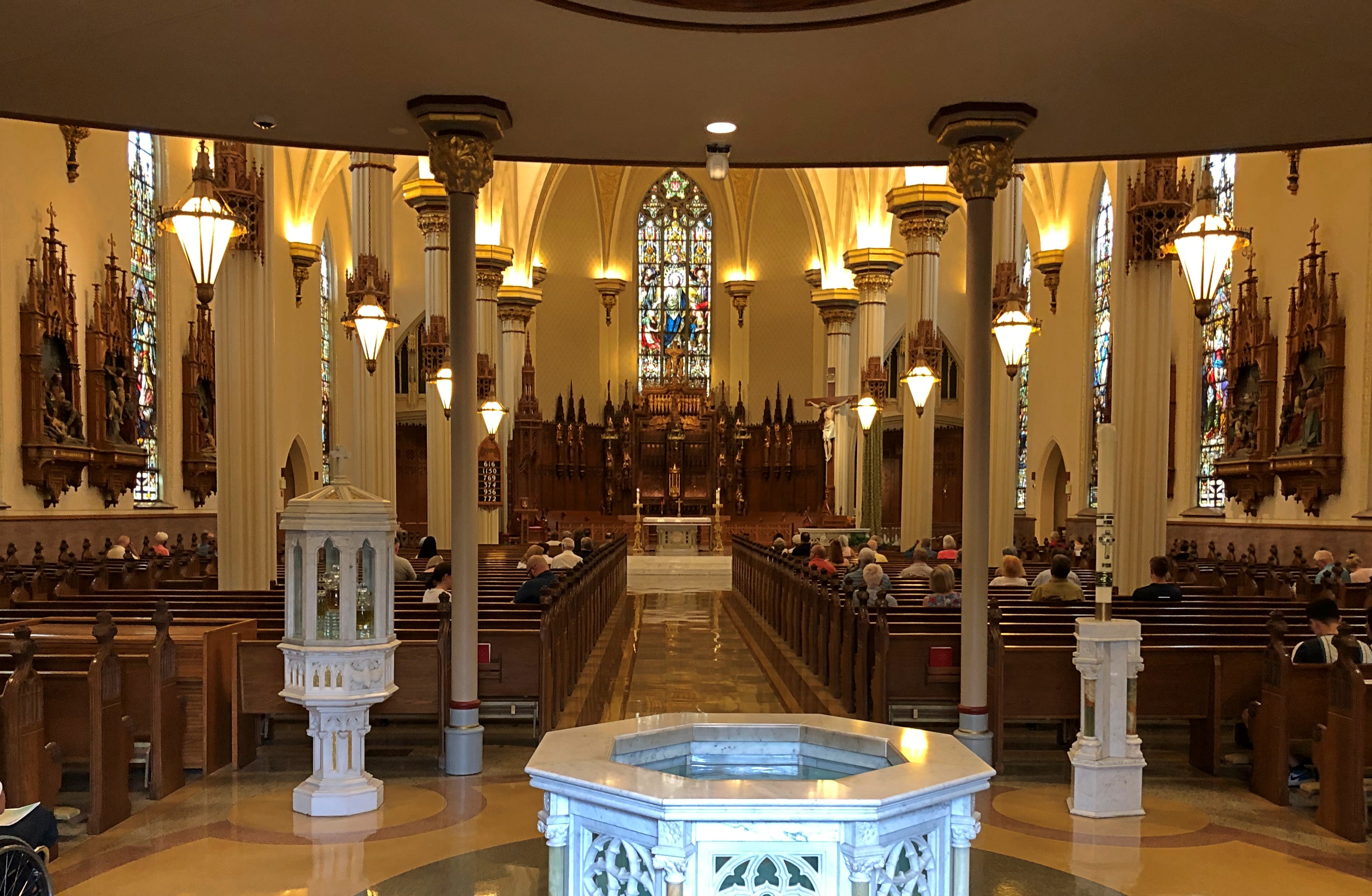
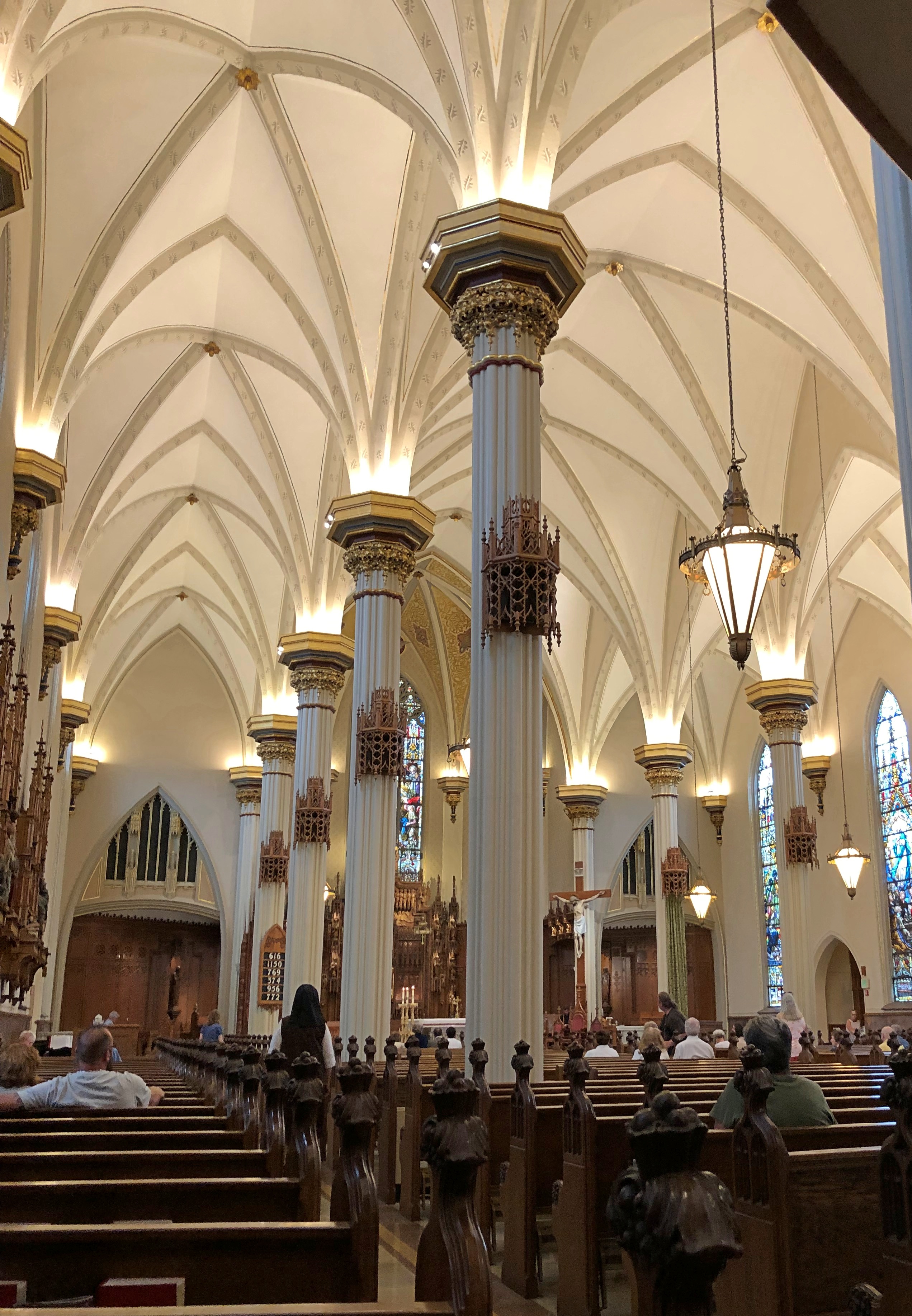
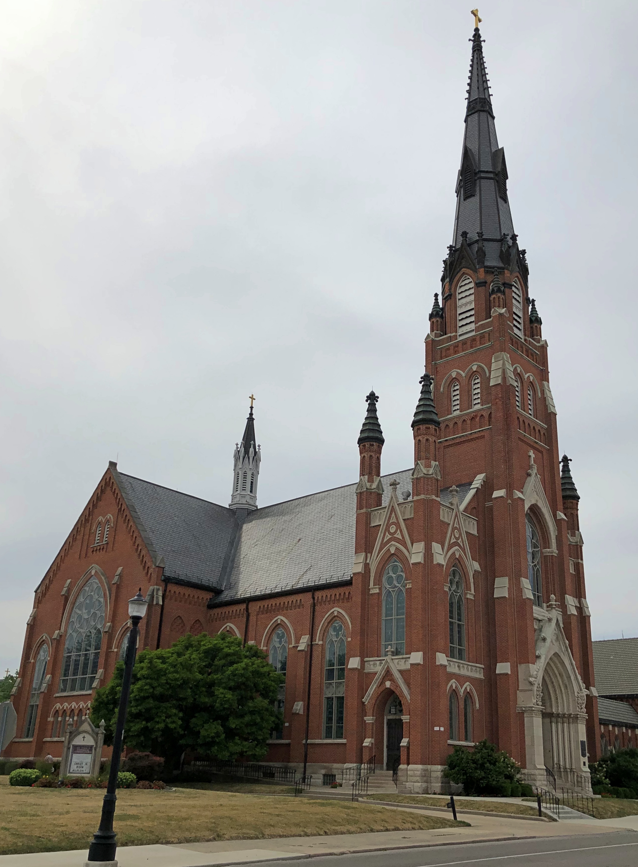
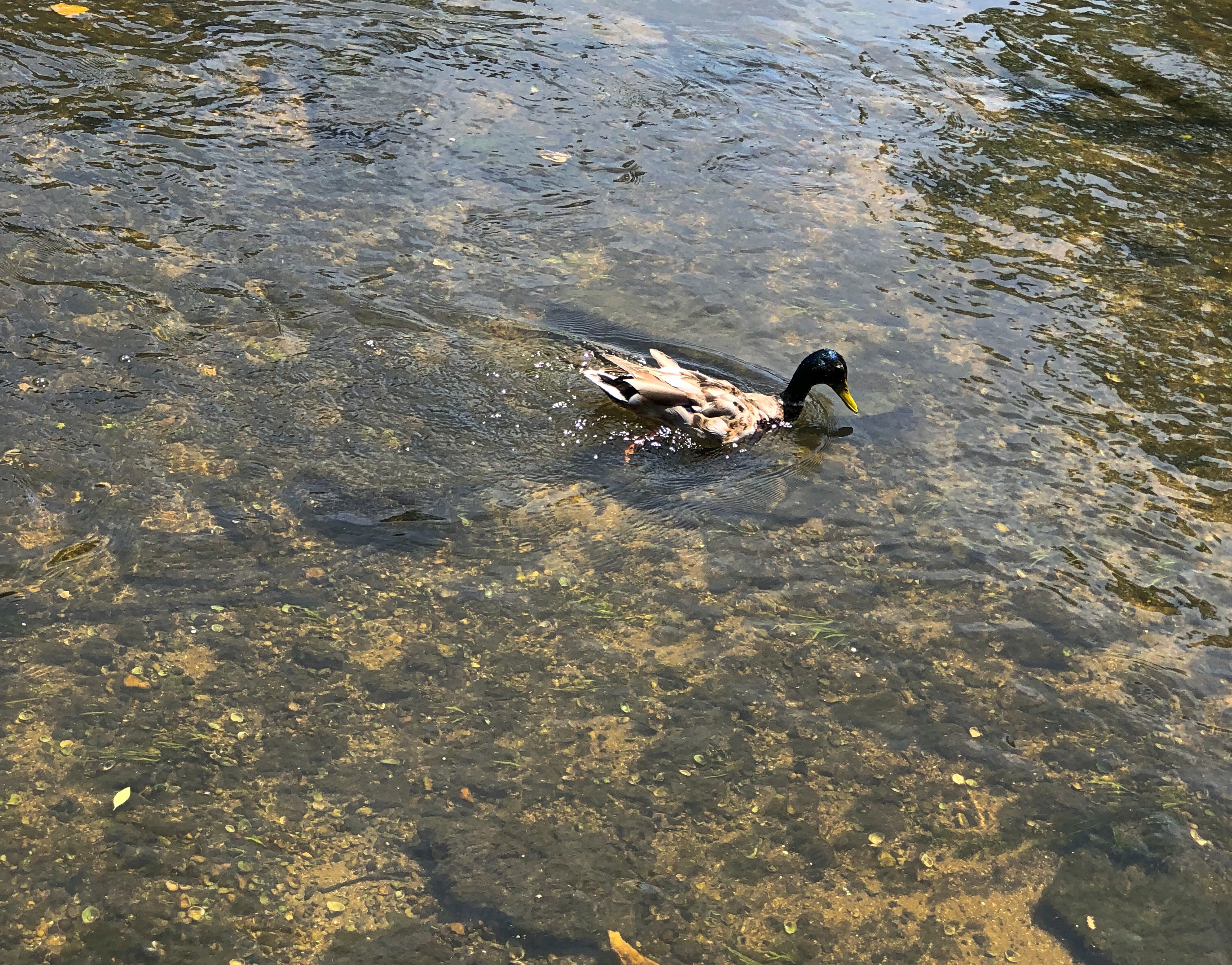
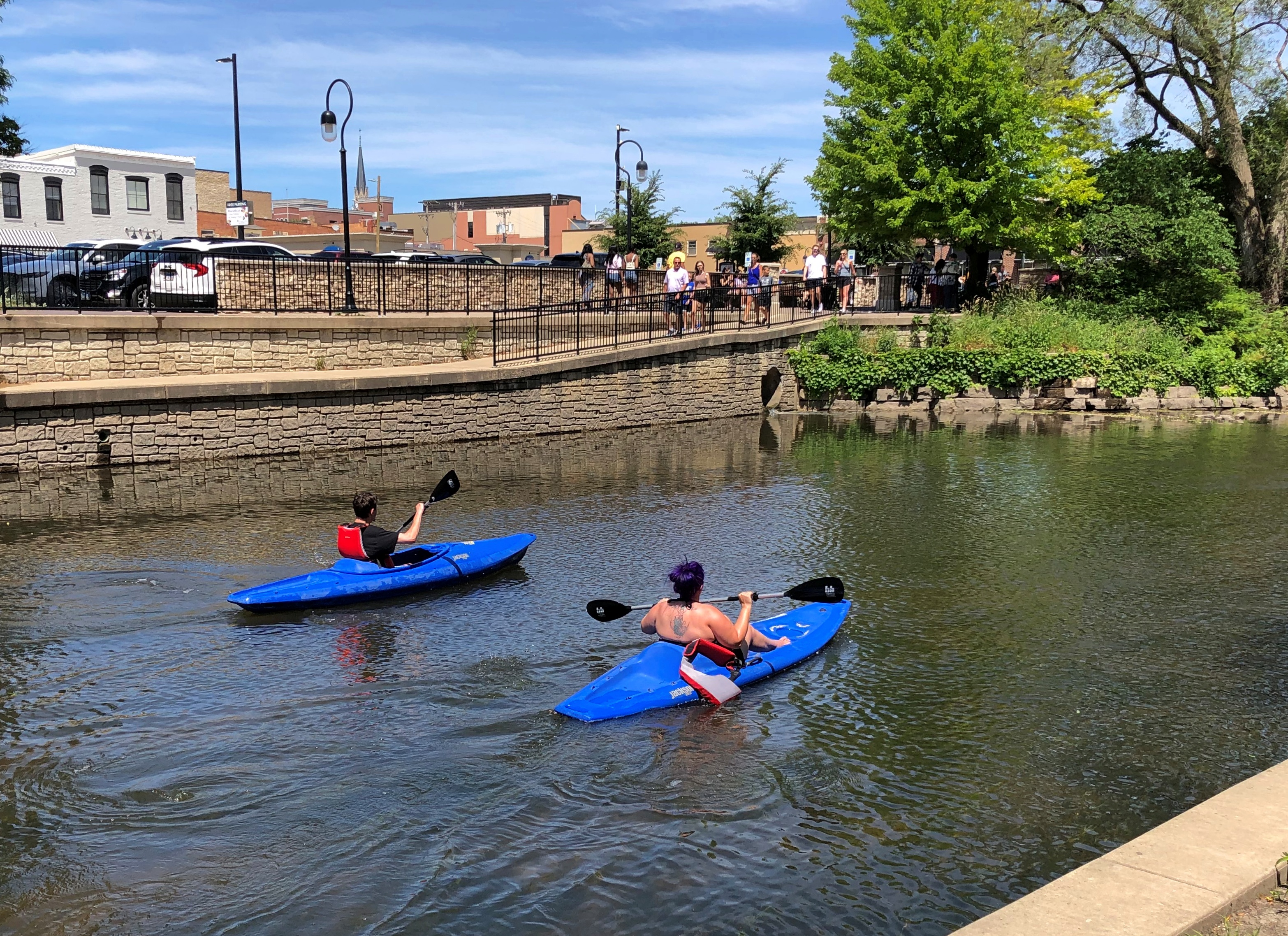
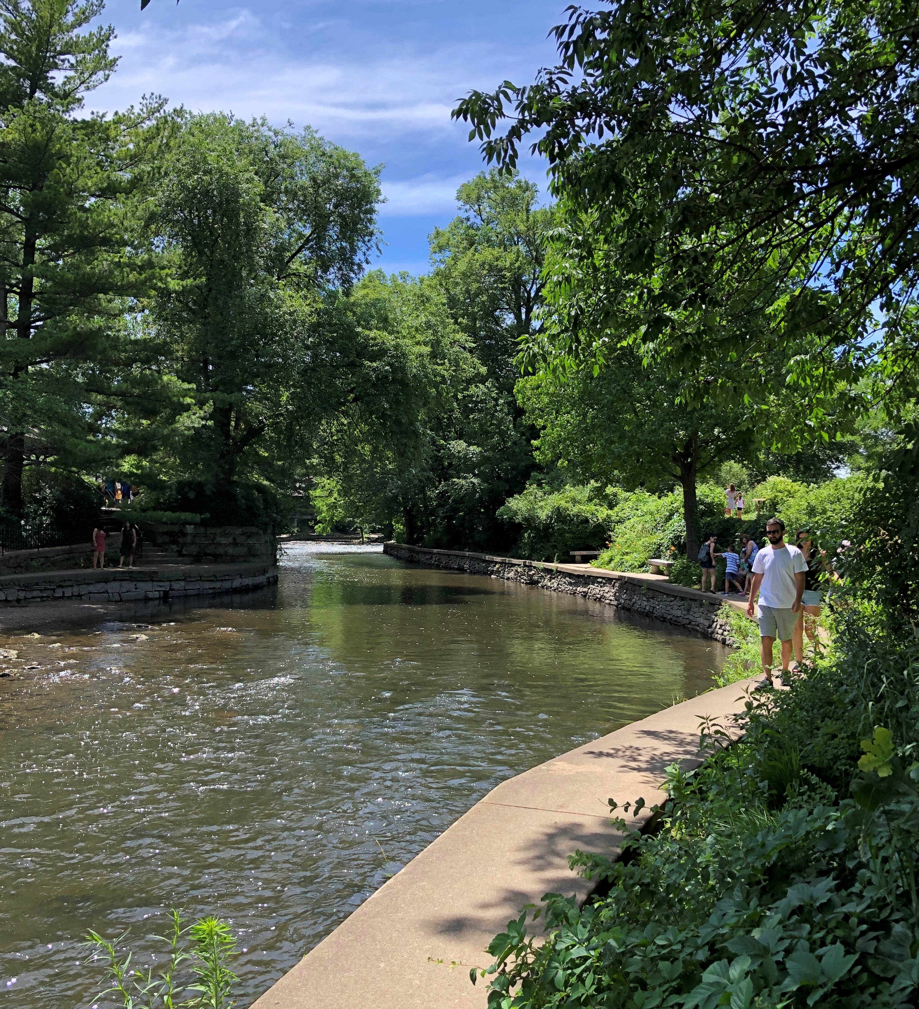
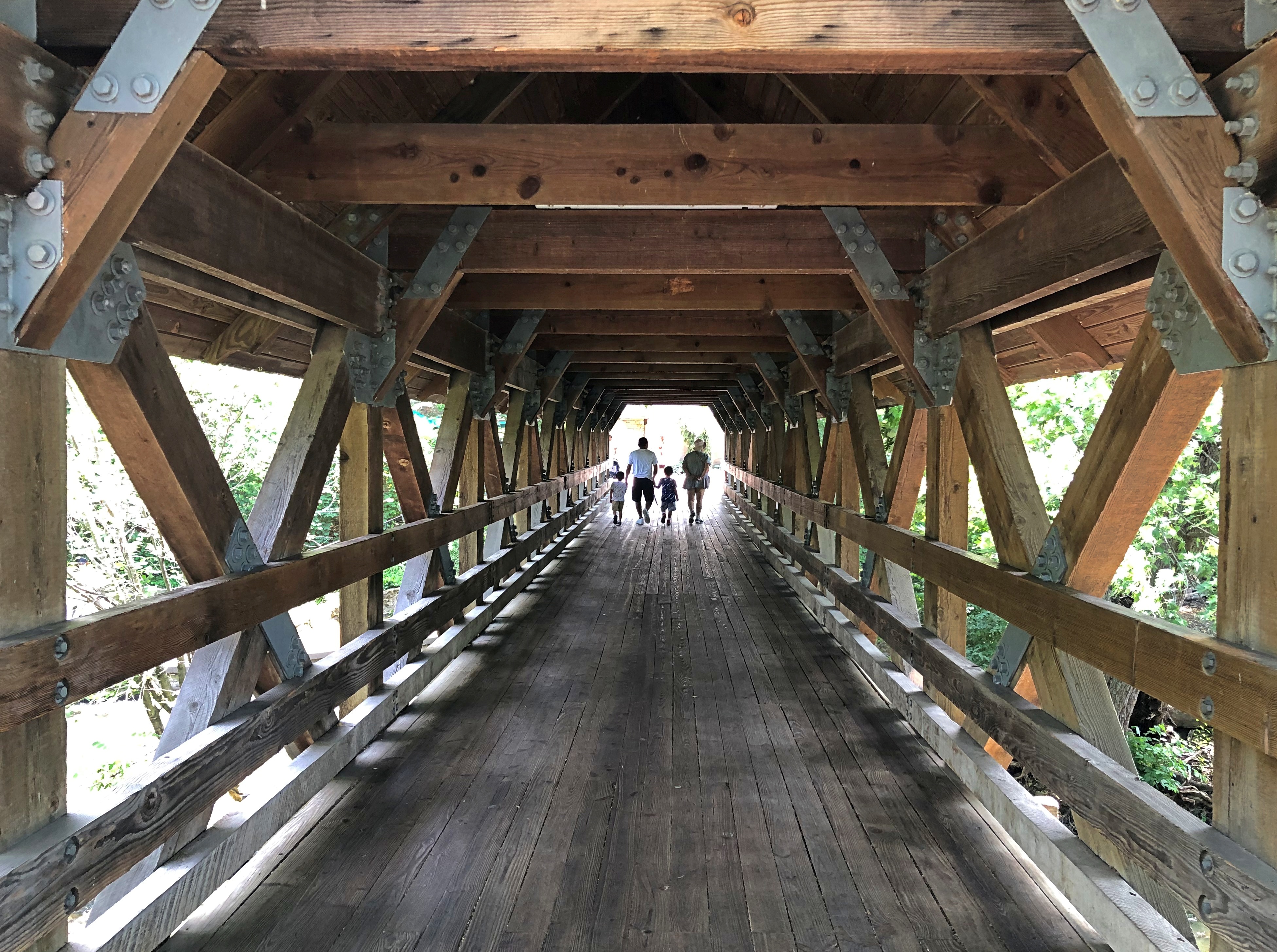
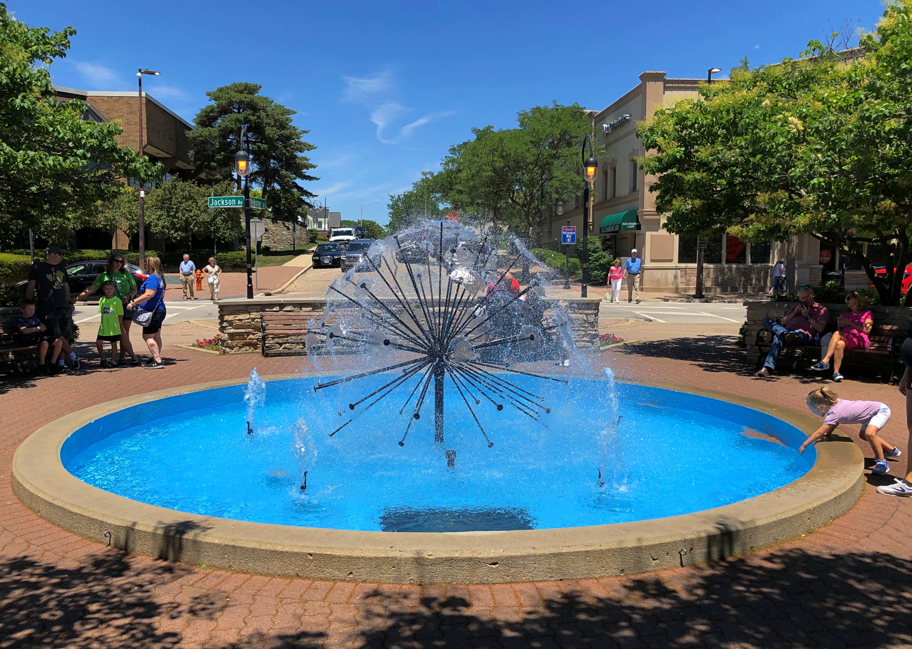
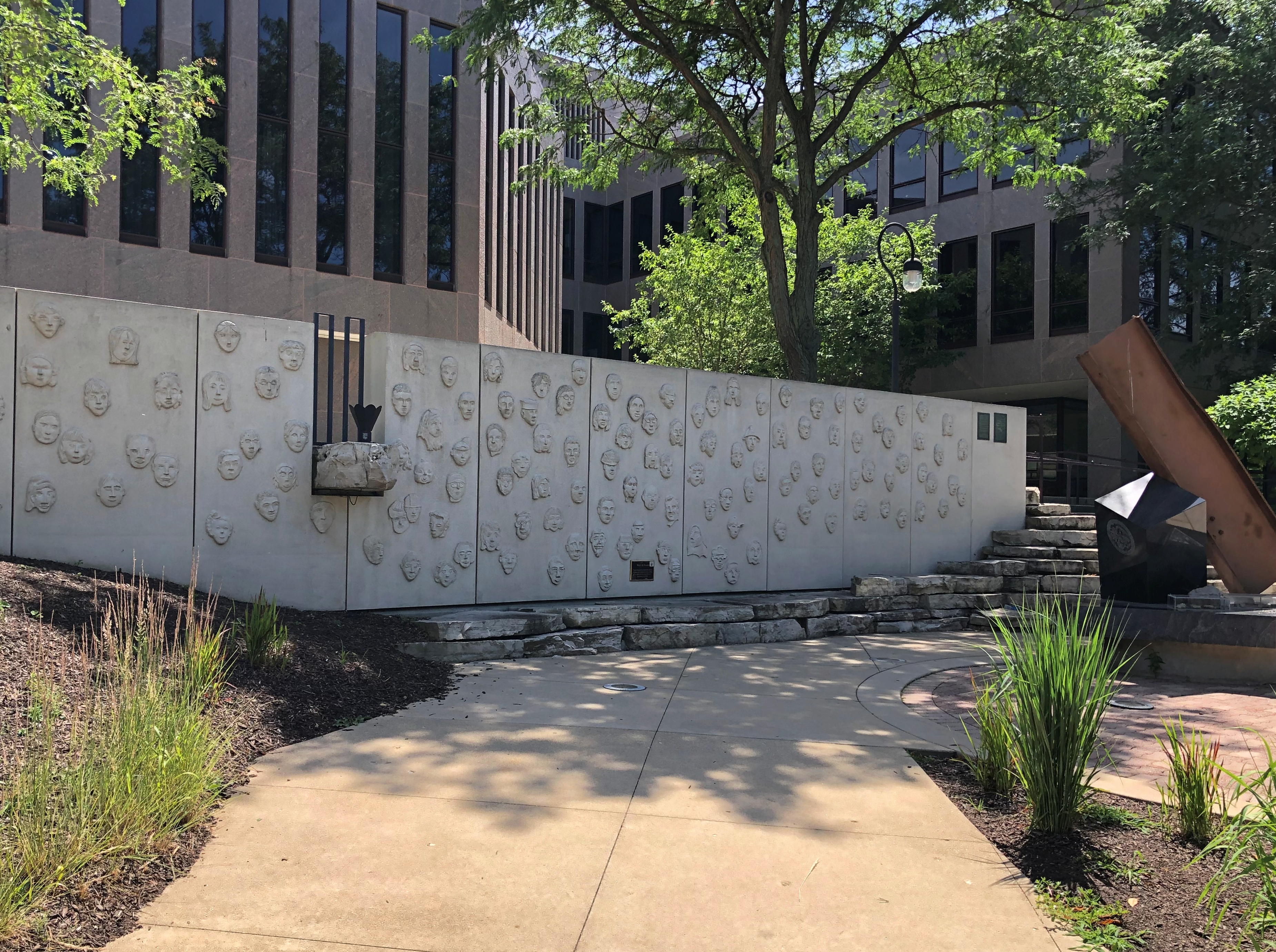
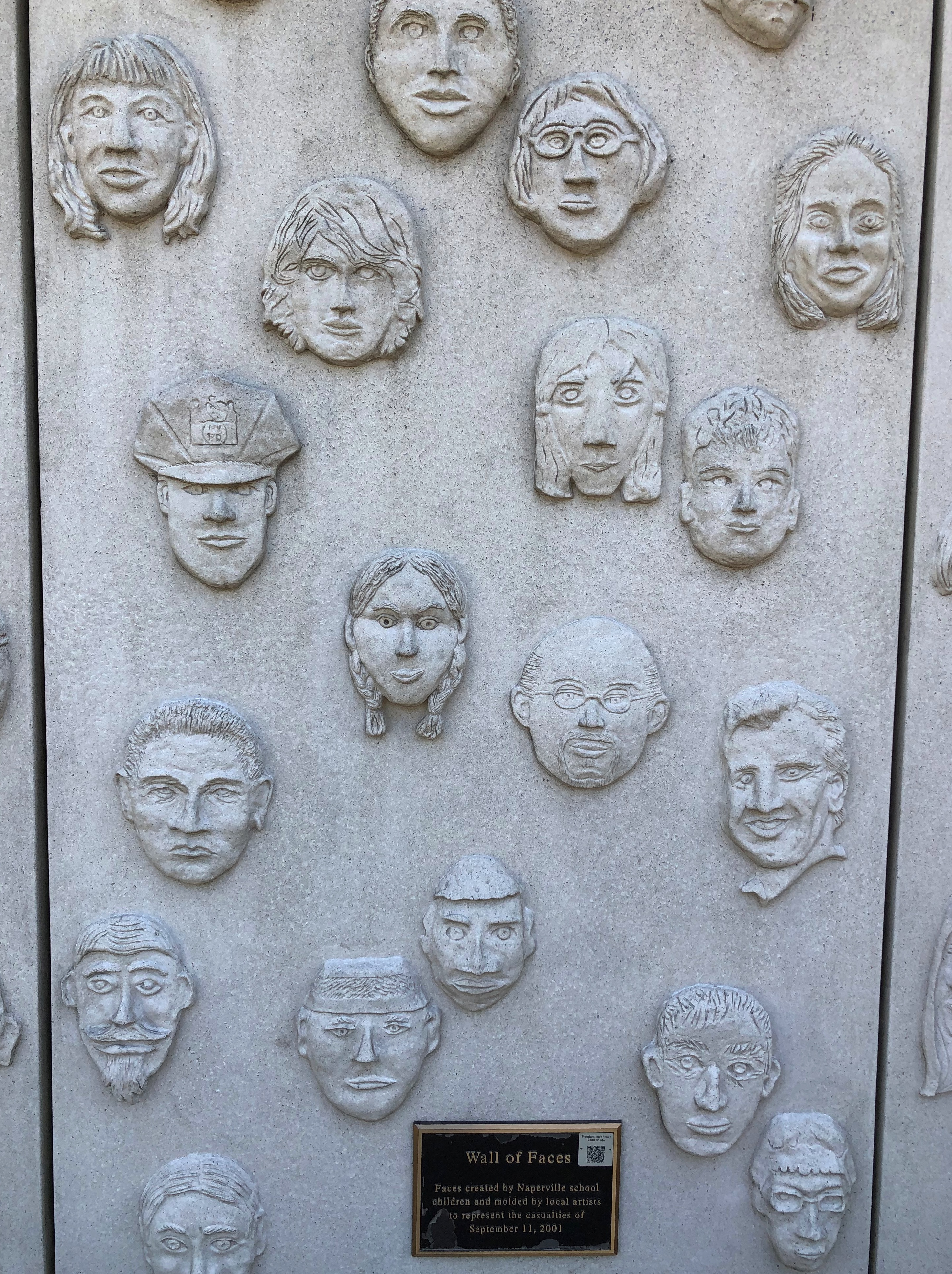
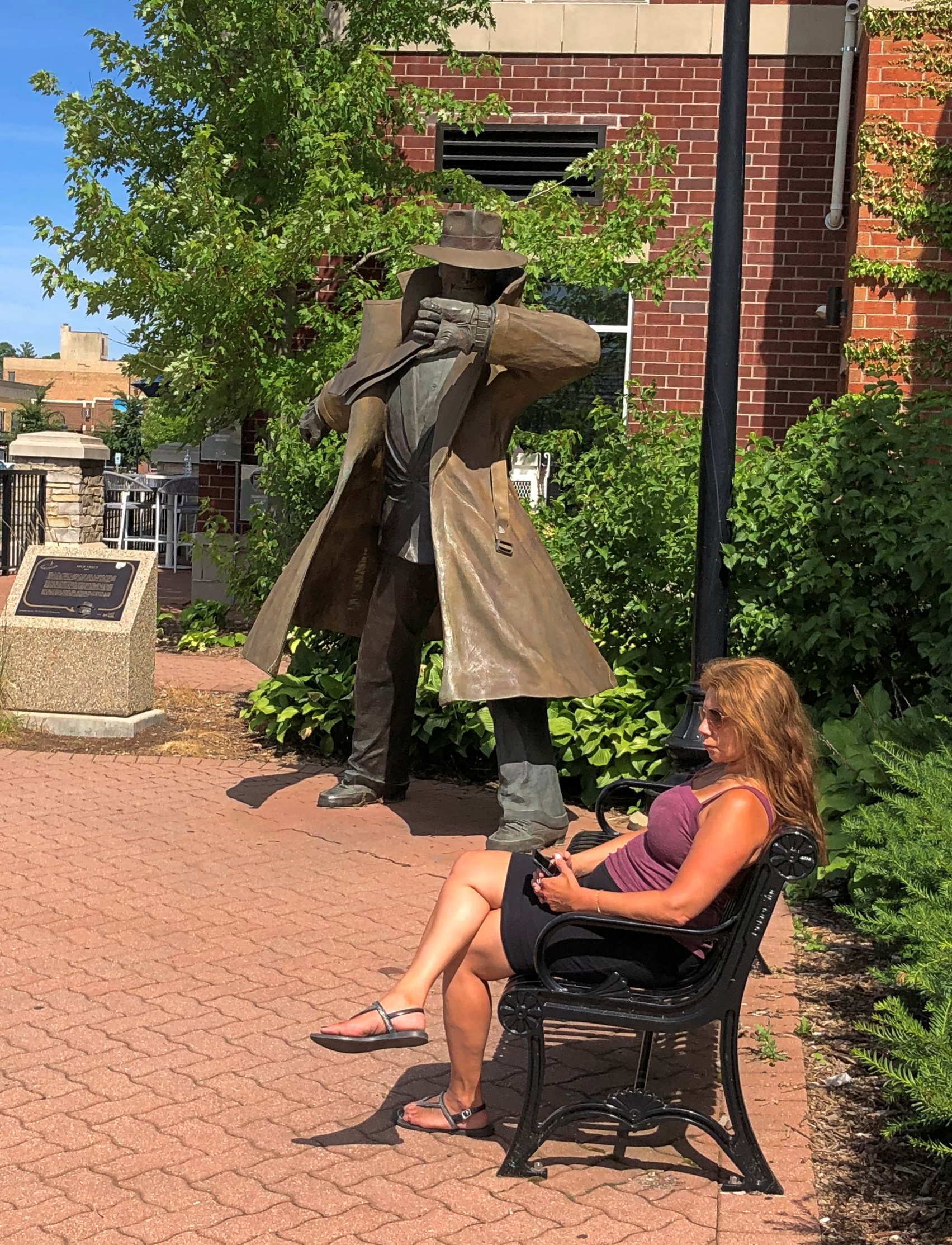
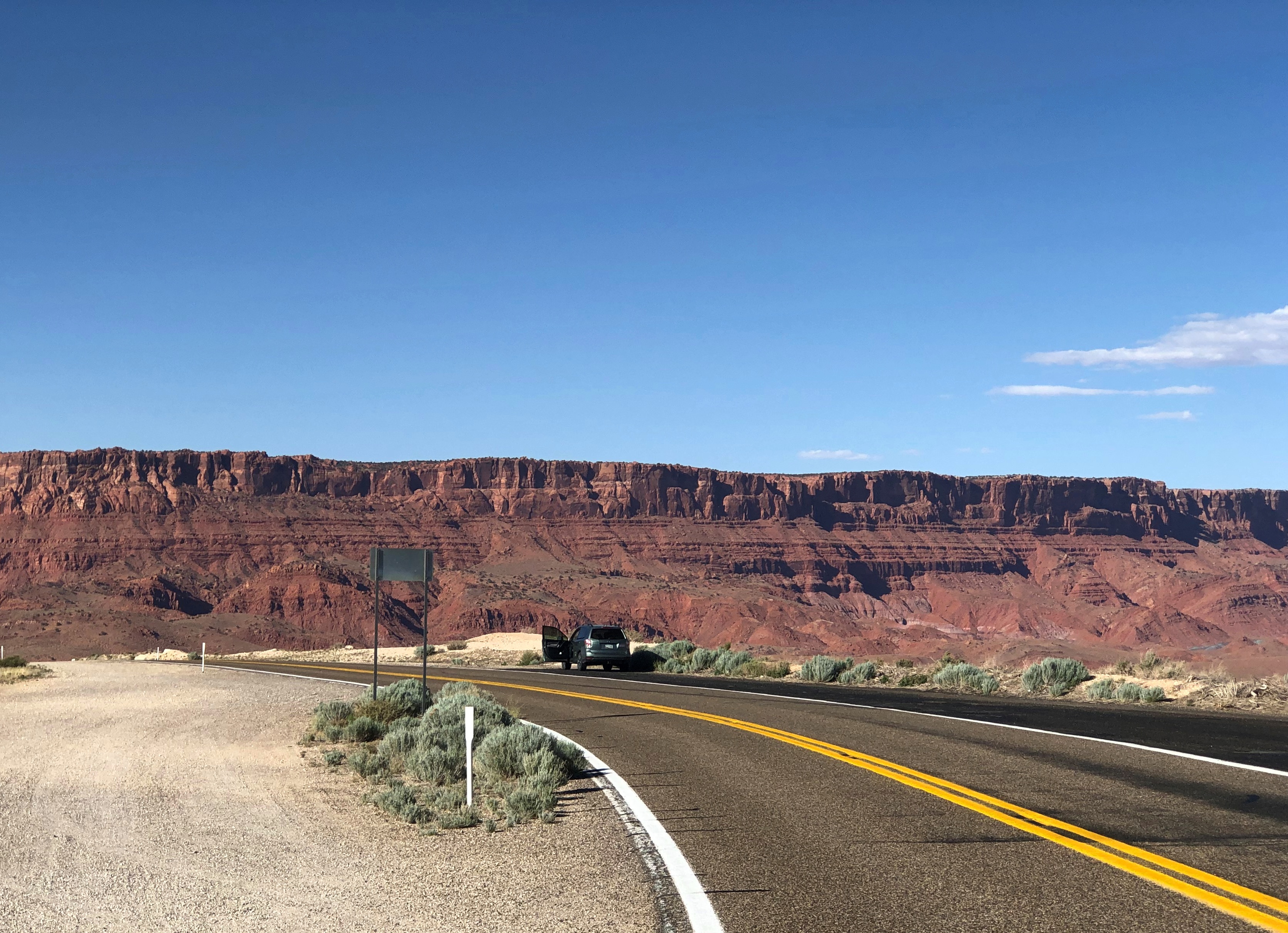
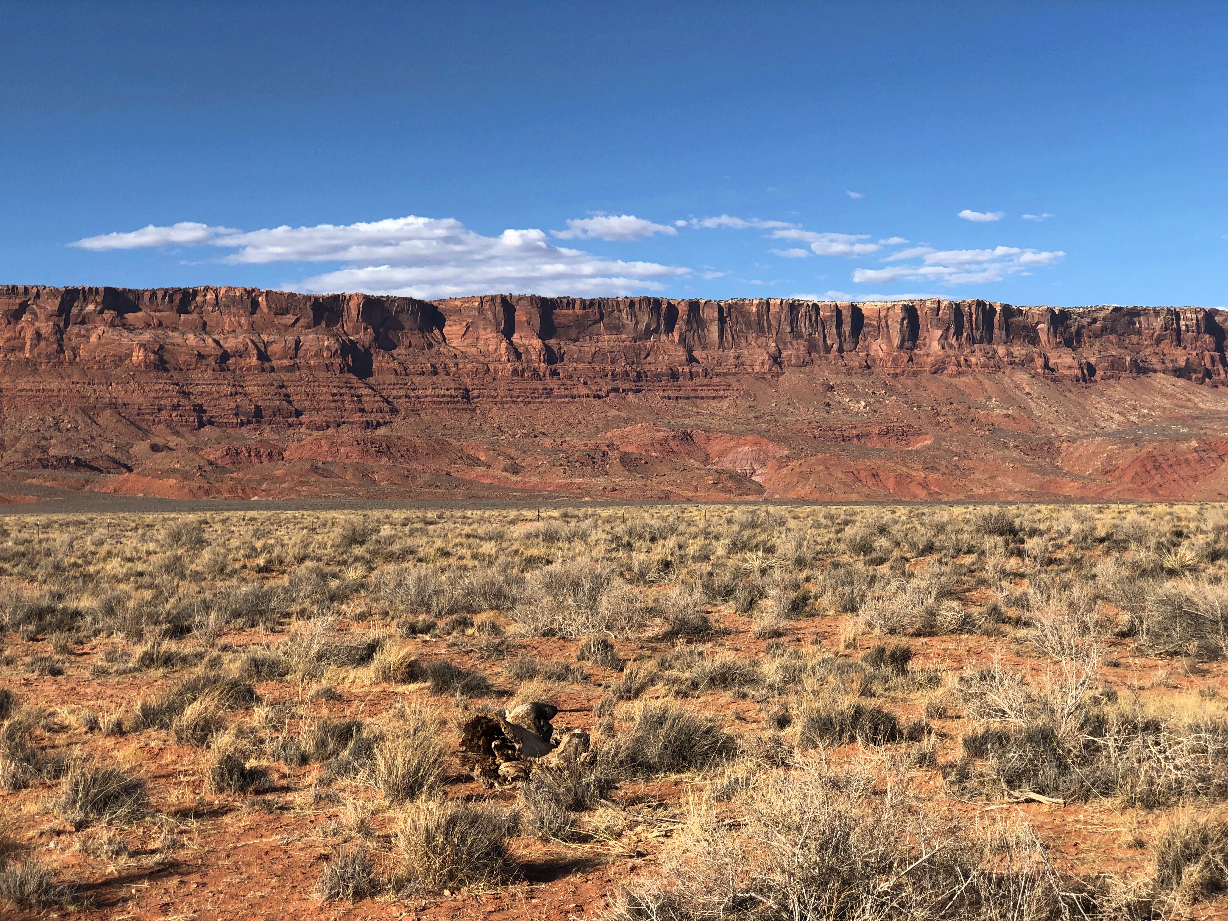
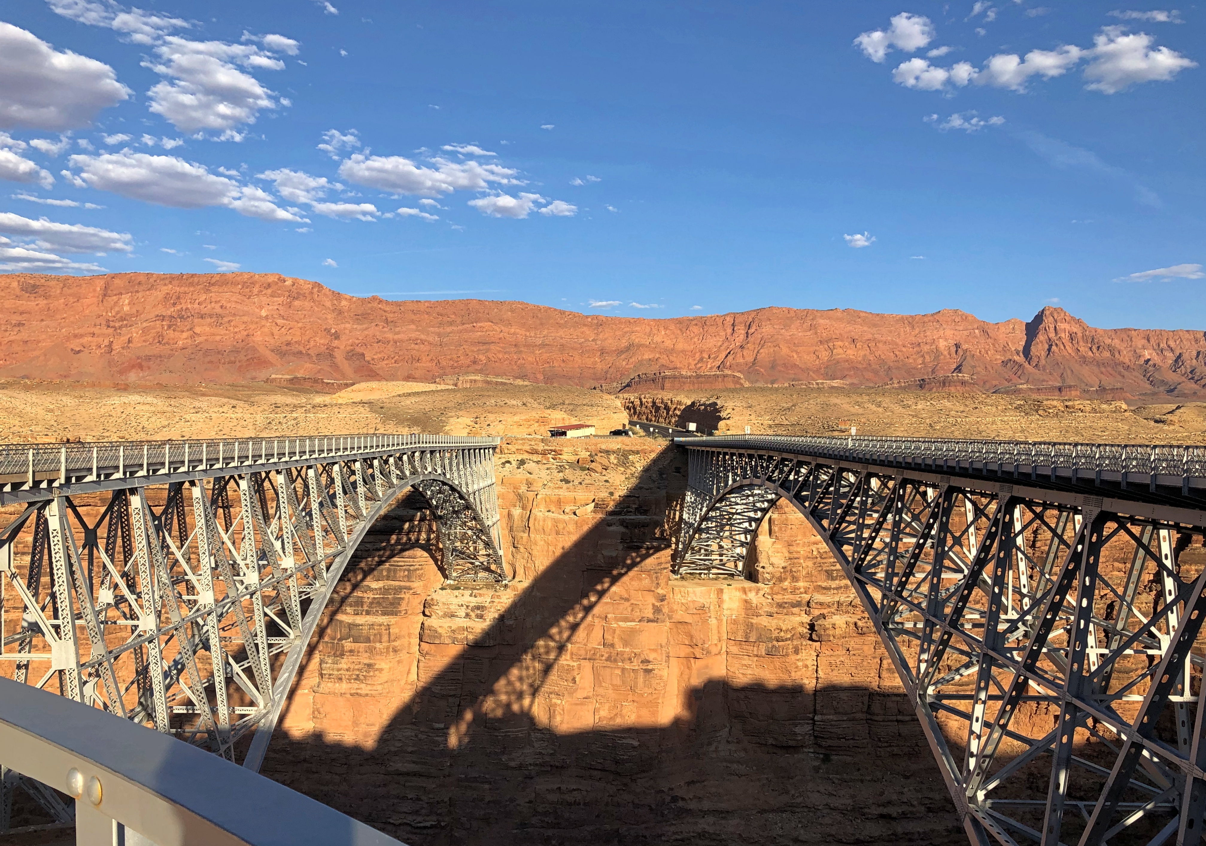
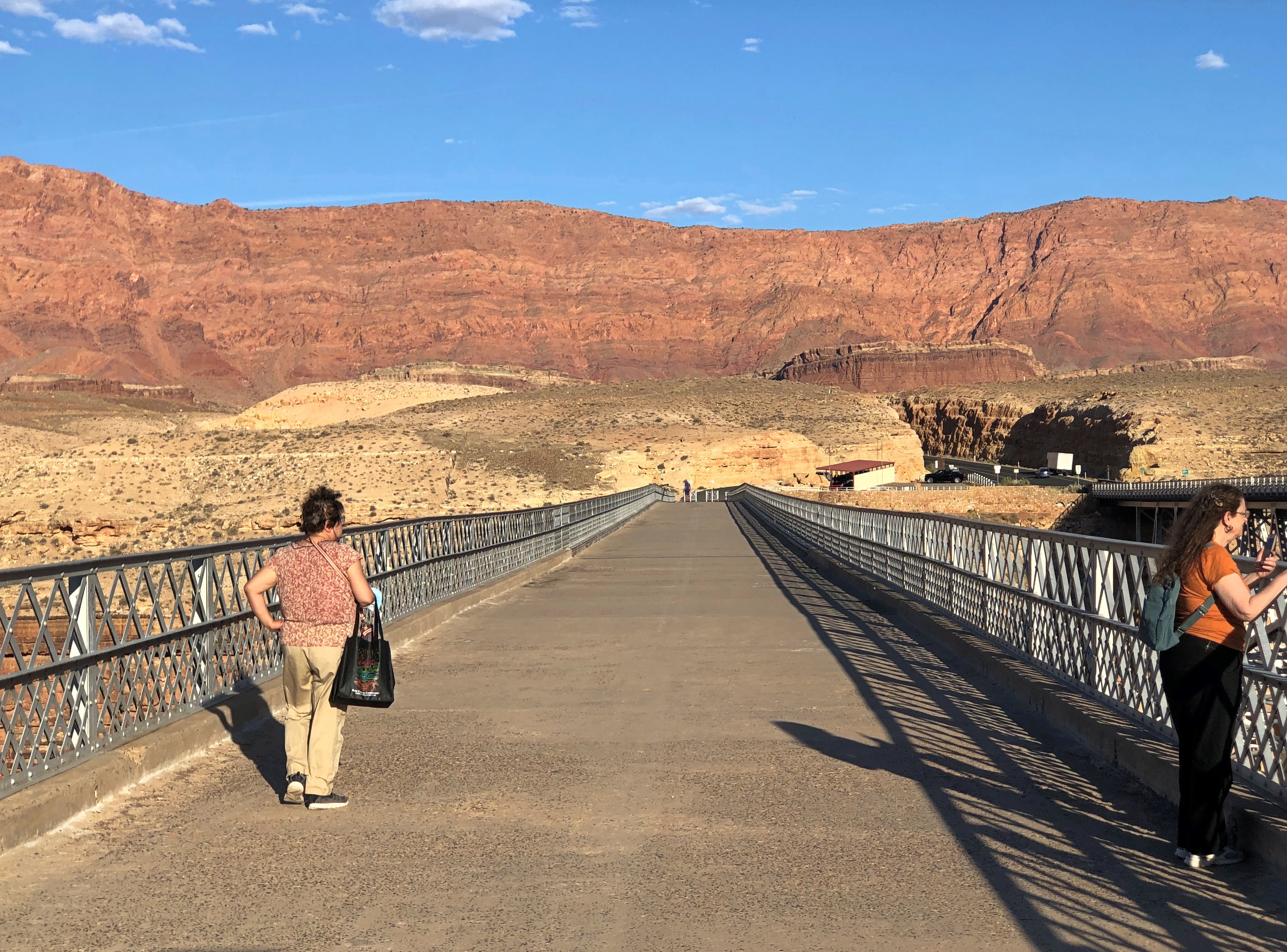
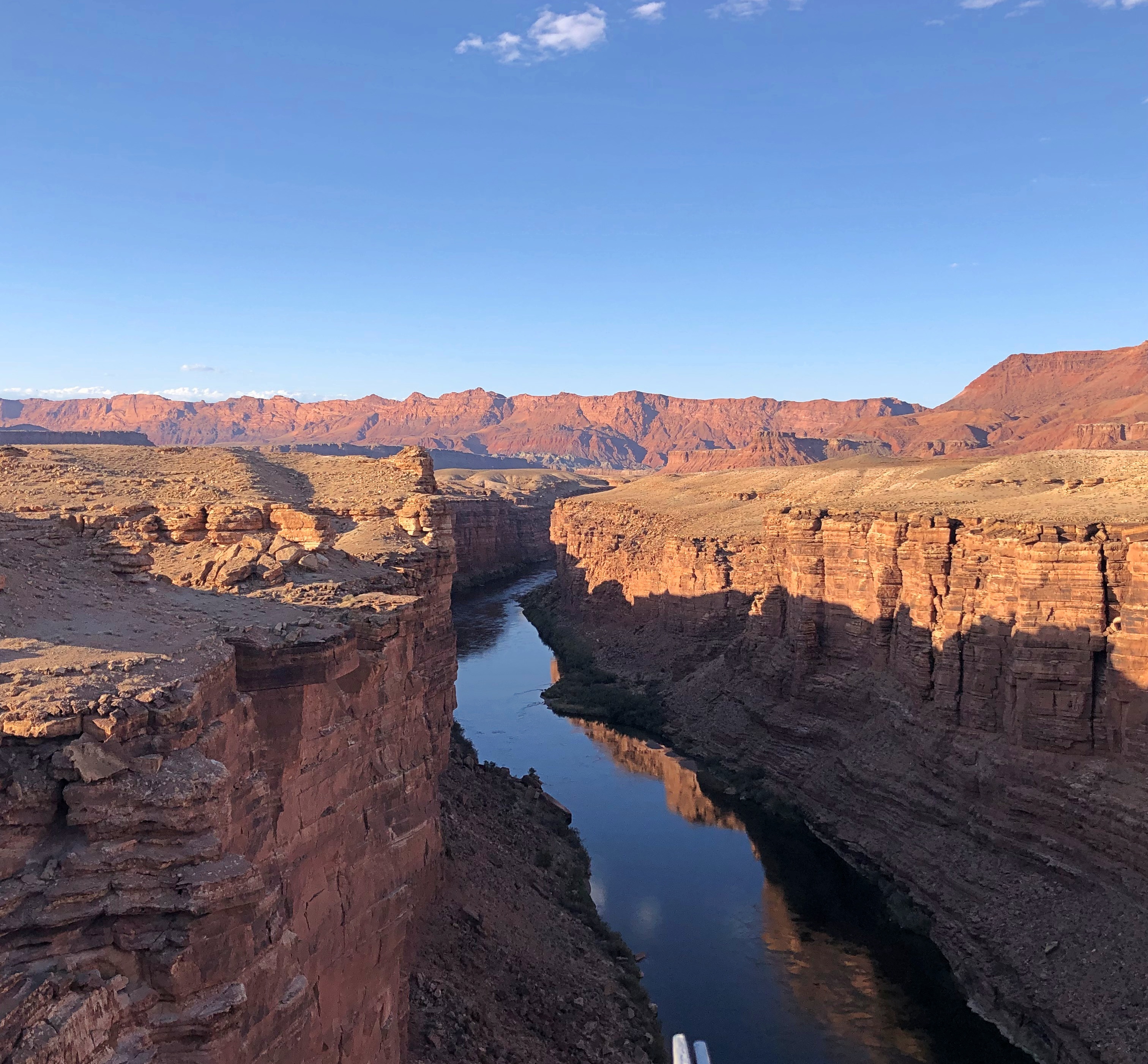
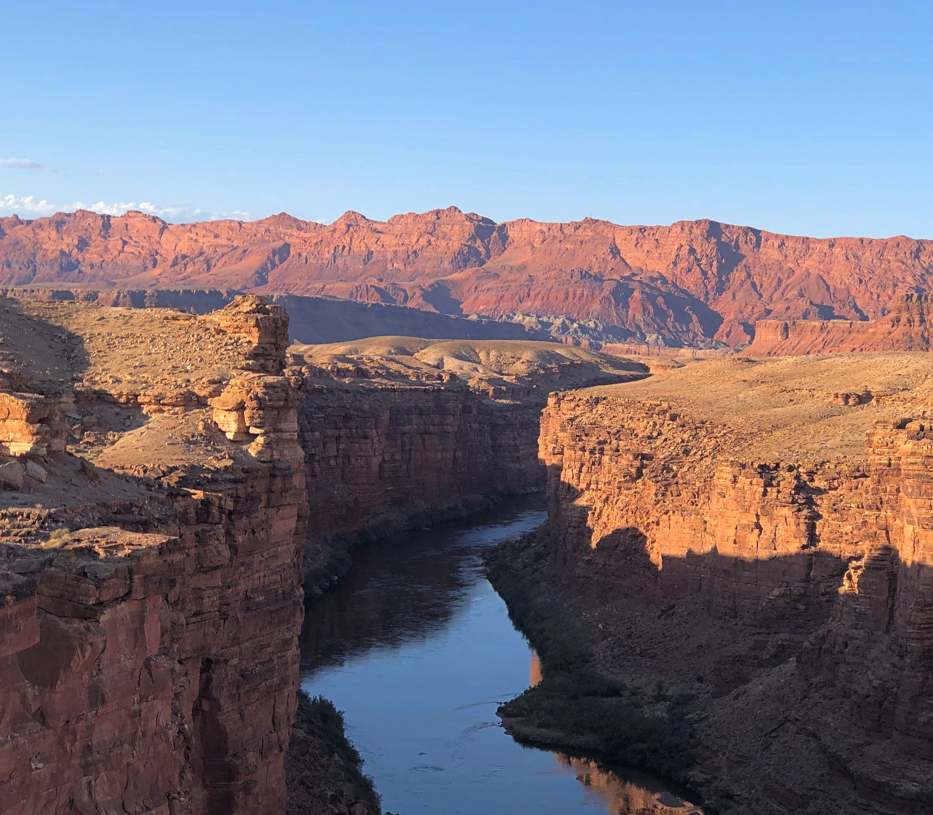
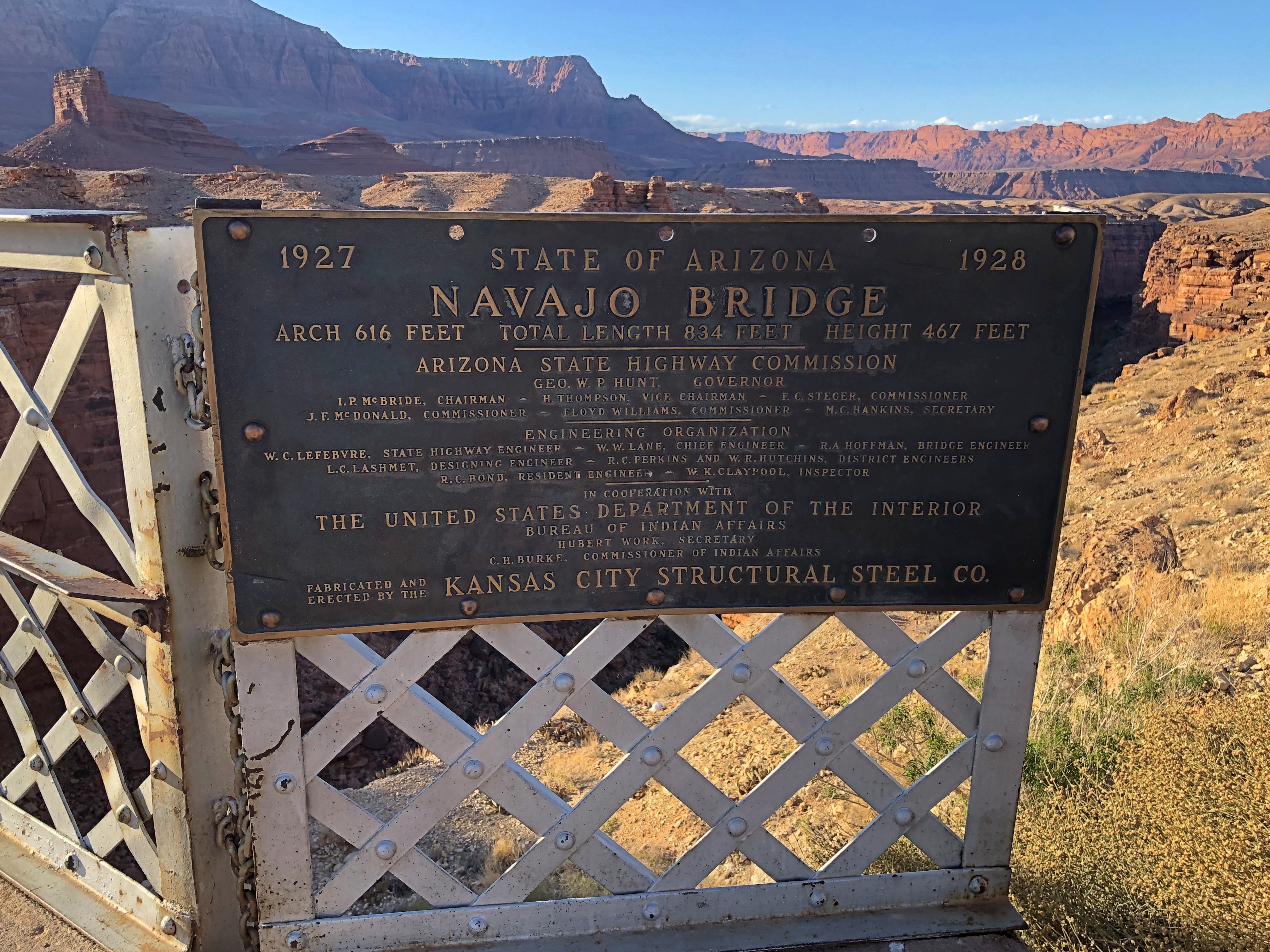
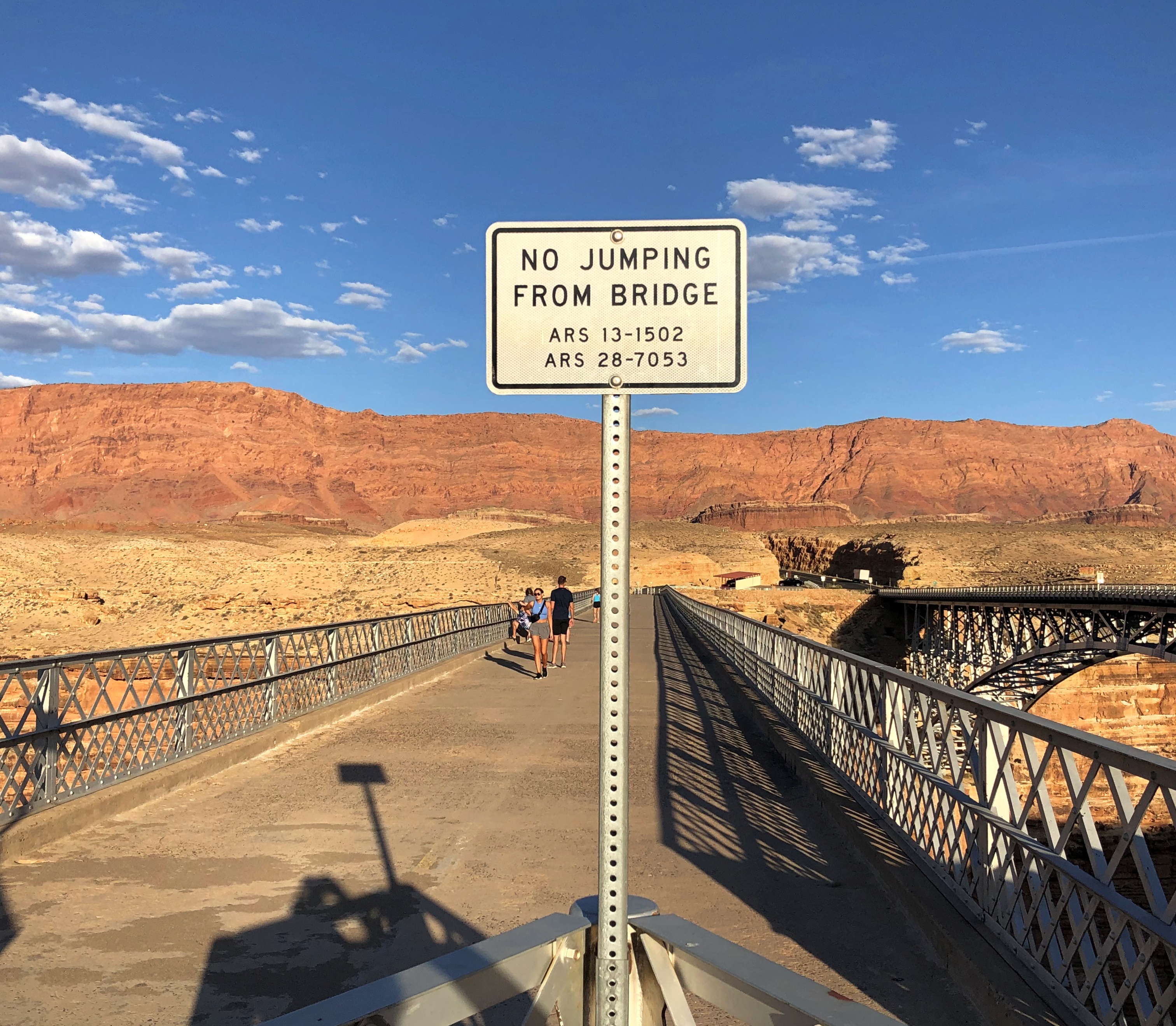
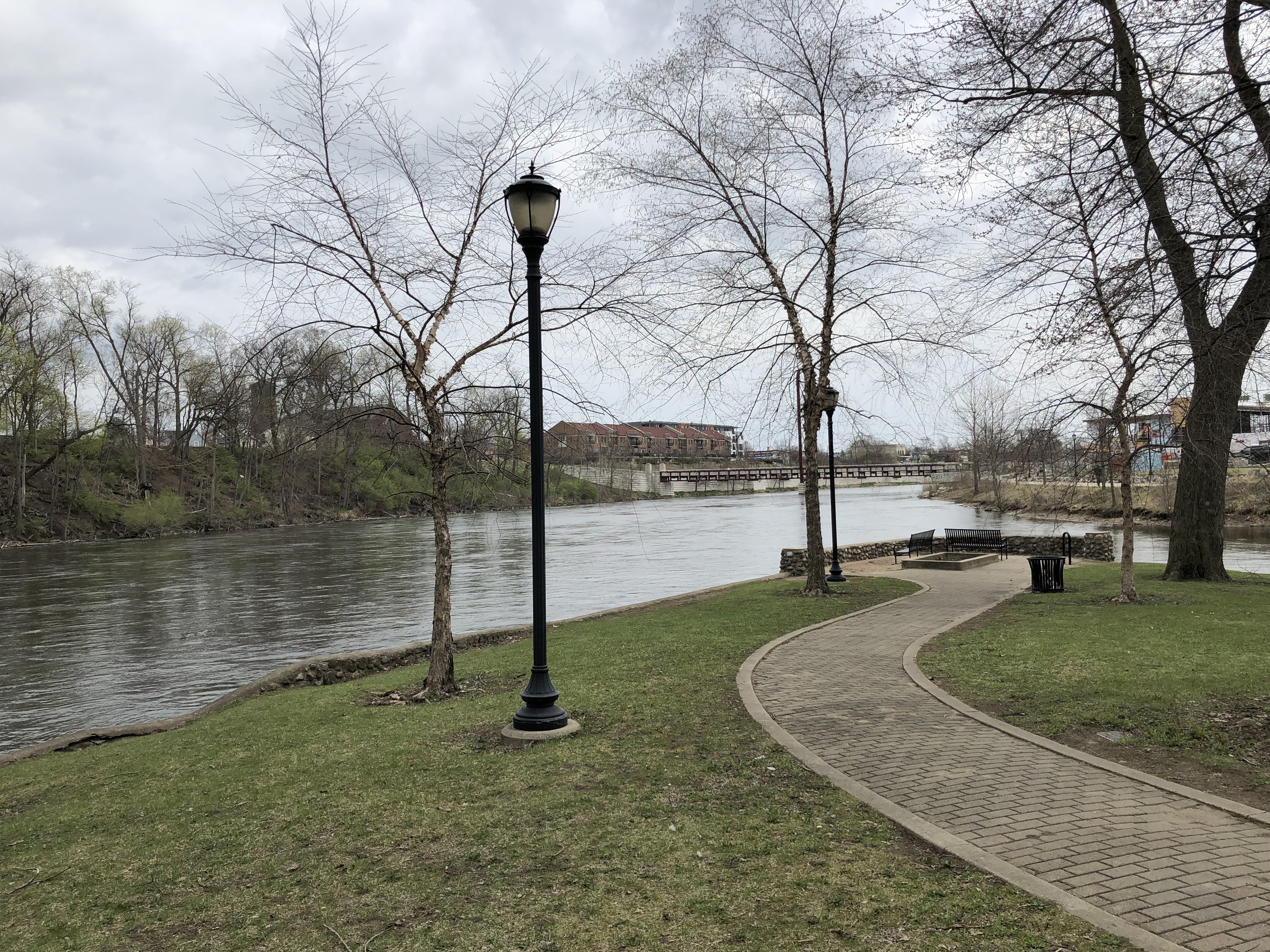
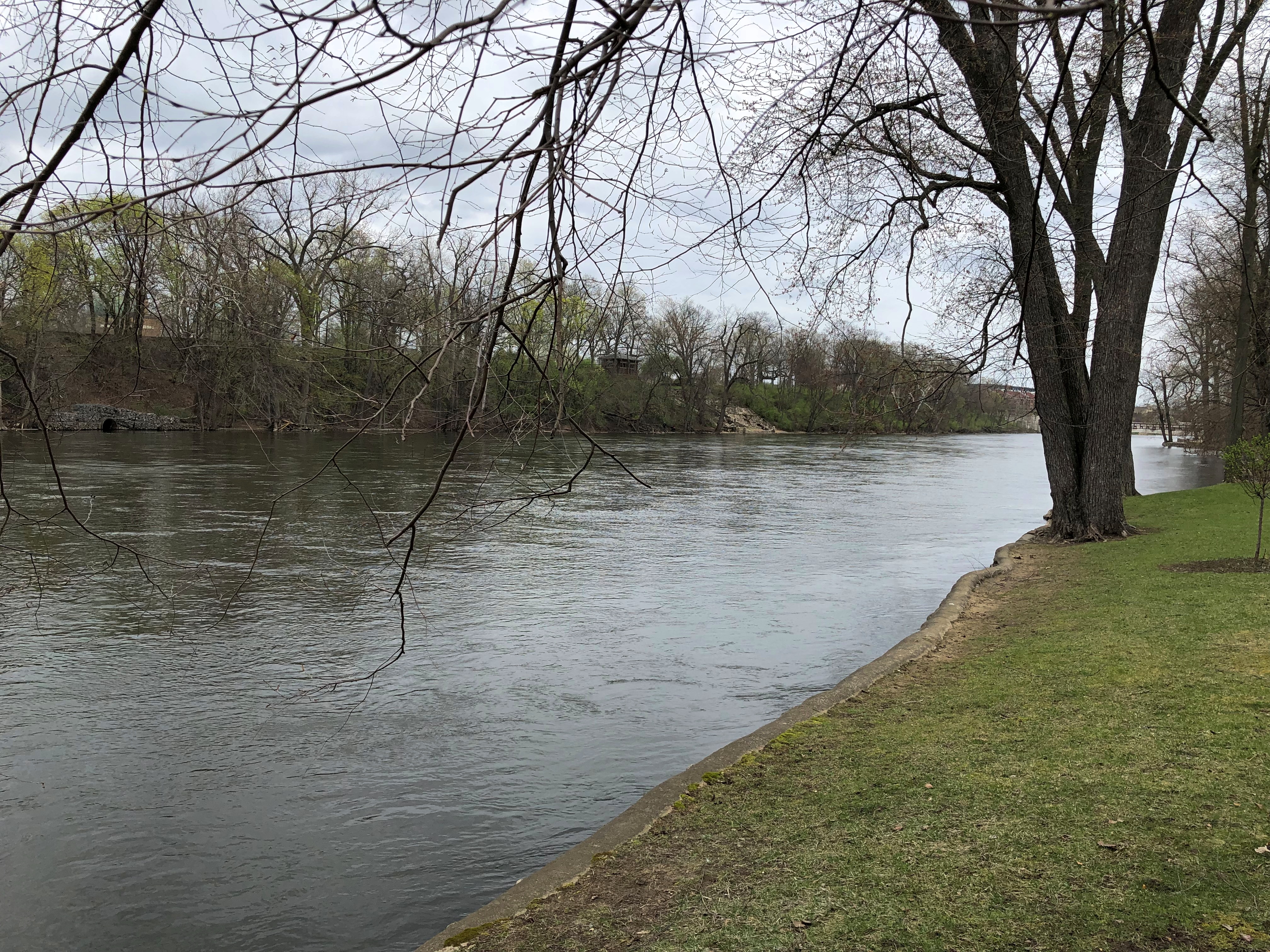
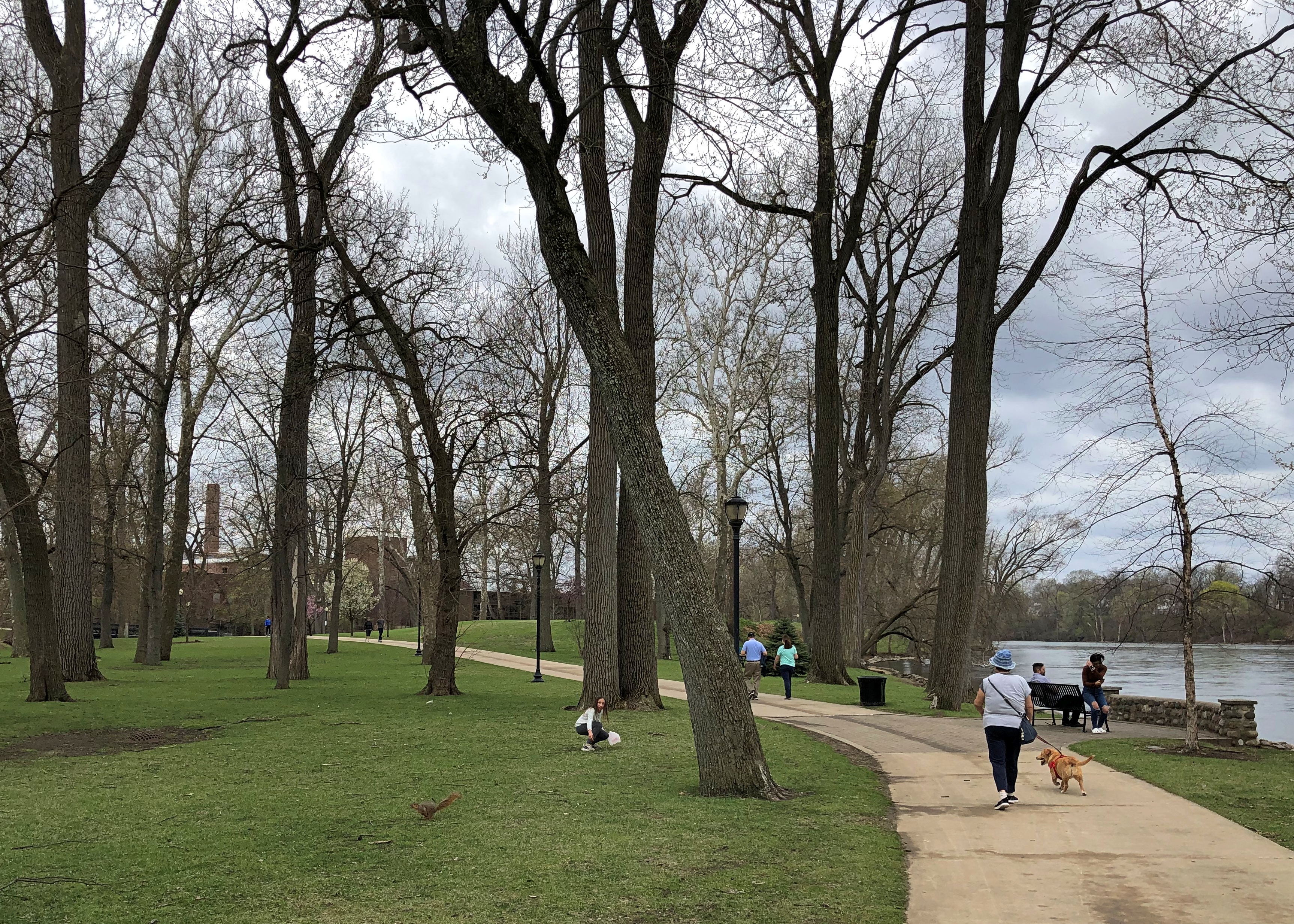
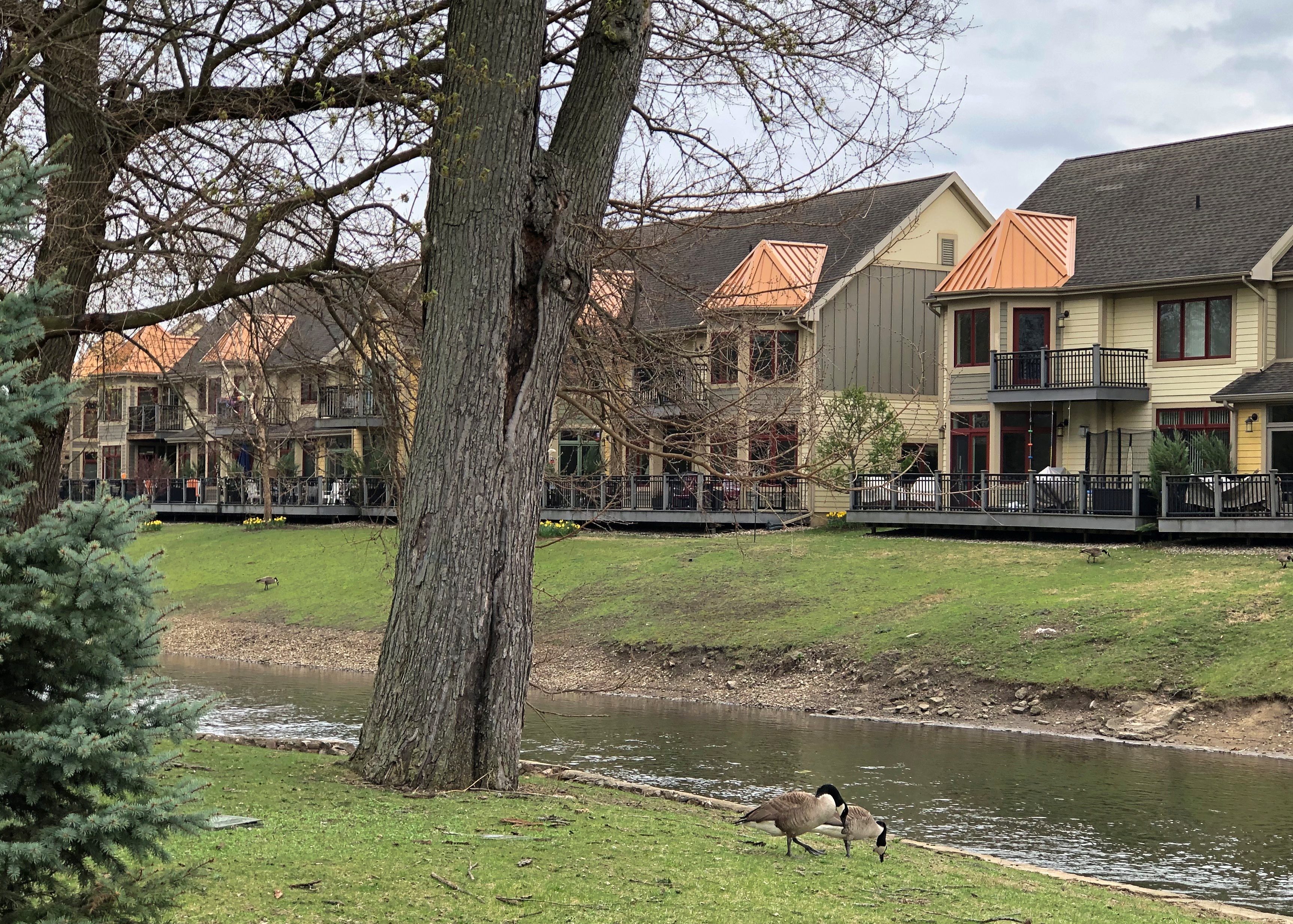
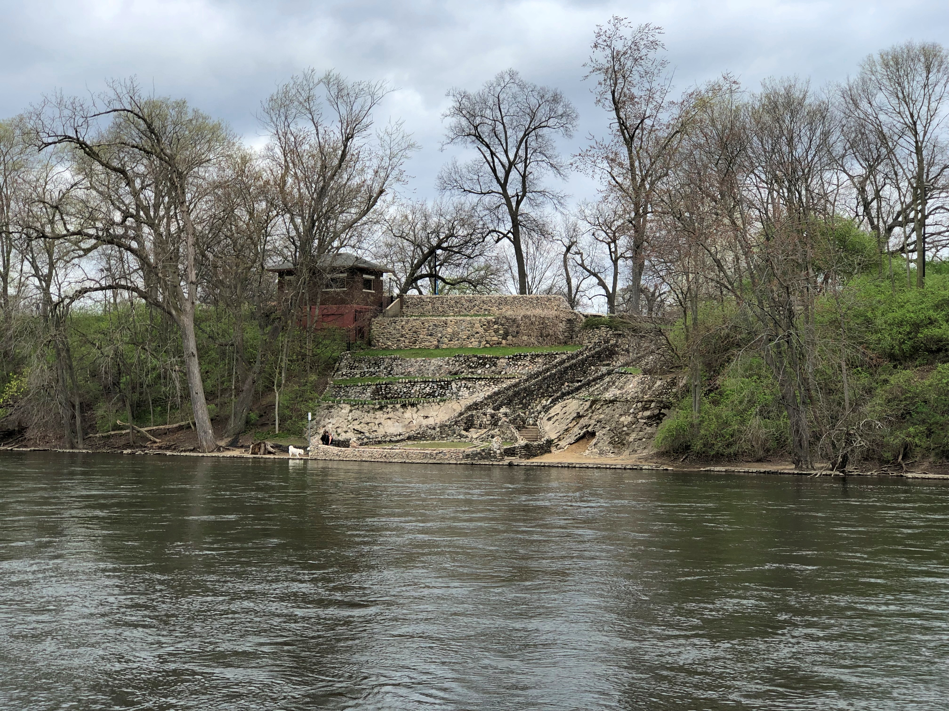
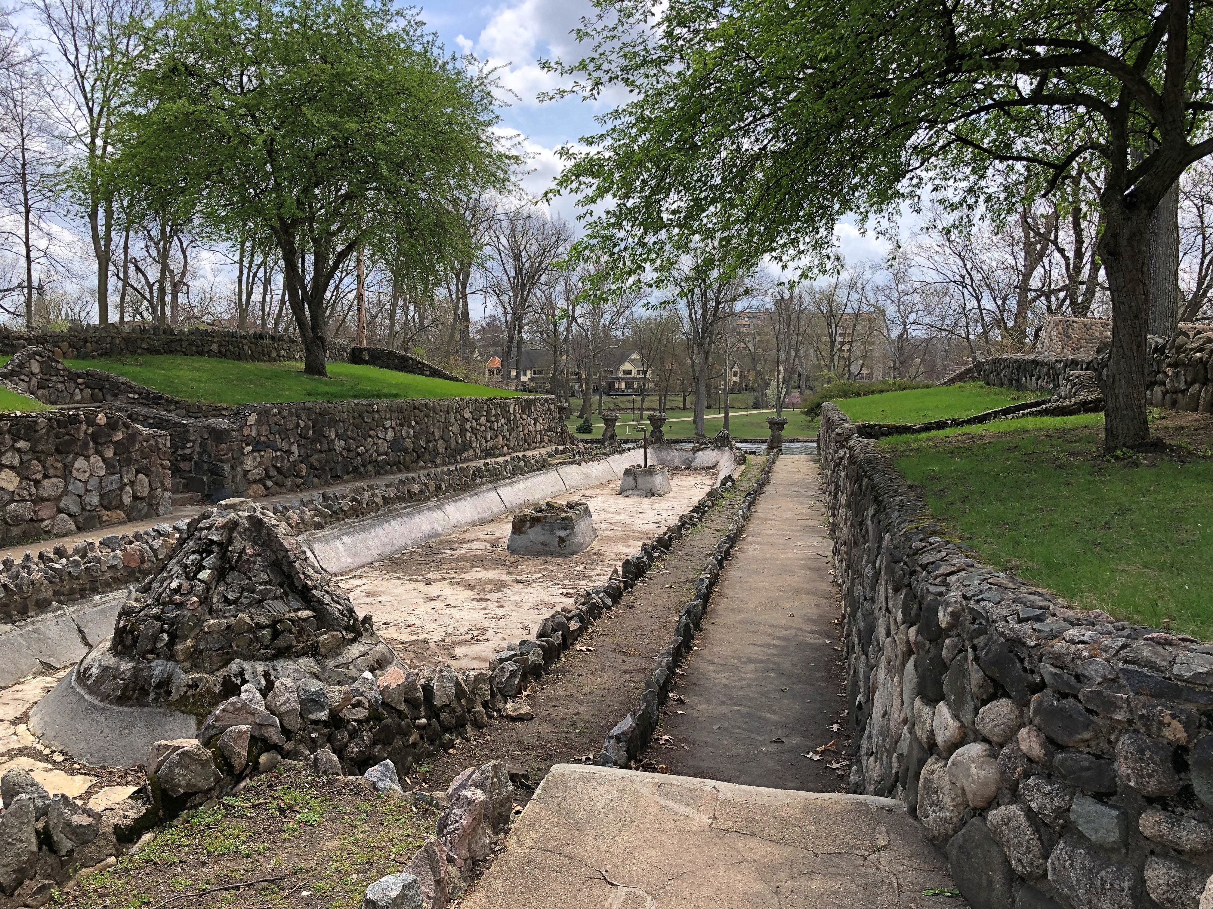
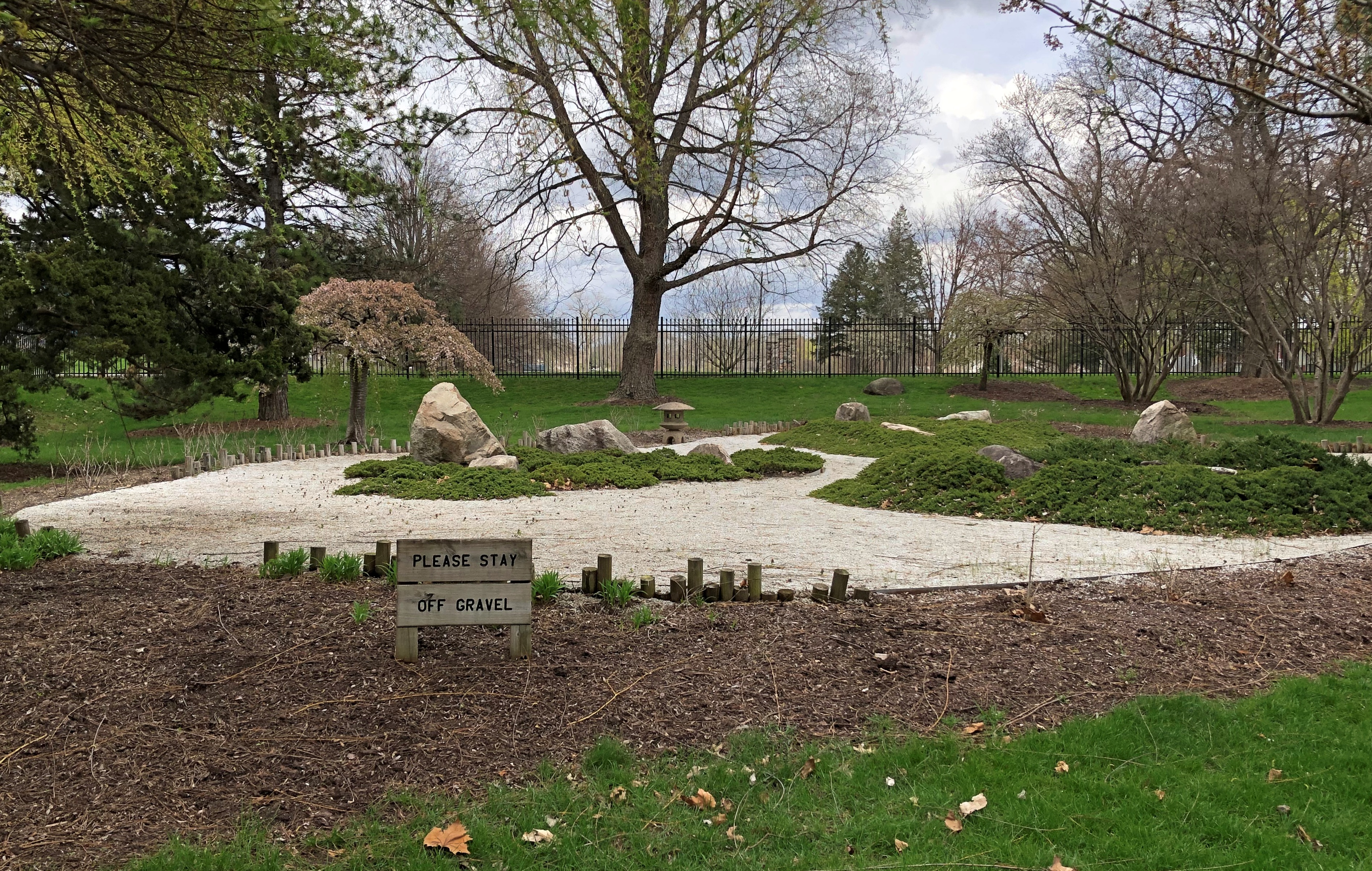
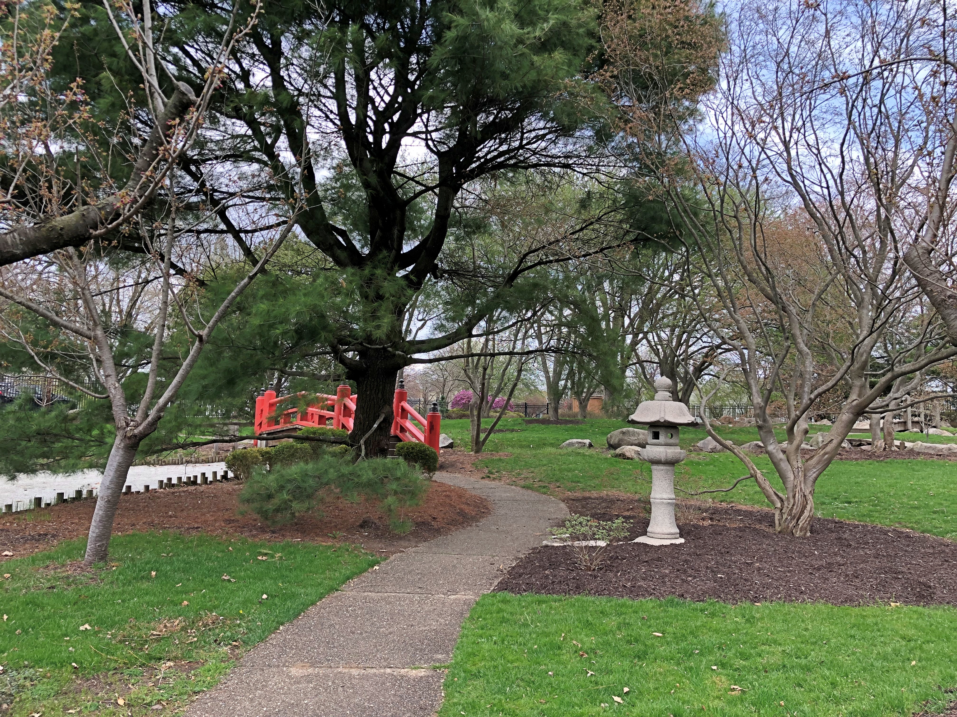
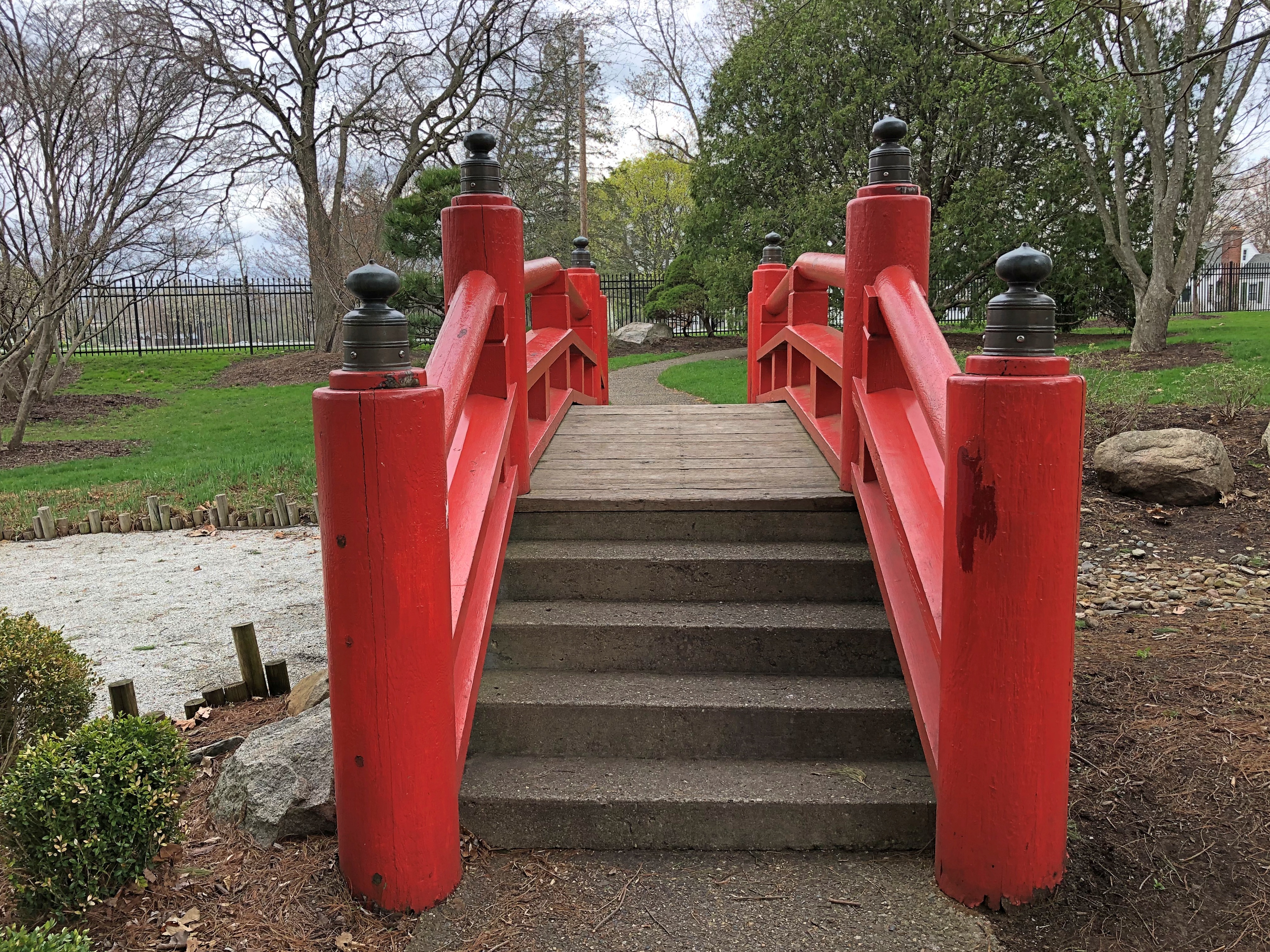
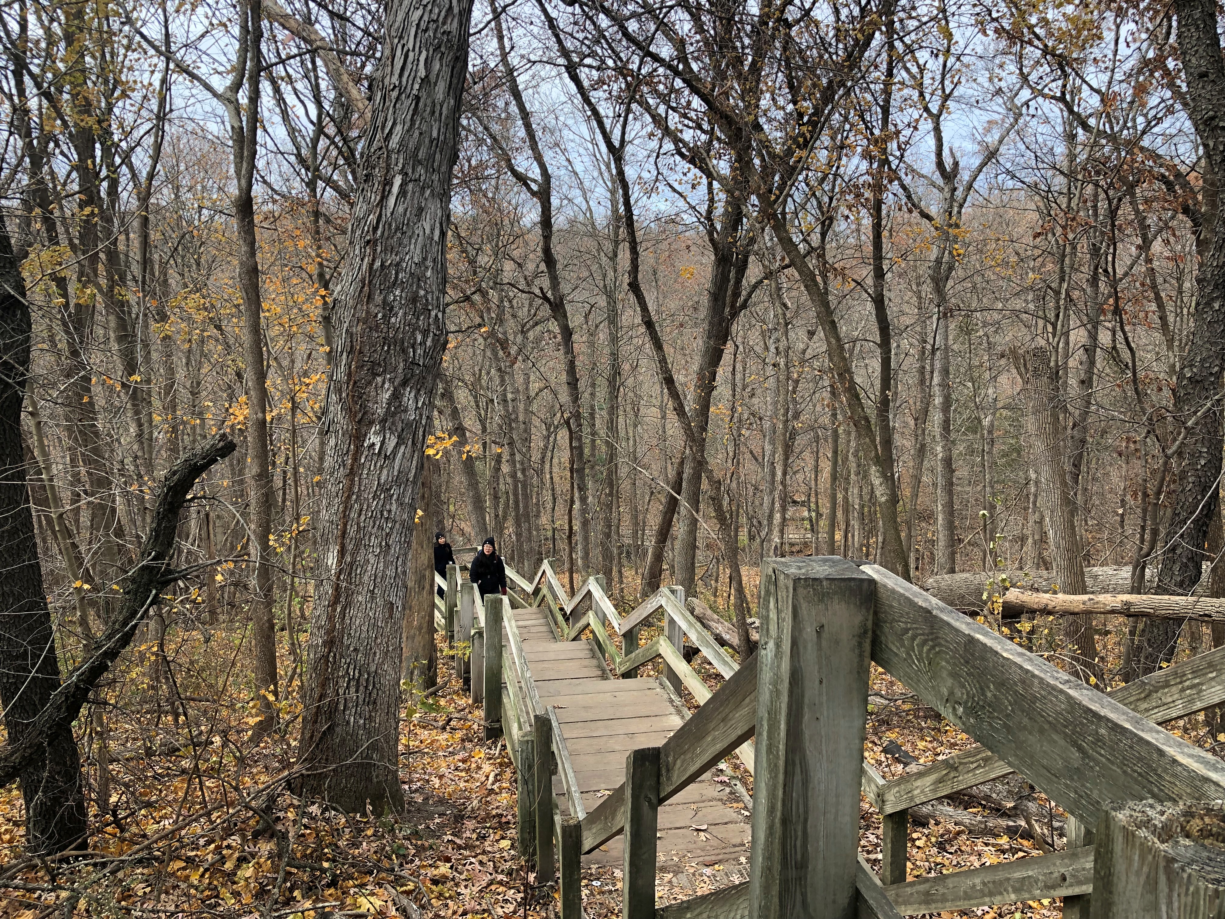
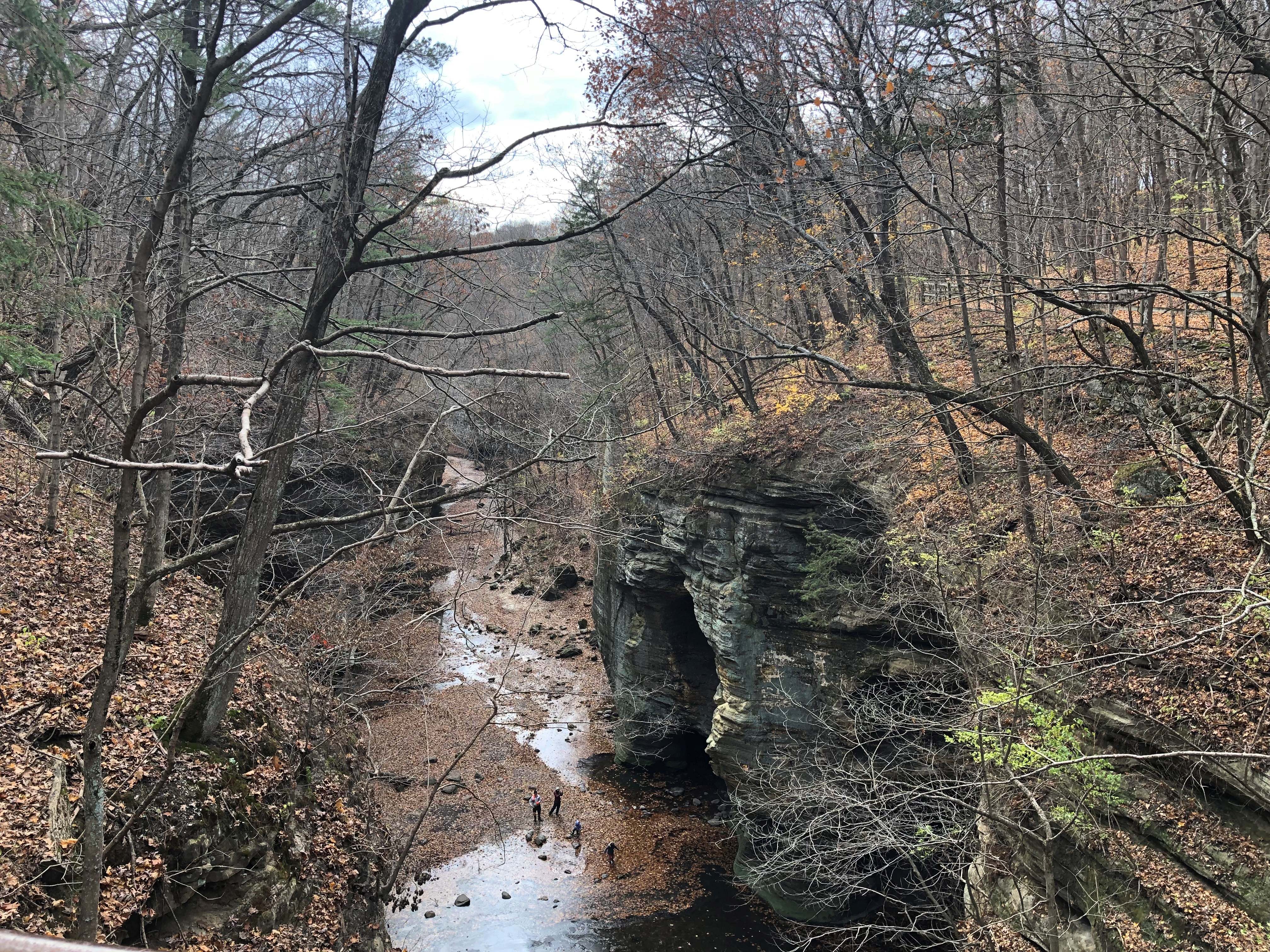
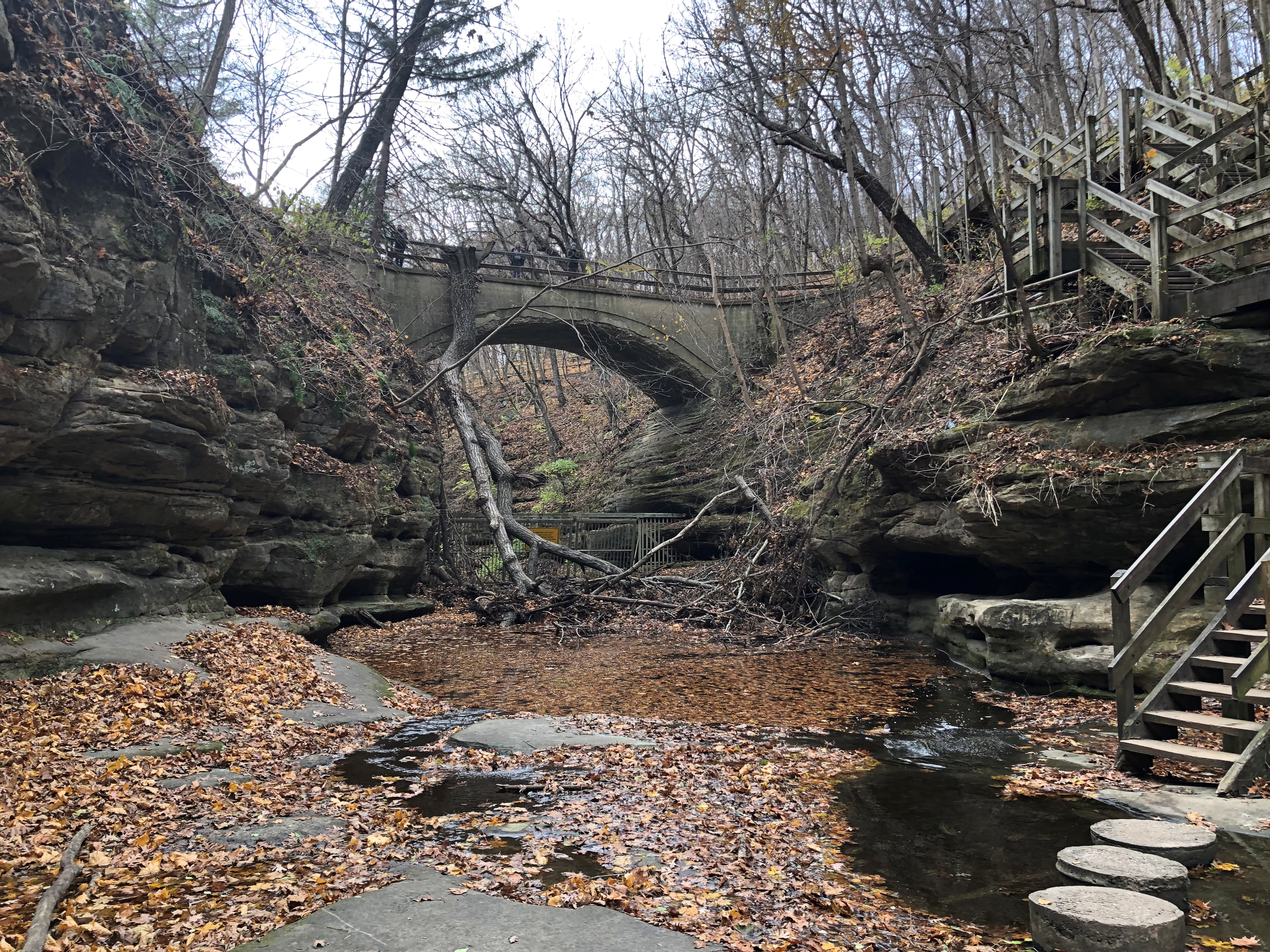
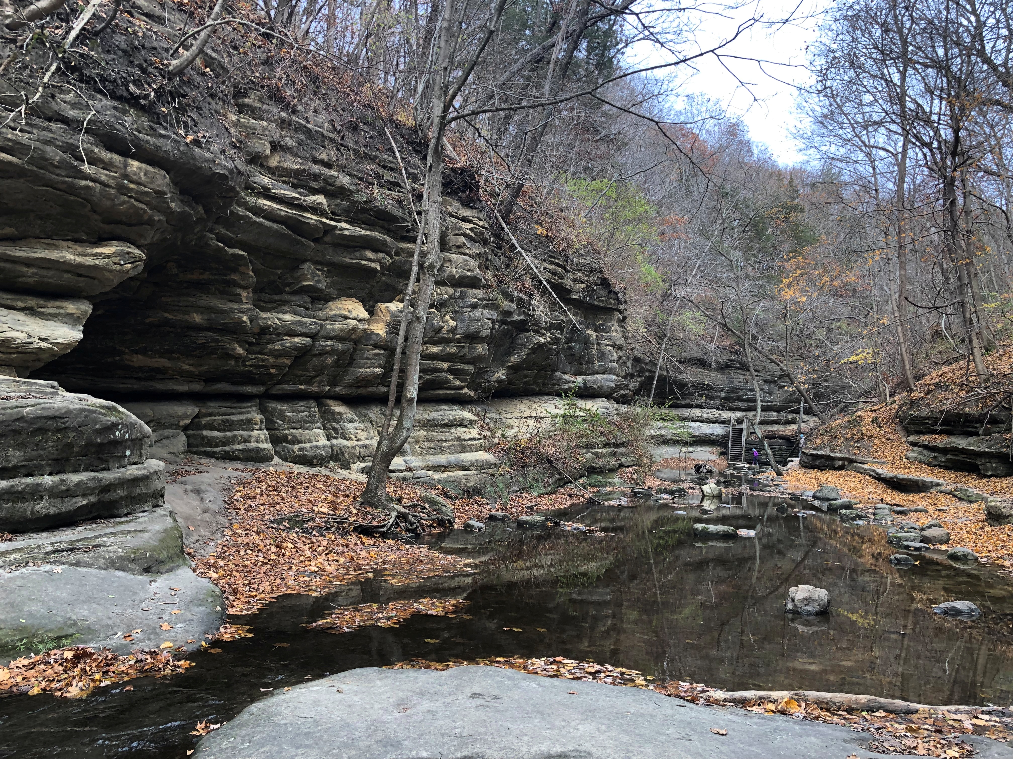
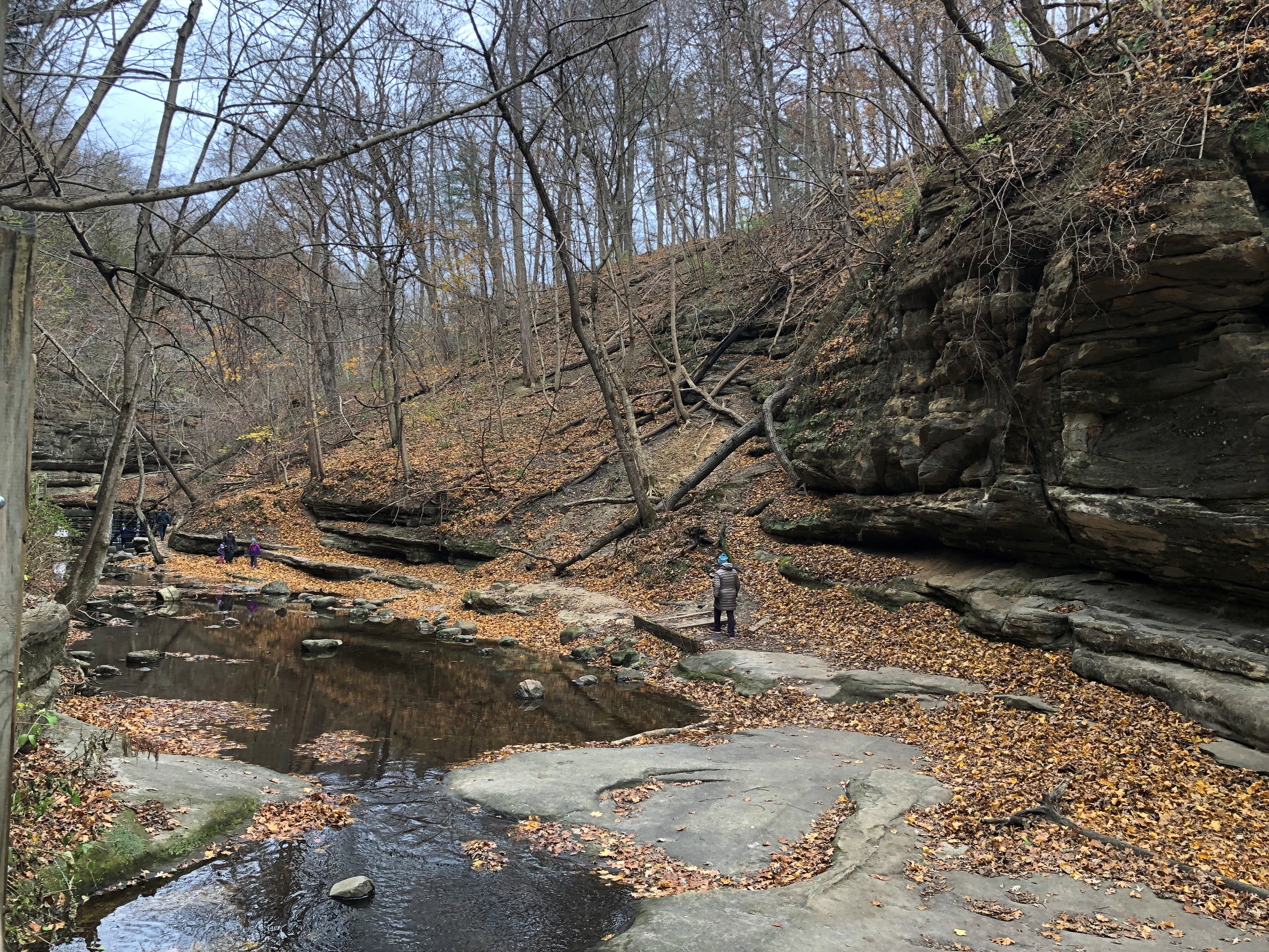
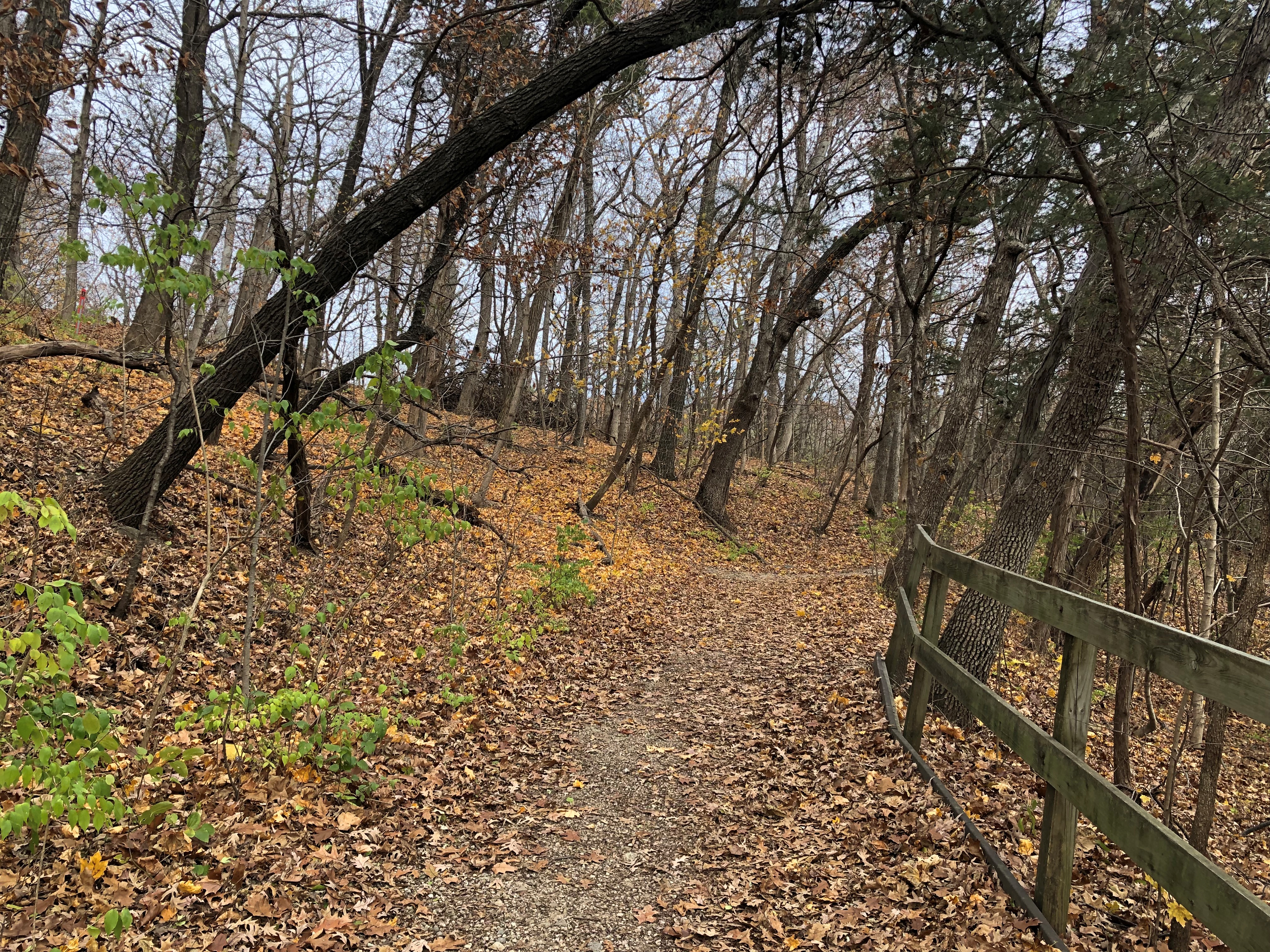
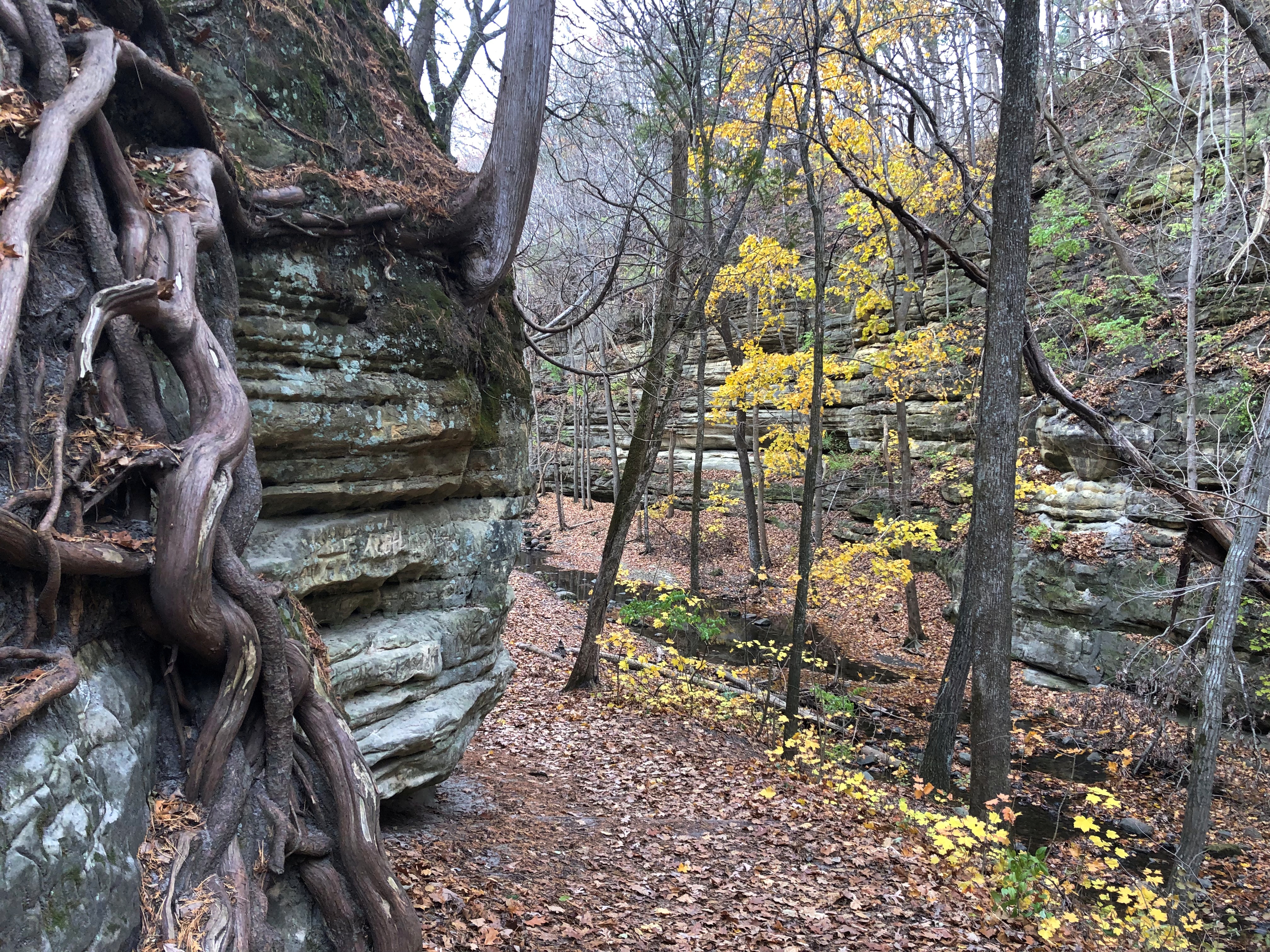
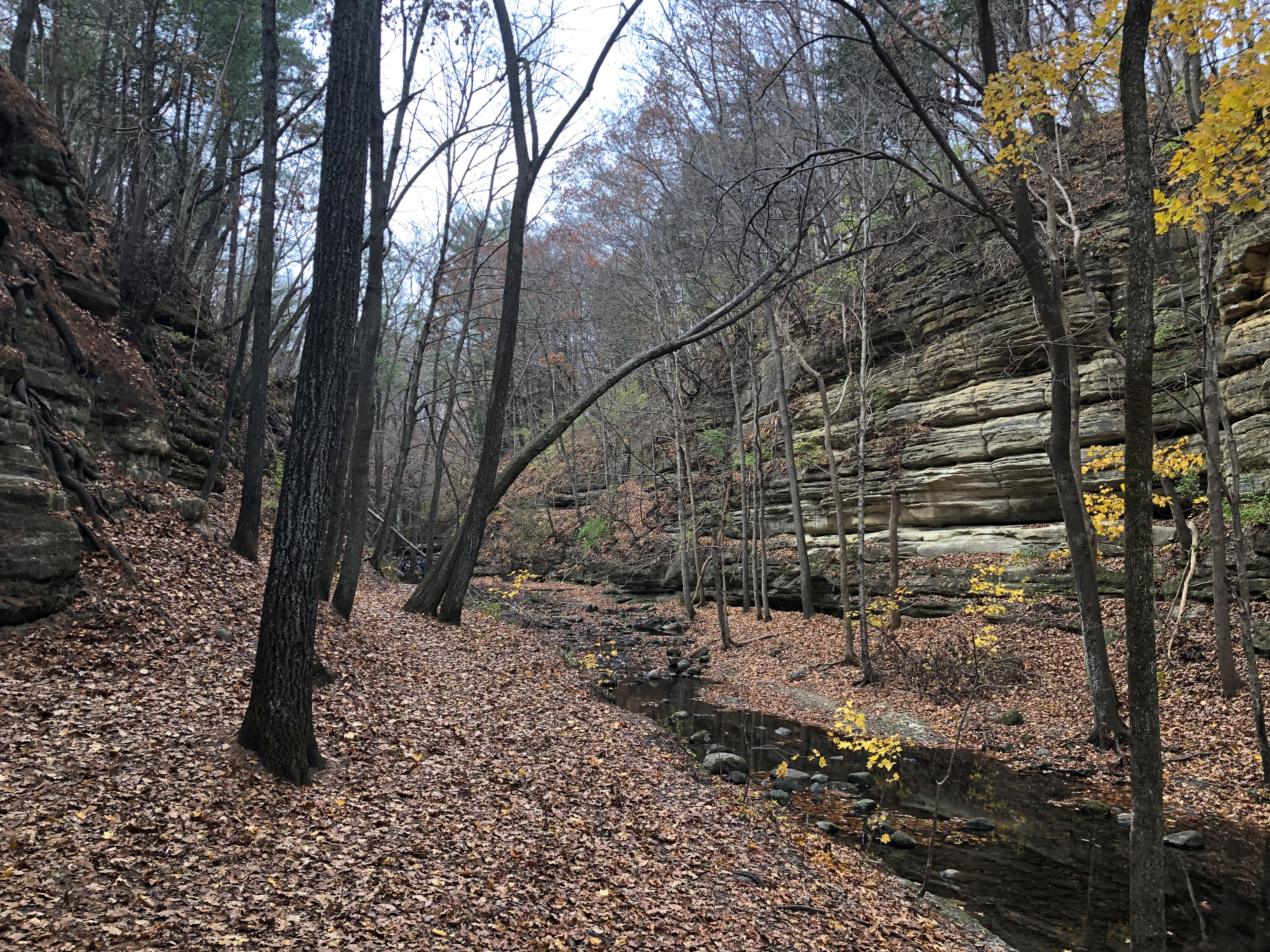
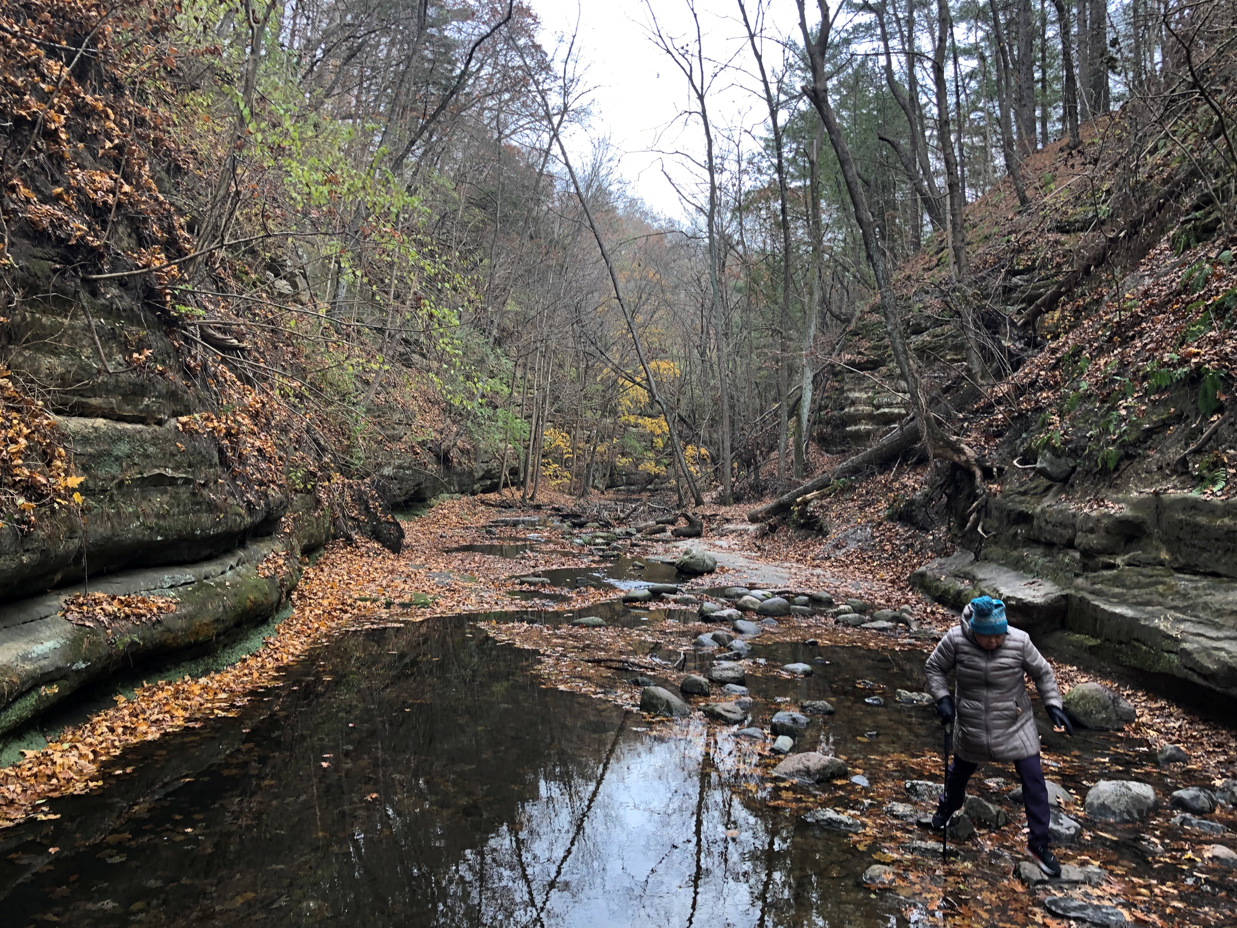
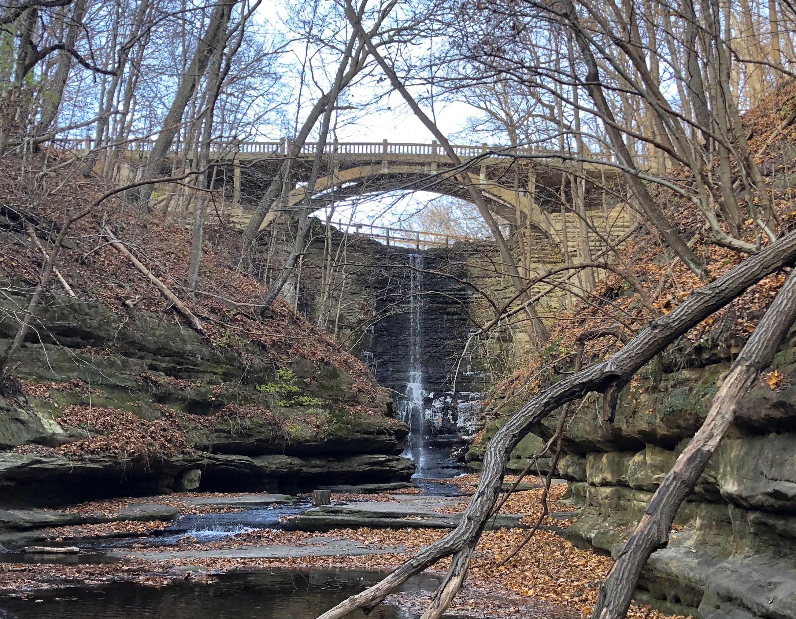
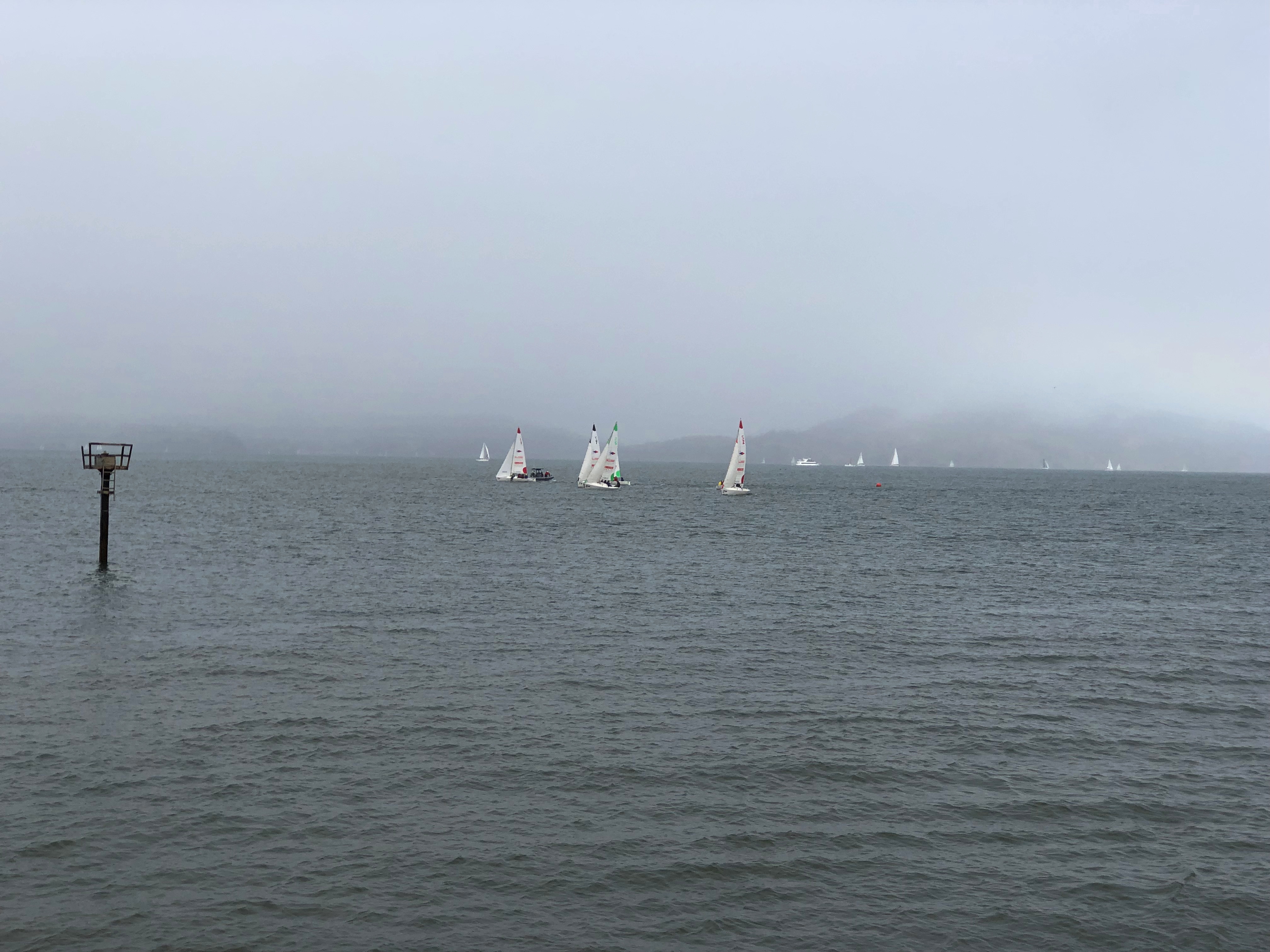
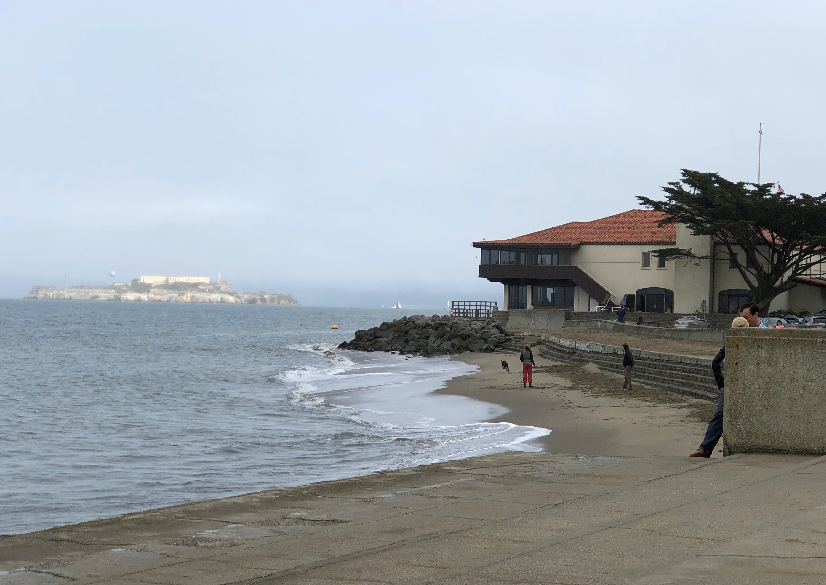
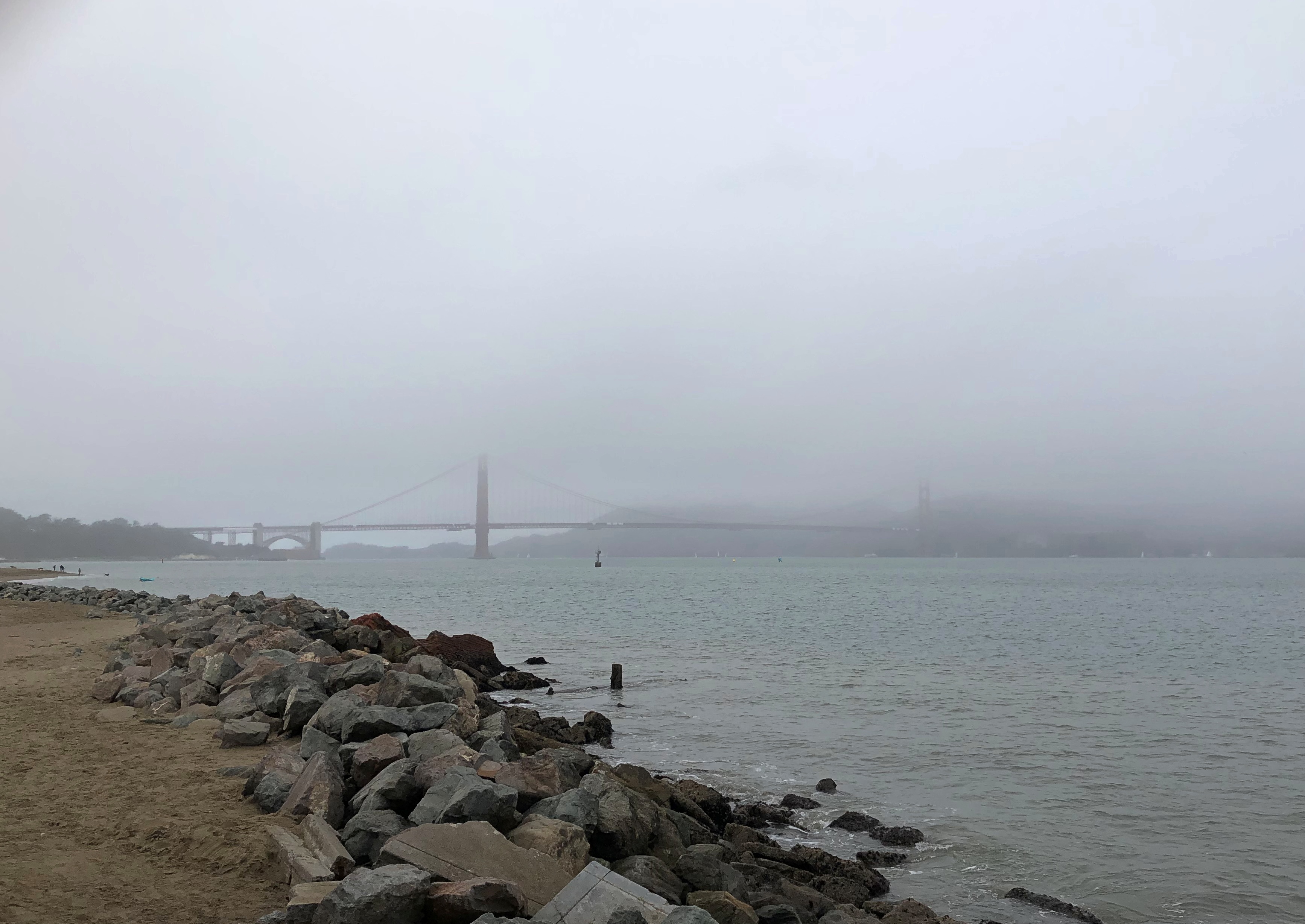
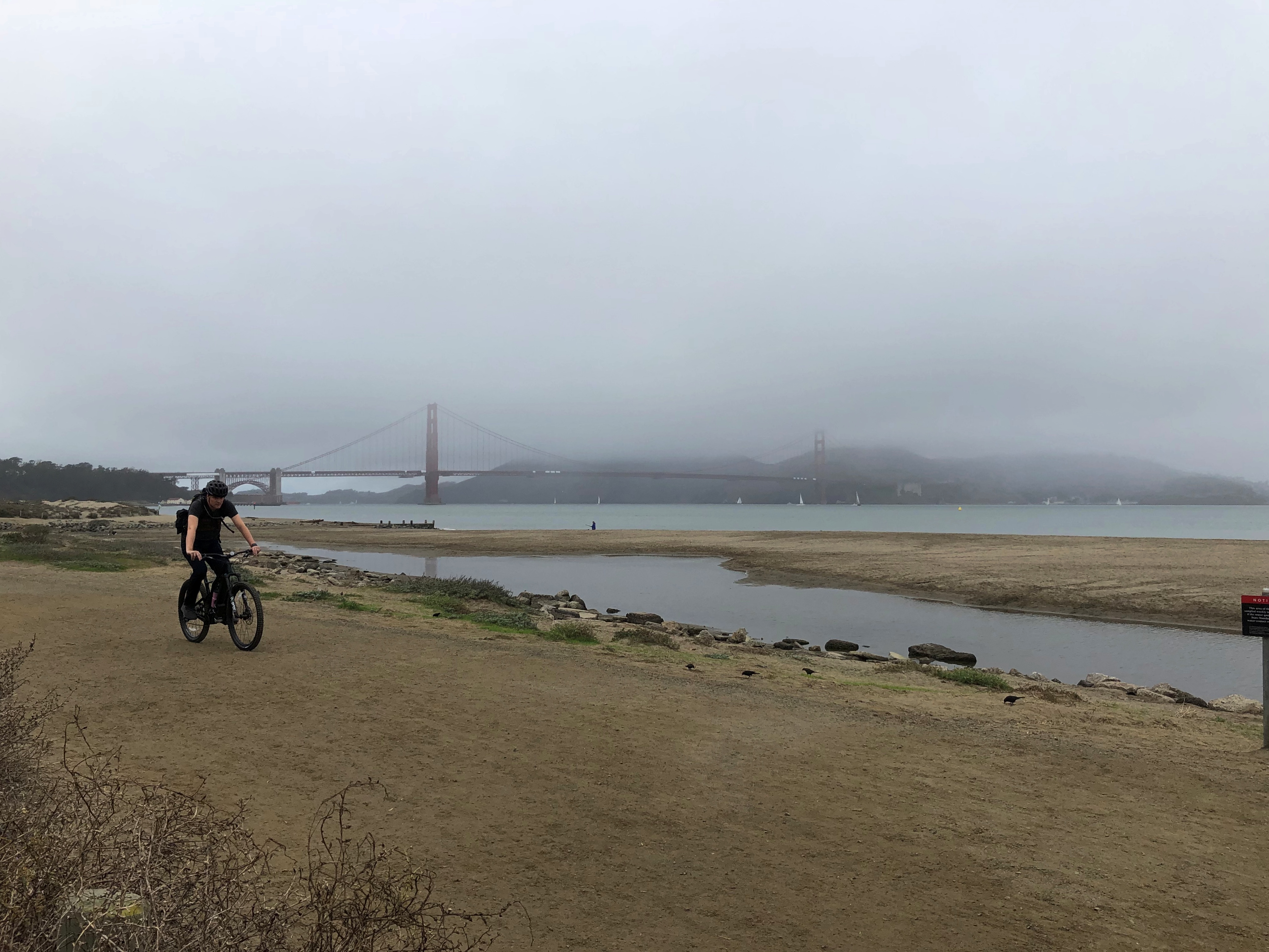
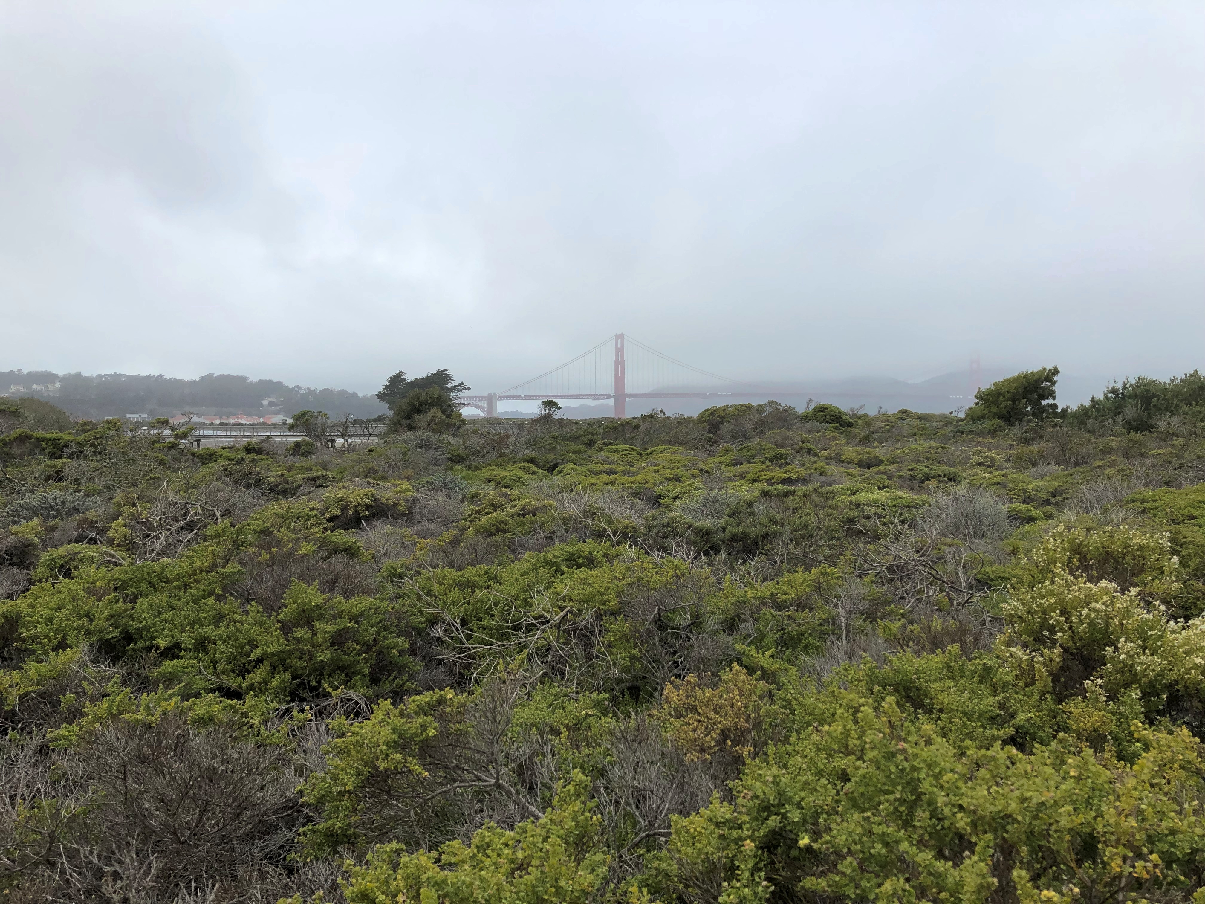
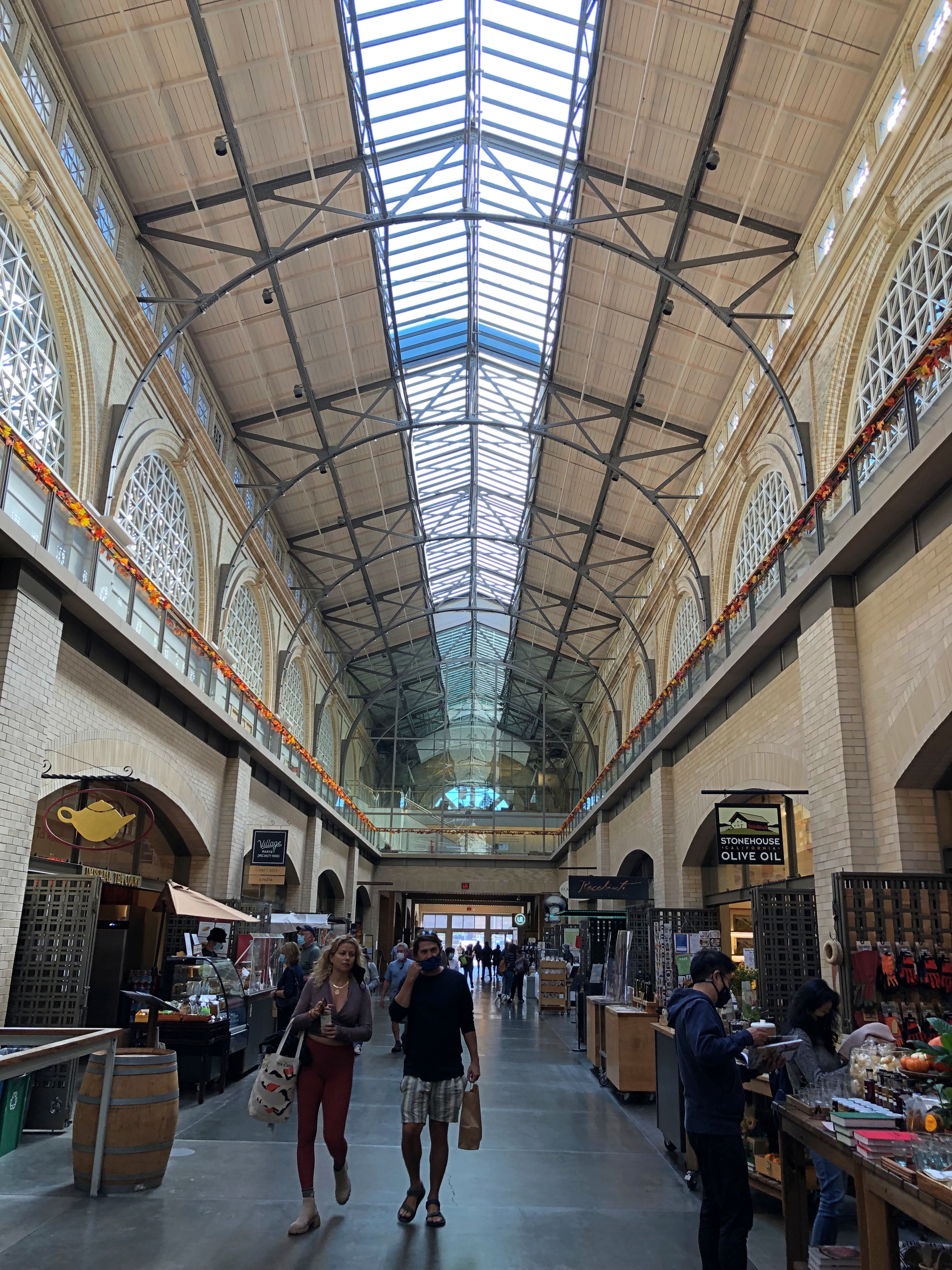
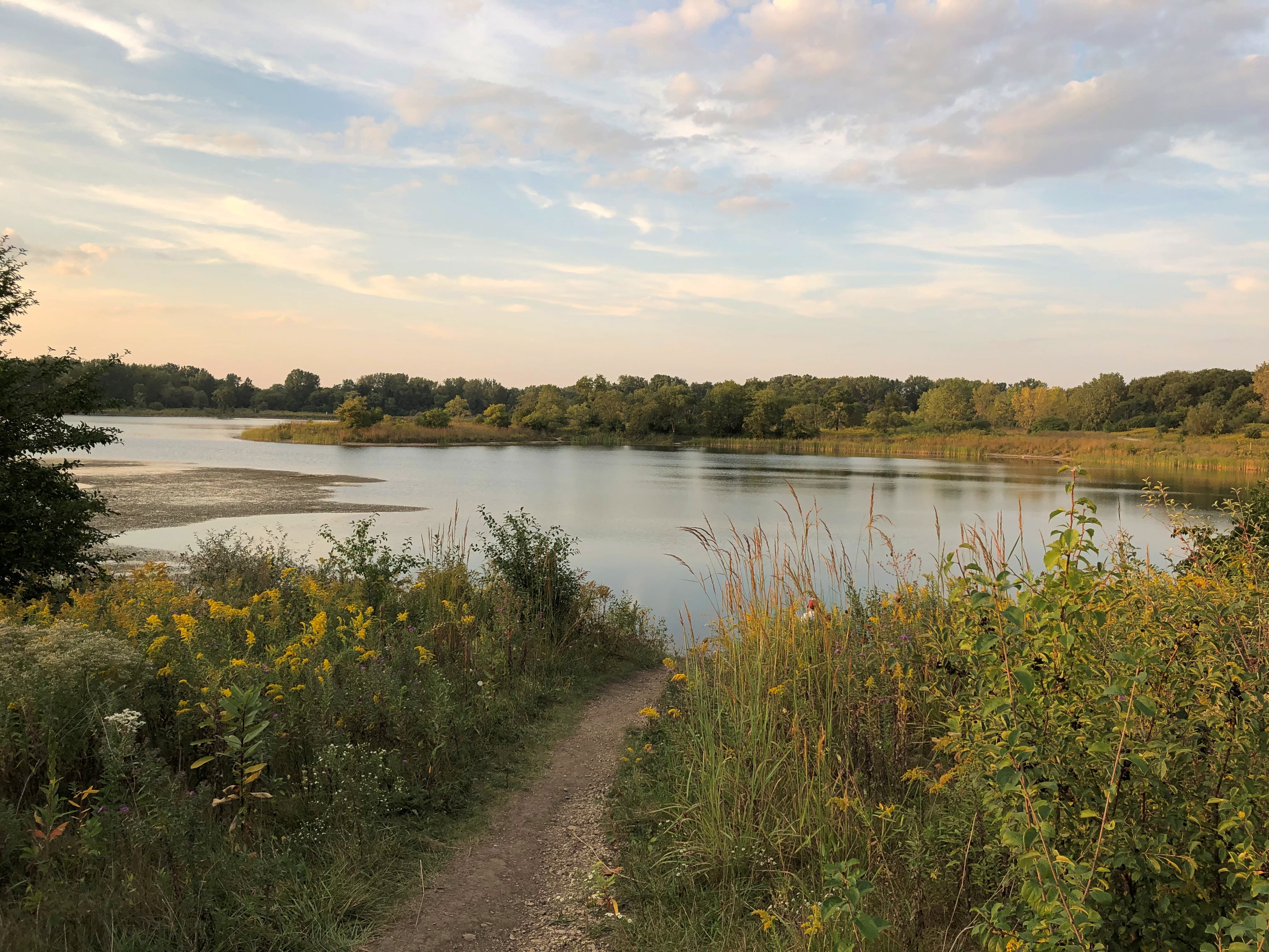
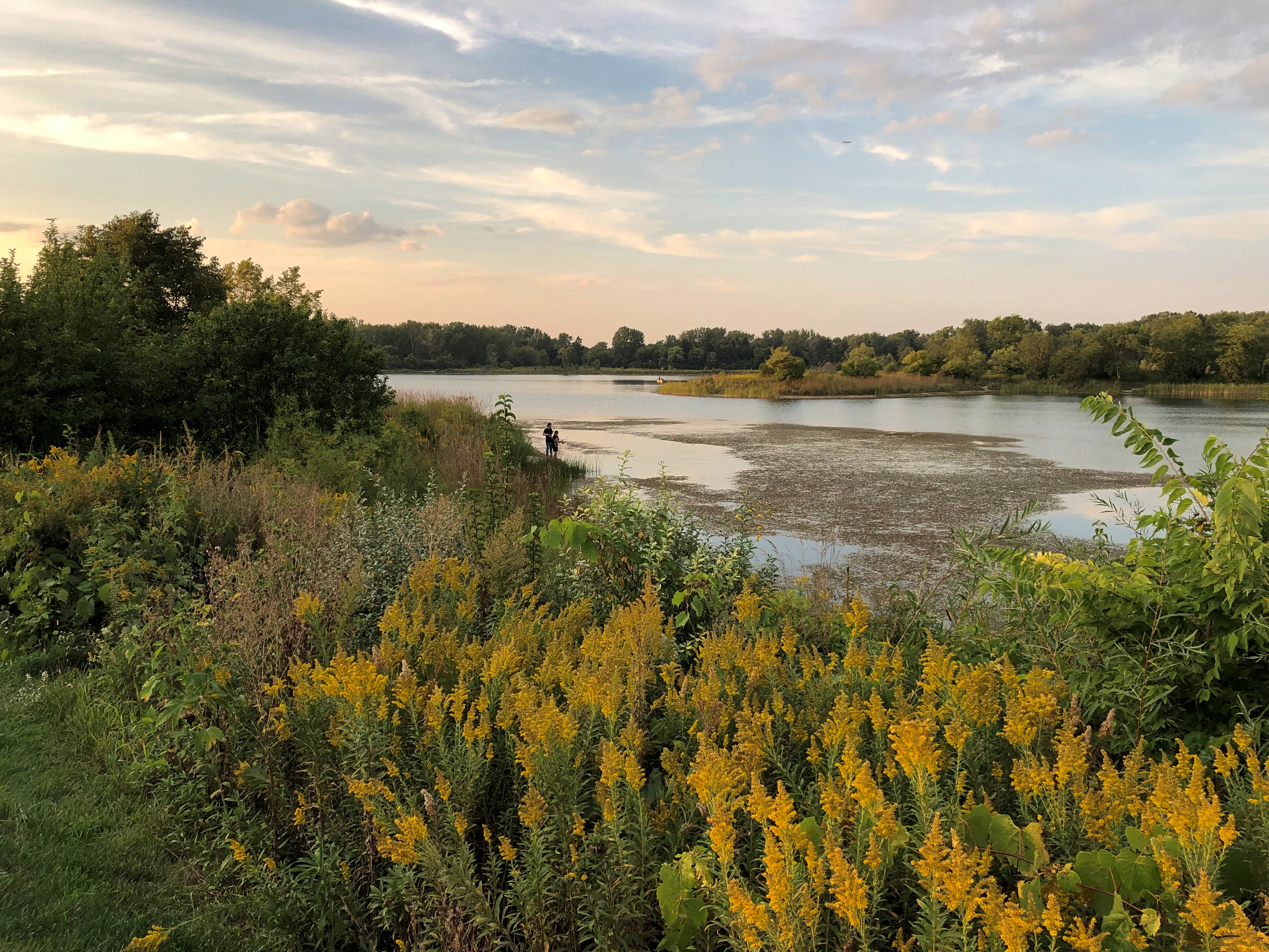
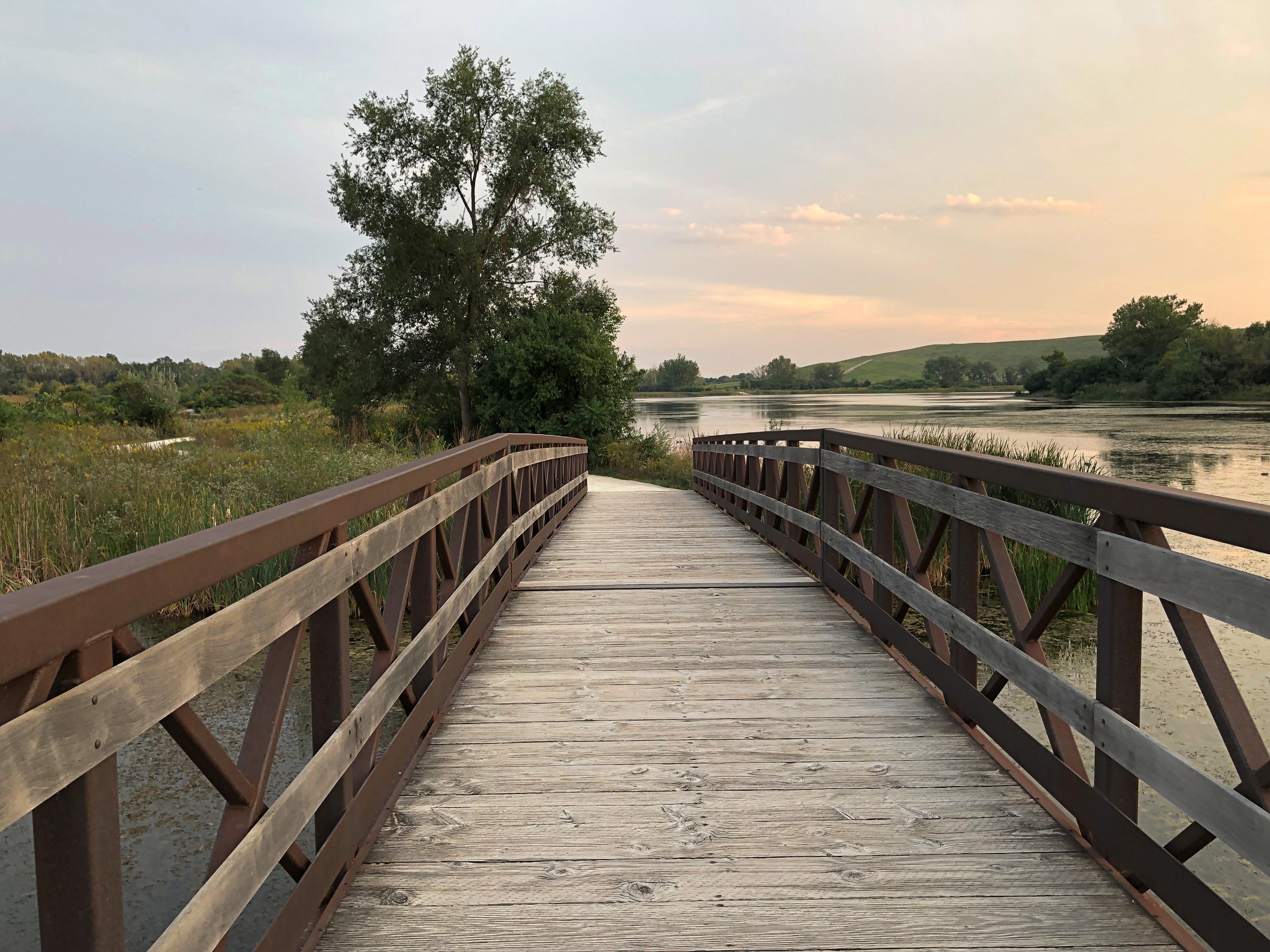
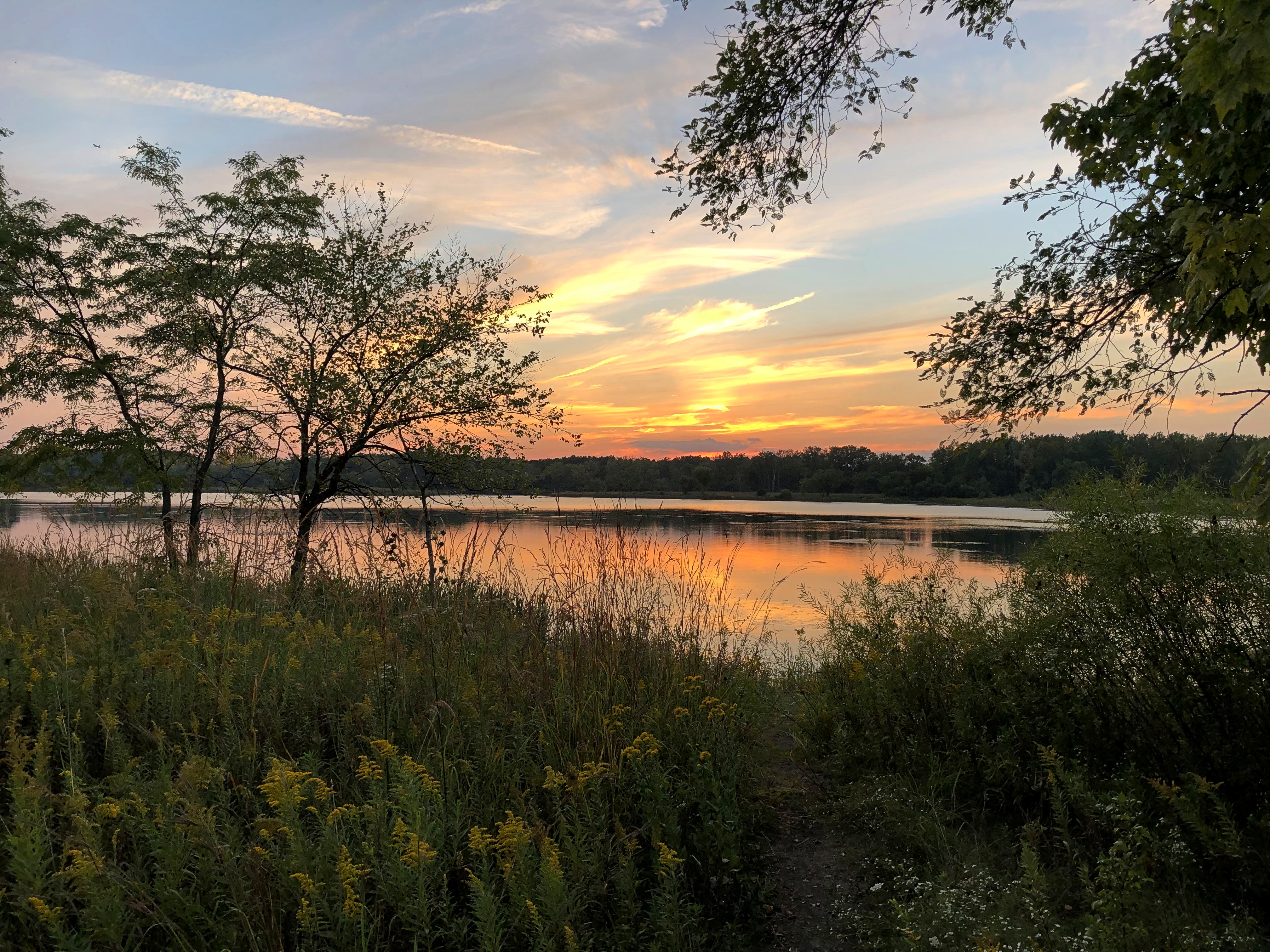
We visited one city of any size, Grand Rapids, and many smaller places, a few museums, a sculpture garden, some riverfronts, shopping streets and resort areas, a grand hotel, an historic fort, churches, a Hindu temple, a wooded cemetery, two lighthouses, forests, clearings and beaches, a massive sand dune, waterfalls, rapids and the clearest pond I’ve ever seen. The three Great Lakes we saw stretched to empty horizons — except when Canada or the opposite shore of Green Bay were visible. We crossed the Mackinac Bridge once and the international bridge between the Sault Ste Maries twice.

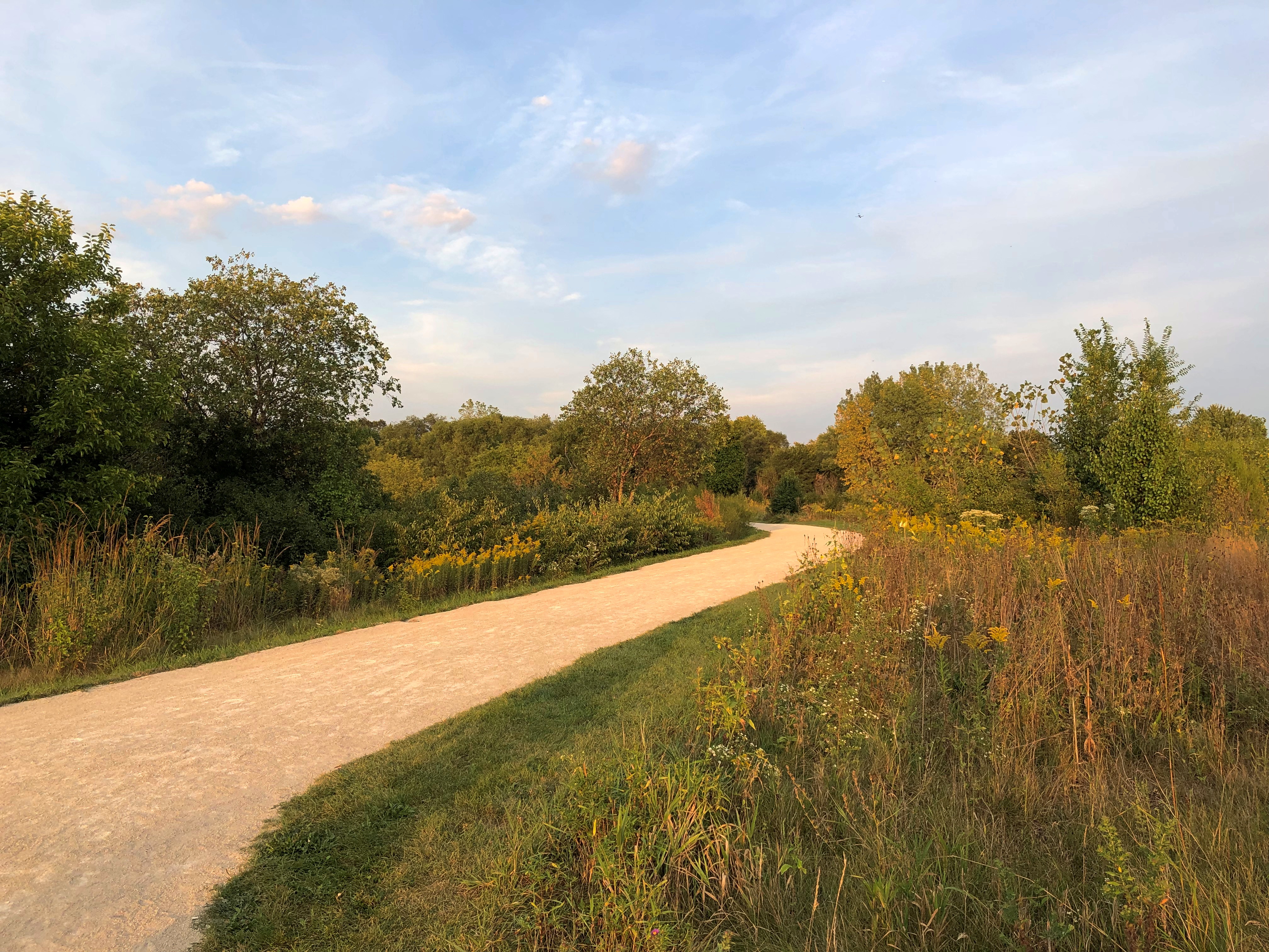
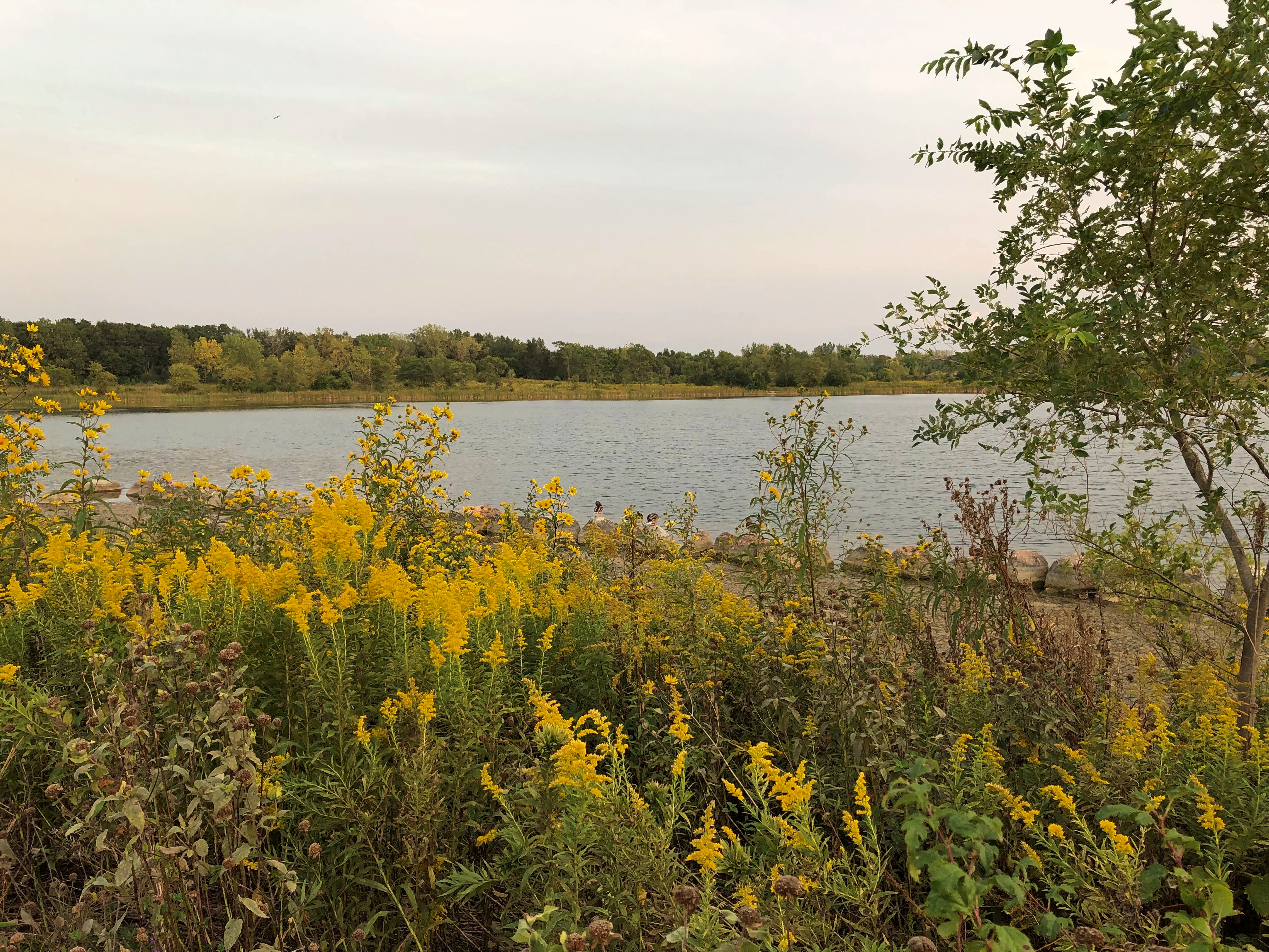
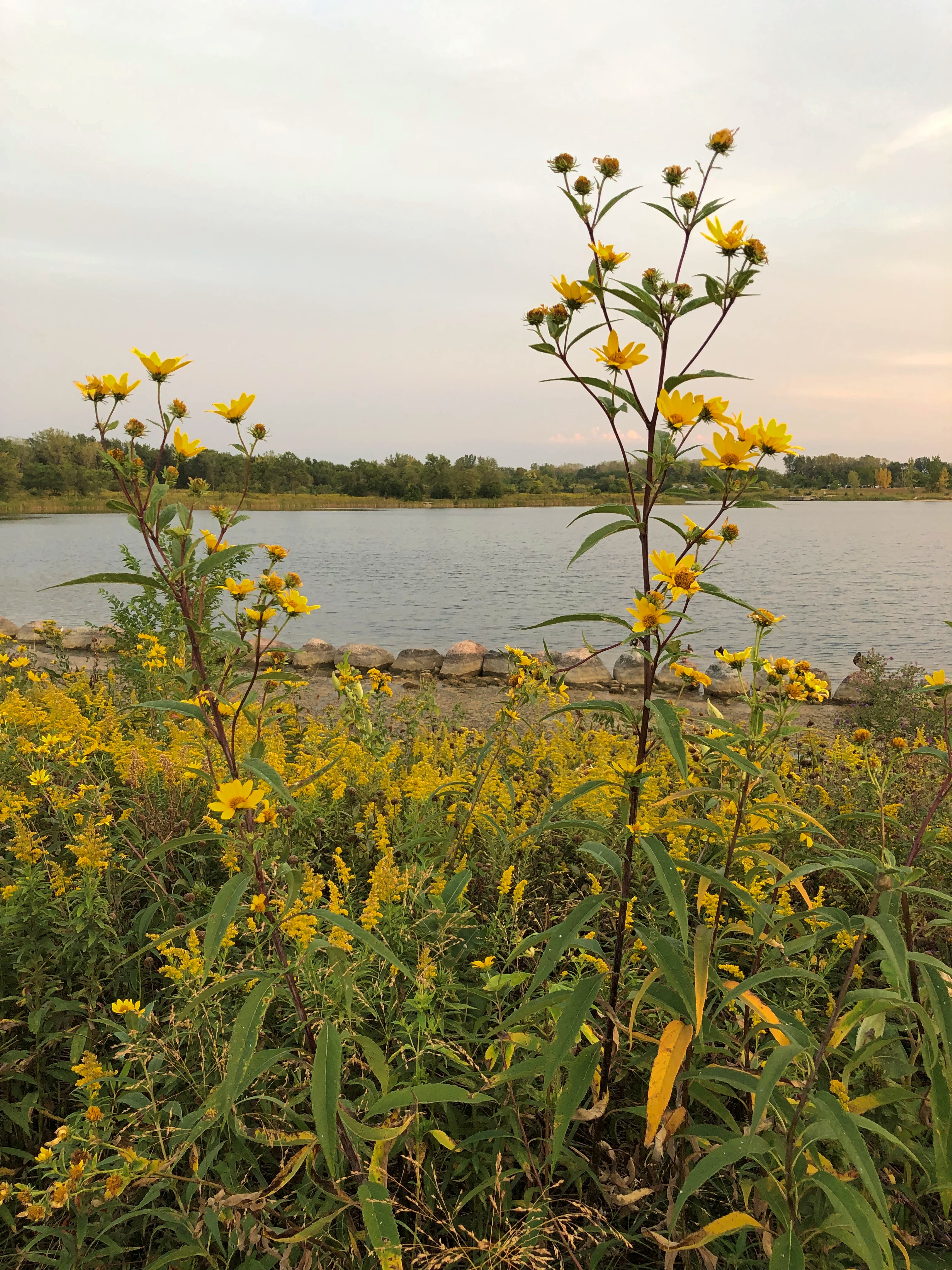
We walked near the shores of Lakes Superior, Huron and Michigan. The northern woods and the beach ecosystems were fully flush here in late summer. Jae, who knows a good deal about flora, shared some knowledge about the flowers, trees and fungi we saw in profusion.

Though we caught a few showers in daytime, and the last day was mostly rainy, most of the storms rumbled through at night, adding to the restfulness of whatever sleep we each had. None of the storms were lightning-and-thunder dramas, but some were impressive in their downpour. My friends expressed their satisfaction with the cool light winds that often blow in corners of the UP.

There were a number of travel firsts, mostly for my friends. This was the first time any of them had been to the UP, and the first time they had seen Lake Superior, whose aspect I’m so fond of, and their first visit to the northern part of the Lower Peninsula. The trip included Tom’s first known visit to a national park, though later we determined that it was probably his second park. Also, it was the first time two of them had ever been to Canada, since we popped across the border for one night in Sault Ste. Marie, Ontario.

For me, a mix of new and places I saw long enough ago that they were almost like new.

When I dropped off my friends at O’Hare earlier today, we agreed that they trip had met expectations. And more.

Downtown Fort Wayne

RIP, Will Friend. I didn’t know him well, but did meet him at events over the years, and we got along. I didn’t realize he was quite that young.

Toward the end of the afternoon on Saturday, we took a walk in downtown Fort Wayne. Not long after parking the car, this caught our attention.Wells Street Bridge, Fort Wayne Wells Street Bridge, Fort Wayne

Not just any pedestrian bridge, but the historic Wells Street Bridge over the St. Marys River. A sign on the 1884 truss bridge names the Wrought Iron Bridge Company of Akron, Ohio, as the bridgebuilder.Wells Street Bridge, Fort Wayne

For nearly 100 years, vehicular traffic crossed the bridge, but in 1982 it became a pedestrian walkway. A view from the bridge, toward a less-developed part of the city.Wells Street Bridge, Fort Wayne

After you cross the bridge, there is another elevated walkway, this one over a small section of riverbank. The blue building in the background is a block of riverside apartments, under construction. Move to Fort Wayne, young members of the laptop class. While rents don’t exactly seem cheap there — I don’t think anywhere counts as that anymore — there have to better deals than in the large cities.Riverwalk, Fort Wayne Riverwalk, Fort Wayne

The walk offers a view of the Fort Wayne — skyline isn’t quite the word. A view of a few  larger buildings in the background, with Promenade Park in the foreground. We soon  rested a while at that park, lounging around on iron chairs at an iron table, drinking soda. Rest: always an essential part of any walkabout.Downtown Fort Wayne

Occasional party boats ply the St. Marys.Downtown Fort Wayne

Away from the river is Freimann Square, home of the aforementioned Anthony Wayne statue, as well as a fountain and flower beds. Downtown Fort Wayne
Downtown Fort Wayne

Not far is the Allen County Courthouse, designed around the turn of the 20th century by Hoosier architect Brentwood Tolan.Courthouse, Downtown Fort Wayne Courthouse, Downtown Fort Wayne

The figure on top, I’ve read, is a copper Lady Liberty that turns, as a vane does, with the wind.

A few decades pass and you get art deco. In this case, the Lincoln Bank Tower, another of those structures started just in time — 1929. Design by another Hoosier architect, Alvin Strauss.Lincoln Bank Building, Fort Wayne
It could have been the German American Bank Tower, but for some hard-to-figure reason the bank changed its name in 1918.

The Japanese Friendship Garden, on a tenth of an acre near the Fort Wayne Museum of Art, was gift of one of Fort Wayne’s sister cities, Takaoka. I had to look it up, even though I probably passed through it on a train the fall we went to Hida-Takayama. I suspect most Japanese, faced with the name Fort Wayne, would have to look it up, too.

The museum was closed when we got there, but the garden is always open. Bonus: the garden also features a 2002 time capsule under a rock, slated for a 2027 opening.Friendship Japanese Garden, Fort Wayne Friendship Japanese Garden, Fort Wayne

Elsewhere downtown: Cathedral of the Immaculate Conception. Dating from 1860, it is the oldest church building in Fort Wayne, with its Gothic design attributed to Rev. Msgr. Julian Benoit.Cathedral of the Immaculate Conception, Fort Wayne Cathedral of the Immaculate Conception, Fort Wayne

Vigil mass was about to start, but we got a peek.Cathedral of the Immaculate Conception, Fort Wayne
Cathedral of the Immaculate Conception, Fort Wayne

It isn’t the only sizable church around. A few blocks away is St. Paul’s Evangelical Lutheran Church. St. Paul's Evangelical Lutheran Church , Fort Wayne

Not open. Too bad, looks like quite a looker inside.

Along the West Branch of the DuPage River

Naperville, the second-largest Chicago suburb by population at nearly 148,000, has much to recommend a casual visitor, either in warm months or colder ones. (Way-far west Aurora, surprisingly, is number one at nearly 200,000 souls.)Naperville flag

Sunday was warm, but not hot enough to keep us from a stroll along West Branch of the DuPage River, which passes through downtown Naperville, and is in fact one of the village’s main amenities. The river is broad at that point.
West Branch, DuPage River, Naperville

But not that deep. A foot or two at most, yet deep enough for ducks and kayaks.West Branch, DuPage River, Naperville West Branch, DuPage River, Naperville

The walkways along the river are fairly narrow.
West Branch, DuPage River, Naperville

Both banks are connected by wooden foot bridges.West Branch, DuPage River, Naperville

With small parks and other features on either side.
West Branch, DuPage River, Naperville

Including some artwork. Such as “Wall of Faces,” whose plaque says that it was “created by Naperville school children and molded by local artists to represent the casualties of September 11, 2001.” West Branch, DuPage River, Naperville
West Branch, DuPage River, Naperville

And a bronze Dick Tracy. I don’t think I’d noticed that before.
West Branch, DuPage River, Naperville - Dick Tracy bronze

It’s been there since 2010, so I just wasn’t paying attention. But why Naperville? I associate the comic policeman with Woodstock, Illinois, home of creator Chester Gould. The plaque explained that Dick Locher (1929-2017), who was one of Gould’s successors in writing and drawing the comic, lived in Naperville. In fact he was a multi-talented fellow, creating this statue as well.

U.S. 89A

Much excitement yesterday afternoon around here, when the village alarm sirens went off around 3:30. Moments before, my phone told me of a tornado warning, both in English and Spanish. I was advised to seek shelter.

Instead, I took a look out of both the front and back doors. We had rain at that moment, but very little wind, and the clouds weren’t particularly dark. The sirens quit, but started again a few minutes later. I listened and watched a while.

Another warning came and went, but the wind stayed low. It might have been a reckless impulse, but nothing I saw made me want to seek shelter, which in my case would be the lower level near the bathroom, but with the bathroom door closed, because there’s a window in there. Still, I watched the skies more closely for a while. I understand that while a funnel cloud had been spotted over the northwestern suburbs, for whatever reason it never came to the ground and stir things up.

Our most recent trip was a driving one, despite the cost of fuel. I have the receipts in front of me for buying gas five times. They helpfully list the price per gallon, regular each time.

St. George, Utah (May 15): $4.599. Page, Arizona (May 17): $4.789. Blanding, Utah (May 18): $4.659. Moab, Utah (May 20): $4.689. Salt Lake City (May 21): $4.569. According to AAA, the national average for gas a week ago (May 19) was $4.589, so we were paying slightly more than average (which today is $4.600), but less than at home. A year ago, the average was $3.035, for an increase of about 51% since then.

All together, we paid $147.63 for gas on this trip, which would have (roughly) been about $100 had we taken the same trip a year ago. So that’s about $50 that Mr. Putin owes me. I suspect he’s going to stiff me on that charge.

I didn’t like paying a premium for fuel, but it was completely worth it. Some of the drives were extraordinary.

Such as the one from Page to the Grand Canyon and back, especially back, because getting to the park was the main focus in the morning, and we didn’t stop. On our return, which was in the late afternoon of May 17, we took a more leisurely attitude, and took a look at things along the way.

U.S. 89 out of Page is a good drive through a red desert landscape, generally following the Colorado River, which is mostly invisible, far below in Marble Canyon. The drive south from Jacob Lake, Arizona, on Arizona 67 through the wonderfully alpine Kaibab National Forest to the park entrance, is also good.

But the best road that day by far was the two-lane U.S. 89A, which connects the other two, U.S. 89 and Arizona 67. As visible in the map, it skirts Vermilion Cliffs National Monument.

On our return, we headed east on 89A from Jacob Lake (where 89A meets Arizona 67), which is in the forest at that point: through a fine aspen, spruce-fir, ponderosa pine and pinyon-juniper woodland. Nice, but the road is even better is when you reach the edge of the Kaibab Plateau. There’s a place to stop and see the Vermilion Cliffs and the desert flatlands below.Vermilion Cliffs National Monument Vermilion Cliffs National Monument

The thin black line is 89A. From the viewpoint, the road heads down toward the flatlands, leaving the Kaibab Plateau. As far as I can tell from the maps, the highway is the border of the monument, or very close to it. In any case, you see the cliffs looming not far away. They follow you for miles down the road.Vermilion Cliffs National Monument Vermilion Cliffs National Monument Vermilion Cliffs National Monument

“Vermilion Cliffs National Monument is a geologic treasure,” says NPS signage along the road. “Its centerpiece is the majestic Paria Plateau, a grand terrace lying between two great geologic structures, the East Kaibab and the Echo Cliffs monoclines.

“The Vermilion Cliffs, which lie along the southern edge of the Paria Plateau, rise 1,500 feet in a spectacular array of multicolored layers of shale and sandstone… these dramatic cliffs were named by John Wesley Powell in 1869, as he embarked upon his expedition of the Grand Canyon down the Colorado River.”

Earlier explorers were here, too. In 1776, Fathers Francisco Atanasio Dominguez and Silvestre Velez de Escalante came this way, though they had to turn back to Santa Fe eventually, so harsh was the terrain.

In our time, there are a handful of lodges on 89A in the shadow of the Vermilion Cliffs, but little else in the way of human artifacts, at least until you come to Navajo Bridge, which takes the road across the Colorado River at Marble Canyon.Navajo Bridge

Rather, two Navajo Bridges: in my picture, the original bridge on the left, and the modern bridge on the right, both steel spandrel arch bridges. The historic bridge was dedicated in 1929 and represented the only crossing of the Colorado for many miles, effectively joining the Arizona Strip with the rest of the state. The wider bridge opened in 1995, and the older one was repurposed as a pedestrian and equestrian bridge.

Naturally, we went across it.
Navajo Bridge

The view of the Colorado from the pedestrian bridge.Navajo Bridge Navajo Bridge

The historic plaque.
Navajo Bridge

I looked up the Kansas City Structural Steel Co. There’s a newish company of that name, founded in the 1990s, but the one referred to on the plaque seems to be this one, whose work was in the early 20th century.

There are warning signs as well.Navajo Bridge

I supposed it means a survivable sort of jump, as with a bungee cord, which no doubt lunatics do sometimes, or at least used to.

NV-AZ-UT ’22 (Or, How to Overdose on Western Scenery in a Week)

Years ago, I got to talking scenic destinations with a professional photographer who contributed to the Chicago-based magazine I edited at the time. He asked me if I’d ever been to Utah. I told him I had: northern Utah, including Cache Valley and Salt Lake City, which I’d visited in the early ’80s. Pretty places, I said.

“Northern Utah is pretty,” he said. “But southern Utah is ethereal.”

Later, after I visited Zion and Bryce National Parks, I was inclined to agree. But of course I wanted to see more. This year, I did. Yes, photographer whose name I wish I could remember. Ethereal. Absolutely.

Saturday before last, Yuriko and I flew to Las Vegas, returning late this Sunday from Salt Lake City. Two days in transit, seven on the road. In that time, we visited four national parks, three national monuments and two tribal parks, all in either Arizona or Utah. We spent a little time in the aforementioned major metros, plus more time in two tourist towns — one in Arizona, the other in Utah — staying there in two non-chain motels, one of which is arguably historic. We passed through an array of other tiny towns and wide places in the road, stopping when the mood struck.

I’m glad to report we ate no fast food. Besides grocery store food in our rooms or at picnic tables, and motel-supplied breakfasts, we ate at local eateries: Vietnamese, a family restaurant, Southern fried chicken, doughnuts, Mexican, barbecue (Texas-style beef), a retro diner, Thai, pizza, Korean fried chicken and Chinese hot pot. A few of those restaurants were in the cities — Vegas and Salt Lake — but I can also report that here in the early 21st century, the American appetite for food variety has spread far and wide into a galaxy of smaller places.

We drove briefly on Interstates, but mainly followed state, park and tribal roads, most paved, but not all. We walked a variety of trails, across sandy ground and over flat rocks, through woods but more often desert scrub. We crawled through slot canyons. All that under hot and copper skies, sunny or partly cloudy. Very warm, rather; in the 80s F. most of the time, except for a cooler spell on the last two days. Often as not, on the hot days, the wind kicked up and cooled us off, besides blowing sand at our faces and threatening to whisk our hats off high cliffs.

Mosquitoes were rarely a presence, fortunately, but gnats and flies made themselves known. If you looked carefully (actually not that carefully), you’d notice lizard trails in the red sands, and holes borrowed into the same sands by larger creatures who don’t care to come out during the daytime. Lizards, on the other hand, are more than happy to sit around in the sun, or scurry across the trail ahead of you or on the queer rock formations to your side.

I’m not the first to notice that deserts can be surprisingly green, though not the greens you see in less arid places. Notice it I did. I’m not a farmer or horticulturist or botanist or  florist, but I tried to notice the desert flora. Wildflowers bloom in great profusion this time of the year, along the roads and trials and off into the distance, even in the harshest environments.

People are back in the national and other parks. Middle-class American tourists, that is, of whom I’m obviously one, plus visitors from a spectrum of European and Asian nations. Perhaps a strict majority of the tourists we encountered were older, but younger age groups, including young families and groups of young friends, were out in force. The tourists passed through an inhabited land, of course, one with as diverse a population as most any city in the nation.

No destination was exactly crowded, but a number of places were very popular, enough to erase any notion of desert solitude. Even so, there’s a mild camaraderie among the tourists, greeting each other much more frequently than they would in an urban or suburban setting, asking and offering to take pictures of strangers, pausing for each other to pass on narrow paths, sharing information about trail conditions ahead, making jokes or other observations for everyone to hear.

At one particularly windy vista, I put my hand on top of Yuriko’s head to hold her hat down, at her request, while she took pictures.

“That’s why she keeps you around, huh?” one passing fellow with about 10 years on me said.

“That and to open jars,” I answered.

The kernel of this trip was Yuriko’s longstanding wish to see Antelope Canyon (and she knows how to pick destinations). Back in bleak January, I planned the thing, expanding the list of destinations a lot. I’ve wanted visit that part of the country again for years.

We went looking for scenic vistas formed by rocks of unimaginably various shapes, and boy did we find them — views of reds and oranges and ochers and browns and whites, seeing formations deep in canyons, vaulting high into the sky, or appearing wholly at eye level or underfoot. It boggles the mind: how did these rocks get to be so incredible to human perception? I know: wind and water and time. A lot of time. But damn. I also know — or at least have an inkling of — the fact that these rocks are temporary. Geologically speaking, only a little less the blink of an eye than my own lifetime.

We drove out of Vegas last Sunday morning, bound for the tourist town of Page, Arizona, where we’d last stayed 25 years ago this month, when we visited Lake Powell. En route, we passed through Zion National Park (a destination in 2000 but not this time) and later ventured briefly into the vast and contentious Grand Staircase-Escalante National Monument.

Our first major destination, a week ago on Monday morning, was the slot canyons of Lake Powell Navajo Tribal Park, an embarrassment of sandstone riches near Page. Also near Page — actually in Page, but also part of the Glen Canyon National Recreation Area — is Horseshoe Bend on the Colorado River, now famous because of Instagram. Be that as it may, we weren’t about to miss that. We watched the sun drop below the mountains in the distance at Horseshoe Bend.

Another thing we weren’t about to miss was the less-visited North Rim of Grand Canyon National Park, which is every bit as grand as the South Rim, though it took some circuitous driving  last Tuesday to get there from Page, by way of remote roads, One of those roads, the only paved one anywhere nearby, edges the bottom of the dramatic cliffs of Vermillion Cliffs National Monument, a sprawling uplift of wilderness. Of it, the Bureau of Land Management says, “expect rugged and unmarked roads, venomous reptiles and invertebrates, extreme heat or cold, deep sand, and flash floods.”

Returning from the Grand Canyon to Page, we stopped at Navajo Bridge, which spans the Colorado River. It’s two structures: the historic bridge from the 1920s and the modern bridge from late in the 20th century, which was designed to complement the older bridge, and it does, masterfully. The old bridge is now a foot bridge, and we walked across it.

Leaving Page on Wednesday, we made our way to another tourist town, namely Moab, Utah, at first on roads passing through the Navaho Nation, until we reached Monument Valley Navajo Tribal Park, home of famed sandstone buttes. We did the drive on the park’s circular road, unpaved and dusty and rocky and as red-orange as Mars, flabbergasted by the stone masses, most of which don’t actually make it into the movies. If you think you’ve seen Monument Valley because it’s been captured on celluloid so often, let me assure you that seeing it in person is an experience a level higher.

Later that same day, before arriving in Moab, we stopped at the much more obscure Natural Bridges National Monument, whose name clearly states its prime attraction. Among the wonders of southern Utah, it is a modest one. But a modest wonder in this part of the country is still a wonder.

On Thursday, we drove the short distance from Moab to Arches National Park, an astounding place populated by lofty arches, but also an endless array of stone pinnacles and balancing rocks and other rock formations. We spent most of the day there. The crowds are such that timed entry is now being tested at the park, and the crowds are right. Arches is one of the places the photographer must have been talking about.

Less crowded but no less spectacular than Arches is Canyonlands National Park, a little further out of Moab. We spent Friday morning at the evocatively named Island in the Sky District of Canyonlands, whose vistas overlook canyons, mesas and buttes. Another ethereal place. On Friday afternoon, we drove to Salt Lake City on roads through pale badlands and along more cliffs, and then through the forested mountains of Carbon and Wasatch counties.

We spent Saturday in Salt Lake, a city greatly expanded since the last time I visited, in 1980. That’s so long ago it was like I’d never been there. We focused most of our attention downtown in the morning and took in urban sights, Mormon-oriented and otherwise, including Temple Square and Utah’s magnificent State Capitol. In the afternoon, we visited the This is the Place Monument on a hill overlooking Salt Lake, and finally the Natural History Museum of Utah.

On a stretch of Utah 261, we encountered the Moki Dugway, a mountain road and one intense drive — more about which later. When we got to the top, I stopped to take pictures, including one of a road sign just ahead of the road’s first serious curve.Moki Dugway Buc-ee's

That little bastard of an amphibious rodent is everywhere.

Mishawaka Walks

Worth noting: U.S. Grant was born 200 years ago today in Point Pleasant, Ohio. There hasn’t been a presidential birth bicentennial since Lincoln’s in early 2009, which came on the heels of Andrew Johnson’s in late 2008.

Later this year, there will be another one: Rutherford B. Hayes, born in Delaware, Ohio on October 4, 1822. One cold day in the mid-1990s, I dropped by the Hayes home museum in Fremont, Ohio, sparking an interest in presidential sites that hasn’t abated. Good old RBH. President most likely to be mistaken for Benjamin Harrison in a lineup. After his bicentennial, it won’t happen again till Chet Arthur has his day in 2029.

The St. Joseph River flows mostly westward through Michigan and into Lake Michigan, but it bends into Indiana at South Bend and its twin town, Mishawaka. Until recently I gave little thought to Mishawaka as a destination, but then I learned about its riverwalks. We arrived late in the morning on Sunday to sample one of them, the walk along the budding-verdant Kamm Island Park.

Downtown Mishawaka seemed fairly pleasant as well. It reminded me of some of the towns along the Fox River in Illinois — Aurora, say, or St. Charles, both of which hug a mid-sized river and consider it an amenity.

As well they should. Some views of Kamm Island Park.Kamm Island Park Kamm Island Park
Kamm Island Park

New development has come to the area. Not sure I’d want to live there, but I’d probably get a kick out of renting one of the units for a few days.Kamm Island Park

One curiosity on Kamm Island that I didn’t think to take pictures of: the fact that small, colorful figurines and other items, plastic and ceramic, stand at the base of many of its trees. No group is the same. A planned art project or spontaneous whimsy? Homage to elves or the work of elves?

Across the river at Kamm Island is Battell Park, the city’s oldest park, which has its own trail and some features not found elsewhere, namely a rock garden built by the WPA. This is the view of the lower level of the rock structure.Battell Park

After lunch, which consisted of takeout Chinese from a storefront near UI South Bend eaten at the picnic shelter of a windy park near the Potawatomi Zoo, we stopped at Battell Park for a look at the upper level of the rock garden. Water must flow through its channels some of the year, down to the river, but looks like it hasn’t started for the season quite yet. Still, it’s an impressive work.Battell Park

As much as I laud the CCC — whose works I keep encountering, some stunning — I have to put in a word for the WPA and its wide legacy too. I grew up with one of its finest projects — the San Antonio Riverwalk — as well as our high school stadium, which once upon a time had a plaque denoting it as a WPA project. This is an excellent site for browsing its projects, along with the rest of the visible New Deal.

Upstream a mile or so from Battell is Merrifield Park, also in Mishawaka. That was the last place we visited in town before heading home, because we wanted to see one of the park’s smaller features, Shiojiri Garden (Shiojiri Niwa), dedicated in 1987. Small but enchanting.

“This garden was a gift to the city of Mishawaka from its sister city, Shiojiri (Nagano Prefecture, Japan),” Atlas Obscura notes. “The designer was Shoji Kanaoka, the same man who planned the Japanese gardens at the Epcot Center in Florida. It features a multitude of trees and flowers, including a grove of cherry trees. There are also two snow lanterns, four bridges, and a teahouse pavilion built in the traditional Japanese style.”Shiojiri Niwa Shiojiri Niwa Shiojiri Niwa

Nice. You might call it a pocket Japanese garden, and Mishawaka — and the world — are better for it.

Matthiessen State Park

Thanksgiving dinner this year wasn’t quite as conventional as other years: lamb shank with homemade macaroni and cheese (a complex mix of cheeses by Ann) and barbecue-flavored beans. The bread was traditional: the cheapest brown-and-serve rolls I could find. I didn’t forget the olives.

Last summer, on the way back from New Buffalo, Michigan, we bought some grape juice at St. Julian Winery, and had one of those bottles to drink with our Thanksgiving food. All in all, a pleasant meal, not a vast feast.

On Friday, we drove down to Matthiessen State Park, just south of the Illinois River in La Salle County and not far from the better-known Starved Rock State Park. The 1,938-acre Matthessen is a more modest park, but has a good set of trails along, and down in, a winding ravine formed by a creek.

To get to the ravine, you need to go down.Matthiessen State Park

Those stairs lead to a bridge over one part of the ravine. Nice view from the bridge. For perspective, note that there are people at the bottom.Matthiessen State Park

The bottom is accessible by another set of wooden stairs.Matthiessen State Park
Matthiessen State Park

Though a few degrees above freezing, there were patches of thin ice here and there on the surface of the creek, which I poked with my walking stick, watching it break into fragments.

On to the other part of the ravine, which we reached by taking this path, then a different set of stairs. Matthiessen State Park
Matthiessen State Park

A short section of ravine wall is marked by generations of carvings in the sandstone.
Matthiessen State Park

The trail sometimes meant crossing on stones over the shallow creek. A misstep into the creek would have meant uncomfortably wet shoes, at least.
Matthiessen State Park

Before long, there’s another bridge and a waterfall formed by a dam that creates Matthiessen Lake. Another set of stairs, not visible in the picture, leads up to the bridge. We did a fair amount of stairclimbing at the park.
Matthiessen State Park

Still, a good walk, even on a chilly day, especially since there was little wind down in the ravine.

The park is named for Frederick William Matthiessen (d. 1918), whose land it used to be, with later additions by the state. He was the other zinc baron of 19th-century La Salle County, along with Edward Carl Hegeler, whose house we toured a few years ago.

The Misty Golden Gate & Crissy Field

After leaving the Palace of Fine Arts, I made my way to the shore of San Francisco Bay. It isn’t very far.San Francisco Bay 2021

It was a foggy moment, though most of it burned off as the afternoon progressed. In the foreground, the St. Francis Yacht Club. Off in the distance, Alcatraz.San Francisco Bay 2021

If I’d had another day, I might have taken a tour of Alcatraz, if tours are running again. We took a boat around the Bay in ’73, a splendid excursion I remember even now, which went past the island, and under both the Golden Gate and the San Francisco-Oakland Bay bridges. No tours went to Alcatraz at that time, in the aftermath of the AIM occupation, and I didn’t bother in 1990.

In the other direction, the Golden Gate itself, looking a mite foggy.San Francisco Bay 2021

I walked along the Crissy Field beaches and marsh.Crissy Field Crissy Field

It’s hard to imagine now, but Crissy Field is an important place in the history of aviation. There are a few visible reminders, such as this plaque.Lincoln Beachey plaque, San Francisco

Up closer.Lincoln Beachey plaque, San Francisco

I didn’t know about Lincoln Beachey, but I do now. A flying daredevil among daredevils. He had his moment of fame until he came crashing down, quite literally, during the Panama-Pacific International Exposition.

An oddity: the last lines of the plaque.

Dedicated on Lincoln Beachey Day 1998
March 16, CY 6003, by Yerba Buena No. 1
Ancient and Honorable Order of E Clampsus Vitus

That is a fraternal order I was unaware of. Travel is broadening, isn’t it? All kinds of useless information out there, just waiting for the taking.

The org claims — not too seriously, since its whole point seems to be not too serious — a founding year of 4005 BC, meaning 1998 would be 6,003 years since then. CY = Clampus Year?

Apparently Clampers are fond of installing plaques, something we can all get behind. If Wiki is to be believed, 1930s members of the order also were possibly — probably? — behind the forgery known as Drake’s Plate of Brass.  I think I read about the plate in one of those pre-Internet, true-life mystery-and-enigma books we had around the house when I was a lad, along with the likes of the Oak Island mystery, and hadn’t thought about it since.

Across to San Francisco

On October 29, I slept late, and wanted a late breakfast when I finally got up. As luck would have it, there’s an excellent diner on Broadway in Oakland not far from Jack London Square. Buttercup, the place is called. I was headed that direction anyway, to catch a ferry to San Francisco, so I stopped in. Had some good pancakes there.

I traveled between Oakland and San Francisco more than once during my recent visit, each time but one taking a BART train, which is quite convenient. But on that Friday, I wanted to take the ferry to SF. The day was clear and warm, just right for a quick trip across the Bay.

Got a good view of downtown Oakland from the back of the ferry.Oakland 2021

Along with a look at the port of Oakland and its infrastructure.Port of Oakland 2021
Port of Oakland 2021

Interestingly, BART is above ground after it crosses over to western Oakland, so you can see the port — the same vast array of towers and containers — from the land as well.

Fairly close to the end of the run, the ferry passes under the San Francisco-Oakland Bay Bridge.Bay Bridge, 2021

In the tourist imagination, it’s the neglected cousin of the Golden Gate Bridge, dating from the 1930s as well. Tourist shops still sell postcards near Fisherman’s Wharf, and I had an opportunity to look at some of their racks. The Golden Gate Bridge is a common image, maybe the most common for cards of San Francisco. The Bay Bridge? Very few.

What the bridge needs is a little color. Painting the entire thing a new color would probably be cost prohibitive, but what about painting the central anchor between the two spans of the western section of the bridge (between Yerba Buena Is. and downtown San Francisco)? Or maybe hiring some big-deal artist to put a highly visible work on it. The anchor is pretty dowdy as it is.

Also, name the bridge after the Emperor Norton. After all, in a series of far-sighted decrees in the late 19th century, Norton I ordered that a bridge be built in that very spot.

The first such decree, in 1872:

Whereas, we observe that certain newspapers are agitating the project of bridging the Bay; and whereas, we are desirous of connecting the cities of San Francisco and Oakland by such means; now, therefore, we, Norton I, Dei gratia Emperor… order that the bridge be built from Oakland Point to Telegraph Hill, via Goat Island [Yerba Buena].

There were three such proclamations.

A naming hasn’t happened yet, but the good people of the Emperor Norton Trust are working on it.

The ferry takes you to the Ferry Building, fittingly enough, along the Embarcadero, with its handsome clocktower, a late 19th-century design (but after Norton’s time) by A. Page Brown. The clocktower is reportedly patterned after the 12th-century Giralda bell tower in Seville, Spain.Ferry Building, San Francisco Ferry Building, San Francisco

The Ferry Building interior is also handsome, sporting a large food hall, the creation of an early 21st-century restoration of the building. Unfortunately, my pancake brunch meant I had no appetite to try anything there.Ferry Building, San Francisco Ferry Building, San Francisco

“Opening in 1898, the Ferry Building became the transportation focal point for anyone arriving by train,” the building’s web site says.

“From the Gold Rush until the 1930s, arrival by ferryboat became the only way travelers and commuters – except those coming from the Peninsula – could reach the city. Passengers off the boats passed through an elegant two-story public area with repeating interior arches and overhead skylights. At its peak, as many as 50,000 people a day commuted by ferry.”

For years, the Embarcadero Freeway obscured the view of the building. No wonder I didn’t remember seeing it before. Why did anyone think building a freeway in front of this building and part of the Embarcadero was a good idea? Well, Nature took care of that bad idea in 1989.

Mallard Lake Twilight

Heavy rain part of the day, with the promise of a cooling trend later this week. Not down to icy depths, but rather a hint of the months ahead.

Yesterday we walked the dog around Mallard Lake. Last time there was April 2020, which seems like an eon ago. This time, the sun set while we walked the trail.Mallard Lake

Mallard Lake

Lots of goldenrod still.Mallard Lake

Mallard Lake

And Brown-Eyed Susan.Mallard Lake

Bridges to cross.
Mallard Lake

Toward the end of the trail, a pretty western sky. Much prettier than the image below, but that’s the way it is.
Mallard Lake

A good moment to finish the walk. The dog thought so too, though I don’t know that she paid much attention to the aesthetics of the sky.