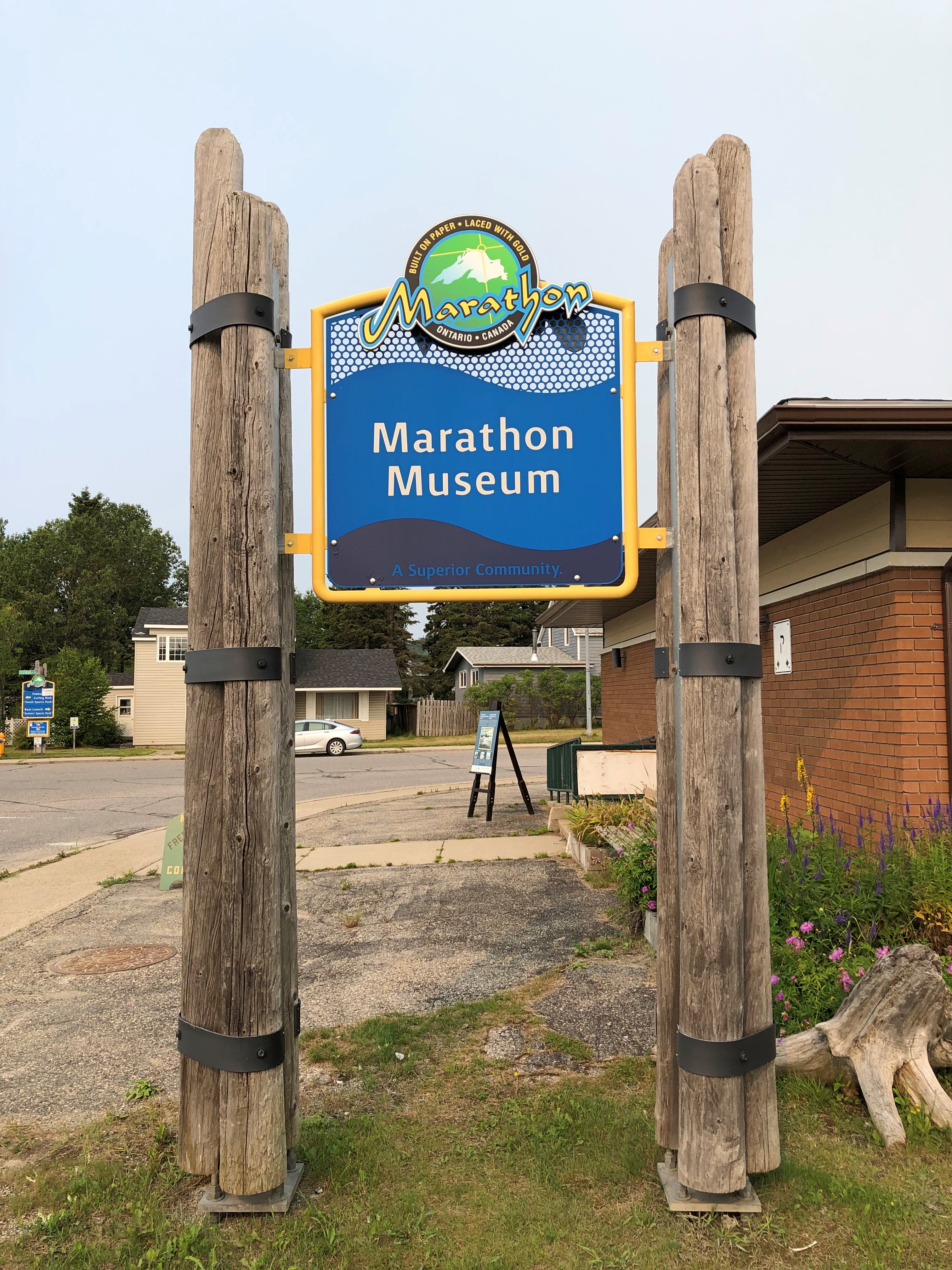
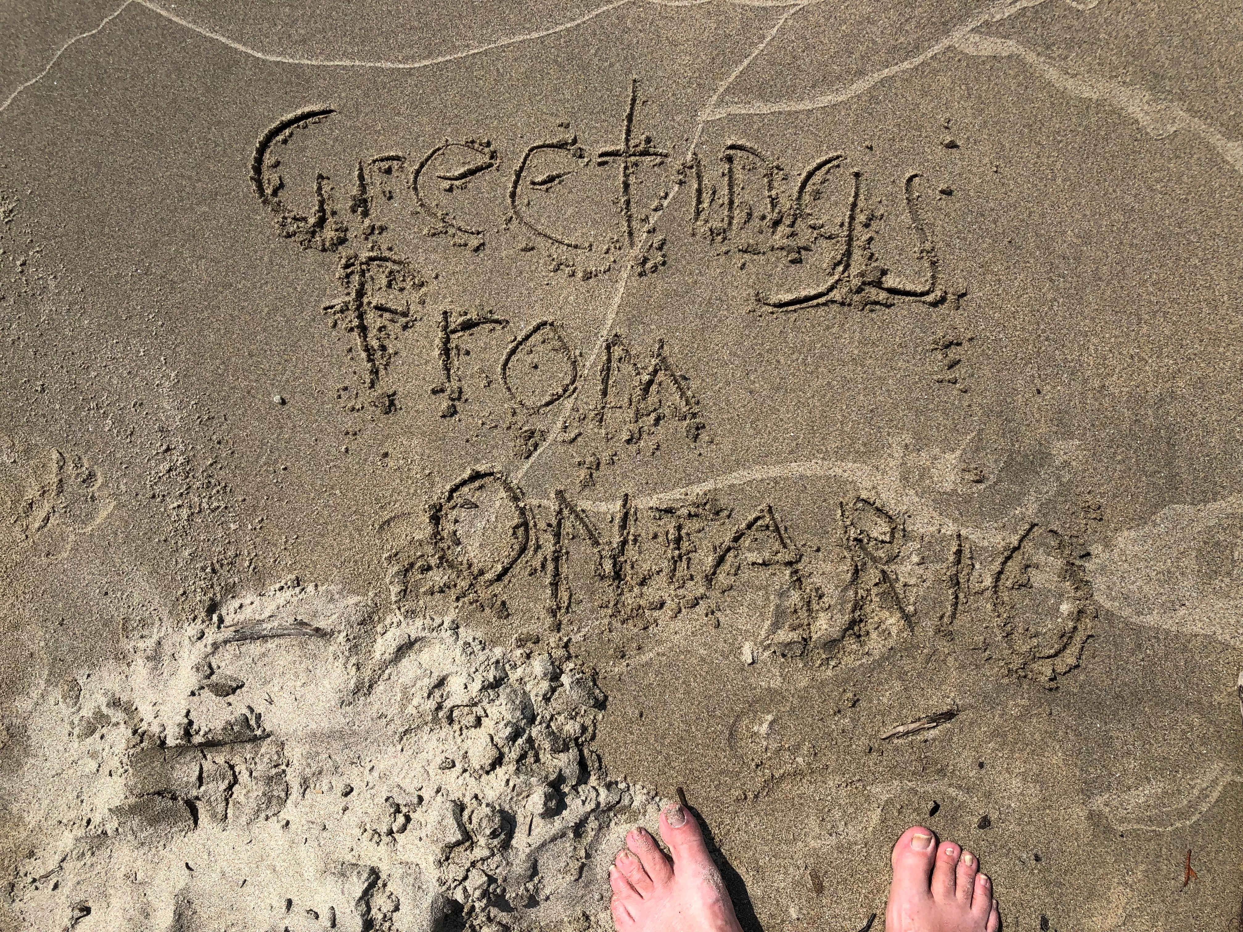
Been a fairly mild summer so far, at least here in northern Illinois, but we might actually hit 100 degrees F. later this week. Topped 90 today.
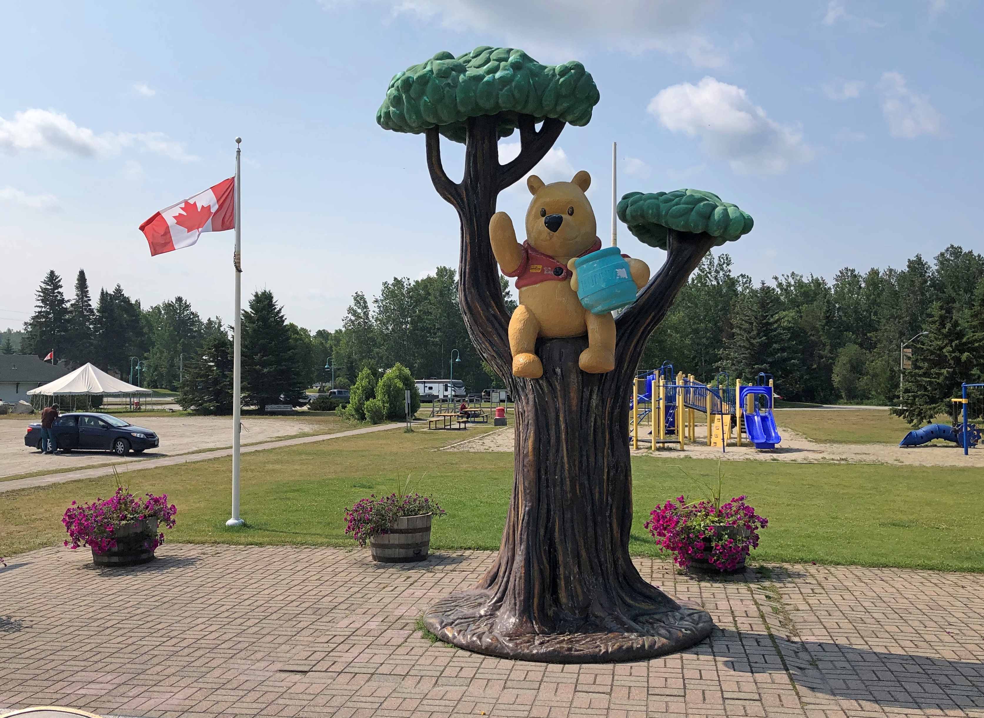
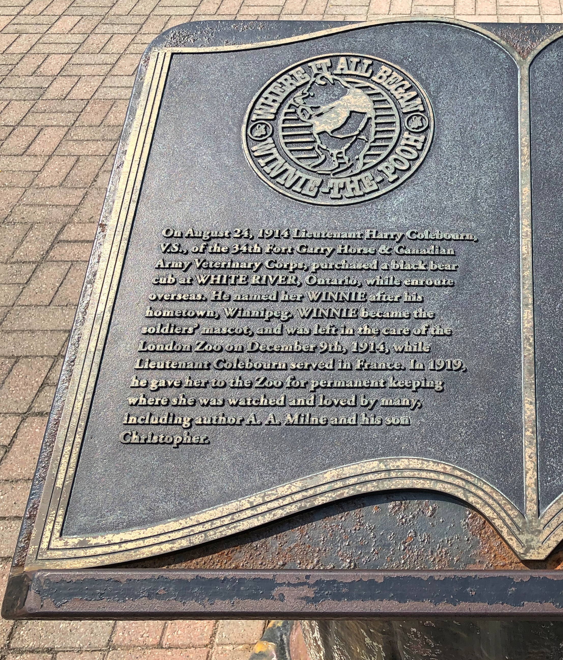
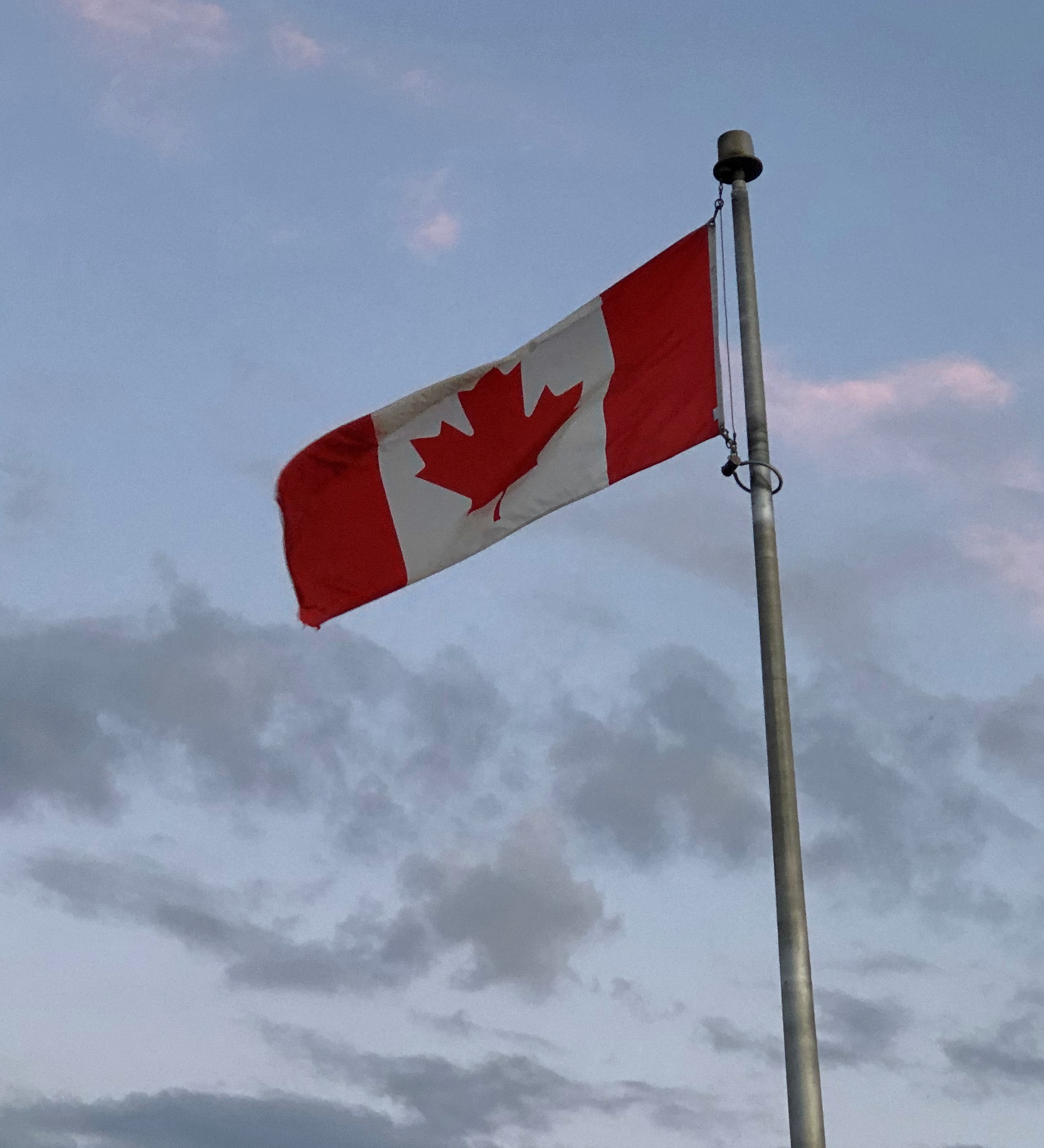
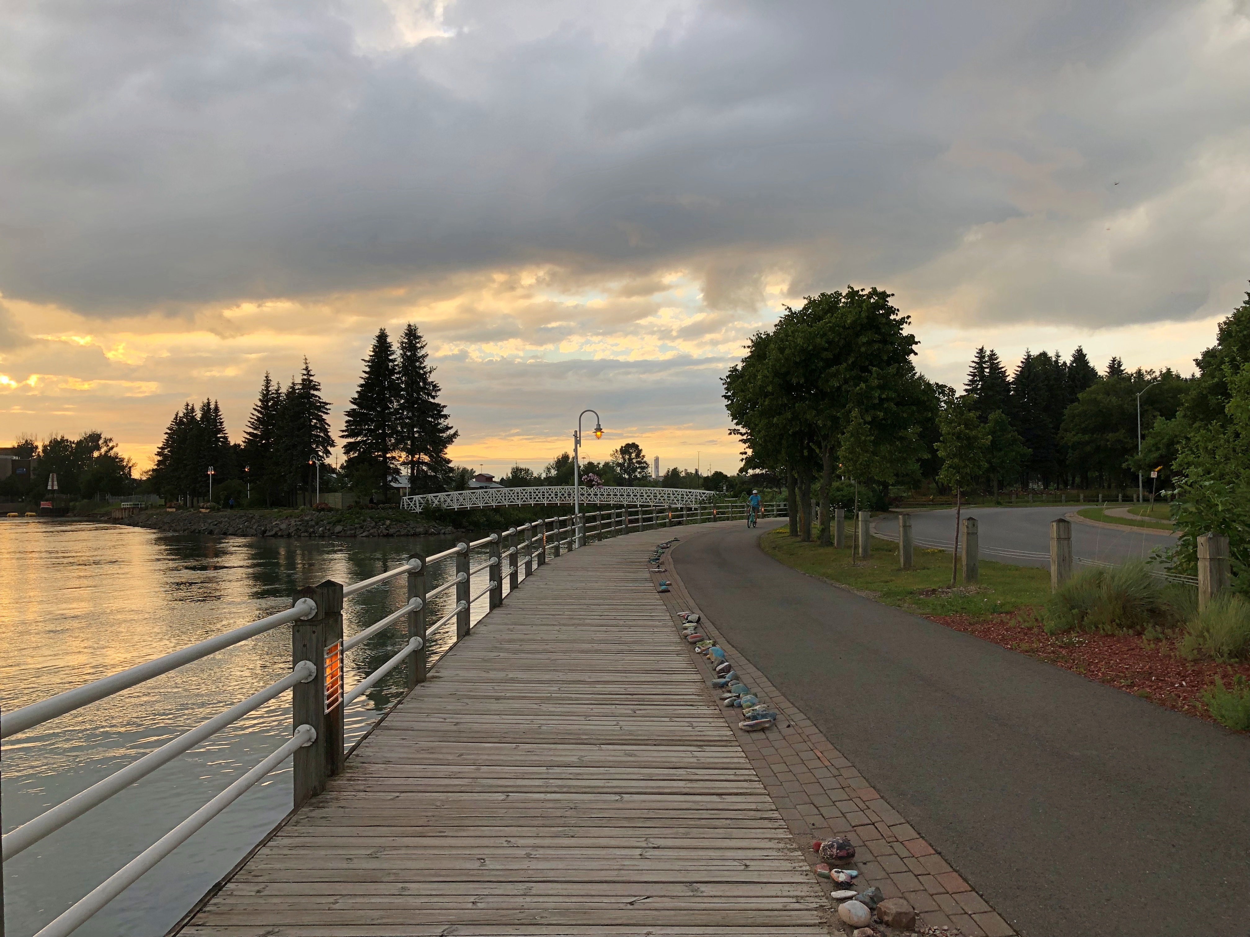
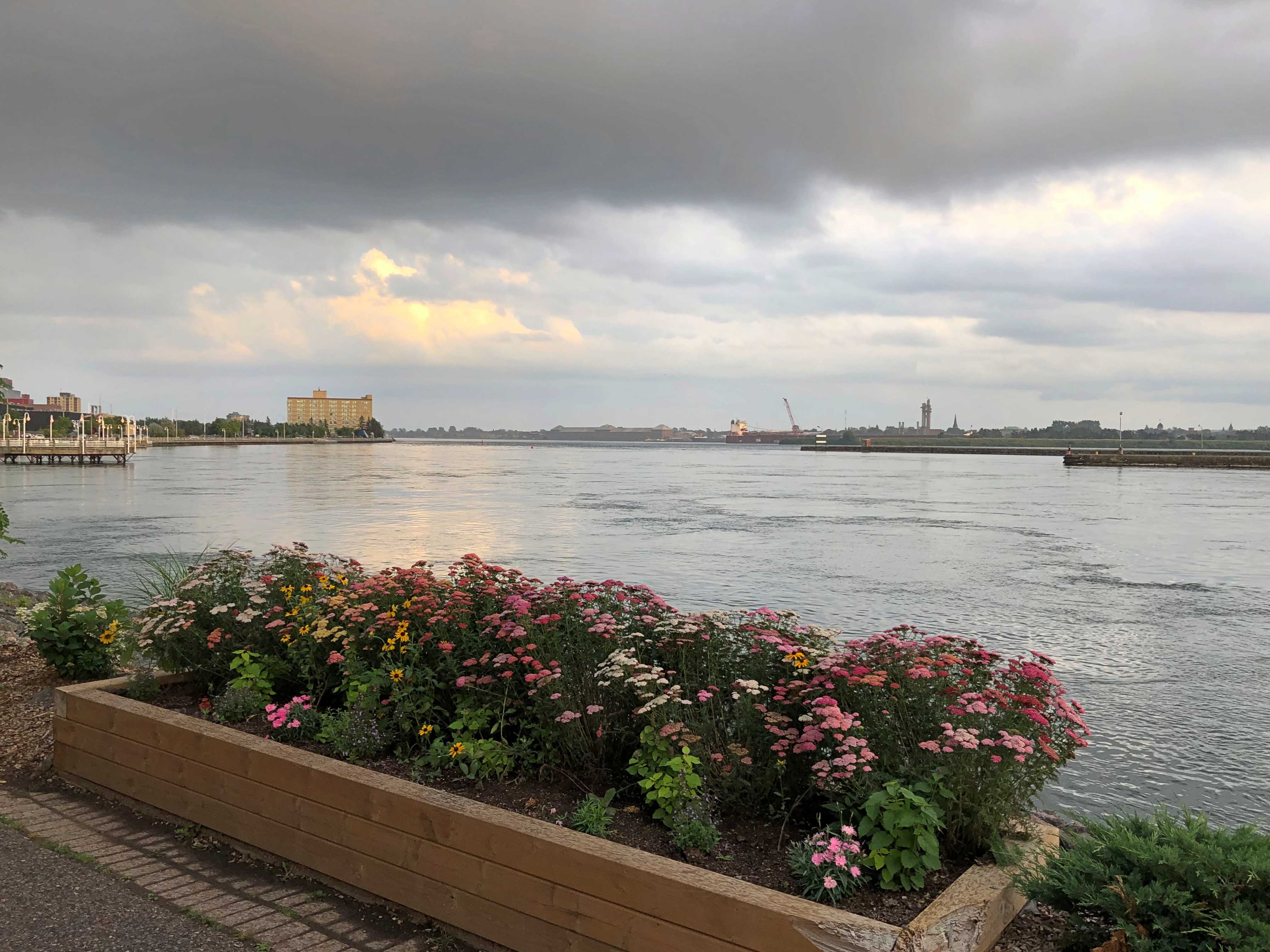
I spent two nights in the Canadian Sault Ste. Marie early this month. My goal during my single day in town, August 4: ride a train away from town, through scenic parts of the Algoma District of Ontario to Agawa Canyon Park, nearly 130 miles round trip. I’ve known about the place for over 20 years, since I read this 2000 article by Chicago Tribune staffer Toni Stroud. 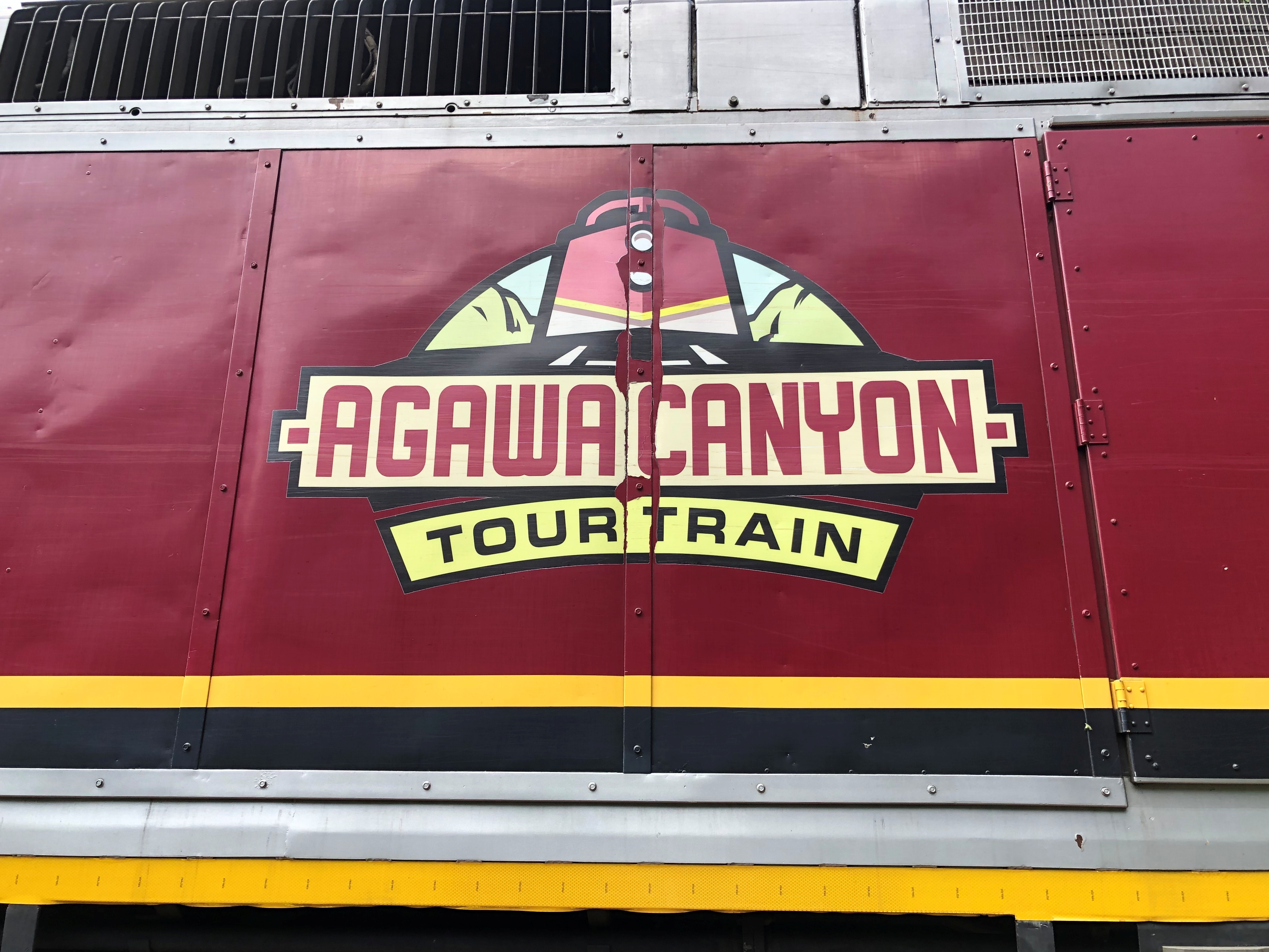
The Agawa Canyon Tour Train leaves from a station in Sault Ste. Marie early in the morning. To be exact, 8 a.m. I was there to catch it.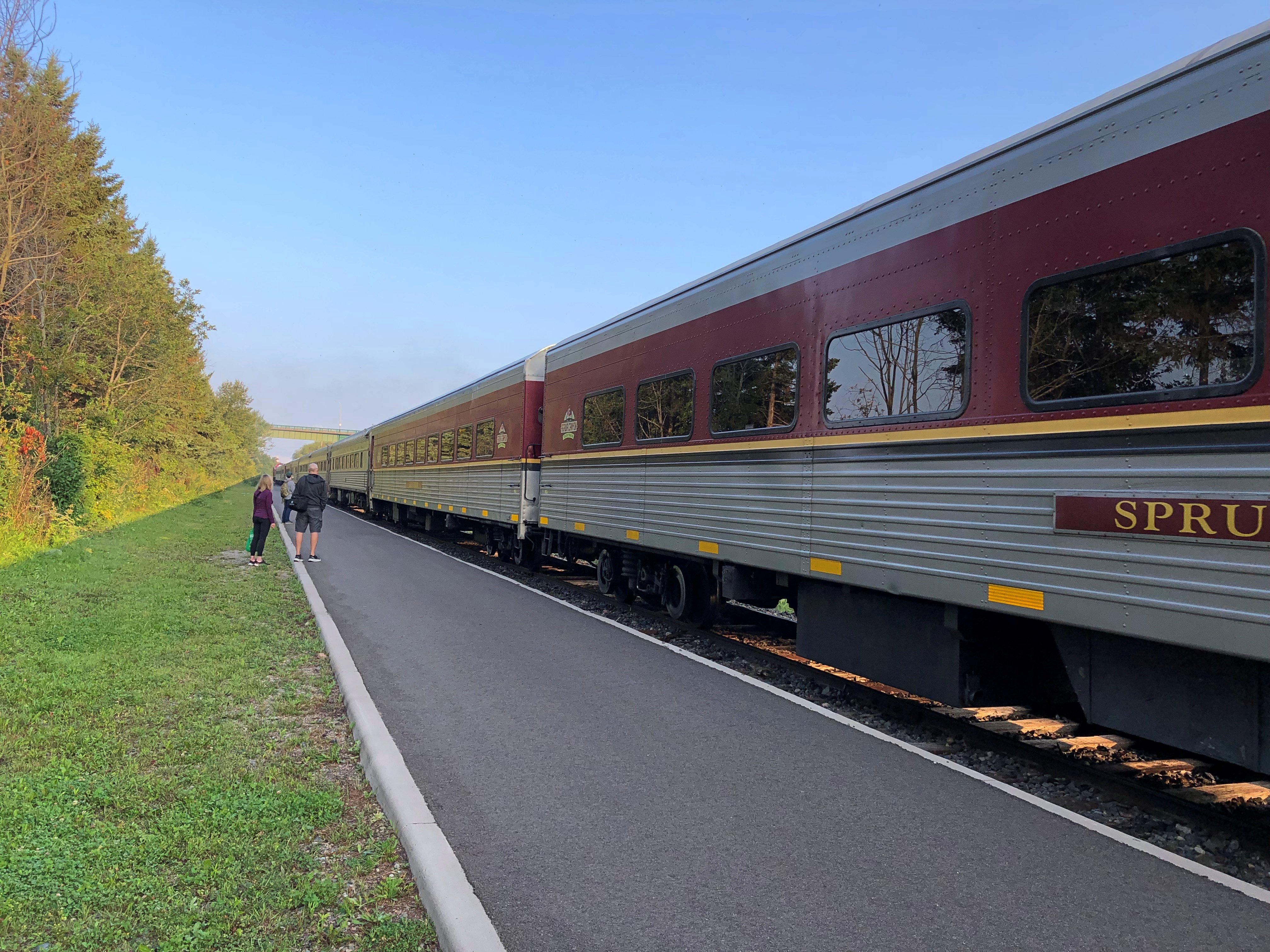
I’d booked in advance, concerned that it would be a full train. Turns out I could have shown up, at least that Friday, and bought a ticket. My car wasn’t empty, but it could have held several times as many people without issue.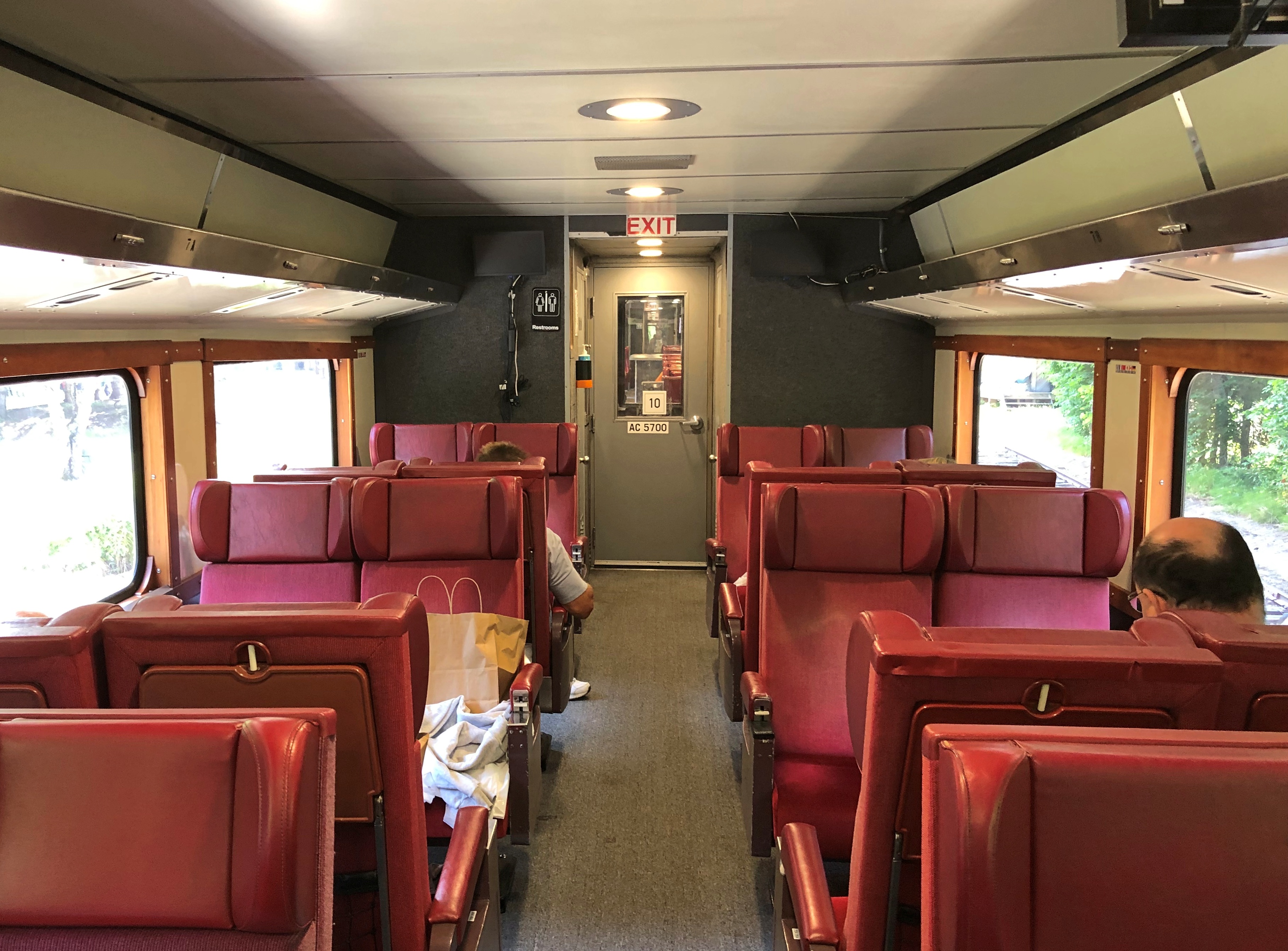
The light load meant that I had a four-seat section all to myself, which made for a comfortable ride, especially when I felt like propping up my feet.
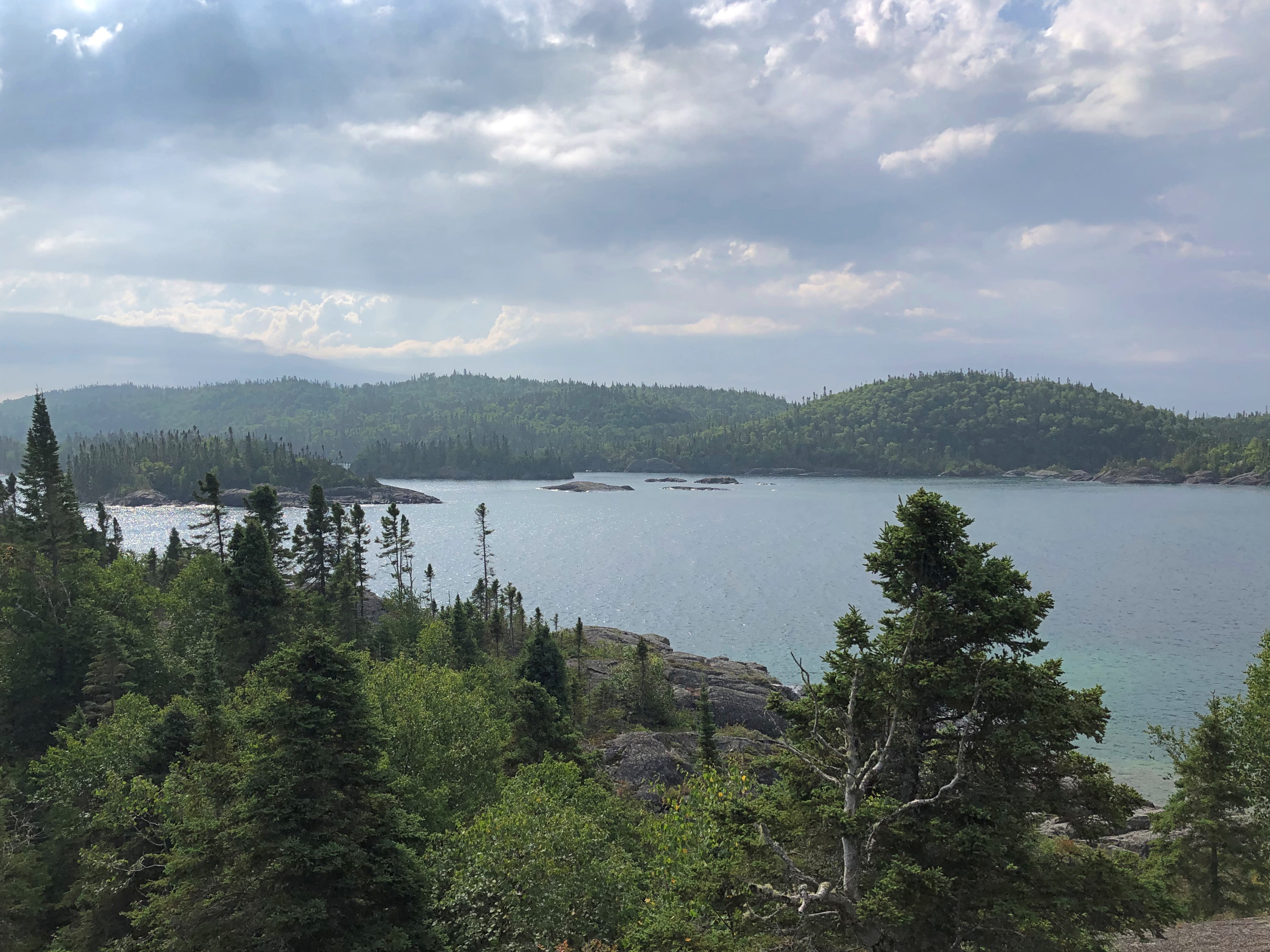
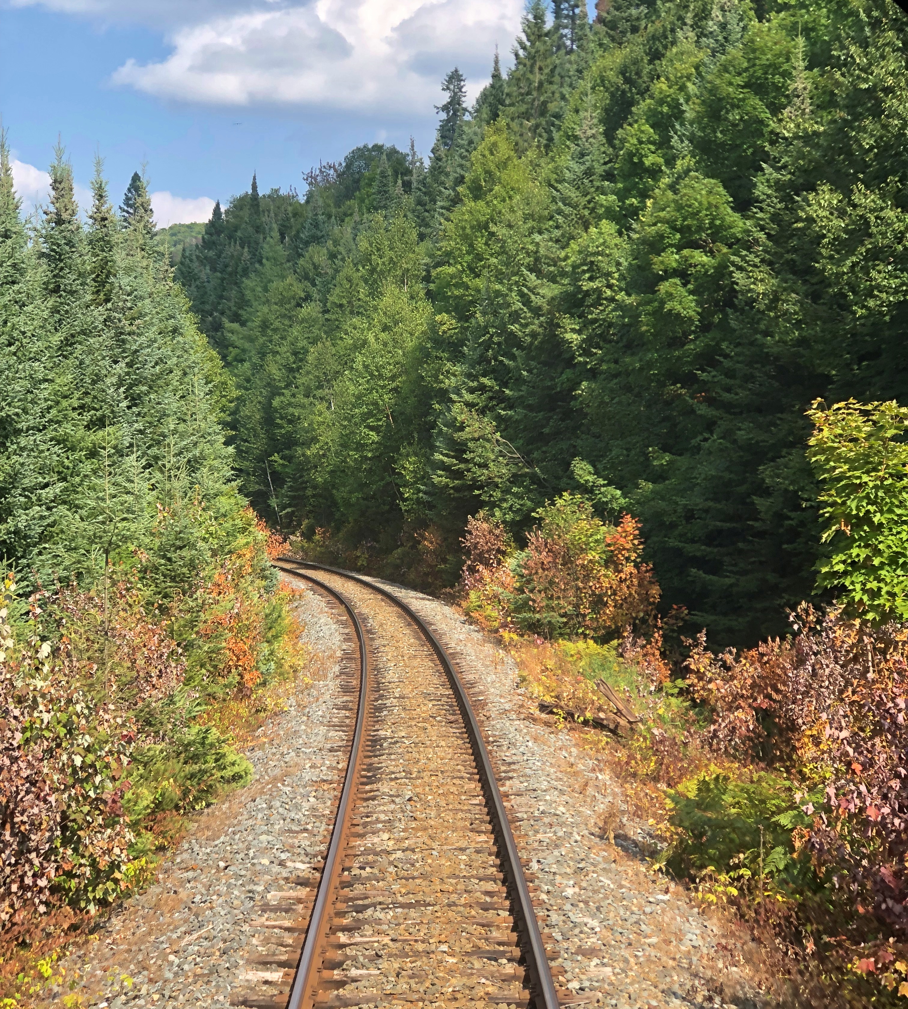
The ride to the canyon is about four and a half hours. The thing to do on the way is watch the countryside roll by.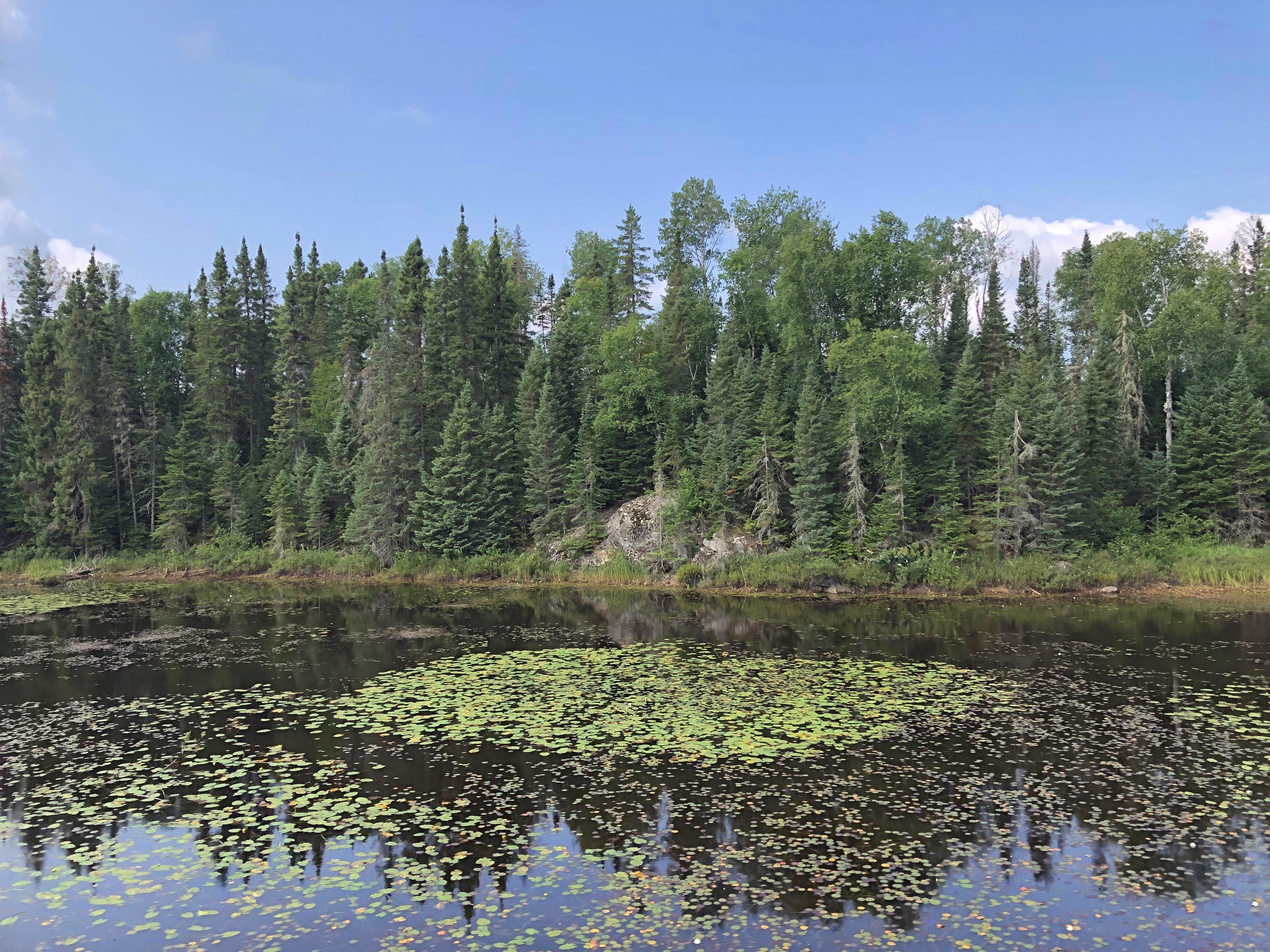
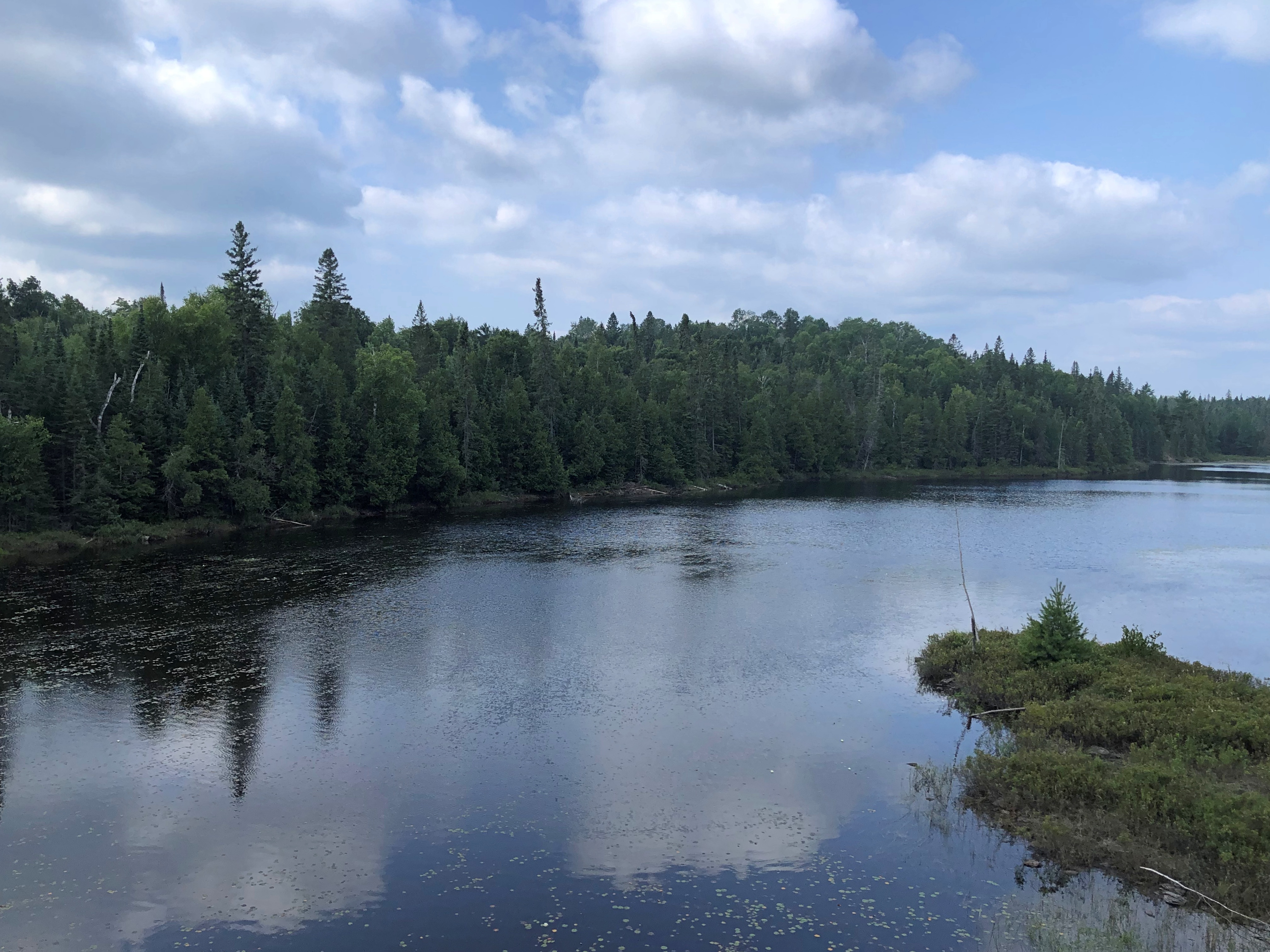
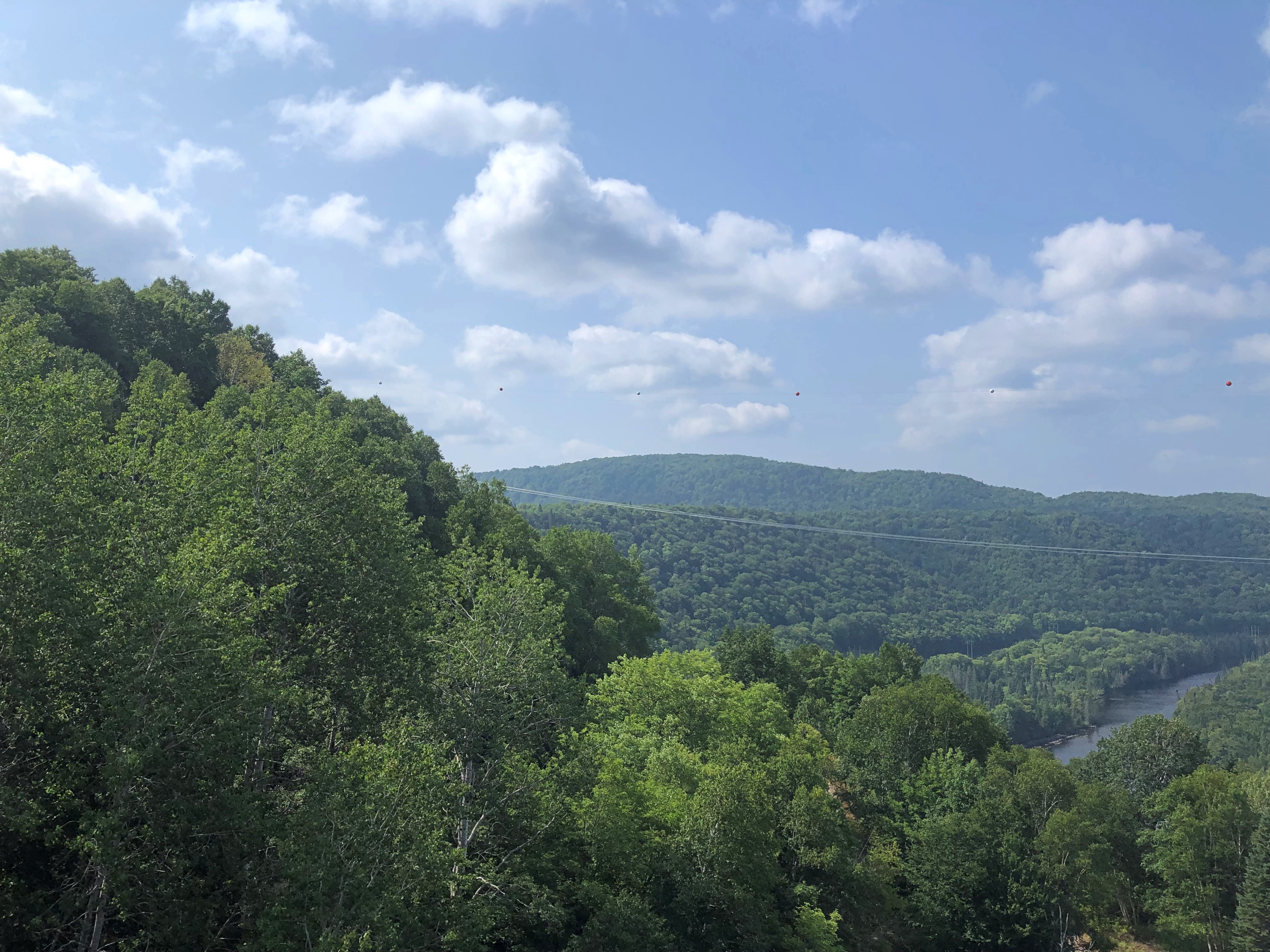
And listen to the periodic narration, which offered information about the lakes and rivers we passed, the forests around us, and the trestles the train crossed – as high as 130 feet in the case of one that’s about 1,500 feet long, an arc that makes it seem like the train’s tonnage is gliding over tree tops.
We also heard about the history of the region, and the line, the Algoma Central, which was built as a working RR to facilitate mineral extraction and other commerce. The line goes all the way the Hearst, Ontario, well beyond the Agawa Canyon, and indeed is still a working line, though I understand the tourist run is a separate entity these days.
Somehow, I wasn’t surprised to find out that Stompin’ Tom Connors recorded a song about the line, “Algoma Central 69.” I’m beginning to think that if it’s distinctly Canadian, he did a song about it.
I’d read conflicting opinions about whether the right or the left side was better for watching the scenery. Conflicting, I decided, because there didn’t really seem to be a better or worse. Each side had its share of sights. I’m sure the couple across the way from me had just as good a view as I did. They got to put up their feet, too.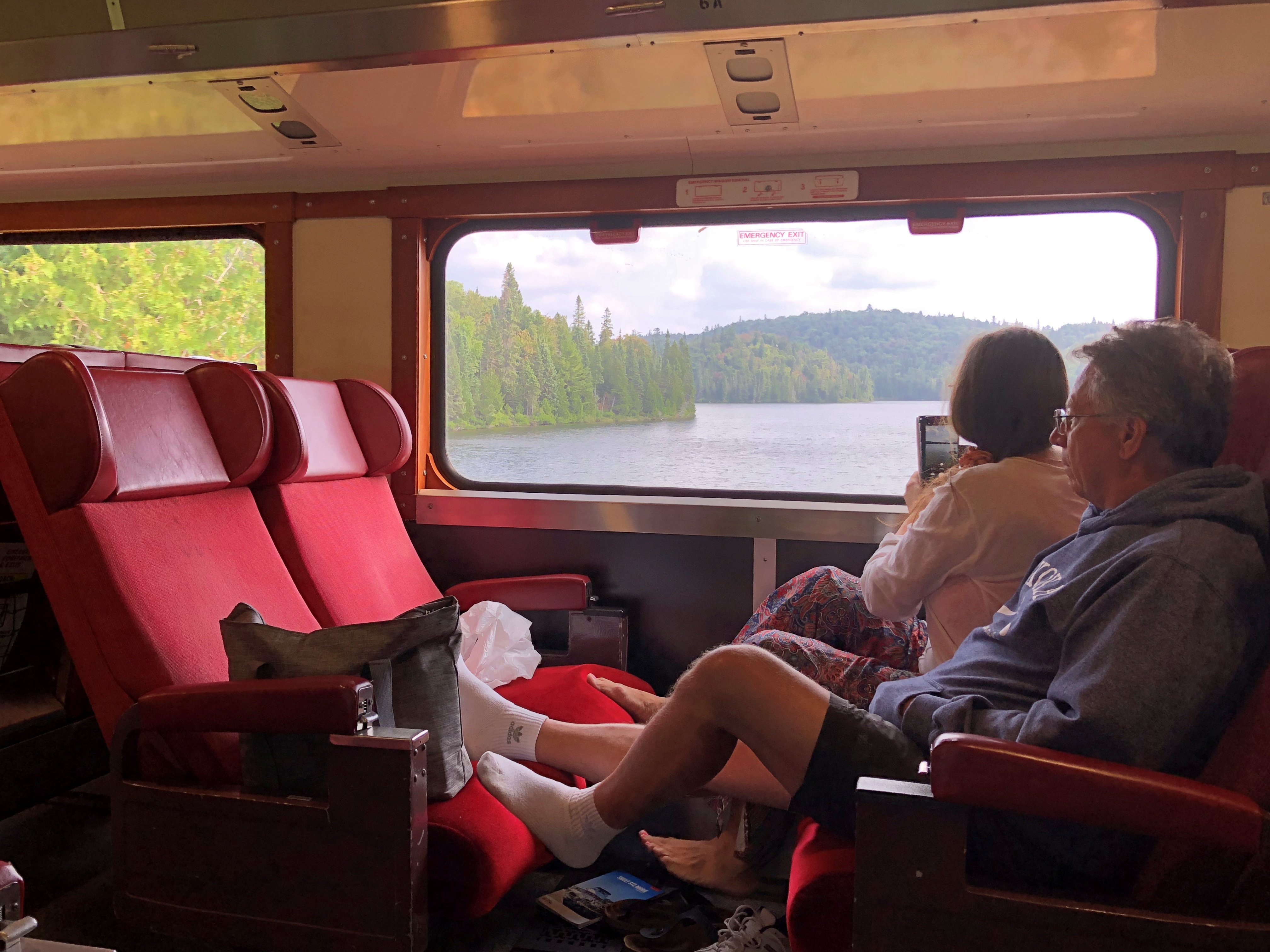
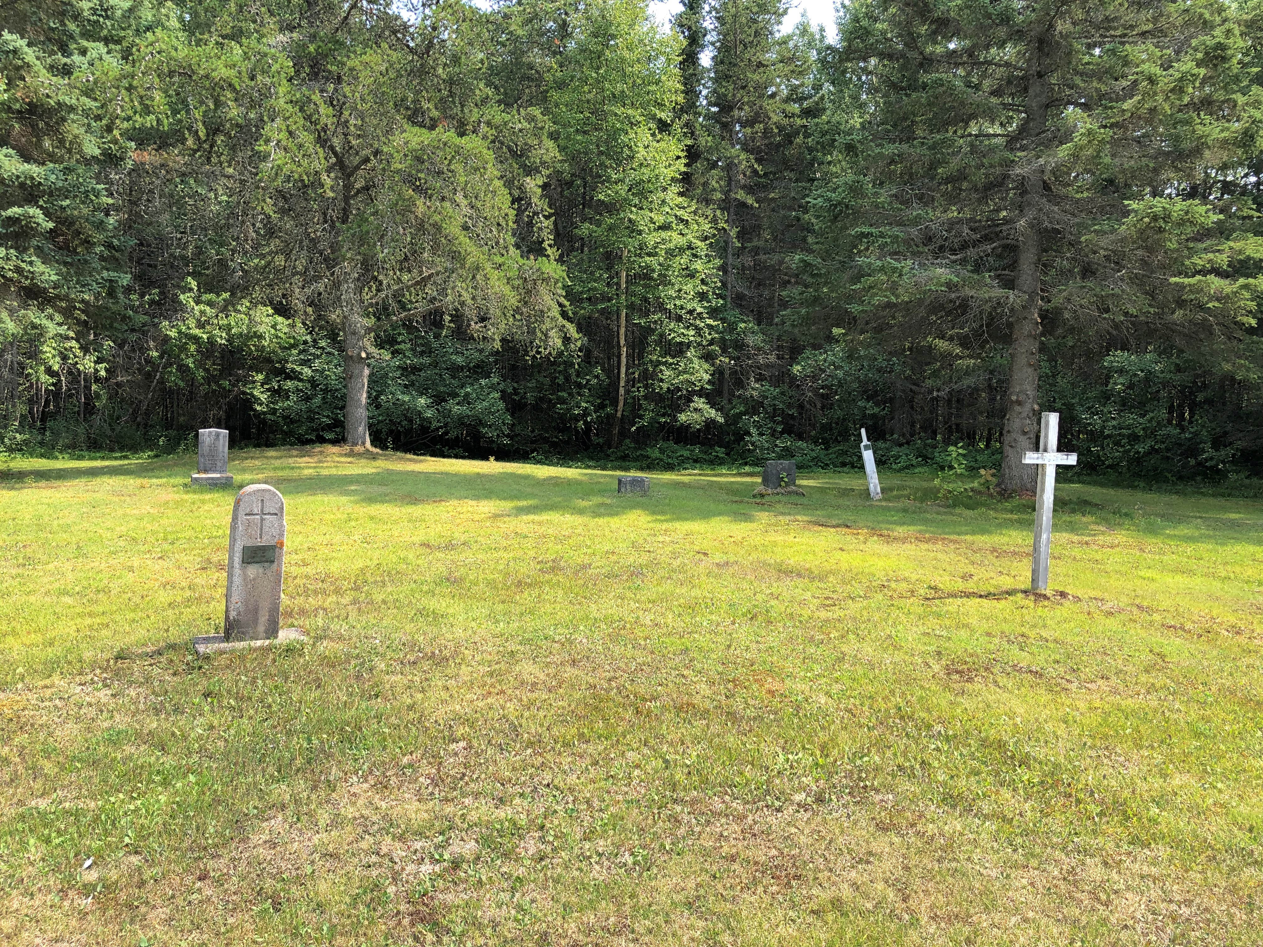
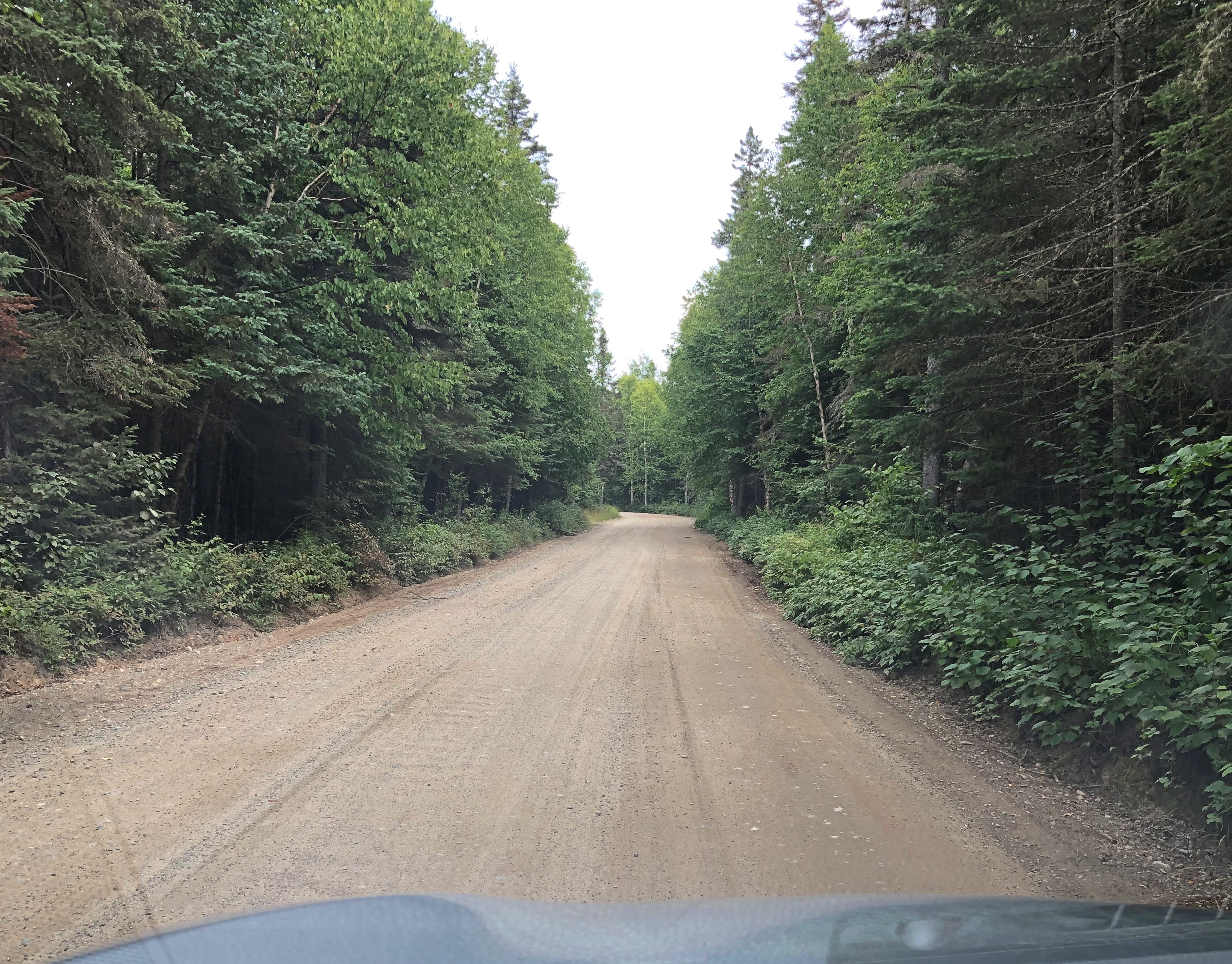
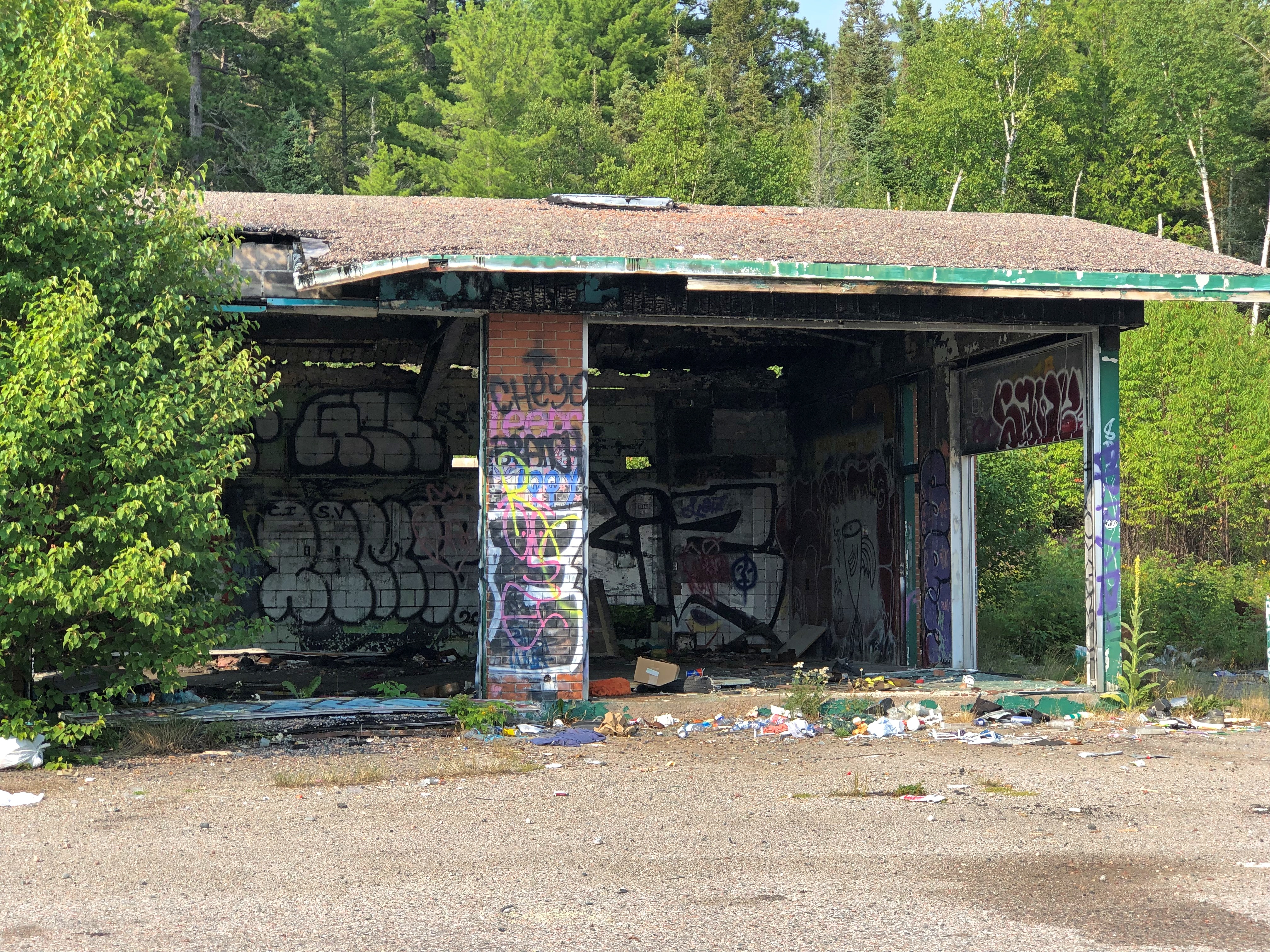
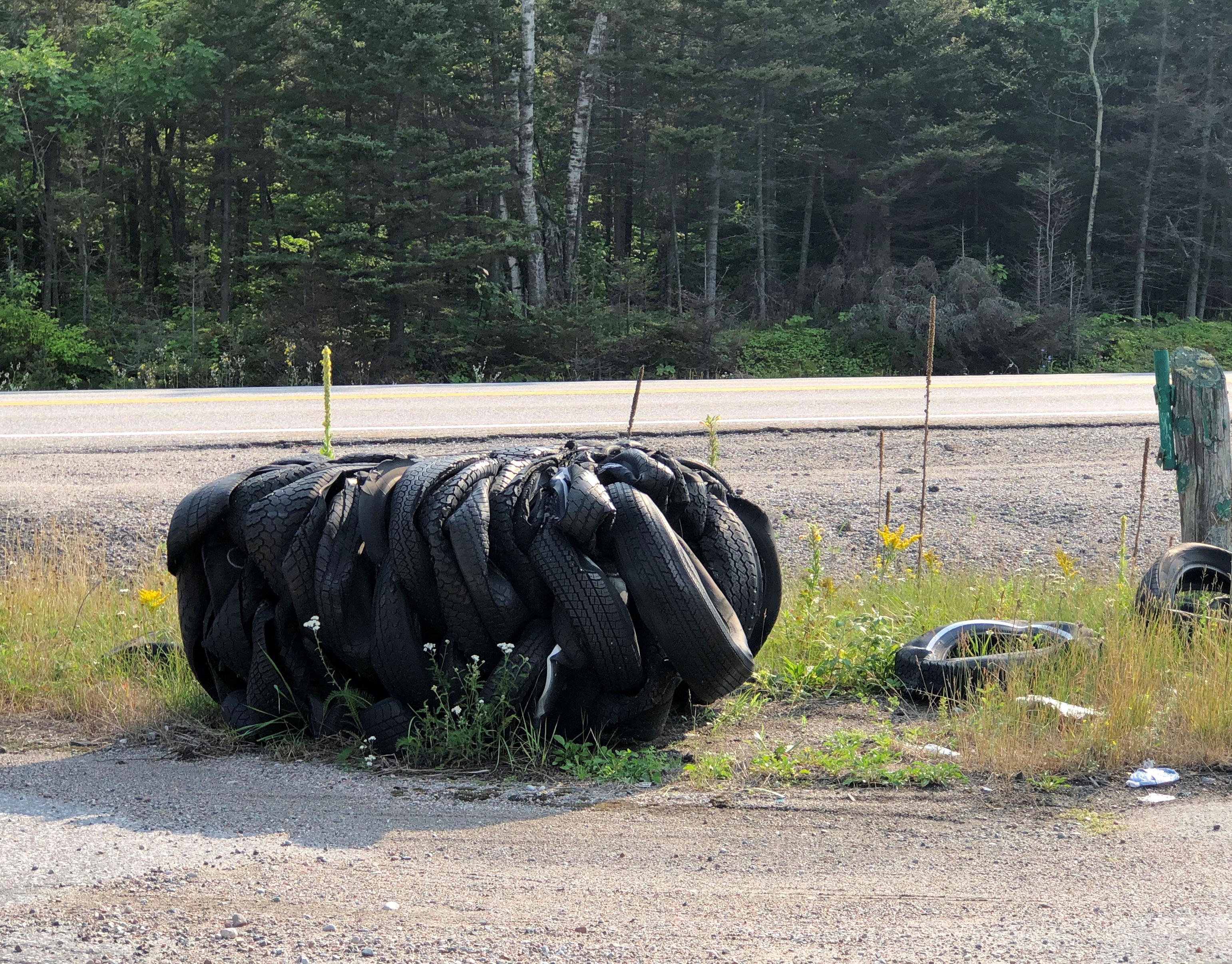
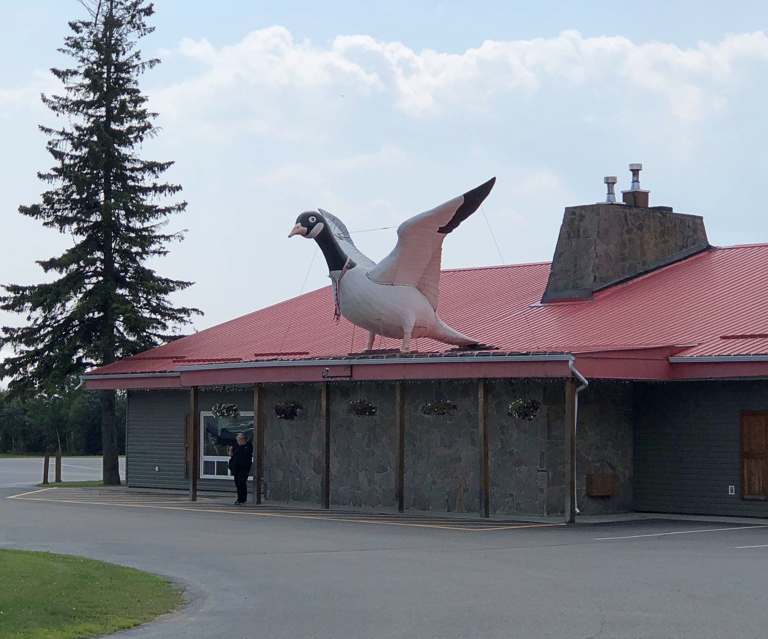
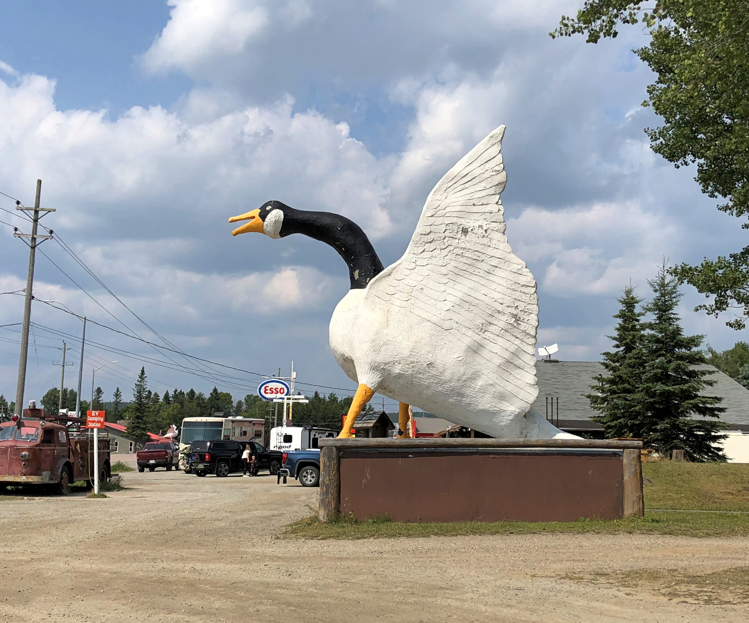
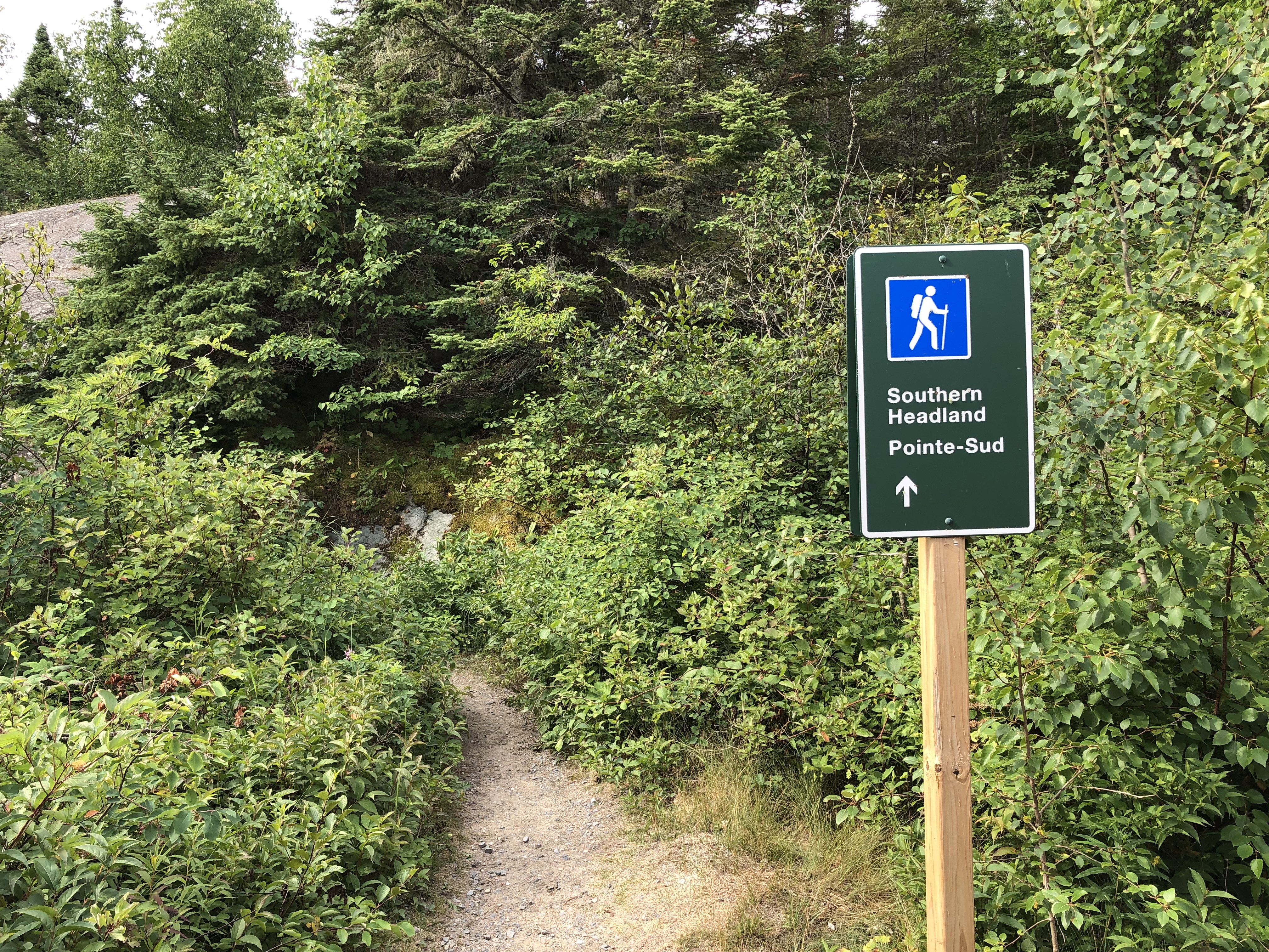
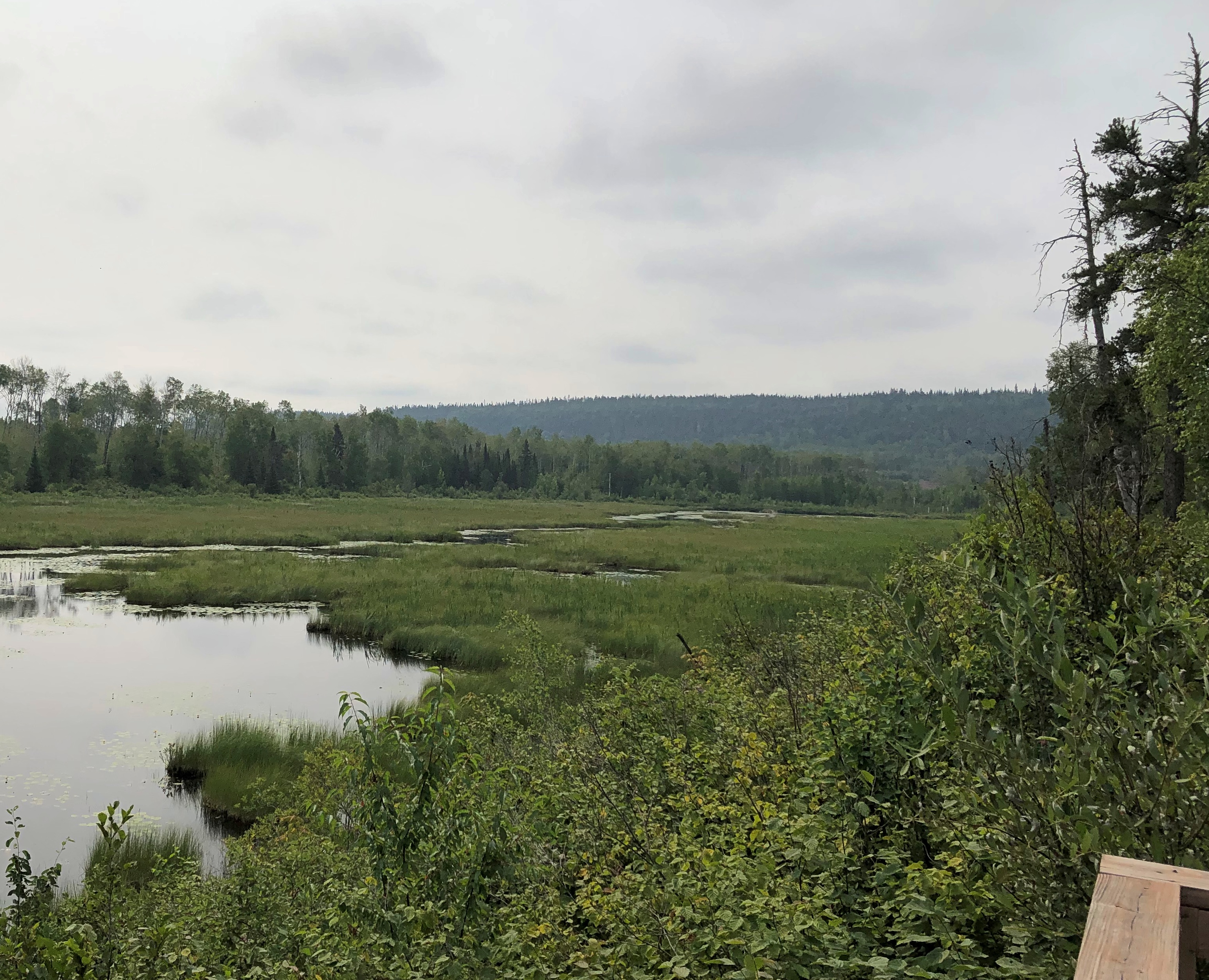
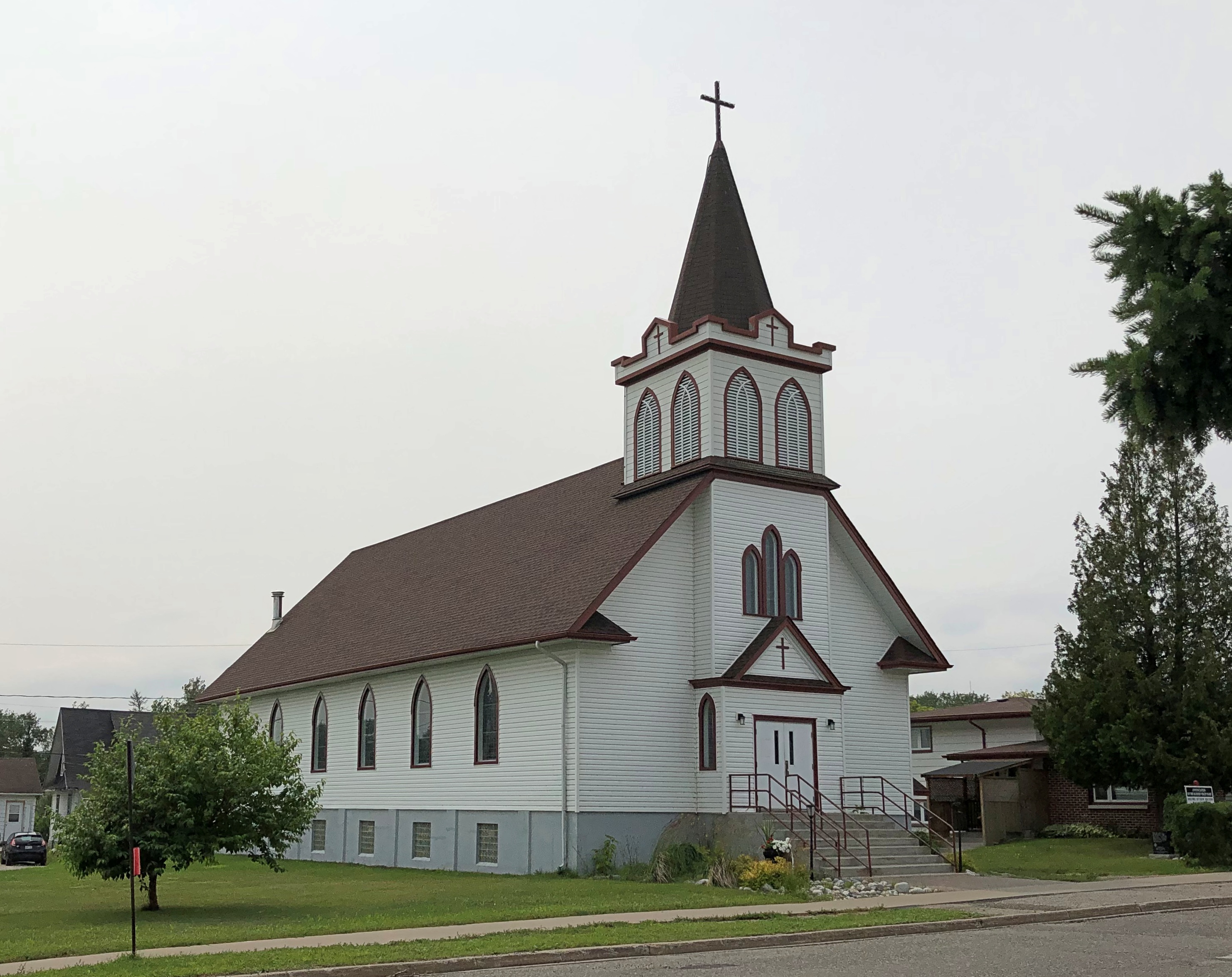
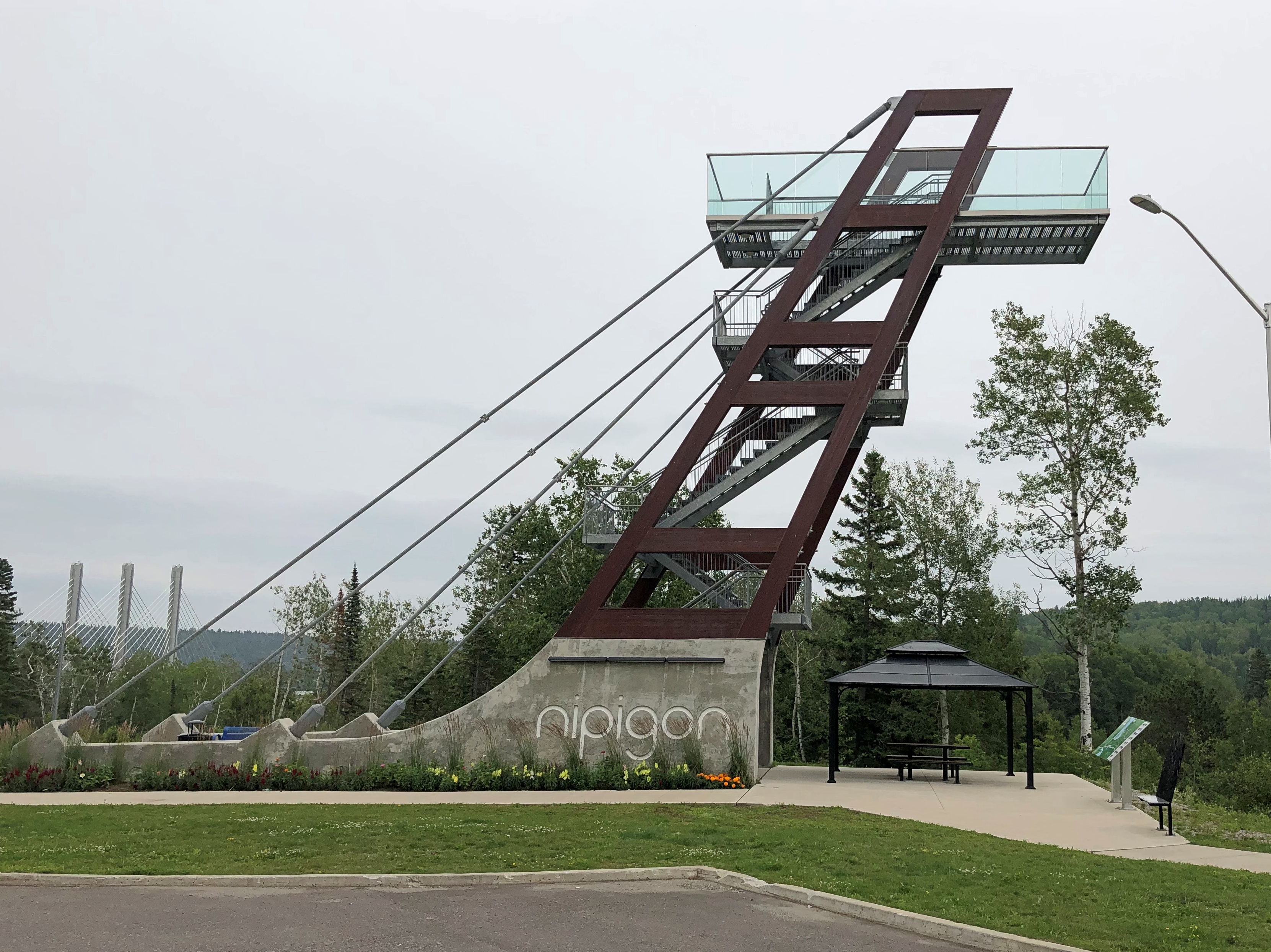
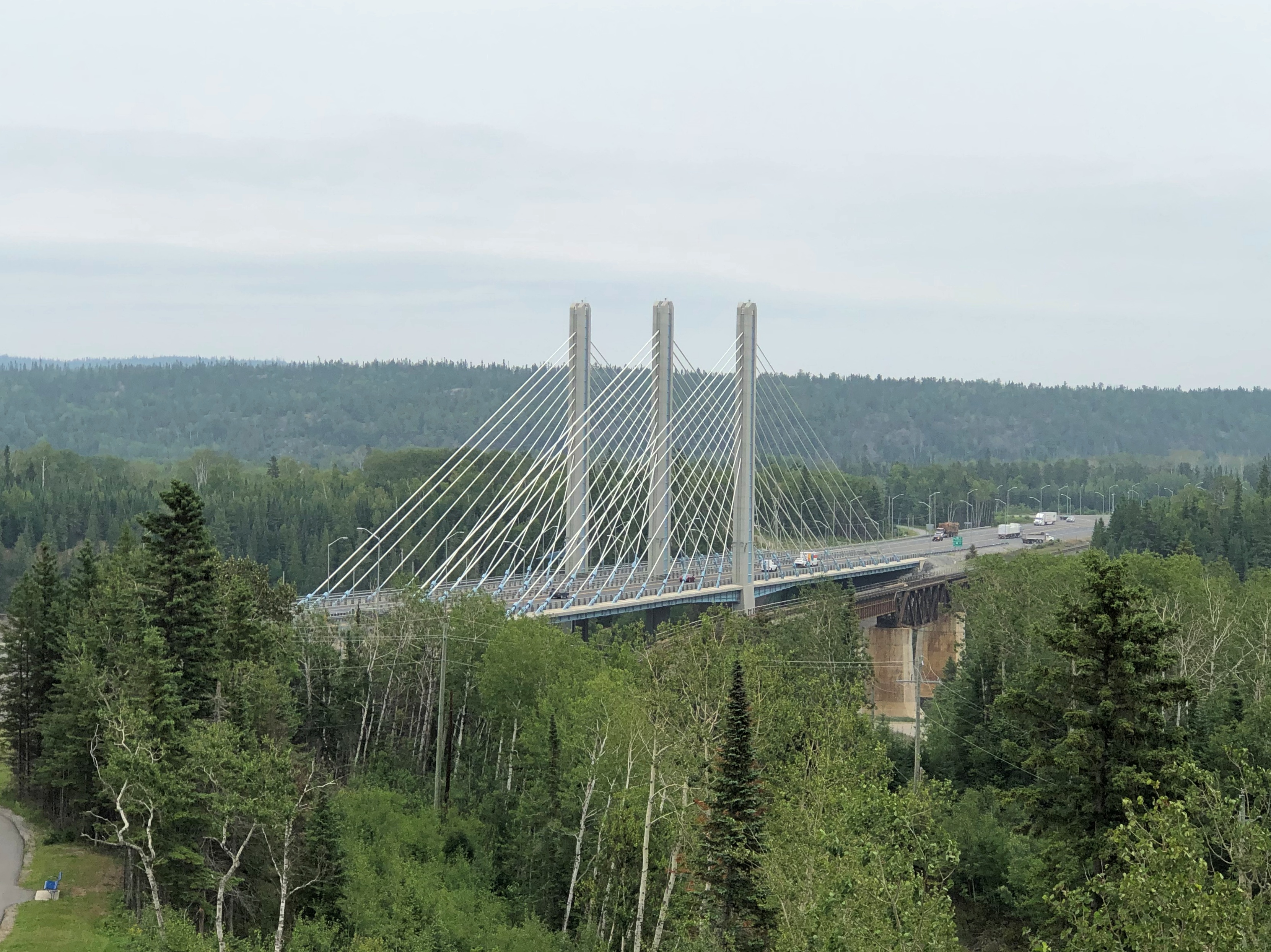
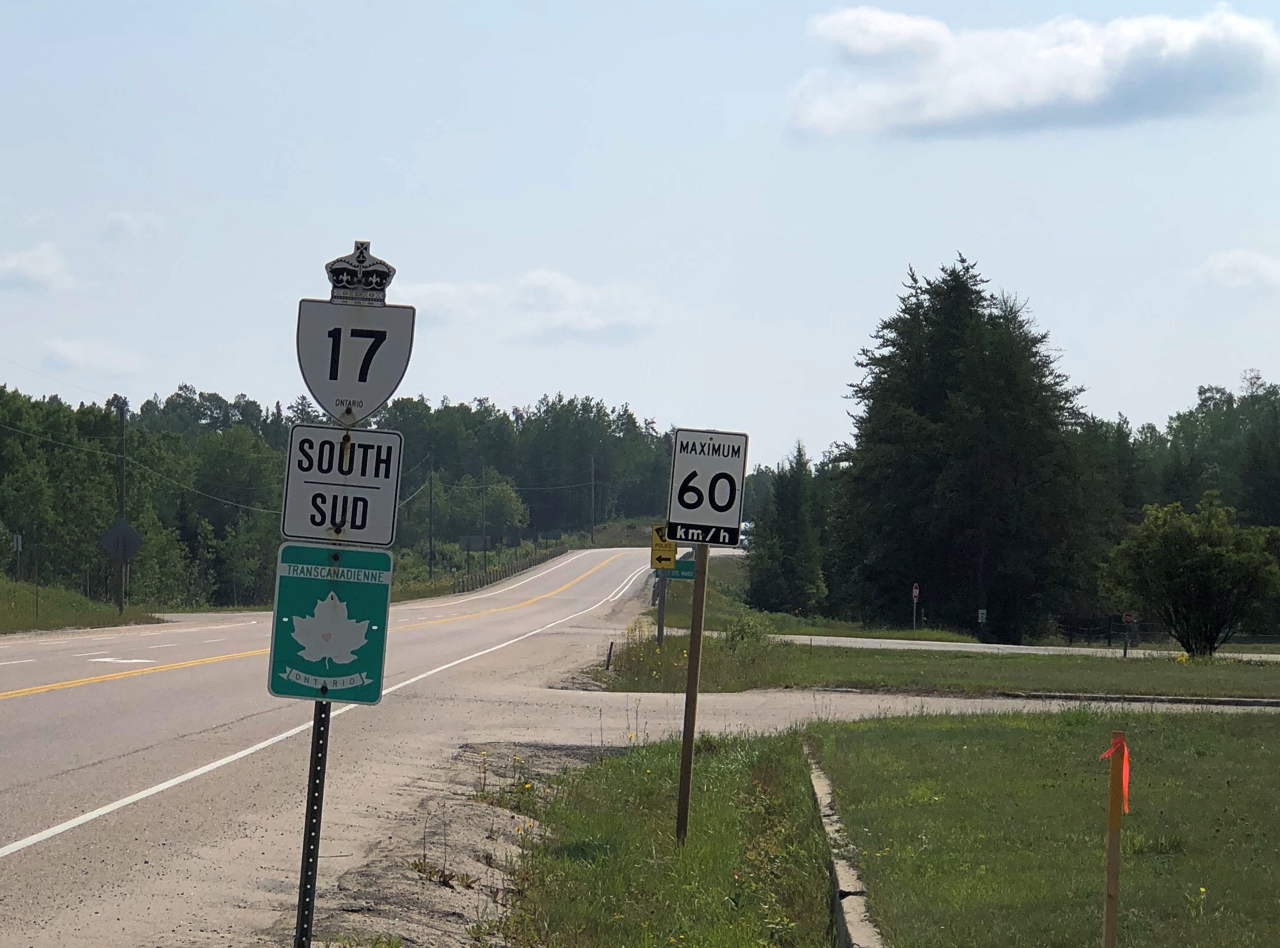
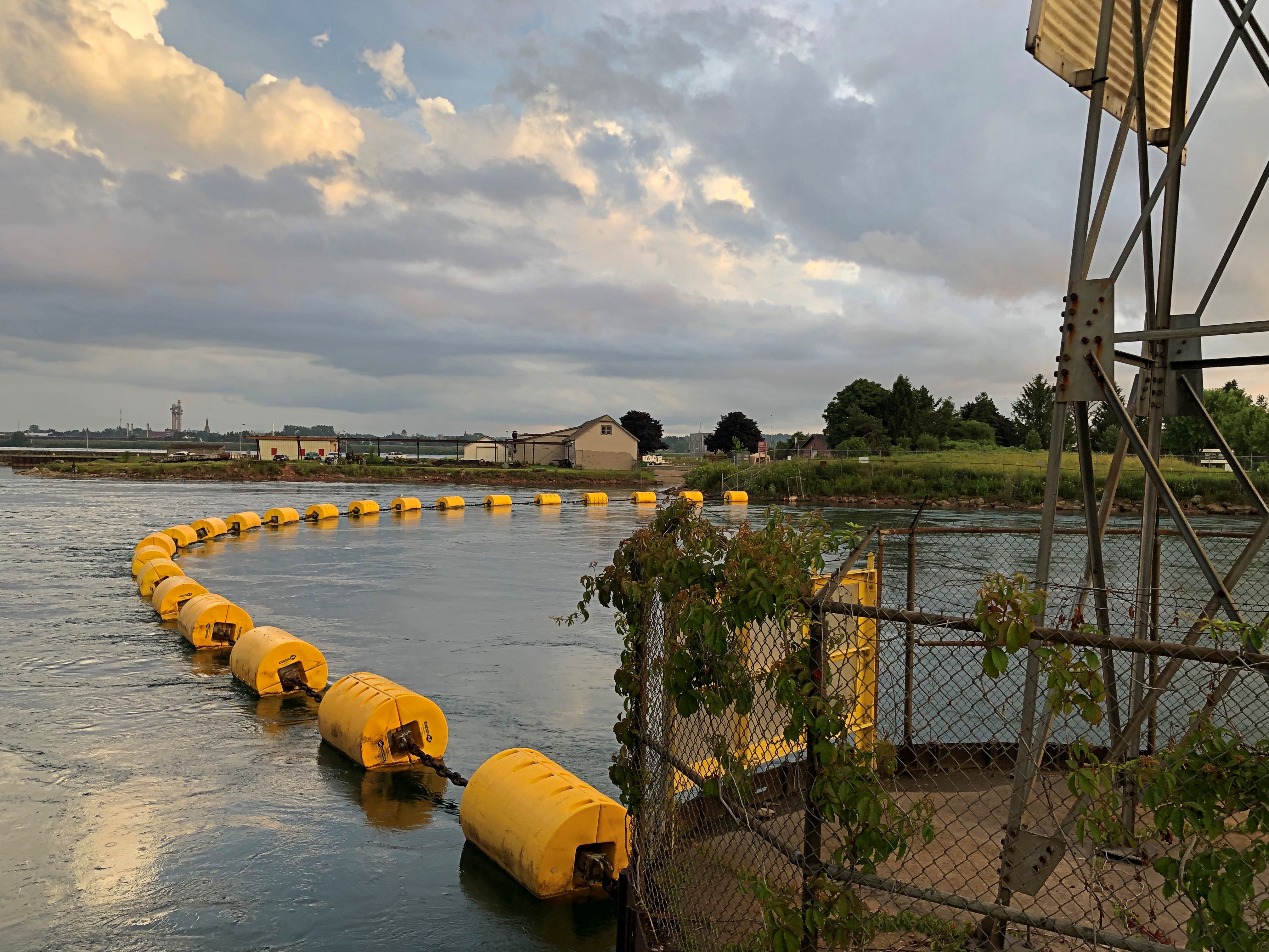
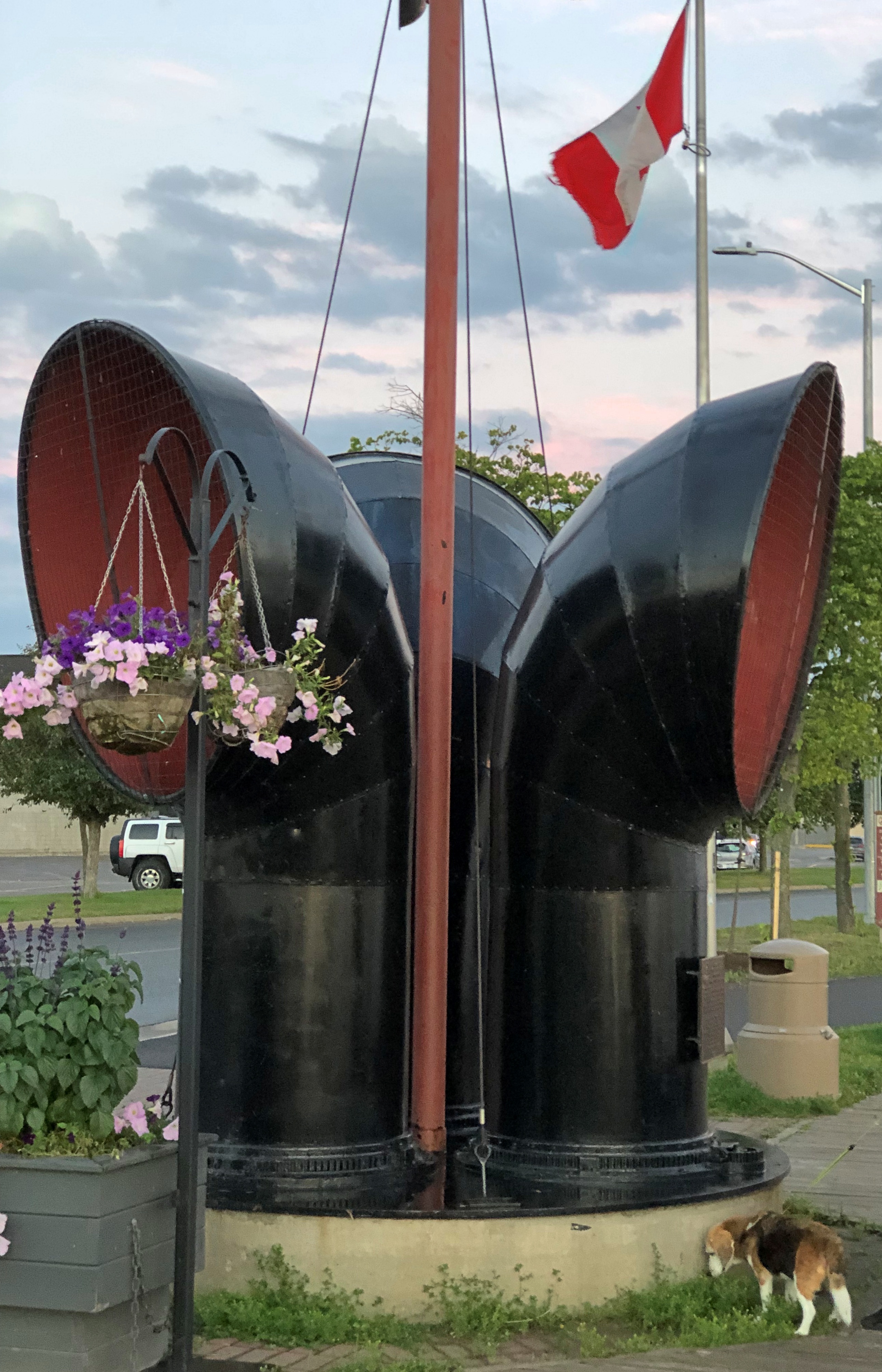
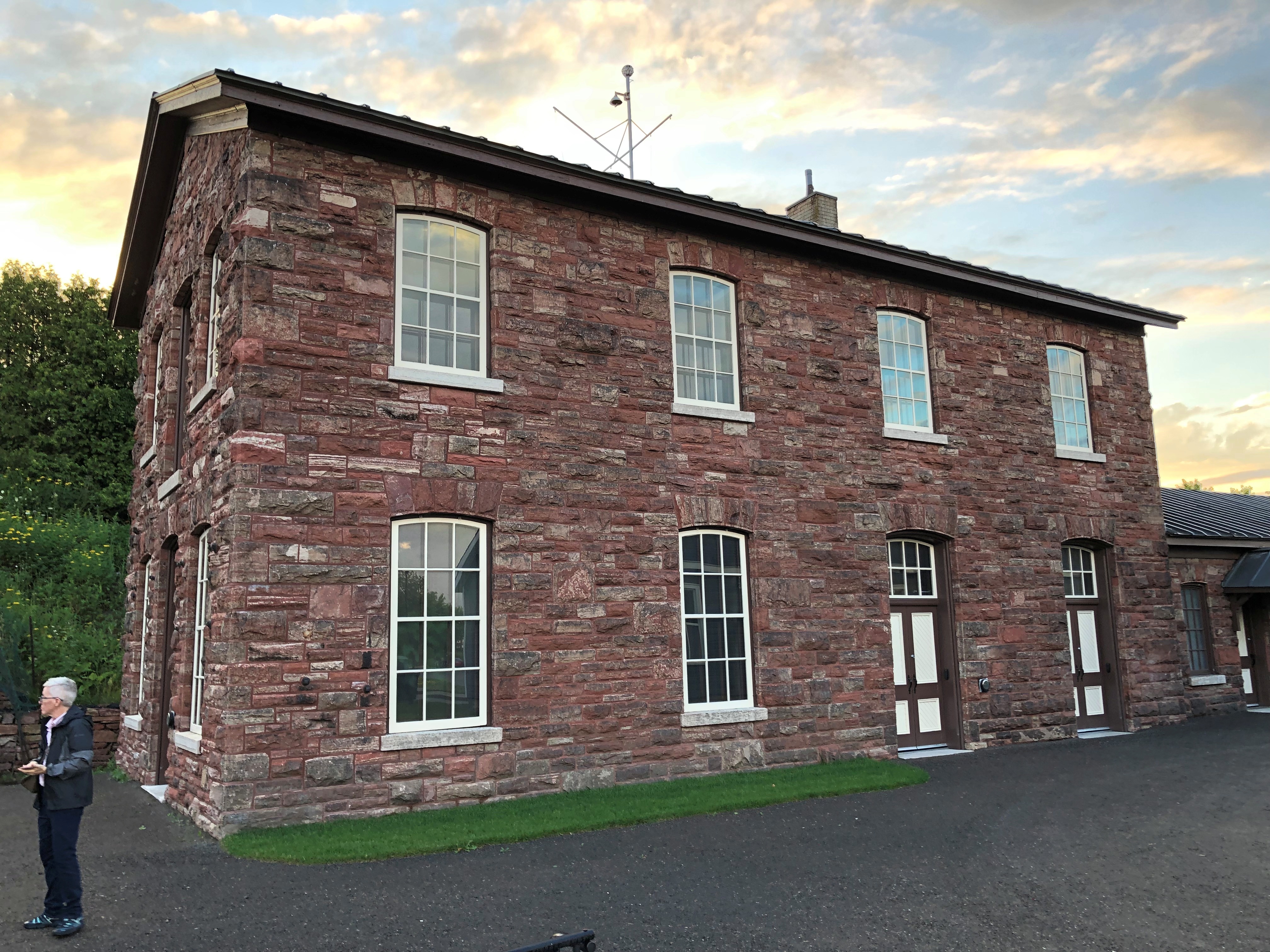
Contrary to what I expected, the train doesn’t pass through total wilderness. There aren’t any towns along the way, but there is a scattering of houses and cabins, and the tracks cross a number of roads, paved and unpaved. You also come within sight of this bit of infrastructure.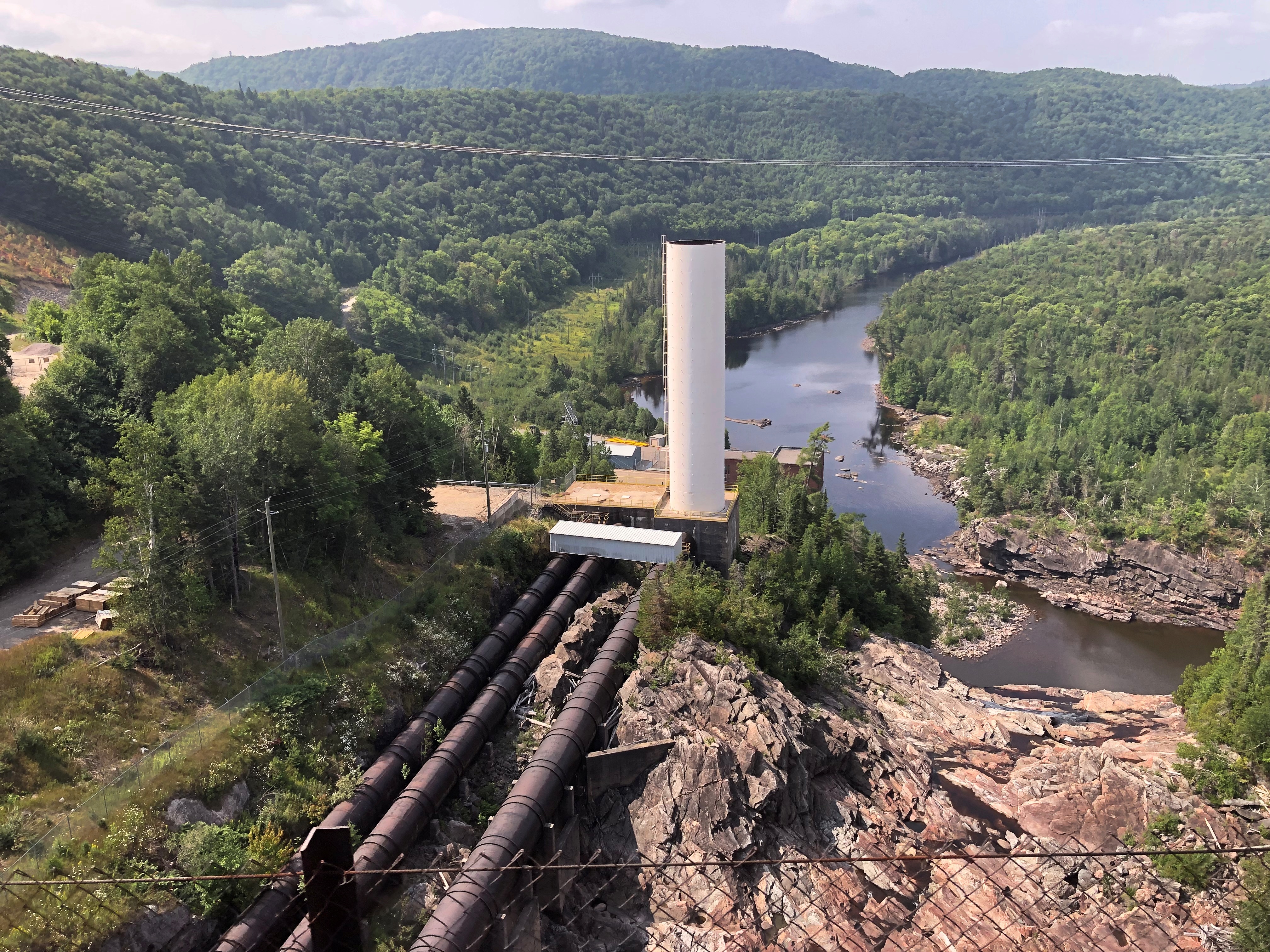
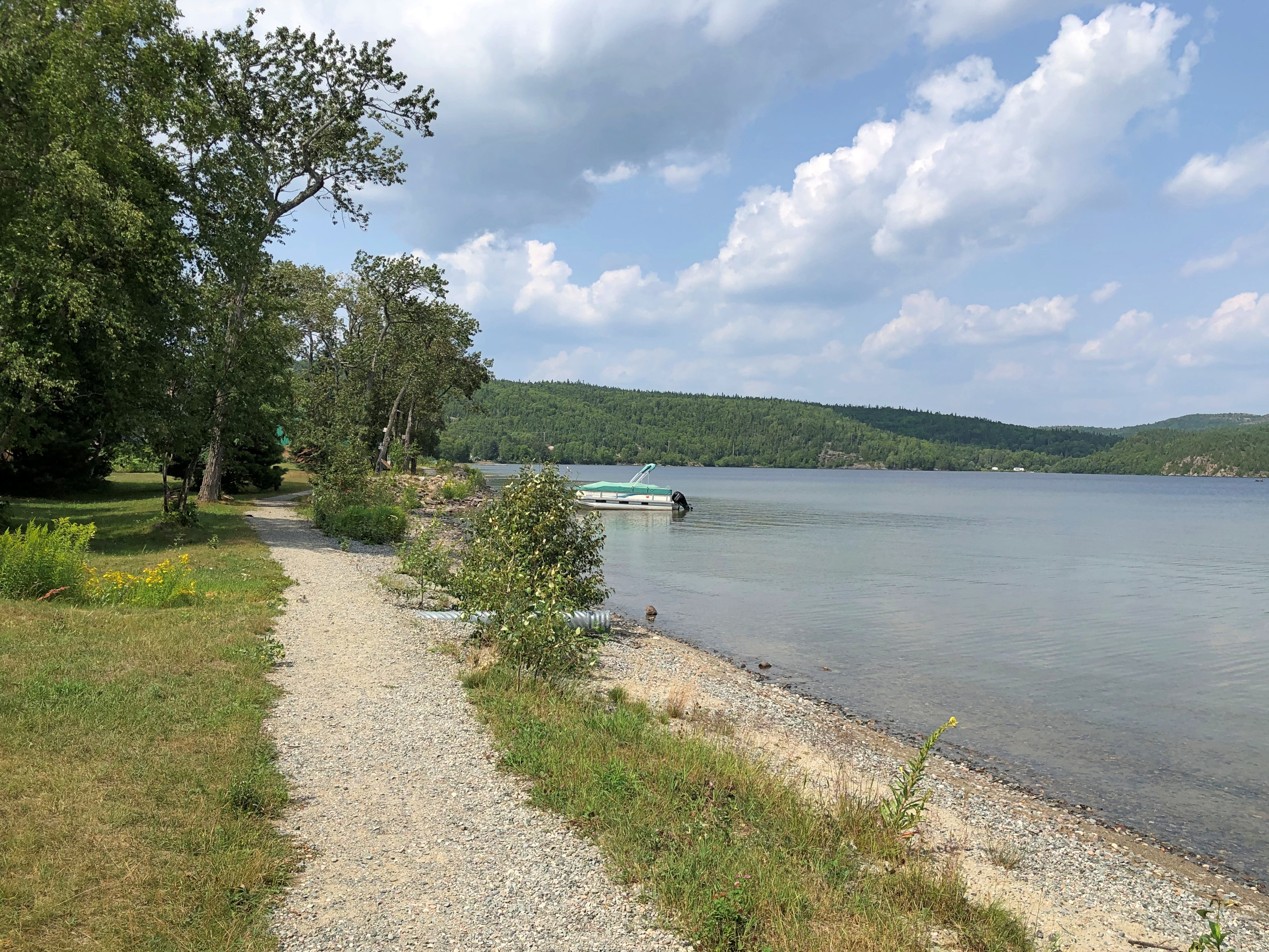
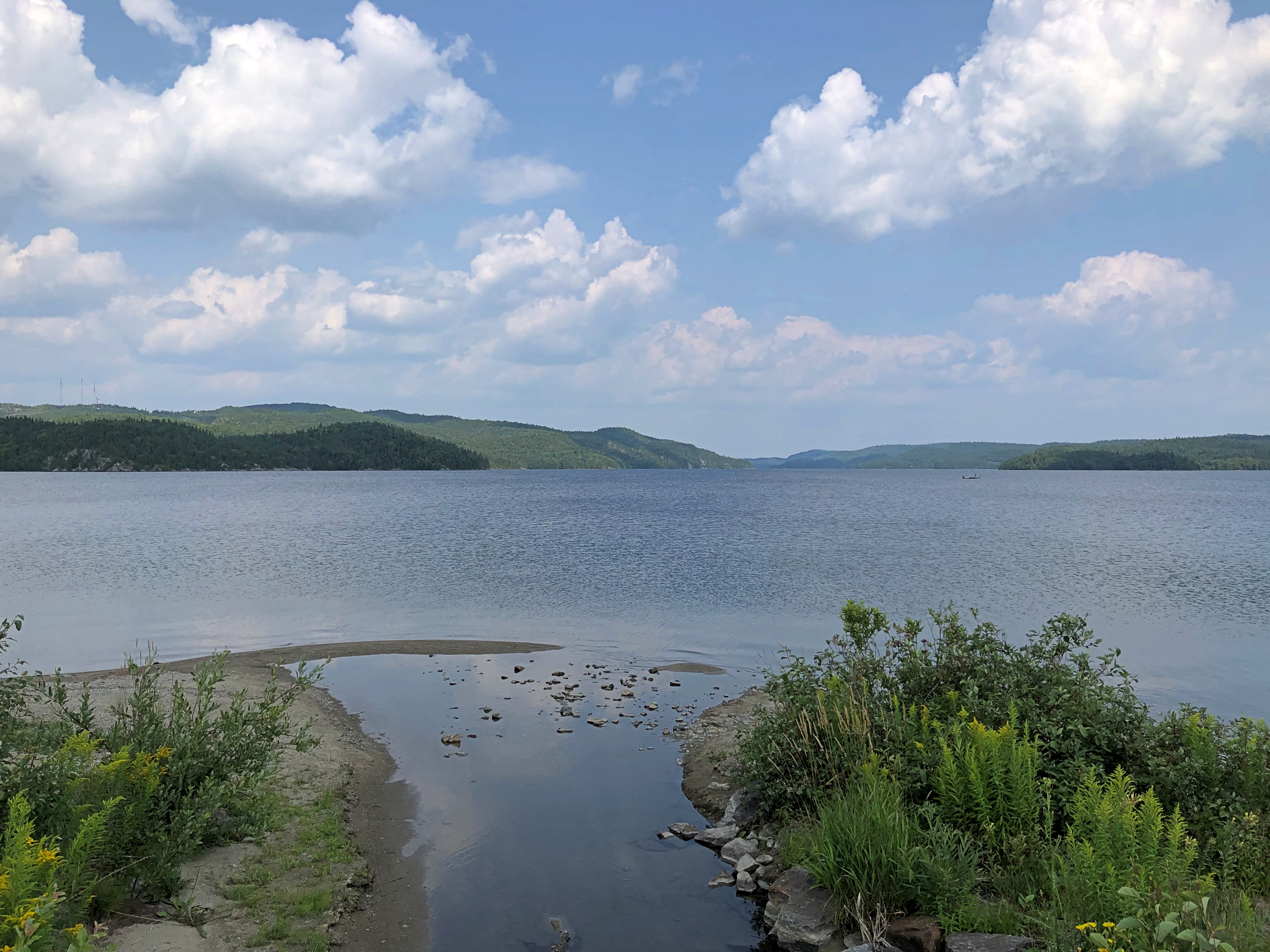
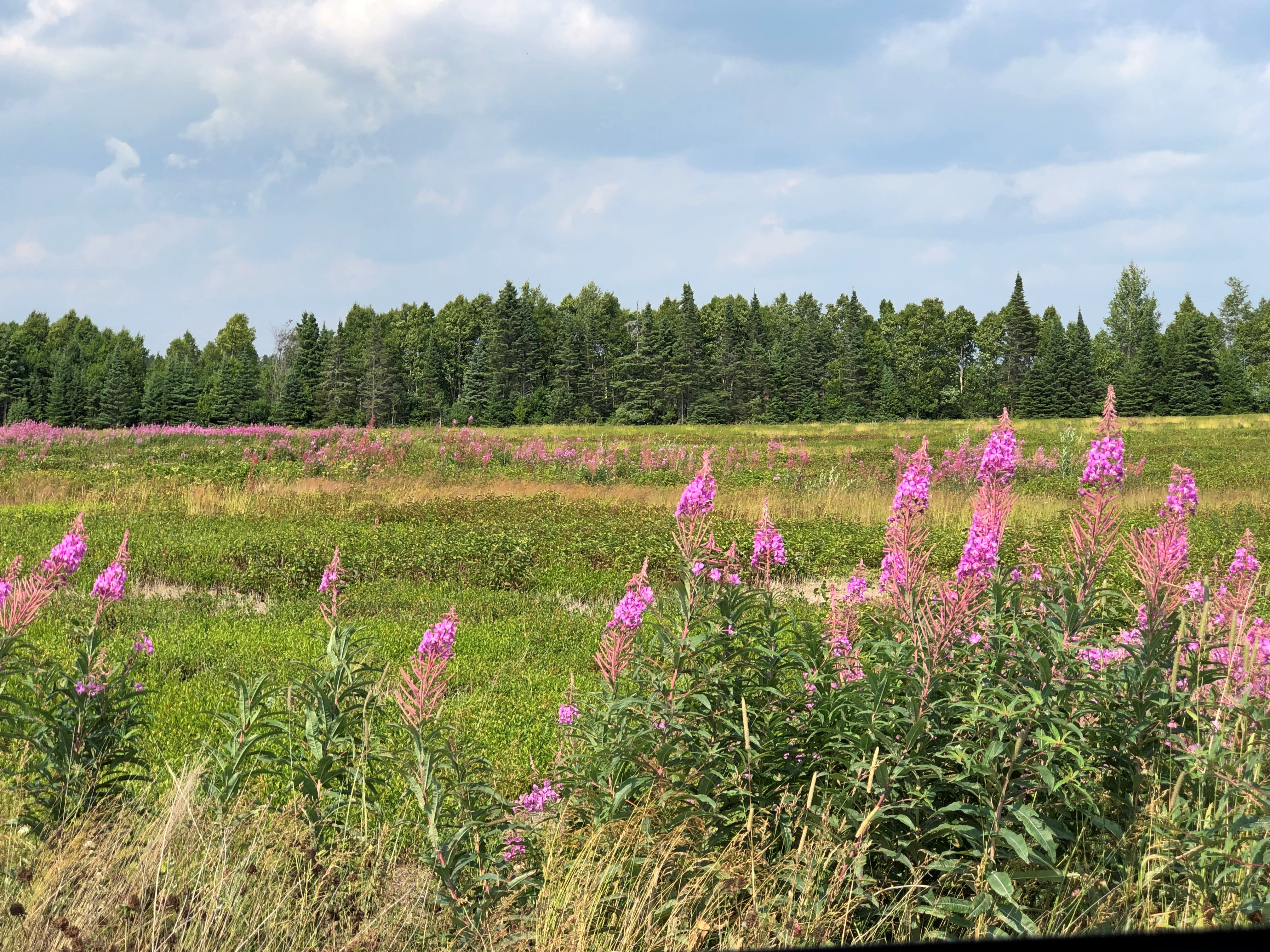
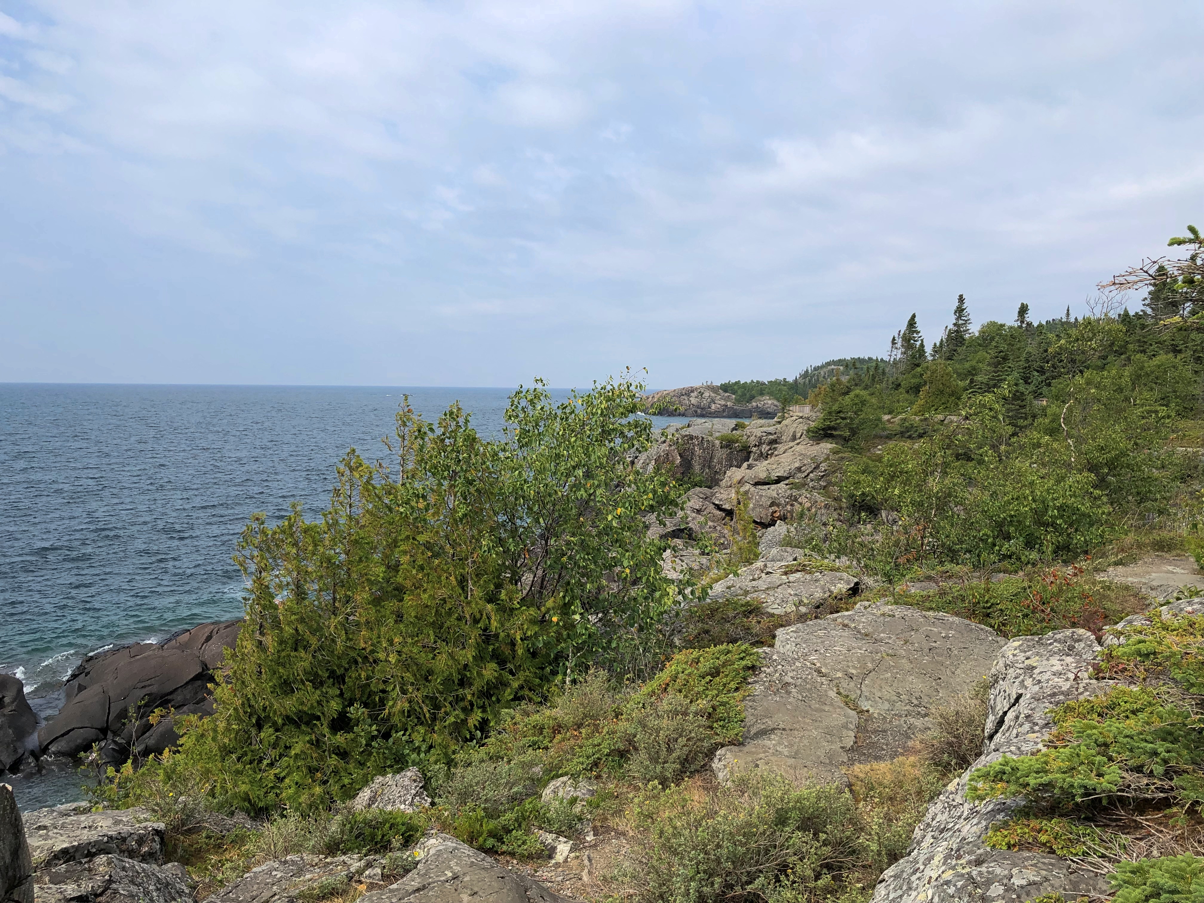
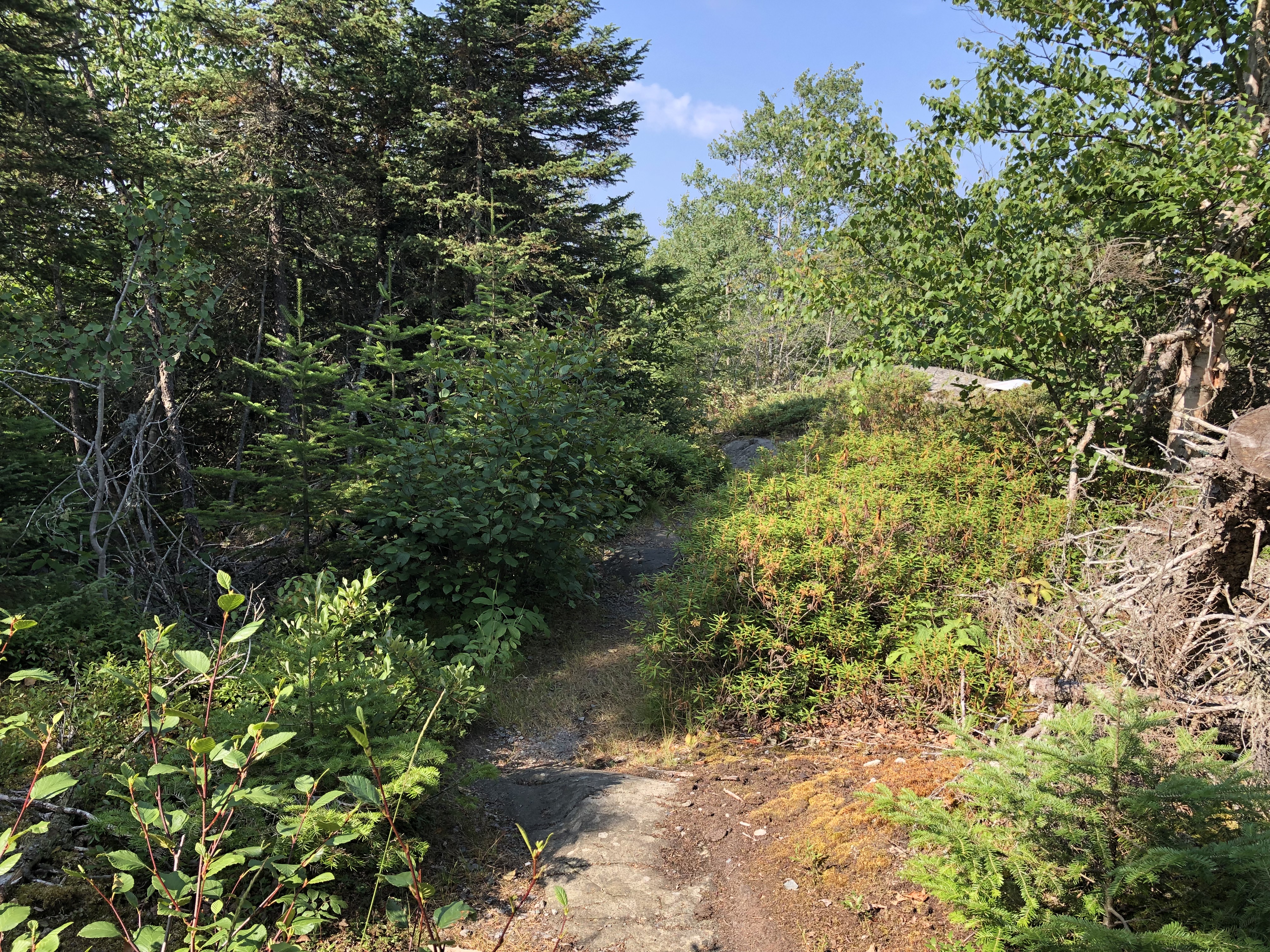
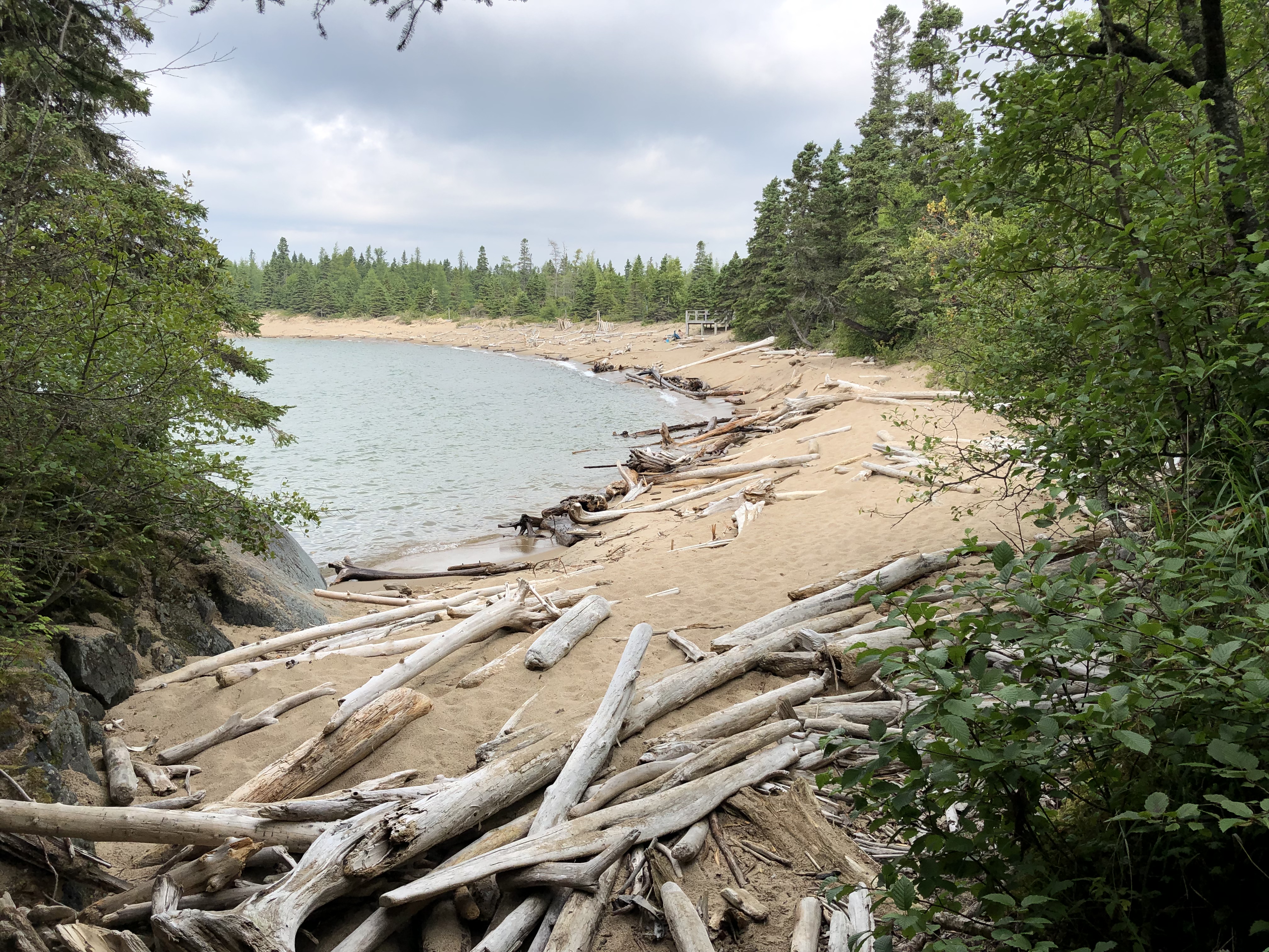
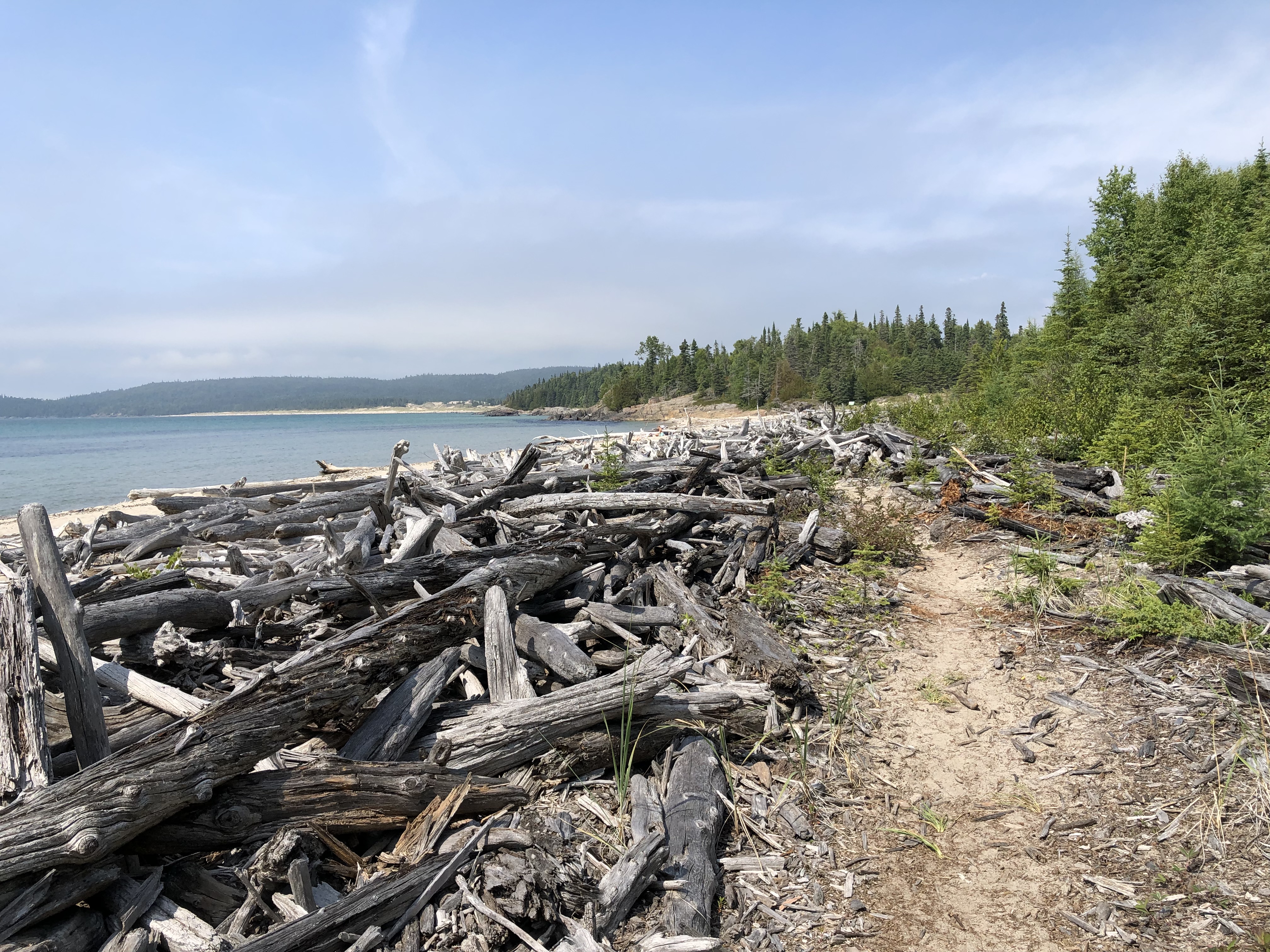
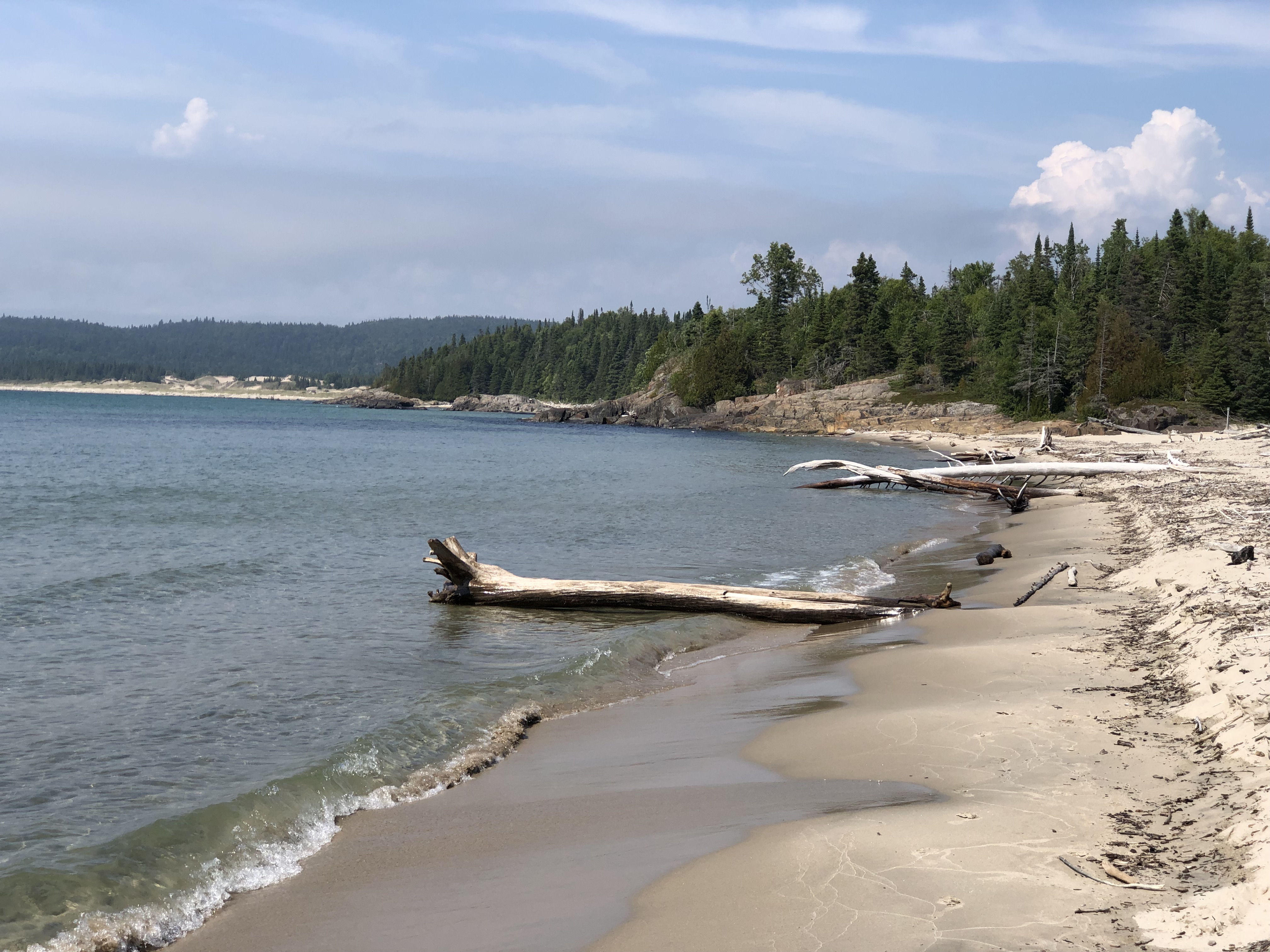
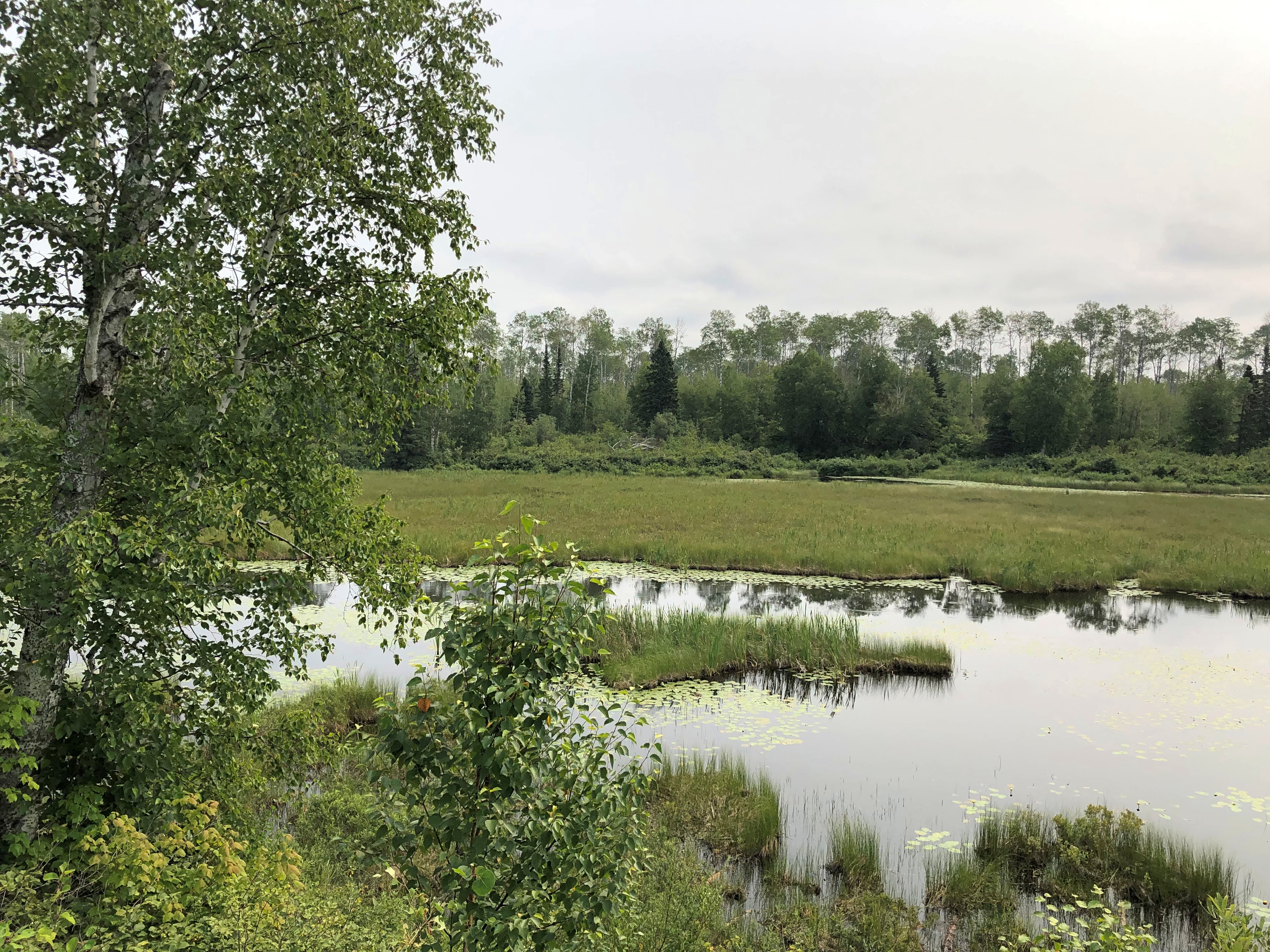
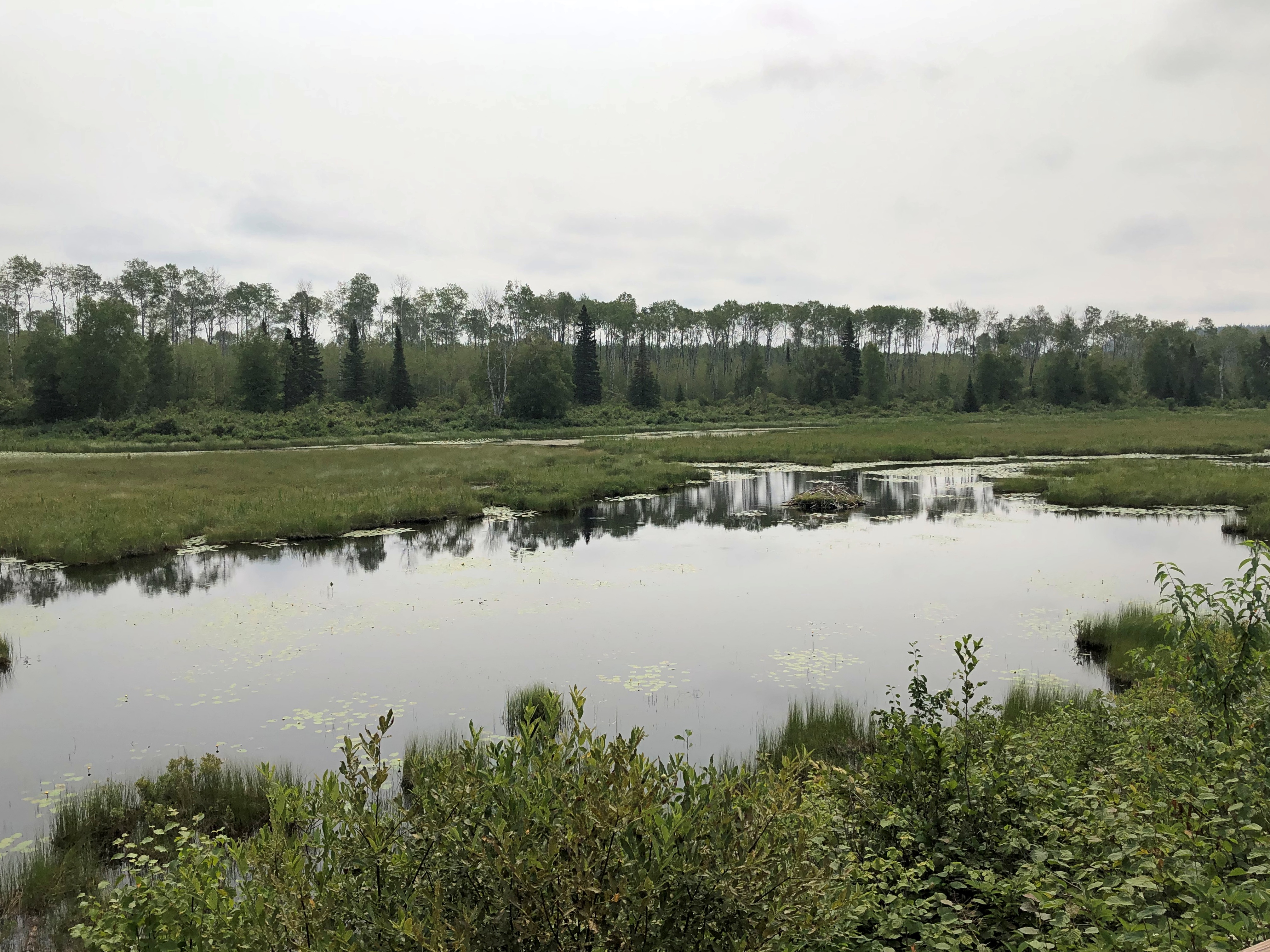
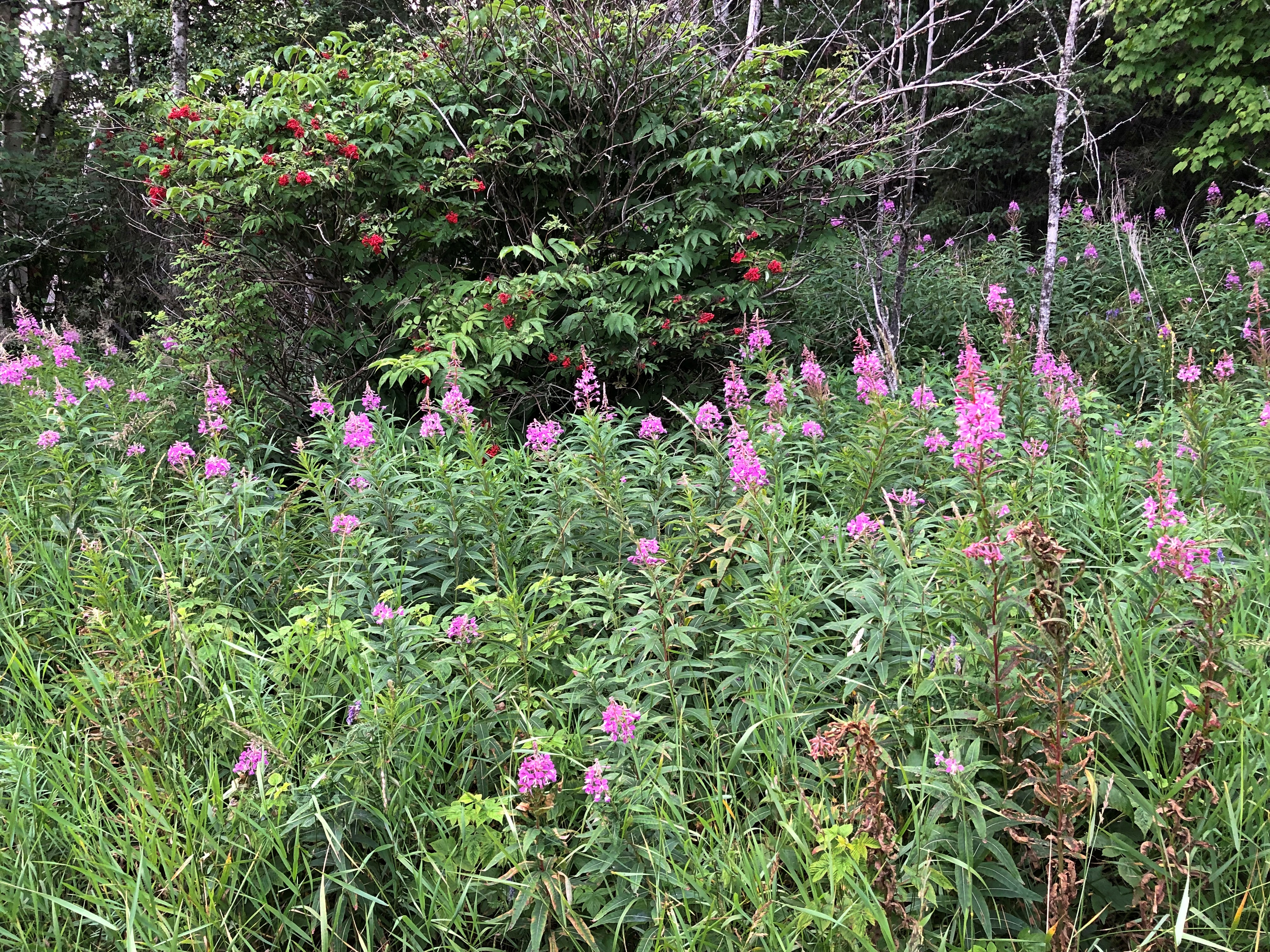
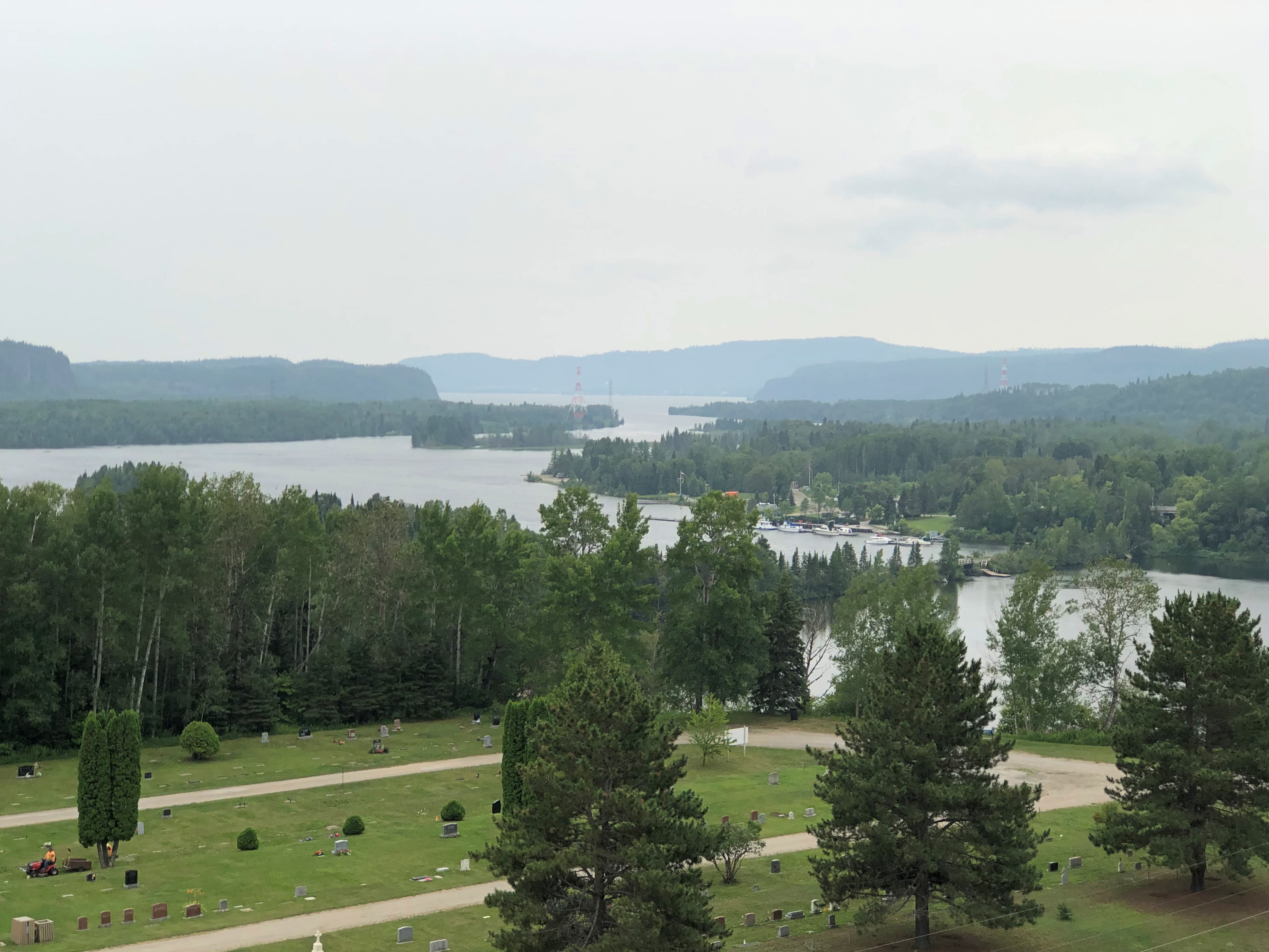
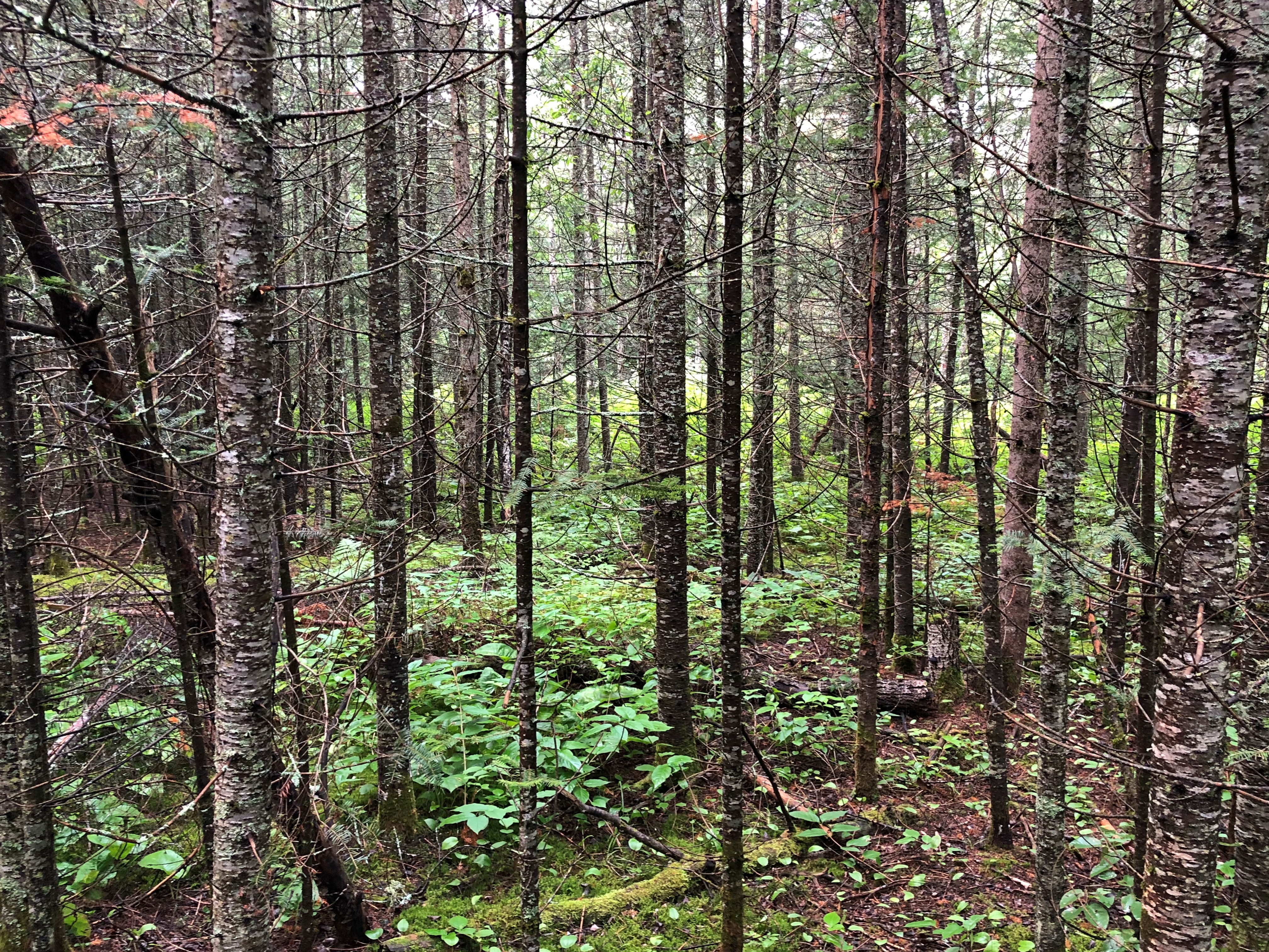
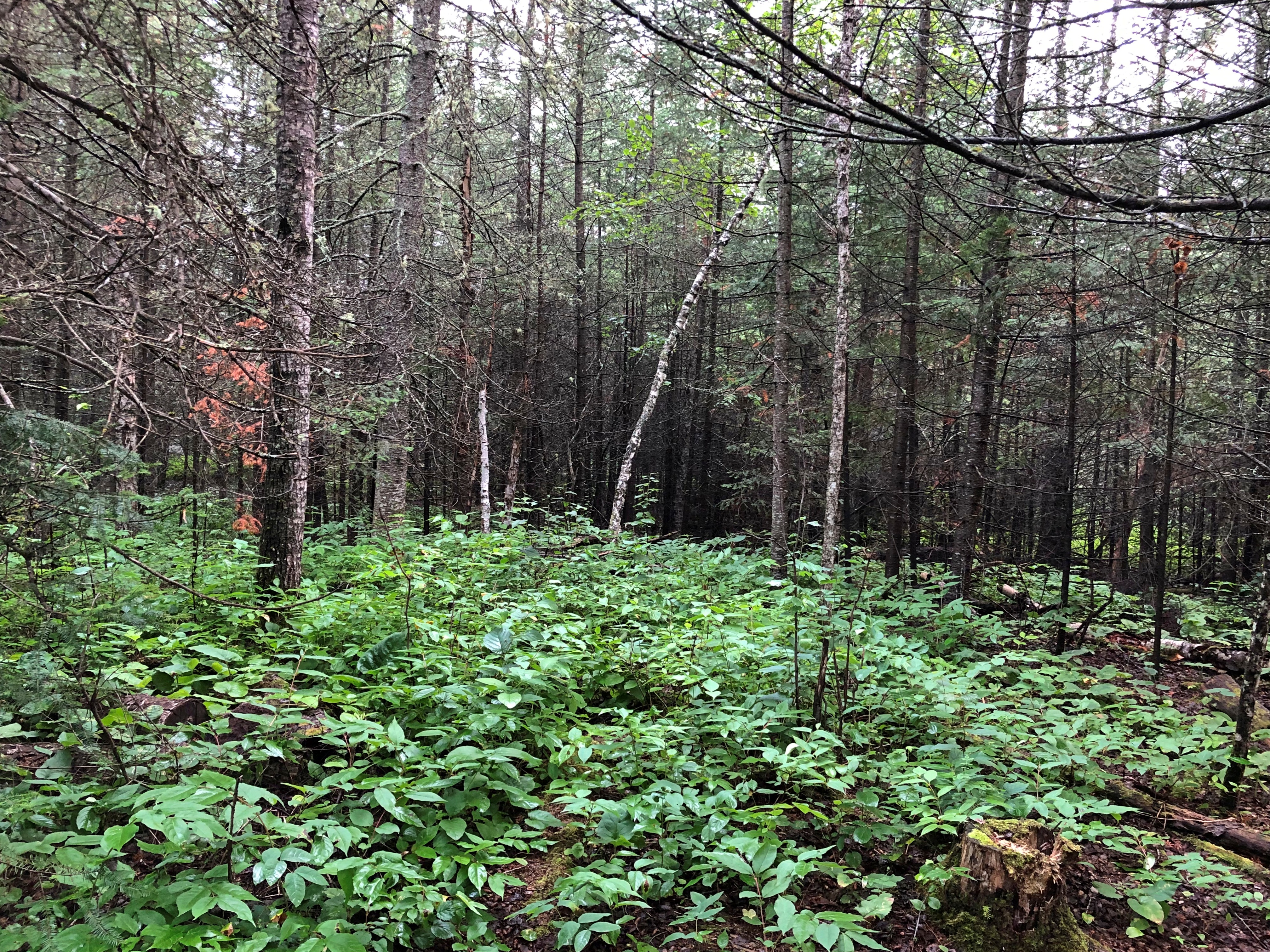
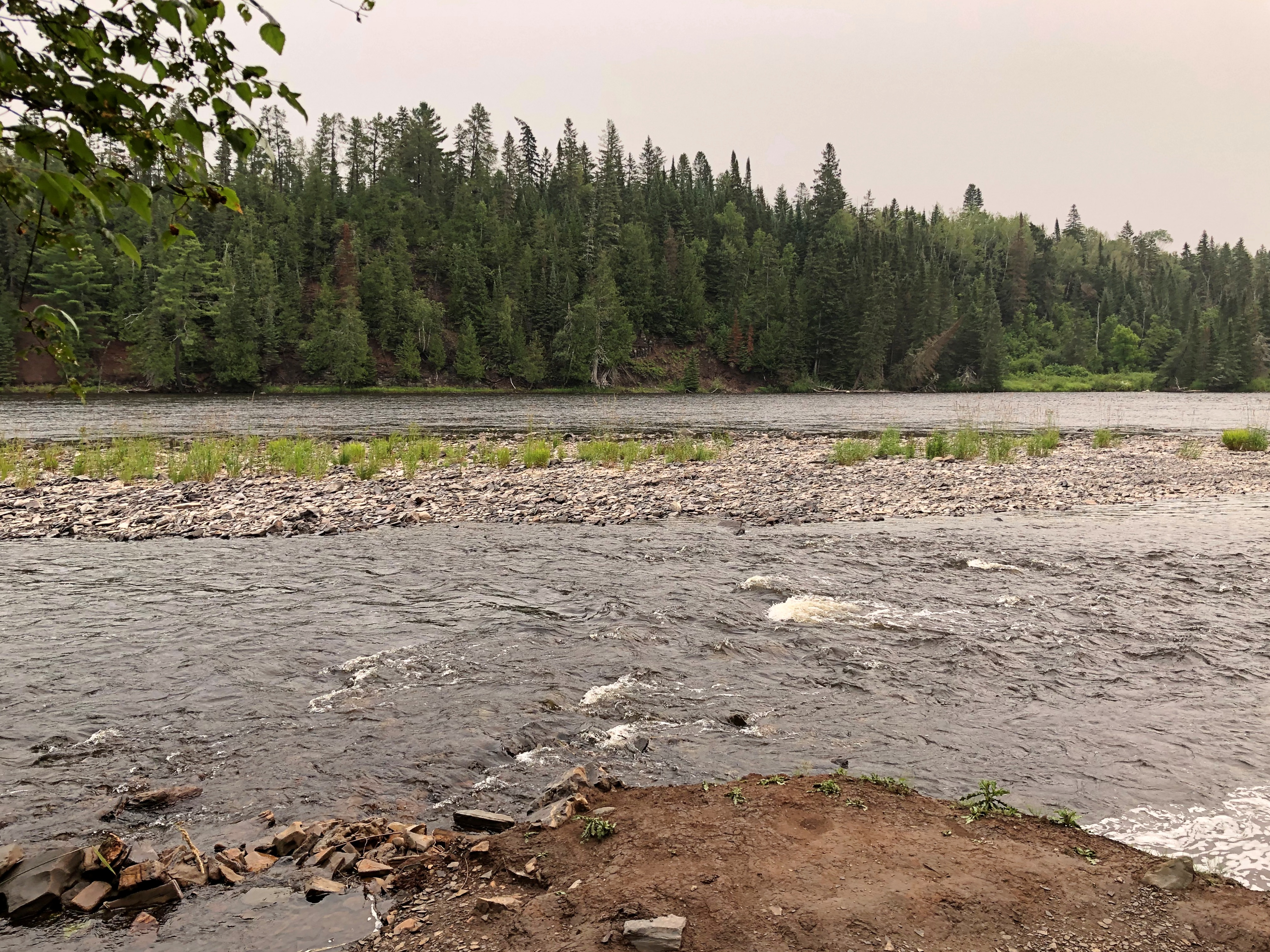
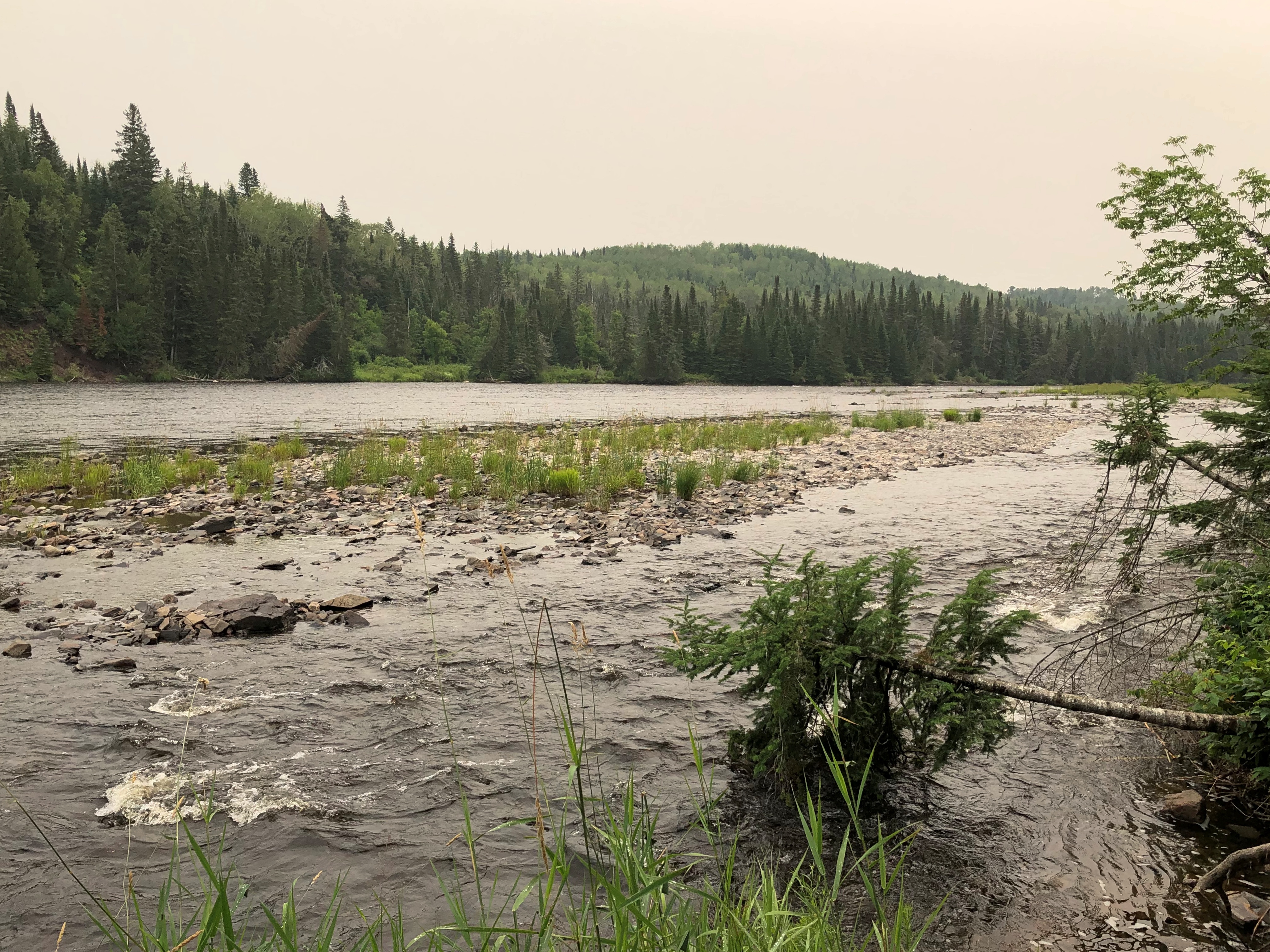
Still, most the region is undeveloped, rugged and tree covered, especially the further you go, and watered by a variety of rivers headed for Lake Superior, such as the Batchewana, Chippewa and Goulais. There are many lakes, including the amusingly named Mongoose Lake. No definite reason for the name is known, according to the narration, which pointed out that the Group of Seven came to the shores of Mongoose Lake and many other places in the region roughly 100 years ago to paint landscapes.
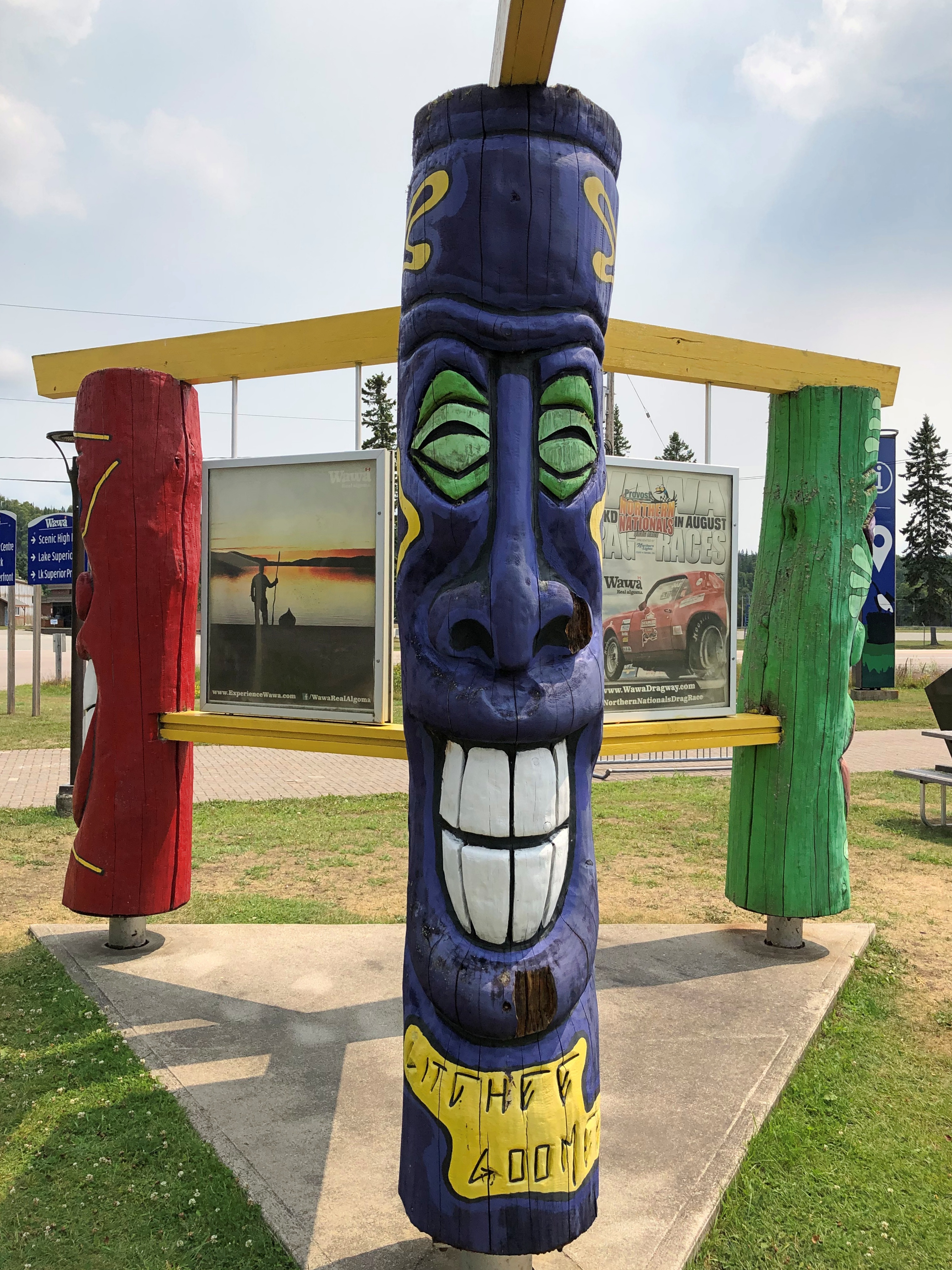
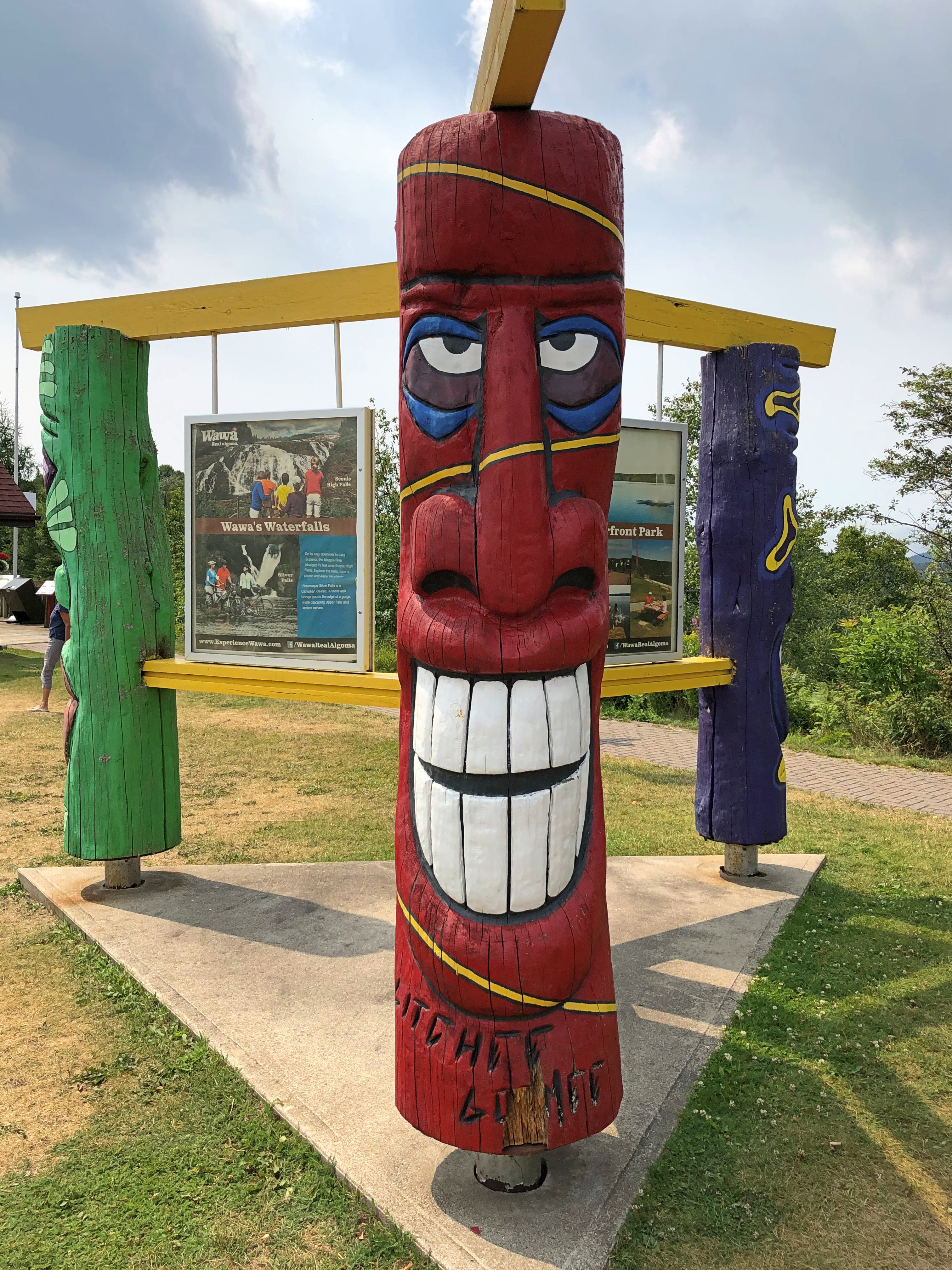
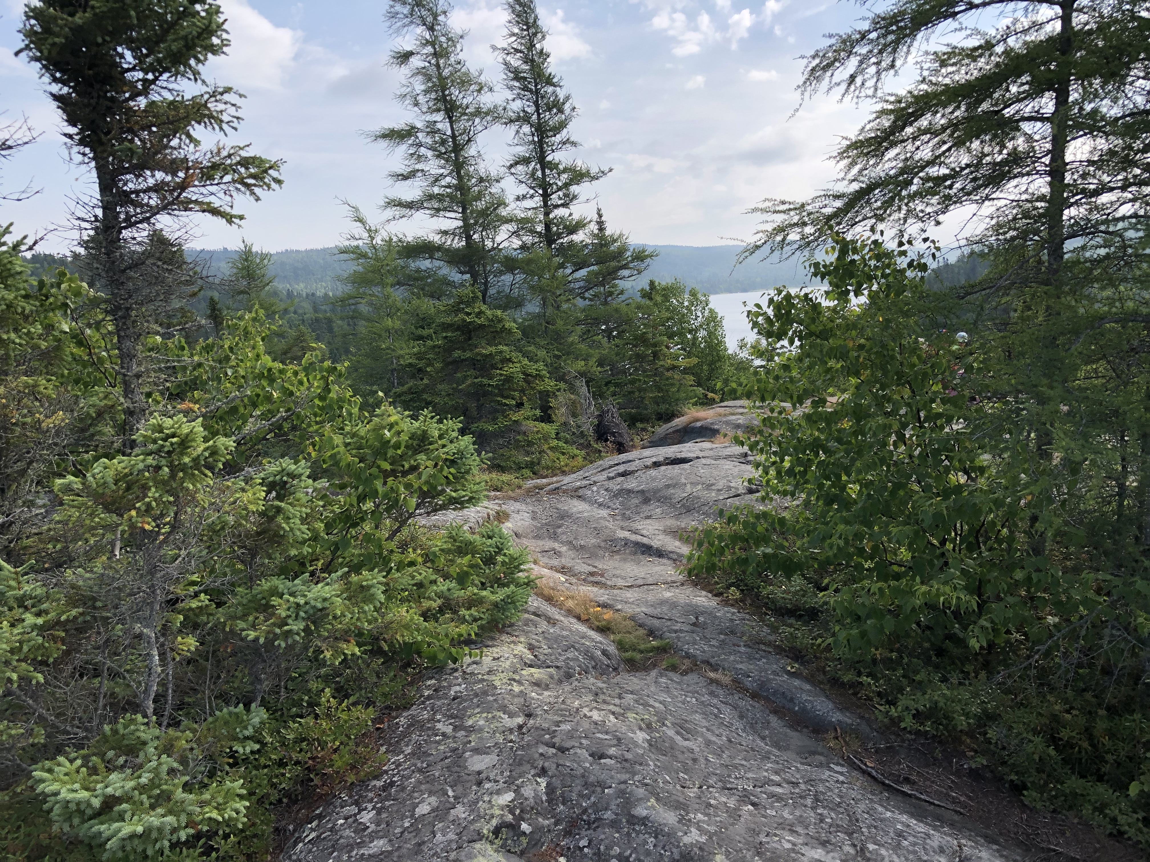
Tourist officialdom in Ontario promotes the Group fairly extensively. I started seeing memorials at some of the locations they painted soon after entering Canada – signs resting on an artist’s easel, with folding seats next to them, as seen here.
“The group presented the dense, northern boreal forest of the Canadian Shield as a transcendent, spiritual force,” the Canadian Encyclopedia avers. “Their depictions of Canada’s rugged wind-swept forest panoramas were eventually equated with a romanticized notion of Canadian strength and independence. Their works were noted for their bright colours, tactile paint handling, and simple yet dynamic forms.”
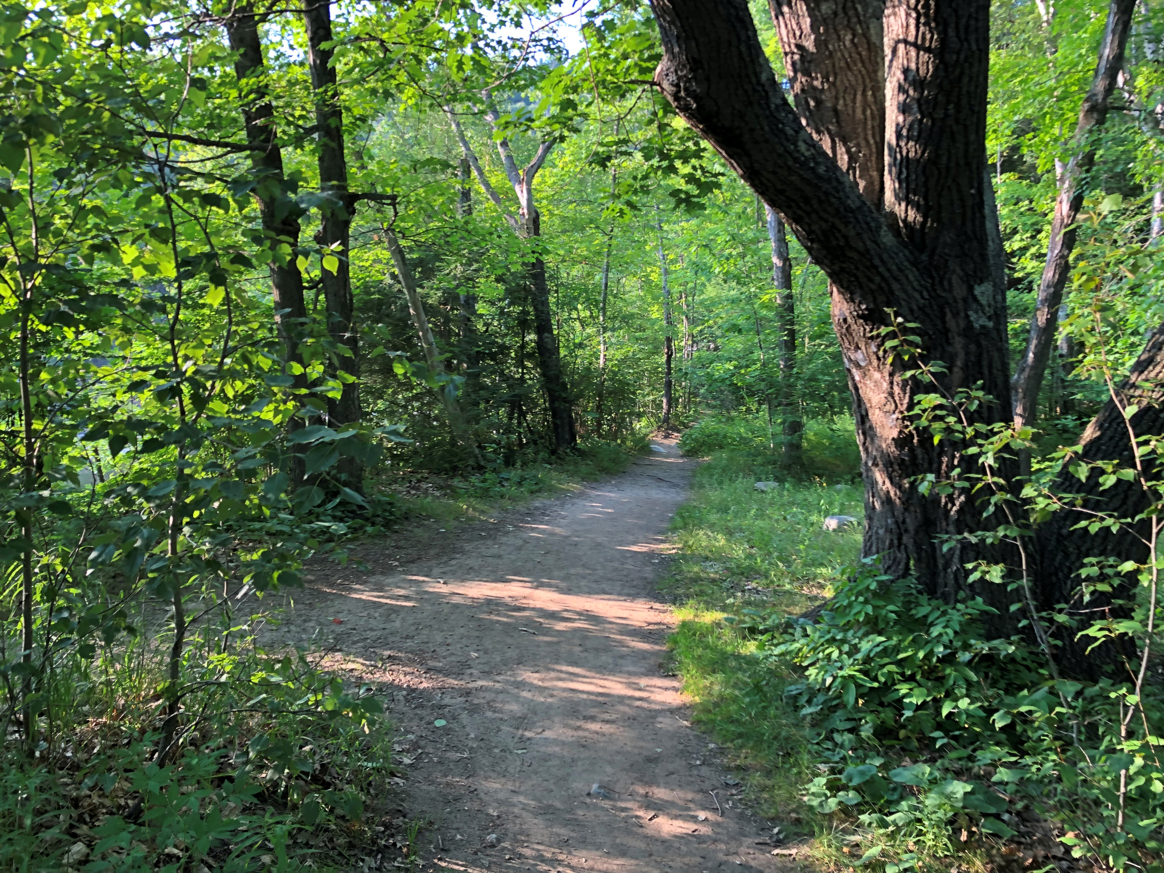
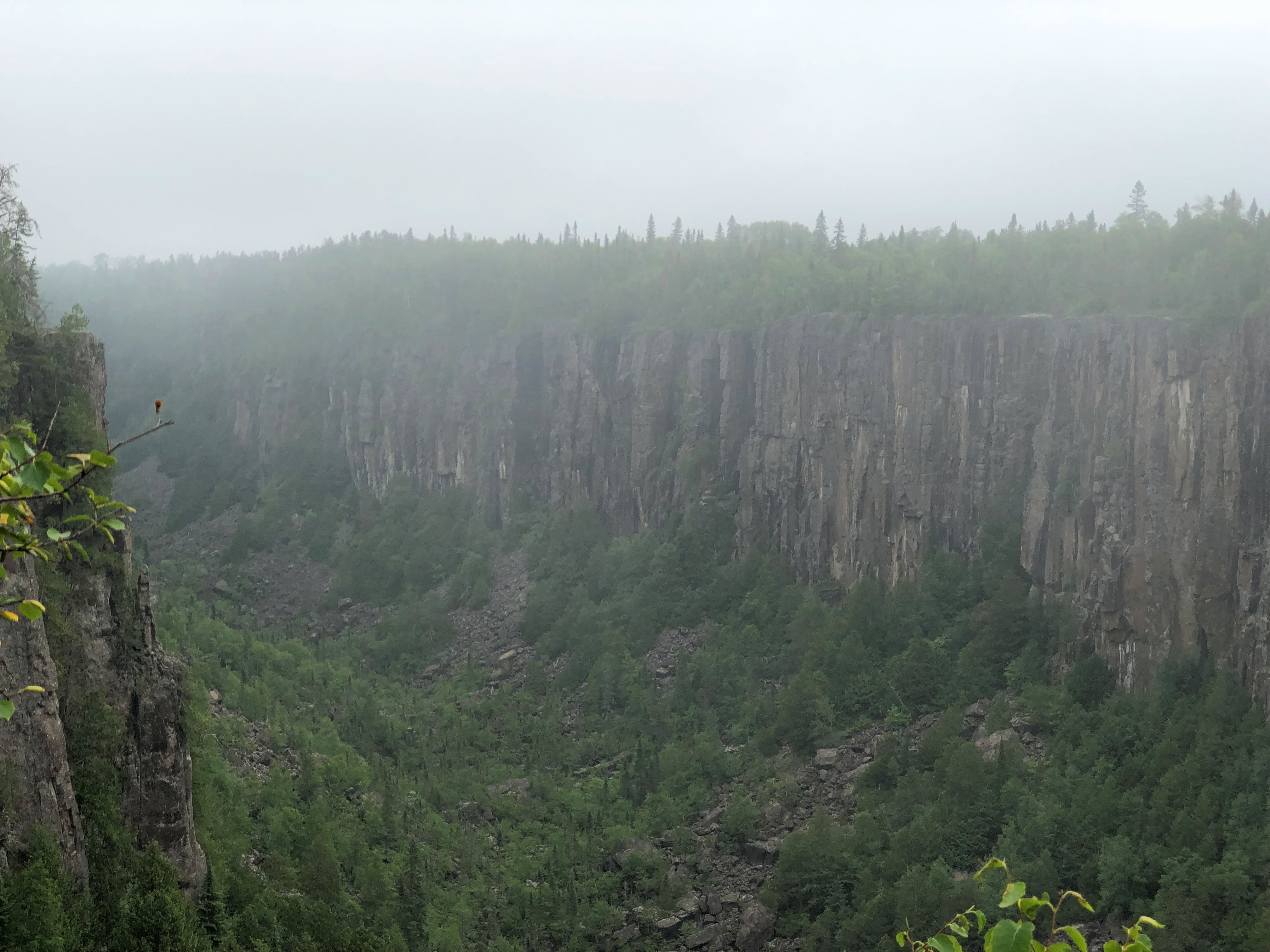
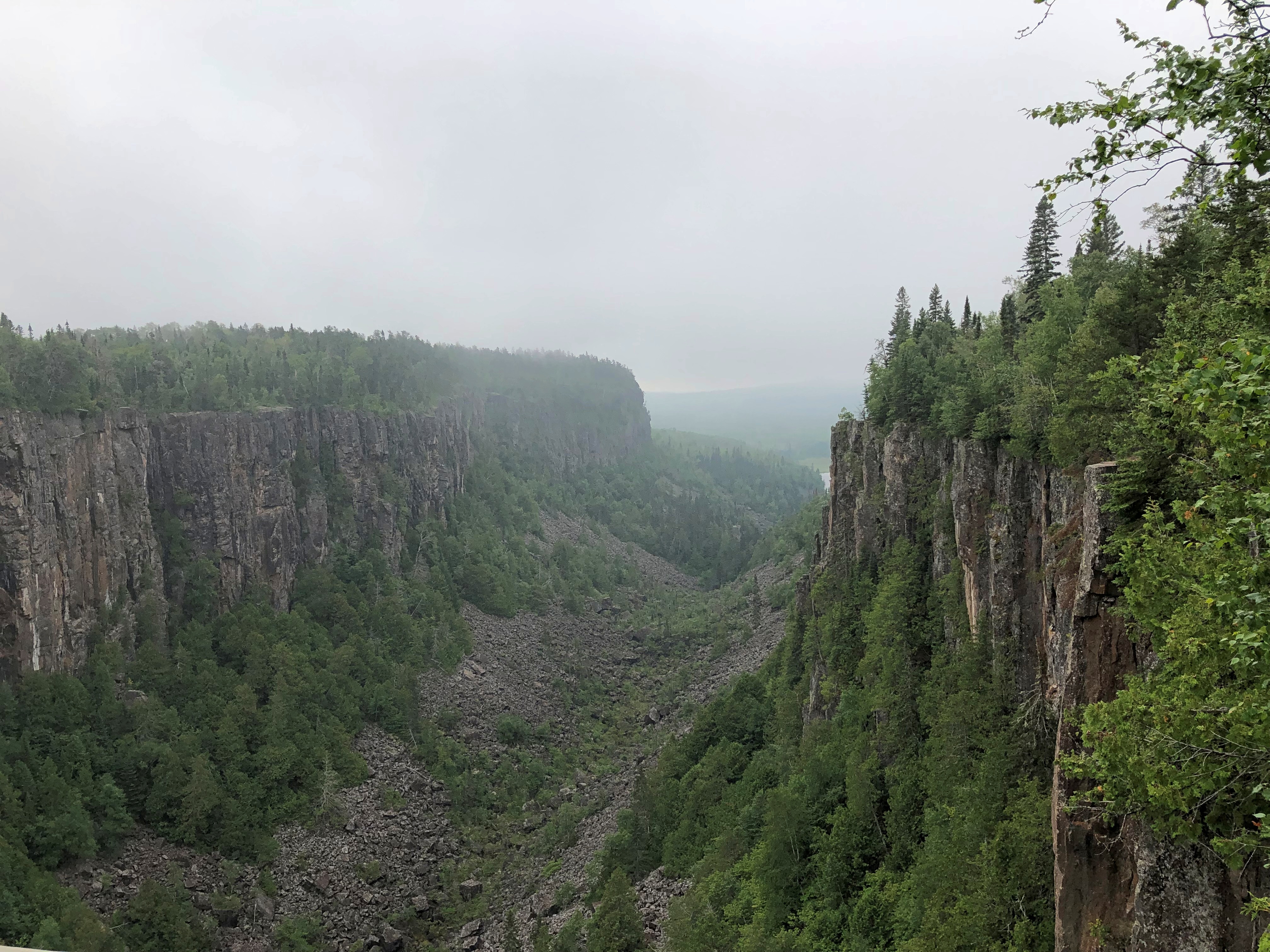
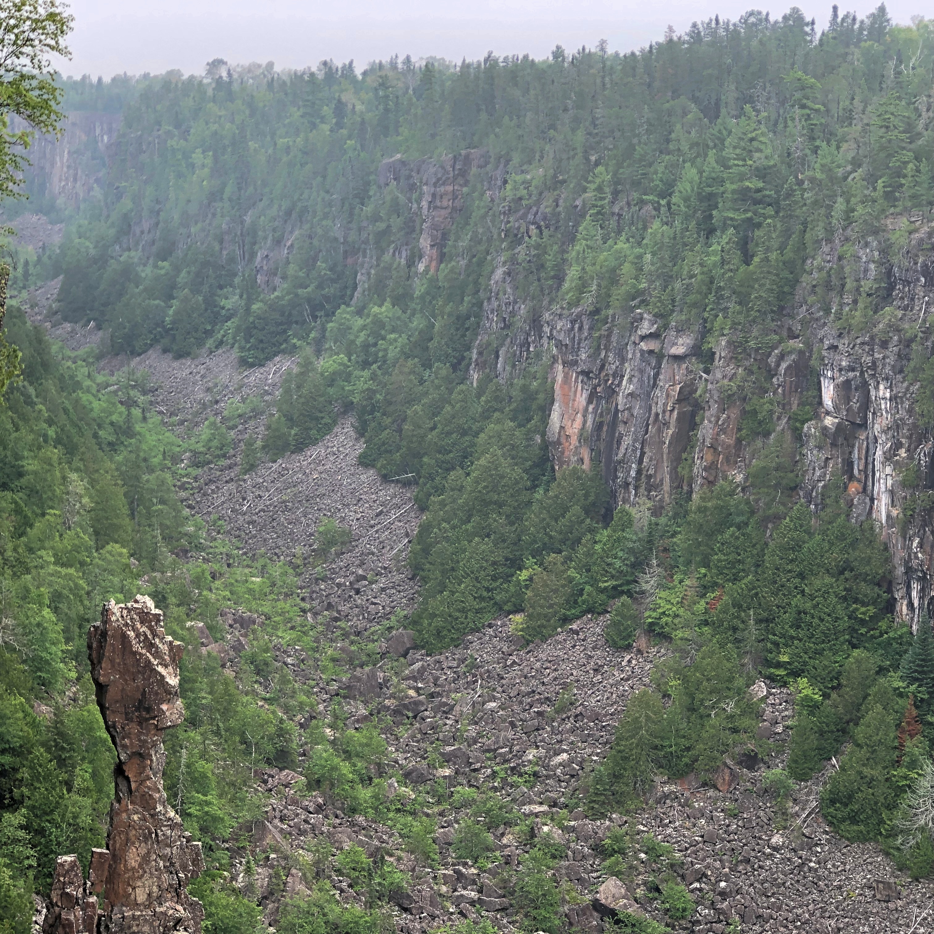
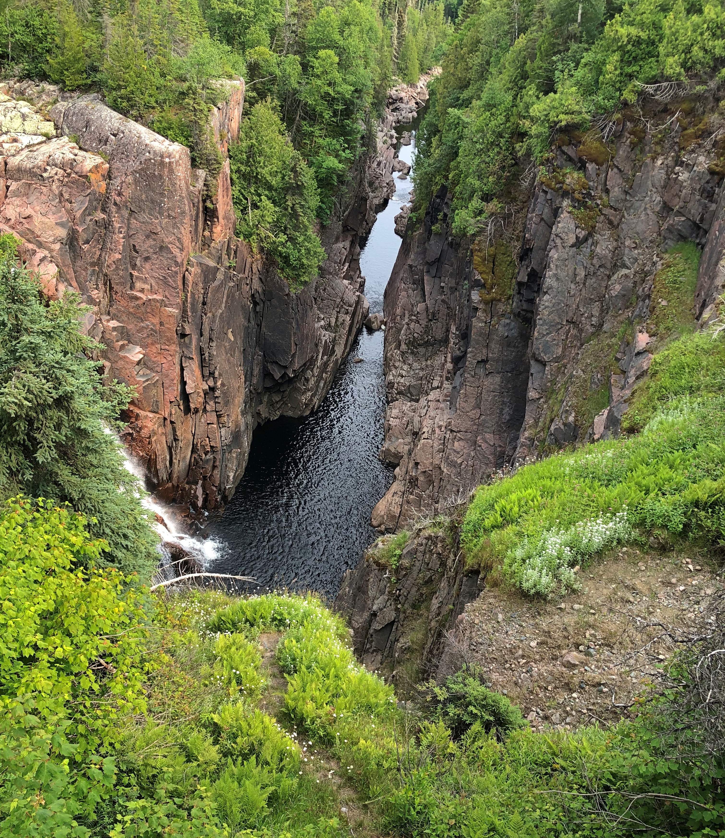
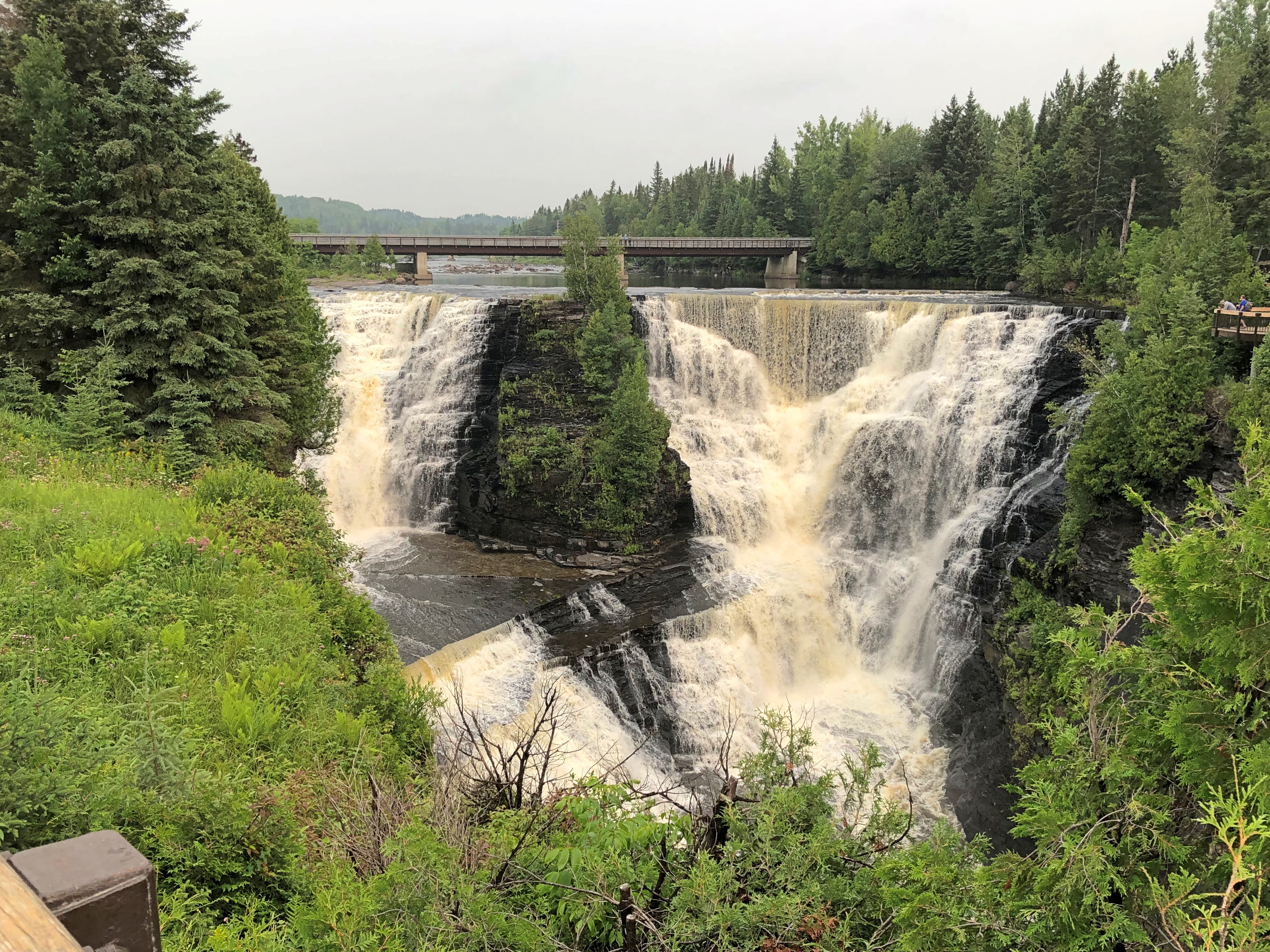
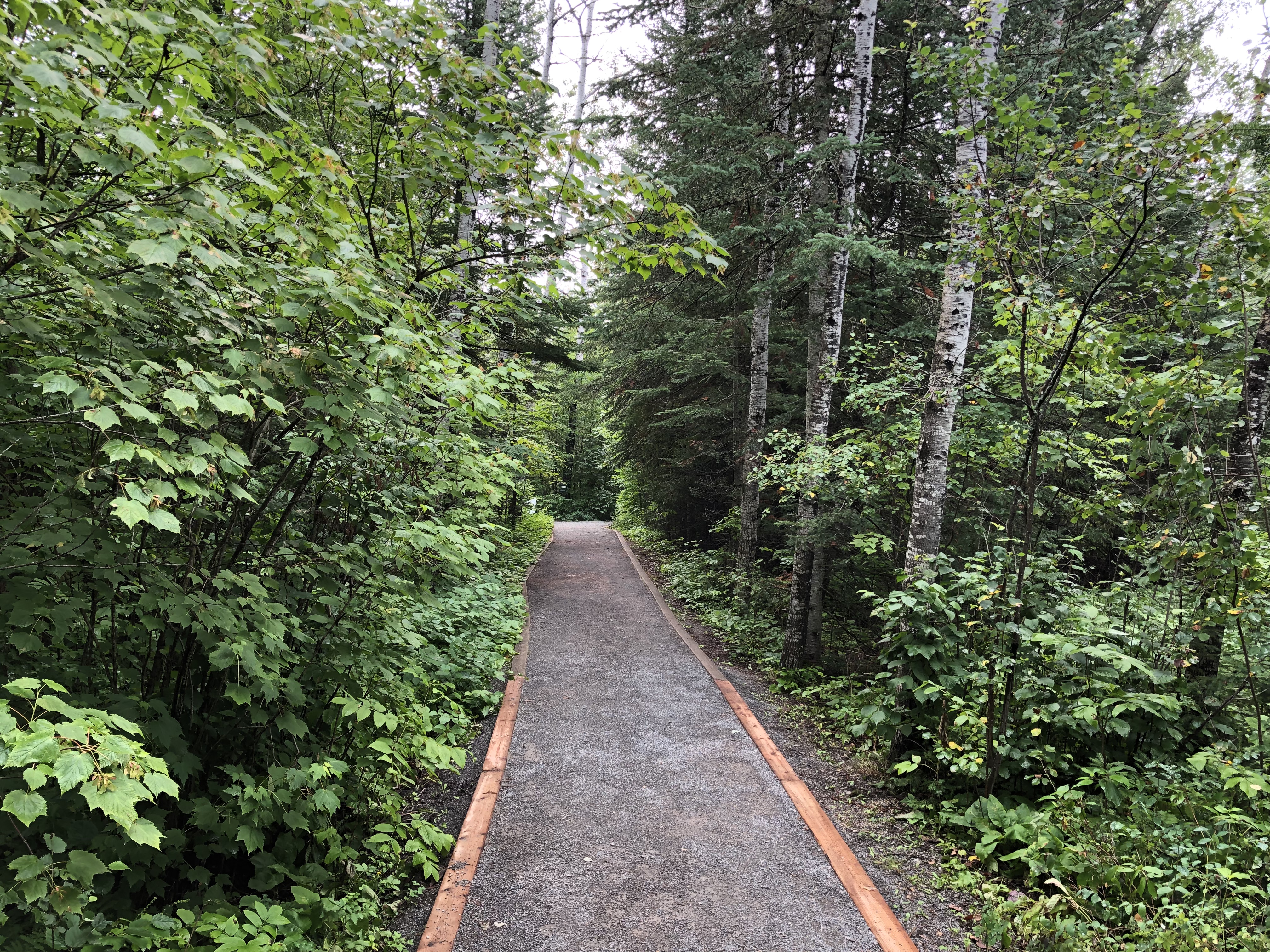
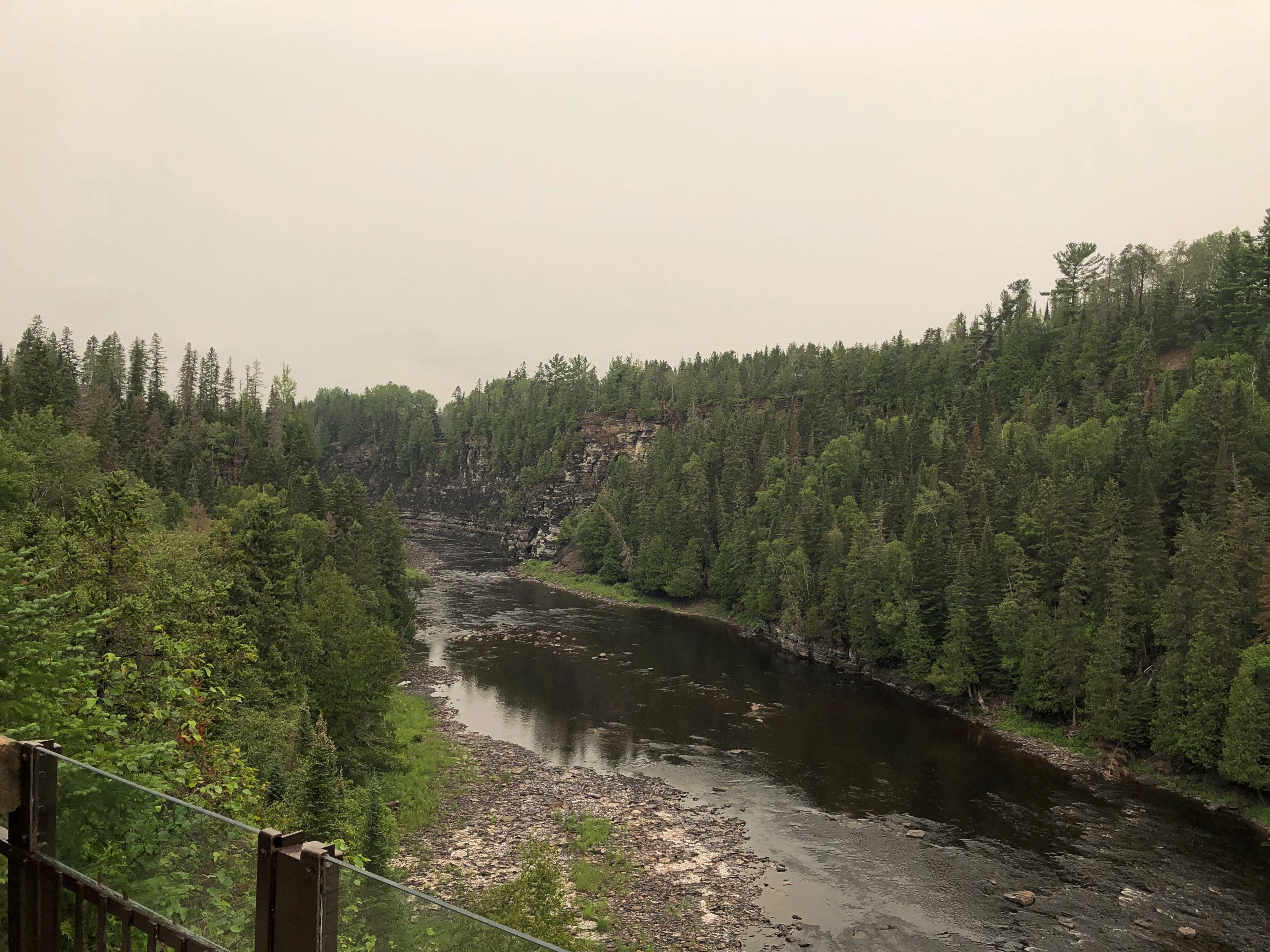
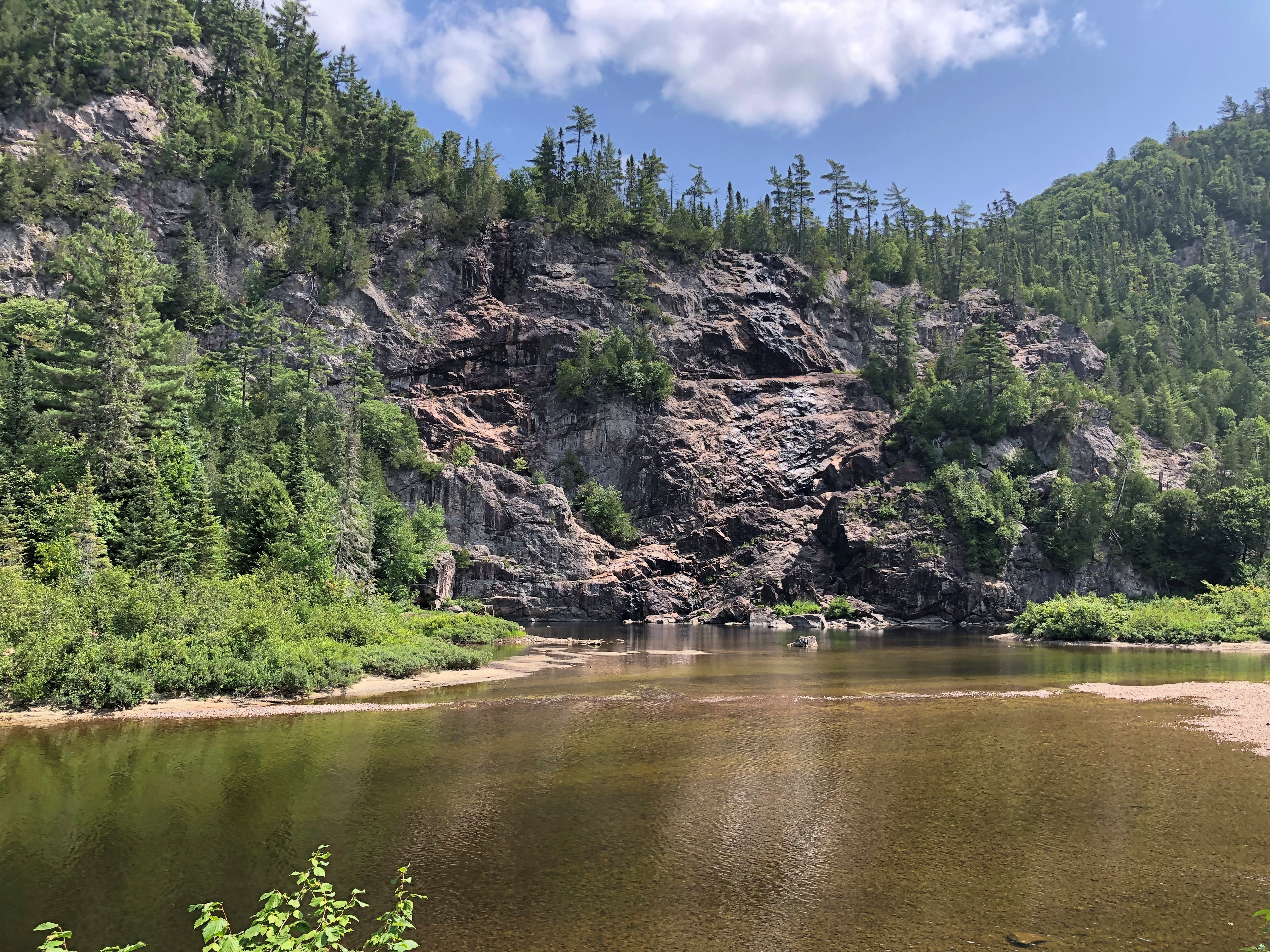
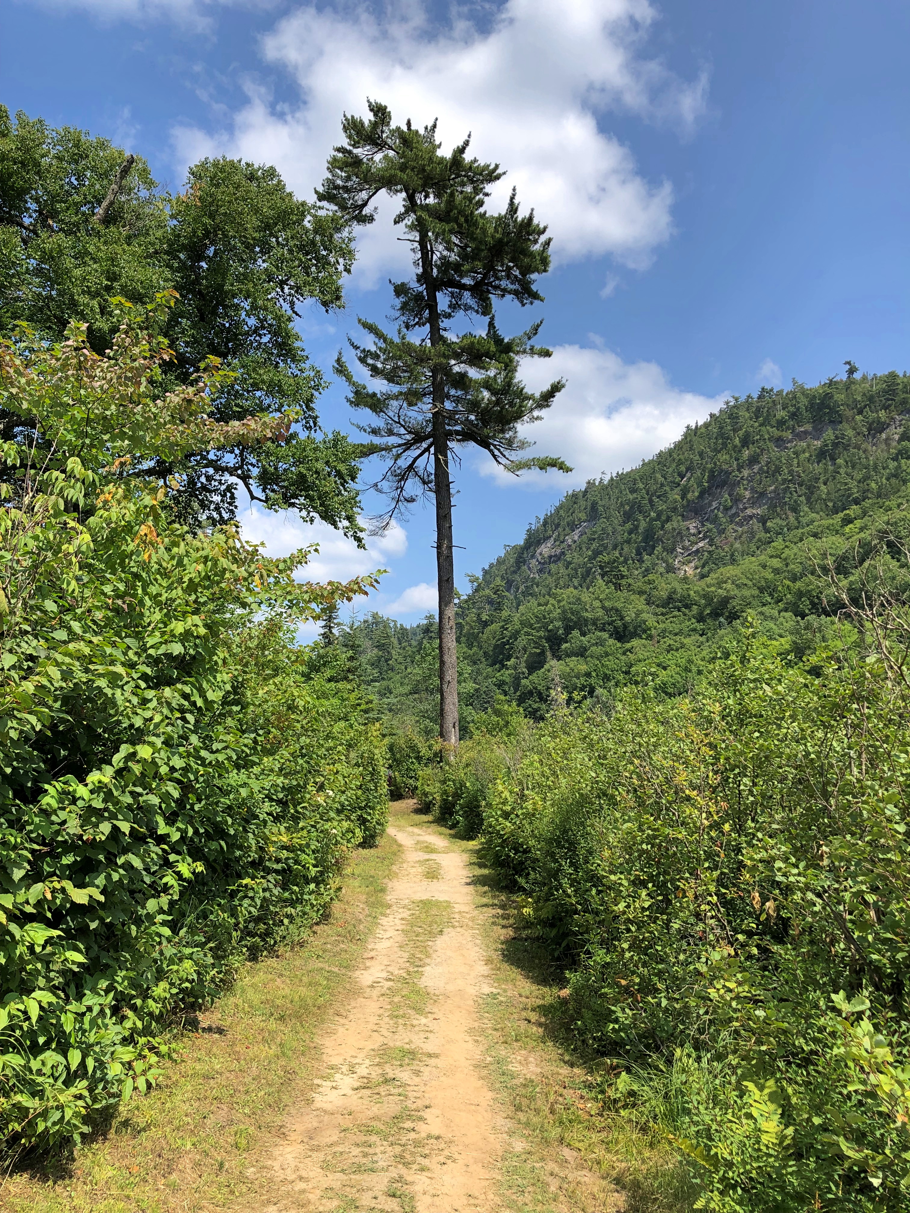
Toward the end of the outbound journey, the train drops some hundred feet into Agawa Canyon, carved by the river of that name. Once the train stops, out you go. You have about an hour and a half to look around the canyon, with the option of walking along the river or climbing some hundreds of stairs on a trail for an overlook.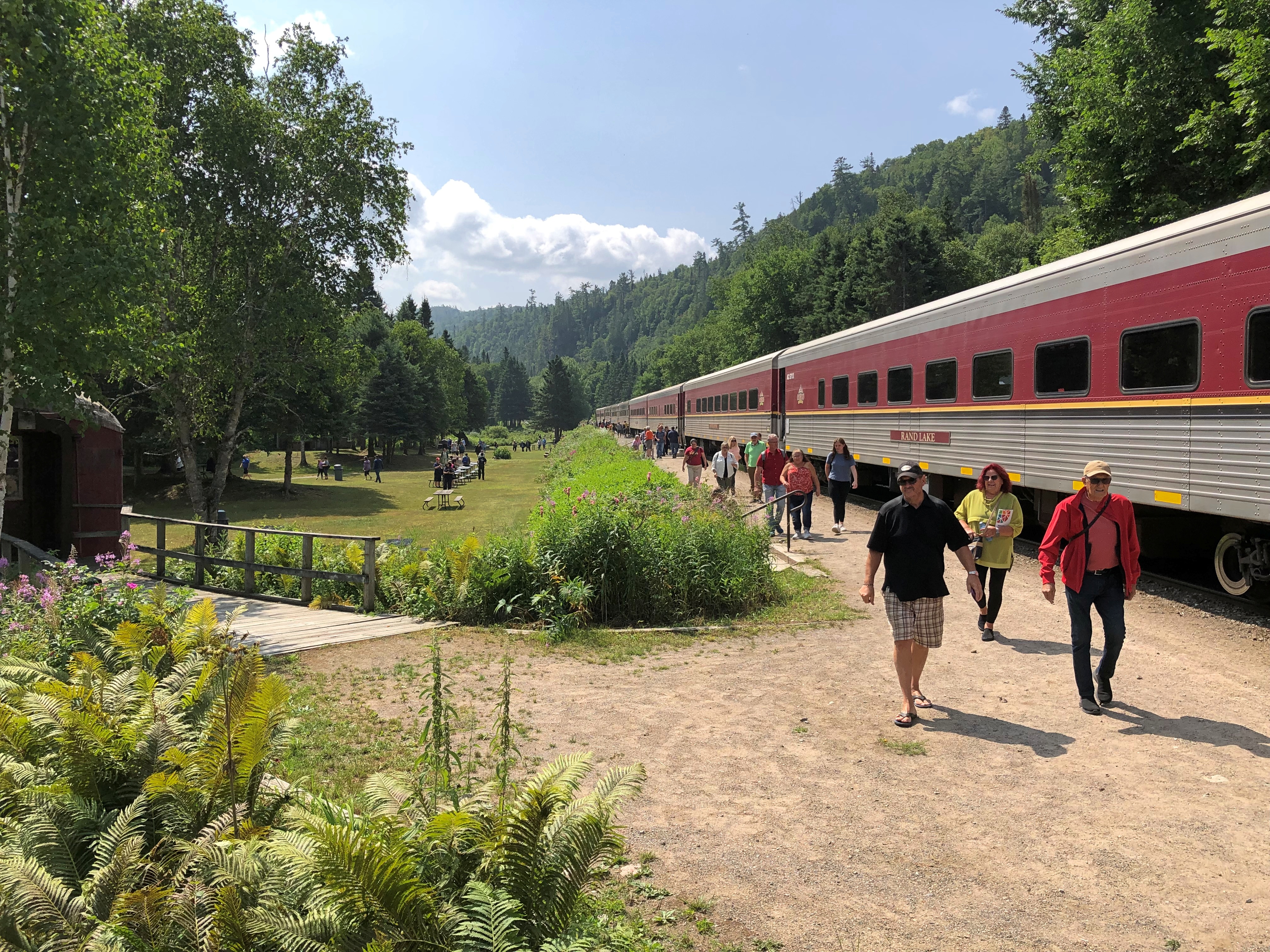
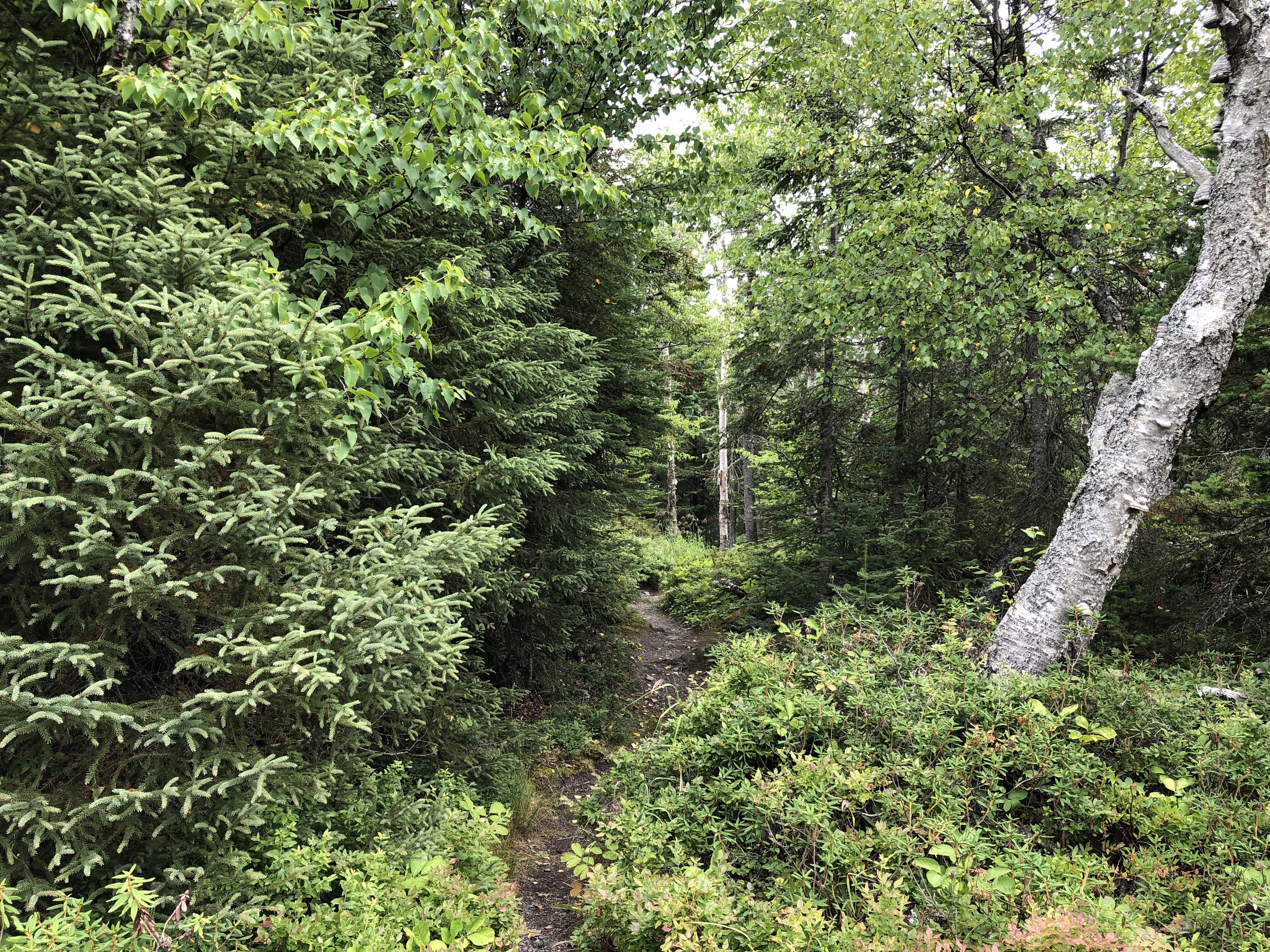
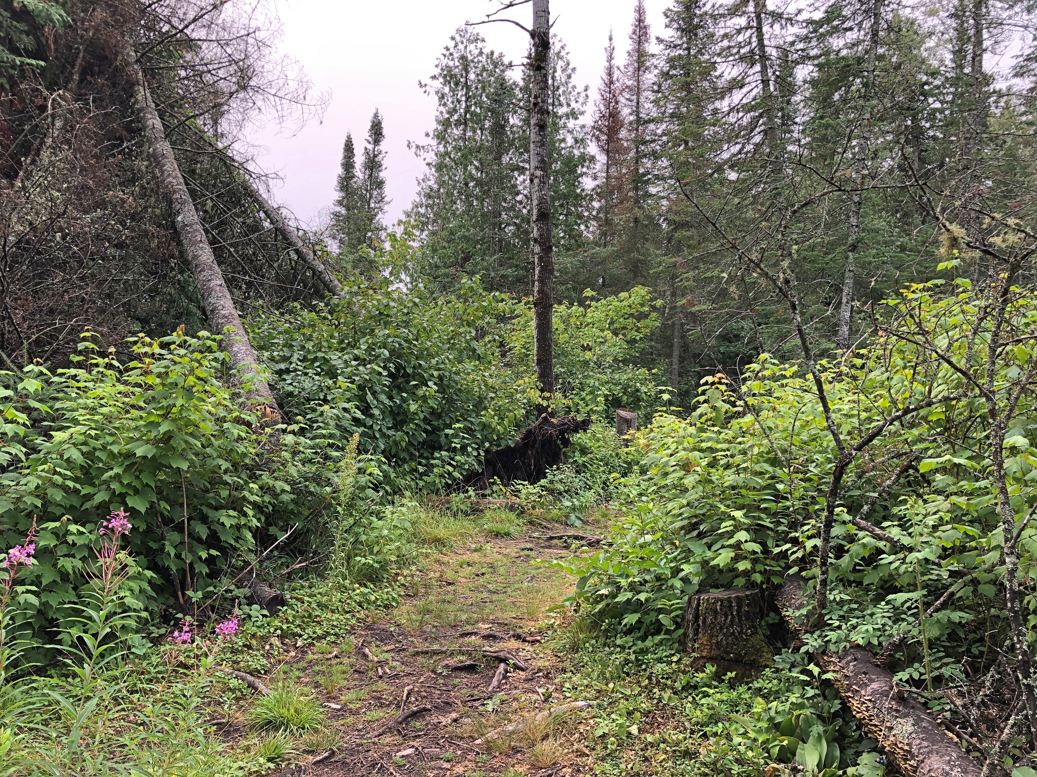
I picked the riverside trail. It’s a pretty place.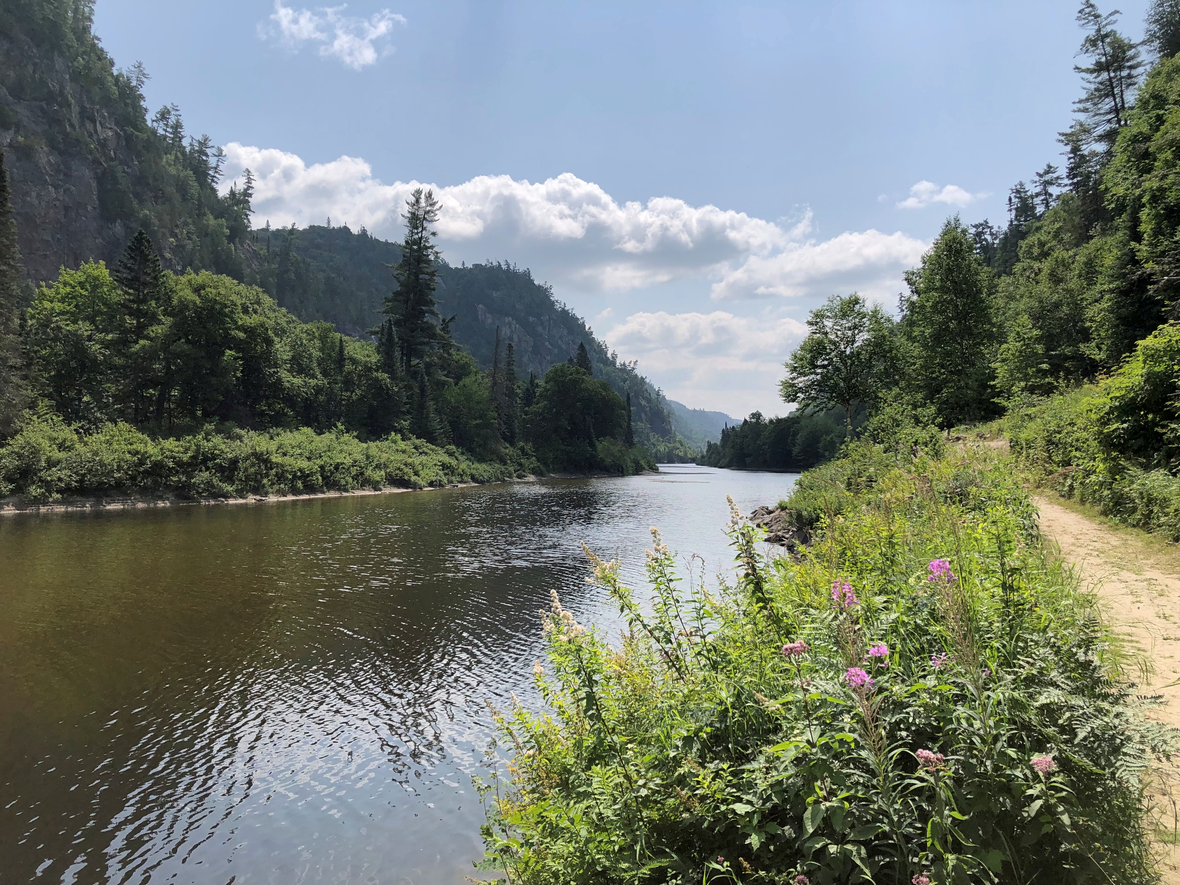
But more than that.
“The packed dirt of Agawa Canyon’s Talus Trail is level most of the way,” wrote Stroud, and it’s still true. “It is interrupted at intervals only nature understands, by tree roots here and there. Rocks that crumbled once upon a time from the canyon walls — 575 feet above in places — are all but submerged by an undergrowth of ferns, saplings and moss.
“In half an hour, this single woodland walk takes in two forest zones. Agawa Canyon lies in the transition area where the northern Boreal Forest, with its spruce, balsam fir, white birch and trembling aspen, overlaps the Great Lakes/St. Lawrence Forest of sugar maples, eastern white pines and yellow birch.”
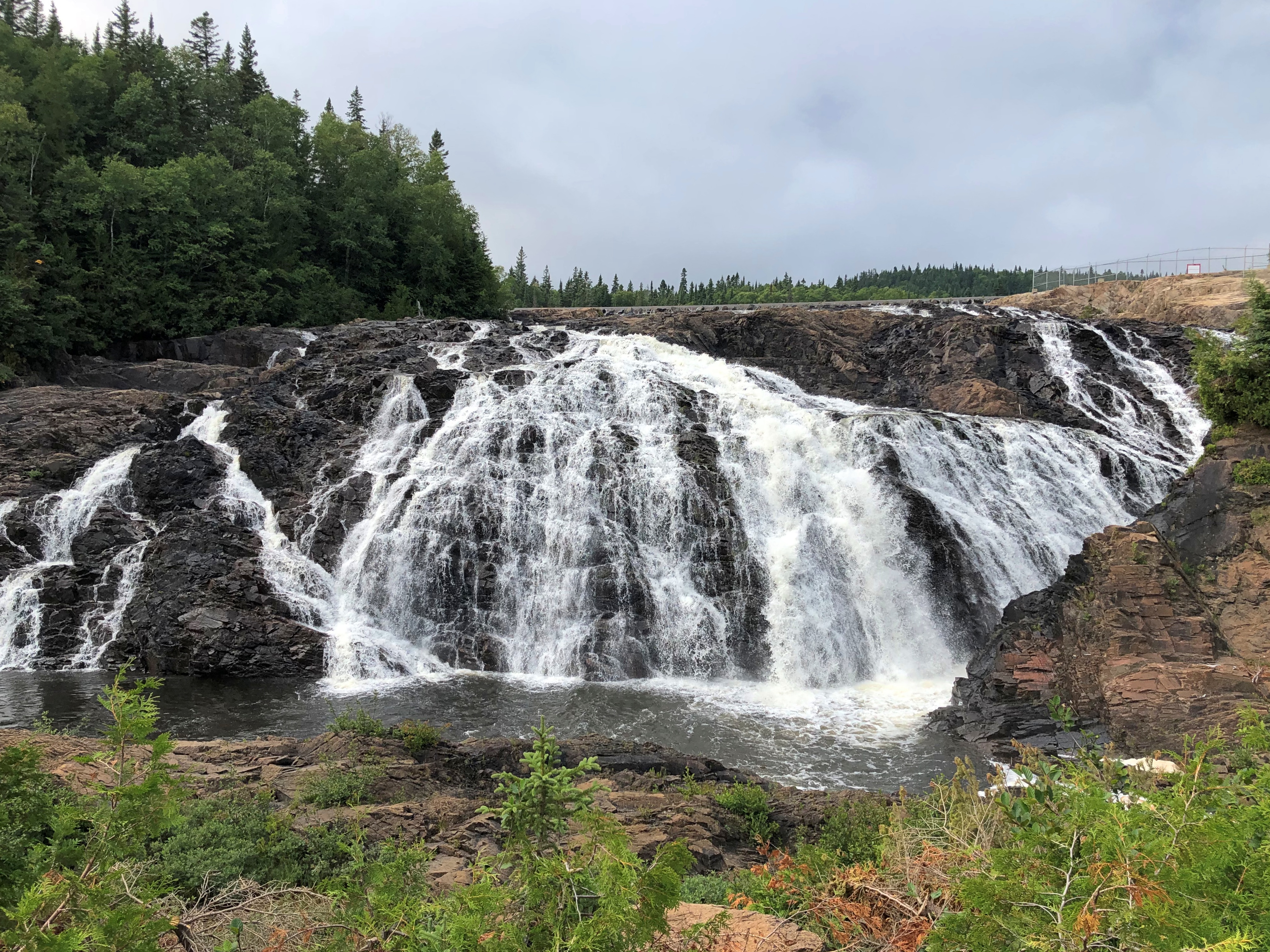
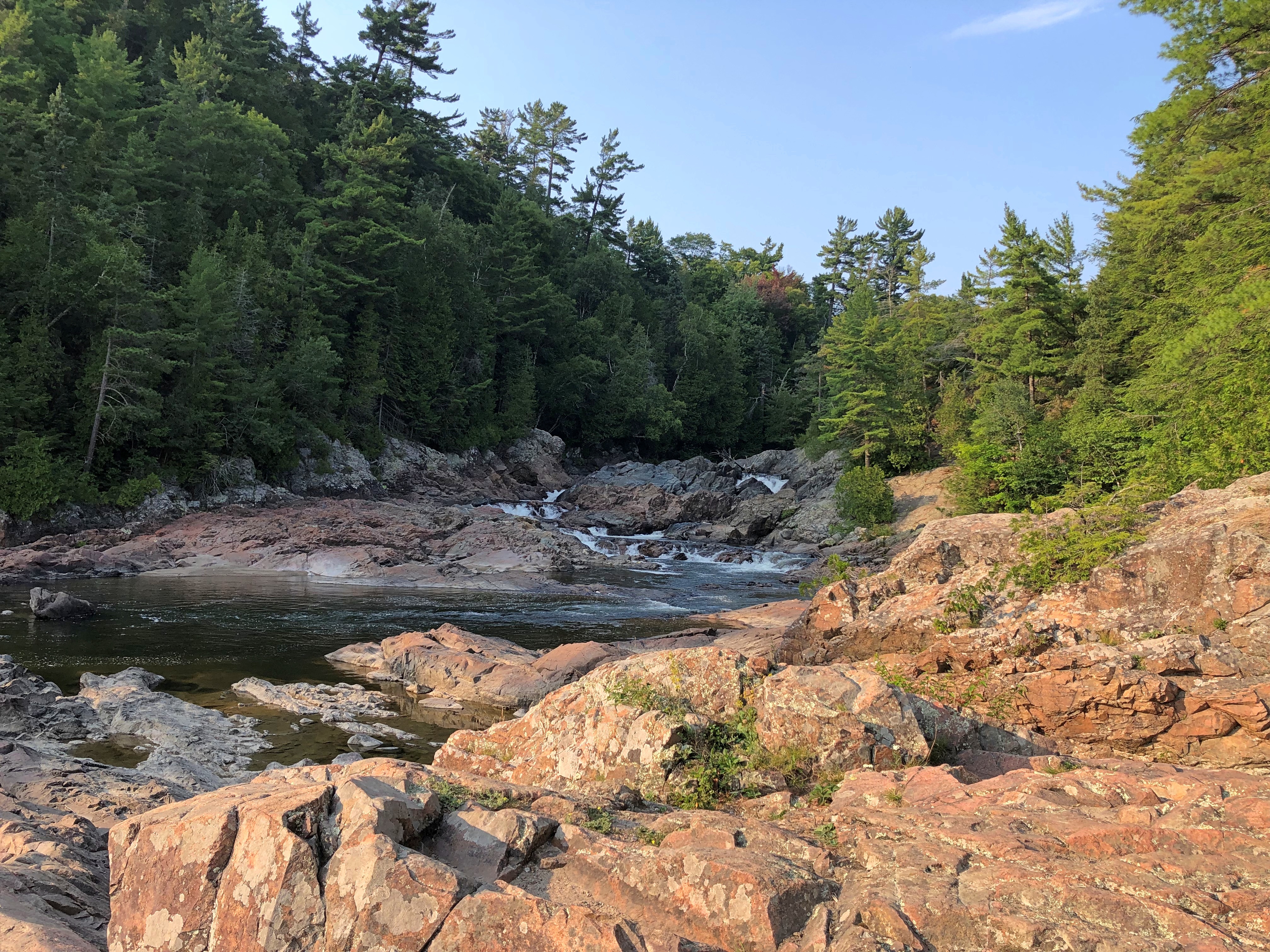
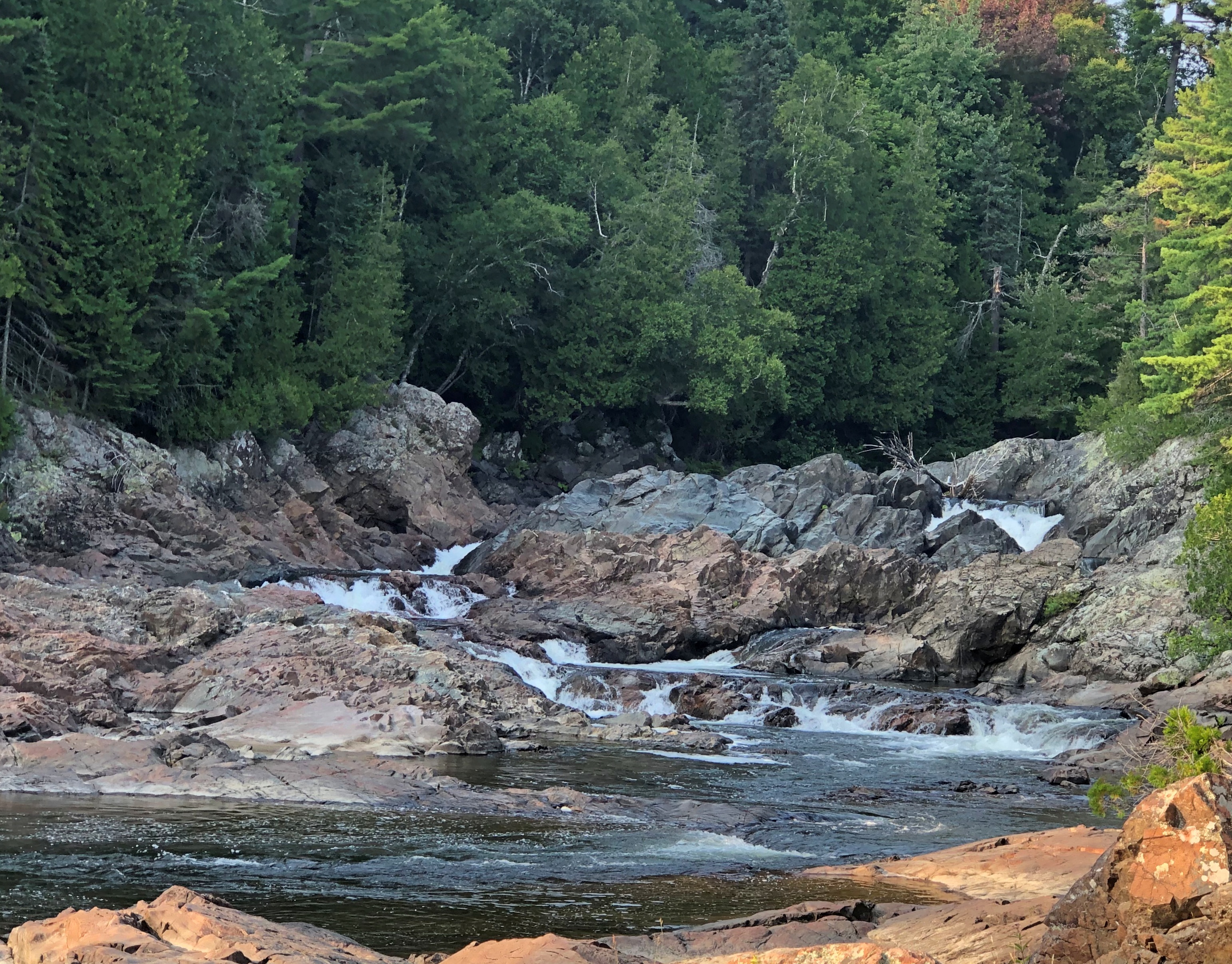
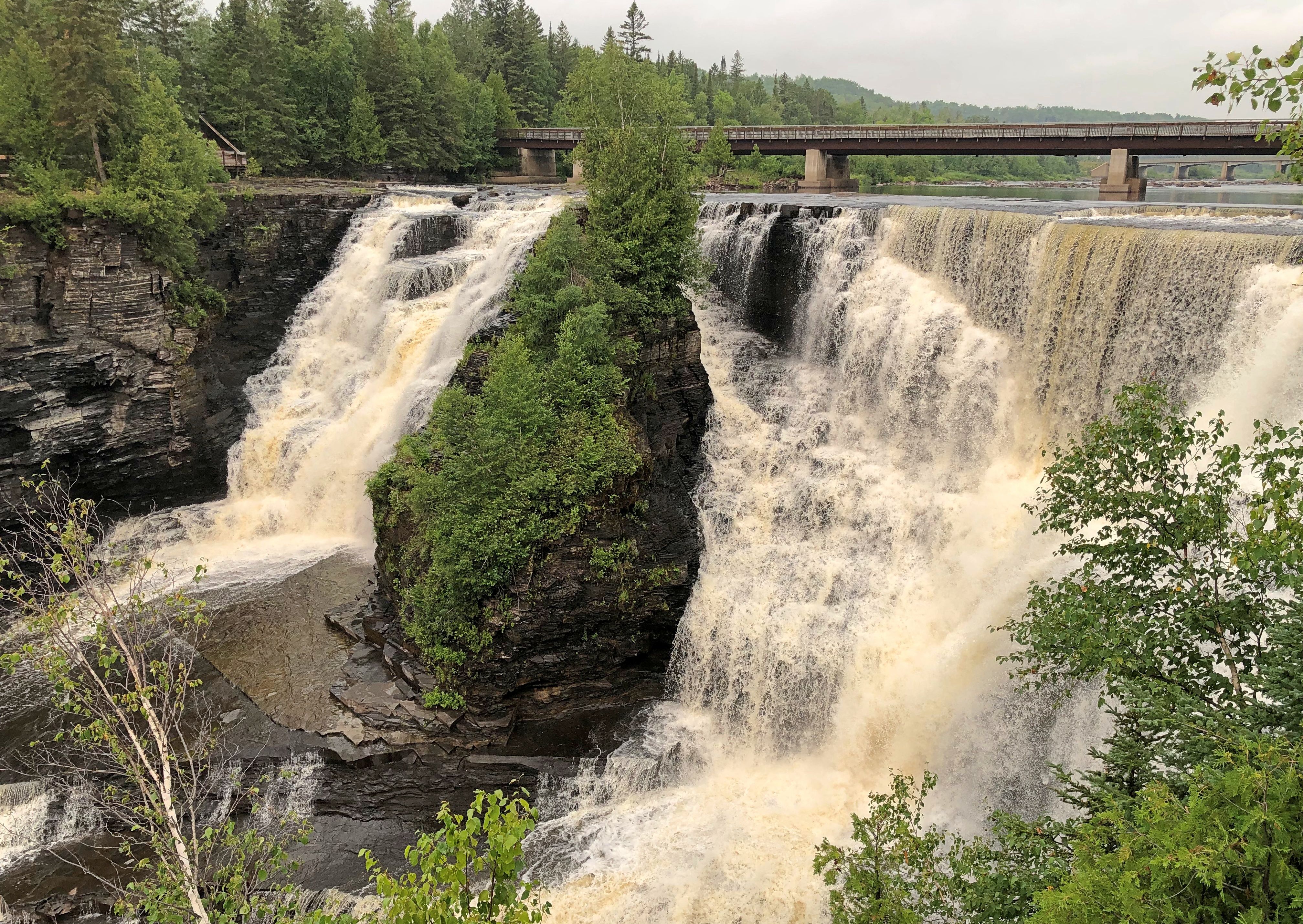
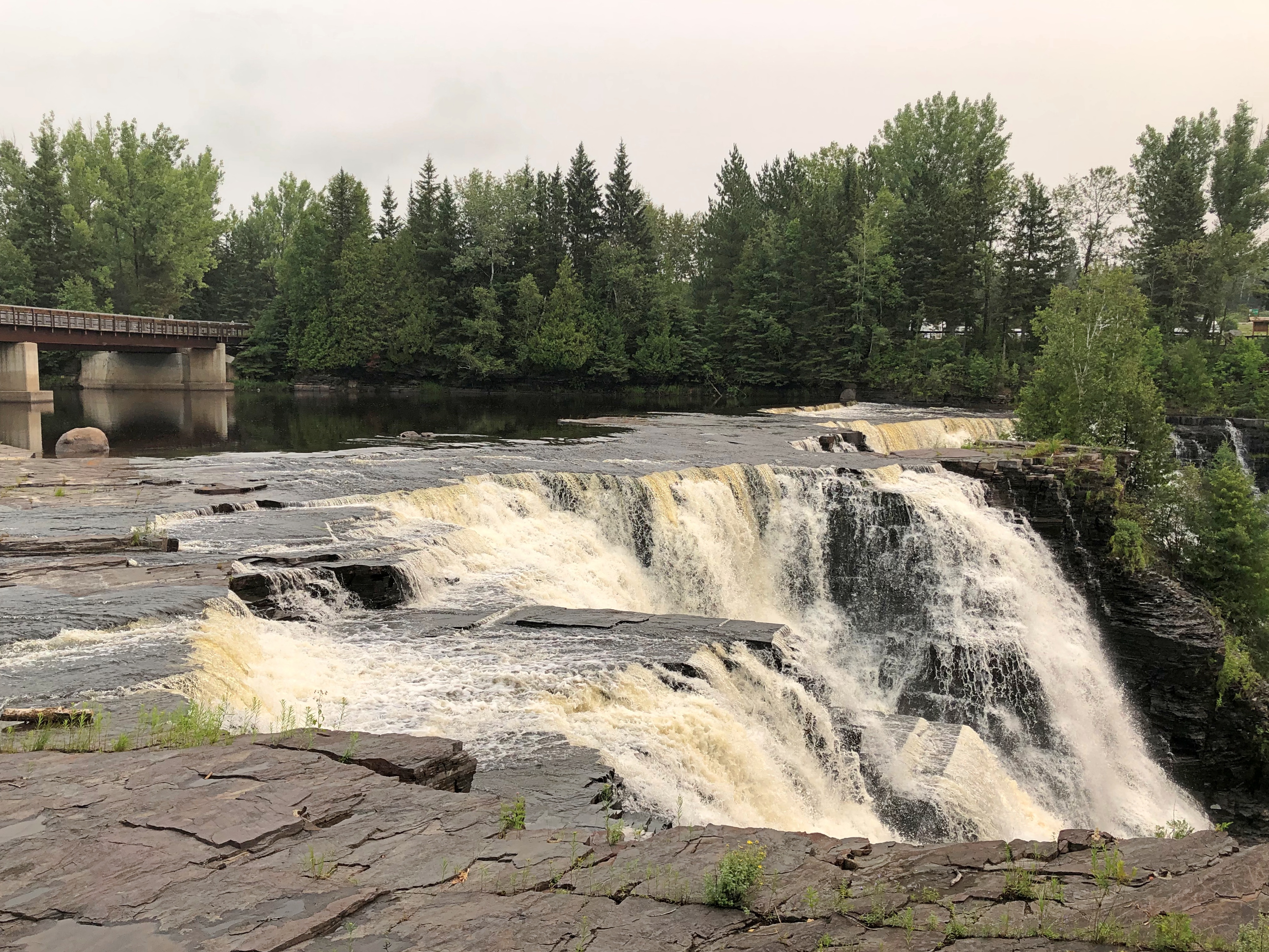
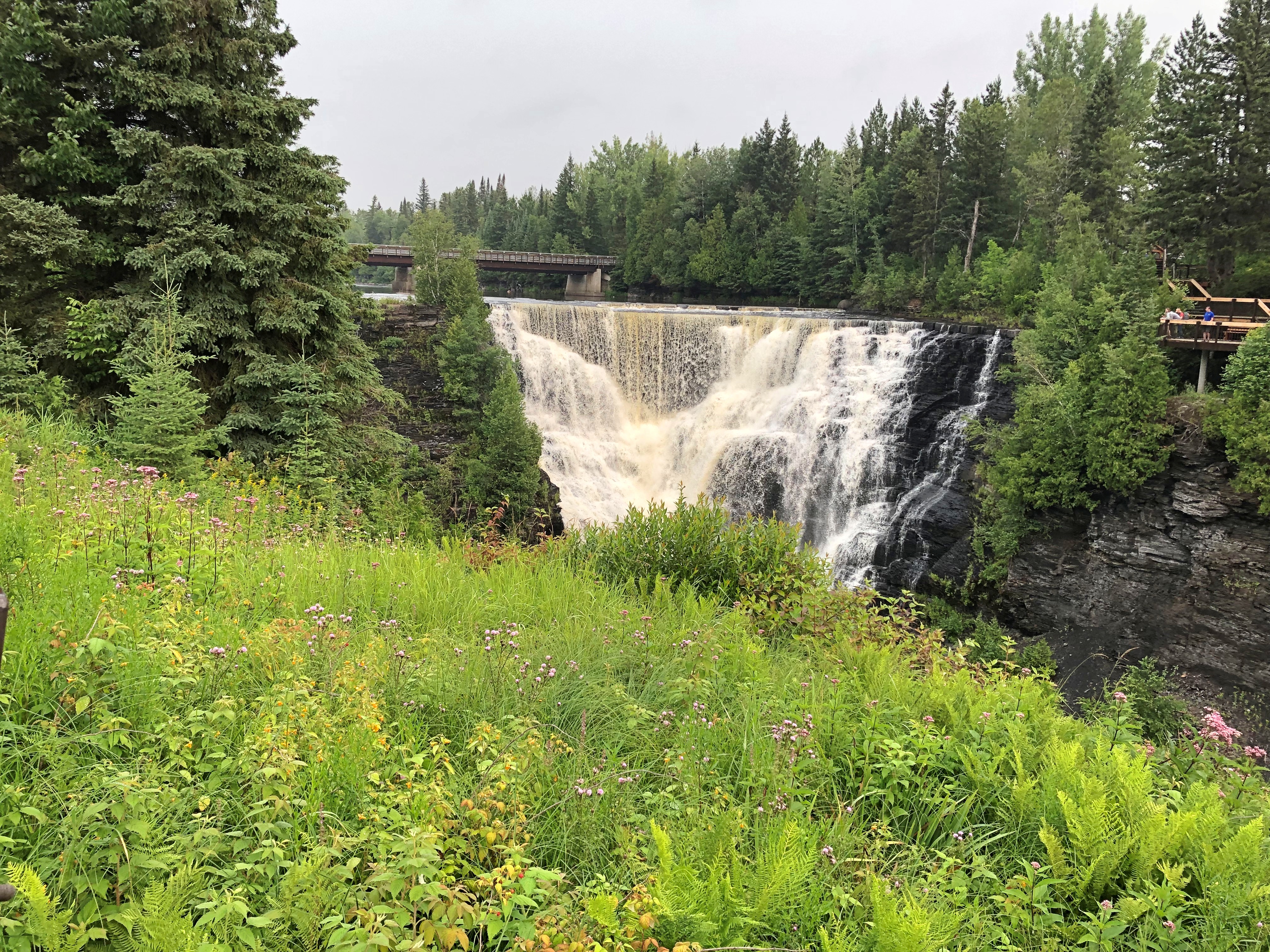
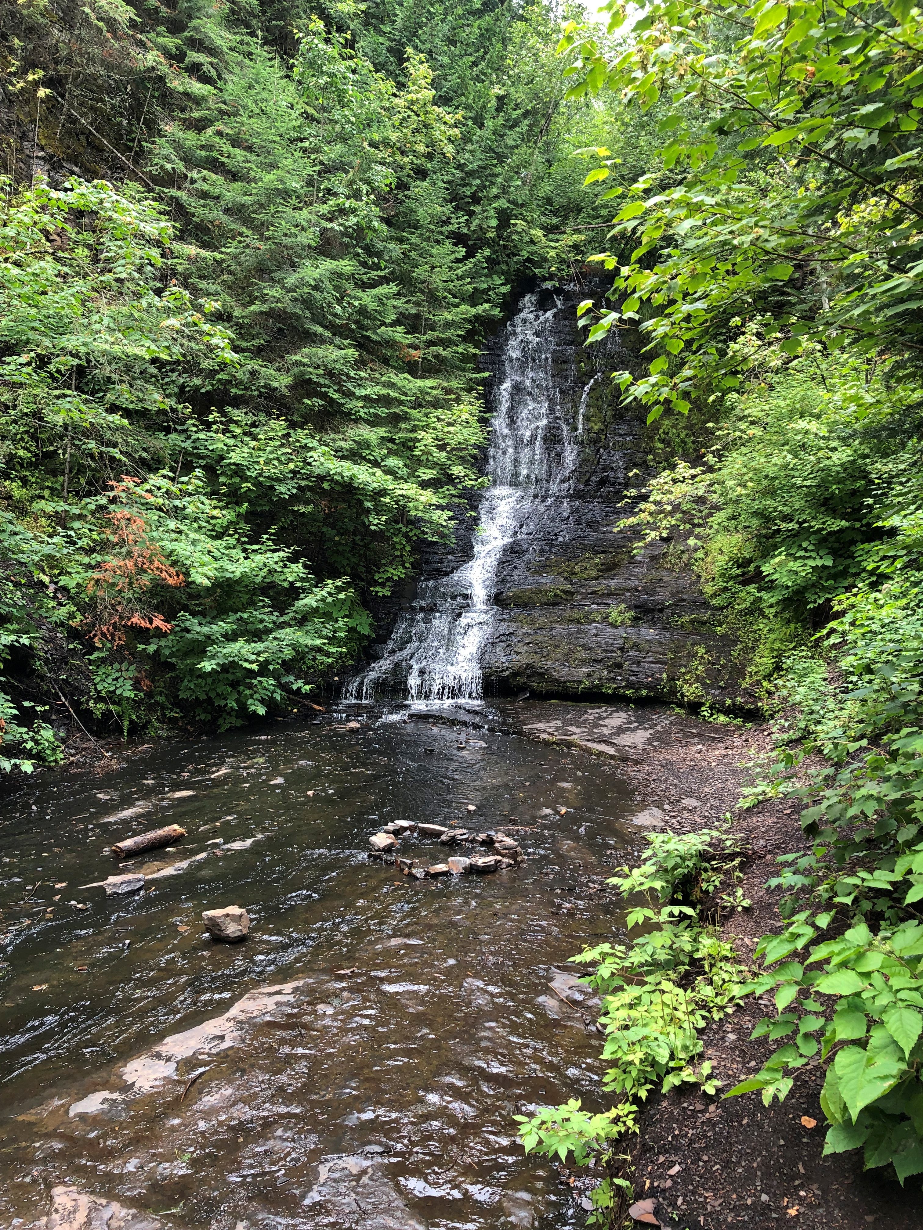
Bridal Veil Falls, one of the canyon’s featured sights, proved to be a mere trickle in early August. For whatever reason, much more water cascaded over the cliff at the Black Beaver Falls.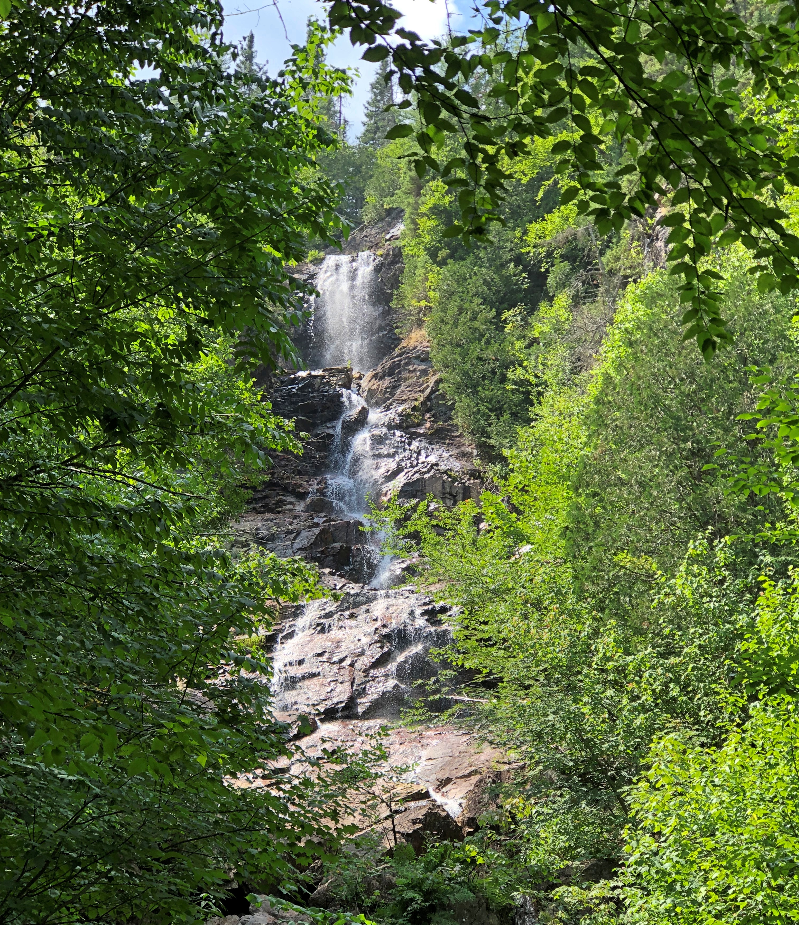
At the smaller Otter Creek Falls as well.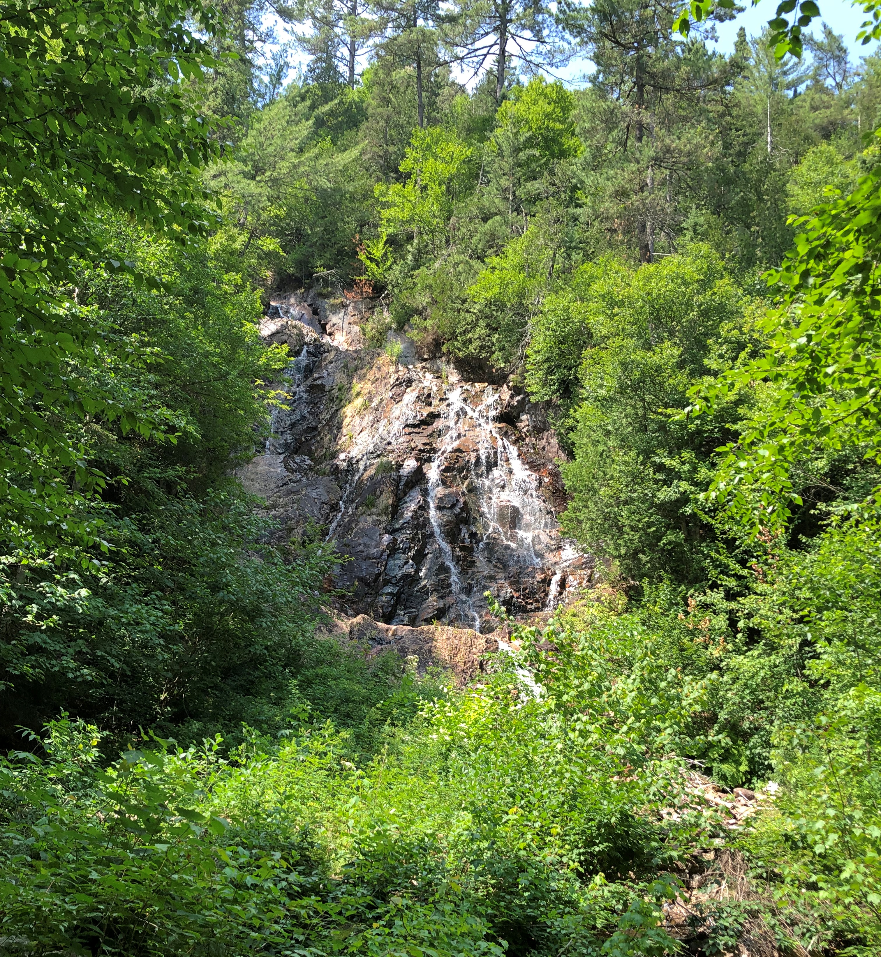
Perhaps I ought to call this trip Ontario Waterfalls ’23, considering how many of them I saw. The appeal is aesthetic, but much more, I think – though I’m not quite sure what. The power? How a fall evokes untamed nature, even if engineers control the flow upstream? The pleasure of seeing foamy water?
After an hour and half in the canyon, the train begins the four-and-a-half hour journey back to Sault Ste. Marie. There isn’t much narrative on the return, and mostly people nap or play games or whatnot. I read, though sometimes still looking out the window.
My car was the last of 10, so I could also go to the rear and see the tracks receding as the train moved along, something I couldn’t do on the way in.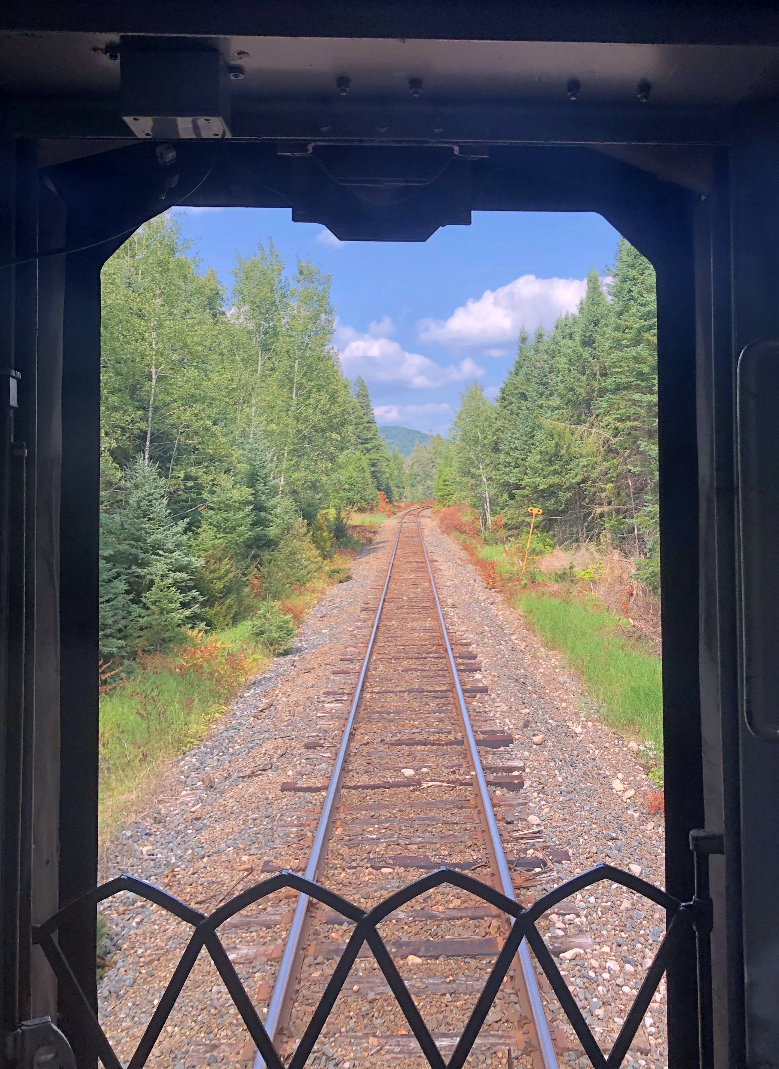
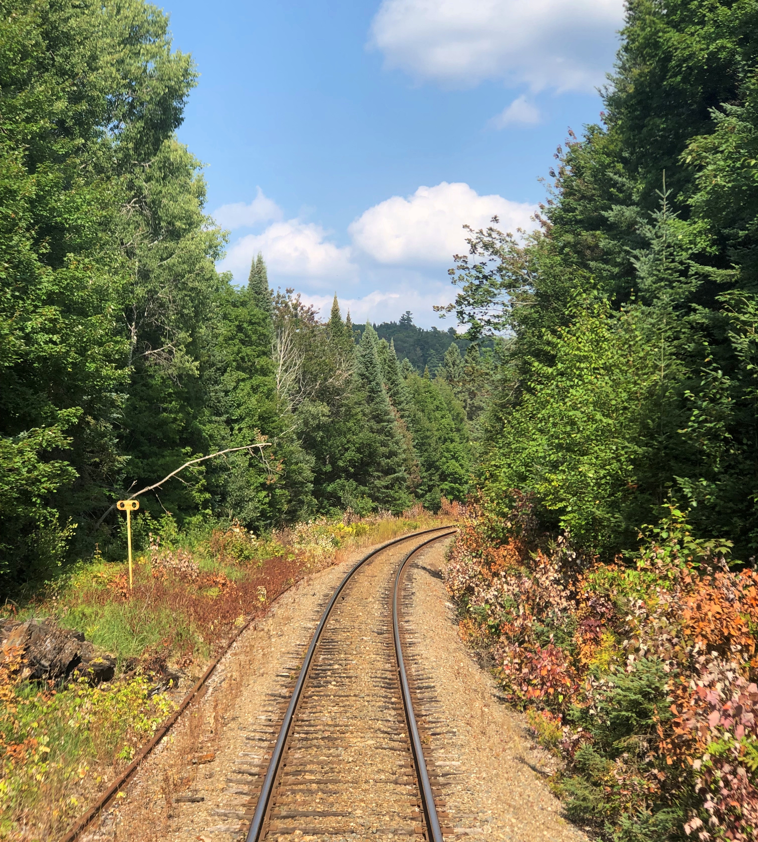
It was a little mesmerizing, that view.