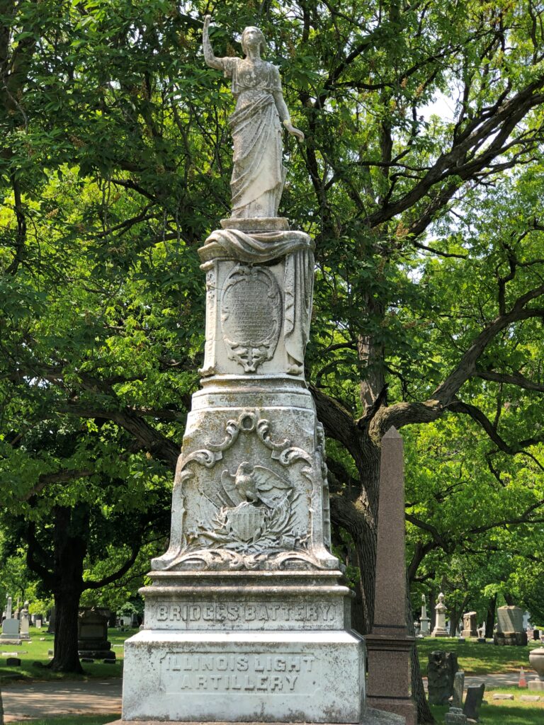
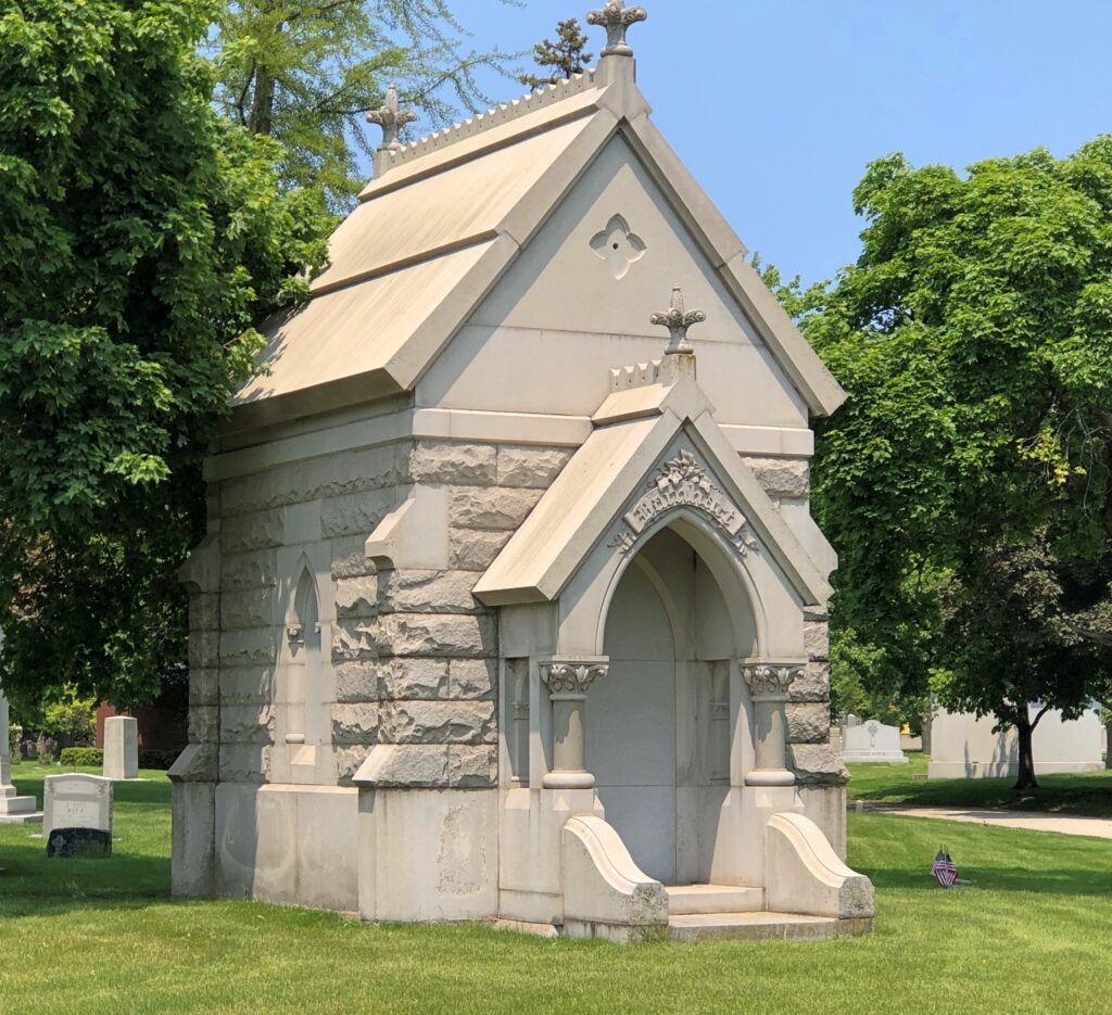
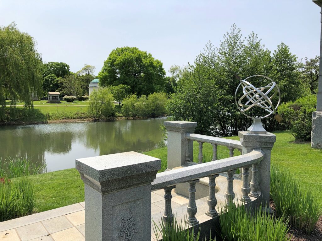
Summertime, and the living’s not bad. Pretty good, really. But those aren’t as catchy as the actual lyric. Time to pause posting for the summer holiday string: Flag Day, Juneteenth, Canada Day, Independence Day and Nunavut Day. Come to think of it, that’s an exceptionally representative run of holidays for North America. Back around July 13.
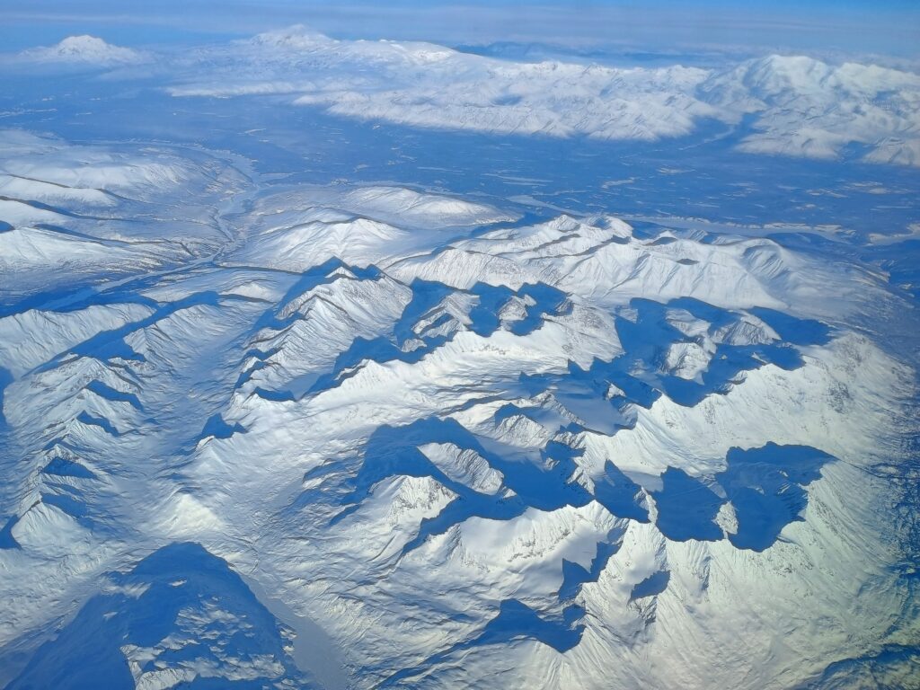
The flight from Chicago to Tokyo took us far north, as that flight path usually does. There was more light than I thought there would be, looking down at this moment on the February snows of the Yukon or Alaska; I’ll never know which. I could have been eying the border, for all I know, which suggests that borders are a gossamer fiction at these latitudes.
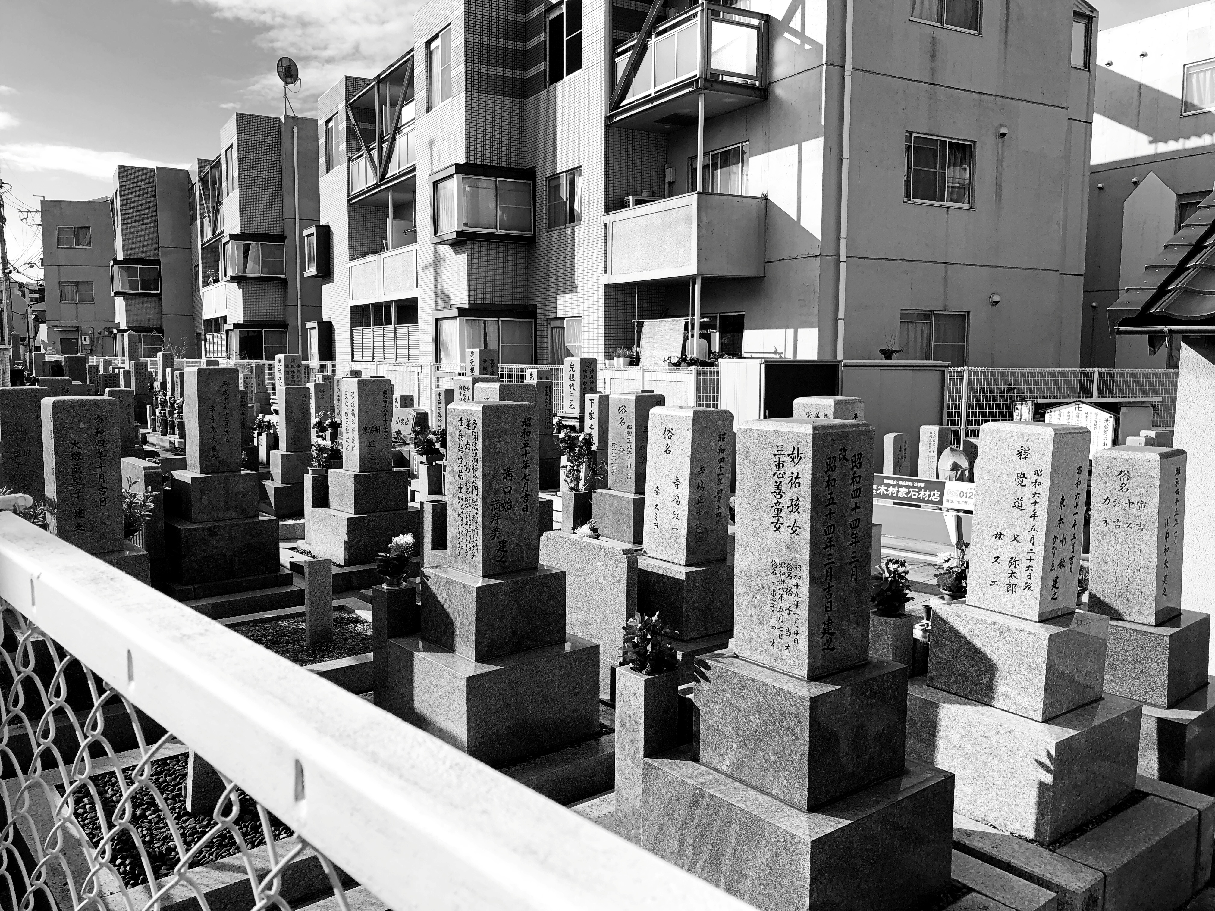
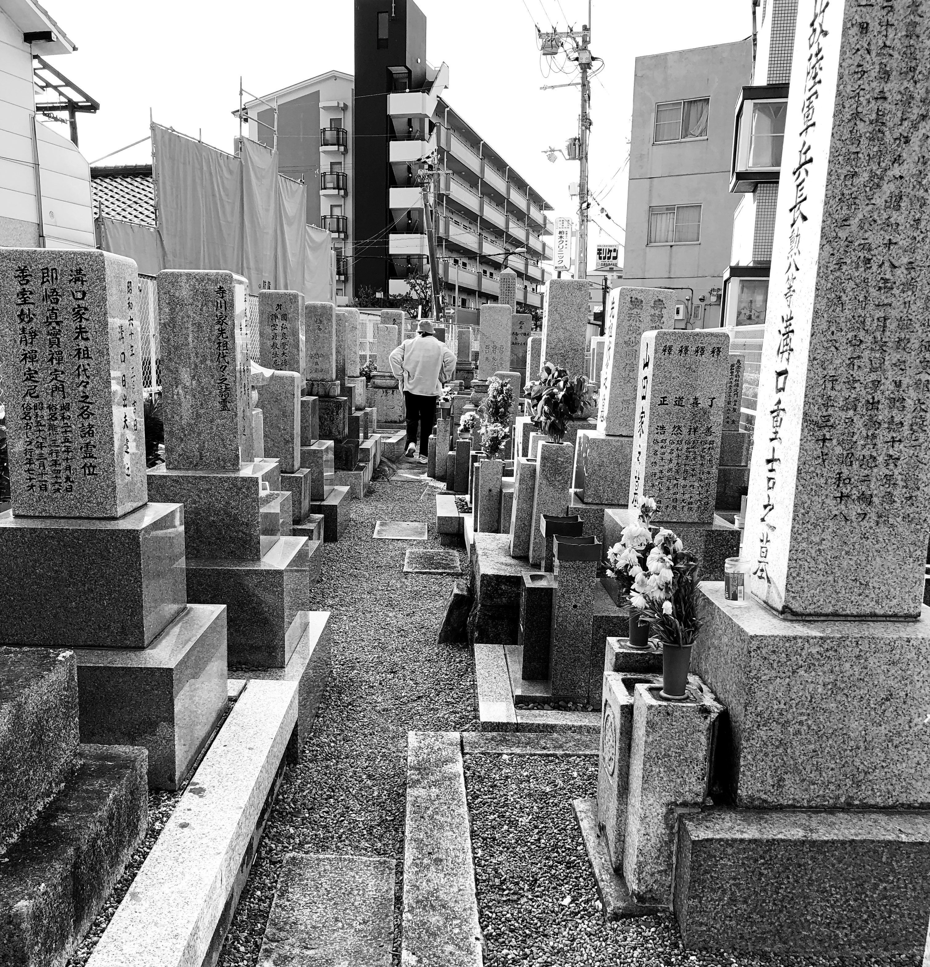
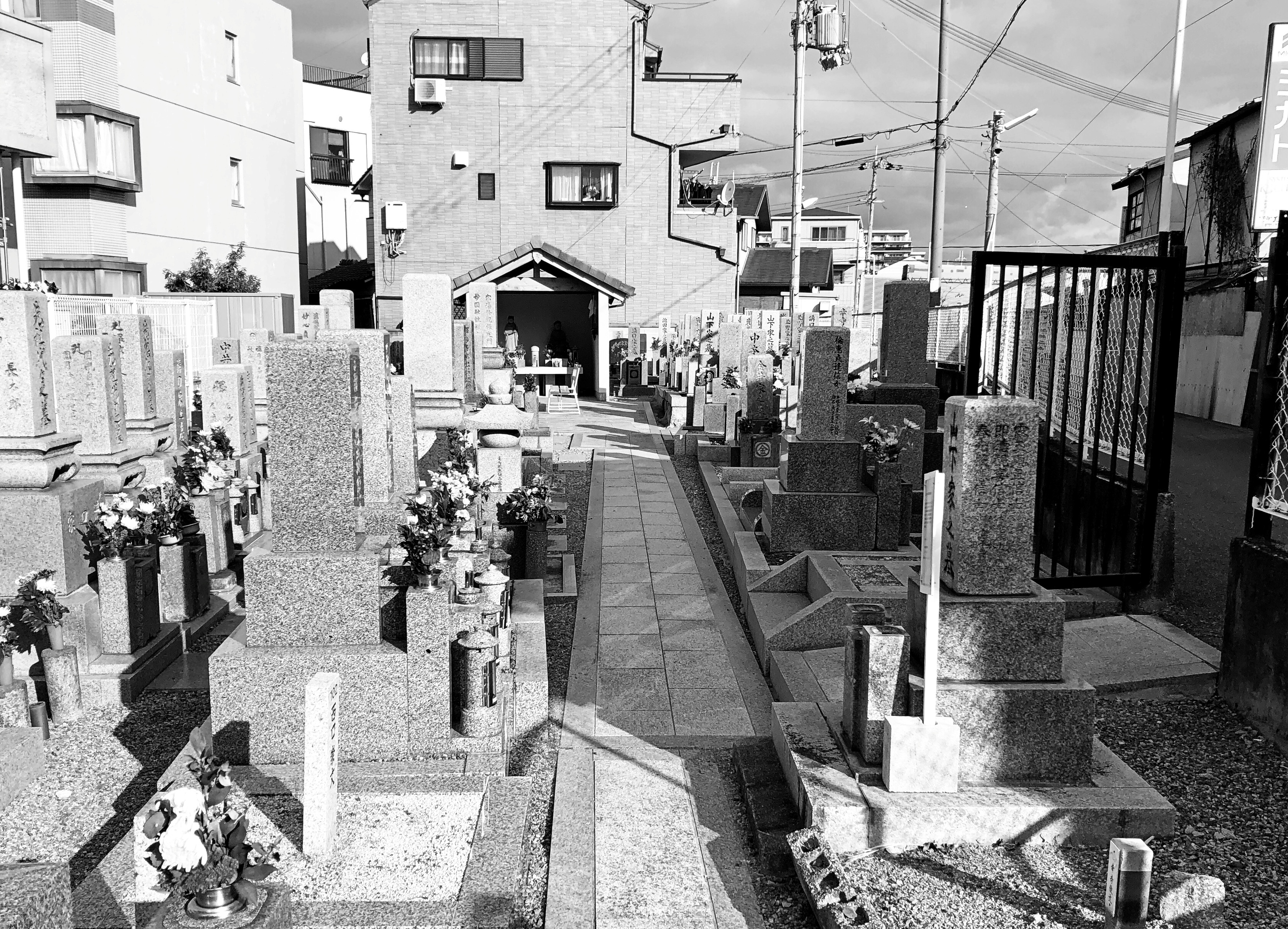
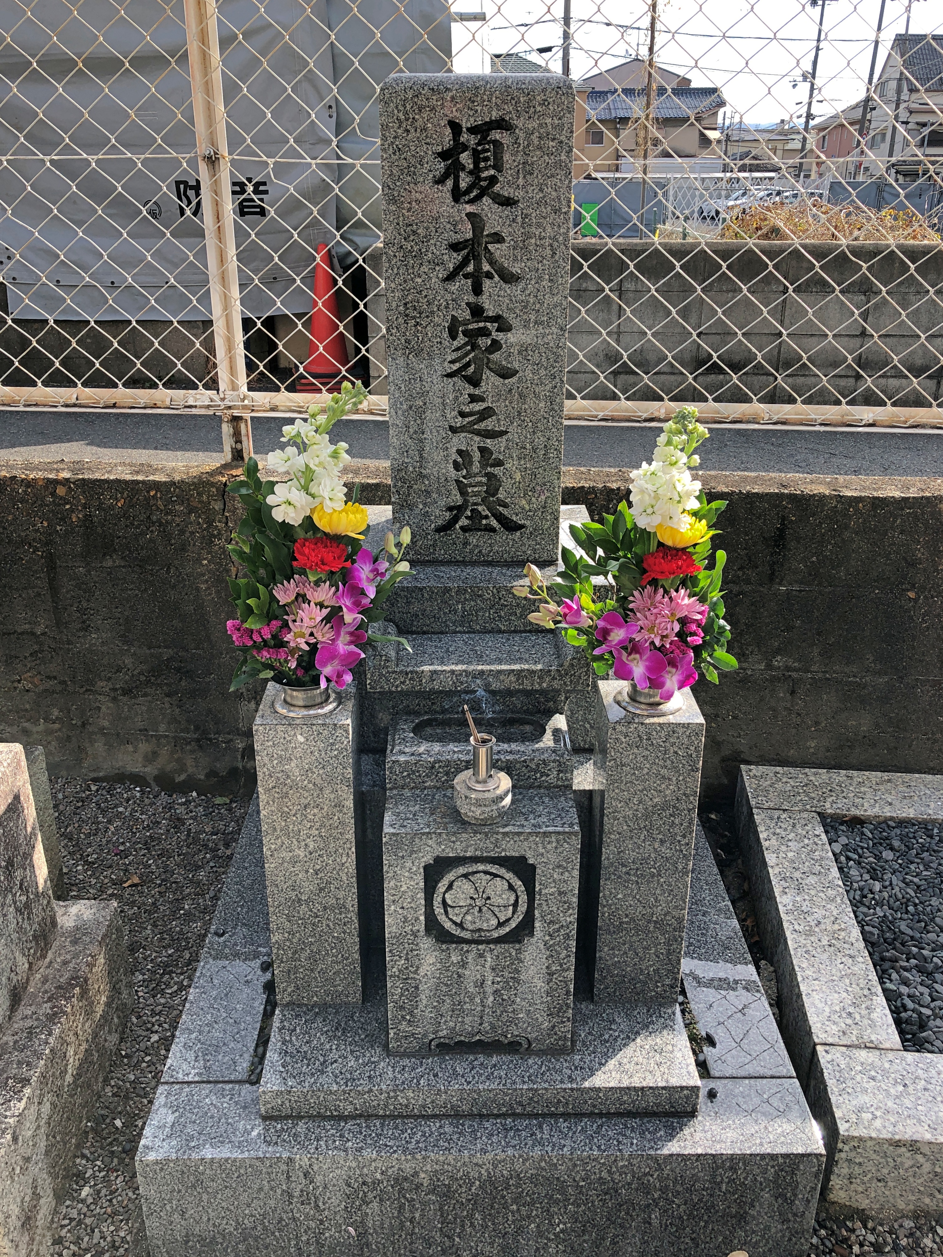
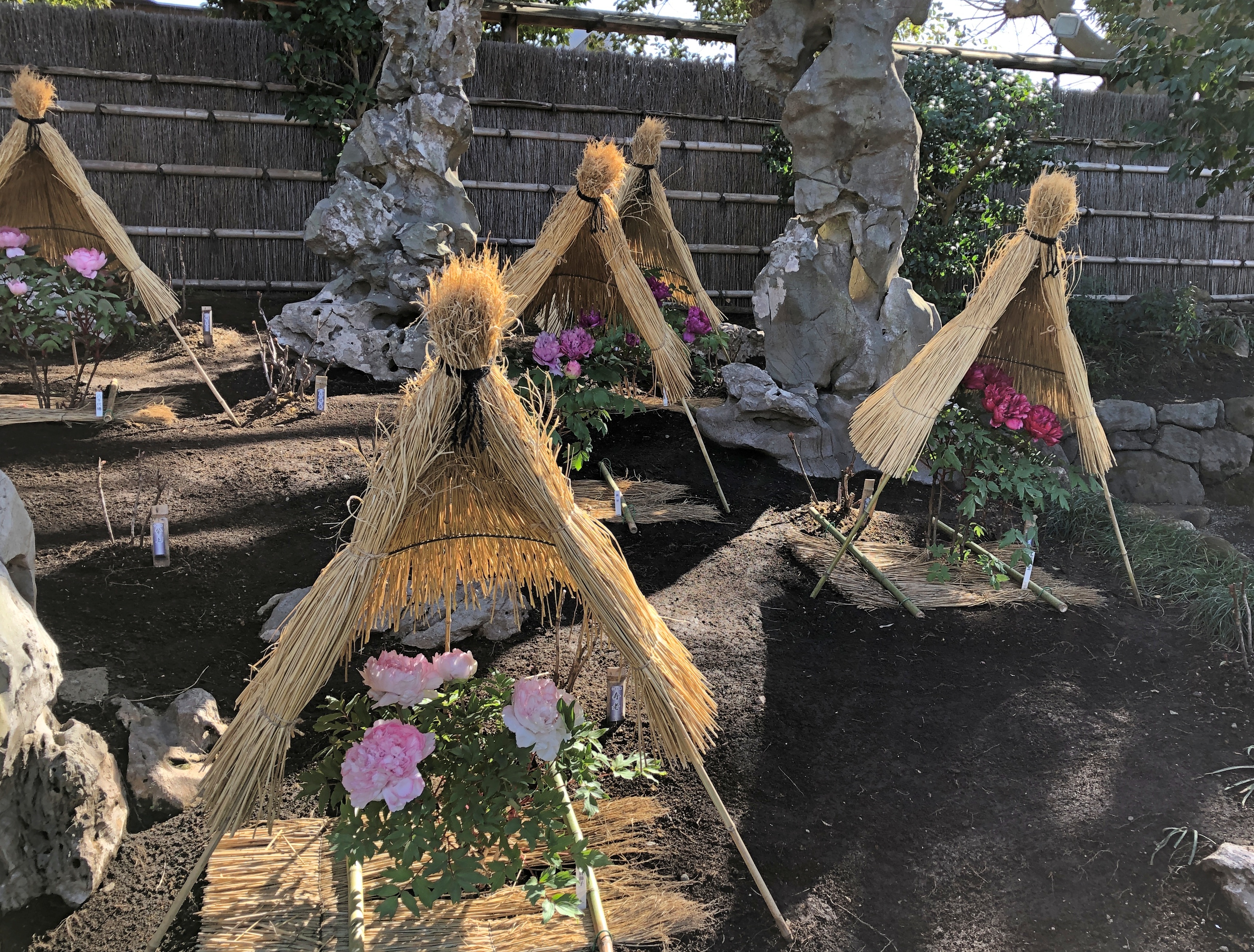
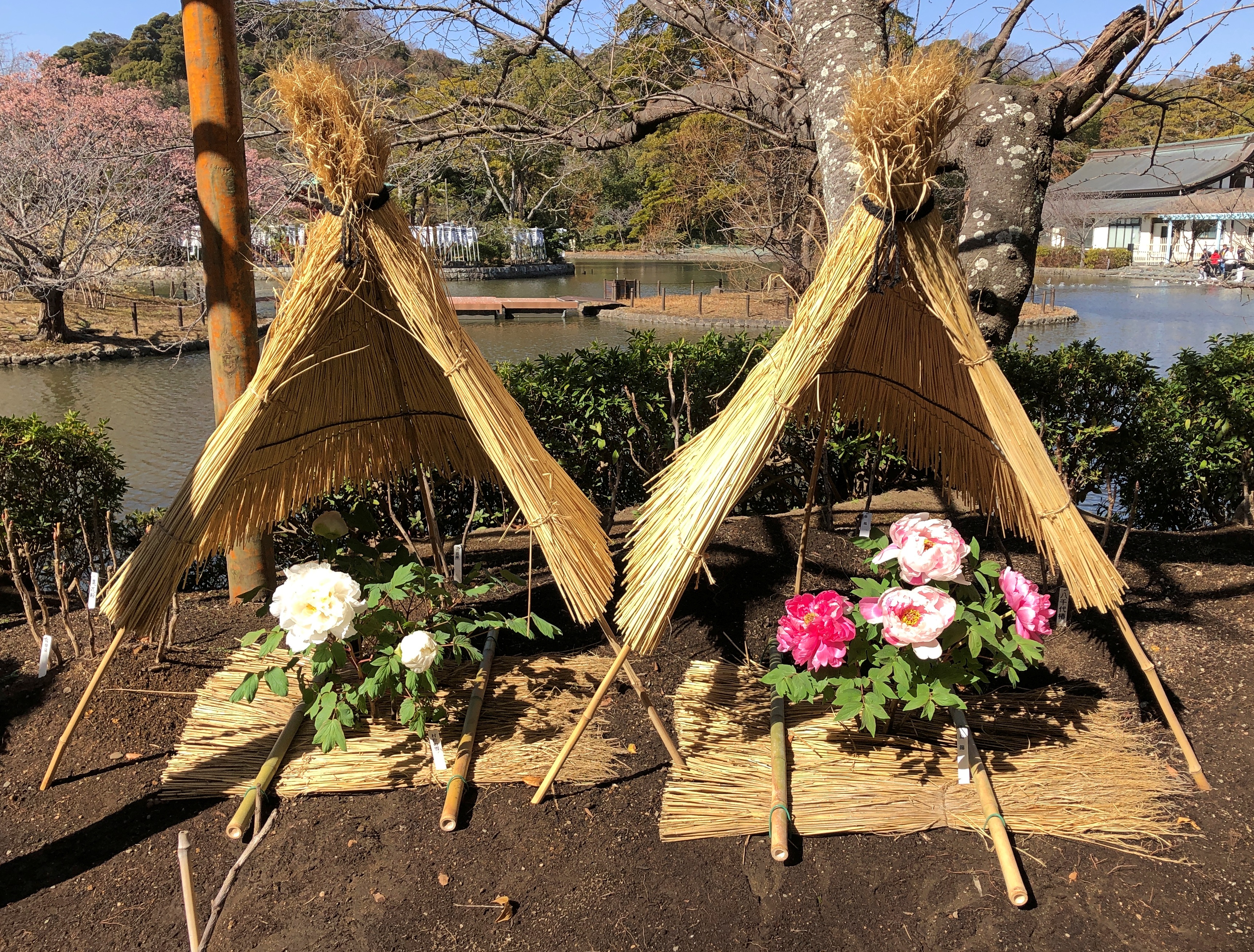
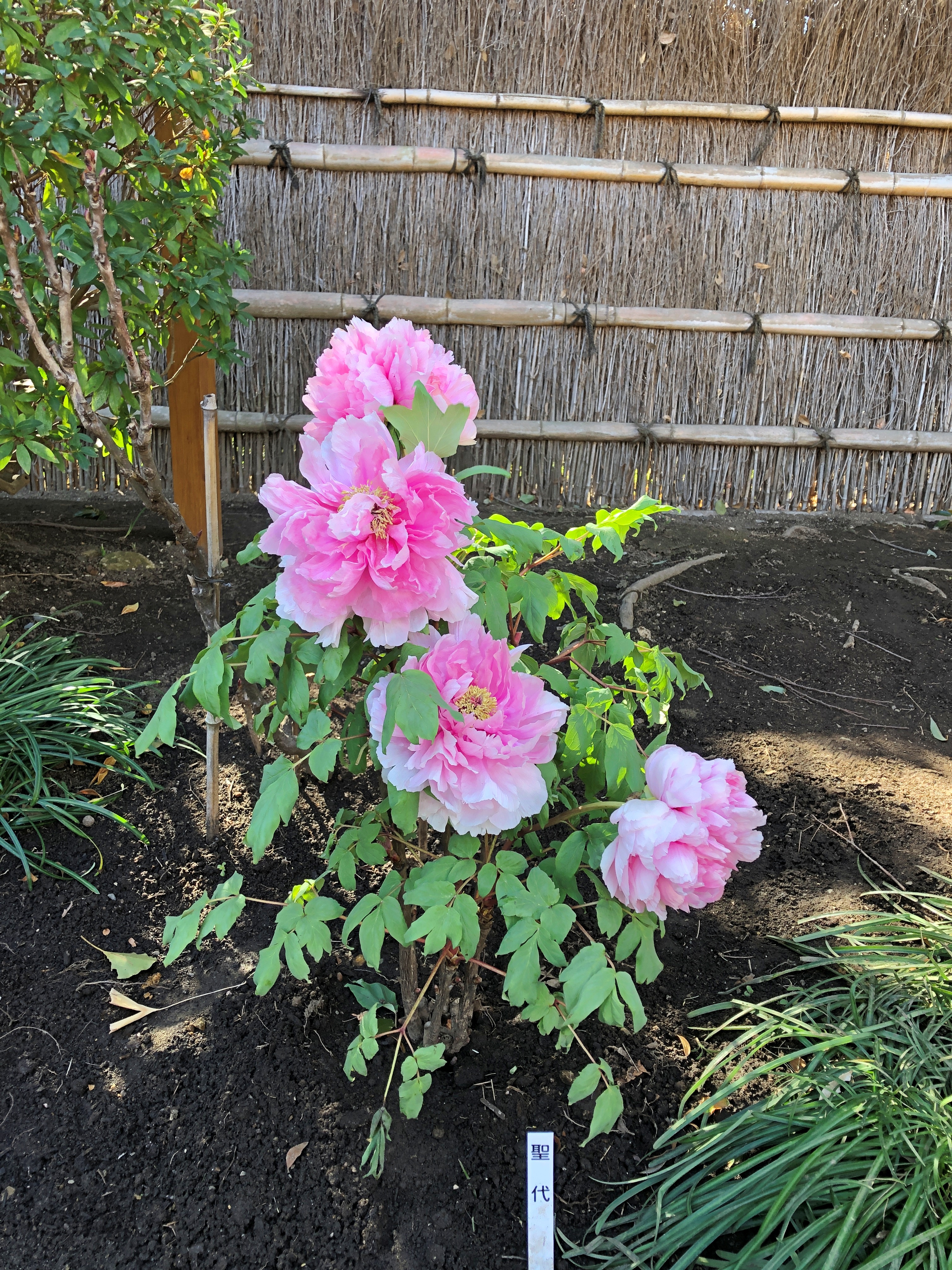
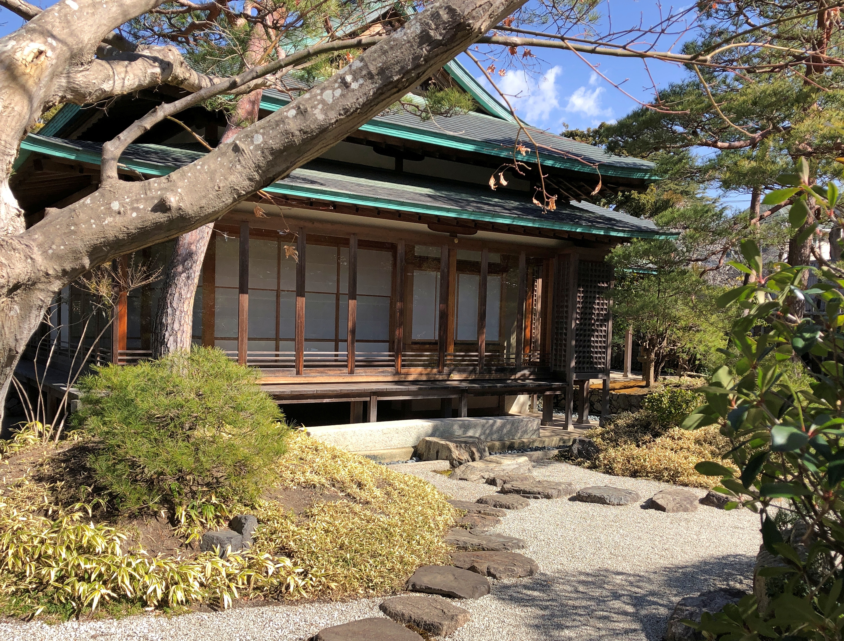
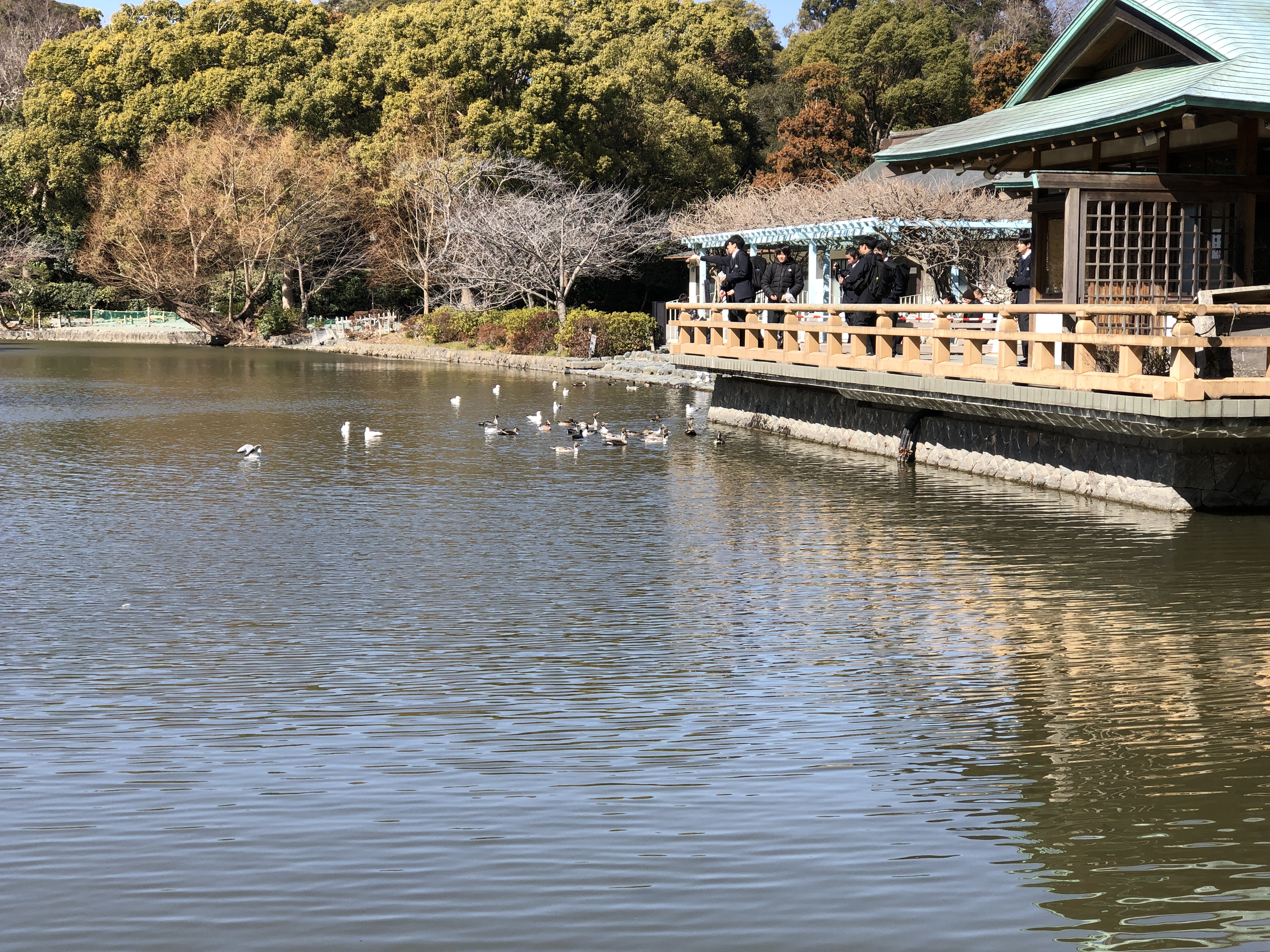
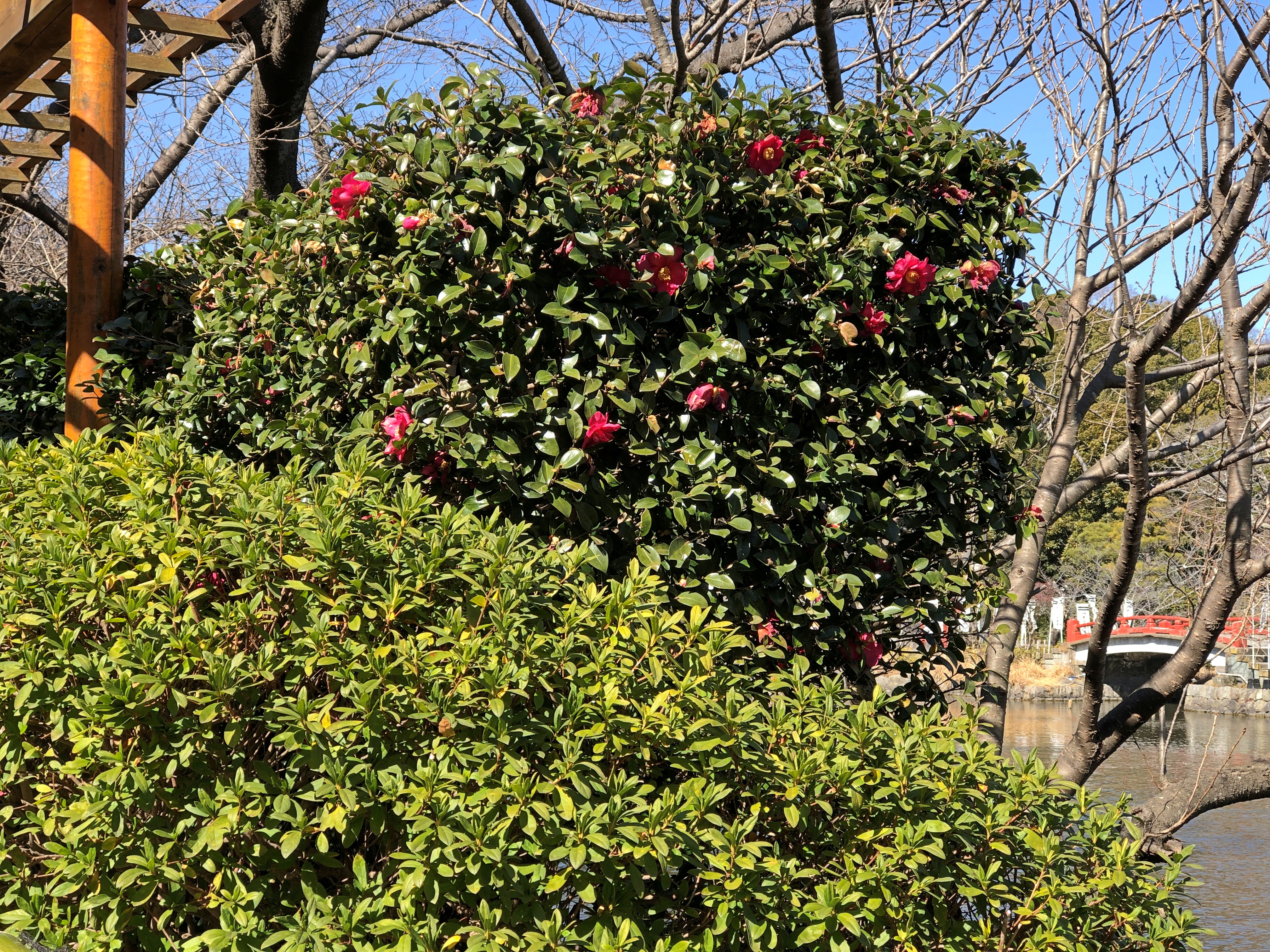
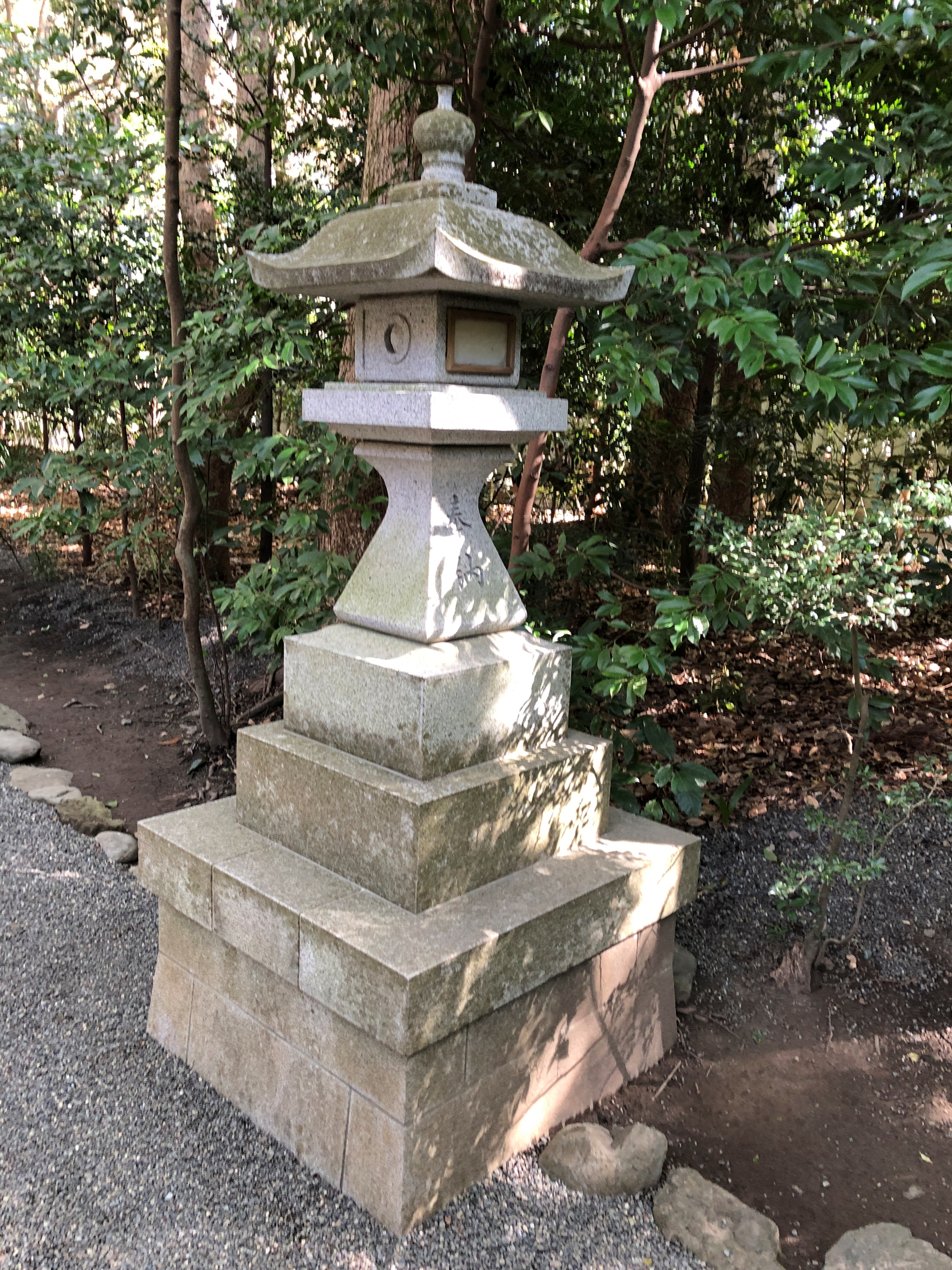
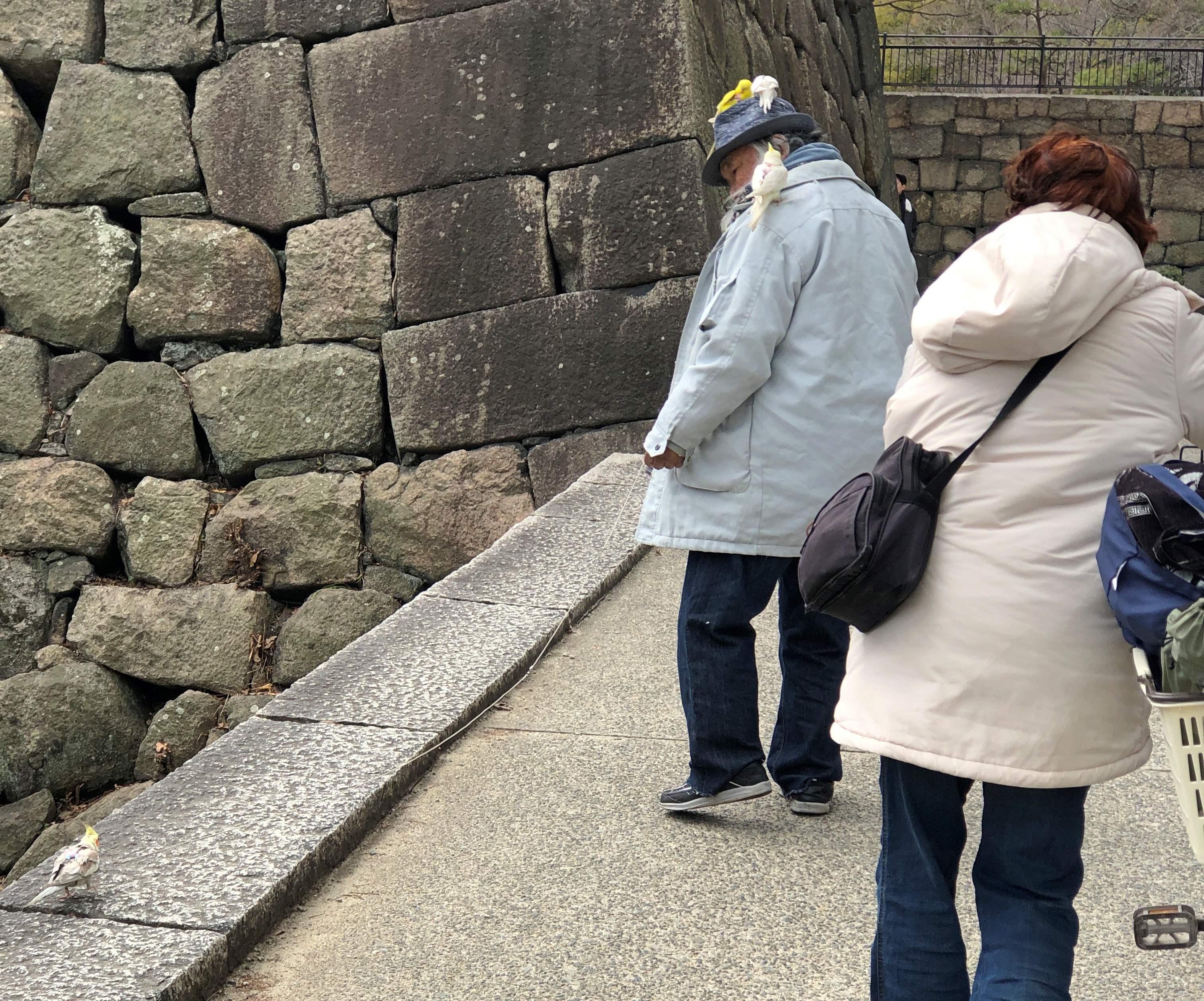
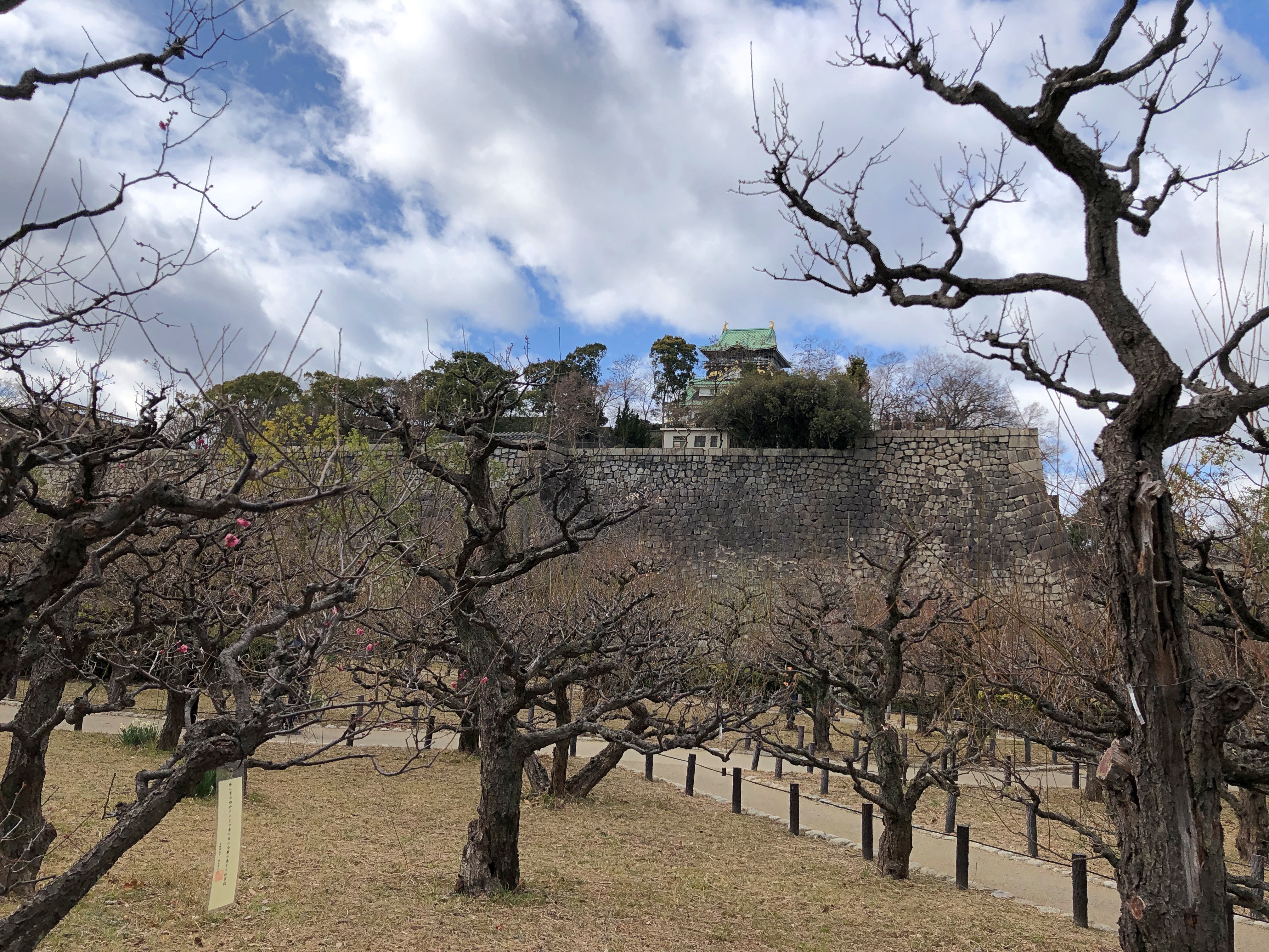
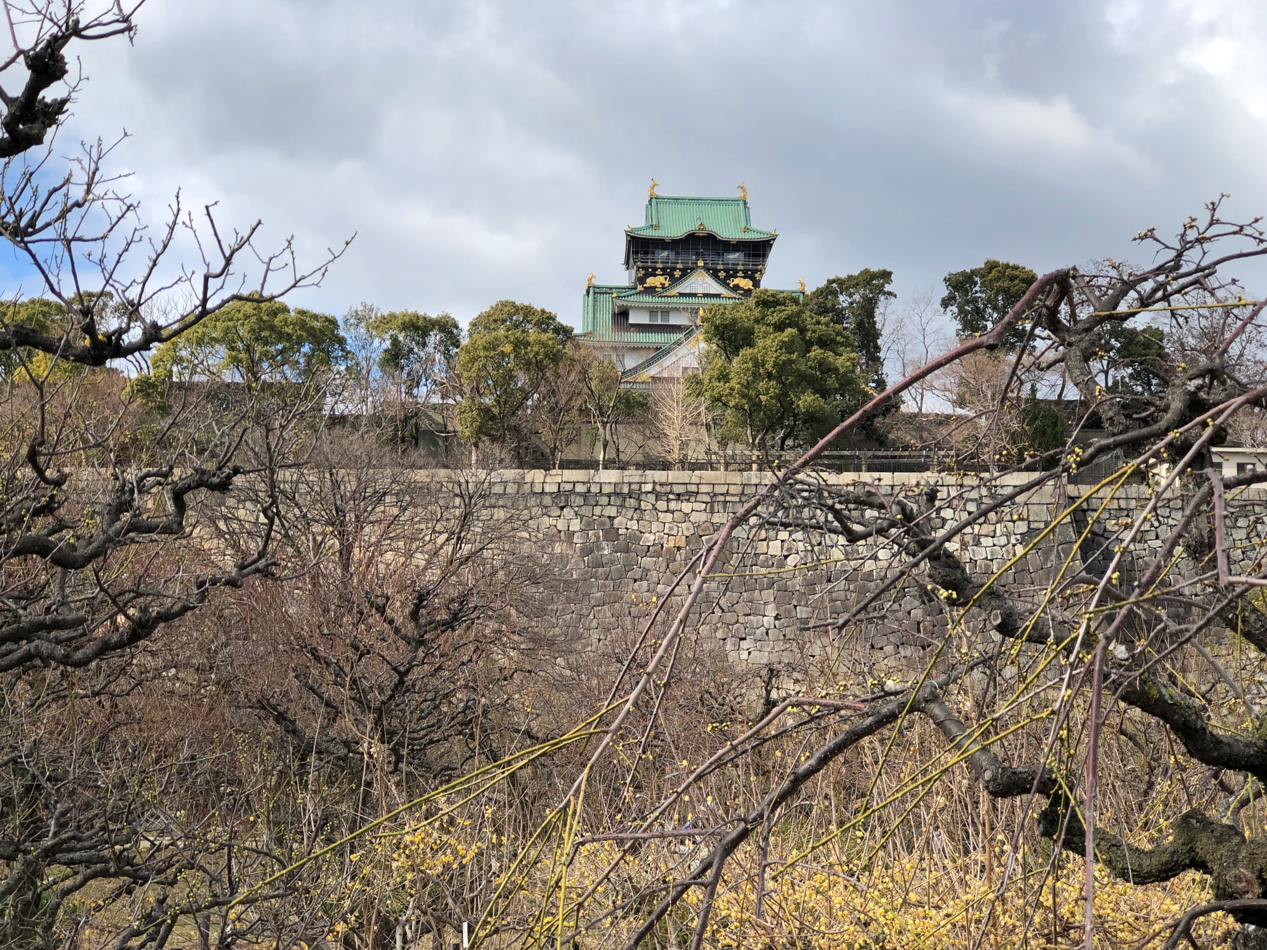
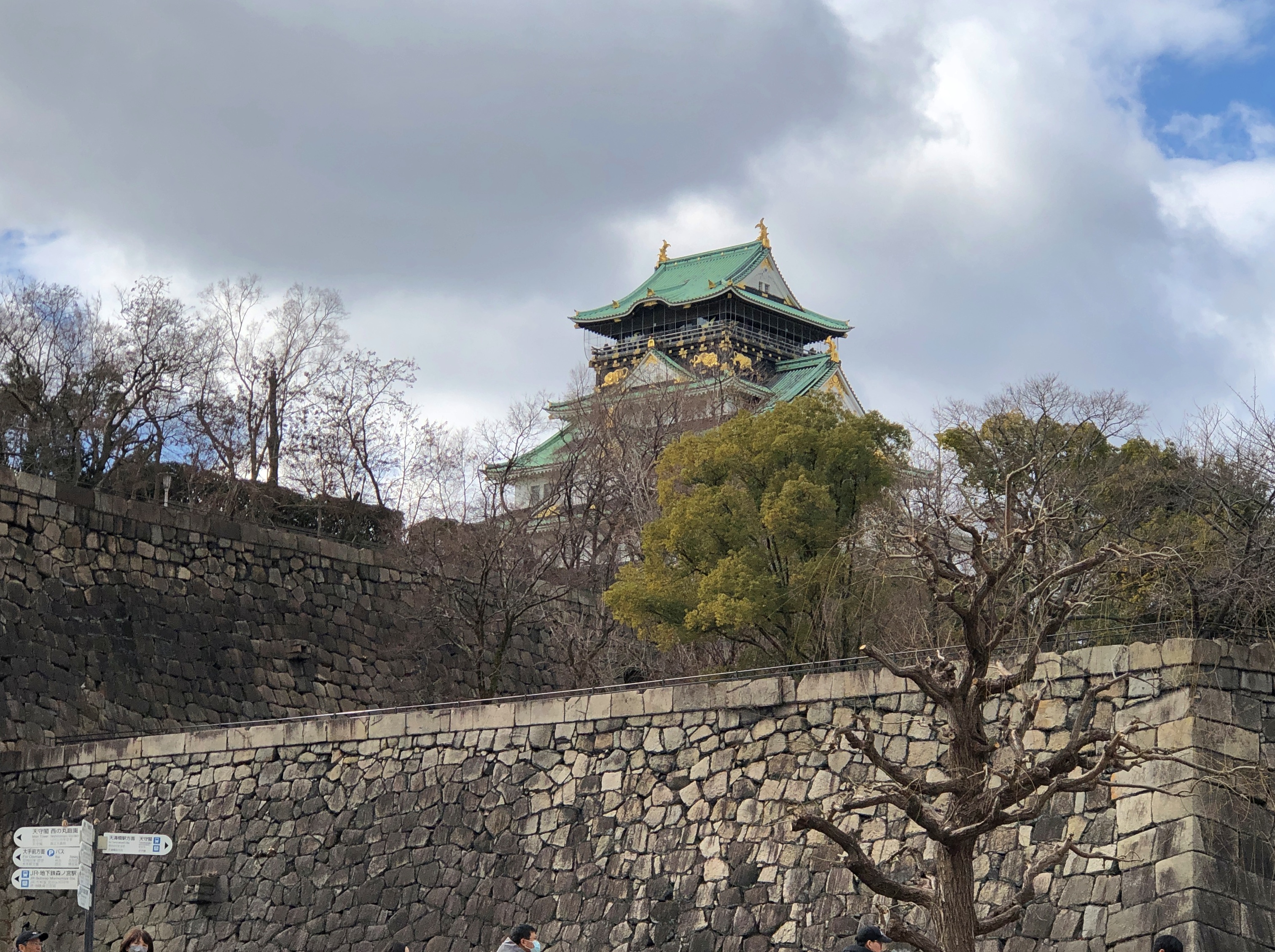
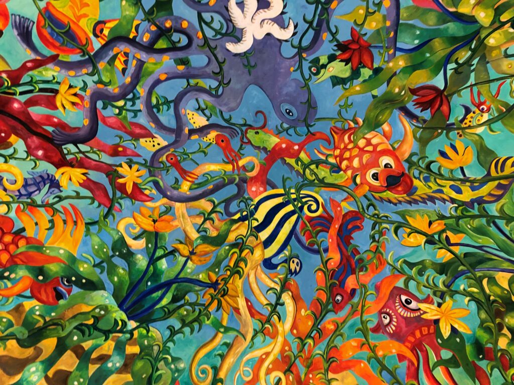
Japan
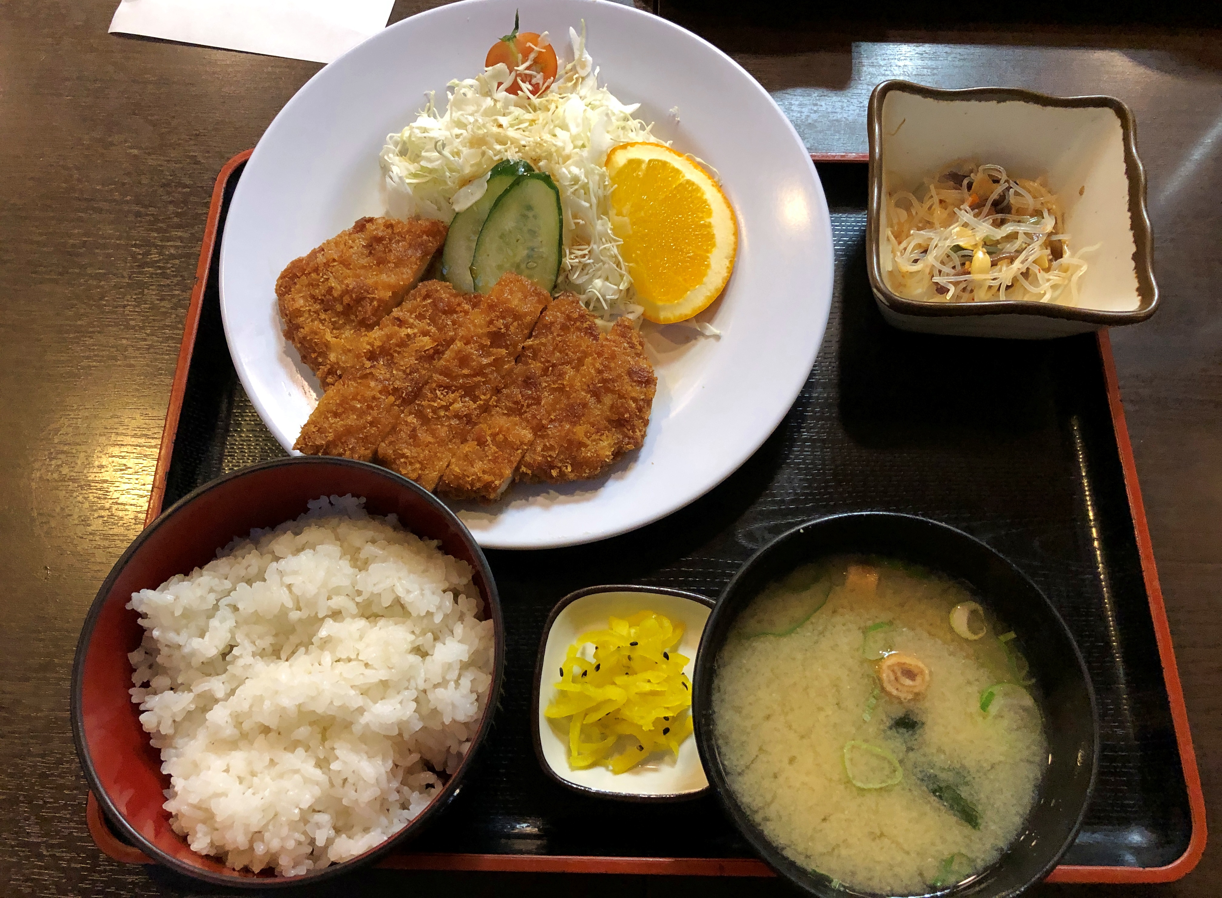
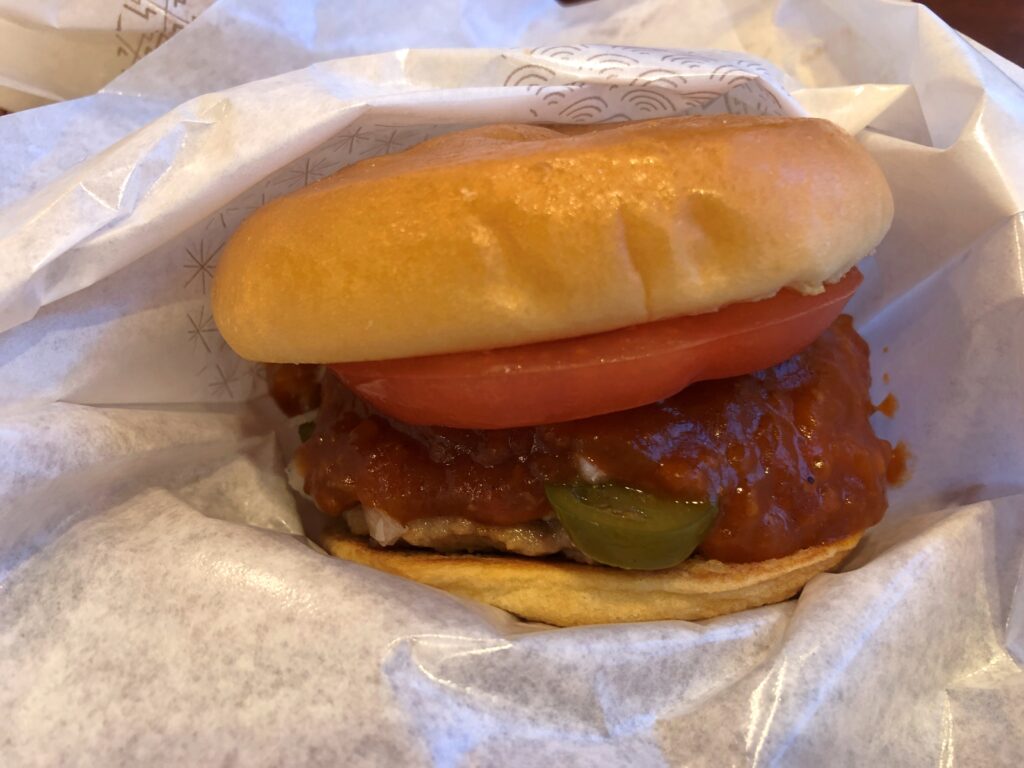
It was a happy moment when we ate at Mos Burger. One of these days, I’m going to dig out my paper copy of an article I wrote for Kansai Time Out in 1993 about four varieties of Western-style fast food chains founded in Japan, and post it. Today isn’t that day. But I can say that Mos Burger was the best of them.
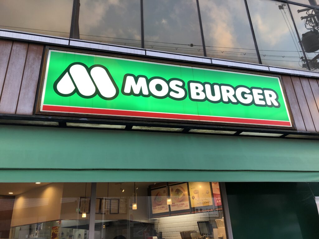
As good as I remember it from 25+ years ago, the last time I went to one.
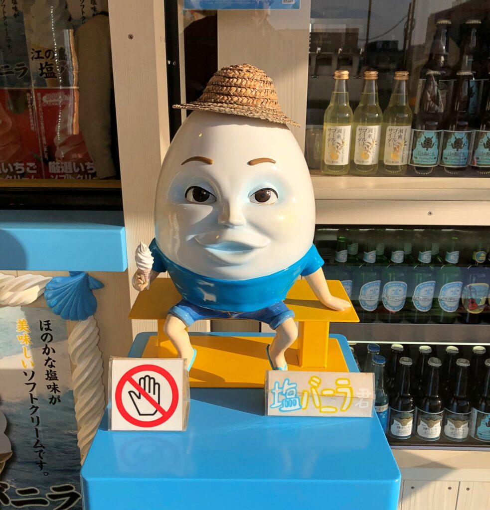
In Enoshima, near the ocean, this fellow hawks soft serve ice cream. Goo goo g’joob. Look but don’t touch.
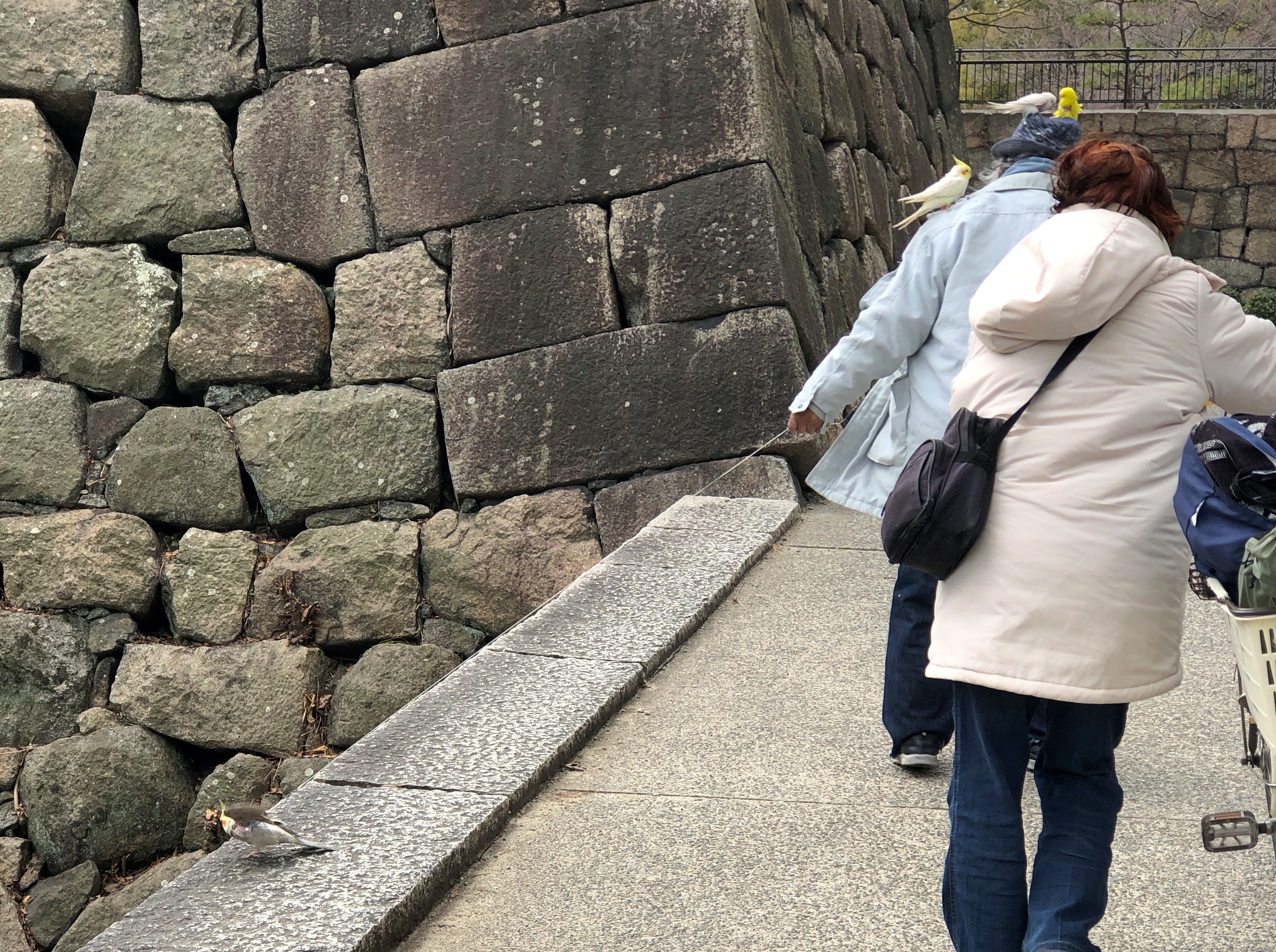
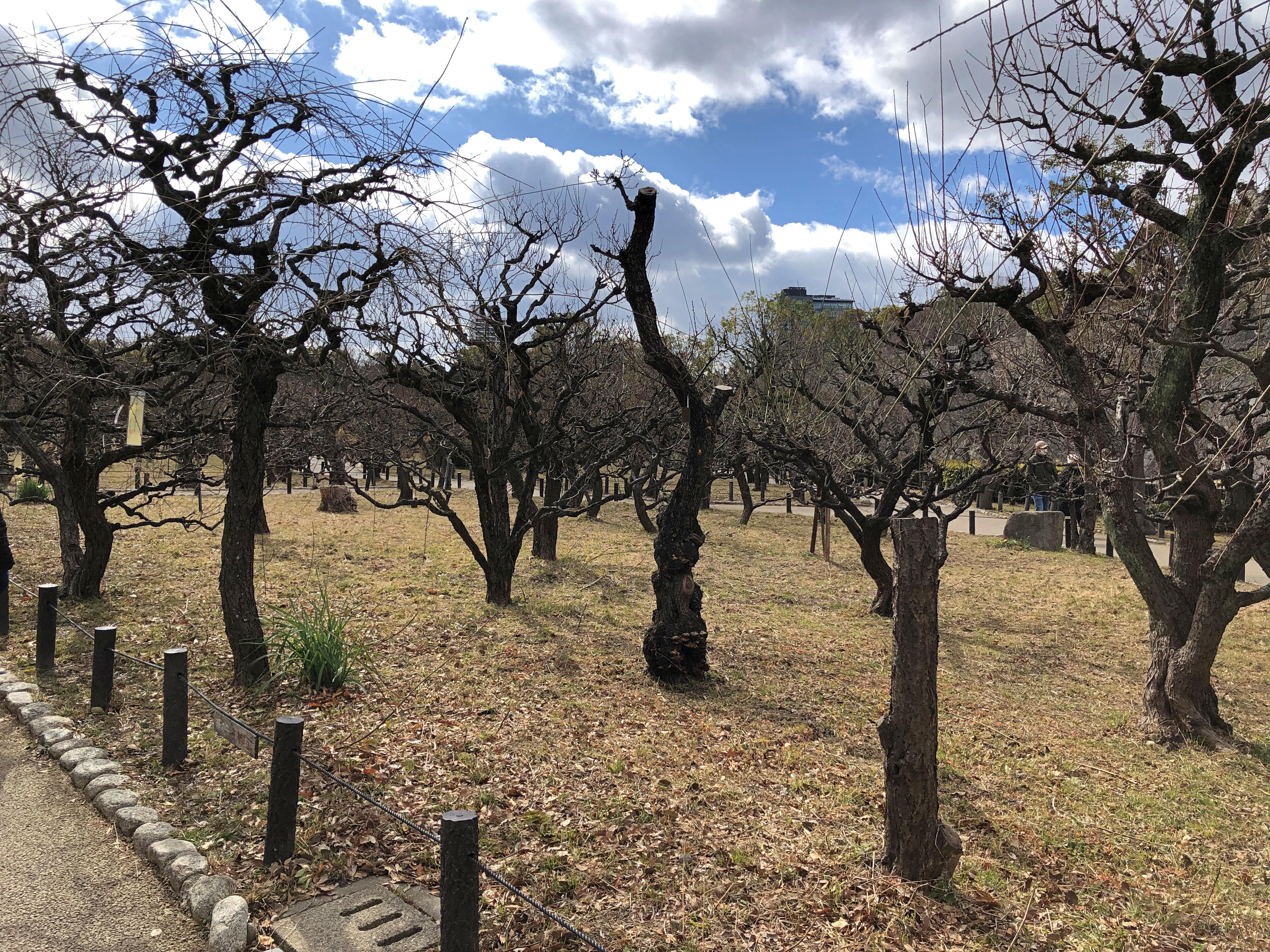
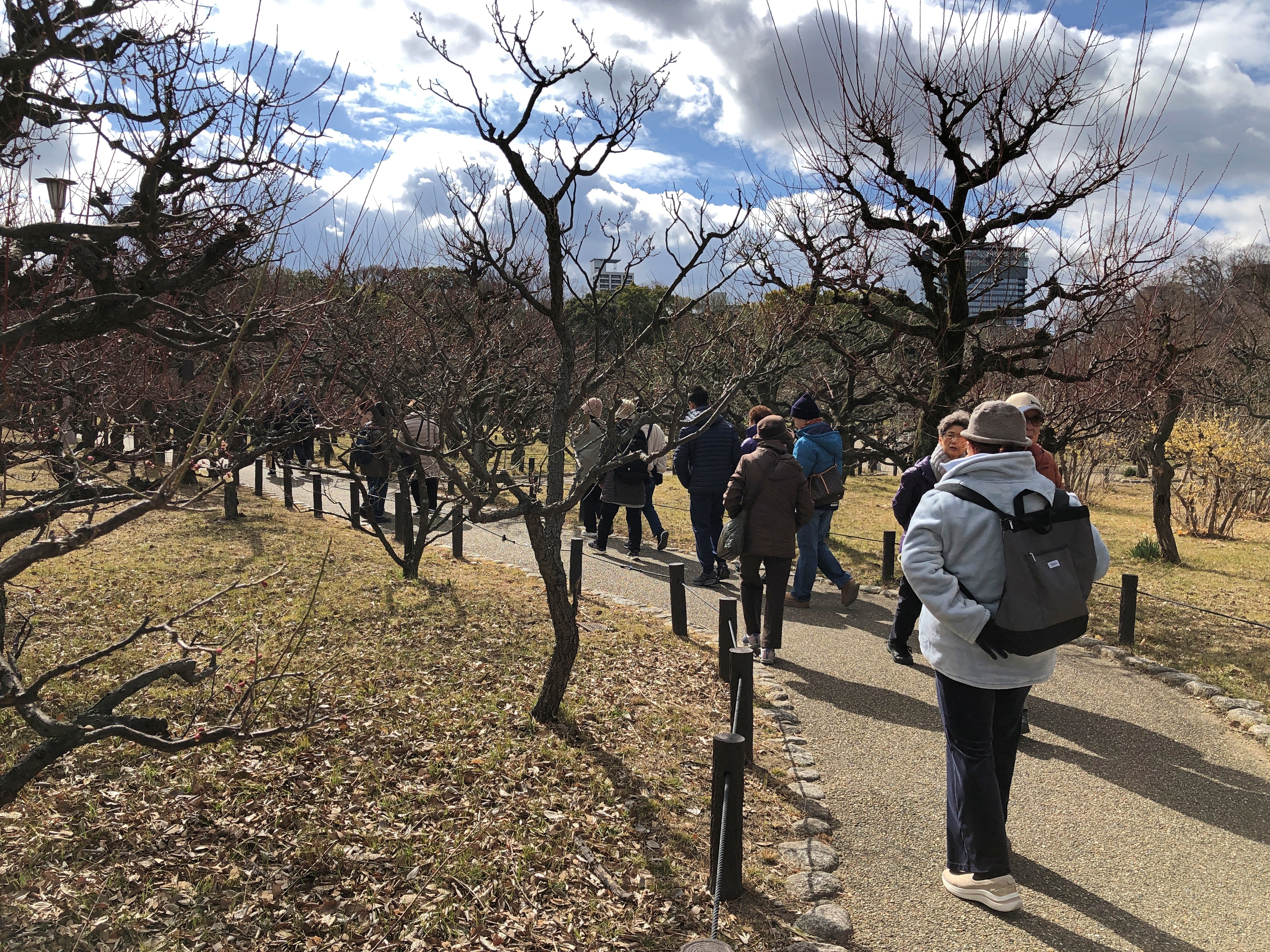
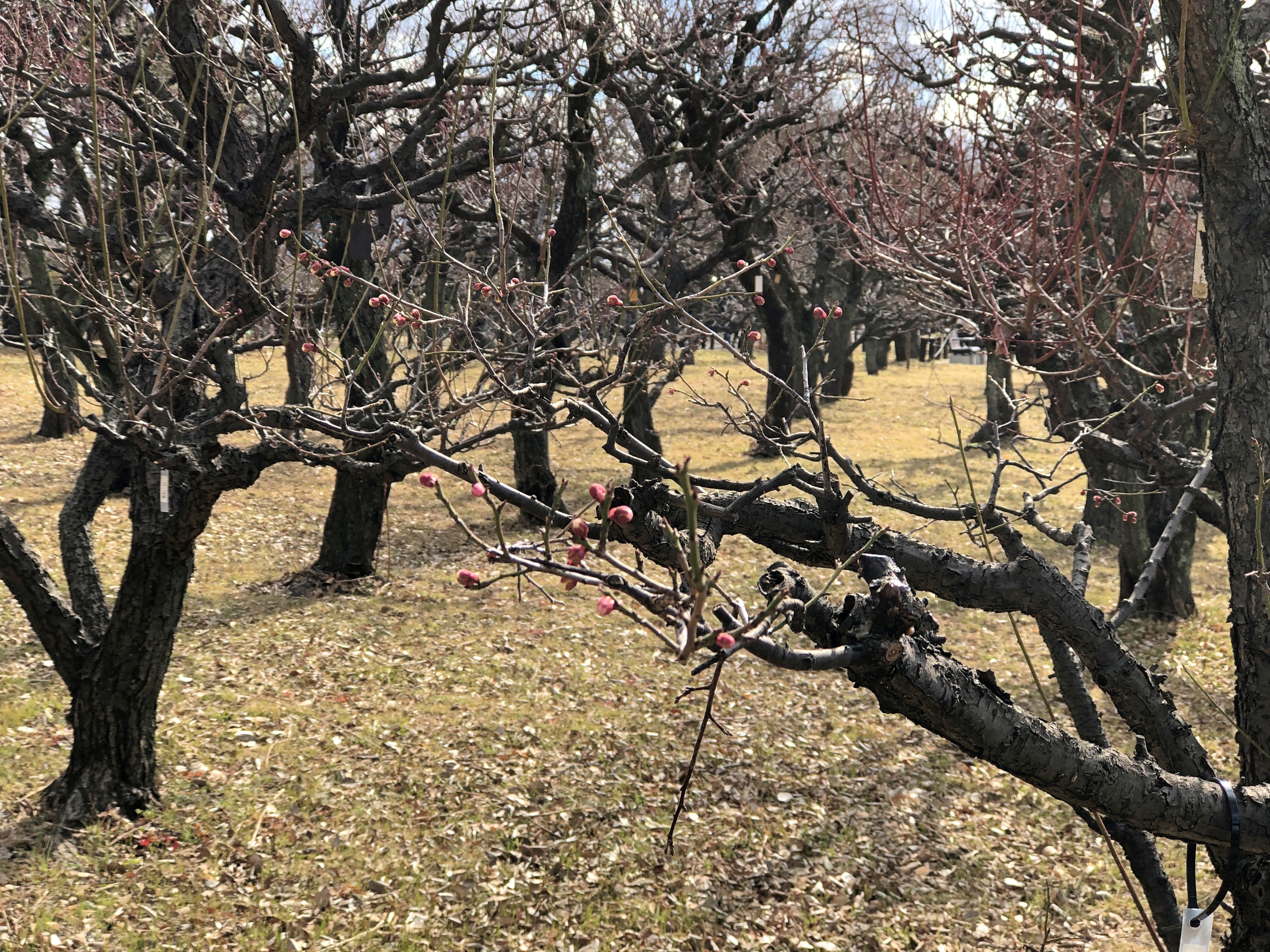
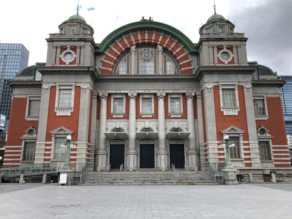
The handsome Osaka City Central Public Hall, completed in 1918. Amazing that it survived the war and urban renewal 20 years later, those forces that generally gave modern urban Japan the boxy concrete character it enjoys today.
India
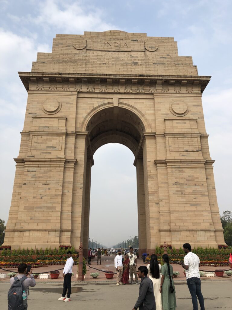
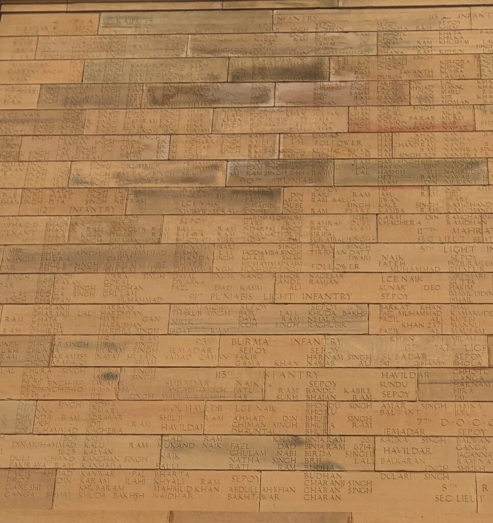
A monumental monument in New Delhi: India Gate, which honors more than 74,100 soldiers of the Indian Army who died during the Great War, and a number more in the Third Afghan War a few years later. They did their part. One of the larger relics of the Raj, unless you count things better described as legacies, such as railroad lines, parliamentary government, and the bitter feud between India and Pakistan.
While we were looking at India Gate, a group of about a dozen uniformed schoolboys, who had detached themselves from a larger group, approached me and asked where I was from. They were gleeful to hear “America,” a reaction I didn’t know anyone would have anymore, but I suppose they’ve seen a lot of our movies. A middle-aged male chaperon appeared in short order and shooed them away, while giving me a sidelong glance with a hairy eyeball, though I hadn’t precipitated the encounter in any way. I was just a suspicious foreigner, I guess.
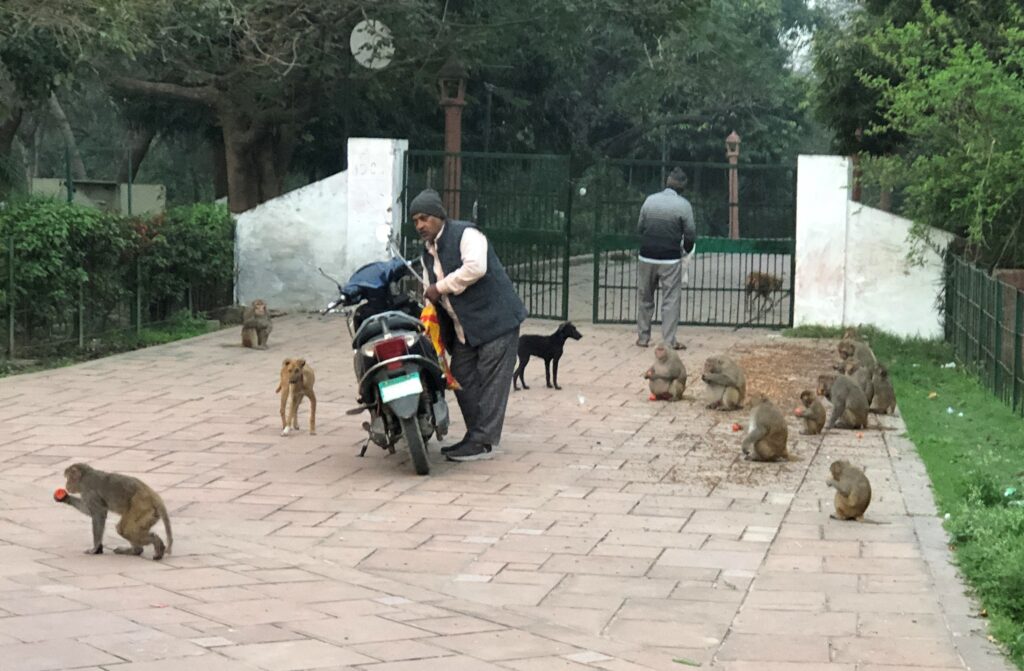
The Taj Mahal has a fair amount of parkland around it. That means a population of monkeys, too. I spotted more monkeys in urban India than I would have anticipated. These didn’t seem to be bothered by the men, the dogs or the motorcycle.
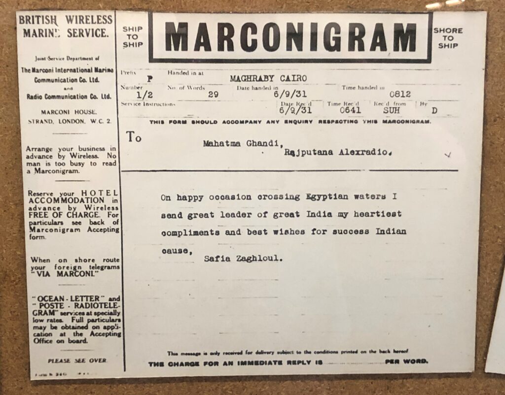
On display at the Ghandi Museum: a Marconigram. I don’t know that I’d ever seen one of those before. Or maybe there was one on display at the Titanic Museum in Branson. Anyway, that’s one good reason to go to museums: for things once common, now curiosities. Safia Zaghloul was an Egyptian political activist of the time.
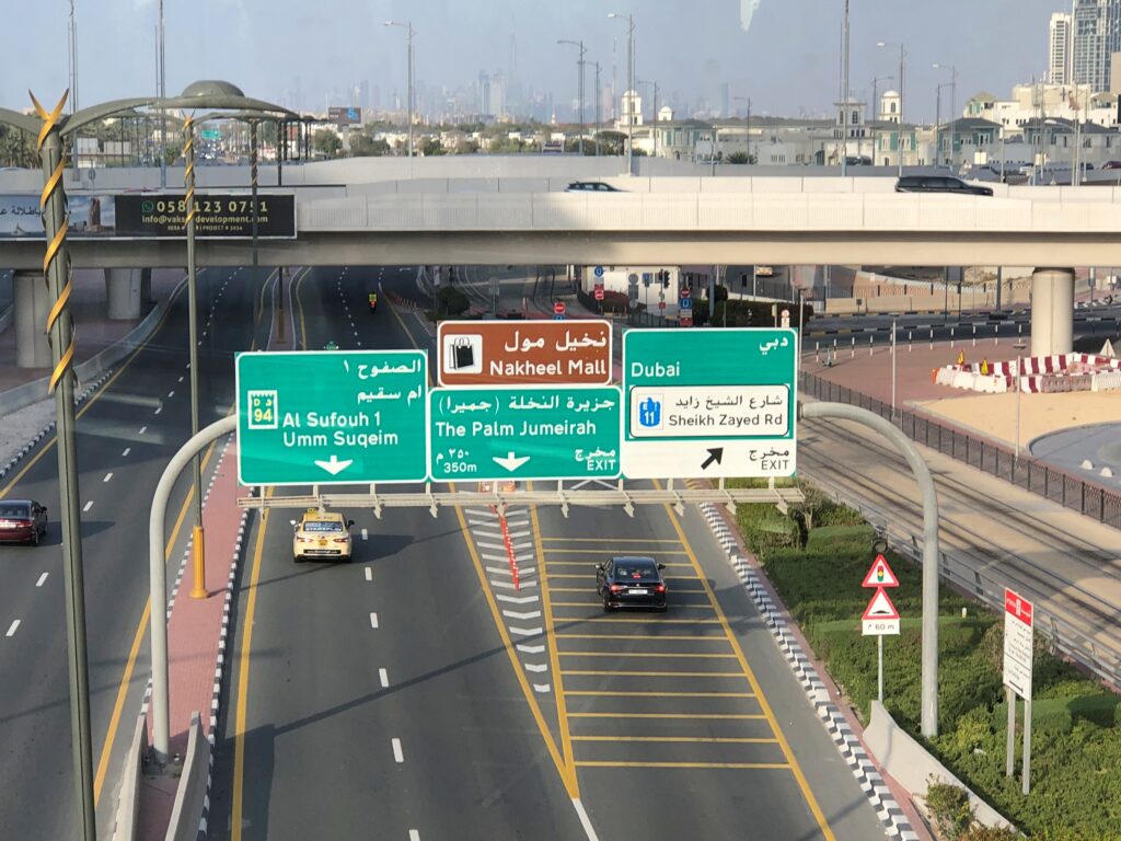
United Arab Emirates
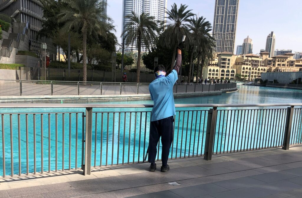
In Dubai it seemed like there were more men at work sweeping, mopping and other cleaning of floors and other flat places, per square meter, than anywhere else I’ve ever been. There are worse things to do with cheap labor.
Not sure exactly where this was, except somewhere out on Palm Jumeirah. Must have been a wall, or like a wall, in one of the posh retail corridors winding through one of the posh resort properties amid the poshness of the island.
Note: White on green is common indeed around the world.
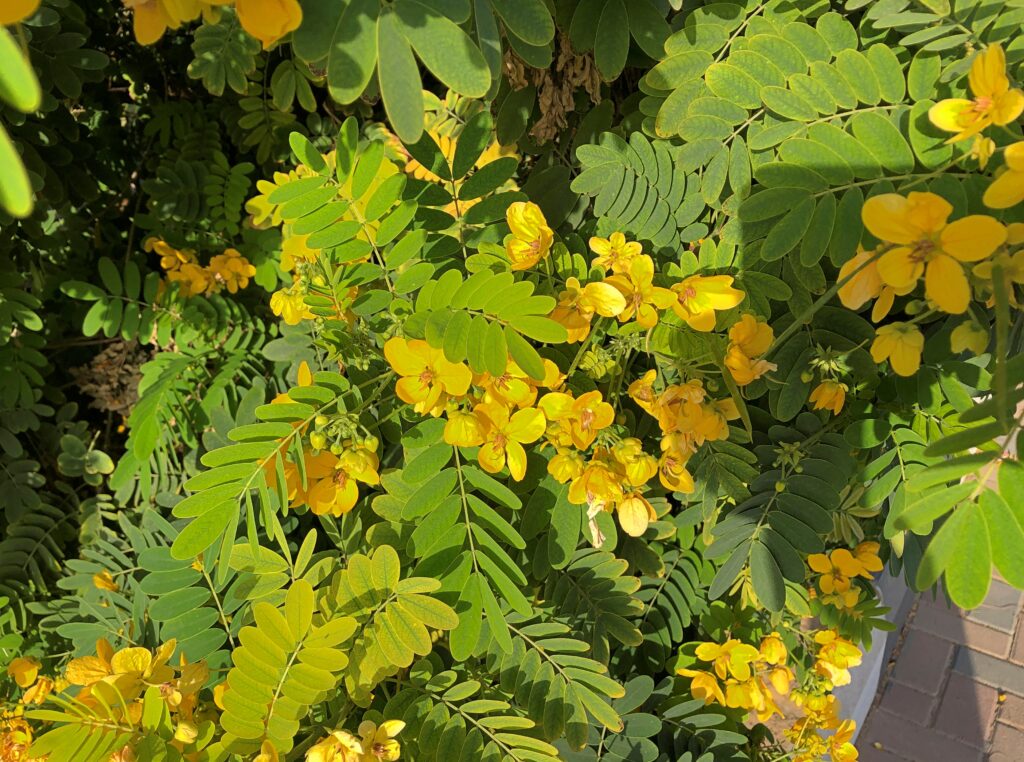
Desert flowers. Of course, sprinklers water that bit of terrain at regular intervals.
Germany
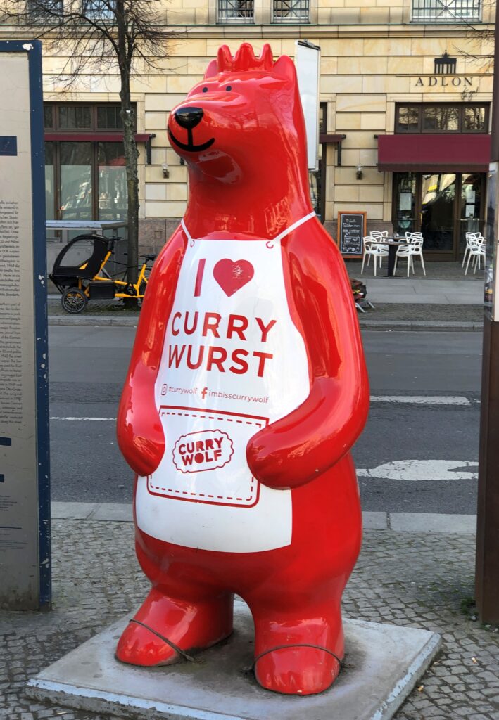
What’s Berlin without currywurst? They say it came into style soon after the city was divided.
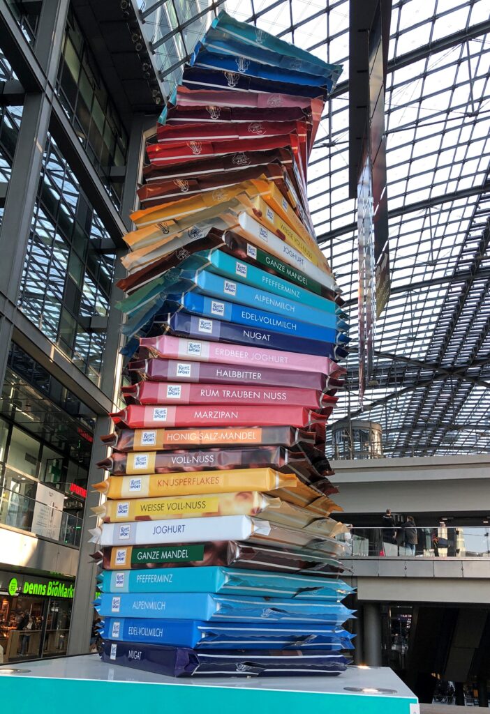
What would Germany be without Ritter Sport? A giant stack of them can be seen, in their great variety, at the Hauptbahnhof in Berlin. Later, I bought about 10 squares of RS at a discount price at a Netto grocery store near our hotel. Think Aldi or Lidl, but more cluttered.
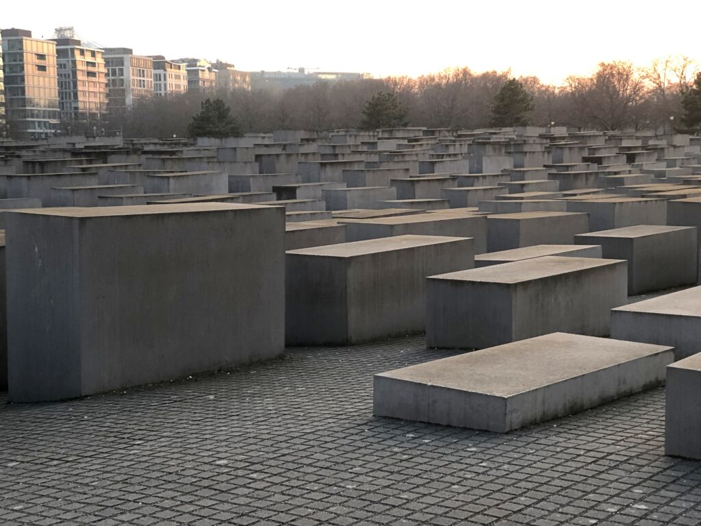
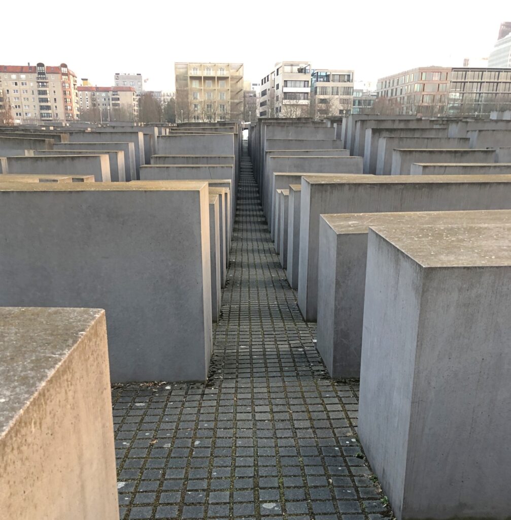
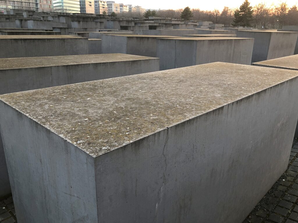
Views of the Memorial to the Murdered Jews of Europe, Denkmal für die ermordeten Juden Europas, near the Tiergarten in Berlin. It wasn’t there in 1983.
Czech Republic
Not calling it Czechia. Or, if it ever comes to it, not calling India Bharat, either.
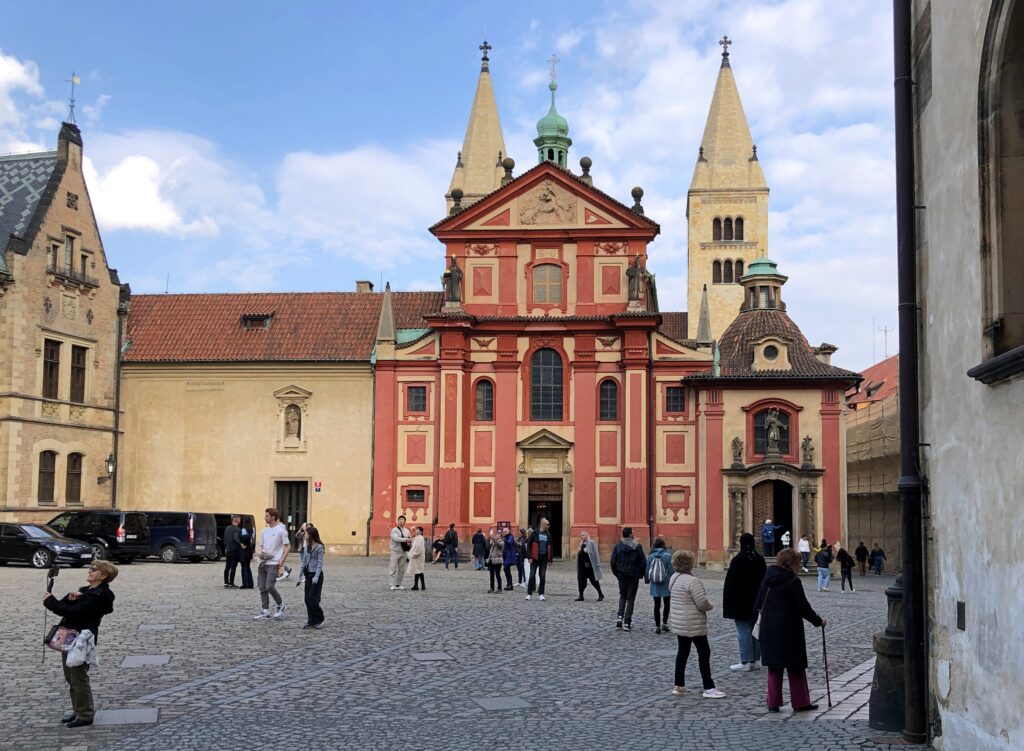
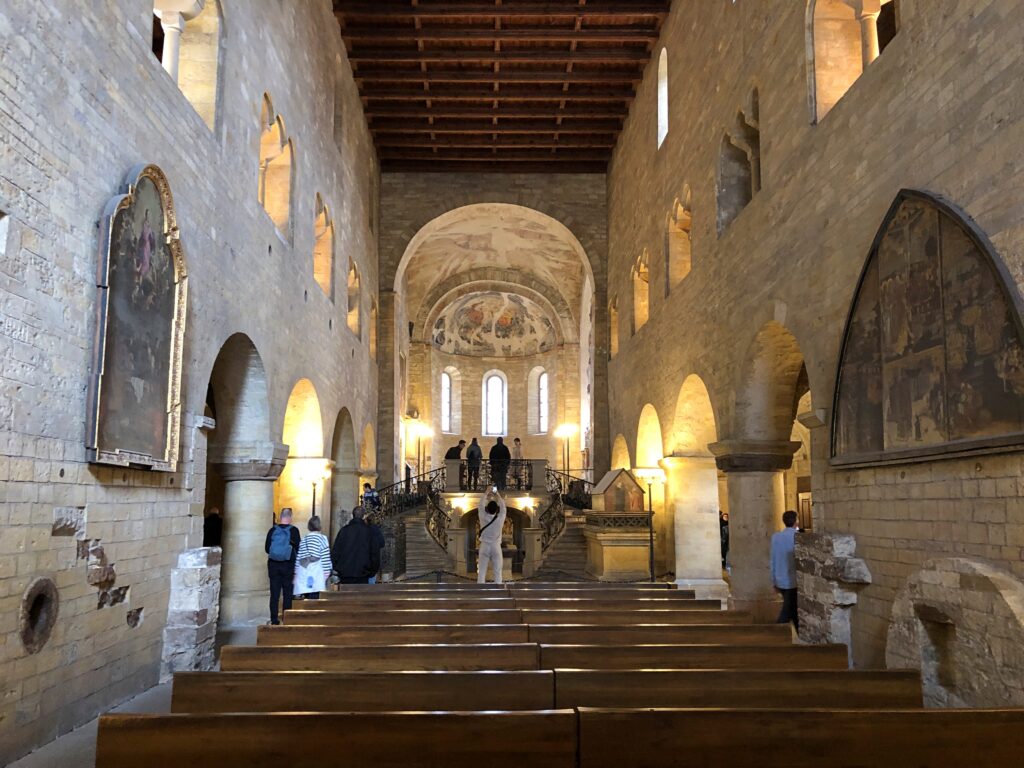
St. George’s Basilica. I admired the nearby St. Vitus Cathedral. That’s a grand edifice. But St. George’s has that human scale, and echoes of an even earlier time. It was completed during the time of Good King Wenceslaus.
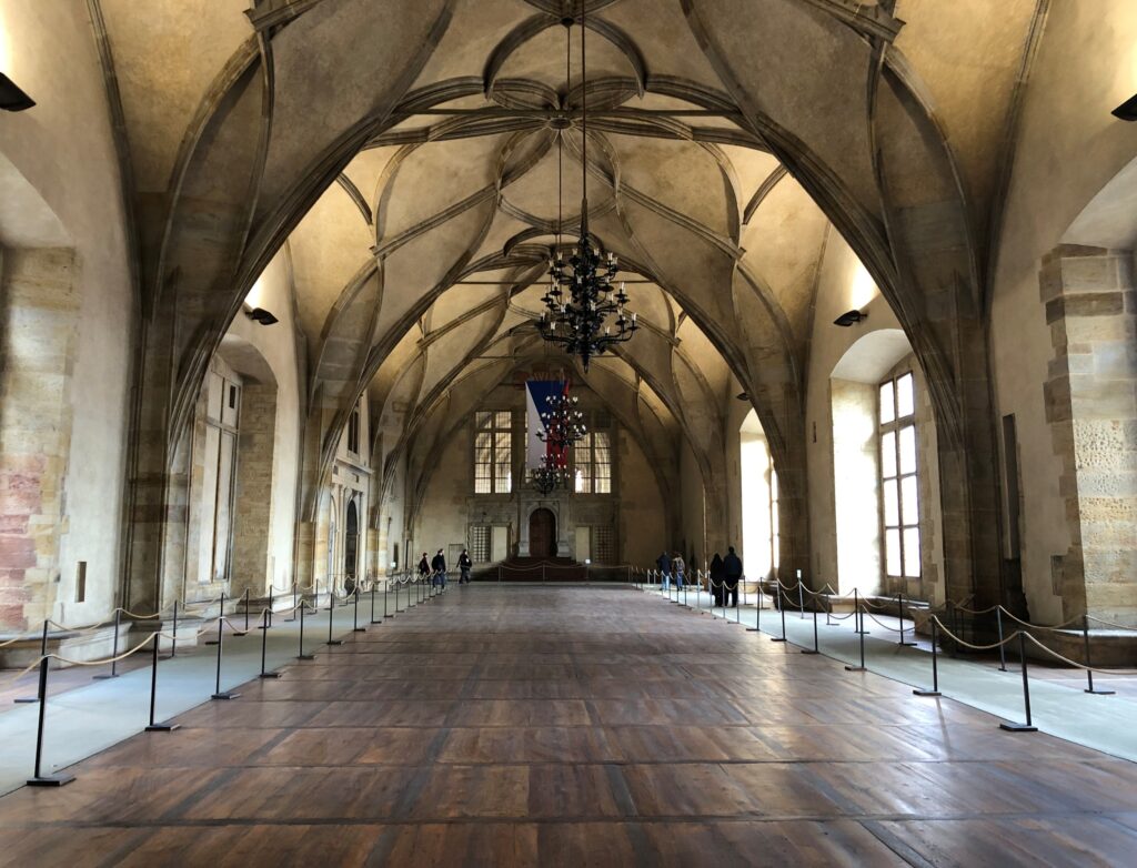
Vladislav Hall. The site of centuries of Bohemian parties, banquets and balls, me boys. That and affairs of state.
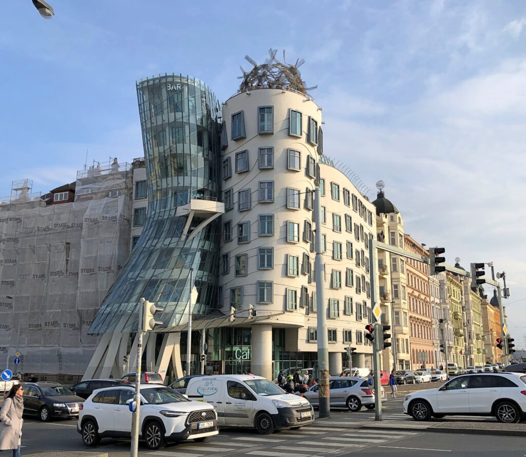
The Dancing House. We rode a streetcar line out of our way to see it, though not that far. It wasn’t there in 1994.
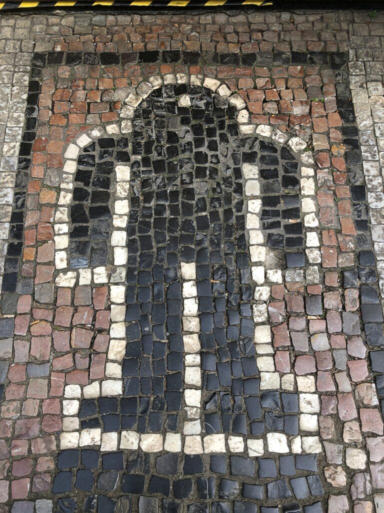
A sidewalk golem in the old Jewish Quarter of Prague. The Sidewalk Golems was a relatively obscure band who sometimes toured with Irwin Hepplewhite and the Terrifying Papoose Jockeys.
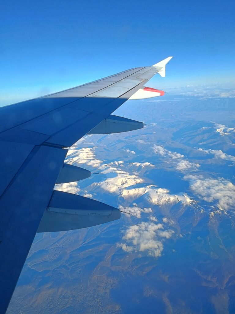
This could have been over Spain or Portugal.
The last image of thousands that I took, a staggering number in any context except digital images that take practically no time or effort to make.