Prairie du Chien: Fort Crawford Military Cemetery, Trail of Presidents &c.

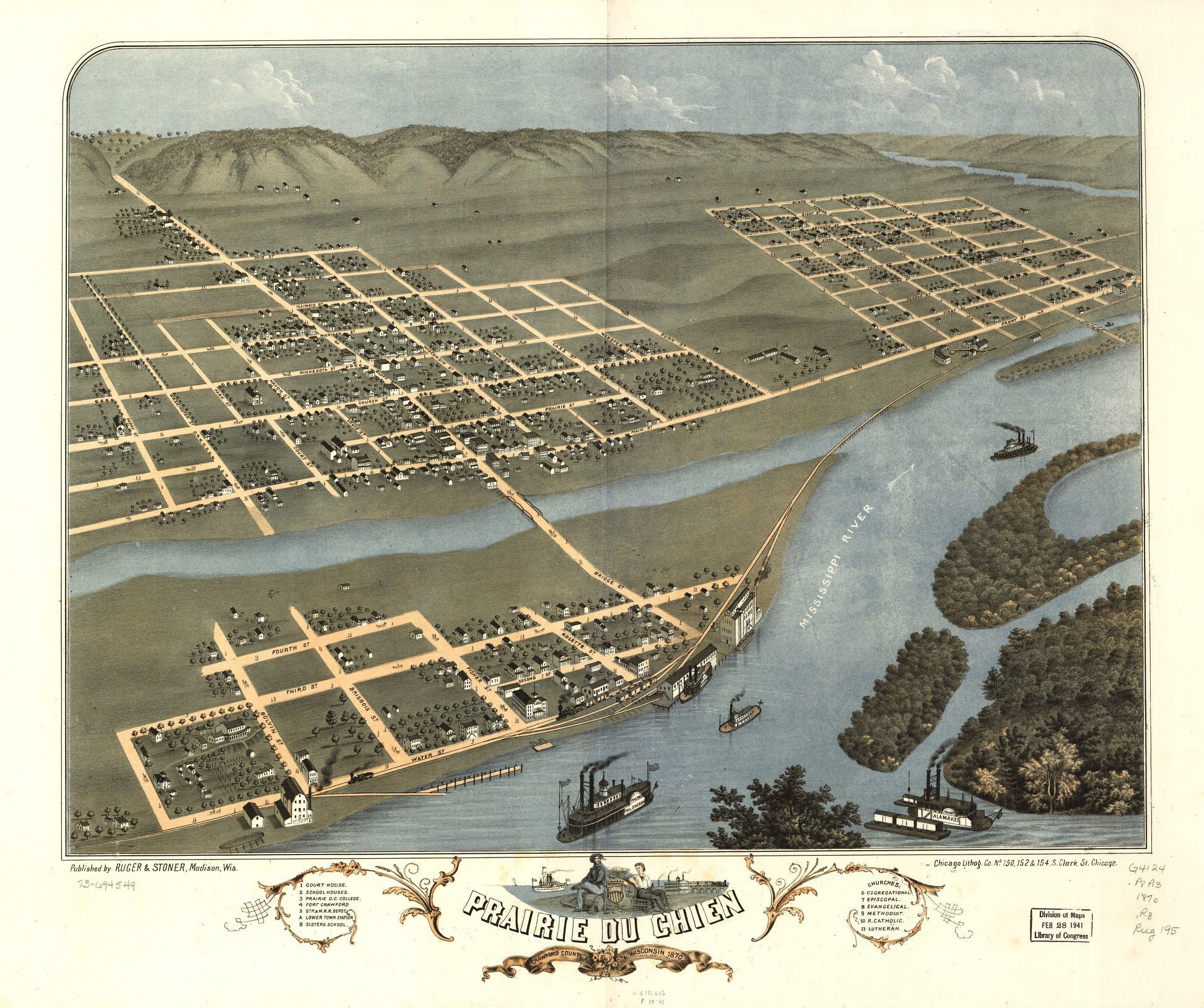
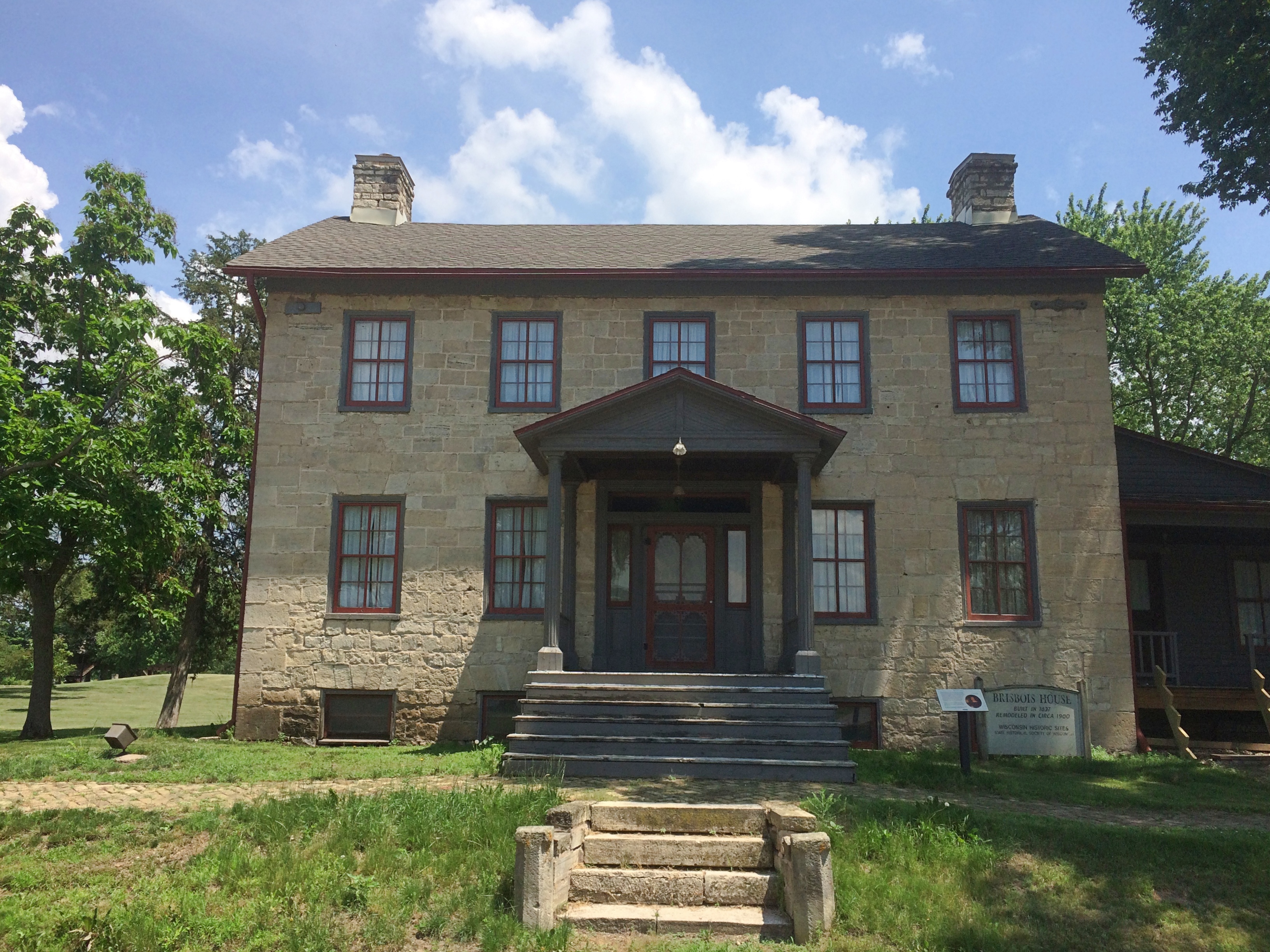
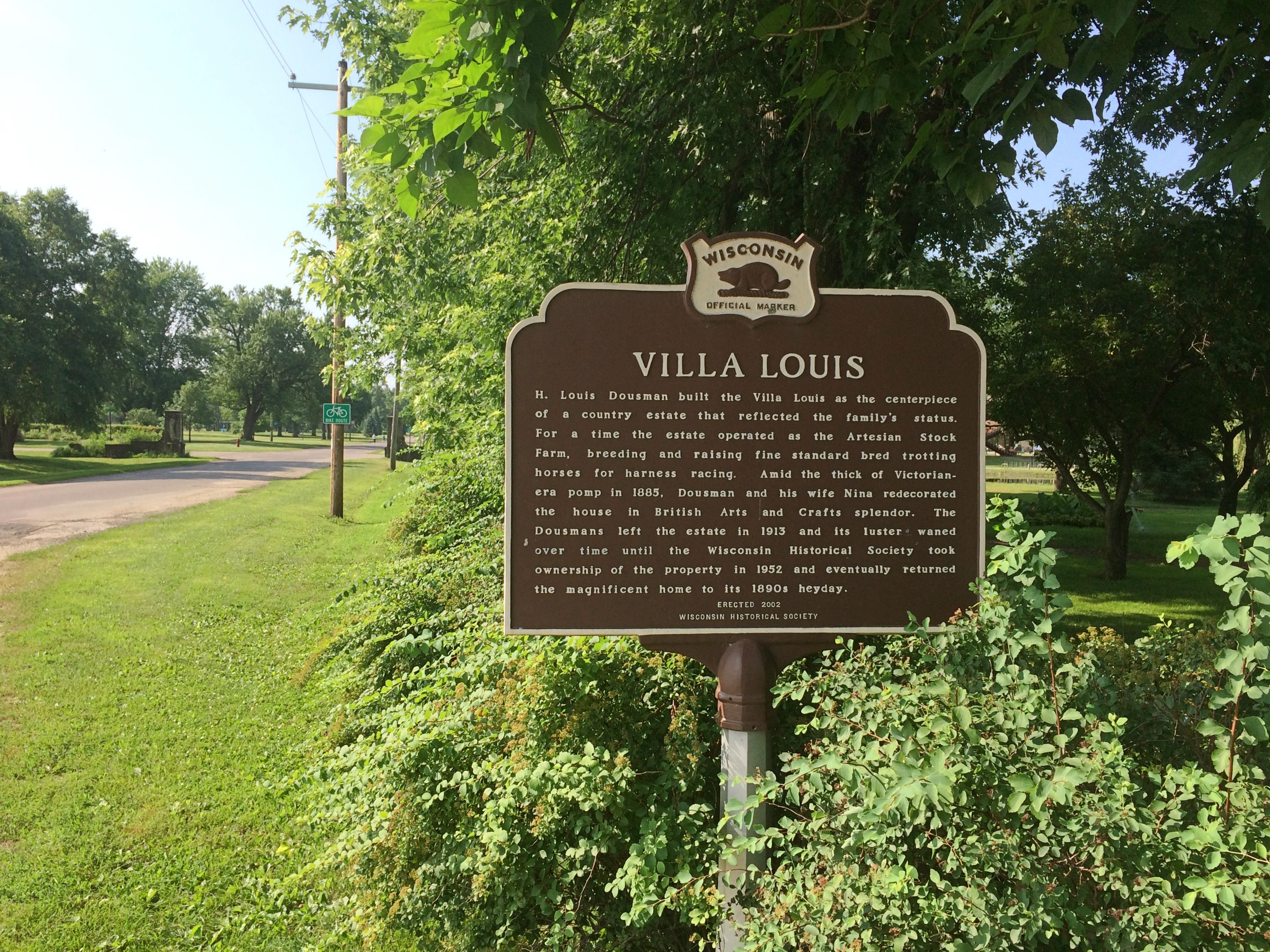
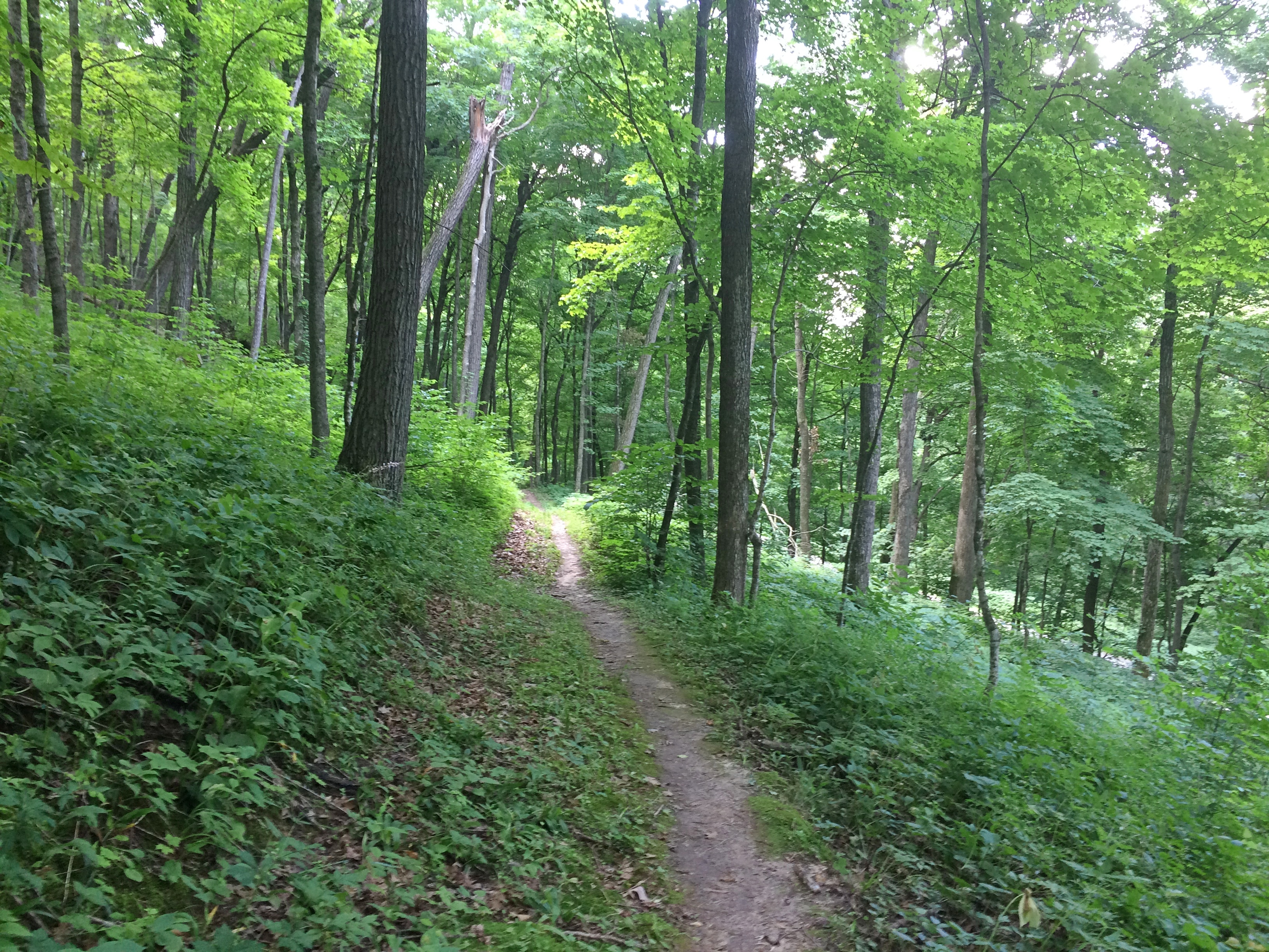
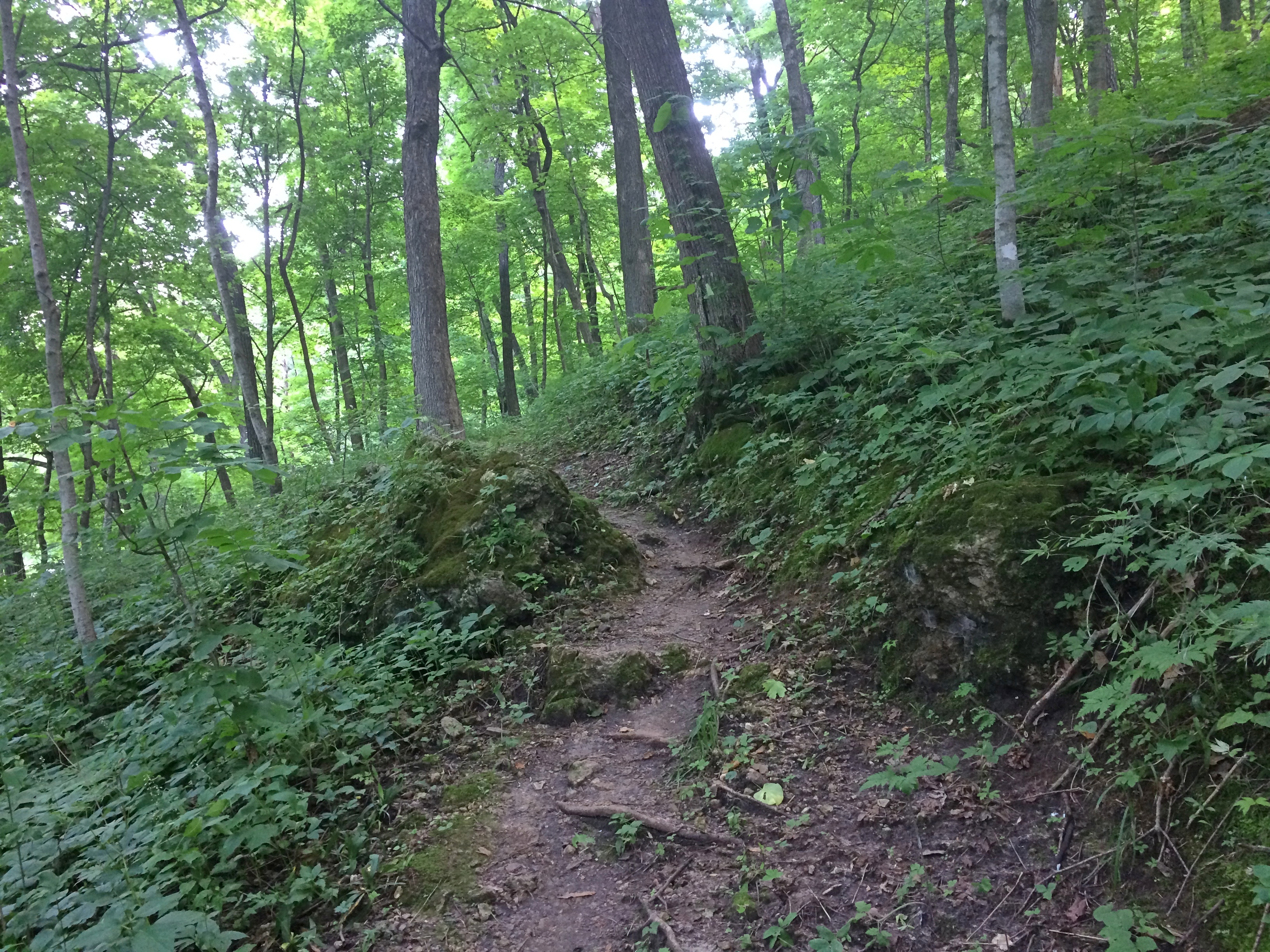
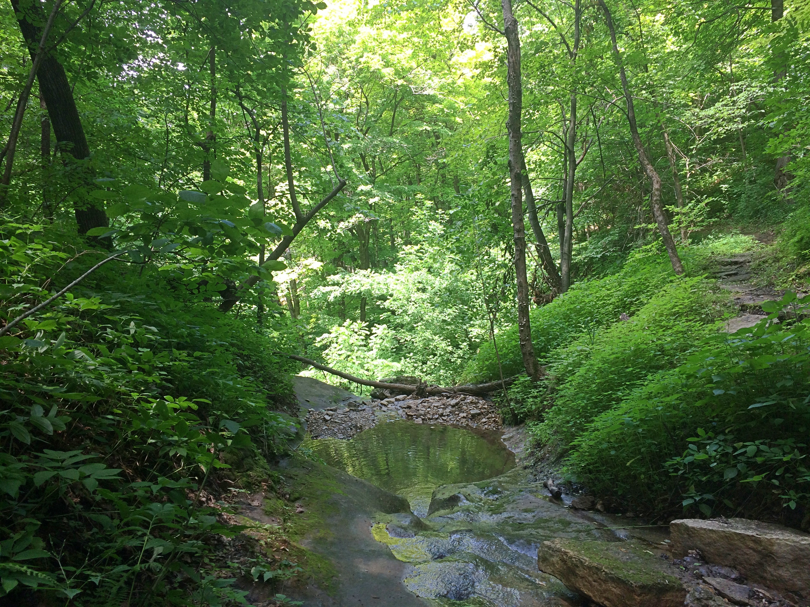
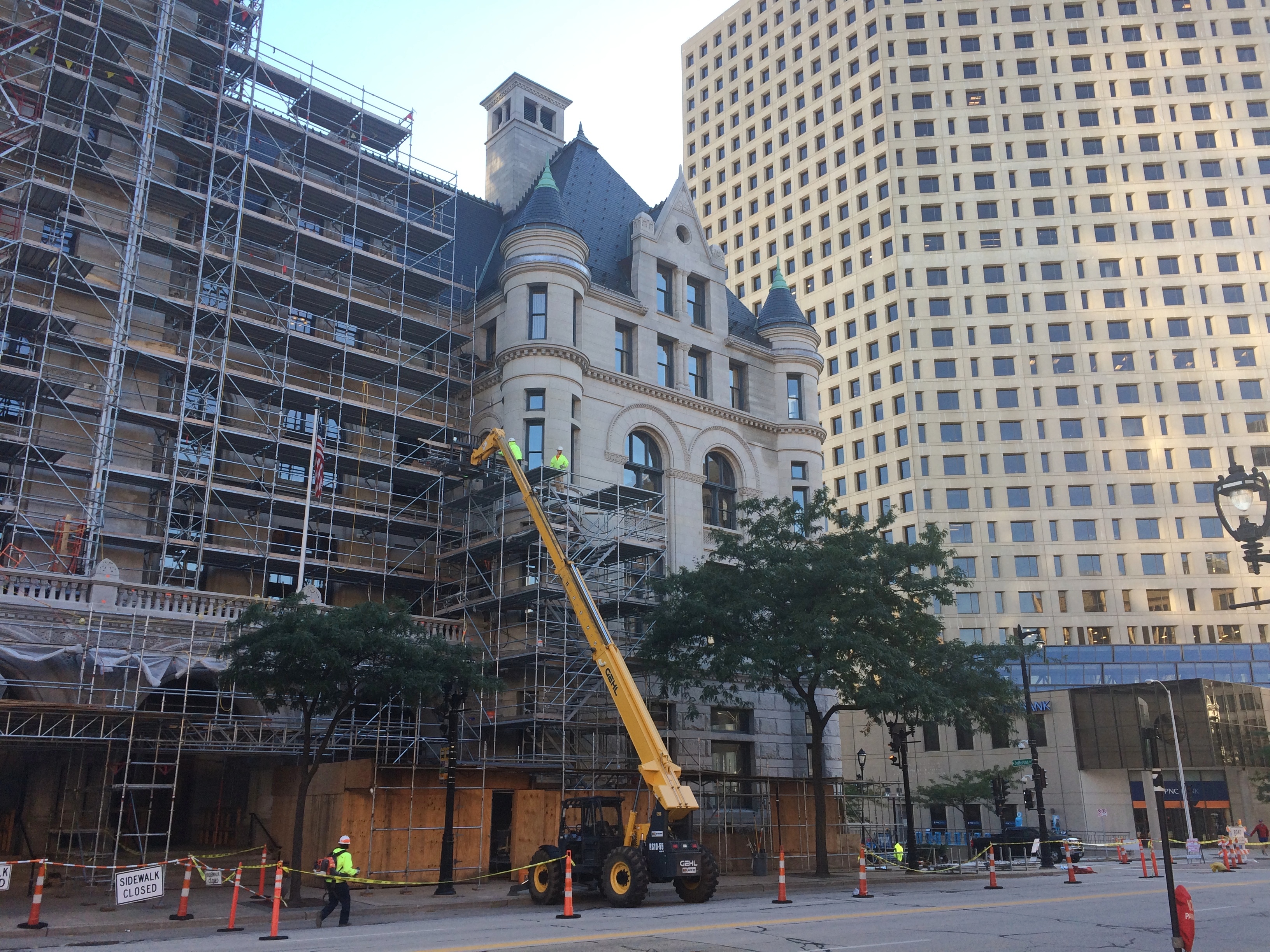
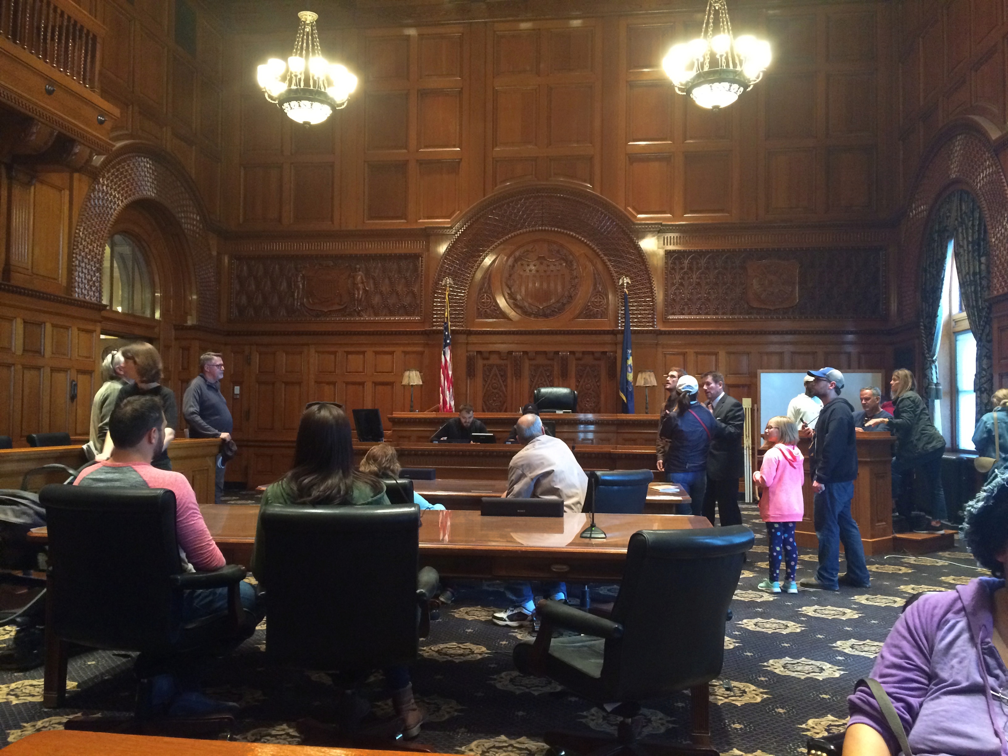
Not all road trips include visits to cemeteries or presidential sites, but I’m glad when they do. Our recent visit to the Driftless Area included both. On Saturday morning, I got up a little early to put gas in the car by myself. Yuriko knows what this means: I visit a local cemetery, too, if I can. She dozed on in the room while I drove a short distance to the Fort Crawford Military Cemetery, also known as the Fort Crawford Cemetery Soldiers’ Lot.

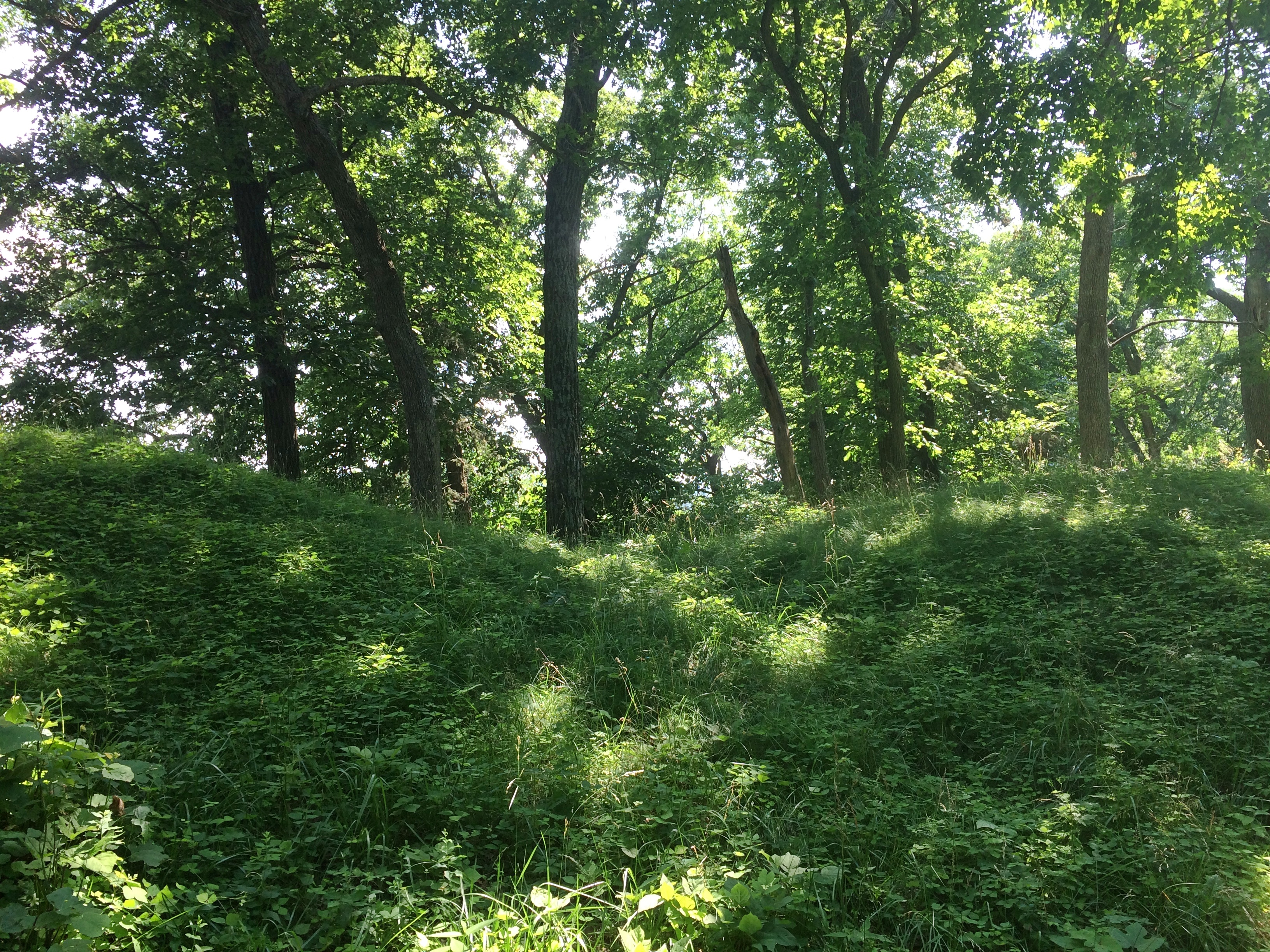
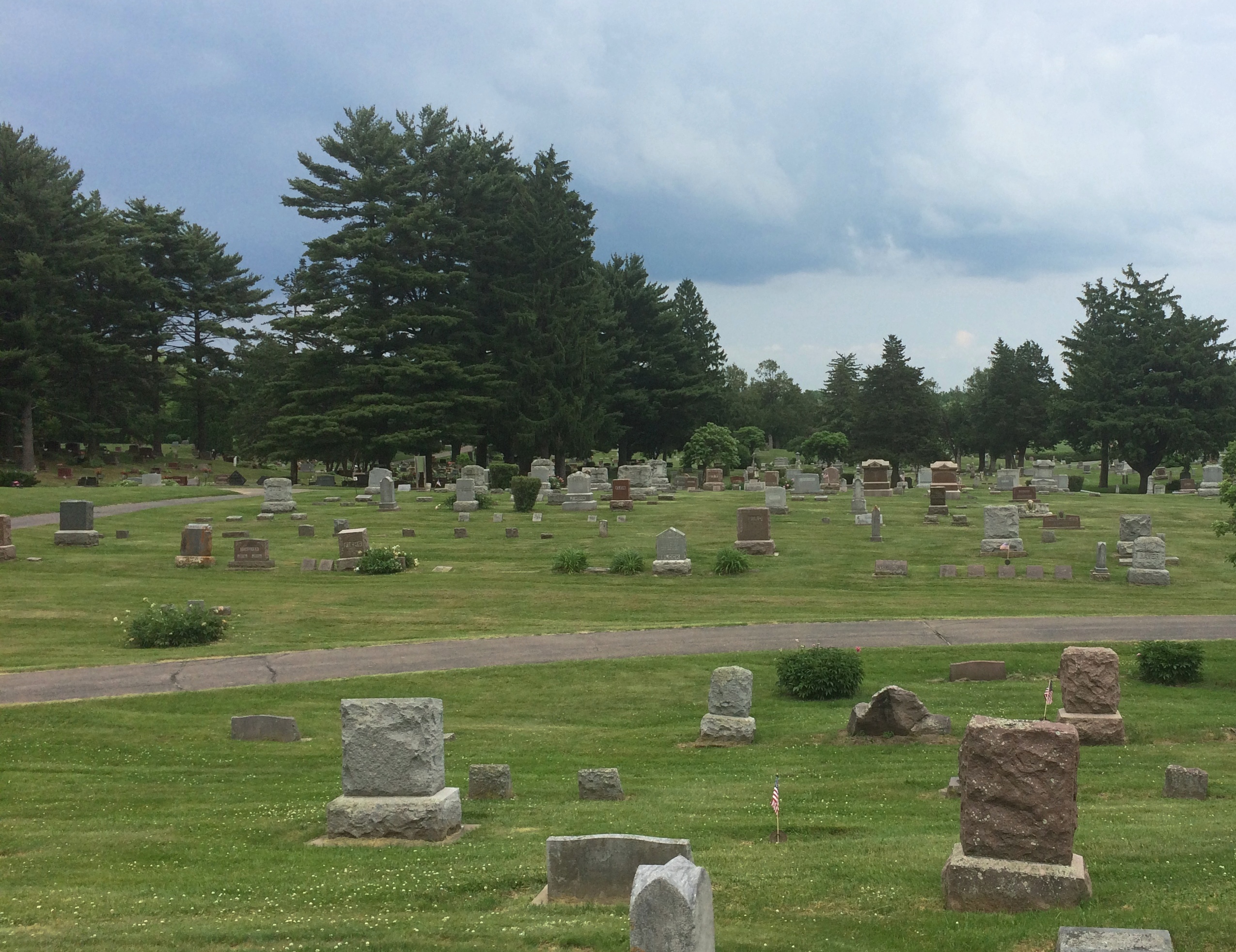
The entrance to the cemetery is a narrow patch of land in the residential section of mainland Prairie du Chien, with the burial ground at some distance behind an iron fence. Or maybe soldiers are buried in patch of ground, but I didn’t see any indication of it.
Fort Crawford Military Cemetery
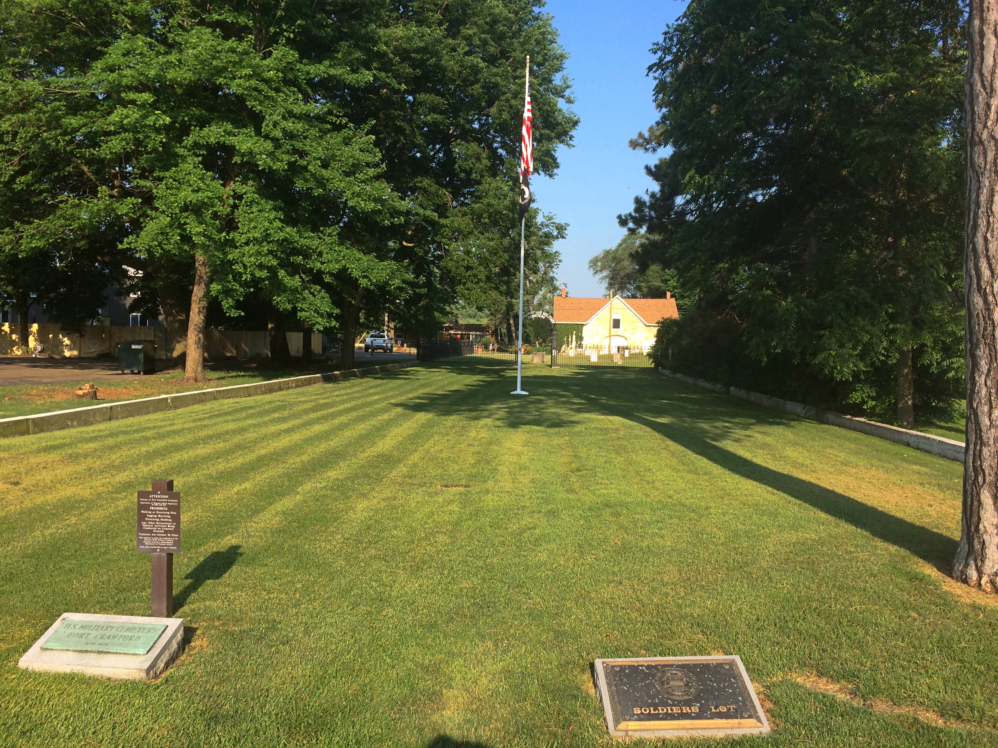
“Fort Crawford Cemetery is located on the former site of the Fort Crawford Military Reservation in Prairie du Chien, Wisconsin,” says the National Cemetery Administration, which is part of the VA.

“There were two subsequent Fort Crawfords in Prairie du Chien during the 1800s. The original Fort Crawford, built in 1816, was situated adjacent to the Mississippi River. Repeated flooding led to its abandonment in 1826. Rebuilt on higher ground in 1830, the second incarnation of Fort Crawford operated until 1856.

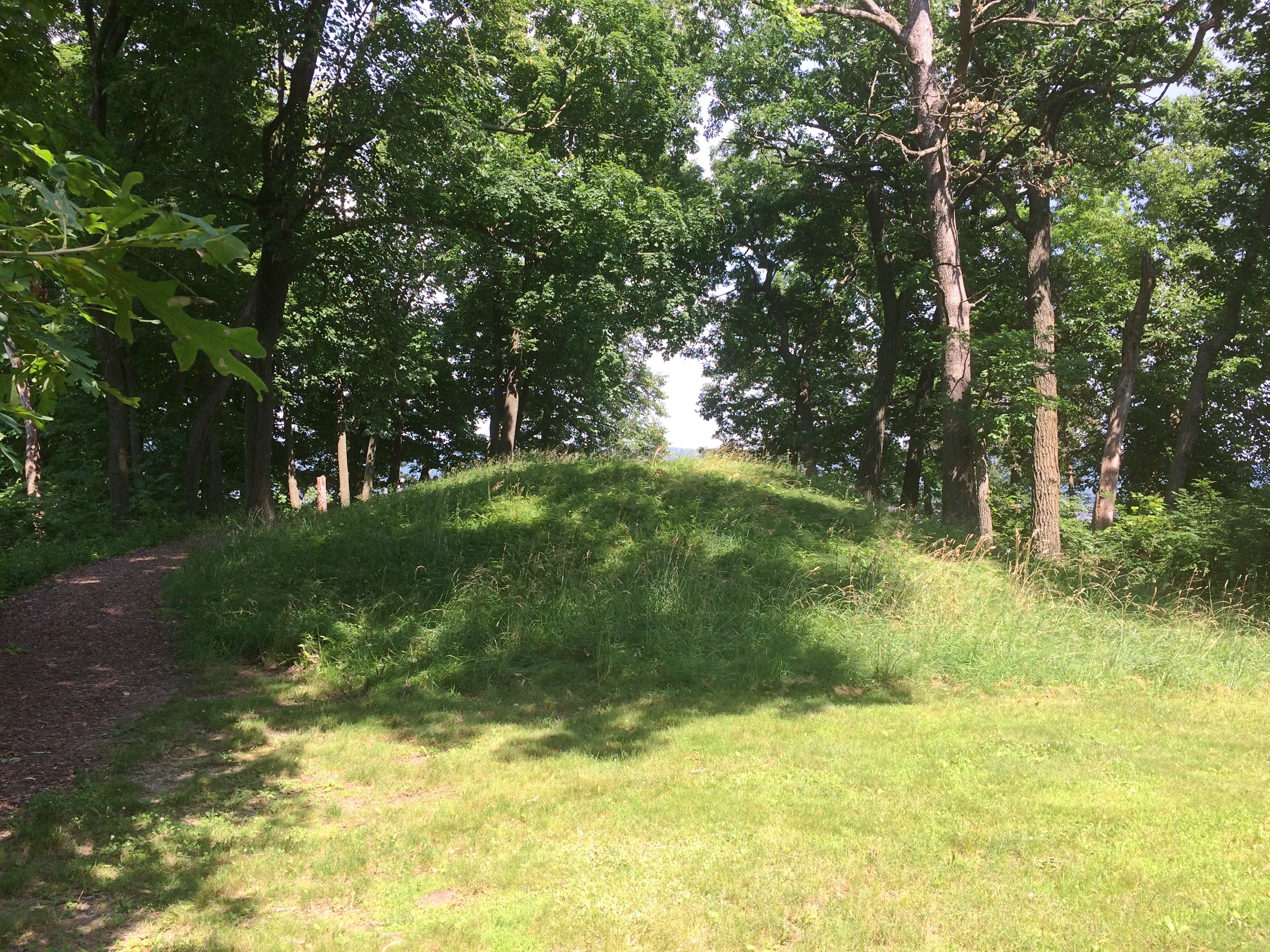
“The first burials here were of the members of the 1st and 5th Infantry regiments stationed at the fort. The soldiers’ lot includes eight above-ground box-tombs that were likely erected by the regiments. The United States received the title for the lot in 1866. There are approximately 64 interments in the 0.59-acre soldiers’ lot…”Fort Crawford Military Cemetery

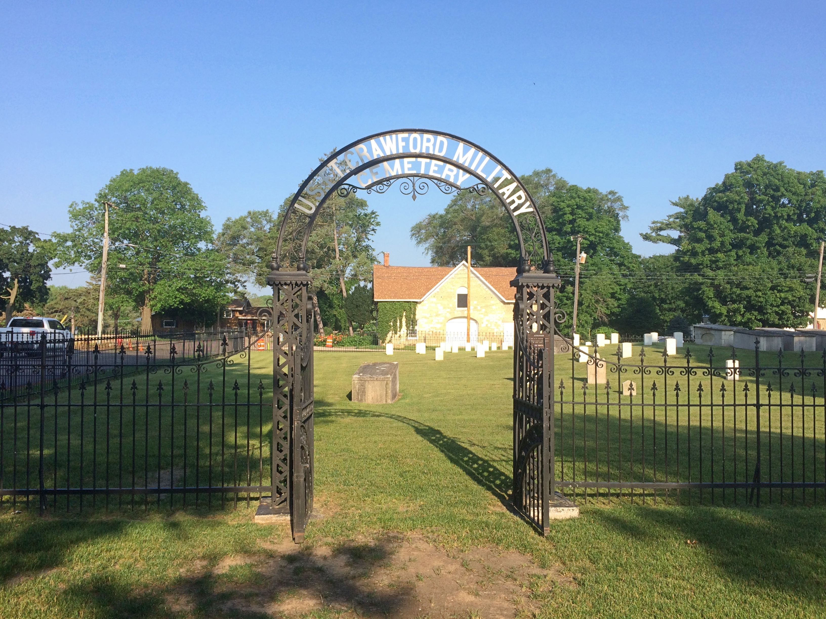
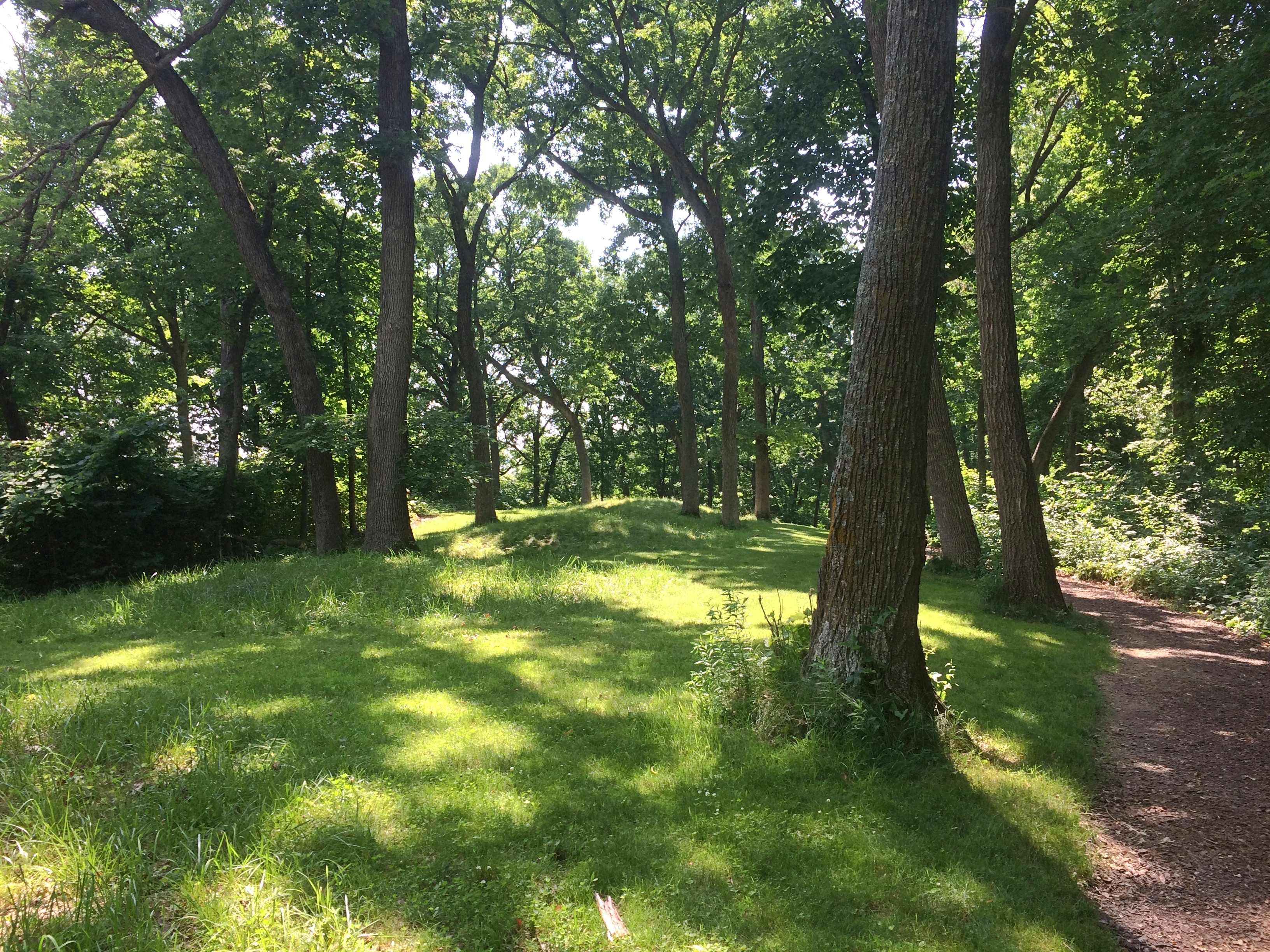
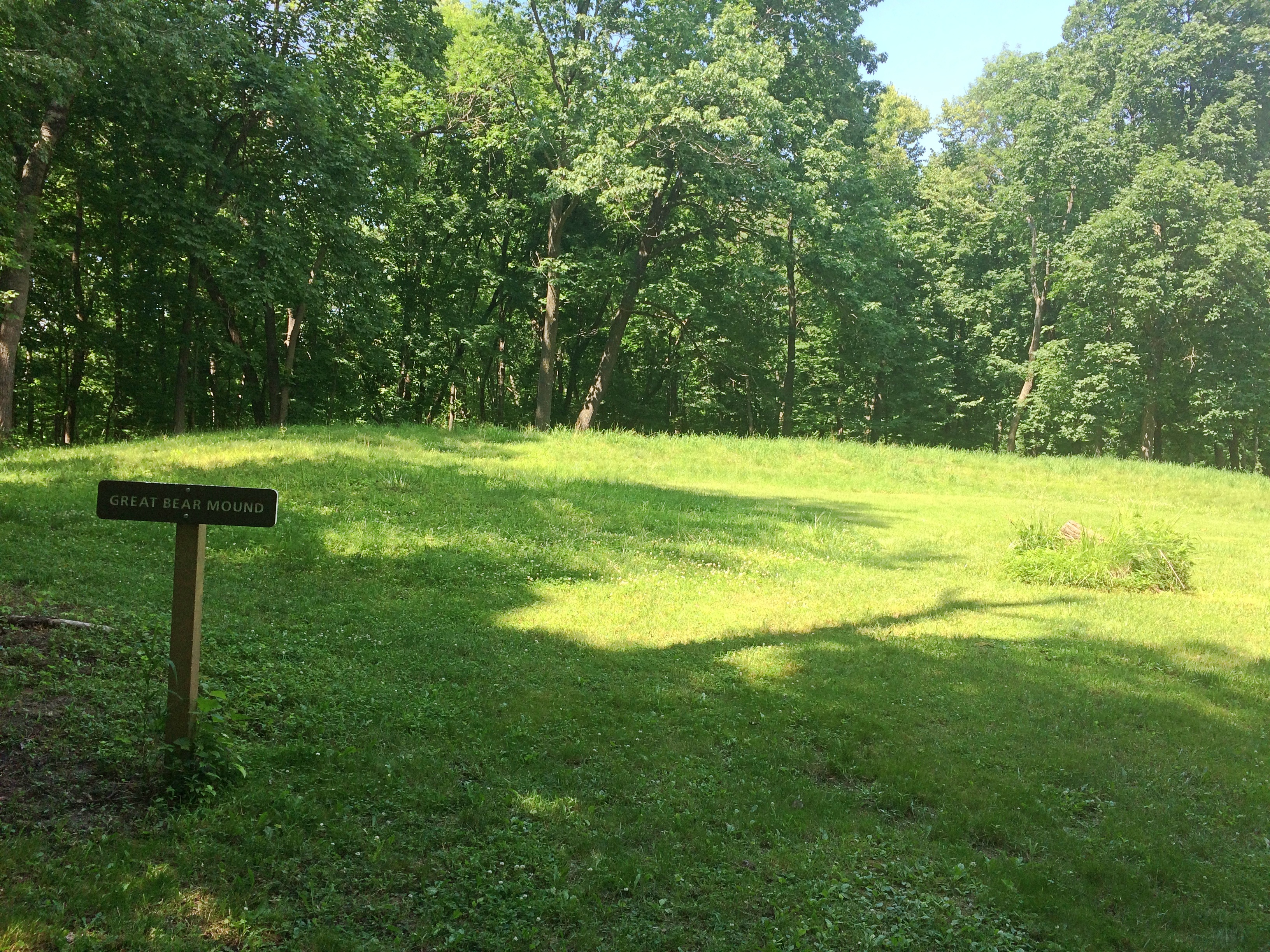
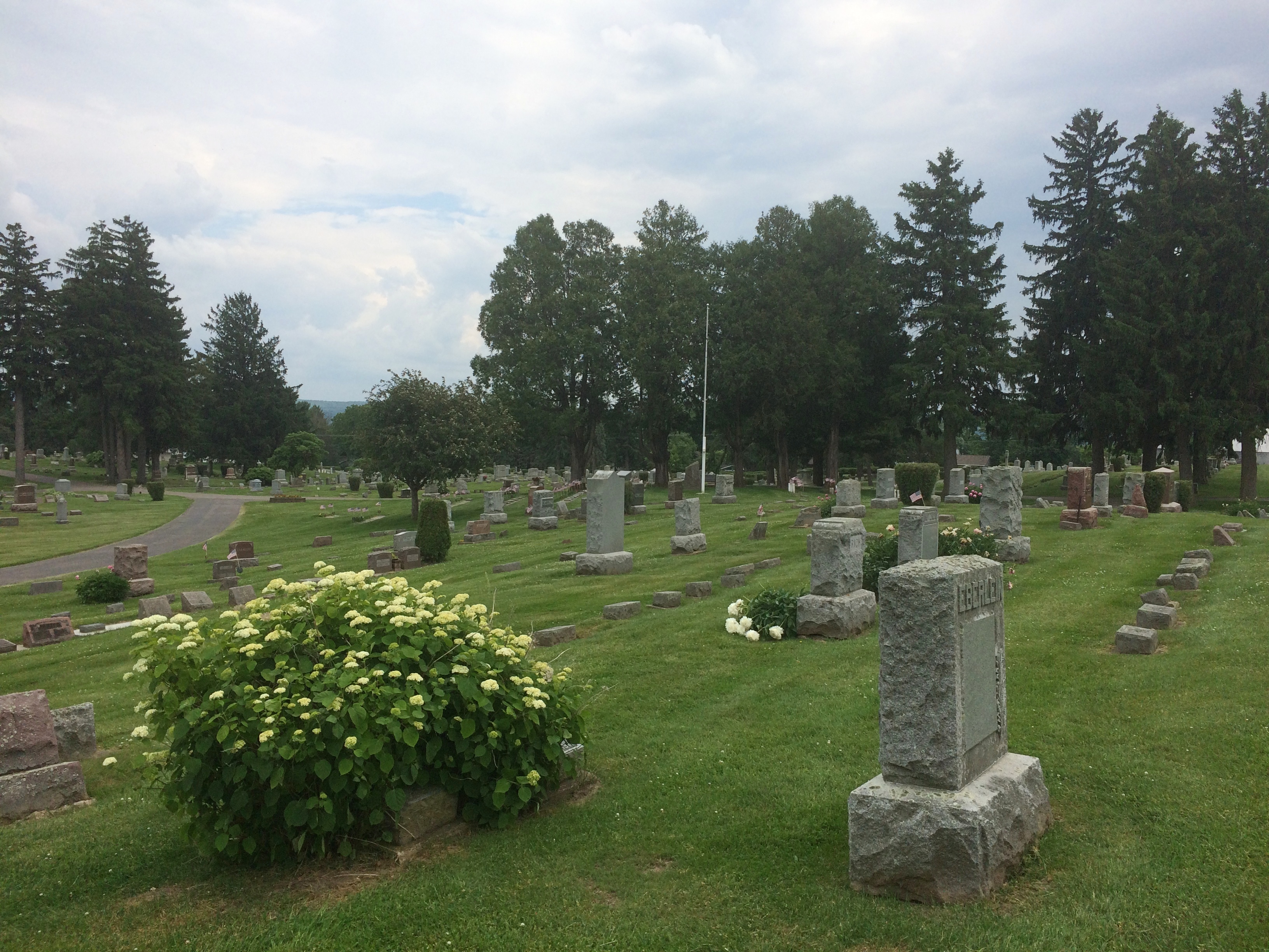
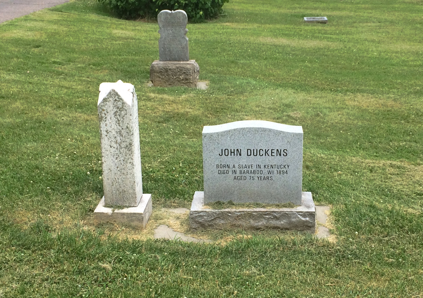
It’s sparsely populated.
Fort Crawford Military Cemetery
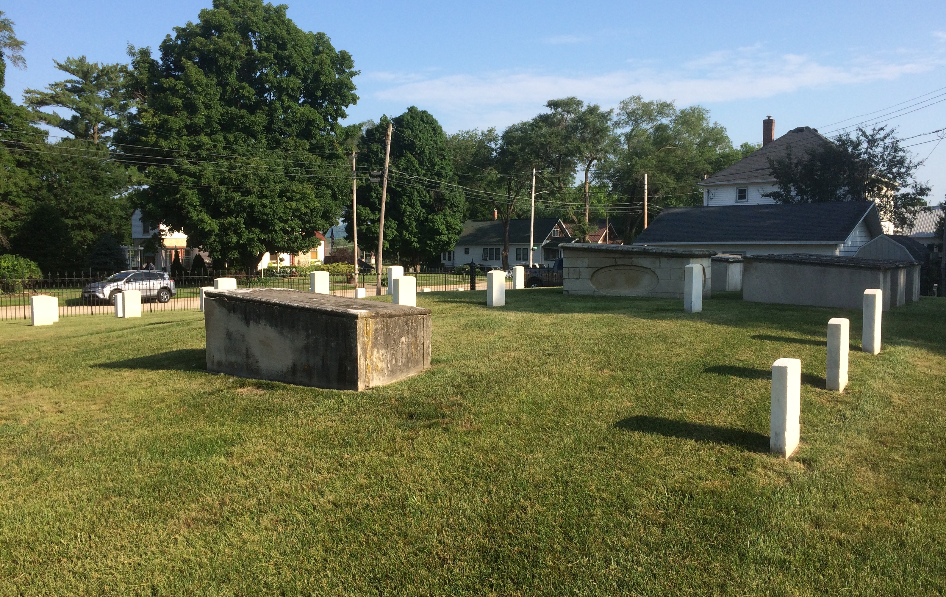
With some of the inscriptions practically illegible.
Fort Crawford Military Cemetery
Others were legible, but conveyed only anonymity. This looks like a latter-day stone, dedicated to an unknown. There were a sprinkling of these in the cemetery.Fort Crawford Military Cemetery

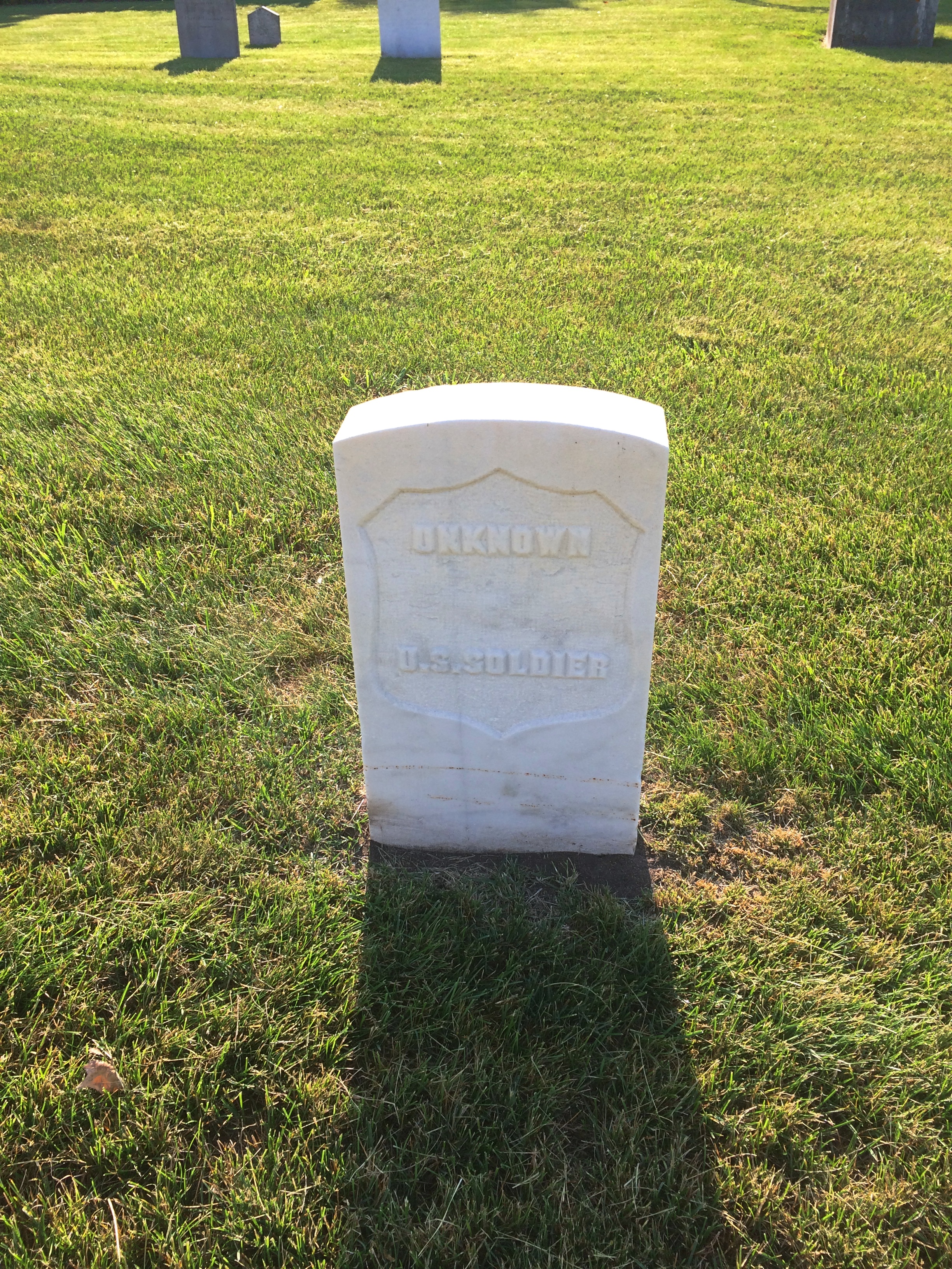
As I left, I spotted this near the entrance, attached to a boulder.
Fort Crawford Military Cemetery
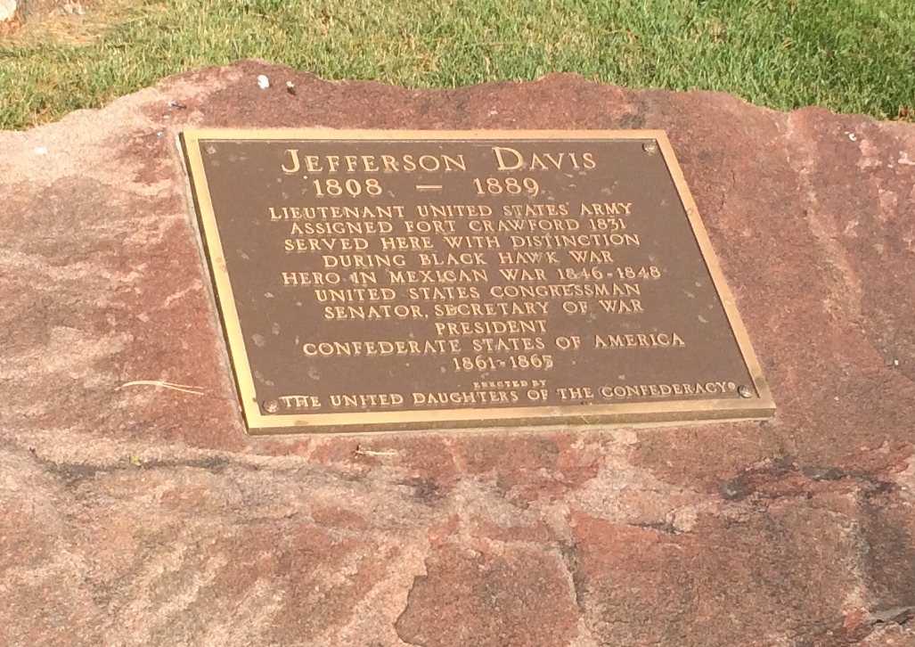
Just goes to show you how thorough the Daughters were. A memorial so obscure that no one has called for its removal? Not so.

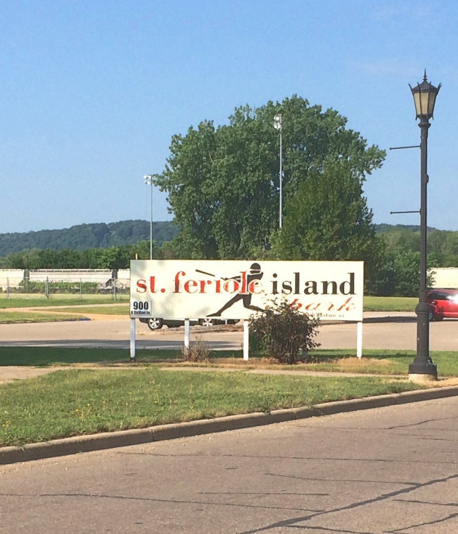
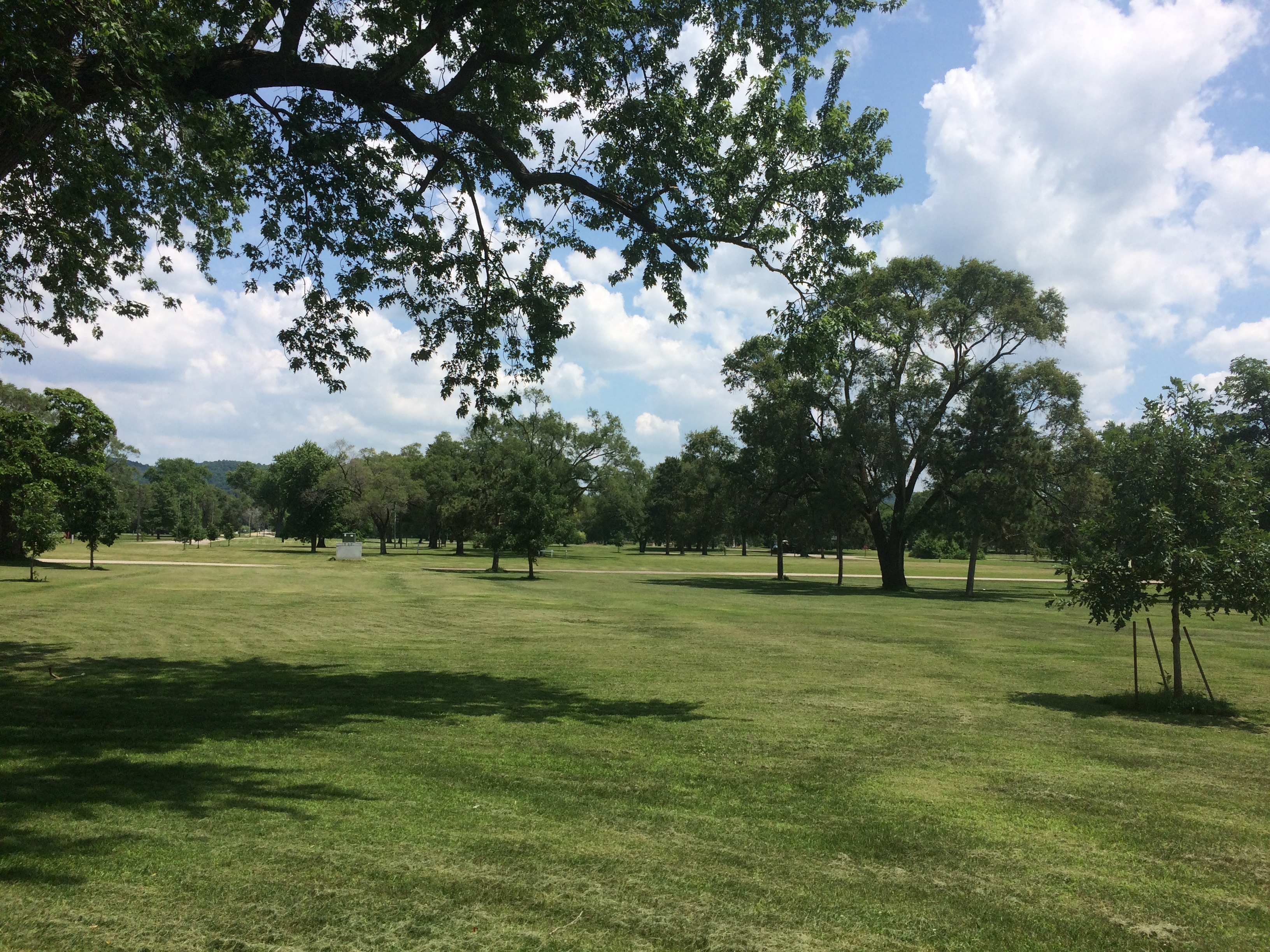
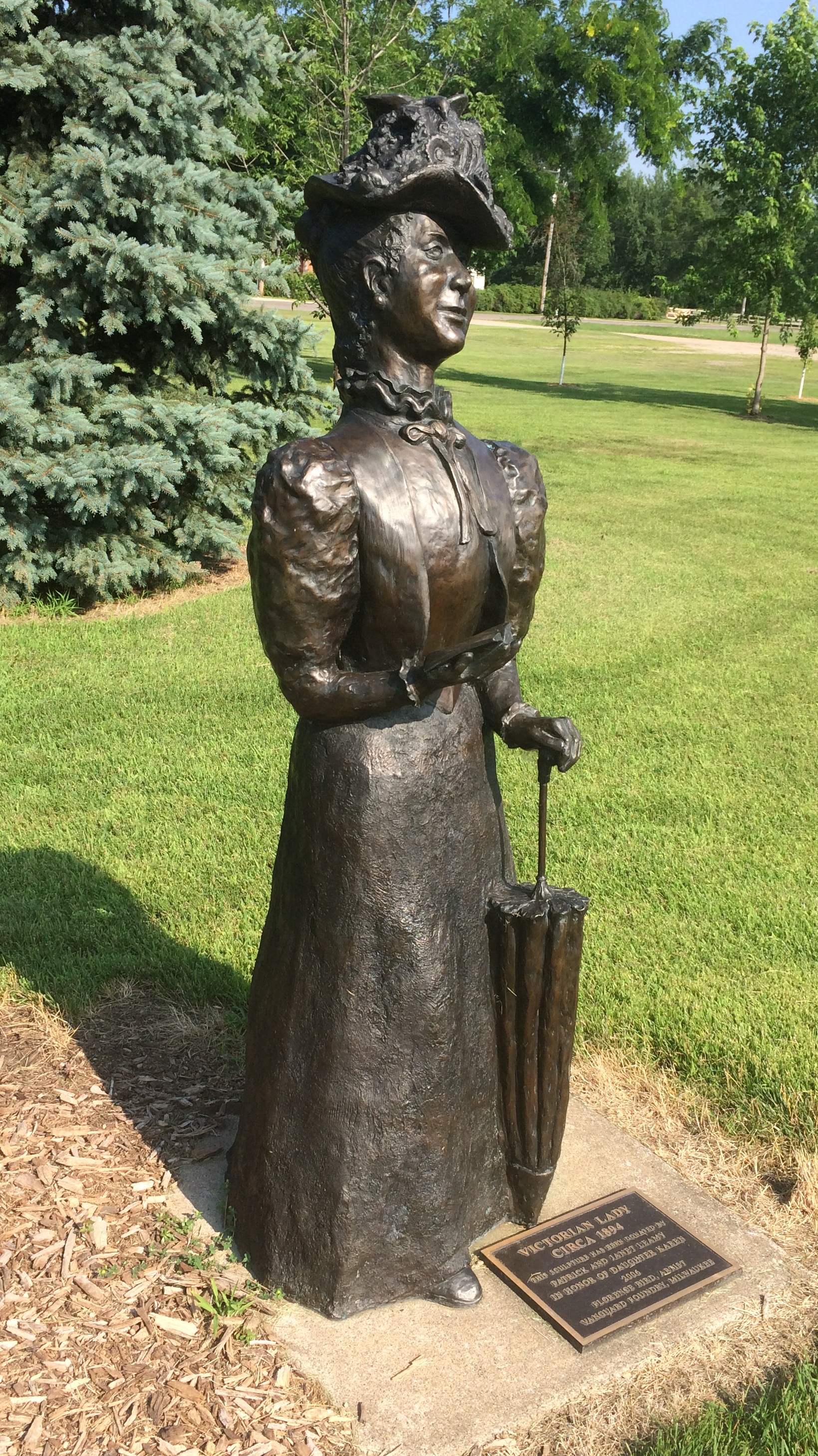
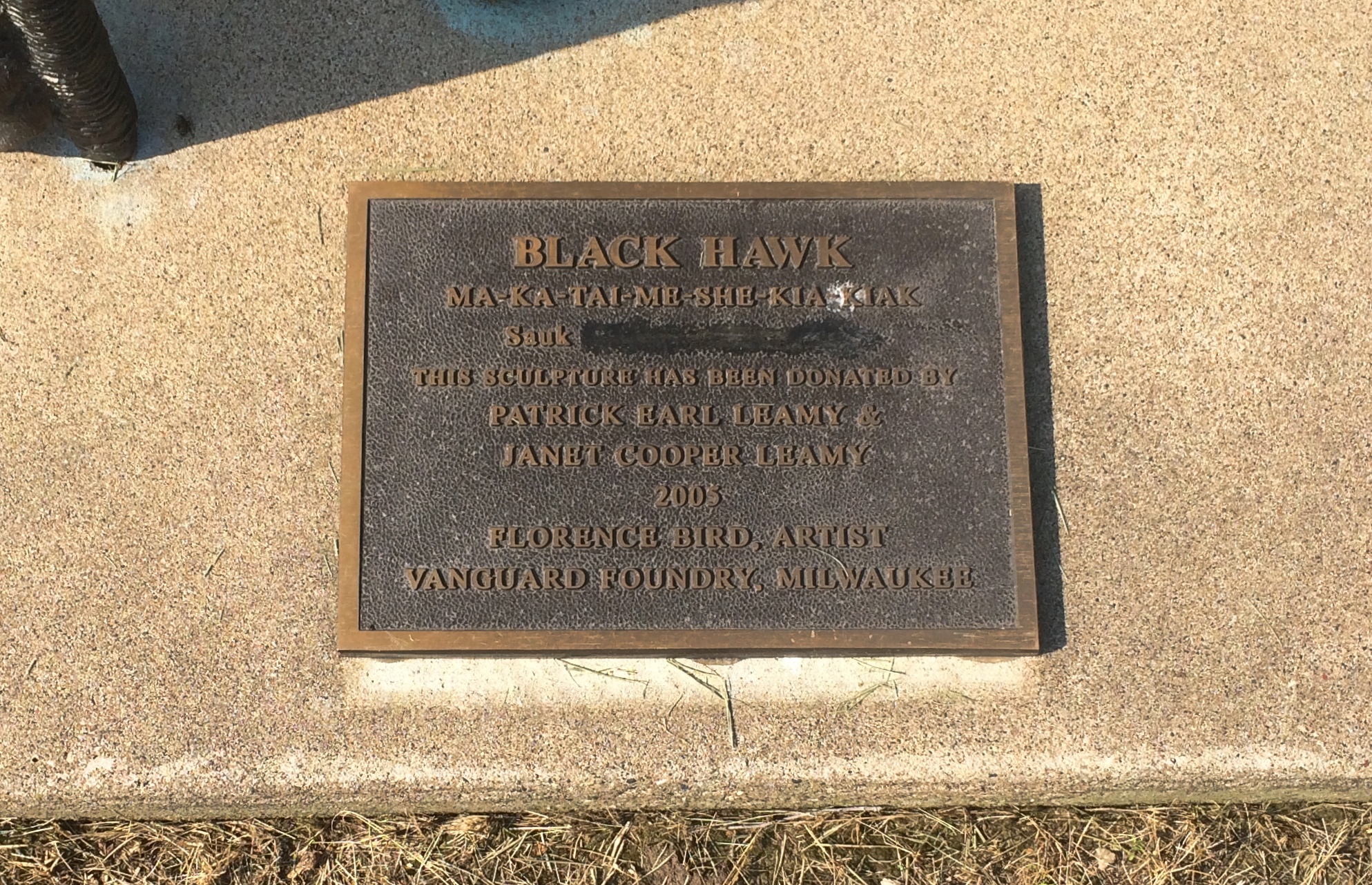
On St. Feriole Island, I happened across a presidential site of sorts: Trail of Presidents. Trees in honor of presidents, arrayed in two rows to form a path, and originally planted in 2014.Trail of Presidents
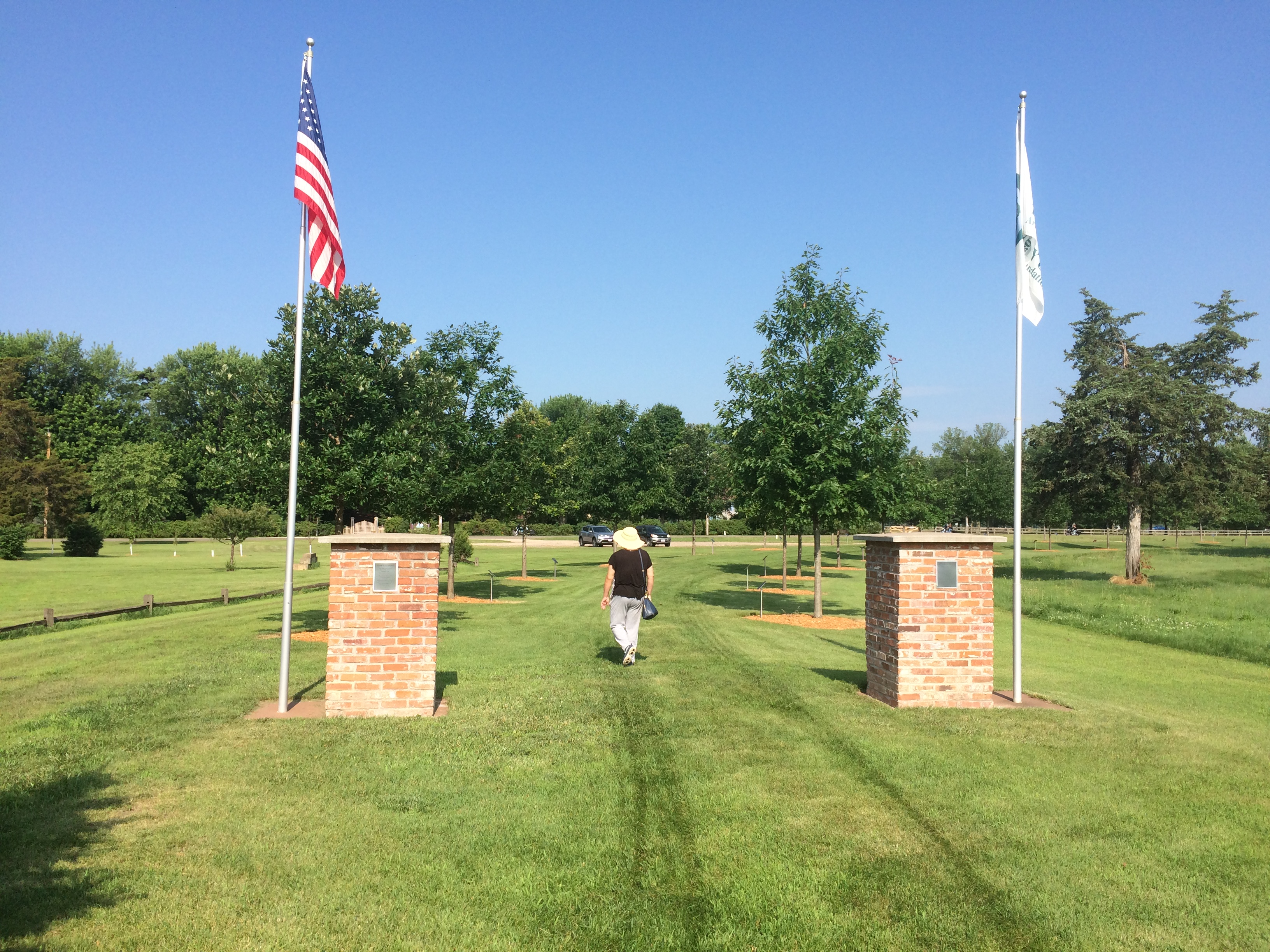
I expected a tree planted for every U.S. president, which would have been the standard approach. But in fact the trees only honor presidents who visited Prairie du Chien either in or out of office, and includes two presidents of other entities besides the United States. I was surprised.

The full and semi-literate text of the sign at Trail of Presidents is here.

The honored U.S. presidents include: Andrew Jackson, William Henry Harrison, Zachary Taylor, Millard Fillmore, James Buchanan, Abraham Lincoln, Ulysses Grant, James Garfield, Grover Cleveland, Benjamin Harrison, William McKinley, Woodrow Wilson, Calvin Coolidge, Herbert Hoover, Harry Truman, Dwight Eisenhower, John Kennedy, Richard Nixon, Jimmy Carter, George H.W. Bush, Bill Clinton and George W. Bush.

For instance, President Fillmore has a white oak.
Trail of Presidents
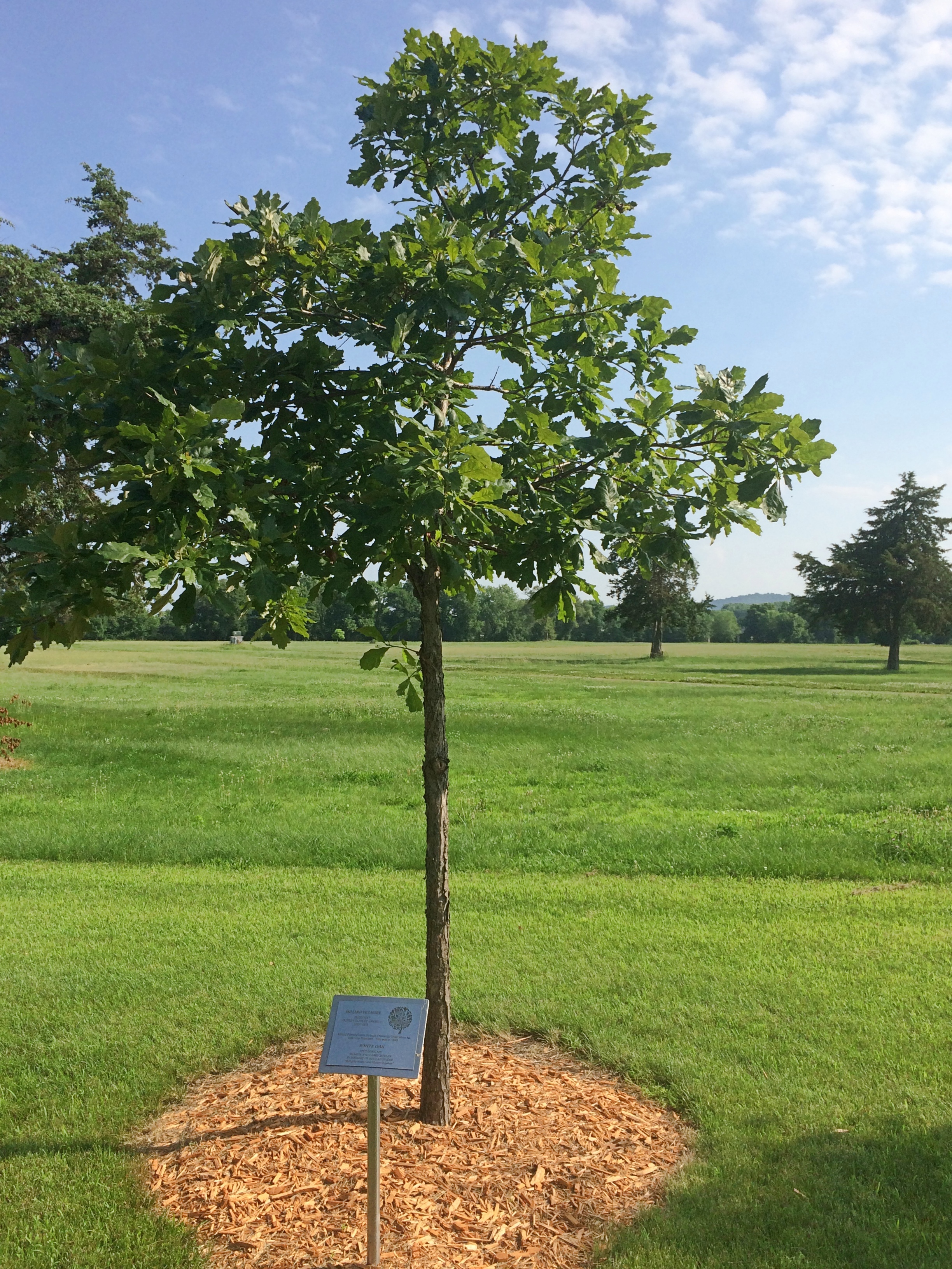
His plaque explains that he passed through Prairie du Chien when he was vice president in 1849. I haven’t ever seen anything about the travels of Vice President Fillmore — and out to the spanking-new state of Wisconsin that year would have been far afield — but I assume there’s some source for this buried in Fillmore’s papers, or maybe local news accounts.

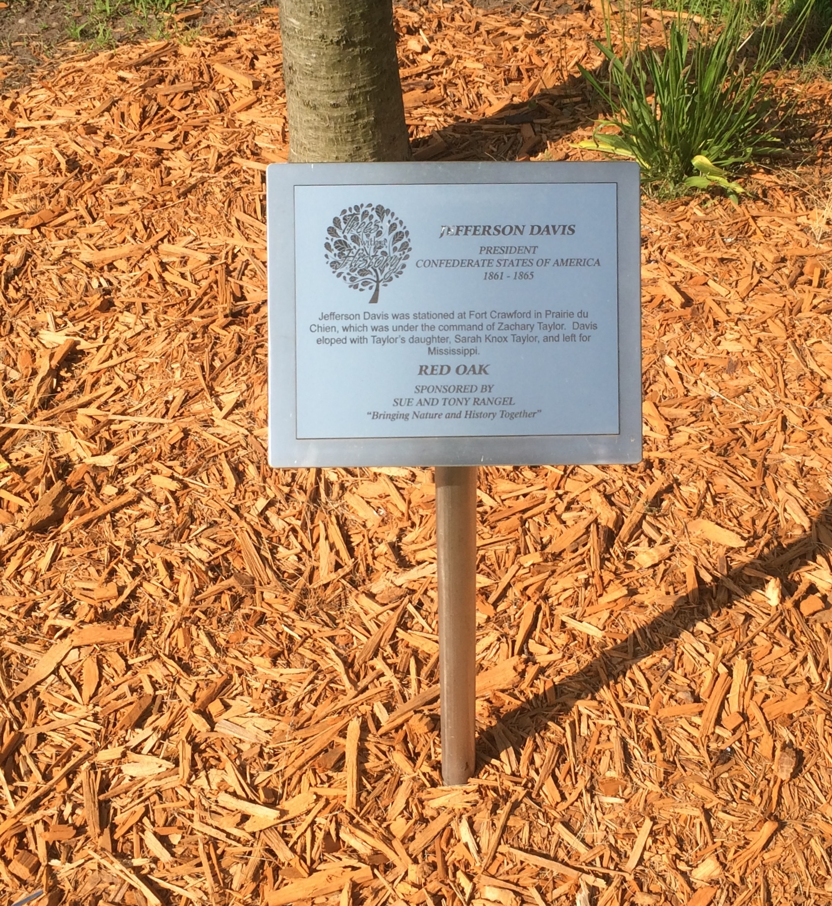
The non-U.S. presidents? One was him again. He was stationed here, after all.
Trail of Presidents

Also, curiously, Vicente Fox also has a tree, a red oak. “Vicente Fox attended Campion High School in Prairie du Chien in the 1960s,” the plaque says. “He then returned to Mexico.”

The last tree has been reserved for the next president to visit, so it isn’t too late for the most recent living officeholders.

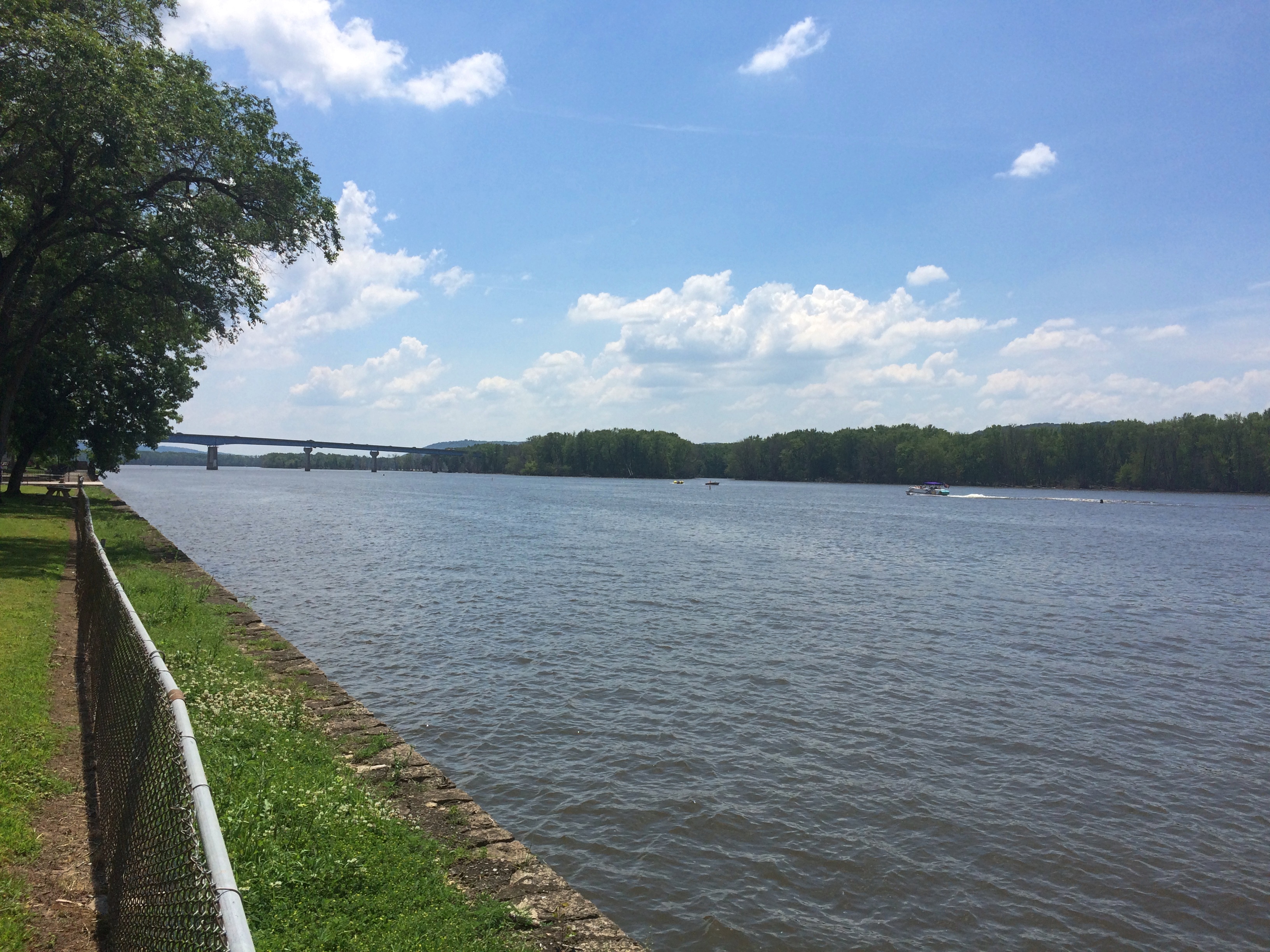
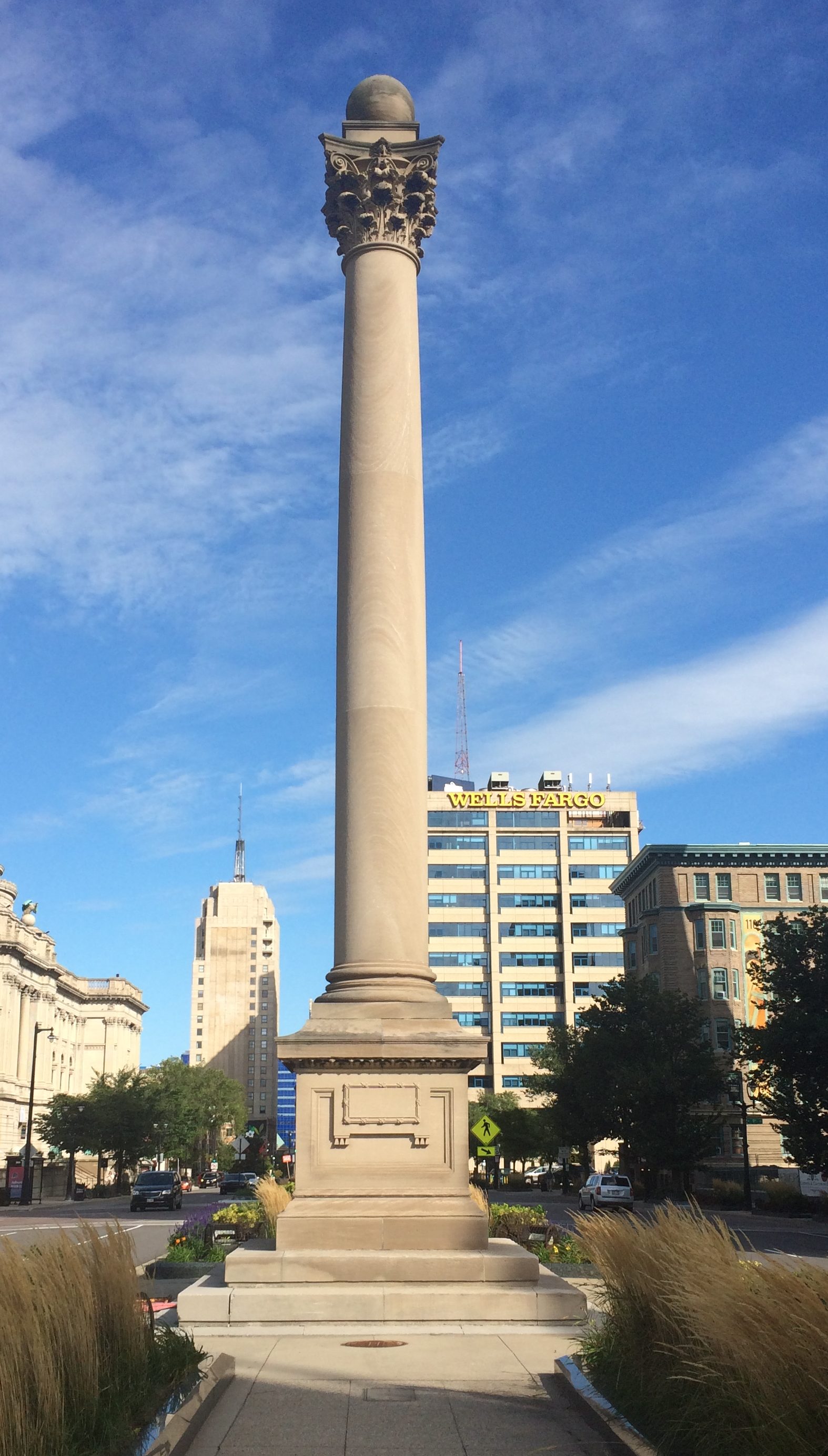
One more Prairie du Chien sight I came across was overlooking the Mississippi, but not on St. Feriole Island. Rather, a statue of Marquette stands atop a tall column near the local chamber of commerce, and also not far from the bridge connecting Prairie du Chien with the town of Marquette, Iowa.
Prairie du Chien Marquette statue

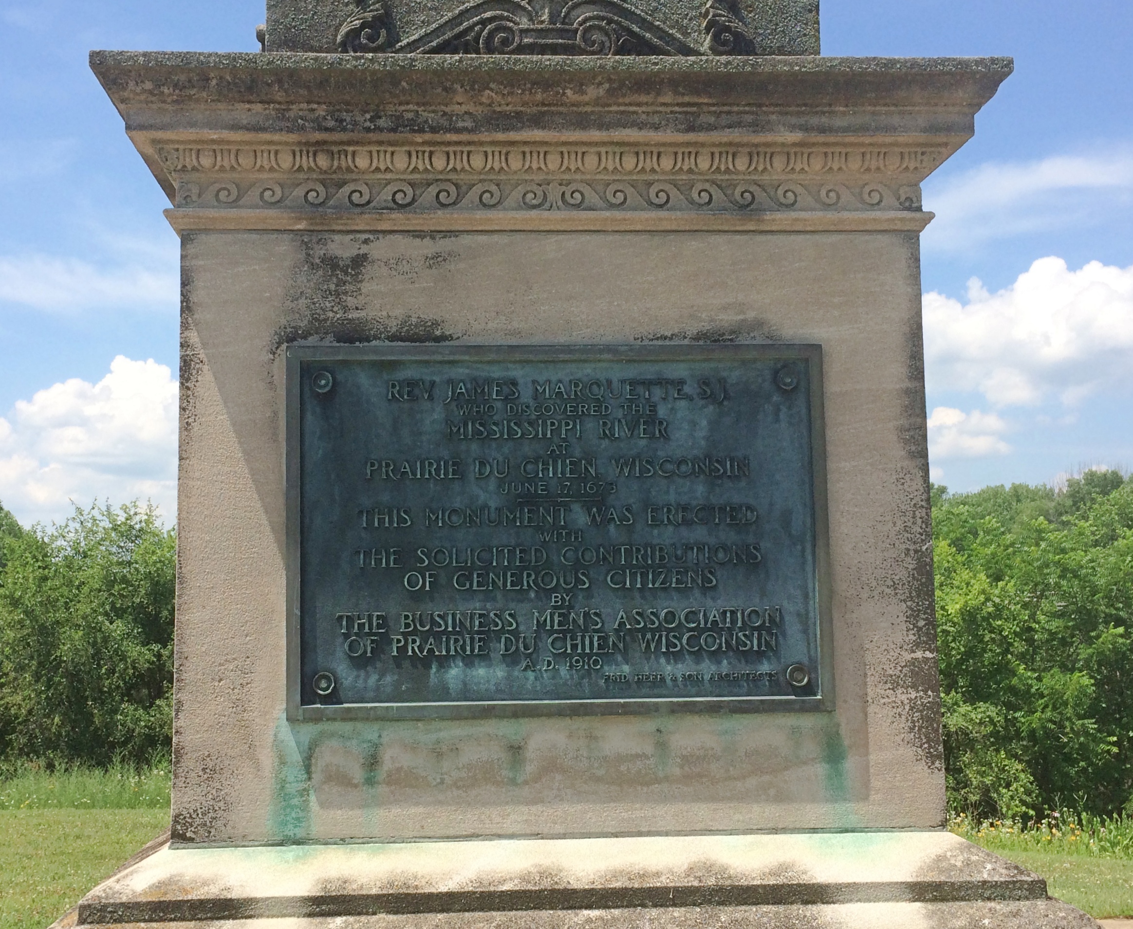
Rev. James Marquette, S.J.
Who discovered the
Mississippi River
at
Prairie du Chien, Wisconsin
June 17, 1673
This monument was erected
with
The solicited contributions
of generous citizens
by
The Business Men’s Association
Of Prairie du Chien, Wisconsin
A.D. 1910
Fred Herber & Son Architects

Unusual to see him called “James,” which doesn’t sound very French. We’ve seen him honored elsewhere around the Great Lakes; Pere Marquette got around, back when muscle power (yours or an animal’s) was the only way to do it.

Prairie du Chien: St. Feriole Island

One thing I wanted to find out from our most recent road trip was how to pronounce Prairie du Chien, pop. 5,600 and seat of Crawford County, Wisconsin. Or more exactly, how to say the local version of Chien. However that turned out, it was bound to be more elegant than Dog Prairie.

Sure, I could have looked it up any time. The Internet overflows with such minutiae. But sometimes random web sites are wrong.

According to what I heard many times on local radio, this is correct. Prairie du SHEEN, as in a soft luster or the actors Martin and Charlie. Maybe the 17th-century Frenchmen who founded the place said it some other way, but that hardly matters.

Marquette Road (Wisconsin 35) is the commercial spine of the modern town, featuring chain stores, restaurants, motels, gas stations and other businesses. Residential Prairie du Chien is a few blocks on either side. Perpendicular to Marquette Road is a much shorter shopping/tourist street, Blackhawk Ave., sporting the likes of Bob’s Bar, Jim’s Bar, Cafe Hope, the Blackhawk and Rowdy’s (more bars), Something for Everyone (a thrift store) and Pete’s Hamburger Stand.

During the day on July 3, Blackhawk Ave., which we drove down a few times, was fairly busy. Among other things, a long line of people were waiting to buy takeout from Pete’s. Guess it’s a local favorite.

Much less crowded — not crowded at all — was St. Feriole Island, an island in the Mississippi that’s part of Prairie du Chien and just to the west of the rest of the town. We spent some time there looking around, both before and after we visited Effigy Mounds NM.

The island is prominent on this map, published in Madison, Wisconsin, in 1870.Note that the 1870 town isn’t connected to the rest of the world by a state highway system, but by a rail line and, more importantly, the Father of Waters. Also, what is now Blackhawk Ave. was then called Bluff St.

“Prairie du Chien had its beginnings on this island,” the town web site says. “It was the first location of Fort Crawford, which was involved in the War of 1812, and is the home of the historic Villa Louis mansion, the origin of which goes back to Joseph ‘King’ Rolette and Hercules Dousman, who made fortunes in fur trading and land dealings…

“This is where the industry that supported the city in the 1800s was located, so rail access was installed in 1890 [sic, the map clearly shows a rail line 20 years earlier, which still runs near the river]. After repeated floods and fires, the city was relocated to the mainland on the Wisconsin side, which was higher and far less prone to flood. Industry remained on the island, gradually closing down or moving to the mainland until well past World War II.”

The Mississippi River Flood of 1965 was apparently the final straw for the neighborhood. These days, the island is mostly St. Feriole Island Park, with sports and recreation facilities, a few historic structures, and a lot of open land, though still divided in part by a grid of streets.
St. Feriole Island
St. Feriole Island
We had lunch on Friday at one of the picnic tables with a view of the Mississippi.
St Feriole island
The Brisbois House is one of the park’s historic structures, dating from 1837 (though other sources put its construction in 1815).St. Feriole IslandIn any case, it isn’t open now. Neither is the Villa Louis, nor the Fur Trade Museum on the island.St. Feriole Island Villa LouisThe Mississippi River Sculpture Park on the island is open. Unlike most sculpture parks, which feature a variety of works by a variety of artists, this one includes only works by sculptor Florence Bird, which are depictions of people associated with the history of Prairie du Chien.

Such as the park’s most recent addition — less than a month ago — of a bronze of Marianne LaBuche, a frontier doctor (“community healer,” her sign says) of the early 19th century.St. Feriole Island
Also depicted: Julian Coryer, voyageur, though it looks like he’s between voyages.St. Feriole Island
A “Victorian lady.”
St. Feriole Island
Emma Big Bear, basketmaker.St. Feriole Island
Here’s Black Hawk (Ma-ka-tai-me-she-kia-kiak).St. Feriole Island Black HawkNote his medallion.St. Feriole Island Black Hawk
His plaque has been edited, either officially or unofficially, since 2005.
St. Feriole Island Black Hawk
Not sure what was blocked out or why. But these times make me attuned to statue revisionism, however minor.

Wyalusing State Park

On the morning of July 4, we left Prairie du Chien and drove a short distance to Wyalusing State Park, a thickly wooded Wisconsin property at the confluence of the Wisconsin and Mississippi rivers.

The first order of business at the park: a drive to a place called Henneger Point at the end of the winding and not-too-wide Cathedral Tree Drive. A fitting name, with massive maples and other trees towering over the road.

Before getting to the point, you arrive at the Spook Hill Group of mounds, looking very much like the ones across the Mississippi at Effigy Mounds NM, and more distinct in person than via photograph.
Wyalusing State Park spook moundsHenneger Point offered us a nice view of the river and Iowa across the way, behind a summer blaze of lilies.
Wyalusing State Park Henneger Point A picnic shelter stands close by. The sign on the shelter said it was closed, though I imagine enforcement is a mite spotty.
Henneger Point CCC. Has to be, at least originally. Later, I found out that CCC Camp Nelson Dewey #2672 existed in the park from 1935 to ’37. Men living there built park facilities and improved its roads and trails, so they probably did the shelter, though later in the day I noticed a Wisconsin Conservation Corps sign on a small bridge on a trail. That’s an existing nonprofit that does similar work as the CCC of old.

We walked a half mile or so along the wide Mississippi Ridge Trail, one of whose trail heads is at Henneger Point.
Mississippi Ridge TrailIn theory it’s suitable for bicycles, but we were absolutely the only ones on it. Talk about social distancing.
Mississippi Ridge TrailLater, we drove to the trail head of Sugar Maple Trail and did its 1.5-mile loop. The map didn’t warn us how steep it would be, though if I’d thought about it, I would have figured it out, since the trail loops down to near the river.
Sugar Maple Trail - Wyalusing SP
Only slightly down at first.
Sugar Maple Trail - Wyalusing SP
Then much further down, along the edge of a ravine cut by a creek-tributary of the Mississippi.
Sugar Maple Trail - Wyalusing SP
Going down wasn’t so bad, but I knew that meant we’d have to go back up. So we did.
Sugar Maple Trail - Wyalusing SP
Tiring, but not as tiring as the day before at Effigy Mounds, even though I believe the change in elevation and the ambient temperature were about the same. Steep and hot, respectively.

At one point along the cascading creek near the trail is a waterfall. Above the waterfall was a nice place to sit.
Sugar Maple Trail - Wyalusing SPElsewhere in the park is a memorial to the passenger pigeon, but I didn’t have the energy to seek it out after our long morning hike. Another time, perhaps. Until then, here’s Aldo Leopold on the passenger pigeon.

Effigy Mounds National Monument

Another holiday weekend, another pop up to Wisconsin for a short spell. Actually, Wisconsin and a small slice of Iowa — that being the main goal of the trip: Effigy Mounds National Monument, which is mostly in Allamakee County, Iowa’s northeastern-most county.
Effigy Mounds National MonumentThe 50-hour trip took us to Madison on Thursday evening to spend the first night, and from there to Prairie du Chien, Wisconsin and environs, where we stayed from late morning Friday to early afternoon Saturday. We returned home late Saturday afternoon, in time for Vietnamese takeout dinner at home — and to hear a July 4 neighborhood blasting of fireworks like none I’ve heard before.

Why Effigy Mounds and Prairie du Chien? Because I’ve seen those places on maps for years. I’ve read about them as well, of course, but spots on a map can be alluring in a way no mere textual description is. Come here, the spots say; come see what’s here.
Also, the rolling, verdant Driftless Area is a special place. I’ve only come to appreciate it in recent years.

A road trip at this moment in history is necessarily different than before. Gone for now are casual meals at restaurants picked on a whim, visits to intriguing local museums or wandering down busy small-town shopping/tourist streets and spending time in their specialty stores.

Now the trip means takeout — from the only Chinese restaurant in Prairie du Chien, for example — finding places where few people go (such as cemeteries) and generally spending your time outdoors, as we did on the trails of the national monument and a Wisconsin state park.

Or staying in your room. It so happened that on Friday night, some high school-vintage friends (two in this picture) invited me to a social Zoom, and I managed to figure out how I could attend using my phone. We had a good time.

We arrived at Effigy Mounds NM early Friday afternoon. Temps were high, about 90, and we were warned on a sign that the trail from the (closed) visitors center to the first fork involved a rise of about 350 feet.

I can’t say I wasn’t warned. Up we went.
Effigy Mounds National Monument
The shade moderated the heat some. I wore a hat — one I’d bought at Joshua Tree NP in February, where it was just as sunny but not as hot. I had water. I made progress through the winding green tunnels, resting often. Yuriko was soon far ahead.
Effigy Mounds National Monument
Eventually I could tell I was near the crest of the hill.
Effigy Mounds National Monument
I don’t need a sign to tell me that. By that point, I was well tired. Just another thing I should have done 20 (30) years ago. Still, the vista was worth the effort: a view of the Mississippi, looking southeast, from a spot called Fire Point. Prairie du Chien is in the distance.
Effigy Mounds National Monument
Due east: party boats gathered on the river for July 3.
Effigy Mounds National Monument
Besides a nice vista, Fire Point featured a collection of mounds. Larger —
Effigy Mounds National Monument
— and a row of smaller ones.
Effigy Mounds National Monument

Something inspired the peoples who lived here to reshape the ground into recognizable forms. Recognizable, but you need to squint a little. Not nearly as recognizable in simple photos, unfortunately.

Not far from Fire Point is Great Bear Mound. Probably best visible from above, though park management helpfully trimmed the grass to make the shape a little easier to see from ground level, and you do see it — but it’s also good to bring a little historical imagination to the task. (As it is even in highly visible places.)Effigy Mounds National Monument - Big BearI expect these mounds survived farming and other depredations of the 19th century because the land was too steep to farm or even harvest timber. President Truman created the monument, which protects 206 mounds, in 1949.

“The Late Woodland Period (1400-750 B.P.) along the Upper Mississippi River and extending east to Lake Michigan is associated with the culture known today as the Effigy Moundbuilders,” notes the NPS. “The construction of effigy mounds was a regional cultural phenomenon. Mounds of earth in the shapes of birds, bear, deer, bison, lynx, turtle, panther or water spirit are the most common images…

“The Effigy Moundbuilders also built linear or long rectangular mounds that were used for ceremonial purposes that remain a mystery. Some archeologists believe they were built to mark celestial events or seasonal observances. Others speculate they were constructed as territorial markers or as boundaries between groups.”

Why did Moundbuilders build mounts? The answer is dunno even among modern experts. They had their reasons. The mists of time are pretty thick in the hills of the Driftless Area.

Thursday Clouds &c

Warm day with plenty of cumulus clouds.

Wet spring has transitioned to a dryish summer so far, though we’ve had a few rainy moments lately. The day we were at Devil’s Lake SP, scattered thunderstorms were predicted, and maybe somebody got some, but we only experienced a little rain driving home that afternoon.

Made an unusual find at Devil’s Lake last week: a visitor guide that’s actually worth a damn. Though no writer names are given, Capital Newspapers in Baraboo published it for the Wisconsin Department of Natural Resources, so it might have been a staff effort. That is, people who have some skill in writing.

So it has practical information — such as how to rent a boat or picnic shelter, activity schedules (clearly published before the pandemic), safety tips, and some well-done maps — but also readable information about the park, such as about the effigy mounds in the park (we didn’t see those), the threat of the dread emerald ash borer, a history of rock quarries in the area, and plans for a new interpretive center.

Also, a short item about the name of the lake. The Winnebago (Ho-Chunk) name is rendered as Ta-wa-cun-chuk-dah or Da-wa-kah-char-gra, which “was translated in its most sensational form (for that era) as Devil’s Lake,” the article notes. It could have been Spirit Lake, Sacred Lake or Holy Lake.

That era being the 19th century, when “reporters produced superlative accounts of Devil’s Lake and reproduced legends (sometimes manufactured) to match… By 1872… the Green County Republican newspaper reported, ‘Had the lake been christened by any other name, it would not have attracted so many people.’ ”

Just another example of Victorian marketing, in other words.

Nothing if not variety: the movies we’ve watched lately have included a selection of musicals, all so different in form and content that I wonder at the elasticity of the term musical. They include Chicago, The Rocky Horror Picture Show, Rocketman, and High School Musical 2.

As a sort of fictionalized musical biopic, the colorfully entertaining Rocketman at least made me appreciate just how ubiquitous Elton John was on the radio of my youth. I already knew that, of course, but hadn’t given it any thought in a long time. Also, it inspired me to look up a few clips of the musician himself, illustrating his piano virtuosity.

As for High School Musical 2, the girls are fond of that 2007 movie as part of their relatively recent childhood. I agreed to watch it all the way through, which I never had. The Mouse clearly put time and money into the thing, and the tunes and choreography were accomplished enough, so I didn’t mind watching. But without a sentimental attachment, its resemblance to a fully realized musical is that of a taxidermied animal to a living one.

Walnut Hill Cemetery, Baraboo

We finished our hiking at Devil’s Lake SP at about 3 in the afternoon and headed into Baraboo for something to eat. Not so long ago, that would have meant parking ourselves at a restaurant for a meal. Though there are no restrictions on indoor dining in Wisconsin now — the whole kit and kaboodle was thrown out — we thought better of it, and ordered takeout.

That left us about 20 minutes to wait for the food. Rather than wait in the car in the restaurant parking lot, I consulted Google maps and found a nearby place to go: the 52-acre Walnut Hill Cemetery, which has about 11,500 permanent residents. Baraboo, the Census Bureau tells me, has a shade over 12,100 living residents.

It’s a pleasant cemetery.Wallnut Hill Cemetery Baraboo
Wallnut Hill Cemetery Baraboo
Wallnut Hill Cemetery BarabooI hadn’t come to see any specific grave, but I had to investigate one of the few mausoleums I saw, there on a small rise.
Wallnut Hill Cemetery Baraboo
It turned out to be the resting place of Al. Ringling (1852-1916), the eldest of the circus family, and his wife Lou. Makes sense. Baraboo was a circus town, after all.
Walnut Hill Cemetery Baraboo Al. Ringling
Later I read that some of the other circus brothers are buried at Walnut Hill as well, but I didn’t spot them. I did see another intriguing stone.
Walnut Hill Cemetery Baraboo John Duckens

JOHN DUCKENS
Born a slave in Kentucky
Died in Baraboo, Wi 1894
Aged 75 years

A new-looking stone at that. It’s a replacement for a weather-worn original, put there only in 2011 by the Sauk County Historical Society, which published a sketch of his life — probably all that’s possible — as a Sauk County Notable.

Devil’s Lake State Park

Over the weekend we visited Devil’s Lake State Park in Sauk County, Wisconsin. We drove up one evening, spent the night at a motel in Madison, and then the next morning continued on to the park, which is about 45 minutes to the northwest of the capital. After spending most of the day in the park, we drove home from there.

The closest town is Baraboo, which we last saw in 2007 — home of the delightful Circus World Museum. This time we drove by the museum. Even if we’d wanted to go again, which we didn’t, that wouldn’t have been possible. At least it’s still there. I hope Circus World manages to reopen sometime.

Devil’s Lake is a pleasant-looking, 360-acre lake with a couple of beaches and other lakeshore amenities, but those aren’t the main draw. What makes it the most popular Wisconsin state park are the Quartzite bluffs on two sides of the lake, east and west, relics of the most recent ice age. Rising to as high as 500 feet, they offer quite a view.

First, of course, you have to follow a trail that takes you up to those views. We picked the one on the east side of the lake, the fittingly named East Bluff Trail.
Devil's Lake State ParkUp it goes.
Devil's Lake State ParkI wondered what the people ahead of us were carrying on their backs — note the black and green rectangular packs. They turned out to be crash pads. For the sport, or activity, of bouldering. That is, climbing boulders. I knew people climb rock faces, but that was a variation I’d never heard of. Guess the people ahead of us were out for a day of bouldering. Takes all kinds.

I’ll bet Devil’s Lake SP is a good place for that. There are many, many boulders.Devil's Lake State ParkDevil's Lake State Park

Devil's Lake State Park

Like some other recent uphill hikes, it took me longer than the rest of the family. Rests were necessary. But I made it to various vistas.Devil's Lake State Park

Devil's Lake State Park

Devil's Lake State Park
There are a couple of named rock formations near the East Bluff Trail. One is the impressive Devil’s Doorway.
Devil's Lake State Park - Devil's Door
Looks solid, but surely the formation doesn’t have long to exist in geologic terms. Fleeting as a firefly on that scale. So is the whole bluff, come to think of it.

To provide a sense of scale.Devil's Lake State Park - Devil's Door

Near Devil’s Door, the East Bluff Trail meets the East Bluff Woods Trail, which has a much gentler slope. We returned via that trail.
Devil's Lake State Park
In June, the trail passes through a lush forest in the first flush of a septentrional summer. Past occasional fern fields.
Devil's Lake State Park
Do ferns consider flowering plants a pack of johnny-come-latelies? That’s the kind of deep-time thing I wonder about when wandering through a forest, dog-tired from climbing a Holocene-vintage bluff.

Postcards To Ed

It’s been almost four years since my old friend Ed passed. His bequest to me was many postcards, including some of those that I’d sent to him over the years. I spent some time looking at them the other day. Odd to see something you dashed off, never expecting to see it again.

A selection.

June 16, 2008

Dear Ed,
Welcome back from Mongolia, etc. I’m expecting a letter. You will soon receive cards from Tennessee or NC or maybe even SC.

Dees

***

June 25, 2009

Dear Ed,
From the last batch of cards I bought. I didn’t expect a planetarium at LBL [Land Between the Lakes]. The show wasn’t all that interesting, however.

Dees

***

Sept. 22, 2010

Dear Ed,
Now this was worth driving to Milwaukee to see: a piece of the 1893 world’s fair. If only I had that time machine —

Dees

***

April 26, 2011

Dear Ed,
Bet it’s been a while since you’ve rec’d a stretch postcard — the gift shop at this museum was practically giving them away, so I got several. I have to like a museum that’s still proud of its dioramas. Until holodecks come along, they will have to do.

Dees

***

April 6, 2012

Dear Ed,
I’ve been remiss is sending cards lately, so here’s one from Yerkes. In case you don’t have enough pictures of Einstein. Nice pics of Africa, by the way [that he sent me].

Dees

The Midsummer Carnival Shaft

Time for an autumn break. Back to posting around October 20, if all goes according to plan.

Last week in Milwaukee, I happened across an oddity that wasn’t part of the Doors Open event, but rather something in the median of Wisconsin Ave. near Calvary Presbyterian.

Court of Honor Milwaukee

A tall, freestanding Corinthian column with a sphere on top. Other statues in the median, not pictured here, include ones honoring Union soldiers, Spanish-American veterans and George Washington. So this column must honor something along those lines, right?

Hard to tell just looking at it. A plaque on the plinth is enigmatic: Presented to the City of Milwaukee by the Carnival Association, June 26, 1900.

Who? Why? Later, I found an article about the Court of Honor, as the median is called. “The Court of Honor is a series of statues, most honoring military figures, that line the median strip in West Wisconsin Avenue between 9th and 10th Streets,” Bobby Tanzilo wrote in On Milwaukee.

“The collection of sculpture became known as the Court of Honor because it was the site of the annual crowning of the Rex (or king) of the Milwaukee Midsummer Carnival Festival, which began in 1898 to celebrate the 50th anniversary of Wisconsin’s birth as a state.

“The carnival only endured for four years, but it must have been a fun event, because it drew visitors from across the state… Each year, for the carnival, the association that organized the week-long event would build temporary classical wood and plaster colonnades. Two years in, it commissioned architect Alfred Clas to design a Corinthian column – the Midsummer Carnival Shaft – that would be constructed of Bedford limestone to serve as a permanent centerpiece for the event.”

The Midsummer Carnival Shaft thus stands to this day, silently honoring an event that probably 99.44% of Milwaukeeans could not identify. Just another example of something that can make the urban texture of a city interesting — a forgotten oddity in plain sight.

Two Milwaukee Courthouses of Imposing Size and Grandeur

Last year during Doors Open Milwaukee, we passed by the Milwaukee County Courthouse. I don’t think it was participating, but anyway we didn’t go in. Naturally, this year it’s still an imposing neo-classical edifice by McKim, Mead, and White, finished in 1931.

Milwaukee County CourthouseThe building was open and we went in. But not at the owl entrance, whose single word Justice, if you’re in a cynical mood, might fall under the category of promises, promises.
Milwaukee County CourthouseSome of the courthouse’s arched hallways were well lit.
Milwaukee County CourthouseOthers, not so much.
Milwaukee County CourthouseOne well-appointed courtroom, that of Judge Someone-or-Other, was open for inspection.
Milwaukee County CourthouseMostly the halls and courtroom exuded a sense of serious business, which is appropriate. Don’t want any goofballs on the bench. But there was at least one oddity in the otherwise staid atmosphere of the courthouse halls: a weight and horoscope machine. What?
Milwaukee County CourthouseFurther to the east on Wisconsin Ave. — there’s that street again — is the Federal Building & U.S. Courthouse for the Eastern District of Wisconsin. They say it’s a grand old edifice, completed in the 1890s to house not only federal courts, but also the main post office and the customs service. I’m sure it must be, but the exterior is a little hard to see in 2019 during restoration.
Federal Courthouse MilwaukeeSome of the granite facade is visible.
Federal Courthouse MilwaukeeA design overseen by Willoughby J. Edbrooke, whose Wiki page tell us: “[He] remained faithful to a Richardsonian Romanesque style into the era of Beaux-Arts architecture in the United States.” A man who knew what he liked and stuck with it.

The vaulting atrium impresses mightily, but it’s hard to capture its image with a simple camera. Looking up, the view is through a steel structure which I assume is for support in some way.
Federal Courthouse MilwaukeeThese are views from the fourth floor. Originally the atrium roof was open, in the way pre-air conditioning buildings often were.
Federal Courthouse MilwaukeeFederal Courthouse MilwaukeeWe saw two courtrooms, including the Ceremonial Courtroom and its exceptional woodwork.
Federal Courthouse MilwaukeeFederal Courthouse MilwaukeeFederal Courthouse MilwaukeeCalled “ceremonial” because besides being a workaday federal courtroom, it’s also where new judges and new U.S. citizens tend to be sworn in.