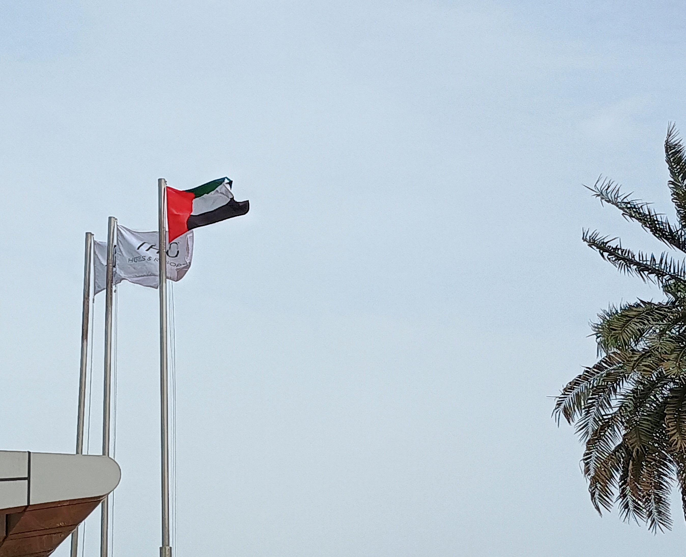
In Key West last month, we noticed the Conch Republic flag displayed in more than a few places.
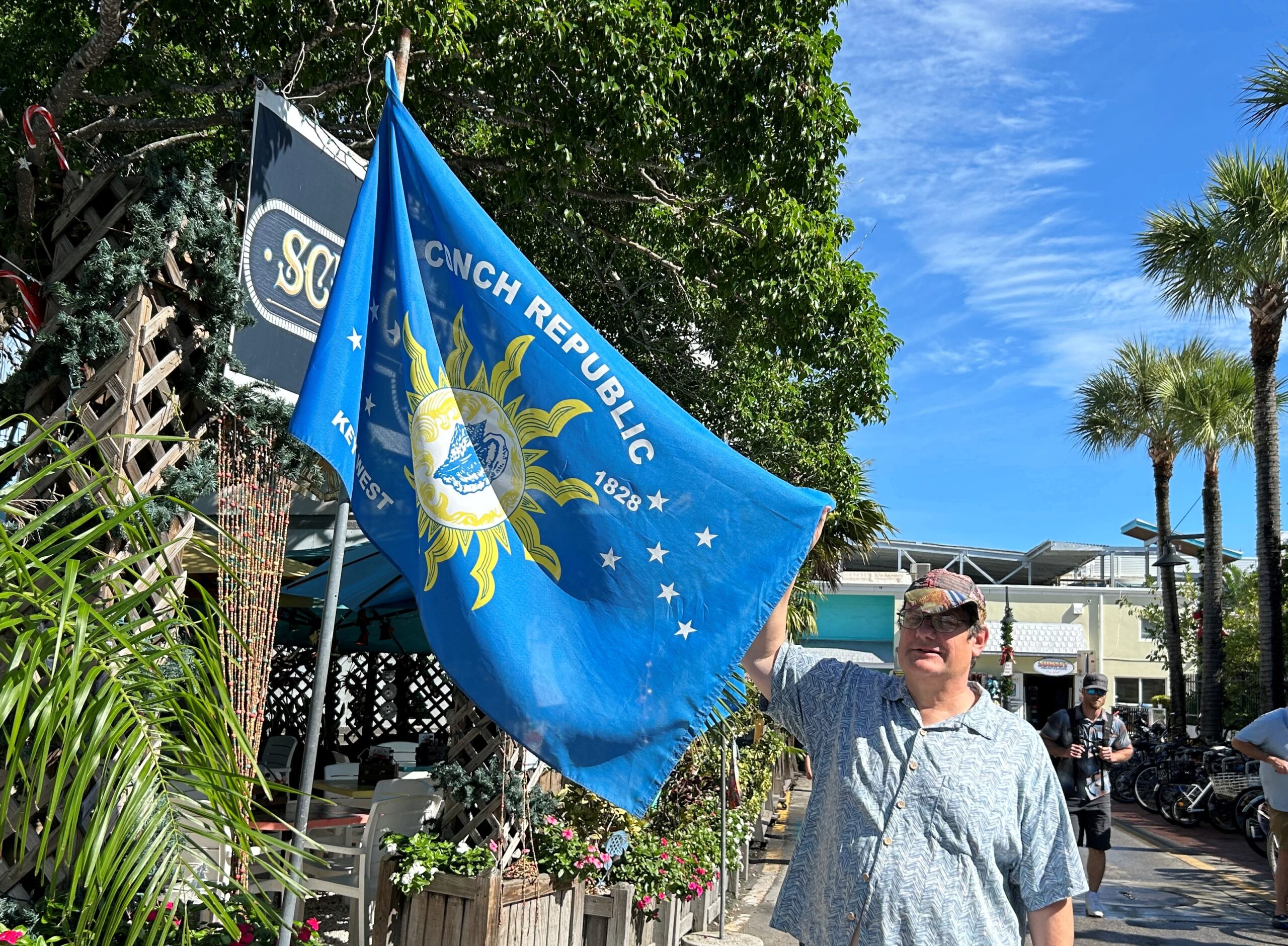
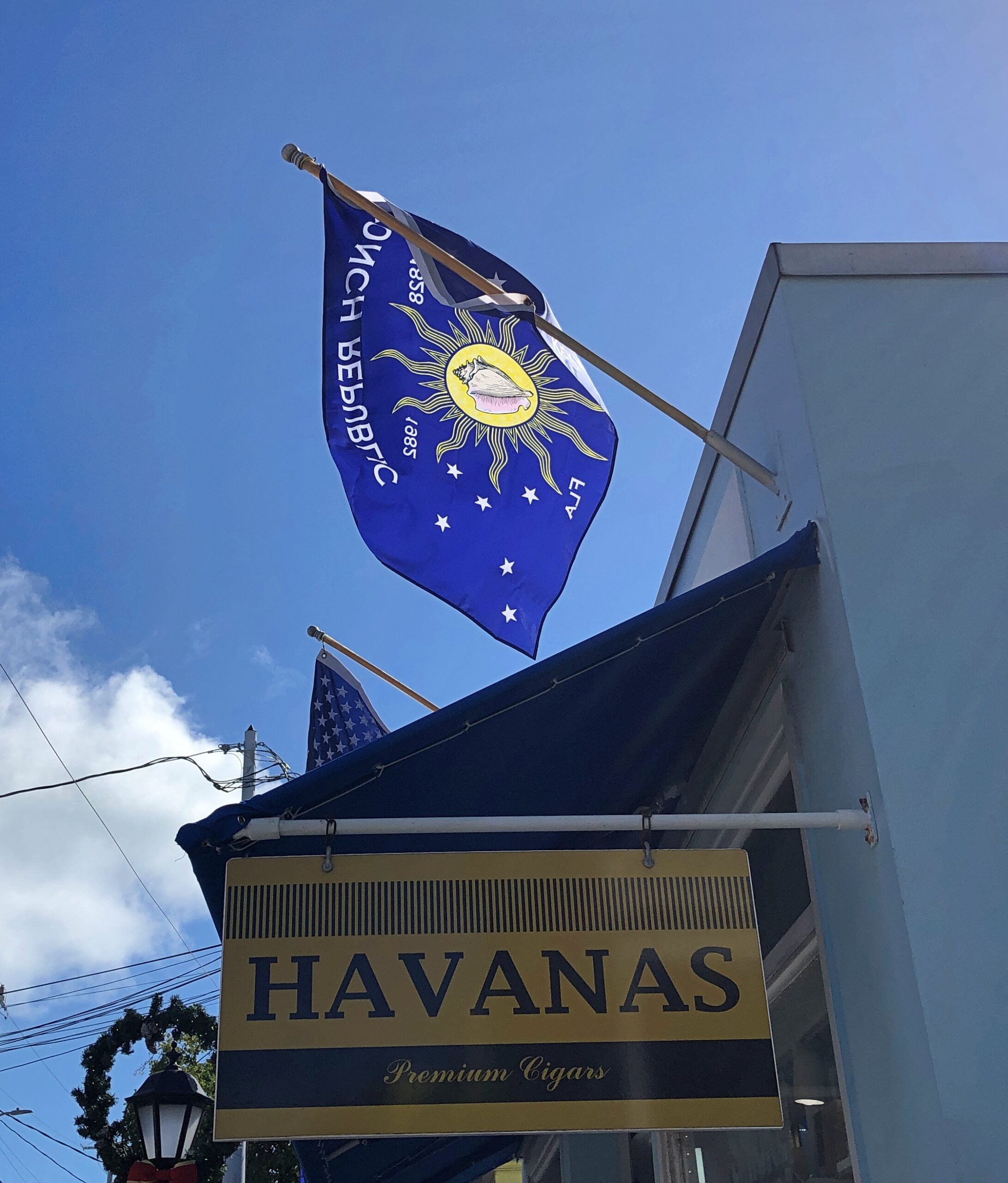
More about the not-very-serious Conch Republic micronation, created in 1982, is in this Miami Take article. Curiously, the article doesn’t describe how the flag came to be, just that it was simultaneous with the declaration of the CR, which was a kind of protest against a surprise U.S. Border Patrol roadblock on US 1 at the entrance to the Keys. Still, the design works, and it’s something distinctively Key West.
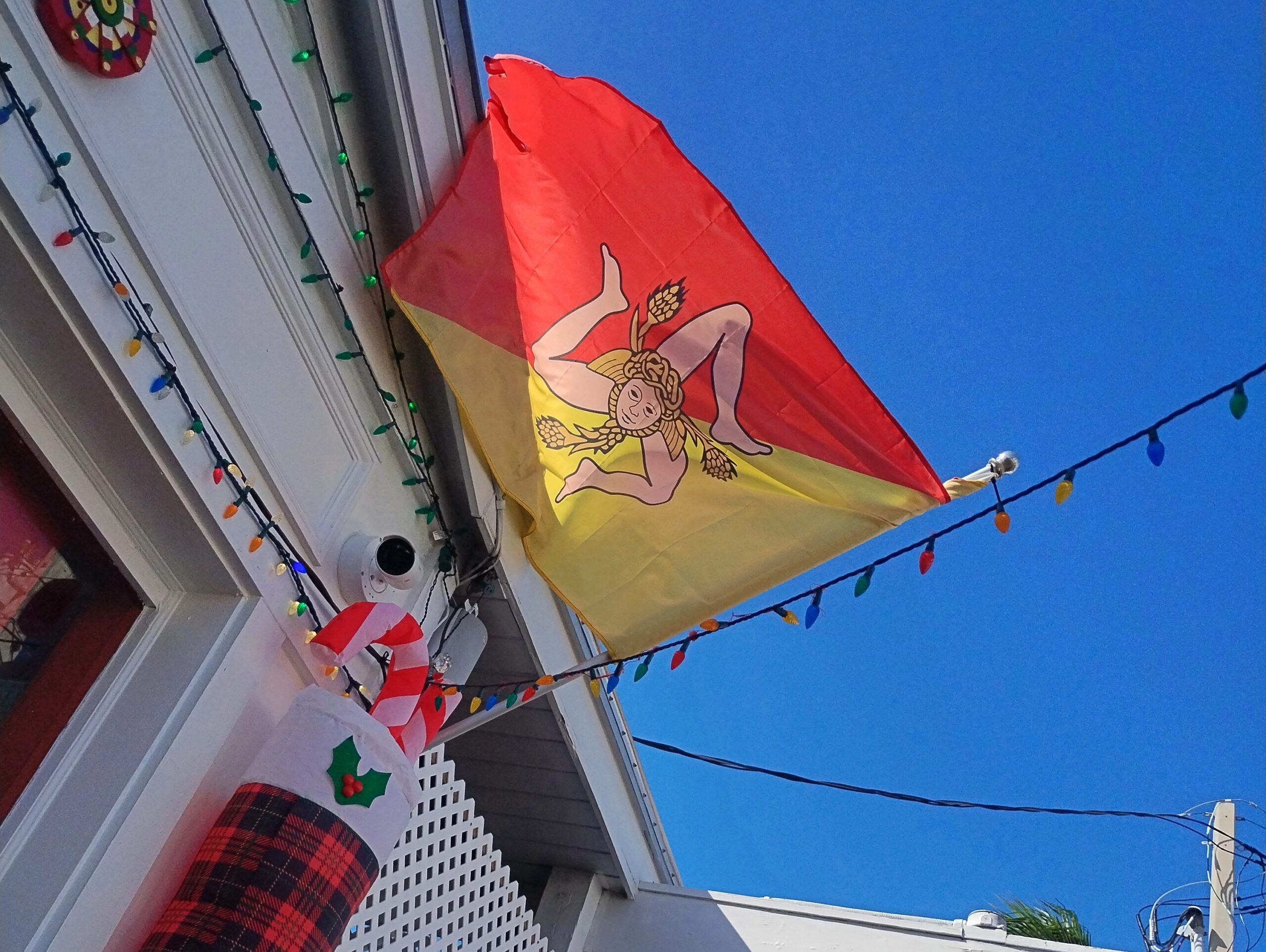
Saw the very distinctive Sicilian flag in Key West, too, just off Duval, over a joint that promised southern Italian food.
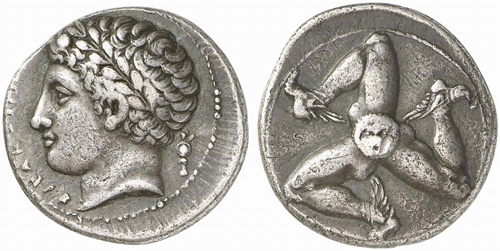
The design is not only distinctive, but ancient. This is a silver drachma from Sicily, ca. 300 BC.
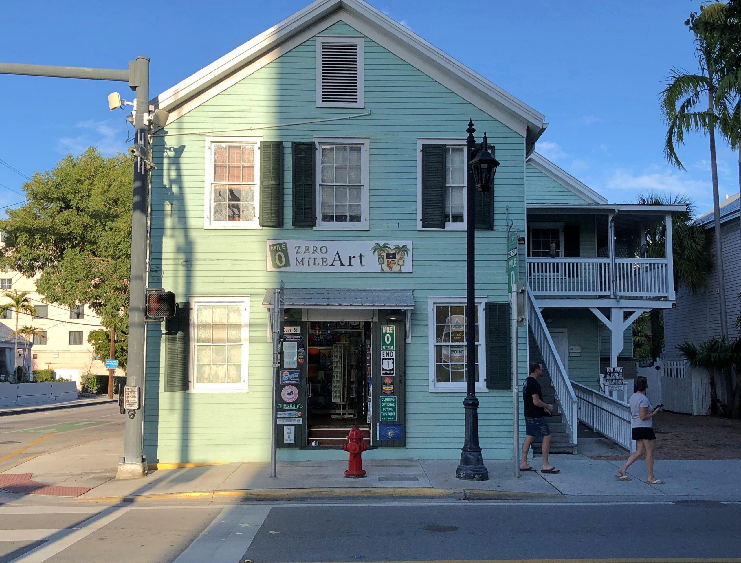
I digress. During one of our Key West walkabouts, we made a point of finding the southern terminus of highway US 1, which is at the intersection of Fleming and Whitehead streets.
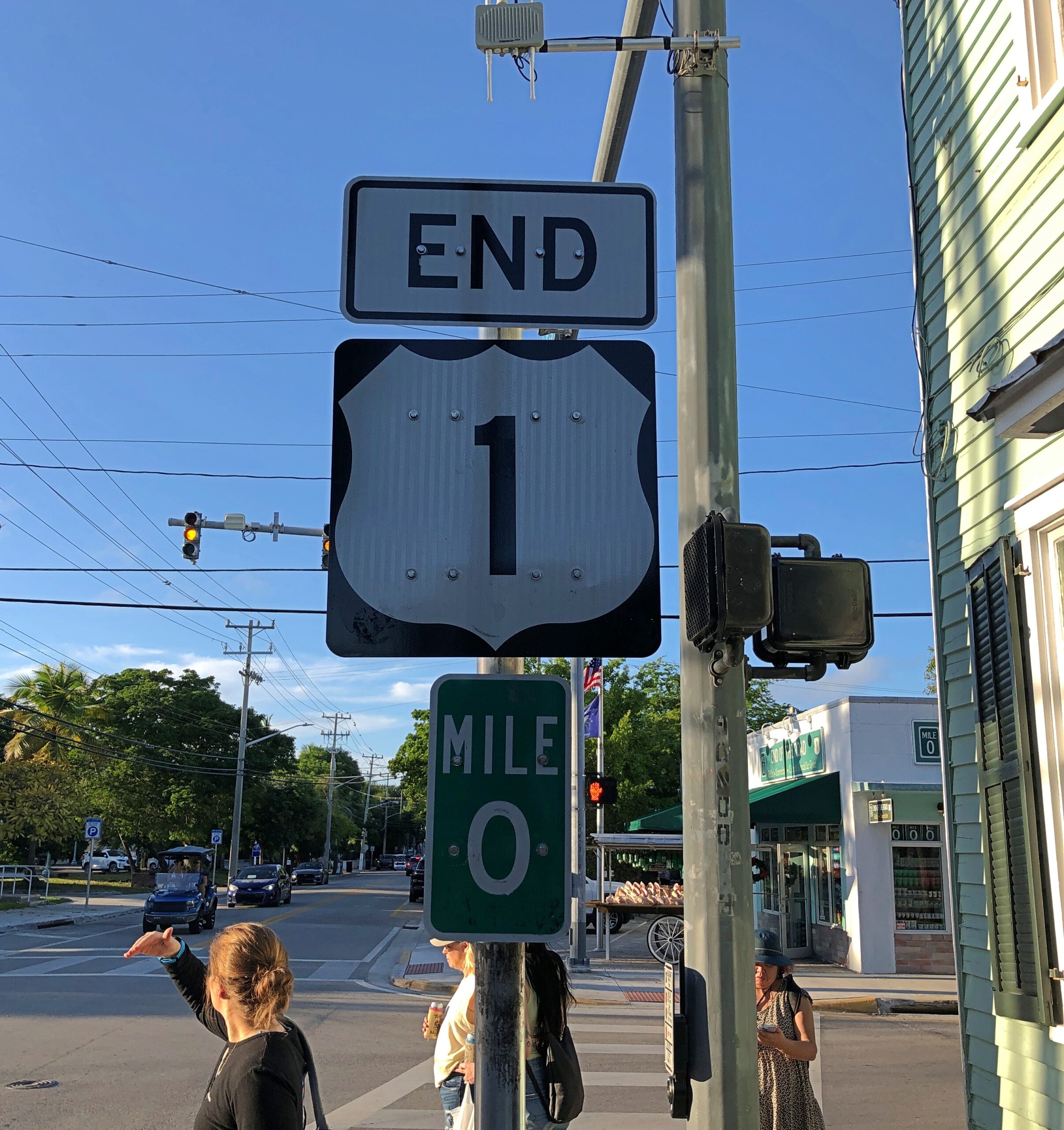
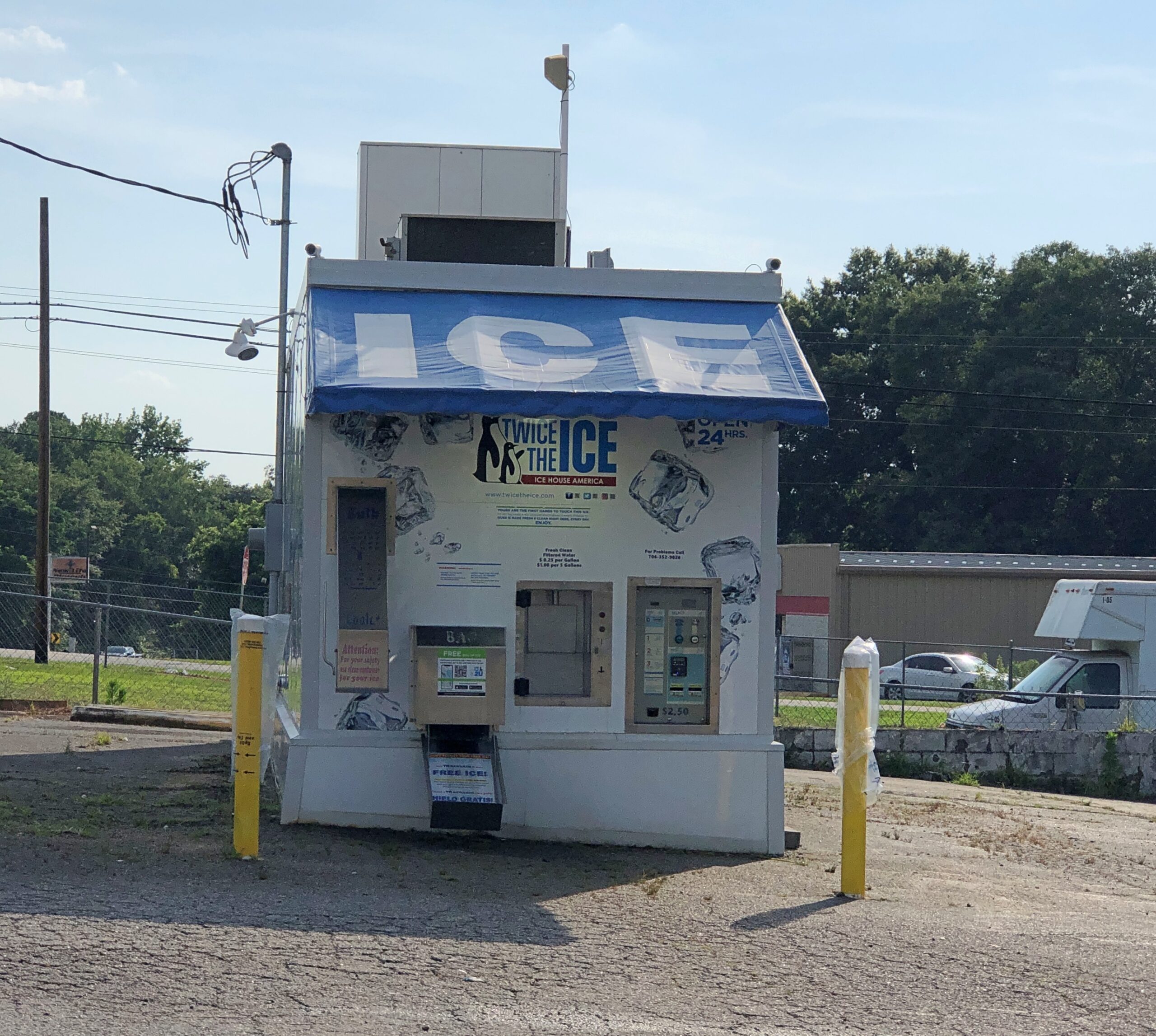
A business taking advantage of its unique location. Locational branding, they might say in marketing.
Now that I’ve now seen the southern terminus of US 1, that clearly means I have to see the northern terminus. That happens to be in Fort Kent, Maine, so perhaps a summertime visit. A real epic would be driving the entire 2,369 miles between Key West and Fort Kent on that highway. People drive all of the 2,448-mile Route 66, and it’s not even a real highway anymore. I’ve been gifted, or cursed, with the ability to think up more long trips that I can possibly do.
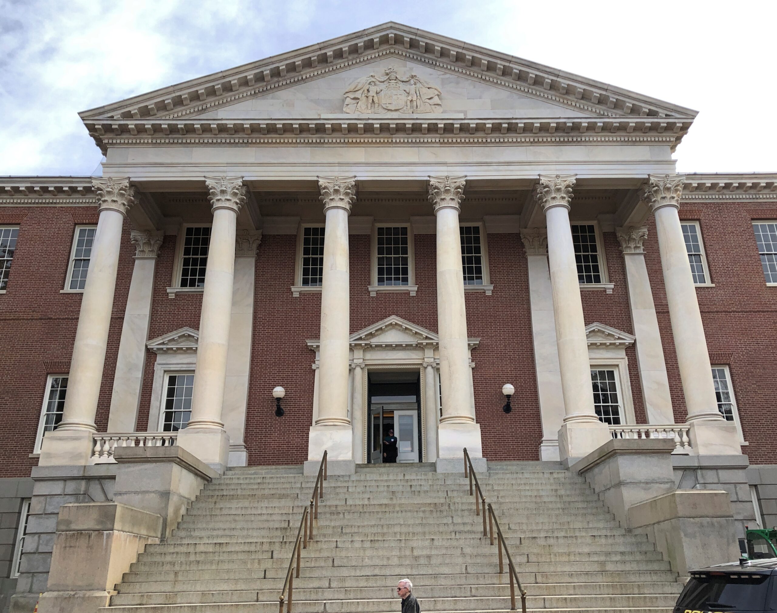
Half a block away from the beginning/end of US 1 is the Monroe County courthouse.
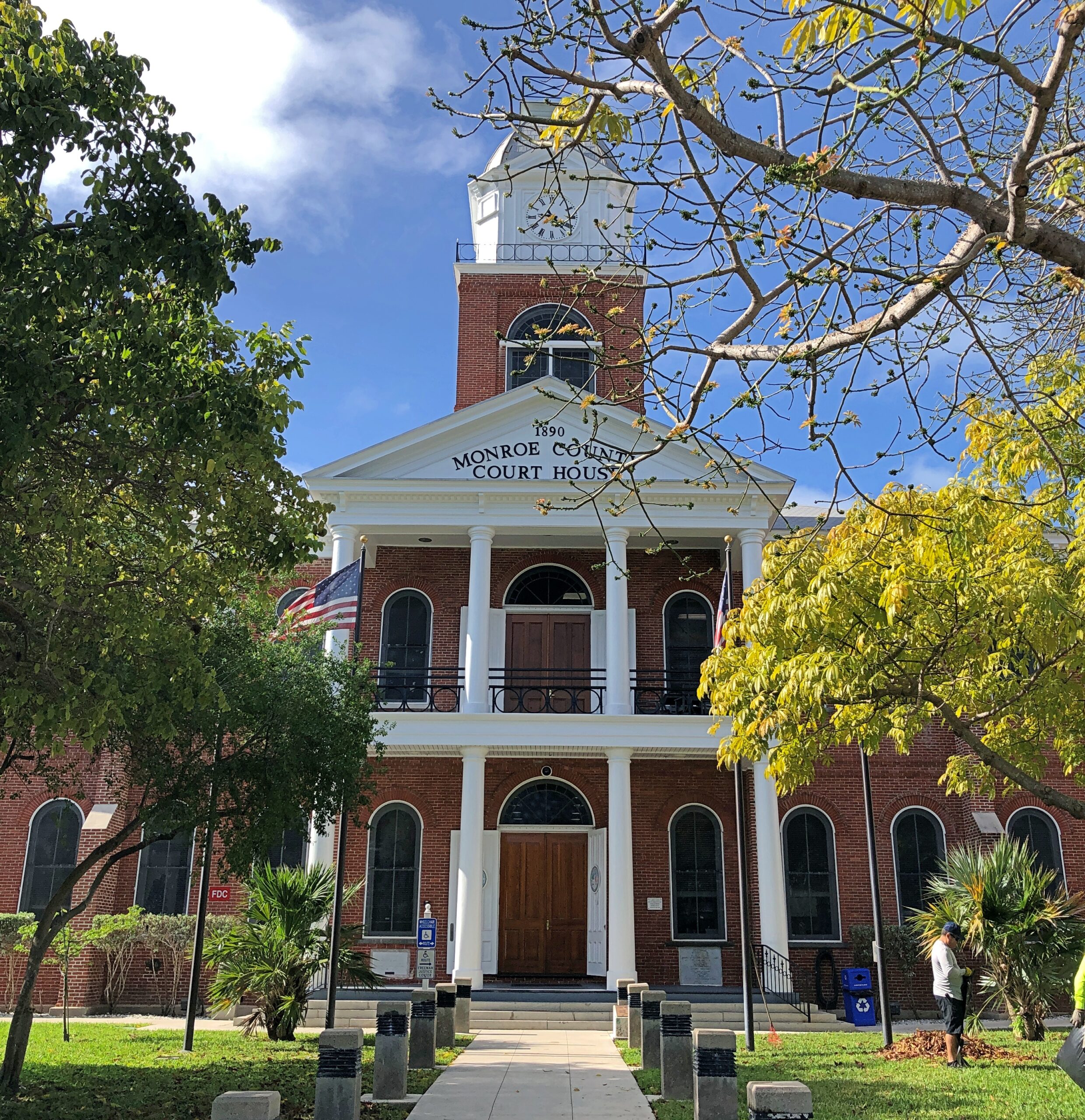
A nearby sign says: The original wooden courthouse was completed in 1823. The county occupied most of the Southern Florida Peninsula. The county seat in Key West currently covers the Florida Keys, and portions of the Everglades National Park. The present red brick courthouse, built in a traditional county courthouse style, was completed in 1890. It features a 100-foot tall clock tower and is an architectural feature that can be observed from almost any part of Key West.
A traditional county courthouse? In the Northeast, yes. Looks like someone used one of those building-moving transit beams in Rocky Horror to transport an entire New England courthouse down to the Keys.
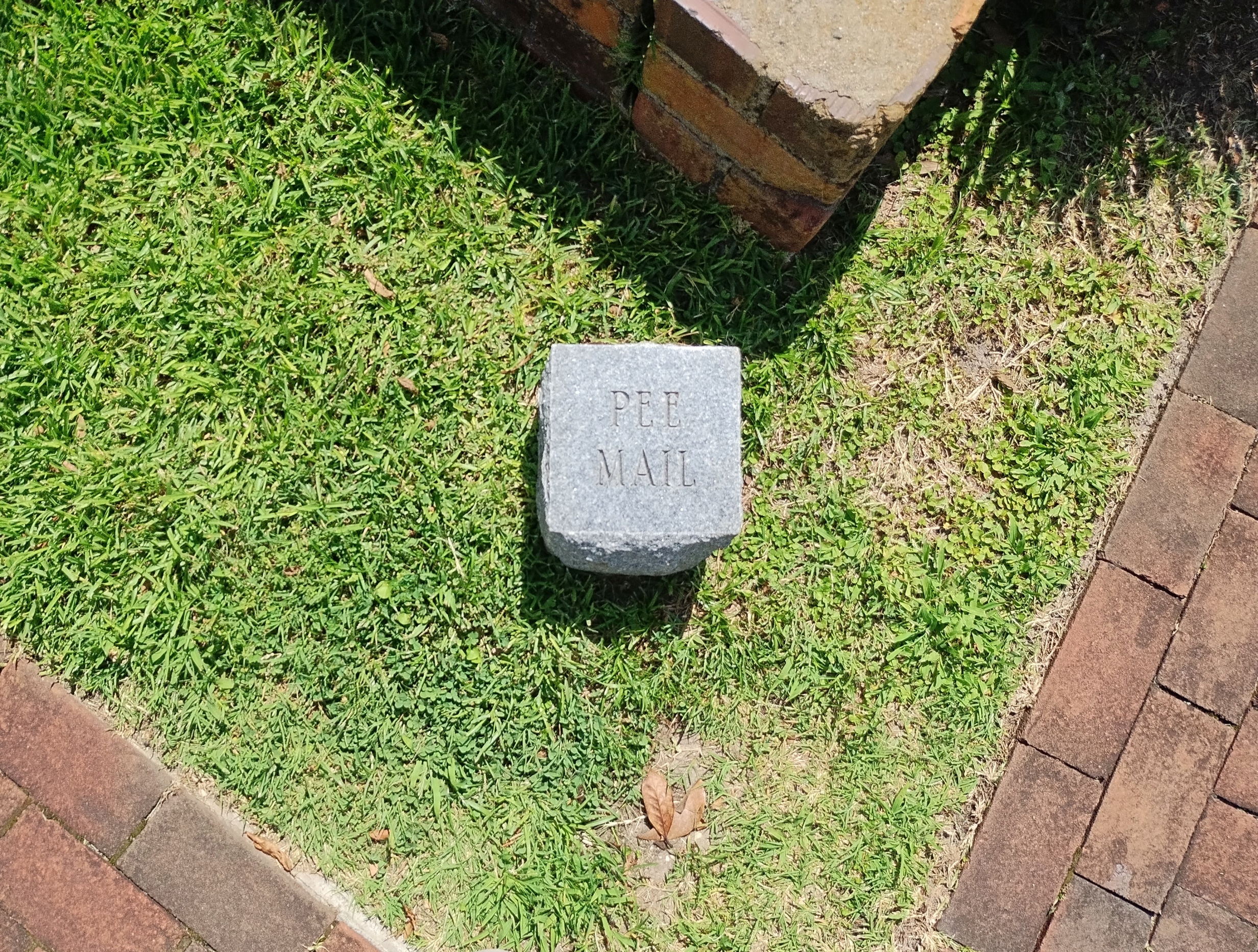
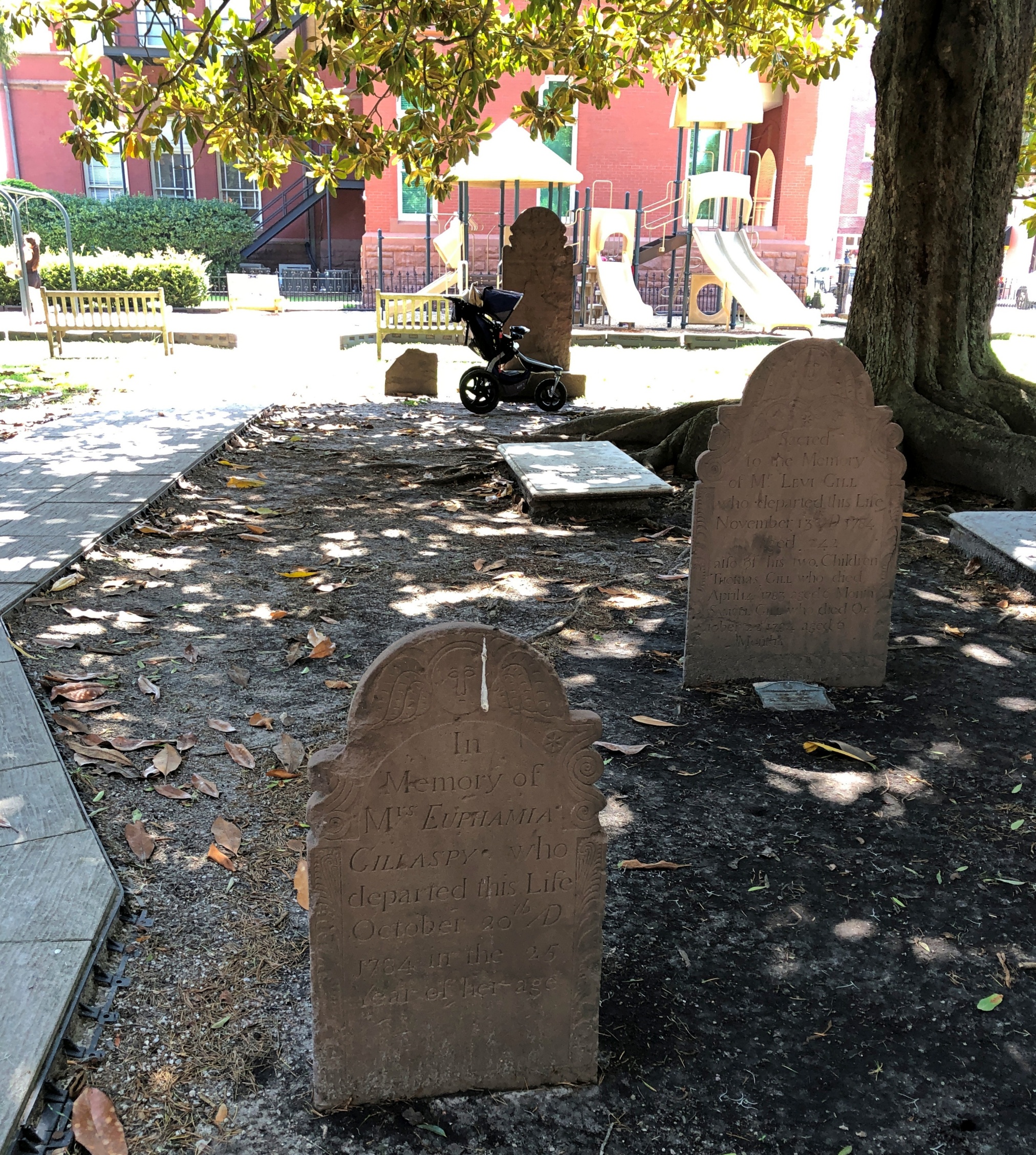
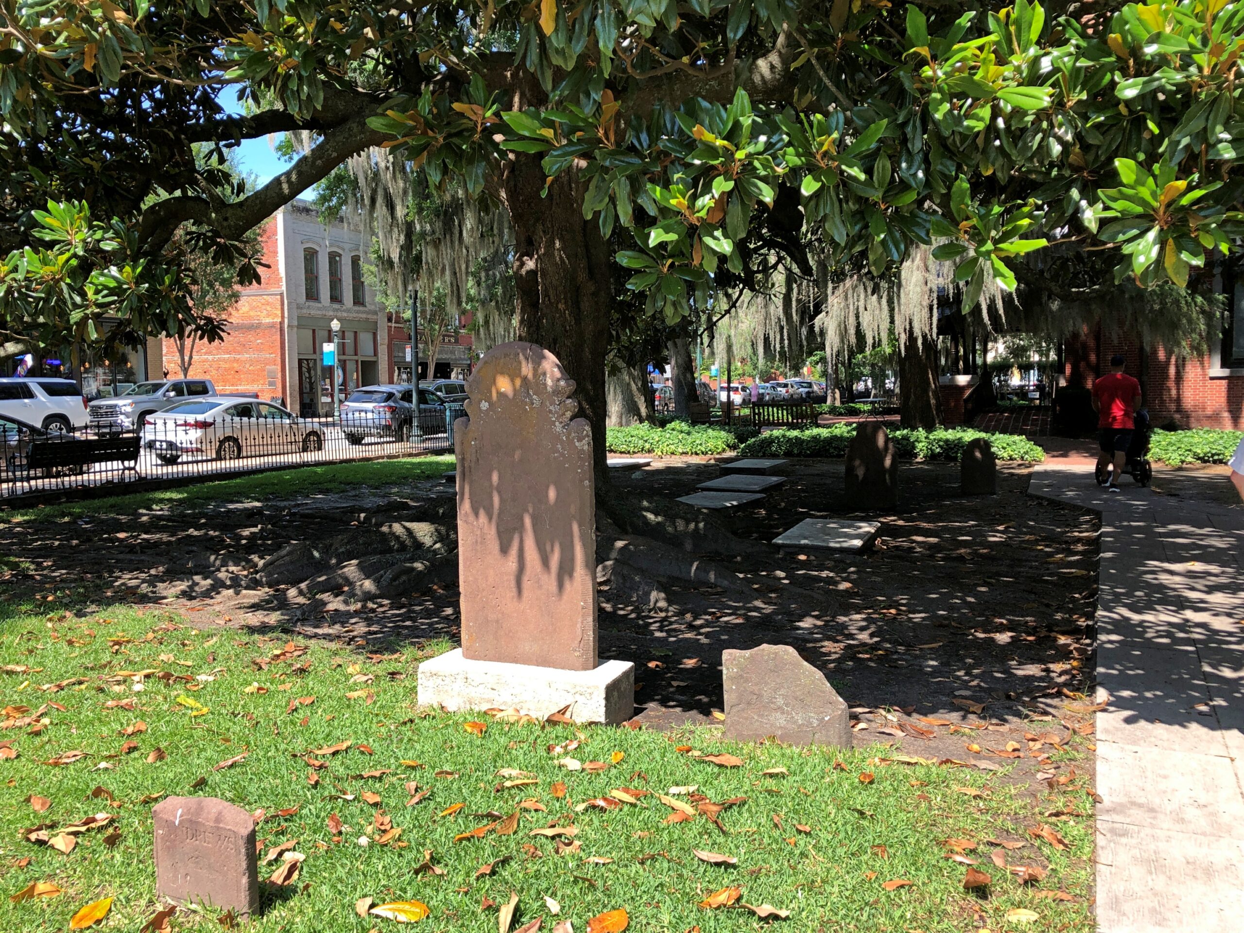
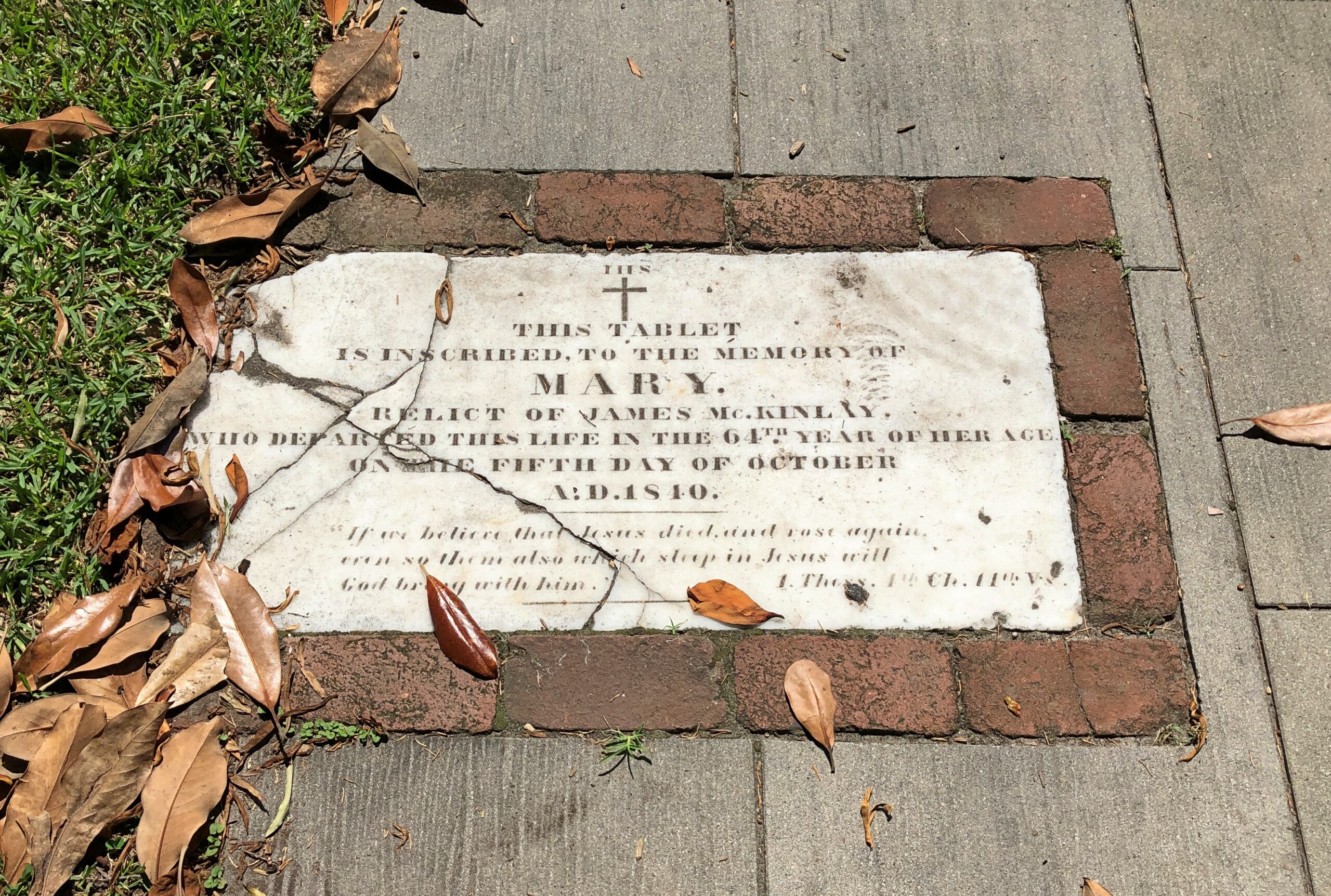
The courthouse grounds comes with this oddity.
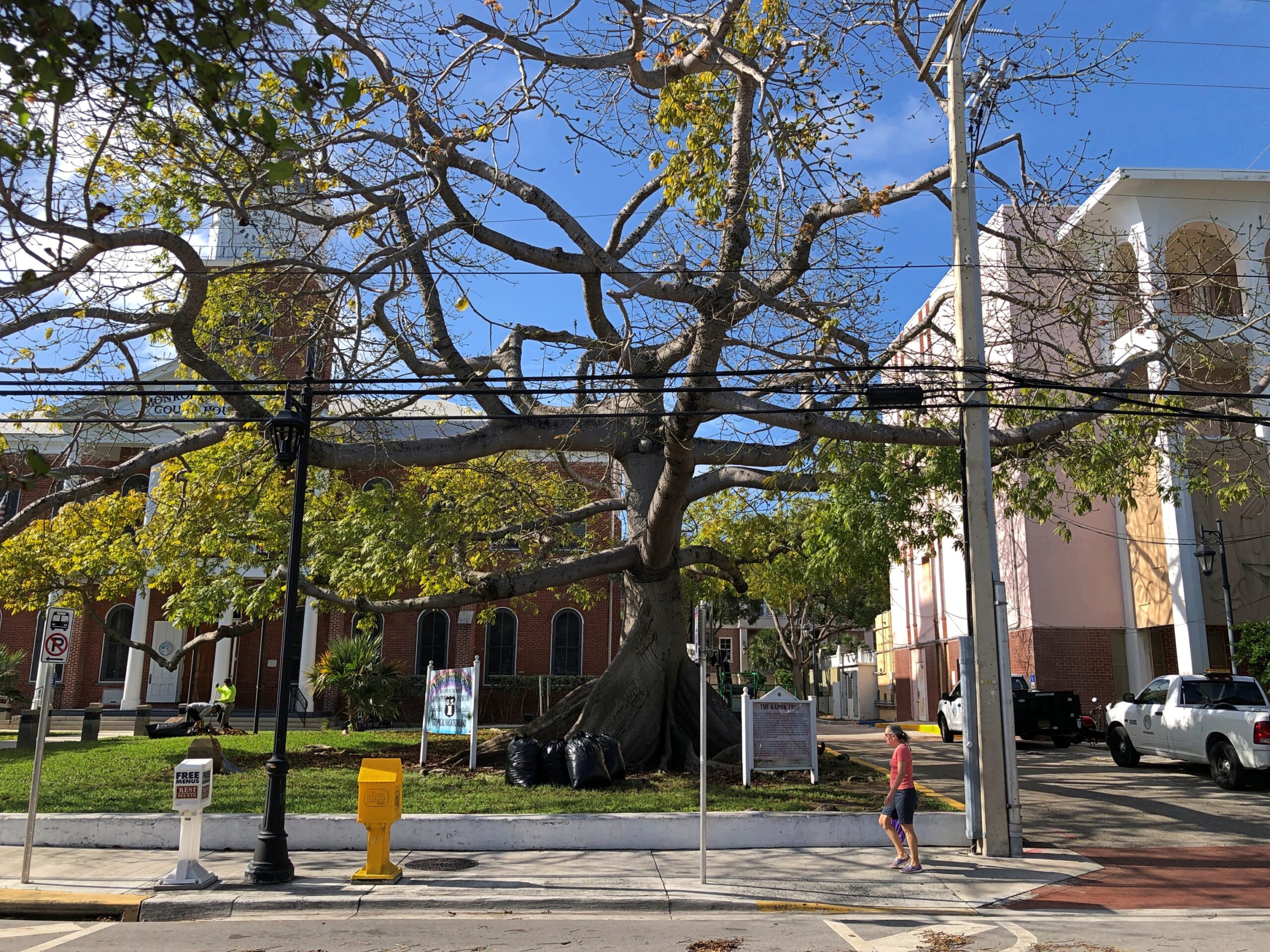
At least, odd to me.
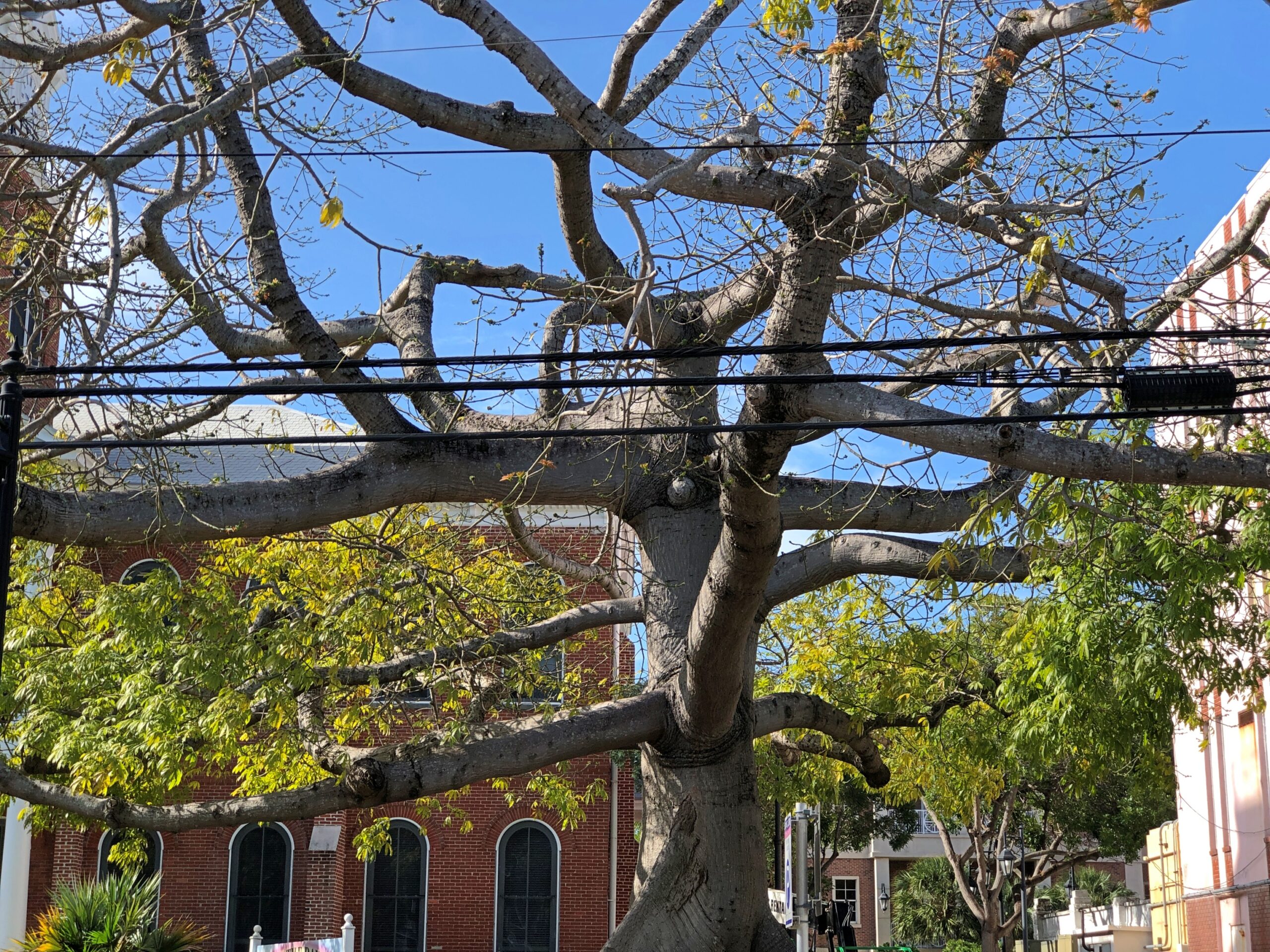
A kapok tree, ceiba pentandra. Odd to more than just me. Enough people that the city put a sign describing kapok trees, next to this example of one. The sign’s a bit worse for wear.
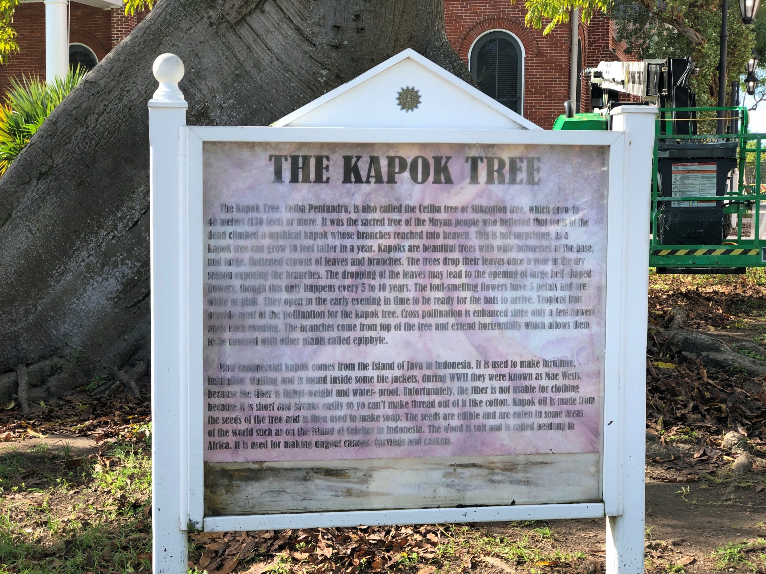
Java cotton is one name for its fiber, which surely evokes distant islands.
More Key West signs.
Is this not a handsome building? And looks solid enough to stand in any mere wind.
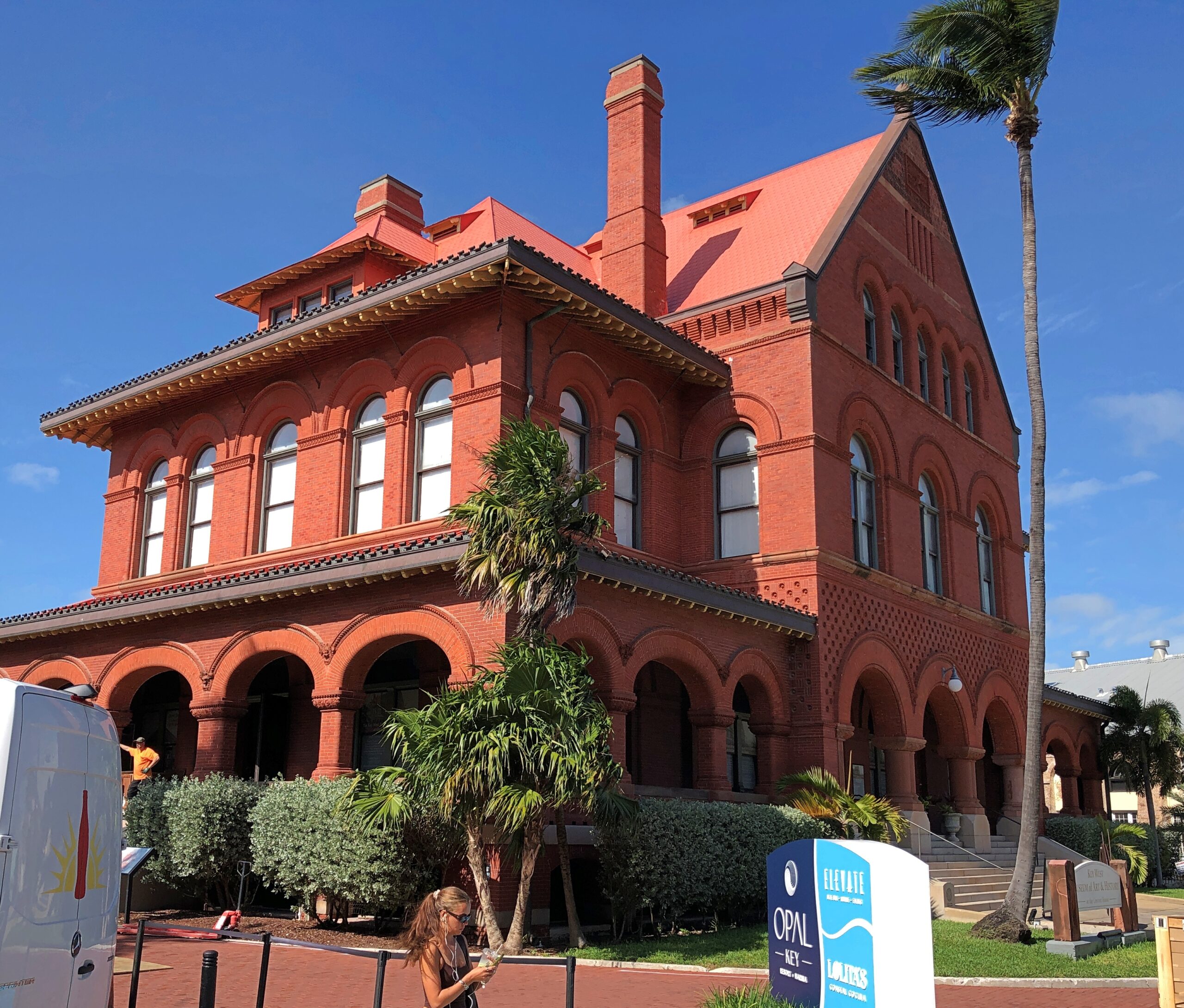
Formerly the island’s Custom House, Post Office, Federal Courthouse and 7th District Lighthouse Offices. Built – the early 1890s – when architectural beauty wasn’t considered in conflict with the practice of republican government. These days, it’s the Key West Museum of Art & History.
Sure, the chicken has been crossing the road for a long time now, but how often did you actually see it?
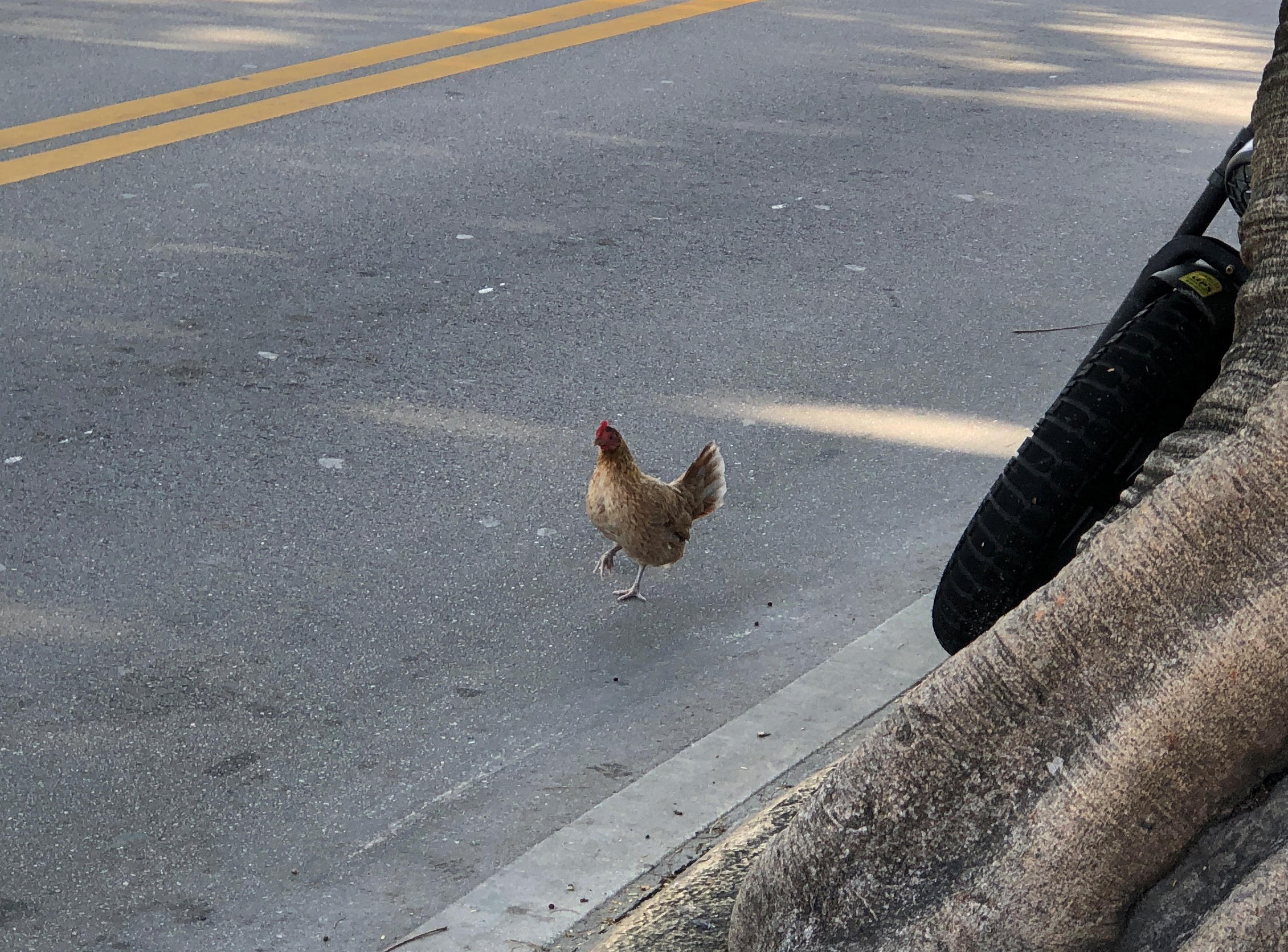
Pretty often in Key West, is the answer.
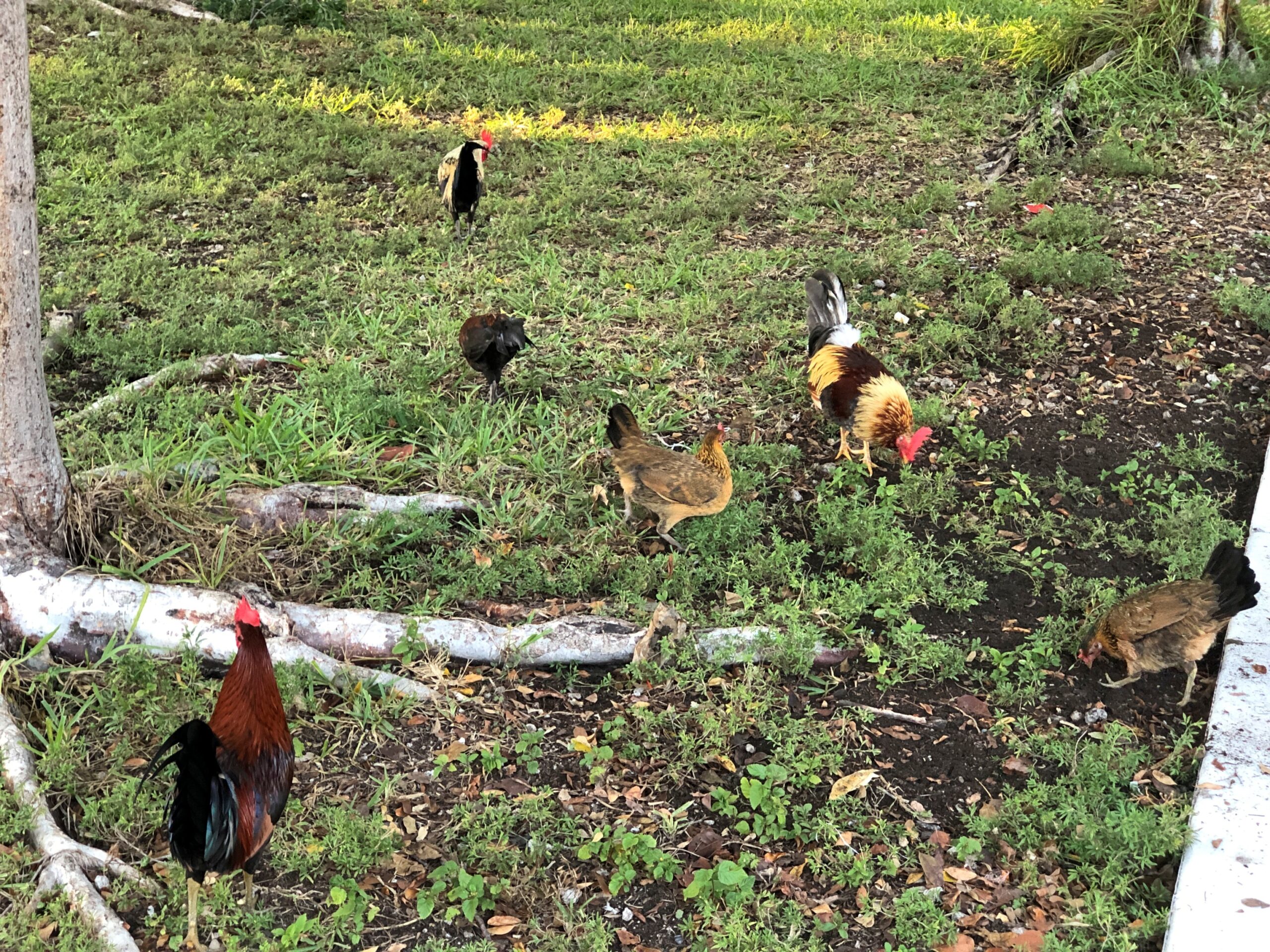
I’m hard pressed to think of any other North American town with footloose chickens. As in, on the streets and sidewalks. Not out in rural areas, but even there you don’t seem to see that many. Then again, the Conch Republic is only tangentially a North American town. North Caribbean is another way to describe it.
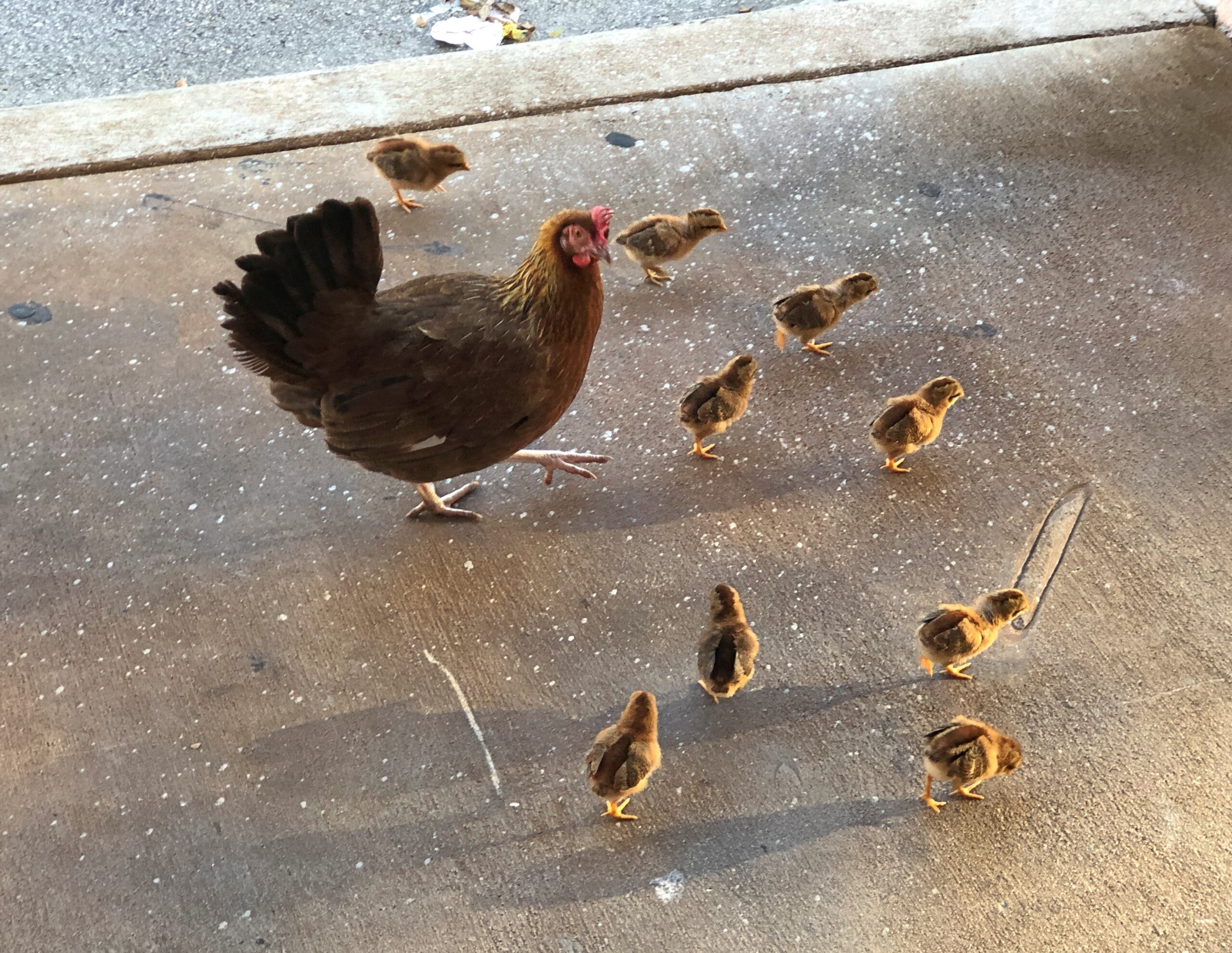
“When people stopped the laborious process of turning live chickens into Sunday dinner many decades ago, some backyard chickens gained their freedom,” notes Florida Rambler. “Other roosters were released when cock-fighting became illegal.”
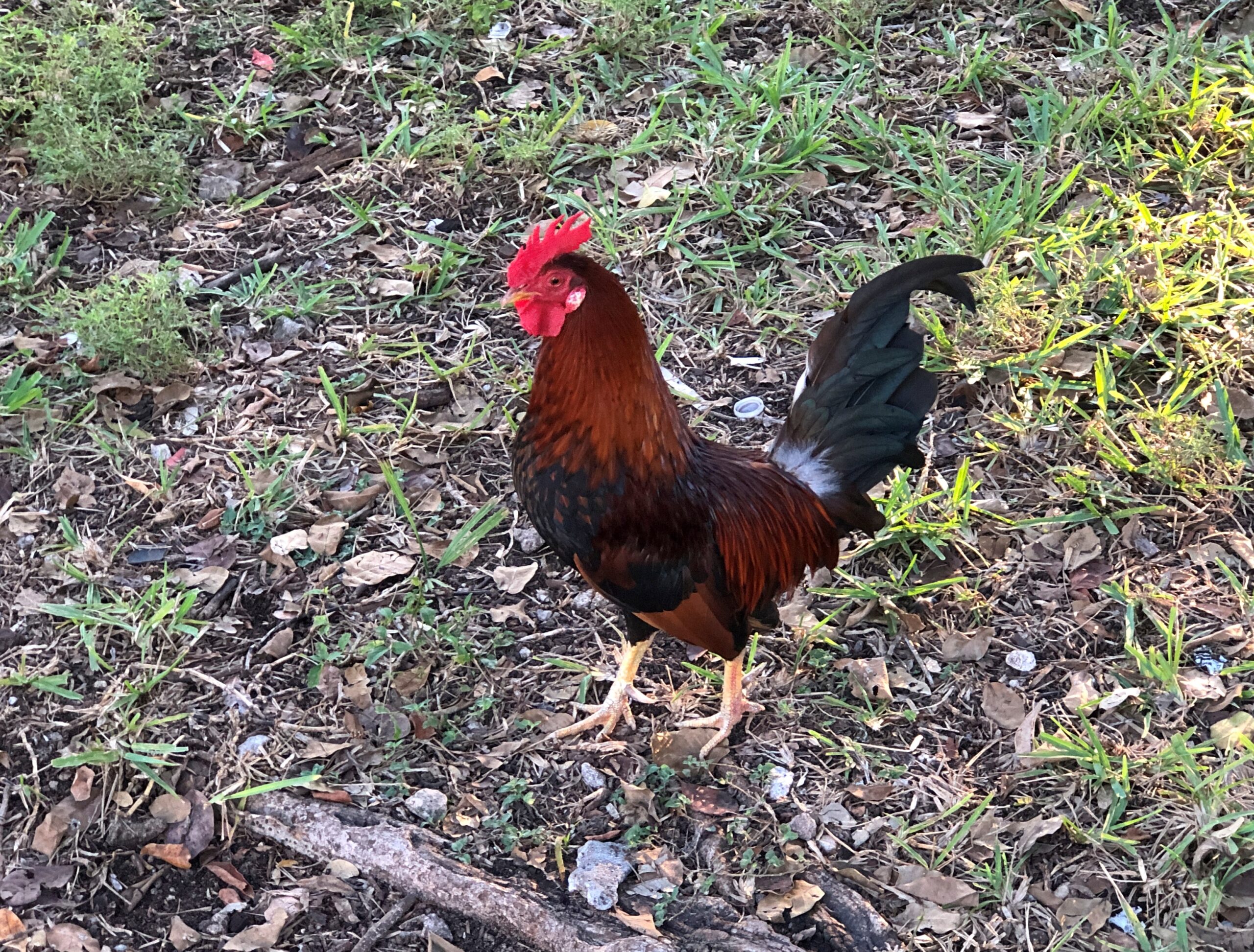
So, for this rooster, his great- great- however many great-granddaddy was a champion cock, known to betting men from here to Savannah?
They’ve gone on to a career of being local color, these birds, with forays in behaving like pests in people’s yards. They are feral, after all, living in the lushness that is Key West. Was the chicken ever considered for the Conch Republic flag? Probably not; chickens don’t get a lot of respect from people, unless they’re dinner.