Southern Loop Leftovers: TN & NC

Had a bizarre dream last night, which isn’t really unusual, since that’s the way of dreams often enough – but this one – let’s call it rich and strange. And lengthy. It kept going and going, involving an alt version of downtown Chicago, and alt version of the company I worked for in the late 1980s, though no one that I knew was there; a vaguely menacing, nighttime scene always, though it wasn’t a nightmare; a message that had to be relayed, somehow; a fictional character – a very famous fictional character – spoken of as if real, who eventually showed up after a funeral, laughing; and details that made me think, that’s too much of a detail. For a dream. Is this a dream? One detail involved a chipmunk peaking out of a hole in the sidewalk, or maybe the street; another was a globe that I could see but not get close enough to read well, though I really wanted to. But I did notice that the United States, on this globe, included British Columbia and maybe the Yukon Territory, and I woke up thinking that maybe that 54° 40′ or Fight business led to a real war, in which the U.S. prevailed.

Perhaps the strangest thing about this rich and strange dream is that fully an hour and a half after I woke on this bright summer morning in the northwest suburbs, in the waking world I know and inhabit, I was able to write the above description.

Tennessee

When passing eastward through Tennessee during my most recent interstate drive, I spent a little time in Knoxville, as mentioned, mostly to see the Sunsphere. To get to the tower from the free parking lot, I walked along part of World’s Fair Park Dr., with these colorful pastel houses visible on a small rise nearby. I was reminded of Rainbow Row in Charleston.

On the way back, I popped into the Knoxville Museum of Art.

For a brutalist building, a nice bit of work by Edward Larrabee Barnes (d. 2004). If it blackens and streaks in the future, as such buildings tend to do when exposed to urban air, its appearance might morph into something merely ugly. But it looks like it’s been kept clean enough since its construction in 1990. As a museum, KMA has a lot to recommend it, such as air conditioning, free admission and a not-too-vast collection specializing in something you aren’t going to see elsewhere, namely East Tennessee art.

Such as a piece by artist Patrick Deason. Ah, the optimism. Unless he’s being sarcastic.

The museum also has a porch with a nice view of downtown Knoxville.

On my return westward through Tennessee, I made a point of passing through Dayton, site of the Scopes Trial, now 100 years ago. There is a museum devoted to the trial in the handsome and nicely restored 1890s Rhea County Courthouse, though I arrived after it had closed for the day.

I look at pictures taken during the trial, and wonder how this multitude sat through it all, in an un-air-conditioned building. Guess like my grandma, as late as her last summer in 1970, they were used to it.

Before I got there, I heard a fellow on the radio discussing the (then) upcoming festival that Dayton was planning in honor of the centennial, as a bigger version of an annual event held in July. He might have been the organizer, I forget.

He pointed out that for many years Daytonites mostly wanted to forget about the trial – especially after the movie Inherit the Wind (1960) depicted the residents of Hillsboro, stand-ins for them, as fundamentalist bumpkins, at a time when the actual event was still in living memory. Which is nothing that Mencken didn’t do in 1925. Now the trial and Mencken and the movie are all part of that nebulous thing most people experience as the undifferentiated Past, and the townspeople have largely embraced the trial, according to the man on the radio. As well they should. It’s what Dayton, Tenn., has that no place else does.

On the courthouse square, William Jennings Bryan and Clarence Darrow square off in bronze. Bryan College paid for the former, the Freedom From Religion Foundation the latter.

North Carolina

I was stuck momentarily in traffic near the military installation formerly known as Fort Bragg and then known as Fort Liberty and now known again as Fort Bragg. The traffic sign hasn’t caught up with the latest flip-flop.

I stopped for lunch in Laurinburg, NC, at a storefront Chinese restaurant. Across the street, a tuxedo shop flew the Royal Banner of Scotland. Not something I’ve ever seen aflutter in the U.S. or anywhere, for that matter. But there is a school called St. Andrews University nearby, so maybe it’s not such a stretch. Make that was — the school closed just this May.

Wiki tells us: “As the personal banner of the Monarch, use of the Royal Banner of Scotland is restricted under the Act of the Parliament of Scotland 1672 cap. 47 and the Lyon King of Arms Act 1867 (30 & 31 Vict. c. 17), and any unauthorised use of such is an offence under the Act.” That has no bearing on its use in North Carolina, I’d say, considering how the Revolution turned out.

In New Bern, NC, this was a bit of a mystery at first.

Until I figured it out. A place for dogs to leave messages.

New Bern Ramble

While waiting to be seated for brunch on Middle Street in downtown New Bern on Juneteenth, Dan and I had time for a stroll. The day was warming up, but not quite to a scorcher, and the sidewalks along Middle and Pollack Sts. are often in shade. That part of New Bern, shady and old, is quite the charmer.

“New Bern, one of North Carolina’s oldest towns, retains the flavor of past centuries,” North Carolina: A Guide to the Old North State (1939), p. 221, tells us. Information from the WPA Guide series is of course a little old, but mostly stands the test of time.

“The community, which processes a domestic architecture of charm and distinction, is spread across a bluff at the confluence of the Neuse and Trent rivers, 35 miles from the Atlantic Ocean. Massive brick townhouses, stately Georgian residences and wisteria-curtained clapboard cottages line narrow streets shadowed by oaks, poplars, elms and pecan trees. Many of the old streets retain their original brick pavements.”

All that would be downtown New Bern these days, as the town’s population – given as 11,981 by the WPA in 1939 – had expanded to 31,291 by 2020, according to the Census Bureau. So much of the town is actually late 20th-early 21st-century sprawl punctuated by parking lots and familiar retail.

Still, at the historic core, there is “domestic architecture of charm and distinction,” even now, with the older buildings mostly occupied by the likes of The Black Cat Shoppe, Faulkenberry Auctions, Anchored in New Bern (gift shop), Carolina Creations, Bear City Fudge Co., Curls & Lace Bridal Hair, and such restaurants as Cypress Hall, MJ’s Raw Bar and Grille, and Baker’s Kitchen, where we eventually brunchified (and it was delicious).

We visited a few shops and strolled by other spots, such as the former corner drug store credited as the invention-place of Pepsi-Cola.
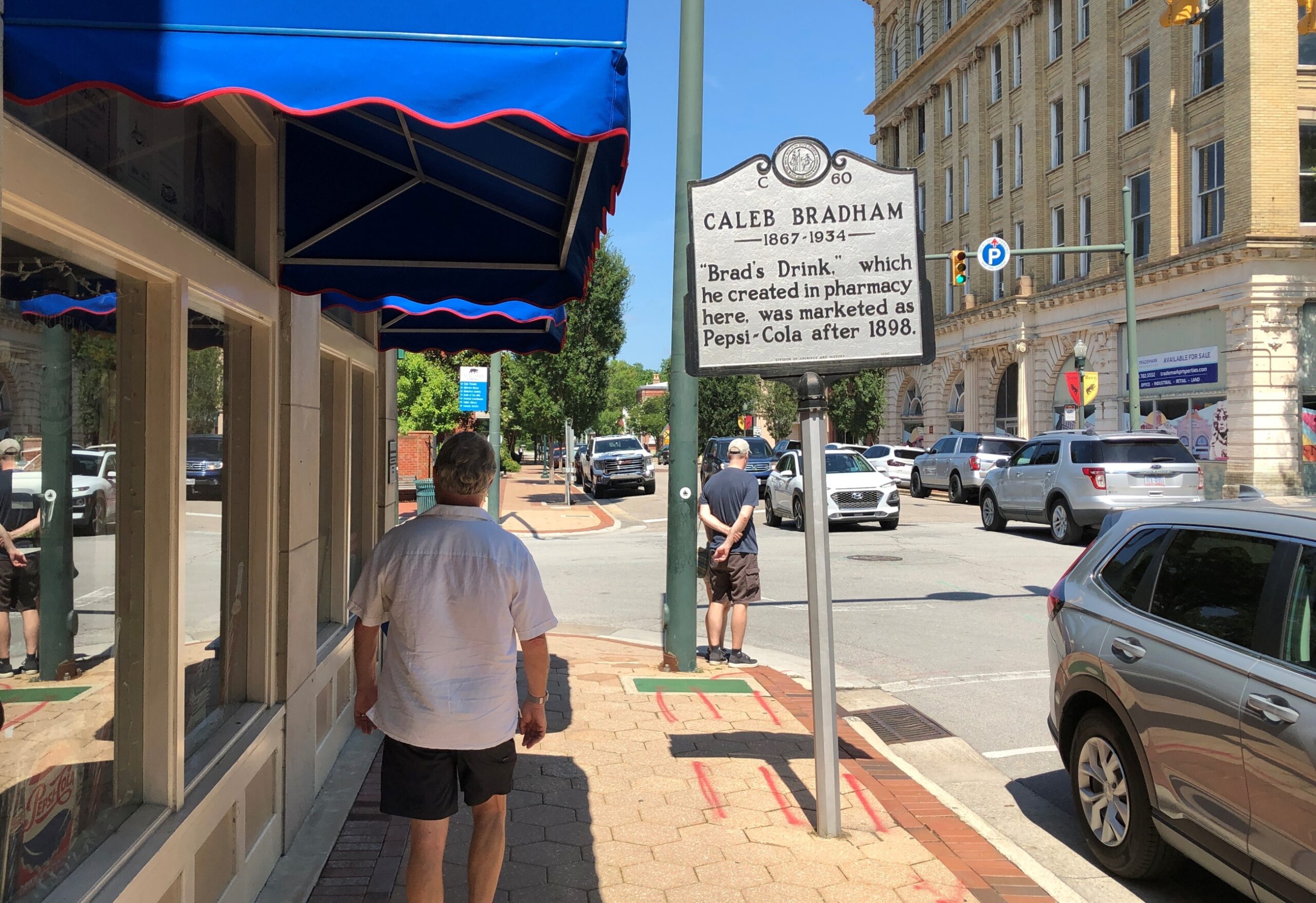
New Bern NC

A pleasant alley off Middle St. is known as Bear Plaza. Good thing living bears aren’t found there, but you are reminded of bears.
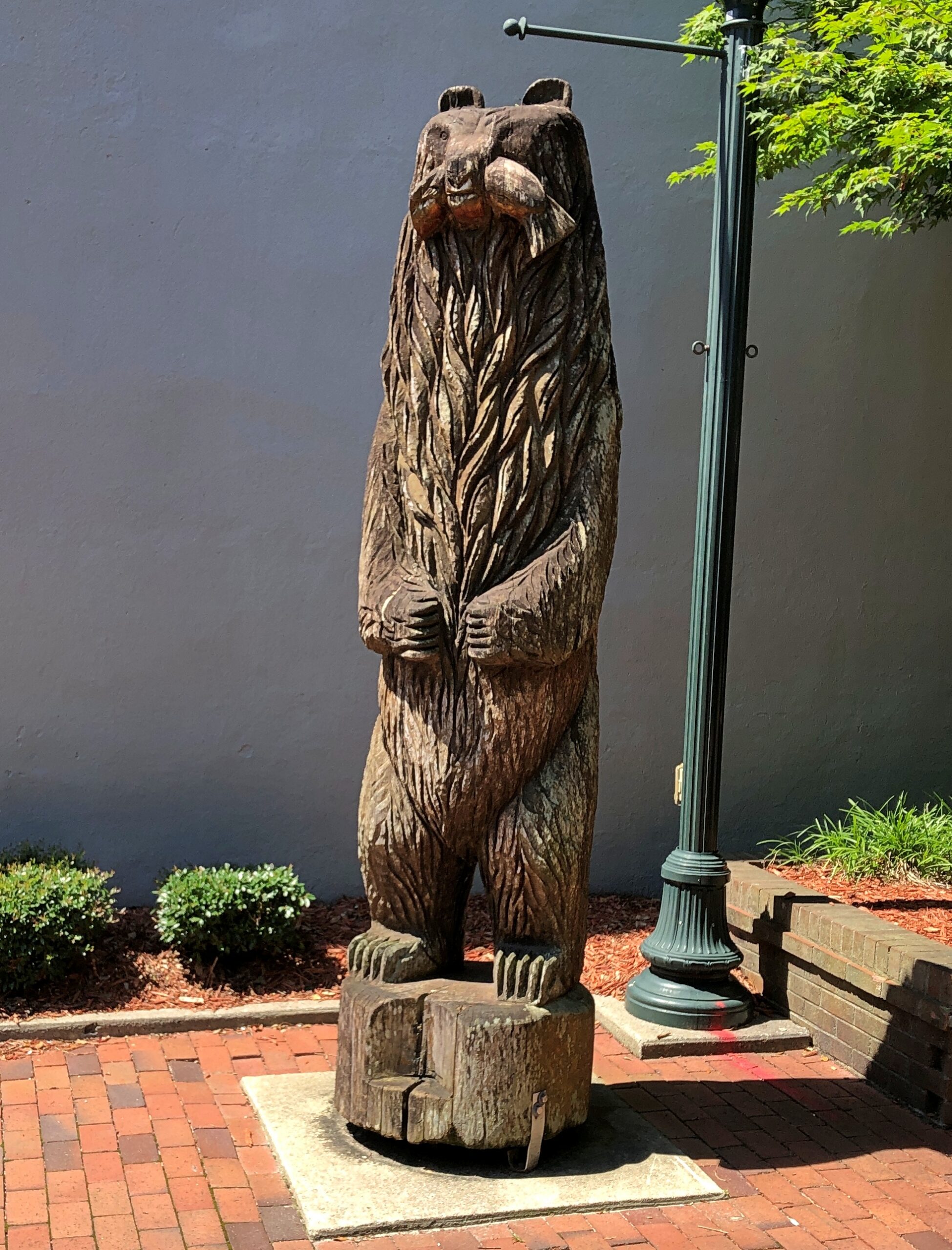
New Bern NC

Bears are front and center as pawed, powerful symbols of the Bern towns, old and new, Swiss and American. As posted previously, the New Bern flag –
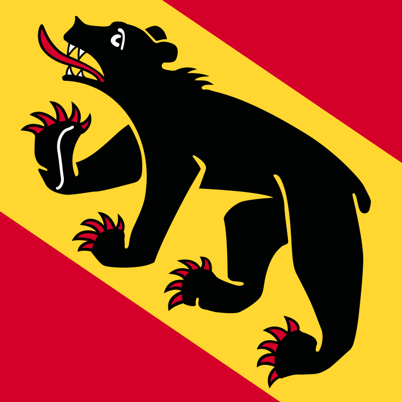
— looks a lot like the old Bern flag, with certain small but important modifications. Old Bern:
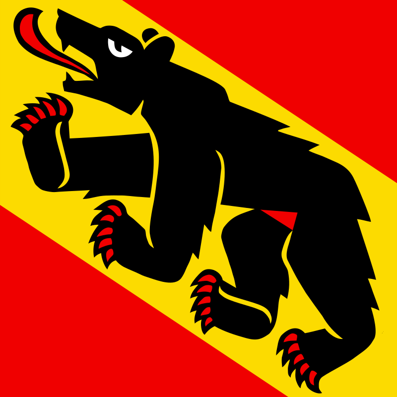
The WPA guide points out that the very first European settlers in the area were not in fact Swiss, though led by a Swiss. The colonists were German and had a harrowing experience getting here.

“The first settlers were survivors of an expedition of 650 German Palatines, Protestants expelled from Baden and Bavaria. Under the leadership of Swiss Baron Christopher de Graffenried, and aided by a gift of £4000 from Queen Anne of England, this group planned a colony in America. De Graffenried placed Christopher Gale and John Lawson in charge of the expedition.

“In January 1710, two ships sailed from Gravesend, England. Storms impeded the vessels and disease ravaged the voyagers, more than half of whom succumbed. A French vessel captured one of the transports as it entered Chesapeake Bay in April, and plundered the colonists. Fever further reduced the number and only a sickly remnant reached the Chowan River, where Thomas Pollock, a wealthy planner, provided them with transport to the Neuse and Trent rivers.”

De Graffenreid himself came a little later with some Swiss colonists, buying land from the Lords Proprietors of Carolina and paying off the local Tuscarora Indian chief as well. The natives were not mollified, however.

“In September 1711, the settlement was almost wiped out by a Tuscarora uprising. In the first attack, 80 settlers were slain. Lawson and de Graffenreid were taken to the Indian fort, Nohoroco, where Lawson was tortured to death, and de Graffenreid was held prisoner for six months. The war raged intermittently for two years, and the colonists were reduced such desperation that in 1713 many of them returned with de Graffenreid to Switzerland. The settlement made a new start on the leadership of Colonel Thomas Pollock, proprietary governor…”

Just one damn thing after another in early America. But the town survived, eventually becoming important enough to be the capital of North Carolina, as detailed yesterday.

Christ Church Episcopal rises above Pollock St.
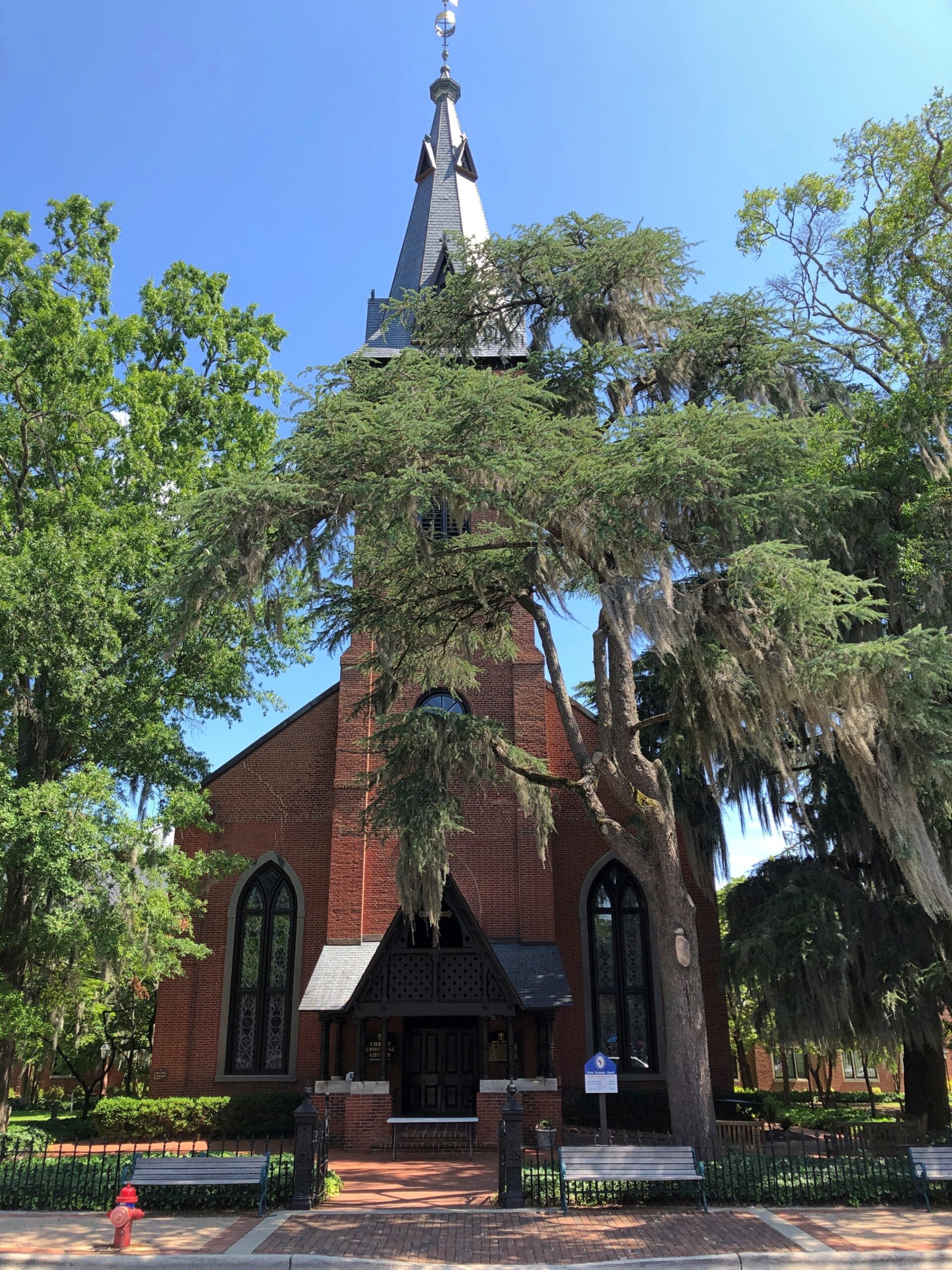
Other churches clustered in the area, but Christ Church had the advantage of being open that weekday and holiday morning.
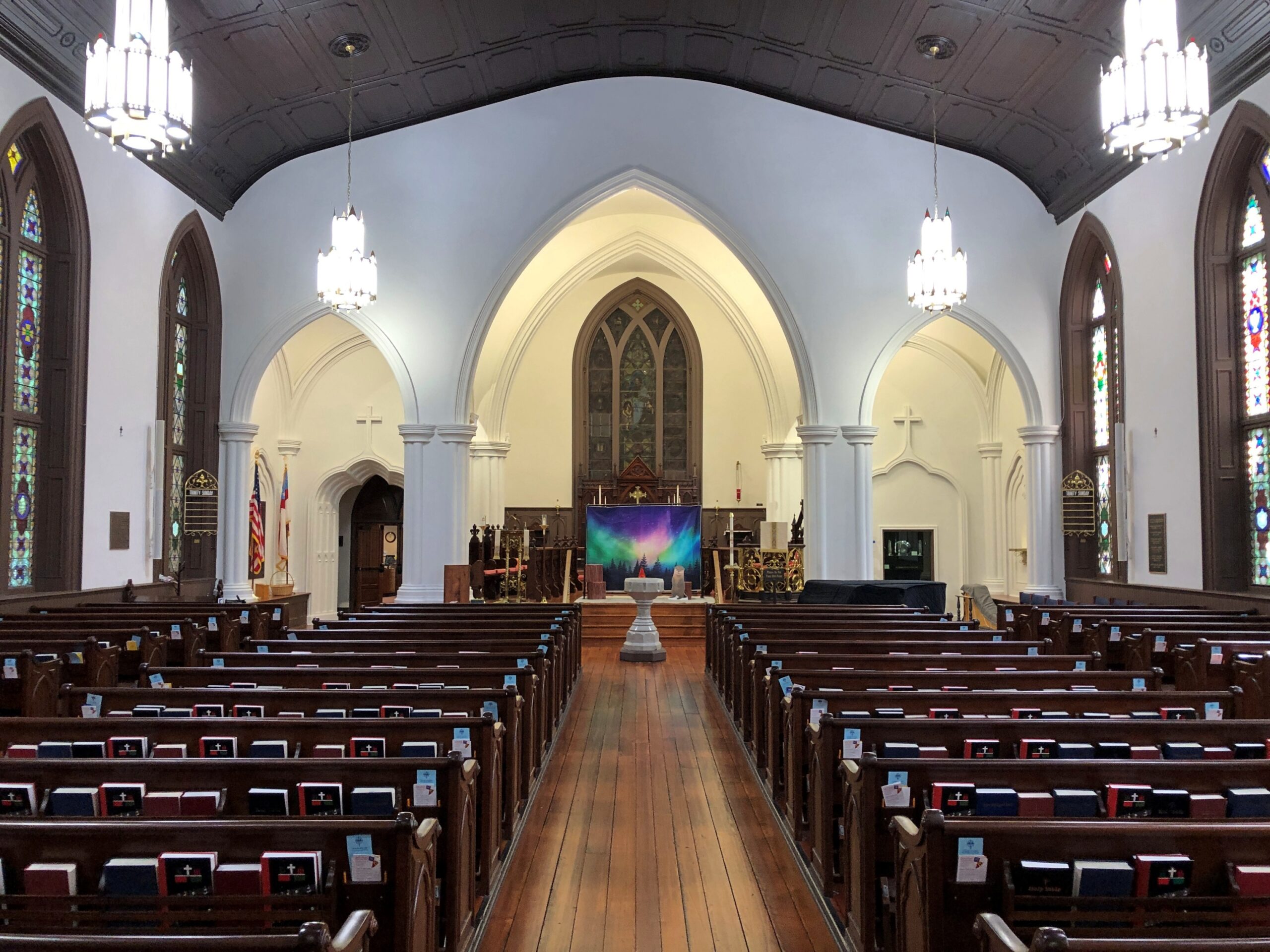
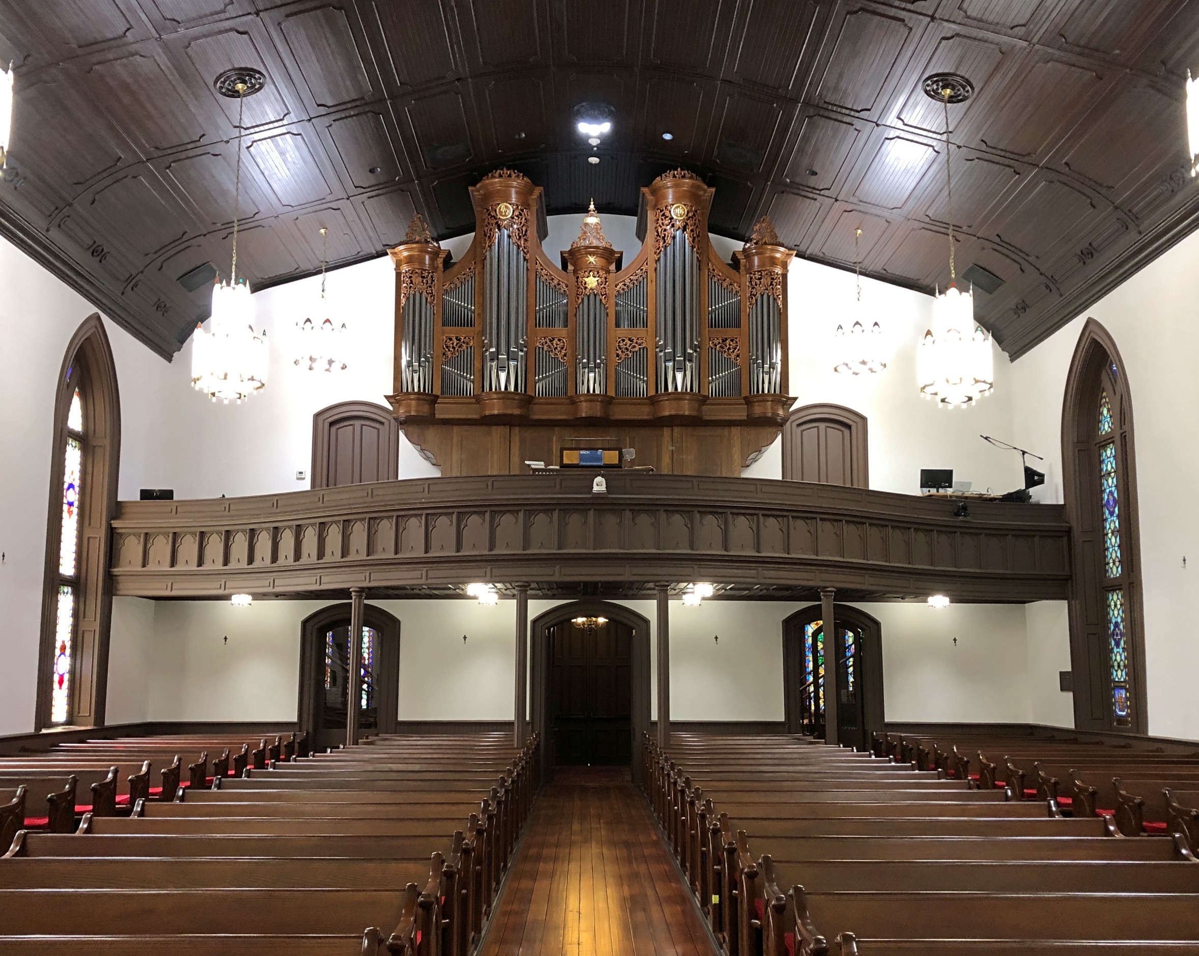
Christ Church, New Bern NC

Back to the WPA guide, p. 228, on Christ Church: “[At the] NE corner Pollock and Middle streets, a weathered red brick edifice whose lofty, gold-crowned spire rises above great trees shading an old graveyard, was erected in 1873 upon the site of two earlier churches. The parish was organized in 1715 the first church was built in 1750. A Bible, Book of Common Prayer and silver communion service given by George II are retained, though royal Governor Martin attempted to take them with him when he fled town in 1775.

“When Parson Reed, the royalist rector, prayed for the king, lads prompted by patriot parents drummed at the door and shouted ‘Off with his head!’ This church was razed during the Revolution, reputedly because the brick had been brought from England. [Sounds like a likely story.] The second church was erected in 1825. Its outer walls were used for construction of the present building. In a corner of the churchyard fence, with its muzzle embedded in the ground, is the the Lady Blessington Cannon taken from the British ship Lady Blessington, captured in the Revolution.”

We didn’t see any embedded cannon, but on church land outside the Christ Church building were a cemetery and a playground. Not a combination you see much, but maybe there should be more places like that to remind us that the the arc of a lifespan is all too brief.
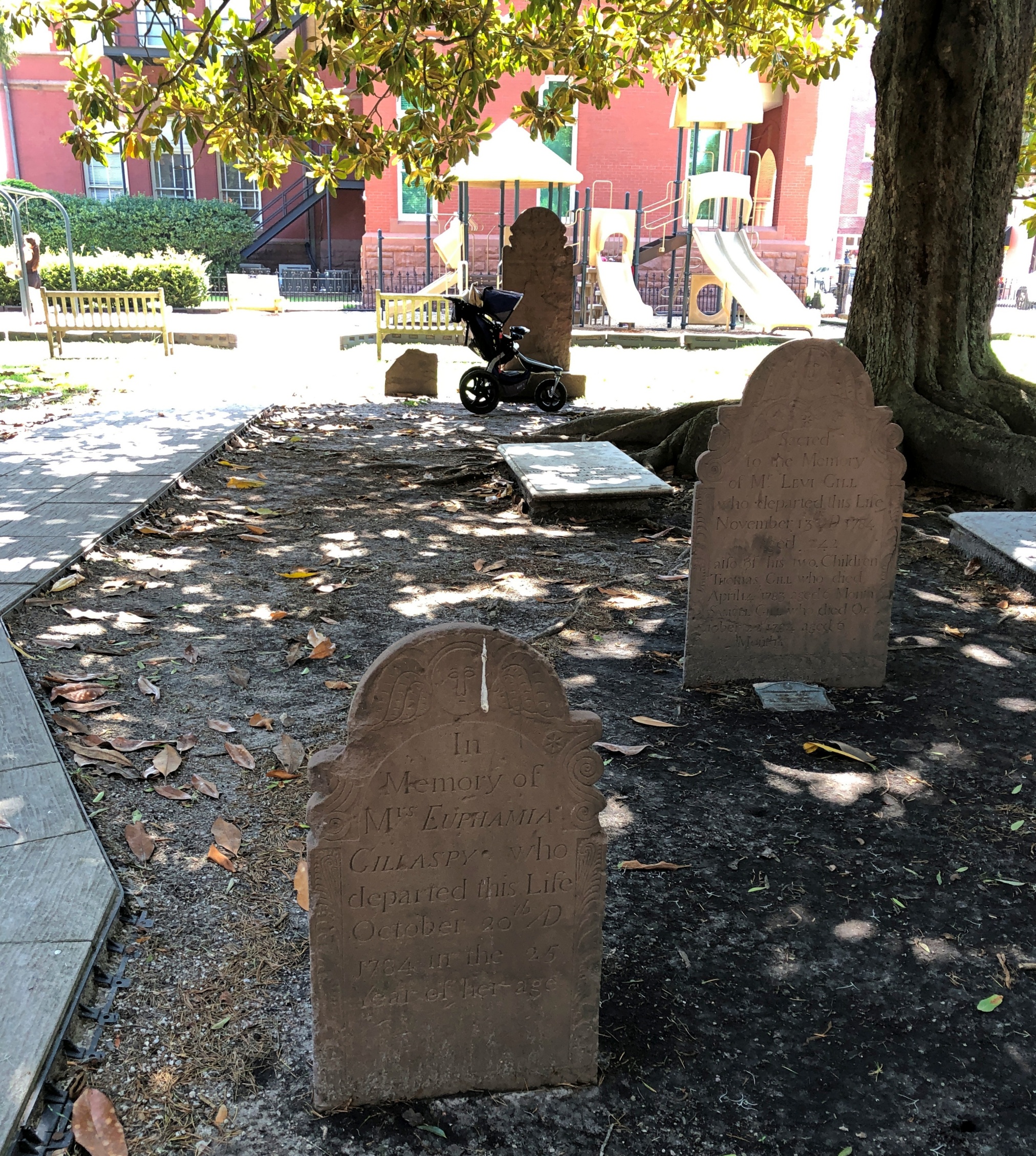
Christ Church, New Bern NC

It’s a handsome Southern church burial yard, complete with magnolias and Spanish moss.
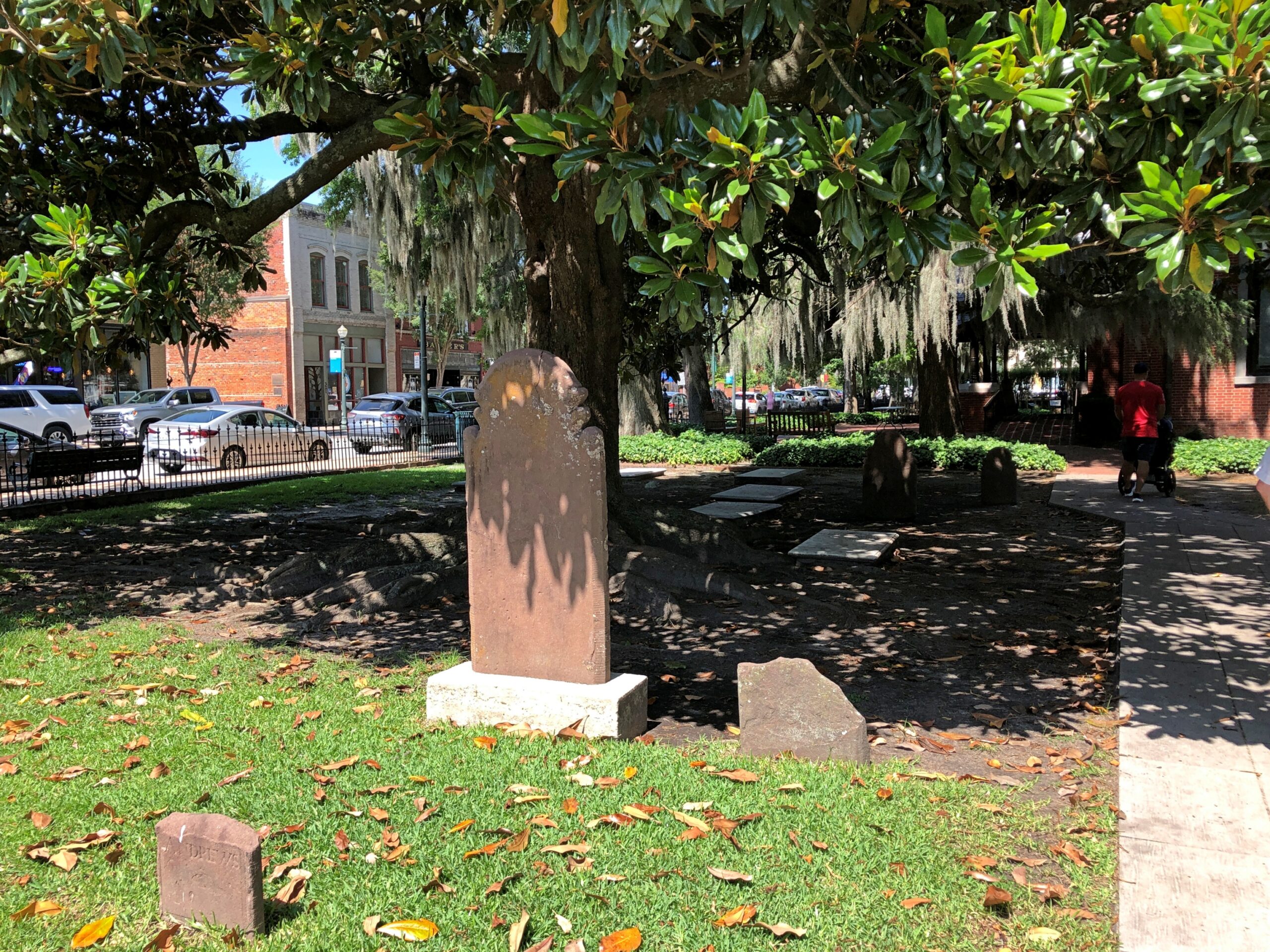
Christ Church, New Bern NC

Included are stones reflecting older language usage, as you sometimes find in older cemeteries. “Relict,” as in widow, isn’t one you see much these days.
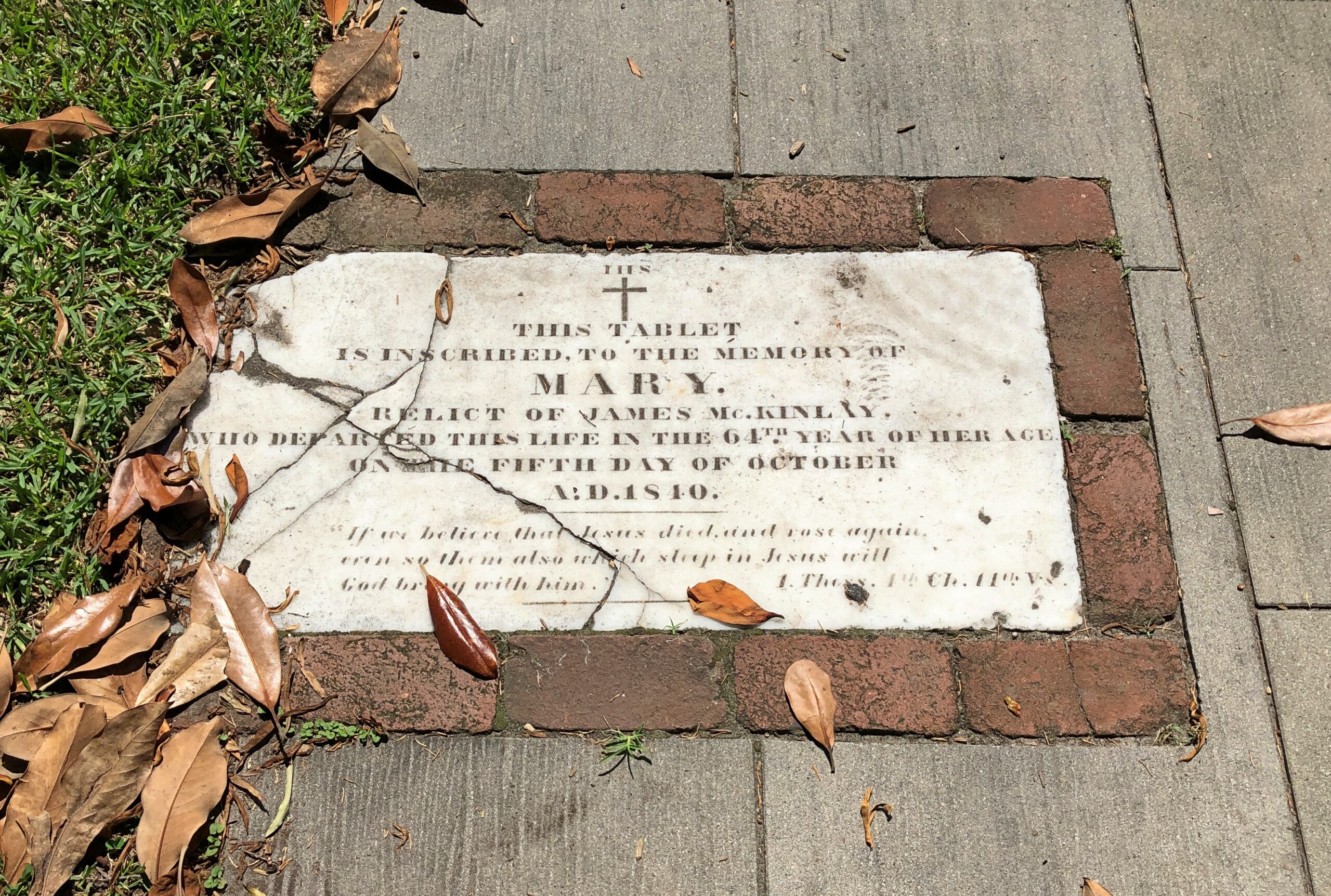
Christ Church, New Bern NC

A wordy memorial. I hope the stone carver was paid by the letter.
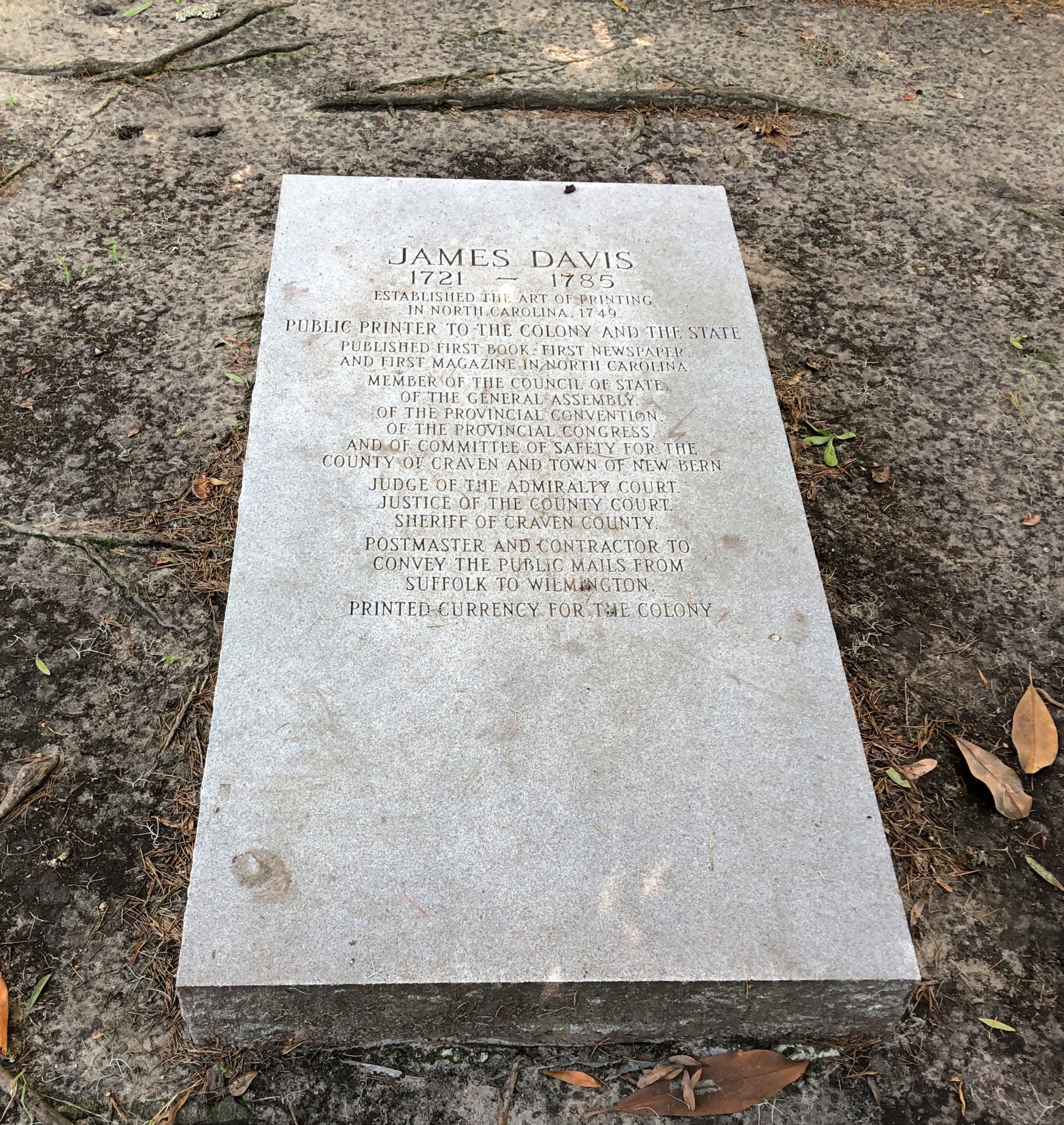
But he’s notable enough: James Davis, quite a busy fellow in colonial North Carolina and later the state.
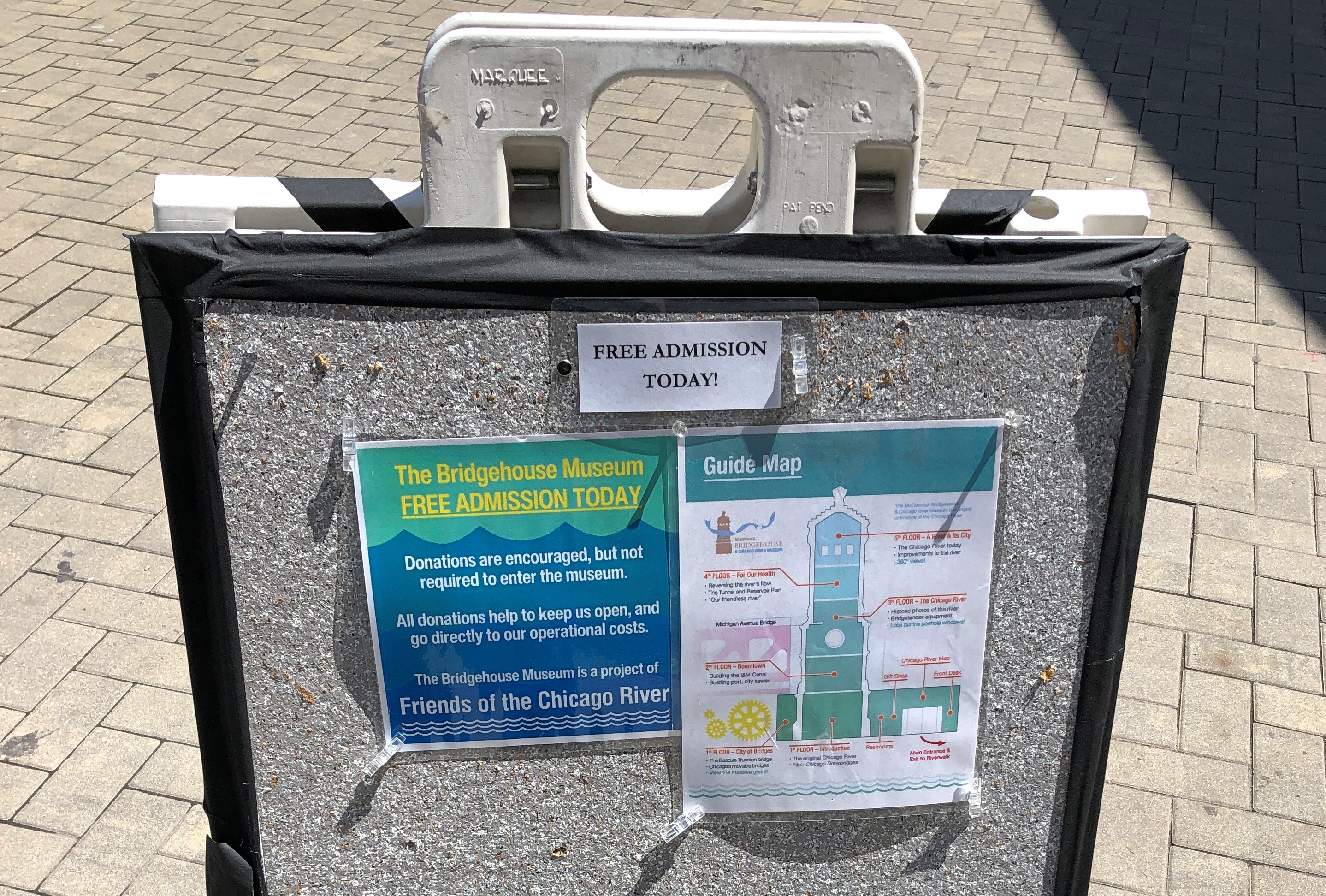
The Bridgehouse Museum, Chicago

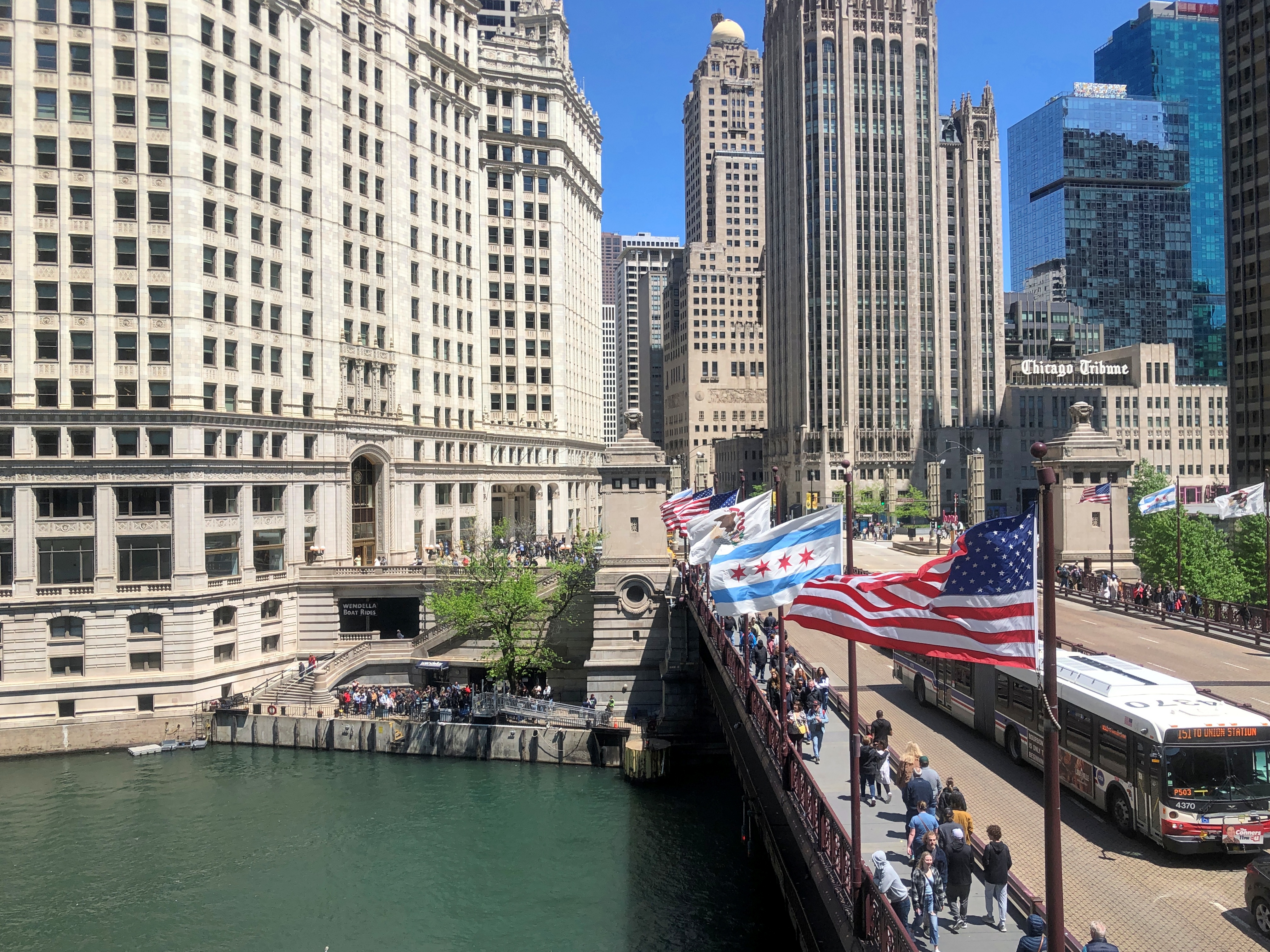
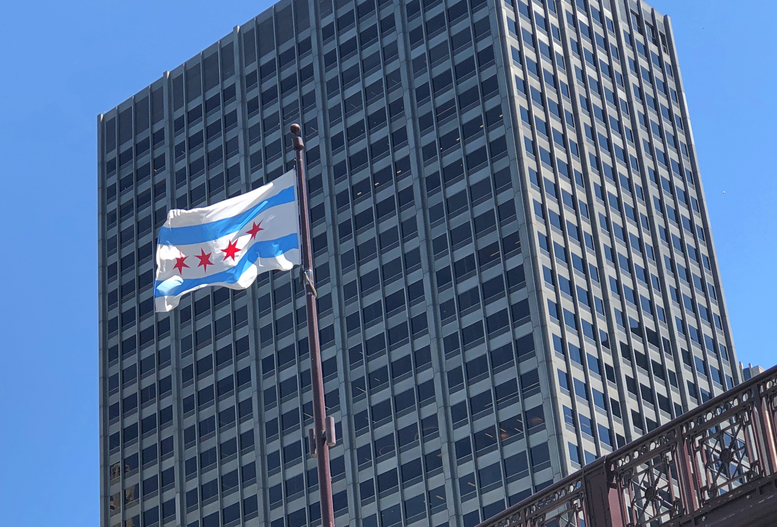
Vexillologists, I understand, are fond of the Chicago flag. So are the people of Chicago. I’ll go along with them on that.Bridgehouse Museum Chicago

Walking along the Chicago Riverwalk last Friday, how could I say no to this?Bridgehouse Museum Chicago

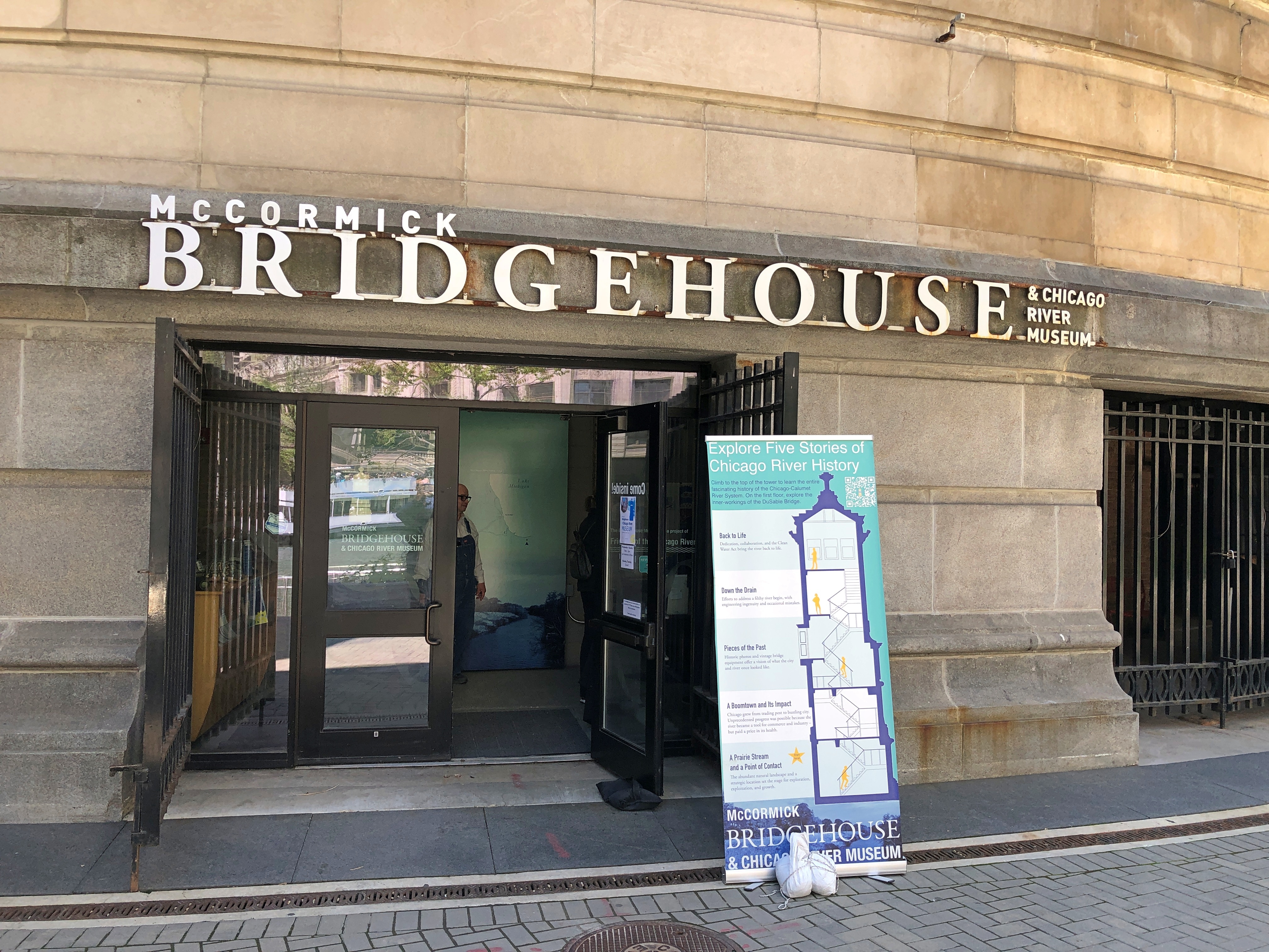
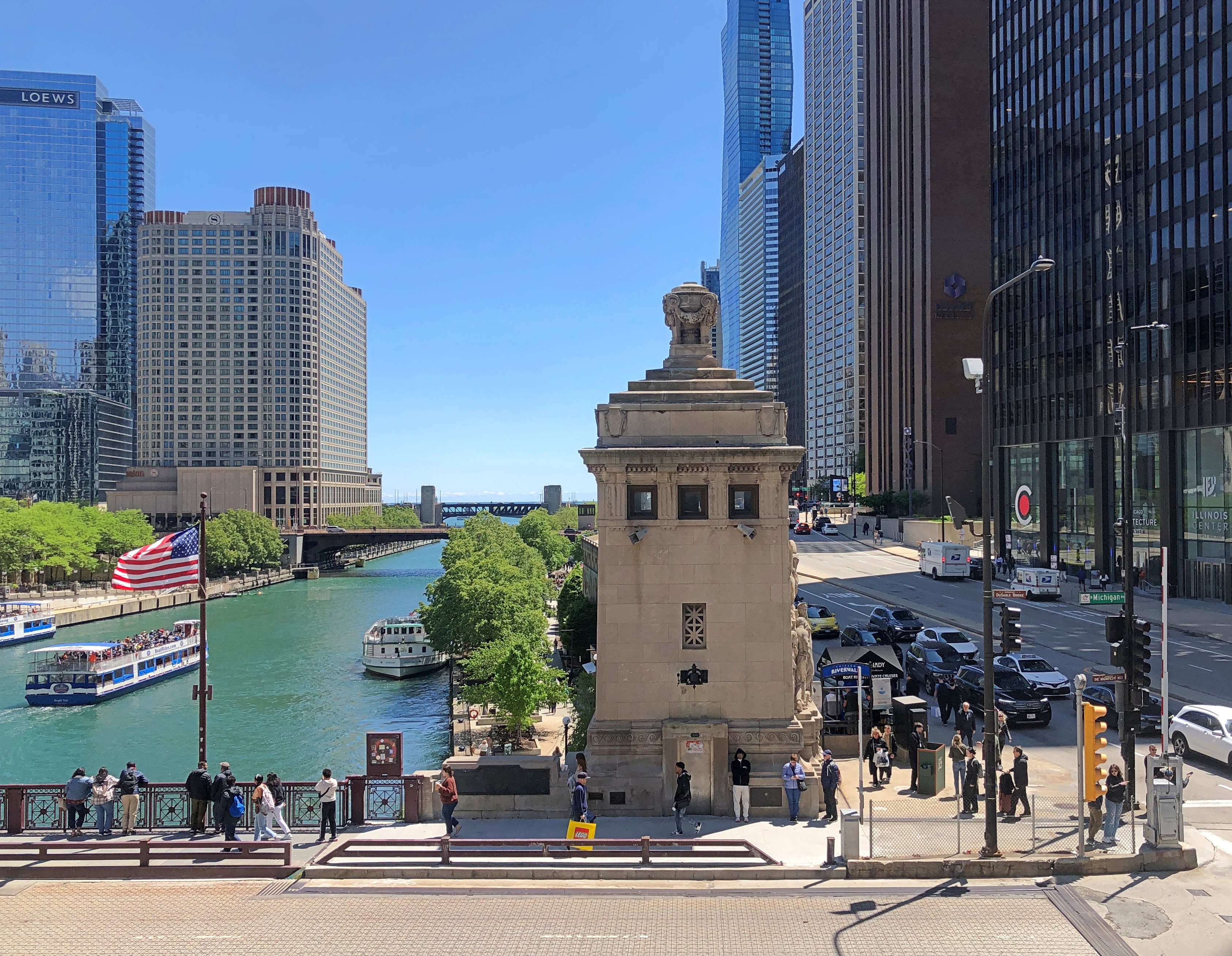
By happy chance, I’d arrived at the Bridgehouse Museum, whose entrance is on the Riverwalk level on the Chicago River next to Michigan Avenue bridge, on a free admission day.

Actually not next to the bridge. The museum is part of the bridge, consisting of one of the four bridgehouses at each corner of the Michigan Avenue bridge, which houses the Machine Age equipment that raises and lowers part of the bridge. In full, it is the McCormick Bridgehouse & Chicago River Museum.Bridgehouse Museum Chicago

The museum tells the story of the bridge, completed in 1920, and the Chicago River, which has the distinction (among others) of having its course reversed by the U.S. Army Corps of Engineers in 1909, during the heroic age of American civil engineering. The story arc of the Chicago River is that of a modern urban river beginning as a sluggish, marshy stream in pre-settlement times that gave way to periods as an open sewer and home to a welter of commercial docks and warehouses; long periods of unhealthy levels of pollution and its abandonment (mostly) as a working river; and more recent efforts to remediate the waters.

Mr. Dooley on the river as it was: “Twas the prettiest river f’r to look at that ye’ll iver see …. Green at th’ sausage facthry, blue at th’ soap facthry, yellow at th’ tannery, ye’d not thrade it f’r annything…”

The challenge posed by the river to the free movement of vehicles and pedestrians in downtown Chicago was solved by a raft of bridges, most of which are bascule, as is the one at Michigan Ave. The river sees the life of the city along its shore and on its bridges, and it has seen death, such as the almost comic collapse of the Rush Street bridge under the weight of cattle in 1863 and the nightmarish capsizing of the pleasure vessel Eastland in 1915.

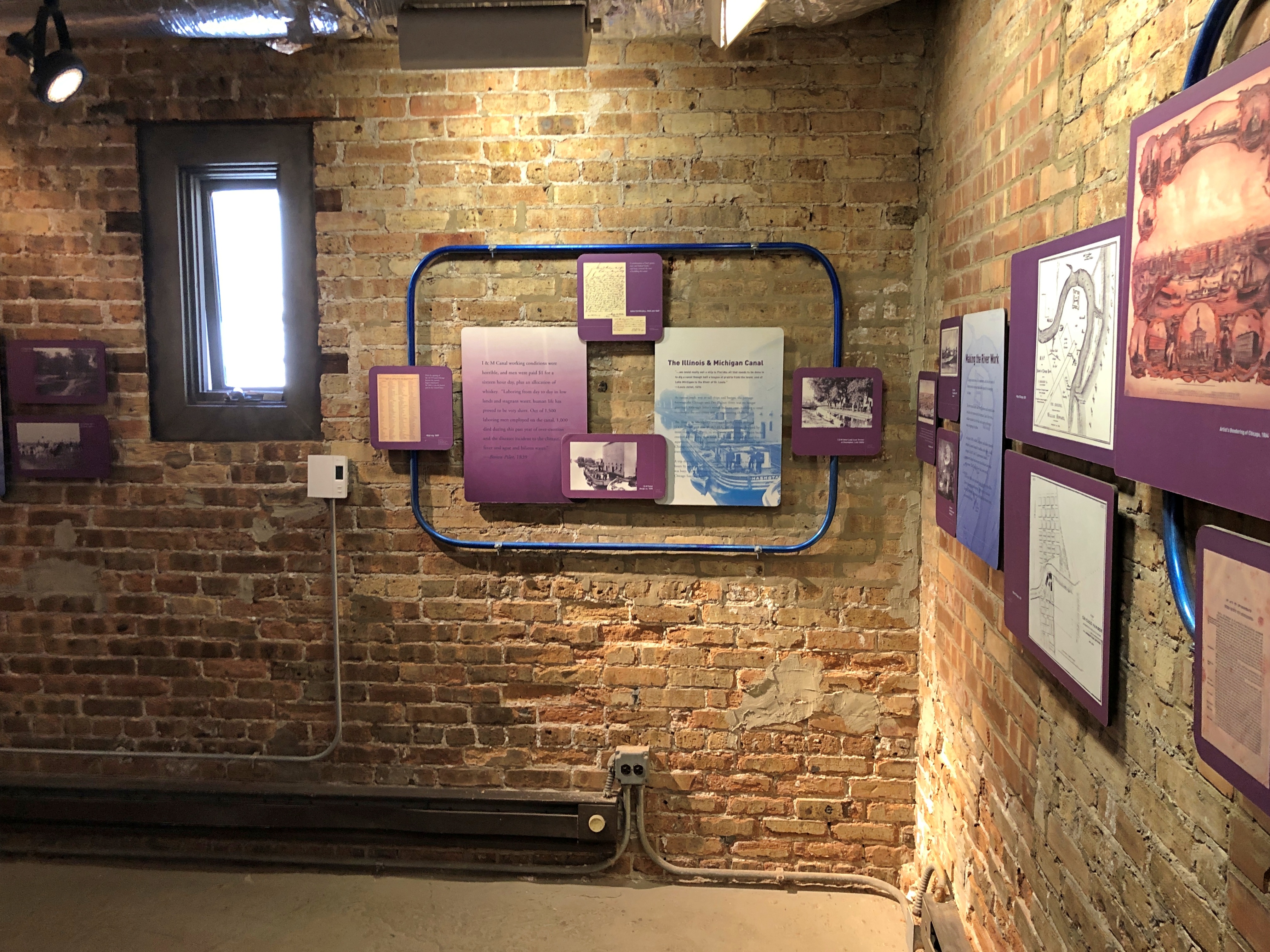
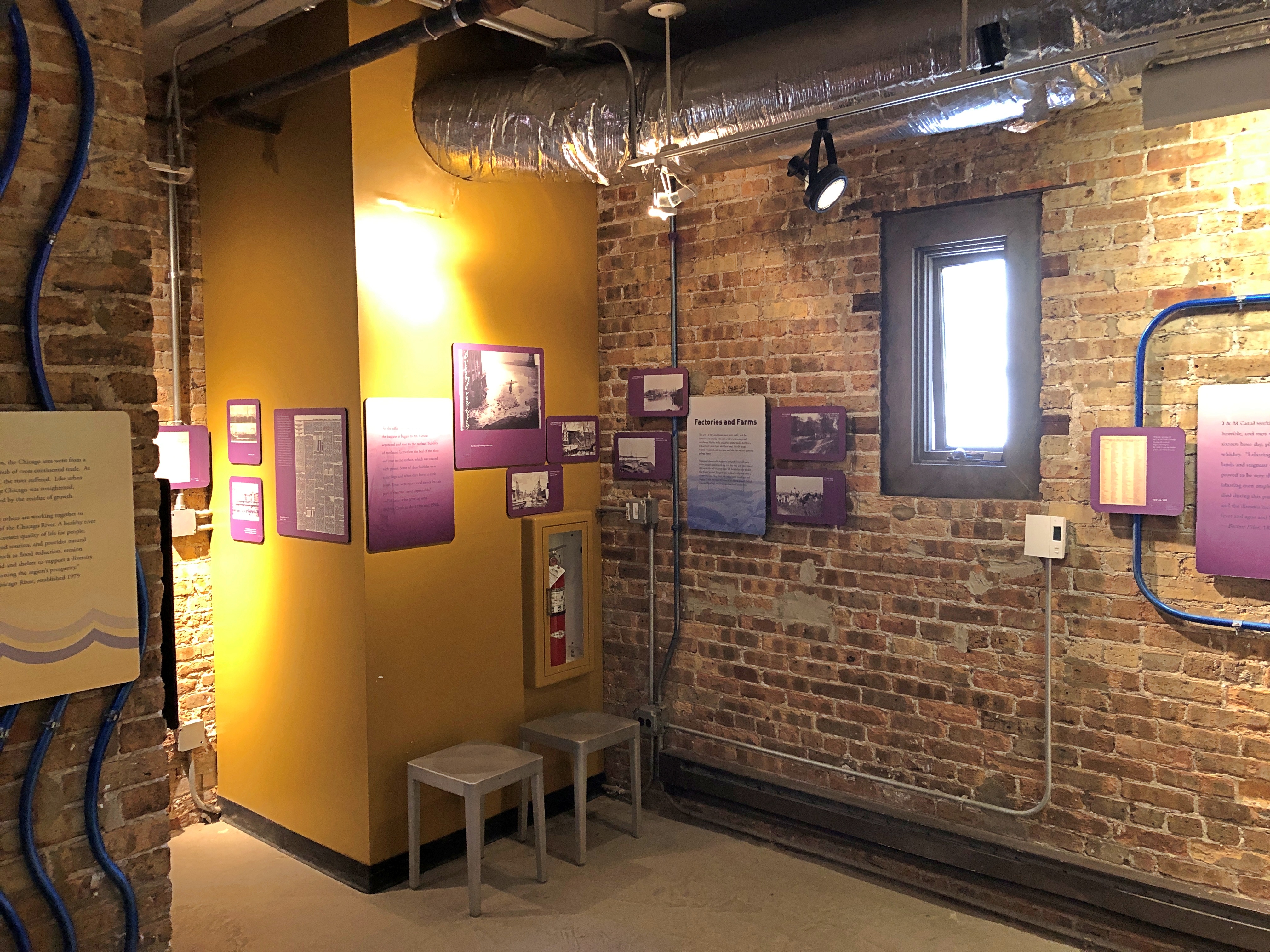
The museum consists of five floors, each a smallish room connected by concrete steps. Brick walls and battleship gray floors form the dominate color palate of the place. There is a fair amount to read and images to see, with each room covering a different subject, such as the bridge itself and the ecology of the river.Bridgehouse Museum Chicago Bridgehouse Museum Chicago

A door from the first-floor room leads to a view of some of the steel equipment that makes the bridge move, such as this massive pinion.Bridgehouse Museum Chicago

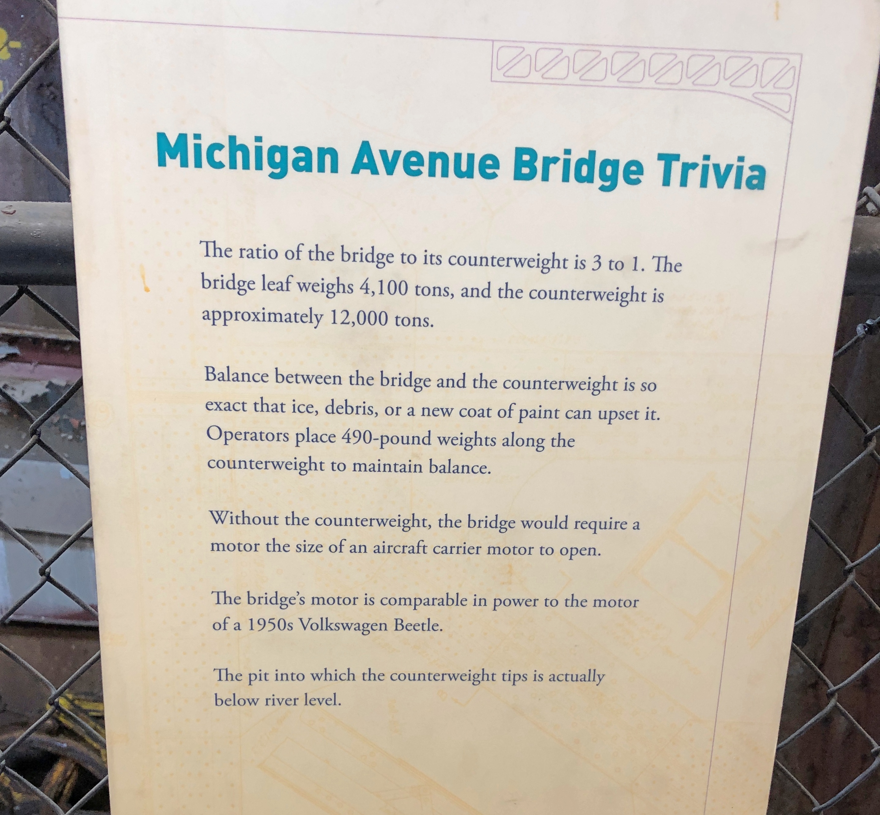
Not everyone likes reading at museums, but I do. You just have to be selective. Some bridge facts.Bridgehouse Museum Chicago

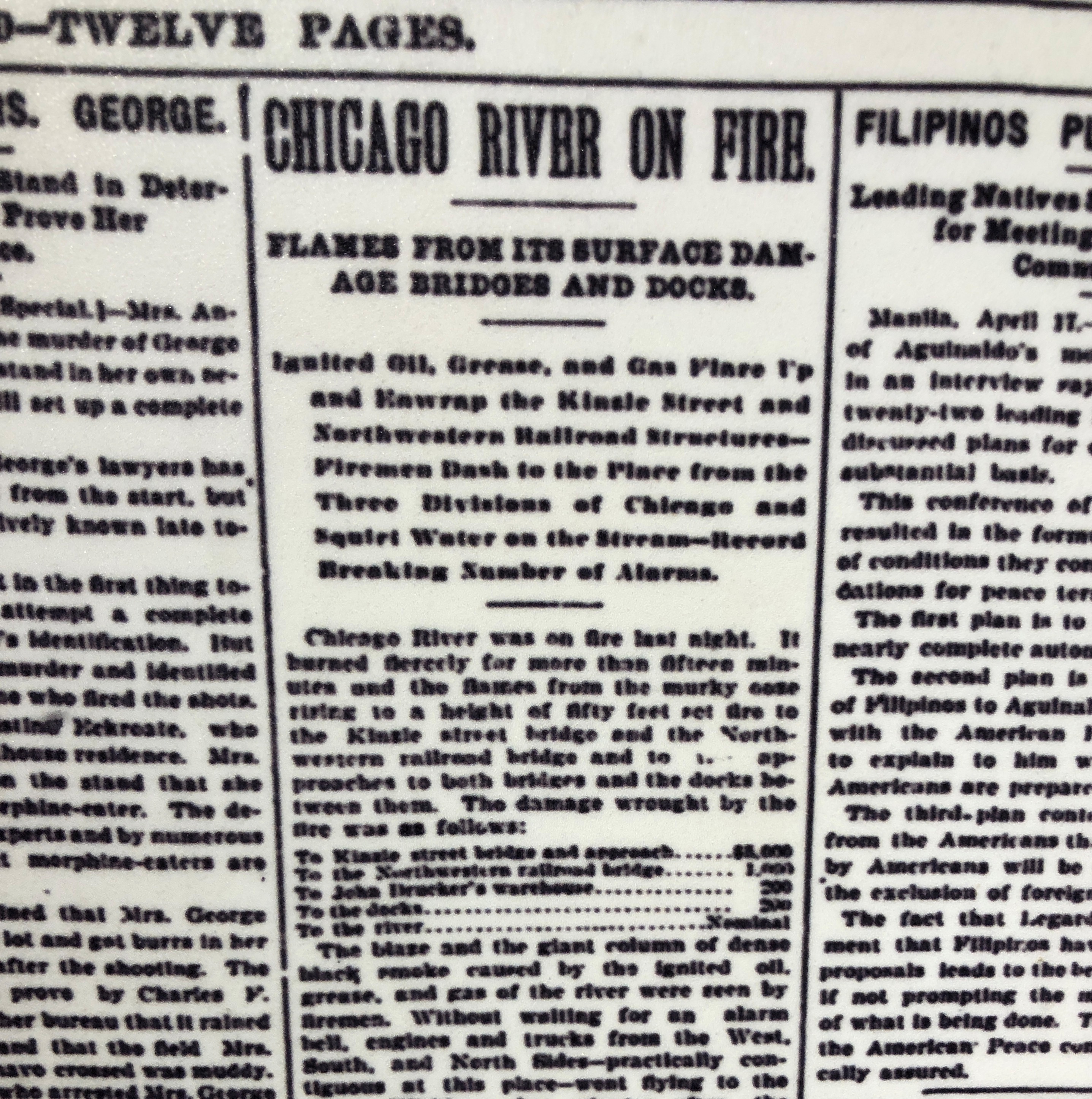
A display about a time the Chicago River caught fire. Cleveland shouldn’t be the only place known for that, though of course the incident at the Cuyahoga was recent enough to be on TV news.Bridgehouse Museum Chicago

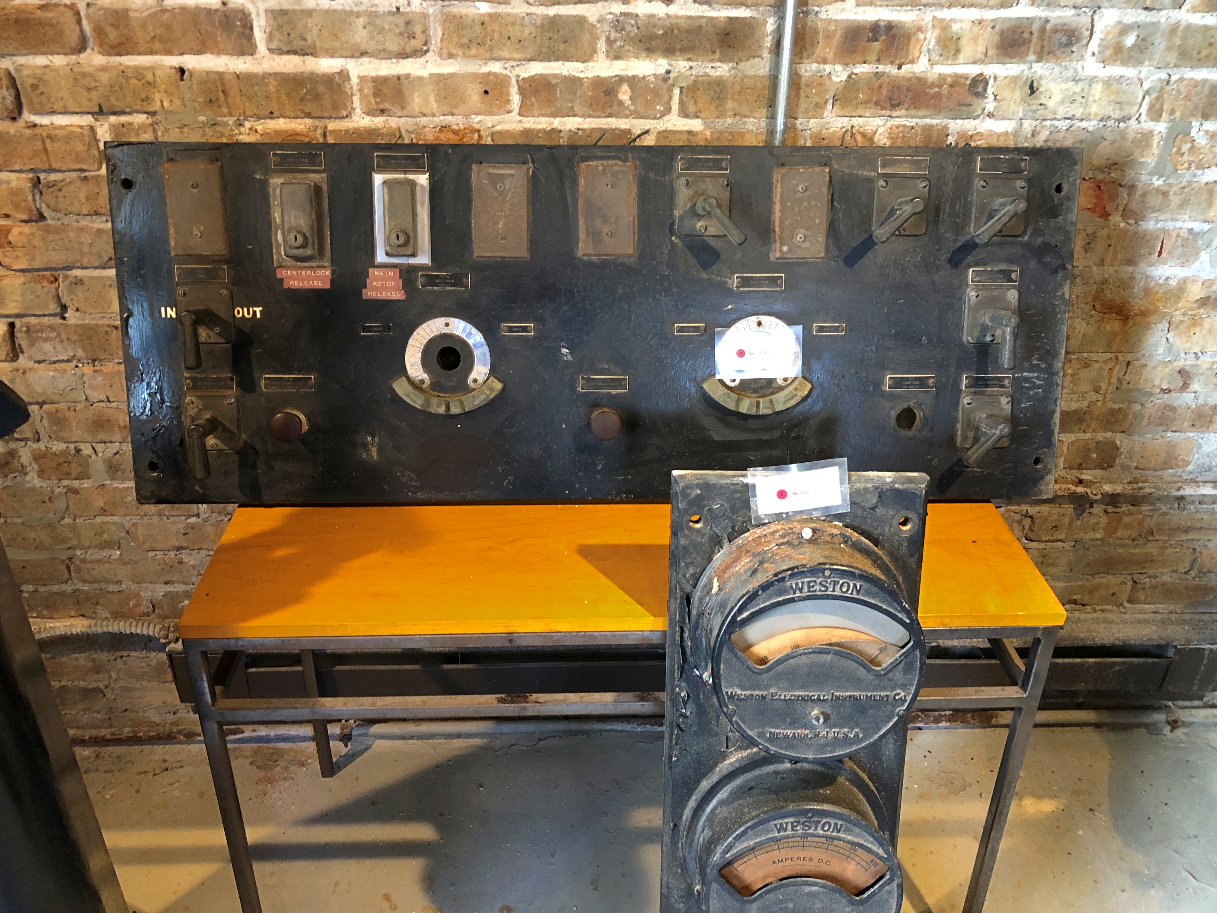
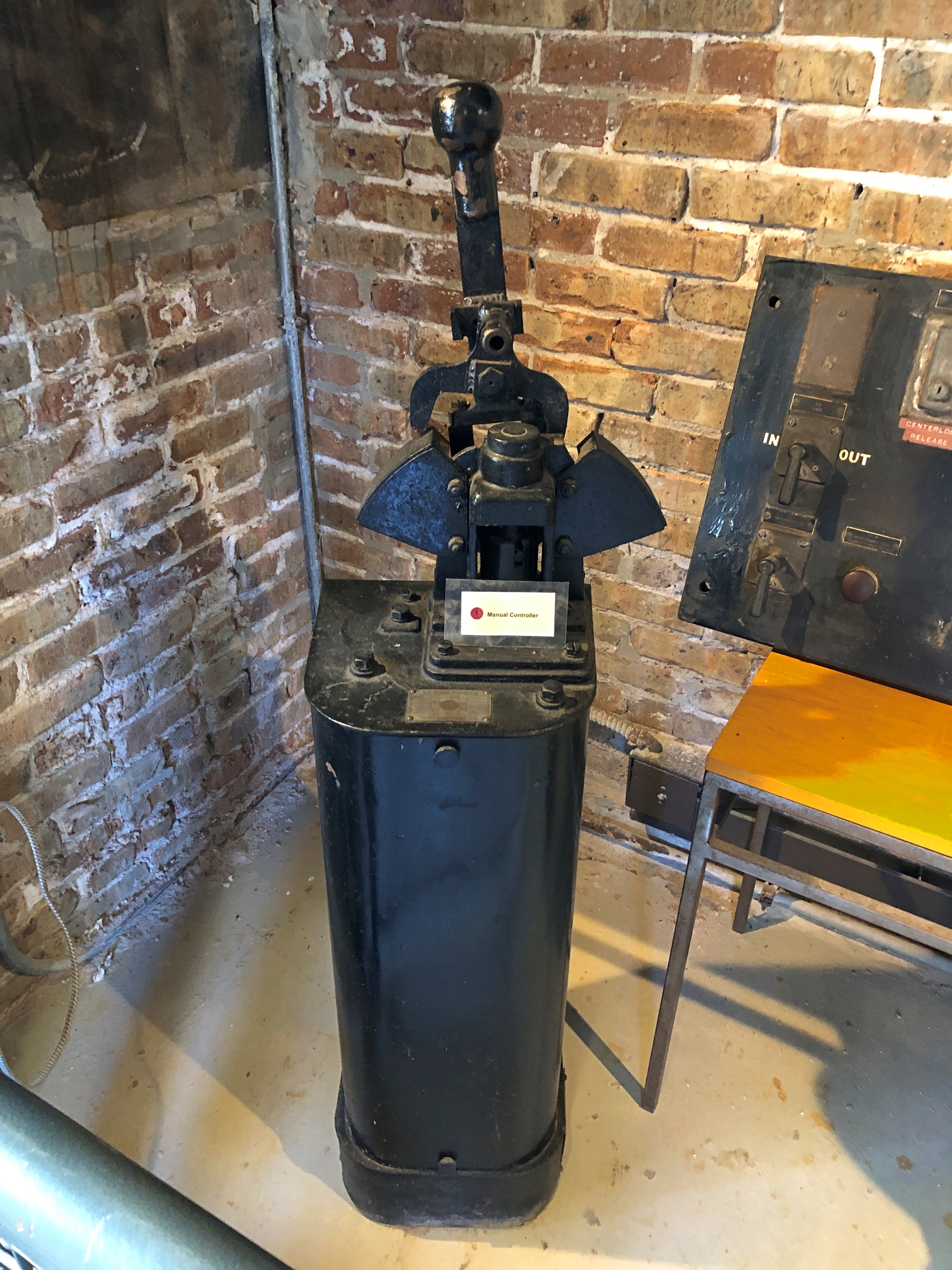
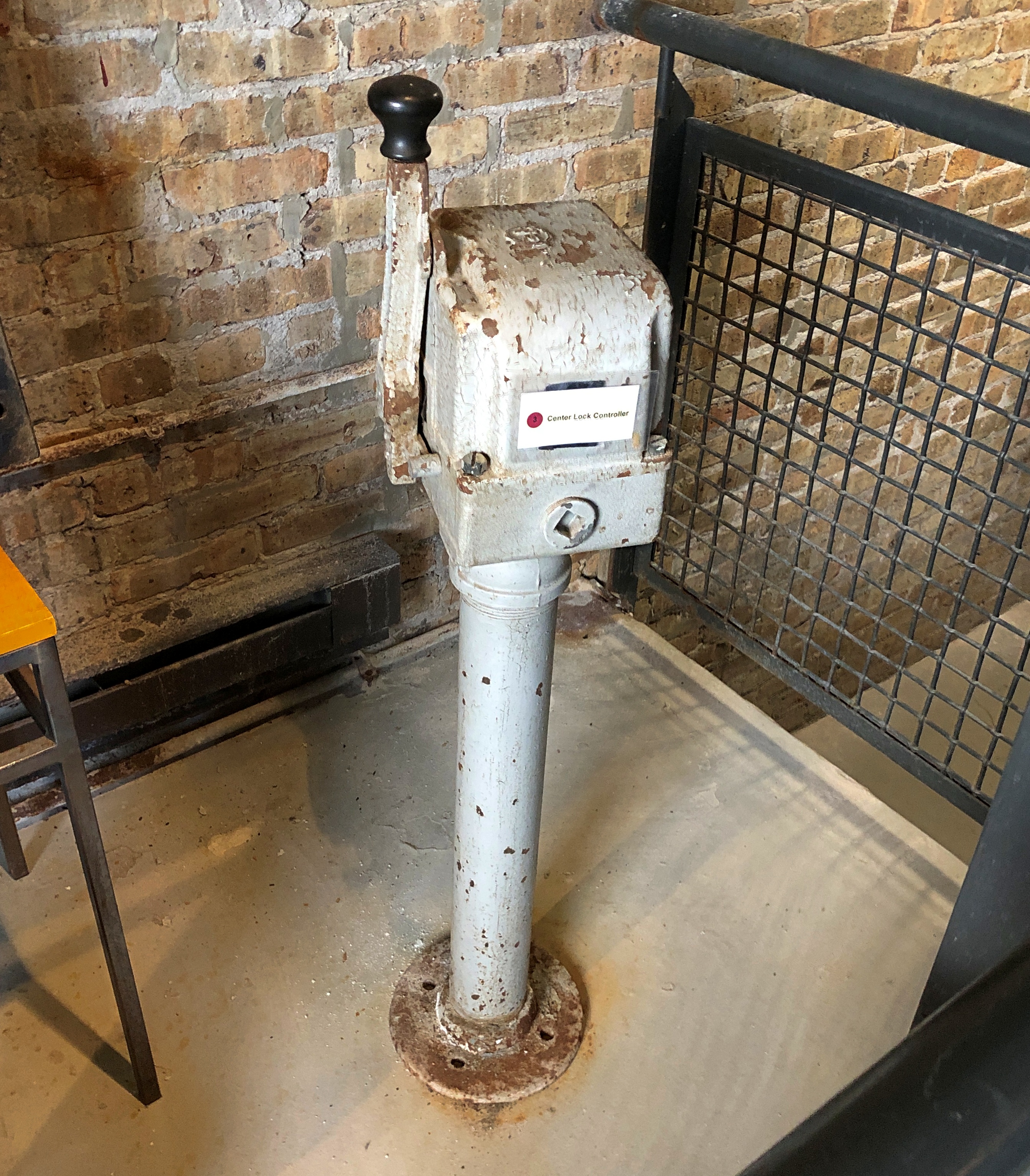
Antique bridge equipment.Bridgehouse Museum Chicago Bridgehouse Museum Chicago Bridgehouse Museum Chicago

Small windows in the bridgehouse offer large views, especially from the top levels.Bridgehouse Museum Chicago Bridgehouse Museum Chicago

The other three bridgehouses are visible, for one thing. Then I wondered: why four and not two, since the bridge has two leaves that are raised and lowered? Later, I found out that each leaf is actually two separate sections, divided in the middle of the road, so in fact there are four parts being raised and lowered in unison.

There are two reasons, I understand. One is that each quarter section is lighter, and thus easier to move. Another consideration is what happens when a ship hits the bridge — an incident apparently more common in the 1920s than now, with a higher volume of ship traffic on the river in those days. Even if the damaged section has to be raised for repair, its companion on the same side of the bridge can (probably) stay in place, so the bridge wouldn’t need to be completely closed, which would be disruptive indeed for the city.

All in all, a good little museum. I made a small donation. One complaint, though — and I see this much more than I used to — no postcards at the gift shop. Note cards, yes. But not postcards. If there had been reproductions of this one, I would have bought at least one.

Berlin Alexanderplatz

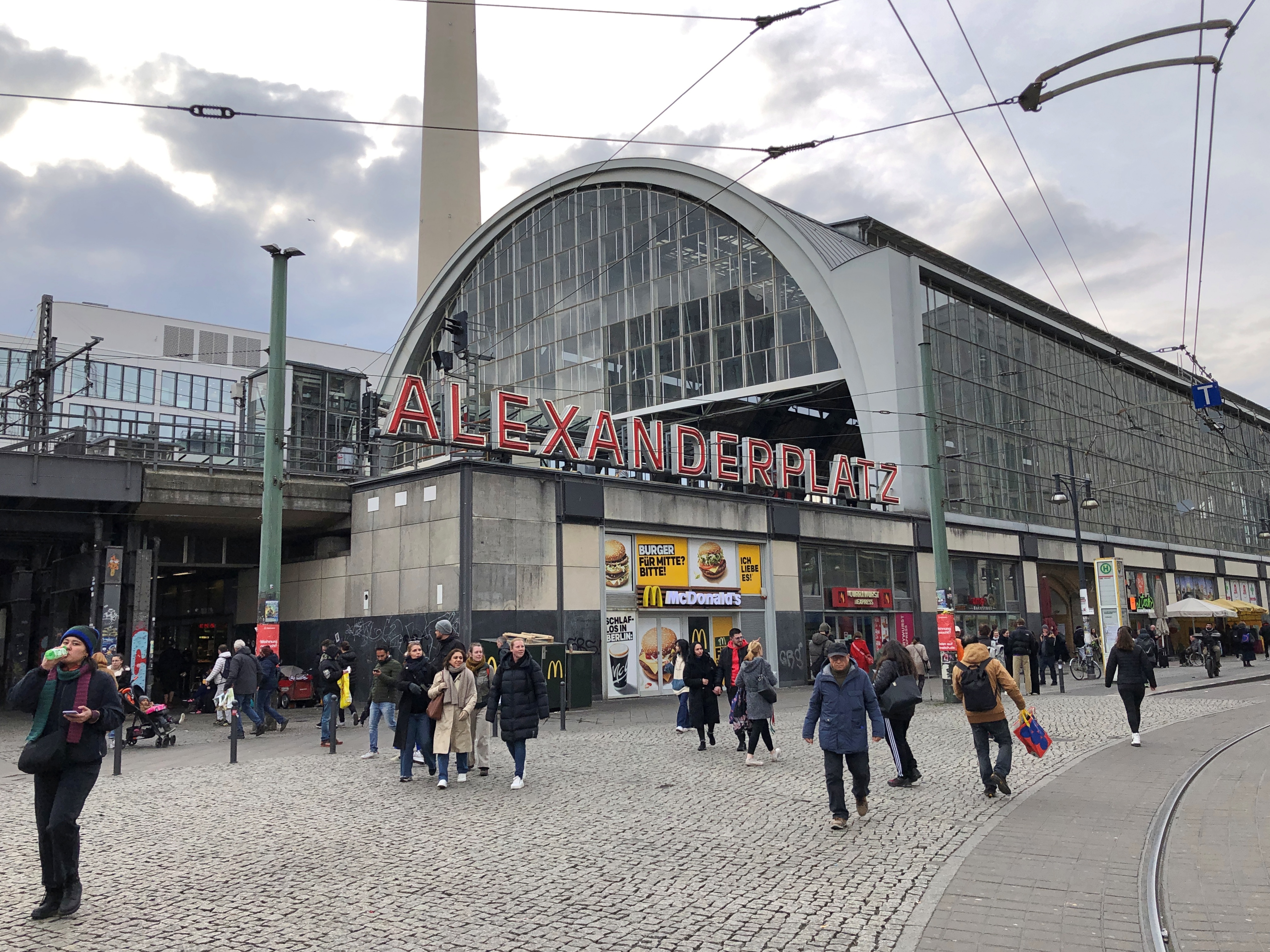
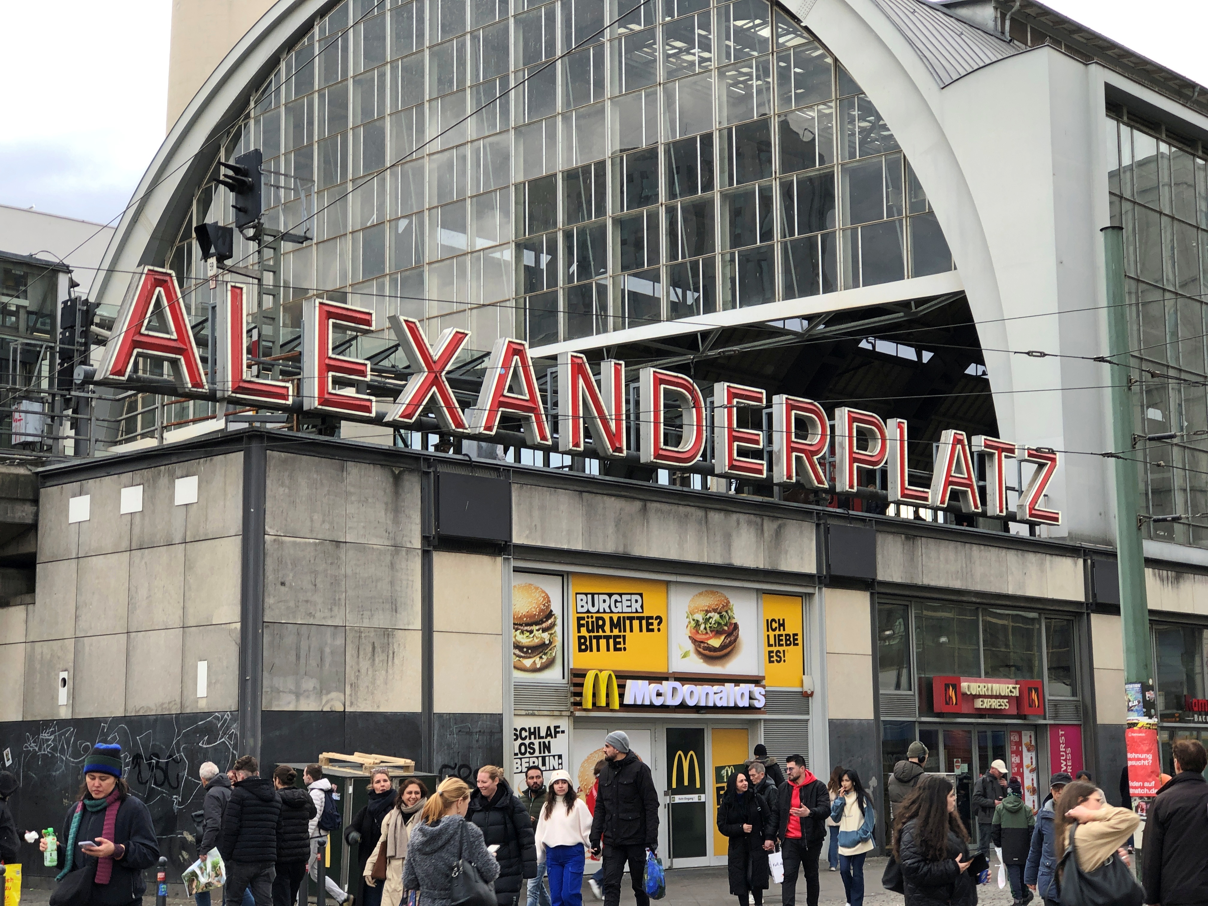
In case you don’t know where you are, at a certain spot in central Berlin, a large sign will tell you.Alexanderplatz Alexanderplatz

Bet it’s a nice glow at night, too. The sign is just outside the Alexanderplatz Bahnhof, where intercity trains and the U-bahn and the S-bahn and trams and buses converge. The station was an important one for us, since we often transferred there to the U-bahn line to the equally interesting Rosenthaler Platz, location of our accommodations (and which for some reason is two words). Going to or from our hotel generally involved passing through Alexanderplatz.

The platz has a long history as a meeting place, and along the way (1805, to be exact) picked up its current name, in honor of Tsar Alexander I, who visited Prussia that year. But if you had to pick a time to visit, probably 100 years ago would be it. One of the reasons they say Berlin in the ’20s was Berlin in the ’20s was the activity around Alexanderplatz.

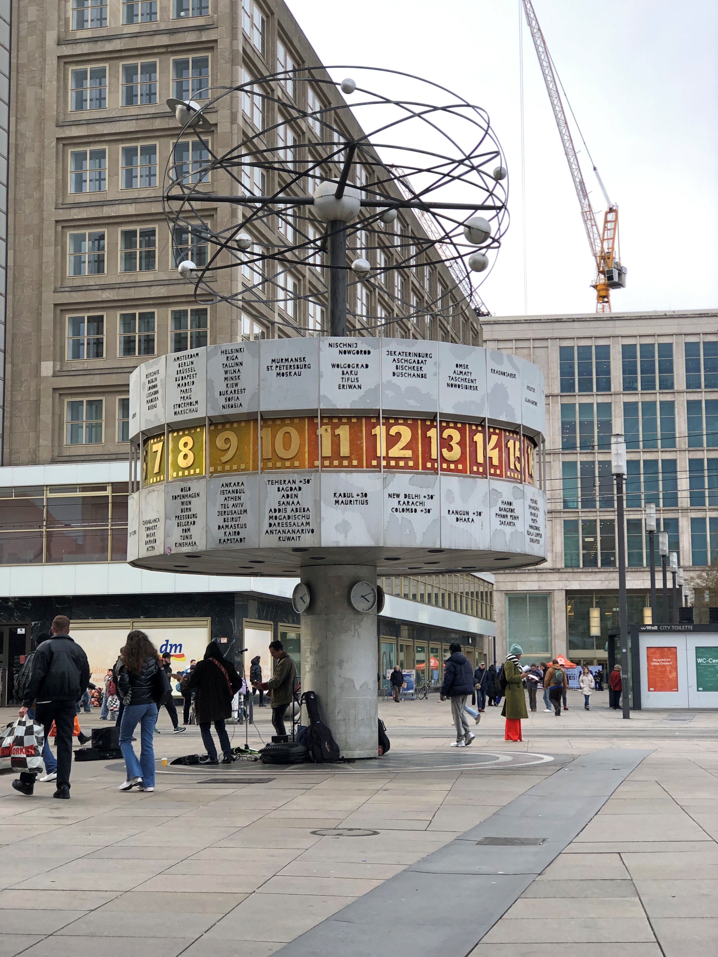
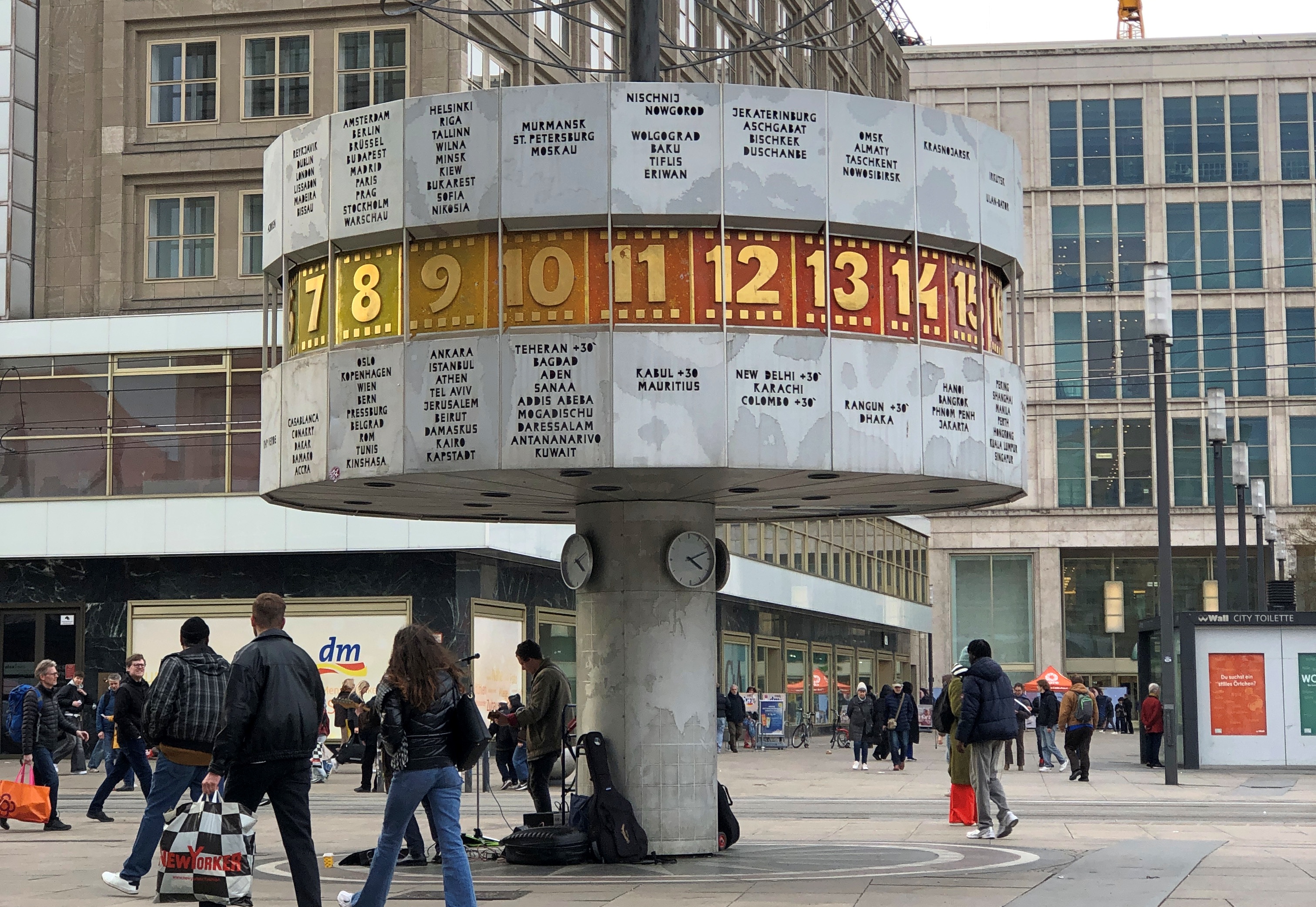
In 1969, the East German authorities built the World Clock (Weltzeituhr) at Alexanderplatz, whose function is to tell the time of 148 large cities around the world, and display a spiffy model of the Solar System (and I count nine planets; glad no busybody has removed Pluto).

Built to remind passersby (at one time) that socialism was the future? Was worldwide? That the Solar System is red? Pining down motive among communist officialdom over 50 years ago is a fool’s errand, I’m afraid. Alexanderplatz

As seen at about 4:10 pm on March 13. We sat on a bench nearby, taking the rest we needed as older men. But I should have taken a closer look at the clock, since it seems that the drum tells us that the time in Berlin – along with Amsterdam, Brussels, Budapest, Madrid, Paris, Prague and a lot of other places – is just past 8 am. So the mechanism had stopped? Did I misunderstand it? Something else? Alexanderplatz

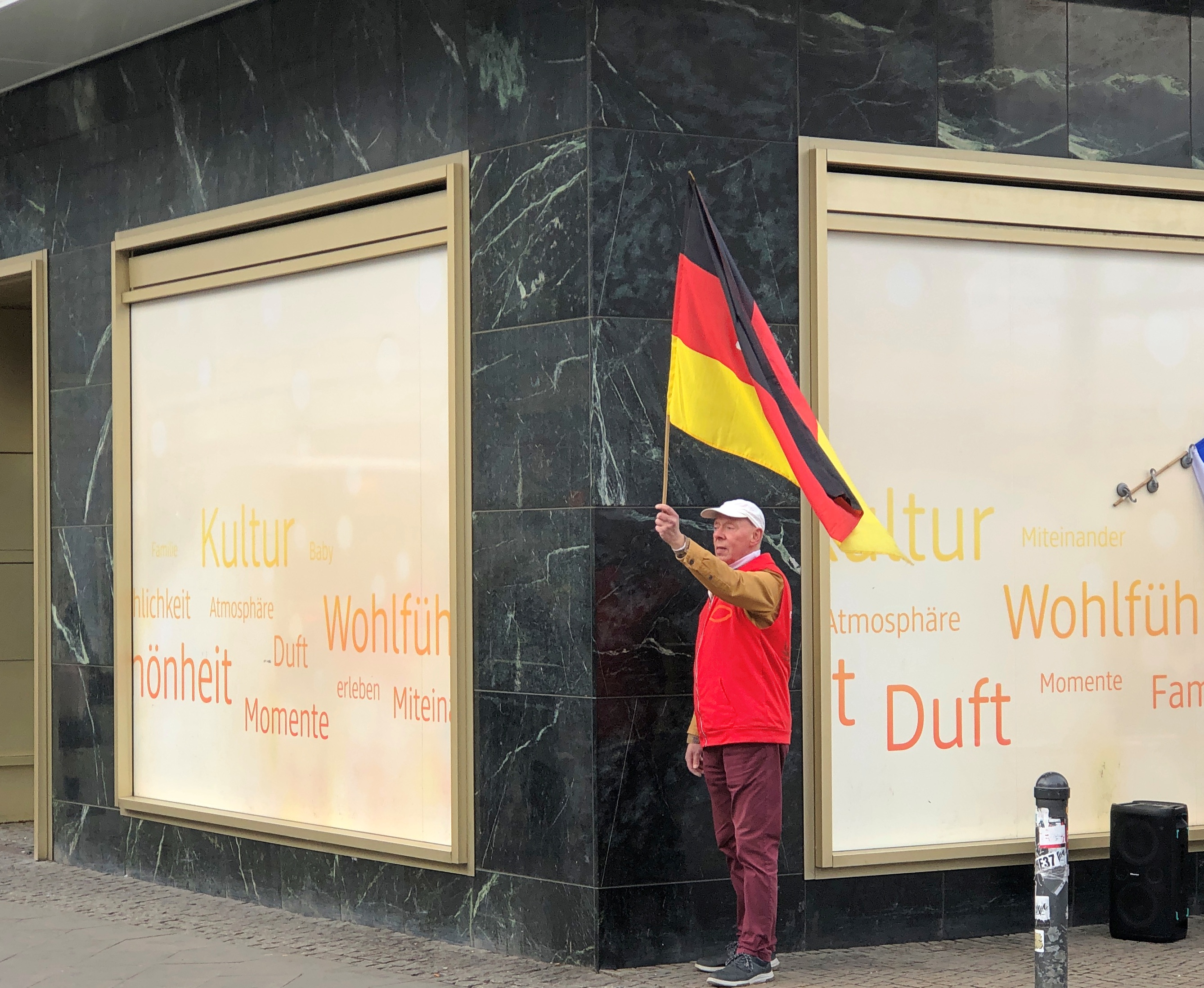
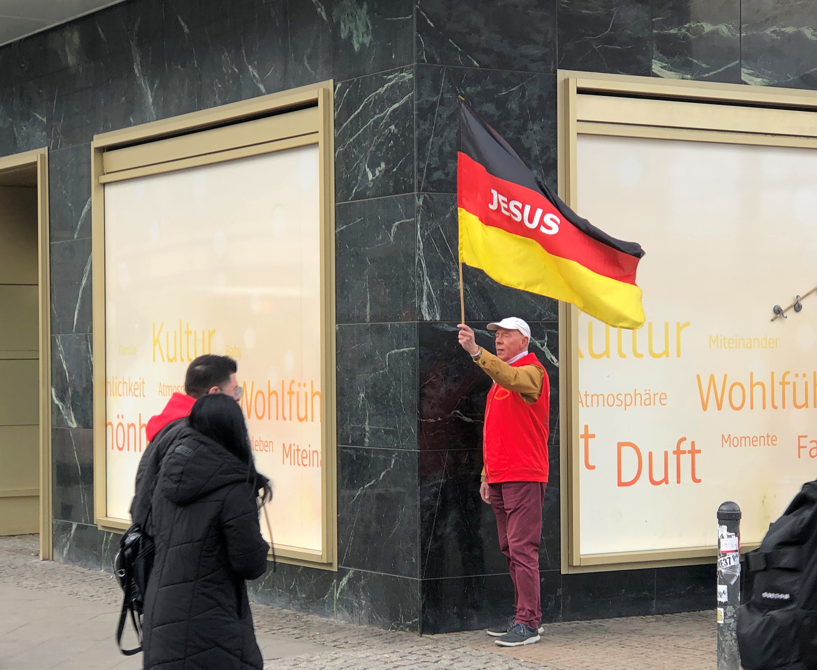
Such are the little retroactive mysteries of travel. In any case, life was going on at the platz, all around the clock: shoppers, commuters, buskers and more. At various points in history, Alexanderplatz has been the scene of mass political demonstrations (e.g. 1848, 1919, 1989), but even on ordinary days, people are out trying to make a point. Such as this fellow.Alexanderplatz

I haven’t spent a lot of time in Germany, but my impression is that waving, or even displaying, the national flag isn’t quite as common as here in the U.S. Turned out, however, that his flag was a bit modified to convey a message that one hopes isn’t nationalist.Alexanderplatz

The platz reminded me that I ought to read Berlin Alexanderplatz. I remember some years ago watching the first episode of the ’80s West German TV adaptation, but not liking it, except now I can’t remember why. Maybe Fassbinder isn’t for me, though I haven’t seen any of his other movies either. Still, I suppose if you want to know more about Berlin in the ’20s – and not the 2020s – the book would be a worthwhile read.

Around the World ’25

At times like this, in the funk that comes after a long trip, I ask myself, did I actually do that? An odd question, maybe, but long travels have that odd effect. Somehow such a trip seems less than real. Also more than real. Those are essential features of the intoxication of the road, and hangovers follow intoxication.

Ponder this: Over roughly the last five weeks, starting on February 8, in a series of eight airplane flights, a small number of intercity train trips on either side of the Eurasian land mass (including one of the fastest trains in existence), a large number of bus, subway, streetcar and even monorail rides, a few taxi rides, other car rides provided by friends and relatives and a hired driver, a bicycle rickshaw ride — and you haven’t lived and almost died (or at least felt that way) till you’ve taken such a conveyance in Delhi — climbing a lot of stairs and using a lot of escalators and elevators, and taking more than a few long walks, and many short walks, on sidewalks and cobblestone streets and railway station platforms, I went around the world in a westward direction, from metro Chicago to metro Chicago, by way of Japan, India, the United Arab Emirates, Germany and the Czech Republic.

All that effort for what? To see the world, of course. That and skip out of much of winter in northern Illinois.

How did I have the energy for this, here at the gates of old age? How are the logistics possible?

But it really isn’t that hard. This is the 21st century, and travel is mostly by machine, and part of a mass industry, so even old men firmly from the middle class can go. Retired and semiretired old men, who find themselves with more free time than in previous decades. Moreover, the logistics were the least of it: all you need in our time is a computer to set things up.

I’m convinced that the hard part, for many people, would be finding the will to go. Luckily I have a practically bottomless supply. My always-eager-to-go attitude toward seeing point A and then points B, C and so forth also meant I was completely persuaded that buzzing around the world was a good idea. Tired as I am now — and boy am I tired — I haven’t changed my mind, though I need to rest up a bit at the moment.

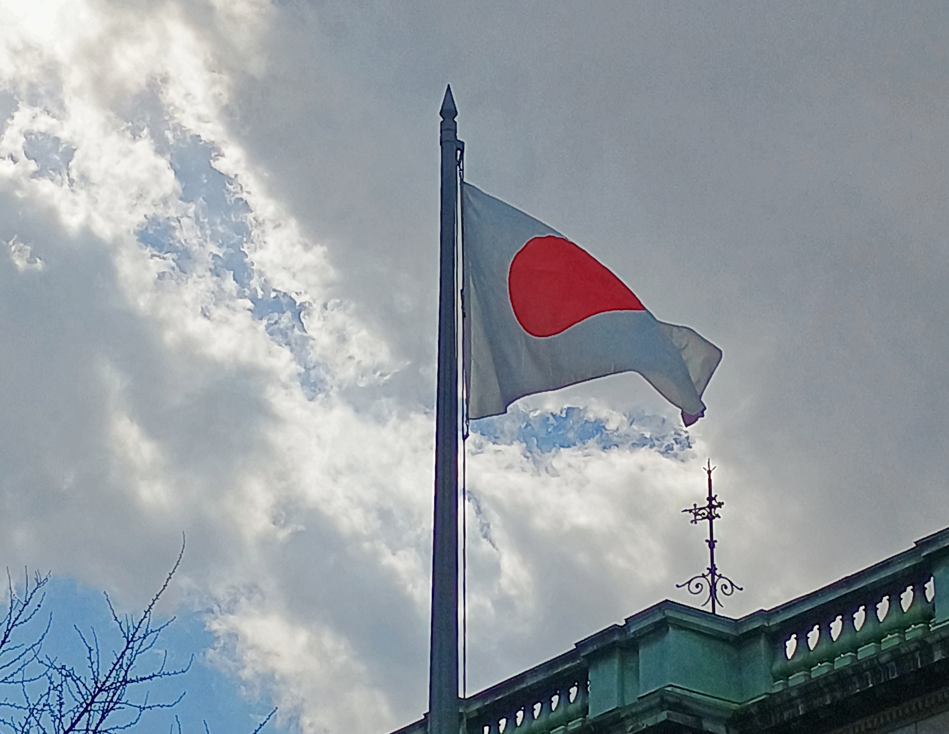
Japan: my first visit in 25+ years.Rising Sun

It felt familiar — I did live there for four years — but the passage of time also infused the place with a feeling of the unfamiliar as well, a strange combo sensation indeed.

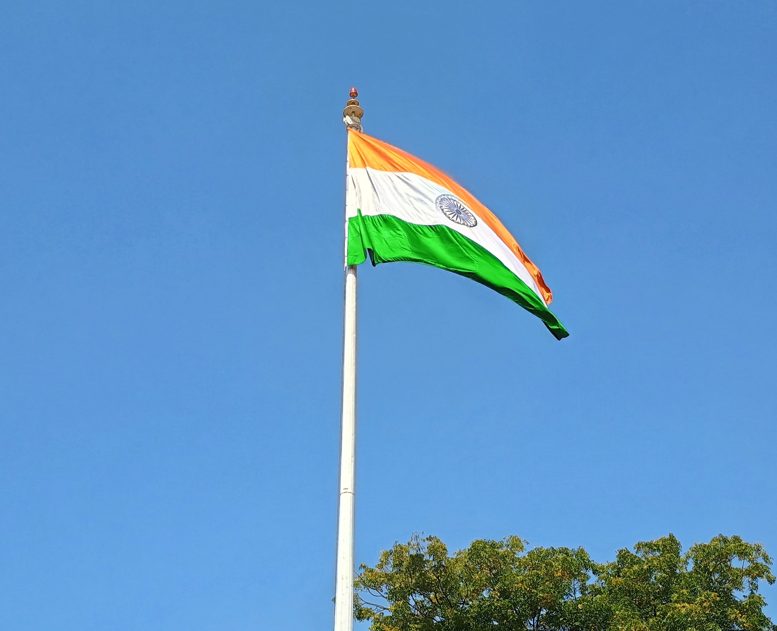
India: A major lacuna in my travels, now just a little less so.Indian Flag

A friend who goes to India sometimes on business told me last fall, “India makes me tired.” I might not have been on business, but I ended up feeling the same way.

And yet —  a phantasmagoria unlike anything I’ve seen, especially the teeming city streets. Teem was never more an apt verb, in my experience. Yuriko came as far as India with me, after we visited Japan and her family and friends there. Then she headed back eastward to Illinois.

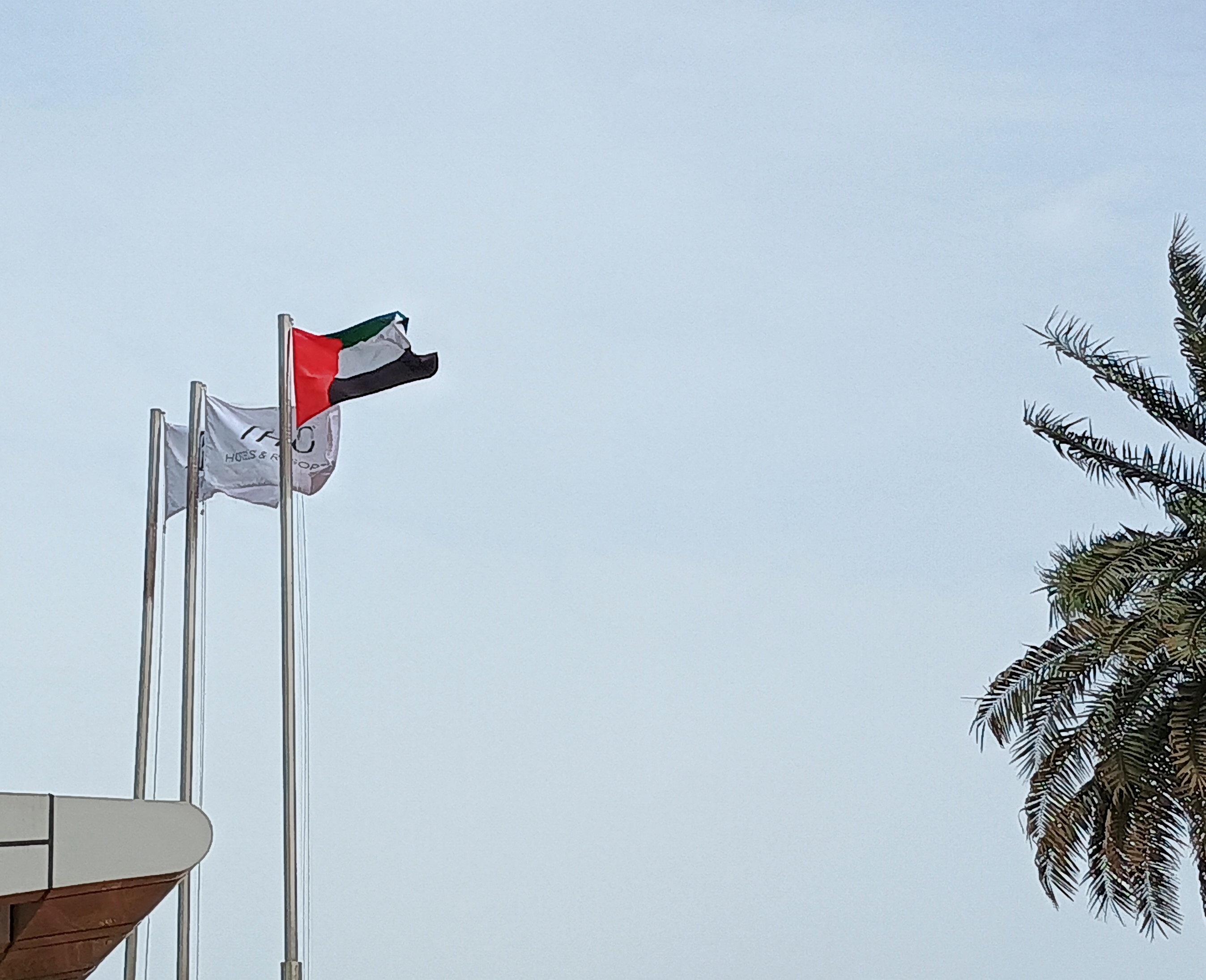
I went on alone from India to the UAE.UAE Flag

In an even less familiar part of the world, a city of towers somehow rises on the edge of the Arabian desert. Just that is astonishing in its own way, but there is plenty else.

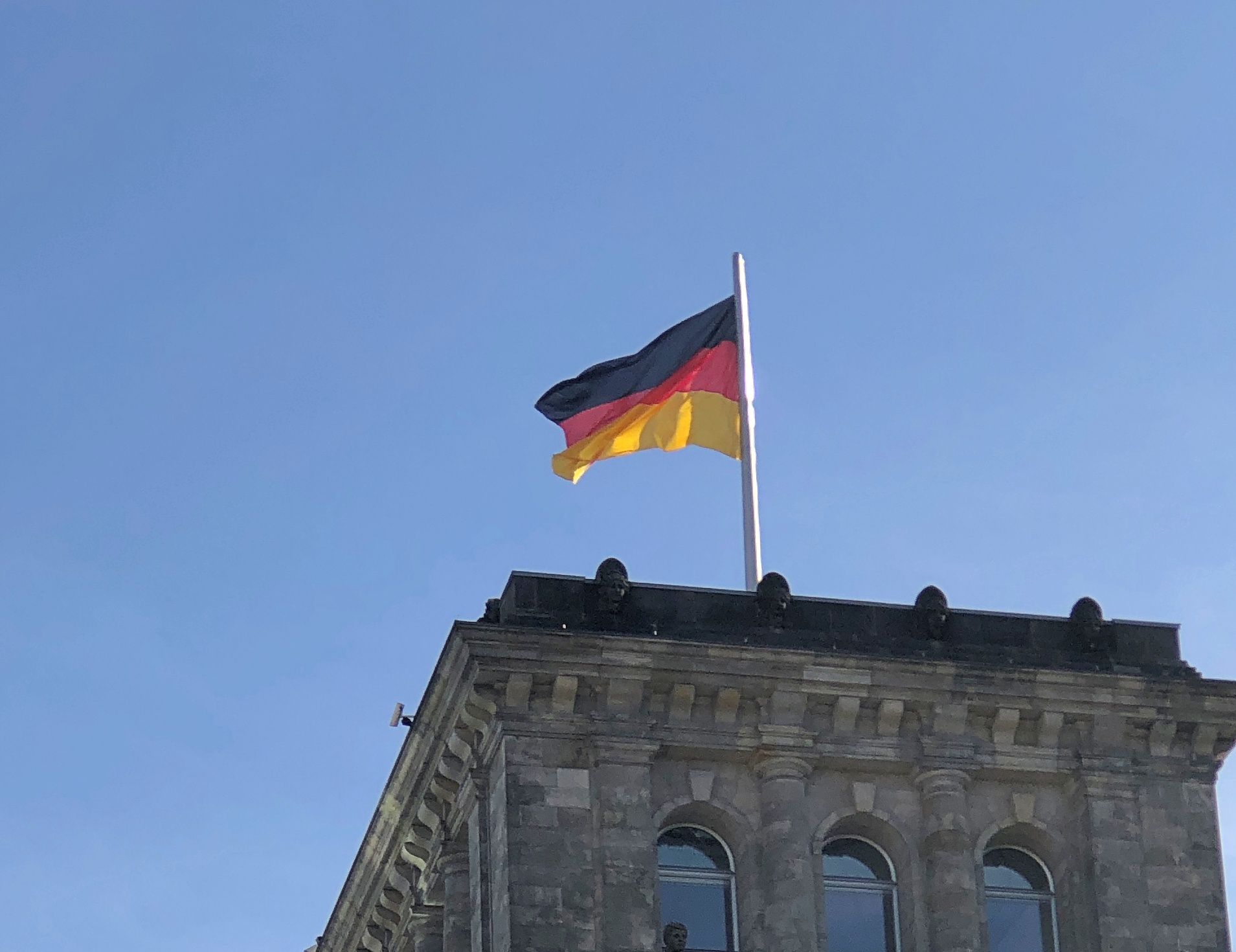
Then to Germany: An old friend I hadn’t seen in a long time, since about five golden weeks in my youth. A long, long time ago: the last time I was there, there were two Germanies and two Berlins and a Wall and the Stassi and Trabbis and a firm living memory of the cataclysm only 40 years earlier.German Flag

Berlin was the focus this time, where I joined my brother Jay for the visit. We’d been kicking around the idea of traveling there together for a while, and ultimately didn’t want to wait till either of us got any older. He had not made it to Berlin in ’72.

A major side trip from Berlin was to Prague. Not quite as old a friend, but old enough.Czech Flag

Yuriko and I visited in ’94, but it was new territory for Jay, another slice of the former Astro-Hungarian Empire to go with his early ’70s visit to Vienna.

Actually, when you visit a place you haven’t seen in 40 or 30 years, it’s like you’ve never been there. I had that sensation in both Berlin and Prague. The old memories are packed away, only loosely connected to their setting any more, which has changed partly beyond recognition anyway.

Now I’m back. Unlike Phileas Fogg, I didn’t return a day earlier than I thought I did (we have a stronger awareness of the International Date Line). But I did manage to miss the no one-likes-it spring transition to daylight savings time, just another little bonus of the trip.

London Town

Things you can do in London: walk along the Thames; visit Covent Garden; and see St. Paul’s Cathedral. We did all of those things in the original London, once upon a time.

Earlier this month, we managed two out of three in London, Ontario. The cathedral was closed. Some other time, maybe, since you can drive from metro Chicago to the Canadian London in about six hours, provided traffic snarls on the highways just south of Lake Michigan aren’t any worse than usual and you don’t encounter a testy Canadian border guard, as I did on Canada Day all those years ago, for the most thorough border-crossing inspection I ever received, before or since.

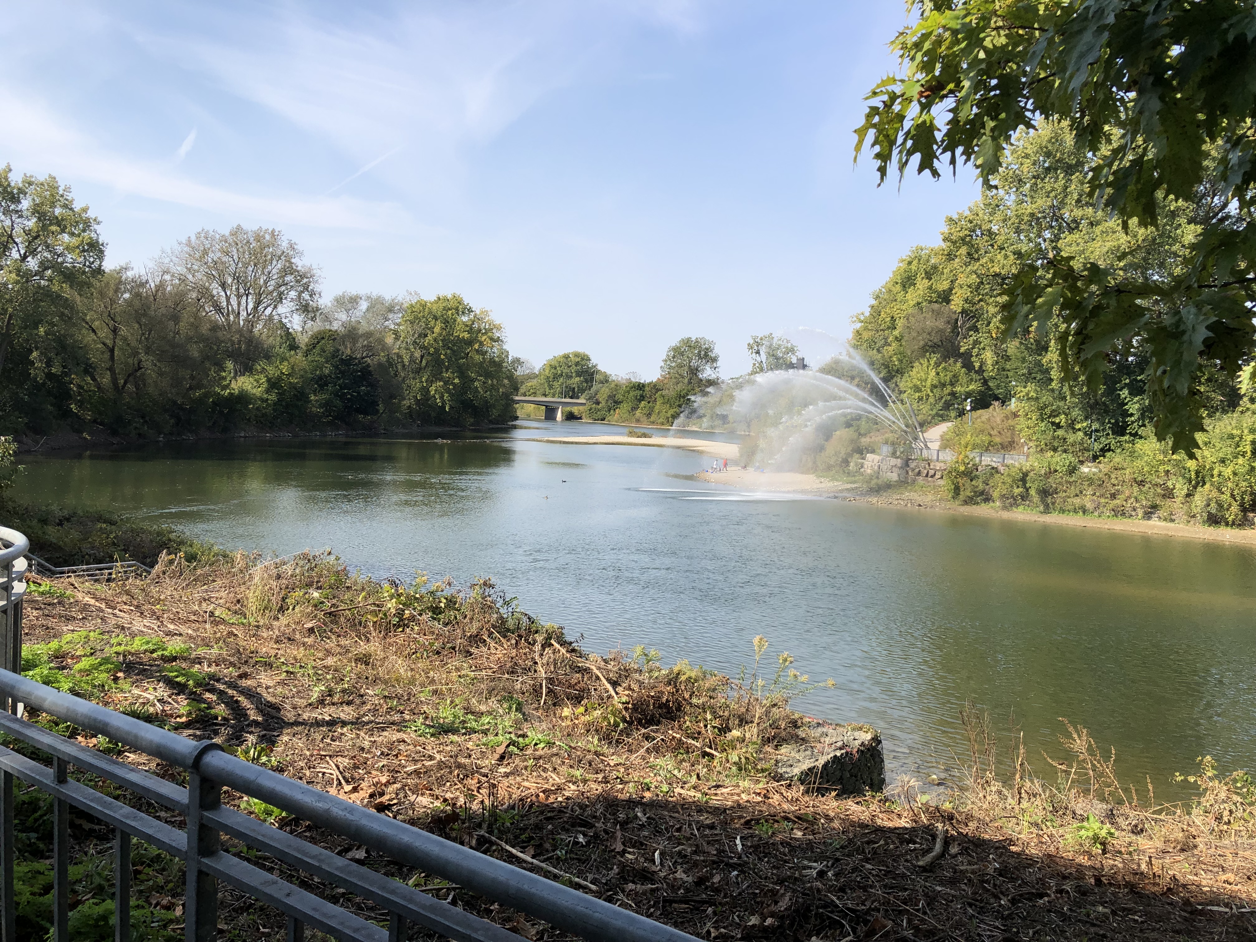
The Thames as it passes through downtown London. The banks are mostly parkland.London Ontario, Thames River London Ontario, Thames River

Actually, that point is the meeting of the North Thames and the Thames, locally known as the Folks. The river is called as La Tranche in French and Deshkaan-ziibi in Ojibwe, Antler River.

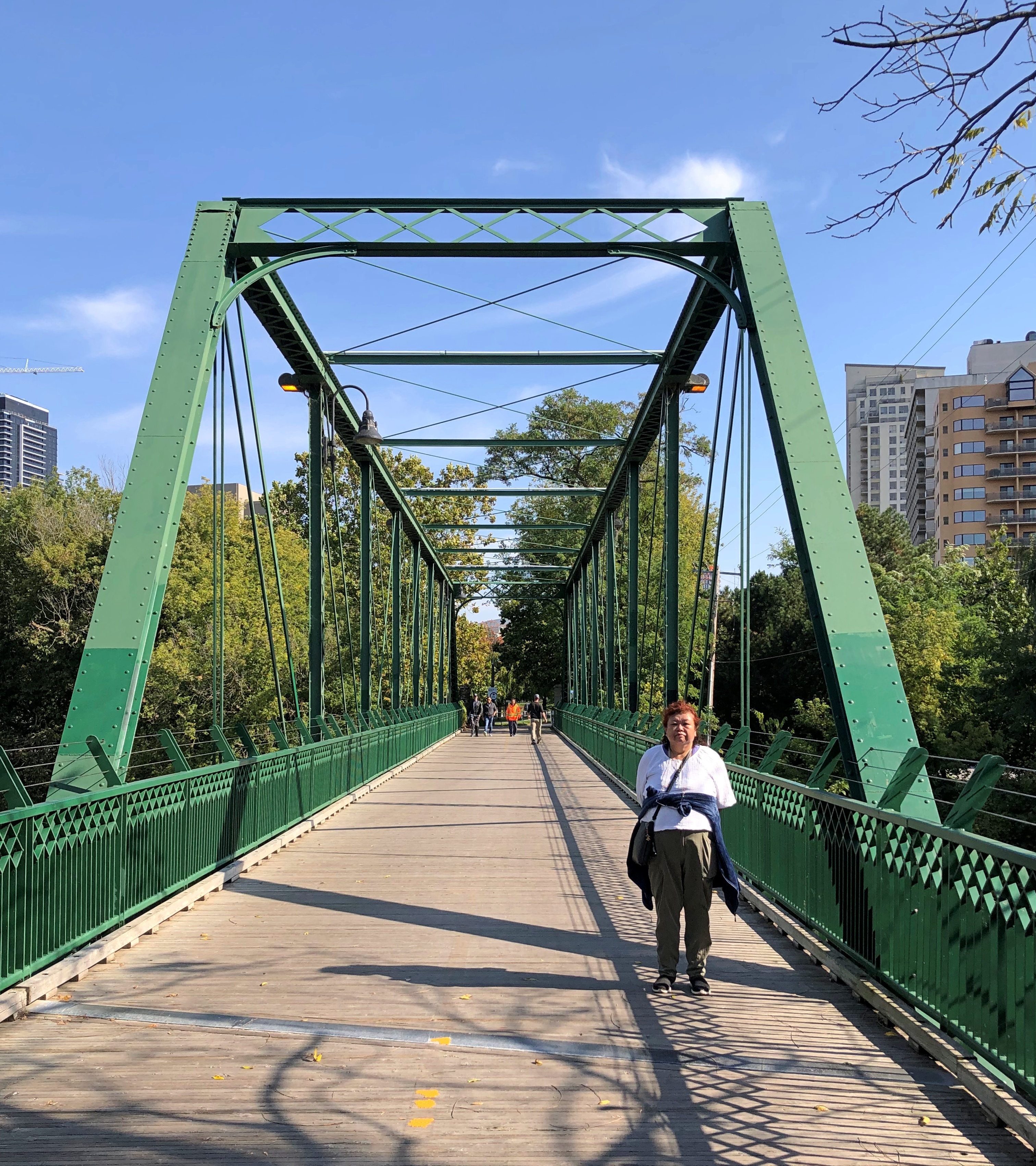
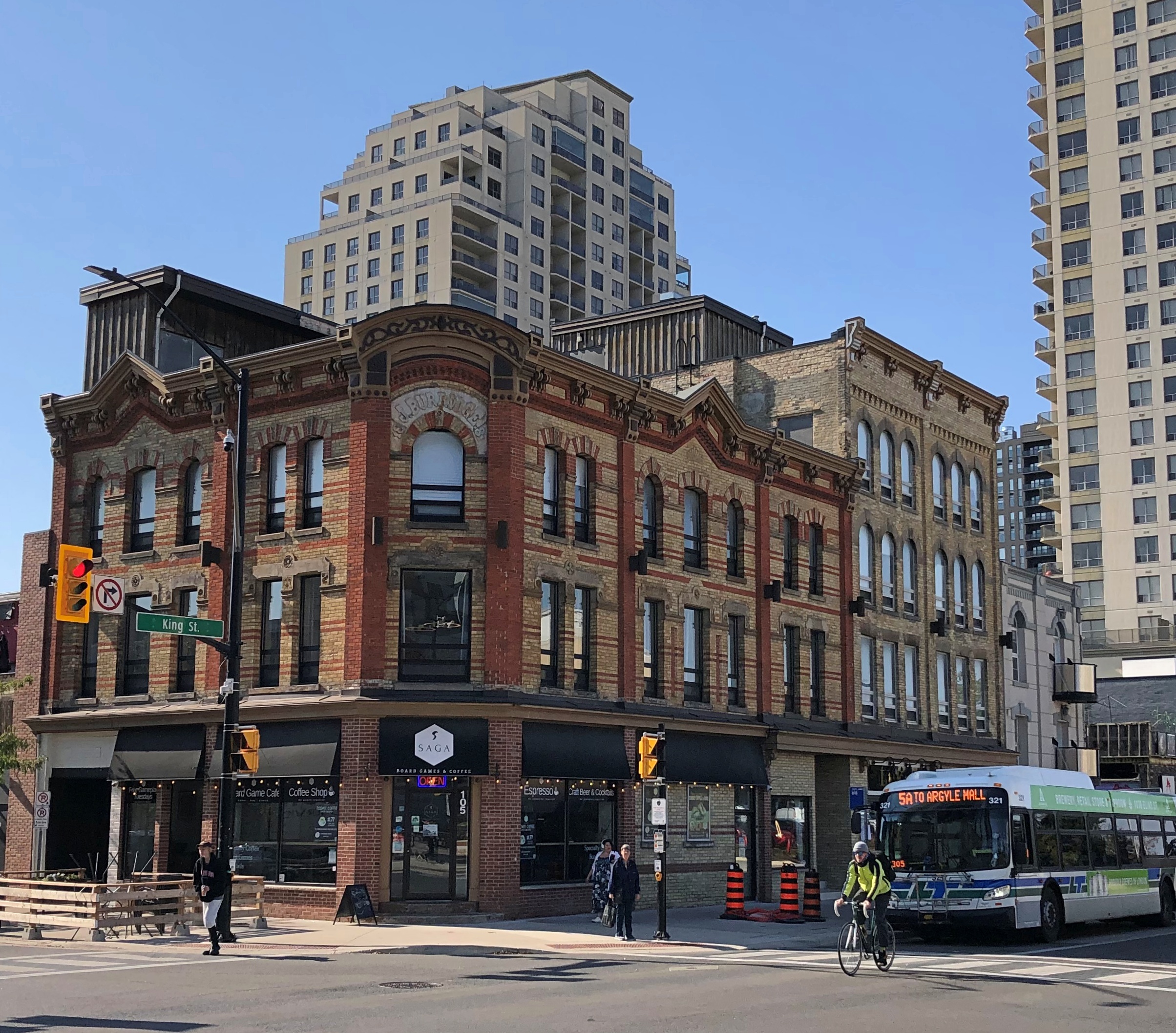
The King Street pedestrian bridge connecting the banks.London Ontario

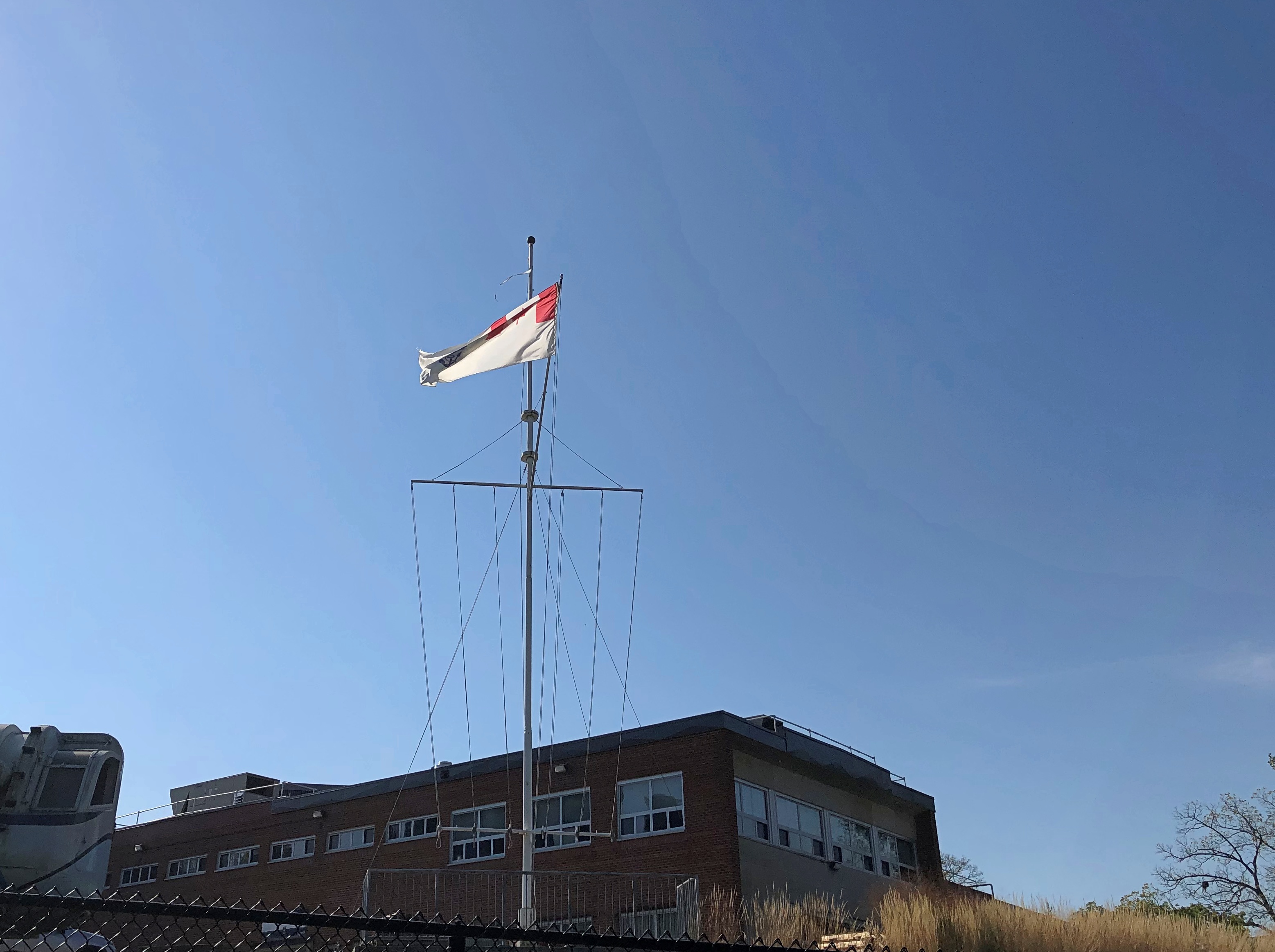
Near the Folks is the HMCS-NCSM Prevost, flying these colors – the Canadian Naval Ensign, if I understand correctly.London Ontario

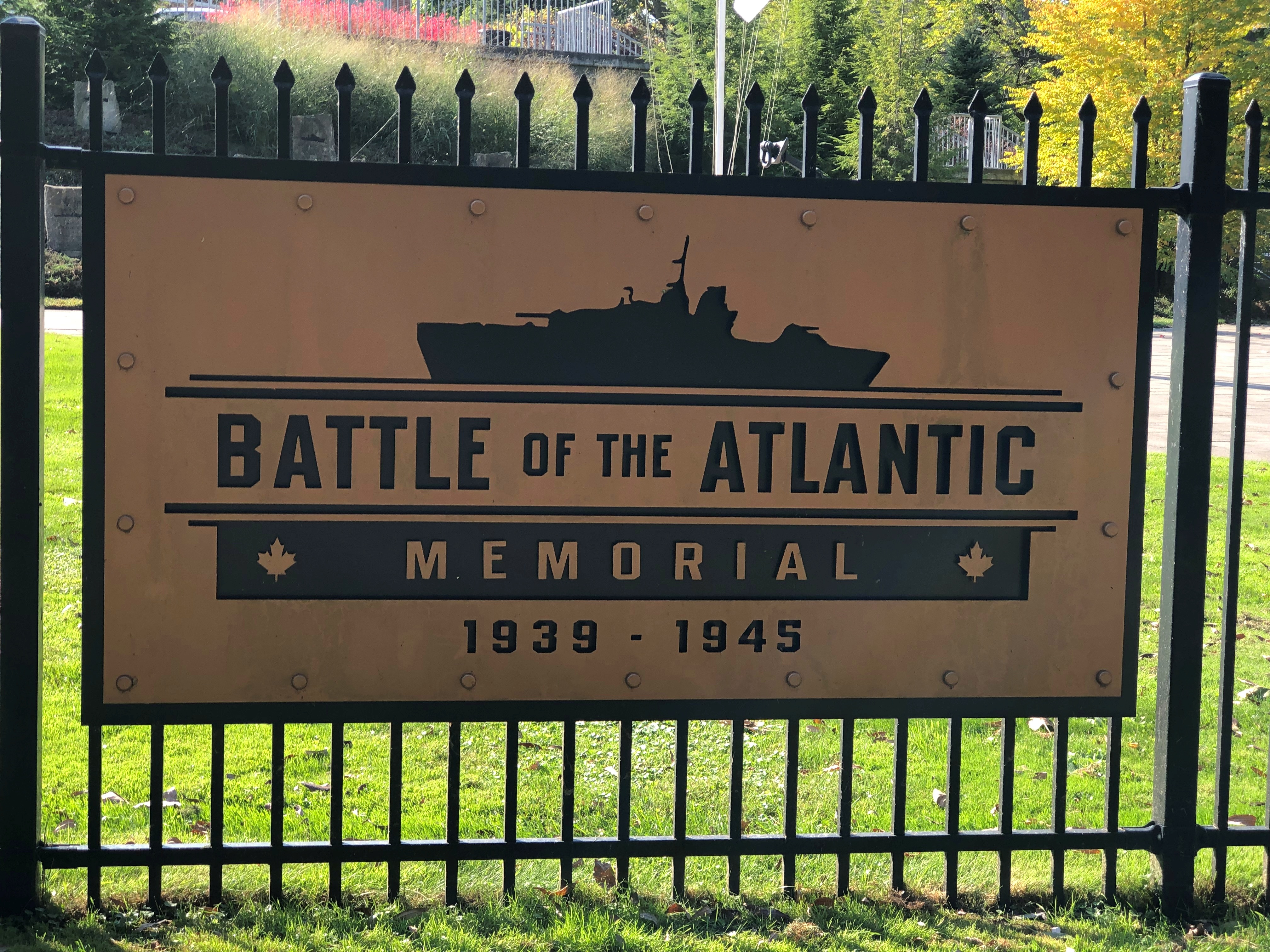
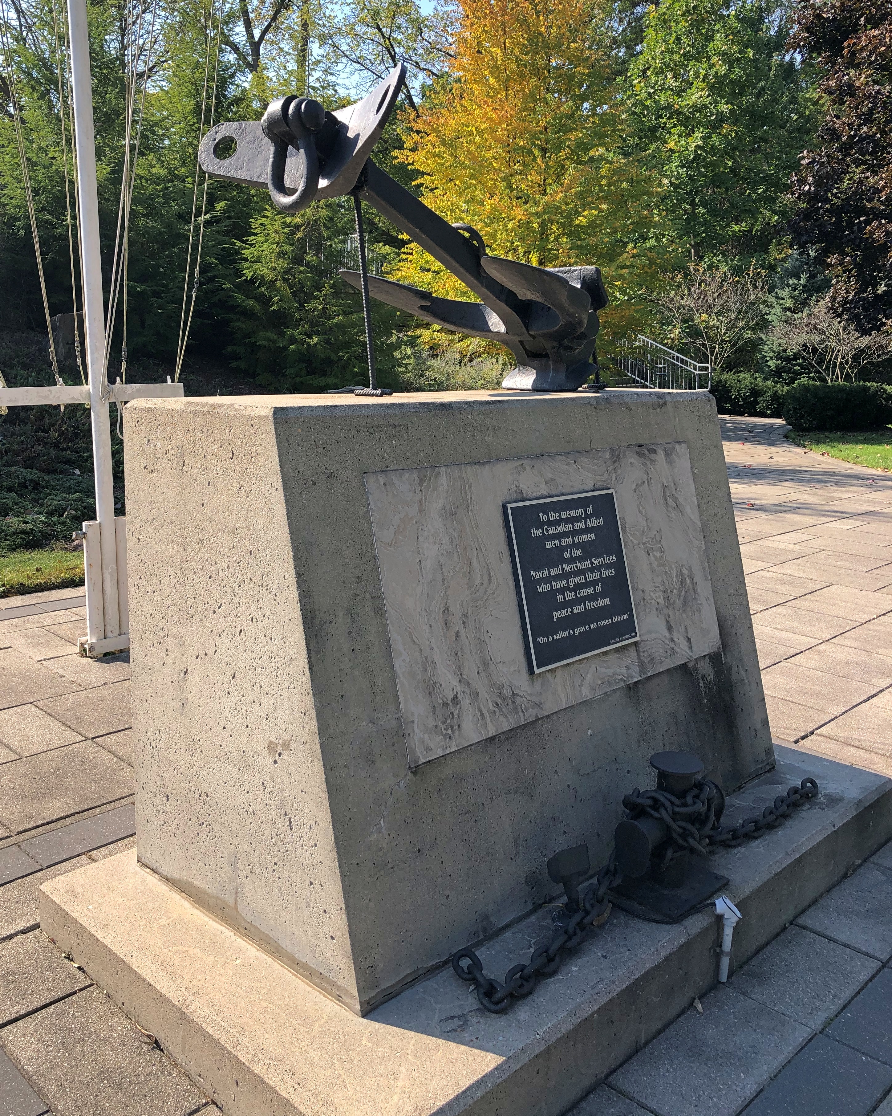
All that is a fair amount to unpack: the ensign is flying on land because the Prevost is a stone frigate, a naval facility on land. HMCS is His Majesty’s Canadian Ship, of course, but this being Canada, it is also NCSM, Navire canadien de Sa Majesté. The site is a training and recruiting center for the Canadian Navy, and also home to the Battle of the Atlantic Memorial. Another sign is in French, but I only made a picture of the English.London Ontario London Ontario

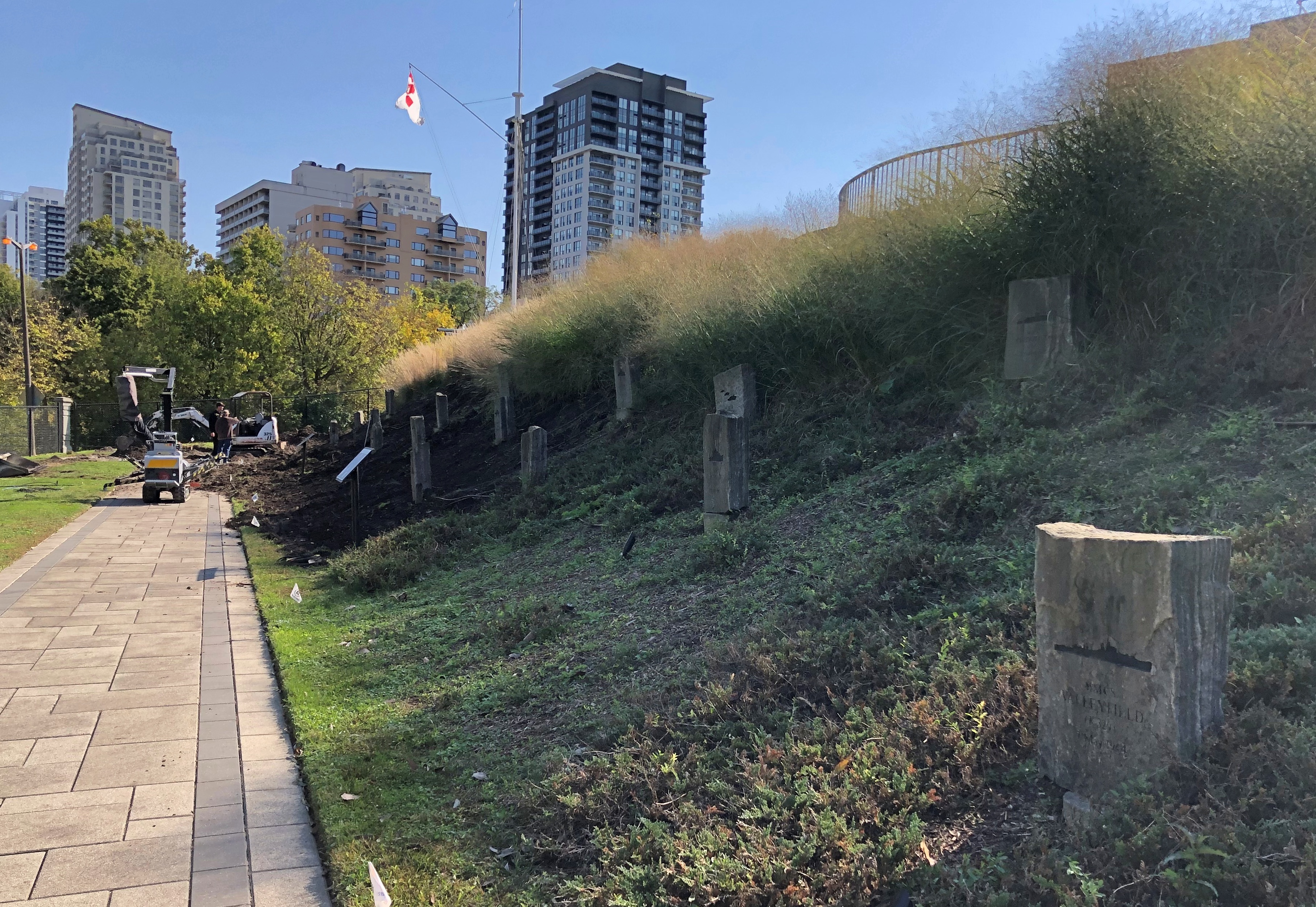
The memorial is still under construction, according to the London Free Press, and it looked like it, with memorial stones being put into place on a small slope. Dedication will be next May, on the 80th anniversary of the end of that battle, which lasted until the Germans surrendered.London Ontario

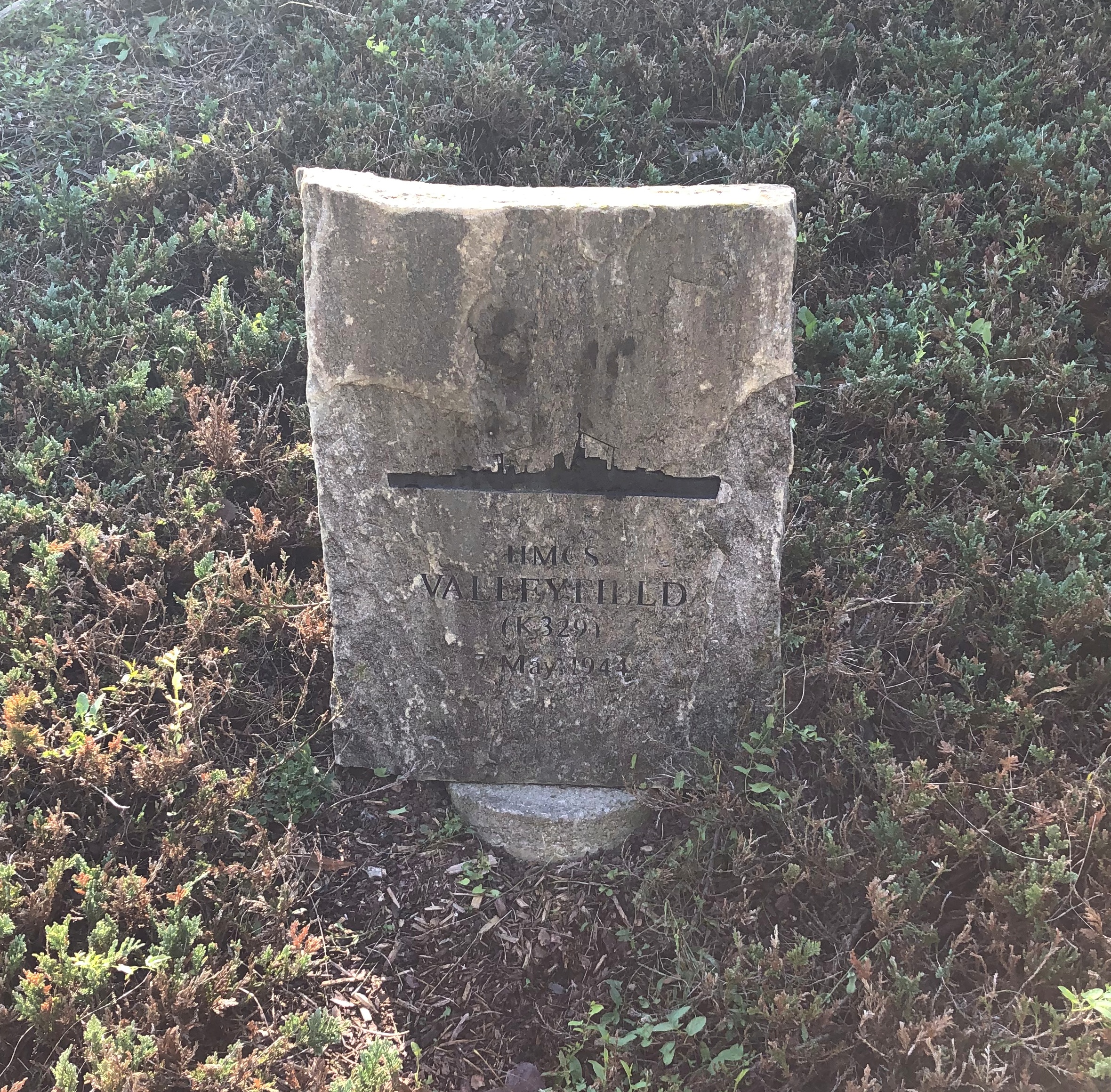
I decided to look up one of the ships memorialized: the HMCS Valleyfield.London Ontario

Commissioned in December 1943. Torpedoed and sunk May 7, 1944, with the loss of 125 Canadian sailors in the gelid North Atlantic.

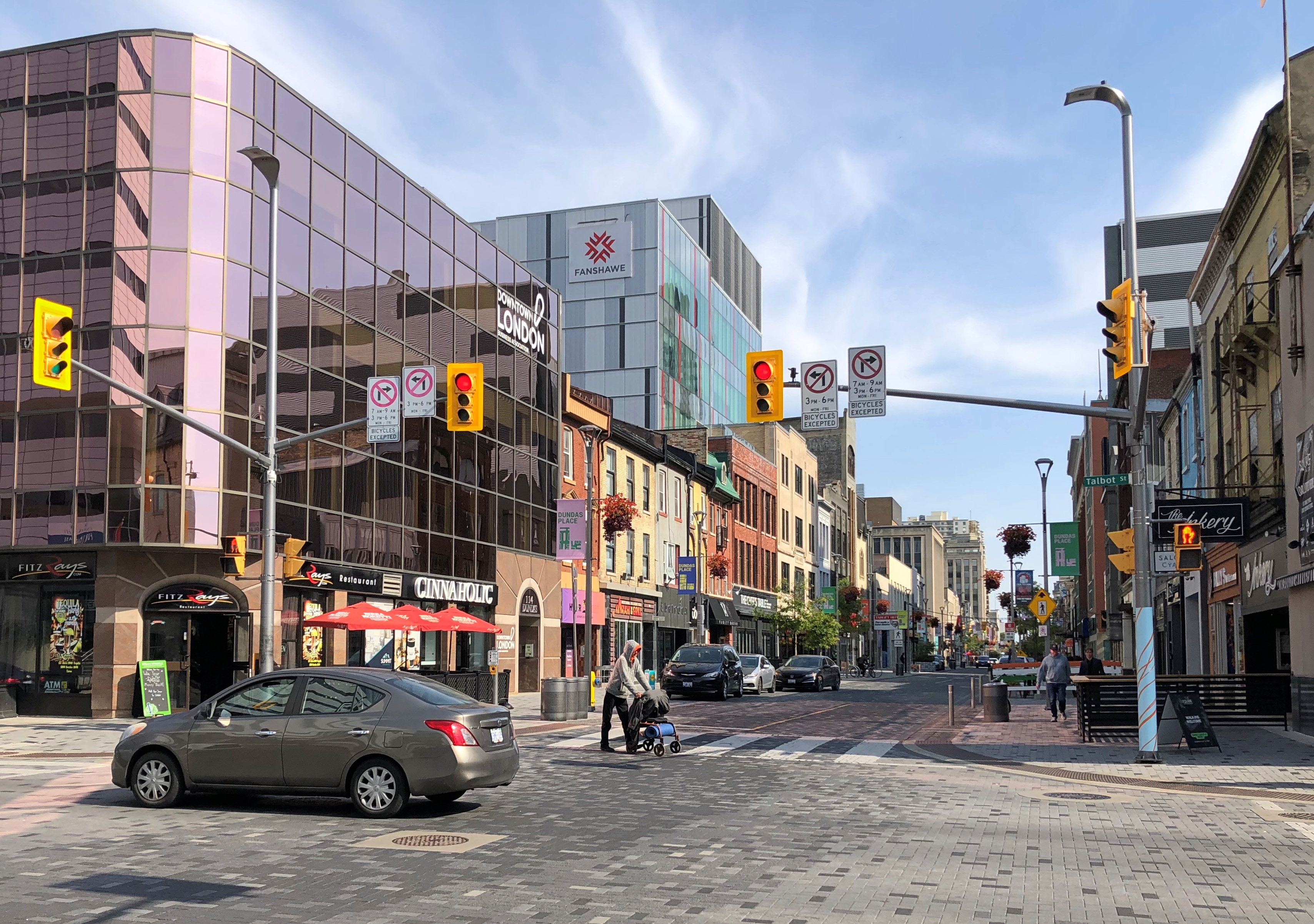
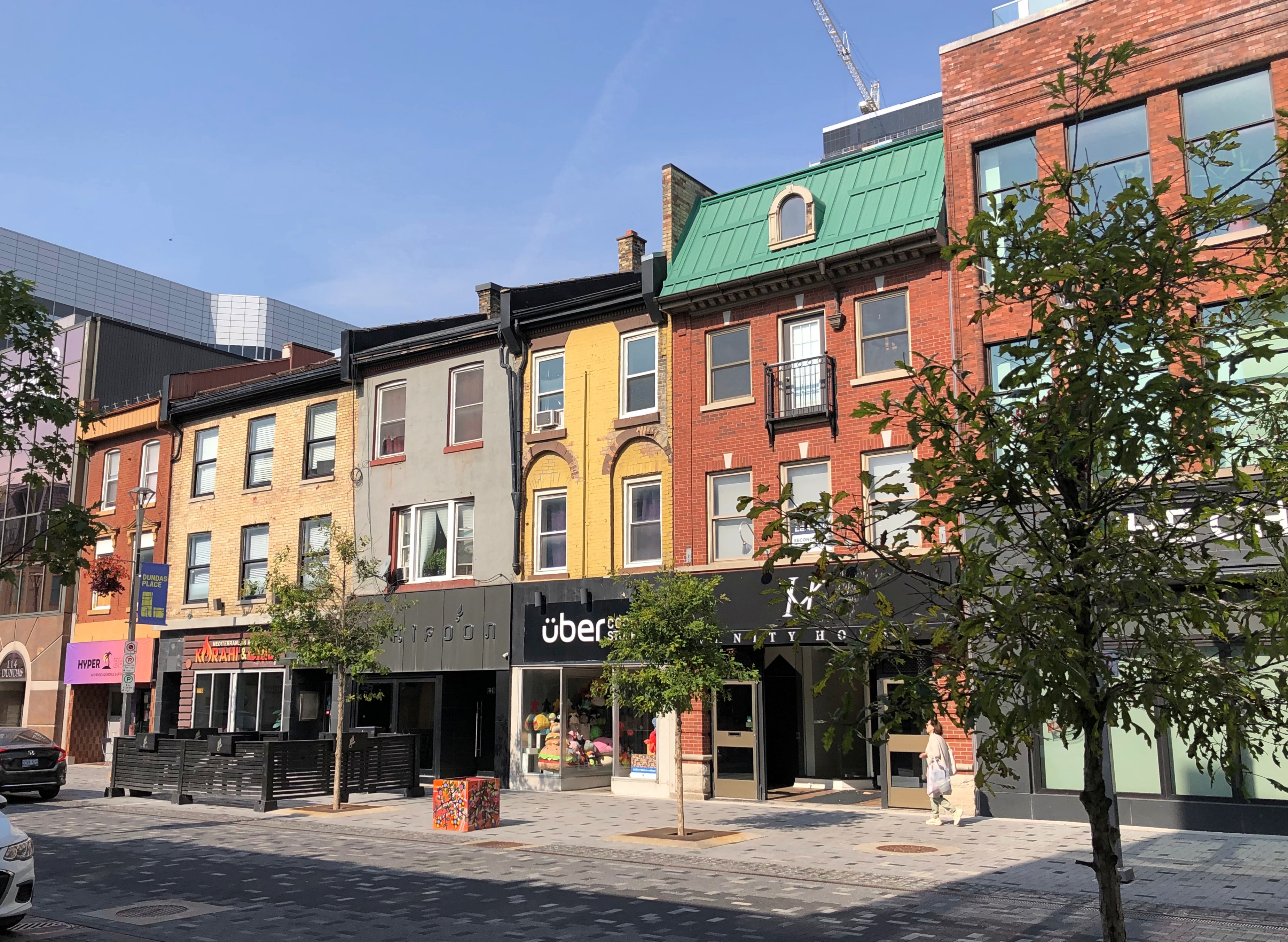
After the riverside, we took a short walk through downtown, especially Dundas St.London, Ontario London, Ontario London, Ontario

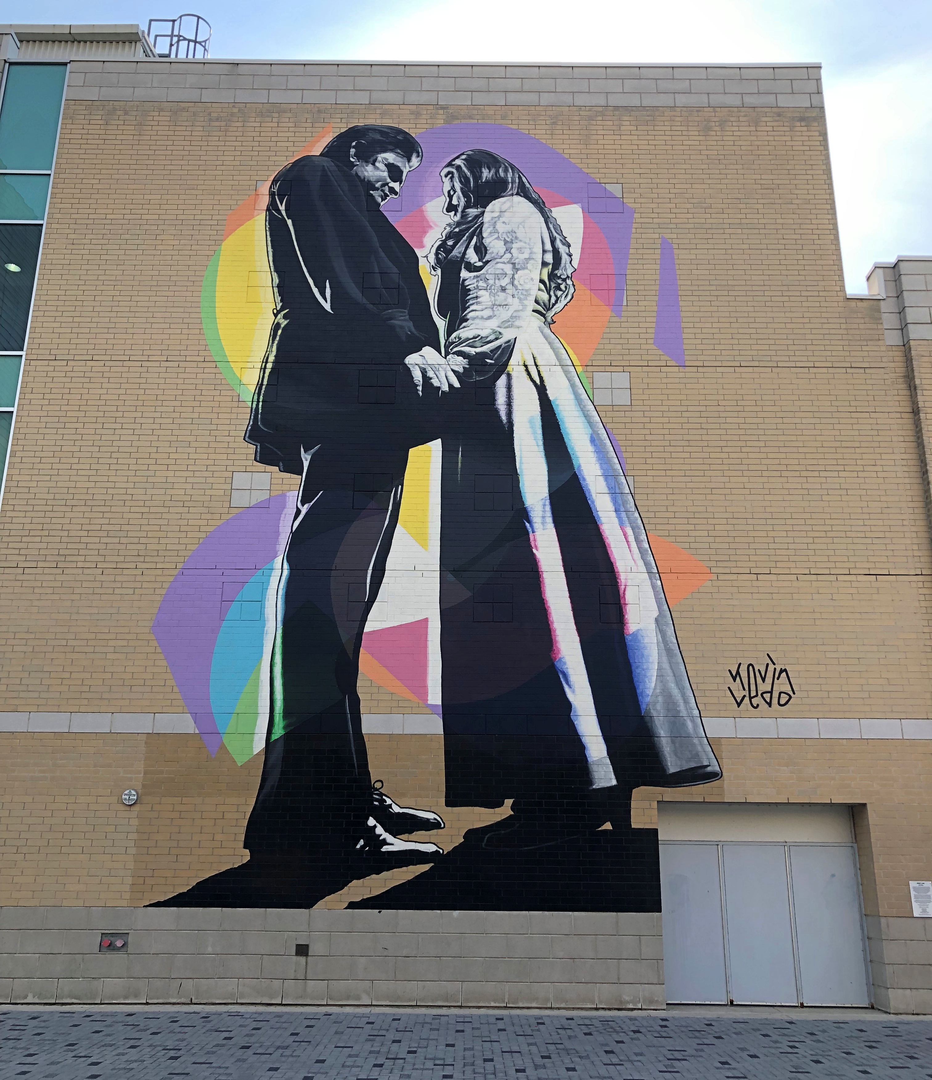
An unexpected mural on that street.Johnny and June, London, Ontario

“Johnny and June” by Kevin Ledo, a Montreal artist, and completed only in 2023. (If you want to see a large Ledo mural depicting a young Alex Trebec, go to Sudbury, Ontario.)

The mural, on the side of London’s Budweiser Gardens sports-event venue, is impressively large, at 45 feet tall and 20 feet wide. Larger than life, certainly. A nearby sign says it commemorates the moment on February 22, 1968, when Johnny Cash proposed to June Carter on stage during a concert in London.

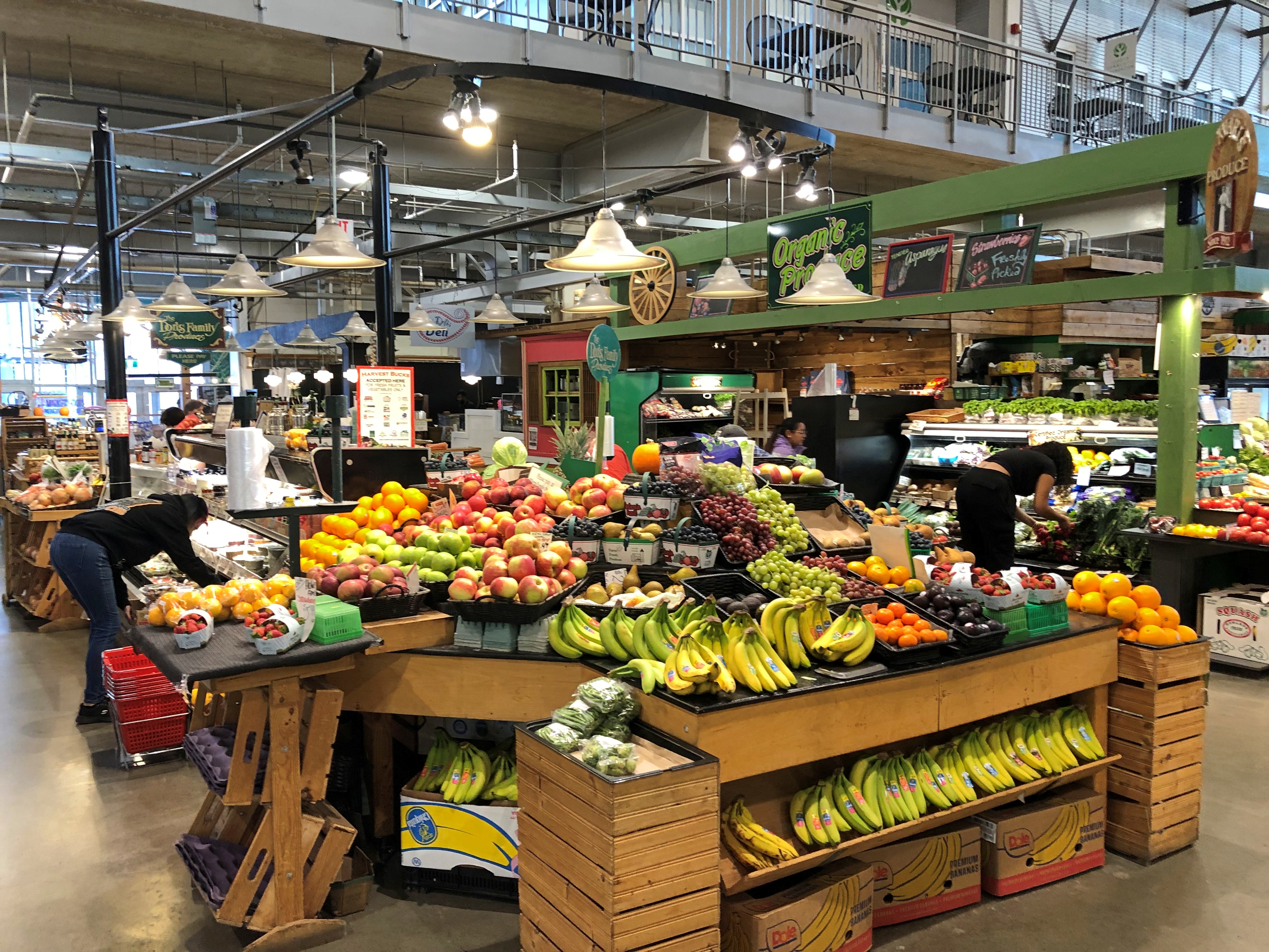
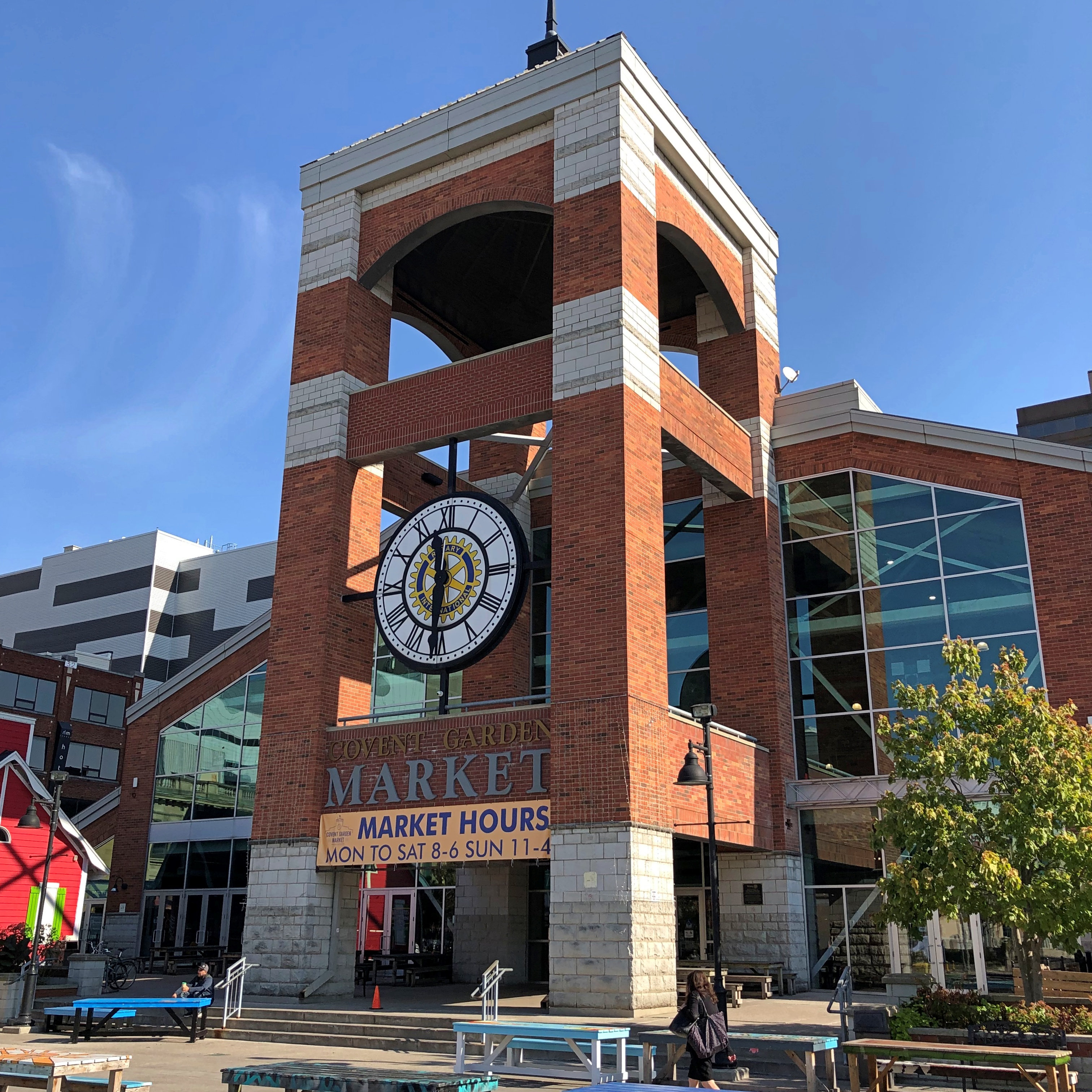
As for Covent Garden, that’s where we had lunch. Site of a public market since 1845, though I expect things have been cleaned up some since then.Covent Garden, London, Ontario Covent Garden, London, Ontario

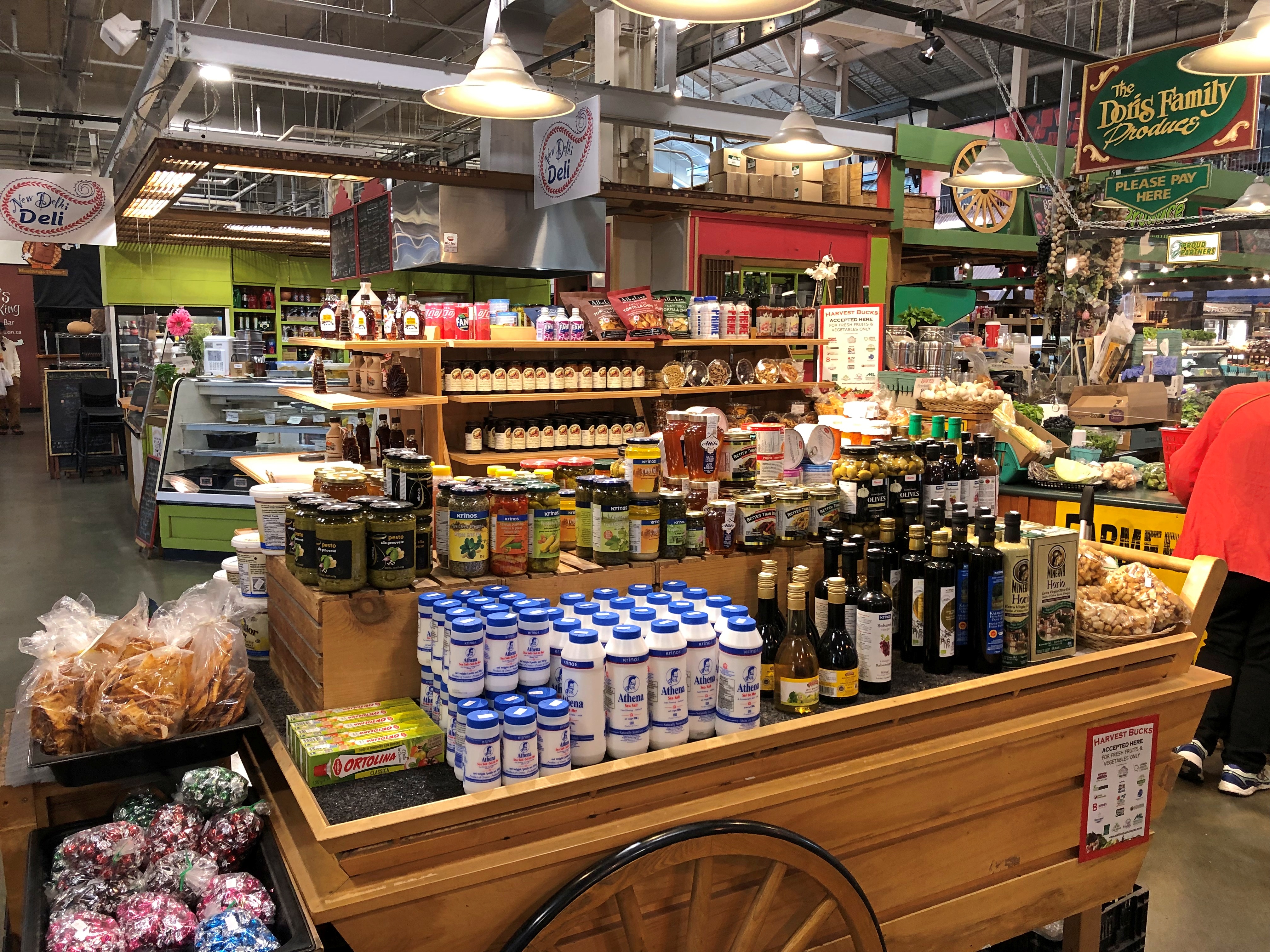
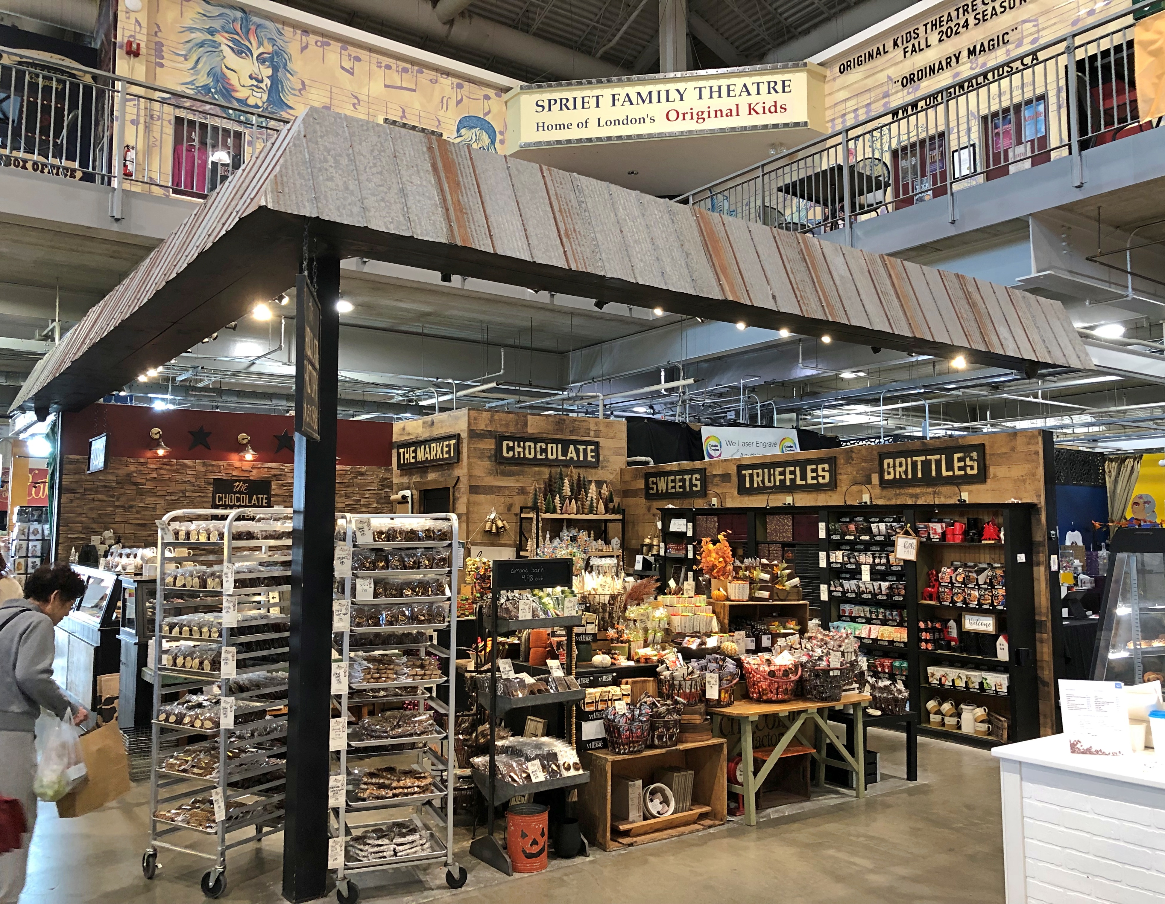
Not quite as grand as the one in the larger London, but well worth the stroll to look at the shops, and find an eatery. We ate at a Brazilian place. Don’t see too many of those in food halls. Most satisfying.Covent Garden, London, Ontario Covent Garden, London, Ontario Covent Garden, London, Ontario

Lots of goods. Is there a Canadian content requirement?London, Ontario London, Ontario

A few more London details, near Covent Garden. We didn’t see on foot the part of town I found more intriguing, which we drove through: the area around Western University (a.k.a., University of Western Ontario, enrollment more than 40,000). Might be a good place to look around if we ever take that trip to the Stratford Festival, which is practically down the road from London.London, Ontario London, Ontario London, Ontario

I have to like a place with a name like that.

Bruce Peninsula ’24

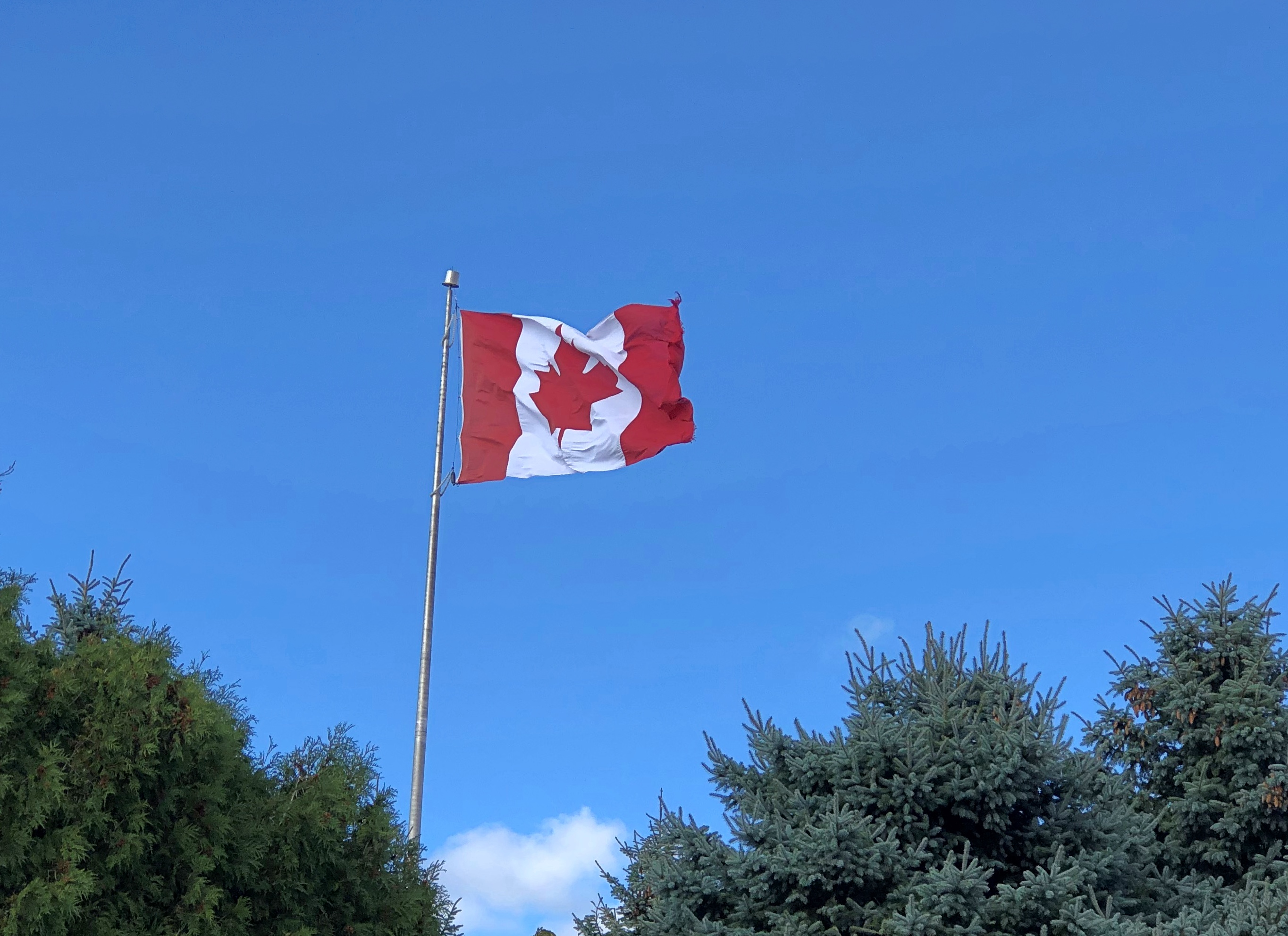
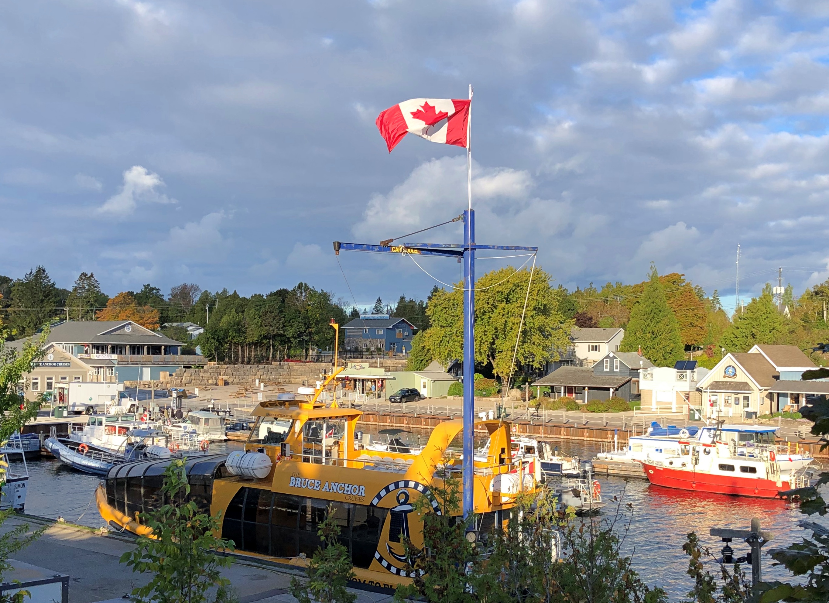
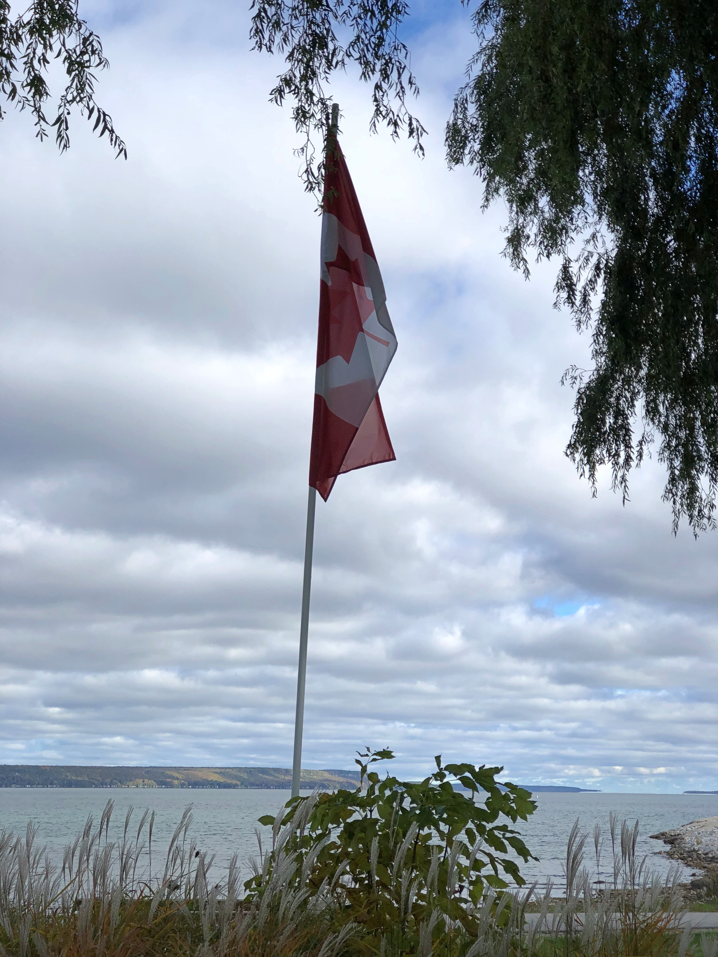
We visited the Bruce Peninsula of Ontario last week in time for some windy weather, but otherwise not inclement. The wind would ultimately require us to change our travel plans somewhat, more about which later, but it also kept flags in a spirited motion. This one snapped over a small lakeside park in Kincardine, Ontario, within sight of Lake Huron.Maple Leaf Flag, west Ontario

That was on Tuesday as we headed north along the eastern side of the lake, and by then I’d already formed the impression that Canadians fly more national flags than they used to. Just an impression from visiting on and off for nearly 40 years, spending maybe a month in country all together, but in no way based on anything more than my feeling. There have always been flags flying during my visits to Canada, of course. It’s just that there seemed to be more this time, though not as many as generally flag-happy Americans hoist.

The first day of the trip, Monday, October 7, we crossed Michigan to made it to Sarnia, Ontario, arriving at after dark, so there were few Canadian flags visible. The next day took us to the tip of the Bruce Peninsula, to a town called Tobermory, where we spent two nights. I started taking note of Canadian flags along that route, such as the one vigorously catching the wind in Kincardine.

A flag flies at Little Tub Harbour in Tobermory.Maple Leaf Flag, west Ontario

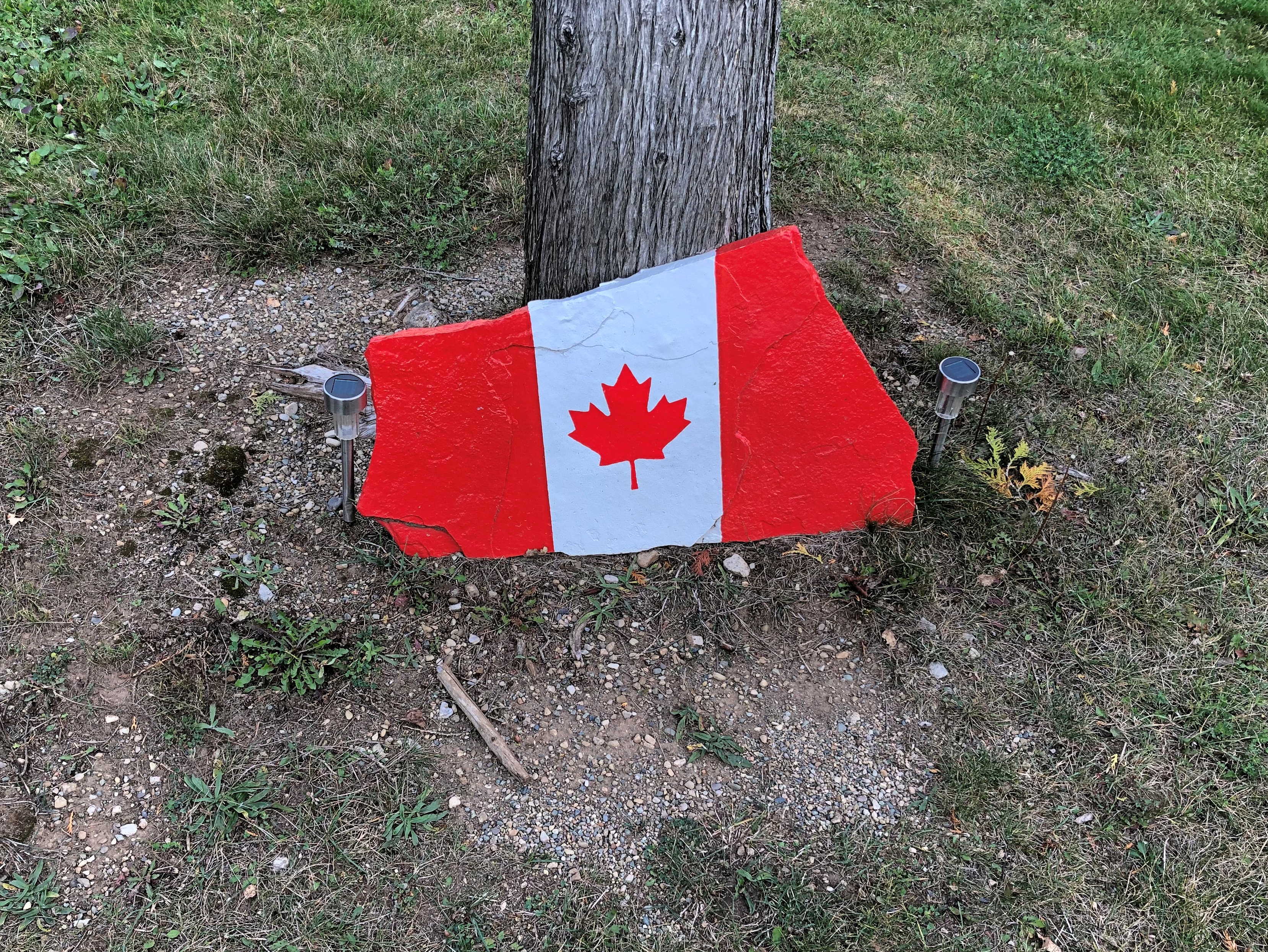
At the entrance of our motel in that town. Stands out pretty well. On the whole, that’s true of this particular flag in most any setting. Maple Leaf Flag, west Ontario

On the fourth day, October 10, we drove south much of the way we’d come, though ended up (by plan) near London, Ontario for the night. We stopped in places we’d bypassed on the way up, such as Wiarton. It wasn’t as windy that day.Maple Leaf Flag

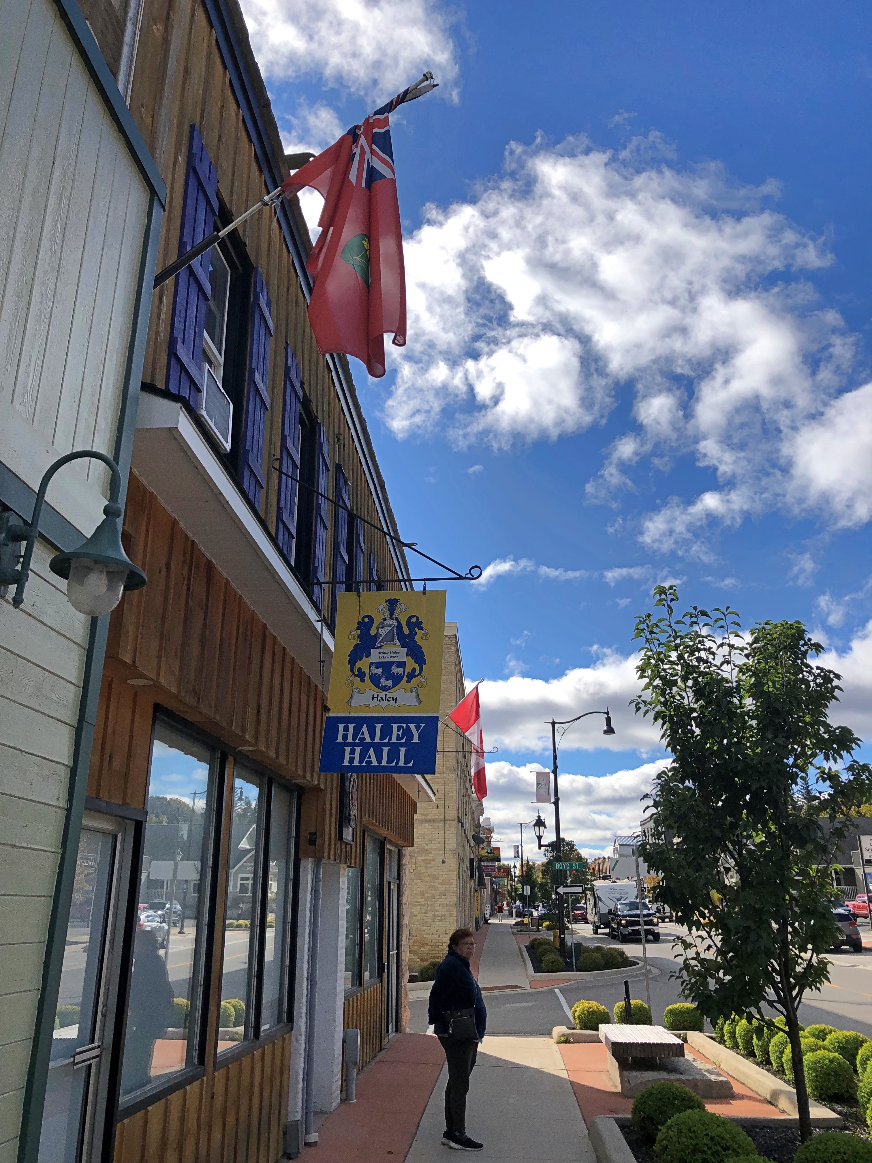
A flag I didn’t see that often was the flag of the province of Ontario. I spotted one at Haley Hall, home of the Royal Legion of Canada, branch #208. hanging in front of Haley Hall on Wiarton's main street,

There seem to be grumblings about a redesign of that flag, but not much movement toward it now. Could be that many Ontarians’ attitude toward the question is eh, with a sizable number who care a lot for the current flag, but what do I know.

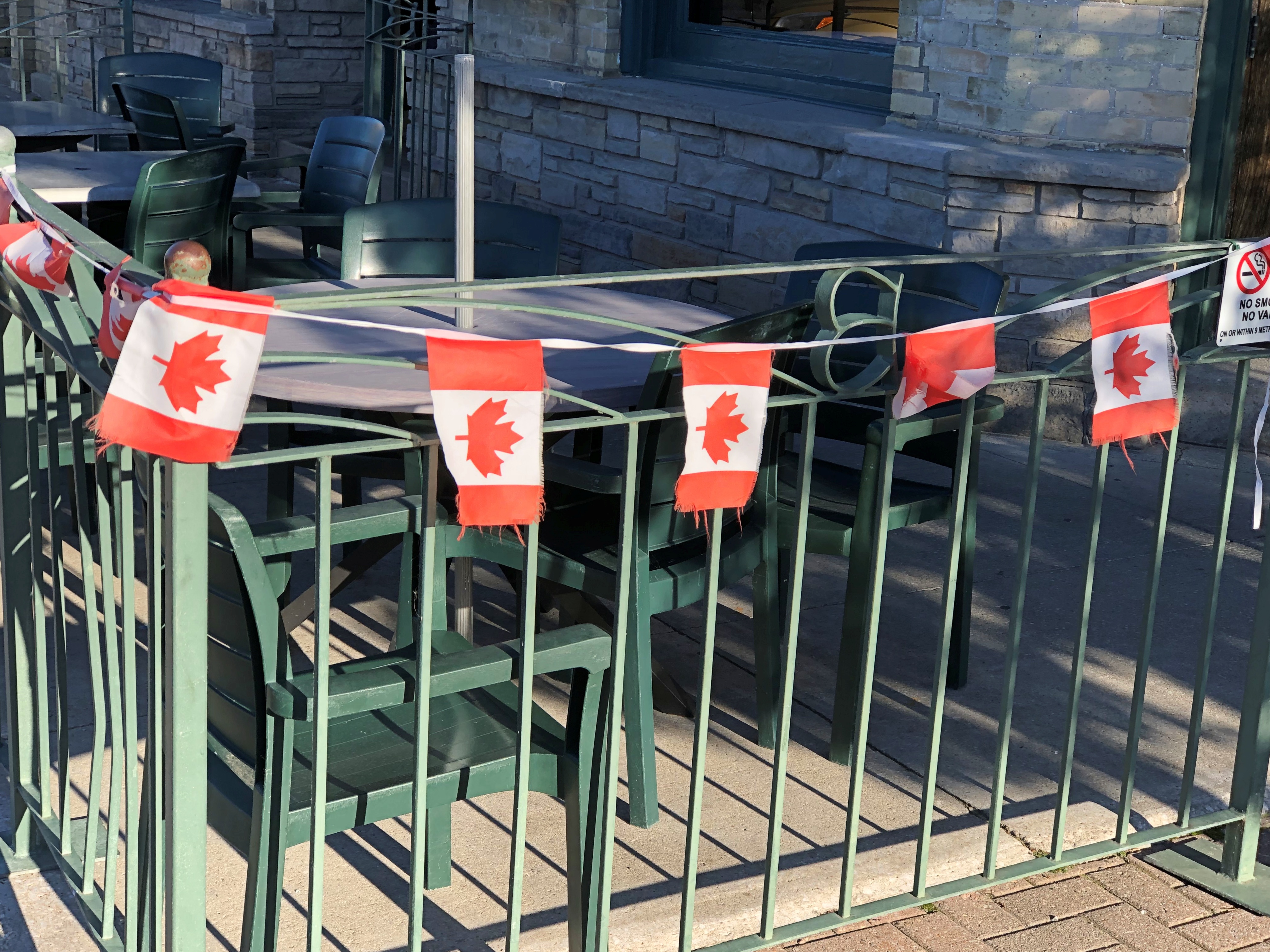
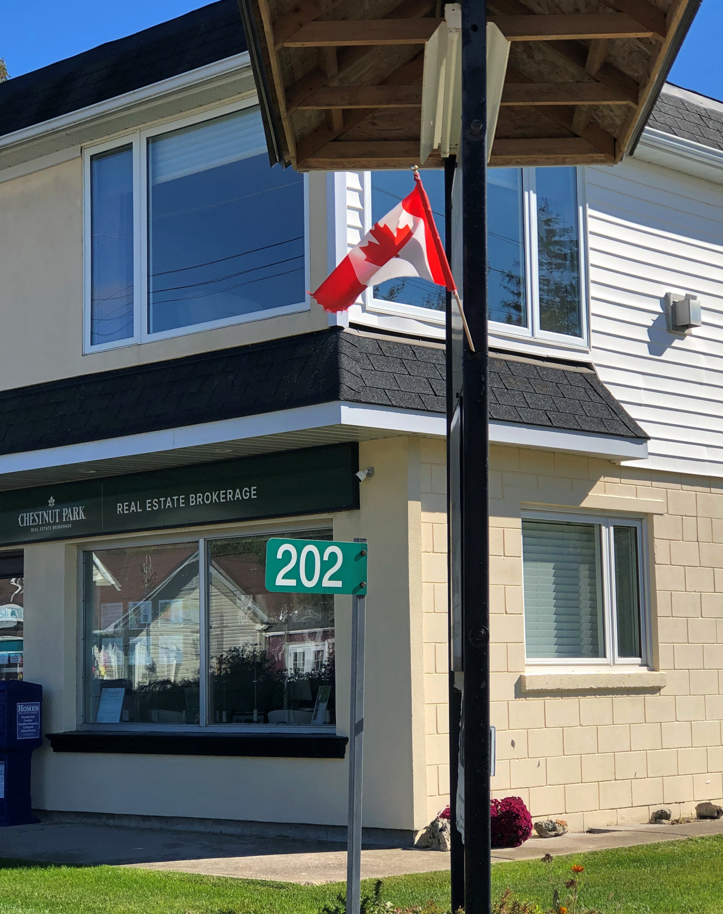
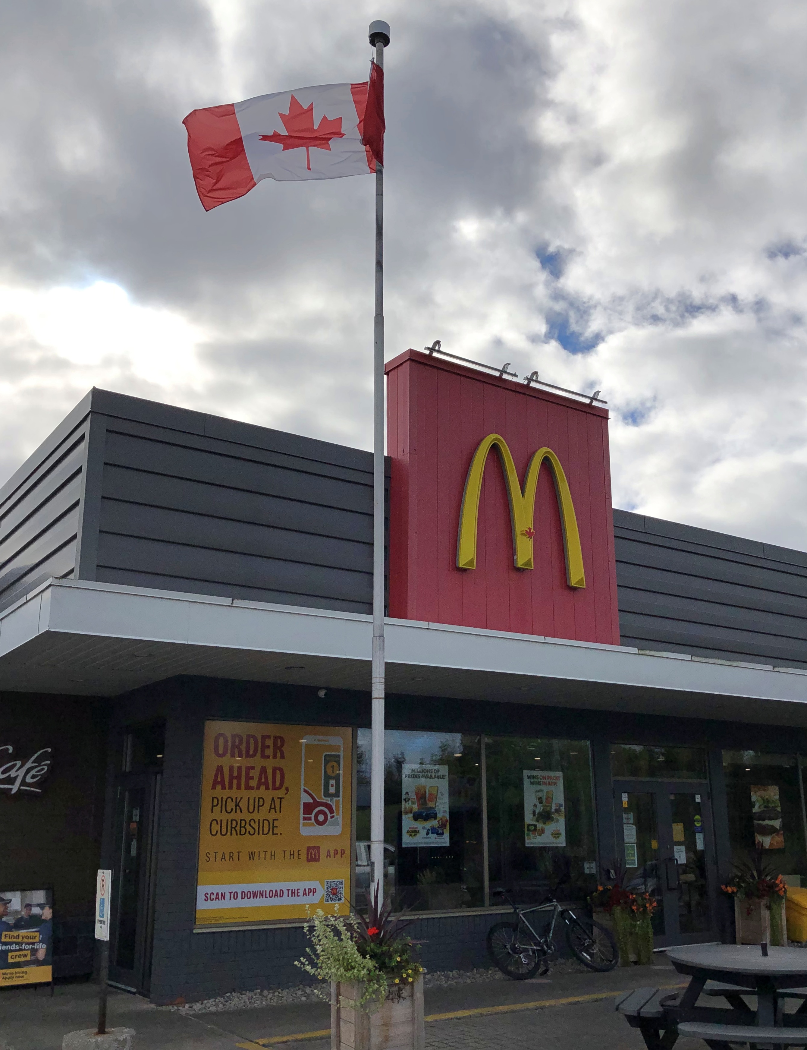
Flags on commercial structures.Maple Leaf flag Maple Leaf flag Maple Leaf flag

Note the red spot on the Golden Arches. The image doesn’t capture it well, but that’s the Canadian Maple Leaf. You’re not fooling anyone, McDonald’s.

Along our drives I also noticed that pasting a Maple Leaf on a wall or sign was very common as well: a business declaring its Canadian bone fides, even if they run no deeper than having a Canadian franchisee. Using the Maple Leaf as a shorthand for Canada has a long history, and in fact came long before the Maple Leaf flag, as detailed by a Canadian government web site.
The current national flag was the work of a committee in parliament in the 1960s. Usually committee-made implies substandard work, but I’d say they hit it out of park in the case of creating the immensely popular Maple Leaf flag.

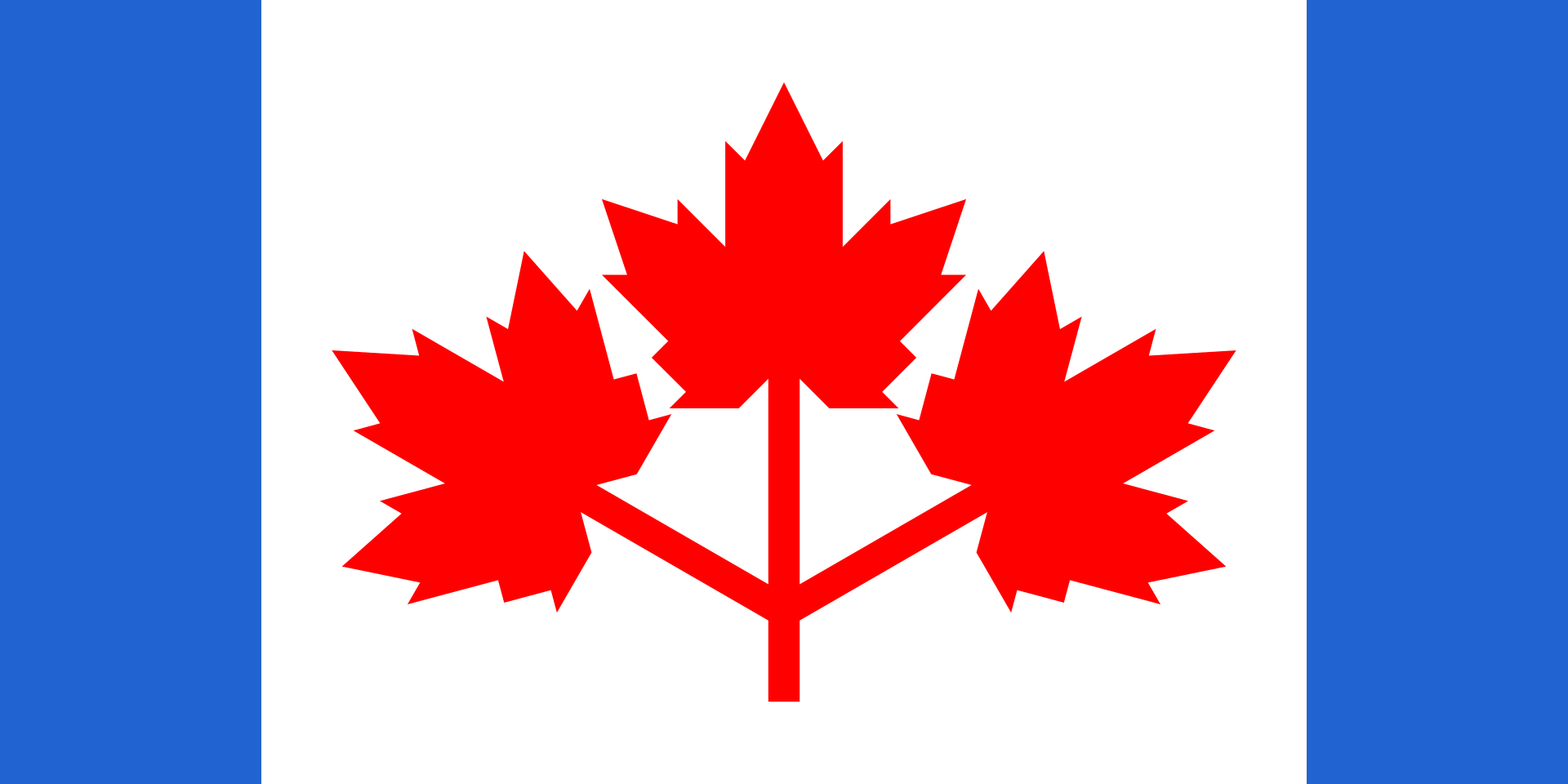
I also have to say that the three-leaf design’s pretty cool, too. It was in the running to be Canada’s flag. But maybe the symbolism isn’t right; Canada isn’t like Gaul or a giant Tennessee, with three distinct parts.

Or maybe it is. Everything west of Quebec, everything east of Quebec, and that Francophone province all by its lonesome. I’m not enough of a Canadian — not one at all — to know if that division makes any sense, but I might as well throw it out there.

Our trip to the Bruce Peninsula snapped into place only the week before we went, an unusually short time for planning (at least for me), but it turned out well. Up to the tip of the peninsula and back: four nights and five days. A longer trip would be Around Lake Huron, but it was not to be. We decided on short. That was a good decision, I think. Short but we saw a lot, and enjoyed the Bruce and other places along the way a lot.

Small roads near Ontario’s Lake Huron shore take you to small towns, long lakeshores and modest rises; vistas that can offer great beauty; and expansive farmland, well-watered woods, provincial parks and Bruce National Park, a unit of Parks Canada. Except for the Canadian flags and a few other details (such as km/h speed limits, which Canadians mostly ignored), the vibe was Door County – the counterpart peninsula on the Niagara Escarpment, jutting into Lake Michigan, the counterpart of Lake Huron.

To my way of thinking, after you’ve been to Door County and the UP – the U.S. parts of the escarpment, that is – the next logical thing to do is visit some of the Canadian parts. I’ve found that other Americans I’ve spoken to about the destination have little to no knowledge of it.

Since there is a well-developed tourist infrastructure in those parts, clearly the Canadians have heard of the Bruce, and visit in droves in the summer. That was another reason to go in shoulder-season October. Those droves were gone, and sometimes it felt like we had the place to ourselves, though that was far from literally true. Which you wouldn’t want anyway, since that would be like finding yourself in a Canadian version of The Last Man on Earth.

An added bonus: the U.S. dollar is still unaccountably strong against the Canadian dollar, which fetches about 75 U.S. cents, like it did last year (but not in 2006, when it was close to parity). Pay your bill and with no effort, get a 25 percent discount. None of those cash-back schemes so widely advertised can hold a candle to that.

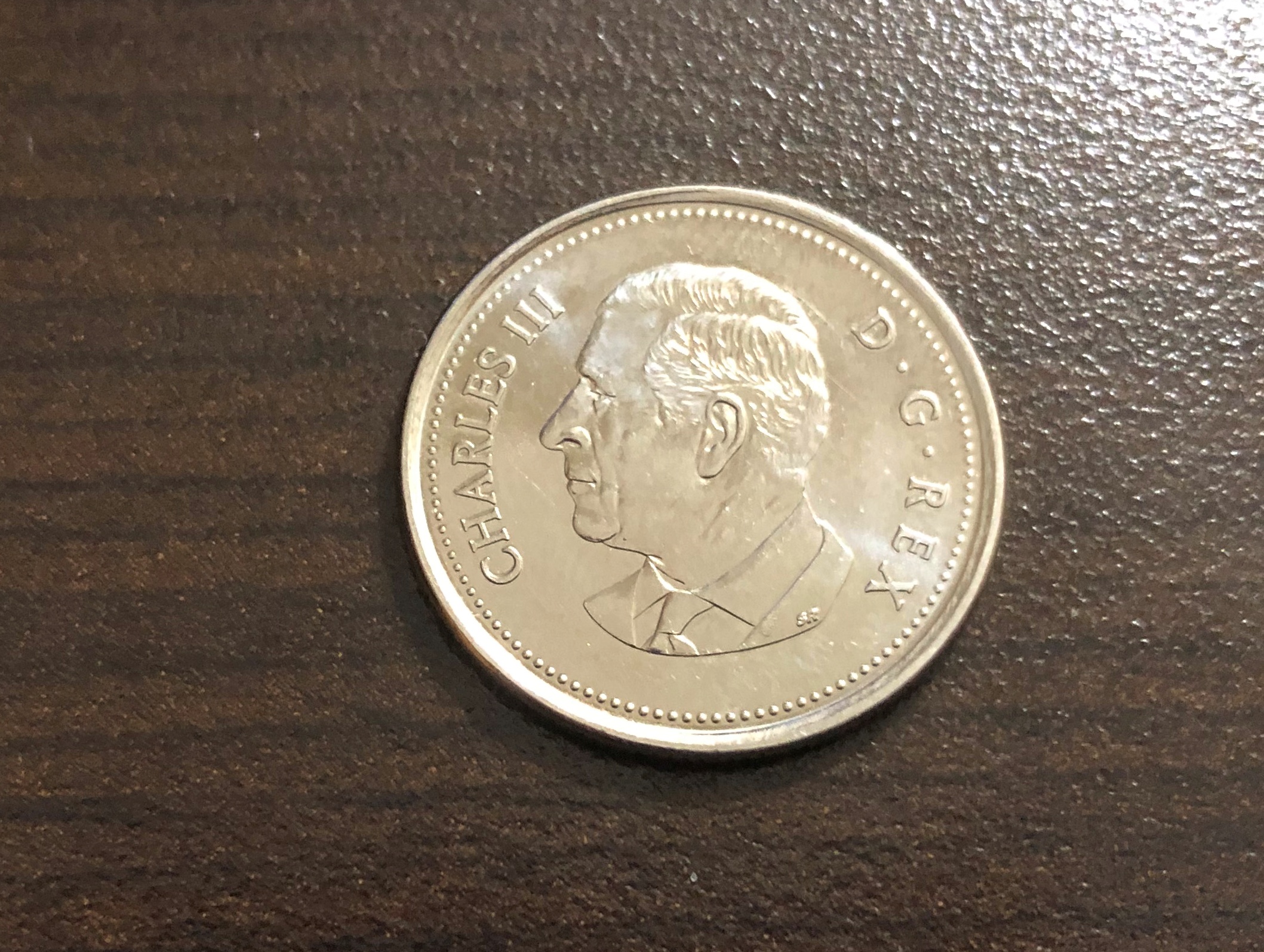
Speaking of money, and national symbols, receiving this coin was a first for me, namely getting Charles in change. Minted in 2023.  Got it along with some Elizabeth coins, obviously still the vast majority.

King Charles taking his place on coinage, hewing to a custom as ancient as King Croesus, yet in a remote part of his realm that’s not really his realm that much any more. I don’t have strong feelings about him as sovereign, but it is nice to see something new on a coin, like the recent redesigns of the obverses of the U.S. Washington quarter and Jefferson nickel.

Craters of the Moon National Monument

Among the western states, Idaho’s got one of the more interesting shapes, the result of decades of negotiations, schemes and the arcane doings of Congress in the 19th century, which are summarized nicely in an article in Idaho magazine, though it could use a few more maps. Not every is happy with the current Oregon-Idaho border, though I’m not holding my breath waiting for a change.

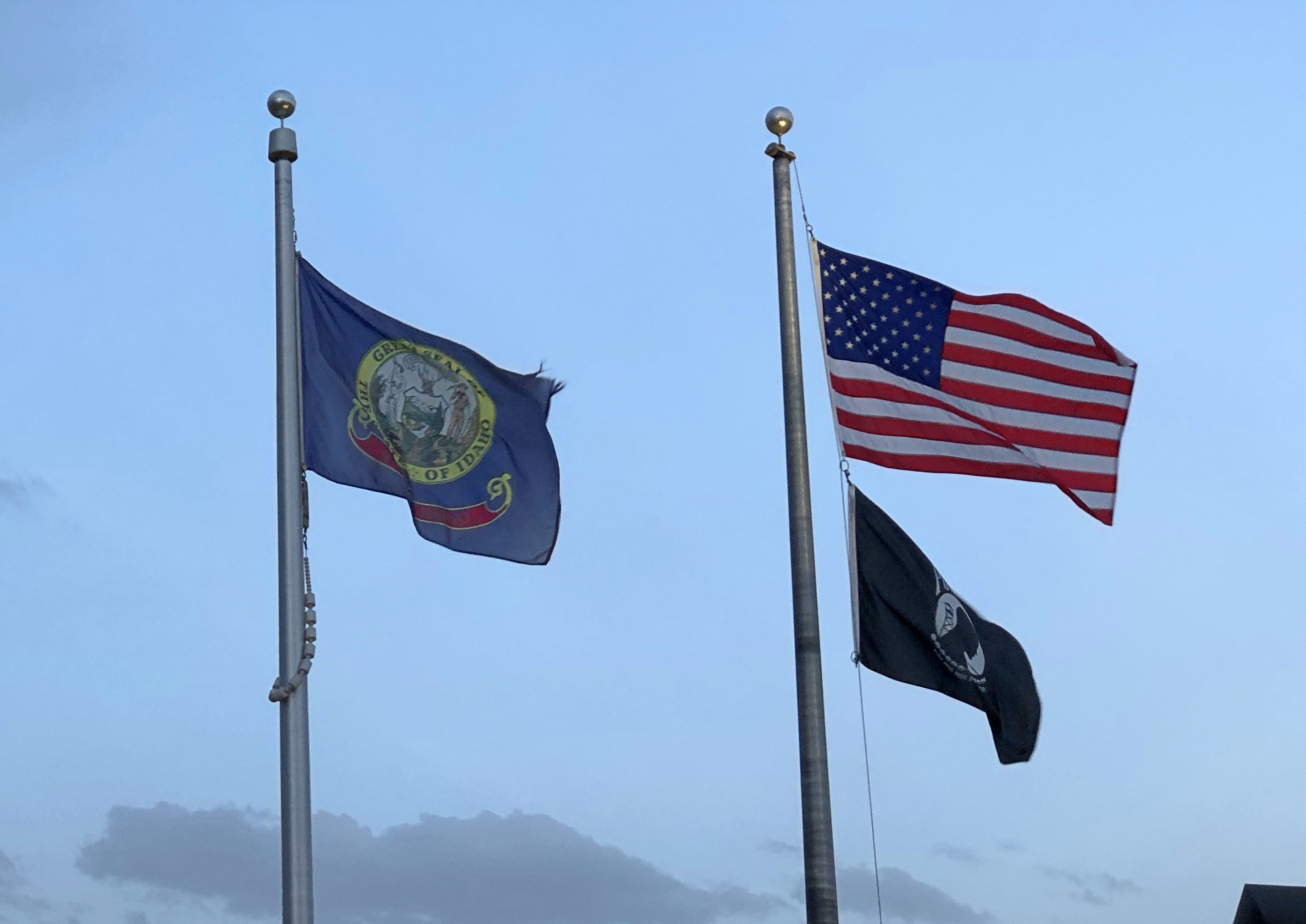
Idaho’s flag is less interesting; another state seal.Idaho flag

At least the seal has some Latin: Esto perpetua, let it be forever; it is forever. I assume that’s a wish for the existence of Idaho, or Idaho’s status as a state, not the seal or flag itself. New state flag designs for Idaho are kicking around on the likes of Reddit, but nothing official seems to be in the works yet. Pocatello has had a new flag since 2017, however, and it did need one.

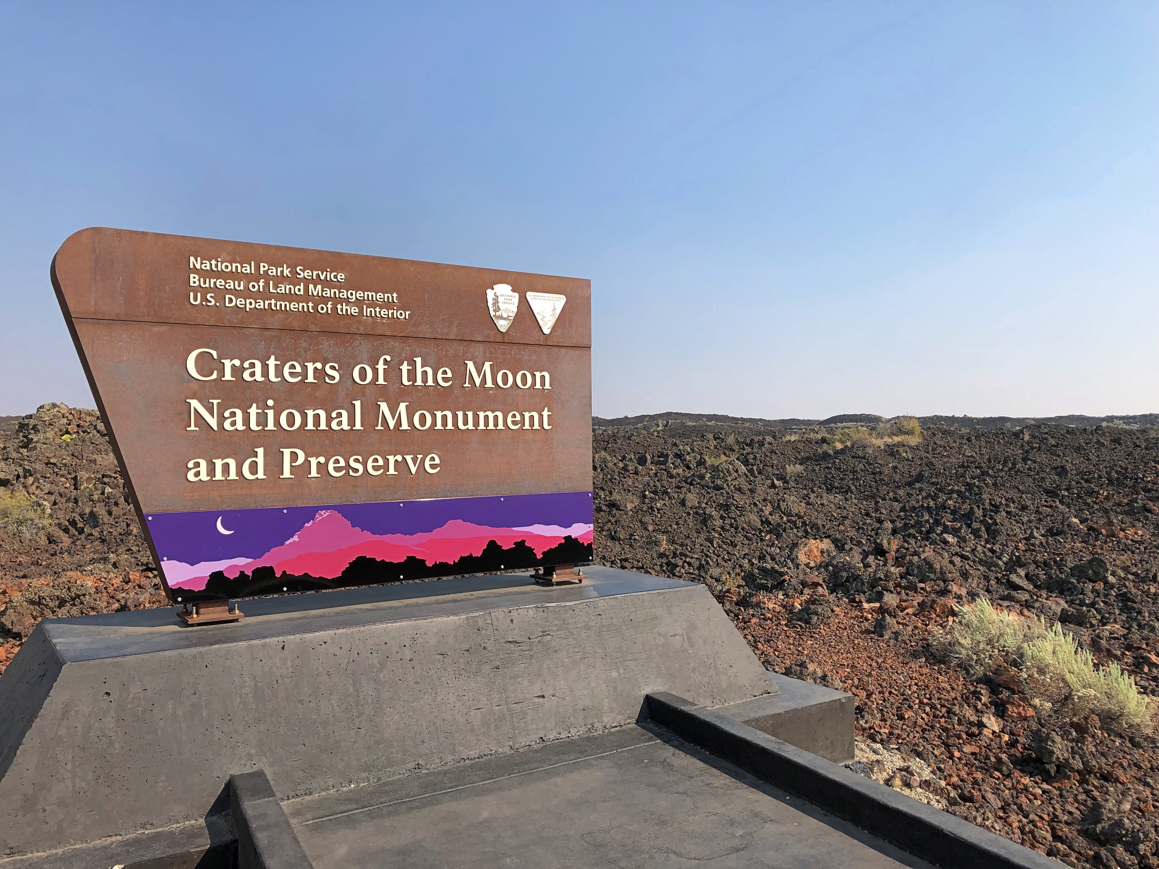
We headed east from Boise on September 3. The easy way is on I-84. We drove to Mountain Home and then turned off on US 20, as previously mentioned. Go that way and you’ll eventually come to Craters of the Moon National Monument and Preserve. It’s a big blob on the map (753,000 acres) that has long intrigued me.Craters of the Moon National Monument

The monument was originally created in 1924 by President Coolidge partly due to the publicizing efforts of an interesting Idahoan, Bob Limbert, who explored the area, previously ignored as a wasteland, and wrote about it. President Clinton expanded Craters of the Moon greatly in 2000 and I’ve read that the Idaho legislature has asked Congress to make it a national park.

I’d be against it. Not that anyone has asked me, but it’s time to stop national park bloat. Sixty-three is more than enough. Sixty is fine, for that matter, a nice round number with ancient resonance. There’s nothing wrong with a place being a national monument. It’s an honorable old designation, the brainchild that most conservation-minded president, TR. I need to visit more of them myself: only 21 out of 134 so far, counting Craters of the Moon and Devils Tower.

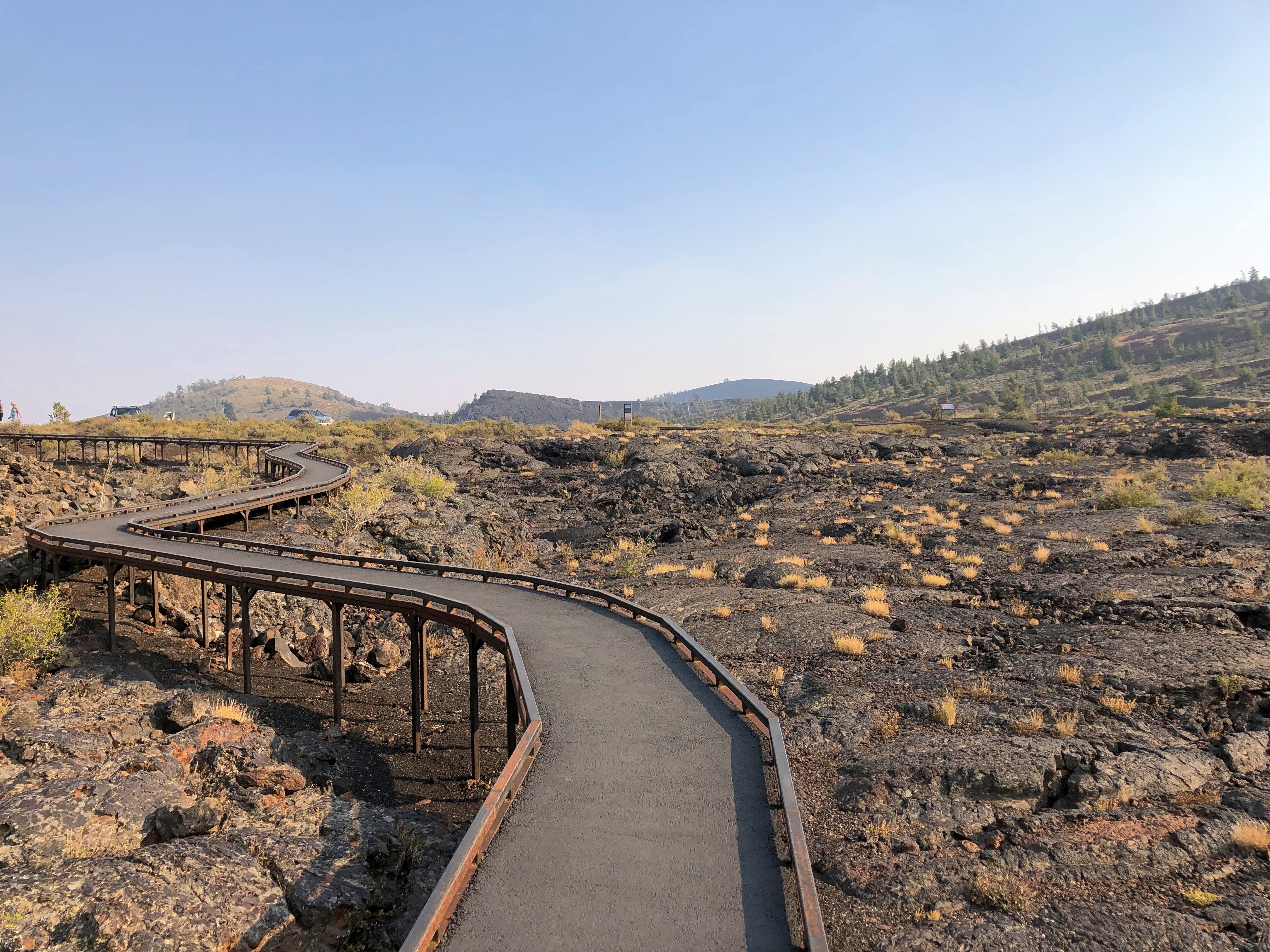
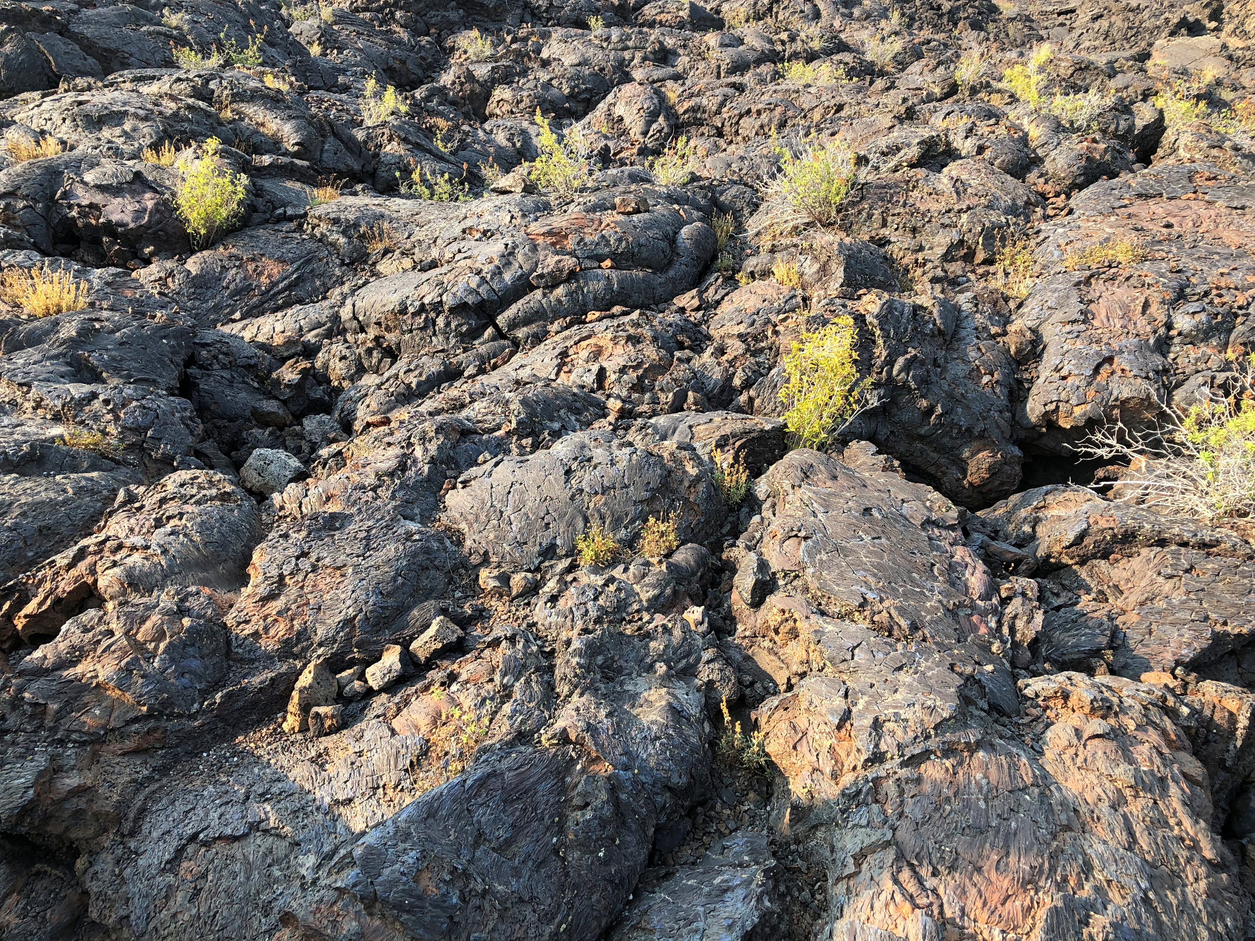
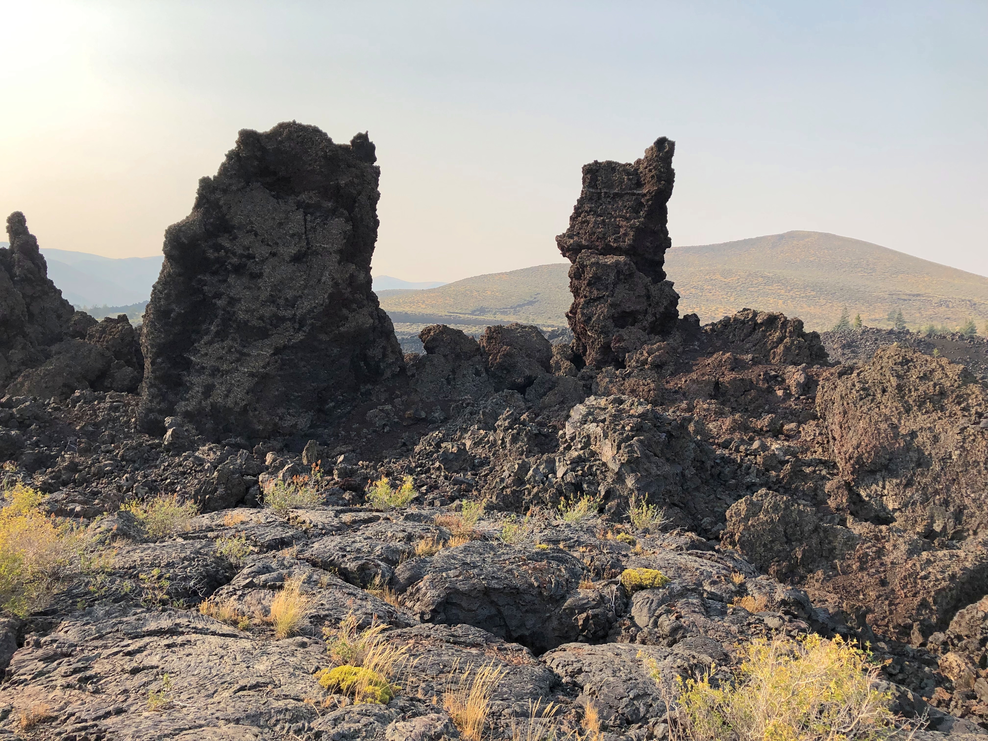
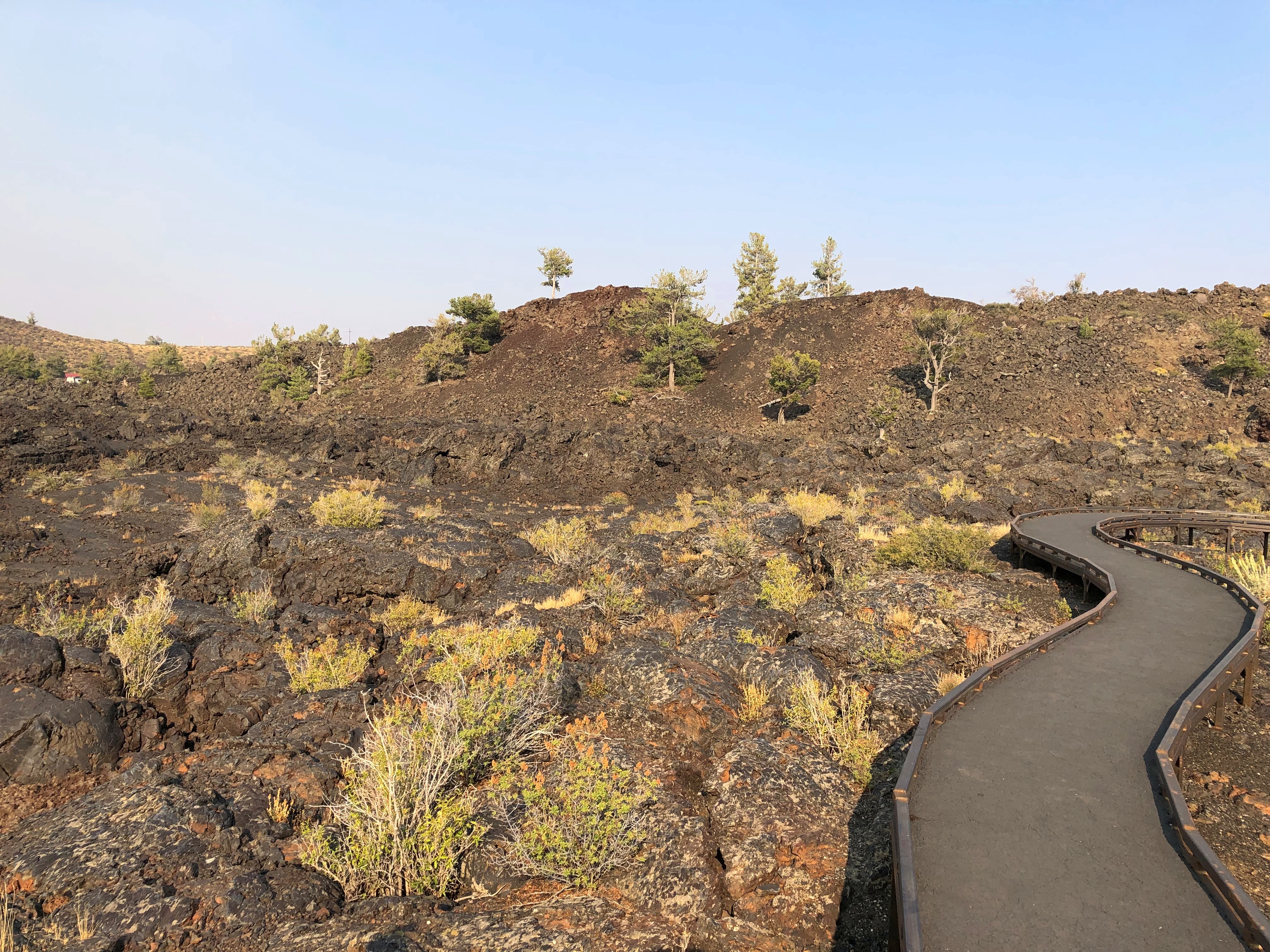
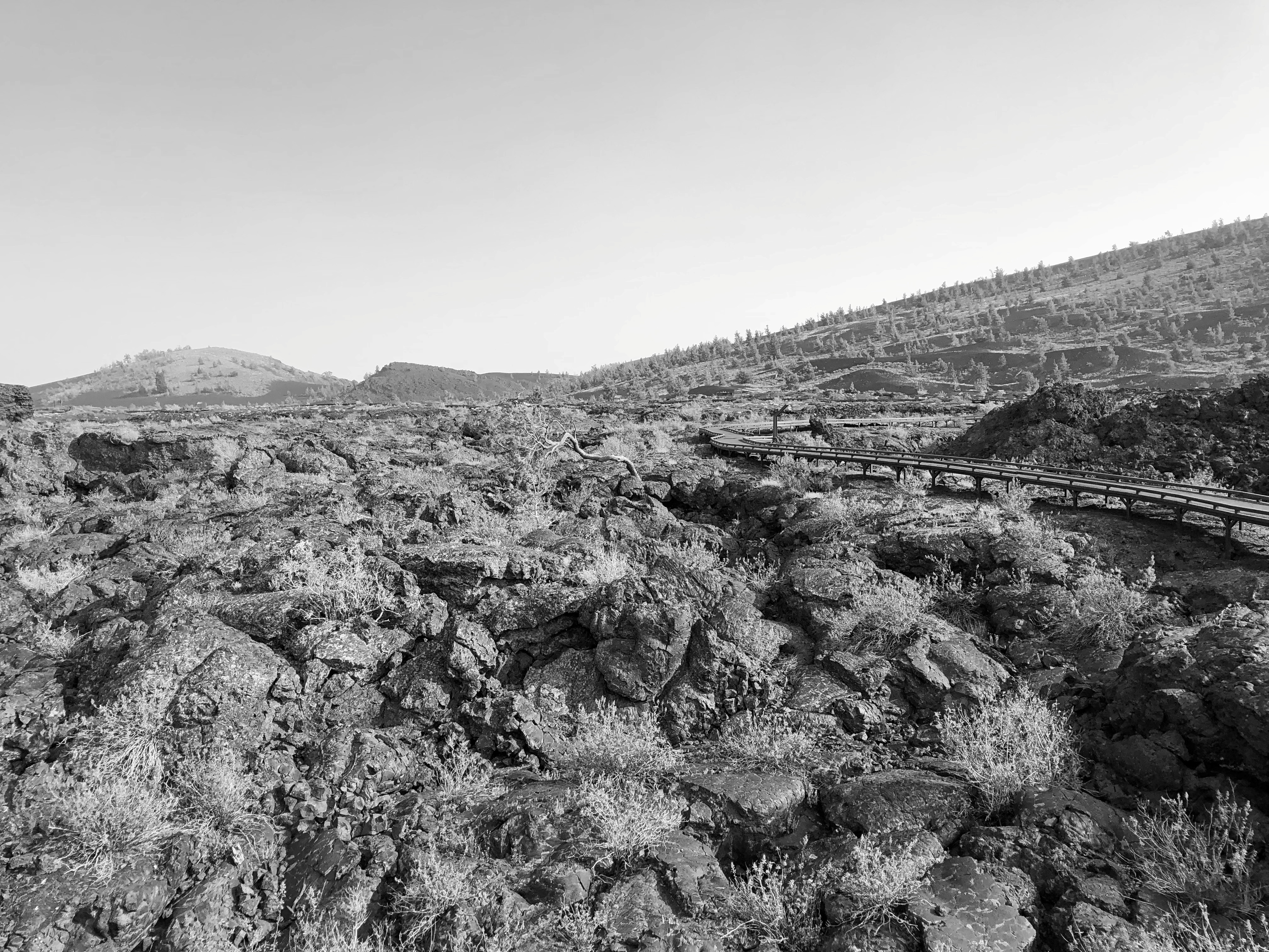
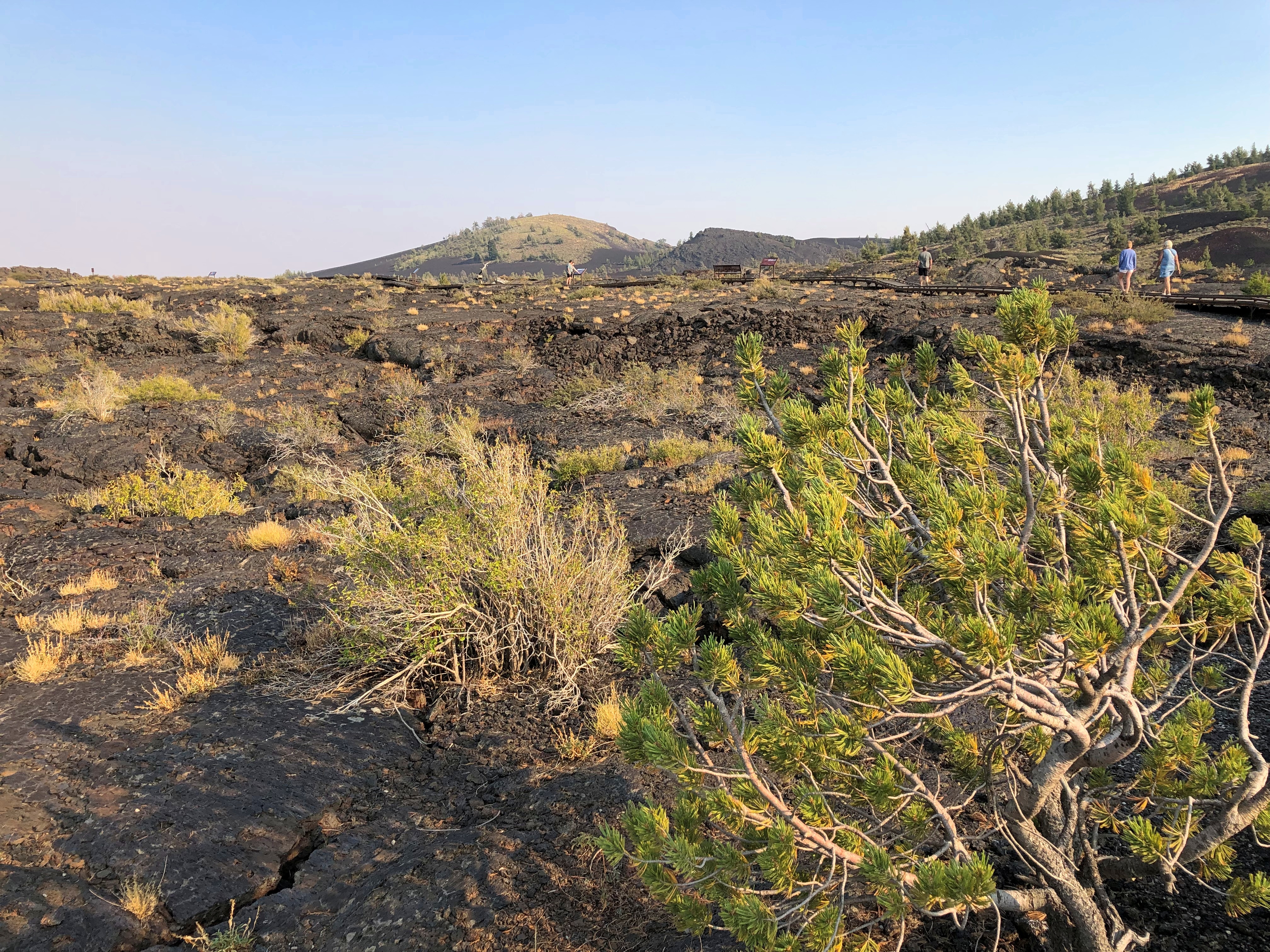
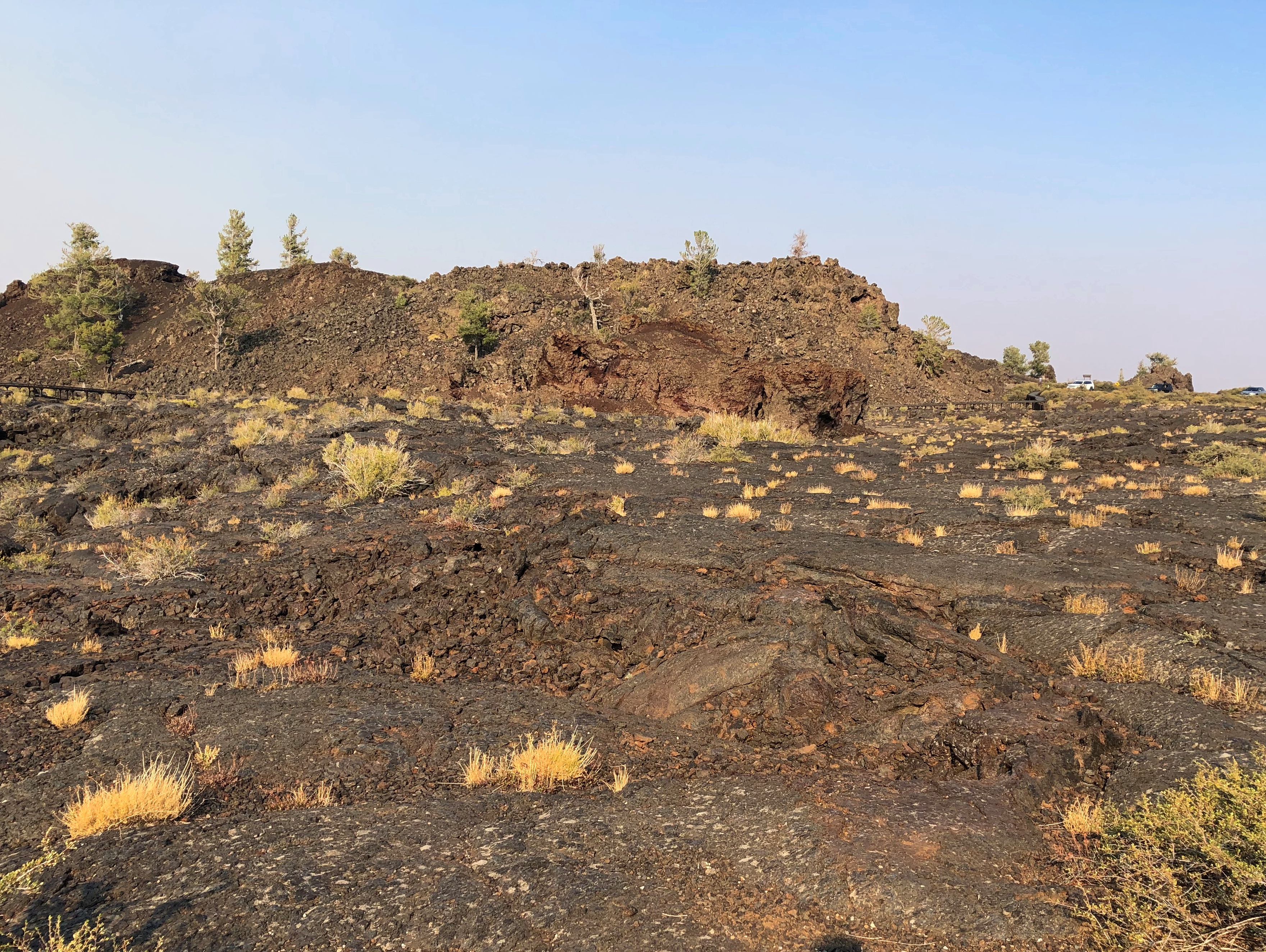
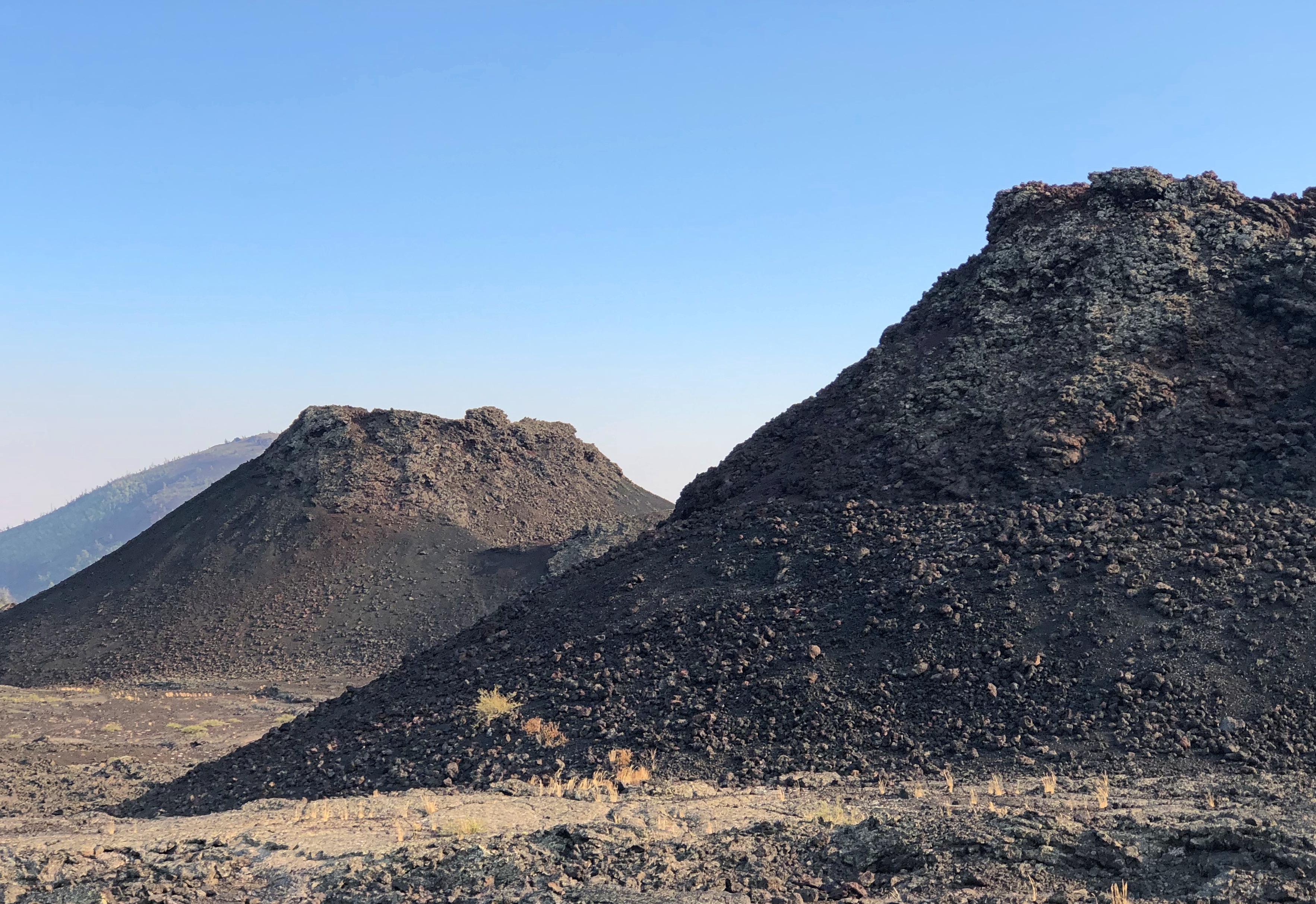
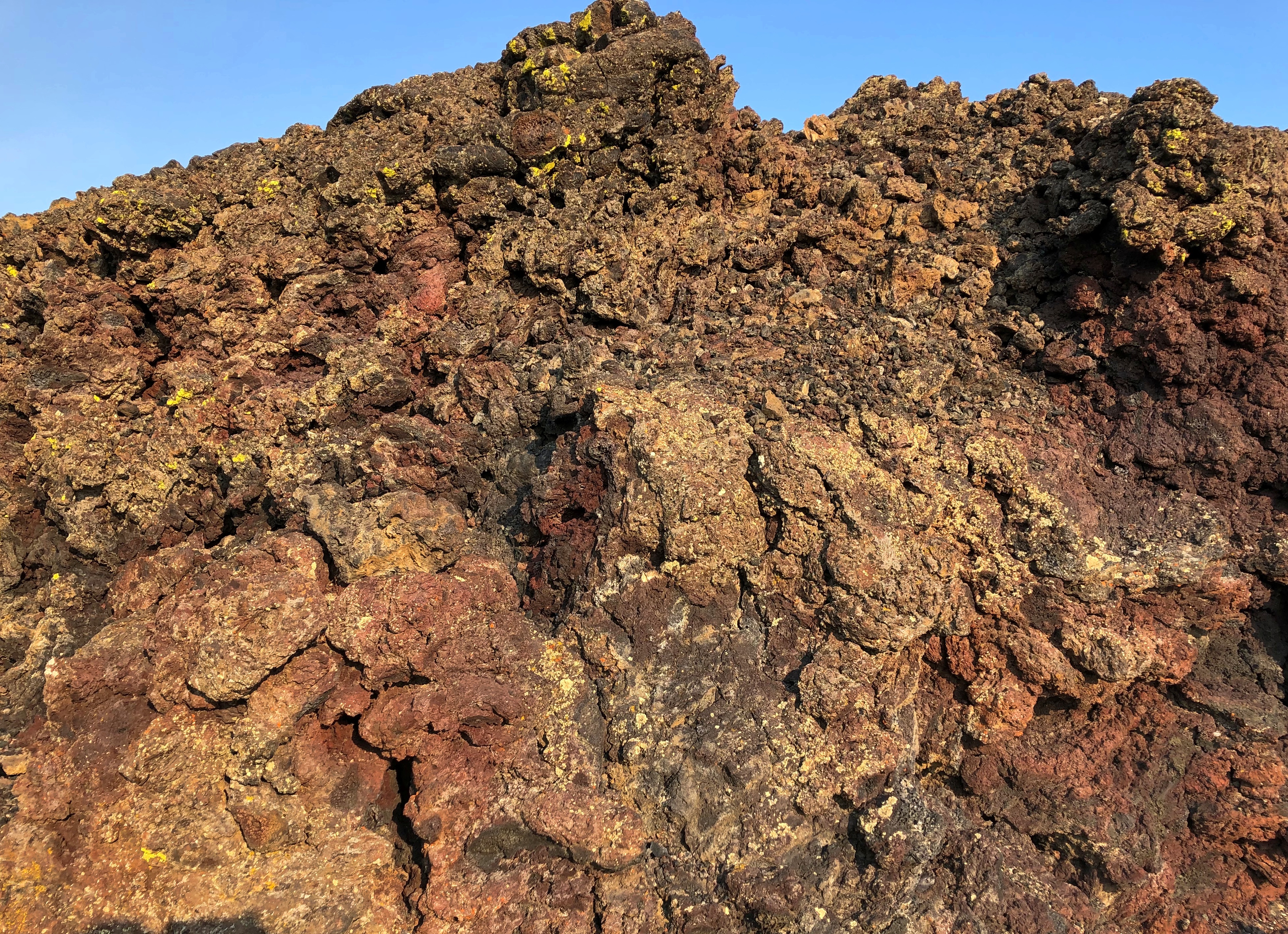
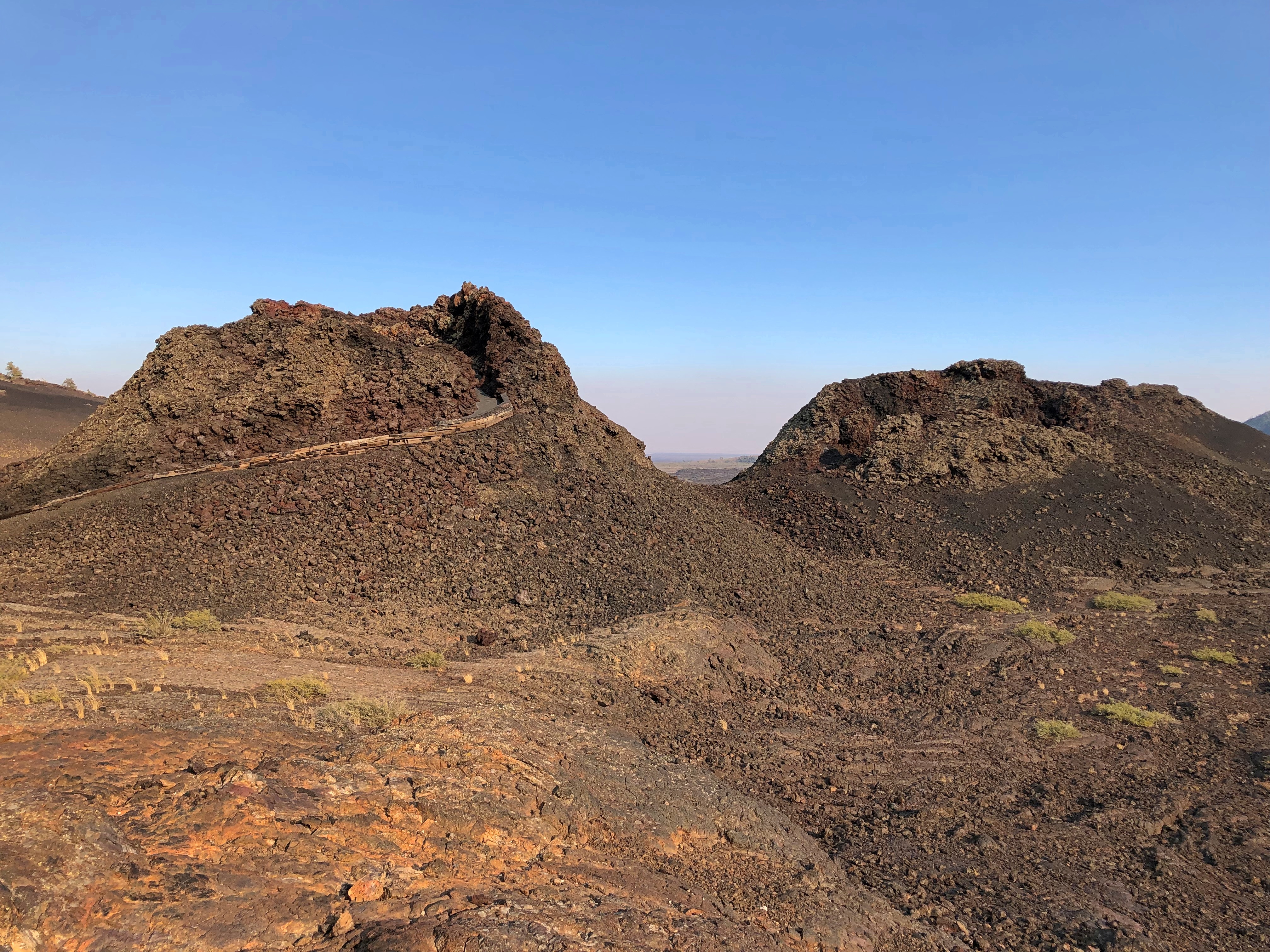
The part of Craters of the Moon accessible to casual tourists is only a sliver, but quite a sliver. One trail leads over the aftermath of ancient lava flows, and a road leads to cones.Craters of the Moon National Monument Craters of the Moon National Monument Craters of the Moon National Monument Craters of the Moon National Monument

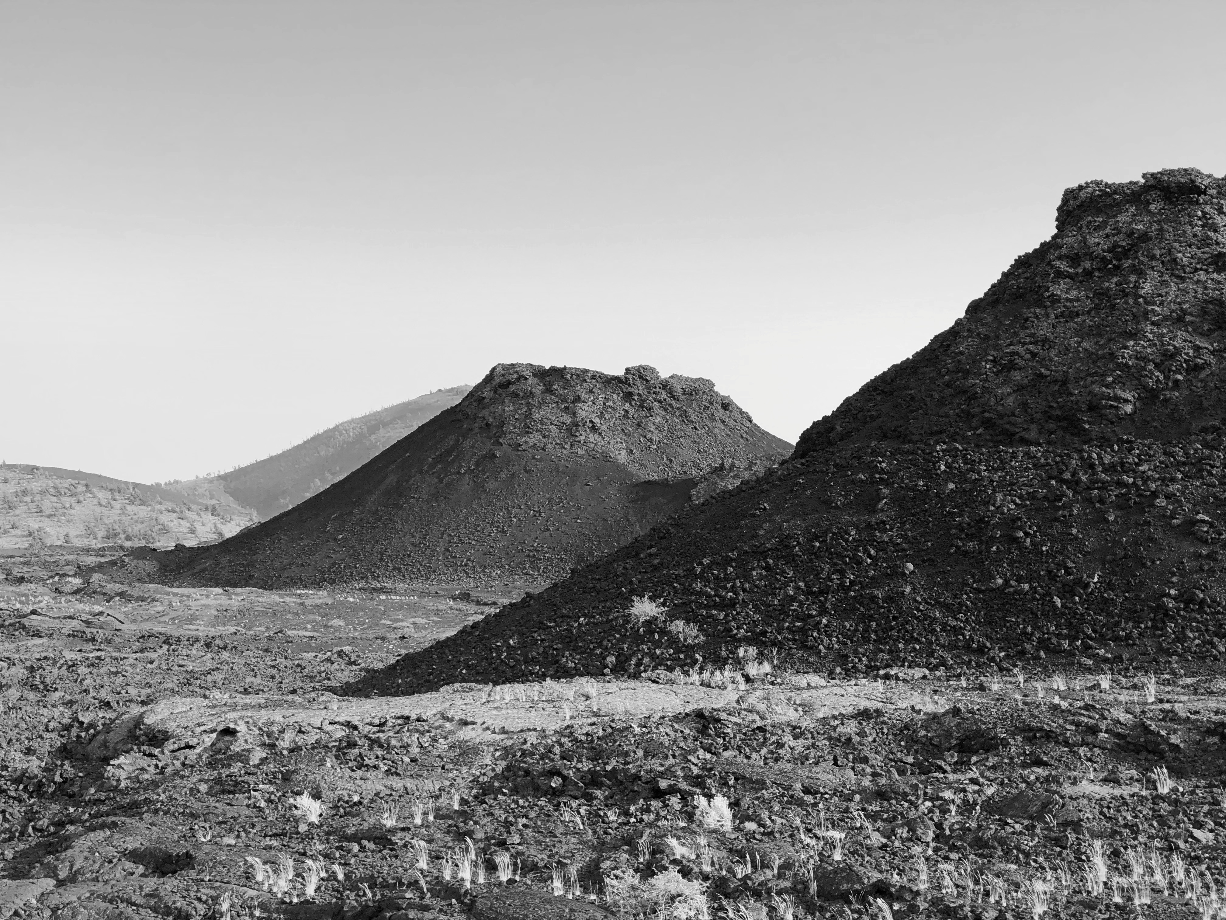
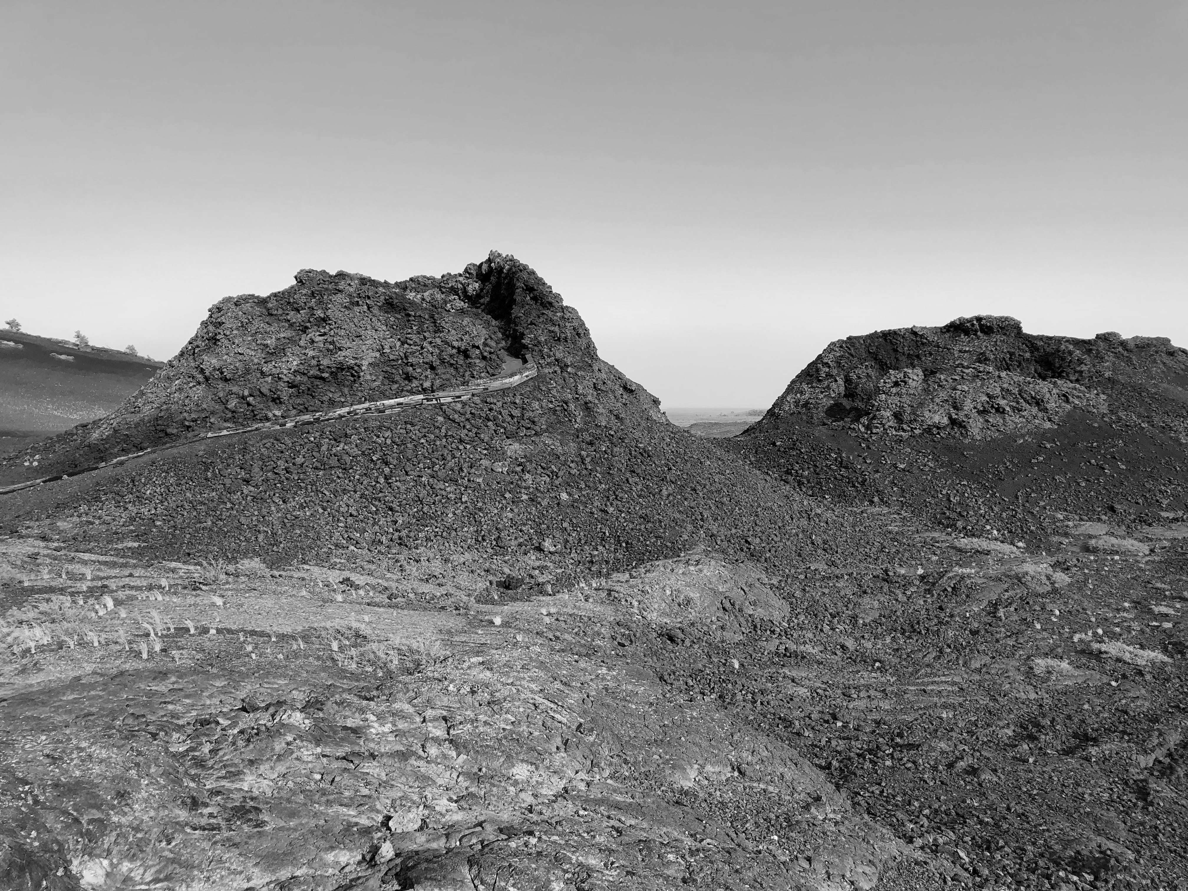
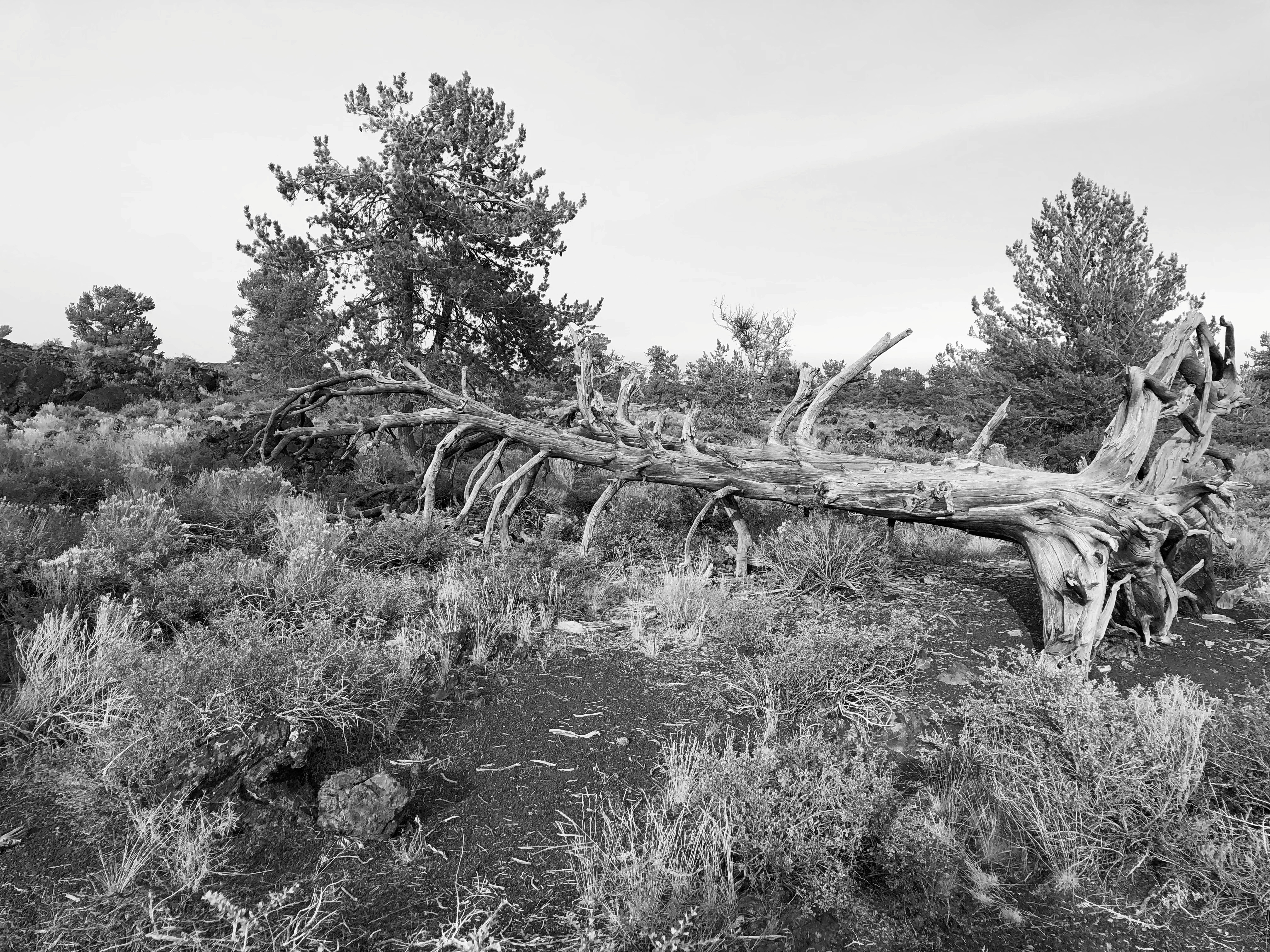
The terrain just cries out for a monochromatic treatment.Craters of the Moon National Monument Craters of the Moon National Monument

The day was warm enough to wear a hat and carry water, but not blazing hot. A scattering of other tourists were around, but nothing like the more popular trails of the national parks.

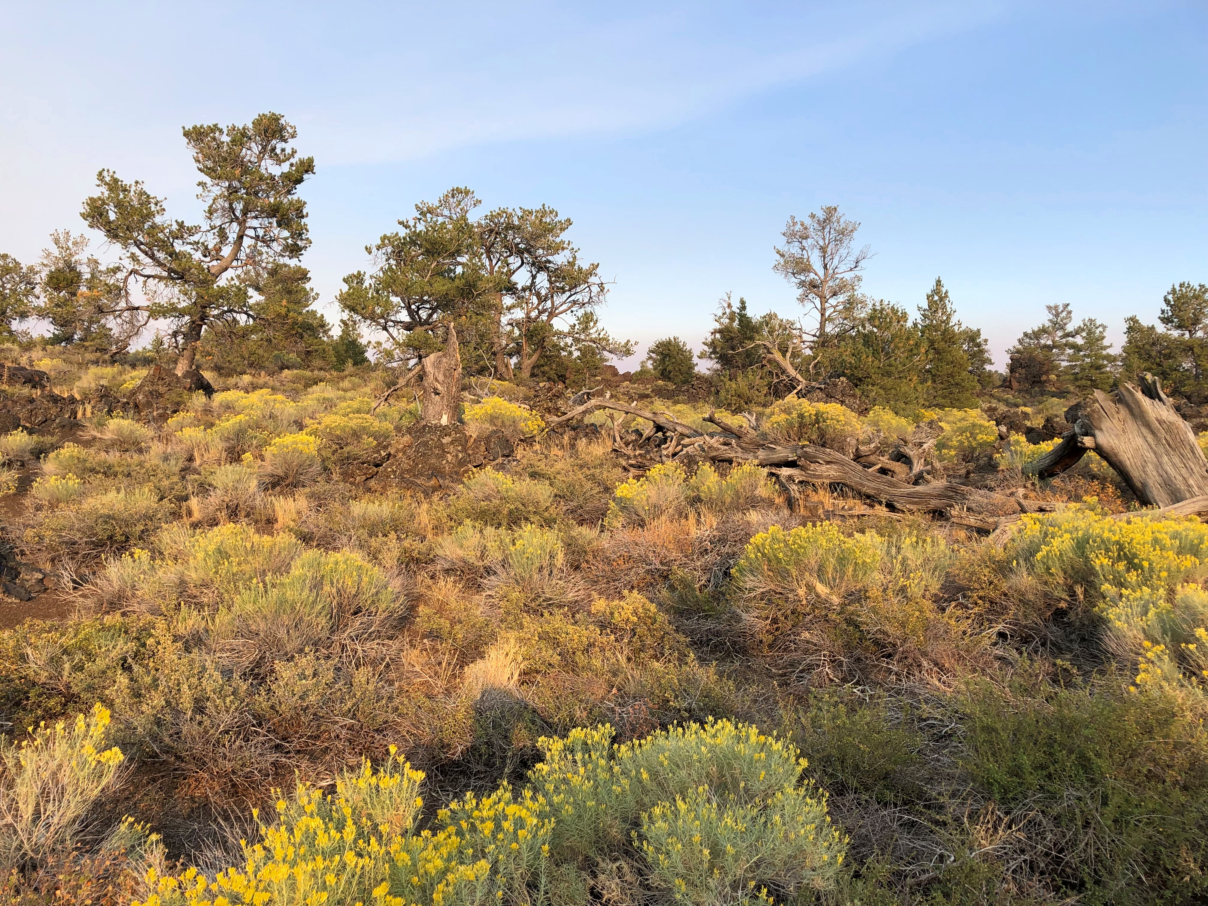
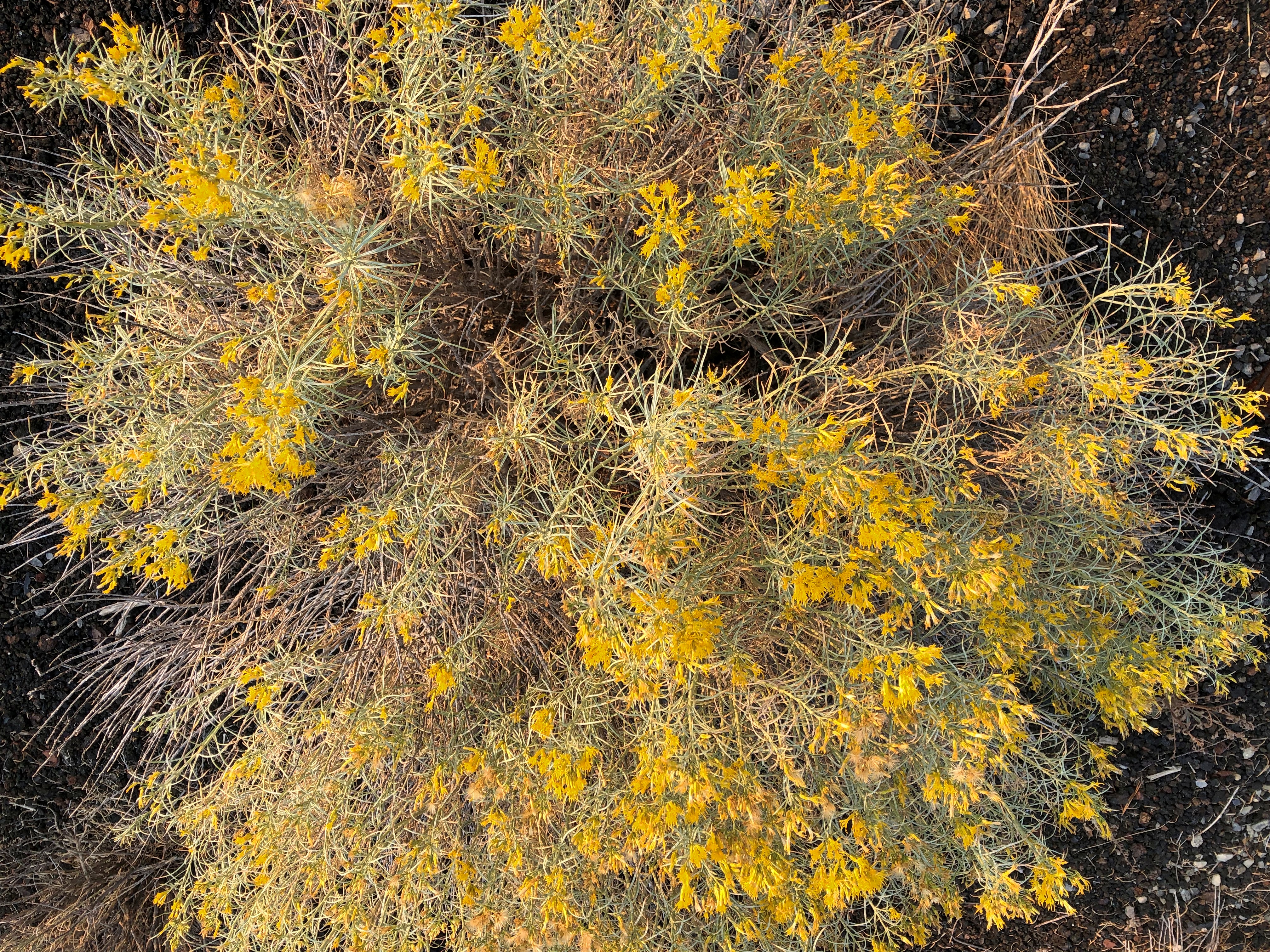
The place looks barren, but it isn’t so, since life adapts.Craters of the Moon National Monument Craters of the Moon National Monument Craters of the Moon National Monument

Except where it doesn’t. Yet.Craters of the Moon National Monument Craters of the Moon National Monument Craters of the Moon National Monument Craters of the Moon National Monument

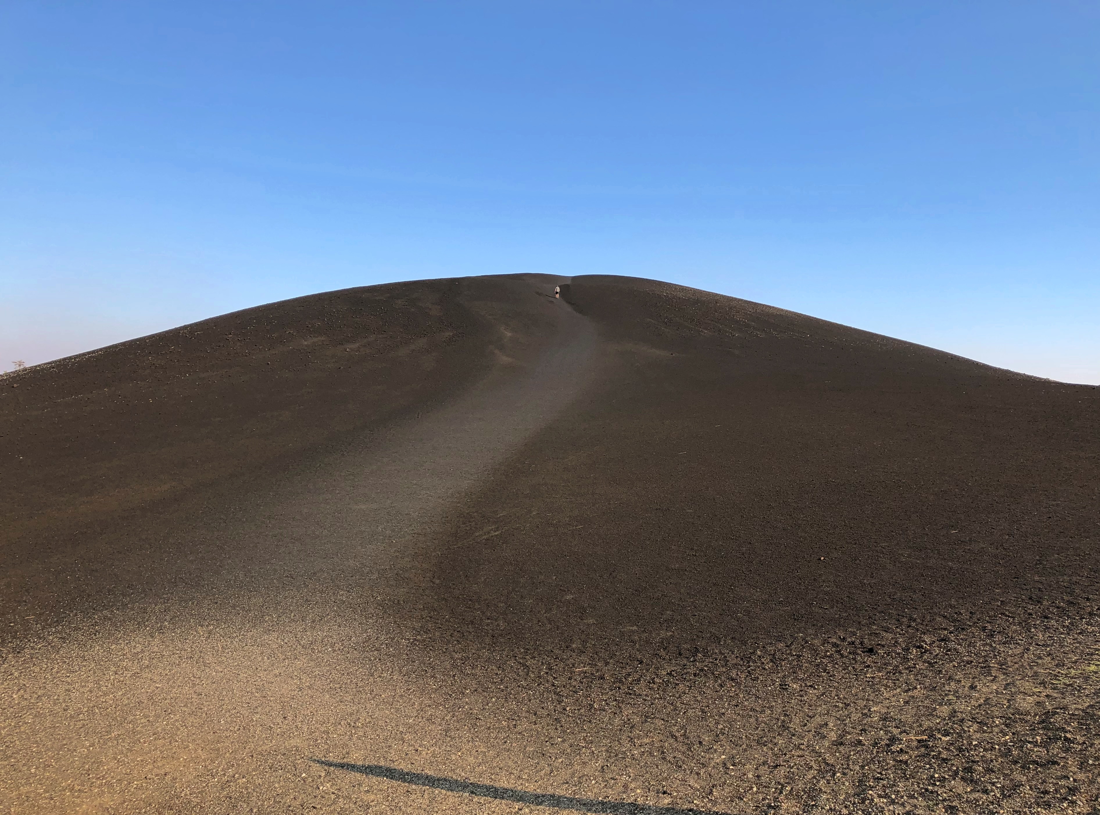
We decided not to climb the enormous black cone, but if you look carefully, you can see a fellow who did. Note the trail on one of the smaller cones. That we did climb, reaching a view of the maw of the cone, though it has a grate blocking the way, to limit the erosive effect of a constant trickle of people clambering down.

More monochrome.Craters of the Moon NM Craters of the Moon NM

“The craters of Craters of the Moon… are definitely of volcanic origin,” explains the NPS paper guide, noting also that the name dates from long before anyone knew what the actual craters of the Moon looked like, at least up close. I don’t think any of the Apollo astronauts were reminded of Idaho. No matter, the name’s got some panache.

“But where is the volcano? These vast volumes of lava issued not from one volcano but from a series of deep fissures – known collectively as the Great Rift – that crosses the Snake River Plain. Beginning 15,000 years ago, lava welled up from the Great Rift to produce this vast ocean of rock. The most recent eruption occurred a mere 2,000 years ago, and geologists believe that future events are likely.”

Not to be confused with the Great Rift Valley, over in East Africa. The Digital Atlas of Idaho calls it the Great Rift system, “a series of north-northwest trending fractures… The total rift system is 62 miles long and may be the longest known rift zone in the conterminous United States.”

In other places, life has returned more robustly. There’s an easy trail through that as well.Craters of the Moon National Monument Craters of the Moon National Monument

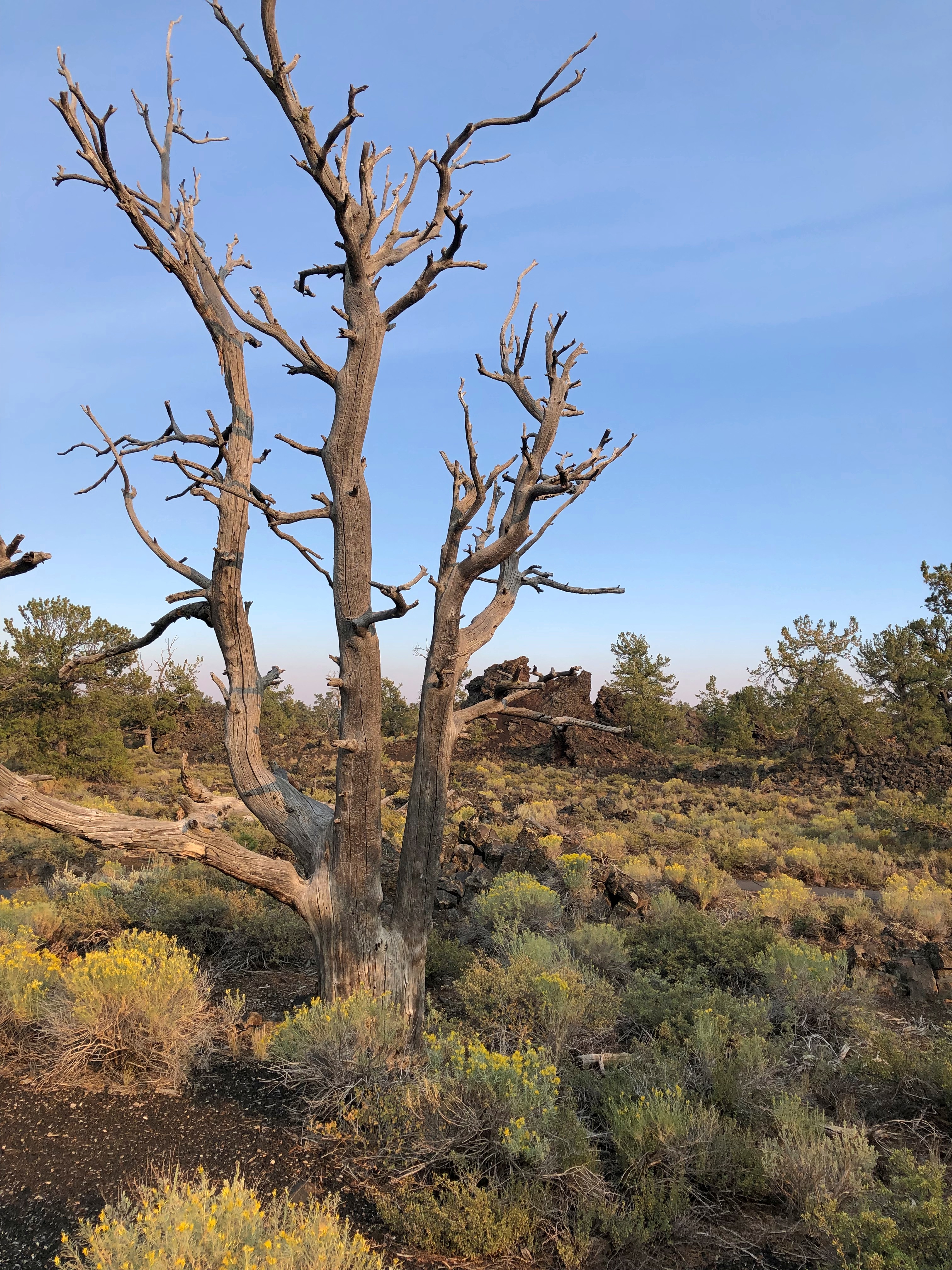
A difficult place for trees, looks like.Craters of the Moon National Monument Craters of the Moon National Monument

We spent longer than planned at Craters of the Moon, which meant that we didn’t get to Victor, Idaho, our next destination, until well after dark. No big deal, it was worth it, and the nighttime winding road was a smaller version of the twisty drive near Sheridan, Wyo., so not bad either.

Going-to-the-Sun Road

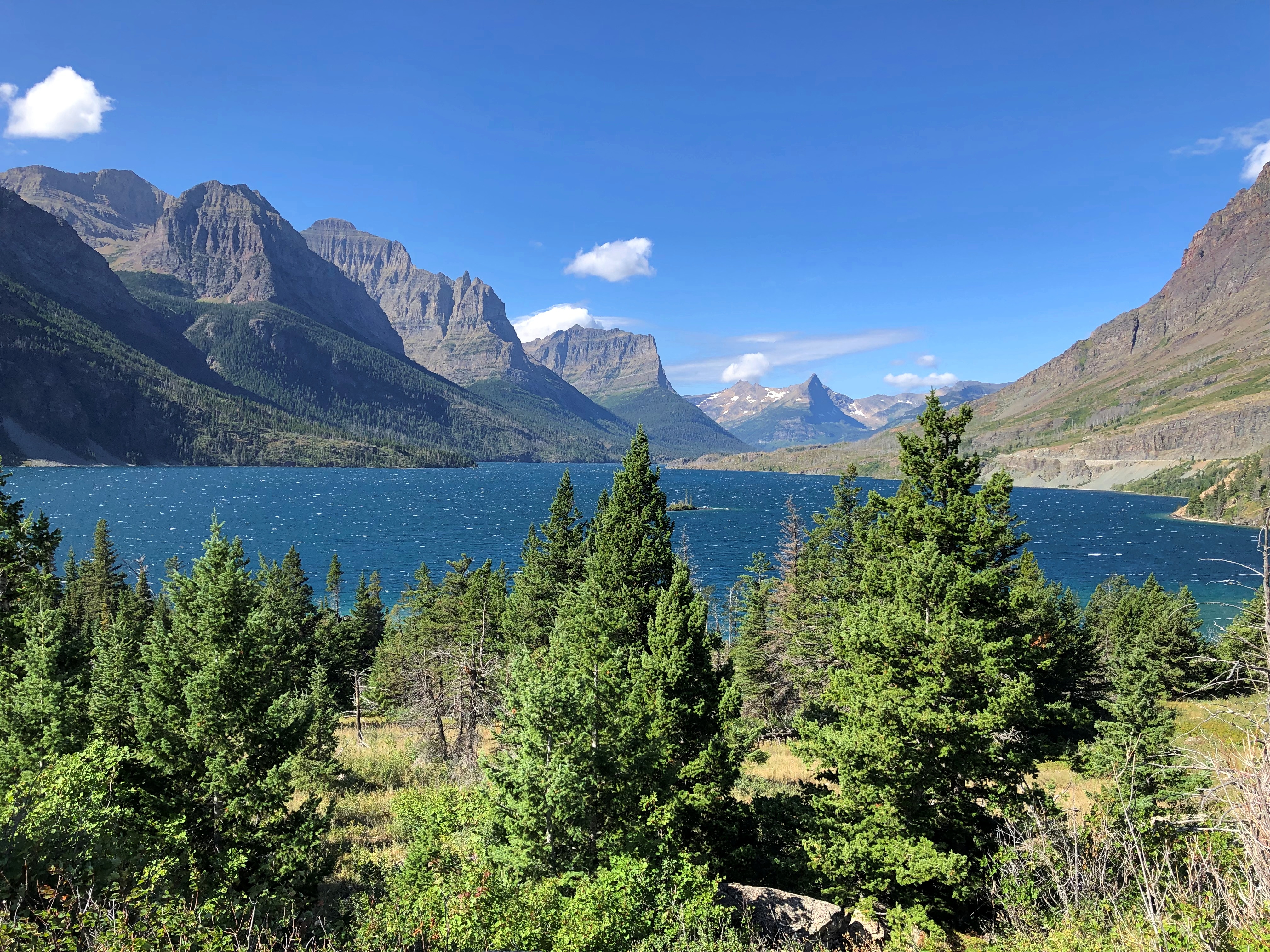
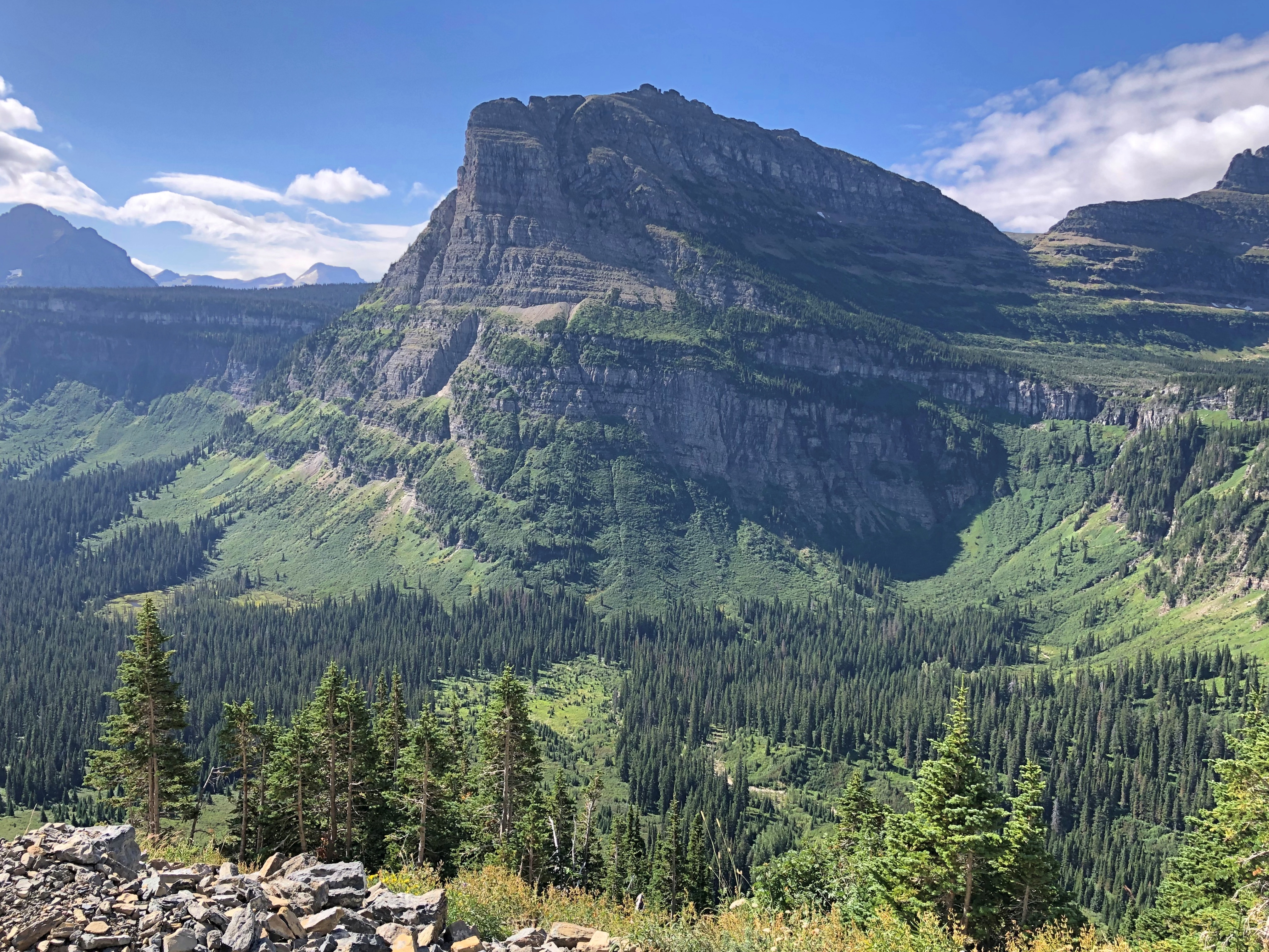
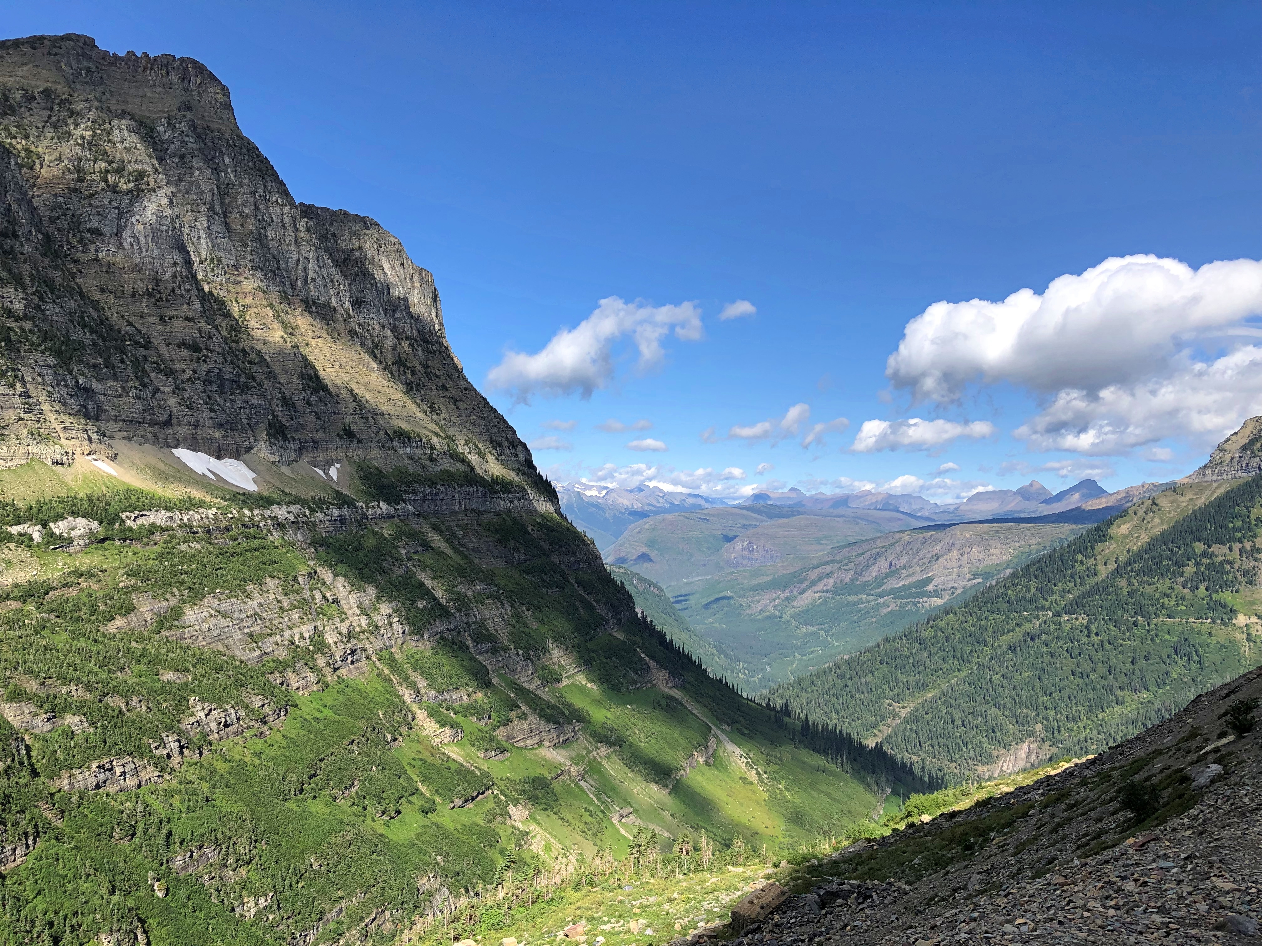
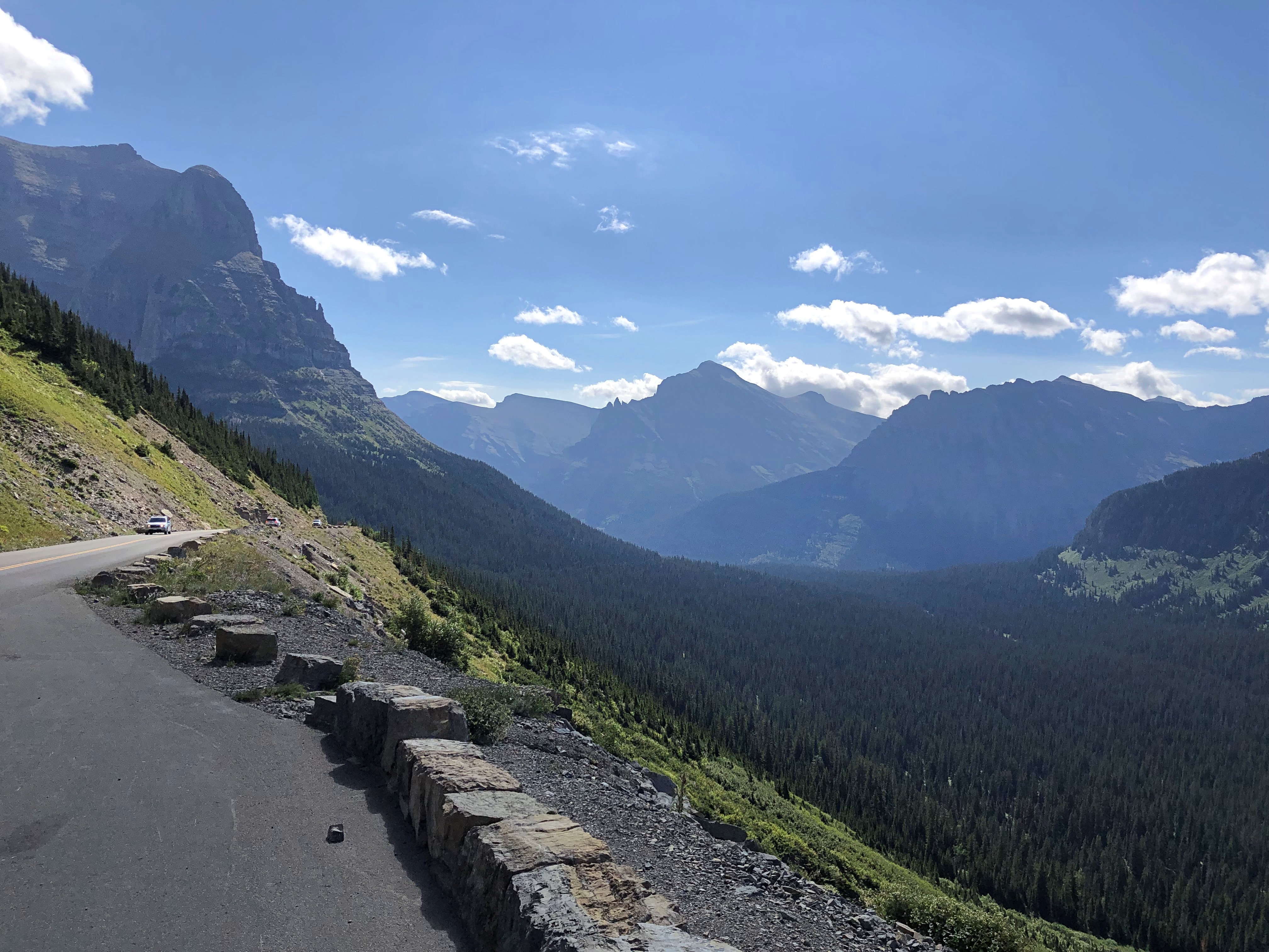
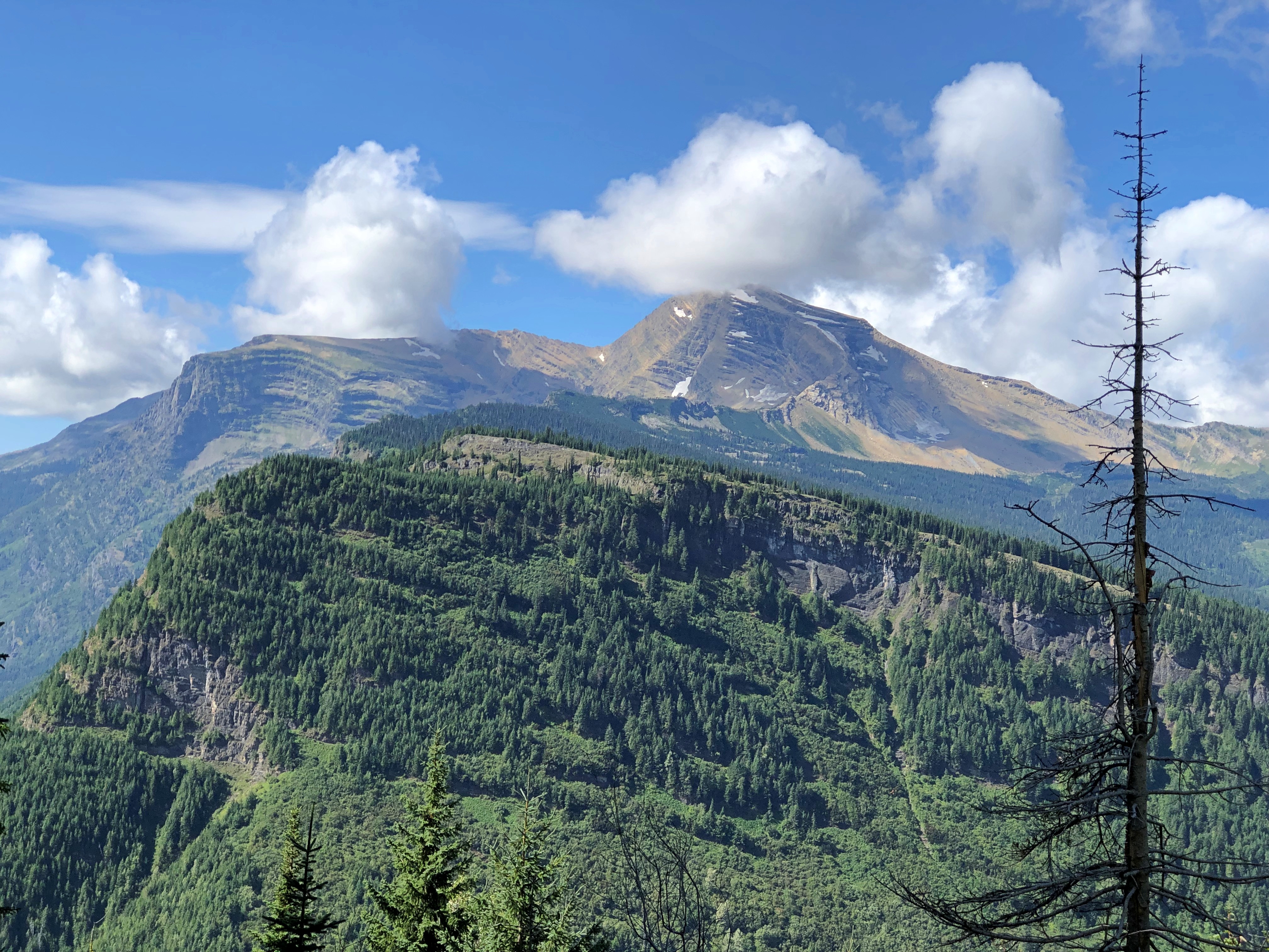
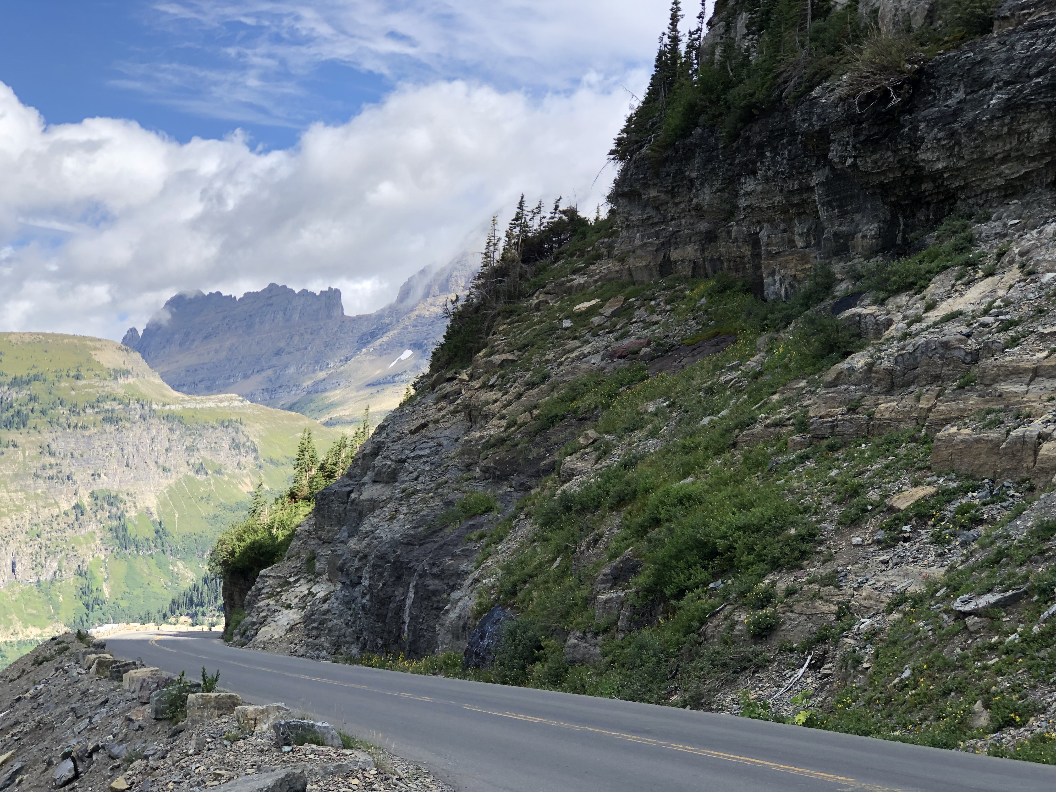
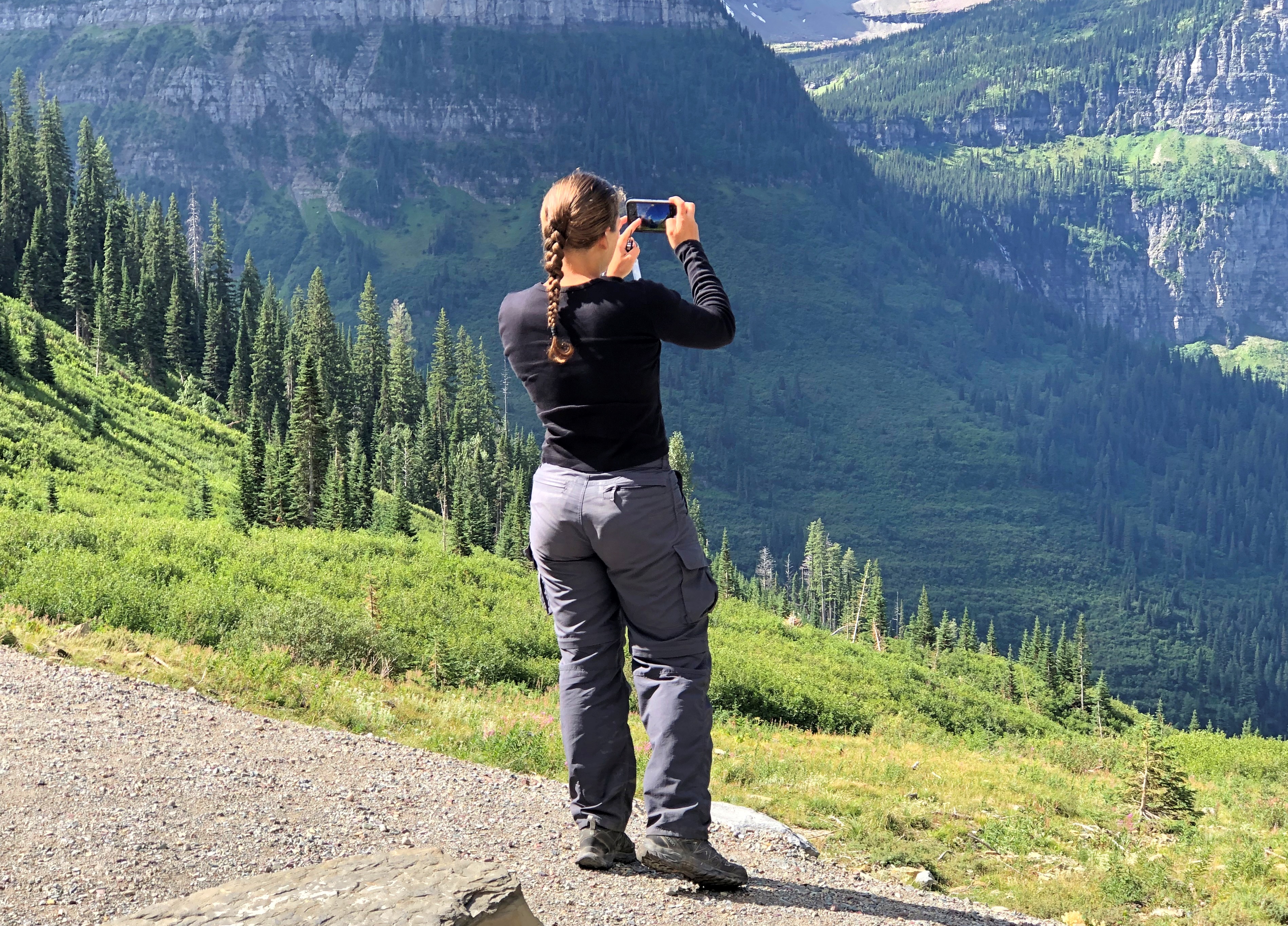
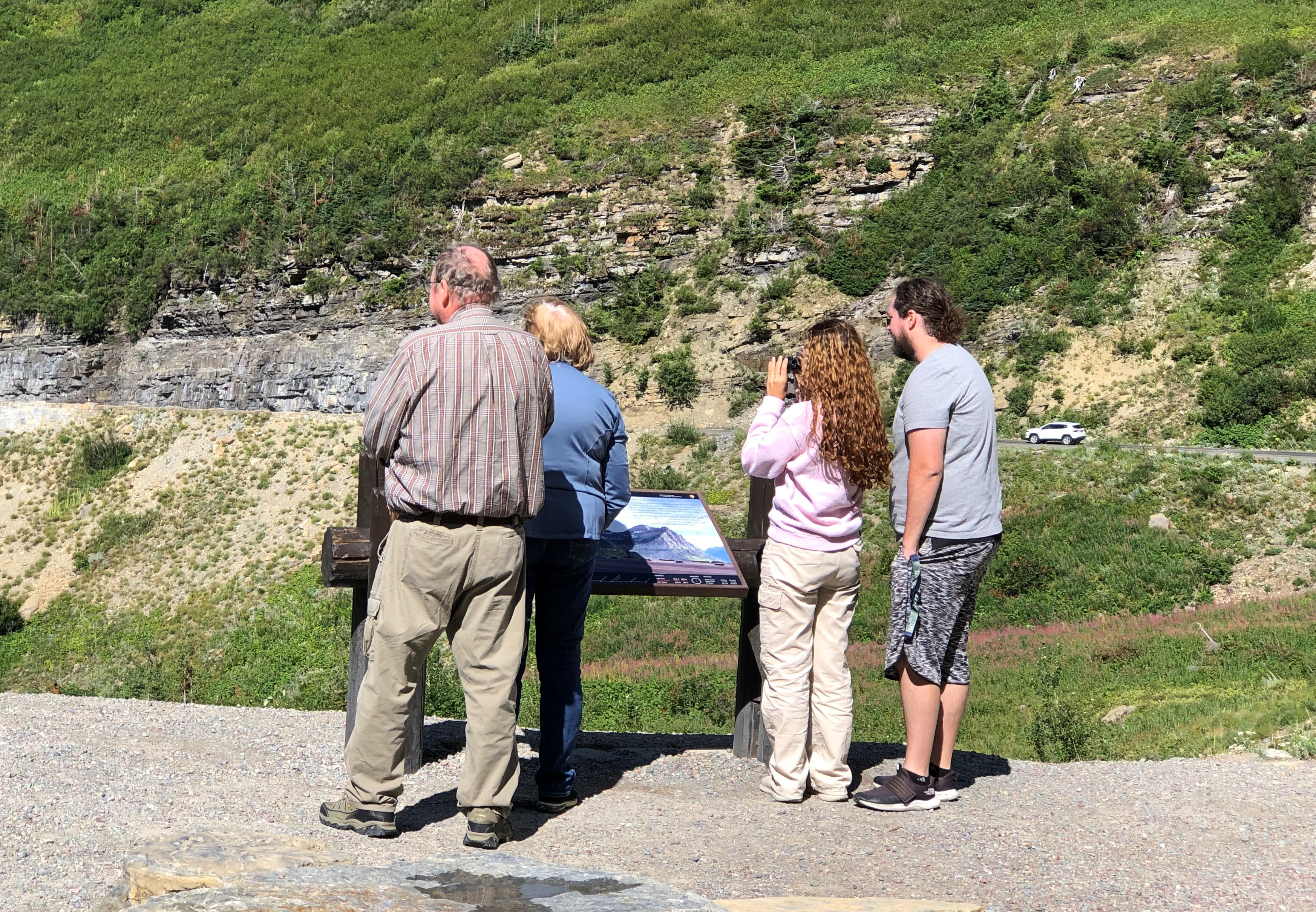
No point in burying the lead. Going-to-the-Sun Road in Glacier NP is famed for its splendid mountain scenery, and for good reason.  Going to the Sun Road Going to the Sun Road Going to the Sun Road Going to the Sun Road

The road is also an epic feat of civil engineering. With its large pullouts for auto tourism, it dates from what you might call the golden age of road building in national parks, which was spurred by the prospect of auto tourism. Beginning about 100 years ago, that is, and a key factor in making Glacier a tourist magnet over the years.

Nearly or over 3 million visitors have visited each year since 2016, except for 2020. In 2022, Glacier was tenth-most visited of the 63 national parks.

On August 24, we drove westward on the two-lane Going-to-the-Sun Road, which winds across Glacier for 50 miles or so. Hard to believe that such a poetic name is government sanctioned, but so it is, named for the nearby Going-to-the-Sun Mountain, which in turn had been named that by the remarkable, and mostly forgotten, James Willard Schultz. Apparently he took it upon himself to name features in the future Glacier National Park long before it was a park, which it became in 1910, with President Taft’s signature on the bill.

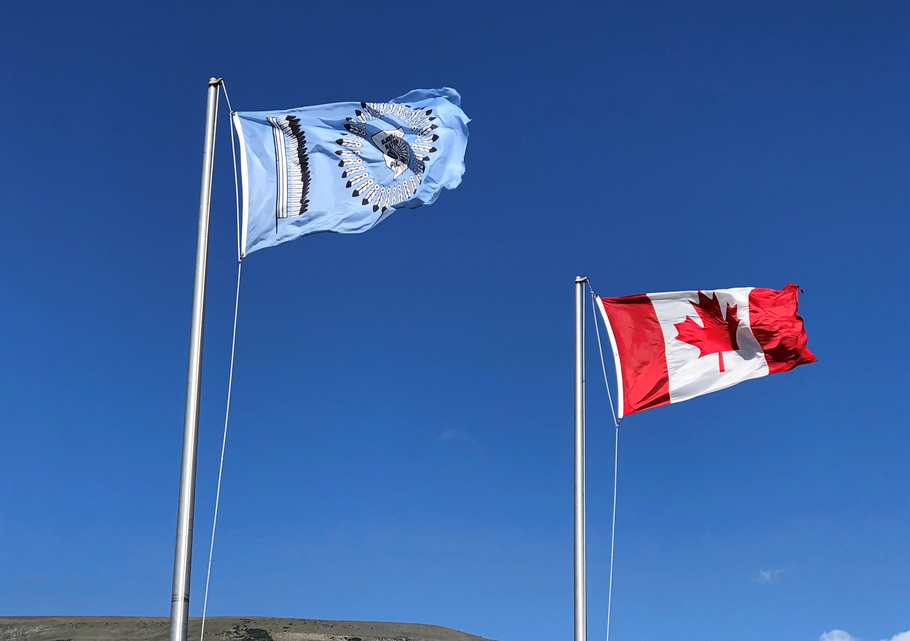
The eastern entrance to the road has a visitor center, which flies two flags of nearby nations, along with the Stars and Stripes.

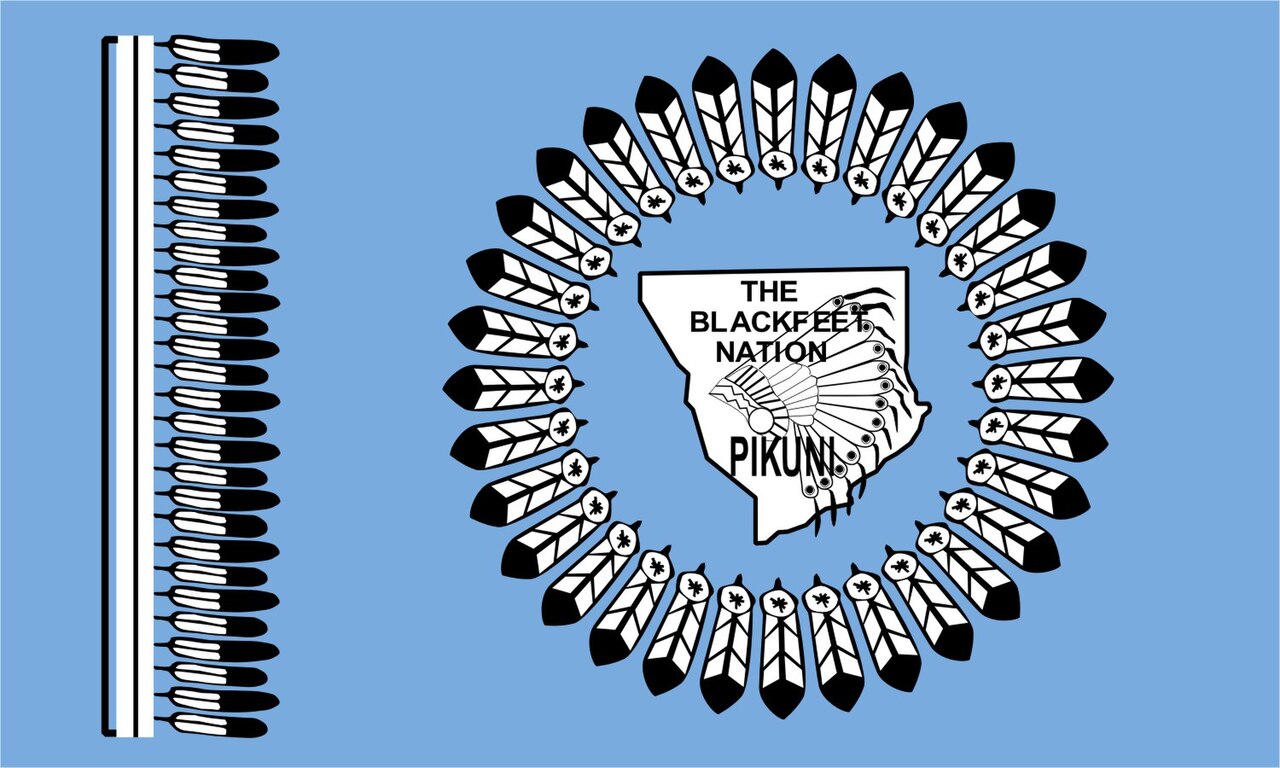
The less familiar one is the Blackfeet Nation.

The Blackfeet Reservation, at 1.5 million acres, is half again as large as Glacier NP, which comes in at about a million acres. The reservation is due east of the park, and in fact they share a border on the eastern side of the park. Indeed, much of the park was part of the reservation until the tribe was obliged to cede the land in the 1890s.

Another digression: “The Chief Mountain Hotshots are a Native American elite firefighting crew based out of the Blackfeet Indian Reservation located at Browning, MT with Glacier National Park as their backyard,” the Bureau of Indian Affairs says.

“The Chief Mountain Hotshots are a highly trained self-sufficient hotshot crew working in wildland firefighting. On average, the Crew works 15-20 large fire incidents and travels 10,000-20,000 miles a year.” More about the hotshots is here.

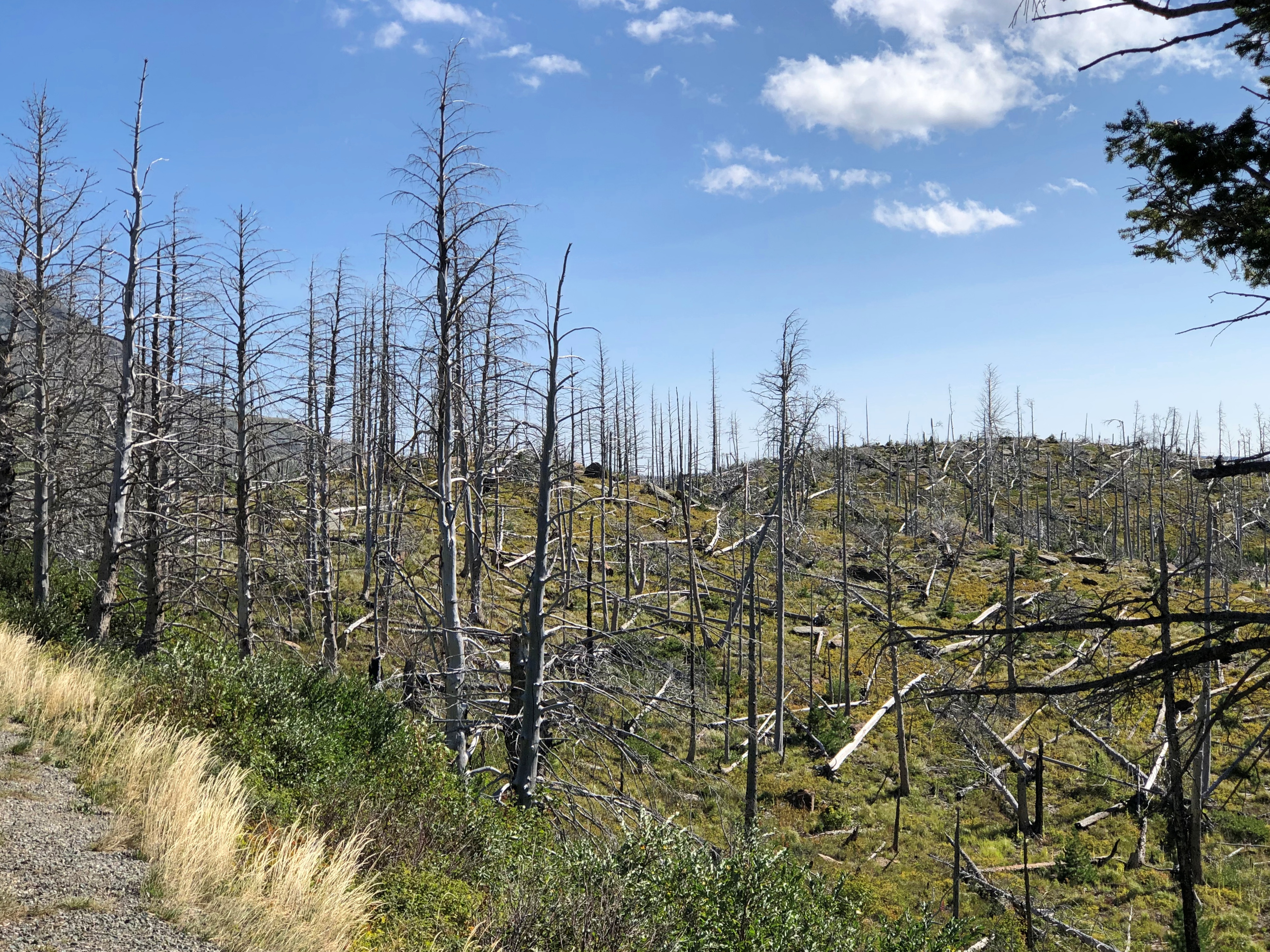
All good to know, but I’m glad there were no wildfires in the vicinity for them to fight. As the road passes along the north shore of cold-water Saint Mary Lake — Going to the Sun Road

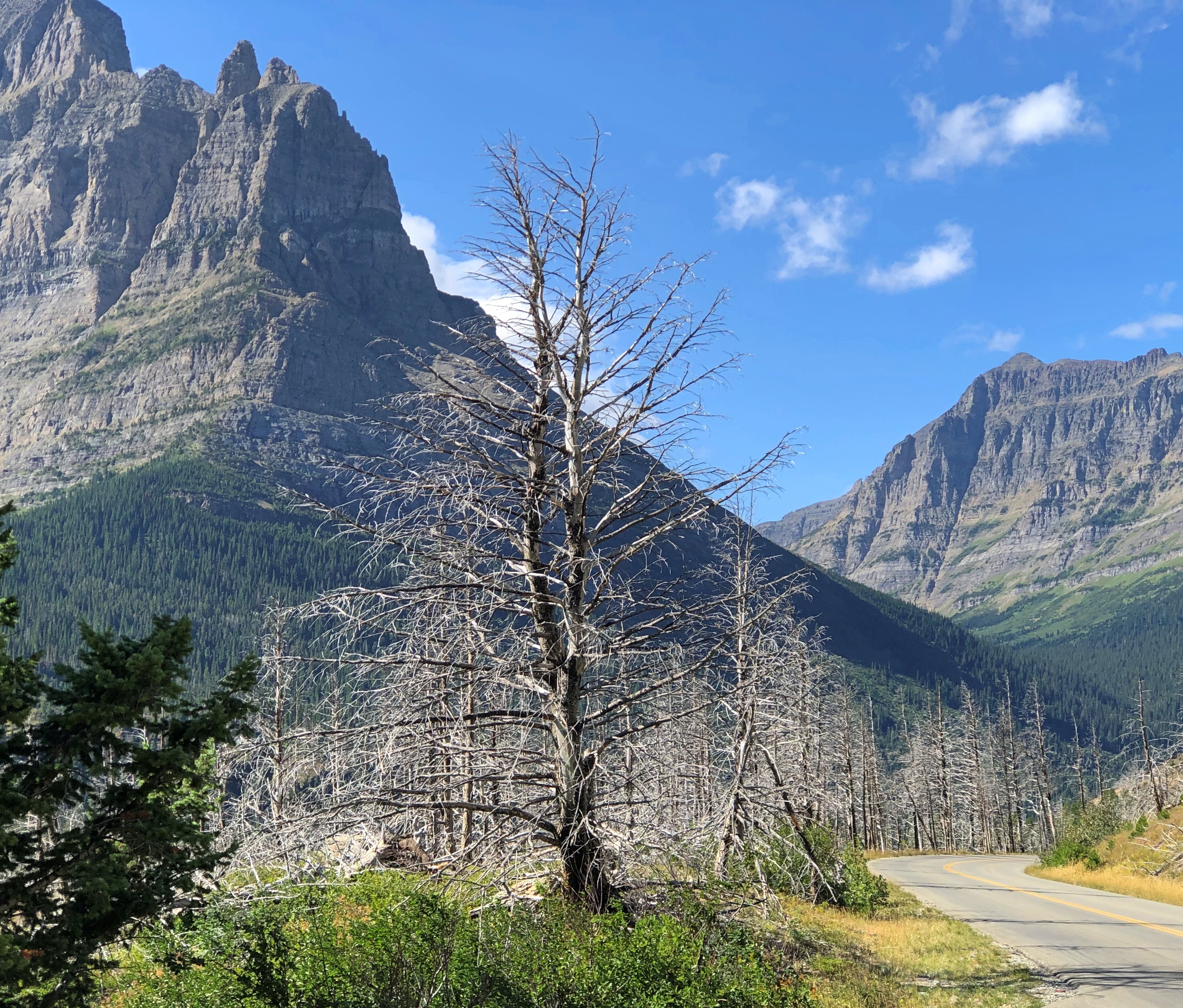
— clearly there has been some wildfire.

The road rises from the lake, elevation 4,484 feet, toward the Continental Divide at Logan Pass, elevation 6,646 feet.Going to the Sun Road Going to the Sun Road Going to the Sun RoadGoing to the Sun Road

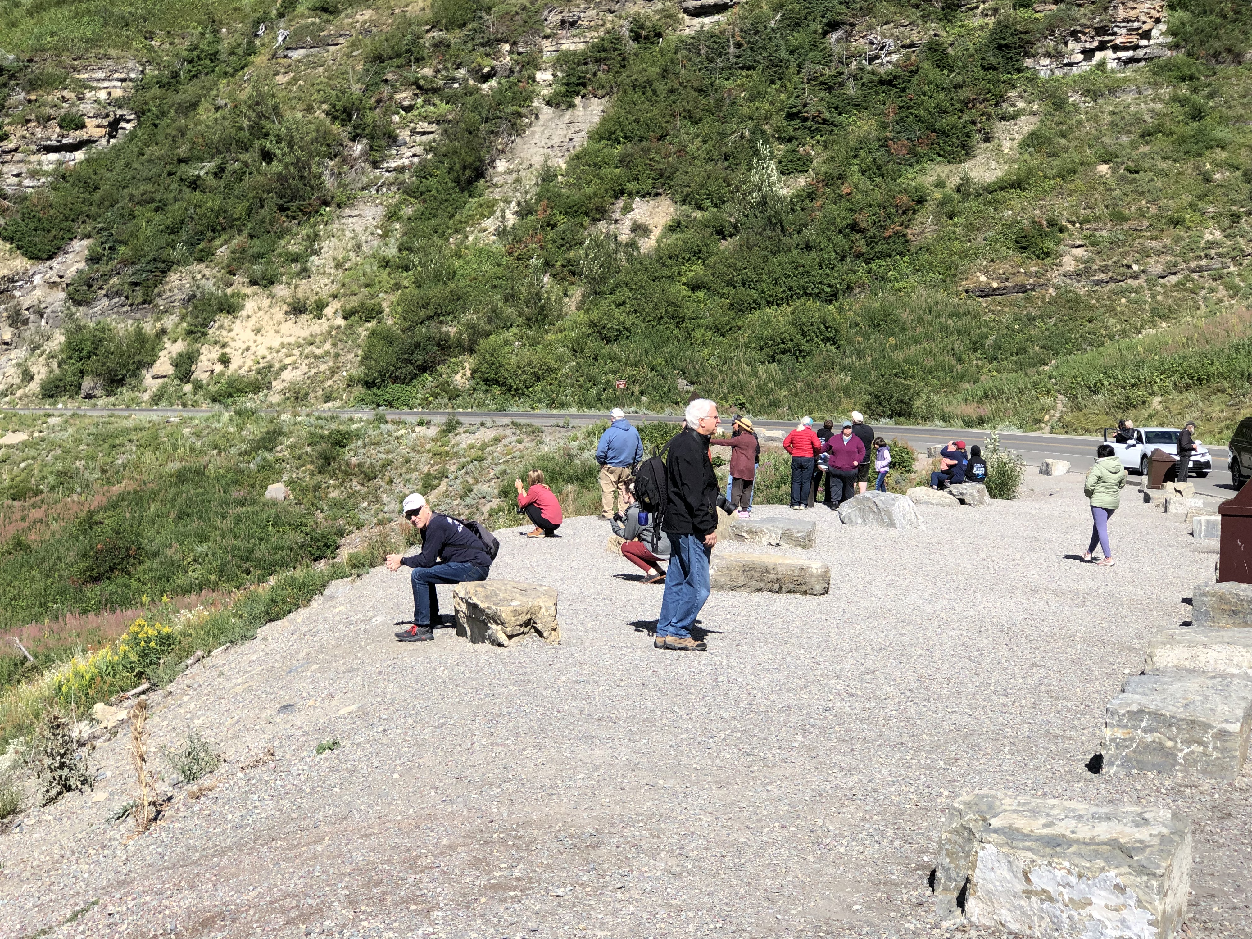
Logan Pass is the kind of place we would stop, but there was no available parking. This pic was taken by a photographer named Ken Thomas, who thoughtfully put it in the public domain.

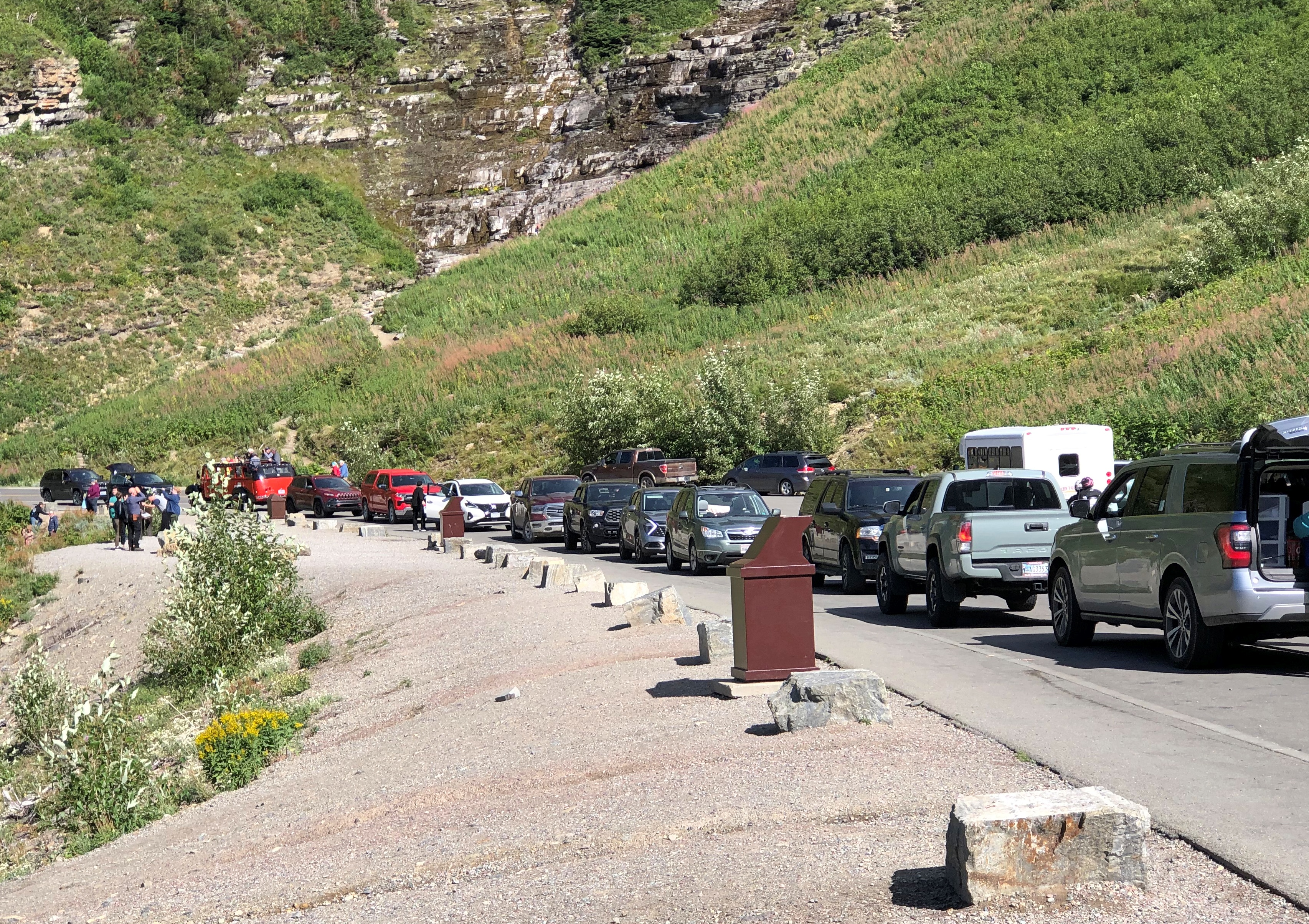
No trucks or RVs allowed on the road, since they wouldn’t fit in some (many) places. That doesn’t keep drivers off the road, however. During the warm months when it’s open, Going-to-the-Sun is a busy place.

Even so, much of it still has that classic mountain appeal of low traffic.Going to the Sun Road

Except when there are knots of traffic. Just a few.Going to the Sun Road

Mountain scenery has a broad appeal.Going to the Sun Road Going to the Sun Road Going to the Sun Road

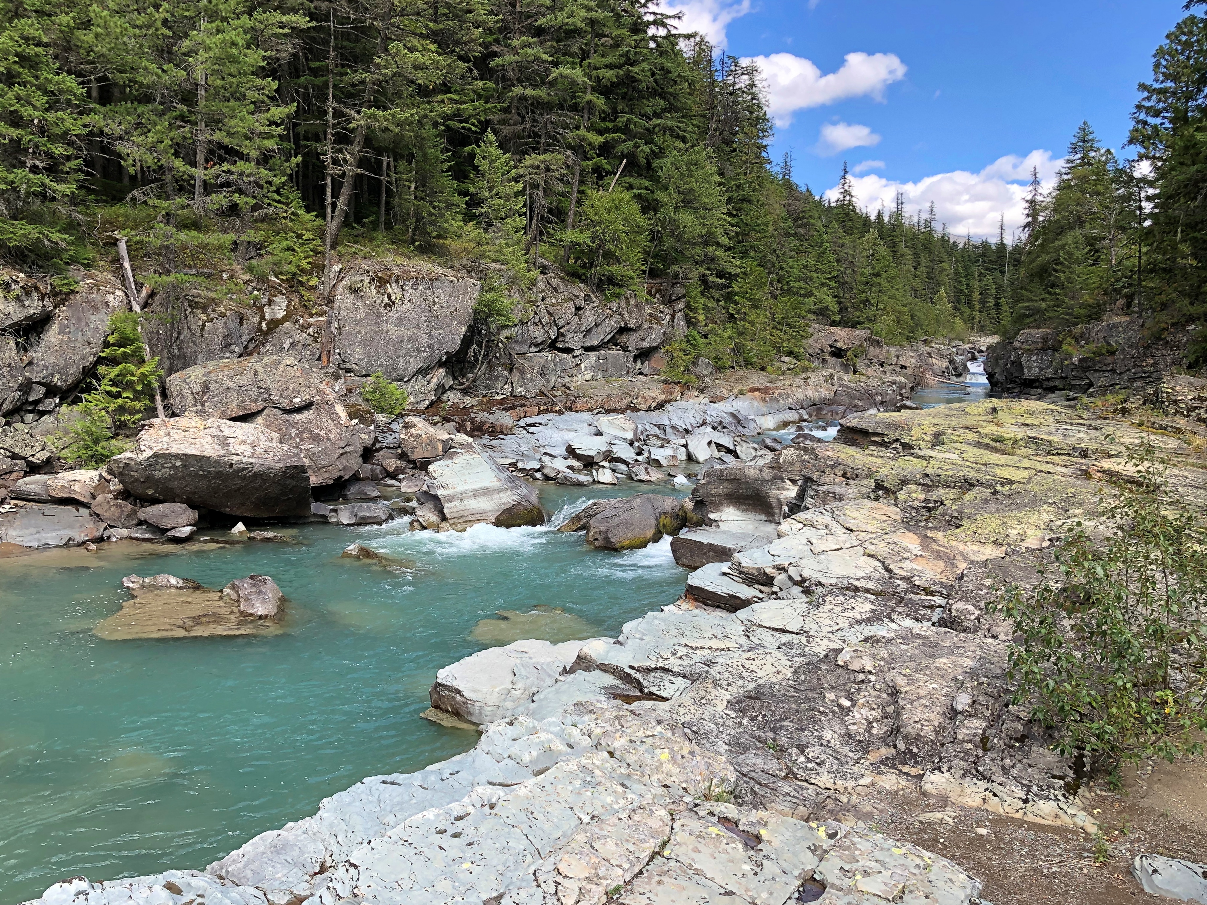
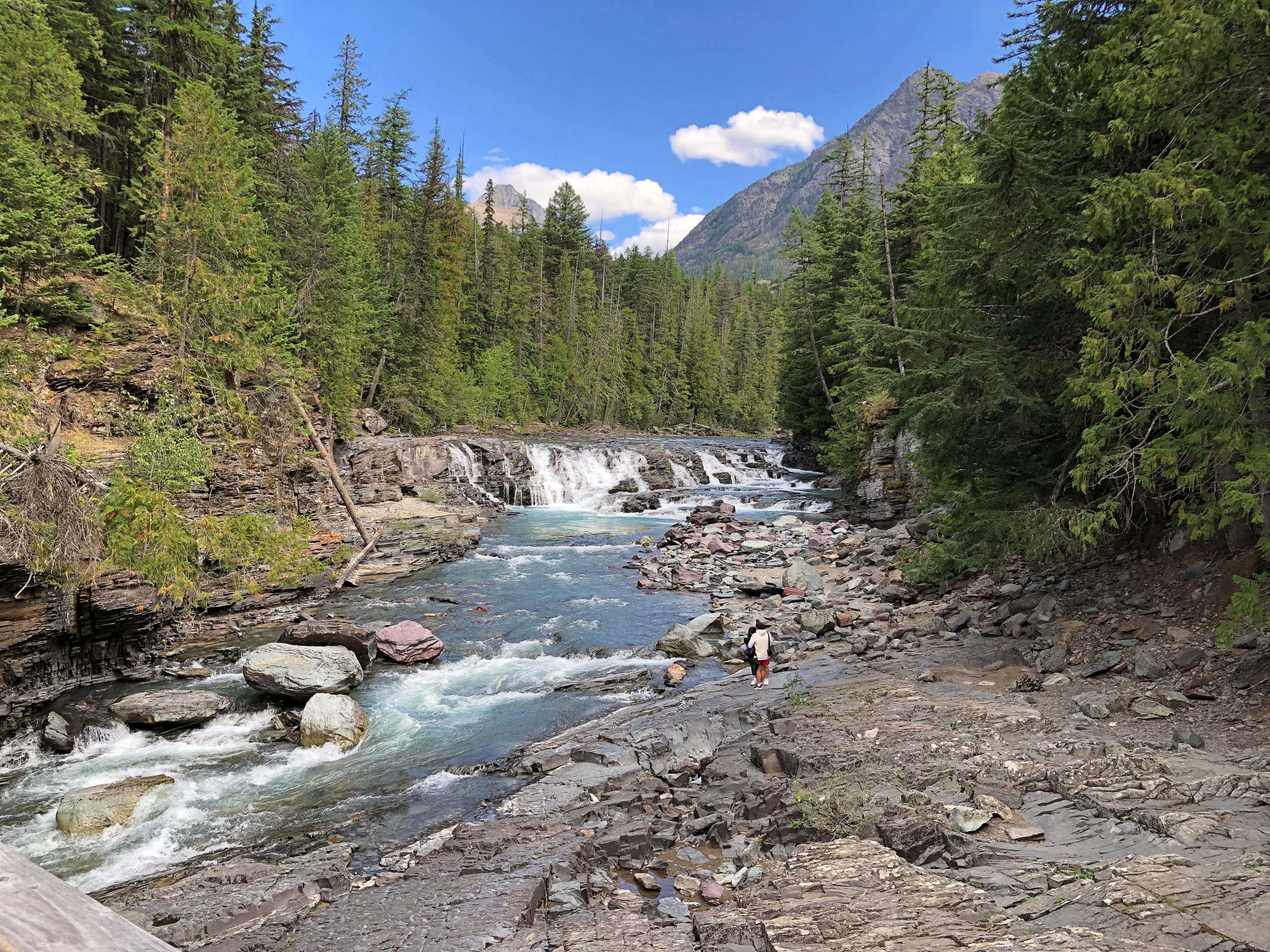
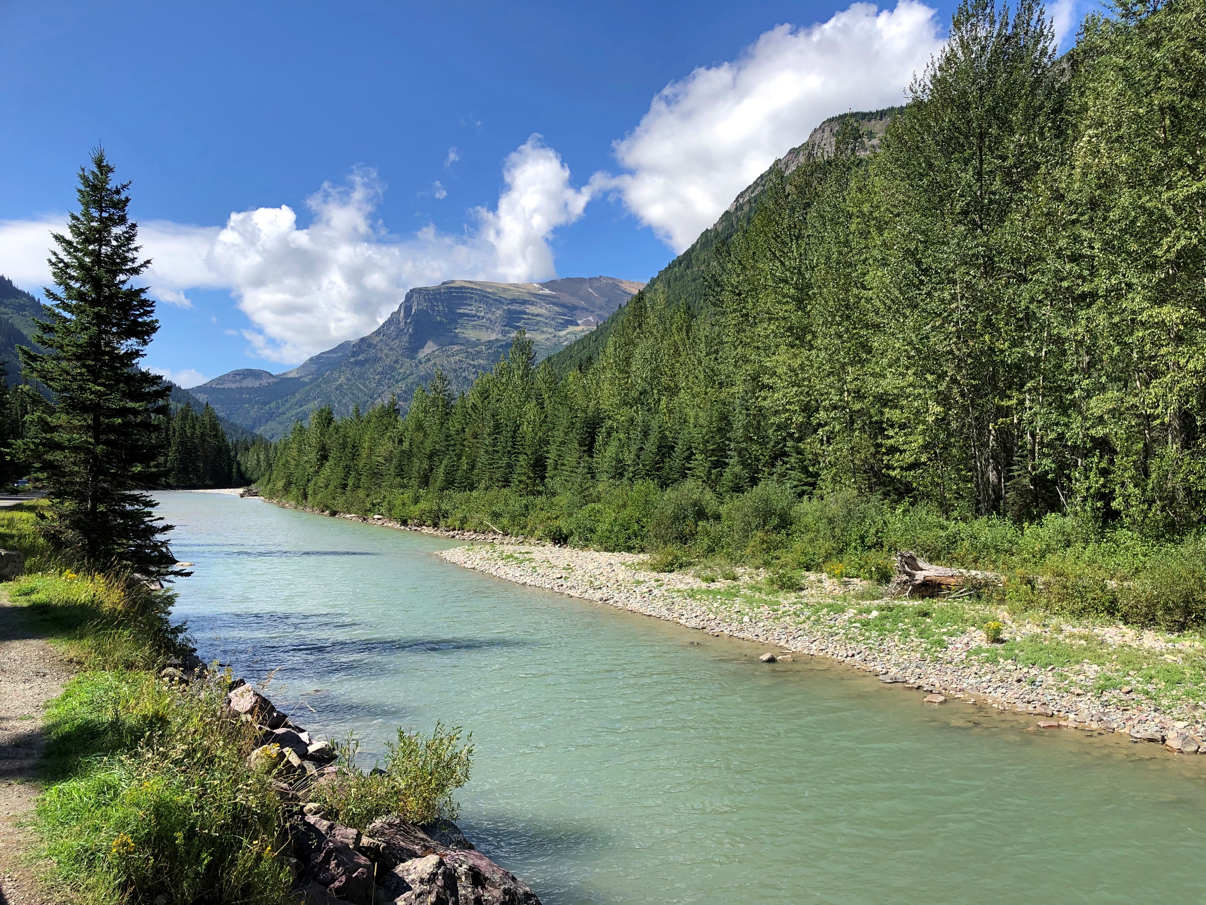
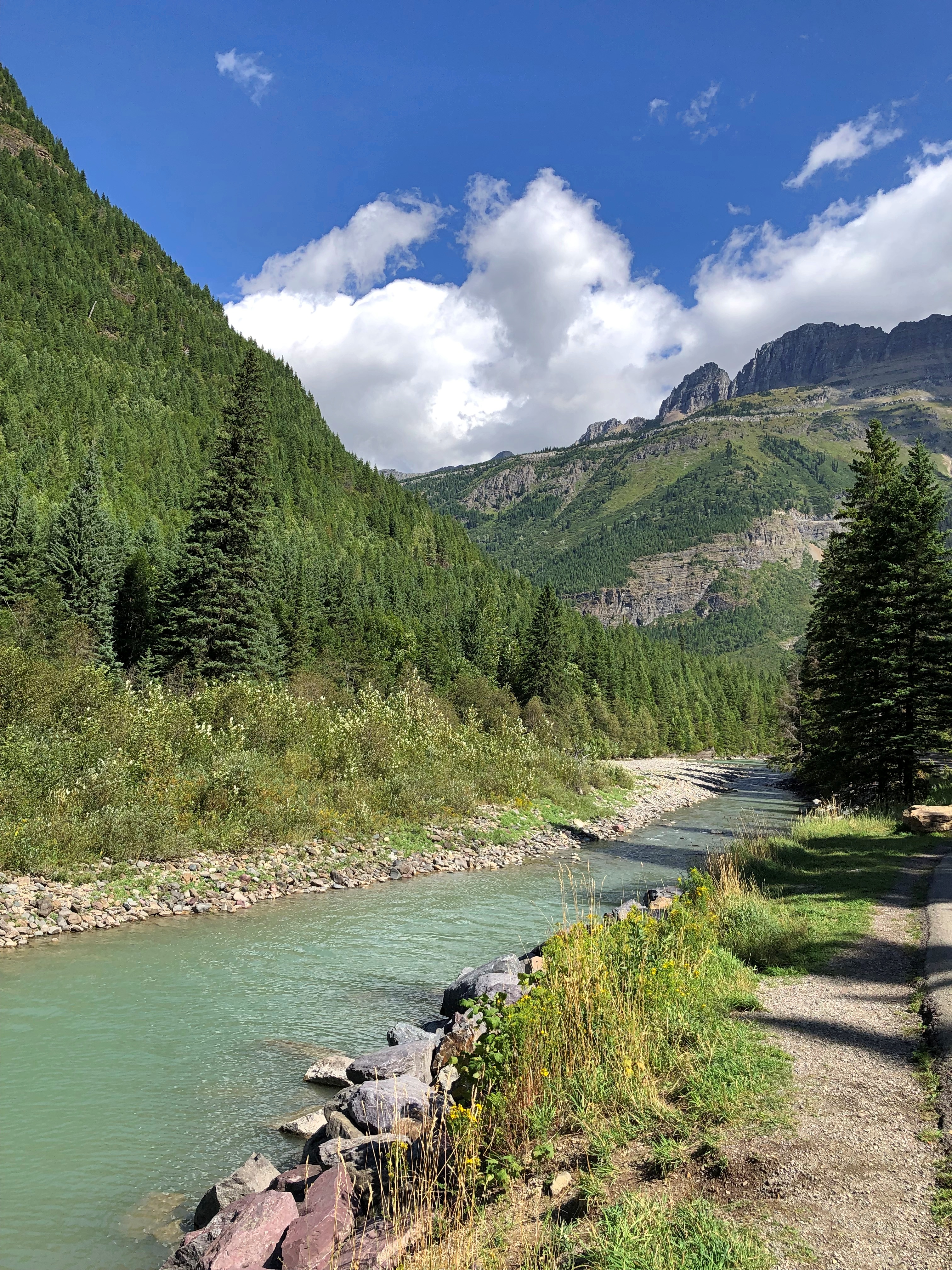
Toward the east end of the park, the road parallels McDonald Creek for a number of miles before it connects with Lake McDonald, the larger of the park’s two major lakes, and the lower, at 3,153 feet elevation. Some of the creek has more of a river look.Going to the Sun Road

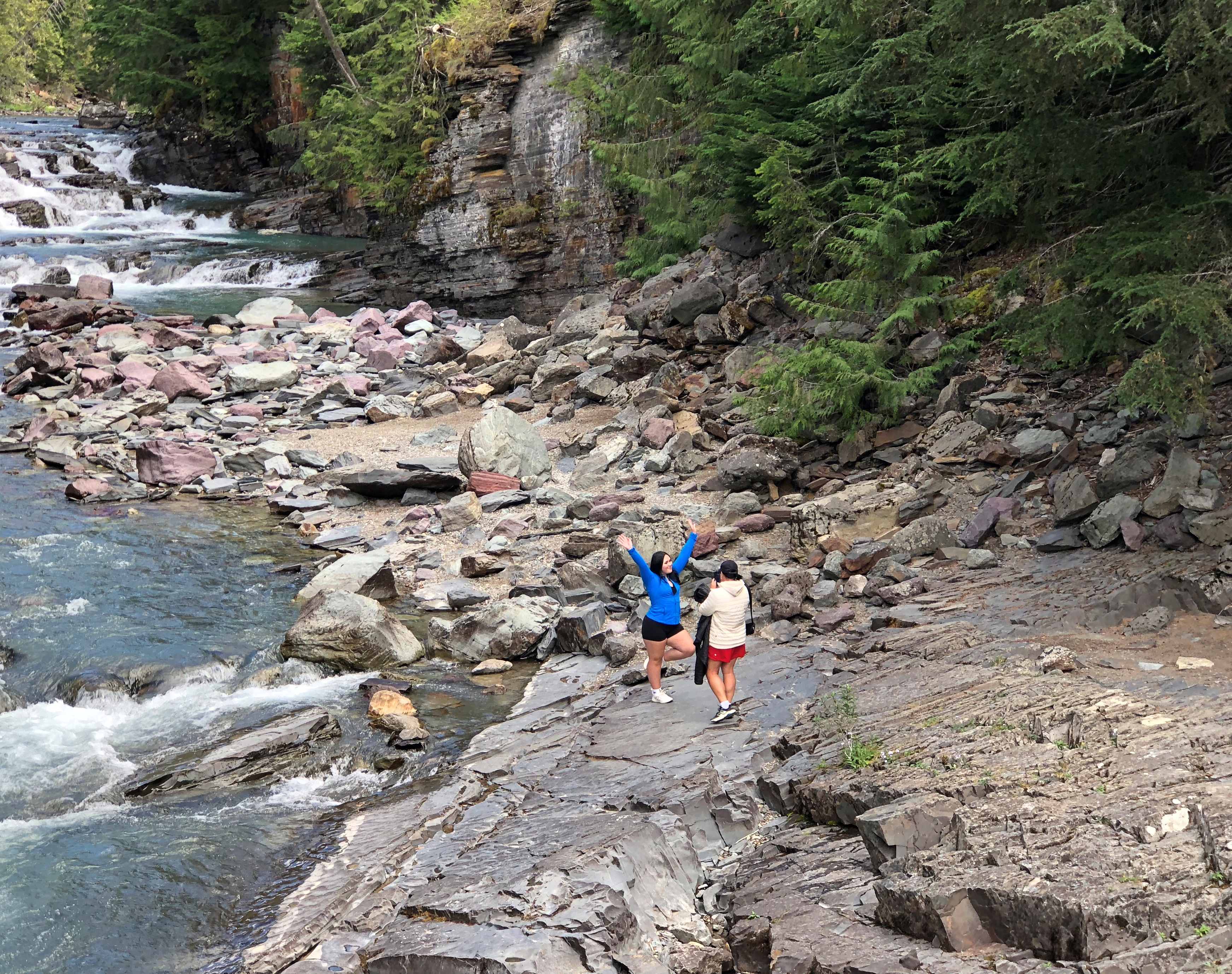
Closer to the lake, the creek is rocky.Going to the Sun Road Going to the Sun Road Going to the Sun Road

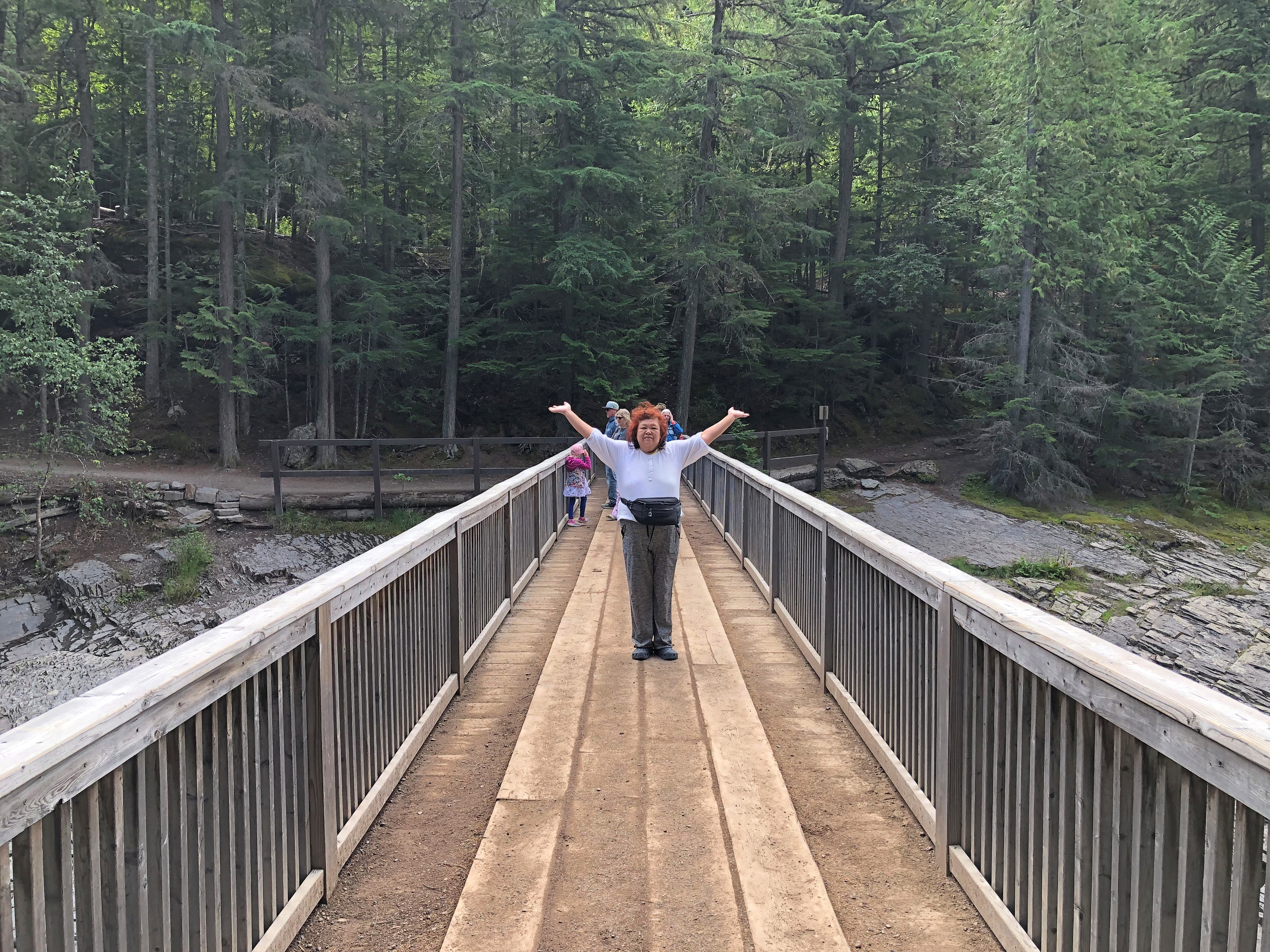
The water is bound for the Flathead River, a tributary of the mighty Columbia. We stopped at a wooden bridge across the creek.Going to the Sun Road

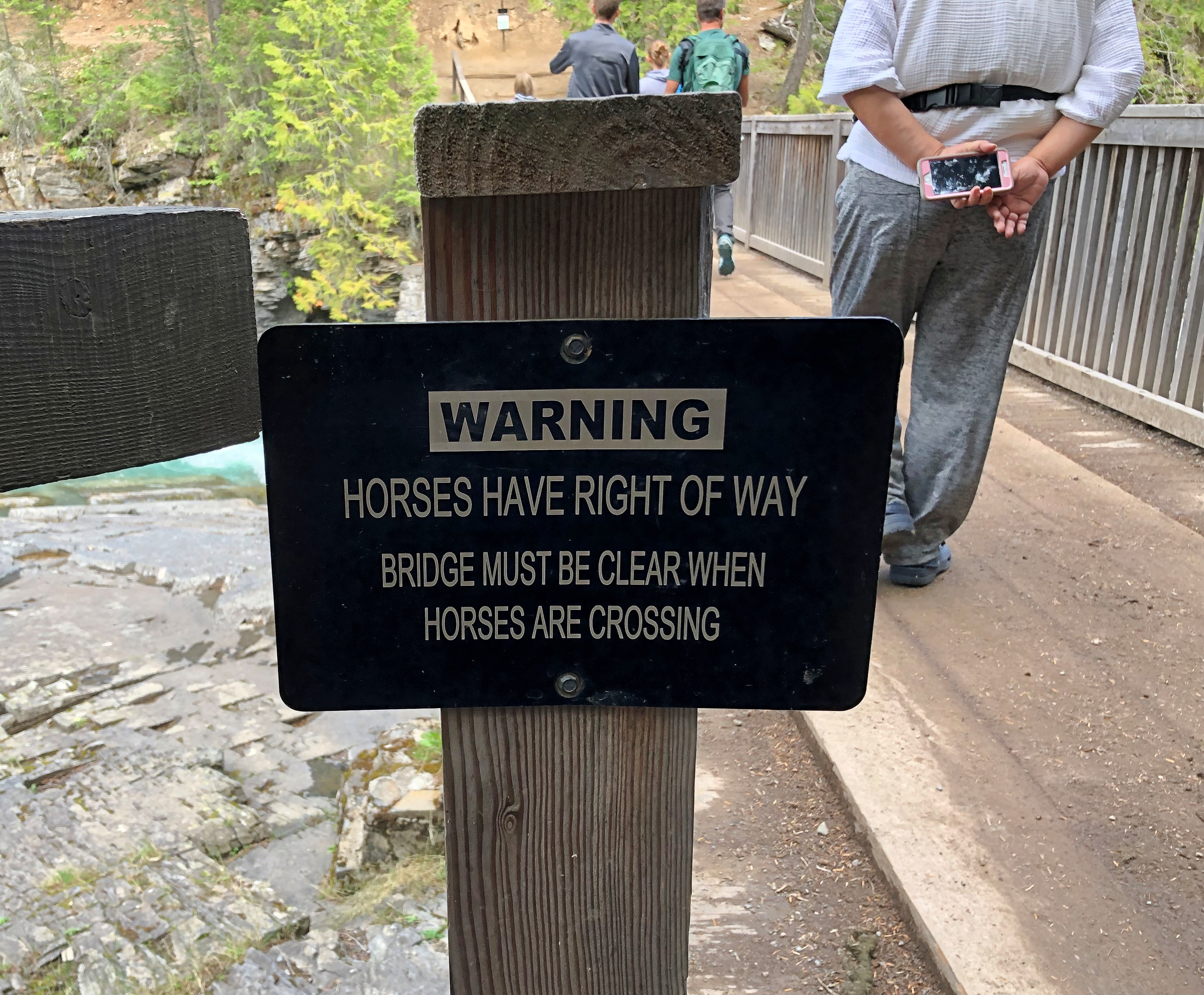
Pedestrians can cross, but a sign warns that horse traffic has the right of way.Going to the Sun Road

Not something you see too often. I assume that’s horses with riders, as part of a horse-riding trail, though maybe wild horses might have the right of way too. Like bears or moose, they’re large and might insist.

The McLean County Museum of History

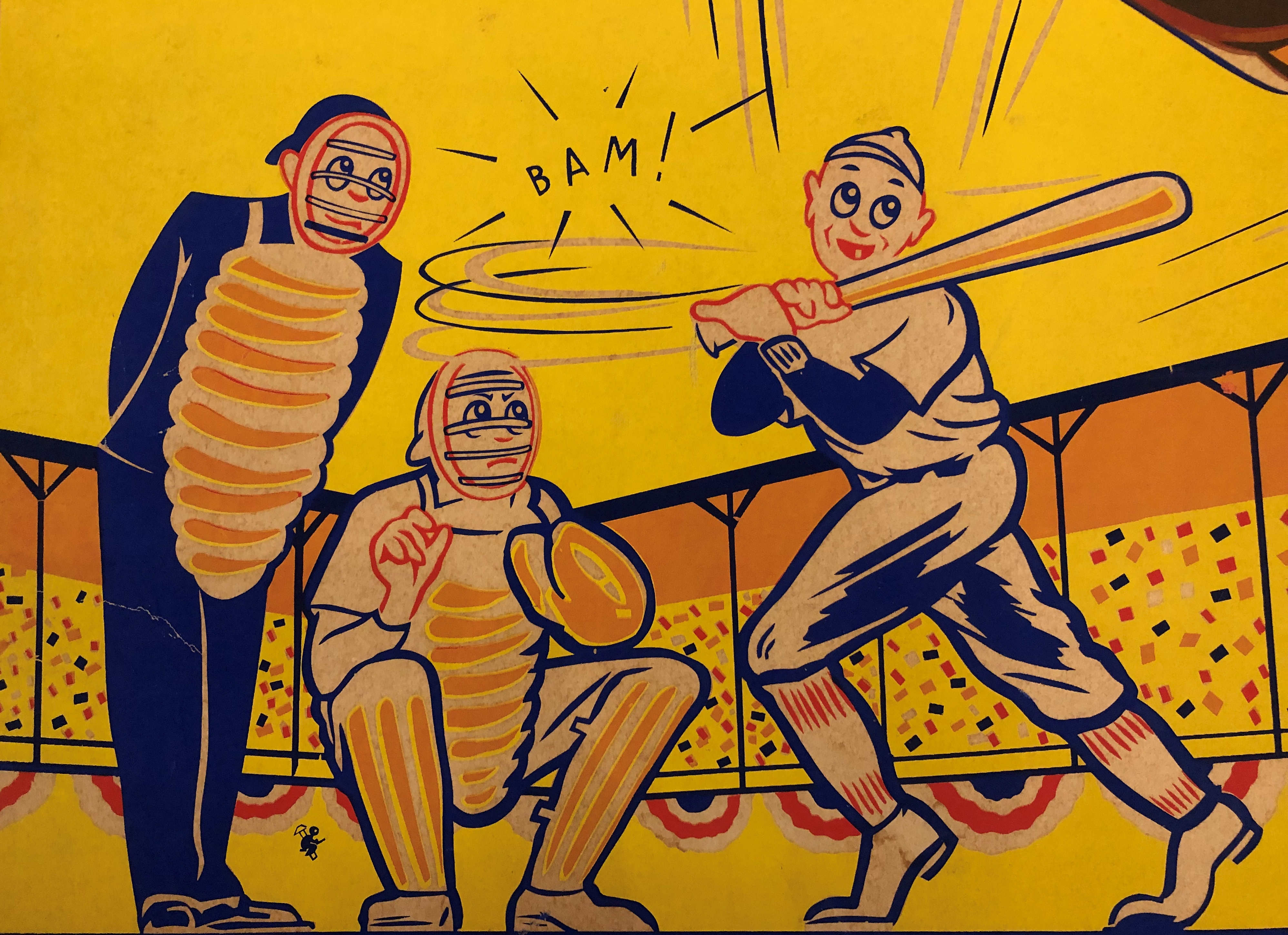
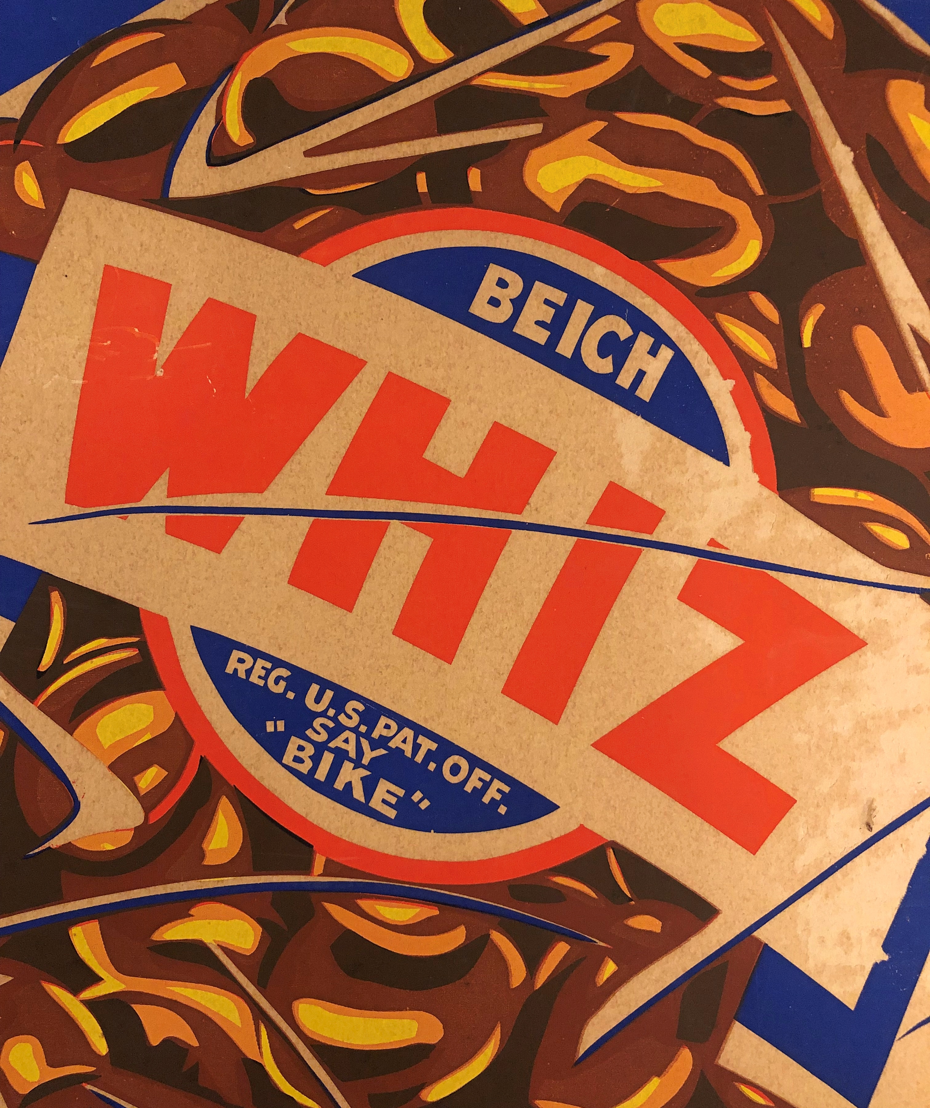
Revel in the obscurity: Details of posters advertising a regional brand of candy that hasn’t been made in years, created by a commercial artist no one has ever heard of, on display in a large town few people visit.McLean County Museum of History McLean County Museum of History

Bloomington-based Beich Candy Co. was the candy maker, and the posters advertise its Whiz Bar, whose slogan – until inflation made it obsolete – was “Whiz, best nickel candy there iz-z.”McLean County Museum of History

The posters are behind glass at the McLean County Museum of History, and thus hard to photography in total without glare. But details work out nicely.

We visited the museum on Saturday morning.McLean County Museum of History McLean County Museum of History

“These posters were created by Don Shirley (1913-2001) for States Display, a local commercial art business,” notes the museum. “He was an artist and illustrator.”

A Prussian immigrant by the name of Paul F. Beich founded the candy company that carried his name. Beich Candy Co. lives on as a unit of Ferrero, with a candy factory in Bloomington (recently expanded), but Whiz seems to be no more. A chocolate-marshmallow-peanut confection, it sounds something like a Goo-Goo Cluster.

An even deeper dive into Beich Co. is at an Illinois Wesleyan University website. It’s the story of a food technologist who worked for the company, one Justin J. Alikonis.
“He designed and patented, among other things, a marshmallow-making machine, the ‘Whizolater,’ named after the Beich flagship candy bar, the Whiz,” the site says. “With no moving parts and operating solely on pressurized air, the Whizolater could make 1,400 gallons of marshmallow or nougat per hour.”

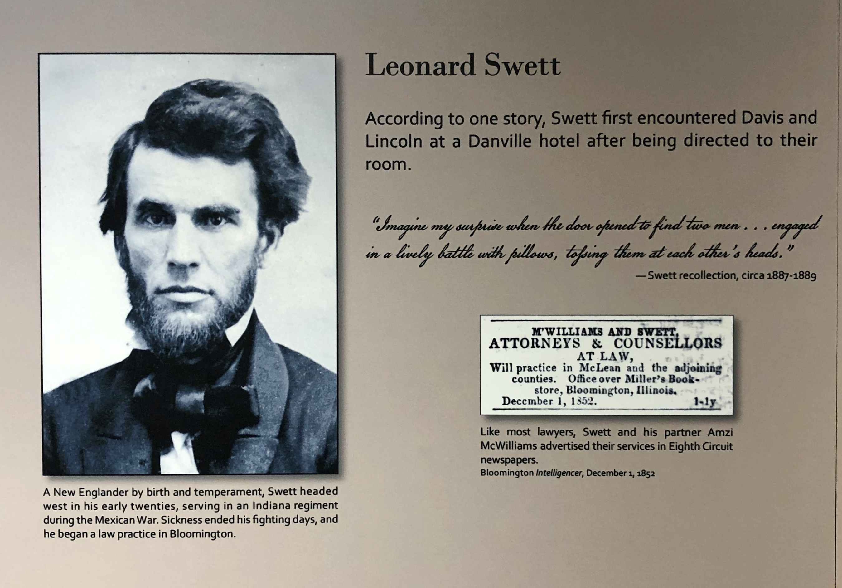
As local history museums go, McLean County is top drawer, with enough displays and artifacts to inspire all sorts of rabbit-hole expeditions, besides 20th-century candy making in central Illinois. Such as friends of Lincoln who otherwise would be lost to history.History Museum of McLean County

He even looks a little like Lincoln, but maybe that’s just 19th-century styling.

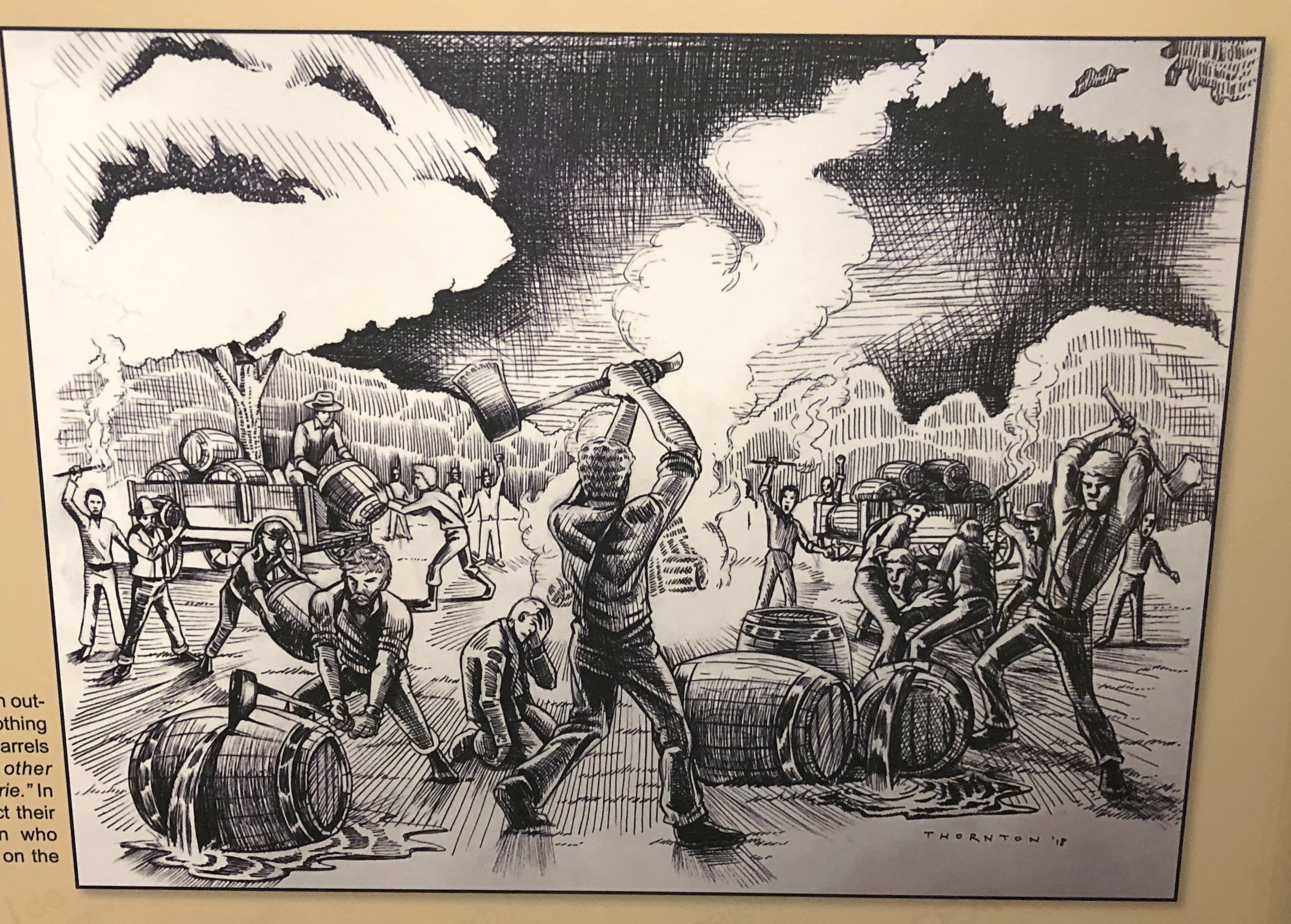
Otherwise obscure incidents in McLean County history make their appearance as well, such as one in 1854, when a mob of Know-Nothings smashed 50 barrels each of brandy and cherry bounce, and 50 casks each of “high wine,” gin and whiskey taken from groggeries in Bloomington, according to the museum.History Museum of McLean County

I had to look up cherry bounce. For those who like their neurotoxins sweet, I guess. The Know-Nothings were destroying the alcohol – “washed the prairie” with it, said a contemporary account, though perhaps some of it was squirreled away by thirsty Know-Nothings – presumably because it was associated with immigrant saloons.
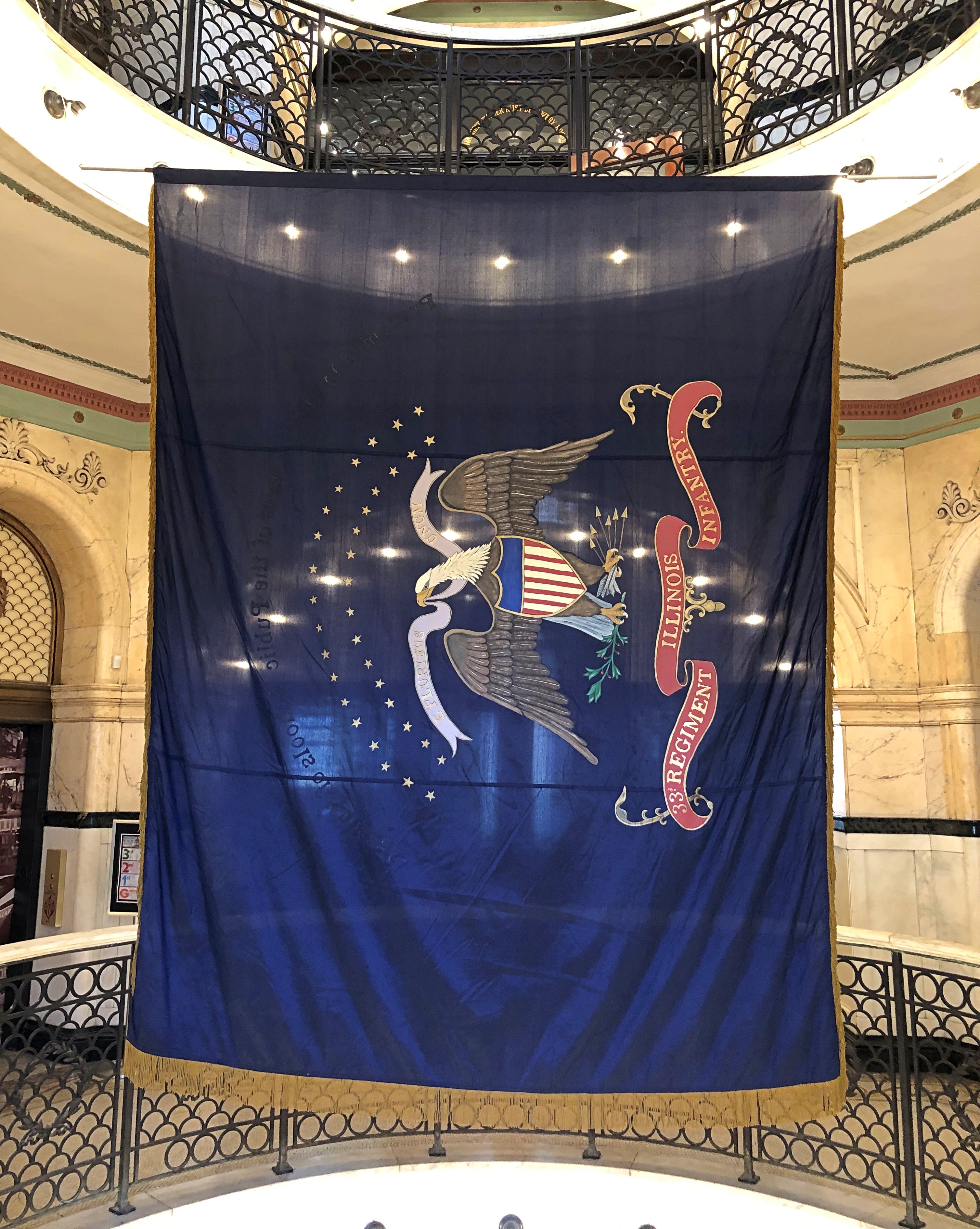
A flag. For union and liberty.History Museum of McLean County

A replica of the one carried by the 33rd Illinois Infantry Regiment, which has its start comprised of teachers and students and former students at Normal University (later ISU), with university president Charles E. Hovey as its colonel.

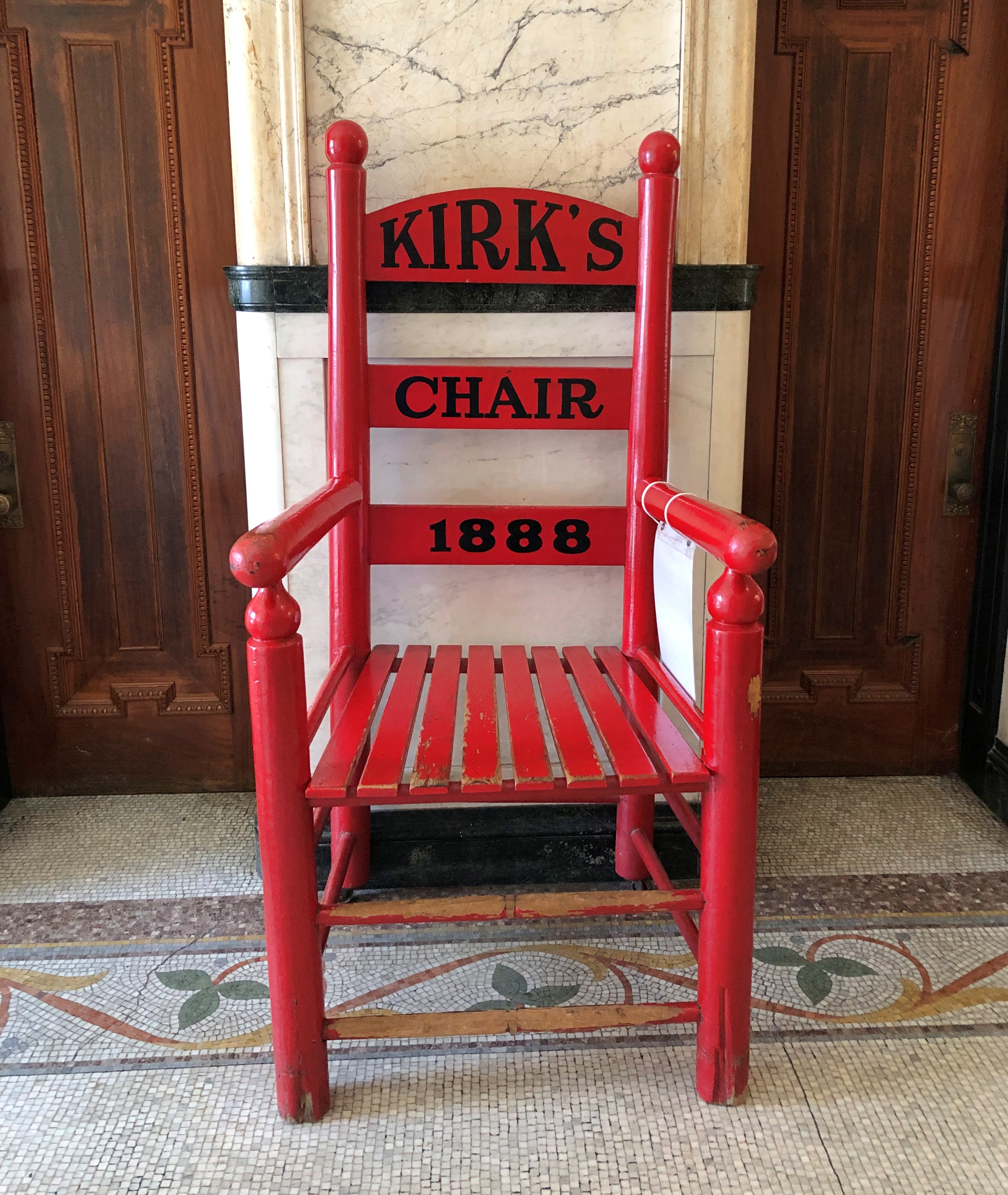
Most local history museums have oddities, and so does McLean County.History Museum of McLean County

It’s a little hard to tell, but that’s a large chair. Though I’m six feet tall, my feet barely touched the ground. “Yes, please sit here!” its sign said. “The owners of Howard & Kirkpatrick’s Home Furnishings places this oversized chair outside their store to draw customers inside.”

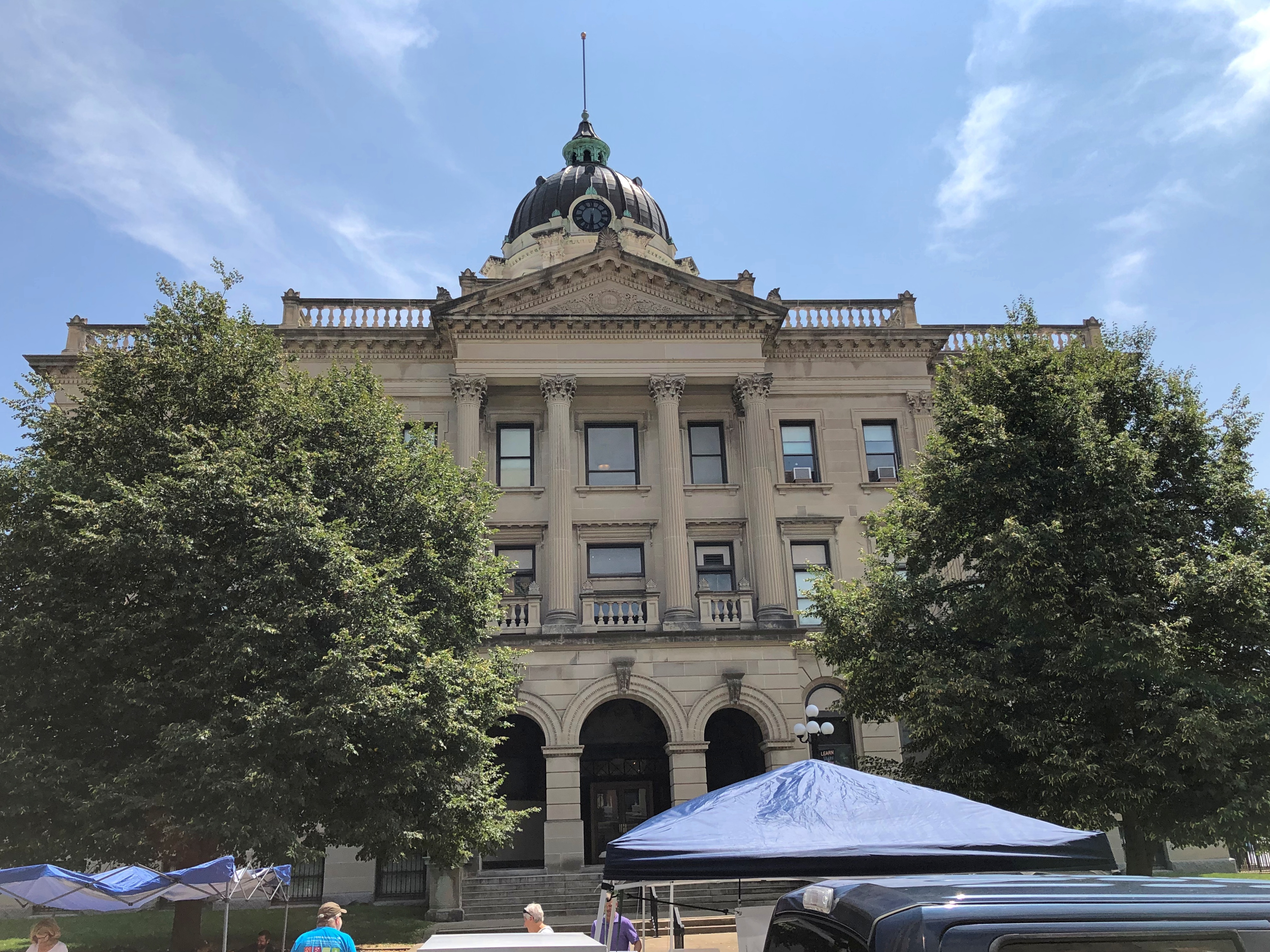
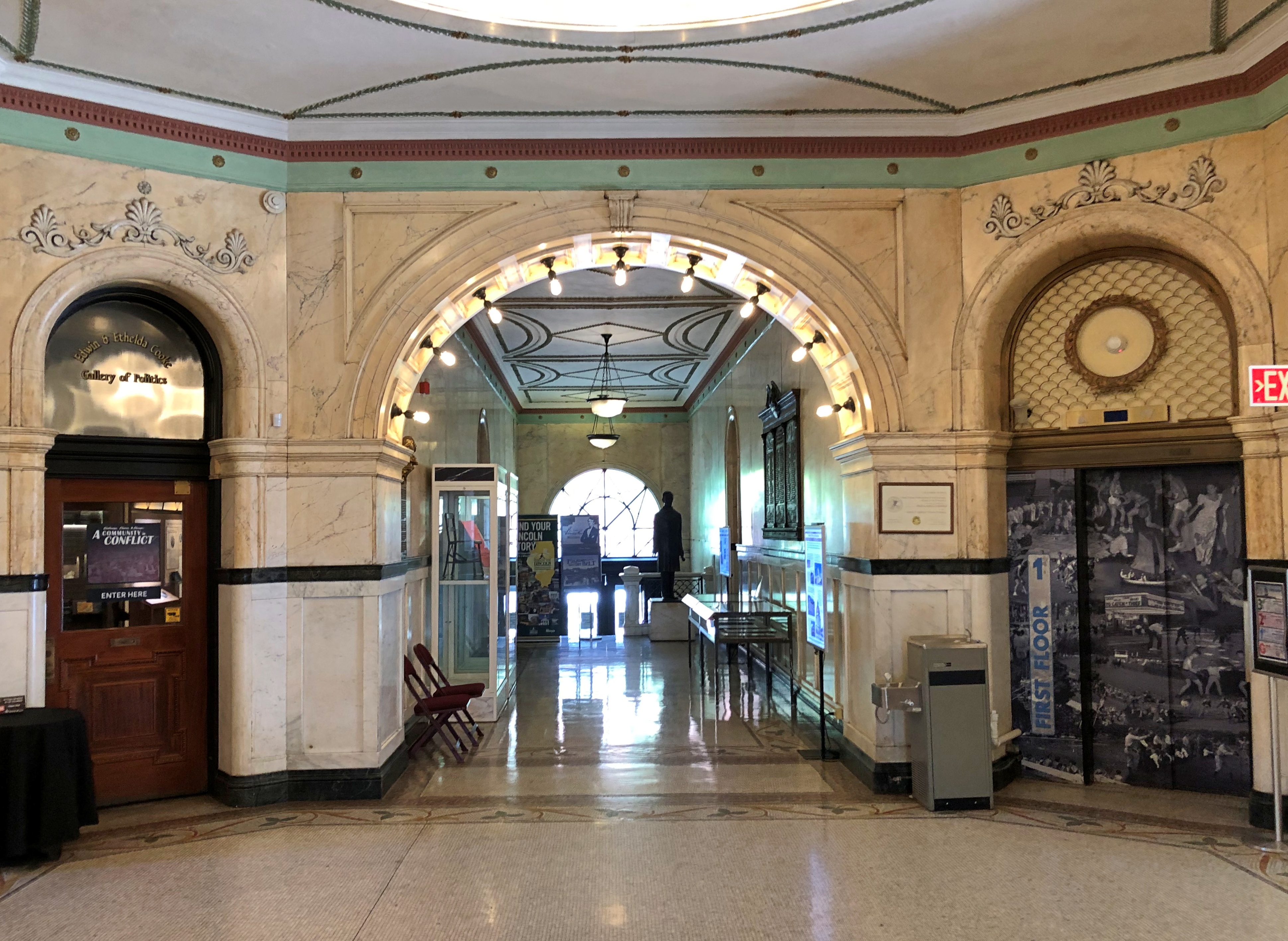
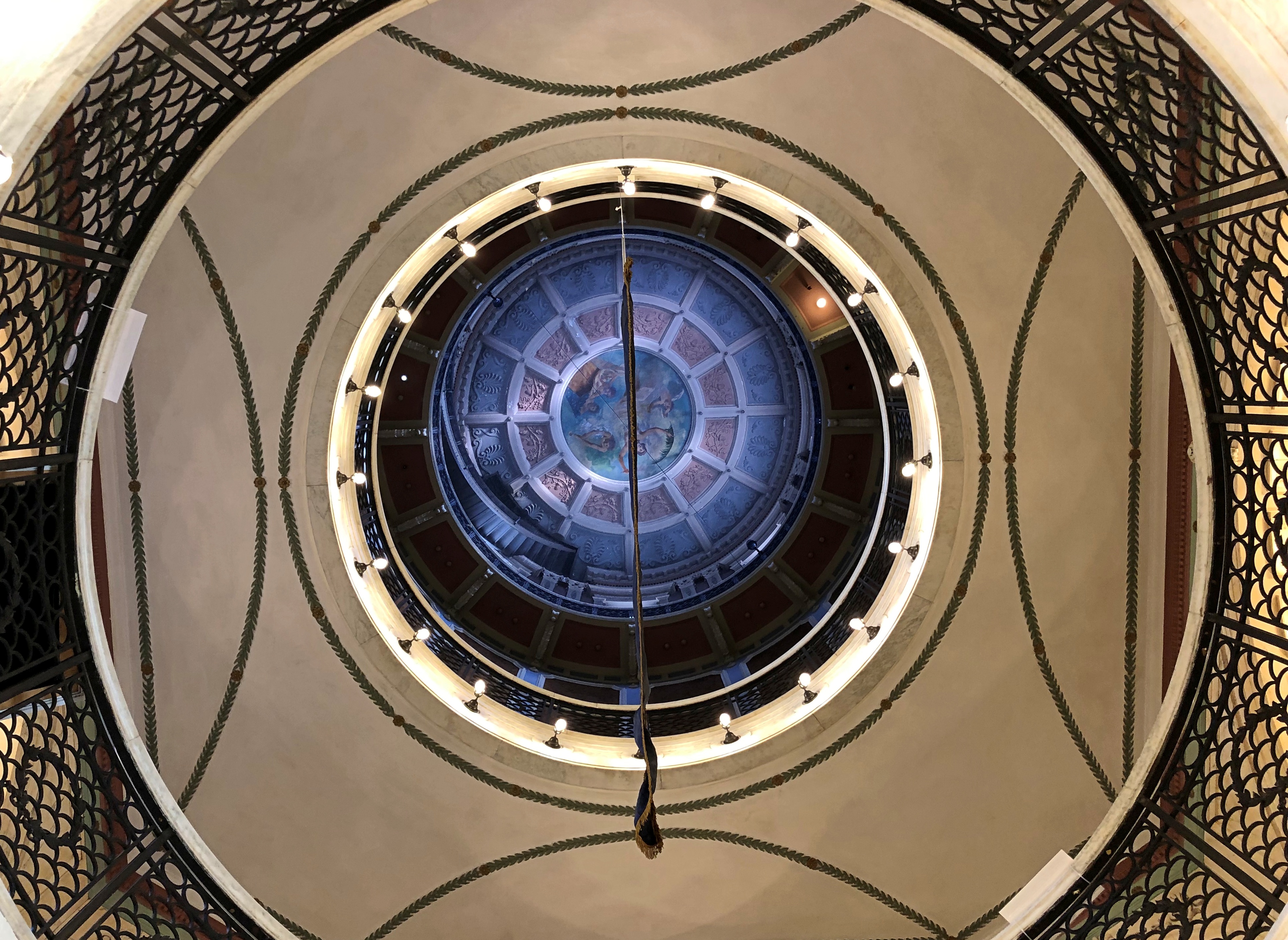
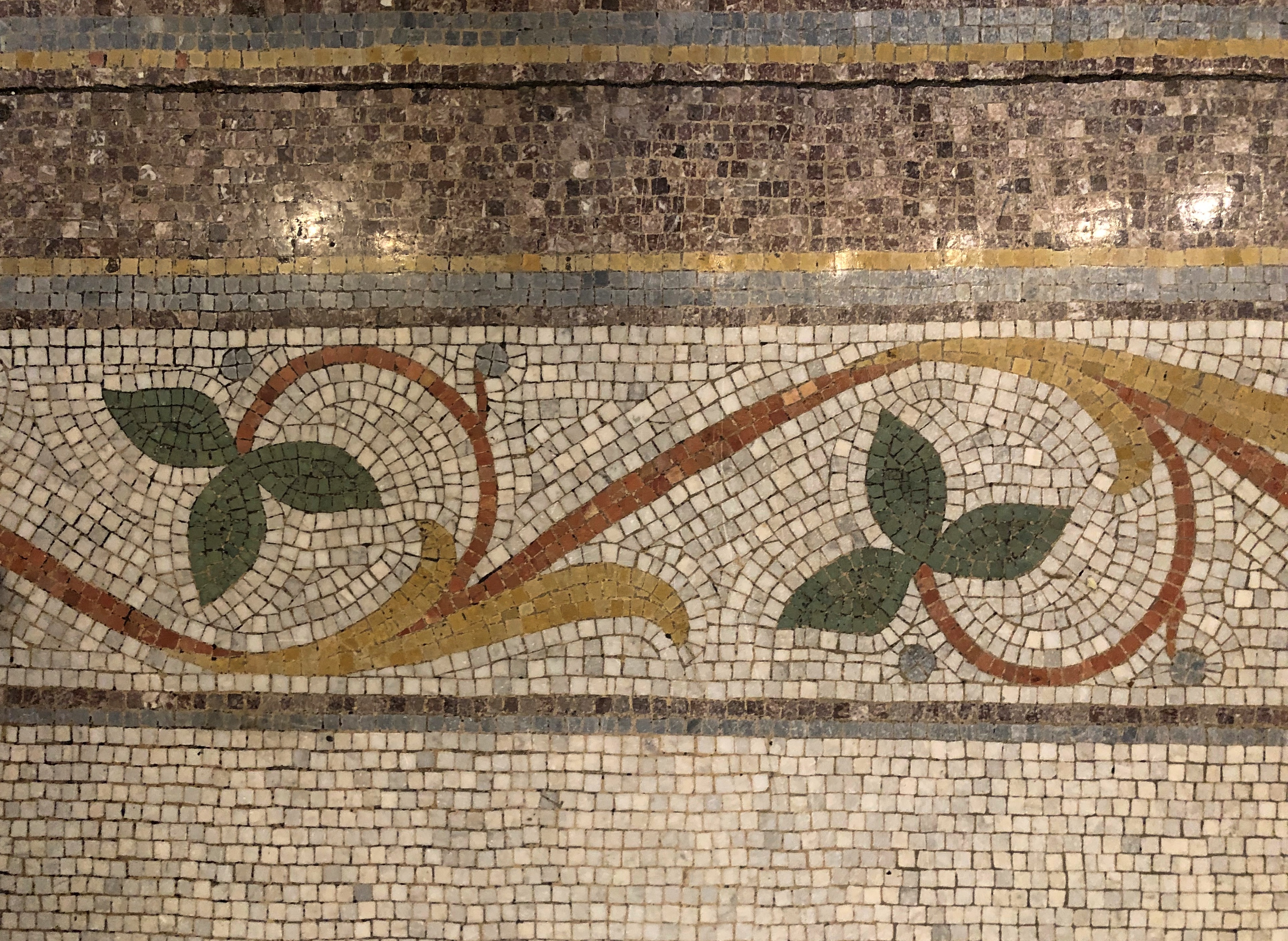
The displays and artifacts are one thing, but what really makes the museum sing is its digs in the former courthouse.McLean Country Courthouse McLean Country Courthouse McLean Country Courthouse

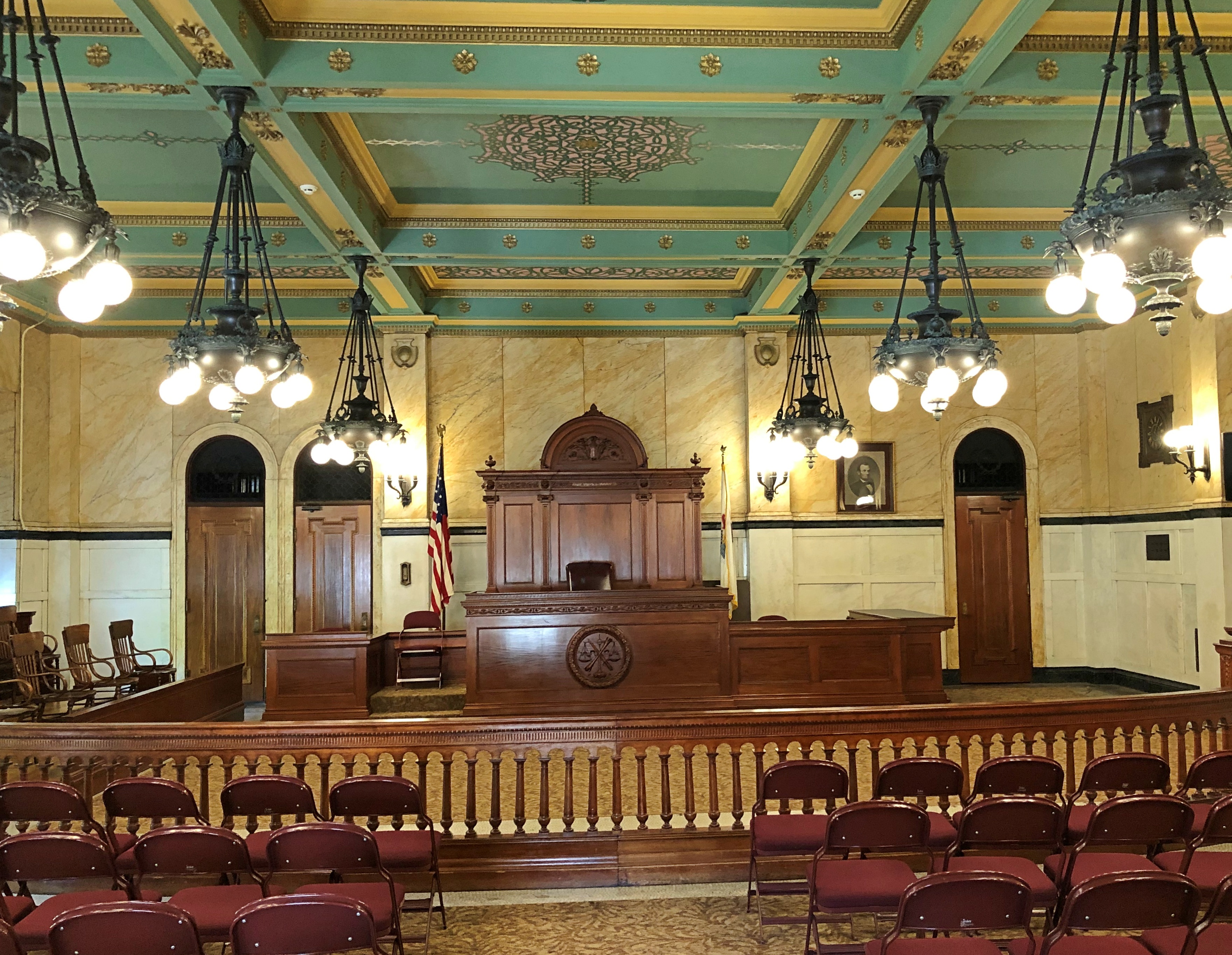
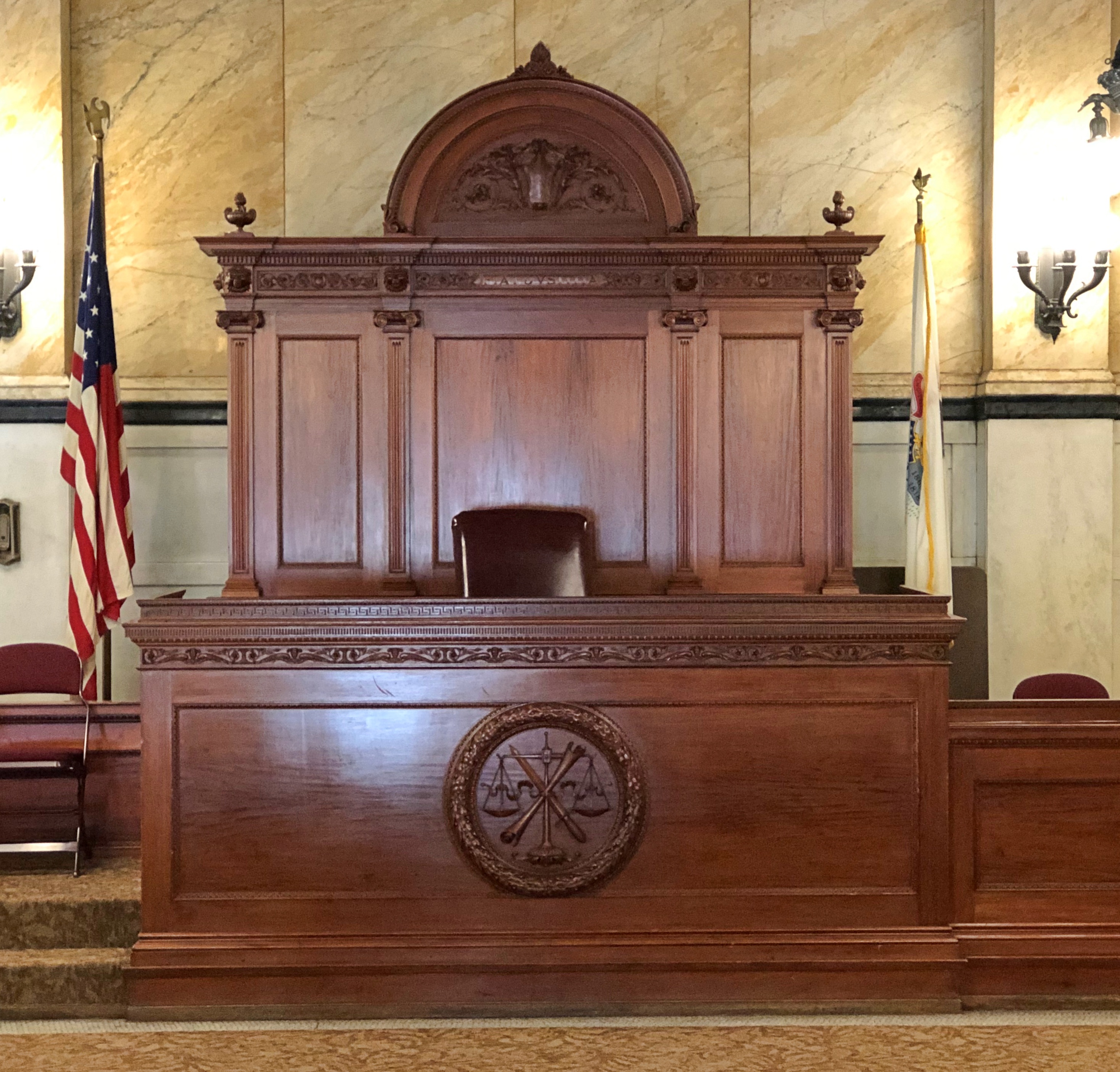
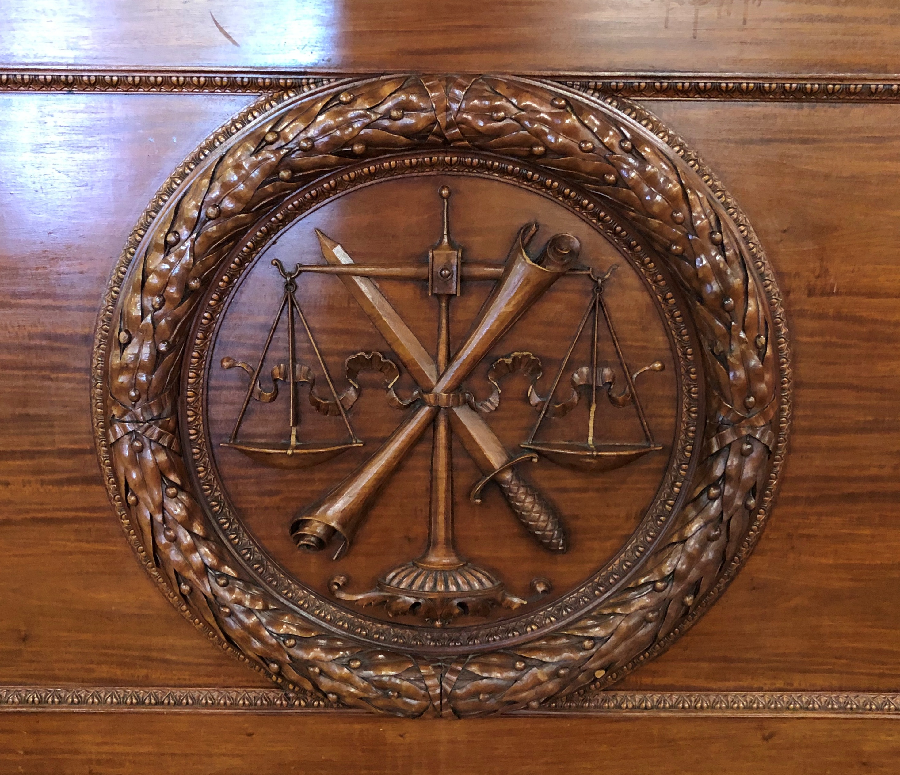
Especially the former courtroom.McLean Country Courthouse McLean Country Courthouse McLean Country Courthouse

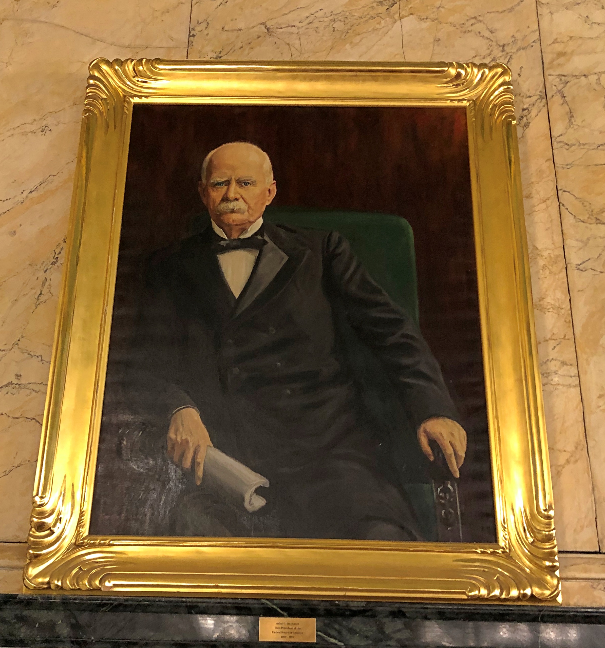
In which hangs a portrait of Vice President Adlai Stevenson.McLean County Museum of History

The courthouse dates from the early 1900s, a time when officialdom at least believed that the physical structures of republican government ought to have a touch of grandeur.