Prairie du Chien: St. Feriole Island

One thing I wanted to find out from our most recent road trip was how to pronounce Prairie du Chien, pop. 5,600 and seat of Crawford County, Wisconsin. Or more exactly, how to say the local version of Chien. However that turned out, it was bound to be more elegant than Dog Prairie.

Sure, I could have looked it up any time. The Internet overflows with such minutiae. But sometimes random web sites are wrong.

According to what I heard many times on local radio, this is correct. Prairie du SHEEN, as in a soft luster or the actors Martin and Charlie. Maybe the 17th-century Frenchmen who founded the place said it some other way, but that hardly matters.

Marquette Road (Wisconsin 35) is the commercial spine of the modern town, featuring chain stores, restaurants, motels, gas stations and other businesses. Residential Prairie du Chien is a few blocks on either side. Perpendicular to Marquette Road is a much shorter shopping/tourist street, Blackhawk Ave., sporting the likes of Bob’s Bar, Jim’s Bar, Cafe Hope, the Blackhawk and Rowdy’s (more bars), Something for Everyone (a thrift store) and Pete’s Hamburger Stand.

During the day on July 3, Blackhawk Ave., which we drove down a few times, was fairly busy. Among other things, a long line of people were waiting to buy takeout from Pete’s. Guess it’s a local favorite.

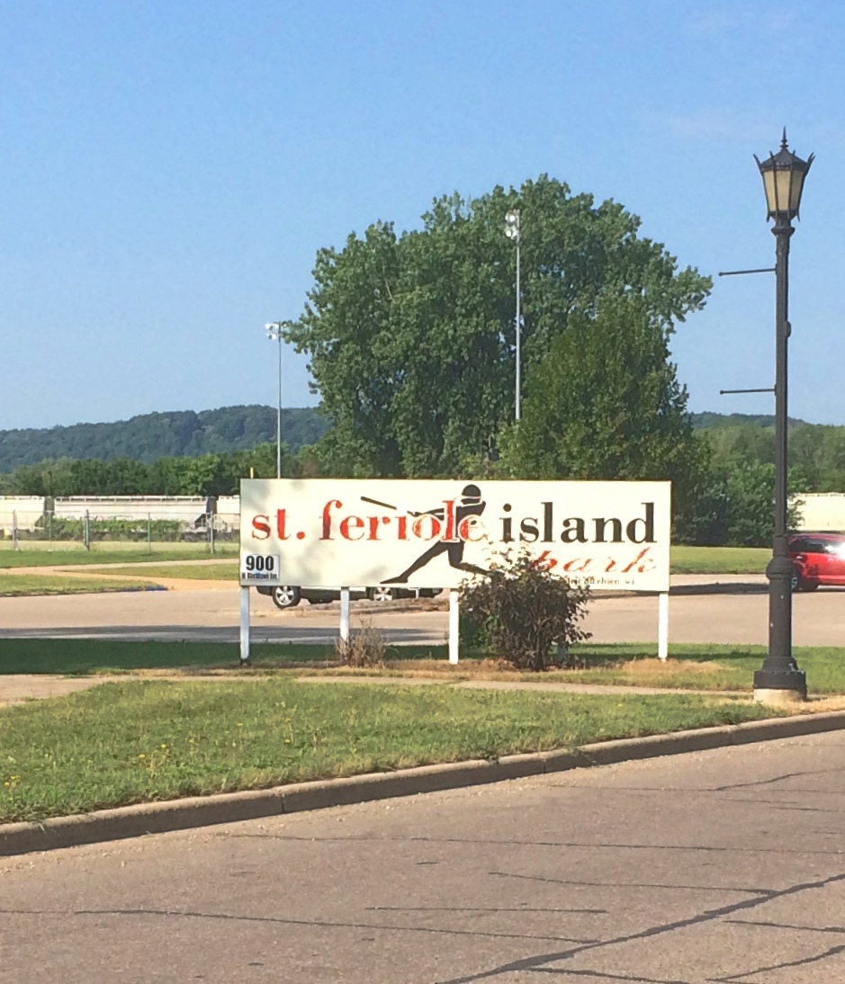
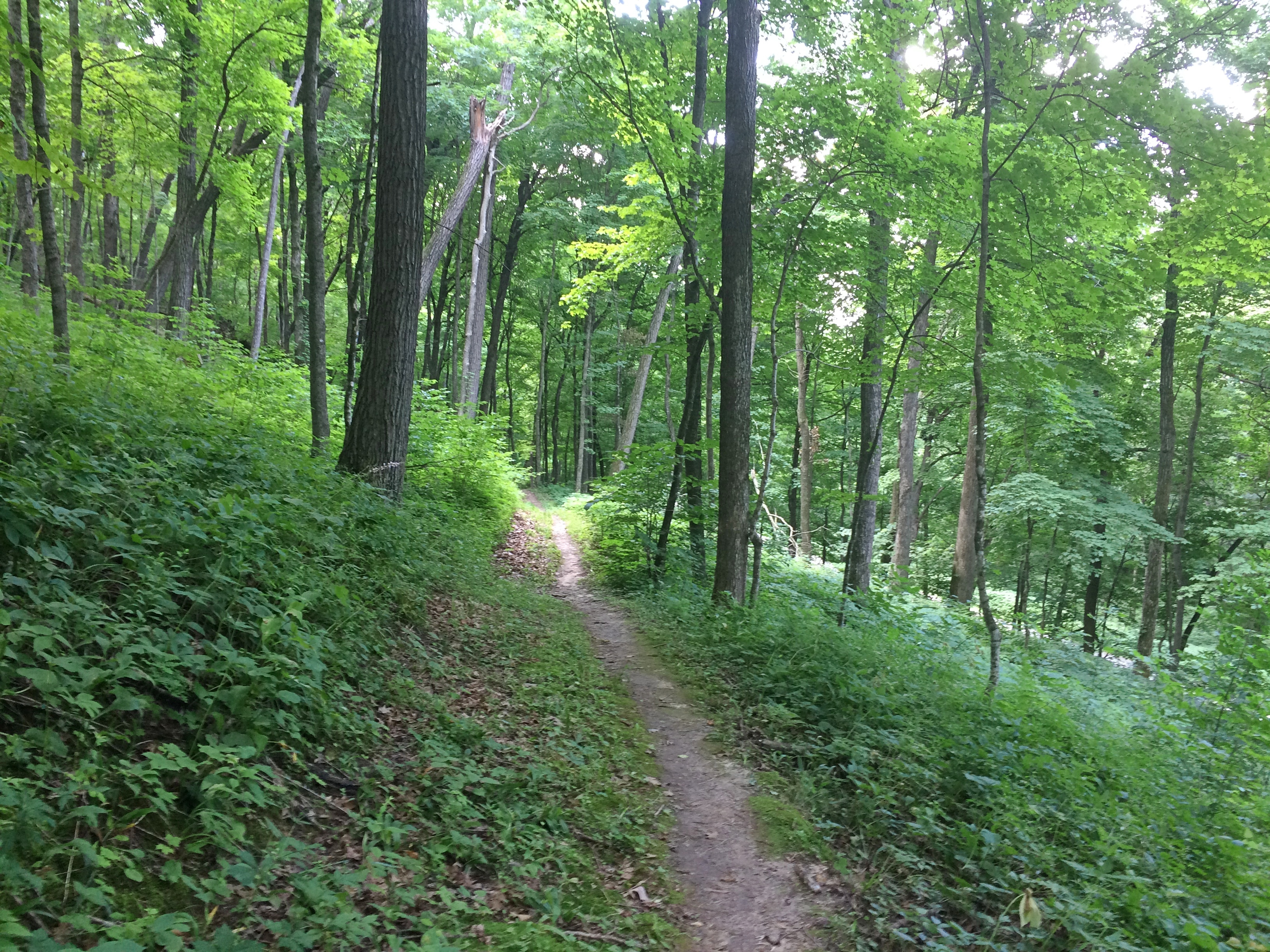
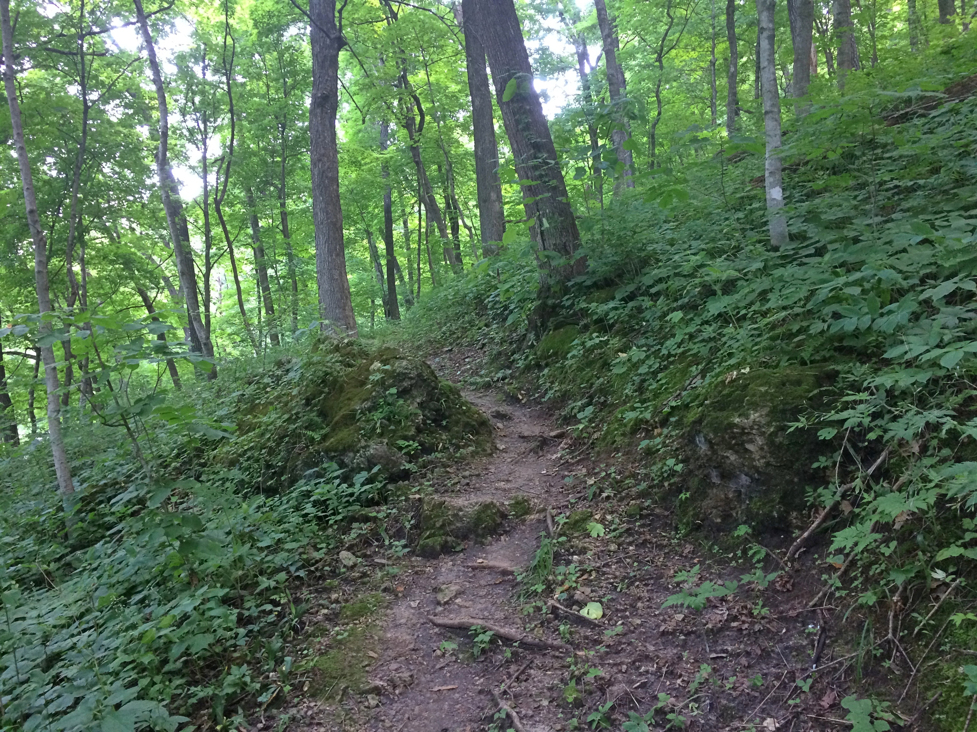
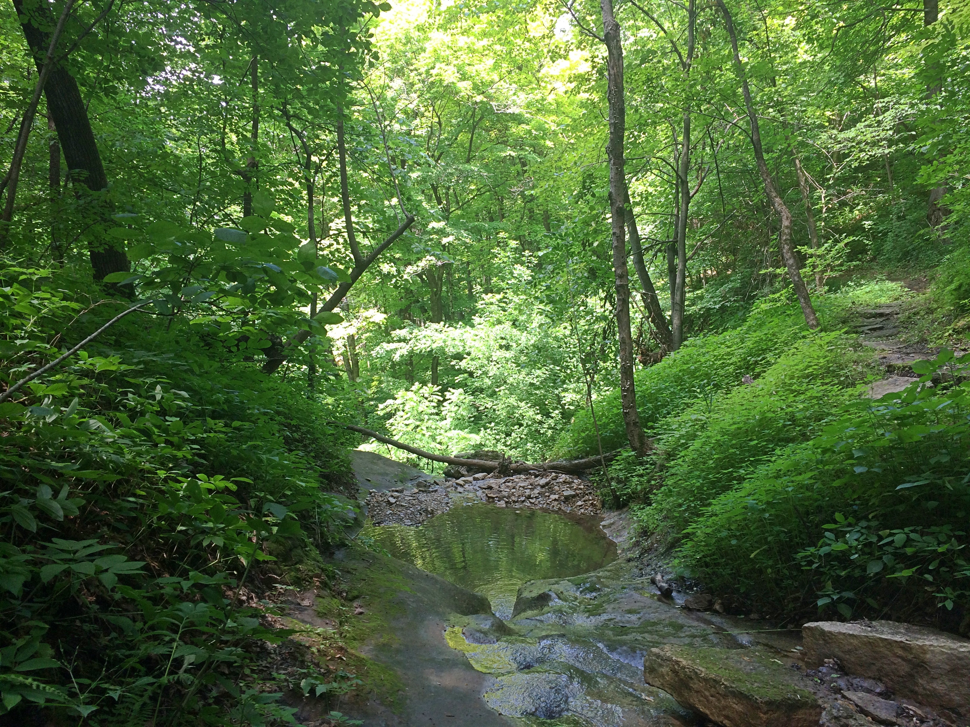
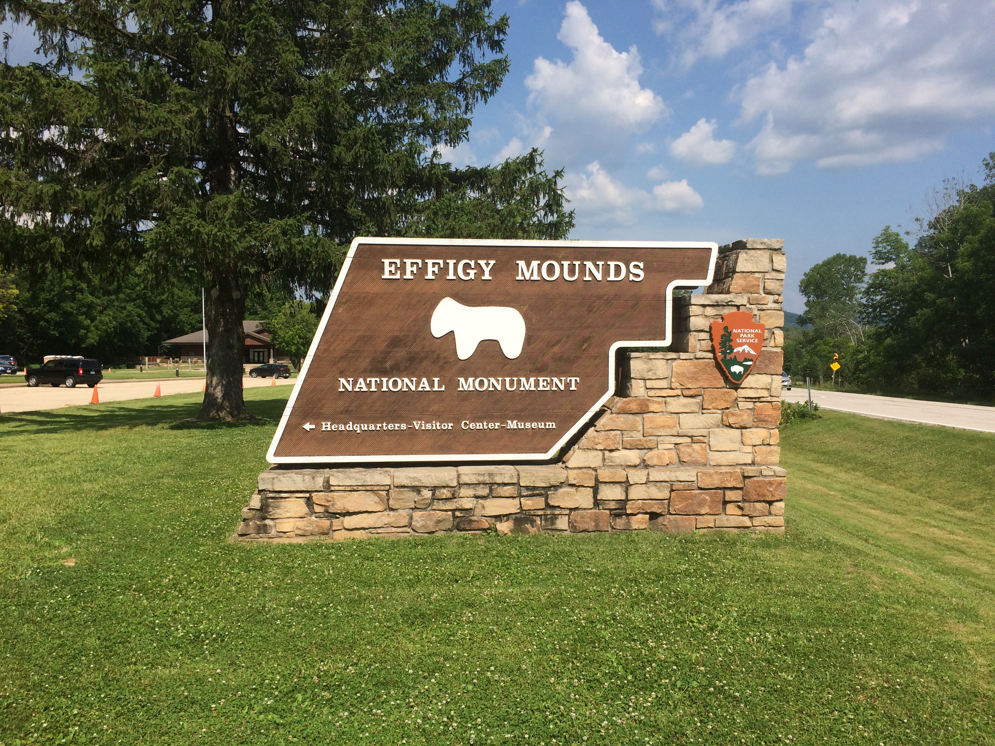
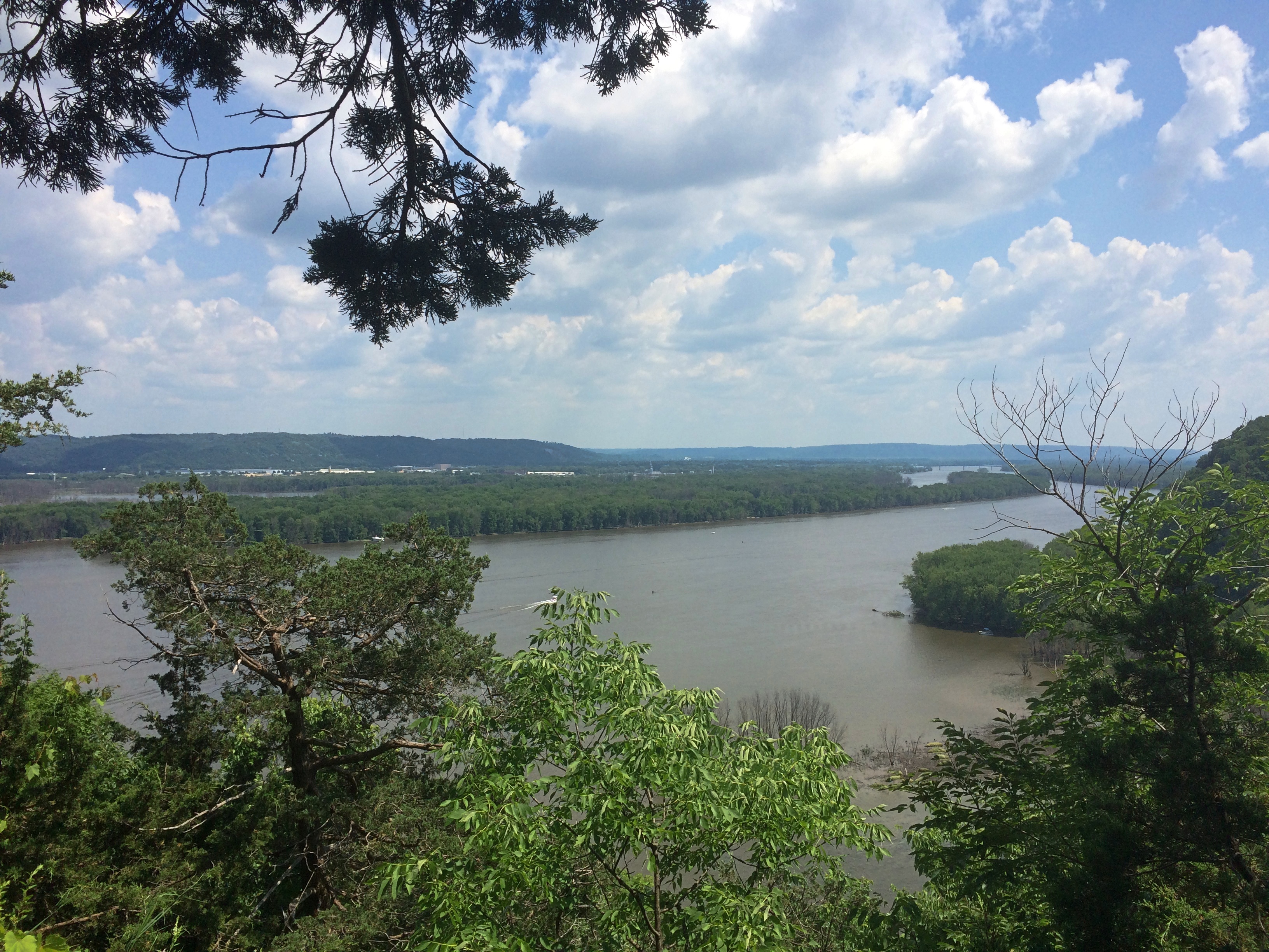
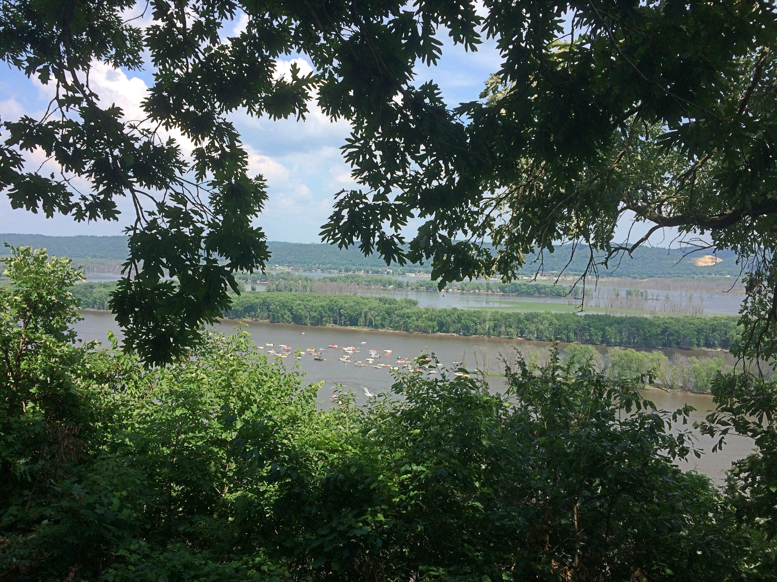
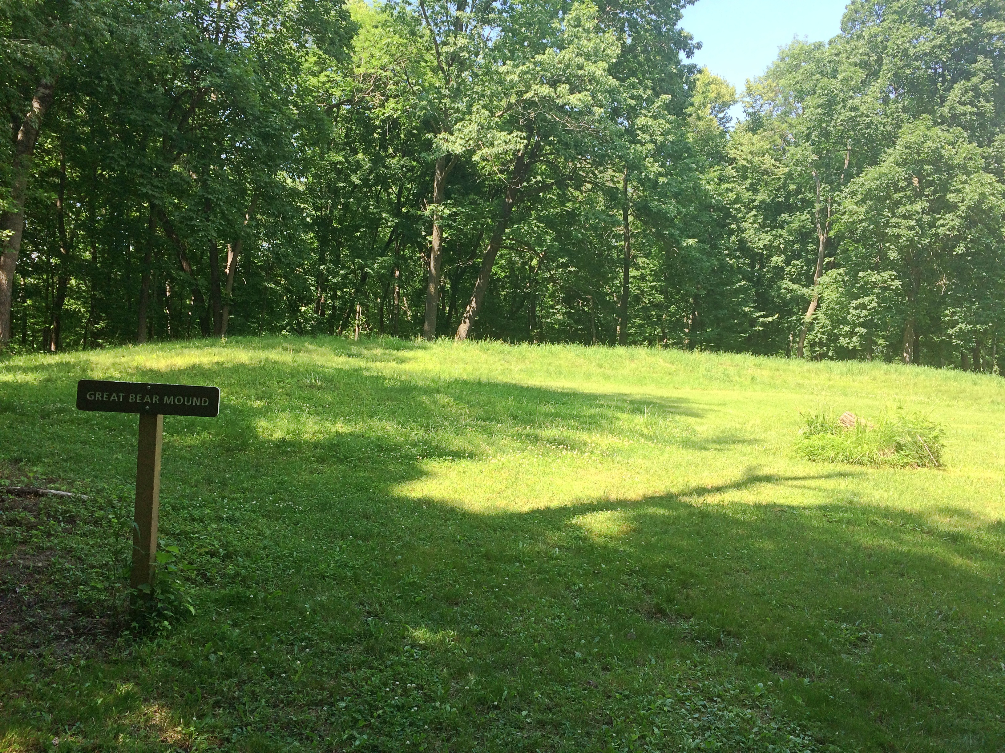
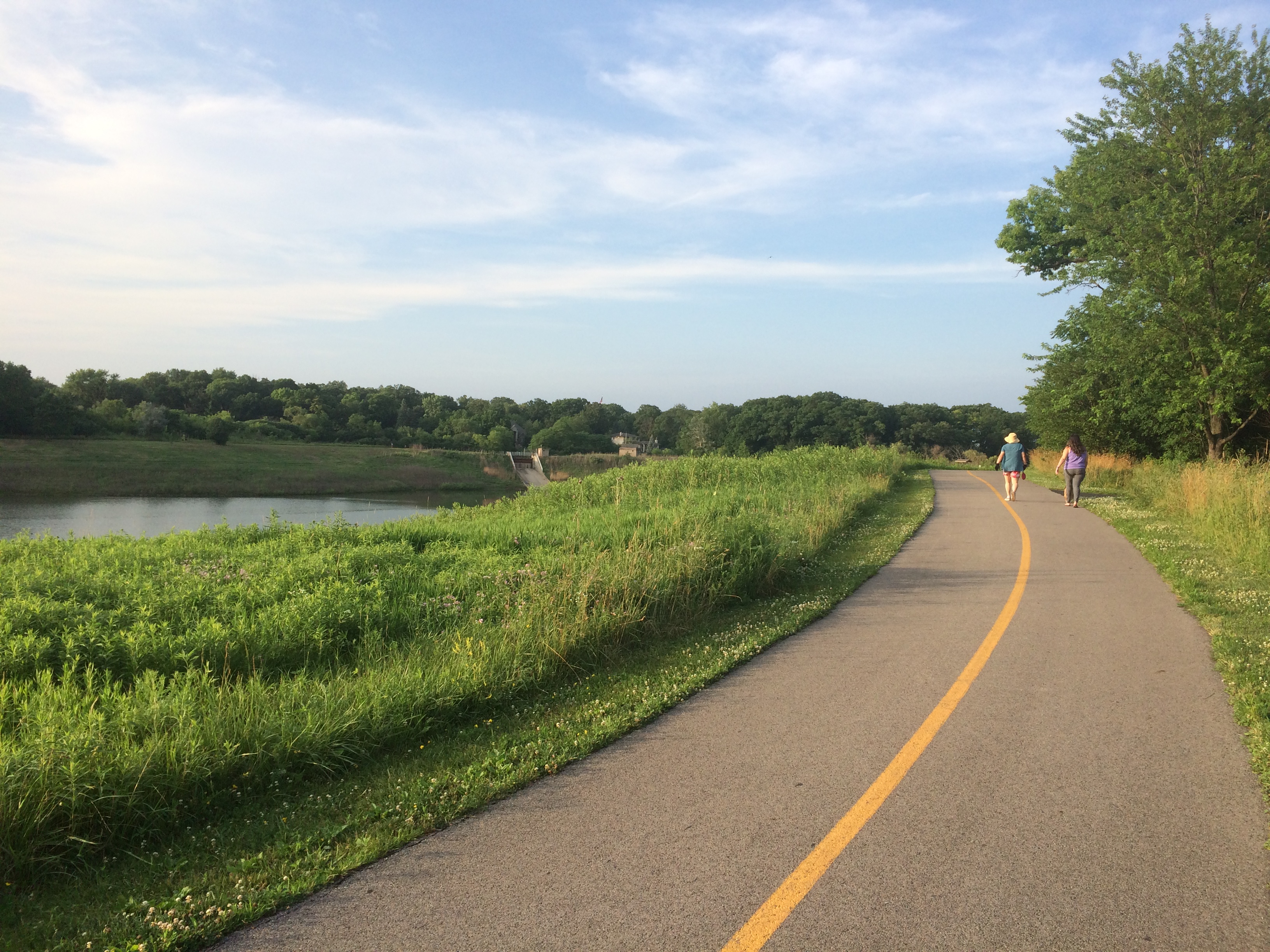
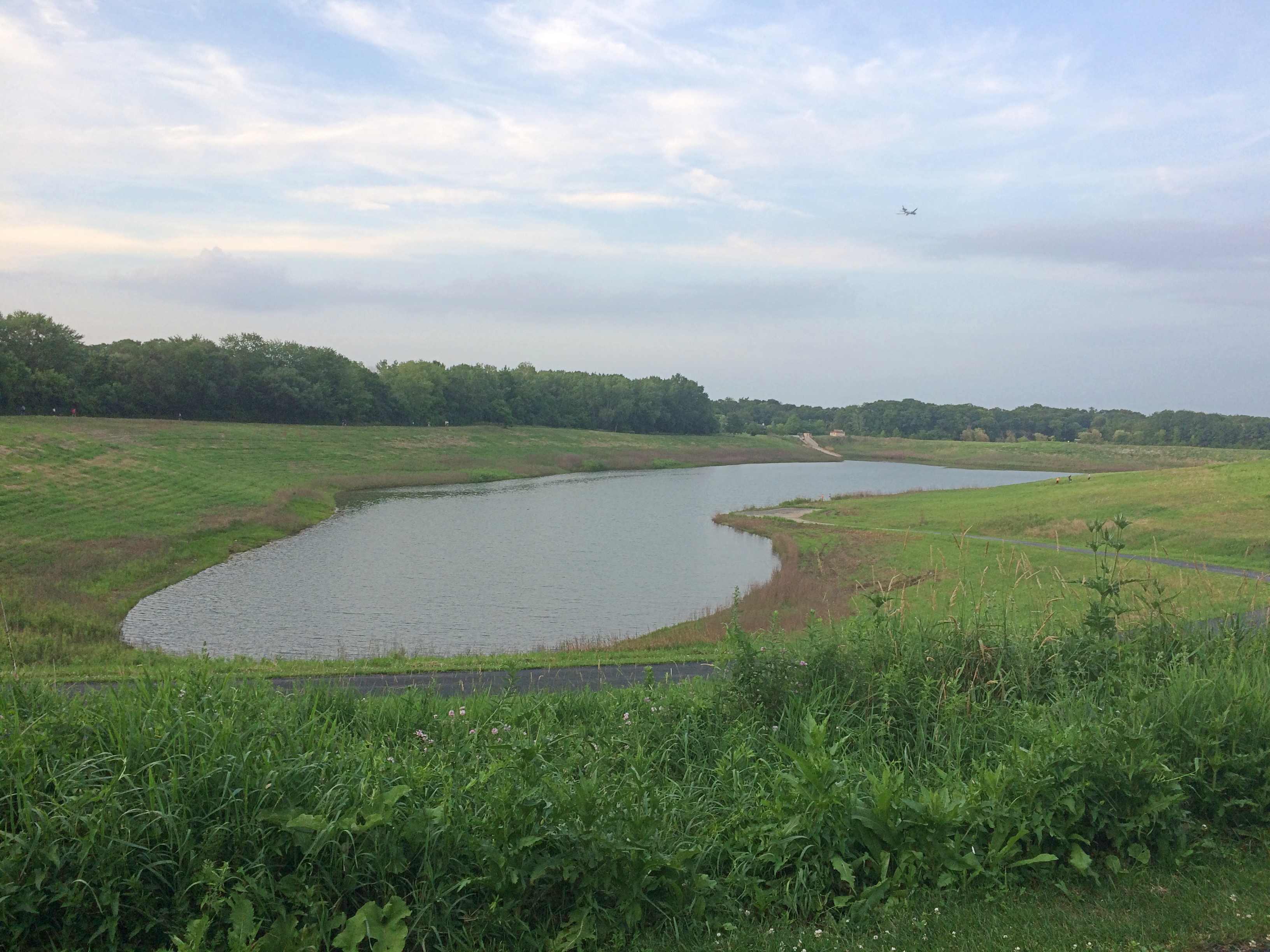
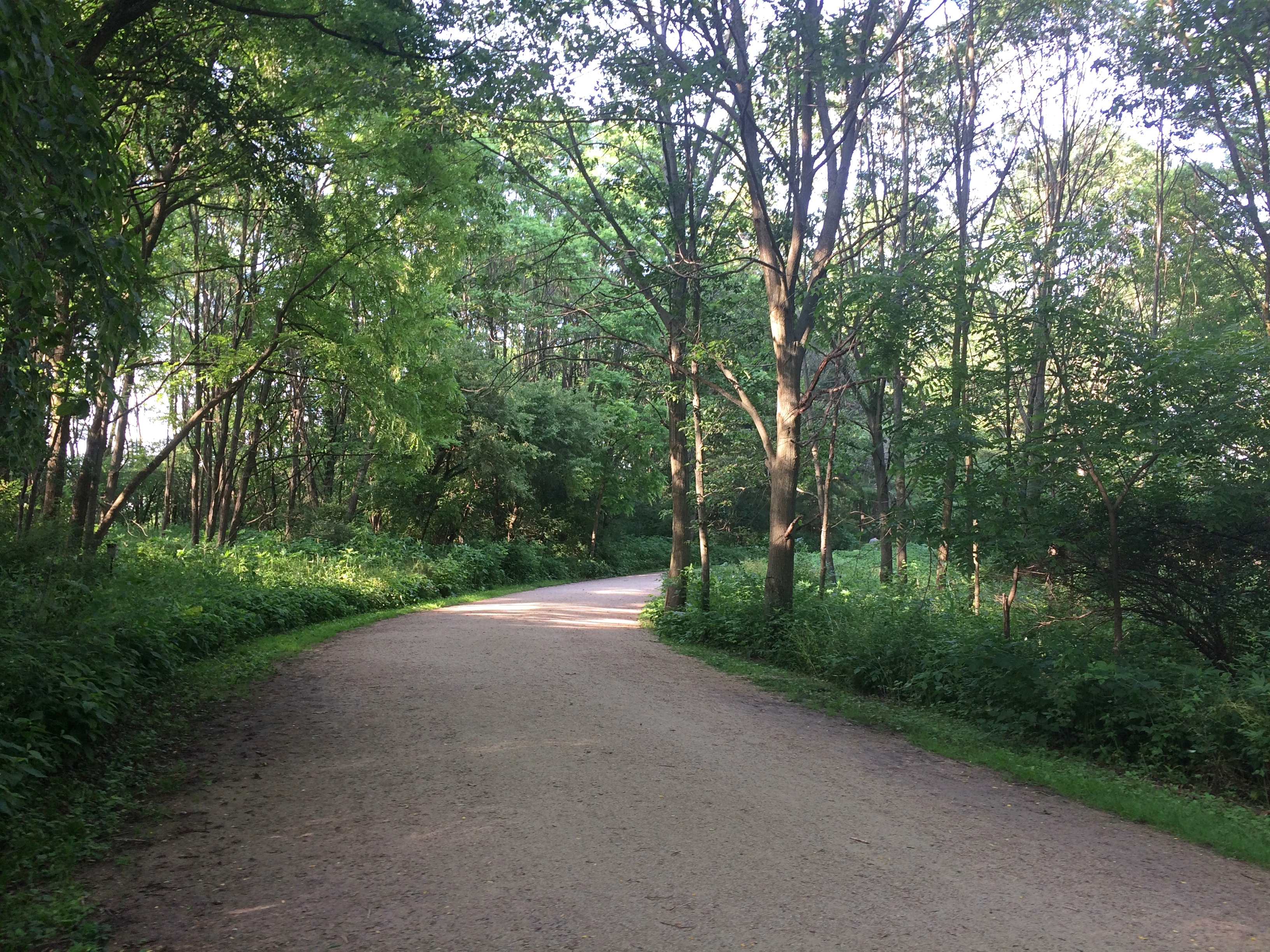
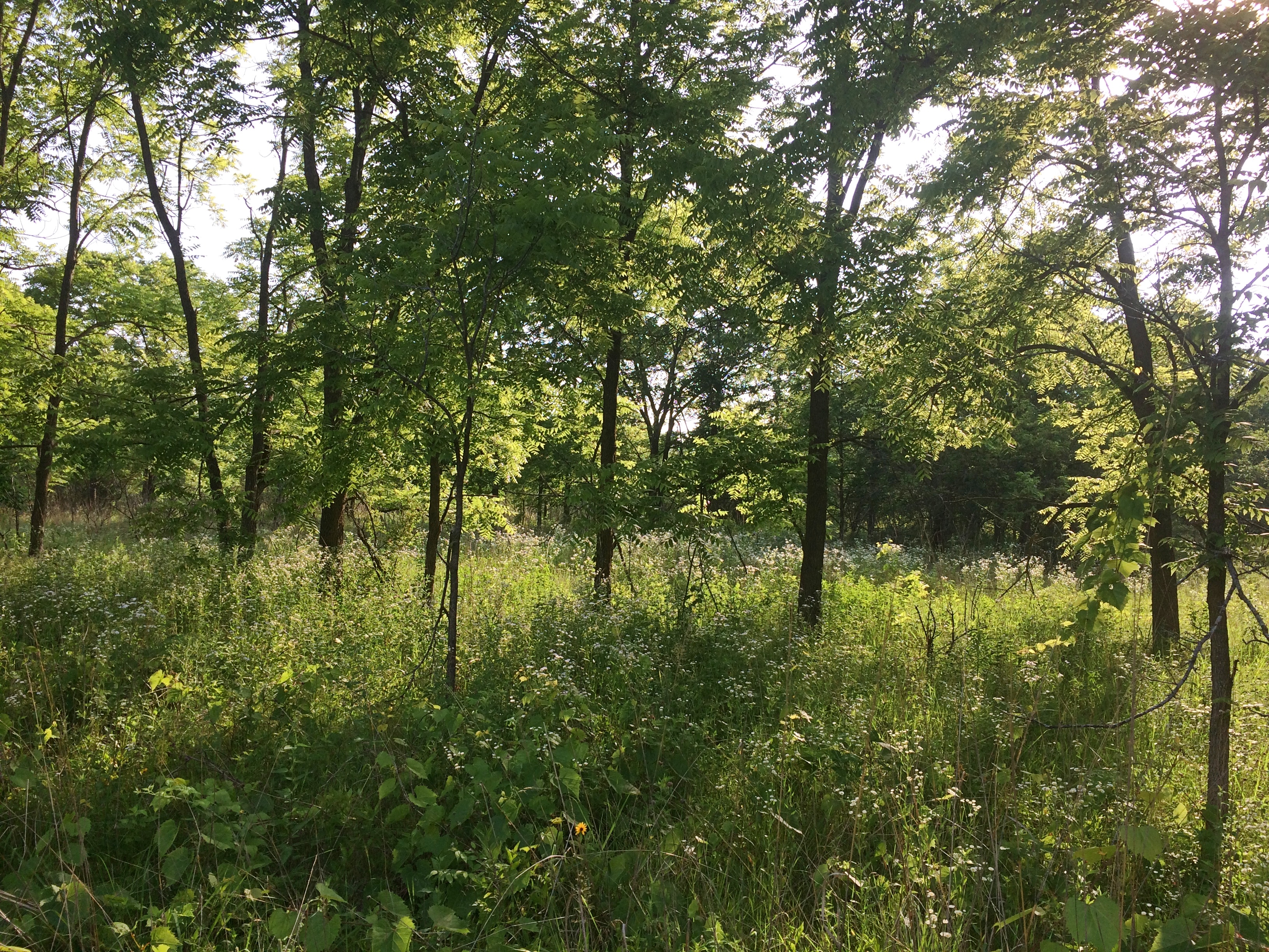
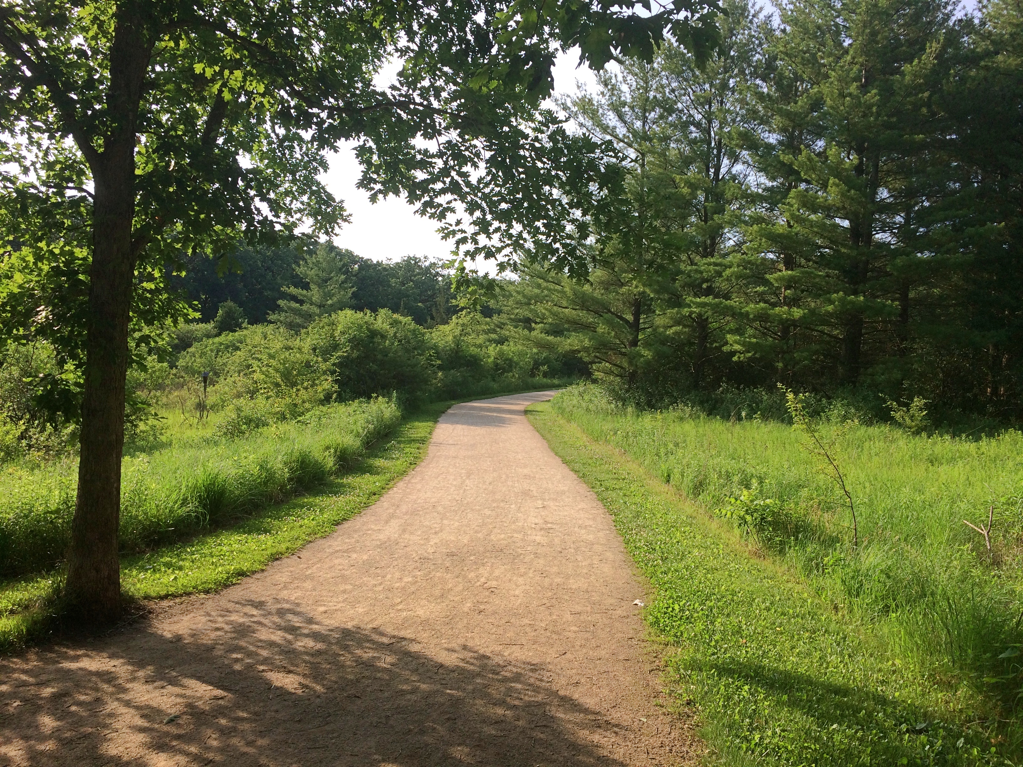
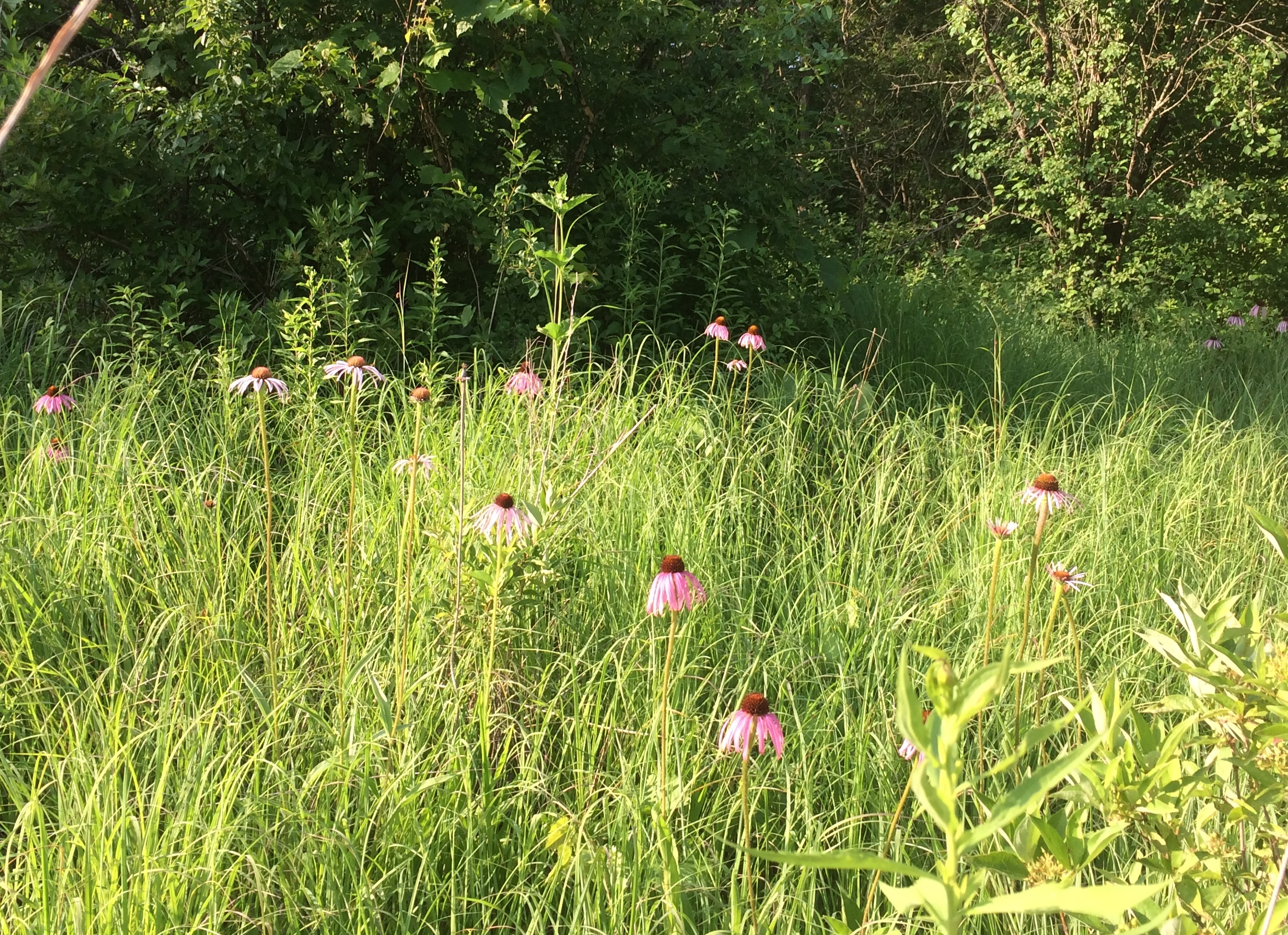
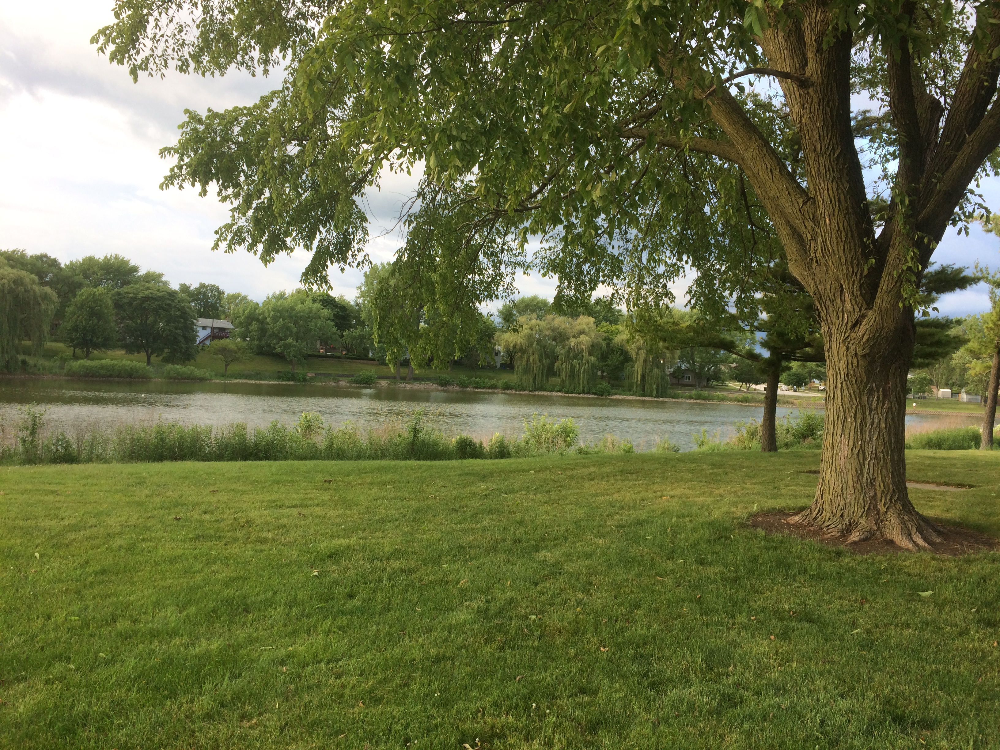
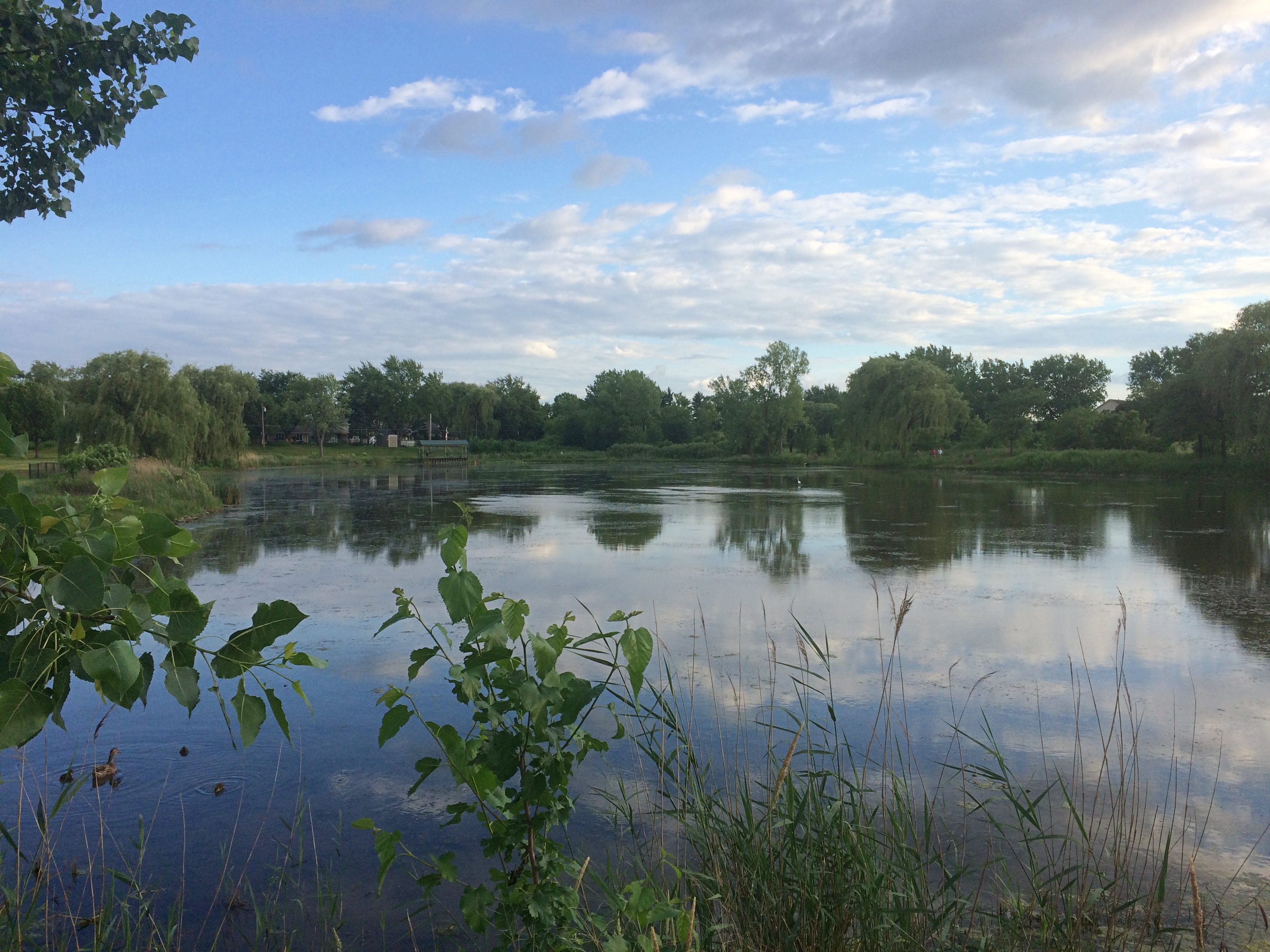
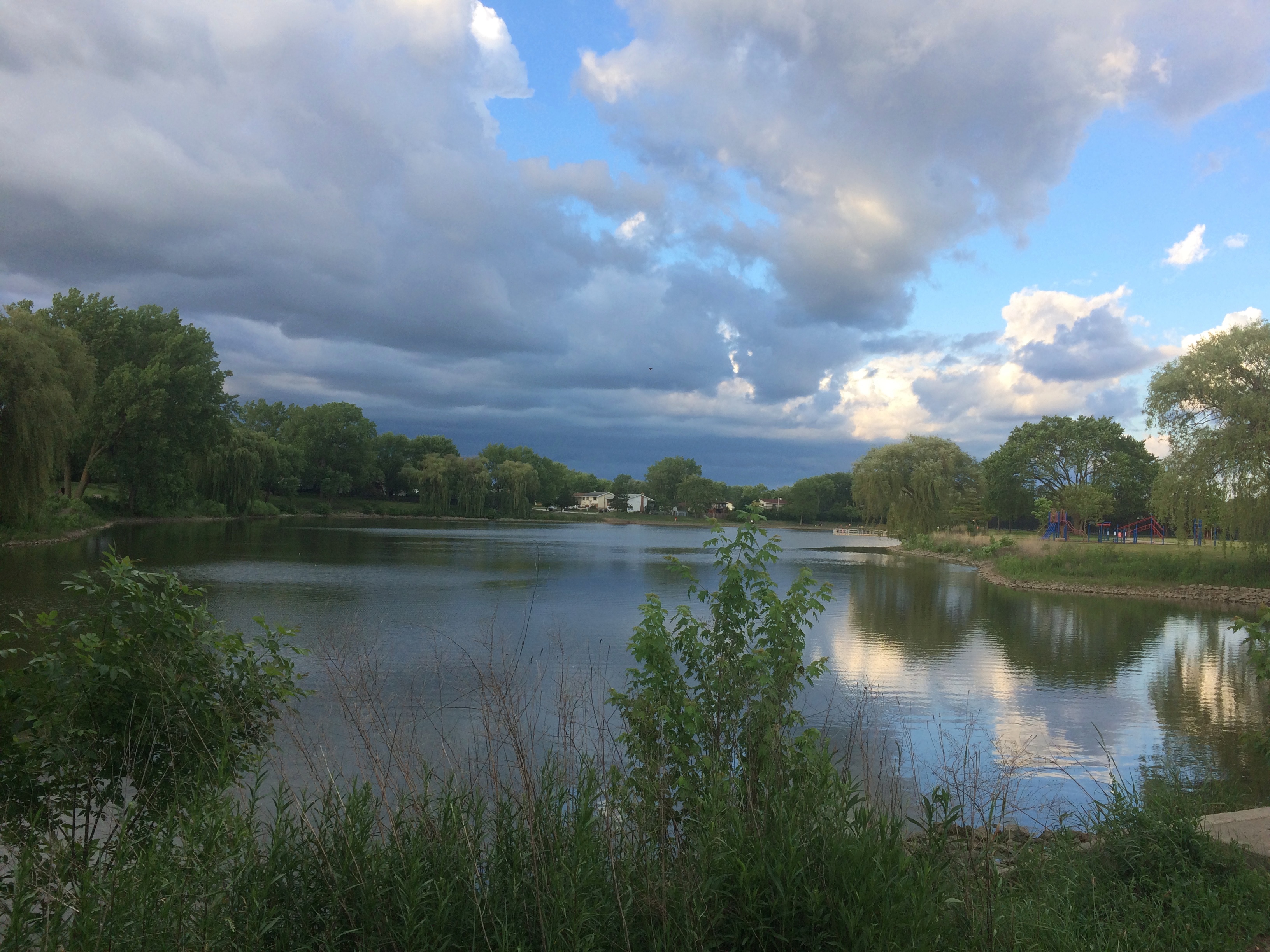
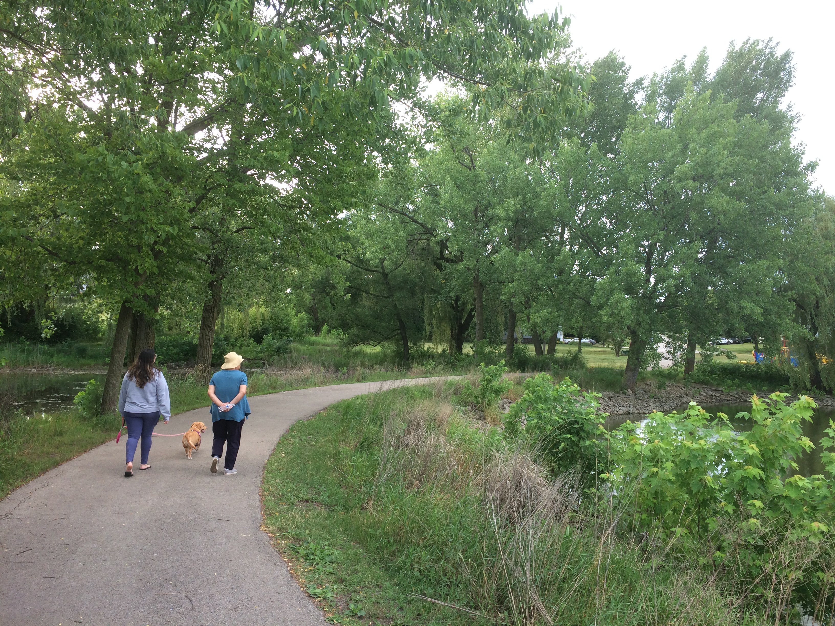
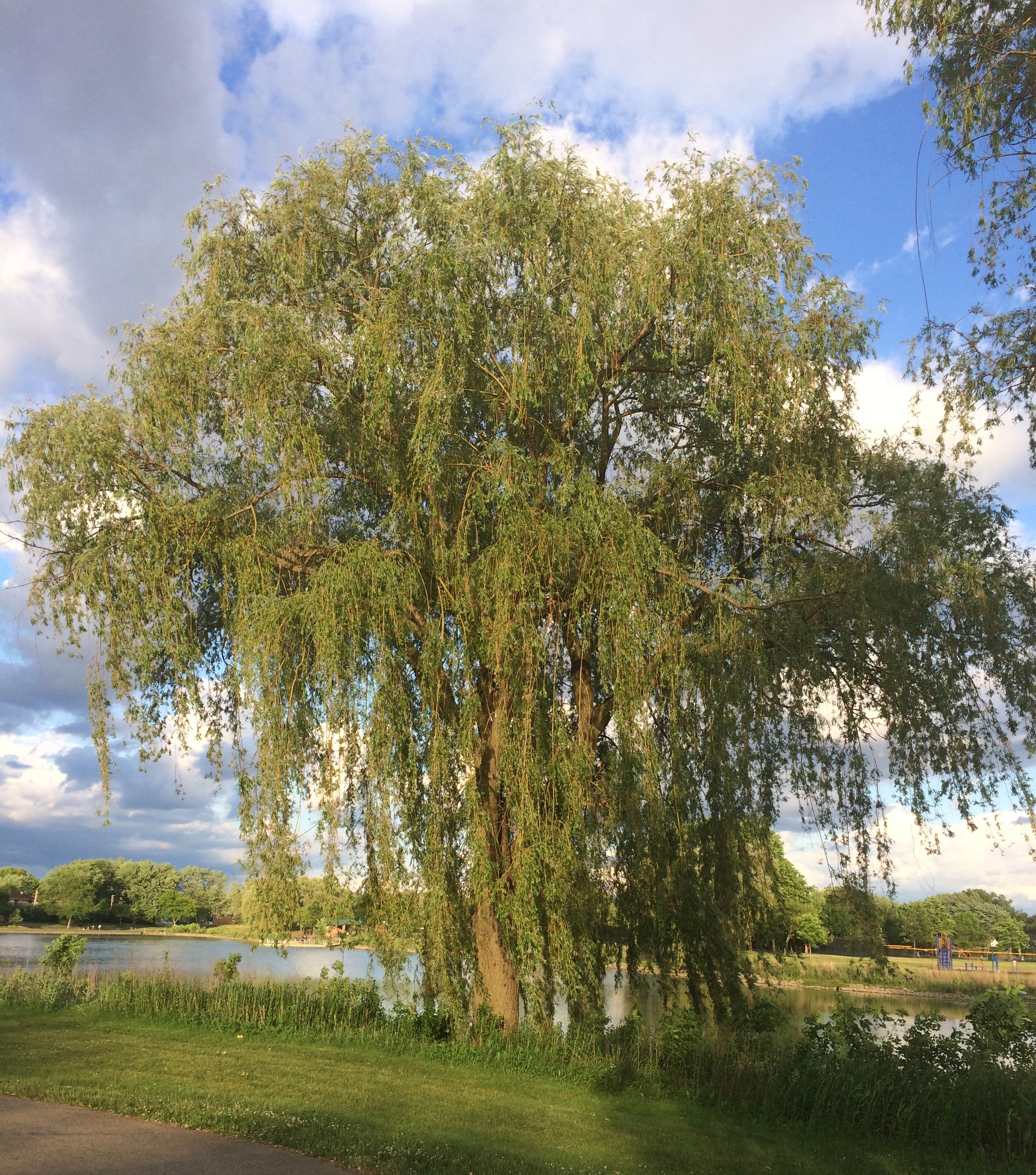
Much less crowded — not crowded at all — was St. Feriole Island, an island in the Mississippi that’s part of Prairie du Chien and just to the west of the rest of the town. We spent some time there looking around, both before and after we visited Effigy Mounds NM.

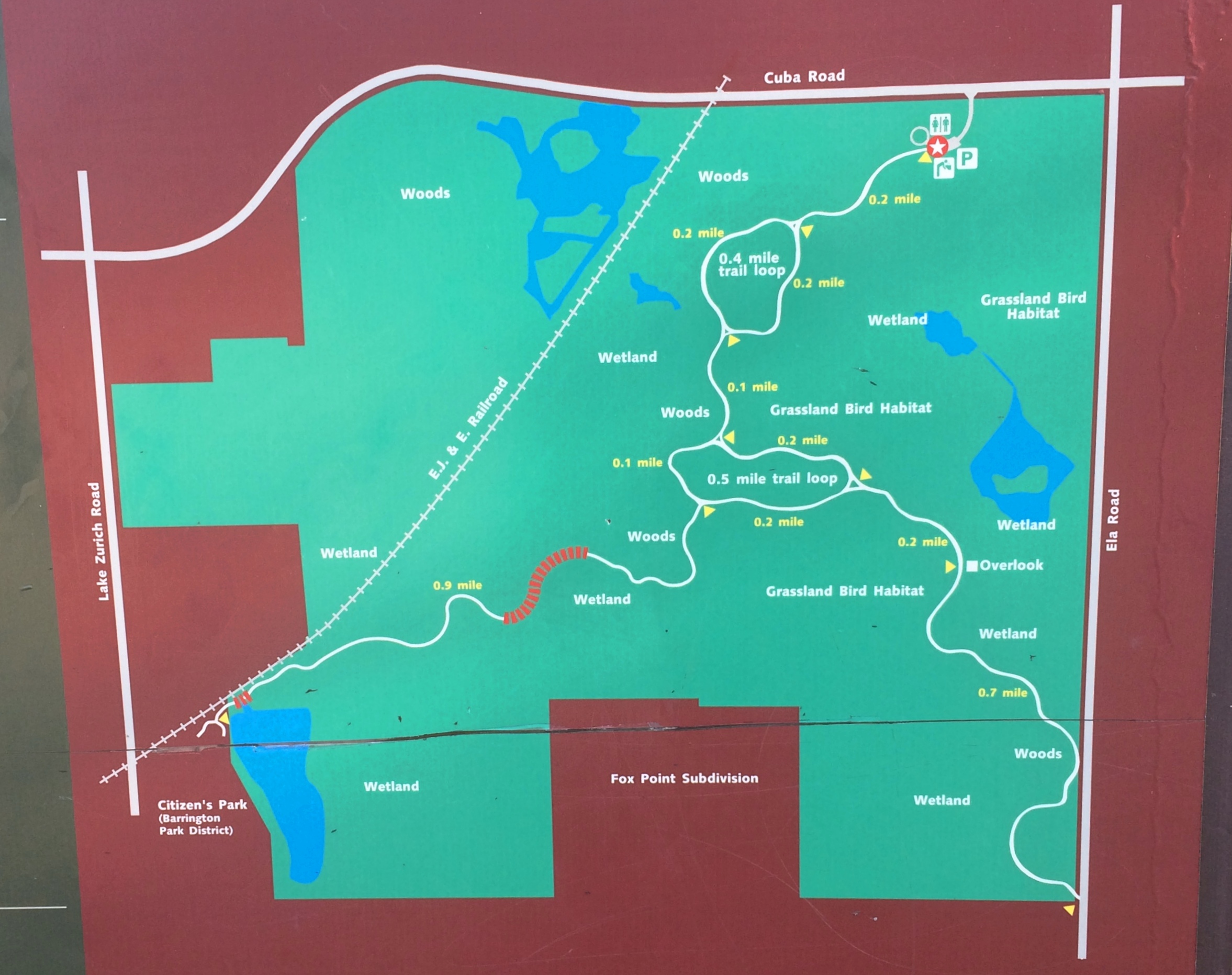
The island is prominent on this map, published in Madison, Wisconsin, in 1870.
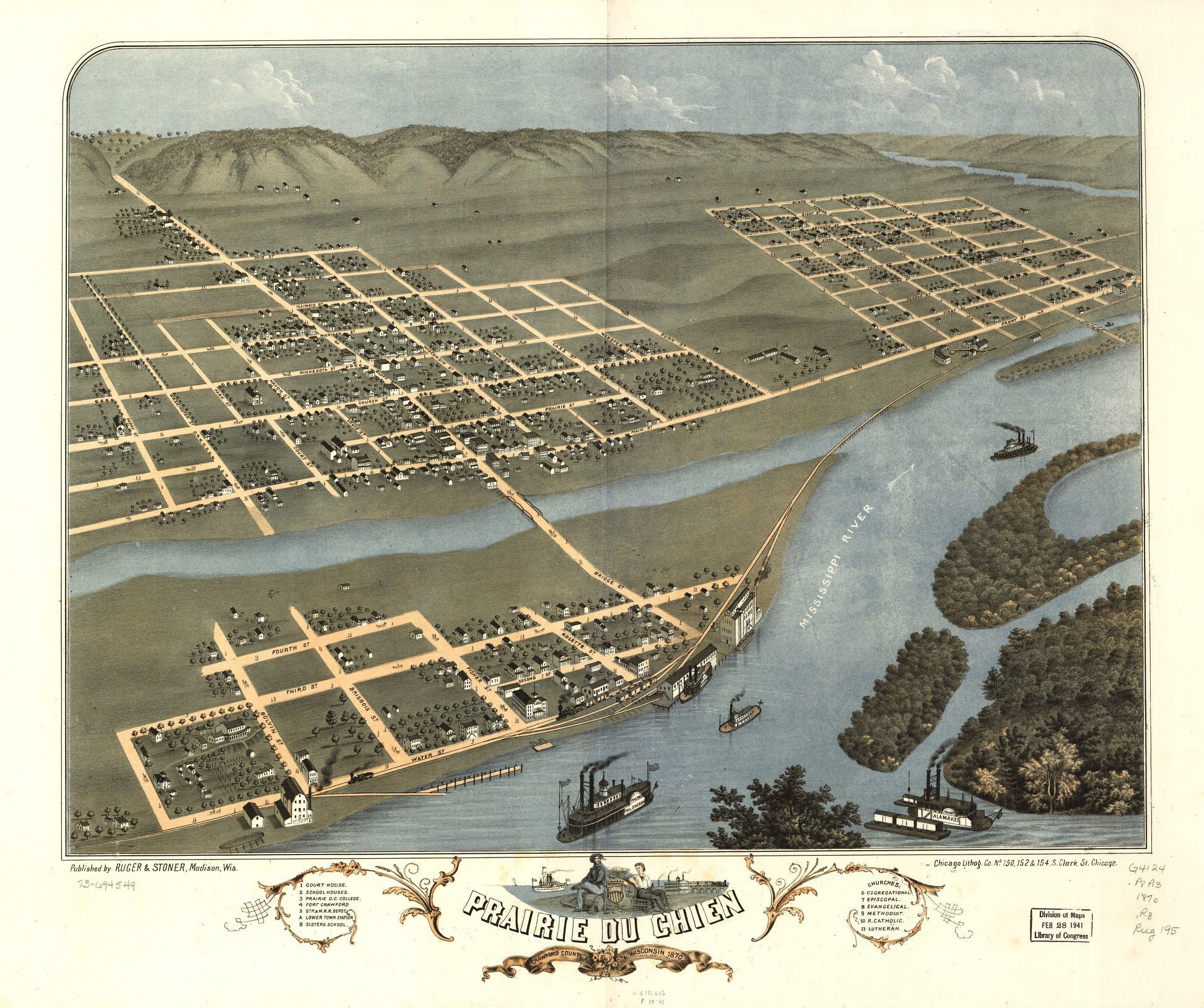
Note that the 1870 town isn’t connected to the rest of the world by a state highway system, but by a rail line and, more importantly, the Father of Waters. Also, what is now Blackhawk Ave. was then called Bluff St.

“Prairie du Chien had its beginnings on this island,” the town web site says. “It was the first location of Fort Crawford, which was involved in the War of 1812, and is the home of the historic Villa Louis mansion, the origin of which goes back to Joseph ‘King’ Rolette and Hercules Dousman, who made fortunes in fur trading and land dealings…

“This is where the industry that supported the city in the 1800s was located, so rail access was installed in 1890 [sic, the map clearly shows a rail line 20 years earlier, which still runs near the river]. After repeated floods and fires, the city was relocated to the mainland on the Wisconsin side, which was higher and far less prone to flood. Industry remained on the island, gradually closing down or moving to the mainland until well past World War II.”

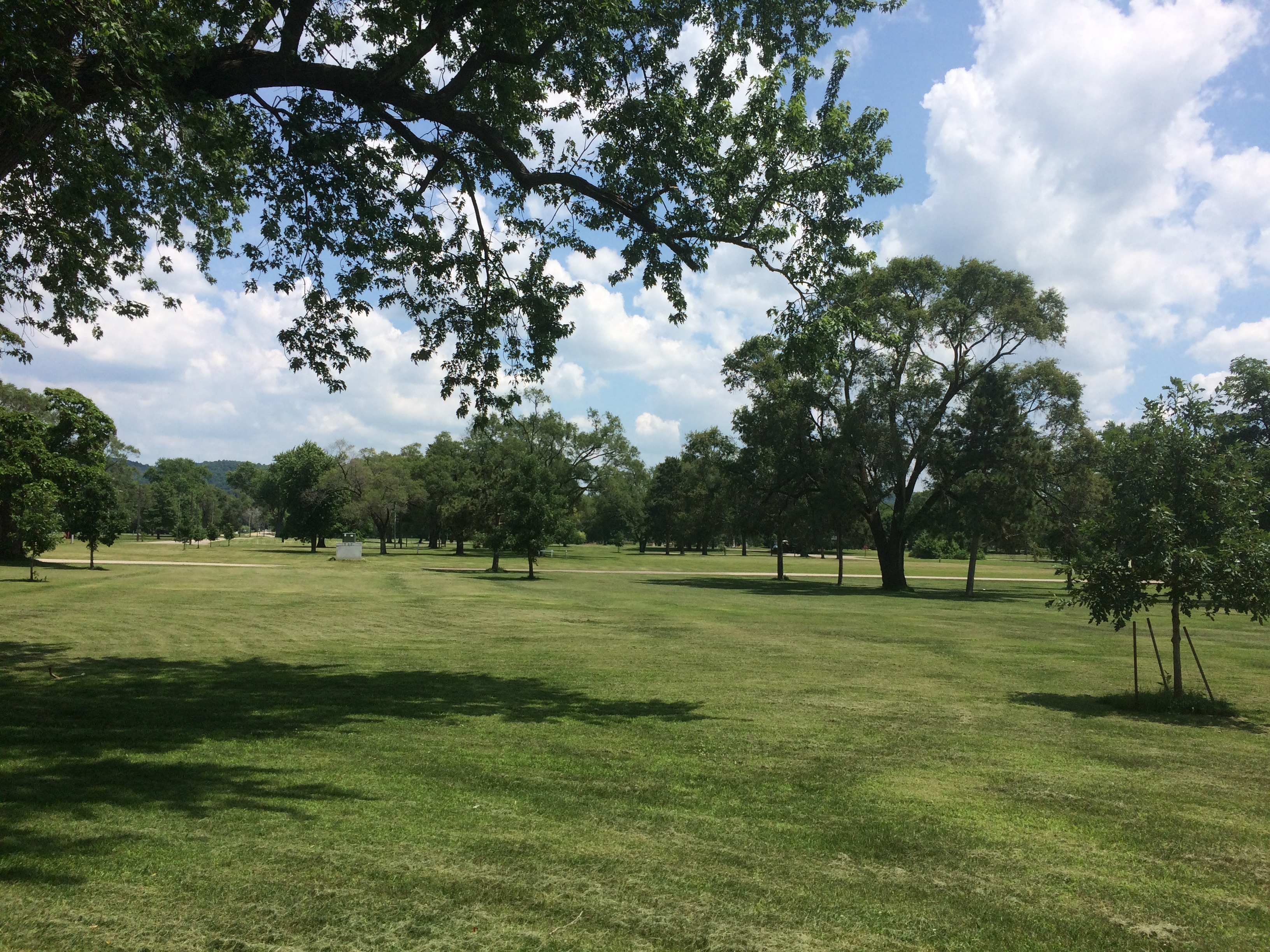
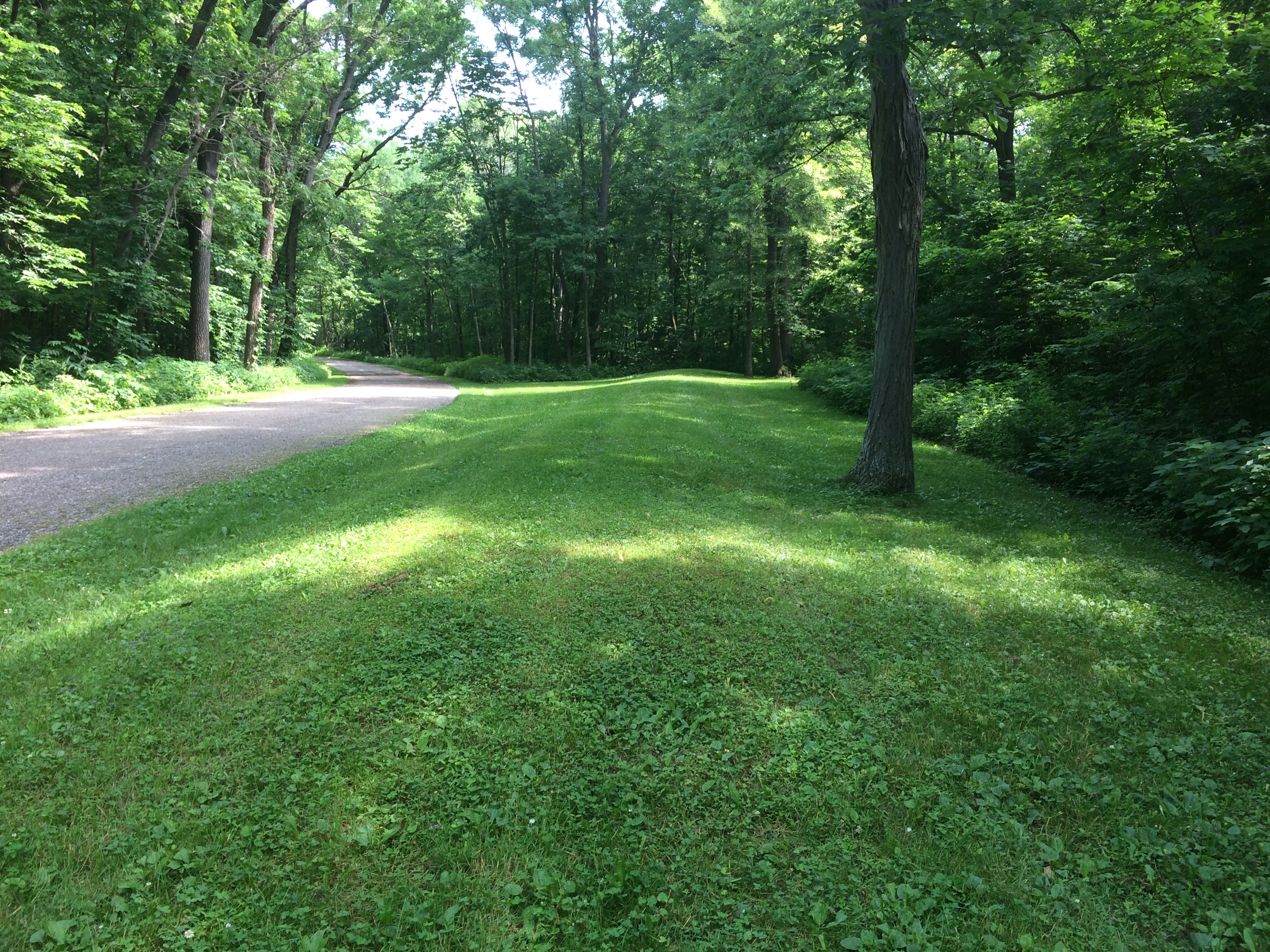
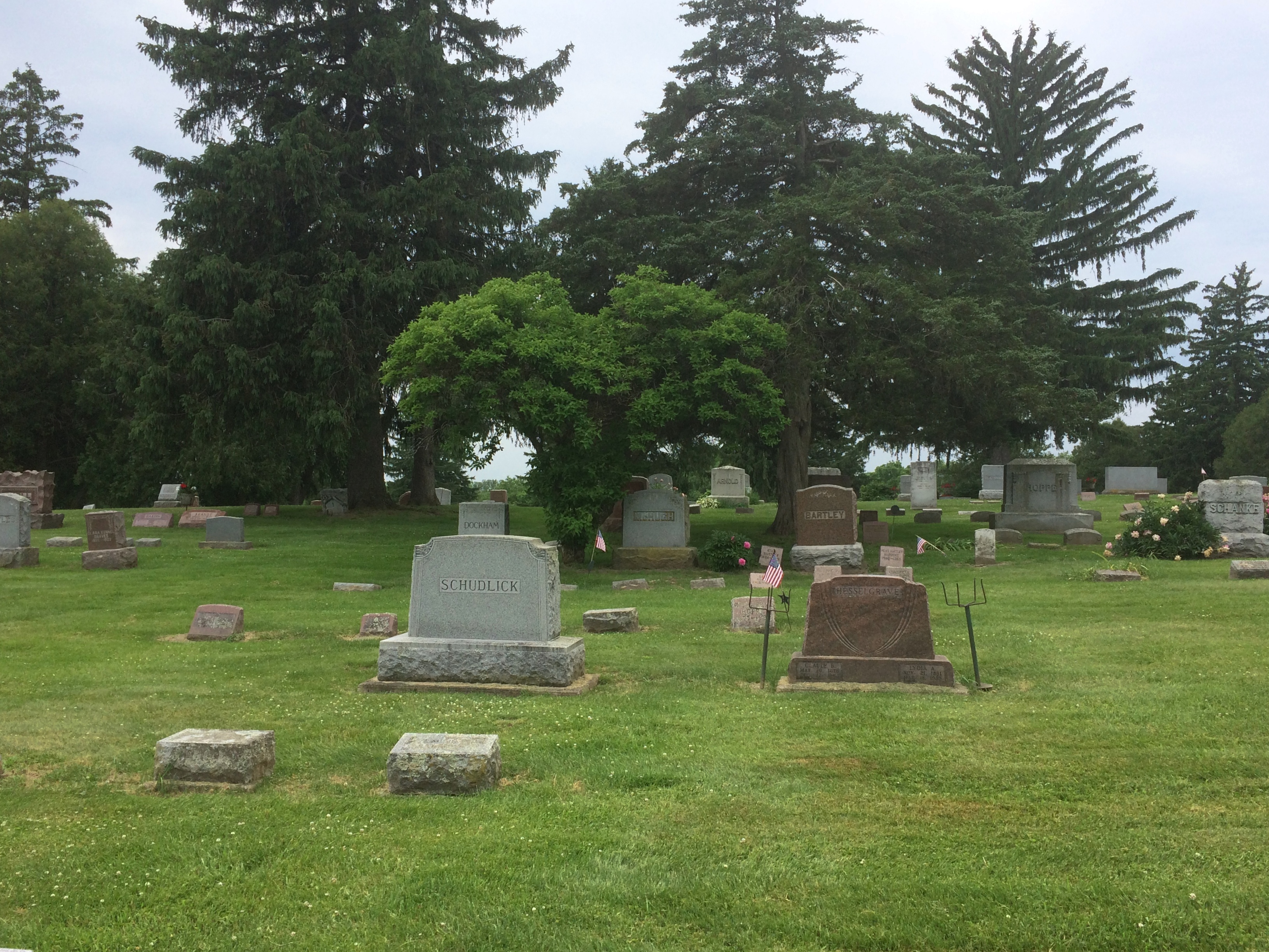
The Mississippi River Flood of 1965 was apparently the final straw for the neighborhood. These days, the island is mostly St. Feriole Island Park, with sports and recreation facilities, a few historic structures, and a lot of open land, though still divided in part by a grid of streets.
St. Feriole Island
St. Feriole Island
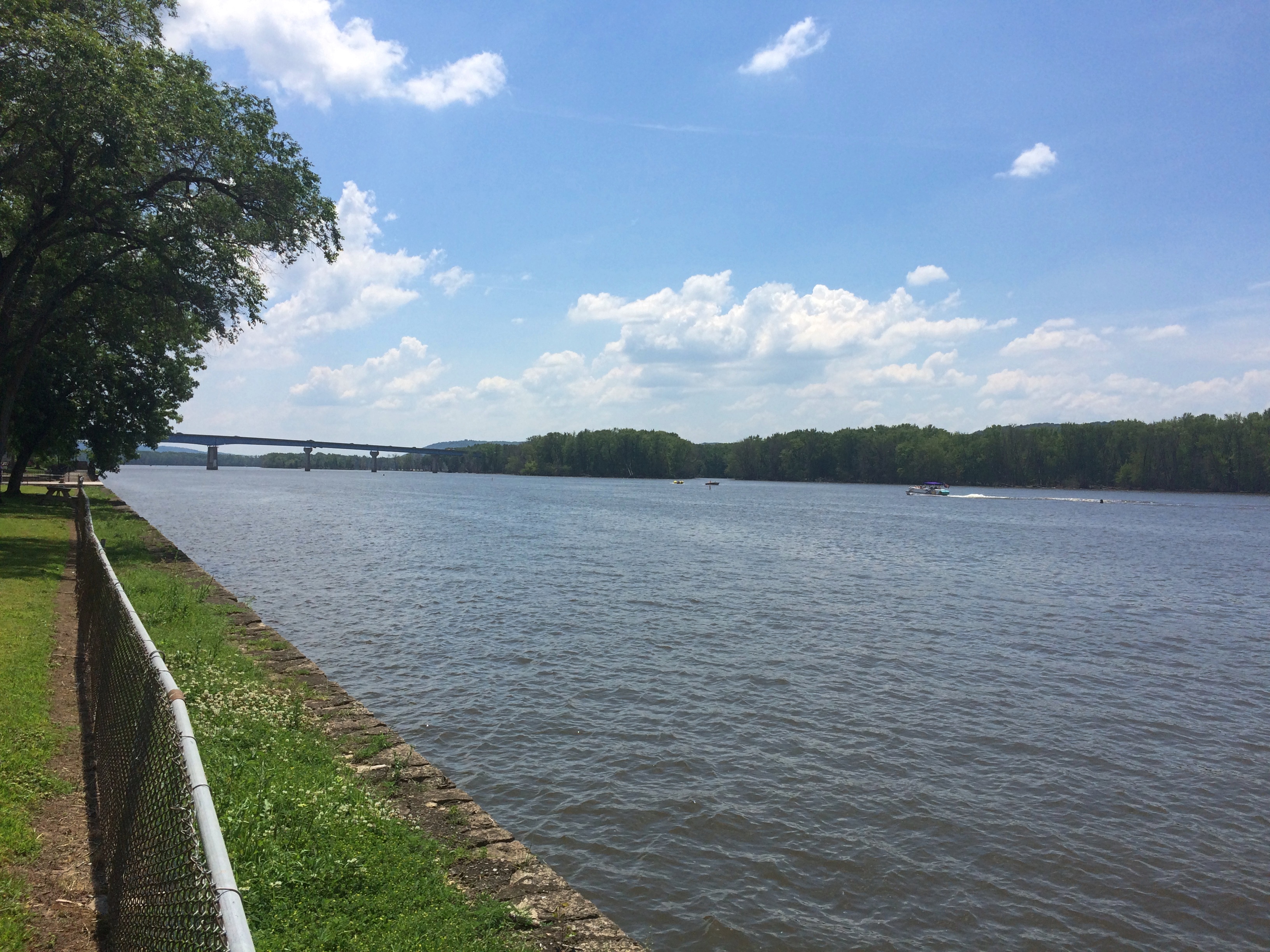
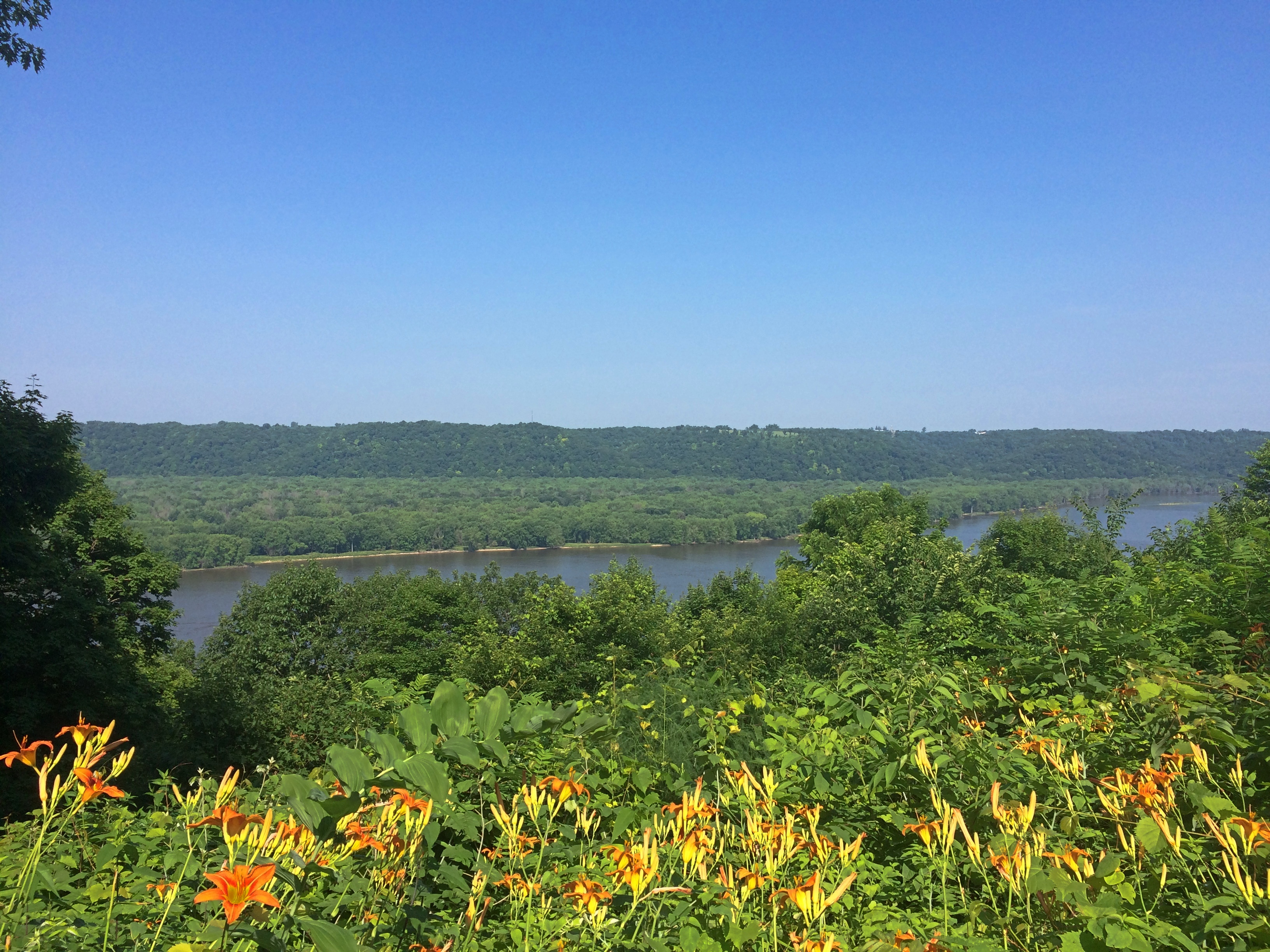
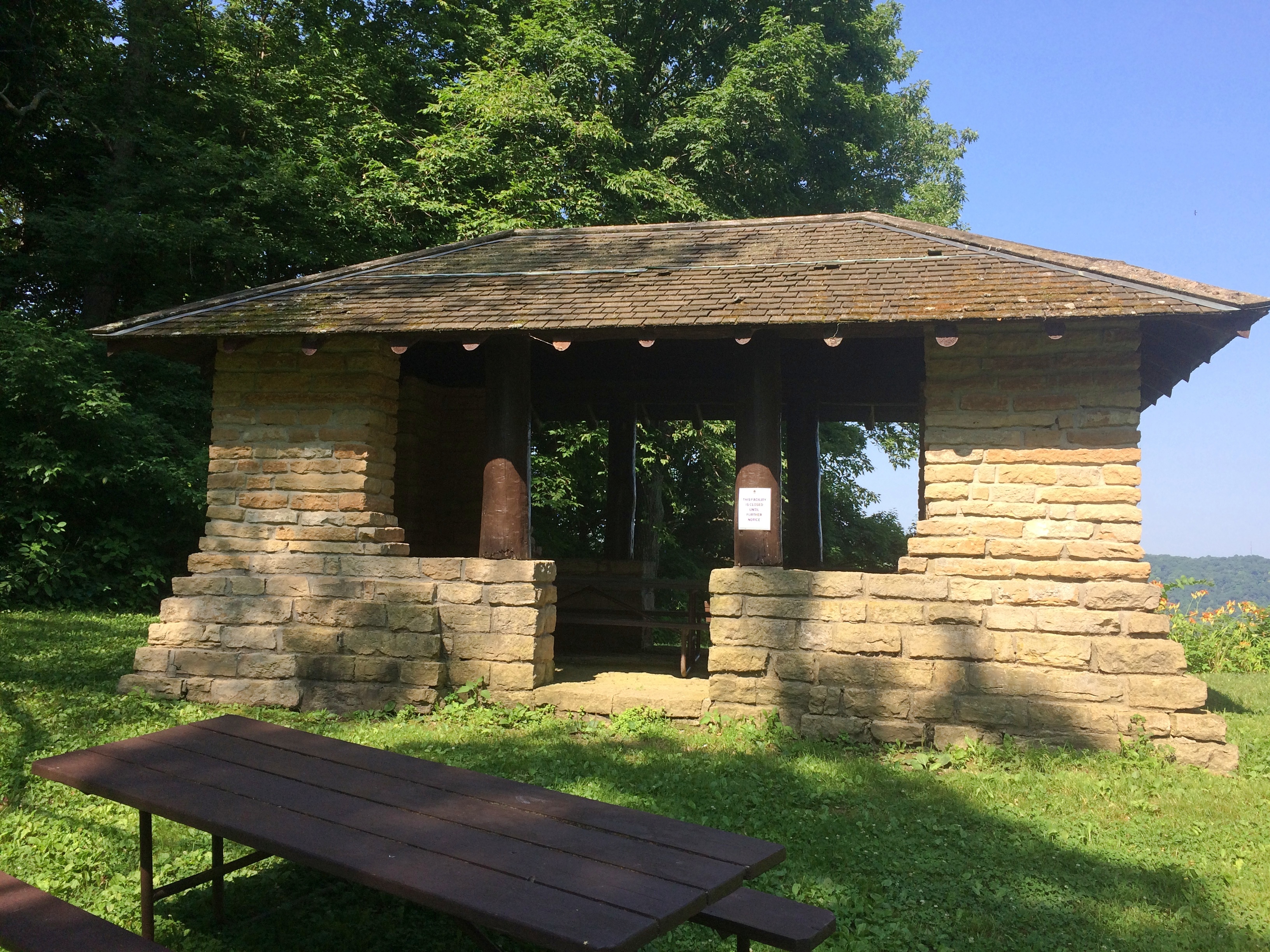
We had lunch on Friday at one of the picnic tables with a view of the Mississippi.
St Feriole island
The Brisbois House is one of the park’s historic structures, dating from 1837 (though other sources put its construction in 1815).St. Feriole Island
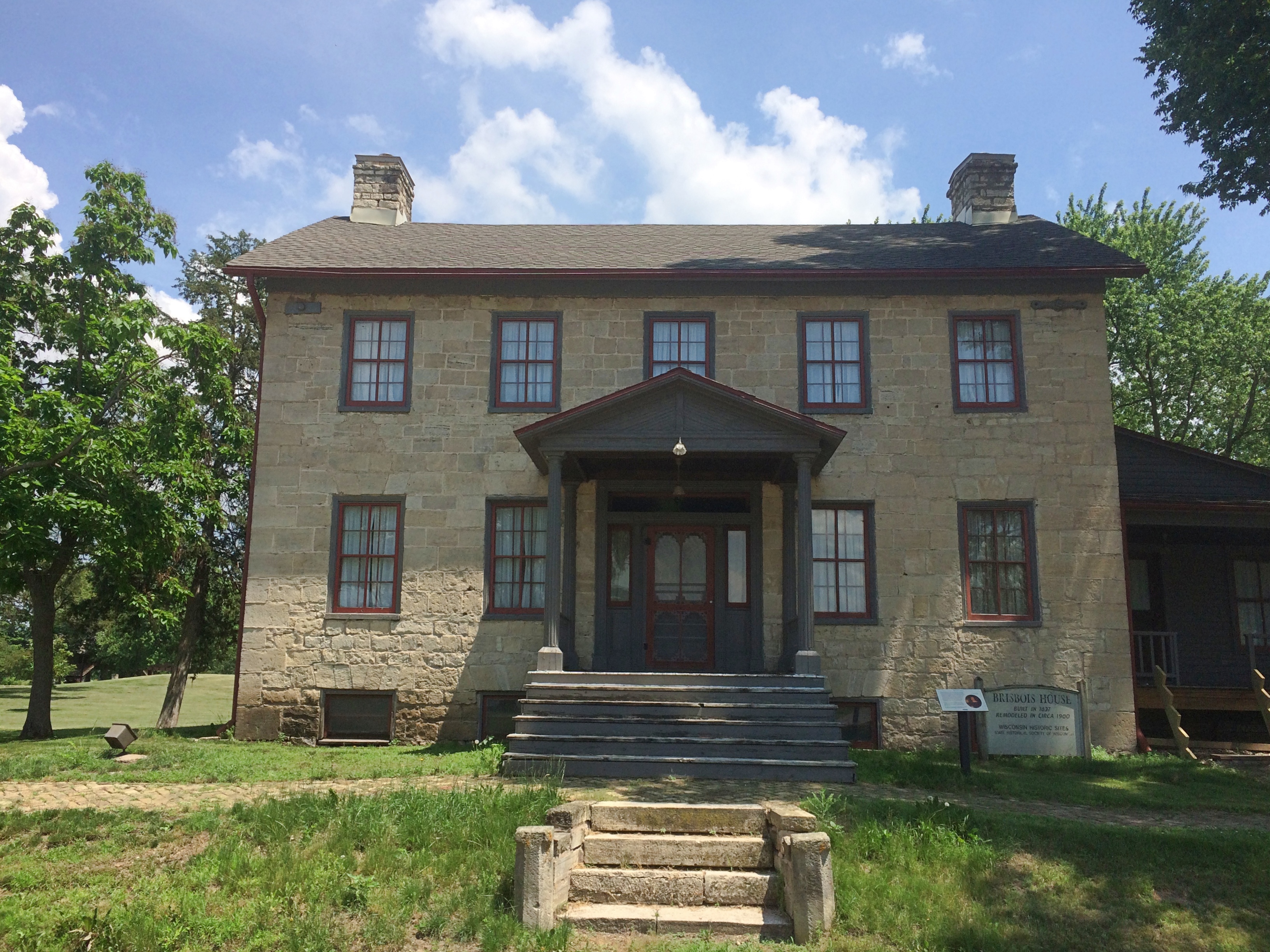
In any case, it isn’t open now. Neither is the Villa Louis, nor the Fur Trade Museum on the island.St. Feriole Island Villa Louis
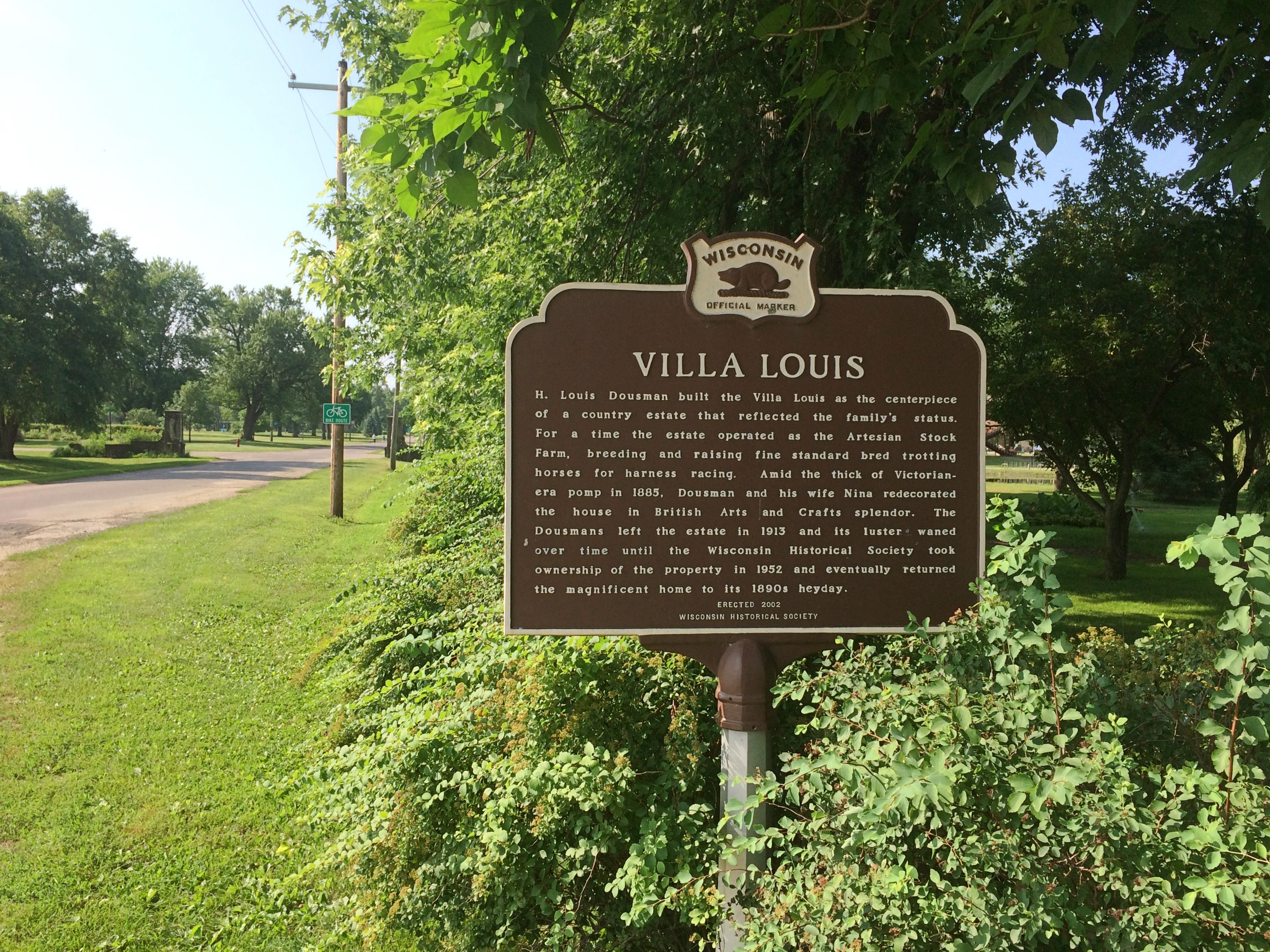
The Mississippi River Sculpture Park on the island is open. Unlike most sculpture parks, which feature a variety of works by a variety of artists, this one includes only works by sculptor Florence Bird, which are depictions of people associated with the history of Prairie du Chien.

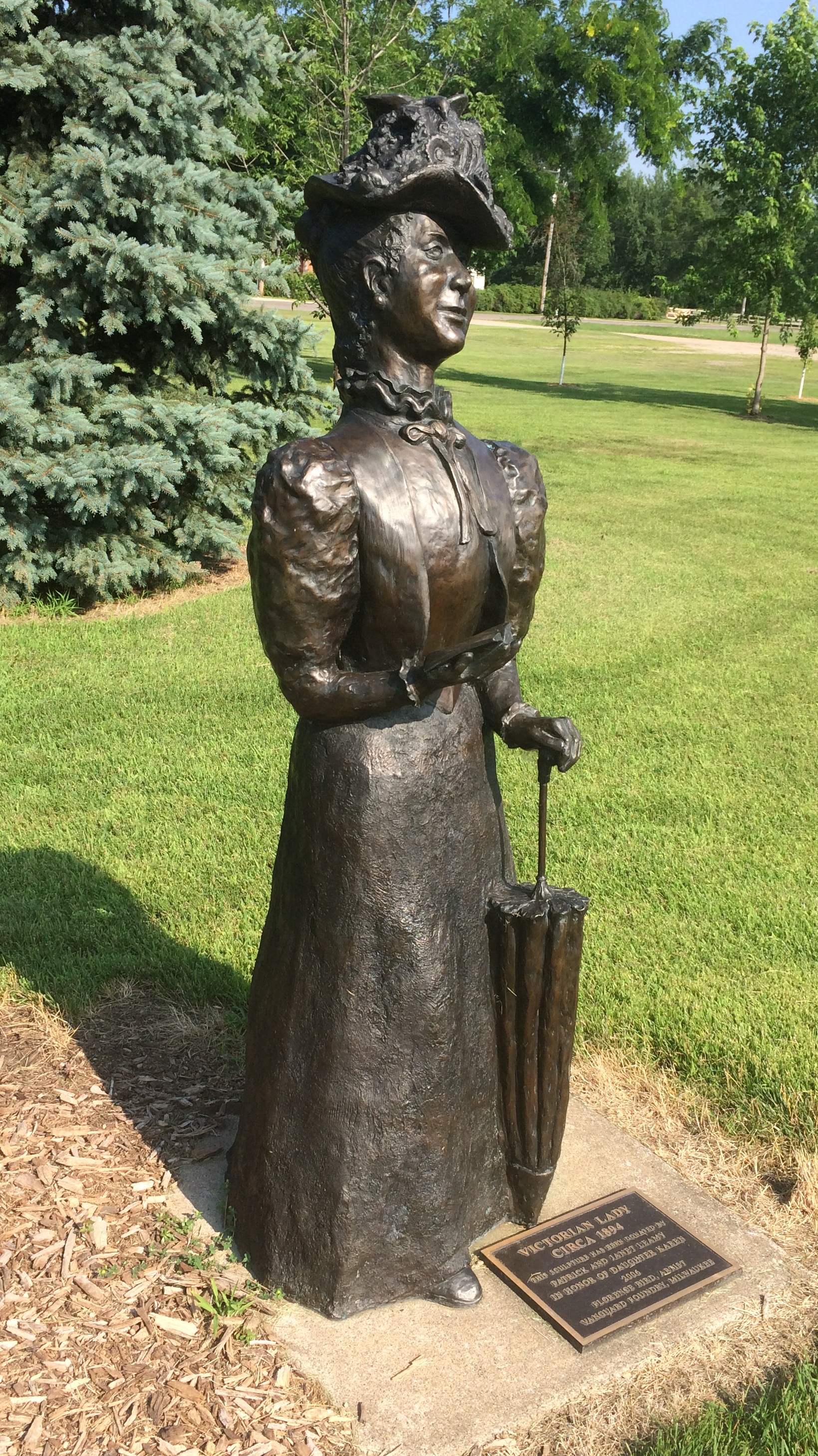
Such as the park’s most recent addition — less than a month ago — of a bronze of Marianne LaBuche, a frontier doctor (“community healer,” her sign says) of the early 19th century.St. Feriole Island
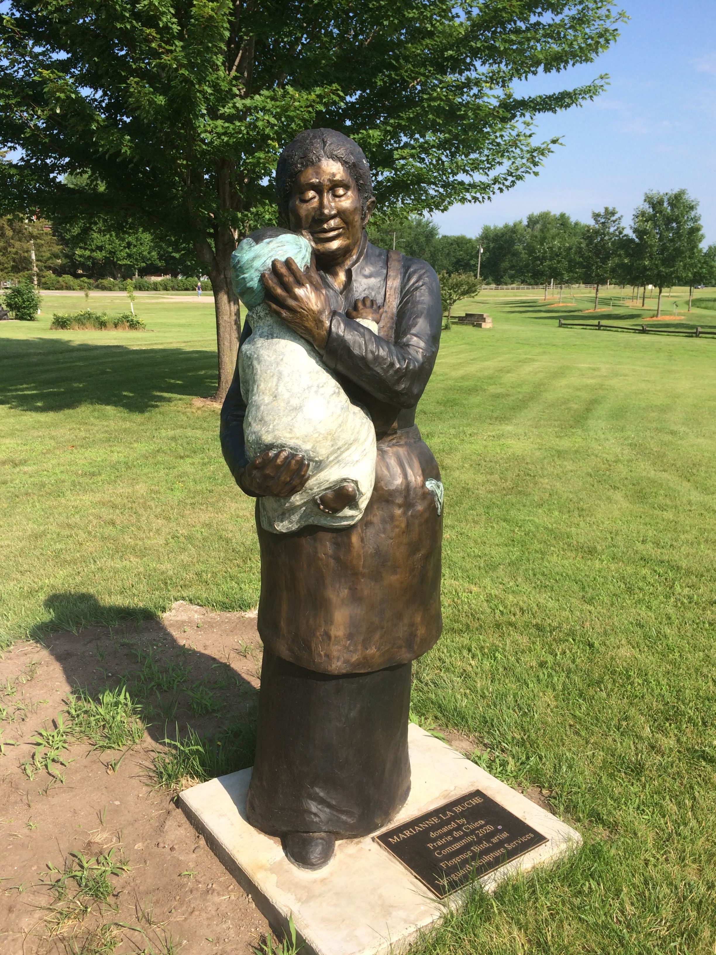
Also depicted: Julian Coryer, voyageur, though it looks like he’s between voyages.
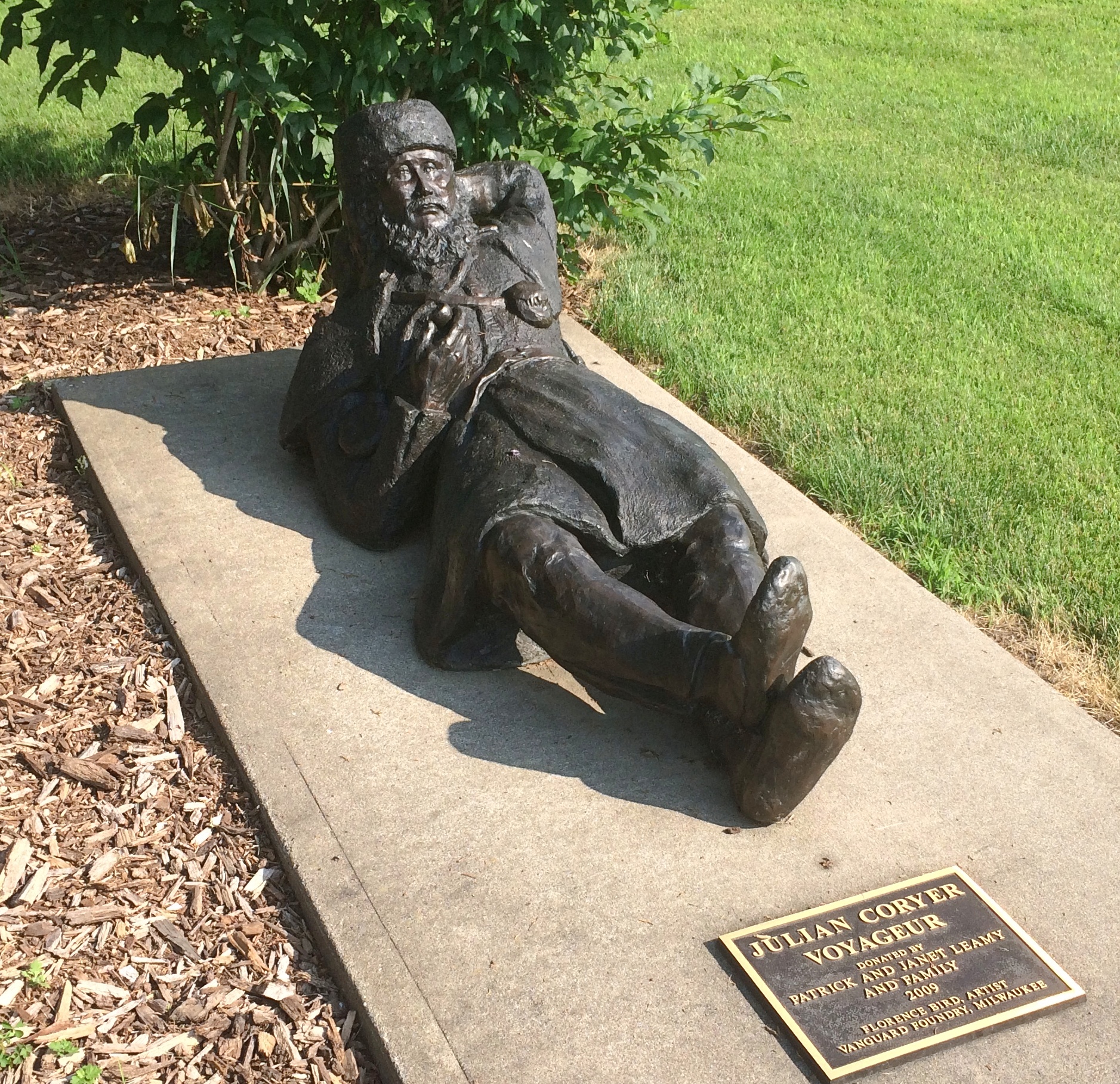
St. Feriole Island
A “Victorian lady.”
St. Feriole Island
Emma Big Bear, basketmaker.St. Feriole Island
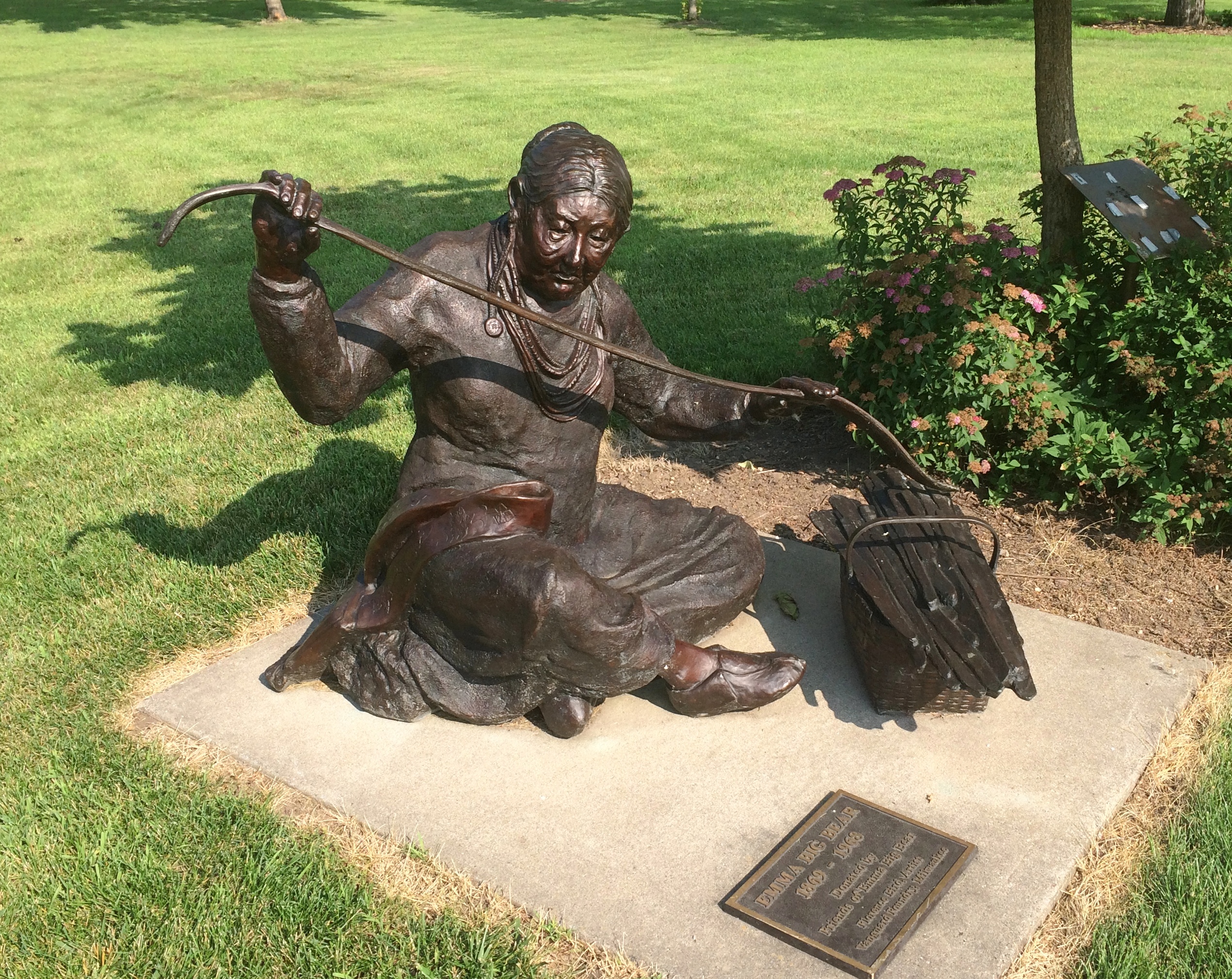
Here’s Black Hawk (Ma-ka-tai-me-she-kia-kiak).
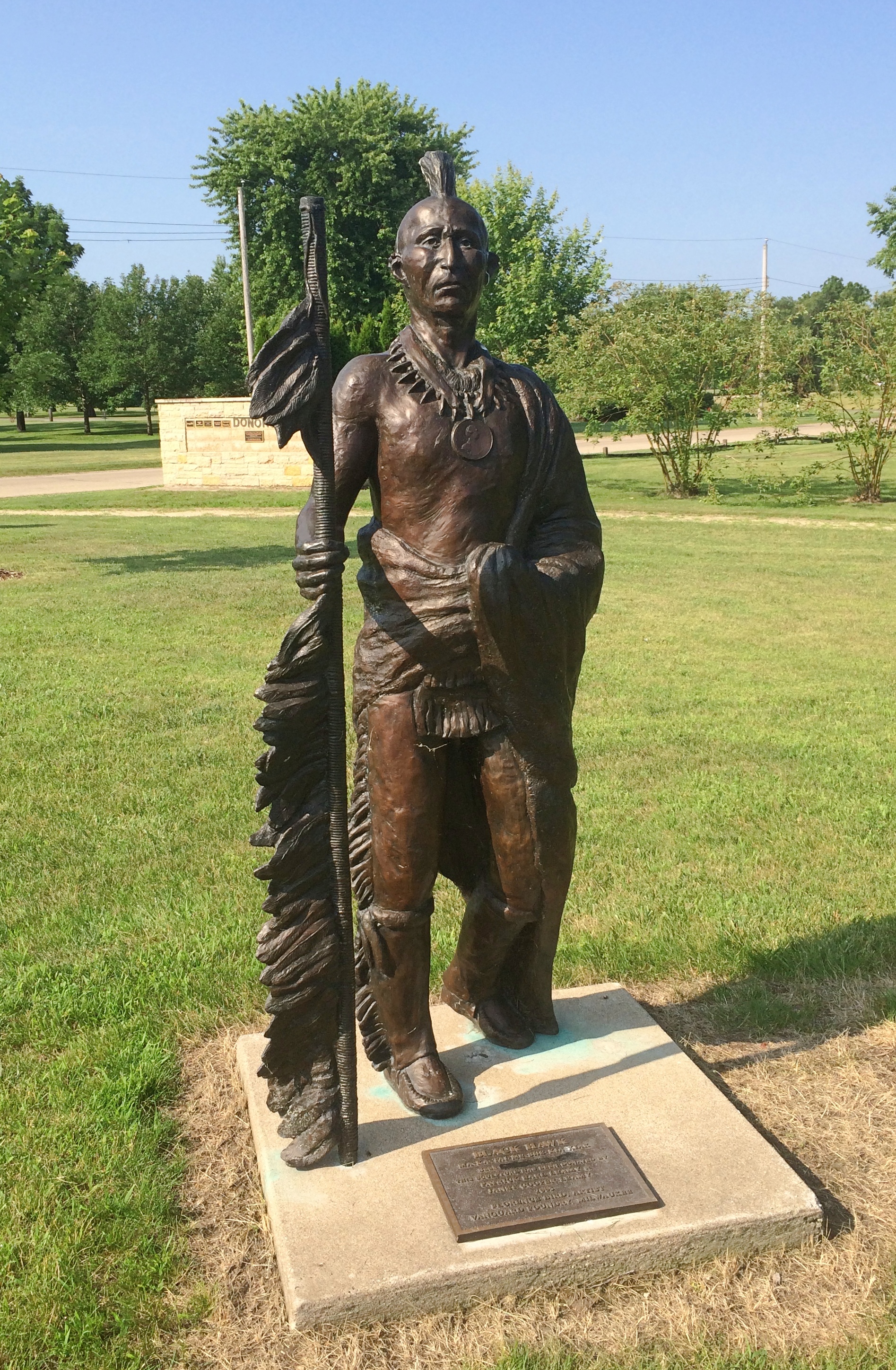
St. Feriole Island Black HawkNote his medallion.St. Feriole Island Black Hawk
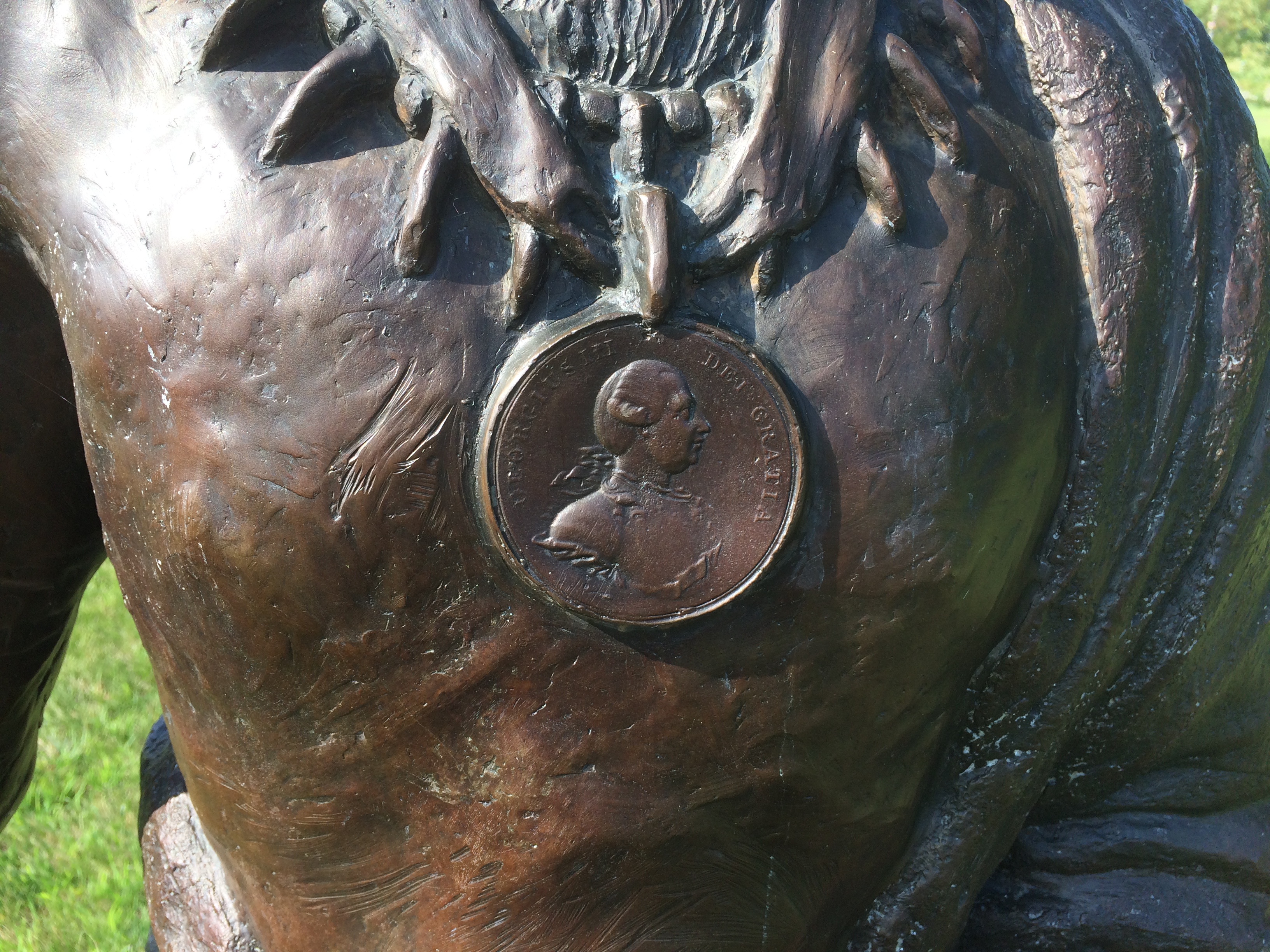
His plaque has been edited, either officially or unofficially, since 2005.
St. Feriole Island Black Hawk
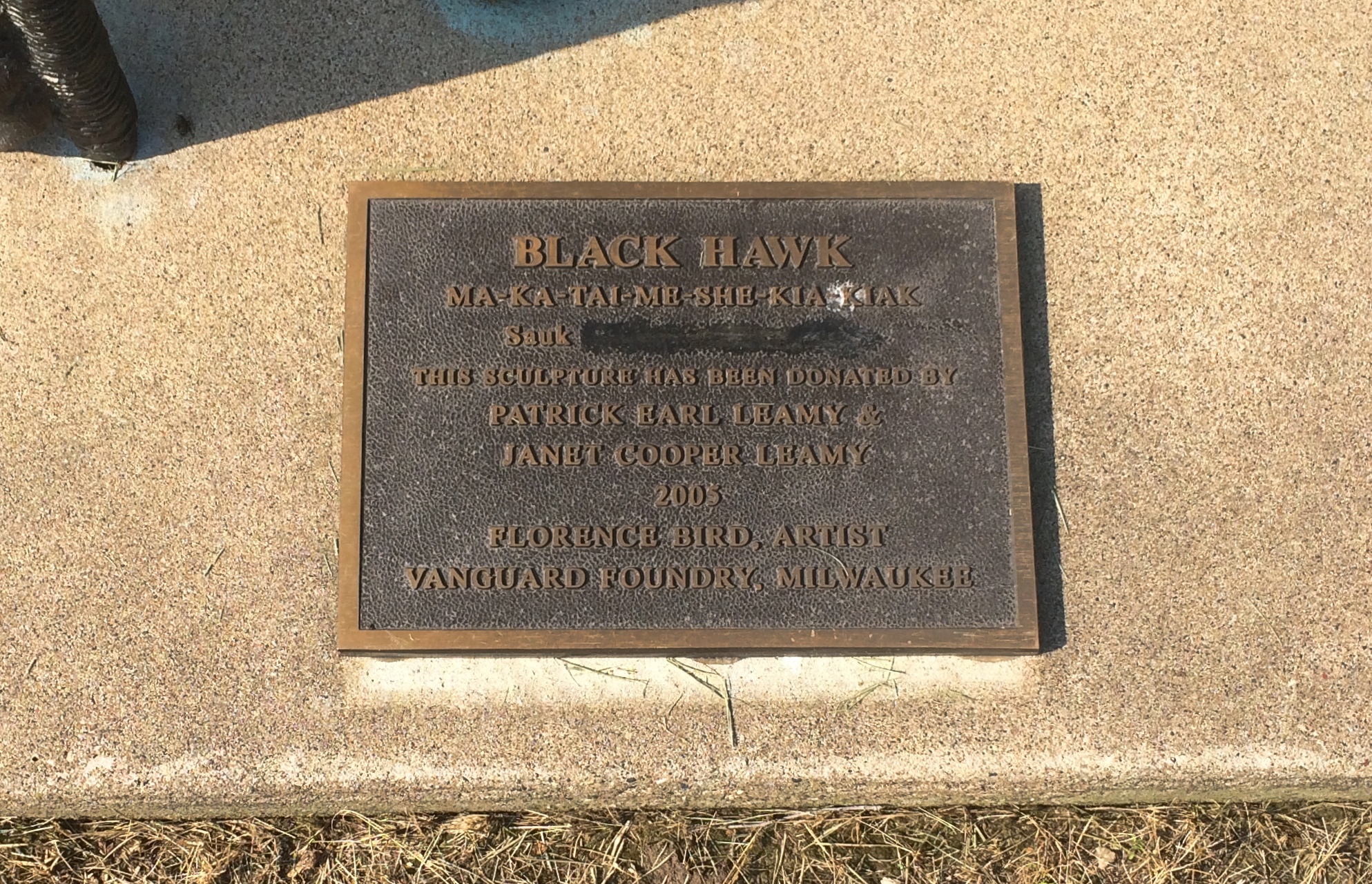
Not sure what was blocked out or why. But these times make me attuned to statue revisionism, however minor.

Wyalusing State Park

On the morning of July 4, we left Prairie du Chien and drove a short distance to Wyalusing State Park, a thickly wooded Wisconsin property at the confluence of the Wisconsin and Mississippi rivers.

The first order of business at the park: a drive to a place called Henneger Point at the end of the winding and not-too-wide Cathedral Tree Drive. A fitting name, with massive maples and other trees towering over the road.

Before getting to the point, you arrive at the Spook Hill Group of mounds, looking very much like the ones across the Mississippi at Effigy Mounds NM, and more distinct in person than via photograph.
Wyalusing State Park spook moundsHenneger Point offered us a nice view of the river and Iowa across the way, behind a summer blaze of lilies.
Wyalusing State Park Henneger Point A picnic shelter stands close by. The sign on the shelter said it was closed, though I imagine enforcement is a mite spotty.
Henneger Point CCC. Has to be, at least originally. Later, I found out that CCC Camp Nelson Dewey #2672 existed in the park from 1935 to ’37. Men living there built park facilities and improved its roads and trails, so they probably did the shelter, though later in the day I noticed a Wisconsin Conservation Corps sign on a small bridge on a trail. That’s an existing nonprofit that does similar work as the CCC of old.

We walked a half mile or so along the wide Mississippi Ridge Trail, one of whose trail heads is at Henneger Point.
Mississippi Ridge TrailIn theory it’s suitable for bicycles, but we were absolutely the only ones on it. Talk about social distancing.
Mississippi Ridge TrailLater, we drove to the trail head of Sugar Maple Trail and did its 1.5-mile loop. The map didn’t warn us how steep it would be, though if I’d thought about it, I would have figured it out, since the trail loops down to near the river.
Sugar Maple Trail - Wyalusing SP
Only slightly down at first.
Sugar Maple Trail - Wyalusing SP
Then much further down, along the edge of a ravine cut by a creek-tributary of the Mississippi.
Sugar Maple Trail - Wyalusing SP
Going down wasn’t so bad, but I knew that meant we’d have to go back up. So we did.
Sugar Maple Trail - Wyalusing SP
Tiring, but not as tiring as the day before at Effigy Mounds, even though I believe the change in elevation and the ambient temperature were about the same. Steep and hot, respectively.

At one point along the cascading creek near the trail is a waterfall. Above the waterfall was a nice place to sit.
Sugar Maple Trail - Wyalusing SPElsewhere in the park is a memorial to the passenger pigeon, but I didn’t have the energy to seek it out after our long morning hike. Another time, perhaps. Until then, here’s Aldo Leopold on the passenger pigeon.

Effigy Mounds National Monument

Another holiday weekend, another pop up to Wisconsin for a short spell. Actually, Wisconsin and a small slice of Iowa — that being the main goal of the trip: Effigy Mounds National Monument, which is mostly in Allamakee County, Iowa’s northeastern-most county.
Effigy Mounds National MonumentThe 50-hour trip took us to Madison on Thursday evening to spend the first night, and from there to Prairie du Chien, Wisconsin and environs, where we stayed from late morning Friday to early afternoon Saturday. We returned home late Saturday afternoon, in time for Vietnamese takeout dinner at home — and to hear a July 4 neighborhood blasting of fireworks like none I’ve heard before.

Why Effigy Mounds and Prairie du Chien? Because I’ve seen those places on maps for years. I’ve read about them as well, of course, but spots on a map can be alluring in a way no mere textual description is. Come here, the spots say; come see what’s here.
Also, the rolling, verdant Driftless Area is a special place. I’ve only come to appreciate it in recent years.

A road trip at this moment in history is necessarily different than before. Gone for now are casual meals at restaurants picked on a whim, visits to intriguing local museums or wandering down busy small-town shopping/tourist streets and spending time in their specialty stores.

Now the trip means takeout — from the only Chinese restaurant in Prairie du Chien, for example — finding places where few people go (such as cemeteries) and generally spending your time outdoors, as we did on the trails of the national monument and a Wisconsin state park.

Or staying in your room. It so happened that on Friday night, some high school-vintage friends (two in this picture) invited me to a social Zoom, and I managed to figure out how I could attend using my phone. We had a good time.

We arrived at Effigy Mounds NM early Friday afternoon. Temps were high, about 90, and we were warned on a sign that the trail from the (closed) visitors center to the first fork involved a rise of about 350 feet.

I can’t say I wasn’t warned. Up we went.
Effigy Mounds National Monument
The shade moderated the heat some. I wore a hat — one I’d bought at Joshua Tree NP in February, where it was just as sunny but not as hot. I had water. I made progress through the winding green tunnels, resting often. Yuriko was soon far ahead.
Effigy Mounds National Monument
Eventually I could tell I was near the crest of the hill.
Effigy Mounds National Monument
I don’t need a sign to tell me that. By that point, I was well tired. Just another thing I should have done 20 (30) years ago. Still, the vista was worth the effort: a view of the Mississippi, looking southeast, from a spot called Fire Point. Prairie du Chien is in the distance.
Effigy Mounds National Monument
Due east: party boats gathered on the river for July 3.
Effigy Mounds National Monument
Besides a nice vista, Fire Point featured a collection of mounds. Larger —
Effigy Mounds National Monument
— and a row of smaller ones.
Effigy Mounds National Monument

Something inspired the peoples who lived here to reshape the ground into recognizable forms. Recognizable, but you need to squint a little. Not nearly as recognizable in simple photos, unfortunately.

Not far from Fire Point is Great Bear Mound. Probably best visible from above, though park management helpfully trimmed the grass to make the shape a little easier to see from ground level, and you do see it — but it’s also good to bring a little historical imagination to the task. (As it is even in highly visible places.)Effigy Mounds National Monument - Big BearI expect these mounds survived farming and other depredations of the 19th century because the land was too steep to farm or even harvest timber. President Truman created the monument, which protects 206 mounds, in 1949.

“The Late Woodland Period (1400-750 B.P.) along the Upper Mississippi River and extending east to Lake Michigan is associated with the culture known today as the Effigy Moundbuilders,” notes the NPS. “The construction of effigy mounds was a regional cultural phenomenon. Mounds of earth in the shapes of birds, bear, deer, bison, lynx, turtle, panther or water spirit are the most common images…

“The Effigy Moundbuilders also built linear or long rectangular mounds that were used for ceremonial purposes that remain a mystery. Some archeologists believe they were built to mark celestial events or seasonal observances. Others speculate they were constructed as territorial markers or as boundaries between groups.”

Why did Moundbuilders build mounts? The answer is dunno even among modern experts. They had their reasons. The mists of time are pretty thick in the hills of the Driftless Area.

Canada Day 2020 &c

Back on July 6. Canada Day is here, after all, and Independence Day isn’t long from now (and also the 40th anniversary of the wide release of Airplane!). In honor of both holidays, I created a temporary display on my deck.

That calls for a U.S.-Canada holiday week: North America Independence Week. Better yet, we kick off the celebration with Juneteenth and end it with Nunavut Day (July 9) — a mid-summer mashup of independence and freedom celebrations.

Not much work gets done from ca. December 21 to January 3. No reason we can’t do the same at the polar opposite point in the calendar.

Early in the evening on the last day of June, we took a walk around Spring Creek Reservoir Forest Preserve in Bloomingdale, a small part (90 acres) of the Forest Preserve District of DuPage County. Access is from E. Lake St., which is a stretch of U.S. 20, which goes all the way from Massachusetts to Oregon or vice versa.

It’s a simple circle around the reservoir. The FP District says: “In presettlement times, the forest preserve was almost entirely woodland with a small slough. It was a gravel pit from the 1950s to the mid-1970s, when it became a reservoir. The Forest Preserve District acquired the reservoir in 1987 and additional parcels in 1999 and 2000.”

Not just a reservoir, but a place for runoff from Spring Creek — flood control for Bloomingdale, as evidenced by a small dam with a spillway at the north end of the reservoir. Further downstream, Spring Creek is called Spring Brook (according to Google Maps, anyway), which eventually merges with Salt Creek, a tributary of the Des Plaines River.Spring Creek Reservoir Forest Preserve

Spring Creek Reservoir Forest Preserve
Lush summer vegetation all along the way.
Spring Creek Reservoir Forest Preserve
Spotted a monarch in the weeds.
Spring Creek Reservoir Forest Preserve
According to the info board, the path measures a shade more than a mile around. My gizmo, which measures steps, agrees.

The Summer of Zoom

If you’d asked me a year ago — six months ago — whether video conferencing would be a good way for old friends to meet, I wouldn’t have believed it. Now I do. Over the weekend, I participated in two Zoom conferences, all involving people I’ve known for nearly 40 years.

Besides me in Illinois, the other participants were in Tennessee and Washington state.

Again, besides Illinois, the participants were in Alabama, Michigan, Massachusetts and Peru.

Most enjoyable, both of them. That makes three social Zooms so far, with no more scheduled right now, but I have another few groups in mind for the not-so-distant future.

Cuba Marsh Forest Preserve

Late last week I spotted fireflies, which are harbingers of high summer, for the first time this year. This might be a Summer of Nowhere, but at least we have fireflies. Lilly calls them lightning bugs. Who taught her that? I didn’t.

After a short but heavy rainstorm Friday evening, we had a warm and steamy weekend. That made our Sunday afternoon walk at the 781-acre Cuba Marsh Forest Preserve in Lake County a little sticky, but not bad. Always good to visit somewhere new.Cuba Marsh Forest Preserve

We took the path south from the parking lot off Cuba Road, marked on the above map image by a star, through the wooded northern section of the preserve, and eventually along both trail loops, through woods and grassland. I was a little surprised, since going by the name, you’d expect wetland.Cuba Marsh Forest Preserve
Cuba Marsh Forest Preserve
Turns out the wetlands are a little beyond the path, especially toward the south end of the preserve. The woods are a mix of deciduous and pine trees.
Cuba Marsh Forest Preserve
Cornflowers are beginning to bloom. Another sign of high summer.
Cuba Marsh Forest Preserve
Walked about a mile and a half. After we got home, I started to wonder: Cuba Marsh? Anything to do with the Caribbean nation of that name?

Indirectly. Cuba Marsh is in Cuba Township, the southwestern-most township in the county. Wiki, citing a 1912 history of Lake County, says: “Cuba Township was originally named Troy Township, but was renamed to Cuba in support of the López Expedition of 1851, when it was discovered the township name of Troy was already taken.”

López Expedition, eh? That would be a filibustering expedition to liberate Cuba, led by Venezuelan Narciso López (1791-1851). Note that the year of the filibuster and his death year are the same. The expedition did not go well for him.

SAC Planetarium 1970

Previously, I wrote: “In the second grade, I got an assignment to write a report about the planet Jupiter. I expanded it into an entire ‘book,’ Dees’s Book of the Solar System. Of course, I copied almost everything from the Junior Britannica entry on the Solar System, but I suppose it was impressive for a second grader.

“Anyway, from about 1970 to 1974 [my mother] took me to the planetarium at San Antonio College nearly once a month (these days, it’s the Scobee Planetarium, named after the commander of the last flight of Challenger). Instead of a taped presentation, those shows were narrated live — all sorts of space subjects…”

The planetarium is still around, though naturally closed right now. Its web site notes: “Since 1961, two million San Antonio school children and community members have learned about stars, planets, black holes and distant galaxies at the Scobee Planetarium. With the extensive renovation completed in 2014, the Scobee Planetarium now offers a more dynamic experience to even more visitors. Planetarium renovations include 100 individual reclined seats, a new light and sound system and the most advanced digital projection system.”

Fifty years ago, SAC gave me this certificate, acknowledging that I’d gone to eight shows — “lecture-demonstrations,” that is. I still go to planetariums now and then, though the truth is that many shows aren’t just for children, but for not-very-bright children.

At some point, my mother — who also received a certificate — put mine in an inexpensive frame. It hung on the wall in my bedroom in San Antonio until it didn’t. A few years ago, after having forgotten about the certificate for 40-odd years, I chanced on it again. That made me smile, so I brought it back with me and hung it in my current office.

Thursday Clouds &c

Warm day with plenty of cumulus clouds.

Wet spring has transitioned to a dryish summer so far, though we’ve had a few rainy moments lately. The day we were at Devil’s Lake SP, scattered thunderstorms were predicted, and maybe somebody got some, but we only experienced a little rain driving home that afternoon.

Made an unusual find at Devil’s Lake last week: a visitor guide that’s actually worth a damn. Though no writer names are given, Capital Newspapers in Baraboo published it for the Wisconsin Department of Natural Resources, so it might have been a staff effort. That is, people who have some skill in writing.

So it has practical information — such as how to rent a boat or picnic shelter, activity schedules (clearly published before the pandemic), safety tips, and some well-done maps — but also readable information about the park, such as about the effigy mounds in the park (we didn’t see those), the threat of the dread emerald ash borer, a history of rock quarries in the area, and plans for a new interpretive center.

Also, a short item about the name of the lake. The Winnebago (Ho-Chunk) name is rendered as Ta-wa-cun-chuk-dah or Da-wa-kah-char-gra, which “was translated in its most sensational form (for that era) as Devil’s Lake,” the article notes. It could have been Spirit Lake, Sacred Lake or Holy Lake.

That era being the 19th century, when “reporters produced superlative accounts of Devil’s Lake and reproduced legends (sometimes manufactured) to match… By 1872… the Green County Republican newspaper reported, ‘Had the lake been christened by any other name, it would not have attracted so many people.’ ”

Just another example of Victorian marketing, in other words.

Nothing if not variety: the movies we’ve watched lately have included a selection of musicals, all so different in form and content that I wonder at the elasticity of the term musical. They include Chicago, The Rocky Horror Picture Show, Rocketman, and High School Musical 2.

As a sort of fictionalized musical biopic, the colorfully entertaining Rocketman at least made me appreciate just how ubiquitous Elton John was on the radio of my youth. I already knew that, of course, but hadn’t given it any thought in a long time. Also, it inspired me to look up a few clips of the musician himself, illustrating his piano virtuosity.

As for High School Musical 2, the girls are fond of that 2007 movie as part of their relatively recent childhood. I agreed to watch it all the way through, which I never had. The Mouse clearly put time and money into the thing, and the tunes and choreography were accomplished enough, so I didn’t mind watching. But without a sentimental attachment, its resemblance to a fully realized musical is that of a taxidermied animal to a living one.

Fabbrini Park

Yesterday after dinner we headed over to Joseph L. Fabbrini Park for a walk around its large ponds. As part of the Hoffman Estates Park District, it isn’t that far from where we live, but even so we go there only about once a year.

When the girls were smaller, we took them to this park more often, for its extensive playground equipment. It was known as Highpoint Park back then. When was the name changed? Who was Fabbrini? A plaque on a boulder near the park entrance, facing away from the setting sun when I saw it, told me: 2015 to answer the first question; a founder of the park district for the second.
Fabbrini Park
Besides the playgrounds and a walking/running path around the water features, the park also features a soccer field and a softball field, a place for volleyball, and tennis courts and pickleball courts. Lilly pointed out the pickleball courts. It isn’t anything I’ve ever played, or was more than vaguely aware of, but she played it in school.

Naturally, I had to look it up later. I didn’t get much further than this site. It tells us — breathlessly — that “as the fastest growing sport in the United States and gaining momentum around the world, you’ve either become hooked on Pickleball or are about to be!”

Nah. Beyond the sports facilities are nice views of the ponds.Fabbrini Park

Fabbrini Park

Fabbrini Park
As the path takes you around. We walked a total of about 1.8 miles around both ponds.
Fabbrini Park
Enormous trees tower over the ponds in some places. Willows, especially.
Fabbrini Park
The dog was more interested in flora closer to the ground.
Fabbrini Park
A light snack for her.

Walnut Hill Cemetery, Baraboo

We finished our hiking at Devil’s Lake SP at about 3 in the afternoon and headed into Baraboo for something to eat. Not so long ago, that would have meant parking ourselves at a restaurant for a meal. Though there are no restrictions on indoor dining in Wisconsin now — the whole kit and kaboodle was thrown out — we thought better of it, and ordered takeout.

That left us about 20 minutes to wait for the food. Rather than wait in the car in the restaurant parking lot, I consulted Google maps and found a nearby place to go: the 52-acre Walnut Hill Cemetery, which has about 11,500 permanent residents. Baraboo, the Census Bureau tells me, has a shade over 12,100 living residents.

It’s a pleasant cemetery.Wallnut Hill Cemetery Baraboo
Wallnut Hill Cemetery Baraboo
Wallnut Hill Cemetery BarabooI hadn’t come to see any specific grave, but I had to investigate one of the few mausoleums I saw, there on a small rise.
Wallnut Hill Cemetery Baraboo
It turned out to be the resting place of Al. Ringling (1852-1916), the eldest of the circus family, and his wife Lou. Makes sense. Baraboo was a circus town, after all.
Walnut Hill Cemetery Baraboo Al. Ringling
Later I read that some of the other circus brothers are buried at Walnut Hill as well, but I didn’t spot them. I did see another intriguing stone.
Walnut Hill Cemetery Baraboo John Duckens

JOHN DUCKENS
Born a slave in Kentucky
Died in Baraboo, Wi 1894
Aged 75 years

A new-looking stone at that. It’s a replacement for a weather-worn original, put there only in 2011 by the Sauk County Historical Society, which published a sketch of his life — probably all that’s possible — as a Sauk County Notable.