Suzhou 1994

A postcard I sent from Suzhou in May 1994.Suchou Suchou

Jim must have asked me about zoos and natural history museums, two kinds of places he likes to go. In Beijing, we did visit the main zoo, including a look at its moth-eaten pandas, but no natural history museums. We didn’t do that until we got to Mongolia.

Suzhou is famed for its gardens, and we visited a few. As far as I can tell, I took only one picture in any one of them.Limited film and the prospect of months on the road inspired that kind of parsimony in me, I guess.

Even More Peoria: The Cathedral of St. Mary, The Great Agnostic & The Bolshevik Cookie Monster

Near downtown Peoria is the Cathedral of St. Mary of the Immaculate Conception, mother church of the Diocese of Peoria, completed in 1889 and restored in the 2010s. I was able to catch it resplendent in the full eastern sun on a Sunday morning, before it opened for mass.

Cathedral of St. Mary of the Immaculate Conception Peoria

Cathedral of St. Mary of the Immaculate Conception Peoria

Cathedral of St. Mary of the Immaculate Conception PeoriaCathedral of St. Mary of the Immaculate Conception Peoria

The adjacent cathedral rectory and, on the lower level, the diocesan chancery.
Cathedral of St. Mary of the Immaculate Conception rectory
Other details, including a statue of Mother Teresa.Cathedral of St. Mary of the Immaculate Conception Cathedral of St. Mary of the Immaculate Conception Cathedral of St. Mary of the Immaculate Conception

Later, we popped inside just before the beginning of mass. The interior is just as grand as the outside.

The cathedral isn’t the only church in the neighborhood. Not far away is Christian Assembly Church.
Christian Assembly Church, Peoria
West of there looked to be a hill made of buildings.
OSF Saint Francis Medical Center, Peoria
This is at the base of that “hill.”
The Irving School Peoria

The Irving School was the Peoria School District’s oldest school, built in 1898, when it closed in 2012.

“Irving and Peoria City Hall are the city’s only two representations of the architecturally significant Flemish Renaissance design,” noted the Journal Star at the time. What are the odds that I’d see both of them on the same morning during a ramble in Peoria? Not bad, actually, since Peoria isn’t that large.

Looks like it’s being redeveloped, to judge by the construction truck. The buildings on the hill, incidentally, form the OSF Saint Francis Medical Center, the largest hospital in metro Peoria.

Last time we went to Peoria, we visited the Springdale Cemetery. Next to it is the Peoria Zoo, Luthy Botanical Gardens and Glen Oak Park. This time we stopped for a few minutes at the entrance of that park, which happens to be on Dan Fogelberg Parkway.

We went there because I want to see the statue of the Great Agnostic. I’m glad to see that the artist — no other than Fritz Triebel — wasn’t trying to hide the man’s portliness. That was insurance against 19th-century wasting diseases, anyway.
Robert Ingersoll statue Peoria
If I ever knew it, I’d forgotten that Robert G. Ingersoll (1833-99) spent much of his adult life in Peoria, though he lived other places, such as Shawneetown (before it was Old Swaneetown). He’s not buried in Illinois, however, but Arlington National Cemetery, as befits the commander of the 11th Illinois Volunteer Cavalry of the Union Army.

I can’t remember how I first heard of him, but it was in high school. He’s another of those interesting public intellectuals who’s been completely forgotten, which would be almost all of them. Forgotten except by his hometown, though I expect most Peorians don’t know who he was either.

While driving on I-74 just west of downtown, I saw a sign pointing to an individual’s grave nearby — a rare thing, now that I think about it. The individual was Susan G. Komen. I was still by myself at that point, so there was no one to object to checking out yet another cemetery.

She’s in a niche in Parkview Cemetery.
Susan G. Komen grave

It occurred to me as I read the nearby plaque that I knew nothing about her, except that her name is attached to the breast cancer foundation. She died from the disease in 1980 at age 36. It was her sister, Nancy G. Brinker, who established the foundation.

Later Nancy Brinker was U.S. ambassador to Hungary, early in Bush the younger’s administration, a job I expect she got since she and her husband, the inordinately successful chain restaurateur Norman Brinker, were serious donors to the Bush campaign. (Seems she also had enough pull to have a sign put up directing people to her sister’s memorial.)

Parkview is pleasant enough, but not nearly as picturesque as Springdale. Still, I found an interesting but probably informal section where a good many Greeks or people of Greek ancestry are buried.
Parkview Cemetery Greek section Parkview Cemetery Greek section Parkview Cemetery Greek section

This structure says, 1931 American Greek Society Homer on top. Below it says, Erected by Charter Members, with a list of names of a distinctly Hellenic cast.
Greek American memorial Peoria

The afternoon we arrived in Peoria, we were driving along Adams Street not far from downtown when suddenly we saw the famed (well, 15 minutes) Cookie Monster mural. Imagine my delight. I had to stop to take pictures of that.
Bolshevik Cookie Monster Mural, Peoria

The mural got national attention late last year. As reported, the story was that a mysterious man (Fake Nate) paid an artist (Joshua Hawkins) to do the mural, claiming he was the building’s owner. The real owner (Real Nate) came back from a Thanksgiving trip to find the mural, and expressed outrage. The artist said he’d been tricked, too. Then Real Nate painted over the mural. Fake Nate’s identity and motive — and there must have been a strong one, since Hawkins reported being paid “a lot” in cash for the work — remained elusive.

It’s an odd story. But soon I’d forgotten that the small building, which is absolutely nondescript in every other way, was in Peoria. When I saw the mural, I remembered.
But wait — wasn’t it painted over? Whitewashed is more like it, since spring rains had clearly removed most of the covering, rendering Bolshevik Cookie Monster visible again.

As I stood across the street taking pictures, a stubby, wrinkled, gray-haired man got out of his car not far away and tried to enter a small bar on my side of the street. He found it closed.

“It’s closed,” he said to me, heading back toward his car.

“What’s the deal with that?” I asked, pointing toward the mural.

“It’s some kind of joke,” he said, and related a bit of the reported story. But then he expressed skepticism that it really happened that way. Rather, he suspected, the artist and the property owner cooked up the story to help sell the building — which, I read later, the owner did not long ago — and help get the artist some attention, too.

That’s certainly plausible. There’s no doubt that the artist is capitalizing on it. If it didn’t involve paying $35 ($25 for the item, $10 for shipping), I’d consider buying a t-shirt with the mural on it, as offered at the artist’s web site along with other merch. (That’s too much for any t-shirt.)

Maybe, maybe not. Doesn’t matter. It’s an inspired bit of whimsy. Мир, земля, печенье (Peace, Land, Cookies) is a play on the Bolshevik slogan, Мир, земля, хлеб (Peace, Land, Bread), and there is a touch of early red propaganda poster to the thing.

If the new building owner, and the city of Peoria, has any sense, they’ll keep the mural. Restore it, in fact. Besides being funny, at least to some of us, it’s a distinct thing to be found there and absolutely nowhere else.

Downtown Peoria

On the Sunday morning we were in Peoria, I popped out for a look around as my family still slept, as my wont. We were staying in East Peoria, so downtown Peoria was just across the Murray Baker Bridge. Soon I made my way to Main Street, which features buildings short —

Downtown Peoria. Main Street

— and tall, at least for Peoria, such as the Commerce Bank Building.Downtown Peoria. Main Street

On Main Street, I mostly focused on Courthouse Square, where there’s a sizable old memorial, the Soldiers and Sailors Monument, along with a sizable new mural, “Abraham Blue,” which is perched on the side of the Peoria County Courthouse.Downtown Peoria. Main Street, Soldiers and Sailors

First, the Soldiers and Sailors Monument. Impressive bronze.Downtown Peoria. Main Street, Soldiers and Sailors Downtown Peoria. Main Street, Soldiers and Sailors Downtown Peoria. Main Street, Soldiers and Sailors

The memorial has been there since 1899, a project of the Ladies Memorial Day Association. A plaque nearby quotes the president of that organization, one Lucie B. Tyng, who said it would the work would “last for all time, and tell our children and children’s children our loving gratitude to these brave men who took their lives in their hands and went forth to vindicate and sustain our Government in its hour of peril.”

The association tapped Fritz Triebel, a native Peorian artist resident in Rome, to create the monument. He also did the intricate bronzes at the Mississippi State War Memorial Monument in Vicksburg. That’s the spirit of sectional reconciliation at work, by golly. Or maybe a commission was a commission for Triebel.

As for “Abraham Blue,” the Journal Star reported before it was hung on the courthouse in 2018 that “the Lincoln portrait was created by Doug Leunig several years ago as part of a work that captured the likenesses of the famous Americans that adorn the nation’s currency.

” ‘It’s called “Abraham Blue” because it’s tinted blue. That symbolizes the fact that Lincoln suffered from depression but was able to overcome that problem to be a great president,’ said Leunig.”

It adds quite a presence to Courthouse Square. And to the courthouse itself, a brutalist box if there ever were one.
Downtown Peoria. Main Street, Abraham Blue

Further wandering in downtown Peoria took me to City Hall, designed by Reeves and Baillee and dating from 1897. No boxes for them; Le Corbusier was still in short pants in those days.Peoria City Hall

Down the block from City Hall is Sacred Heart Catholic Church, dating from 1905. Closed. I was too early for it to be open for mass. Sacred Heart Catholic Church

Sacred Heart Catholic Church

Elsewhere, there’s a former church — I haven’t found out what kind yet — that’s now Obed & Issac’s Microbrewery & Eatery. Looks like a nice adaptive reuse.Obed & Issac's Microbrewery & Eatery

We didn’t eat in any restaurants on this little trip. But it won’t be long now.

Riverfront Park, Peoria

Another recent vaccination destination was Peoria. We spent about 24 hours on the trip, there in the afternoon and a return the next afternoon. Shortly after taking care of the shot at a local pharmacy, we took a walk along the Illinois River near downtown Peoria, including a paved section but also parkland.

Riverfront Park, Peoria Riverfront Park, Peoria

Riverfront Park gives you some nice views of the Murray Baker Bridge, which carries I-74 across the river. It’s named for an early executive of Holt Manufacturing Co., later Caterpillar Tractor Co., who oversaw its move to Peoria in 1909.Murray Baker Bridge Murray Baker Bridge Murray Baker Bridge Murray Baker Bridge

For what I took to be a fairly old bridge (opened 1958), it looked spanking new, a handsome example of bridgebuilding. Turns out there was a reason for that.

“After a final countdown the lights were flicked on and the Murray Baker Bridge was re-opened to drivers of Central Illinois,” 25 Week reported on October 31 last year. “The bridge, which was shut down back in March, went through $42 million worth of renovations. Workers replaced the bridge deck, repaired the structural steel, repainted, and fixed the LED lights, which was one of the most anticipated changes.”

North of the bridge is a curiosity called Constitution Garden, dedicated to the U.S. Constitution.Constitution Garden Peoria Constitution Garden Peoria

Looks a little unkempt, at least this spring, and the plaque is dark. Someone’s comment on the state of our fundamental law?

Not far away, overlooking the river, is the Dan Fogelberg Memorial, which has been there since 2010. A couple was there when we arrived — a man and woman maybe a few years older than me — and they expressed their enthusiasm for the musician to us, and had me take their picture in front of the rocks. Then they offered to take our picture (Yuriko was elsewhere with the dog.)
Dan Fogelberg Memorial Peoria

I hadn’t realized Fogelberg was from Peoria, but he was. The rock to our left features lyrics from “Part of the Plan,” which I told Ann was one of his better-known songs. Behind me the middle rock had lyrics from “Icarus Ascending,” a song I didn’t know, and to our right the rock says:

Dedicated to the legacy of
Dan Fogelberg
Musician, Singer, Songwriter, Artist
Born in Peoria August 13th
1951 – 2007

With some lines from “River of Souls,” another song I didn’t know. I liked Fogelberg well enough when I heard him on the radio, but I didn’t listen to him much beyond that, except for the album Phoenix (1979), which one of my college roommates had and I listened to occasionally. “Face the Fire” on that album has the distinction of being an anti-nuke song — nuclear power, that is, not bombs, clearly inspired by Three Mile Island.

Its lyrics didn’t make it onto a rock, unsurprisingly, since I suppose “The poison is spreading, the demon is free/People are running from what they can’t even see” wouldn’t have the right vibe for his memorial. More surprising is no mention of “Same Old Land Syne,” considering that’s a Christmastime sentimental favorite on the radio even now.

A Couple of Hours in Freeport

The week after I returned from Dallas was second-dose vaccination week for all of us in our house. When I set things up in late March, the only first-shot appointments were at far-flung pharmacies in northern Illinois, meaning the boosters would be at the same places. By the time I got back, I had the sense that I could have rejiggered things to get shots closer to home. But I didn’t. I still wanted to go to those places.

Such as Freeport, Illinois, the only town of any size between Rockford and Galena, and actually much bigger than the latter (23,700 vs. 3,100). When driving into Freeport, I saw a sign advertising a Wrigley Field replica, or miniature, or something. It wasn’t hard to find after our vaccination was done.

Little Cubs Field, it’s called, which is used for Little League, T-ball and other events, and completed in 2008 by serious Cubs fans.
Little Cubs Field Freeport

The bicycle in that picture belonged to one of about a half-dozen boys, all maybe about 10 years old, who were hanging out at Little Cubs Field when I arrived and started taking pictures.

“Are you a tourist?” one of them asked me.

“Yes, I’m just passing through,” I said.

“They always take pictures,” another of the boys said to yet another, not me. The first boy then asked where I was from, and I simplified matters by telling him Chicago. I got the sense that he felt that was quite a distant location. A reasonable thing to think at 10.

Off they went, and I took some more pictures.Little Cubs Field Freeport Little Cubs Field Freeport Little Cubs Field Freeport

A short drive away, in Freeport’s small downtown, is its Lincoln-Douglas memorial. I couldn’t very well pass that up.Lincoln-Douglas Freeport

Lincoln-Douglas Freeport

Every place they had a debate has a memorial now. This was the first of the statues to memorialize one of the events, unveiled in 1992, but hardly the last. Chicago sculptor Lily Tolpo (d. 2016) did the bronzes. Both she and her husband Carl did Lincolns.

The memorial also featured a plaque on a rock.
Lincoln-Douglas Freeport TR Rock
Not just any plaque, but one dedicated by TR in 1903. A president, I believe, who understood the gravitas of the office he held. Probably felt it in his bones. Not all of his successors have.

We were about to leave, but couldn’t help noticing an ice cream shop next door to the memorial.Union Dairy Farms Freeport Union Dairy Farms Freeport

The Union Dairy Farms, founded in 1914 and serving ice cream since 1934. We couldn’t pass that up, either, figuring it had to be good. Was it ever.

Southern Loop ’21 Scraps

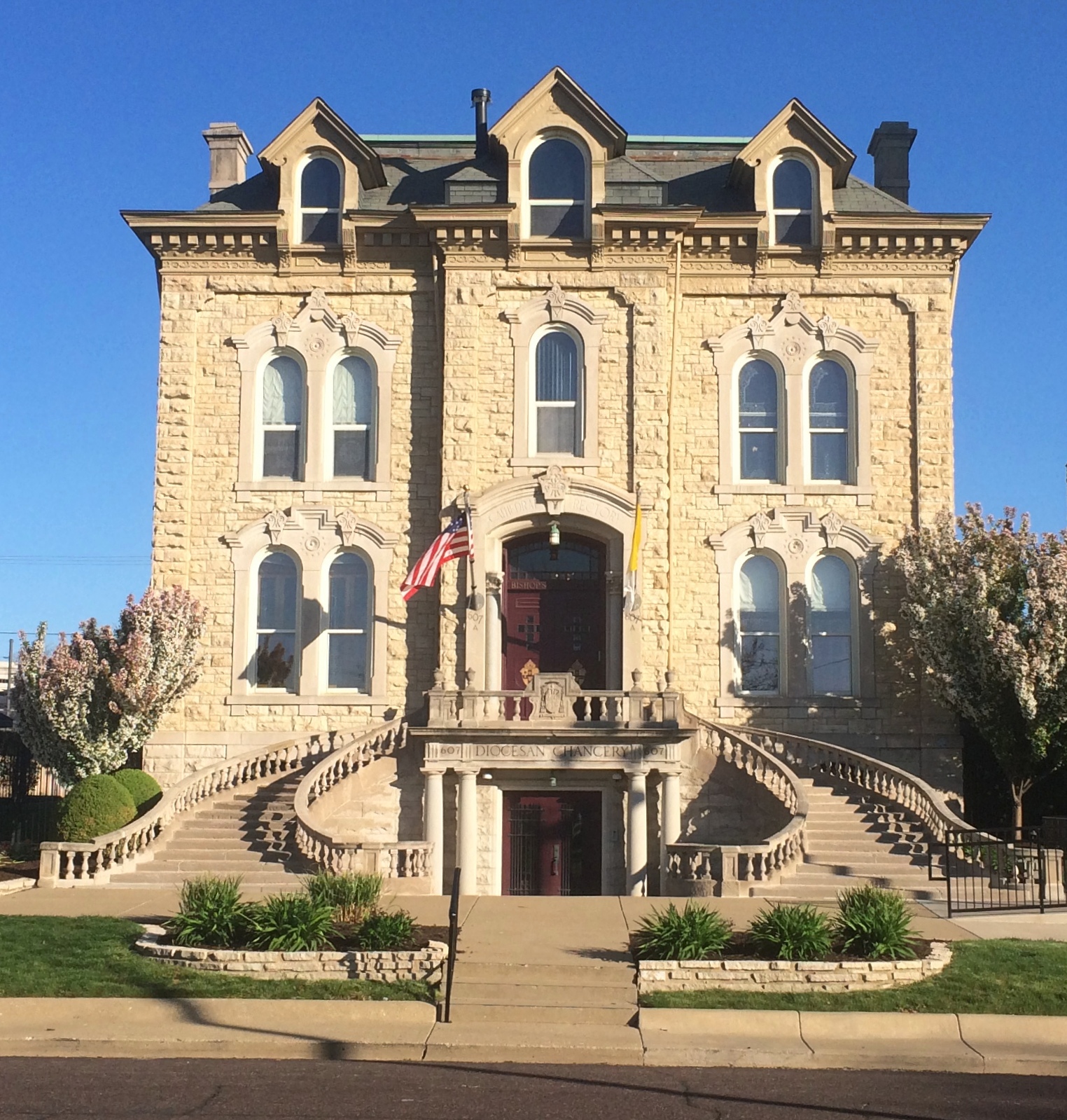
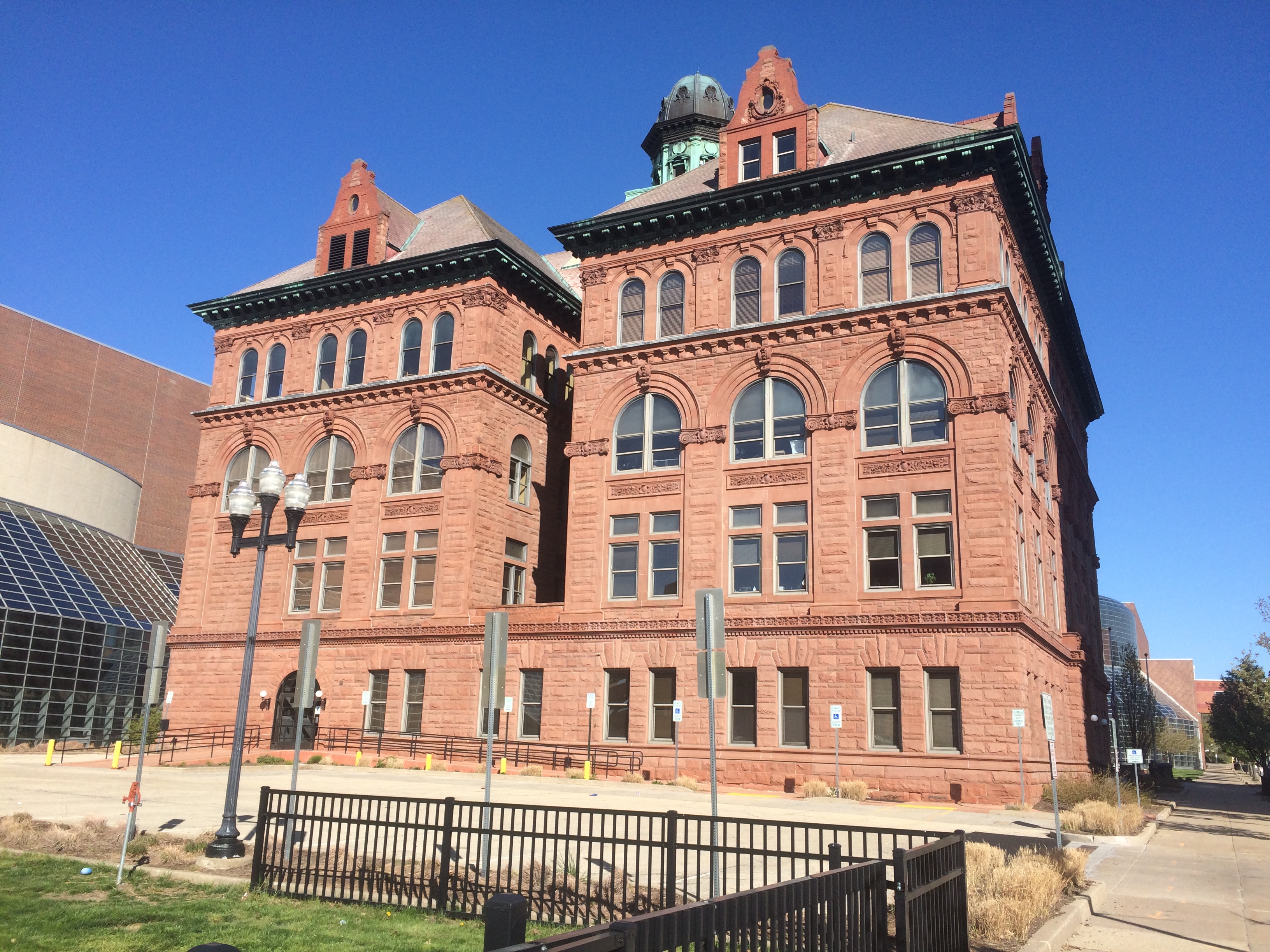
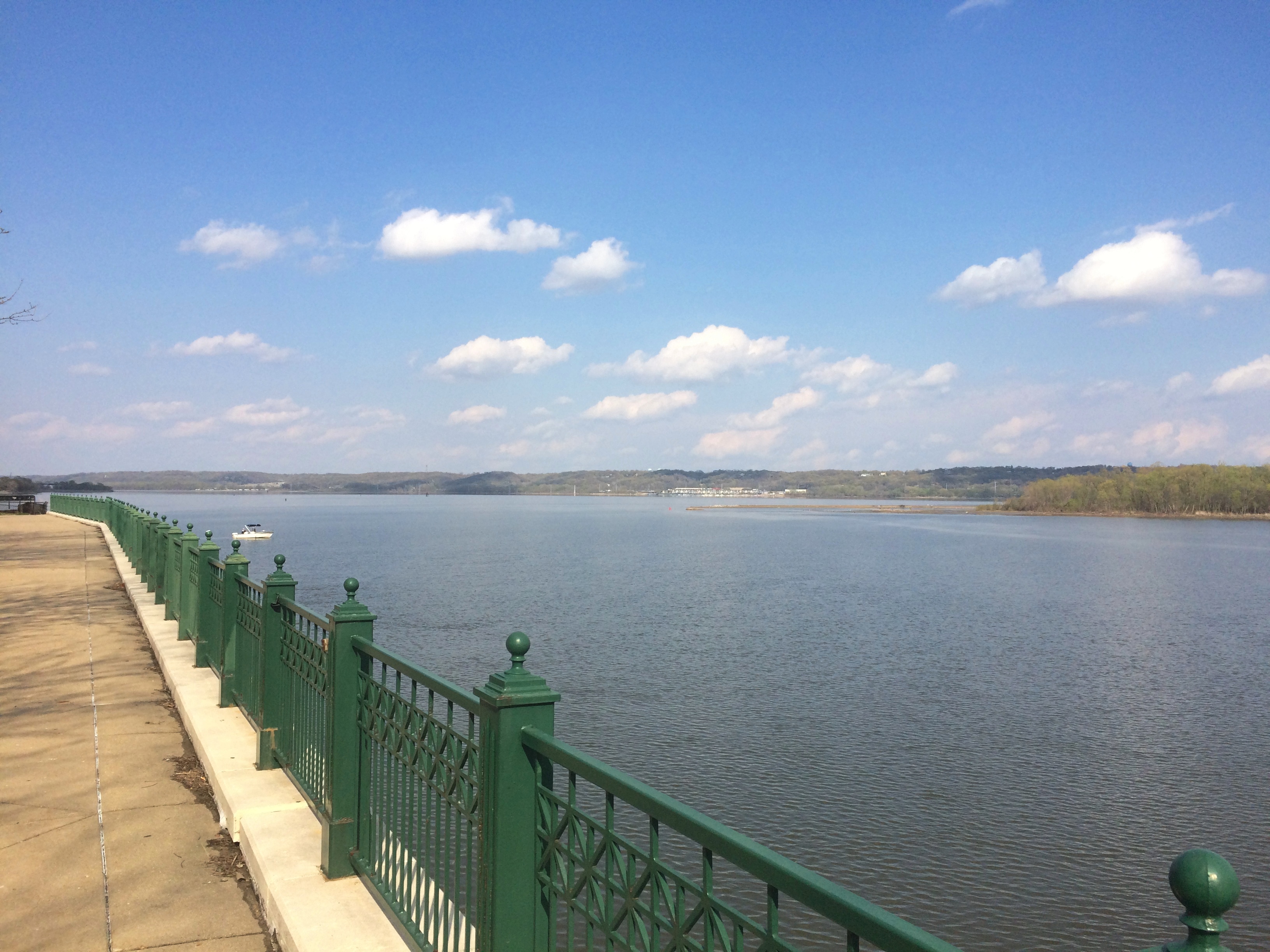
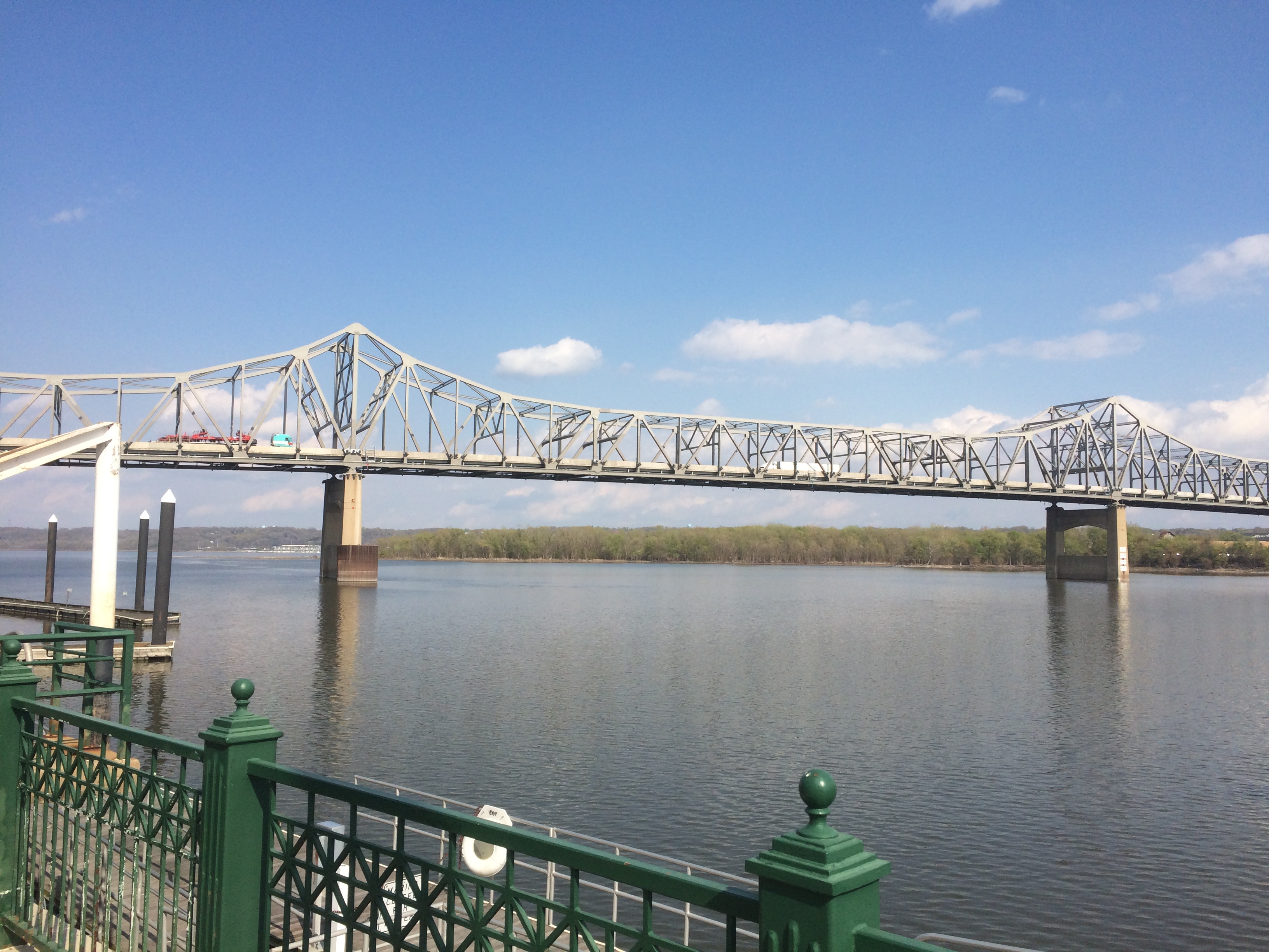
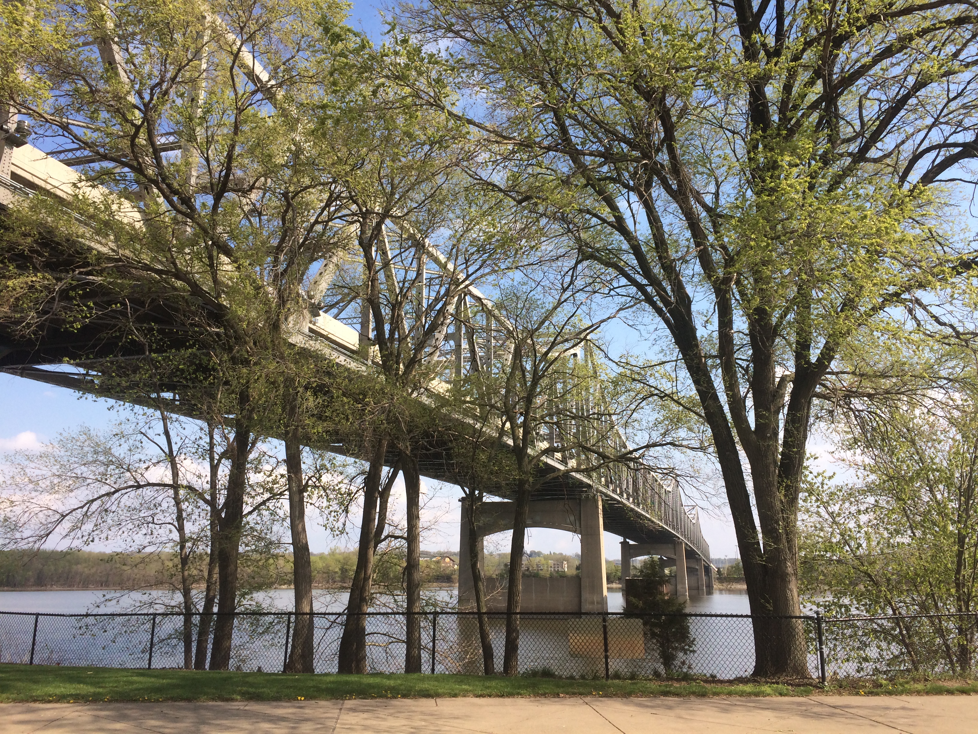
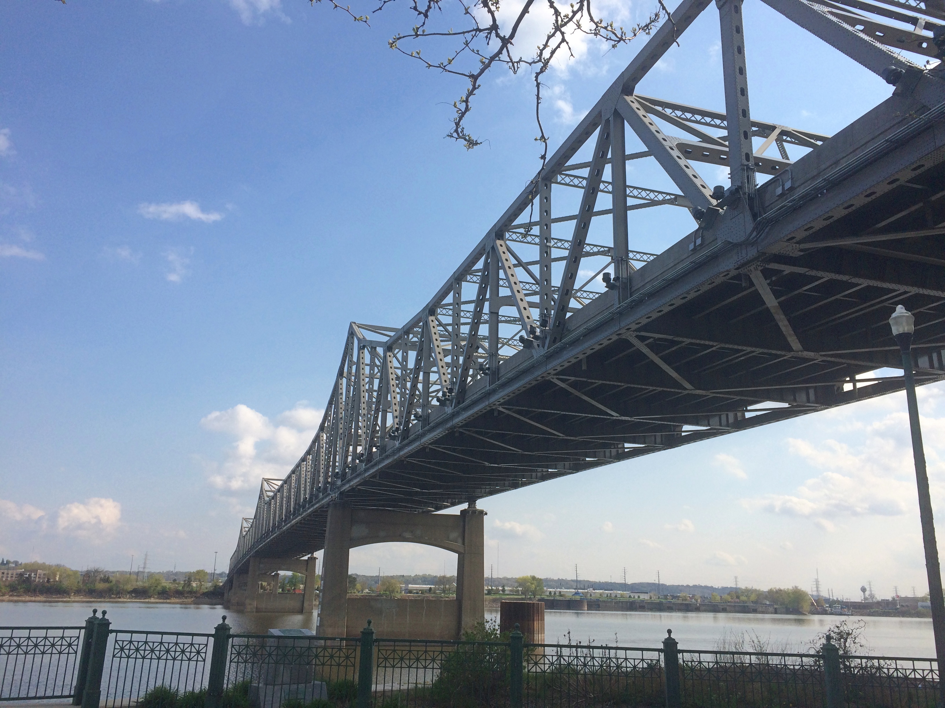
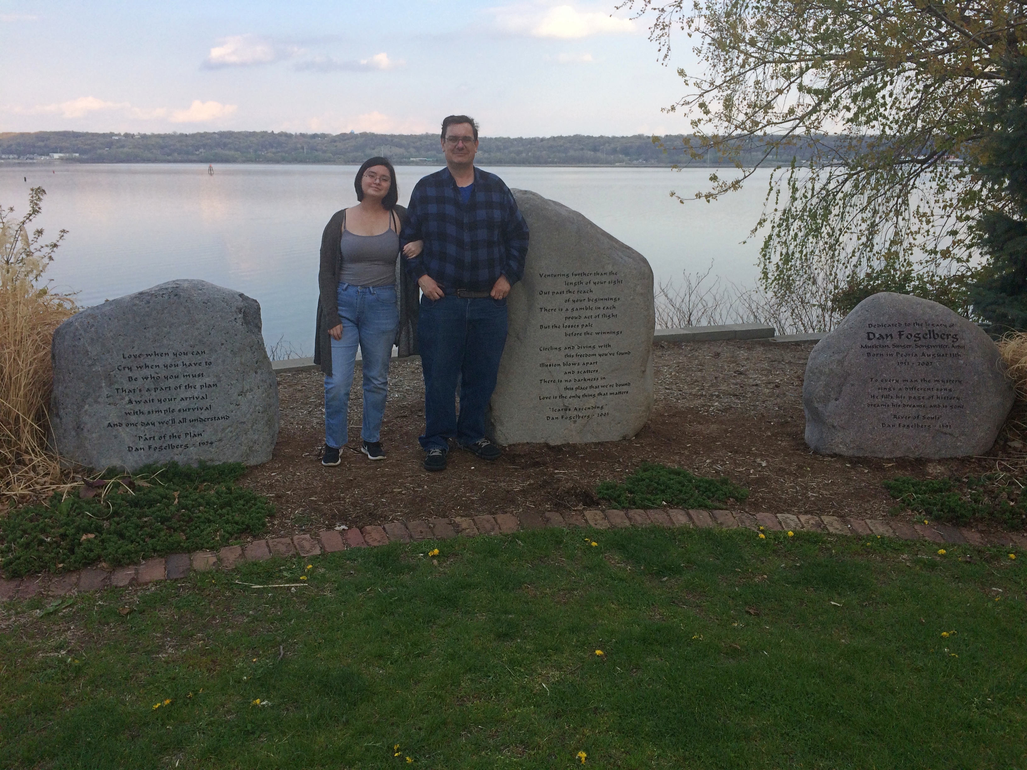
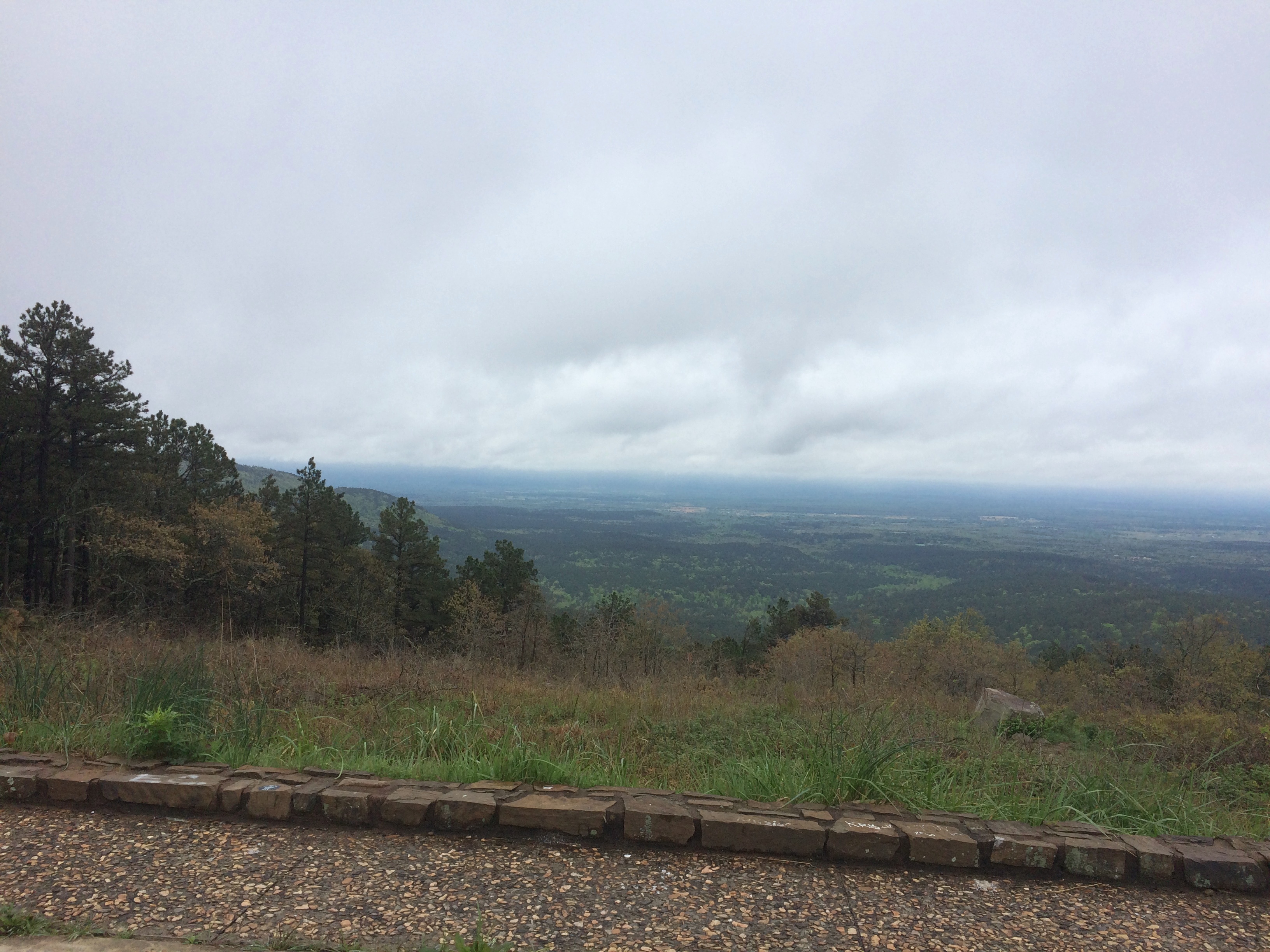
Near-summer weather to a tee visited northern Illinois over the weekend — next week will be chillier, I read — with cloud puffs ambling along the completely pleasant warm air, except maybe for persistent strong gusts of wind, a mild sirocco. Those gusts didn’t keep us from walking the dog or me from idling on our deck, reading or resting my eyeballs, but they did put the kibosh on taking any meals as a family out there.

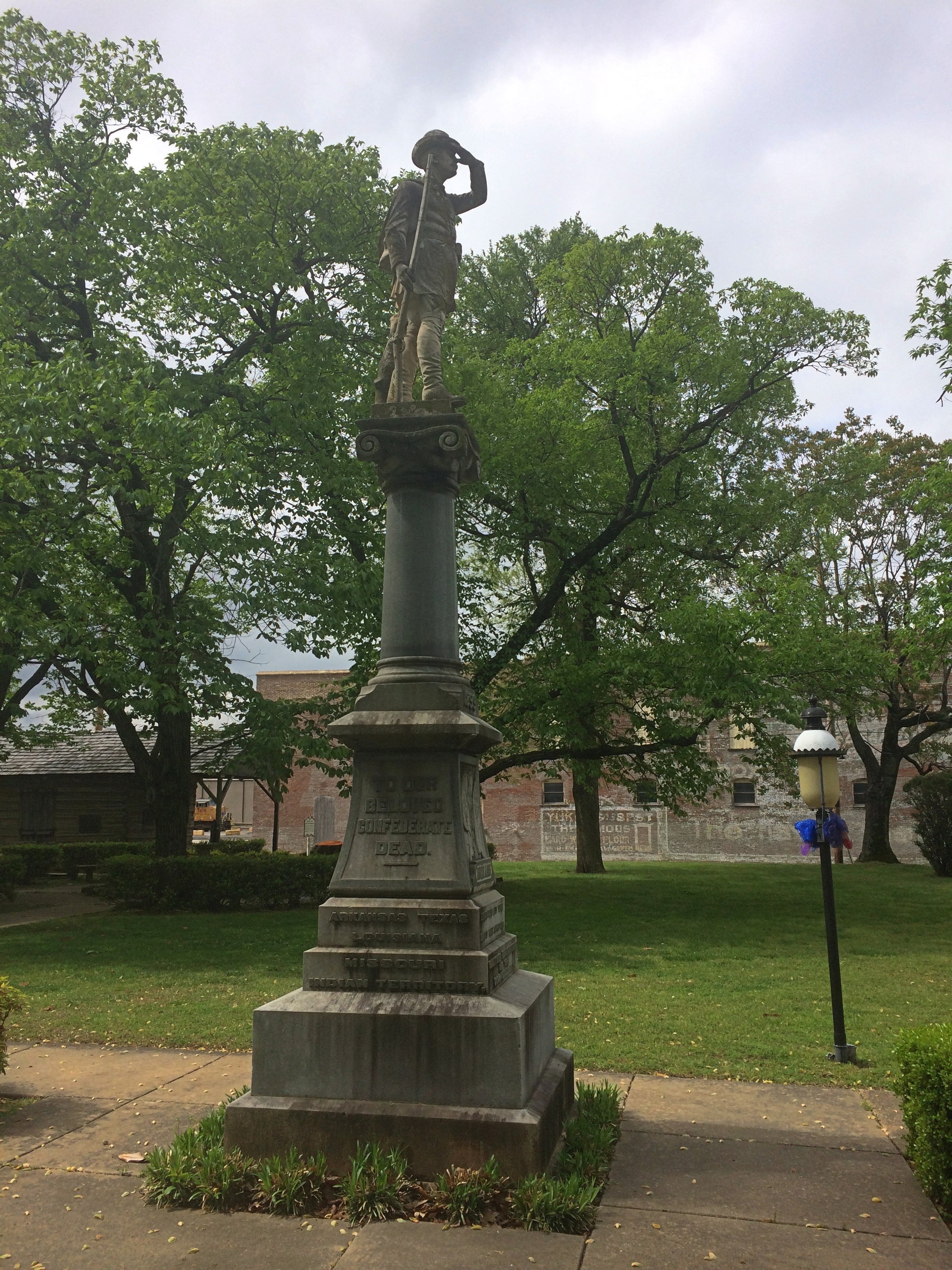
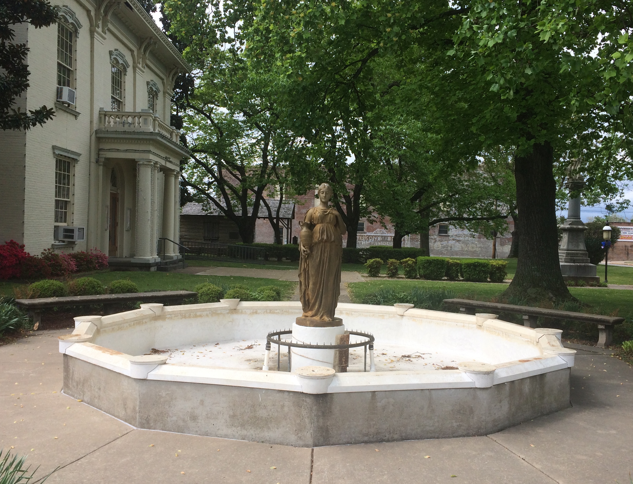
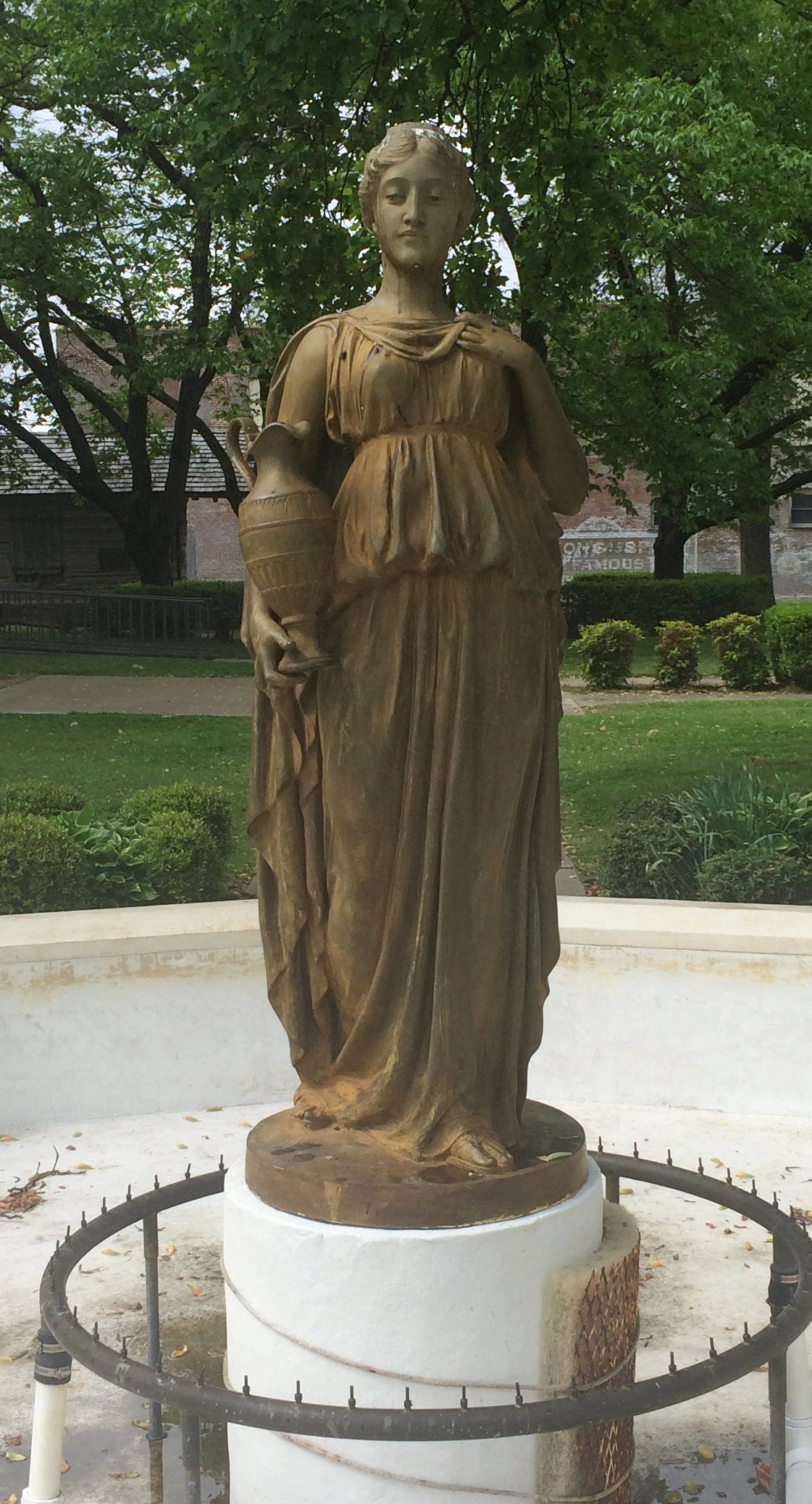
My stop in New Madrid, Missouri, on April 10 was brief, but long enough to get a look at the handsome county courthouse.

New Madrid County Courthouse

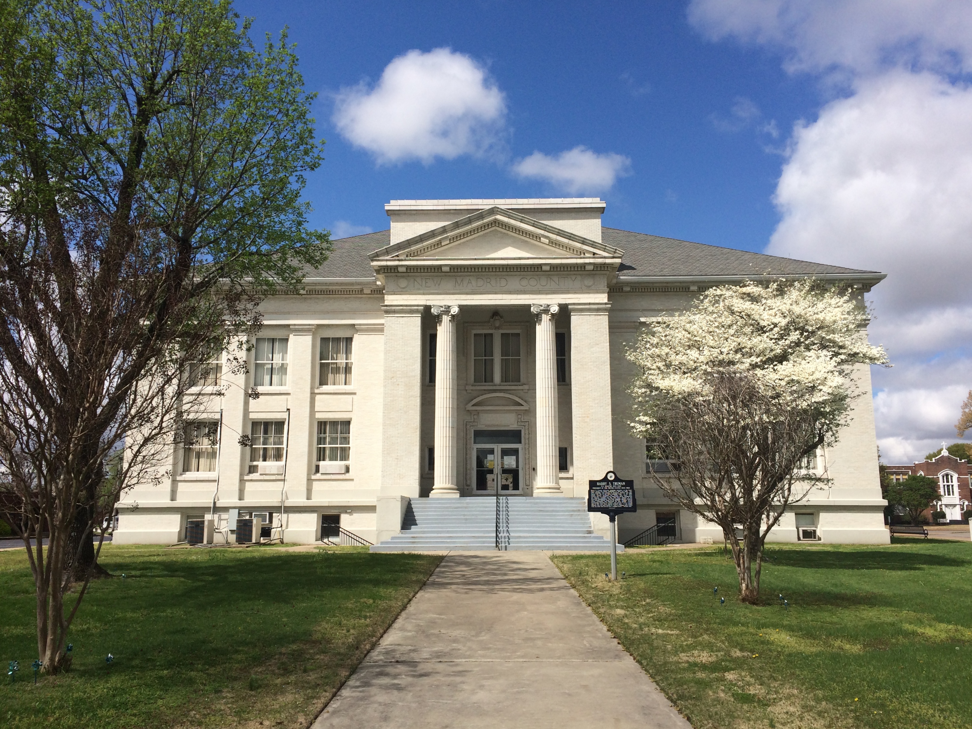
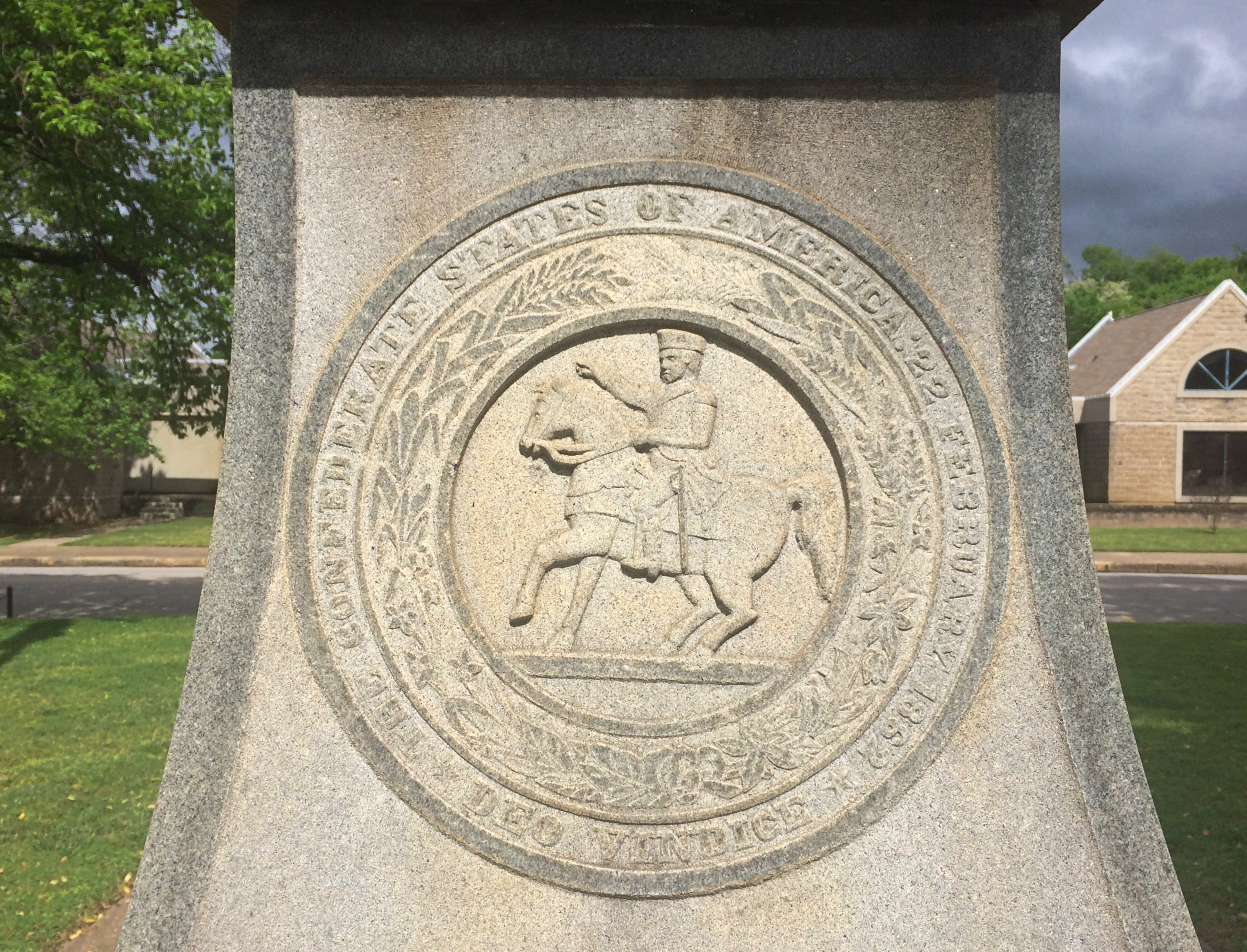
“Cornerstone ceremonies were July 4, 1915, for the Classical Greek Revival style building of white sandstone and porcelain brick with a copper box laid in the northeast corner containing copies of all New Madrid County and St. Louis newspapers and carefully prepared historical events, including the names of the citizens who contributed the $20,000, names of all county officers, etc.,” says the courthouse web site. Sounds like a dull time capsule, but never mind.

“Additional funds for finishing the courthouse and jail were authorized early in 1917, but no bids were received… Finally, W. W. Taylor, a master builder from Cape Girardeau, superintended final interior work, which included marble stairways with cast iron railings and a large rotunda with a stained glass window in the ceiling that was completed in January 1919.”

Closed on Sunday. Maybe closed for the pandemic, anyway, so the marble and stained glass and more weren’t visible to me. Hope the courthouse was built to resist seismic events (as much as possible 100 years ago), or refit in more recent years.

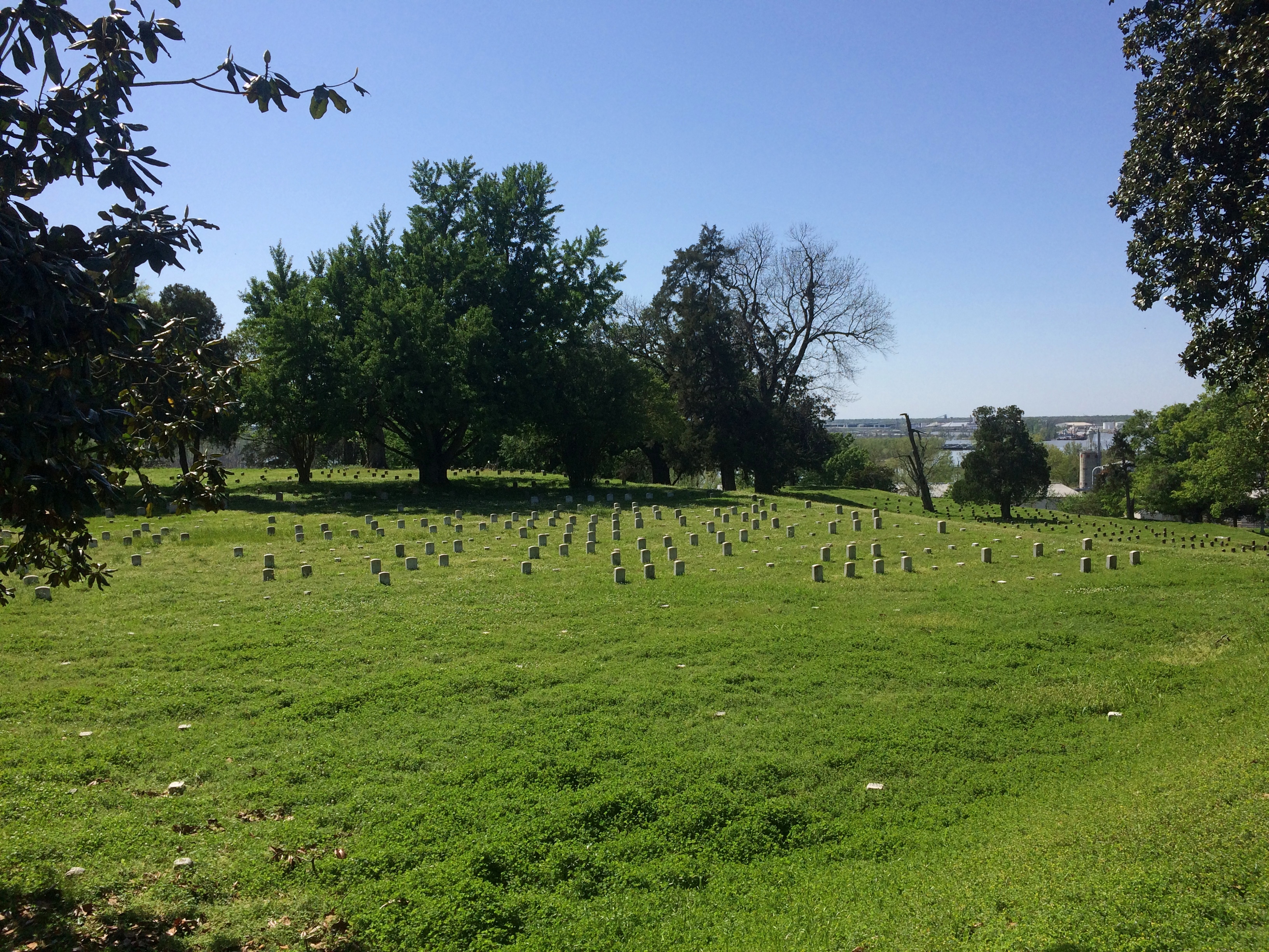
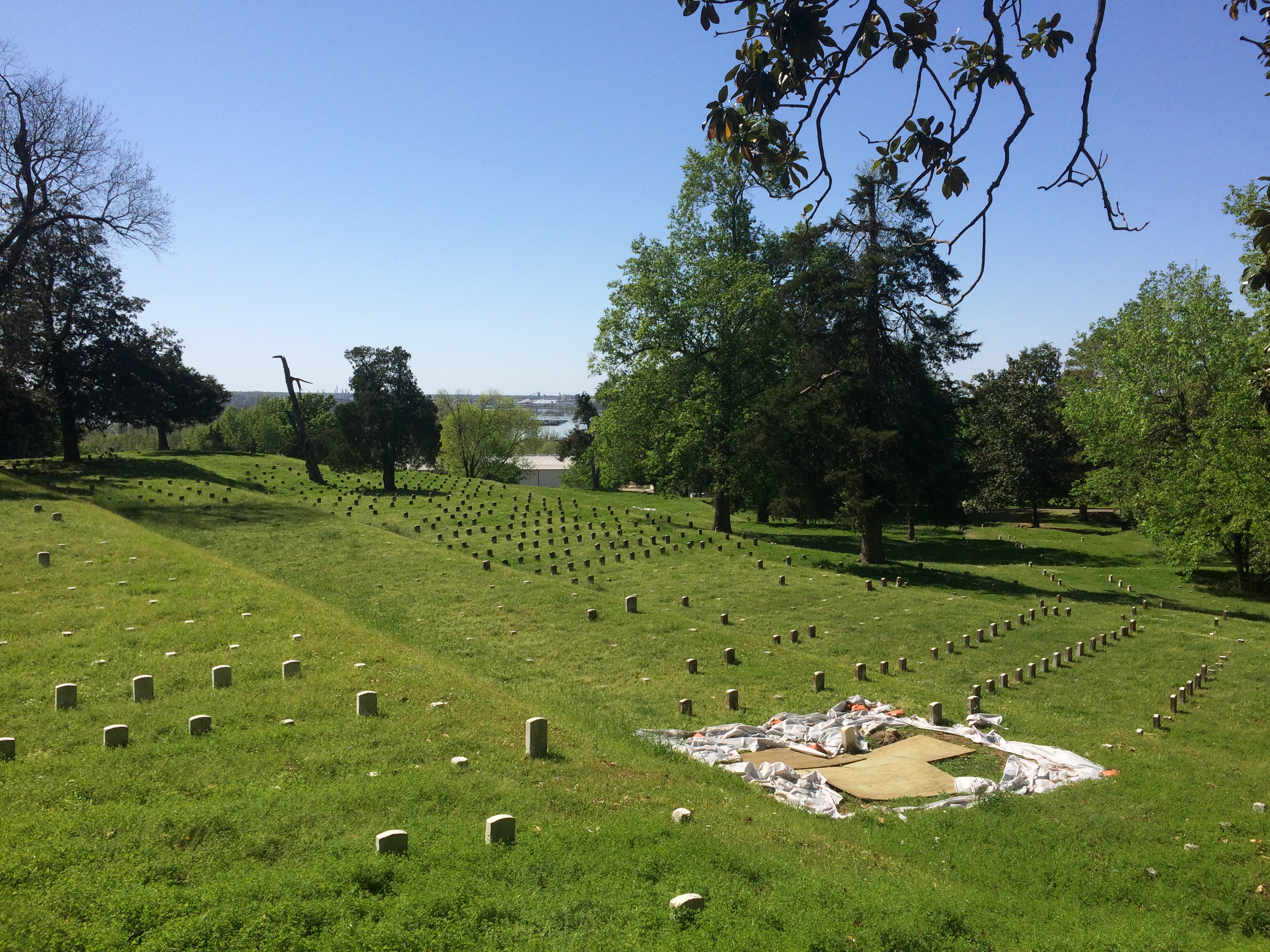
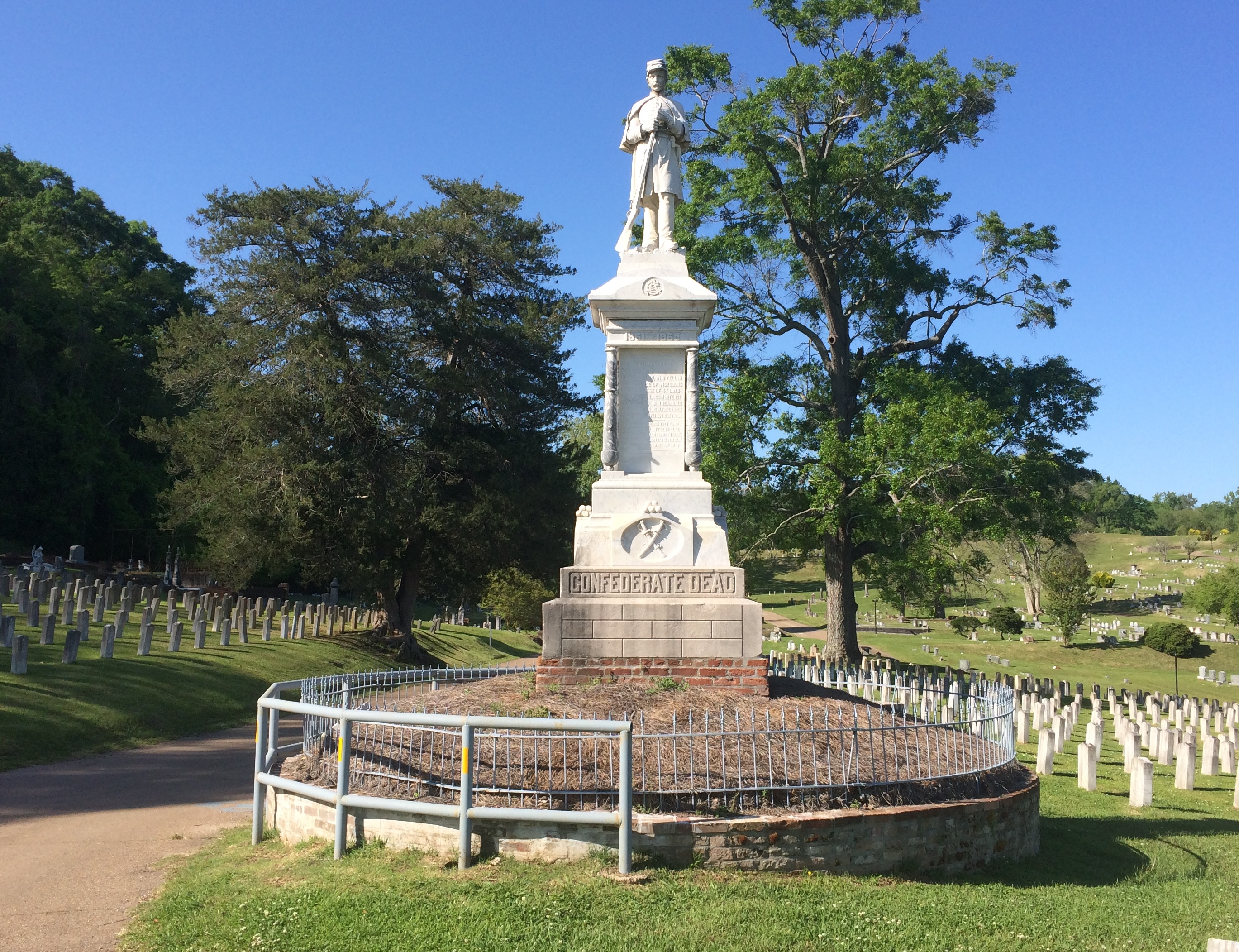
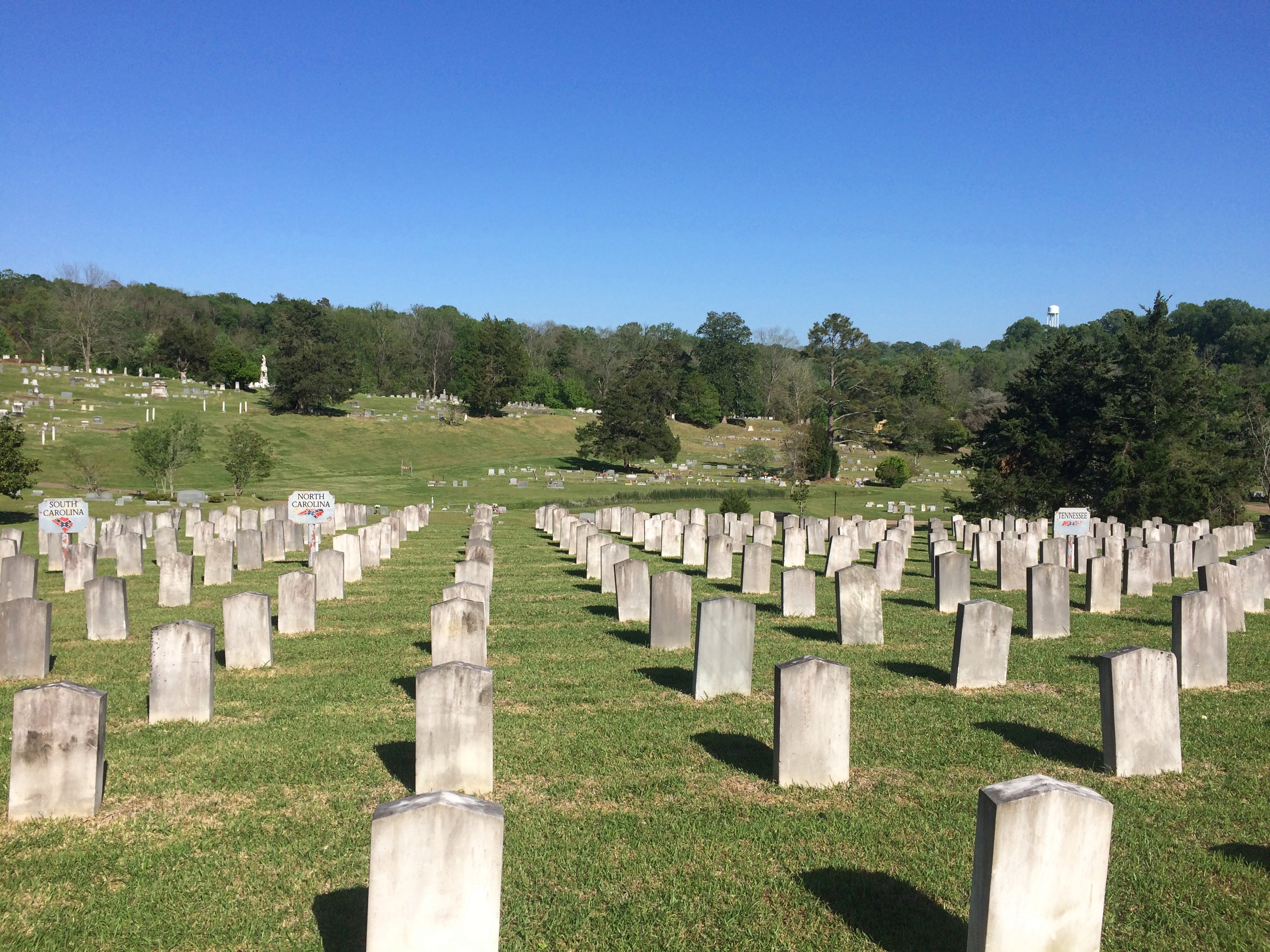
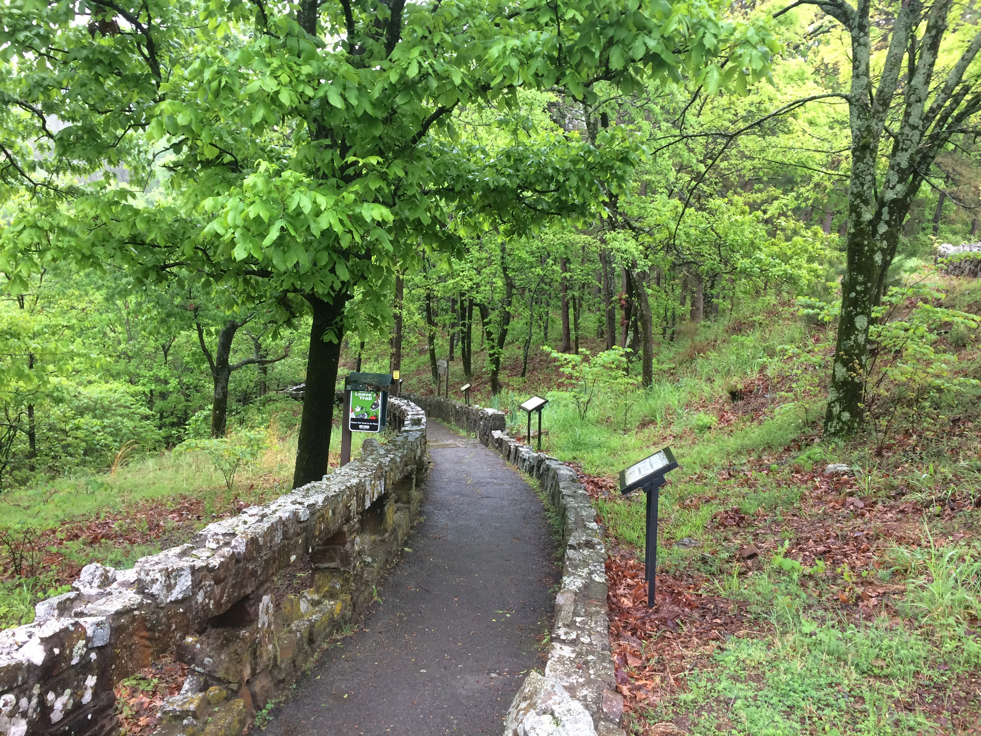
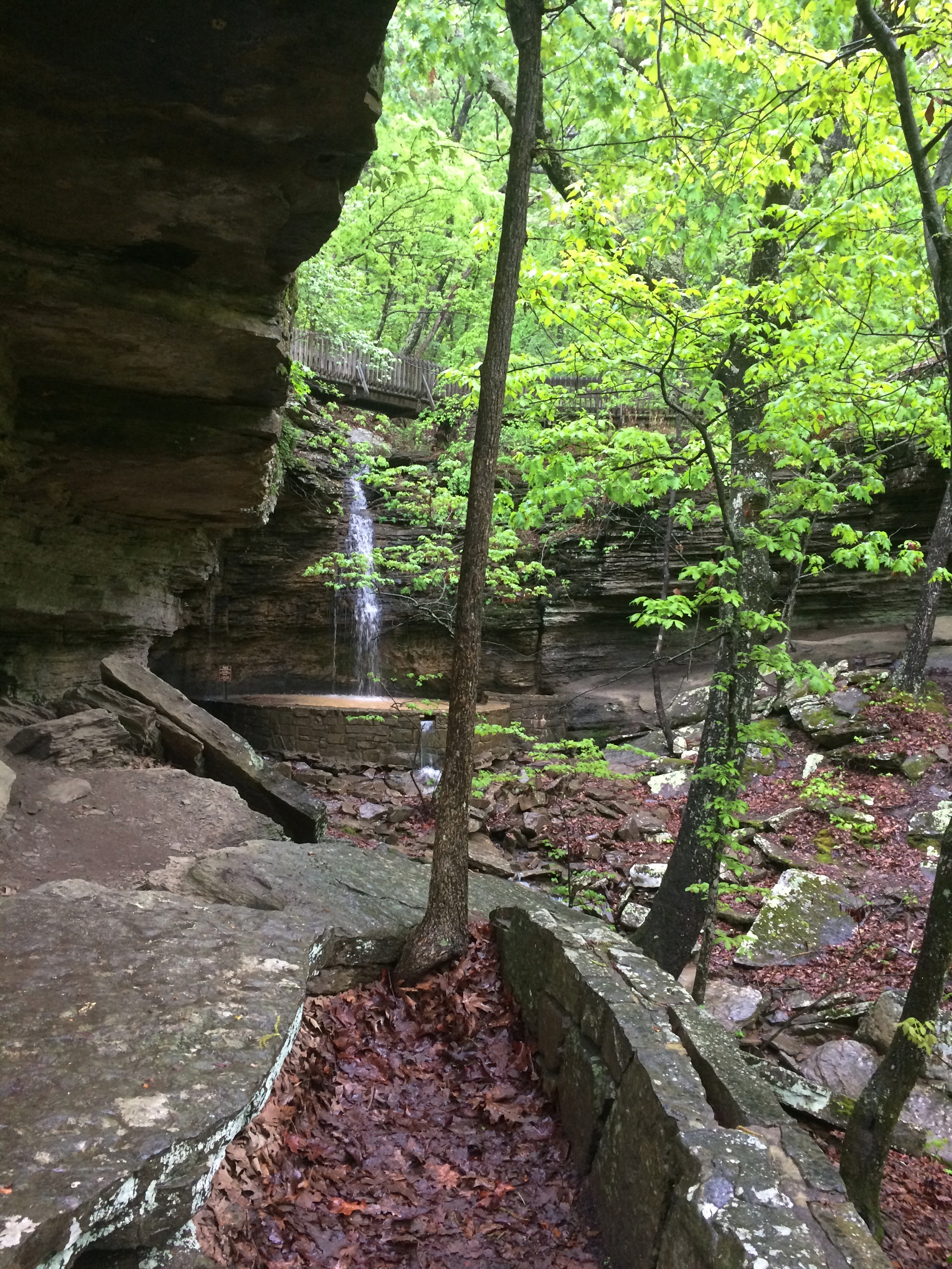
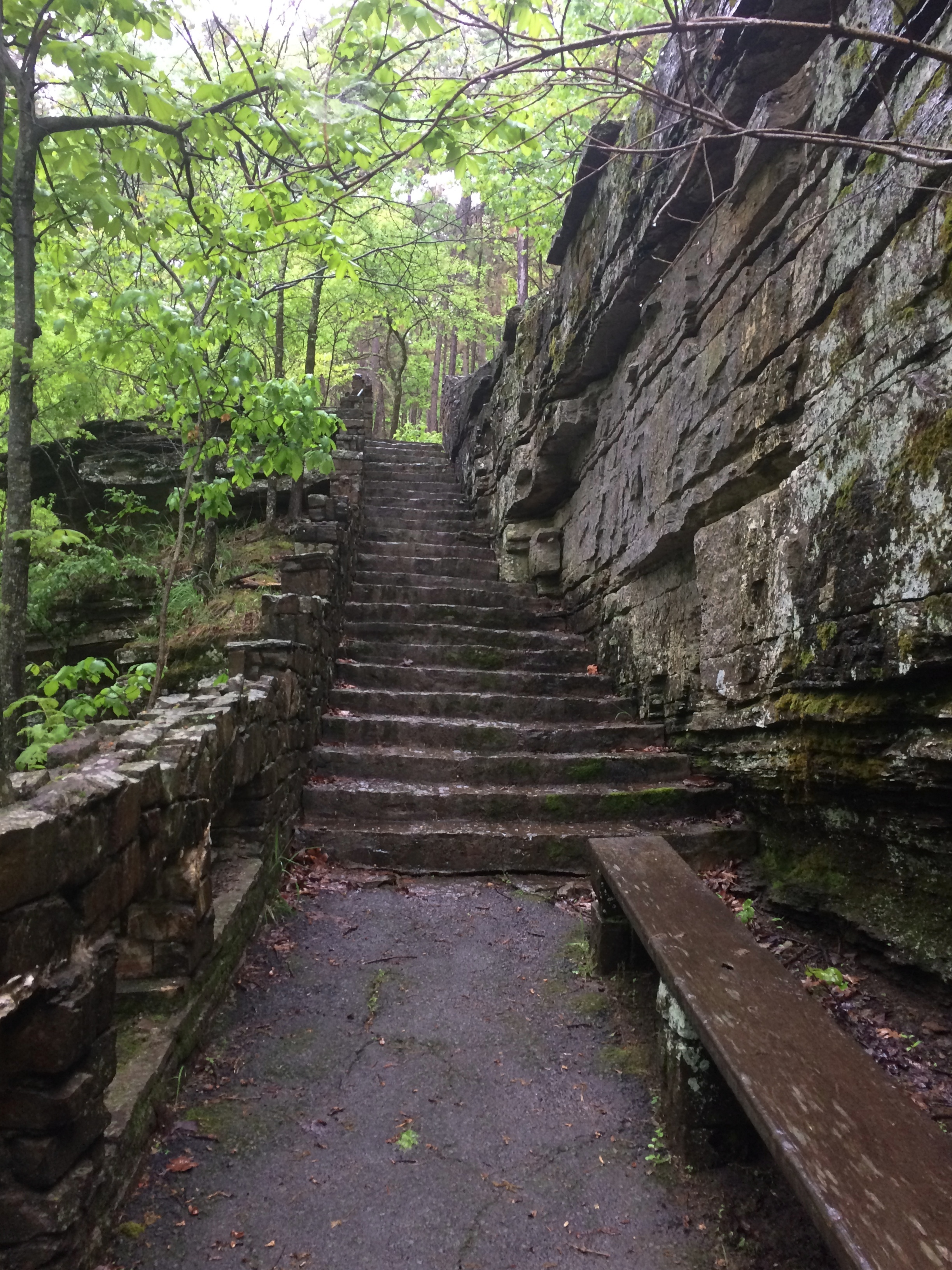
A survey marker at Fort Pillow State Historic Site, Tennessee. Always interesting to run across one.

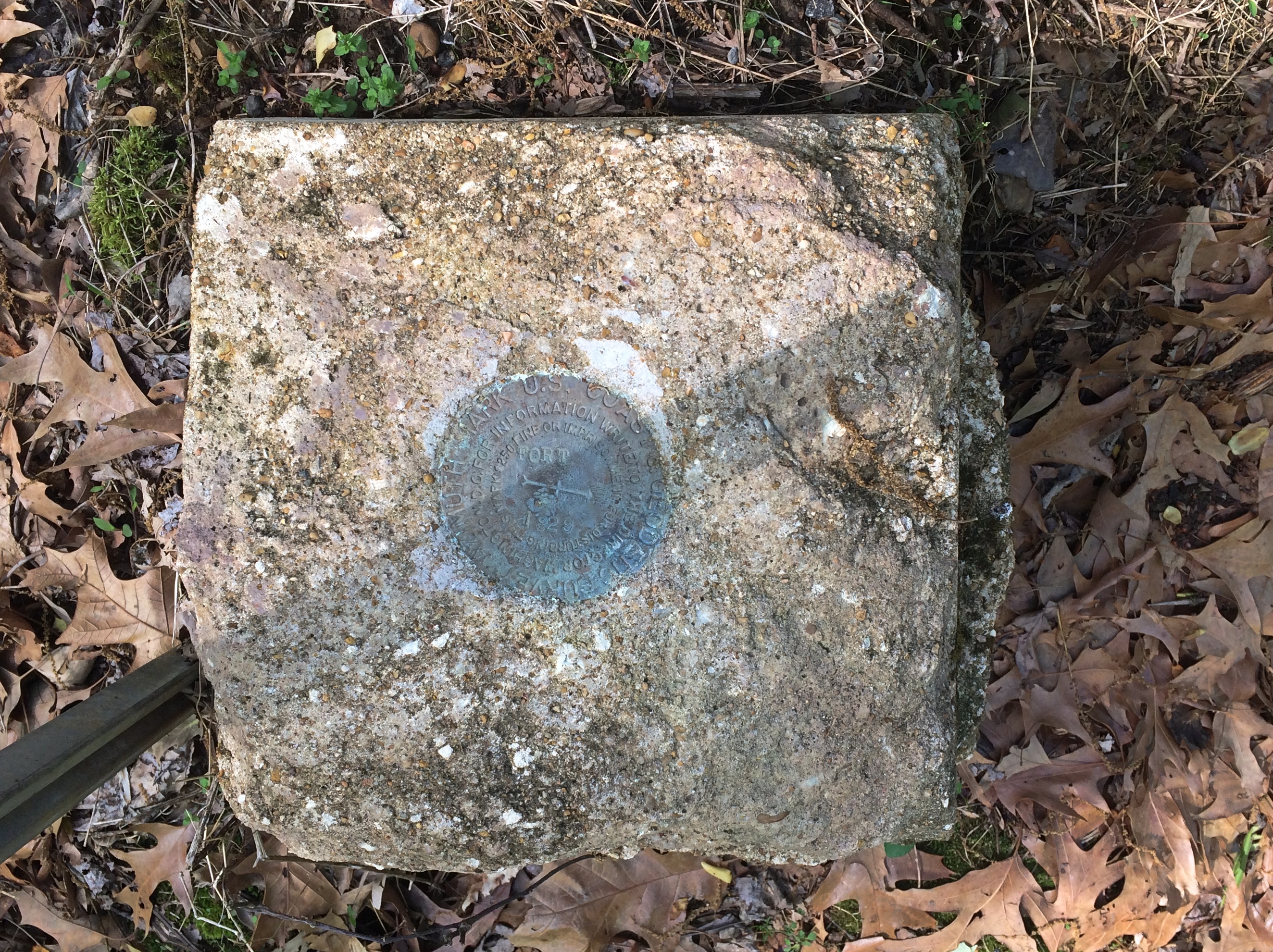
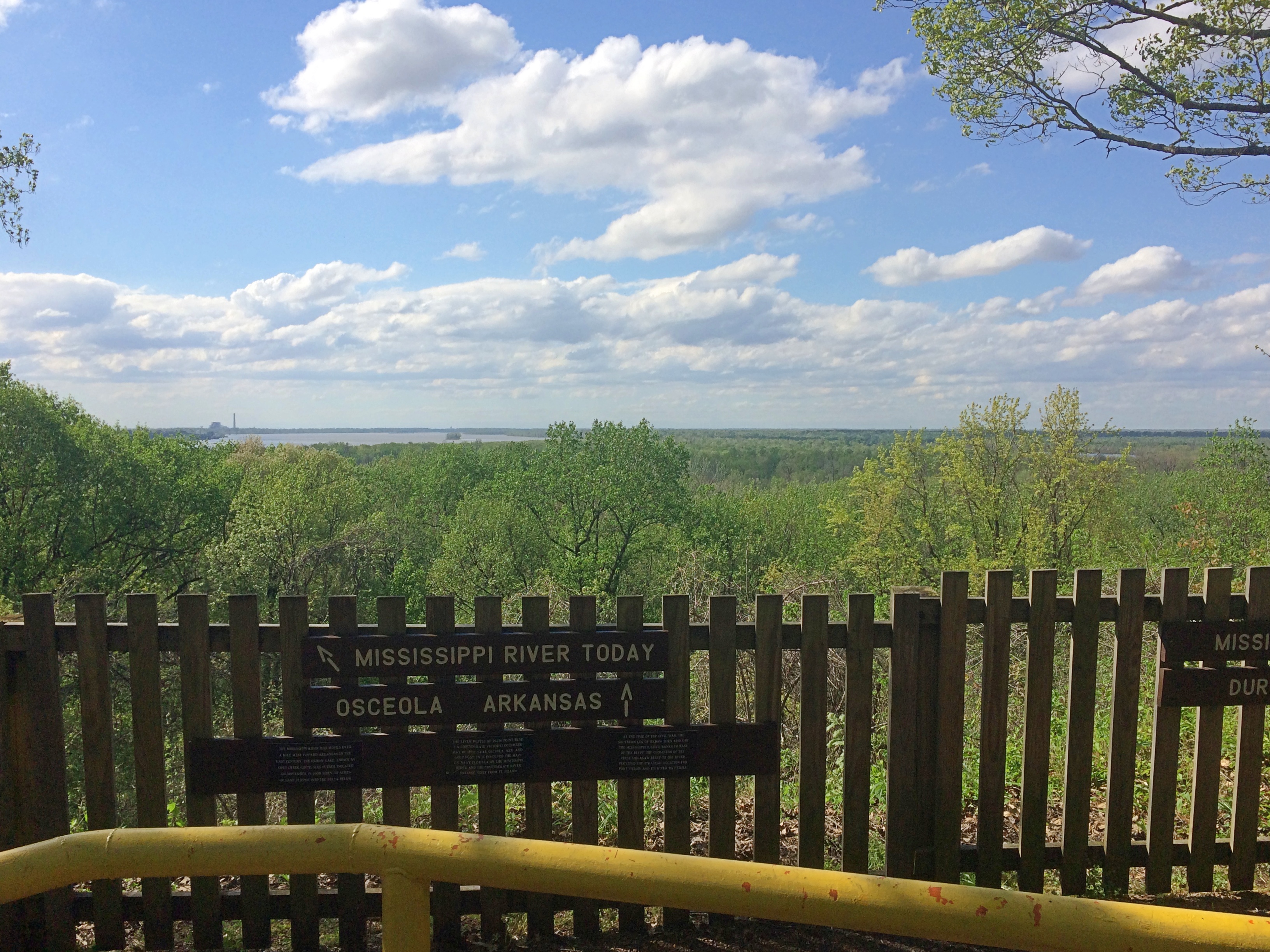
A view of the Mississippi at Fort Pillow.
Fort Pillow

A retail scene from Clarksdale, Mississippi. Something Amazon cannot replace.
Clarksdale Mississippi
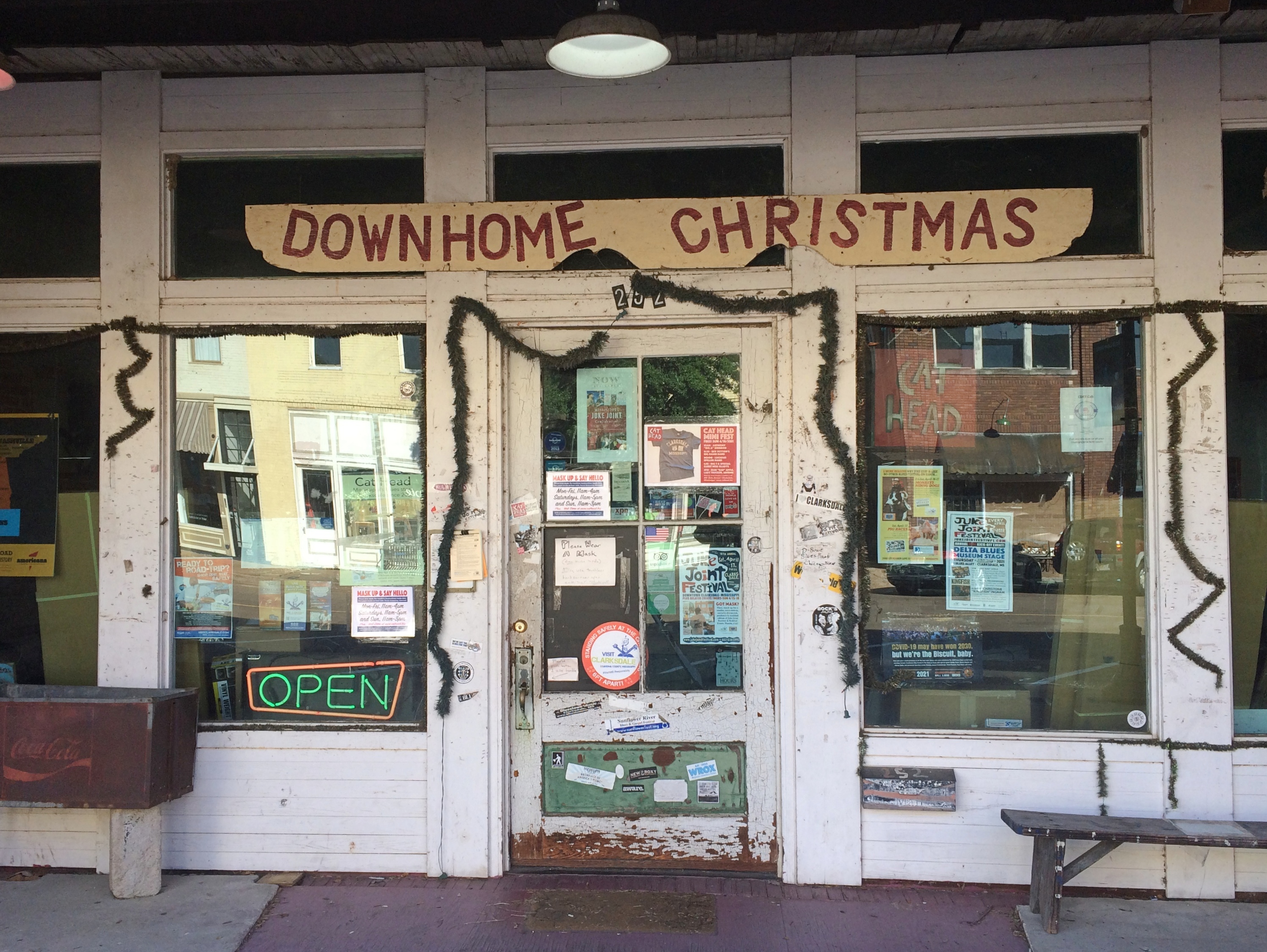
Despite the glowing neon, the shop — called Cat Head — wasn’t open on a Sunday morning.

Keep the Blues Alive

A scene from rural Mississippi, where perhaps the landowner recognizes no political authority.
Jolly Roger Mississippi

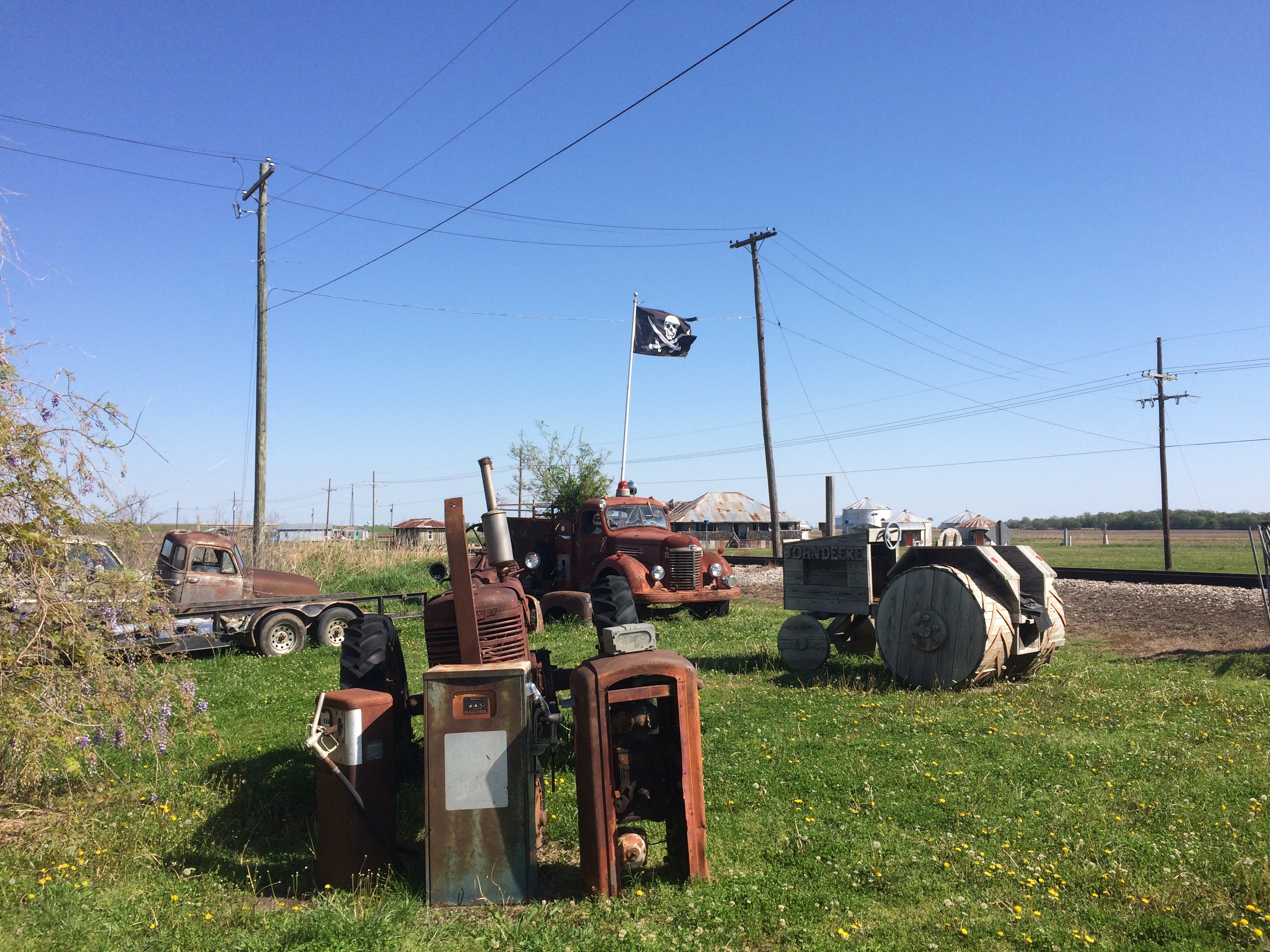
Even in small-town Mississippi, you’ll see these.
Vicksburg scooter

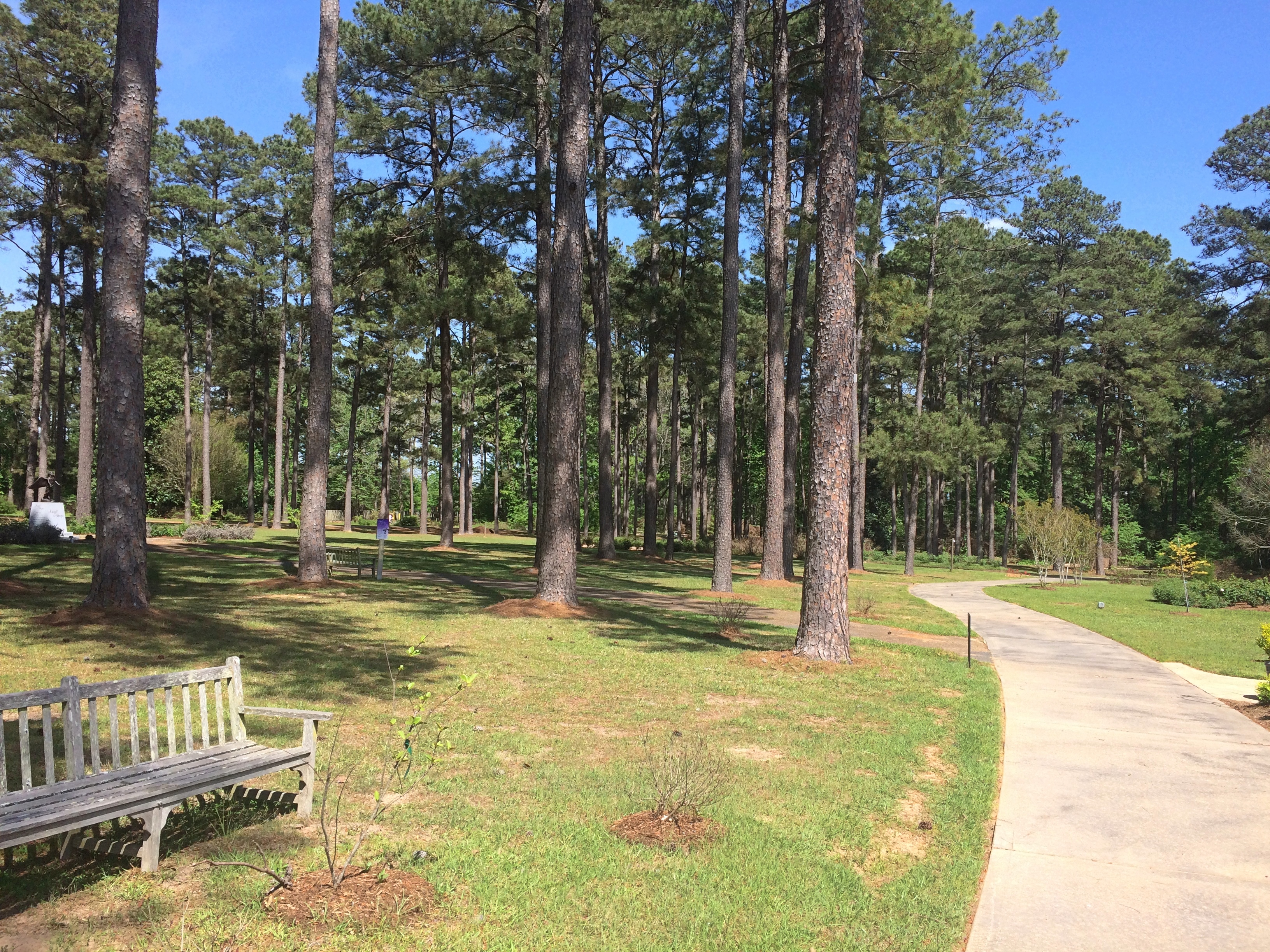
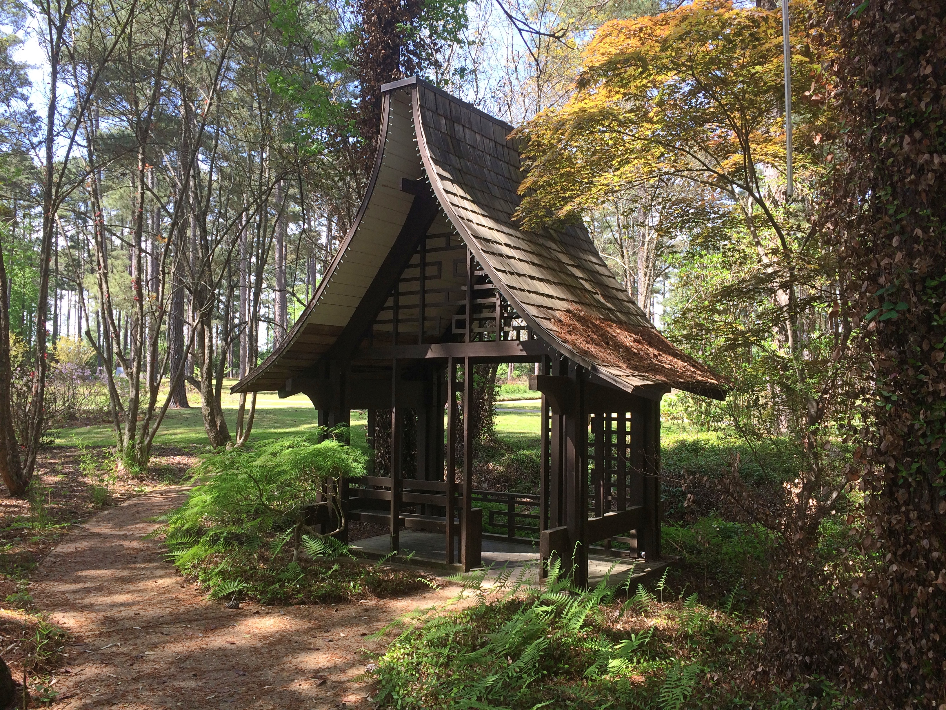
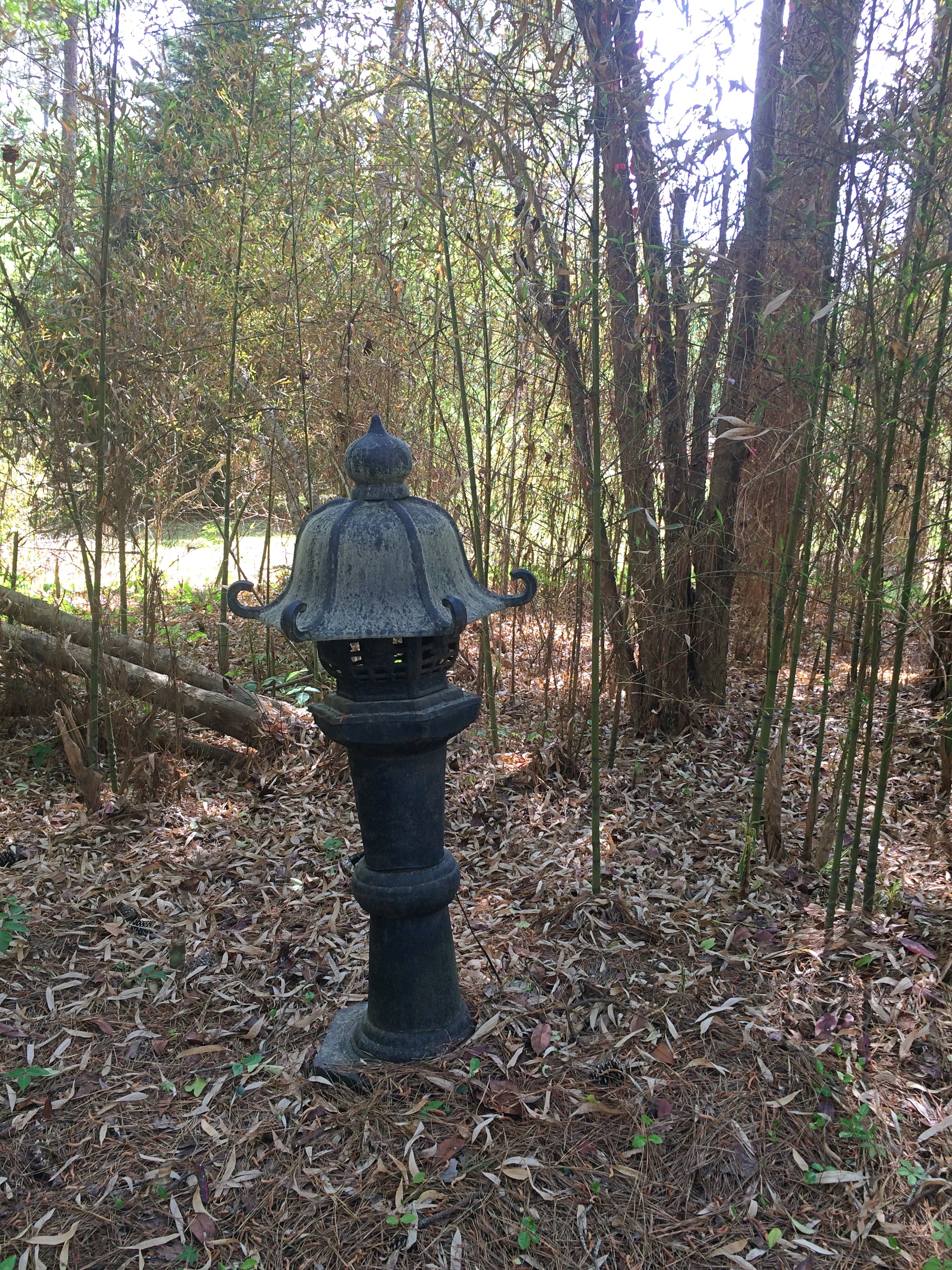
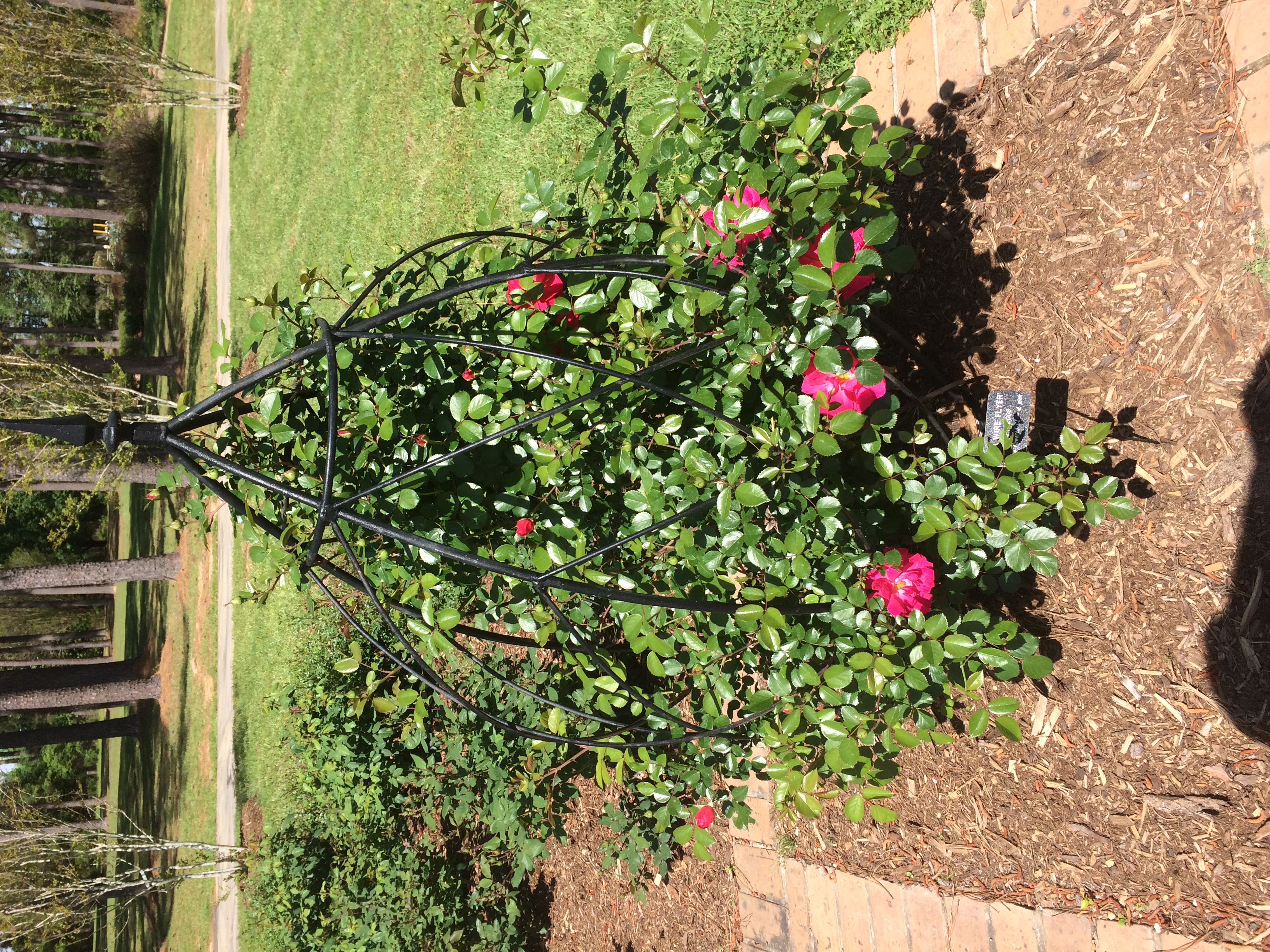
The American Rose Center is a 118-acre wooded spot just west of Shreveport, and home to the national headquarters of the American Rose Society.
American Rose Center

I was a few weeks too early. A few roses were in bloom, but not many. Mostly still buds, and a lot of them. Even so, lovely grounds.American Rose Center

American Rose Center
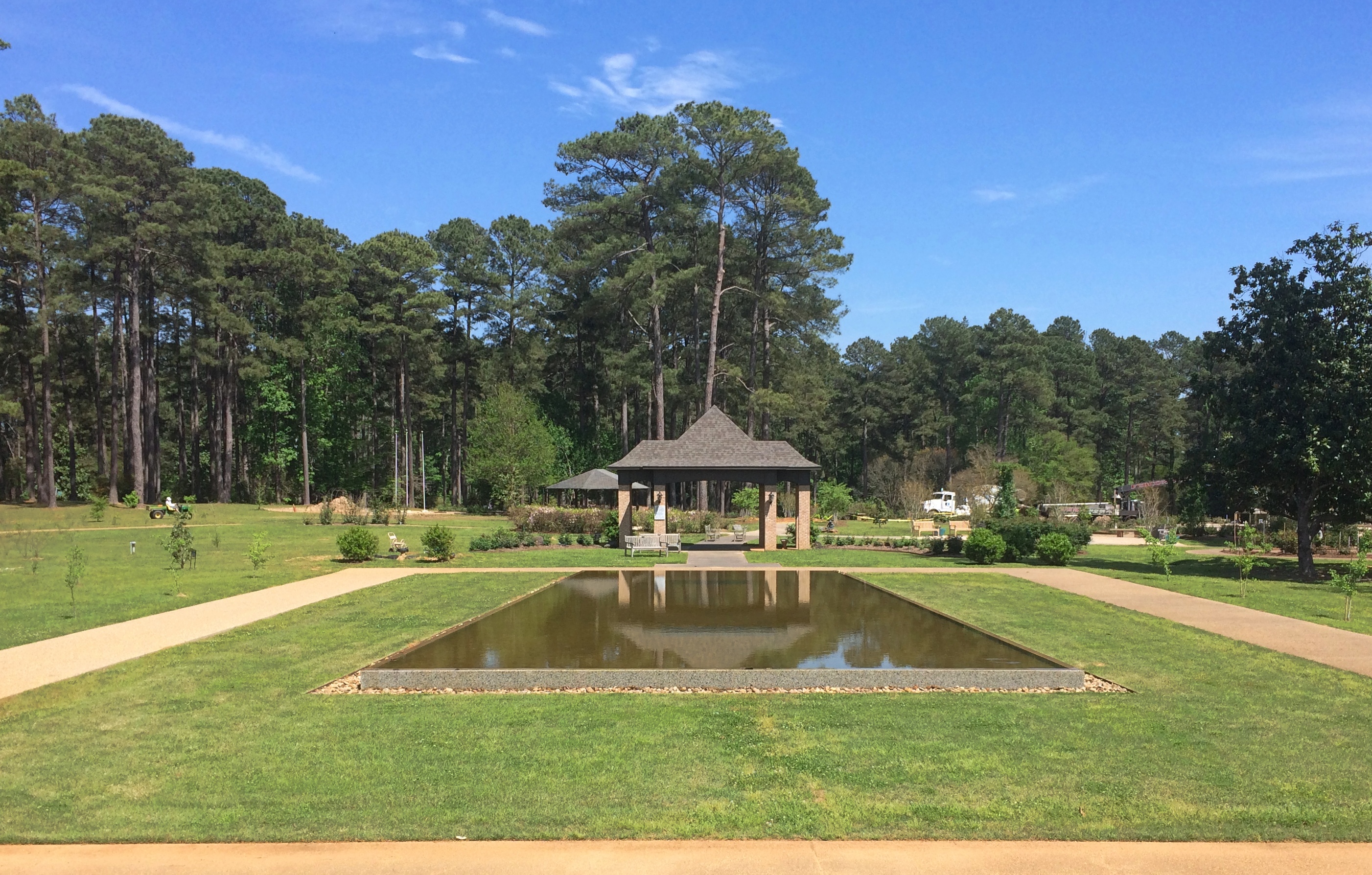
Including a Japanese-style pavilion.

American Rose Center

American Rose Center
As I said, a few blooms.

American Rose Center

American Rose Center
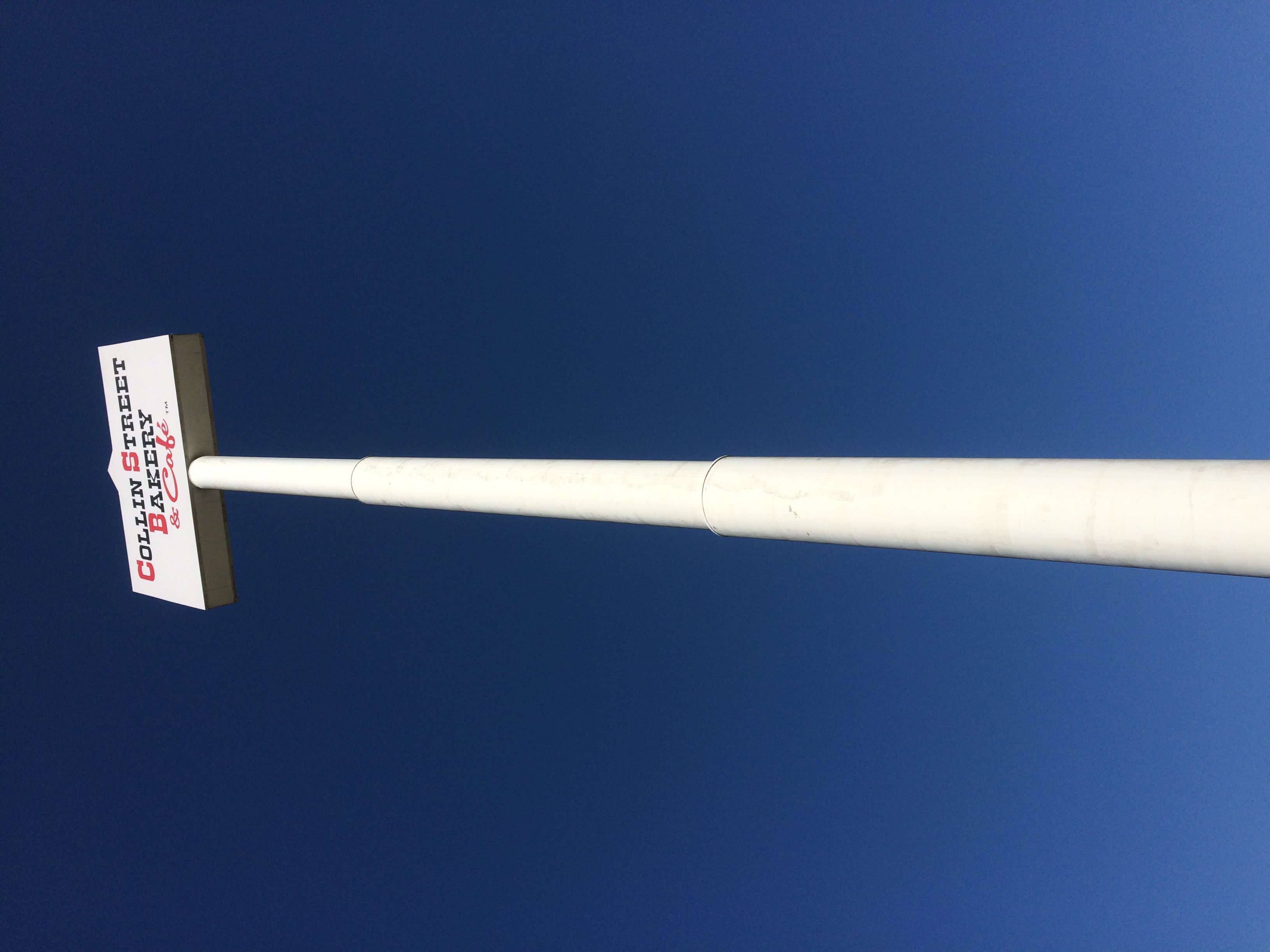
You don’t have to go all the way to Corsicana, Texas, to buy a fruitcake at the Collins Street Bakery. There’s a store just off I-20 in Lindale, Texas, with a cafe and a towering sign. I stopped and bought a big fruitcake, which is mostly gone now, eaten a bit at a time by me, Jay, Yuriko and Ann.Collins Street Bakery Lindale

Collins Street Bakery Lindale

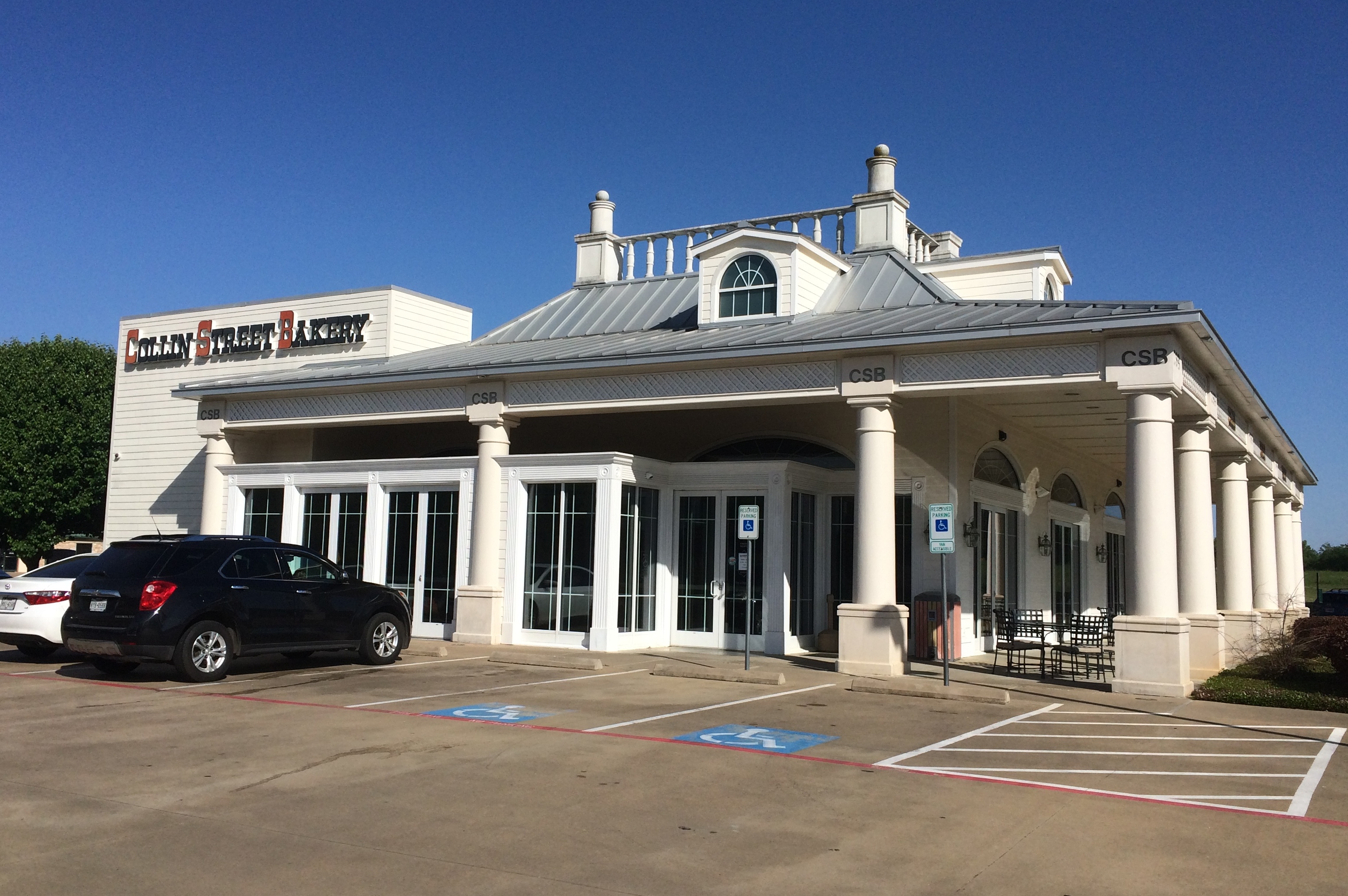
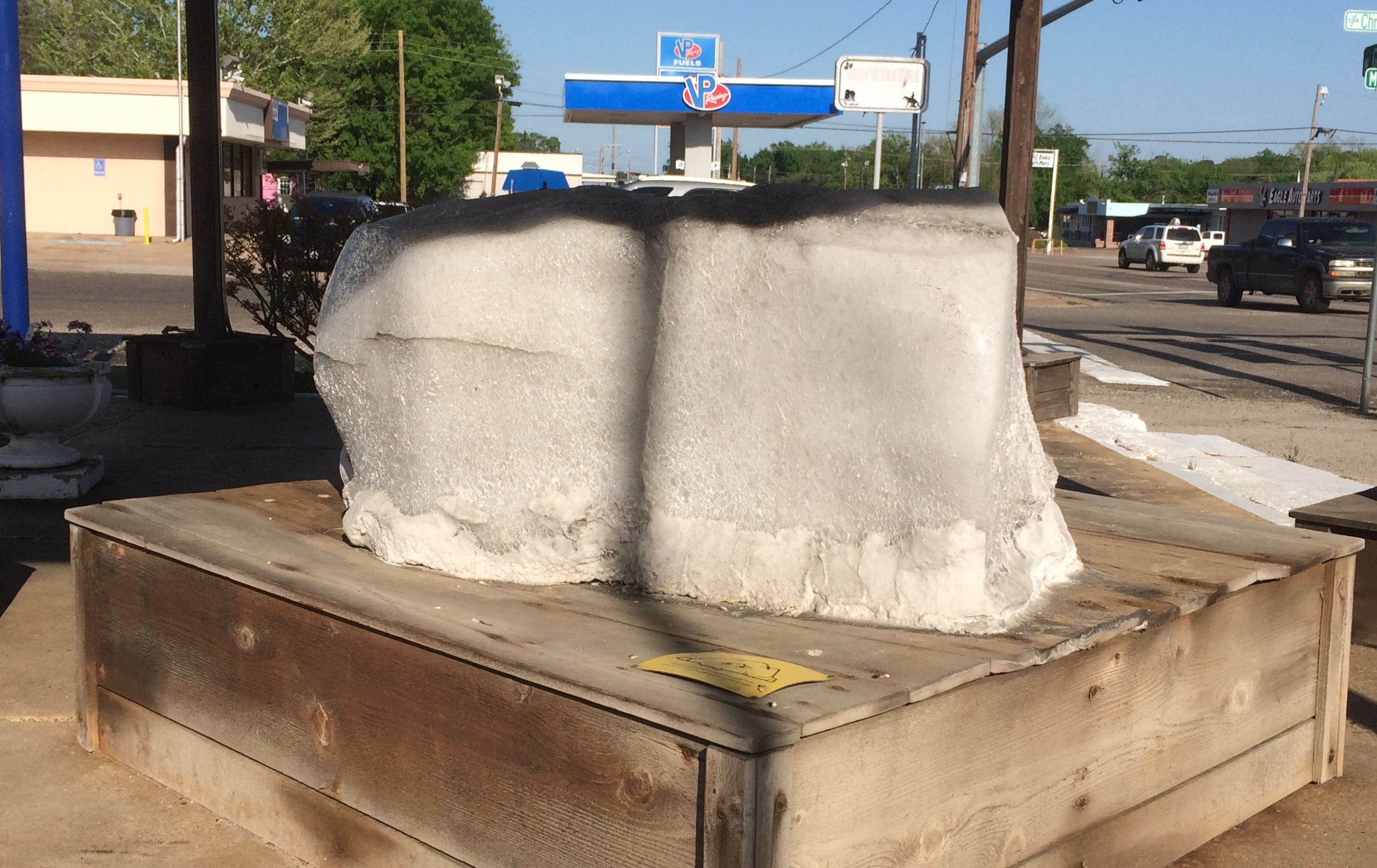
In Grand Saline, Texas, a town that salt built, is a structure called the Salt Palace Museum and Visitors Center, which is on Main Street.

Salt Palace Museum and Visitors Center
Palace it is not, though it is built partly of salt, and there’s a big block of salt to examine out front.

Salt Palace Museum and Visitors Center

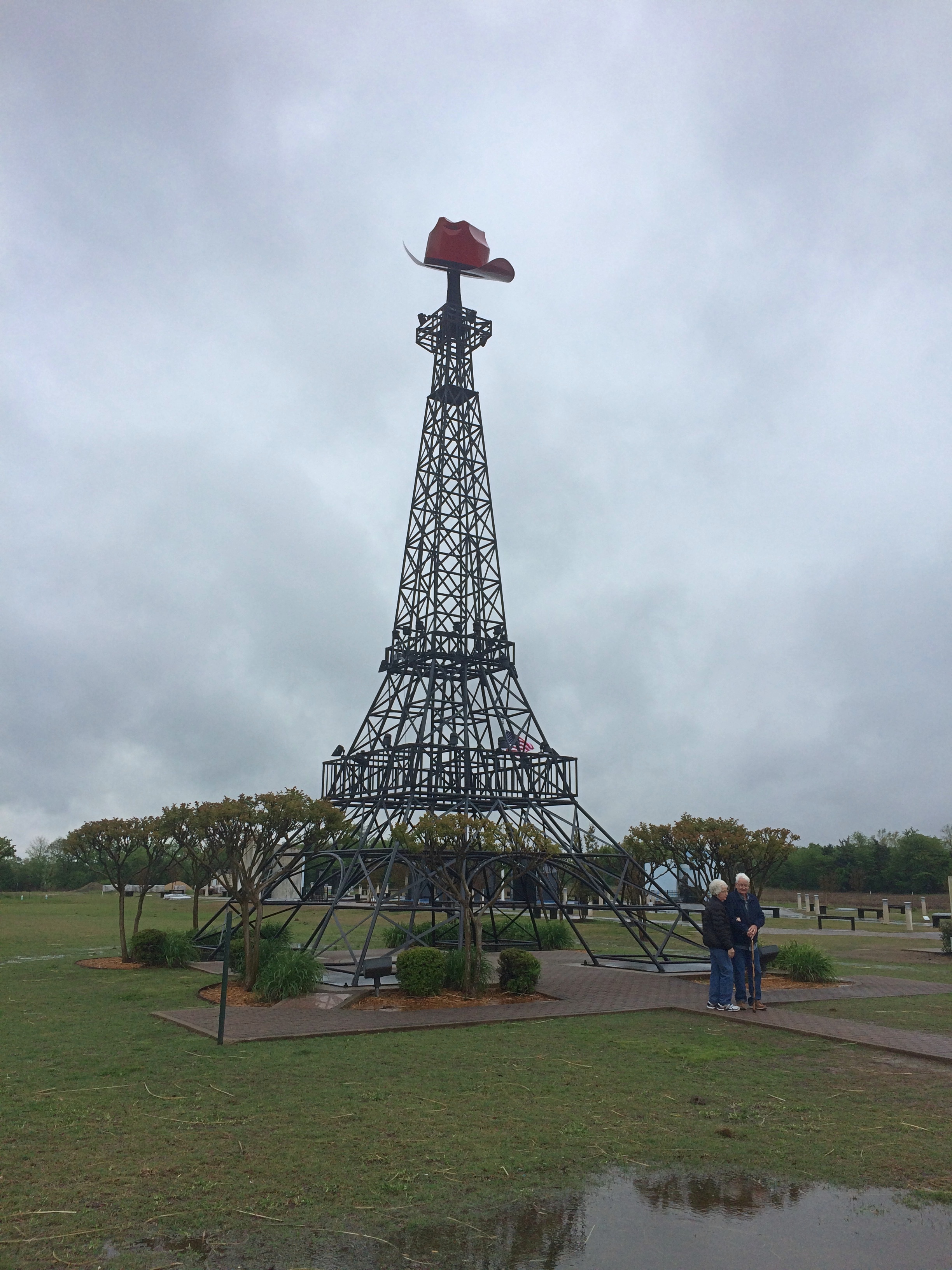
When in Paris, Texas, what does one naturally go to see? The Paris, Texas, Eiffel Tower, of course. Despite the rain.
Paris Texas Eiffel Tower

Less well known is a memorial to the Paris Tornado of 1982. It killed 10 people, injured many more, and did a lot of property damage.Paris Tornado 1982 Memorial

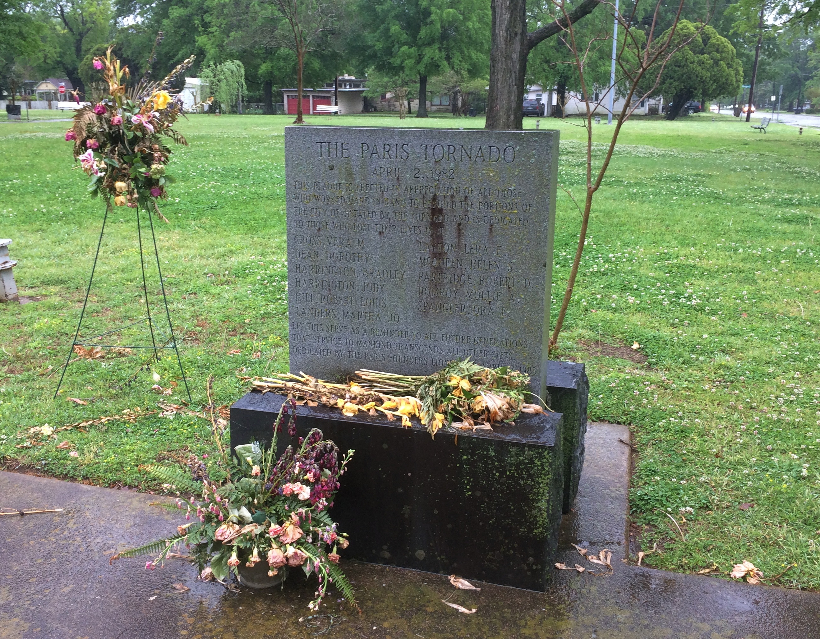
It’s in the same park as this sad-looking memorial.
Bywaters Park Memorial

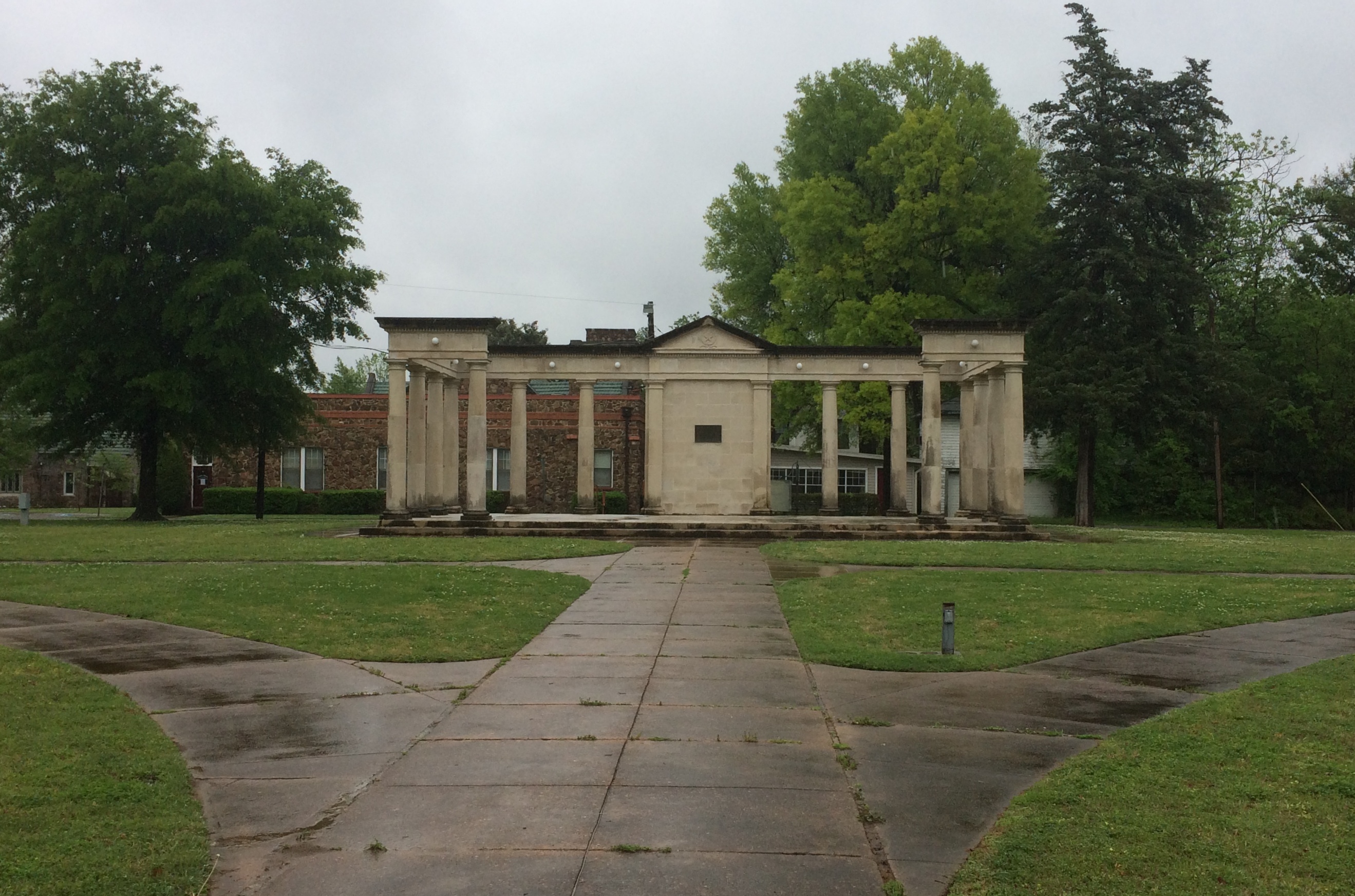
That’s the Bywaters Park Memorial, with a plaque that says: In grateful memory of J.K. Bywaters, who gave this park to the people of the city he loved so well. 1916.

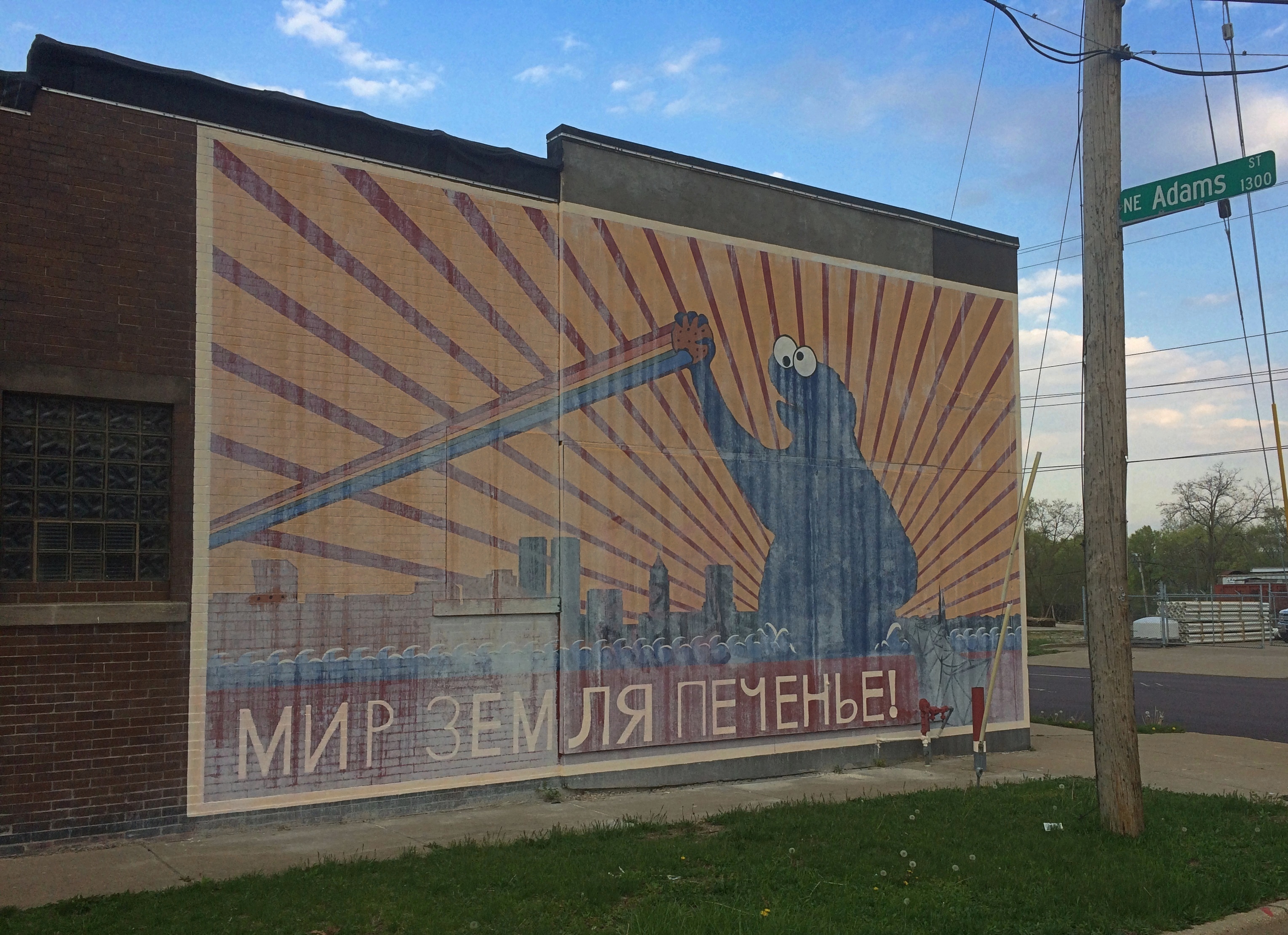
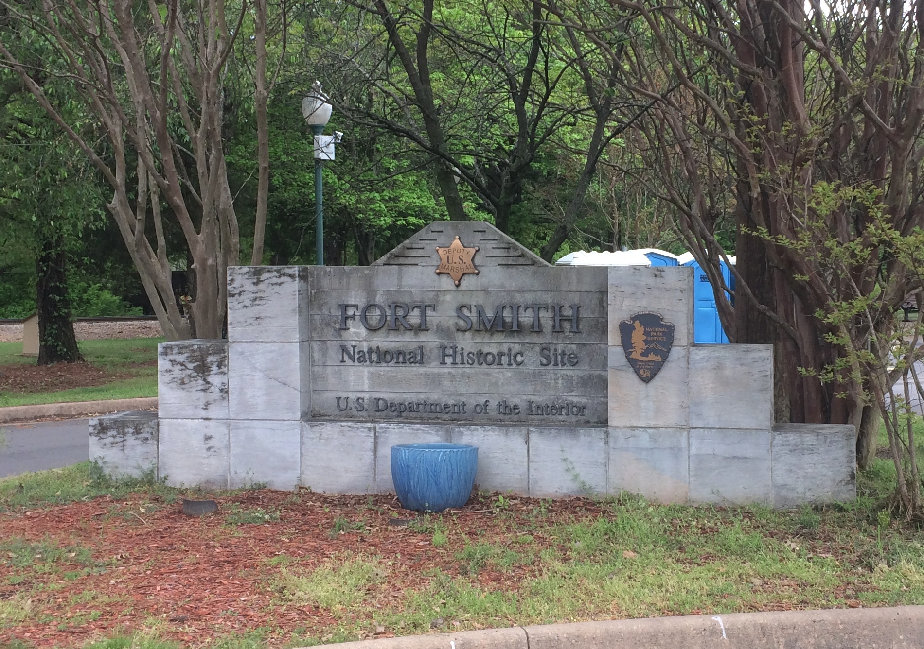
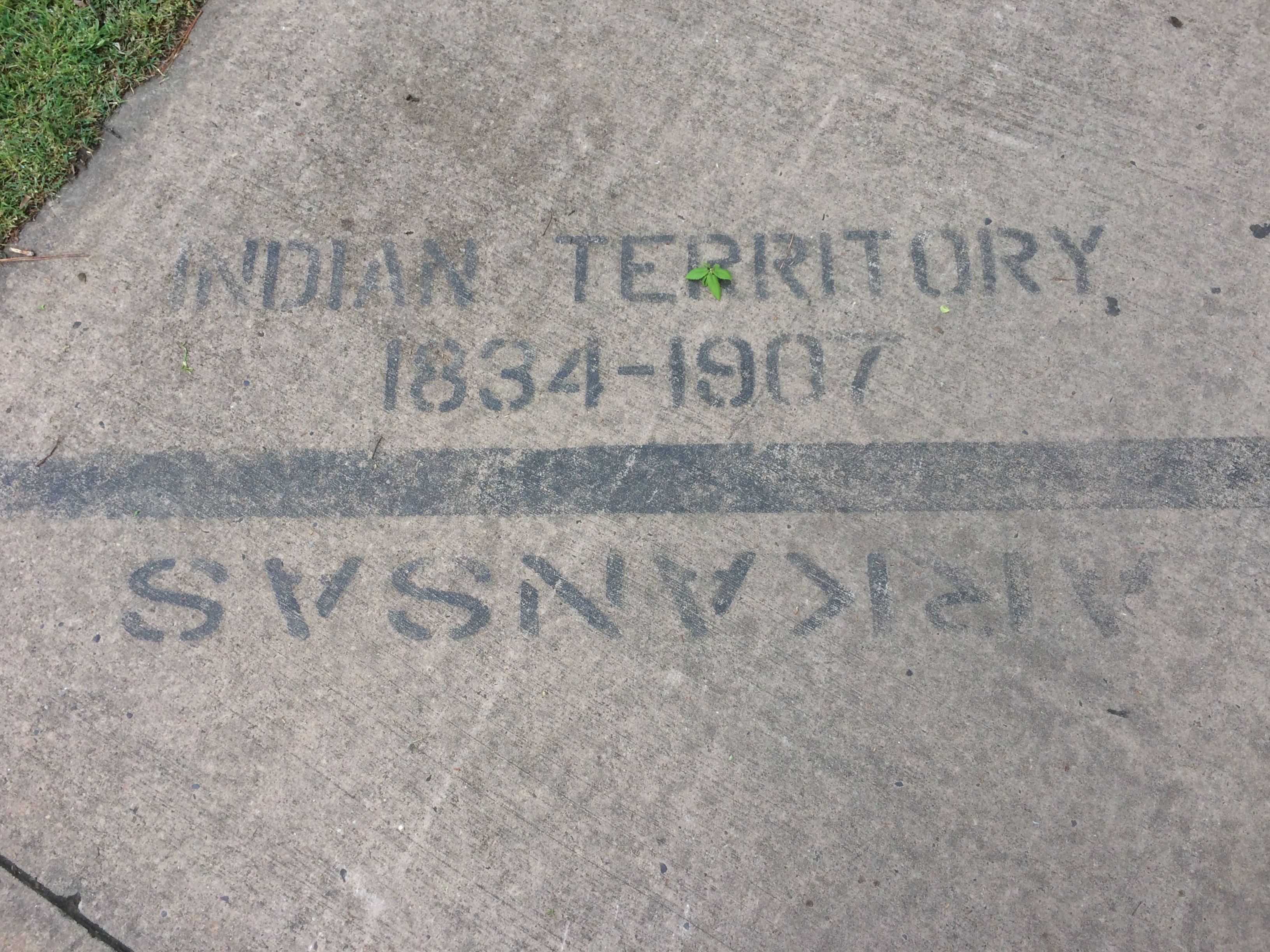
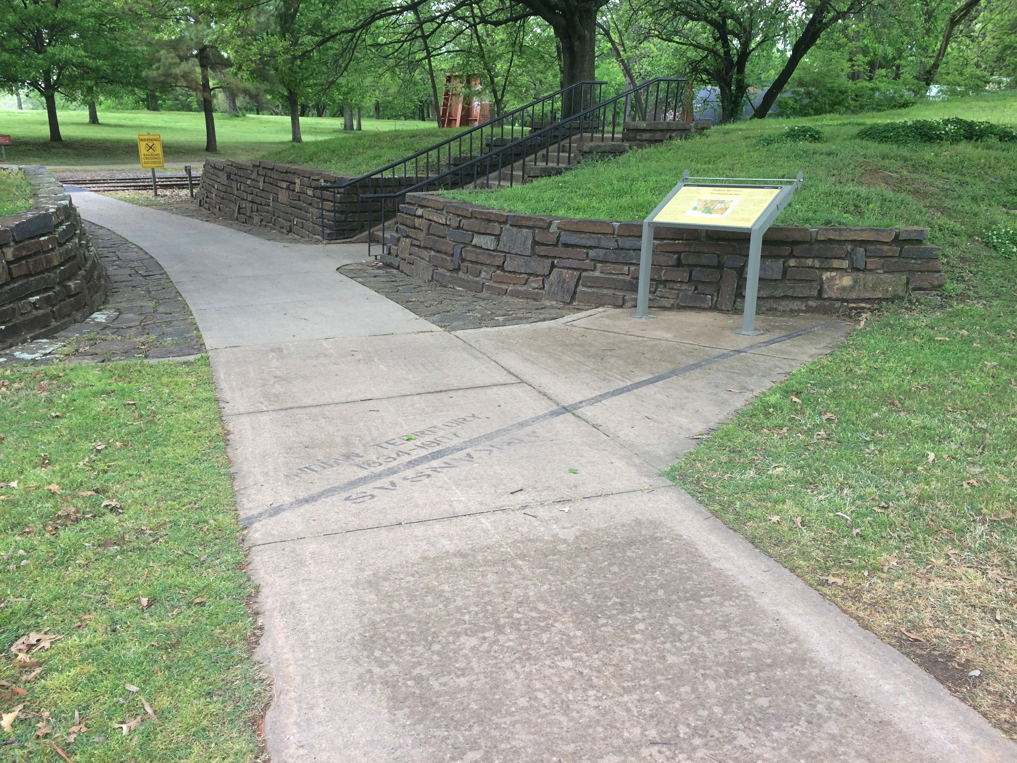
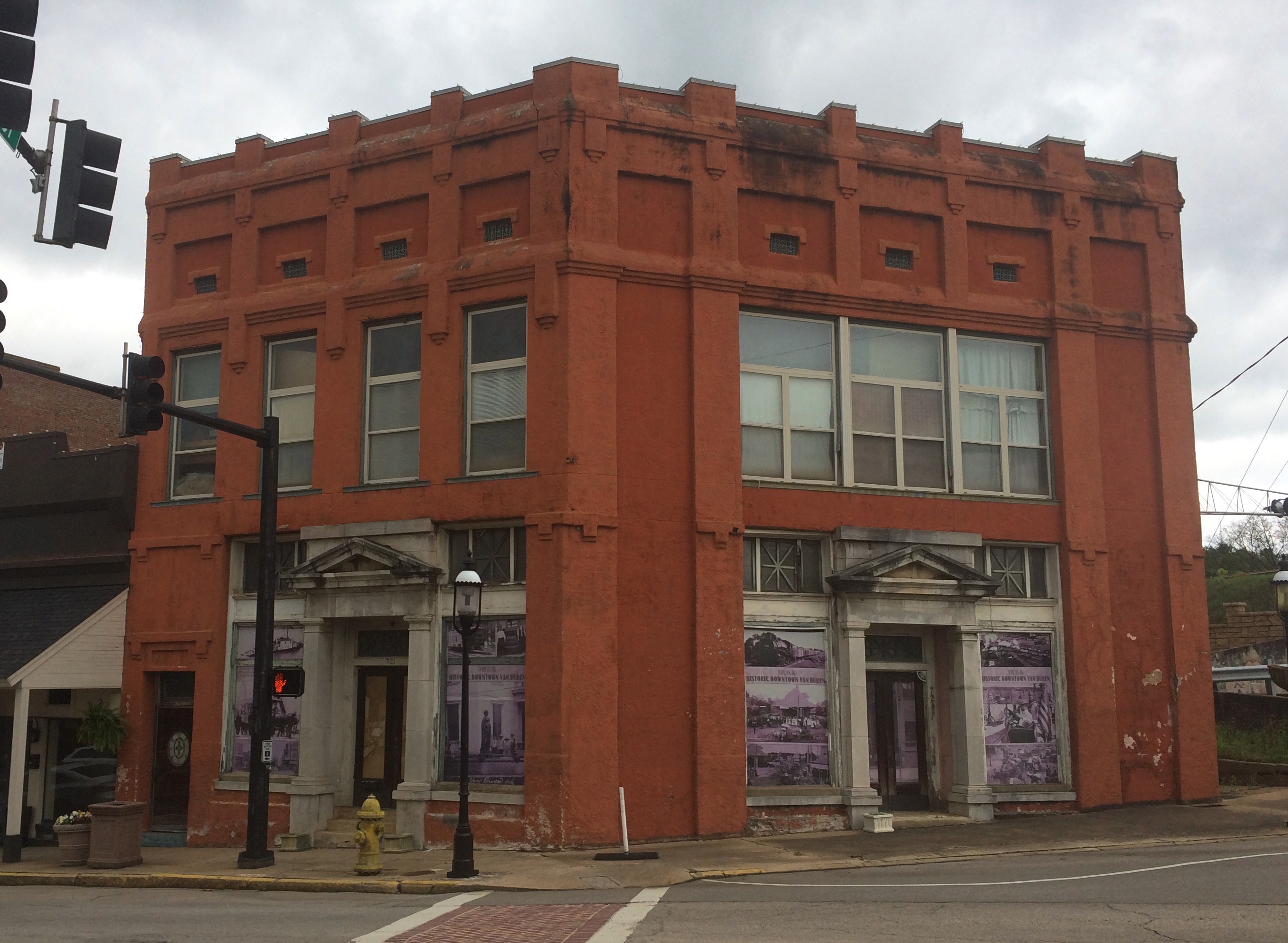
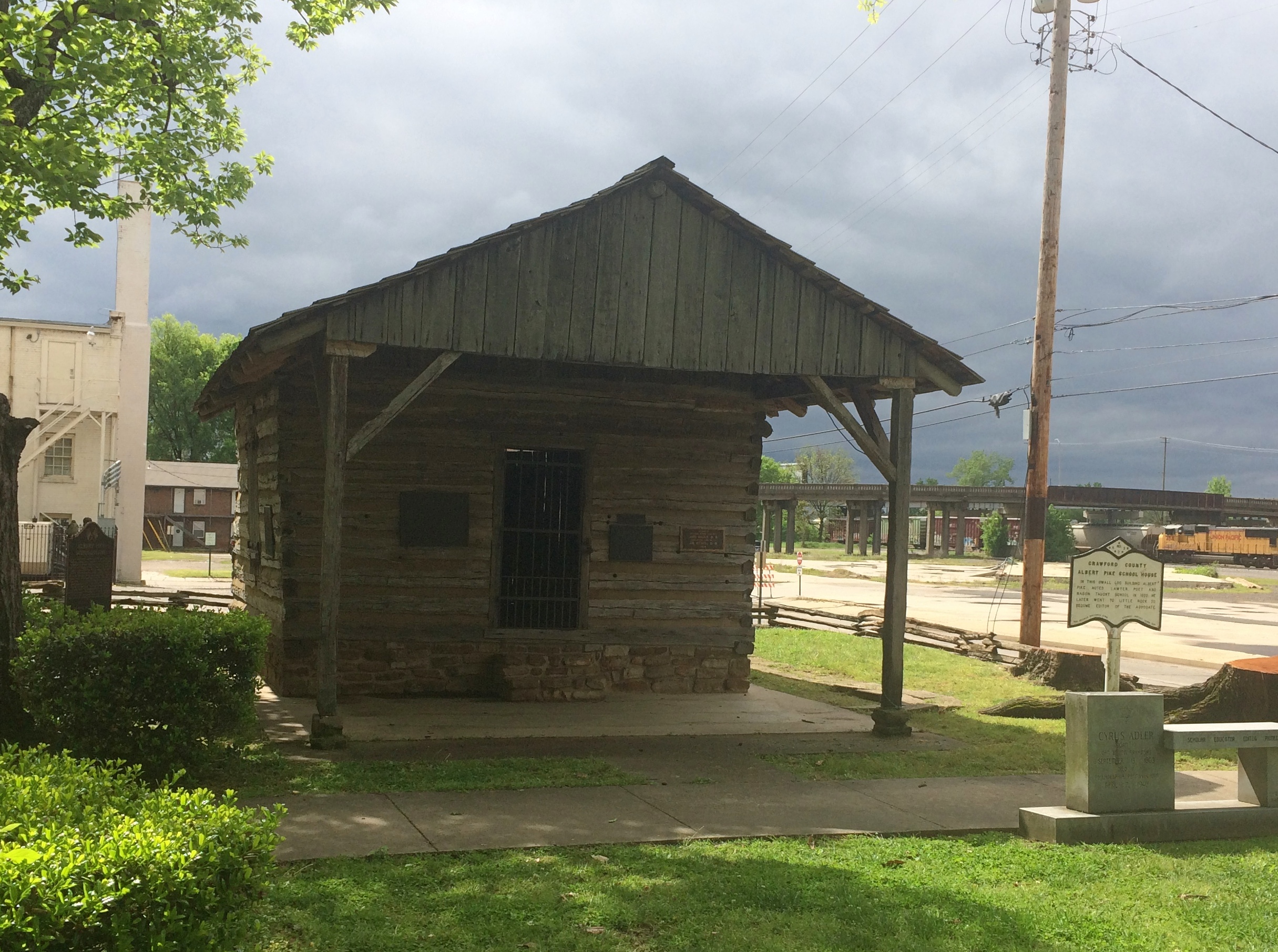
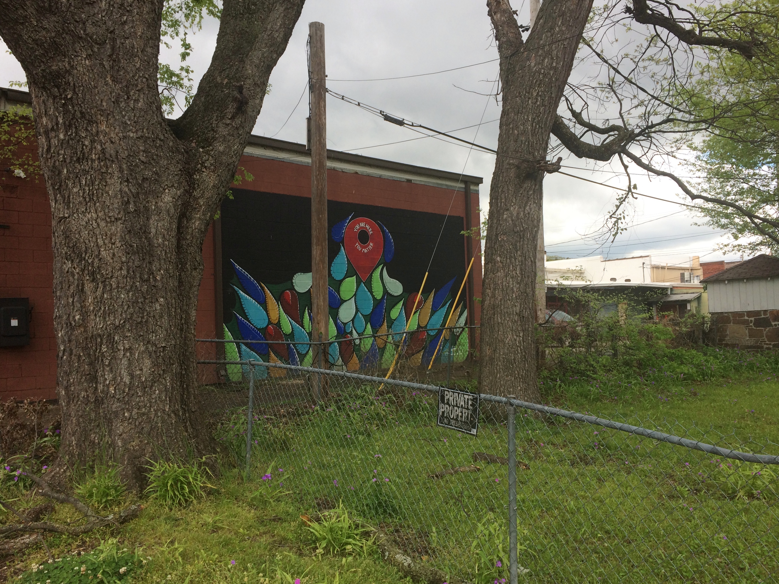
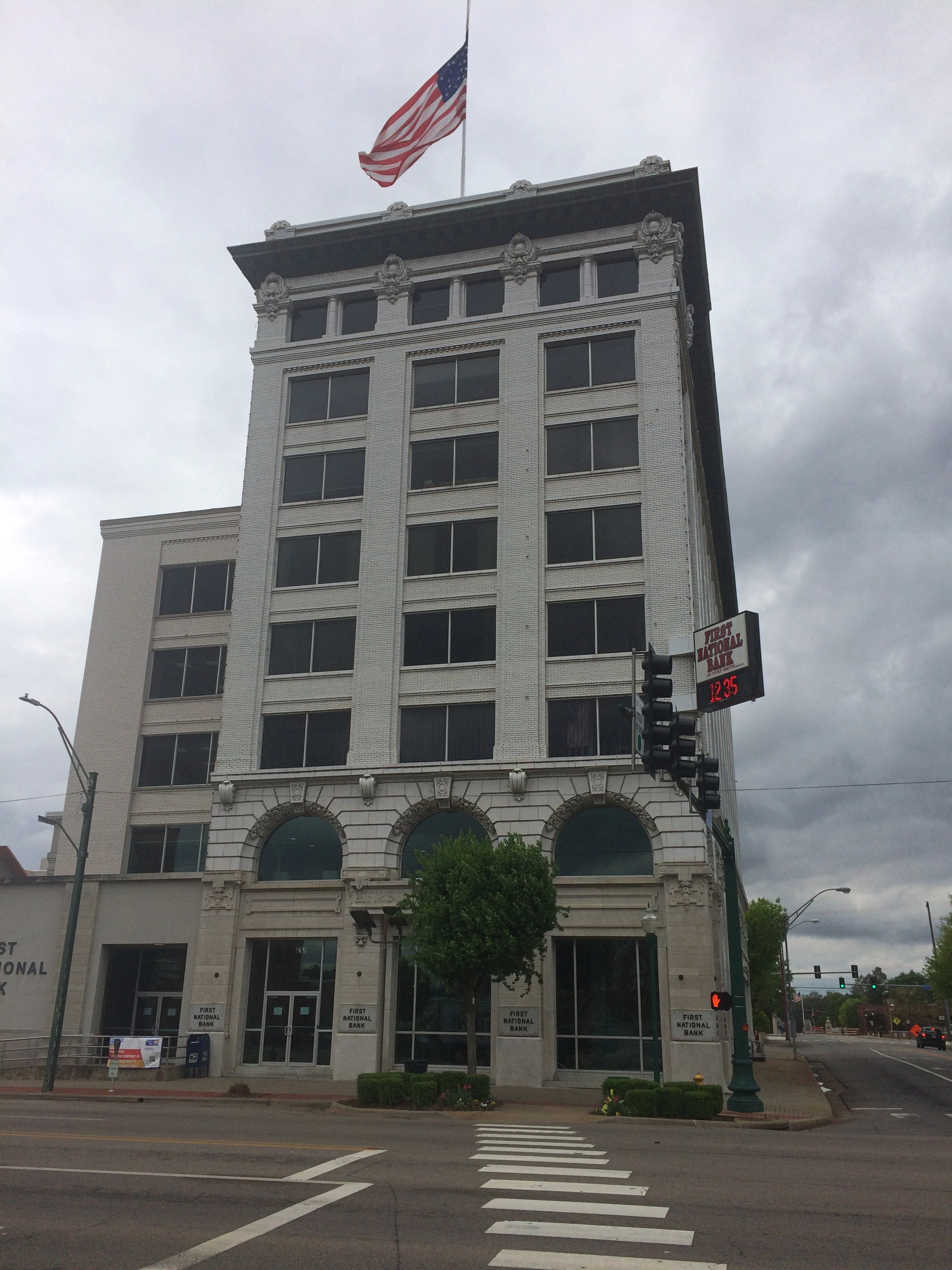
In Fort Smith, Arkansas, I spotted this mural.
First National Bank Fort Smith Brain mural

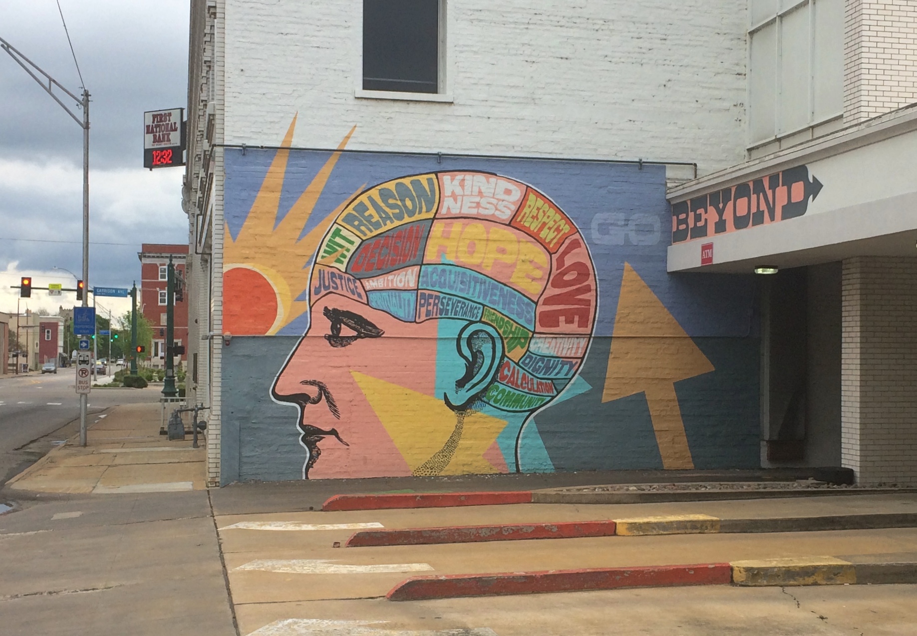
Which is on the backside of this building — First National Bank — next to the bank’s drive-through lanes.
First National Bank Fort Smith Brain mural

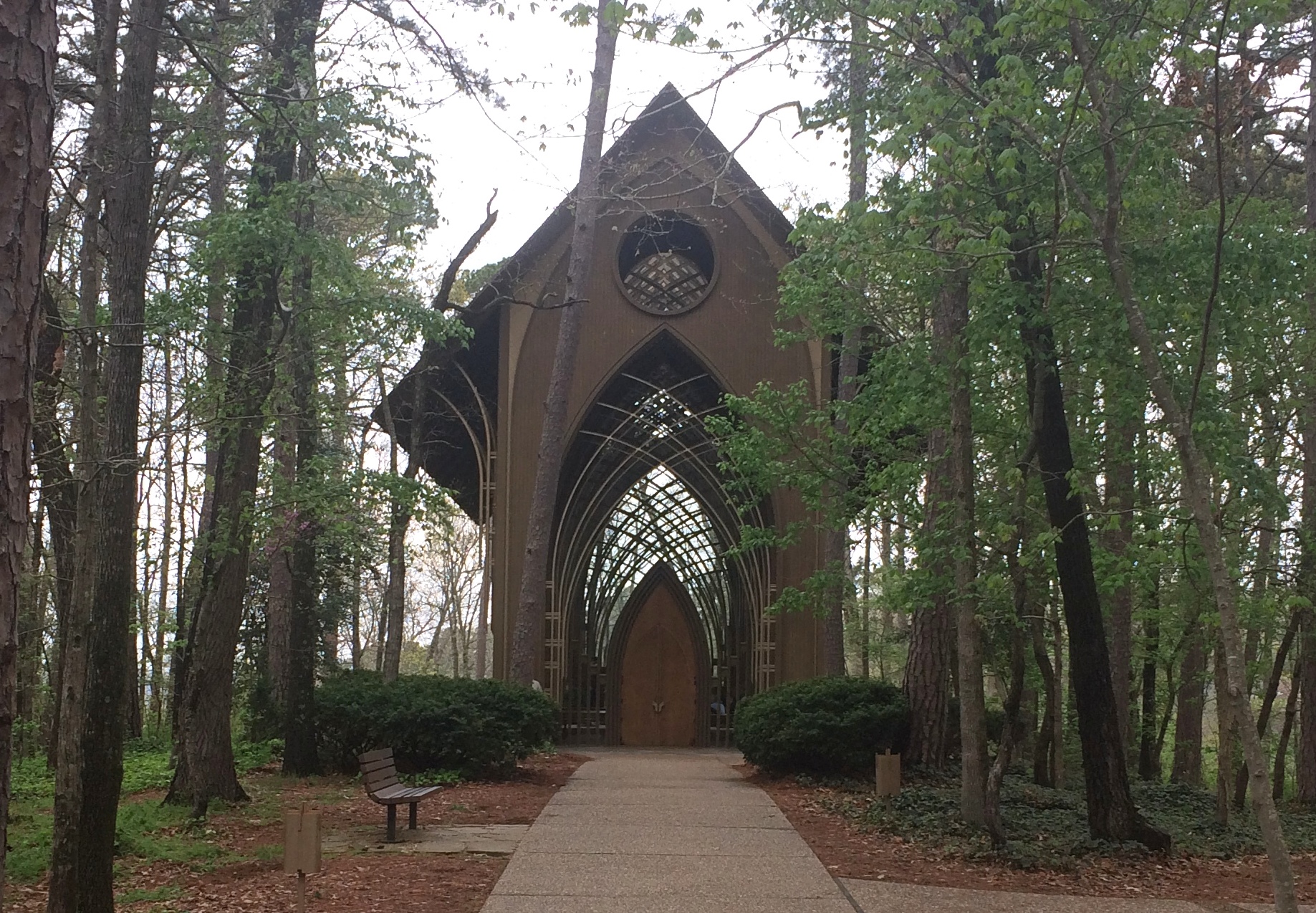
In Bella Vista, Arkansas, which is in the extreme northwest part of the state just south of the Missouri line, is the Mildred B. Cooper Memorial Chapel, a structure dating from 1988, designed by designed by E. Fay Jones and Maurice Jennings. Jones is best known for the Thorncrown Chapel, also in Arkansas.

Mildred Cooper Chapel
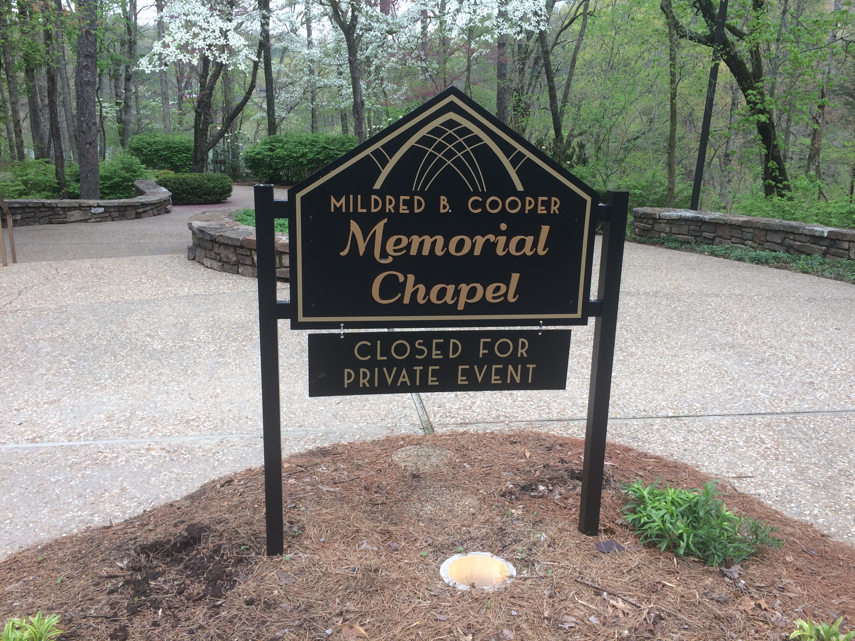
Sure, the sign said an event was in progress. A wedding, of course, since my visit was on a Saturday. But I saw people clearly dressed for a wedding pouring into the parking lot as I arrived, so I figured I might have caught the place between weddings.

No. People were still inside, with some kind of event going on, so I figure as soon as one wedding ceremony is over on a warm spring Saturday at Mildred B. Cooper, another gets underway. I took a good look at the exterior, anyway. Understated elegance.
Mildred Cooper Chapel

In Collinsville, Illinois, you can see the “world’s largest catsup bottle.”

Collinsville catsup bottle

Collinsville catsup bottle

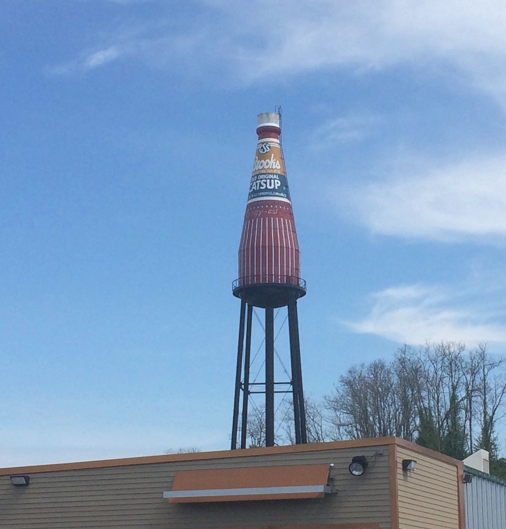
It has its own fan club and web site.

“This unique 170 ft. tall water tower was built in 1949 by the W.E. Caldwell Company for the G.S. Suppiger catsup bottling plant — bottlers of Brooks old original rich & tangy catsup,” the site says.

Philistines almost had it torn down. “In 1995, due to the efforts of the Catsup Bottle Preservation Group, this landmark roadside attraction was saved from demolition and beautifully restored to its original appearance,” the site continues.

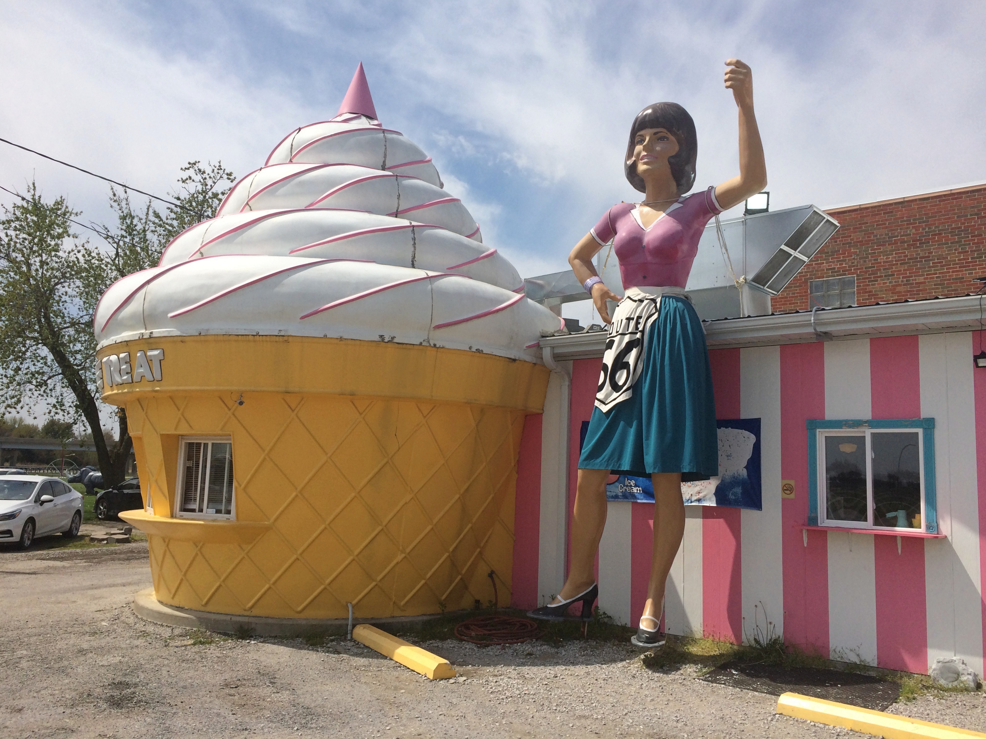
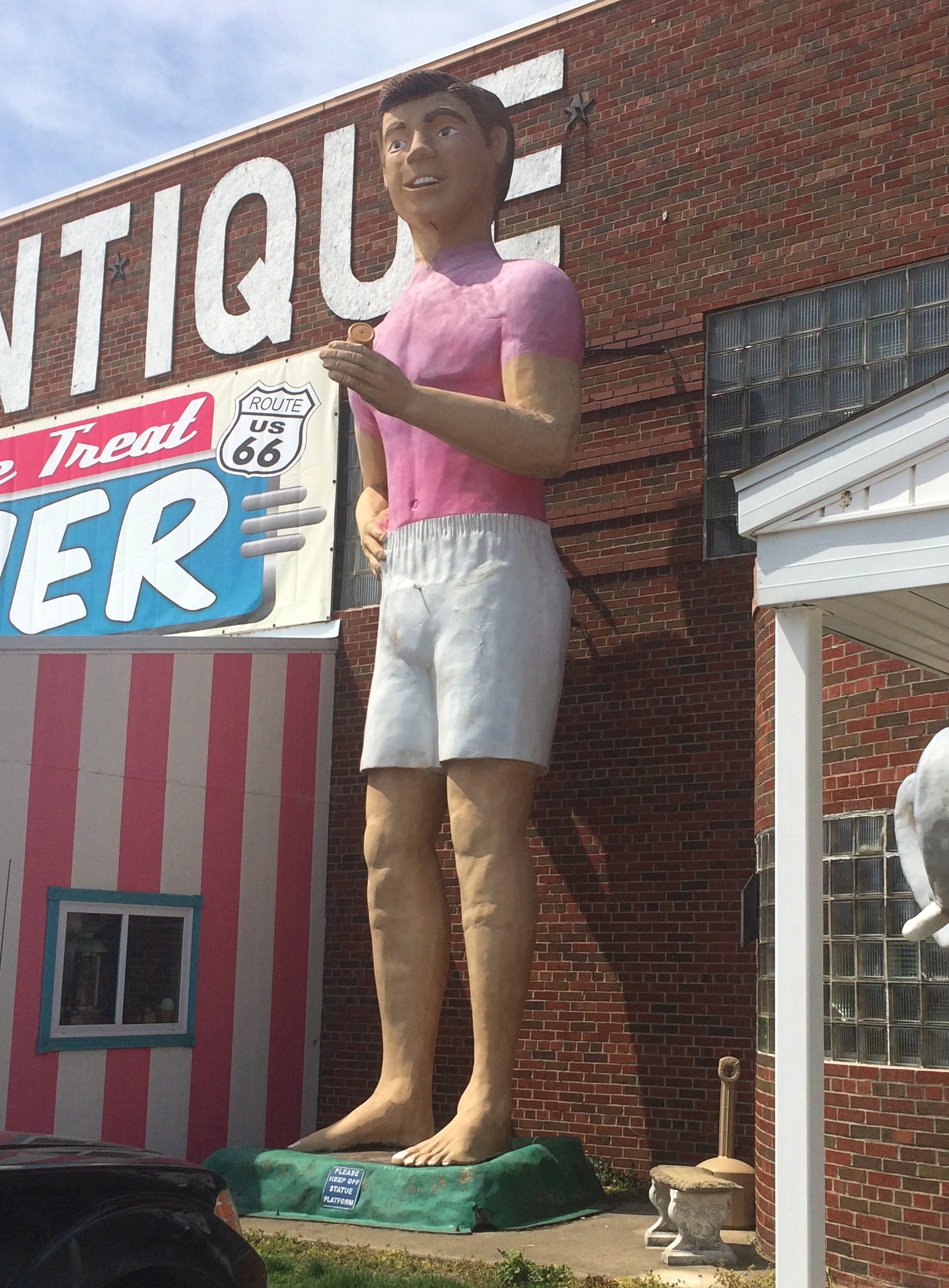
The Pink Elephant Antique Mall in Livingston, Illinois, not far northeast of St. Louis, has a big pink elephant in front, as I’ve posted. But that’s not all. Not by a long shot.

This is the mall — a complex of buildings stuffed with antiques, collectibles and other junk. There’s a diner, too.
Pink Elephant Antique Mall

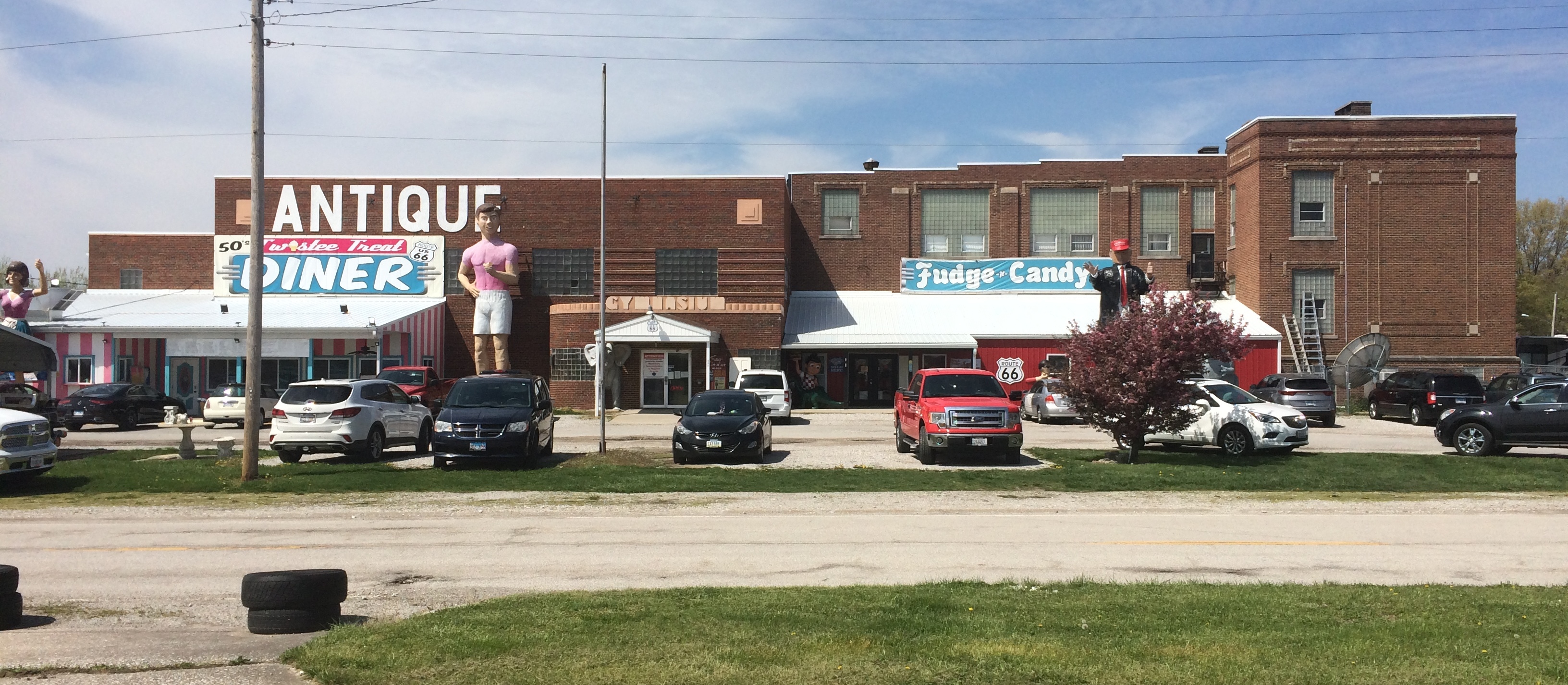
I didn’t inspect them closely, but I take the statues out front to be made of fiberglass (maybe cast in Wisconsin).

Pink Elephant Antique Mall

Pink Elephant Antique Mall

Pink Elephant Antique Mall

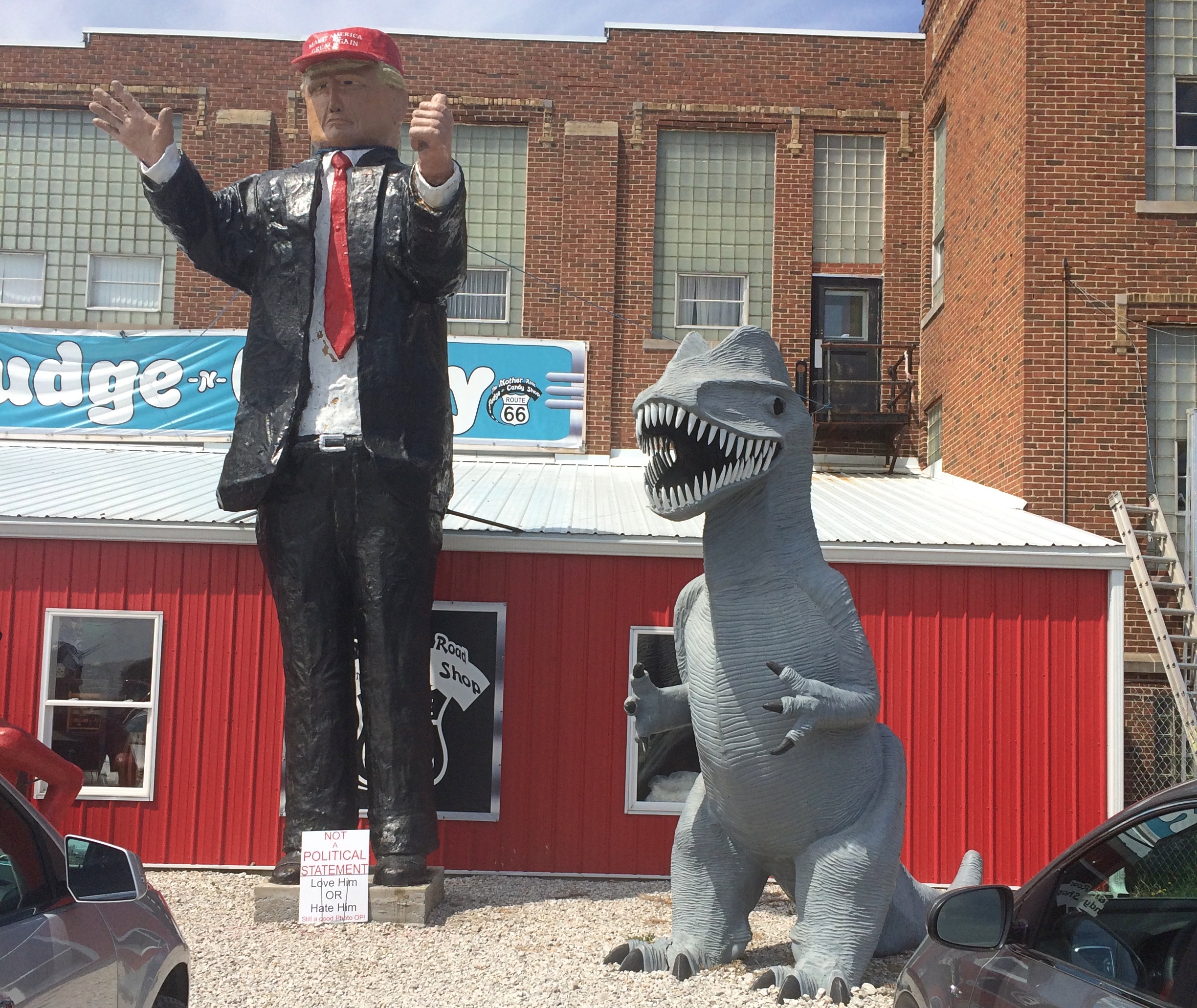
A sign under that fellow wearing the MAGA hat — now, what was his name again? — said NOT A POLITICAL STATEMENT. LOVE HIM OR HATE HIM.

Finally, the grounds included something I’ve long wanted to see, but never had gotten around to, a Futuro House.Pink Elephant Antique Mall

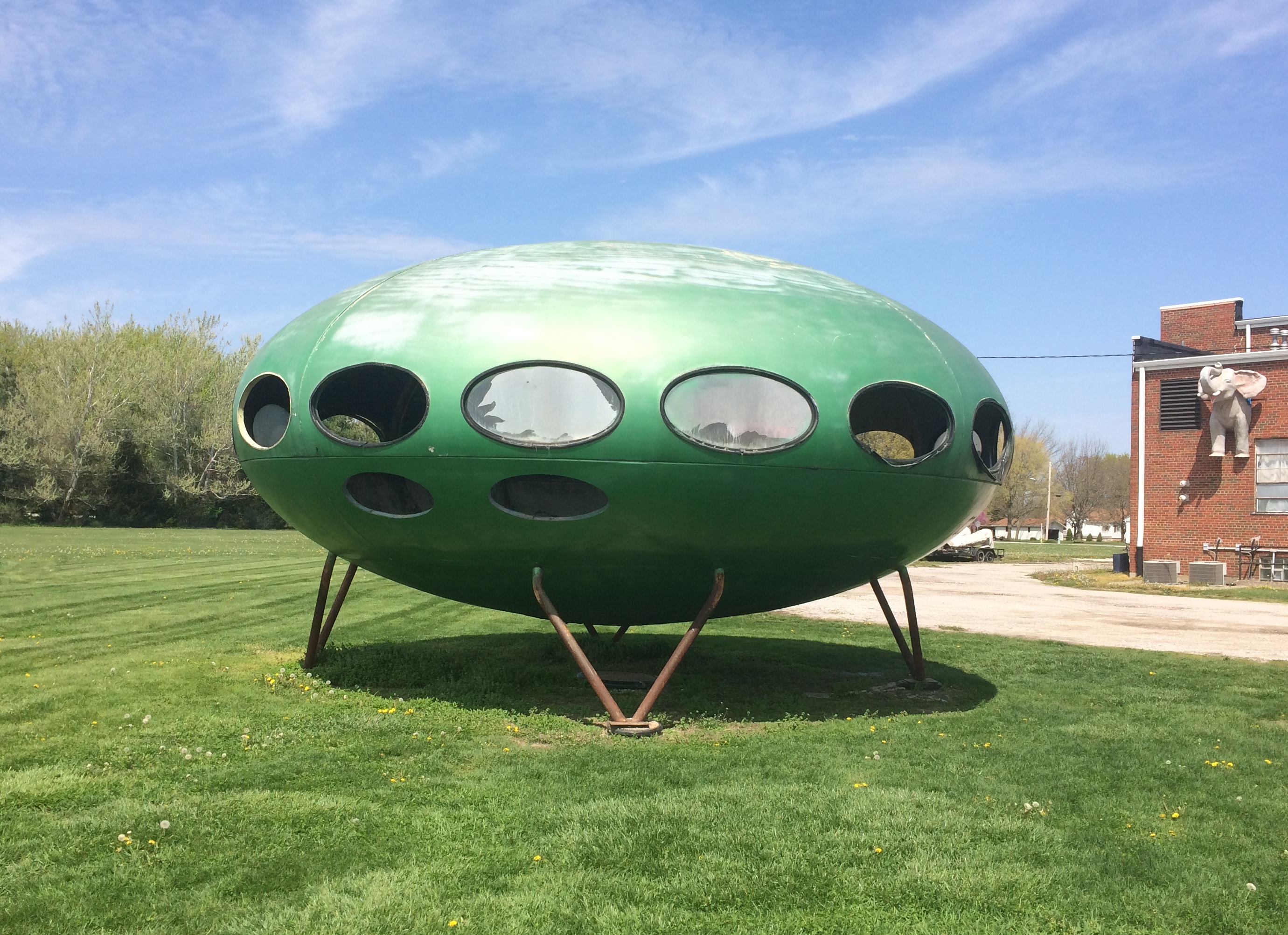
The windows, some completely open, were at about eye level for me. Ever wonder what’s in a Futuro House?
Pink Elephant Antique Mall
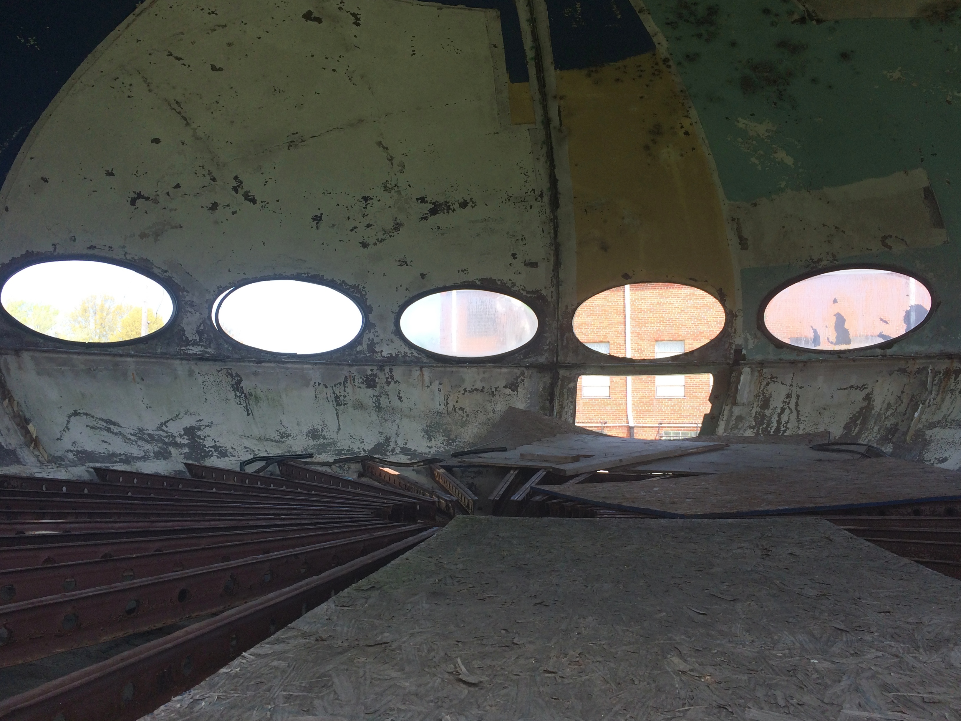
Not much, at least this one.

Boneyards Along the Way

On the second day of my recent trip, as I was leaving Carbondale, Illinois, I spotted the small but pretty (and unimaginatively named) Woodlawn Cemetery. Founded in 1854, it’s two years older than the city. Everything was wet from the heavy rain the night before. Woodlawn Cemetery, Carbondale Woodlawn Cemetery, Carbondale Woodlawn Cemetery, Carbondale

There are a number of Civil War graves.Woodlawn Cemetery, Carbondale Woodlawn Cemetery, Carbondale

“In April, 1866, three Carbondale-area Civil War veterans… proposed that the community… gather on the last Sunday of April to honor their fallen comrades and neighbors, by cleaning and decorating their graves,” says the cemetery’s nomination for the National Register of Historic Places.

“On the appointed day, April 29, more than 200 veterans plus approximately 4,000 area citizens gathered at Woodlawn Cemetery… Gen. John A. Logan addressed the assemblage.”

Evidently, this and later commemorations deeply impressed Logan, who on May 5, 1868, issued GAR General Order No. 11.

The 30th day of May, 1868 is designated for the purpose of strewing with flowers or otherwise decorating the graves of comrades who died in defense of their country during the late rebellion, and whose bodies now lie in almost every city, village, and hamlet churchyard in the land…

While visiting Clarksdale, Mississippi, I spent a few minutes at Heavenly Rest Cemetery.

 Heavenly Rest Cemetery Clarksdale

In the background are two buildings of First Baptist Missionary Baptist Church (1918), historic in its own right.

 Heavenly Rest Cemetery Clarksdale

At Vicksburg National Military Park is the 116-acre Vicksburg National Cemetery, which holds the remains of 17,000 Union soldiers, a higher concentration than any other cemetery, according to the NPS.

Vicksburg National Cemetery Vicksburg National Cemetery Vicksburg National Cemetery

“After the creation of Vicksburg National Cemetery [in 1866], extensive efforts were made by the War Department to locate the remains of Union soldiers originally buried throughout the southeast in the areas occupied by Federal forces during the campaign and siege of Vicksburg — namely, Arkansas, Louisiana, and Mississippi. However, by the time of these re-interments many of the wooden markers had been lost to the elements, and identification of many of the soldiers was rendered impossible.

“Nationwide, 54% of the number re-interred were classified as ‘unknown.’ At Vicksburg National Cemetery, 75% of the Civil War dead are listed as unknowns…”

The cemetery is closed to burials now, but after the Civil War a number of later servicemen were buried there, including the curious story of Flight Sgt. Edgar Horace Hawter of the Royal Australian Air Force, re-interred there in 1949 from New Guinea.

“Confederate dead from the Vicksburg campaign originally buried behind Confederate lines have now been re-interred in the Vicksburg City Cemetery (Cedar Hill Cemetery), in an area called Soldiers’ Rest,” the NPS says. “Approximately 5,000 Confederates have been re-interred there, of which 1,600 are identified.”

Cedar Hill Cemetery wasn’t hard to find.

Cedar Hill Cemetery Soldiers' Rest Cedar Hill Cemetery Soldiers' Rest

Most of the cemetery isn’t Soldiers’ Rest.

Cedar Hill Cemetery Vicksburg Cedar Hill Cemetery Vicksburg Cedar Hill Cemetery Vicksburg Cedar Hill Cemetery Vicksburg

Most of the stones are modest, but there are a few larger ones.

Cedar Hill Cemetery Vicksburg Cedar Hill Cemetery Vicksburg

Evergreen Cemetery in Paris, Texas, was green enough, and wet with recent rain when I arrived there on April 16.

Evergreen Cemetery, Paris, Texas Evergreen Cemetery, Paris, Texas

As a veteran of the Texas Revolution, Dr. Patrick W. Birmingham (1808-1867) rates a Texas flag.
Evergreen Cemetery, Paris, Texas
Another plaque told me that Jesus in Cowboy Boots was part of a memorial at Evergreen, but maddingly it didn’t offer any direction about where such a thing would be found. So I did what we moderns do, and did a Google Image search for that term. I got an image easily.

Turned out I was practically standing next to it.

Evergreen Cemetery, Paris, Texas - Jesus in Cowboy Boots Evergreen Cemetery, Paris, Texas - Jesus in Cowboy Boots

It was a little hard to make out at first, but yes, it does look like that figure is wearing boots rather than, say, sandals. It’s not clear it’s actually a depiction of Jesus, but as Atlas Obscura points out, the name has stuck.

Fort Smith National Historic Site

As historic sites go, Fort Smith National Historic Site is definitely worth a look, with its main building (former barracks-courthouse-jail), reconstructed gallows, site of a first fort, outline of the second fort’s former walls, parkland and walking paths, and a nice view of the Arkansas River.Fort Smith National Historic Site

But what really caught my attention during my visit on April 17 was painted on one of the sidewalks.Fort Smith National Historic Site Fort Smith National Historic Site

“The line on the sidewalk behind you represents the 1834 boundary between Indian Territory and Arkansas,” the sign nearby simply says. “Indian Territory was defined as the unsettled land west of the Mississippi River not including states or previously organized territories.”

I should note that the line on the sidewalk isn’t the current border between Arkansas and Oklahoma. But it’s pretty close — at that point the line is on the eastern bank of the Arkansas River, at least according to Google Maps (not quite an infallible source).

The pink arrow points to about where the painted line is. As you can see, the modern border zags a bit to the west at that point, so that all of the land of the historic site — and the city of Fort Smith, for that matter — is in Arkansas.

At some point, that line must have been straight and a slice of land east of Arkansas-Poteau confluence was Indian Territory, if the sidewalk line is correct. This Encyclopedia of Arkansas article seems to deal with a border adjustment in the area, in the context of the Choctaw Nation-Arkansas border, which was the subject of decades of dispute.

But the article says the strip was “two miles wide and twelve miles long,” and the Fort Smith slice looks nowhere near that large, so I don’t know how the above border adjustment was made. Some Arkansas or Choctaw historian might, but I’m going to leave it at that.

The fort was originally established in 1817 to patrol the neighboring Indian Territory and named for the otherwise little-remembered Gen. Thomas Smith. The U.S. Army abandoned the first fort in 1824, but by that time a town had grown up near the fort. The Army built a second fort in 1838 that it occupied, except for a short Confederate period, until 1871.

The site of the first fort, entirely forgotten and not re-discovered until 1958.
Fort Smith National Historic Site

During the Army period, the handsome main building of the second fort served as a barracks. Late in the 19th century, it was a federal courthouse and jail. Now it’s a museum. Closed when I visited, unfortunately.

Also handsome: the Historic Commissary Building. It too was closed.Also handsome: the Historic Commissary Building. It too was closed.

Flat stones that mark where the second fort wall used to be. A sign pointed out that most later U.S. Army forts didn’t bother with walls.
Fort Smith National Historic Site

Another prime attraction — maybe the prime attraction — is the rebuilt gallows.
Fort Smith National Historic Site

“With the largest criminal jurisdiction of any federal court at the time, the Western District of Arkansas handled an extraordinary number of murder and rape cases,” a sign in front of the gallows says. “When a jury found defendants guilty in these capital cases, federal law mandated the death penalty. In Fort Smith, that meant an execution by hanging on a ‘crude and unsightly’ gallows.”

A separate sign lists everyone hanged at Fort Smith during the years (1873-96) that federal executions took place on the site, 87 men all together. The famed Judge Isaac C. Parker sentenced 160 people (156 men, four women) to death in that court, 79 of whom were eventually hanged. “George Maledon, known as the Prince of Hangmen, served as executioner at over half of the Fort Smith hangings,” the sign also noted.

Main Street, Van Buren, Arkansas

I spent the night of April 16 in Alma, Arkansas, a part of greater Fort Smith, and the next morning I decided to see Fort Smith National Historic Site, so I headed into town via U.S. 71 Business. My breakfast was in a sack in the seat next to me, so I was also looking for a place to stop and eat. Sometimes small parks are just the place, either to eat in the car away from traffic whizzing by, or to find an outdoor table.

I saw a small sign that said PARK –> , so I turned right off the main road. Soon I found myself at the intersection of 6th and Main Street, main artery of the picturesque Van Buren Historic District. I parked on Main and ate my breakfast, and naturally got out for a walk after that.Van Bureau Main Street

Van Bureau Main Street
Except for Fort Smith itself, Van Buren is the largest place in the Fort Smith MSA, with about 23,600 residents, founded on the Arkansas River well over a century and a half ago. Van Buren, Arkansas

Much more recently, the river got pretty angry.

Though a bit chilly that Saturday, the weather was comfortable enough for a walk on Main Street, mostly sporting buildings of a certain vintage.Van Buren Main Street Van Buren Main Street Van Buren Main Street

Older buildings, but with distinctly contemporary uses, including the likes of Rethreadz Boutique, The Vault 1905 Sports Grill, Sophisticuts, Corner Gifts, The Vault, and Red Hot Realty.Van Buren Main Street Van Buren Main Street Van Buren Main Street

At Main and 4th is the Crawford County Courthouse, dating from 1842 and as such, according to Wiki anyway, the oldest operating courthouse west of the Mississippi.

Crawford County Arkansas Courthouse
It wouldn’t be much of a Southern courthouse without its Confederate memorial, dating from 1899.Crawford County Arkansas Courthouse

A detail from the base. Something you don’t see too often.
Crawford County Arkansas Courthouse

Something you see even less at courthouses, North or South: a Greek goddess, namely Hebe, goddess of youth and youthful joy.Crawford County Arkansas Courthouse Hebe Crawford County Arkansas Courthouse Hebe

The original was a 1908 gold-painted iron statue, according to a sign on site. This 2003 bronze is a replacement for the original, which now resides in the Crawford County Museum.

Off to one side of the courthouse is the Albert Pike Schoolhouse, thought to be one of the oldest extant buildings in Arkansas, built ca. 1820 and later relocated to its current spot.
 Albert Pike Schoolhouse

Another memorial on the grounds. I’d never heard of Cyrus Alder before; now I have.

Cyrus Alder memorial
Finally, I spotted some interesting walls in the vicinity of the courthouse. Such as what looks to be a palimpsest ghost sign wall.
Van Buren ghost wall

In an alley across the street from the courthouse, this. It’s fairly new, as you’d think. Streetview of May 2018 has a blank wall there.Van Buren You Are Here mural Van Buren You Are Here mural

My knee-jerk reaction: izzat so? I never did find the park that I thought might be a good place for breakfast. I did much better, enjoying a bit of serendipity on the road, since I had no inkling of Van Buren, Arkansas before I found myself there.

Talimena National Scenic Byway & The Former Heavener Runestone State Park

Oklahoma isn’t known as much of a nanny state. So in retrospect it’s no surprise that the U.S. 271 entrance to Talimena National Scenic Byway, which is a two-lane road through the Winding Stair National Recreation Area, was wide open on April 16, a gloomy, drizzly day with the mountains shrouded in clouds.

Talimena National Scenic Byway

Some other jurisdiction might have put up barricades to protect drivers from their own foolish impulse to drive the road no matter what, but Oklahoma doesn’t roll that way.
Besides, the facility at the entrance was abandoned. I did see signs for a recreation area headquarters in the nearest town, Talihina, so I supposed the rangers or rangers-equivalent moved there.
Talimena National Scenic Byway

I was eager to drive the byway for two reasons. One, it’s a national scenic byway. In my experience, that generally means some good driving on the offing. Some car-commercial driving.

Also, the poetry of that name: Winding Stair Mountains. Even if they really are fairly small mountains, that’s a name and a place on the map that has intrigued me for a long time.

I stopped at an historic marker a short ways from the entrance that told me that the Ft. Smith-Ft. Towson Military Road once crossed the Winding Stair Mountains at that point, but it wasn’t the basis of the modern road, part of Oklahoma State Highway 1, which was completed only in 1969. I took a short walk in the nearby forest. The road also traverses a western section of Ouachita National Forest.
Talimena National Scenic Byway

Then I took a look at the road ahead.
Talimena National Scenic Byway
I wasn’t discouraged. I figured there might be patches of fog to drive through. Also, I’d seen two cars enter the road ahead of me.

The first few miles were gorgeous indeed, with places to stop that looked like this.
Talimena National Scenic Byway

Pretty soon, though, the fog turned thick. I took it slow, about 30 mph, but even so the hazard of the drive was top of mind. I could see maybe 10 feet ahead, on a road that wound around and climbed and dropped — with steep drops into ditches sometimes off one or the other shoulder.

Mostly, I knew that if something appeared in the road ahead of me, such as an animal or worse, a stopped car, I might easily hit it. I don’t think I was risking death or even injury myself that much, just highly inconvenient damage to my car and maybe legal problems.

Now the views off to the side of the pullouts in the road looked more like this.
Talimena National Scenic Byway

Yet the way — only about 12 miles on the section I wanted to drive — wasn’t entirely foggy. Sometimes I’d see the fog thin out ahead of me, suddenly, and even more suddenly, clear away completely. The beauty of the surroundings was suddenly clear as well, passing through a contoured forest of wet pine, oak, flowering dogwood and more.

As it happened, I encountered no one else on the road during my drive, neither cars nor motorcycles nor deer, and then headed north on U.S. 59. Take that route and before long you pass through Heavener, Oklahoma, where you see signs for Heavener Runestone Park. Or, and I think not all of the signs have been changed, Heavener Runestone State Park. Even the likes of Atlas Obscura still calls it a state park.

The place hasn’t been a state park for 10 years. Supposedly recession-era budget cuts are to blame, but I suspect that the park had embarrassed the state long enough, maybe since its founding in 1970.

At some point in the past, someone carved runes into a sandstone boulder near Heavener. A local woman, one Gloria Farley, did her own research in the 1950s and determined that Norsemen had shown up in the future Oklahoma during the golden age of Vikings getting around (ca. 1,000 years ago), carved the runes, and then went on their way. Without leaving any other trace.

Apparently Gloria had friends in state government, and so 55 acres were made into a state park, its centerpiece being the rock, with a shelter built to protect it from the elements and vandals.Heavener Runestone Park

The boulder and its runes are behind glass inside.
Heavener Runestone Park
Signs near the glass case carry on the fantasy that Vikings visited Oklahoma.
Heavener Runestone Park

These days the park belongs to the town of Heavener and is overseen by a nonprofit. I did my little bit to support it, since there is no admission, by buying some postcards in the shop. (Also to support the manufacture of postcards in general.)

I don’t care that the place was founded on a fairly obvious hoax, maybe done by an Scandinavian immigrant in the 19th century with a peculiar sense of humor. In fact, that makes it more interesting, just as the faux Lincoln family log cabin does the Lincoln Birthplace National Historical Park.

Besides, the loop to and from the Heavener Runestone, a path along the side of Poteau Mountain, is a good walk, even if wet with recent rain when I was there.Heavener Runestone Park Heavener Runestone Park Heavener Runestone Park Heavener Runestone Park

It’ll never be a World Heritage Site, unless some wickedly serious paradigm shift happens, but even so the non-state park preserves, in a pleasant green spot, an eccentric vision.