Had my second shot today. Now George Soros is controlling my brain. Or is it Bill Gates? Hard to keep all these kaleidoscopic alt-realities straight, you know.
Over the years I’ve bypassed Vicksburg, the city and the battlefield, a number of times, so I made a point of visiting this time. I arrived at Vicksburg National Military Park just after noon on April 11, pausing to eat lunch in my car in the parking lot.
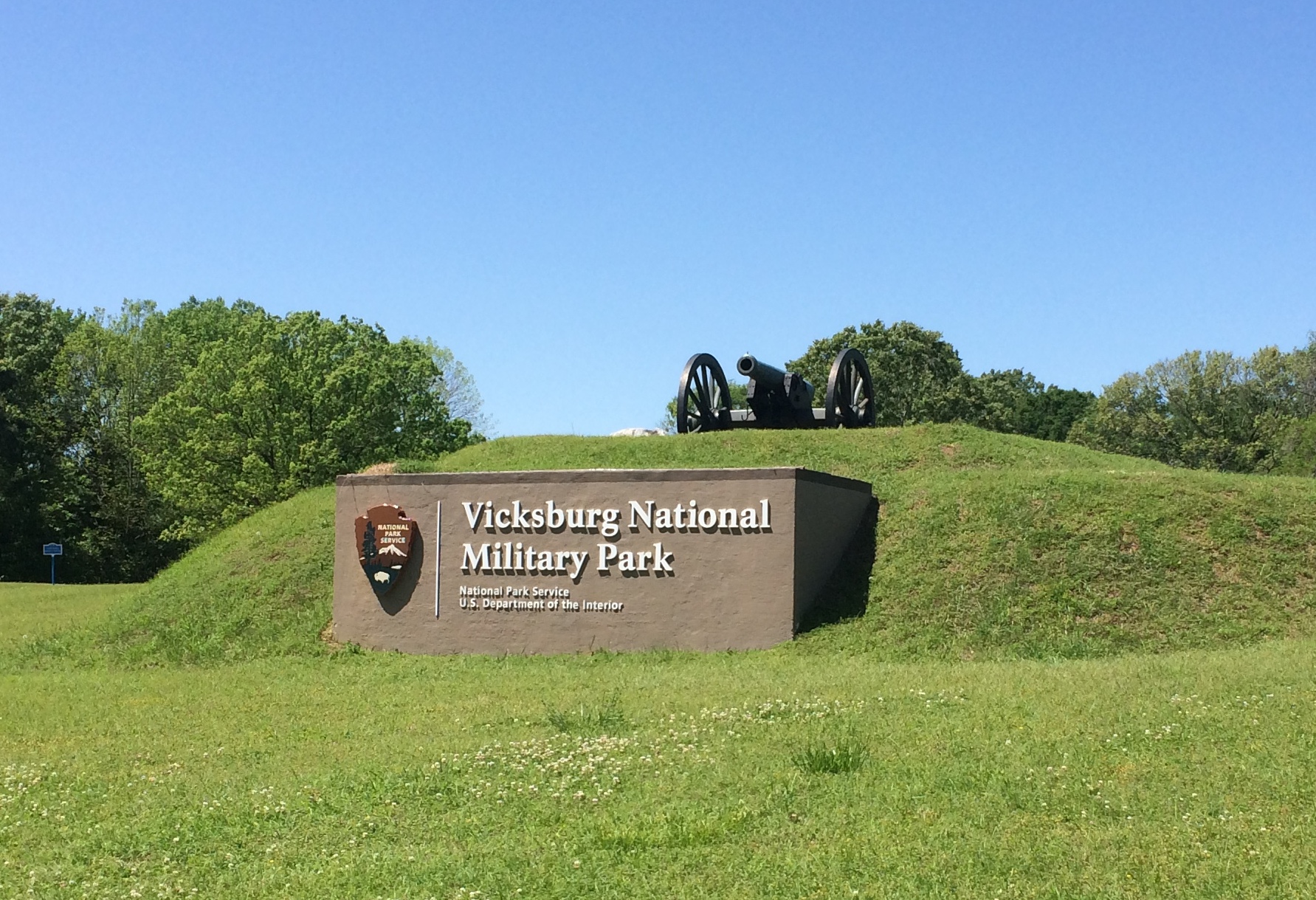
At more than 2,500 acres, it’s a large park, but actually smaller than most of the other national military parks, such as Chickamauga (9,500+ acres), Shiloh (9,300+ acres), Fredericksburg (8,400+ acres) or Gettysburg (6,000+ acres). Takes a lot of land to wage near-modern war, after all.
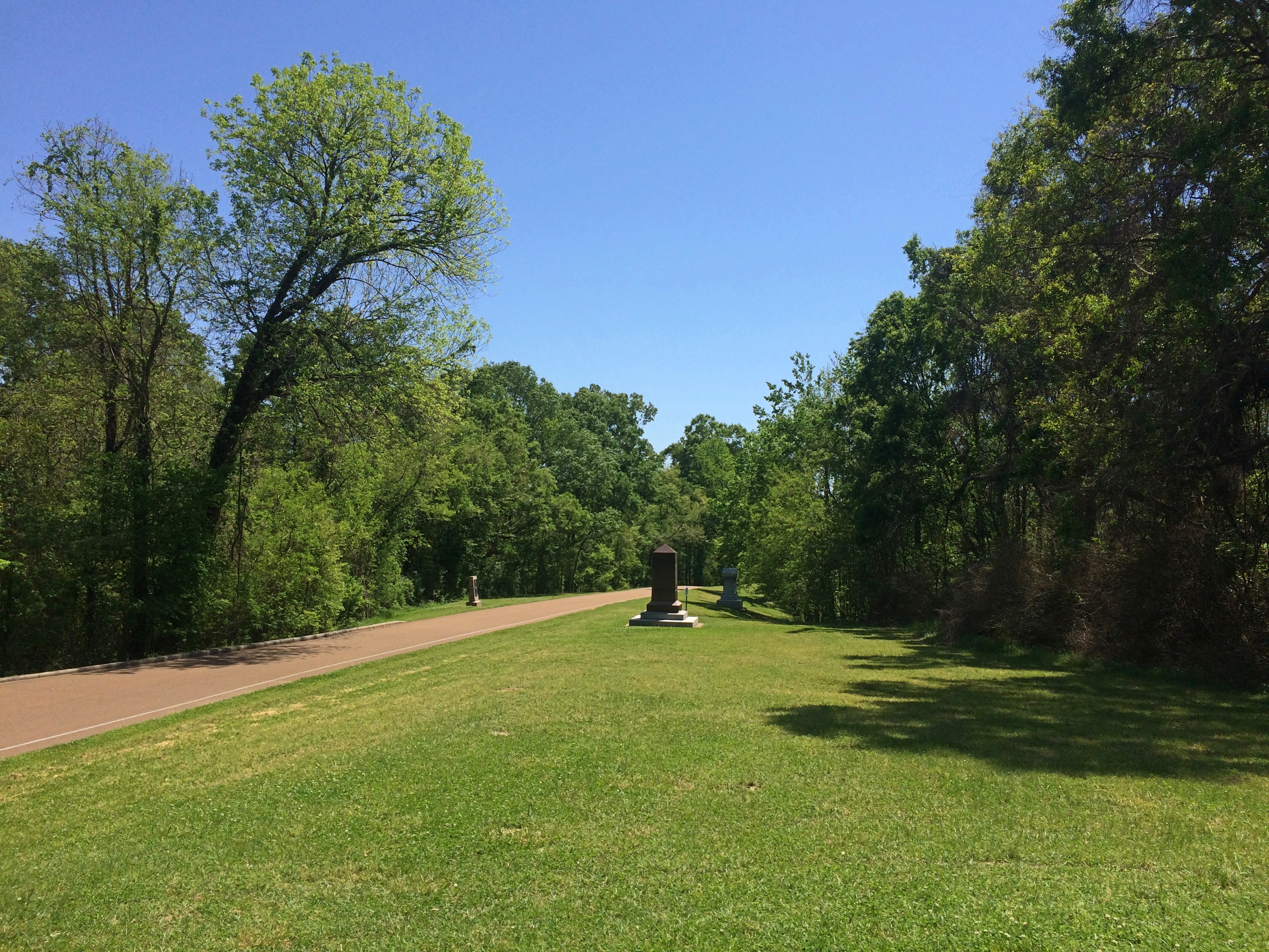
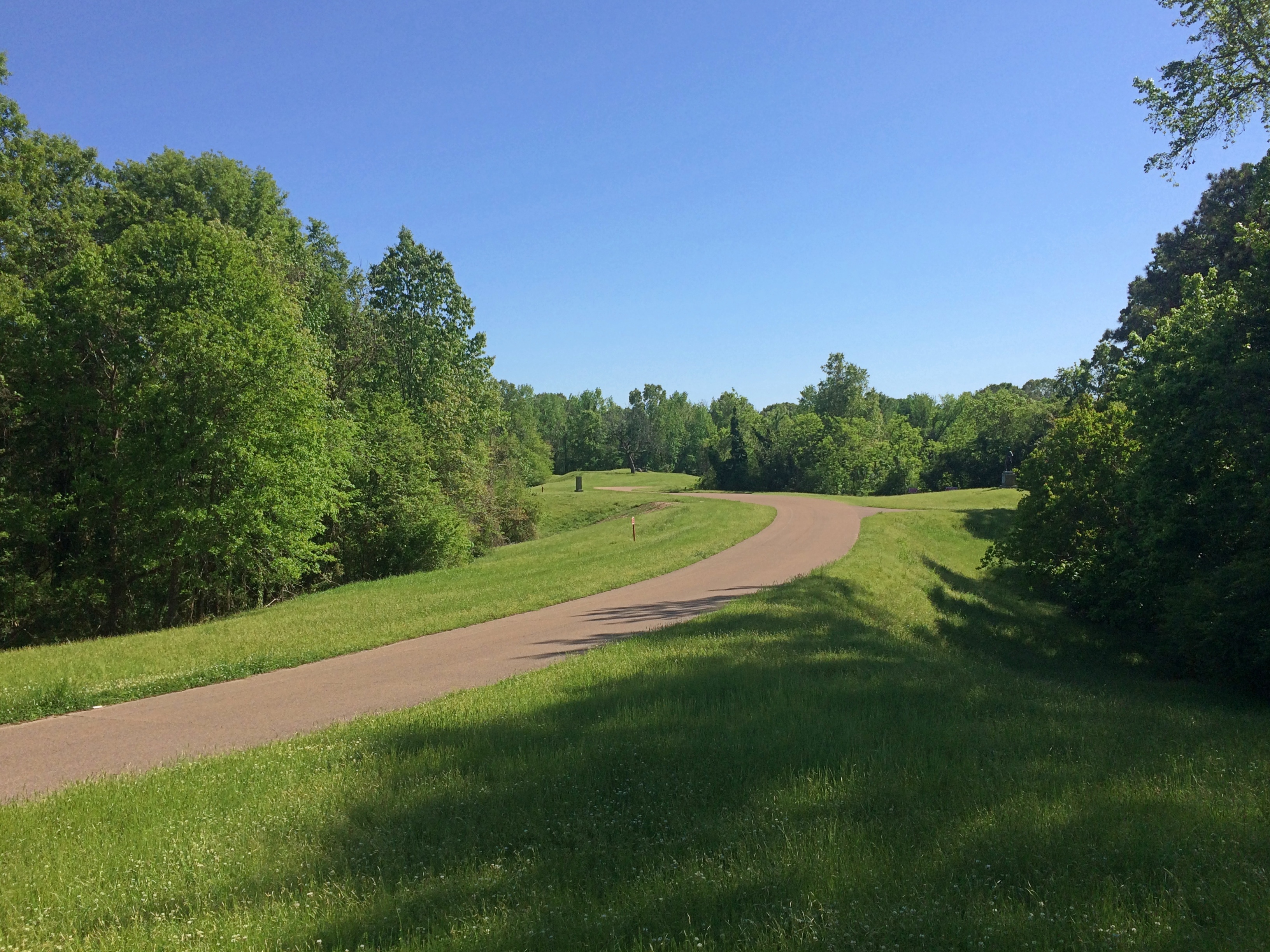
Still, with its winding roads, thick woods, open fields, and monuments of all sizes and descriptions, the place feels expansive. And lush. Full spring had come to Mississippi, along with a pleasant warmth in the air that must have been blazing hot by the time the siege happened in the summer.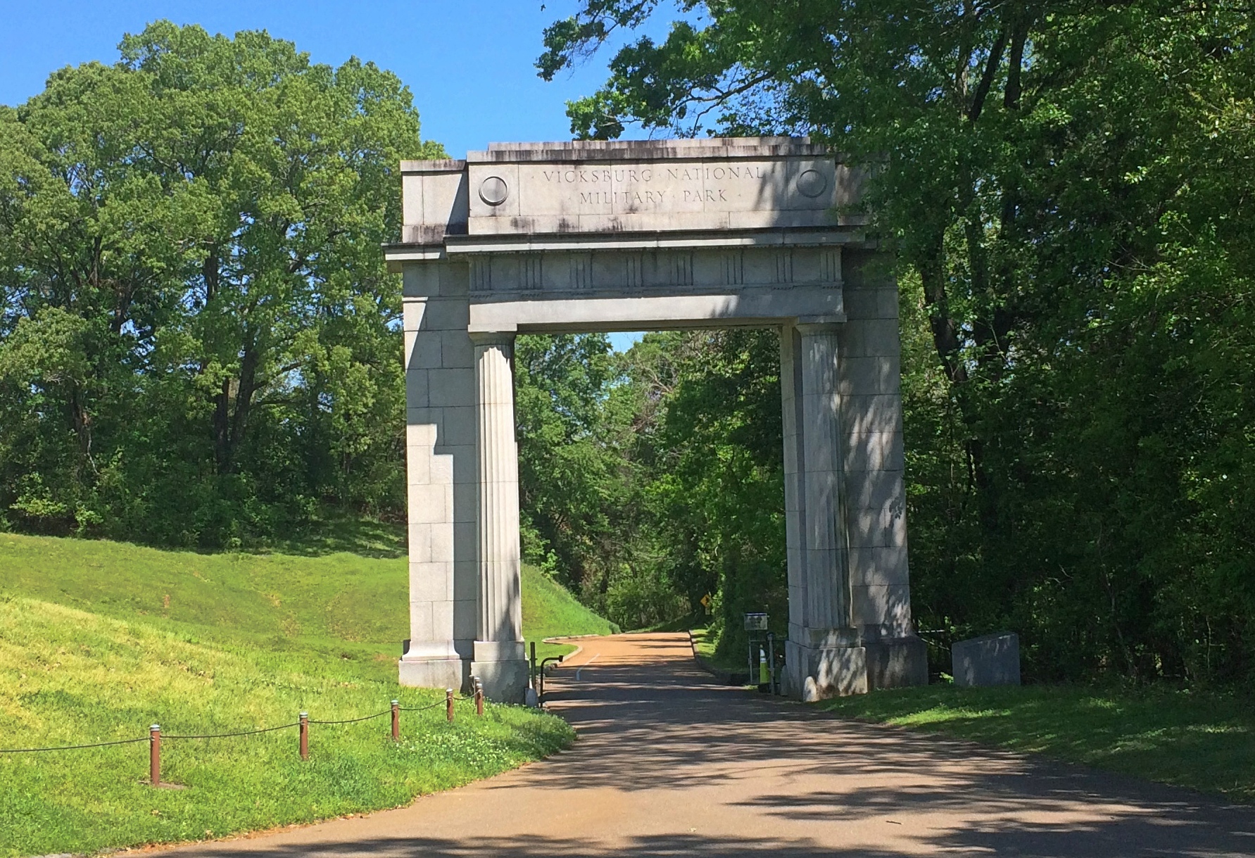
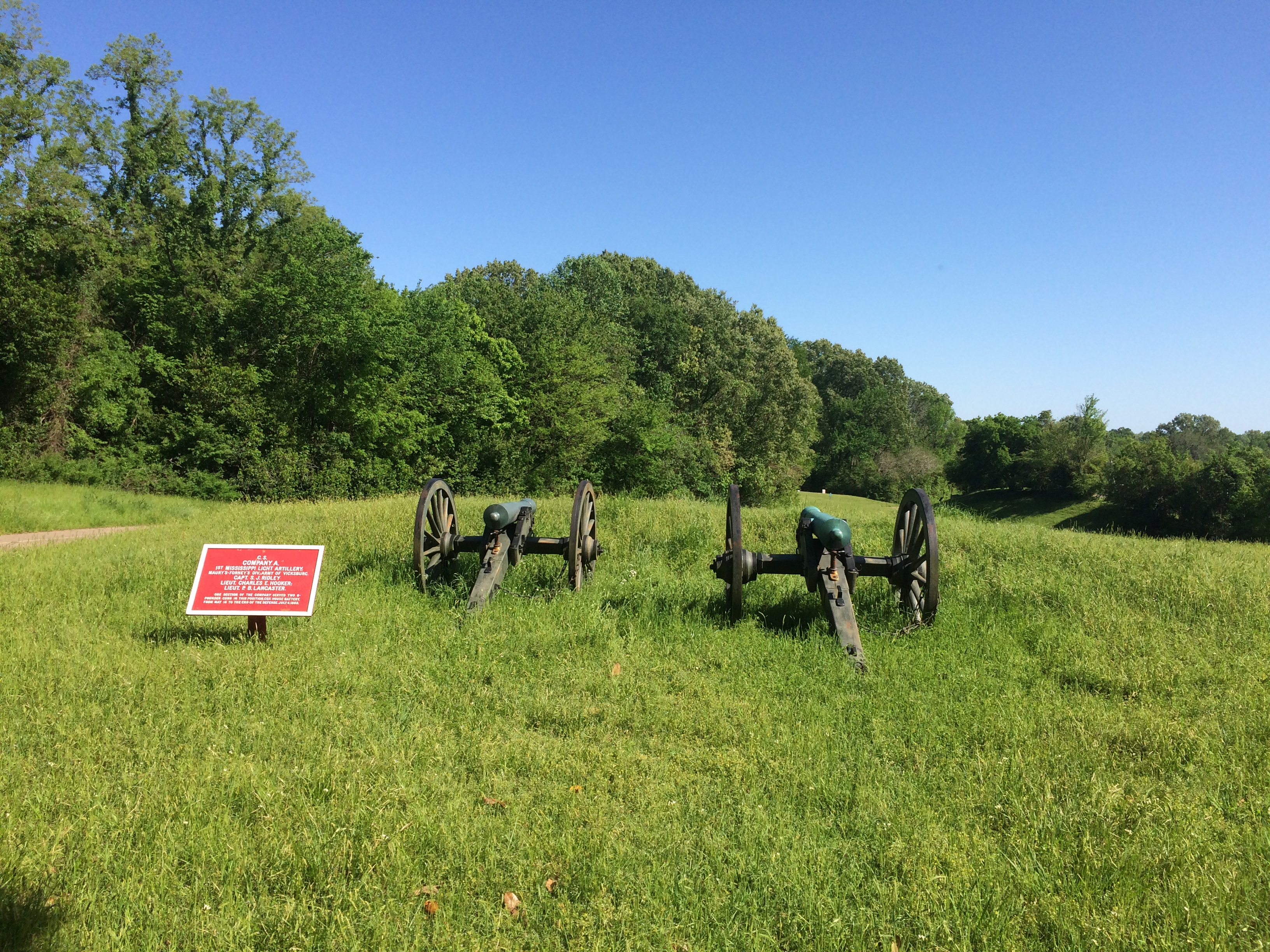
Everywhere you look, a few more cannons. According to Wiki, there are 144 emplaced cannons in the park.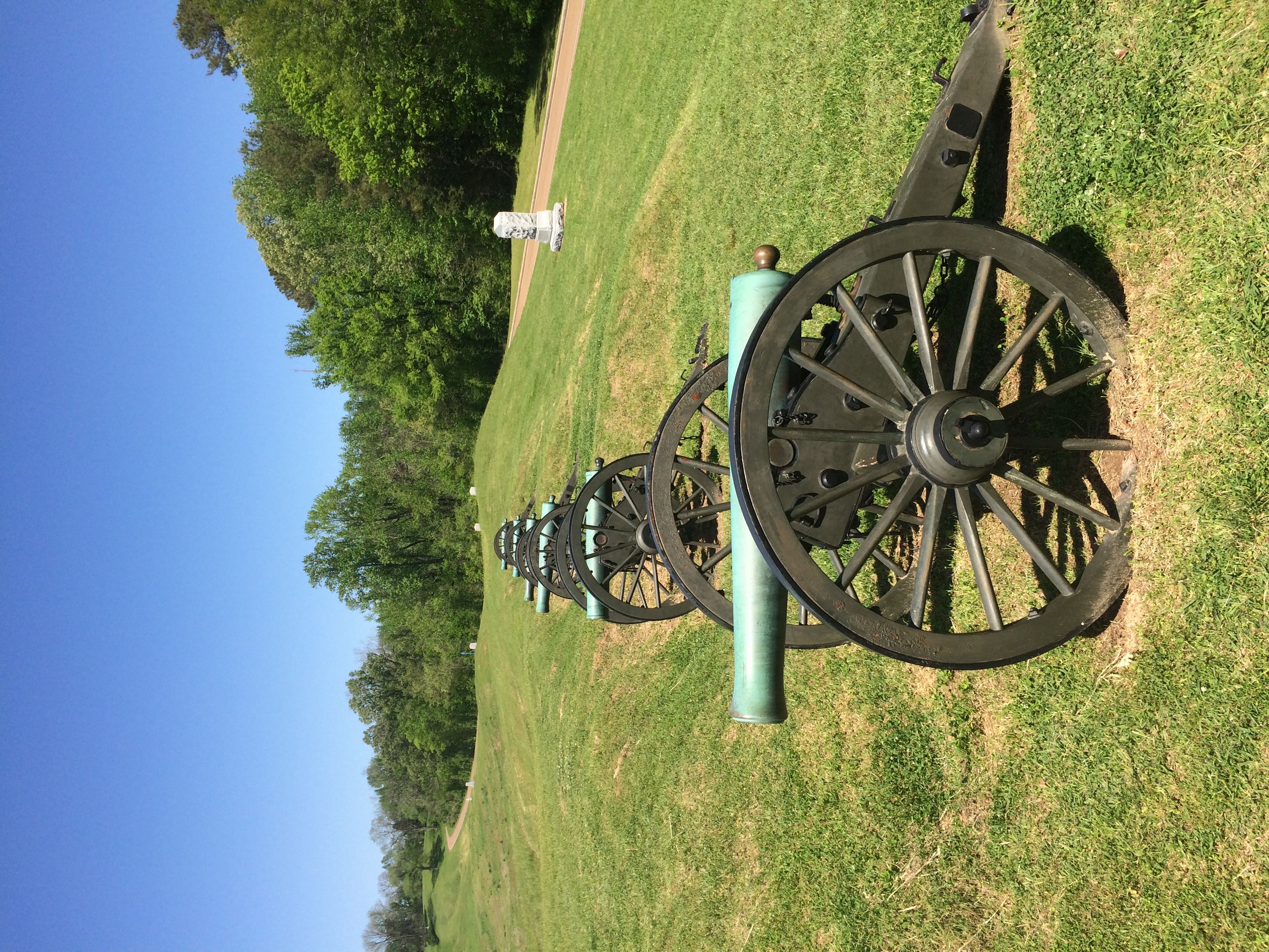
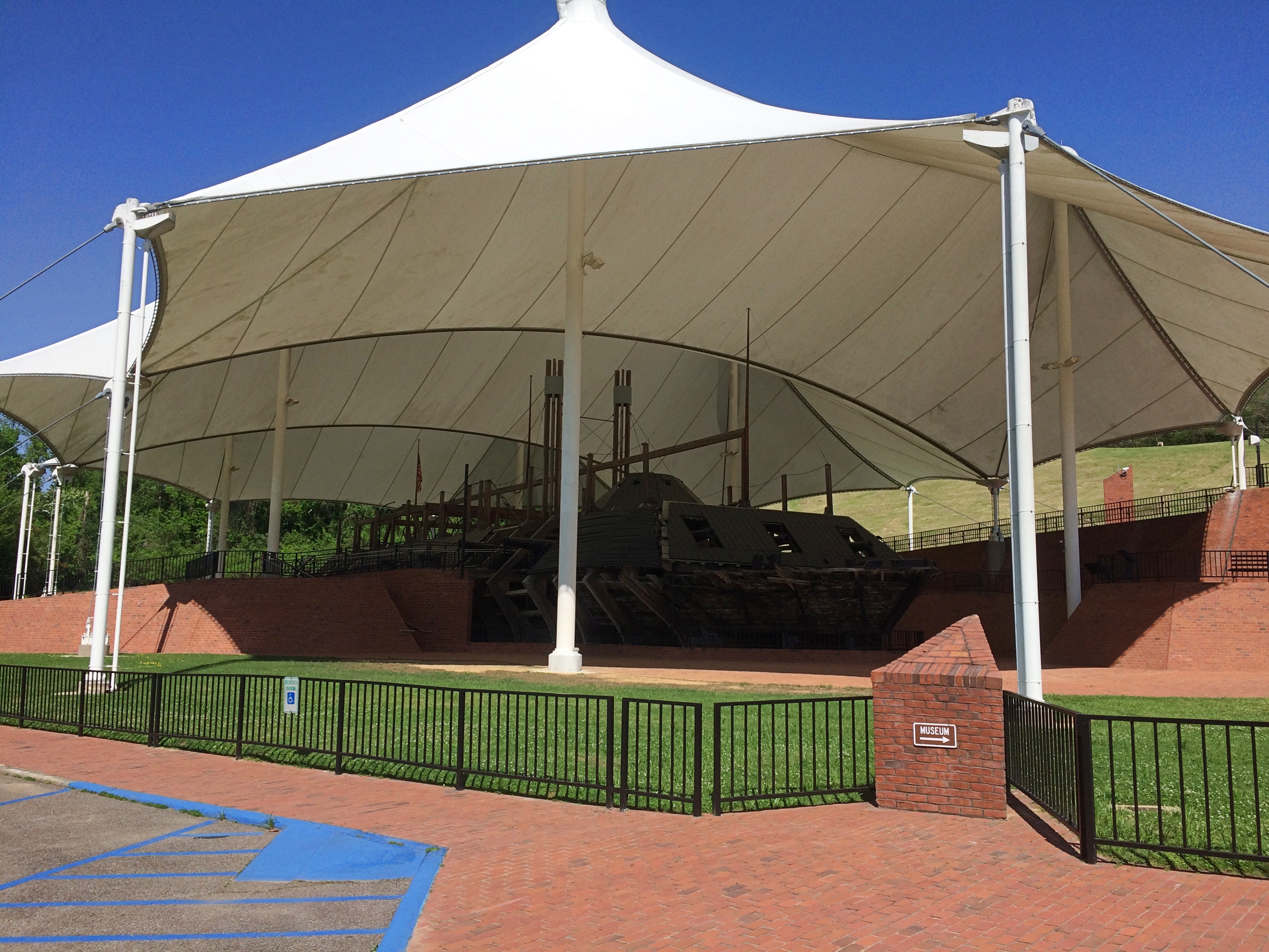
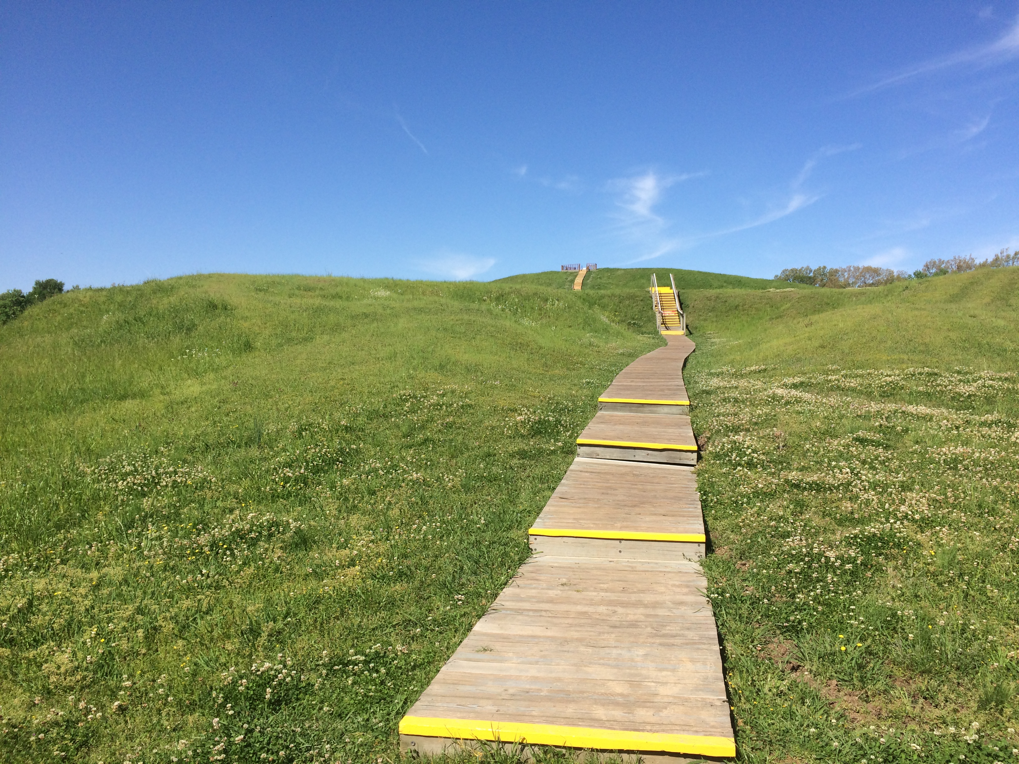
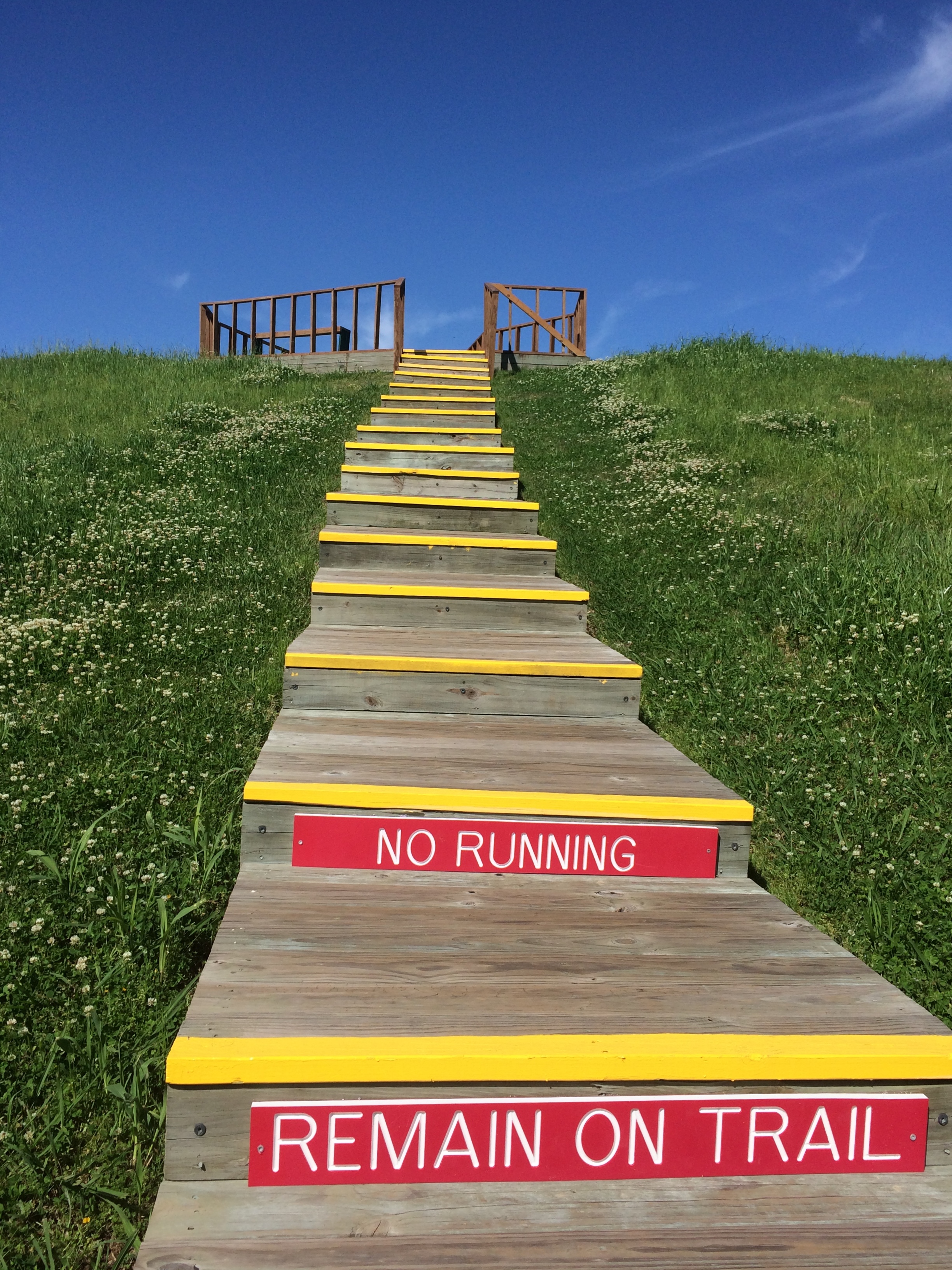
Only fitting, since the event was largely a duel of artillery. Also according to Wiki, the park includes 1,325 historic monuments and markers, 20 miles of trenches and earthworks, a 16-mile tour road, a 12.5-mile walking trail, two antebellum homes, and the restored gunboat USS Cairo, the luckless Brown Water Navy vessel that became first ship ever sunk by a remotely detonated mine.
Each state on both sides that sent men to the campaign has a sizable memorial — as many as 117,000 soldiers took part — but it looks like none is more sizable than Illinois.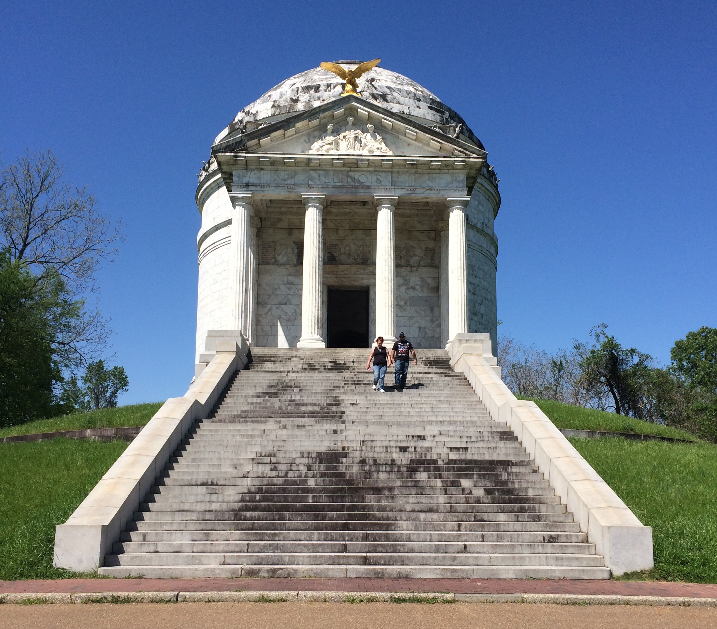

“The design was by W. L. B. Jenney and sculptor was Charles J. Mulligan. Jenney served with distinction as a major in the Union Army during the Civil War as an engineer,” says the National Park Service.
“Stone Mountain (GA) granite forms the base and stairway. Above the base is Georgia white marble. There are forty-seven steps in the long stairway, one for each day of the Siege of Vicksburg.
“Modeled after the Roman Pantheon, the monument has sixty unique bronze tablets lining its interior walls, naming all 36,325 Illinois soldiers who participated in the Vicksburg campaign. Atop the memorial sits a bronze bald eagle sculpted by Frederick C. Hibbard of Chicago, who would also sculpt the statue of General Ulysses S. Grant in the park.” 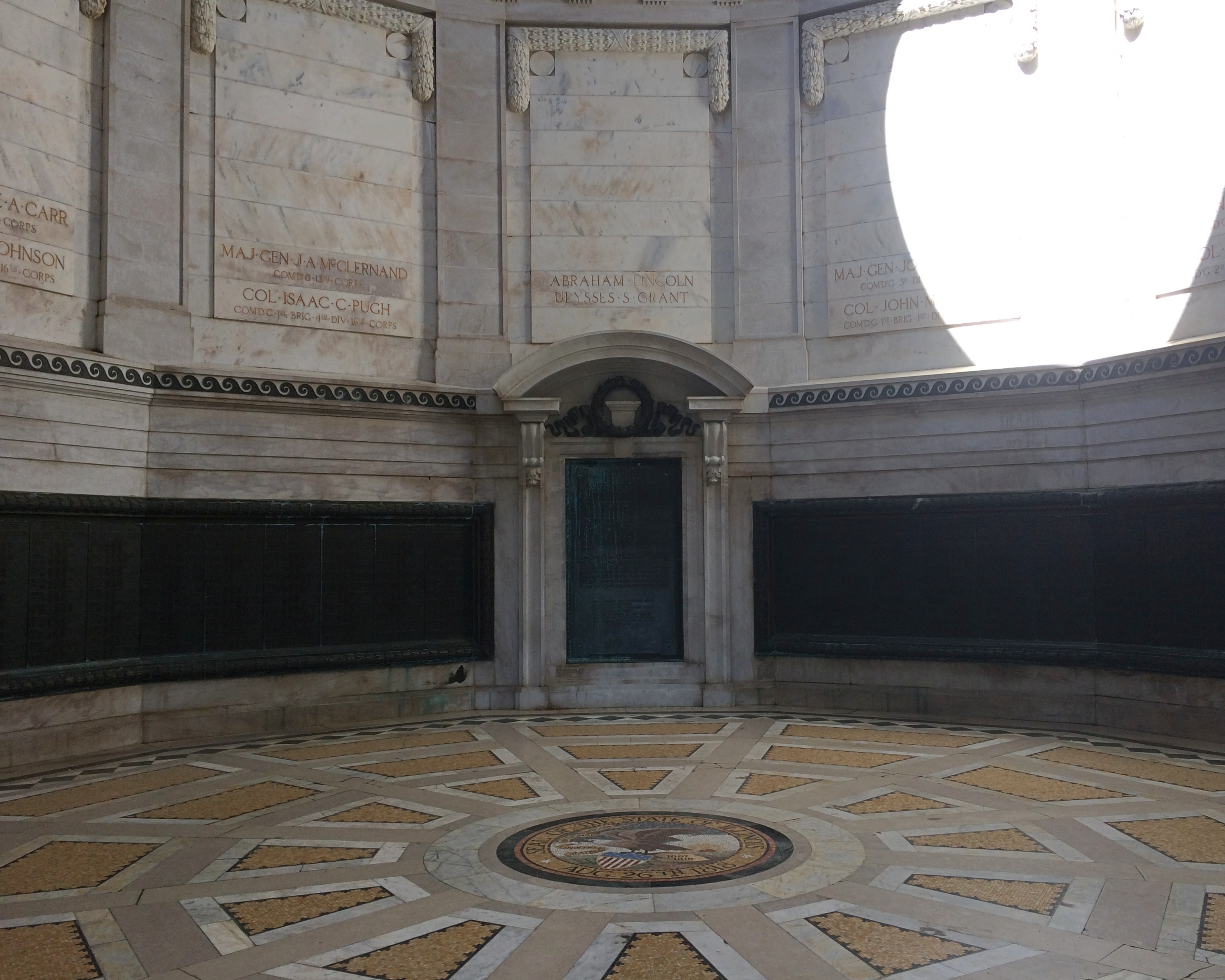
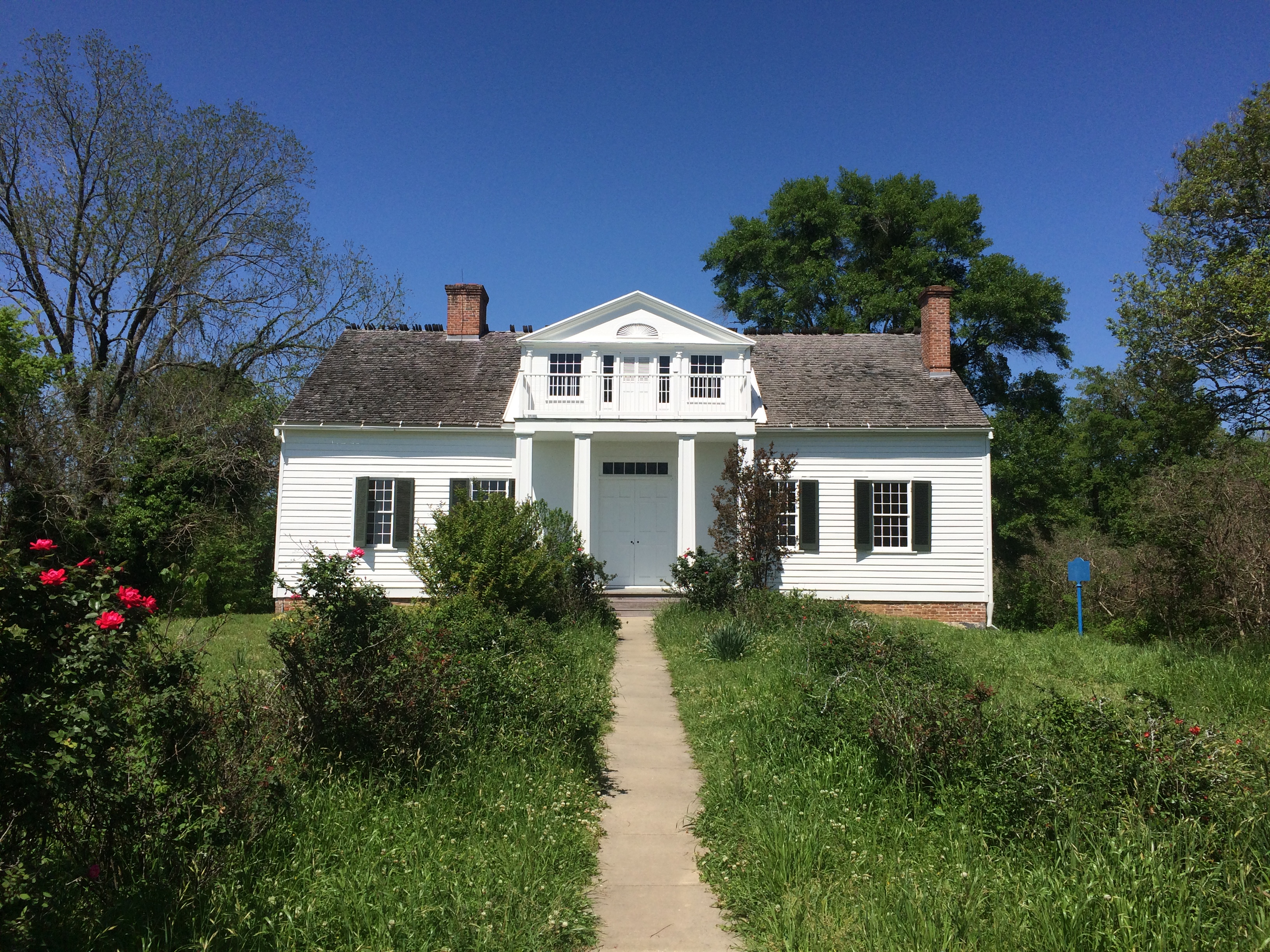
Near the Illinois memorial is one of the aforementioned antebellum homes, the well-restored Shirley House, which survived 1863 against all odds.
As it is now.
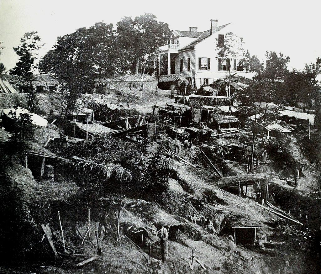
As it was then.
Just down the road from the Shirley House is a statue of Gen. John Logan, who commanded the 3rd Division of the XVII Corps of the Union Army in this area, and who ought to be better known for a number of reasons, such as fostering Memorial Day and for his change of heart about black people during the war.
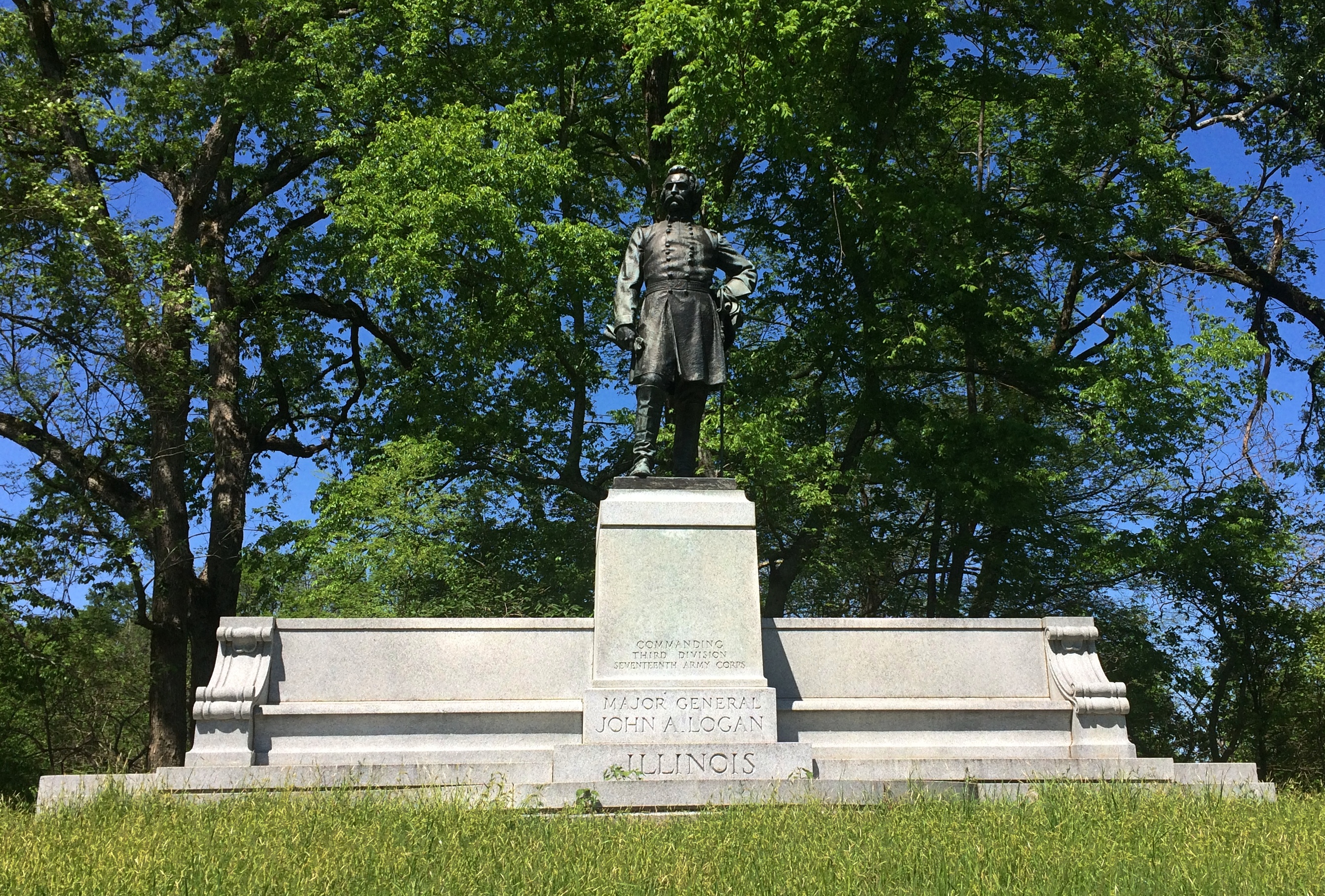
“But what of JOHN A. LOGAN? I will tell you. If there is any statesman on this continent, now in public life, to whose courage, justice and fidelity, I would more fully and unreservedly trust the cause of the colored people of this country, or the cause of any other people, I do not know him. Since [Charles] Sumner and [Oliver. P.] Morton, no man has been bolder and truer to the cause of the colored man and to the country, than has JOHN A. LOGAN. There is no nonsense about him. I endorse him to you with all my might, mind, and strength, and without a single shadow of doubt.”
— Frederick Douglass’ endorsement of John Logan during the 1884 presidential election.
Because of heavy rains (I assume) some of the roads were closed, including the one to Grant’s headquarters, where his equestrian statue is, so I didn’t see that.
Moving along, I came to another impressive state memorial: Mississippi. The home team, so to speak.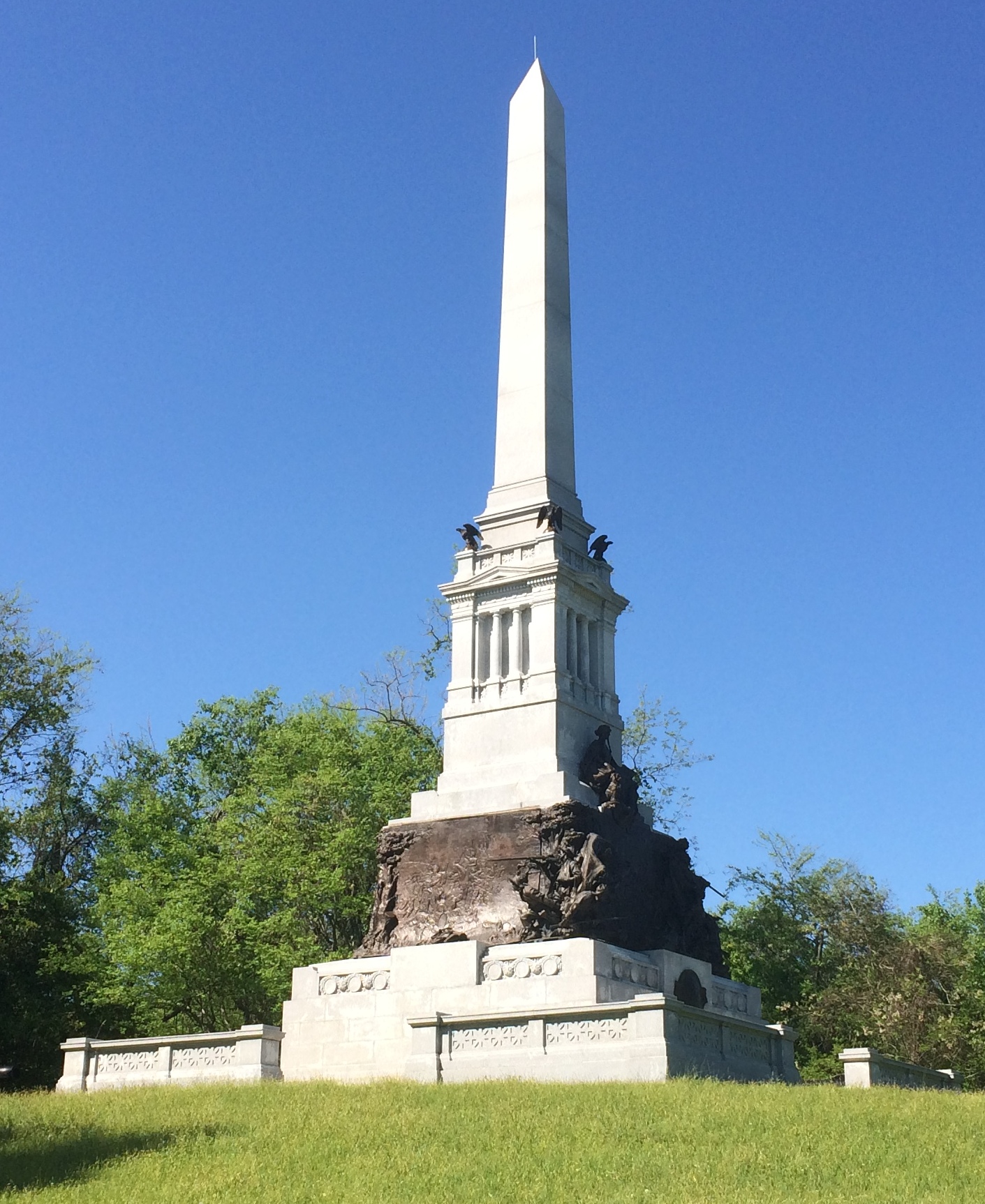
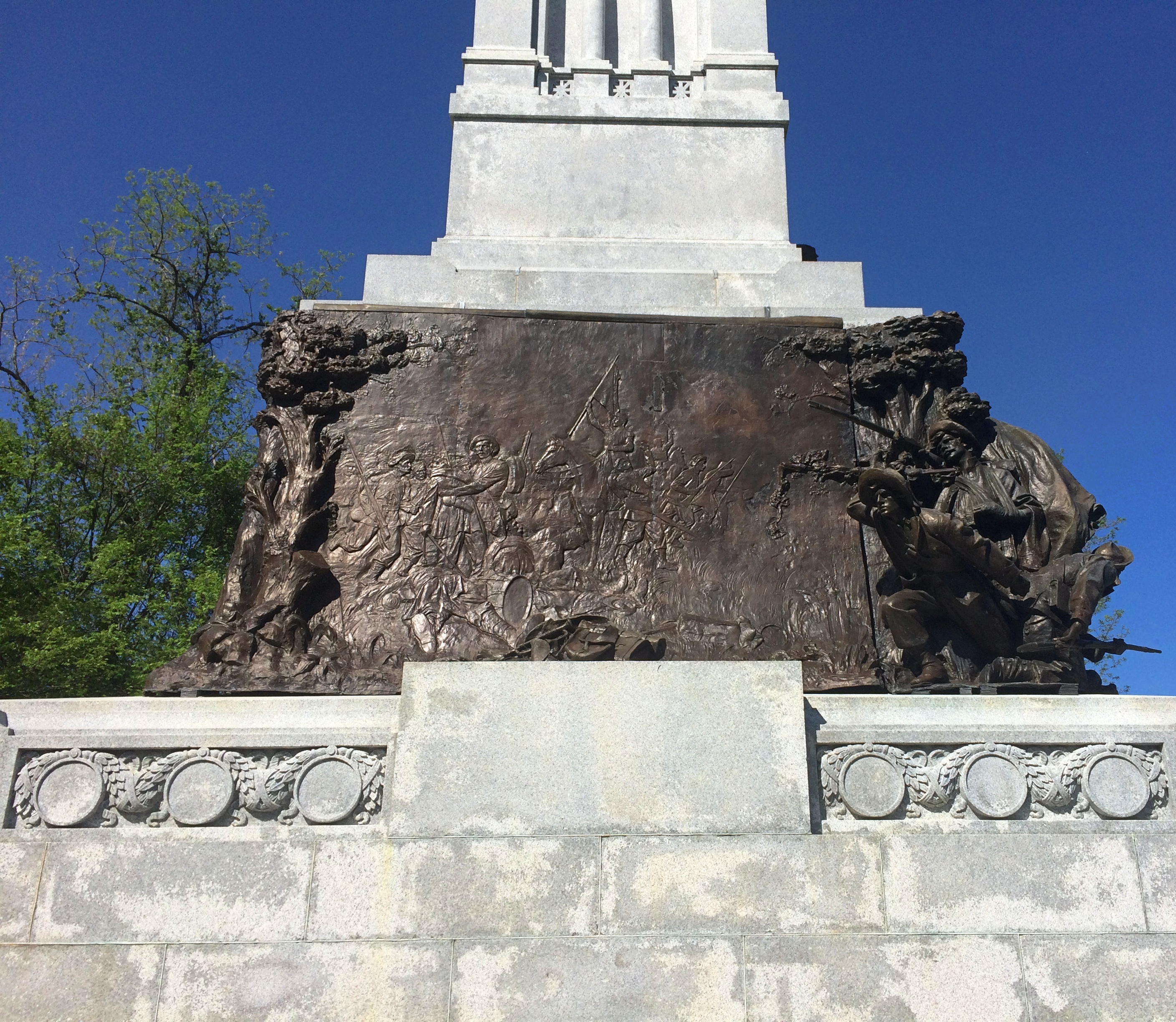
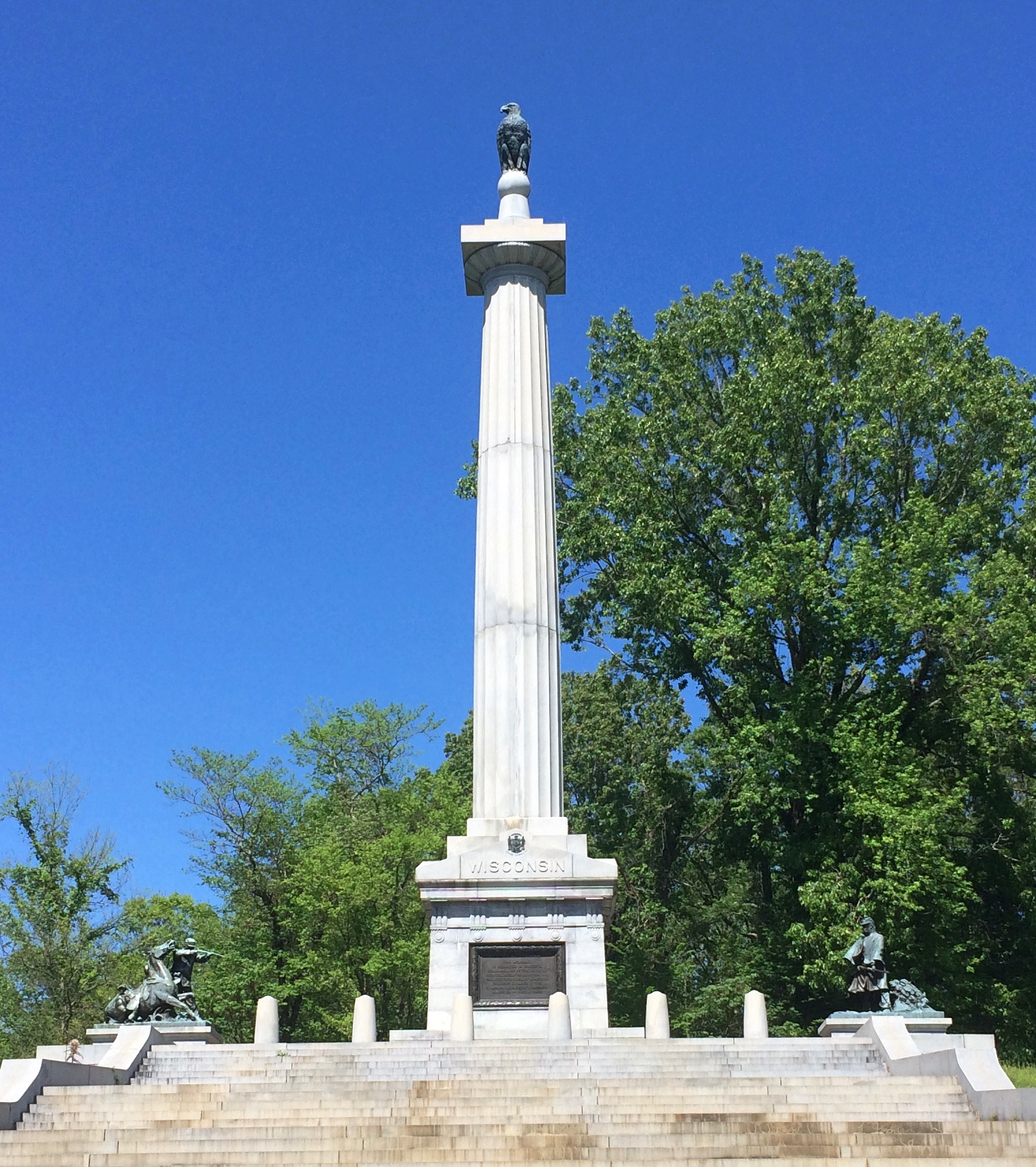
Wisconsin. That’s no mere eagle on top, but Old Abe.
Missouri, which is dedicated to combatants on both sides.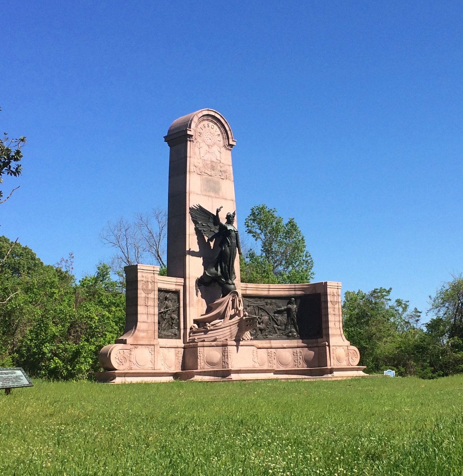
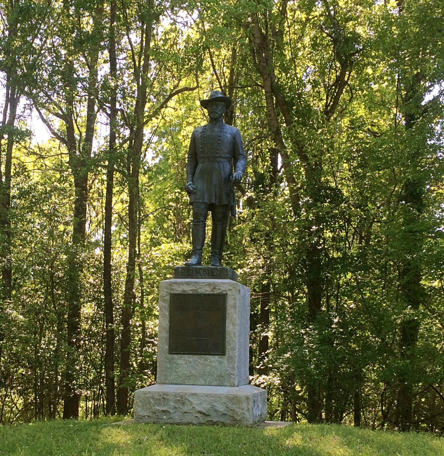
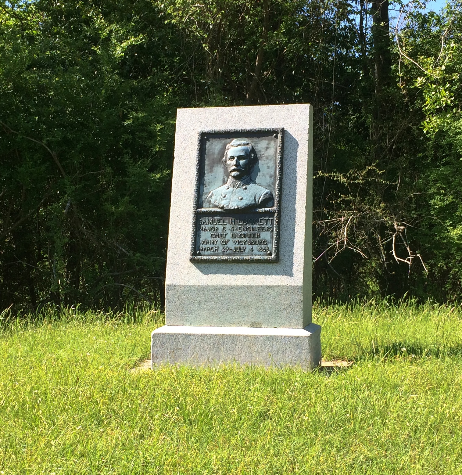
Besides the state memorials, there was an array of statues and stones and plaques honoring other men and groups of men, or detailing movements during the siege.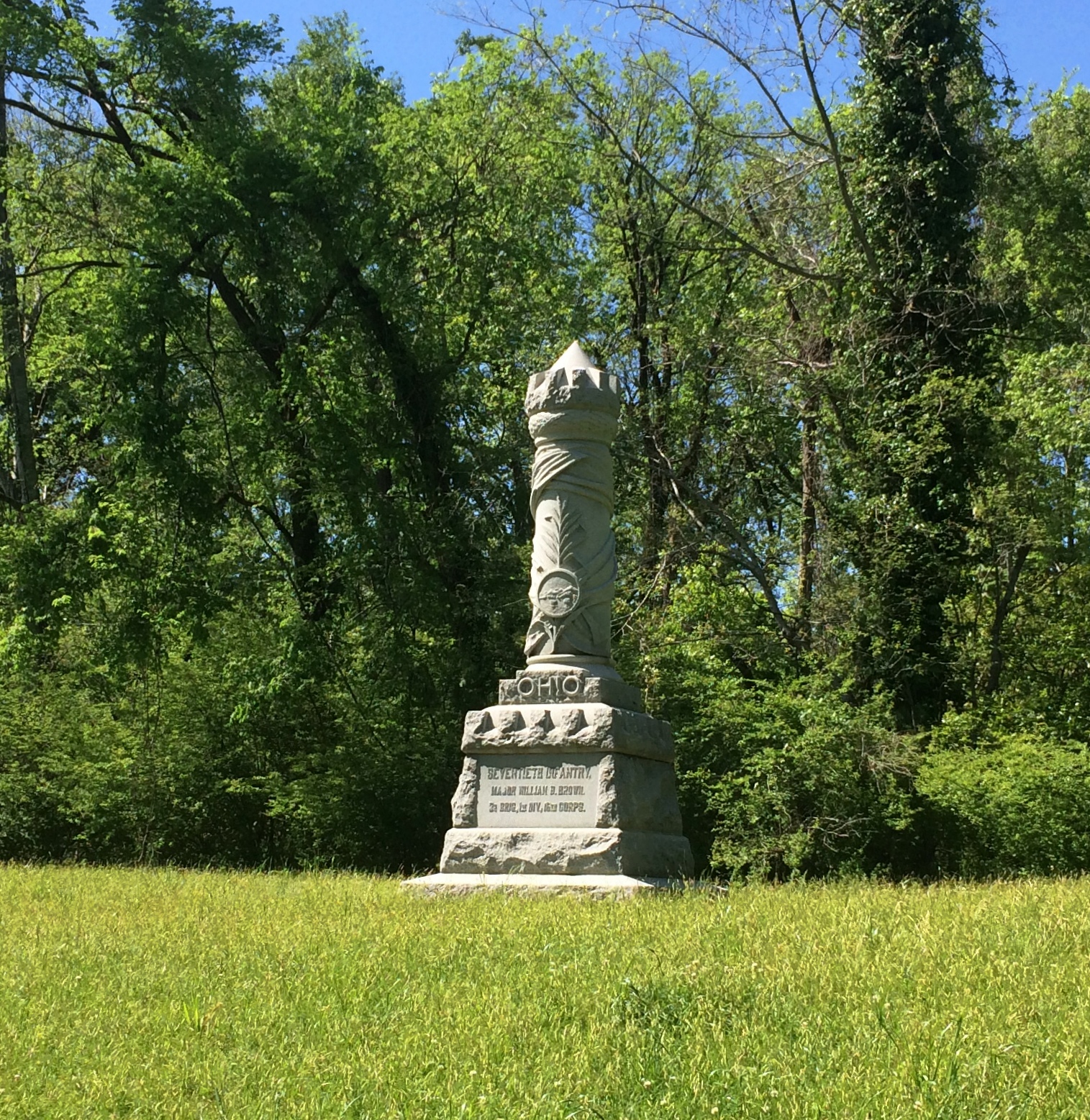
The USS Cairo, partly protected from the elements. Its visitor center was closed, not for Sunday but still for the pandemic.
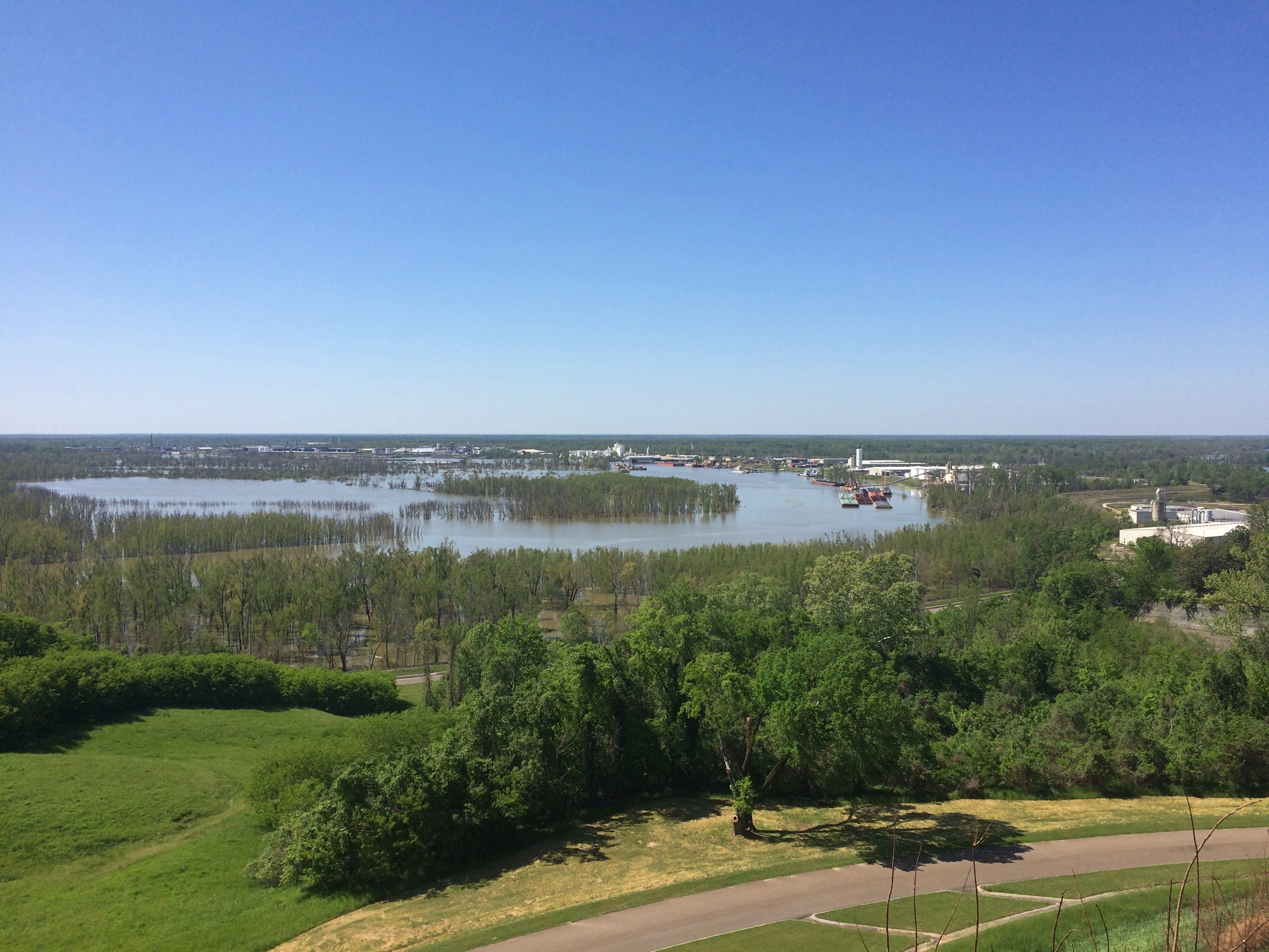
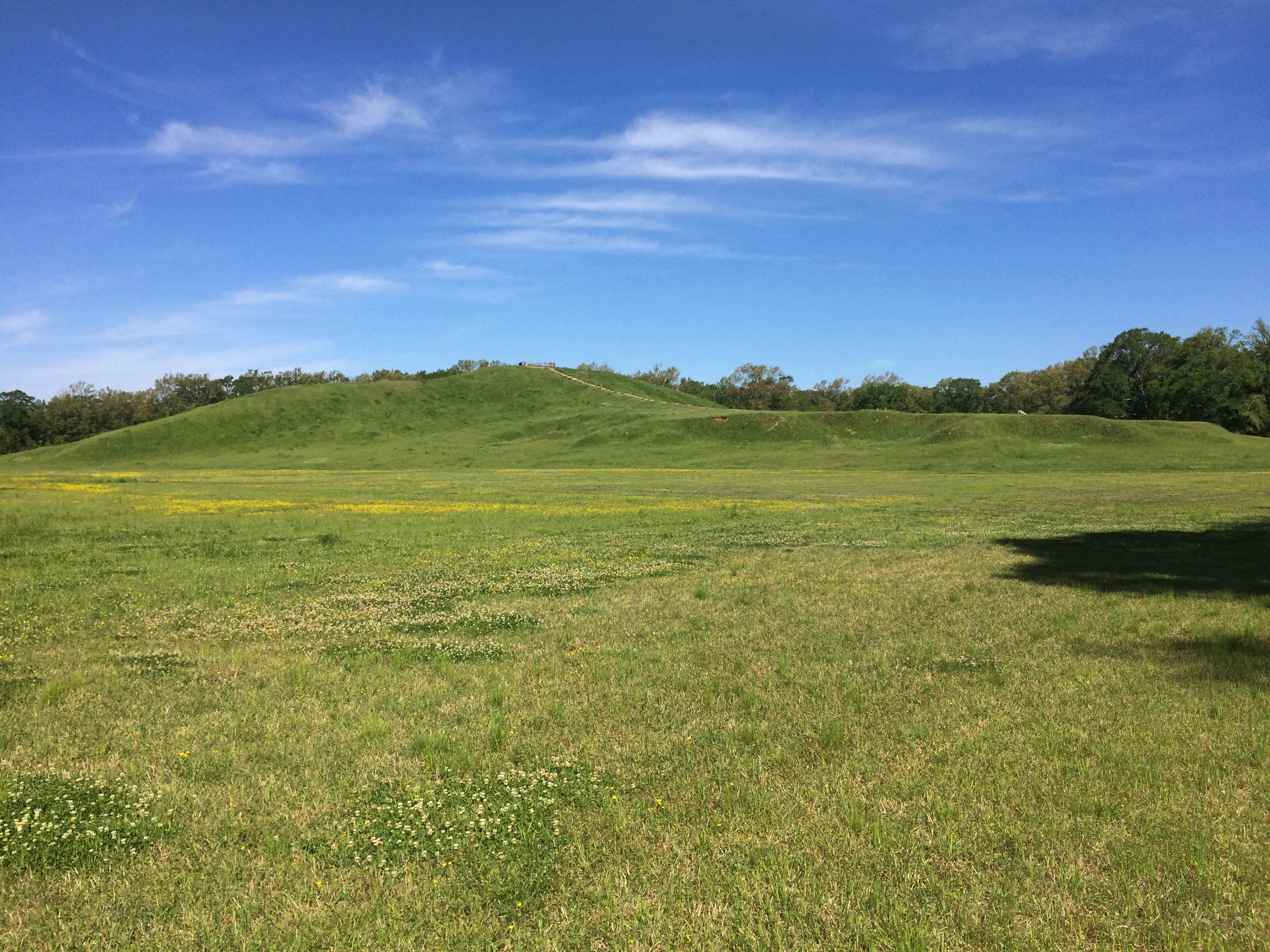
The view from Fort Hill.
I’m glad I got around to Vicksburg. Also glad to report a fair number of other visitors, most clearly tourists from other places, though some people were out jogging or walking their dogs. Best of all, I spotted some people with their kids (or grandkids) in tow. Maybe being the weekend had something to do with that, or that the city of Vicksburg is fair-sized. Even so, I remember how few other people I saw on the summer day I visited Shiloh — and only one or two families with children.


