A cold front blew in last night, bringing not only colder air, but also air in motion. I woke up at least once during the small hours to hear the vigorous rush of wind outside. Reminds me of the last graph of Chapter 11 of The Sun Also Rises (not for the first time, but no smoking for me): “After supper we went upstairs and smoked and read in bed to keep warm. Once in the night I woke and heard the wind blowing. It felt good to be warm and in bed.”
This collection of Zone Rouge images would have been fitting yesterday, but I only found it today.
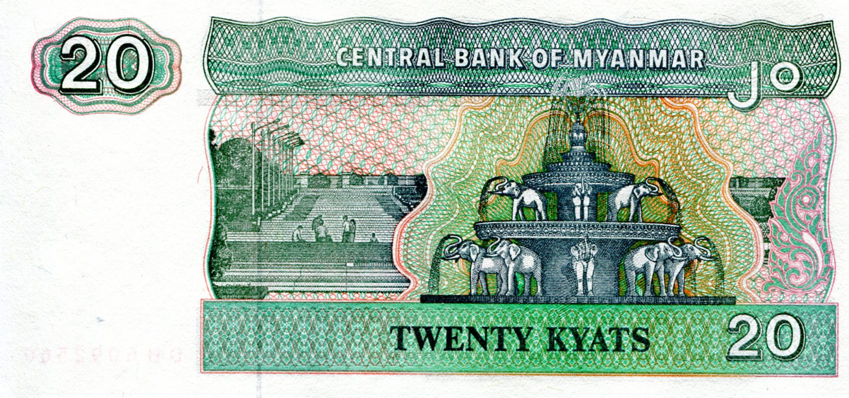
One more Asian banknote for now: an Afghan afghani, formerly issued by Da Afghanistan Bank, but replaced in recent years with a coin. I can’t help but smile at that institution’s name. Who issues the money in Afghanistan? “Da Afghanistan Bank, mon.”
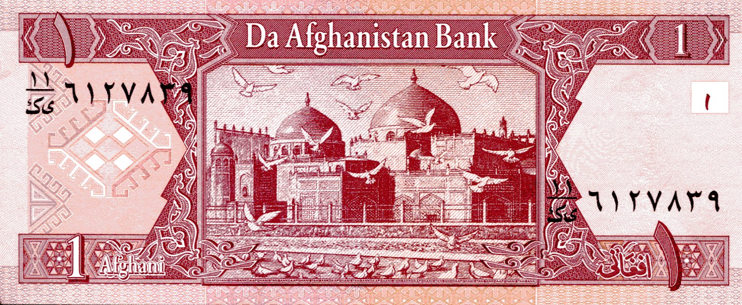 These days, 1 afghani = 0.0151515 U.S. dollars. The obverse features the seal of Da Afghanistan Bank, which includes the design from the famed gold 20-stater of Eucratides, everyone’s favorite Greco-Bactrian king, or usurper, take your pick. Unless you’re fonder of, say, Menander, “who conquered more tribes than Alexander the Great.”
On the reverse is the Blue Mosque-Shrine of Ali in Mazar-i-Sharif, Afghanistan, which dates from the 15th century. Archnet tells us that “the shrine was restored extensively in the mid-twentieth century and draws Shi’a pilgrims throughout the year, and especially during the celebration of New Year (Neuroz).”

