US 14, Yellowstone to Sheridan, By Way of the Bighorn Mountains

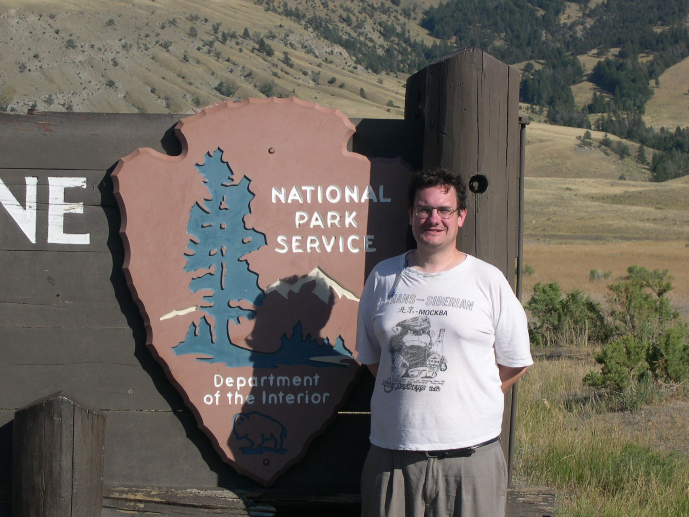
I have no images made during the best drive of the trip, only a vivid memory of the ten minutes or so, after dark and after driving most of the day last Friday, that we traversed a part of US 14 not far west of Sheridan, Wyoming, in the Bighorn Mountains.

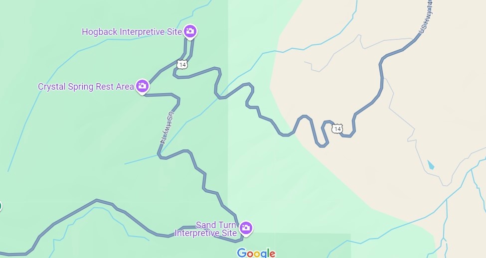
That’s only a small section of the road, and it isn’t even the highest point in the Bighorns. All those curves came as we headed down from Granite Pass, which is more than 9,000 feet above sea level.

I know that mountain driving isn’t for everyone (such as Yuriko). But talk about a way to be in the moment. If you aren’t in the moment, you have no business driving such a switchback-y route. There you are, applying just the right amount of pressure on the brakes, edging the wheel just in the right direction, as the winding track unfolds ahead, each moment unlike the last. It’s almost as if you aren’t pressing those brakes or tipping that wheel. You and the machine are.

For bonus points, flip off your brights just the instant you’re aware of an oncoming car, and back on again the instant it passes. I did that too, but only two or three times, since it wasn’t a crowded road. More traffic would have raised the stress level a lot and harshed this particular buzz for me.

One more detail, for most of the twists and turns, and unique to our transit of the mountains: “All I Wanna Do” was on the radio at that moment, coming in clear despite our location. Somehow, that added to the experience, though I can’t call it a driving song. Still, it’s one of best capture-a-moment songs I know of.

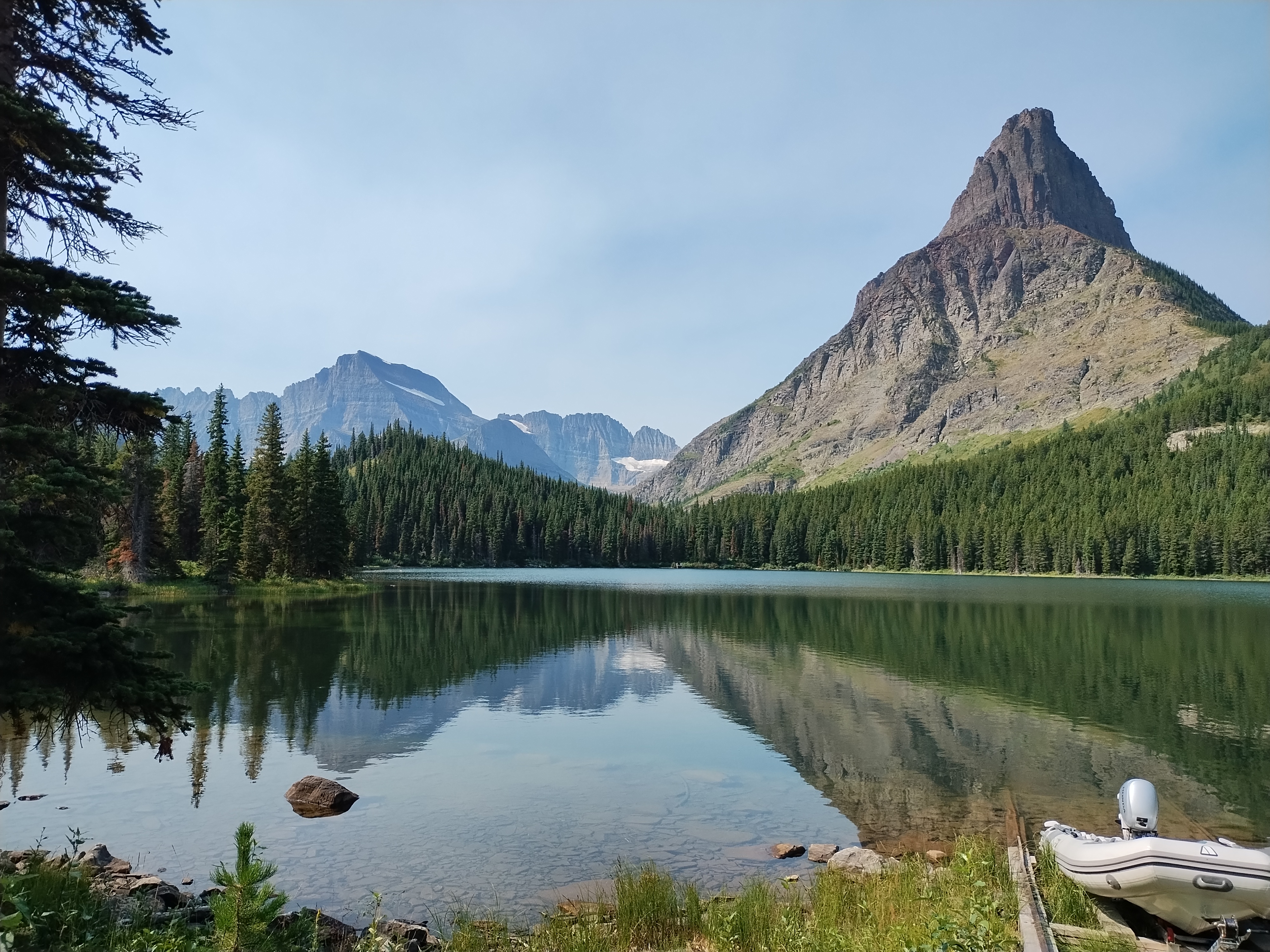
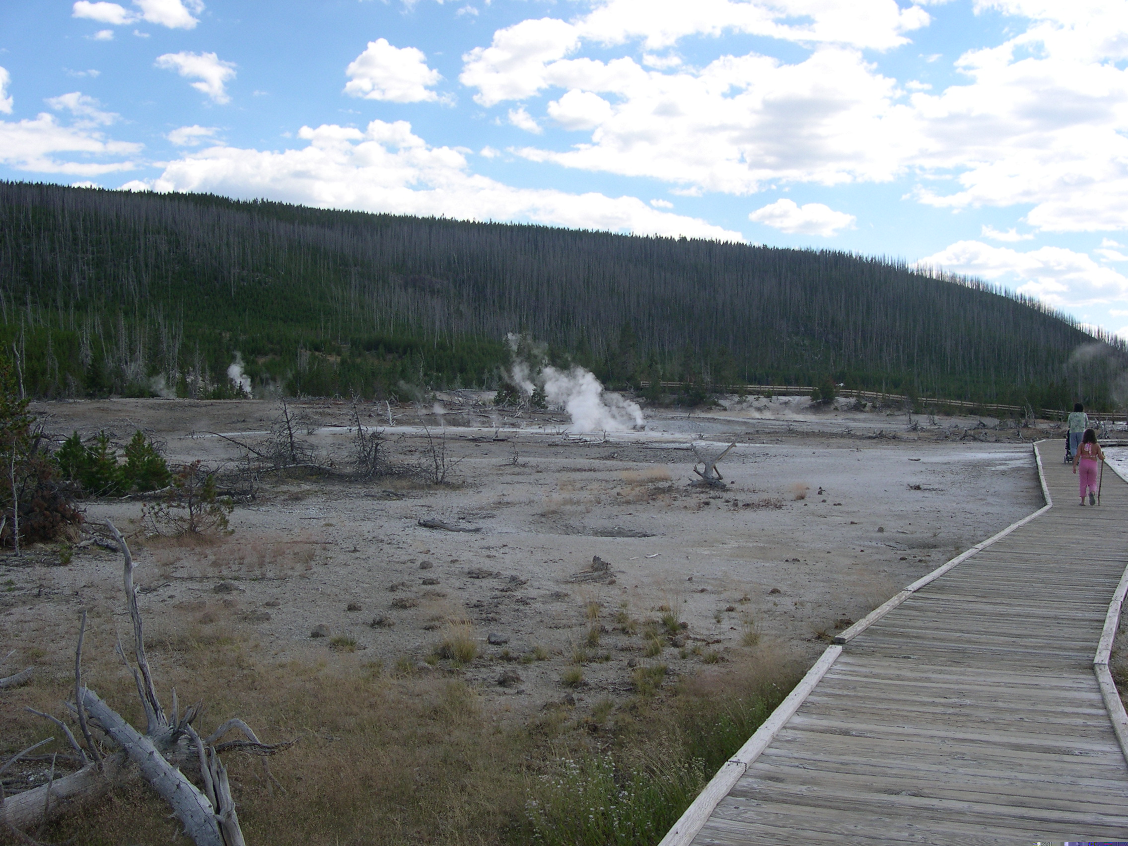
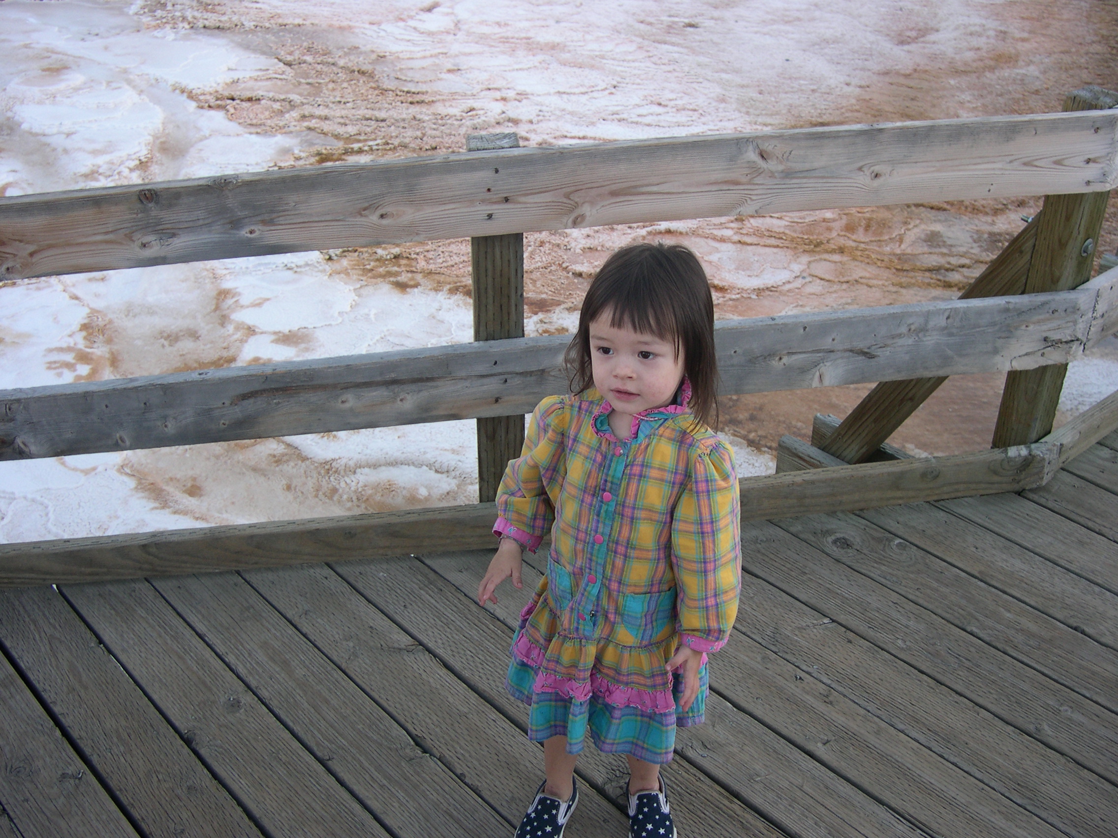
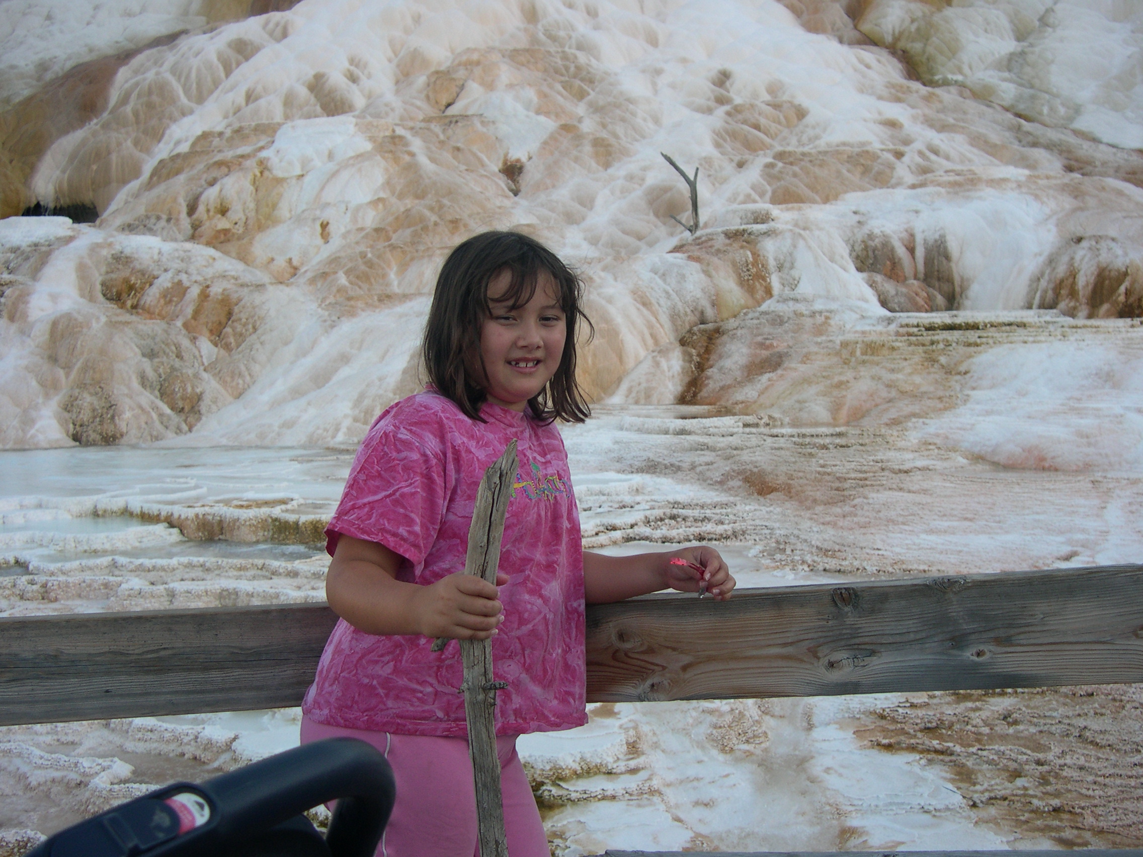
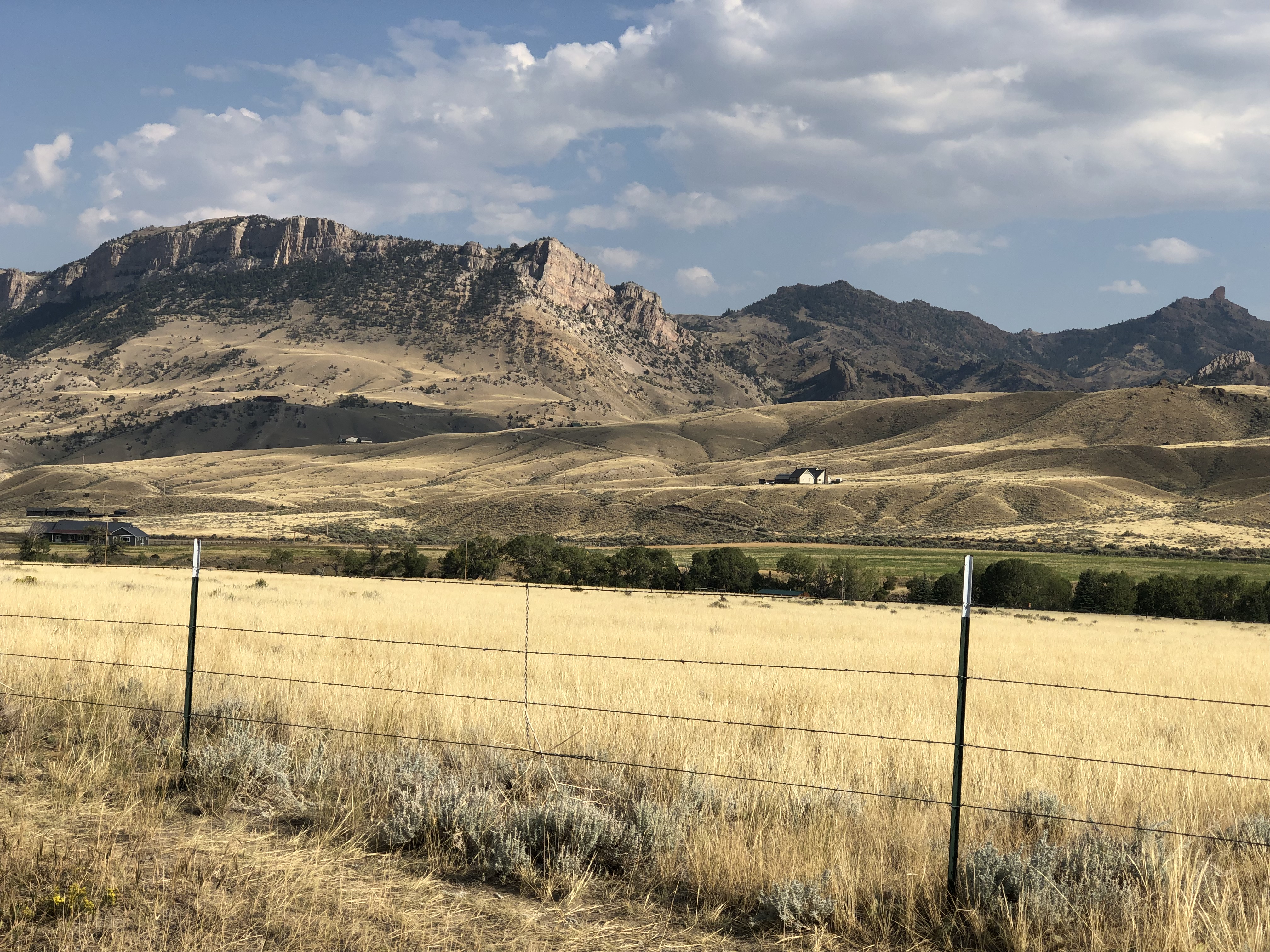
Earlier in the day, we headed east from Yellowstone on US 14/16/20 – as we went eastward, the other two higher numbers eventually disappeared – and found it to be more of a straight road. Sometimes the drive revealed scenery equal of anything in a national park, rolling through the Absaroka Range and Shoshone National Forest, and, after passing through Cody, Wyoming, the Bighorn Basin, as an approach to the Bighorn Mountains. Part of of road is the Buffalo Bill Cody Scenic Byway.

Browns and dry yellow predominated. Just east of Yellowstone, you’re among the impressive Absarokas. They lent their name to a lesser-known new state movement in the 1930s. Lesser-known to me, anyway.US 14 Bighorn Mountains US 14 Bighorn Mountains

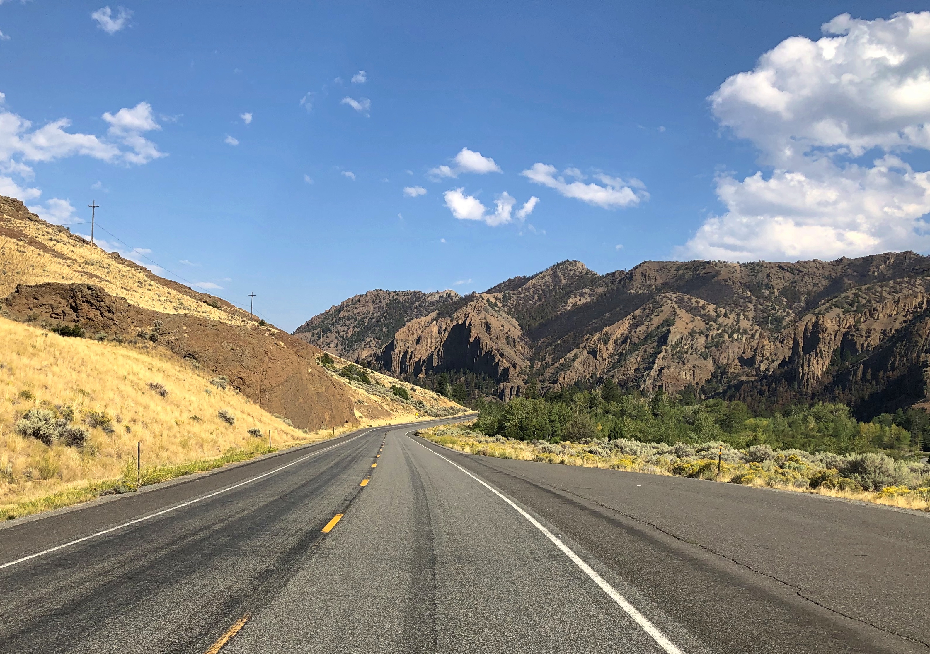
The mountains receded and the road passes through a broad valley.
US 14 Wyoming

Wait, what was that?US 14 Big Boy US 14 Big Boy

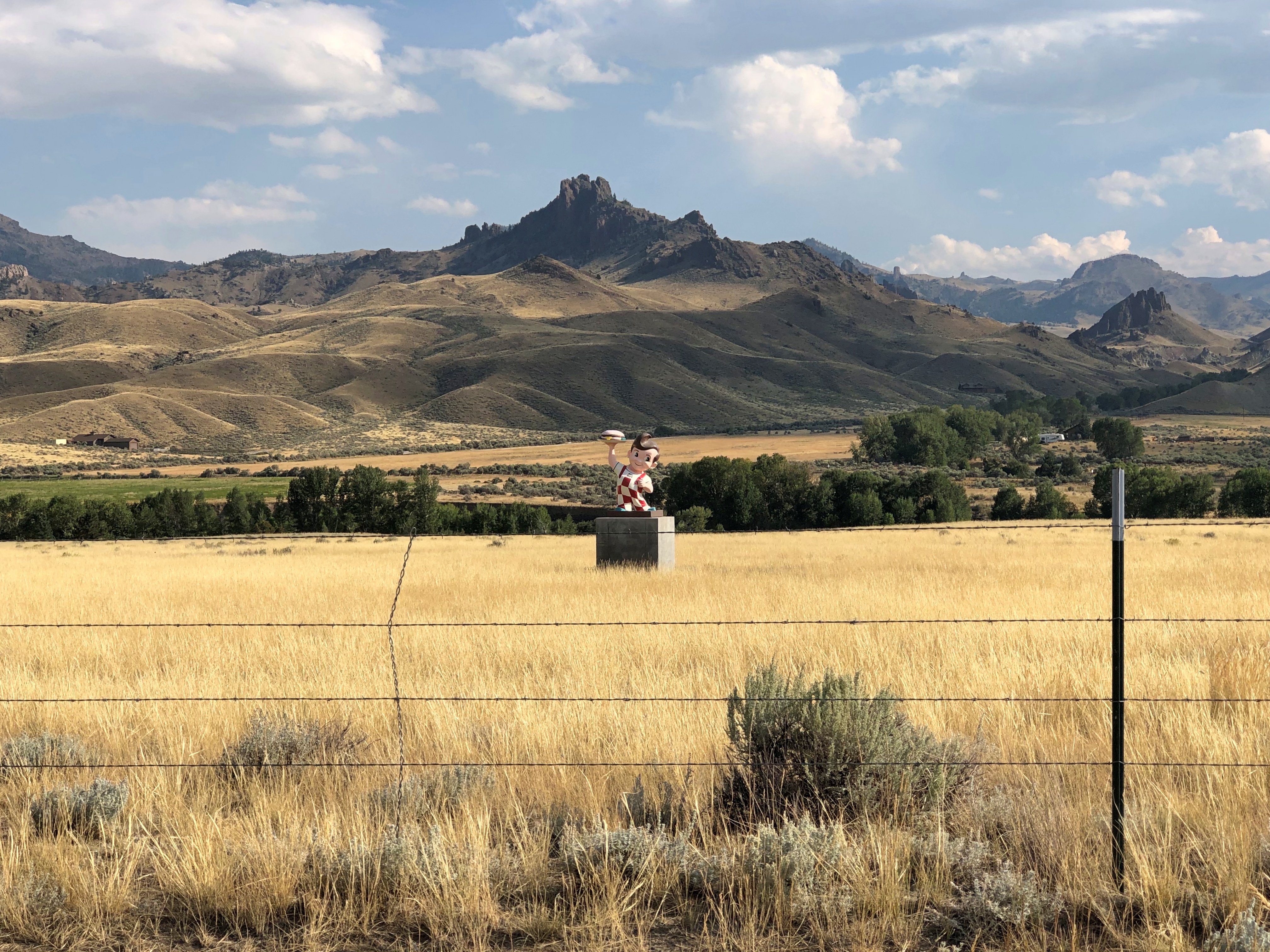
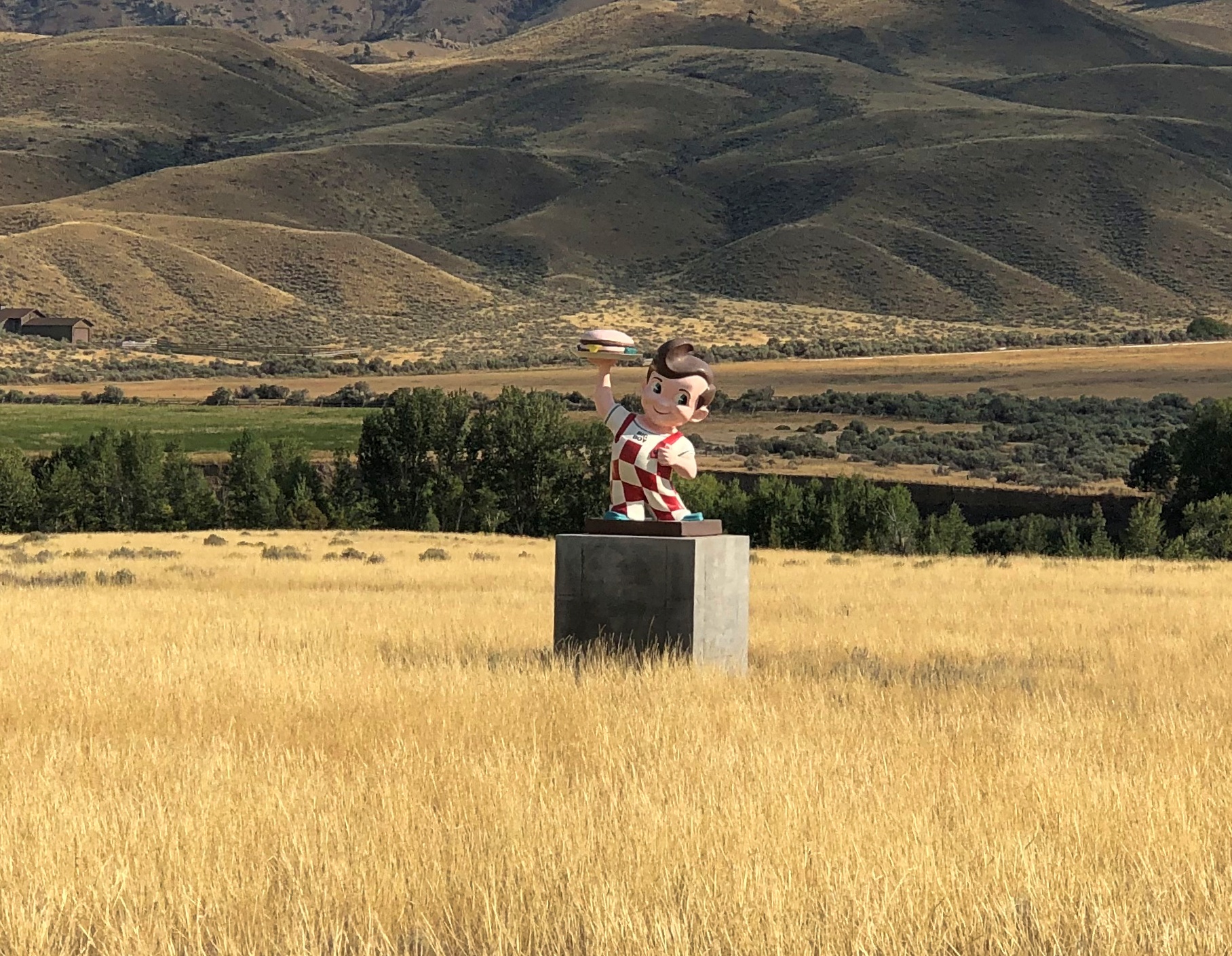
The Wapiti Big Boy, the Cowboy State Daily calls it, after the valley, and the nearest town.

“ ‘Big Boy restaurants were everywhere (at one time), and I’ve always wanted to have a Big Boy and celebrate what’s great about the Big Boy,’ said James Geier, who owns the Wapiti Big Boy statue and the land it now calls home,” CSD reports.

“ ‘I’m a sculptor and have a design business,’ he said. ‘My art and the placement of Big Boy was really all about wanting the conversation to go on, whether you’re a tourist going through the world or a local.’ ”

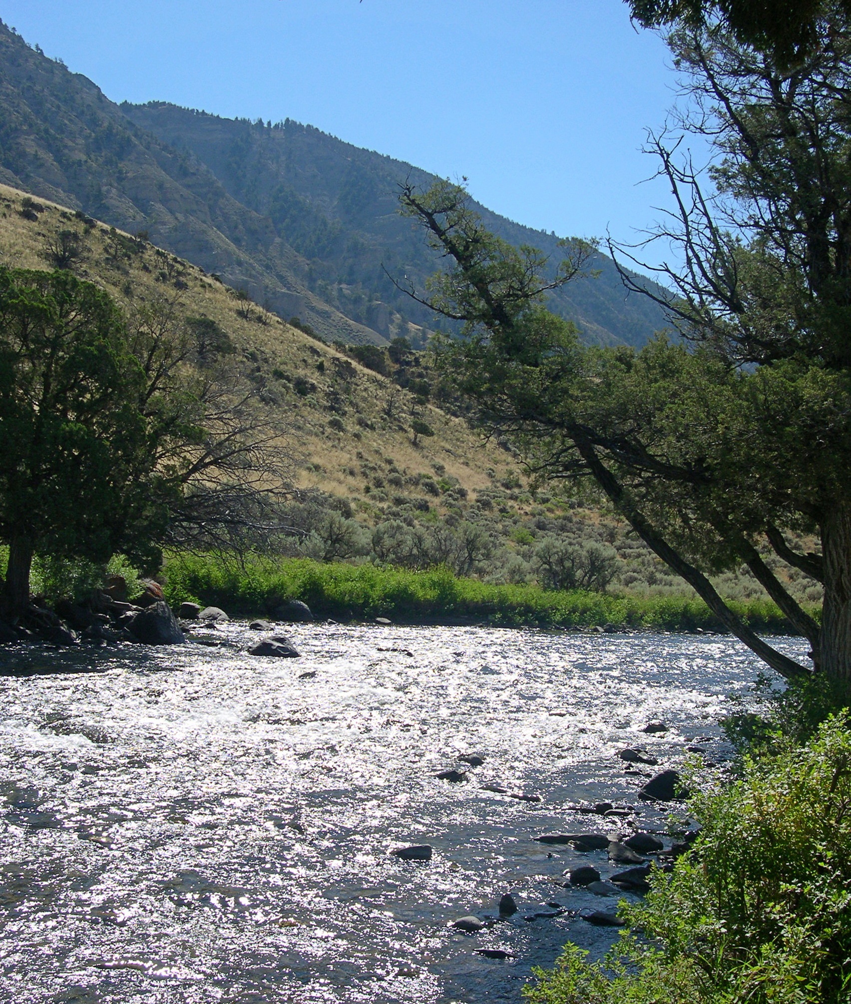
The road then passes Buffalo Bill Reservoir. A manmade lake on the Shoshone River. Once upon a time, William Cody owned much of the land now covered by the lake.US 14 Buffalo Bill Cody Lake US 14 Buffalo Bill Cody Lake

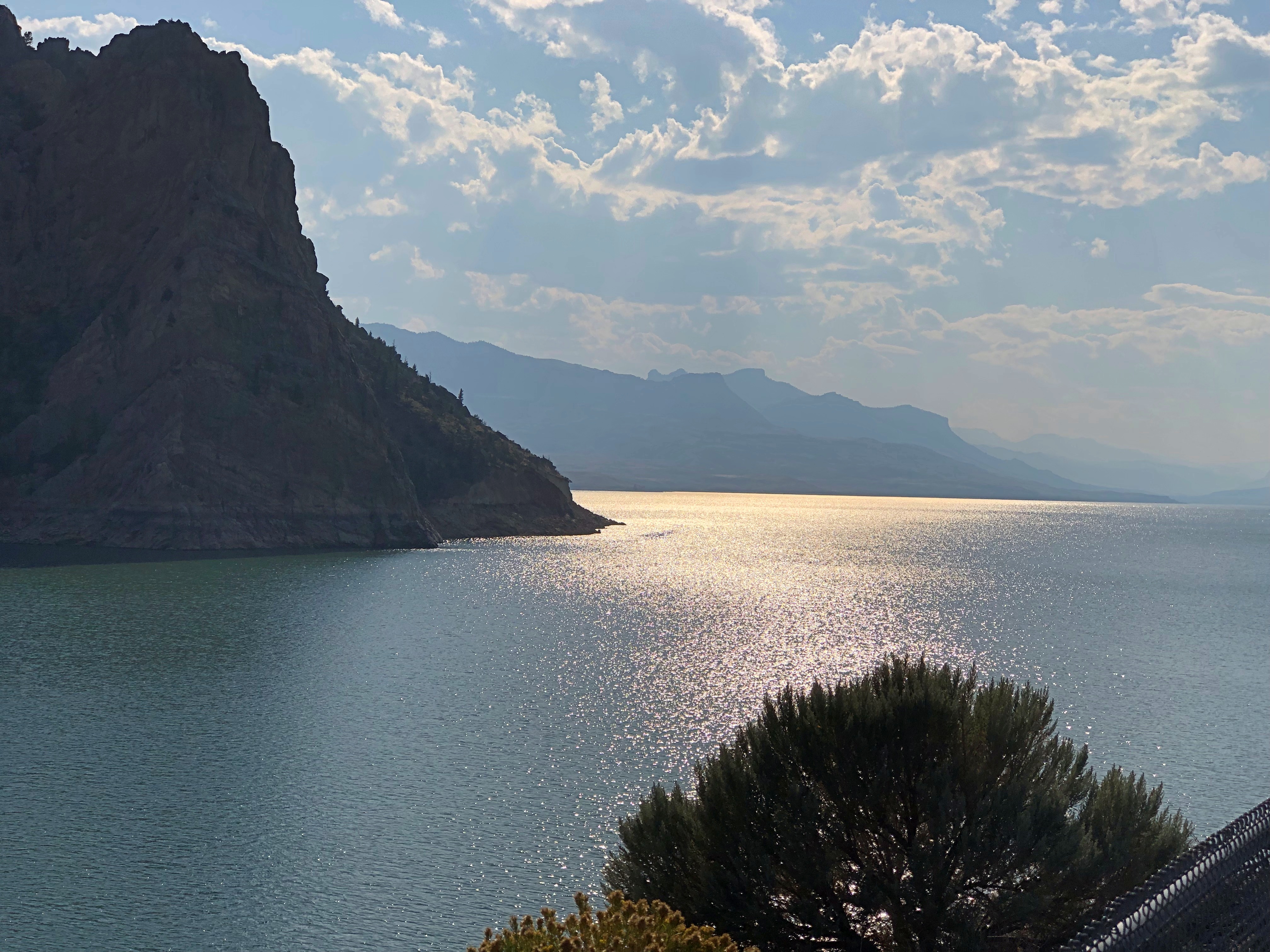
Beyond that is the town of Cody, where we tarried to buy barbecue and eat it in the main city park for dinner. I can recommend Fat Racks BBQ. Its pulled pork, specifically.

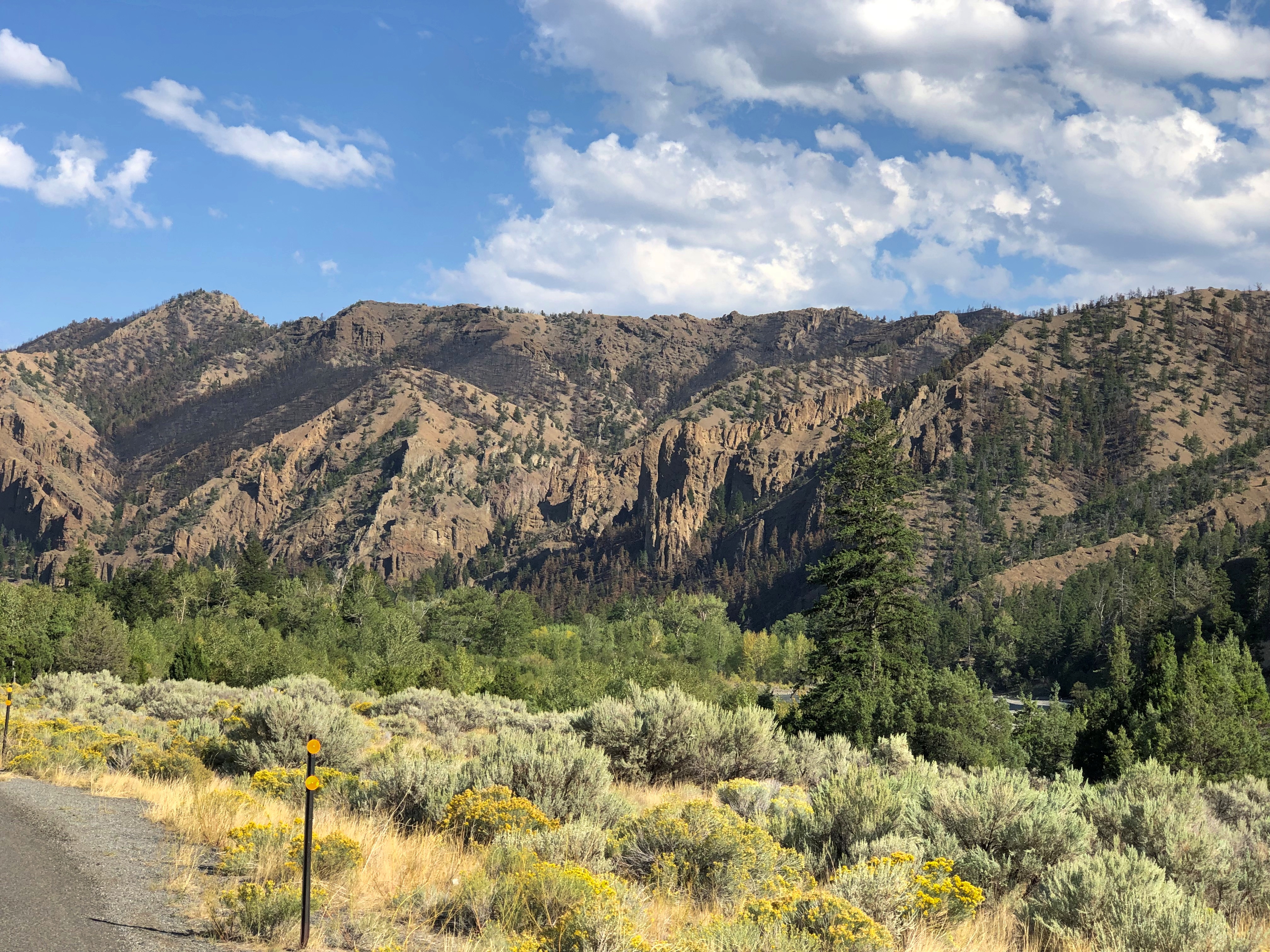
Heading into the Bighorn Mountains east of Cody.US 14 Bighorn Mountains US 14 Bighorn Mountains

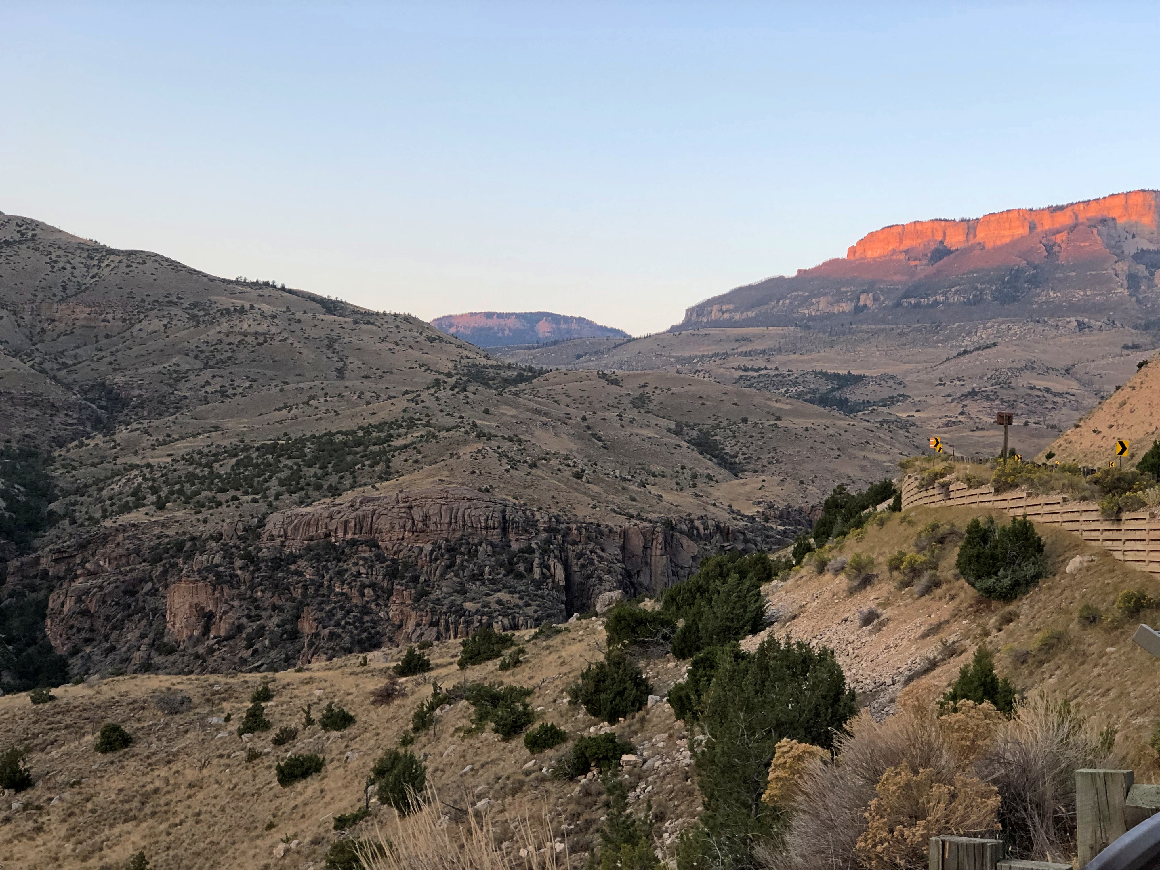
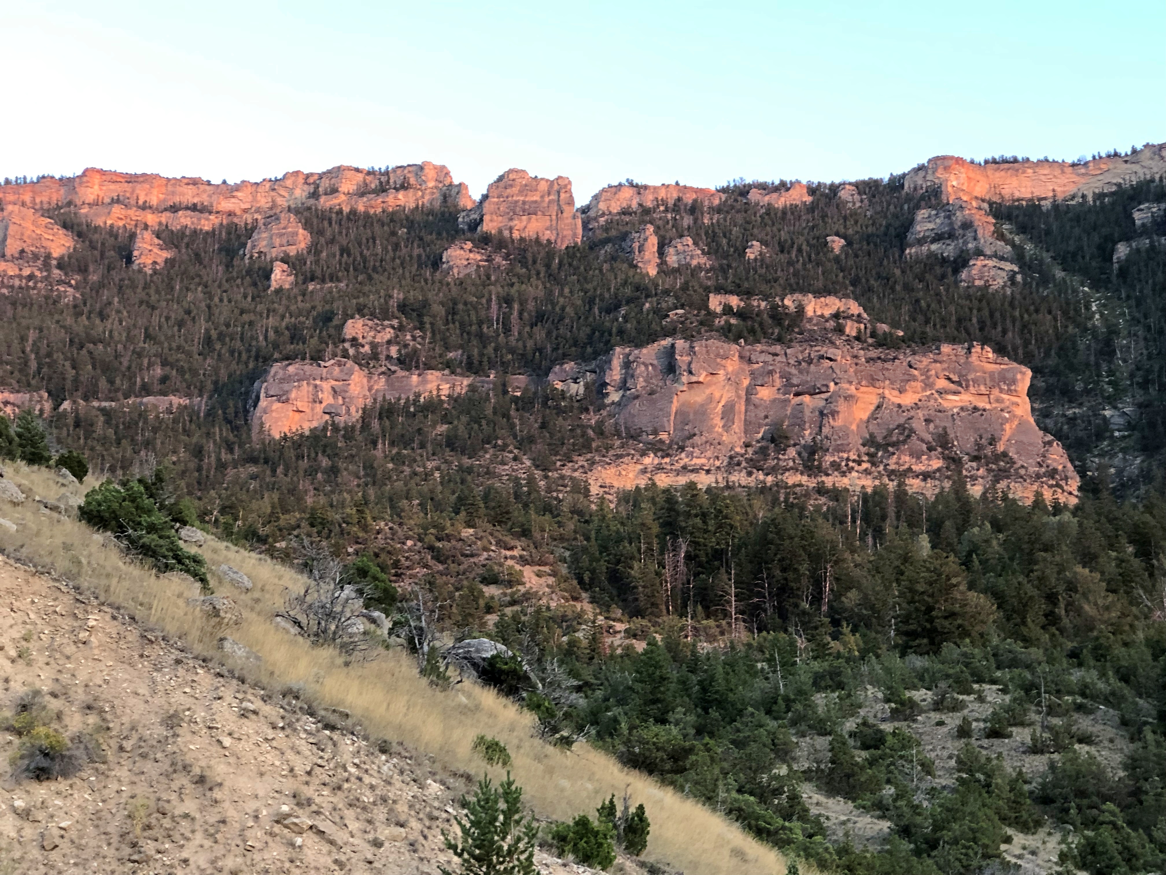
By that time, the light was fading, and soon enough we were driving in the dark, though the road was well marked by reflectors, and illuminated by our headlights. Once we emerged from the twists, the drive to the motel in Sheridan was only about 20 more minutes, so the downward grade on US 14 essentially capped off a capital day of driving.

The I-90 Western States Road Epic

I marvel that what Yuriko and I just did is even possible. Between Sunday, August 18, and Sunday, September 8, inclusive, we drove from metro Chicago to metro Seattle and back.

The kind of trip I call an epic. Which just means a long one. All together, we drove 5,916 miles across nine states. We visited cities, towns, remote farm and ranch land and forests, crossed plains, rivers small and mighty, hills, and mountain ranges. We visited our eldest daughter in far-off Washington state and reached the Pacific Ocean.

I call it an epic, but that’s only my idiosyncratic label. By historical standards, our trip was laughably easy. All we needed were some (but not a lot) of those three basic ingredients of modern travel in North America, and a fair number of other places: time, money and – perhaps the most elusive for many people, though of course the other two are often limiting – the will to go.

We did not need a supply train or pack wagons. We carried all the communications equipment we needed in our pockets. Food and fuel were easily purchased.

We did not need the permission of any authority at any level of government, beyond a drivers license or license plates, which aren’t specific to interstate travel. We paid no gang a toll, no one baksheesh to pass through their land.

We did not need to be armed. We encountered no hostility of any kind. Crime, of course, is possible anywhere, and I like to think we were careful. I was only really anxious about the possibility once, but even then nothing happened.

I’m positive that the greatest risk to life and robust health was the fact that we just drove nearly 6,000 miles over roads of varying size and traffic density, some of which were a bit hairy. I like to think we were careful about that, too, putting our combined 72 years’ driving experience to the task, and we got home with nary a dent nor a scratch, much less anything worse.

The epic was conceived and carried out in three parts of roughly a week each: the drive out west, the visit in the Pacific Northwest, and the drive back east. On that structure we hung four main events and many other smaller ones. And by events, I mean seeing places in three cases, and visiting family and friends in one. On the way out, we saw Glacier National Park. In Seattle, we visited Lilly and Dan, as well as two old friends of mine, Bill and Tom, and their spouses, but also spent a couple of days at Sol Duc Hot Springs at Olympic National Park. On our return, we saw Grand Teton National Park.

Some of the driving counted as a necessary chore, such as the route through Wisconsin, Minnesota, South Dakota and ultimately Wyoming: I-90. If you want to, you can drive all the way to Seattle on I-90, a total of just a little more than 2,000 miles, according to Google Maps. We didn’t want to do that. We used I-90 to get to Wyoming and then Montana on the way out, and return from Wyoming on the way back. For us, that was two days’ worth of driving each way.

Once we got to Montana, we took smaller roads that crossed that state and Idaho and Washington state. On the return, we crossed another part of Washington, Oregon and Idaho, back to Wyoming, also mostly using smaller roads, except for a stretch of I-84. Those small roads sometimes provided exceptionally scenic driving, or driving through territory the likes of which we hadn’t seen before. And there was some fun mountain driving. By fun, I mean curves.

Going out, we reached the vicinity of Devils Tower National Monument after two days on I-90, and stayed there for two nights; next, Helena, Montana for a night; then a campground outside the St. Mary’s entrance of Glacier National Park for two nights. Spokane for one night; and into Seattle.

A view in Glacier NP.Glacier National Park

It would have been six nights in Seattle, but we spent one camping in Olympic NP in the middle of that week. The return began with two nights in Portland; a night in Boise; a visit to Craters of the Moon National Monument and then three nights near Grand Teton NP; one in Sheridan, Wyoming, and then back to the I-90 funnel back home.

A view in Grand Teton NP.Grand Teton NP

Squint and you can imagine randy Frenchmen of yore saw mammaries.

Down in Galveston, Up in Yellowstone

Back to posting on Tuesday, since of course Juneteenth is a holiday. I just found out that since last year, there’s been a mural in Galveston commemorating the issuance of General Order No. 3 by (Brevet) Maj. Gen. Gordon Granger, who would be wholly obscure otherwise. The artist, Reginald C. Adams, is from Houston.

Something to see if I ever make it back to Galveston, which is more likely than, say, Timbuktu. But I don’t believe I’ll go to Galveston in the summer again.

I downloaded a National Park Service image (and thus public domain) today of the road near the north entrance of Yellowstone NP, showing the damage from the recent flooding. Damn.Yellowstone NP flood 2022

Many more pictures of the flooding in the park and in Montana are here, along with a story about the curious absence of the governor of Montana.

“Aerial assessments conducted Monday, June 13, by Yellowstone National Park show major damage to multiple sections of road between the North Entrance (Gardiner, Montana), Mammoth Hot Springs, Lamar Valley and Cooke City, Montana, near the Northeast Entrance,” the NPS says. “Many sections of road in these areas are completely gone and will require substantial time and effort to reconstruct.”

No doubt. We entered the park at the north entrance back in ’05 and spent some time in that part of Yellowstone. The Gardiner River was much more peaceful then.Gardiner River 2005

“Just south of the park’s north entrance, there’s a parking lot next to the Gardiner River. Just beyond the edge of the lot is a path that follows the edge of the river, under some shade trees,” I wrote at the time.

“The river is very shallow at that point, with a cold current pushing over piles of very smooth stones… piles of rock moderated the current a little, so that you could sit in the river and let it wash over you. It wasn’t exactly swimming, but it was refreshing.

“Along the road, just at the entrance to the parking lot, there were two signs: ENTERING WYOMING and 45TH PARALLEL of LATITUDE HALFWAY BETWEEN EQUATOR and NORTH POLE.”

Wonder if that sign is still standing.

Everyone at Yellowstone

Has it been ten years since we visited Yellowstone NP? So it has. Tempus fugit, dude.

Ann of course doesn’t remember it. But she was there. On a boardwalk over certain death by scalding. That kind of thing makes parents a little nervous.

Ann, Yellowstone, 2005Lilly claims to remember the trip, but maybe she’s just humoring me. I’ll bet things are fuzzy and conflated with other trips.

Lilly, Yellowstone 2005Originally, we’d just planned to go to the Black Hills. Yuriko persuaded me that we might as well go on to Yellowstone, because we might not have time later. She was right.

Yuriko, Yellowstone 2005The shirt I’m wearing was from another long trip. When we bought our tickets for the Trans-Siberian in Hong Kong from an outfit called Moonsky Star Ltd., whose mascot was a monkey in a cap, smoking a cigarette and holding a bottle of beer, we got a couple their shirts as a lagniappe.

Dees, Yellowstone 2005Also note the pen clipped to my shirt. Probably in case I had any postcards to write immediately.