Great Sand Dunes National Park and Preserve

It’s a safe bet that when most Americans think of scenic Colorado, they think of the sort of mountains you see at Rocky Mountain National Park, or many of the other ranges in the state. Less likely to come to mind is 1.5 cubic miles of sand. That much sand is hard to imagine at all.

That’s the amount of sand thought to be piled at Great Sand Dunes National Park in southern Colorado. Naturally, it isn’t a 1.5-mile cube, though the idea is amusing. The NPS notes that the sand is more spread out: “The 30 square mile (78 sq. km) active dunefield is where the tallest dunes reside. It is stabilized by opposing wind directions (southwestly [sic] and northeasterly), creeks that recycle sand back into it, and a 7% moisture content below the dry surface.”

Great Sand Dunes National Park

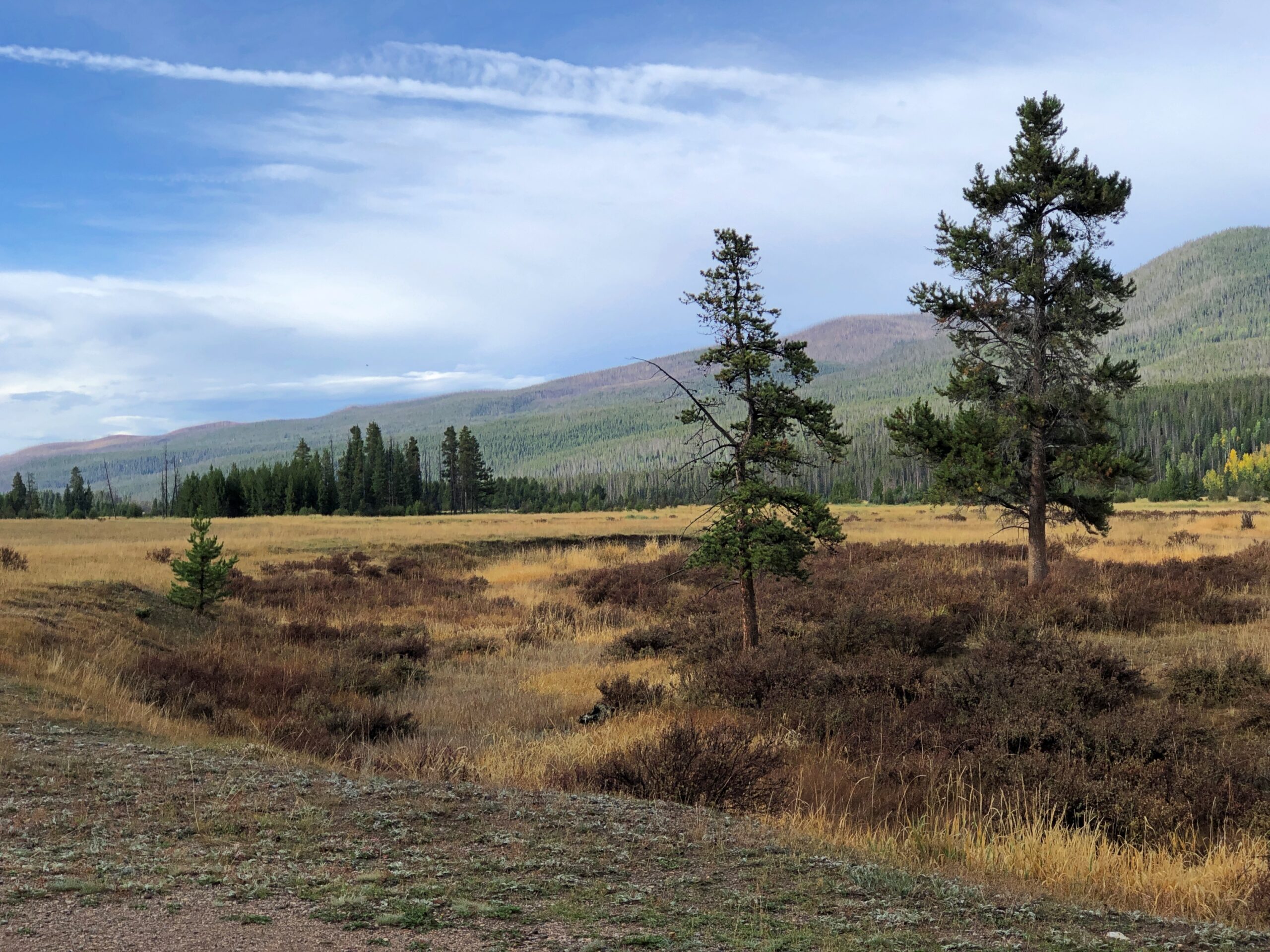
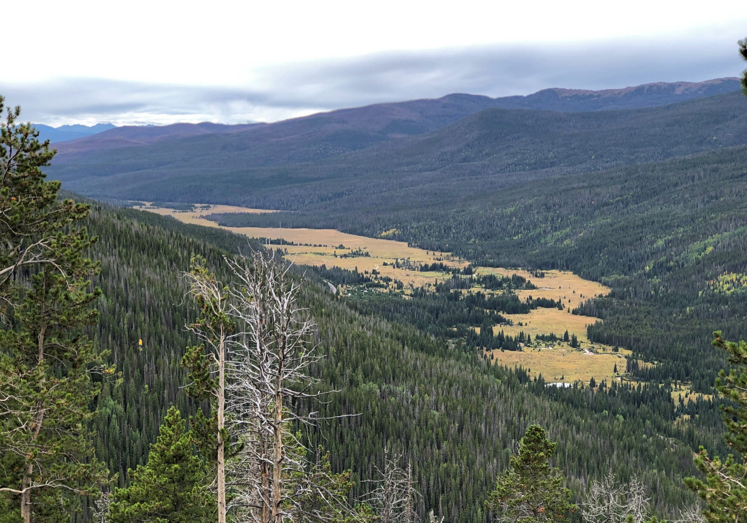
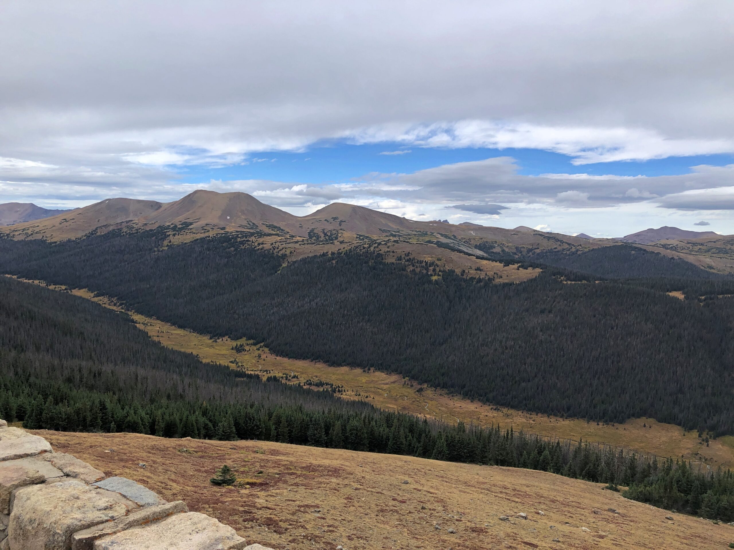
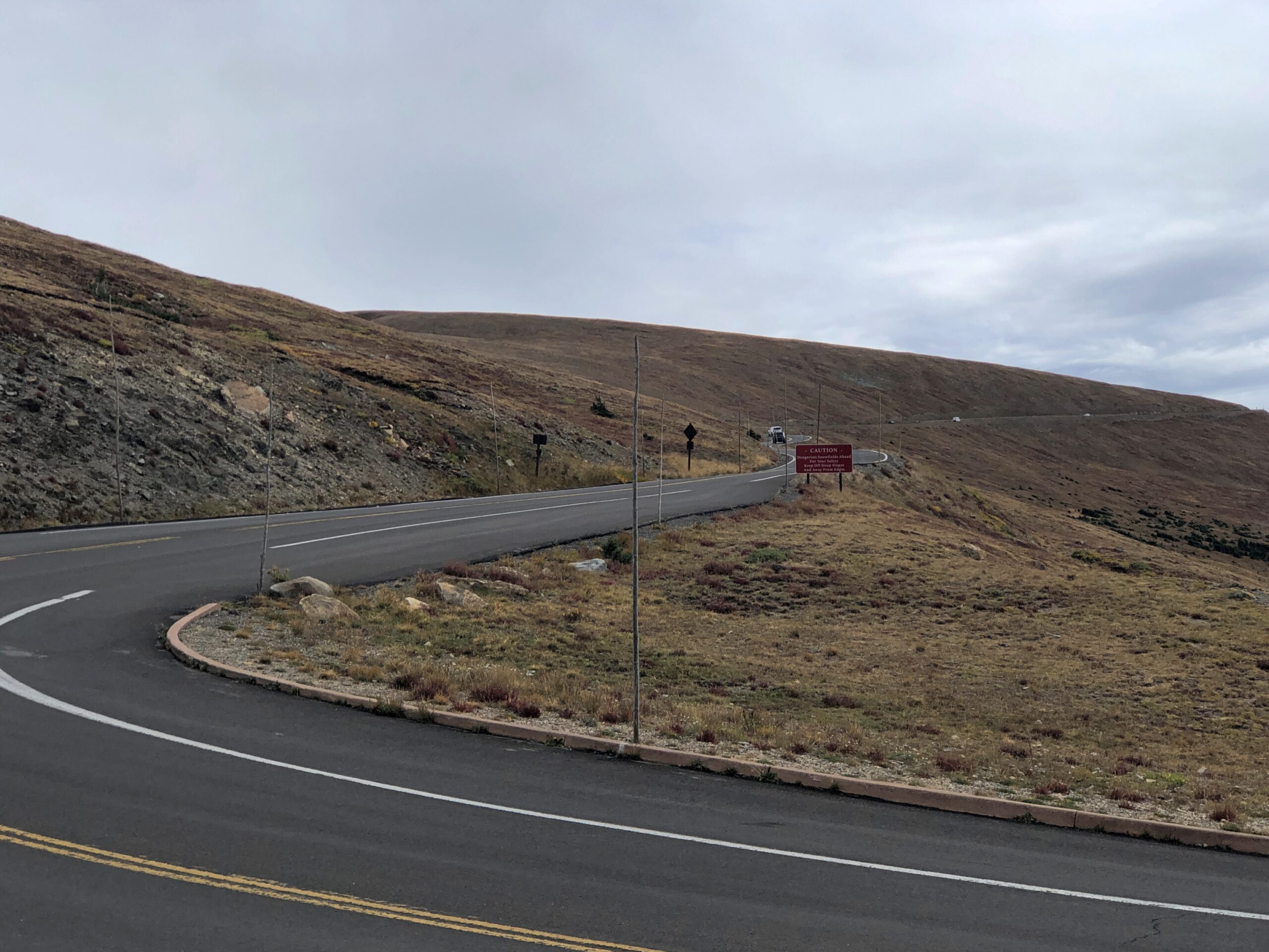
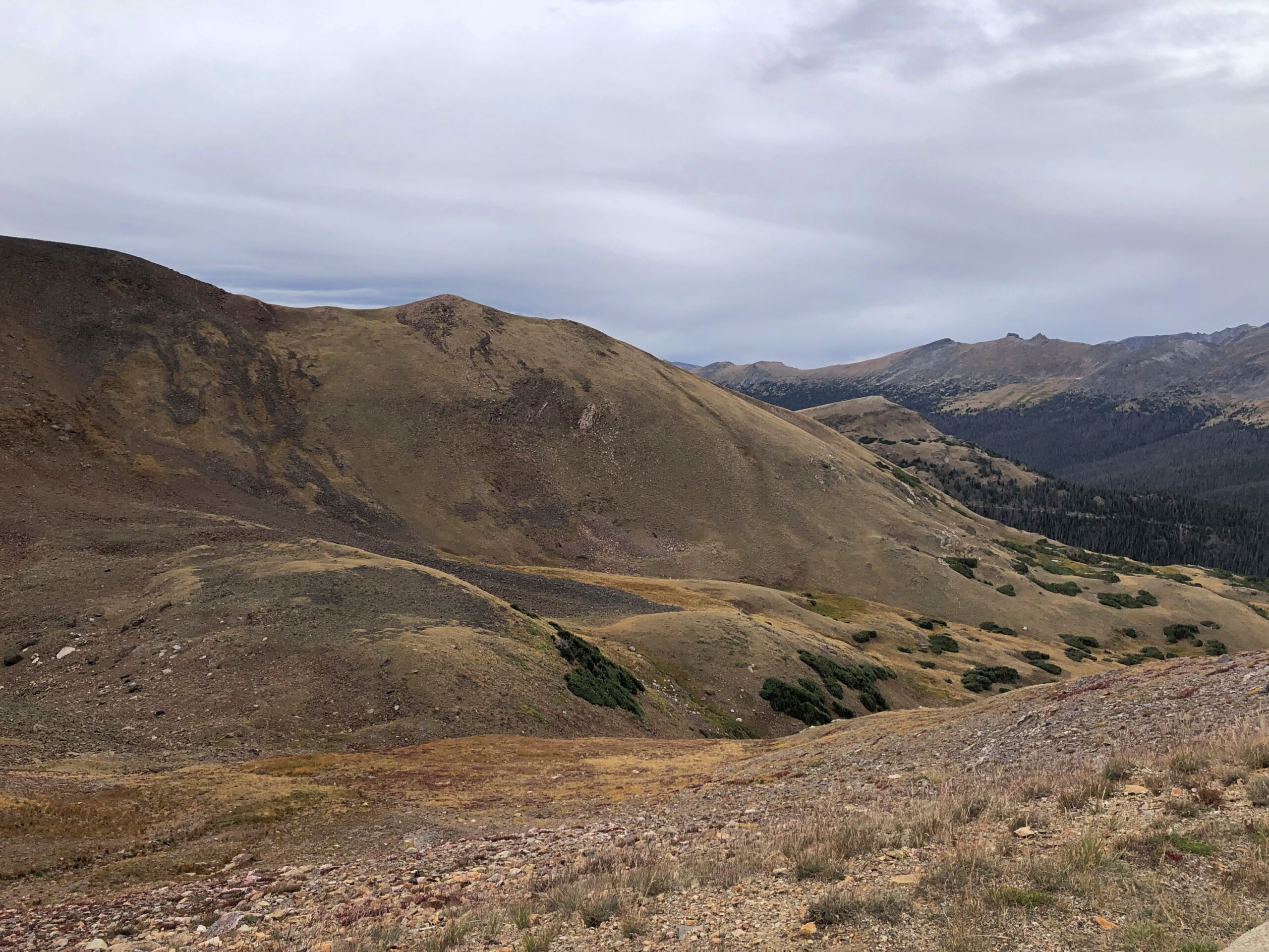
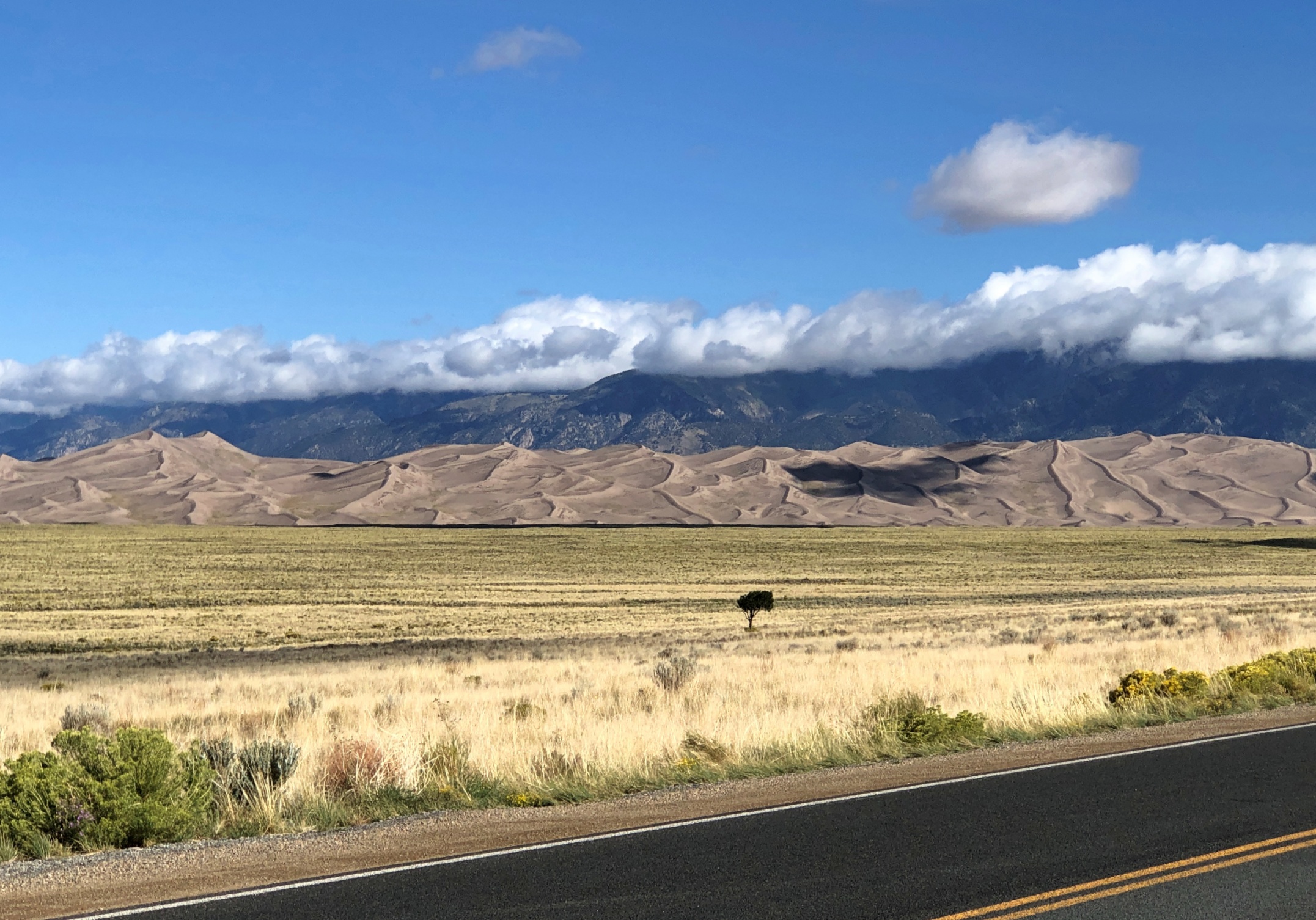
We approached the park on September 14, heading eastward on Lane 6 North, an Alamosa County road through the flatlands of San Luis Valley, an enormous stretch of land between the San Juan Mountains and the Sangre de Cristo Mountains. At 8,000 square miles, San Luis is the world’s largest alpine valley, the Denver Gazette asserts, with an average elevation at more than 7,600 feet.

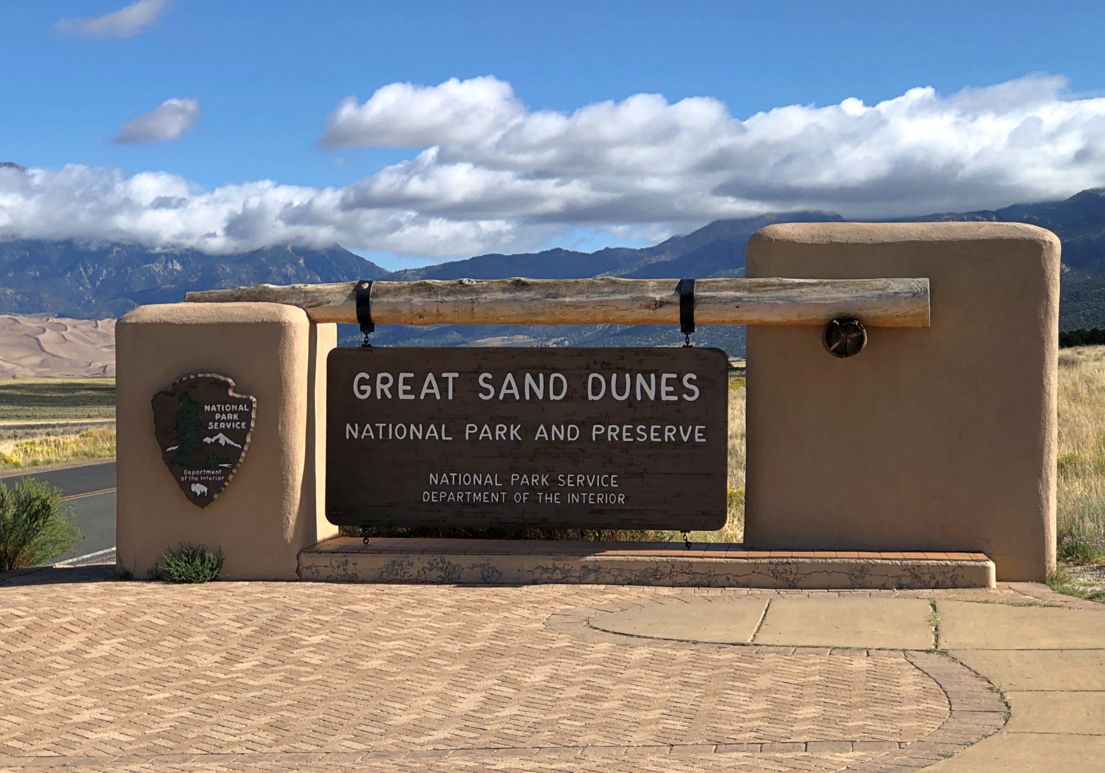
Great Sand Dunes was a national monument for longer than it has been a park, though park status represents an enlargement of the monument that President Hoover created. It is Colorado’s newest national park, raised to that status only a little more than 20 years ago.

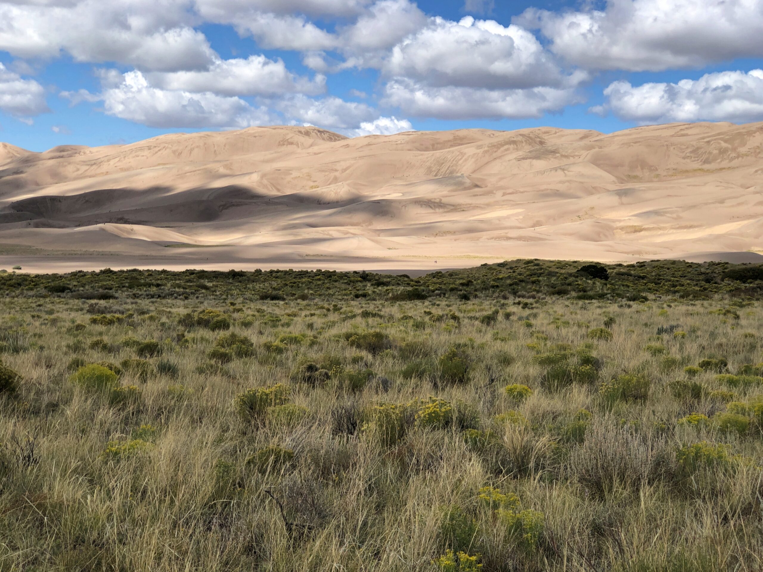
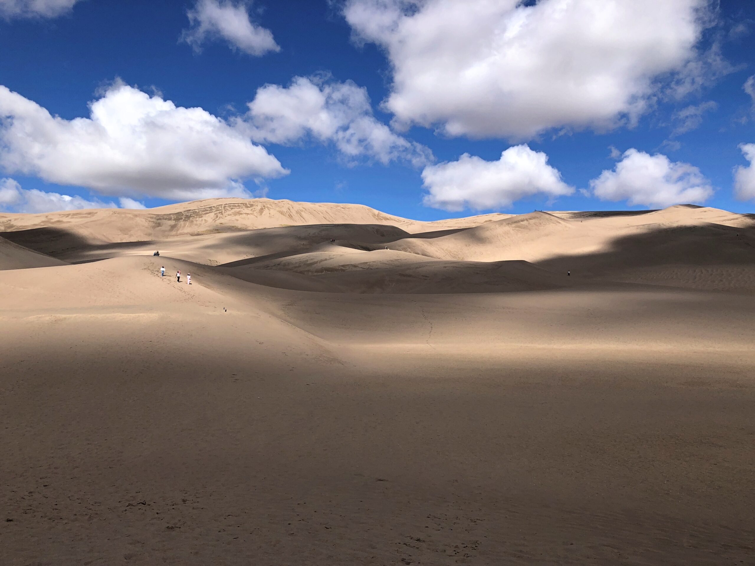
At a distance of some miles from the park, you notice a pale rim at the foot of the Sangre de Cristo range. As the mountains come better into view, so does the rim, soon looking like a vast pile of sand – which it is – pushed up against the mountains by some enormous broom – which it was not (see above).

Great Sand Dunes National Park

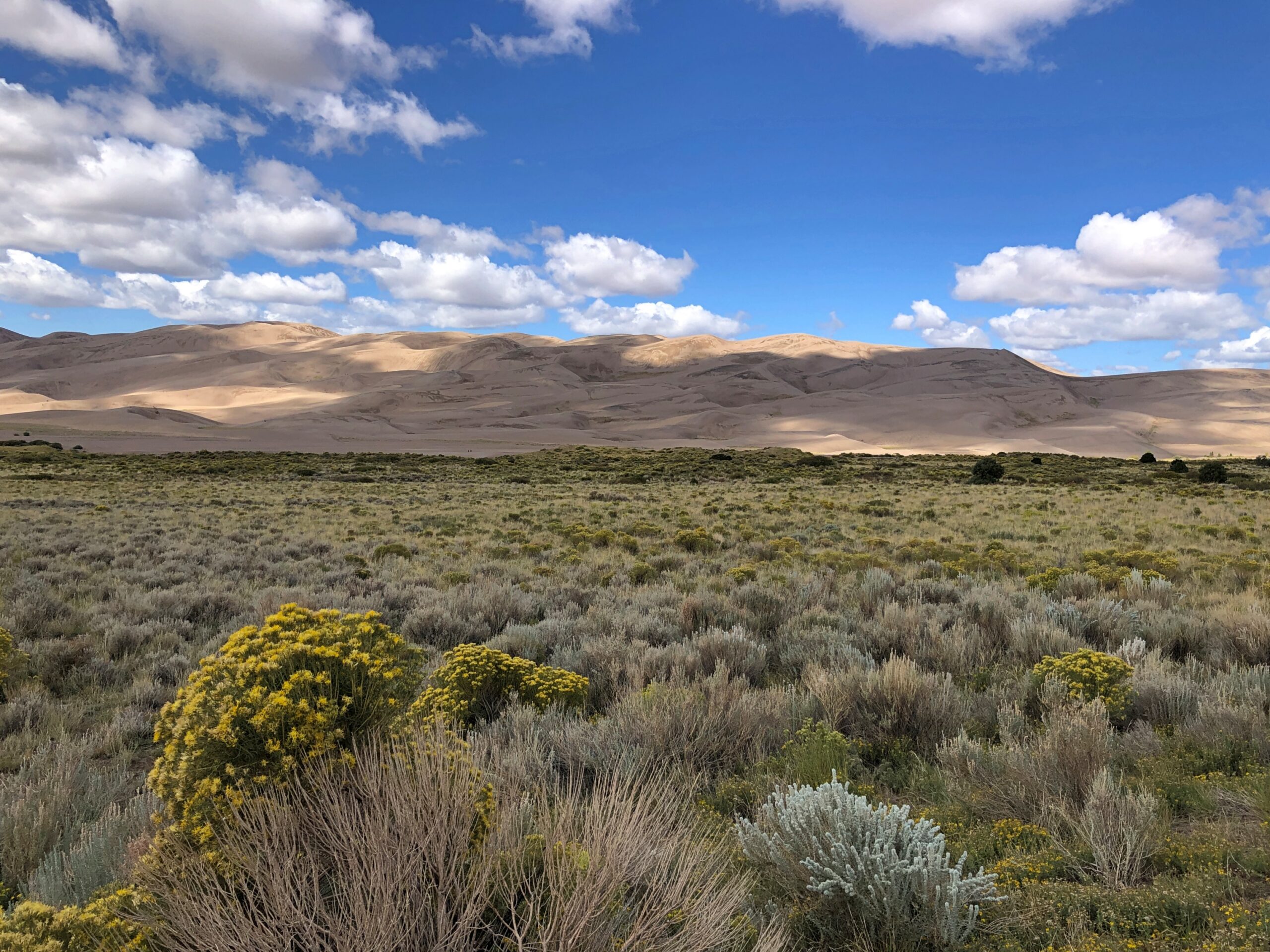
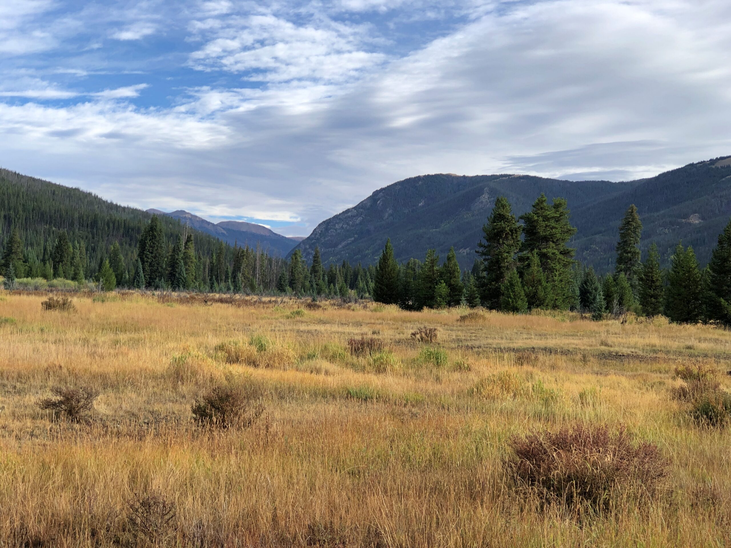
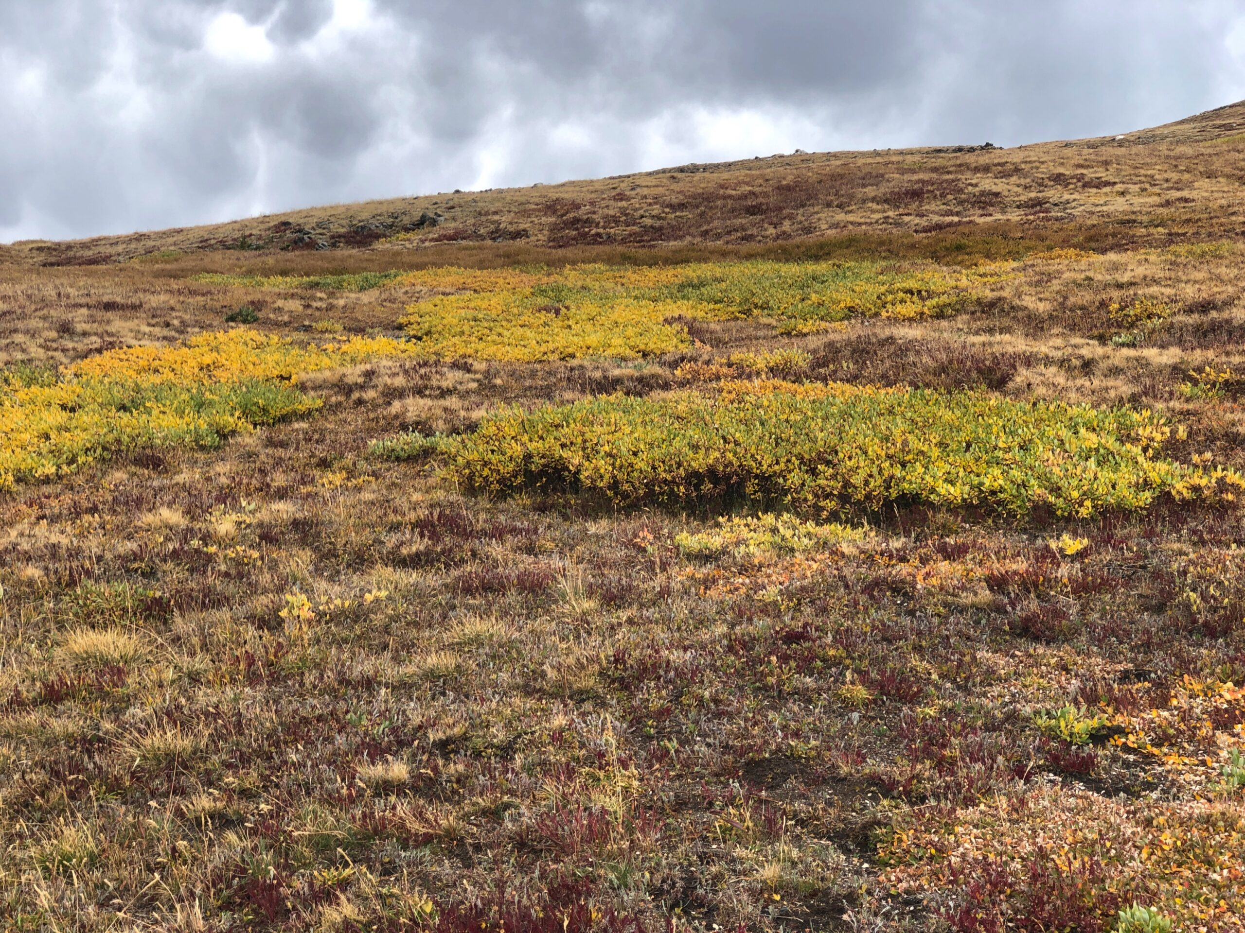
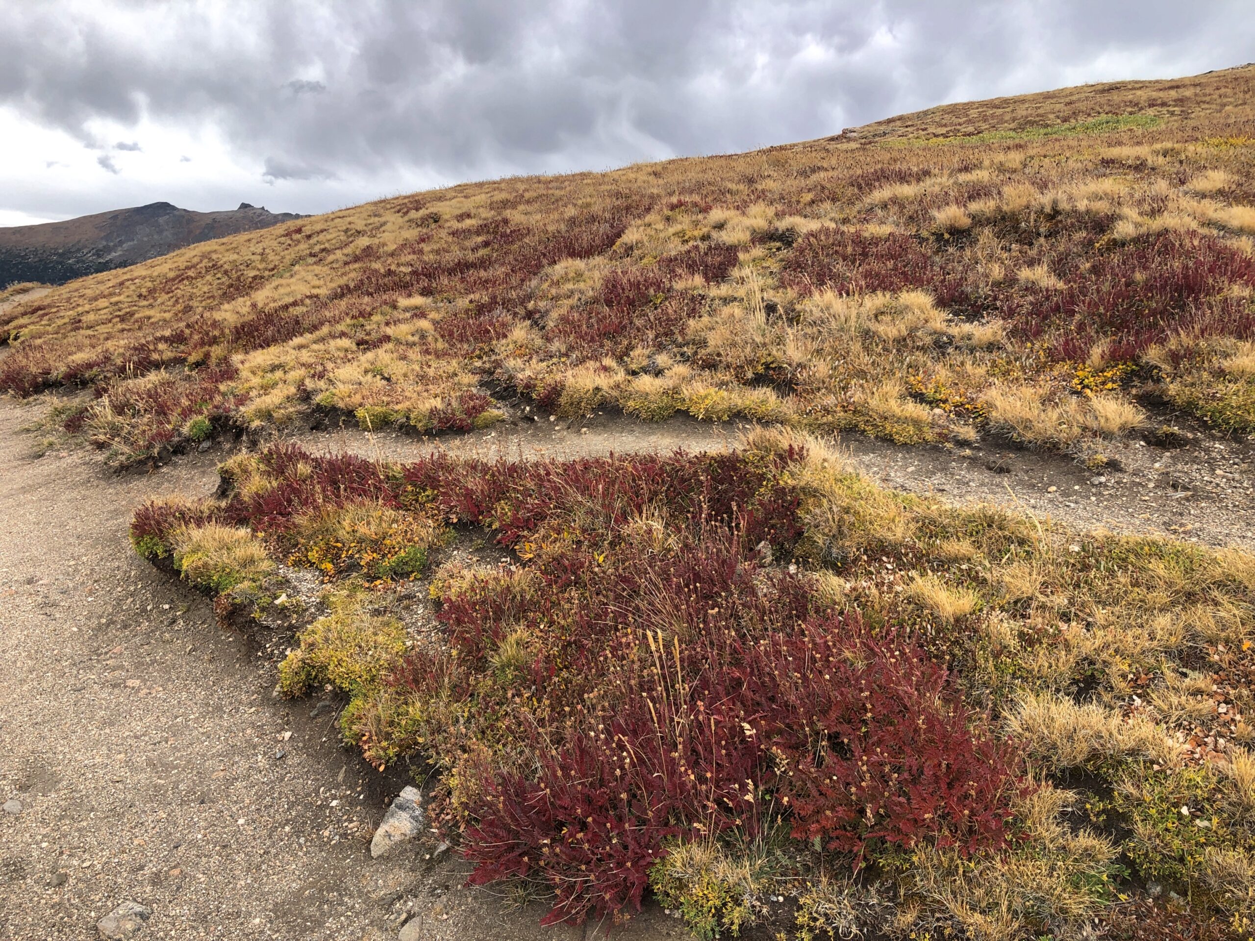
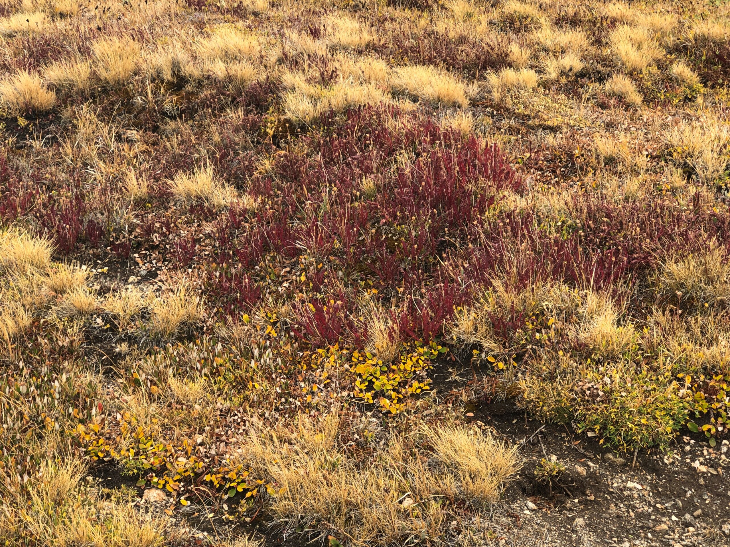
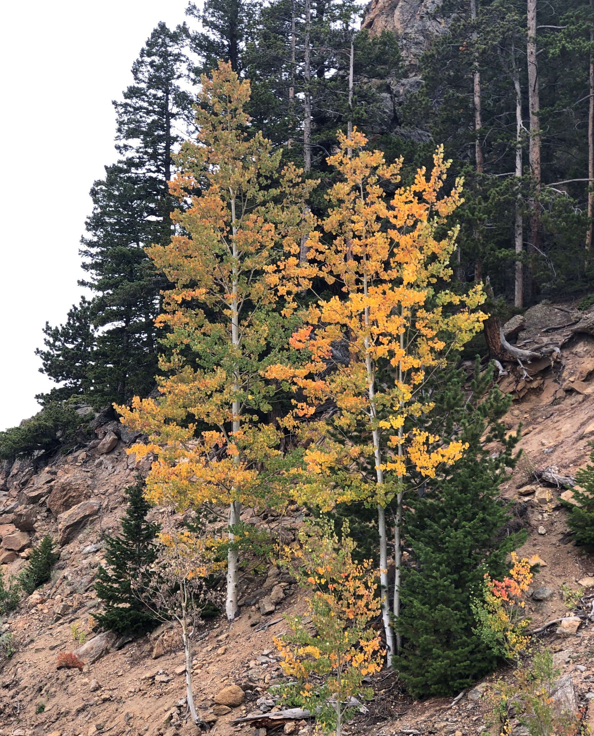
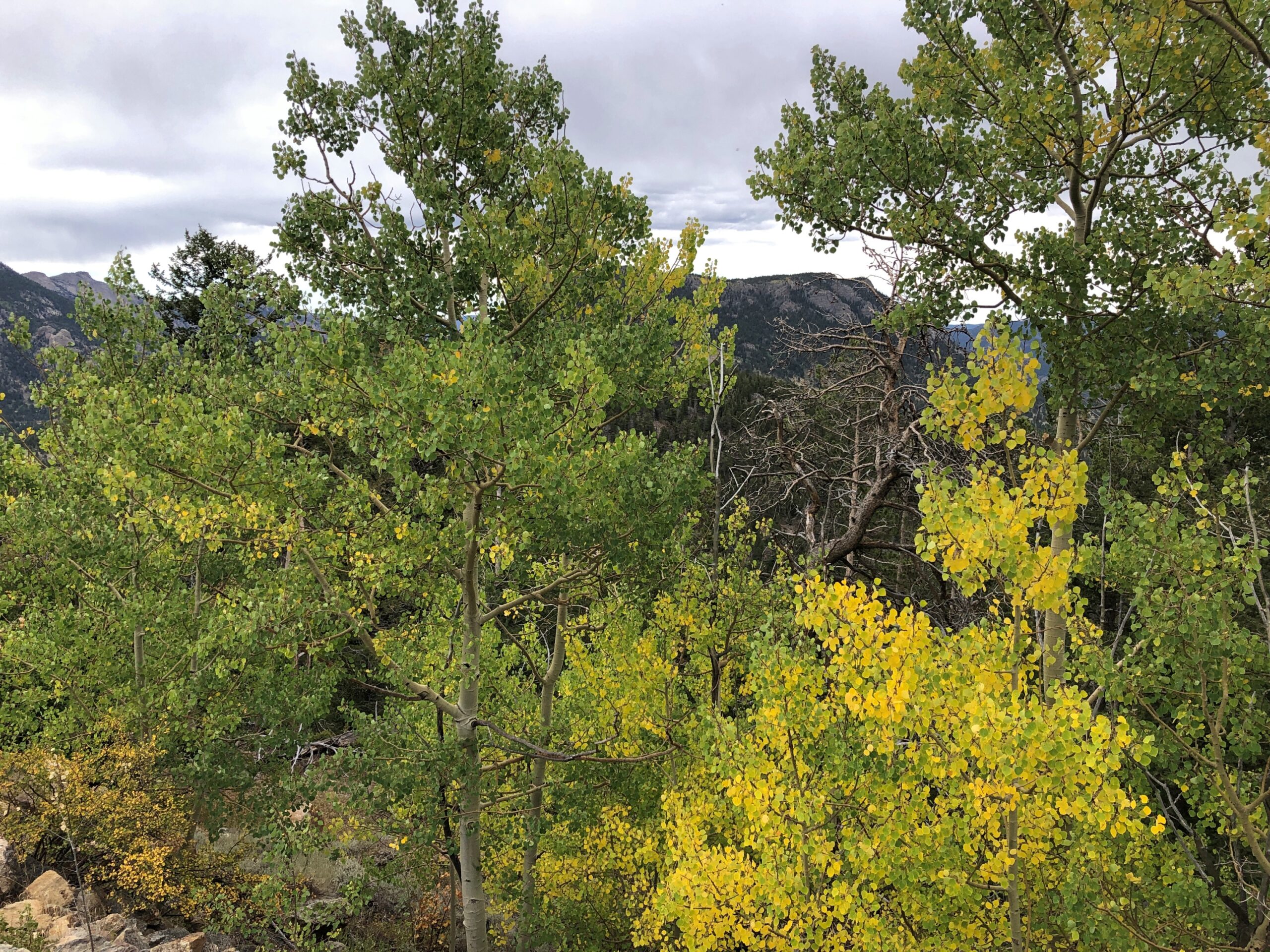
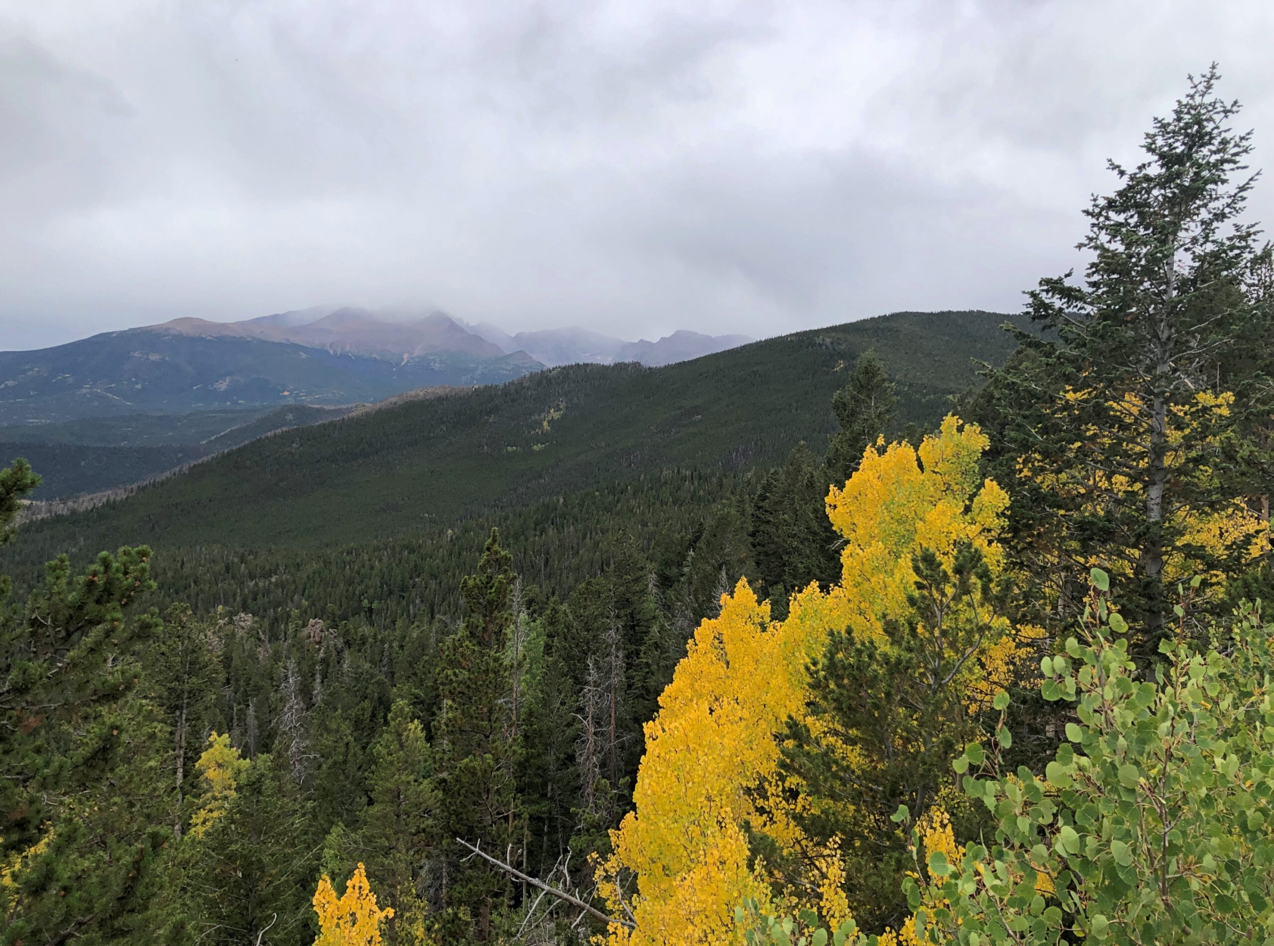
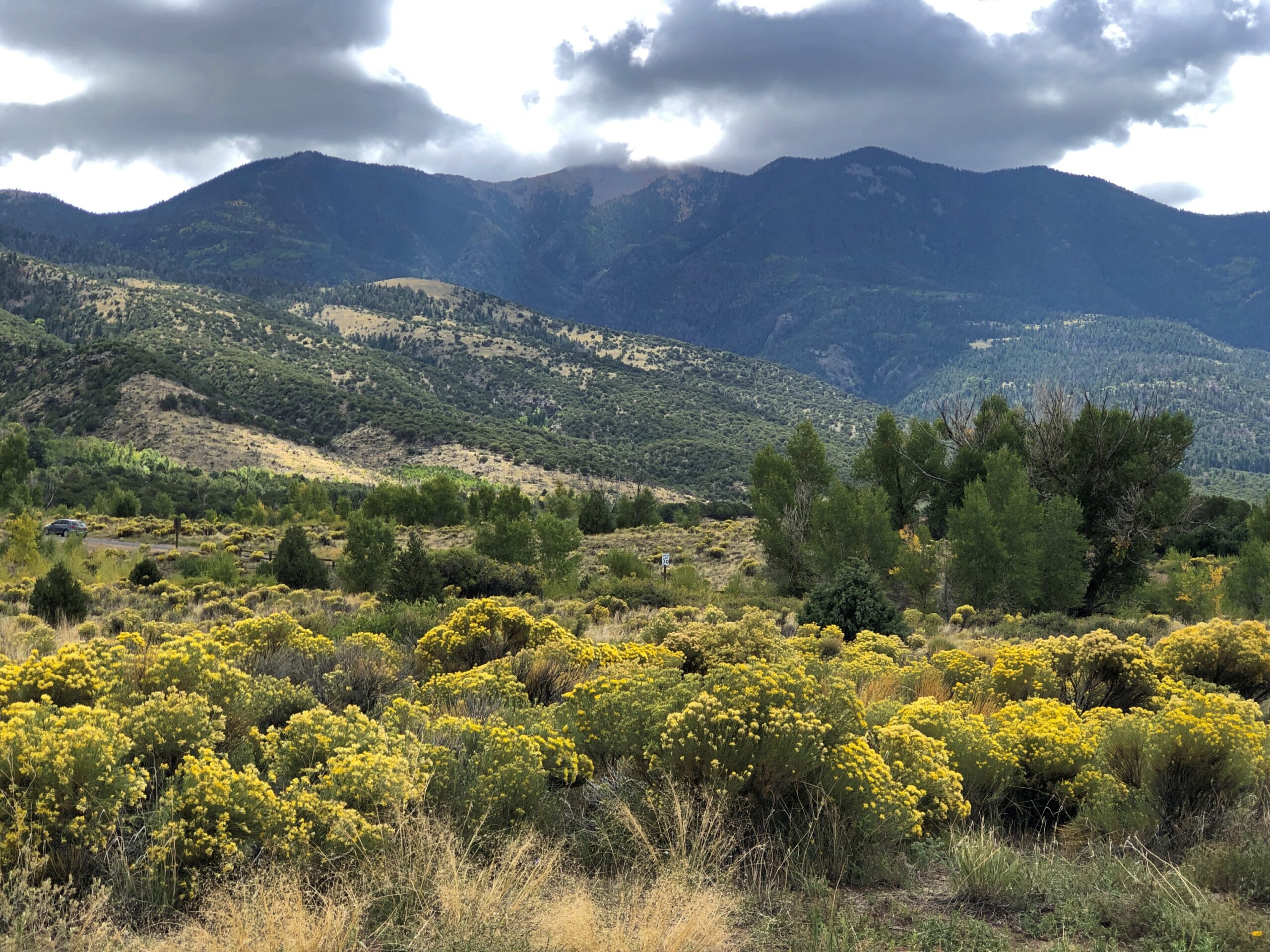
Also on offer: a nice view of the Sangre de Cristo, including flora that thrives in the sandy soil of its foothills.

Great Sand Dunes National Park

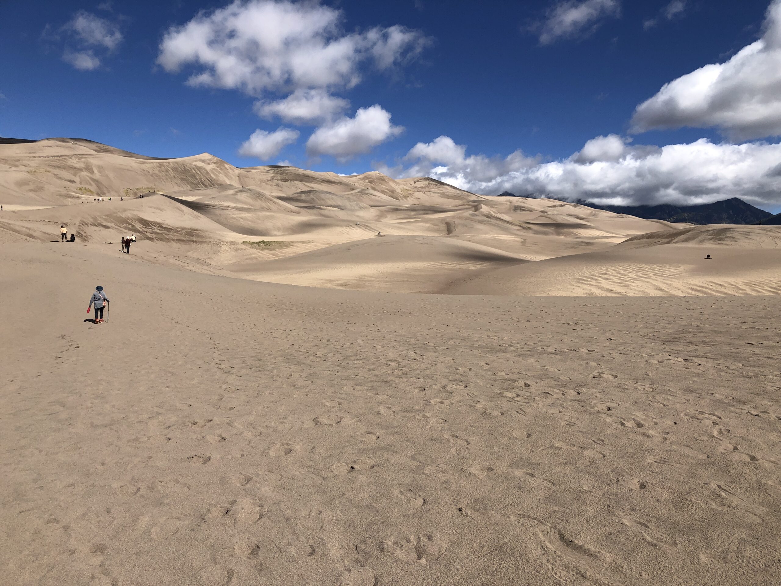
The tourist side of GSDNP features a visitor center and a parking lot and, a short ways away, camp sites. Vegetation girds the parking lot. From there – dunes at the other end of a long sand flat.

Great Sand Dunes National Park

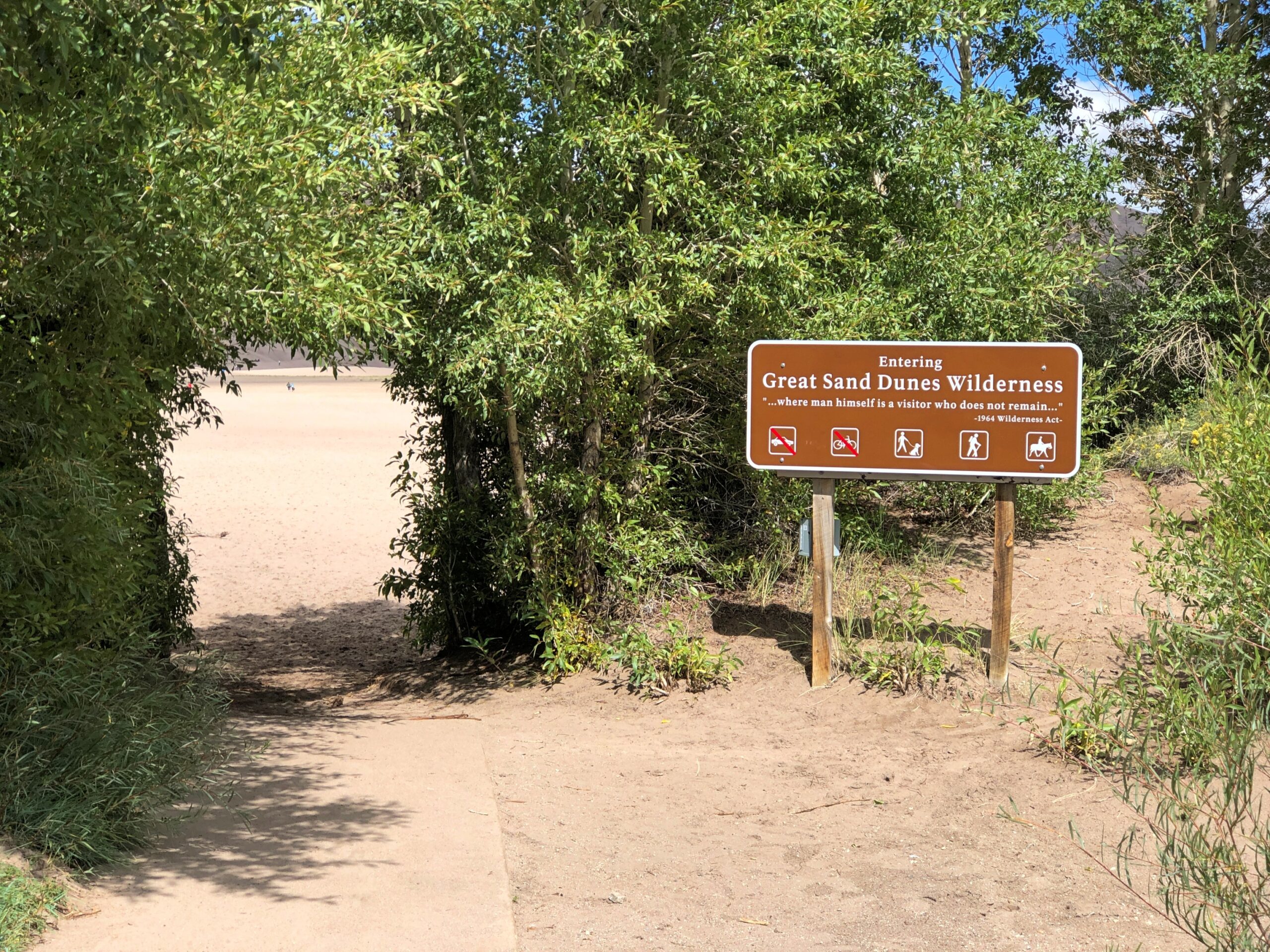
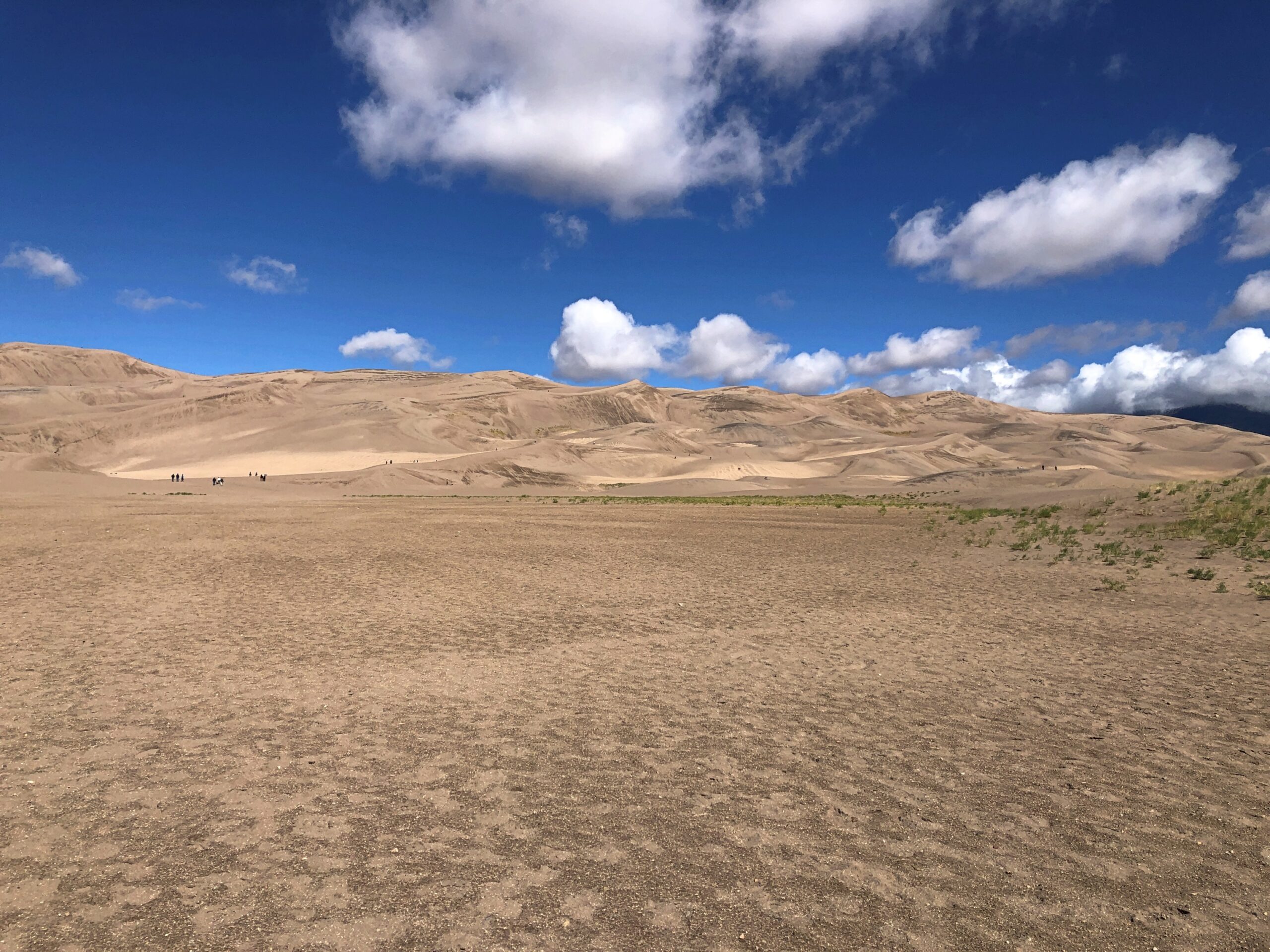
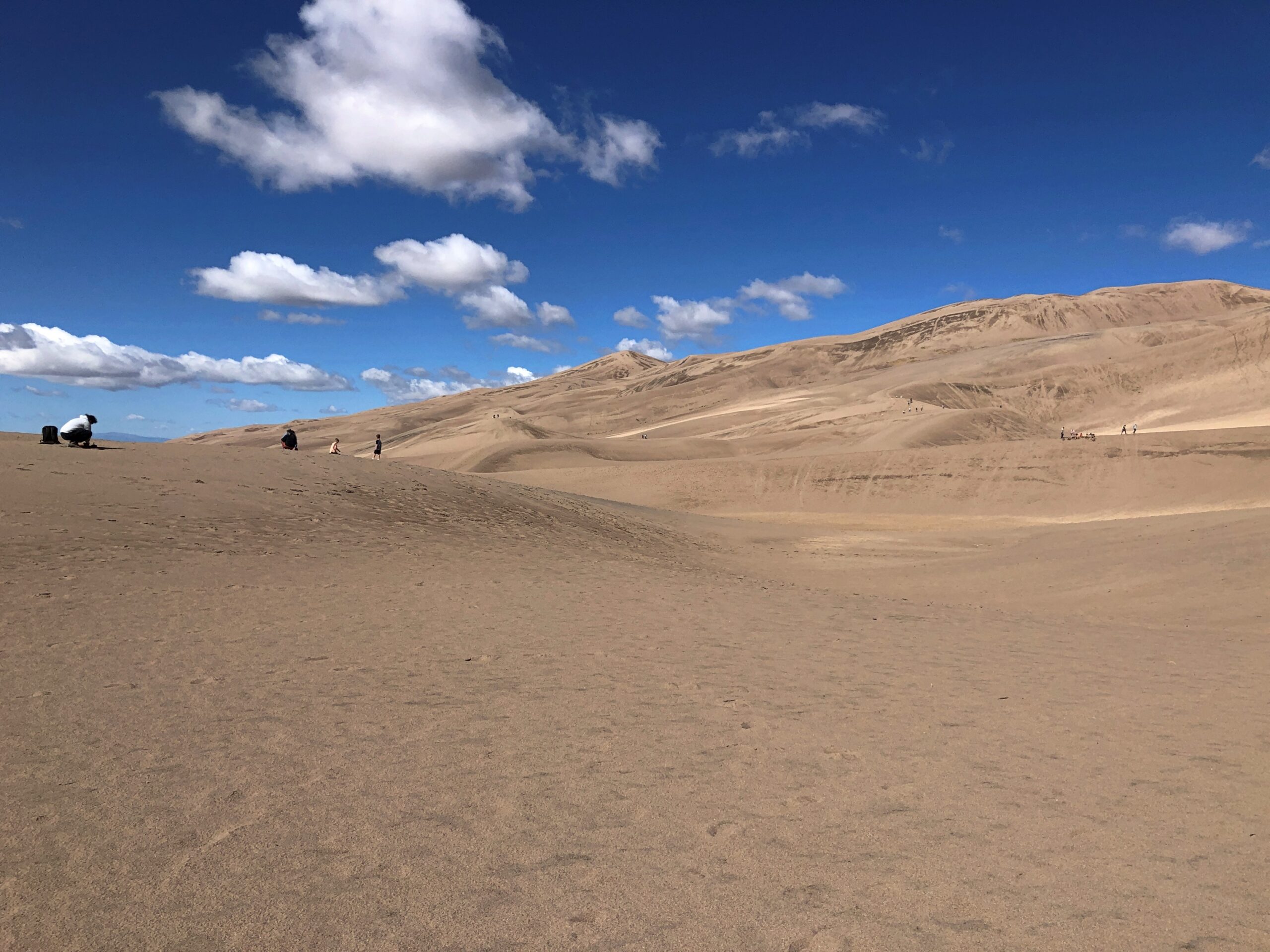
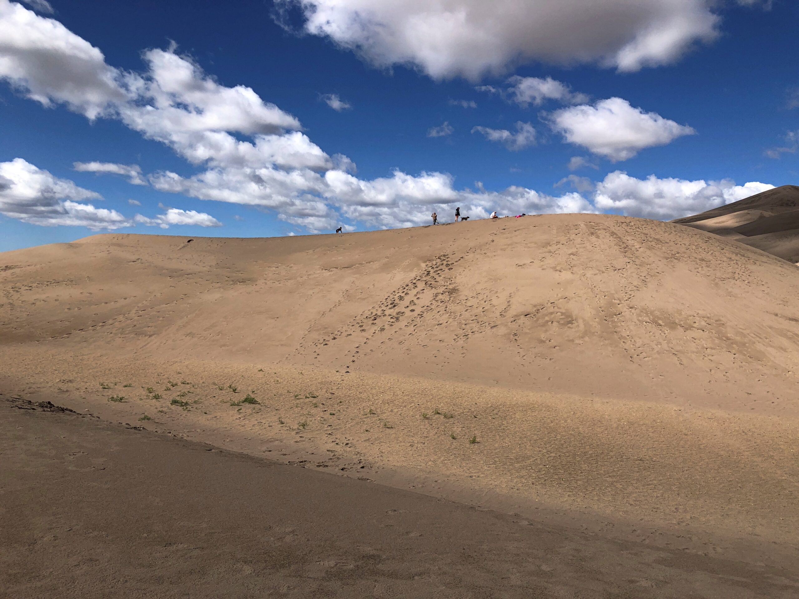
No further signs, no trails. Visitors head toward the dunes and wander around wherever they want.

Great Sand Dunes National Park

A major activity is sandboarding. Like snowboarding, I suppose, only without the freezing white stuff. Atop this dune, sandboarders are ready to slide.

Great Sand Dunes National Park

It’s a young person’s and young families’ game. We happened to meet a pair of young men on one of the dune crests, boards in hand. One of them was wearing a Texas A&M cap, and I asked if he’d gone to school there. He had, finishing a few years ago. I wasn’t entirely certain that he believed me when I told him my grandfather was Class of ’16. That is, 1916.

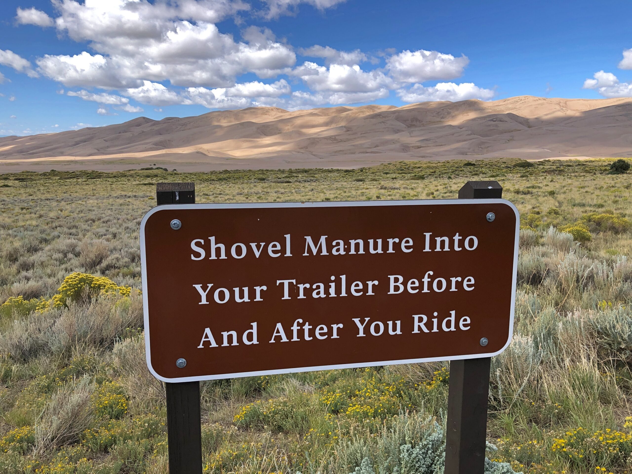
Horseback riding is also allowed on the dunes, under certain conditions.

Great Sand Dunes National Park

We merely took a walk, climbing a few of the smaller dunes. I’d learned my lesson back in 2007, when we clawed our way up a large sand dune in Michigan, at Sleeping Bear Dunes National Lakeshore: “It was a slog. One foot up, then it slides down a bit. After all, it’s warm sand. Make that pretty hot sand. Step, slide back, step, slide back, step, slide back. Rest. Heat. Sweat. Sand in shoes. Remove sand pointlessly, because it comes back. Step, slide back, step, slide back…”

The day at GSDNP wasn’t quite as hot as in Michigan, but the sand was just as sandy. So we admired North America’s largest pile of sand, but not from the top of any particularly large pile.

Rocky Mountain National Park

On September 15, KKTV in Colorado reported that Trail Ridge Road through Rocky Mountain National Park was “briefly closed Sunday [the 14th] due to the wintry weather. This was first time snow and ice shut down the road since it reopened in May.”

We drove that road two days before, on the 12th. As the article notes, the “48-mile highway through the park is North America’s highest continuous paved road and connects the east and west sides of the park… [it] reaches 12,180 feet at its highest point. Alpine Visitor Center, where snowfall was caught on webcam, is located at about 11,796 feet.”

We’d spent the night before in Granby, Colorado, from the looks of it a growing town – complete with large rows of spanking-new townhouses – and from there entered the park from the western, or less crowded side. The eastern entrance near Estes Park, Colorado, has a more direct connection to the mobs coming from greater Denver.

RMNP is a place of majestic vistas. We came for that, and were not disappointed. But I was just as impressed by something we saw near the western entrance at a place called Holzwarth Historic Site, in the Kawuneeche Valley. A picturesque place.

It was the first place we stopped in the park, walking on a path through part of the valley. A small bridge crossed what looked like a creek.

Rocky Mountain National Parl

A sign on the bridge informed us, however, that this was the Colorado River. A flabbergasting moment. I’d known that the Colorado rises in one of the remote parts of the park, but I didn’t know we were going to encounter the river – whose downstream will carve epic canyons and be dammed to the hilt for the water and power needs of millions of people – by crossing it on foot in a few seconds.

The Holzwarths ran a dude ranch on the site for much of the 20th century, before selling it to the Nature Conservancy, which eventually resulted in the area being added to the national park. A number of the dude ranch buildings still exist not far from the baby Colorado River.

From the valley Trail Ridge Road, which is also US 34, heads upward. A look back at the valley.

Soon you reach Milner Pass on the Continental Divide, crossing back to the Atlantic side; we’d crossed to the Pacific side at Berthoud Pass the day before outside the park, on the way to Granby.

From there, the road takes you above the tree line. By that elevation, the warmth down in the valley is just a memory, as brisk chilly winds blow. The air was still above freezing that day, but not by much.

From one of the several pullouts on the road, a path through fields of alpine tundra.

Been a long time since I’d seen any. Back in the Canadian Rockies? No, Alaska. Still, a while ago. We’d reached autumn above the tree line, with the tundra turning.

Rocky Mountain National Park

The road goes on.

Who first built the road? There was none when Rocky Mountain NP became a national park, with President Wilson’s signature on the bill. Improvements came later, and of course they were by the CCC.

At the Alpine Visitor Center, parking was hard but not impossible to find. The views are good from there, but if you want the better vistas, you climb some outdoor stairs. Roughly 200 feet of them.

The air was cold and there wasn’t enough of it. Or so it seemed. I took my hiking pole, put on a sweater and cap and started up. I could have bought a small can of oxygen at the gift shop, had I known about it. I saw a woman, clearly older than me, coming up the stairs as I was headed down, pausing to inhale vigorously from such a can.

Yuriko and Emi made it to the top before I did, but by taking a number of breaks, I managed to get to there myself. Just another thing I should have done 30 (40) years ago. But even then, I’d have been tired at the top.

Rocky Mountain National Park

It’s that extra five feet that leaves you gasping, I think. No matter, the view was worth the gasps. Entirely. The images, as usual for this kind of vista, barely convey the scene in its glory. This is going to be a persistent reality over the next few days’ posts.

Rocky Mountain National Park

Enough to make you burst out with a rendition of “Rocky Mountain High.” If you had the oxygen. I have to say I was glad to repair soon to a lower altitude, one below the tree line. From the Alpine Visitor Center, the road heads toward the eastern entrance to the park, a good many miles away and several thousand feet closer to sea level.

Before we left the parking lot, we saw a fox — guess that would be an alpine fox, pointy snout, pointy ears, billowing with orange and white fur — trot onto the parking lot, as if it had a car parked there. A young ranger, presumably used to the elevation, took chase. Not to catch the fox, which would have been impossible, but probably to prevent the animal from getting run over. Roadkill is one thing, but parking lot kill would have put a small dint in the scenic wonder all around. Anyway, the fox headed for the slopes.

Not only was the air better below tree line, fall foliage was well under way, something we haven’t gotten much of even now here in northern Illinois, though it won’t be long.

Rocky Mountain National Park

One down, three to go. One of the marvels of Colorado’s four national parks is how different each of them are from the others, as we would soon see for ourselves.

Colorado Lasso ’25

Driving down from the alpine wonders of Rocky Mountain National Park a couple of weeks ago on highway US 36, I realized we’d be passing through Boulder, Colorado. So during one of the moments of standstill traffic on that highway as it winds into Boulder — it’s a crowded road, especially on a weekend during warm weather — a thought occurred to me. More of a memory-thought, since it harkened back almost 50 years.

At zero mph, I had time to consult Google for more information. (Remarkably, the signal was strong.) Google Maps pinpointed the location I’d thought of, on a leafy street in Boulder. That day I expended some tourist energy, of which I don’t have quite as much as I used to, to find Mork’s house.

That is, the house used in establishing shots in Mork & Mindy to show their home, since the show was set in Boulder. I know I’d seen Boulder on maps. Funny name, I thought as a kid. Really Big Rock City. It’s still a little funny. But other than as a spot on the map, the show was probably the first time I’d heard anything else about the place.

The passengers in my car, Yuriko and Emi, having grown up outside of the orbit of ’70s American sitcoms, didn’t particularly appreciate the place. At least not until I conveyed the information that the show made Robin Williams famous. He’s a known quantity. I read a bit about the house later, and there seems to be no consensus about whether the owner cares whether anyone stops by the take a picture. My guess would involving factoring in a dwindling number of people coming by. You know, because the show went off the air over 40 years ago.

Then again, if my U.S. travels have taught me nothing else, it’s that retirees are out being tourists. They have the time they didn’t used to, and currently are just the right age to take a peek at Mork’s house at 1619 Pine Street, which is easy enough to find. Even if, like me, their fondness for that show was lukewarm at best.

Boulder and Mork came early in the second leg of my three-legged, 4,498-mile drive, which seemed to kill that many bugs on the windshield and front hood and bumper. The house counted as merely one spot in a trip that took me through hundreds of places. I spend most of September on the road, heading west from Illinois early in the month along I-80 and smaller roads, especially Nebraska 2 through the Sandhills, and spending time in western Nebraska and its rocky outcroppings and in southeast Wyoming, before going to Denver. That would be the first leg. Which, I’m very happy to say, included a good look at Carhenge.

Yuriko flew to Denver on the last of the points I got from SWA for the Christmastime FUBAR a few years ago and we met there. (New motto for the airline: Now We’re Just Another Airline!) After an overnight jaunt to Rocky Mountain NP in the company of our friend Emi, the two of us then spent more than a week taking a clockwise circle-(like) course — a lasso, you might call it, a straight line connected to a loop — from Denver to Colorado Springs to Pueblo to Walsenburg to Alamosa to (coming down from Wolf Creek Pass) Pagosa Springs to Durango to Silverton to Ouray to Montrose to Salida and back to Denver, where Yuriko flew home. That was the second leg. The drives were varied and gorgeous.

You’d think that would be enough, but I had to drive home, loosely following I-70 this time, making my way from Colorado through Kansas, Missouri and Illinois, and making a number of stops, big and small, such as Kit Carson, Colorado; Abilene, Kansas; and Kansas City, Missouri, for a third and final leg. No single small road took me through Kansas, but a series of them did, some as empty as, well, eastern Colorado and western Kansas. That’s some fine driving. Mountains are great, but after a week or so of their twisty ups and downs on two lanes, flat is all right. More relaxing, even.

For reasons that will soon be obvious, not long ago I looked up 2024 visitation statistics for the four national parks in Colorado: Rocky Mountain, Mesa Verde, Great Sand Dunes, and Black Canyon of the Gunnison.

Far and away the top national park draw in Colorado is Rocky Mountain NP, which received 4.2 million people last year, according to the NPS. In fact, it’s a top ten among most-visited U.S. parks. That isn’t so much of a surprise, considering the monster population that lives nearby in greater Denver and other parts of the Front Range. Indeed, for a lot of people, RMNP is easily a day trip.

That isn’t true for the other three national parks, but even so I was surprised to learn how few people actually visit any of them. They aren’t that remote. We aren’t talking Gates of the Arctic NP or American Samoa NP remote. Still, out of the 63 current U.S. national parks, last year Mesa Verde ranked 41st, Great Sand Dunes 44th, and Black Canyon 49th. The three of them combined saw only about 30 percent as many visitors as Rocky Mountain in 2024.

We set out to see all four of the national parks in Colorado. And we did. You could call it a national park trip, along the lines of the one a few years ago mostly on the Colorado Plateau. But the parks were only a framework, never the total picture, over mountains and across plains. We saw a lot else besides, such a male bear outside our window about 10 miles north of Durango, a female in a tall nearby pine snarling at him, and cubs higher up in the tree. More detail to come on that, in the fullness of time.

Rocky Mountain NP is an exercise in rising above the tree line, by vehicle but also on foot, up a path, into to a satisfying exhaustion before majestic mountains. The pale sand dunes of the Great Sand Dunes NP rise from a valley and back up against a mountain range, as if a giant broom swept it off to corner, and for visitors amounts to a giant sand box. Mesa Verde NP, where the stone dwellings of the Ancient Ones are tucked away in steep stone canyons, shows how much effort people will put into making a home for themselves. Black Canyon of the Gunnison NP is a scenic great unknown, a great dark crack in the earth that reminds you that gravity is in charge, its ragged cliff edges rife with opportunities to die for an Instagram image.

Walworth County Tin Man

It may be September, but it’s still warm. Time to take advantage of the second shoulder season of the year in my own slightly demented way. Back to posting around September 28.

Last month I’d gotten a tip from one of the usual sources detailing roadside oddities, so there I was, tooling down a road in rural Walworth County, Wisconsin. The sun was hot and the corn was high. My tip was solid. I pulled off the road and walked a little ways for a good look at the oddity. It is larger than most.

Tin Man, Wisconsin
Tin Man, Wisconsin

It’s called “Tin Man,” according to published sources, rising 45 feet and weighing in at 20 tons. The creators were two local men entertaining themselves. Looks are free from the road. If that’s not an authentic roadside attraction, I don’t know what is. I was careful to stay off the property, however.

“That statue stands tall in Robert Stewart’s home near Lake Geneva. In fact, it can be seen from about a mile away. It took him and his friend Shane Pope two years to make it,” WTMJ-TV reported in early 2021.

“The statue was built primarily out of scrap metal that Robert was able to collect, which includes the legs, the arms, and body of the statue. The torso is an old water tank that was used in the Pabst Brewery. However, the most iconic piece of the statue might be its Officer Big Mac head.” (I can add that its legs are hay conveyors.)

I’d taken the head for Mayor McCheese – that would make sense in Wisconsin – but actually it’s the lesser-known Officer Big Mac, whom I suppose worked for McCheese until a falling out in the 1980s. Or actually did he answer to Ronald McDonald? Though Ronald had no official title, it was clear he was calling the shots in McDonaldland. Anyway, there the officer is, atop a scrap-metal creation.

Tin Man had been visible from a distance. That raised arm looks a little — odd. Let’s just say he’s waving at the occasional passersby on the road.

When I say rural, I mean rural.

Closer to Lake Geneva, in fact in Fontana, Wisconsin, is the Fontana Frog. I saw it the same warm summer day as the Tin Man.

Fontana Frog

Part of the long defunct Frog Hollow miniature golf course, according to Roadside America. Looks the part.

Not to be confused with another model frog to be seen in Fontana. Two giant frogs in one town. The world’s a peculiar place.

Two Southern Wisconsin Cemeteries

Something I’d never seen on a gravestone: a truck. I’ll bet most people can say that.

St Mary's Cemetery, Burlington, Wis

My best guess when I saw it was that Kenneth C. Remer was a trucking man who, among other things, lived through the short romanticization of trucking men in the mid-1970s. Something I’m sure is lost on later generations, as if that matters. If I were silly enough to say “That’s a big 10-4” to either of my daughters, I wouldn’t expect comprehension. That bit of code wasn’t invented by truckers, but even so.

I looked him up, as one can in our time. His obit says he was a “partner in Remer Milk Service.” So could be he drove a milk truck, at least sometimes. That is a liquid-hauling truck depicted on the stone. Not something celebrated in song and story, but useful work all the same.

Further down the rabbit hole, I came across this: “The 1970s Trucking Craze Can Be Traced Back to a Regional TV Commercial for Bread.” I never knew that, or if I did, I forgot it in the 50 years since then, because I’ve devoted very little thought to the subject over that time. Just another thing invented by ad men.

Another thought on that: though “Convoy” was much more popular, C.W. McCall’s “Wolf Creek Pass” is by far the more entertaining song. (And it’s a real place.) A better song about driving a truck is “Willin’,” originally by Little Feat. Of all people, the inestimable Linda Ronstadt did a remarkable cover of it.

I encountered Mr. and Mrs. Remer at St. Mary’s Cemetery in Burlington, Wisconsin last month. A Catholic cemetery with a nice assortment of stones.

St Mary's Cemetery, Burlington, Wis

Unusual: two Air Force (I assume originally Army Air Corps) Master Sergeants, married to each other.

St Mary's Cemetery, Burlington, Wis

During my recent visit to Elkhorn, Wisconsin, I did no more than look for an “historic cemetery” on Google Maps to find Hazel Ridge Cemetery. Historic for sure, founded more than 150 years ago.

Hazel Ridge Cemetery

It too has a fine collection of memorials. The cemetery is also an arboretum, with more than 25 native species and ornamental varieties.

Hazel Ridge Cemetery

Hazel Ridge has a clutch of war dead memorials, including an 8-inch siege Howitzer as the centerpiece of a Grand Army of Republic memorial.

This particular cannon, according to a nearby sign, was made in 1862 at the Fort Pitt Foundry in Pittsburgh. I assume it did its part for the Union. Nearby are soldiers who did likewise.

And those who died in later wars.

The single word “Carpetbagger” on the stone tells quite a story. Operation Carpetbagger involved black-painted B-24s flying low and slow by night, dropping supplies and agents to the resistance in France before and after the Normandy invasion. Clearly dangerous work. RIP, Bud.