Voyageurs National Park

What is it about national parks? The term is a charm, good juju, kotodama, perhaps to misuse all those expressions, that draws people to a place. People like me.

Had Voyageurs National Park, which is way up in northern Minnesota, merely been Voyageurs State Park — with the same lake-based natural sites and the same history stretching back to paleo-Indians — I doubt that I’d have made the effort to visit this time. I even picked it over a national monument about the same distance from Duluth, the similarly themed Grand Portage NM at the state’s northeast tip.
Recently I checked a list of U.S. national parks and discovered that Gateway Arch National Park in St. Louis was established earlier this year. I hadn’t heard that. The new designation was evidently something Congress could agree on, so now there are 60 national parks.

Including Gateway, because I’ve been there a few times, that’s a round 20 national parks I’ve visited, also including Voyageurs NP, which we went to on July 30.

Among the 60 U.S. national parks, Voyageurs NP is one of the least visited, in the bottom 15, with 237,250 recreational visitors in 2017. That’s many more than the likes of Gates of the Arctic (the least visited at just over 11,000 visitors last year) or the least-visited non-Alaska park, Isle Royale, at over 28,000. But not very many compared with the swarms at Great Smoky Mountains or the Grand Canyon or Zion, the top three 2017 tourist magnets among national parks.

The park is relatively new as well, something I hadn’t bothered to learn beforehand. Richard Nixon’s signature is on the 1971 bill creating Voyageurs NP, which was formally established in 1975.

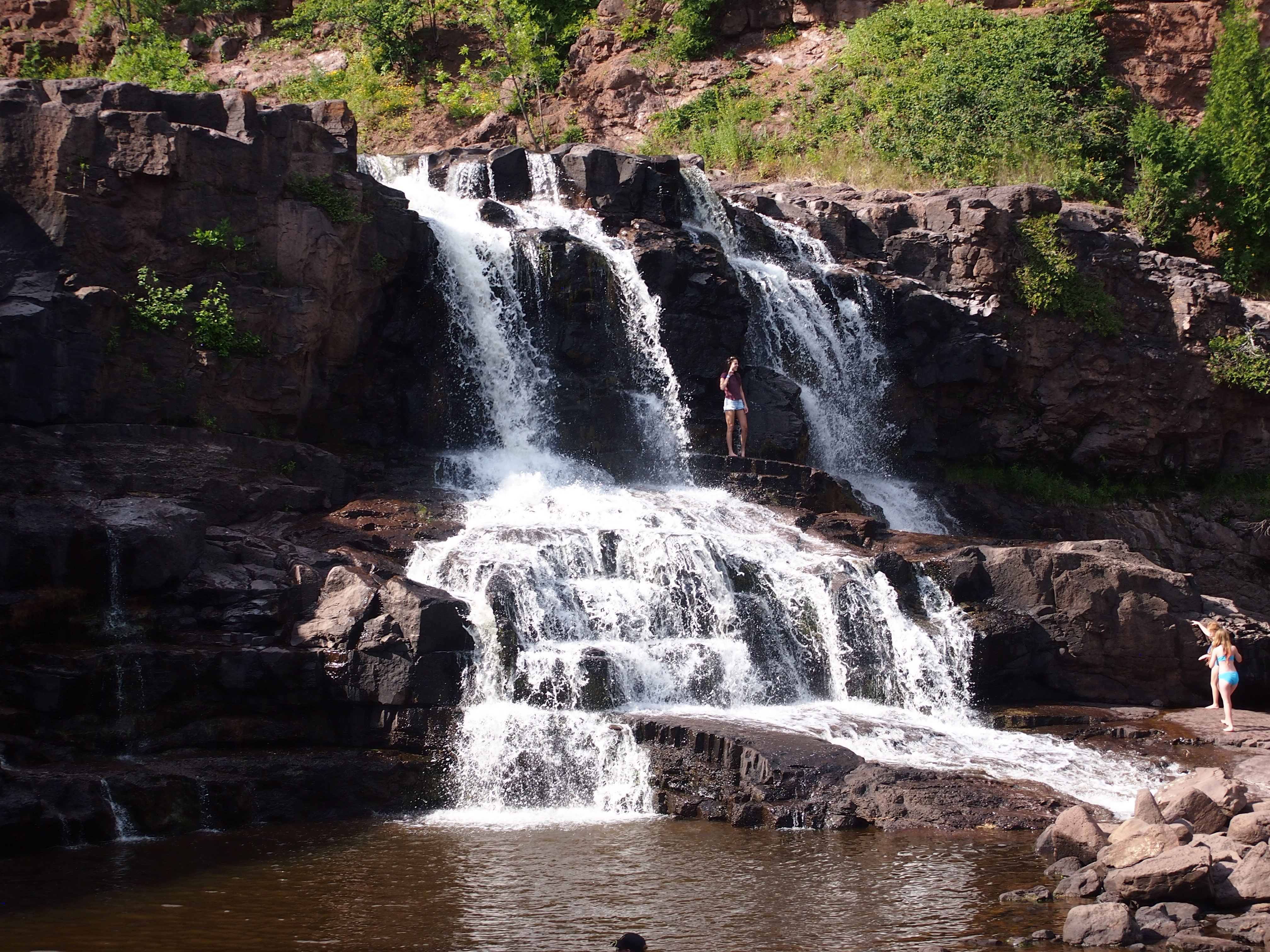
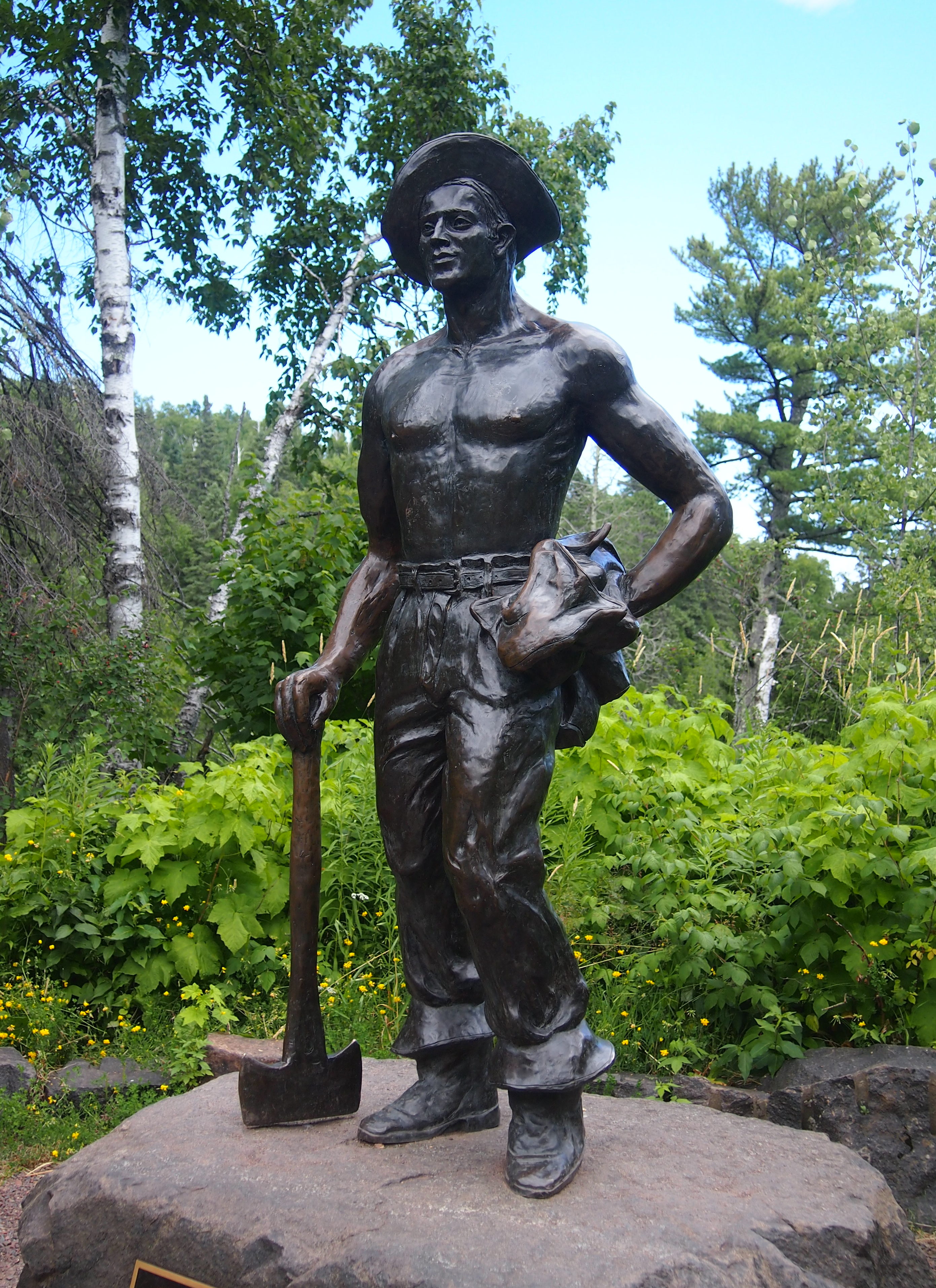
Voyageurs NP is one of those parks designated for its natural beauty, but also its human history, with the name honoring the tough and probably randy Frenchmen who passed this way once upon a time, hauling pelts on journeys from the wilds of Canada toward the markets of Europe.

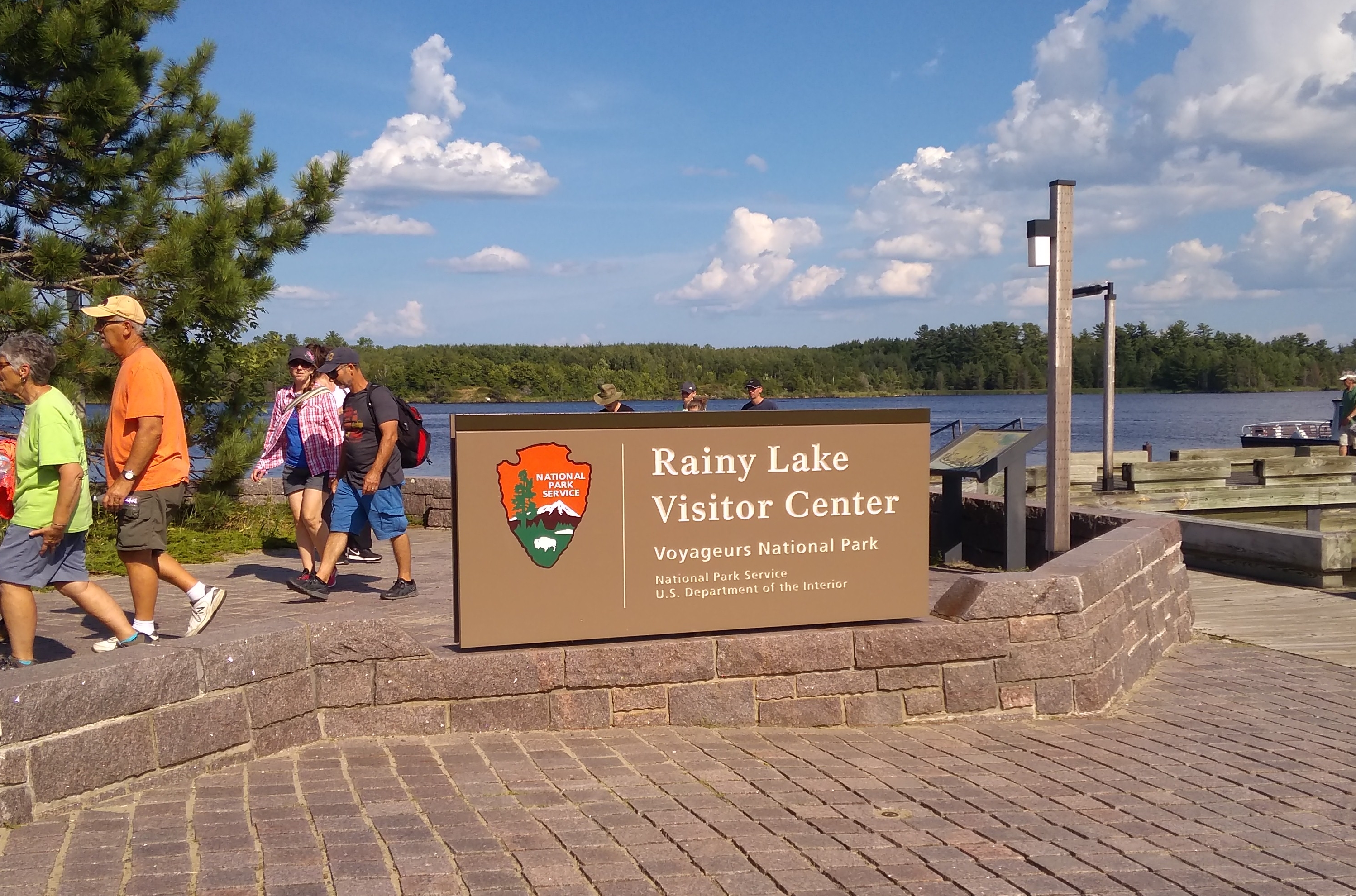
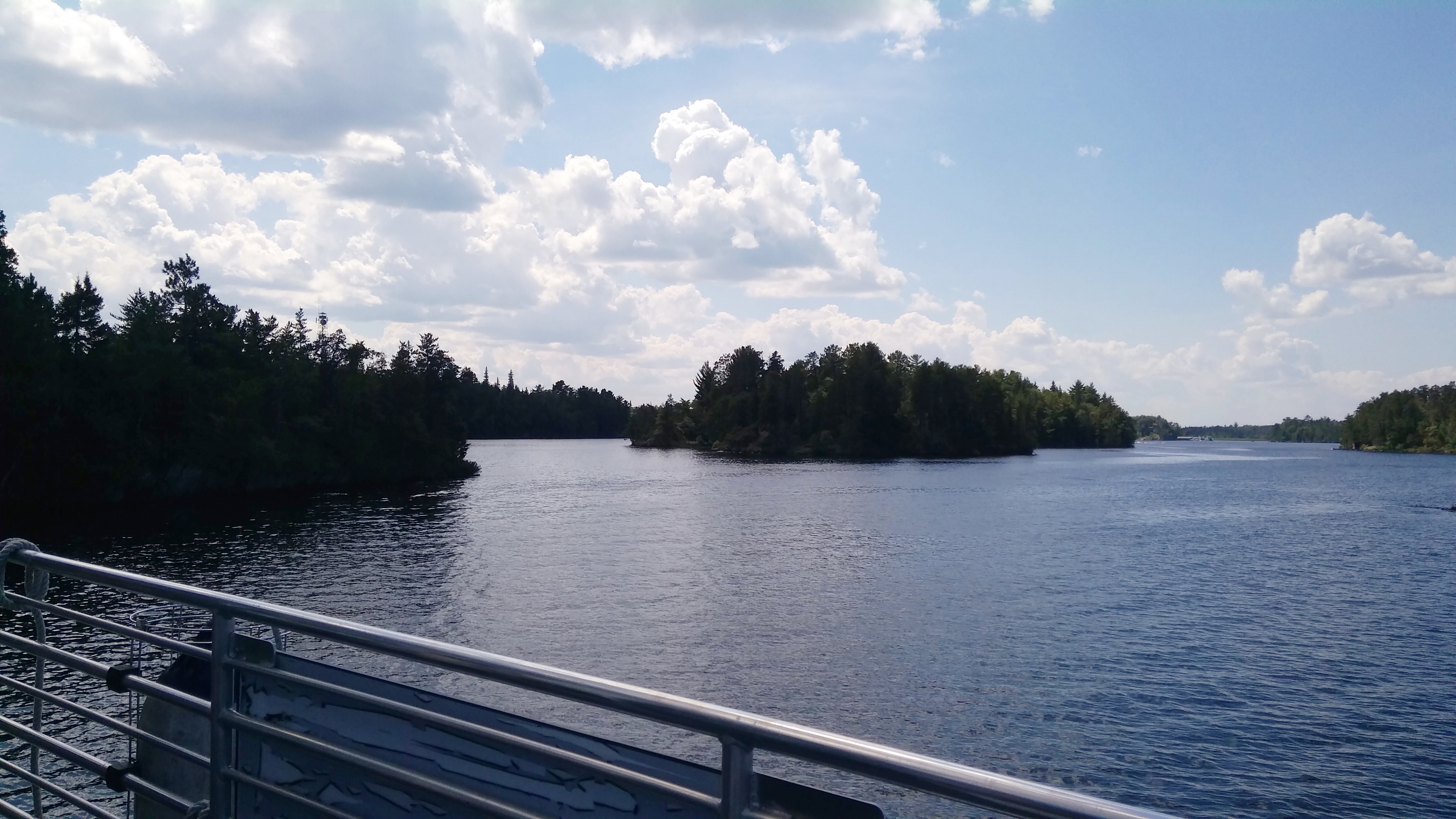
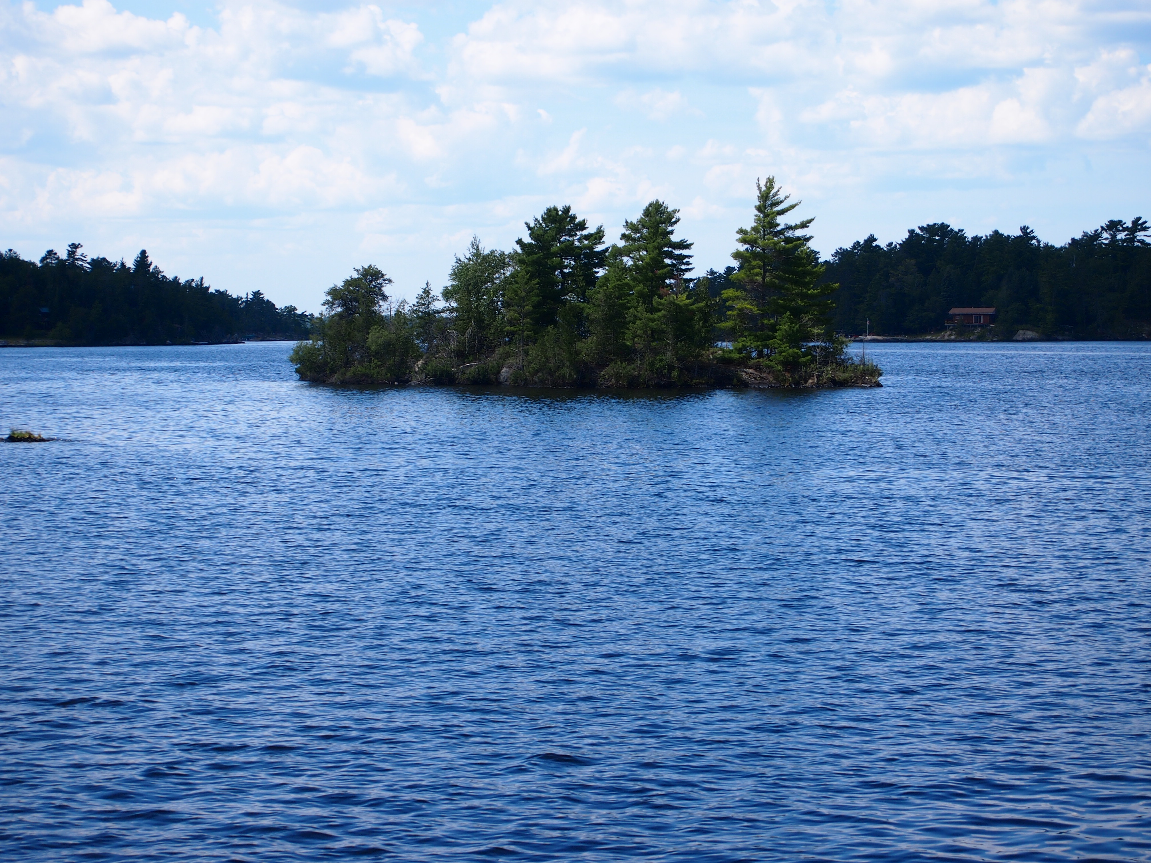
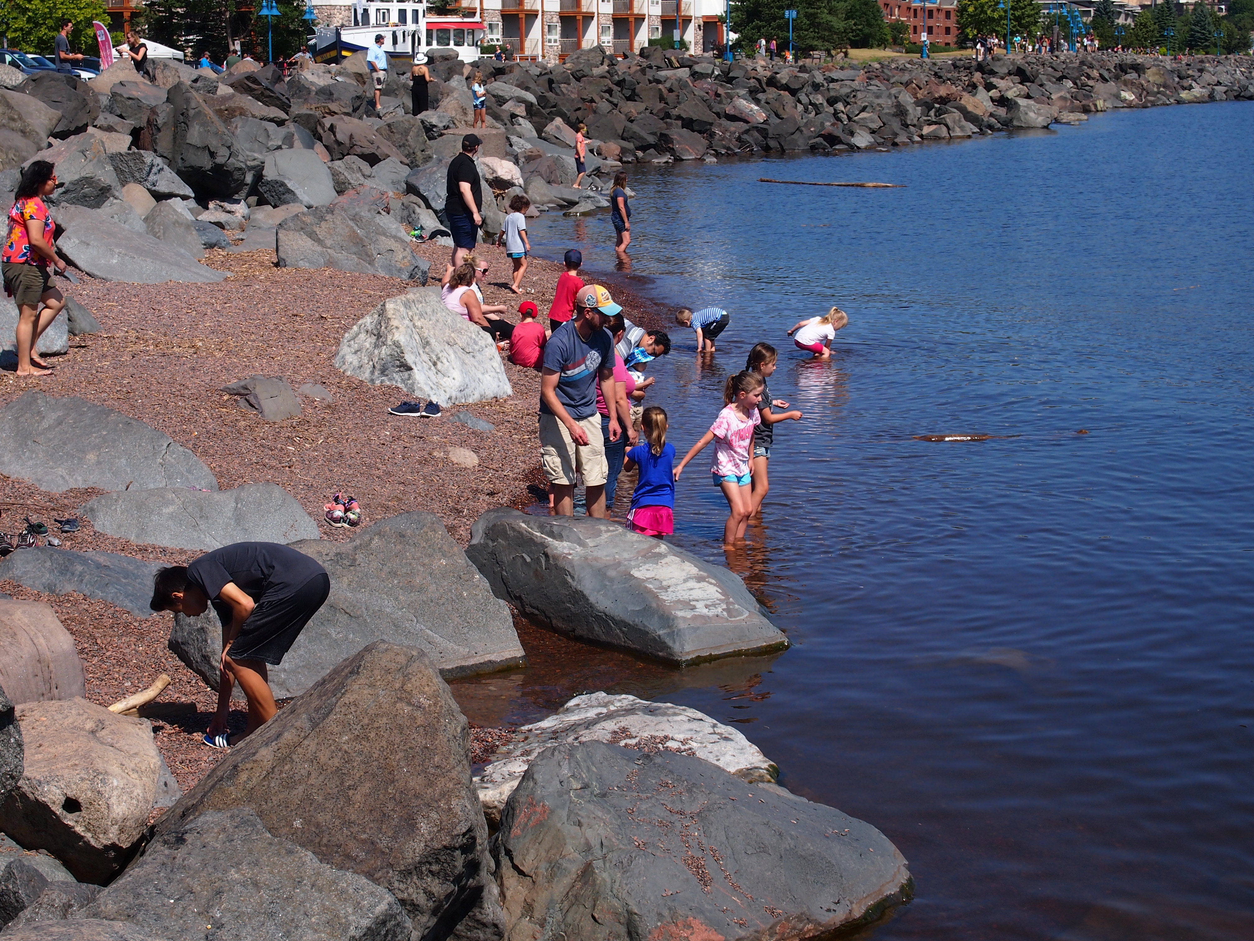
The park is a world of wooded islands and peninsulas but mostly lakes, including the sizable Rainy and Kabetogama lakes. So I figured only reasonable that the thing to do was take a boat tour.

The park itself offers a number of options, including one that’s six hours long, which didn’t interest me greatly, and one in small boats you paddle to evoke the transits of those hearty voyageurs of old, though I bet modern participants smell better than authentic voyageurs. That didn’t really pique my interest either.

So we took a two-and-a-half hour jaunt out on Rainy Lake, at the park’s western edge, accessed by driving a few miles east of the border town of International Falls, Minn. We boarded the good tourist ship Voyageur and off we went.
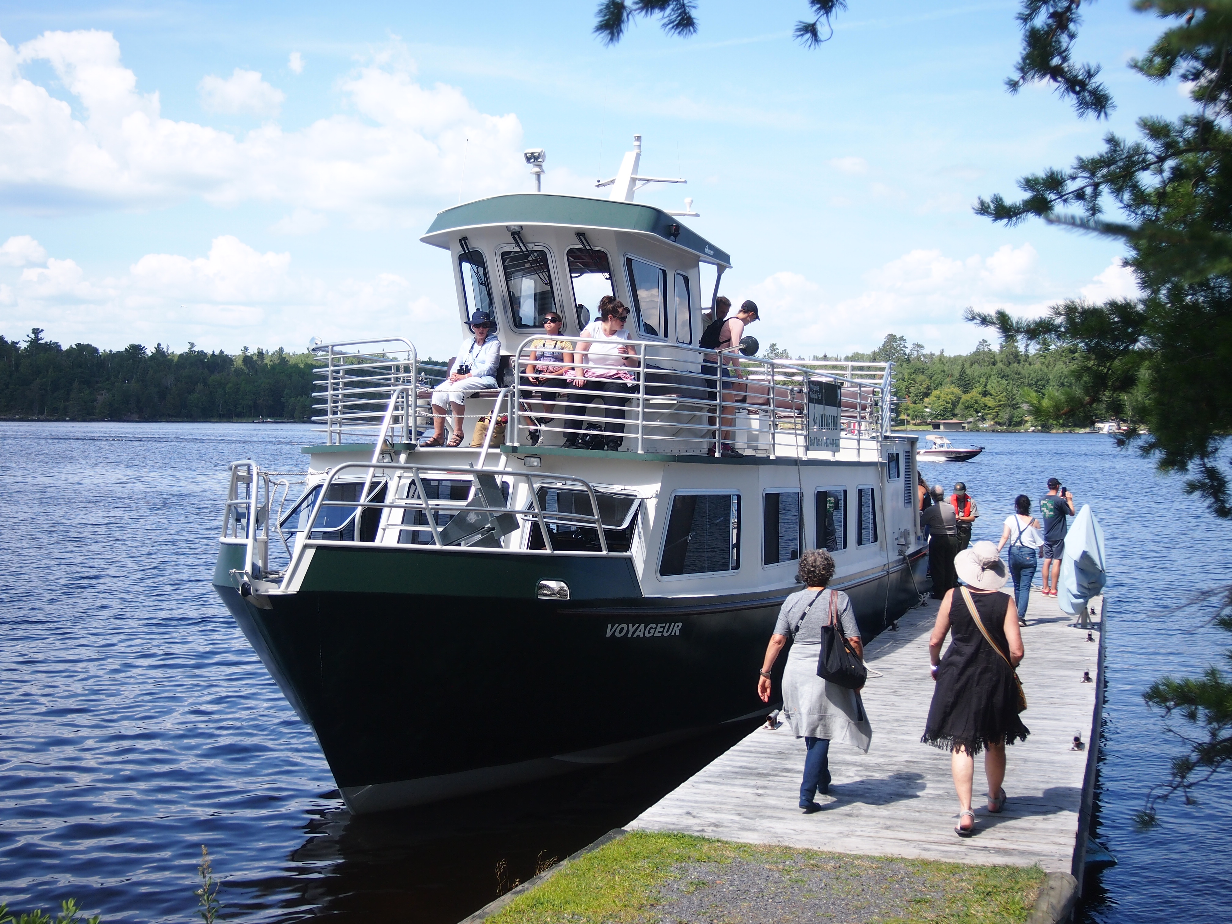
Along the way, our guide — Ranger Adam — pointed out various aspects of natural and human history in the land we cruised by, such as a number of eagles and eagle nests perched on tall trees, evidence of beavers at work, the sparse ruins of an 1890s settlement called Rainy Lake City, and a former fishing camp that petered out in the 1950s.

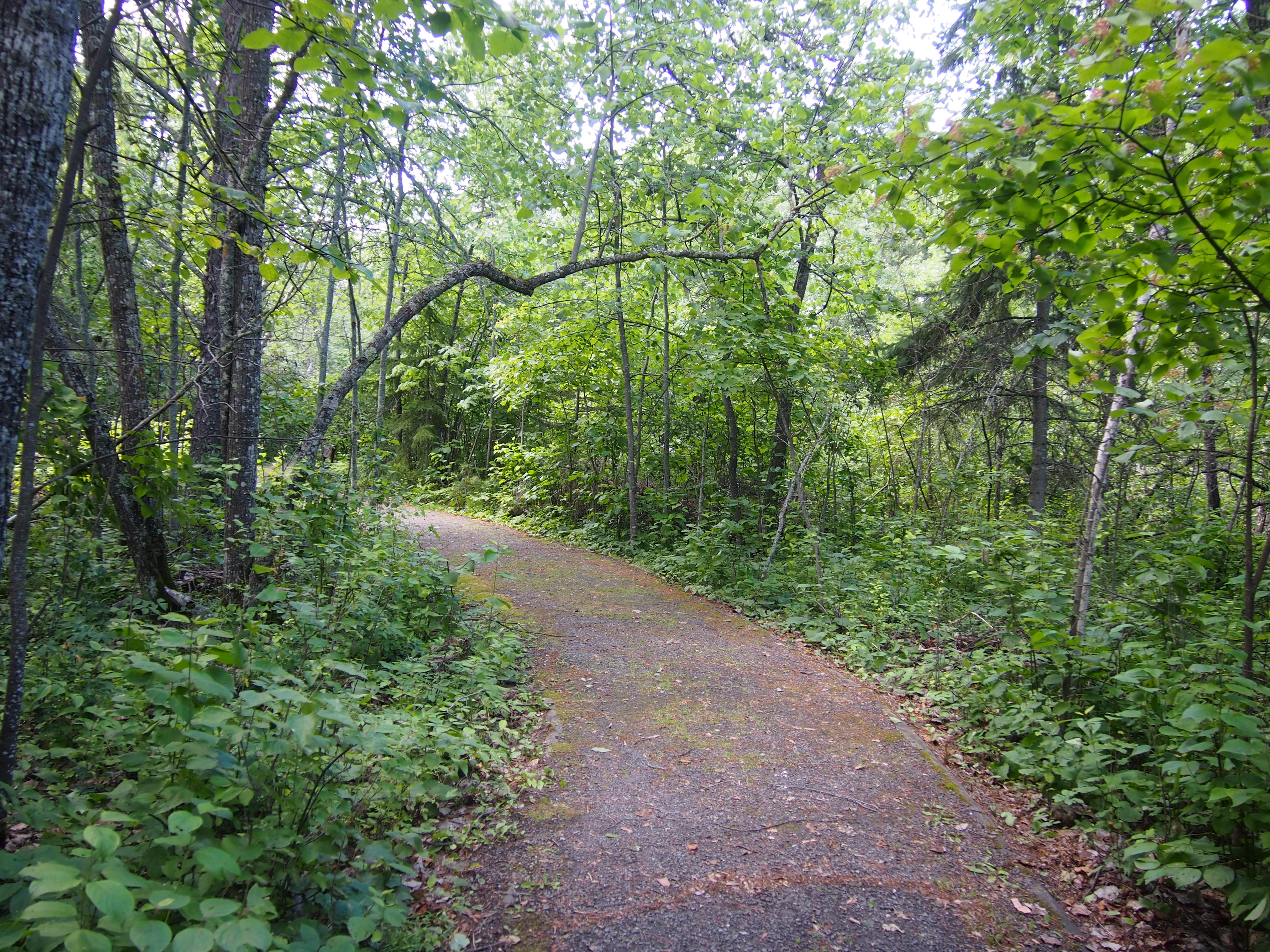
We stopped at one small island: Little American Island, which was added to the park only in 1989. Gold mining had occurred there briefly nearly 100 years earlier. These days, short footpaths take visitors to the few relics of the gold mining days.
Ranger Adam went with us to explain things and point stuff out, such as the hole in the ground left over from the gold mine and a few rusty mining machine parts.

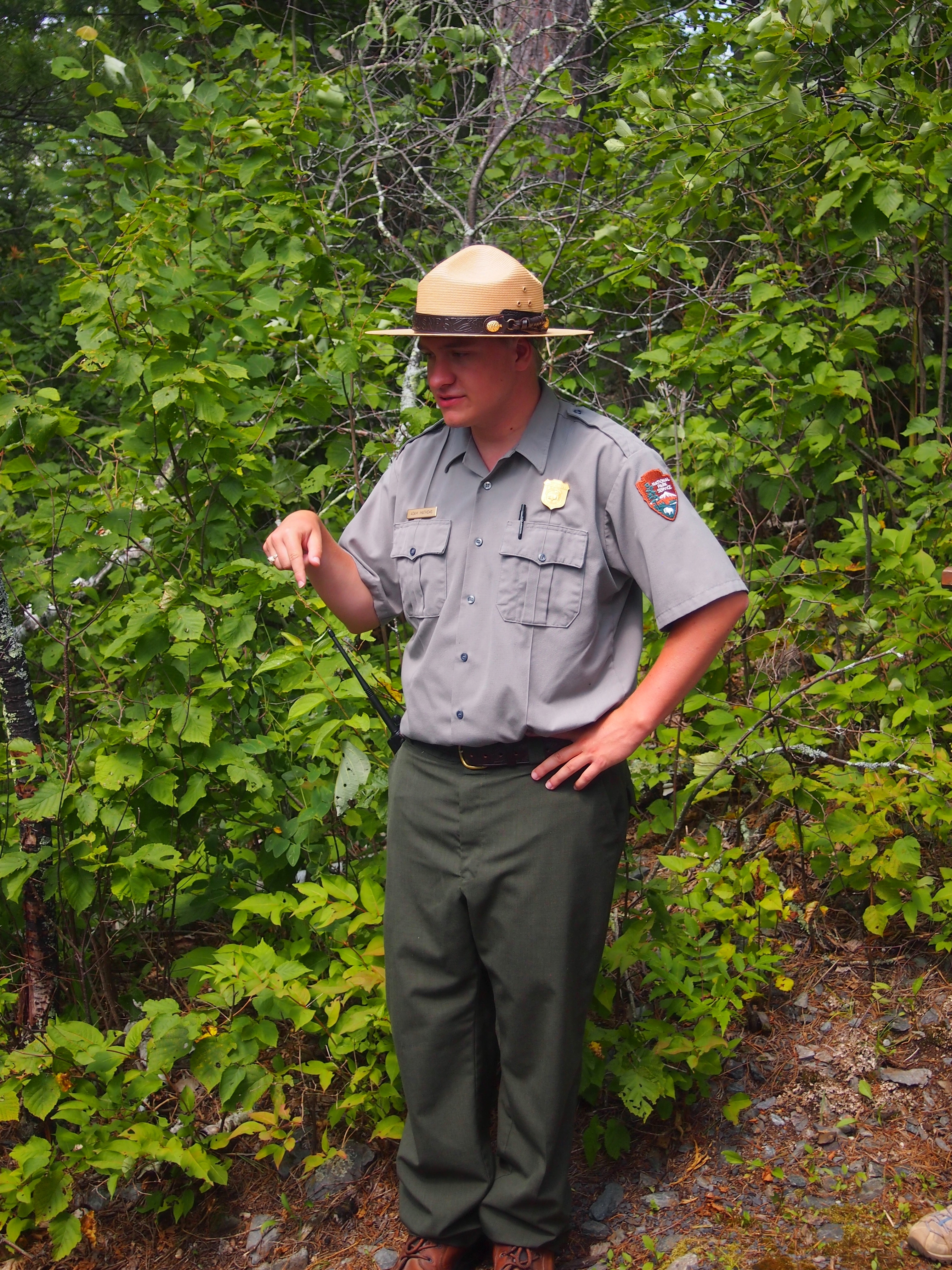
“The Little American Mine operated from 1893 to 1898,” says Forgotten Minnesota. “The average value of the gold extracted during that time was $30 per ton, which represented a profit of around $12 per ton.

“The Little American is the only gold mine in Minnesota known to have produced a profit. The impact of the mine was felt primarily in Rainy Lake City. After the mine closed, Rainy Lake City slowly disappeared and was considered a ghost town by 1901.

“Although the mine was productive, a large vein of rich gold was never found to kick off a gold rush to rival those in California. Oddly enough, the influence of the Little American Mine on the mining industry occurred in Canada, where the large veins of gold were finally found.

“Remnants of the mine can still be found under years of overgrown brush and pine trees. Two major excavations from the Little American Mine are still visible on the island: a vertical, cribbed shaft and an entrance to a horizontal shaft. Both are filled with debris and water.”

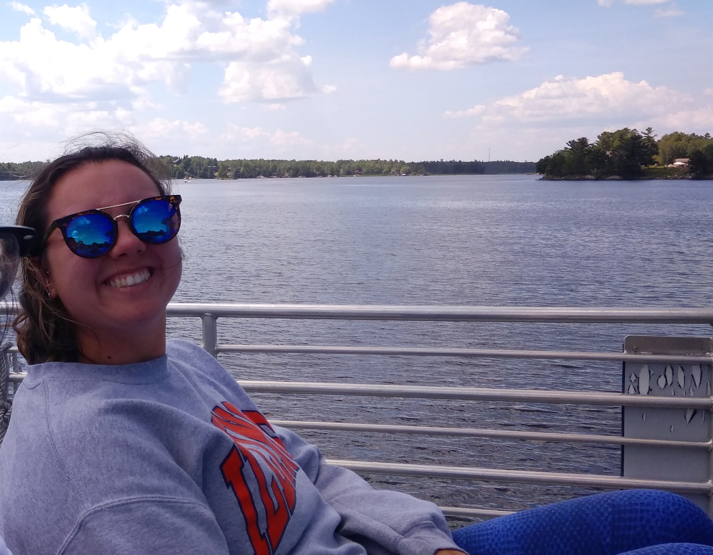
Little American Island aside, the tour was mostly a relaxing few hours on the water. Though it was fairly warm — maybe 85 F and partly cloudy — as we chugged along the breeze kept things fairly comfortable.

One oddity: out on the lake, I felt my phone buzz in my pocket. I didn’t really want to have anything to do with it while on the lake, but I was surprised there was service at all. I glanced at the phone and the screen said, Welcome to Canada! Then it offered details about how I needed pay extra to call from within Canada.

I’m pretty sure we hadn’t crossed into Canadian waters, since a NPS tour is probably going to be precise about that kind of thing. But we were close. The nearest cell tower must have been on private land in Canada, so the phone, dense device that it is, figured we were there.

Two Harbors and Gooseberry Falls State Park

It occurs to me that it’s been 40 years this week since I visited Wisconsin for the first time — and Minnesota for that matter, though I only passed through that state. I was on a bus full of other San Antonio high school kids on the way to the 1978 Mu Alpha Theta national meeting in Stevens Point, Wis.

So our recent trip up that way was a 40th anniversary tour for me. More or less. More less than more, since I didn’t go near Duluth in ’78, but never mind.

Northeast from Duluth, Minnesota 61 hugs the coast of Lake Superior, offering a number of sites to see. More than we had energy for, unfortunately, since a drive up 61 all the way to the Canadian border — all the way to Thunder Bay, though it’s Ontario 61 up that way — would make for an excellent few days, not an afternoon.

Still, on the afternoon of July 29, we made our way to the town of Two Harbors and Gooseberry Falls State Park. At Two Harbors, we spent time at the rocky shore.
3M was founded in Two Harbors. Unsurprisingly, the company has no presence there any more, though the corporate “birthplace” is a small museum that we didn’t visit.

Rather, we spent a few minutes at the Two Harbors Light Station. Or Light House, depending on the source.
Up the road from Two Harbors is Gooseberry Falls State Park, reportedly the most-visited state park in Minnesota, and I can see why. The place is drop-dead gorgeous even before you get to the falls.
As promised, the park sports plenty of falls as the Gooseberry River cascades toward Lake Superior. Here are the Upper Falls.
The Middle Falls.
The Lower Falls.
I understand that the flow of the falls depends entirely on runoff, since the relatively small Gooseberry has no headwaters. So I guess it’s been a rainy summer in this part of Minnesota.

Who developed much of the park infrastructure? Here’s a clue.
The lads of the CCC, of course.

Near the Upper Falls is an unusual, and sad, plaque. It’s both a warning and a memorial.
I looked up Richard Paul Luetmer, who has missed out on being alive these last 40 years. He went diving in the river and hit a submerged log. RIP, Richard, but I have an editor’s nit to pick with the plaque editor: In Memoriam, not In Memorium.

The Aerial Lift Bridge

There’s a large sand bar between St. Louis Bay and Lake Superior that runs a long way southeast from downtown Duluth, and east of the city of Superior, Wis. Only seven miles southeast from Duluth does the bay finally meet Lake Superior via a natural channel.

Once Duluth was a going concern, its city fathers decided that that arrangement would never do, since it slowed shipping down, the only thing that made Duluth a going concern in the first place. So the city dug the Duluth Ship Canal through the spit in the early 1870s, opening up St. Louis Bay to Lake Superior, conveniently at the city’s waterfront.

Eventually, a bridge across the canal was deemed necessary too. So what we now call the Aerial Lift Bridge opened for traffic in 1905. It’s an impressive work of steel from a distance.
As well as from closer up.

Even more, standing underneath one of its tall towers. Definitely a grand relic of the Machine Age.

The lower level of the bridge is a roadway. When ships need to pass under the bridge, the lower level is raised about 135 feet, after traffic has cleared off, of course. We stood below and watched the process. This is the lower level before rising.

This is the lower level in its raised position.

When the Aerial Lift Bridge was built, it was an oddity known as a transporter bridge. Instead of raising the road, passengers and vehicles crossed in what were essentially large gondolas. That was impractical in the long run, so by 1930 the bridge had been converted into its current form.

There’s some tourist infrastructure in the shadow of the bridge. Warehouses and other old buildings have been redeveloped in recent years into a retail-restaurant-attraction district known as Canal Park, which is north of the bridge and adjacent to downtown Duluth. Reminded me some of Navy Pier in Chicago, though Canal Park is shorter and not as crowded.

We took a walk out to one of the lighthouses at the end of the canal, the Duluth North Pier Lighthouse.

At water’s edge near the canal, we watched a remarkably skilled stone-skipper, a kid of maybe 12. He was skipping stones across the water six or seven or eight or more times that I could count, one stone after another after another. Here he is, in black, looking for more stones.

The kid had the wrist action for it. If there’s such a thing as pro stone-skipping — and for all I know, there is, since we live in a world where people are pro video gamers — I bet he could go pro.

Enger Tower

Whenever possible, I recommend finding a high perch to see the territory around you. Ideally, a spot reached without much danger of bodily harm. Even better, a structure created just for that purpose. Best of all, a structure open to the public at no charge, like the handsome Enger Tower in Duluth, which we climbed on July 29.

In full, the Enger Observation Tower. At least that’s what it says on a plaque just inside the entrance. That plaque also says that it’s named after Bert J. Enger (1864-1931), “Native of Norway, Citizen of Duluth.”

Enger was an immigrant who made good in the U.S., and left money for building the tower. Crown Prince Olav of Norway came all the way to Duluth to dedicate the structure in June 1939 (Olav wasn’t king until the 1950s, many eventful years later). A separate plaque notes that King Harald, the current Norwegian monarch, re-dedicated the tower in 2011 after renovations.

The blue stone tower rises 80 feet on top of an already high hill, so the view is terrific: Downtown Duluth, St. Louis River and St. Louis Bay, Superior, Wis., and the rolling greenery north of town.

Enger Tower

During our visit, the light was best for capturing images to the north of the tower, including woods and the park’s golf course.

The tower wasn’t the only attraction at Enger Park. There were gardens too.

Full of flowers enjoying the short boreal summer.

Duluth & Environs ’18

When I was very young, I had a U.S. map puzzle that I put together who knows how many times, fascinated by the individual shapes of the states. Some states more than others, including Minnesota, with its rough northern border, more-or-less straight-back western border, concave eastern border and pointy southeast and especially northeast corners.

The northeast corner still holds some fascination, and for more than just the shape. There’s the lure of the North Woods, and Lake Superior is always calling. Enough to inspire a short trip. On July 27, after I finished my Friday work, we hit the road for a five-night trip to Duluth and environs.

Since reaching Duluth means crossing northwest all the way through Wisconsin, a few points in that state were part of the trip as well, especially Eau Claire, where we spent the first night at a spartan but tolerable chain motel.

From Saturday afternoon until the morning of Wednesday, August 1, we stayed at the non-chain Allyndale Motel, a notch up from spartan. It’s in west Duluth, almost at the edge of town, but actually Duluth isn’t that large, so the location wasn’t bad.

I guessed that the Allyndate dated from the golden age of independent motel development, namely the 1950s. The details were right, except no bottle opener attached to a surface somewhere in the room. Just before we left, in a talk with the owner, I was able to confirm that vintage. The first rooms dated from 1952, he said, with later additions.

Before checking into the motel that first day, we spent a short while in downtown Duluth, walking along E. Superior St., which features shops and entertainment venues, including a legitimate theater, art house cinema and a casino. Rain, which had been holding back on the way into town, started to come down hard, so we ducked into the Duluth Coffee Company Cafe long enough to wait it out over various beverages.

That evening, we took in a show at the Marshall W. Alworth Planetarium, which is part of the University of Minnesota Duluth. The recorded show, narrated by Liam Neeson, was about black holes, and then an astrophysics grad student (I think) talked about the night sky. Many planetariums don’t bother with live narration anymore, so that was refreshing.

On Sunday we drove along much of the winding and often scenic Skyline Parkway in Duluth, stopping along the route to take in the sweeping view of the city, as well its twin city of Superior, Wis., and a large stretch of Lake Superior, from the Enger Tower in the aptly named Enger Park.

There happened to be a coffee and ice cream truck in the park, so Lilly had iced coffee and Ann had ice cream. The truck showed its regional pride in the form of a Minnesota flag.

The design needs work, like many Midwest state flags. Here’s an alternative.

Late that morning we saw Duluth’s Aerial Lift Bridge up close, along with other parts of Canal Park and lakeside spots. The lofty bridge — crossing the entrance to Lake Superior from St. Louis Bay — is the Eiffel Tower of Duluth, a stand-in for the city that appears in a lot of places, including a refrigerator magnet that we brought home. (But I refuse to use the i-word.)

In the afternoon, we headed northeast from town along U.S. 61, which follows the shore of Lake Superior. That region, I discovered, is known locally as the North Shore. We made it as far as Gooseberry Falls State Park.

On Monday, July 30, we headed north, mostly via U.S. 53, to Voyageurs National Park, which is hard by the Canadian border. The trip up and back from Duluth is a little far for a single day, but ultimately seemed worth the effort. Besides, something about the symmetry of visiting Voyageurs NP and Big Bend NP during the same year appealed to me.

As the girls slept late on the last day of July, I made my way to Superior, Wis., and visited the Richard I. Bong Veterans Historical Center, a small military museum. WWII is increasingly distant, and except in Wisconsin, the memory of air ace Bong’s deeds has faded. But he had his moment.

The main event of July 31, our last day in town, was the Great Lakes Aquarium, which is in downtown Duluth, on St. Louis Bay not far from the Aerial Lift Bridge and Canal Park. The aquarium’s distinction is that it focuses on freshwater creatures.

Late that afternoon, I struck out again on my own to see one more place: Forest Hill Cemetery, which is in the hills northeast of the University of Minnesota Duluth. My kind of site, not the girls’.

On August 1, we got up early and drove home, stopping only to eat lunch in Madison. I wanted to take Lilly to Ella’s Deli, since she wasn’t with us last year when we went. But it’s closed.

Too bad. Wonder what happened to all the oddball stuff Ella’s had. Instead we found Monty’s Blue Plate Diner. Not as much whimsy on the walls as Ella’s, but the food was good.

San Antonio Riverwalk Views

Summer’s pretty pleasant here in the not-so-hot reaches of Illinois. Up in the sky.
And down toward the ground, where strange critters lurk.
So pleasant that I’m taking a week off from work and posting. Back on August 5.

Both of the places I visited in San Antonio recently were near the San Antonio River and thus the Riverwalk. So I took a few minutes each time to go down to the river.

Near the King William District, the walk was almost deserted.
Temps were in the 90s, of course, which might have contributed to it, but I suspect not many people come this way anyway.

A few do. Here’s a view of the Arsenal Street Bridge.

A view from the Arsenal Street Bridge, looking north toward downtown San Antonio.
The building poking over the trees, with the flag, is the Tower Life Building, though I’ll always think of it has the Smith-Young Tower, completed in 1929. One of the city’s finest office buildings. I understand that once upon a time, my civil engineer grandfather had an office there.

After visiting the Briscoe Museum, I walked over to the Riverwalk — it’s only a short distance away — at one of its more touristed spots.

This is the Arneson River Theatre.
The stage is on the north side of the river, while 13 rows of grass are on the south side for seating. Just another idea of the Father of the Riverwalk, H.H. Hugman, finally realized as the WPA built the Riverwalk in the late ’30s. Arneson was the WPA engineer who was to have been in charge of building the Riverwalk, but he died before the project really got under way.

The San Antonio Museum of Art

Besides the Briscoe, last Tuesday I visited the San Antonio Museum of Art, which is just north of downtown and also happens to be no charge in the late afternoon and early evening every Tuesday.
The SAMA complex is a major adaptive reuse project from the 1980s. The former Lone Star Brewery, whose solid brick buildings dated from the late 19th and early 20th centuries, was transformed into the museum, complete with neon-decorated skybridge on the fourth floor. Sounds Vegas-like, but it isn’t garish.

The museum has a sizable collection befitting its location in a sizable city, including ancient Egyptian, Greek and Roman art, North American, Latin American and Spanish colonial pieces, collections representing Japan, Korea, and India, three galleries of Chinese works from early times to later dynasties, Near Eastern art, an Oceania gallery and more.

I decided to focus on two of the museum’s strengths — art from Antiquity, especially Rome, and Latin American folk art — though I did spend some time looking at American paintings and Texas artwork.

Here’s something that gets your attention, or ought to, right when you enter SAMA’s commodious Roman art gallery.
A second-century CE statue known as the Landsdowne Marcus Aurelius. Wonder what the original colors looked like.

“Begun by Gavin Hamilton (1723-98), one of the most prominent British explorers of classical sites of the eighteenth century, the Lansdowne Collection came to hold more than one hundred stellar examples of classical statuary, displayed in a specially designed gallery in Lansdowne House in London,” says a blurb for Reconstructing the Landsdowne Collection of Classical Marbles.

“The collection, however, was dispersed in the years after 1930, and its works are now scattered across the globe.”

This particular one wound up at SAMA, a donation of the 20th-century American owner of the piece, a rich fellow I’ve run across before: Gilbert Denman Jr. In fact, he left his collection of ancient art to the museum, making the gallery possible.
Another Denman bequest: the Lansdowne Trajan. The Romans were clearly not shy about official nudity.
A beat-up portrait of Hadrian.

Here’s something you don’t see every day: Etruscan art.
In this case, a lid from a sarcophagus. Considerably worn, with an unsettling face that looks at us from across 25 centuries or so. As historical peoples go, the Etruscans are a half-remembered fragment of a haruspical dream.

I also spent time at the Latin American Folk Art gallery, which is part of the Nelson A. Rockefeller Center for Latin American Art. Rockefeller had his hobbies, and one of them was collecting Latin American folk art.

As the NYT reported when the center opened about 20 years ago: “When Nelson A. Rockefeller made his final trip to Mexico in 1978, several months before his death, his eye was drawn to a small hacienda surrounded by a picket fence along a rural road in Oaxaca. Atop each picket was a tall, strangely striking figurine made of rough pottery.

“The former Vice President stopped the car, walked to the door and discovered the shop of a family of potters. Each statue on the fence had been damaged somehow in the making and just perched on the fence to help advertise the shop. They were evocative pieces spanning many years, left to bake in the Mexican sun. Rockefeller bought them all.”

These fellows greet you at the gallery.
Molds for papier mache figures, ca. 1930, artist unknown, from Celaya, Mexico.

The work of another unknown artist.
A Parachico Mask (Mascara de Parachico) from Chiapas, Mexico. Polychromed wood, glass, ribbon and cactus fiber. Ca. 1970 and about as funky as can be.

By contrast, the artist of these delightful creations is well known.

They’re painted earthenware by Candelario Medrano, a Mexican artist who died in 1988. “Medrano began his career by producing toy whistles, mermaids, roosters, and other animals,” the museum says. “Later, he placed them on airplanes, boats, towers, merry-do-rounds and trucks, thereby creating delightful and colorful scenes of fantasy.”

As usual, the museum isn’t selling postcards based on artwork that would make unusual cards, like this.

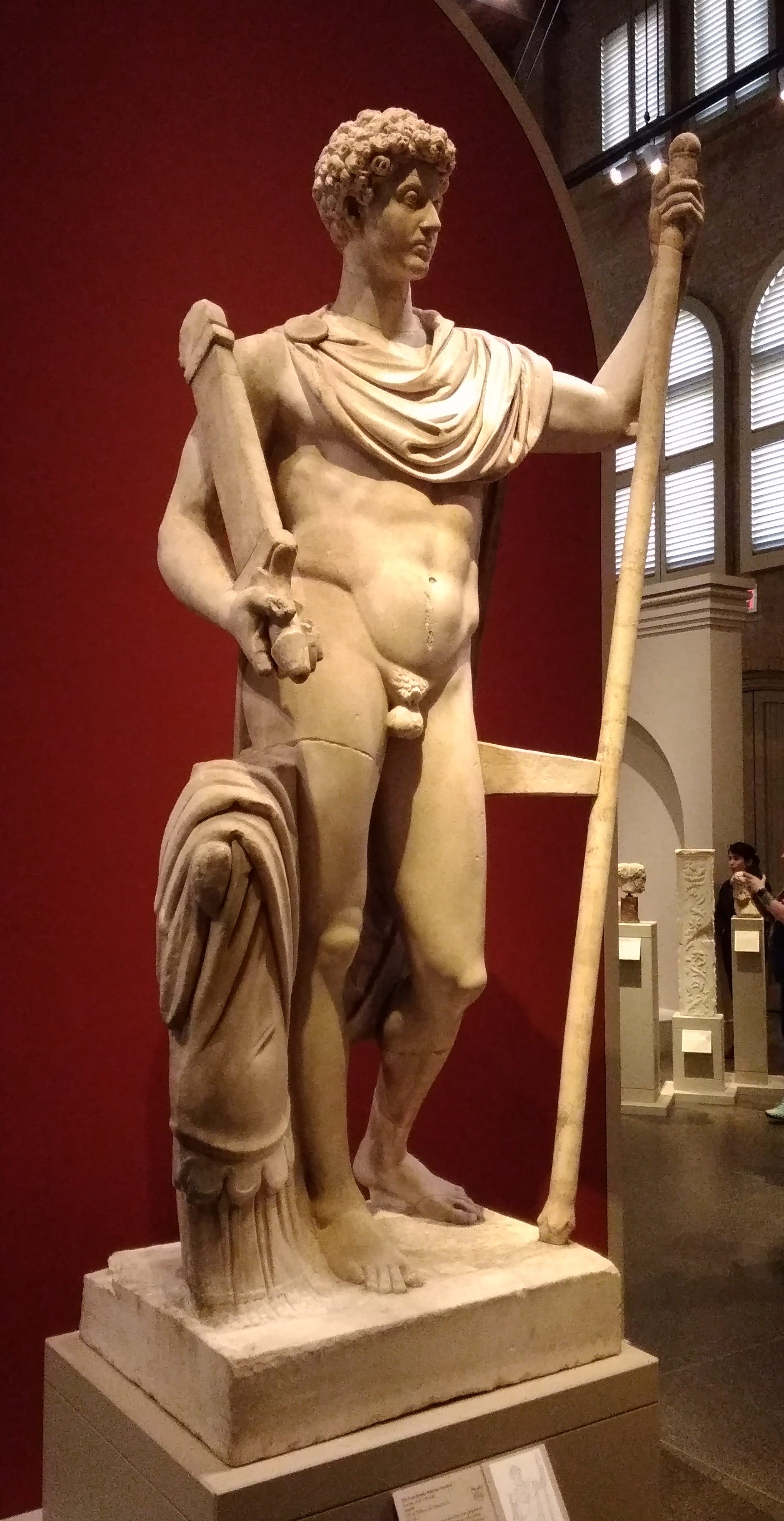
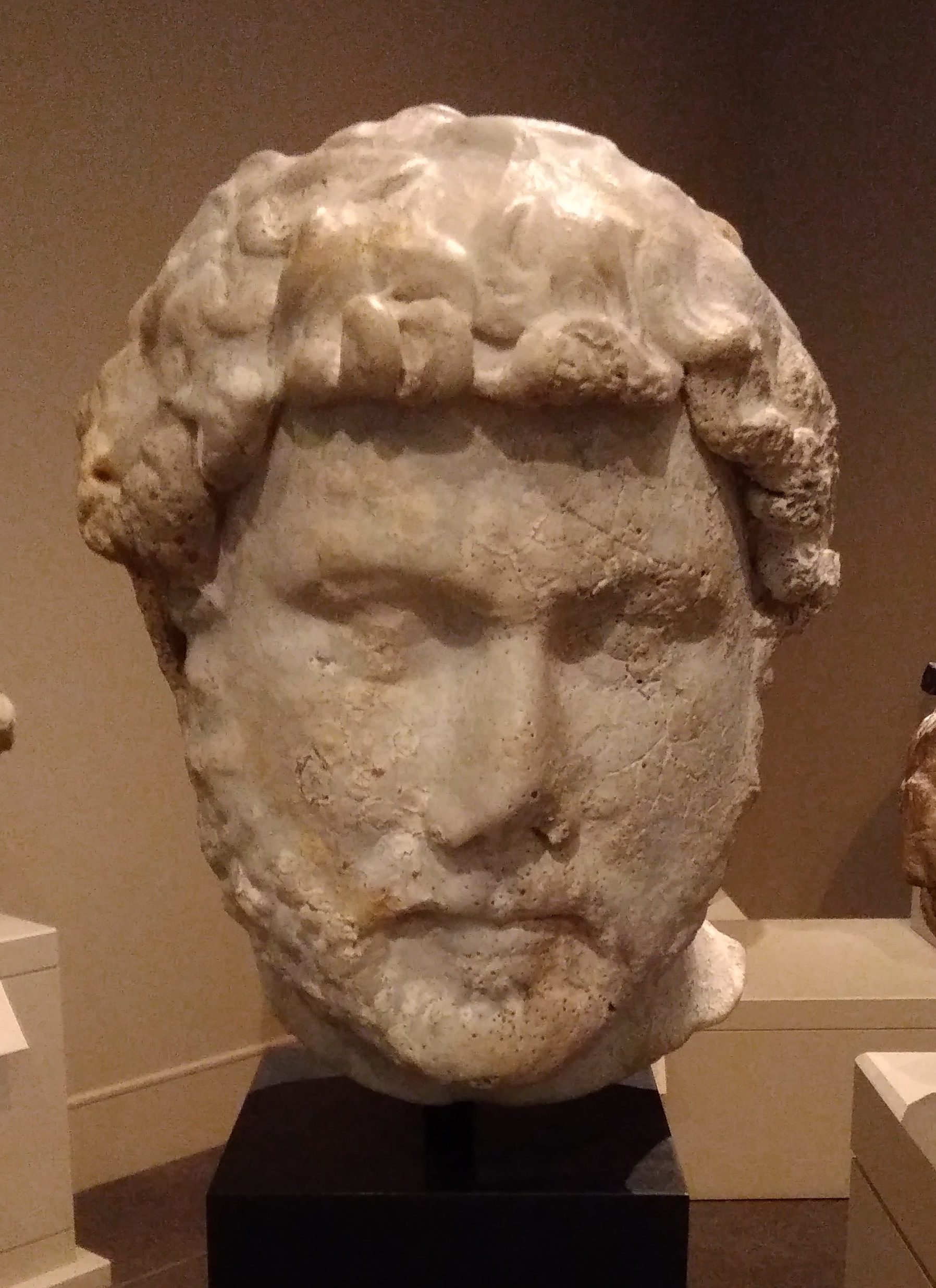
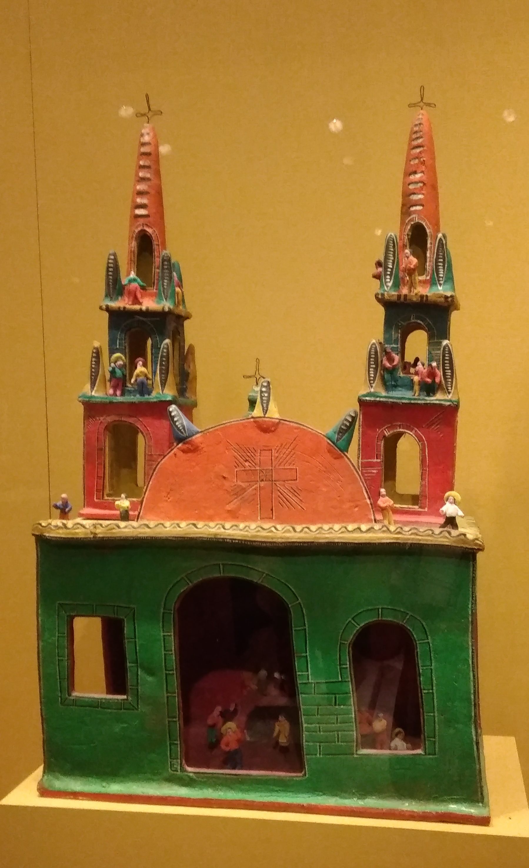
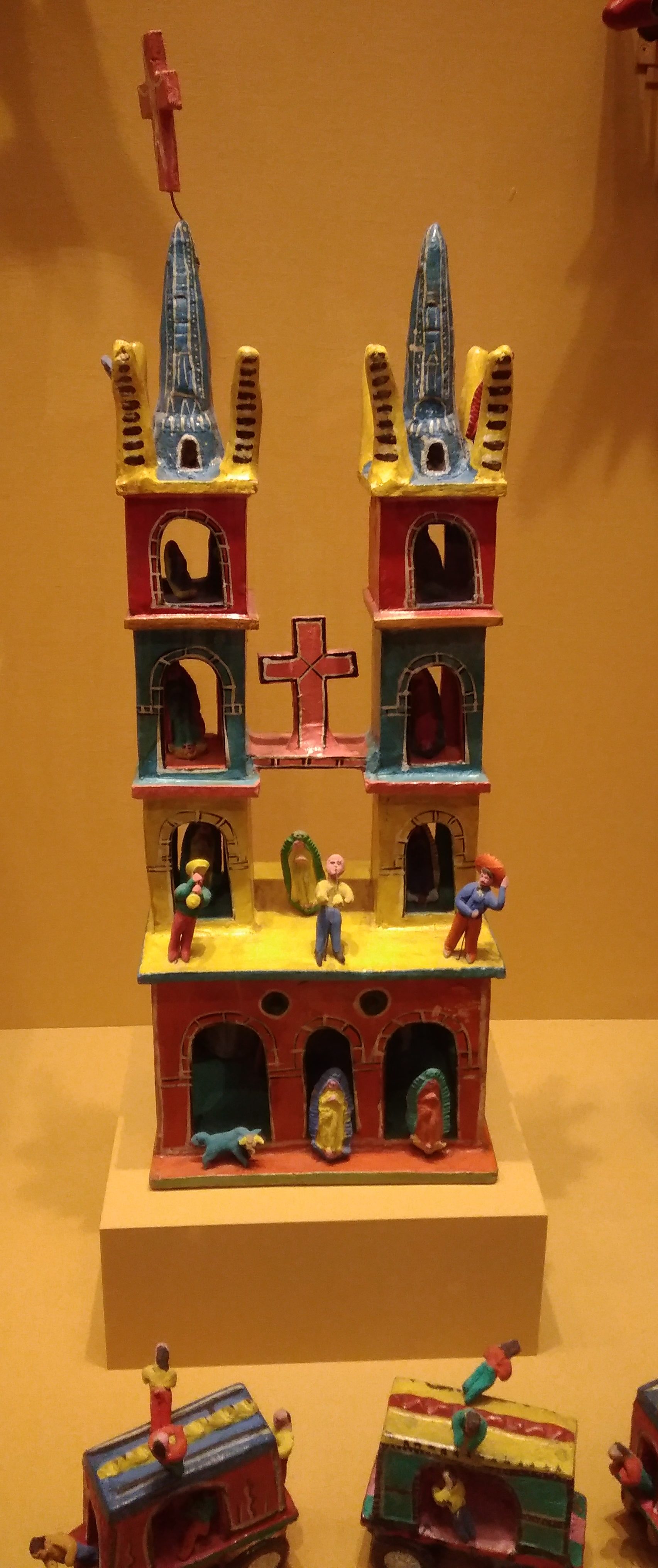
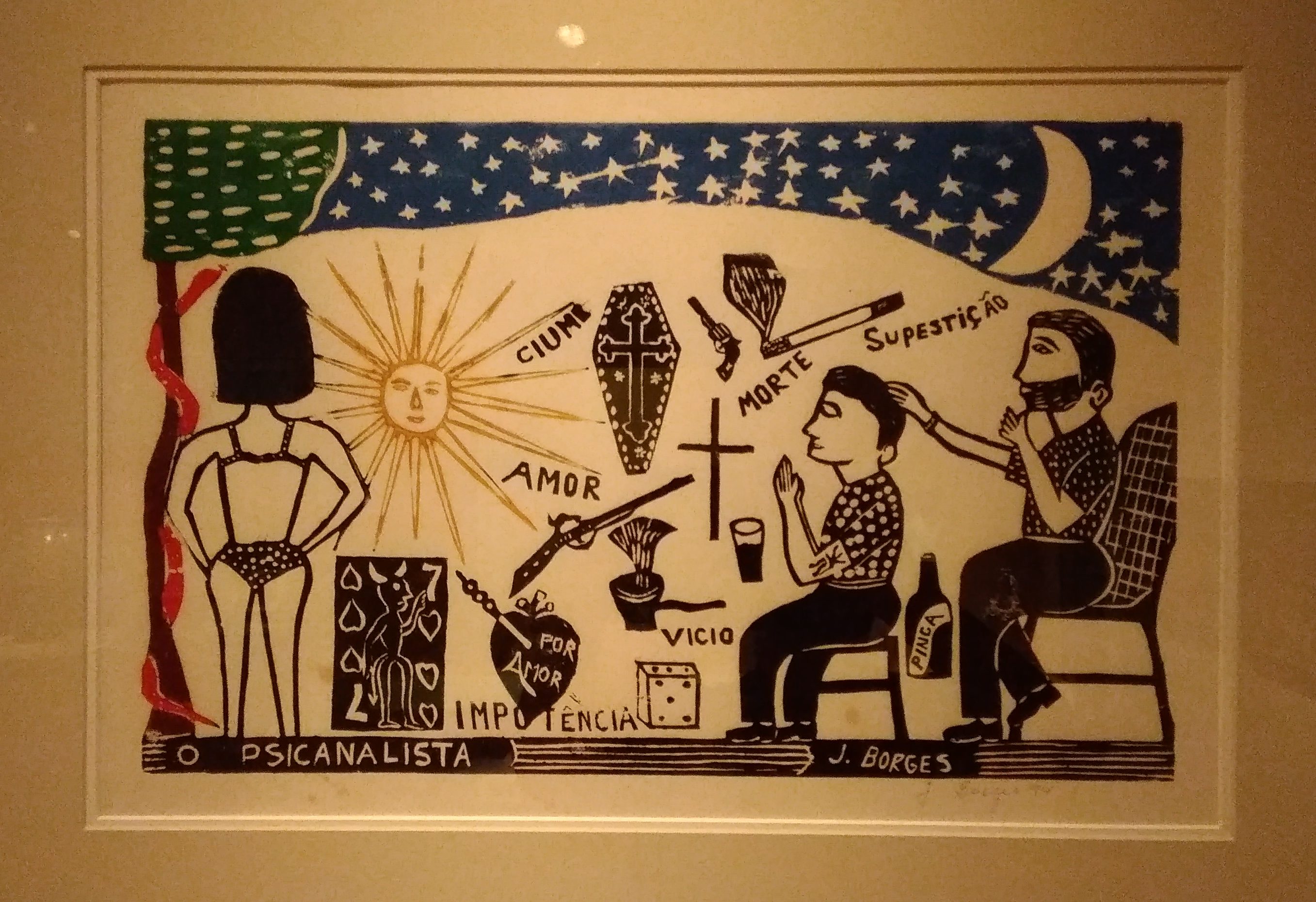
“The Psychoanalyst (El Psicoanalista),” ca. 1994 by Jose Francisco Borges of Brazil.

The Amy & V.H. McNutt Sculpture Garden

Just outside the Briscoe Western Art Museum in downtown San Antonio is the Amy & V.H. McNutt Sculpture Garden. It’s shady, so even on a hot day it was pleasant for a short visit.
V.H. McNutt was a mining engineer who made a fortune in potash in New Mexico in the 1920s. Later he and his wife owned a large ranch near San Antonio. The McNutt Foundation is in San Antonio even now.

Many of the sculptures involve Native American themes. Such as “Strength of the Maker” (1990) by Denny Haskew.
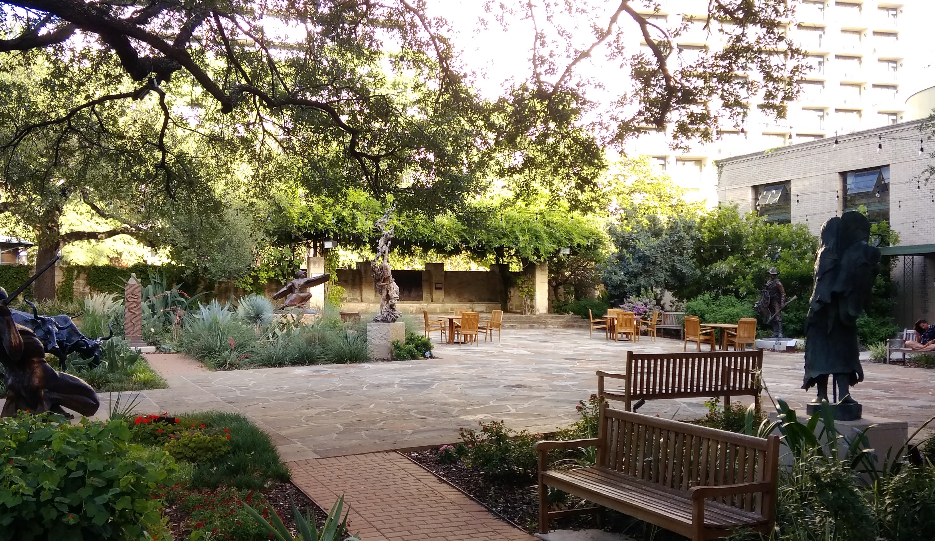
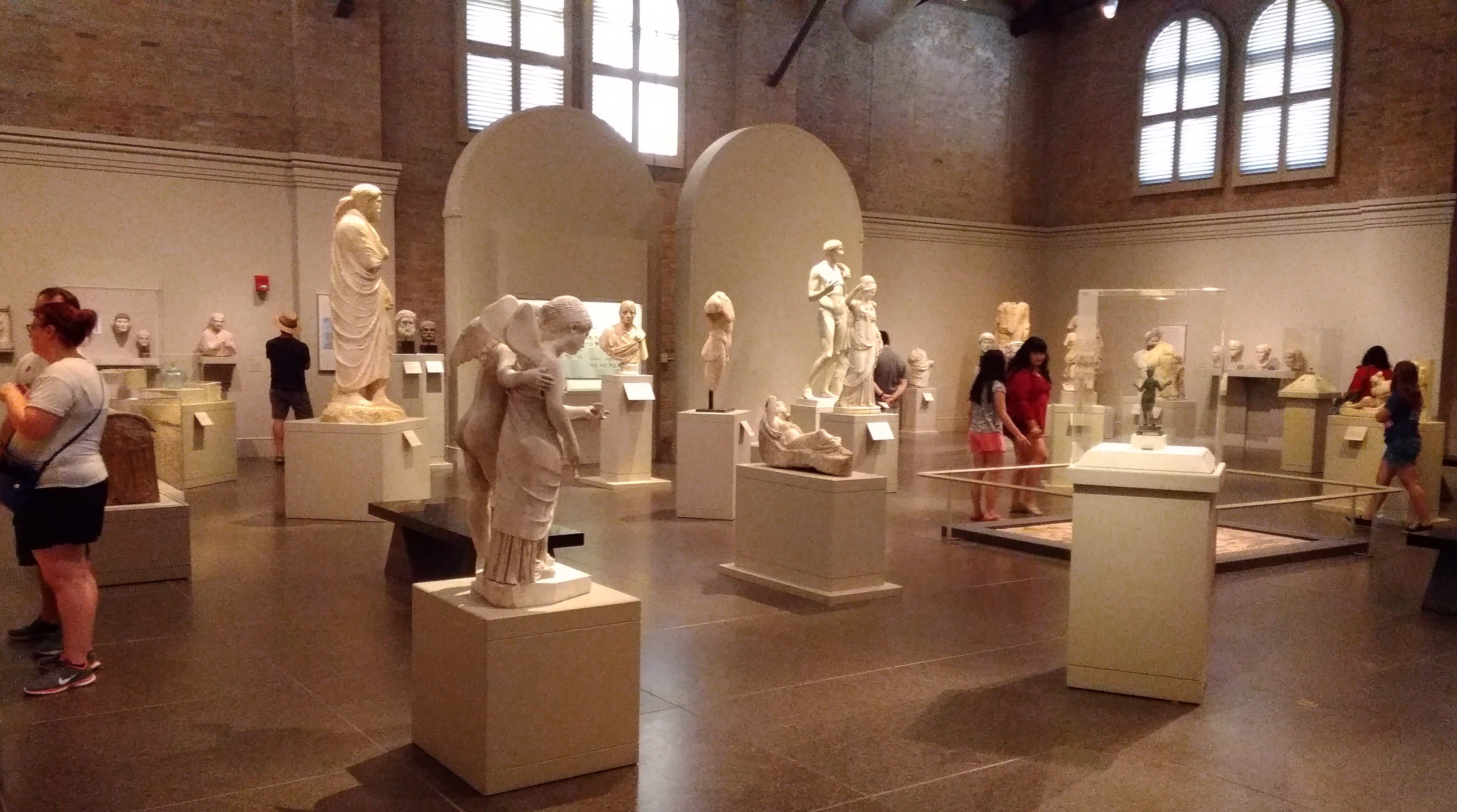
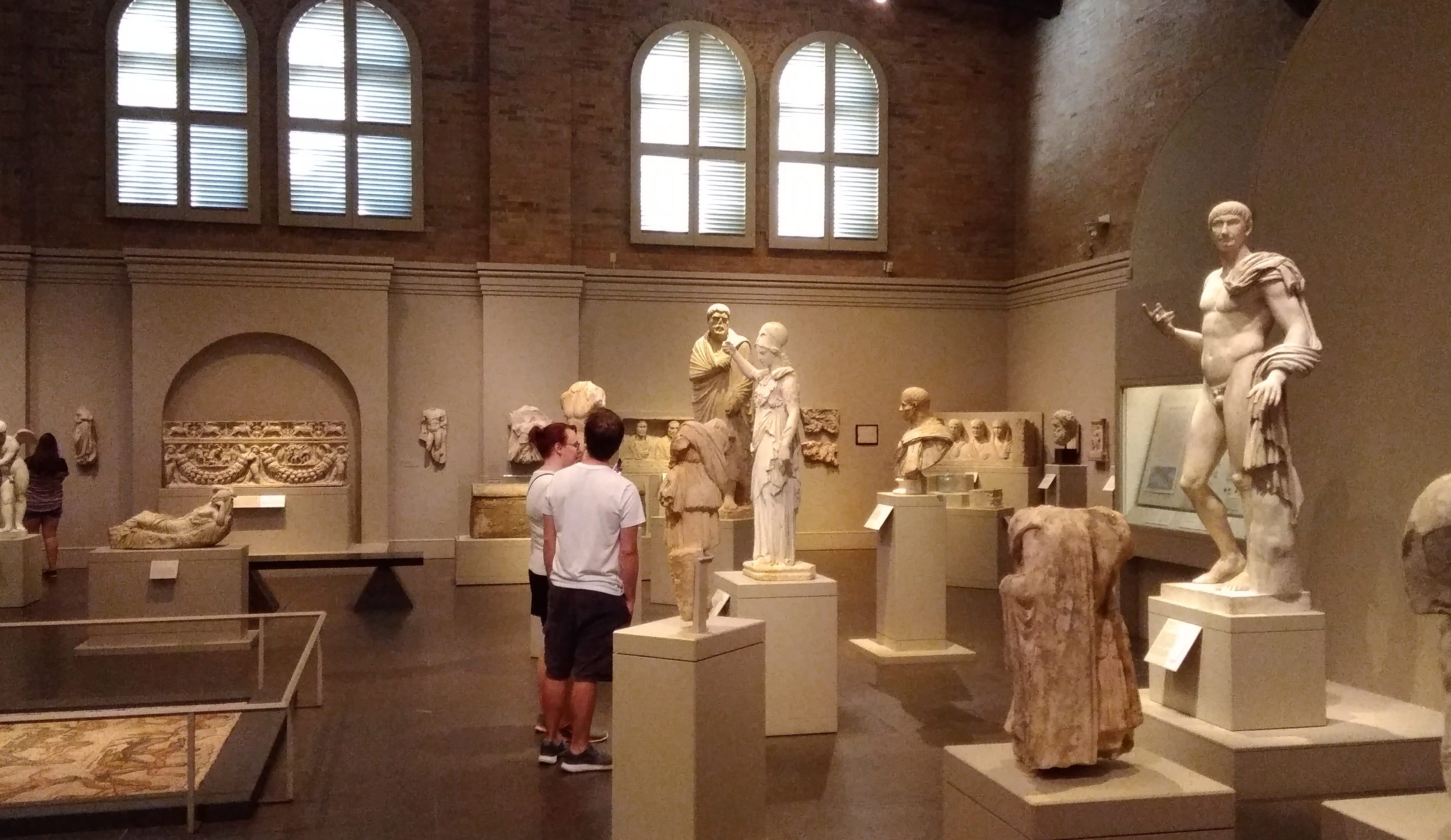
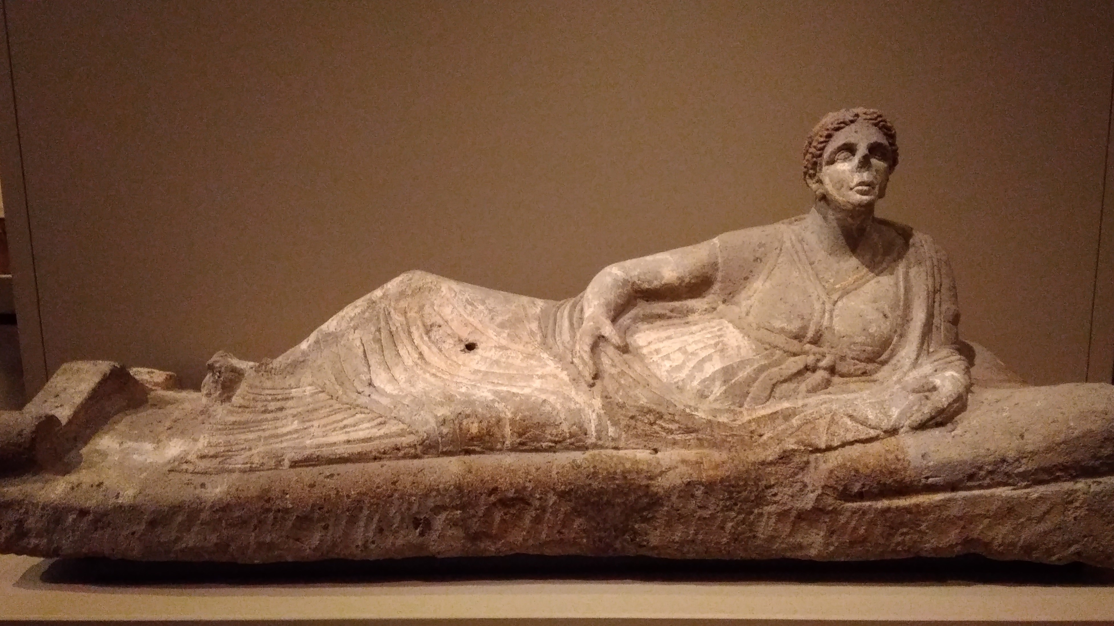
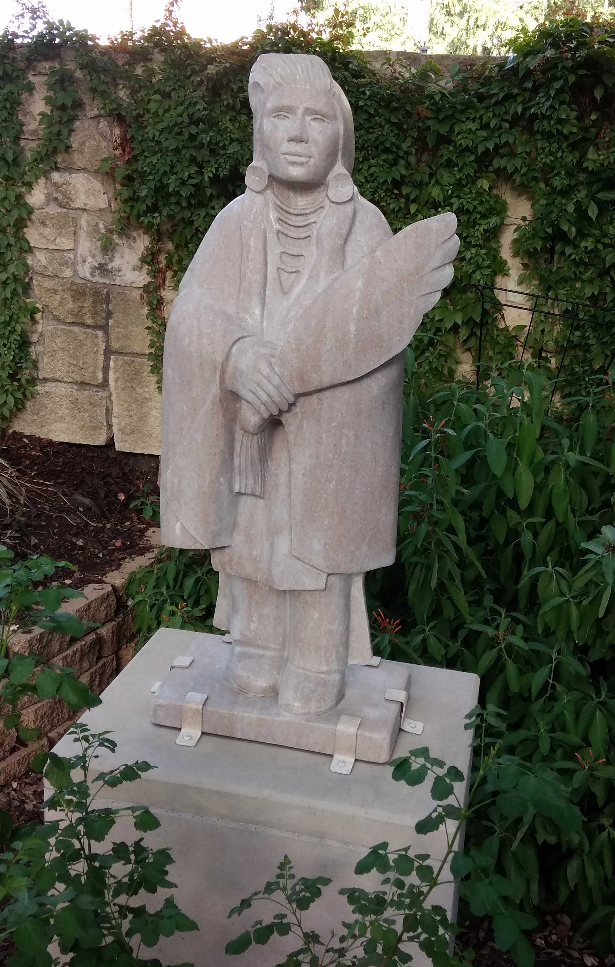
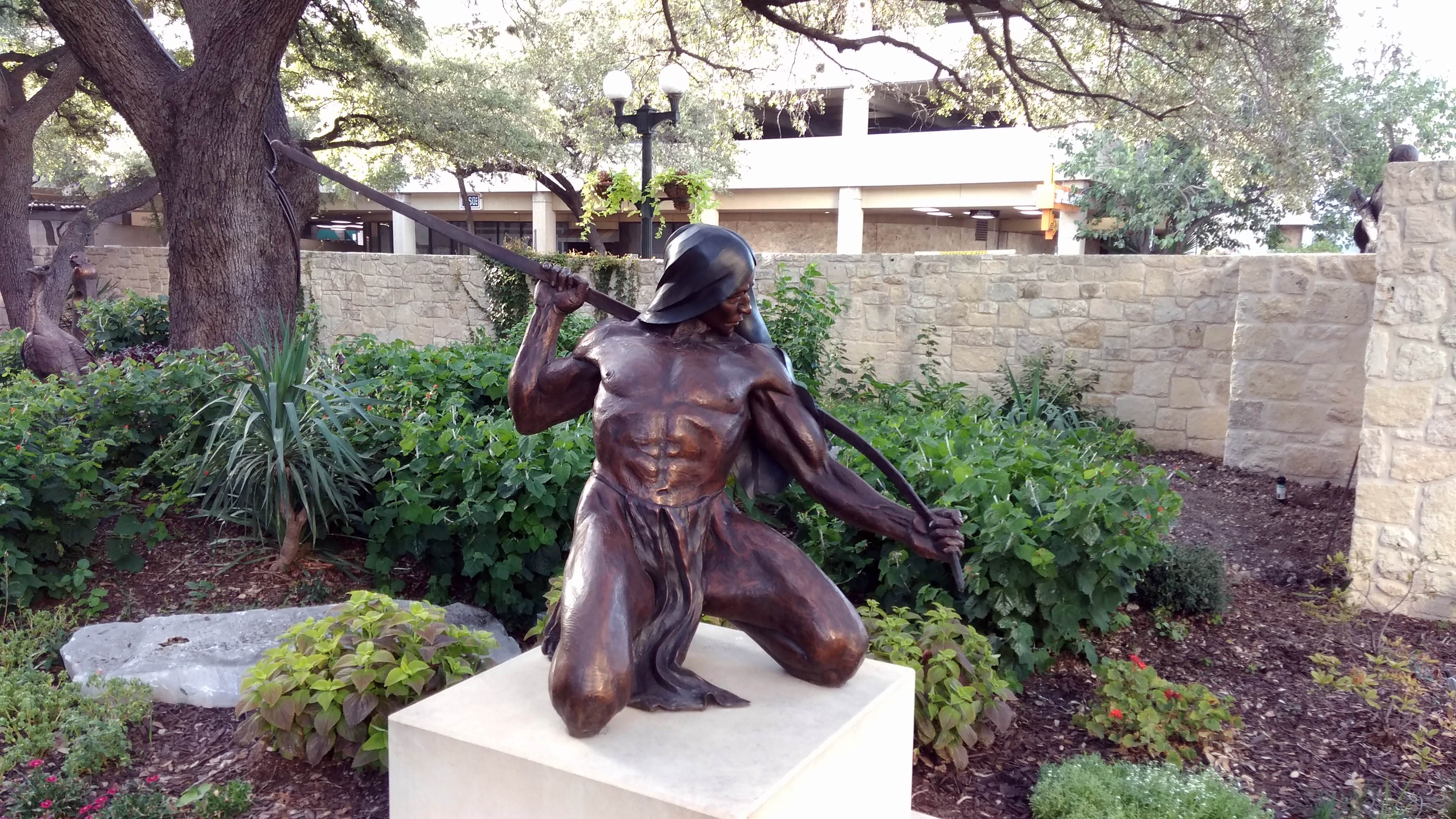
“Bird Woman” (2001) by Richard Greeves.
“Rainmaker” (1998) by John Coleman.
“Dance of the Eagle” (1986) by Allan Houser.

“Crow Brave with Fan” (1985) by Doug Hyde. Unlike most of the other pieces in the courtyard, a work in granite.

“Chief Quanah Parker” by Jim Reno. No date noted that I could see, but I suppose before 2008, since the artist died that year.
Quanah Parker had a prominent place at the small museum at Palo Dura Canyon State Park that I visited earlier this year. He was one of the leaders the last of the Comanches’ big raids, the Battle of Adobe Walls, in 1874.

The statue’s a good one, and he certainly looks like a Comanche war chief, though it would be more interesting if Quanah Parker’s statue looked like this.

This is “Thank You Lord” (2011) by Harold Holden.

And a detail from “El Caporal” (2015) by Enrique Guerra.
Detail because he appears to be driving some bronze cattle, not pictured here, ahead of him.

The Briscoe Western Art Museum

On Tuesdays, the Briscoe Western Art Museum in downtown San Antonio — in full, the Dolph and Janey Briscoe Western Art Museum — offers free admission from 4 to 9 p.m., so after wrapping up my work that day last week, I decided to visit within that window of discount opportunity. It’s still a fairly new museum, open only since 2013, so I’d never been.

The building, which is on W. Market St., is not new. It was the main city library from 1930 to 1968, so I don’t remember it as that, though my mother and grandparents would have known it.

The lobby is striking. This image was taken before the installation of a reception desk toward the back, and a large bronze, John Coleman’s “Visions of Change.” A lot of restoration apparently went into bringing the interior roughly back to its library-era look.

For some decades after the library moved, the building housed the Hertzberg Circus Collection, an enormous array of circus artifacts that the library used to own. That I remember. Vaguely. I know I went once as a kid. Around the beginning of the 21st century, the Witte Museum acquired the collection and plans were laid for the current museum.

Something like the Eiteljorg Museum in Indianapolis, the Briscoe focuses on art from both the Indian and non-Indian populations of the West, but it also has a lot of artifacts. In nine galleries on three levels, that includes paintings, sculptures, guns and other weapons, such as a fancy sword owned by Santa Anna, saddles — Pancho Villa’s and Roy Rogers’ — jewelry, Mexican santos and retablos, a chuck wagon, a replica stage coach, and a collection of spurs that takes up an entire wall.

There are some Texas touches, such as a windmill in motion. Other Western states have them, but windmills have a special place in the history of Texas.

There’s a de facto shrine to Dolf and Janey Briscoe in the form of Dolf’s desk and some other items. As you’d expect, the Briscoes donated art and ponied up money to make the museum possible.
Good old Dolf. I think of him as a mellow governor, as befitting his ’70s time in office. I’m sure that’s nonsense, though: you don’t get to be a successful politico, much less governor of a large state, by being mellow. Not even if you start out as one of the richest men in the state. Rich in a traditional Texas way, too: a vast ranching operation. None of this microchip or cyber-fortune wealth for Dolf (well, maybe he branched into all that before he died in 2010).

My own favorite item in the museum: a large diorama behind glass walls depicting the storming of the Alamo. Carelessly, I didn’t check to see who created it, though it might be the work of one Tom Feeley. The museum’s web site is unhelpful in telling me. But whoever it was did a first-rate job.

The diorama includes all of the walls standing at the time of the siege, plus the buildings, and thousands of two- or so inch figures — armed Mexicans and Texians, horses, cannons — all done with incredible attention to detail. It captures the moment when the defenders, surrounded on all four sides by masses of Mexican soldiers, are about to be overwhelmed; but they’re still fighting.

Headphones are attached to a low wall below the glass, and you can listen to short items about various participants in the battle — the big three of Travis, Crockett and Bowie, of course, but also Susanna Dickinson, Joe (Travis’ slave), Gen. Cos and Santa Anna.

Near the diorama is a life-sized bronze of Travis, “Col. Travis — The Line” by James Muir, who specializes in heroic and allegorical work. That is, it depicts Travis drawing his famed line in the sand. A se non è vero, è ben trovato sort of story if there ever was one.

The artists in the museum’s temporary exhibit were a little unexpected: Andy Warhol and Billy Schenck. The Warhol part of the exhibit is very late Warhol (he died the next year): his 1986 Cowboys & Indians series. The artist gave his colorful and instantly recognizable treatment to the likes of John Wayne, Annie Oakley, George Custer, Geronimo and TR, among others.

Warhol might have been at risk, in earlier decades, of being a hopelessly dated artist, one whose reputation is forever stuck in the 1960s. Somehow he seems to have avoided that.

I’m less familar with Billy Schenck, who, unlike Warhol, is still alive and working. He’s “Warhol of the West,” according to the museum, and there are some similarities, especially in his generous displays of color. On the whole, he’s a match for Warhol. His work on exhibit at the Briscoe includes a number of the pieces in the slideshow at his web site.

The King William District in July

Just back from eight days in San Antonio. Most of the time I visited with family or worked, since my kind of work is mobile. Also, temps in the high 90s and sometimes over 100 degrees F. discouraged me from too much wandering around during the day.

Even so, last Sunday toward the late afternoon I drove down to the King William District, which is leafy this time of year and so not quite unbearably hot, and took a few short walks.

“The district encompasses land that was once irrigated farm land belonging to the Mission San Antonio de Valero, commonly known as the Alamo,” the City of San Antonio says. “When the mission was secularized in 1793, the lands were divided among the resident Indian families from the mission or sold at public auction. In the 1860s the area was subdivided into lots and laid out with the present streets.

“In the mid-nineteenth century… a great many Germans, who had immigrated to Texas in the 1840s, began to settle in this area… The area developed into an idyllic neighborhood of large, impressive houses designed in the Greek Revival, Victorian, and Italianate styles.

“The main street into the neighborhood was given the name King William in honor of King Wilhelm I, King of Prussia in the 1870s. During World War I, when America was at war with Germany, the name was changed to Pershing Avenue. A few years after the war ended the King William name was restored.”

These days there’s a Pershing Ave. in San Antonio, but it’s further north, fittingly not far from Fort Sam Houston. By the mid-20th century, the King William District was run down. By the late 20th century, restoration was under way.

One of my short walks took me along King William St., which is an important street in the district, but hardly the only one. The array of houses made me think of the East End Historic District in Galveston. In King William, there are large and historic houses such as the Villa Finale.
The Steves Homested. One of these days, I’ll take the tour.
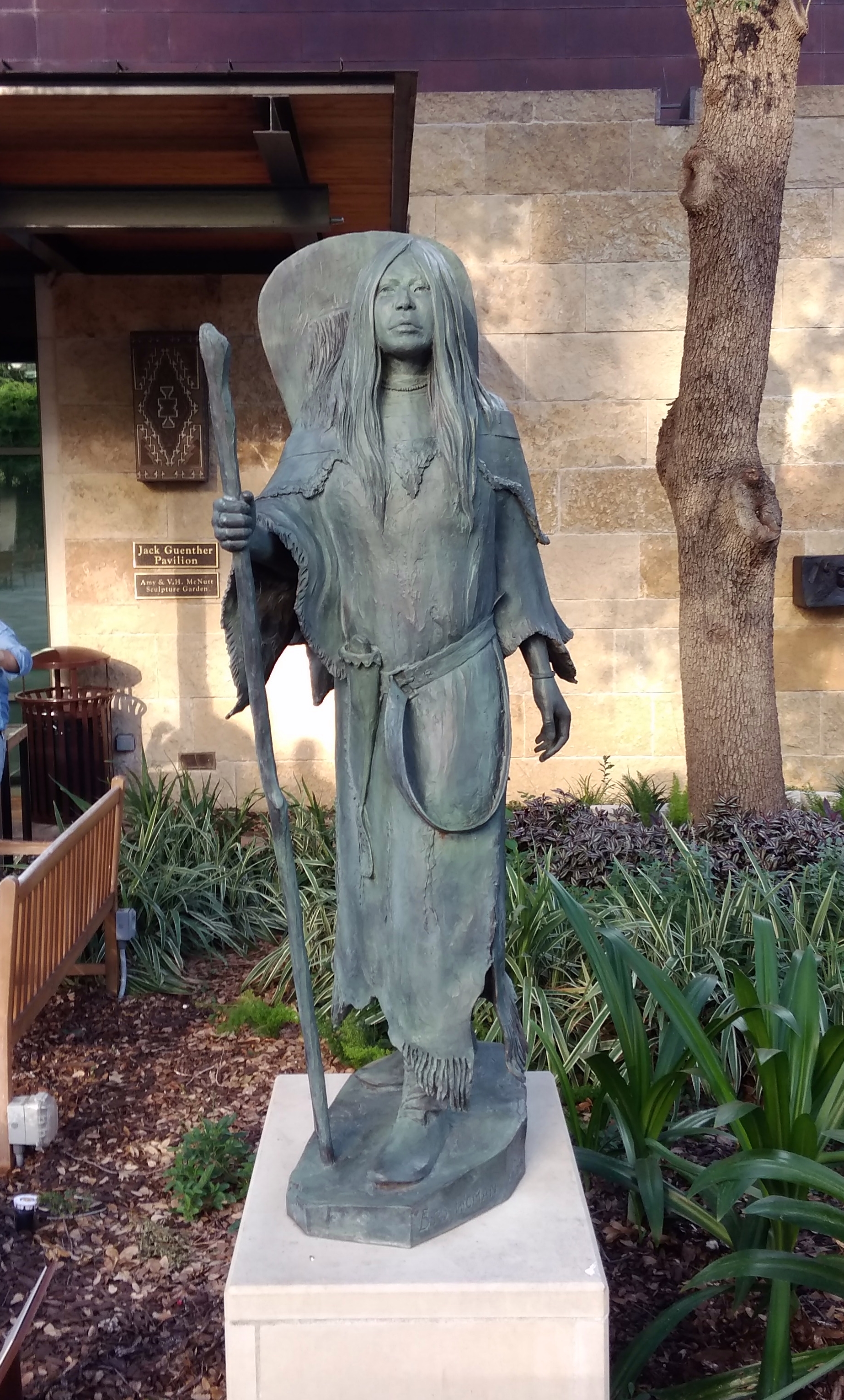
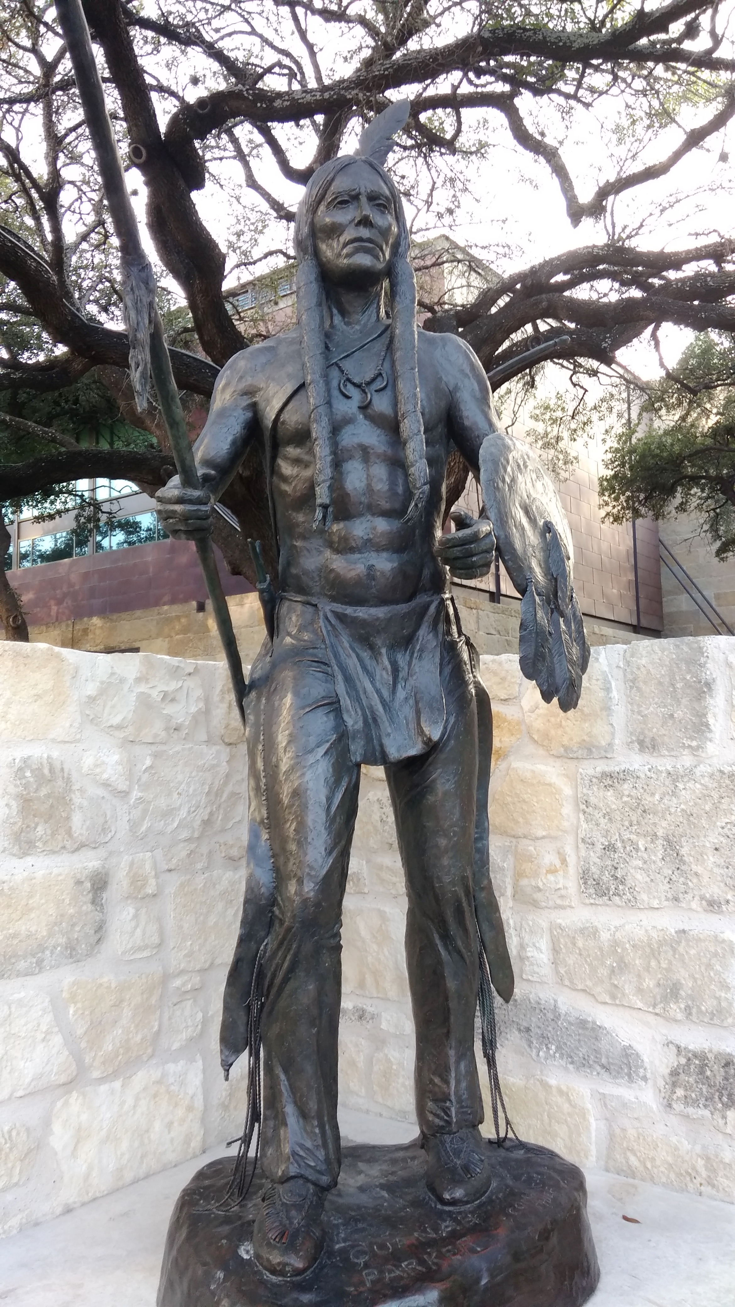
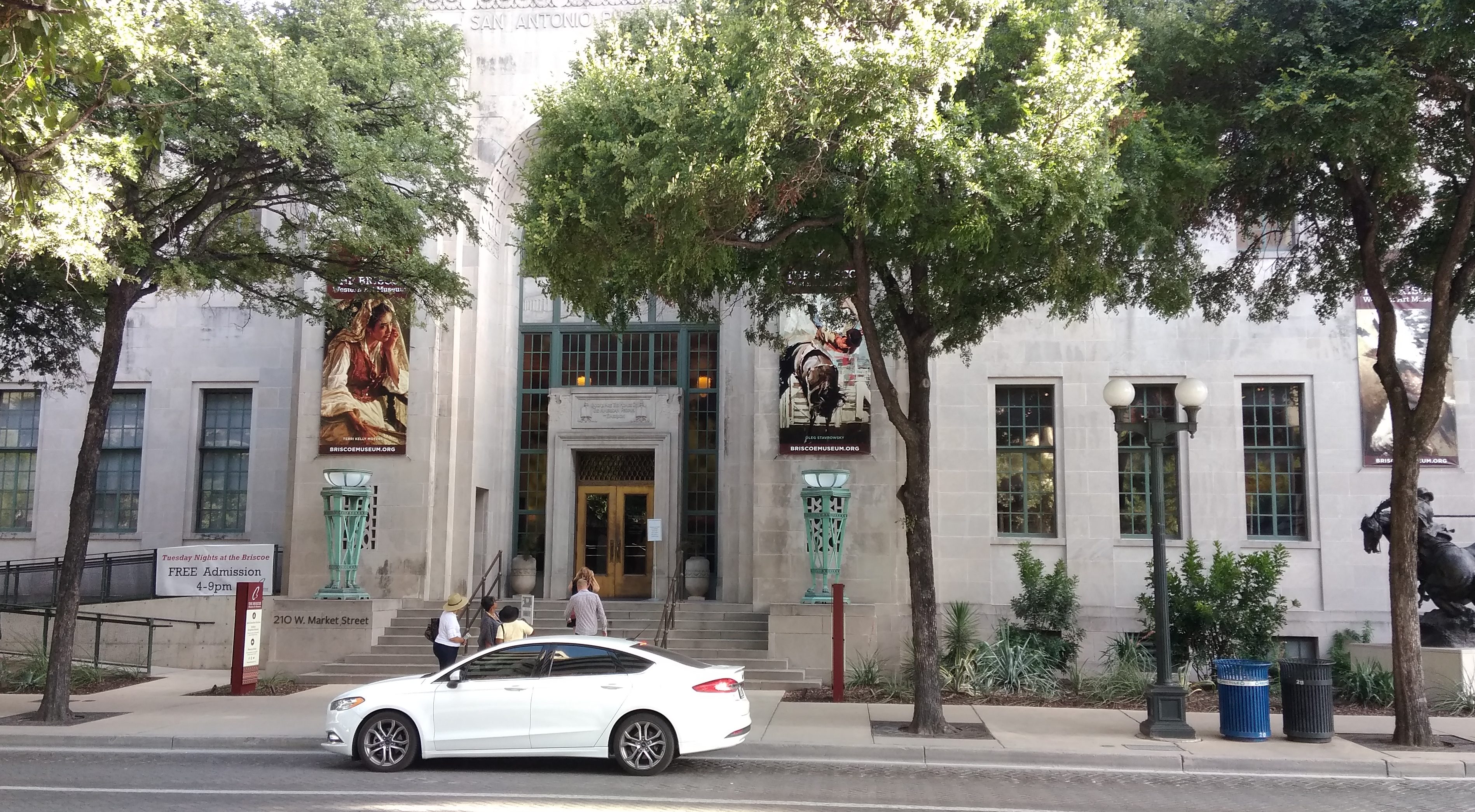
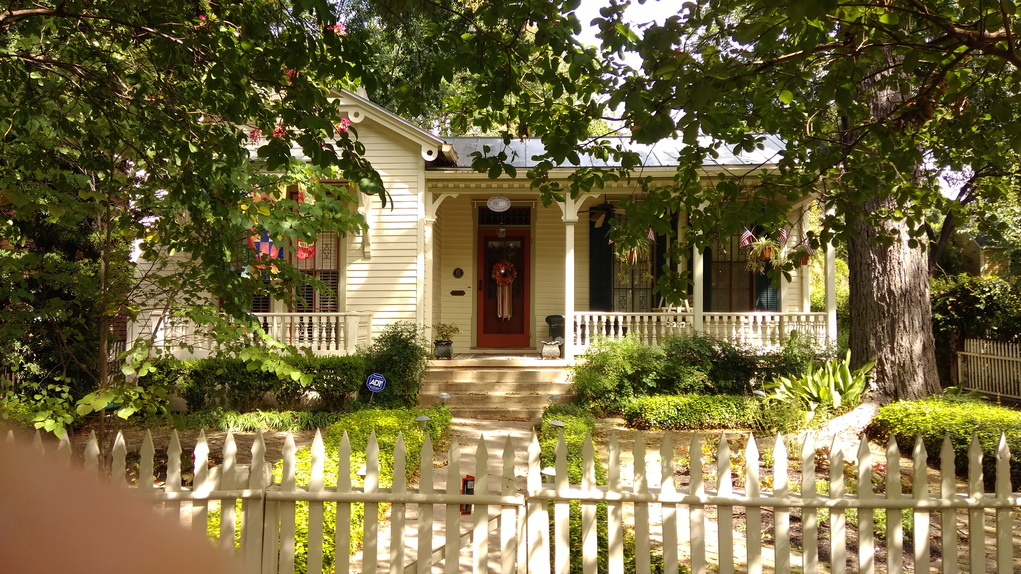
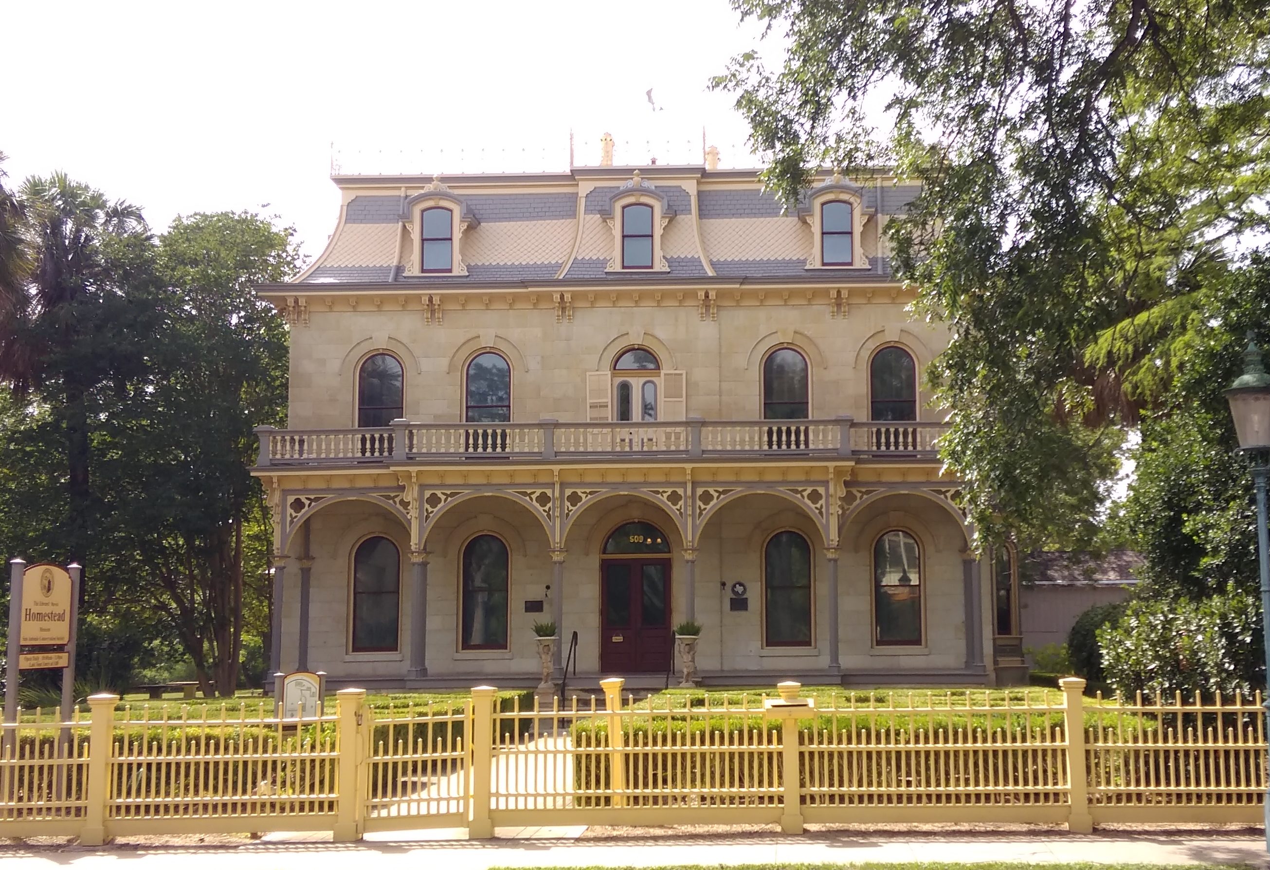
Edward Steves was a successful businessman in lumber in San Antonio in the 19th century, and Steves & Sons, which makes doors, is still around. I went to high school with a girl who was descended from Steves on her mother’s side.

There are plenty of other large and not-so-large houses on the street, most of which are worth a look.
That last one is the Alfred Giles House. One the architect of that name designed for himself. He’s thought to have done the Steves Homestead, and he certainly designed a lot of buildings in Texas, including some county courthouses (such for Goliad County and Presidio County) and even some in Monterrey, Mexico.