GTT Spring ’16

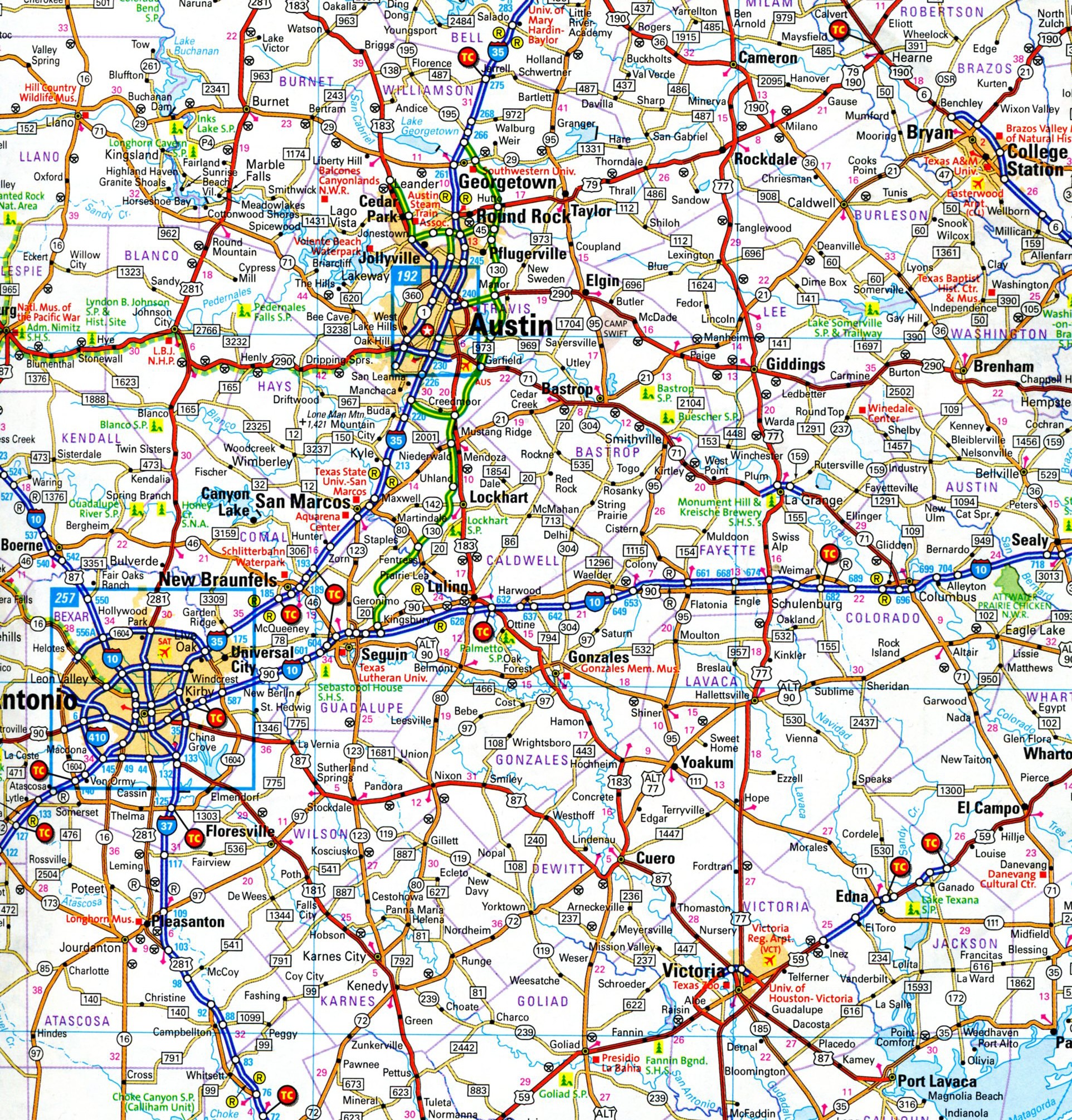
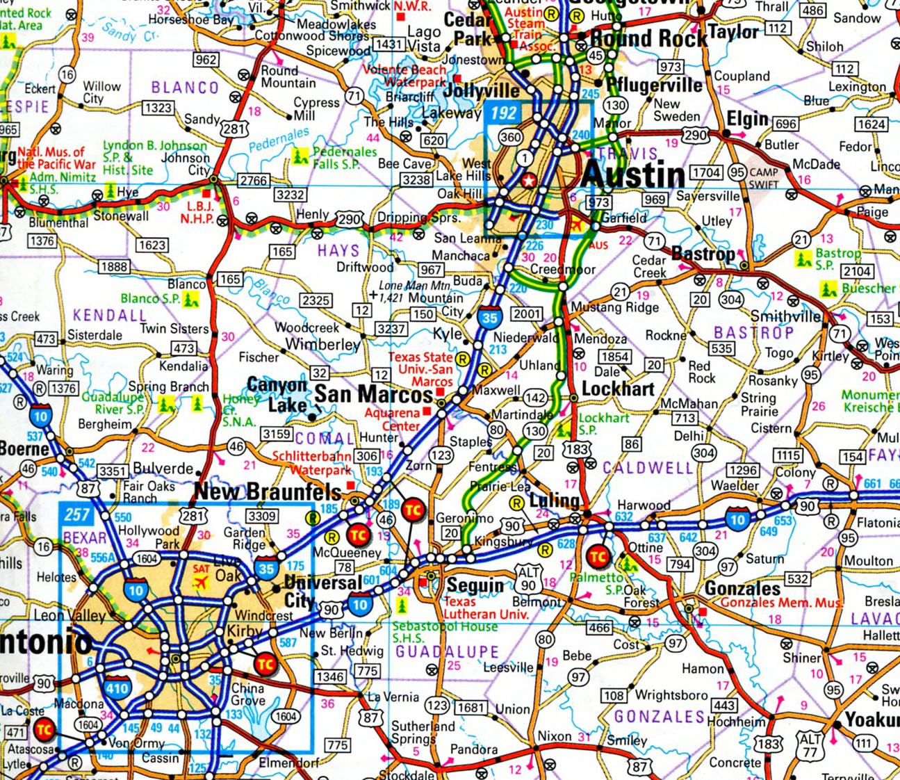
I left for my first 2016 visit to Texas on March 3. It was a big wheel, little wheel trip: a few days in Austin and the Hill Country, a week in San Antonio. When I left Illinois, there were patches of snow on the ground; in South Texas in early March, the grass is green and a few trees and leafing, and there are a handful of flowers and other buds. Heavy rain is always a distinct likelihood in early spring down there, and sure enough we had a couple of thunderstorms.

I visited my mother, both brothers and a nephew and his girlfriend. I spent time with a few old friends — in one case, someone I’ve known since 1973, Tom, a longtime resident of Austin. Our friendship might make the 50-year mark with both of us still alive. I think the actuaries would be with us on that, but who knows?

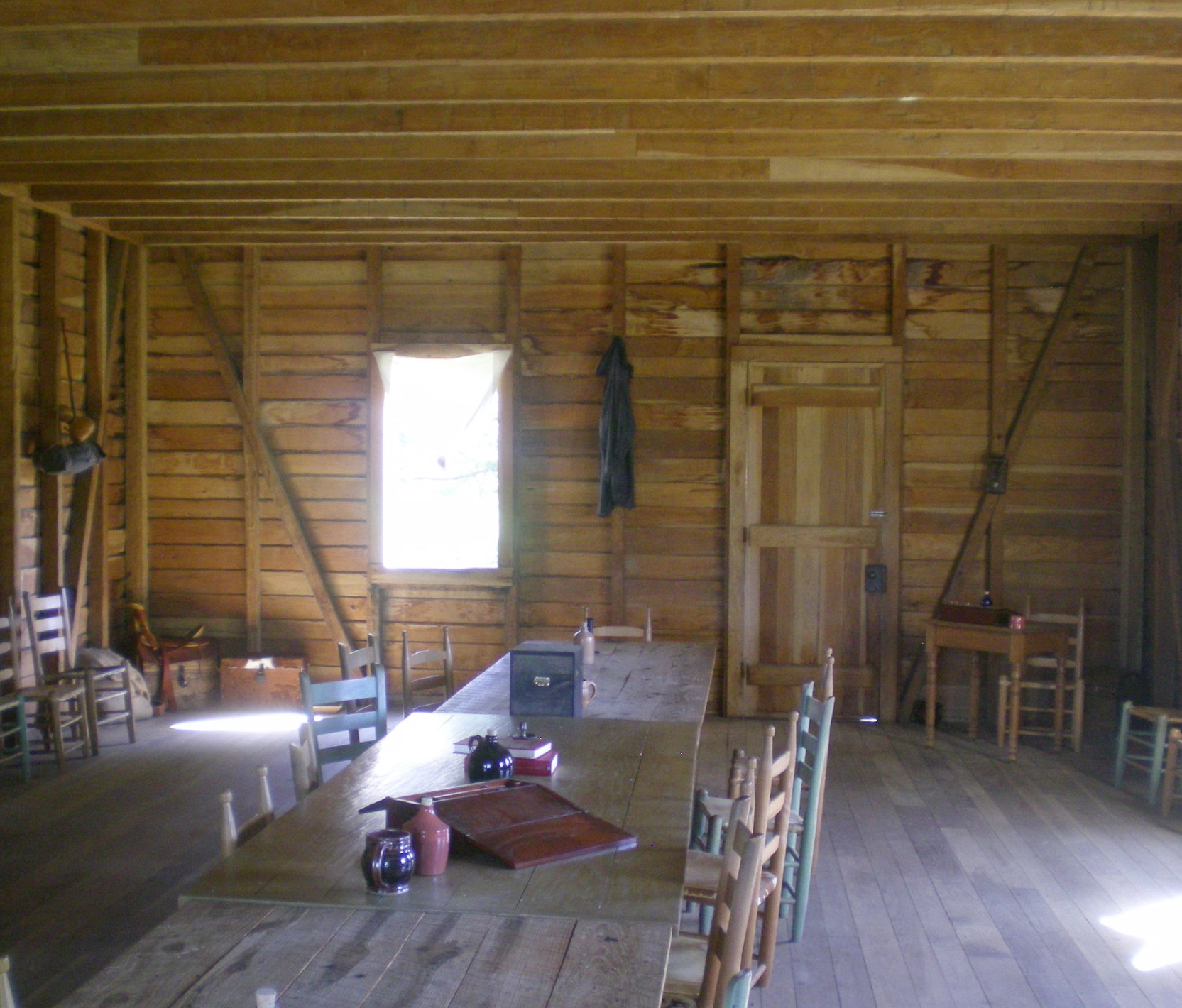
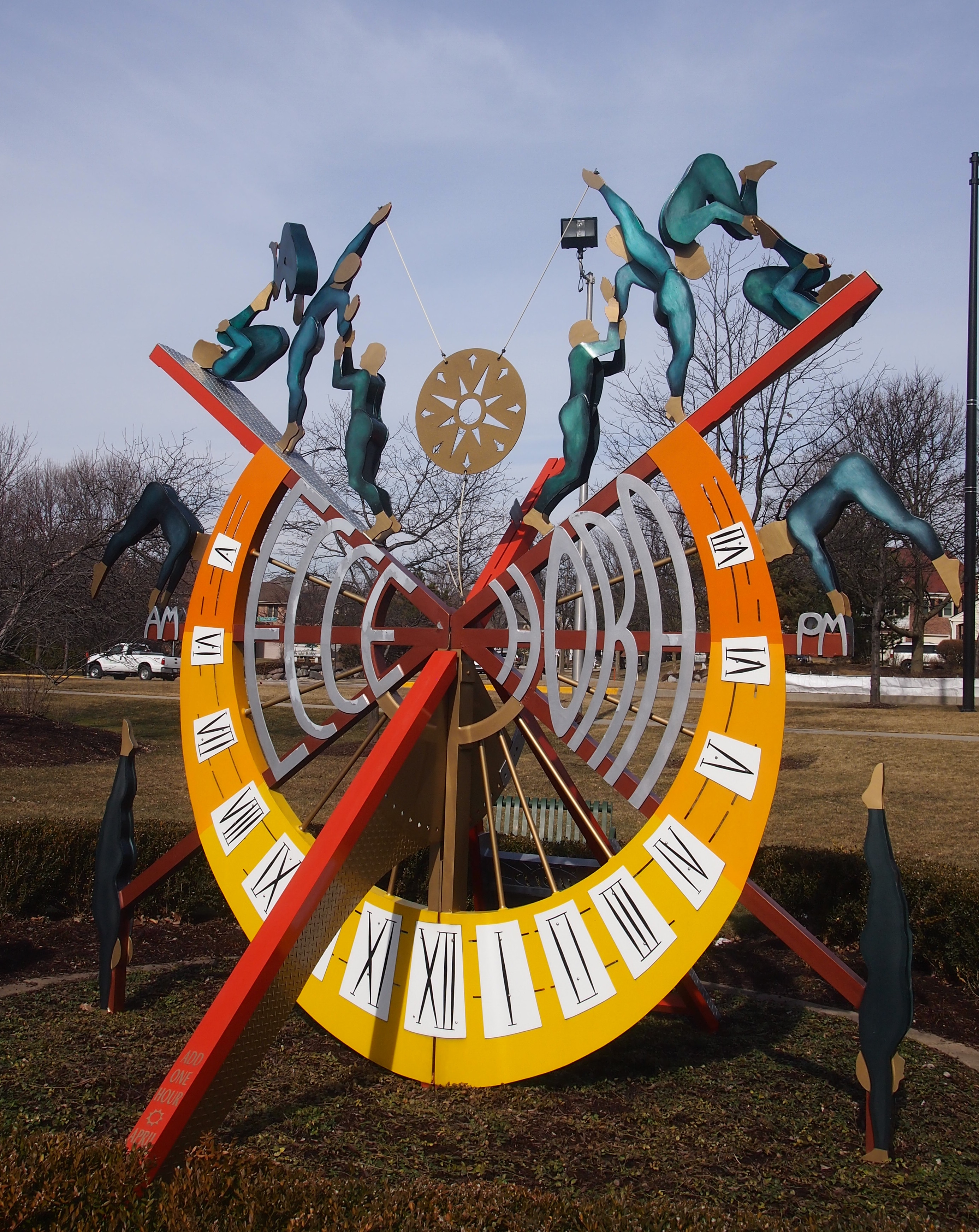
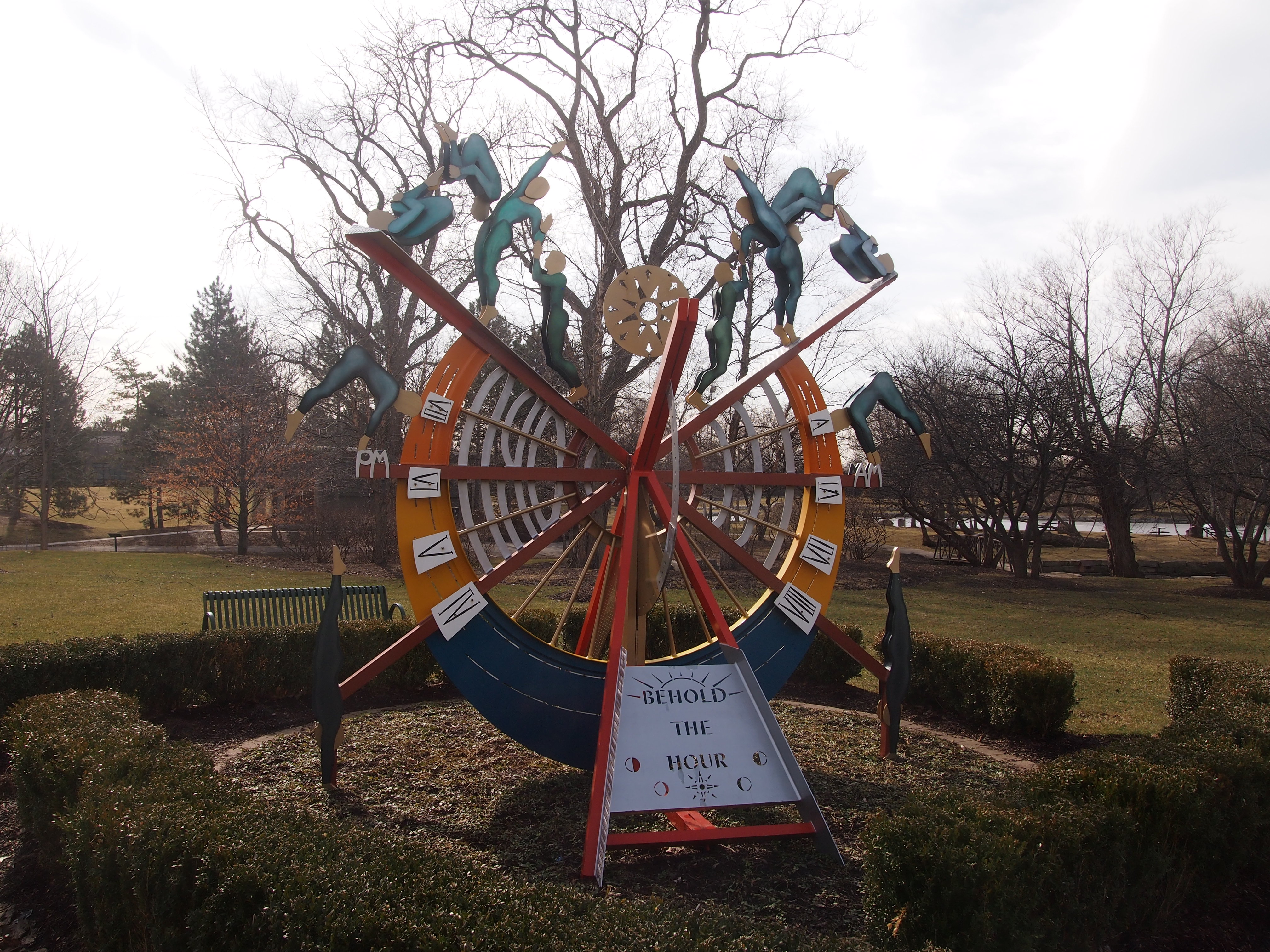
Out in the Hill Country, which is hardly remote and the opposite of sparsely populated in our time, I wandered around a main street designed to please day trippers, took in one of the most detailed war museums I’ve ever seen, visited the boyhood home of a certain president from Texas, pondered a cemetery full of Germans, saw an elegant Gothic church, happened upon a hilltop vista, and ate beans and jalapeño-cheese cornbread at a storefront restaurant.

In Austin, I saw a city that isn’t what it used to be. The thing about Austin, though, is that it’s always been a city that isn’t what it used to be. That doesn’t bother me particularly. I mainly go to visit old friends, such as the aforementioned Tom, who aren’t who they used to be — and yet who are in some ways. Such is the paradox of knowing people for decades. I also saw Blue Healer at Stubb’s Bar-B-Q. My nephew’s in the band. They’re really talented.

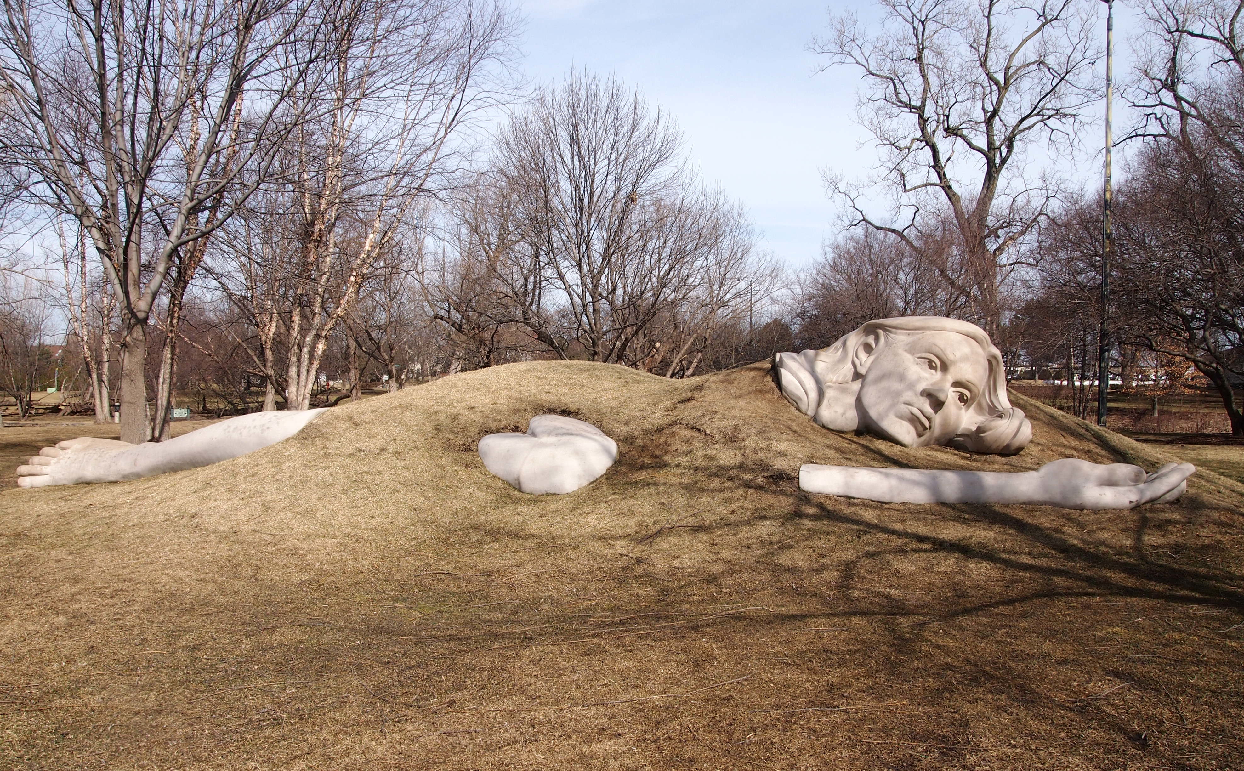
Each time I visit San Antonio, I try to spend a few hours outside of the familiar grooves laid down decades ago. I was able to this time. When I started to do so consciously, back around 2009, I thought it would be hard to find interesting things outside those grooves. I was wrong. In a city this size, with a history this deep, it isn’t hard at all. Such places includes tumbledown cemeteries and new green spaces and milestones of another era and the Blue Hole and China Grove, Texas, and a big basilica.

20,000 Days

Texas Independence Day. As good a reason as any to knock off for a while, till about March 13. Don’t forget to Remember the Alamo on the 6th.

Here’s the interior of the Texas Hall of Independence in Washington-on-the-Brazos, as seen a couple of years ago. Everything’s a replica, including the building, but never mind.

Texas Hall of IndependenceThe handy timeanddate.com tells me I’m about to be 20,000 days old. Not bad.

The motivational poster notion of “living every day fully” is malarkey, and not just because that’s awfully vague. People can’t live like that. Most of my 20,000 days have been nondescript, though sprinkled with good and bad moments, either forgotten or remembered, while some days have been very good indeed, and none (so far) have been really horrible. Not everyone gets to be that lucky.

The Mallard Lake Trail, Near the West Branch of the Du Page River

I noticed a sign today at Mallard Lake Forest Preserve, which we haven’t visited in nearly a year.

Mallard Lake FP, Du Page CountyUh-oh. I don’t think that sign was there last year. But now there’s evidence that the dread zebra mussel has invaded these waters, as it’s hopscotched across the lakes of the world. Wiki tells me that the mussel has come from its native lakes of southern Russia to be a pest in North America, Great Britain, Ireland, Italy, Spain and Sweden.

It’s no trifling matter. The Virginia Department of Game and Inland Fisheries tells us that, “Many water treatment and power facilities must now treat their systems to keep them free of zebra mussels, beaches must be periodically cleaned of decaying masses of dead zebra mussels, and bottom-dwelling organisms and fisheries have been negatively impacted. In the United States, Congressional researchers estimated that zebra mussels cost the power industry alone $3.1 billion in the 1993-1999 period, with their impact on industries, businesses, and communities over $5 billion.”

Fortunately, zebra mussels don’t invade the land to attack casual walkers on forest preserve paths. That’s all we wanted to do today, because once again the weekend was unusually warm for February, nearly 60 degrees F.

Instead of simply circumambulating Mallard Lake, we also walked along a spur called the Mallard Lake Trail, which leads to a municipal park called Heritage Park, which is part of subdivision I know nothing about. For a quarter of a mile or so, Mallard Lake Trail seemed remote, though it was an illusion, helped by the day’s strong winds, which muffled the sound of traffic off in the distance.
Mallard Lake TrailWithin view of part of the trail is the West Branch of the Du Page River.
West Branch Du Page RiverIt might have been a natural-flowing stream at one time, but it has the look of a man-made channelization at this point. By the time we got here, the middle-of-the-woods illusion was punctured by houses in the background, and a school off in the other direction.
West Branch Du Page RiverThe West Branch of the Du Page River flows quite a ways south — including through downtown Naperville — to meet the Du Page River in Bollingbrook, Ill. The Du Page joins the Des Plaines at a place called Moose Island in Channahon, Ill., but very near there the Kankakee River joins the Des Plaines and they all form the mighty Illinois River, a direct tributary of the Mississippi just north of St. Louis.

So you might say we took a stroll in a very small part of the Illinois River watershed, which includes all of the little cricks and rivulets around here.

“Ecce Hora”

Not far from “Awaking Muse” (see yesterday) on the grounds of the Prairie Center for the Arts and the Village of Schaumburg municipal center is a sculpture doubling as a sundial — or a sundial doubling as a sculpture — called “Ecce Hora.” After visiting the muse, I walked over to the structure.
"Ecce Hora"This vantage shows the south-facing side of the sculpture, which naturally catches more light than the north face, so it has a wide variety of hour lines. You’ll note that it shows the time as a little past 11 am, which was completely accurate. Toward the tip of the gnomon — it’s hard to see in this picture — it advises you to add an hour during most of the year to account for DST, but we’re still on standard time.

The sign near the work — actually there are two signs, duplicates of each other for some reason — says, “this adjustable sundial was designed and built by Chicago artist Christine Rojek. Ecce Hora (which means “Behold the Hour”) is constructed of painted aluminum and includes fanciful hand-painted figures which twist, dive and somersault. They perform as if to say, ‘If life is just a shadow, make a dance.’ ”

That’s what they’re saying? How about, “Time flies, so do we” ?

The north-face, which has the English name, is destined not to catch as much sunlight. It certainly was in the shadow this time of the year.

"Ecce Hora"But at other times of the year, it will be illuminated, so there are hour lines on that side as well, just not as many. All in all, it’s good to take a look at sundials every now and then.

“Awaking Muse”

Rumor has it that the ground will be covered with snow again tomorrow — which will devolve into slush a few days after that — so I spent a few minutes today out on the brown ground near the Prairie Center for the Arts and the Village of Schaumburg municipal center. The grounds are sizable, and include a large pond that’s usually home to a pair of swans.

“The village purchased Louis and Serena, called Mated Mute Swans, in 1994 in response to the growing Canada Goose population on the municipal center pond and grounds,” the Village of Schaumburg web site says. “Breeding age pairs of Mute Swan will not tolerate Canada Geese in their breeding (nesting) area, which can cover several acres of water.”

Not sure whether they migrate, but in any case, the swans weren’t around today. A sign near the pond warns would-be fishermen away when the swans are in residence. The other is probably the only public sign I’ve seen that uses the word cygnet.
Schaumburg Feb 23, 2016Near the pond is a sculpture — a set of sculptures arrayed together — called “Awaking Muse,” by Don Lawler and Meg White."Awaking Muse" Schaumburg"Awaking Muse" SchaumburgA nearby sign tells us that “this sculpture depicts a female figure stirring from her slumber beneath the earth. Carved from Indiana limestone, the sculpture excites imagination and brings inspiration to its viewers. The ‘Awaking Muse’ references the muses of Greek mythology. The Greek muses were goddess sisters who inspired mortals with great thoughts in the arts and sciences.”
"Awaking Muse" SchaumburgI don’t know that it excites my imagination, but I like it. It’s been there since 2006. Some years ago, we attended a few summertime outdoor concerts on the grounds near “Awaking Muse,” and the sculpture was alive with children playing on it. Including ours.

The only thing missing? A nearby Indiana limestone alarm clock. Even muses have a hard time waking up sometimes.

First Folio Exhibit, Lake County Discovery Museum

ShakesBirthI’ve done a little Shakespeare tourism in my time, such as visiting his birthplace in Stratford. When I scanned the ticket from that visit, I noted that I paid £1 for admission in 1983. The Bank of England has a handy UK inflation calculator that tells me that’s the equivalent of just over £3 now.

I checked the Shakespeare Birthplace Trust web site today and found that a “Birthplace Pass” now costs £16.50 for an adult. For that, you get into “Hall’s Croft, Harvard House, Shakespeare’s Birthplace, Shakespeare’s Grave,” so that’s not as outrageous as £16.50 for just the birthplace, but it still doesn’t quite sit right. Can you just buy a single ticket for the birthplace, or is the pass the minimum? Also, there are other, more expensive options that include other houses and a garden.

Shakespeare’s grave is at the Church of the Holy Trinity, and I don’t recall being charged admission. These days, the church asks for a £2 or £3 donation if you want to take a look at the playwright’s grave, and spare those stones and not move his bones. A good idea, since moving those bones wouldn’t just get you cursed, it would probably be a fairly serious criminal offense in the UK.

FirstFolioAll this comes to mind because last week we — all of us going the same place, an increasingly rare thing — went to the Lake County Discovery Museum in Wauconda, Ill., to see a First Folio. It was my idea. On the occasion of the 400th anniversary of Shakespeare being laid to rest in that church near the Avon, the Folger Shakespeare Library has sent out some of its First Folios in traveling displays. Each state has one display in one location over the course of 2016, and Illinois’ is this small museum in the far northwest suburbs.

Of all the times I’ve been to DC, I’ve never managed to make it to the Folger. There’s a good chance I’ve seen a First Folio somewhere — maybe at the British Library or the New York Public Library — but I don’t remember. So I wanted to see this one.

I’d been the Discovery Center a few times before, mainly to see excellent exhibits drawn from the museum’s Curt Teich Postcard Archives. That includes over 400,000 postcards of more than 10,000 towns and cities nationwide and elsewhere, plus a lot of other subjects.

The First Folio exhibit was straightforward: a room with tall signs offering various facts about Shakespeare, his plays, the Quartos and the 1623 and later Folios, along with the King’s Men actors who saw fit to have them published: John Heminges and Henry Condell. A smaller, adjoining room includes the First Folio itself, behind glass and opened to the page that includes Hamlet’s soliloquy.

First FolioIt’s a handsome volume, not much worn or yellow. This was no pulp publishing. It’s also one of the 233 copies that are known to exist, and one of the 82 that the Folger owns as the largest collector of them. Remarkably, Meisei University in Tokyo has the second-largest collection, numbering 12. How did that happen?

A cop lurked in the shadows at the exhibit; a wise precaution, no doubt. At a Sotheby’s auction in 2006, a copy fetched £2.5 million, and thieves have been known to target the book, though the fellow in that article sounded like a bumbler.

I thought it was worth the 45-minute drive to Wauconda. My family might not have been persuaded, except we also had an enjoyable dinner in that town first. More about that tomorrow.

Map Hero’s Laminated Gitche Gumee

You never know what’s lurking in the fine print. Usually that’s taken to be a bad thing, but yesterday I took a look at a map I’ve owned for years and discovered a fine thing in the fine print.

First, the map. It’s laminated, and so in excellent shape. I got it when we went up to northern Wisconsin in 2003. At 16¾ inches x 10⅝ inches, it’s beyond the capacity of my simple scanner, so here’s a large detail from the midsection of the map: instantly recognizable as the ice-water mansion Lake Superior.
LakeSuperiorLake Superior Port Cities Inc., publisher of Lake Superior Magazine, published the map in 2001. It’s a quietly gorgeous map whose shadings not only indicate elevation above and below the surface of the lake, but are pleasing to the eye. Besides towns and roads, it notes all of the various state forests and parks along the shores of Lake Superior, plus the national lakeshores and the single national monument, Grand Portage in Minnesota.

Here’s a closeup of Keweenaw Peninsula, the UP’s UP, and a place I surely must see.
KeweenawVery small versions of the Lake Superior Circle Tour sign mark a network of roads that circumscribe the lake. If I had the time, that’s a drive I wouldn’t hesitate to do. I remember the first time I visited Lake Superior — Labor Day weekend 1989 — I was driving between Munising and Marquette and I saw one of the signs. I hadn’t realized there was a Lake Superior version of the drive; the Lake Michigan Circle Tour signs can be seen even in the Chicago area and, in fact, I’ve done my own version of circum-driving that lake twice (once was that ’89 weekend).

Instantly I was taken with the notion of driving around Lake Superior. I was by myself and could have done it. I didn’t have my passport, but you didn’t need a passport to visit Canada in those days. I hadn’t planned to take any time off after Labor Day, but I could have called in sick for a few days, something I very rarely did. But no. I was entirely too responsible.

On the lake itself, the map also features lighthouses and the sites of notable shipwrecks. Some of the lighthouses are probably easy enough to see, but others are impossibly remote, such as the Stannard Rock Light, more than 20 nautical miles southeast of Keweenaw Point, slap in the middle of the lake.

As the for the wrecks, few will ever see them in the chilly Superior waters (average temp, 40 degrees F.). The most famed of them, naturally, is the Edmund Fitzgerald, but it has a lot of company, such as the Onoko, Henry Steinbrenner, John Owen, Western Reserve, Gale Staples, Niagara, Superior City and others.

A handful wrecks are marked but also noted “went missing,” such as the Owen and Manistee. To quote Wiki on that ship: “The Manistee was a packet steamship that went missing on Lake Superior on November 10, 1883. It was presumed to have sunk, with no surviving crew or passengers. The cause remains a mystery, and the wreckage was never discovered.” Sometimes Gitche Gumee just eats ships, it seems.

As for the fine print, way at the bottom right corner of the map, in about 3-point print, it says, “Design/Cartography by Matt Kania.” He’s easy enough to find: Map Hero, maker of custom maps. Looks like he’s done a lot of wonderful maps besides Superior. If I had any talent for it, I’d do the same.

Michelin’s Central Texas

Here’s another map of considerable usefulness and aesthetic value. This is a detail from the Michelin 2015 North America Road Atlas.

CentralTexasI bought the 2003 edition back when it was new, but by last year it was worn out, so I replaced it. Instead of providing a map or two for each state, as the larger Rand McNally does, Michelin divides North America into a grid of squares. Central Texas above happens to be on square 61. The system takes some getting used to, but on the whole it works.

I also still buy Rand McNally most years. Some things on those maps won’t be on Michelin and vice-versa, though since Rand McNally is 15¼ inches x 10¾ inches, and Michelin is 8 x 11, the former has more room for detail. Yet Michelin packs an amazing amount of detail, as good maps should.

CentralTexasThen there are state highway maps. In whatever state I pass through, I try to pick up one. They were always easy to find in Texas — every rest stop with bathrooms used to have them, and maybe still do. The lesson is, you can’t have too many maps.

Without maps around the house, how could you browse? Looking at the Texas 61 map just now, I notice towns I’ve never heard of — at some distance from San Antonio, where I know most of the surrounding burgs — including the likes of Bleiblerville, Blue, Concrete, Ding Dong, Gay Hill, North Zulch, Oxford, Snook, and Sublime. All real Texas town names, according to Michelin.

Nelles Maps Hong Kong

When you Google huuuge (three u’s), you get this.

Four u’s, this.

That came to mind as I looked out my back door earlier today to see the results of the day’s near-unremitting rain. Huuuge puddles. Maybe even huuuuge.

Nelles Maps are, or at least were in the 1990s, beautiful to behold. While in Asia during that decade, I discovered that the company, which is based in Munich, offers excellent maps of certain Asian places, such as city maps of Hong Kong and Bangkok, and larger maps of Thailand and Malaysia and Bali.

I see from looking around that Nelles still makes those maps, plus a fair number of other places in Asia, Africa and the Americas. None of Europe unless you count Madeira, and none of the United States, except for no fewer than four Hawaiian maps: the Big Island, Honolulu & Oahu, Kauai, and a state of Hawaii map. (What, no Maui?) Guess the company’s specialties are places Germans are likely to consider exotic for machen Urlaub.

Here’s a detail of the Hong Kong map I probably picked up in 1990: Victoria Harbour, flanked by Hong Kong Island to the south and Tsim Sha Tsui, often known as TST, to the north.
HongKongI suspect 1990 because the Cultural Centre in TST is marked as under construction. That would put the publication of the map in the late 1980s, since the center was completed in 1989, complete with a plaque unveiled by Charles and Diana.

A closeup of TST.

HongKongTSTEven if I’d never been there before — and after over 20 years, it’s like that — I’d look at this map and think, how interesting. The Star Ferry Terminal. HK Space Museum. HK Museum of Art. The Mariners Club. Kowloon Mosque. Streets called Hankow, Haiphong, Hanoi, Humphrey, Cameron and of course Nathan Road.

One thing I missed in TST was the Avenue of the Stars, which is on the waterfront and celebrates the HK film industry. If you want to see a statue of Bruce Lee, apparently that’s your place. The reason I missed it was that it didn’t open until 2004. Shucks.

bản đồ thế giới

Word is there will be cold rain tomorrow. At least it won’t be snow, and at least it’s the beginning of the end of winter. Today was sunny and above freezing. So cloudless, in fact, that I was inspired to take a picture of the clear blue sky.

Feb 1, 2016 Sky Over IllinoisI don’t know if I’ve ever taken that kind of picture before. Clouds, yes. Trees in front of a clear sky, yes. But straight up azure? It was surprisingly hard to get the camera to take the shot, I suppose since the sensors don’t sense anything nearby to focus on.

One thing I did over the weekend was thumb through some of my maps. I can’t quite call it a collection, since there’s no system to it, and I haven’t been going out of my way to acquire them over the years. Mainly they’ve been useful purchases, such as in London or Berlin, and they’ve accumulated.

My Vietnamese-language world map, on the other hand, was a souvenir. I’m pretty sure I got it in Saigon. At the top it says it’s a bản đồ thế giới, except it’s all capitals. But it does feature some of the intricate diacritical marks that characterize Vietnamese.

Here’s Vietnam’s neighborhood.

VietMap2And North America.

VietMapIn case you need to know it, the United States is Hoa Kỳ in Vietnamese. I’m just guessing, but that seems to be a translation of “united states.” Look at the map enough, though, and you’ll see many of the place names seem to be phonetic.