I’d never had any Moon Cheeze. Or even heard of it.
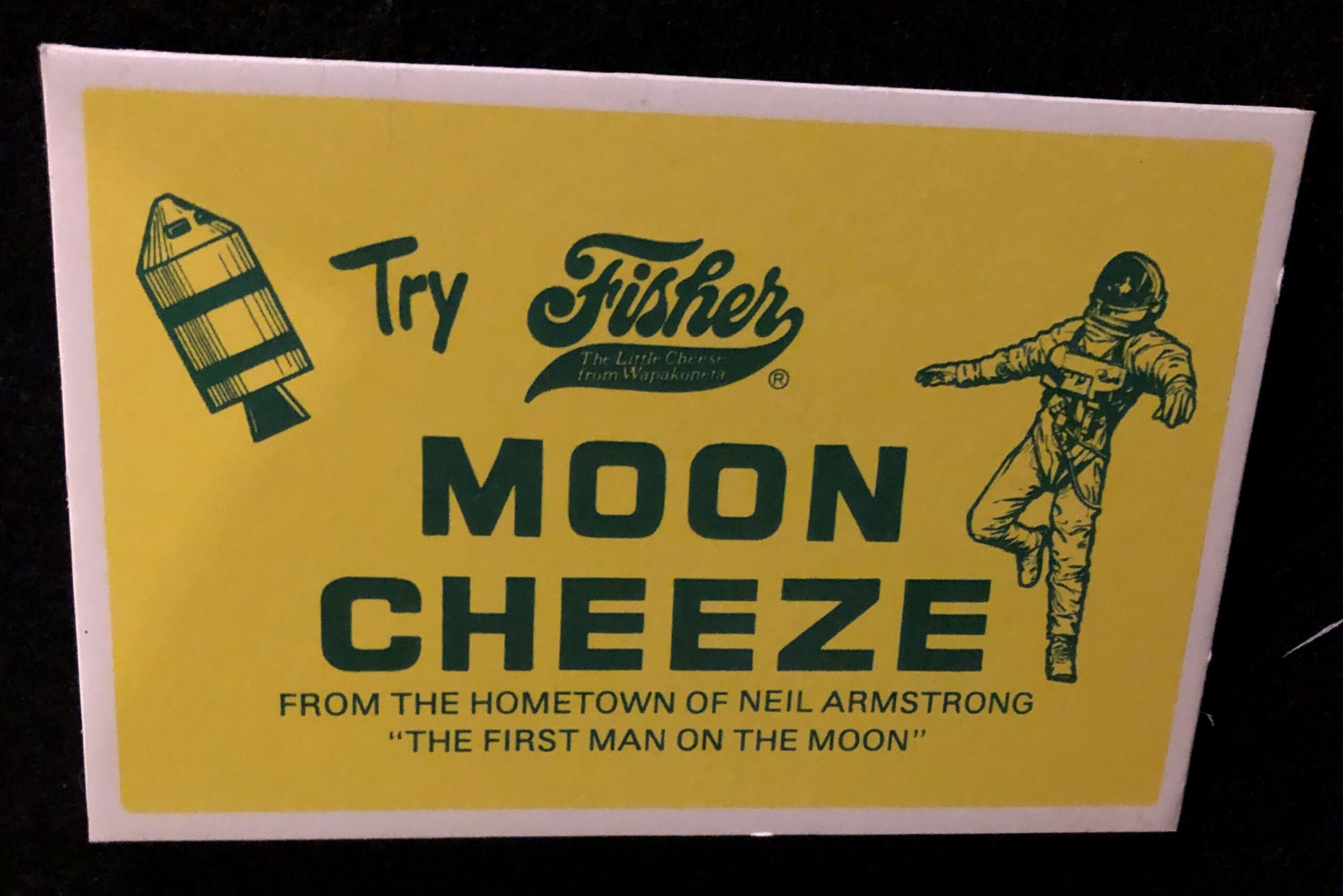
But I did eat Space Food Sticks from time to time in the days of Apollo and maybe a little after. As the ad says, Moon Cheeze was made in Wapakoneta, Ohio, hometown of Neil Armstrong.
“It seems to have been just regular American cheddar cheese,” Weird Universe says. “Only the packaging was special. It came in a container shaped like the state of Ohio.” In the ad above, it looks like an astronaut is drifting away from the safety of the Command and Service modules, like the (dead) astronaut did in 2001.
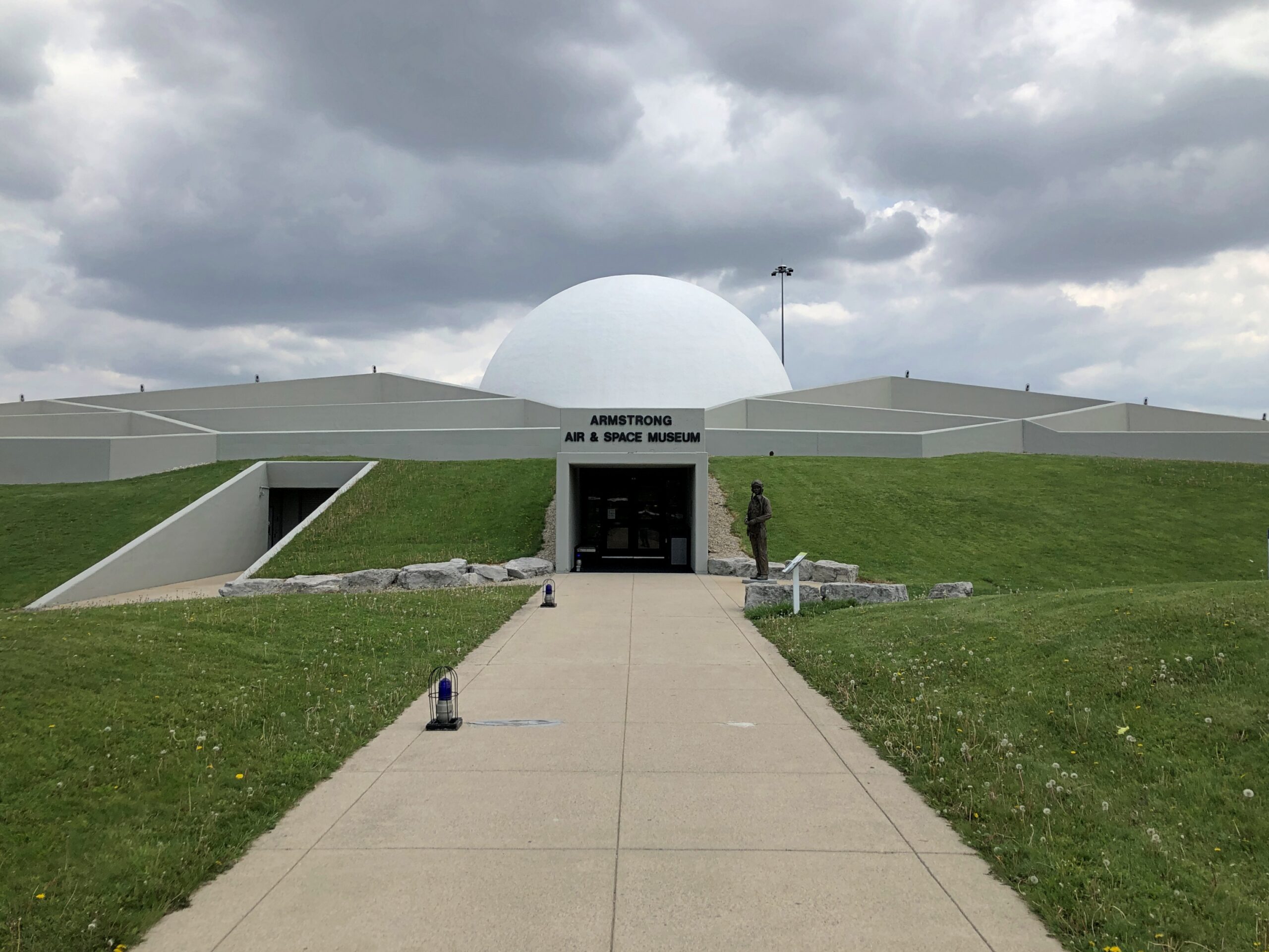
On the last day of my recent trip, I diverted a bit to Wapakoneta to visit the Armstrong Air & Space Museum, which I’d bypassed a decade earlier, and was rewarded for my effort when I saw the Moon Cheeze ad and a lot more.
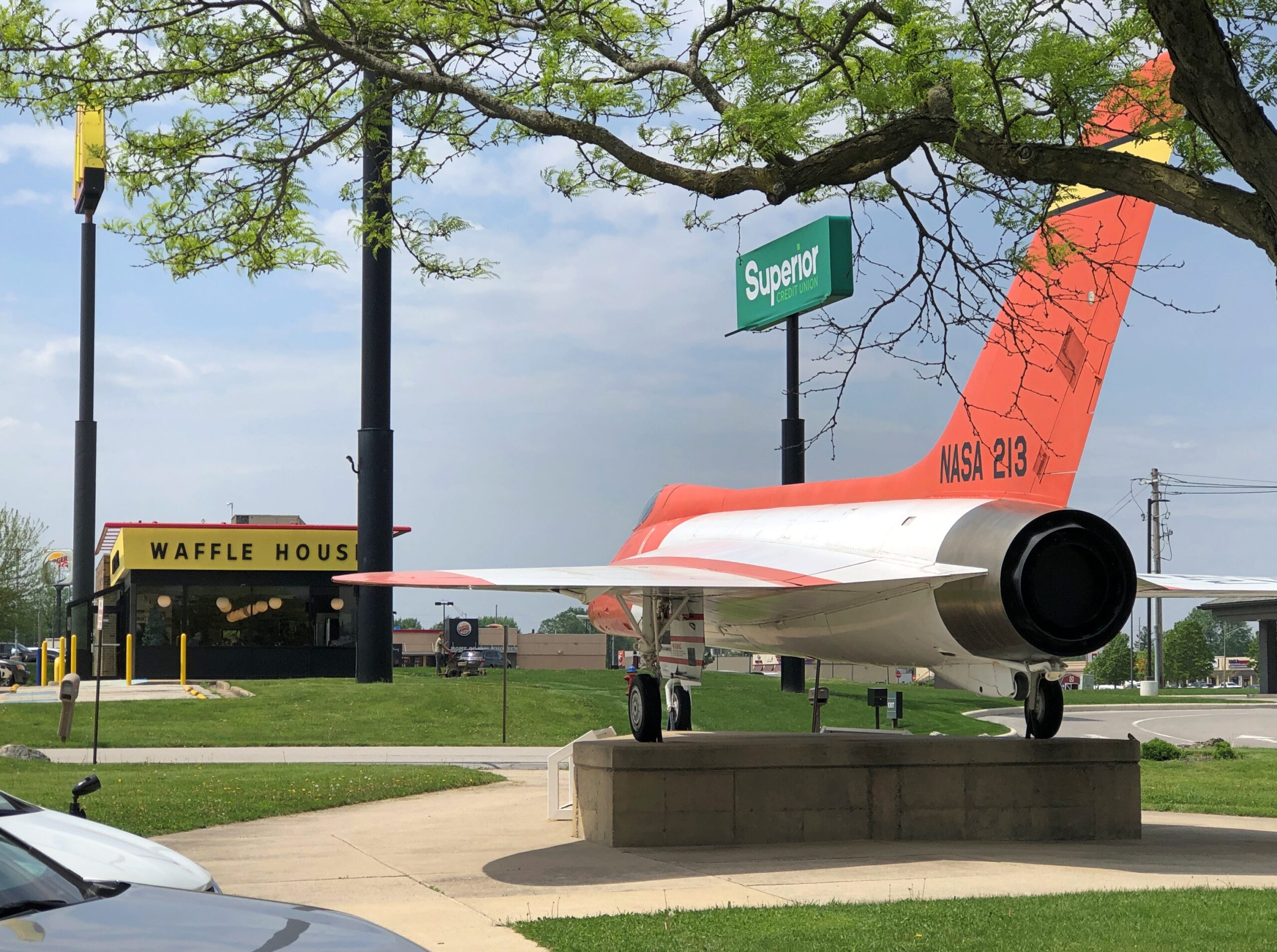
It’s conveniently located near a Waffle House.
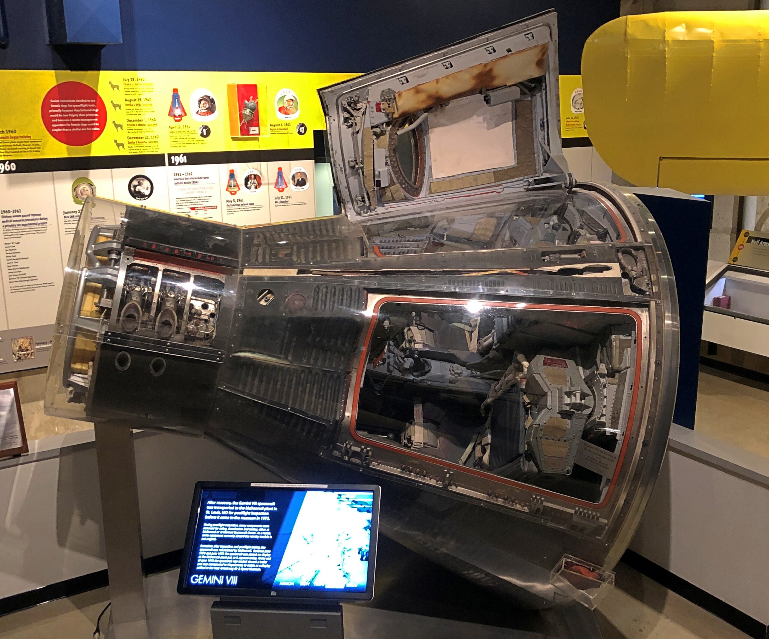
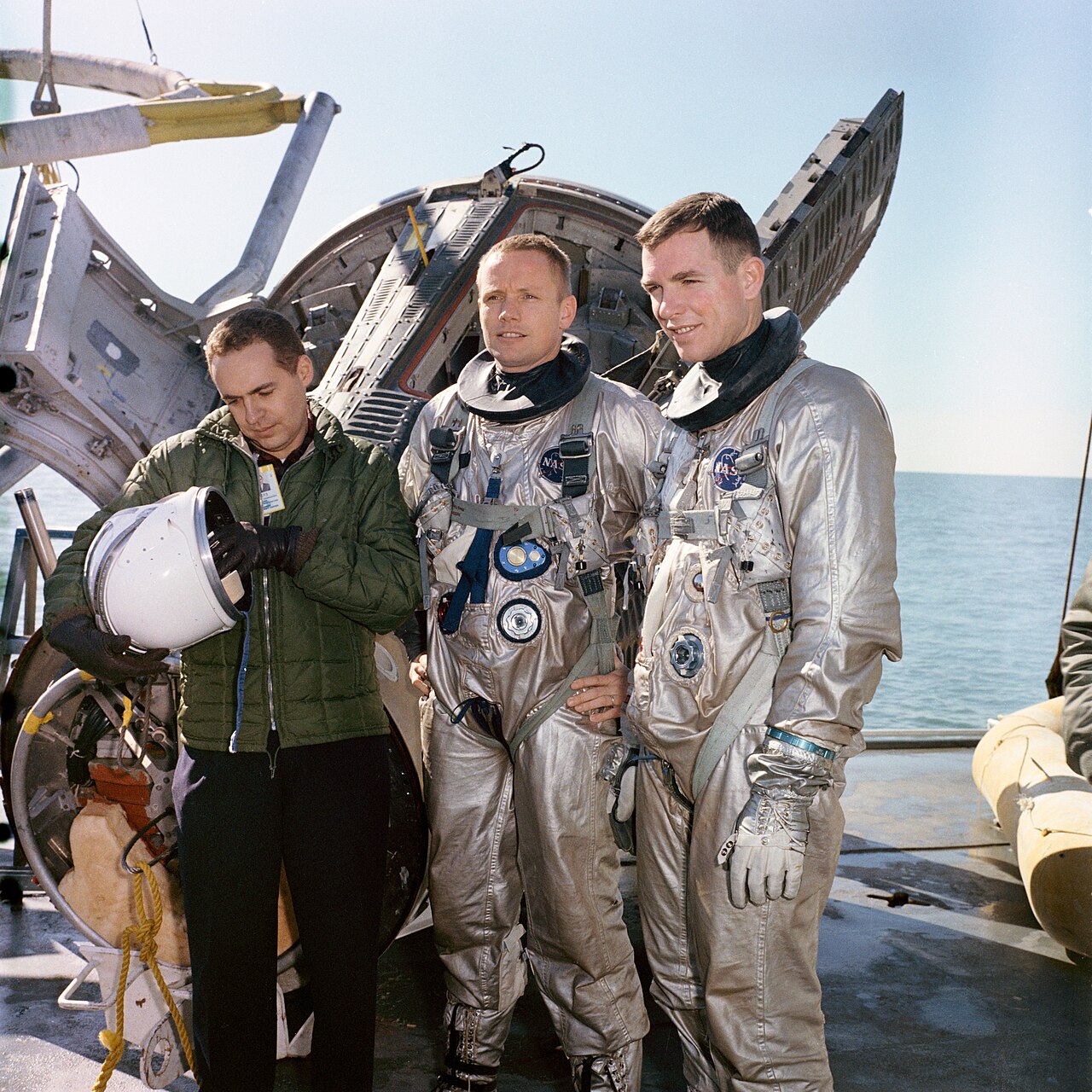
Worth the price of admission by itself: the Gemini 8 capsule, in which Neil Armstrong and David Scott nearly bought the space farm due to a malfunctioning thruster.
They survived, of course, and in fact Scott is still alive at 94. Besides Gemini 8, he flew on Apollo 9 and Apollo 15. Being seventh man to walk on the Moon doesn’t get you a museum, however; that’s reserved for being first. Fame is funny that way.
Neil Armstrong and David Scott. NASA public domain photo.
The museum isn’t large, but it does feature a number of good artifacts. The Smithsonian and the Kansas Cosmosphere shouldn’t have everything.
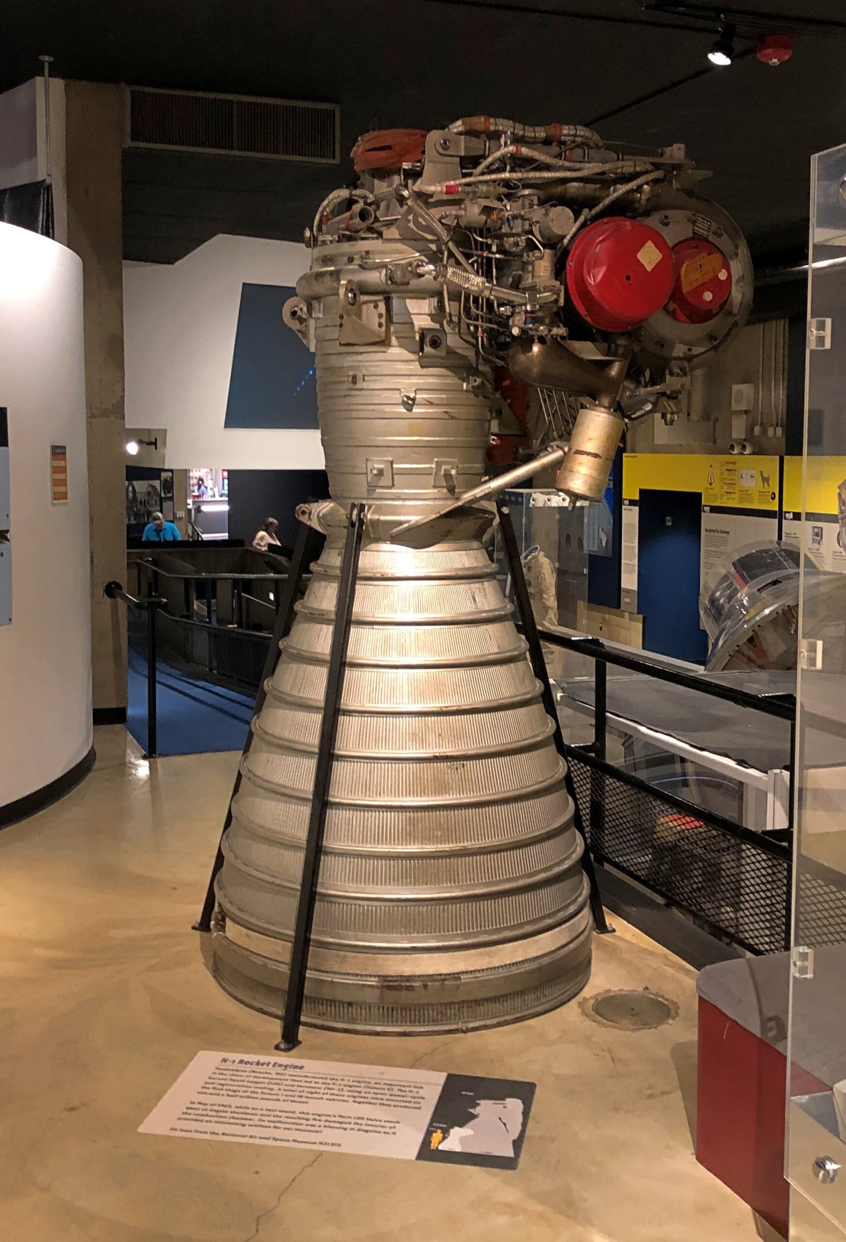
An H1 engine, which were used on Saturn 1 and Saturn 1B rockets.
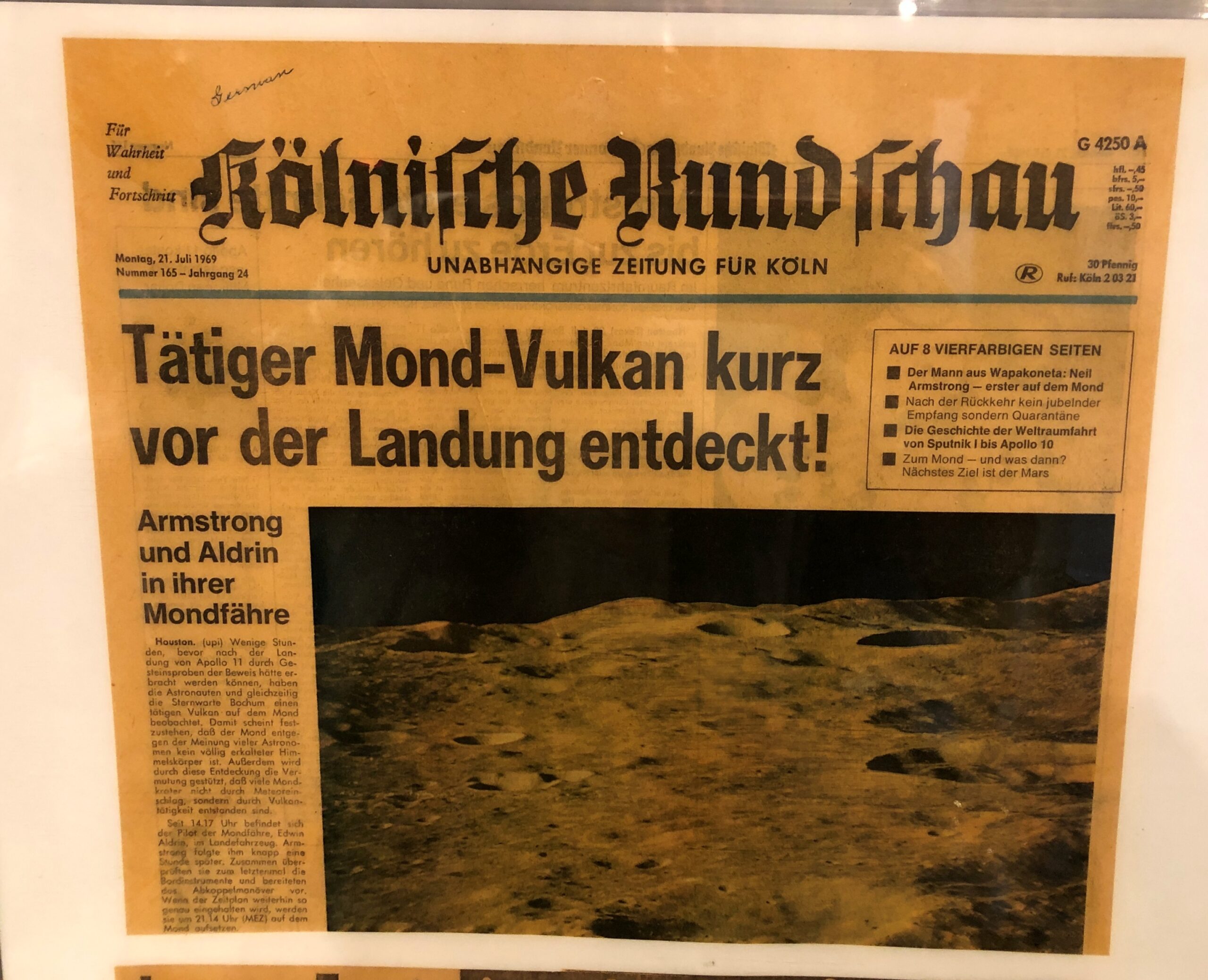
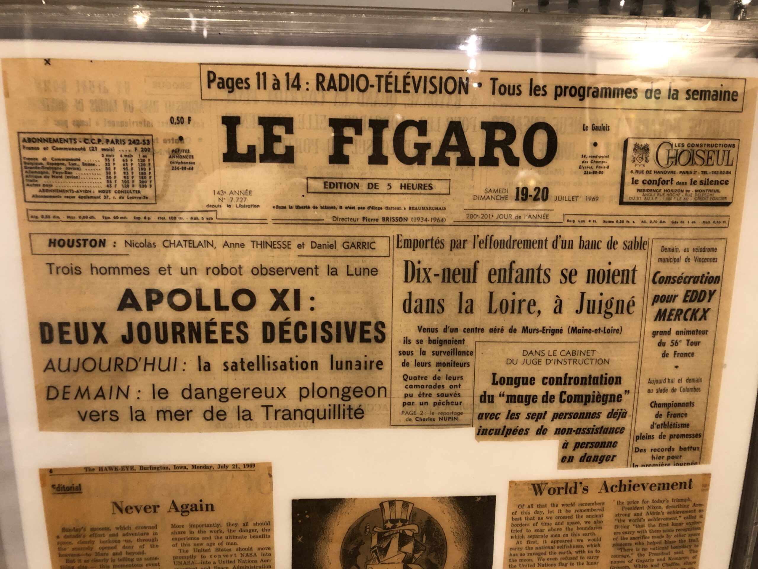
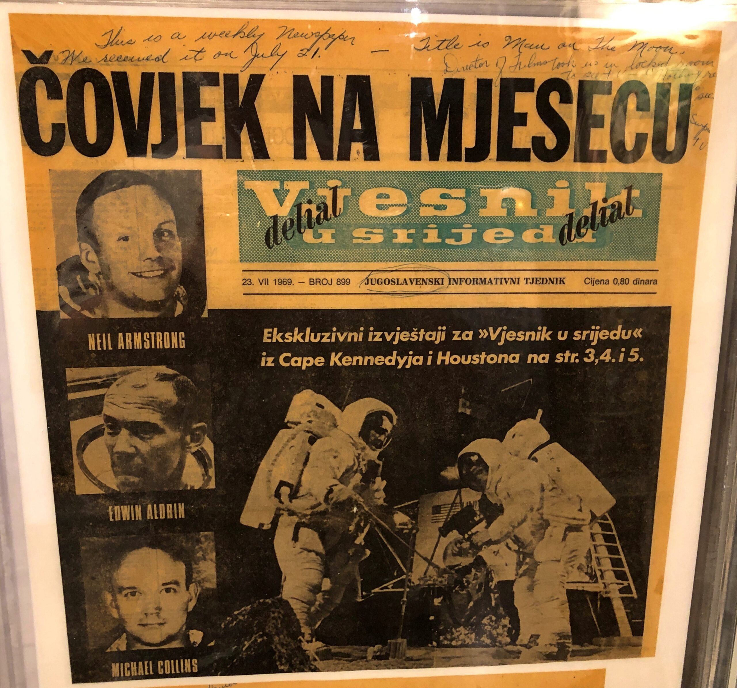
Newspapers from around the world covering the Apollo 11 landing.
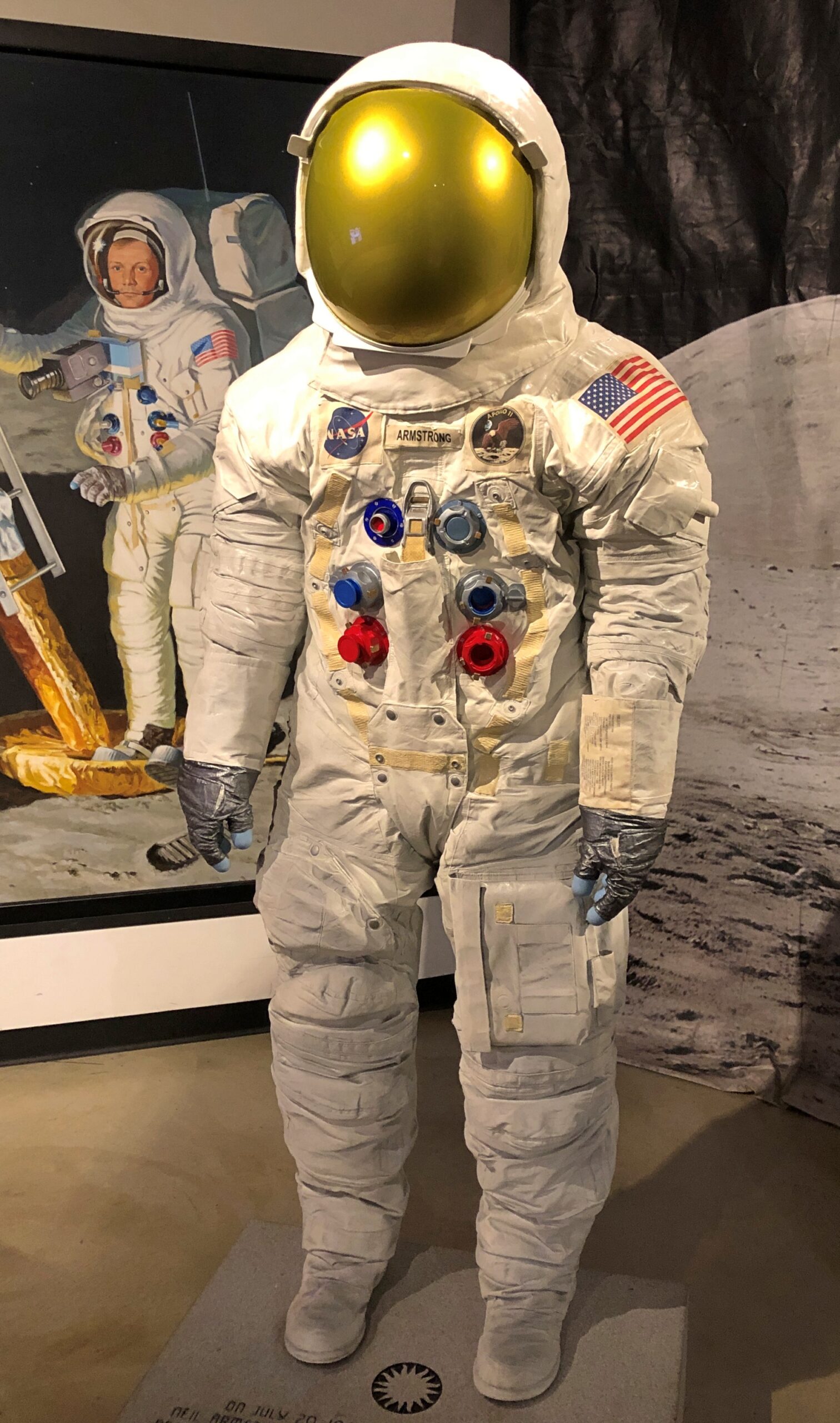
Some artwork. Looks like a spacesuit, but it’s a statue depicting Armstrong’s suit.
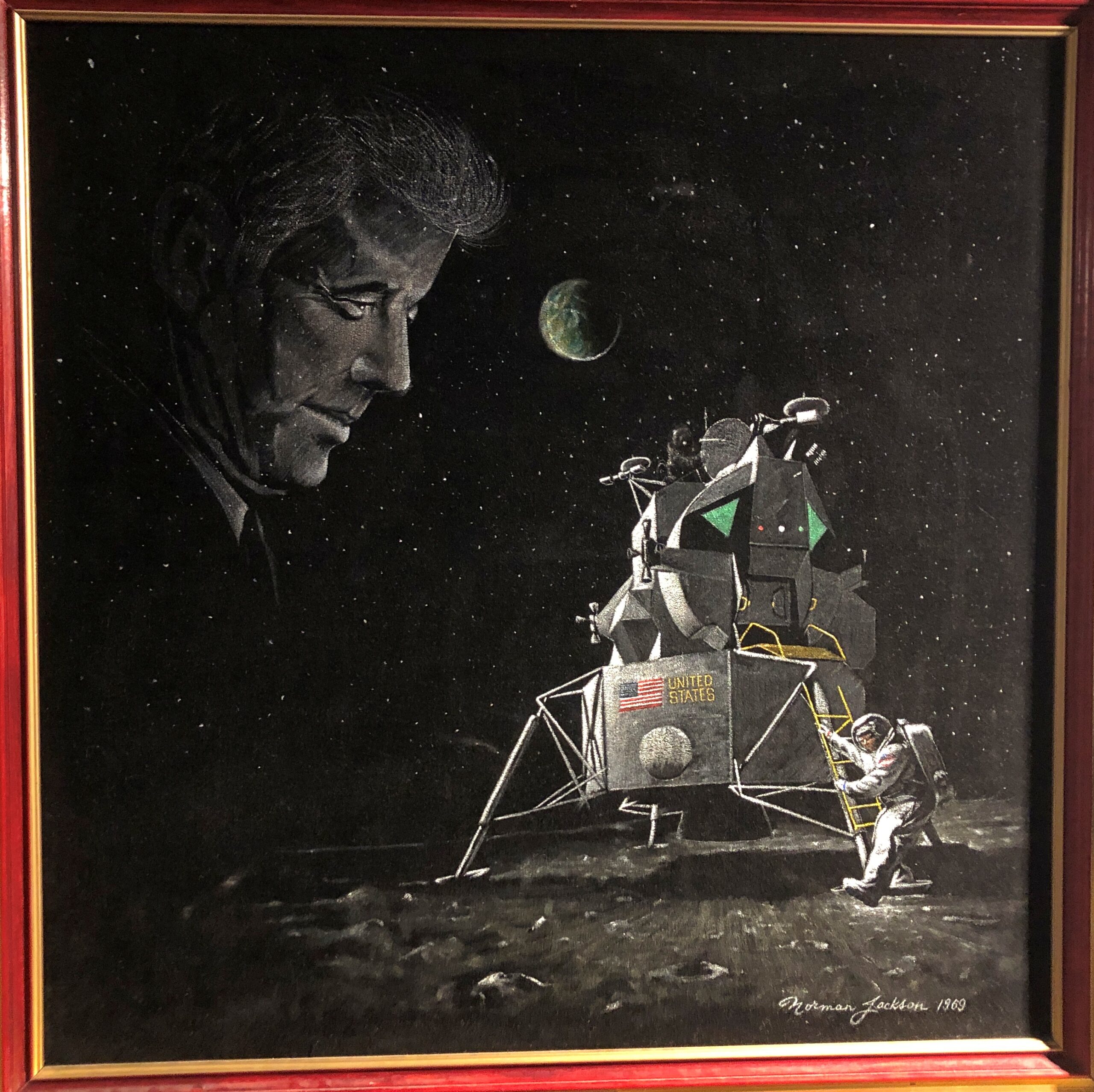
A painting from 1969.
It seems that the Armstrong and Aldrin didn’t report the alarming apparition of President Kennedy hovering over the lunar surface. Conspiracy theorists, take note.
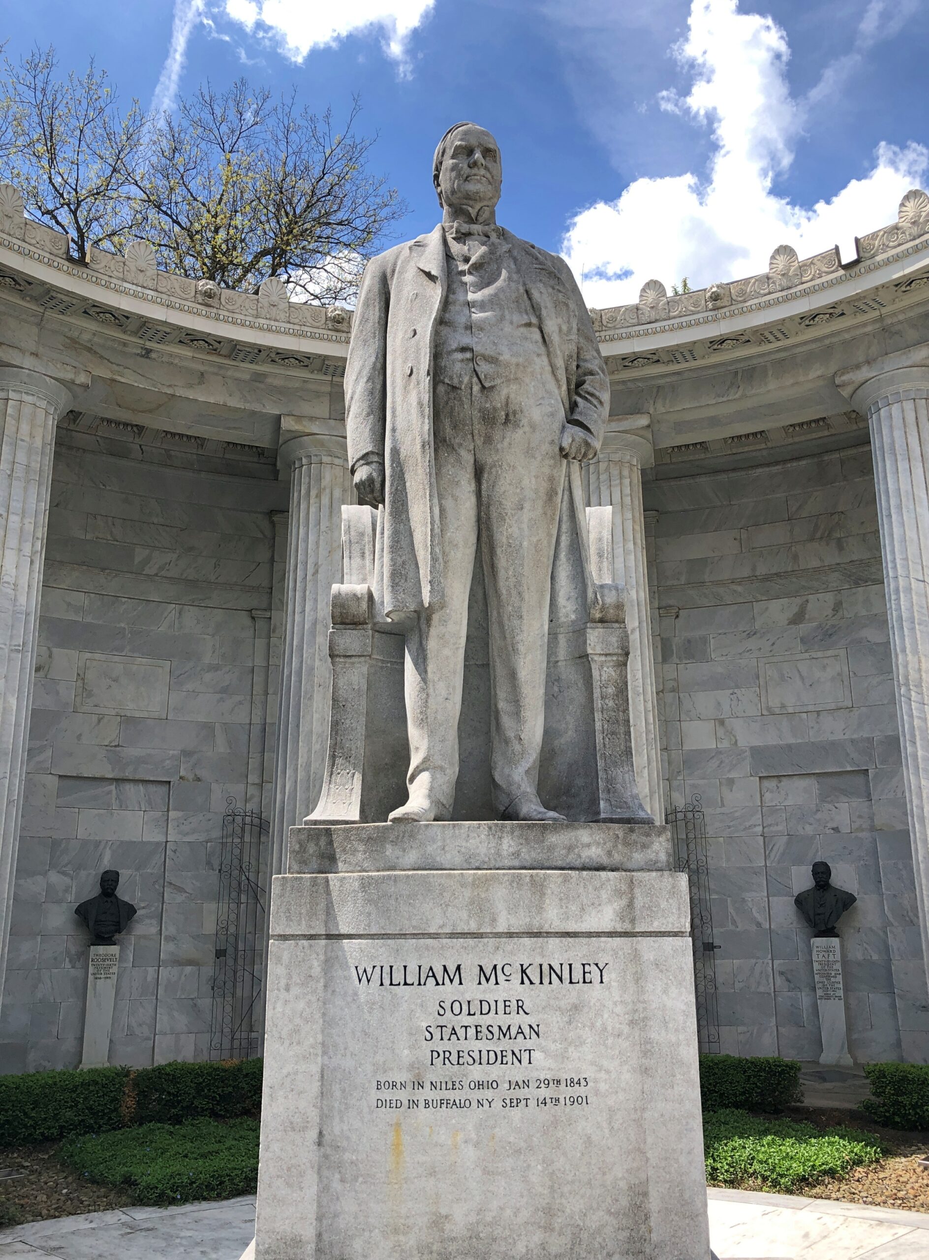
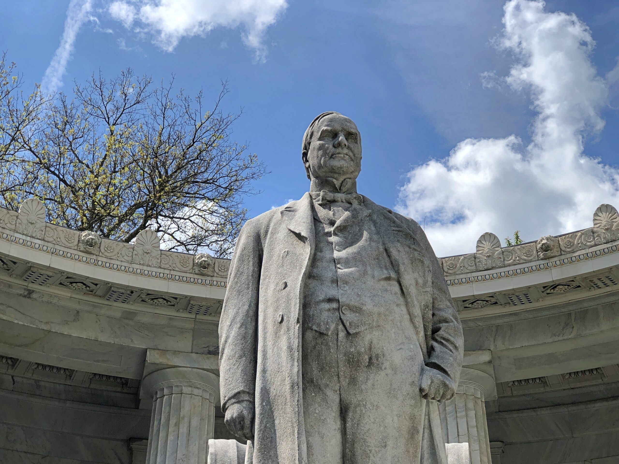
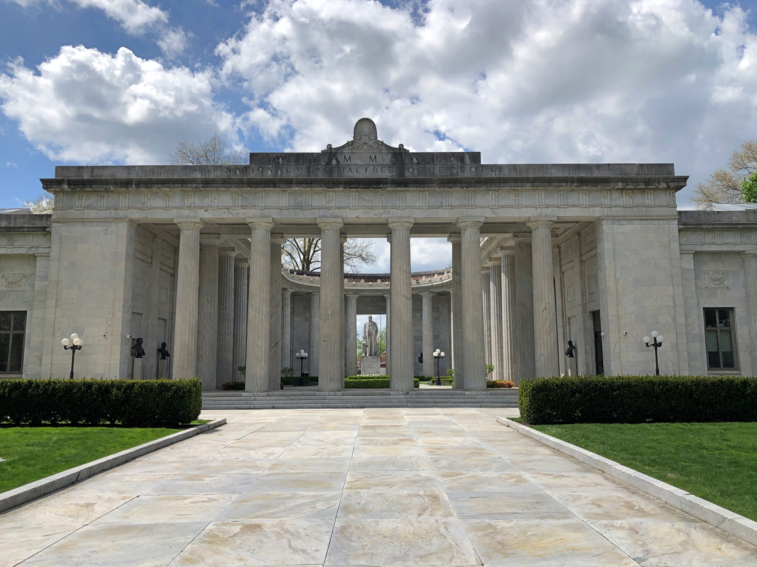
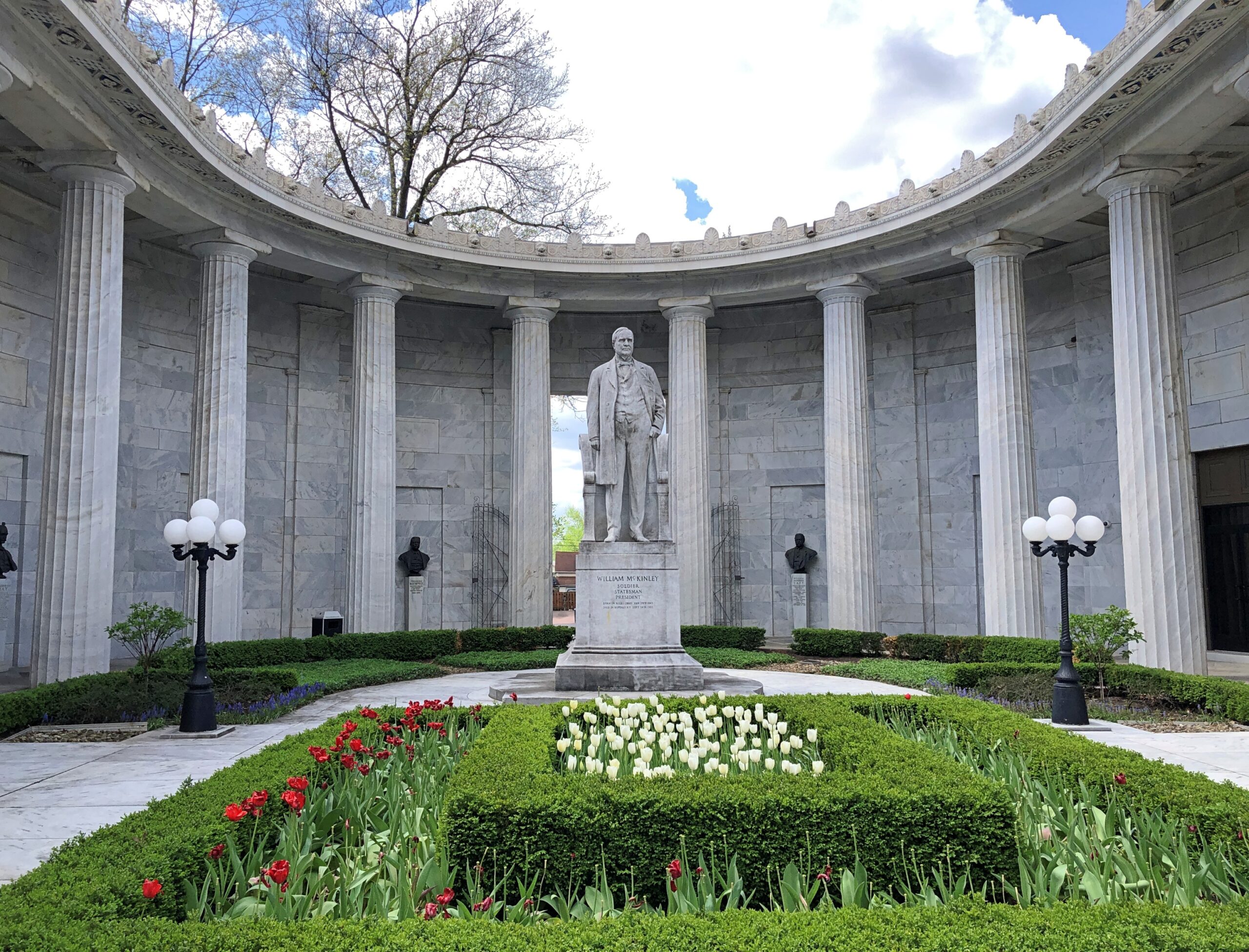
Recently in Niles, Ohio, I had an encounter with one of the four assassinated presidents. If you go to the right place in that town (pop. 18,400), you can’t miss him.
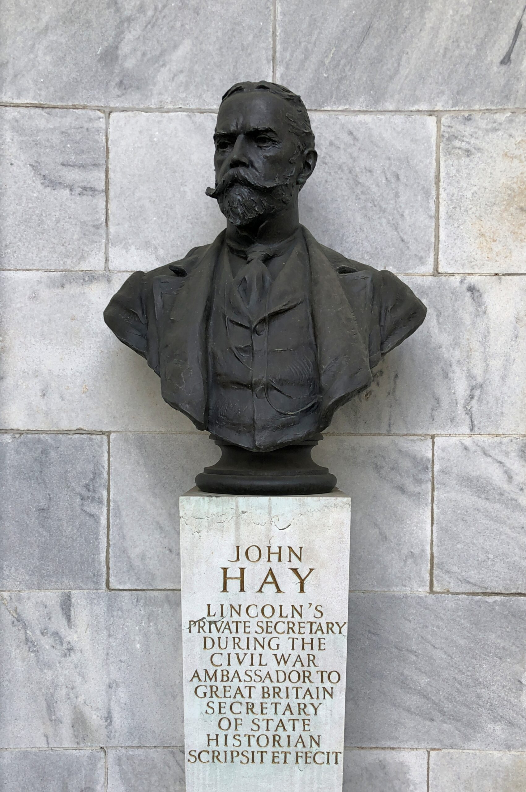
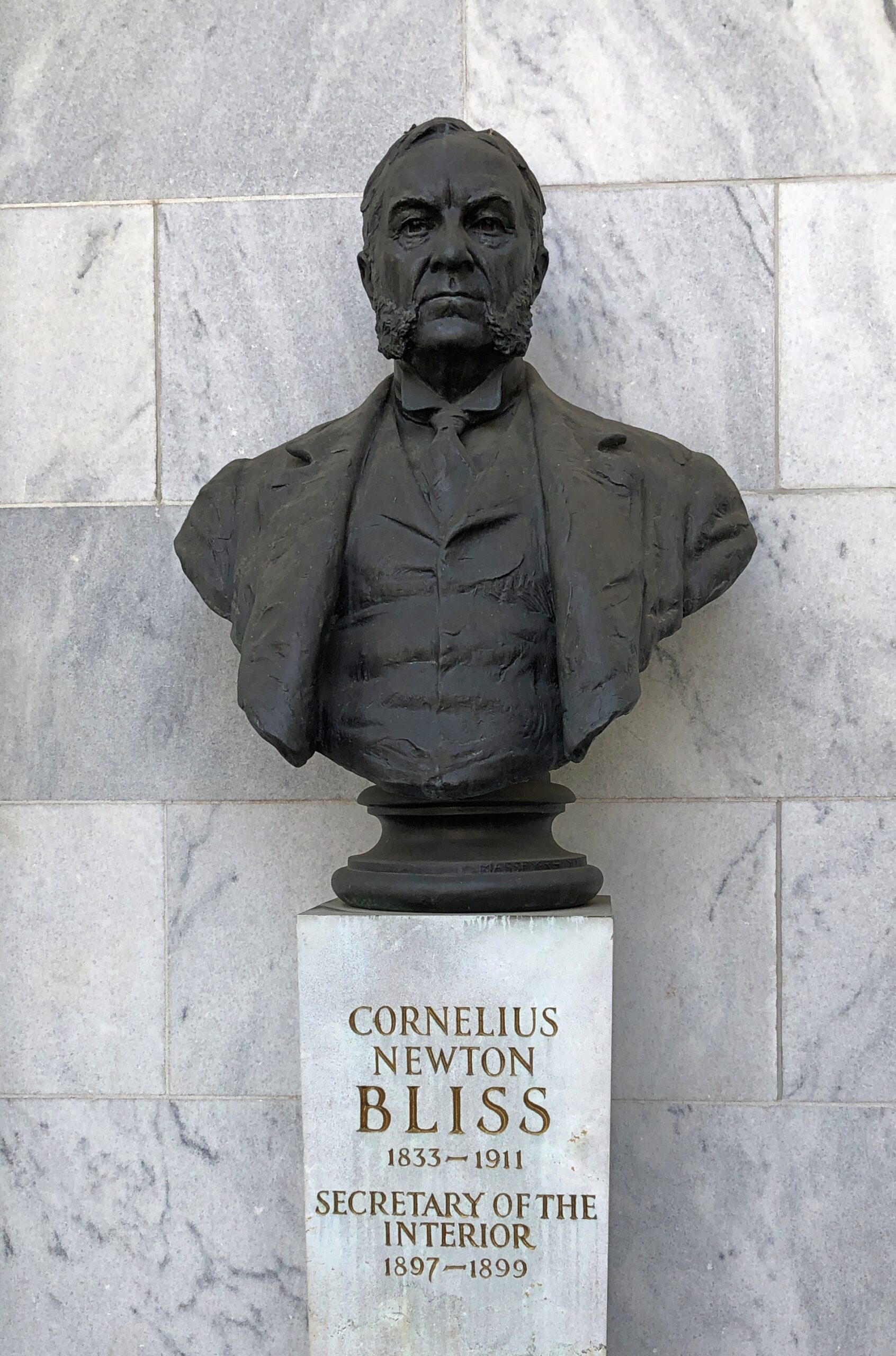
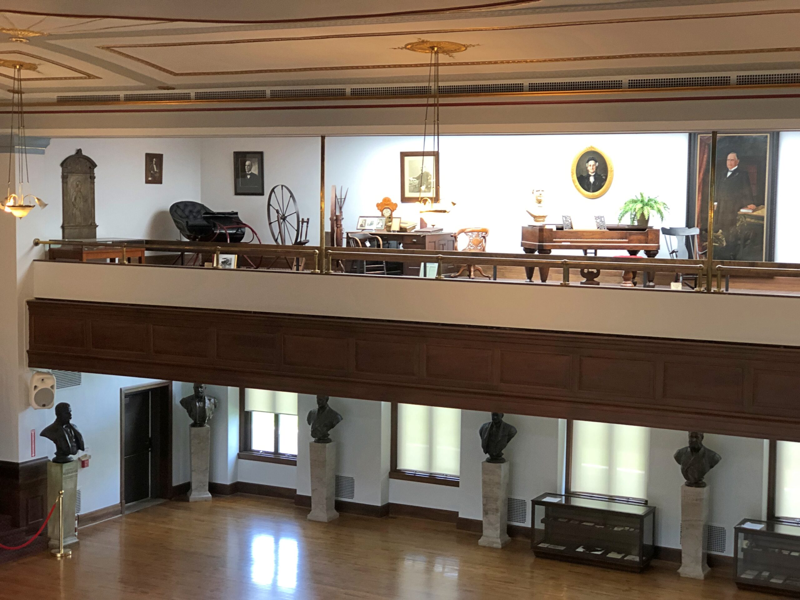
Not just him either. Note the busts surrounding President McKinley, who are men associated with him in one way or another. Hay I knew; Bliss I had to look up.
The most direct route between Punxsutawney, Pa. and Lima, Ohio, passes pretty close to Niles. I had a little extra time, by design, on the second-to-last day of my recent trip. Niles happens to be the birthplace of William McKinley, and in our time, home of the National McKinley Birthplace Memorial and the McKinley Birthplace Home and Research Center – that’s two entities, a block apart.
The Birthplace Memorial is imposing and grand, another edifice designed by McKim, Mead & White.
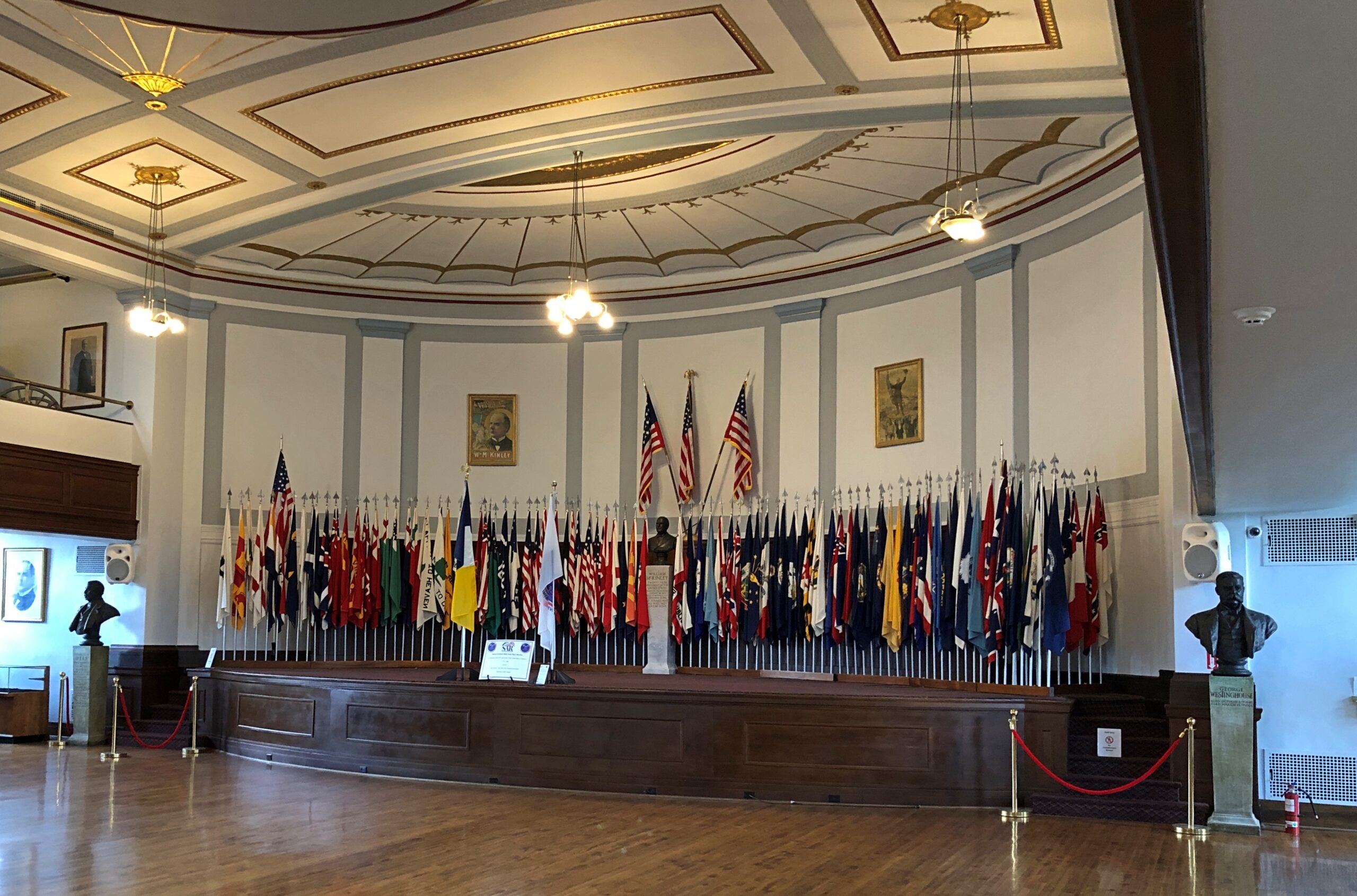
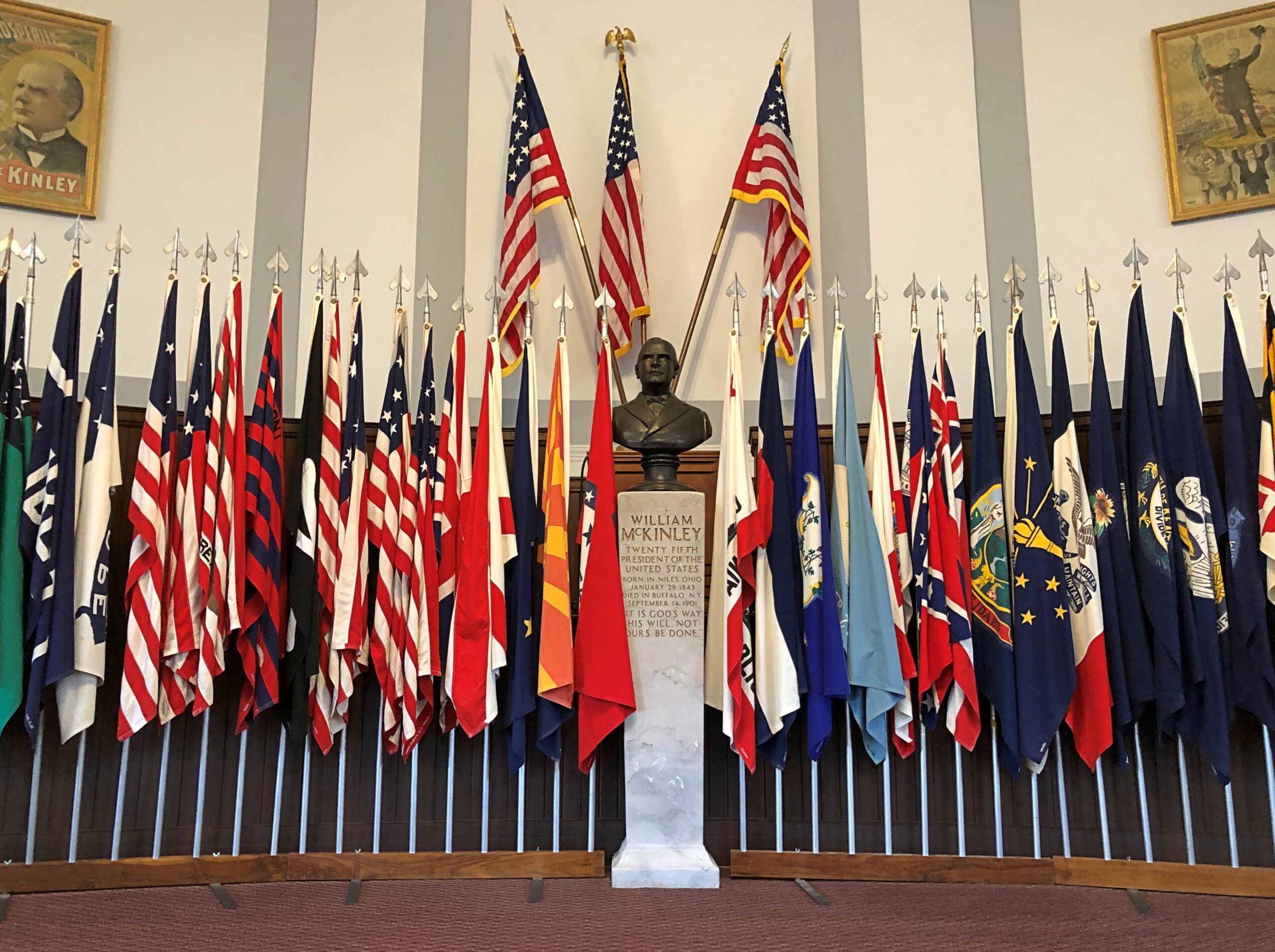
The memorial has two wings, one a public library, the other an auditorium sporting McKinley artifacts, and a collection of flags.
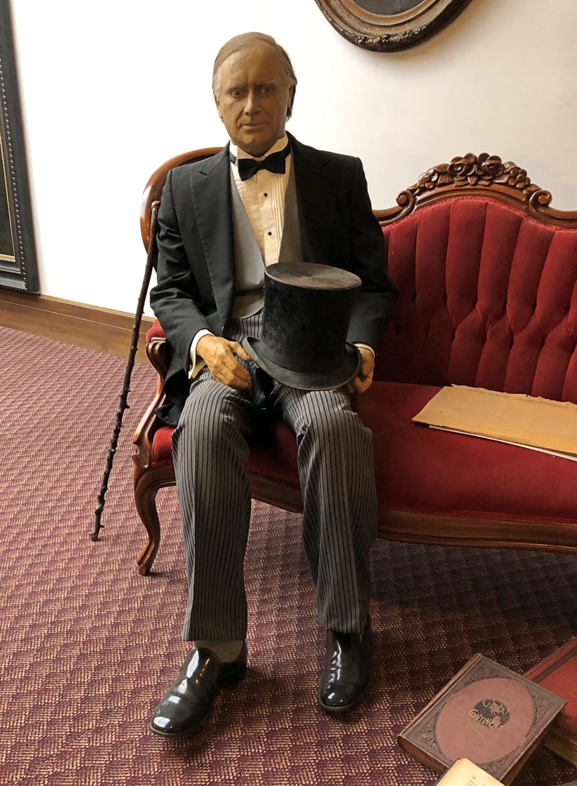
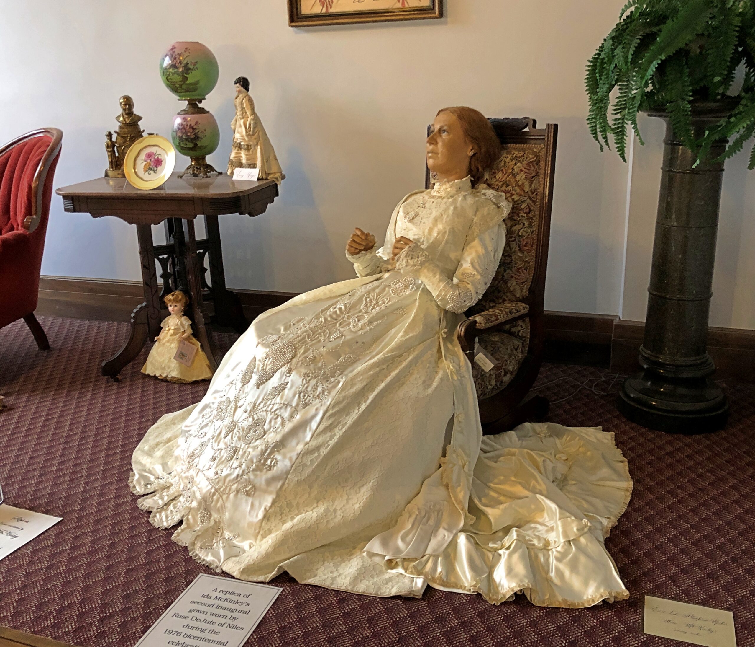
William and Ida dressed, I believe, for his second inauguration in 1901.
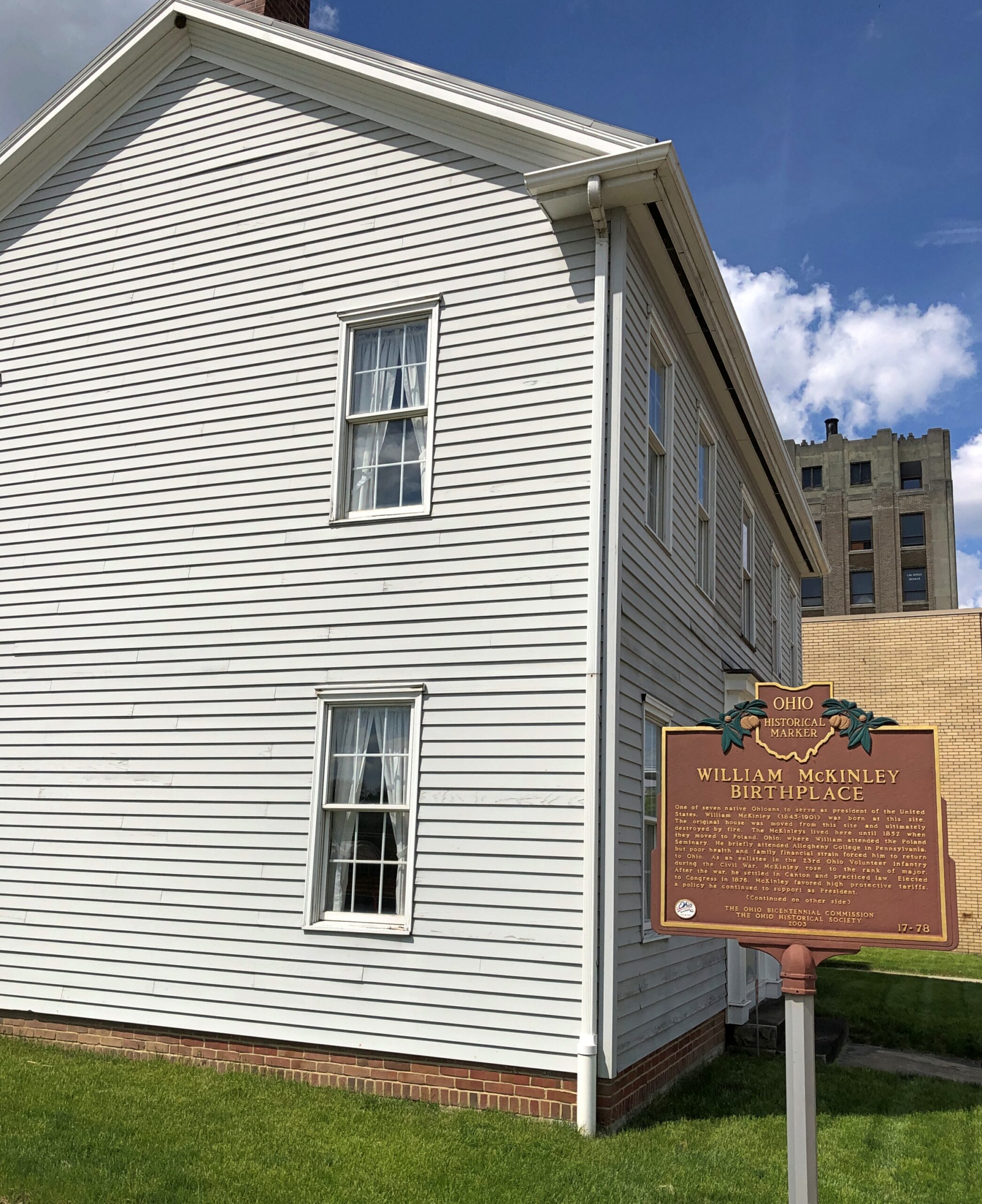
As mentioned, the McKinley Birthplace Home and Research Center is a block from the memorial. It’s considerably more modest.
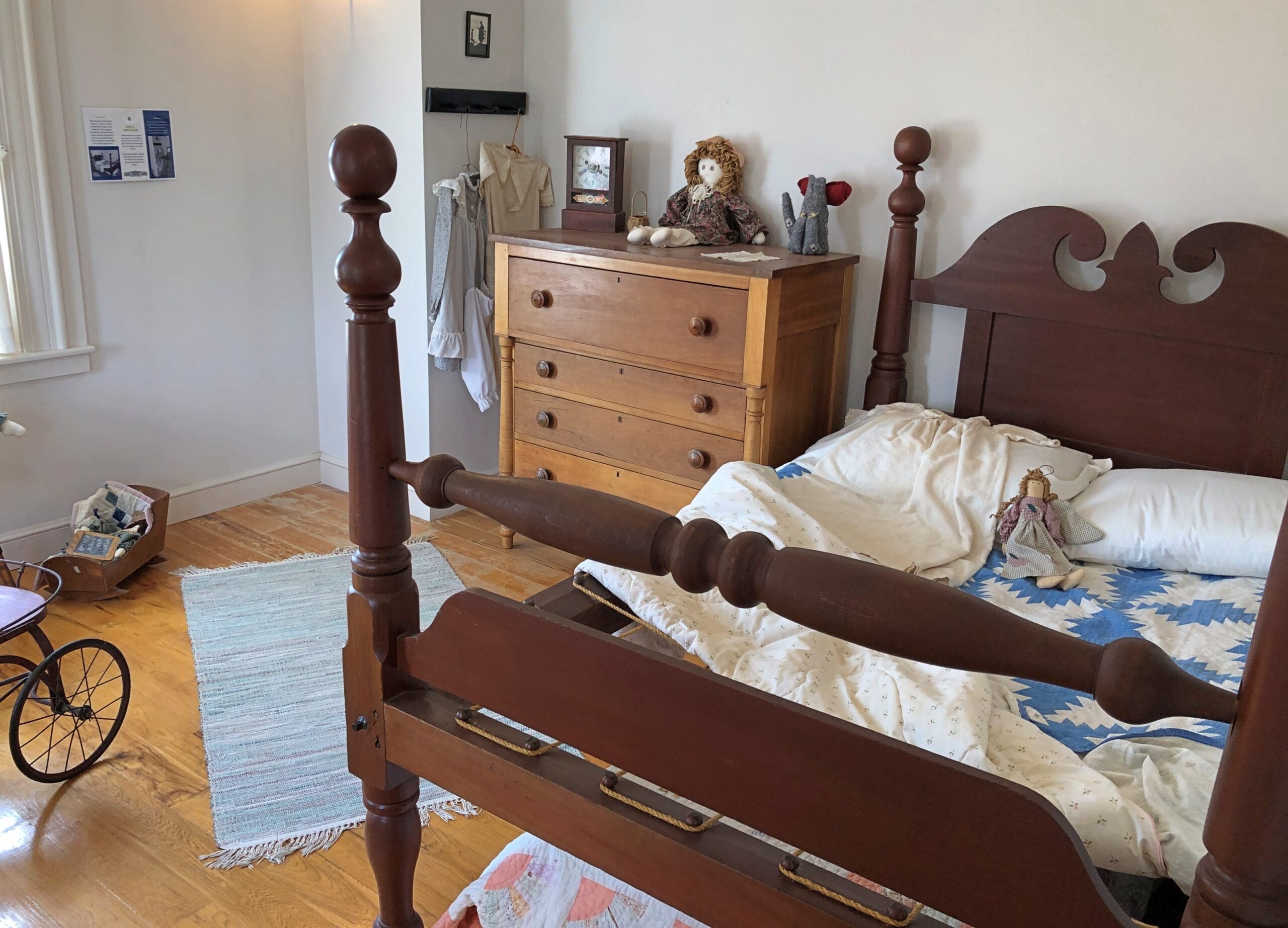
It’s also a replica, and apparently not a very close one, the original house having burned down almost 90 years ago. Still, looks are free (like at the memorial), so I had a look.
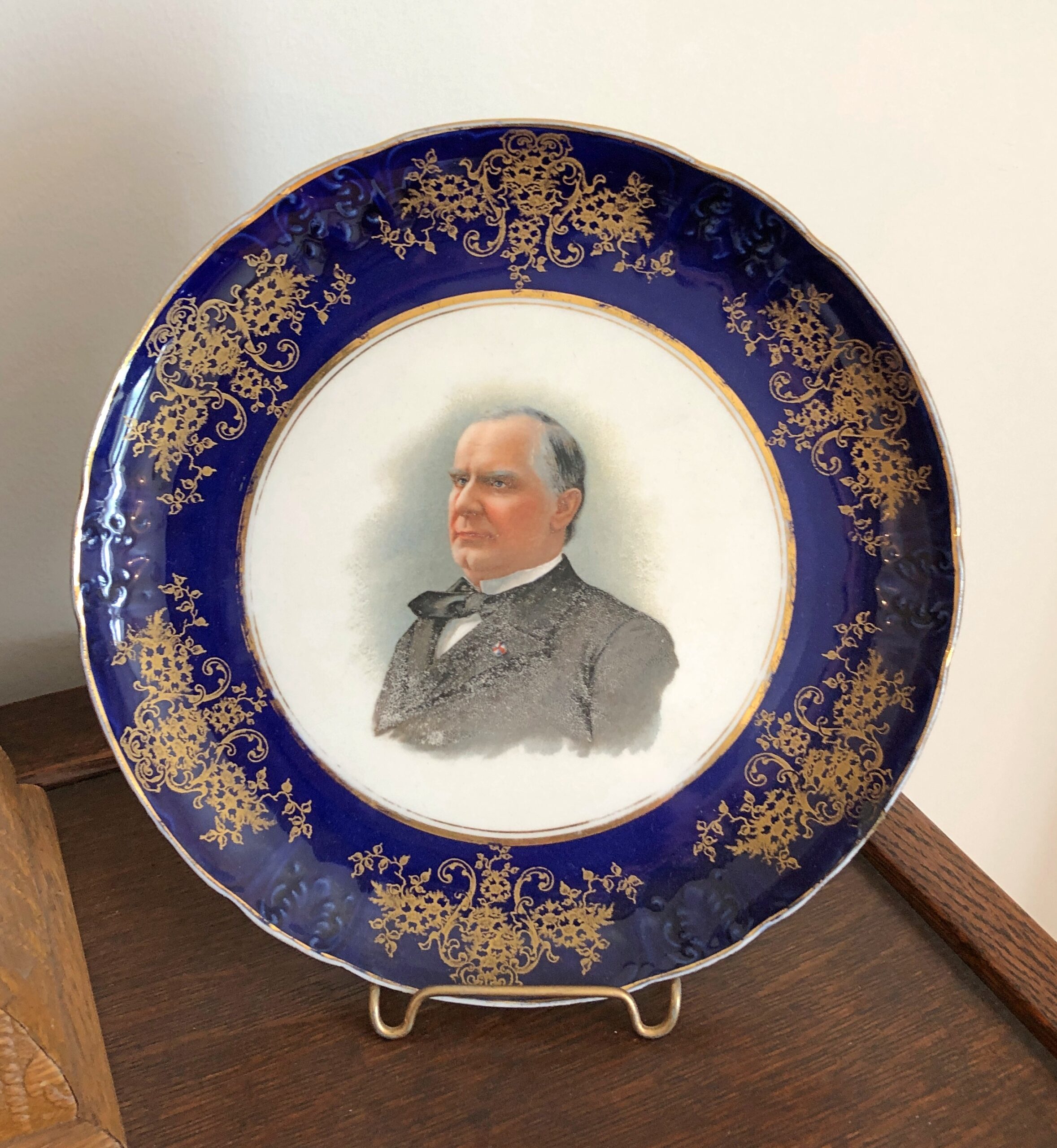
On display are a number of McKinley-adjacent artifacts. I liked the plates especially. One features the president himself.
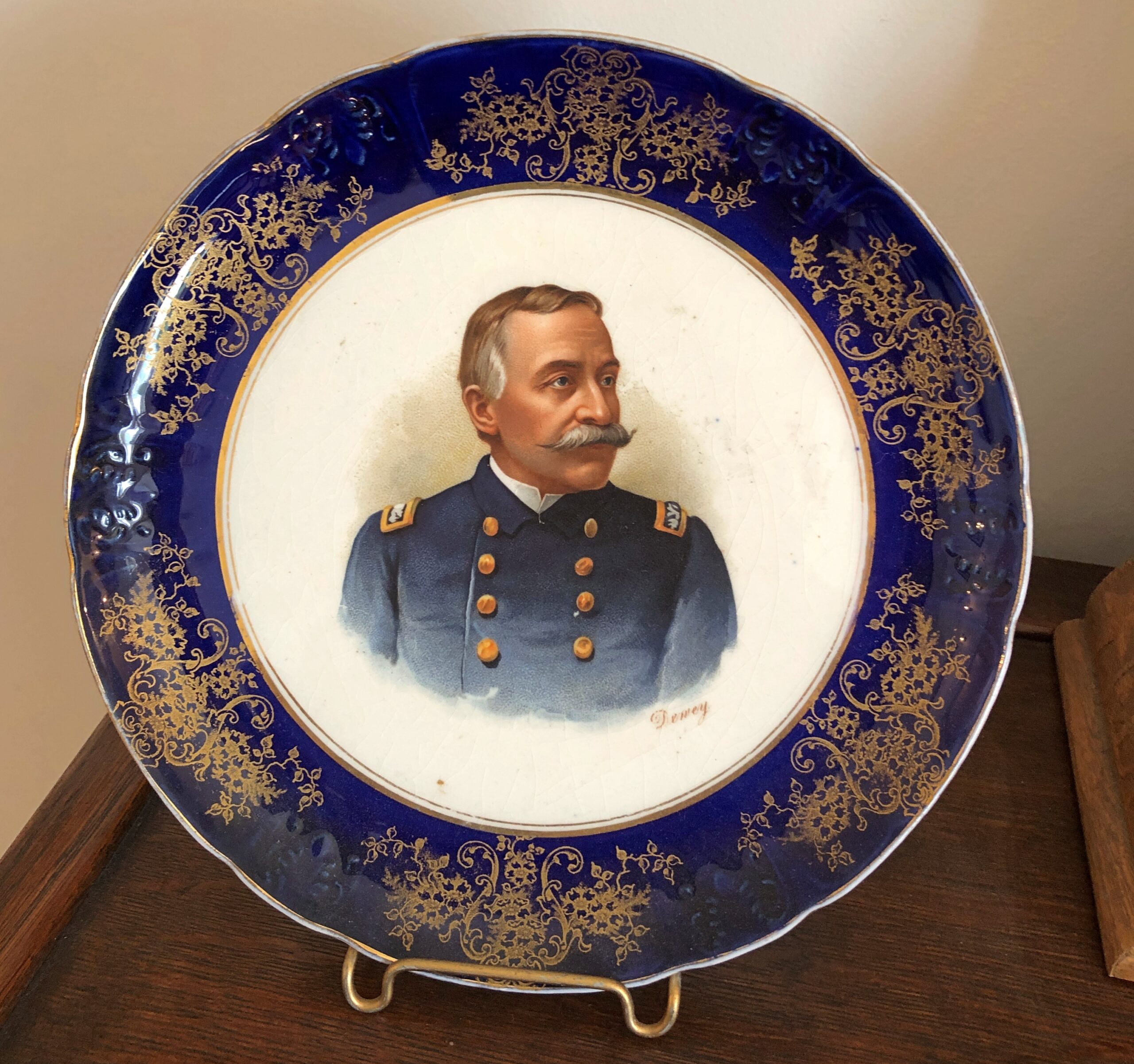
Another features Admiral Dewey. How often do you hear about him any more? Even less than McKinley.
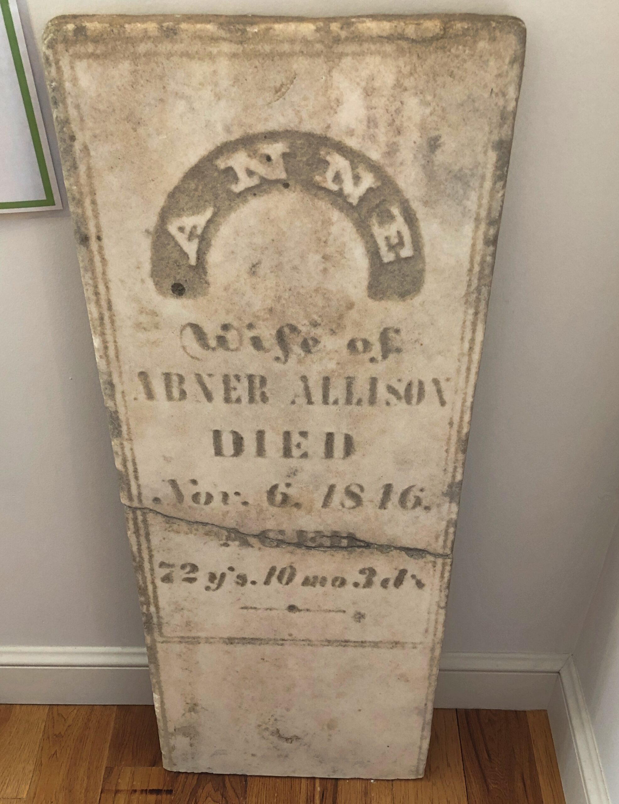
The president’s maternal grandmother’s gravestone is propped up against a wall. I suppose it was at risk of completely falling apart wherever it was, and (I hope) it was replaced in situ.
I liked this as well.
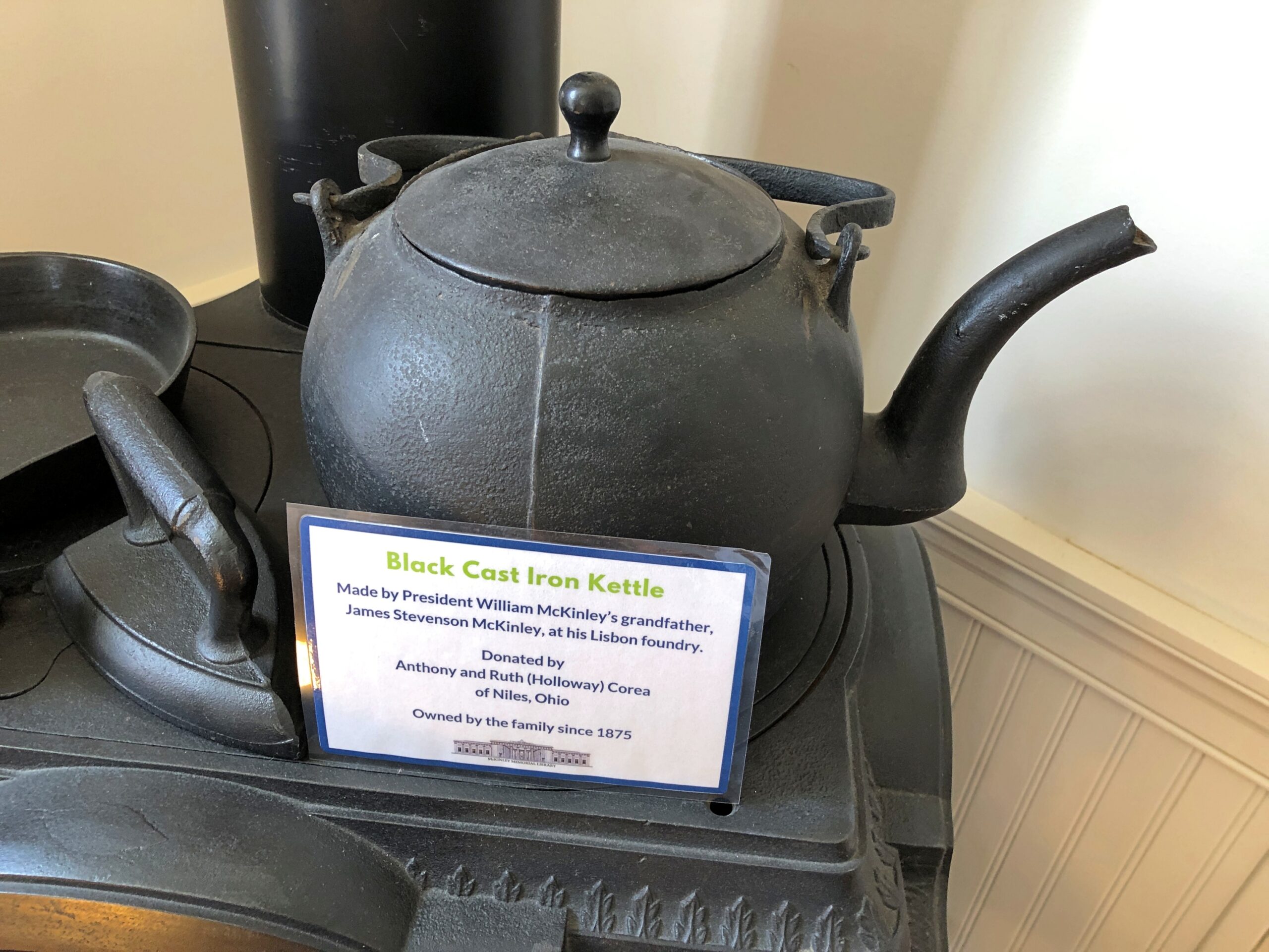
I looked up James Stevenson McKinley (d. 1847) on Find a Grave and that inspired me to look a little further into the McKinley ancestry. James’ father was David “The Patriot” McKinley (d. 1840). David’s father was John “The Wagonmaster” McKinley (d. 1779). John’s father was David “The Weaver” McKinley (d. 1760). That David’s father was James “The Trooper” MacKinlay (d. 1760), back in Ireland, at which point the nicknames peter out.
The strange thing about Groundhog Day, to me at least, isn’t its taproots in northern European folklore or even that weather forecasting based on mammal movements has been known for centuries if not millennia. Or that Germans brought its celebration to North America and that the event morphed in various ways, or that it became more widely known internationally because of a certain very good movie. Or even that the town of Punxsutanwney, Pennsylvania, has capitalized on Groundhog Day.
What mystifies me is why, among all the possible folkloric-flavored immigrant quasi-holidays, Groundhog Day has consistently been featured on calendars for longer than I can remember. It puzzled me as a kid, since I wasn’t sure I’d ever seen such a creature, and what I heard about the day involved some nonsensical thing in faraway Pennsylvania. That might have been childish provincialism at play, but even now it still strikes me as odd that so many Americans pay attention to the day, or at least have heard of it.
Just for grins – because I knew I wouldn’t get a compelling answer – I asked ChatGPT, “When did Groundhog Day start appearing on calendars?” I’ll boil the answer down for you: “Dunno. That’s just the way it’s been for years, Jack.” Maybe that’s how educators can get around AI cheating: assign essays on questions that don’t really have any answer. How many pancakes does it take to shingle a doghouse?* – that kind of thing. The learning isn’t in the finding an answer, but in the writing.
* Actually there is an answer: 42. Because oranges can’t fly, submarines have no doors and ice cream has no bones.
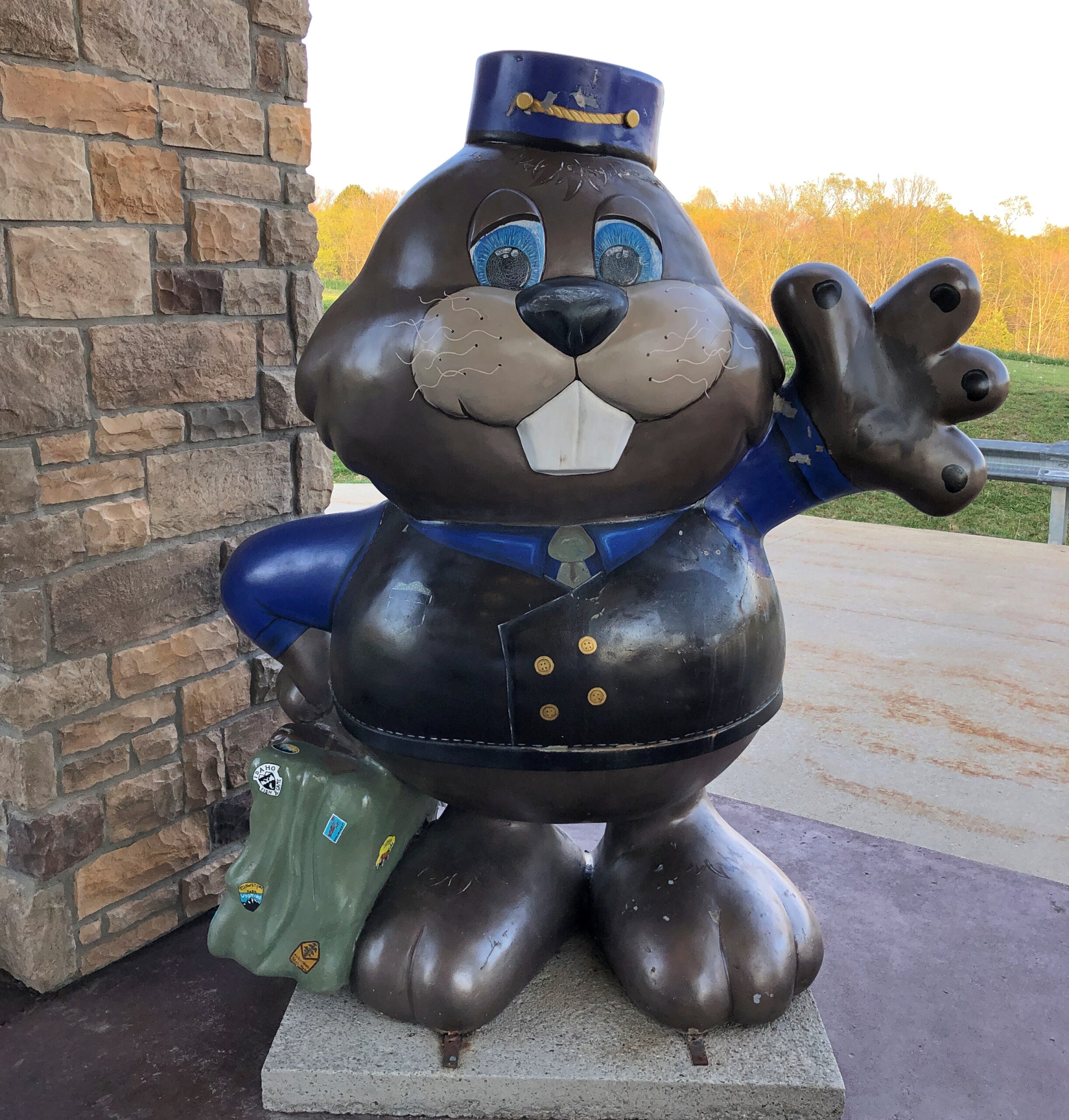
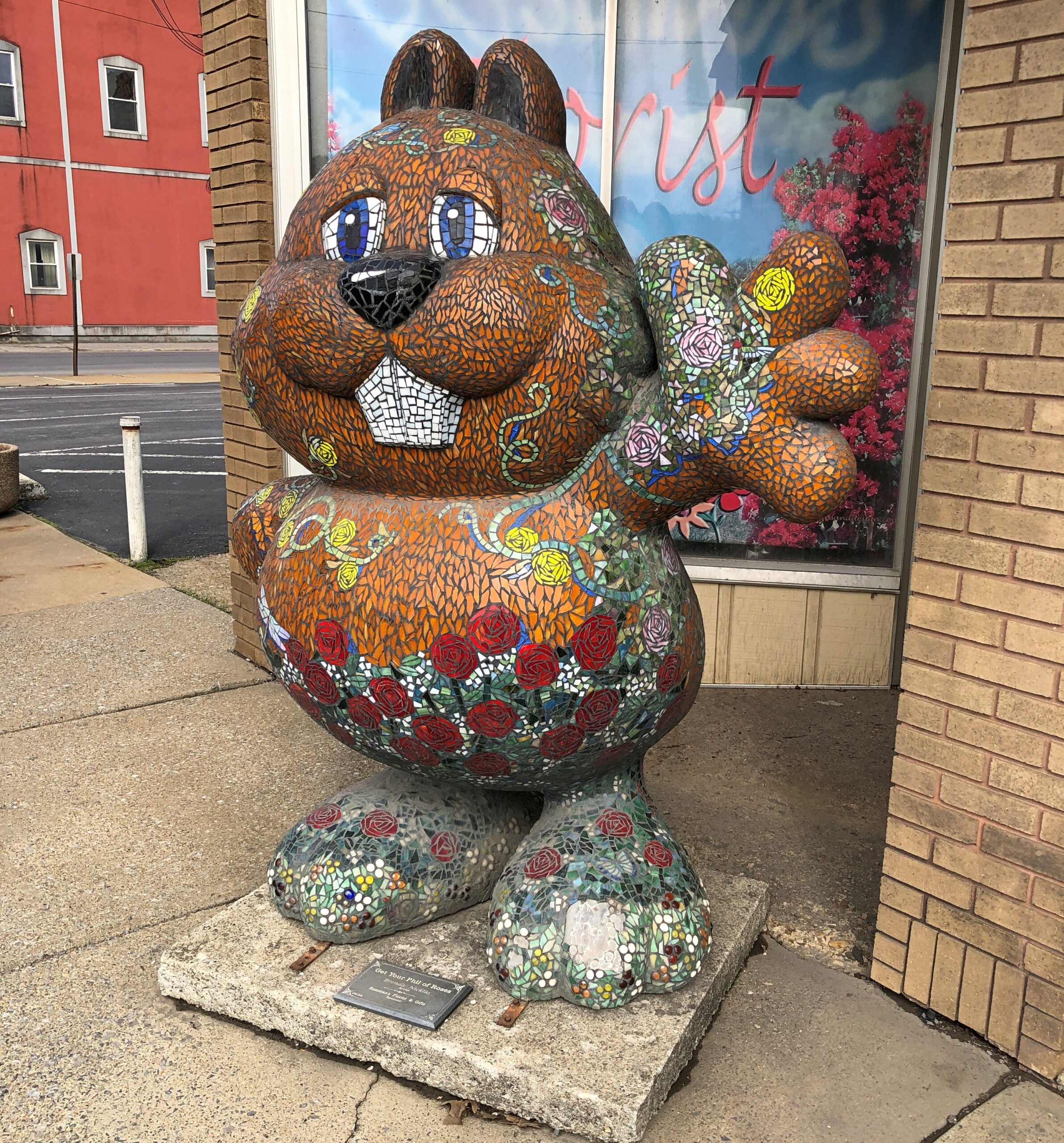
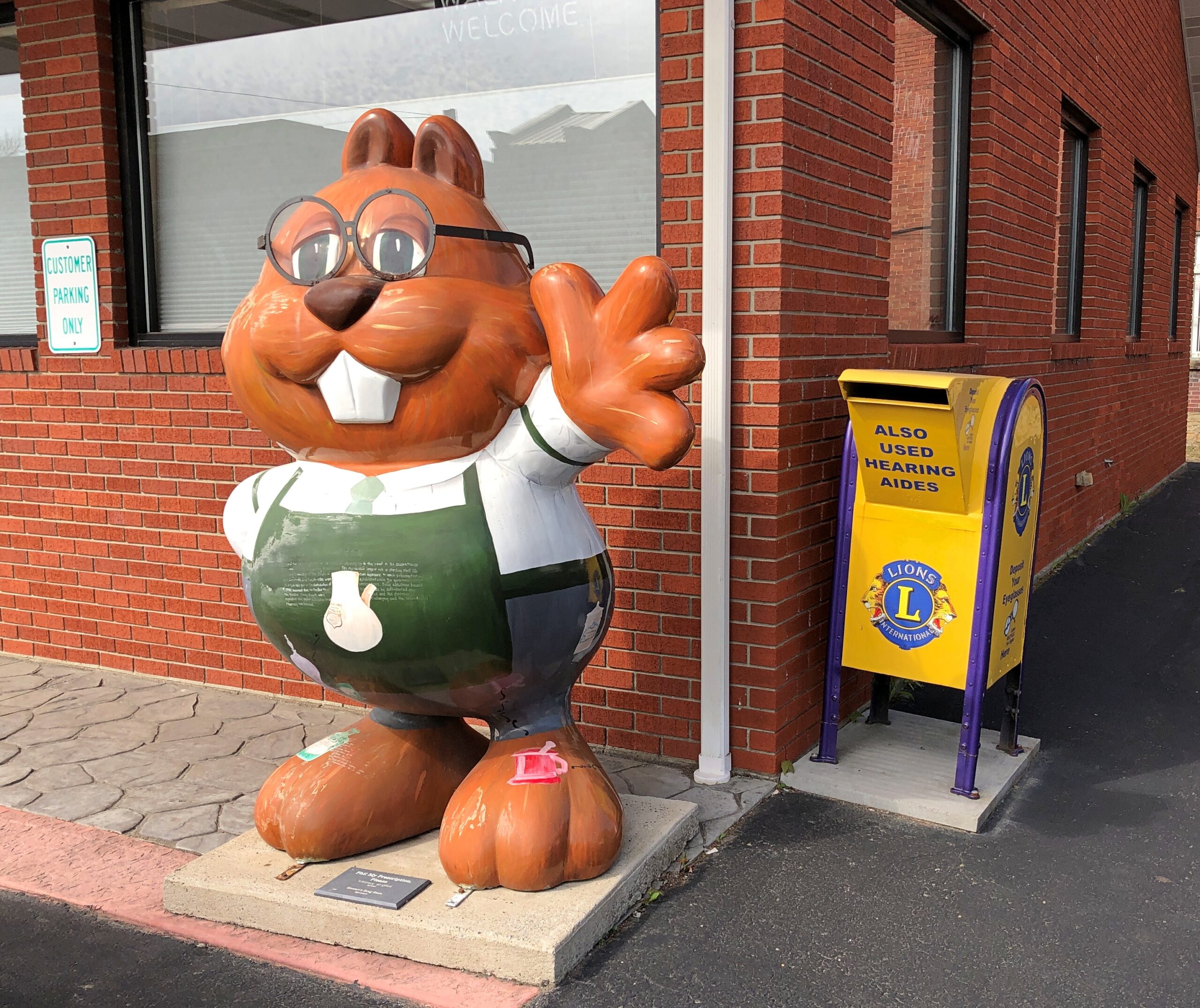
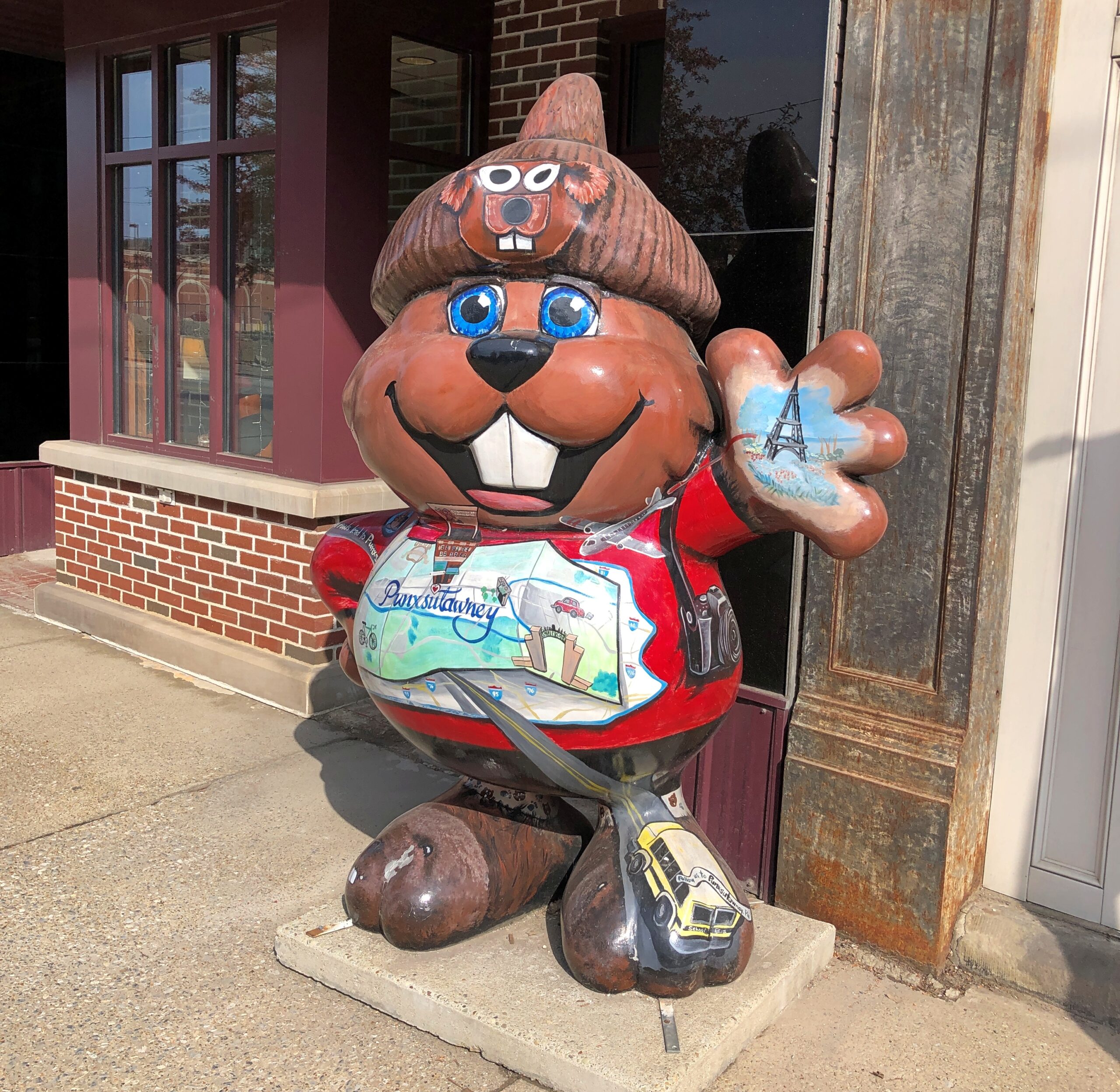
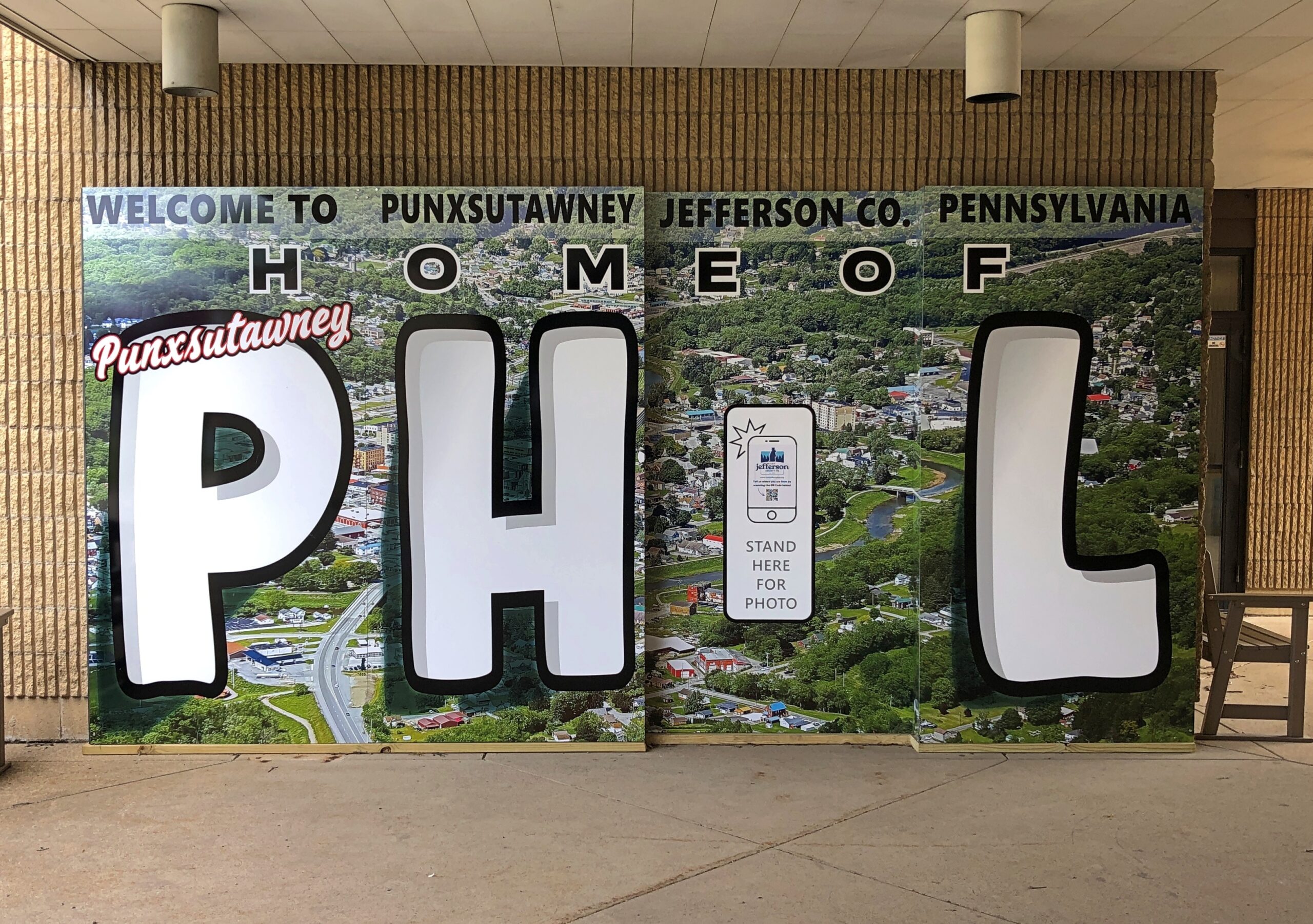
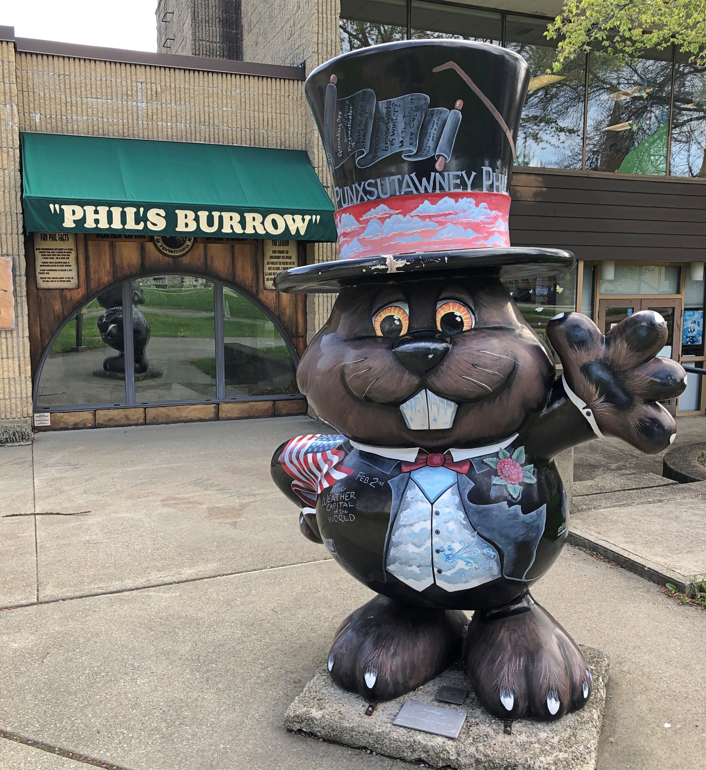
On the way home in late April, I spent the night in Punxsutanwney and had a gas the next morning looking for as many depictions of Punxsutanwney Phil as I could find. It’s an endless pursuit, something like looking for all the Lincolns in Springfield, Illinois.
This one was the closest to my motel. It was at my motel.
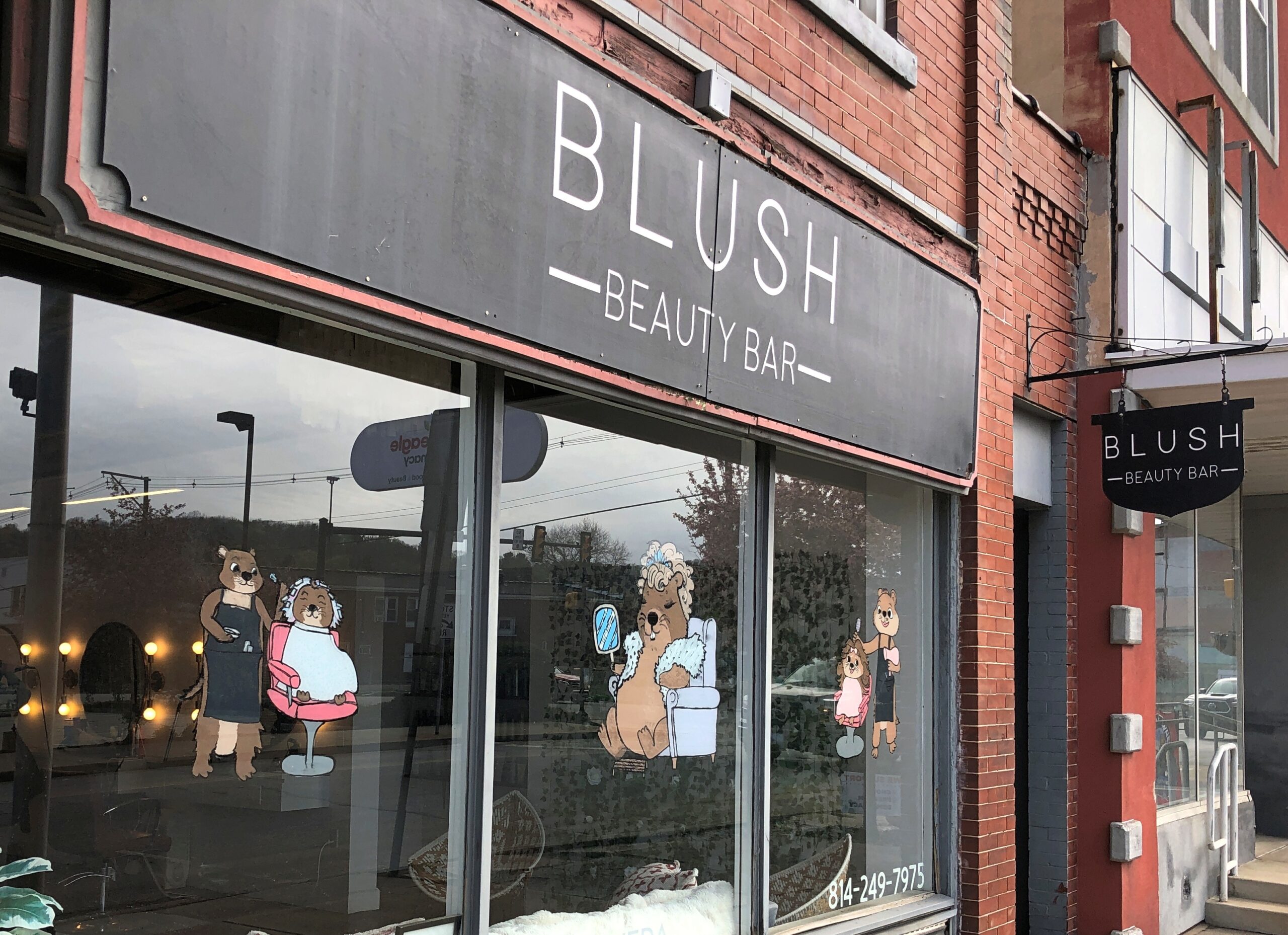
Downtown Phils, such as in front of a florist and an optometrist and a “beauty bar.”
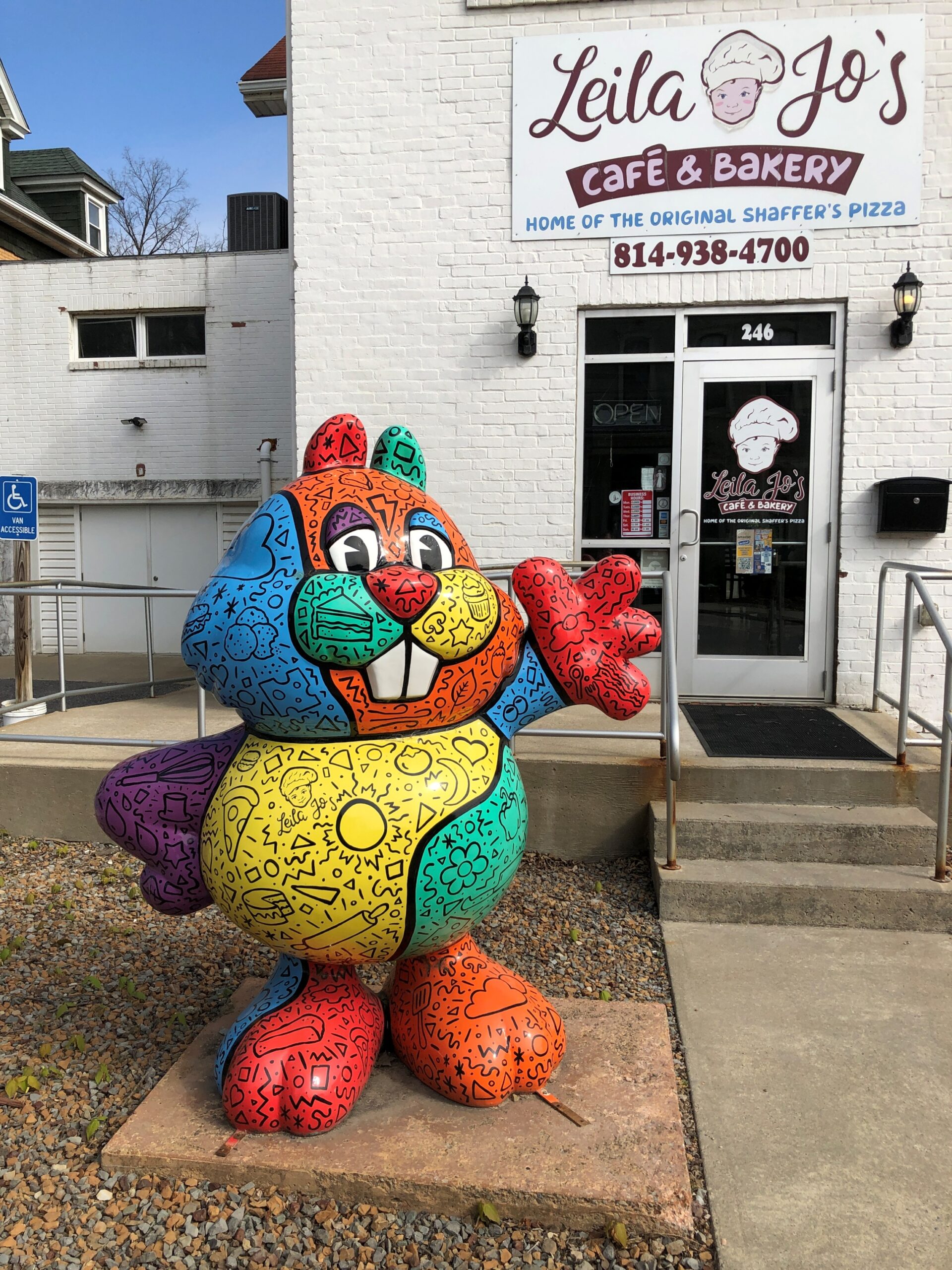
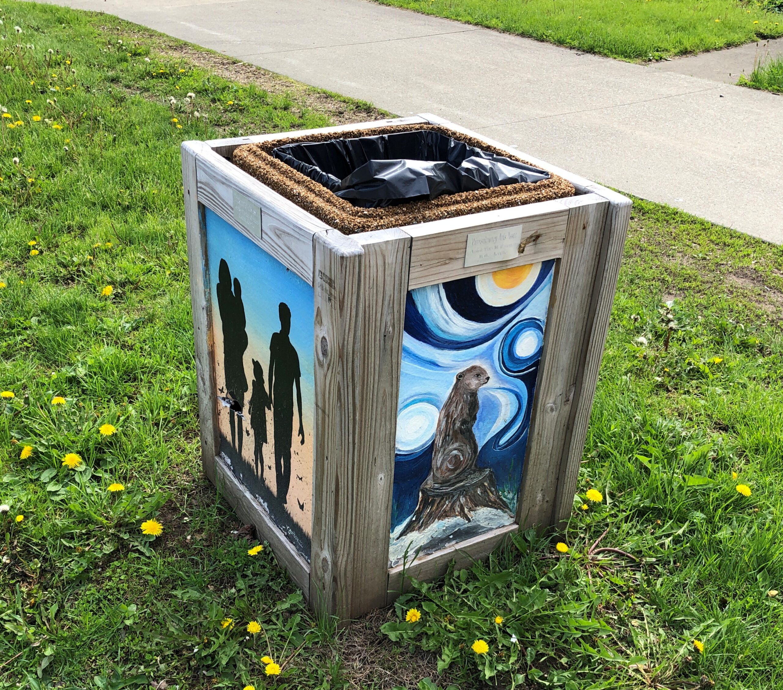
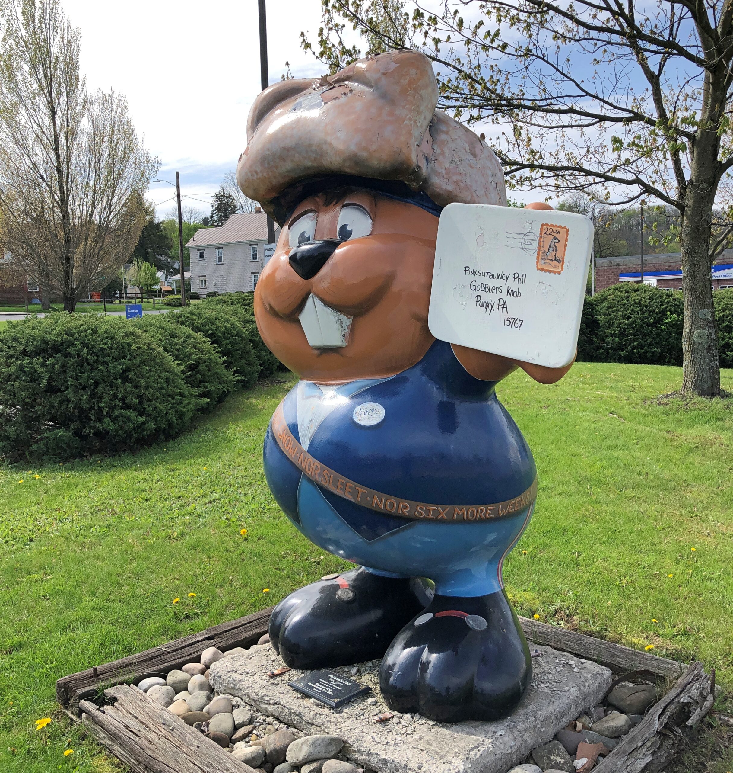
In front of a bakery and on a trash can and at the post office.
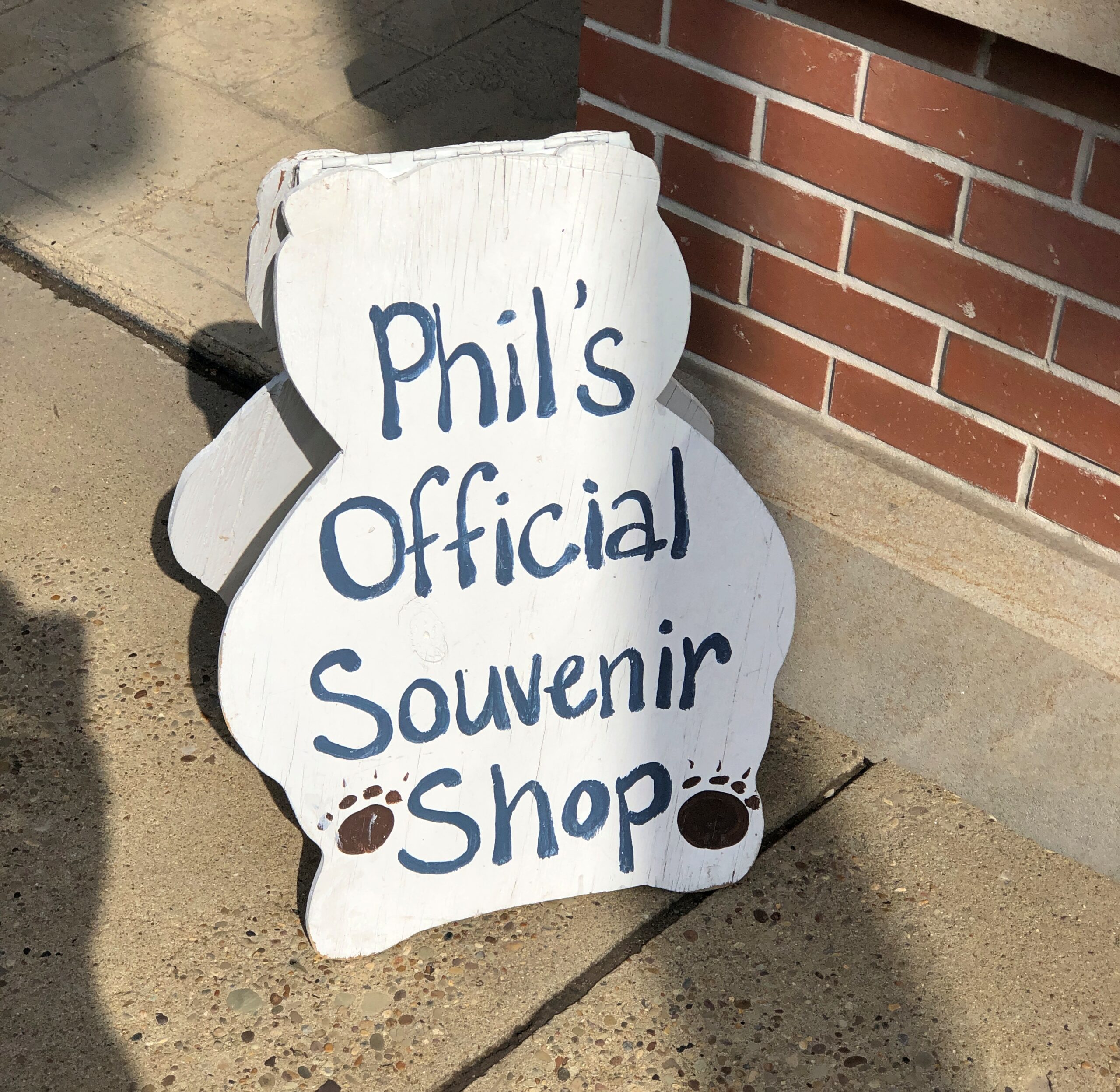
Of course he had his own shop. I bought postcards there.
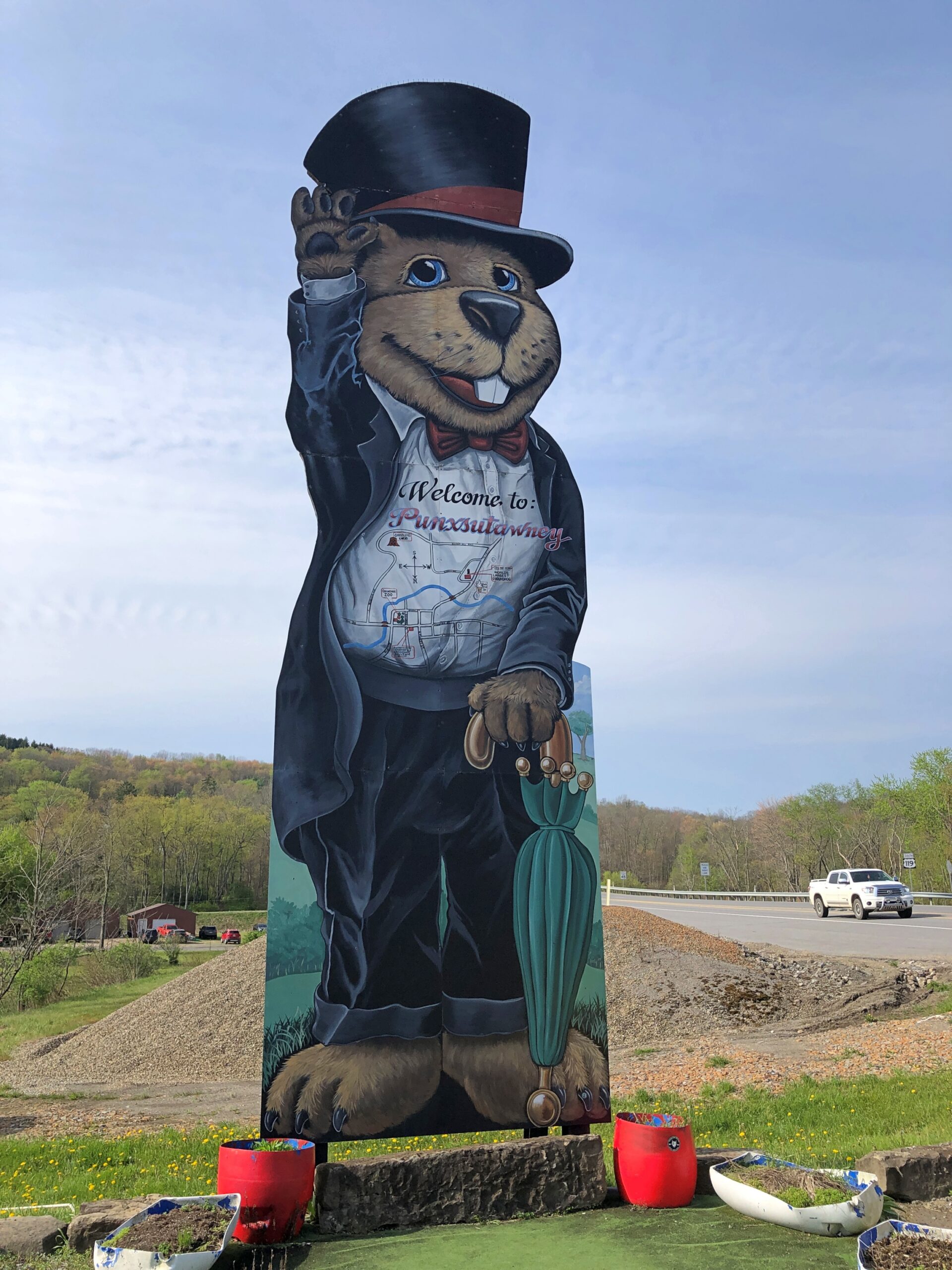
The tallest Phil, I think. I had to park the car to get a good look.
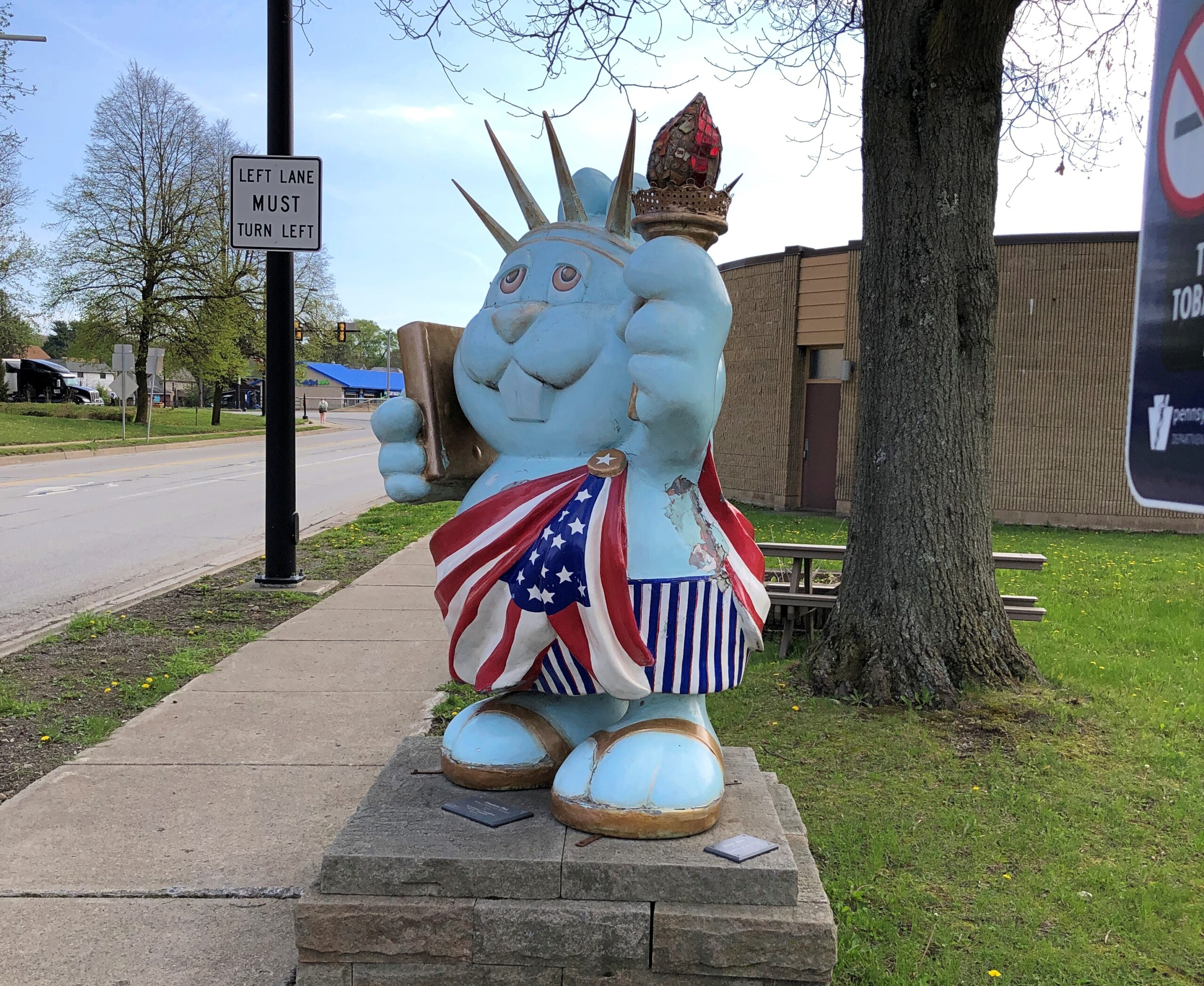
Patriotic Phil. We could do worse for the semiquincentennial.
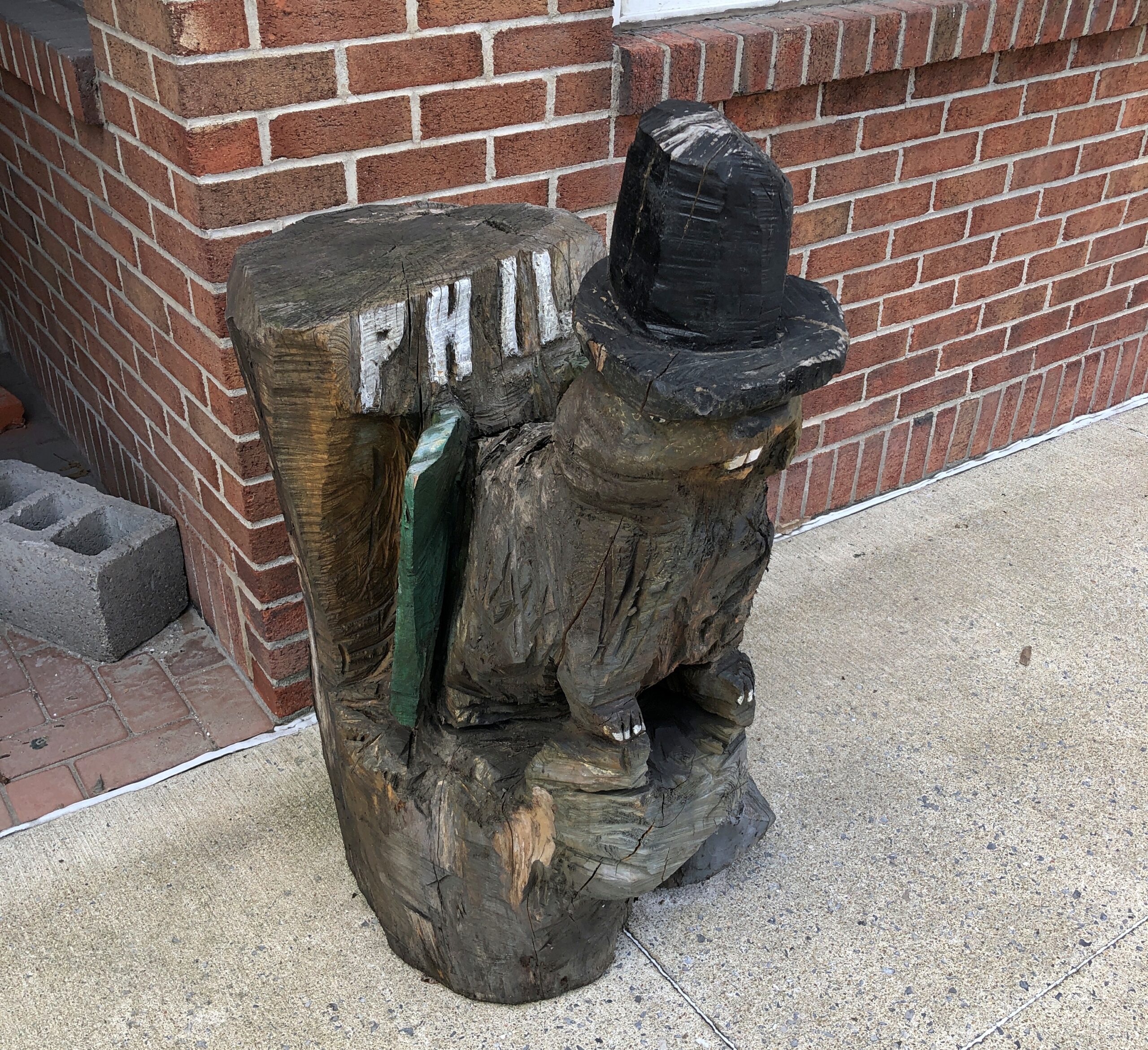
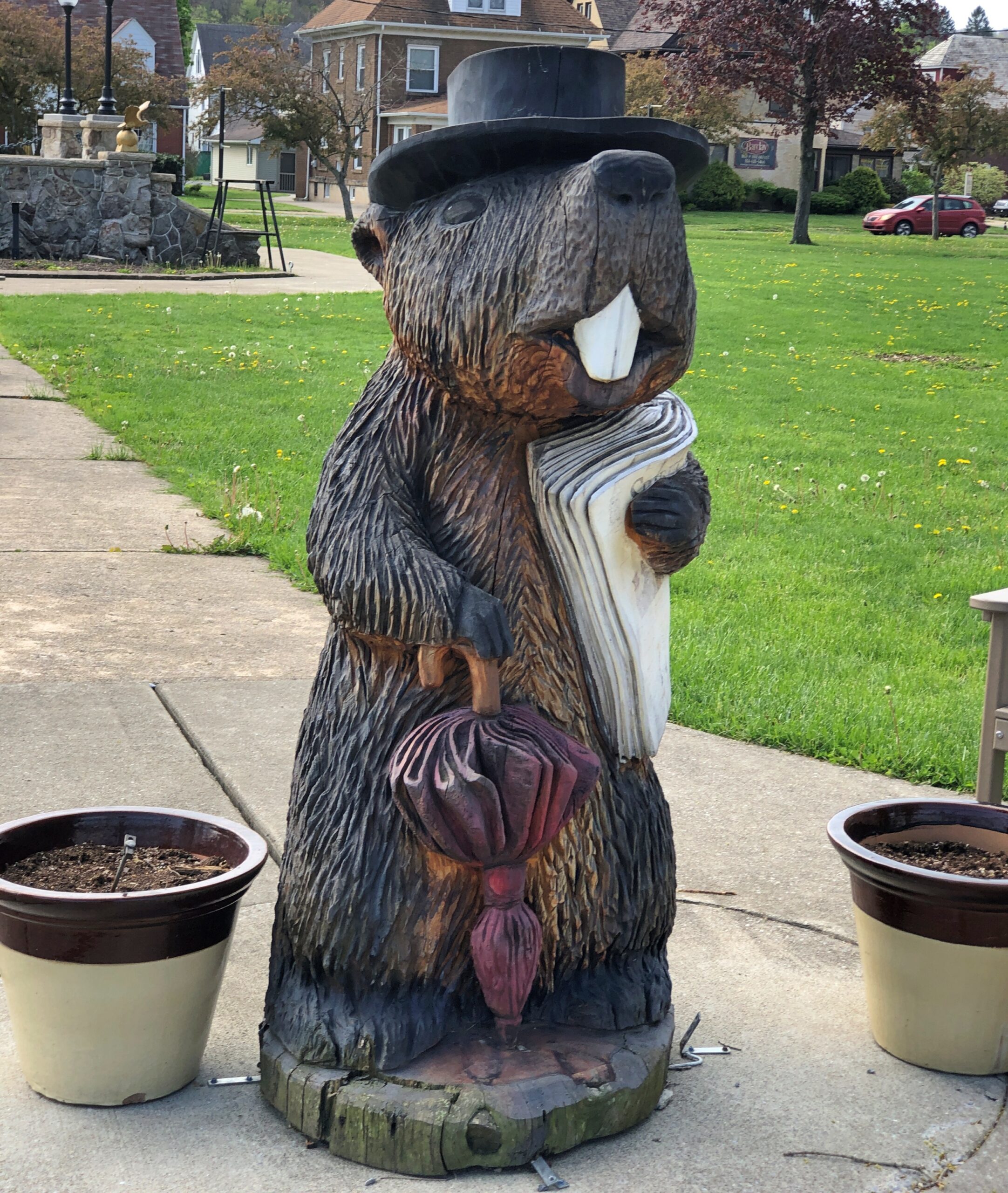
Phil carved from wood.
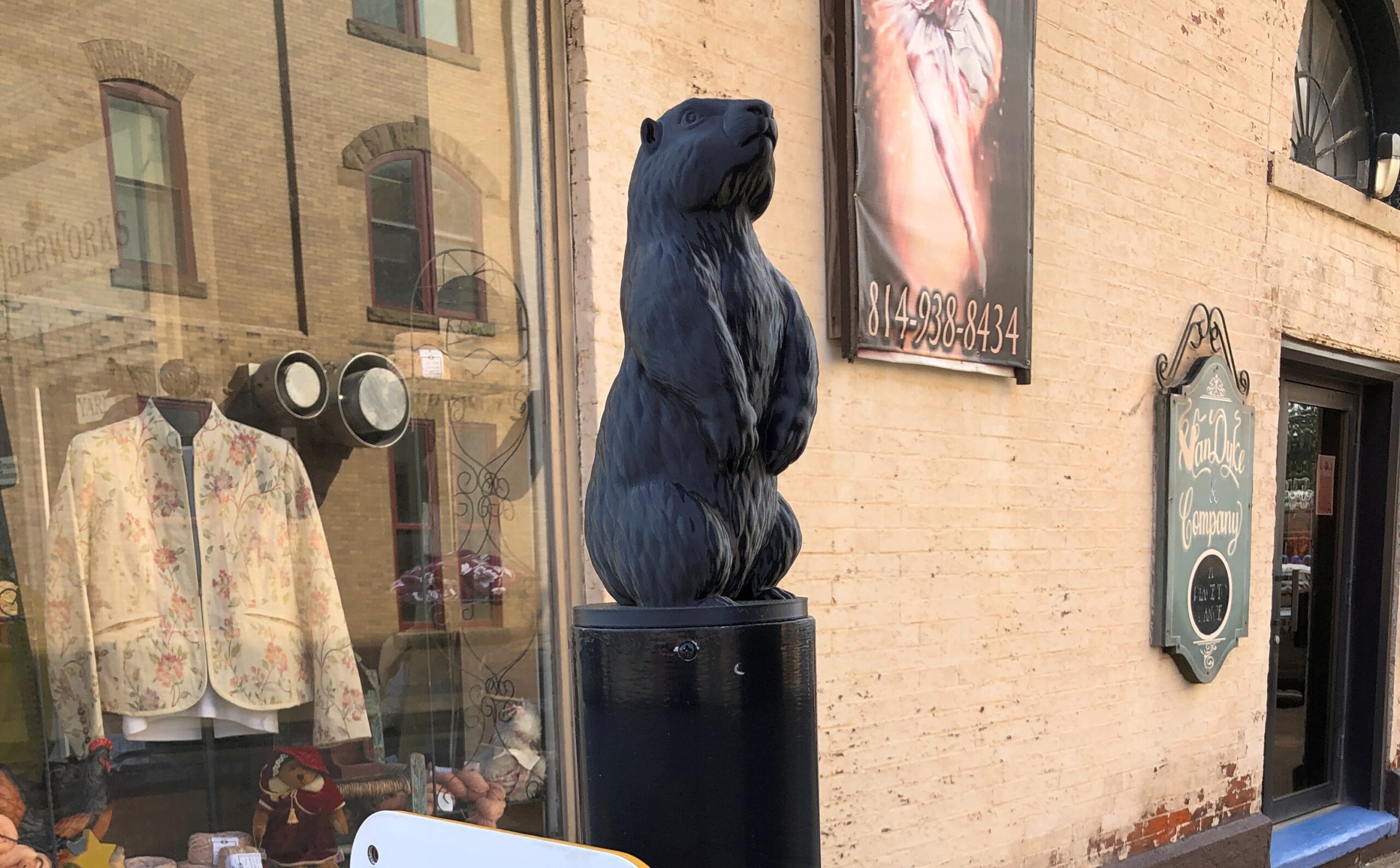
Metal Phil, one of four at some of the crosswalks that included a switch on the pole to let the lights know you were waiting.
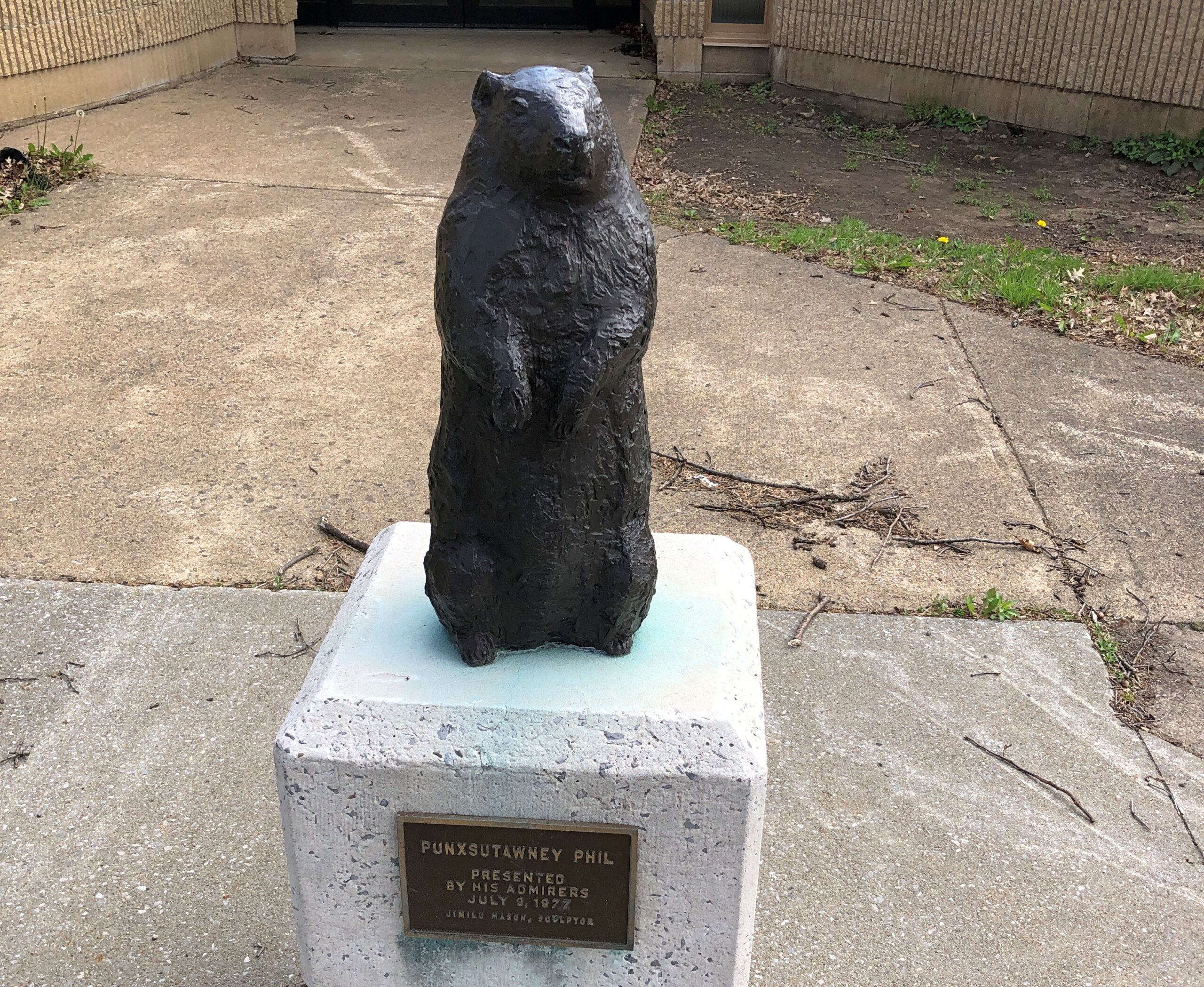
Serious Phil.
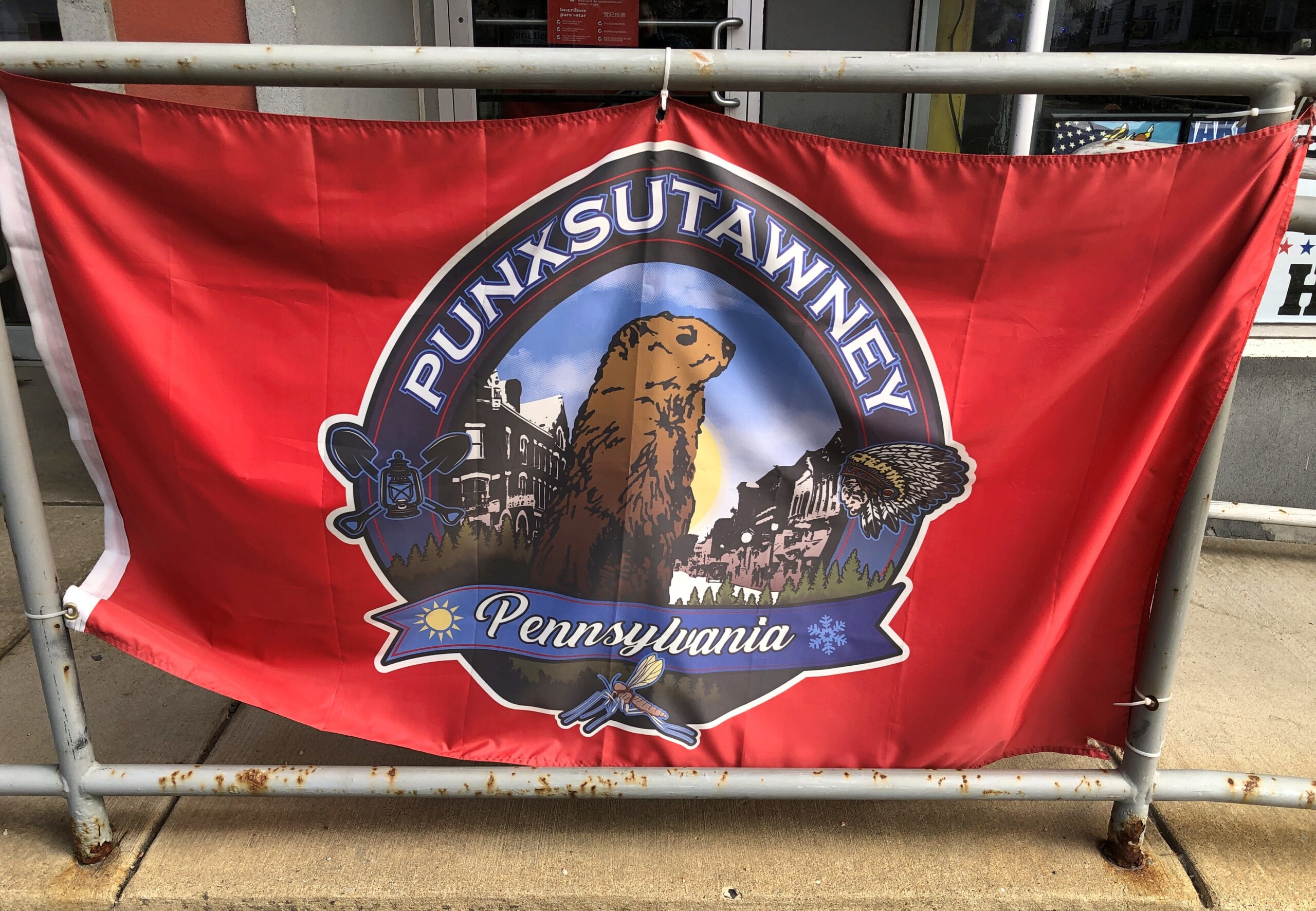
The city flag.
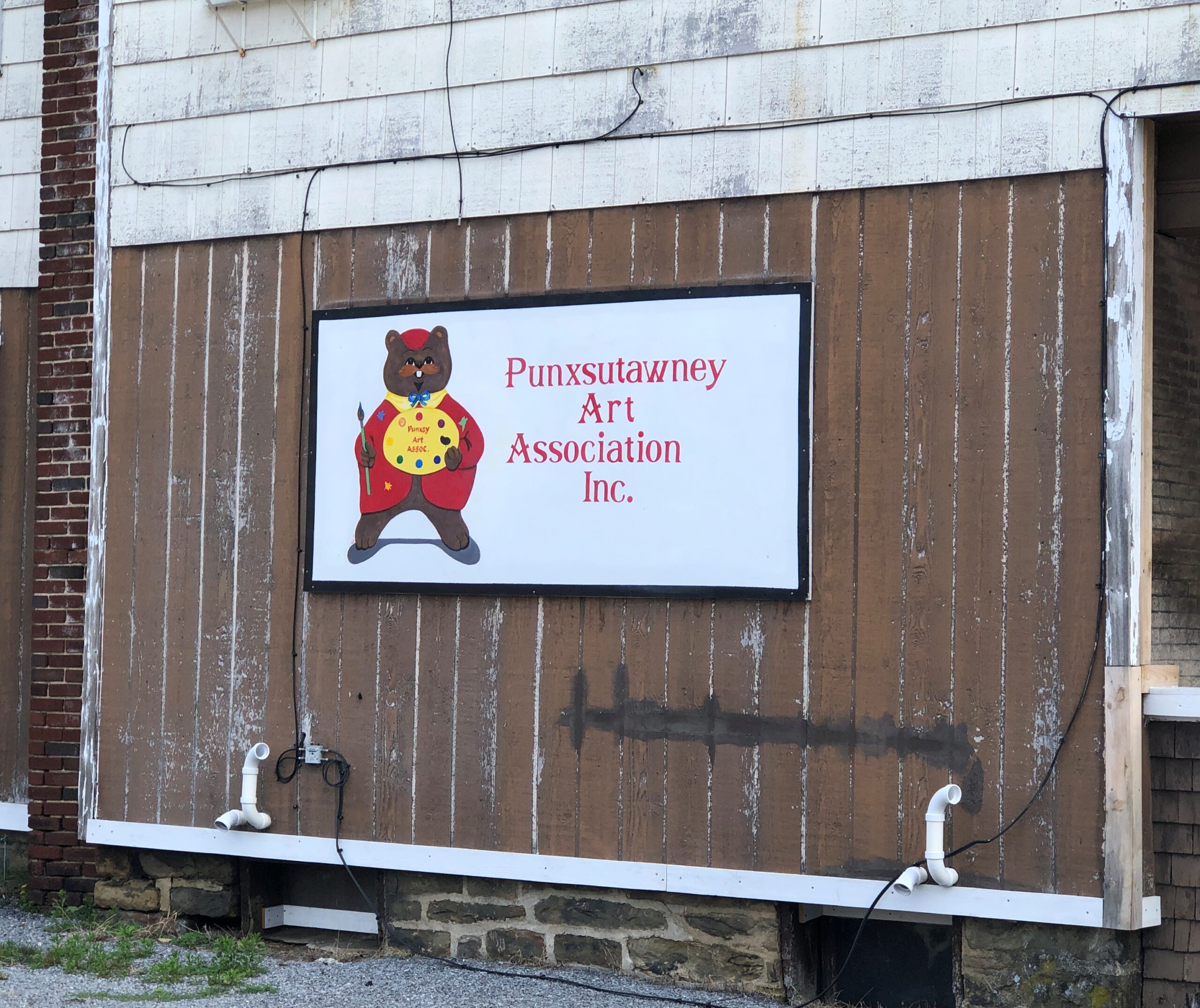
Actually, this one looks more like a cartoon bear. But I’ll bet it’s Phil anyway.
He’s everywhere.
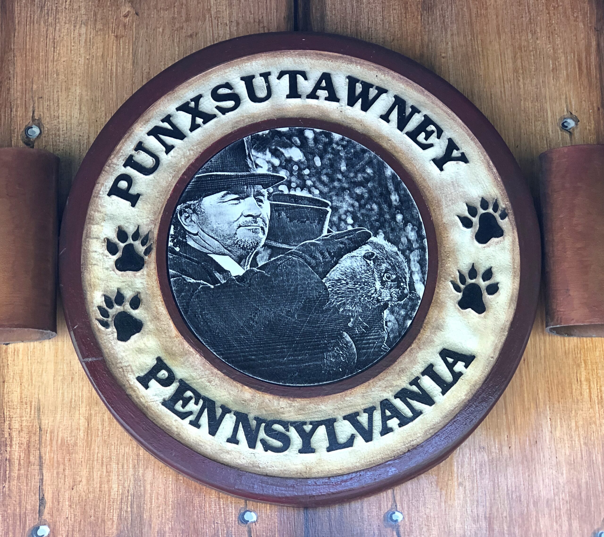
Then there’s official Phil. He and mate Phyllis live behind glass, in the “burrow.”
The groundhog clearly counts as Punxsutanwney’s spirit animal, a concept that seems to be elastic enough to include mascot and whatever else you care to pack in. More towns ought to have them.
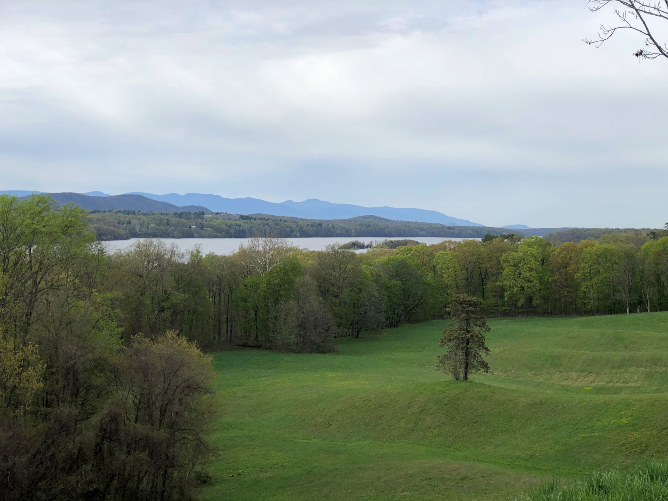
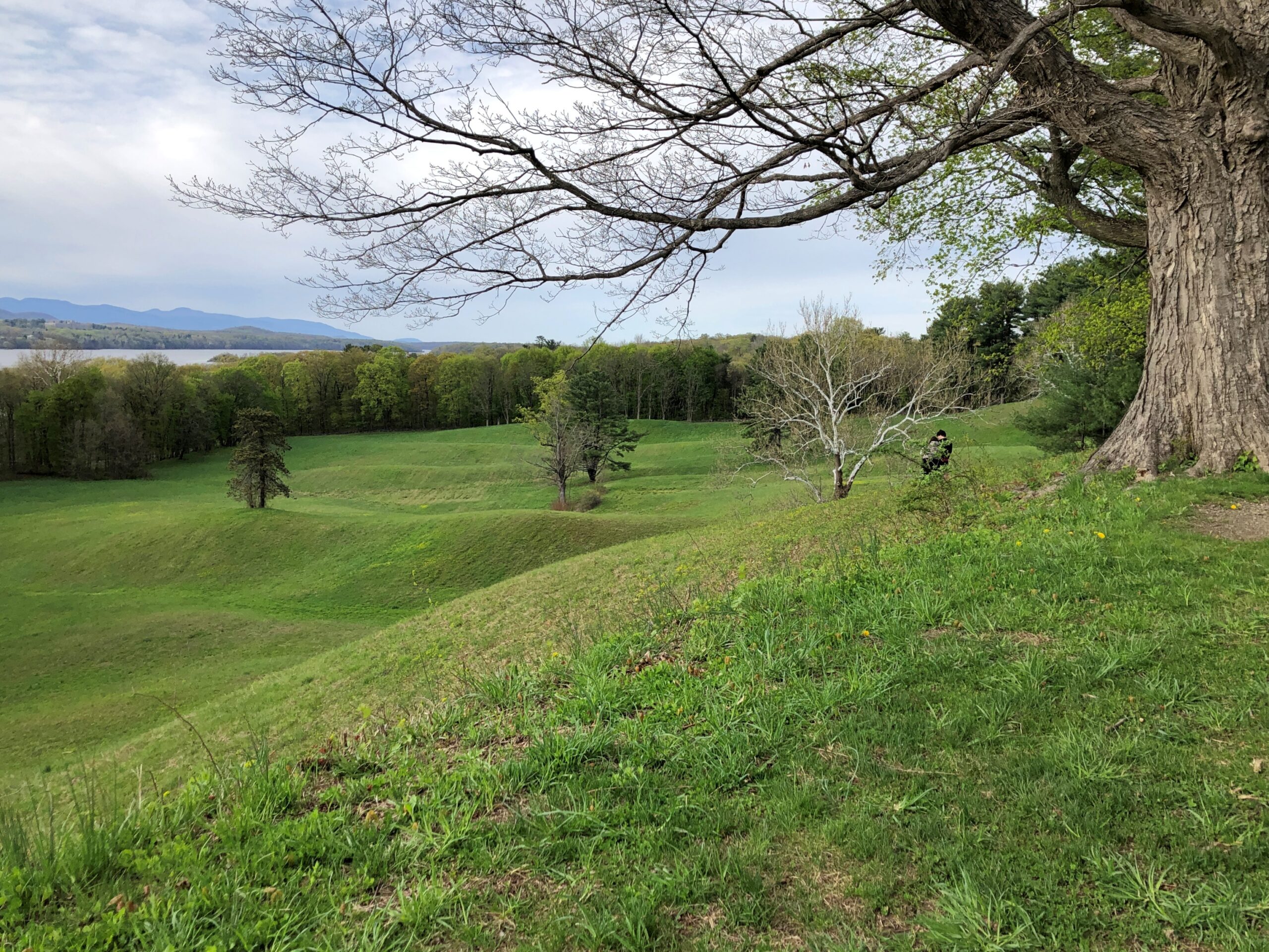
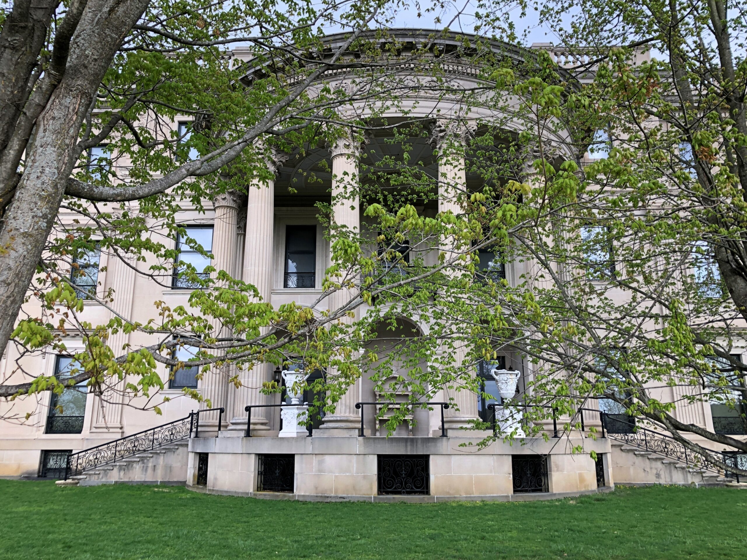
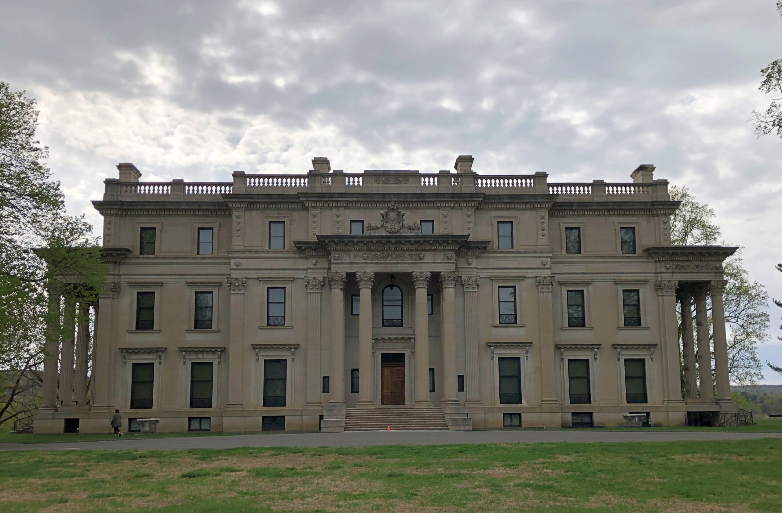
Up the road a piece from FDR’s home in Hyde Park, one of the Vanderbilts had a mansion built in the late 19th century on a gentle bluff above the Hudson. The river valley wasn’t an obscure choice by him or the elder Roosevelt or any of the other wealthy mansion-builders of the period. Pleasure travelers had started coming to the Hudson River Valley in the early 19th century, representing the first U.S. tourist boom.
They came for good vistas, for one thing. So did I.
“In the works of Washington Irving and James Fenimore Cooper and the paintings of Thomas Cole and others of the Hudson River School, travelers in the region encountered the nation’s first literary and artistic movements,” says a summary of The Birth of American Tourism: New York, the Hudson Valley, and American Culture, 1790-1835 by Richard H. Gassan (2008).
In effect, those writers and painters were the influencers of their day, though not quite at the frenetic pace of, say, Instagram. I’ve decided not to worry about the influence of, say, Instagram on modern tourism. Overtourism is a real problem in a narrow range of places, and best dealt with locally, but most criticism of mass tourism is snobbery anyway: why, those people are going to all the wrong places for the wrong reasons and thinking and doing the wrong things when they get there! Bah.
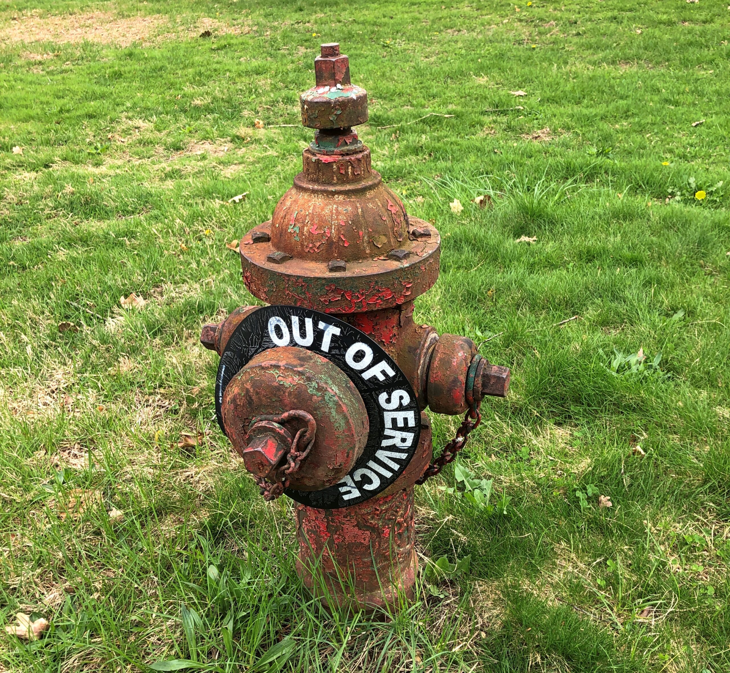
The latest in my series on NPS fire hydrants. This one, a little worse for wear, is on the Vanderbilt site.
The Vanderbilts were known for commissioning mansions, of course, so many that I suggest they be known as the mansion-building Vanderbilts, like the Lighthouse-building Stevensons. Though not, curiously, the Commodore himself. He had other things to do, like amassing a vast fortune in the first place, and founding one of the nation’s great (ahem) universities.
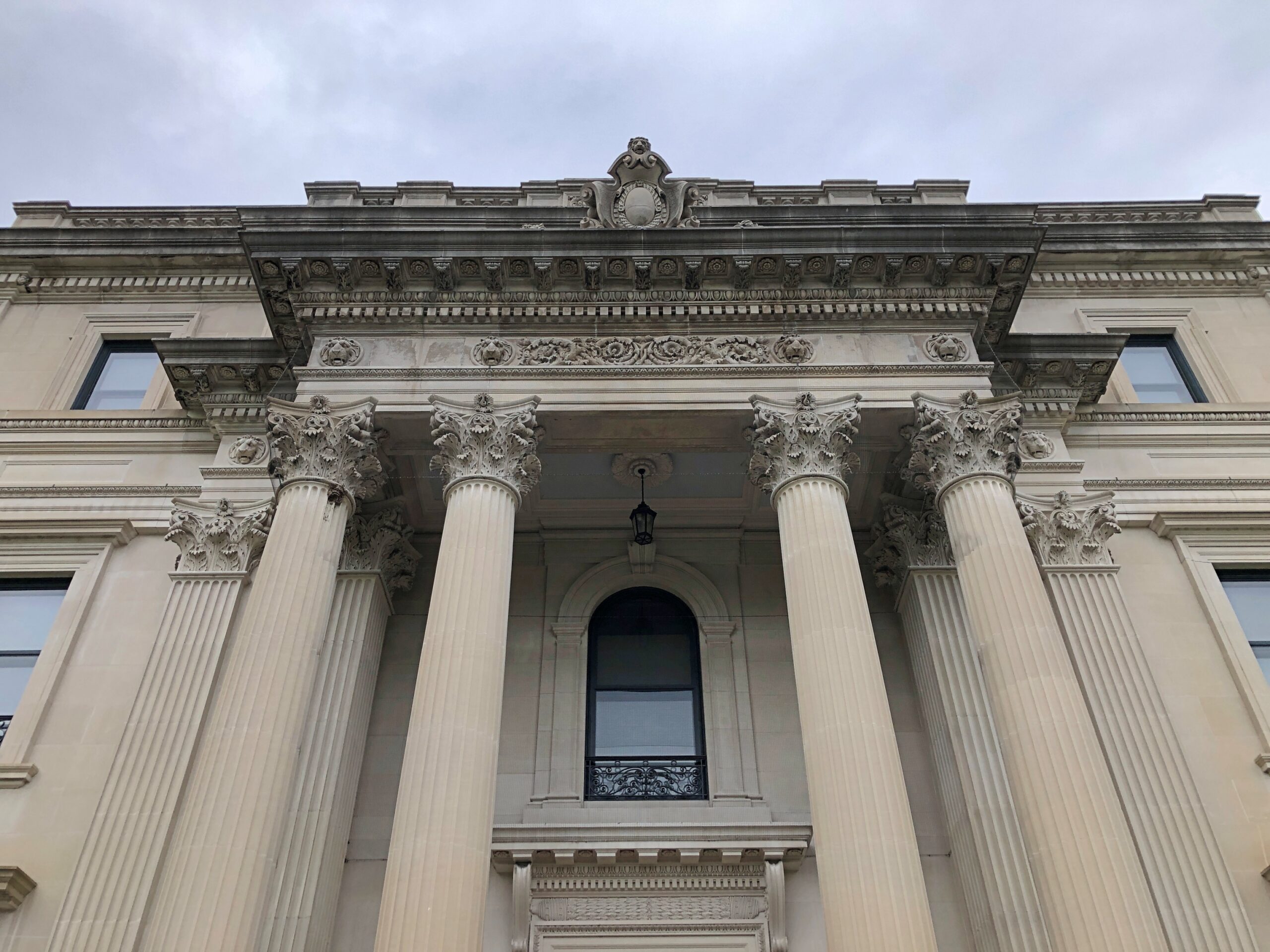
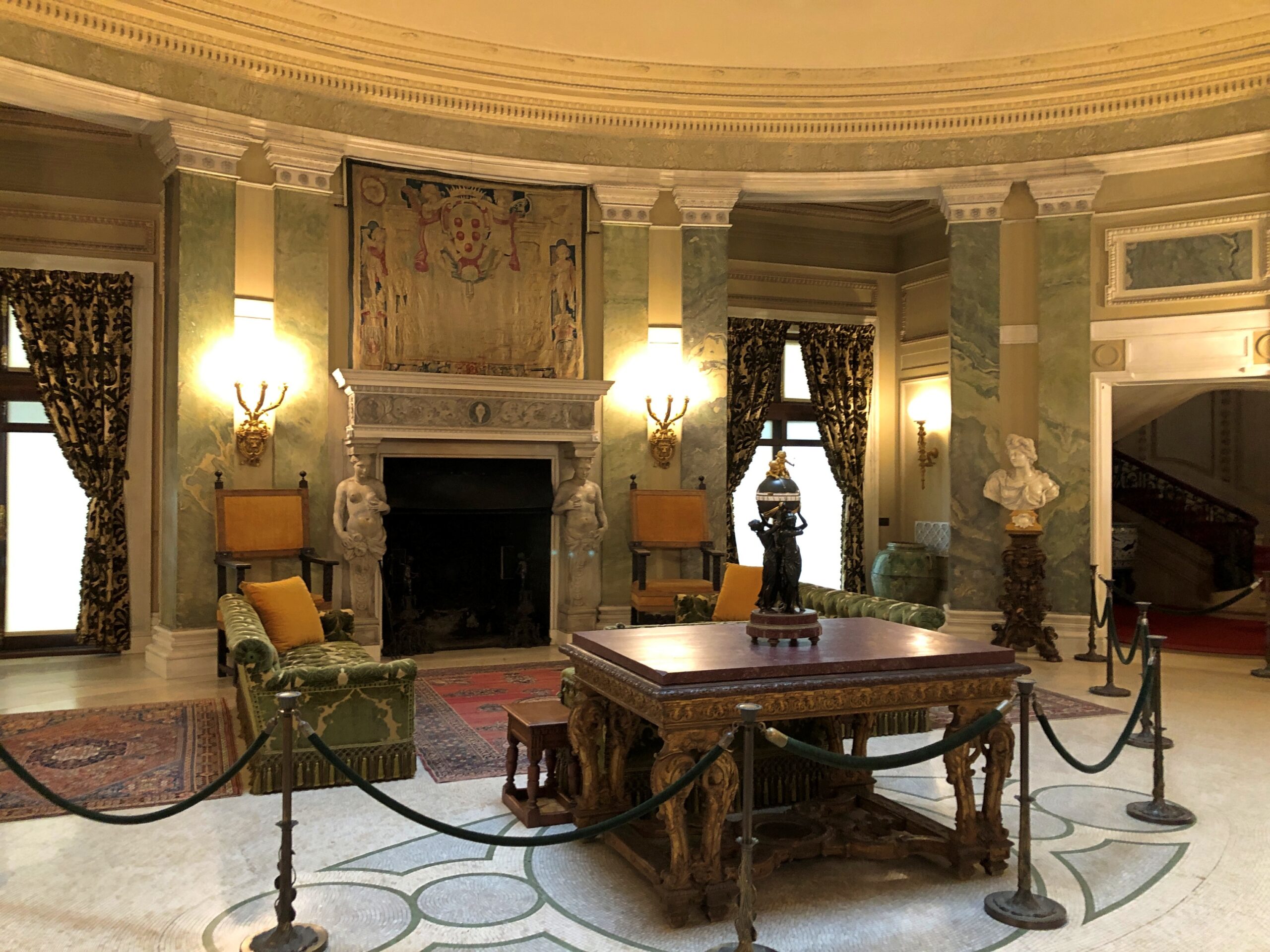
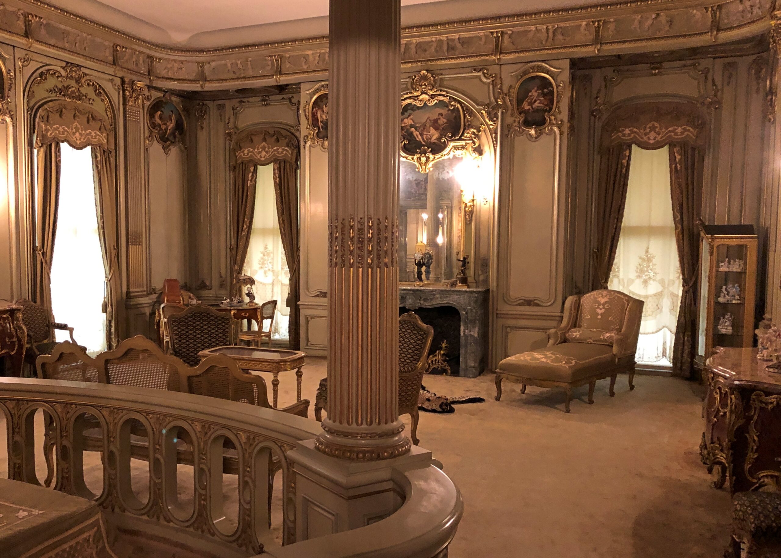
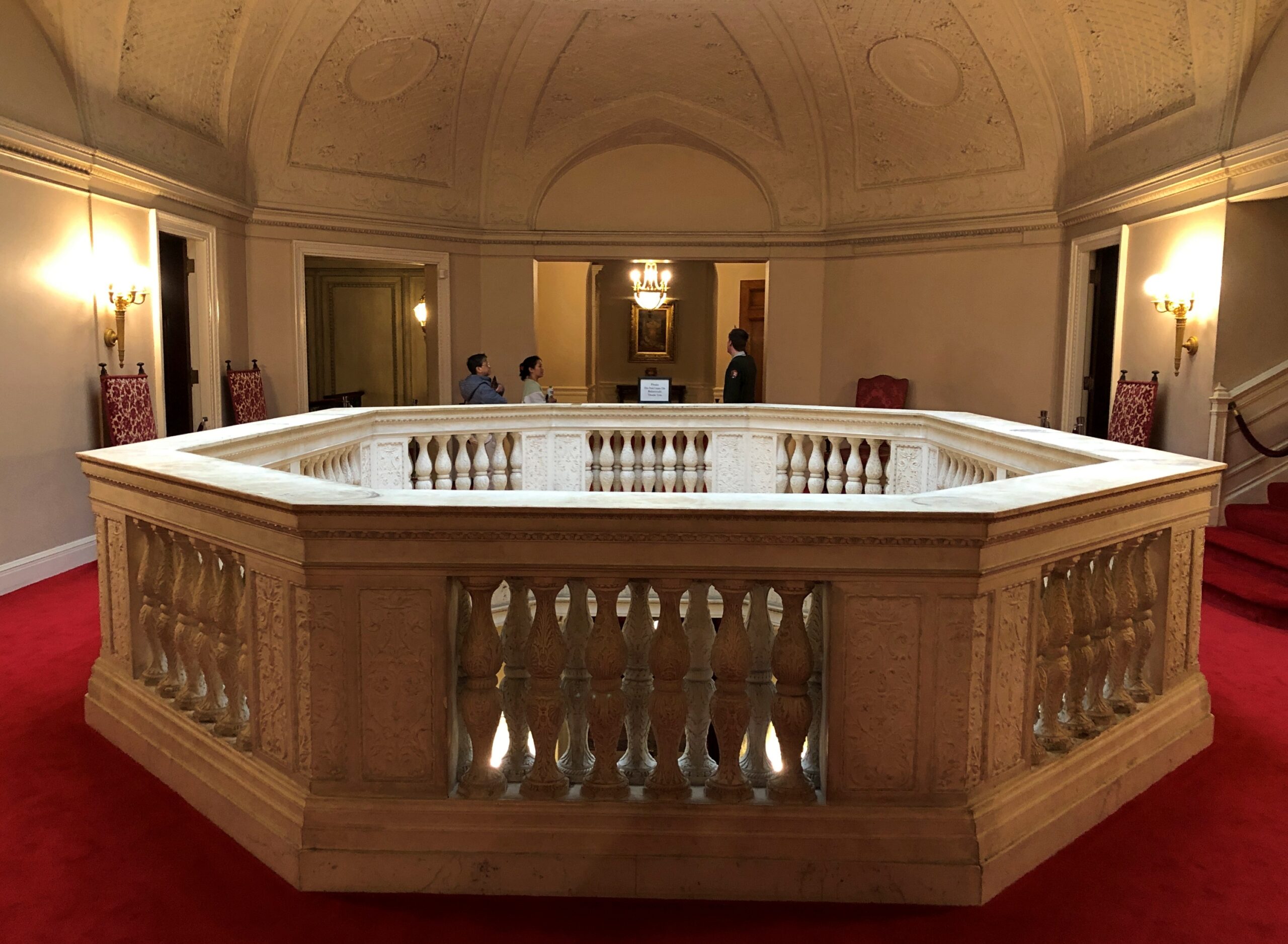
Anyway, grandson Frederick William Vanderbilt (d. 1938) thought that the Hudson River Valley was just the place for a country estate, which it is, so he tasked McKim, Mead & White, architects to robber barons and other deep-pocketed clients, to design it. Frederick and his wife Louise clearly wanted a Euro-style palace on the Hudson, and that’s what they got.
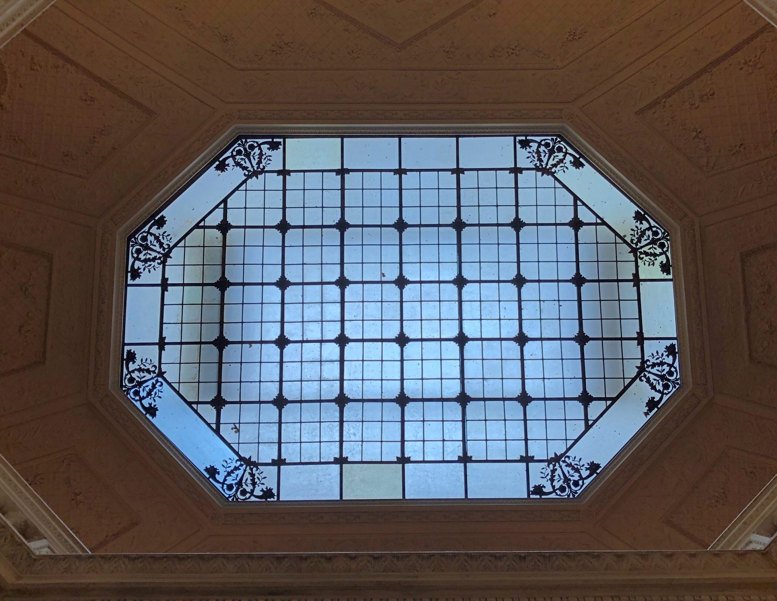
The skylight was pretty cool, bringing in light all the way to the lowest floor through this aperture.
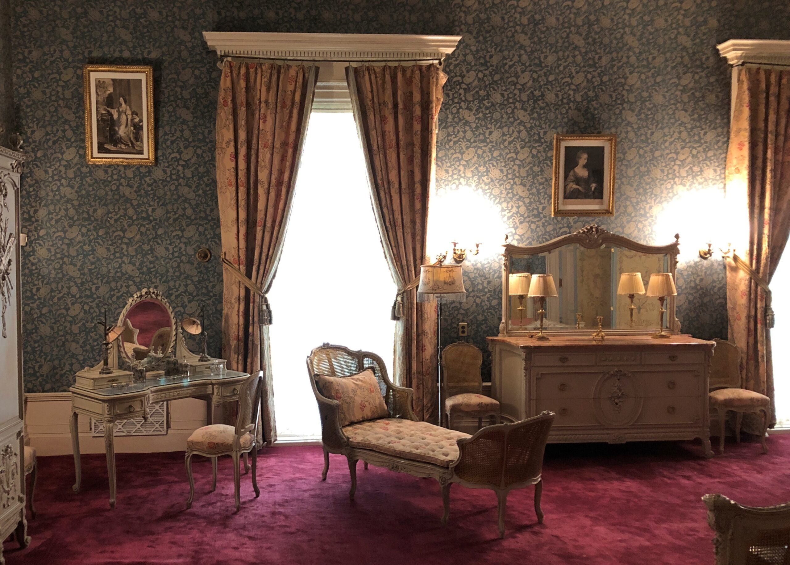
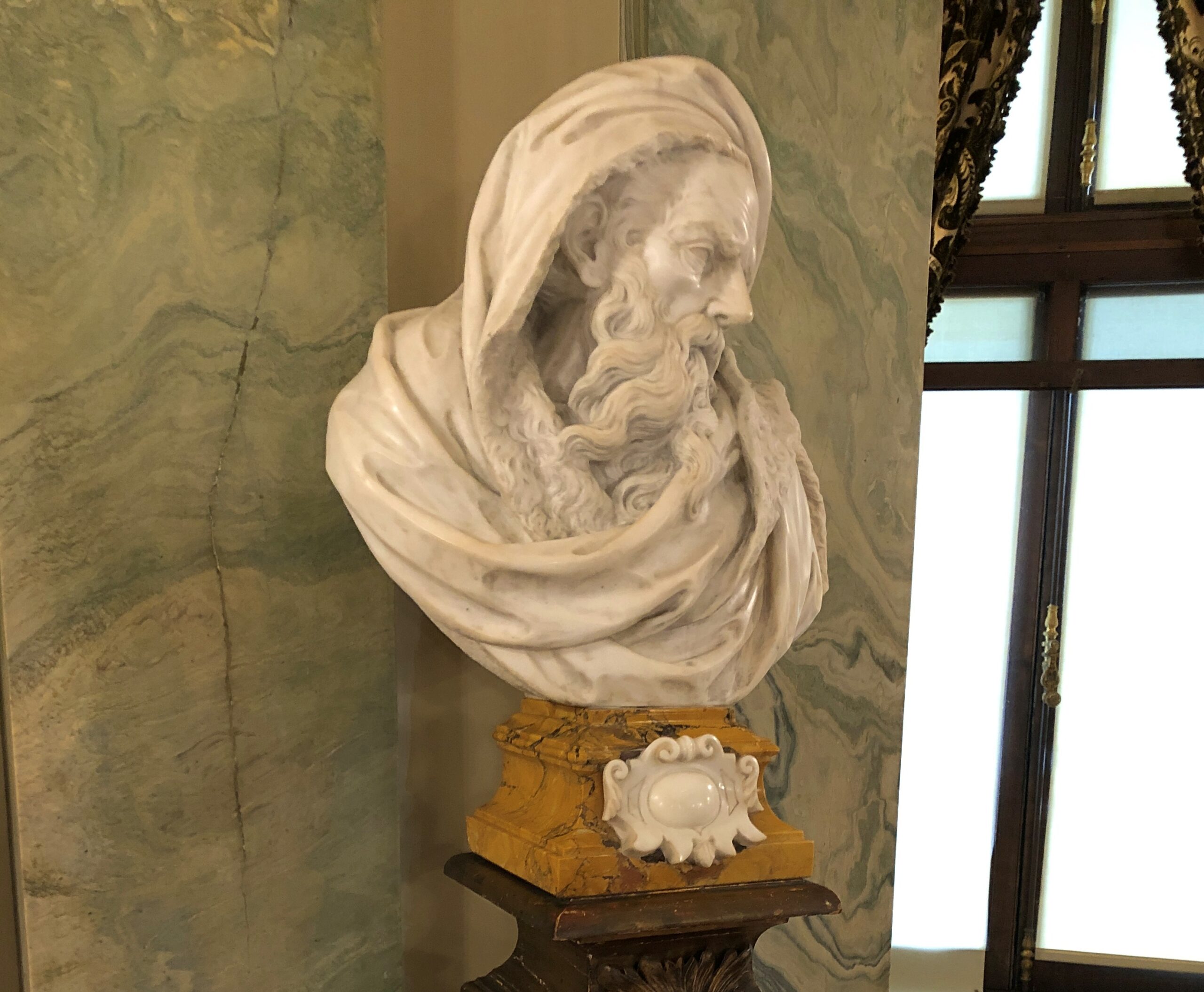
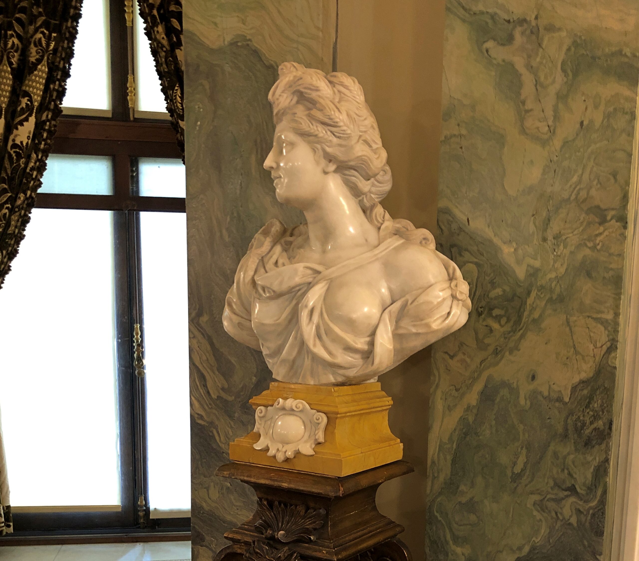
The effort to build and decorate the place must have been considerable, and I hope it provided wages for a lot of workers for a long time, both in the development and maintenance. But it’s a little sterile, for all its architectural pedigree.
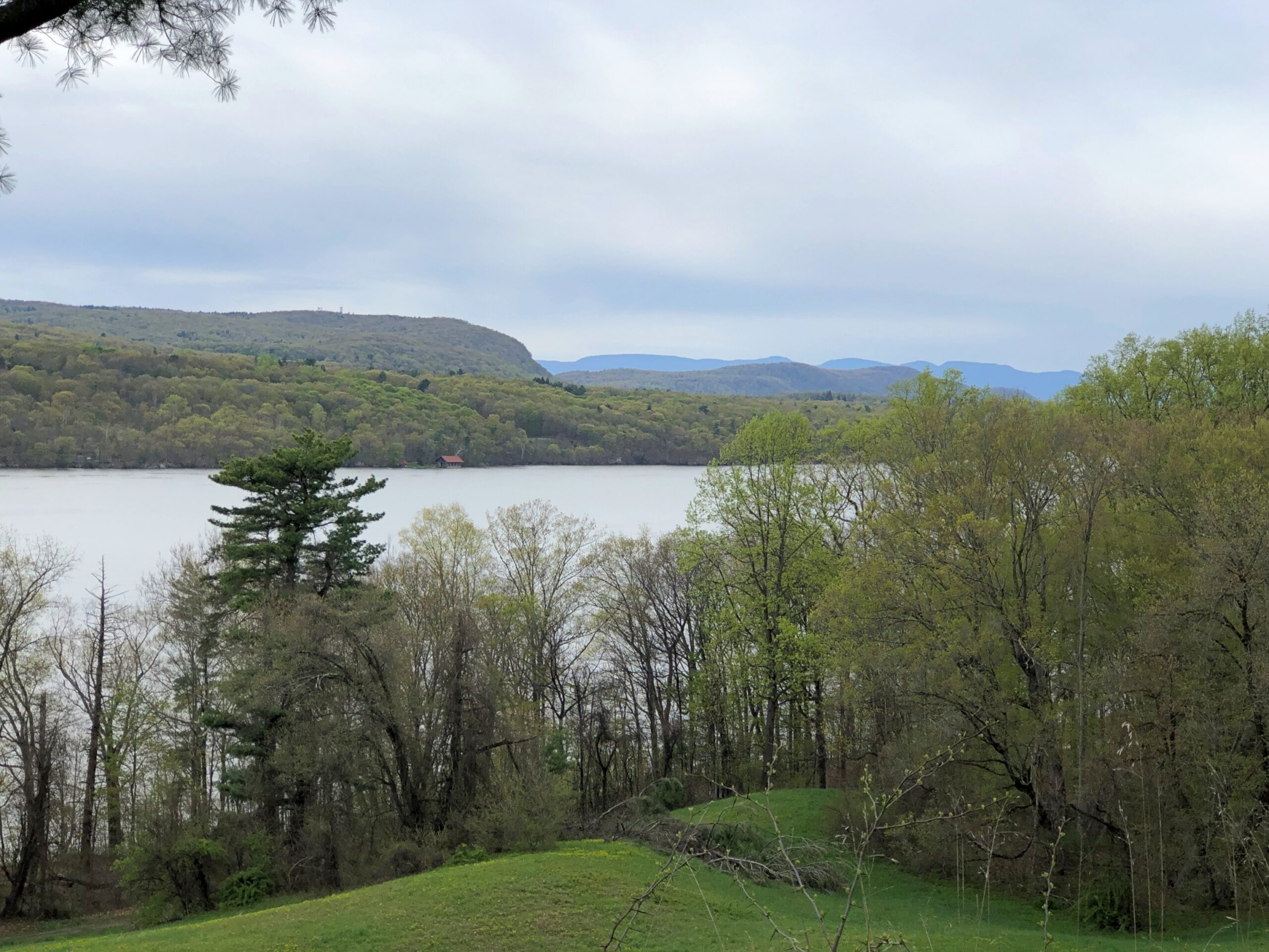
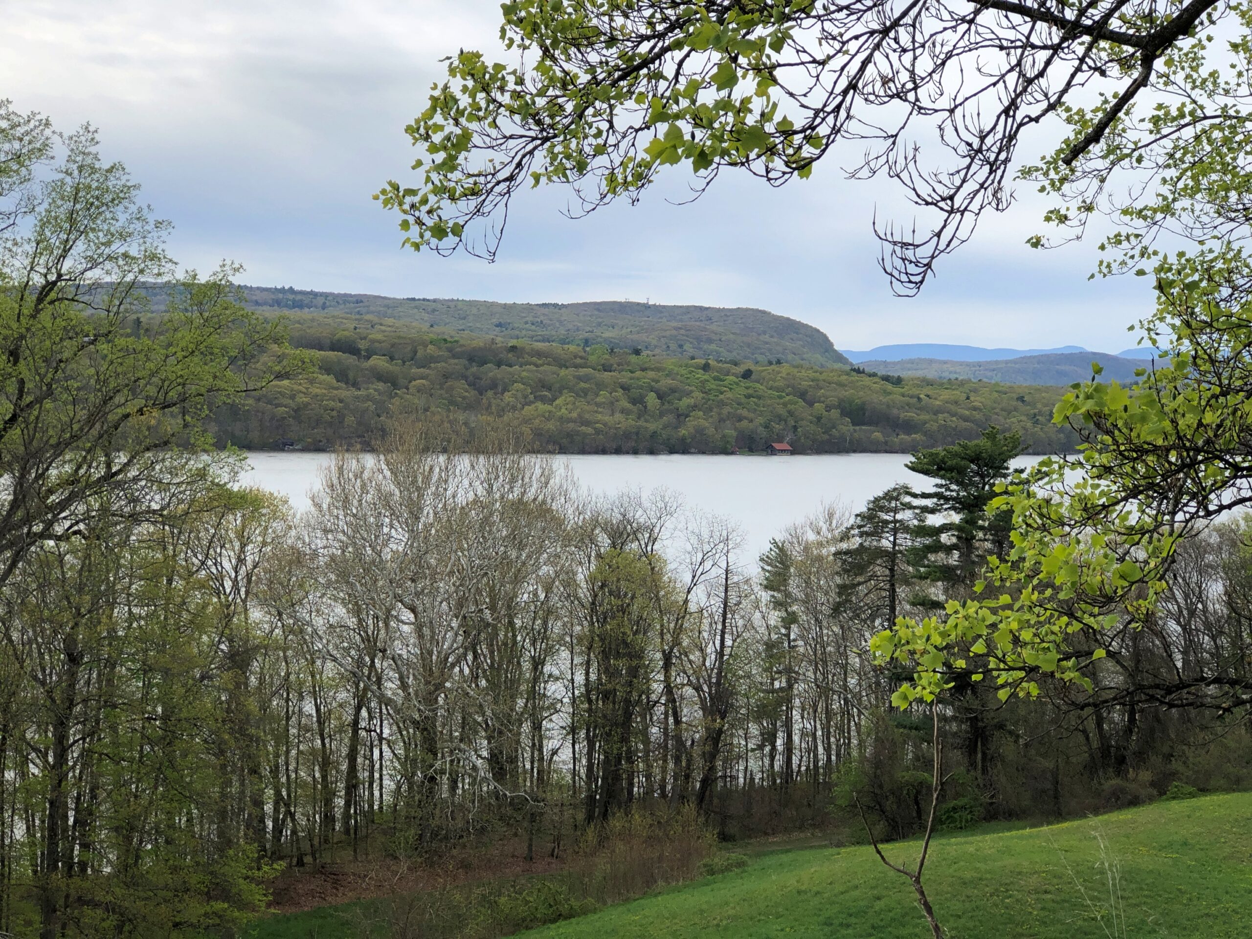
Our guide — you need a guide to visit the interior, though the grounds are essentially a public park (and what a park) — said that the Park Service didn’t mind having the mansion, but the Vanderbilt site was more about preserving a long stretch of the right bank of the Hudson River and its views. As I took in some of those views, I had to agree.
A lot of museum artifacts are behind glass. Some really old, brittle and famous items are encased in an atmosphere of nitrogen, the better to extend their existence, I understand (and nitrogen anoxia sounds like an unfortunate accidental way to die). That might have been the case with the underwhelming display of the overwhelmingly historic Book of Kells. But in any case, glass interferes with our right as iPhone-carrying tourists to take really good pictures with almost no effort.
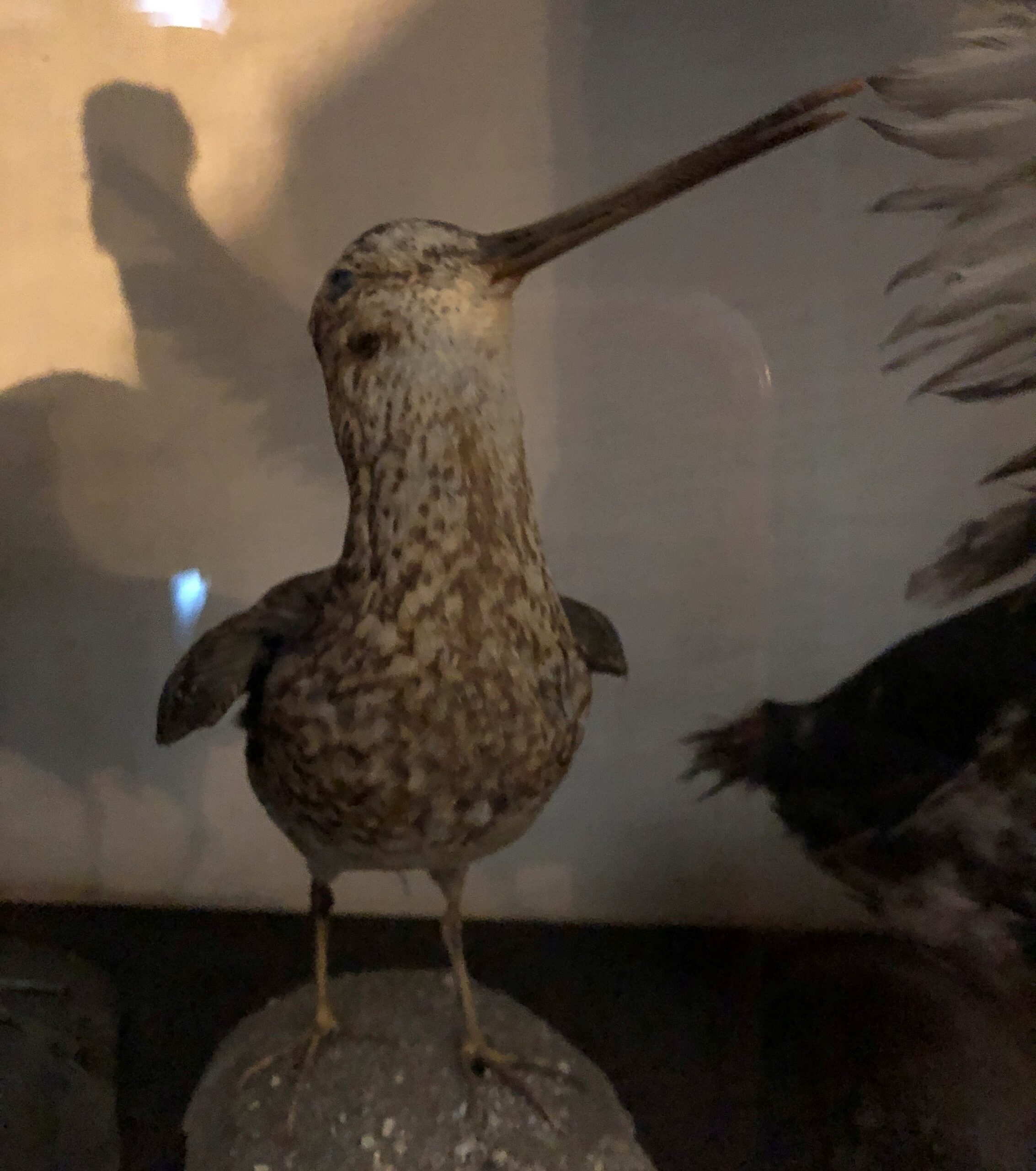
An example: a stuffed bird I saw in April.
The picture might be lousy due to the glass, but the artifact – and some other stuffed birds in the same case – did something a history museum ought to do: teach. I learned, looking there at a bird dead more than a century, that as a boy in the early 1890s Franklin Delano Roosevelt pursued a taxidermy hobby.
I’d come to Home of Franklin D. Roosevelt National Historic Site in Hyde Park, New York, the flush of spring, on my way home from the Northeast. I made time for the site because a visit had been impossible in October.
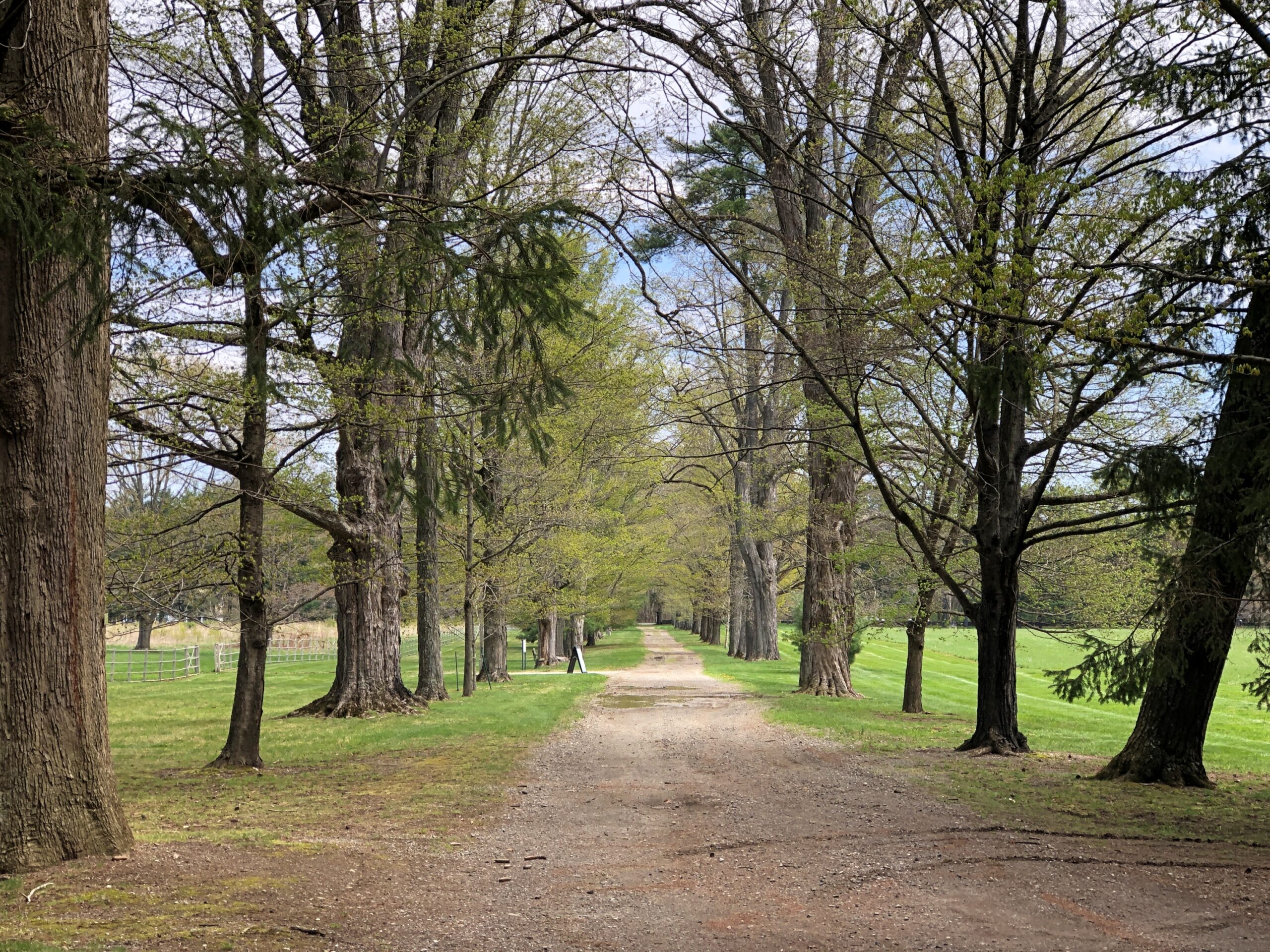
I understand that during FDR’s boyhood, the place wasn’t quite as wooded, but even so the trees (and thus birds) must have been plentiful. One of the paths on the grounds.
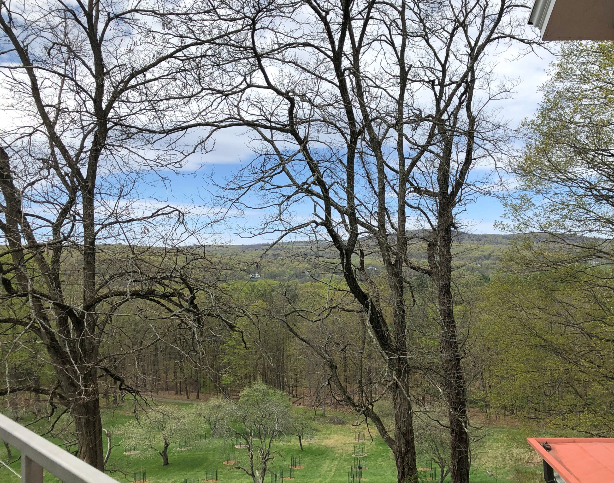
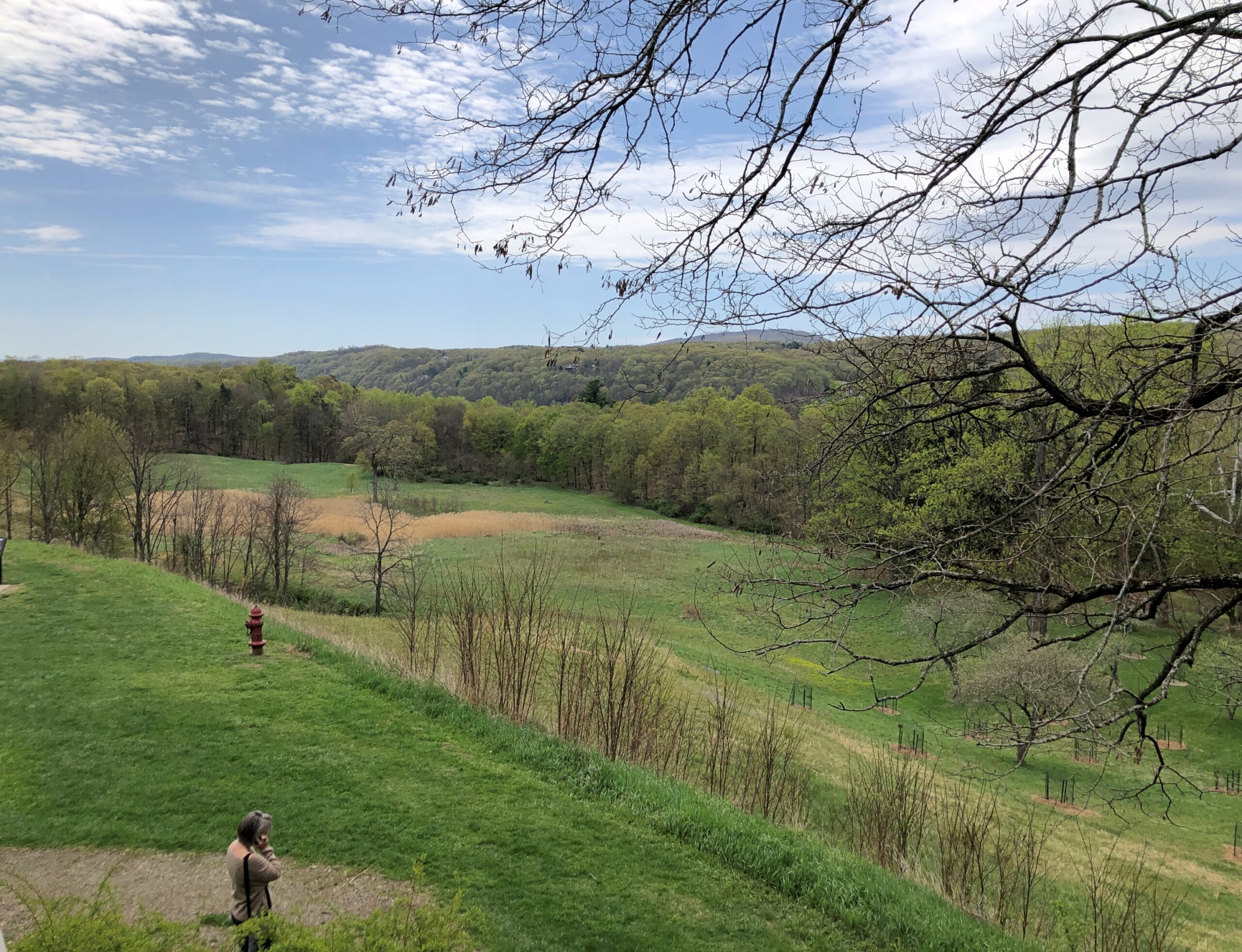
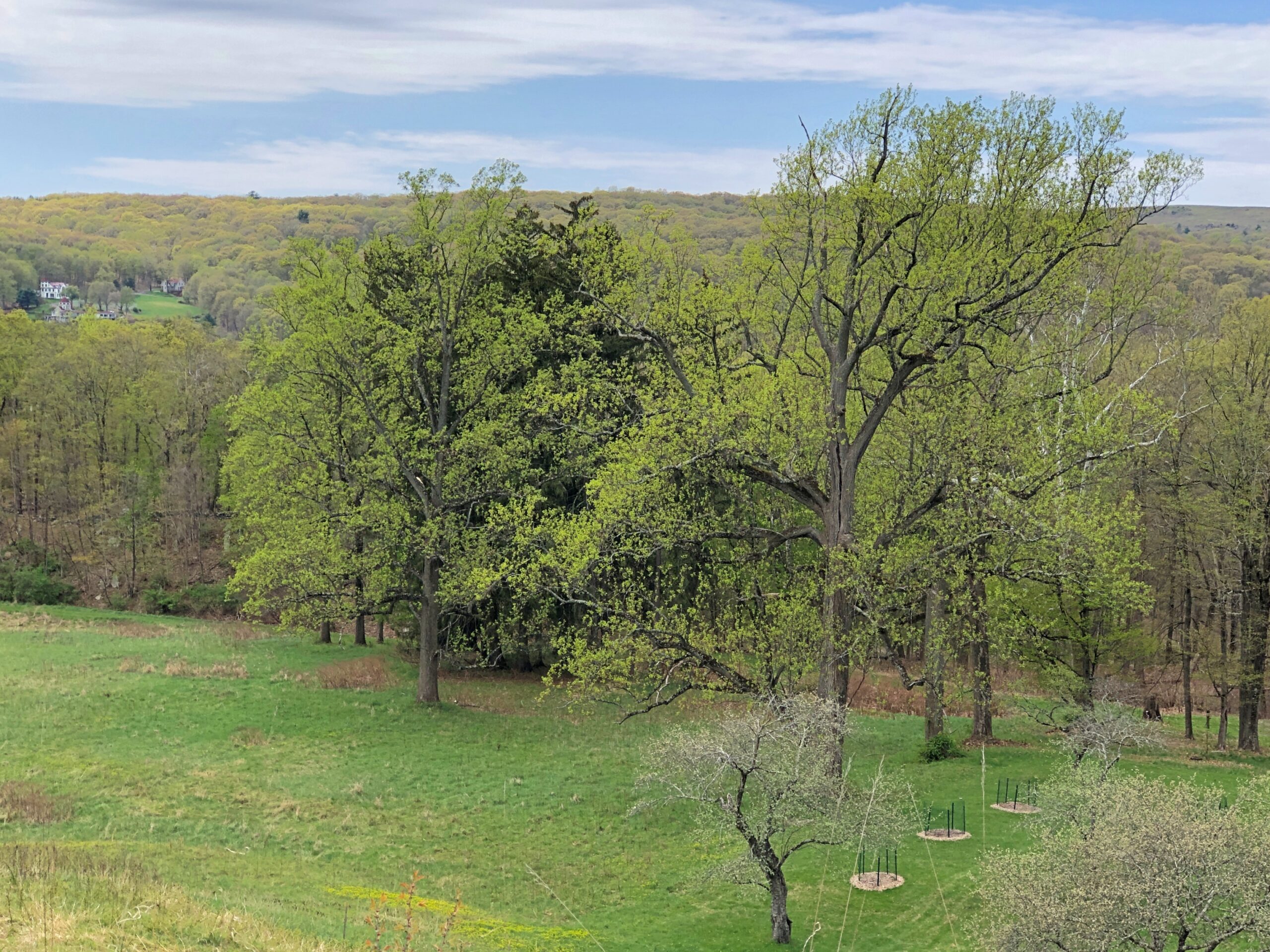
Views from the second story of the mansion.
Though the greenery obscures the splendid Hudson River, even a short look around gives you some idea why James and Sara Roosevelt thought building a residence here was a good idea, and why Franklin was deeply attached to the place all his life.
Is it important to know that boy FDR shot and stuffed birds (though he later had them stuffed professionally)? In and of itself, maybe not. I’ve heard about him all my life, read books about him and seen documentary films, and visited the FDR D.C. memorial, and somehow that detail never came up. Knowing about his short-lived taxidermy hobby doesn’t help me understand the New Deal or World War II any better, in as much as I know about those big-picture events.
Still, it’s a humanizing detail, and I believe that’s good to know about figures as famed and studied and lionized as FDR. It also allows for a bit of informed speculation about Franklin, a rich only child with an overbearing mother. By the time he was old enough to tote a gun, he probably needed to get away periodically from the mansion and its familial confines. Shooting birds out on the sprawling grounds of Hyde Park on the Hudson was just the ticket.
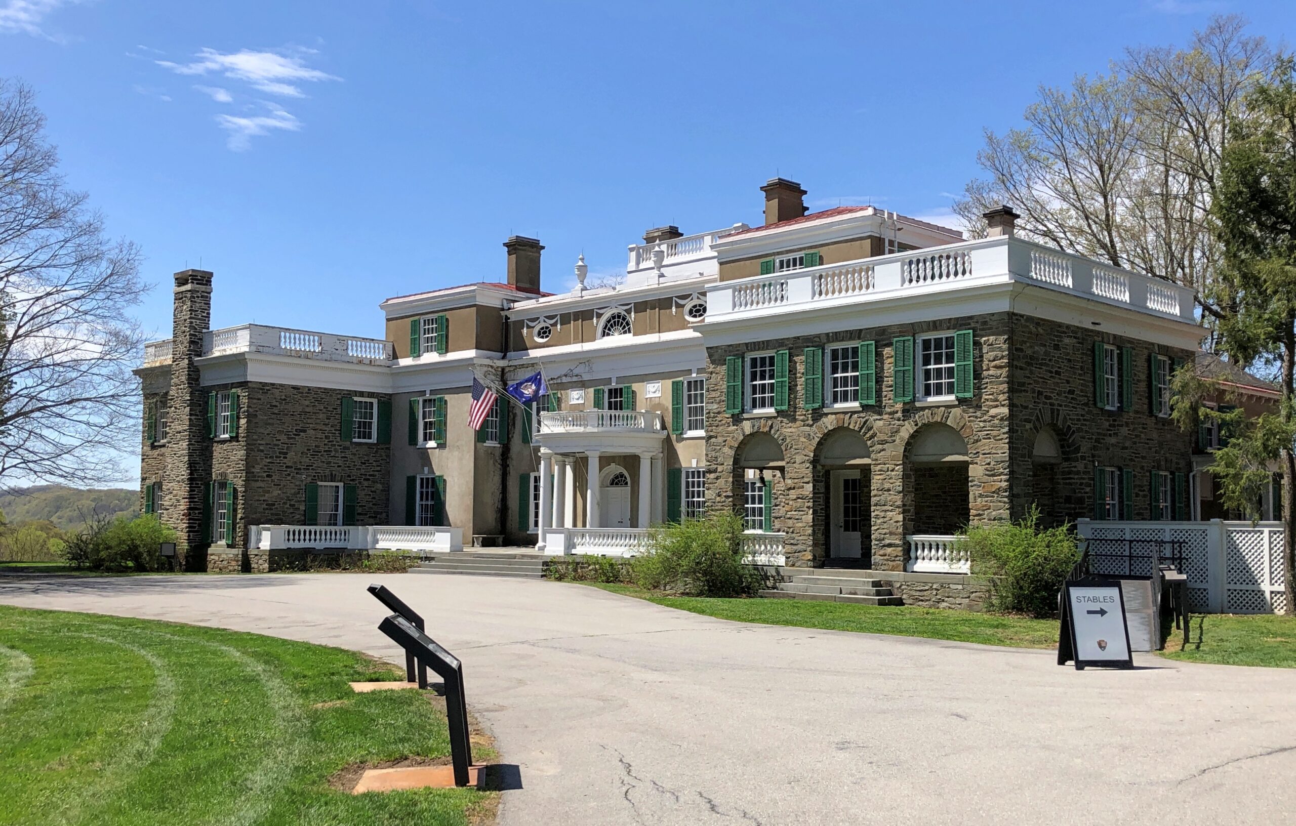
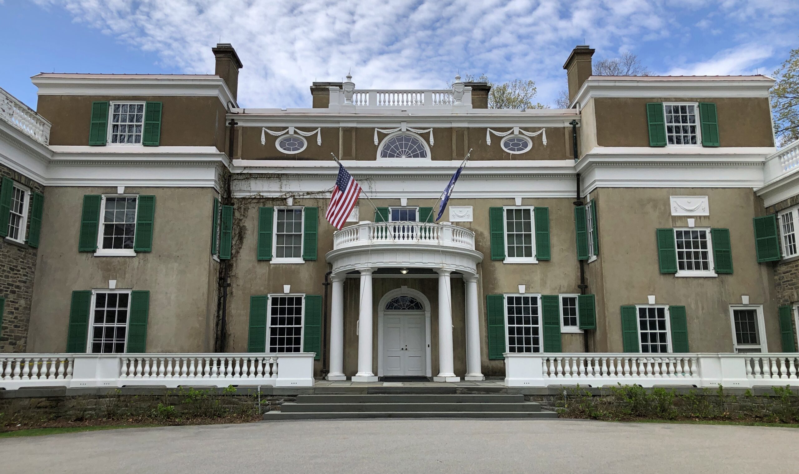
The Home of Franklin D. Roosevelt National Historic Site, which is the official National Park Service designation for the place, includes the mansion (Springwood, by name) and grounds, but also a presidential museum and library. The mansion is a mansion without being a Gilded Age exercise in ostentation.
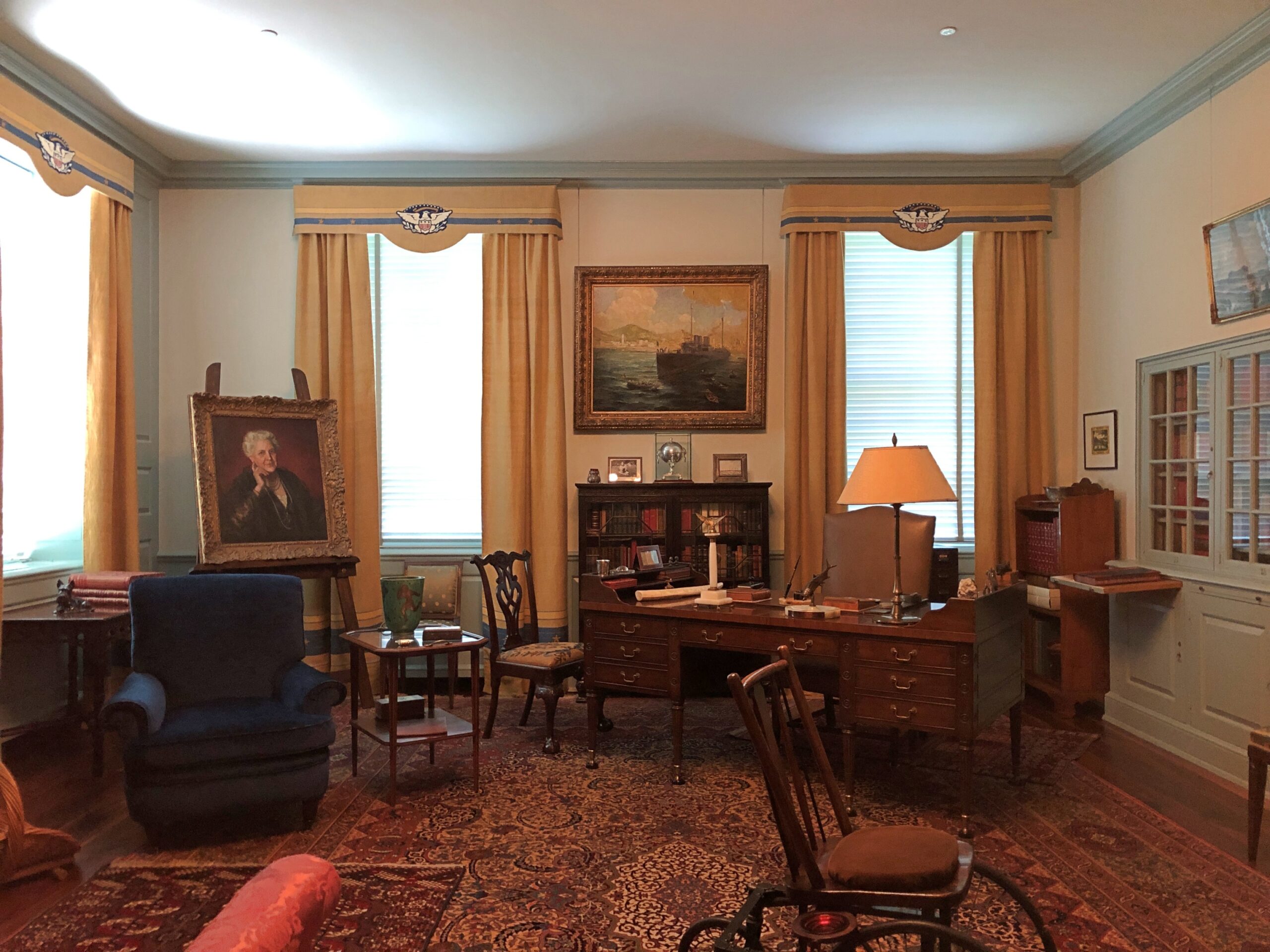
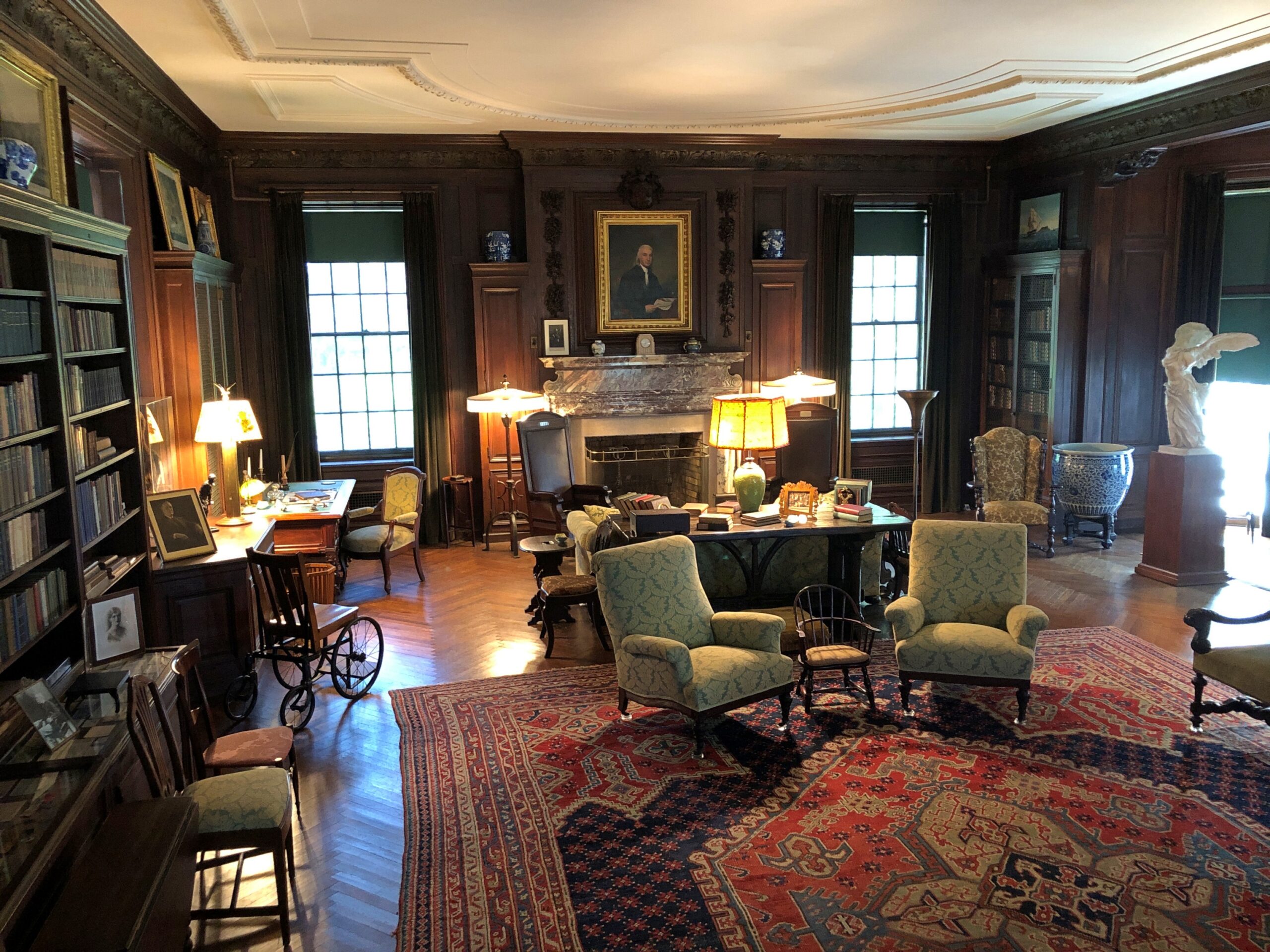
It’s a big place, lots of rooms and some elegant décor (and stuffed birds), all original artifacts, so there’s no doubt it was a wealthy household. Still, even though it’s literally a museum in our time, in FDR’s time I doubt it felt like a museum at all, unlike some Gilded Age exercises in ostentation – and I’m thinking of the Vanderbilt mansion nearby, more about which later.
Best not to jump to too many conclusions based on the vibe of the mansion, but it does dovetail with the generally understood notion that FDR was self-assured and at ease in the upper class. No need for him to show off, any more than James and Sara did.
Speaking of James and Sara.
Note: the tour guide – you need to be on a tour to see the inside of Springwood – was perfectly forthcoming about the well-known fact (to historians) that the Delano fortune was built on opium.
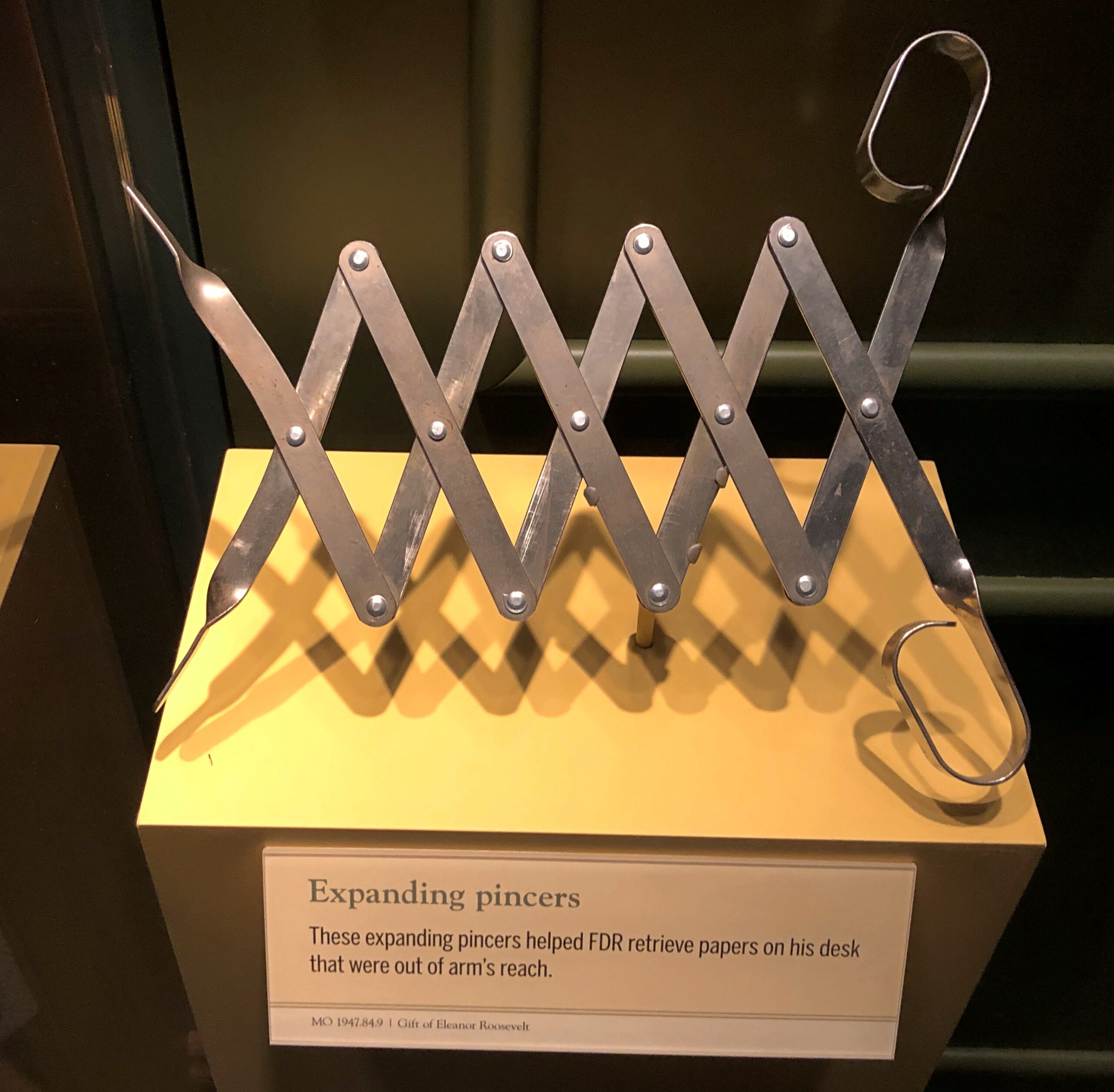
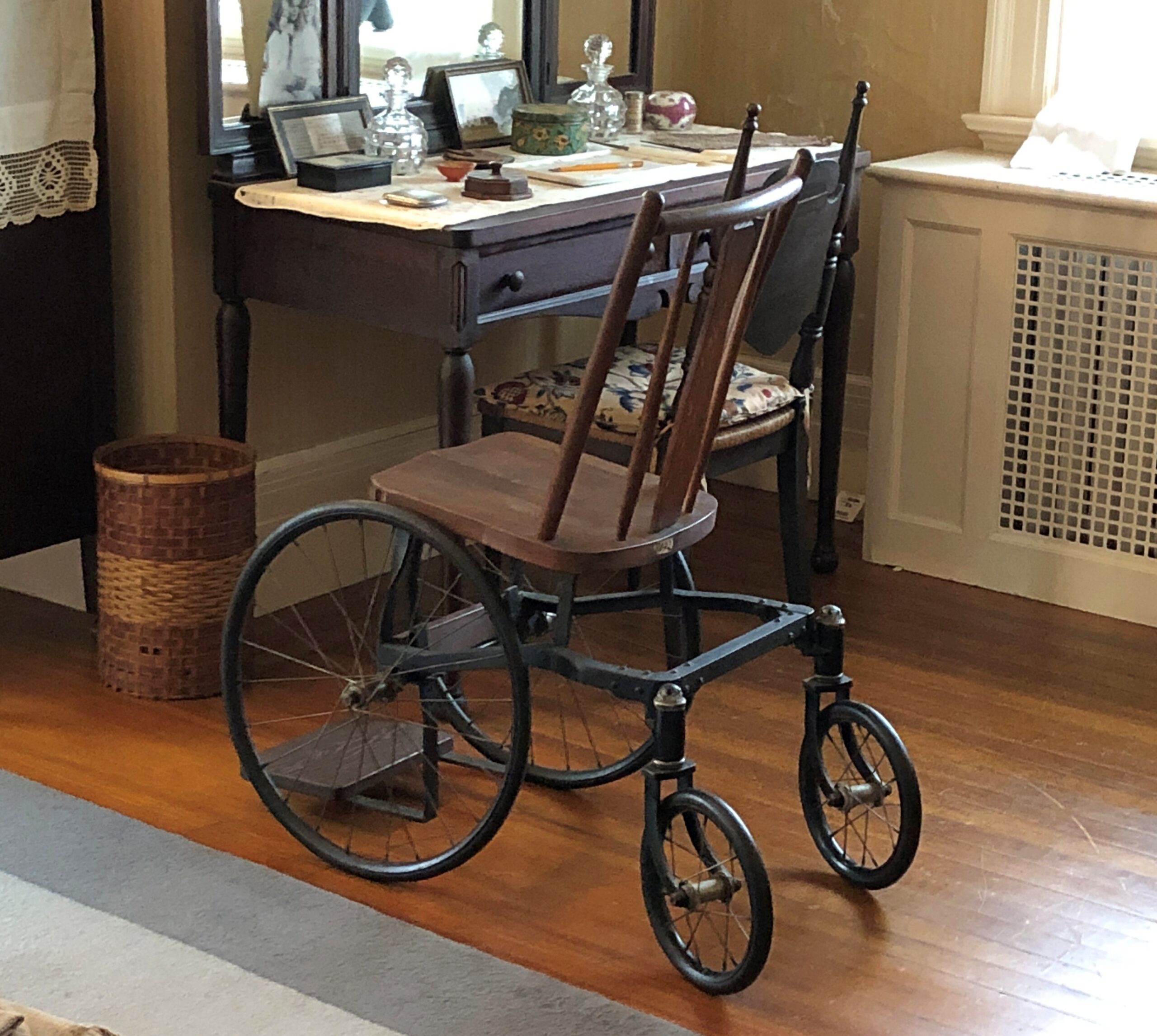
Other artifacts of note included some of the president’s coping mechanisms — literal mechanisms — for his handicap.
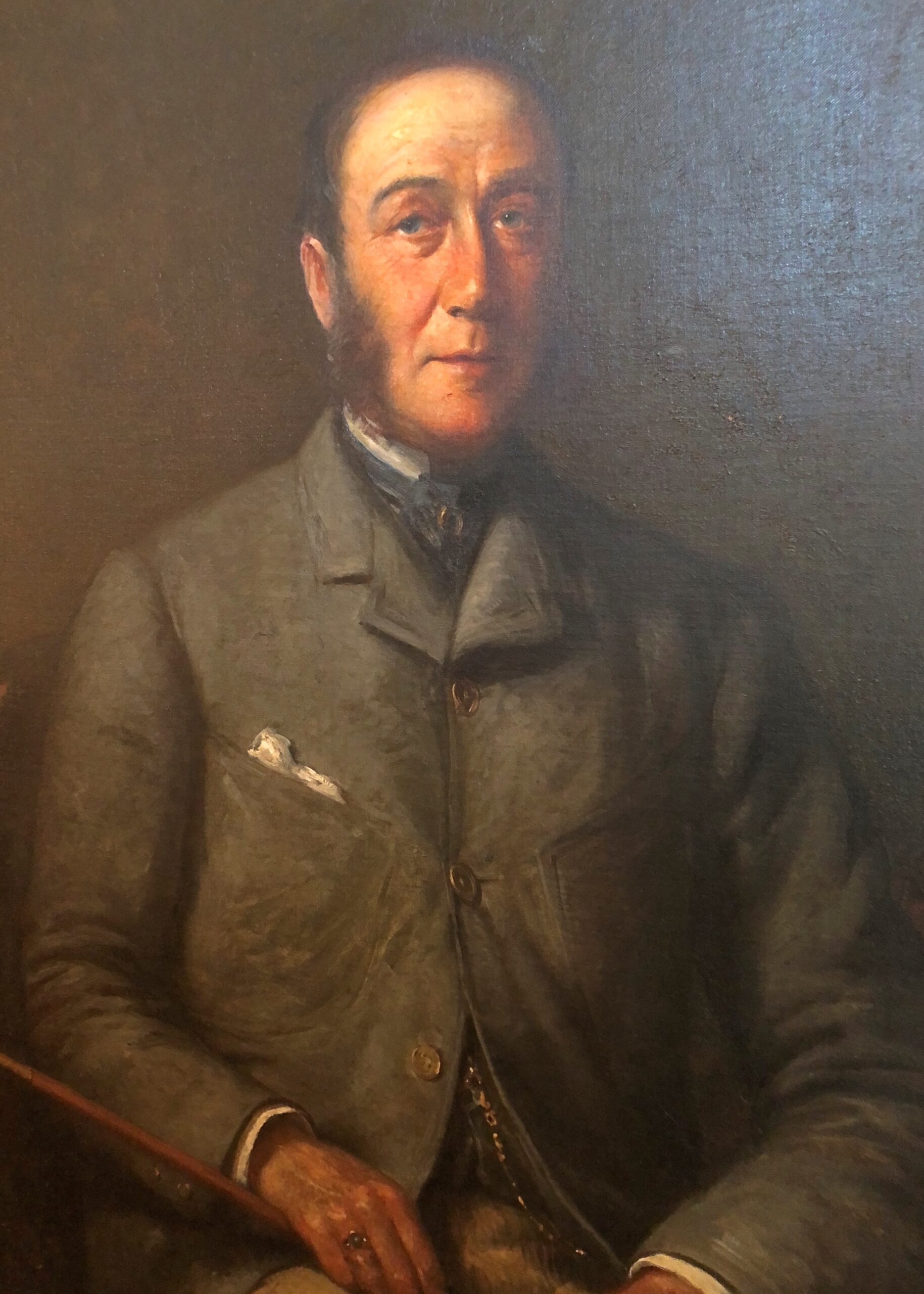
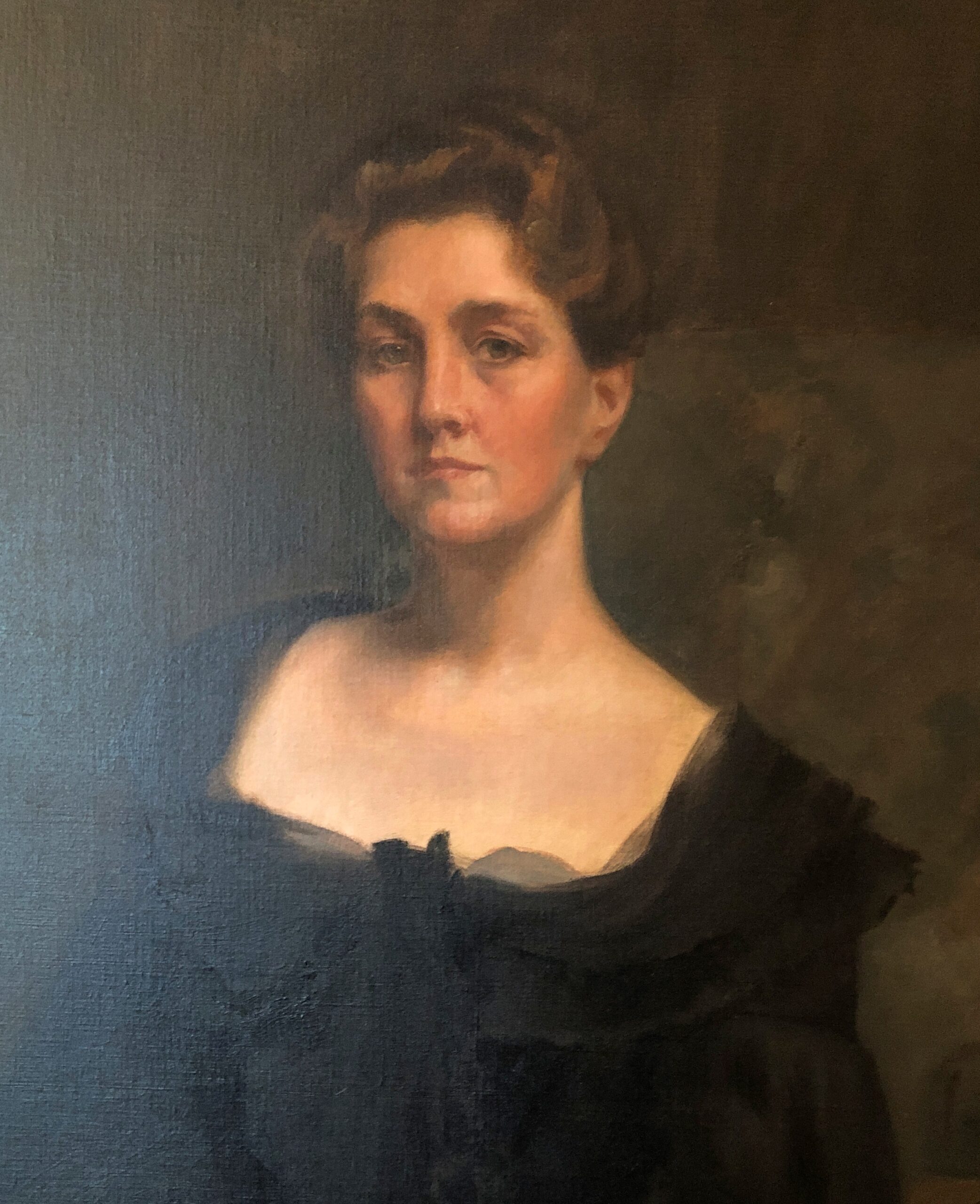
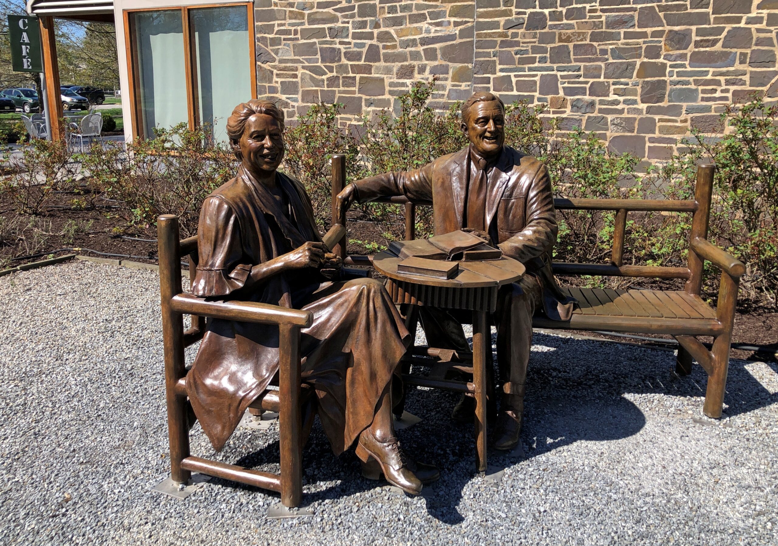
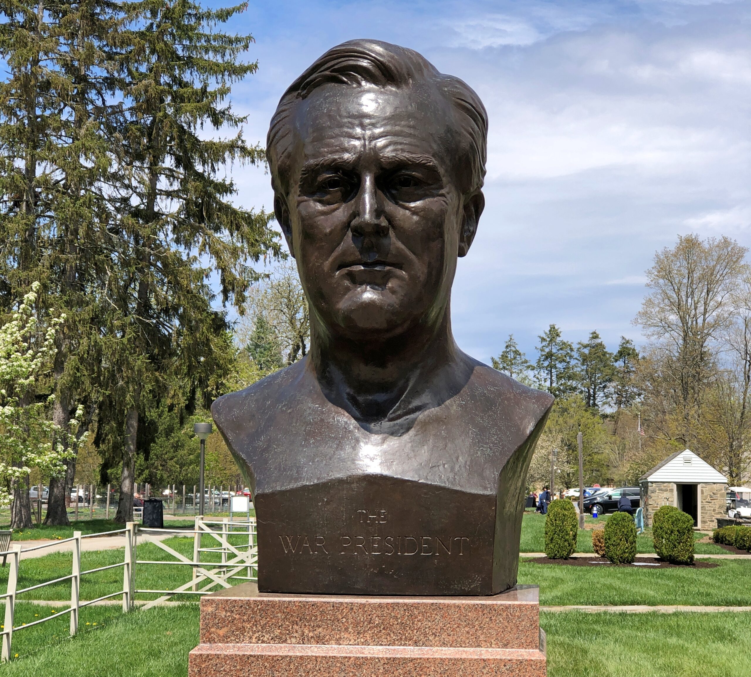
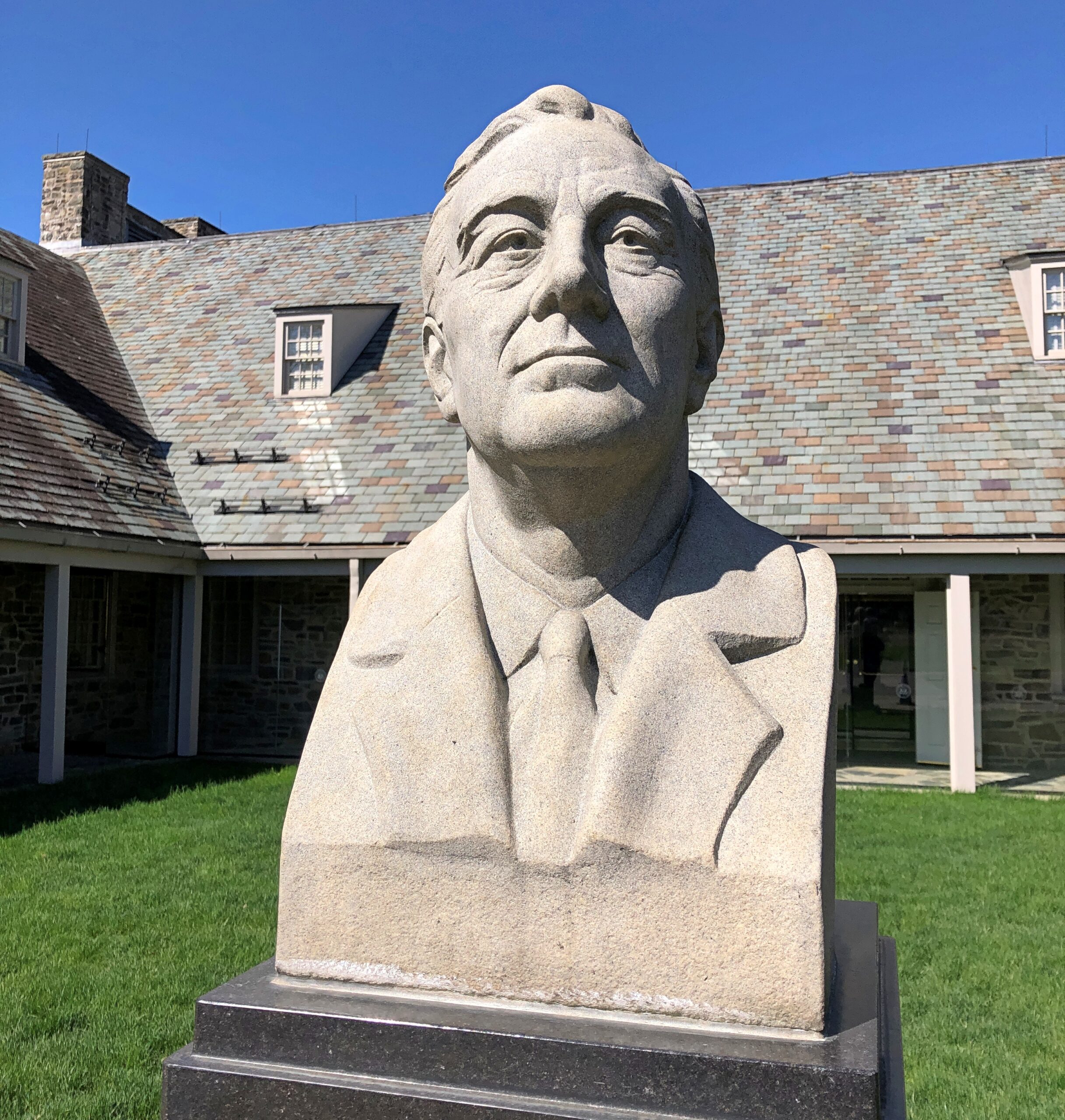
The historic site also includes many, many depictions of FDR, as one would expect. Such as Franklin and Eleanor in bronze. Or just Franklin in bronze, or other materials.
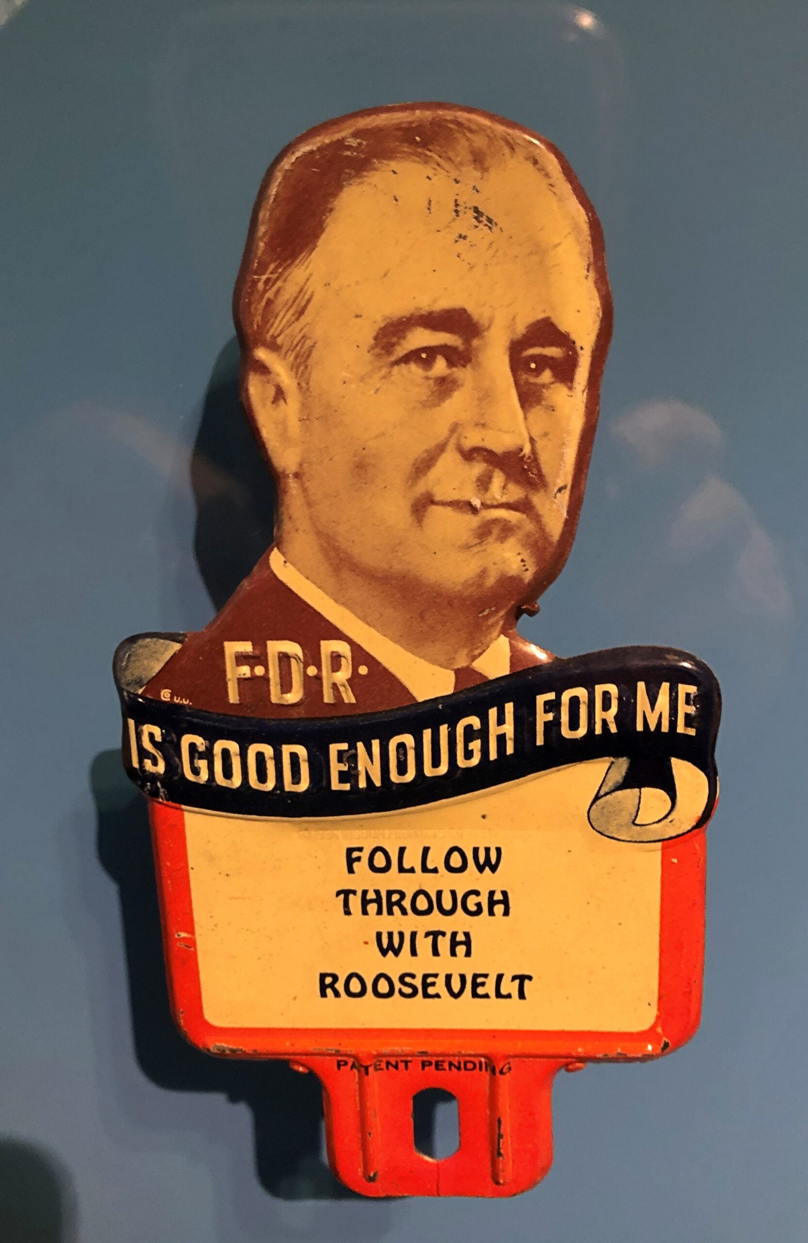
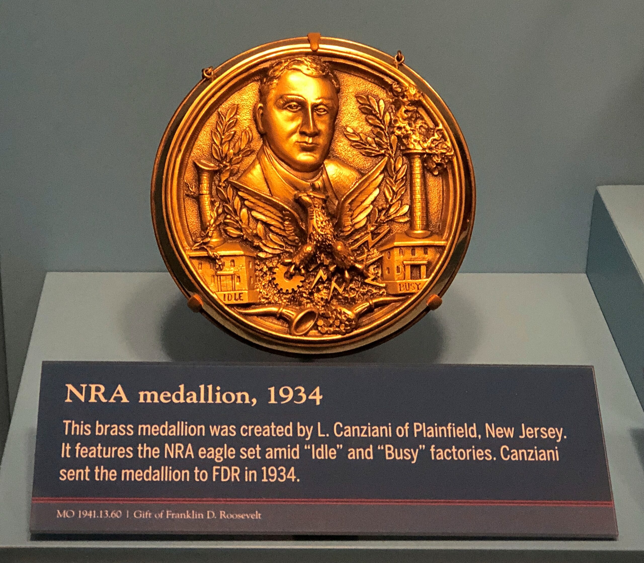
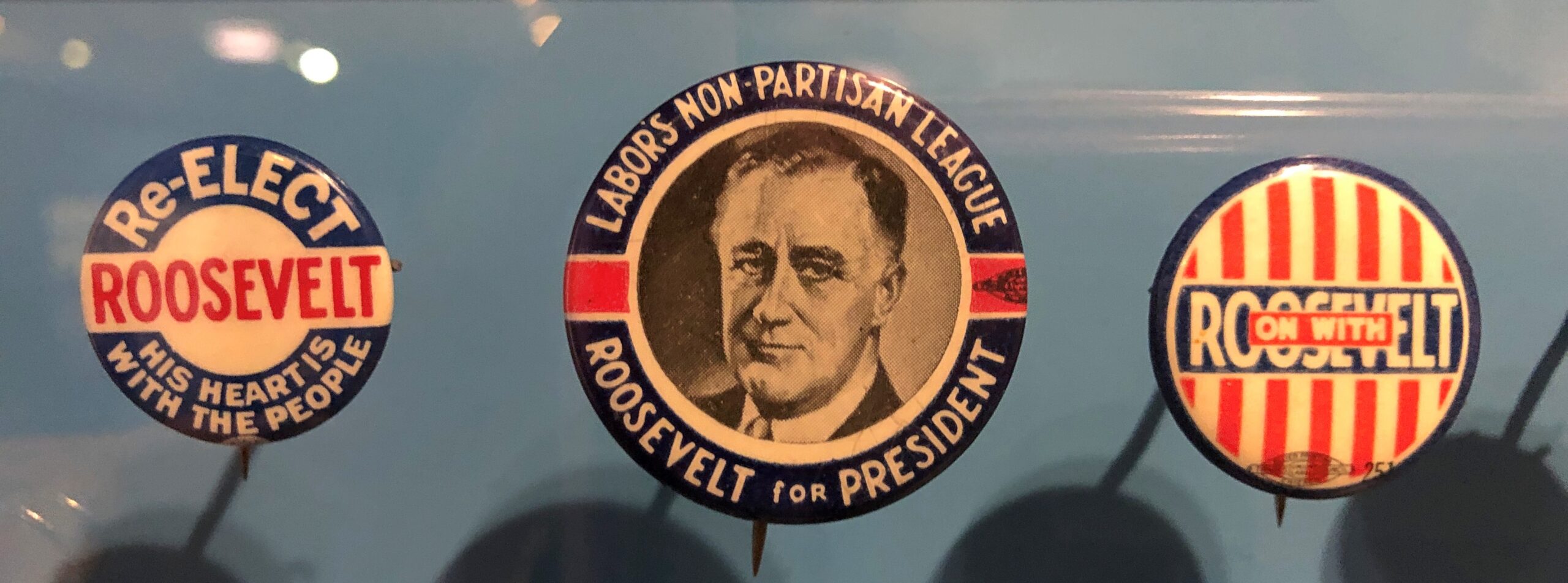
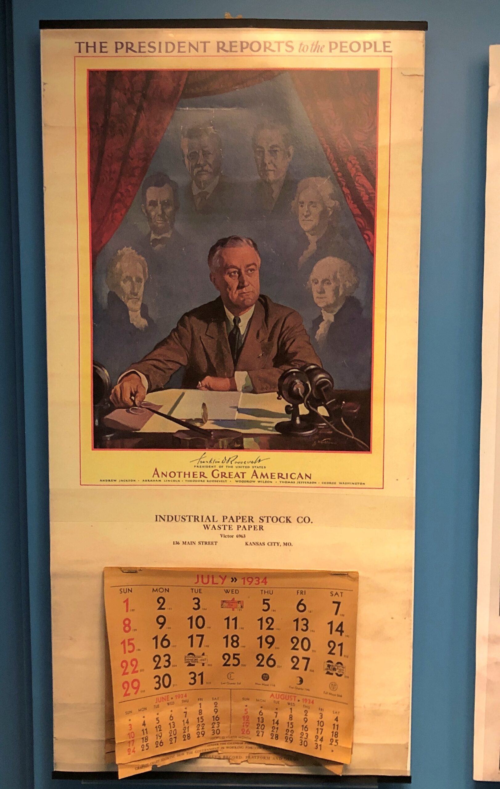
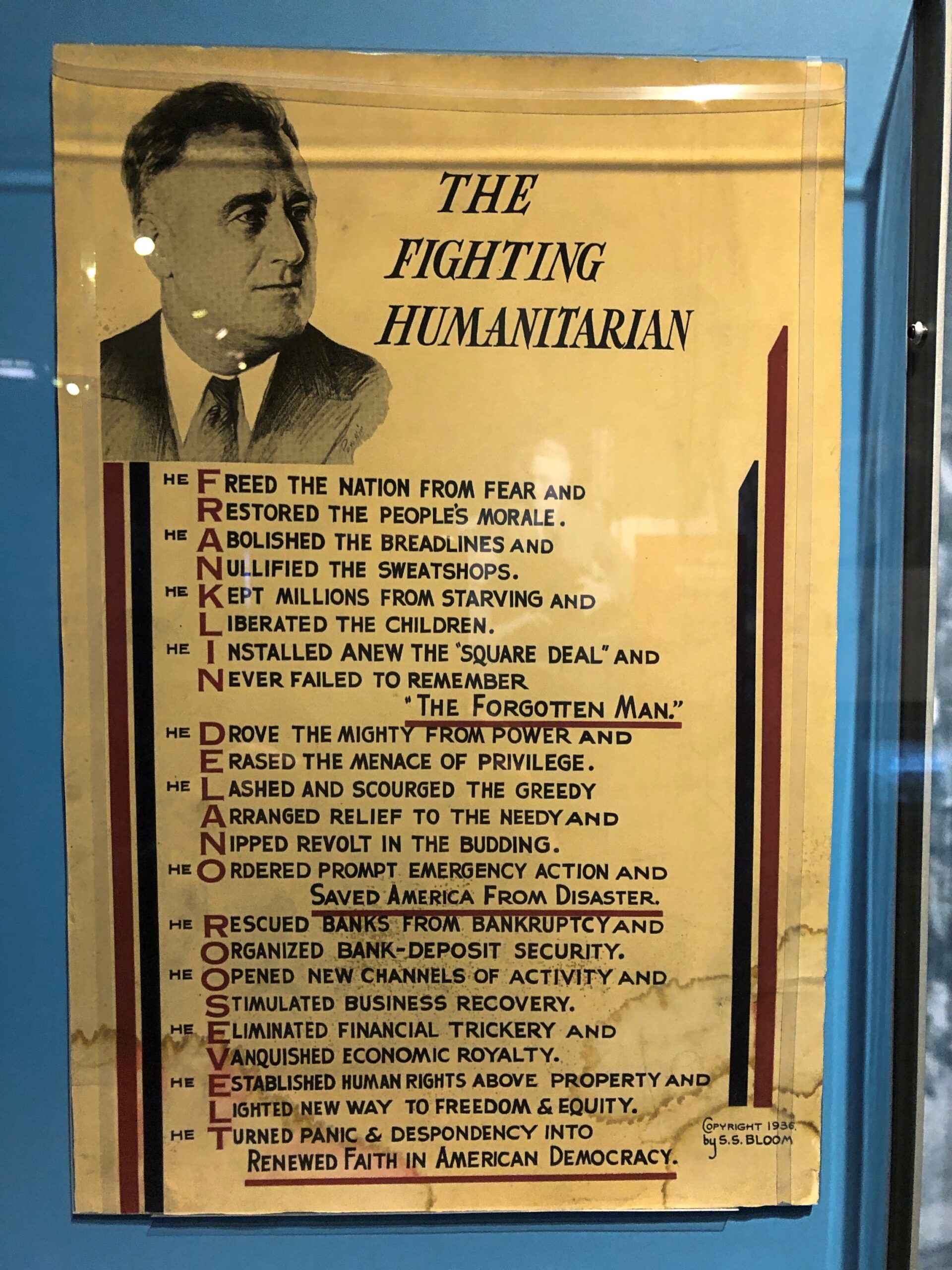
Campaign material and other laudatory items are well represented in the museum.
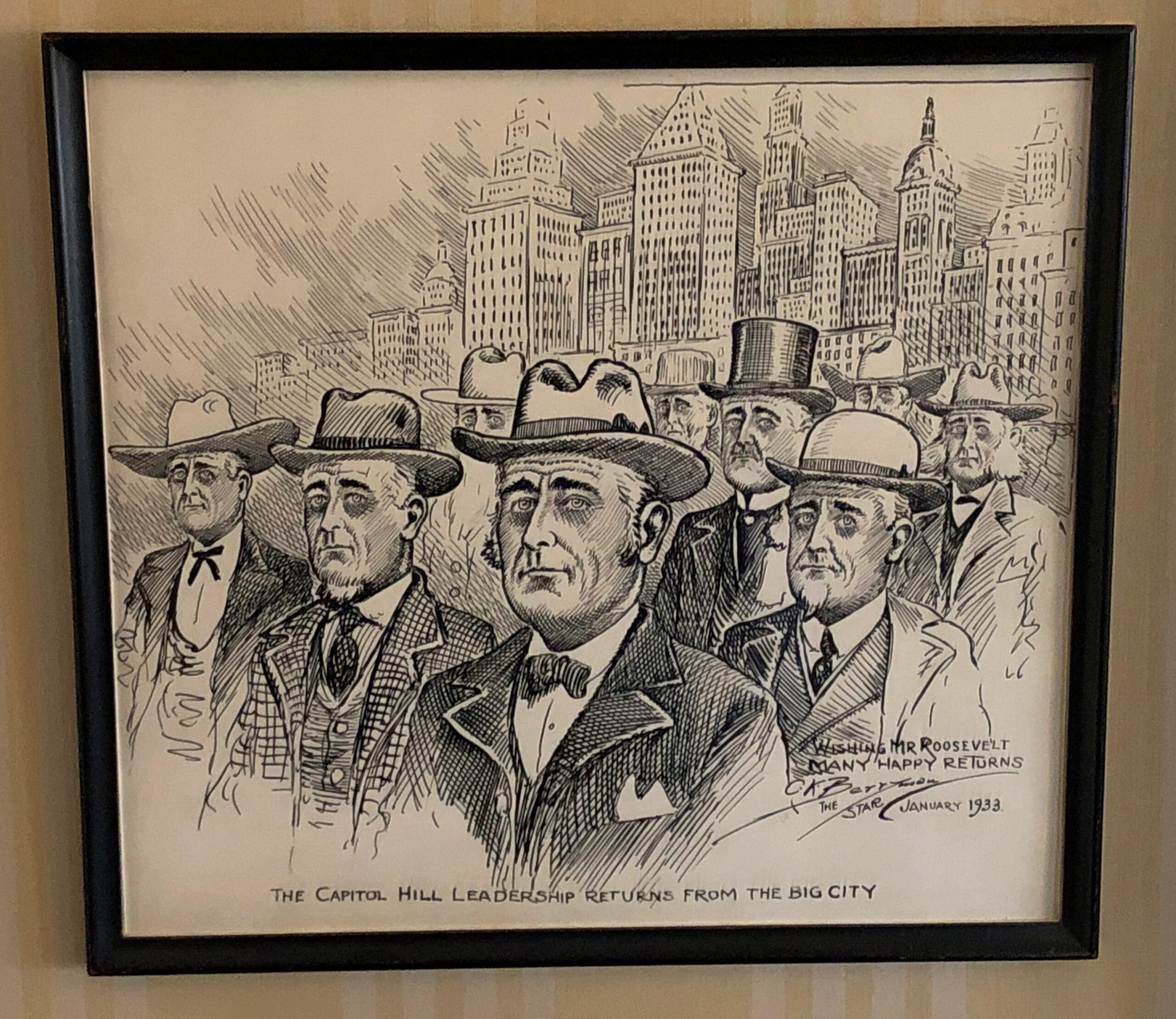
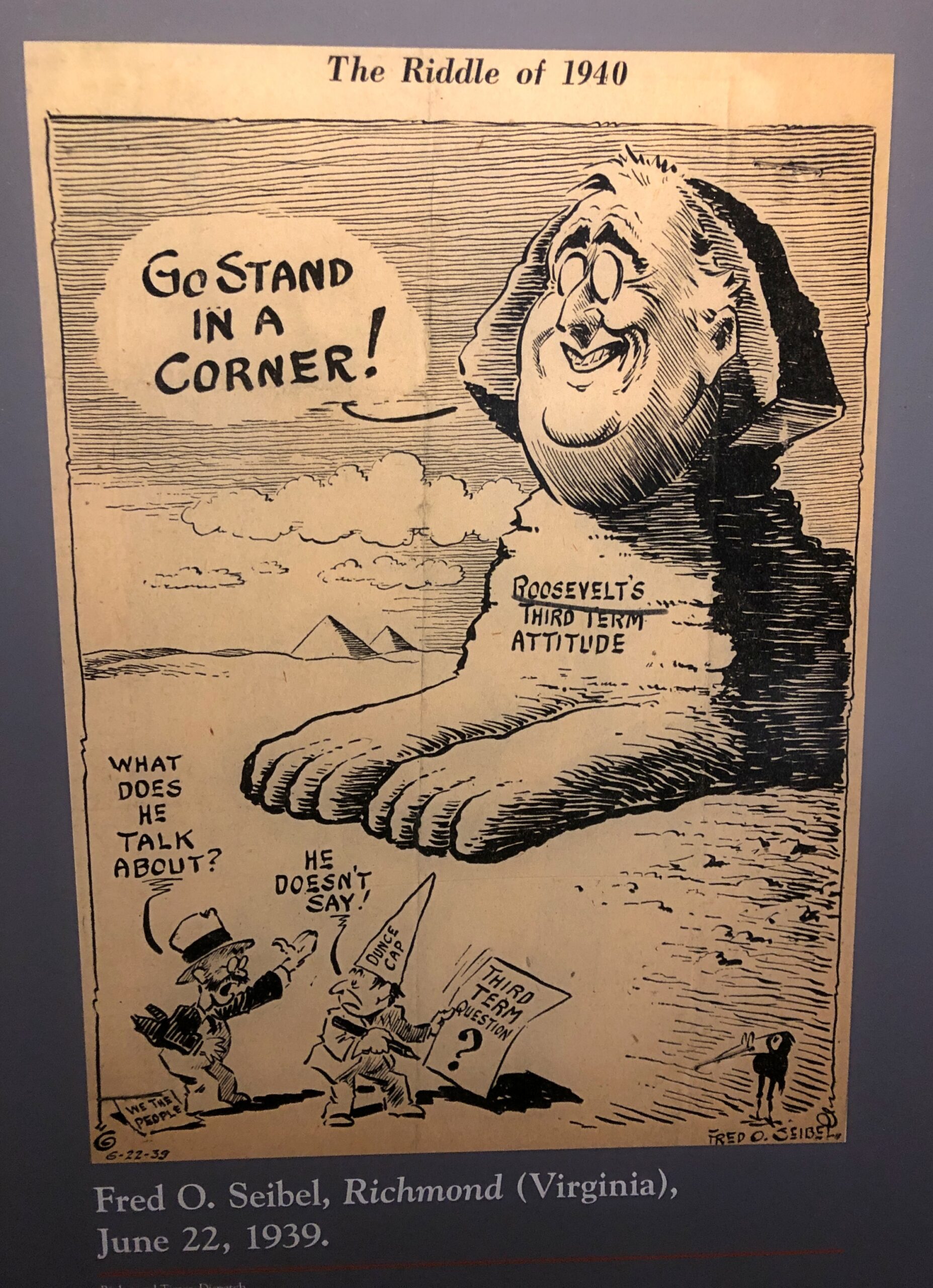
Editorial cartoons. The president as a sphinx was especially amusing.
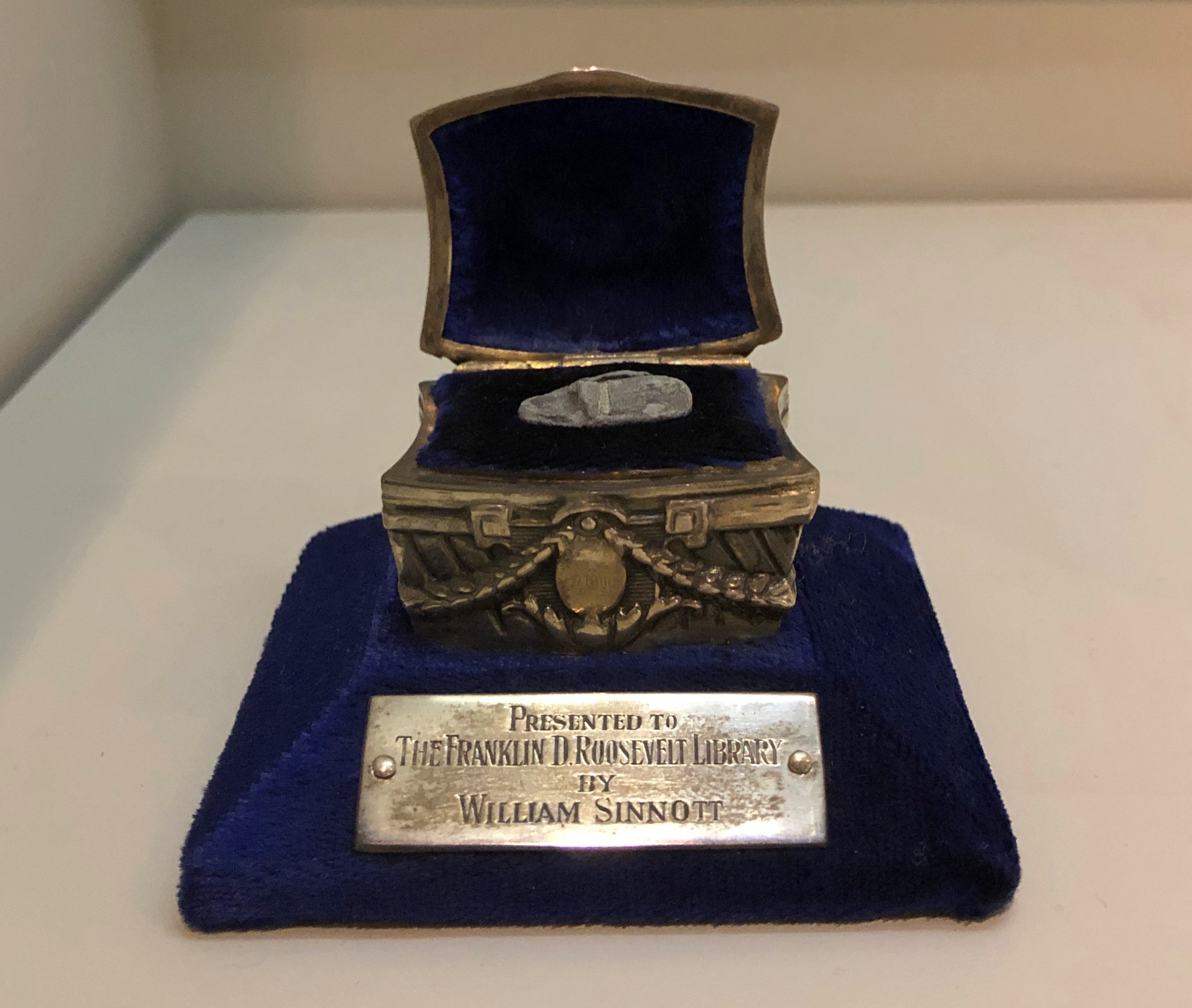
A chilling artifact: a fragment of a slug meant for FDR, fired at him on February 15, 1933 by Guiseppe Zangara.
“One of the wounded was William Sinnott, a detective who had frequently acted as Roosevelt’s bodyguard in New York City,” says In Roosevelt History. “Sinnott had just moved to Miami earlier that week when he was called to assist FDR’s security staff.
“The bullet fragment pictured above was removed from Mr. Sinnott’s wounded head. Ten other fragments from the bullet that struck him remained in his body. When visiting Sinnott in the hospital, FDR said, ‘You couldn’t hurt him, bullets just bounced off his skull.’ Mr. Sinnott was awarded the Congressional Gold Medal in 1940 in recognition of his service that day. In 1946, Mr. and Mrs. Sinnott donated the bullet fragment in this specially designed presentation case made by Lambert Brothers Jewelers to the FDR Library.”
Historians don’t generally adhere to the Great Man school of history any more, but it’s nevertheless a fertile source of speculation to imagine how different things might be for the nation and the world had it been Roosevelt and not Anton Cermak who died in 1933.
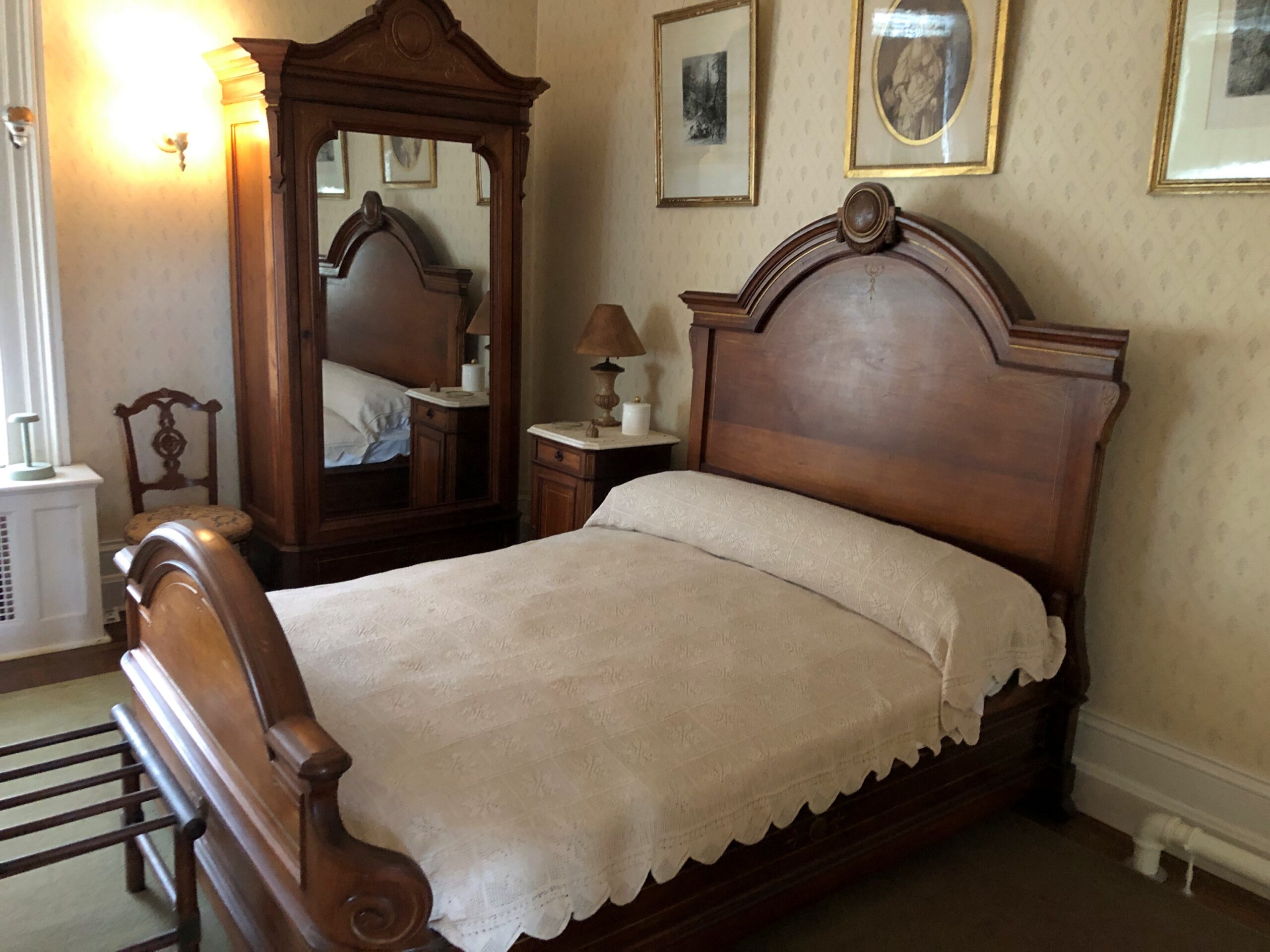
Though he eventually died away from home, in Georgia — ah, another presidential site I must see — FDR came full circle to Hyde Park. First, the bed in which he was born.
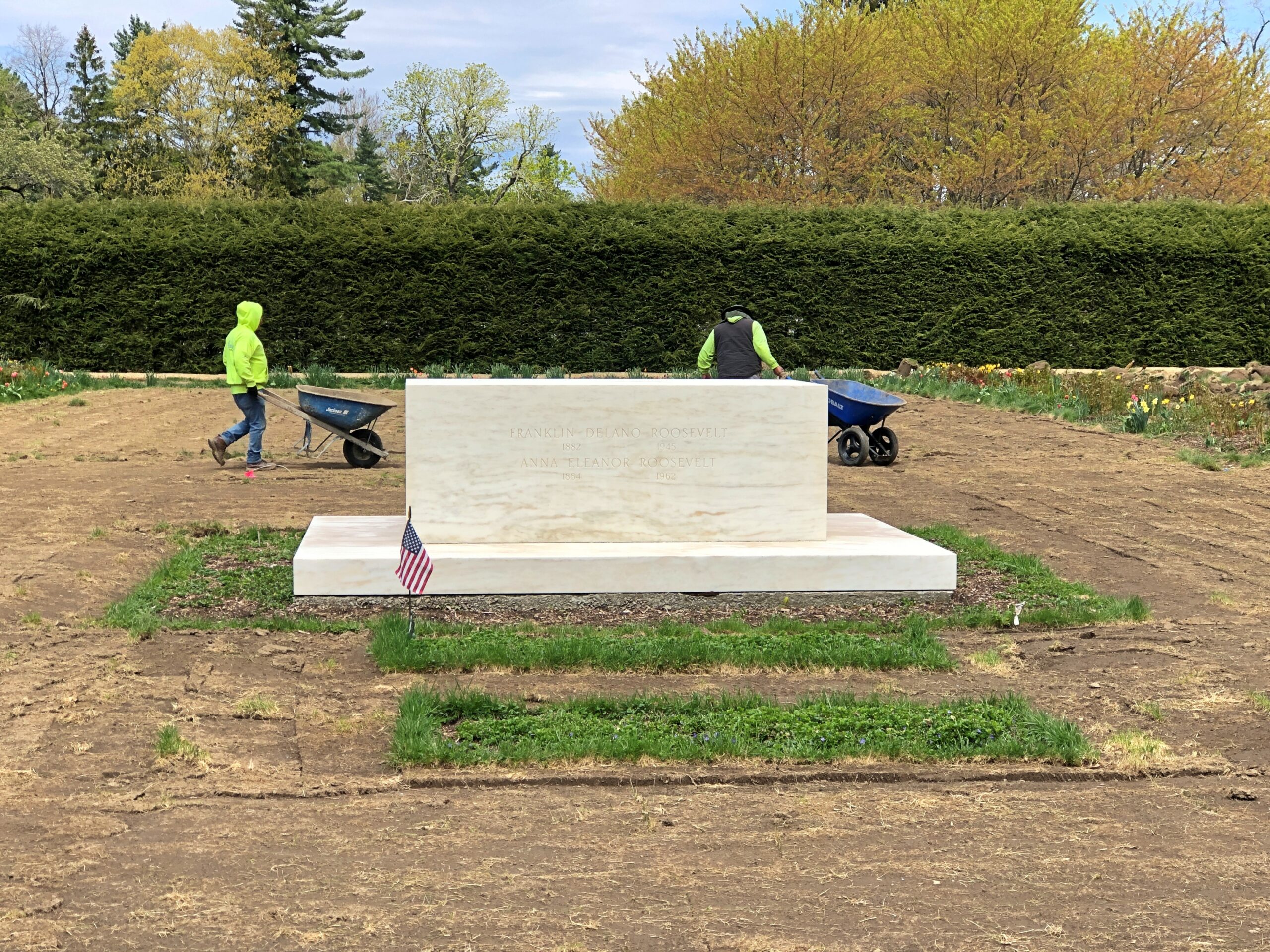
Ultimately, his final resting place is on the grounds, along with Eleanor. Gardening had just begun when I paid my respects.
I heard by chance that the Spurs are in the playoffs, again. NBA games are on the list of things I don’t care about, but this is the Spurs we’re taking about, so Go Spurs. I’m old enough to remember when pro sports were considered a modest-priced entertainment, which would have been the days when the Spurs huffed along in the ABA. When that league went under, that paved the way for the basketball monopoly we now enjoy.
I remember a print ad for the Spurs from their early NBA days. A basketball, mostly in shade, set against a pitch black background; a small but bright light is emerging from a crack in the basketball; the tag line says, In the Arena, Everyone Can Hear You Scream. Brilliant.
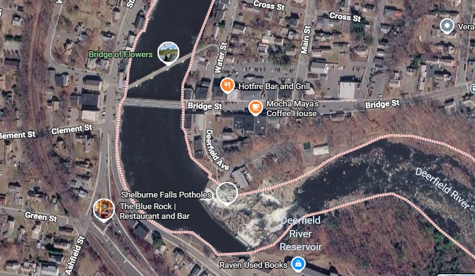
Here we go again with the incongruous Massachusetts place names: “The village of Shelburne Falls is located partly in Shelburne and neighboring Buckland,” notes Wiki.
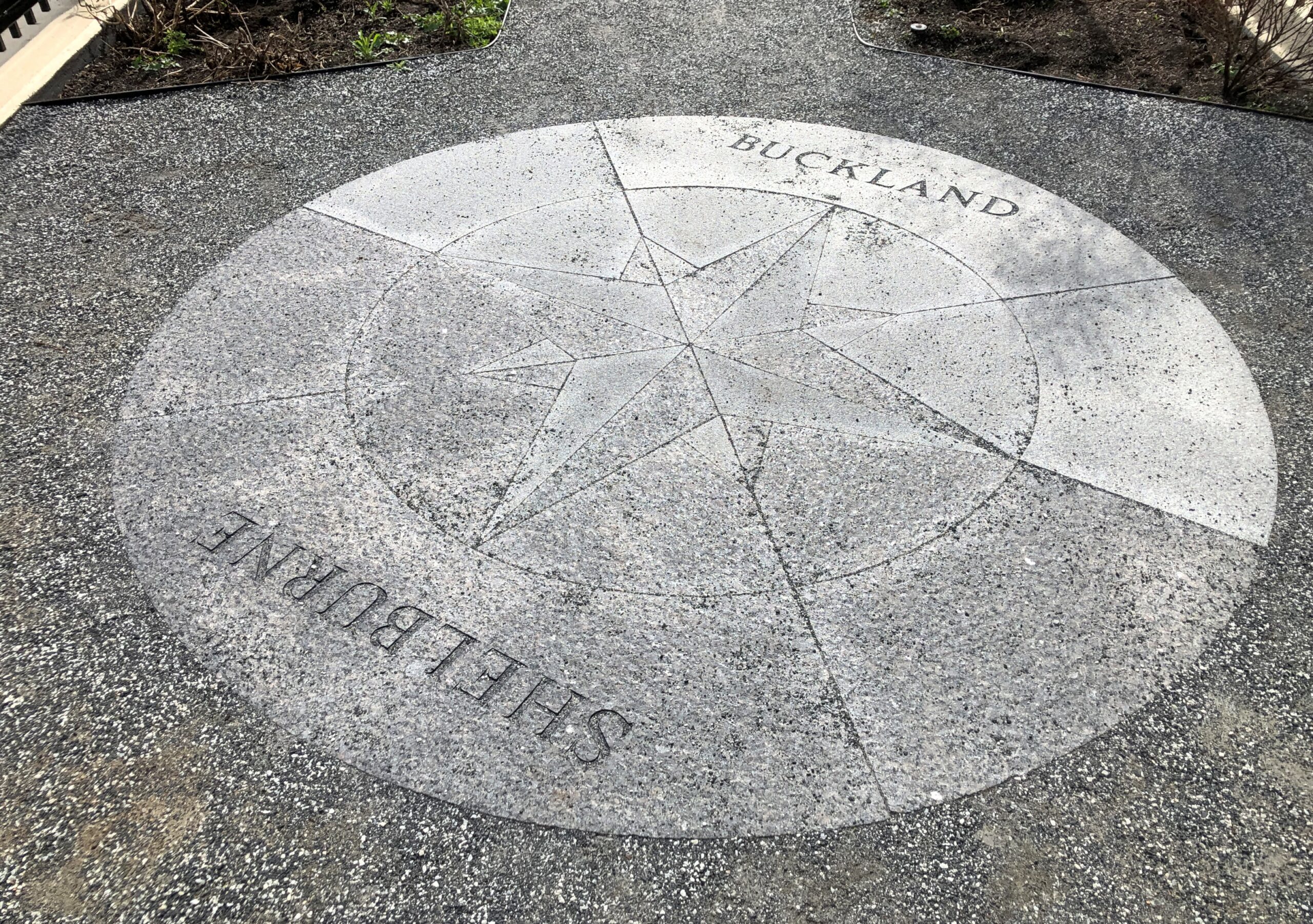
So I suppose I visited Shelburne Falls the whole time when I visited Shelburne and walked across a bridge to Buckland, and then back to Shelburne on a different bridge.
Interesting that a town in the United States is named for Lord Shelburne, a British prime minister when the Revolution was still ongoing. On the other hand, it was on his short watch – at the end of that war – when the British government said, enough already, be independent if you want it so much. So there ought to be something named for him on this side of the Atlantic (and there’s another in Vermont, besides one in Ontario).
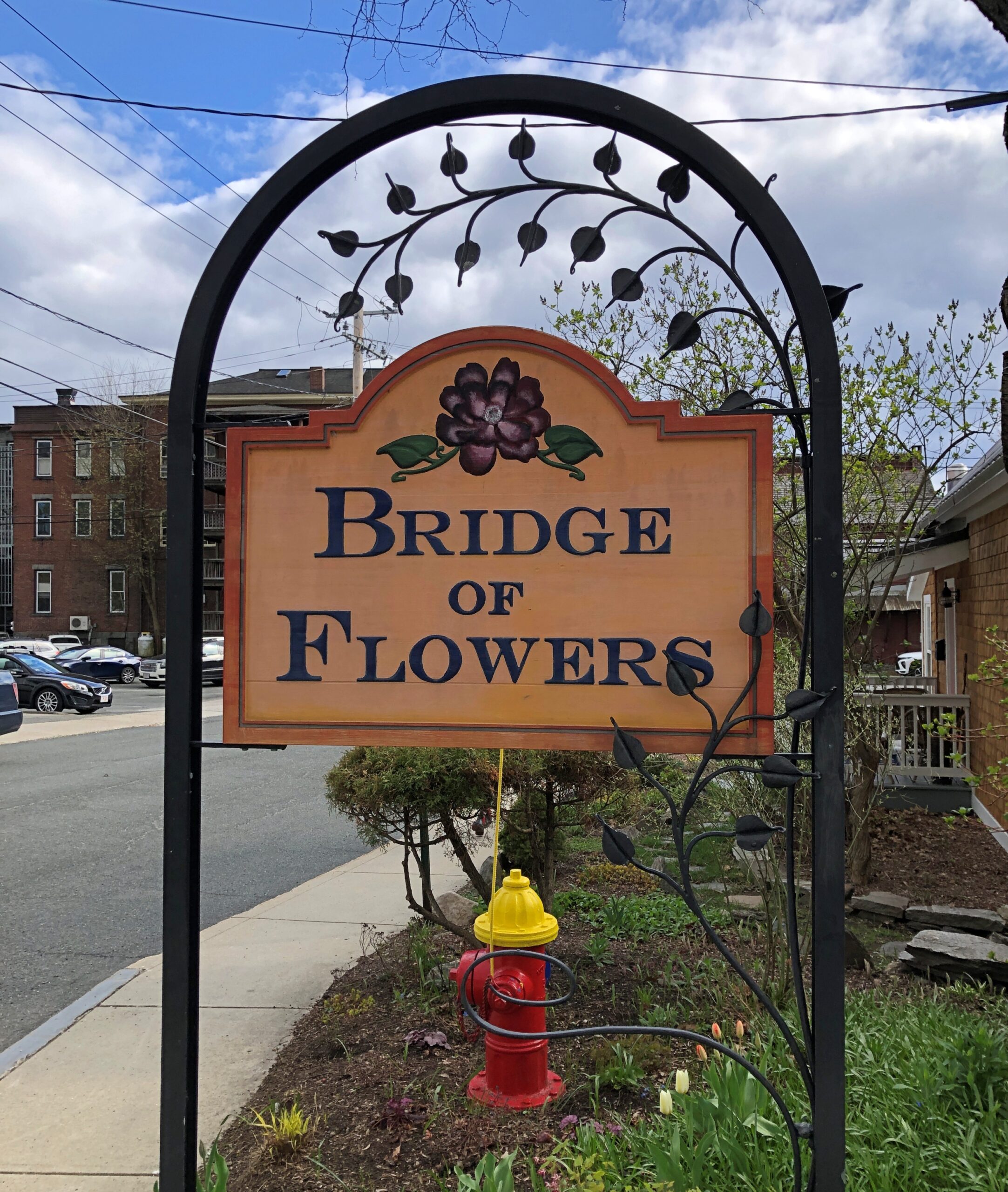
The Bridge of Flowers
I had good weather for my return to the Midwest from the Northeast, beginning on a clear, warm day in Massachusetts. Large towns hang like pearls on Route 2, and while I would have made a selection of them to visit even in chillier weather — and spend time on foot in those towns — the spring warmth was one of those travel bonuses you can appreciate right away. Pop off Route 2 in Franklin County and you’re in Shelburne.
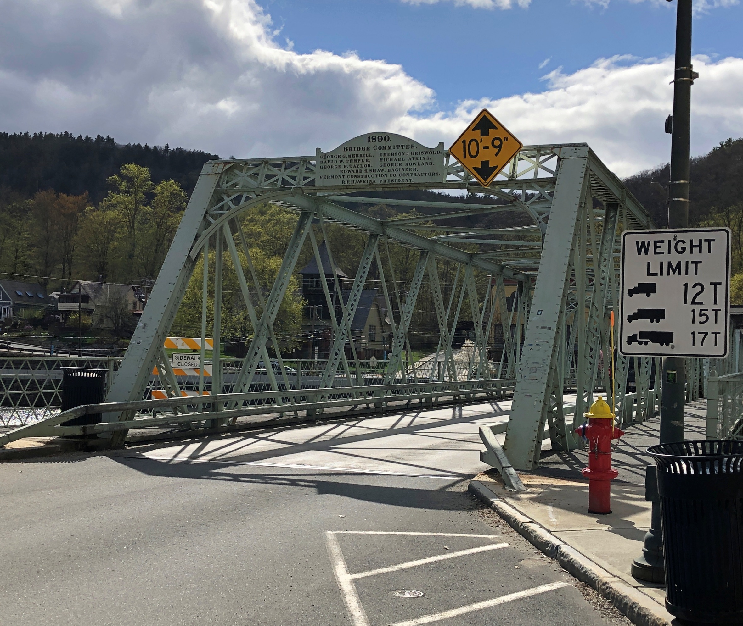
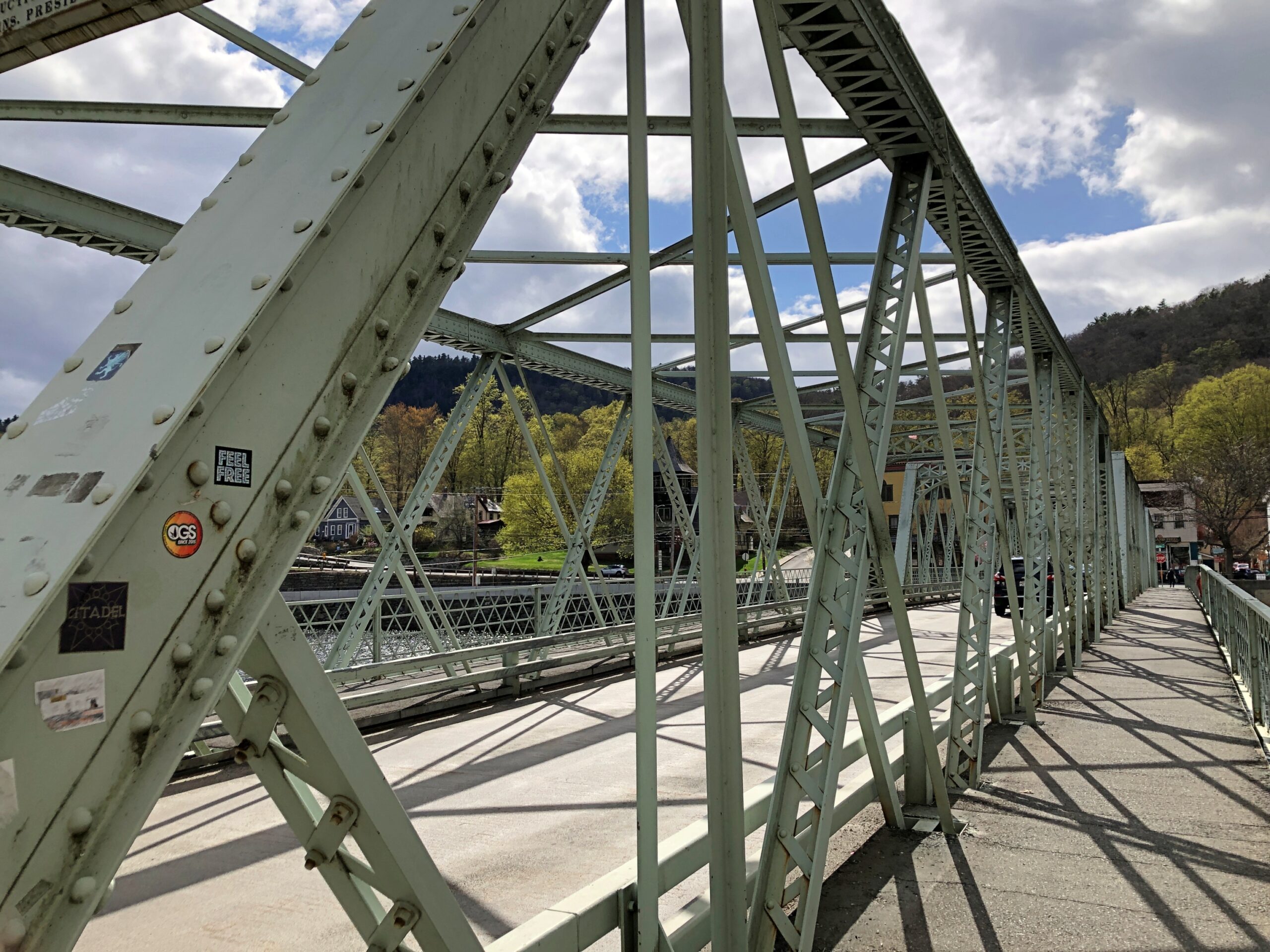
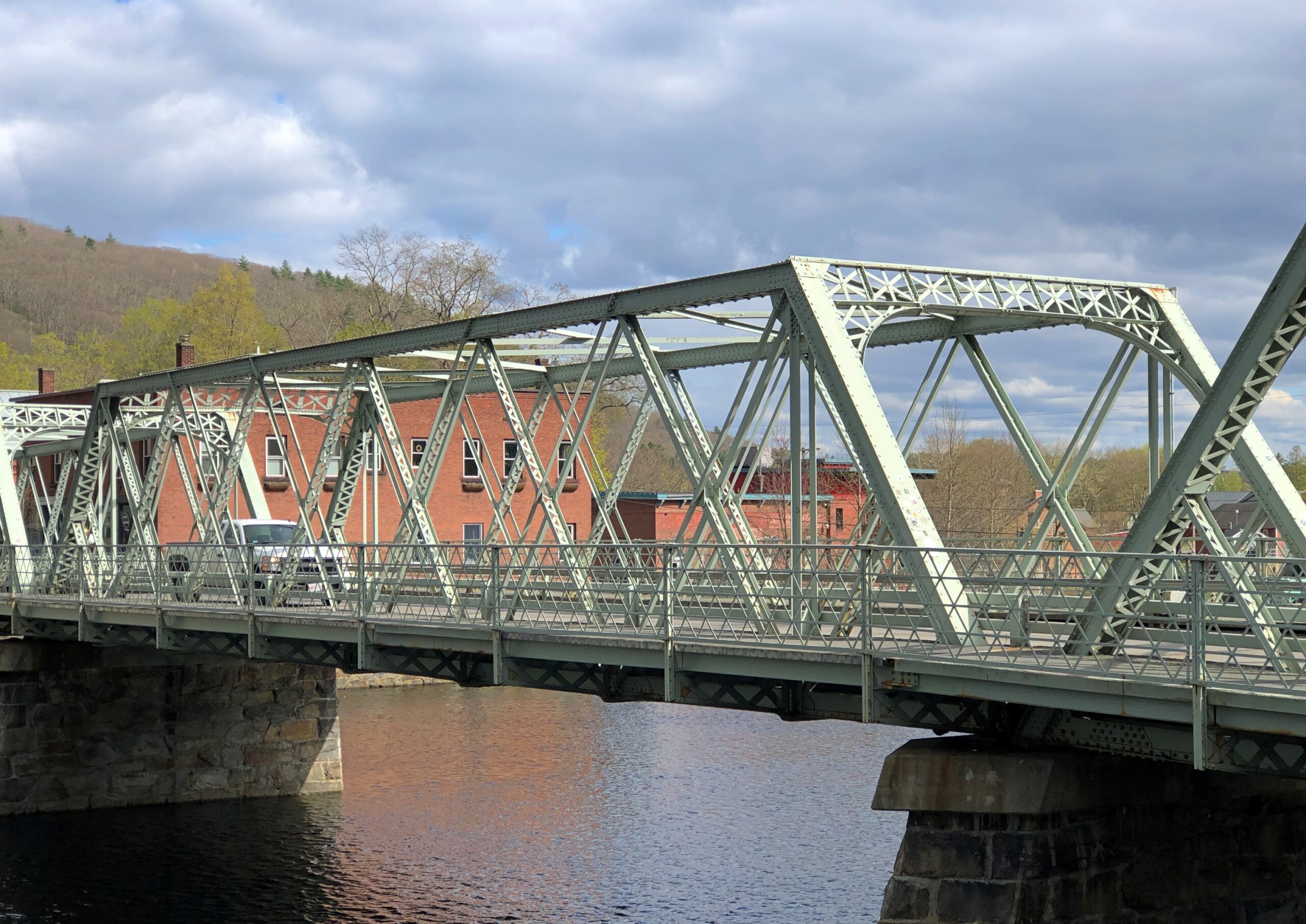
Shelbourne hugs the Deerfield River, so Shelbourne needs bridges. You can still drive across one erected in 1890, which the city fathers of the time signed like it was a work of art. As well they should have. Better, you can walk across the structure, which is known locally as the Iron Bridge. Bridge Street goes across it.
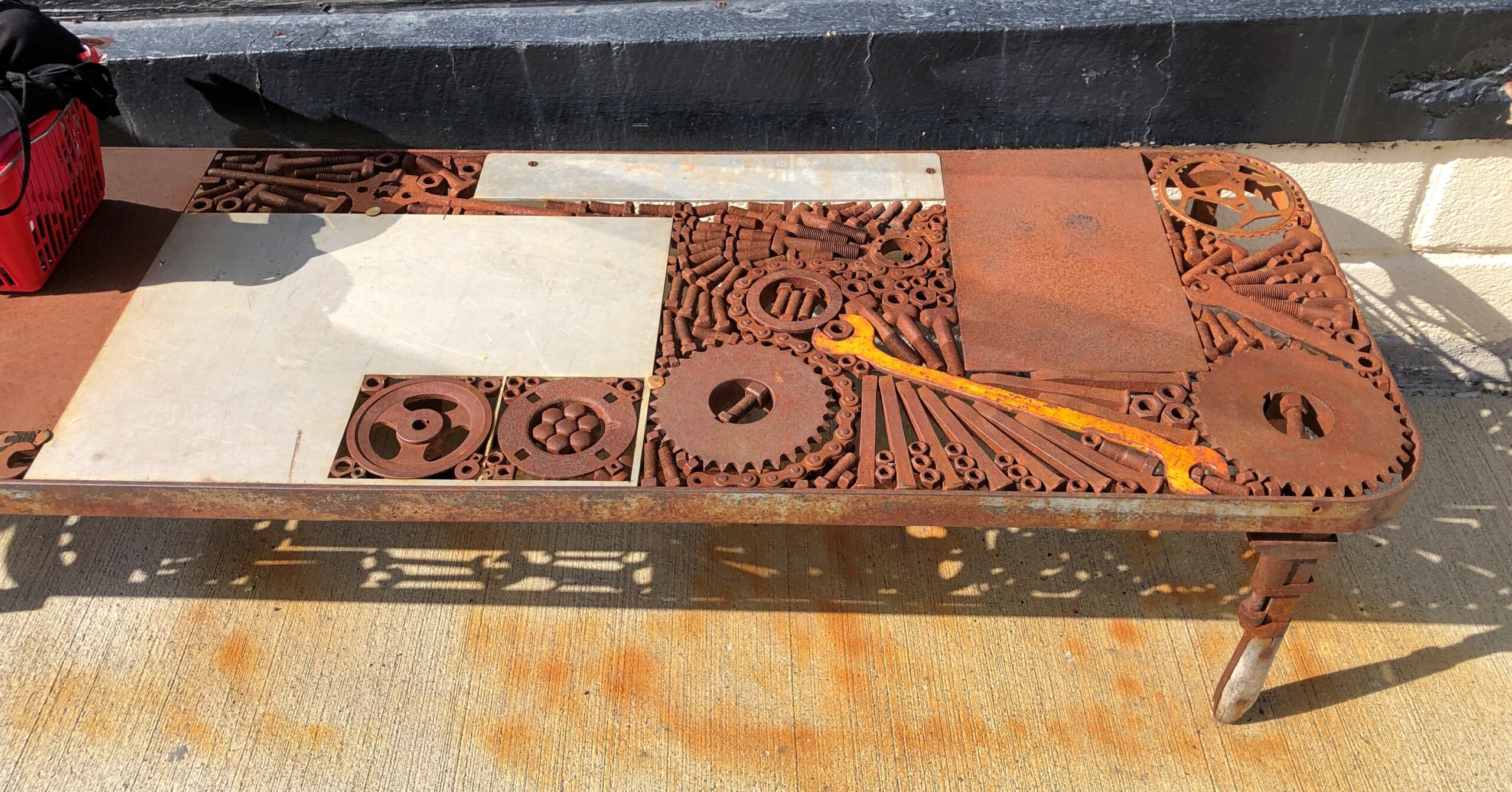
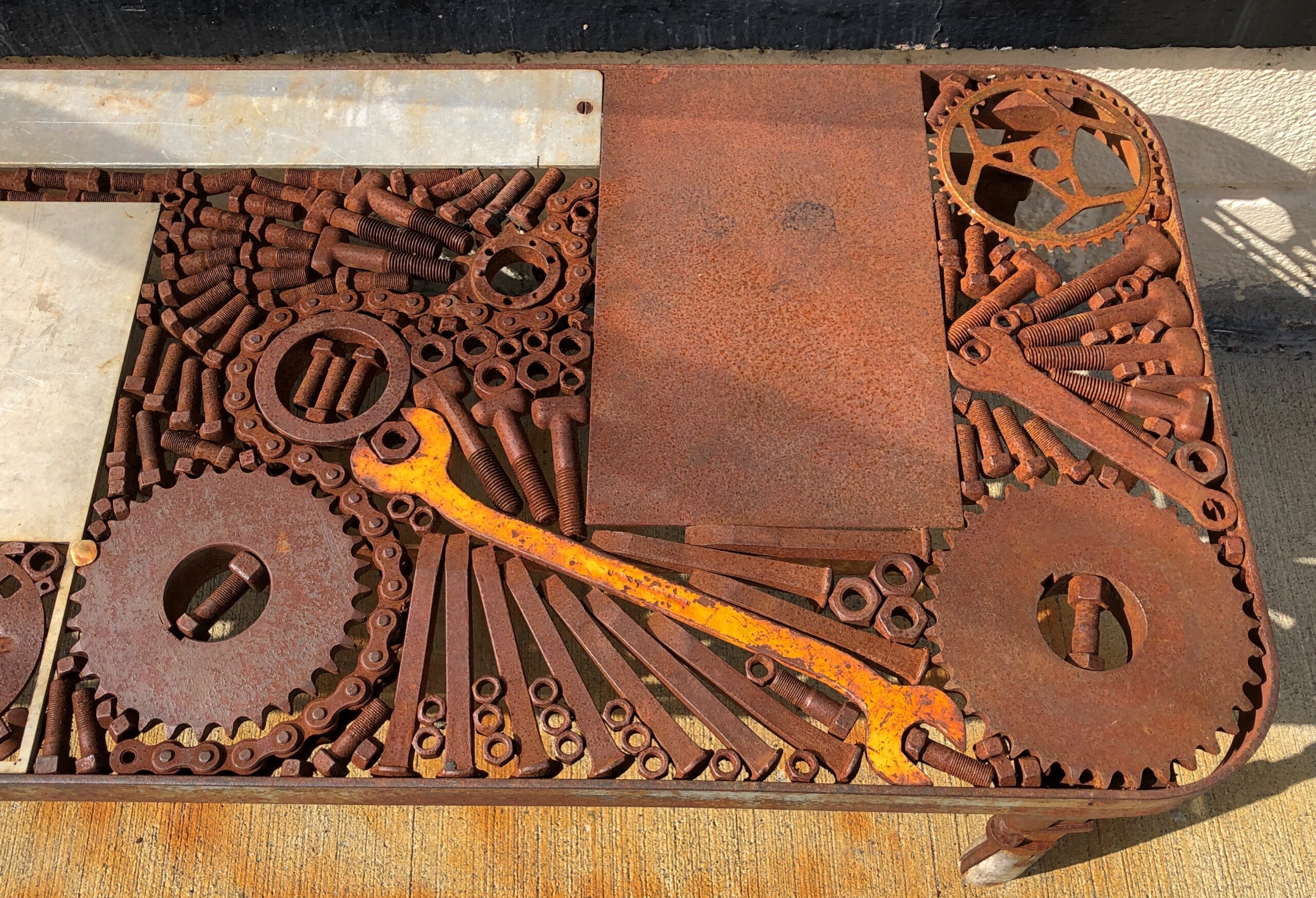
One of the more unusual metal benches I’ve encountered, just off the Shelburne entrance to the Iron Bridge. More iron. Yes, you can sit on it.
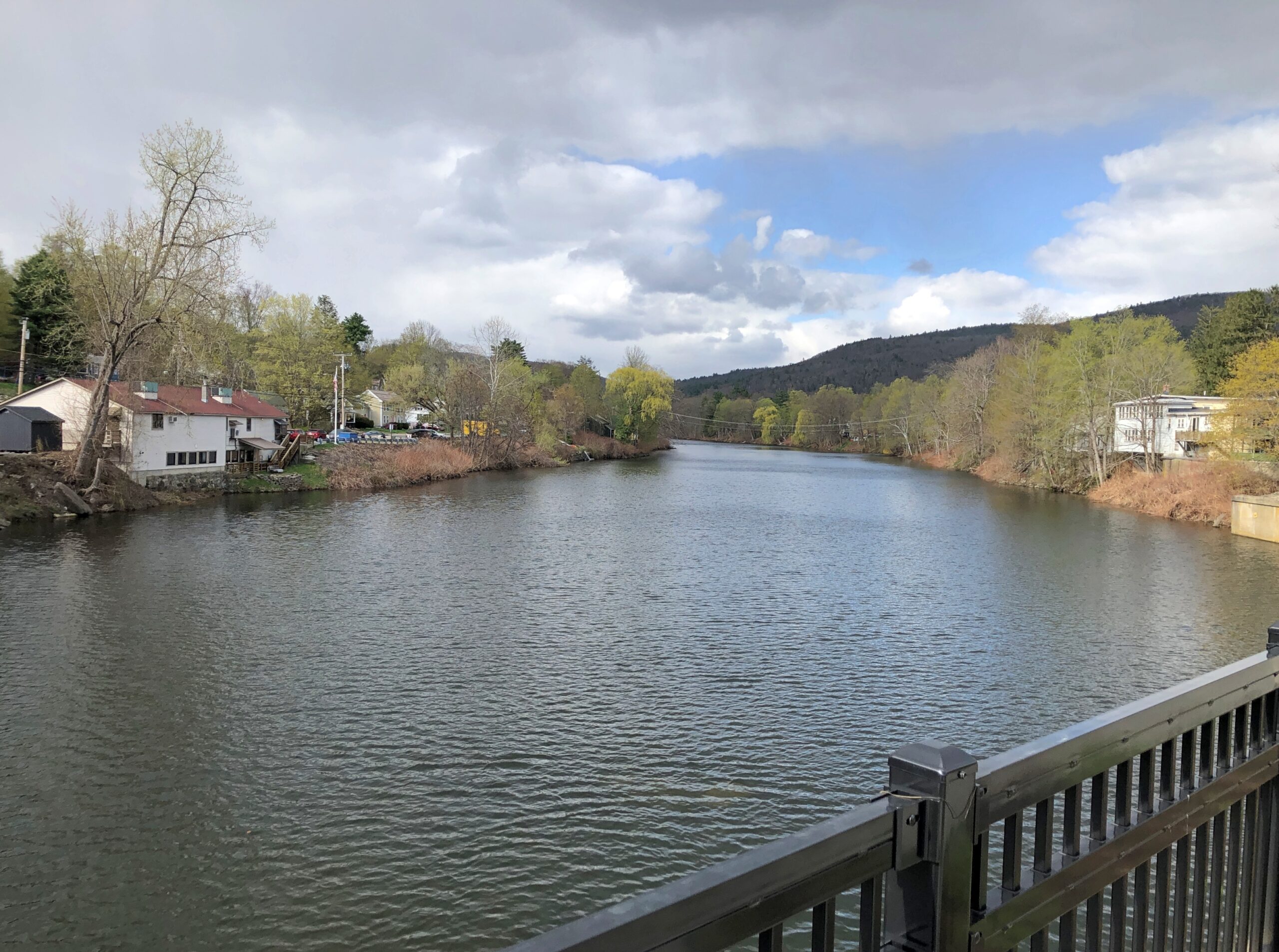
The Dearfield, major tributary of the Connecticut.
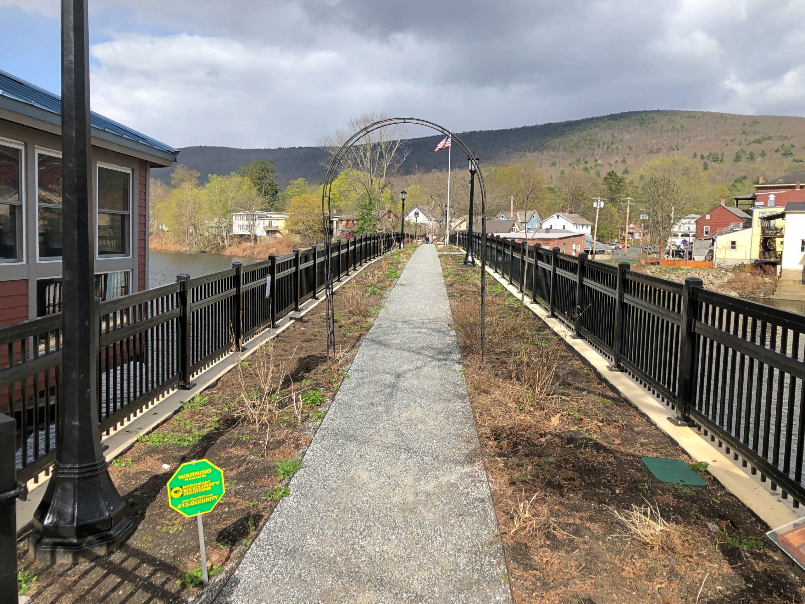
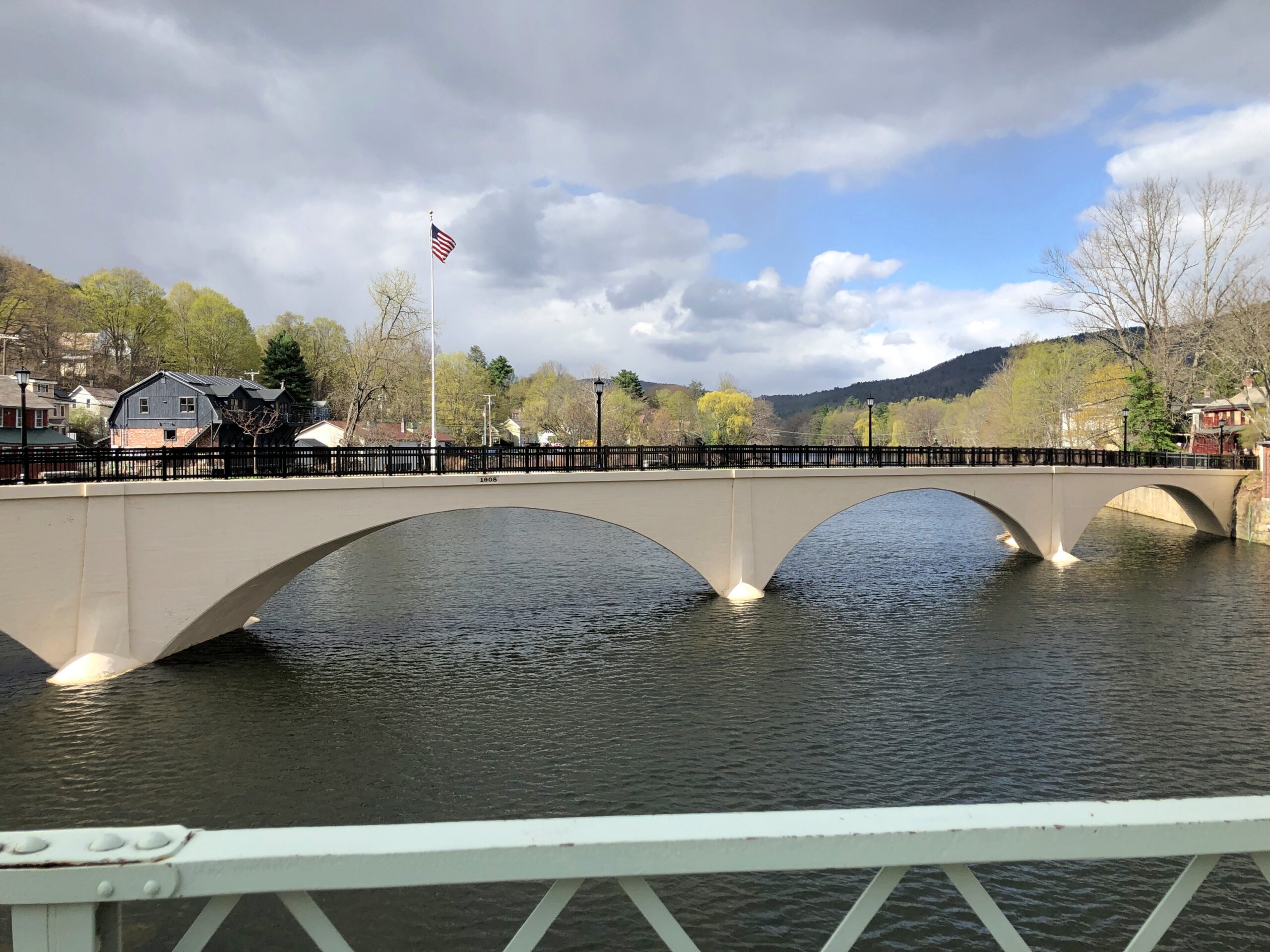
The Iron Bridge takes you to Buckland, though I guess you’d still be in Shelburne Falls, but anyway, a few steps along river – and I mean that literally, maybe 20 or 30 steps – is the Bridge of Flowers. The view looking back across at Shelburne.
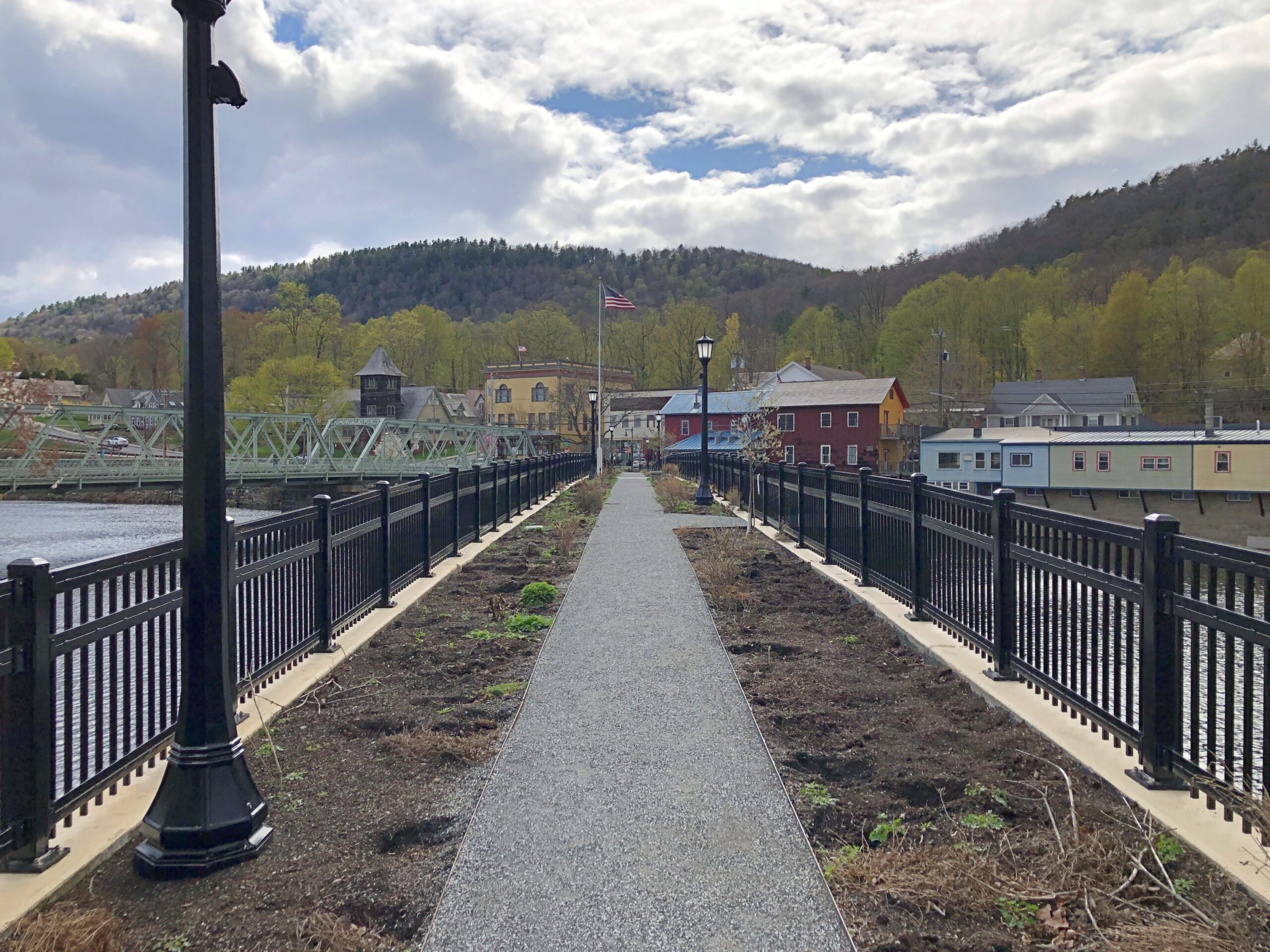
Not many flowers at that moment, but replanting was underway. Long ago the narrow bridge carried a trolley, but after that business went bust in the late 1920s, the Shelburne Woman’s Club facilitated its transformation into a linear garden.
Mid-way across the Bridge of Flowers. Even though not flowering (much), a bridge very much worth crossing.
The view looking back at Buckland.
The sign on the Shelburne side.
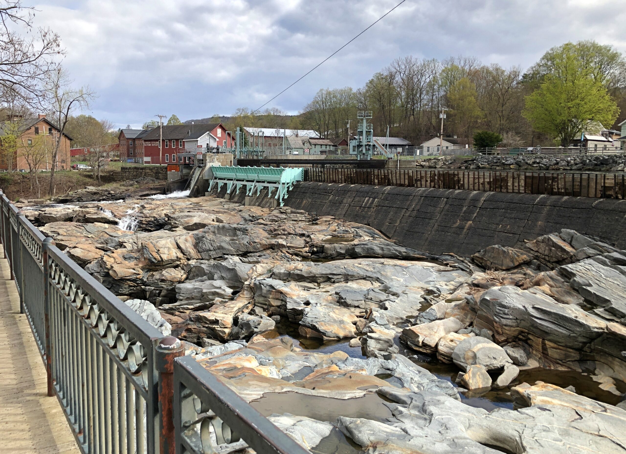
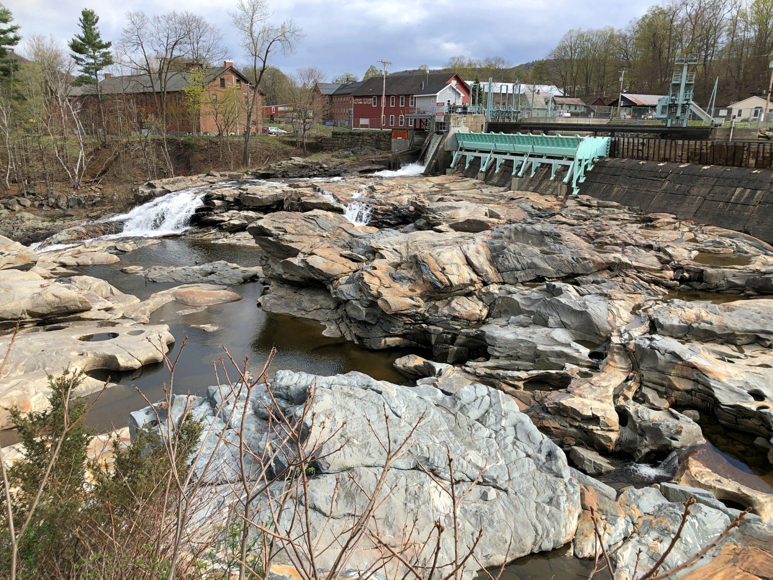
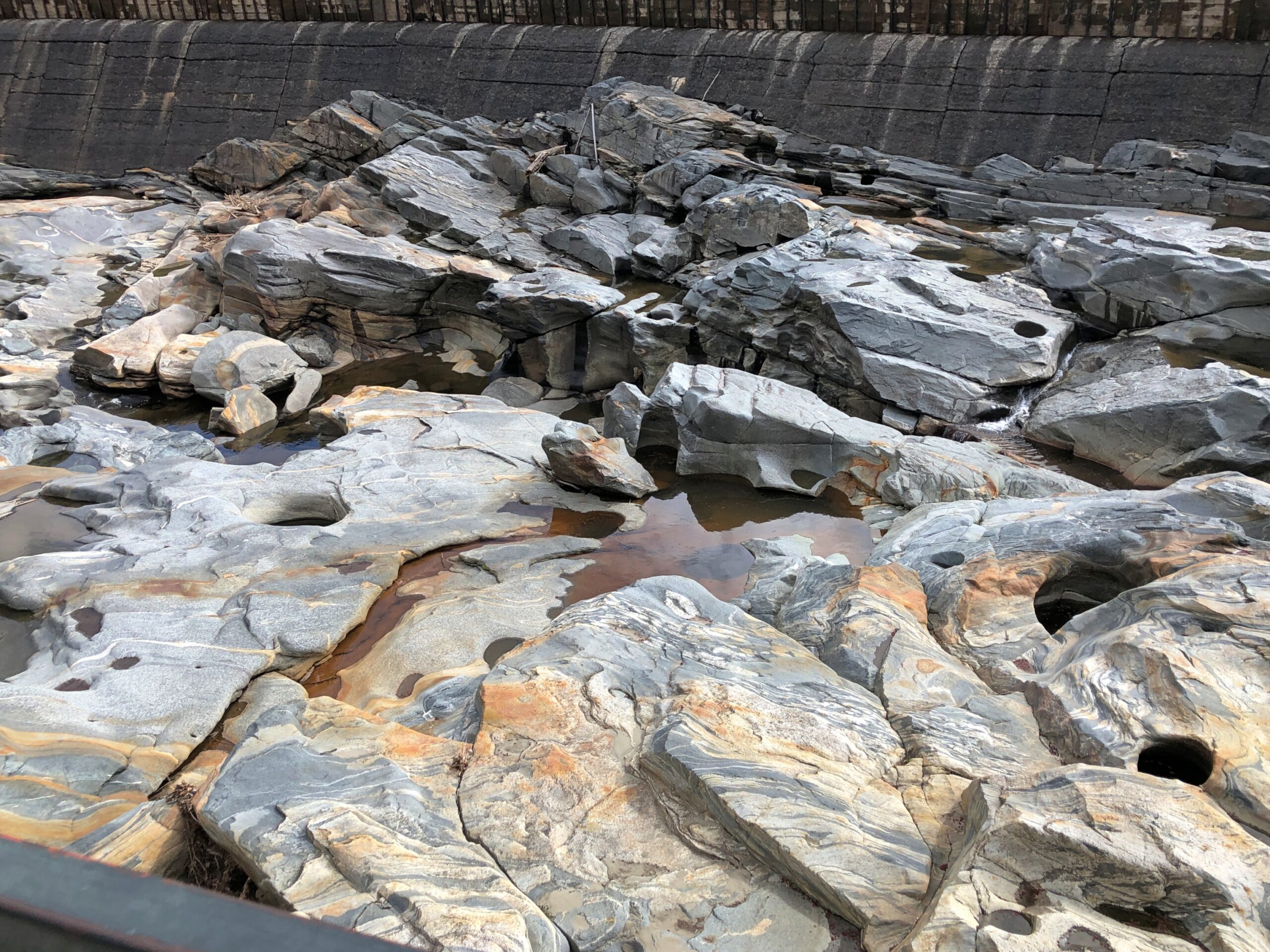
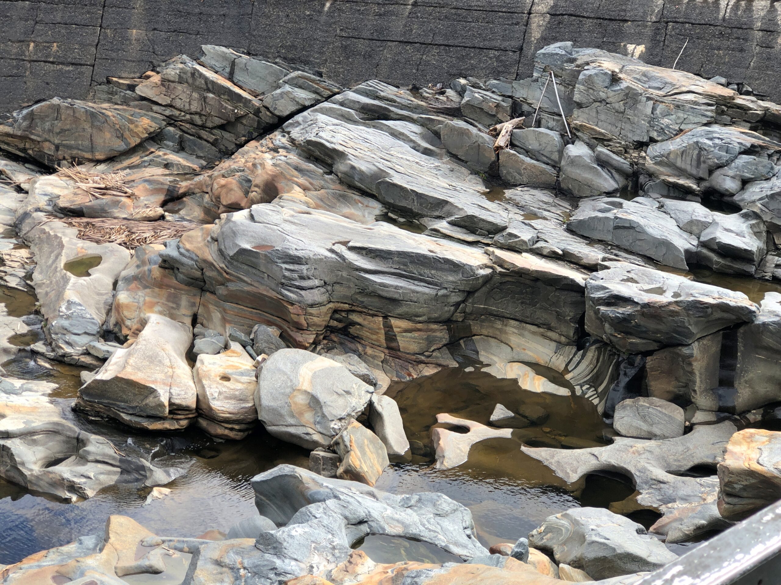
Nothing is far apart in Shelburne, so a short walk takes you to a geological oddity.
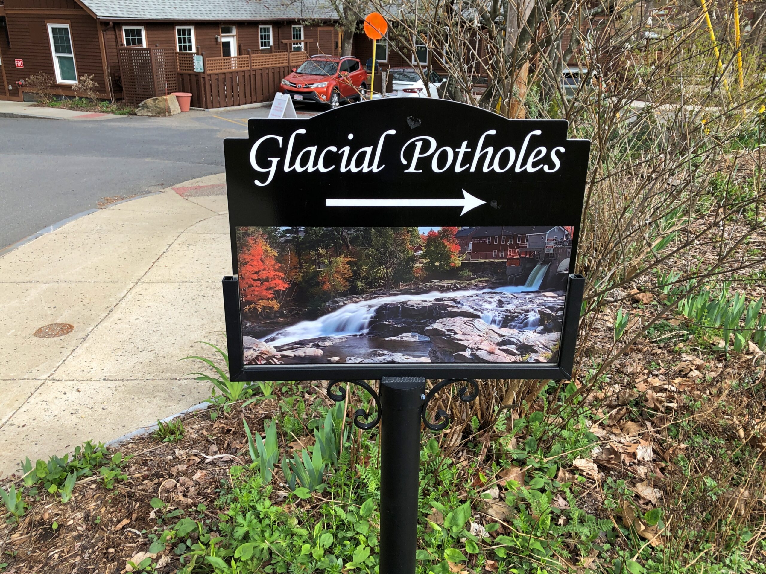
Glacial Potholes
Another sign.
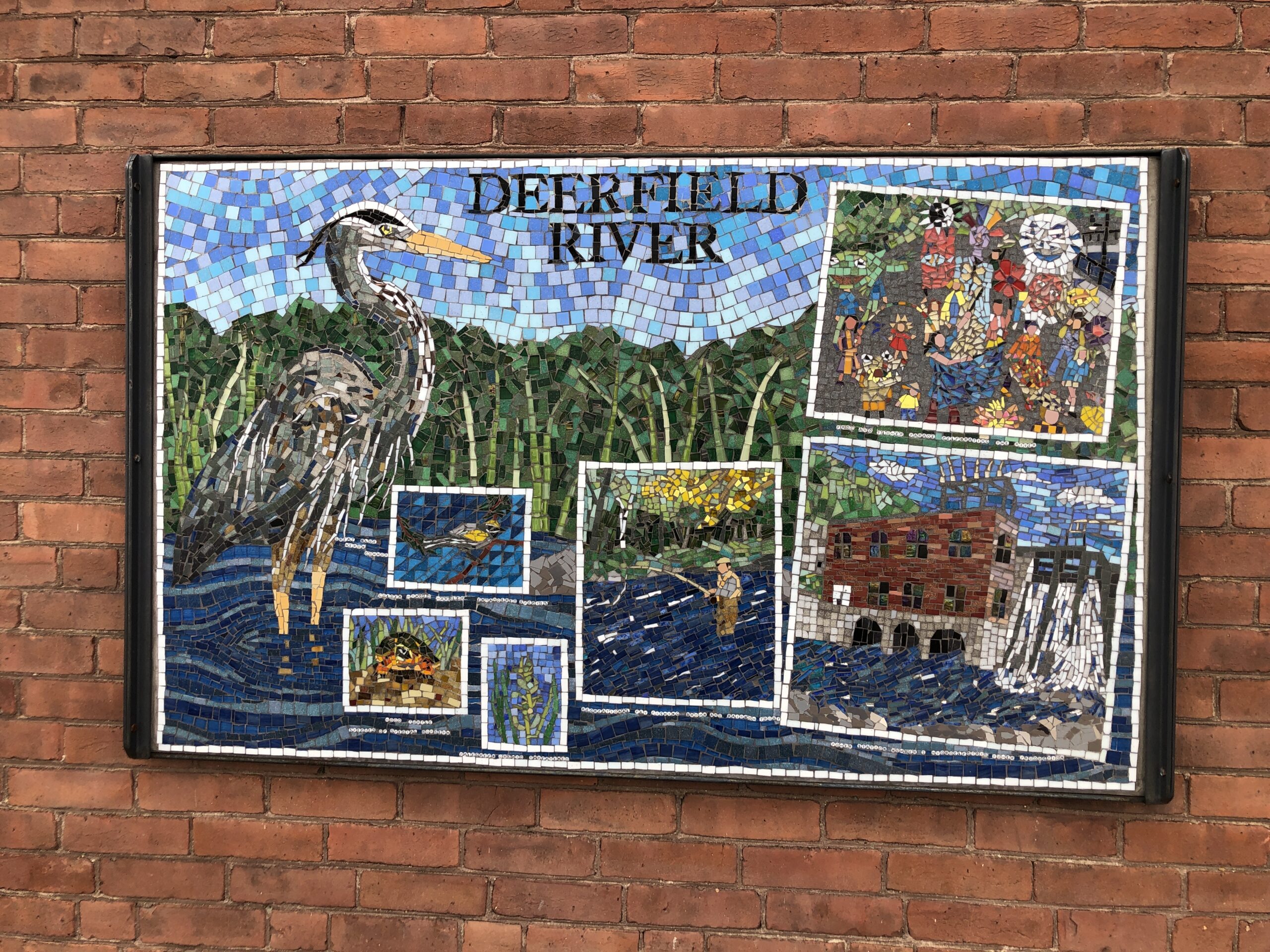
Follow the arrow and you pass a mosaic celebrating the locale. A high-quality image of this would make a good postcard.
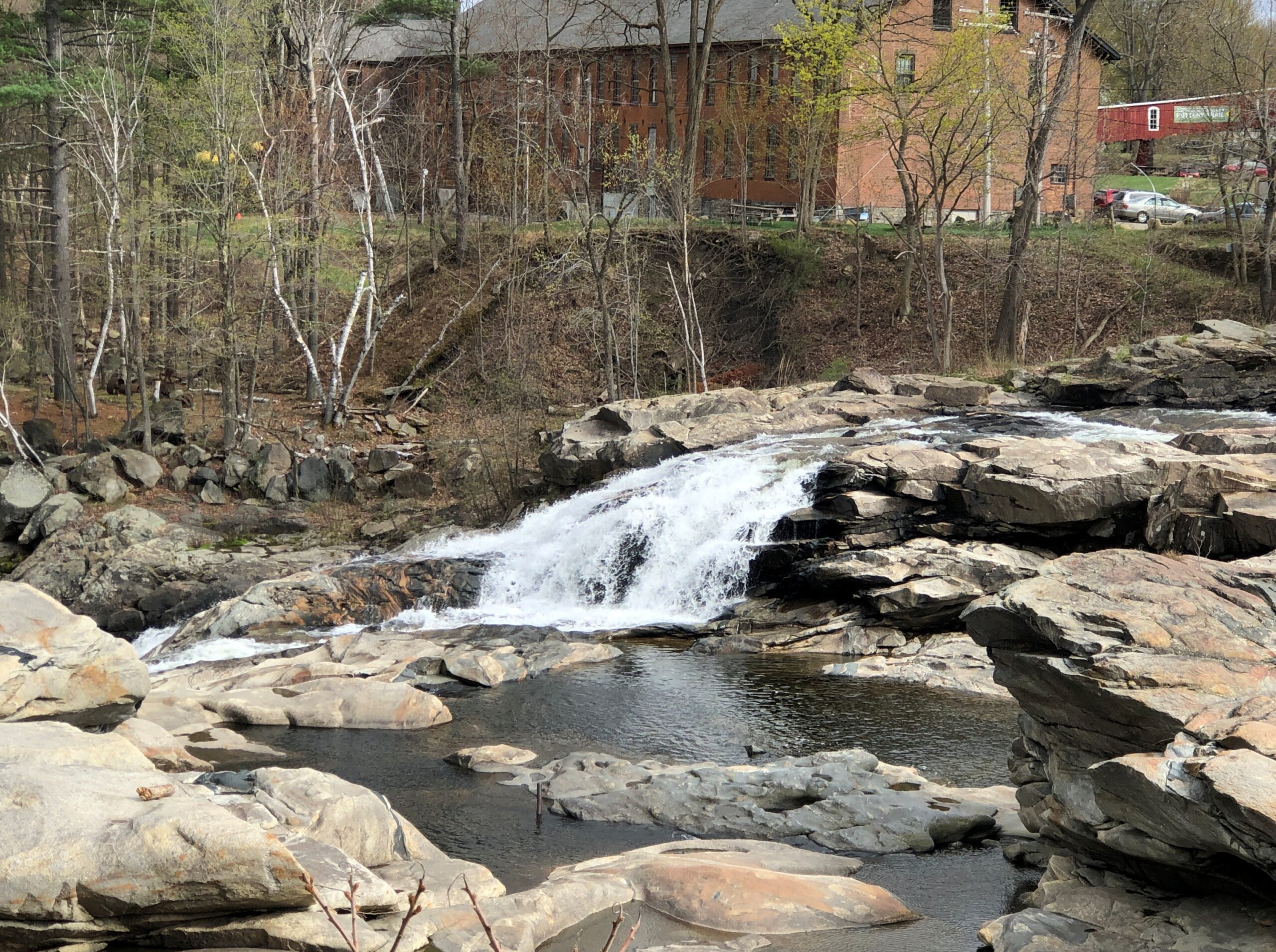
Different in details — stone and coloration and process — but erosion as much as Sioux Falls in Sioux Falls. Or on the Bruce Peninsula. Or the coast of Maine, for that matter. Water doing its grind beyond the timescales of humanity.
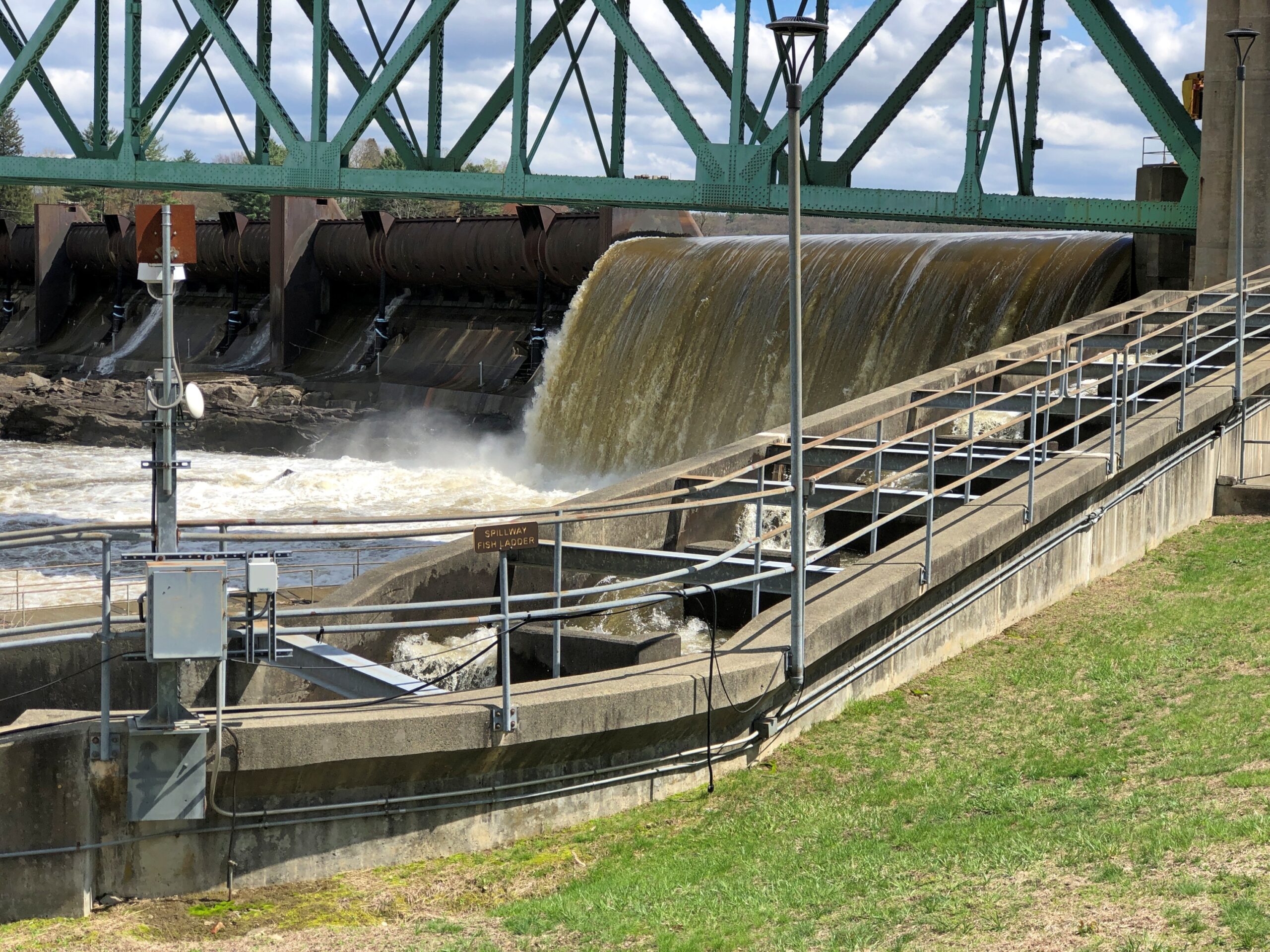
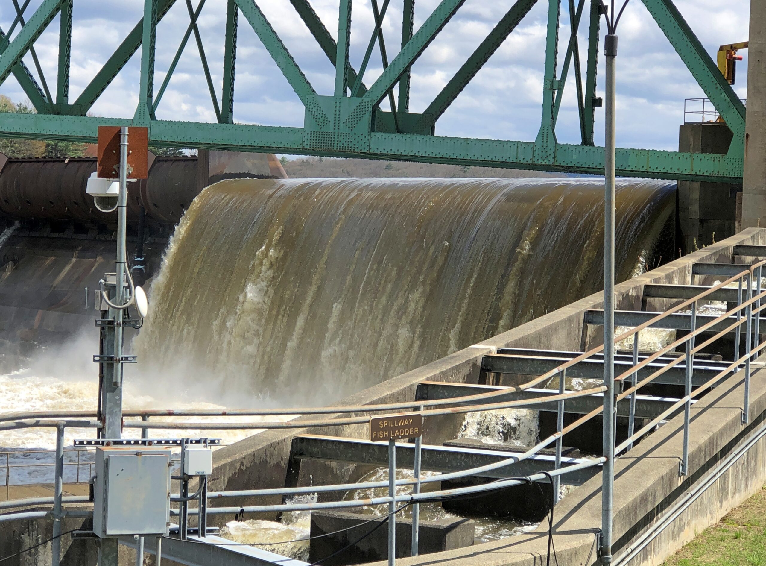
The spillway was busy. It had been a rainy day before.
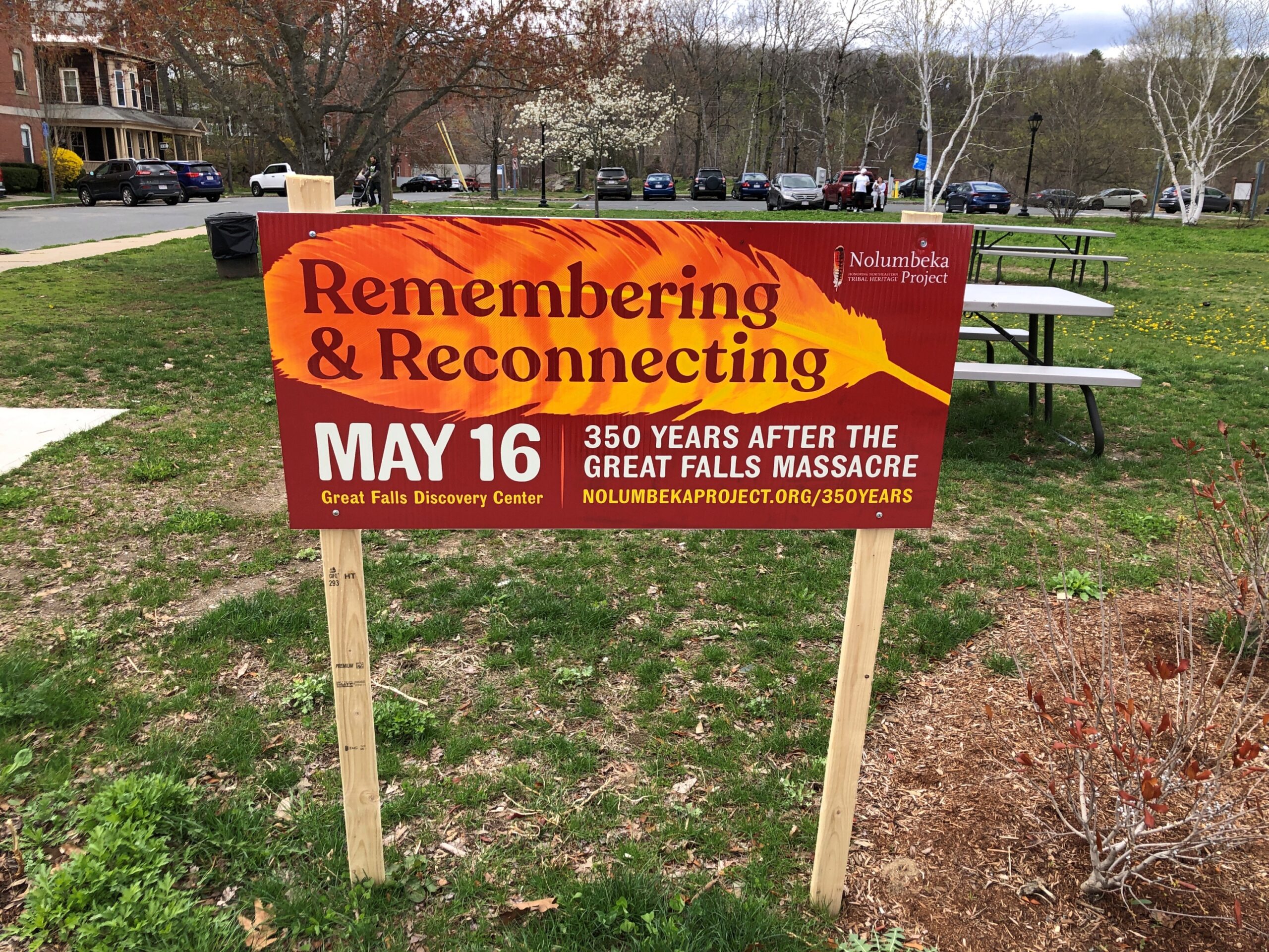
The first thing I saw on Avenue A in Turners Falls, Massachusetts, in mid-April was this sign. A small reminder of a bloody incident in a bloody war, all but forgotten – and I mean the incident and the war – outside of regional historians and eccentrics like me and, unsurprisingly, the descendants of the Algonquian tribes who were on the receiving end of a surprise attack by men under the command of Capt. William Turner in 1676 during King Philip’s War. Most of the Indians slain, mainly Nipmuc, were non-combatants, as neither side tended to make that distinction in that vicious war. Turner’s attack did not, however, go unanswered in real time: as he and his men were pulling back, they were beset by counterattacking warriors, who managed to turn the retreat into a rout, killing Turner, among many others.
All that I looked up later. In the moment I took a stroll on down the avenue, which is the main street of Turners Falls, an unincorporated village in the town of Montague. So it’s actually a neighborhood? Peculiar nomenclature, these New Englanders have, since I think of a village as a village and a town as a town, and one doesn’t get to be in the other.
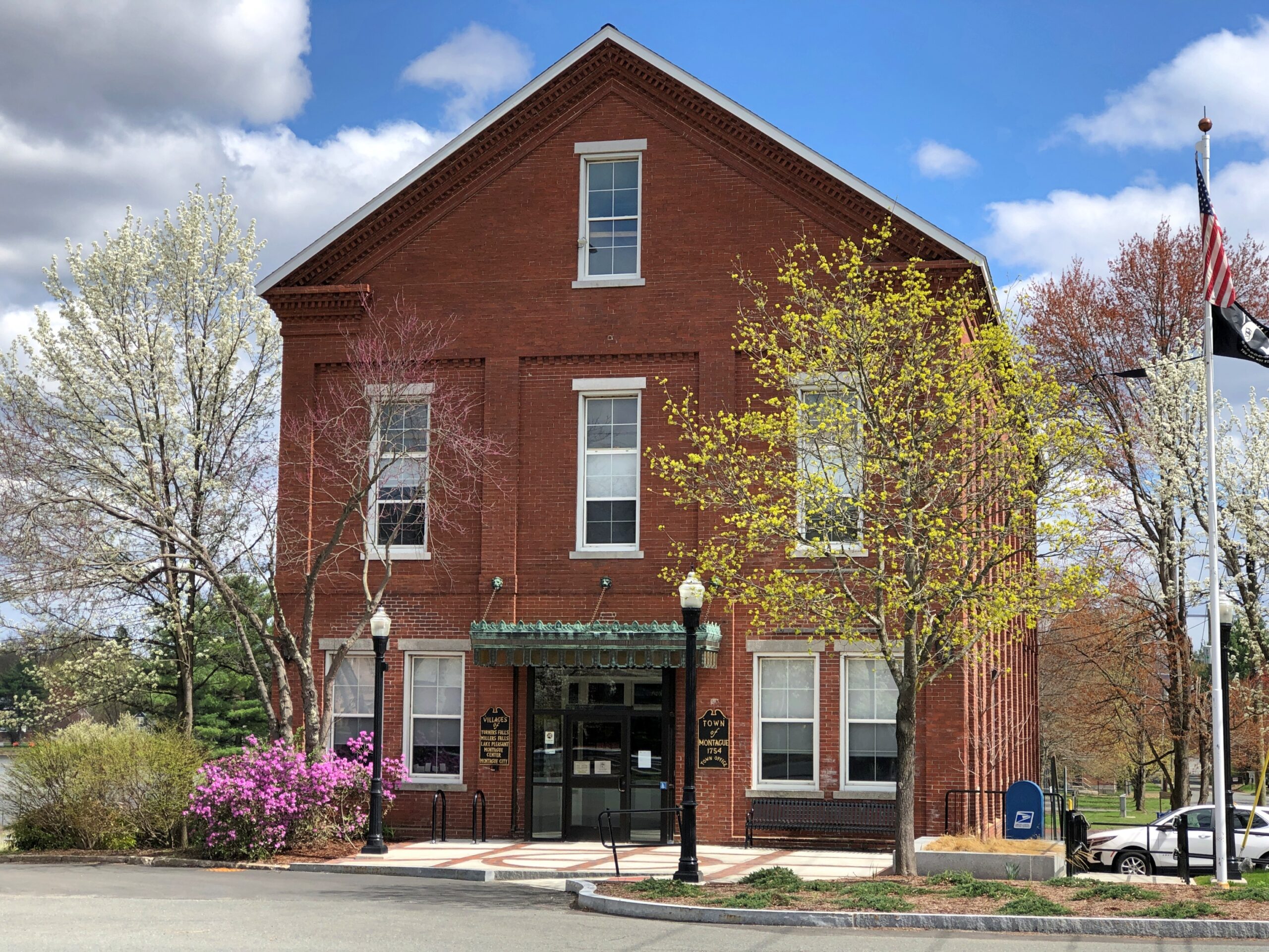
According to the sign on the town office (above), the other villages in Montague are Millers Falls, Lake Pleasant, Montague Center and Montague City. So – Montague City is within the town of Montague? Massachusetts is just a little strange with its names, but never mind.
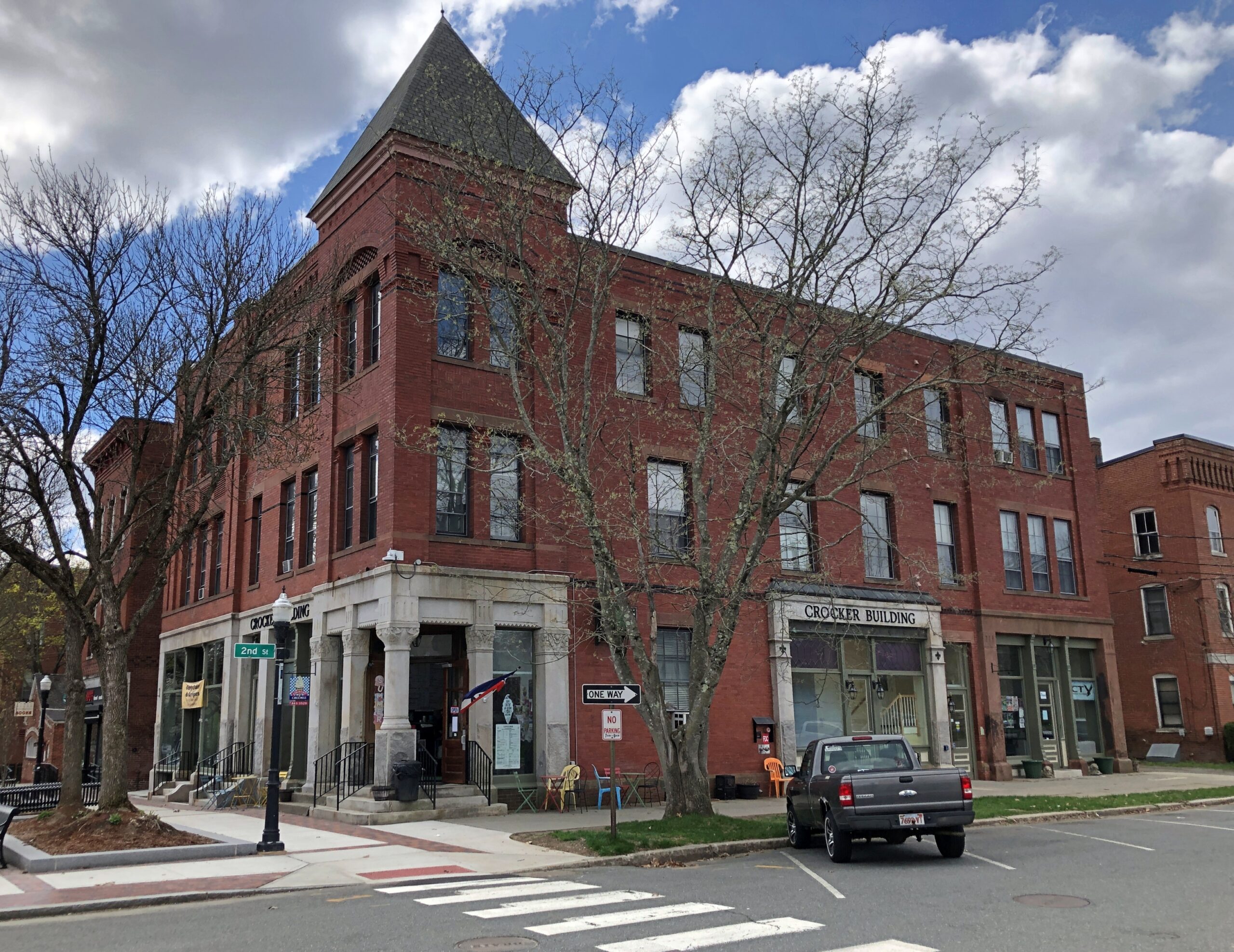
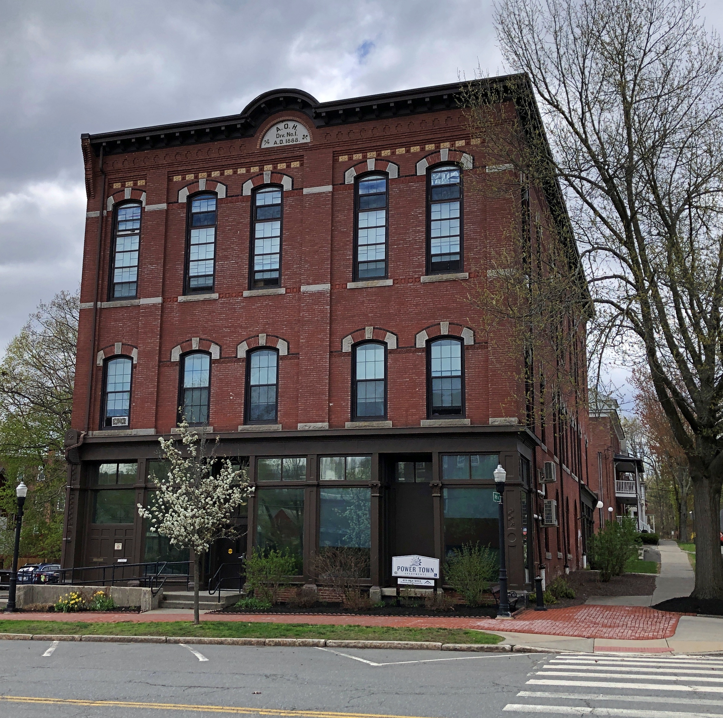
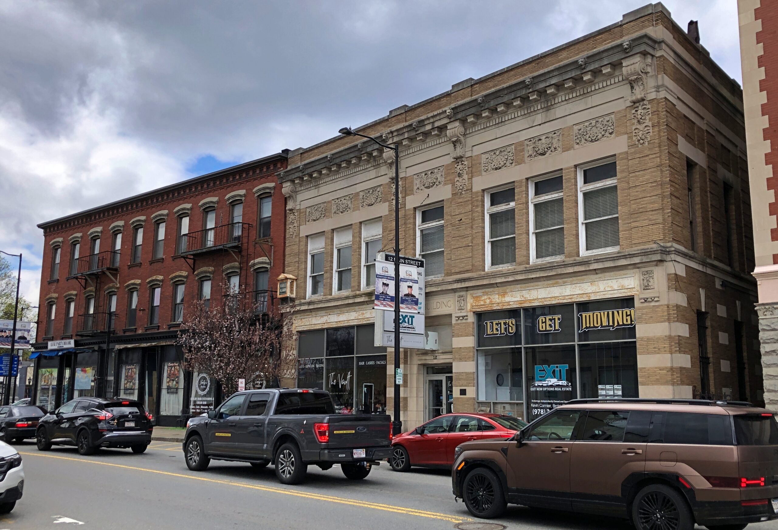
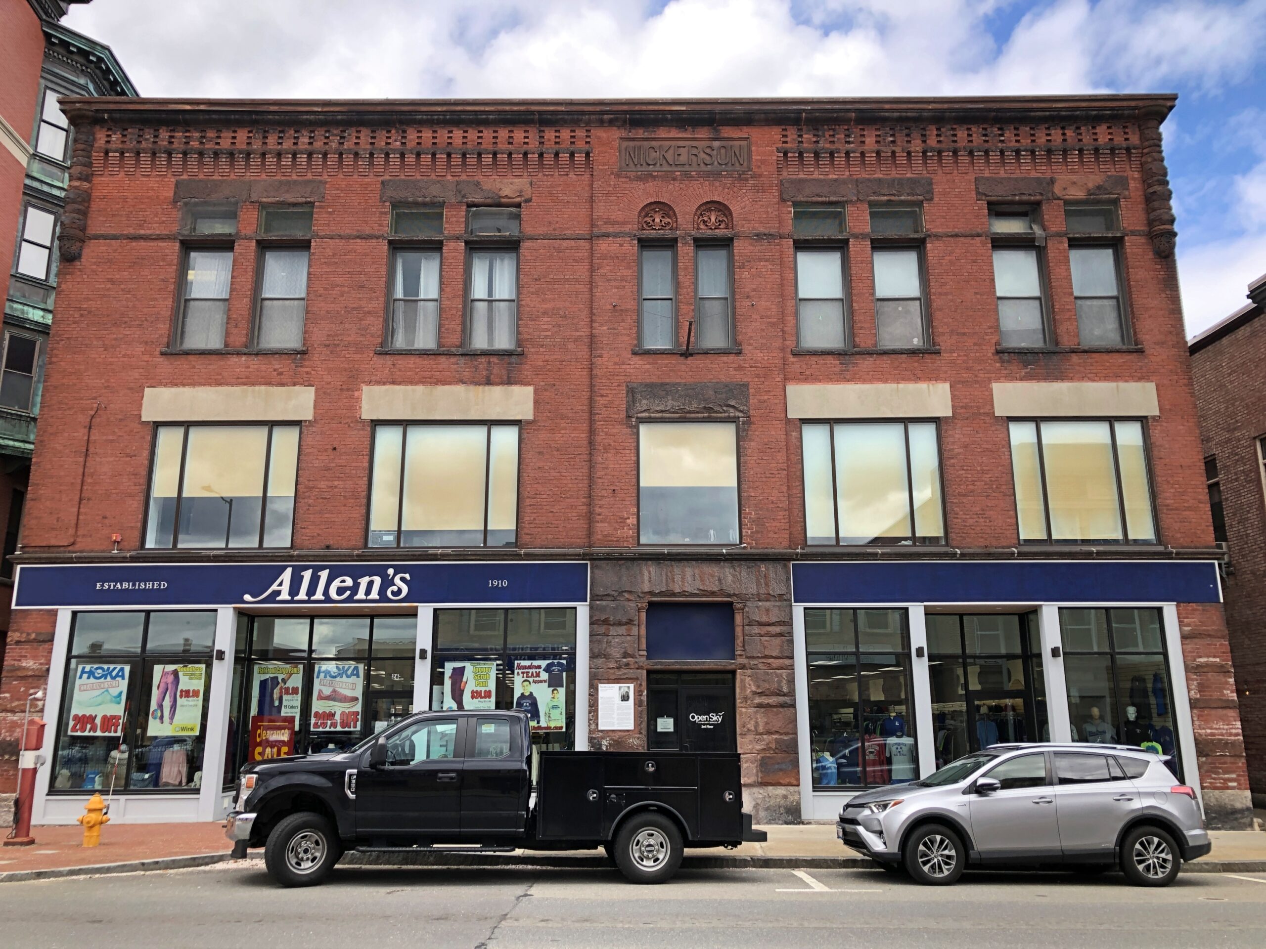
As a main street, Avenue A is lined with some handsome older buildings.
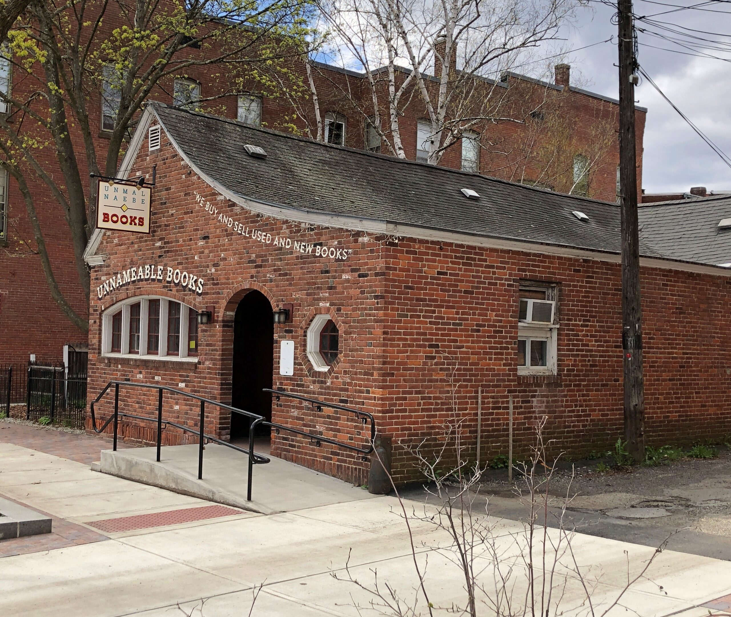
Good to see a small bookshop.
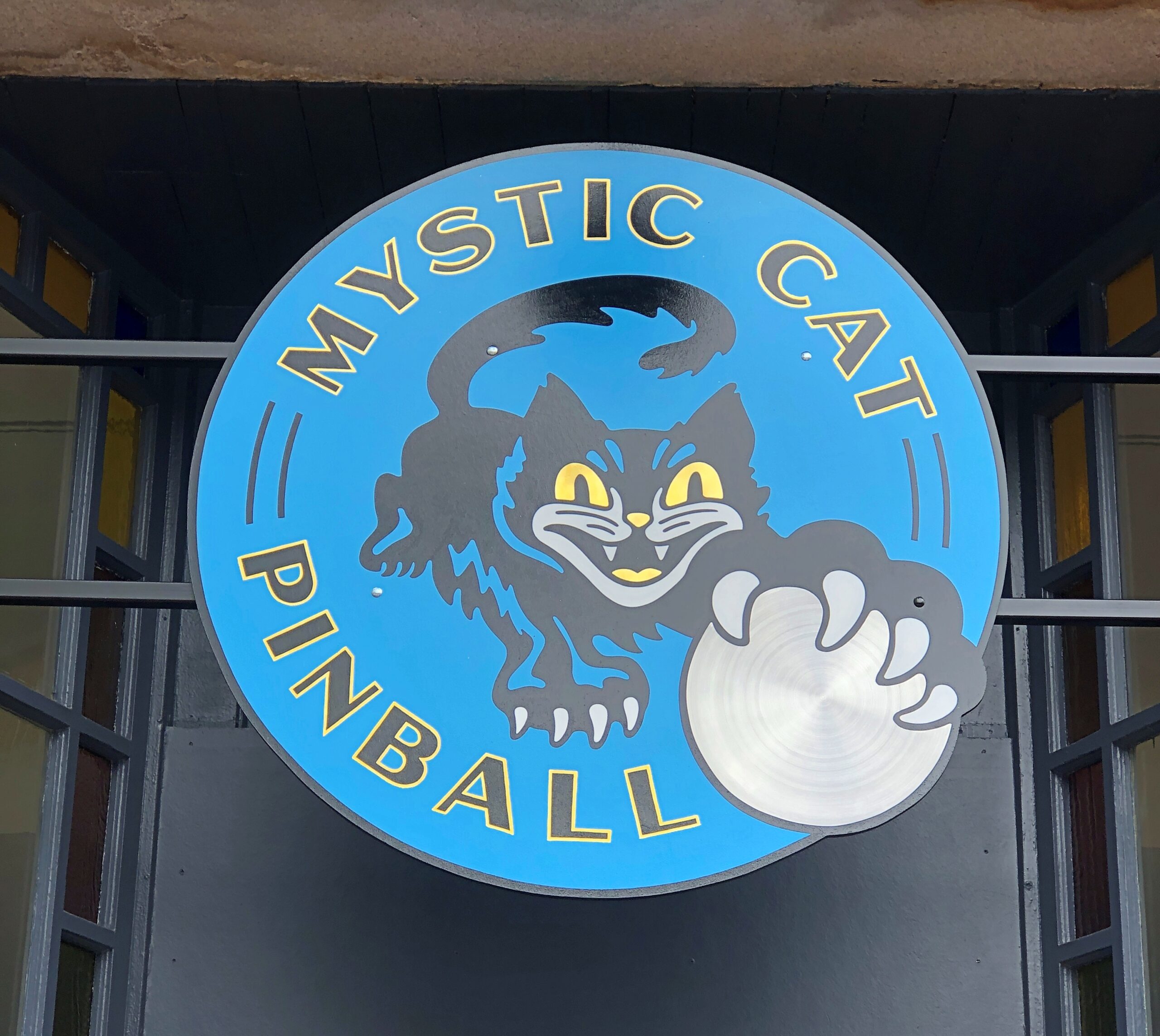
Other nearby retail includes Ed’s Barber Shop, the Country Creemee (ice cream), Ce Ce’s Chinese Restaurant, Kharma Salon, Booska’s Flooring, Waterway Arts, Mystic Pinball and the Upper Bend Cafe. Not exactly a day-trip retail selection, but elements of it are there.
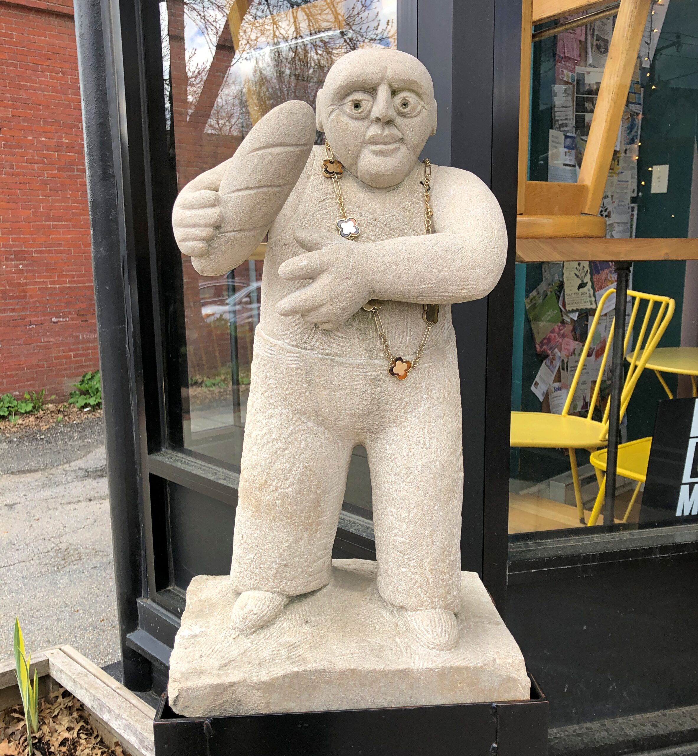
Commercial artwork.
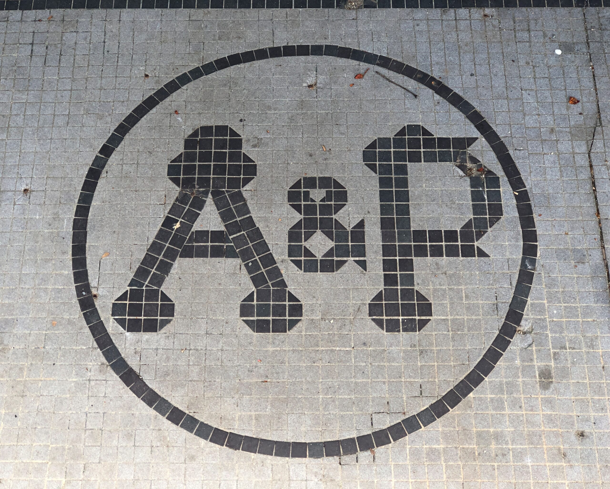
A relic of a commercial establishment long gone. About 100 years ago, A&P operated about 15,000 locations, including presumably one in Turners Falls.
Which only goes to show that retail empires rise and fall as surely as political empires, and are as little remembered as most of them. Keep that in mind next time you’re in a Walmart.
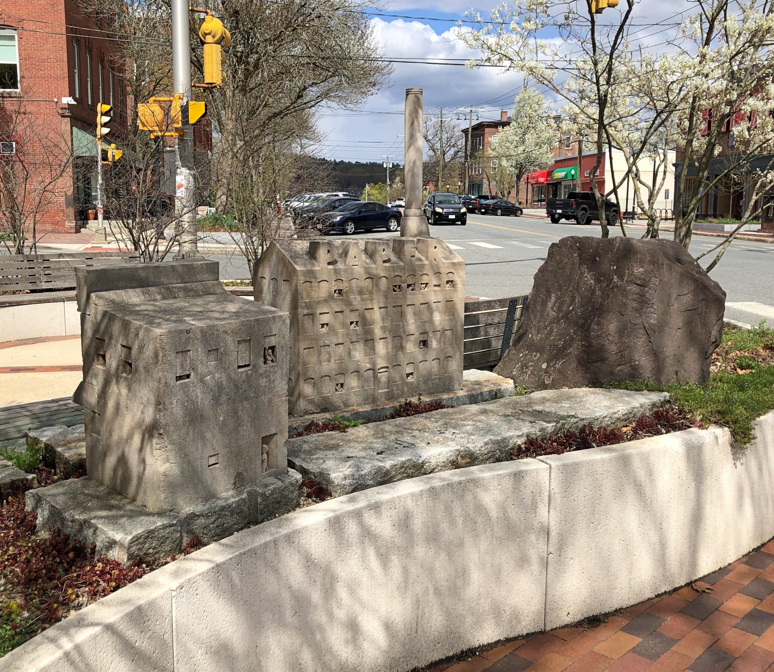
Public art: “Rock, Paper, Scissors” (2017). by Tim de Christopher, who used local red sandstone for the rock and Indiana limestone for the paper mill and barber shop — paper and scissors — evoking the town’s industrial and social history. (The barber shop is on the right, the mill in the middle, and the rock on the left.)
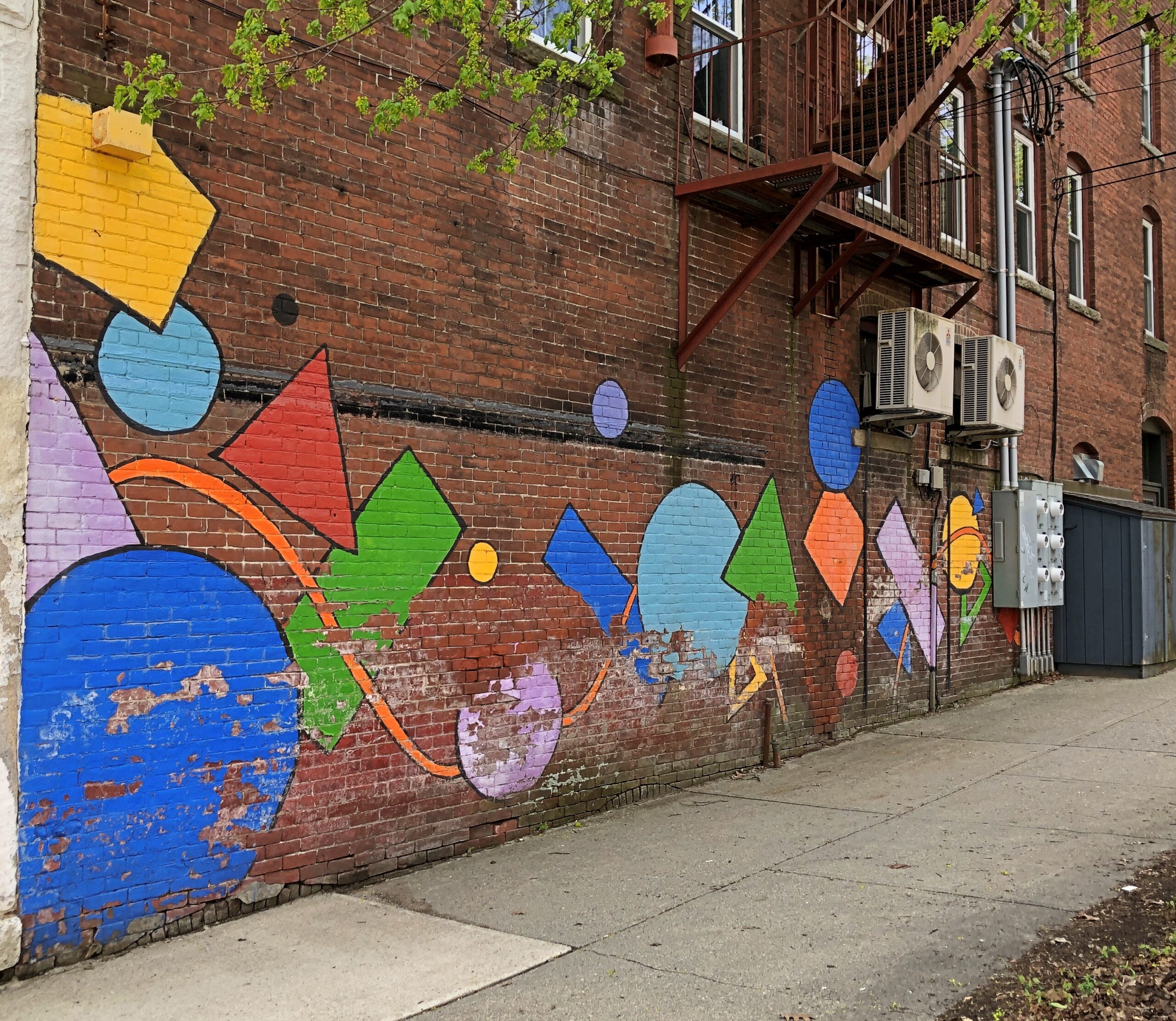
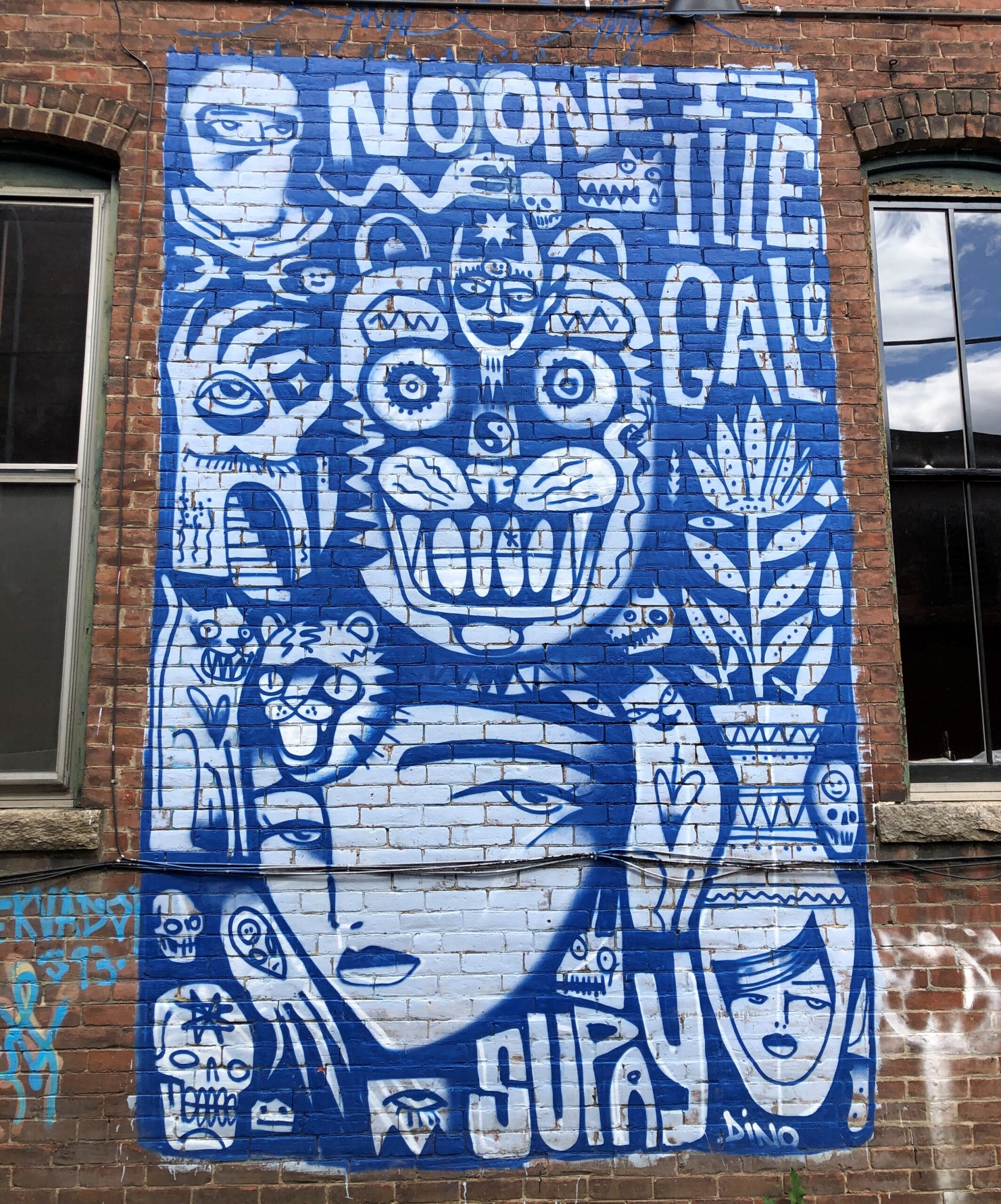
A geometric mural.
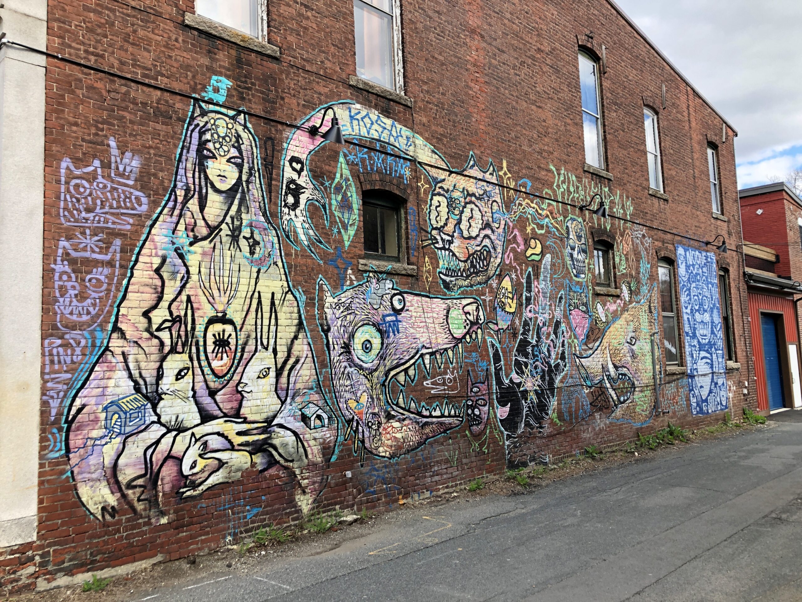
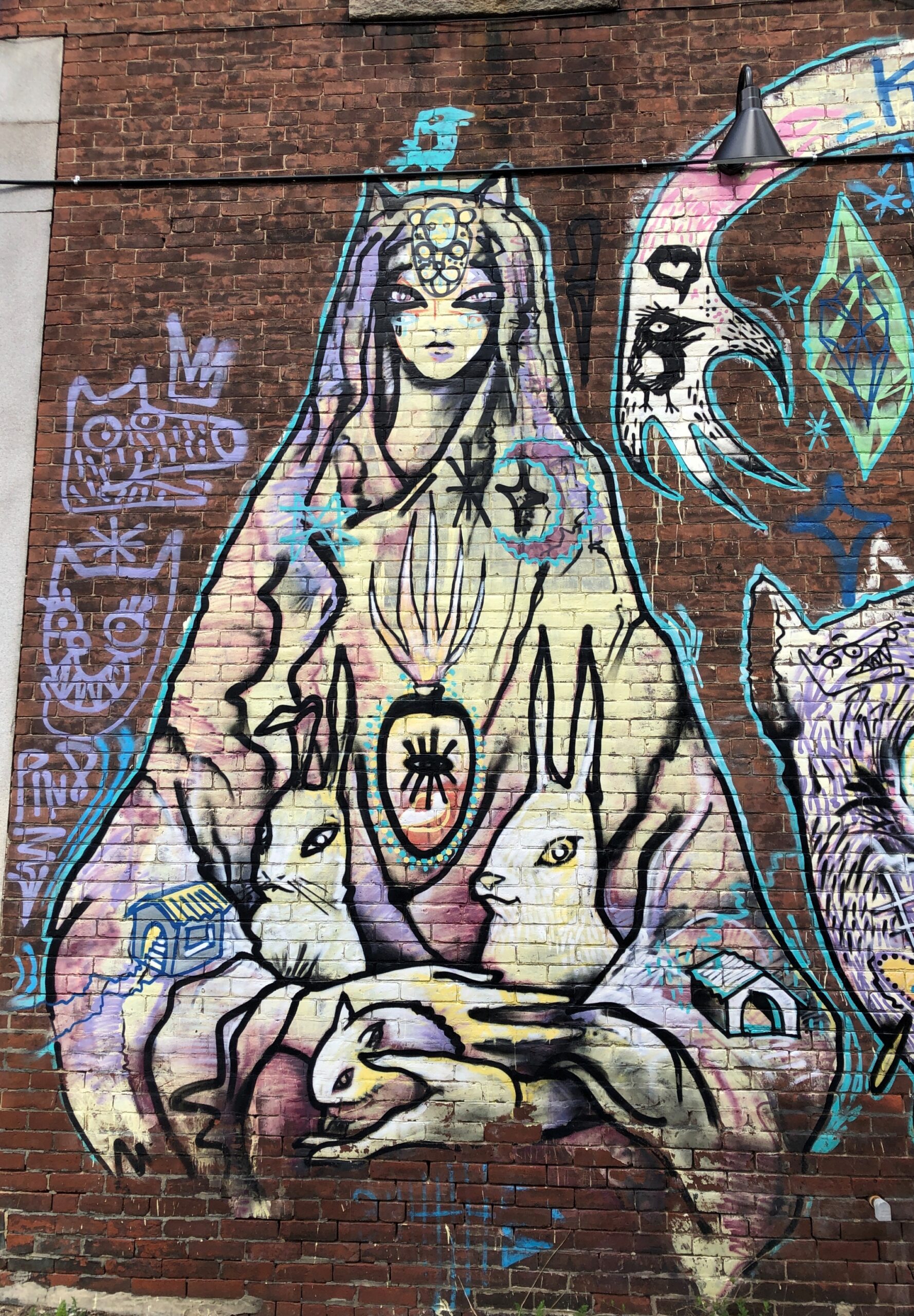
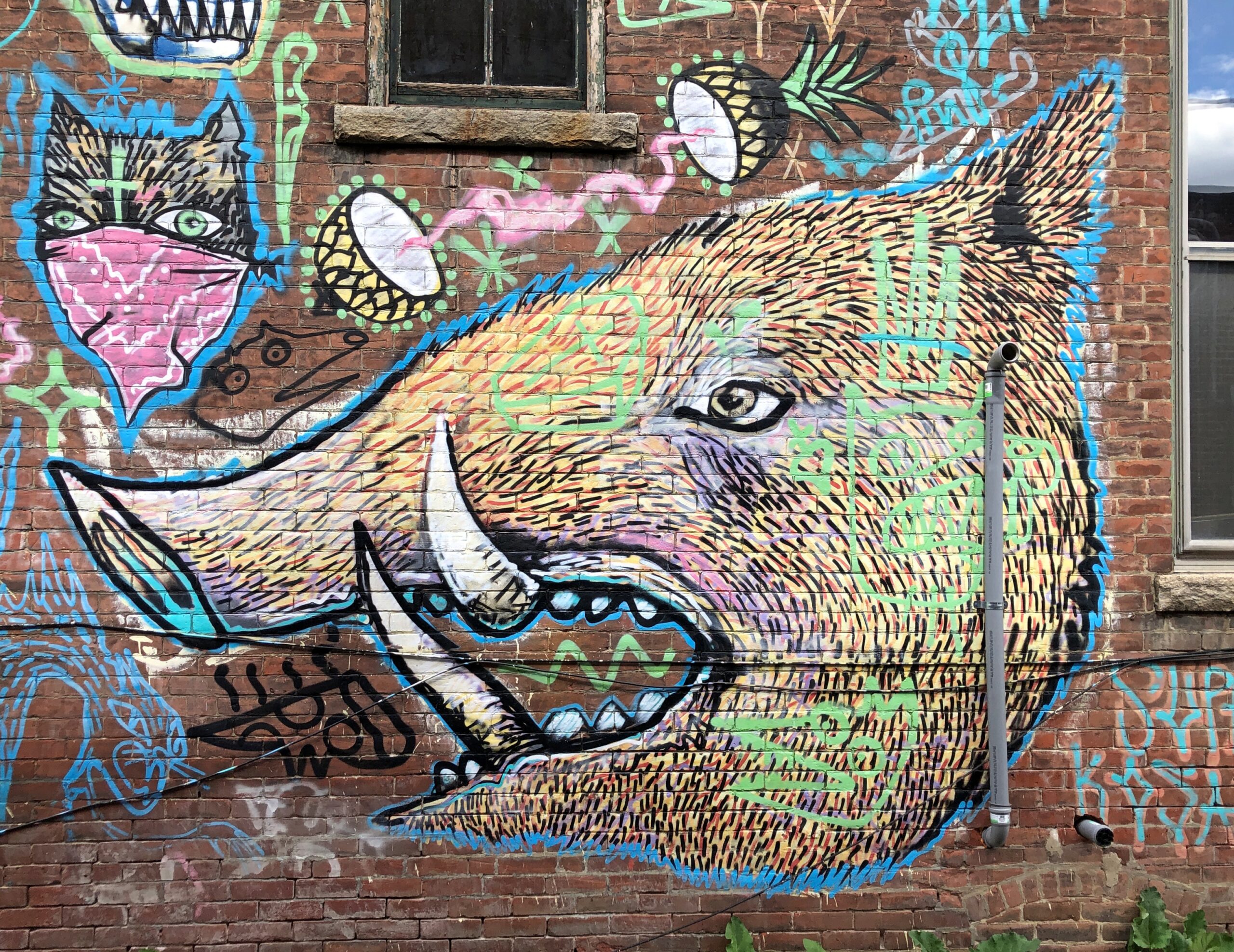
An elaborate graffiti-style mural.
Or maybe actual graffiti. Details.
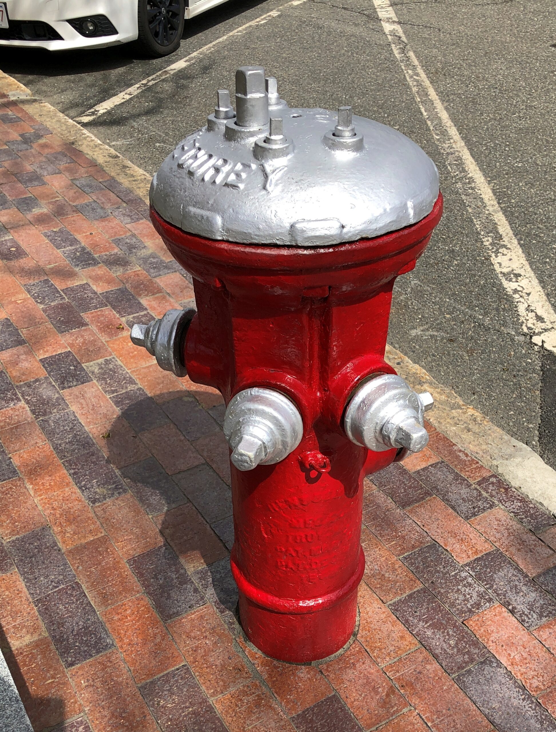
And a fire hydrant.
As peculiar as the local nomenclature. A metal udder.
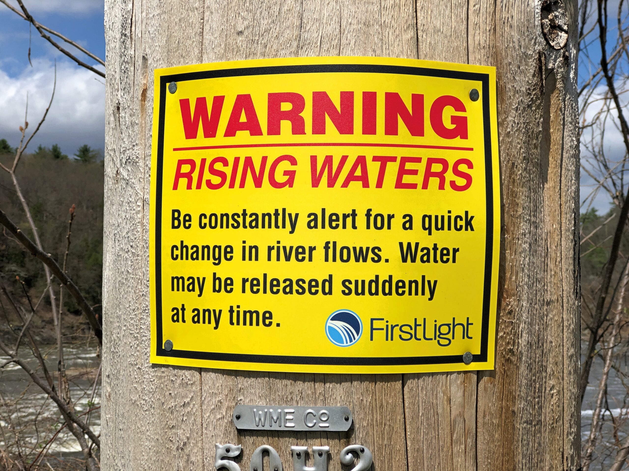
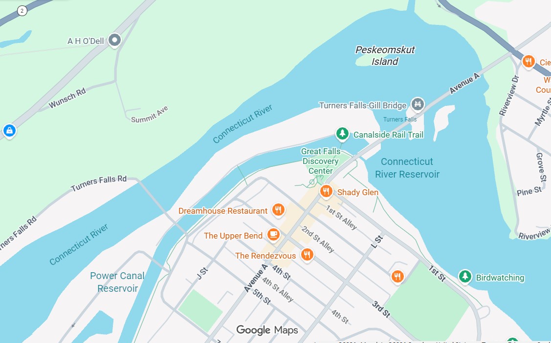
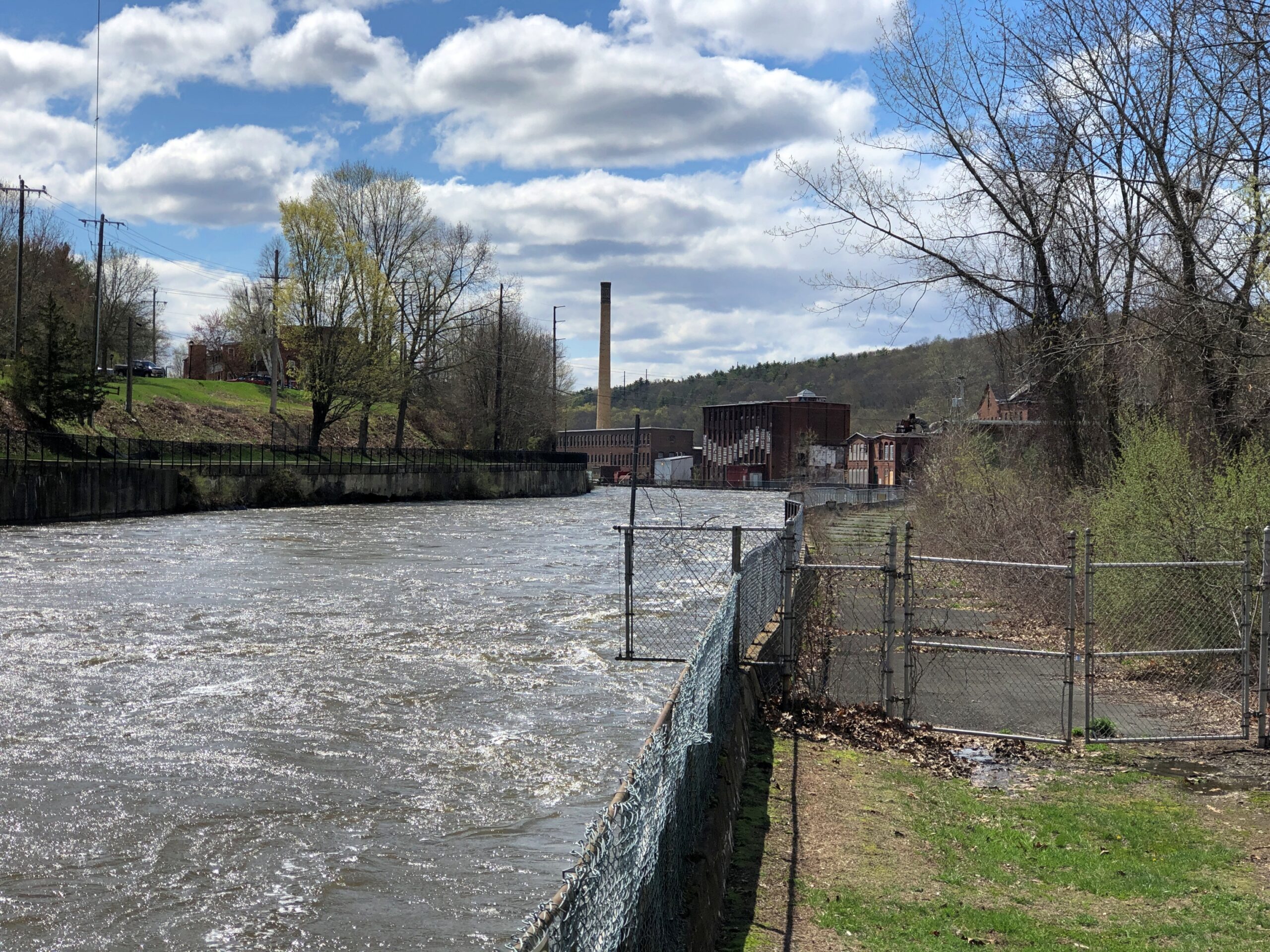
Luckily, the nearby waters didn’t make any sudden moves in the vicinity of my person that afternoon. I was near the Connecticut River at a place called Turners Falls (no apostrophe), Massachusetts. The sign is posted on a man-made island, in fact, created by a canal paralleling the river – Turners Falls Canal.
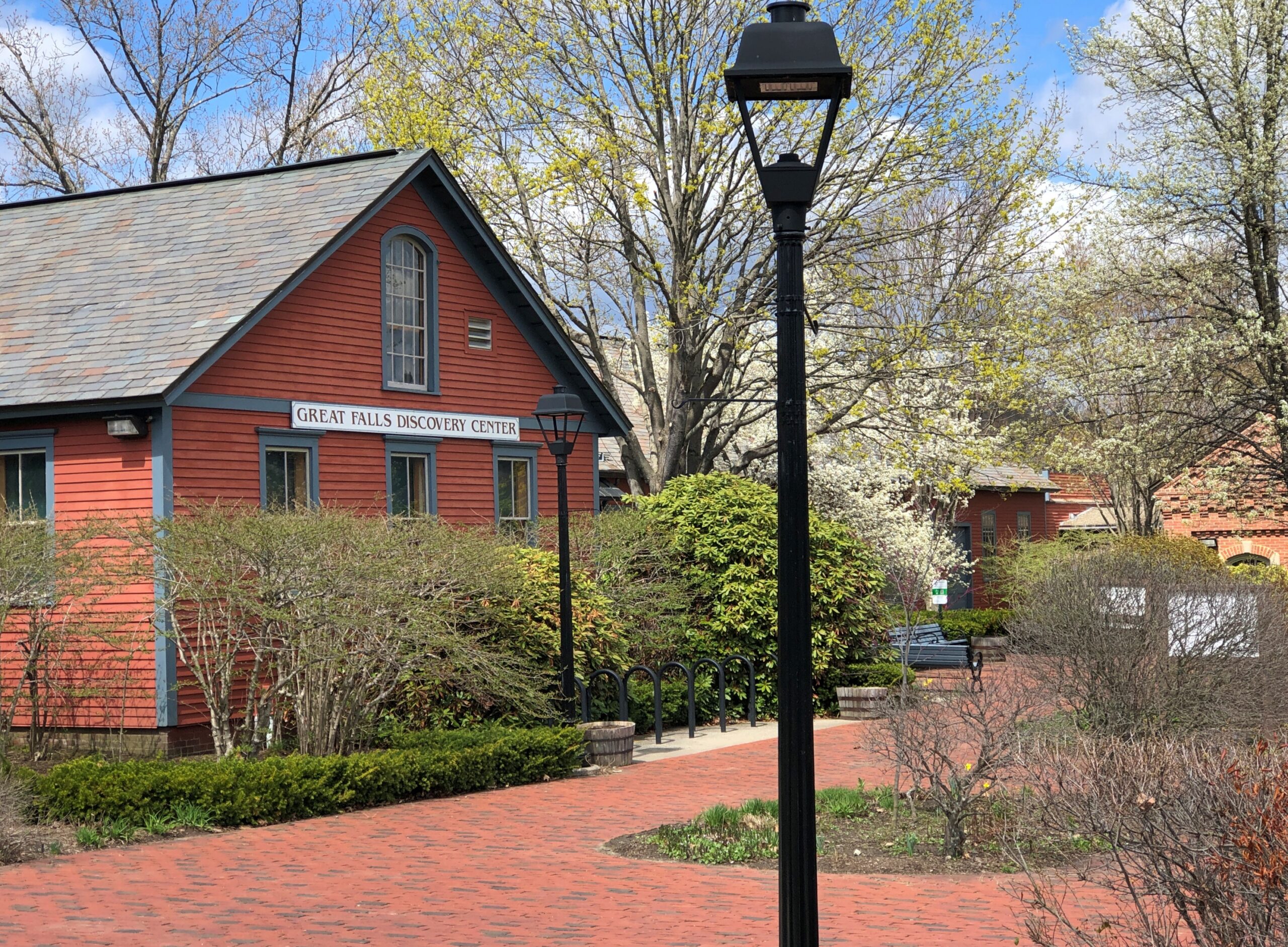
I’d crossed the Connecticut via a bridge, and the canal too, and parked on Avenue A in Turners Falls near the Great Falls Discovery Center, which is housed in restored mill buildings on the south edge of the canal.
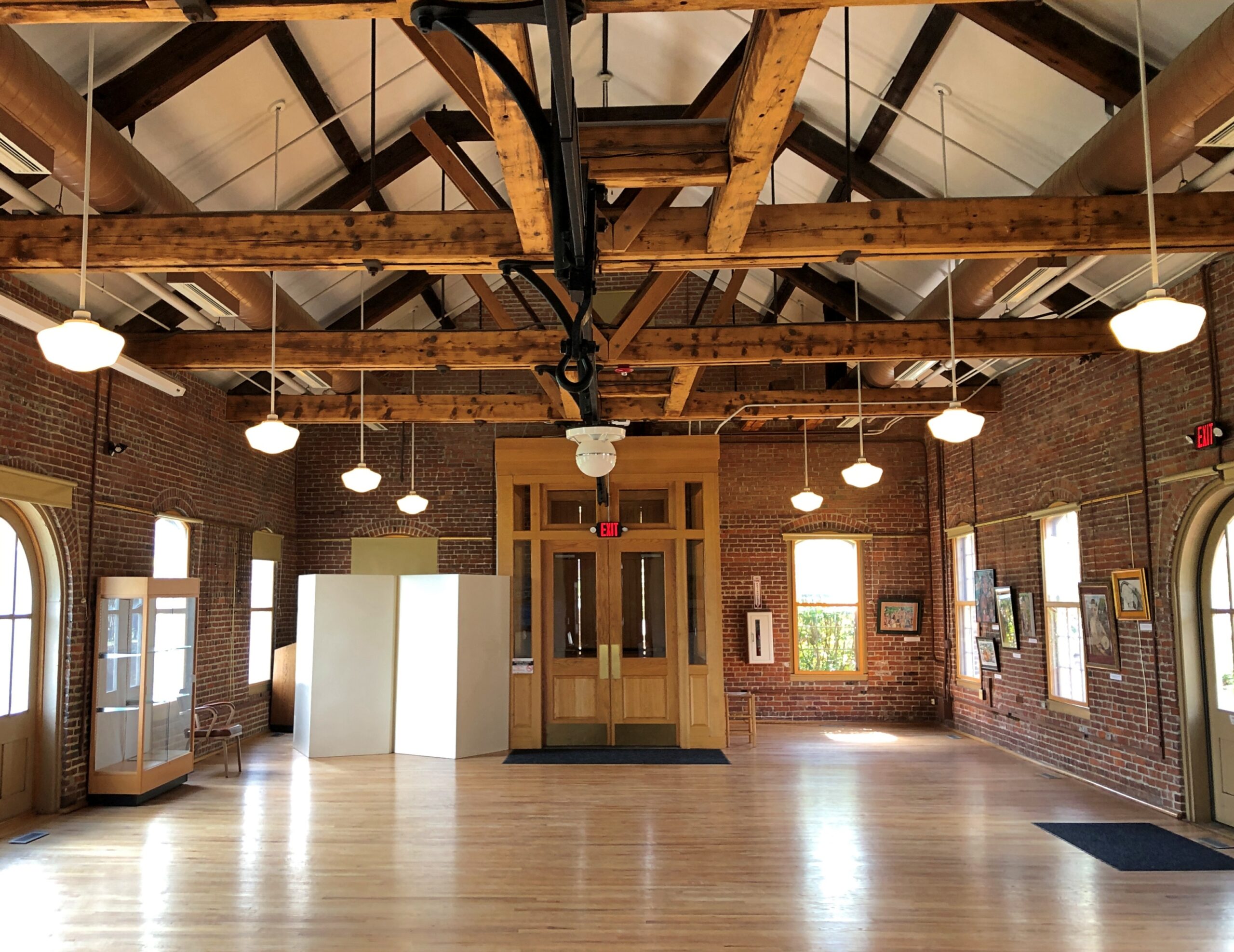
Great Falls Discovery Center, owned by the Massachusetts Department of Conservation and Recreation, includes open habitat exhibits, fish tanks, and dinosaur fossils, and is generally geared to small fry. It does have a nice, if underutilized, exhibit space in one of the restored buildings.
I understand that “Great Falls” is an earlier name of the falls, now the site of a dam, and that a fellow named Turner led an attack on a native settlement on the river 350 years ago, leading to the renaming of the falls – more about all that later. A path from the center leads to the canal.
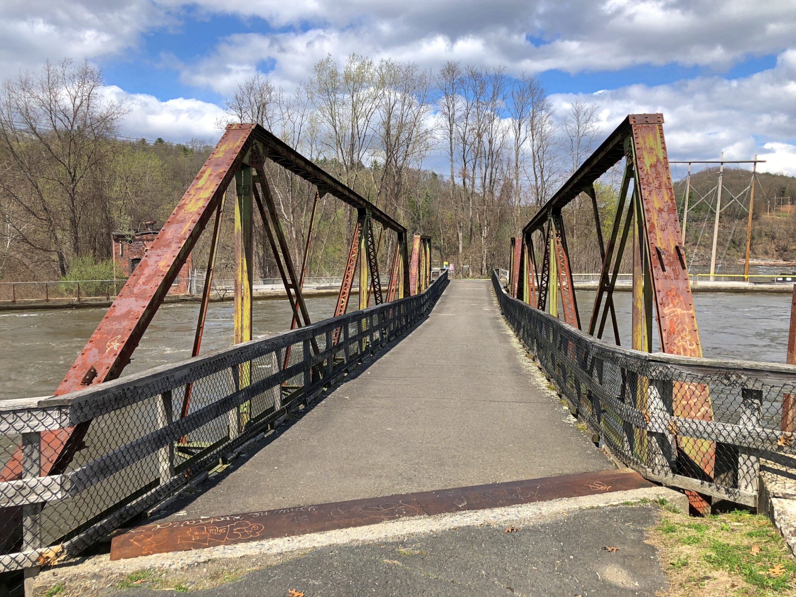
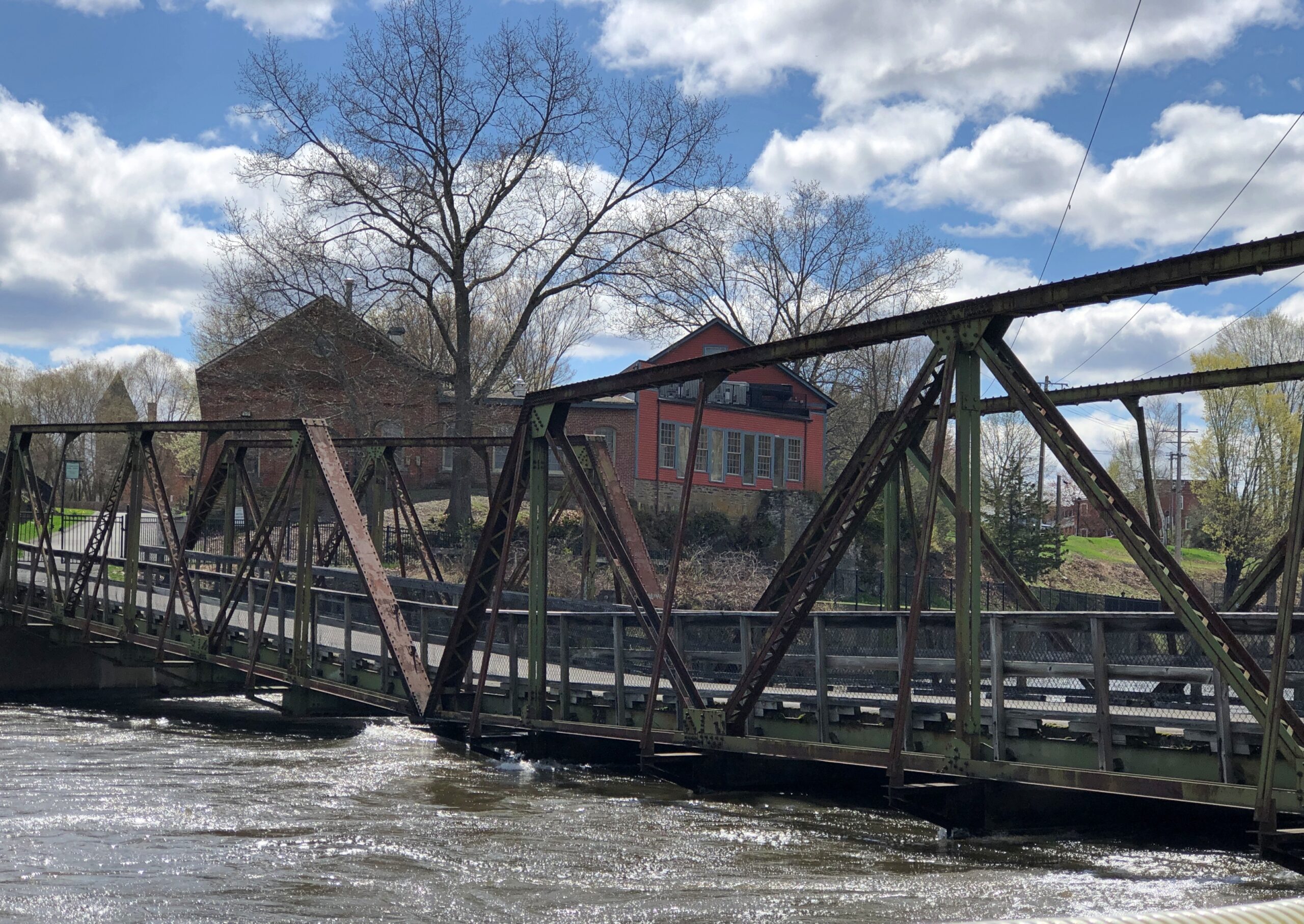
A rusty foot bridge across the canal.
Looks a little dodgy, especially when the flow is strong, as it was that day in the wake of heavy spring rain the day before.
But not dodgy enough to keep me from crossing to take in the views of the canal from the footbridge.
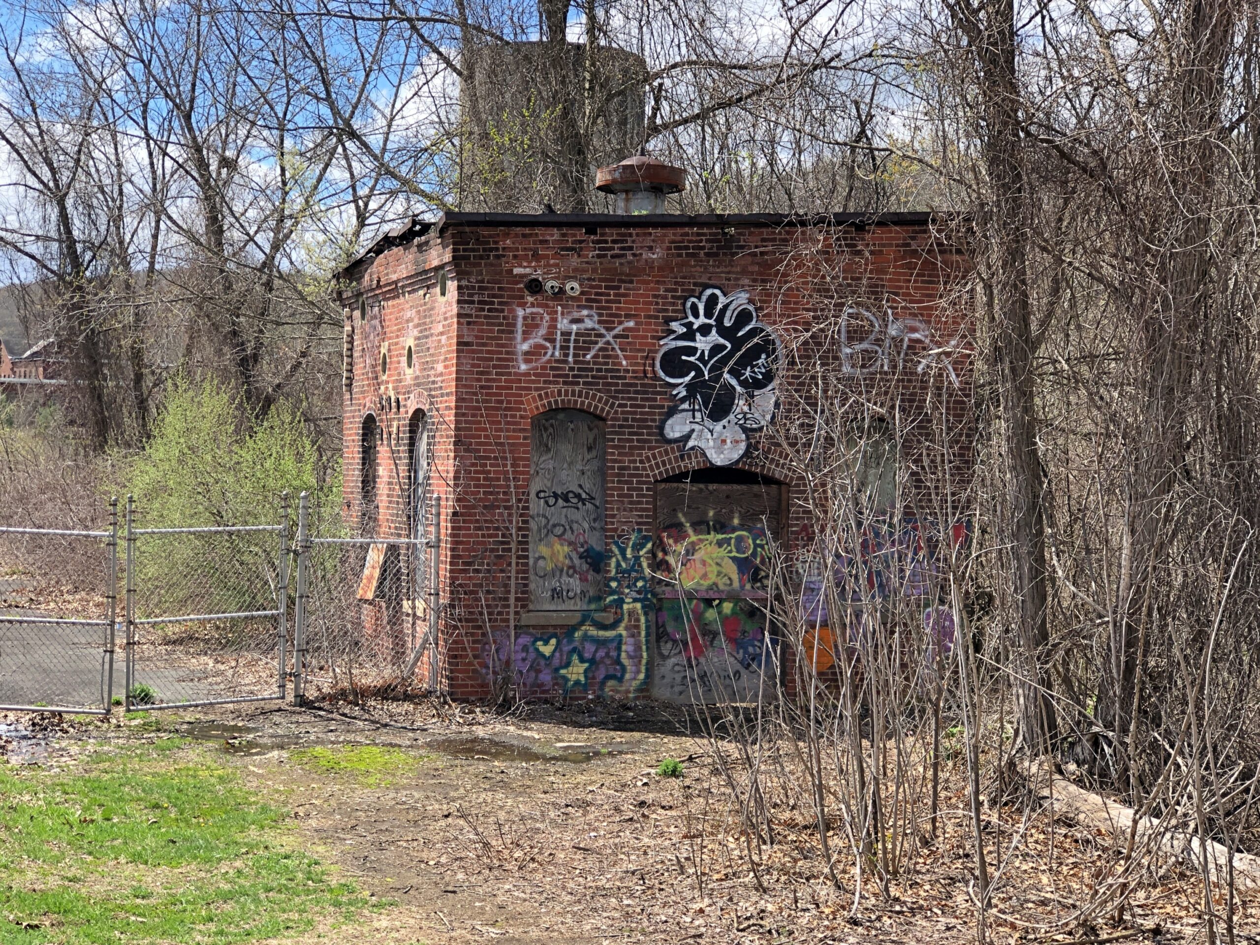
The tip of the island, while accessible at that point, is desolate. The rest of the island seemed to be fenced off.
But it does offer a view of the dam and its associated fish ladder. A powerful flow that day.
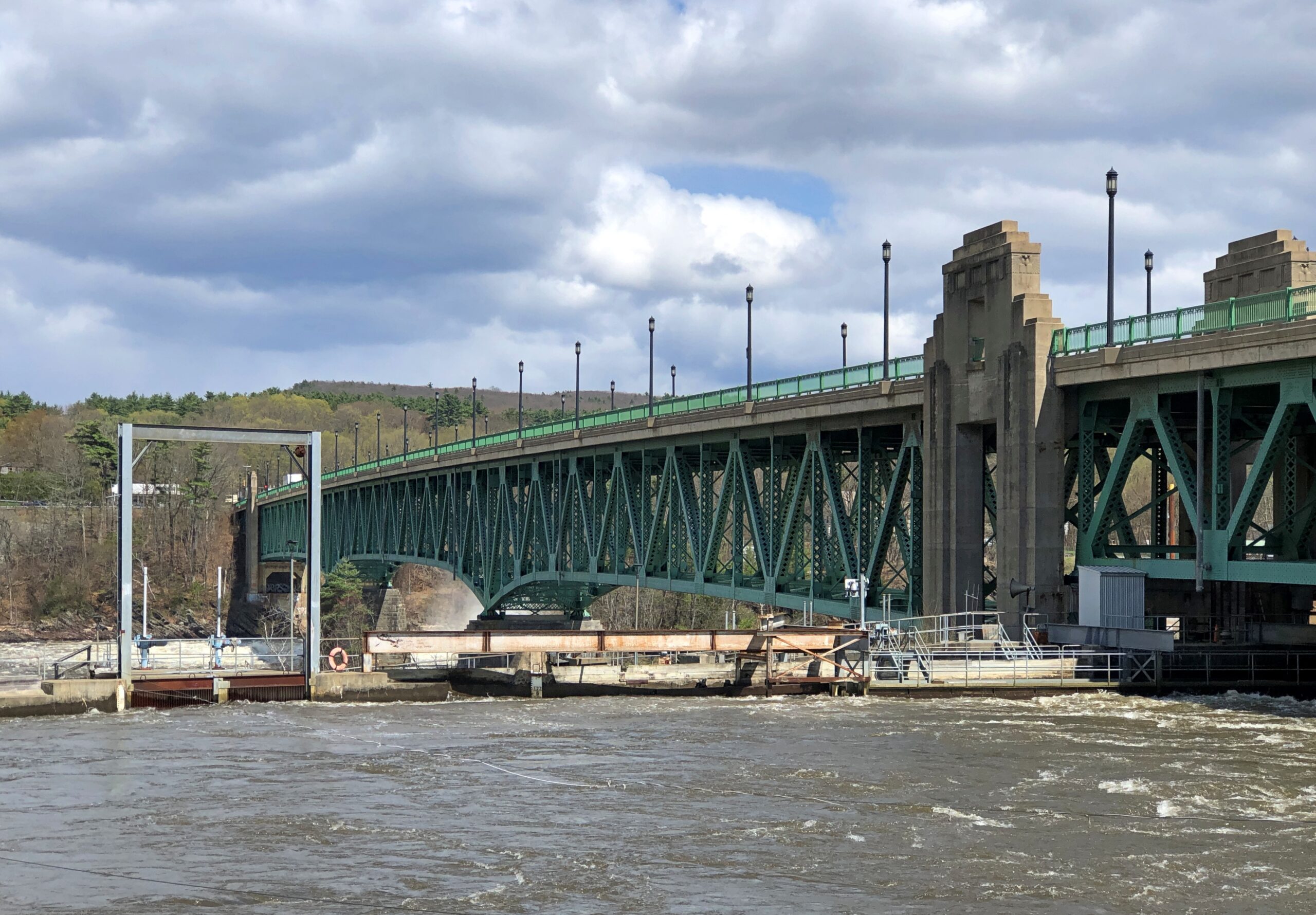
Also visible: the bridge across the Connecticut that I’d driven a little while before, the Turners Falls-Gill Bridge, completed in 1938 and renovated in the 2010s. Gill is the town on the other side.
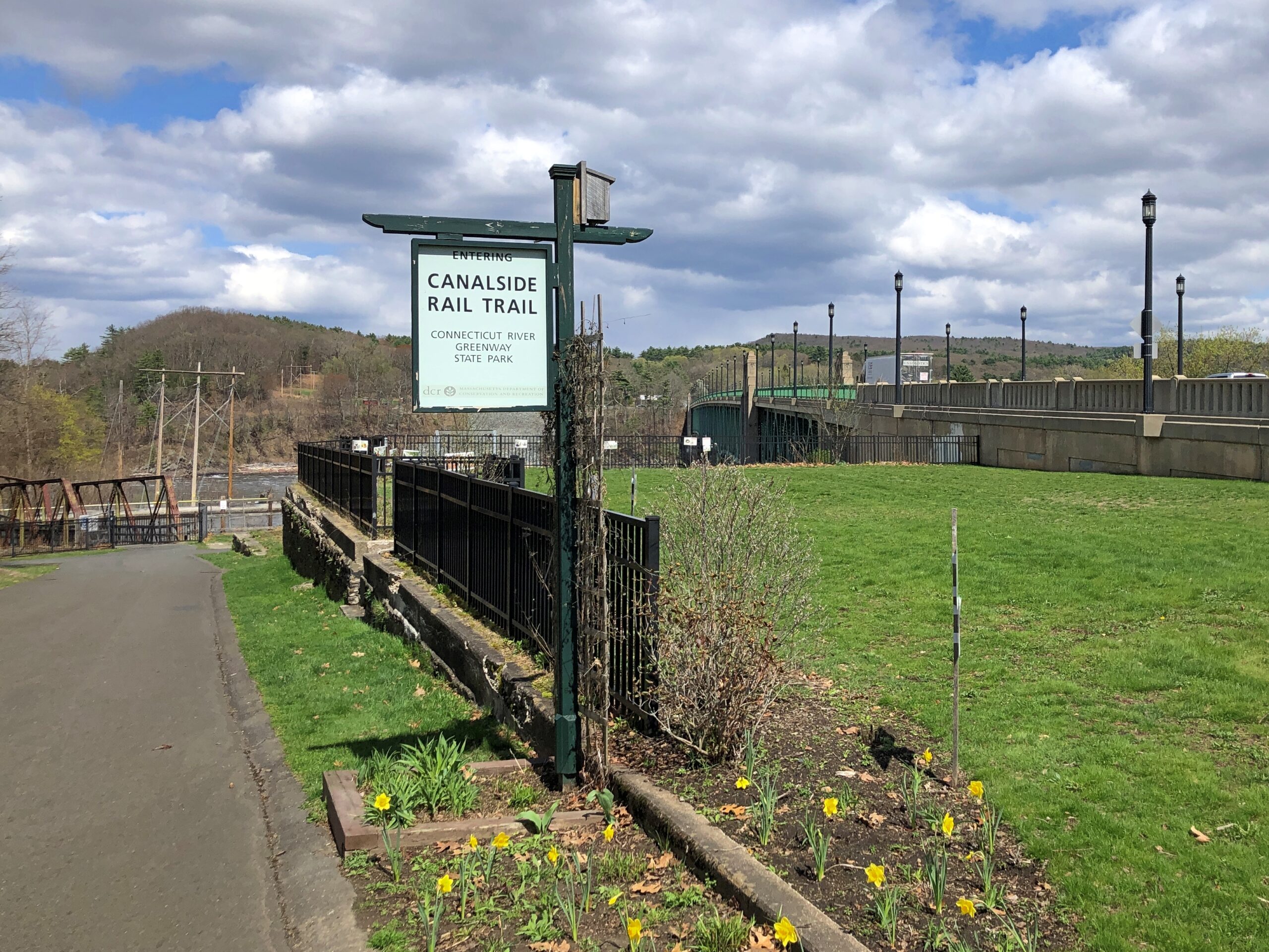
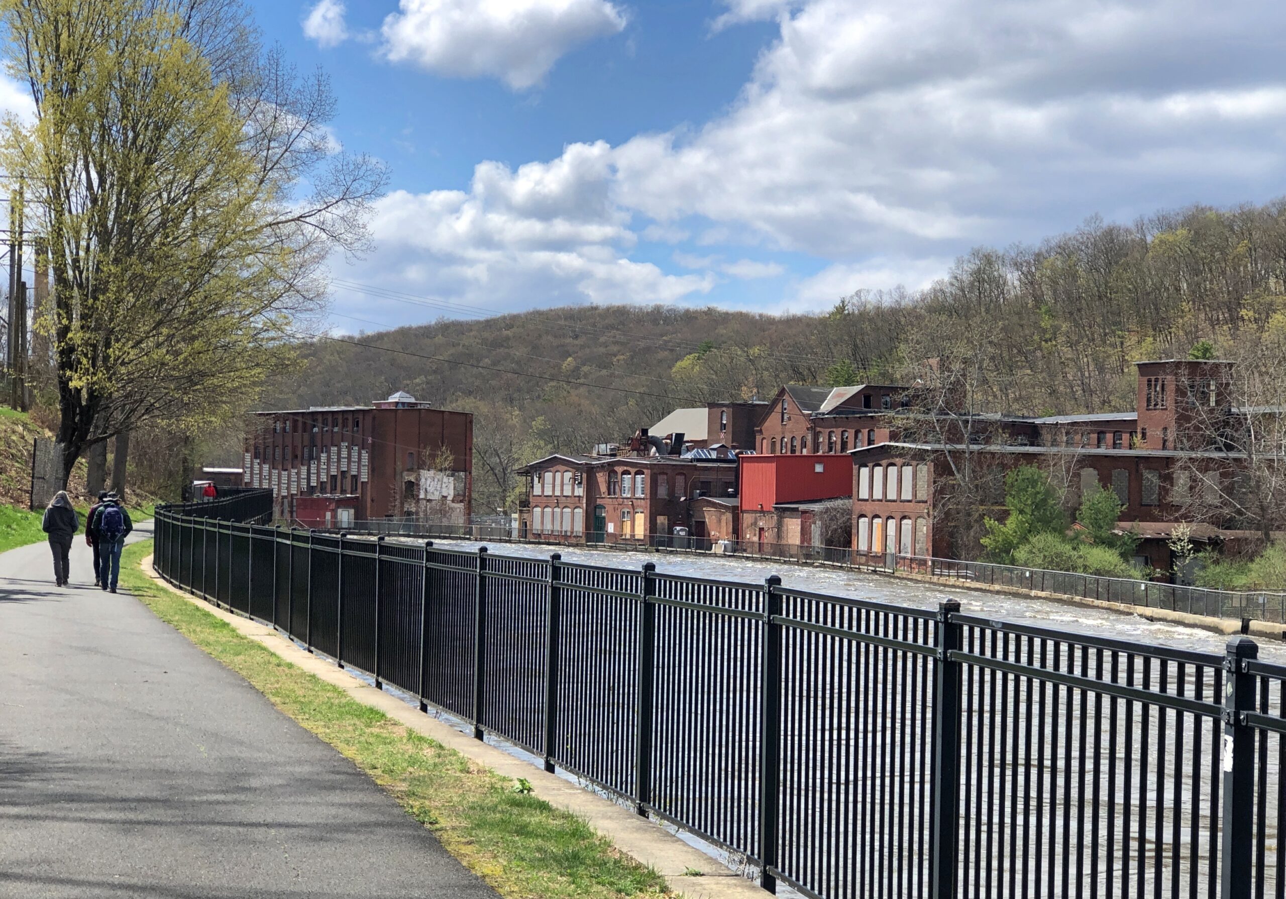
I crossed back and took a stroll down the footpath along the canal: the Canalside Rail Trail.
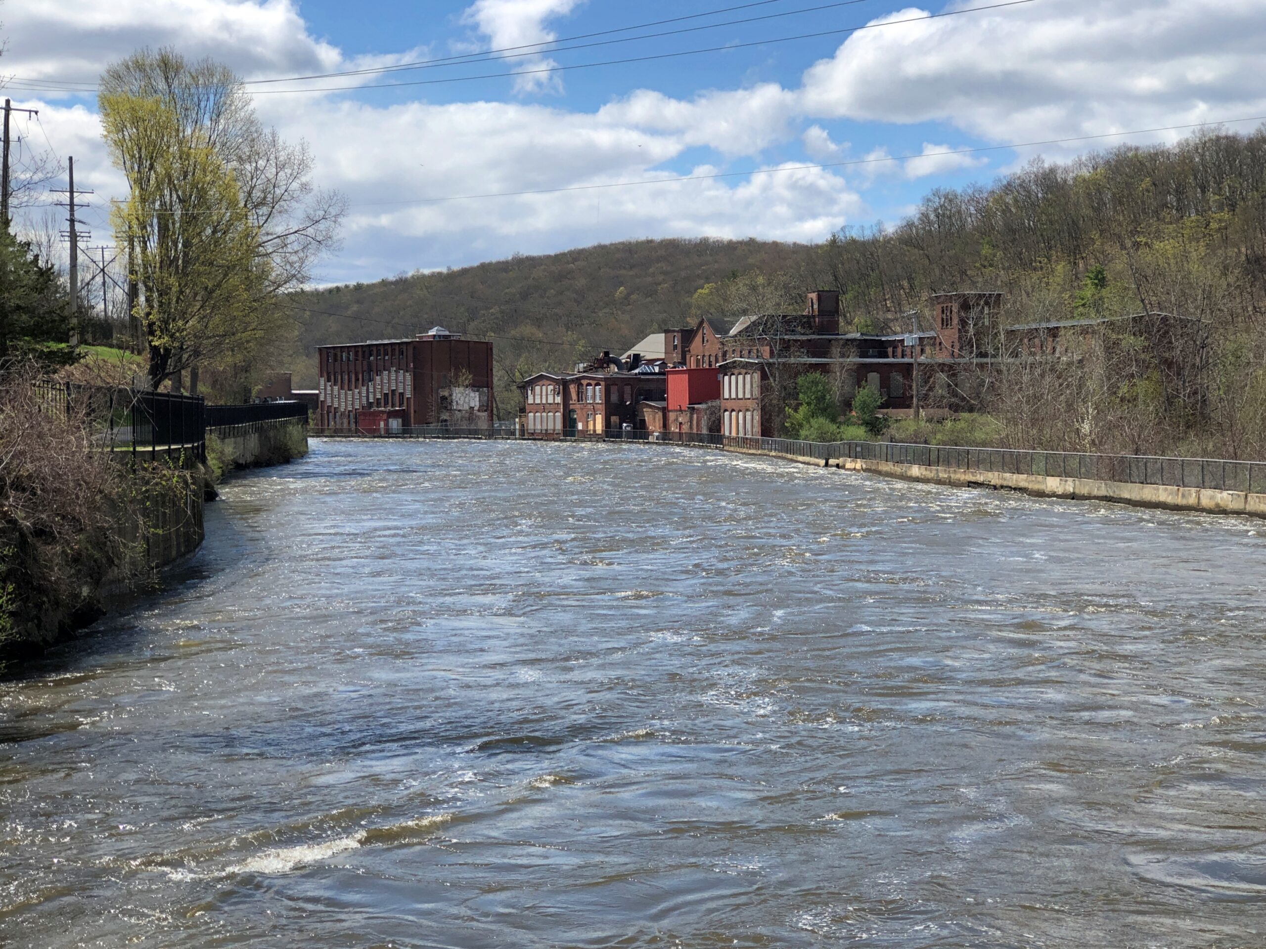
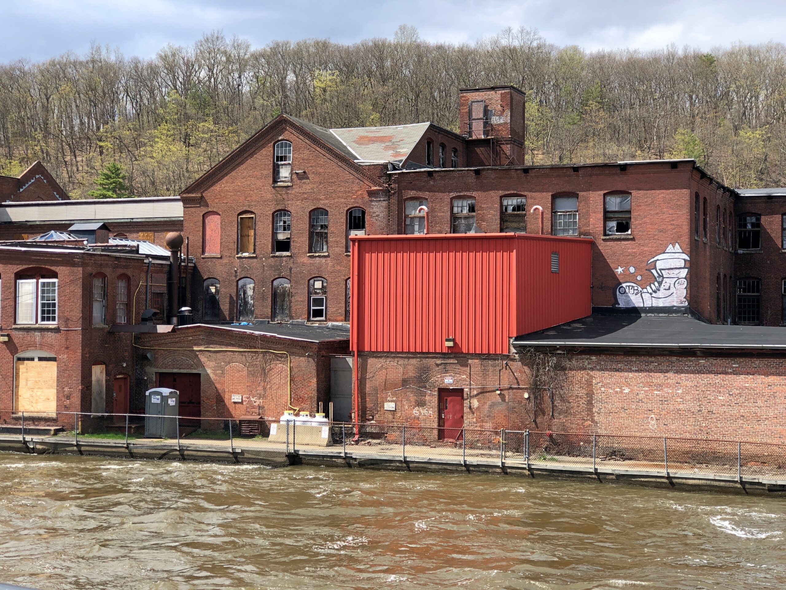
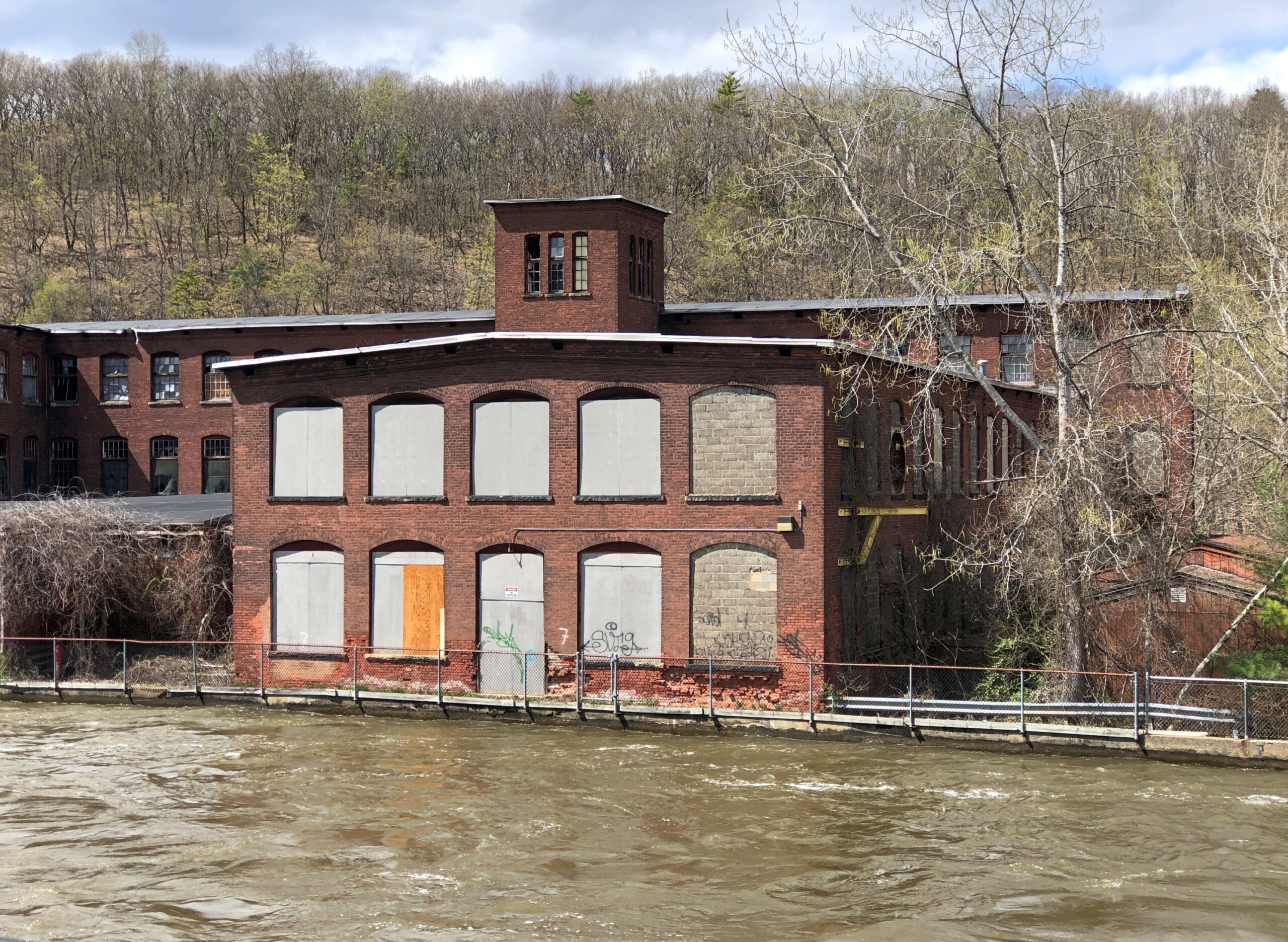
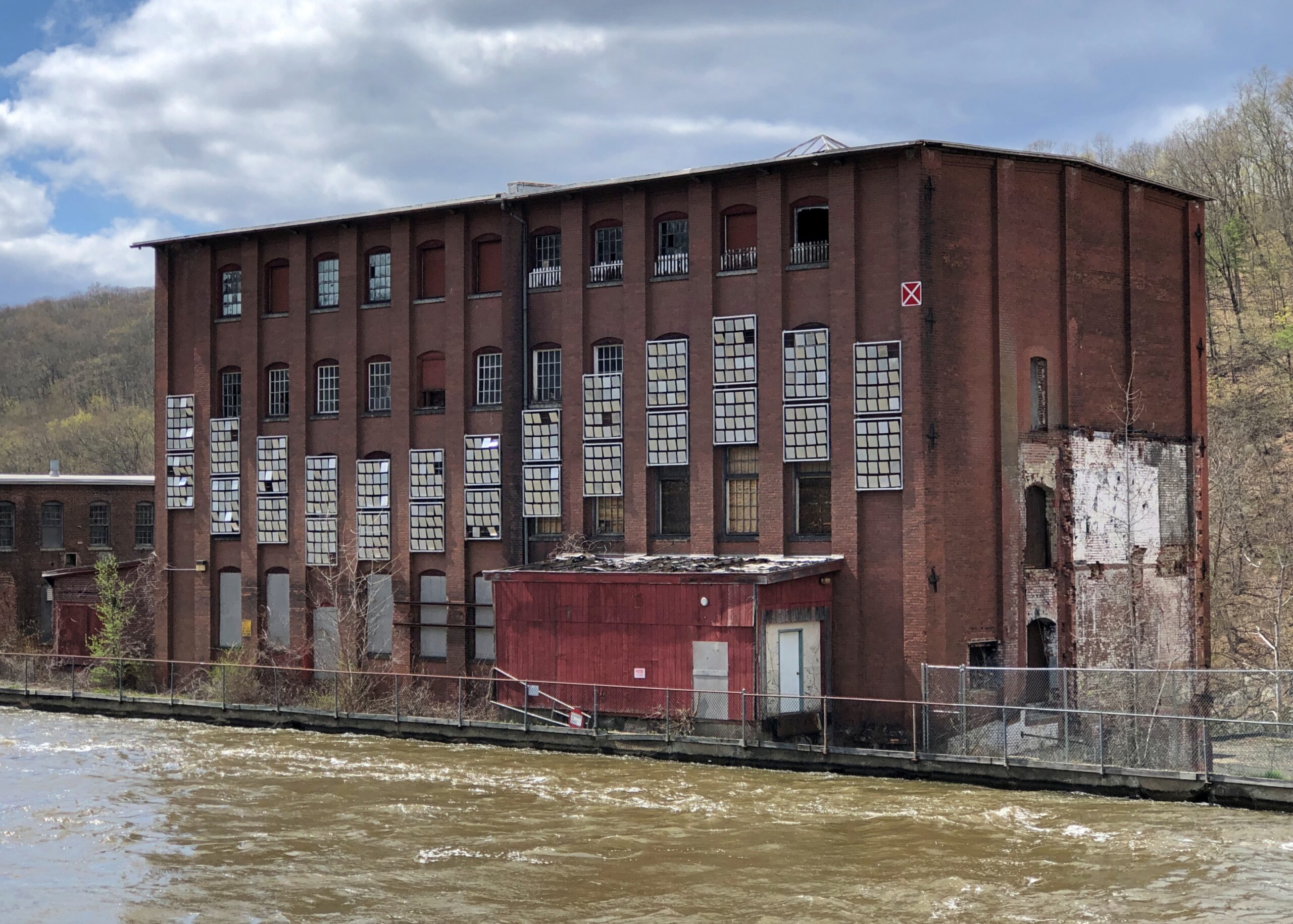
An earlier canal – dug early in the 19th century, just as the U.S. canal boom was getting underway – provided passage via locks around Turners Falls, and a boon to trade in the area. Railroads made that canal obsolete by the mid-19th century, so when the river was dammed, a different canal, a “power canal,” was created to provide water power for factories (the first canal, I believe, was submerged, but I’m not quite sure). Anyway, those factories are closed in our time, but their husks linger.
Waiting for the time when the area’s population is growing again — perhaps during a reverse migration from the too sunny South in the next mid-century — and these sturdy structures can be remade into residential properties.
The highway Massachusetts 2 – locally called Route 2 – traverses the northern reaches of the commonwealth, from the Boston Common to the border with New York more than 140 miles away, or vice versa. I went west, fortunately not starting in Boston itself, but still slightly inside Route 128.
Once you leave the thickest of metro Boston headed westward, the route becomes more casually picturesque, mildly winding through mildly hilly territory, providing access to Massachusetts towns more and less pleasant, depending I suppose on the vagaries of their economic history. Not an epic drive of the kind you encounter high in some mountains or across wide bodies of water, but a satisfying one all the same.
Eventually you come to the western part of the state, as mountainous as it gets, and the road acquires appropriate twists and vistas. My favorite moment on the road was when I first drove it in 1989. I took one of those twists, and saw a suddenly appearing sign that said Entering Florida. Of course someone has posted a picture.
Florida, Massachusetts, that is, a town (pop. 671) in the Berkshires.
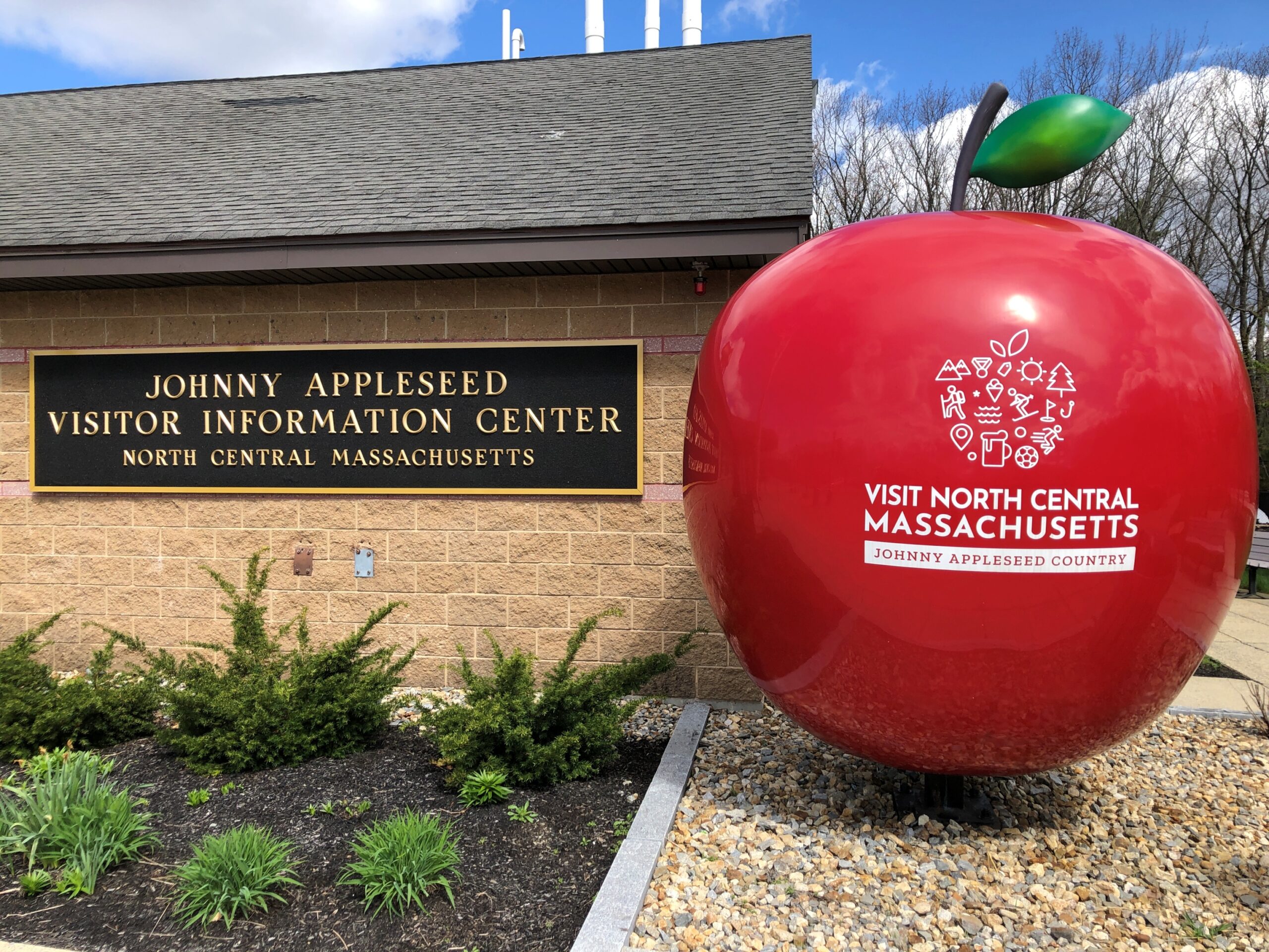
That was another drive. In April I traveled on Route 2 as far west as Shelburne Falls, but I’m getting ahead of myself. First I stopped at a rest stop on the way that reminds us that Johnny Appleseed hailed from these parts.
Indeed, John Chapman was born in Leominster, Massachusetts before the Revolution, though he came to fame in the wild-and-woolly Northwest Territory (and its spanking-new states) and now reposes in Fort Wayne, Indiana under some apple trees.
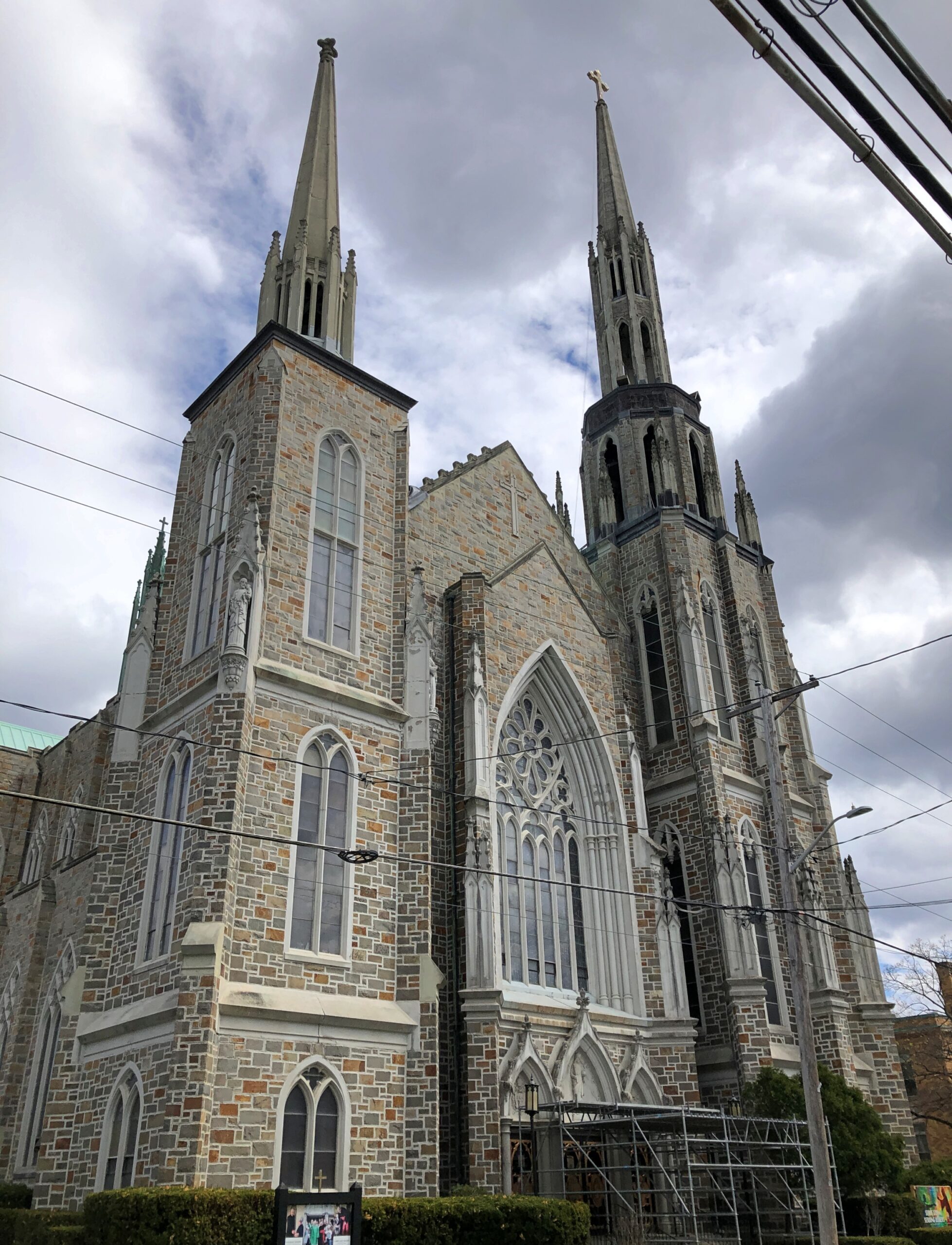
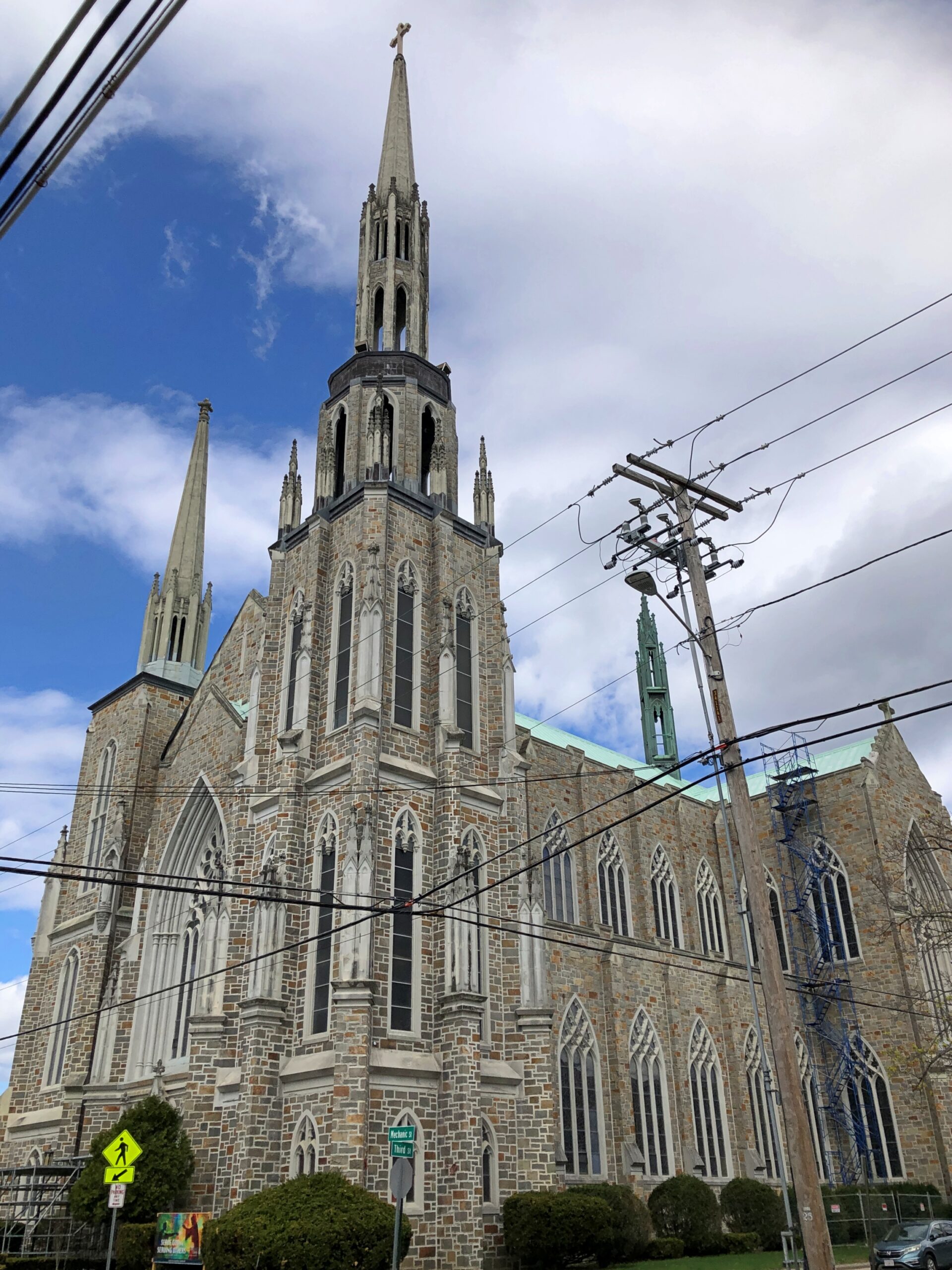
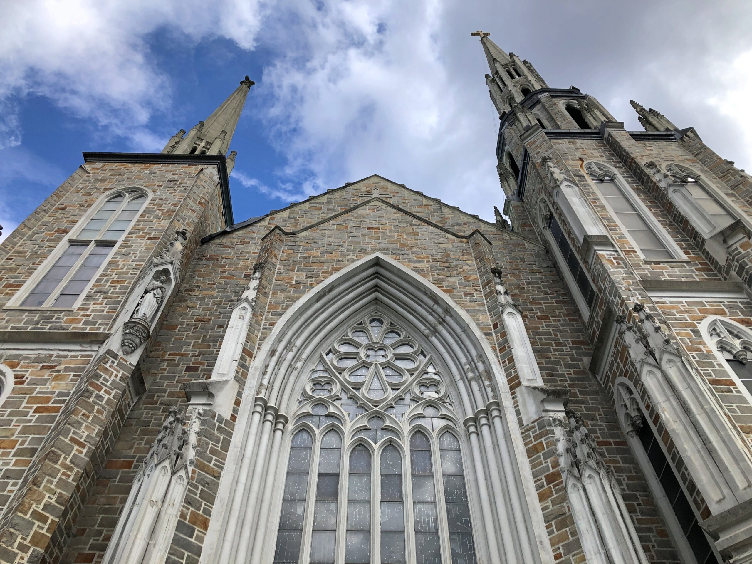
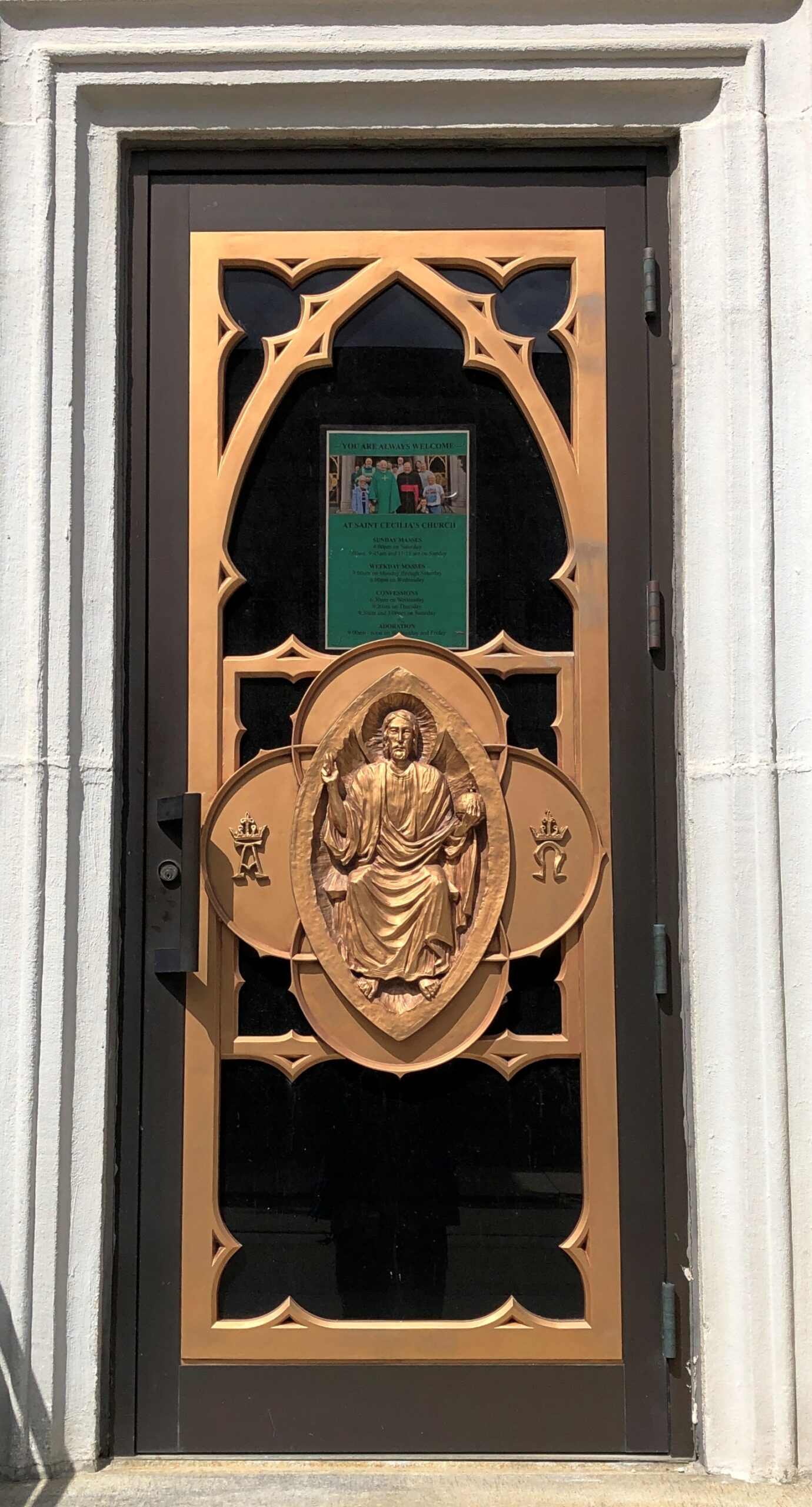
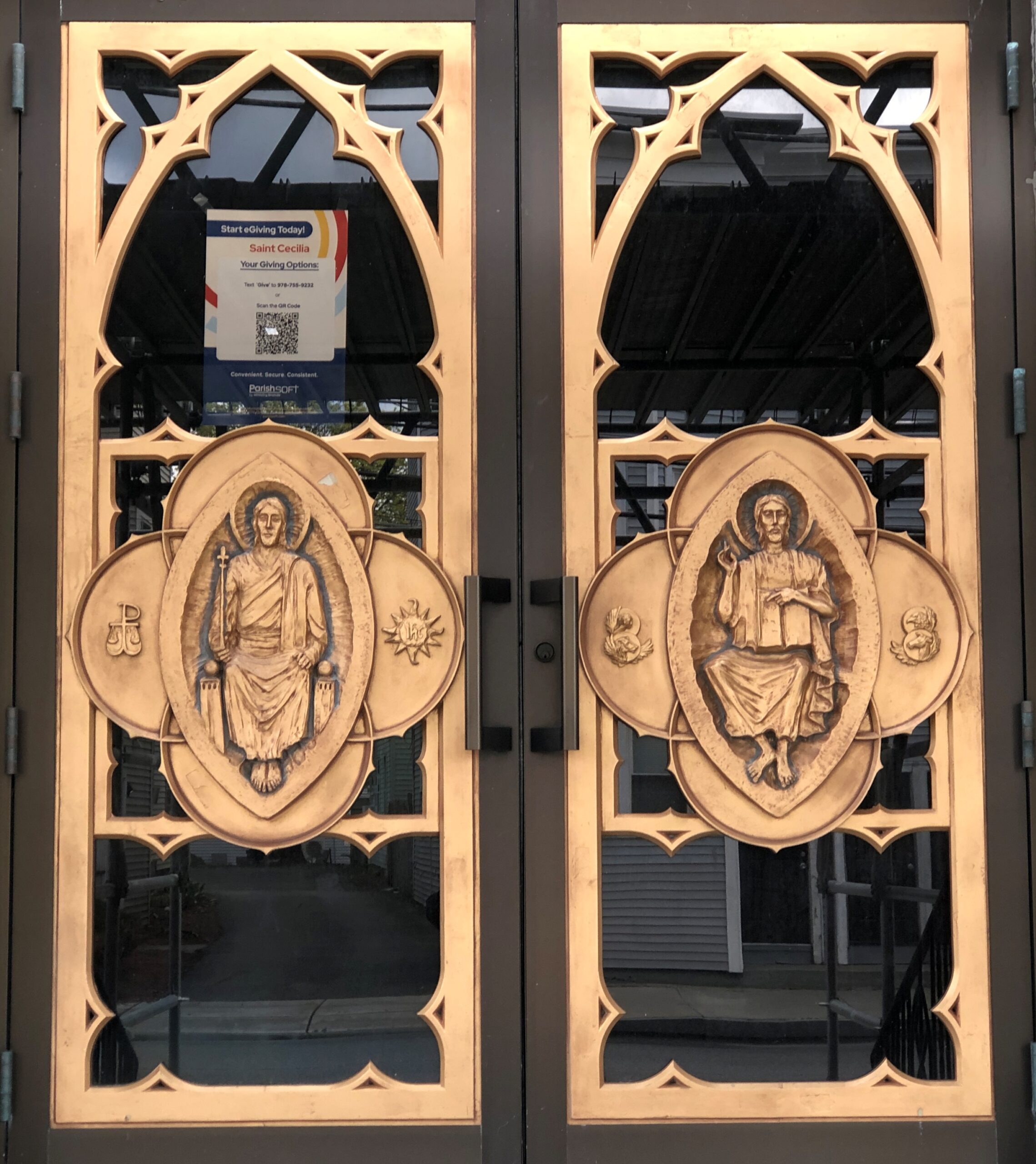
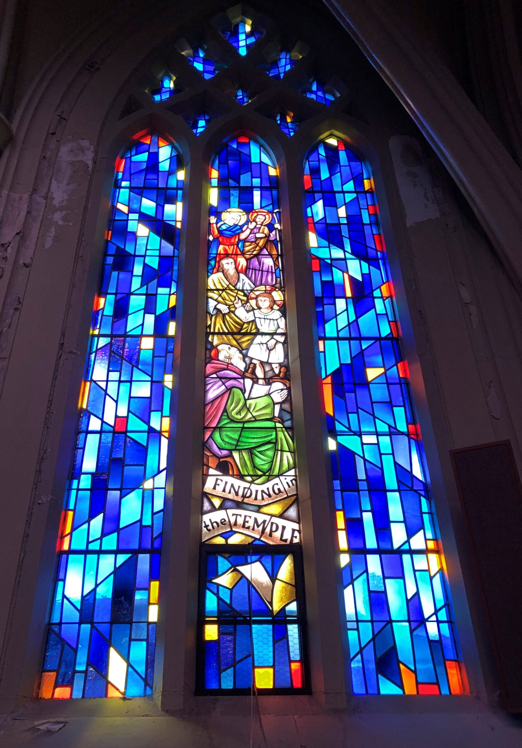
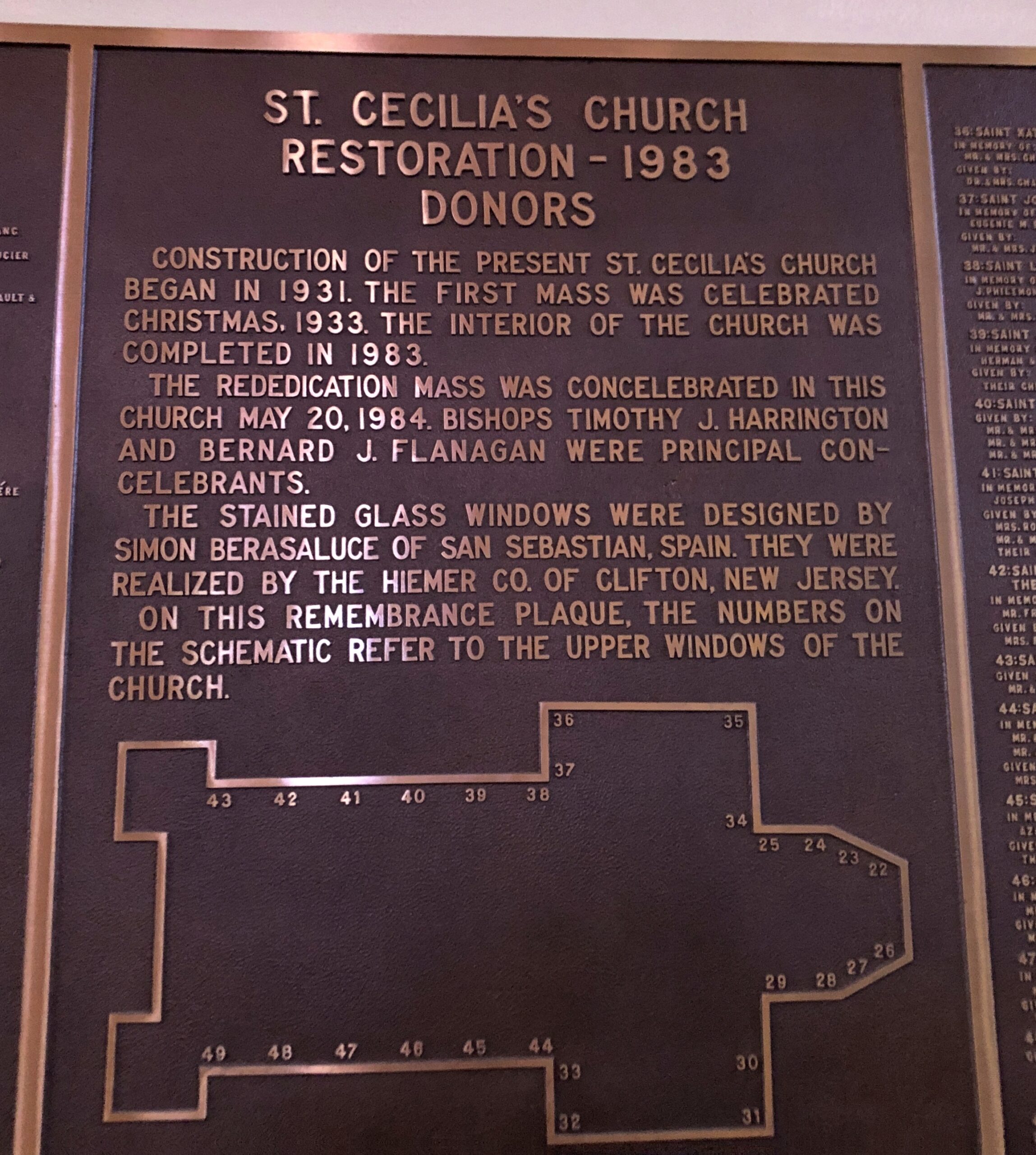
I was inspired to stop in Leominster (pop. 43,800). First stop, St. Cecelia’s Church, whose construction began in 1931 and which was restored in 1983.
Good to see a church of that name; reminds me of Santa Cecilia in Trastevere, a favorite part of Rome for me (40+ years ago), though the Massachusetts church itself is rather different.
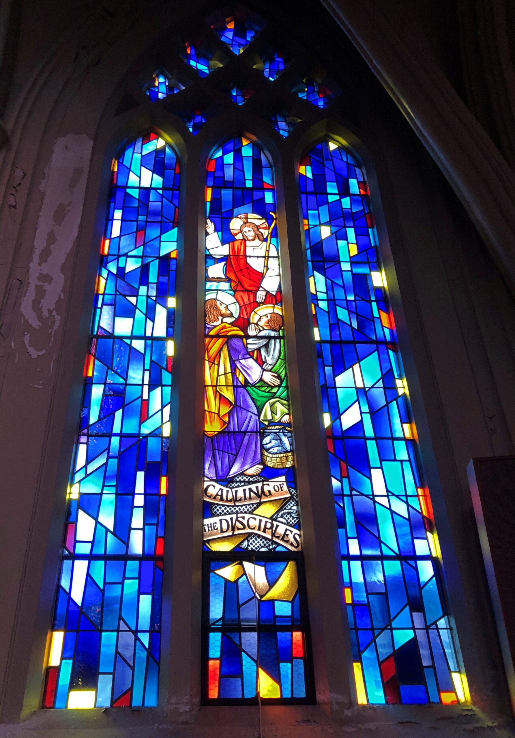
Some fine stained glass, designed in Spain, created in New Jersey.
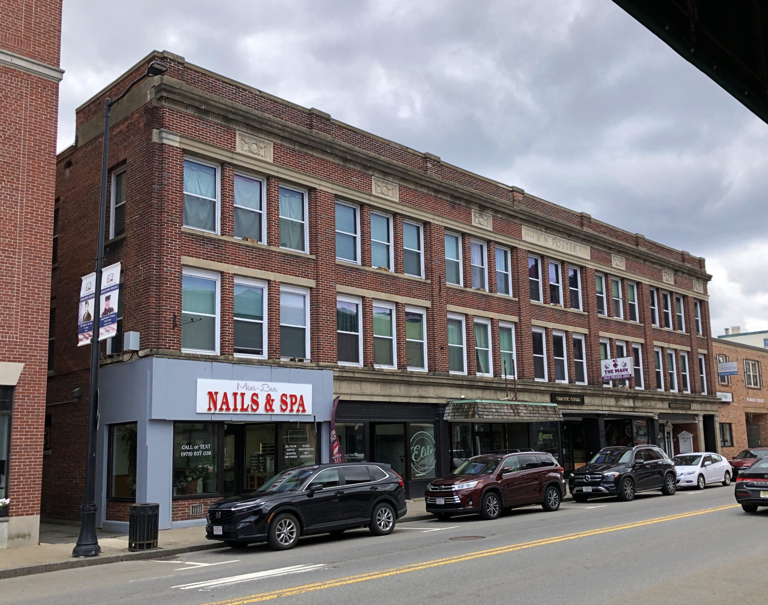
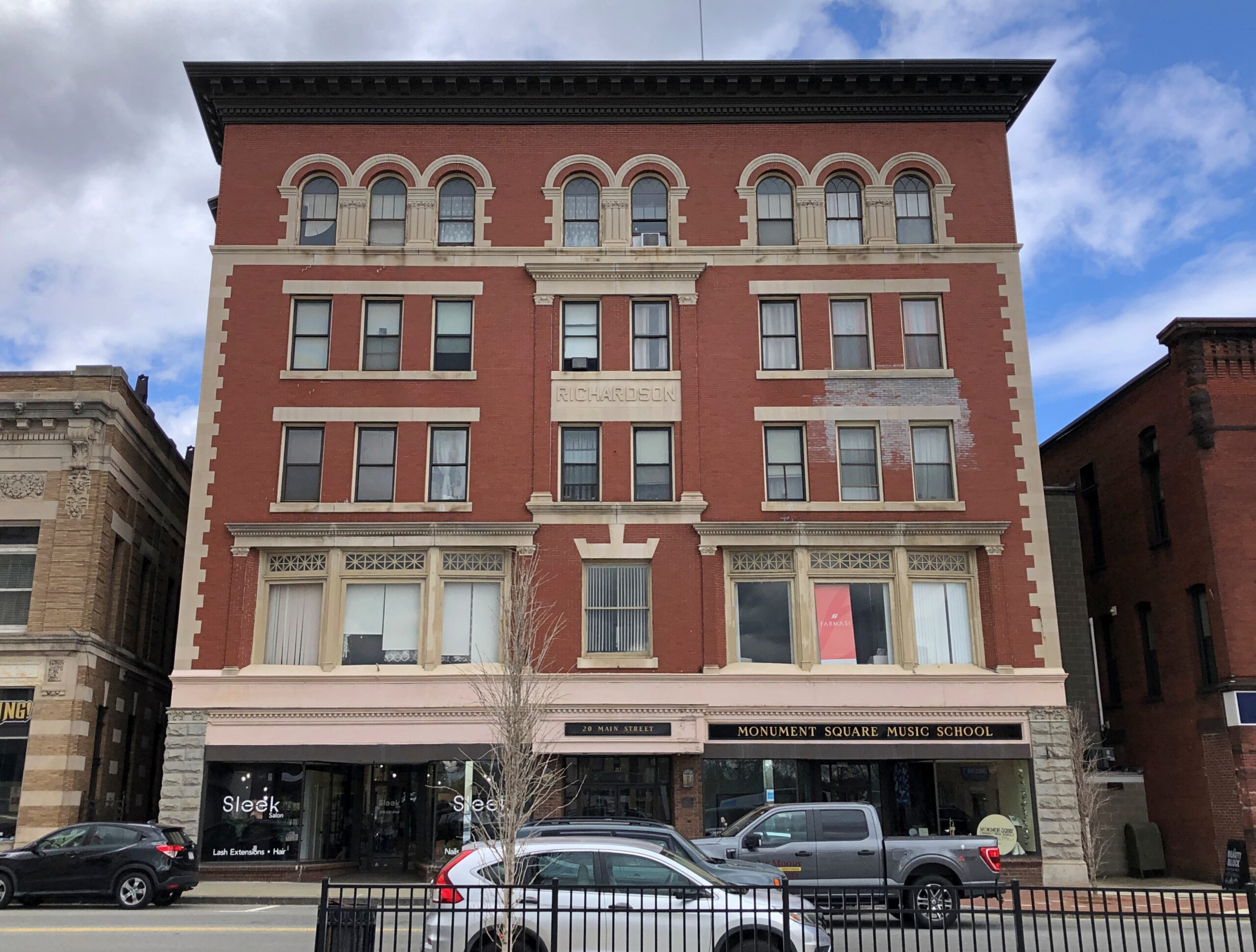
Leominster has the sort of long economic arc (for America) one finds in the Northeast: agriculture to manufacturing to services, though those first two economic activities are to some degree ongoing even now. The town is prosperous enough to support well-kept and still-used downtown buildings.
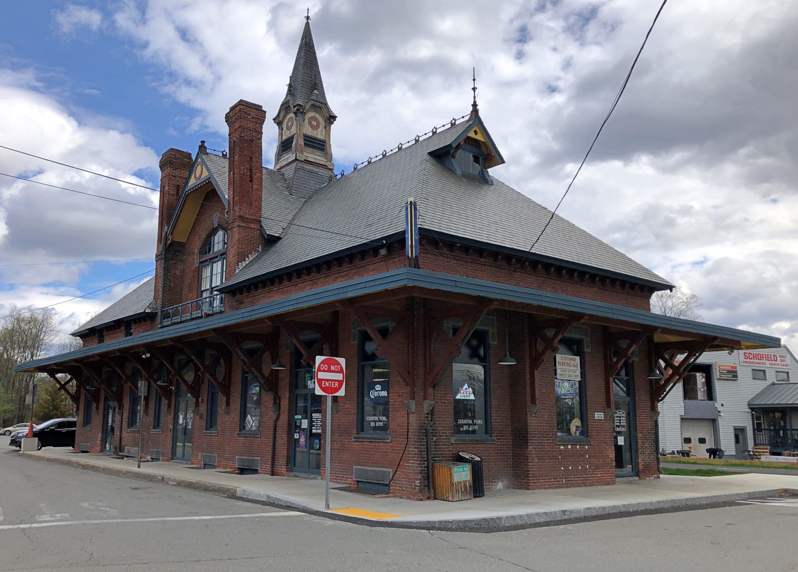
I liked the handsome former train station, now retail.
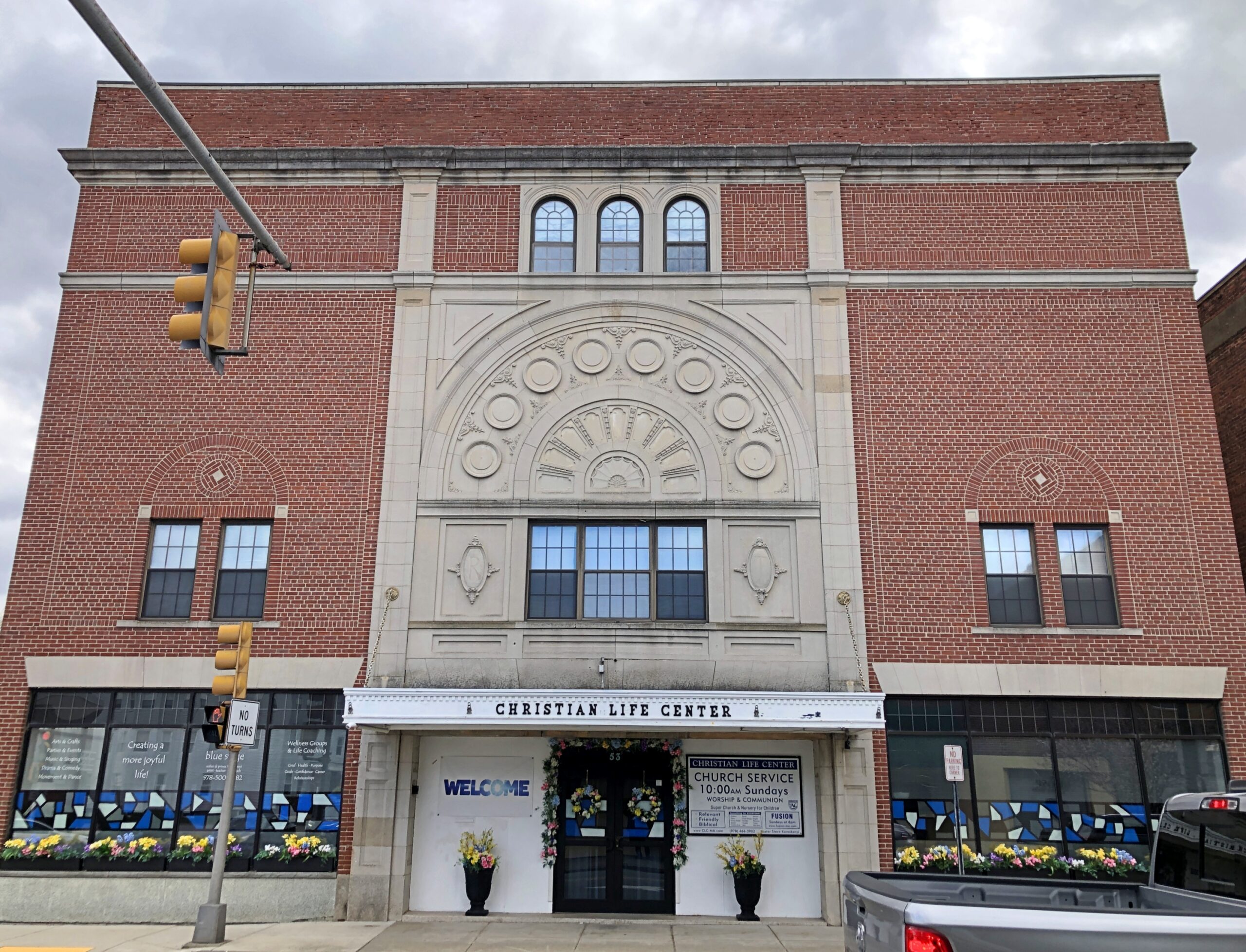
Another church.
Not as vaulting as the Catholic church down the road, but still a handsome brick structure. I had to look into it: this church is affiliated with the Assemblies of God, the largest Pentecostal association in the U.S.
Manufacturing in the case of Leominster meant a remarkable specialty in the 19th century and into the 20th: combs. Even more remarkable, a history of American comb making, published in 1925, is posted online, namely Comb Making in America, “An Account of the Origin and Development of the Industry for which Leominster has Become Famous to which are added Pictures of Many of the Early Comb Makers and Views of the Old Time Comb Shops.”
That publication date puts it in the public domain. Ah, there’s another setting for a streaming service limited series costume drama — among the cutthroat world of comb making in 19th-century Leominster. I don’t know that “cutthroat” is accurate at all, but who cares. Maybe two brothers fighting for control of their dying father’s comb empire, and their love for the same upper-class woman (who is anachronistically feisty), amid a backdrop of bitter labor agitation, with two labor leaders pushing for unionization, and their love for the same woman (a different woman, that is, one of the comb makers, but also feisty.). See, that wasn’t hard at all. Who needs AI to come up with ridiculous ideas?
The Forward of Comb Making in America calls Leominster the “present seat” of the industry in America: “The industry has changed this thriving town, which is about fifteen miles from Worchester and forty-five miles from Boston, from a small agricultural hamlet into an industrial center of more than twenty thousand people whose products are known throughout the world.”
In the early days, of course, making combs from animal horn and the like was a labor-intensive effort. A more modern industry arose with the invention of celluloid. Later came more sophisticated plastics and molding tech, and the expansion of the industry into other molded items. Such as Foster Grants and Tupperware, both of which originated in Leominster. A simple Google search reveals that there is still a plastics industry in Leominster.
I didn’t spend a lot of time in Leominster, so maybe I missed it. But where’s the giant comb or Foster Grant or Tupperware container in a prominent public place? Leominster officials and private boosters, get on it. Or at least invite the Wall Dogs to town to whip up some local history murals.