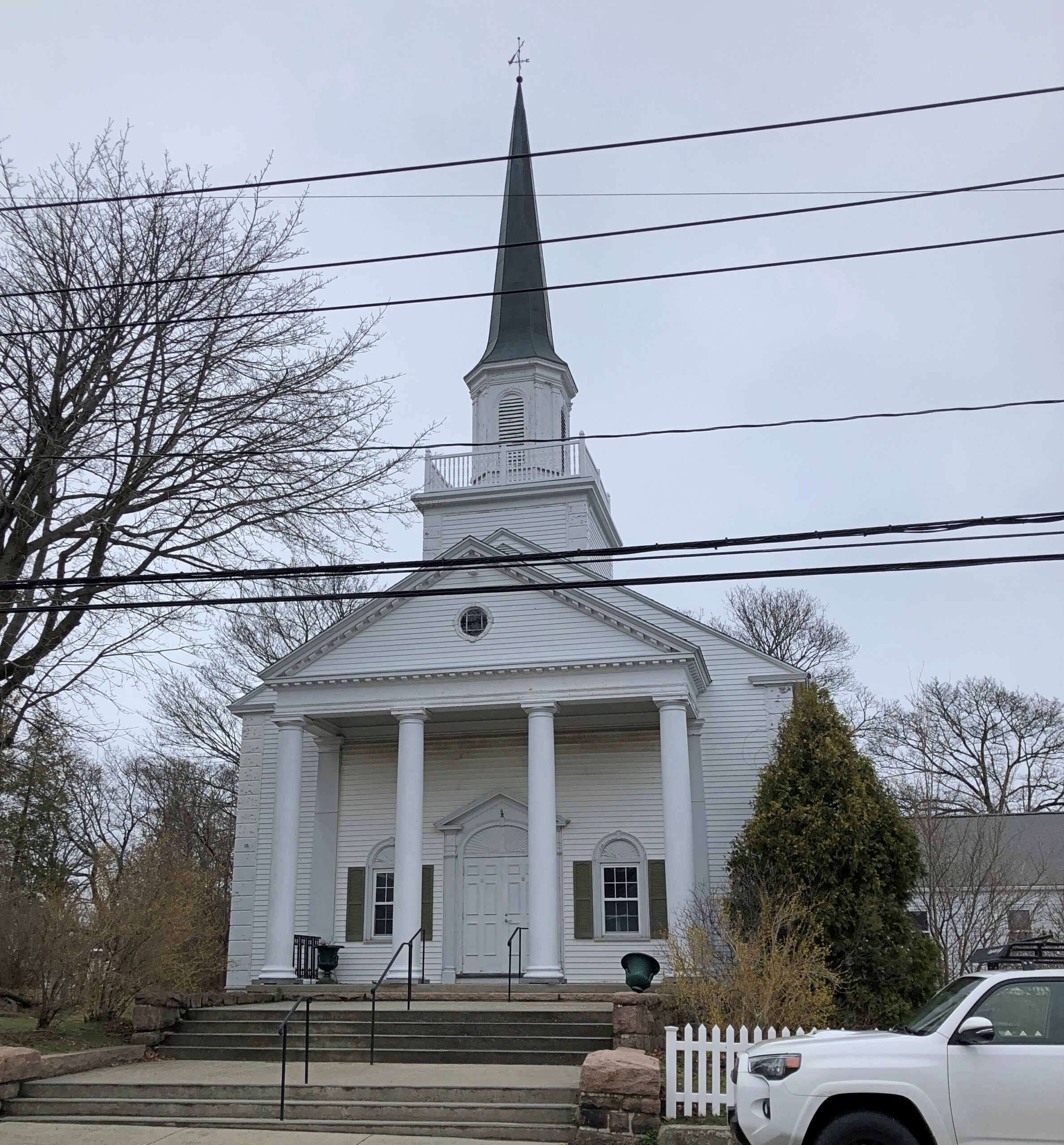
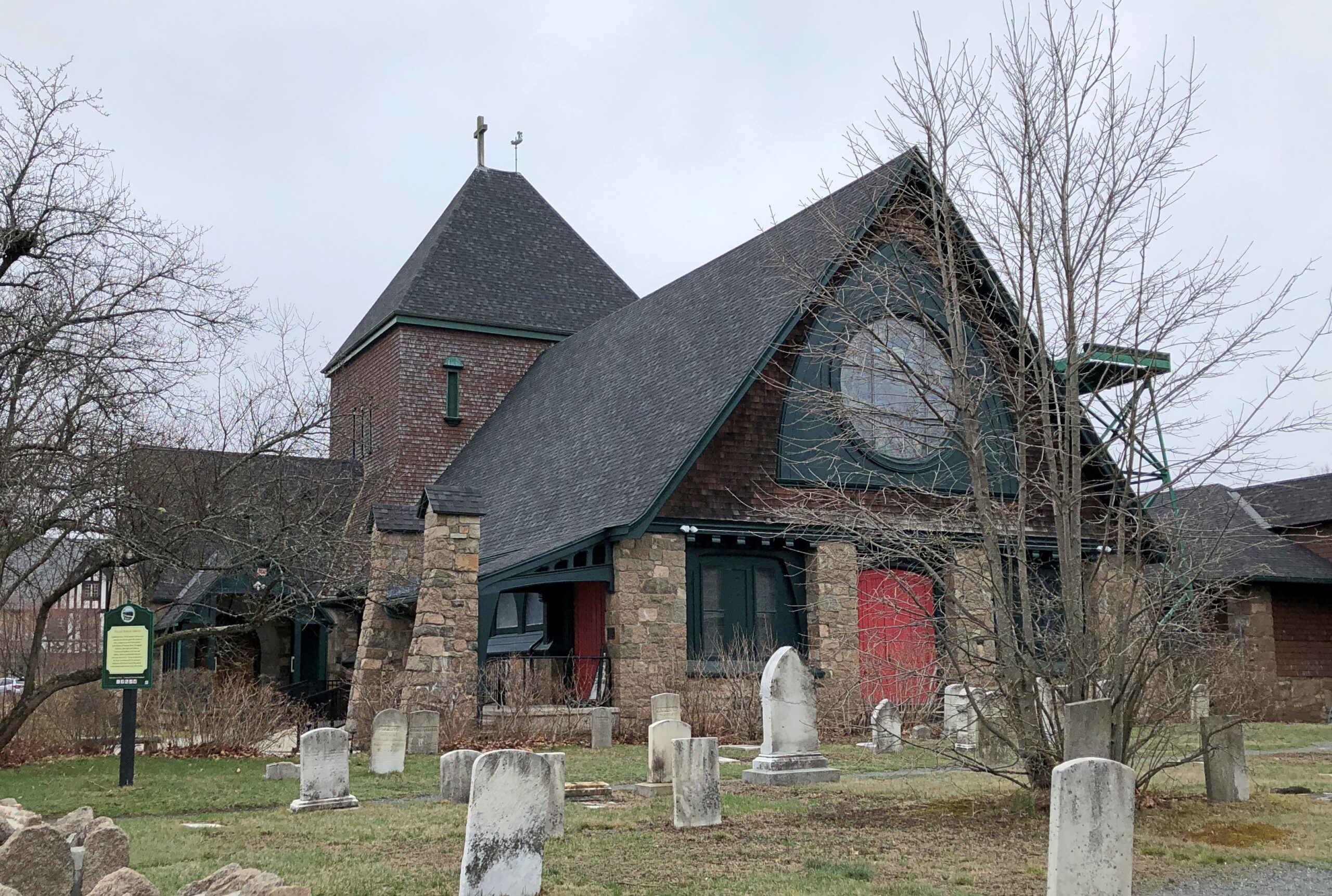
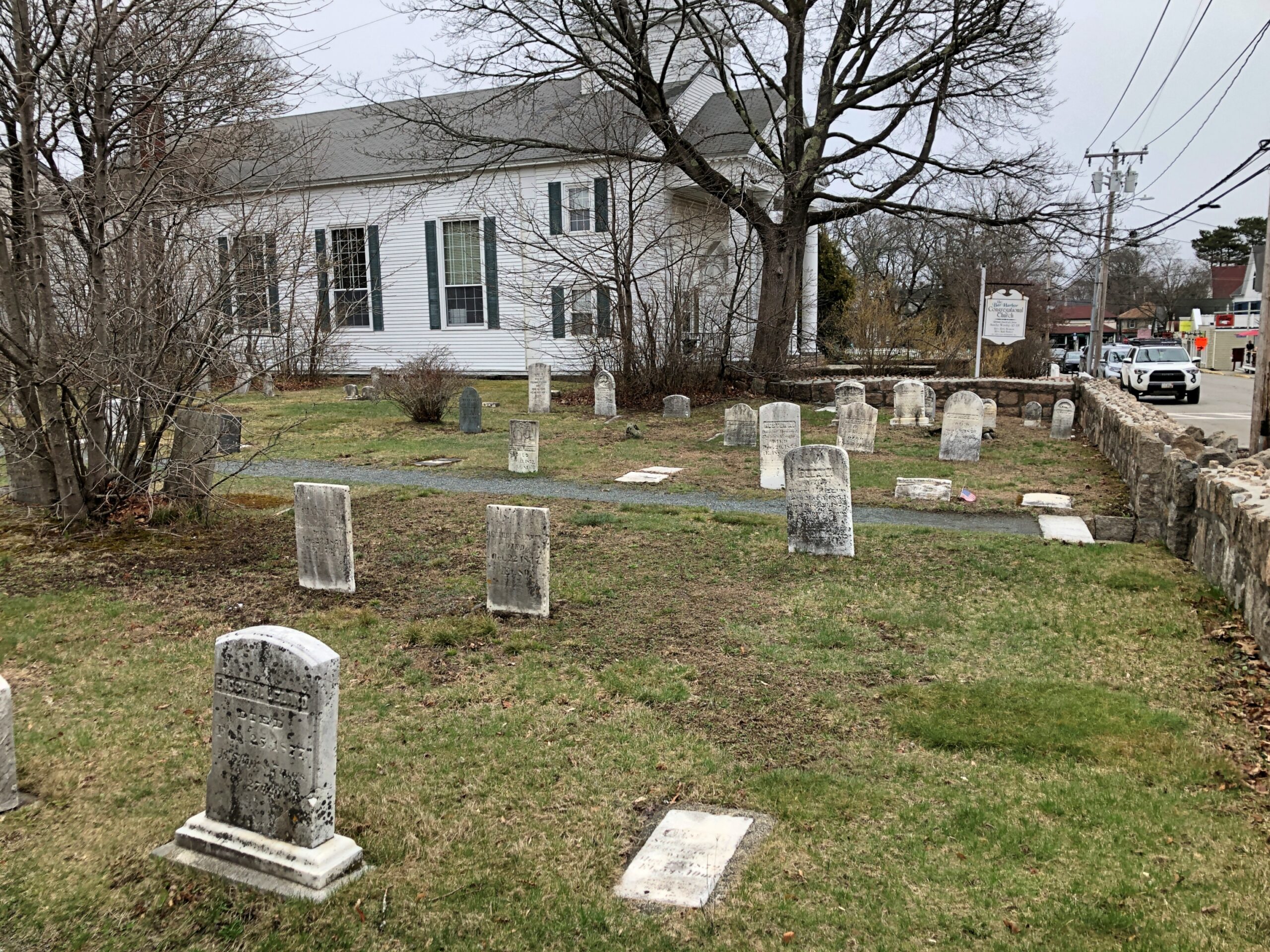
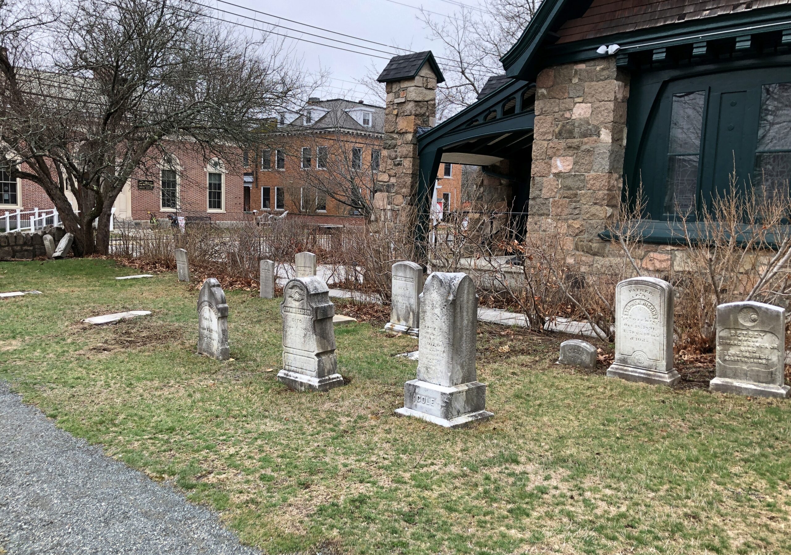
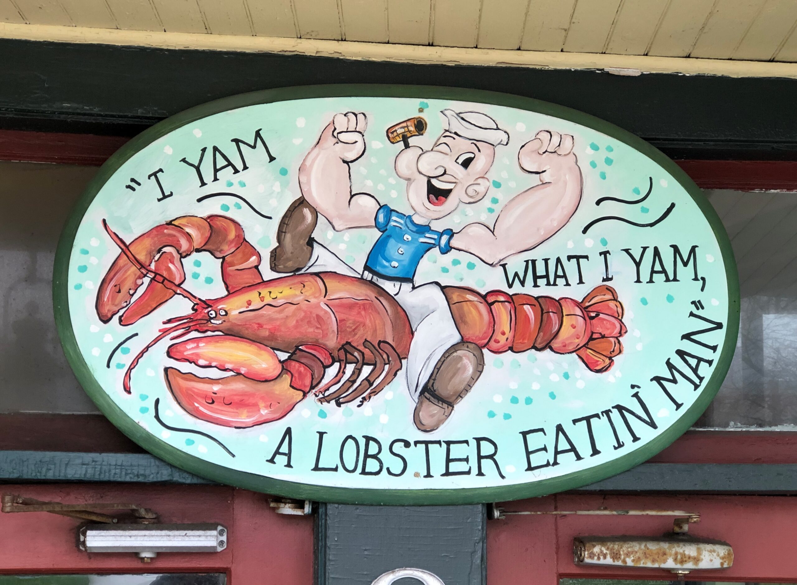
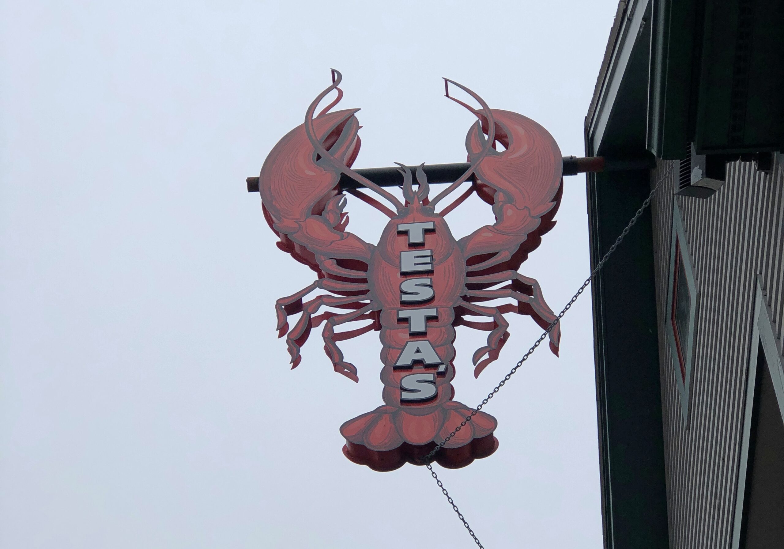
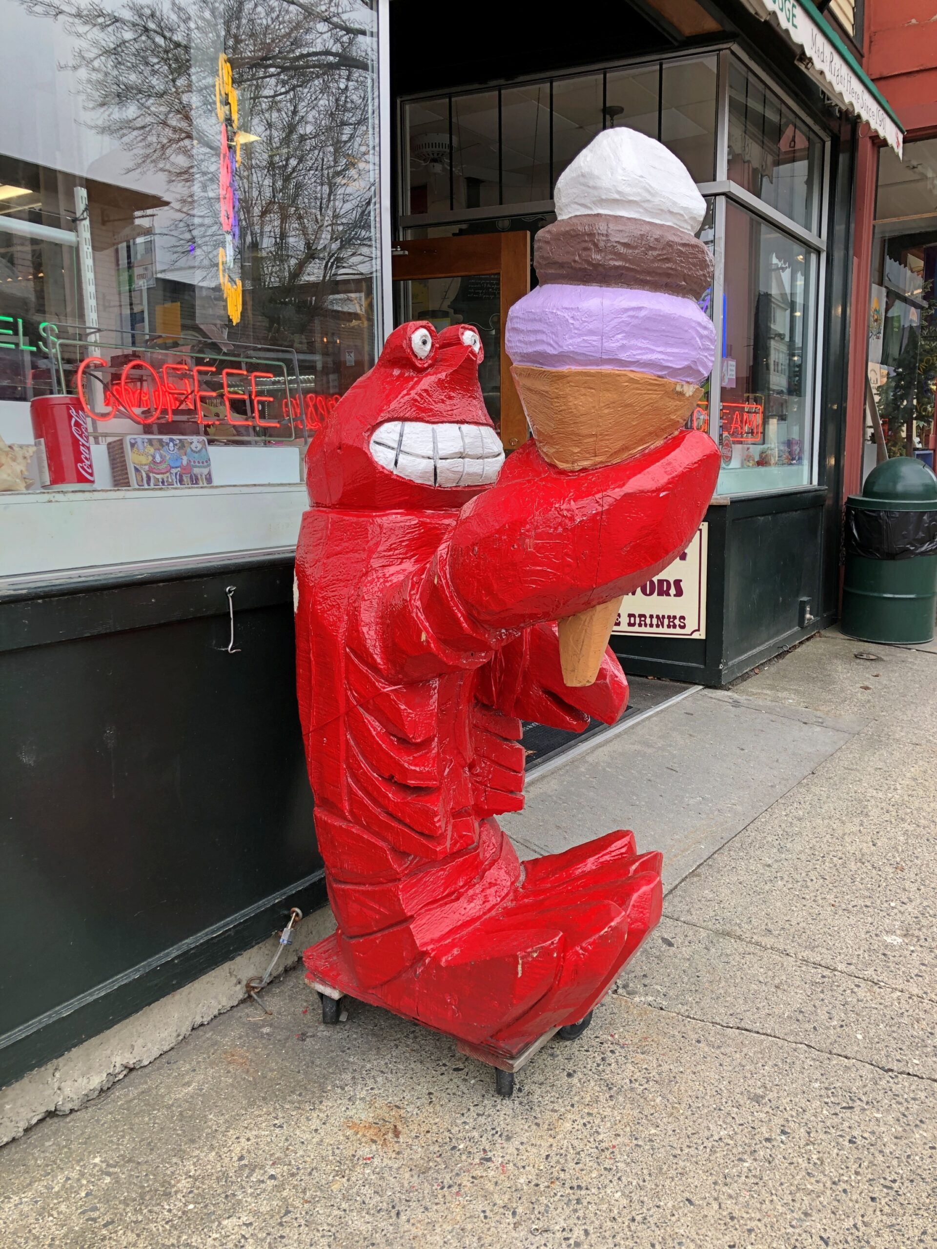
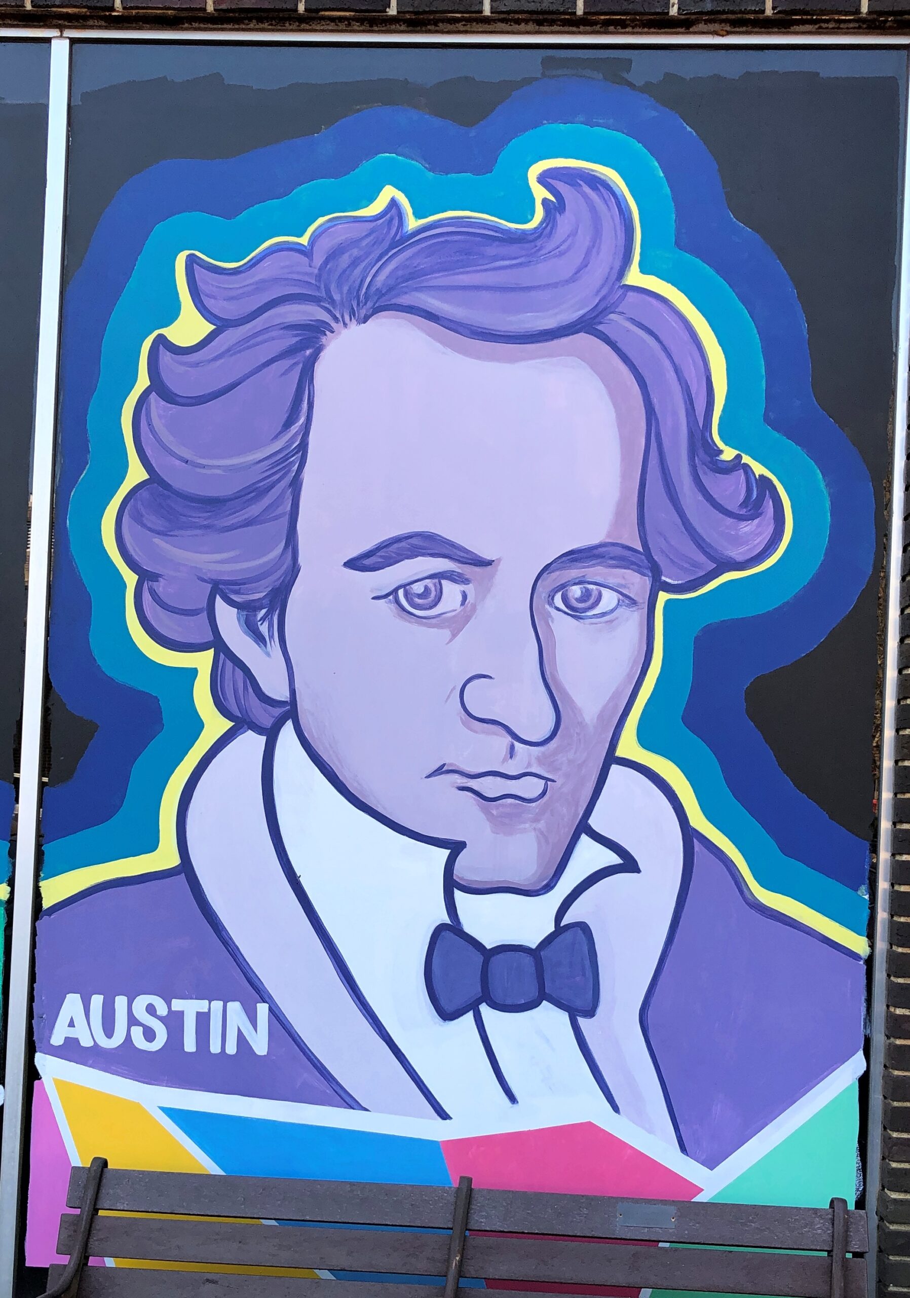
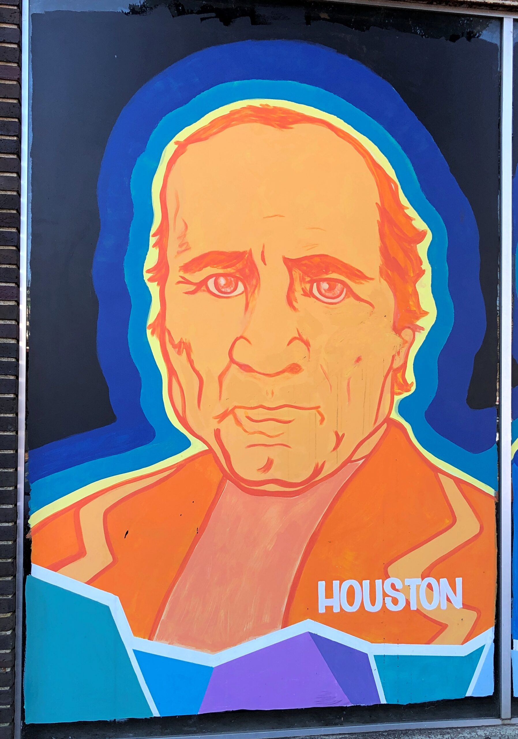
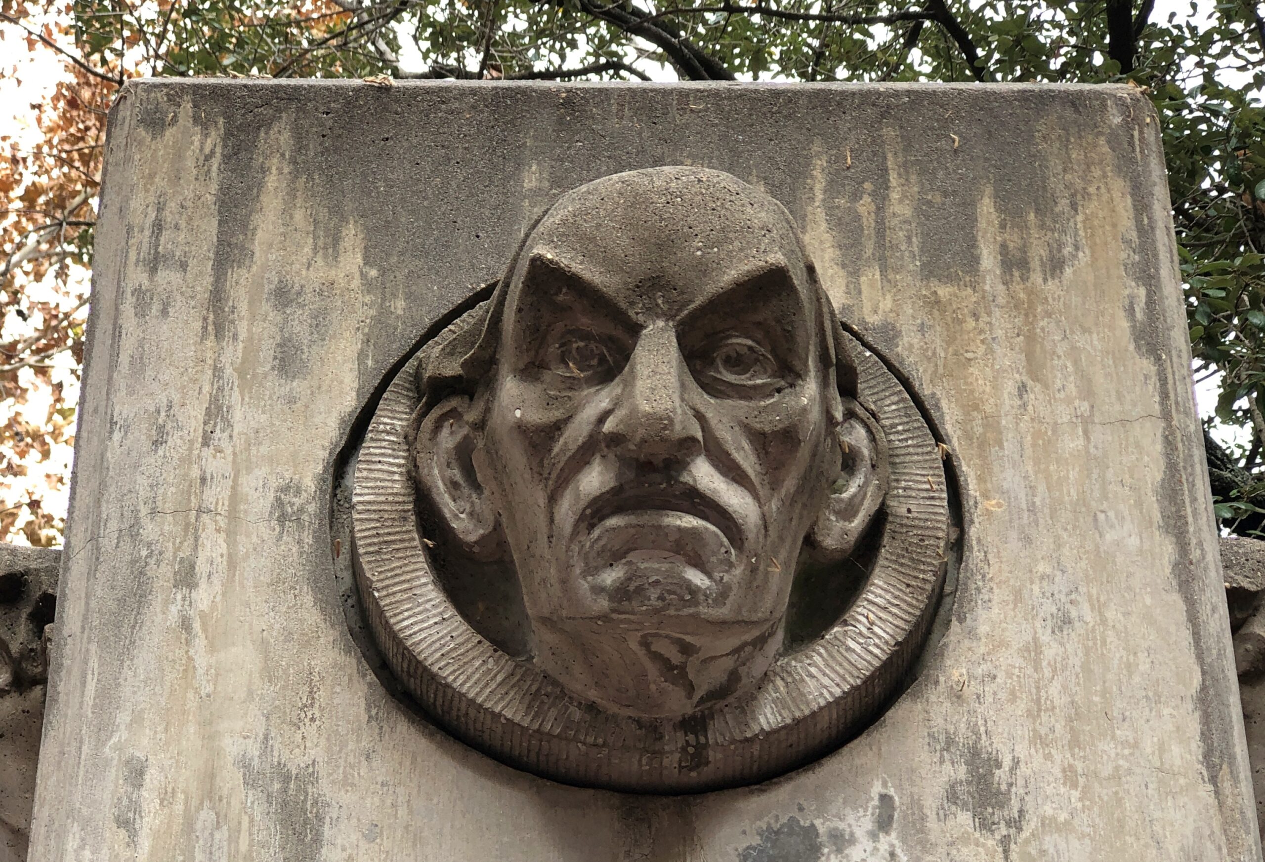
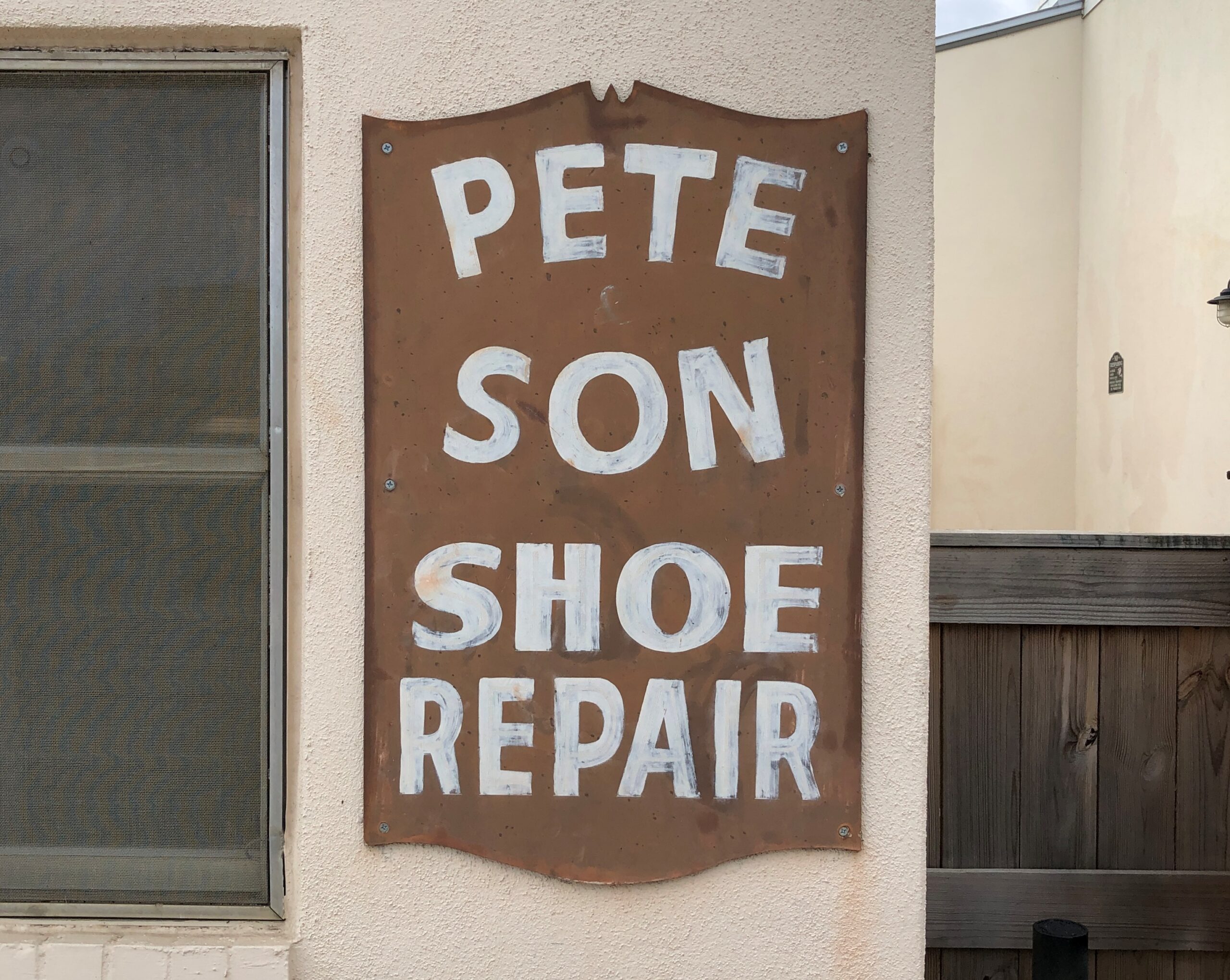
I might be wrong, but I don’t think this is canonical Popeye.
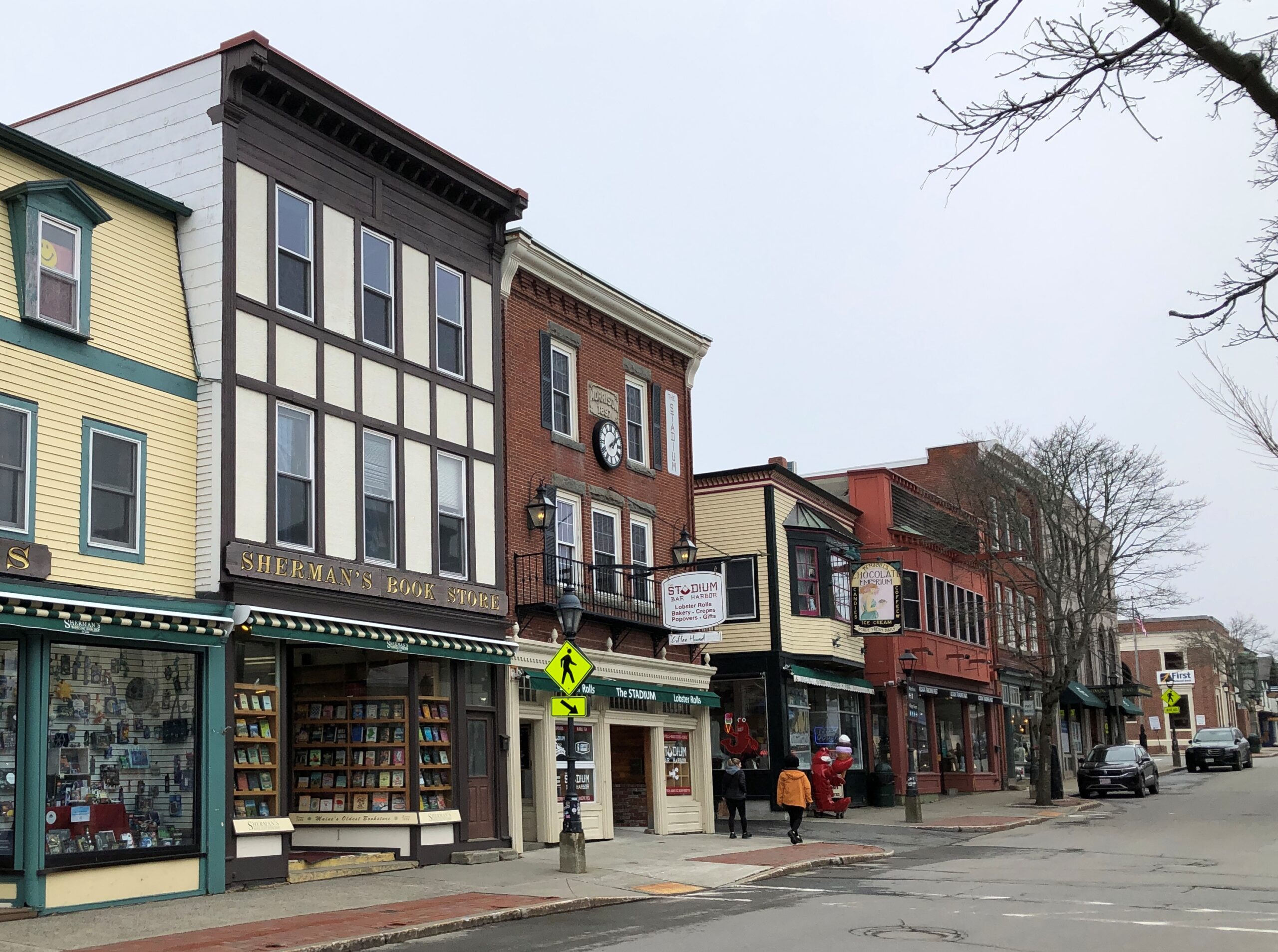
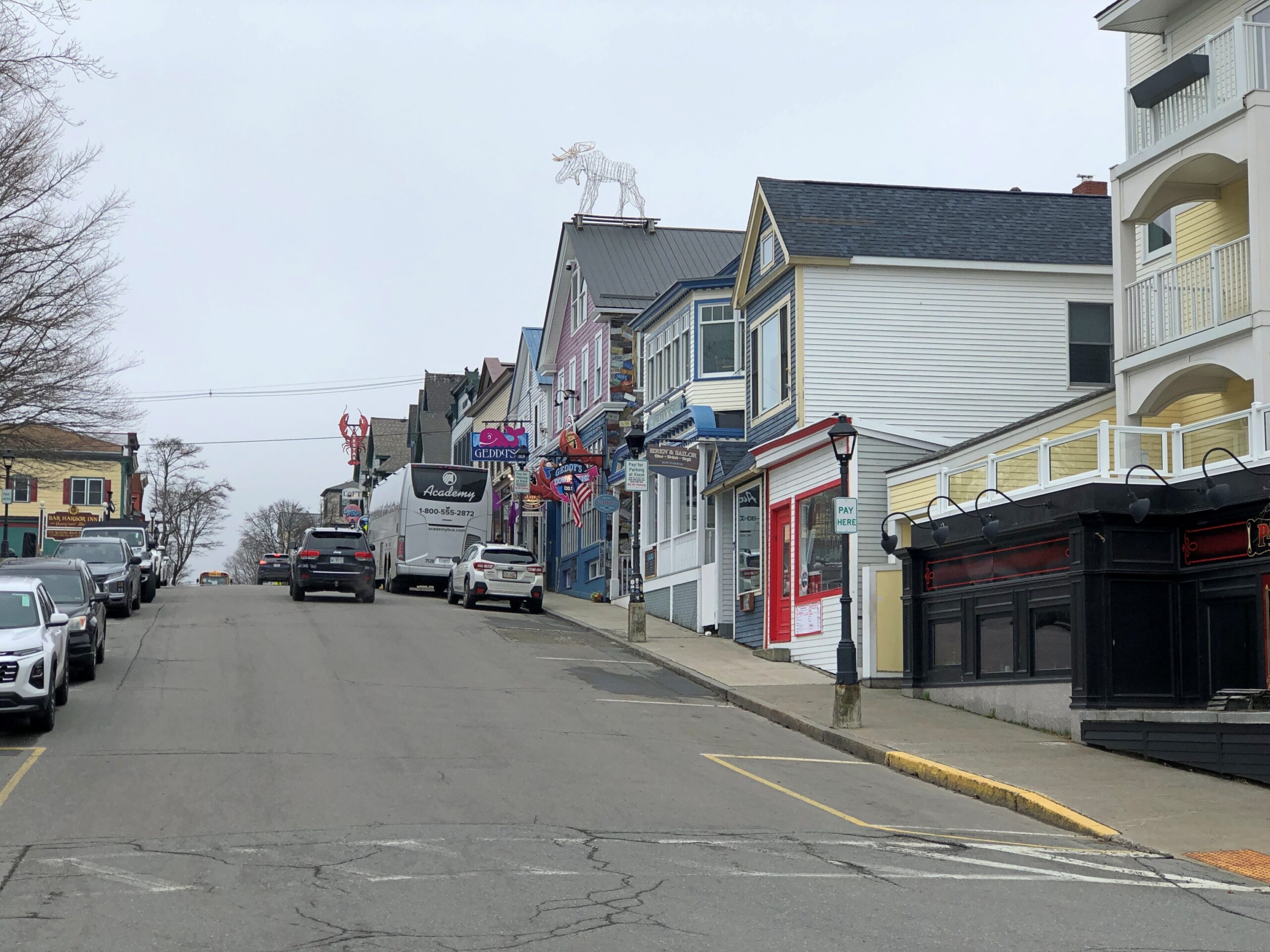
It is Maine Popeye. He’s a sailorman, after all, and has probably cracked open a few lobsters in his time. Or so we can imagine, free of ridiculous ideas about canon. Applying canon to Popeye only goes to show how silly the notion of pop culture canon is, but that’s a subject for another time. During the afternoon of April 16, I spent a few hours chilling in Bar Harbor, Maine, where I encountered the lobster eatin’ Popeye over a closed restaurant. Chilling had a literal component, too, since it was overcast and in the low- to mid-40s F.
Consider the lobster. Bar Harbor certainly does.
The standing lobster touts for an ice cream and coffee shop. It was open, unlike about two-thirds of the businesses on Main St. Ice cream wasn’t going to hit the spot that day, but the shop’s hot chocolate did.
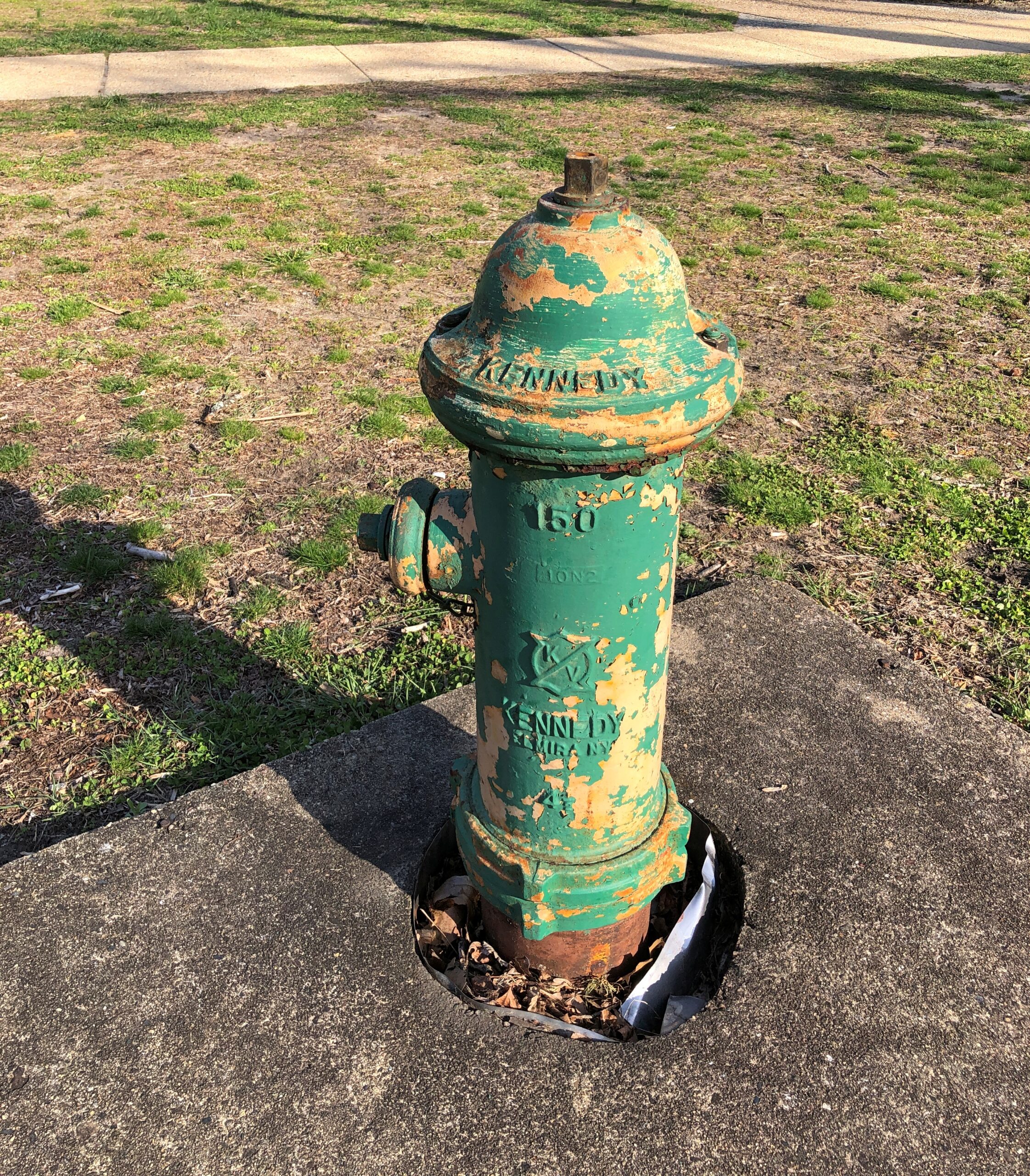
Even Bar Harbor fire hydrants have that snappy lobster color, almost.
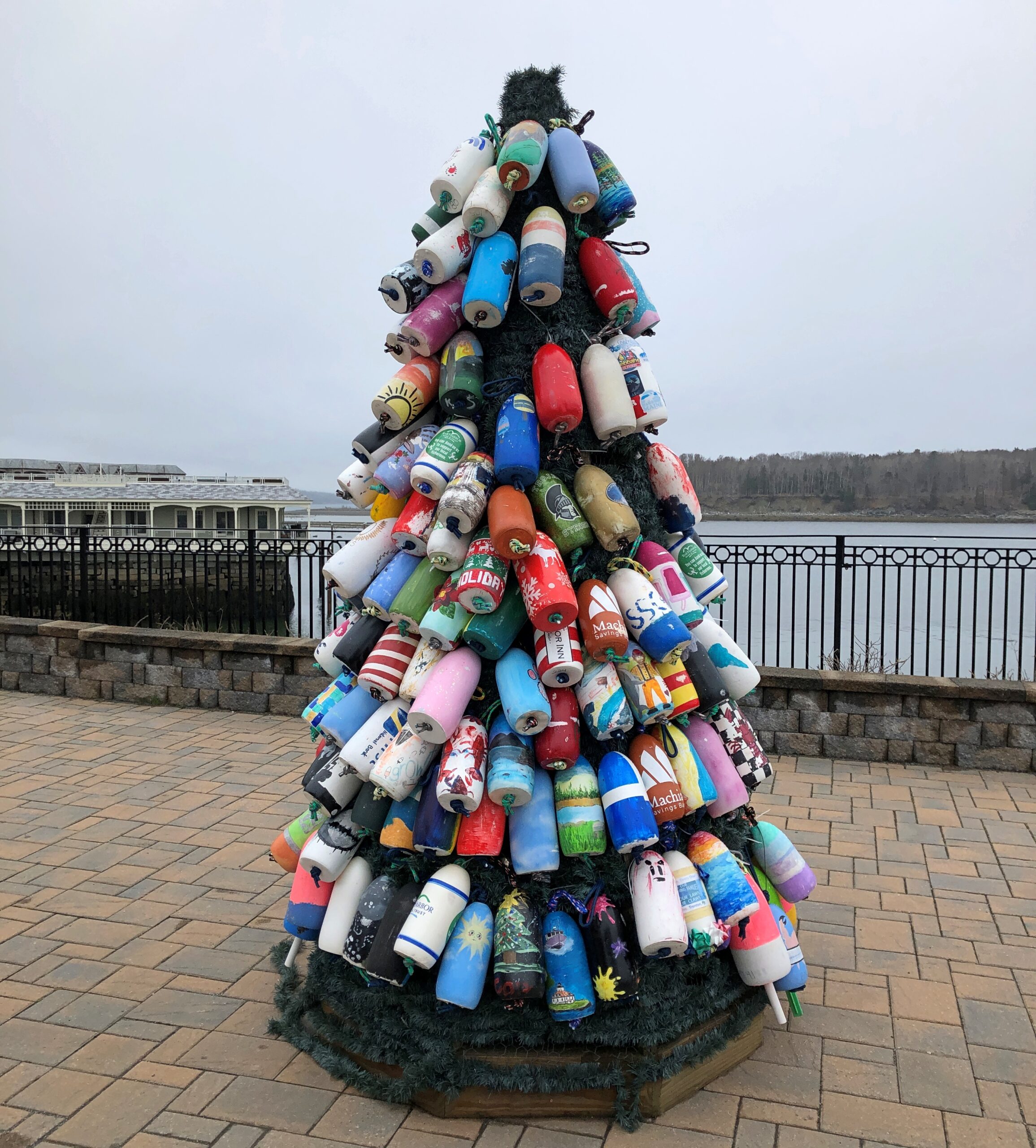
Near the water, a display of lobster trap buoys.
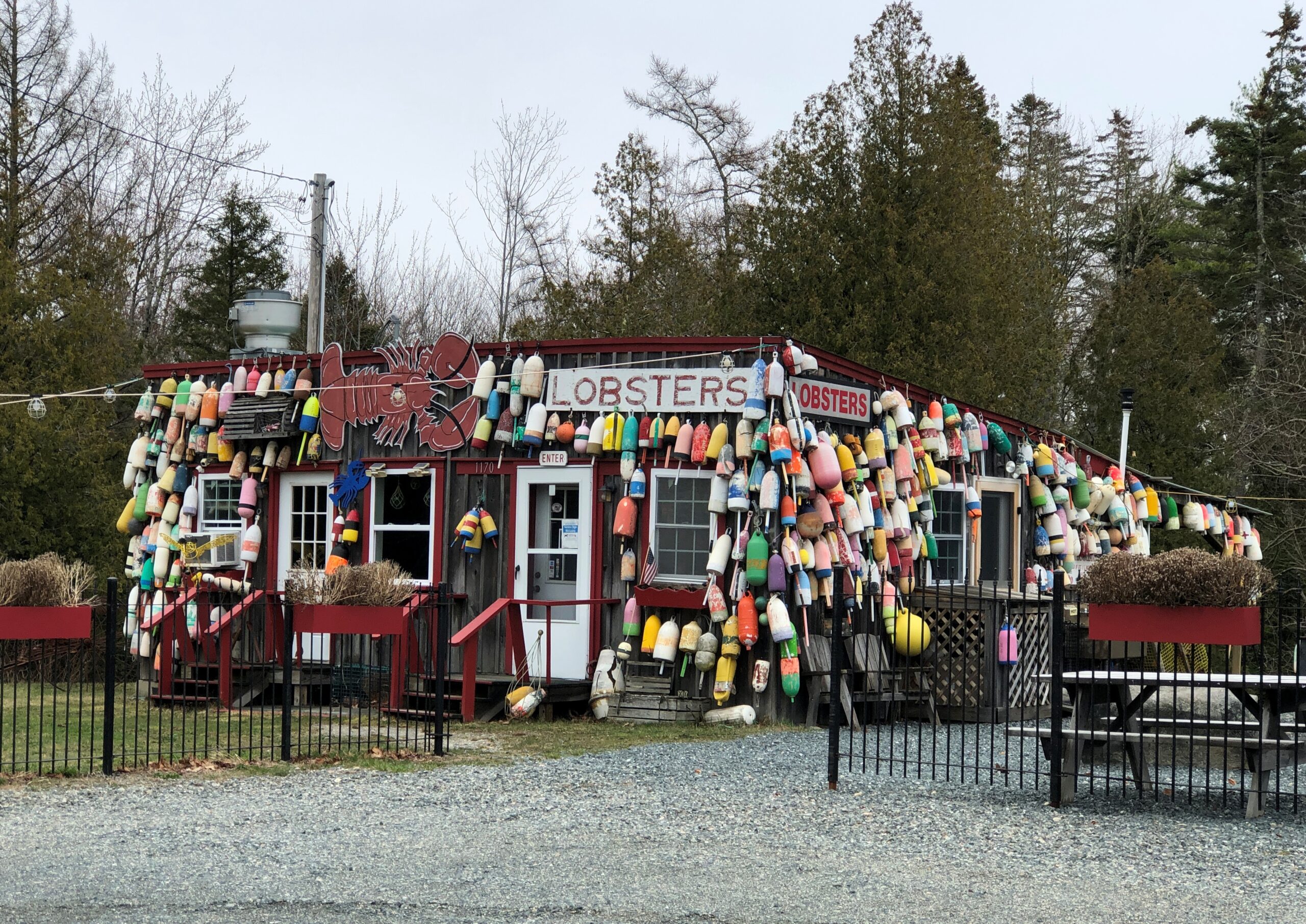
This structure is actually a few miles out of town, but I had to stop to look at the buoys.
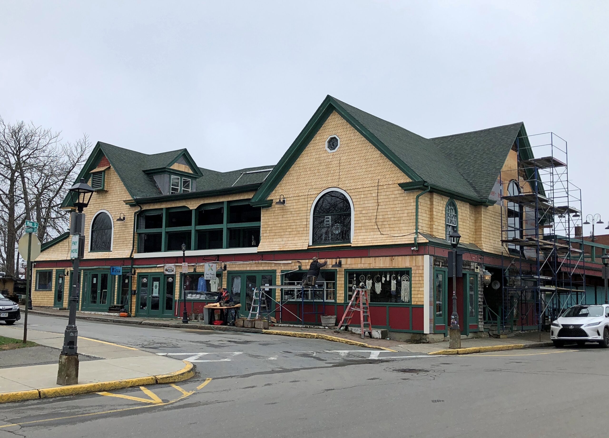
As a resort town, Bar Harbor is only partly open in April. In some places on Main Street, workmen were getting stores ready for the summer.
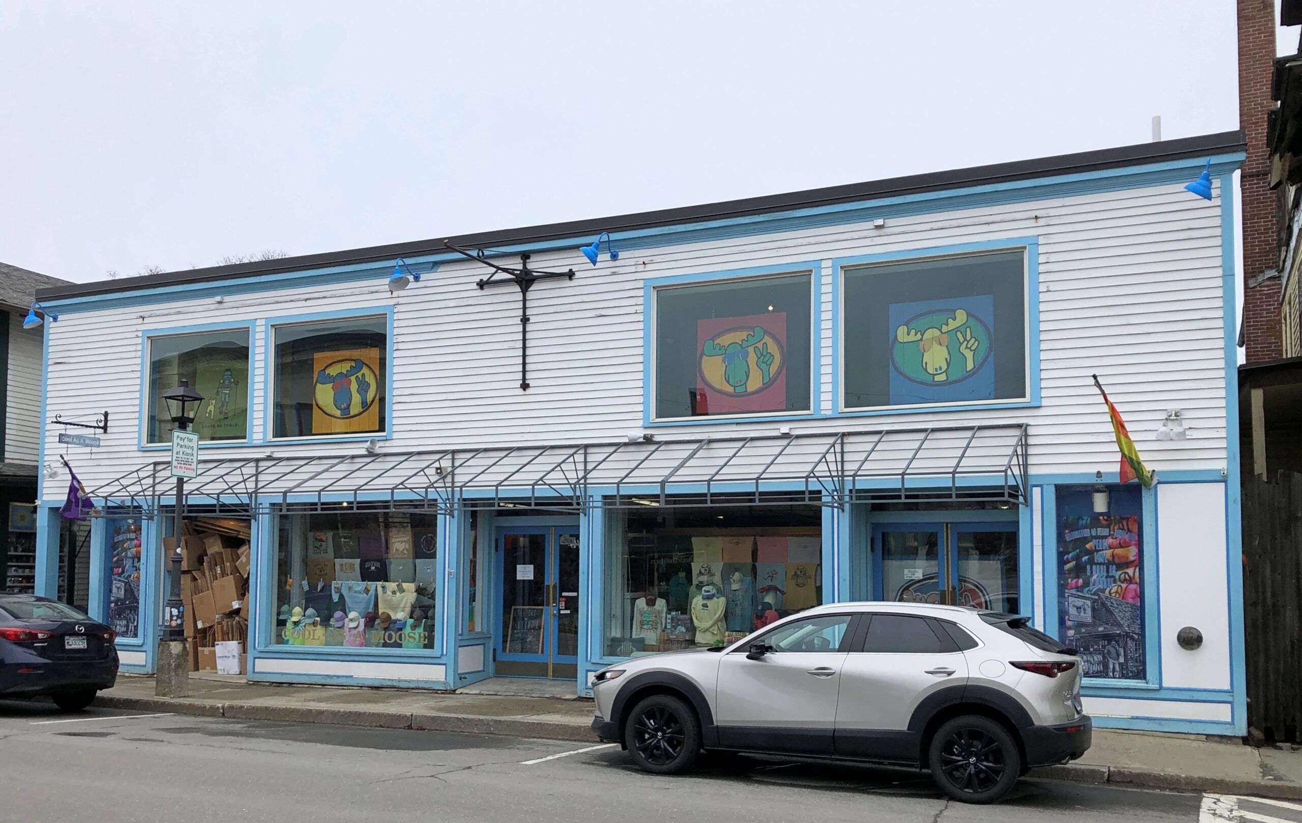
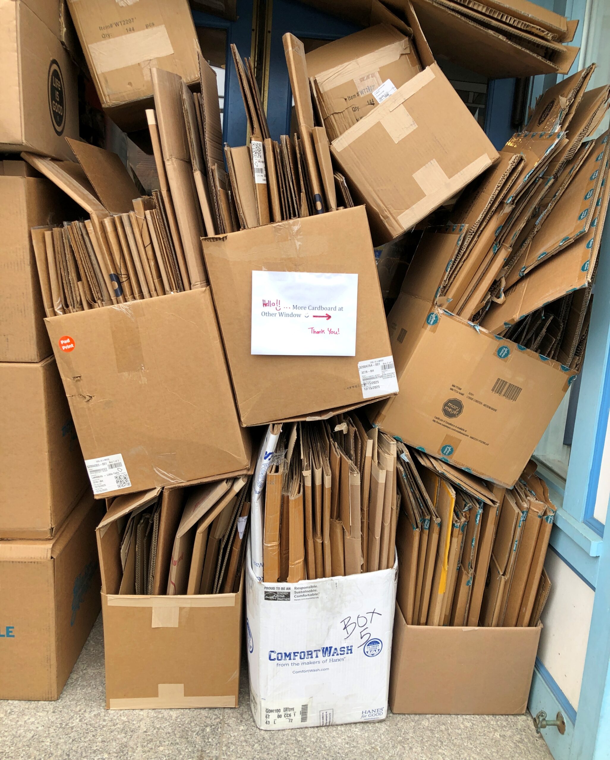
At Cool as a Moose gift shop, note the leftover cardboard in the window. I’d have bought post cards there, just for the name, but it wasn’t open.
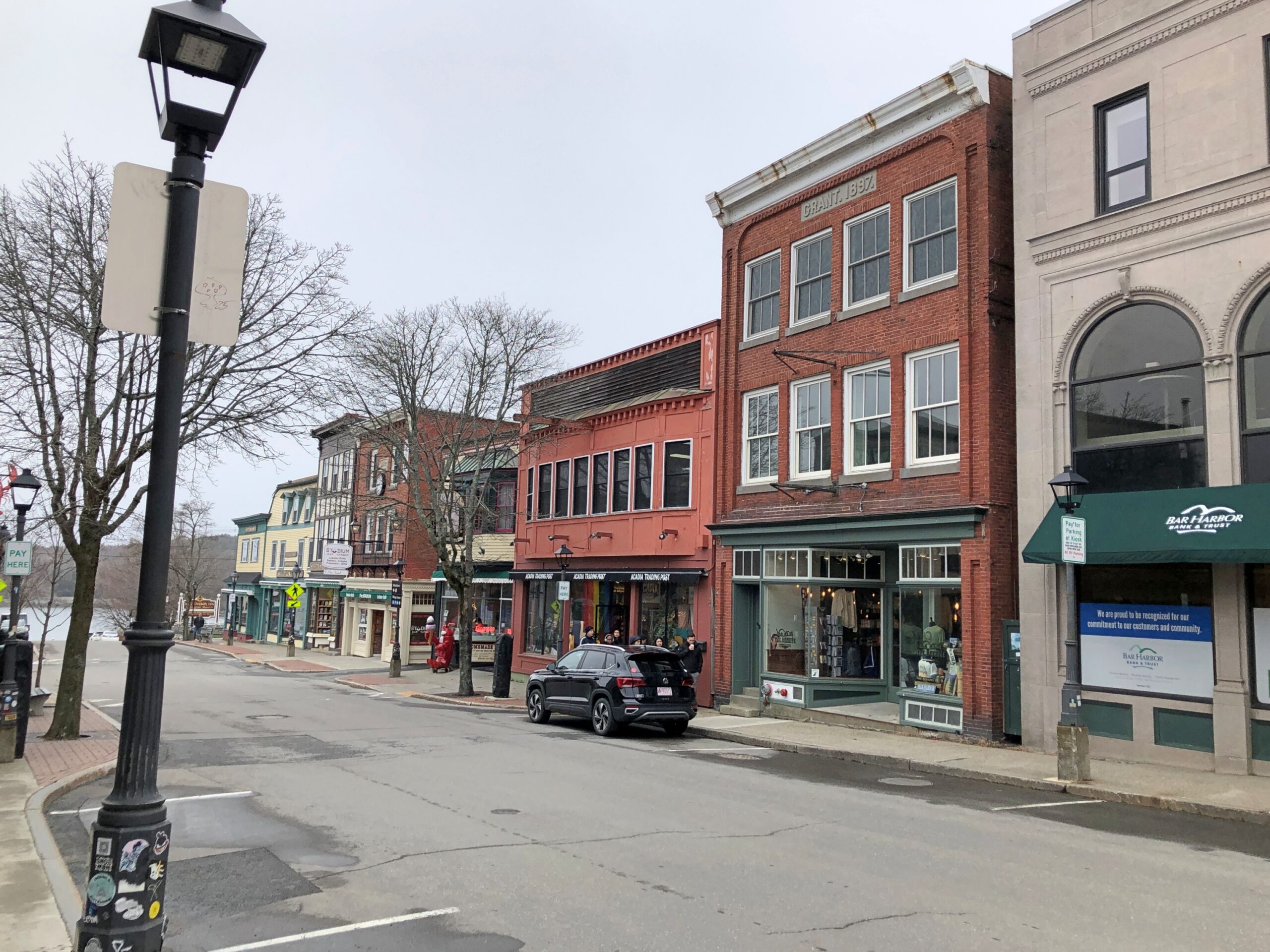
Streetviews.
The best thing about Main St. before high season is that parking is available and free. Municipal signs say that parking fees kick in on May 15 every year. By then, which is to say the day after tomorrow, I’ll bet parking isn’t much available any more either.
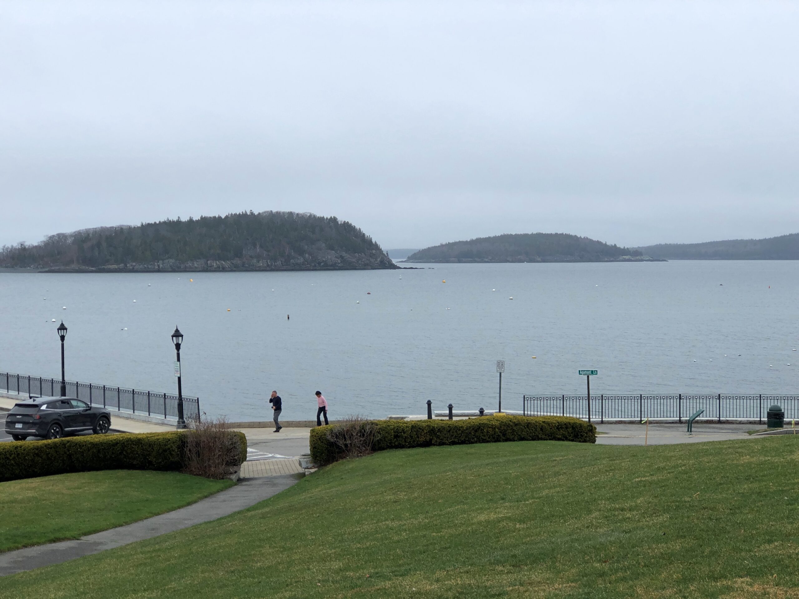
The harbor. Not very busy.
More detail.
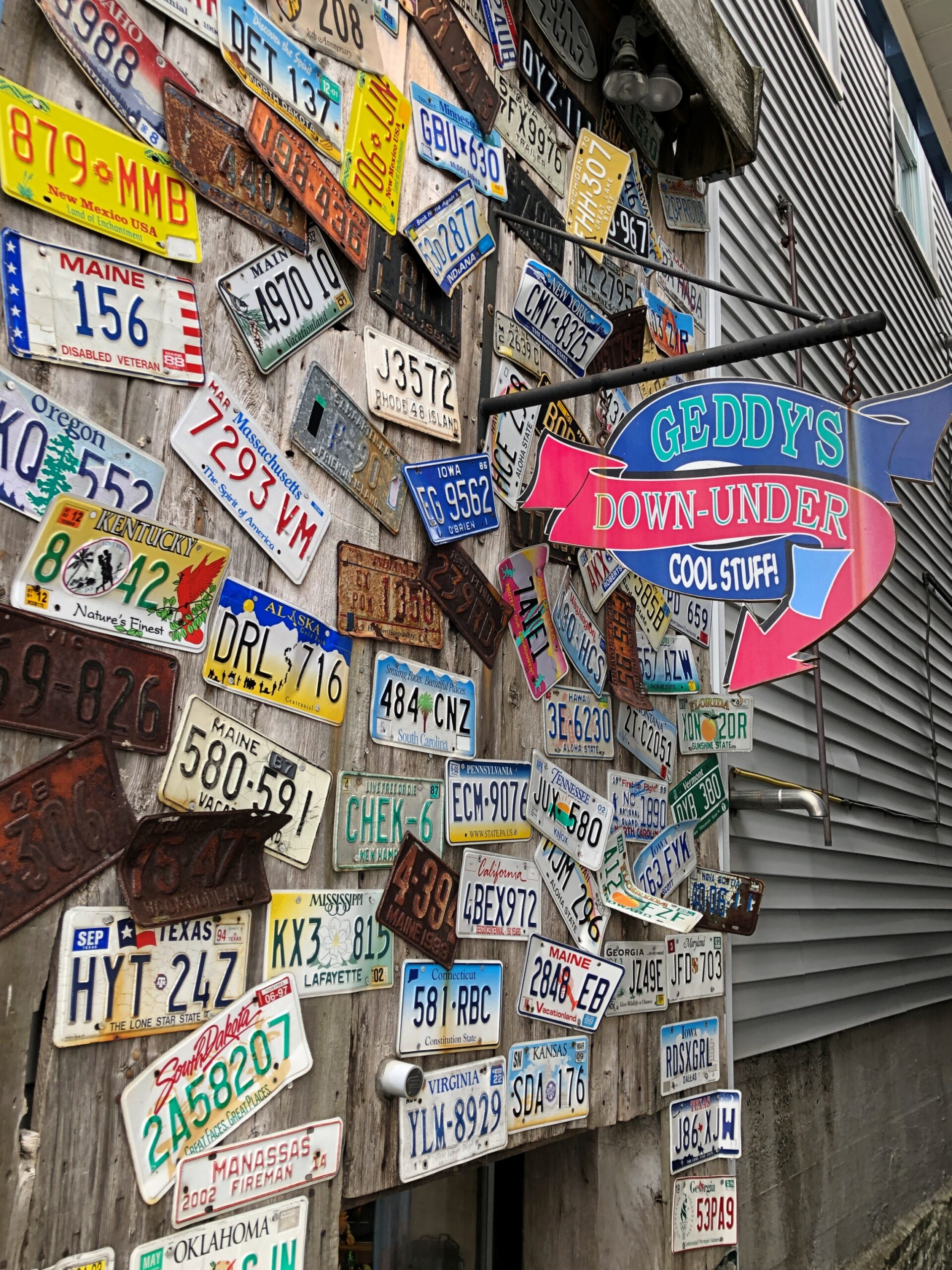
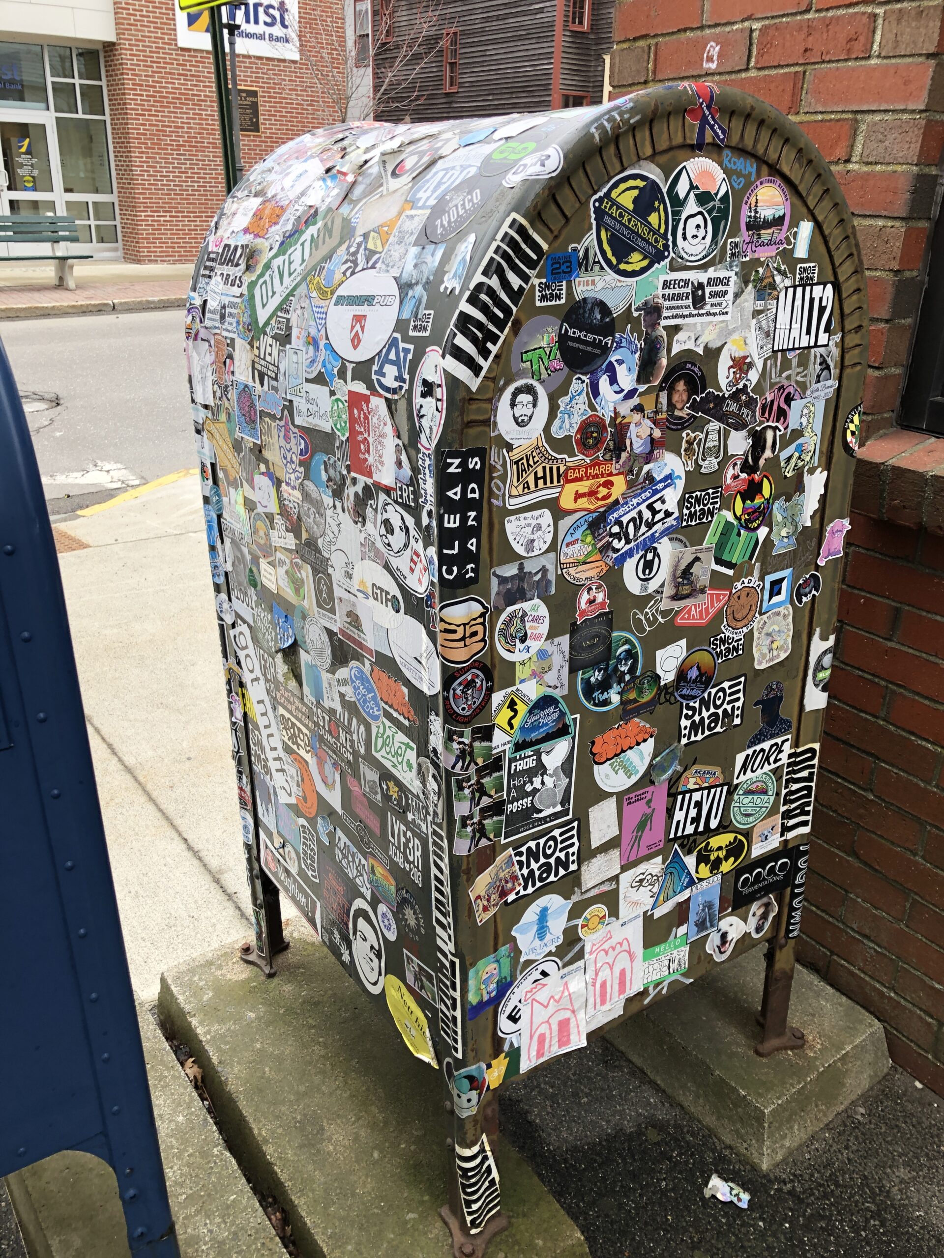
Passersby have decided this is the place for stickers.
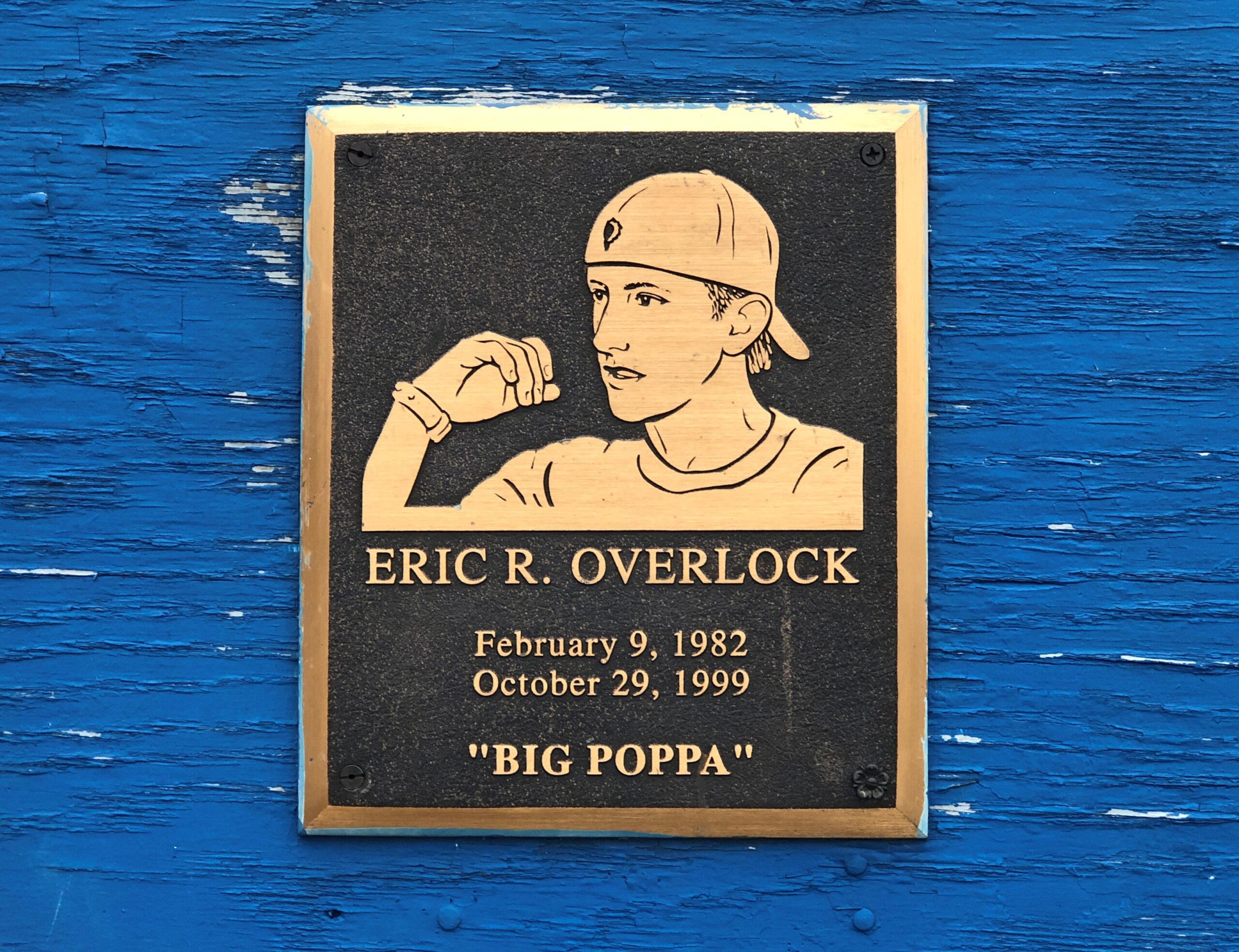
You can’t call it an obituary exactly, but not many people get a writeup like Eric R. Overlock, who died at 17 in Belfast, Maine, in 1999. The entire thing is worth a read, as are the two other entries on a Substack by one Matthew Hurley.
Eric Overlock was the toughest kid in Belfast, Maine. He was also the coolest. We grew up skateboarding. He was talented and sponsored in the ’90s when that was a big deal. His nickname was Big Poppa, like The Notorious BIG. He could fight, smoked cigarettes, and was dropping acid at 15…
I learned a lot from Eric, but it was from him I first learned that anyone, and eventually everyone, can and does die.
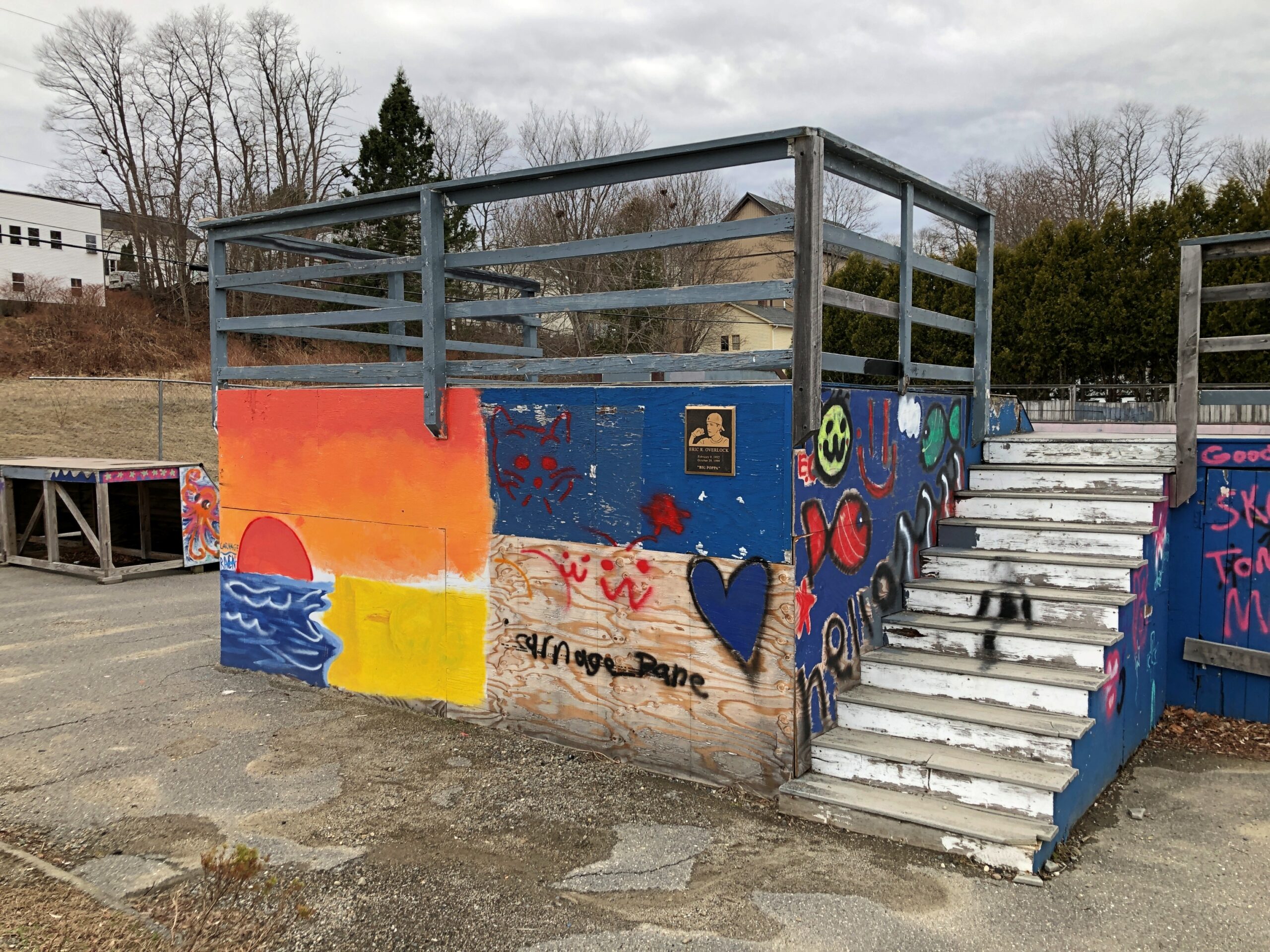
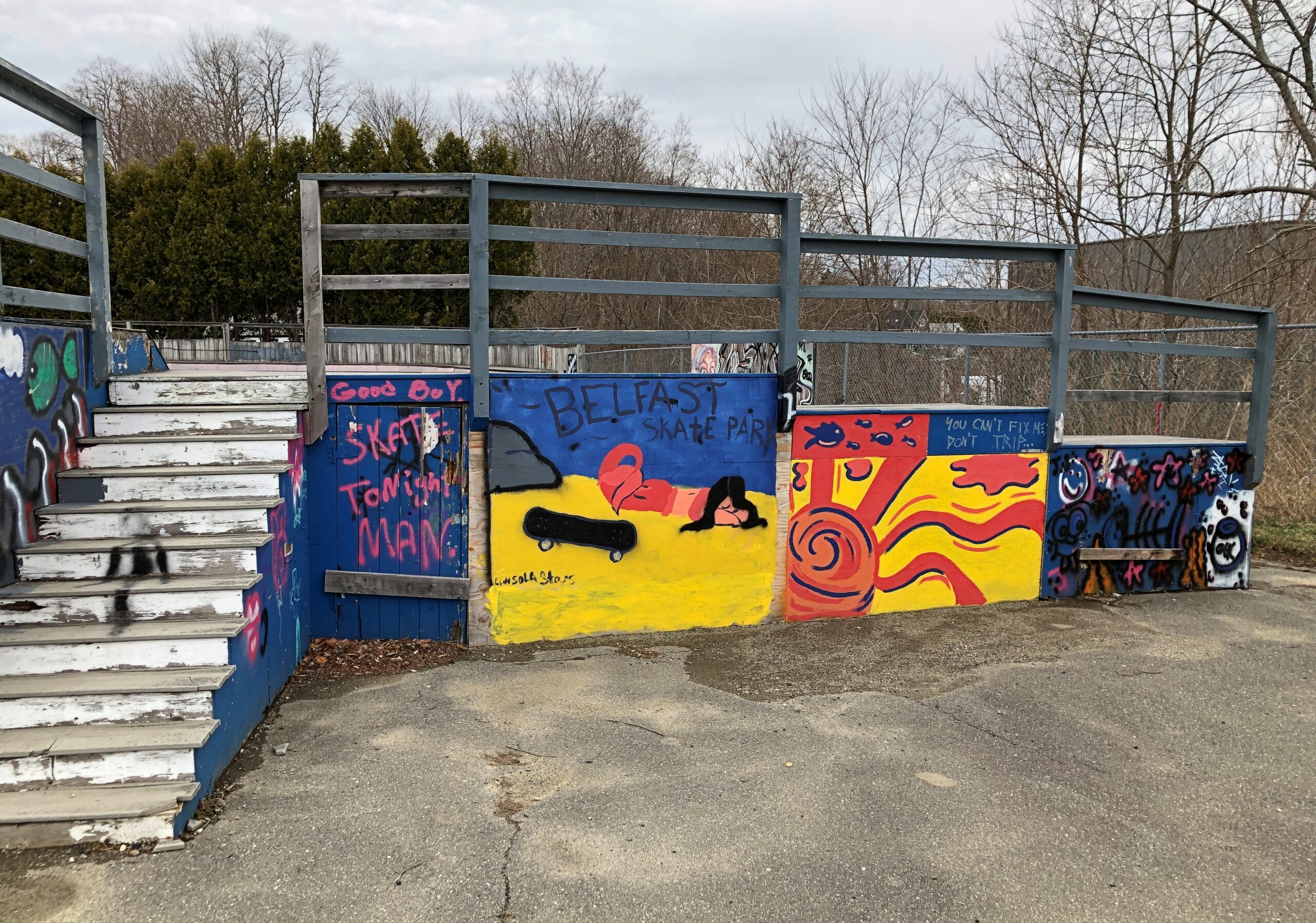
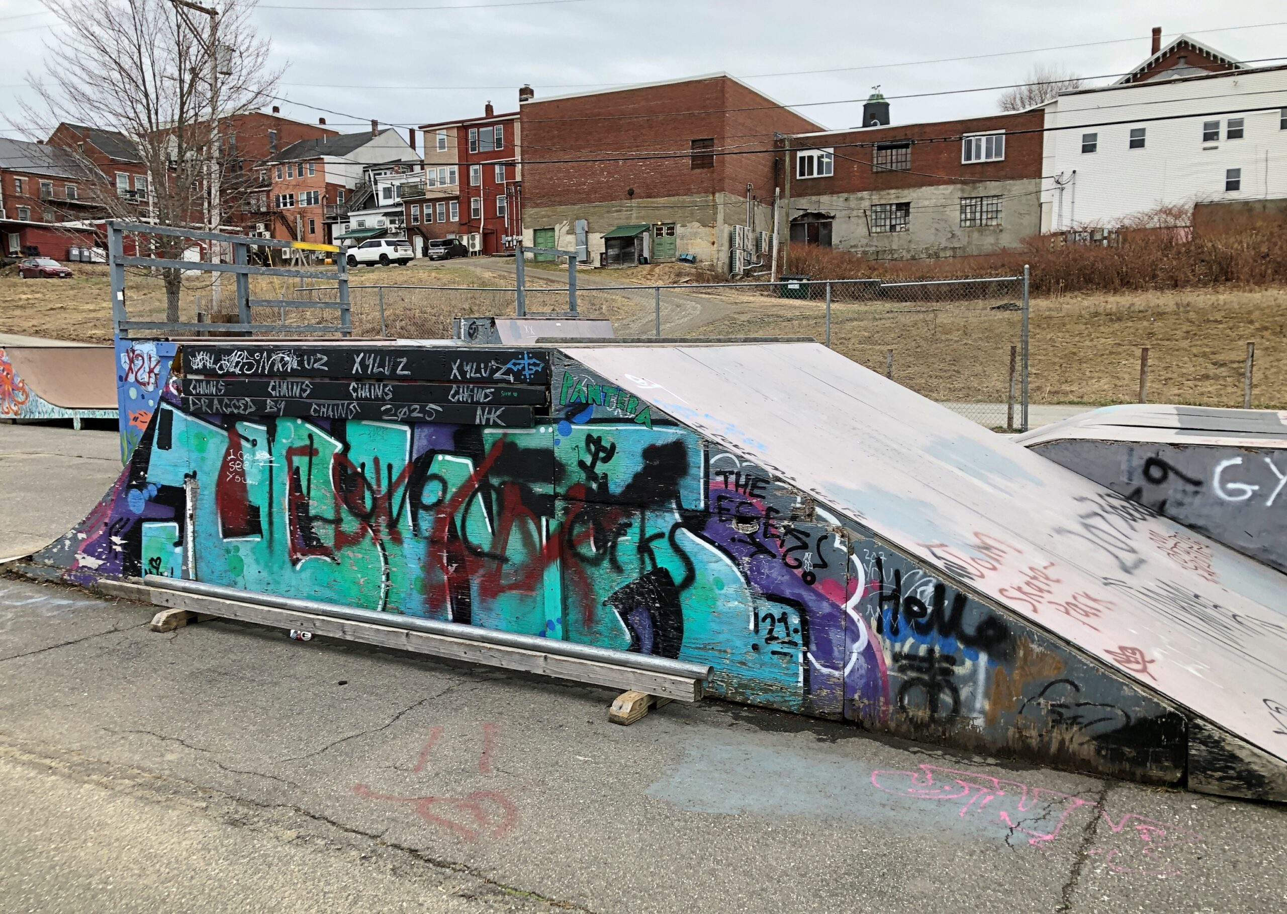
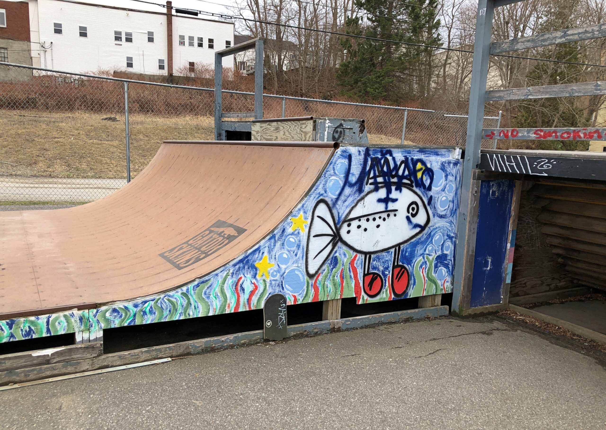
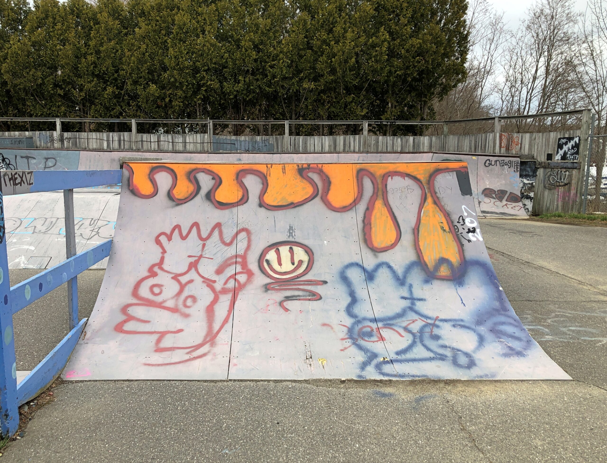
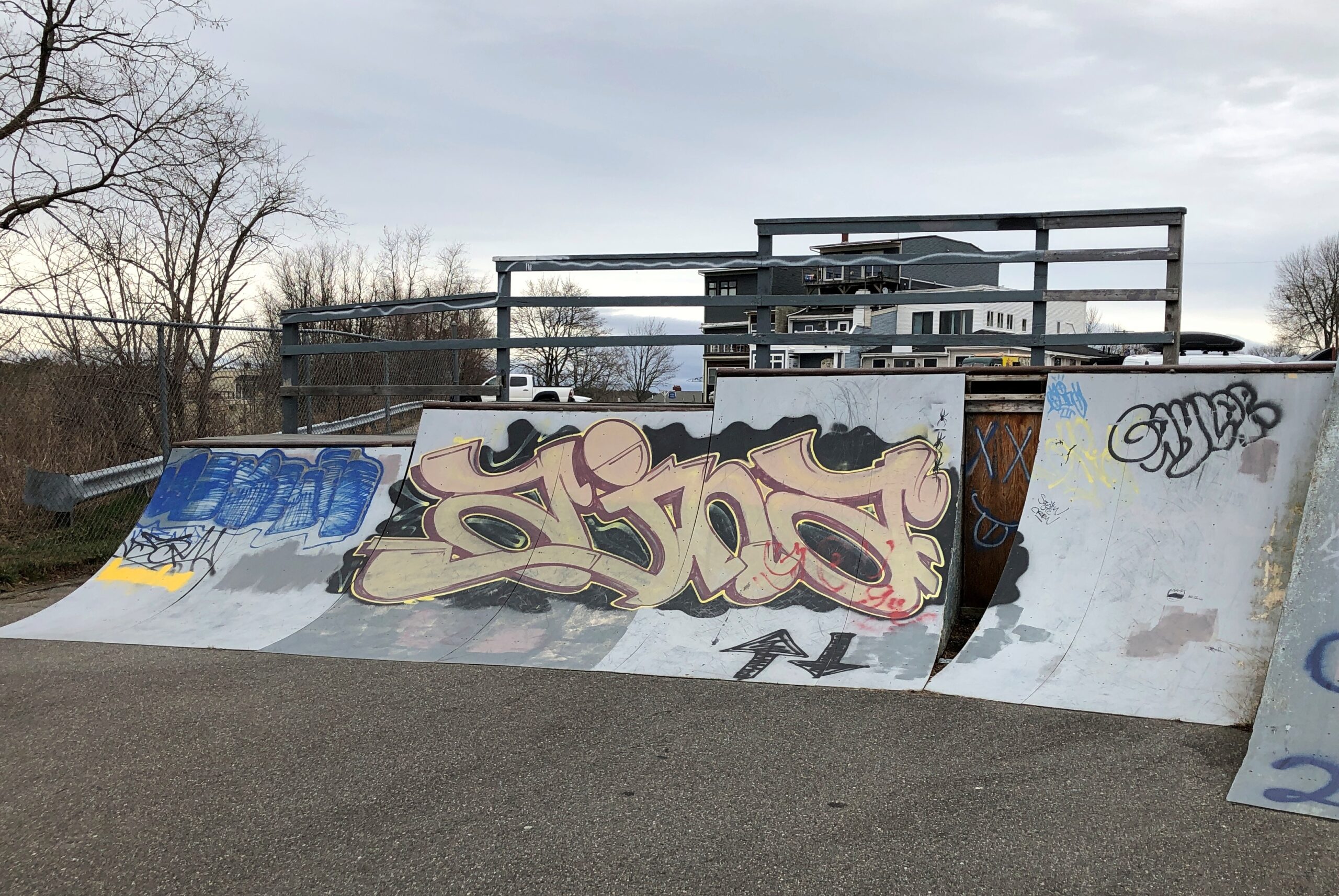
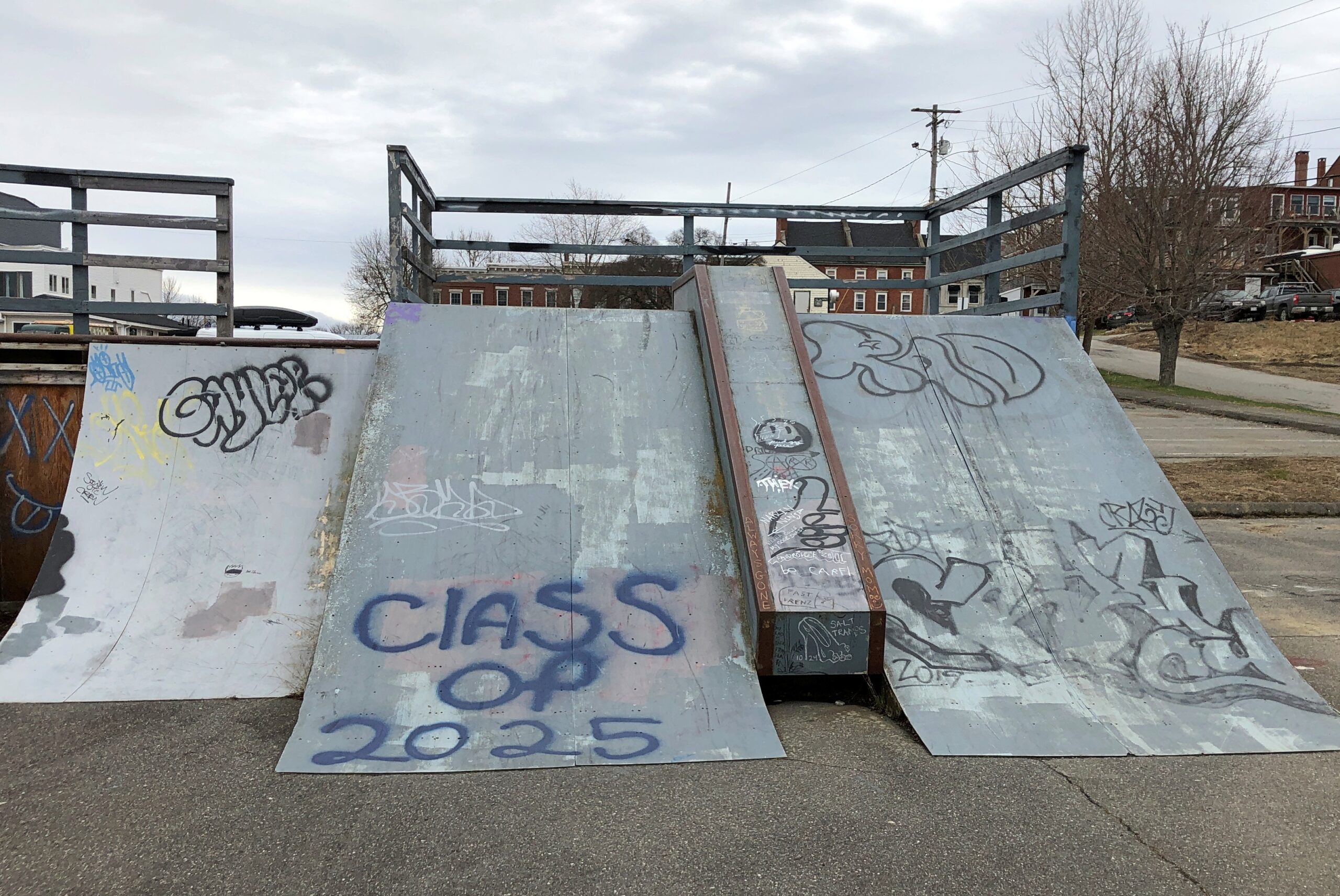
When I arrived in Belfast on April 15, a sign directed me to a public parking lot off Main Street. Next to the parking lot is the Eric J. Overlock Memorial Skatepark, marked by Eric’s plaque.
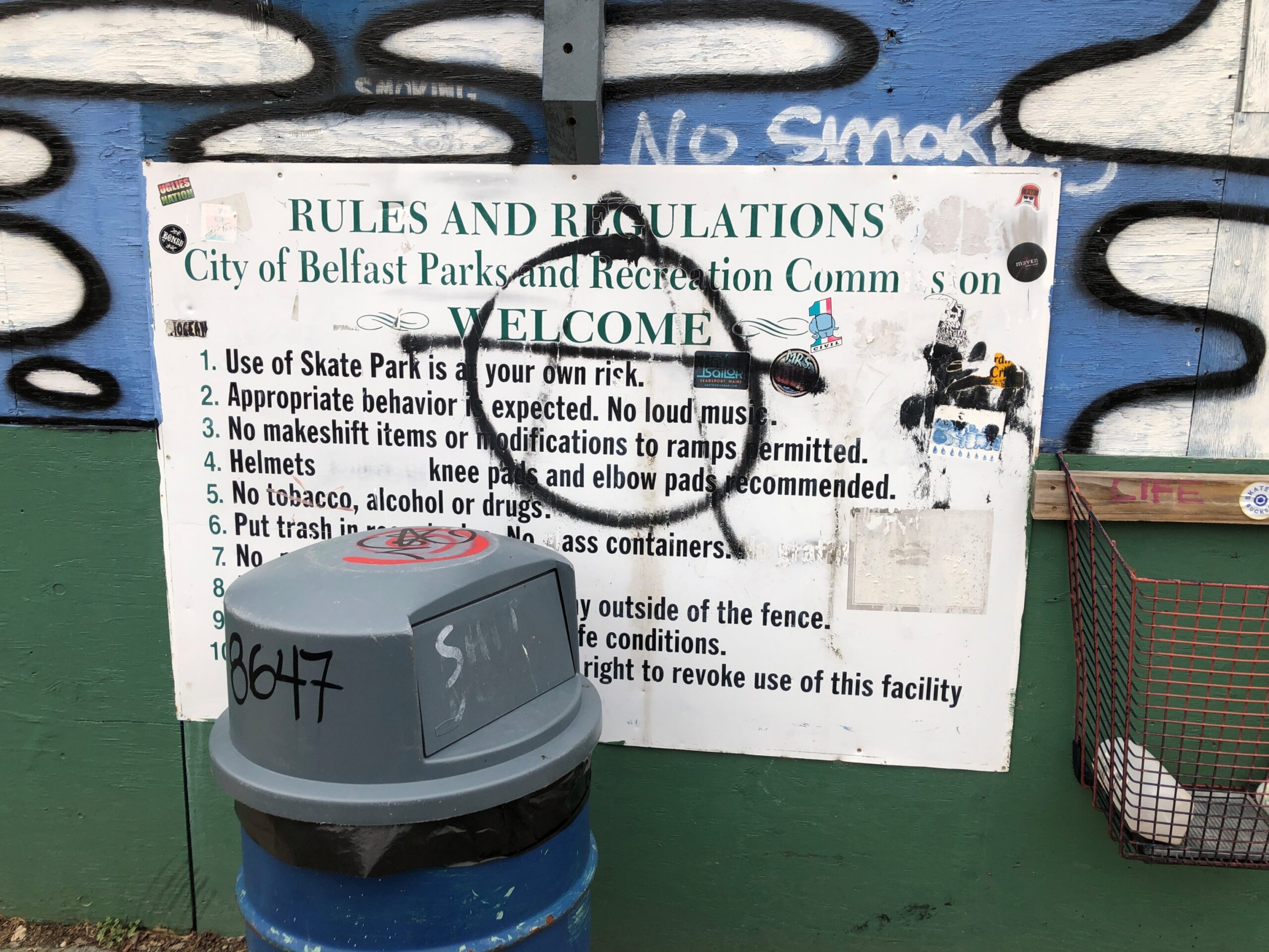
No one else was around, so I spent a leisurely few minutes documenting the skatepark at that moment in time. Like the Cadillac Ranch, I figure it changes according to the whims of Belfast graffitists.
Whatever the paint job, a world as strange to me as parallel bars or luge or the flying trapeze. How again does anyone learn it without serious bone breaks?
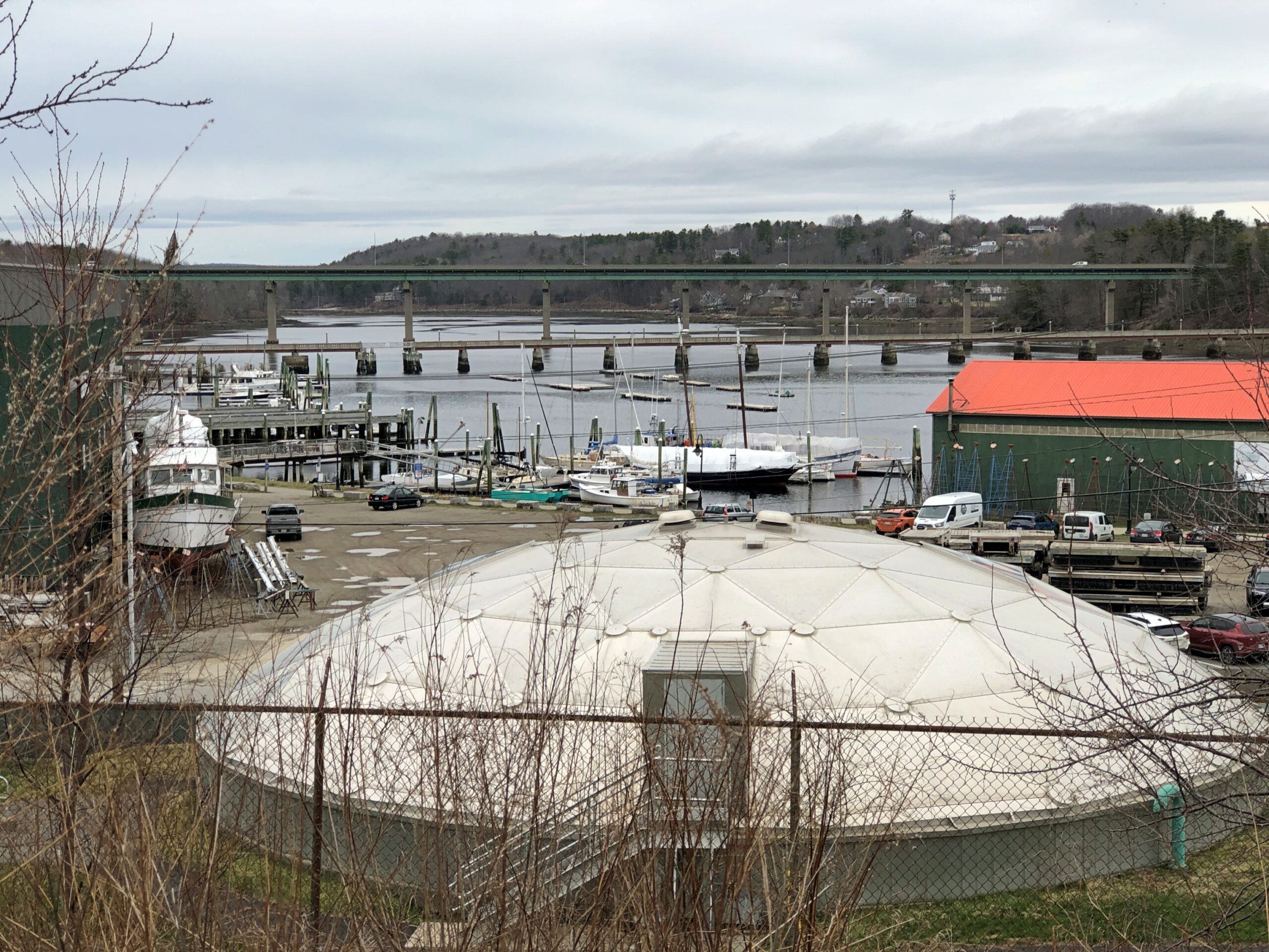
The skatepark and parking lot are on a long slope to the Passagassawakeag River. According to the Piscataquis Observer, “The Voice of Rural Maine,” it’s pronounced puh-SAG-uh-suh-WAH-keg. Which is just fun to say, once you get the gist. Wonder whether there’s a clipped version locally.
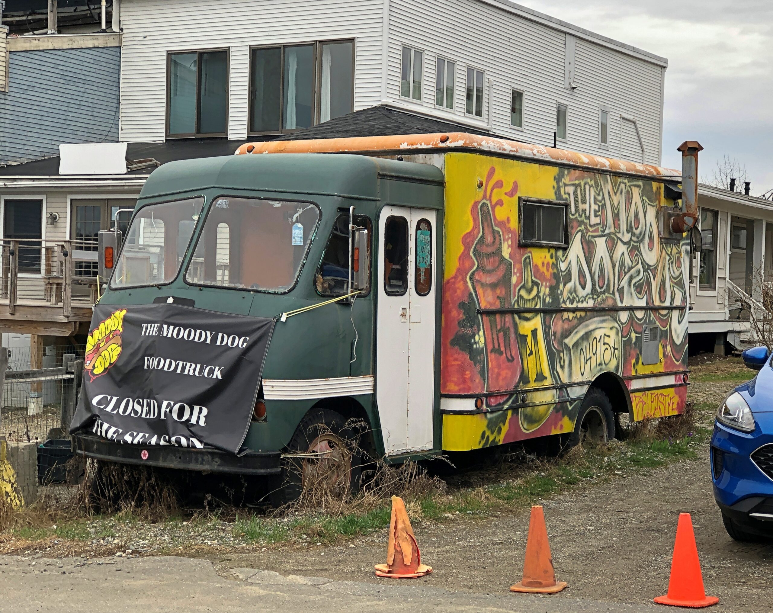
Main Street retail wasn’t quite closed for the winter, but mostly so for the chilly shoulder season. I expect the Moody Dog is gearing up for the summer season even now.
Main Street was very much worth a look anyway.
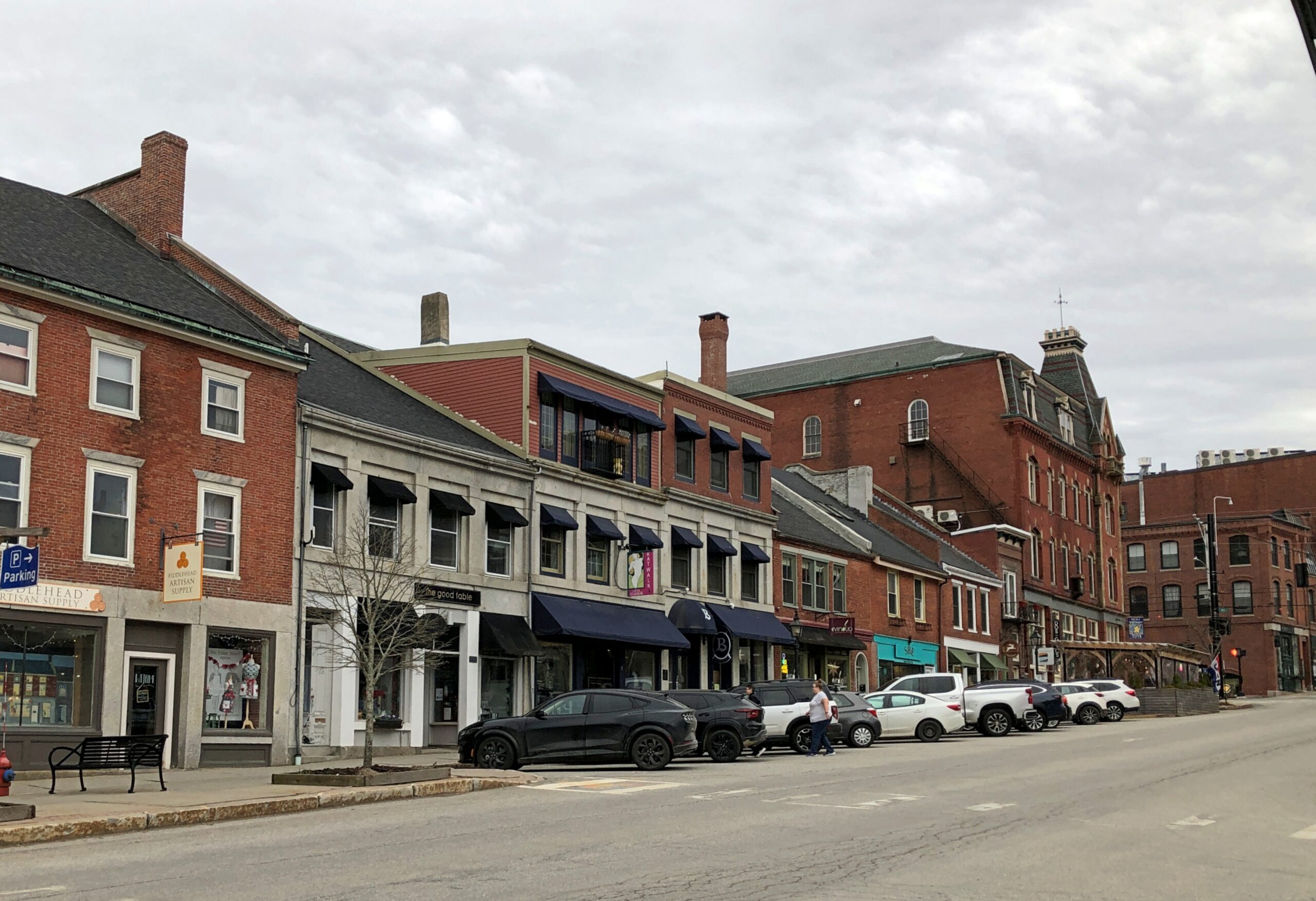
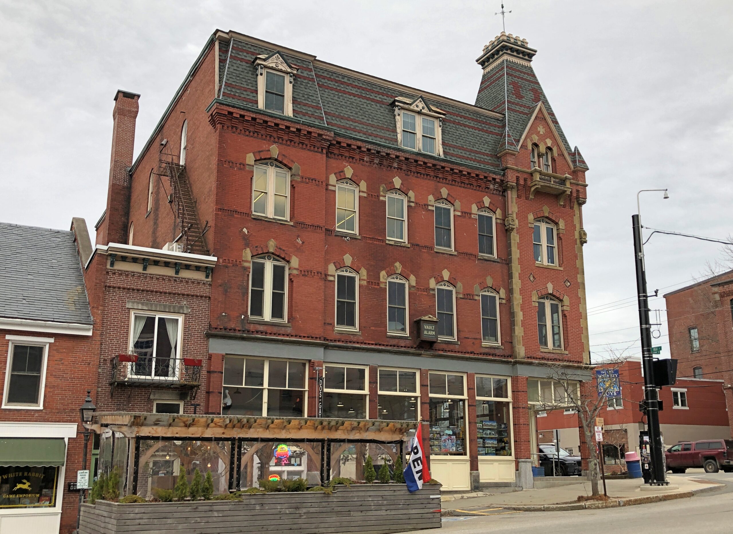
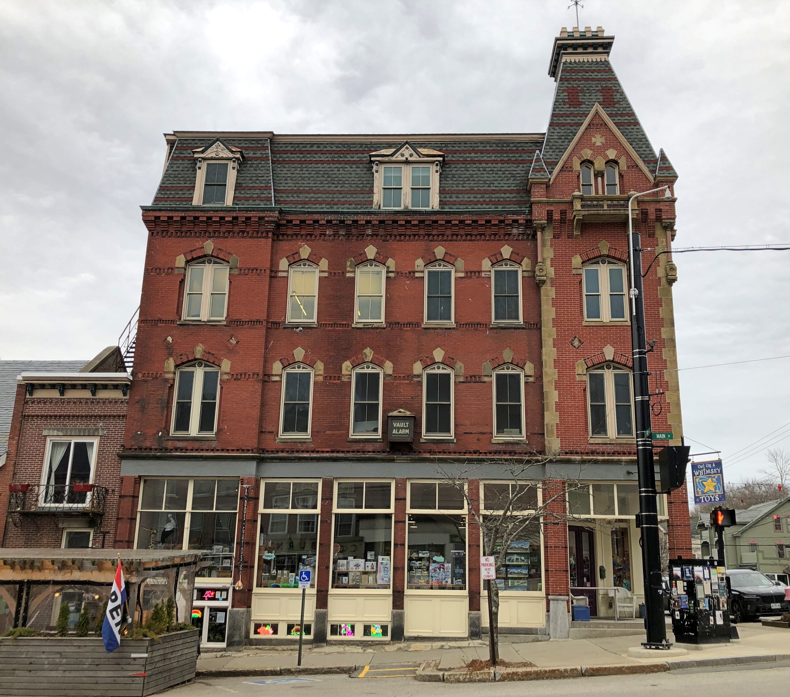
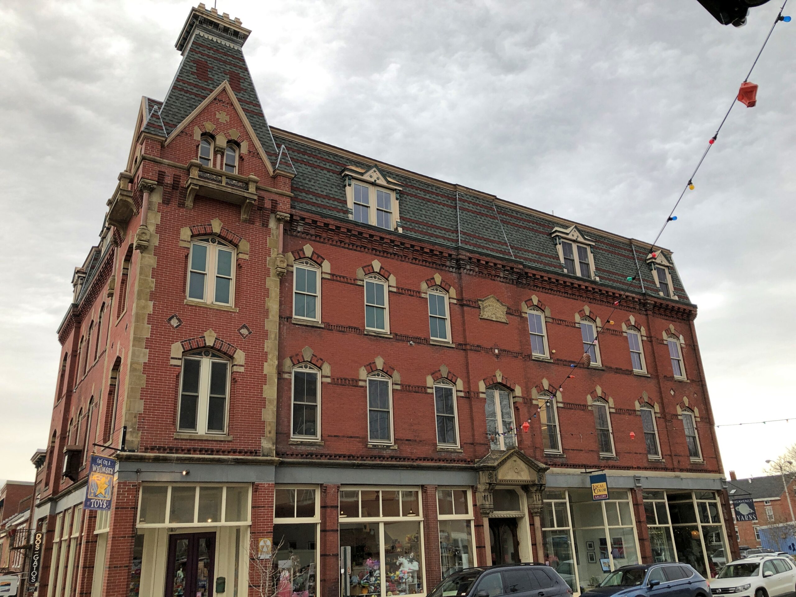
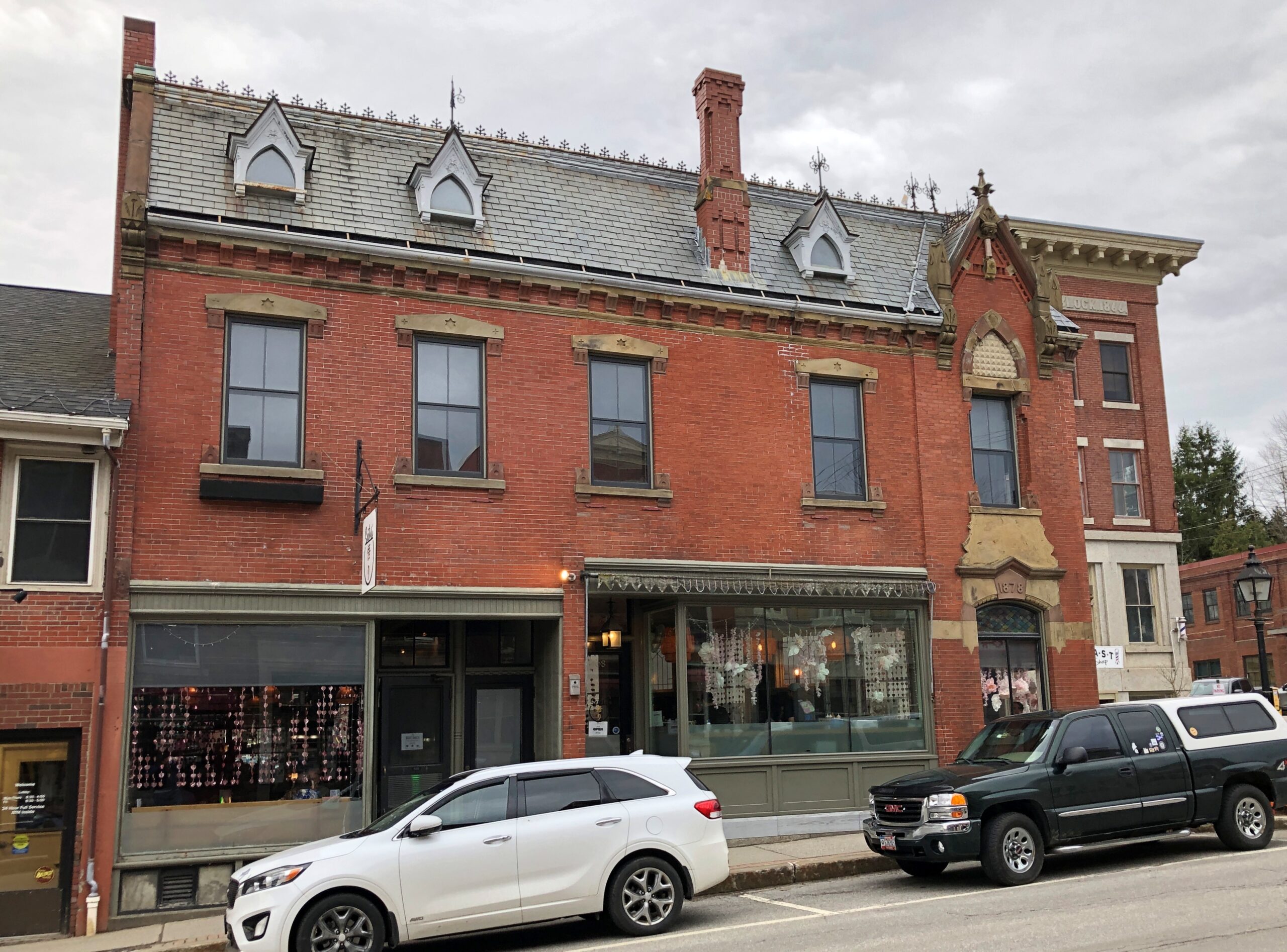
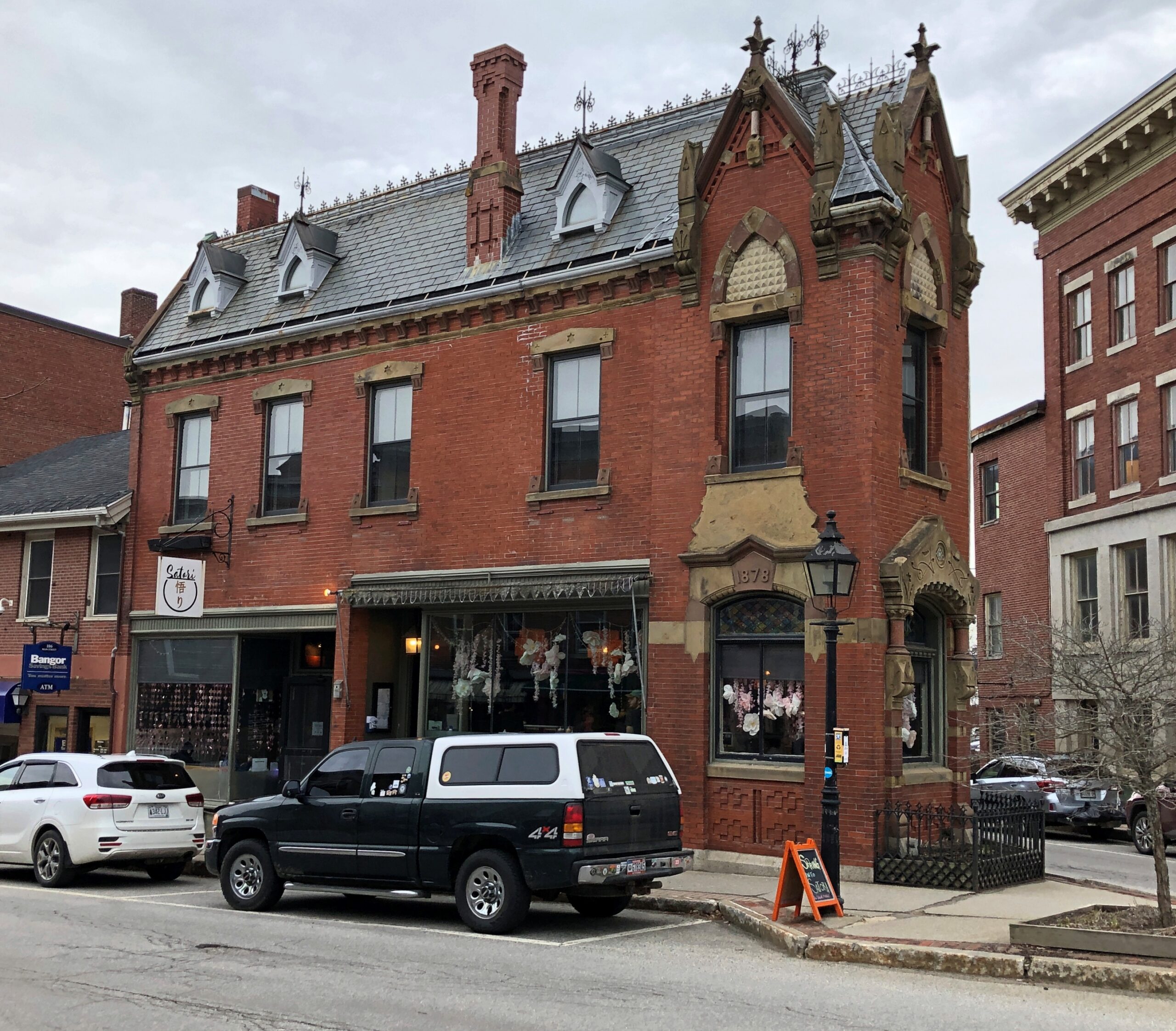
A handsome edifice at Main and High Streets. Maine seems to have, or had, a way with bricks.
As a settlement, Belfast is old enough to have been burned by British forces during the Revolution. Afterward, revivals and declines have come and gone, as industries cycle through the decades: shipbuilding, seafood processing, railroading, shoe making, poultry, credit card processing, shipbuilding again and tourism.
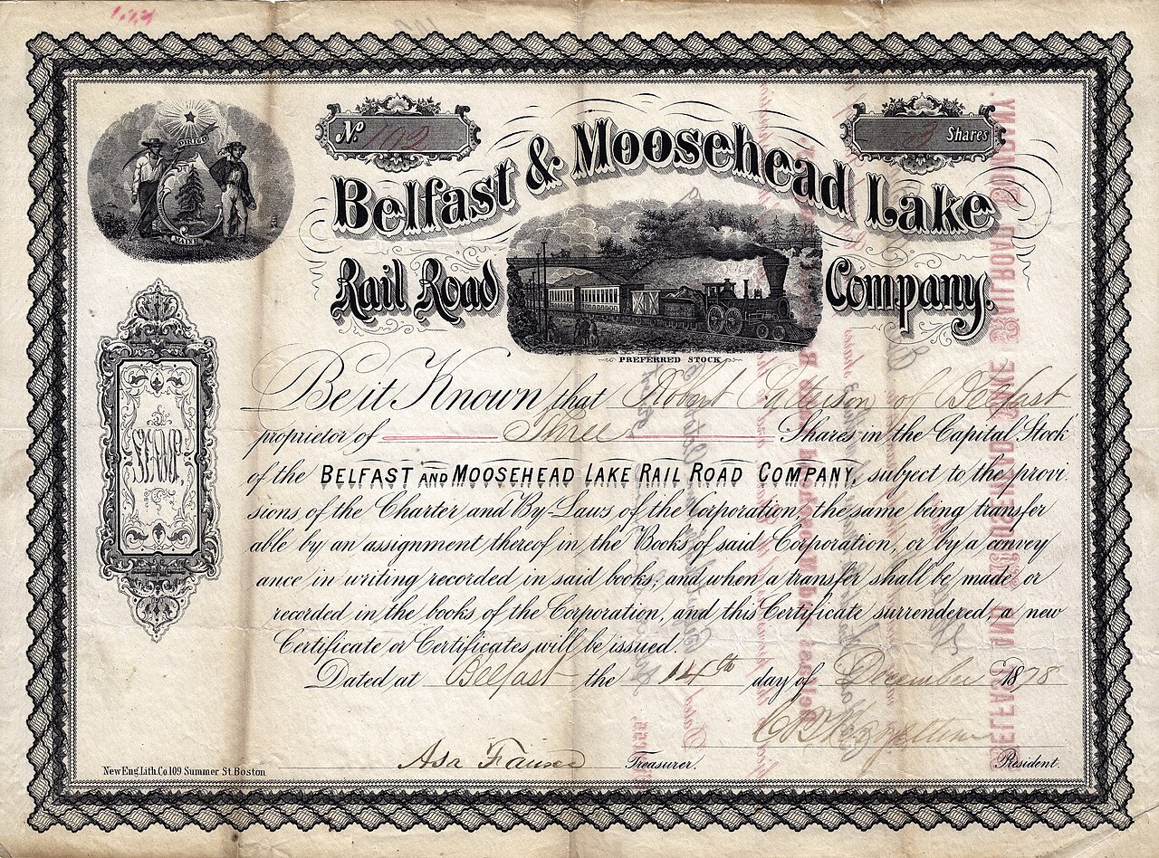
The Cooper Collection of US Railroad History
The building at the five-street intersection of Main, Church and Beaver Streets.
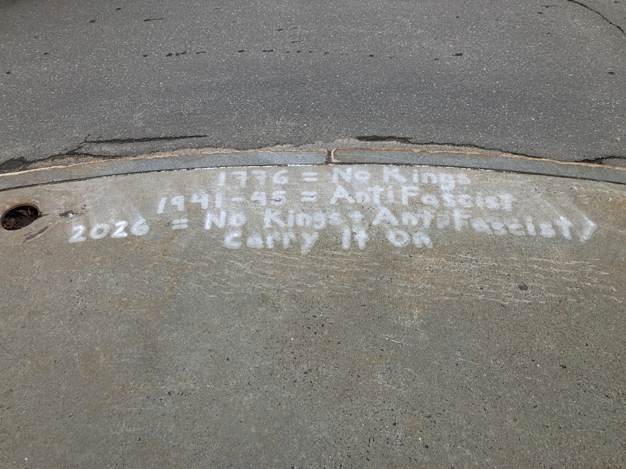
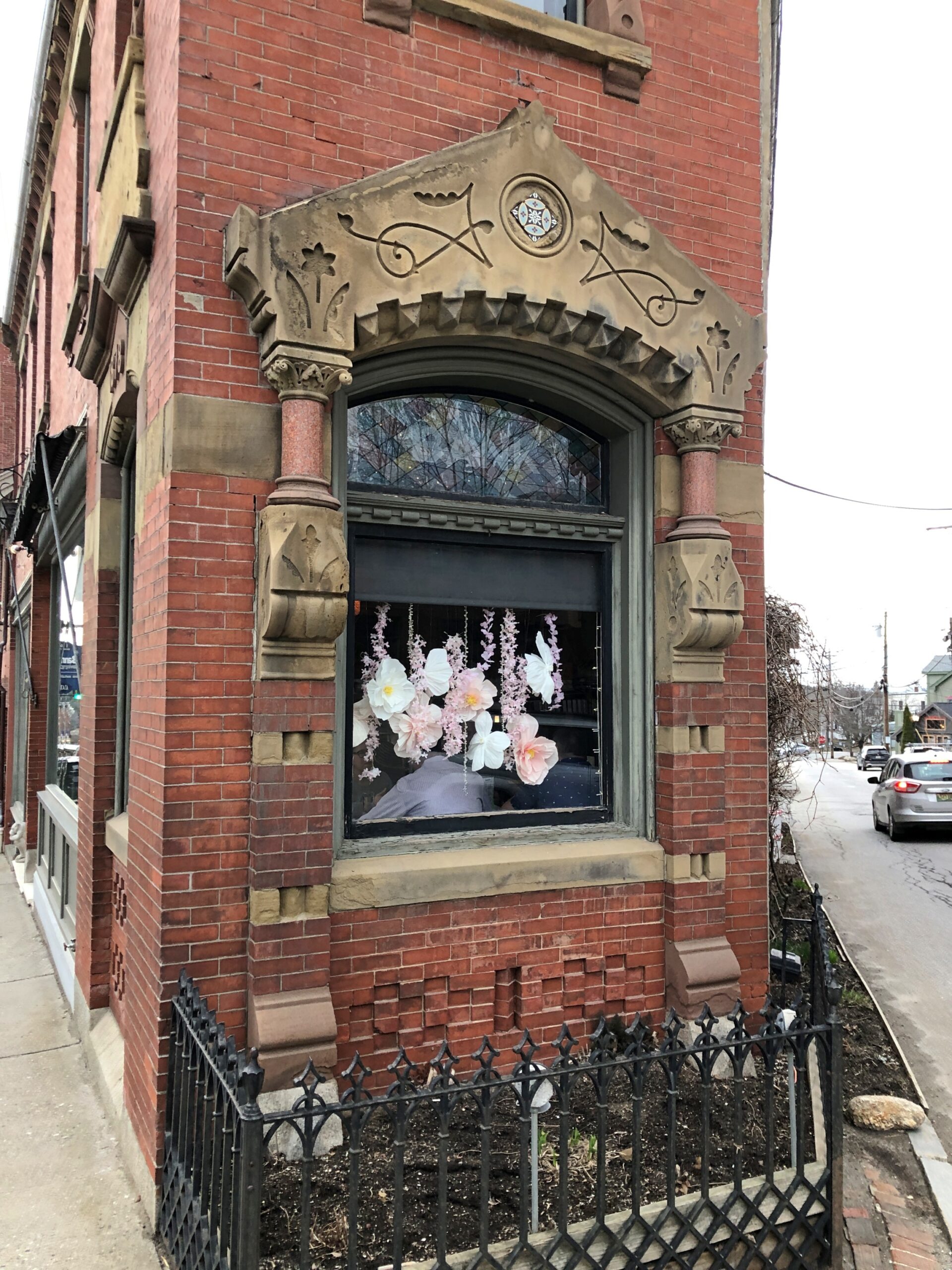
Details. Is Belfast a hotbed of anarchism?
But you can mock a two-faction system without being an anarchist. But note, back at the skatepark.
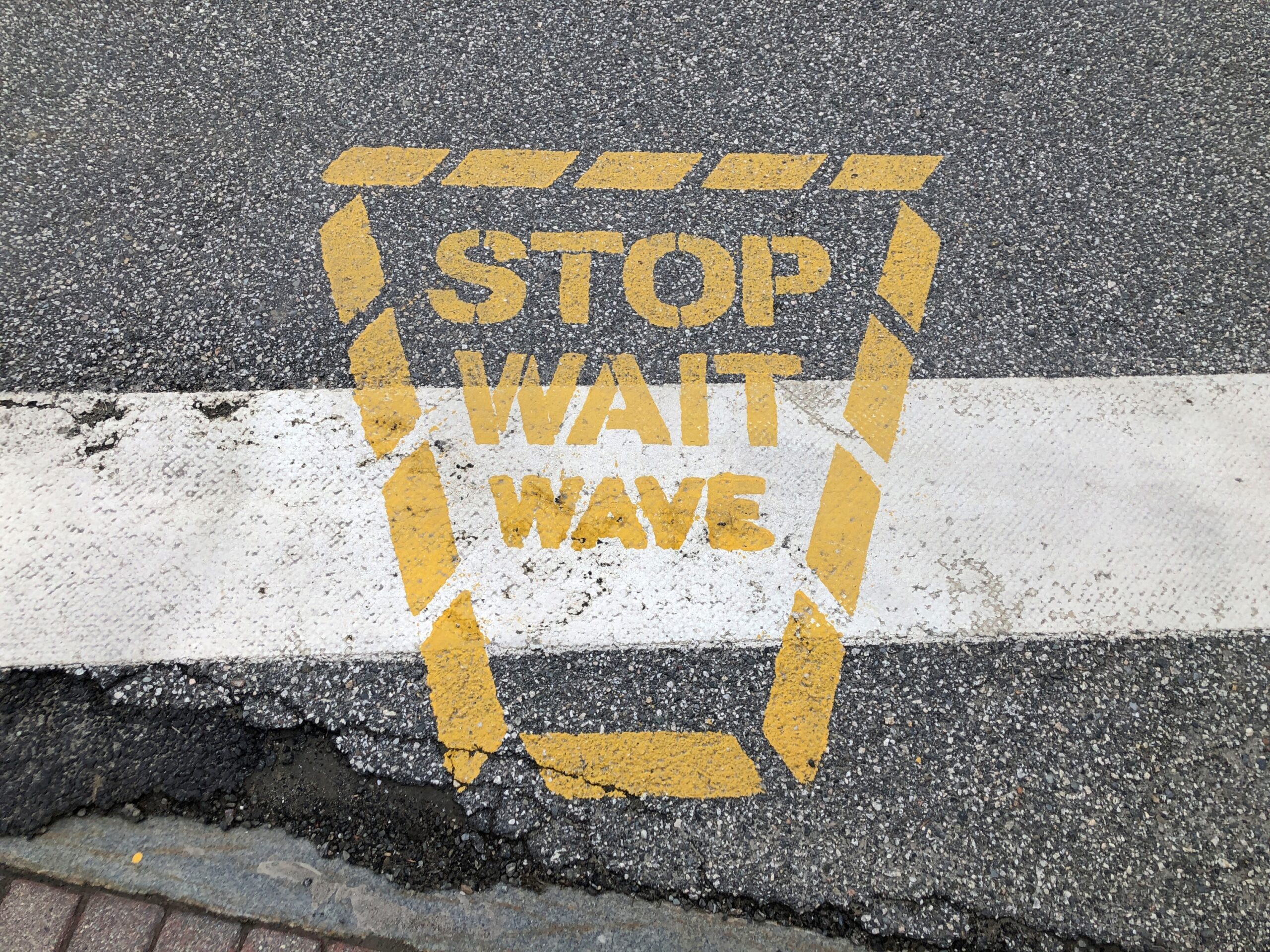
How about nanny-statism? I don’t know that you can plausibly accuse Maine of that, but still. A crosswalk example.
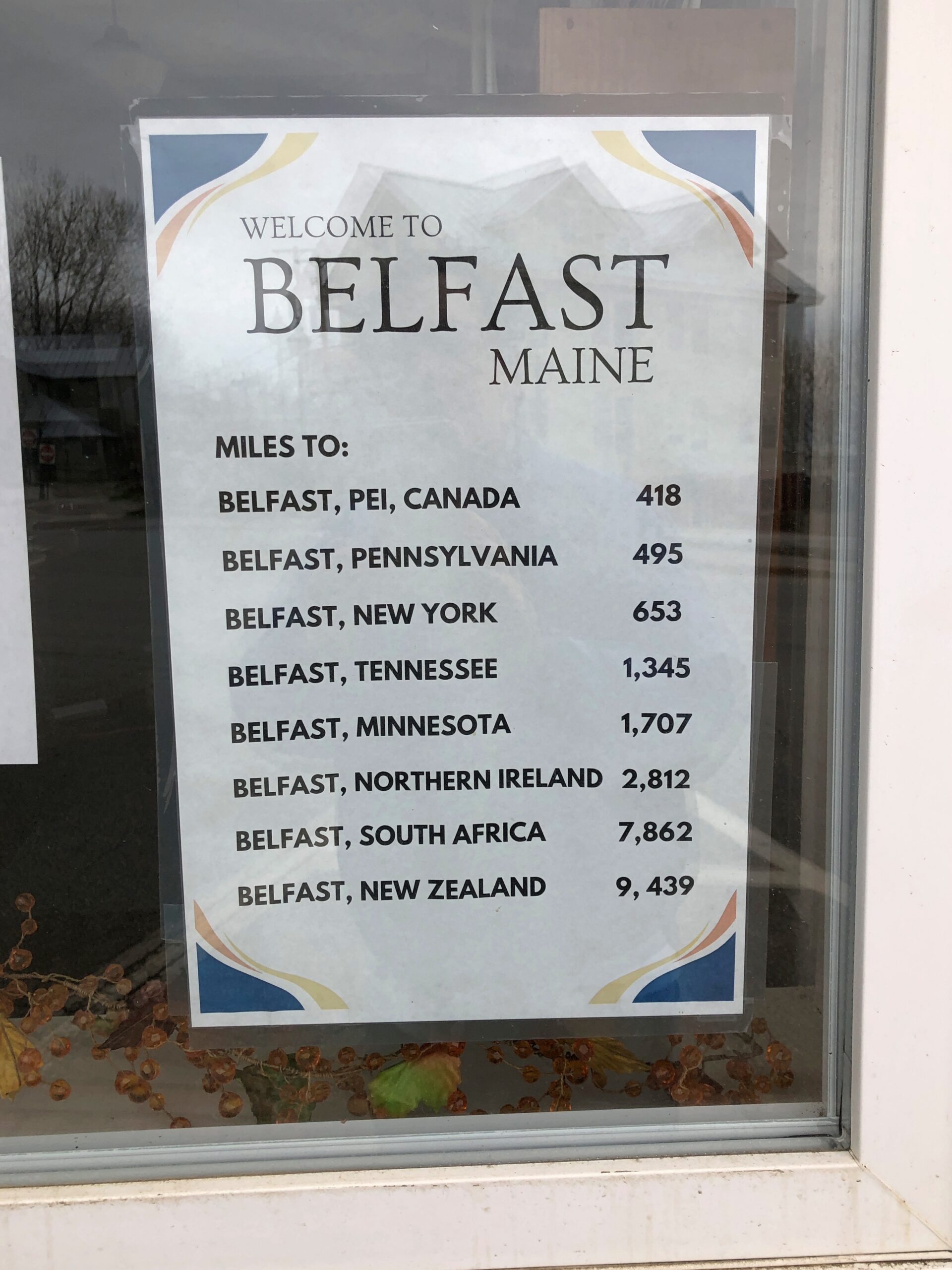
In case you were wondering.
What do you know, Maine was my first ever Belfast, not counting the HMS Belfast.
Not long ago, I wondered how accurate the lyrics of “Alice’s Restaurant Massacre” were on one specific point. I had my reasons.
You can get anything you want at Alice’s Restaurant Walk right in, it’s around the back Just a half a mile from the railroad track
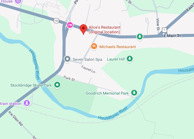
Seems like a convenient rhyme, but that’s not all. Google Maps tells me that the site of Alice’s Restaurant is about a half a mile from a railroad track. I didn’t save the scale on this map, but the distanceis correct. This is mildly amazing. Who expects geographical accuracy from a song lyric?
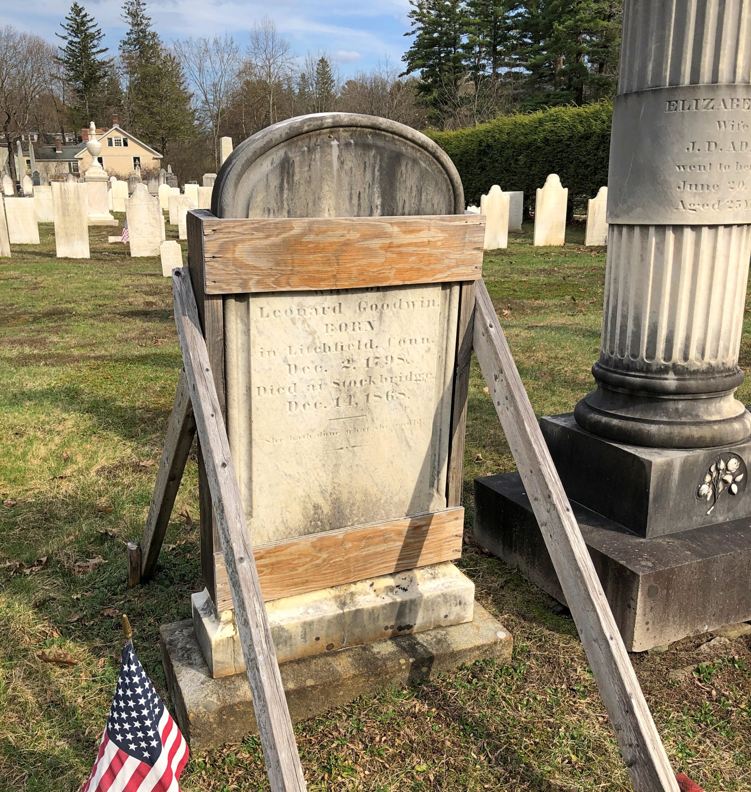
That morning, April 14, I’d extracted myself from Midtown Manhattan via various sorts of transport, retrieving my car at long-term parking at Newark International, and planned to spend the night in Portsmouth, New Hampshire. Though New England isn’t large, it is molasses when it comes to driving through its densely settled areas, and first I had to get out of New Jersey and New York, then cross Massachusetts. All that meant an all-day drive. Stockbridge, Massachusetts, former home of Alice’s Restaurant, was a stop along the way.
Near the eastern edge of New York state, I cruised north on the Taconic State Parkway.
That sounded good, I thought when I noted the name on a map. It was. Budding greenery, smooth driving, no trucks. Or that many other cars, the further north you go. Construction started about 100 years ago, at the urging of then private citizen Franklin D. Roosevelt. The parkway is in the same league as the Natchez Trace Parkway or the Blue Ridge Parkway, though only about a quarter as long as either.
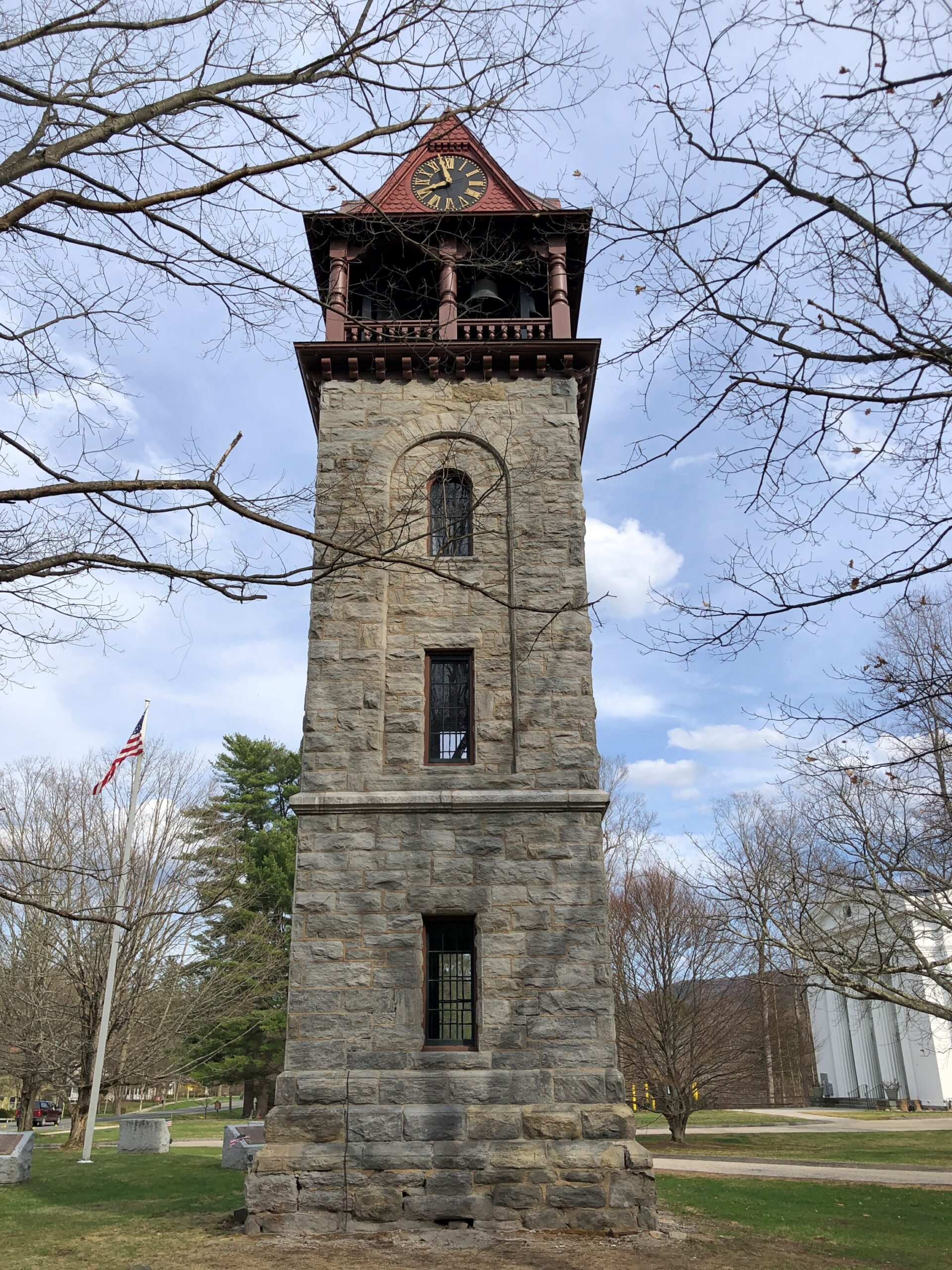
Once I’d gone far enough north, I took connecting roads to the Massachusetts Turnpike. Stockbridge, which is slightly south of the turnpike, counted more-or-less as a midway point on my day’s drive. As I entered town via Massachusetts 102, I noticed a tower. A stone tower, exuding 19th-century New England sturdiness. Its clock was wrong.
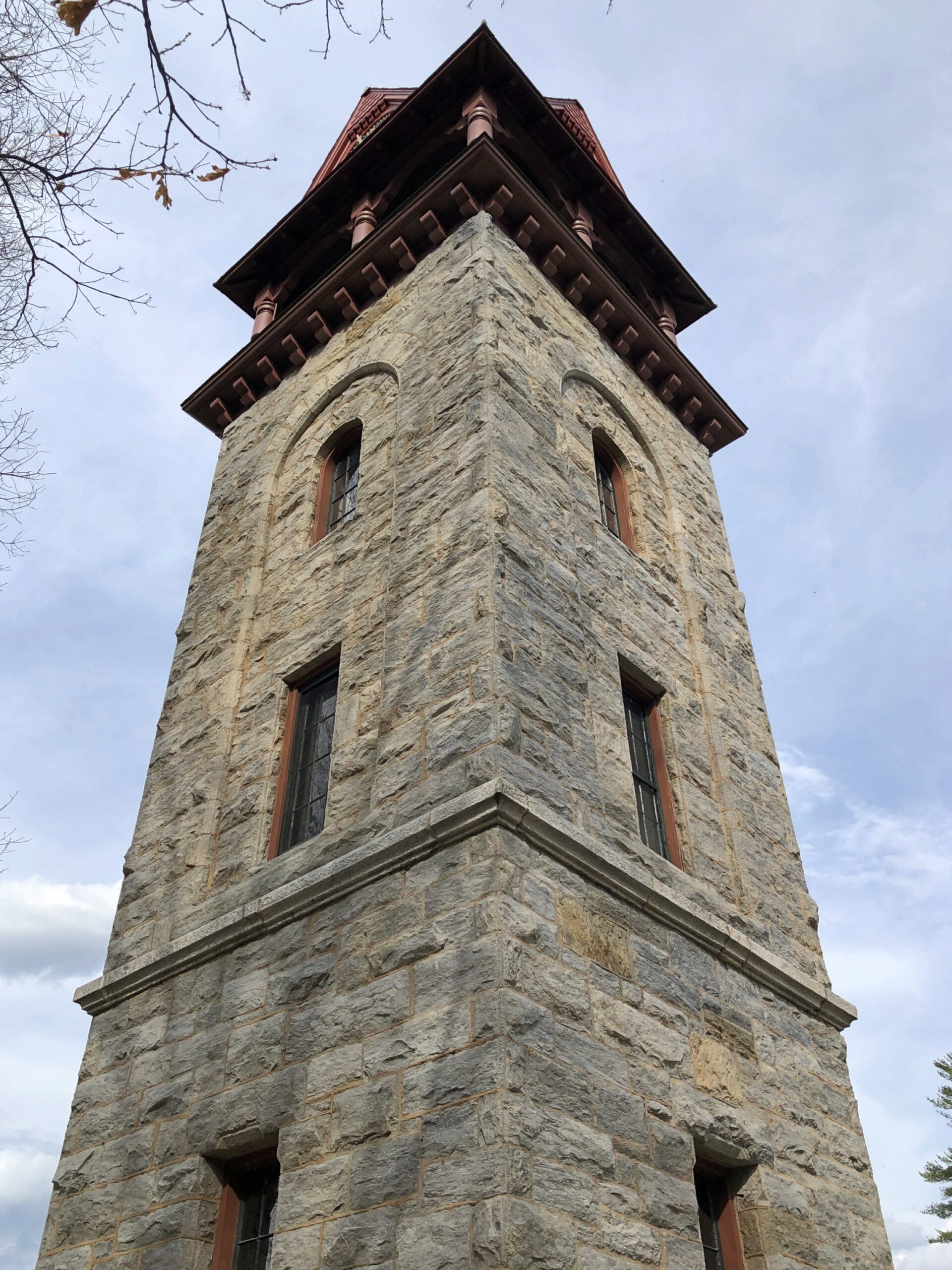
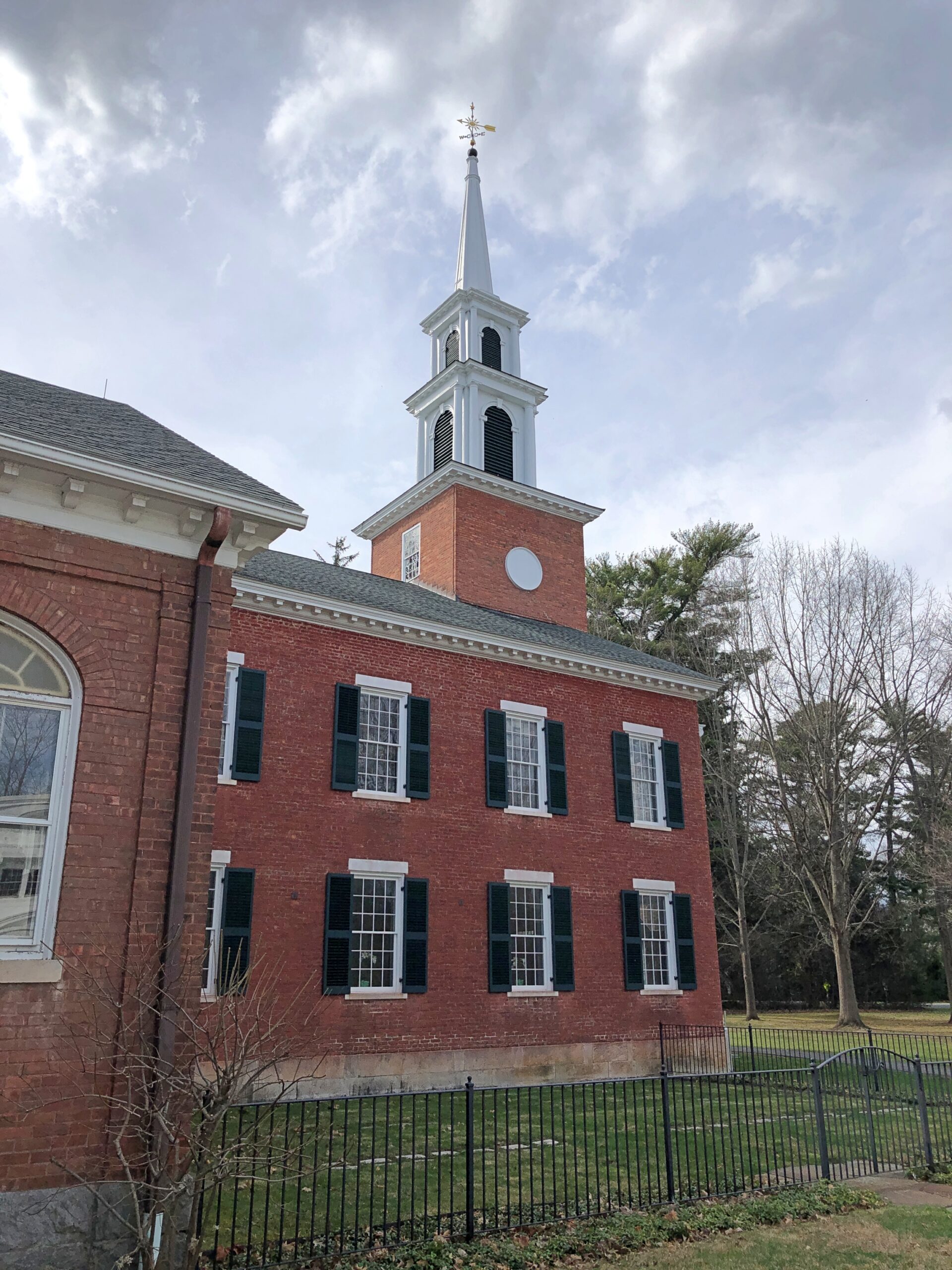
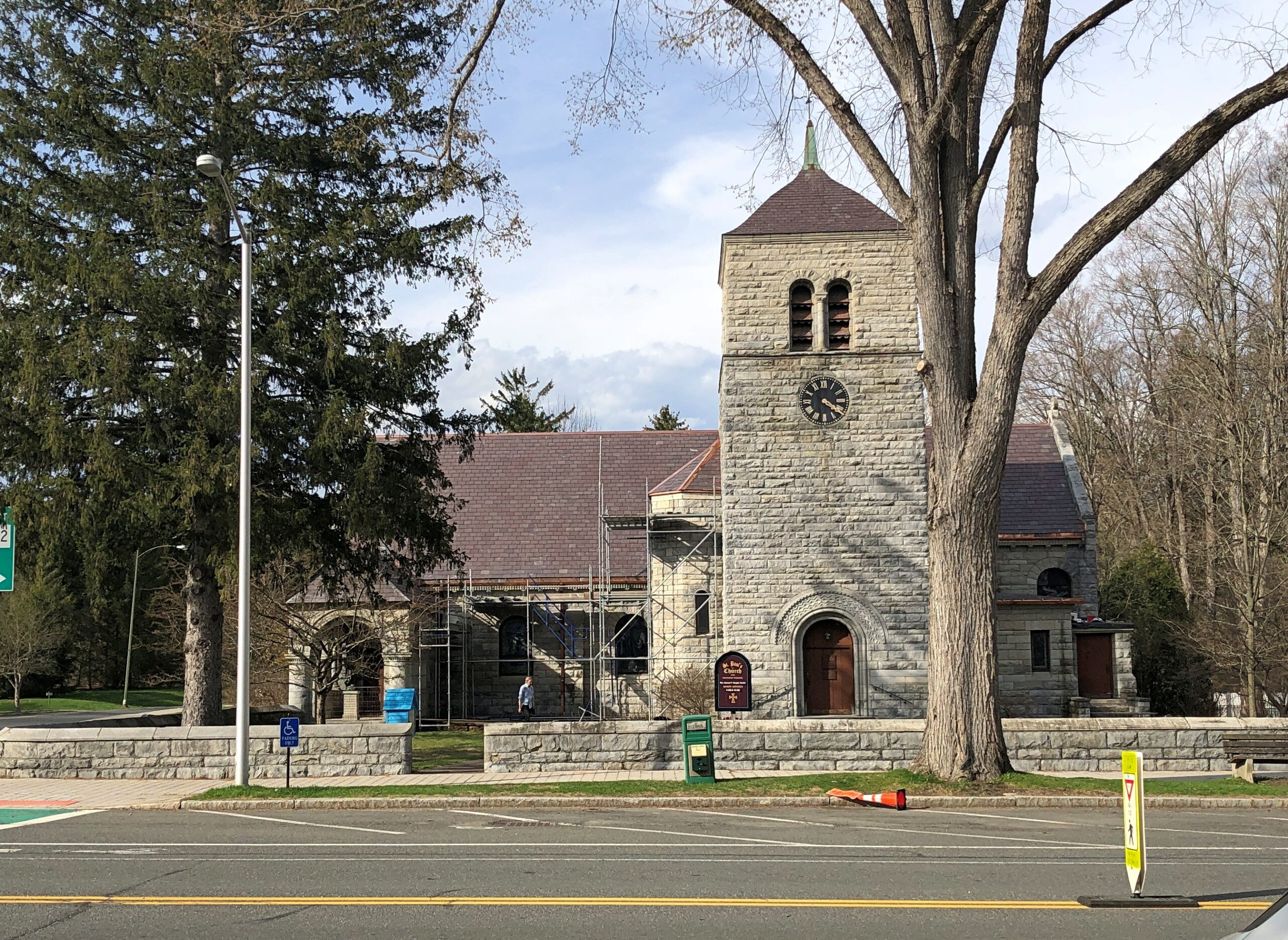
The Children’s Chimes Tower, a 19th-century bell tower built on the site of the town’s original church. A 19th-century replacement for that church stands near the bell tower, looking as New England as can be.
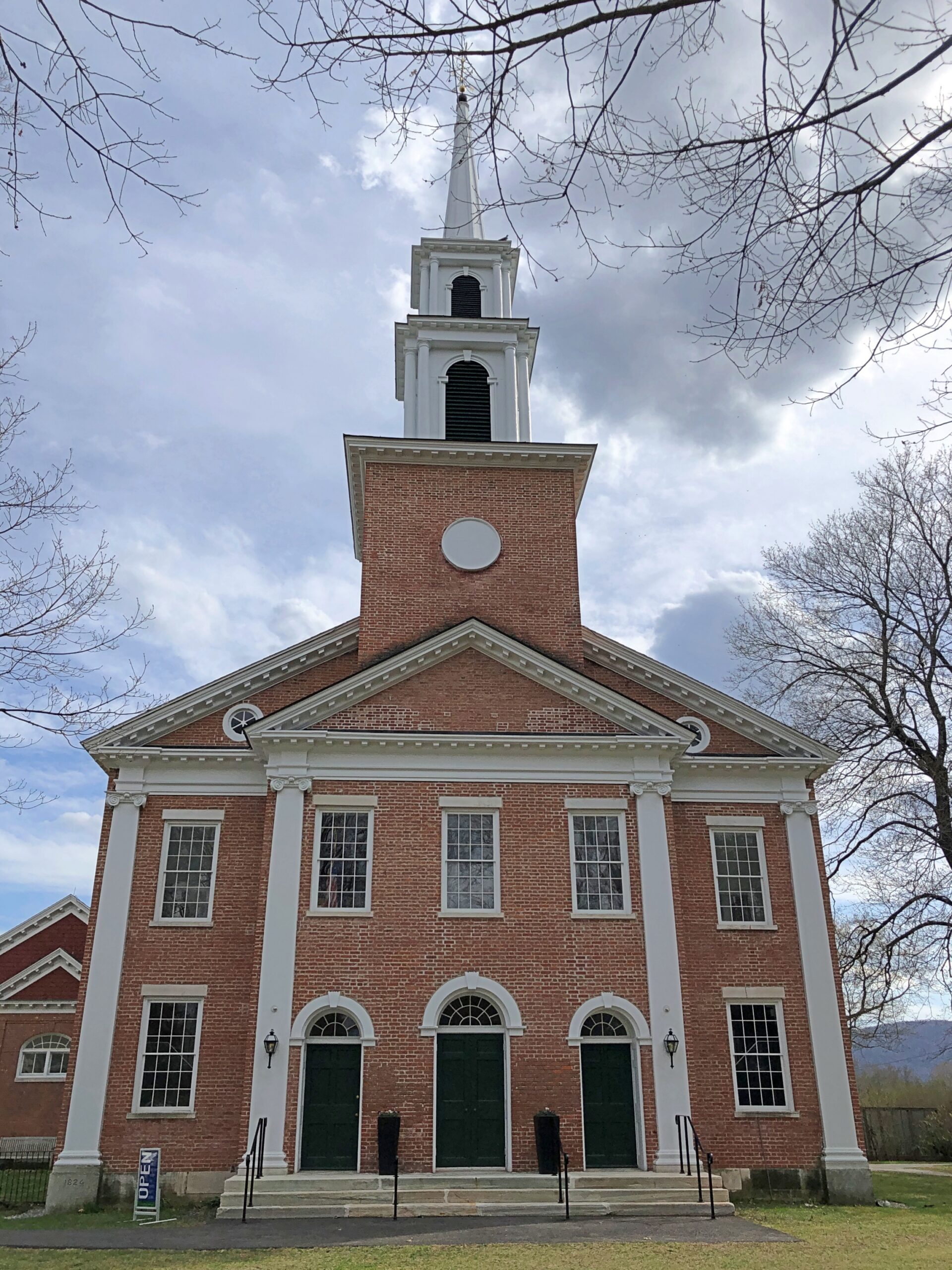
The First Congregational Church UCC. Remarkably, it was open.
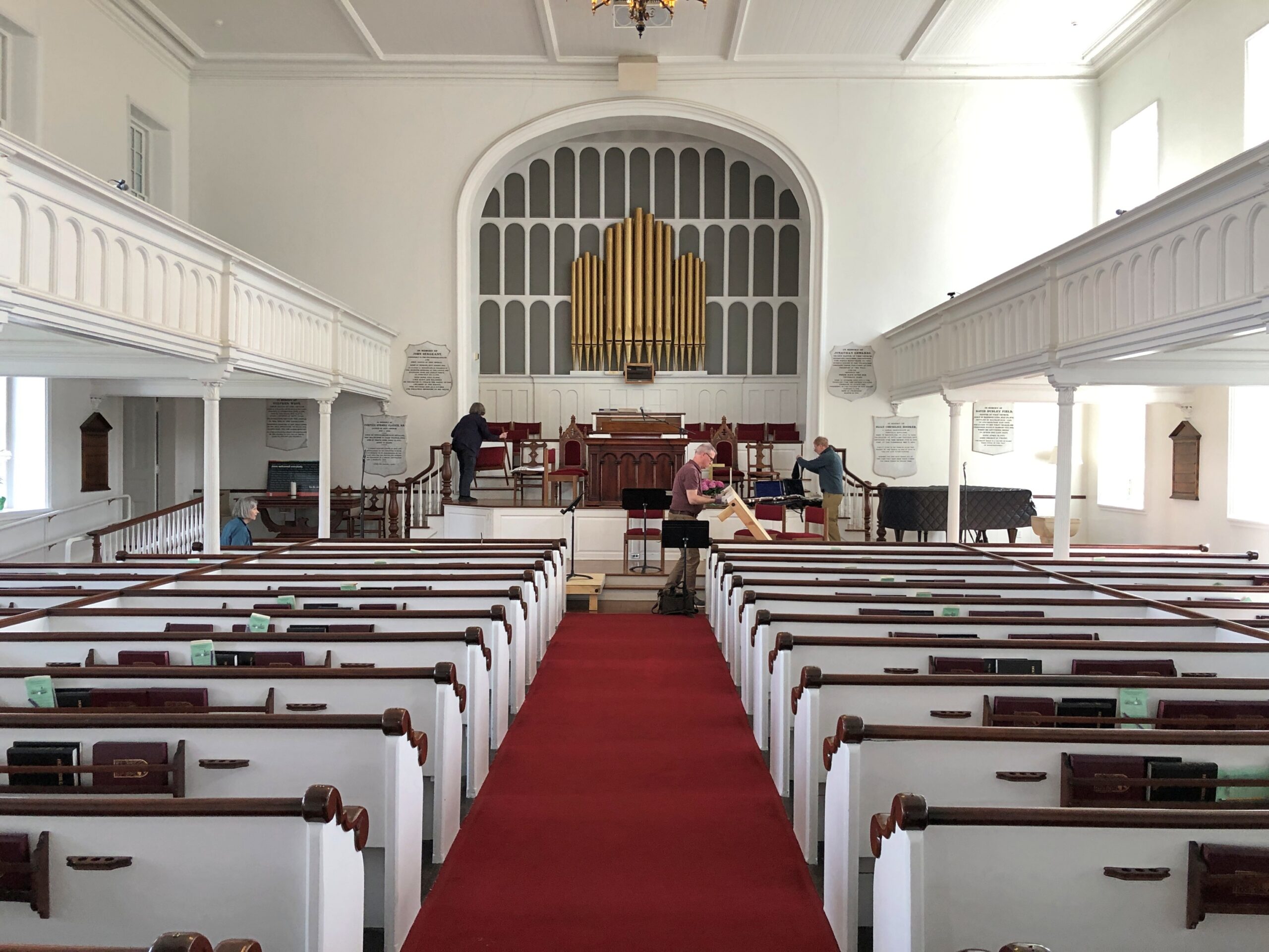
Musicians were practicing, or rather seemed to be wrapping up a practice. They paid no attention to me as I looked around.
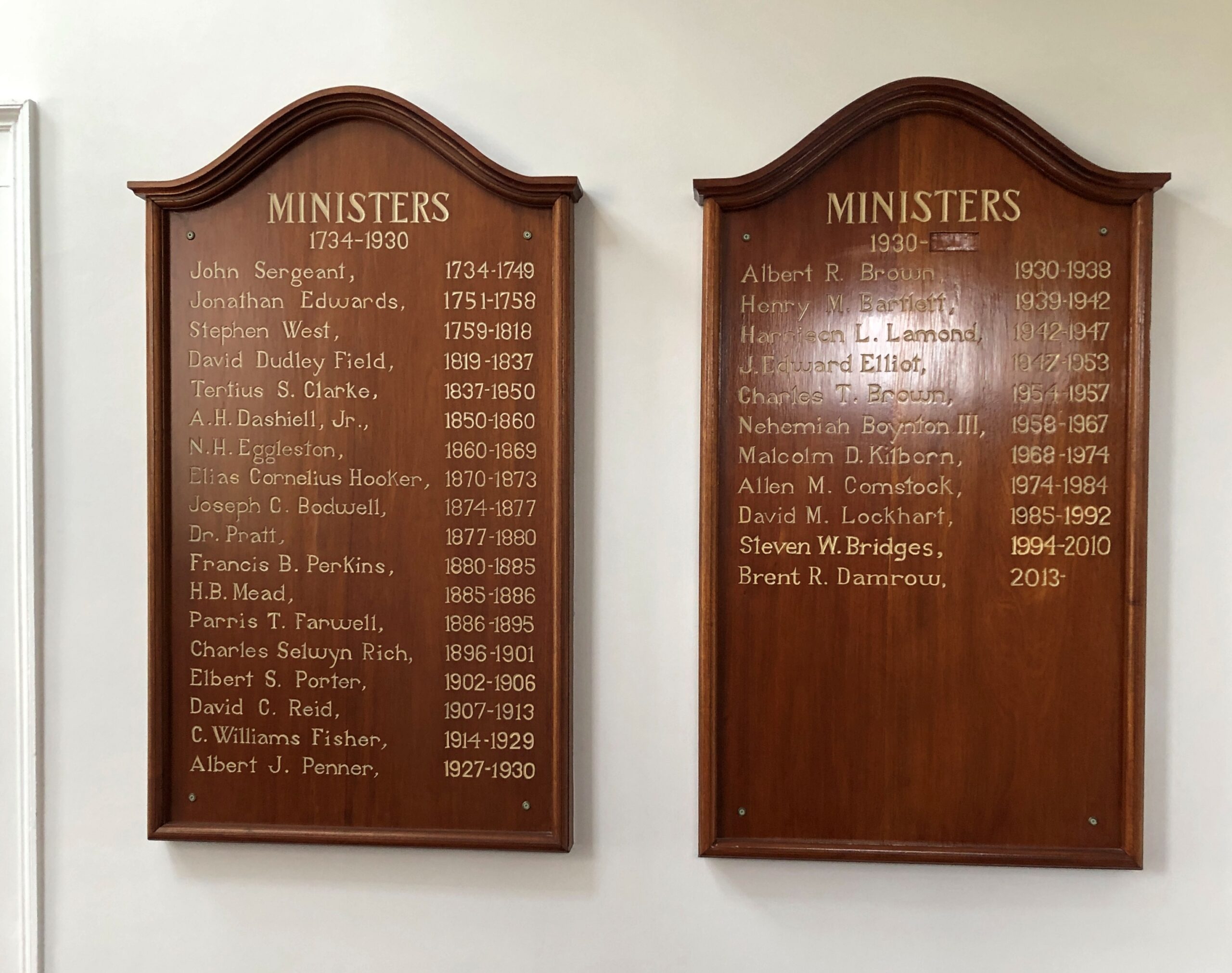
Jonathan Edwards was the church’s second pastor. “Sinners in the Hands of an Angry God” Jonathan Edwards? Yes.
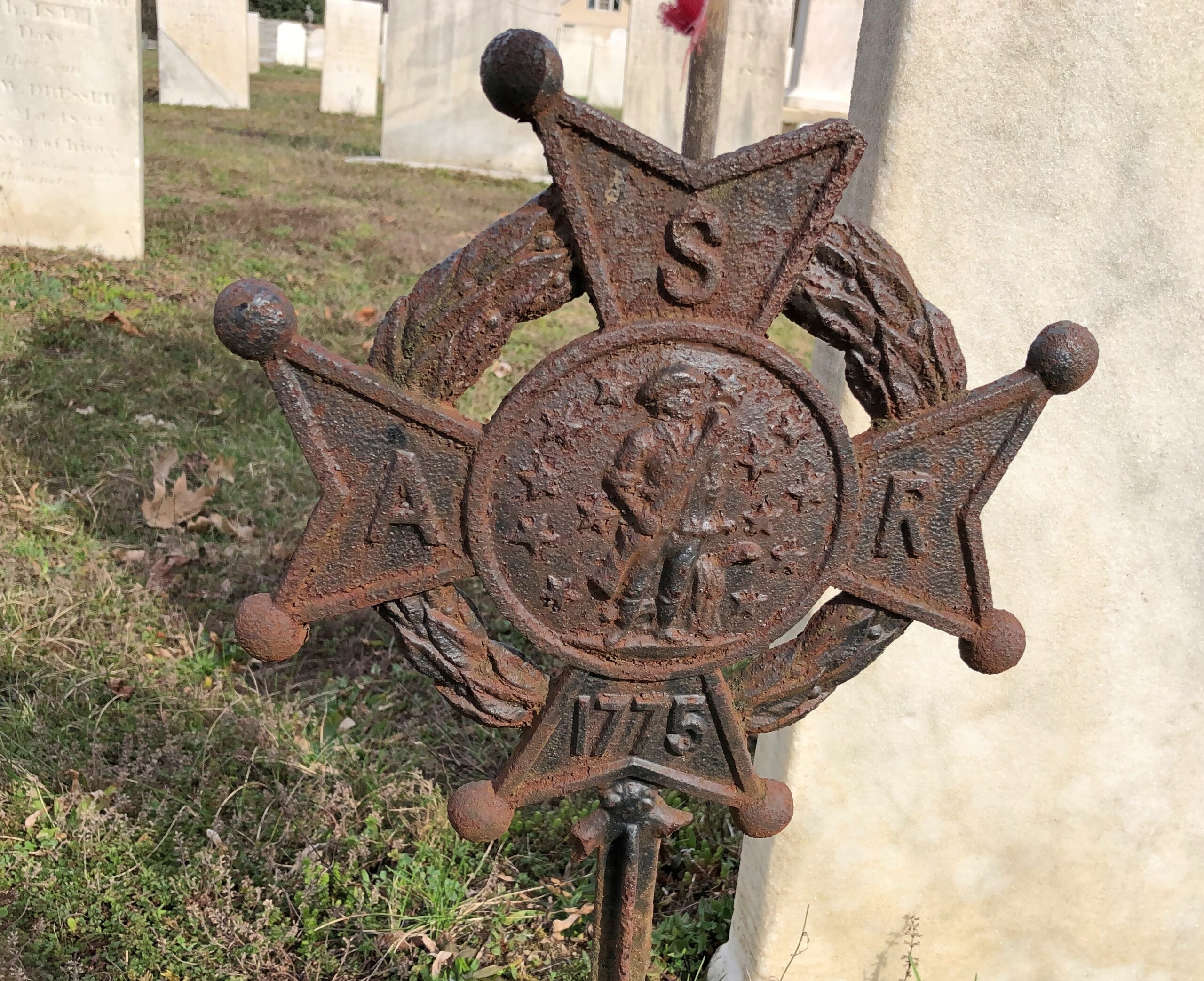
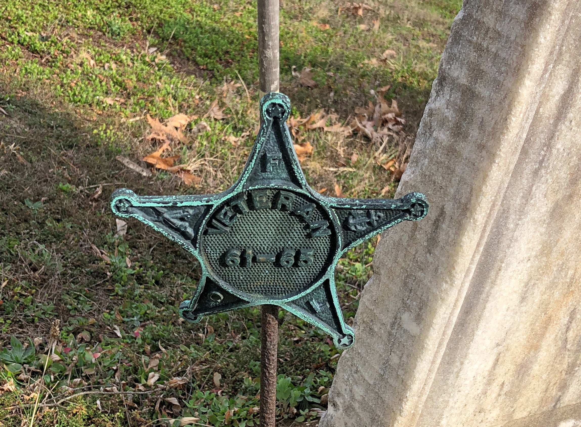
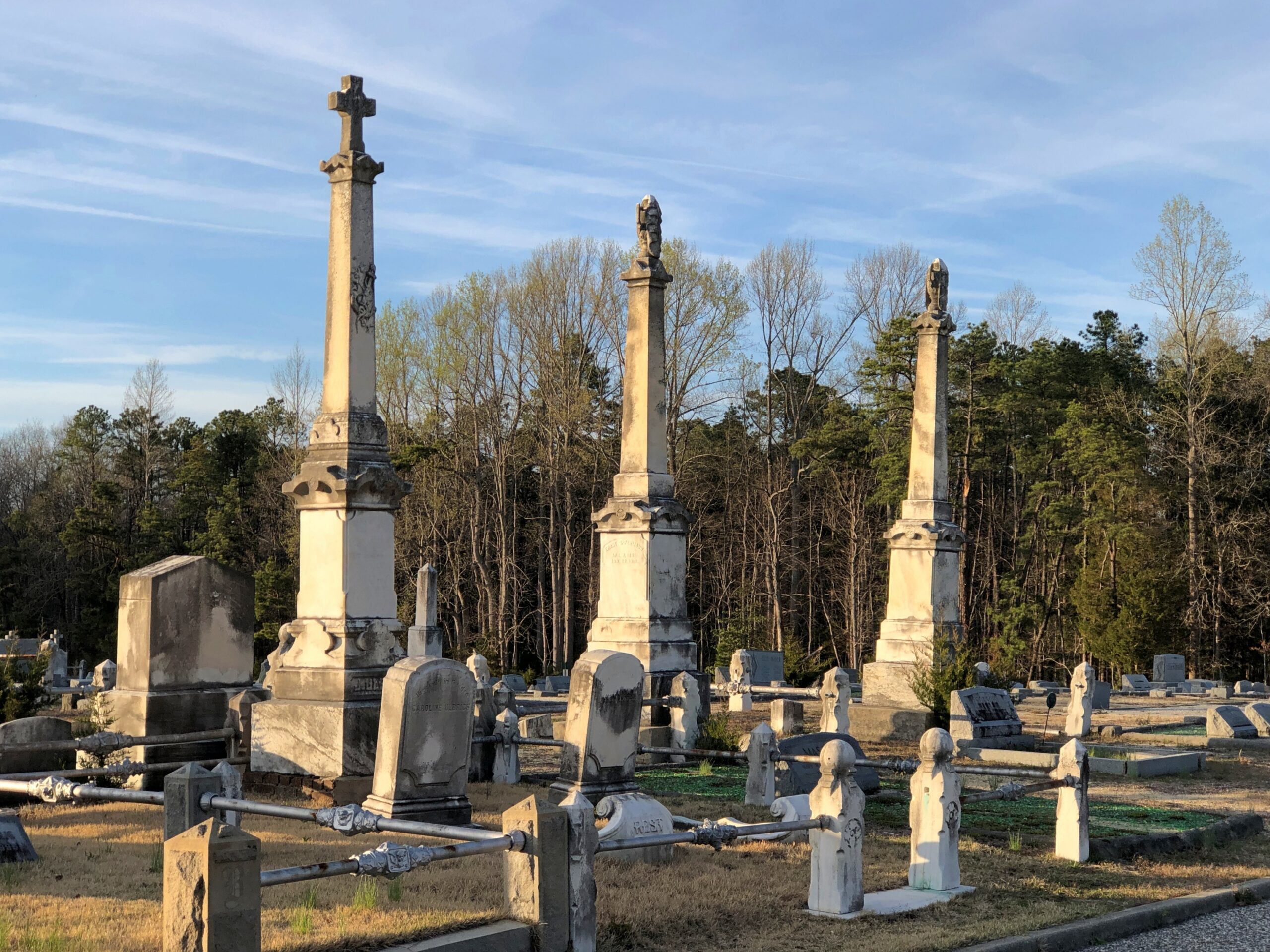
Across the road from the church and freestanding bell tower – which doesn’t chime, except in the summer – is the town cemetery.
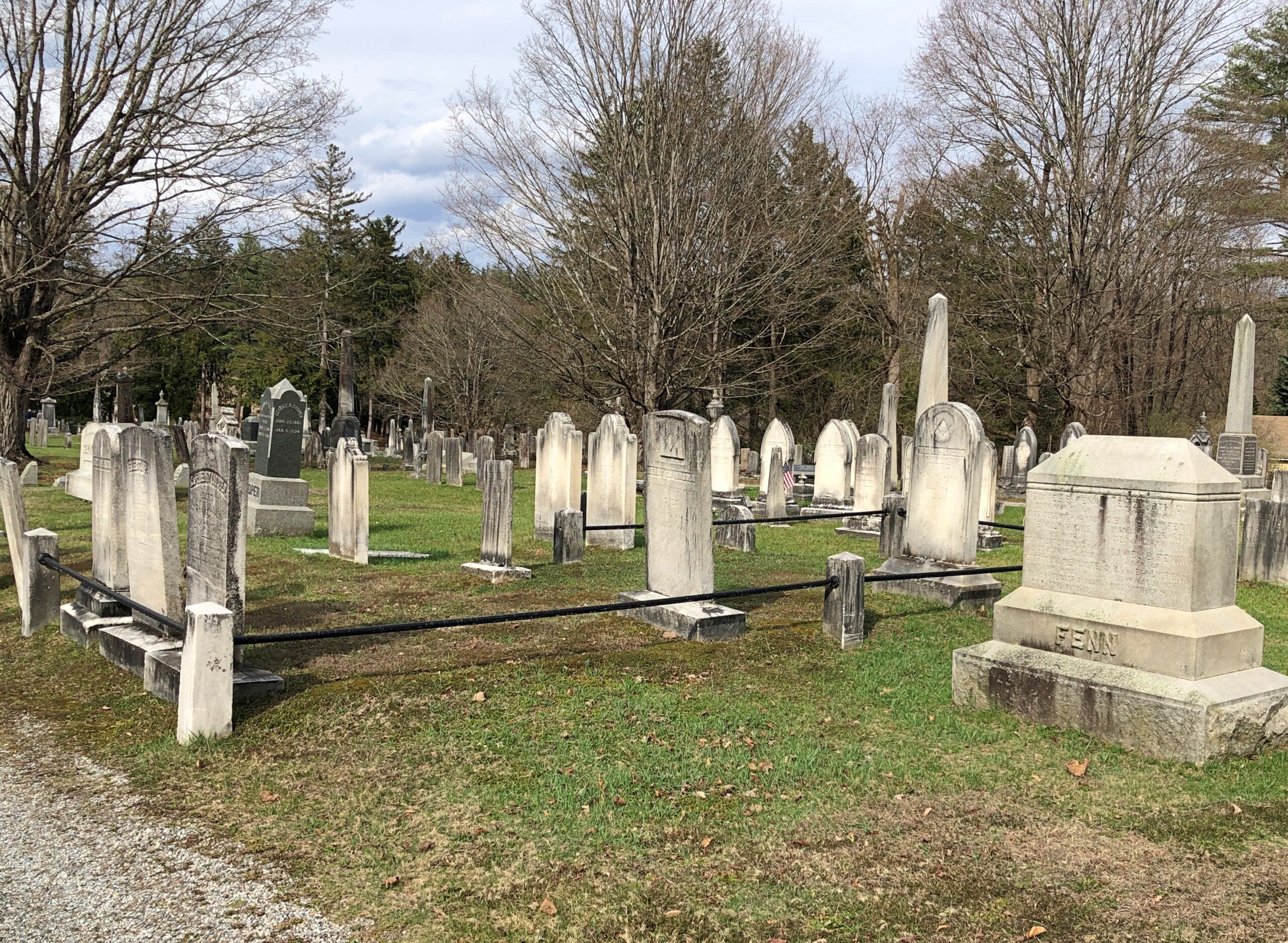
“One of the earliest burials was the first minister, John Sergeant, who died in 1749,” says the Stockbridge Library. “Members of the Mohican tribe who joined the church also were buried here. Twenty years later, discussions began about ways to enclose the burial area to keep out cattle, horses, and pigs. It wasn’t until 1853, however, that a new organization in town, the Laurel Hill Association, took on the responsibility to clean and protect the area.”
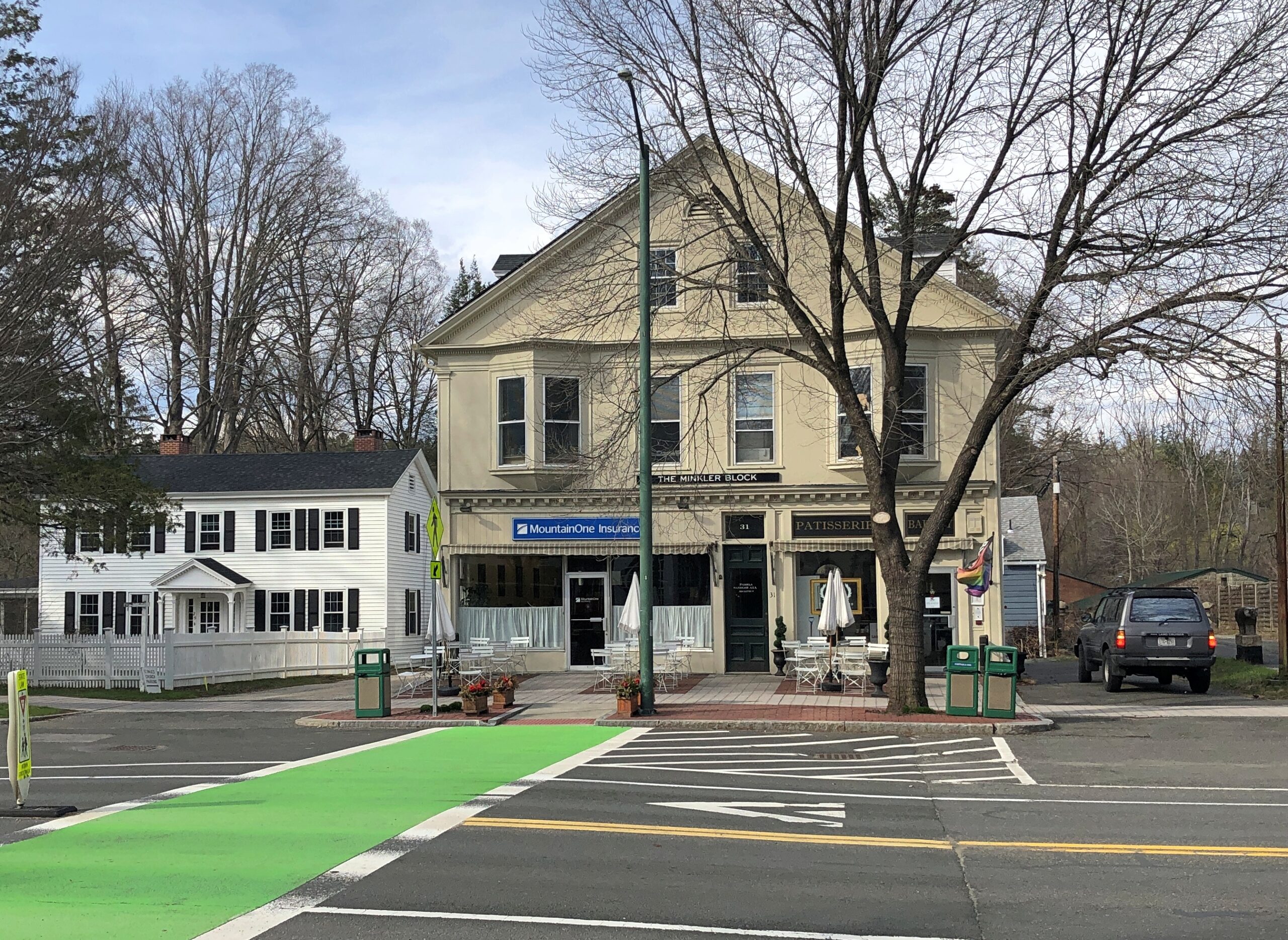
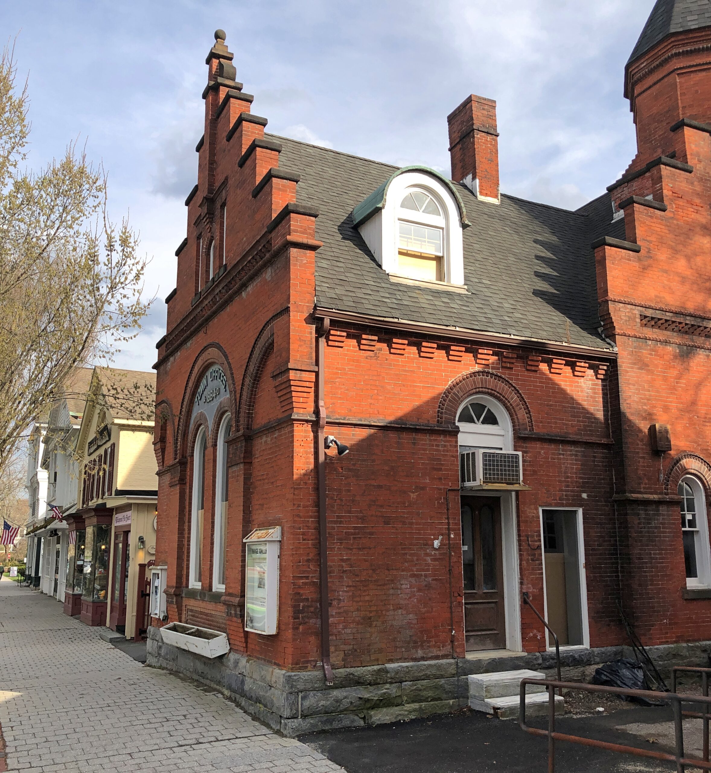
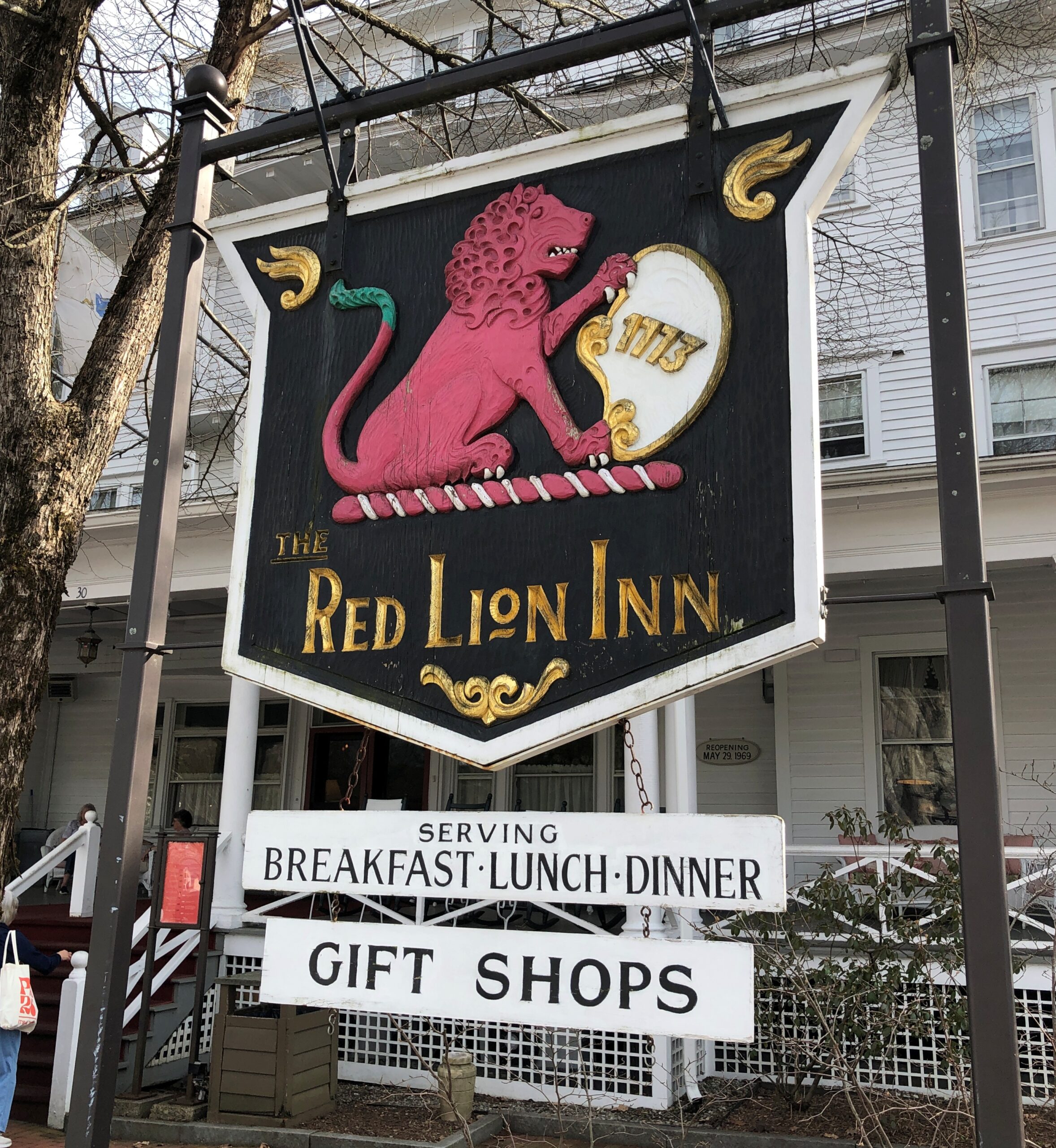
Route 102 turns into Main Street, with its shops, hotels, and other establishiments.
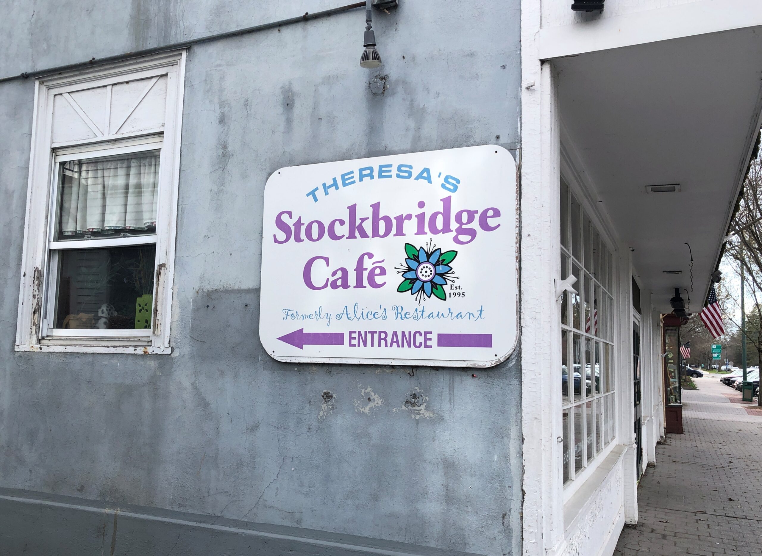
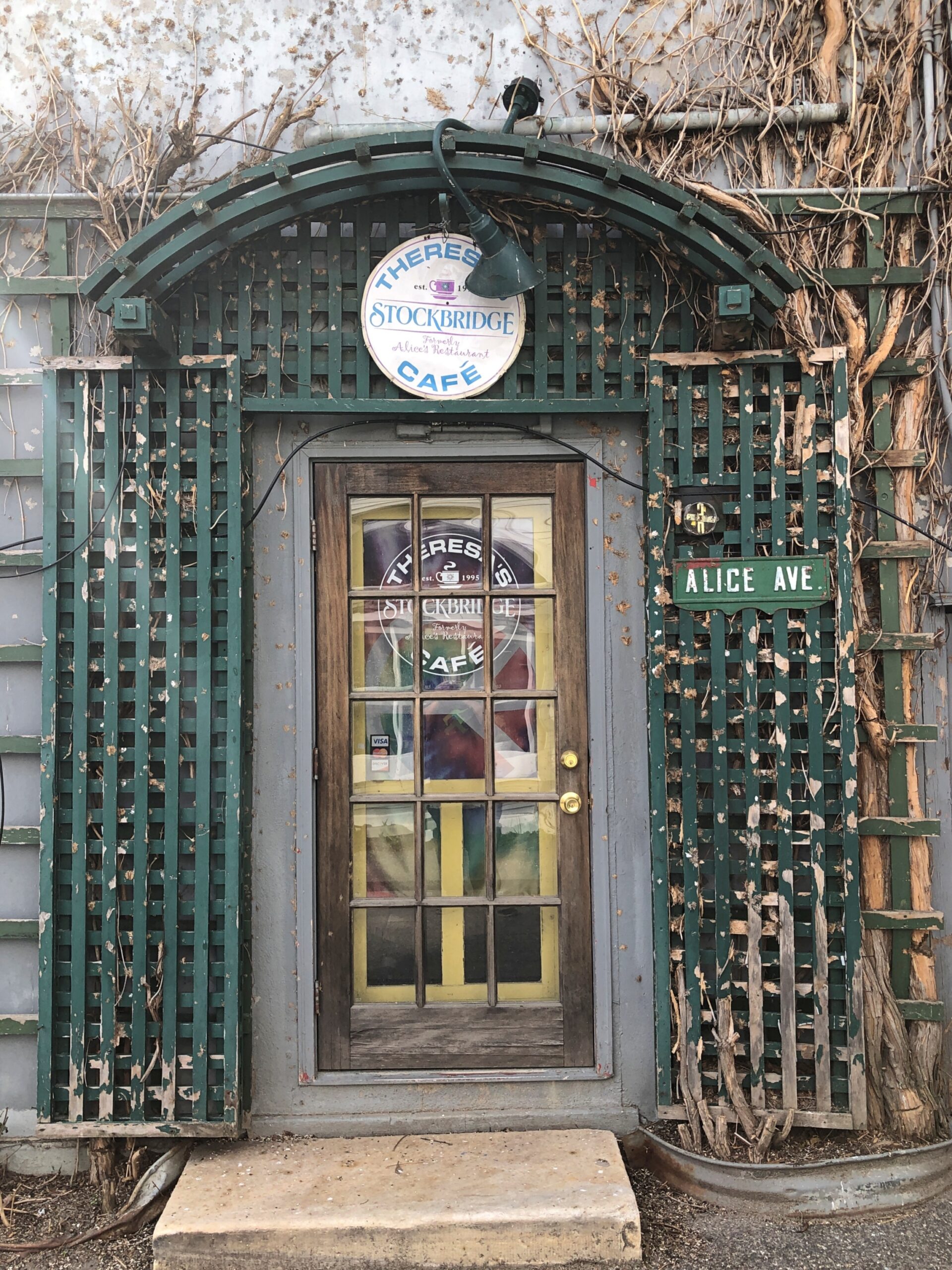
And, around the back (off Main St., that is), just a half a mile from the railroad track, is Theresa’s Stockbridge Café.
Driving the entire length of US 1 is more logistics that I want to take on at the moment, or maybe ever, but I figure I get a little of the same satisfaction doing it in sections. US 1 from Trenton to Newark, which I drove the afternoon of April 10, isn’t what anyone would call a scenic road, but that I’d say it’s better than the New Jersey Turnpike, whose main scenery is tail lights of other cars.
US 1 in New Jersey is four or six lanes most of the way through, generally is a divided highway, passing large cross streets, retail agglomerations, railroad tracks paralleling for a time, car dealerships, sporadic stretches of forested or other undeveloped land, thick traffic through New Brunswick especially, more than a few Jersey lefts and an uptick in spaghetti interchanges the closer you are to Newark. Stops were for traffic lights, but not too much for simple congestion. Take that, New Jersey Turnpike.
During the drive, I chanced on a radio call-in show that asked callers for stories about crashing wedding receptions, sneaking into off-limits places or other common enough rule infractions, such as taking food into movie theaters. One man claimed to have crashed a reception with a couple of friends, none dressed for the occasion; the father of the bride took a cotton to them and made sure they were well fed and good and drunk before long. One woman claimed to take entire meals to the movies and eat them there, and never being asked to leave. Now this was local radio, a real New Jersey thing to talk about.
Jan had told him many times, “It was you to me who taught: In Jersey, anything’s legal as long as you don’t get caught.”
“Tweeter and the Monkey Man”, a group effort but clearly a Dylan song, is a brilliant example of a pseudo-ballad. A ballad tells a story, right? A pseudo-ballad seems to tell a story, but at some point near the end of the song, you wonder just what happened. Lyrically, not all of the pieces of the puzzle are available. “Crime and other weird behavior in New Jersey” is about a specific as you can get in this case.
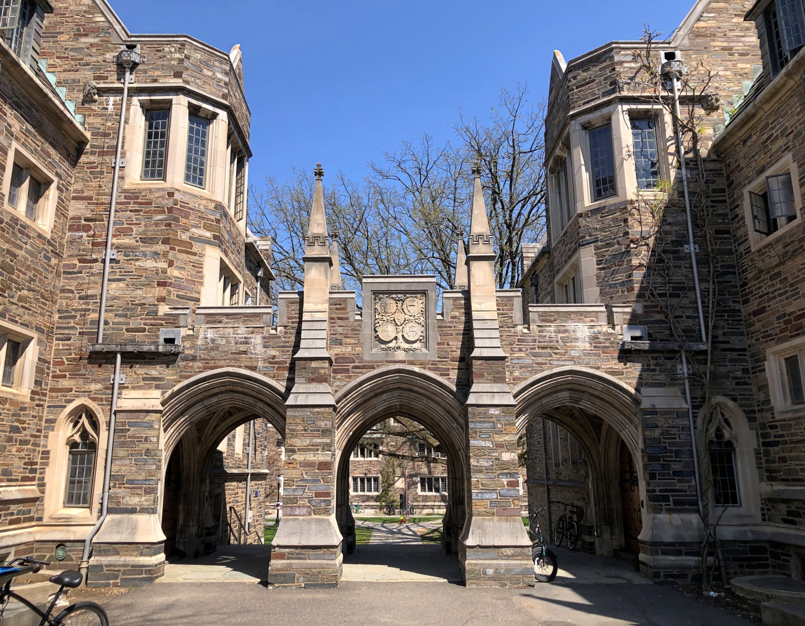
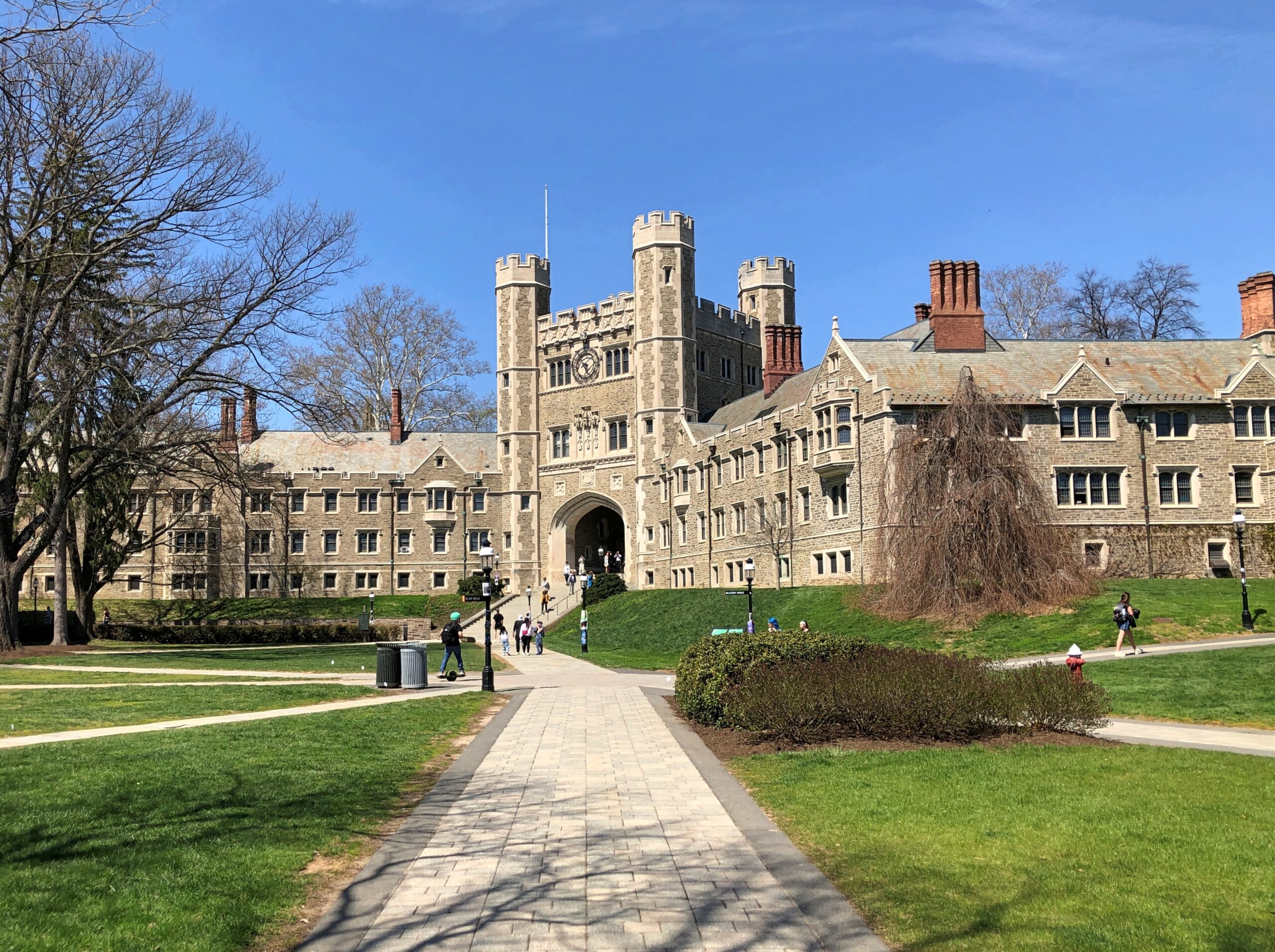
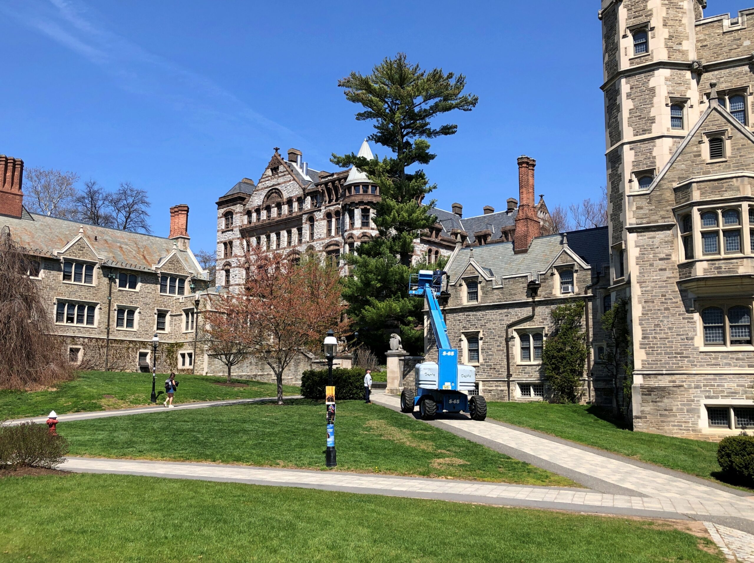
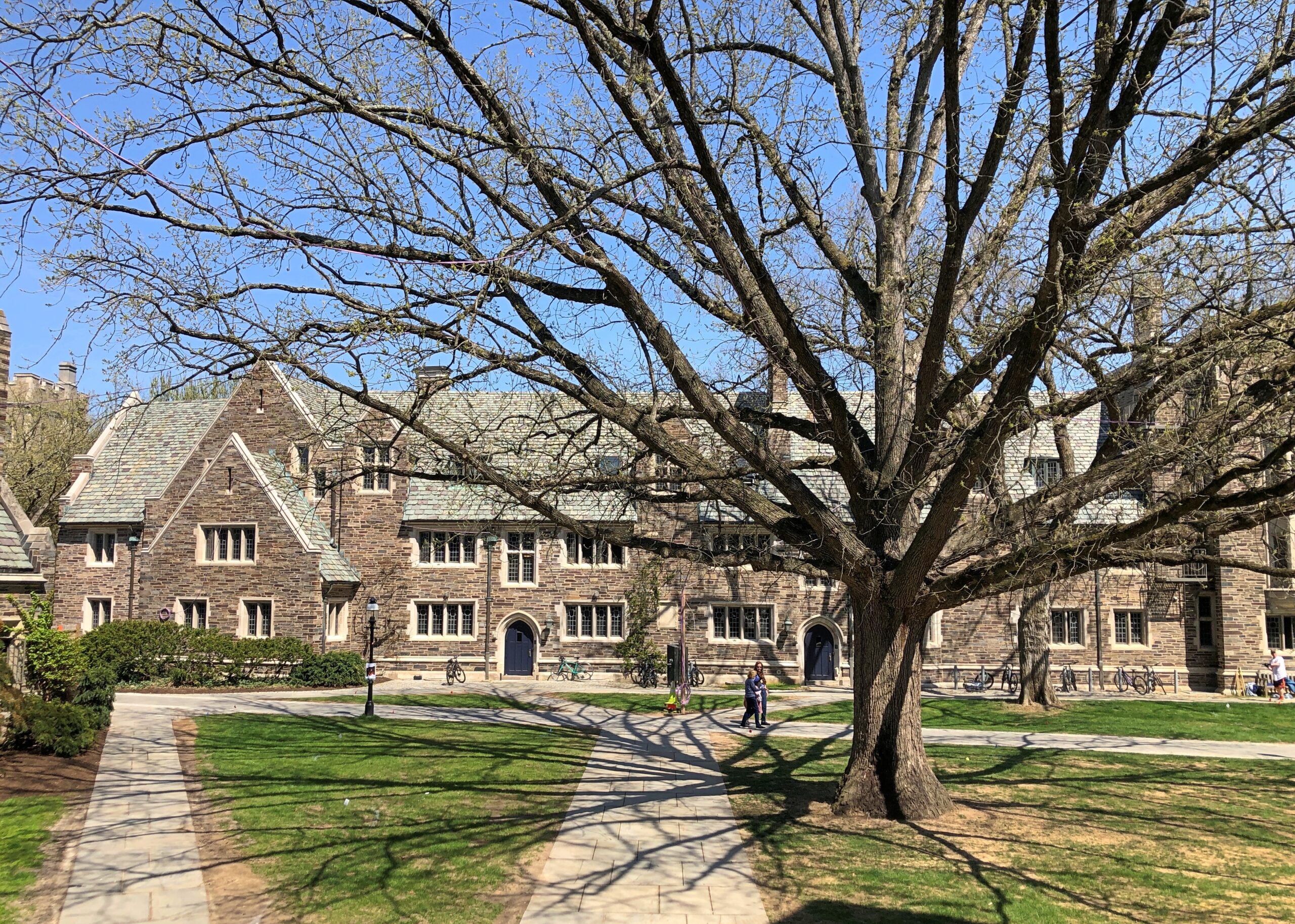
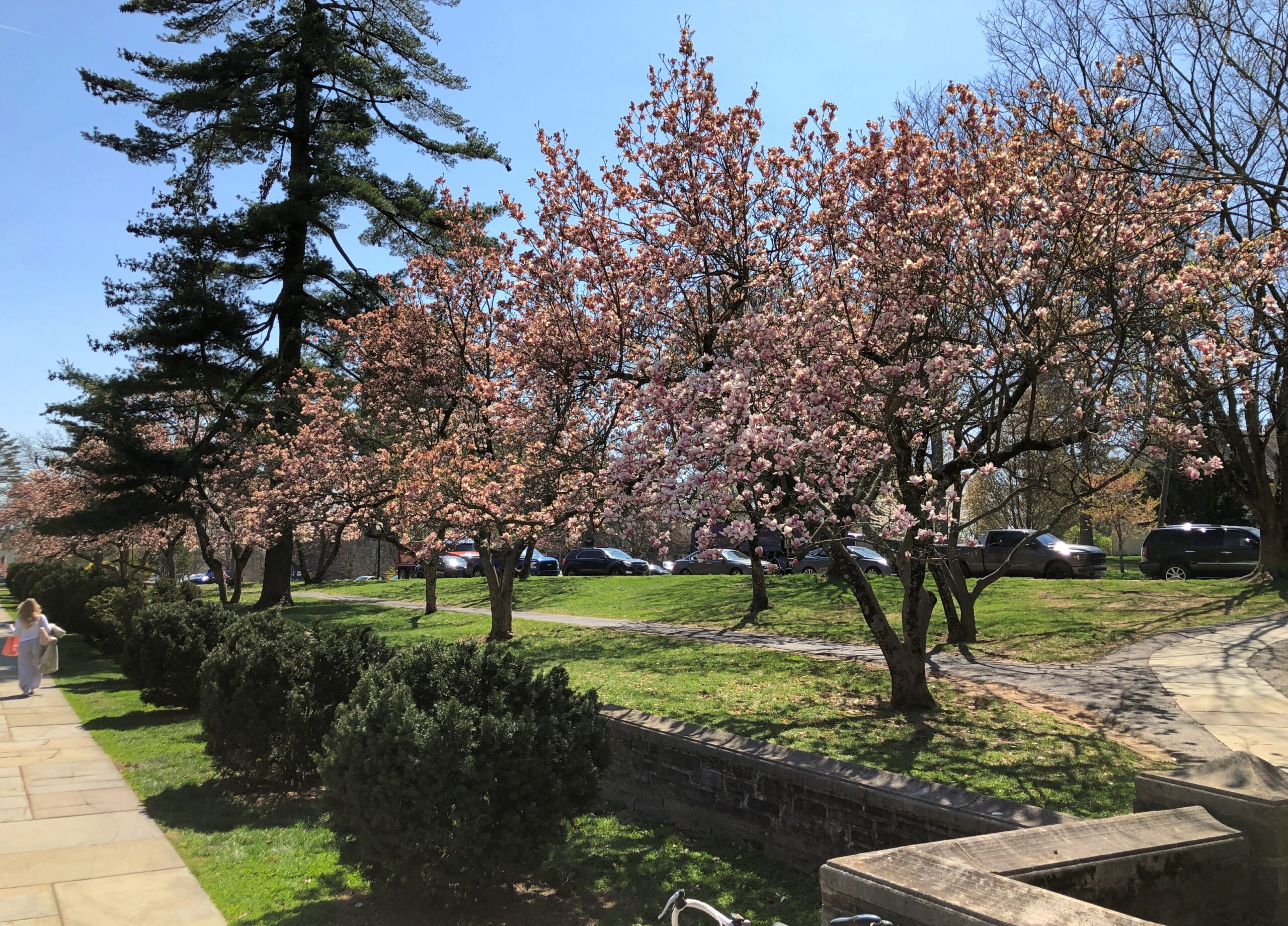
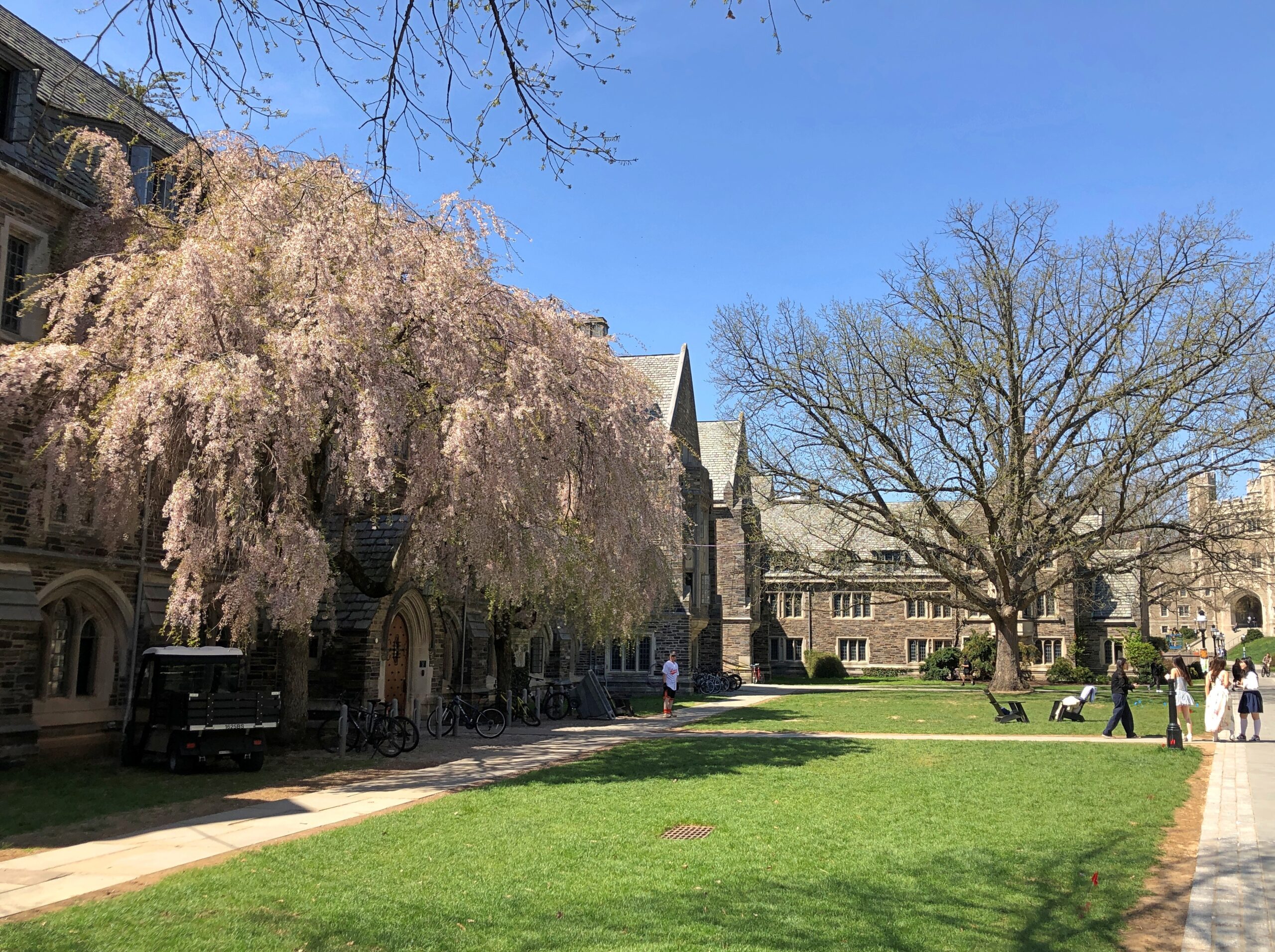
In October, I’d spent a few hours wandering Yale’s stately lawns and buildings and the nearby cemetery. So it only stands to reason – if I’m the one doing the reasoning – that I also visit Princeton, a short way off US 1 not far from Trenton.
Stately buildings.
Early spring on the stately lawns.
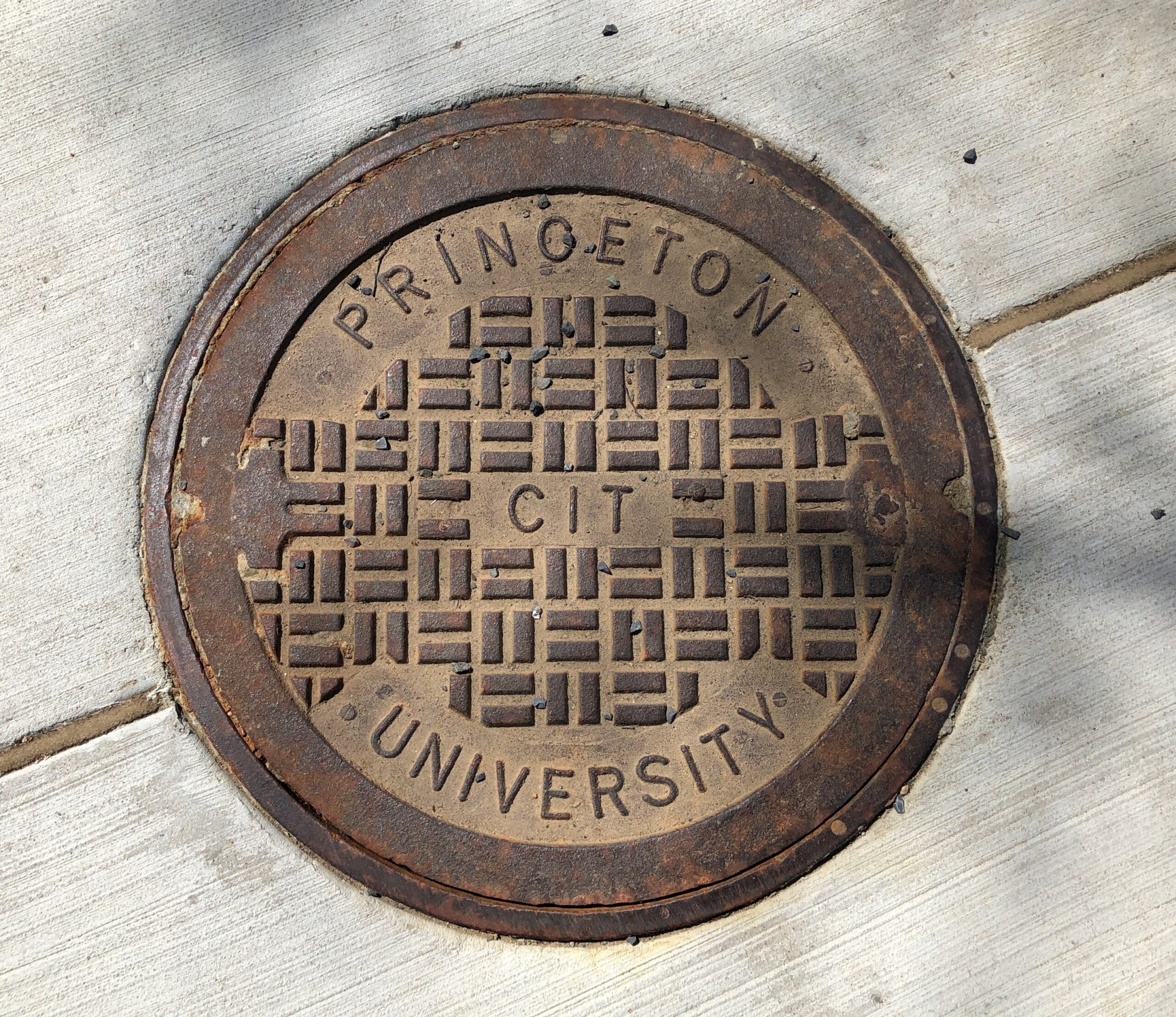
Not the best collegiate manhole cover I’ve seen – that would be at Olivet Nazarene University in Bourbonnais, Illinois – but not bad.
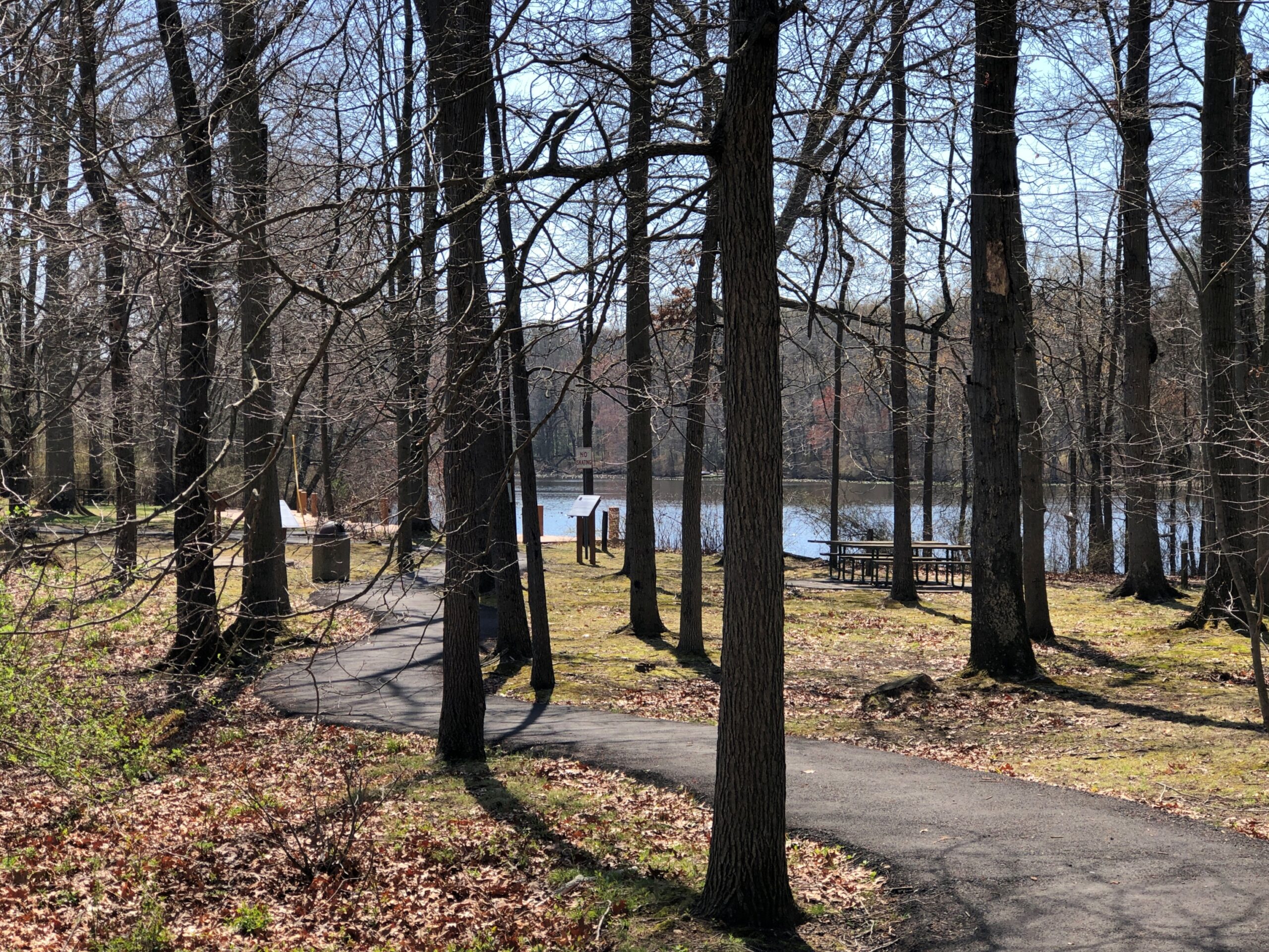
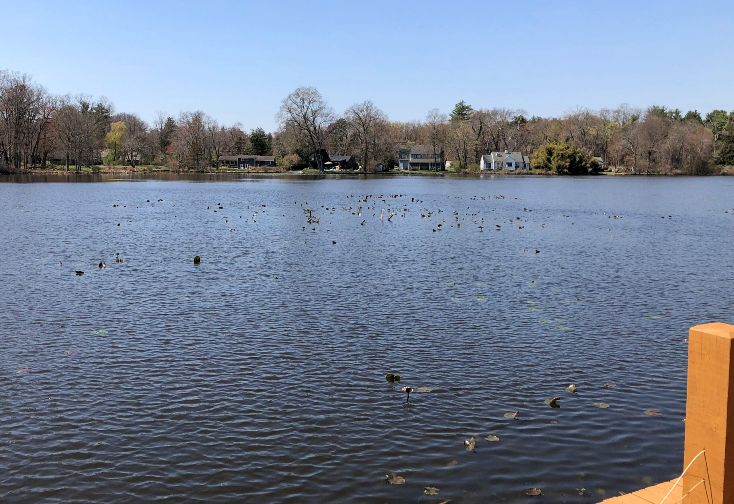
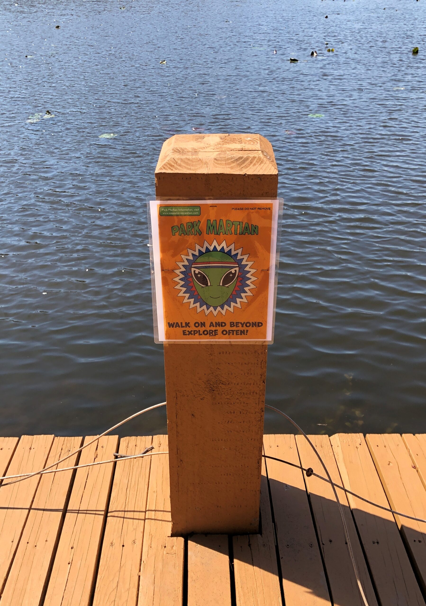
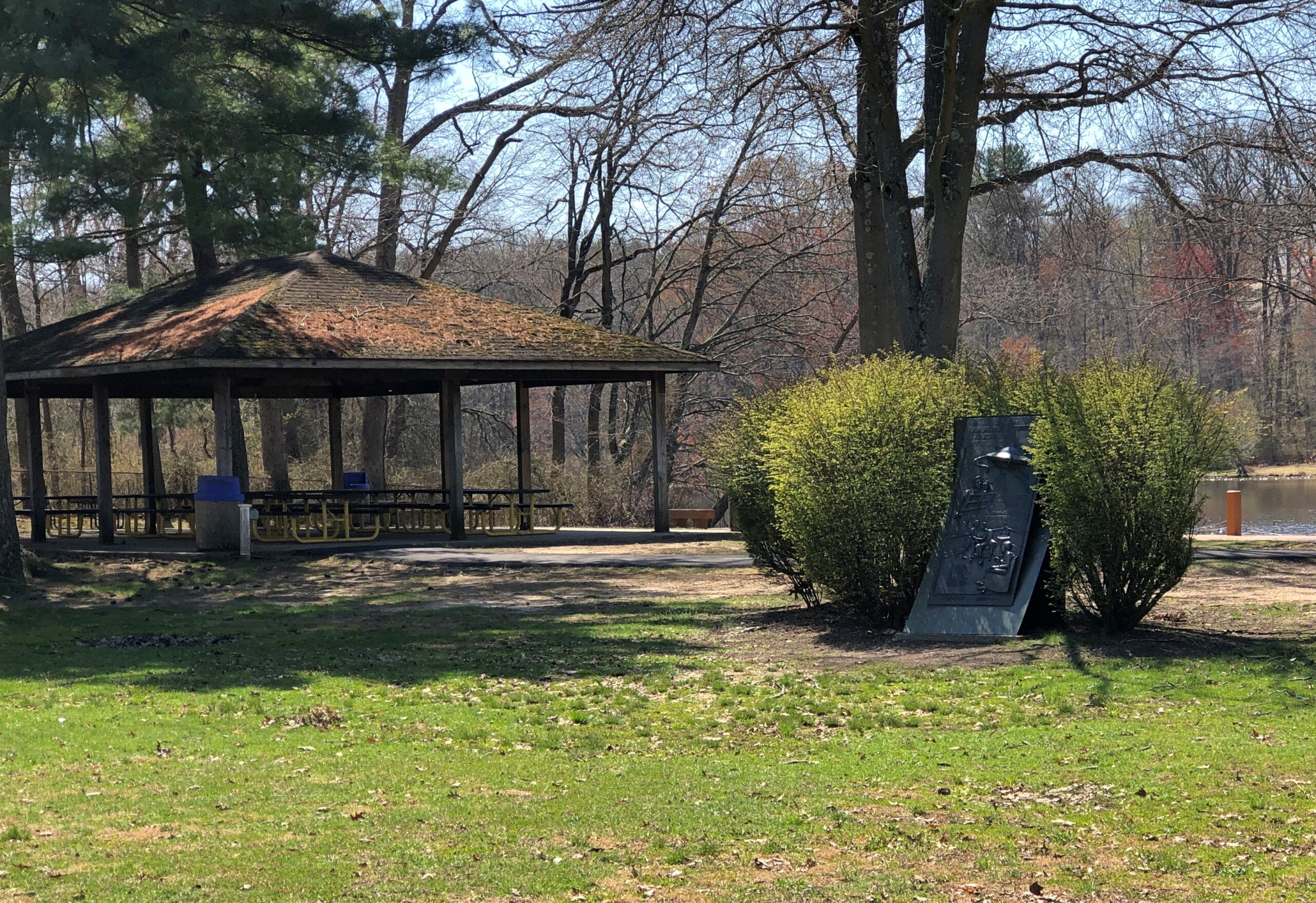
Princeton is west of US 1; Grovers Mill, New Jersey is to the east, also not far. I had to go there, too. Specifically, to a small park on a small lake in the unincorporated Grovers Mill. A short park trail includes information about Grovers Mills’ claim to fame: in Orson Welles’ version of War of the Worlds, it was the first place the Martians landed.
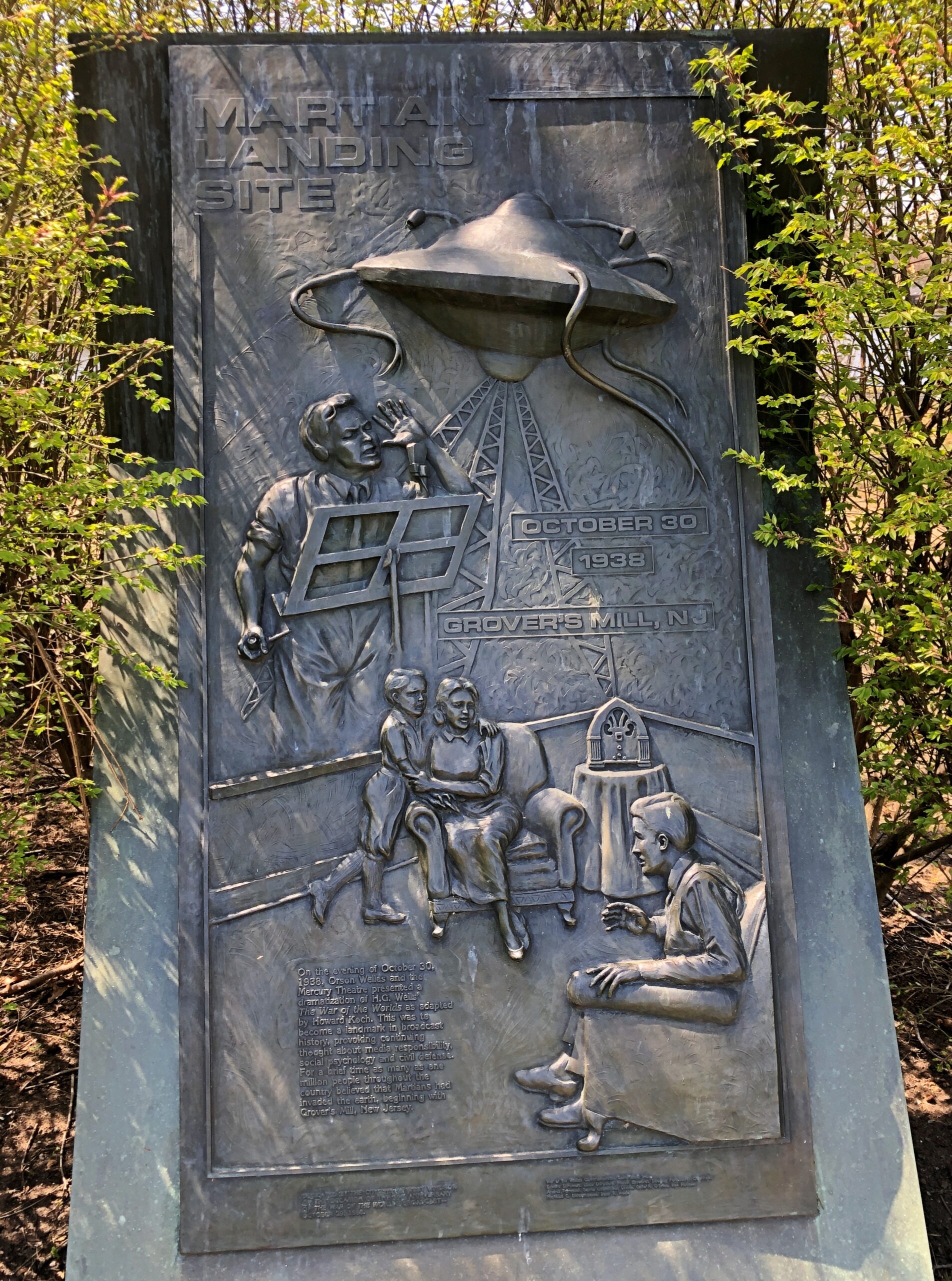
There’s a sizable plaque, a little bit hidden away, but I found it.
The township of West Windsor, in an unusual display of municipal imagination, erected the memorial in 1988, on the occasion of the 50th anniversary of the broadcast. Sculptor Thomas Jay Warren did the relief.
Ladies and gentlemen, I have a grave announcement to make. Incredible as it may seem, both the observations of science and the evidence of our eyes lead to the inescapable assumption that those strange beings who landed in the Jersey farmlands tonight are the vanguard of an invading army from the planet Mars. The battle which took place tonight at Grovers Mill has ended in one of the most startling defeats ever suffered by any army in modern times; seven thousand men armed with rifles and machine guns pitted against a single fighting machine of the invaders from Mars. One hundred and twenty known survivors. The rest strewn over the battle area from Grovers Mill to Plainsboro, crushed and trampled to death under the metal feet of the monster, or burned to cinders by its heat ray. The monster is now in control of the middle section of New Jersey.
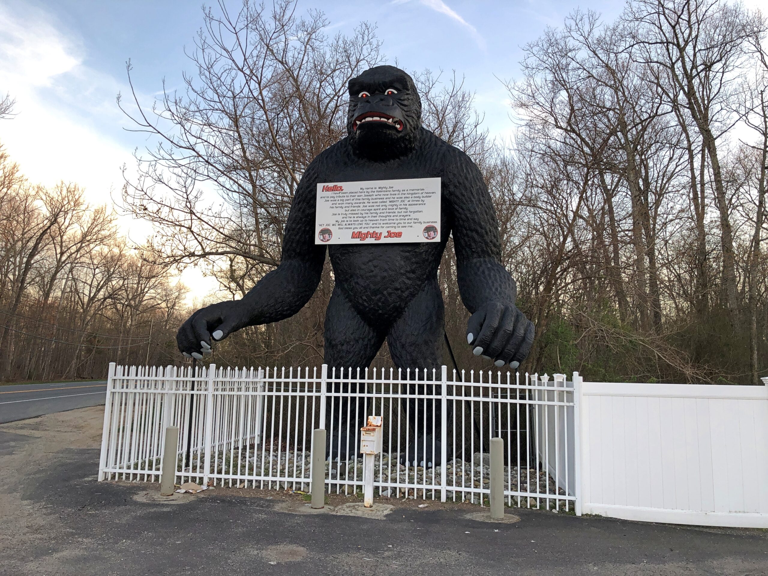
Down in South Jersey earlier this month, I didn’t see the Jersey Devil. I did see Mighty Joe.
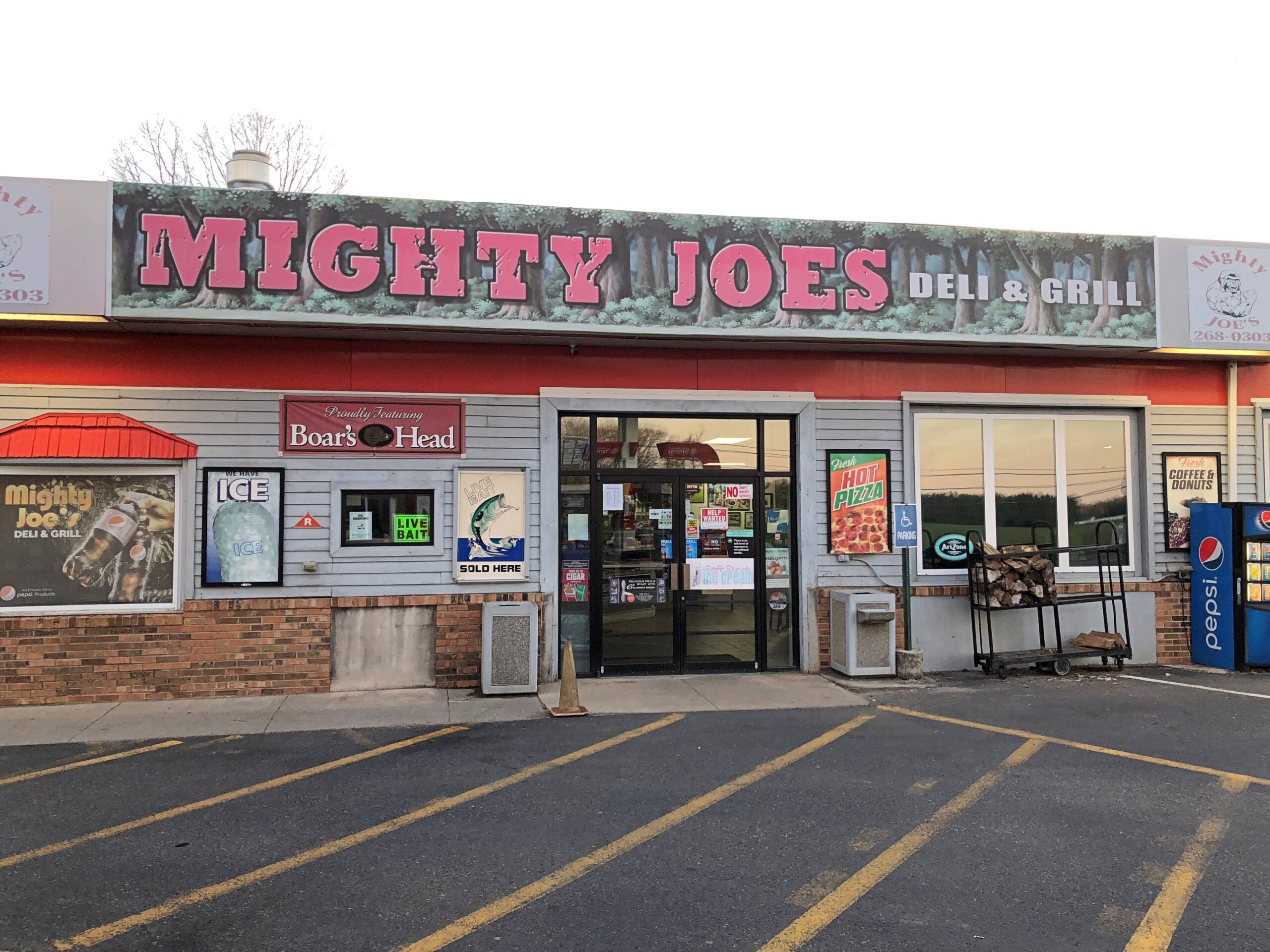
He counted as my introduction to the Pine Barrens, standing at a convenience store on US 206 in Indian Mills, Shamong Township, New Jersey. His story, which Roadside America tells well, began in Spain – really? – though immigrant Mighty Joe apparently has spent most of his existence in New Jersey as a commercial mascot of one kind or another. He’s still that, but also a memorial to the son of the store’s owner, Larry Valenzano, according to the sign on the gorilla’s chest. The younger Valenzano, a body builder nicknamed Mighty Joe, died of cancer in 1999.
I didn’t stop for Joe heading south on US 206. Can’t stop for everything. I figured I wouldn’t see him on my return to Trenton either, since I was planning to return on smaller roads through the heart of the Pine Barrens, after visiting Atlantic City. All went according to plan, until I actually got into the heart of the Pine Barrens fairly late in the afternoon of April 9.
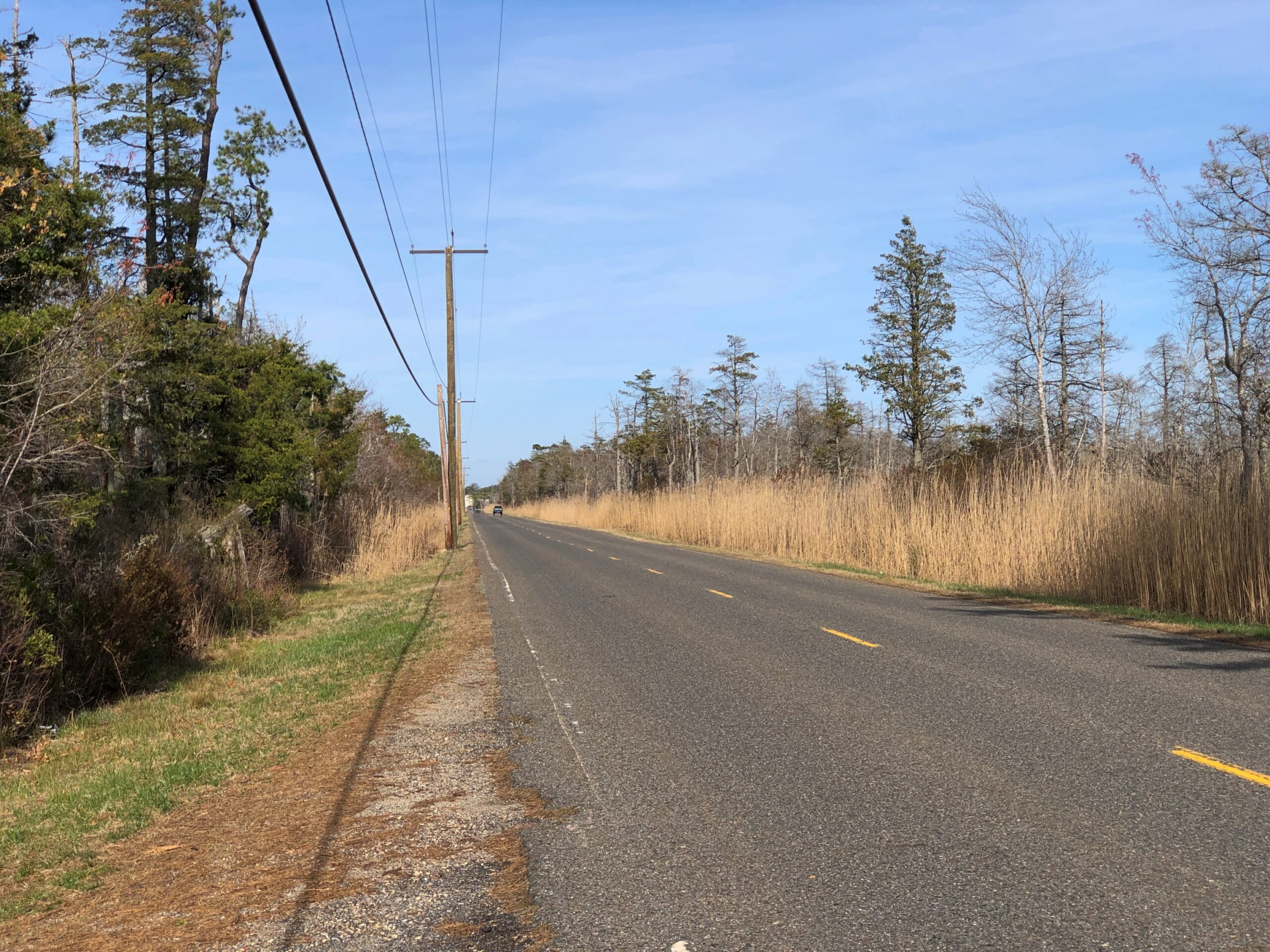
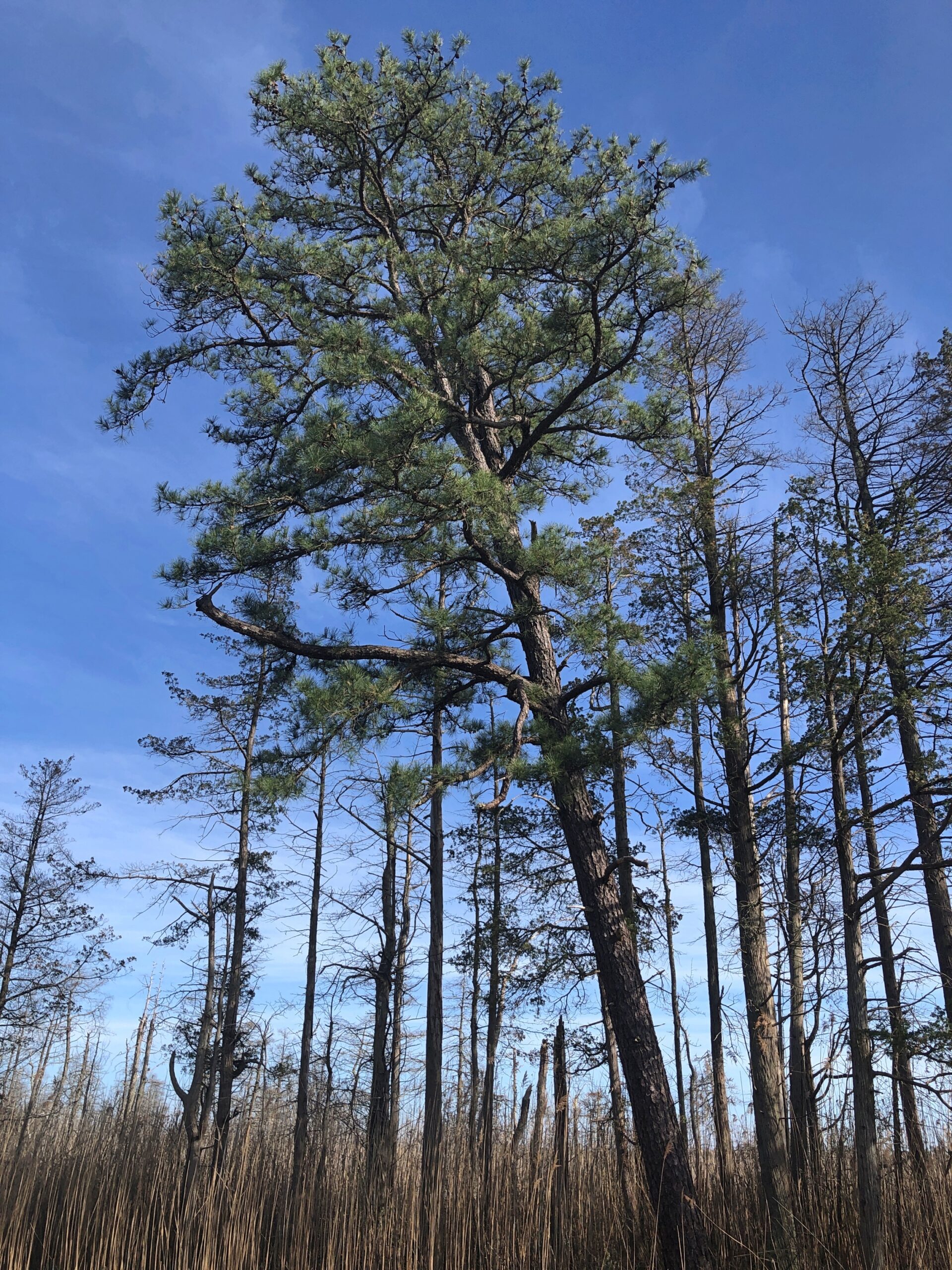
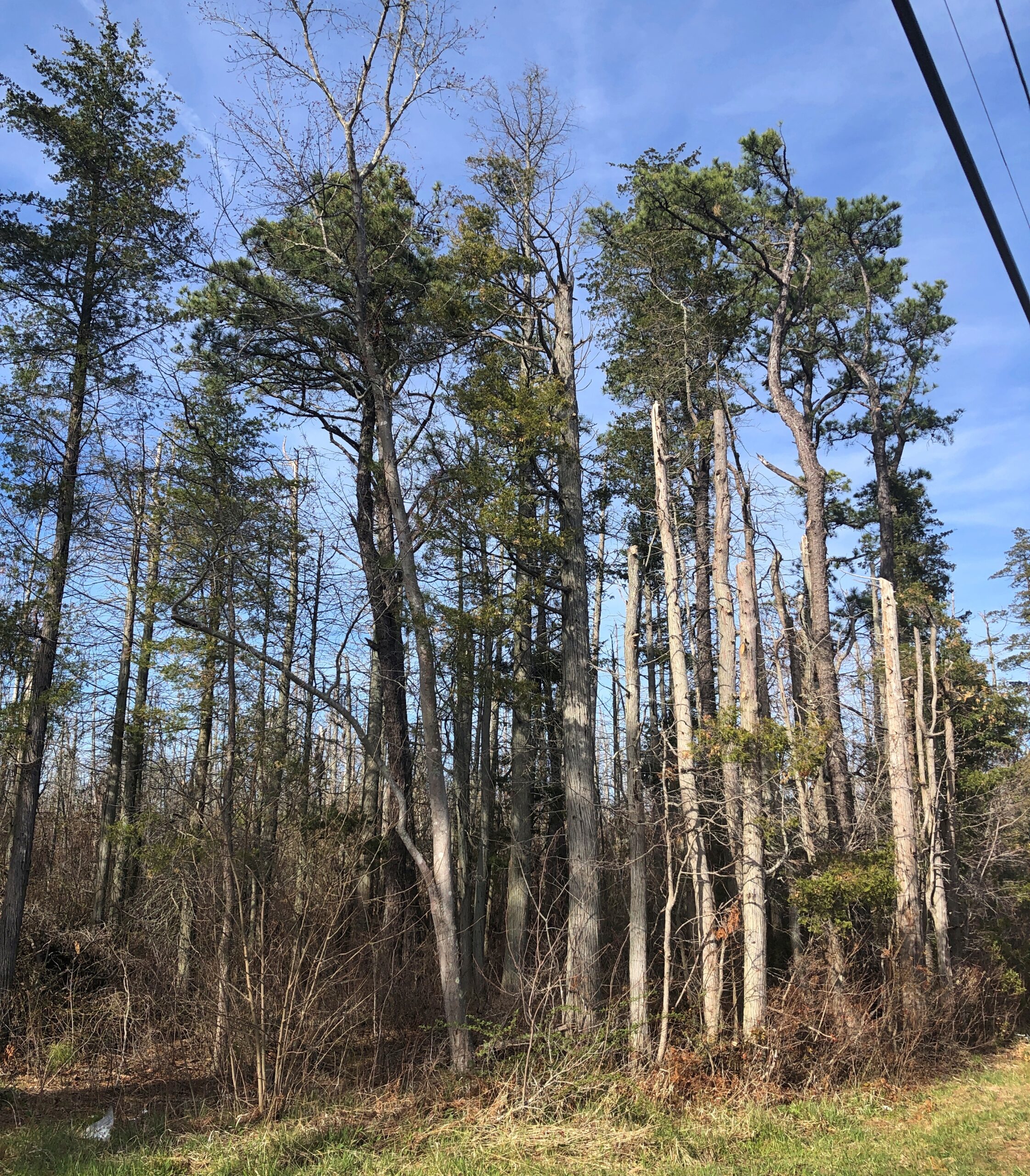
Considering how close you are to Philadelphia and New York, it’s remarkable how remote the Pine Barrens feel. The region, I understand, is the largest surviving forest on the Eastern Seaboard south of Maine’s North Woods, totaling over 800,000 acres.
The region is also called the Pinelands. It certainly fits.
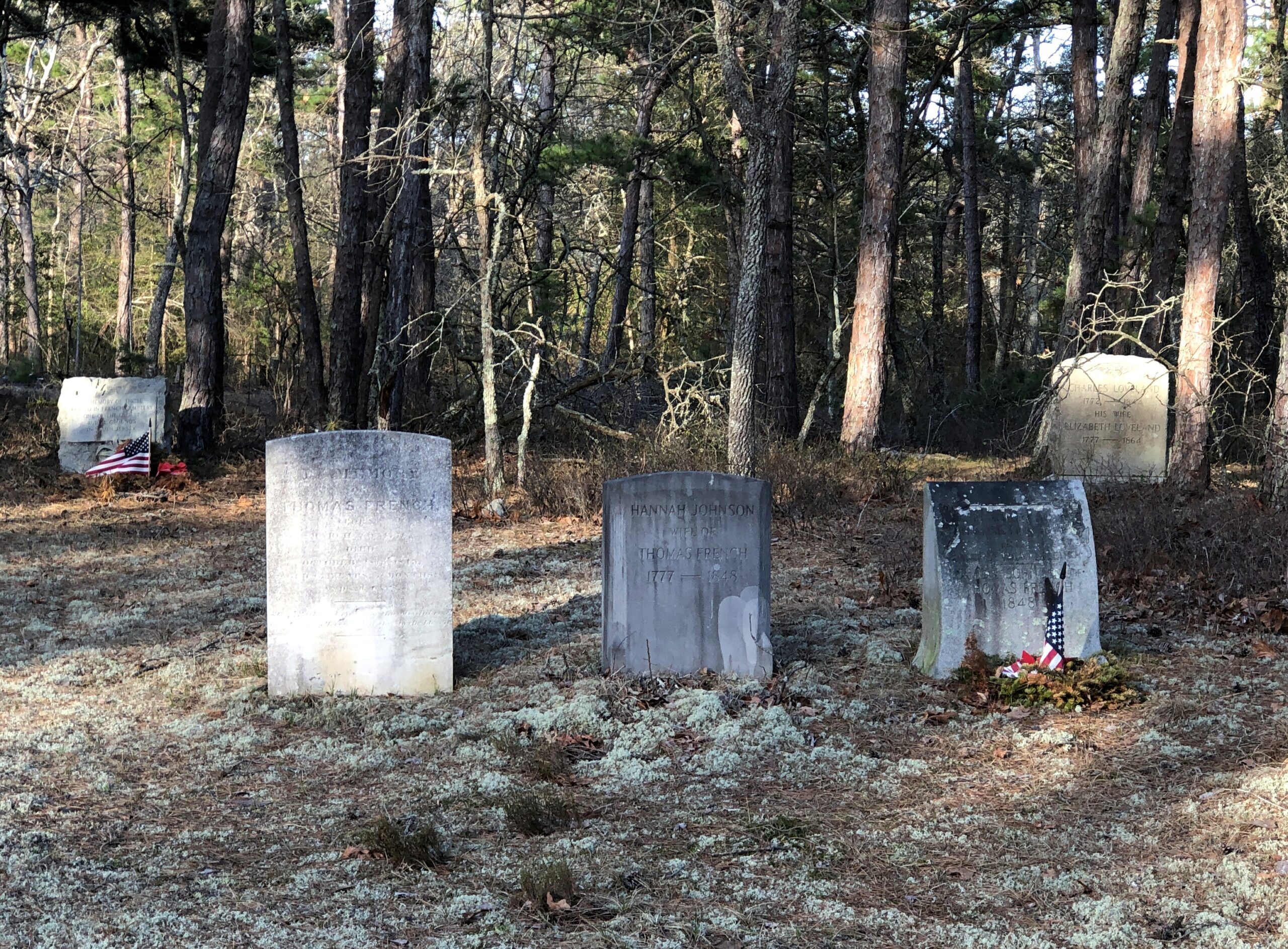
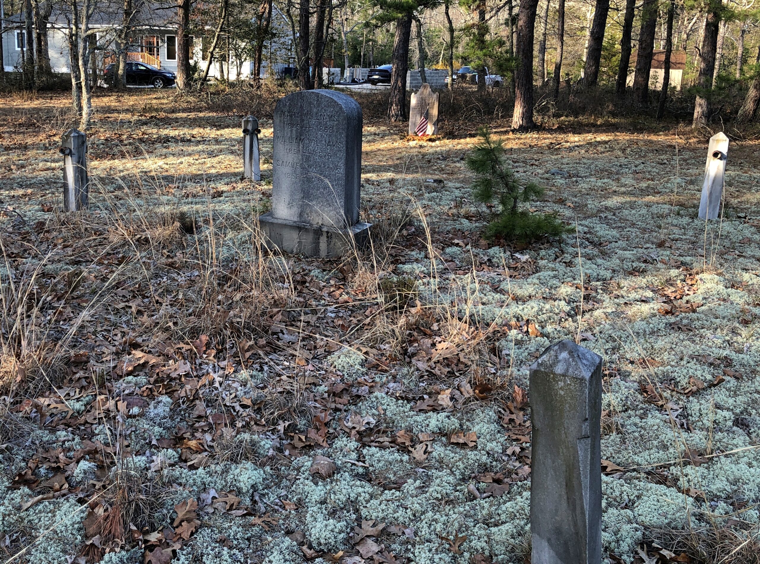
Remote, maybe, but still plenty of signs of human habitation, past and present. I stopped to take my bearings at a wide place in the road, and noticed gravestones.
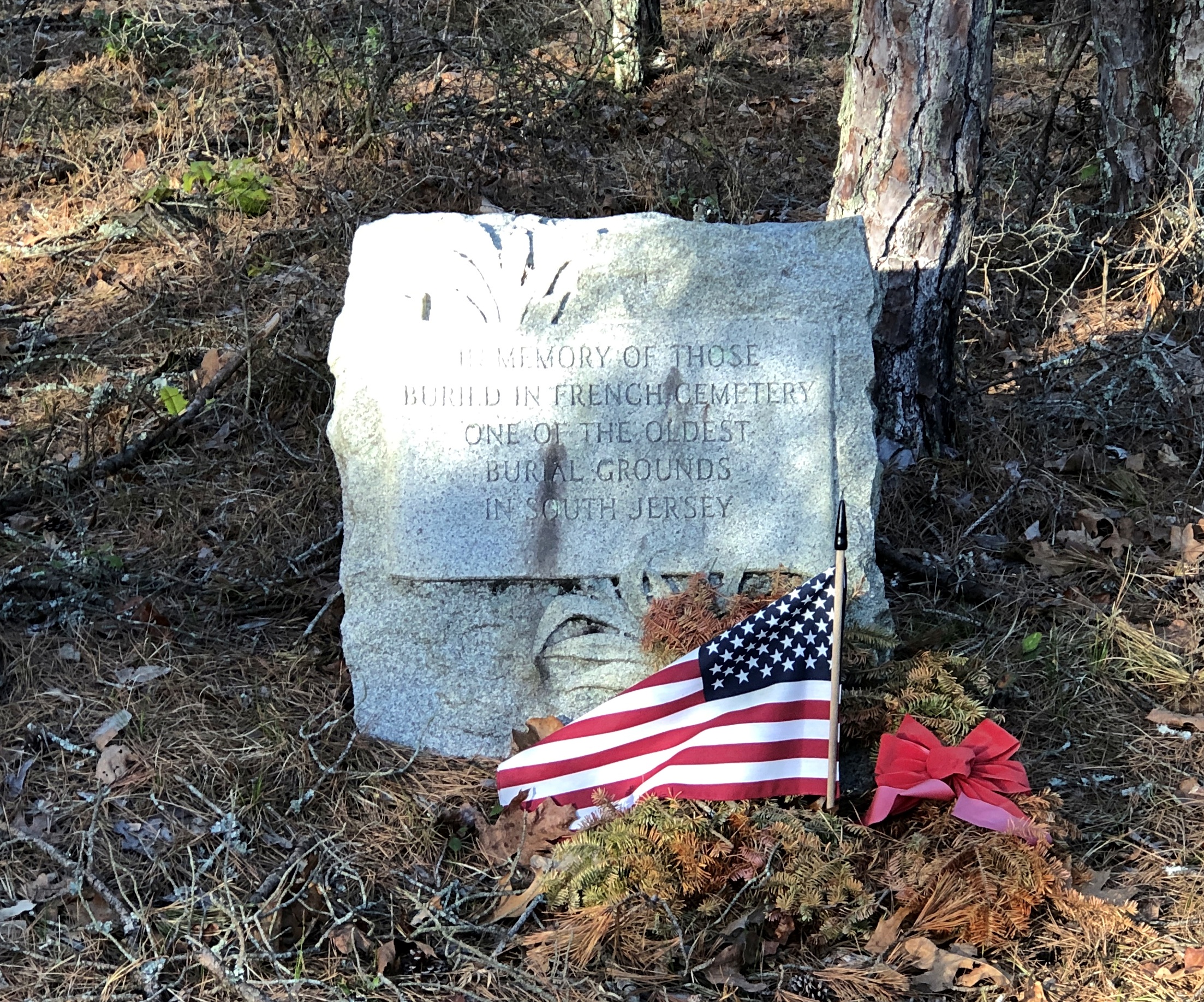
French Cemetery, named for a number of people buried named French, not for their nationality. “One of the oldest burial grounds in South Jersey,” the stone asserts. Could be, but I have no way to check that.
Interesting little spot anyway, northeast from Egg Harbor City and past the Mullica River and near the Wading River. Or was that the actual location? I was traveling on marked county roads, but pretty soon I started seeing county road signs covered with black plastic bags, next to newer signs. I can only guess, but I think that meant a recent change in the numbering of the county roads.
That further meant that both my paper and electronic maps were wrong – in as much detail as they had anyway, which wasn’t a lot. “Lost” is too strong a word, but I’d say I was disoriented in a web of meandering, ill-marked roads. I stopped more than once among the pines of the Pinelands to try to figure out a better course.
Then it occurred to me: I remembered seeing some of the exit numbers on highways near Trenton had been changed, too. I’m speculating, but I think that had something to do with my GPS going just a little funny in the head the night before. Damn it, New Jersey.
Eventually I worked my way back toward Egg Harbor City, a sizable town on US 30, which connects with US 280, which goes straight back to Trenton; the way I’d come. That’s how I was able to stop to see Mighty Joe.
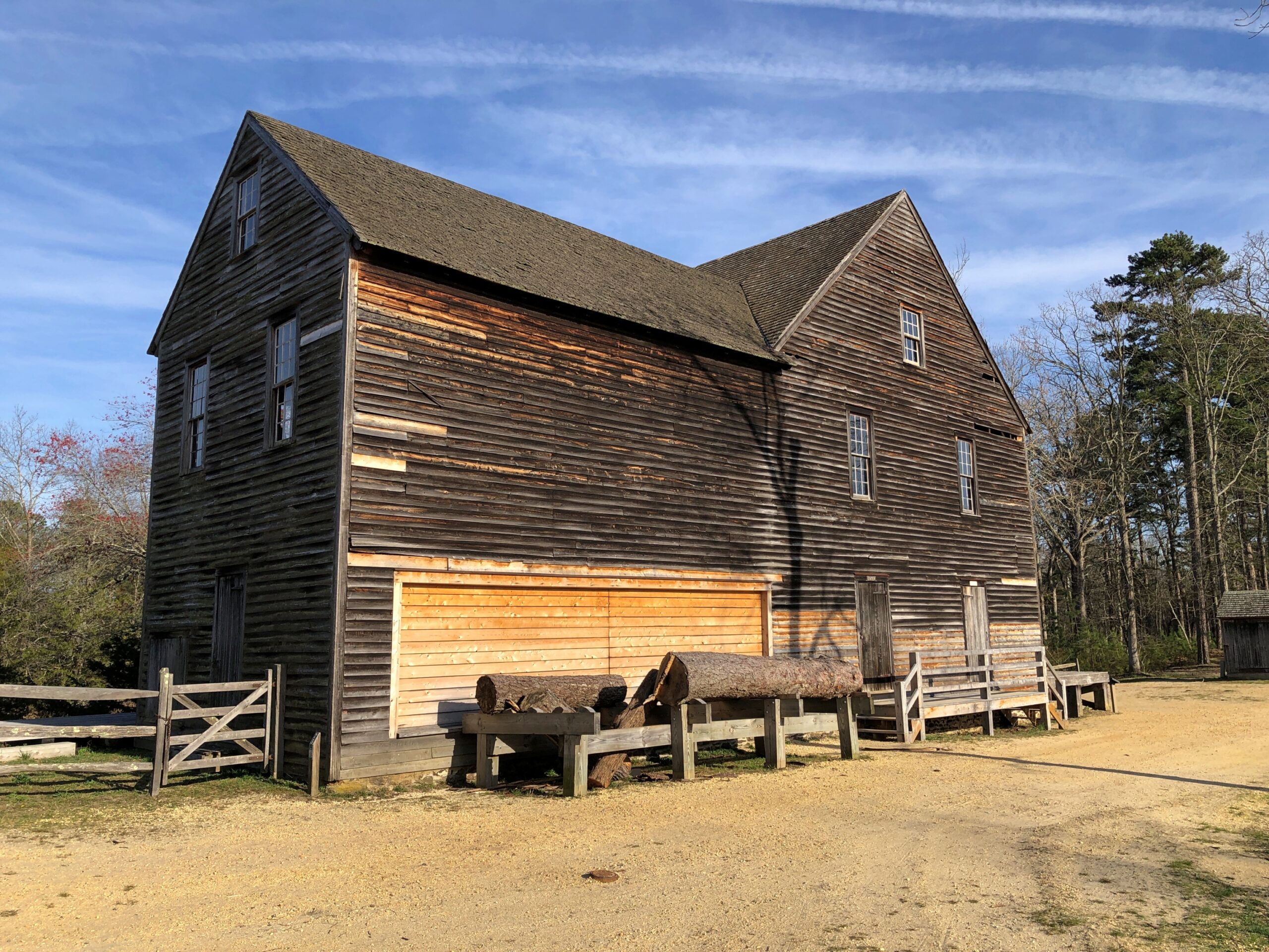
Even so, I happened across a few places in the Pinelands to stop, especially Batsto Village, site of the former Batsto Iron Works.
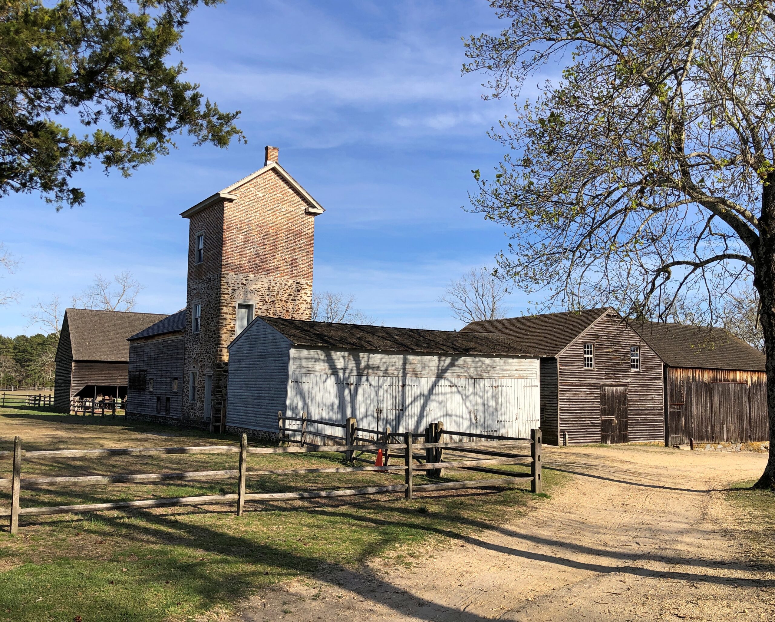
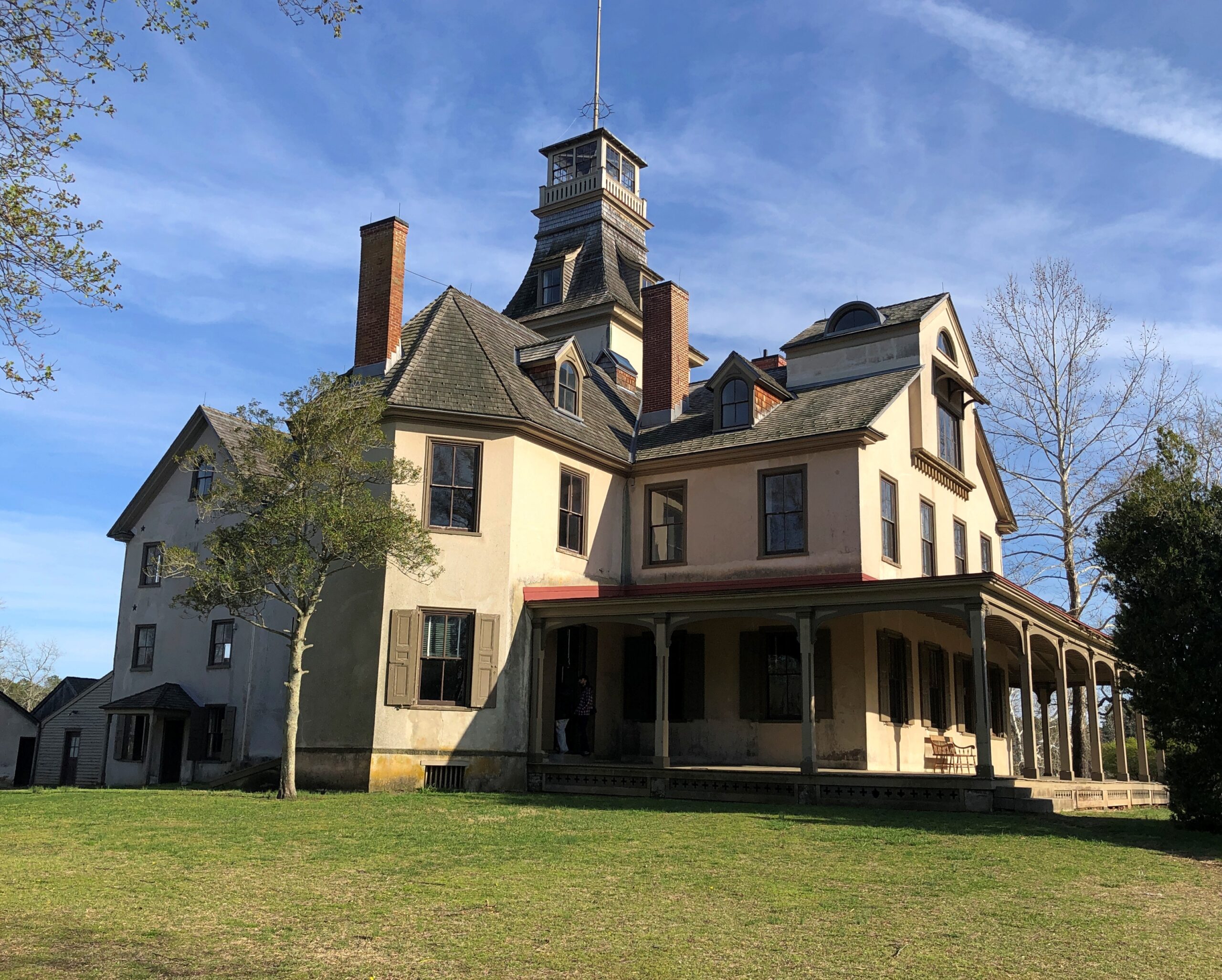
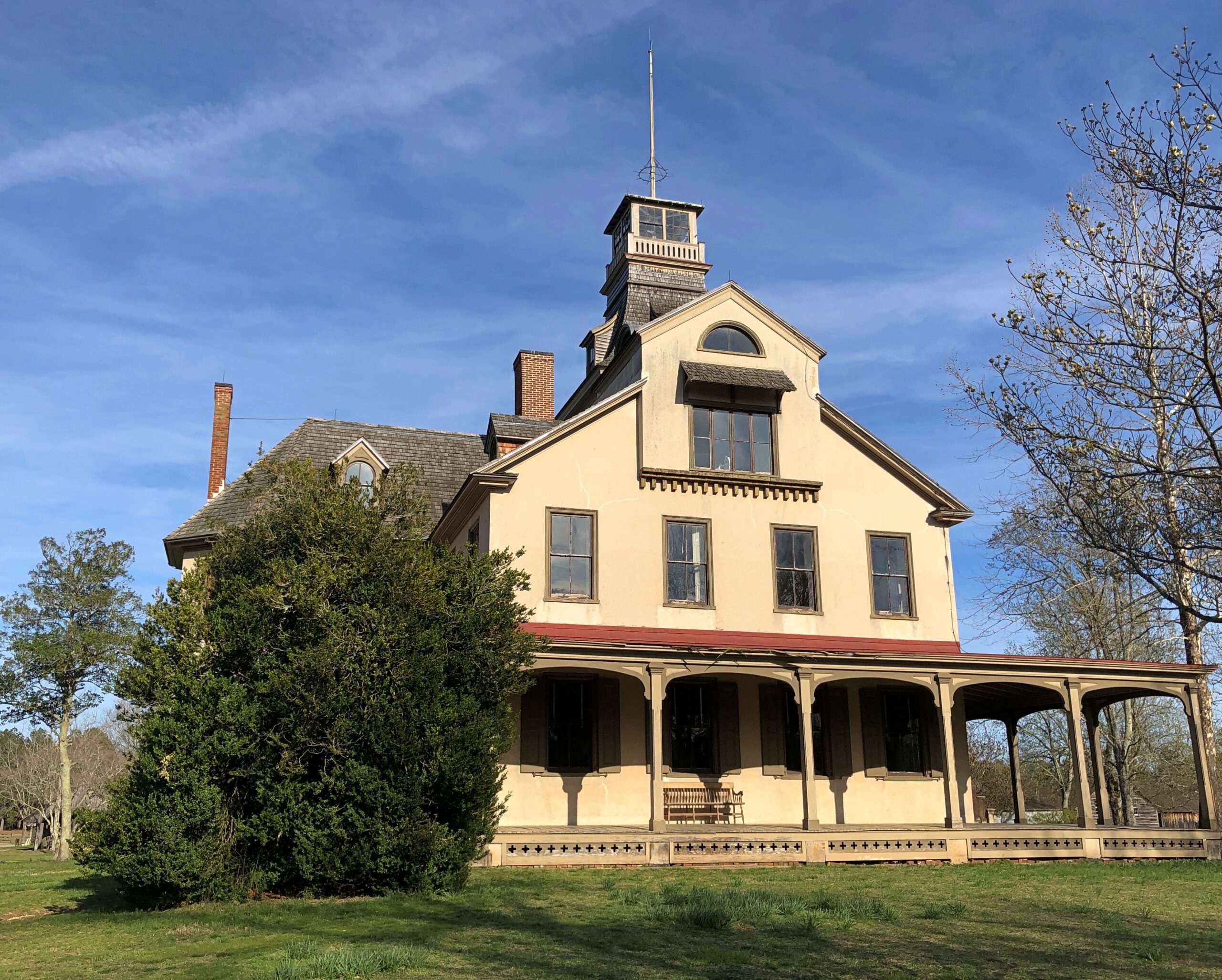
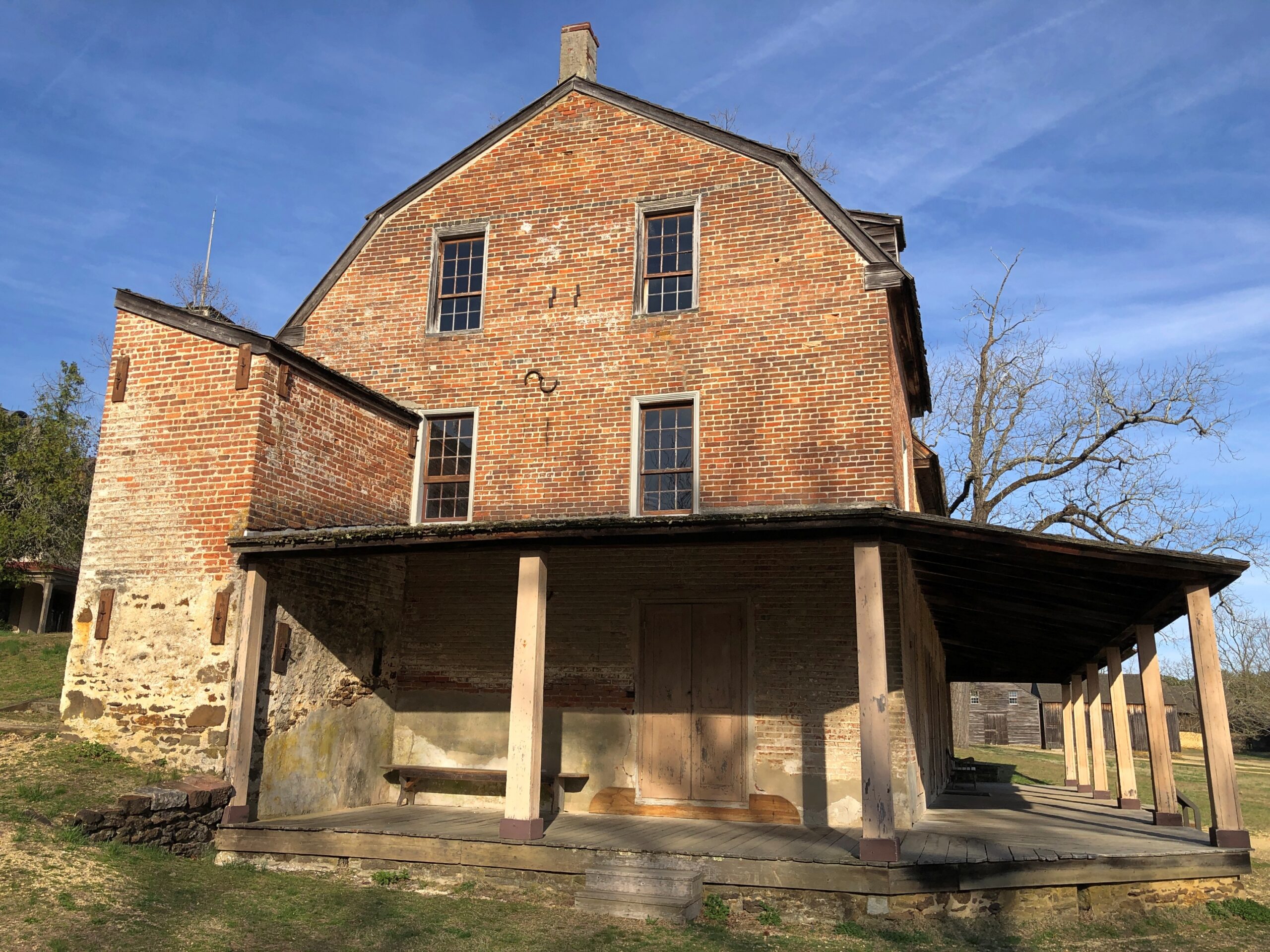
Most of the open-air museum buildings are 19th century, but the Batsto Iron Works had roots that went back to Colonial times. Some enterprising early NJ settlers found bog iron in the area. By the 19th century, the iron smelting was doing well enough to support a company town, including of course the boss’s house.
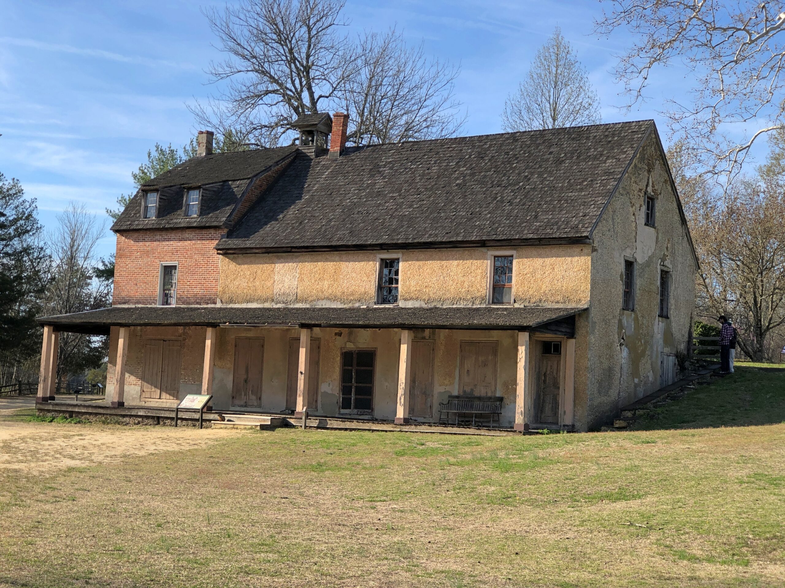
The company store.
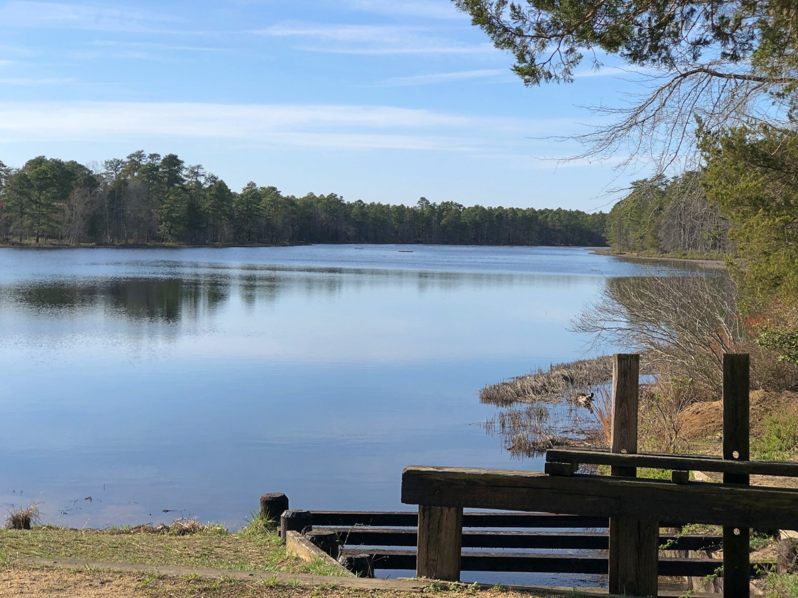
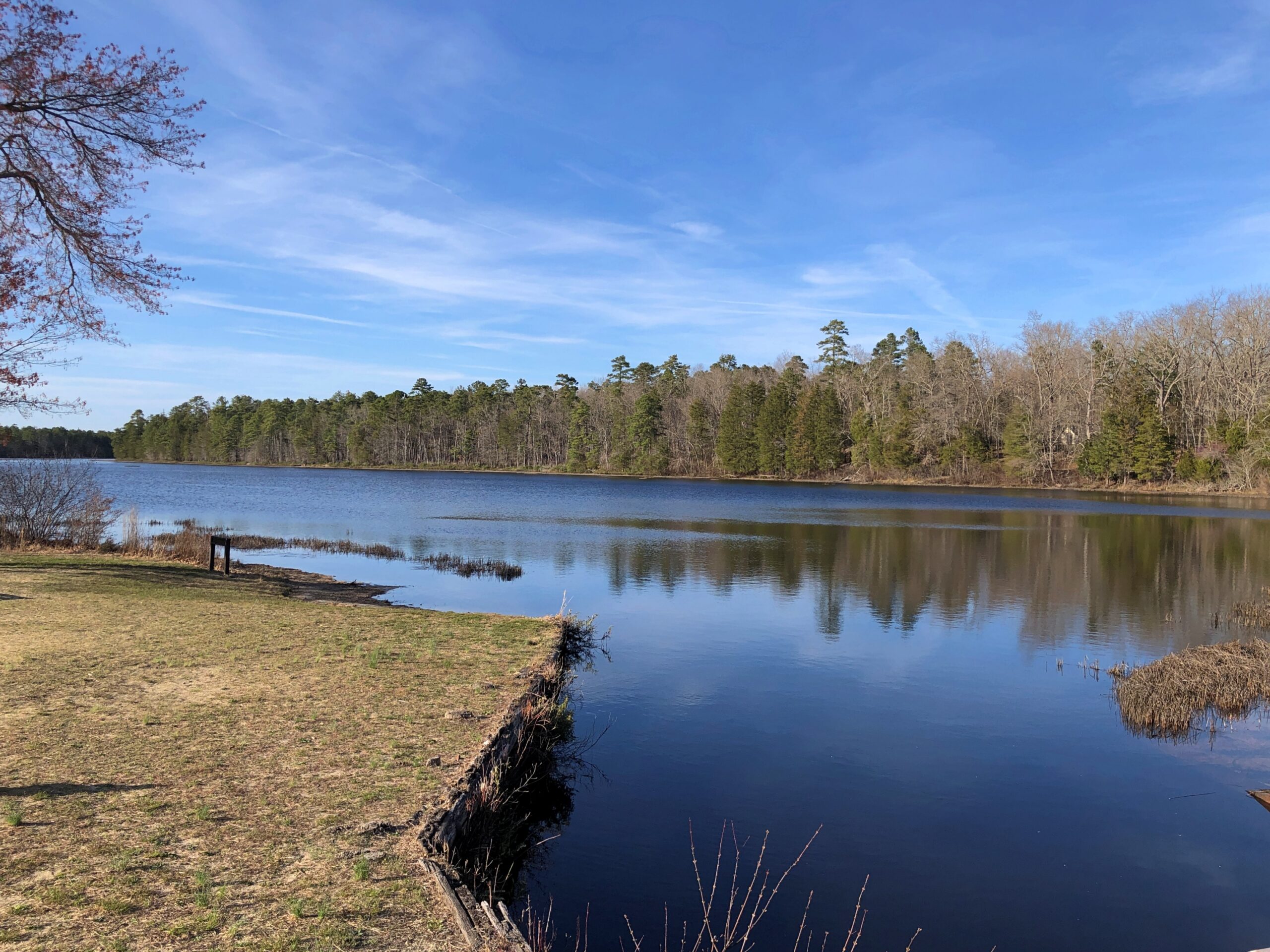
The company paid in script until the workers were organized enough to demand legal tender for their labor. Unlike at Fayette Historic State Park in Michigan, the actual industrial facility, the 19th-century blast furnace, is long gone. The place has a good-looking lake, however. Created by a small dam on Batsto River to harness the water for the sawmill.
A vista that says New Jersey? Yes, but not the New Jersey of song and story.
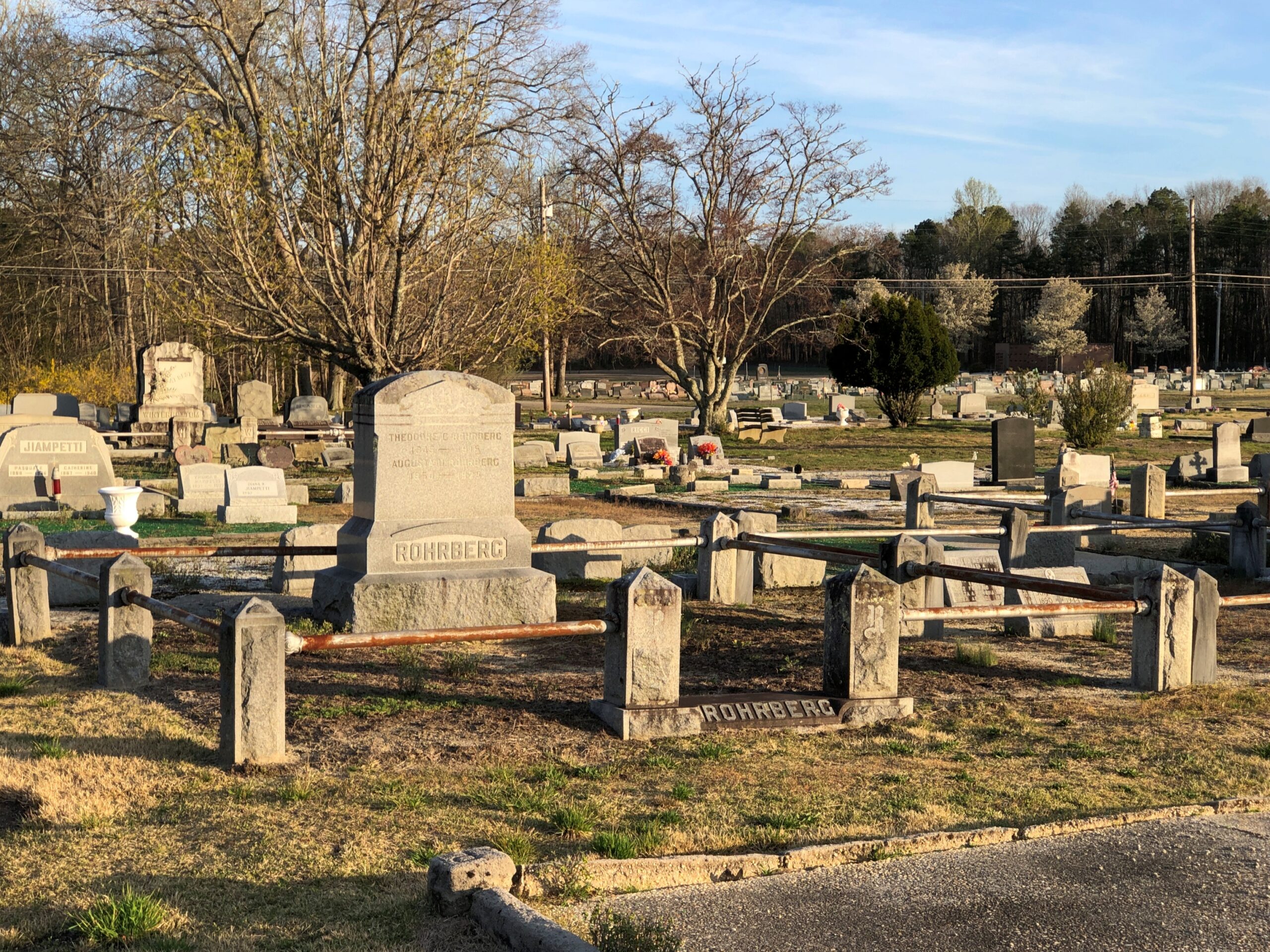
Back in Egg Harbor City (pop. 4,442), I chanced across the Egg Harbor City Cemetery – another reason to leave the GPS inactive most of the time. If the box tells you where to go, you’ll miss minor misdirections that take you to unexpected places.
I’ve come up with my next approach to traversing the Pine Barrens. There will be a next time, provided my health holds out. That’s always a contingency these days, but anyway the approach can’t be as rational as trying to plot oneself on a map, or even follow the directions from a machine.
The region isn’t that large. That is, provided your car is gassed and in good running condition, since walking out of the Pine Barrels, even following surfaced roads, seems like a bad idea unless you’ve prepared yourself to do so. Assuming you drive, pick a direction – say east, toward the morning sun – and head that way, hewing to the direction as much as possible. It won’t be too long before you come to a reliably numbered state or US highway. Or in that case, the Garden State Parkway.
Sounds doable. Unless you encounter the Jersey Devil.
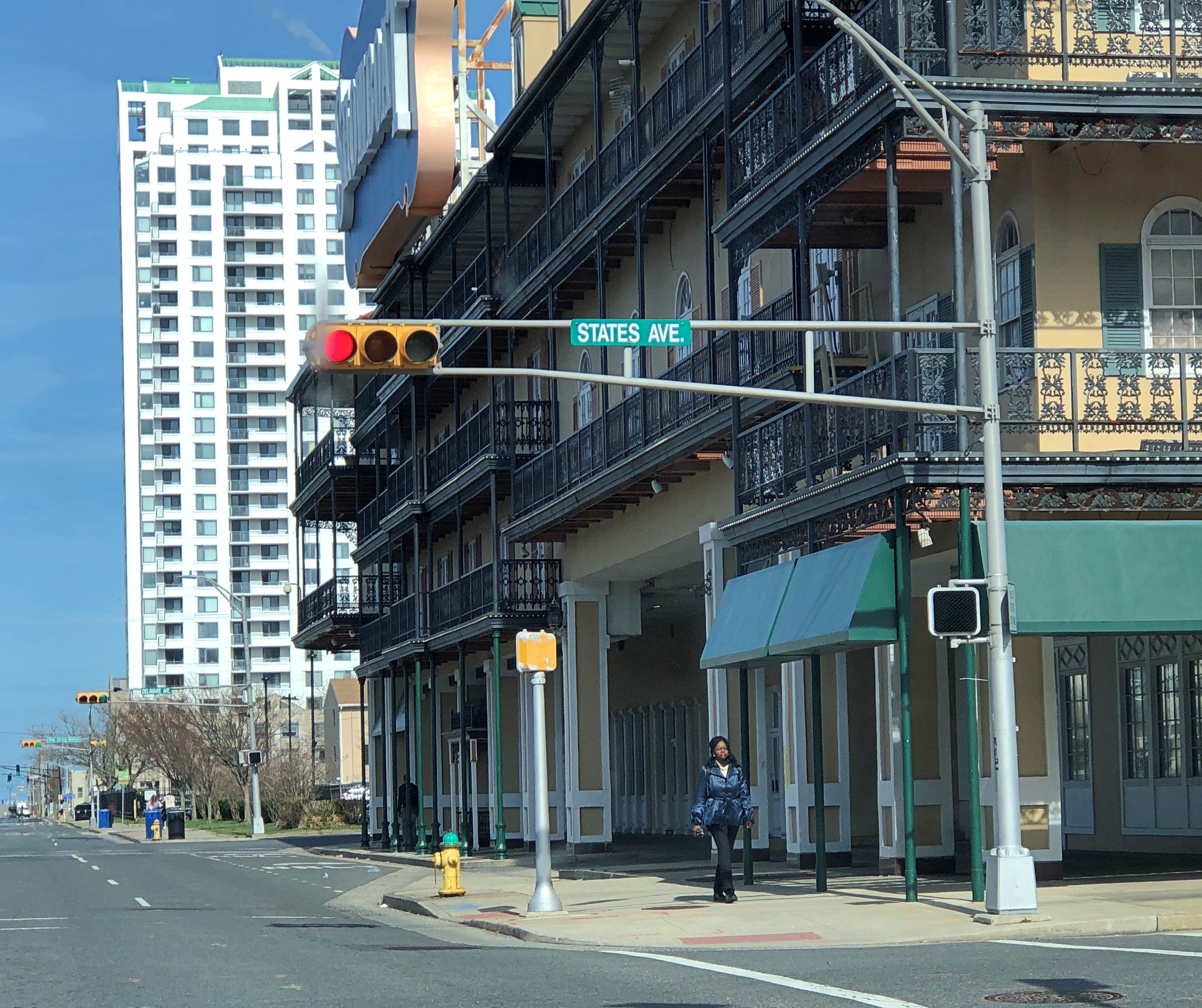
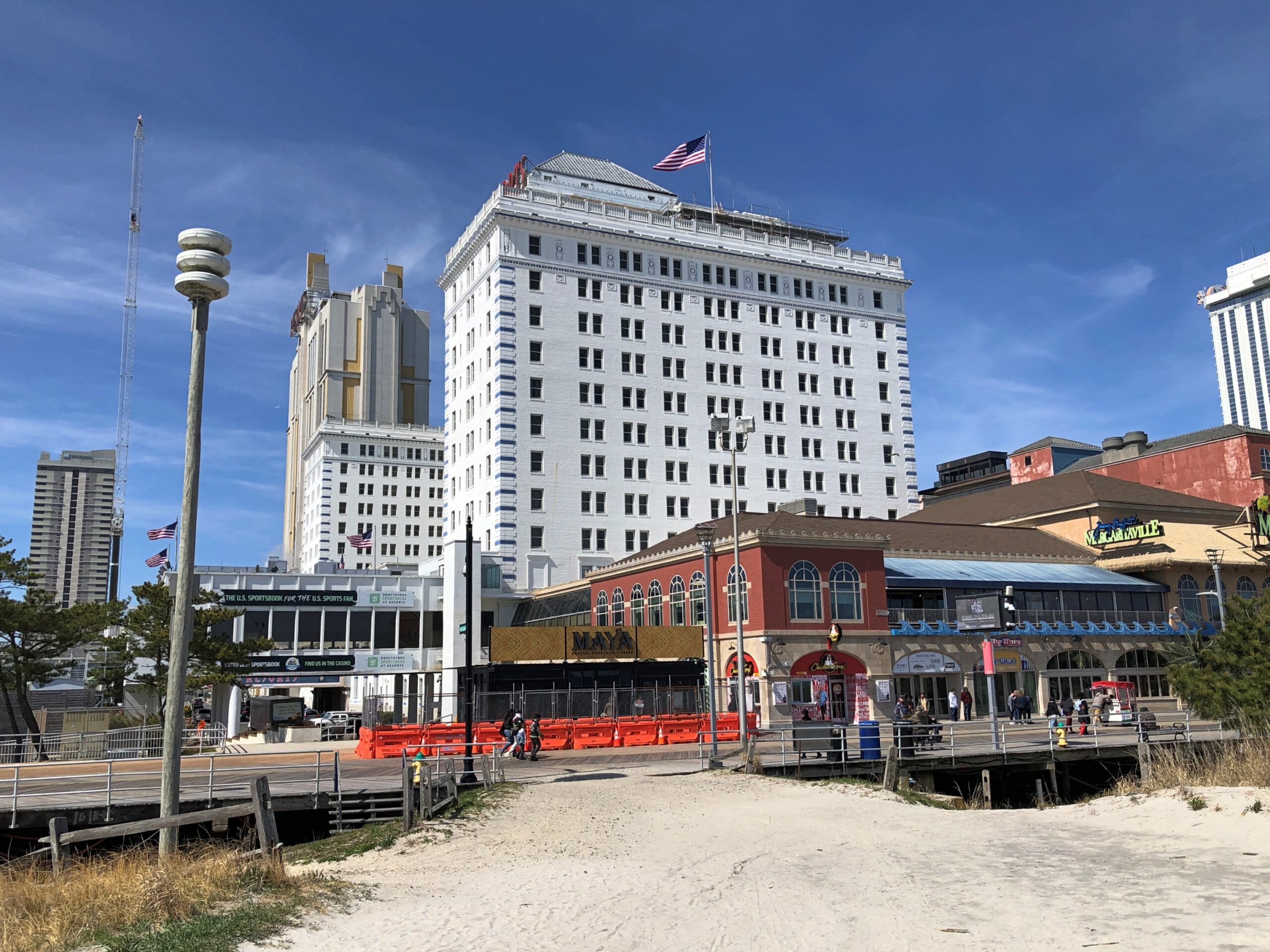
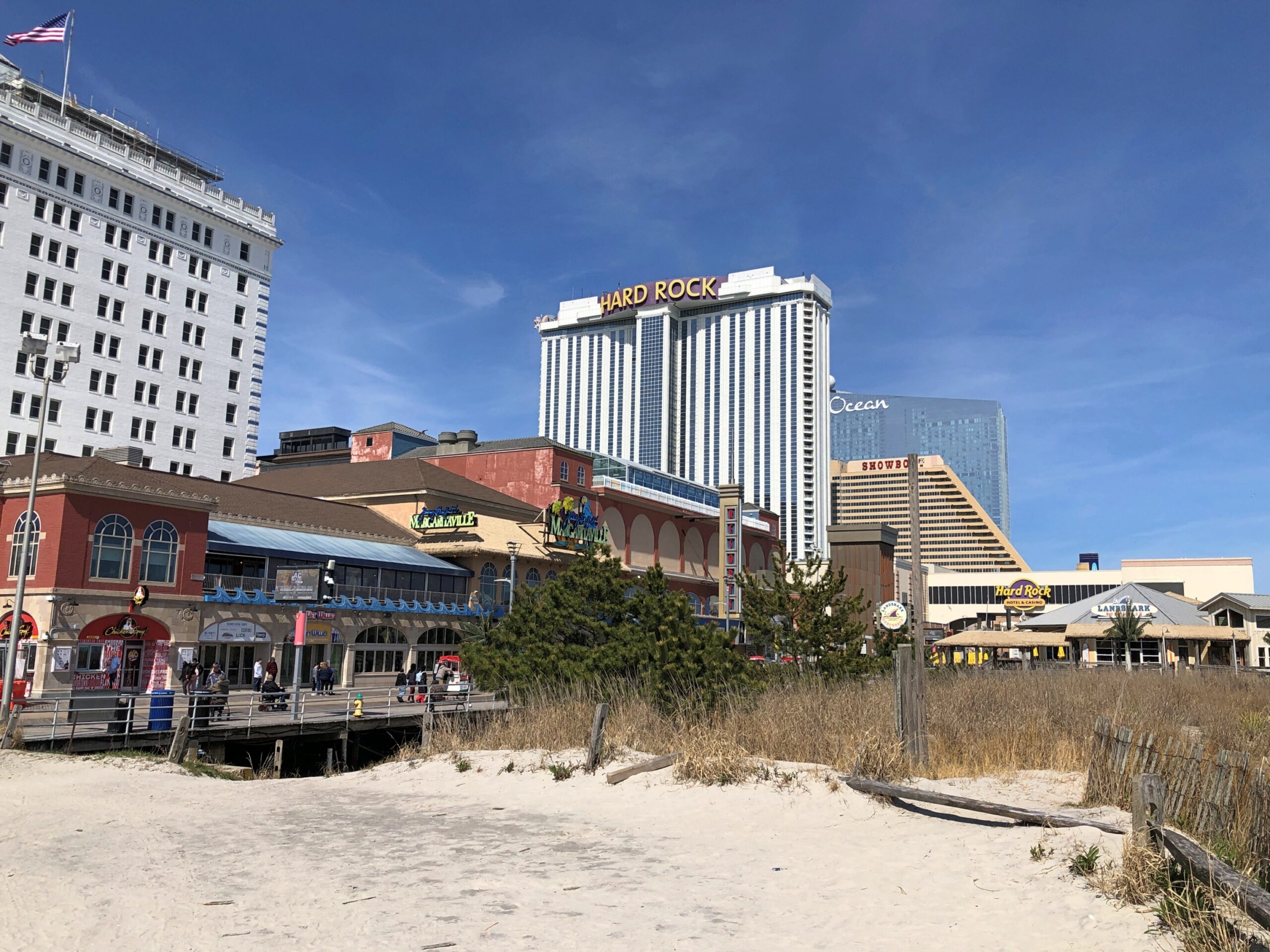
People come to Atlantic City for the casinos, such as they are. For the entertainment, such as it is. To walk on the boardwalk. For the history? Probably not so much. Does anyone come for the minor thrill of driving, or walking, on streets as familiar as Atlantic Ave., Ventnor Ave., Mediterranean and Baltic? Virginia, Pennsylvania and North Carolina avenues? St. Charles Place and States Ave.?
Somebody must have done that. Yes, and of course put it on YouTube. Still, spotting Monopoly properties while in Atlantic City isn’t going to be a priority, or even a passing thought, for most people. I didn’t have a methodical approach myself, but if you drive around much in Atlantic City, you will see some of the streets.
For the city, it’s a missed opportunity. The street signs are white on green, as street signs usually are. More artful honorary signs could acknowledge the game, including the appropriate colors. Or would Hasbro object? Could Hasbro object, legally speaking? A question well beyond my abilities to answer, but object? That company, owner of Parker Bros.’ intellectual property, ought to share the cost of the signs. Ought to pay for them, considering the long-lasting and absolutely unique form of advertising that would represent.
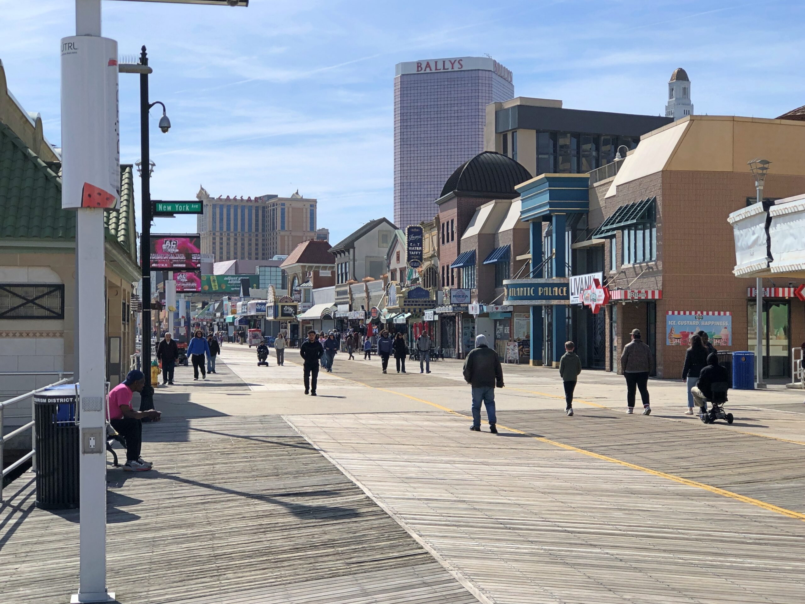
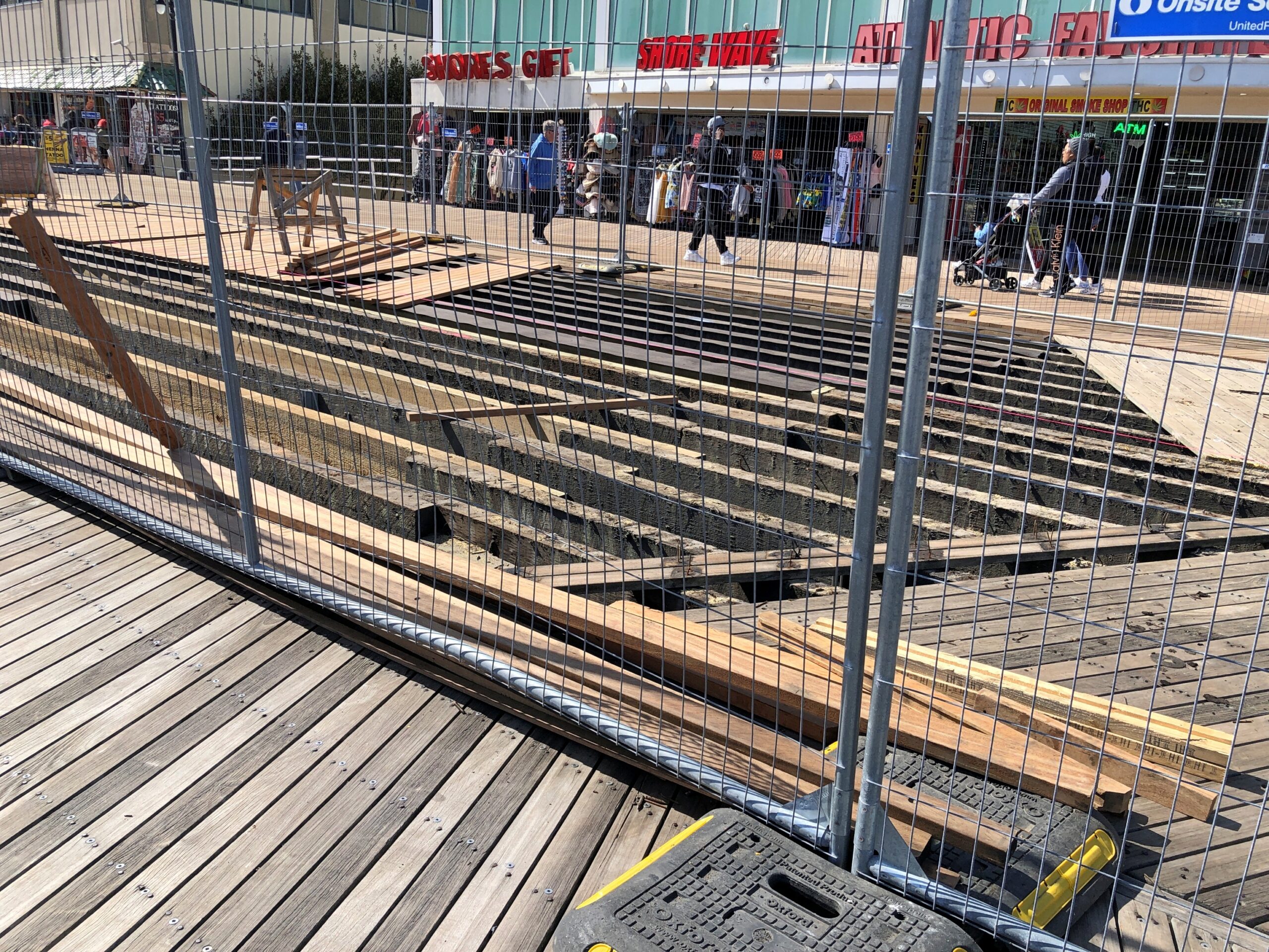
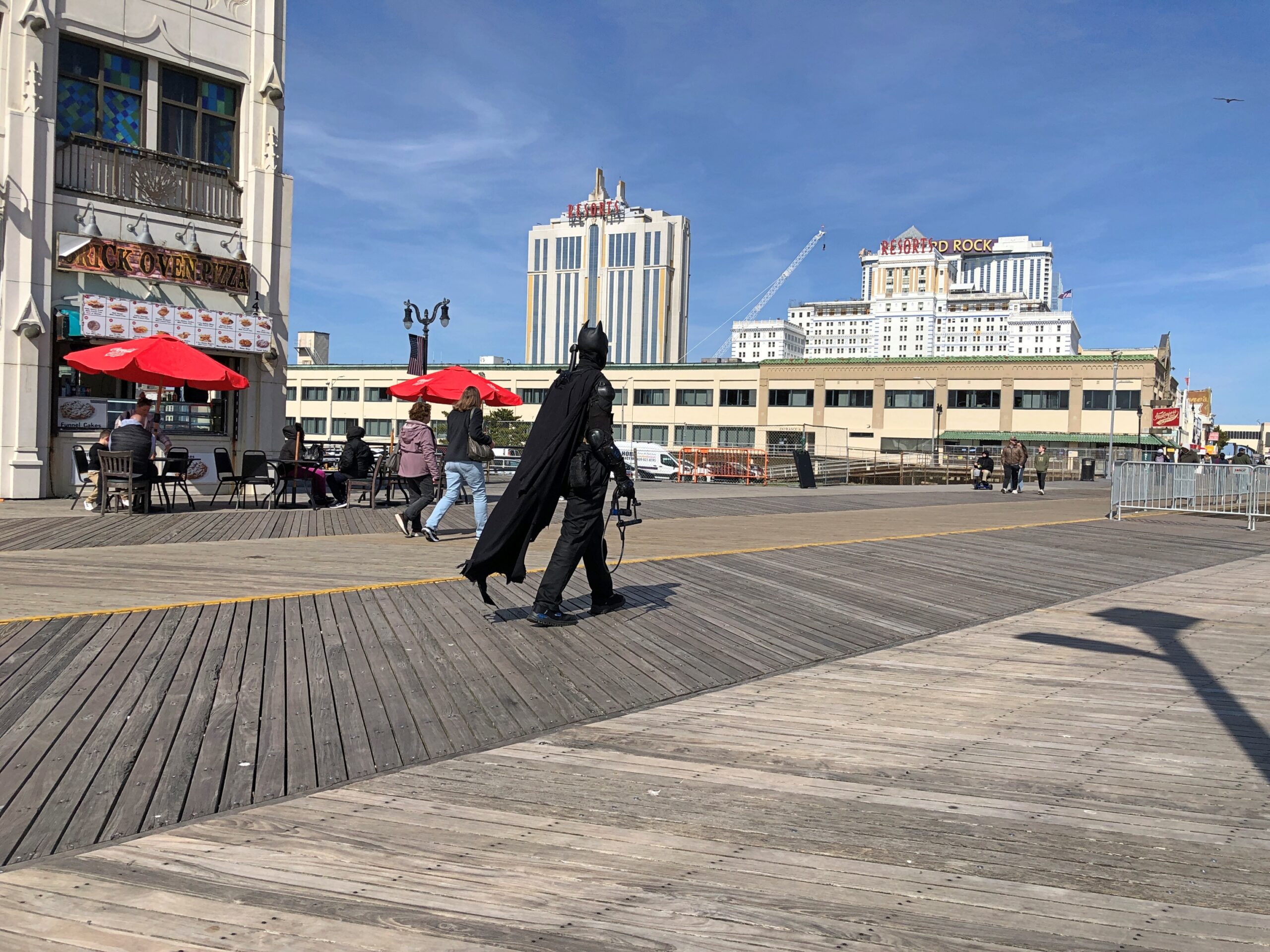
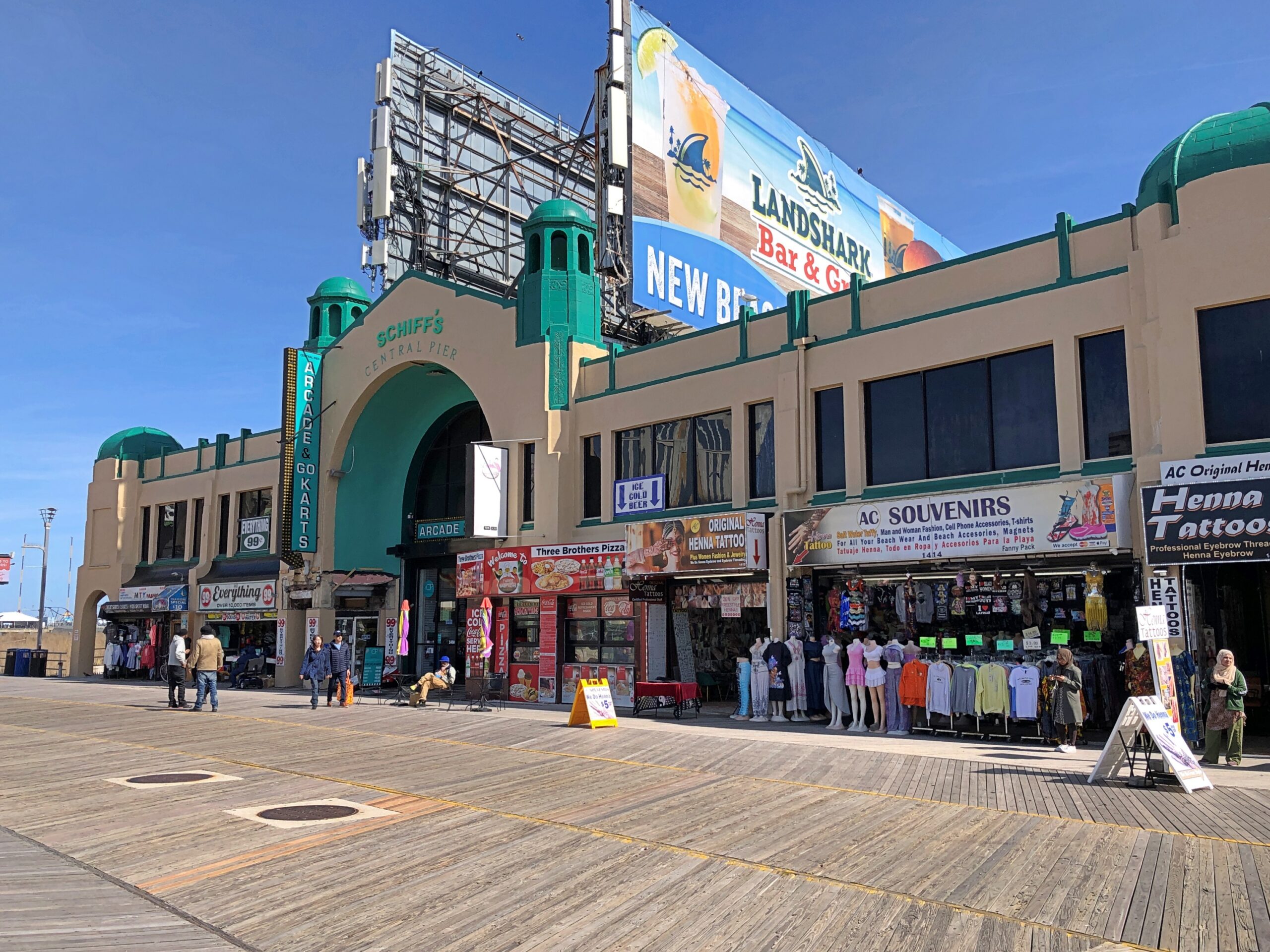
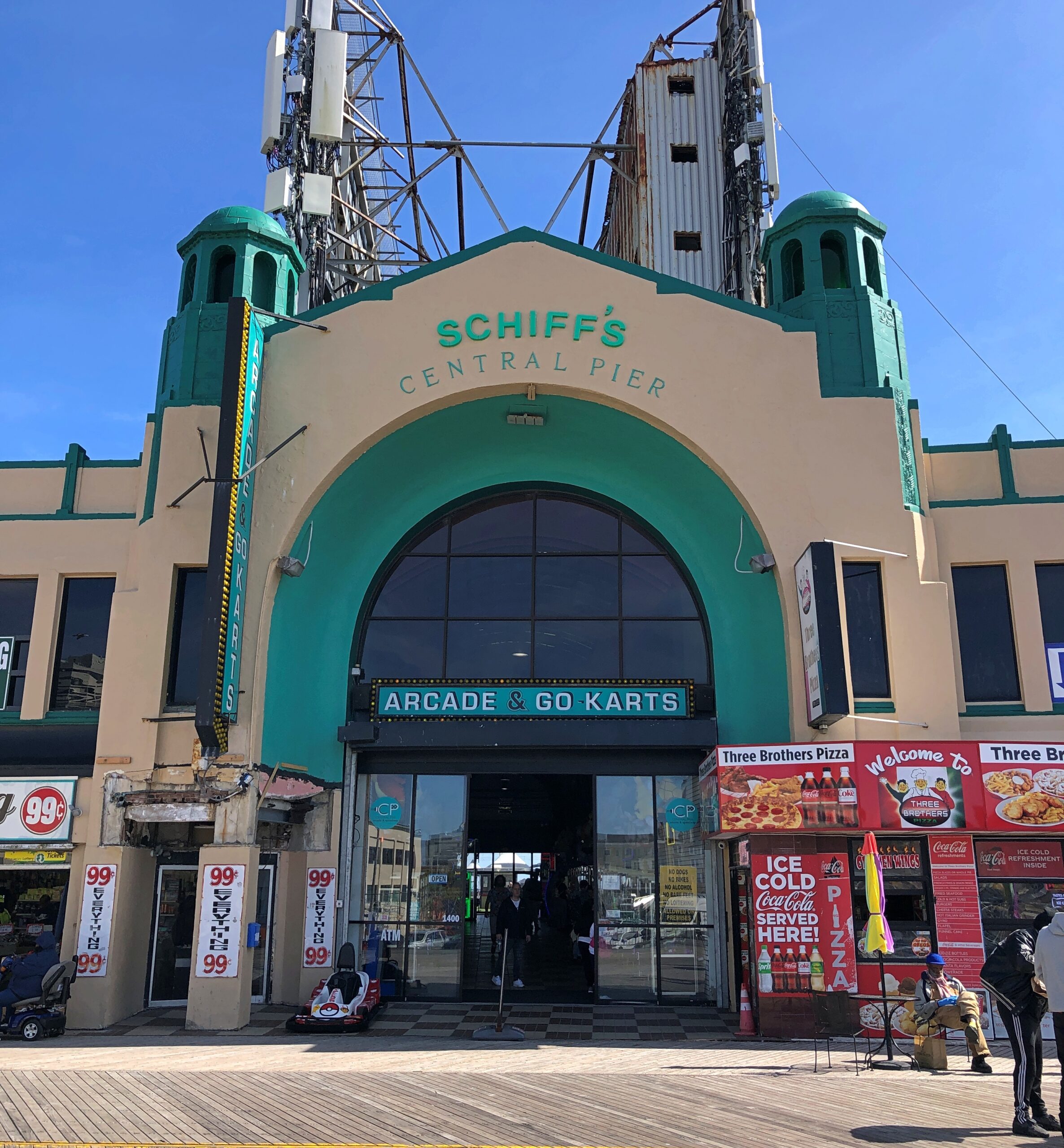
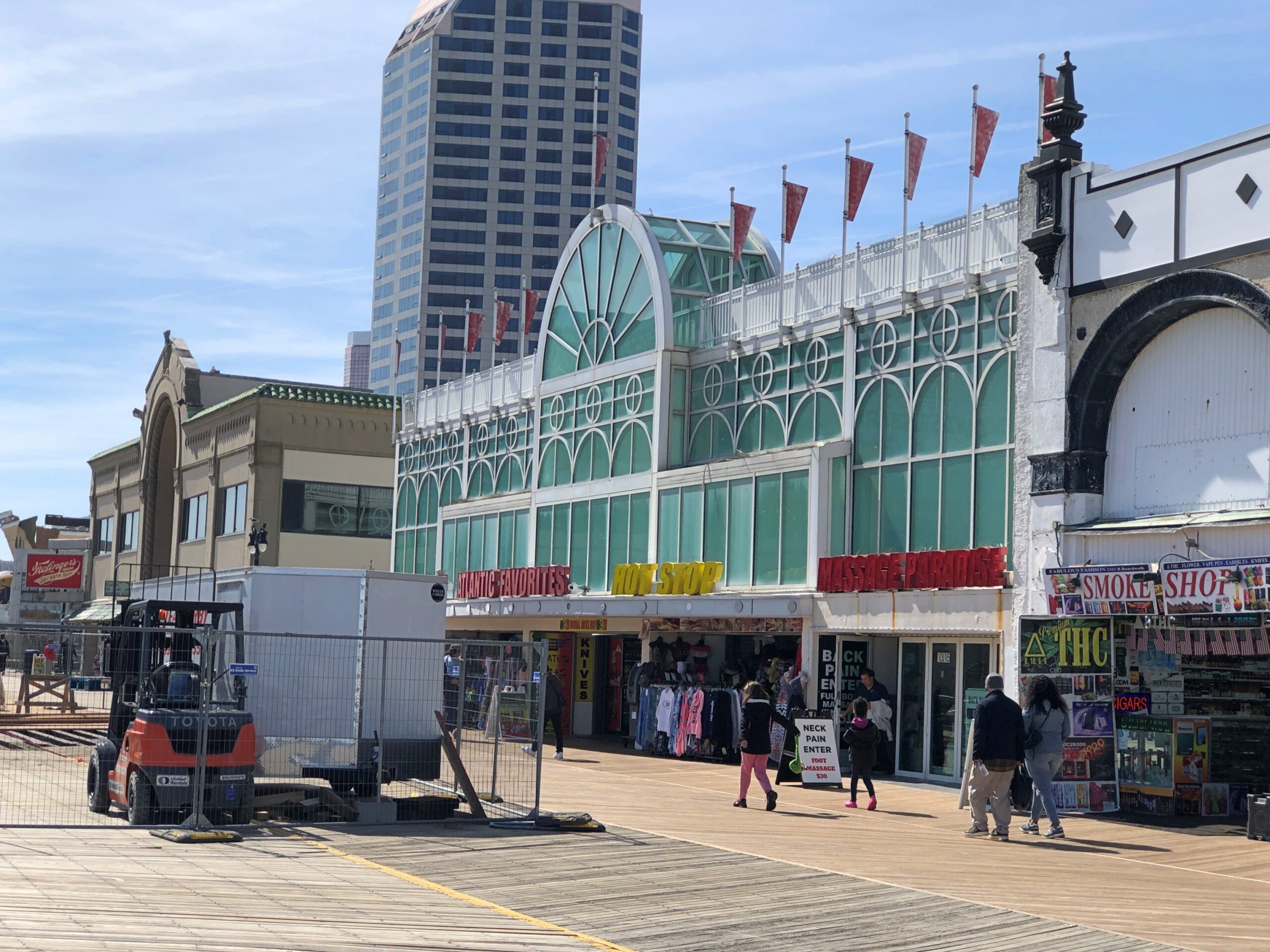
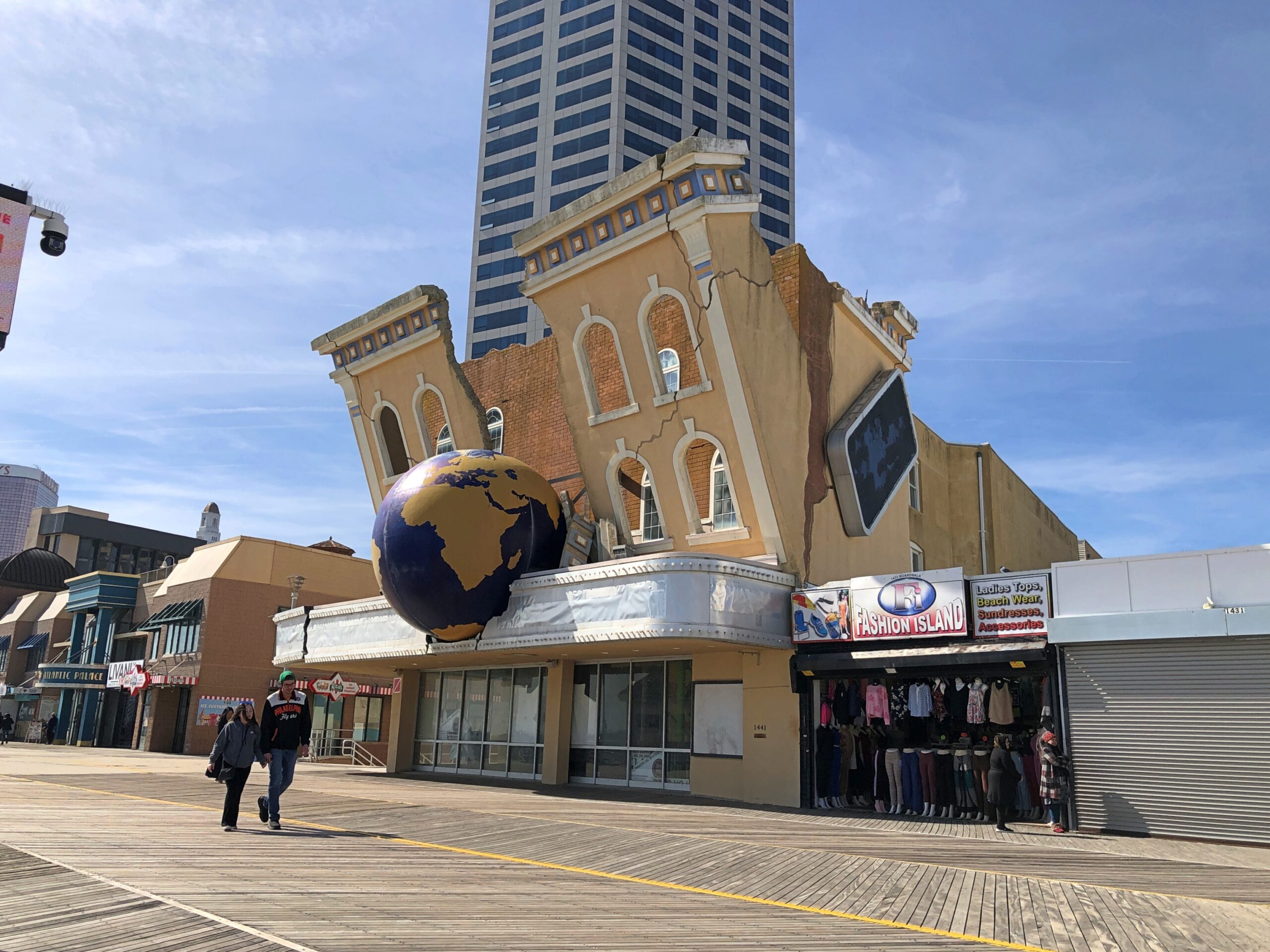
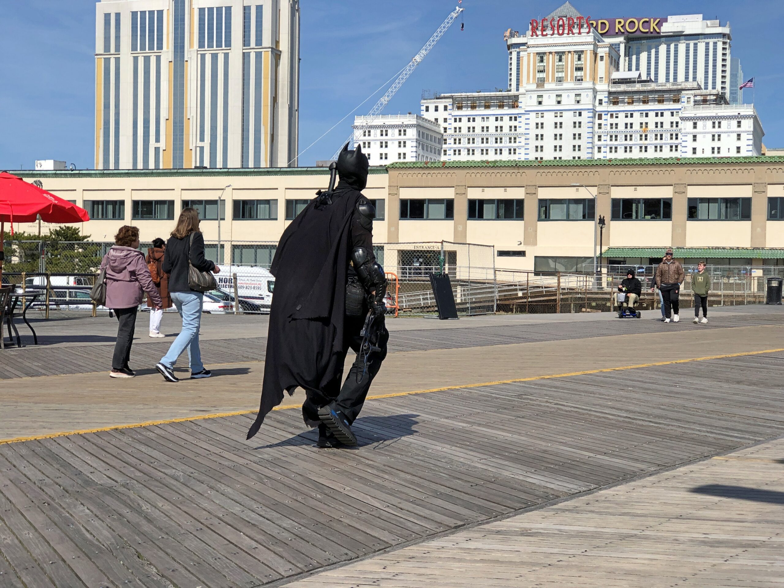
City of Missed Opportunities. There’s a nickname that suits Atlantic City. Not that I didn’t enjoy my early spring (April 9) walk along the Boardwalk or, for that matter, the long drive down a lightly traveled Atlantic Ave. The town might not be the louche upmarket place it was when Steve Buscemi ran it, but here in the 21st century, it still has its tattered charms. And unexpected sights, such as Batman on the Boardwalk.
There I was, resting a bit on a bench, and along came the Caped Crusader.
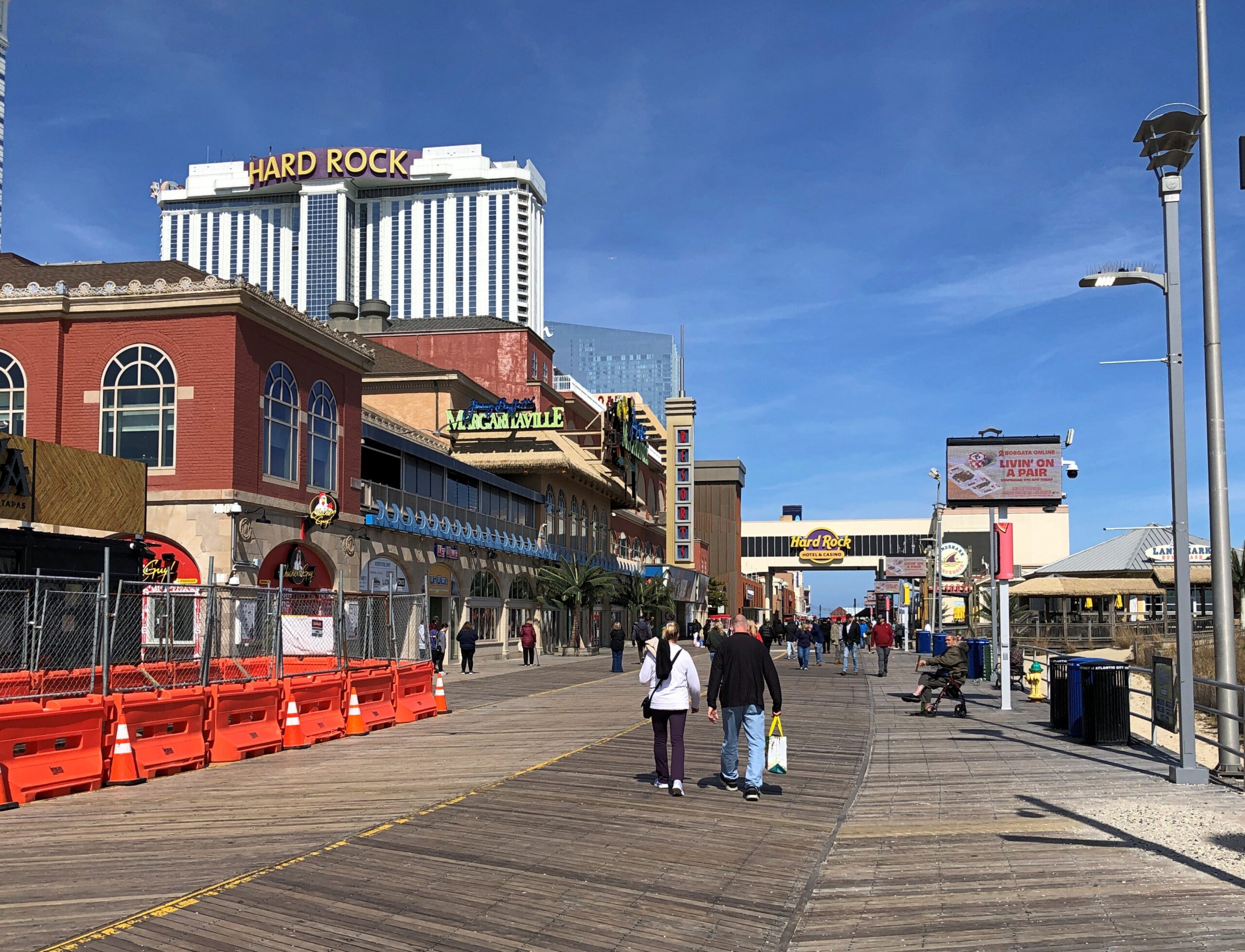
He was an anomaly. The thin ranks of passersby that day on the boardwalk pretty much blended in with each other. The walk itself is impressively long and wide.
Like a lot of things, the boardwalk is always under construction somewhere.
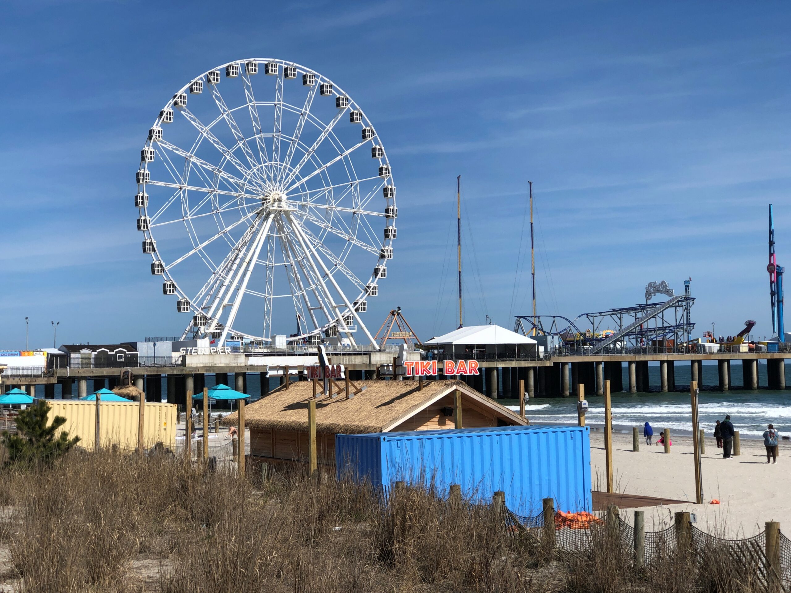
Steel Pier. Counts as an amusement park.
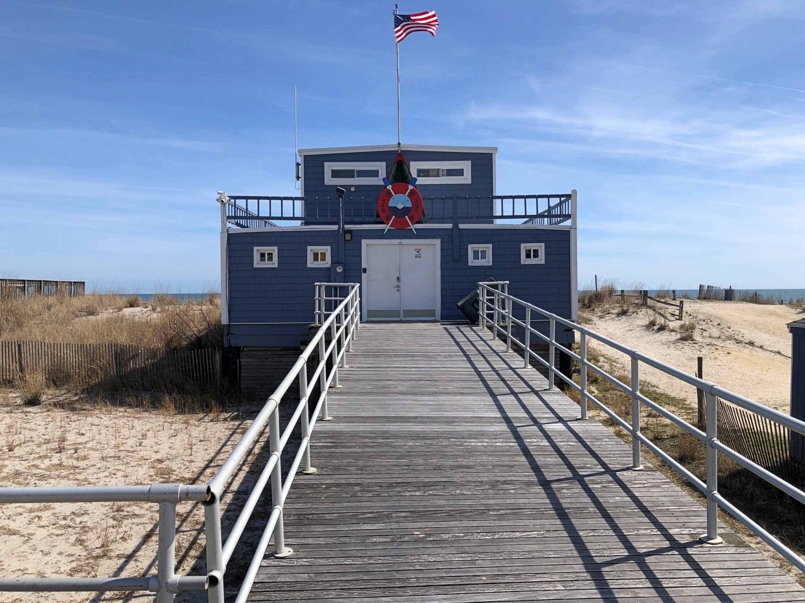
There’s an actual beach out there, though the chill of the day left it even emptier than the boardwalk.
I didn’t venture very far out on the beach myself, though far enough to enjoy views of the skyline, such as it is. Mostly casinos.
Vestiges of earlier Atlantic City iterations still line the boardwalk.
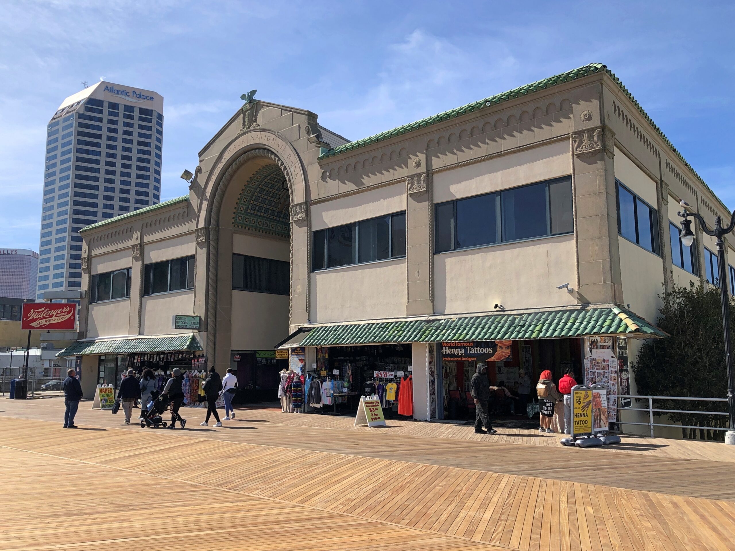
This one had a special flair.
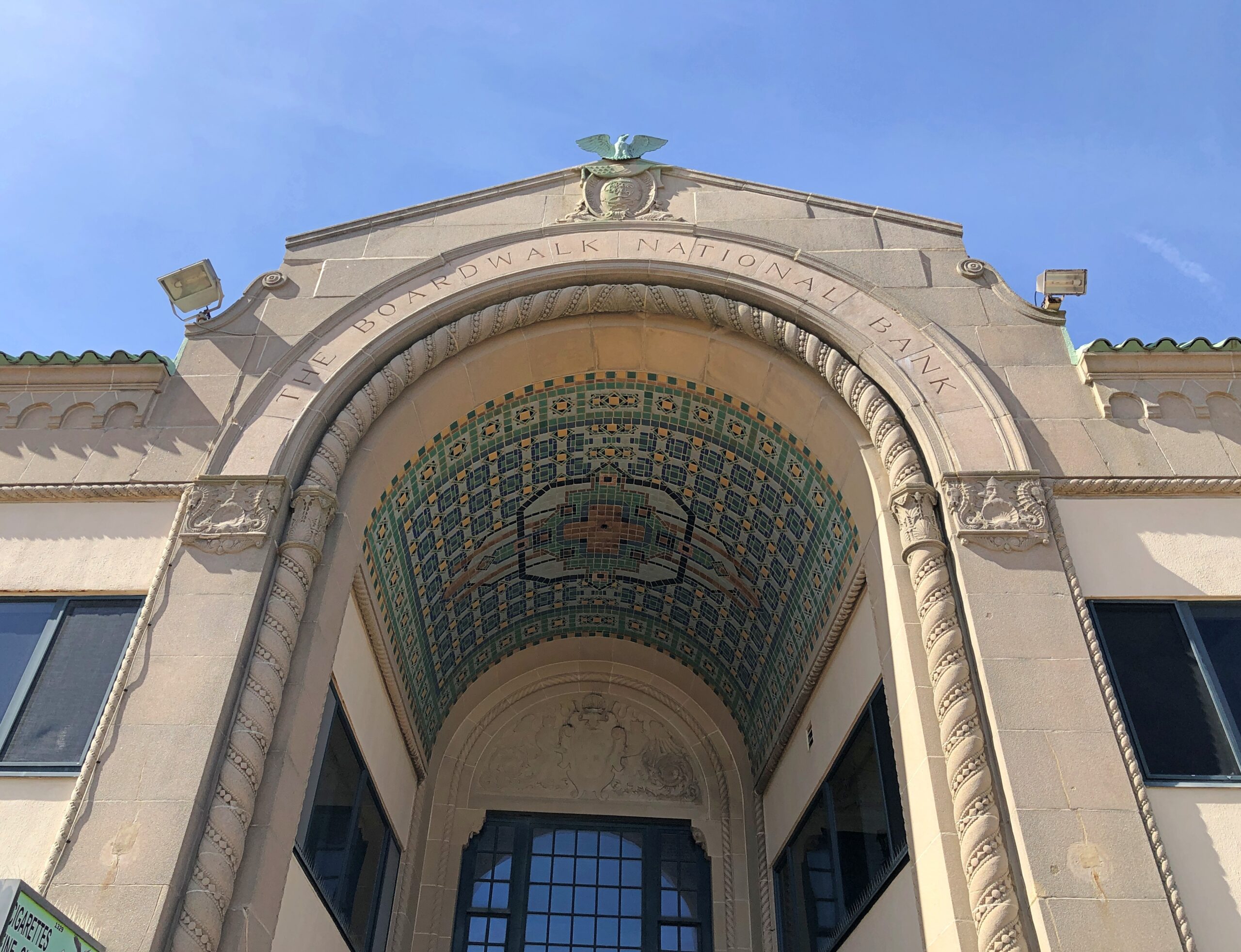
The Boardwalk National Bank? Known as the Arcade Building. These days, HQ of the New Jersey Casino Control Commission. The commission’s web site tells us: “The Boardwalk Arcade Building was built in Atlantic City’s roaring heyday before the Great Depression. The bustling Boardwalk National Bank had outgrown its space in a local hotel and decided to build a new headquarters at Tennessee Avenue and the Boardwalk. It was a time when the boardwalk was a major vacation and entertainment hub – the place to see and be seen.
“The two-story high, barrel-vaulted arch at the boardwalk entrance defined the building. The bank’s name is permanently embedded in the terrazzo and if you look closely, you can also see the coat of arms with the initials ‘BNB,’ held by two figures that could be King Neptune.”
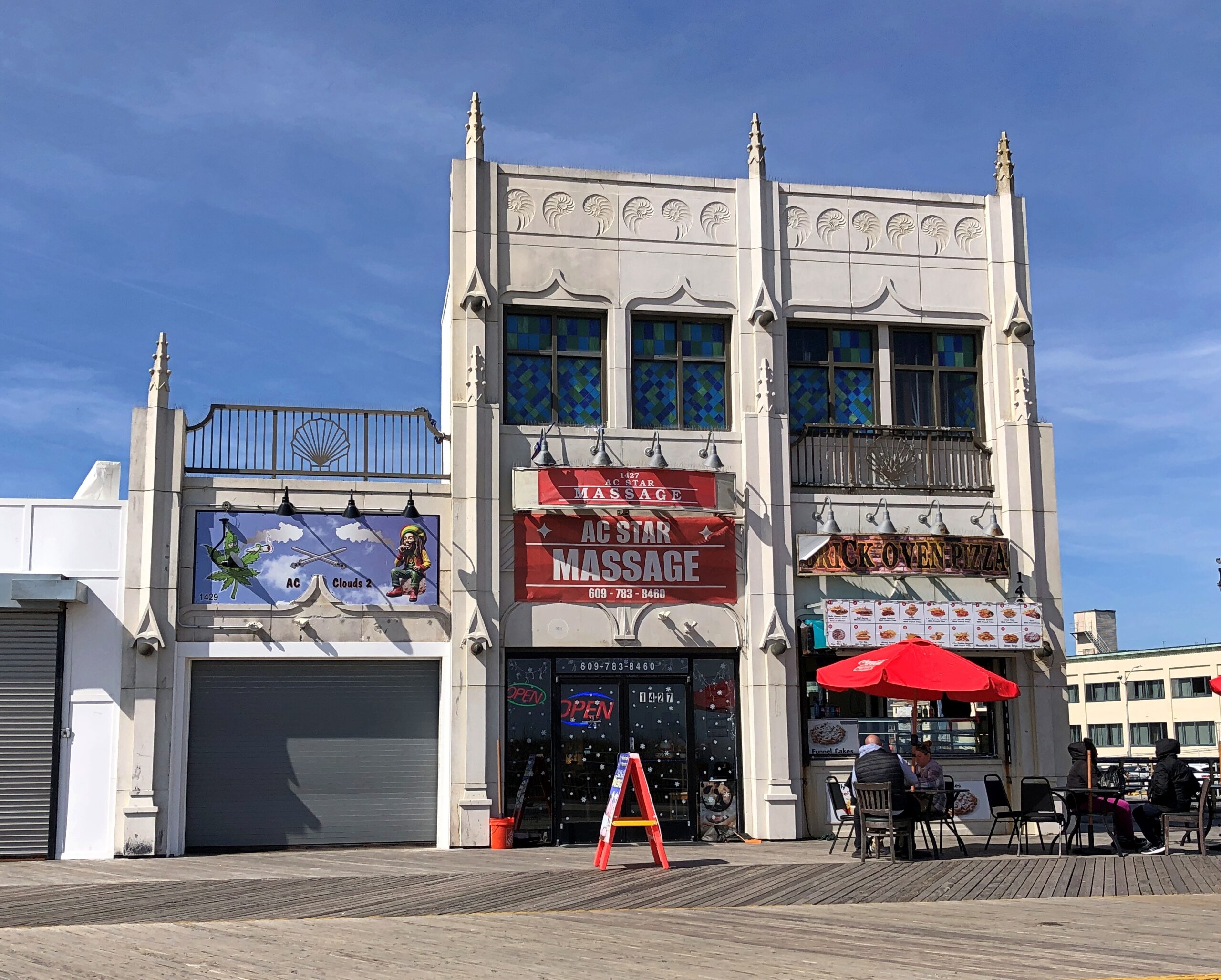
More.
The boardwalk is only a part of Atlantic City, a fairly small place (pop. 38,400) that — away from the boardwalk — manages the ragged, urban look of larger places. Actually there’s a bit of that on the boardwalk itself, but at least the place isn’t overrun by mall-suitable chain stores.
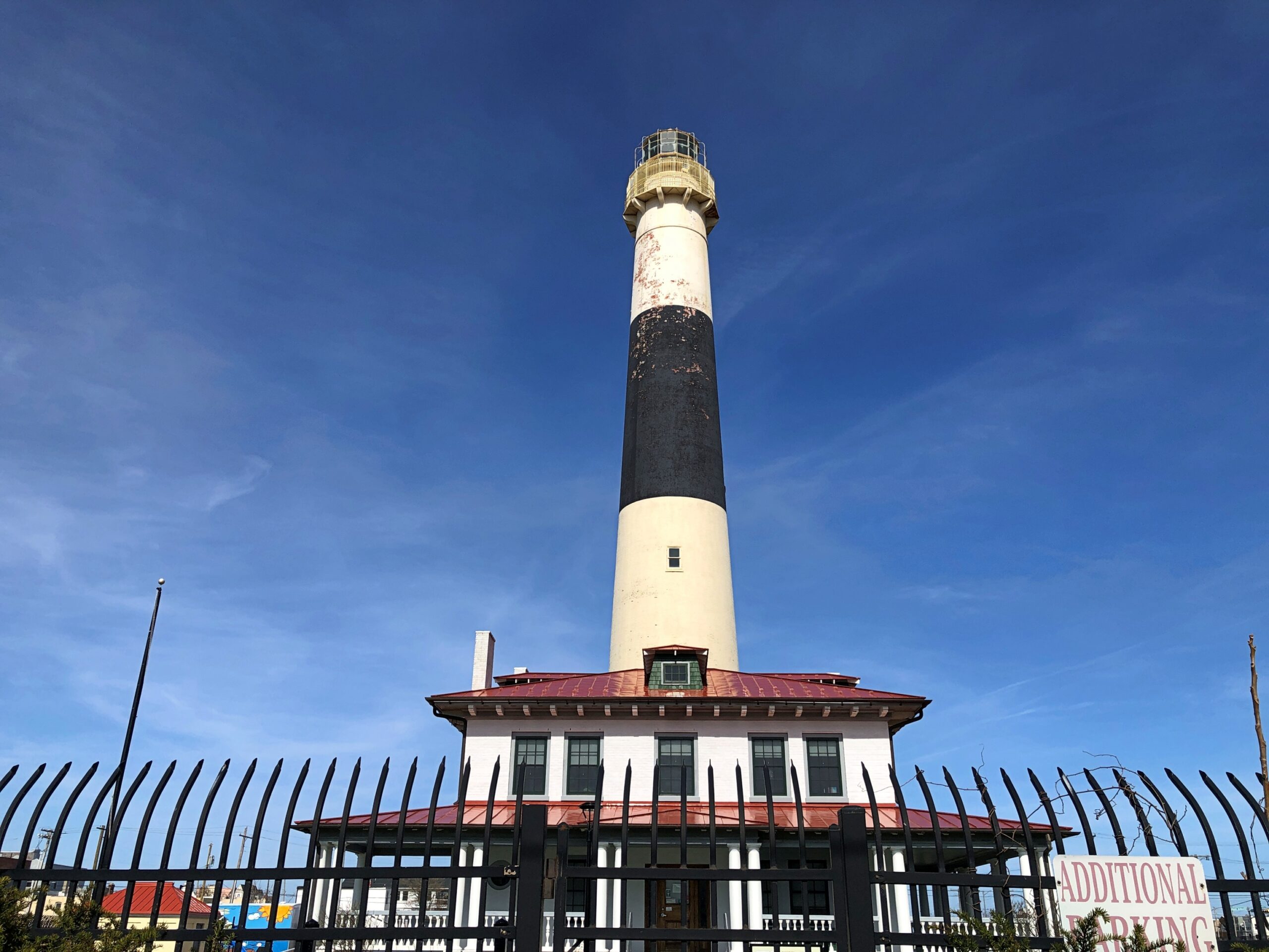
Headed for the causeway out of town, I made a stop at the Absecon Island lighthouse.
I might have known it, but I’d forgotten the city is on a barrier island, like Galveston: Absecon Island. At 171 feet, the lighthouse, dating from the 1850s, is the tallest in New Jersey. Not used for navigation any more, but a museum. Closed for the day. In some other draft for the Monopoly game board we know, was the Absecon Island Lighthouse a property?
New Jersey flummoxed the GPS system I use occasionally in my car. Twice.
And I mean occasionally: only twice on this trip of nearly 3,500 miles through nine states, both times in New Jersey, and both times the Garden State proved too much for mere trilateration to distant satellites. Later, during a disorientation in Poughkeepsie, NY, I would have done well to use the system, but was too hardheaded for it by that point.
Most of the time, I don’t need it. My alternating use of paper and electronic maps is generally enough. However, GPS can simplify the task of trying to find a specific place – a motel, usually – in an unfamiliar urban area after dark. Provided, it seems, you’re not in New Jersey.
Approaching Trenton on the evening of April 8, I figured that would be the time to turn over navigation to the system. For a while, it seemed to give good directions. Then it told me to enter one of the local expressways, which I did at the point indicated. A few seconds later, the machine gave directions that absolutely made no sense: turn left at the next light. What? I was on an entry ramp of a limited-access expressway. A few more directions bore no relation to reality on the road, so I switched it off, went to the next exit, and found a place to stop and consult Google Maps. I’d been sent away from Trenton.
All that was just an unpleasant memory on the morning of the 9th, as I made my way using paper and electronic maps to the Jersey Shore. It wasn’t until later, during another misdirection in New Jersey, that I got an inkling of what might have happened. Never mind that for now. Eventually – and not too long, New Jersey isn’t that big – I passed through Atlantic City and headed south to my first destination that day: Lucy the Elephant.
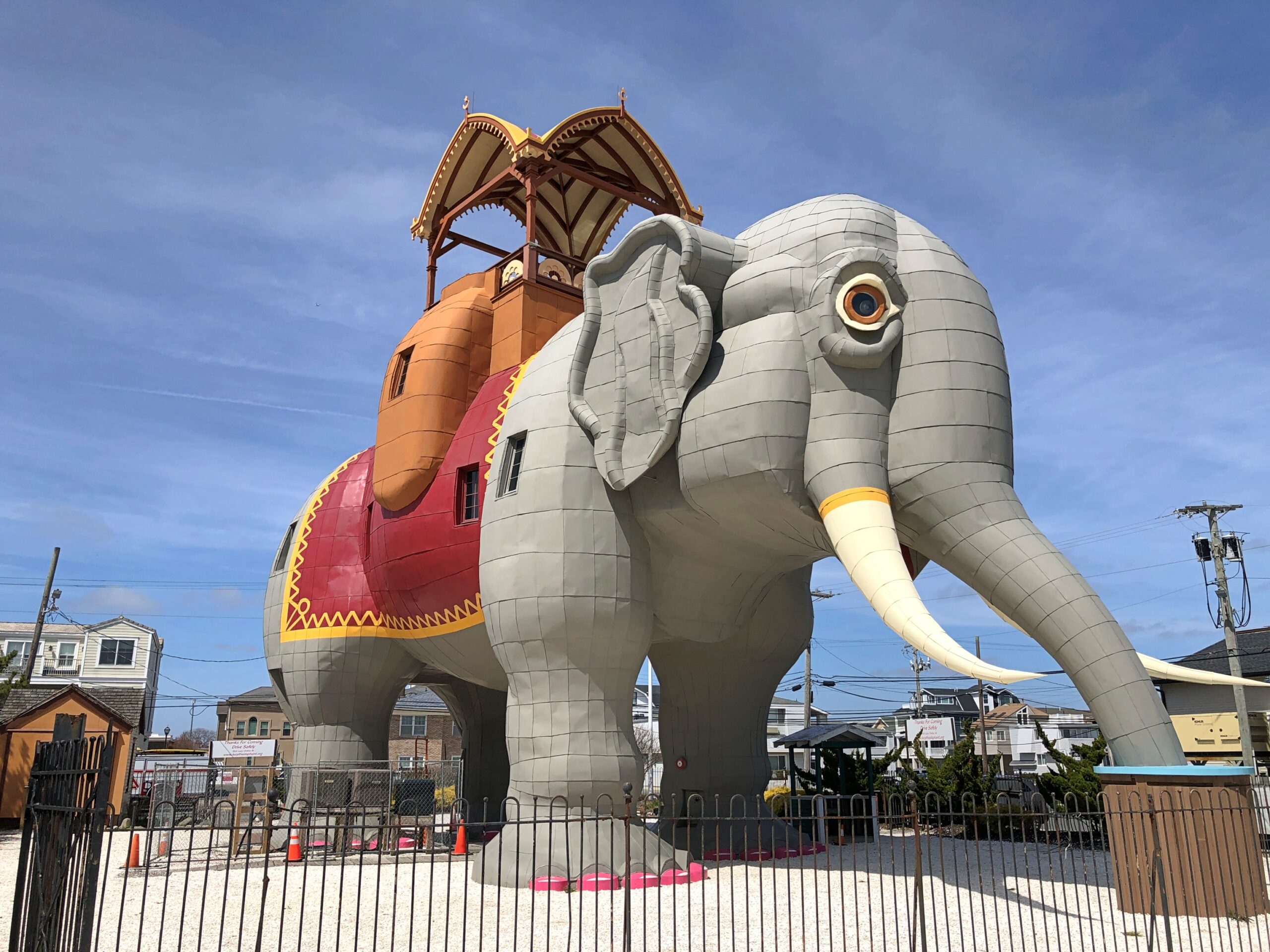
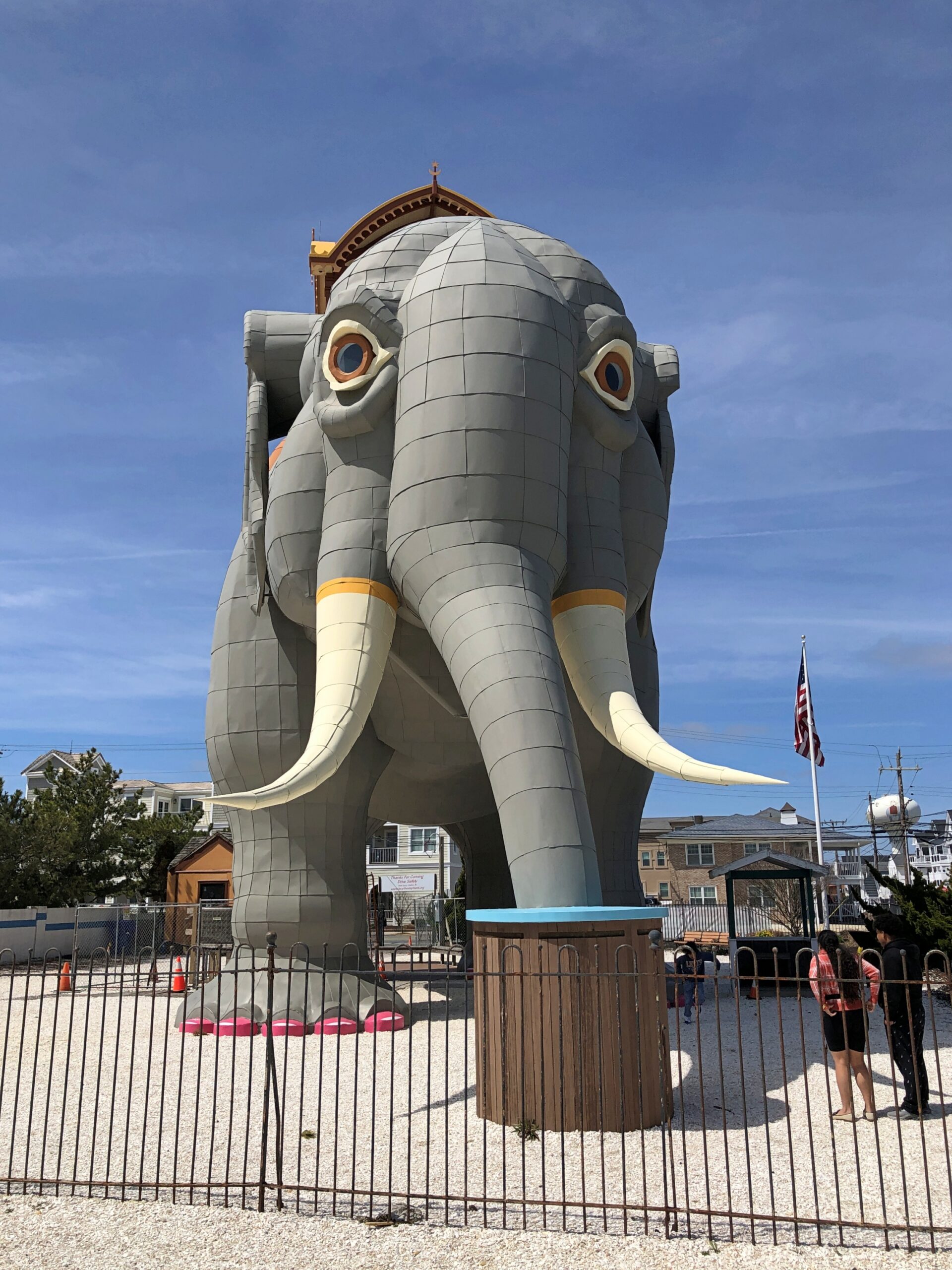
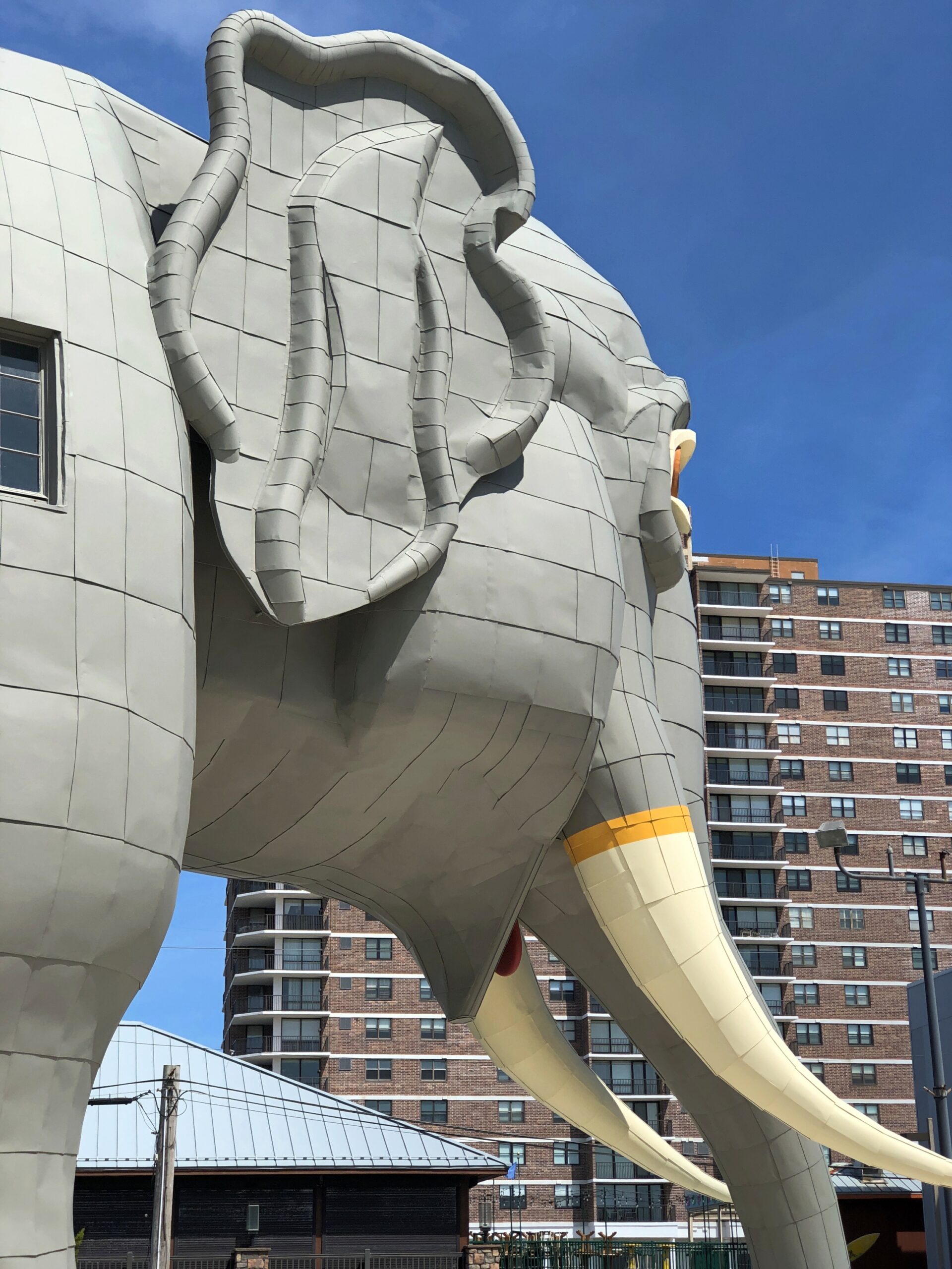
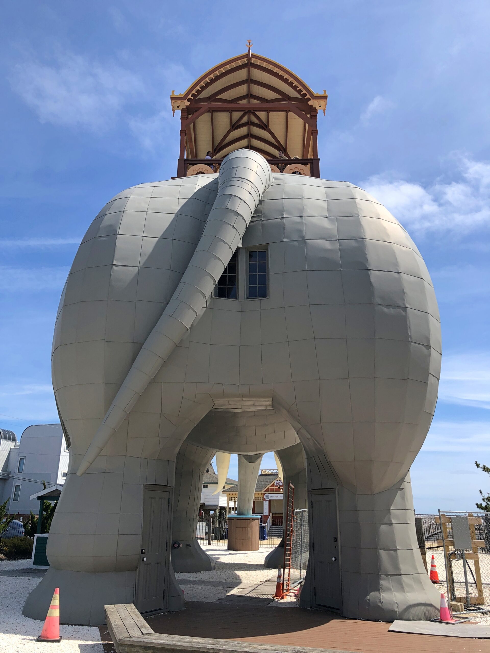
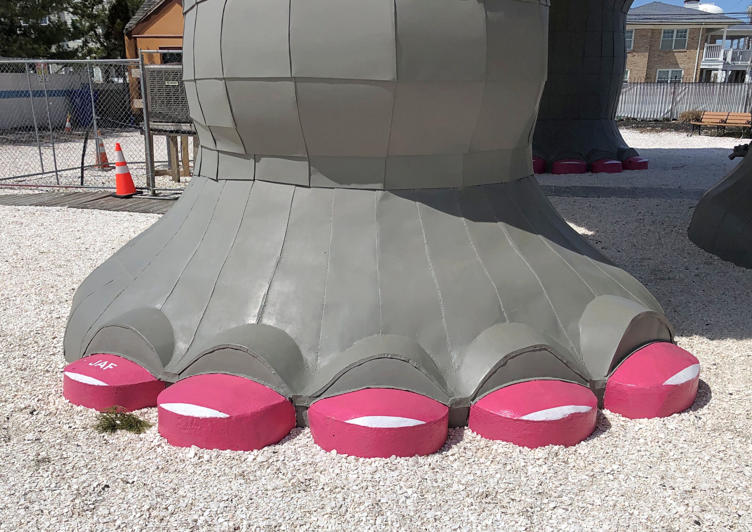
“Built of tin and wood in 1882 by James V. Lafferty as a publicity stunt, Lucy was modeled after Jumbo, P.T. Barnum’s real life ‘Largest Elephant on Earth,’ ” notes Atlas Obscura. “Lucy is much larger than Jumbo was, and stands 65 feet high, 60 feet long, 18 feet wide, is made of nearly one million pieces of wood, and weighs about 90 tons.”
Not just a publicity stunt, but a seminal one by a real estate developer, so much so that he was awarded a patent for the structure. “Land speculator” is perhaps more descriptive, but anyway Lafferty had a chunk of ocean-adjacent property he was looking to peddle south of Atlantic City, itself only a pup of a resort at the time, but certainly an up-and-comer.
Never mind real estate, Lafferty is pretty much remembered for the marvel that is Lucy. As he should be.
“Most of South Atlantic City at that time was a combination of scrub pine, dune grass, bayberry bushes and a few wooden fishing shacks,” says the Lucy web site. “Once Lafferty hit upon the Elephant idea he enlisted the aid of a Philadelphia architect named William Free to design this unusual structure he felt would attract visitors and property buyers to his holdings… Lafferty always claimed that before the work was finished the cost skyrocketed to $38,000.
“By 1881 Lafferty was placing advertisements in area and Philadelphia newspapers offering building lots in ‘fast booming South Atlantic City.’ Lafferty eventually extended himself too far in his land deals both at the Jersey Shore and in New York and by 1887 sought to unload his South Atlantic City holdings. He offered the Elephant and other property for sale and found a willing buyer in Anton Gertzen of Philadelphia.”
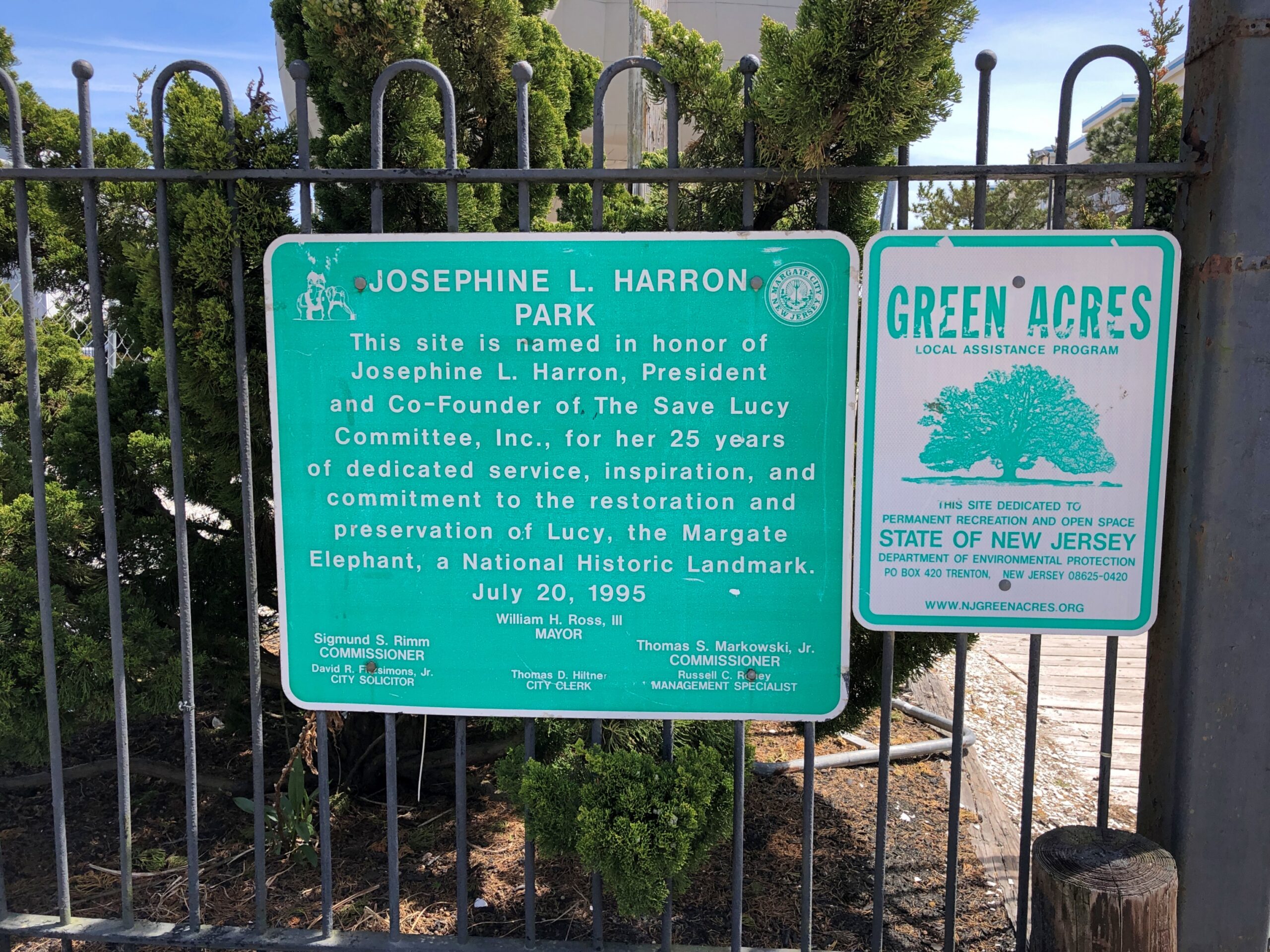
Lucy wasn’t the only elephant for Lafferty: he had others, even larger, built for Coney Island and Cape May, but they didn’t survive, and one proposed for the Columbian Exhibition in 1893 that was never built. Lucy almost didn’t survive to our time either, following a familiar arc of survival to the mid-20th century in an increasingly dilapidated state, then facing demolition. Citizen activism saved Lucy, setting up a nonprofit and finding the money for restoration, and now she attracts roughly 40,000 visitors a year.
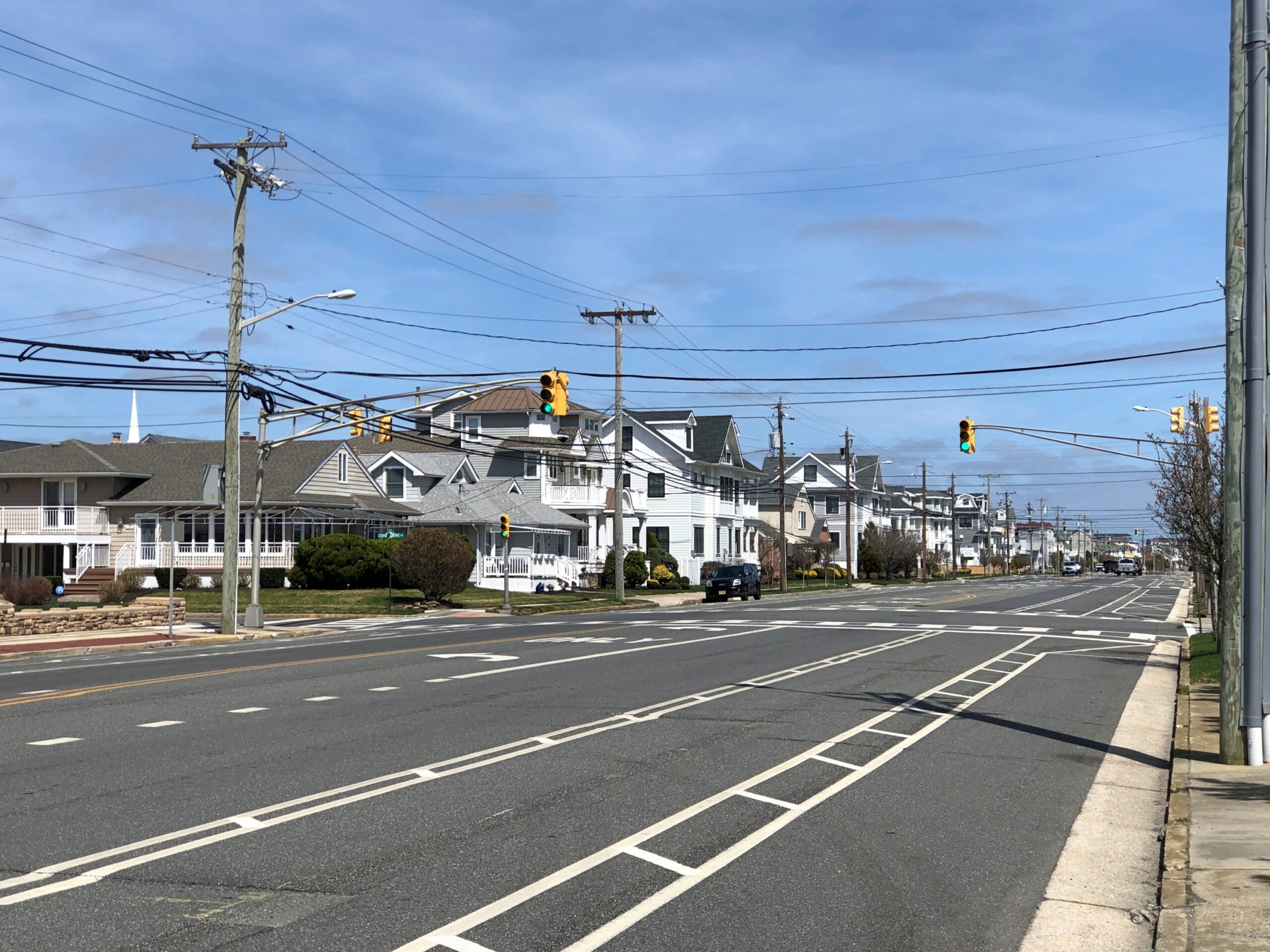
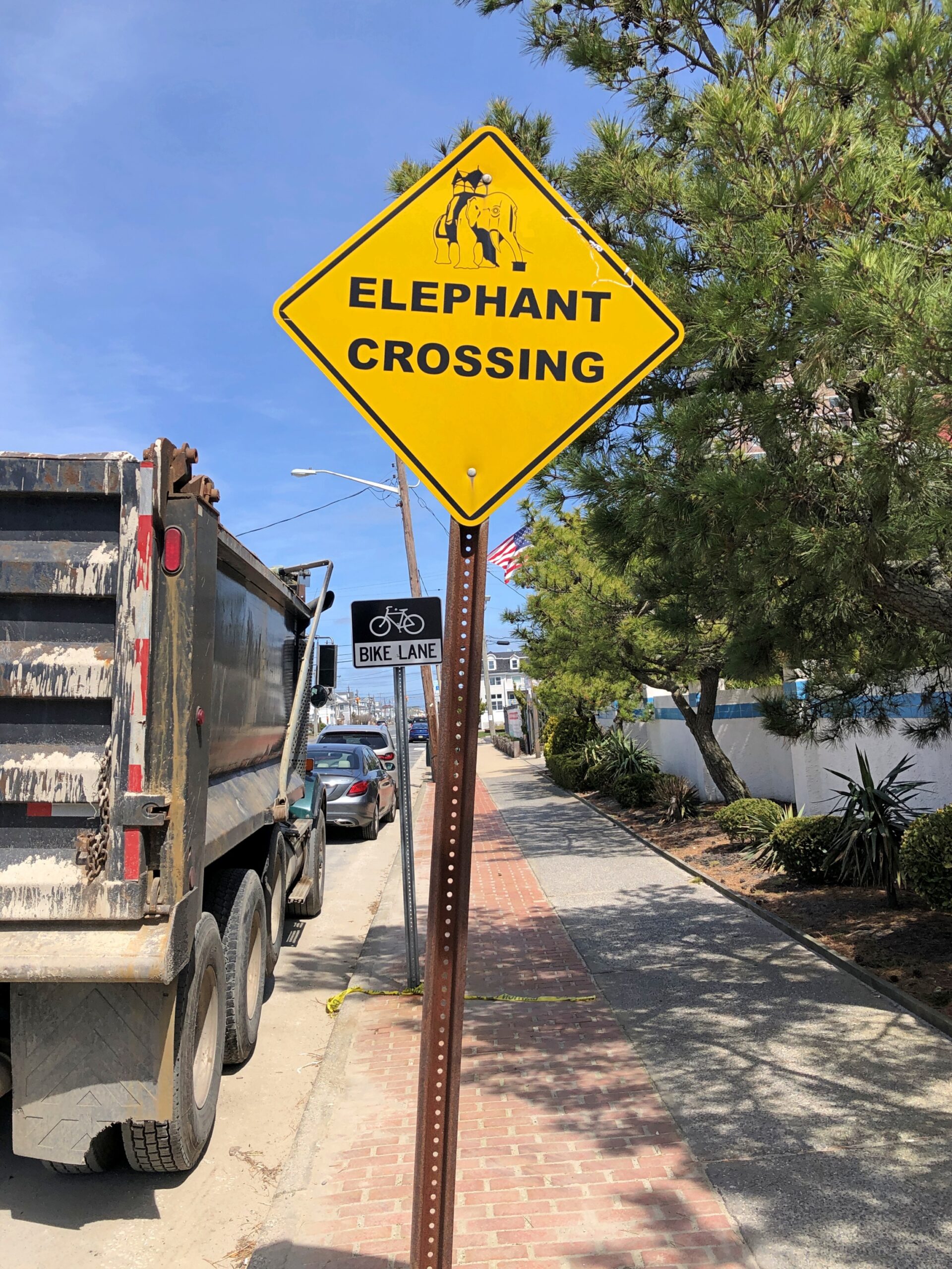
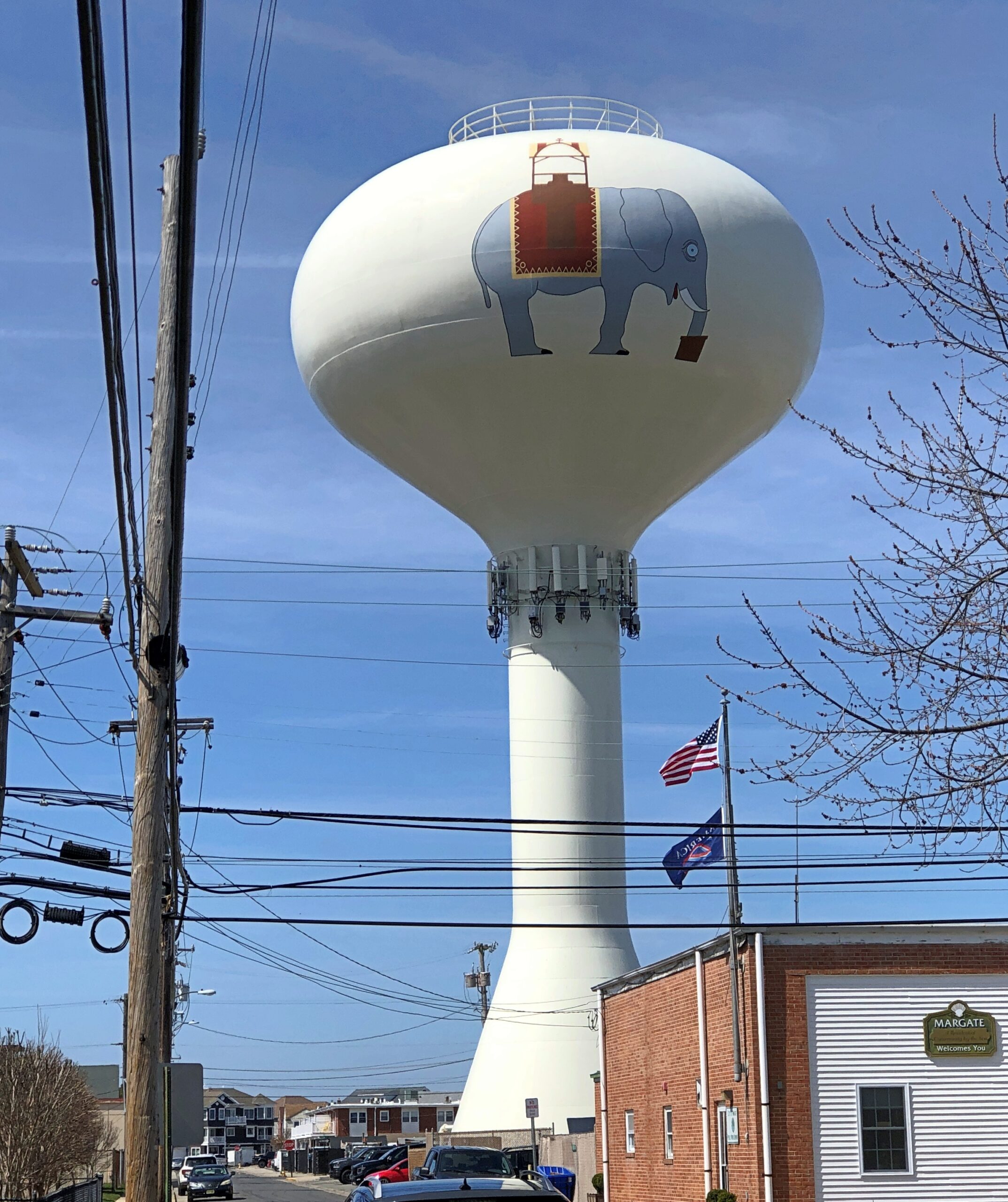
She stands on Atlantic Ave. in Margate City, NJ. A fairly ordinary street but for a few details.
Looks, I’m glad to report, are free from the street and from the grounds. An interior visit at Lucy has an admission. While I didn’t do that, I supported Lucy through the purchase of postcards and a magnet across the street in the gift shop.
Margate seems happy these days to have Lucy around.
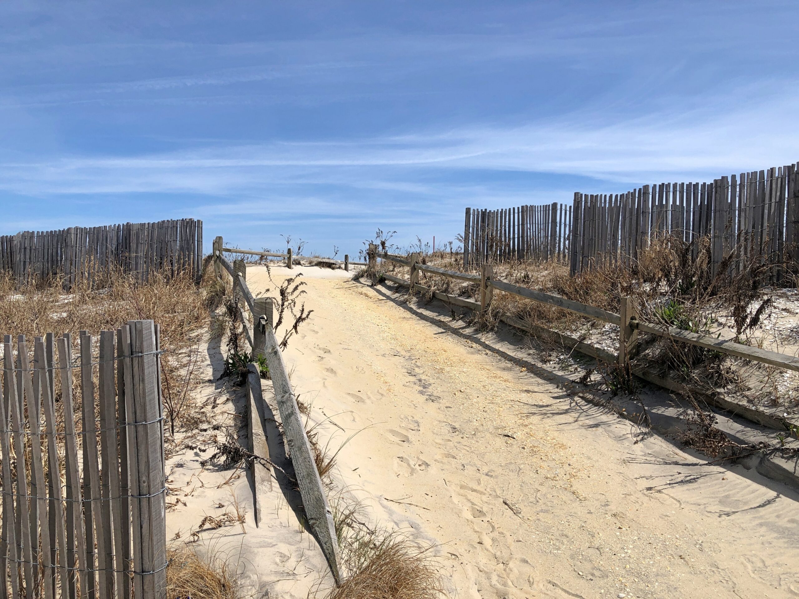
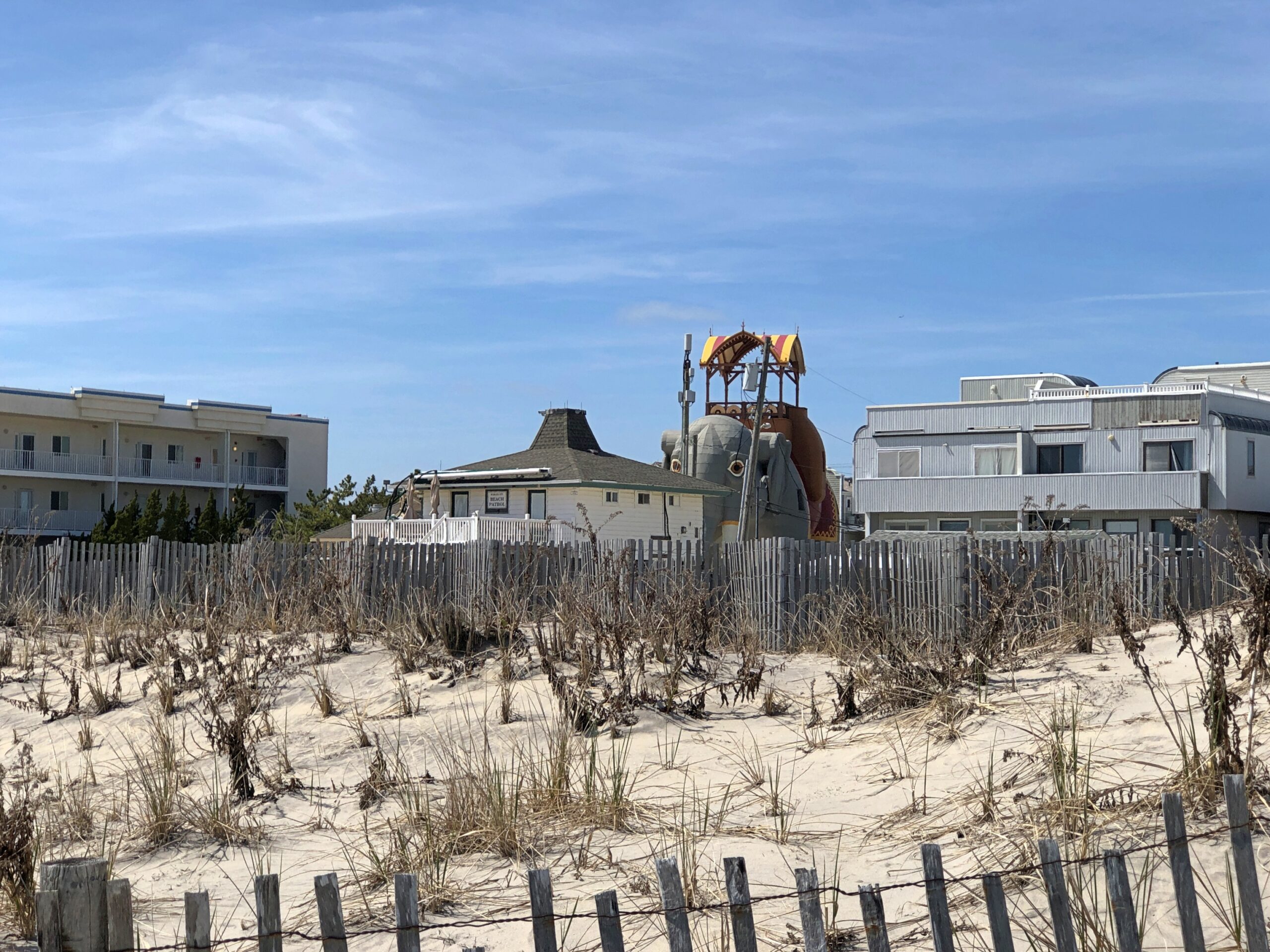
Lucy is a stone’s throw from a pretty nice beach.
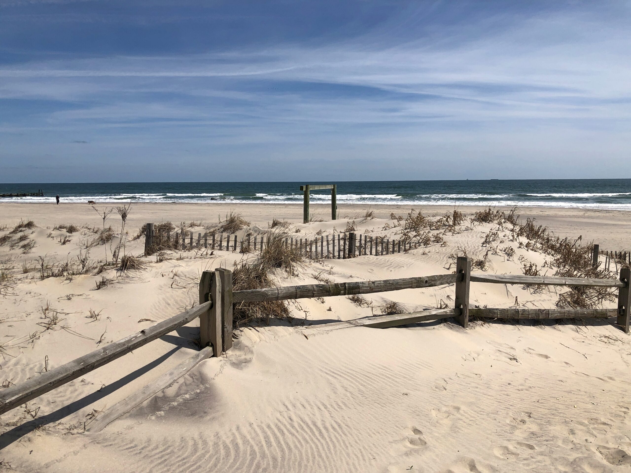
Sunny that day, but a mite chilly. So I had the place practically to myself on a Thursday. Once upon a time, I understand that Margate had a boardwalk, like Atlantic City and a lot of other Jersey Shore towns, but the Great Atlantic Hurricane of 1944 destroyed most of it, and Ash Wednesday Storm of 1962 finished it off.
Time for spring break. Back to posting around April 26, when it might actually be spring in northern Illinois. There have been a few days recently when I’ve been able to sit out on my deck comfortably, which is my idea of spring, but not that many.
The recent trip to Texas seems like a while ago now. As usual, though, there were many details. A lot more than I can convey, but here are a few more.
Faces
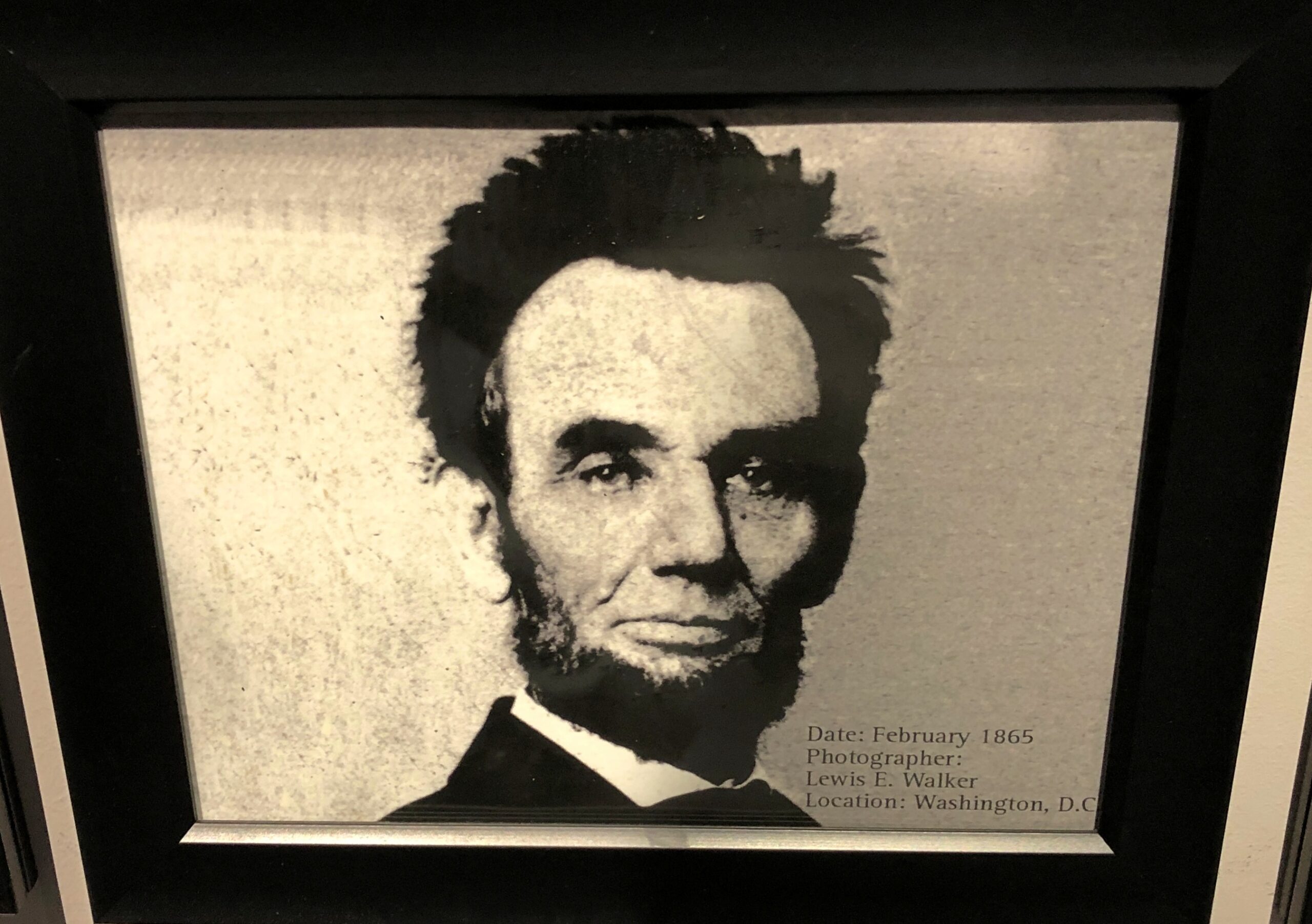
At the National Funeral Museum in Houston, one display featured, chronologically, 20 photographs of Abraham Lincoln. The third to last one, from February 1865, is one you don’t see much.
On a wall in downtown Nacogdoches, familiar figures from Texas.
I didn’t work out who this was supposed to be, in downtown Houston. Better that way, I think.
Signs
This place in Austin, well known to Tom, serves most delicious tacos.
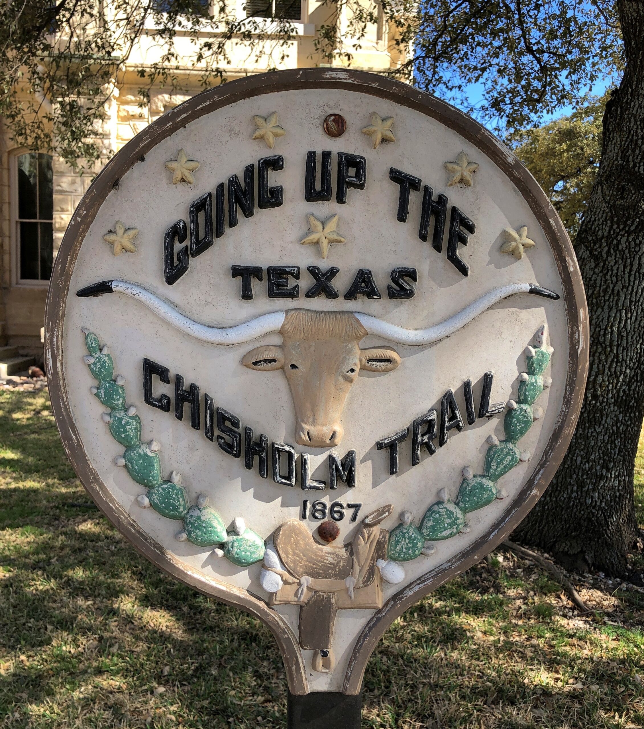
Bastrop: Cobbling runs in the family.
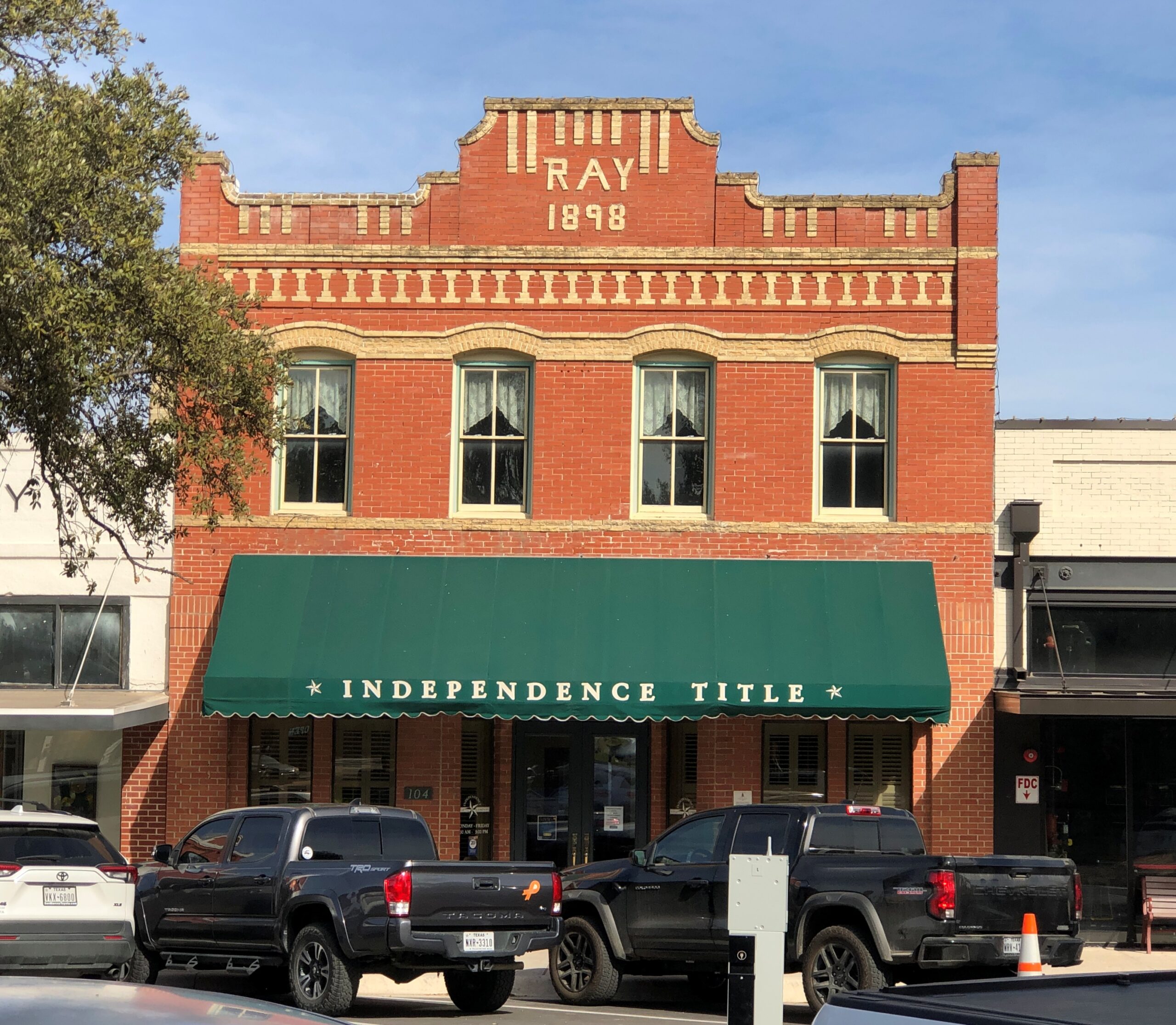
Belton.
Structures
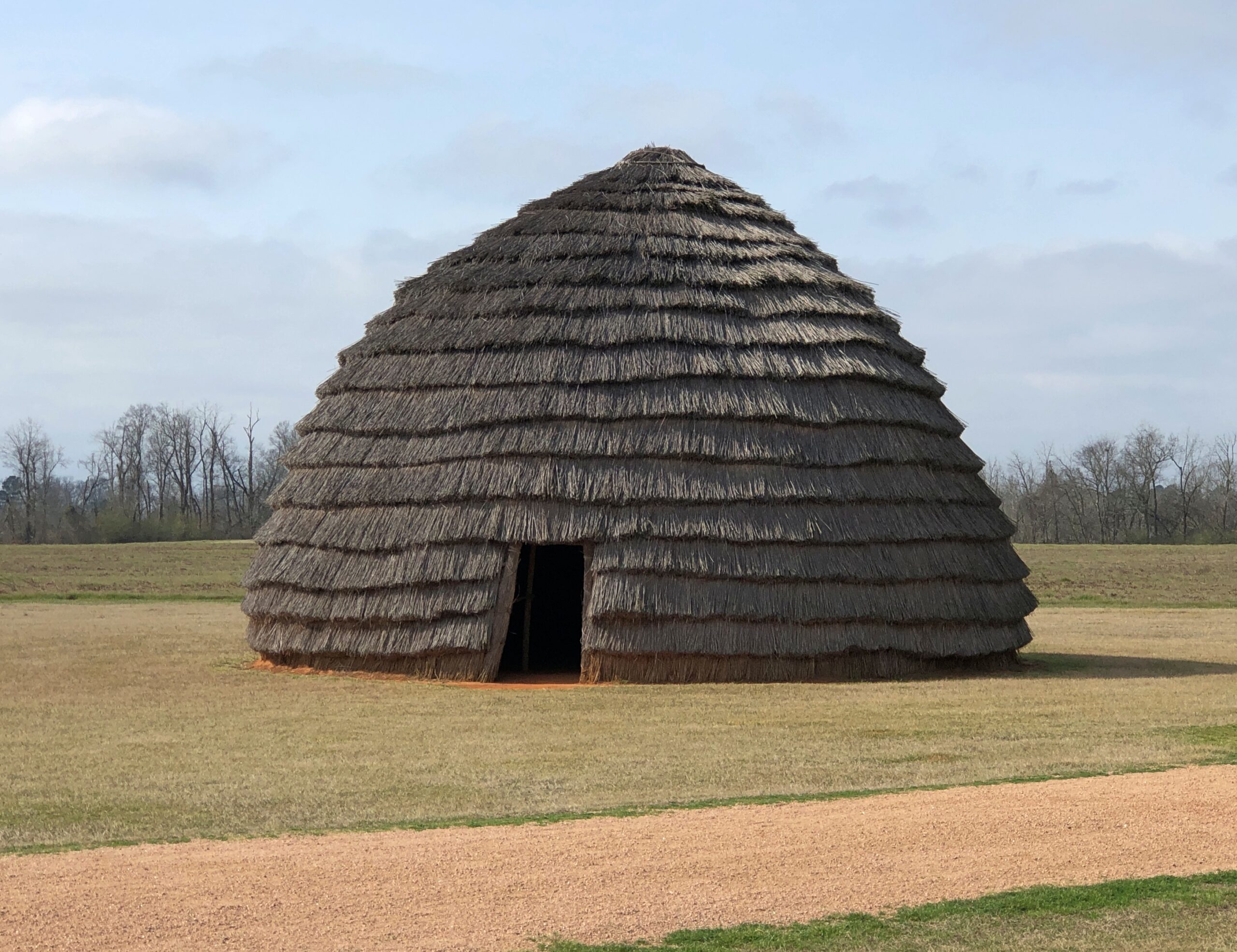
A re-creation of an ancient Caddo home.
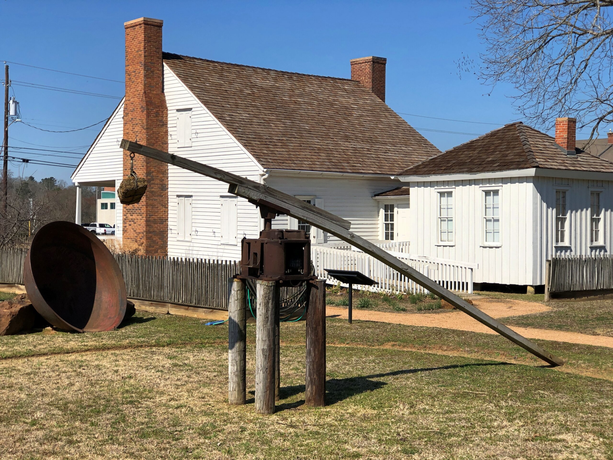
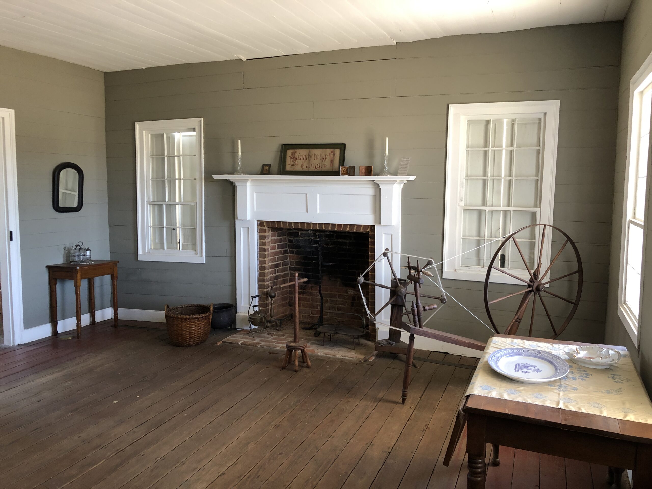
Durst-Taylor Historic House & Garden in Nacogdoches.
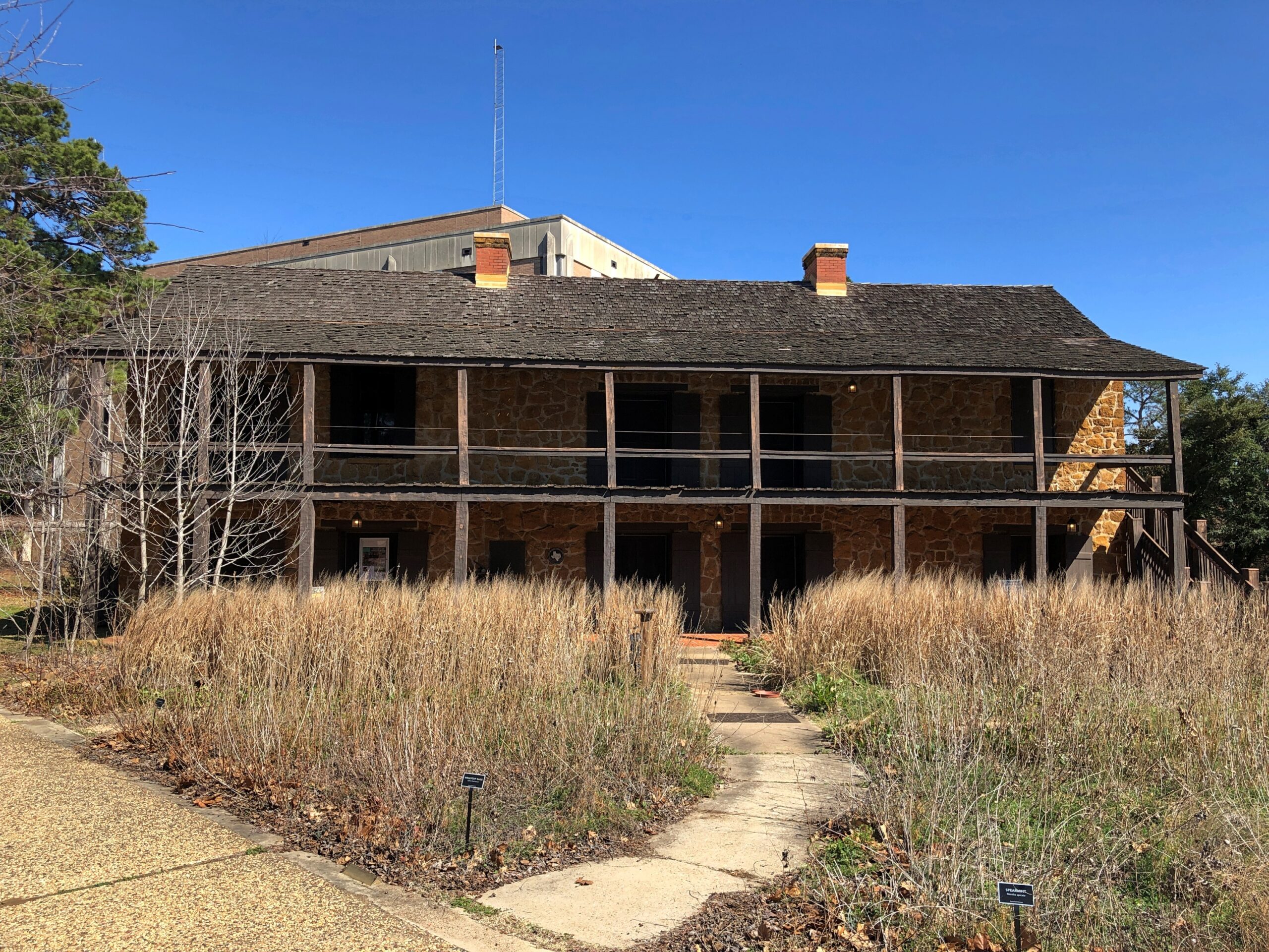
The Old Stone Fort Museum in the same town, which is made of stone, but was never a fort. On the campus of Stephen F. Austin State University. Recommendation to the university: if you want people to visit the place, provide just a little unrestricted parking. A little visitor parking anywhere on campus would be good.
Then again, the university seems determined to move the structure anyway — which might mean taking it apart, and then not putting it anywhere where because such a move would cost too much.
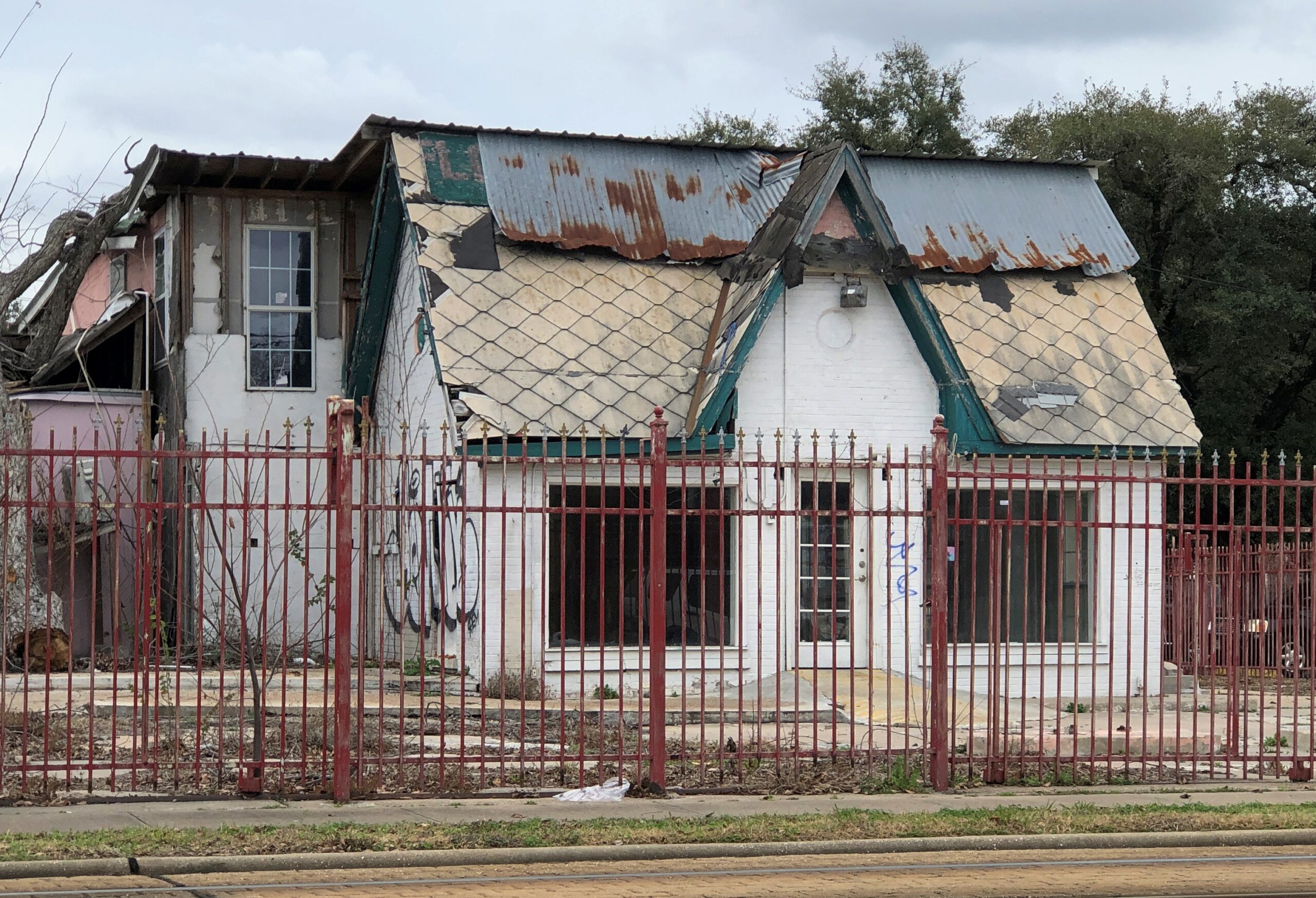
A place that has seen better days in Houston.
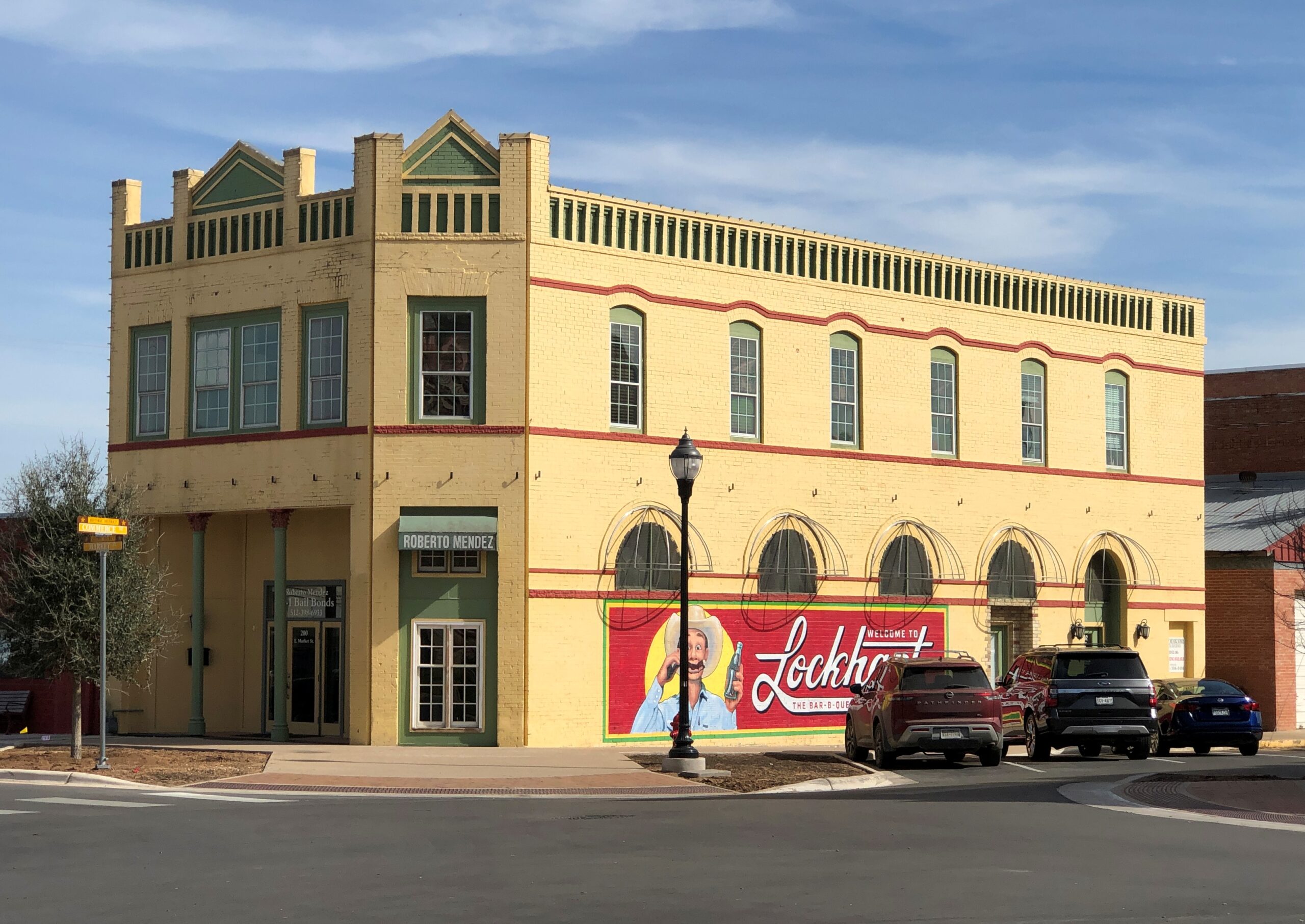
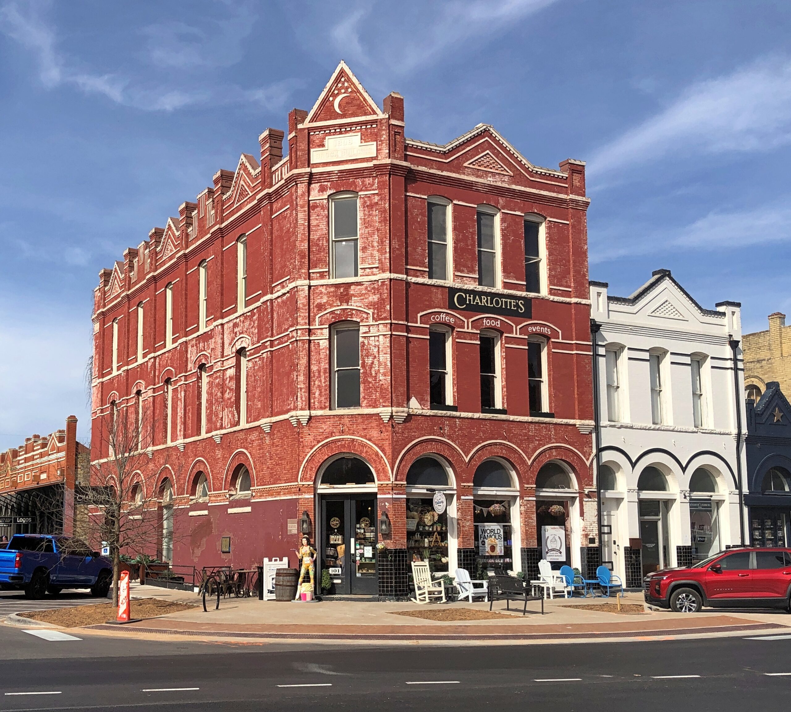
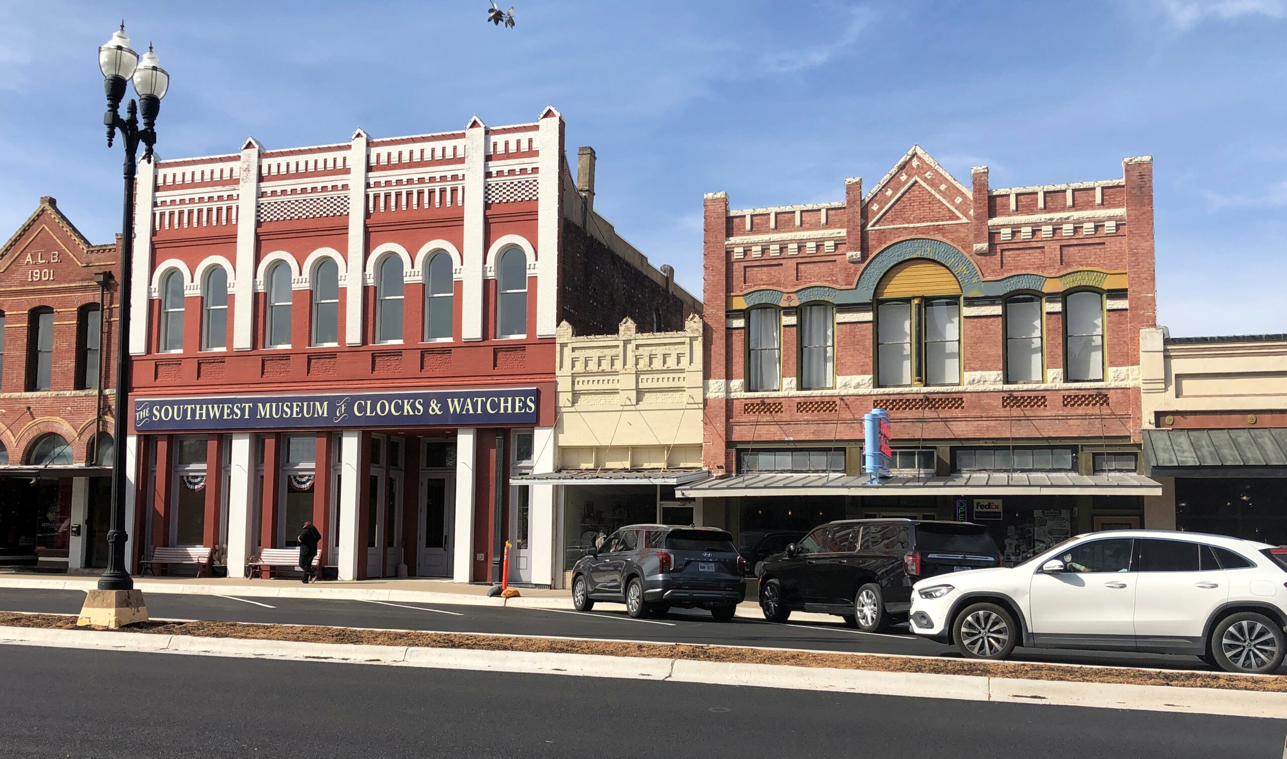
Downtown Lockhart.
The Southwest Museum of Clocks & Watches is permanently closed, alas.
Items
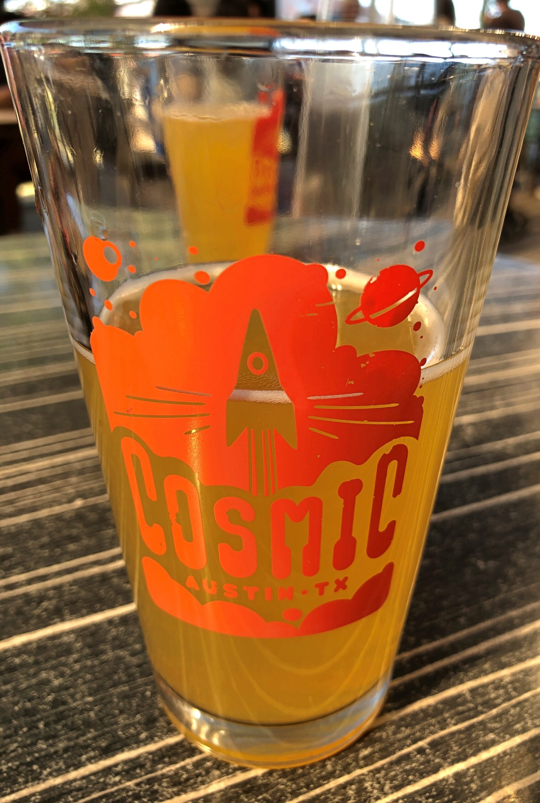
Cosmic in Austin is a bar and a collection of food trucks that surround an informal plaza with a lot of tables and chairs and shade. It’s a very pleasant place, and within walking distance of Tom’s home.
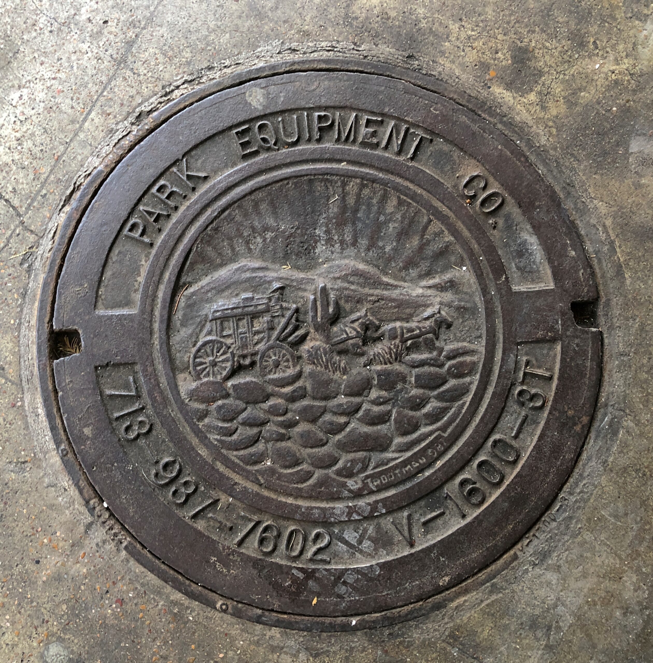
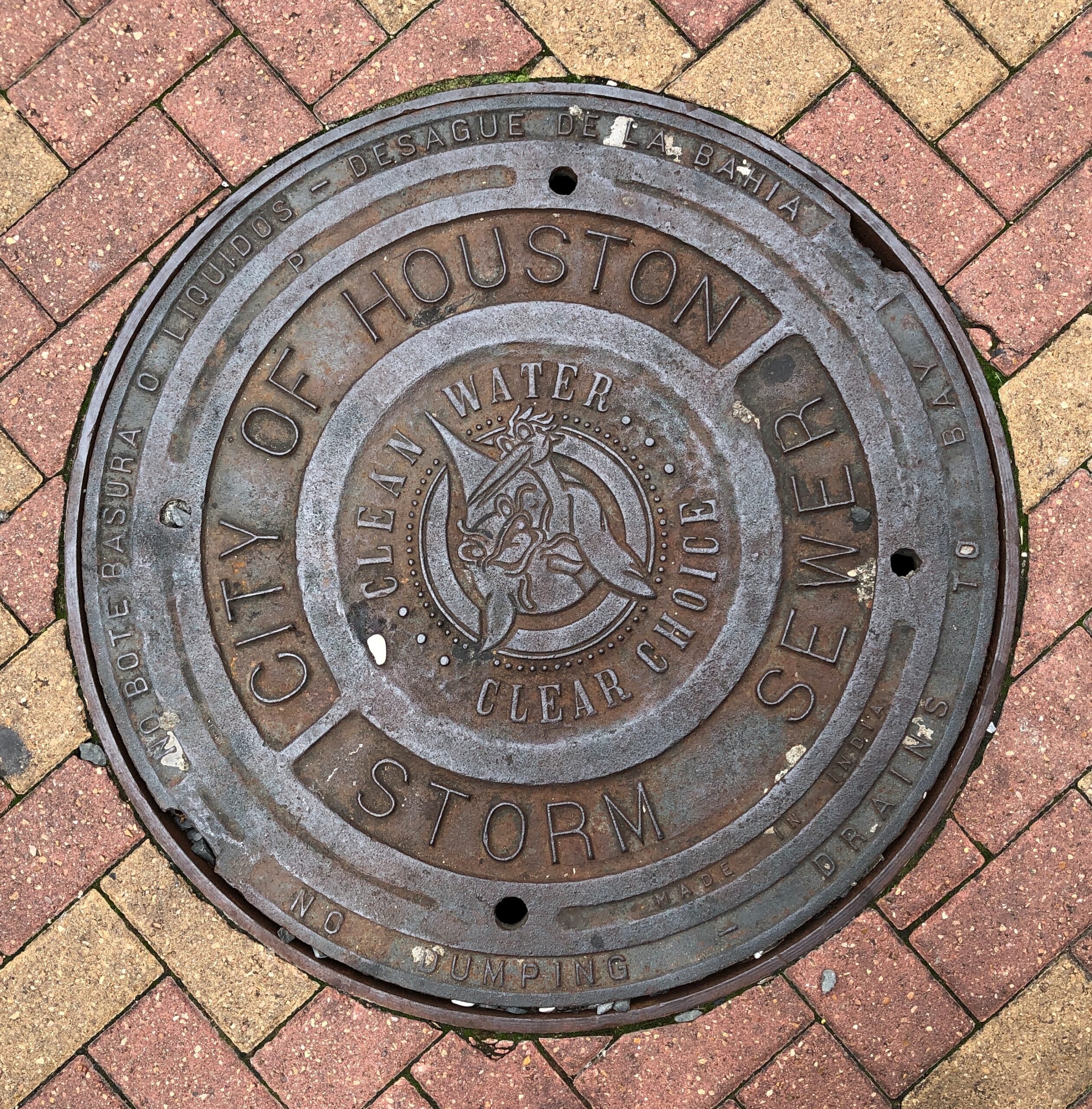
Houston manhole covers.
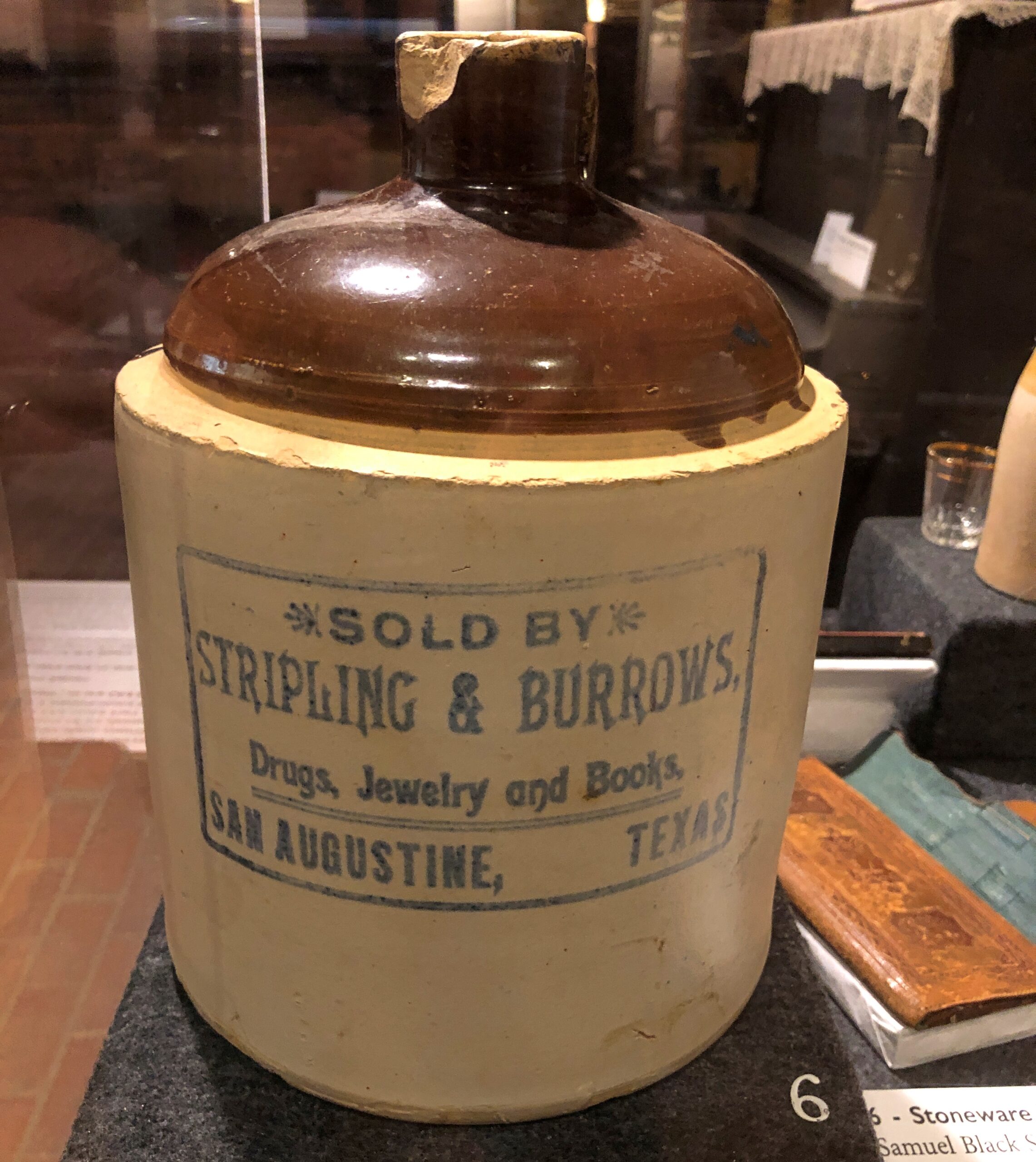
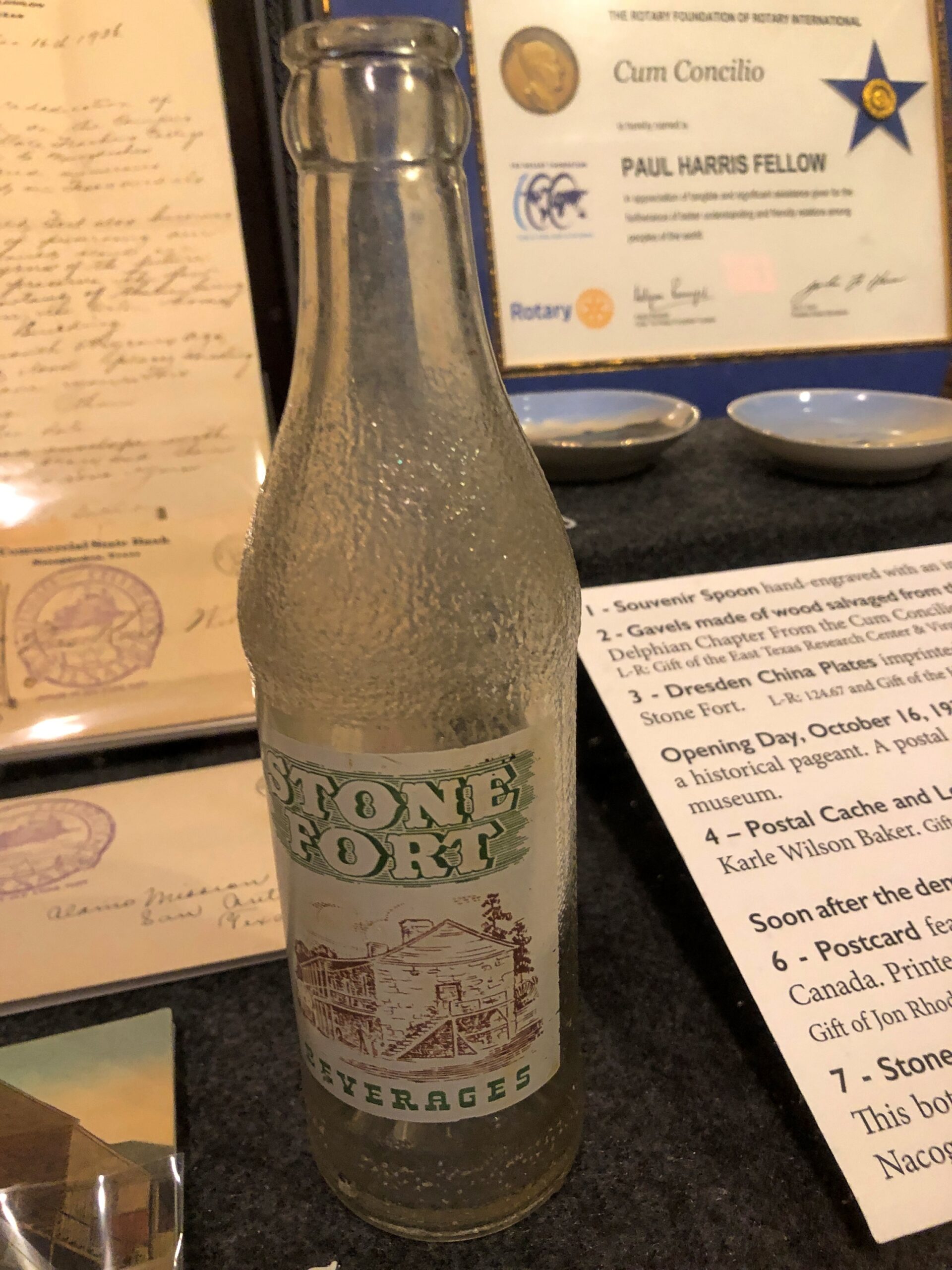
An artifact at the Old Stone Fort, but from San Augustine, and a hyperlocal soda bottle.
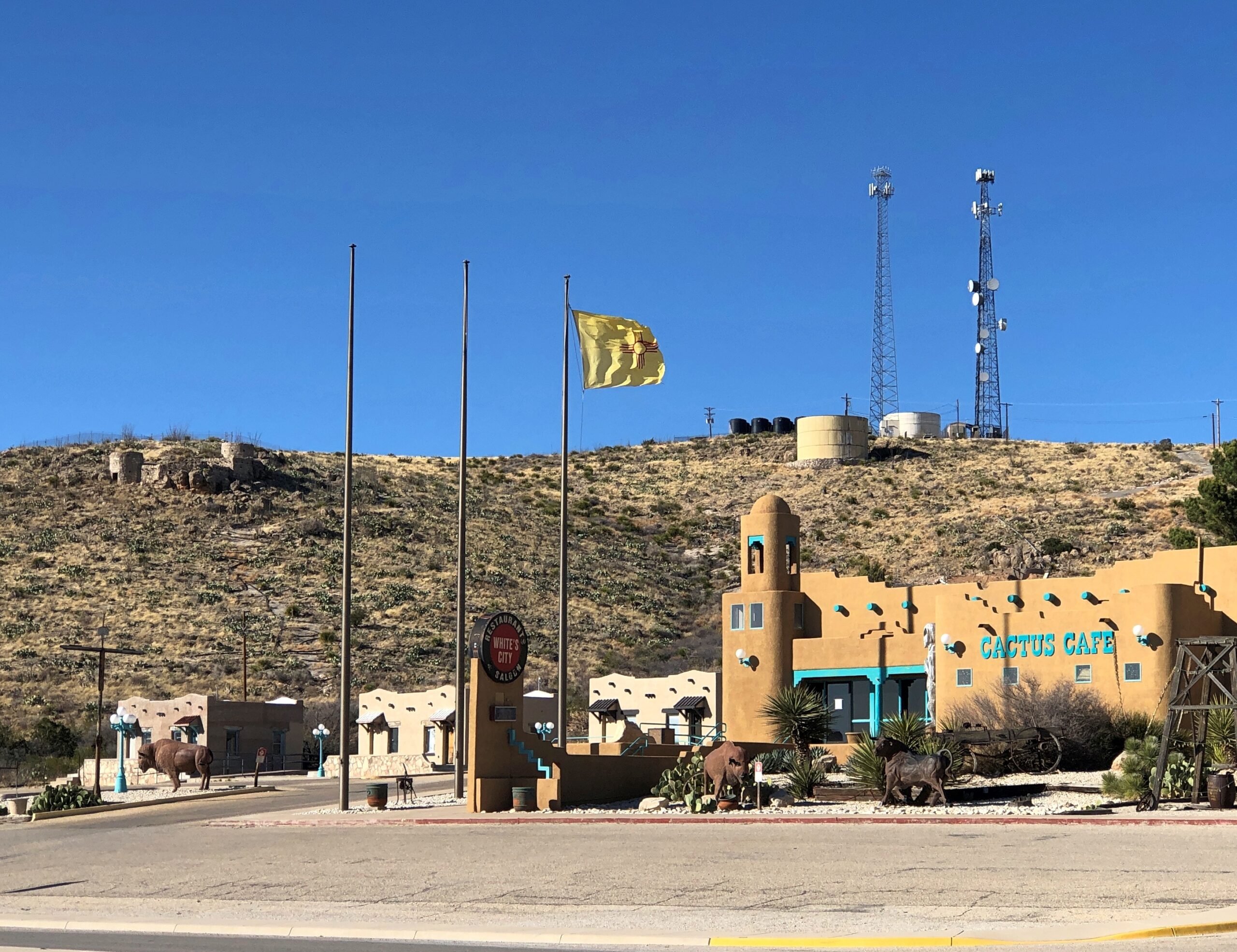
The New Mexico flag near Carlsbad NP.
Landscapes
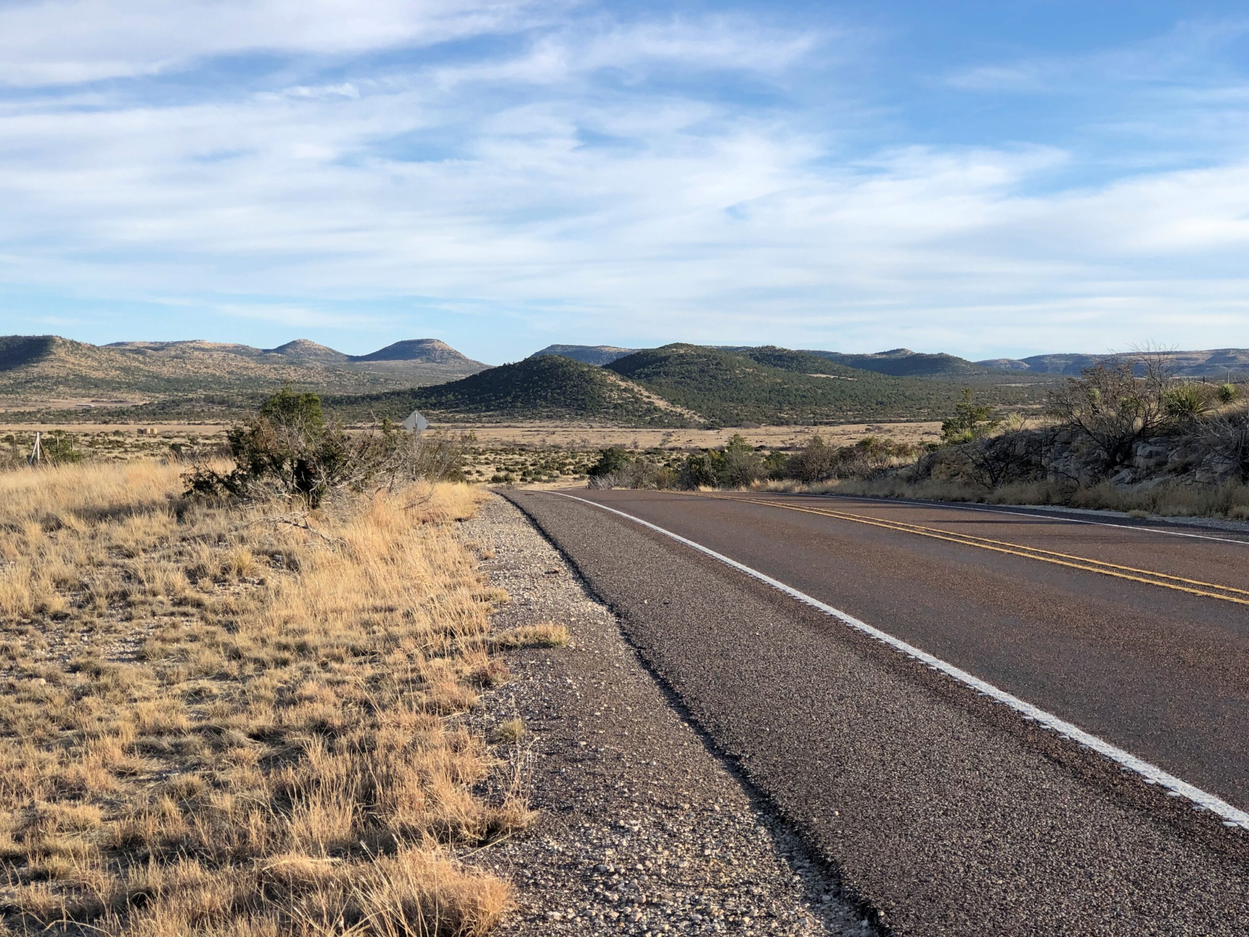
Not just any landscapes, but within the Sierra Madera Astrobleme in West Texas. US 385 cuts right through the ancient crater for about eight miles, on the way to Marathon. You’d never know but for signs telling you that you’re entering the astrobleme, and one telling you that you are leaving it.
Memorials
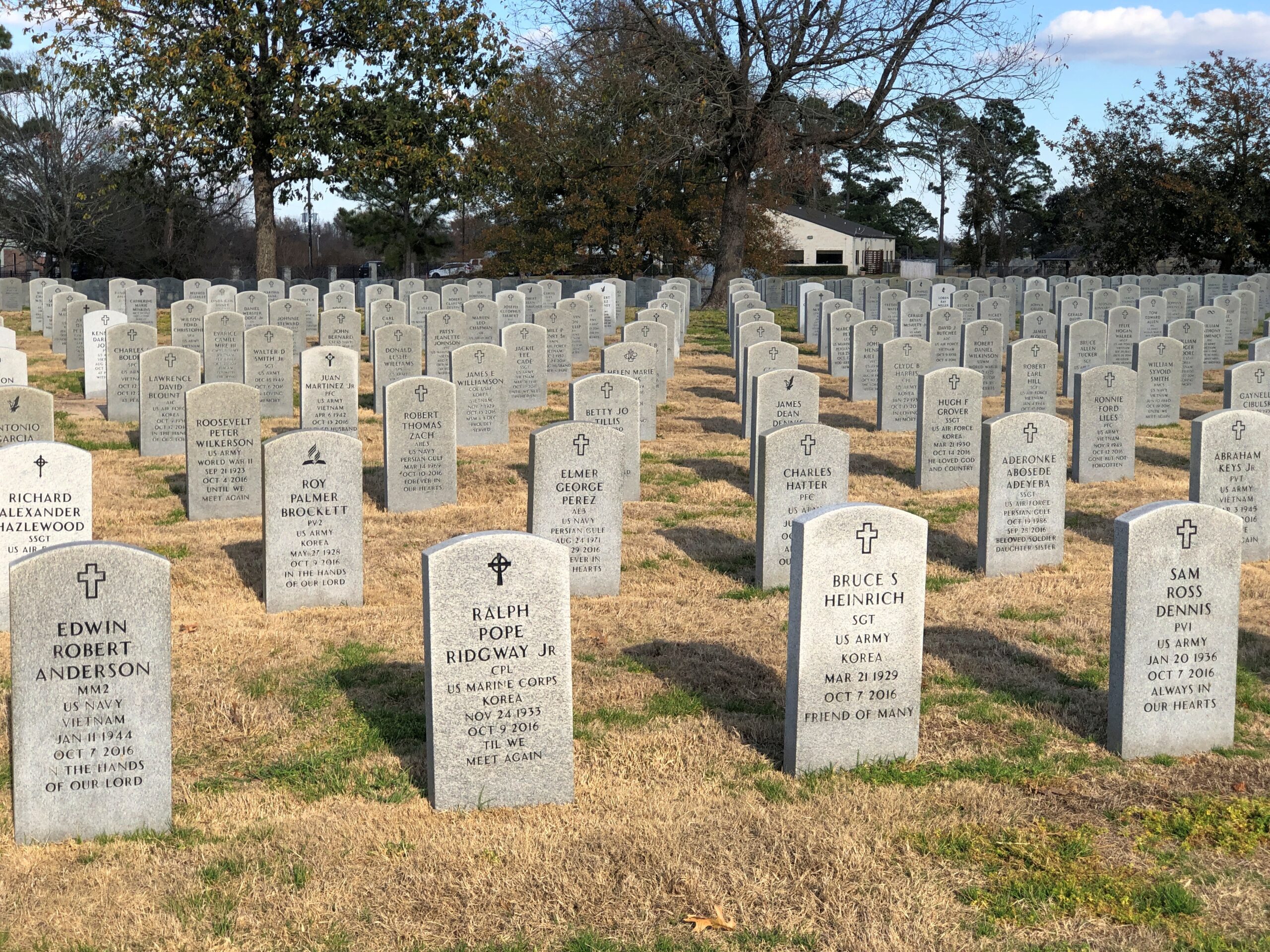
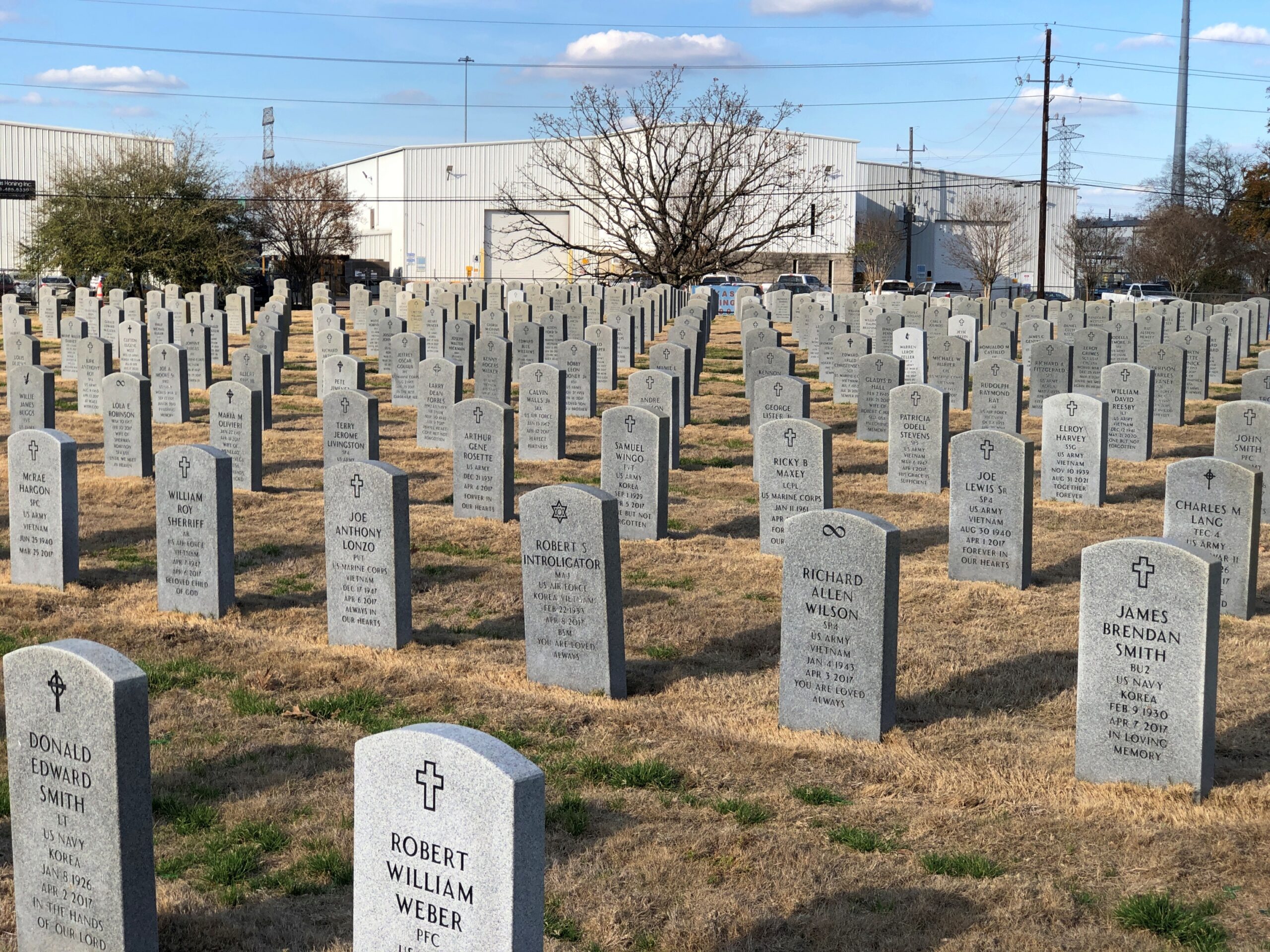
The Houston National Cemetery.
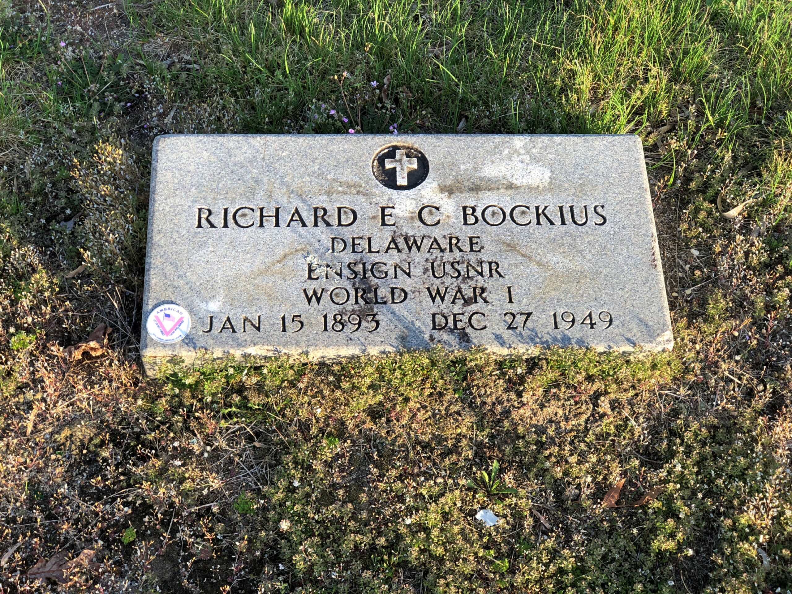
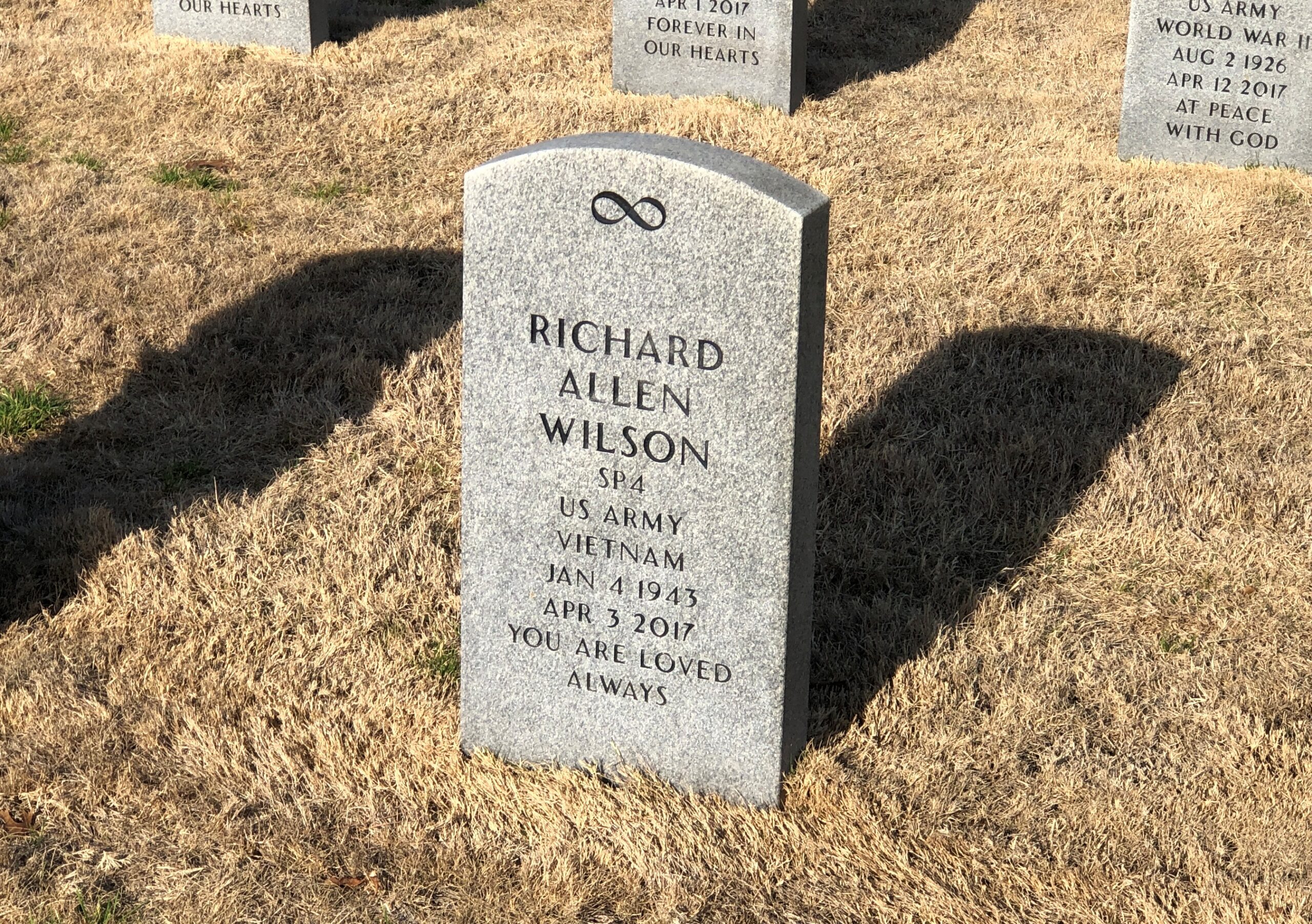
RIP, Richard Allen Wilson. I don’t think that I’d ever seen an infinity symbol on a national cemetery stone. That, of course, made me curious, and I checked: it is one of the 98 various symbols that the National Cemetery Administration allows. The list is here.
I’m familiar with most of them, but not quite all of them, such as the Church of World Messianity, which is a Japanese new religion – it’s hard to keep track of all of those – and the Aaronic Order Church, which may or may not be part of the LDS movement, but in any case is an American sect. Hard to keep track of all those, too.
The NCA says: “No graphics (logos, symbols, etc.) are permitted on Government-furnished headstones or markers other than the available emblems of belief, the Civil War Union Shield, the Civil War Confederate Southern Cross of Honor, and the Medal of Honor insignias… Emblems of belief for inscription on Government headstones and markers do not include social, cultural, ethnic, civic, fraternal, trade, commercial, political, professional or military emblems.”
So (for example) symbols for the Loyal Order of Moose or some odd emoji or maybe a grawlix will not be considered, though as a comment about the Army, the latter would be funny.
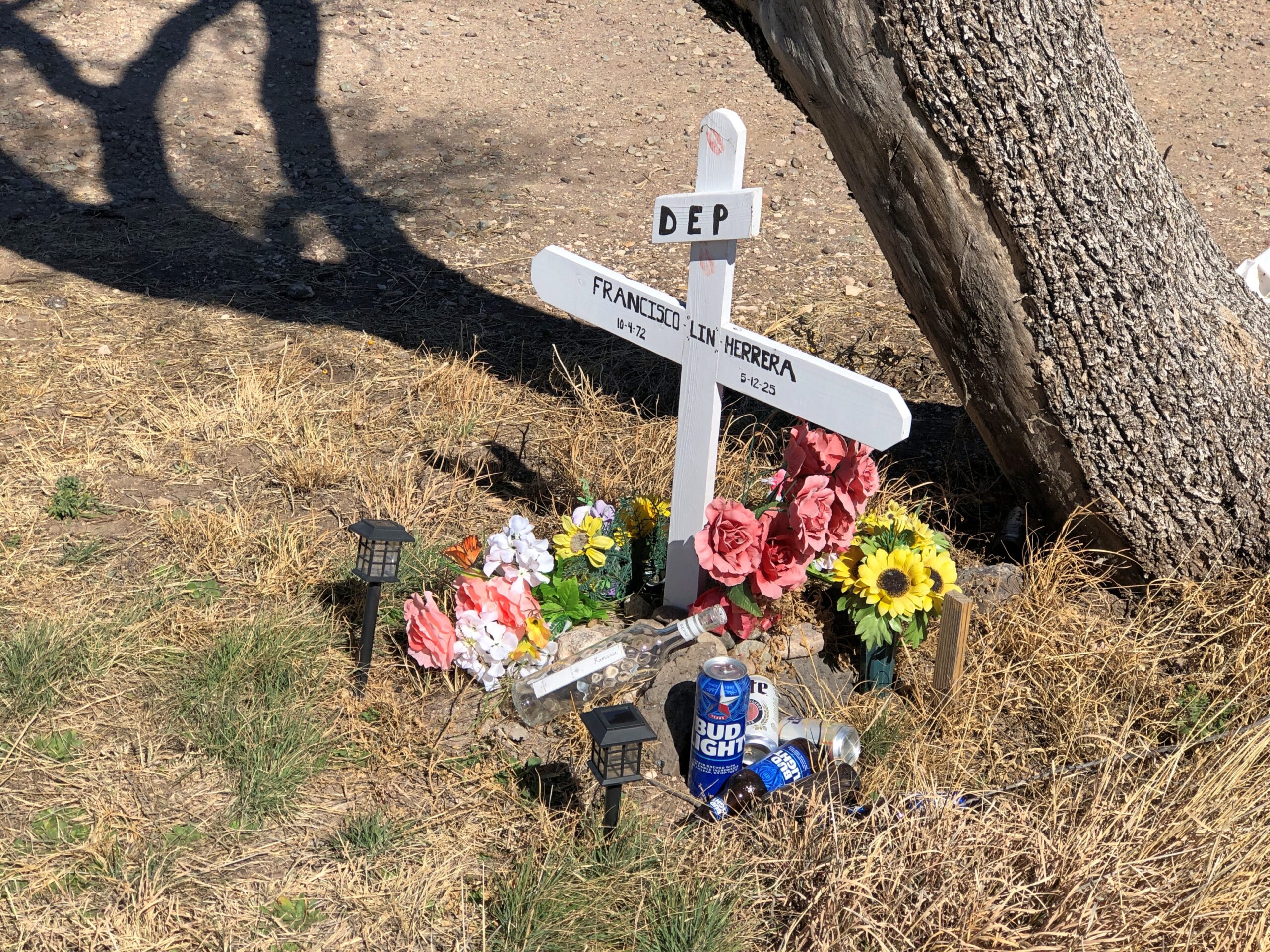
Finally, a less formal memorial, but I’m sure just as heartfelt.
A memorial for Francisco Lin Herrera happens to be near the Giant paintings outside of Marfa. He died in an accident along that stretch of US 90. RIP, Francisco.
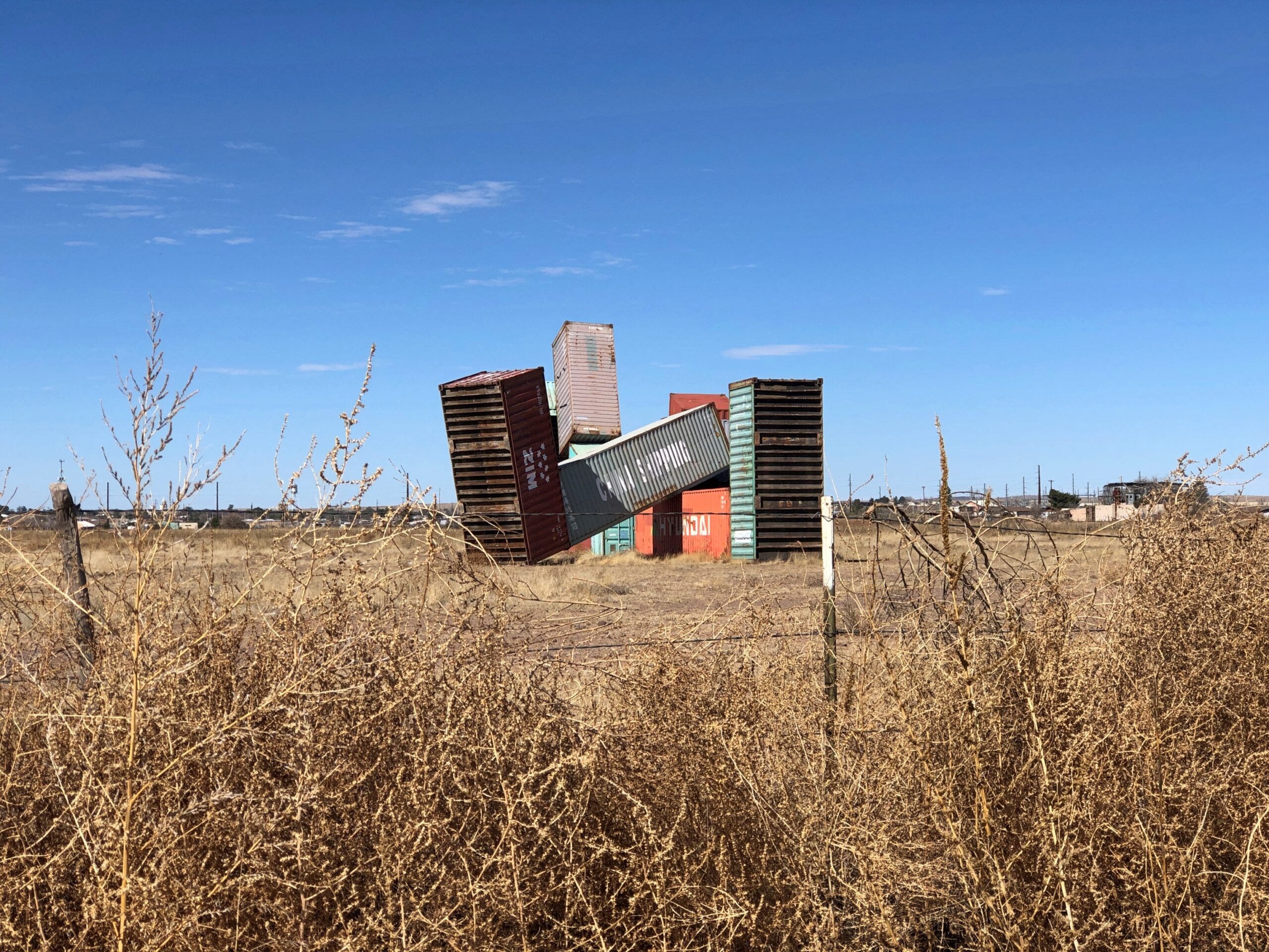
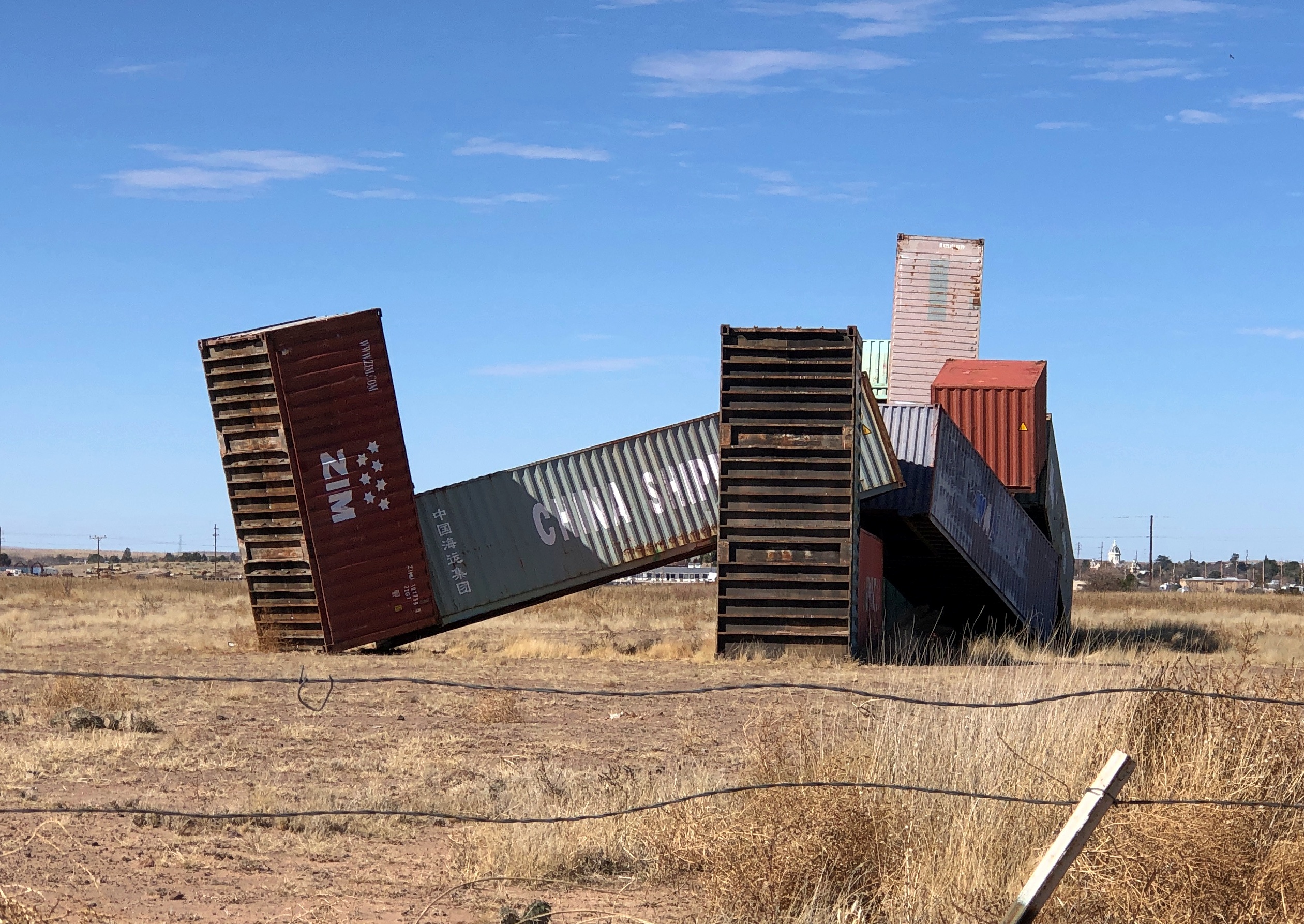
Entering Marfa, Texas, from the east on US 90, I spotted this off to the side of the road.
A side road offers a view but not, as far as I could see, access to the site.
Also no signage, which I took to be a bonus. Like the Cadillac Ranch, the thing was just there. It can be looked up later, of course, to reveal that it’s a large bit of sculpture called “Sleeping Figure” by Los Angeles-based artist Matt Johnson and only moved to Marfa in 2024 from its original place in the Coachella Valley.
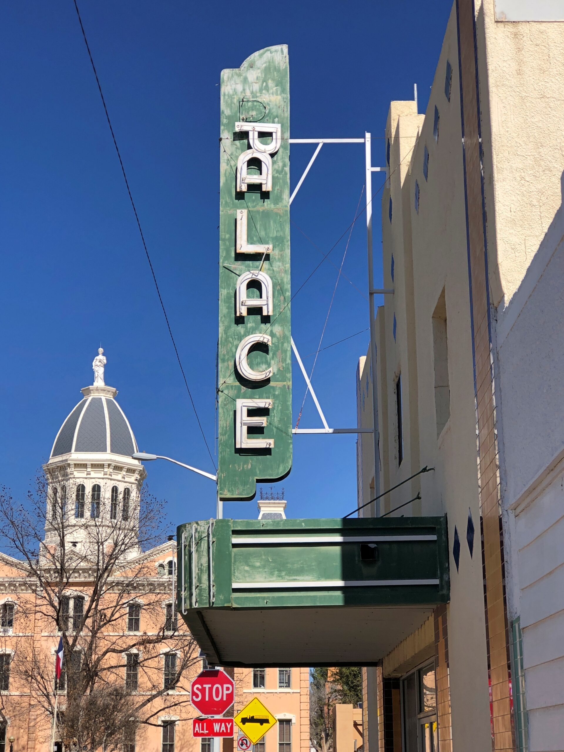
In town, we took a stroll down Highland Ave. and around the courthouse. The former Marfa Opera House.
Later the Palace Theater. Various sources, which seem to be copying each other, say that the theater closed in the 1970s, which is probably accurate, and that an artist uses it as his studio now, which I’m less certain about, since there place looked wholly vacant. Still, as an art town, you’d think Marfa would use the space for something closer to its original uses – live events, maybe standard theater and movies, but also popup performance art from time to time.
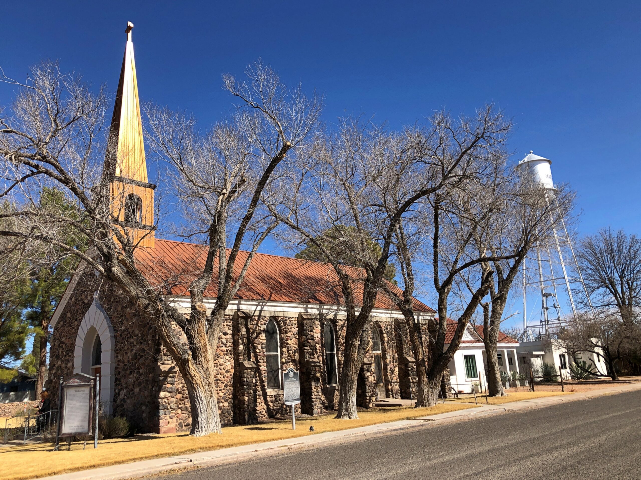
A number of churches ring the courthouse. St. Paul’s Episcopal.
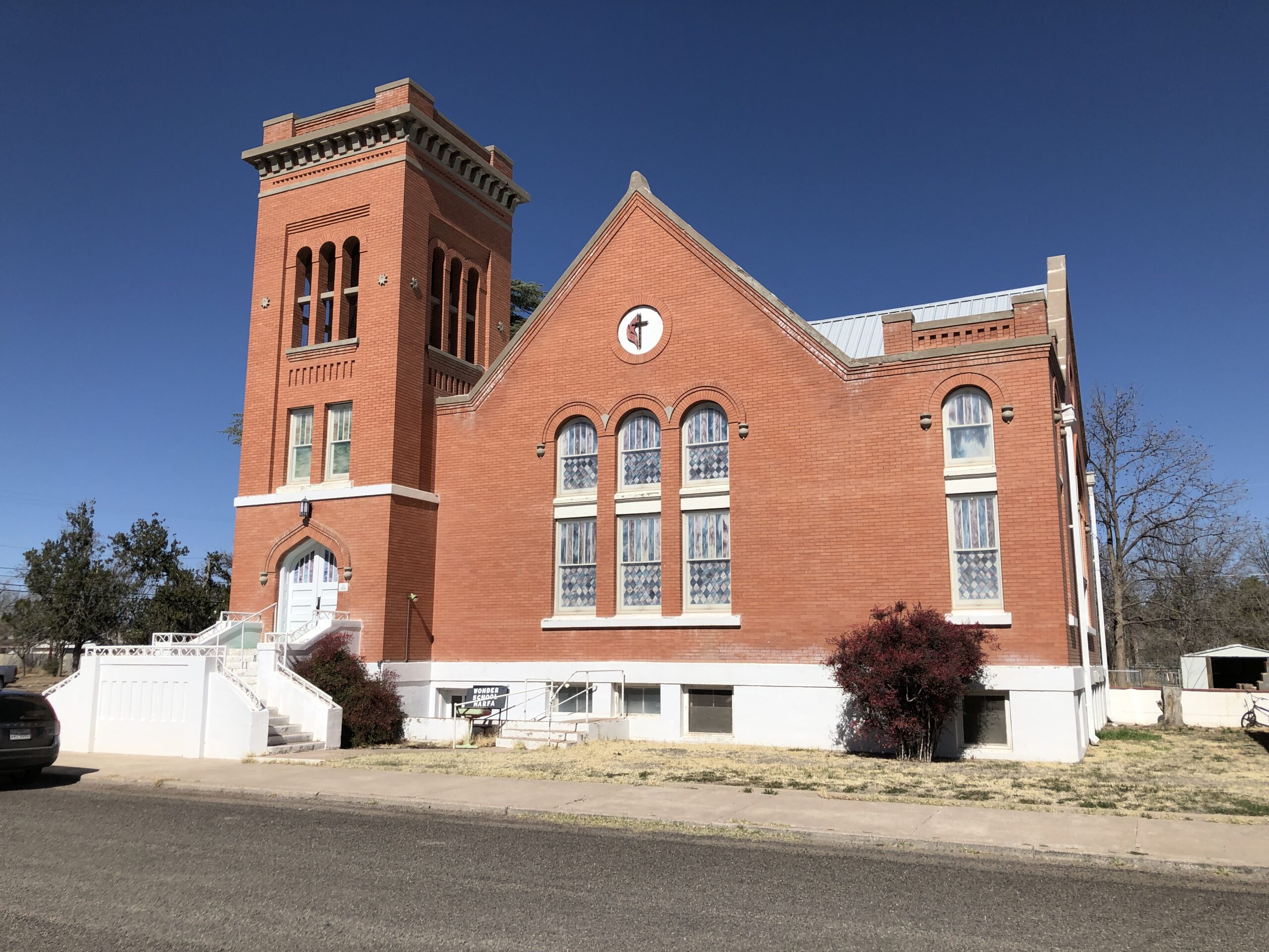
First United Methodist.
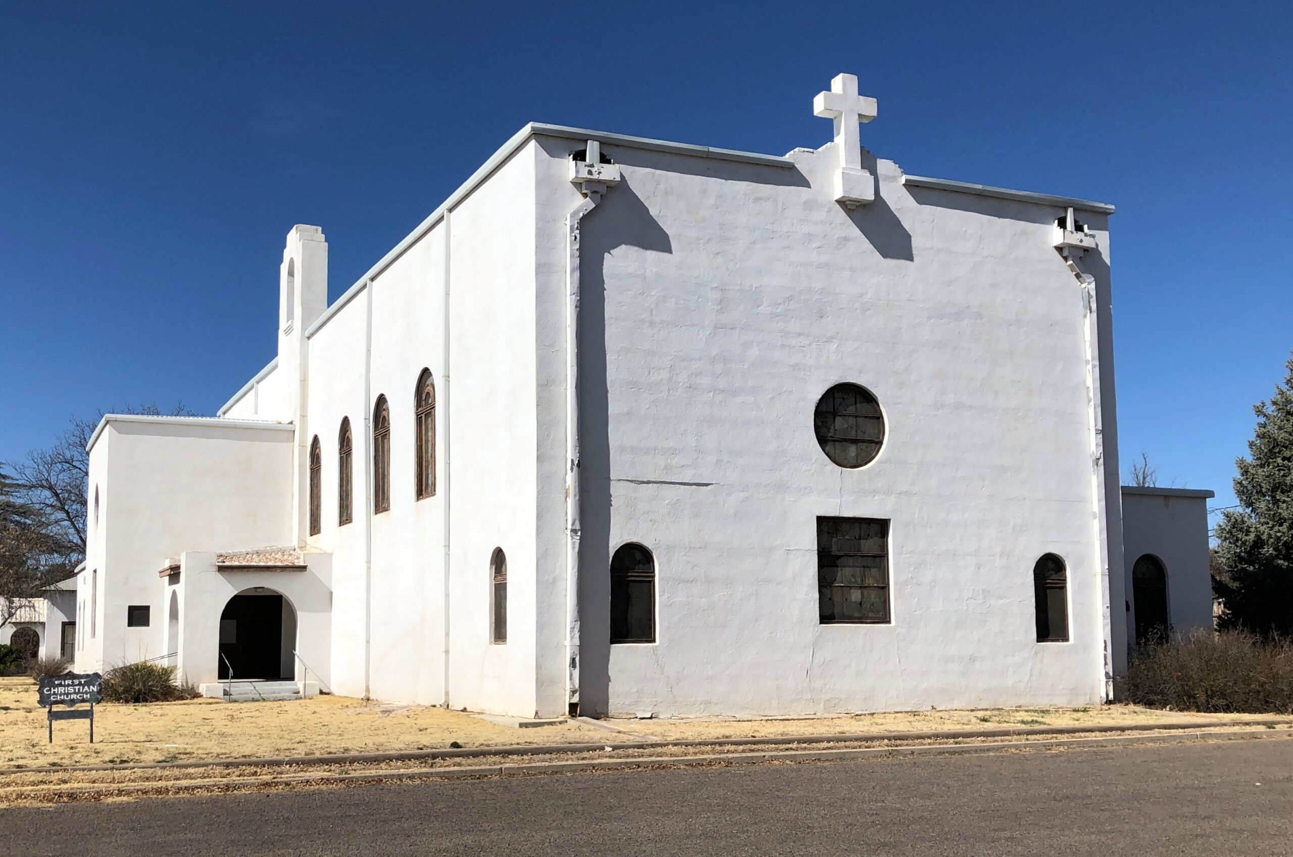
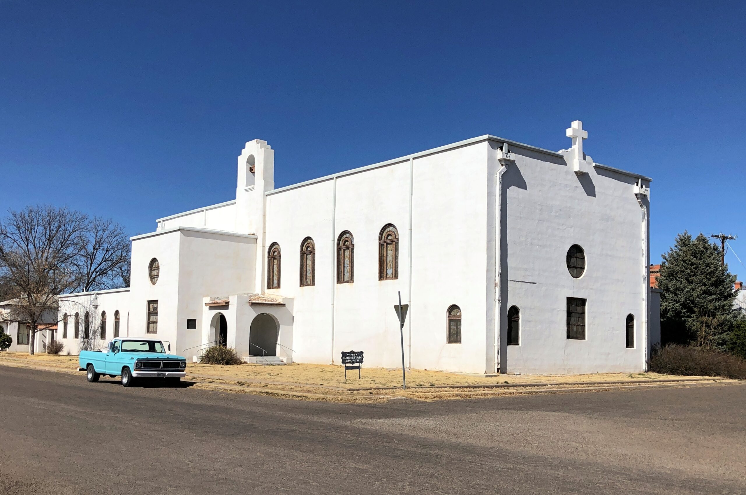
First Christian Church.
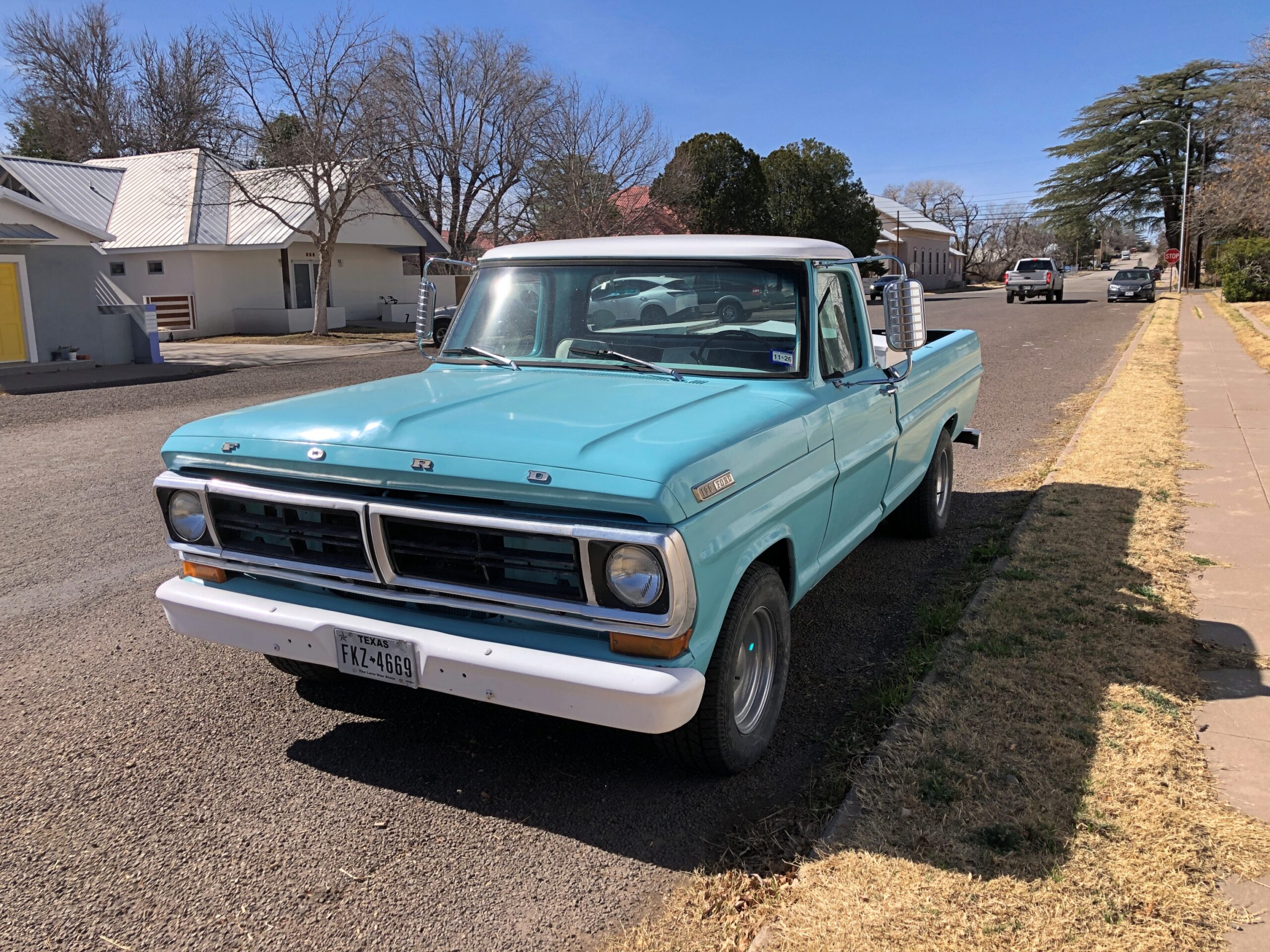
It’s a coincidence of placement, probably, but it still looks like the church and the pickup truck are a set. An answer to the longstanding theological question, WWJD, What Would Jesus Drive?
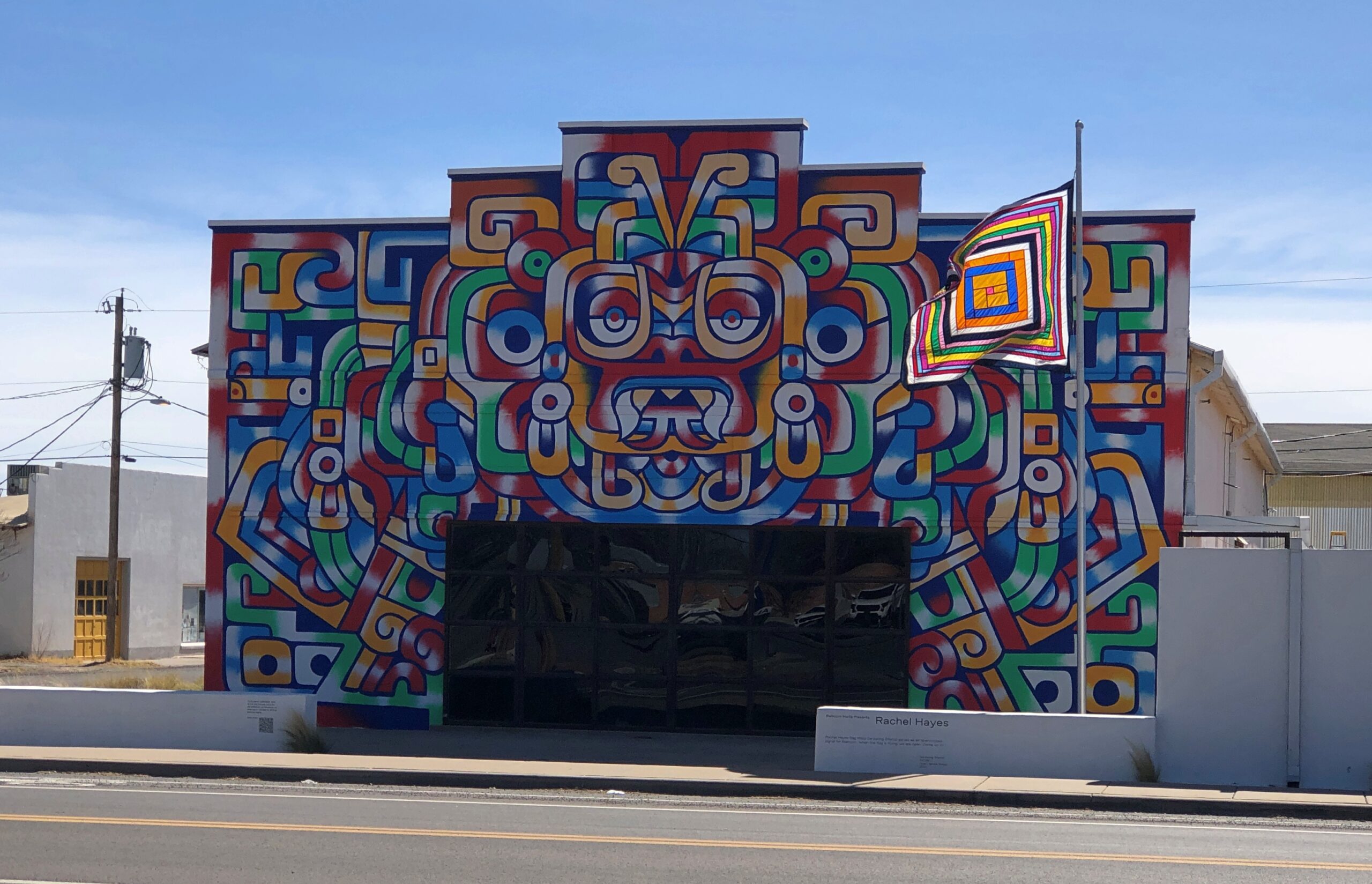
Elsewhere in Marfa, an example of something you see when doing something else – in this case, buying gas.
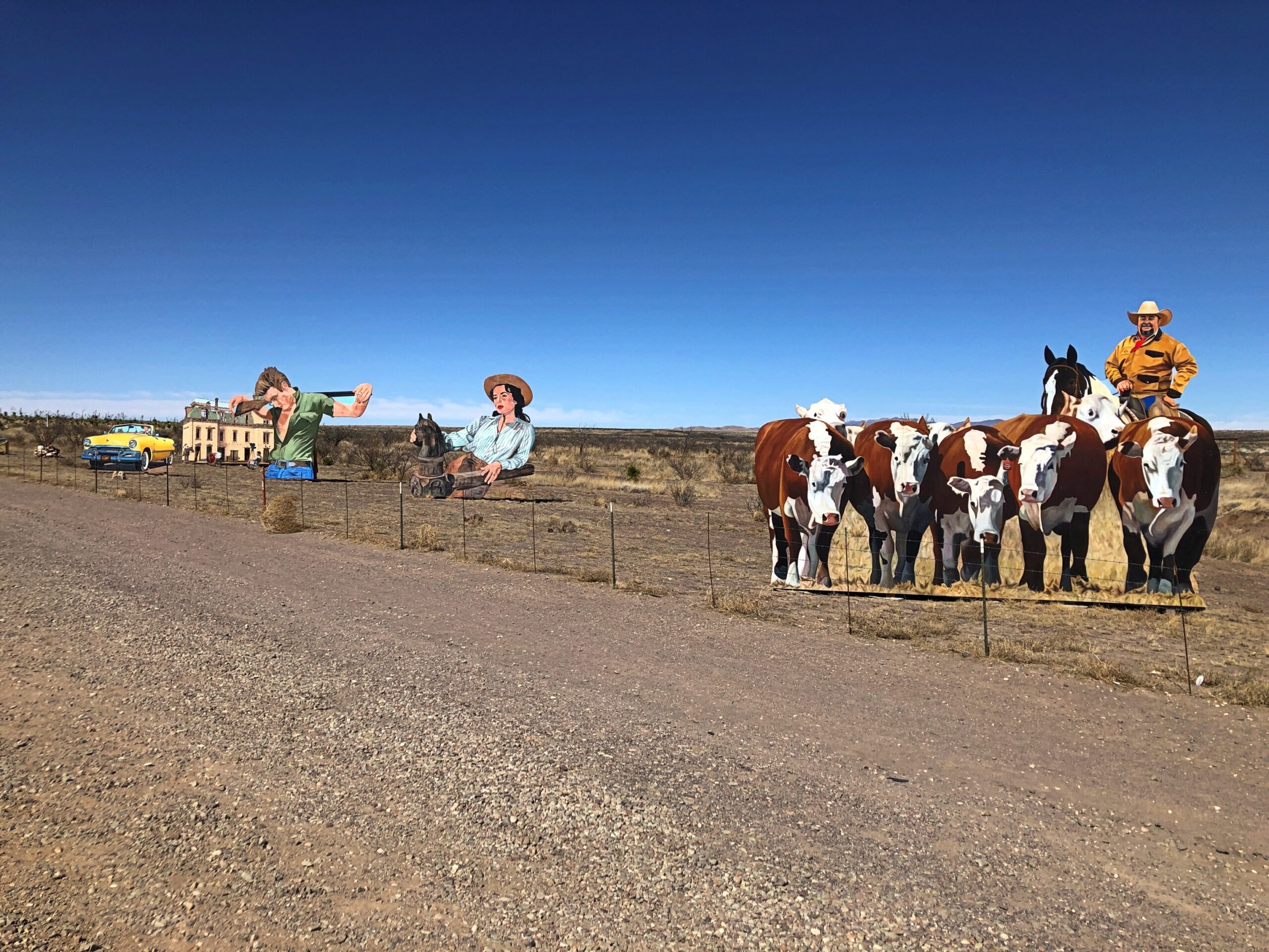
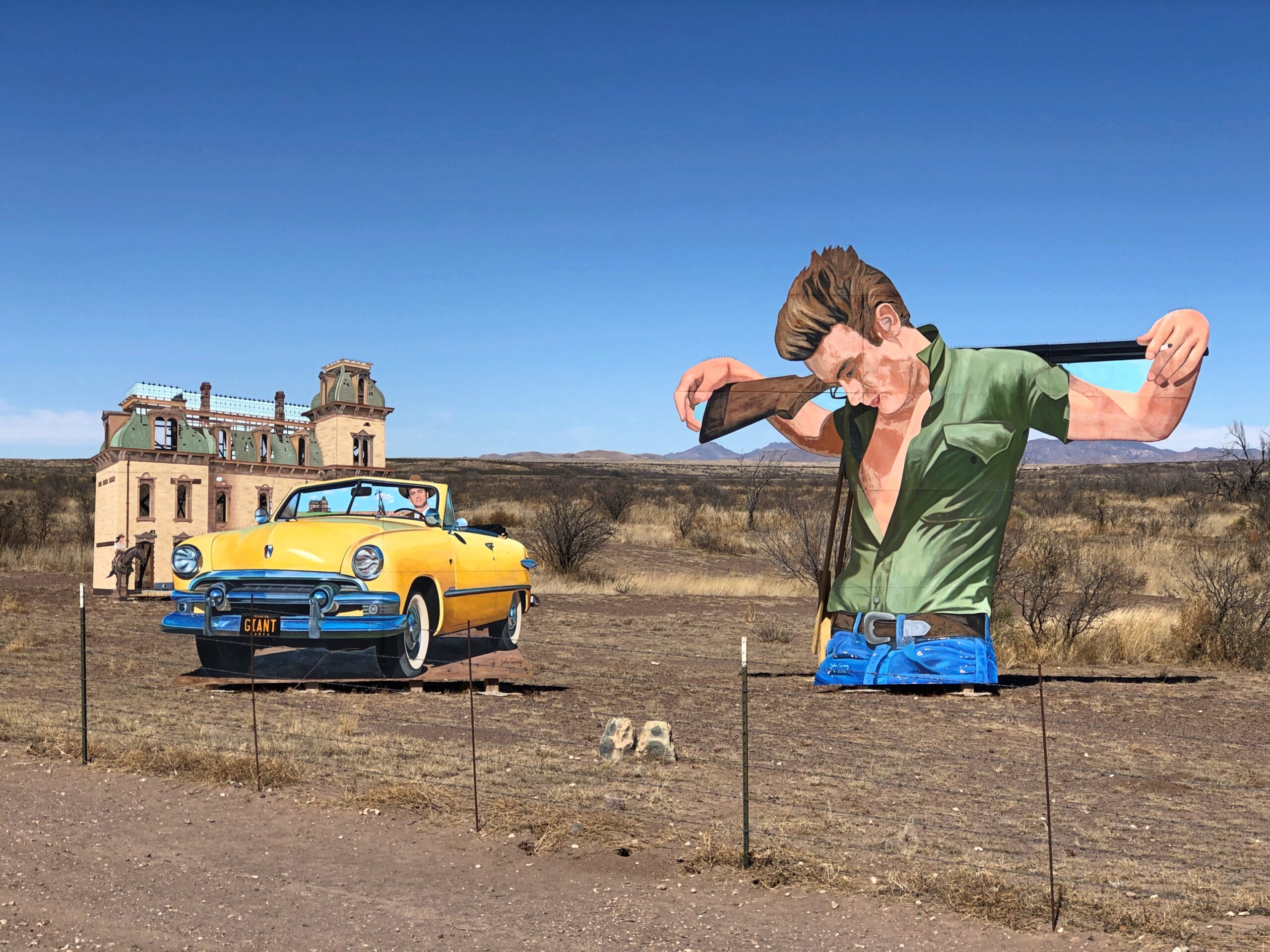
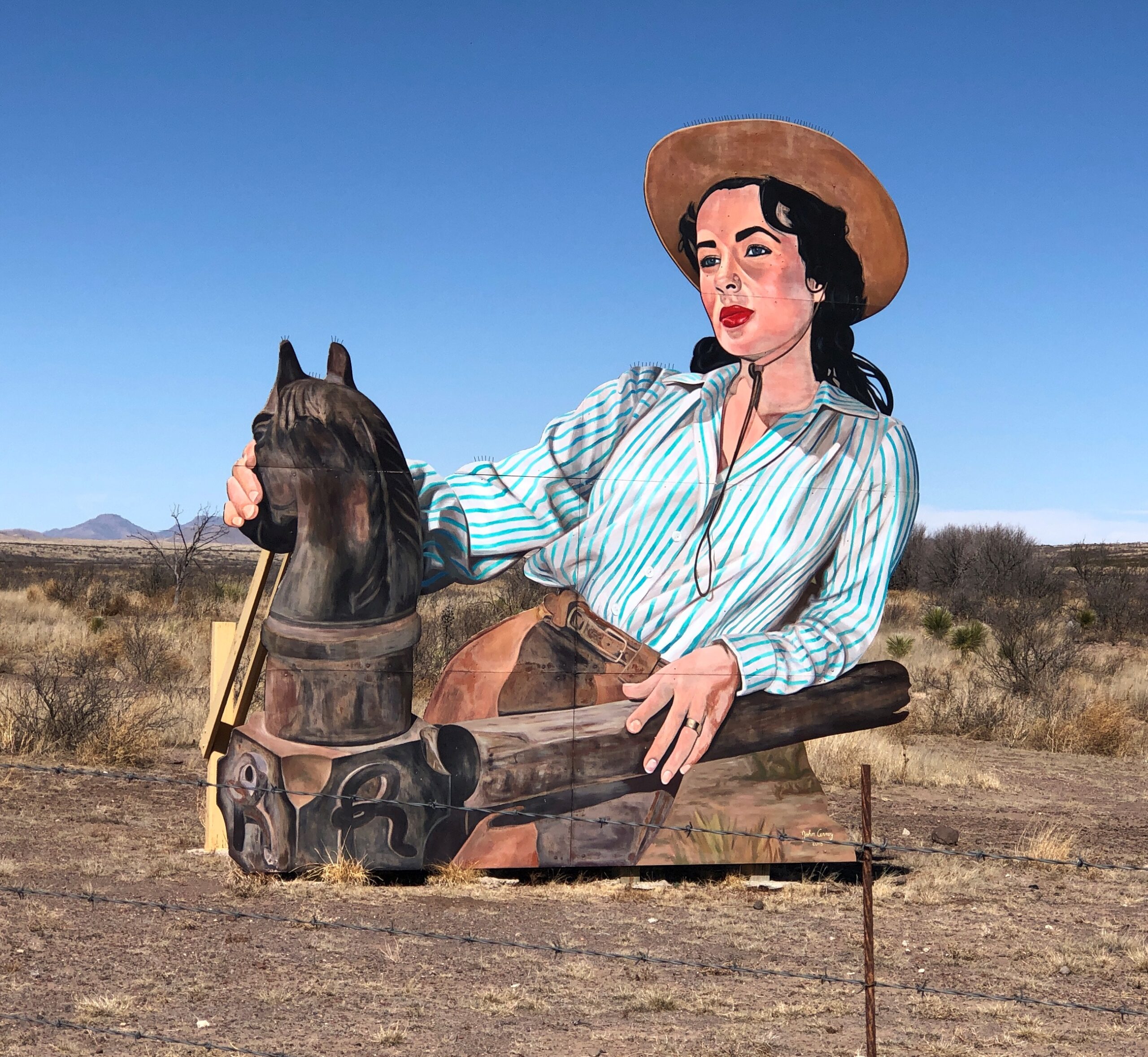
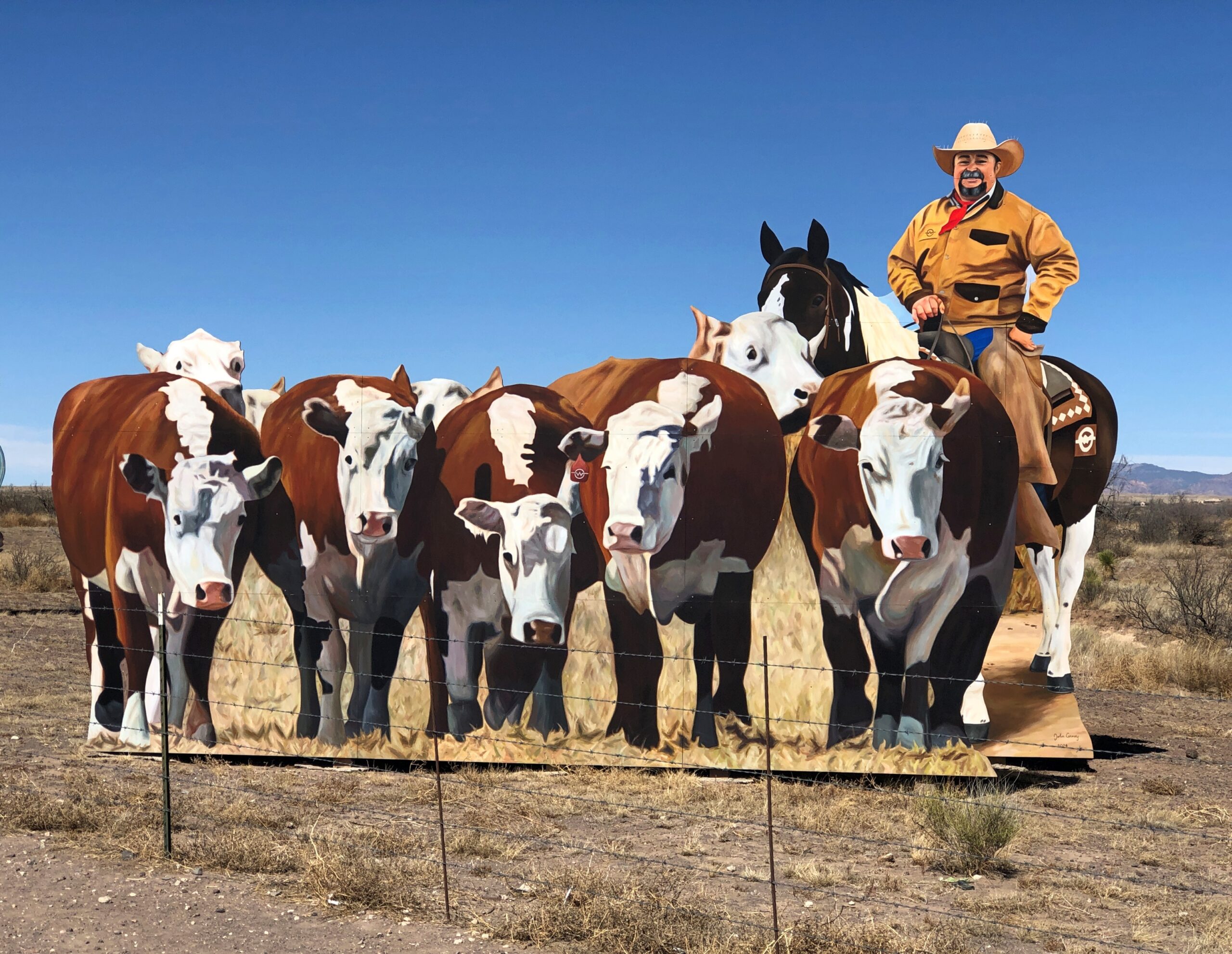
West from Marfa on US 90, on the road to Valentine and Van Horn, are characters from the last of James Dean’s three movies, the one in which he implausibly grows old. Some of that movie was filmed in the area – on the ranch behind the barbed wire, in fact.
“A donation to the city of Marfa, the mural by artist John Cerney honors the movie Giant (1956), which was partially filmed in this small west Texas town,” says Texas Time Travel. “The mural is a collaboration with singer/songwriter/musician Michael Nesmith who made possible the addition of an audio element to the mural installation. The sounds of Nesmith and his First National Band Redux play continually on a loop from hidden speakers near the automobile in the scene.”
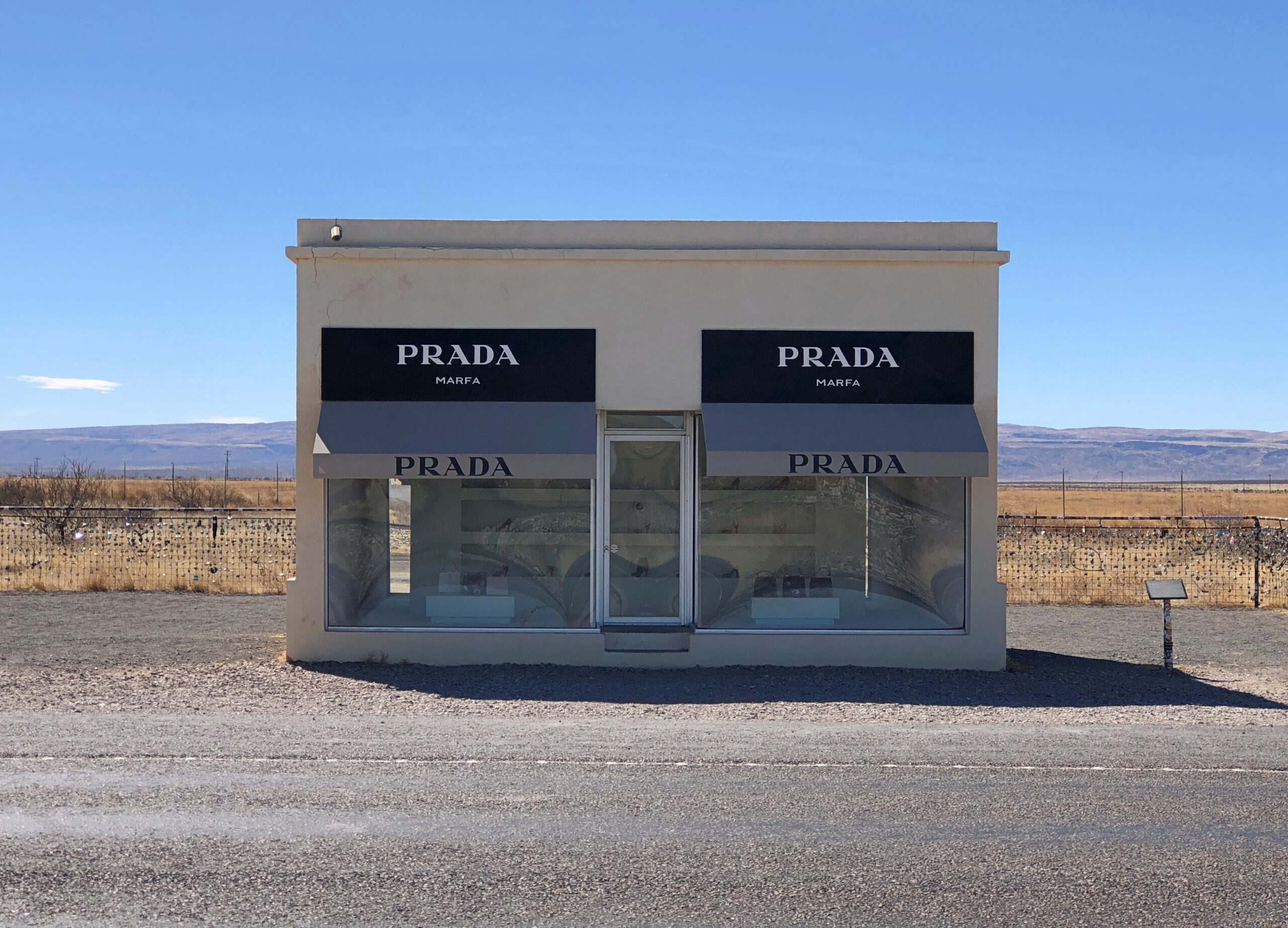
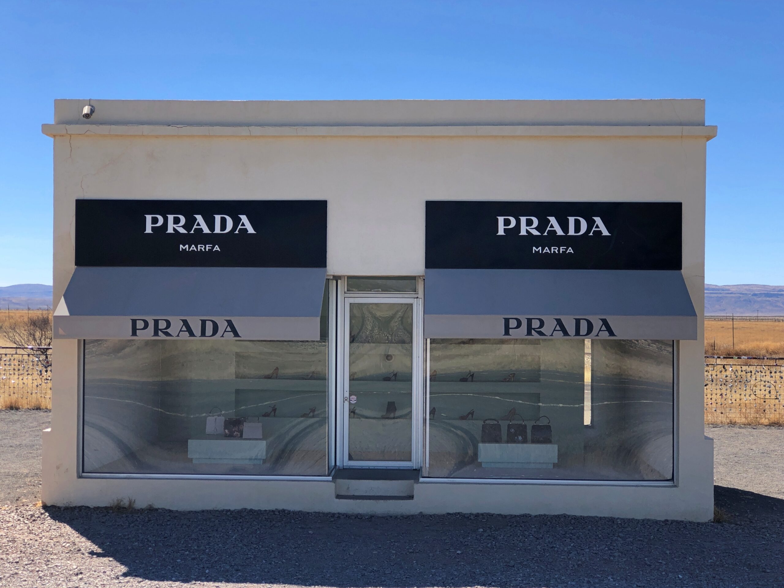
Further down the same road, in fact close to the hamlet of Valentine, is the Marfa Prada. Not the Valentine Prada, because who has ever heard of Valentine, Texas (pop. 217)?
Texas Time Travel again: “Prada Marfa is a site specific, permanent land art project by artists Elmgreen & Dragset, commissioned by Art Production Fund and Ballroom Marfa. Modeled after a Prada boutique, the sculpture houses luxury goods from the famed brand’s fall 2005 collection of bags and shoes.”
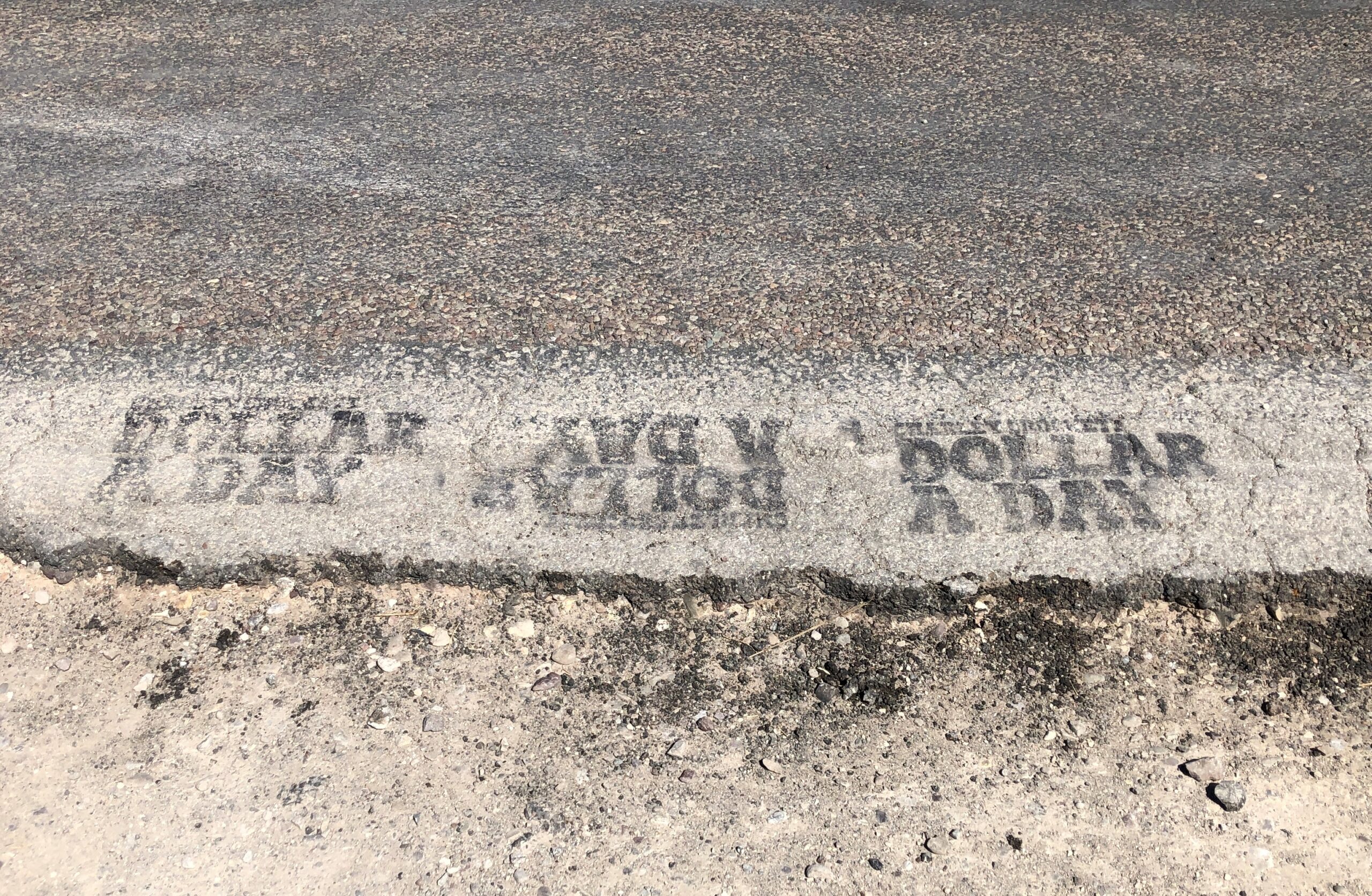
Detail near the road. Not sure if it was added by the artist or someone else.
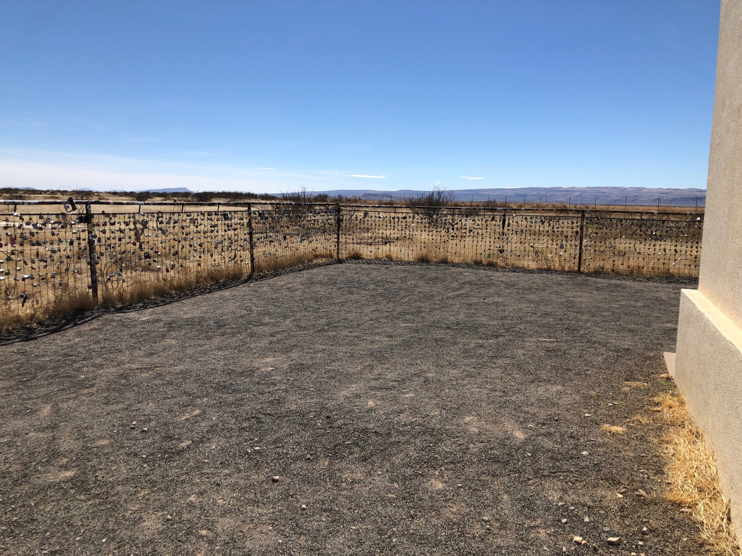
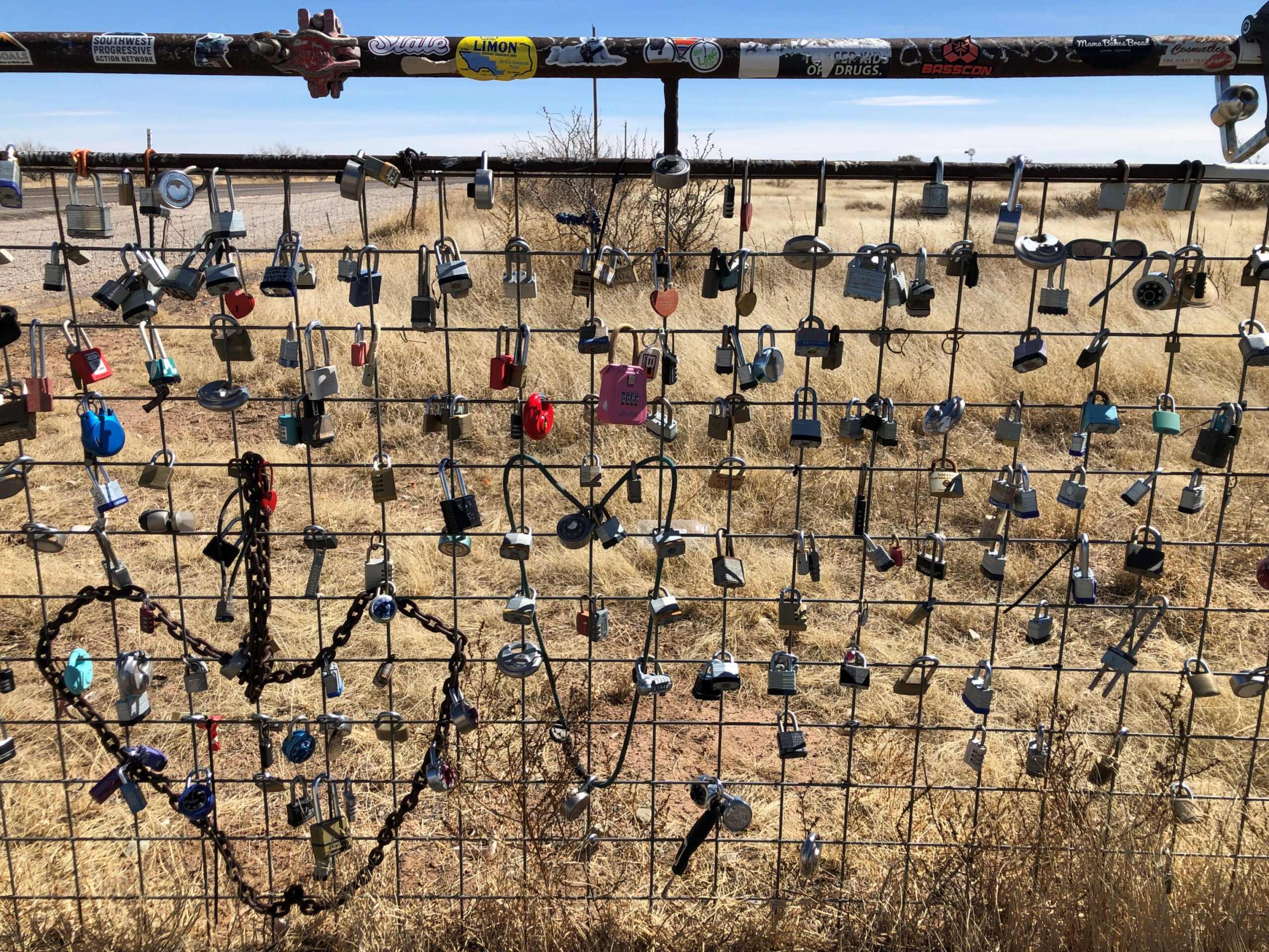
The fence partly around the locked building is festooned with love locks.
Regards for Easter. And Maundy Thursday and Good Friday and Easter Saturday. Back posting on Easter Monday.
This seemed like a fitting set of images for the occasion.
A 100-foot steel cross rises on a small hill a few miles south of Ballinger, Texas, seat of Runnels County. Couldn’t very well pass that up, considering that we were passing through Ballinger (pop. about 3,600) anyway, toward the end of our drive that day from metro DFW to San Angelo, Texas.
“The Ballinger cross was built by a local construction company and commissioned by Jim and Doris Studer, owners of Buddy’s Plant Plus,” notes the Austin Chronicle. “The company is the only U.S. factory making water-soluble fertilizer for Miracle-Gro. After 20 years of making fertilizers in Florida, the Studers went looking for a drier climate. In 1988, they moved the company to Ballinger, where it quickly became one of the largest employers in the county.”
Jim Studer reportedly had been considering the construction of a cross about half that height, as a token of gratitude for a successful business. Then, during a visit to Florida, he was nearly electrocuted in what could easily have been a fatal accident – and decided to roughly double the size of the structure. A thanks to the Lord for not being offed at that moment, perhaps, but no doubt sincere gratitude regardless, for his thriving business. The cross went up in 1993.
We’d left Dallas that morning in mid-February, skirting the cities on I-20 West, except for a brief stop in the Fort Worth museum district. Specifically, at the Modern Art Museum of Fort Worth. Yuriko had heard about my visit in 2019 and been slightly miffed, since she too wanted to see the Tadao Ando-designed structure. So we shoehorned a visit for a look at the structure on the day’s itinerary, though not the museum collection. It loses nothing on a second viewing. Gets better.
Go southwest from Fort Worth on US 377 and soon enough you’ll arrive in Stephenville (pop. 20,800 or so), seat of Erath County.
A dairy industry in Erath County? Yes, indeed: sales of $350.9 million in 2022, according to the USDA, by far the largest ag product in the county, and third highest for milk sales among all the 254 counties in Texas, and 24th in the nation. Meat cattle in Erath County are a distant second at $82.7 million that year, so a milk cow standing in the shadow on the Erath County courthouse is just about right.
I had to look it up: number one county in nation for milk production by dollar volume is not in Wisconsin, but rather Tulare County, California, at more than $2.8 billion in 2022. First out of 1,770 counties nationwide producing milk. Now there’s a Jeopardy answer to stump everyone.
We ate lunch in Stephenville at Greer’s, which served a chicken-fried steak to beat all, then took a constitutional around the Erath County courthouse. Starting with one hefty former bank building, vintage 1889.
For Texas county courthouses, James Riely Gordon (d. 1937) is a starchitect, but of course that wasn’t all he did. When he designed this bank, he was 26.
Every town worth its late 19th-century salt has to have an opera house.
Wiki: “Brown began his musical career in 1930, when he met Bob Wills and guitarist Herman Arnspiger. They were performing at a local Fort Worth dance and Brown joined the duo on a chorus of ‘St. Louis Blues.’ The trio decided to team up to play medicine shows around Texas and Brown landed a regular radio spot on WBAP for the group, where they played a show sponsored by Aladdin Lamp Company, which had the band change its name to the Aladdin Laddies.”
Man, there’s another streaming platform limited series for you: the founding of western swing. Add a fictional love triangle between Bob Wills and Milton Brown and a fictional fetching woman, and some fictional tension between Bob and Milton, who nevertheless produce terrific music to enthusiastic audiences early in the Depression, until Milton dies suddenly in the last episode in a car wreck, as the real musician did in 1936 at age 32. Bob is left to carry on.
Milton’s not the only one honored near the Erath County courthouse.
There were a fair number of plaques like this, too many to read, so I picked one.
Chicago had its art cows (that was in 1999?!?) and Sturgeon Bay, Wisconsin, has its sturgeons, so Stephenville had boots?
You’d think maybe, considering the importance of dairy locally, there would also be — do dairy workers wear special boots? If so, there should be one of those on display too.
More Stephenville.
US 67 joins US 377 for a run southwest of Stephenville, through such burgs as Dublin, Comanche and Brownwood. Then US 377 peels away to the south; but we followed US 67 west to Ballinger. That town was mostly a stop to get our bearings, really, but I also did a short walkabout while Yuriko napped in the car.
I made the acquaintance of Charles H. Noyes (d. 1917).
Charles was a young Runnels County man who died by being thrown from his horse while minding cattle. His parents tasked no less than Pompeo Coppin to do the sculpture honoring his memory. Nice work, Pompeo. RIP, Charles.