One more bit of interesting but worthless paper: a Hong Kong one-cent note. A small script of a note, pictured here at pretty much actual size. I’d post the reserve of the note, but it’s blank.
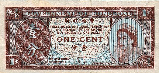
I’m not sure when or where I picked up this curiosity. Might have been at a coin shop in the ’70s. But it wasn’t in Hong Kong. Small change there in the early 1990s was always coins, at least in my experience.
I assume the text specifying that the notes are legal tender for payments of a dollar or less means that a merchant could decline payment from some joker wanting to pay with thousands of one-cent notes. I’ve never seen any text like it on any other note, at least not ones that I could read.
Even though I never ran across one in circulation, this site says that “the One Cent note has always been very popular even though it has very little value. A recent assessment showed there was over $1 million worth of these notes in circulation. The Coinage Bill of the 17th June 1994 brought about the demise of the One Cent note in preparation for the 1997 hand over to China.”
The Hong Kong dollar has long been pegged to the U.S. dollar, between HK$7.75 and HK$7.85 to the dollar, so a HK cent is worth about 0.13 U.S. cents. Or just for fun, 1.3 U.S. mills. Very little indeed.
A digression: mills, though essentially notional for most of the history of the U.S., were recognized by the Coinage Act of 1792: “… the money of account of the United States shall be expressed in dollars or units, dismes or tenths, cents or hundredths, and milles or thousandths, a disme being the tenth part of a dollar, a cent the hundredth part of a dollar, a mille the thousandth part of a dollar, and that all accounts in the public offices and all proceedings in the courts of the United States shall be kept and had in conformity to this regulation.”
I like disme. It’s a spelling we should have kept. Pronounced “dime,” as I understand it. People gripe about them, but language would be less fun without a few silent letters.
The one-cent HK note I have was issued between 1961 and 1971, since it bears the signature of Hong Kong Financial Secretary J.J. Cowperthwaite. I’ll take my source’s word for that, since the actual signature looks like a doctor’s scrawl that used to be seen on paper prescriptions.
He was a free-marketeer: “Sir John Cowperthwaite, who was deputy and actual finance minister for Hong Kong between 1951 and 1971, was enormously influenced by his study of [Adam] Smith,” says the Royal Economic Society.
“Cowperthwaite more than anyone laid the economic policy foundations that drove Hong Kong’s remarkable post-war economic growth. In the 1950s Hong Kong’s (PPP adjusted) GDP per capita was around 30 per cent of that of its mother country, Britain. Now it has a GDP per capita that is 40 per cent higher.”


 Of course that’s

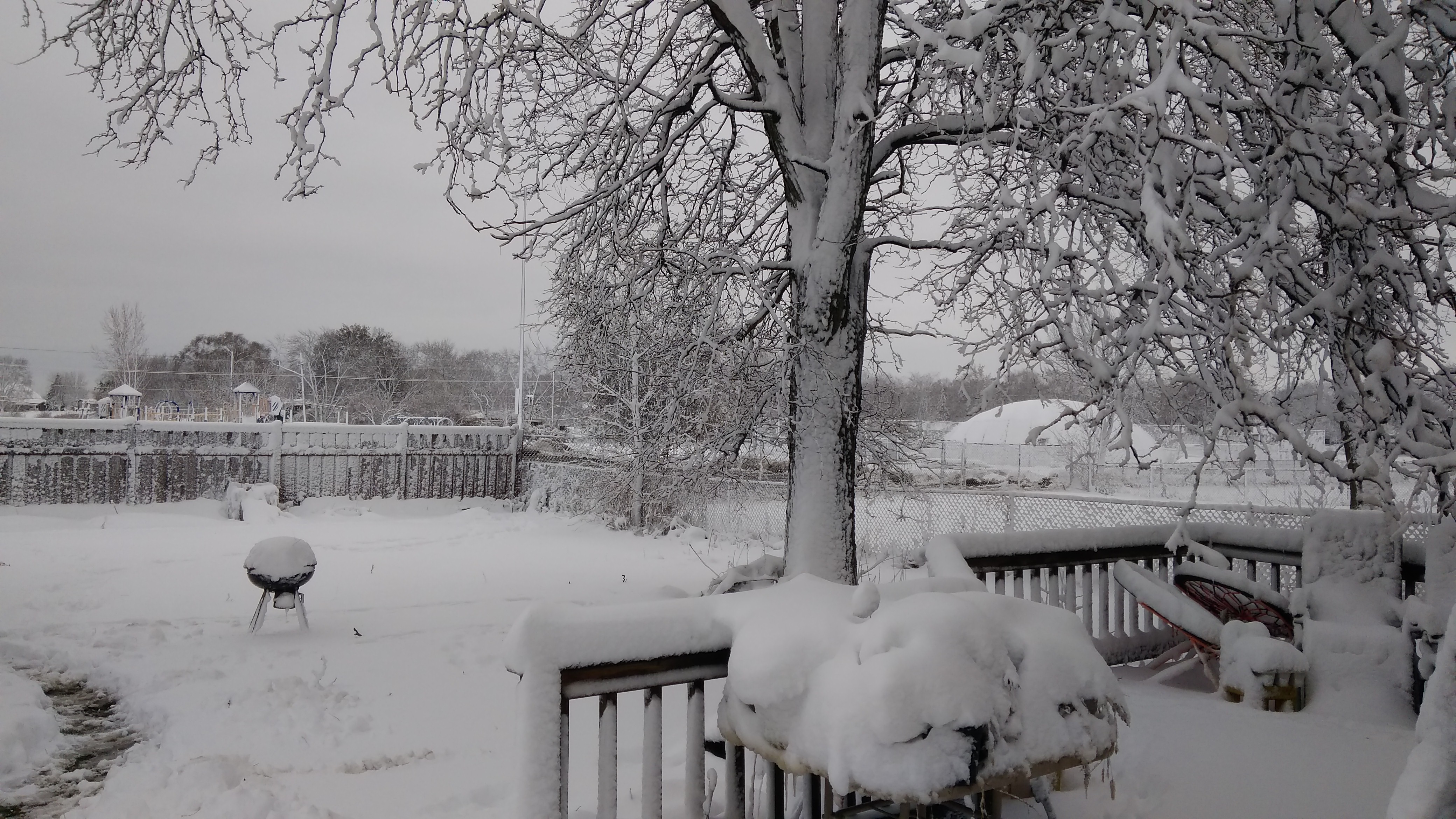
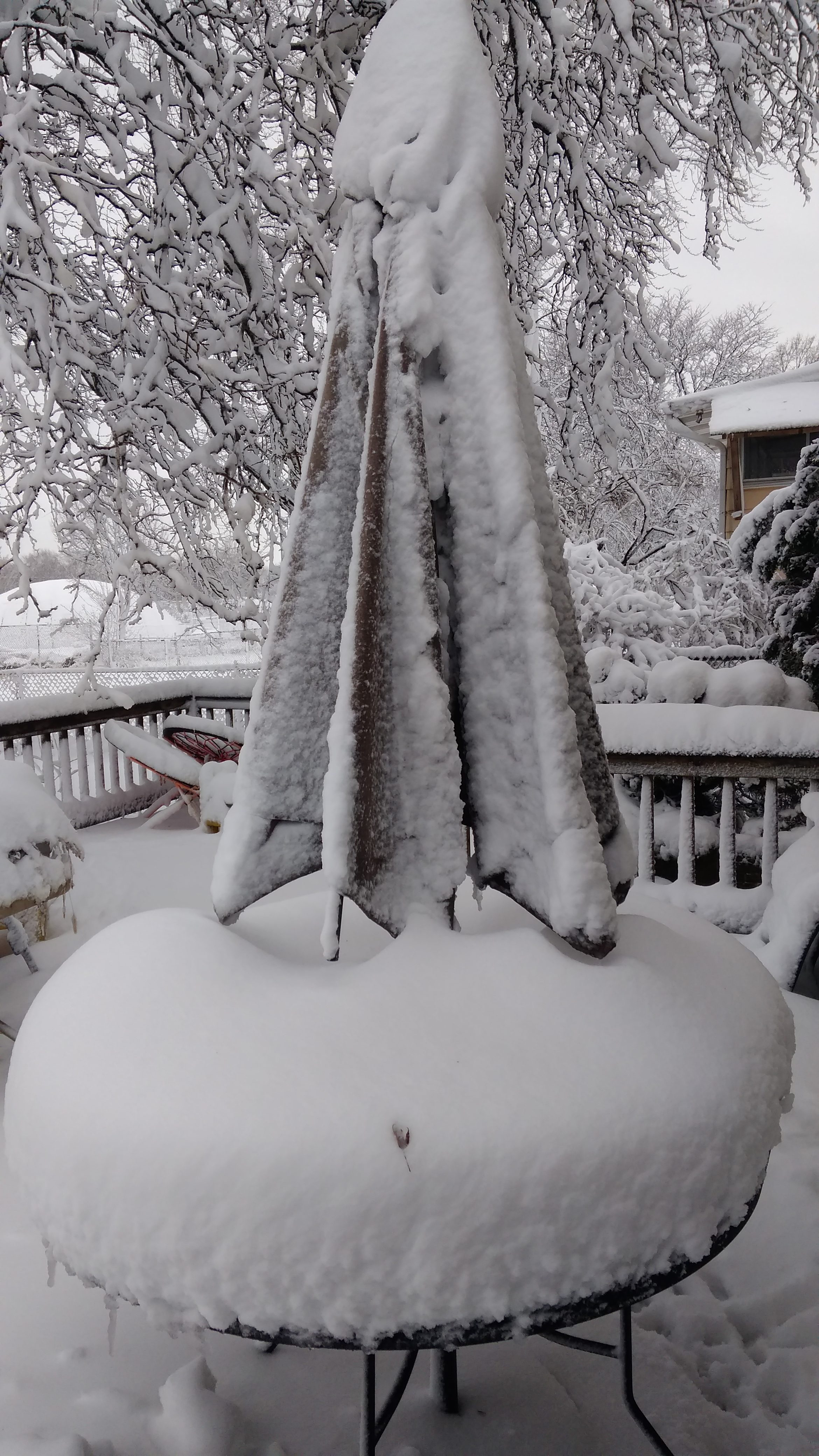
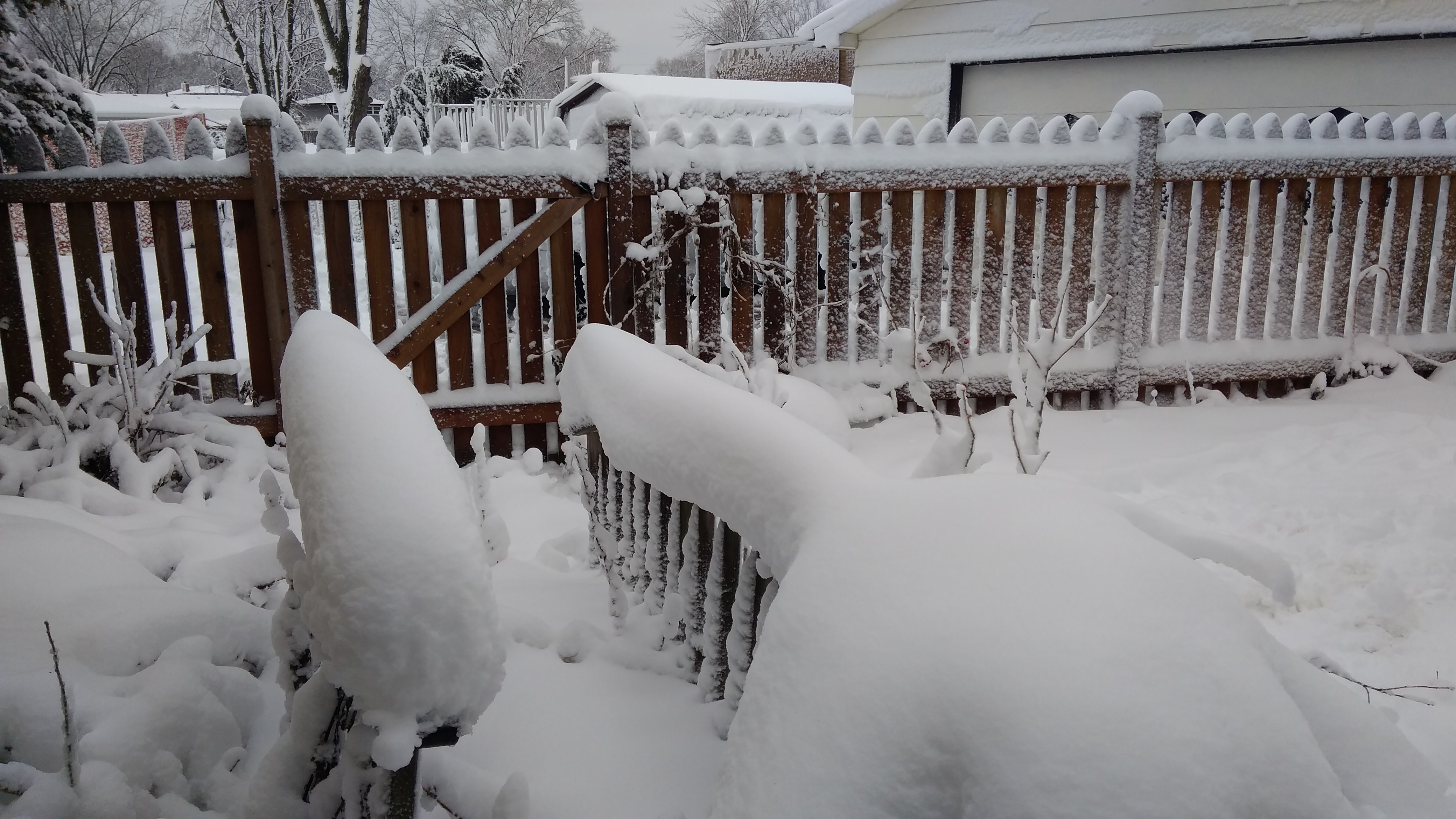

 No more snow forecast for the week. Some of the current cover might even melt in a few days. Even so, this has been the snowiest November I’ve ever experienced.